


Bikepacking the Transnevada in Southern Spain
Distance
302 Mi.
(486 KM)Days
7
% Unpaved
99%
% Singletrack
?%
% Rideable (time)
95%
Total Ascent
41,687'
(12,706 M)High Point
7,688'
(2,343 M)Difficulty (1-10)
6.5?
- 9Climbing Scale Very Strenuous138 FT/MI (26 M/KM)
- -Technical Difficulty
- -Physical Demand
- -Resupply & Logistics
Contributed By

Logan Watts
Pedaling Nowhere
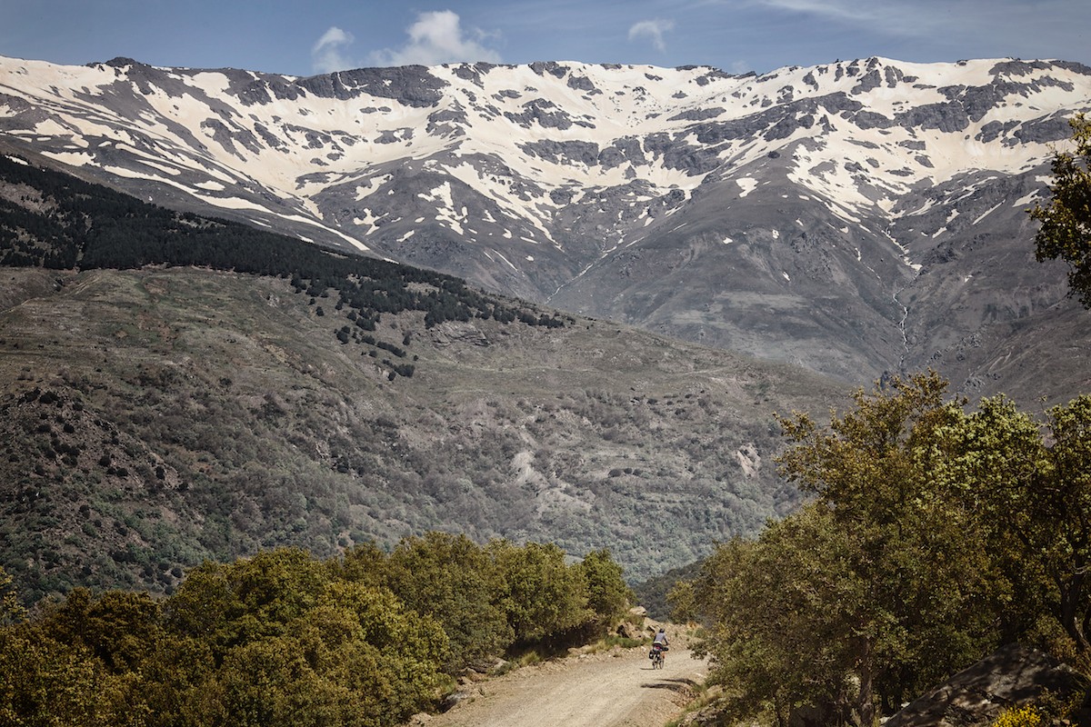
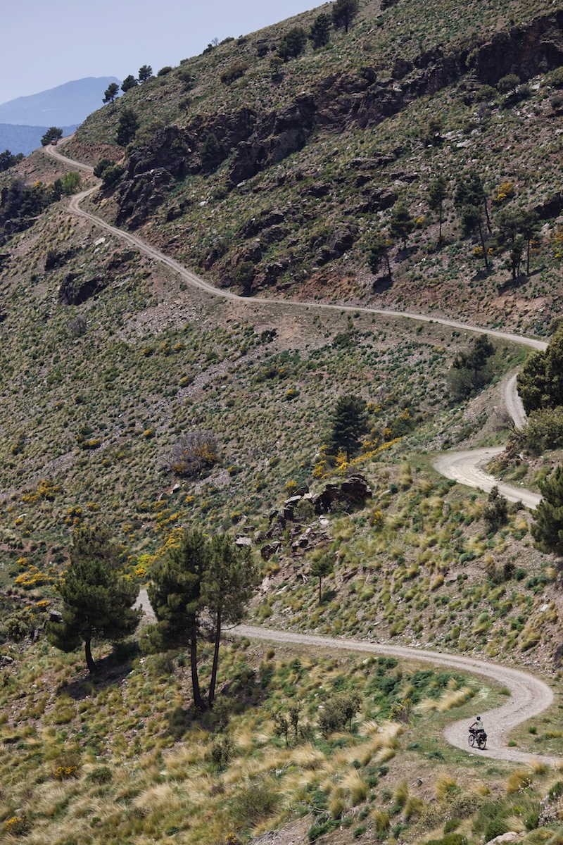
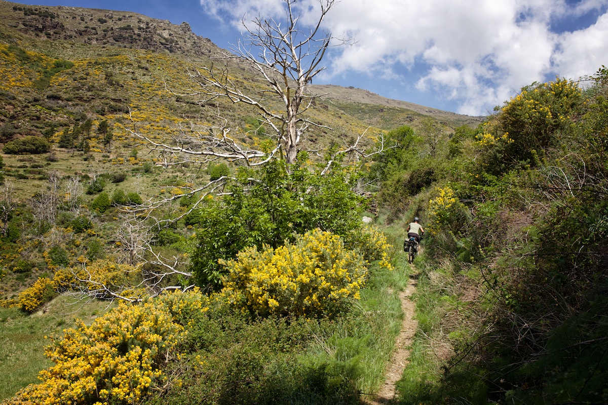
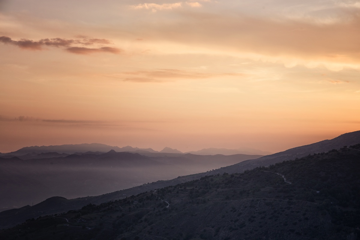
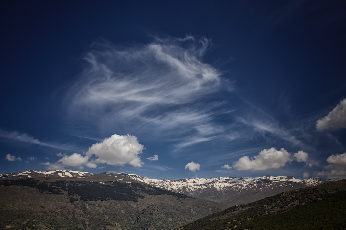
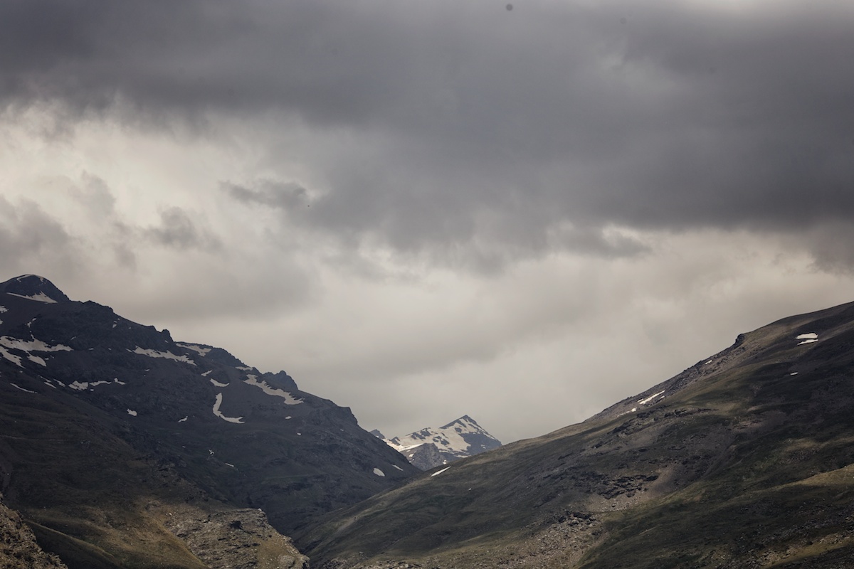
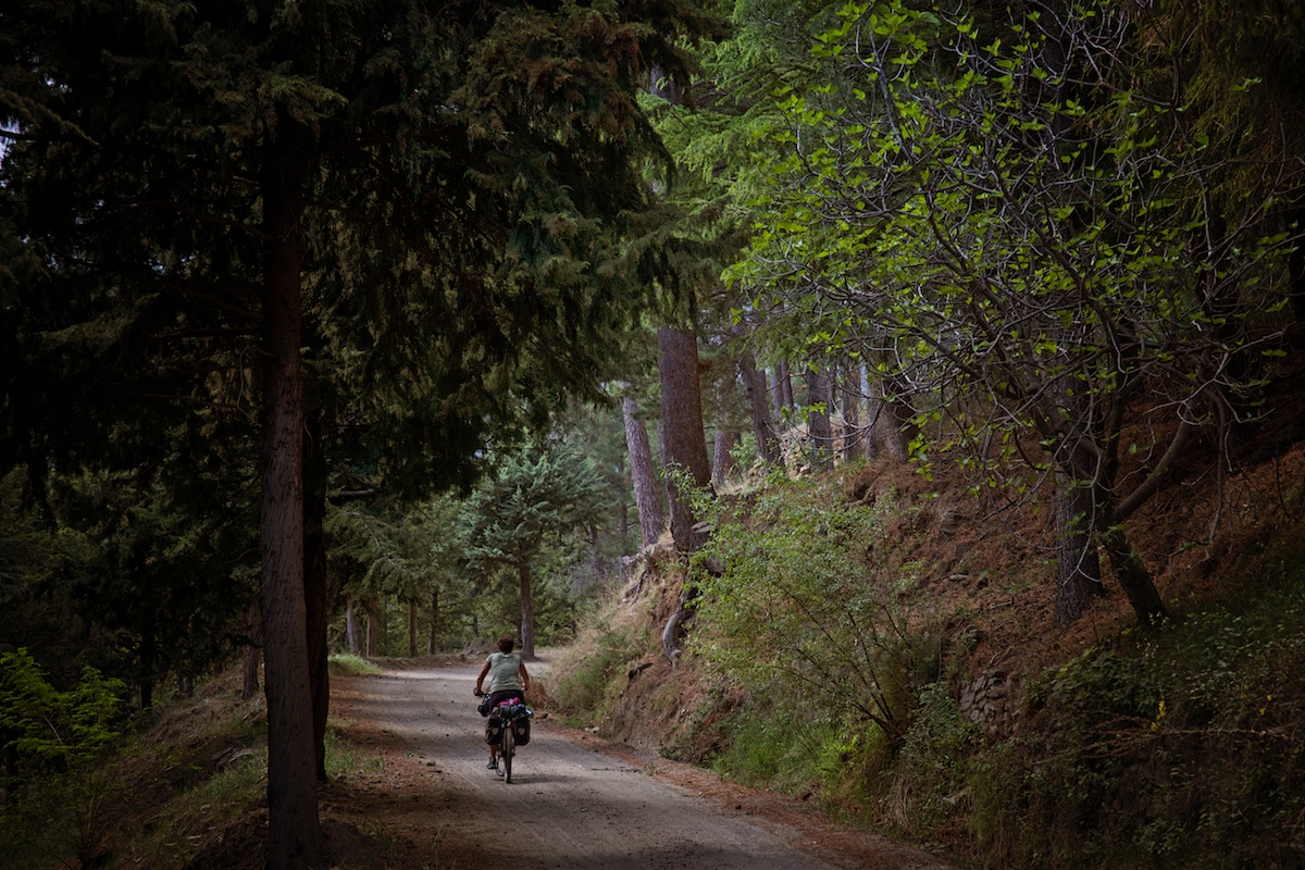
A scant 30 kilometers due north of the touristy Mediteranean beaches, the Sierra Nevada juts straight out of the Earth in massive spires of wildflower covered peaks. The autonomous range was designated a national park in 1999 and is the largest in Spain.
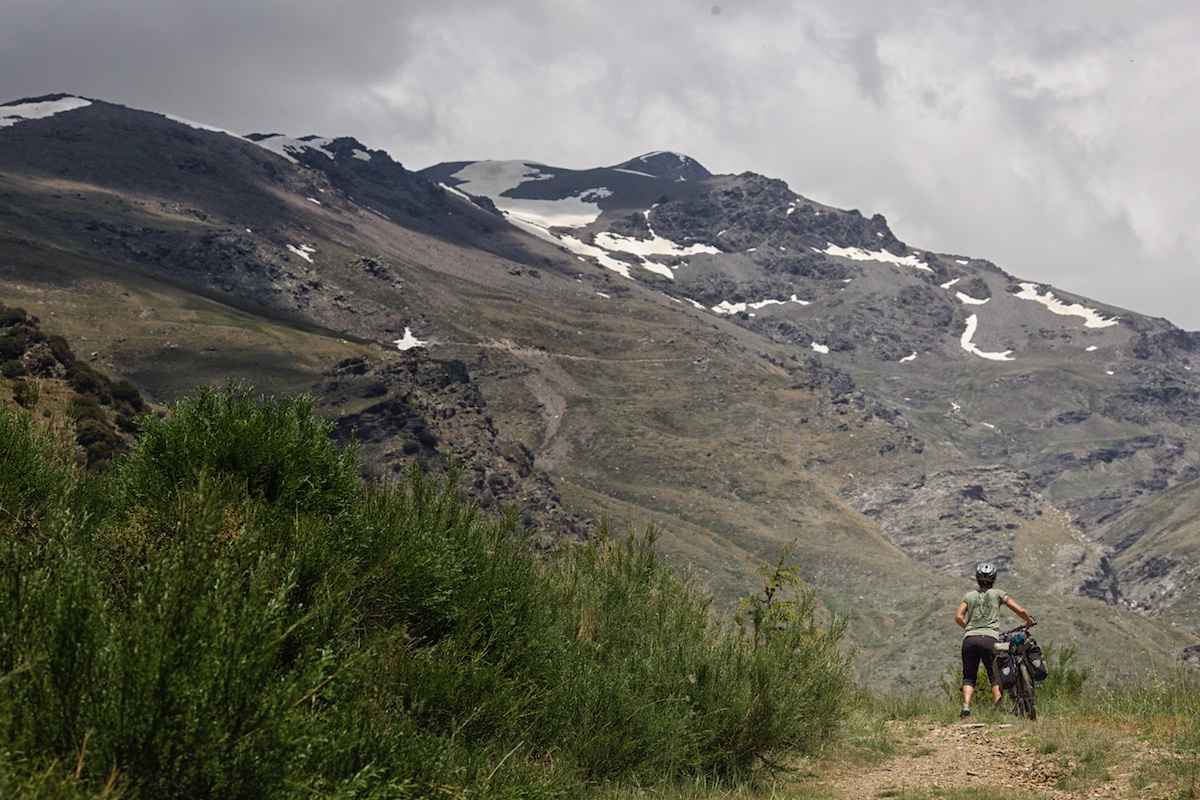
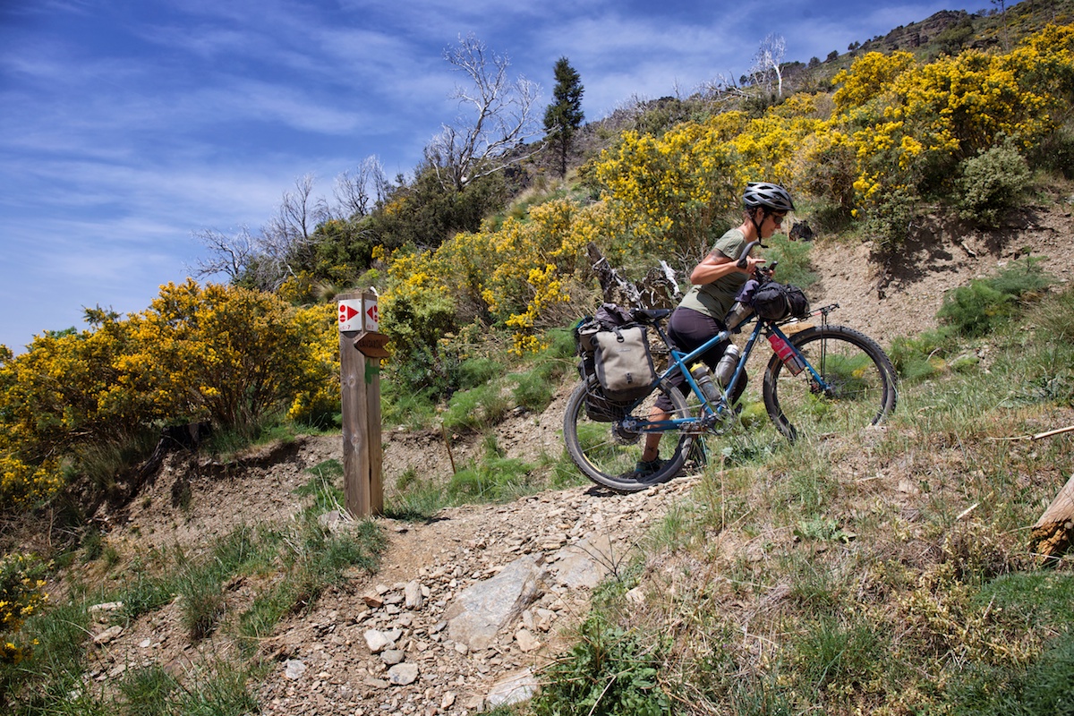
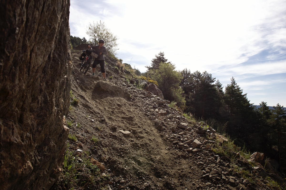
In 2011 a gnarly web of doubletrack, single track, gravel and footpaths were adopted by Andalucia Tourism and supported by the International Mountain Bike Association (IMBA). The effort resulted in a well documented, and extremely well signposted, 450 kilometer route that encircles the jagged range in eight named segments.
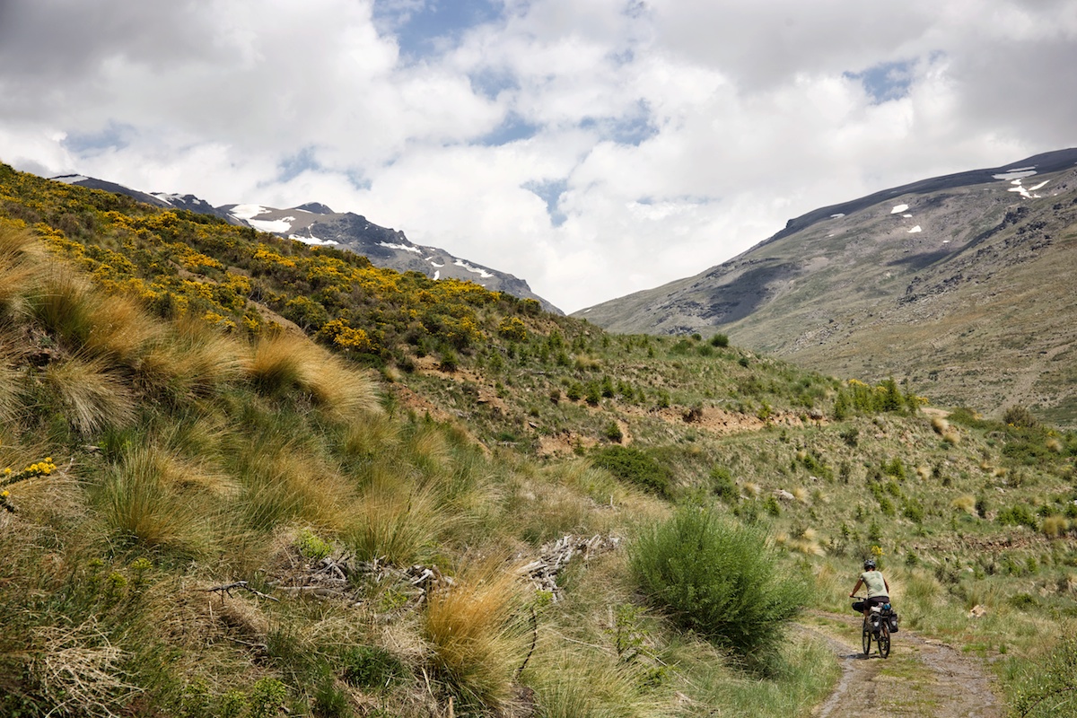
We were fortunate to land here right in the midst of a mild late spring when wildflowers were at their peak, the crisp mountain sky held back moisture from the sea, and chilly mornings made coffee extra special. The riding was epic.
Submit Route Alert
As the leading creator and publisher of bikepacking routes, BIKEPACKING.com endeavors to maintain, improve, and advocate for our growing network of bikepacking routes all over the world. As such, our editorial team, route creators, and Route Stewards serve as mediators for route improvements and opportunities for connectivity, conservation, and community growth around these routes. To facilitate these efforts, we rely on our Bikepacking Collective and the greater bikepacking community to call attention to critical issues and opportunities that are discovered while riding these routes. If you have a vital issue or opportunity regarding this route that pertains to one of the subjects below, please let us know:
Highlights
Must Know
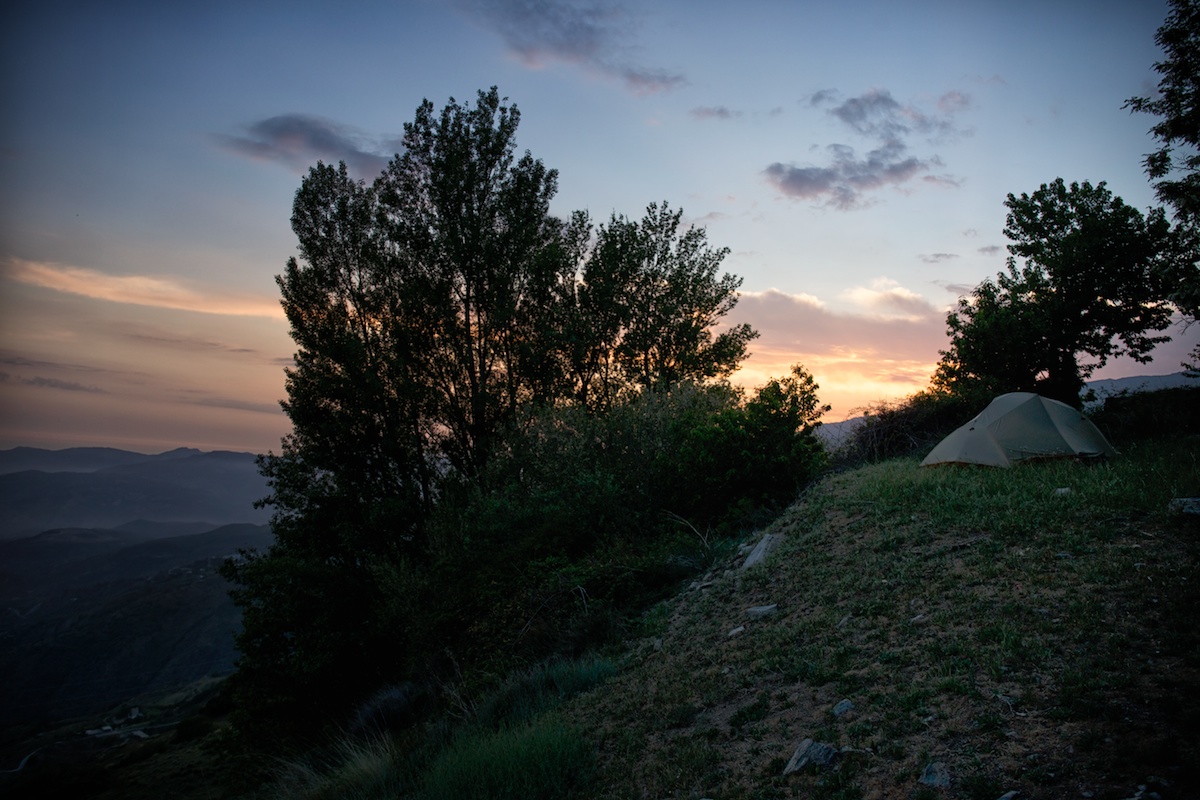
Camping
Food/H2O
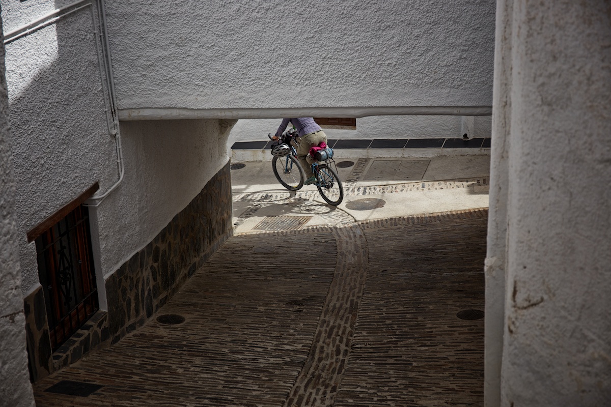
- Las Alpujarras (the quaint white towns scattered on the hillsides of the Sierra Nevada)
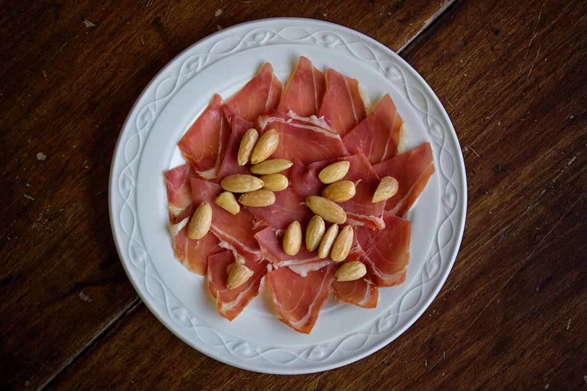
- Tapas: In the province of Granada, they still practice the tradition of free tapas with the purchase of a drink. We almost didn’t pay for a single meal during our time here. Just order a beer and get a snack!
- The alpine scenery of the Sierra Nevada range
- I recommend visiting in the spring when the wildflowers are in full swing and the sky is crystal blue
- For alcohol stoves, the only option id pharmacy grade rubbing alcohol. Kind of pricy, but works well. There are small pharmacies in most of the Alpujarras.
- There are plenty of opportunities for wild camping in the Sierra Nevada.
- We also found a couple campgrounds in the Alpujarras.
- Plenty of food options in all of the all of the Las Alpujarras… both shops and restaurants. Load up on beer and tapas.
- There are quite a few streams, springs and historic fountains along the way. Most, if not all, need filtering though.


Terms of Use: As with each bikepacking route guide published on BIKEPACKING.com, should you choose to cycle this route, do so at your own risk. Prior to setting out check current local weather, conditions, and land/road closures. While riding, obey all public and private land use restrictions and rules, carry proper safety and navigational equipment, and of course, follow the #leavenotrace guidelines. The information found herein is simply a planning resource to be used as a point of inspiration in conjunction with your own due-diligence. In spite of the fact that this route, associated GPS track (GPX and maps), and all route guidelines were prepared under diligent research by the specified contributor and/or contributors, the accuracy of such and judgement of the author is not guaranteed. BIKEPACKING.com LLC, its partners, associates, and contributors are in no way liable for personal injury, damage to personal property, or any other such situation that might happen to individual riders cycling or following this route.
Please keep the conversation civil, constructive, and inclusive, or your comment will be removed.