


The Stagecoach 400 Bikepacking Route
Distance
376 Mi.
(605 KM)Days
5
% Unpaved
75%
% Singletrack
25%
% Rideable (time)
98%
Total Ascent
27,824'
(8,481 M)High Point
5,660'
(1,725 M)Difficulty (1-10)
7.5?
- 5Climbing Scale Moderate74 FT/MI (14 M/KM)
- -Technical Difficulty
- -Physical Demand
- -Resupply & Logistics
Contributed By

Logan Watts
Pedaling Nowhere
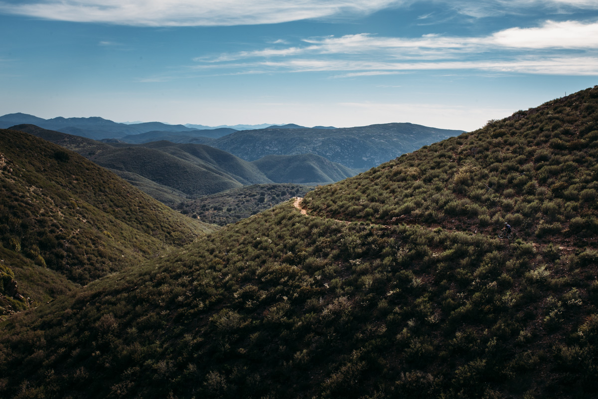
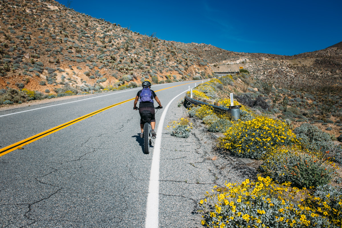
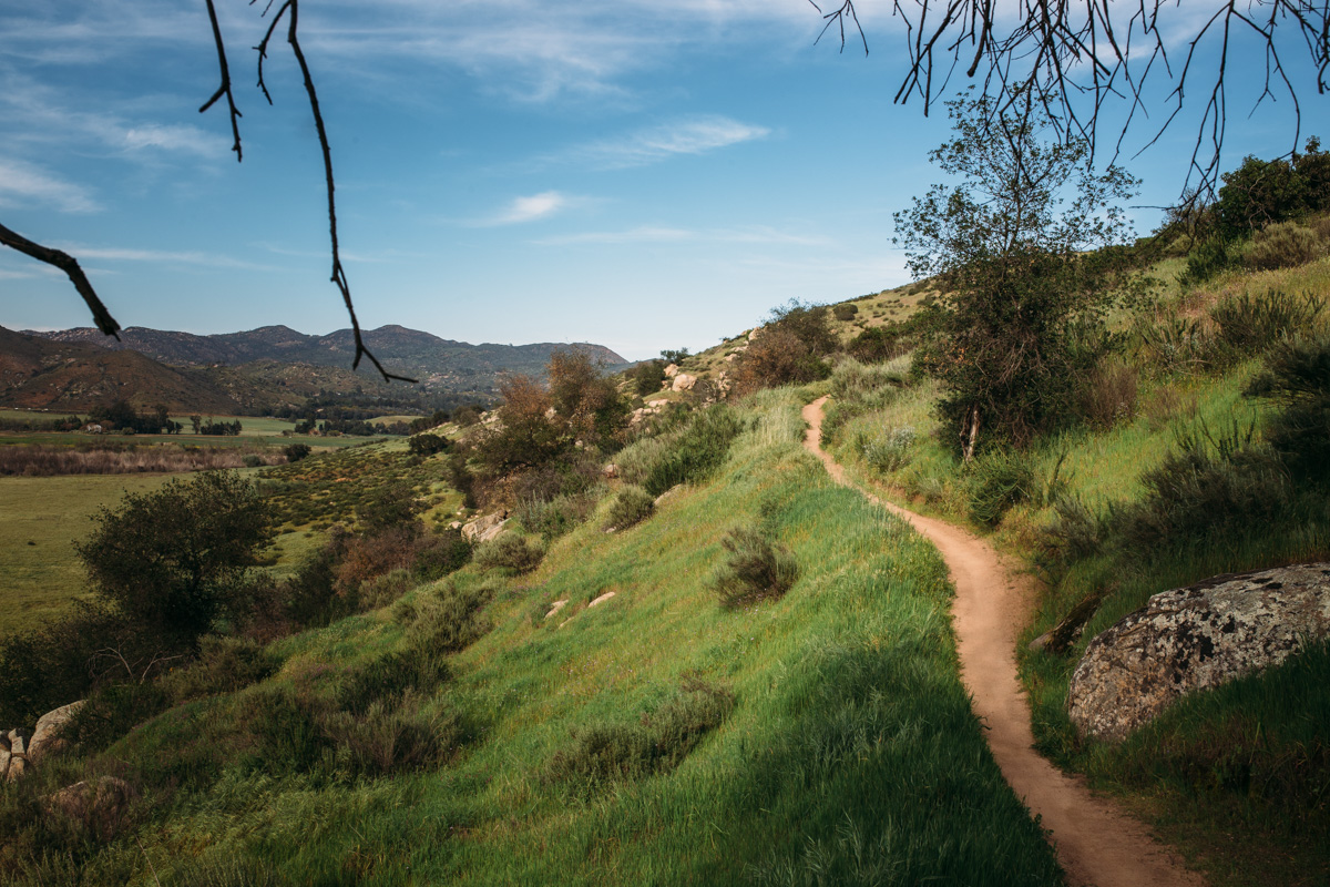
The Stagecoach 400 is a masterpiece of stitchworked dirt doubletrack, sandy desert roads, technical singletrack, urban bike paths, and rolling tarmac. The purpose-built bikepacking route begins and ends in Idyllwild California. Albeit an endurance race loop (The Stagecoach 400 Race debuted in March, 2012), the route was created to be an epic multi-day adventure route encompassing the three distinct biomes of southern California: craggy forested mountains, spectacular and desolate desert, and the ocean, with its rich coastal canyons and urban center of San Diego. “I was inspired to put together a route that would highlight what I found most intriguing about southern California, the proximity of mountains, desert and ocean, as well as the contrasts of remote areas with population centers…” states Brendan Collier, route creator.
Route Development
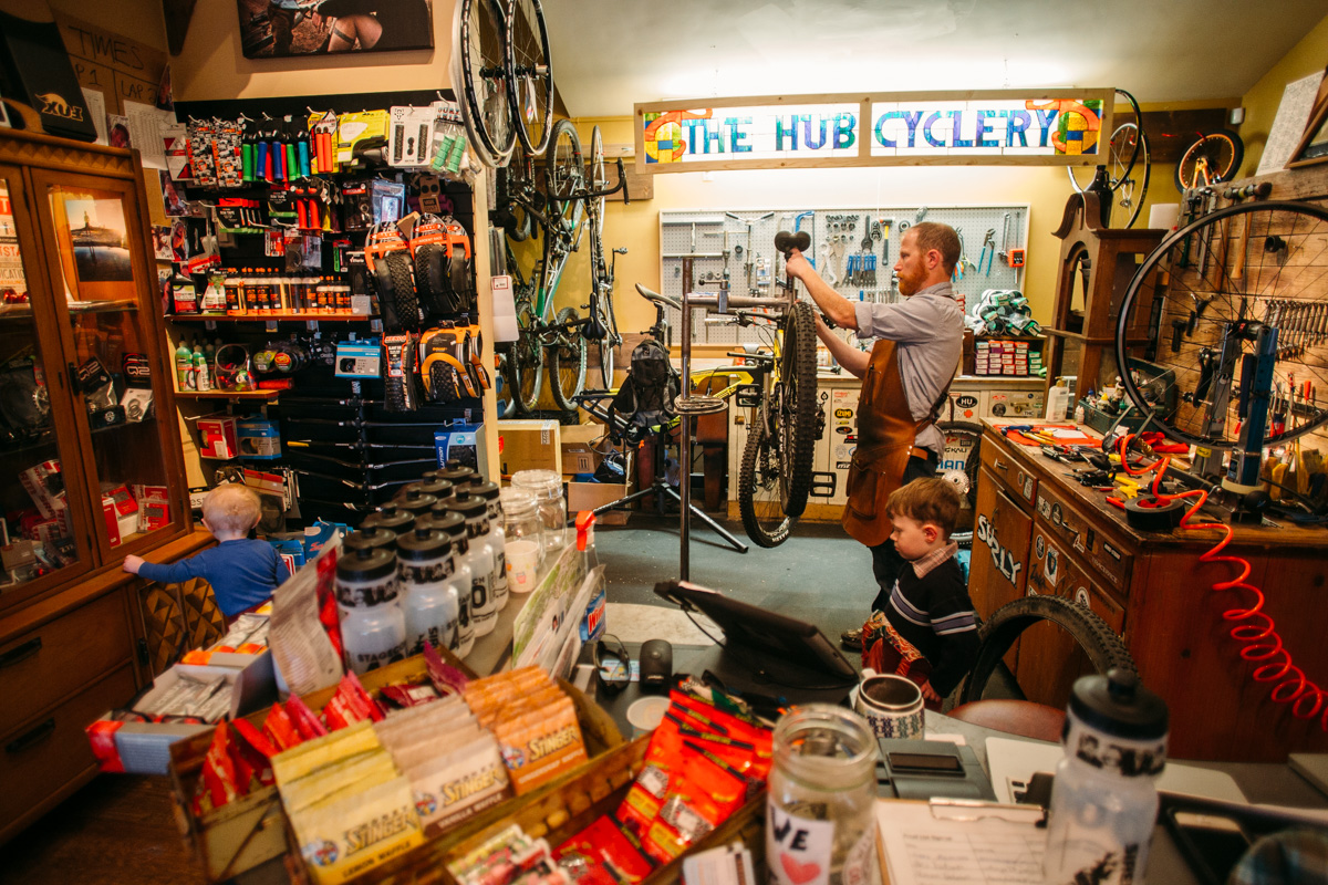
The Stagecoach 400 was designed by Brendan Collier and Mary Metcalf-Collier of The Hub Cyclery (RIP) in Idyllwild California. It started as a race route in March, 2012 and is currently managed by Meg Knobel, the current event organizer.
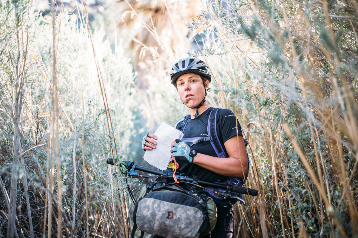


This route is not to be taken lightly; it’s highly advised to make a $30 donation here and get full cue sheet, and advice from Meg Knobel (the route may change based on conditions, private property issues, etc).
Submit Route Alert
As the leading creator and publisher of bikepacking routes, BIKEPACKING.com endeavors to maintain, improve, and advocate for our growing network of bikepacking routes all over the world. As such, our editorial team, route creators, and Route Stewards serve as mediators for route improvements and opportunities for connectivity, conservation, and community growth around these routes. To facilitate these efforts, we rely on our Bikepacking Collective and the greater bikepacking community to call attention to critical issues and opportunities that are discovered while riding these routes. If you have a vital issue or opportunity regarding this route that pertains to one of the subjects below, please let us know:
Highlights
Must Know
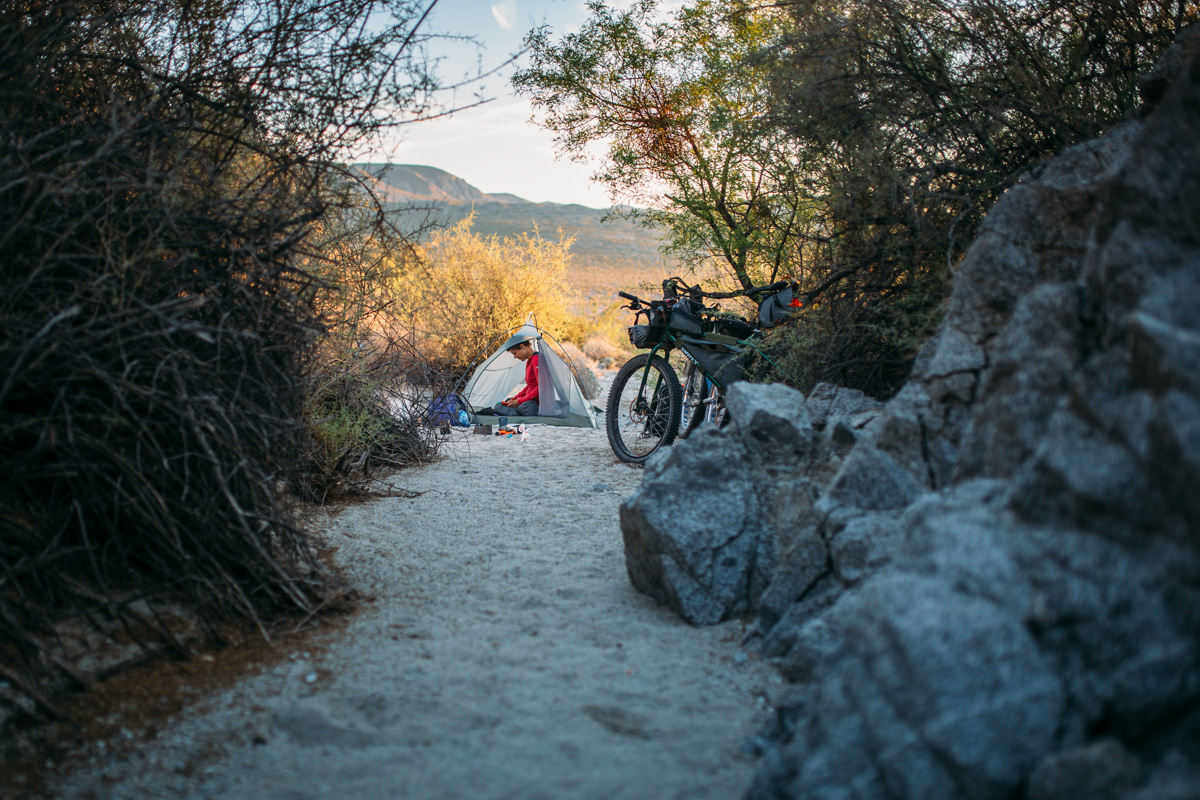
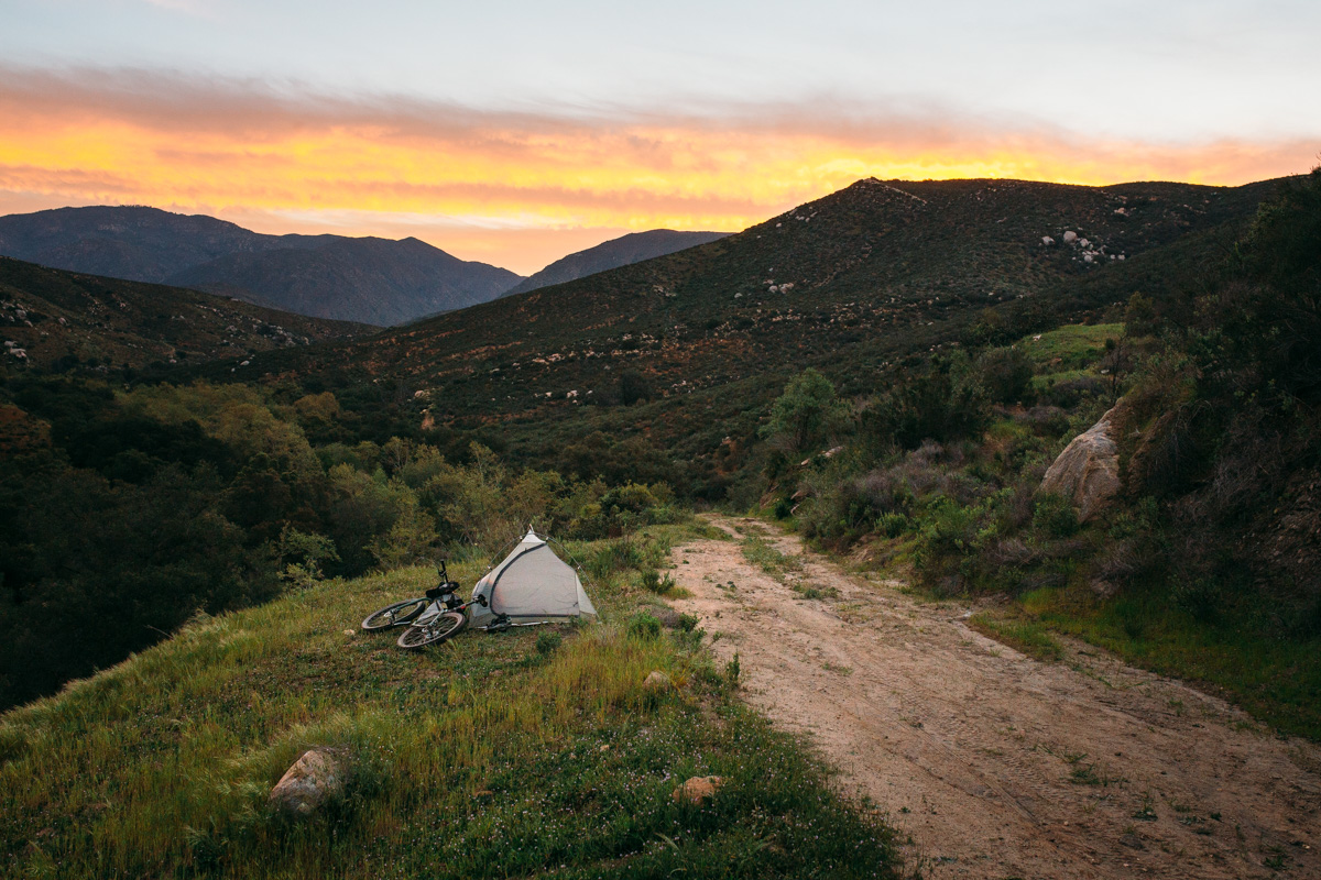
Camping
Food/H2O
Trail Notes
Resources
- Cycling from the mountains to the Pacific Ocean.
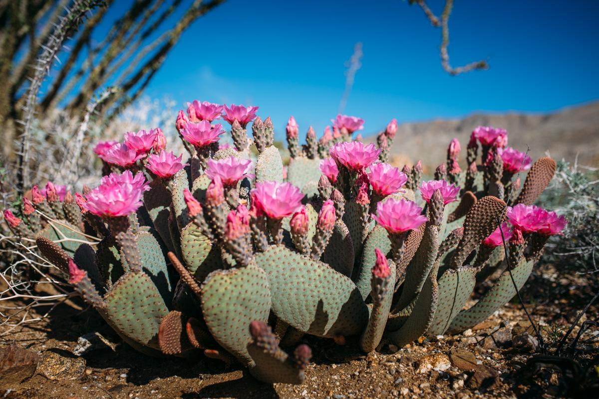
- The Anza Borrego Desert spring wildflower show.
- Amazing mountain scenery in Oriflamme Canyon, the peaceful mountain town of Idyllwild, Orosco Truck Trail, etc.
- Experiencing Southern California‘s mountains, desert, ocean, and diversity of culture, all in one loop.
When To Go
- Although doable most of the year, it’s best ridden in the early spring or late fall; the heat of the summer can be intense in the desert where there is a significant amount of mileage.
- We strongly suggest riding the loop counter clockwise. It’s the standard race direction now and much easier for tourers, so desert mileage isn’t on day 1 and 2.
- Between June 1 and September 30 each year, Coyote Canyon (between Borrego Springs and Anza) is closed to ALL USERS to protect water sources for the rare peninsular bighorn sheep. A Seasonal gate after Second Crossing restricts users during this time- you can NOT get through this part of the route during the closure, but the desert is usually dangerously hot at this time anyway.
Logistics
- This route is not to be taken lightly; it’s highly advised to make a $30 donation here and get the updated GPX, cue sheet, and advice from Brendan and Mary (the route may change based on conditions, private property issues, etc).
- There are several options for parking and pre-camping in Idyllwild; contact the Meg Knobel to make arrangements.
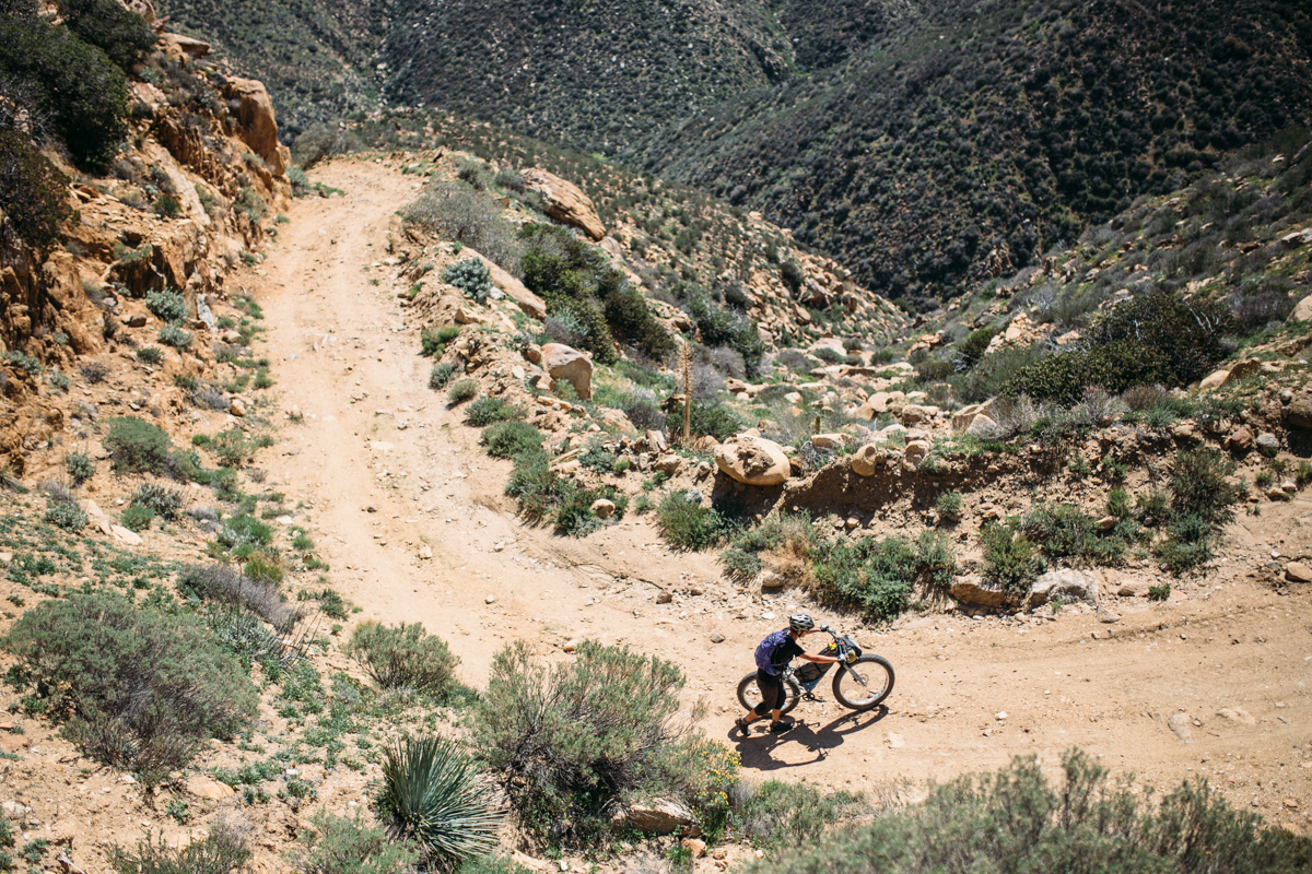
- There is a significant amount of sand on the route, and it should only be attempted on bikes with tires wider than 2.2; a 29+ bike is ideal, but a fat bike may be overkill due to the amount of pavement enroute.
- With ~25% of the route on asphalt and paved surfaces, it’s advisable to use a tire with less aggressive tread to maintain speed through these sections.
- This route is challenging; while the race record currently stands at 1 day and 15 hours, enough time should be allotted based on your skill level; pulling it off in 4 days is tough.
Dangers and Annoyances
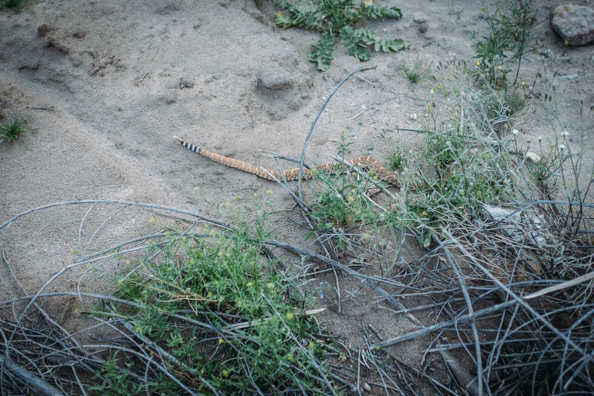
- Be advised that there are plenty of rattlesnakes on this route; also keep an eye out for scorpions and black widows.
- On most stretches away rom the Sand Diego section, wild camping options abound; the section between Alpine and La Jolla may be tricky; take precaution and plan accordingly.
- There are hotel options in a few areas including Chula Vista where rates are fairly reasonable; in Borrego Springs, expect to pay over $100 per night.
- There are several adequately spaced resupply points throughout the route; we added a few to the GPX below, but there are several other options and it’s advised to get the latest cue sheet from Meg Knobel for a full update, including hours and open status.
- There are a few natural sources of water along the route, but the loop can also be completed without a filter if resupply and water storage is planned accordingly; it is advised to carry 4 liters of water into the desert.
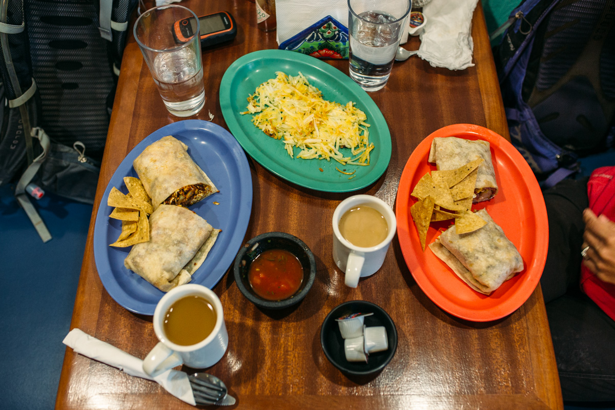
- Food is available at most resupply points; the route can be done without cooking equipment if stops are well planned.
2016 Course
The route now follows a counterclockwise direction of travel. It is more in line with what the original ride (Idyllwild to Pizza Port) and also for a more “survivable” experience in the desert for the majority of riders coming out. It also lightens our footprint in the Anza Borrego Desert.
The route now follows a portion of the Coast To Crest trail, from Lake Hodges to Solana Beach. This is a more permanent solution to riding through this area of North County San Diego, and happy to share tire tracks with a sanctioned route. Also, the move out of Penasquitos Canyon is more sustainable in a variety of weather conditions. Bonus: The pizza & beer at Pizza Port are outstanding.
This year’s route does not go to Coronado Island. The change is bittersweet but ultimately makes for a more streamlined ride experience for the mass start. (touring riders will always have the option) On the plus side, the tacos on the city side are far better. Riders wishing to ride the Coronado Island portion can follow the cues addendum, attached here, with no penalty for going “off route.”
The return leg into the mountains now uses another small portion of California Riding & Hiking Trail, rather than the hike-a-bike up Jim Truck Trail. This is a better ride and hopefully exposes more riders to the relatively obscure and historic CRHT.
Clockwise Route (from 2015)
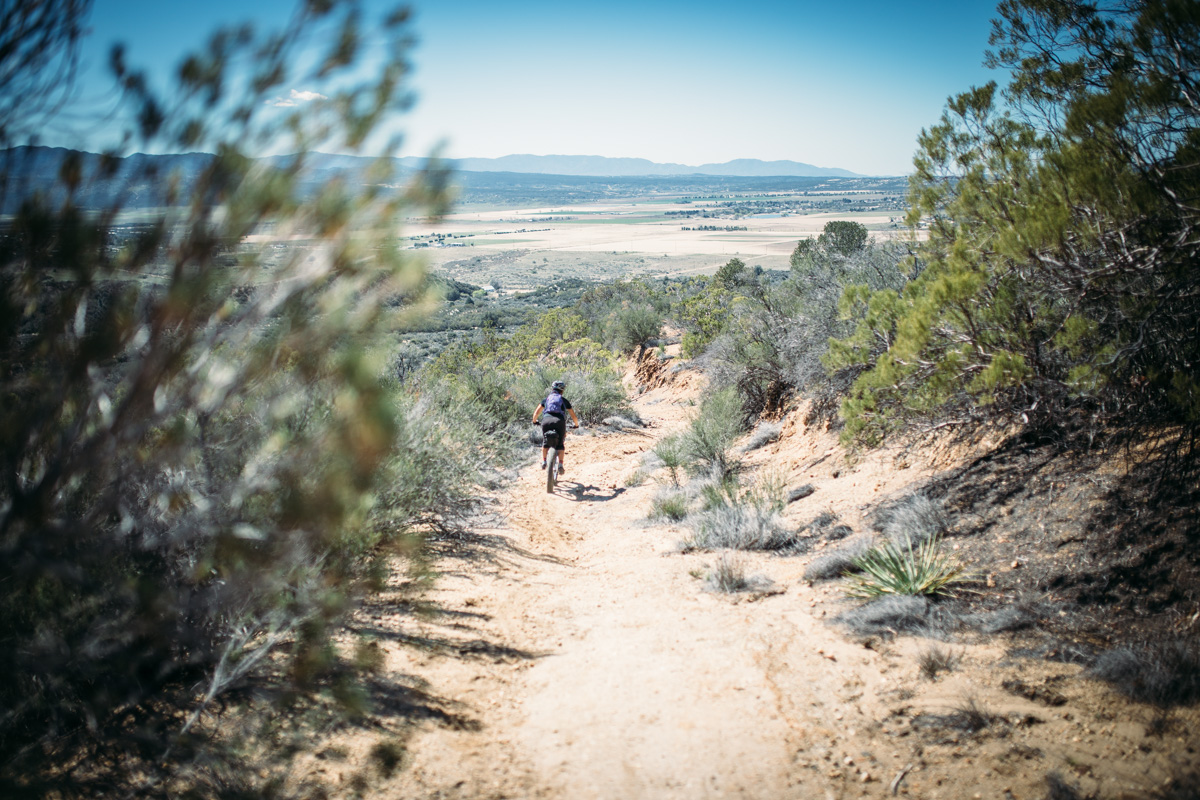
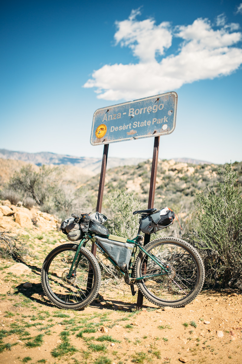
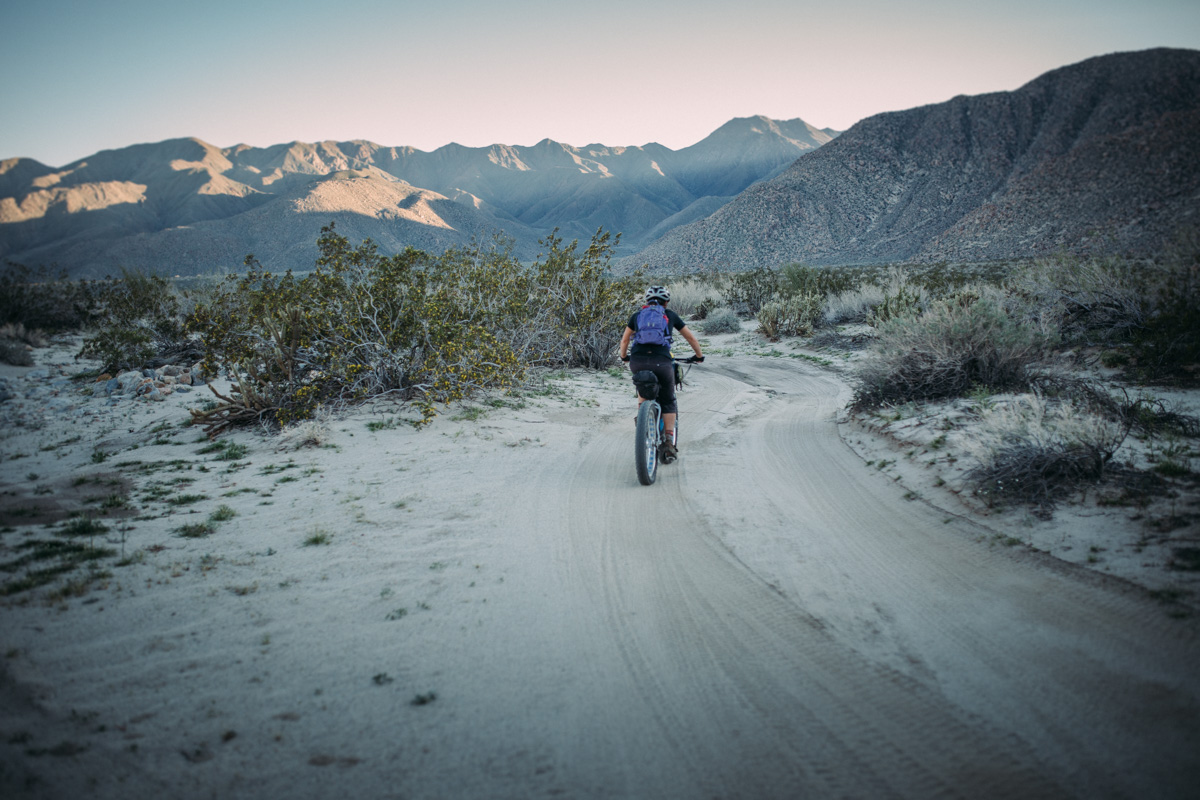
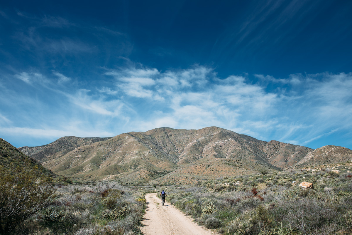
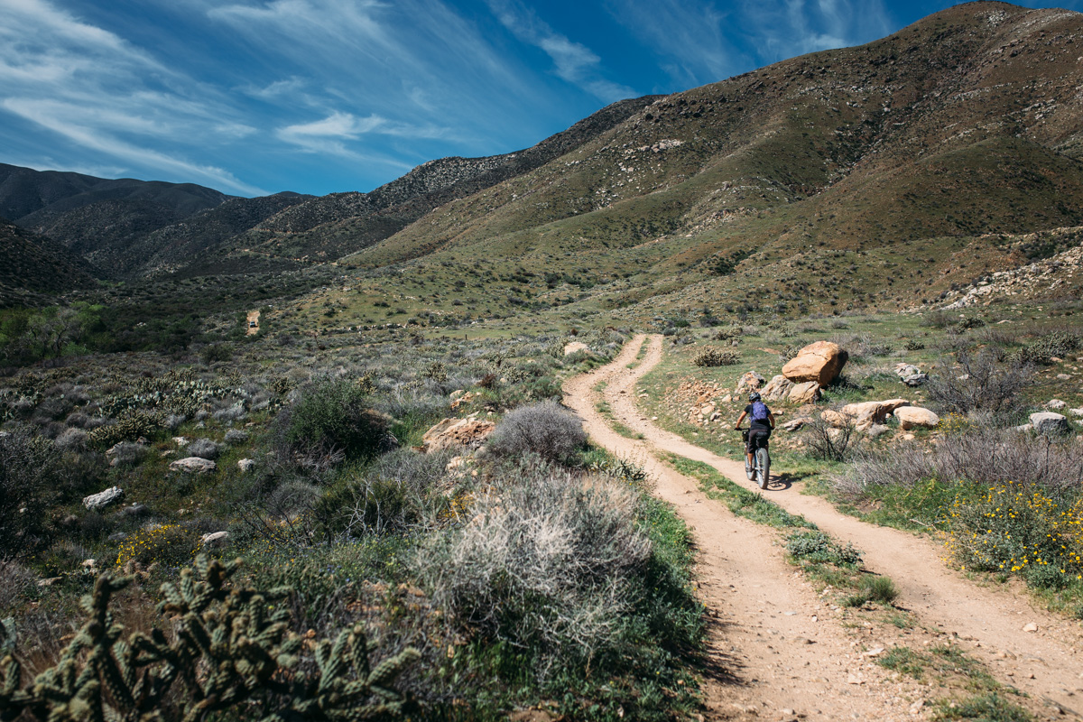
This is the route we rode in 2015; it begins in Idyllwild, a quirky mountain town located two hours by car from San Diego, and flows over dirt roads and singletrack through the mountains before dropping in to the Anza Borrego State Park via Coyote Canyon. The initial rugged decent eventually leads through a mesmerizing oasis called the Willows, which you need to see to believe. A long winding sand road decent leads to a nice break spot and resupply point at Borrego Springs where a burrito at Los Jilbertos is not to be missed.
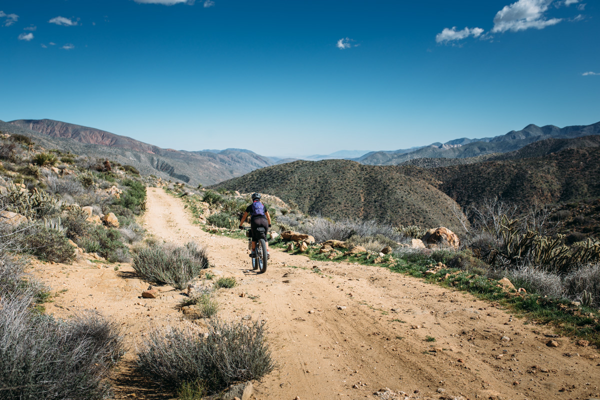
The Desert
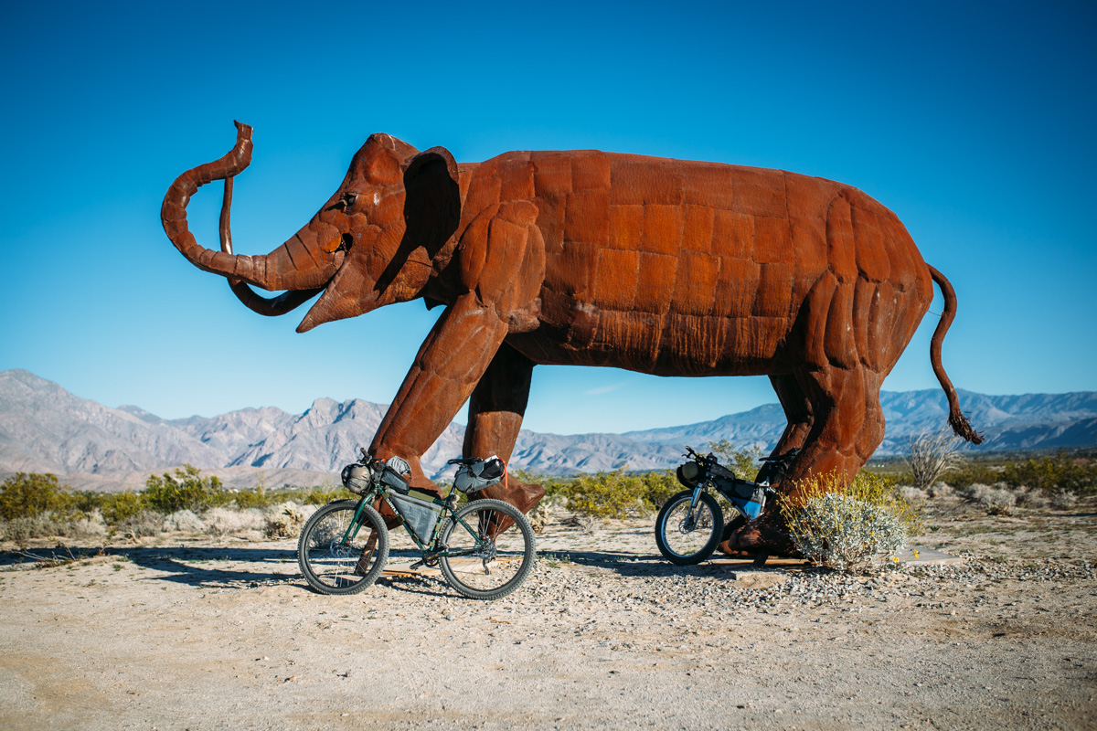
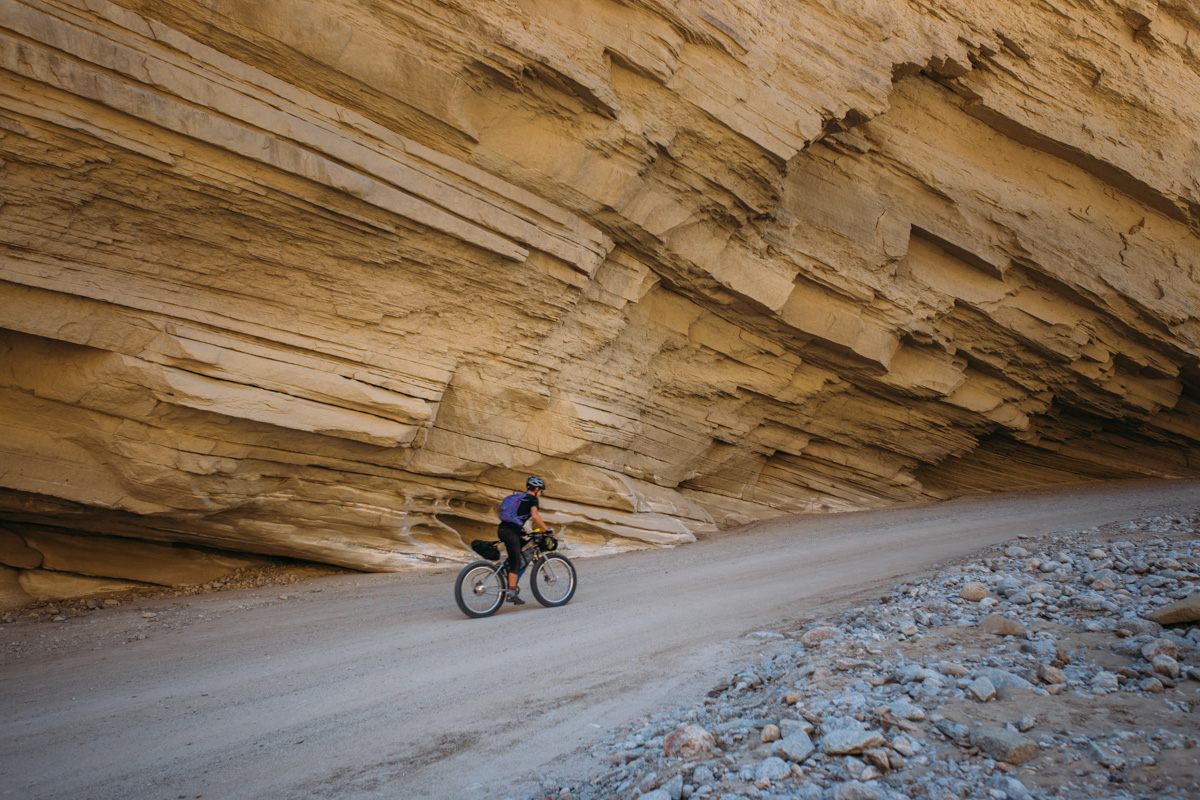
On day one, or two, depending on speed and intent, the route follows remote highways that lead to Ocotillo Wells. Make the time to check out the larger-than-life metal sculptures en route. Refuel at the Split Mountain Store, and follow tarmac for 9 more miles before the route veers off into Anza Borrego via Fish Creek Canyon. This long sandy slog follows a beautiful wash through a magical geological maze of desert landscapes. A good checkpoint at the end of this leg is the Agua Calliente Hot Springs and General Store; the proprietor of the store, Mark, is very friendly and is glad to help with provisions and camping suggestions.
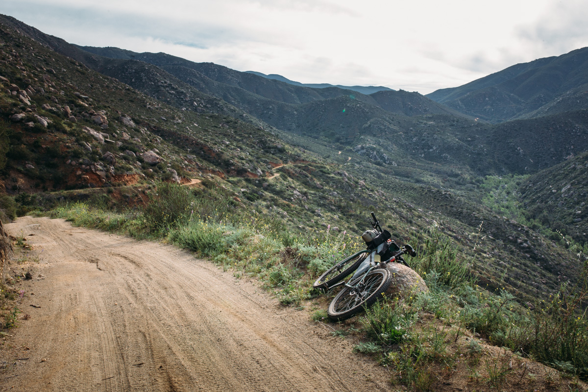
The Mountains
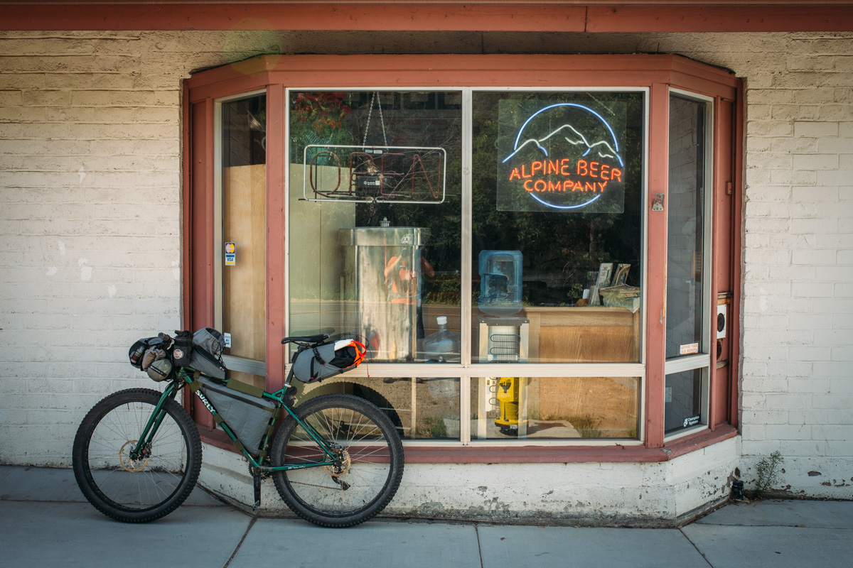
The route climbs out of the desert via the spectacular Oriflamme Canyon, and follows the Mason Valley Truck Trail, a scenic doubletrack as it continues up to the Sunrise Hwy and eventually mounts an epic traverse on Noble Canyon and Indian Creek Trails into the Cuyamaca State Park. A couple of small mountain towns provide options for resupply, and if you time it right, you can have a pit stop at Alpine Brewing Co for some of San Diego County’s most sought after IPAs.
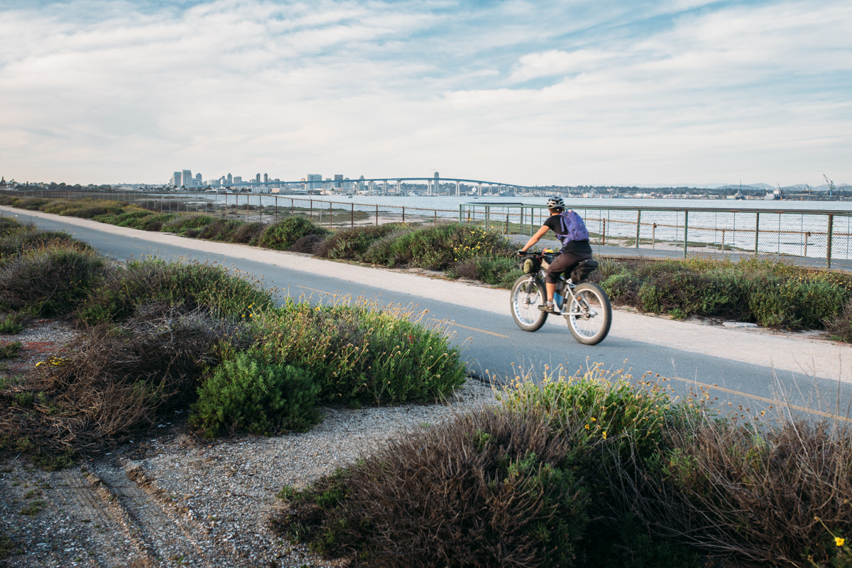
San Diego and the Sea
After a singletrack roller coaster on the California Riding and Hiking Trails, the Sweetwater Park trails, and a fair amount of pavement, a stretch on the coastal bikeway leads to Coronado Island and a ferry ride across the San Diego Harbor. The route then traverses city bike paths, popular tourist areas, La Jolla beach, and local county trails.
The Return
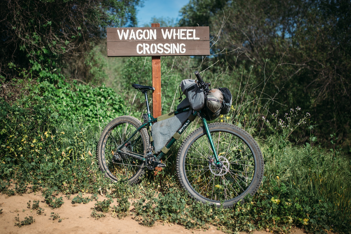
One of the more challenging and soul-crushing parts of the Stagecoach 400 is the return. After leaving the orange groves at the end of the San Pasqual Valley Trail, there are a few necessary miles of climbing on the dangerous and ever-busy Hwy 78 before being flung into the beautiful mountains on Guejito and Orosco Truck Trails. After Warner Springs, the “land of a thousand false summits” begins which leads to the massive ascent back to Idyllwild where high fives and hugs await at the Hub!
Additional Information
- Stagecoach 400 Facebook group: ongoing discussion from local riders year round.
- The Stagecoach 400 Race Page
- ITT ride report and carnage by Alan (Dirty Teeth)


Terms of Use: As with each bikepacking route guide published on BIKEPACKING.com, should you choose to cycle this route, do so at your own risk. Prior to setting out check current local weather, conditions, and land/road closures. While riding, obey all public and private land use restrictions and rules, carry proper safety and navigational equipment, and of course, follow the #leavenotrace guidelines. The information found herein is simply a planning resource to be used as a point of inspiration in conjunction with your own due-diligence. In spite of the fact that this route, associated GPS track (GPX and maps), and all route guidelines were prepared under diligent research by the specified contributor and/or contributors, the accuracy of such and judgement of the author is not guaranteed. BIKEPACKING.com LLC, its partners, associates, and contributors are in no way liable for personal injury, damage to personal property, or any other such situation that might happen to individual riders cycling or following this route.
Please keep the conversation civil, constructive, and inclusive, or your comment will be removed.