


The Ardennes Arbalete
Distance
227 Mi.
(365 KM)Days
4-6
% Unpaved
68%
% Singletrack
15%
% Rideable (time)
95%
Total Ascent
19,325'
(5,890 M)High Point
2,283'
(696 M)Difficulty (1-10)
6?
- 6Climbing Scale Moderate85 FT/MI (16 M/KM)
- -Technical Difficulty
- -Physical Demand
- -Resupply & Logistics
Contributed By
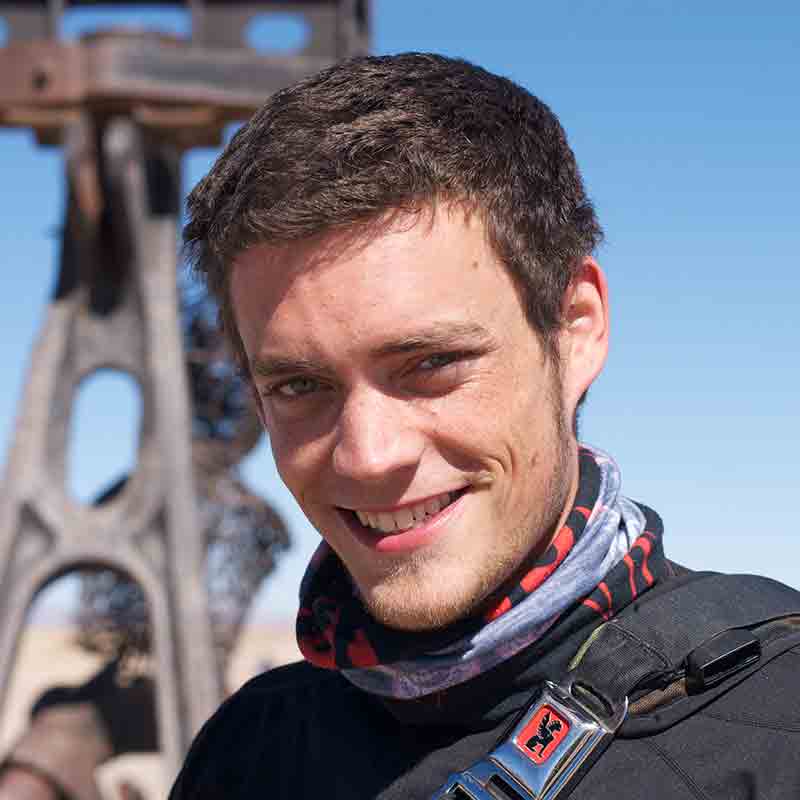
Kevin Machtelinckx
Guest Contributor
Kevin is a Belgian-born, Oregon-raised lover of the outdoors, explorer of cultures, and devourer of dark chocolate. Engineer by trade, adventurer at heart. Mountaineering, bikepacking, and motorcycle travel are some of the ways he’s chosen to discover the planet. He documents his wanderings through photo essays on his site, www.kmaxphoto.com.
Badge illustration by Zoë Van Kuyk (@nuckypawson)
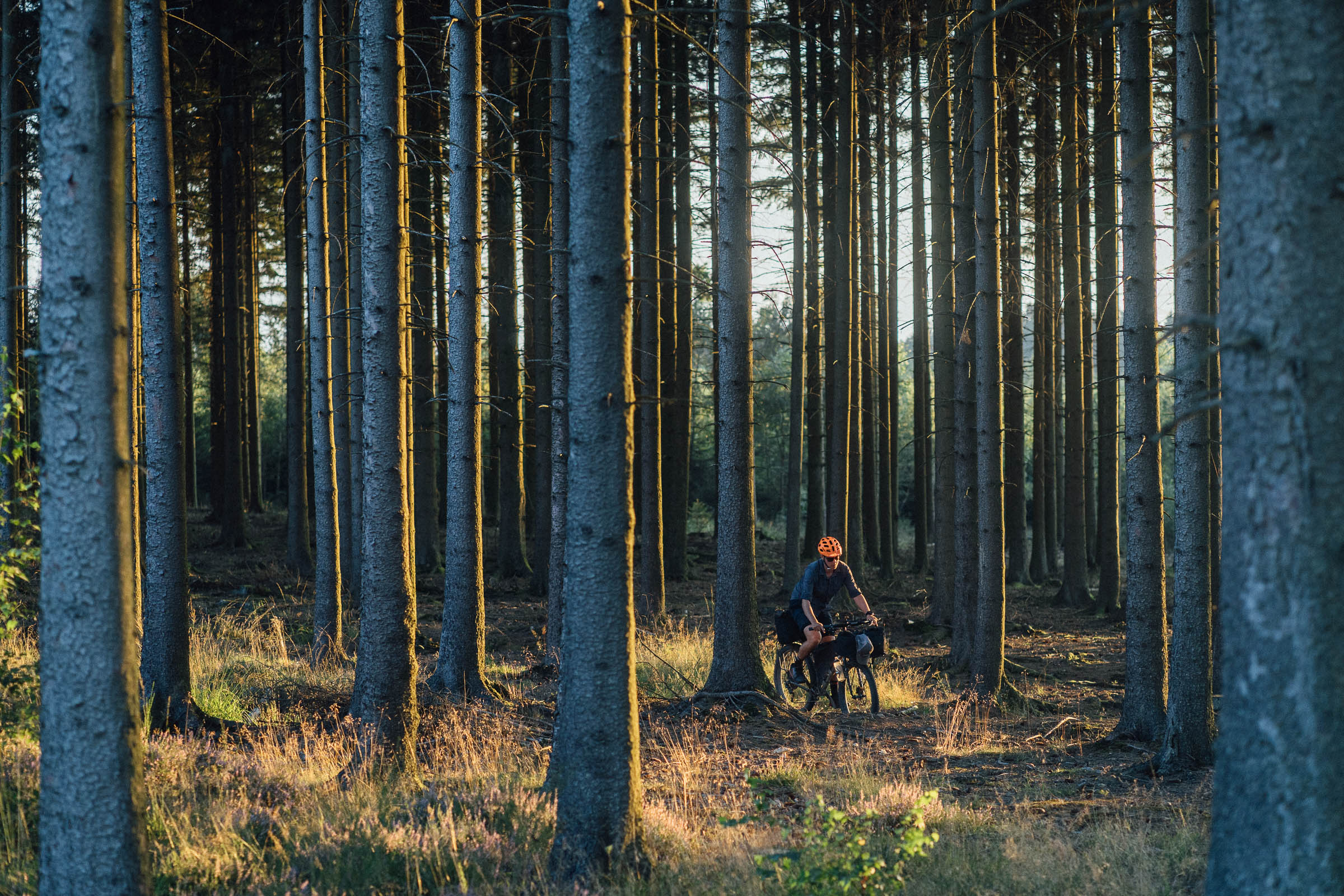
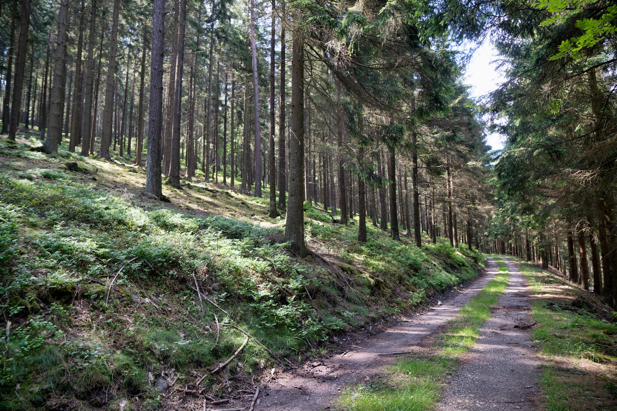
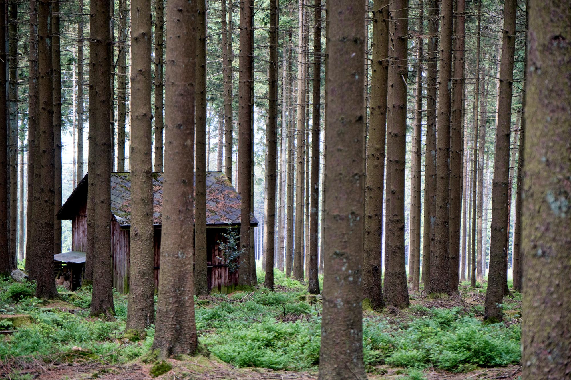
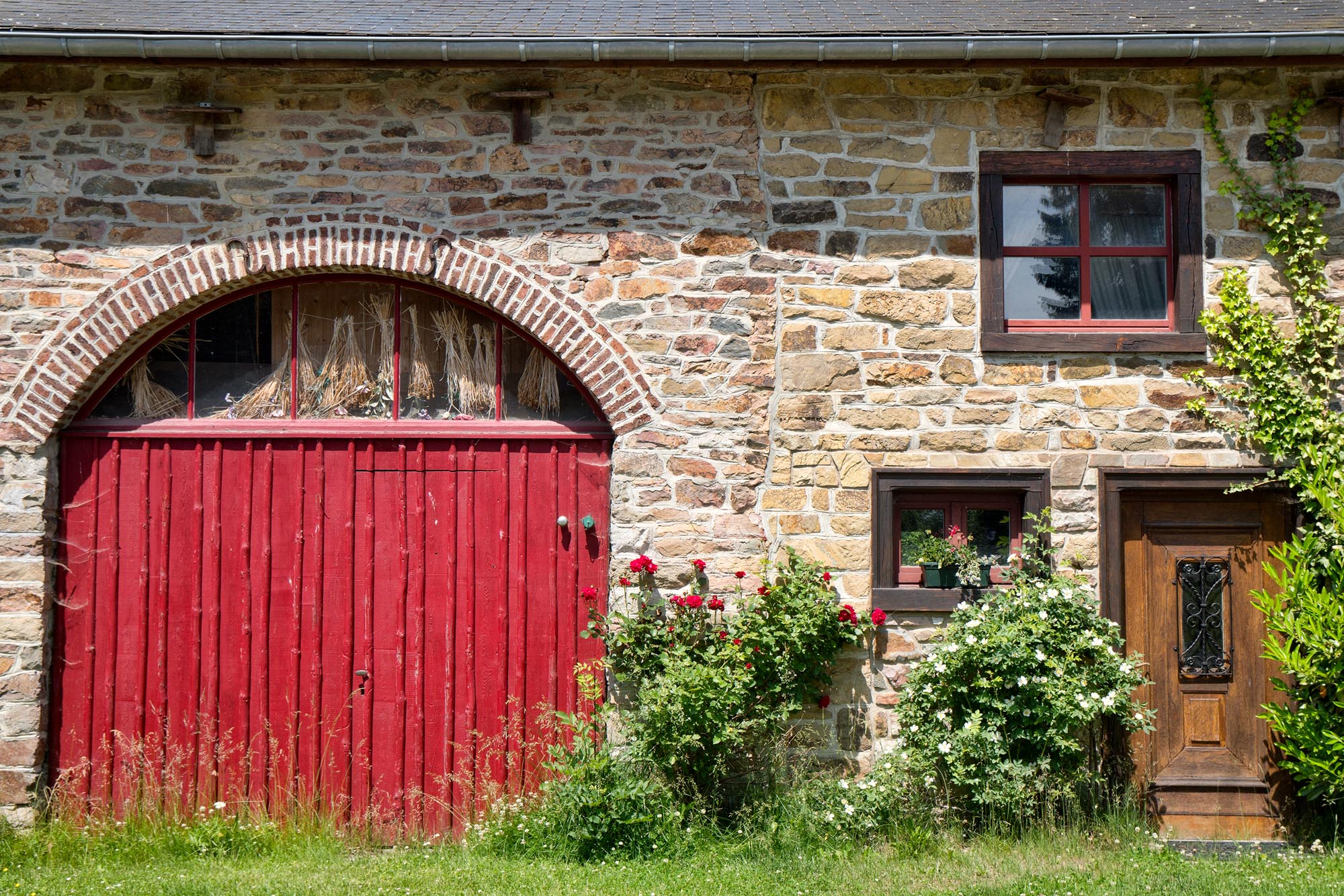
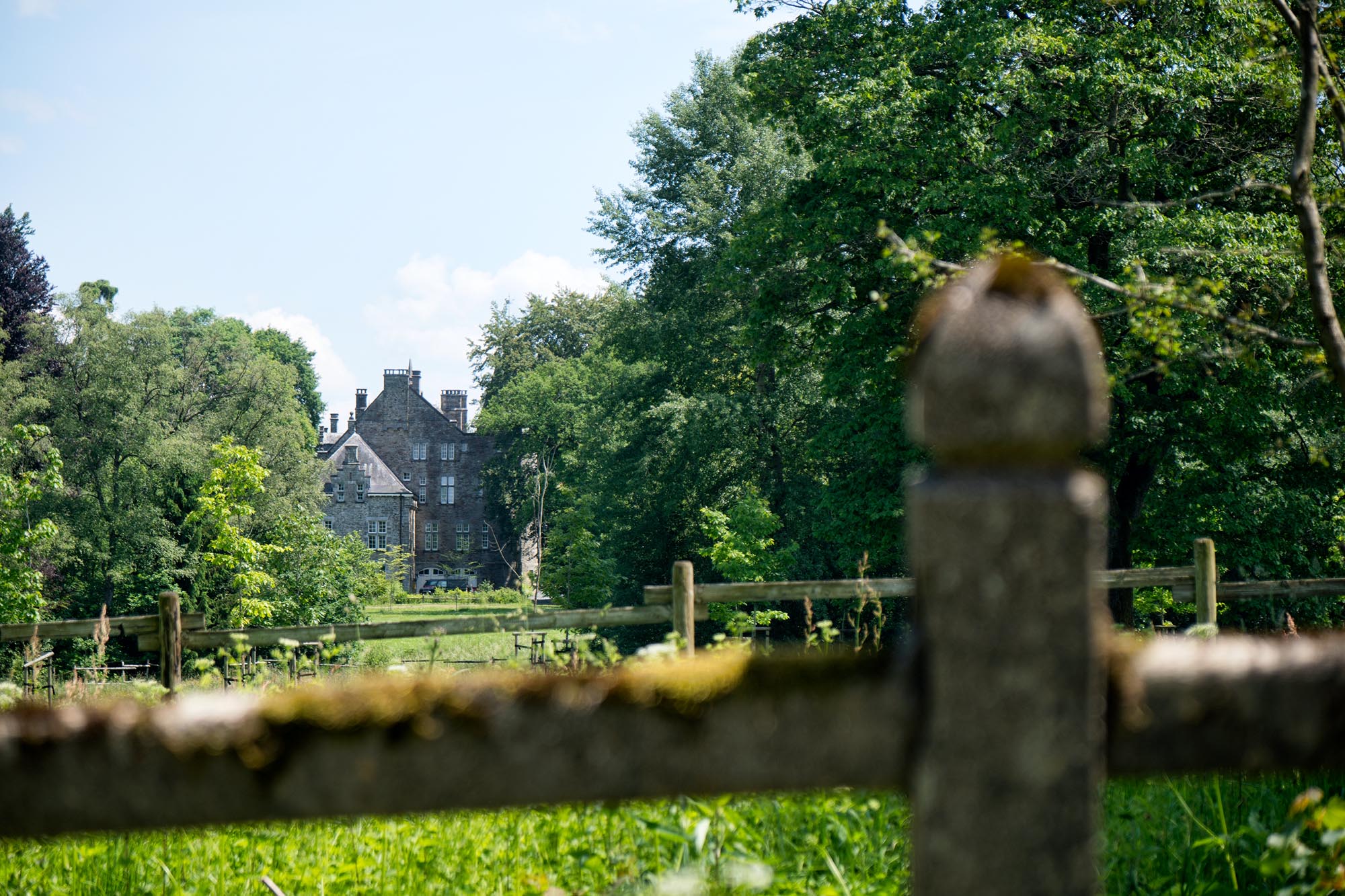
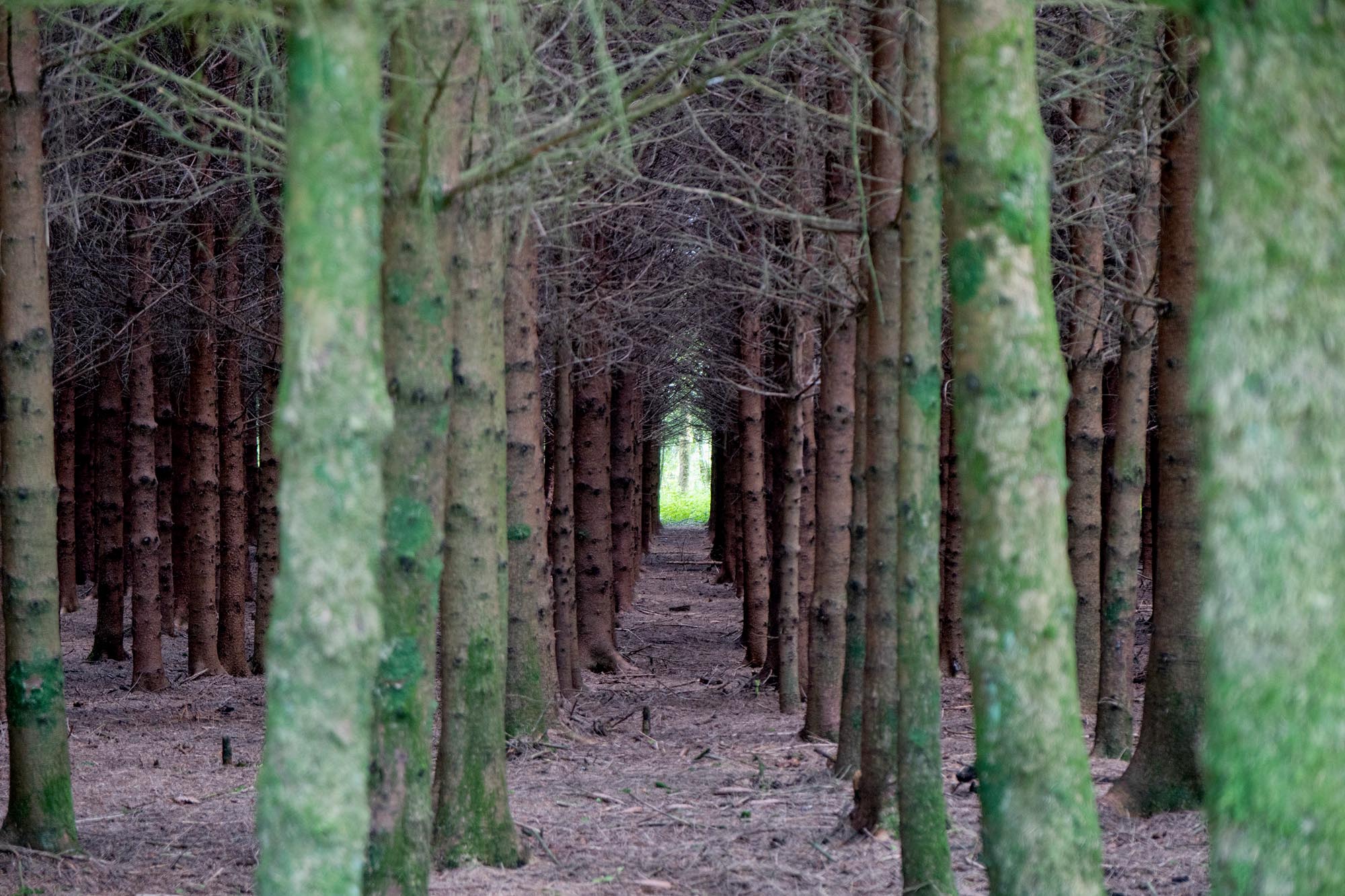
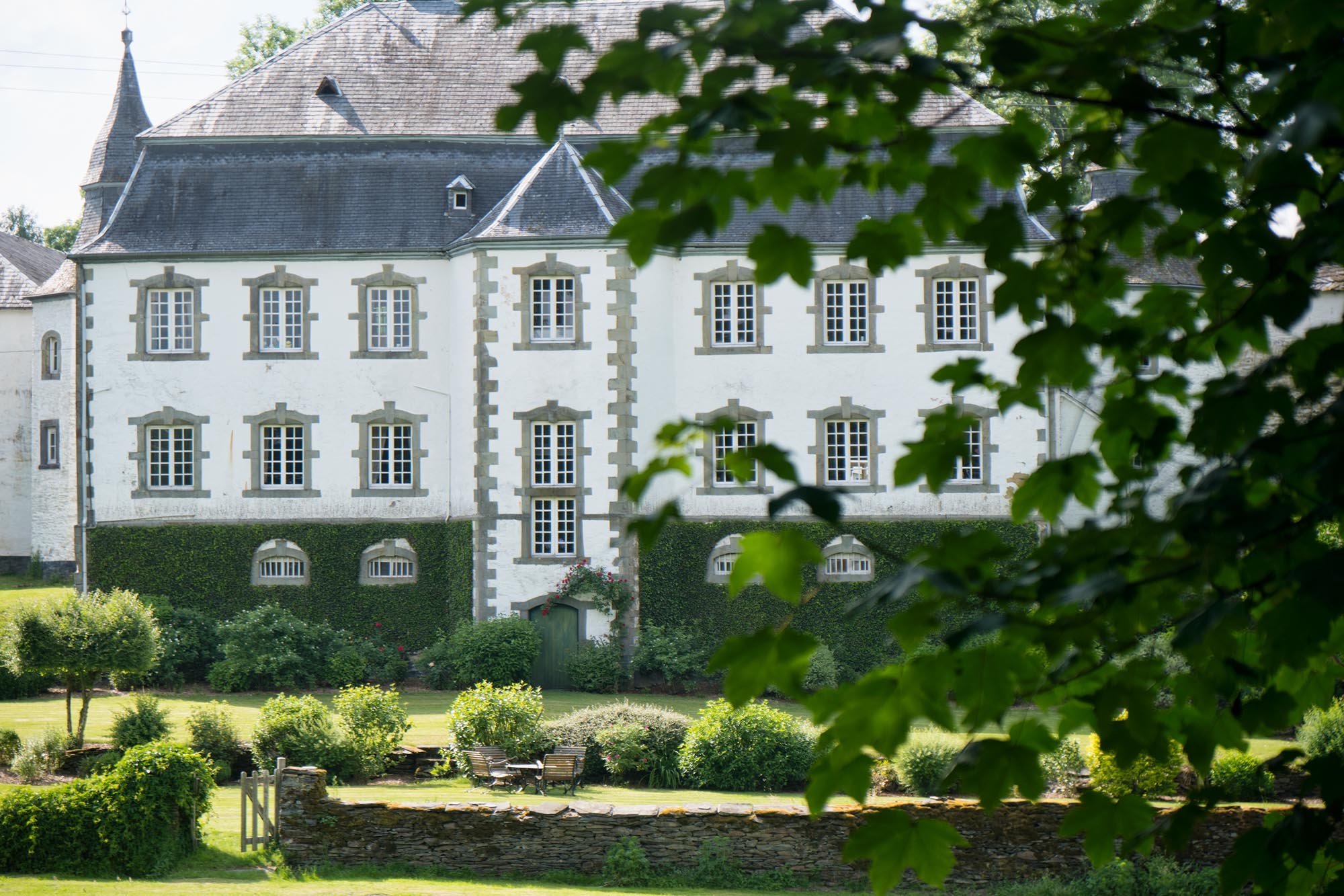
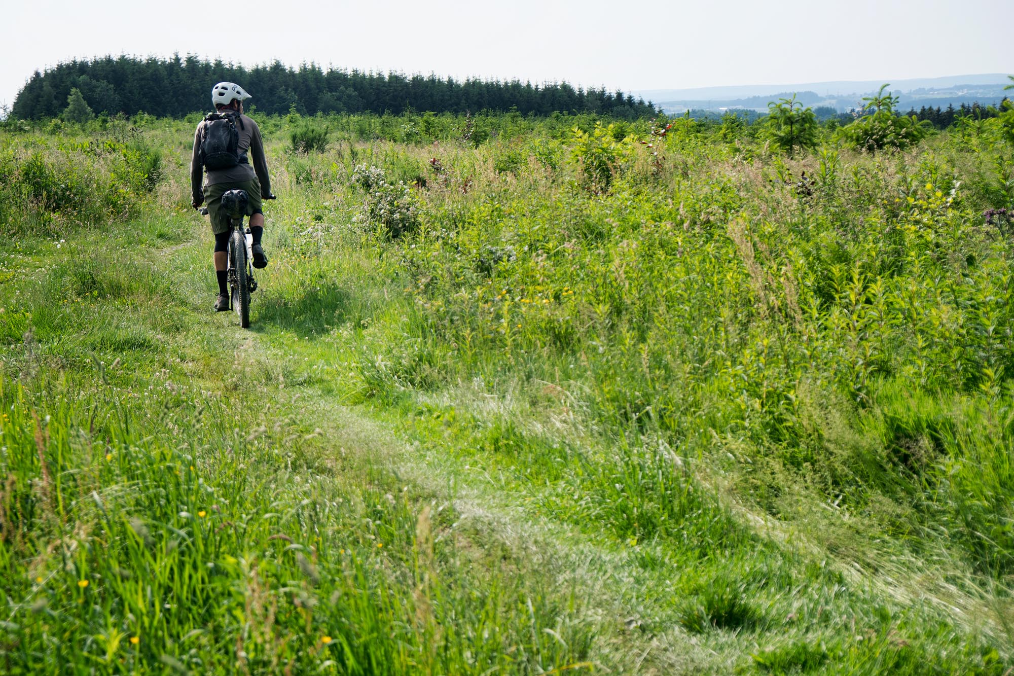
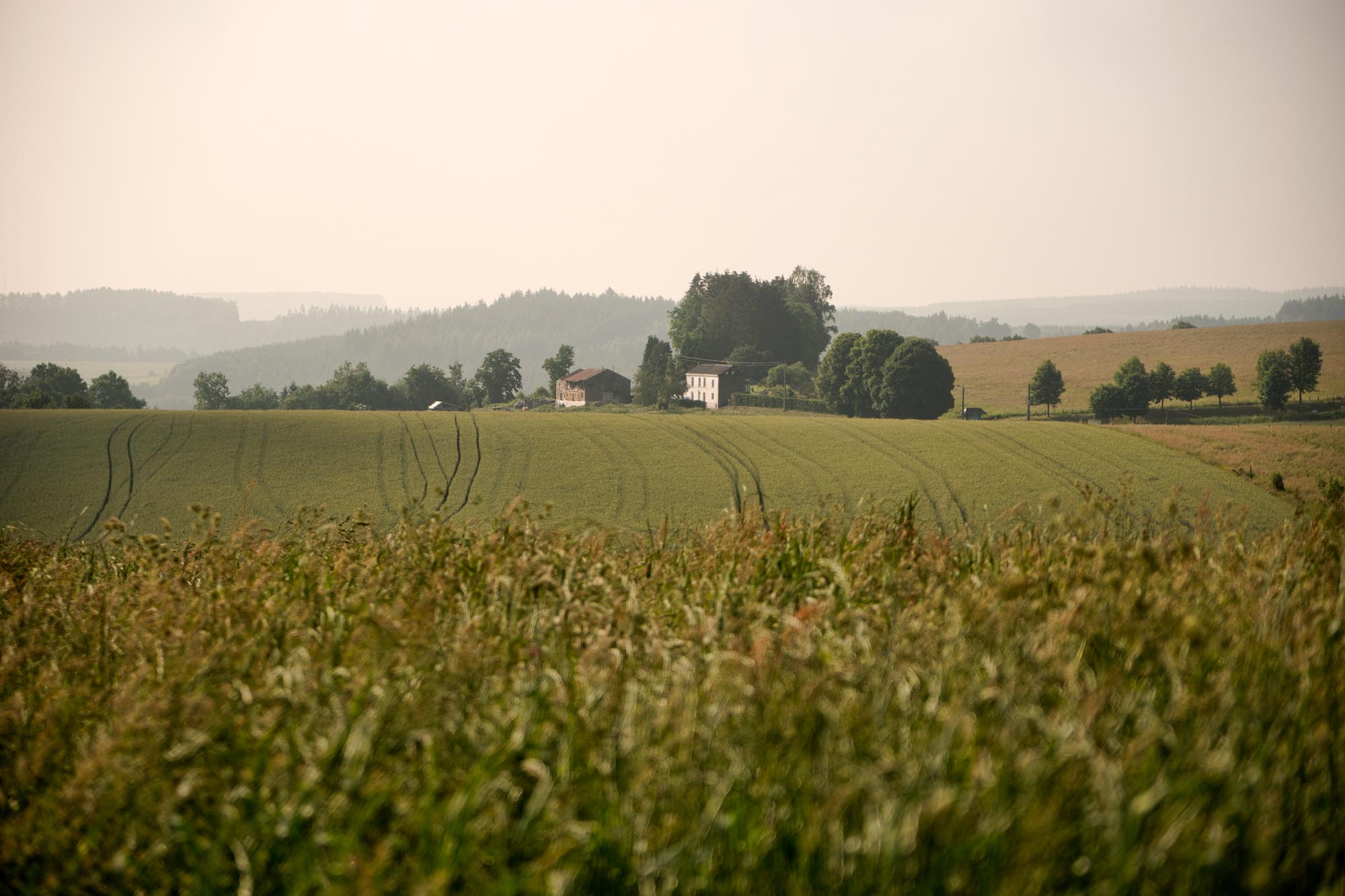
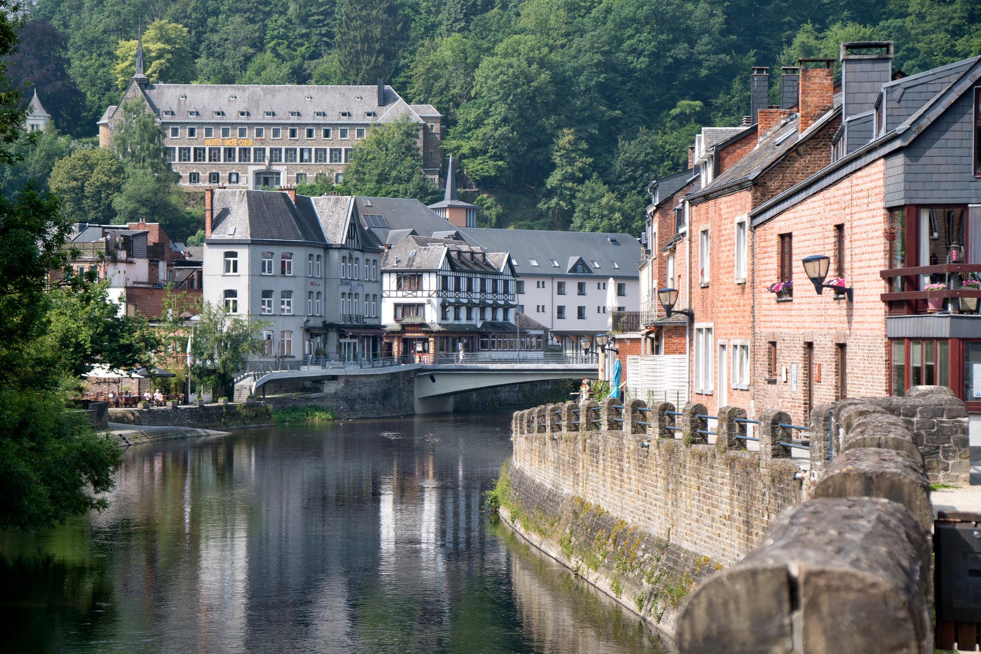
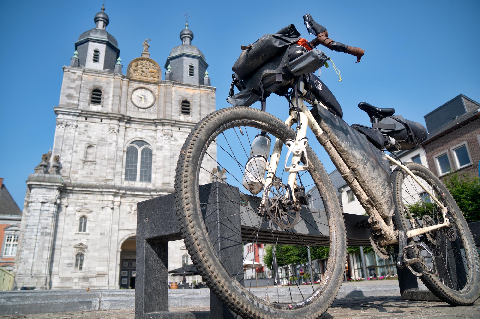
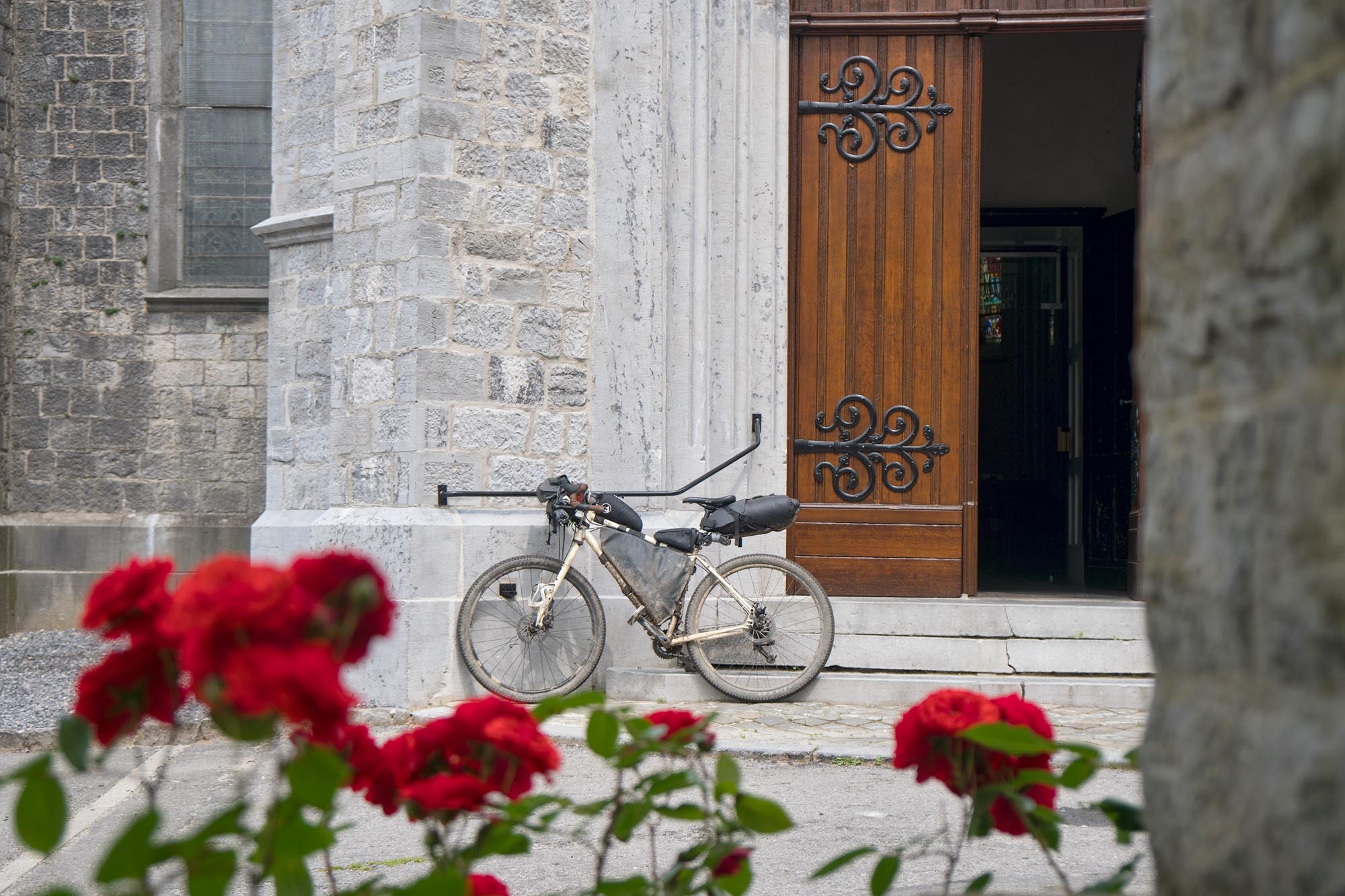
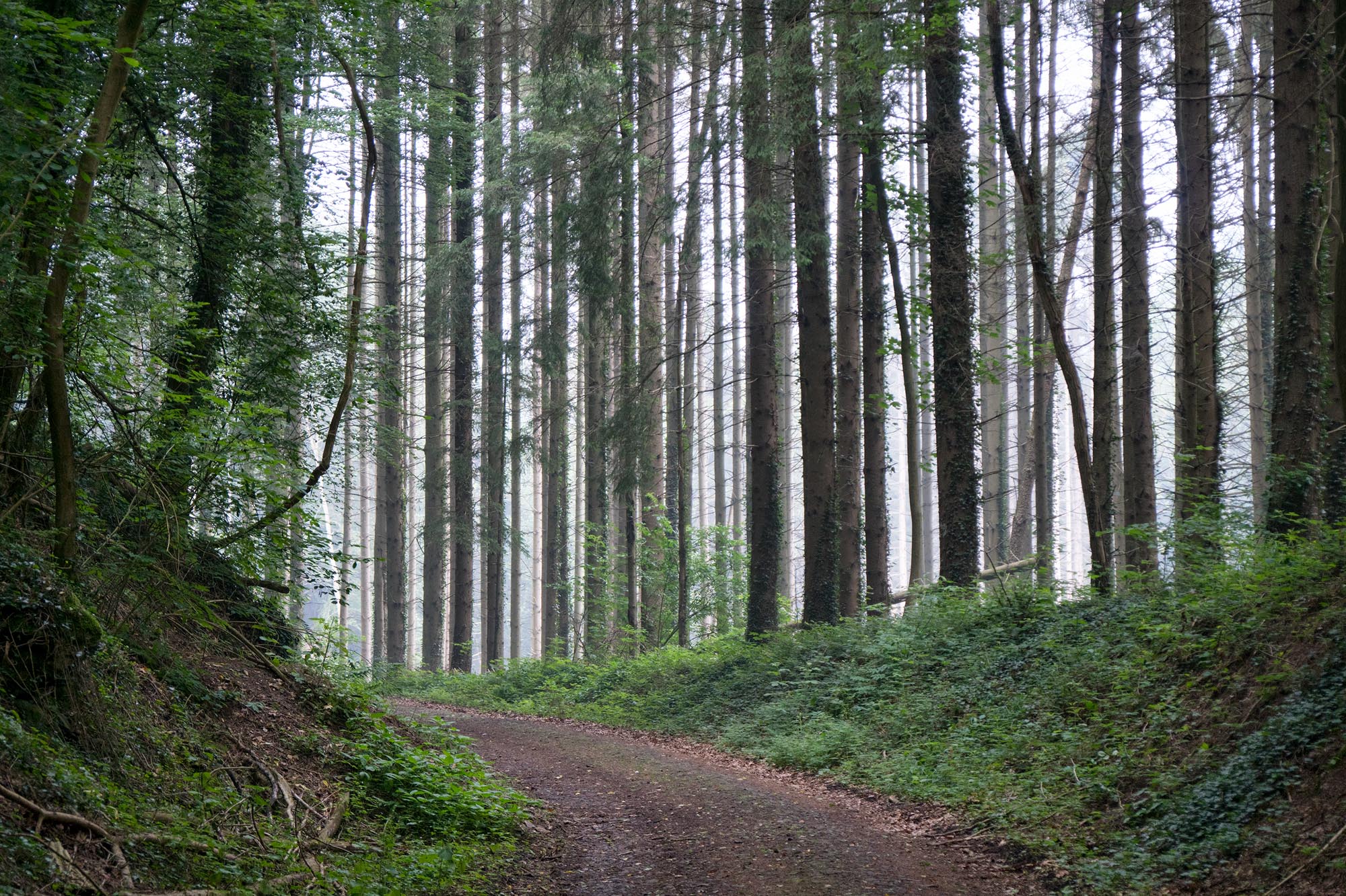
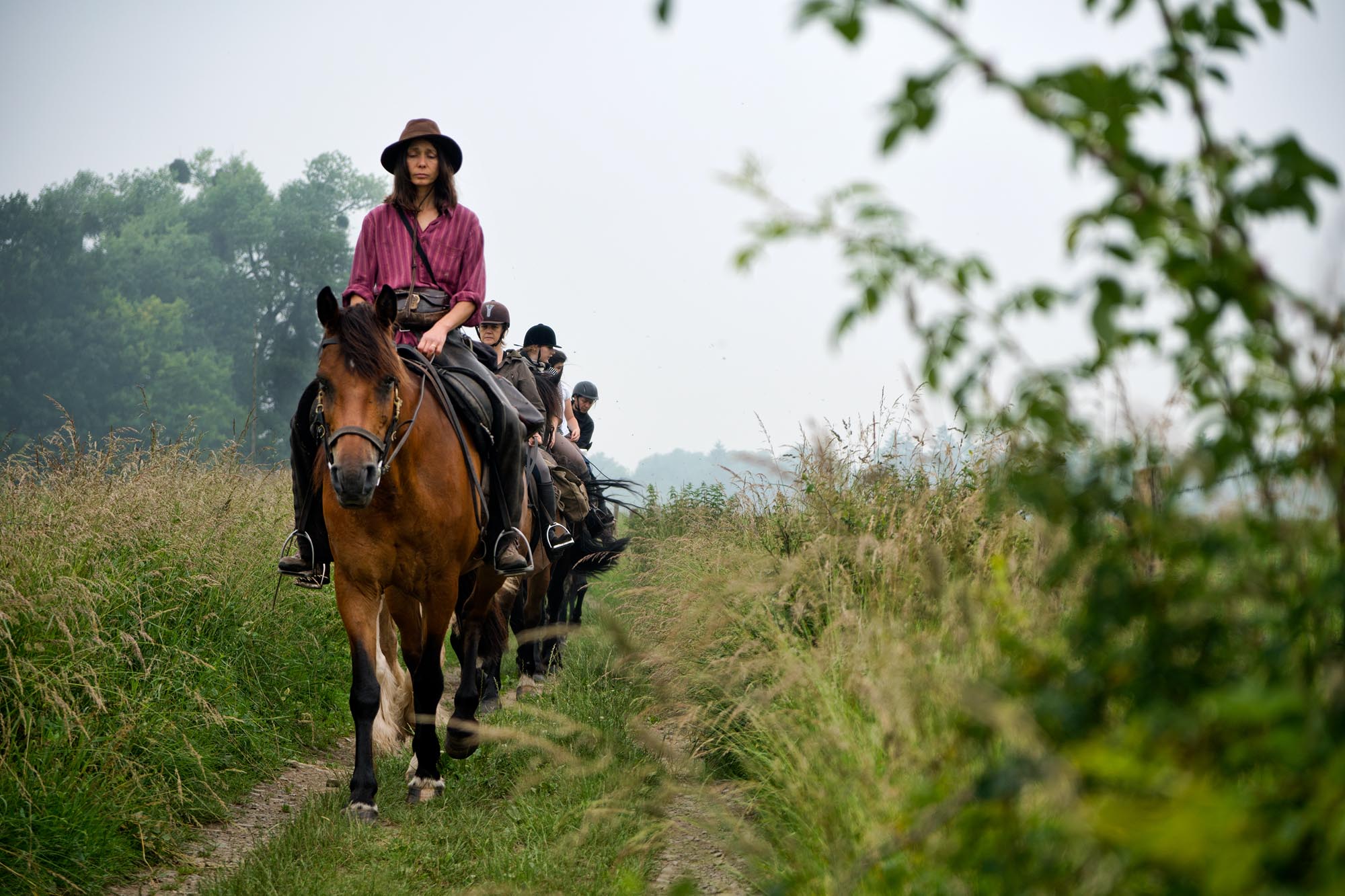
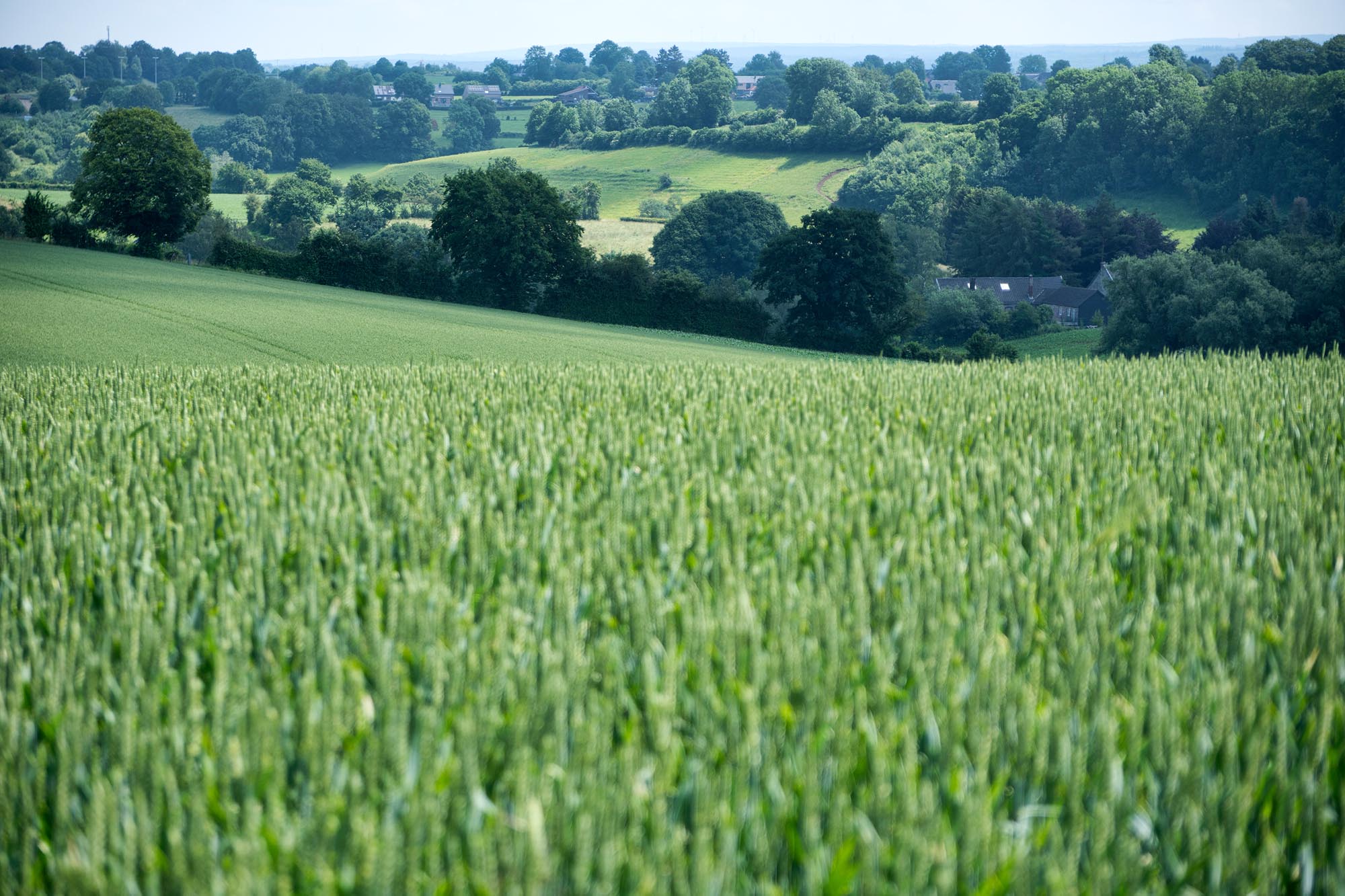
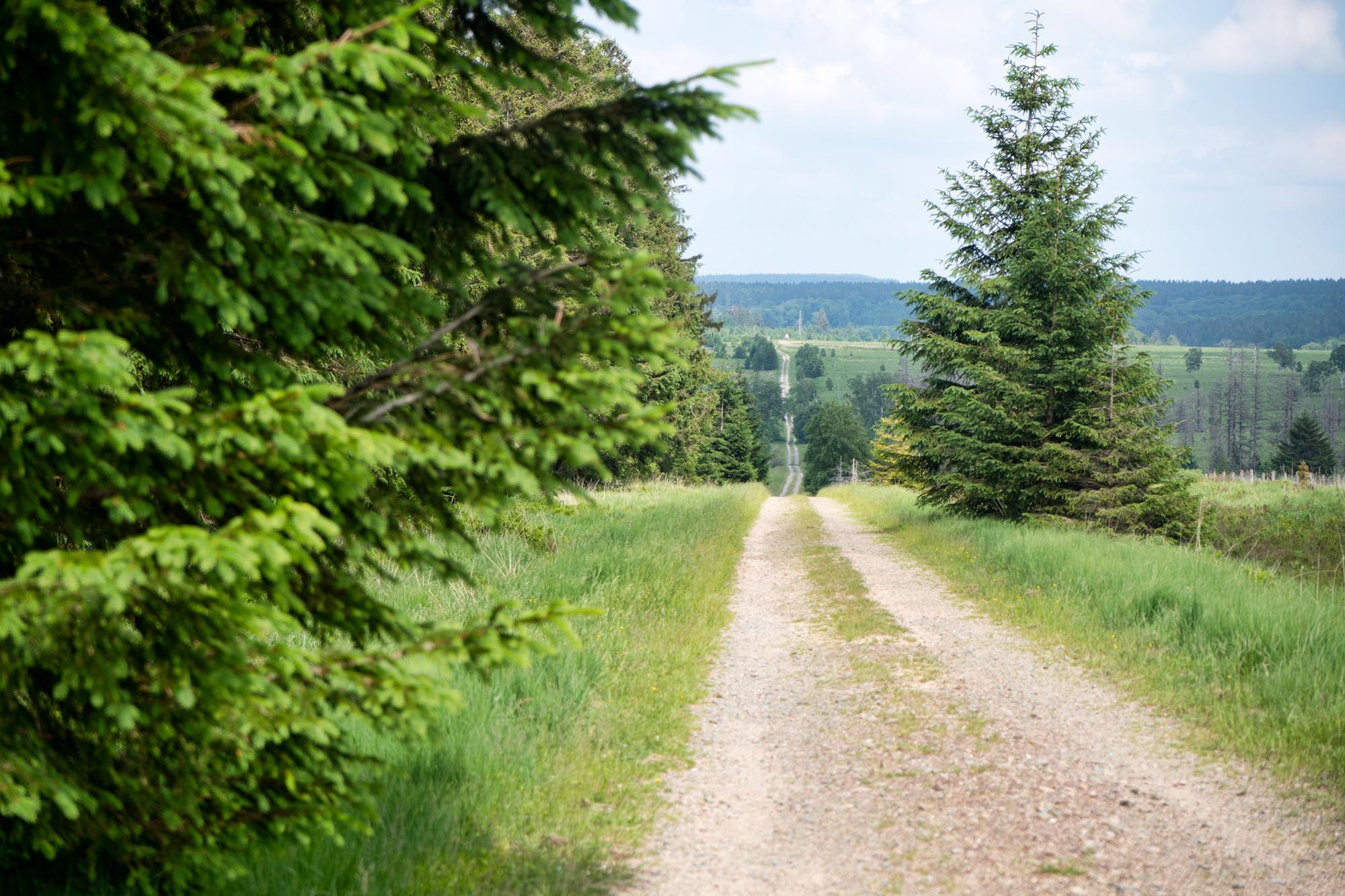
The Arbalète does what any worthy crossbow should: gets to the heart of the matter. Spanning over 200 miles, the route makes a loop out of Liège and gets riders into the Belgian Ardennes to explore some of the country’s least densely populated regions. Far from the flat stretches of the Flemish north, it dives deep into the entanglement of abrupt valleys and lost villages that characterize Belgium’s southeast. The Arbalète makes use of several existing routes (GR, RV, and local trails), single track systems, and forest roads to flow from one point to the next. You might be surprised at how quickly the mosaic of thick pine forests isolates you from the rest of the world, though you’ll never be too far from civilization. Relics and monuments are omnipresent, odes to the cataclysmic history of the region. World-class breweries are always nearby and the good nature of the Ardennaise people is palpable (the latter perhaps resulting from the former…).
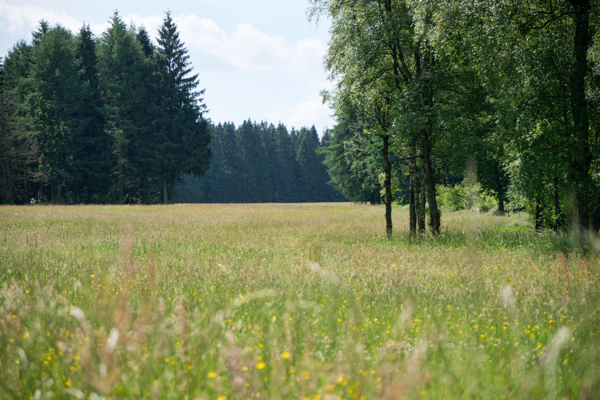
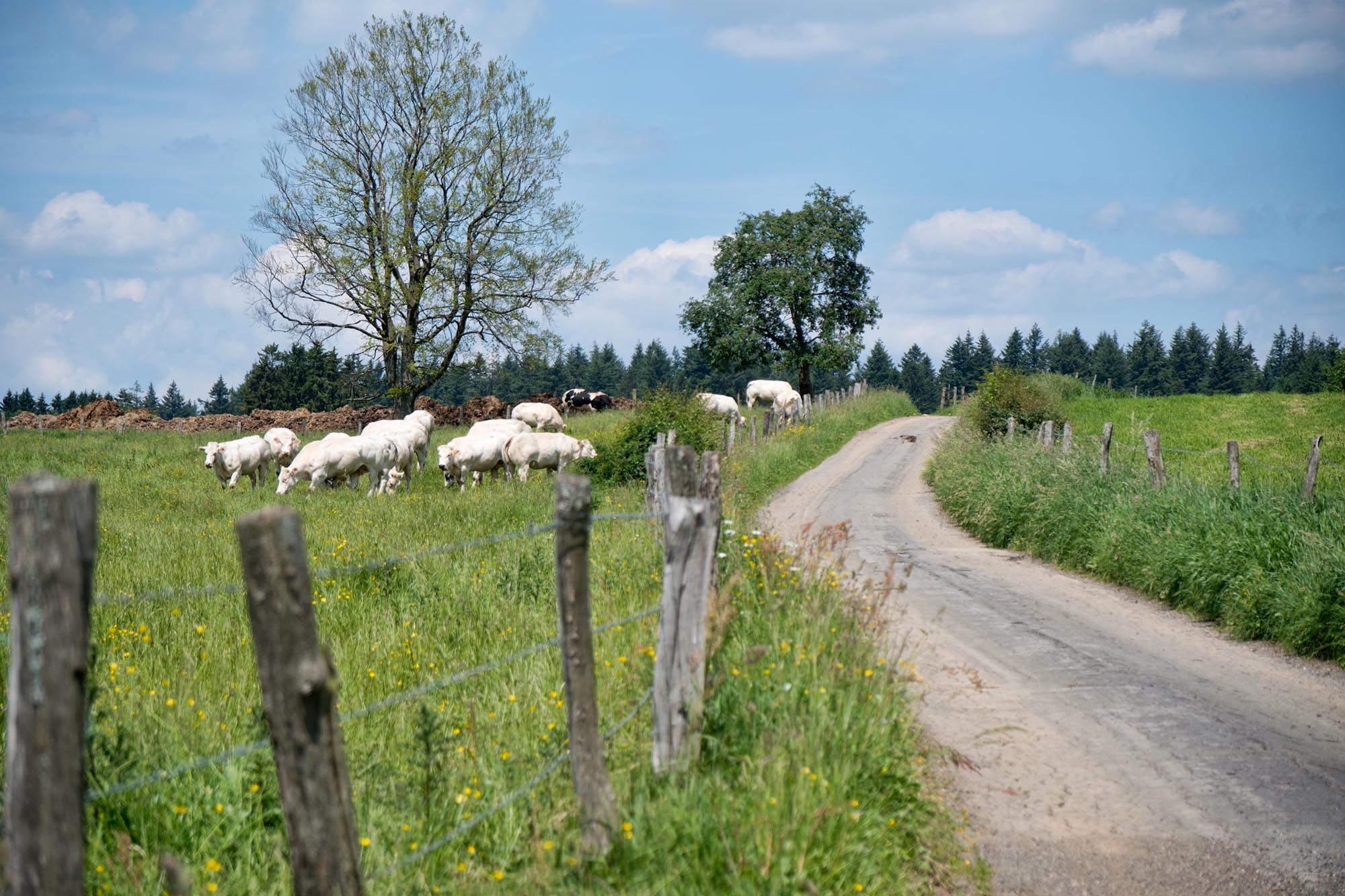
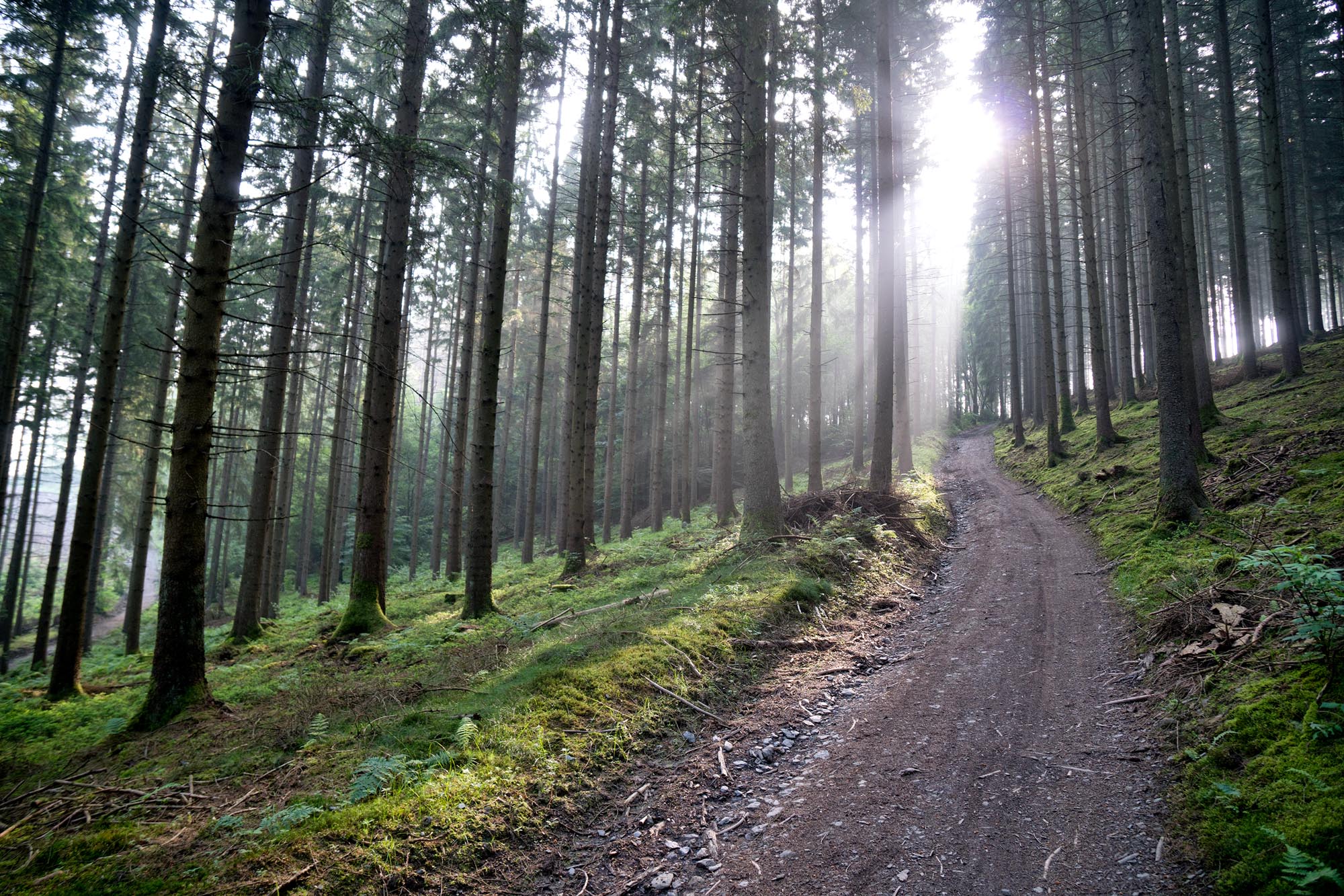
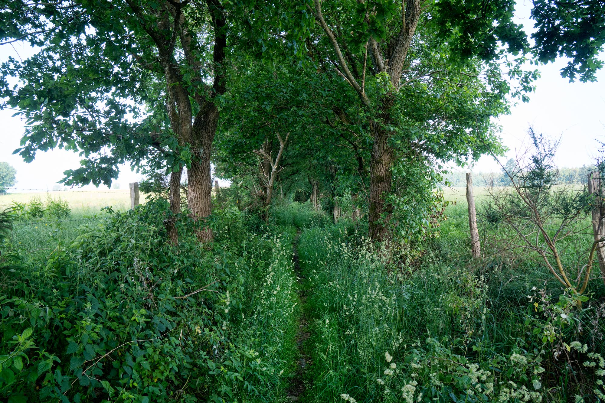
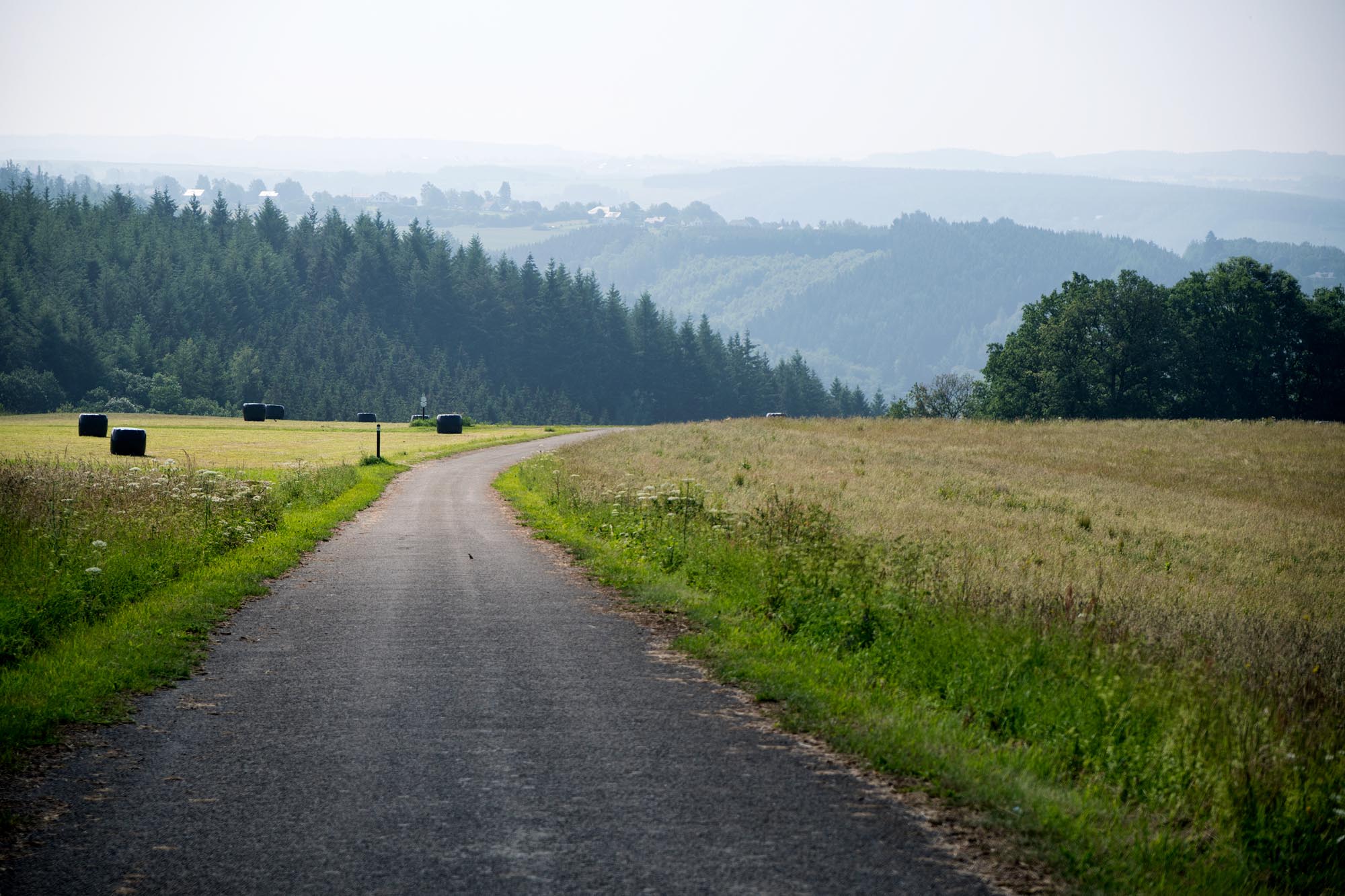
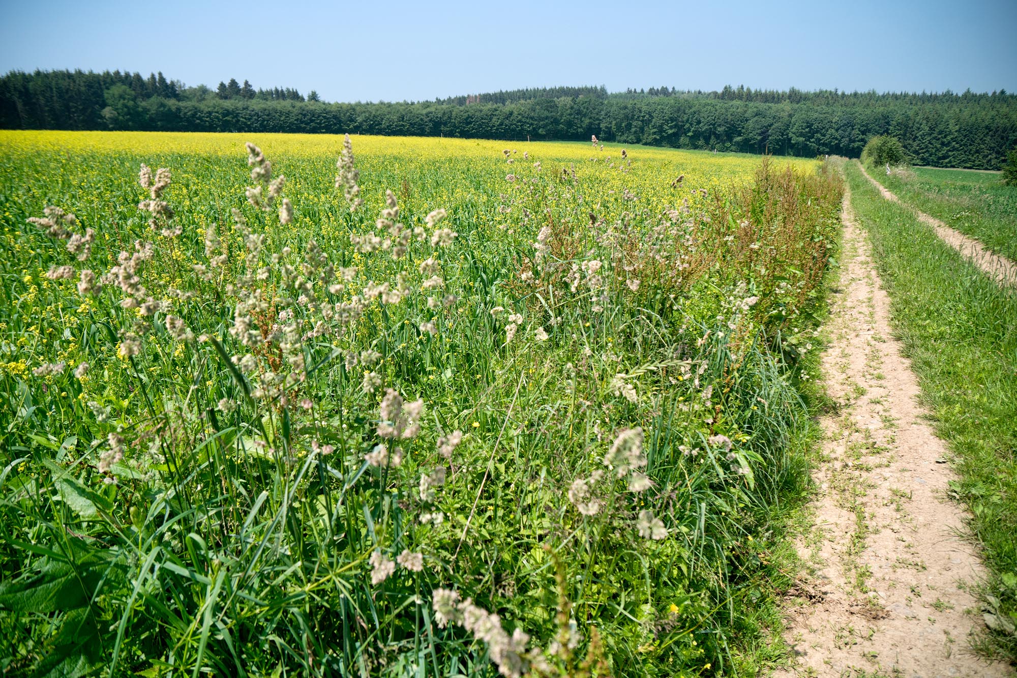
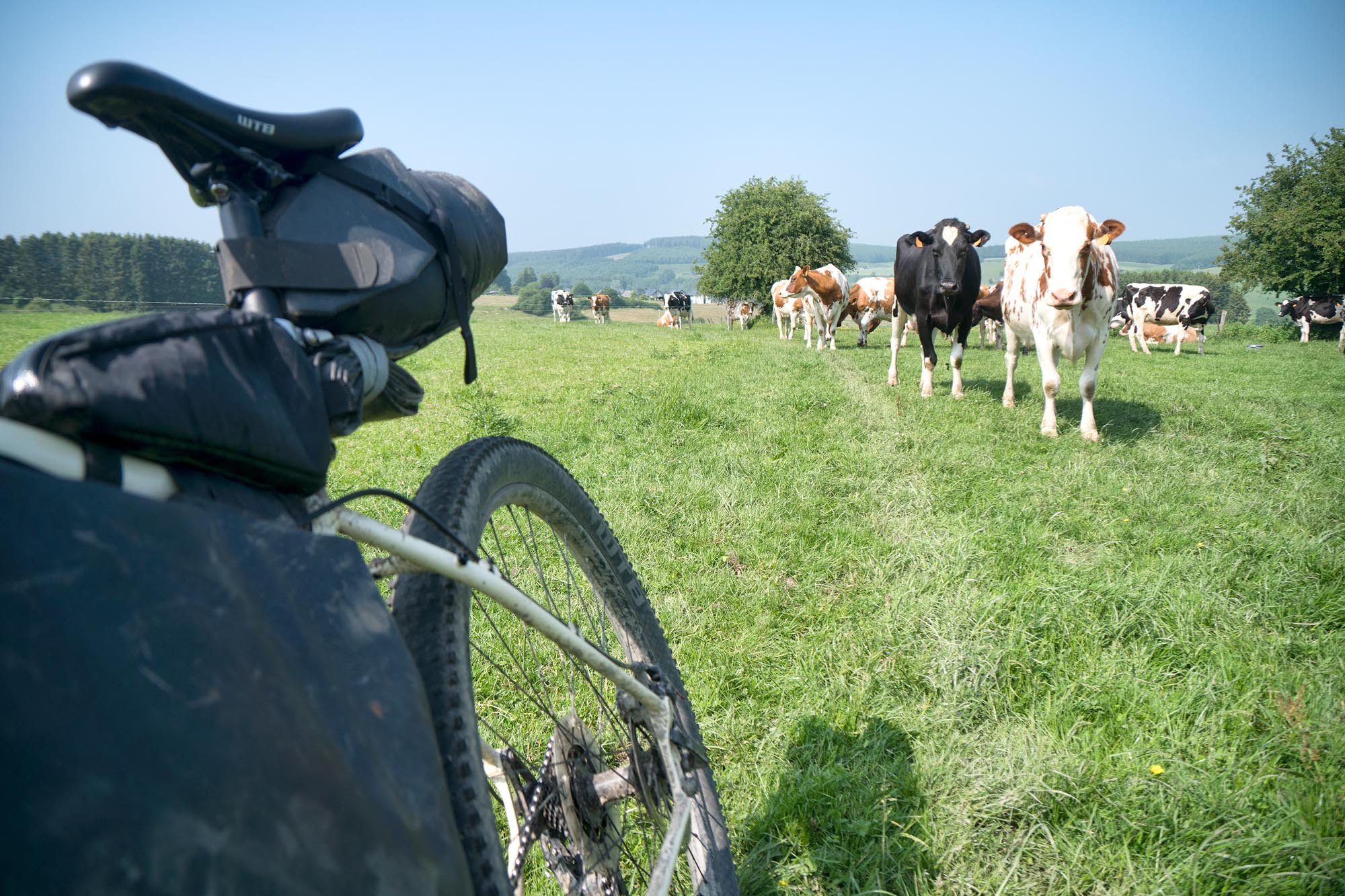
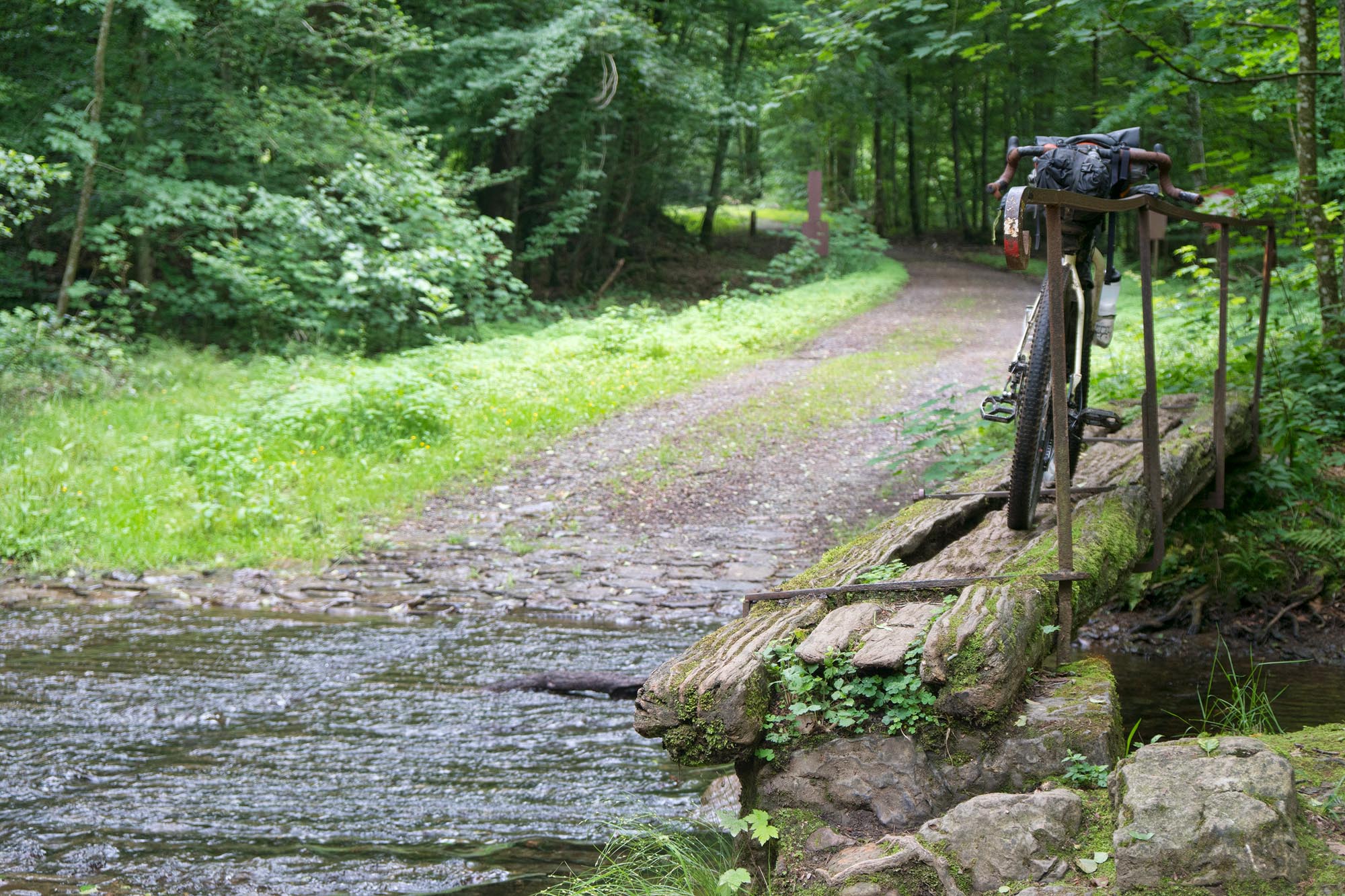
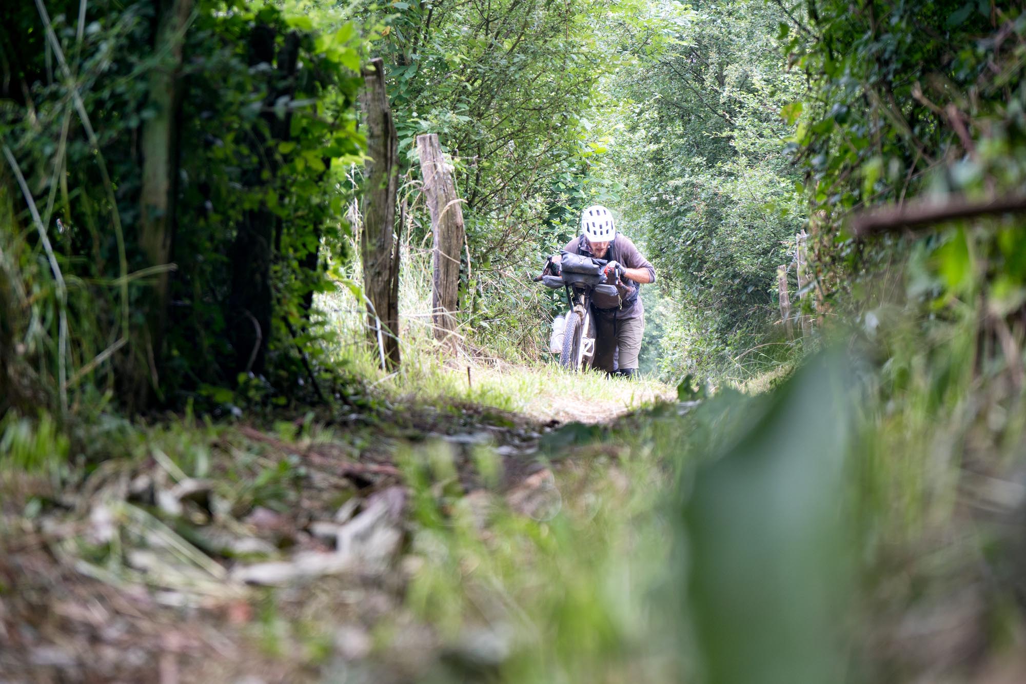
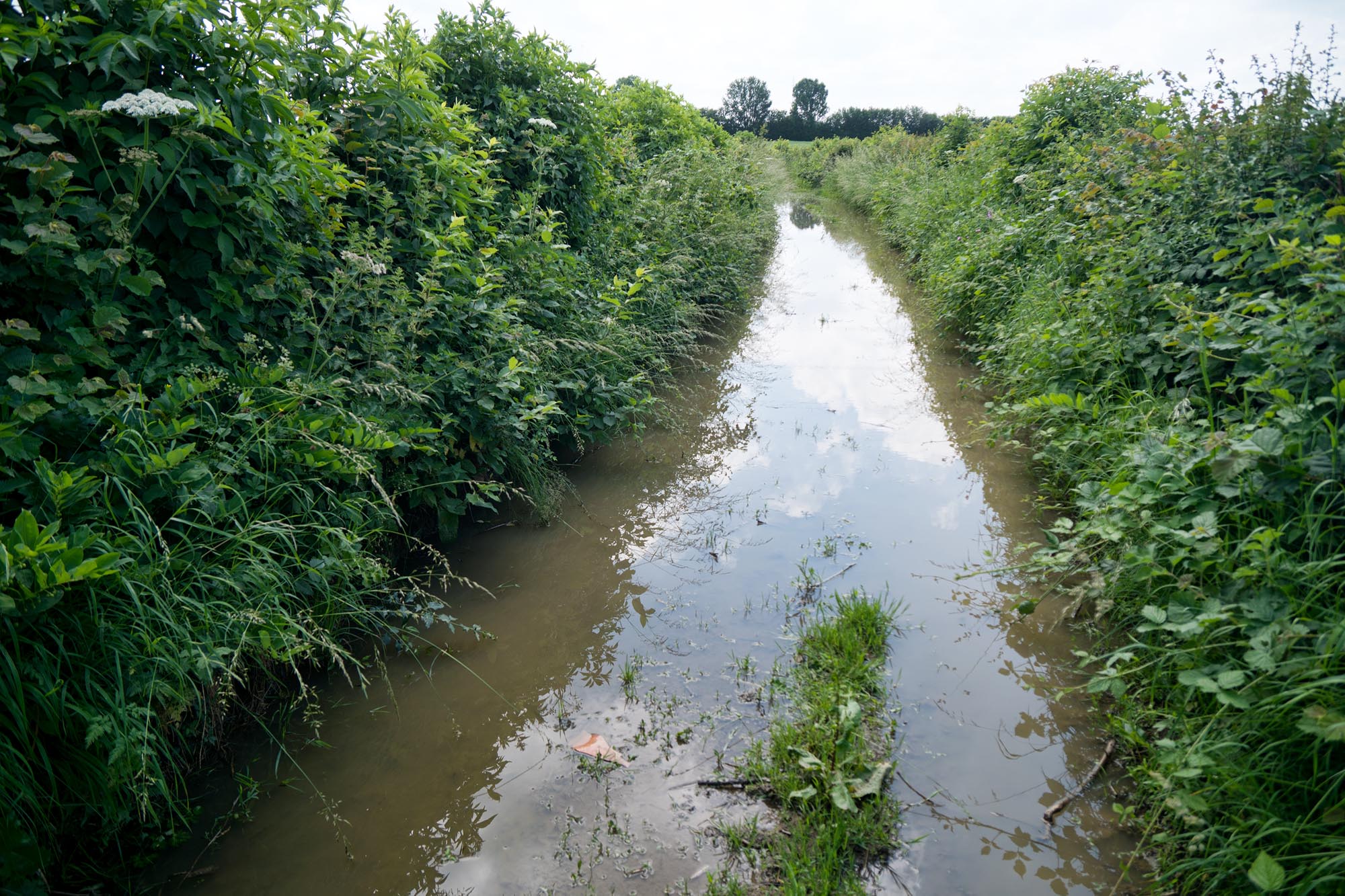
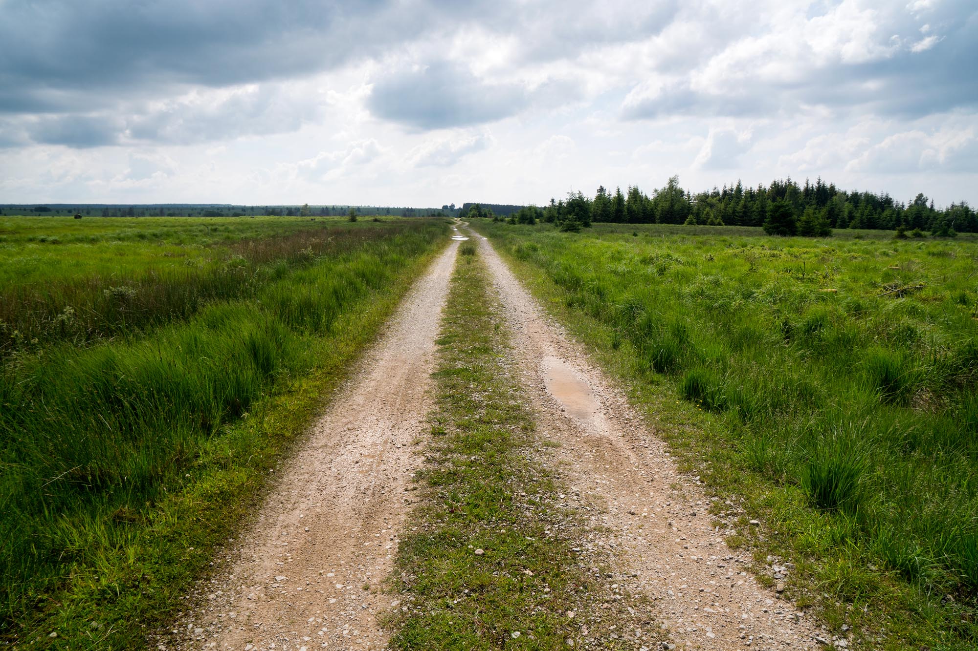
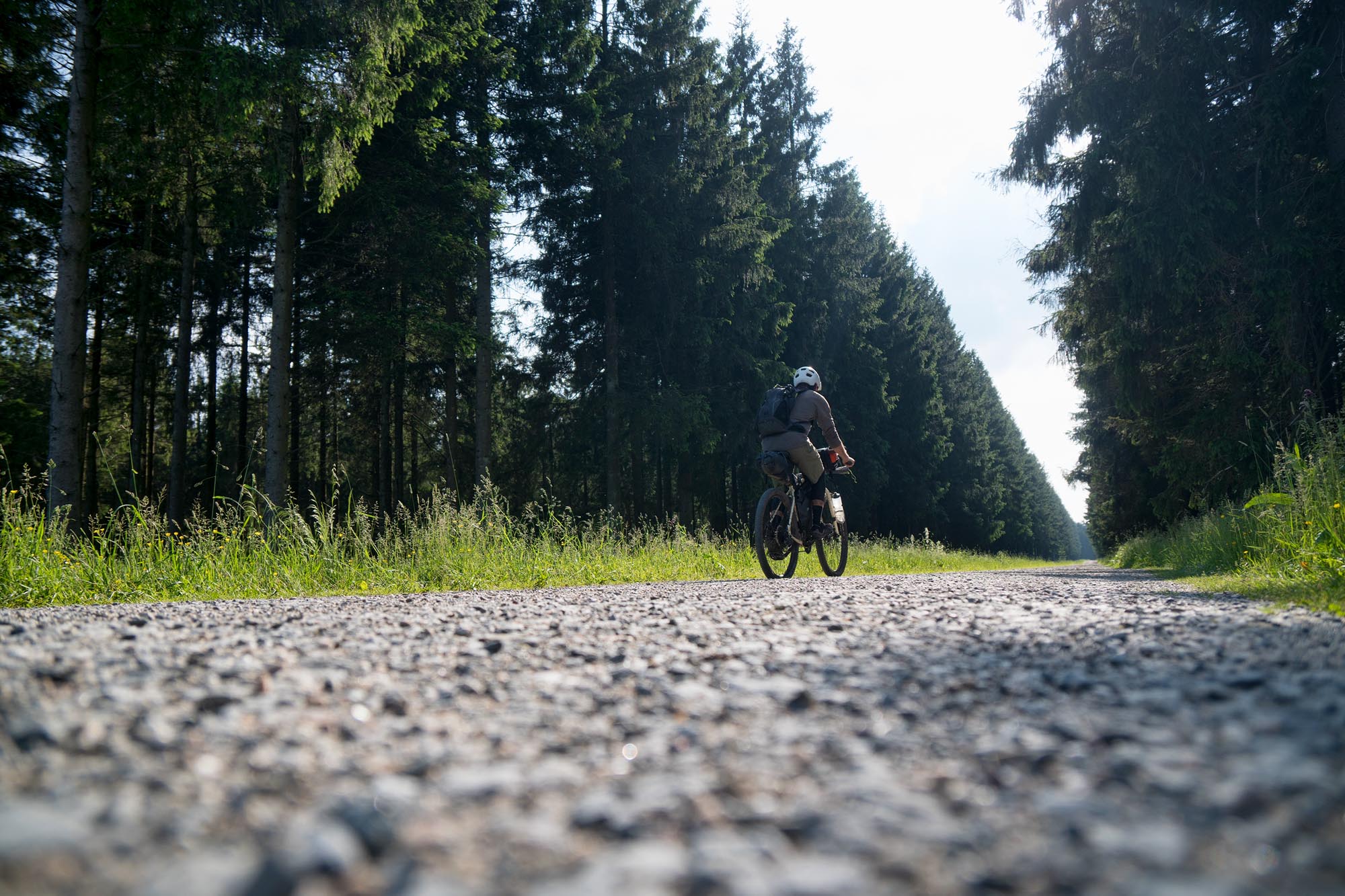
The route’s riding surfaces run the gamut; from the paved bicycle paths of city centers, to the swampy singletrack in the Hautes Fagnes, to the flowy, riverside dirt road into Malmedy. Though the route is mostly rideable, there are a few short but steep hike-a-bikes. Additionally, since the route often passes through farmland (on public trails), narrow cattle gates must be negotiated by lifting bikes over them, so the lighter the load, the better. In terms of navigation, a GPS unit or phone app is recommended, as you will be constantly checking to make sure you’ve made the right turn. Belgium is a dense matrix of roads, trails, paths, and tracks, and this route mixes and matches them without remorse to get off the beaten path as much as possible. The majority of paved riding occurs on the dedicated bike paths leading into and out of Liège. Otherwise, you’ll intermittently encounter pavement as you pass through the various small villages dotting the map. The rest of the route snakes through eerie forests, charming beer-brewing valleys, and rolling farmland on dirt, gravel, mud, and grass paths. Make no mistake, with 19,000 feet of elevation gain, this route is deceptively tiring and will make you earn your waffles. Undoubtedly, the Ardennes are not what Jacques Brel had in mind when he sang about his “plat pays” (flat country).
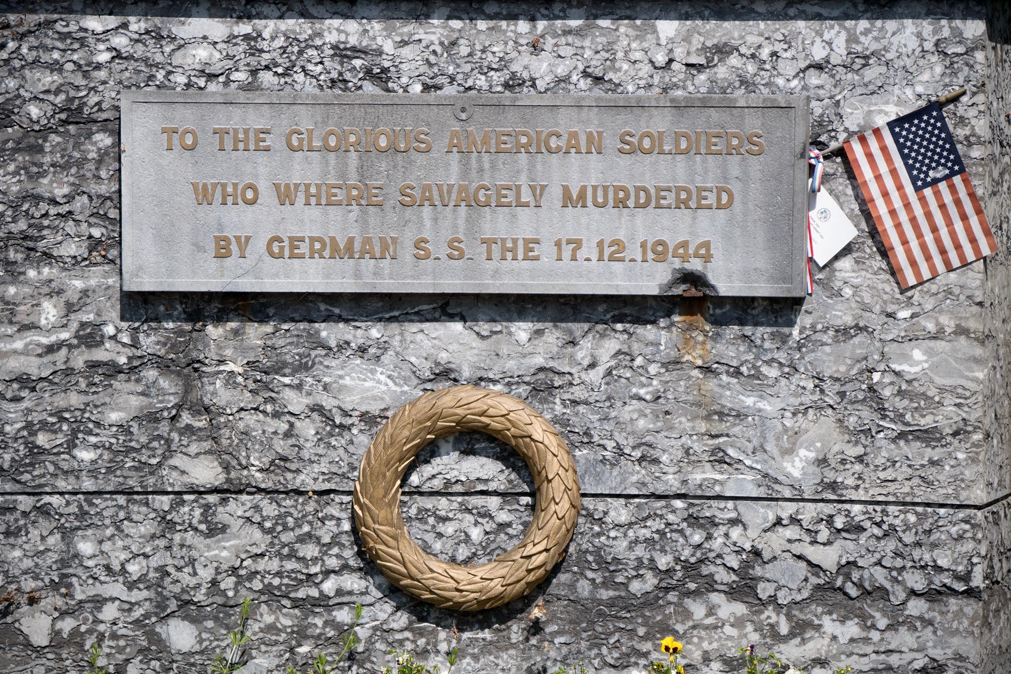
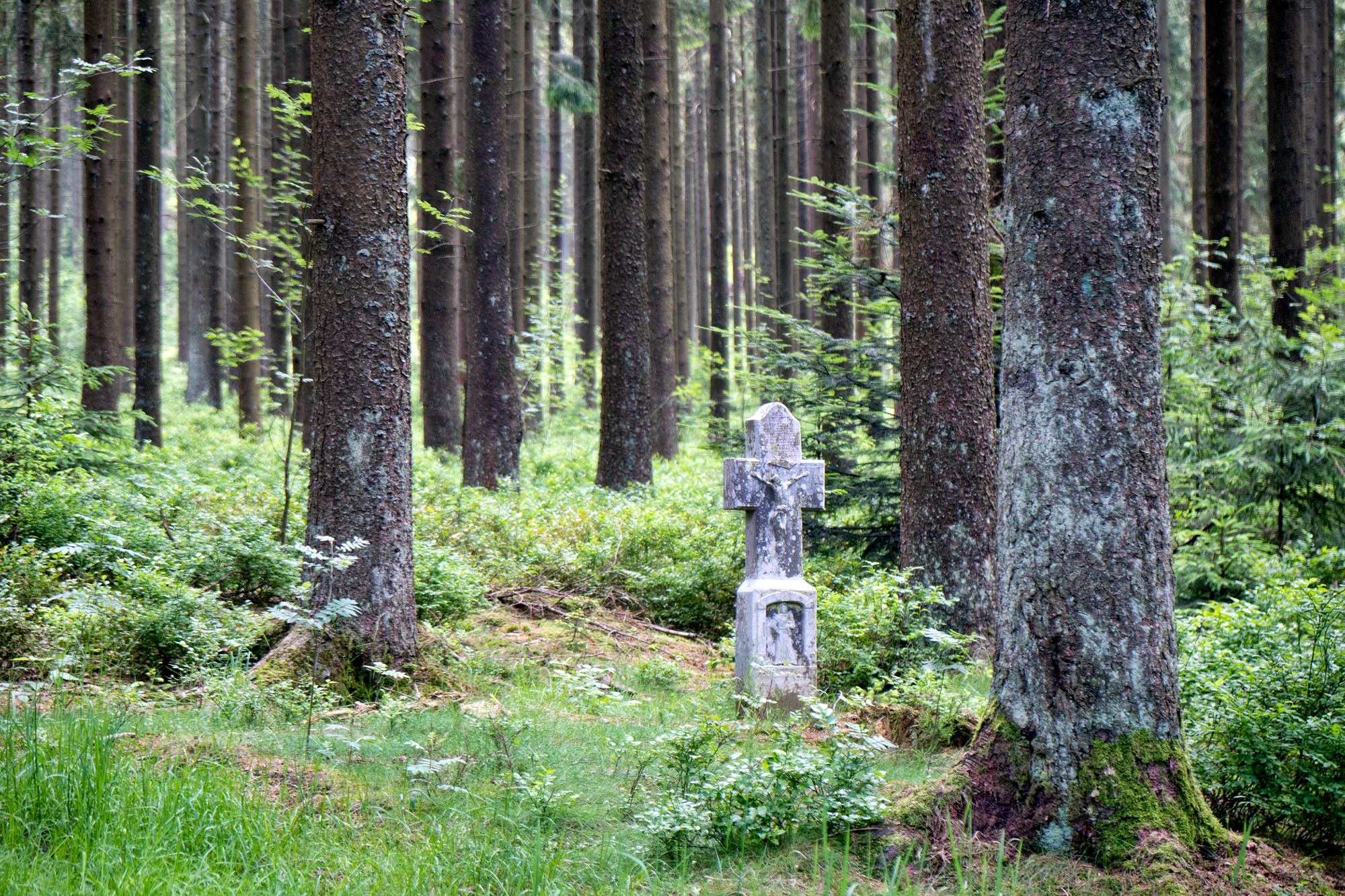
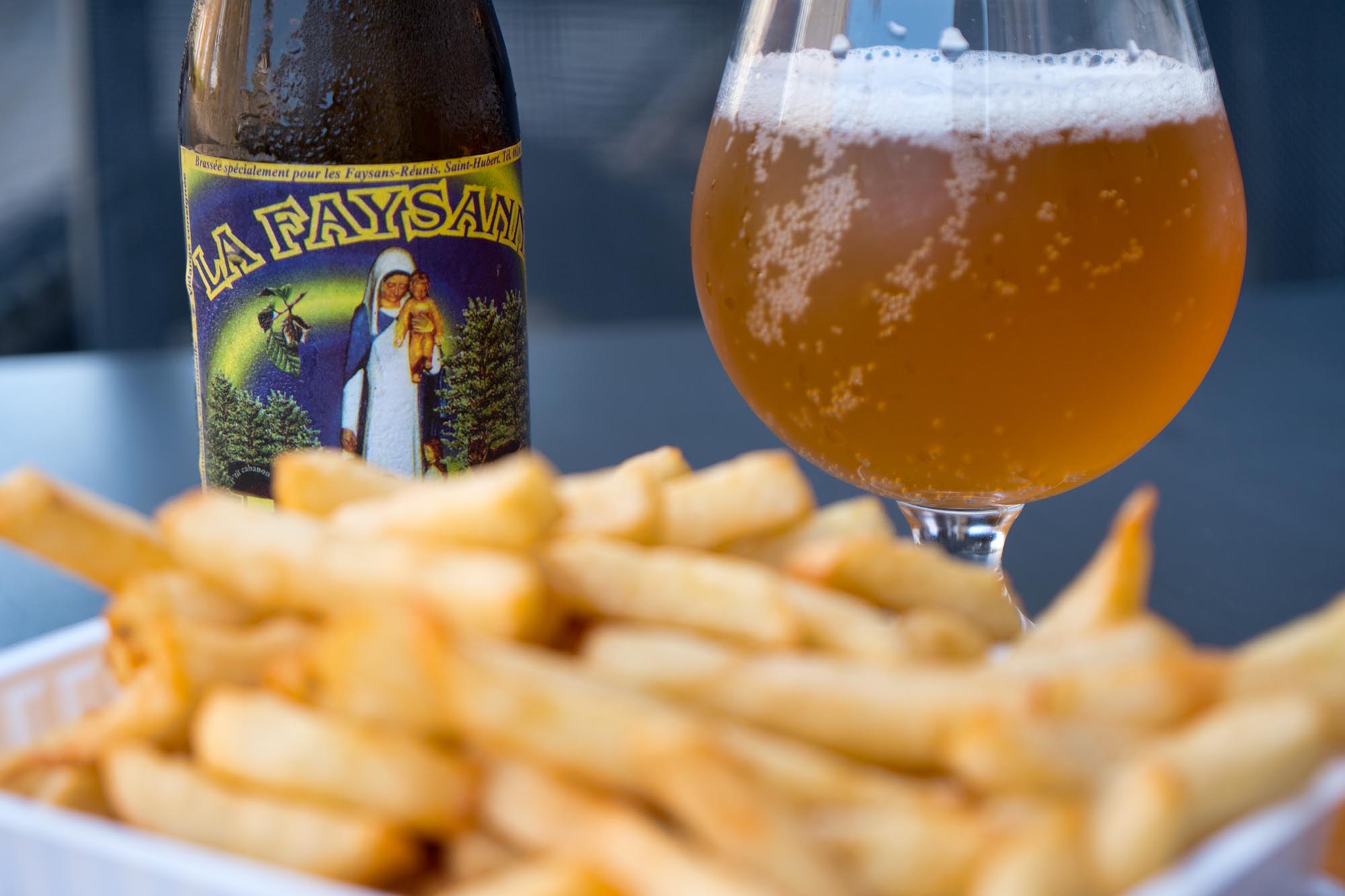
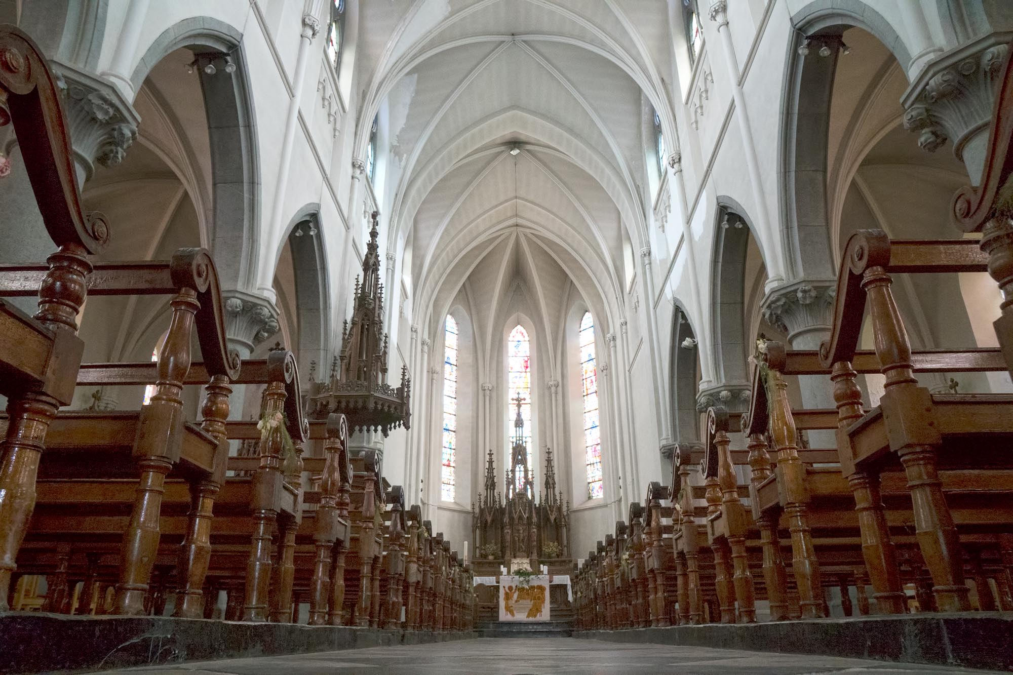
History enthusiasts will rejoice in the abundance of notable sites. The route offers as much historical significance as it does diverse riding, with cultural highlights ranging from a Roman fort dating back to 57 BC to artillery craters left over from the infamous Battle of the Bulge. Small memorials and cemeteries tucked away in the forests can be found on just about any section of the track. Culturally, there is no shortage of great food, strong beer, and backcountry charm. The people of the Ardennes are famously known for their laid-back and casual nature, in contrast to the bustle of the Brussels chaos. Don’t be surprised if a passerby strikes up a conversation as you sit down at one of the many local breweries to gulp down a malty Belgian Tripel.
Difficulty
As mentioned, the riding surface is highly variable, so being adaptable is key. Notable difficulties are a few steep (but short) hike-a-bikes, potentially muddy conditions in some areas, overgrown grassy trails (especially in spring), cow gates that require lifting bikes over them, and a swampy section. However, due to the almost limitless workarounds thanks to the vast network of bicycle paths and nearby country roads, and the ease of resupply and lodging/camping options, the commitment level remains relatively low.
Technical Difficulty: 6 – This is not a technical route, save for the short singletrack sections that rely more on grit and tolerance for discomfort than technical riding ability. That said, this route would become frustratingly choppy if all those sections were walked, since they pop up with some regularity.
Physical Demand: 7 – Though there are no long, sustained climbs (the longest being a 1,000-ft, five-mile climb out of the Lac de la Gileppe on a good road), you will constantly be gaining or losing elevation, and the net gain adds up quickly. As with any route, this can be made easier or harder depending on the time taken to complete it.
Resupply and Logistics: 5 – Food, water, and lodging are easy to come by (especially if money is no object), with dispersed camping easy to find nearly anywhere on the route between the Lac de la Gileppe and the Vallée de l’Ourthe.
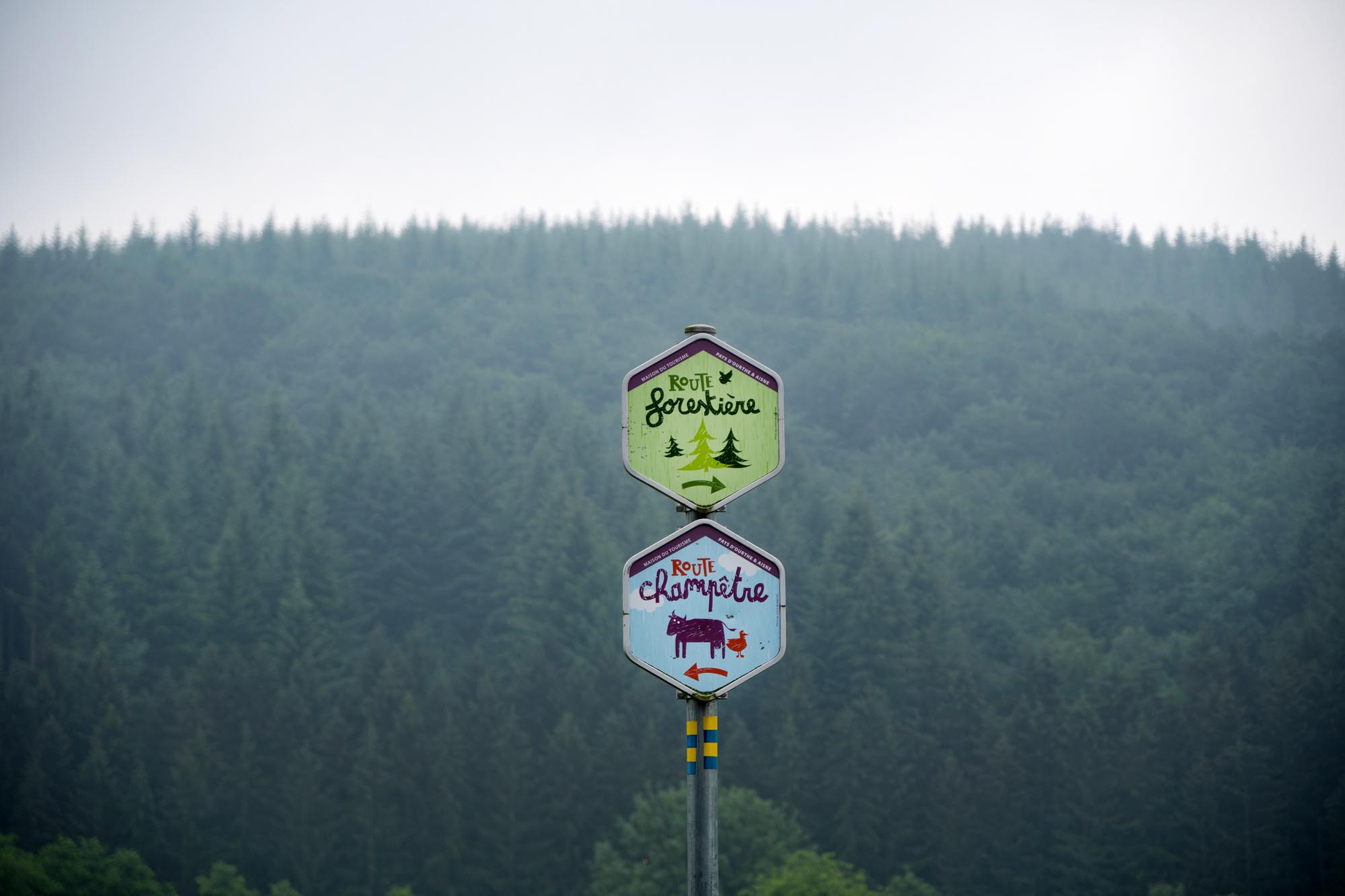
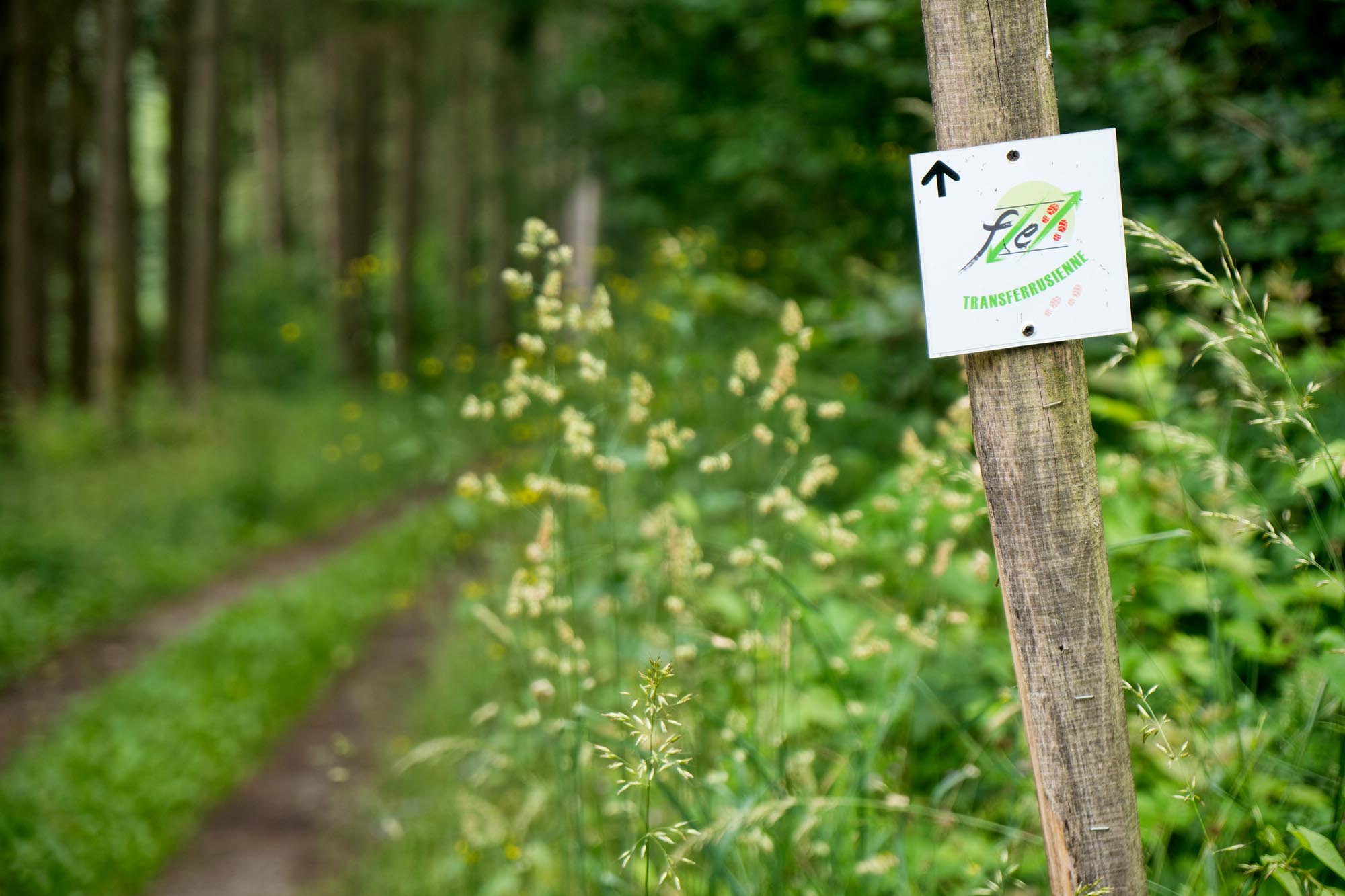
Route Development: Though this route in its entirety is an original creation by the author, it borrows long sections of previously established multi-use trails, paths, and greenways that have been well documented and developed by Belgian hiking and cycling organizations. These routes include the Transardennaise, the Transferrusienne, RandoVélo (RV) paths, and even short sections of the Grandes Randonées (GR) routes.


Submit Route Alert
As the leading creator and publisher of bikepacking routes, BIKEPACKING.com endeavors to maintain, improve, and advocate for our growing network of bikepacking routes all over the world. As such, our editorial team, route creators, and Route Stewards serve as mediators for route improvements and opportunities for connectivity, conservation, and community growth around these routes. To facilitate these efforts, we rely on our Bikepacking Collective and the greater bikepacking community to call attention to critical issues and opportunities that are discovered while riding these routes. If you have a vital issue or opportunity regarding this route that pertains to one of the subjects below, please let us know:
Highlights
Must Know
Camping
Food/H2O
Trail Notes
- The “undiscovered” side of Belgium. When cyclists visit Belgium, they often stick to Flanders, where road cycling culture is dominant. This is a chance to see what Belgium’s “backcountry” has to offer.
- The eerie, dark, and dense pine forests.
- Free flowing, delicious beer. Don’t assume Belgian beer is only abbey and Trappist ales. The country has a huge offering of great IPAs, saisons, wits, ciders, and stouts as well.
- Signal de Botrange, the highest point in Belgium at 2,277 feet. It is comically anticlimactic upon arrival, especially being that it is an ancient volcano. If you are disappointed by the views, and have a “I need a beer” look on your face, fear not, for there is a bar at the summit. Er… “summit.”
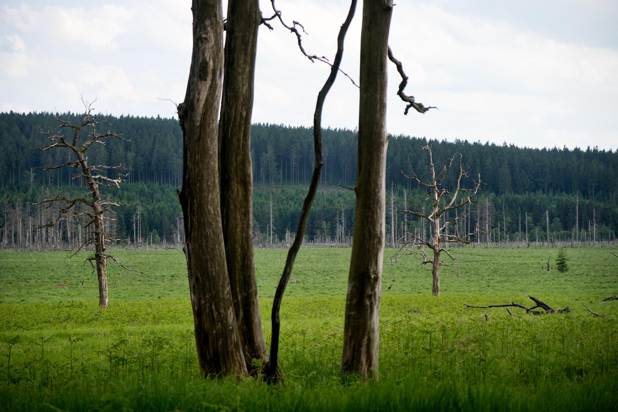
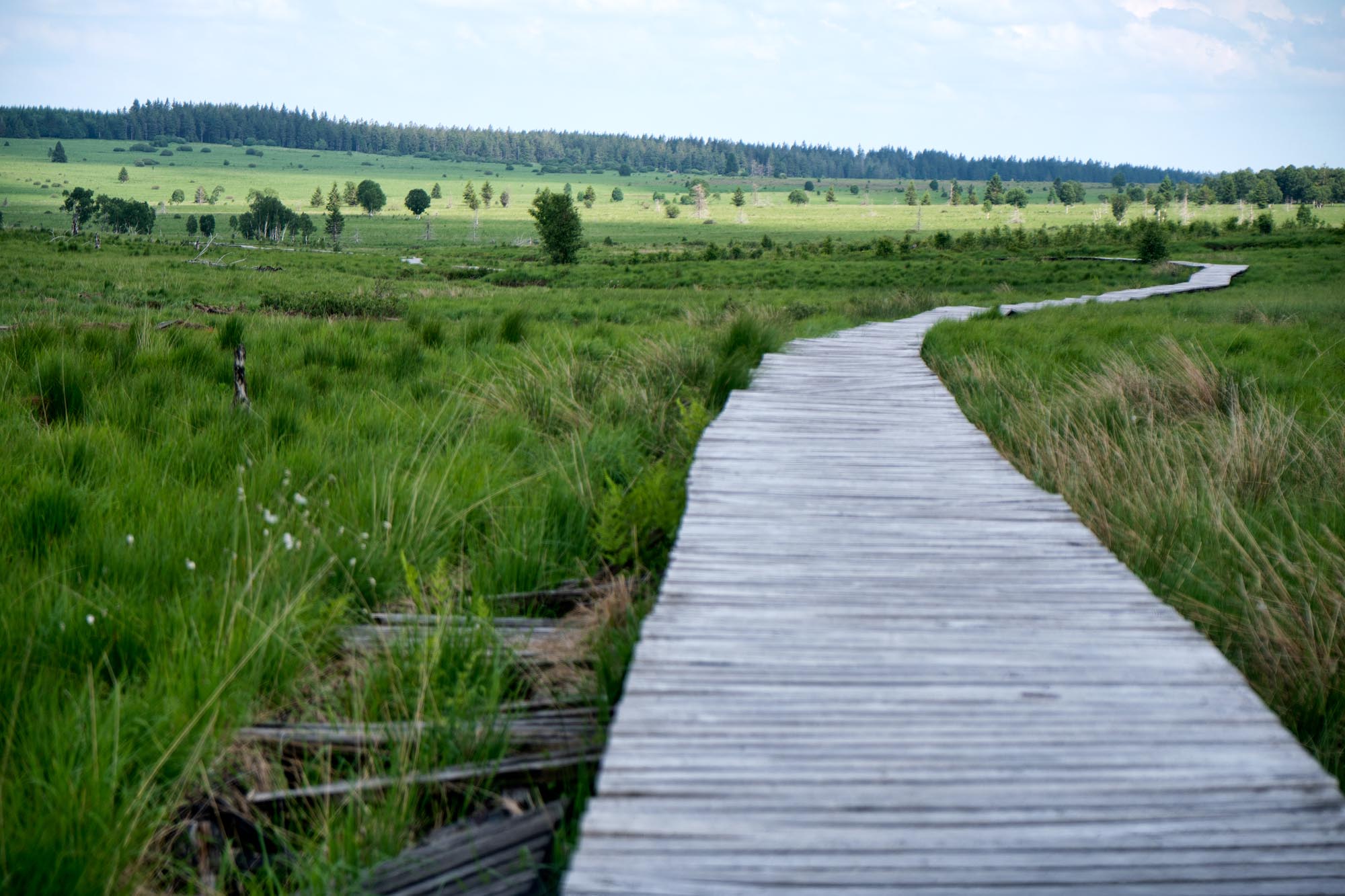
- The starkness of the Hautes Fagnes. As if to apologize for the underwhelming nature of the Signal de Botrange, the surrounding area, the Hautes Fagnes, is strikingly beautiful with its open prairies, stands of twisted, dead trees, and abundant wildlife.
- The medieval town of La Roche-en-Ardenne. Small, full of interesting history, and a castle that has changed hands over its long history as many times as Belgium has breweries. Though it’s a popular spot for Belgian and French tourists, there is no lack of charm.
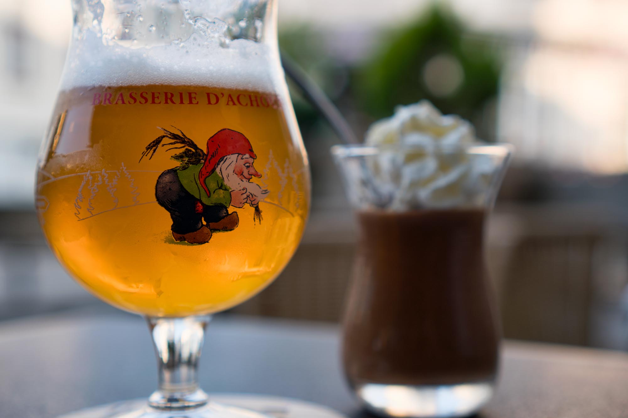
- Valleys wafting in the sweet smell of malt and hops. The Brasserie d’Achouffe, the source of the well-known “La Chouffe,” sits nestled in a tiny valley and offers tours, tastings, and a nice park.
- Humbling reminders of the Battle of the Bulge. Memorials to slain American heroes, Belgian resistance fighters, and enlisted German men can be found all along the route. Don’t be surprised to wake up in the morning next to a massive artillery crater or foxhole after having pitched your tent under the cover of darkness.
- The easy-going nature of Belgians. Famous for their inability to take themselves too seriously, Belgians will sweep you up into a joke like you’re a long lost friend.
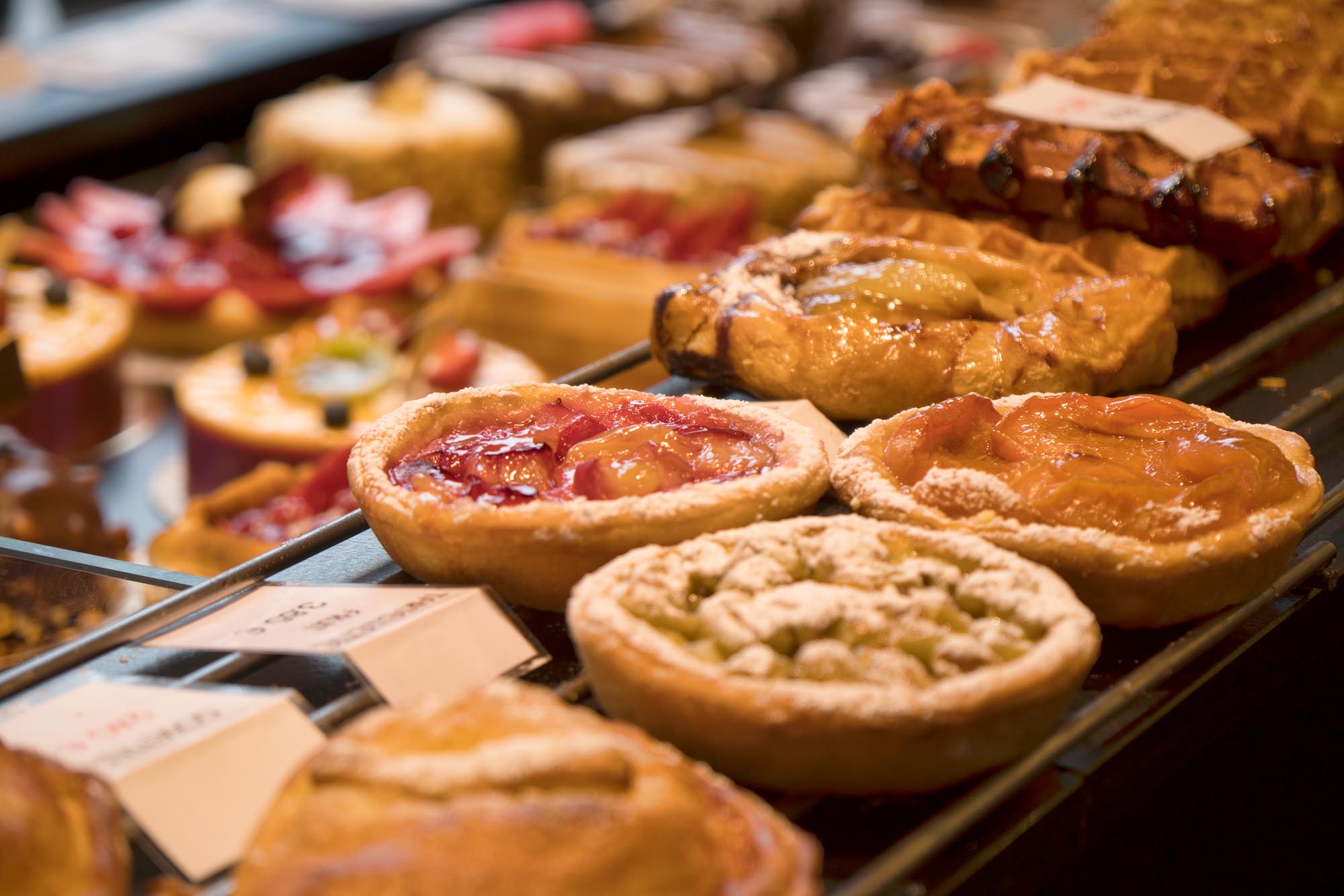
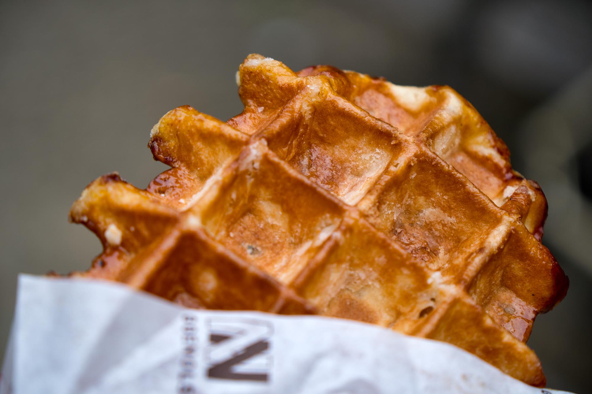
- Gaufres de Liège. Without a doubt, they’re the most heavenly waffles you will ever have. Forget anything you think you know about a “Belgian waffle” and head over to Patisserie Eggenols in Liège for the ultimate bikepacking superfood. You will never again wonder why Belgians casually snack on waffles while waiting at the bus stop.
- Riding through bucolic countryside. Narrow greenways between Belgian manors and fields full of Belgian Blues (cows).
- The sweet 11-mile descent from the Signal de Botrange down into Malmedy.
- A rigid gravel bike with 42mm tires with some bite should be sufficient if conditions are dry. Otherwise, a 2-inch, fast-rolling tire would be ideal to deal with the unpredictable and varying riding surfaces.
- Late spring, early fall, and any time the area has had a week or two without significant rain are the best times to hit this track. Summers are deceptively hot and humid in this region, though a summer trip is not completely out of the question, and would give you a better chance of avoiding mud. Just be aware that the valleys of the Ardennes can trap heat.
- Hunting season begins in early October and the route passes through many hunting areas. As such, always be aware and be ready to deviate from the route if traveling during hunting season, as there may be some hunting-related closures to work around. It may even be best to avoid the route entirely during the season.
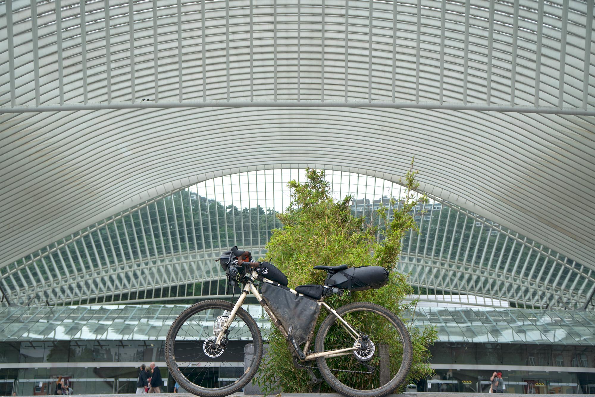
- Getting to Liège is easy by train, as the Belgian rail system is very bike friendly. An extra 5€ will get your bike on the train. It is with this in mind that the route starts and ends at the Liège train station.
- One section through part of the Hautes Fagnes is swampy and can be completely unrideable (and even unhikeable) at times (hence the boardwalks), especially after rains. See the route map for a note about a work around.
- When riding on the boardwalks in the Hautes Fagnes, it is common courtesy to walk your bike when passing other people.
- It is worth reading up on the history of the Ardennes prior to riding the route, if only to add to the mystique of riding through WWII battlefields and under the shadow of preserved Roman forts and Gaul-era hunting lodges.
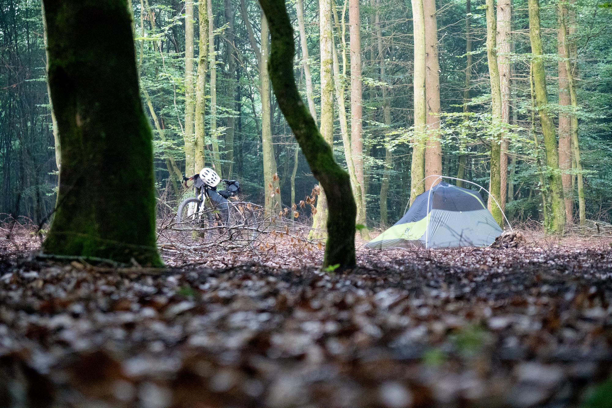
- Stealth camping is extremely easy. Nearly any forest you encounter will have well-hidden areas to pitch a tent for the night. Since dispersed camping is technically not allowed in Belgium, be courteous and discrete when choosing a site. Arrive late and leave early to minimize the risk of disturbing anyone. And, as always, leave absolutely no trace you were there.
- Country guesthouses, hotels, auberges, and established camping areas are everywhere, but may be expensive and/or crowded in the high season.
- Although creeks and rivers are abundant, you are never far from human or animal activity, so it is necessary to purify water from them. Better yet, fill up water bottles at any café or restaurant in town. They usually take pity on weary cyclists. Alternatively, drink beer, which is cheap, strong, and might as well be the country’s primary source of hydration.
- Food can be found anywhere and everywhere, ranging from restaurants, bars, breweries, stores, and markets. Be aware, though, that the smaller villages will sometimes only have a small bakery or épicerie (small store) with limited hours.
This route is made much more enjoyable if the GPS or phone you’re using to navigate is mounted to your handlebars so you can consult it without having to stop constantly. The route rarely goes for more than a few miles without hitting an intersection or fork, so having the navigation device readily accessible is key to improving the flow of the ride.
For navigation, the Open Cycle Map HD layer on Gaia GPS is incredibly useful, showing all the established cycling paths in Belgium. For detours and workarounds, this map is key.


Terms of Use: As with each bikepacking route guide published on BIKEPACKING.com, should you choose to cycle this route, do so at your own risk. Prior to setting out check current local weather, conditions, and land/road closures. While riding, obey all public and private land use restrictions and rules, carry proper safety and navigational equipment, and of course, follow the #leavenotrace guidelines. The information found herein is simply a planning resource to be used as a point of inspiration in conjunction with your own due-diligence. In spite of the fact that this route, associated GPS track (GPX and maps), and all route guidelines were prepared under diligent research by the specified contributor and/or contributors, the accuracy of such and judgement of the author is not guaranteed. BIKEPACKING.com LLC, its partners, associates, and contributors are in no way liable for personal injury, damage to personal property, or any other such situation that might happen to individual riders cycling or following this route.
Please keep the conversation civil, constructive, and inclusive, or your comment will be removed.