


SF Peninsula Traverse
Distance
112 Mi.
(180 KM)Days
3-4
% Unpaved
75%
% Singletrack
30%
% Rideable (time)
97%
Total Ascent
16,372'
(4,990 M)High Point
3,060'
(933 M)Difficulty (1-10)
5?
- 9Climbing Scale Very Strenuous146 FT/MI (28 M/KM)
- -Technical Difficulty
- -Physical Demand
- -Resupply & Logistics
Contributed By
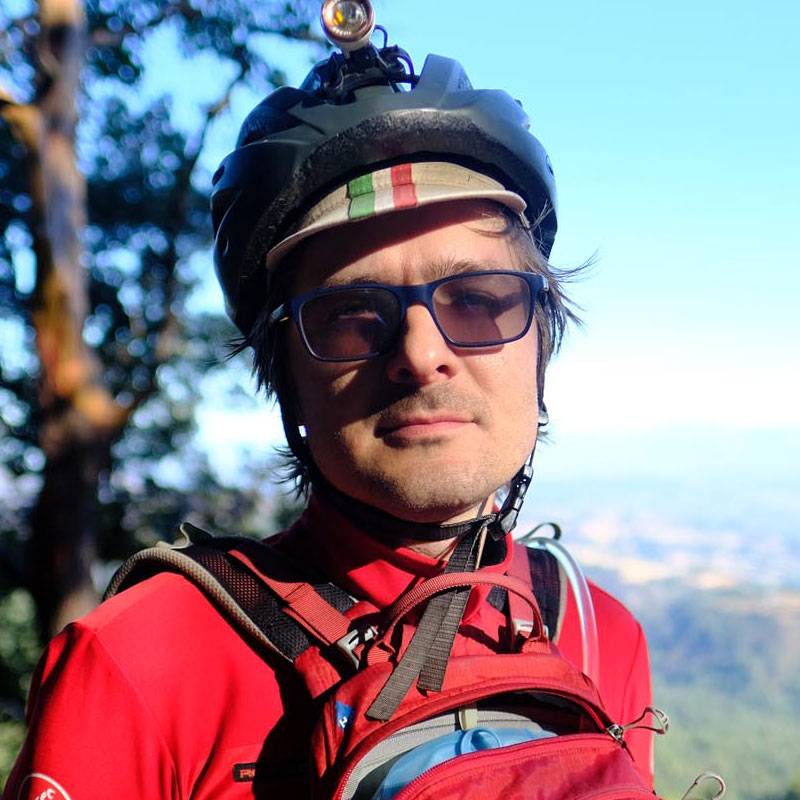
Valas Valancius
Guest Contributor
Valas, originally from flatlands of Lithuania, got hooked on mountain biking in the SF Bay Area. When not biking (or drooling about biking when checking out new routes at bikepacking.com), Valas plays with his son and codes for a living.
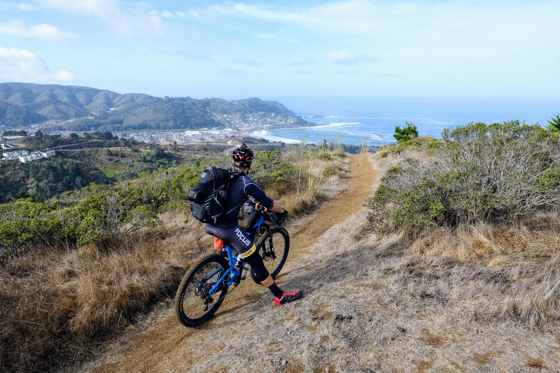
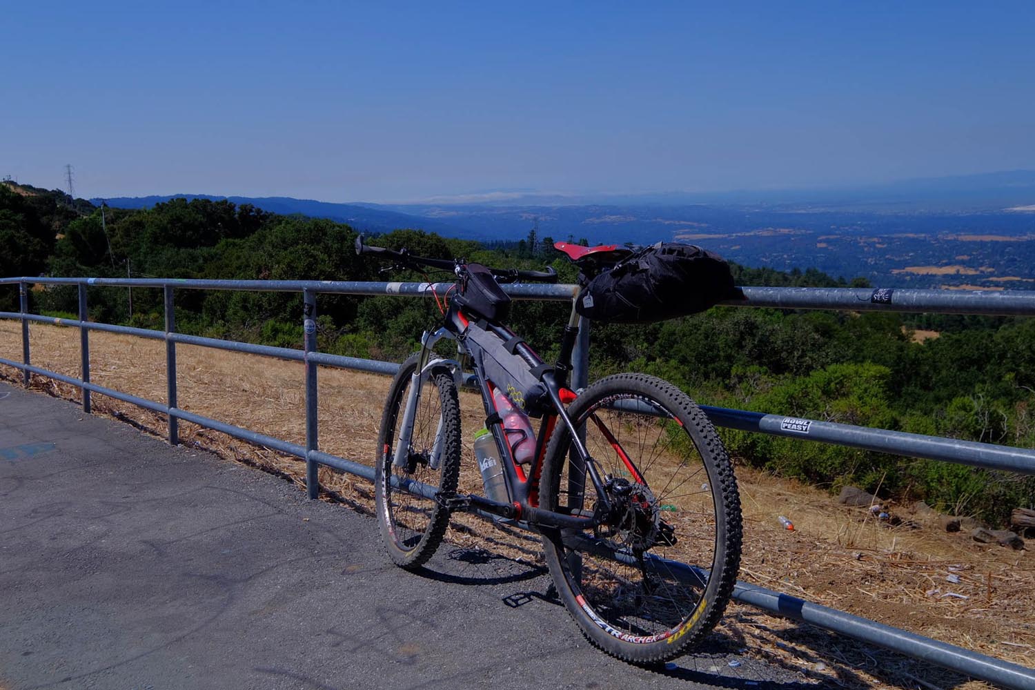
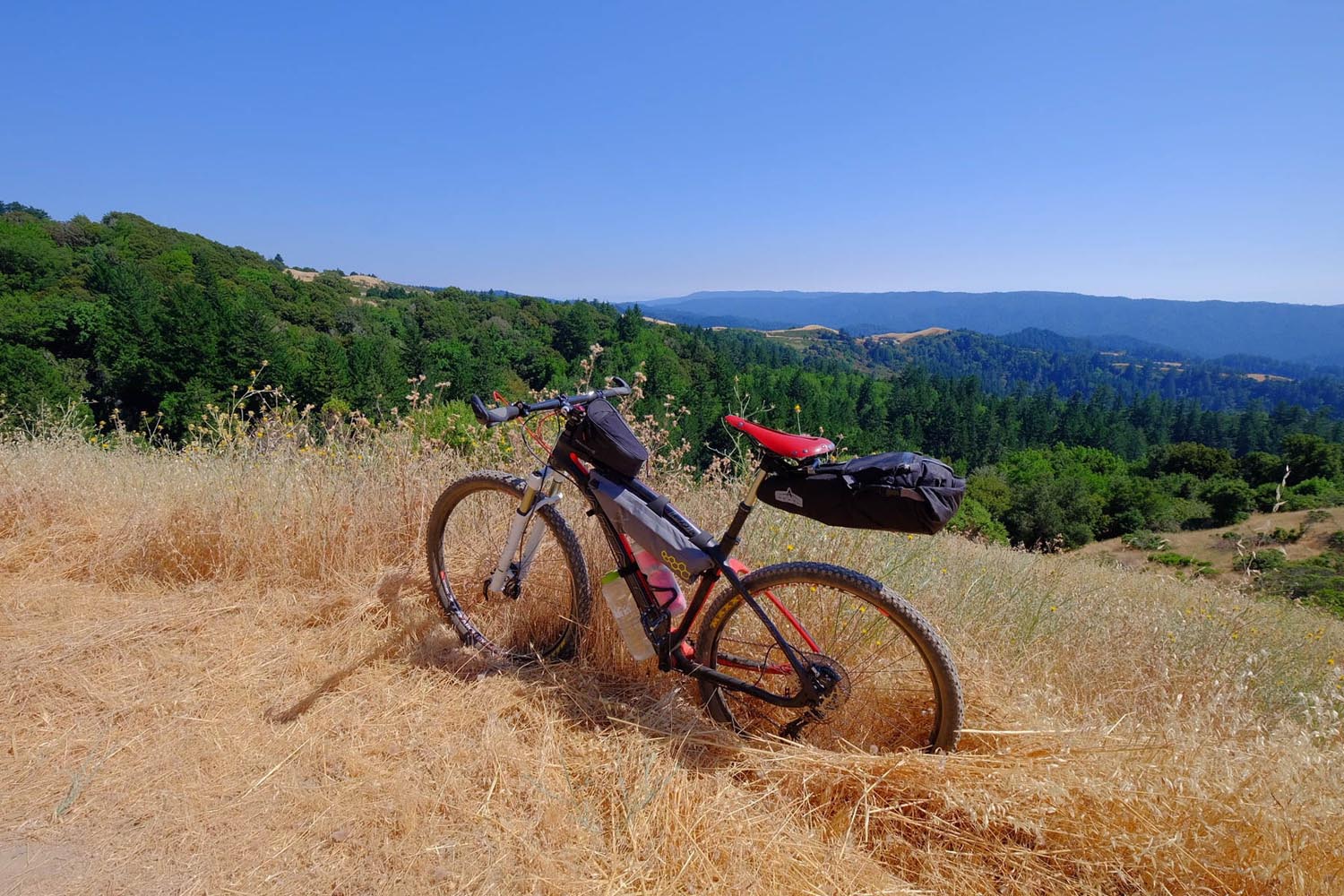
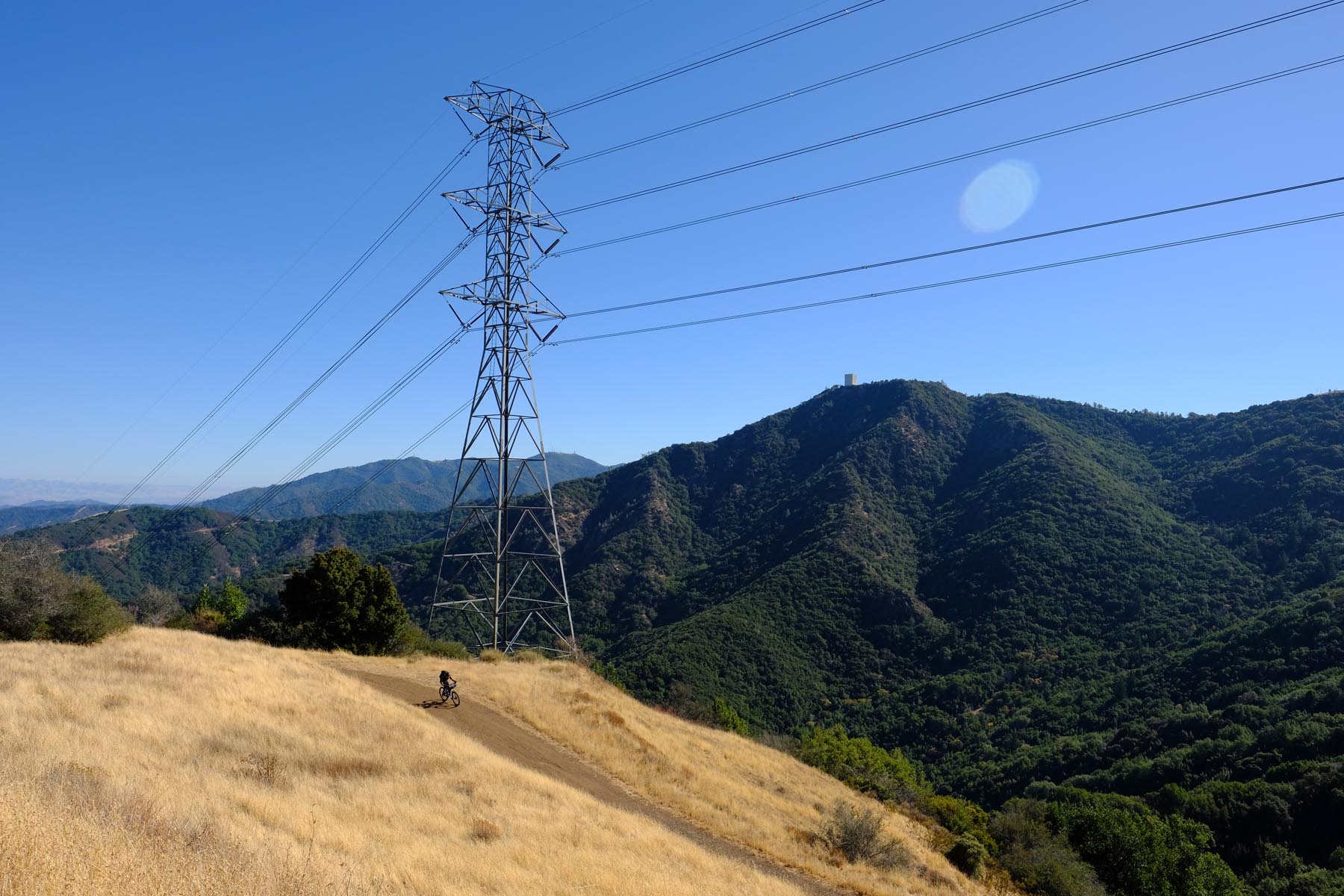
South of San Francisco, mountains rise between the bay and the ocean. Where there are mountains, there will also be trails. This ride explores these trails and connects a number of gorgeous public open spaces and parks that the Bay Area is fortunate to have within reach.
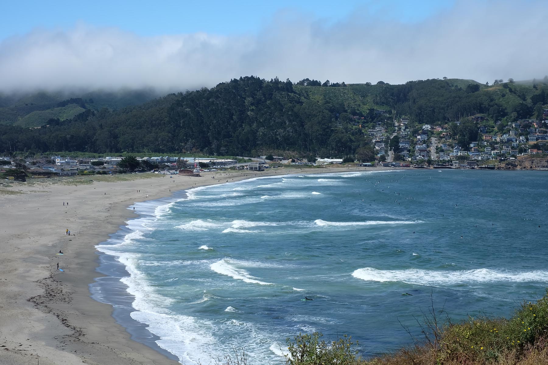
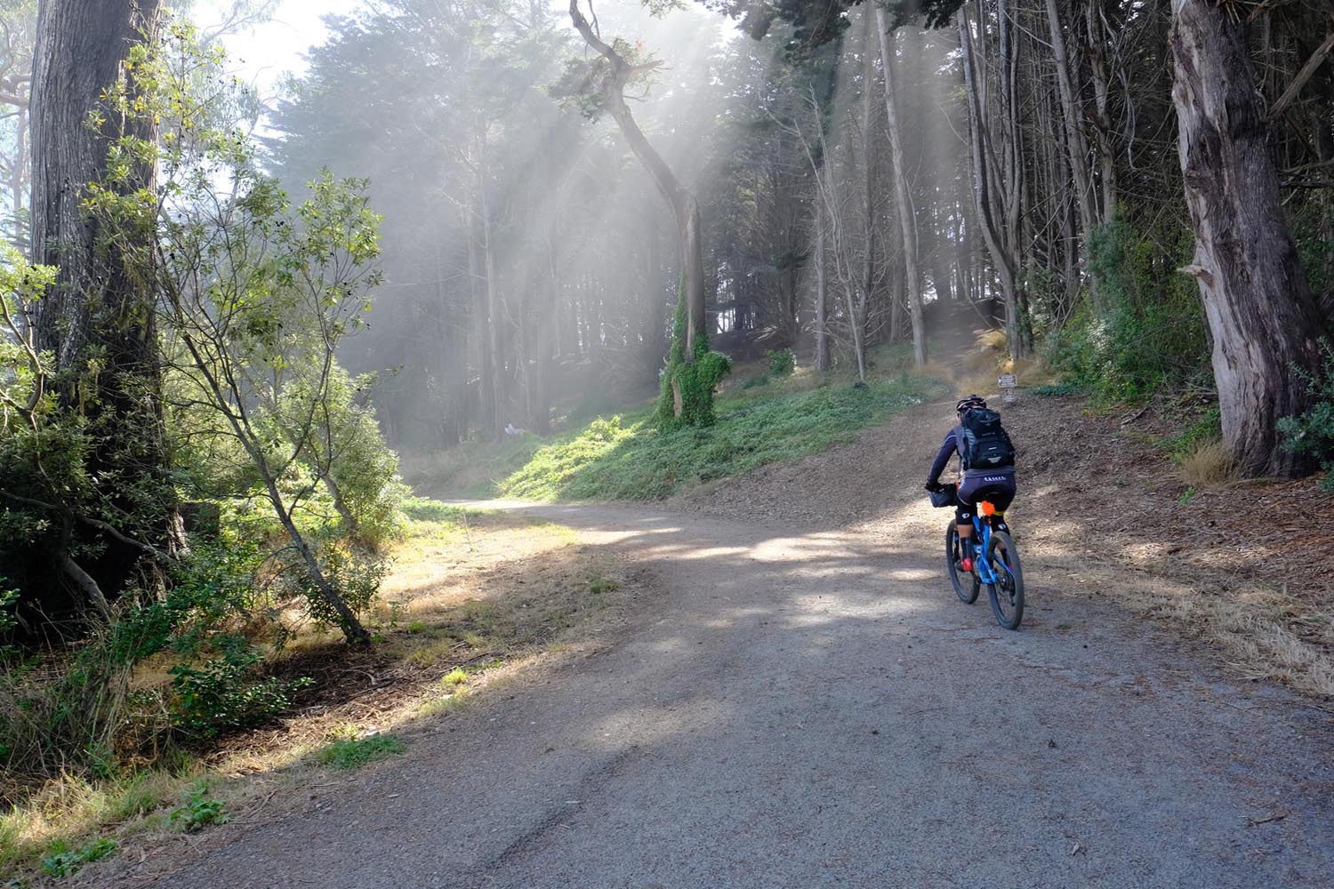
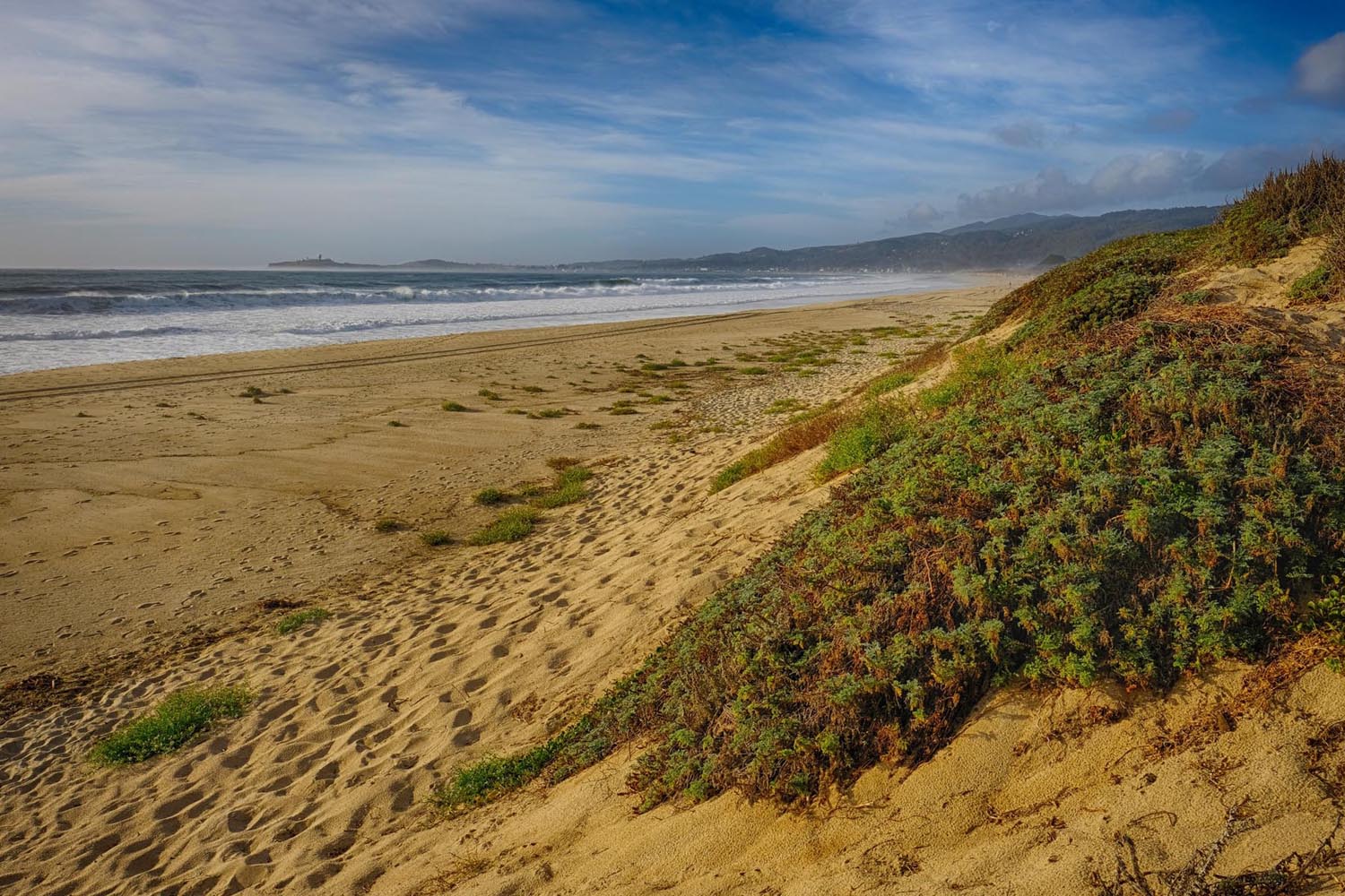
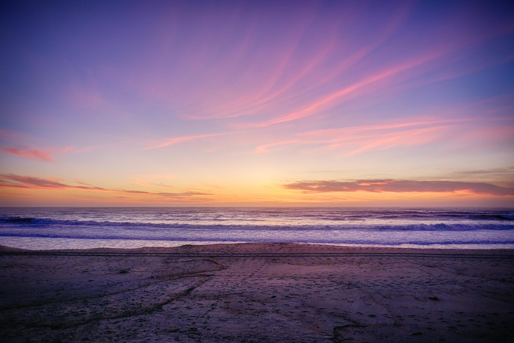
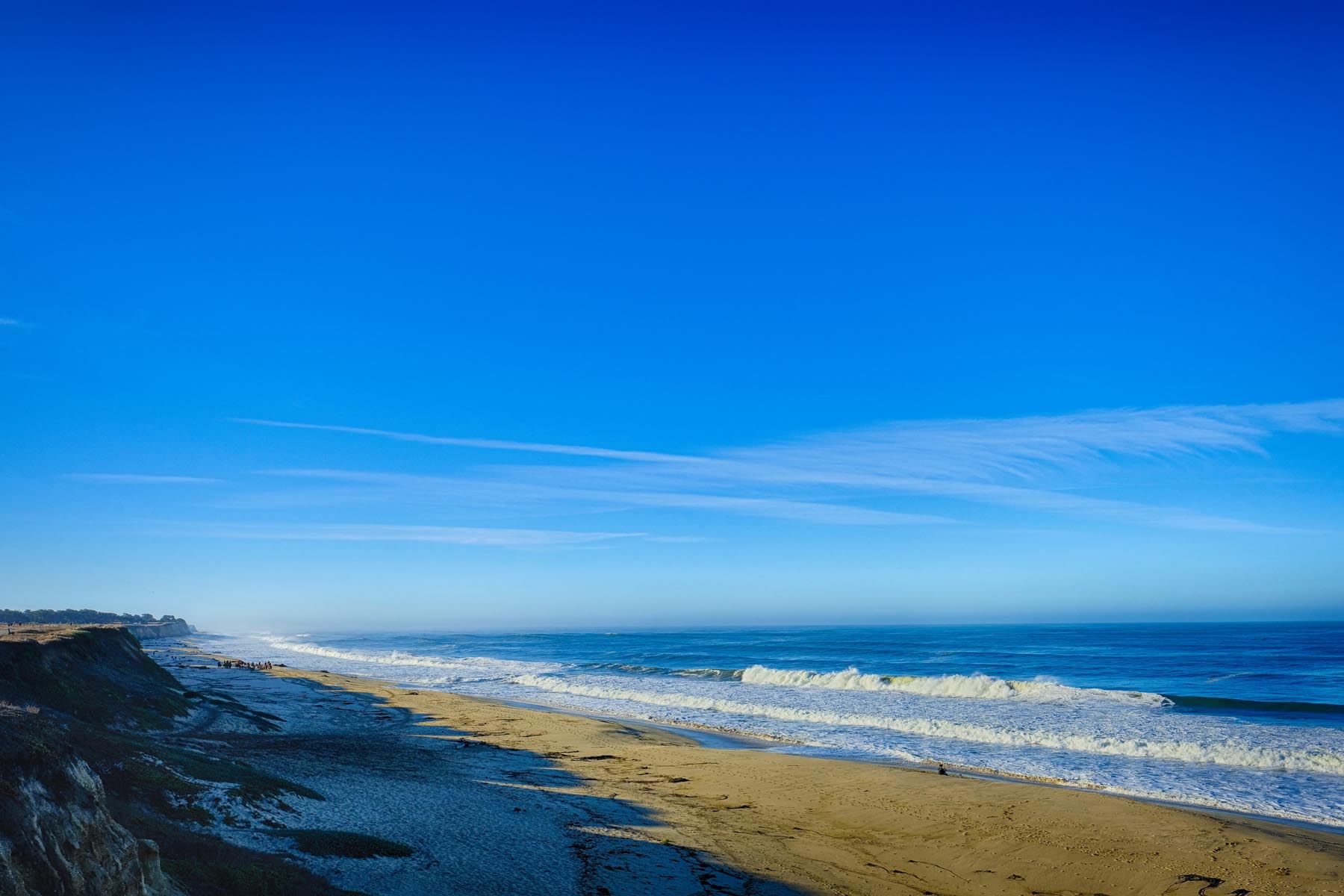
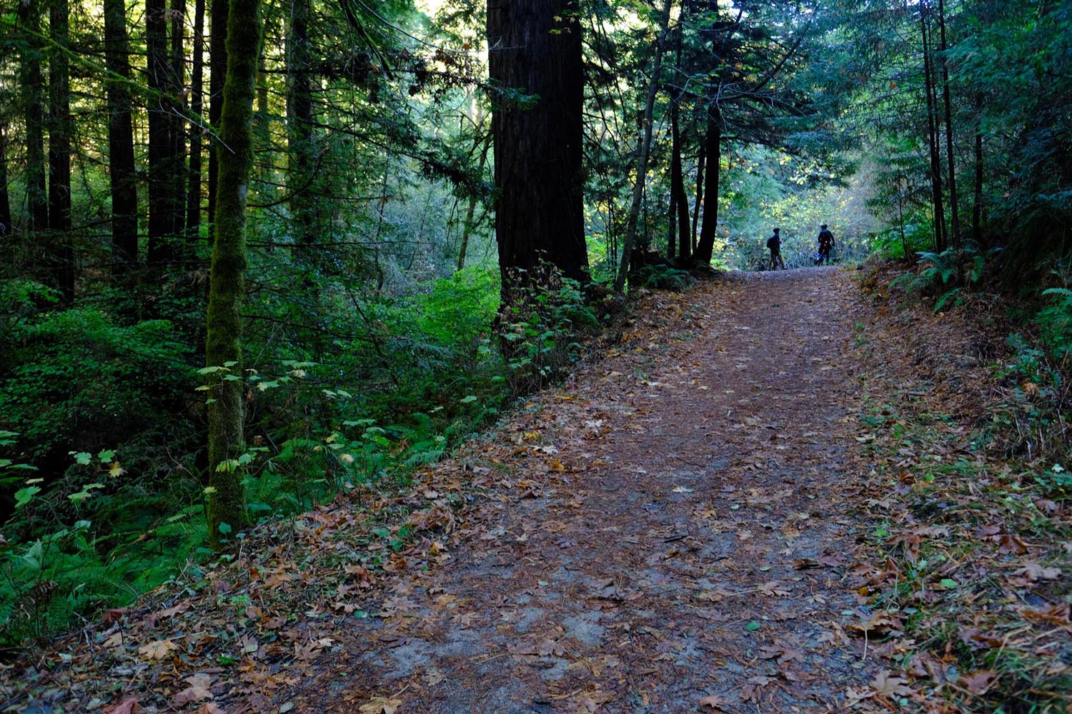
The ride has three distinct phases, each taking roughly one day. The first day will bring you down to the ocean and its cool marine layer, that, depending on the season, can blanket the coast for most of the day. If the fog is extra gloomy, you can escape to one of the breweries in Half Moon Bay (they have two!). Before you reach beer, however, you’ll have to conquer a mix of glorious singletrack and a few steep pitches of fireroad in Golden Gate National Recreation Area, with views to match the area’s name.
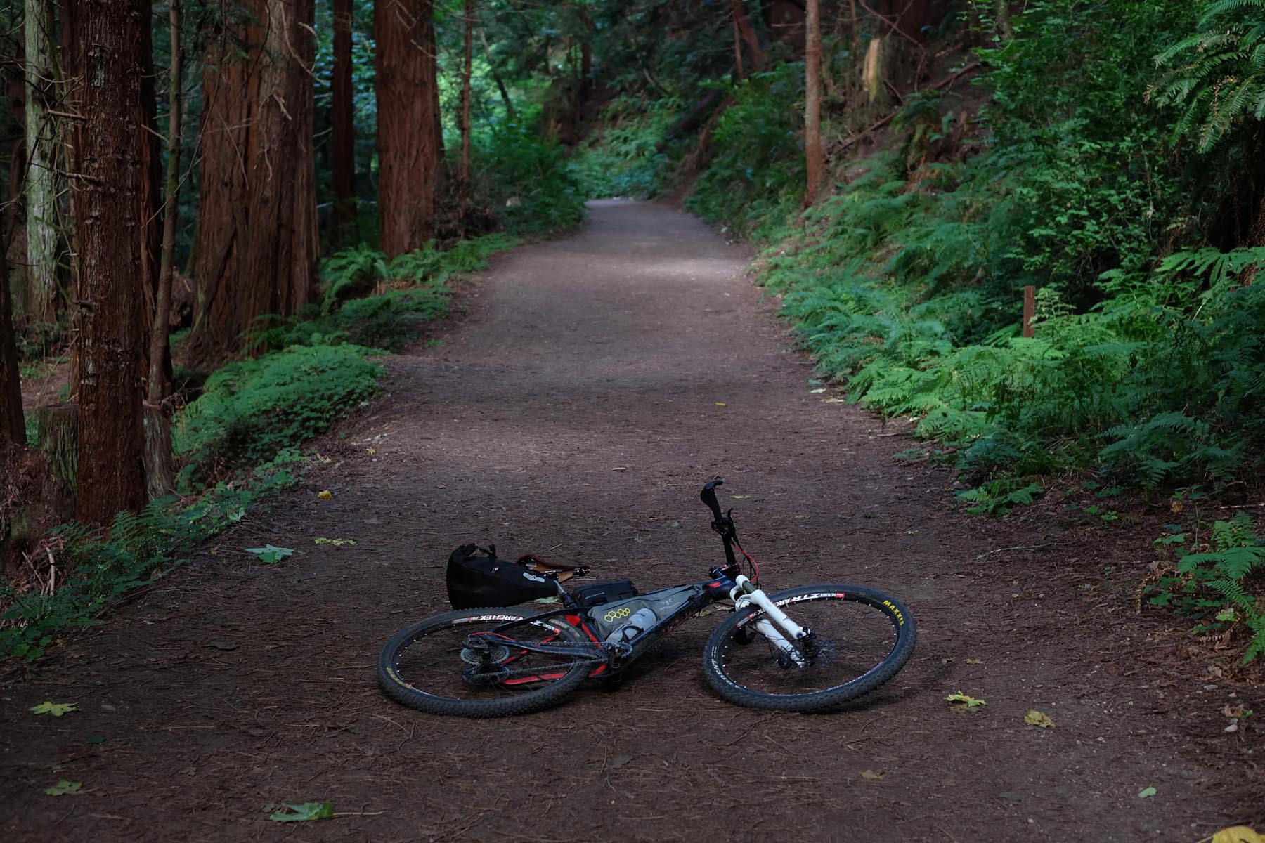
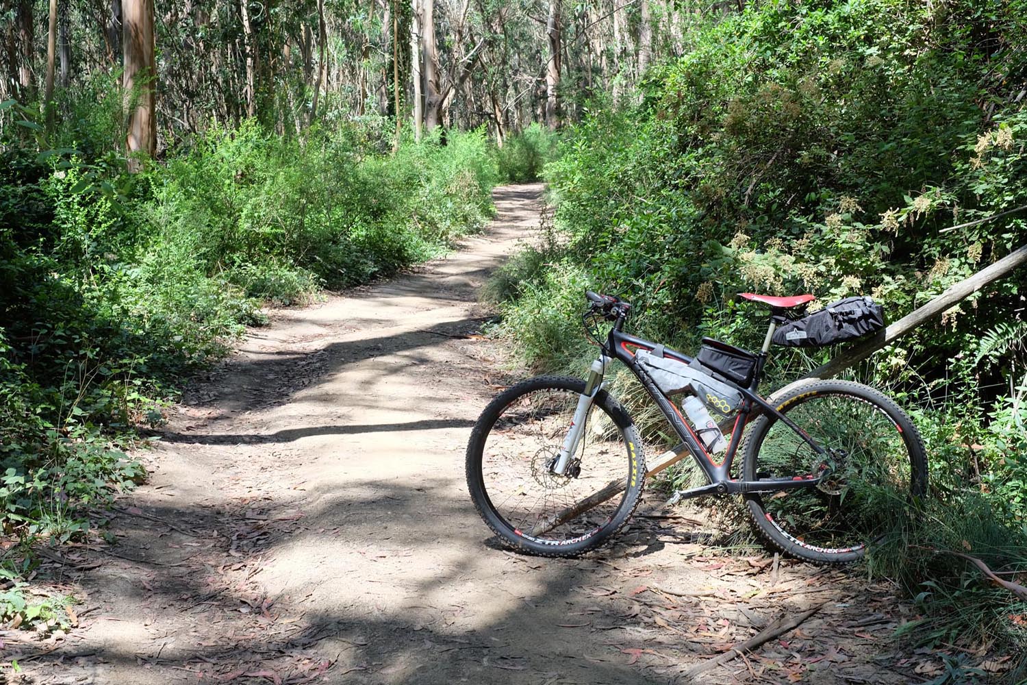
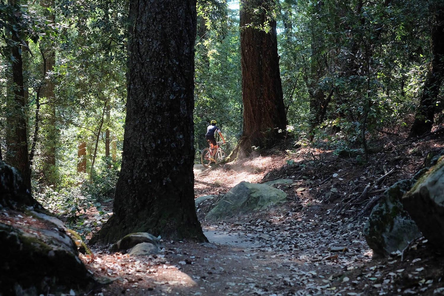
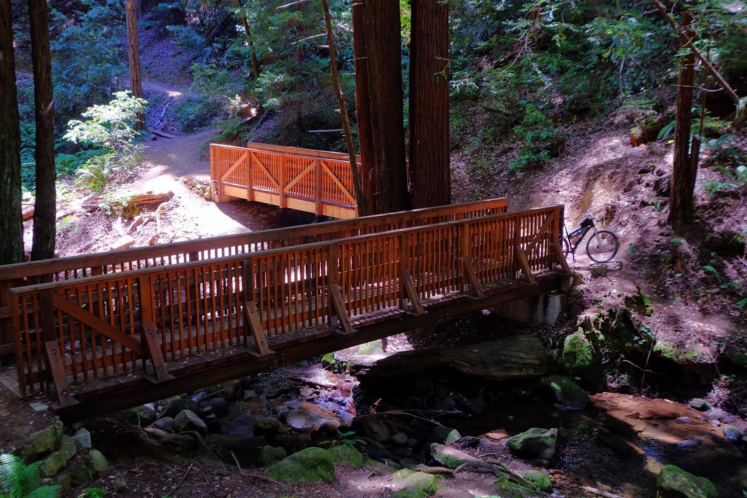
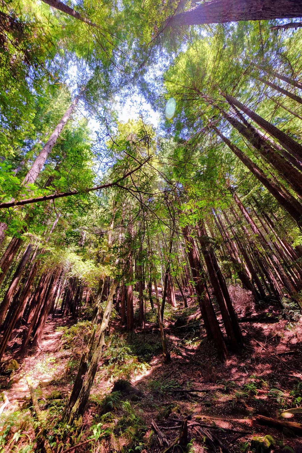
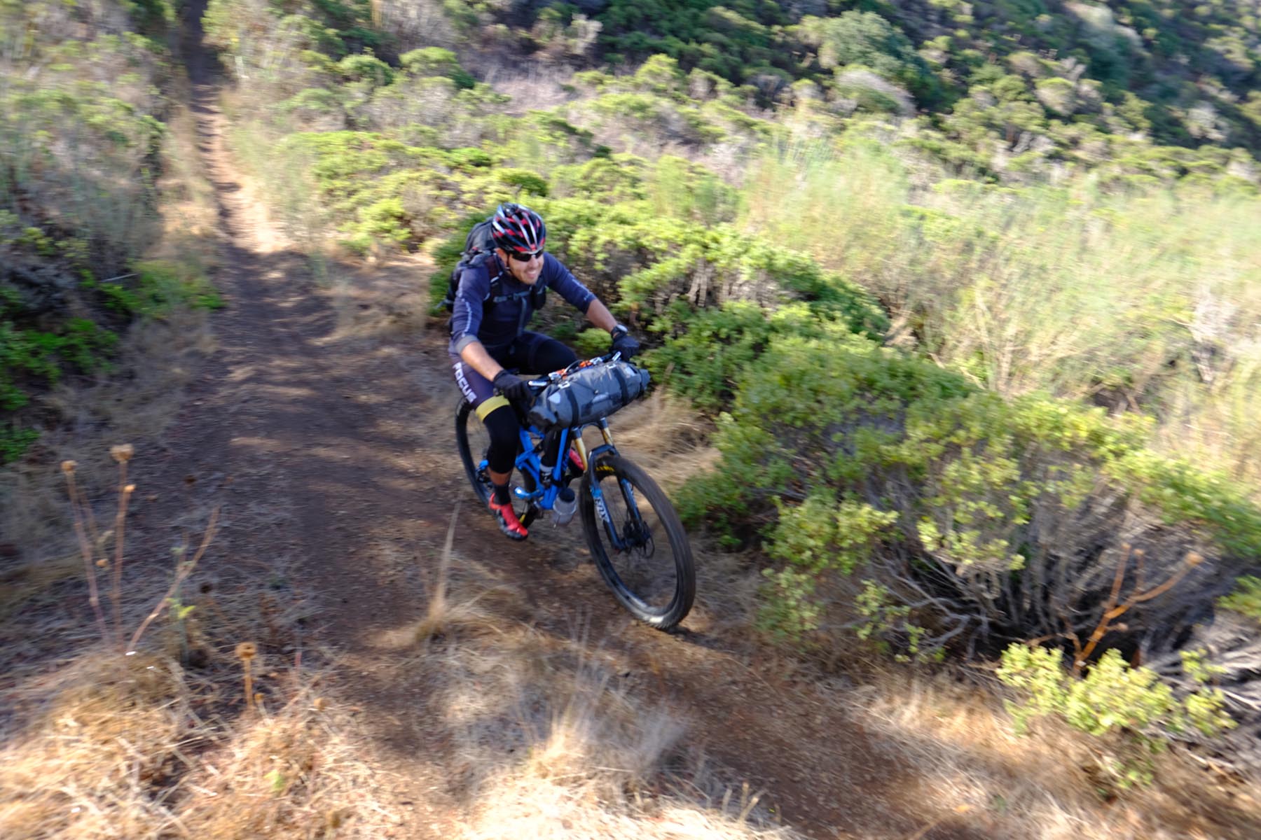
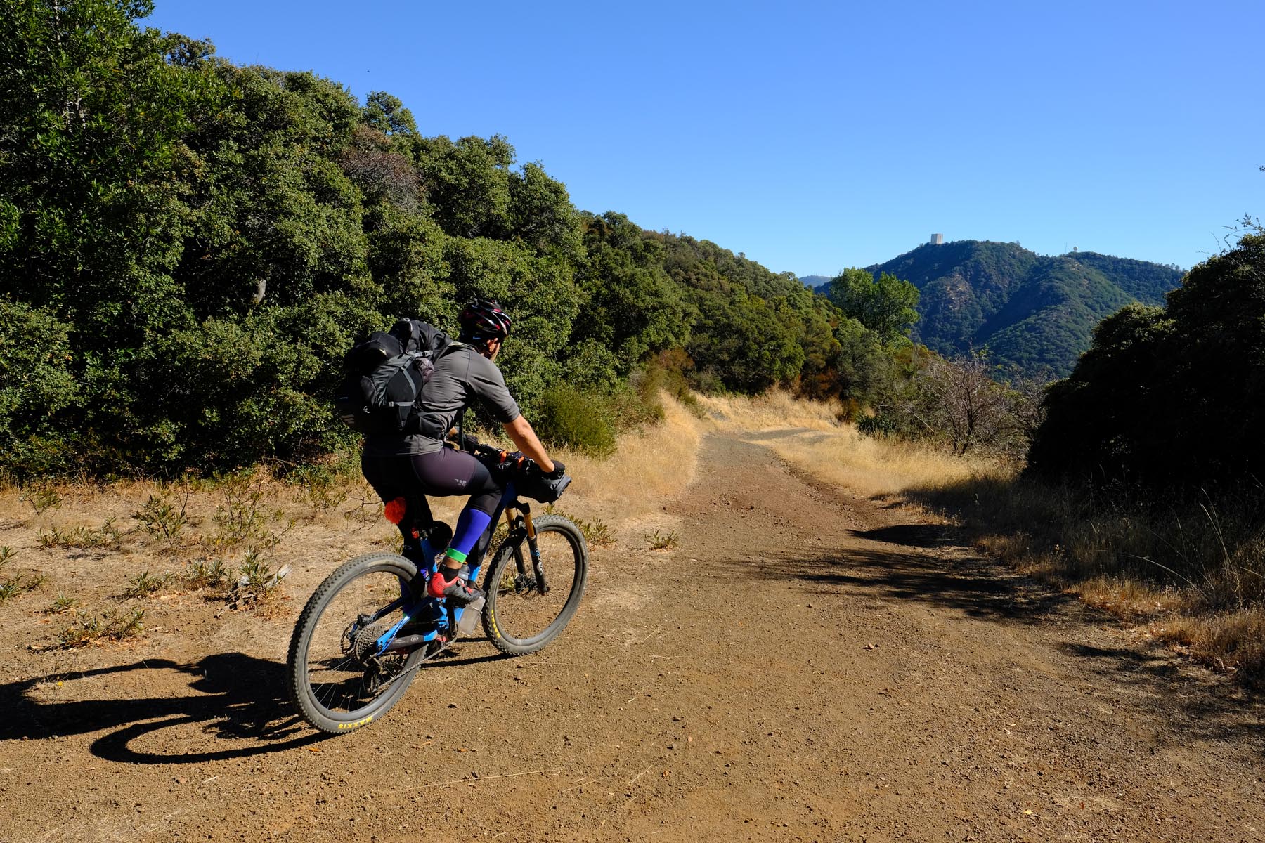
You’ll spend the second day wandering through deep coastal redwood forest singletrack. The day will start on a paved bike path, but soon you will hit famous Purisima and El Corte Madera (Skeggs) open space preserves, with towering redwoods basking in marine climate. After Skeggs, you will finally hit Bay Area Ridge Trail where you will take in the views of both the ocean and the bay – sometimes at the same time!
The third day will start with a lovely jaunt on John Nicolas redwood singletrack trail in Sanborn County park. The day, however will be dominated by fire roads which you will hit in the mountains south of South San Jose. The fire roads are steep but the views will be rewarding. You’ll end the trip by descending to Almaden valley back to civilization.
Route Development: This trail, where possible, follows Bay Area Ridge Trail, with small detours to make it bike legal and/or more fun. This trail would not have been possible without tireless work of Bay Area Ridge Trail Council, all the trail volunteers and all the parks that trail traverses. Shout out to Don Nolan who recently completed full Bay Area Ridge Trail. The SF Peninsula Traverse was a runner up in our ROUT3 contest.


Submit Route Alert
As the leading creator and publisher of bikepacking routes, BIKEPACKING.com endeavors to maintain, improve, and advocate for our growing network of bikepacking routes all over the world. As such, our editorial team, route creators, and Route Stewards serve as mediators for route improvements and opportunities for connectivity, conservation, and community growth around these routes. To facilitate these efforts, we rely on our Bikepacking Collective and the greater bikepacking community to call attention to critical issues and opportunities that are discovered while riding these routes. If you have a vital issue or opportunity regarding this route that pertains to one of the subjects below, please let us know:
Highlights
Must Know
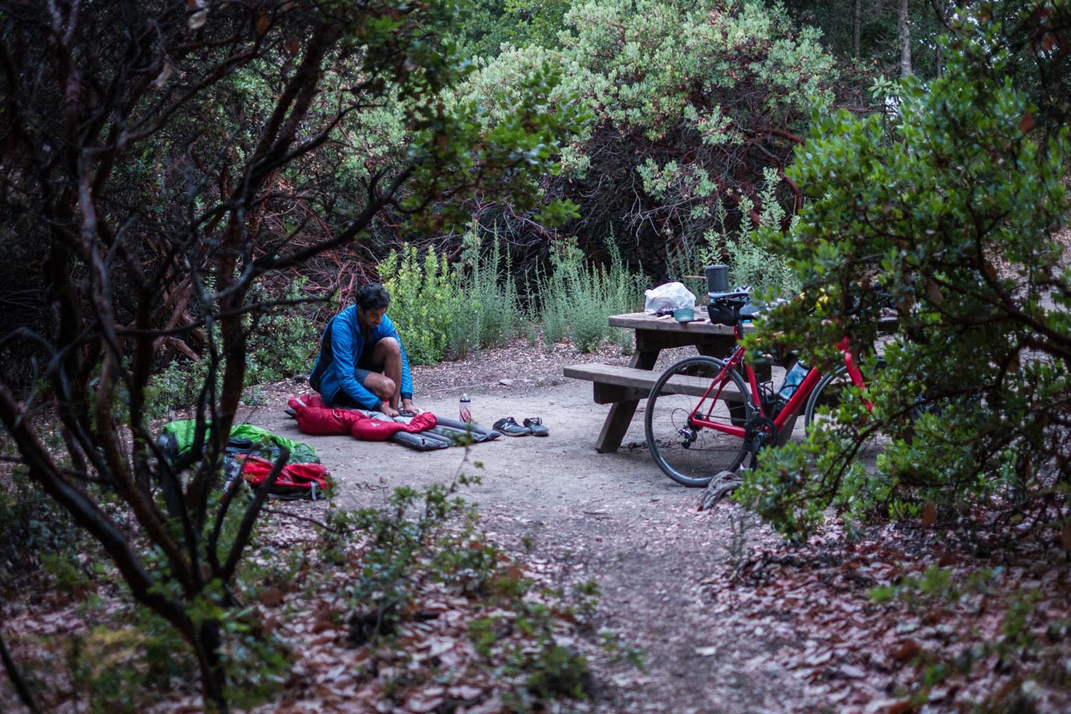
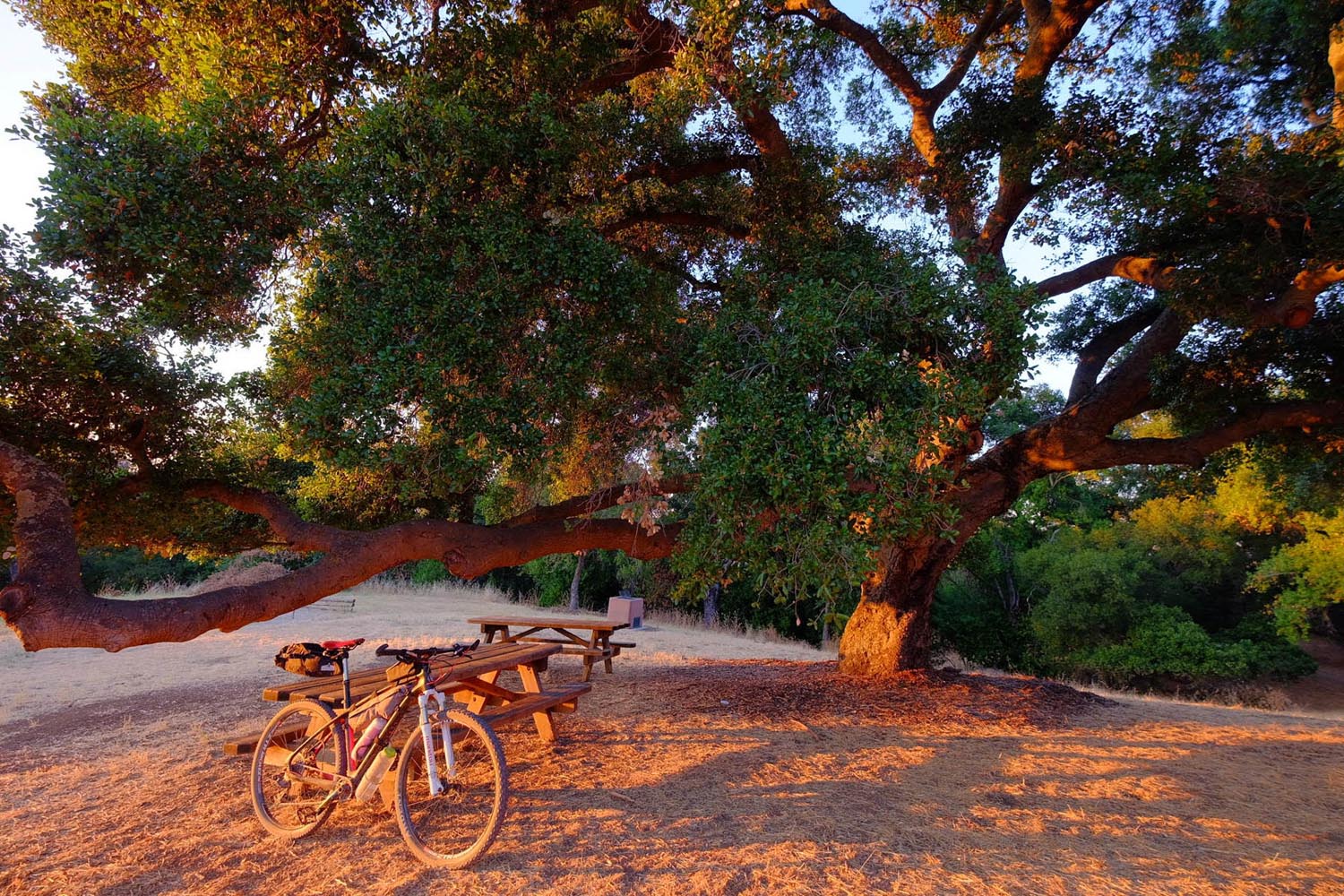
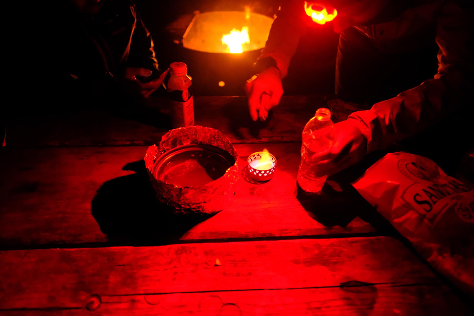
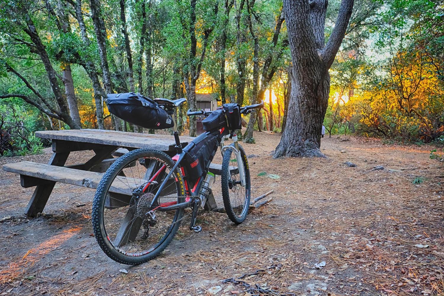
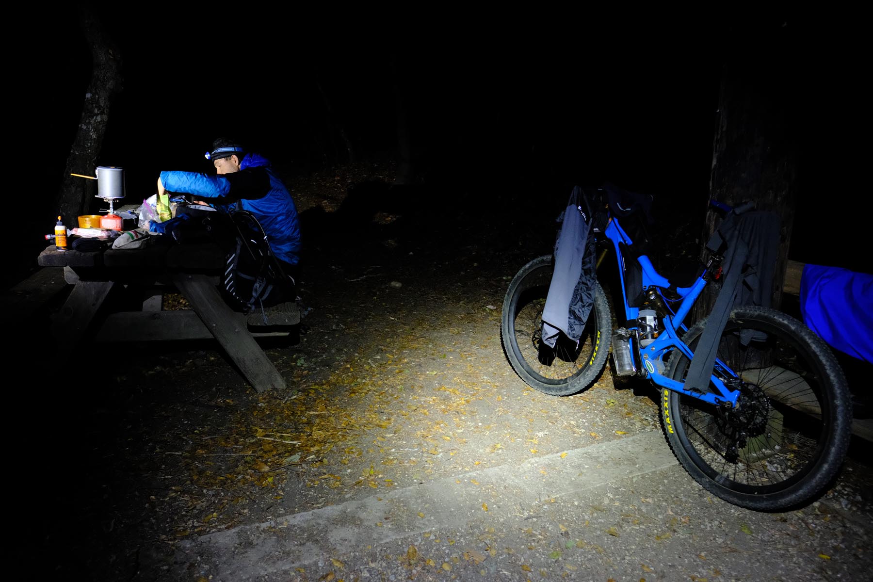
Camping
Food/H2O
Trail Notes
Resources
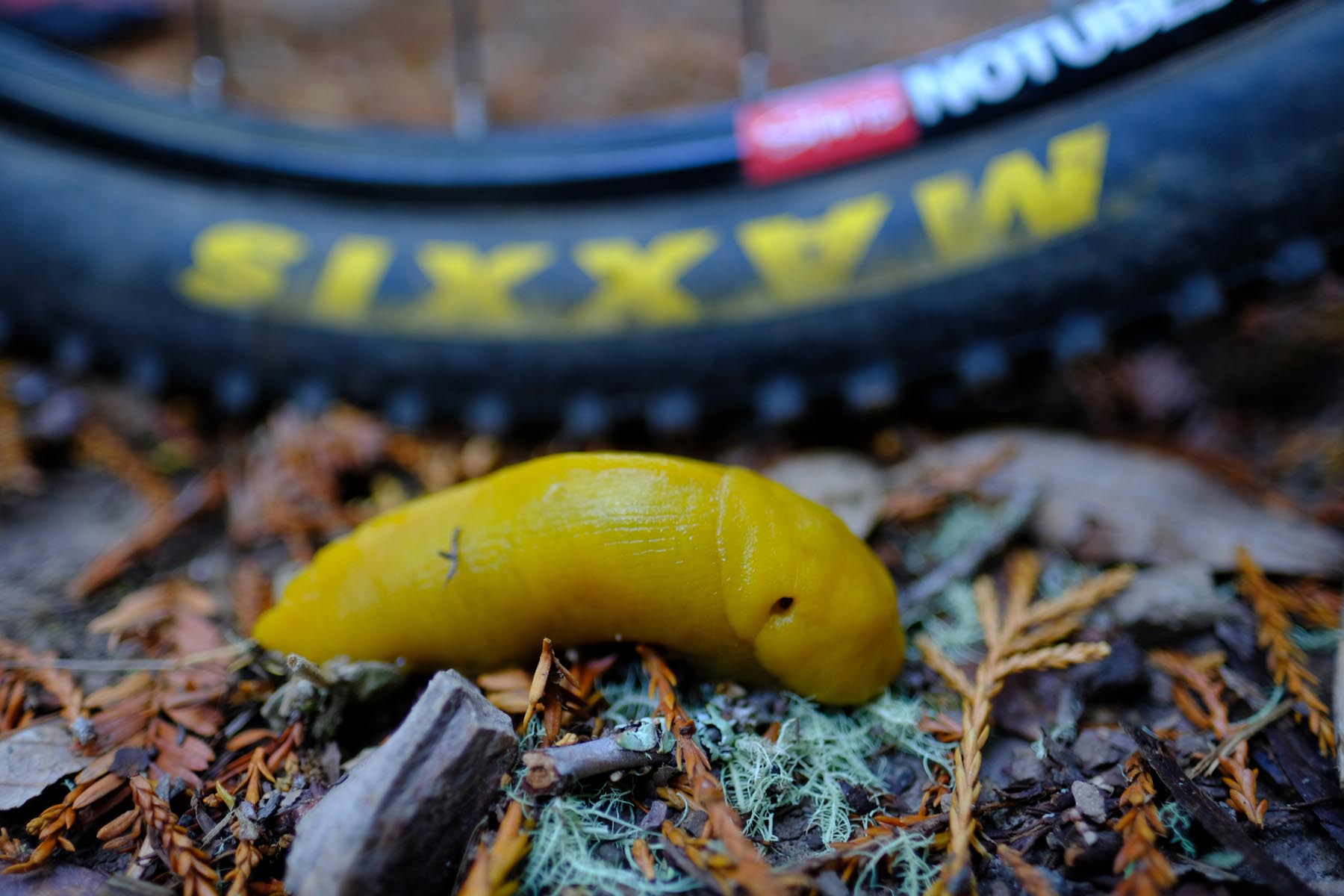
- Single track sampler in El Corte Madera Creek Open Space Preserve (OSP). The preserve offers area’s best single track trail network in the most scenic redwood setting (see the pictures!).
- Rolling marine layer over the mountain tops (in SF they call it Karl, the Fog). If you start the first day early enough, you might be lucky to observe up from very close how marine layer slides over the mountain tops and drops into the valley, just to dissipate as it descends.
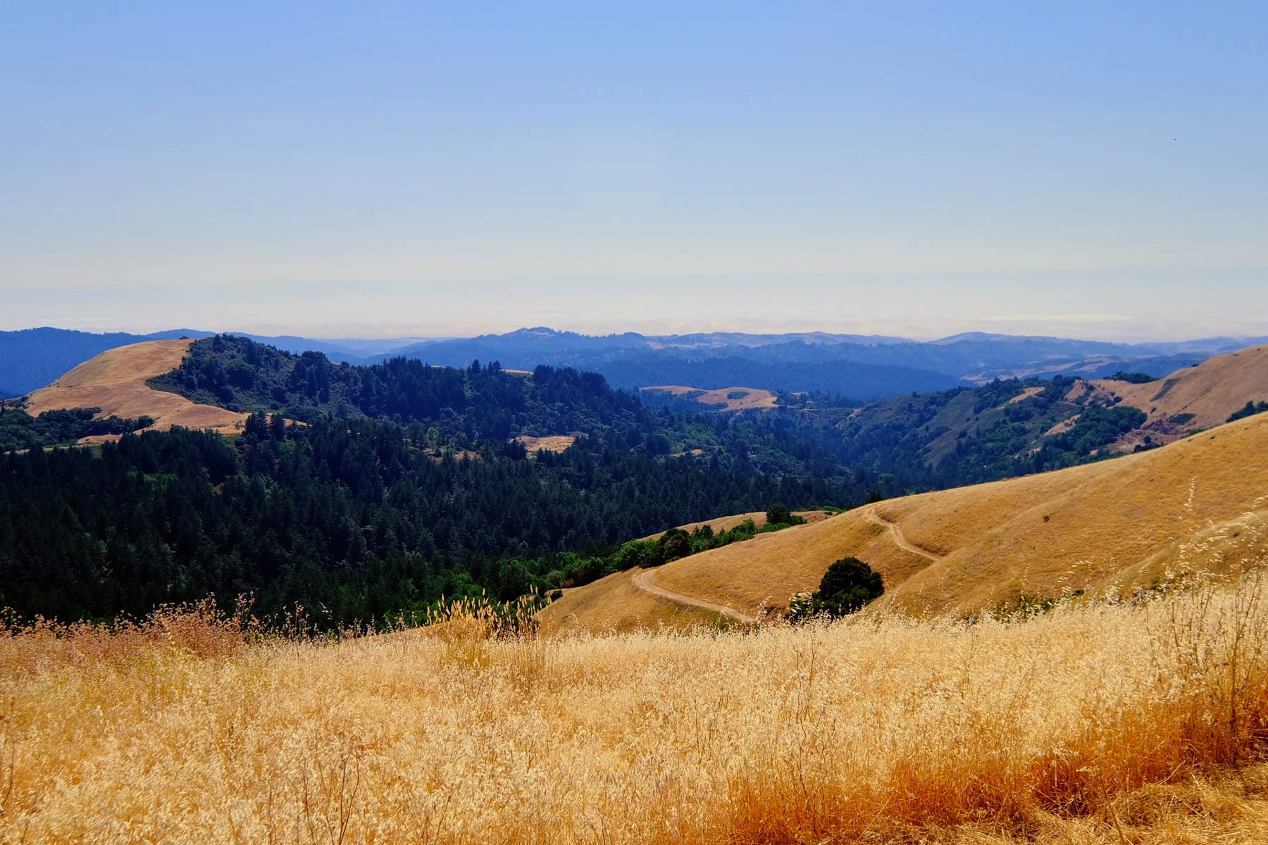
- Views of the ocean and the bay (sometimes at the same time!) on the ridge in Russian Ridge OSP. On a clear day you can see the skyscrapers of San Francisco, some 30 miles away.
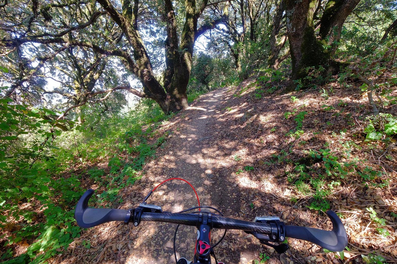
- 10 mile segment of an uninterrupted single track between the Long Ridge OSP and the Sanborn County Park. You will, however, have to interrupt it if you camp at Castle Rock State Park.
- John Nicolas Trail downhill in Sanborn County park. This long and flowy trail is a local favorite.
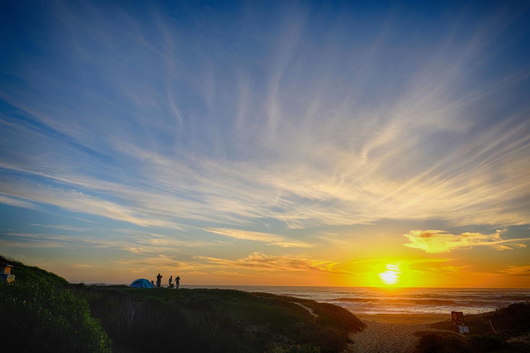
- Cozy campsites of Castle Rock State Park campground. No reservations needed.
- The views of the Silicon Valley and Santa Cruz Mountain Ridges from peaks of Sierra Azul OSP.
- If you decide to camp in Castle Rock and follow the route exactly, your second day will be extremely exhausting. For more sane ride consider taking more of Highway 35; specifically you can skip Windy Hill OSP loop and Long Ridge OSP section, which are mostly steep fire roads. Also, camping in Black Mountain Campsite would help make second day shorter (at a cost of longer third day).
- Highway 35 on weekends is full of sports cars testing their pedigree. The shoulder is narrow, and the turns are tight.
- Poison oak is a permanent fixture in the parks around Bay Area. You’ll be fine if you stay on the trail.
- This route is beautiful all year round, save for a 3-4 random weeks in winter when it rains.
- No permits required at any point of the route.
- Since you’re on the ridge most of the time, it will be always very easy to bail down to civilization if you need to.
- If you don’t have a buddy to drop you off, you can reach either end of the trail by pedaling your bike from nearby transportation hubs.
- North trail head is 4 miles away from San Bruno Caltrain station.
- South trail head is 6 miles from Almaden VTA station, that can connect you to SJC and Caltrain. Make sure to check VTA schedule if you plan to catch a late train – they stop early.
- If you’re flying in from outside the Bay Area and on a budget: 1) arrive to SJC Friday morning, 2) stash your bike box where you can find it after the ride, 2) take Caltrain to San Bruno and commence the ride, 3) Sunday night pedal to from Almaden to the motel you booked in San Jose, and 4) fly out Monday morning.
- Half Moon Bay campsite accommodates bikers without reservations.
- Castle Rock Trail Camp has 20 first-come, first-serve campsites, which usually fill up only during major holidays (it is ~1 mile from the nearest road).
- As alternative to Castle Rock Trail camp, consider Sanborn County park which has 33 first-come, first-serve campsites.
- As another alternative to Castle Rock Trail Camp, you can consider Black Mountain campsite, where you can reserve the spots in advance.
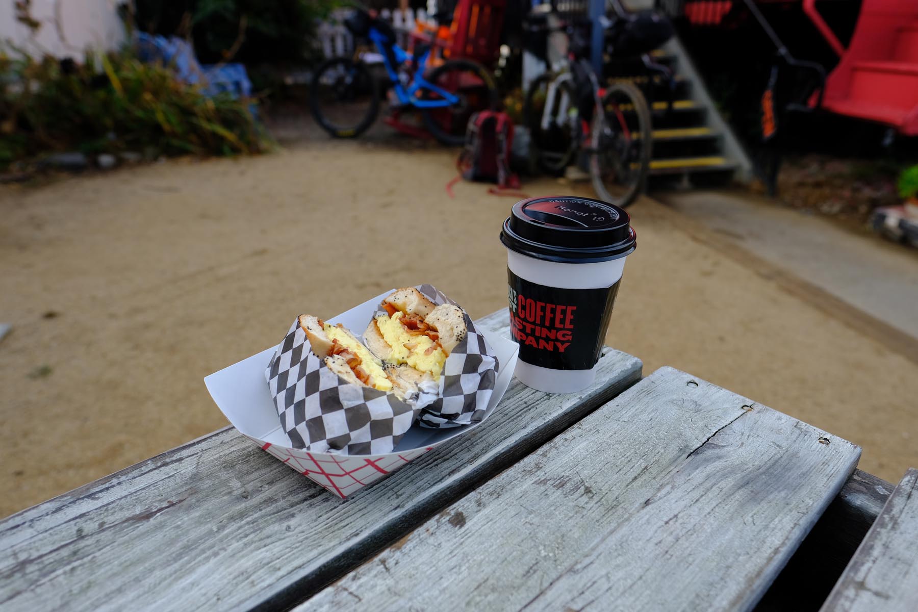
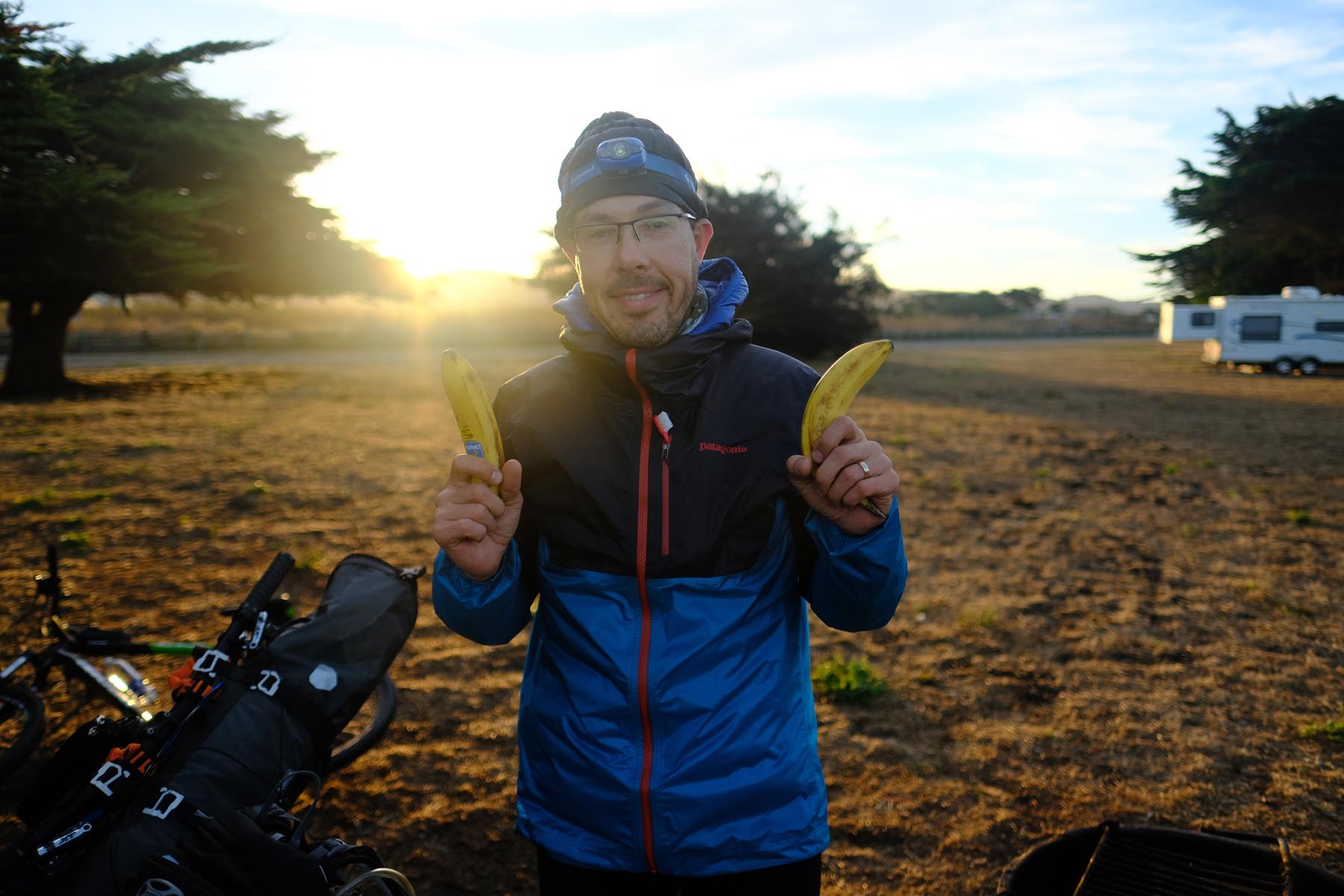
- You’ll only pass food stores the first day as you, as you navigate coastal towns and mountains in between them.
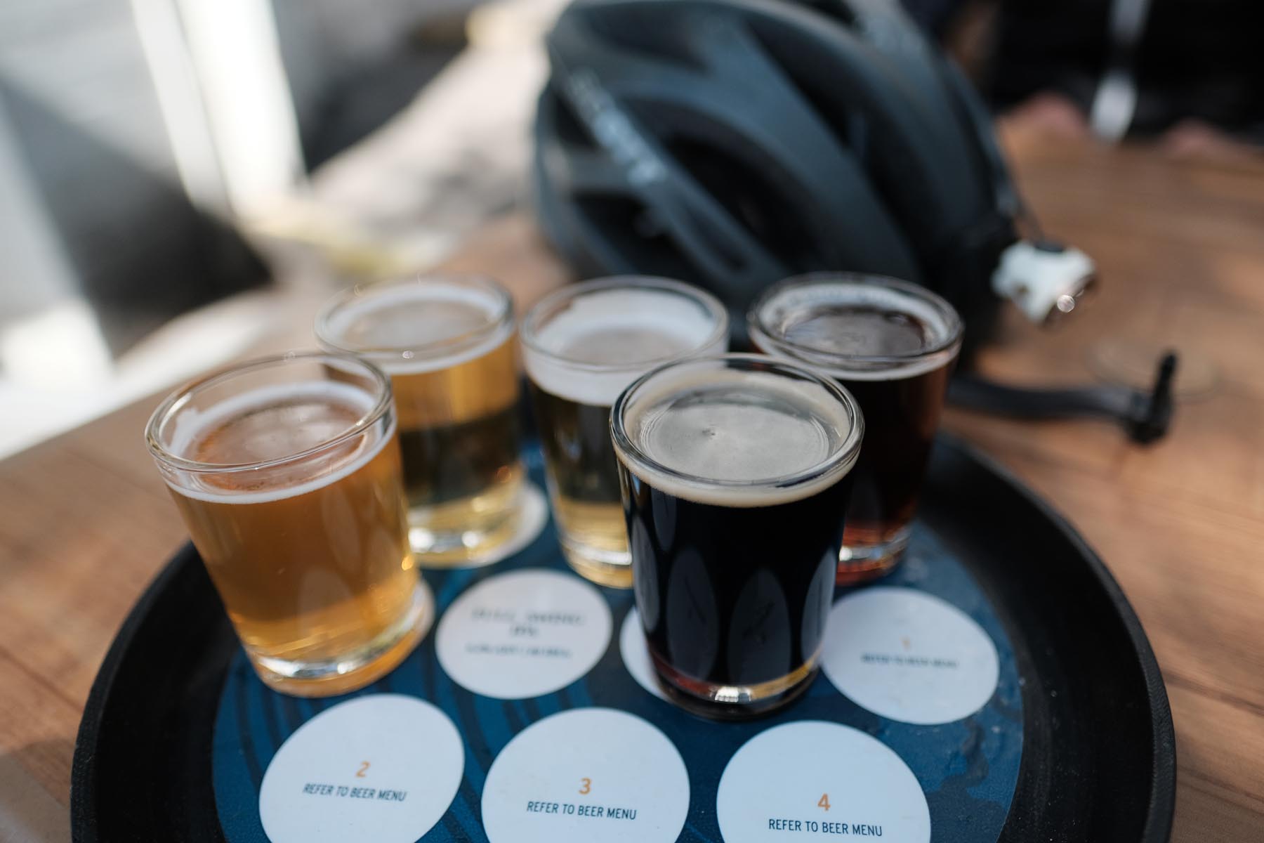
- Don’t forget to sample Half Moon Bay breweries!
- Second day, after you leave the coast, you’ll pass only one restaurant (Alice’s). There will be 2-3 few spots with drinkable tap water.
- The last day, unless you detour to Los Gatos, you’ll only have tap water at the camp. There is drinking water Lexington reservoir, but you might want to filter it. Pro tip: at the Lexington reservoir ramp there is boat inspection station. If you ask nicely, they might give you water.
First day: Fire road over the ridge to Pacifica. Use the bike paths to get to the start of Pedro Mountain Road. Roll over the side of Montara Mountain, traverse Moss Beach and hit the singletrack Spine Trai. This will bring you to GGNRA and to the steepest section of fire road on the whole ride. You will walk your bike at times. Descend over a glorious single track to El Granada and grab some beer before heading to campsite at Half Moon Bay.
Second day: Bike path on the side of a fancy golf course. If you want to spoil yourself, grab breakfast at Ritz-Carlton with the views of the ocean. Cover several miles of paved road towards the mountains to reach your first redwood forest in this route. Traverse Purisima and Skeggs – these are, in my opinion, the most beautiful forests in the Bay Area (perhaps modulo Santa Cruz ;-)). Survive Highway 35 ride to reach Windy Hill OSP. Suggested ride winds down and then up Windy Hill, but you can cut quite a bit of miles and elevation if you skip the Windy Hill loop and continue on Highway 35 to reach Russian Ridge OSP. From Russian Ridge it’s mostly miles and miles of singletrack to your second camping spot in Castle Rock SP.
Third day: Enjoy your last taste of redwood singletrack in Sanborn County Park. Leaving it, you’ll pass by Lexington reservoir and hit Sierra Azul OSP. It’s mostly fire roads, but the views are rewarding. If you have time and energy left, hit up Mt. Umunhum, which opened for the first time to public in September 2017.
Additional Resources
- Bay Area Ridge Trail. This route largely follows, where possible, the Bay Area Ridge Trail.
- Midpeninsula Regional Open Space. The route traverses 8 (!) different open space preserves managed by MidPen.


Terms of Use: As with each bikepacking route guide published on BIKEPACKING.com, should you choose to cycle this route, do so at your own risk. Prior to setting out check current local weather, conditions, and land/road closures. While riding, obey all public and private land use restrictions and rules, carry proper safety and navigational equipment, and of course, follow the #leavenotrace guidelines. The information found herein is simply a planning resource to be used as a point of inspiration in conjunction with your own due-diligence. In spite of the fact that this route, associated GPS track (GPX and maps), and all route guidelines were prepared under diligent research by the specified contributor and/or contributors, the accuracy of such and judgement of the author is not guaranteed. BIKEPACKING.com LLC, its partners, associates, and contributors are in no way liable for personal injury, damage to personal property, or any other such situation that might happen to individual riders cycling or following this route.
Please keep the conversation civil, constructive, and inclusive, or your comment will be removed.