


Ouachita Triple Crown
Distance
161 Mi.
(259 KM)Days
4-6
% Unpaved
90%
% Singletrack
66%
% Rideable (time)
85%
Total Ascent
16,409'
(5,001 M)High Point
1,955'
(596 M)Difficulty (1-10)
6.5?
- 7Climbing Scale Strenuous102 FT/MI (19 M/KM)
- -Technical Difficulty
- -Physical Demand
- -Resupply & Logistics
Contributed By
Kenny Williams
Guest Contributor
Kenny makes his living by maintaining an unexceptional skill level at many outdoor pursuits and attempting to get more University of Arkansas students into the woods. For him it’s less about your “ten best” list, and more about the story he can weave by leaving last minute from his front door – likely missing gear but always alongside good company.
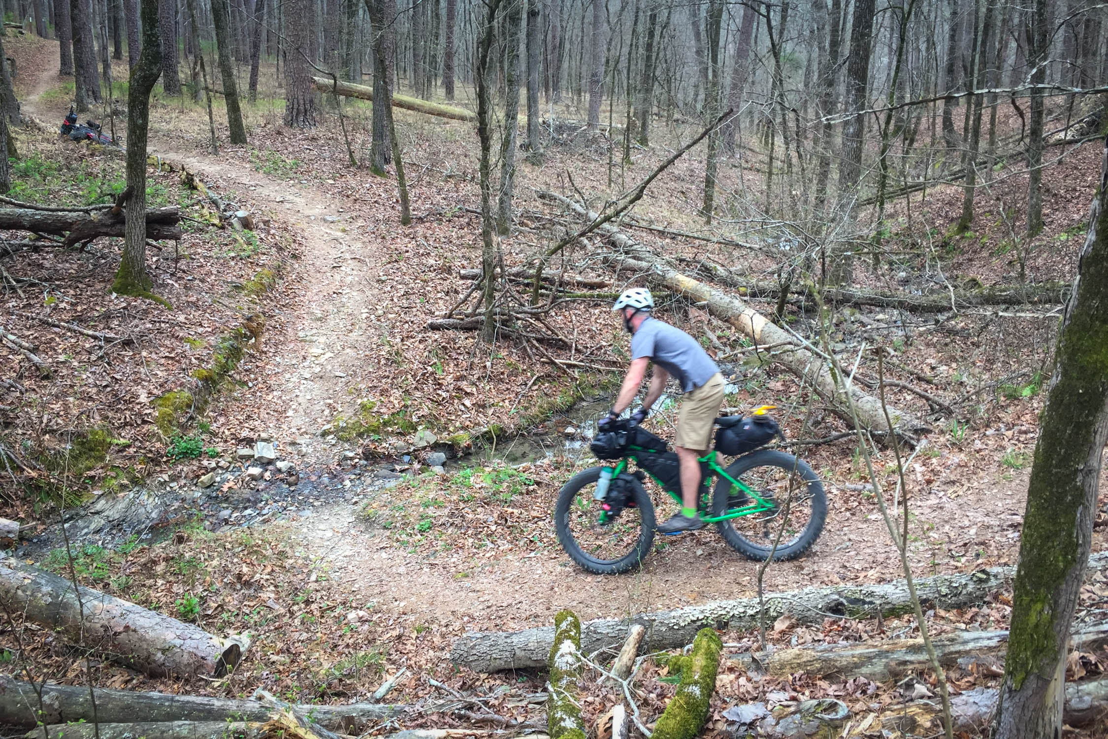
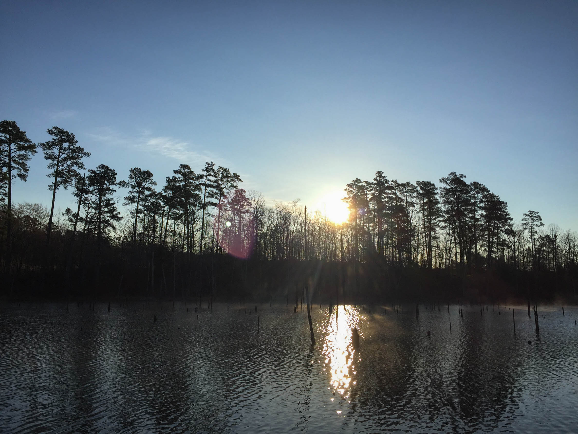
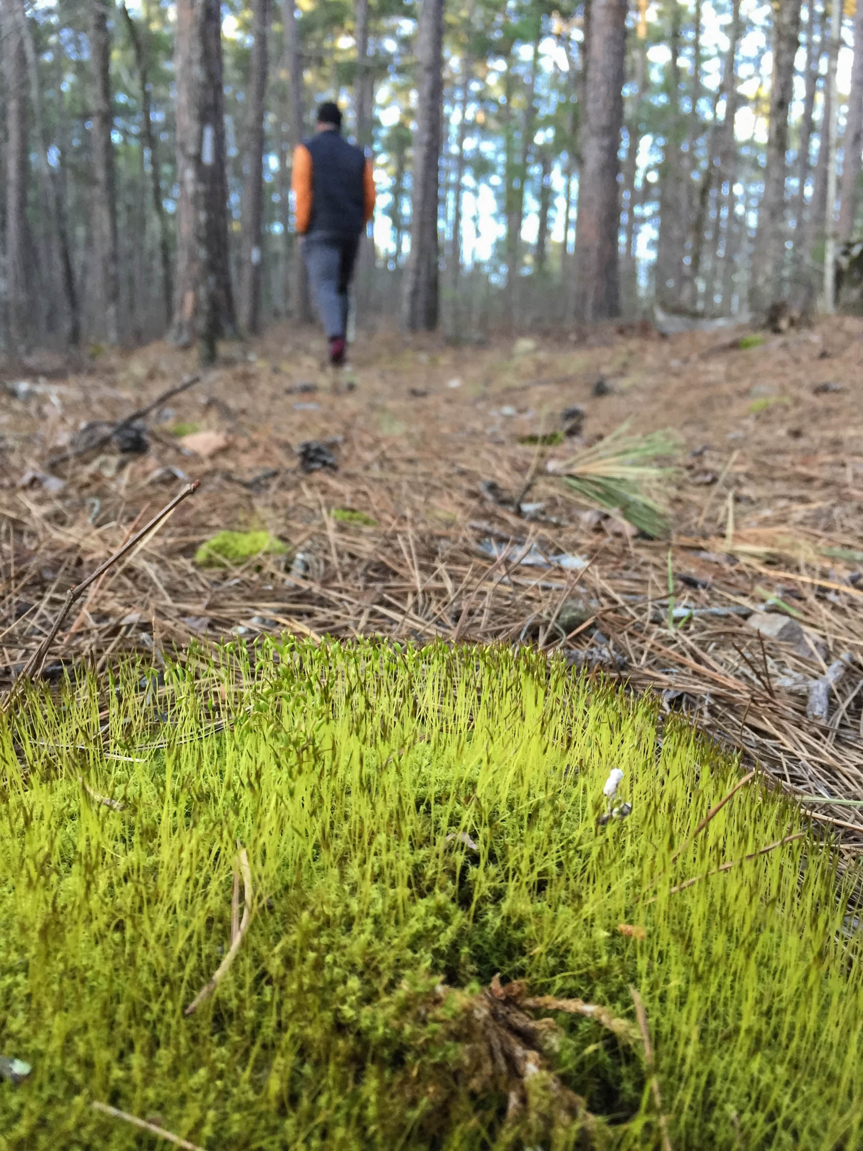
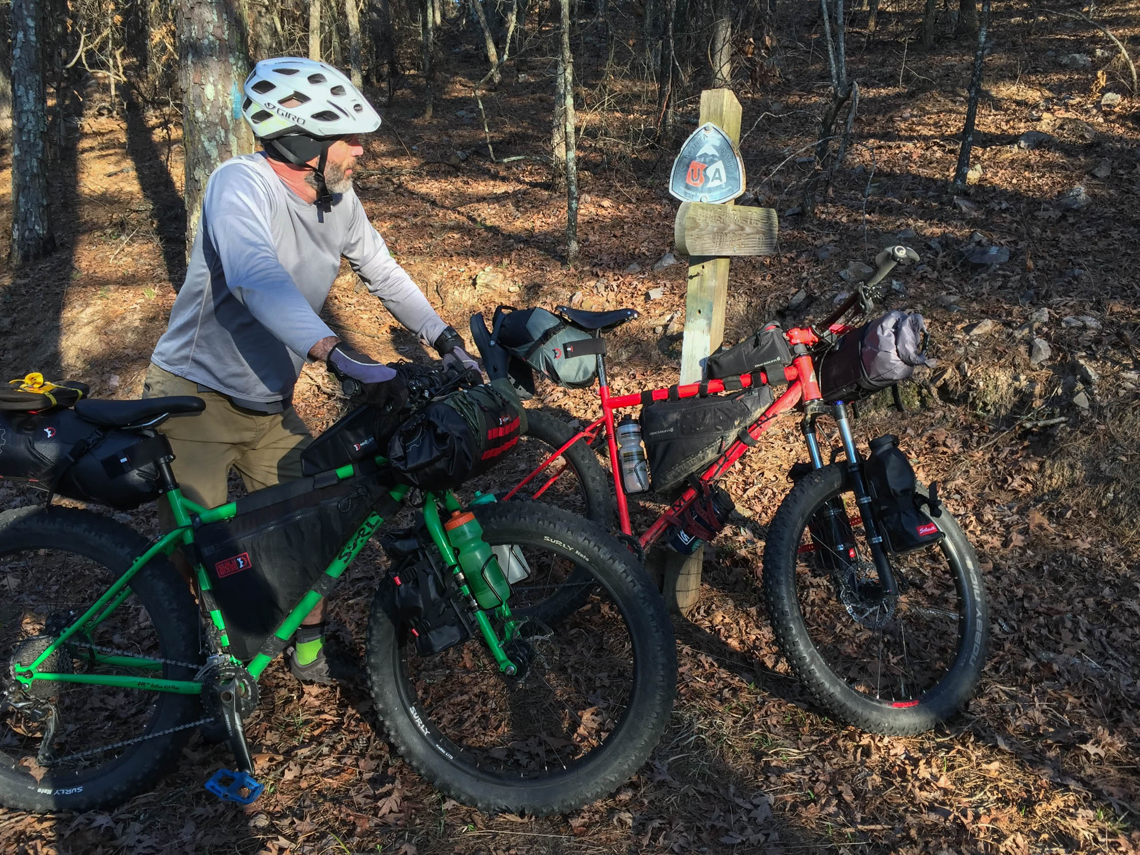
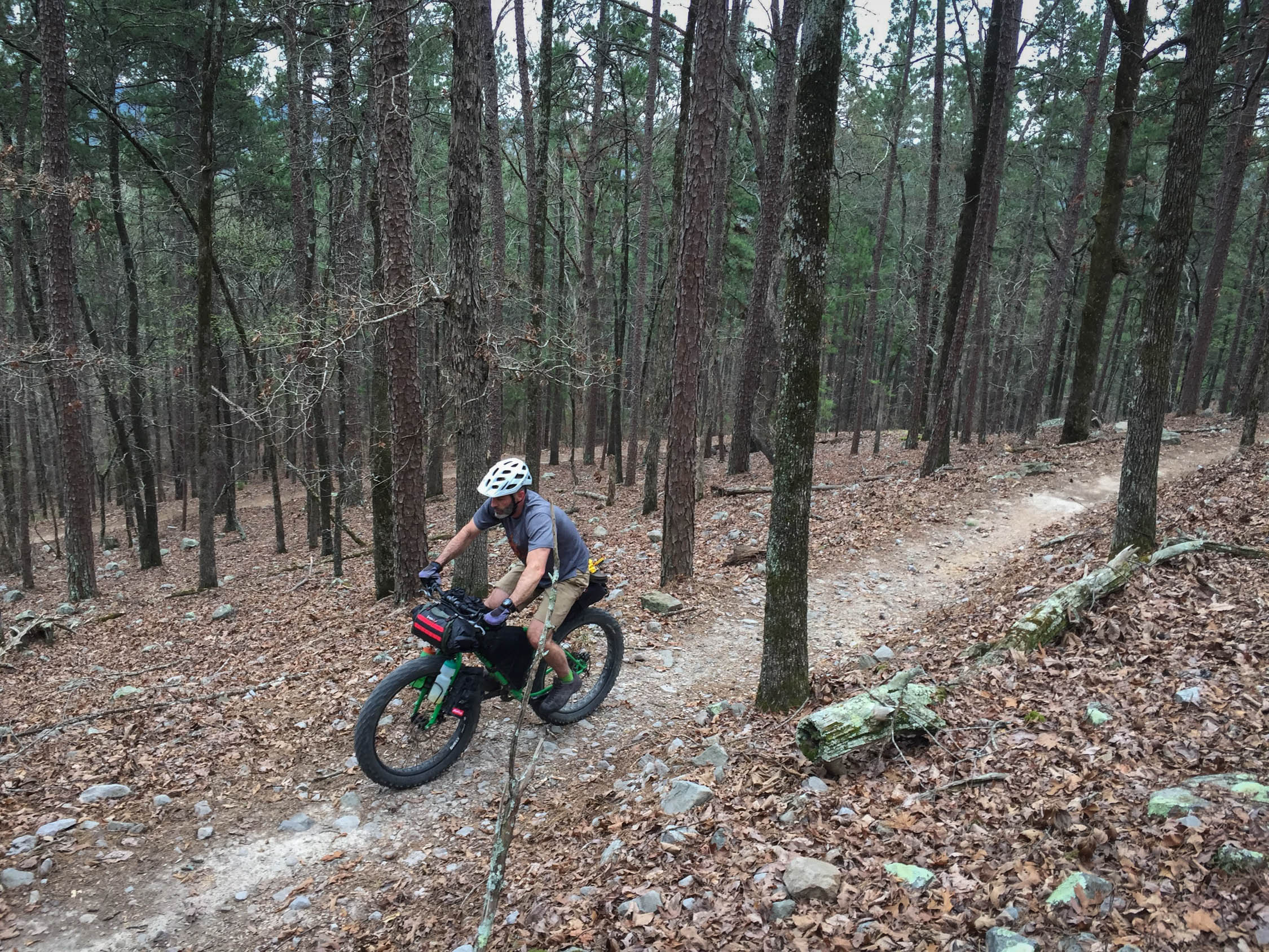
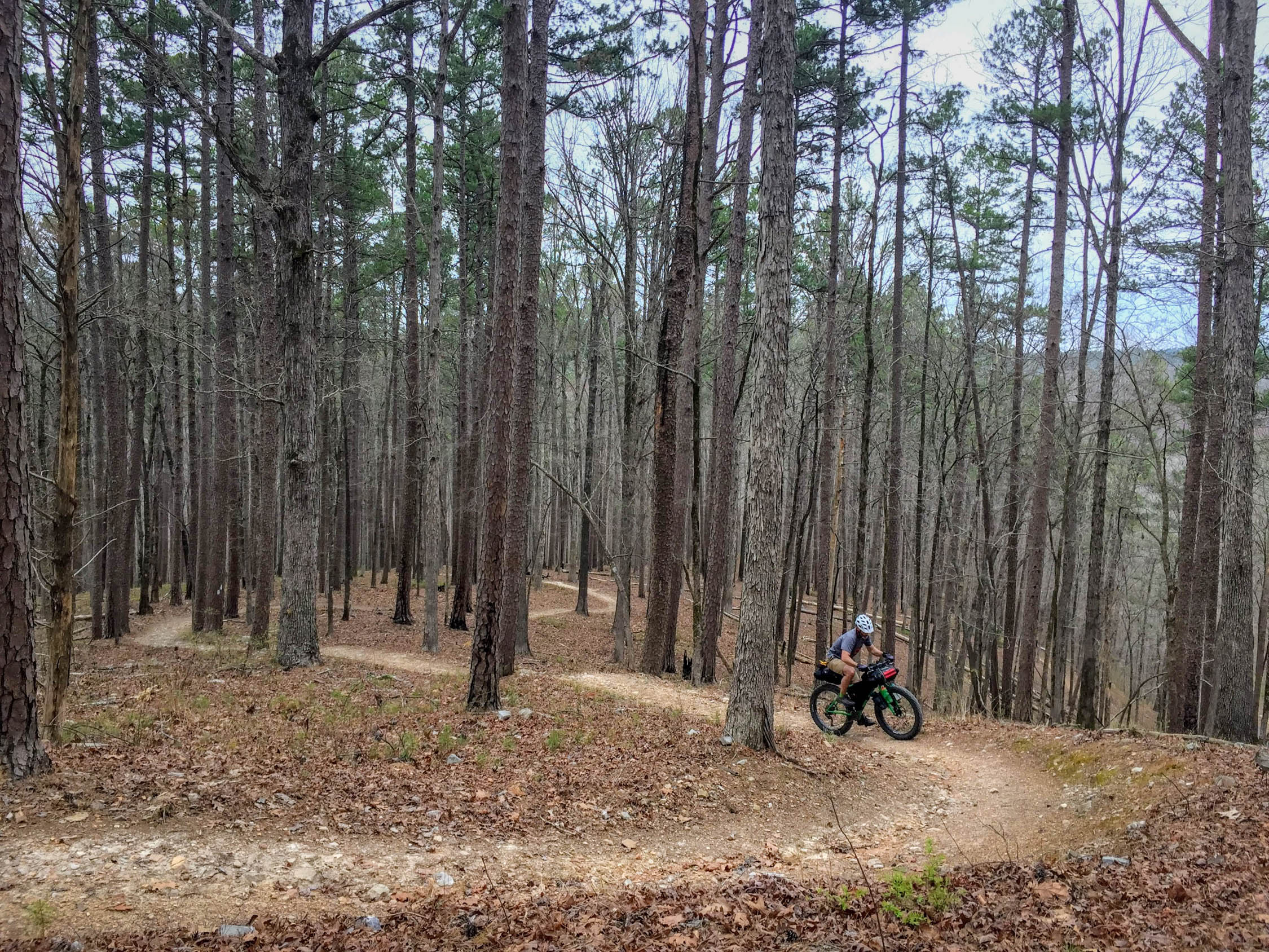
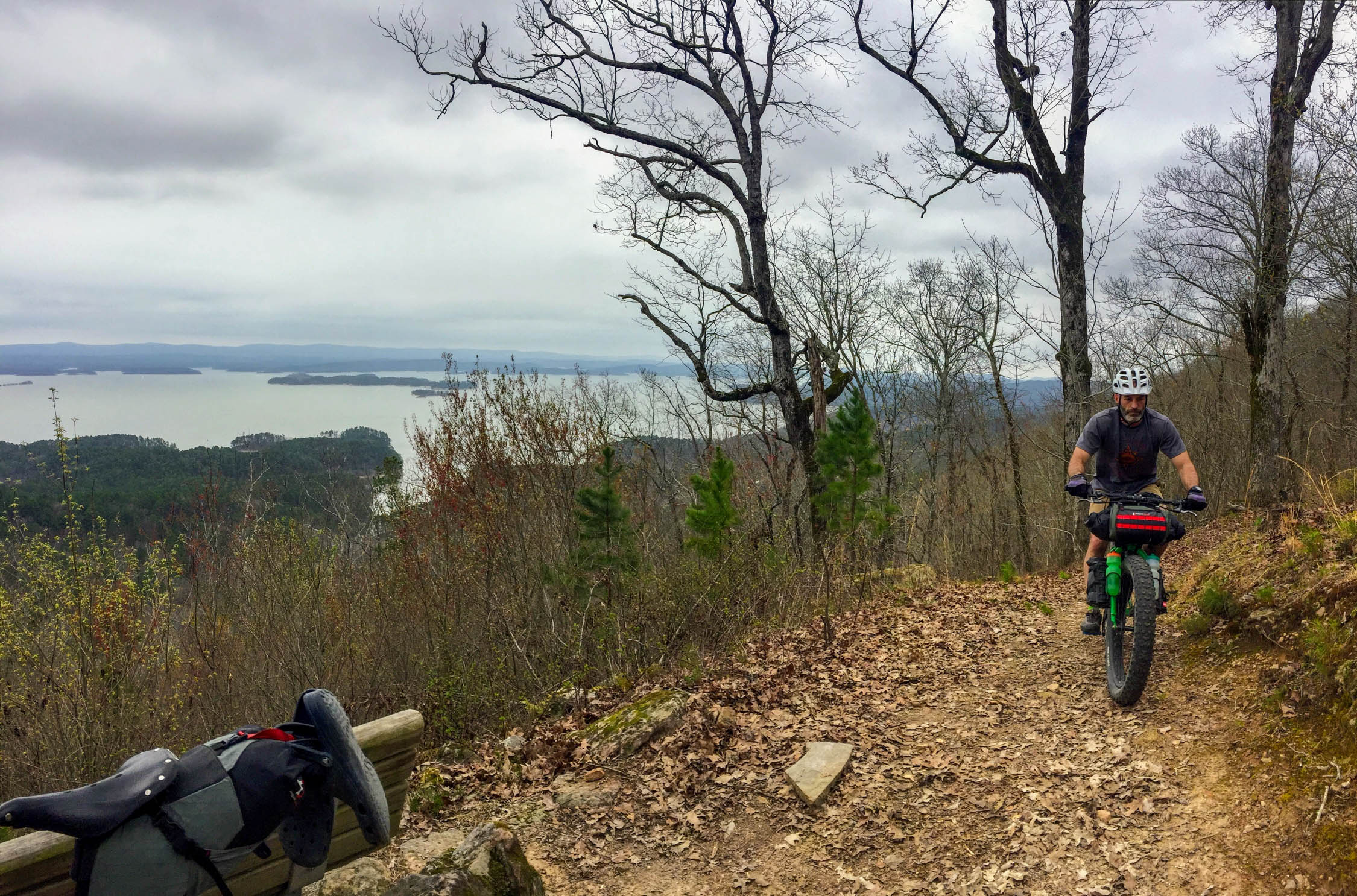
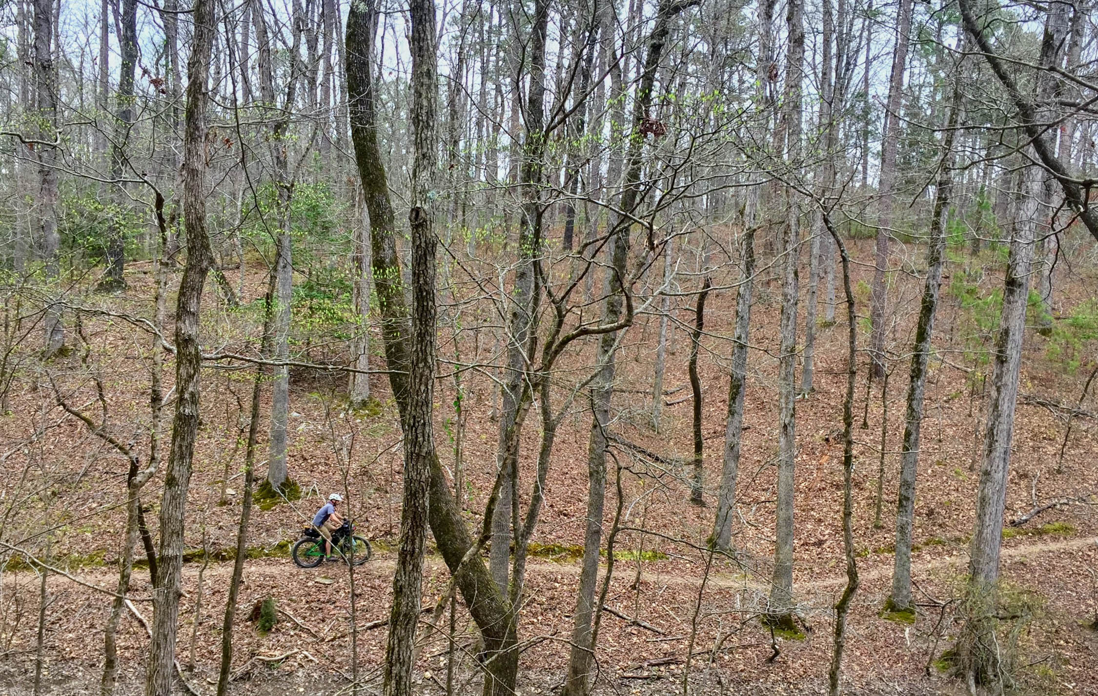
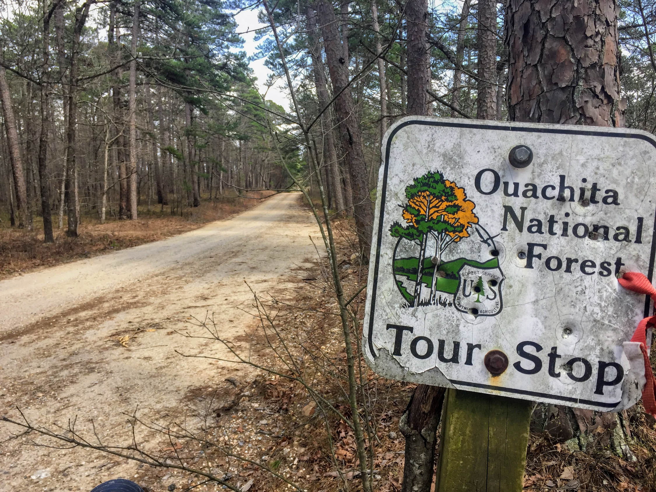
The Ouachita Mountains are a funky little range of long, snake-like ridges nestled in western Arkansas, threaded with steep creeks, sustained ridges, and enough quartz to keep roadside crystal stands running year-round. Luckily for the resident riders of “the middle” of the country, the Ouachitas are laced with some of the longest continuous sections of singletrack between the Rockies and the Appalachians.
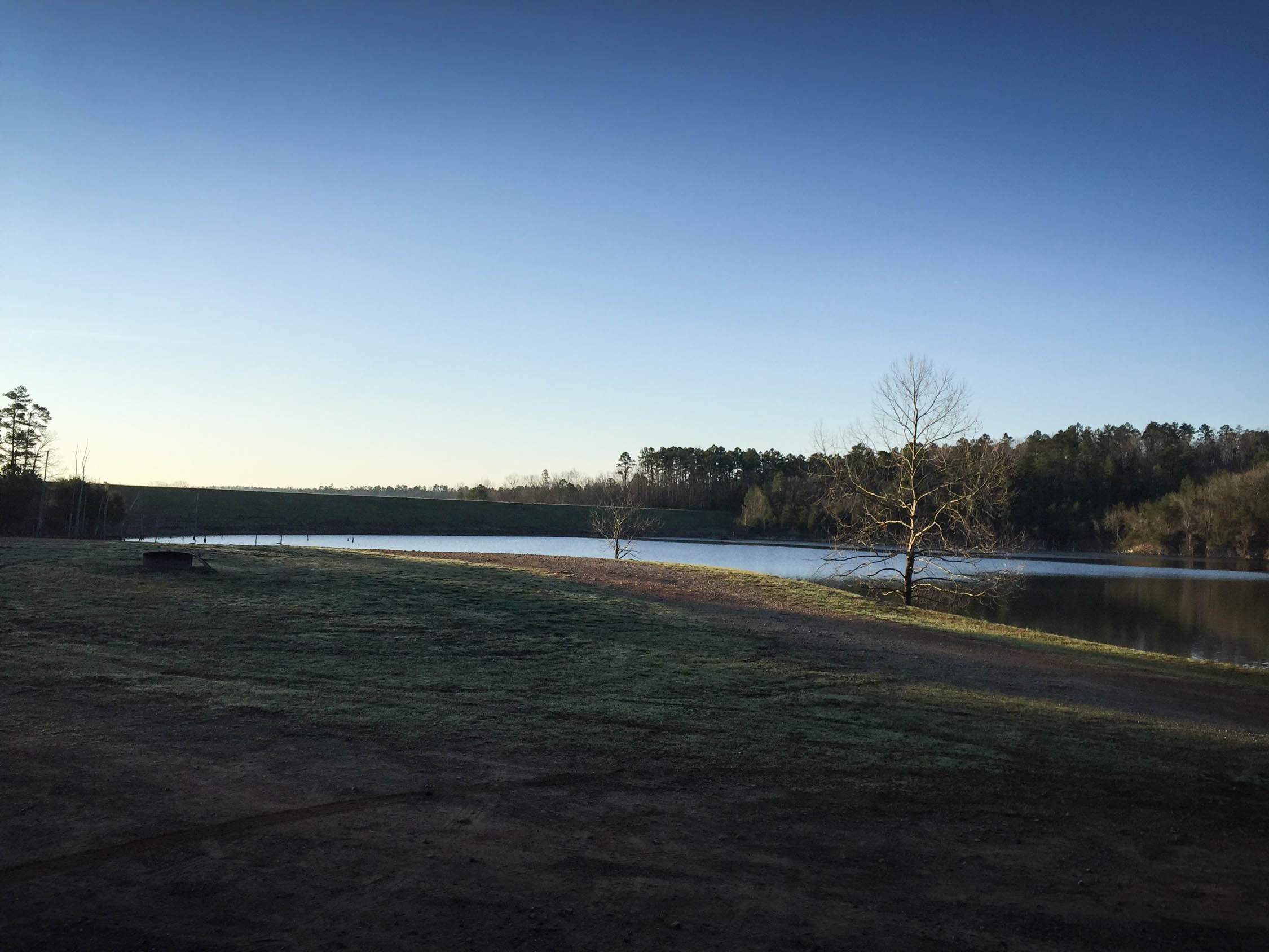
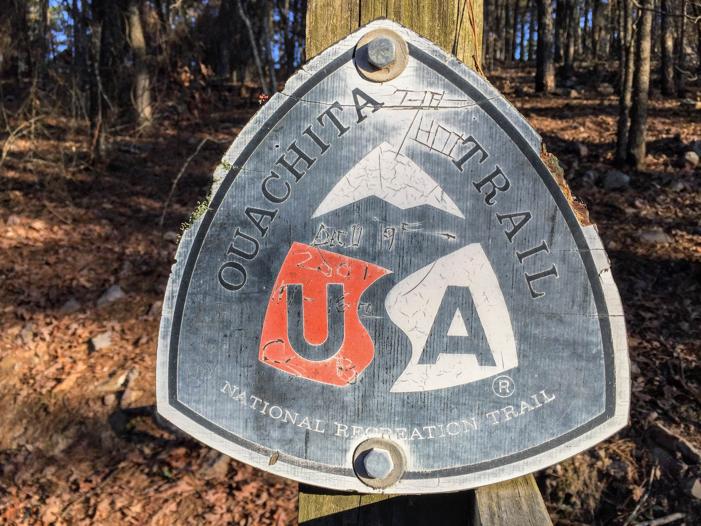
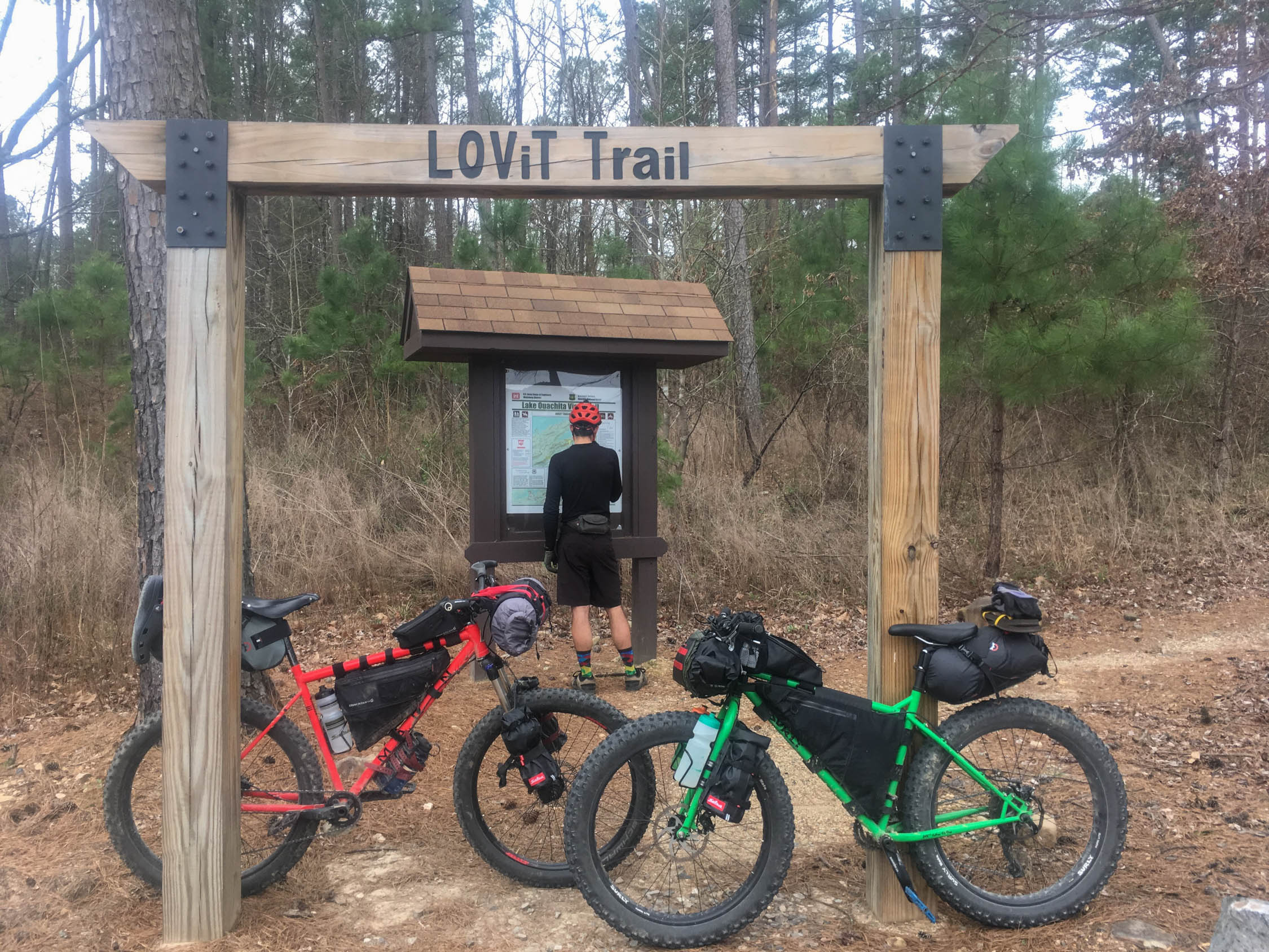
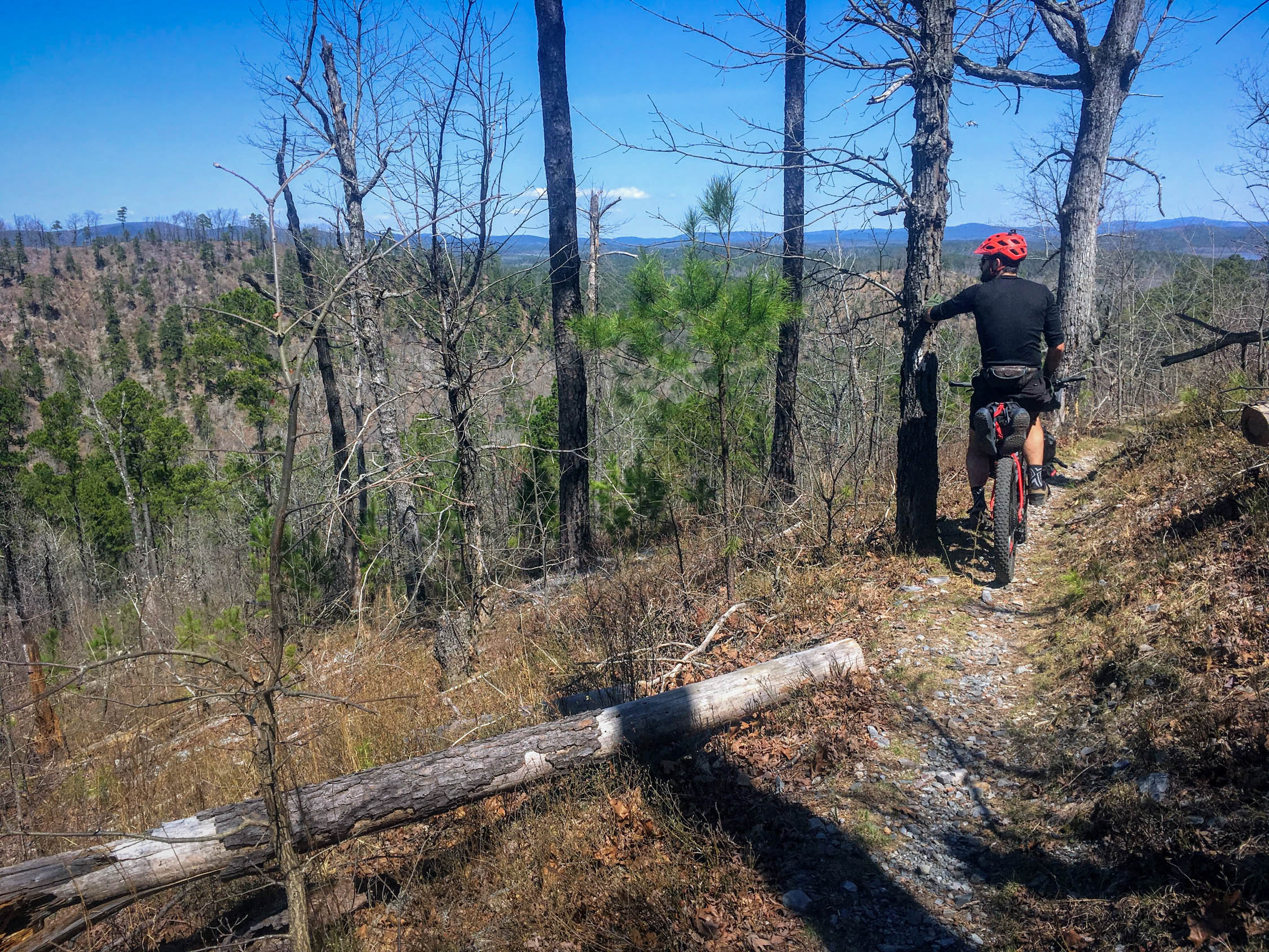
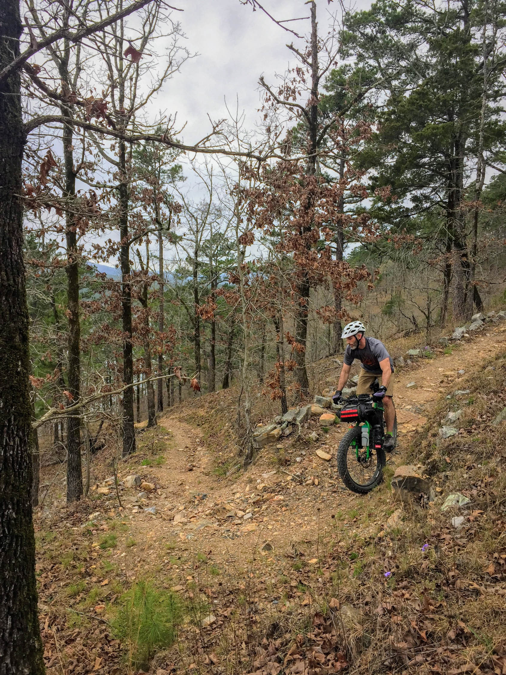
Lake Ouachita’s shorelines are home to three IMBA Epics: The Womble, The Lake Ouachita Vista Trail (LOViT), and the Ouachita Trail. While the first two are challenging in their own right, this double scoop is topped with a long connection on the Ouachita Trail, a section of backpacking trail gone “legal” but never modified to accommodate the clumsiness of bicycles. The Ouachita Trail, also IMBA Epic status, delivers exactly what it promises: it’s steep, remote, and scenic. It was built as a hiking trail, and so it remains. If you choose to slog a bike along with you, that’s your choice.
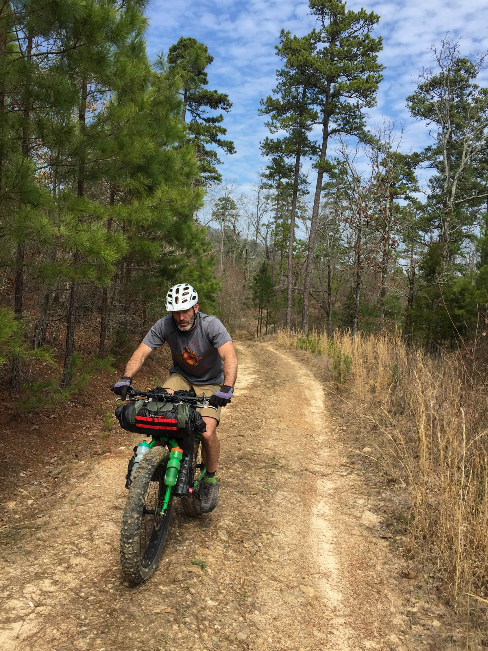
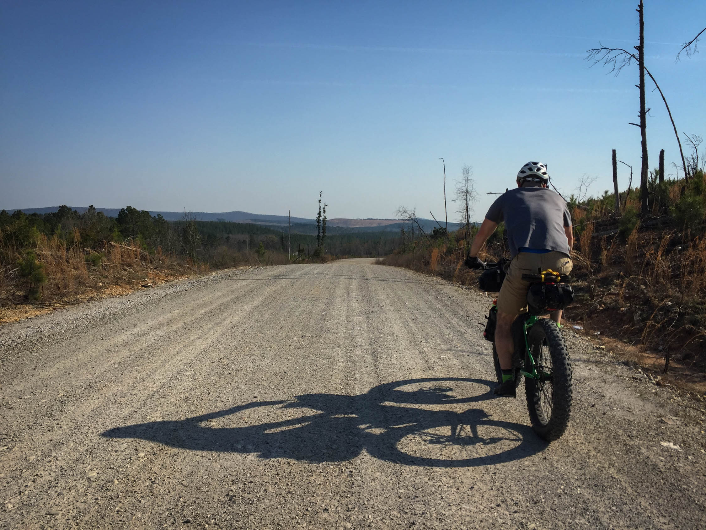
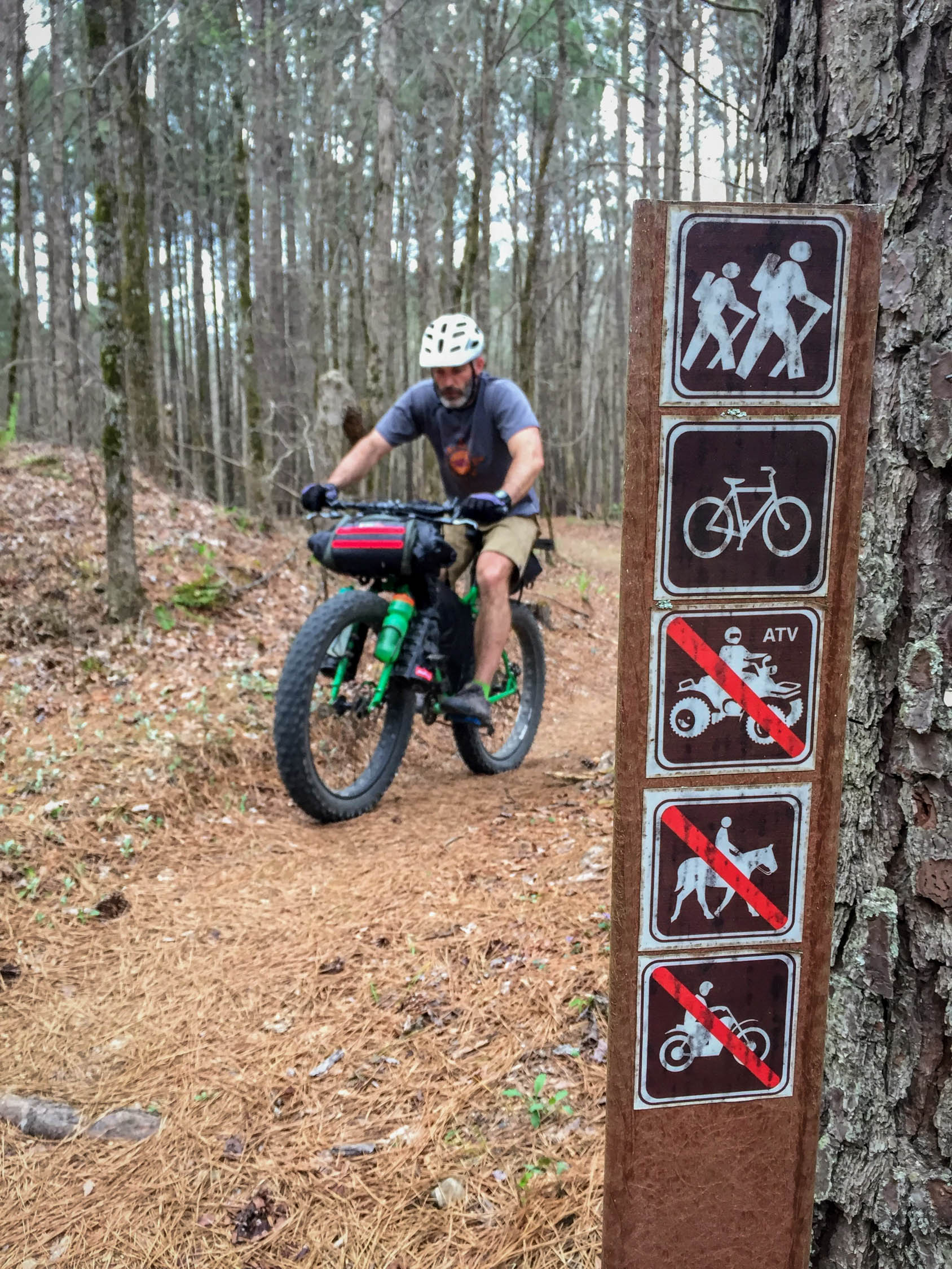
This route joins three of the longest stretches of singletrack in the region for a full circumnavigation of Lake Ouachita, with epic ridgeline views and contour-hugging, bench-cut singletrack for 66% percent of the loop. Connections are made via scenic low-traffic ATV trails, dirt roads, and about 10 total miles of pavement.
Route Difficulty
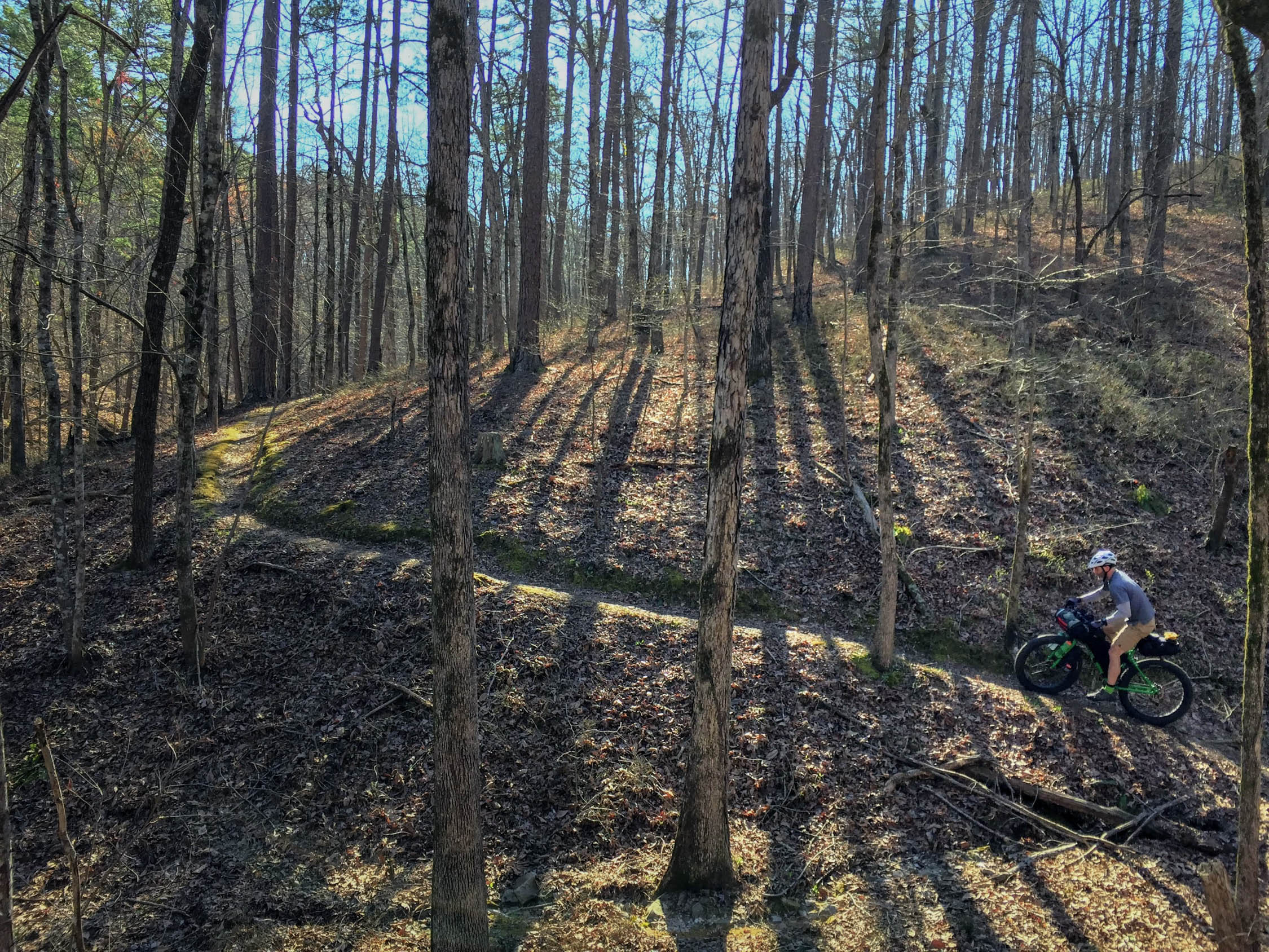
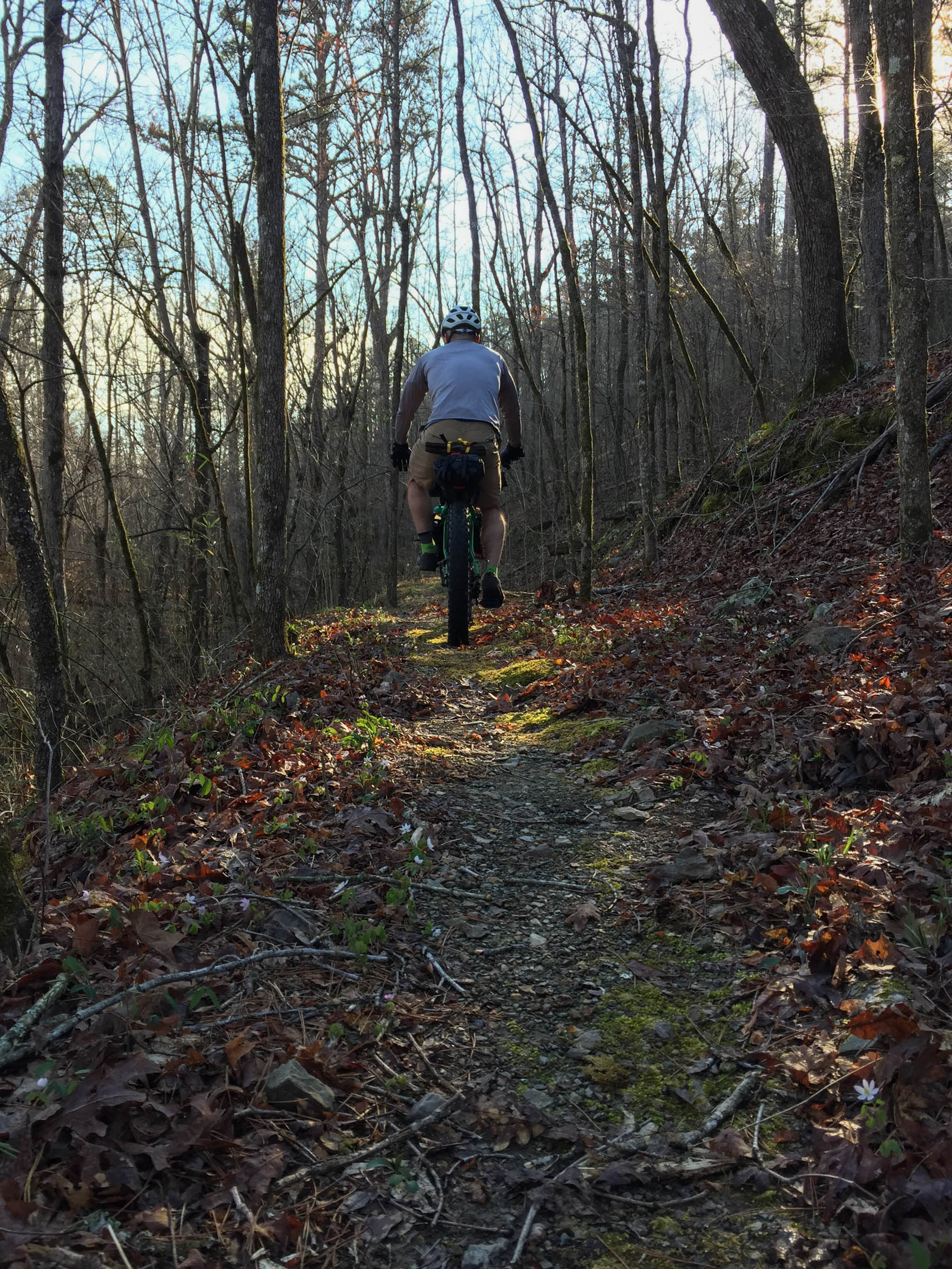
Overall Difficulty (6/10): Simply told, this route involves a pleasantly large amount of singletrack! While the Womble and the LOViT live up to every bit of their IMBA-awarded reputation, The Ouachita Trail was not designed with the bicycle in mind. The meaty middle of this route consists of technical and steep riding (and pushing) along the OT. It also happens to be the most remote portion of trail, with significant planning necessary to access water. A long day on the OT should aim to end near a running stream, as stretches of trail along the ridges are dry. Despite all this, you’re never more than a handful of miles from a logging road that can get you to a highway relatively quickly.
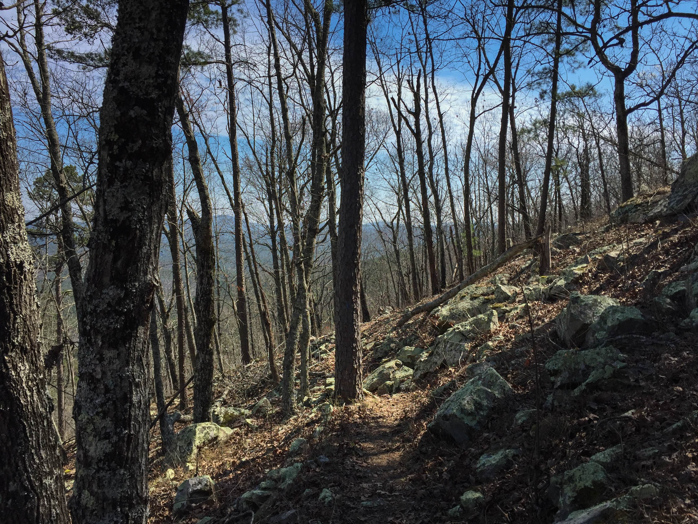
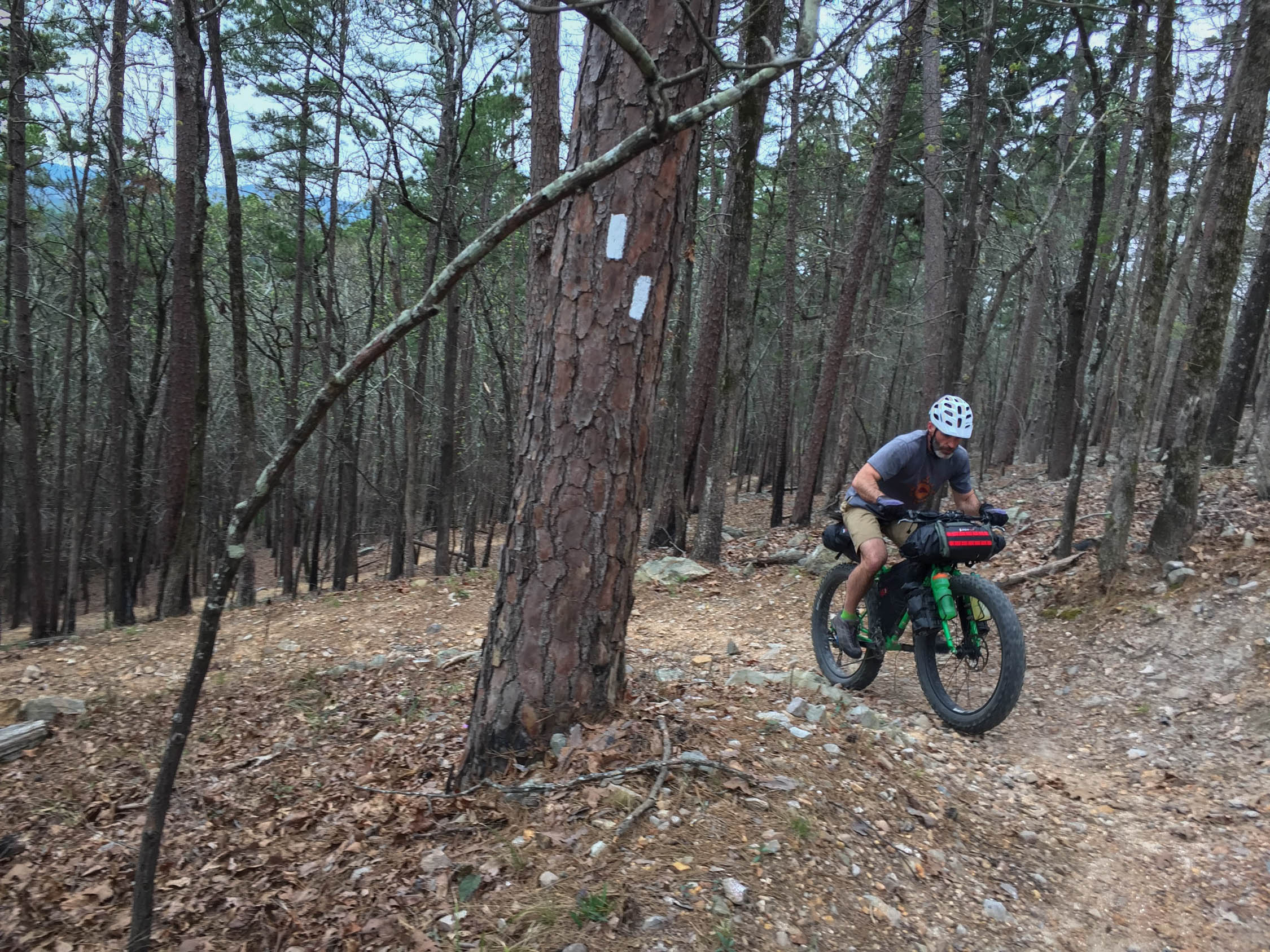
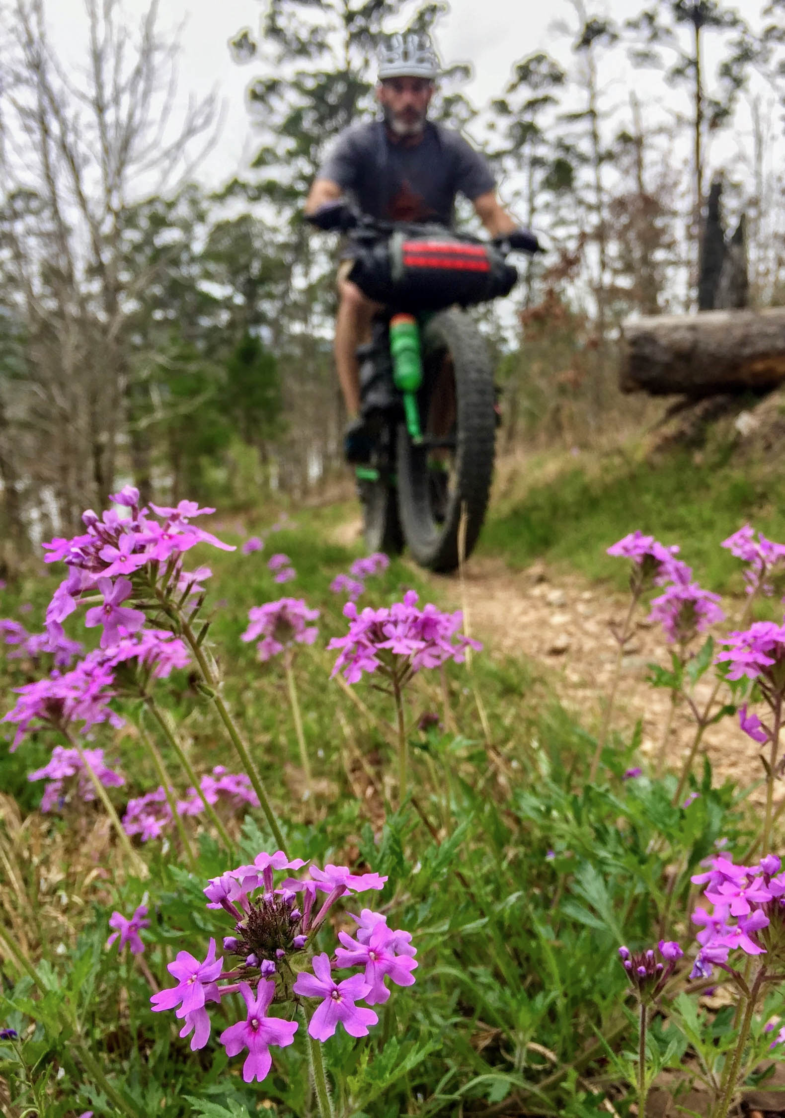
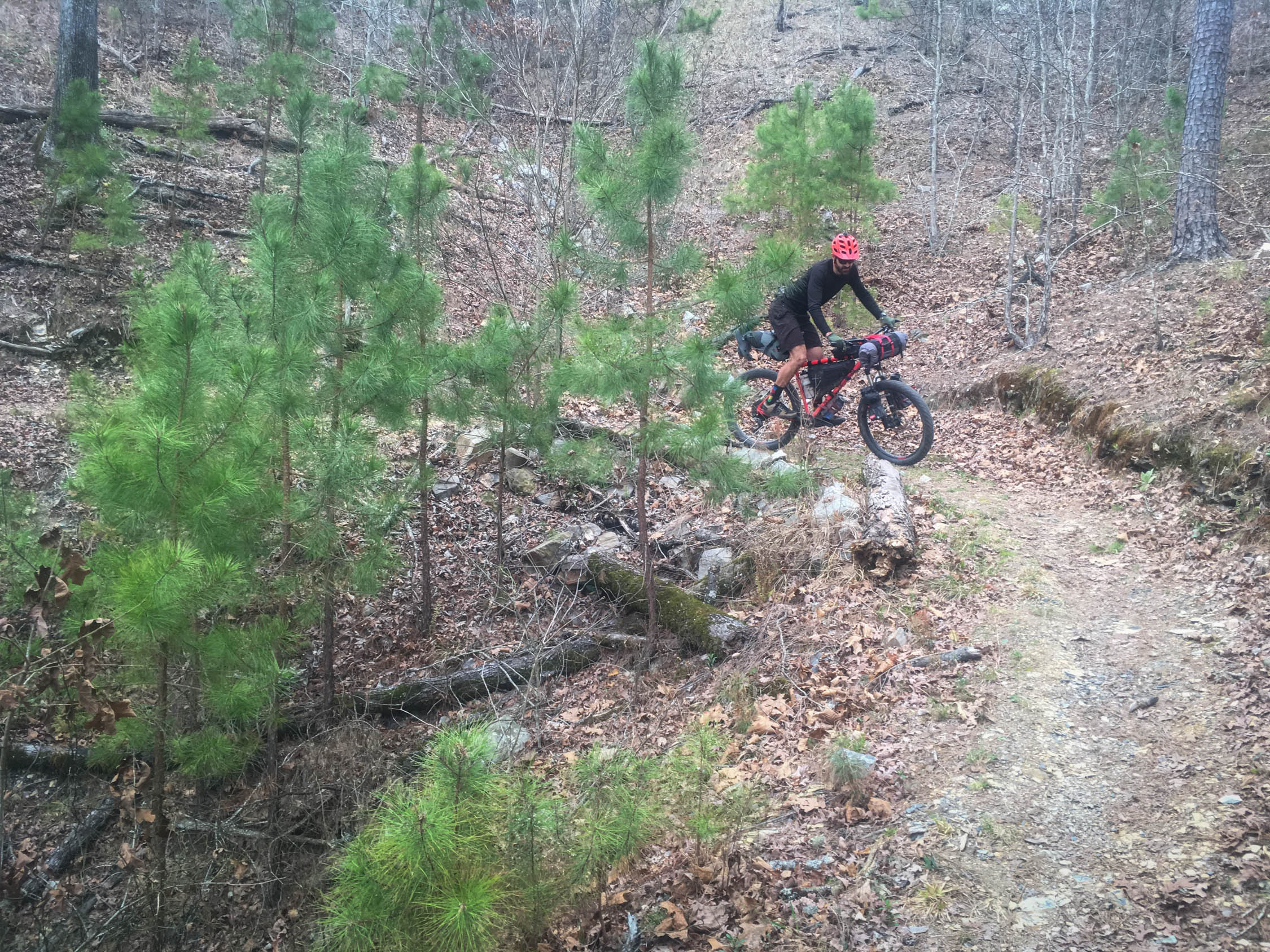
Technical (6/10): Other than a few mandatory hike-a-bikes, the Womble and LOVEiT are entirely enjoyable and rideable, albeit with some steep grades. Womble pleases with long sections of swooping singletrack that bob in and out of drainages, and LOViT provides the best extended ridge flow of the whole route. The OT, on the other hand, is a backpacking trail. When it goes up, it goes UP.
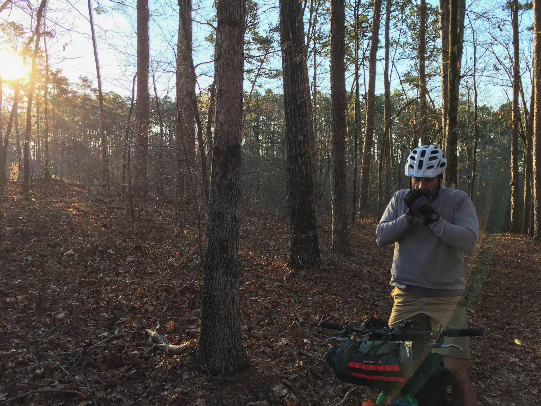
Physical (7/10): Long days on a loaded bike over singletrack burn lots of calories. This trip could be pleasantly broken up over four or five nights to reduce the physical toll, but local riders will echo the “death by 1,000 hills” mantra to those who assume these little mountains are a breeze.
Logistics (5/10): The OT section of this route presents the most complicated logistics in the form of food rationing and water sources. Be sure creeks are running and you plan ahead for camping near water. Once you reach the south side of the lake, opportunities for water and food increase drastically. Ease of route-finding is a pleasant surprise on this trip, as the Womble, OT, and LOViT are all generously marked with their own blaze systems and signage.
Route Development
Womble and LOViT are meticulously cared for by IMBA, the Forest Service, and other local volunteers. The OT is also well-supported by volunteers and the Forest Service. As for route development, one can’t help but look at a map of all three trails and want to loop them!


Submit Route Alert
As the leading creator and publisher of bikepacking routes, BIKEPACKING.com endeavors to maintain, improve, and advocate for our growing network of bikepacking routes all over the world. As such, our editorial team, route creators, and Route Stewards serve as mediators for route improvements and opportunities for connectivity, conservation, and community growth around these routes. To facilitate these efforts, we rely on our Bikepacking Collective and the greater bikepacking community to call attention to critical issues and opportunities that are discovered while riding these routes. If you have a vital issue or opportunity regarding this route that pertains to one of the subjects below, please let us know:
Highlights
Must Know
Camping
Food/H2O
Trail Notes
- Linking three IMBA Epics!
- Full days of uninterrupted singletrack.
- Hot Springs is fun if you need a tourist day, and it also has boatloads of fancy new singletrack (Northwoods).
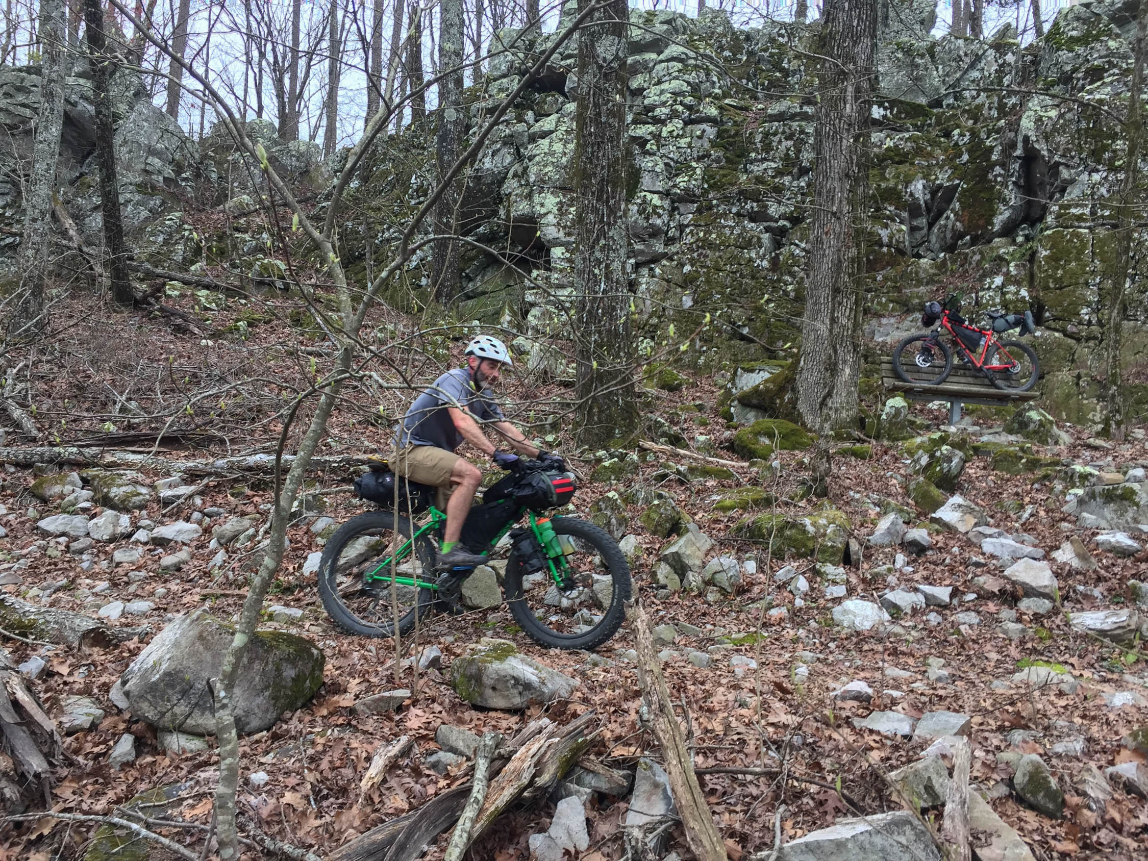
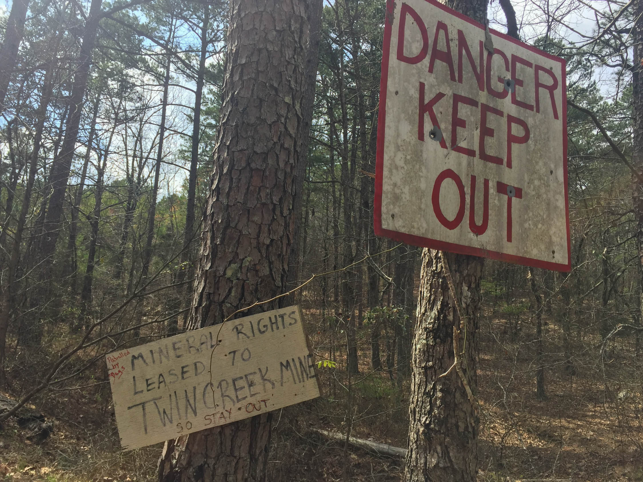
- Stop through a backwoods quartz mine and find a souvenir.
- A true backcountry feel with lots of bailout options for the injured, unprepared, or wimpy. Hitchhike likely required.
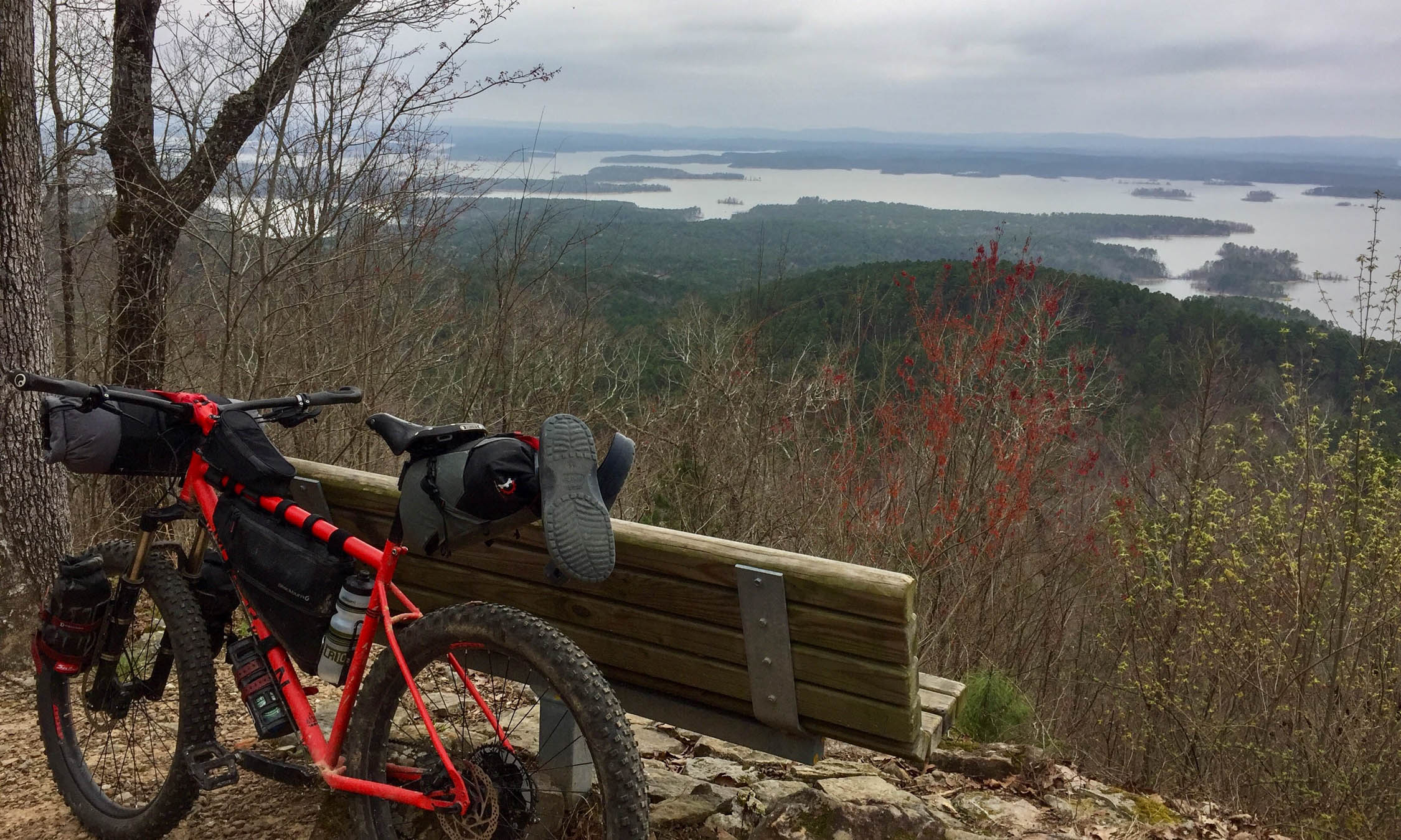
- Ridge views for days. Literally.
- Hickory Nut Mountain CG on the LOViT.
- Passing backpackers only to have them catch you on the climb.
- Free backcountry shelters on the OT.
- Best in fall, spring, or even with a lucky winter weather window
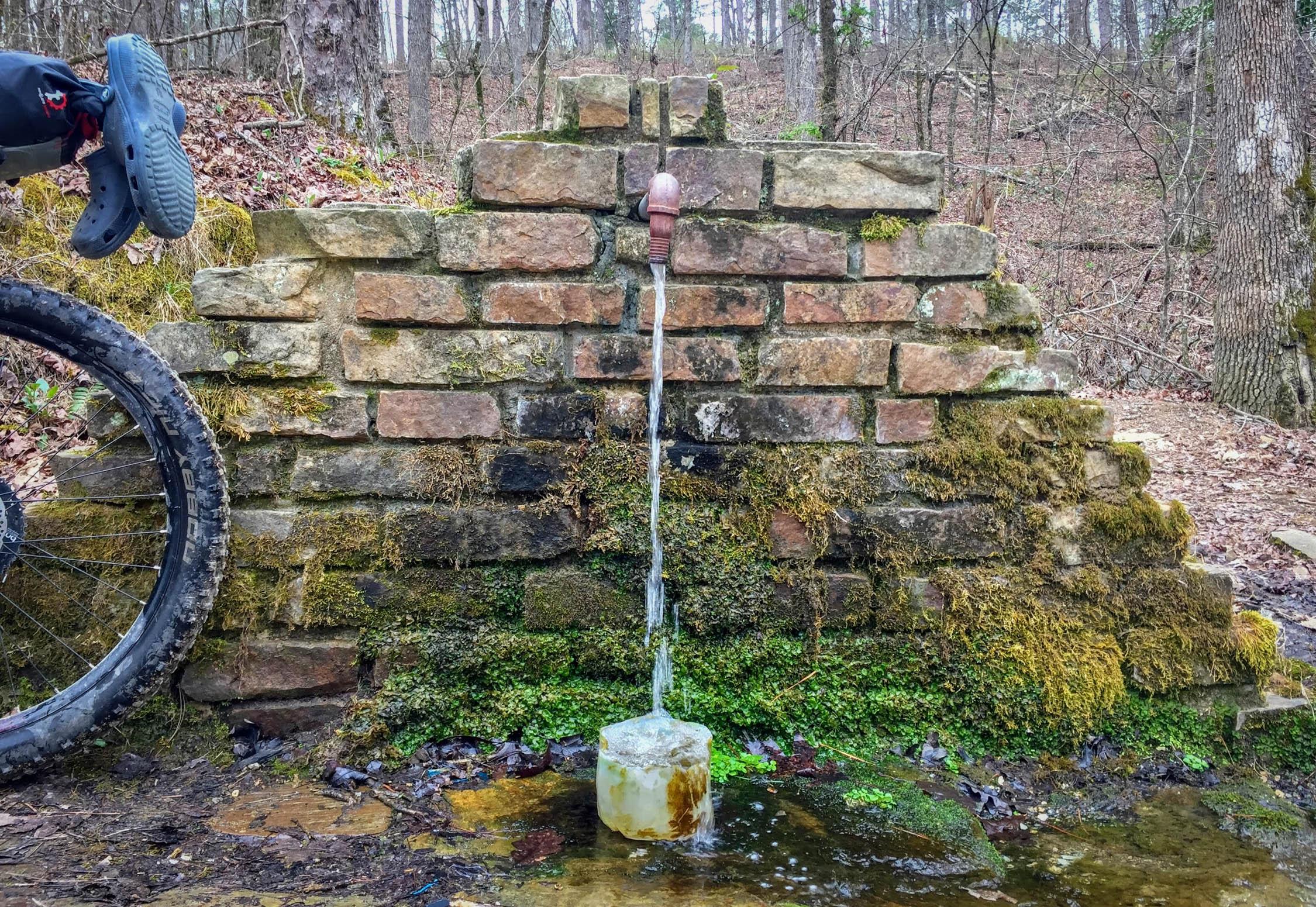
- Free parking at North Fork Lake trailhead. Assess or ask about seasonal creeks to make sure you will have enough water. Consider campsite reservations if you want to treat yourself along the LOViT. Small grocery/cafe in Mountain Pine is only refuel on route outside of campground office snacks.
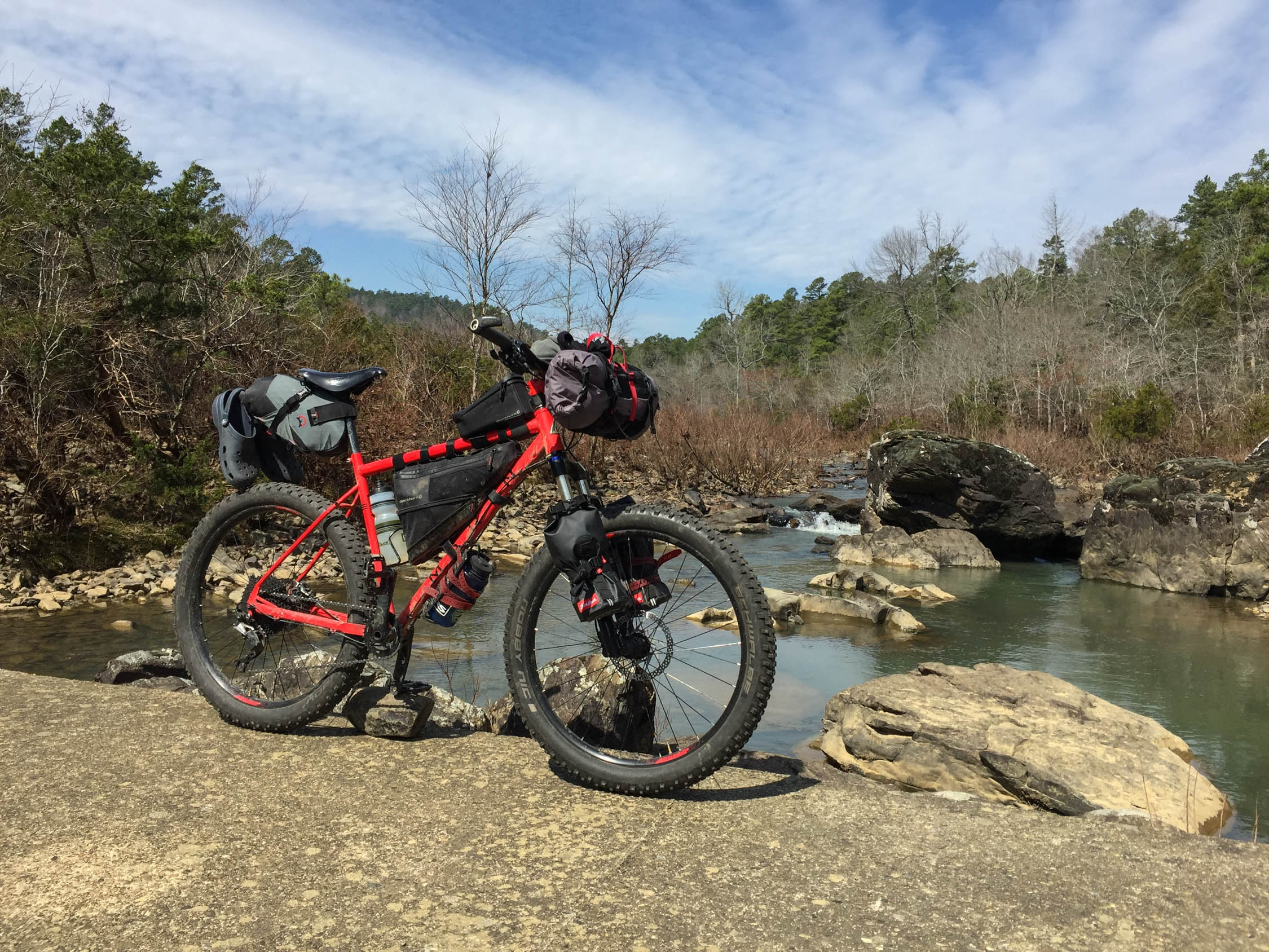
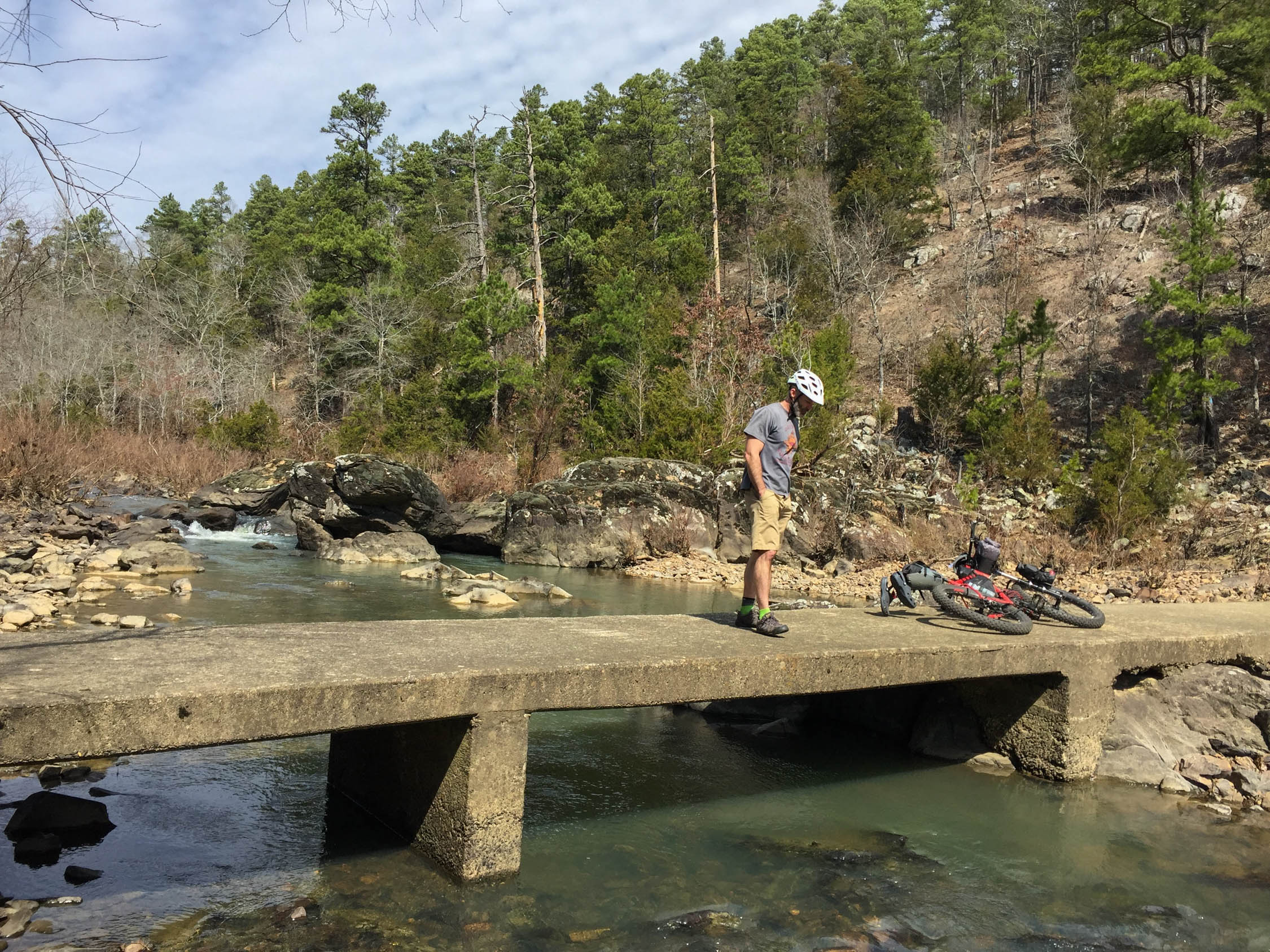
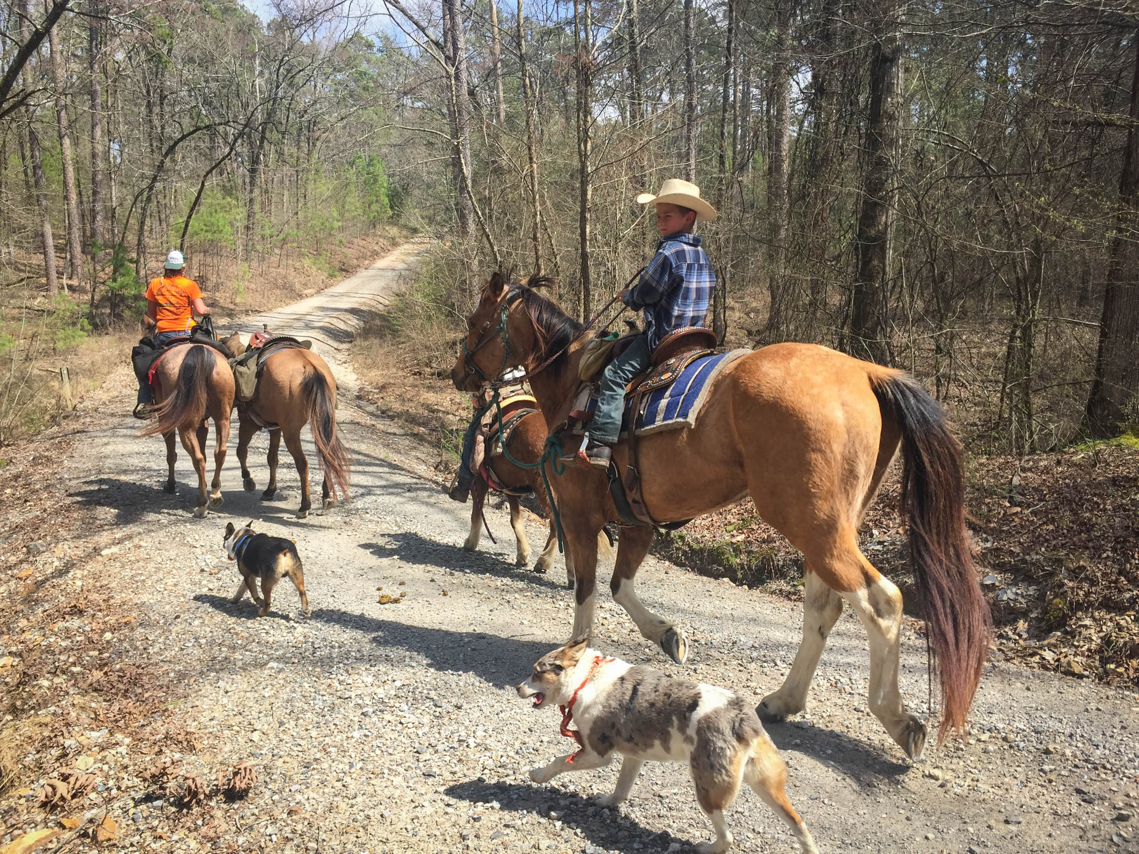
- Watch for backpackers on the OT. Lots of water crossings, most rideable/dry. Plan ahead for water on the OT. South side of route can be busy with tourists.
- Little Rock or Hot Springs for flying in, otherwise just find your way to North Fork Lake, park, and ride!
- MTB Project has good descriptions of the Womble, OT, and LOViT.
- Camping on the Womble is at large, or in one of the many obviously established sites you pass.
- Try to aim for one of the free backcountry shelters on the OT, otherwise camping is at large.
- If you need to stop along the LOViT, state parks and other full-service campgrounds abound, but Hickory Nut Mountain CG is the most underused, remote, and best for bikepackers. May or may not have running water.
- Assuming some recent rain, Womble has plenty of small creeks (every few miles, it seemed).
- The OT stays high on ridges longer, so plan ahead before you get to a campsite with no water.
- The LOViT has enough road access and established campgrounds to get you out of any pinch.
- Water filtration or treatment required!
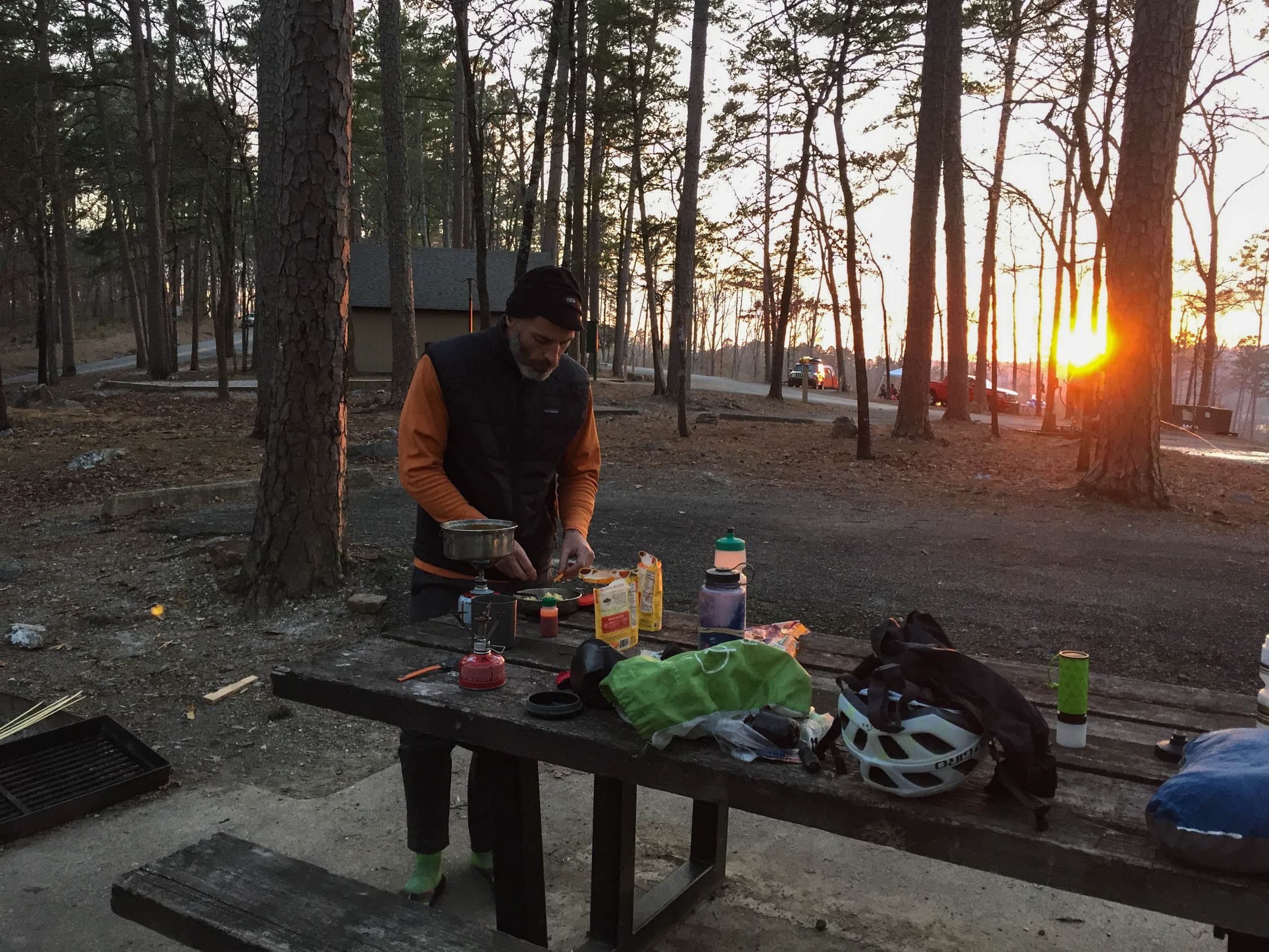
- Mandatory pre-departure breakfast at Mt. Ida Cafe!
- Mountain Pine is the only reasonable resupply town on route.
- We rode the loop clockwise, starting with Womble, straight into the OT.
- A download of all the trails on your GPS app of choice is very helpful.
- Link the OT to LOViT via national forest dirt and a bit of pavement.
- Daily itineraries will vary wildly depending how much mileage you are able to cover. Camping is plentiful, but plan ahead for water and food supplies.
- LOViT is linked to a finish on the Womble via an entertaining dirt road and ATV trail full of weird Arkansas cultural artifacts and a crystal mine.


Terms of Use: As with each bikepacking route guide published on BIKEPACKING.com, should you choose to cycle this route, do so at your own risk. Prior to setting out check current local weather, conditions, and land/road closures. While riding, obey all public and private land use restrictions and rules, carry proper safety and navigational equipment, and of course, follow the #leavenotrace guidelines. The information found herein is simply a planning resource to be used as a point of inspiration in conjunction with your own due-diligence. In spite of the fact that this route, associated GPS track (GPX and maps), and all route guidelines were prepared under diligent research by the specified contributor and/or contributors, the accuracy of such and judgement of the author is not guaranteed. BIKEPACKING.com LLC, its partners, associates, and contributors are in no way liable for personal injury, damage to personal property, or any other such situation that might happen to individual riders cycling or following this route.
Please keep the conversation civil, constructive, and inclusive, or your comment will be removed.