


No Place Like Oz
Distance
263 Mi.
(423 KM)Days
5-7
% Unpaved
80%
% Singletrack
18%
% Rideable (time)
99%
Total Ascent
20,300'
(6,187 M)High Point
2,399'
(731 M)Difficulty (1-10)
6?
- 5Climbing Scale Moderate77 FT/MI (15 M/KM)
- -Technical Difficulty
- -Physical Demand
- -Resupply & Logistics
Contributed By
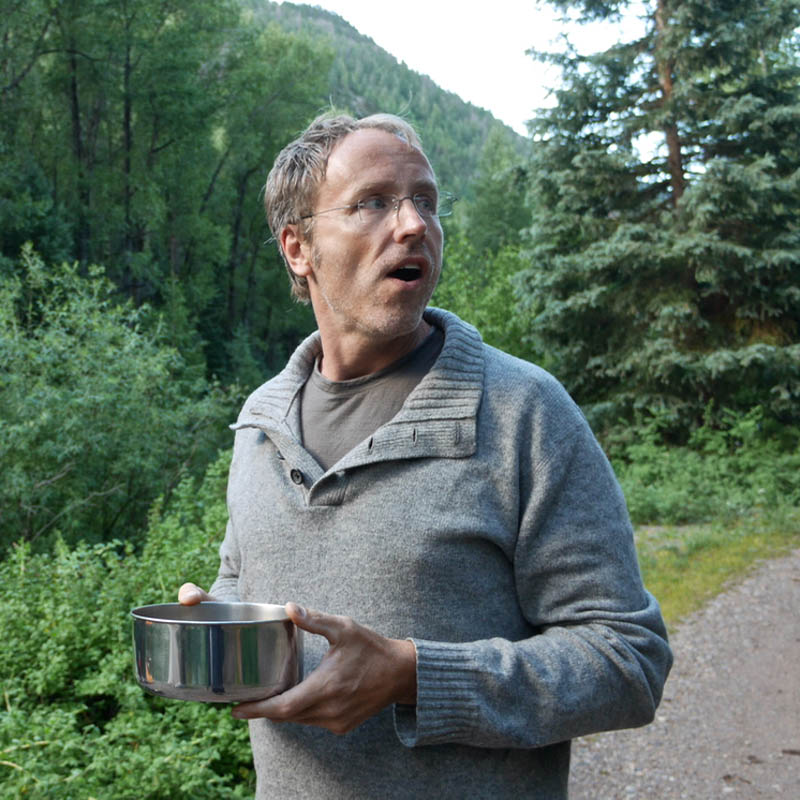
Jack Lyons
Guest Contributor
Jack Lyons is a professor of philosophy, musician, and outdoor adventurer who has lived in Fayetteville, Arkansas for two decades but will soon be relocating with his family to Glasgow, Scotland. He’s a veteran bikepacker and was part of the scouting team for our routes in Slovenia and Croatia.
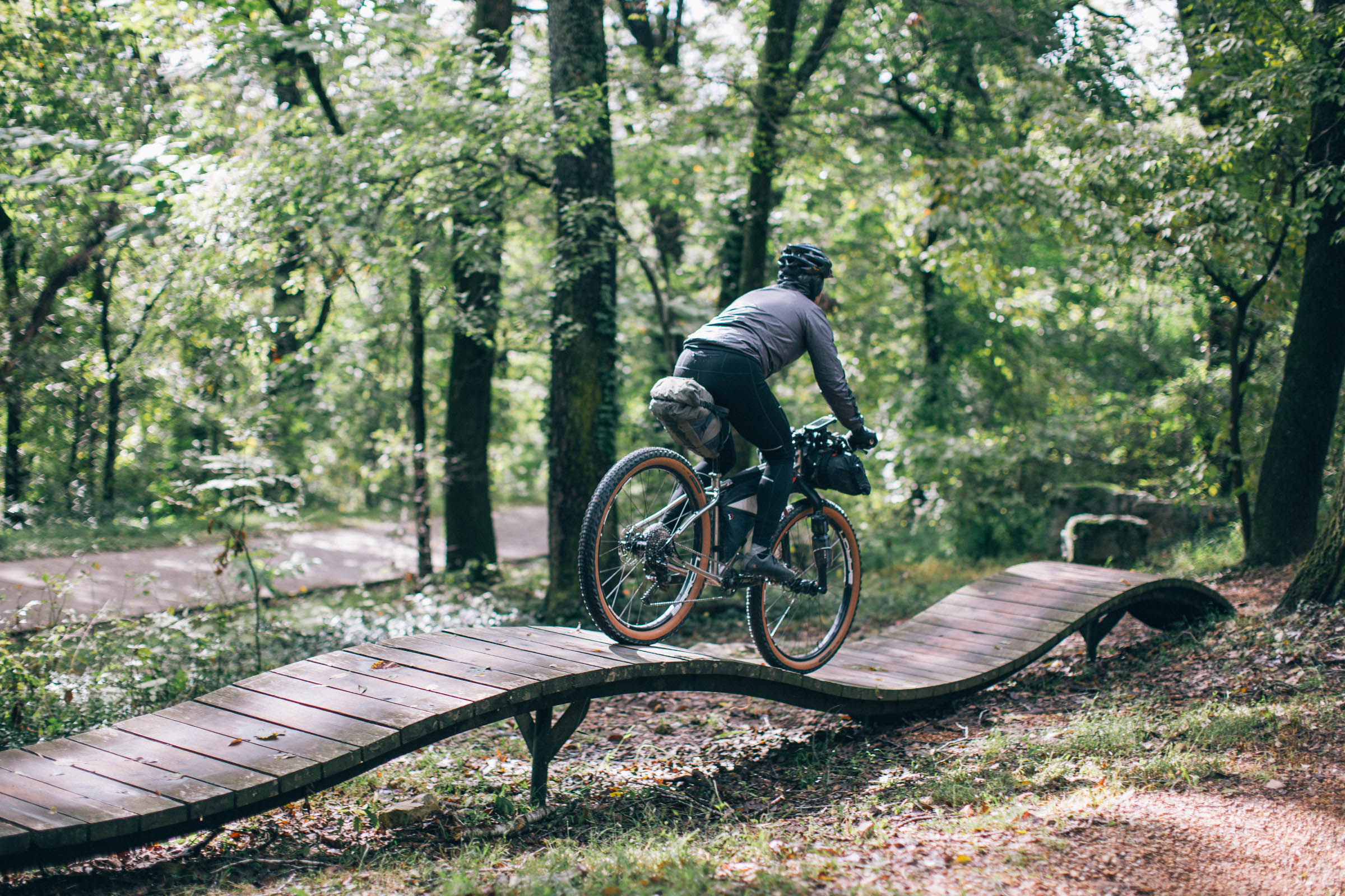
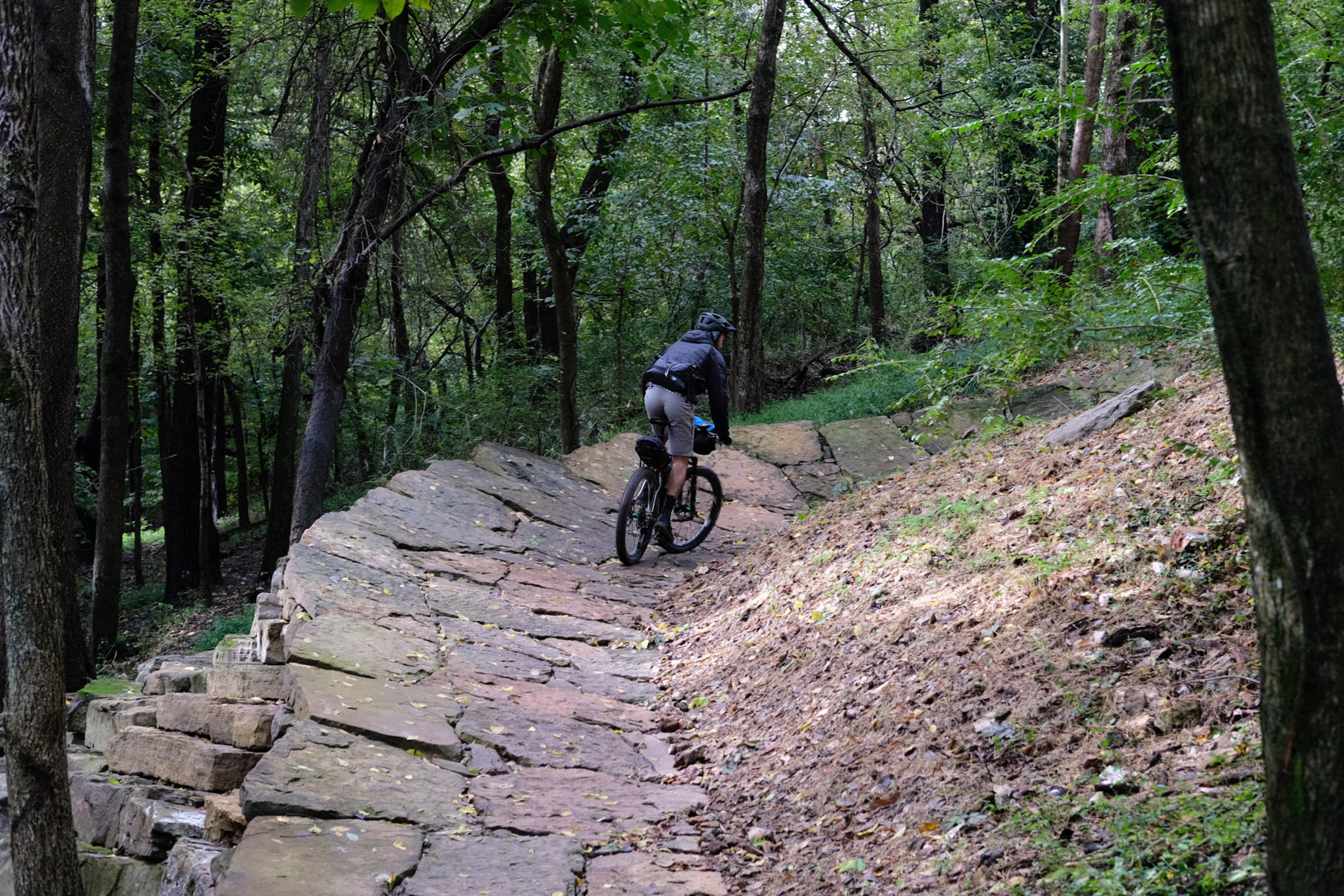
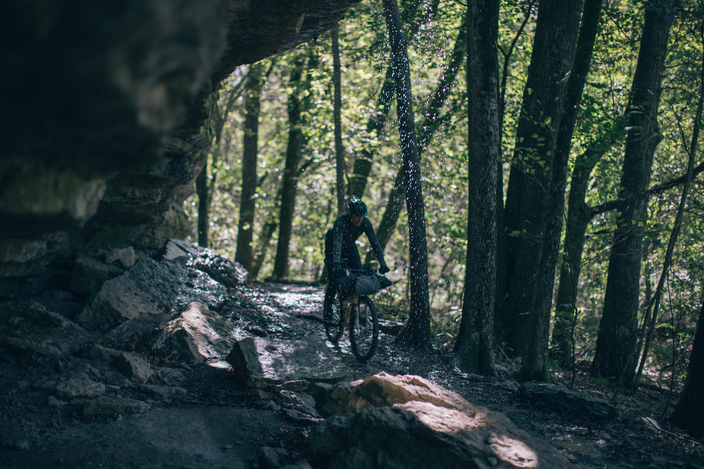
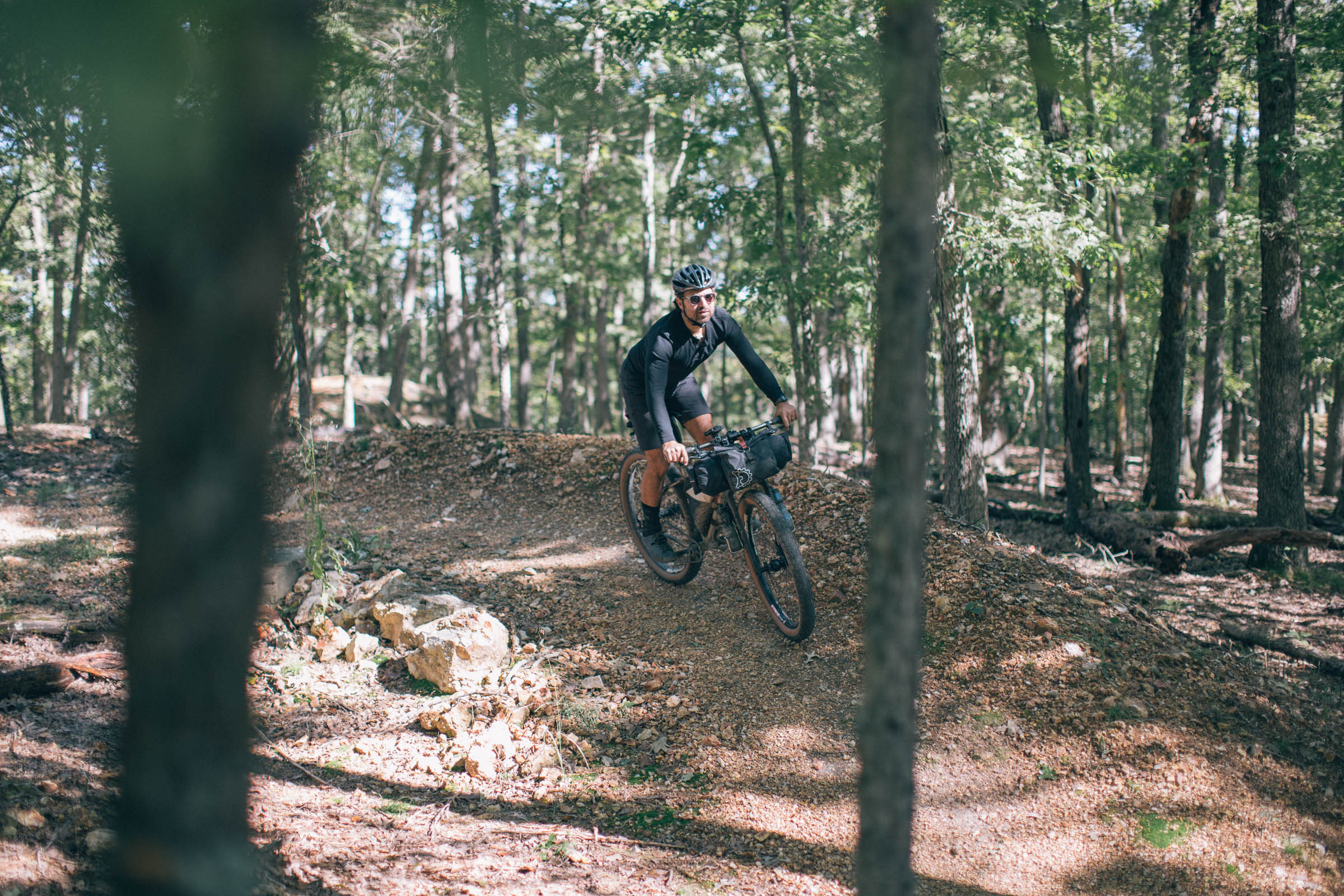
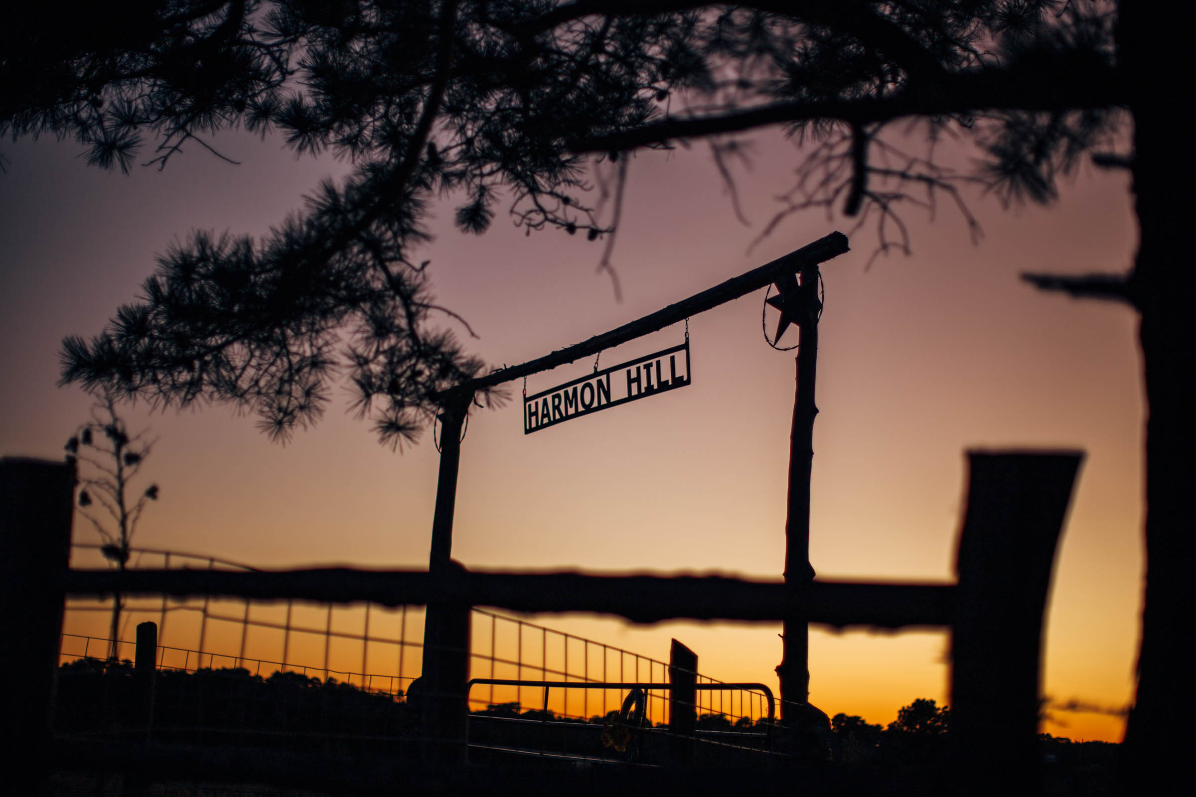
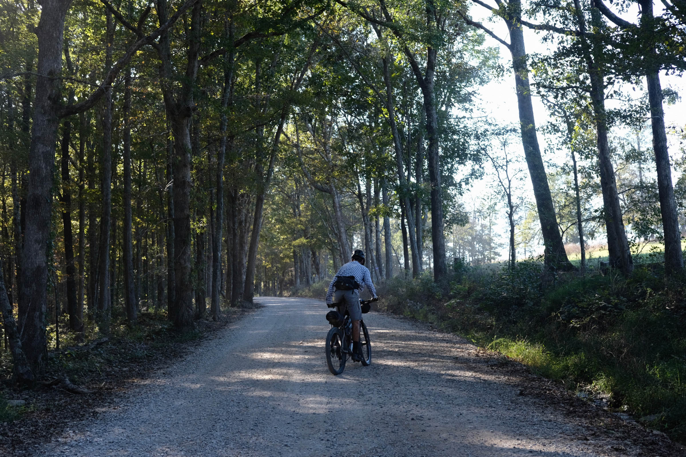
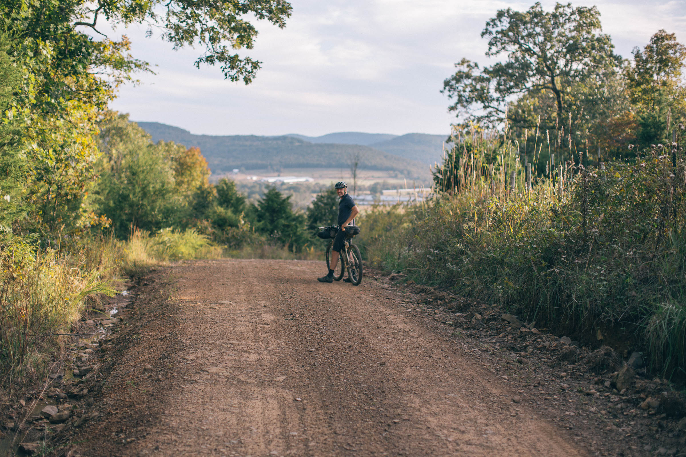
The Ozarks are a place so full of wonders that the locals have just shortened it to “Oz.” This ride strings together some of the cultural and natural highlights of Northwest Arkansas—with plenty of cracking singletrack thrown in. The route combines forest and gravel roads, jeep trails, and more singletrack to explore rolling farmland, creeks, waterfalls, vistas, and overlooks.
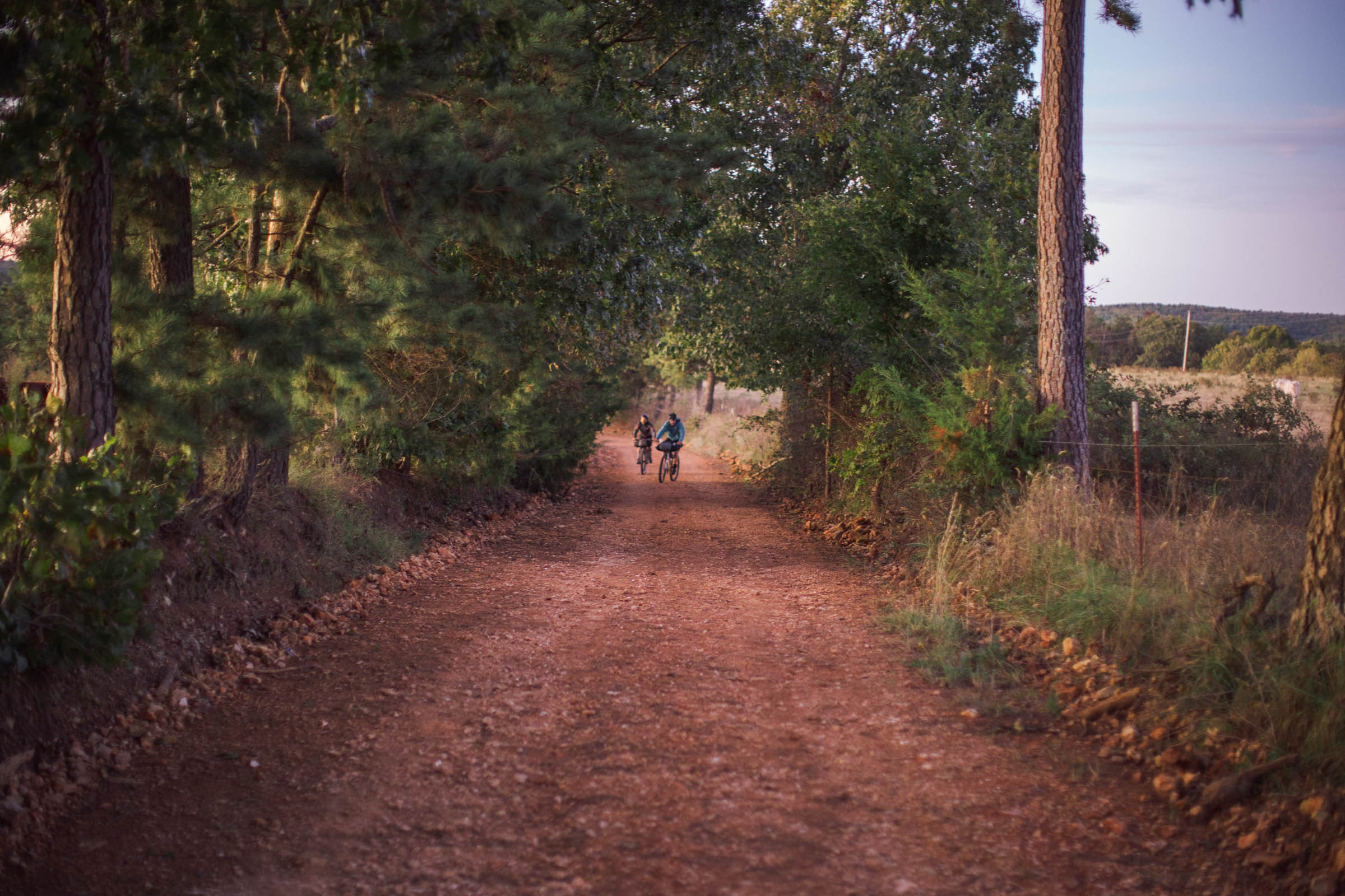
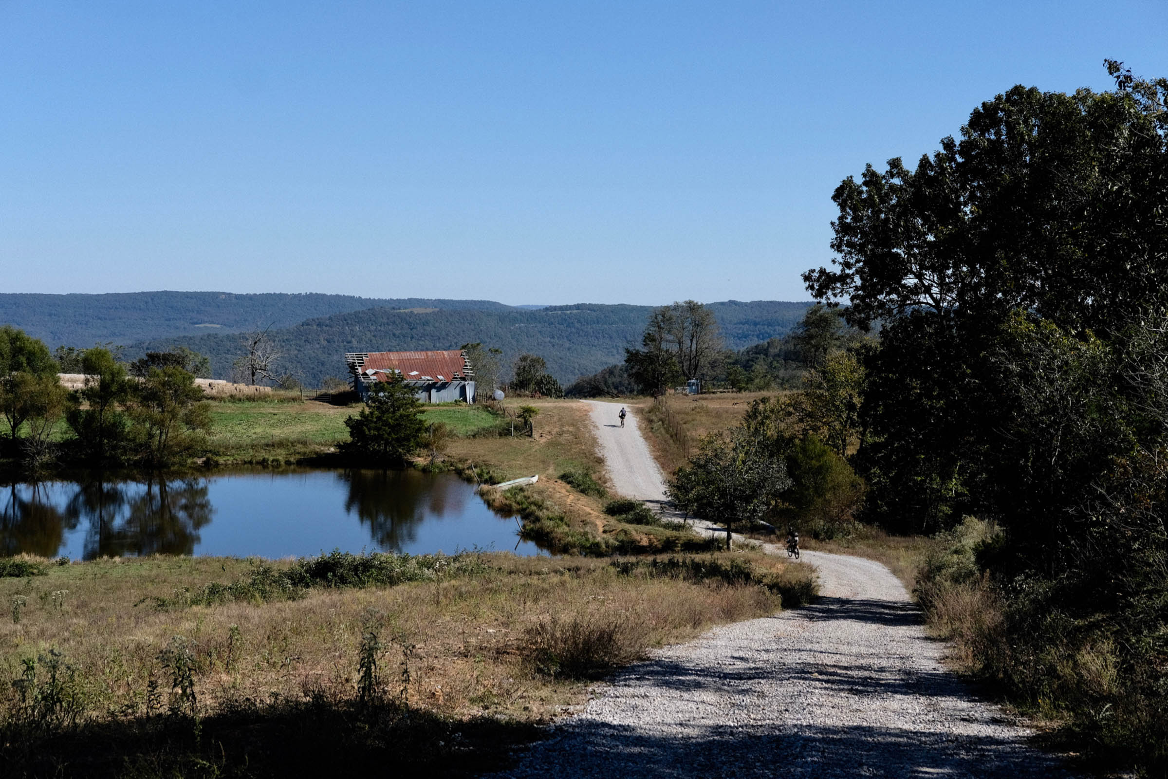
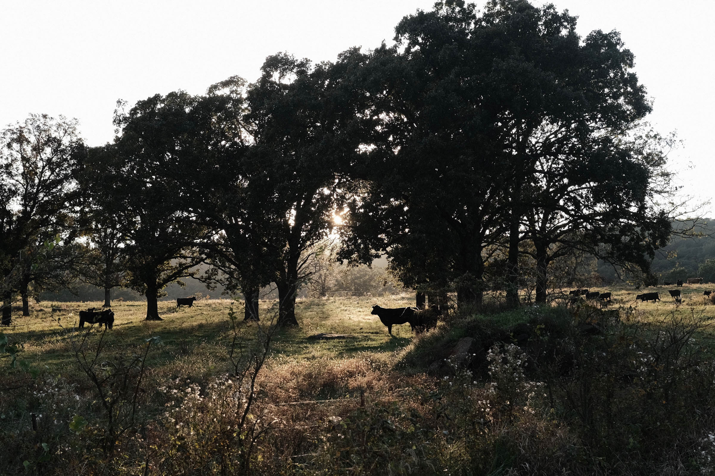
Northwest Arkansas has long been known as the birthplace of Walmart and has recently emerged as a mecca for off-road biking. The surrounding countryside makes for an excellent week of bikepacking and camping in the Natural State. Mere blocks from the Bentonville town square, a pump track serves as the entrance to a manicured system of mountain biking trails that extend up to Missouri. The funky, artsy spa town of Eureka Springs boasts a maze of picturesque Victorian buildings nestled among the limestone hillsides. A series of paved and dirt roads lead into the nation’s first designated national river—the Buffalo National River—and into the Ozark National Forest, to visit the iconic Hawksbill Crag and King’s River Falls. From there it is a mix of farmland and quiet woodsy lanes back to Fayetteville and the home of the University of Arkansas. The loop is closed via pleasant backroads.
Even though days are punctuated with plenty of trail time, the route as prescribed passes up even more singletrack, and riders who want to get some added mountain biking in amidst their bikepacking will find extras ranging from the wild trails of the Buffalo Headwaters to the carefully groomed bike park of Coler Mountain Bike Preserve. It wouldn’t be a bad plan to bikepack to one of these areas, stash some of the bags, and ride the trails for a few extra hours before heading onward.
Difficulty
While by no means a hard route, the 6 difficulty rating reflects the amount of climbing and the somewhat sparse resupply in the second half of the circuit. Moreover, the 6 is for riders with at least intermediate mountain biking experience. The singletrack on this route is likely manageable for an enthusiastic beginner mountain biker, but the going will be slower. In that case, allow for an extra day or two.
This ride adds to the growing set of riding resources for Northwest Arkansas. It has about 20% overlap with the ACA’s Arkansas High Country Route (Northwest Loop), but provides a much more mountain-bike oriented alternative. Also check out the Ouachita Triple Crown for another singletrack-heavy route in the area.


Submit Route Alert
As the leading creator and publisher of bikepacking routes, BIKEPACKING.com endeavors to maintain, improve, and advocate for our growing network of bikepacking routes all over the world. As such, our editorial team, route creators, and Route Stewards serve as mediators for route improvements and opportunities for connectivity, conservation, and community growth around these routes. To facilitate these efforts, we rely on our Bikepacking Collective and the greater bikepacking community to call attention to critical issues and opportunities that are discovered while riding these routes. If you have a vital issue or opportunity regarding this route that pertains to one of the subjects below, please let us know:
Highlights
Must Know
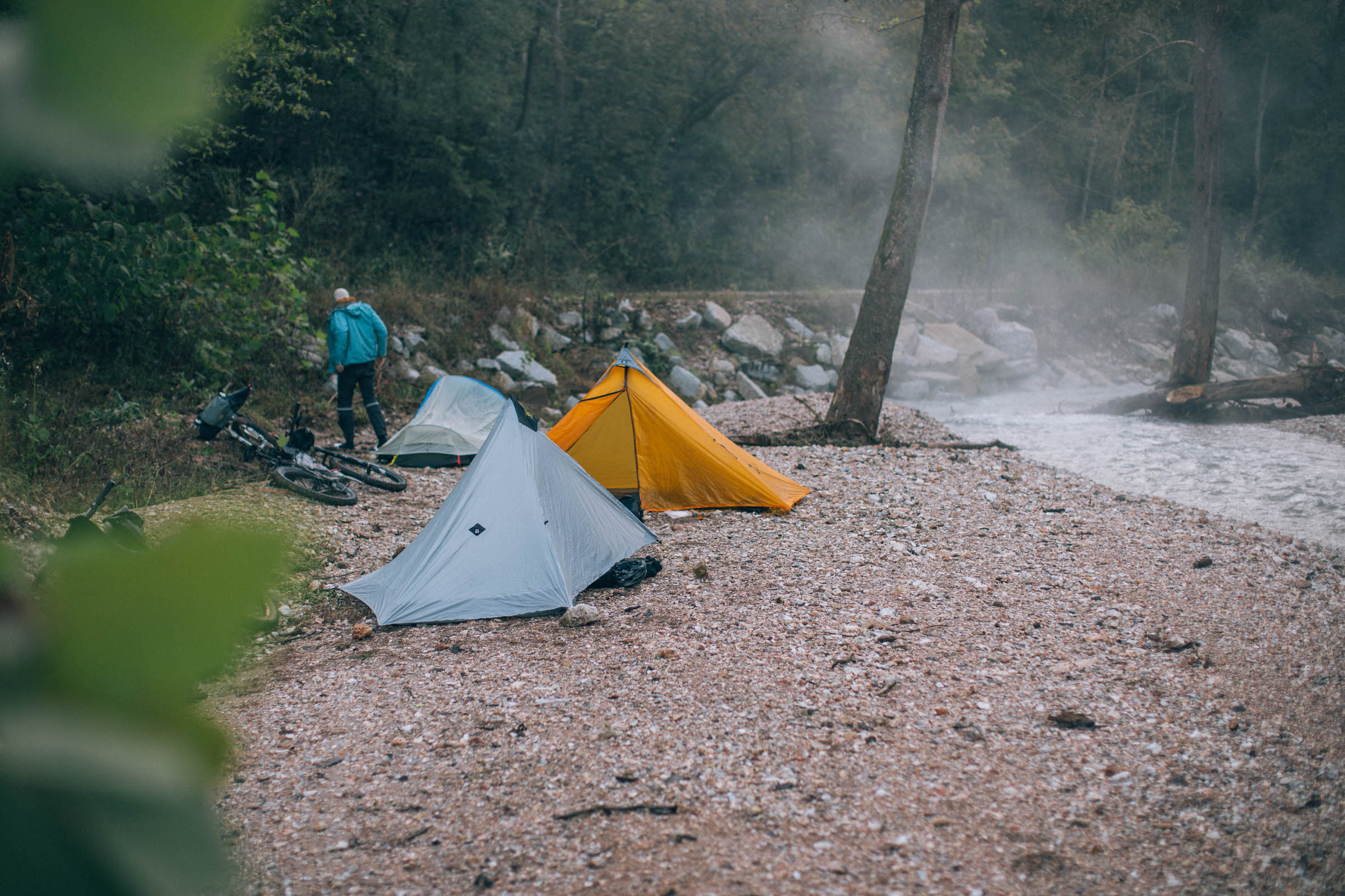
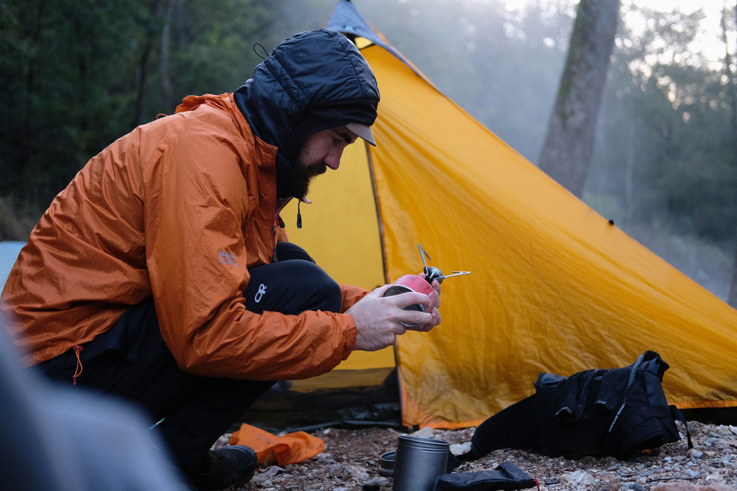
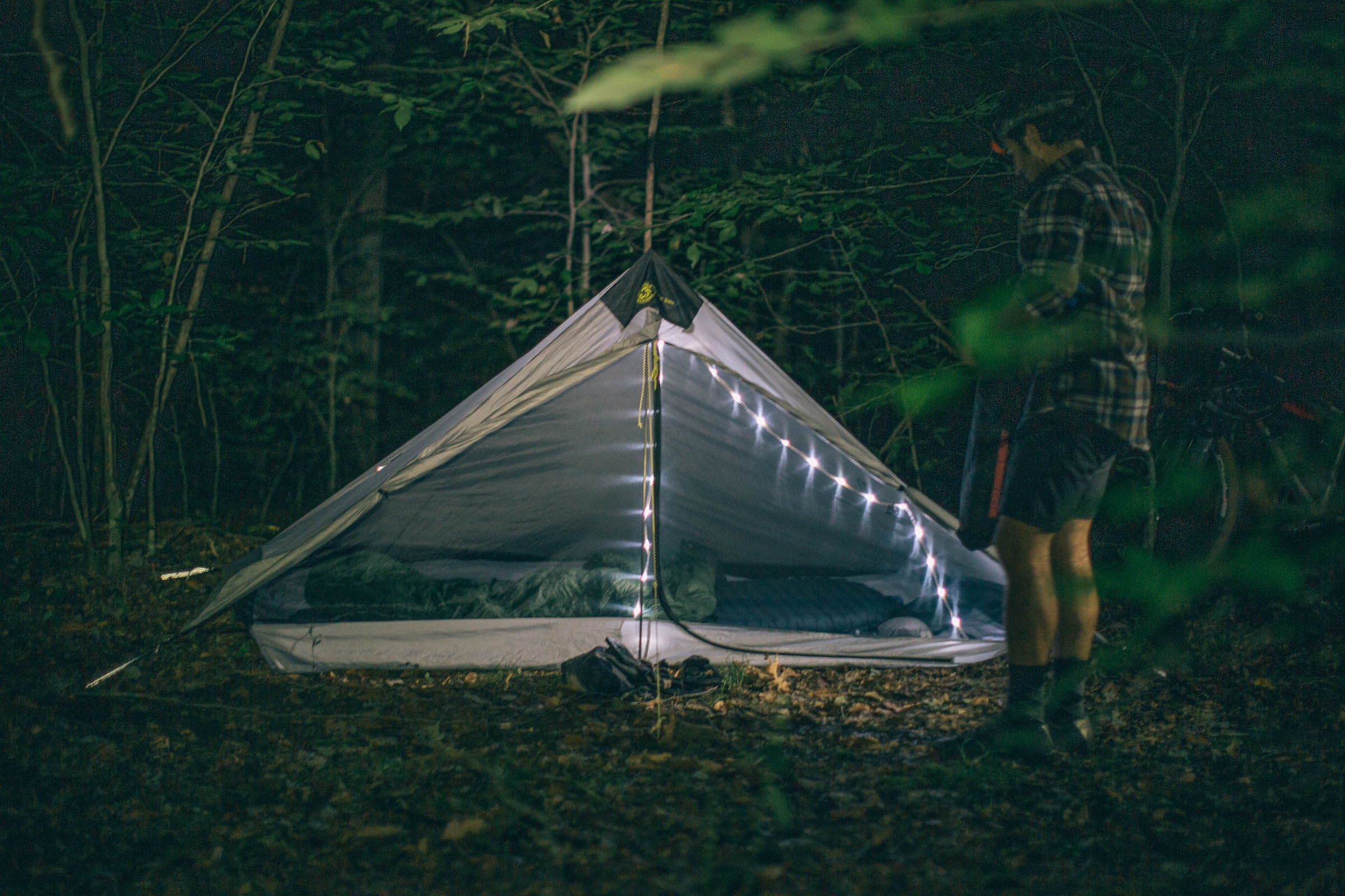
Camping
Food/H2O
Trail Notes
- A balanced mix of singletrack and dirt roads; on a five day itinerary, we revelled in singletrack every day.
- Thorncrown Chapel near Eureka Springs is a stunning creation of Frank Lloyd Wright student Fay Jones.
- Artsy Victorian resort town of Eureka Springs, boasting the nation’s most haunted hotel!
- Hawksbill Crag is one of the most photographed nature spots in the state at the end of a mile/2k long path. Lock bikes and hike out, it’s worth it.
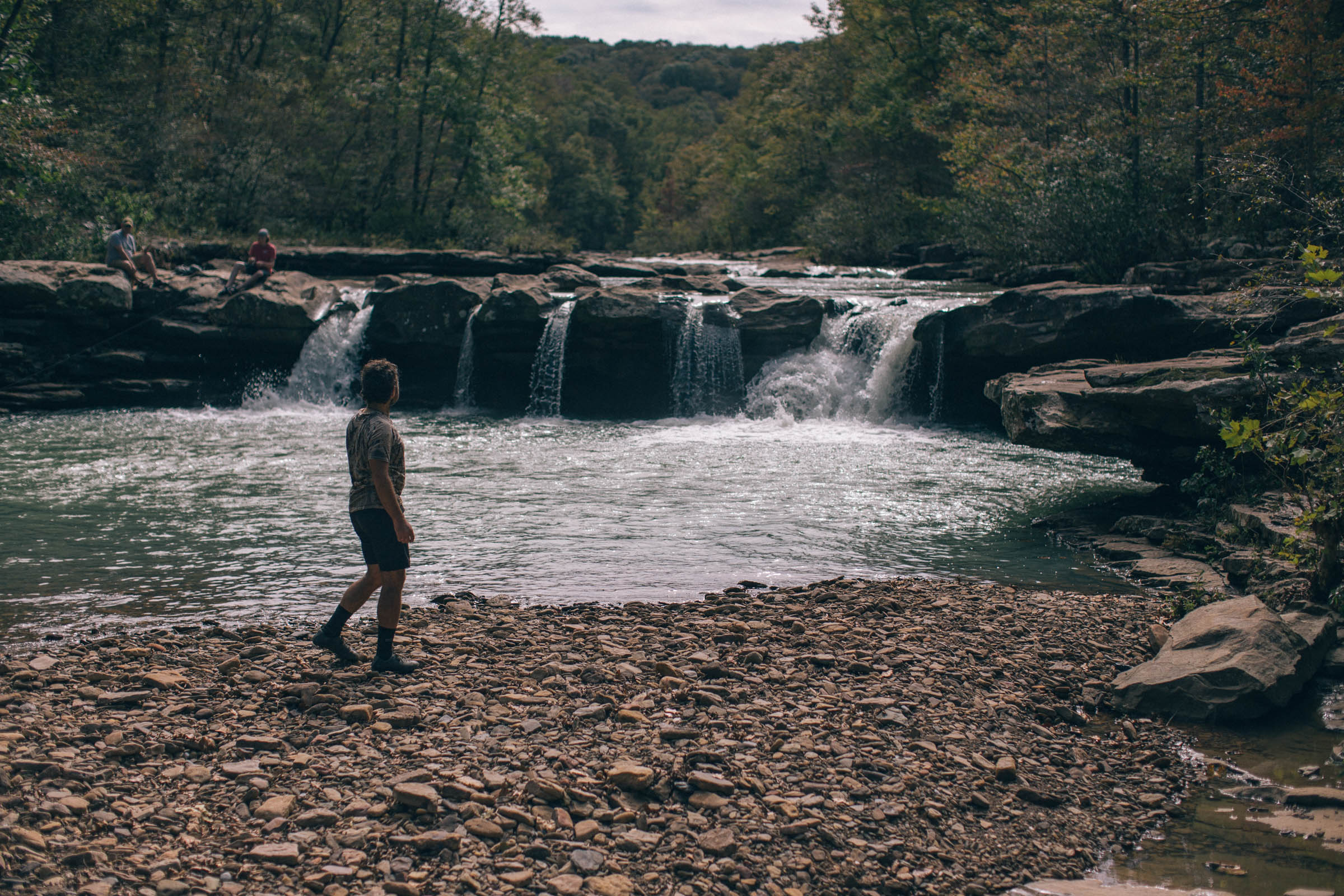
- King’s River Falls is also a mile/2k from the main route, and again worth the hike.
- University of Arkansas, one of the great public universities of the USA and boasting Senator and Secretary of State Hillary Clinton and President Bill Clinton as former faculty.
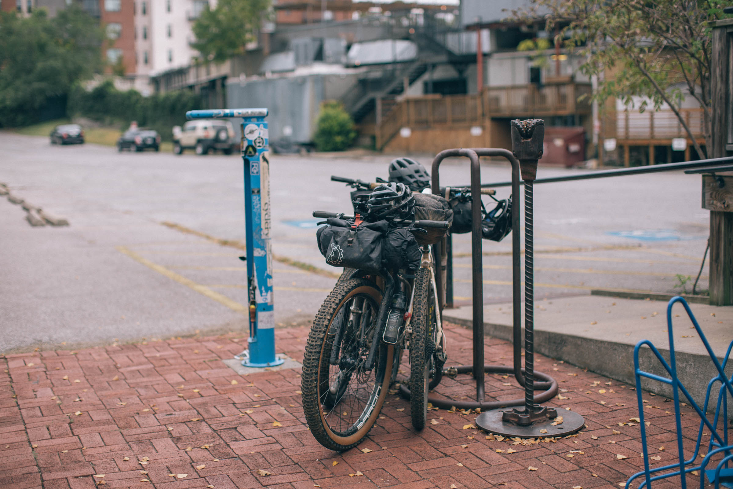
- Ideal Bike: The ideal bike for this route will be a hardtail mountain bike or a plus-tire rigid. Some of the singletrack sections will be a little too rowdy for most gravel setups, but if you run ~2.0 knobby tires on your drop bar bike and are a very handy rider on trails, go for it.
- Logistics: If you’re flying in, use Northwest Arkansas Regional Airport (XNA), sometimes erroneously referred to as Fayetteville Airport.
- When to go: This route could be done any time of year, but spring and fall are probably best. Winters are generally mild but unpredictable; summer riding is only for the heat-tolerant!
- If you’re riding between June and first frost, you’ll probably want bug repellant, for ticks and chiggers.
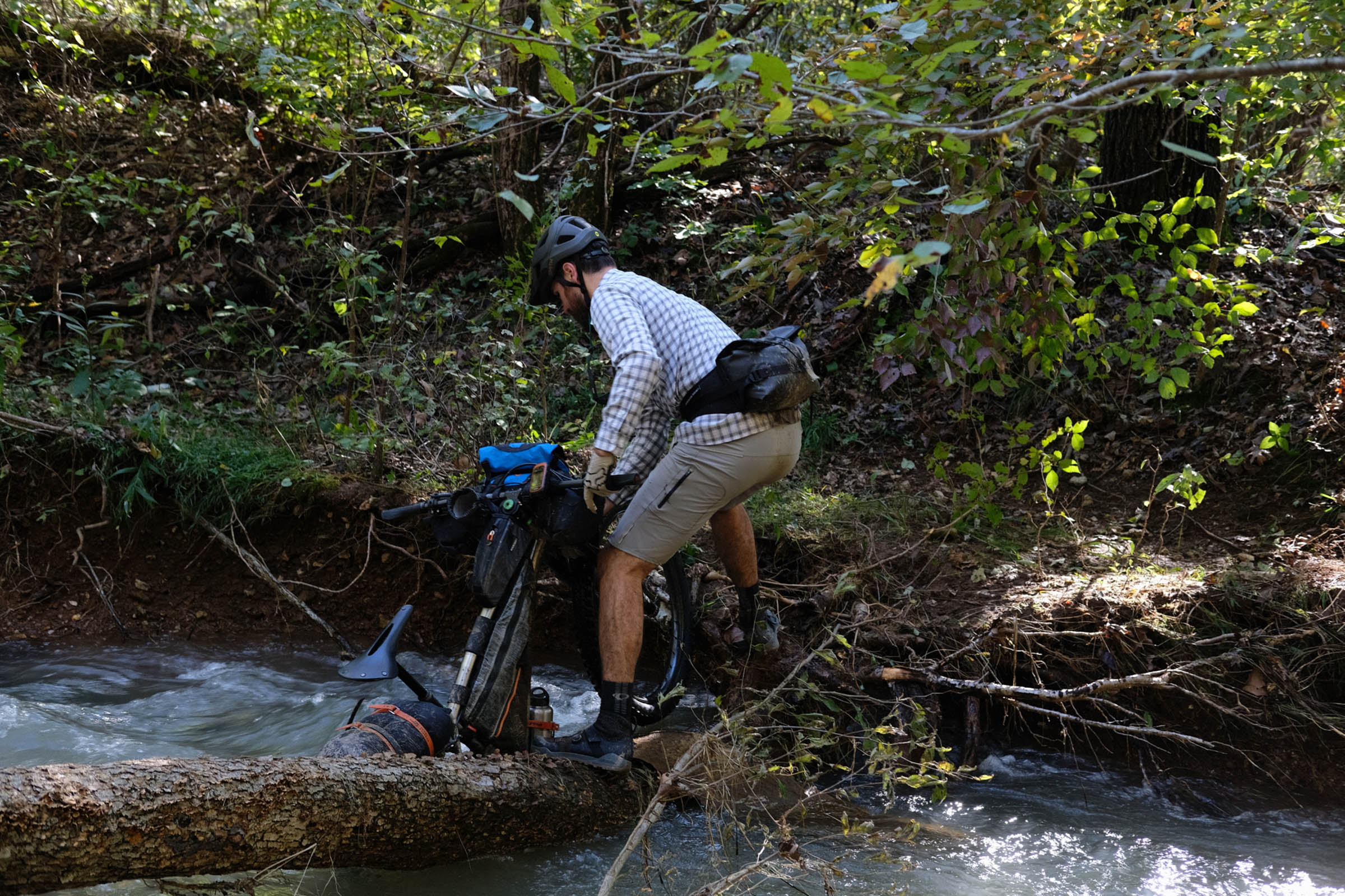
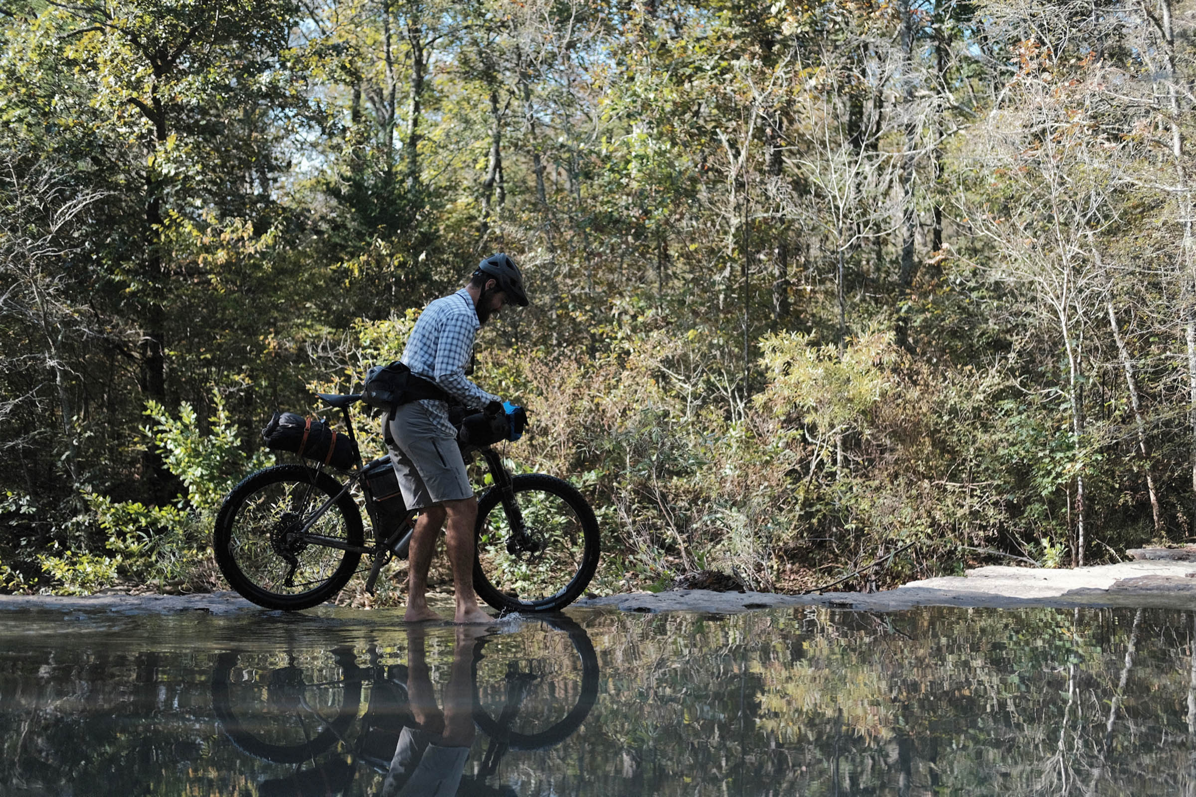
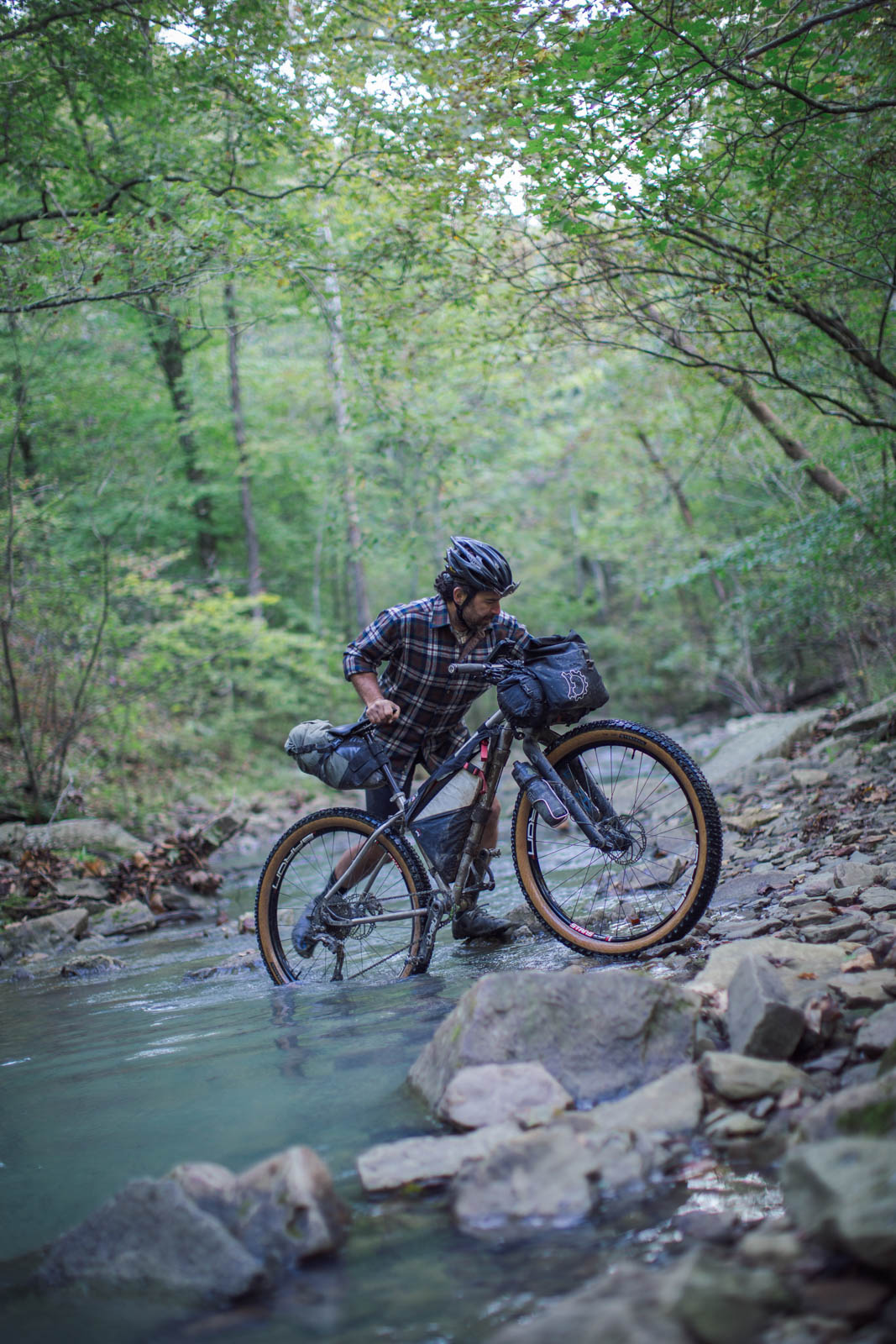
- The river crossing at mile 197.4 (km 317.7) can be treacherous if the water is high. If the earlier crossing at mile 185.8/km299 was higher than knee-deep, a short reroute might be advised. These crossings are marked on the map.
- Wild camping is plentiful in the national forests and wildlife management areas. #leavenotrace of course.
- It can be a bit trickier in between these areas, as it’s lots of farmland, but there are a number of RV parks that offer reasonable campsites.
- Water is plentiful, bring a means to treat it.
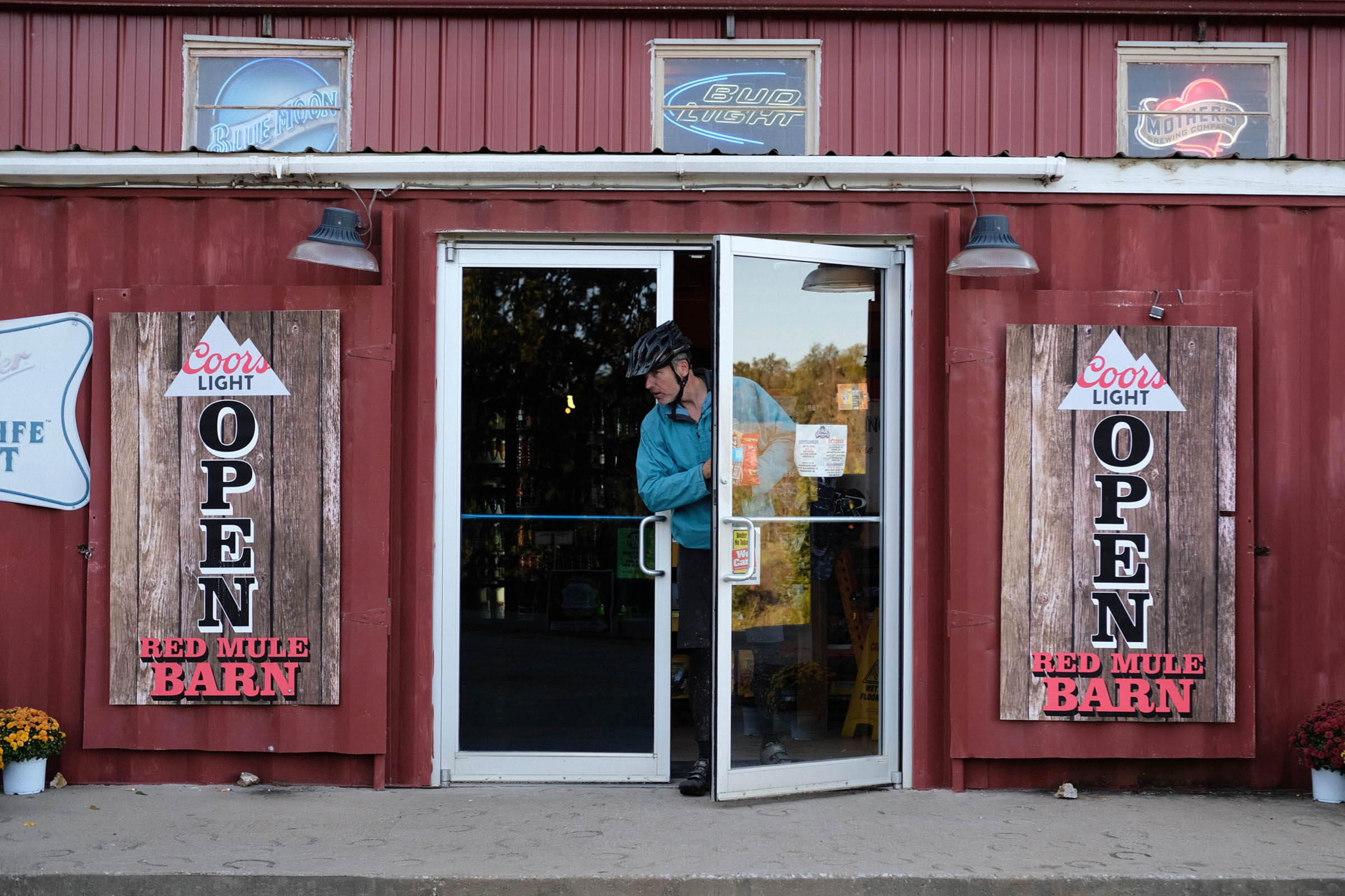
- All services can be found in Bentonville, Eureka Springs, and Fayetteville.
- There’s a resupply gap between Ponca and Fayetteville (miles 126.2/203km and 221/355.7km), and the store in Ponca has limited offerings. You’re better off putting up a bigger stockpile a few miles earlier, in Marble (mile 103/km165.8), where the King’s River Country Store sells anything a person could ever want.
- We rode clockwise, and this includes a downhill-only trail around mile 60/km96. If you ride counterclockwise, you’ll need to reroute this segment. MTB project will be helpful here.
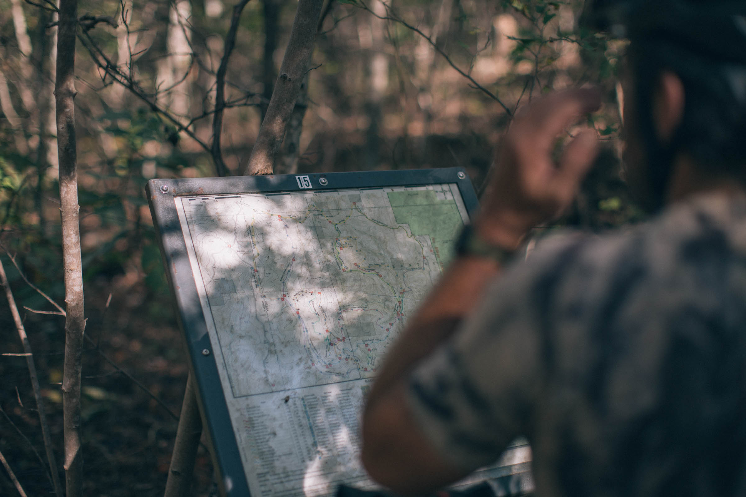
- MTB project will also show a lot of optional nearby singletrack, if you’re looking for more.


Terms of Use: As with each bikepacking route guide published on BIKEPACKING.com, should you choose to cycle this route, do so at your own risk. Prior to setting out check current local weather, conditions, and land/road closures. While riding, obey all public and private land use restrictions and rules, carry proper safety and navigational equipment, and of course, follow the #leavenotrace guidelines. The information found herein is simply a planning resource to be used as a point of inspiration in conjunction with your own due-diligence. In spite of the fact that this route, associated GPS track (GPX and maps), and all route guidelines were prepared under diligent research by the specified contributor and/or contributors, the accuracy of such and judgement of the author is not guaranteed. BIKEPACKING.com LLC, its partners, associates, and contributors are in no way liable for personal injury, damage to personal property, or any other such situation that might happen to individual riders cycling or following this route.
Please keep the conversation civil, constructive, and inclusive, or your comment will be removed.