


The Long Traverse (Film)


The Long Traverse documents Christopher Blevins’ FKT attempt and experience on the The Los Padres Traverse route—an 80-mile bikepacking route through one of the most biodiverse areas in California. Learn more about their trail restoration project and watch the full 20-minute film here…
PUBLISHED Nov 26, 2021
The Long Traverse follows World Champion mountain biker Christopher Blevins as he introduces a new FKT (Fastest Known Time) route in the Los Padres National Forest. Through this effort, the film showcases his changing relationship to the land and highlights the environmental and social issues facing the area as well as the beauty of Central California. The group has also put together some fantastic full-color zines that they’re printing and distributing as a way to raise funds for additional trail restoration work and to bring tourism to both the Santa Ynez and Cayuma Valleys. Watch the film below, followed by photos and a detailed writeup from Dillon Osleger further down.
“To ignite the miles on the traverse to point B, I’ll fold my fight into this fire.”
The Los Padres Traverse
by Dillon Osleger (@dillon.osleger)
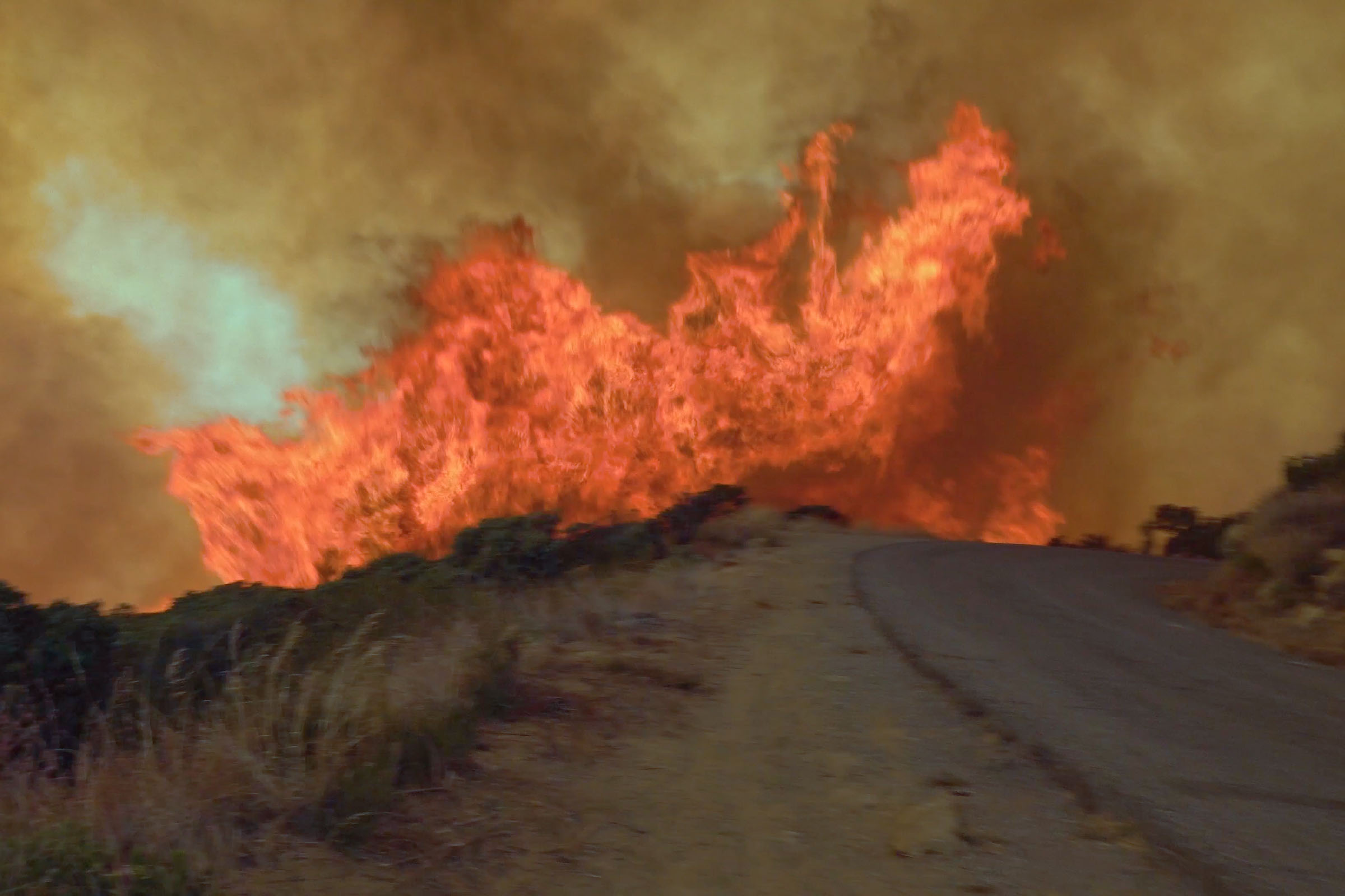
For Christopher and me, the Los Padres National Forest is home. An expanse made up of coastal sagebrush, towering pines, and deserts stretching across Central California. Across this forest lie 560 kilometers of trail and many more kilometers of dirt roads built for ranching, mining, logging, and firefighting. Of these trails, one of the most iconic – Santa Cruz Trail – burned in a forest fire in 2016, leaving little behind but erosion and landslides covered in invasive species. In the years since, I’ve worked with my non-profit, Sage Trail Alliance, to rebuild the 9 kilometers of singletrack descending from Little Pine Mountain down 1,300 meters to the Santa Ynez River.
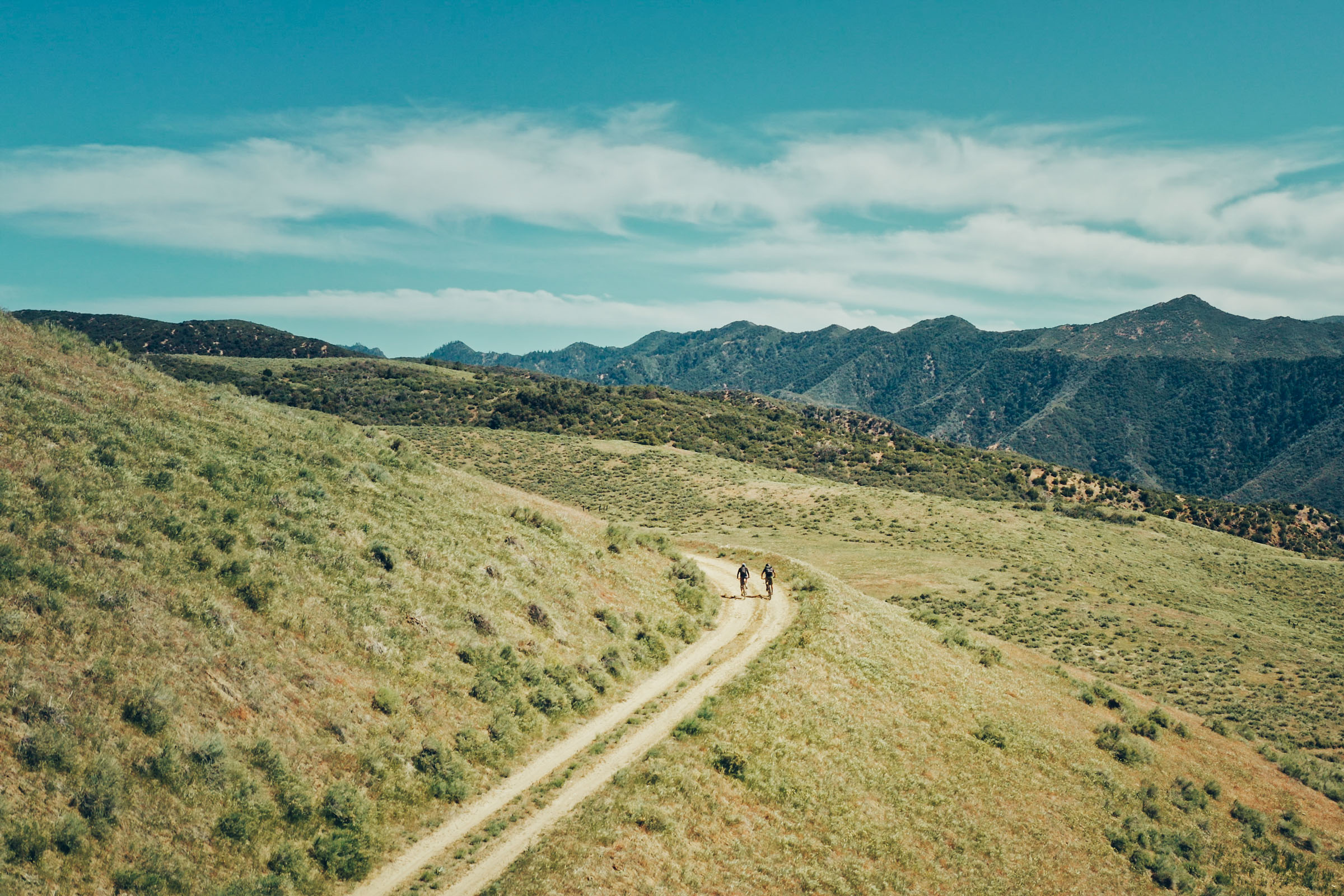
Over a coffee in Santa Barbara, Christopher and I discussed our mutual appreciation for the Sierra Madre Road, a dirt two-track that traverses the entirety of the Los Padres from north to south, undulating for 130 kilometers over varying marine sediments. Offhandedly, I mentioned the trail at the terminus of this road was now ridable again, and so began a year-long project to encourage appreciation and economic revitalization of the Los Padres.

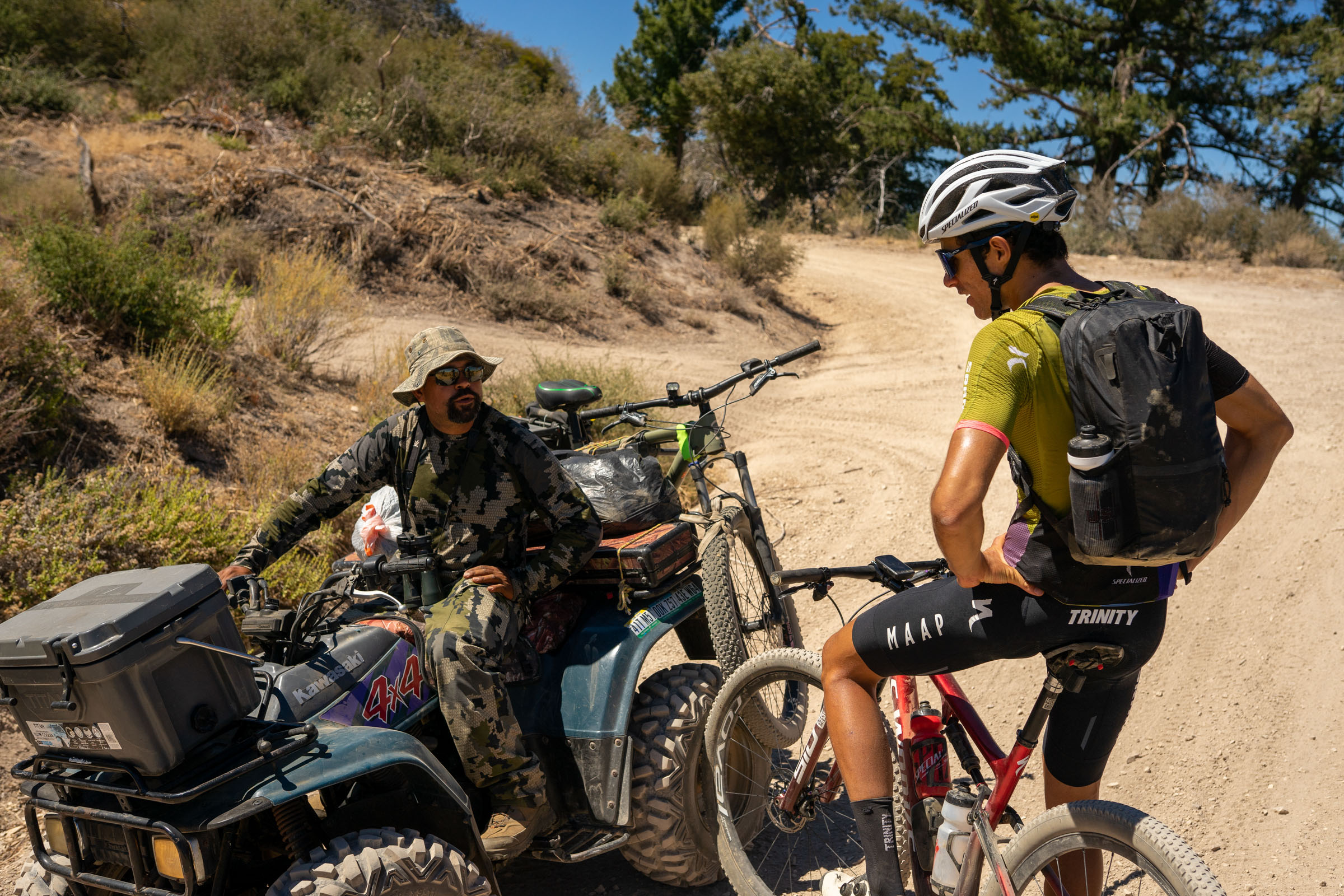
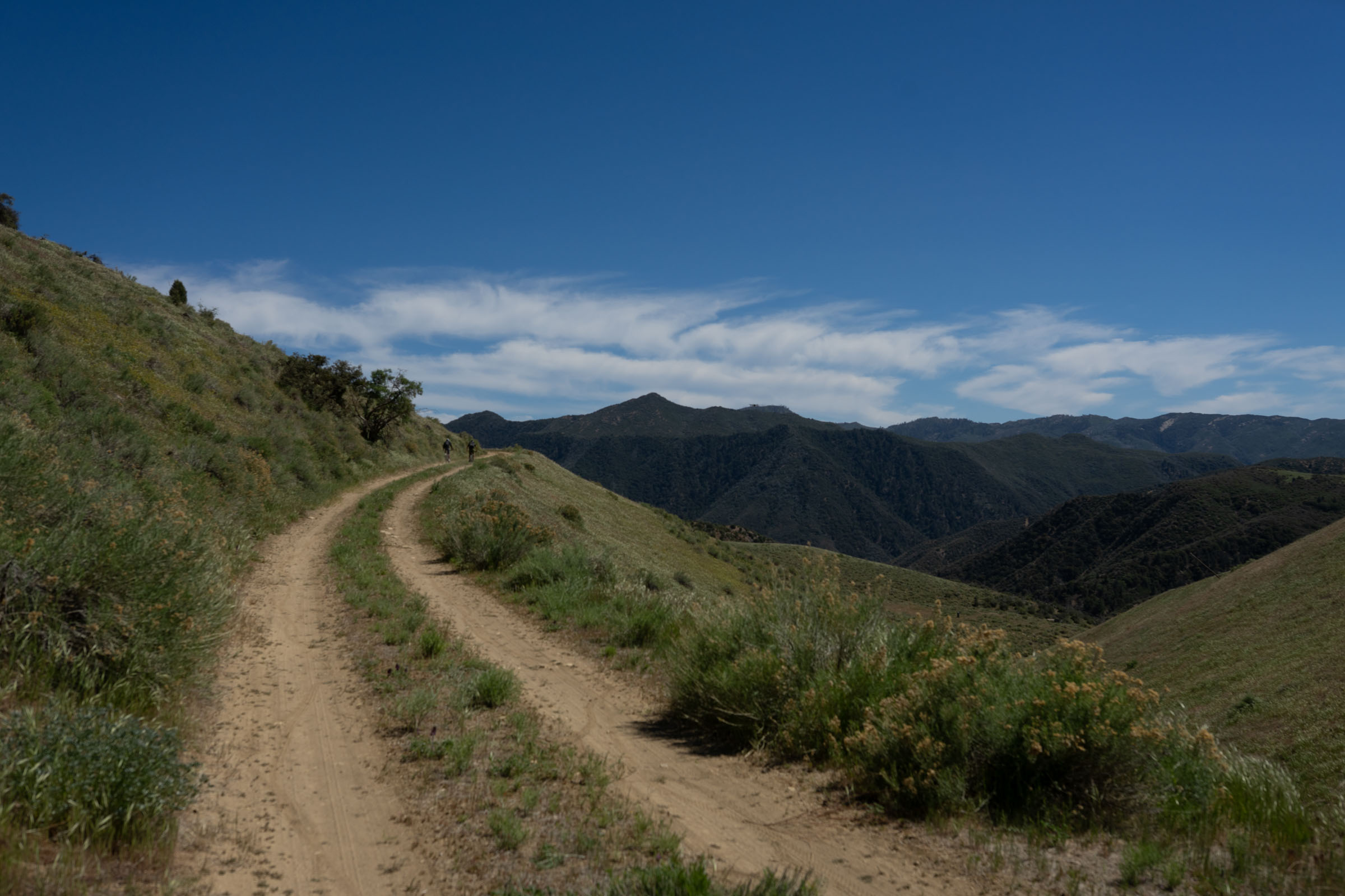
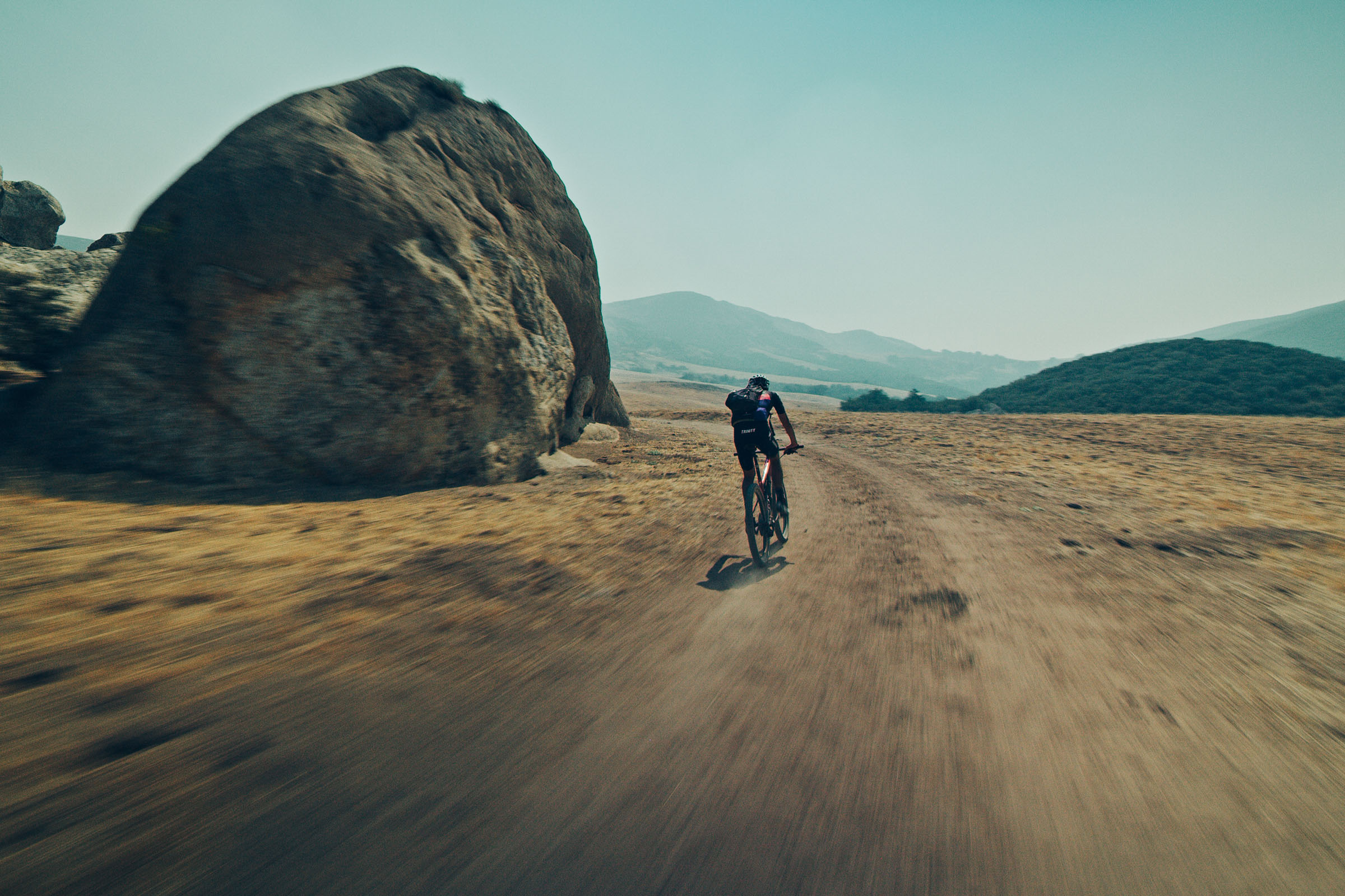
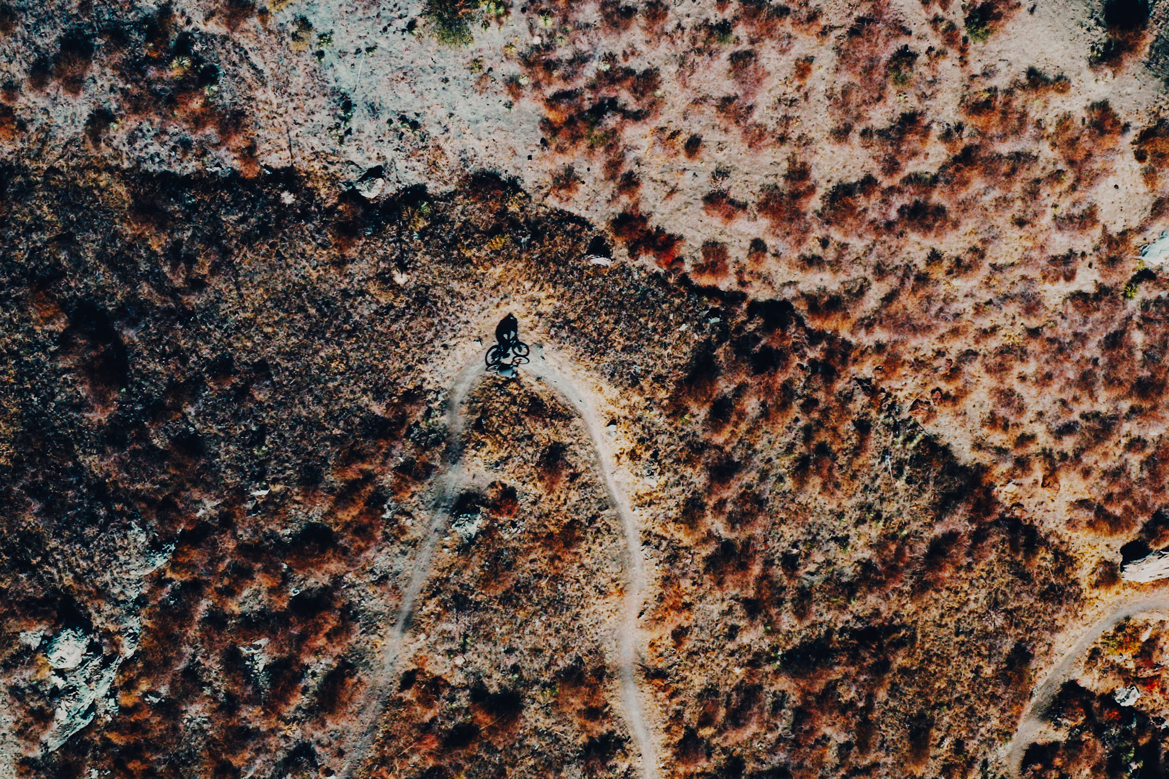
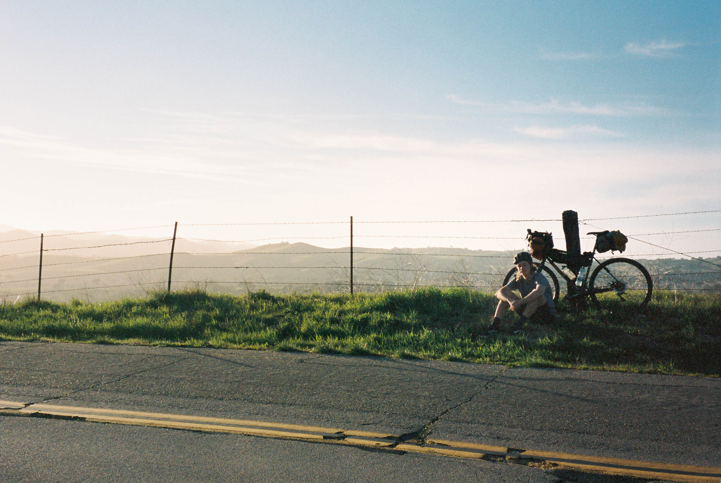
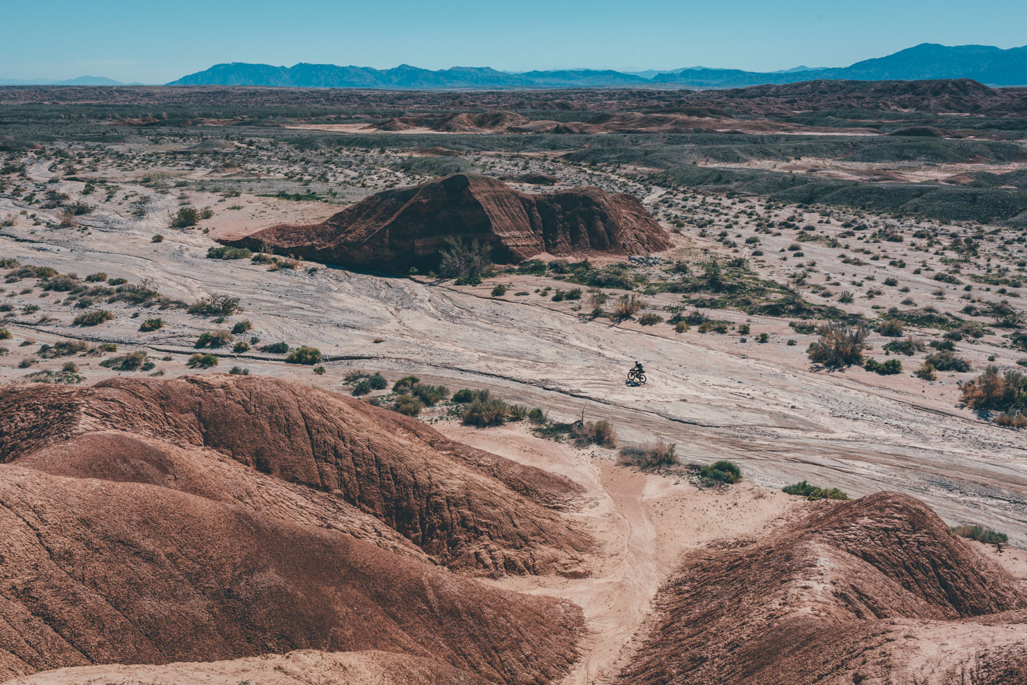
Before an FKT was attempted or discussed, Christopher and I rode the route at a “casual for an Olympian” pace. Beginning in New Cayuma, an oil and gas town on the edge of the Mojave Desert, the route starts with a 1,300-meter climb up into the San Rafael Mountains. As one gains perspective, agricultural fields, oil derricks, and desert scrub appear to dominate the landscape, defining the communities amid them. Once to the ridgeline, the road becomes more sinuous, tracing just outside of the San Rafael Wilderness, allowing views into Wild and Scenic Rivers, of condor sanctuaries, and undisturbed pine forests. Setting down the bike, one can walk into long-abandoned ranching cabins and cave overhangs filled with Chumash art.
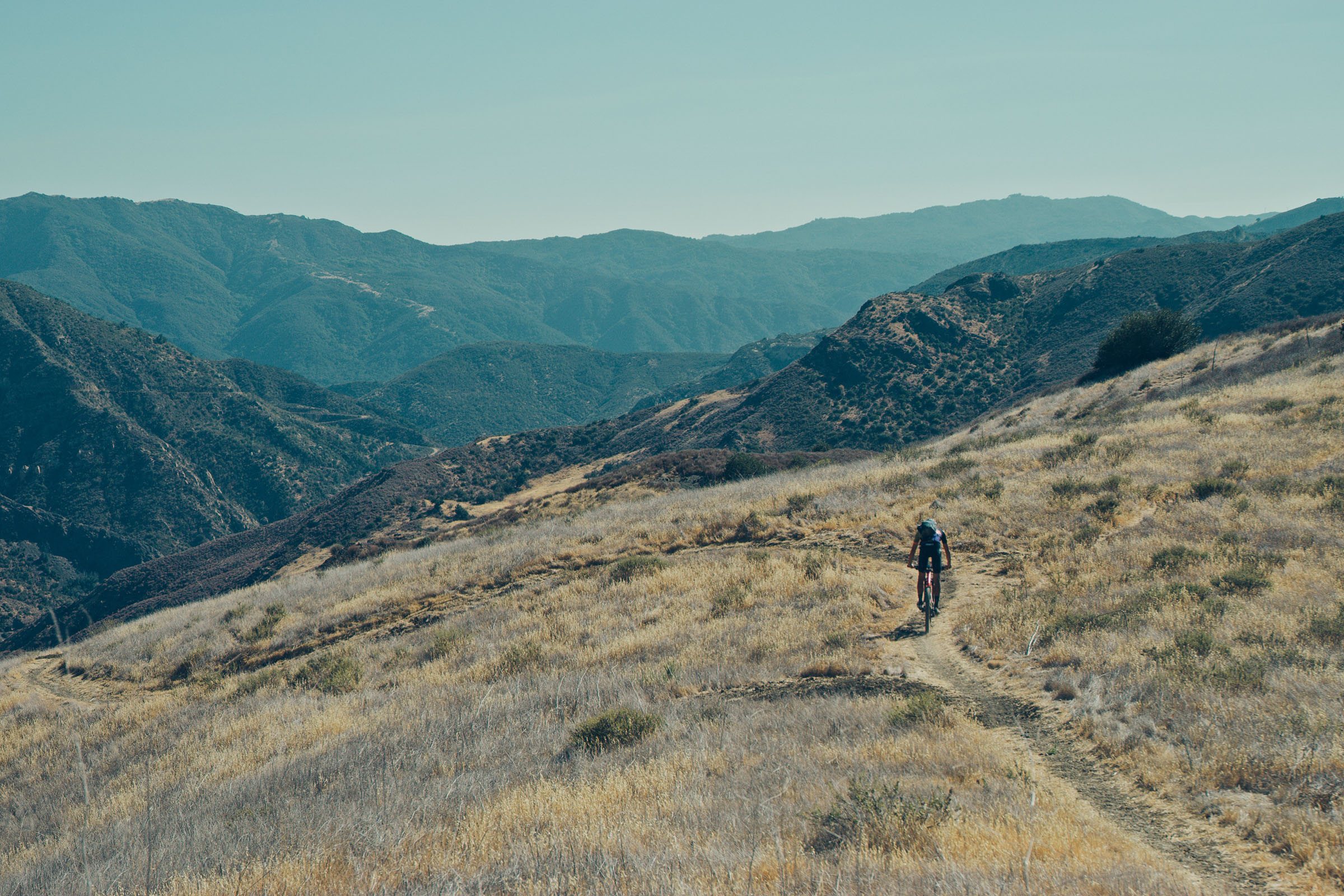
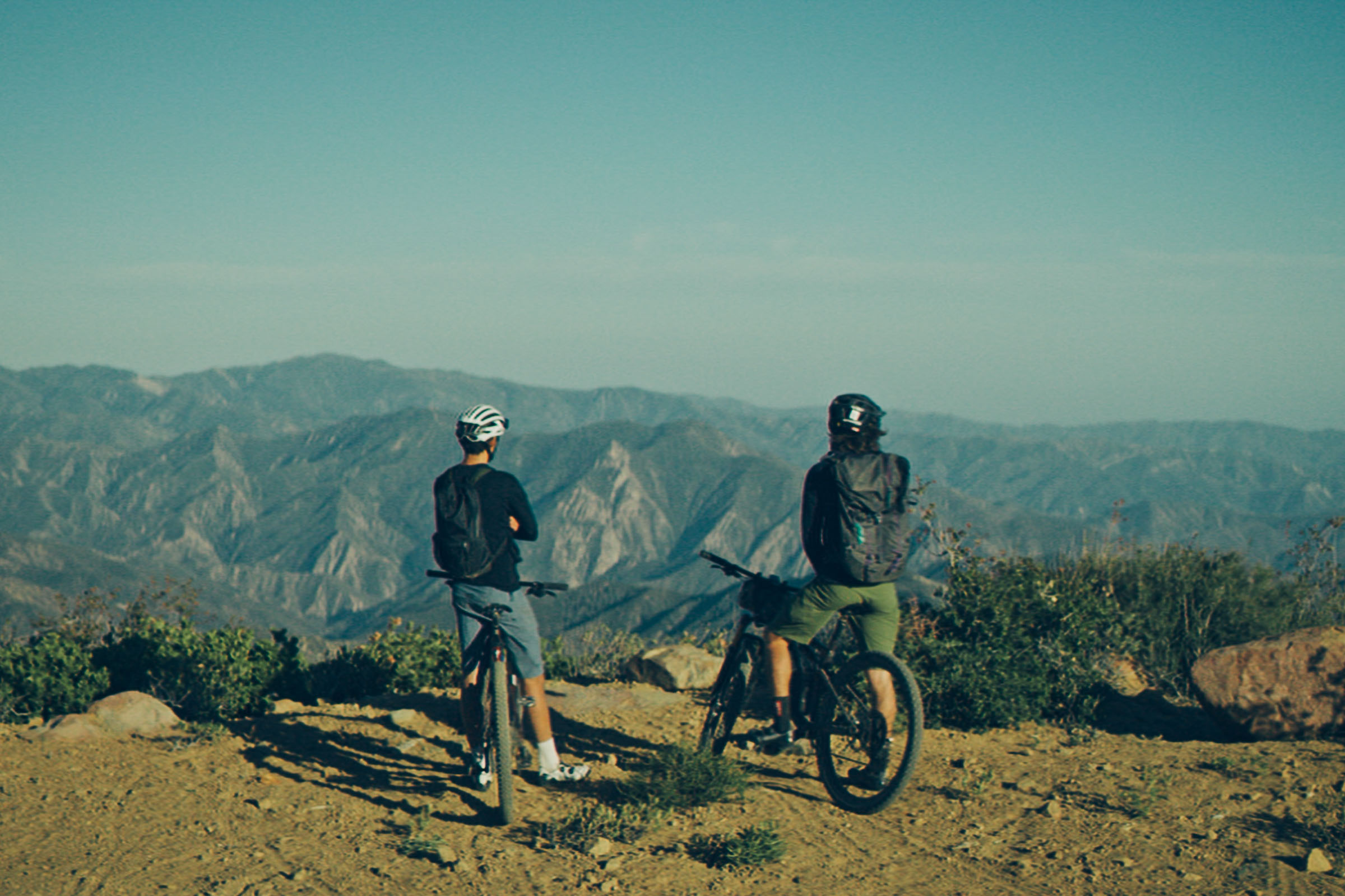
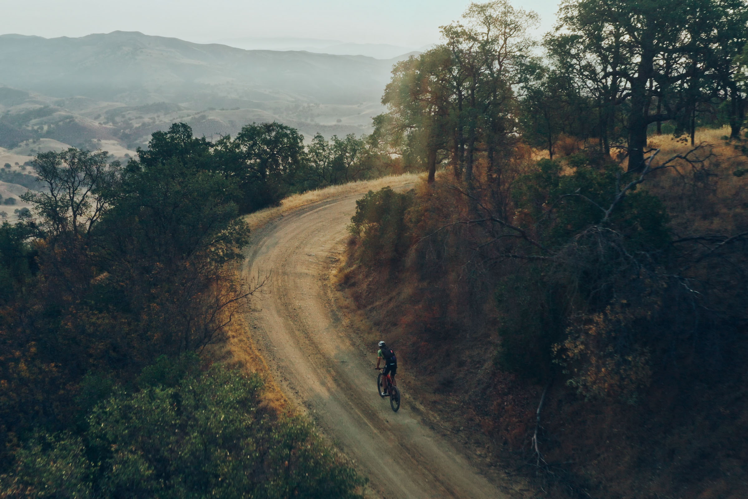
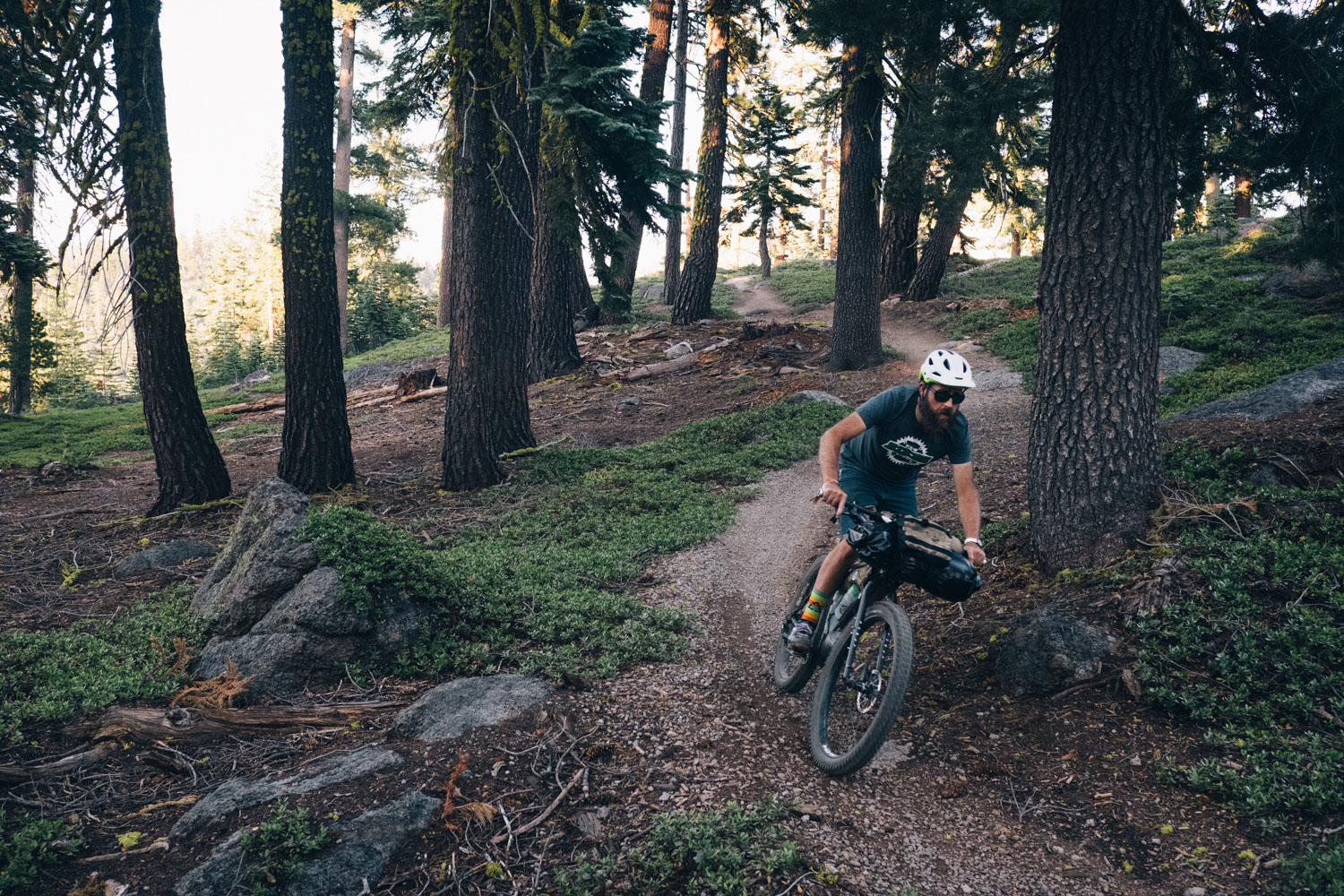
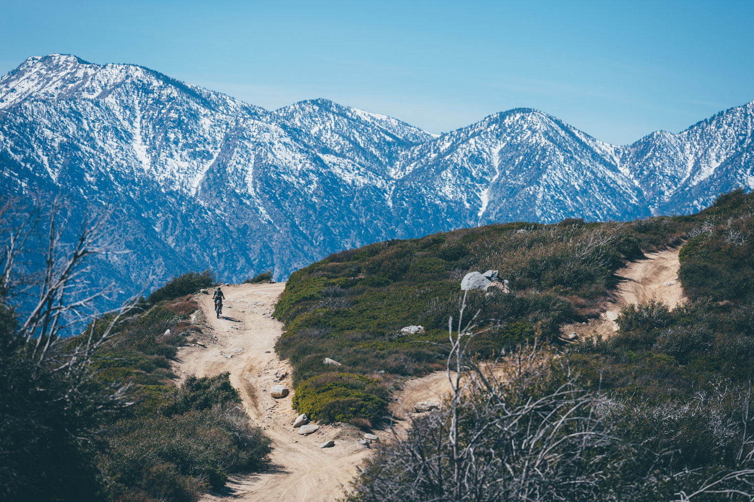
For the next 40 kilometers, the route follows this ridge until it turns south toward the Pacific Ocean. At this turn, the climbing begins again, for 1,200 meters up to Big Pine Mountain, the highest point in the San Rafael Mountains. While looking up is encouraged, for the next 30 kilometers, the Sierra Madre is one of the few bike legal (yet closed to cars and motorcycles) dirt roads between two wilderness areas (Dick Smith and San Rafael). Looking left or right provides one with the same sense of what land set aside for preservation truly means. Thick stands of conifers, gradients of mountains fading into forever with no power lines or oil derricks in sight, no sound but the wind carrying down valleys. Once atop Big Pine, the route sawtooths its way to Little Pine Mountain, where Santa Cruz Trail takes travelers to the endpoint. The trail is technical enough that a gravel bike isn’t recommended. Even on a mountain bike, views of the Channel Islands National Park and abundant horny toads amid the yucca are enough to keep you distracted from the trail itself.

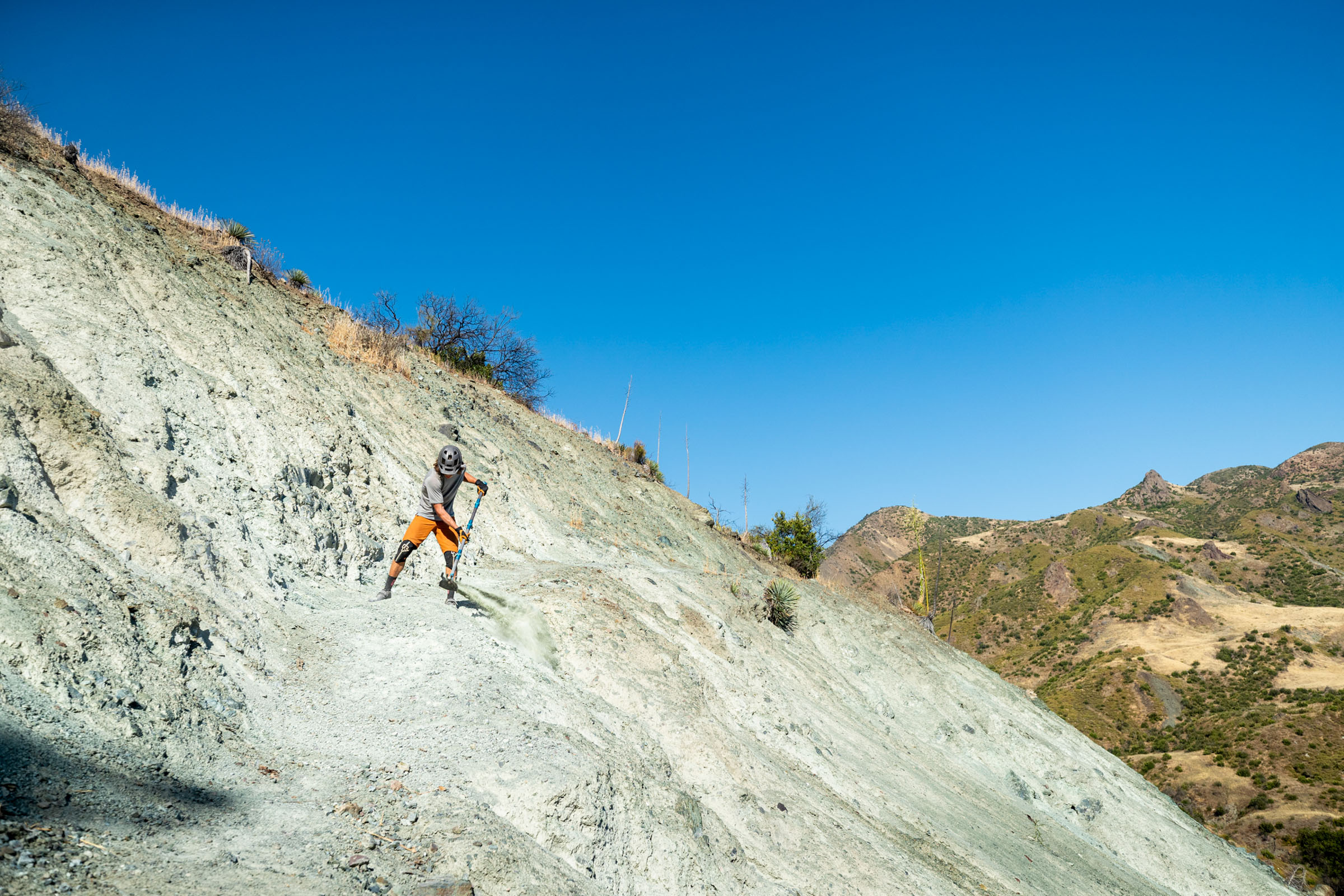
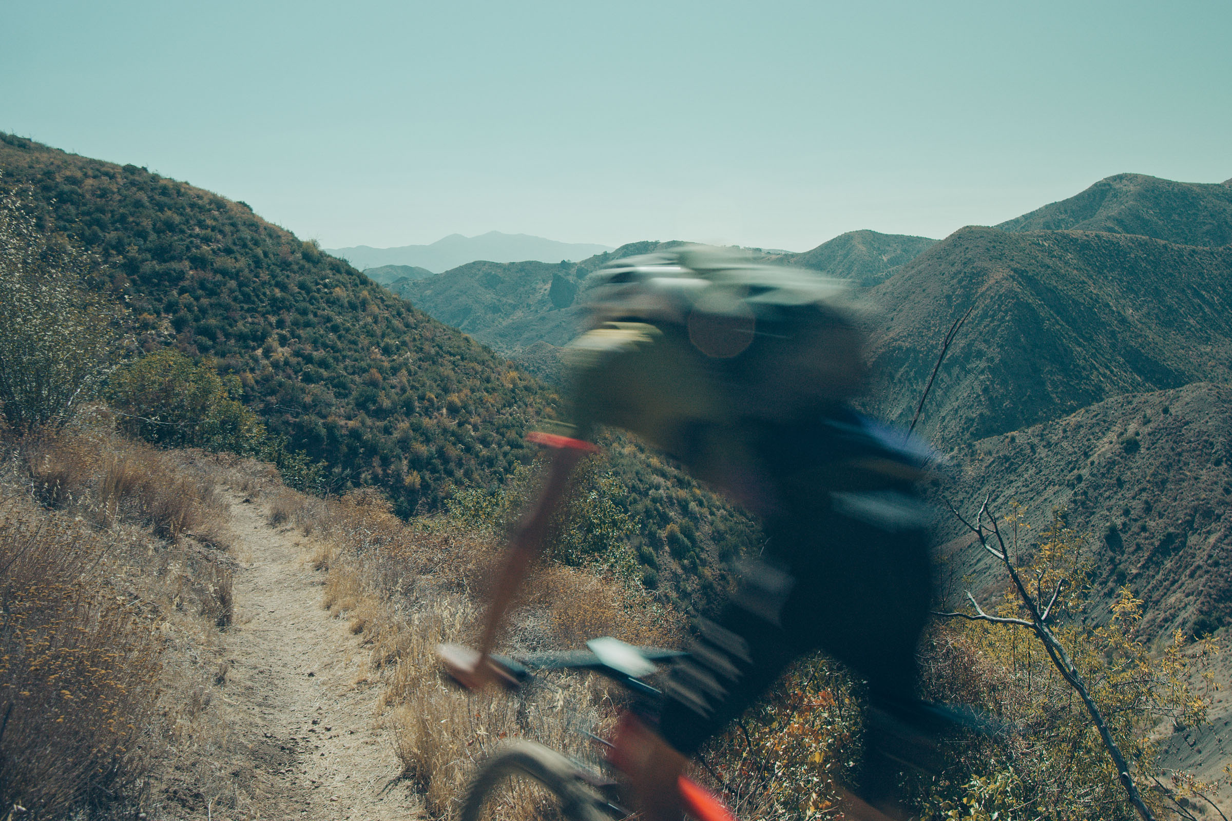

The route’s condition depends on the time of year, with dry conditions leading to dust and loose singletrack, while winter can bring snow to high elevations and cause deep clay mud. Fall and spring tend to be ideal in terms of conditions and temperature. The route is 130 kilometers in length and climbs 3,500 meters over its course. There are a multitude of water stops along the route, the best of which is Chokecherry Springs at the halfway point (you won’t miss the giant water trough right by the road). As a bikepacking route, it’s best to park one car at Lower Oso Parking lot on Paradise Road and another at the OHV area across the street from the route’s beginning. There are ample camping opportunities in meadows or under pines along the traverse, and typically the route is done in two days. The current FKT stands at 6 hours and 19 minutes.
Through this film, we worked to bring attention to the intricacies that underlie our recreation: extraction, conservation, communities, and history. As part of this commitment, shirts with designs by Shredders Digest as well as zines with photography and words by Chris and me are available at Stilspoke.com, with proceeds going to local non-profits including my trail stewardship, Sagetrail.org.
Learn more about the Long Traverse project at Stilspoke.com.
Related Content
Make sure to dig into these related articles for more info...
Please keep the conversation civil, constructive, and inclusive, or your comment will be removed.