


The Sand County Caress
Distance
106 Mi.
(171 KM)Days
2
% Unpaved
50%
% Singletrack
0%
% Rideable (time)
96%
Total Ascent
781'
(238 M)High Point
1,011'
(308 M)Difficulty (1-10)
3?
- 1Climbing Scale Easy7 FT/MI (1 M/KM)
- -Technical Difficulty
- -Physical Demand
- -Resupply & Logistics
Contributed By
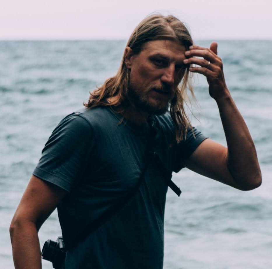
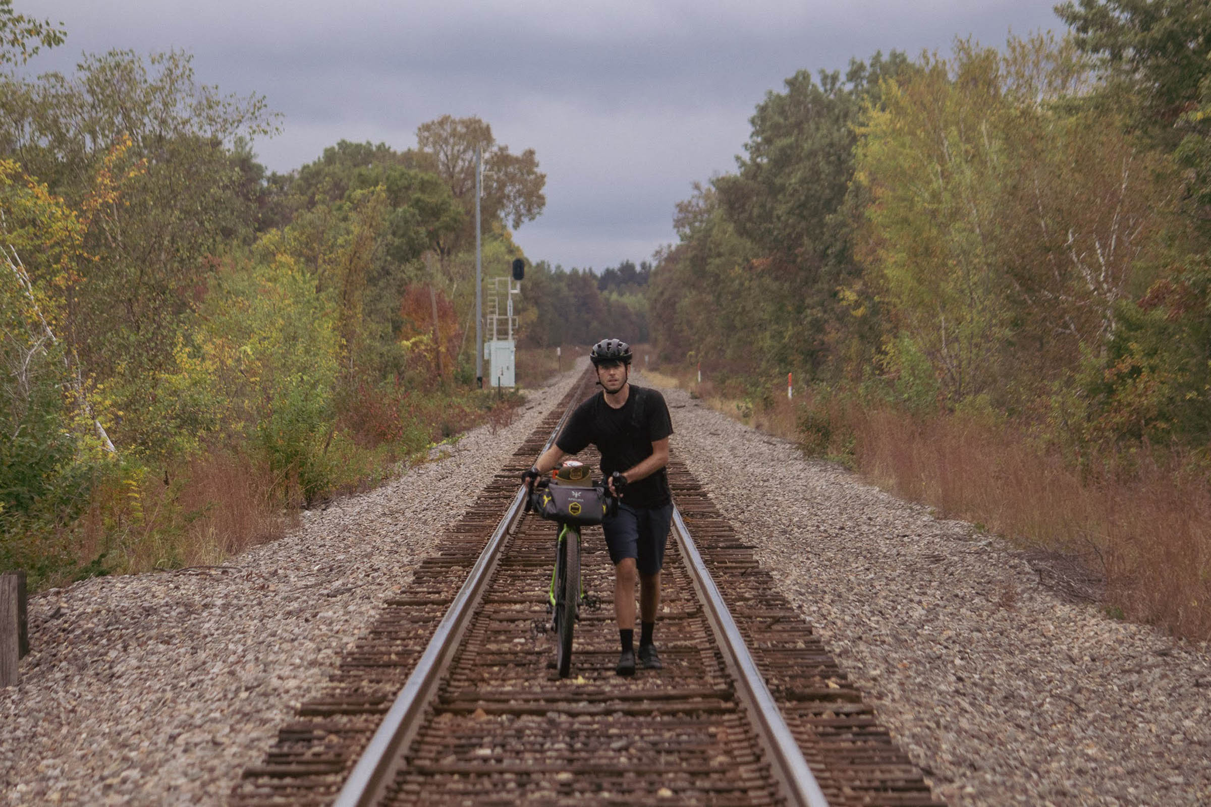
Nick Karwoski
Guest Contributor
Nick is a born Wisconsinite and has roamed the country in search of cycling the path less traveled. He loves to connect the dots on the map and share it with others.
Follow Nick on Instagram @bicycleexplorersclub and on YouTube.
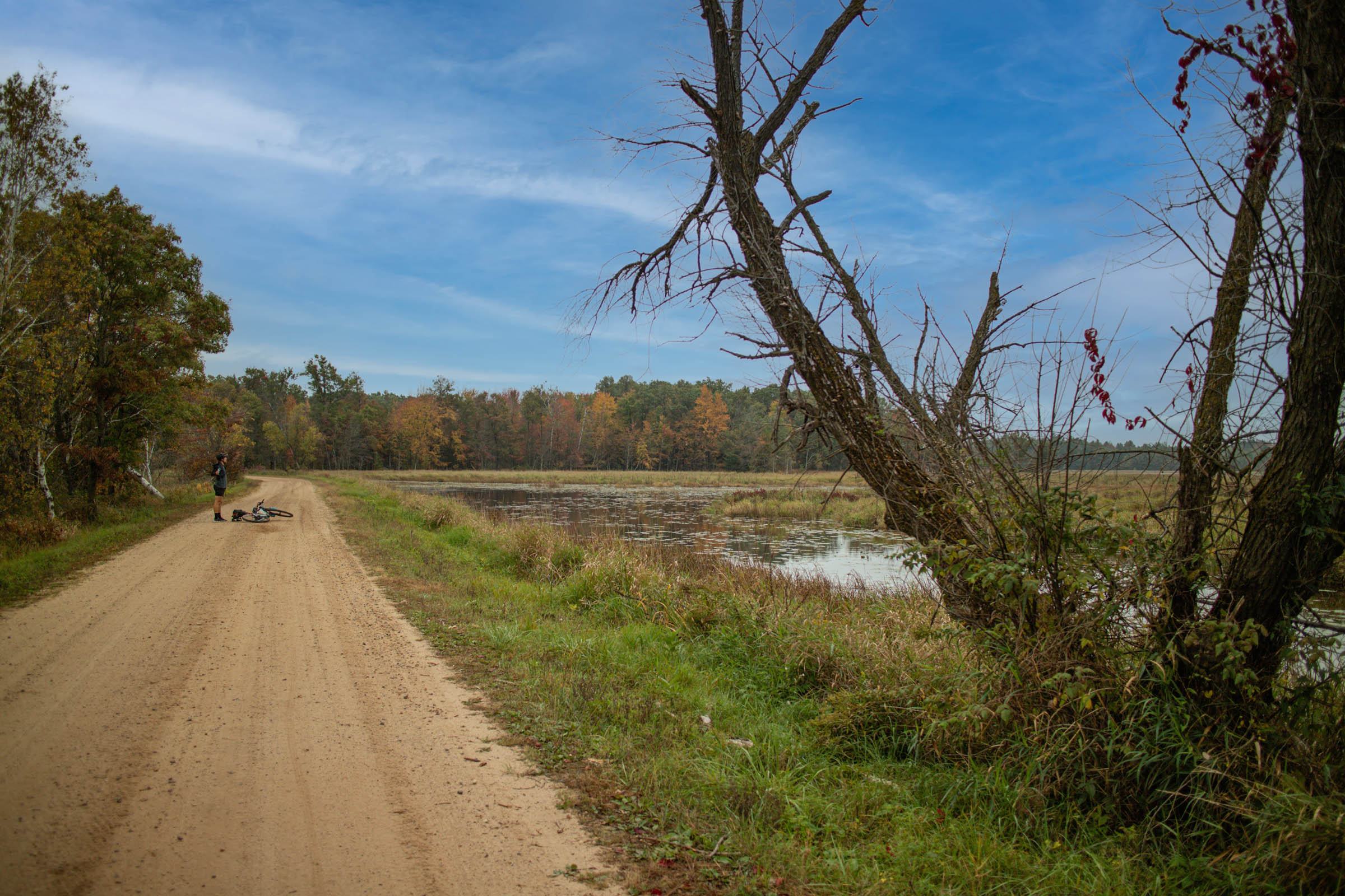
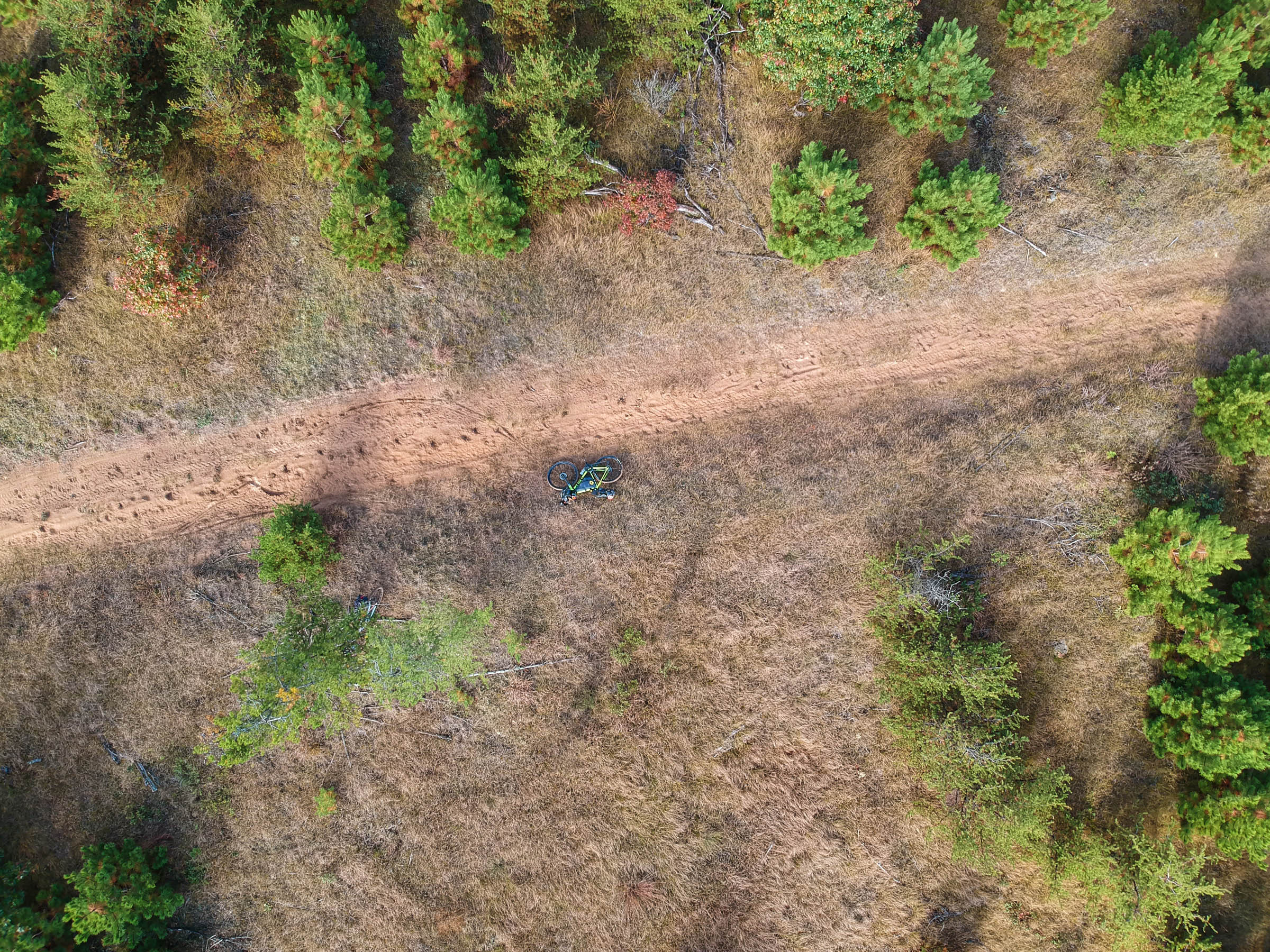
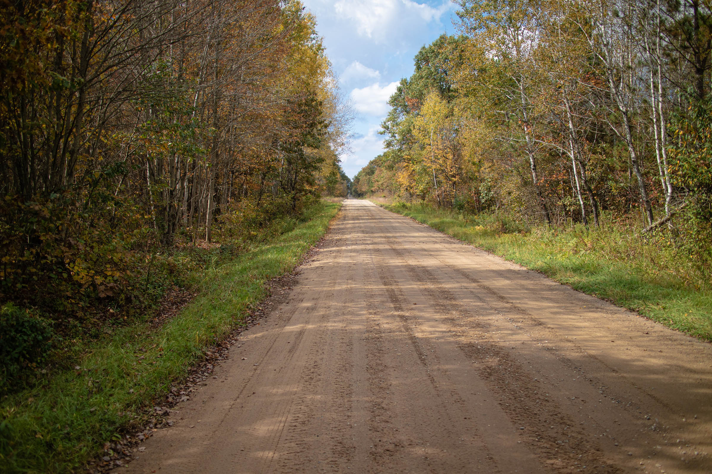
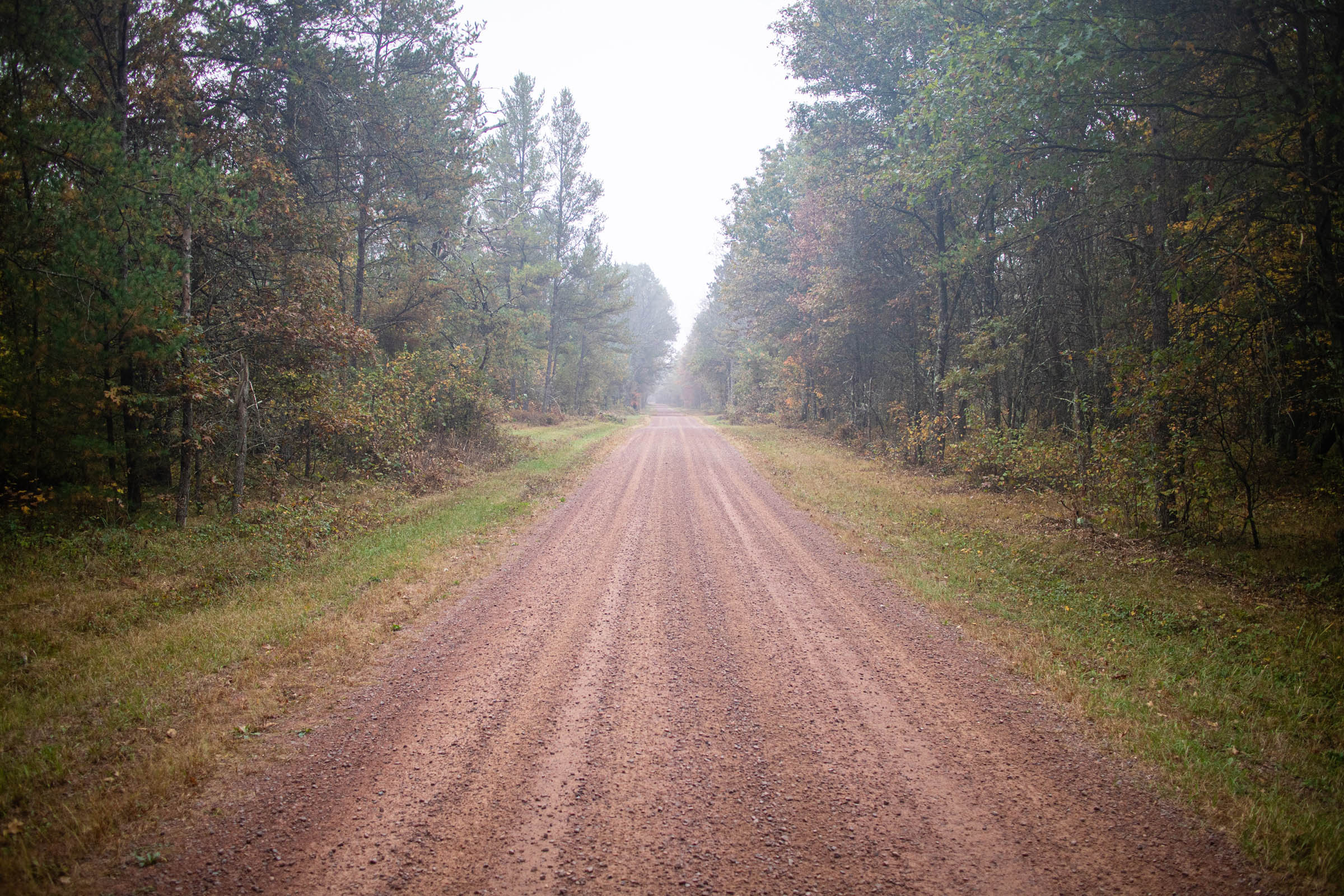
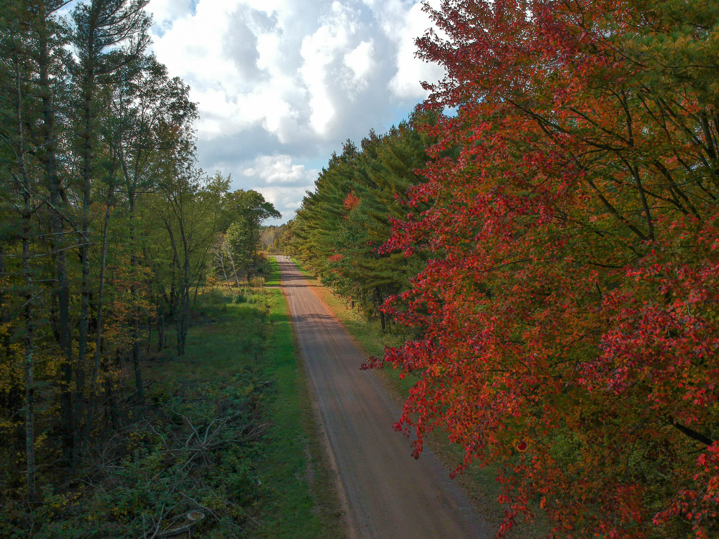
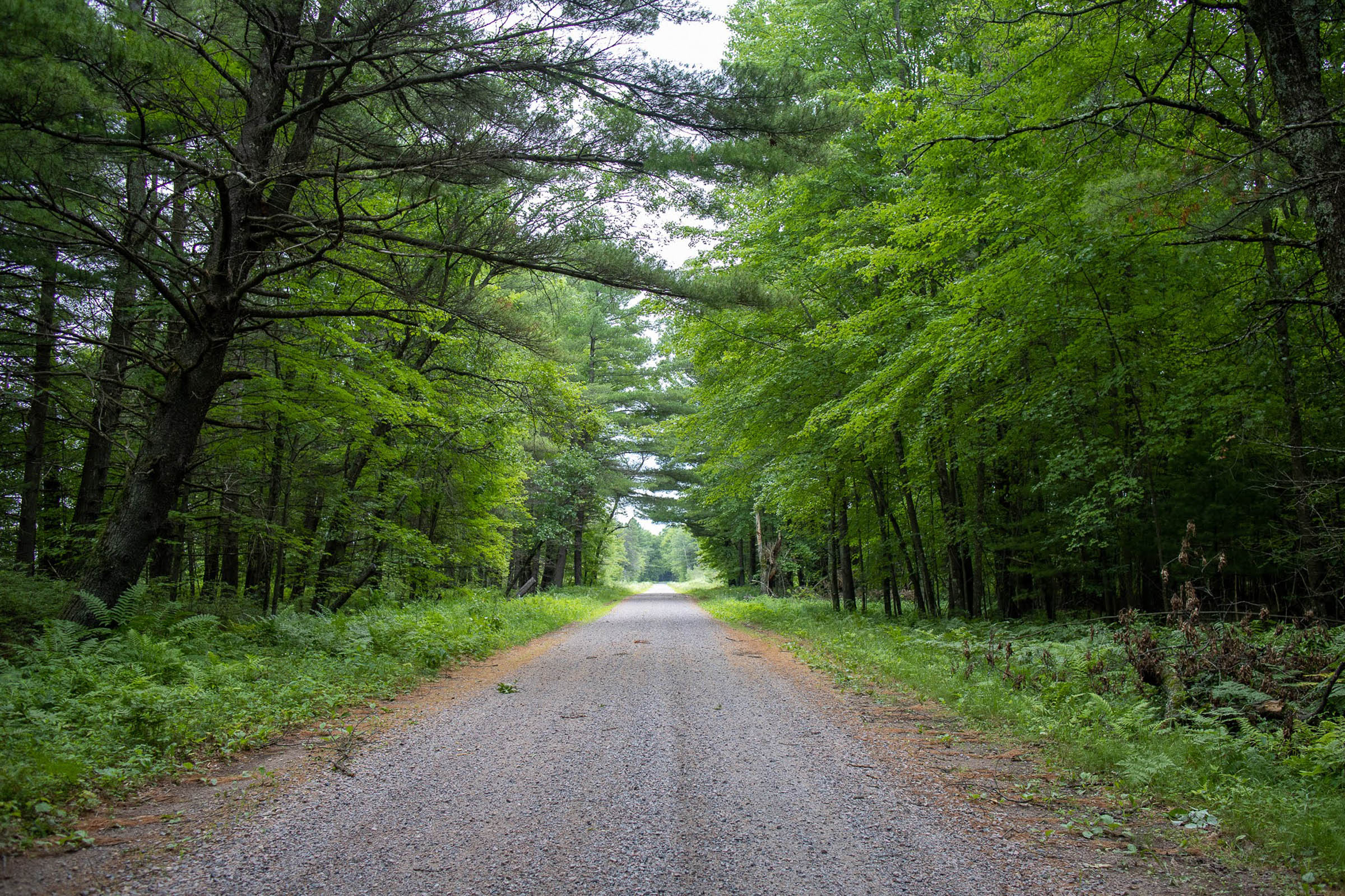
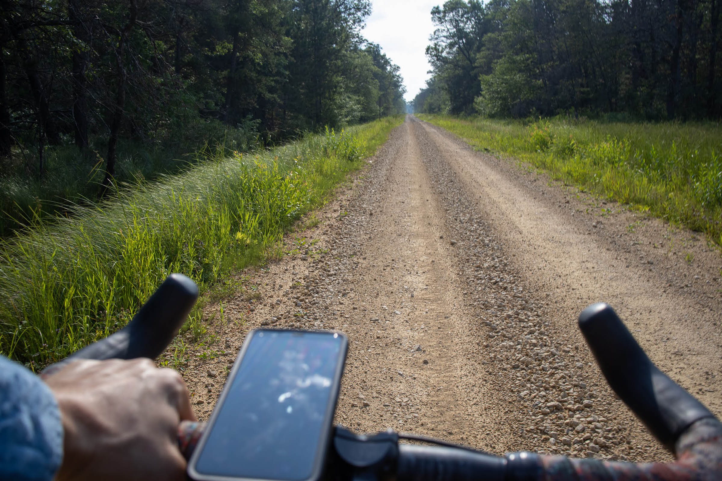
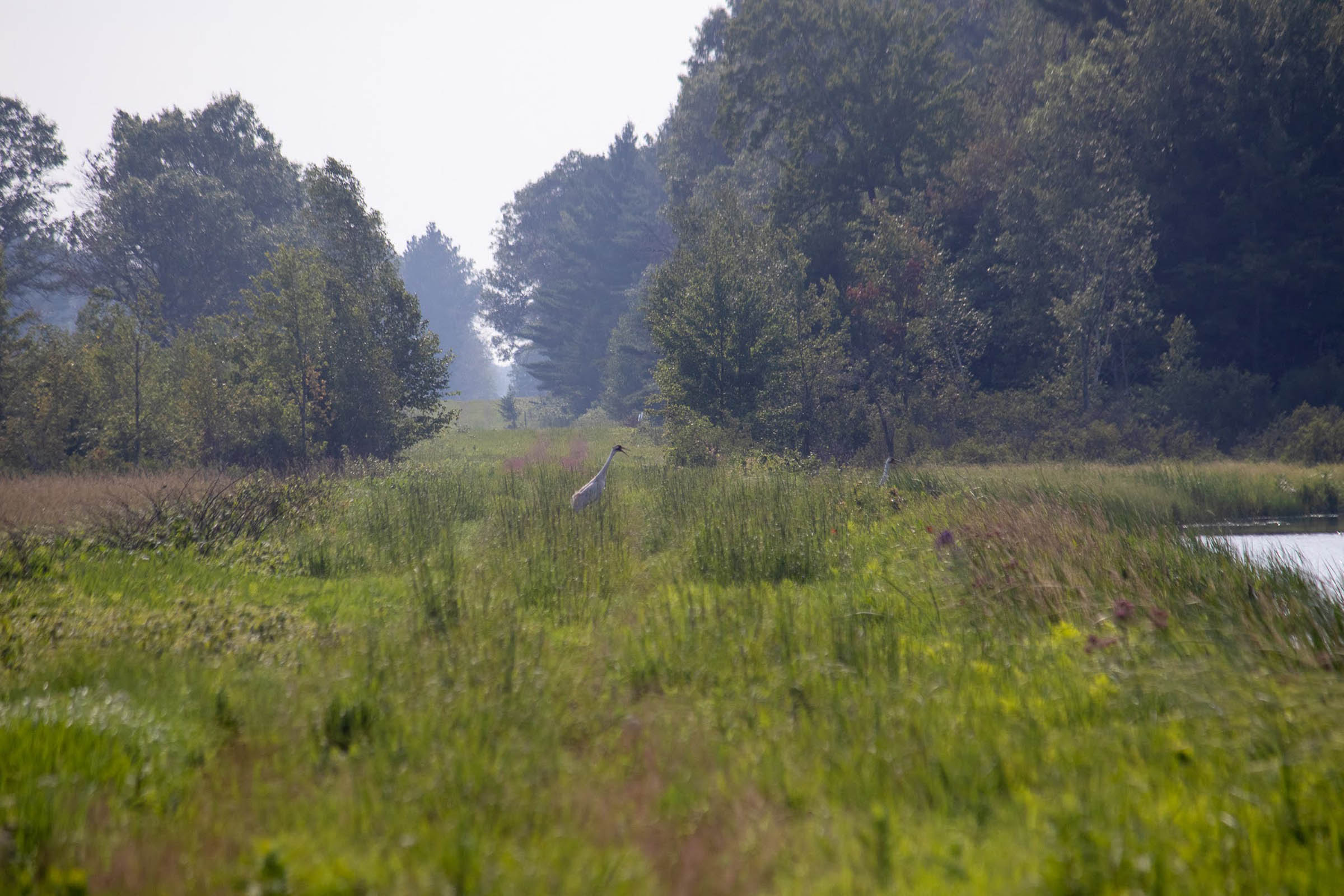
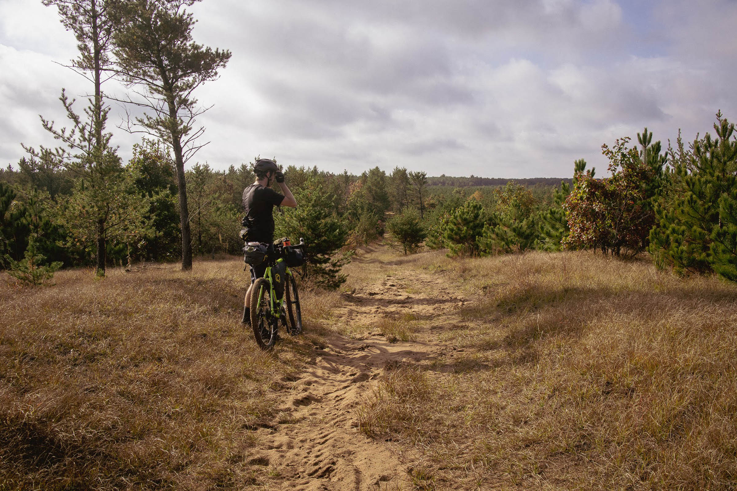
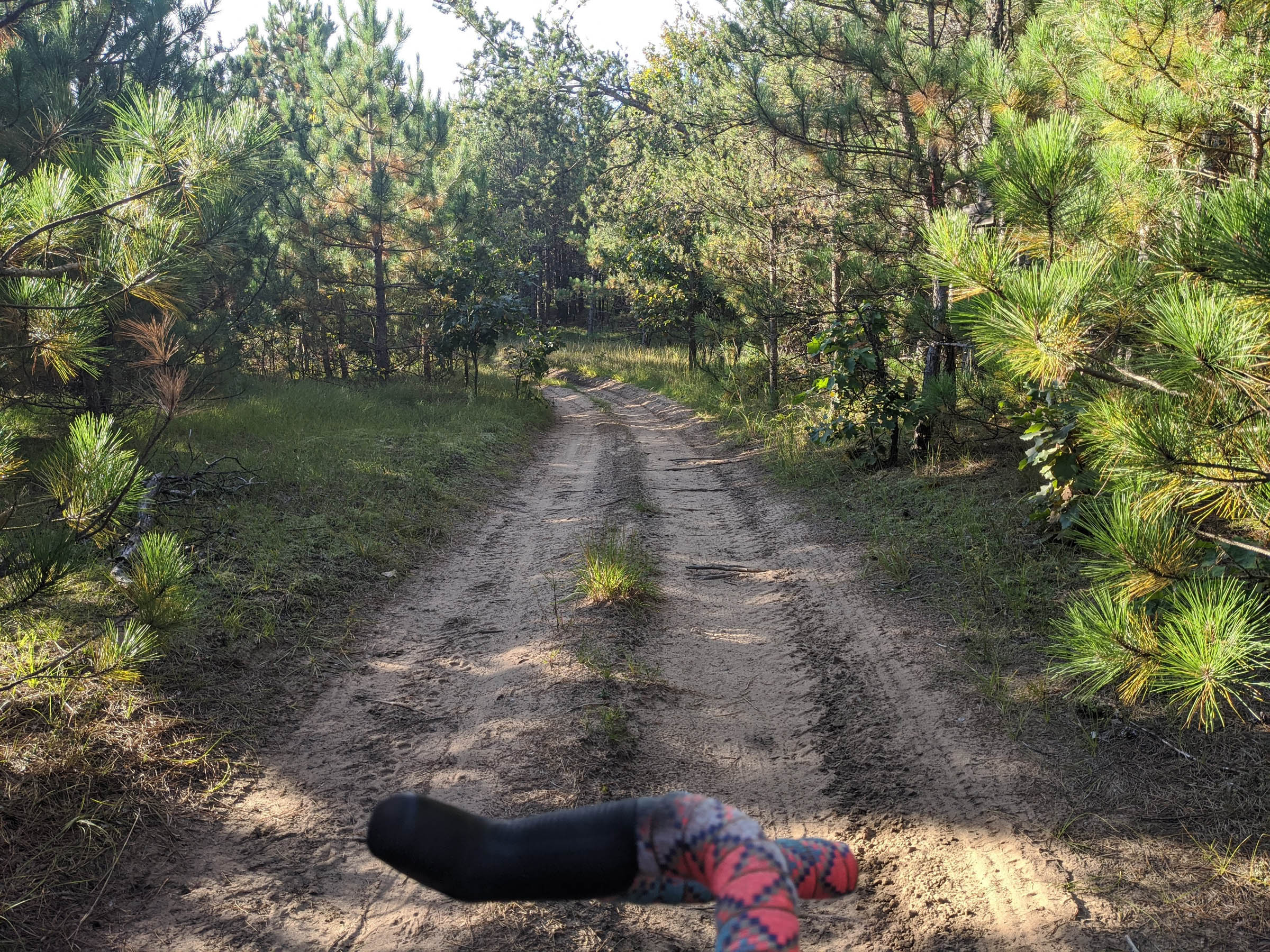
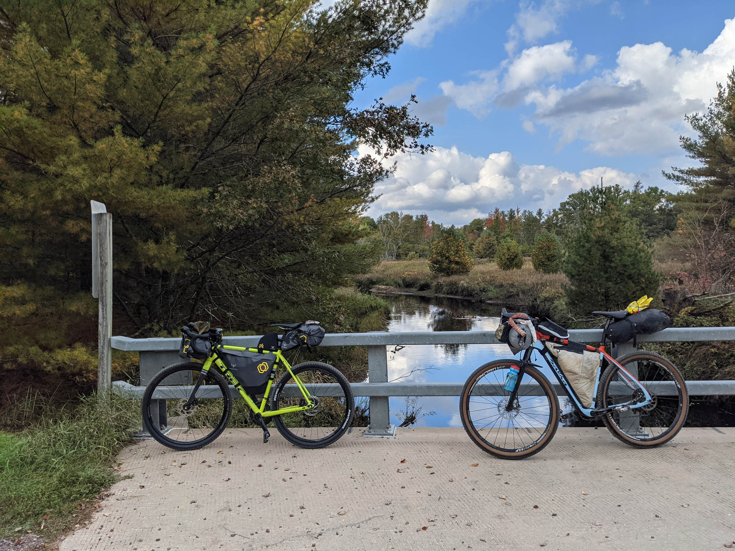
The Sand County Caress (SCC) was inspired by naturalist Aldo Leopold’s seminal work The Sand County Almanac and is a deep dive into Aldo Leopold country. Savanna, marshes, lakes, rivers, farms, and wildlife areas abound. Bald eagles soar, deer bound, sandhill cranes squawk, and whooping cranes (one of the rarest birds in North America) are all on display on this journey. This route is not a typical “Midwest Gravel Grinder,” and surface snobs need not apply. The hardest part of the SCC doesn’t come from elevation per usual, but from the unusually sandy terrain leftover from the last ice age—you are riding on the bed of Glacial Lake Wisconsin. If you like sandy gravel, sandy dirt, or just plain sand, you’ll love this type 2 fun.
“To those devoid of imagination a blank place on the map is a useless waste; to others, the most valuable part.” -Aldo Leopold
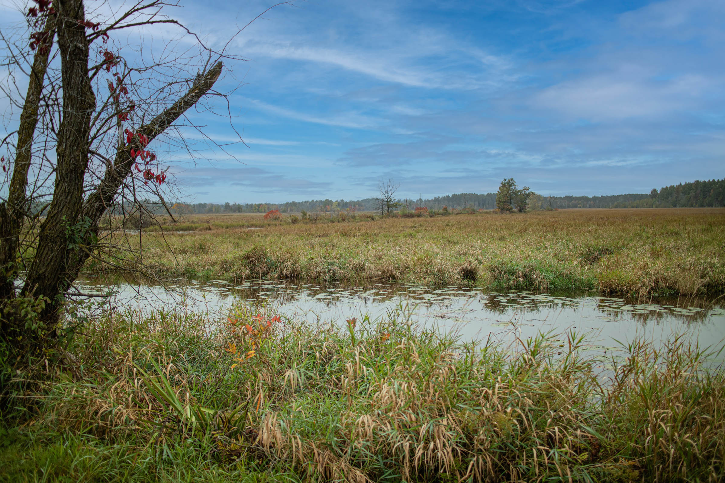
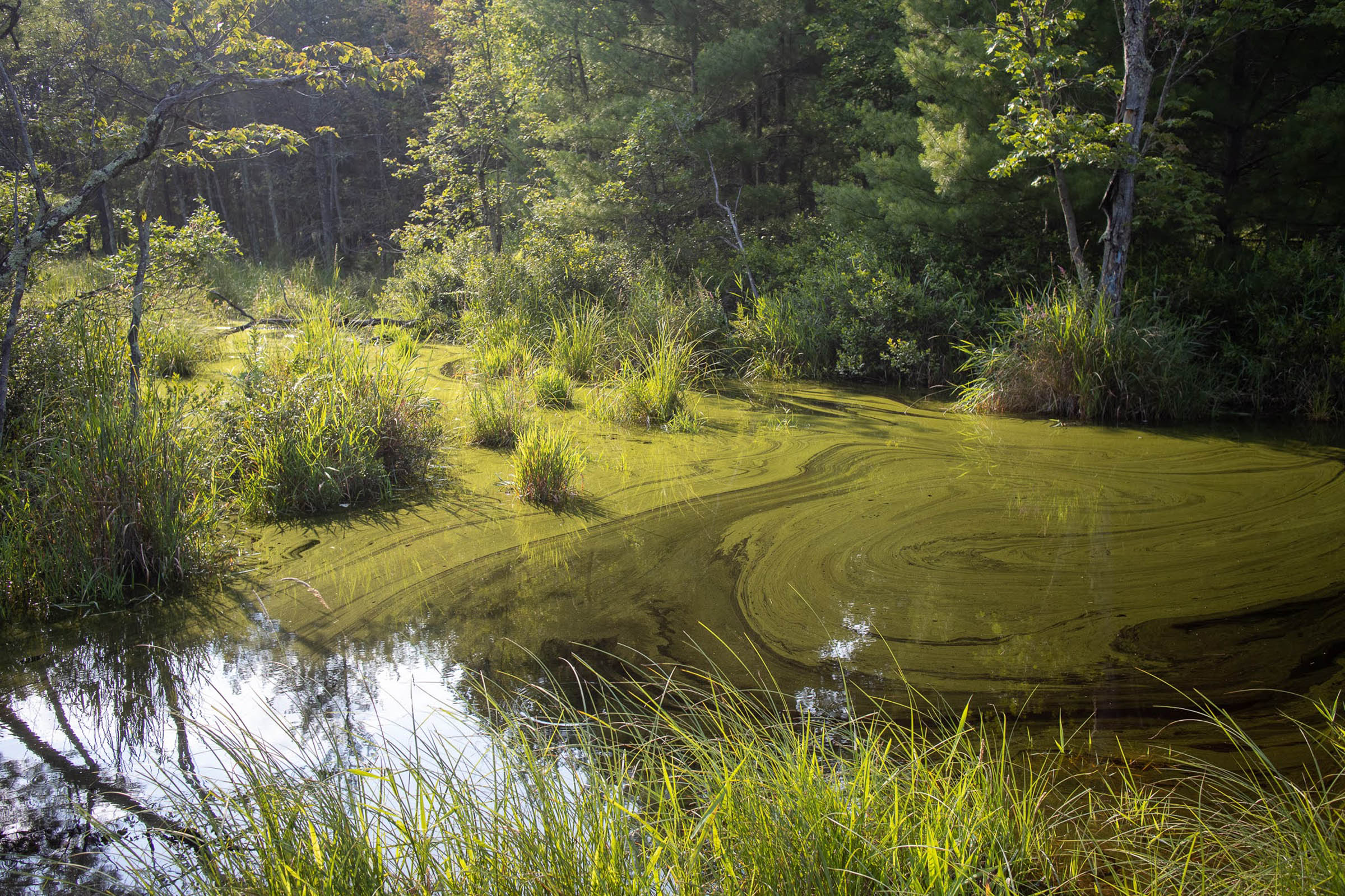
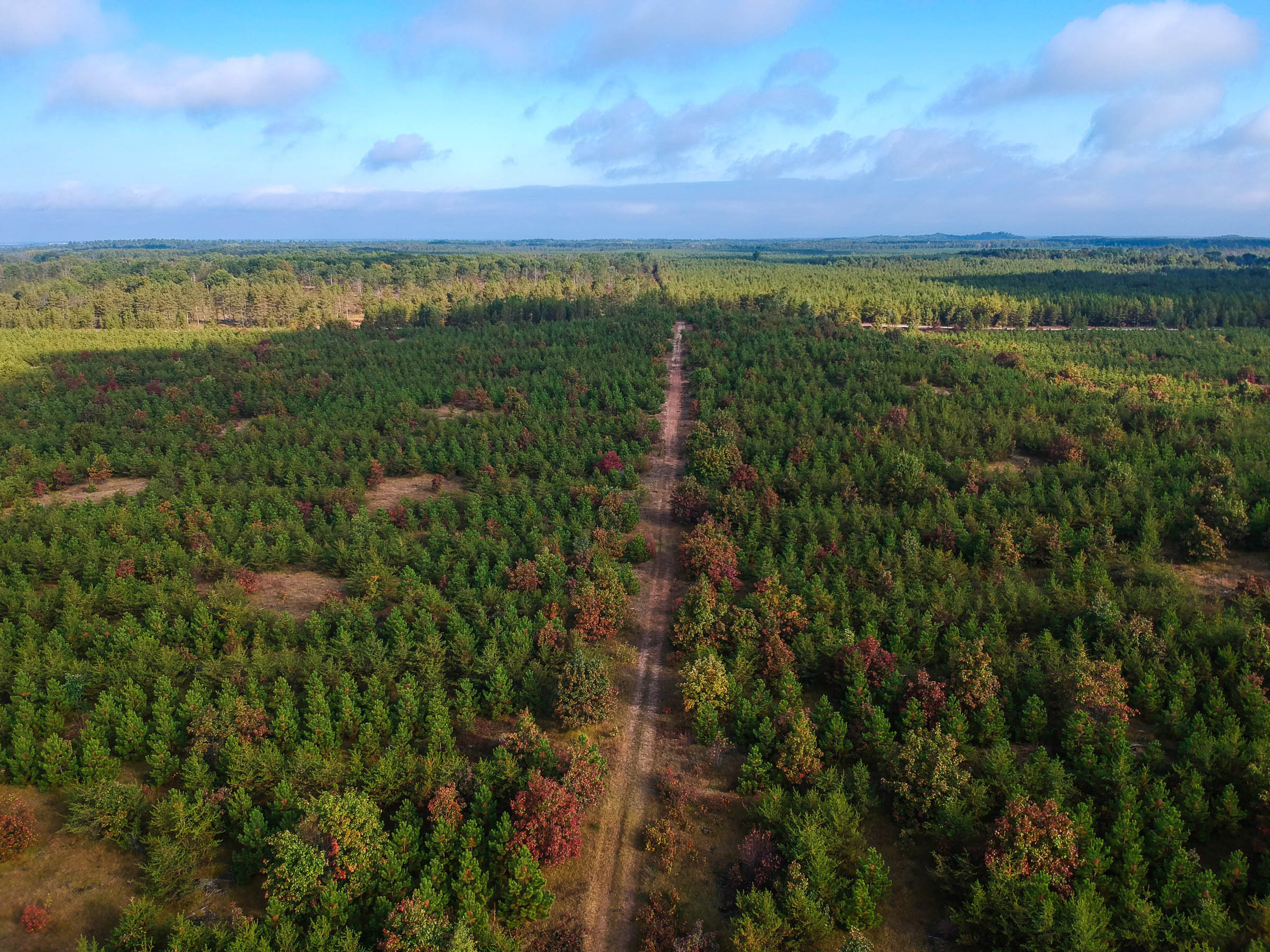
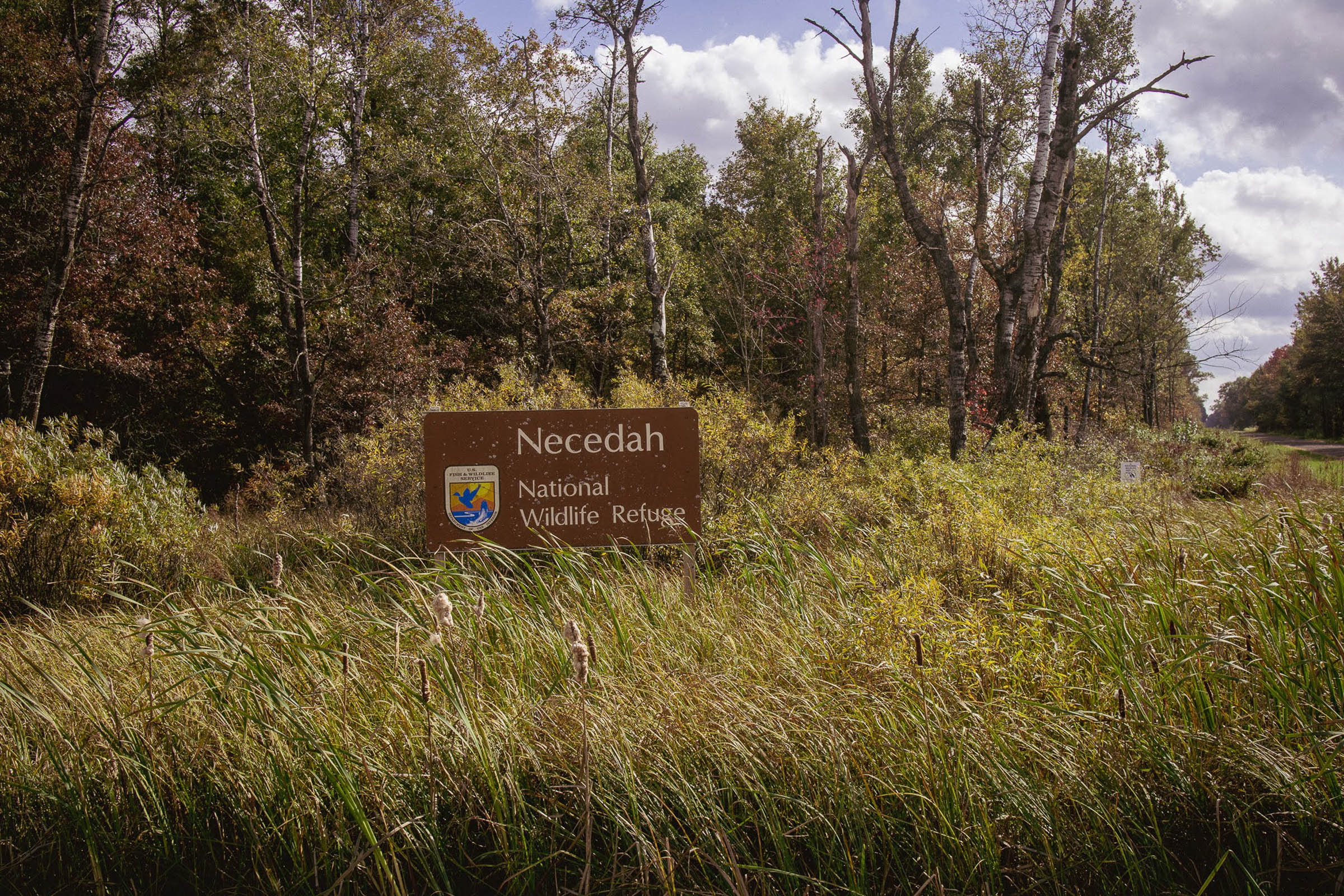
The Sand County Caress will take you through Necedah National Wildlife refuge. “A mosaic habitat of sedge meadow, savanna, prairie, and pine-oak forest established in 1939, Necedah National Wildlife Refuge is home to ringed boghaunter dragonflies, whooping cranes, trumpeter swans, wolves, Karner blue butterflies, badgers, and red-headed woodpeckers.” Additionally, you will ride through (and camp in) a mirror image of the former in Wisconsin’s own Meadow Valley Wildlife area.
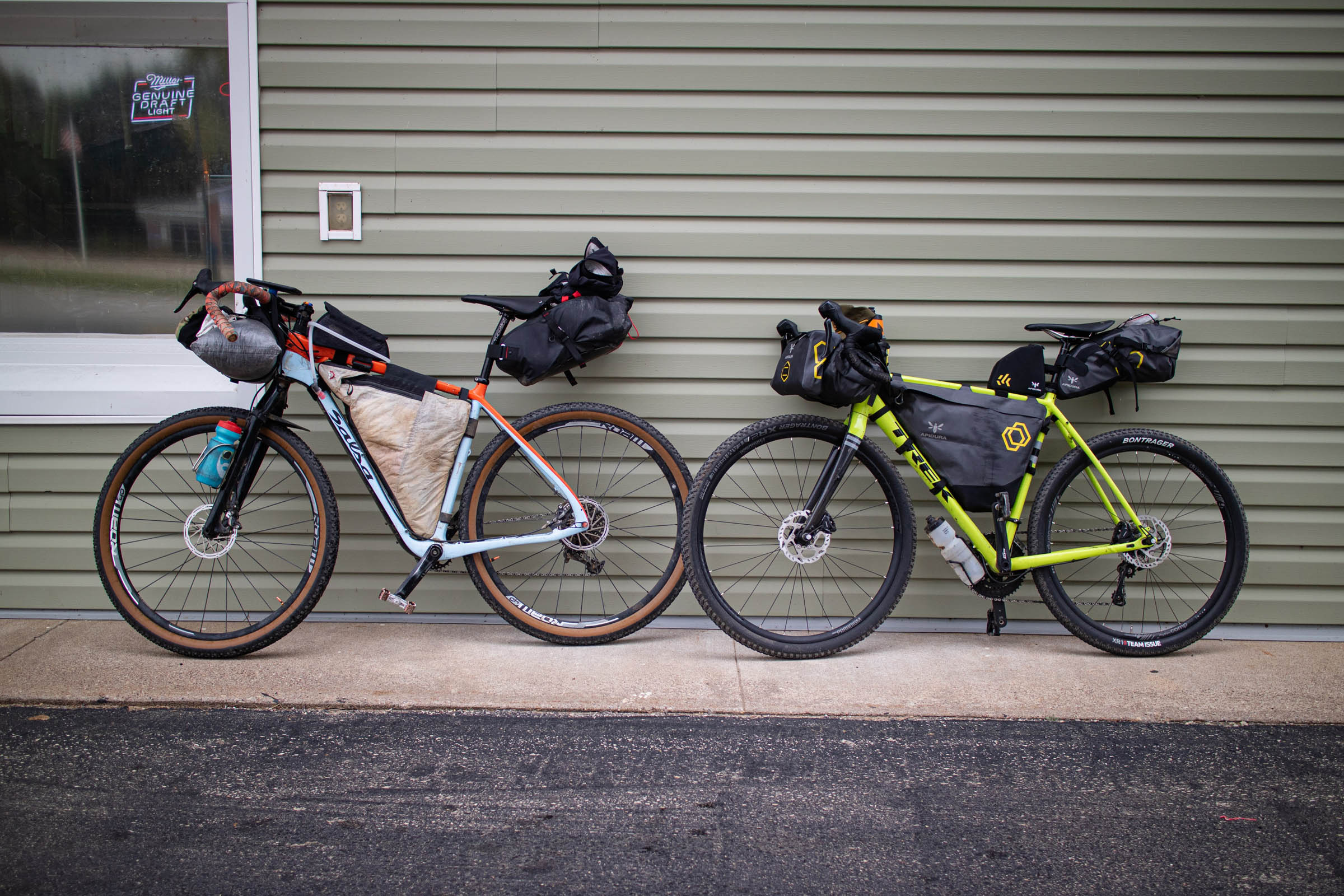
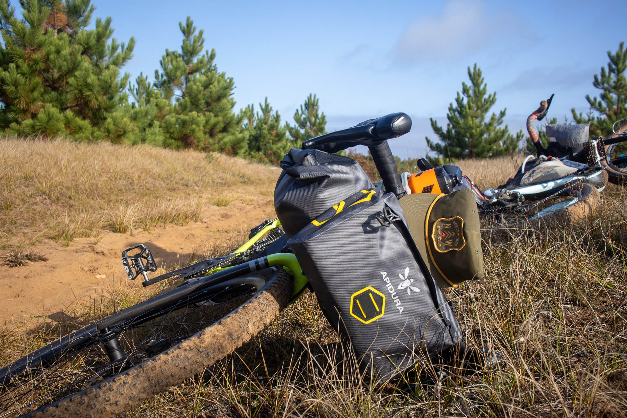
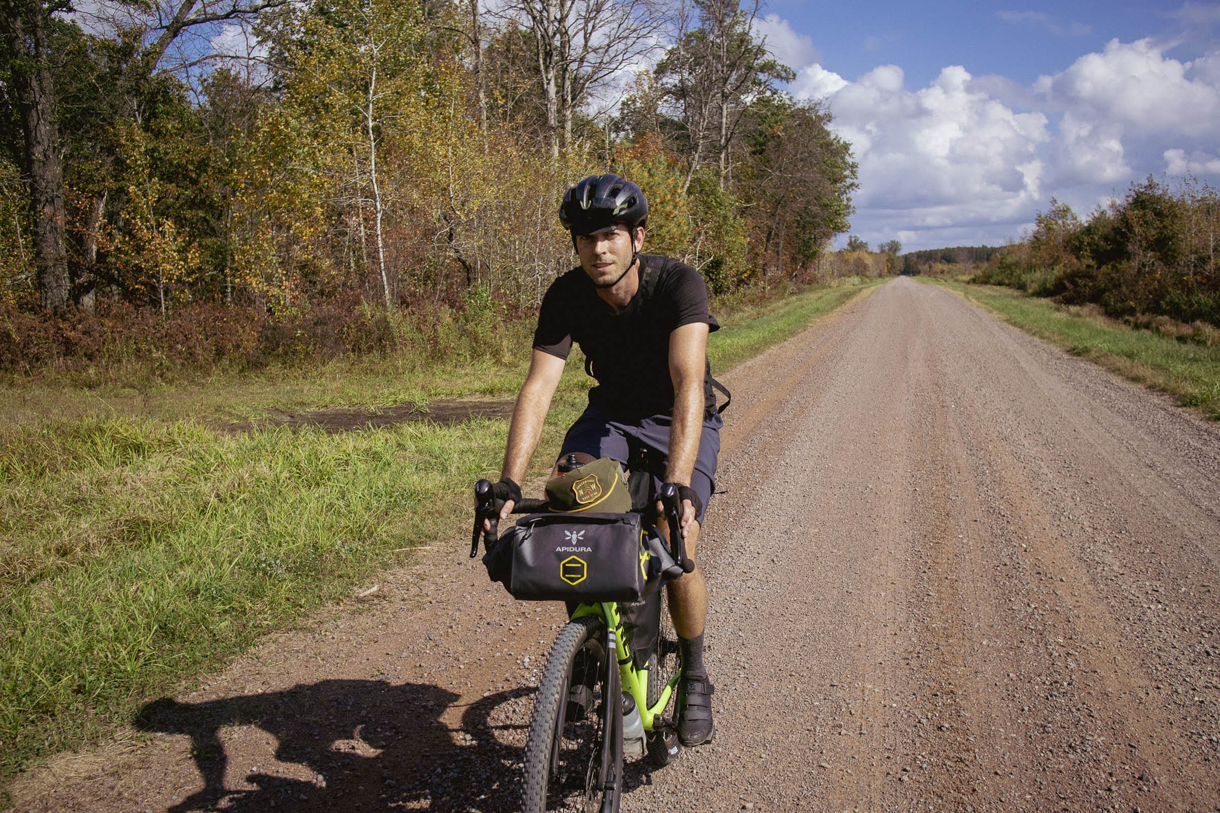
This route is a mixed-media masterpiece, weighing in at 50% pavement (quality may vary) and the rest comprises hard-packed sand “dirt” roads, gravel (on top of sand), ATV trail, and more. The route was 95.69% rideable on 29 x 2.2” Rene Herse Fleecer Ridge tires.


Submit Route Alert
As the leading creator and publisher of bikepacking routes, BIKEPACKING.com endeavors to maintain, improve, and advocate for our growing network of bikepacking routes all over the world. As such, our editorial team, route creators, and Route Stewards serve as mediators for route improvements and opportunities for connectivity, conservation, and community growth around these routes. To facilitate these efforts, we rely on our Bikepacking Collective and the greater bikepacking community to call attention to critical issues and opportunities that are discovered while riding these routes. If you have a vital issue or opportunity regarding this route that pertains to one of the subjects below, please let us know:
Highlights
Must Know
Camping
Food/H2O
Resources
- Wildlife: Sandhill Crane (common in the area), whooping Crane (very rare in the world, you can see them while riding through Necedah Natl WR), bald eagles, whitetail deer, wolves, black bear.
- Passing through many natural areas, including Necedah National Wildlife Refuge, Wood County Forest and Meadow Valley Wildlife Area.
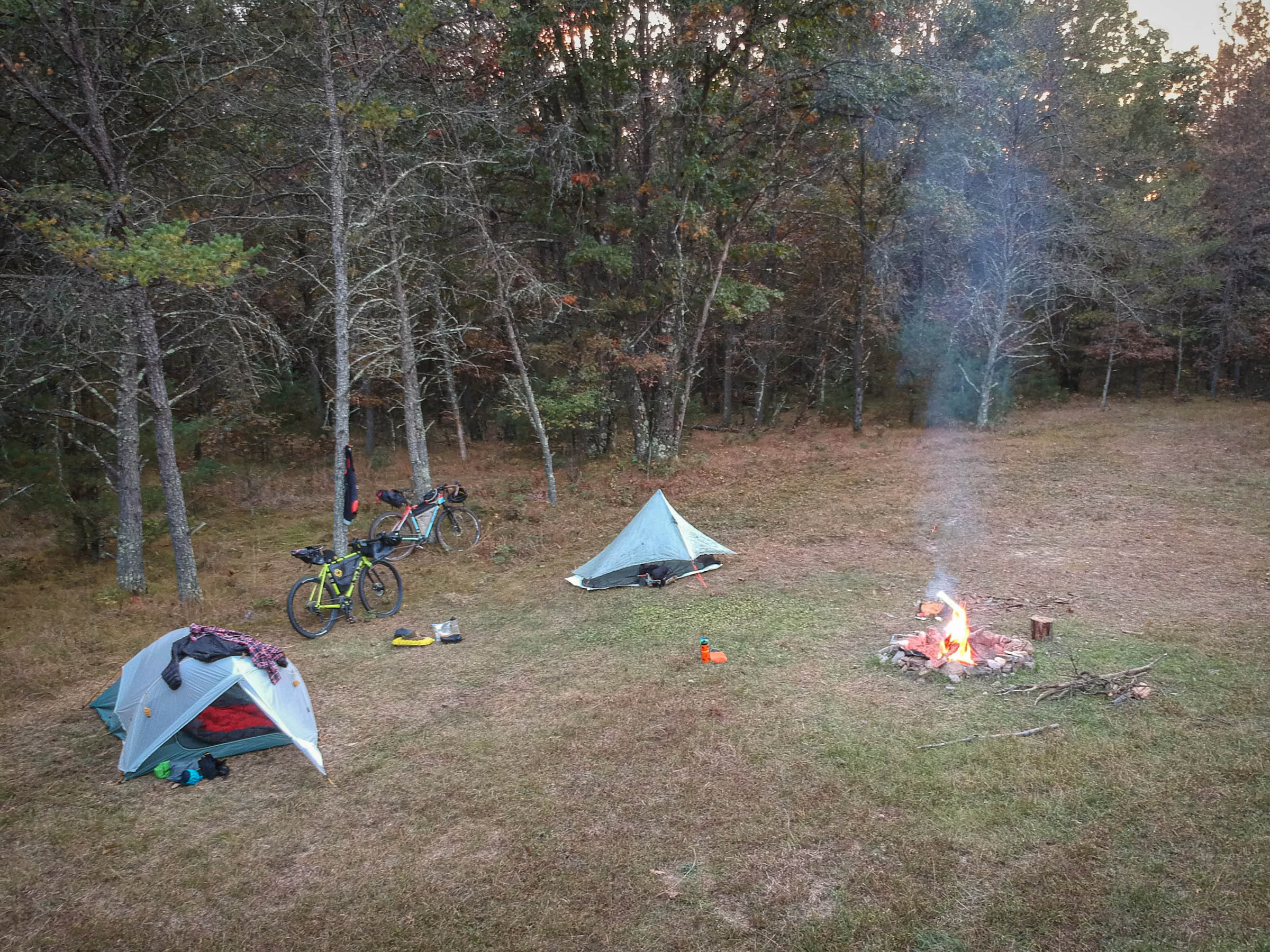
- If available, camp 6 in Meadow Valley Wildlife Area is free, has (hard to find) filterable water (see Food/H2o section for details), a fire pit and even boasts pit toilets. Glamping at its finest!
- Necedah National Wildlife Visitor Center has all the souvenirs you need to commemorate your journey (lapel pins + patches, trinkets, etc) and has exhibits about the local ecosystem.
- Half of the route could be ridden on 1980s 700 x 19mm Specialized “Turbo” tires inflated to 140psi… the other half wouldn’t mind 3” tires. I split the difference and rode 2.2” Rene Herse Fleecer Ridge tires and rode 95.69% of the time.
- The route should ideally be ridden September 1st through mid-November (before gun deer hunting season) and Meadow Valley is open for free public camping. If you go during hunting season, wear some blaze orange.
- In summer, the bugs can be out of control (especially during biting fly season, usually two weeks in late July or early August) and camping isn’t available at Meadow Valley Wildlife Area. However, if you must go in summer you could camp at Buckhorn State Park.
- Bring a pen if you plan to camp at Meadow Valley, as you need to fill out a form at camp.
- The Piggy Wiggly in Nekoosa is generally ok with parking your car there. Just be sure to buy something there.
- The route can be run equally well in either direction, depending on how you want to work your resupply points.
- All-road 47mm tires would be fine for 95% of the trip… minus the sand… if you want to ride through the sand, easily 2+” tires would be recommended. Also, the sand can be easily routed around. If the ground is damp, the sand won’t be an issue with 47mm tires either, just if it has been dry for an extended period.
- Meadow Valley Wildlife Area (MVWA) Camp 6 at Mile 30. There are multiple campsites within camp 6, head to the rear to find the one with the fire pit. MVWA is primitive camping, free (must fill out a form at the camp you intend to camp at) and at camp 6 there are pit toilets and filterable running stream water (see Food/H2o section for details). MVWA is available to camp 9/1 – 12/31 & 4/1 – 5/31. There also are other camps at MVWA, if camp 6 is full. See the Meadow Valley Wildlife Area website
- Buckhorn State Park at mile 70 is another camping option. Buckhorn State Park is a paid camping area with more amenities. This is a popular camp area and should be booked ahead of time here.
- Off route but close by is Roche-A-Cri State Park. This is a paid camping area and possibly a good place to spend the night before the route and/or after the route.
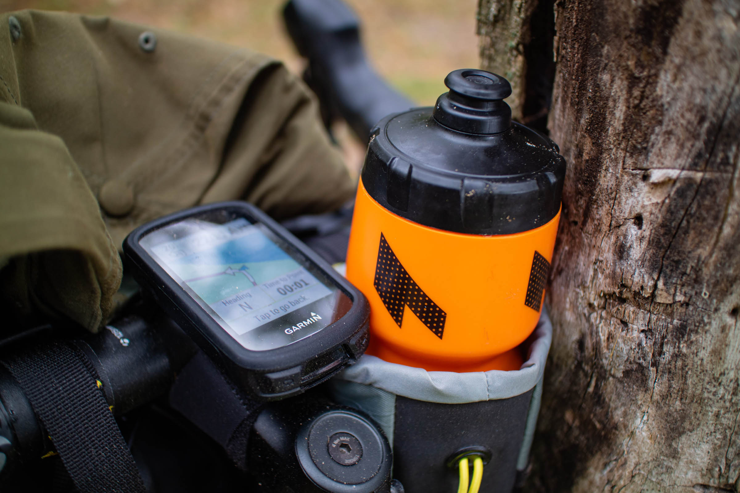
- You are always surrounded by water but most is marsh and not advisable to filter. Fill up at gas stations and lakes and running rivers when you see them. Camp 6 in Meadow Valley Wildlife Area has filterable water but it is difficult to locate. You have to walk back into the woods and find where water is flowing over a metal “grate” into the lake and then filter that water. There is NO running water or a hand pump at this site. I have talked to a few riders who never found this stream or had a hard time finding it. It is there but riders have been arriving at night and had a hard time locating it so make sure to bring a headlamp.
- There are various gas stations/bars along the route, check the map before you go..
- Romano’s Pizza at mile 20 is an awesome Wisconsin bar-style pizza joint and also a tiki bar. This is the best food stop along the route.
- Nekoosa offers bars, restaurants, gas stations, and a grocery store (Piggly Wiggly).
- Ho-Chunk Casino Nekoosa & Whitetail Crossing gas station at mile 32 is the last on route resupply before camp.
- You can stop at “Clarence & Mary Ann / Old Finley Bar” (it is the only thing in Finely) which advertises pizza and Budweiser Select.
- At mile 54, Necedah, WI, has restaurants and gas stations available.
Additional Resources
- Necedah National Wildlife Refuge: fws.gov/refuge/necedah/
- Wood County Forest: co.wood.wi.us
- Meadow Valley Wildlife Area: dnr.wisconsin.gov
- Plum Creek Habitat Area: fws.gov/fieldnotes

Terms of Use: As with each bikepacking route guide published on BIKEPACKING.com, should you choose to cycle this route, do so at your own risk. Prior to setting out check current local weather, conditions, and land/road closures. While riding, obey all public and private land use restrictions and rules, carry proper safety and navigational equipment, and of course, follow the #leavenotrace guidelines. The information found herein is simply a planning resource to be used as a point of inspiration in conjunction with your own due-diligence. In spite of the fact that this route, associated GPS track (GPX and maps), and all route guidelines were prepared under diligent research by the specified contributor and/or contributors, the accuracy of such and judgement of the author is not guaranteed. BIKEPACKING.com LLC, its partners, associates, and contributors are in no way liable for personal injury, damage to personal property, or any other such situation that might happen to individual riders cycling or following this route.
Please keep the conversation civil, constructive, and inclusive, or your comment will be removed.