


West Fork Overnighter, West Virginia
Distance
56 Mi.
(90 KM)Days
2
% Unpaved
79%
% Singletrack
0%
% Rideable (time)
100%
Total Ascent
3,907'
(1,191 M)High Point
3,891'
(1,186 M)Difficulty (1-10)
4?
- 5Climbing Scale Moderate70 FT/MI (13 M/KM)
- -Technical Difficulty
- -Physical Demand
- -Resupply & Logistics
Contributed By

Mike Layne
Guest Contributor
Raised in Pocahontas County, West Virginia, Mike is a lifelong outdoor enthusiast who attributes his love of adventure to his father, who taught him from an early age the art of good planning, perseverance and to never walk on thin ice when it’s snowing and you’re 4 miles from the truck. Follow Mike on Instagram for more trail wisdom and photography @gravelwestvirginia
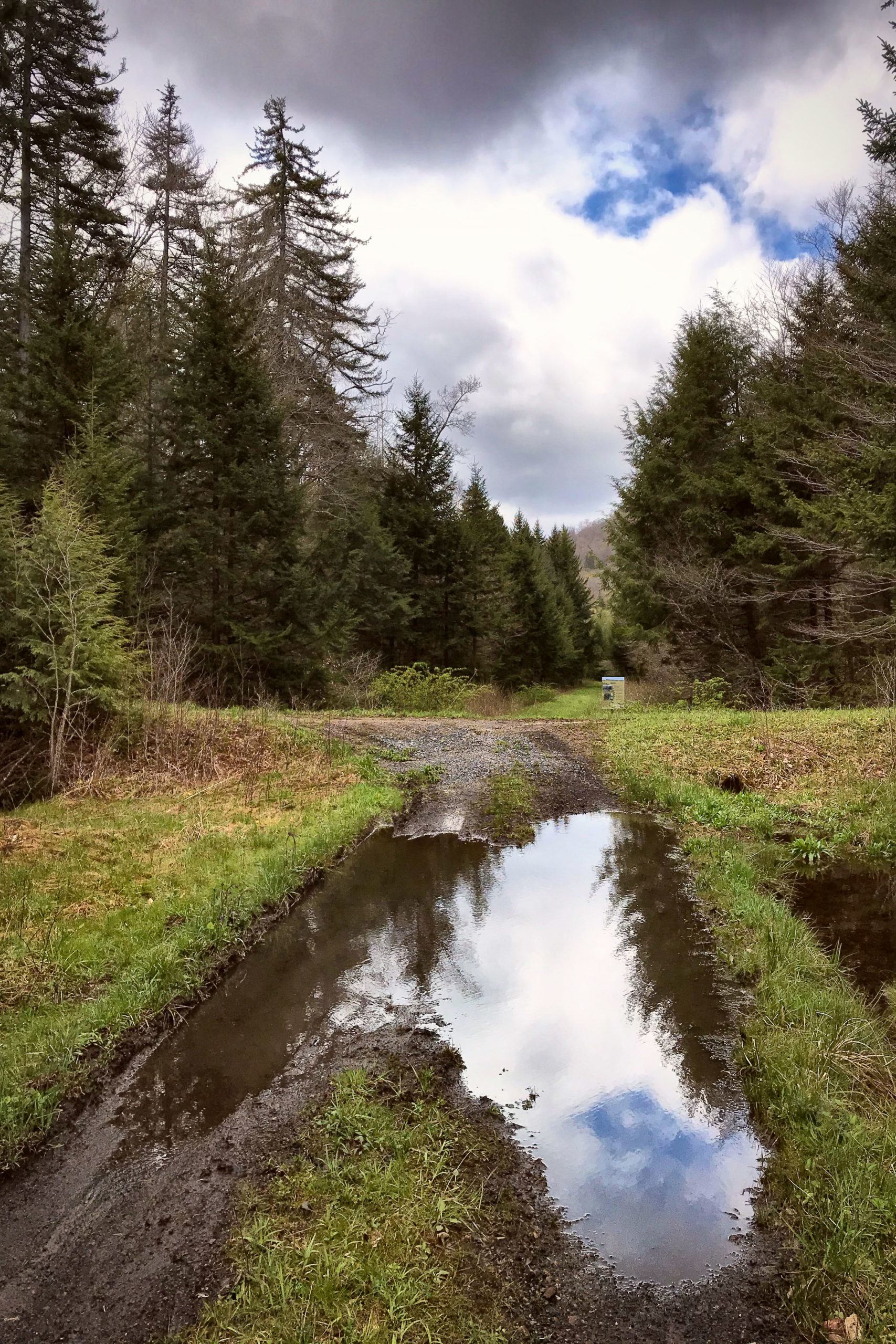
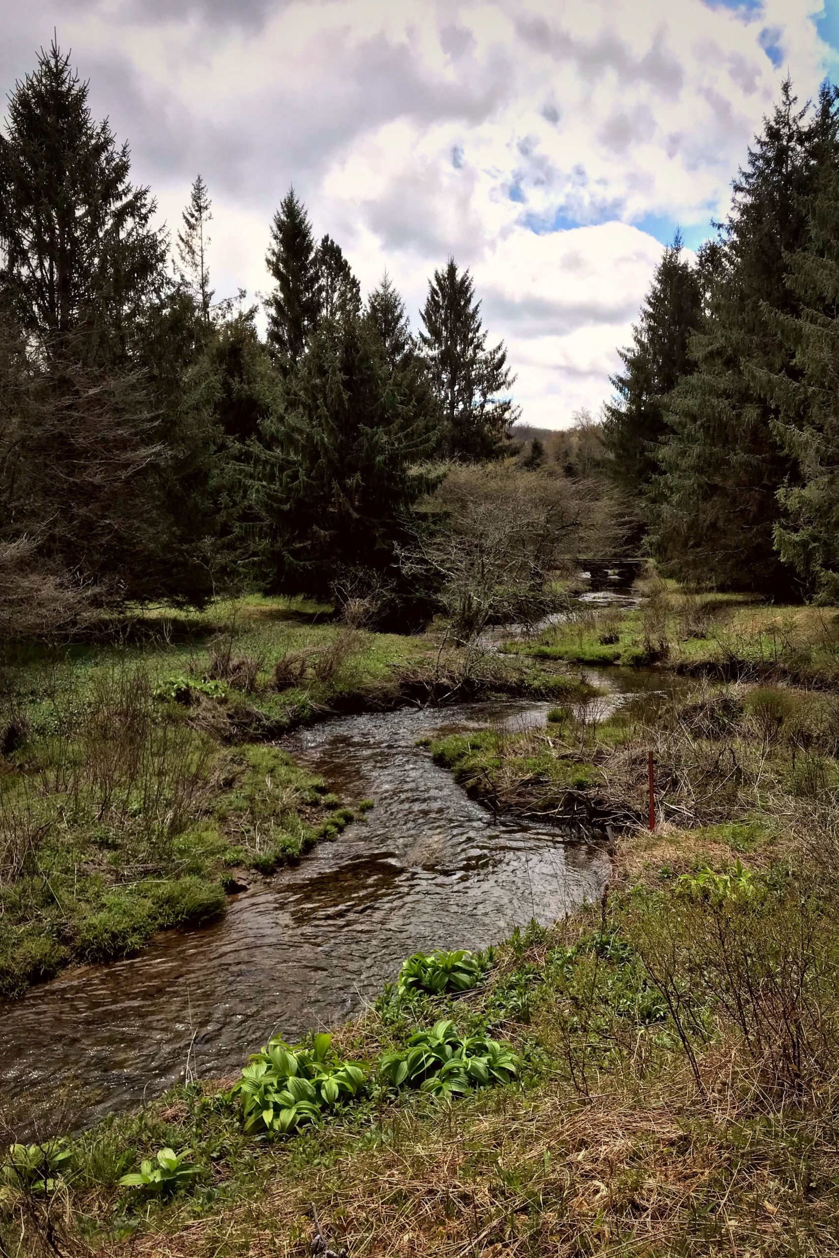
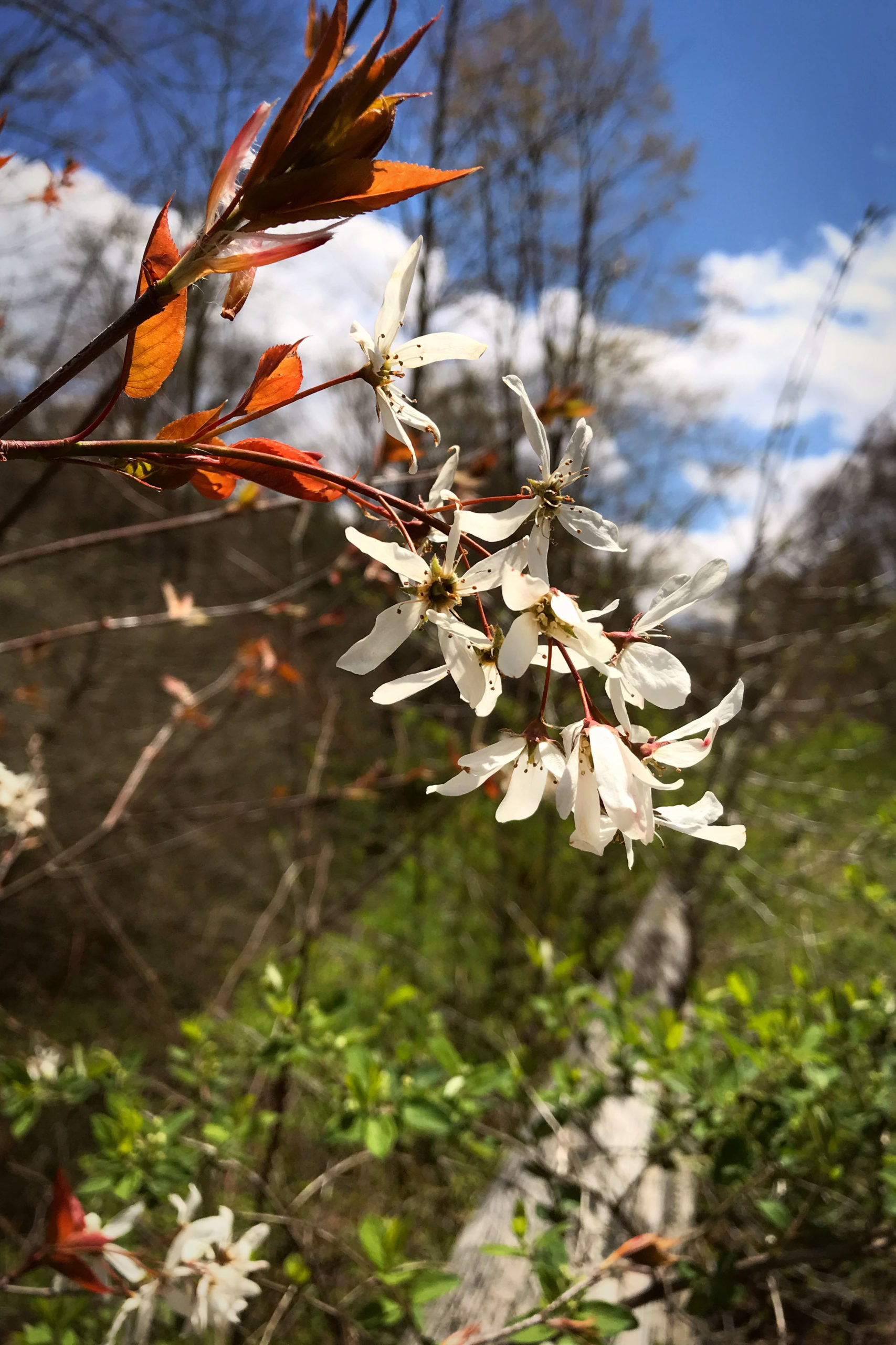
Like many West Virginia locales, the headwaters of the Greenbrier River and the surrounding mountains offer more than pristine scenery, remote gravel roads, and rugged natural beauty. For those willing to leave the modern behind (cell phones don’t work and WiFi is illegal), it offers a glimpse into a simpler time when steam locomotives prowled the valley and life flowed at a slower pace.
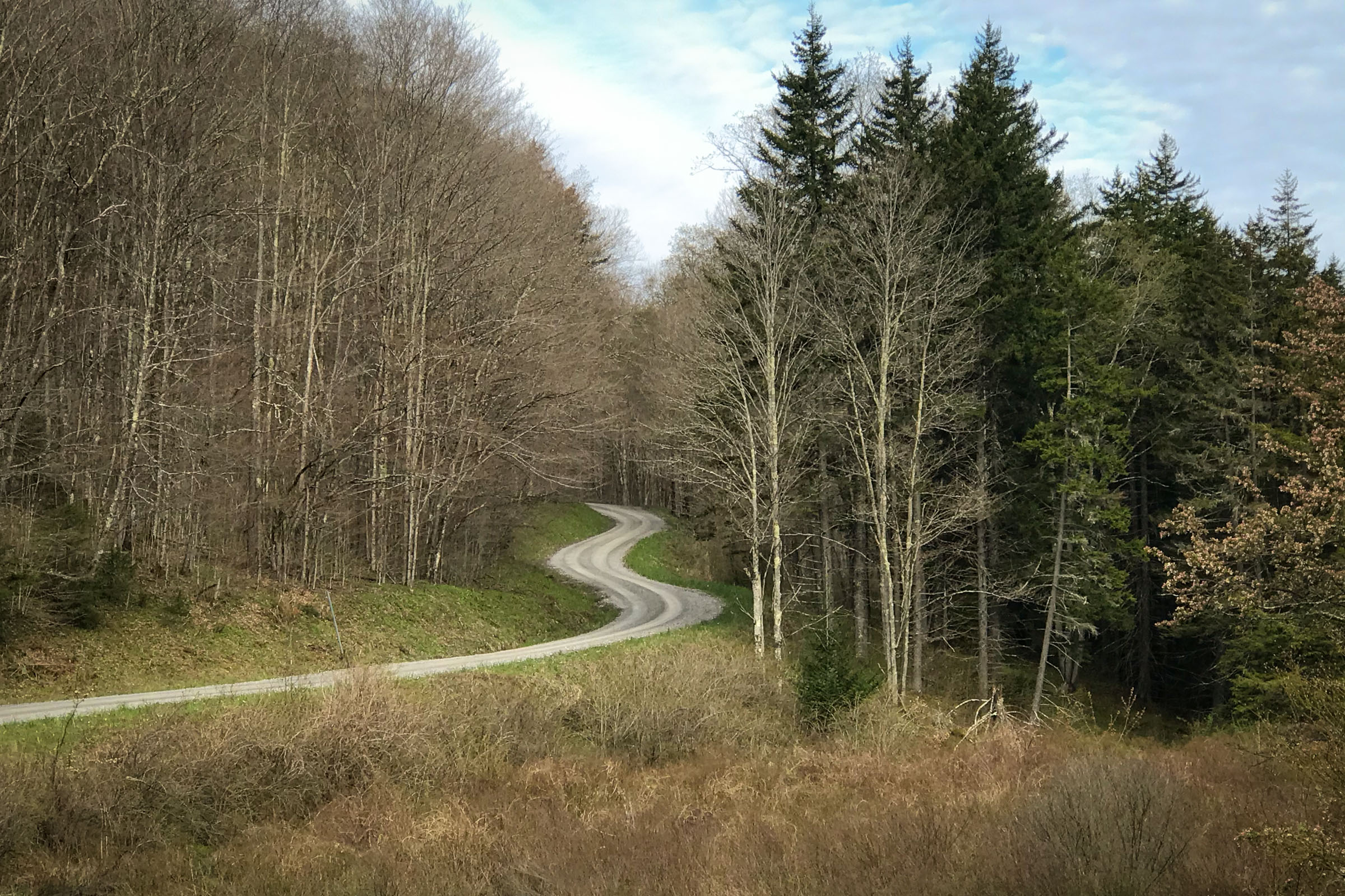
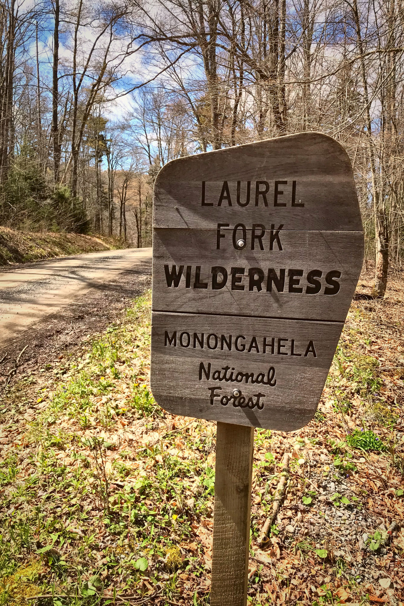
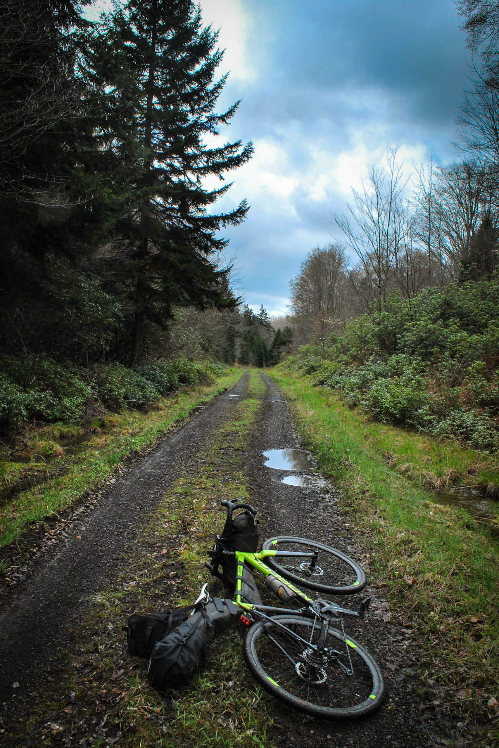
This route combines remote rail trail riding along the West Fork of the Greenbrier River with miles of rolling gravel roads snaking through the Laurel Fork Wilderness Area. You’ll likely see trout fisherman trying their luck along the West Fork and the Little River. Deer and turkey are abundant in this area and sightings are commonplace. Other more elusive creatures in the area are black bears, bobcats, foxes, and coyotes.
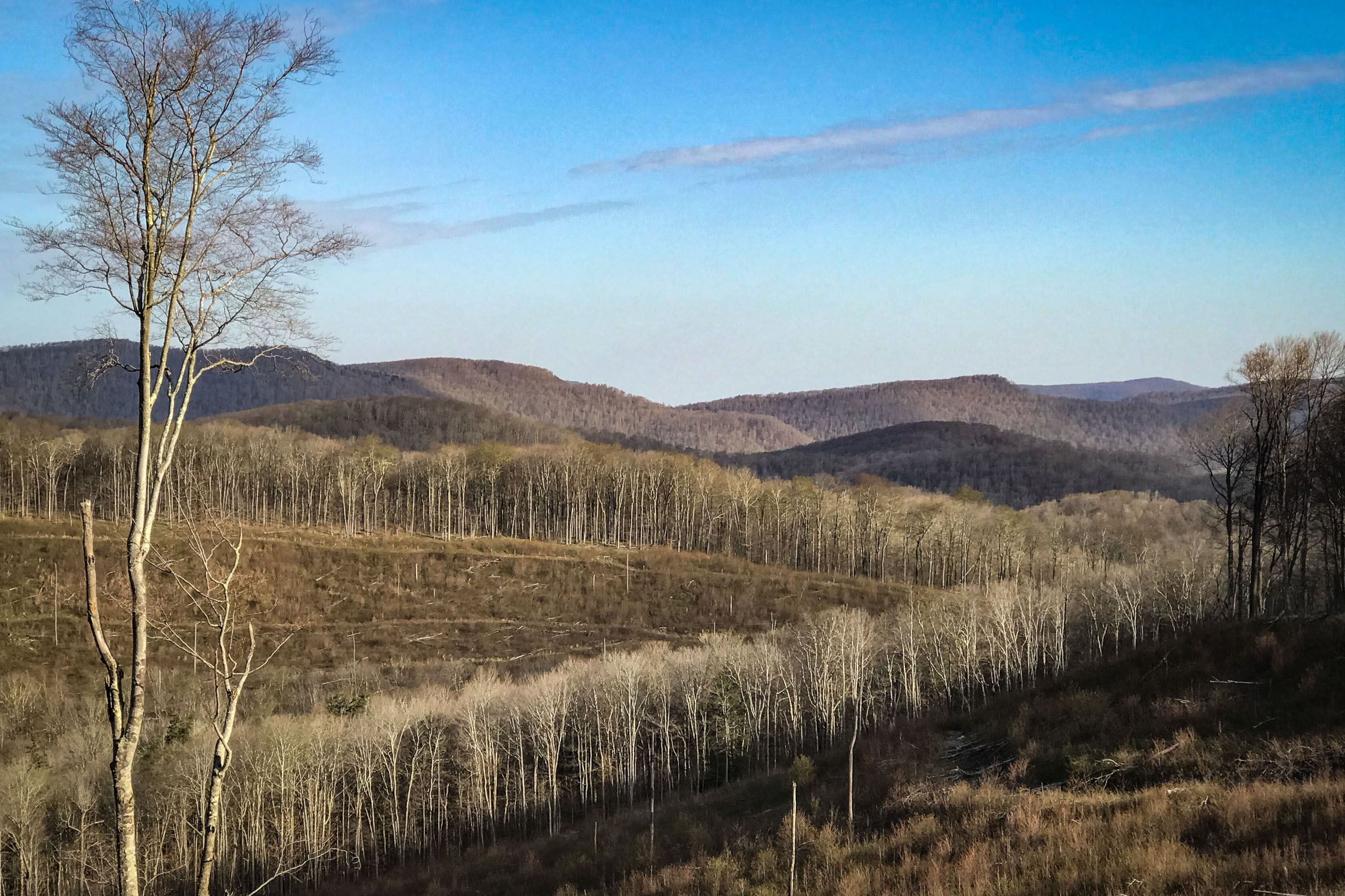
The overall feel of the ride is a laid back scenic tour through one of the more remote regions of West Virginia. Miles of hiking trails and side excursions could easily turn a weekender into a weeklong tour. If you’re new to the region, or to bikepacking, this route is a great place to start.
Difficulty
This route is rated 4 out of 10 overall. It’s technically easy, but there is climbing involved, with a gradual 8-mile segment that gains just over 1,000 feet. Plan to pack all of your food. There is none available on the route and only one spot with potable well water. Most of the route has access to flowing water, but it should be filtered. There is no access to cell service anywhere on the route, so consider a satellite locator in case of emergency, especially if you’re riding solo.
Route Development: This route was inspired by the gravel events created by Travis Olsen of Mountain Rides, LLC (@mountainrideswv), specifically the GRUSK, Gravel Race up Spruce Knob, which uses the West Fork Rail Trail in the opposite direction for its 140-mile Grande and the 212-mile Venti routes. Also the awesome guys at Pike Street Bikes in Shinnston, WV, (@pikestreetbikes) who build and maintain the machines that make this ride possible.


Submit Route Alert
As the leading creator and publisher of bikepacking routes, BIKEPACKING.com endeavors to maintain, improve, and advocate for our growing network of bikepacking routes all over the world. As such, our editorial team, route creators, and Route Stewards serve as mediators for route improvements and opportunities for connectivity, conservation, and community growth around these routes. To facilitate these efforts, we rely on our Bikepacking Collective and the greater bikepacking community to call attention to critical issues and opportunities that are discovered while riding these routes. If you have a vital issue or opportunity regarding this route that pertains to one of the subjects below, please let us know:
Highlights
Must Know
Camping
Food/H2O
Trail Notes
Resources
- The Greenbrier River and its never-ending awesome photo ops
- If fishing is your thing, take a pole and some bait. Both the Greenbrier and Little River are stocked
- Durbin is a cool little Appalachian town if you can fit in the side trip
- The climb up Little River is a picturesque mountain stream from start to finish
- The Middle Mountain Cabins are rustic, unique, and in the middle of nowhere
- The descent down to Beaver Dam Run is a blast
- Spruce Knob and Sinks of Gandy are awesome route extenders if you have the time
- When to go: Summer can be tardy and spring/fall nights can be cold in these parts. June through September is best unless you’re prepared for winter weather.
- Logistics: No permits necessary, trails and roads open year-round. There’s a large parking area just as you turn off Rt. 33 at Alpena. The closest bike shop is Joey’s Bike Shop (highly recommended, friendly and fantastic service), 30 minutes from the start of the route, in Elkins, WV.
- Dangers and Annoyances: This part of West Virginia is remote. There’s no cell service or WiFi and gas stations have a habit of closing when the sun goes down, so make sure you’re fueled up going in. It will get colder than you think at night and the weather can change fast. If it’s your first time camping in the mountains of West Virginia, I don’t recommend being a weight weenie when it comes to warm clothes and a sleep system, especially if your riding in the shoulder seasons (ask me how I know).
- Ideal Bike: Recommend a Gravel or Cross bike with min 35mm tires or a hardtail mountain bike.
- East Fork Campground in Durbin, WV, it’s a little off the route, but not too far and it’s a nice option if you prefer to bed down closer to civilization.
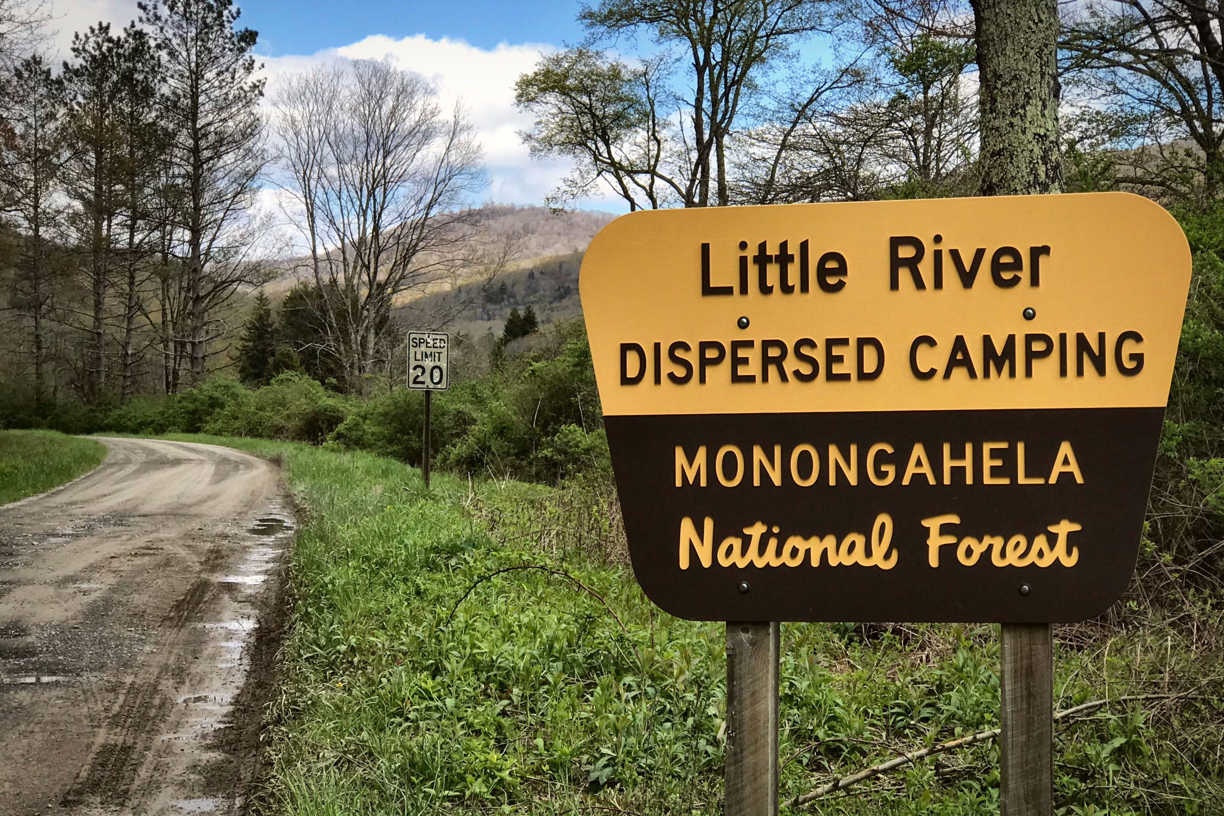
- Little River Dispersed Camping: This is my recommendation if you’re doing the full-on tent or bivy under the stars option. There are tons of spots and they’re all next to Little River. Plus, it’s roughly halfway.
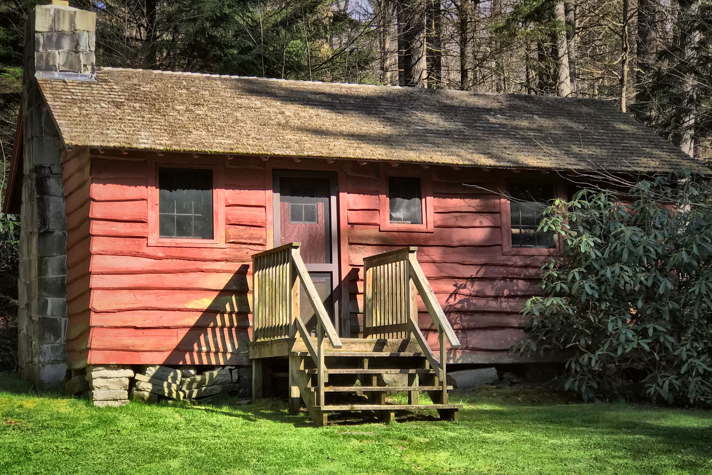
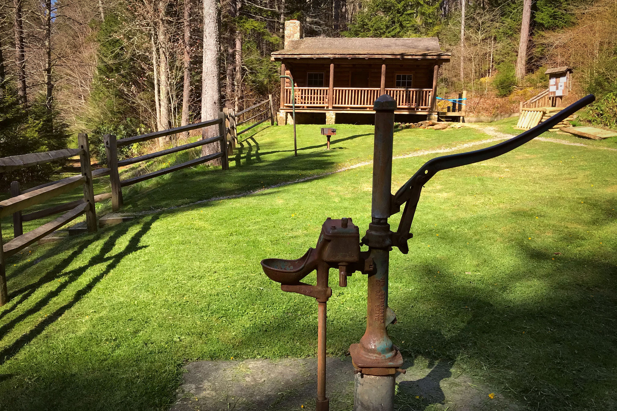
- Middle Mountain Cabins: owned and operated by the National Forest Service, these are rented as sets of three cabins. They have potable well water, a full stock of firewood and they sleep up to 12 people.
- Bring your own food. Unless you catch fish or happen to run over a squirrel, there’s no other option. There are black bears and raccoons aplenty in this area, so practice safe food storage.
- H2O is in abundance along most of the route, but it should be filtered. The only source of potable well water is a hand pump at the Middle Mountain Cabins.
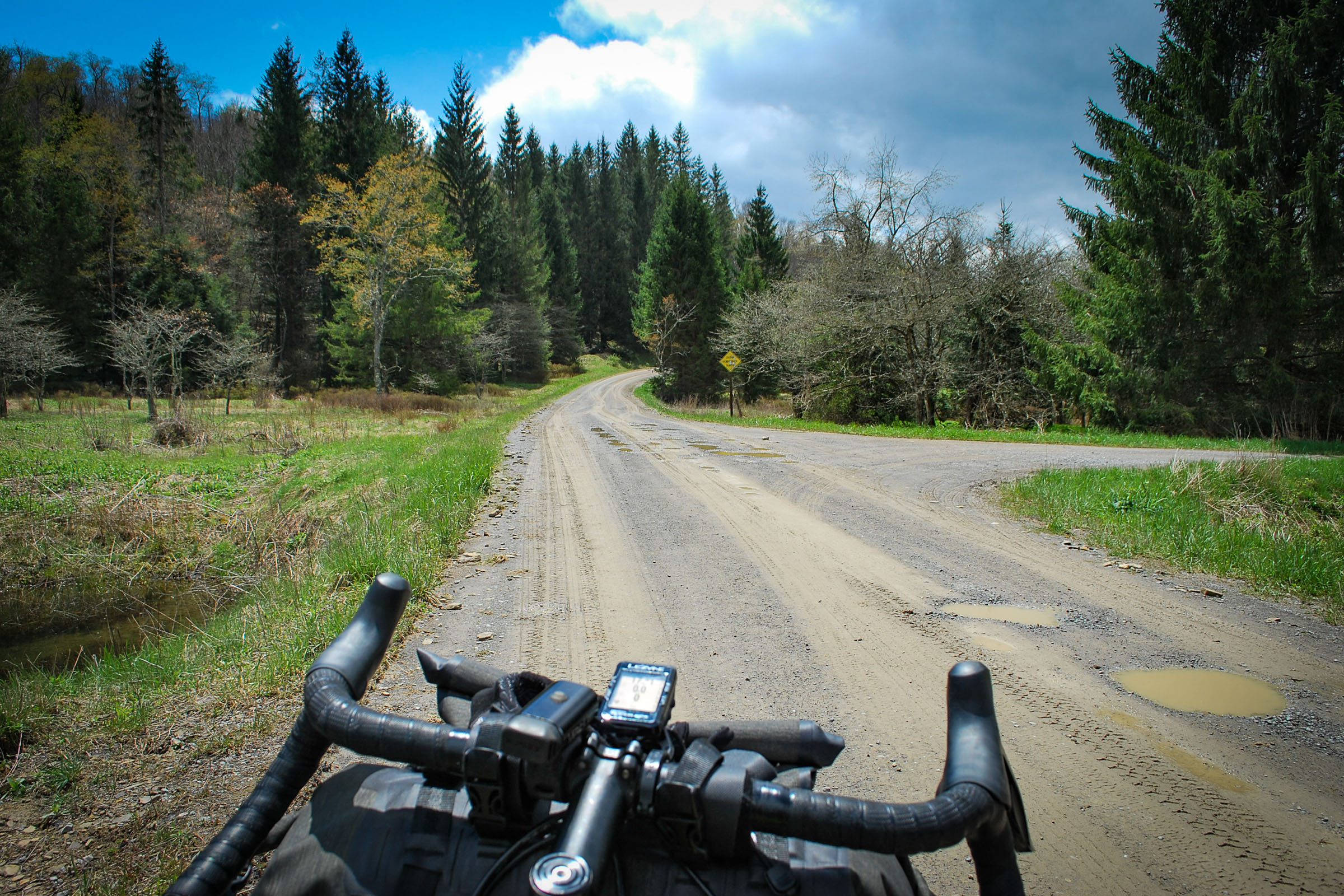
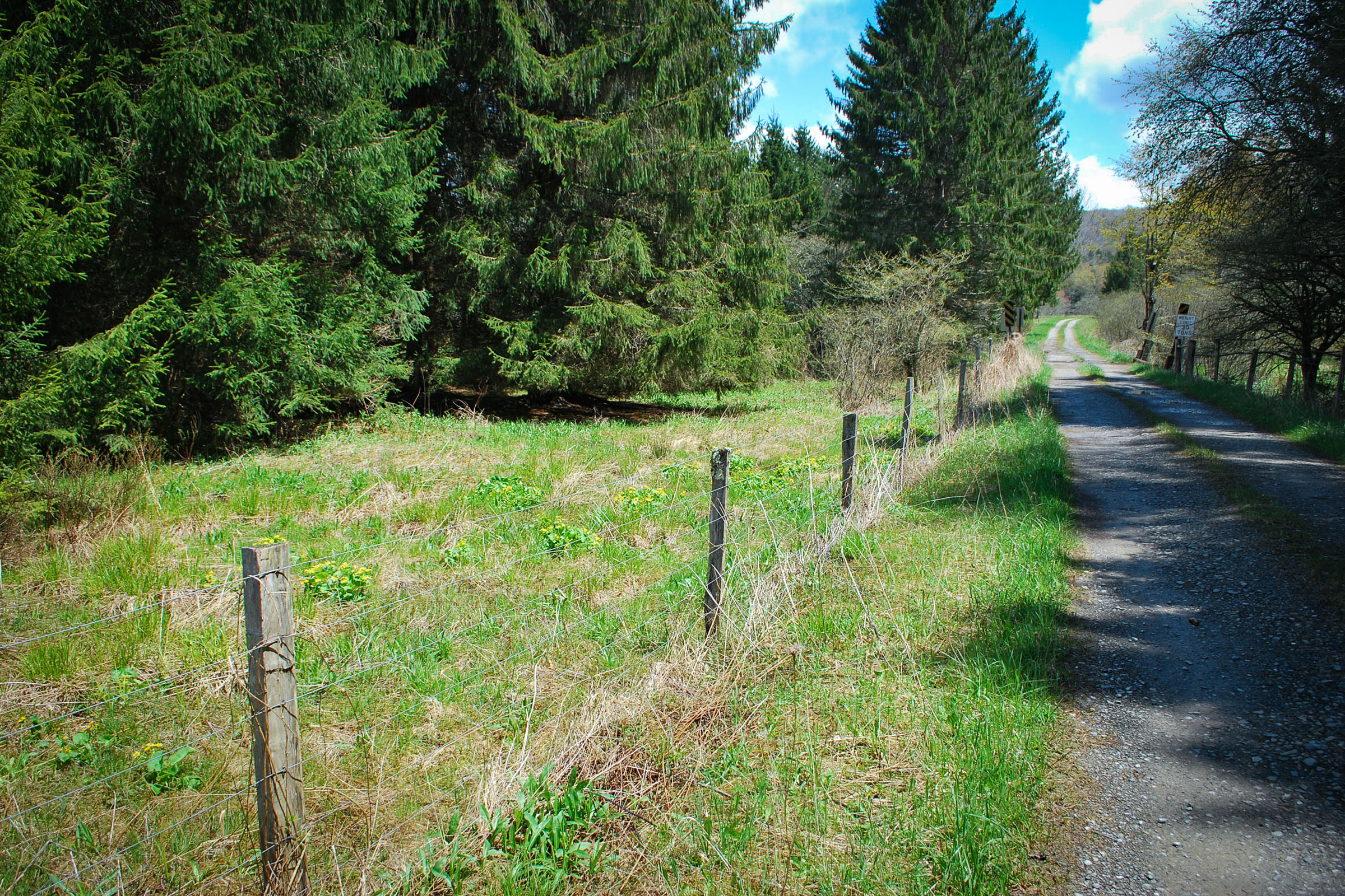
The route begins in Alpena, WV, with nine miles of rolling blacktop. Glady Fork Rd is a sparsely traveled well maintained secondary road offering spectacular views into the valley. This short paved section is the last hardtop you’ll see for the next 50 miles and serves as a nice preamble to the trail and gravel to come. Riding through the town of Glady, you’ll pass the Glady Presbyterian Church on the left. Built by the Glady Fork Lumber Company in 1905 in the Late Gothic Revival style, it was placed on the National Register of Historic Places in 2005. As you continue on to the West Fork Rail Trail you can feel civilization fade behind as the mountains welcome you in and close around you.
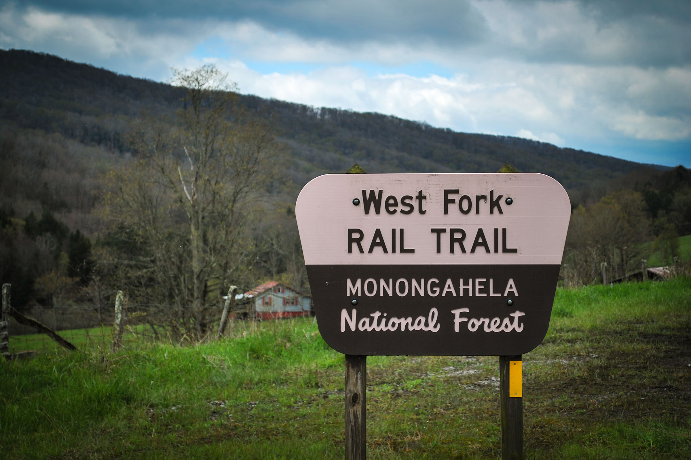
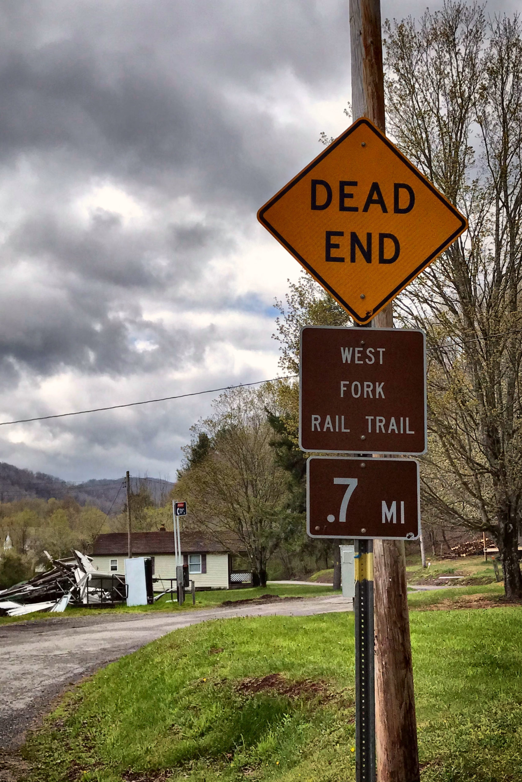
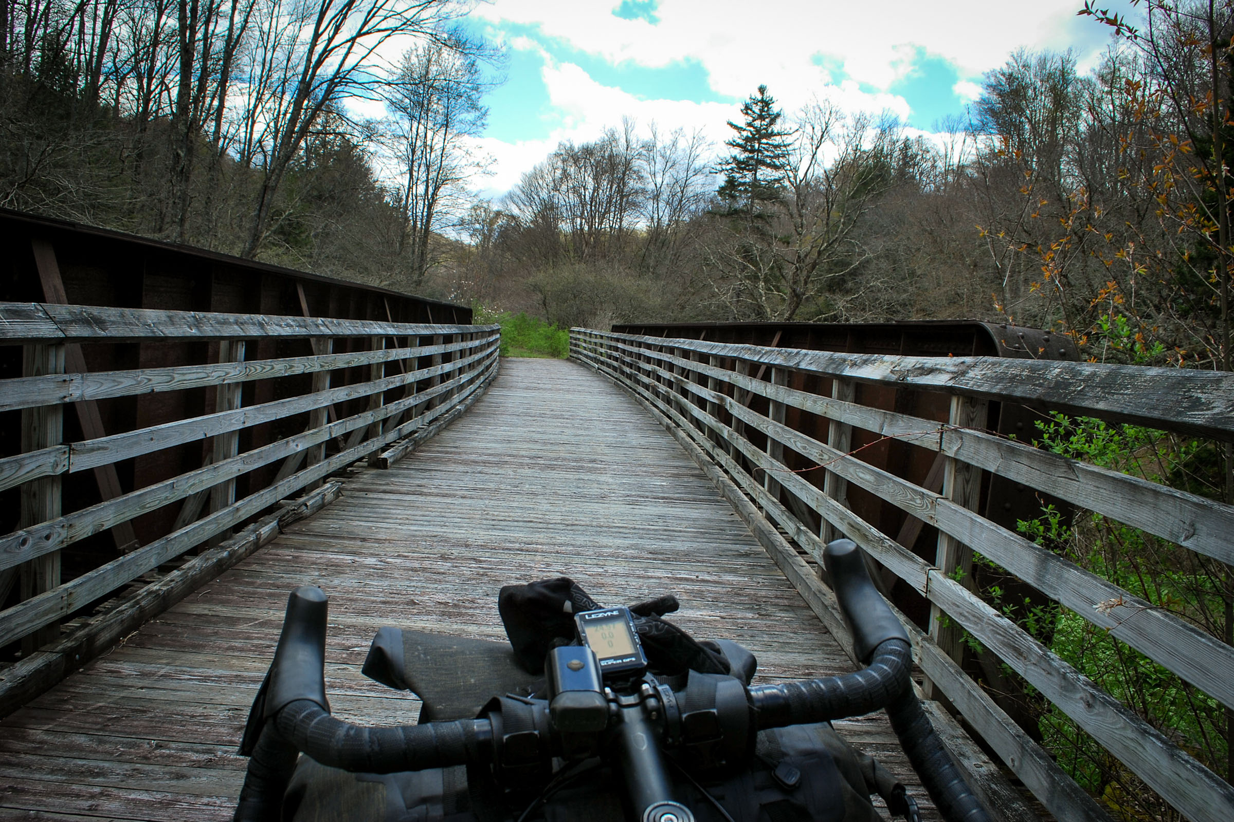
The West Fork Rail Trail stretches 23 miles from Glady to Durbin, WV, and is one of the best maintained, most scenic rail trails in West Virginia. This route keeps it remote and turns left a few miles before Durbin, but could easily be modified to include it for lunch or even an overnight stopping point. If you’re examining an old rusted rail spike along the trail, and imagine you hear a train whistle echoing in the distance, you may not be lost in nostalgia. Pocahontas County is home to two scenic railroads, the Durbin & Greenbrier Valley Railroad and Cass Scenic Railroad, with live operating steam locomotives. Durbin also boasts a restaurant, store, motel, ice cream shop, and a full service campground.
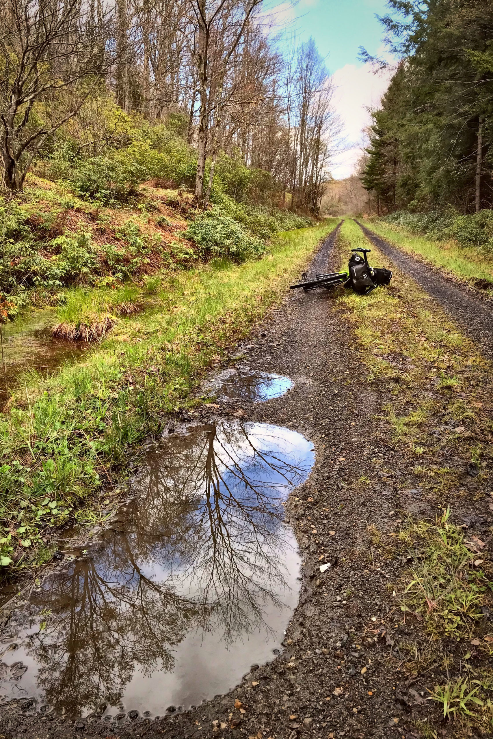
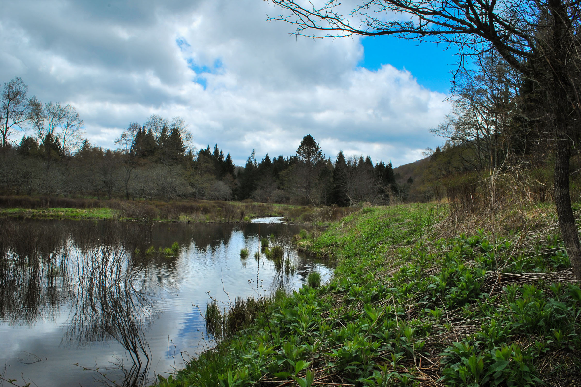
At the site of an old lumber town named Burner, the route turns left, following the Little River through six miles of remote dispersed camping. This is the halfway point of the route and a great place to camp for the night. There are no facilities or potable water, but most locations have easy access to Little River. If you push on a little further to mile 35, the Middle Mountain Cabins are another great option for overnight accommodations. They are the only location on the route with potable well water. Three cabins rent together as one through the Forest Service. They’re affordable, basic, and they rent out a long way in advance, so definitely plan ahead if you’re interested in staying there. If you’re not planning to stay, it’s still a cool location to stop and fill your water bottles.
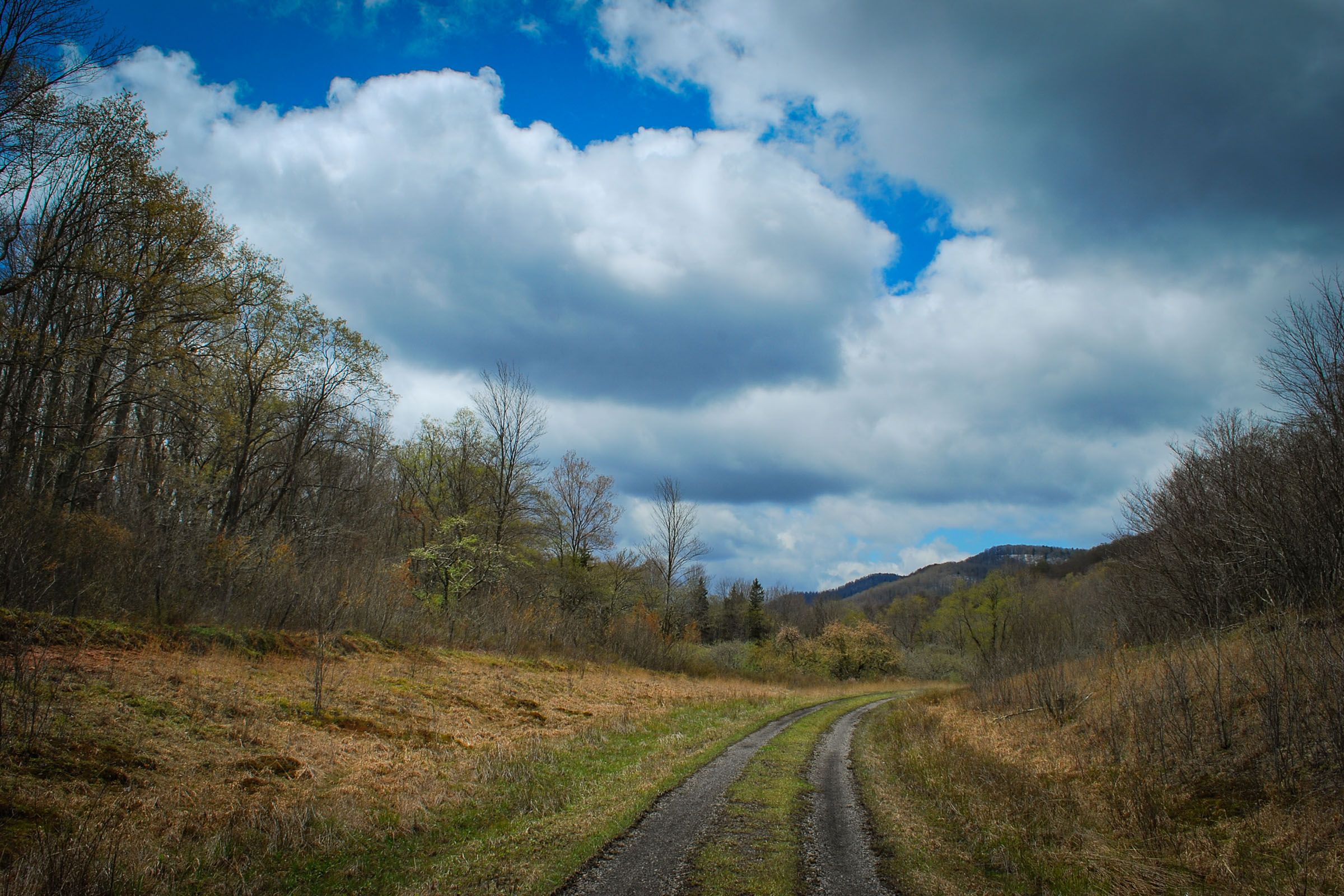
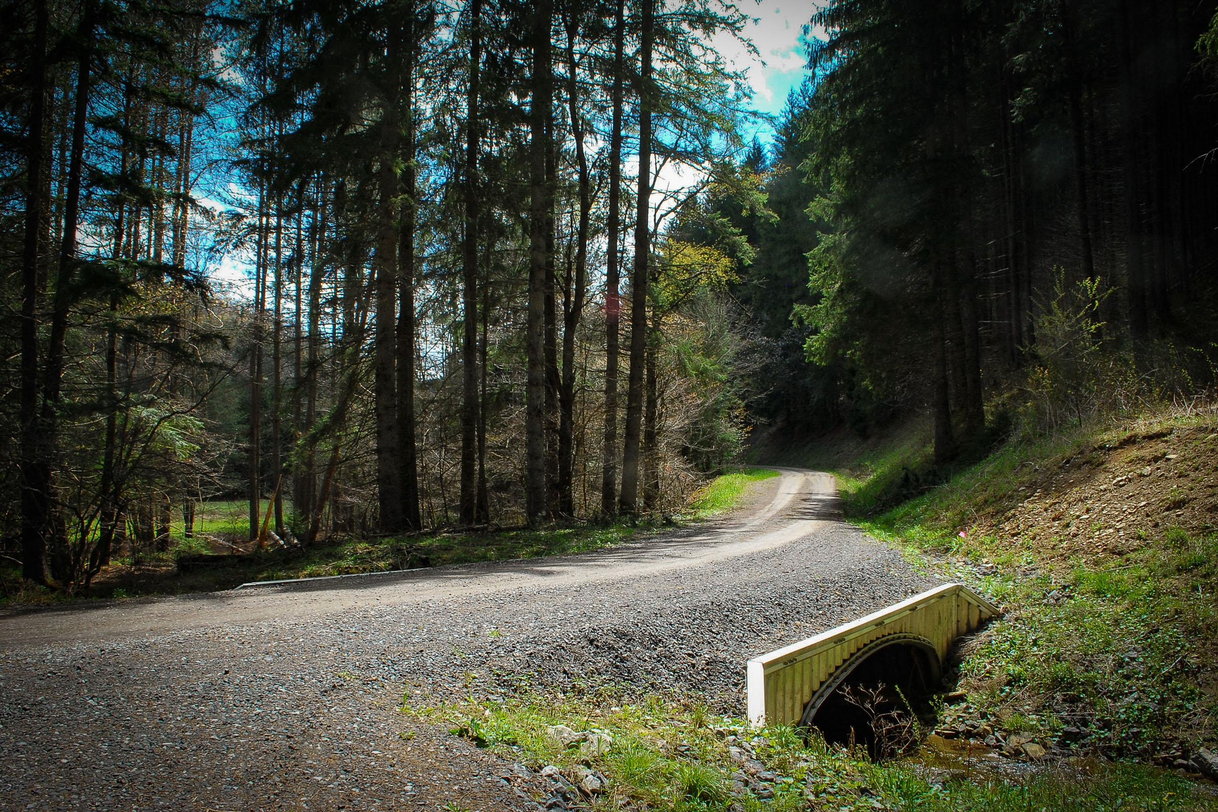
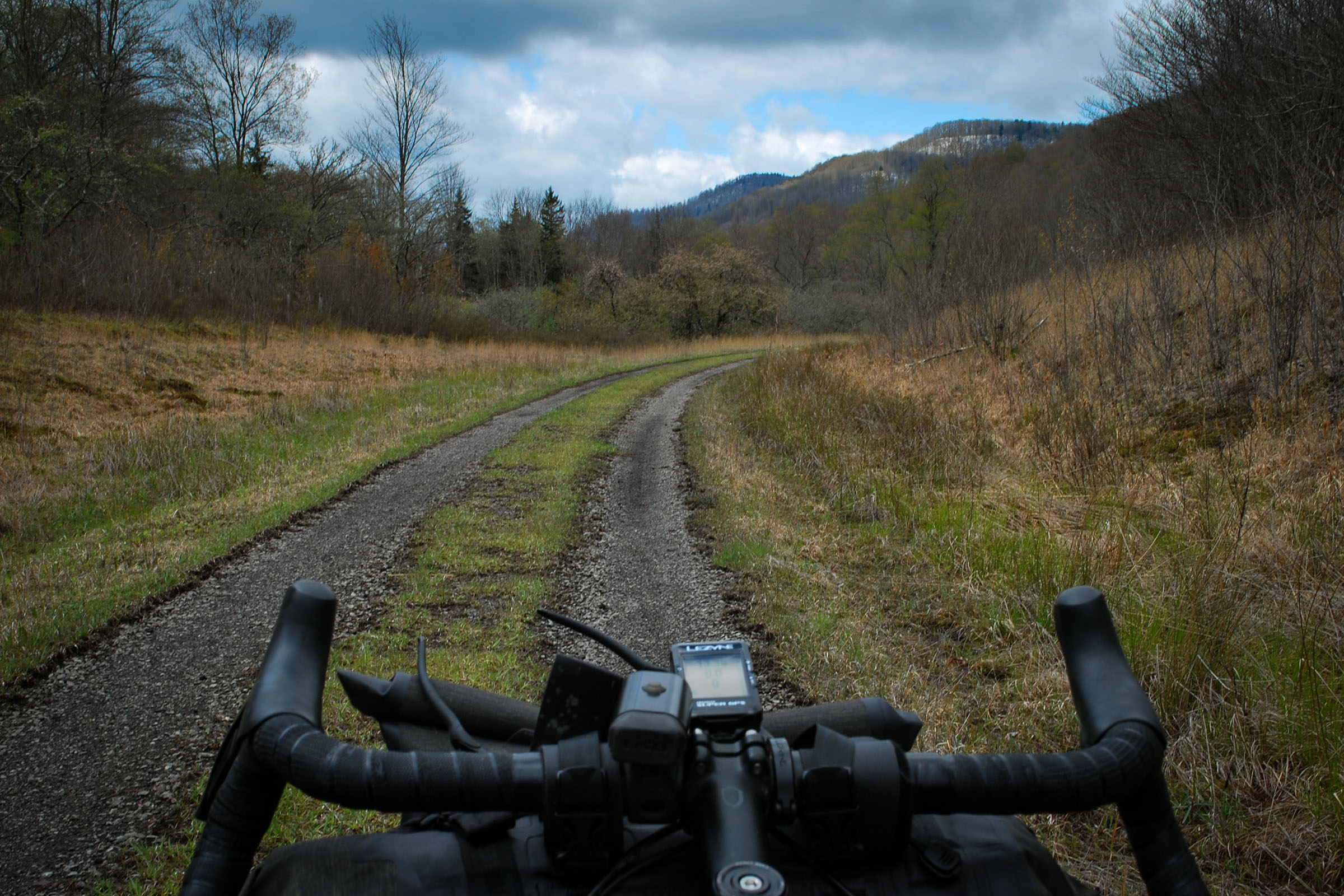
Back to the starting point, it’s 20ish miles of fast rolling gravel roads. One particularly steep descent down to Beaver Dam Run is fast and loads of fun. This section also has tons of potential for route extending add-ons. You’re close to Laurel Fork Campground, Sinks of Gandy, Spruce Lake, and the highest point in West Virginia, Spruce Knob, all accessible nearly exclusively via gravel roads. A solo getaway, a family excursion or an extended adventure, the West Fork Weekender is a great place to start.
Additional Resources
- Joey’s Bike Shop: located in Elkins WV, it’s the one and only close shop the route. Great service and fantastic people committed to all things cycling.
- Middle Mountain Cabins
- Little River Dispersed Camping: Good video showing camp sites and the road in from Burner.
- East Fork Campground
- Mountain Rail West Virginia
- West Fork Rail Trail
- Trout Fishing on the West Fork


Terms of Use: As with each bikepacking route guide published on BIKEPACKING.com, should you choose to cycle this route, do so at your own risk. Prior to setting out check current local weather, conditions, and land/road closures. While riding, obey all public and private land use restrictions and rules, carry proper safety and navigational equipment, and of course, follow the #leavenotrace guidelines. The information found herein is simply a planning resource to be used as a point of inspiration in conjunction with your own due-diligence. In spite of the fact that this route, associated GPS track (GPX and maps), and all route guidelines were prepared under diligent research by the specified contributor and/or contributors, the accuracy of such and judgement of the author is not guaranteed. BIKEPACKING.com LLC, its partners, associates, and contributors are in no way liable for personal injury, damage to personal property, or any other such situation that might happen to individual riders cycling or following this route.
Please keep the conversation civil, constructive, and inclusive, or your comment will be removed.