


Arkansas High Country Race 2022
AR, United States 1037mi (1,669km)

The Arkansas High Country Race is a self-supported 1,037-mile event following a new route from the Adventure Cycling Association.
For 2022 & 2023 the Host City of Hot Springs will be featuring three route options for the Arkansas High Country Race.
Arkansas High Country
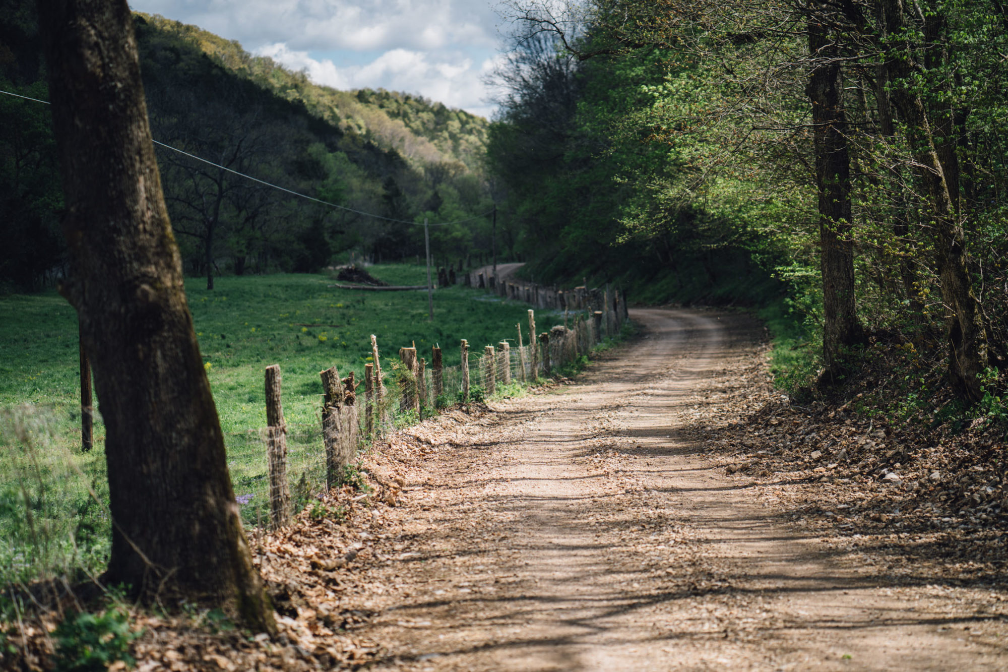
Sparkling streams, hills and hollows, shady rivers, mountain views, waterfalls, swimming holes, historic sites, bustling cities – the Arkansas High Country Route has it all. According to local route designer Chuck Campbell, “That route don’t go no where — It just runs around everywhere!” Indeed, this route is designed to connect many of the interesting places in west-central and northwest Arkansas. The route is approximately a 50/50 split between paved and unpaved surfaces.
1,000+ Miles, 80,000+ feet of elevation gain/loss
Follow along live below:
Arkansas High Country South Loop
The South Loop traverses the Ouachita Mountains and the Arkansas River Valley. In the Ouachitas, the route features sizable climbs and roller coaster ridges. These mountains consist of east to west running ridges and when the route travels east to west, expect to ride a roller coaster across the ridge. Most of the roads in the Ouachitas, except around Hot Springs, are gravel.
487 Miles, 32,000+ feet of elevation gain/loss
Ouachita Triple Crown
The Ouachita Triple Crown bikepacking route is a heartland gem in the Ouachita Mountains of central Arkansas. The loop links up three IMBA Epic trail systems. Remote yet well-blazed, this backcountry route is dense with singletrack, steep grades, and long, uncrowded stretches in Ouachita National Forest
183 Miles, 18,000+ feet of elevation gain/loss


