


The unofficial poster child for (not) canceling bikepacking events due to weather is this year’s Three Rivers Way in Tennessee. It took off earlier this month during a massive thunderstorm and challenged riders with flooded tracks and many obstacles. It was Chris Summerlin’s first time participating in a bikepacking event, and he ended up having quite the adventure. Read his story here…
Words by Chris Summerlin, photos by Chris Summerlin and Chase Blanton
“Ignorance is bliss” would be a good way to summarize my Three Rivers Way Mountain 420 ride. I’d learned of the route while researching existing routes in the region that I could link up to form a loop through southeast Tennessee, western North Carolina, and north Georgia. After contacting race director Kim Murrell for her thoughts on a draft of my route, she mentioned the grand depart and suggested it as a way to see many of the options in the area. I had a four-day window in my schedule, so I signed up for the Mountain 420, knowing that it would be a challenge for me to complete the route in that time frame, but I convinced myself it would be possible with some long days and some luck. Beyond getting a general idea of the distances between resupply stops, I didn’t study the route much; I just loaded it into my bike computer and decided to take it as it came. I put 29 x 2.35″ Ikons on my Tumbleweed Stargazer and knew it would handle just about anything. I could walk the rest.
The night before the grand depart, I got a chance to meet many of the other riders around the fire at Kim’s Fireside Outpost. I listened to a few descriptions of various sections of the route and didn’t hear anything that gave me pause. It sounded like we were in for a fun time in the woods with the typical suffering that always comes with pedaling in the southern Appalachians.


A severe storm moved through the region the night before the start, and it was still on its way out at the 6:30 a.m. start time. We rolled from Hiwassee/Ocoee Scenic River State Park in a downpour with lightning and a strong wind and started climbing Coffee Branch Trail. We started encountering a few downed trees across the trail from the storm, which would be a theme for the ride. The heavy rains had the first water crossings of the route at impassable levels, so we contacted Kim. She didn’t have a confirmed reroute option and asked what I planned to do. I had my bike and four days off, so I wanted to ride, even if it meant deviating from the official Mountain 420 route. Kim warned me that given the unknown conditions from the storm, the rest of my ride could be an adventure, which would prove to be accurate foreshadowing.
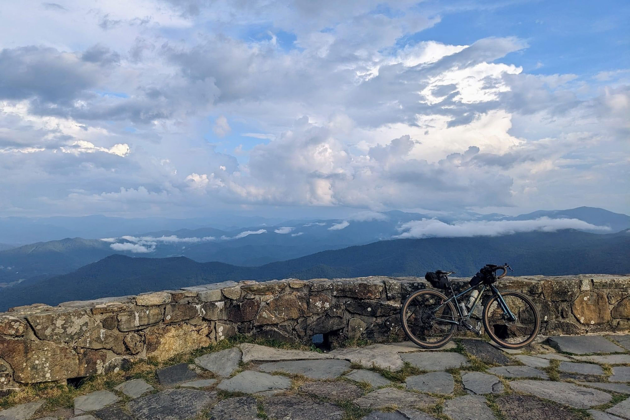
After studying the map, a group of four of us came up with a possible reroute, which ended up working out and taking us to our first resupply stop in Tellico Plains. I proceeded on the Mountain 420 route down the Cherohala Skyway and grabbed a burger and fries at a riverside drive-in. Besides a short chat with a friendly dual-sport motorcycle rider, the afternoon was uneventful. I got to Indian Boundary Lake and cruised the smooth bike trail around the lake as the sunset. I proceeded up the Cherohala Skyway in the dark, enjoying beautiful twilight views with a bright crescent moon. I was scared by something moving on the other side of a steel guardrail, which turned out to be a wild hog that seemed just as scared as I was. After briefly crossing back into my home state of North Carolina, I left the Skyway to descend on North River Road a short distance and then found an old gated forest service road where I hung my hammock and caught a few hours of sleep.

Jason Vance, Brandon Lee, and I got grouped up on the Unicoi Mountain Trail singletrack and enjoyed the view from Buck Bald while breaking together at the picnic table on top. On McFarland Road, Brandon rode away out of sight, and we encountered dozens of downed trees across the path, which began to take a mental toll on me and really slow down progress. I caught up with Brandon again in Copper Hill, where we resupplied. I left town ahead of him, and he passed me while I was filtering water on the Brush Creek singletrack. That was the last I’d see of another rider during the event.
The singletrack along the Ocoee River was covered in more downed trees, and progress was slow again. I reached Thunder Rock Campground, soon after which I’d have to choose to either keep heading west following the shorter Vista route or head south into Georgia and the Cohuttas. I was familiar with the route in Georgia, and I knew there was a lot of singletrack ahead that could be slow going if it had blowdowns like I’d just encountered. I wanted to complete the Mountain 420, though. At the intersection where the routes split, I had service and called my wife, which lifted my spirits, and I headed toward the Cohuttas hoping the storms hadn’t been as bad down there. I rode until a little after midnight and found a spot to hang my hammock just off the road, not far from Jacks River Fields Campground.


The next day started with Mountaintown Creek Trail, a fun descent followed by numerous creek crossings. I headed up the Pinhoti Trail hike-a-bike from Mountaintown to Bear Creek Trail. There were numerous blowdowns across the trail, and the terrain was too steep to go around them. The only options were over or under. One in particular had me on the brink of removing the wheels and rack from the bike to get it through. Instead, I decided to try to climb over it with the bike, and before long, the bike and I were 10 feet off the ground on top of the downed poplar. Bear Creek and Pinhoti 1 and 2 had minimal downed trees and were as fun as they always are but spiced up a bit by being on a rigid drop-bar bike. I had lunch and resupplied at Mulberry Gap, then settled in for the grind up Pinhoti 3.
Things went surprisingly smooth until I ran into heavy blowdowns again just before reaching Dennis Mill on the Pinhoti singletrack. I stopped at the viewpoint at the Mill Creek and Cowpen Road intersection for a spectacular sunset view and to check my progress. I knew I’d need to make it a pretty late night to get within striking distance of finishing the next day, so I mounted my helmet light and pushed on. I was extremely sleepy on the Big Frog climb, so I stopped, sat against a log, and slept for a few minutes. That seemed to be enough, and I rode on to Pace Gap and proceeded up Hogback Mountain, stopping regularly to get over, under, or around more downed trees on the road. I scared up numerous wild hogs before finally reaching the start of Sylco Trail a little after 2 a.m. I hung my hammock, set an alarm for 5:30 a.m., and slept hard.


I started down Sylco at first light and was glad not to be navigating it in the dark. Again, blowdowns slowed progress to a crawl. I lost the trail at the small creek crossing but eventually got back on track. I eventually made it out of Sylco and took a break to check my mileage. I thought I could finish that night, but I knew there was no way I would be in any shape to drive home. I texted Kim to make sure I could stay at Fireside that night and hang around to work remotely on Monday, and she assured me I could stay as long as I needed. Now that I had a solid plan to wrap the ride up and still fulfill my work duties, I proceeded to Ocoee Dam Deli & Diner for breakfast and then on to Needle Eye Outpost, where Kim, Michael Rasch, and Chase Blanton were waiting to greet me. I refilled my water bottles and received some much-needed encouragement from them. It was a huge mental help, which I’d be thankful for when I got to the Chilhowee Recreation Area singletrack, strewn with even more blowdown.
After crawling, climbing, and cursing, I reached the beach area parking lot. It was a jolt to emerge from all that suffering among a crowd enjoying a beautiful Sunday afternoon at the lake. At The Store in Greasy Creek, I had a sandwich, two scoops of ice cream, and a Yoo-Hoo and proceeded up Kimsey Highway feeling refreshed. Downed trees continued to slow progress on Kimsey and Smith Mountain trail, but I eventually emerged on smooth gravel. Crossing the Hiwassee suspension bridge in the dark was surreal. After one more knee-deep water crossing and climbing over a few more blowdowns, I emerged in the Hiwassee/Ocoee State Park parking lot at 12:45 a.m. to find Kim there to welcome me.


This was my first bikepacking grand depart, and I set out to challenge myself with a tight schedule and to see as much of the region from a bike as possible. Even without the blowdowns, the Mountain 420 is a challenging route, but it seems to really display all the region has to offer: gravel of every variety, old FSRs, OHV trails, and singletrack. The Mountain and the Vista would be fantastic to ride at a touring pace to take in all the beauty of the area, and I hope to revisit the route with that approach, but I think I’ll give the crews some time to work on those blowdowns first. I can’t thank Kim enough for developing the route and organizing this event.
Learn more about the Three Rivers Way event/route at TennesseeGravel.com.
Further Reading
Make sure to dig into these related articles for more info...
Please keep the conversation civil, constructive, and inclusive, or your comment will be removed.


