


As part of the route’s 20th anniversary, Adventure Cycling Association has officially extended the Great Divide Mountain Bike Route (GDMBR) by 400 miles. Along with the press release, we spoke to local expert Jonathan Hayward about how he got involved with the development and what to expect with the new addition…
Twenty years ago, Adventure Cycling altered the bicycle touring landscape by releasing the Great Divide Mountain Bike Route (GDMBR), the longest mapped, off-road bicycle route in the world. To celebrate this anniversary, Adventure Cycling’s cartographers have recently updated and redesigned the maps to show more detail, offer bidirectional narratives, and provide 400 more miles of off-pavement goodness.
“The redesigned maps will impress anyone who has used our maps and ridden the route in the past 20 years,” said Adventure Cycling’s Routes & Mapping Director, Carla Majernik. “They are easier to read, design updates have made them more user-friendly, and adding south-to-north cues gives the riders what they have asked for. Plus, there’s new routing northward from Banff to Jasper along the east side of the Rocky Mountains, and a spur into Missoula.”
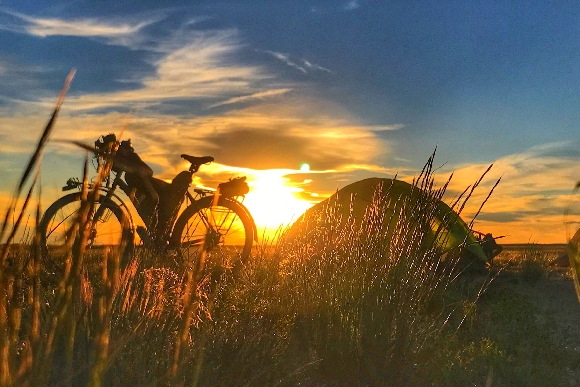
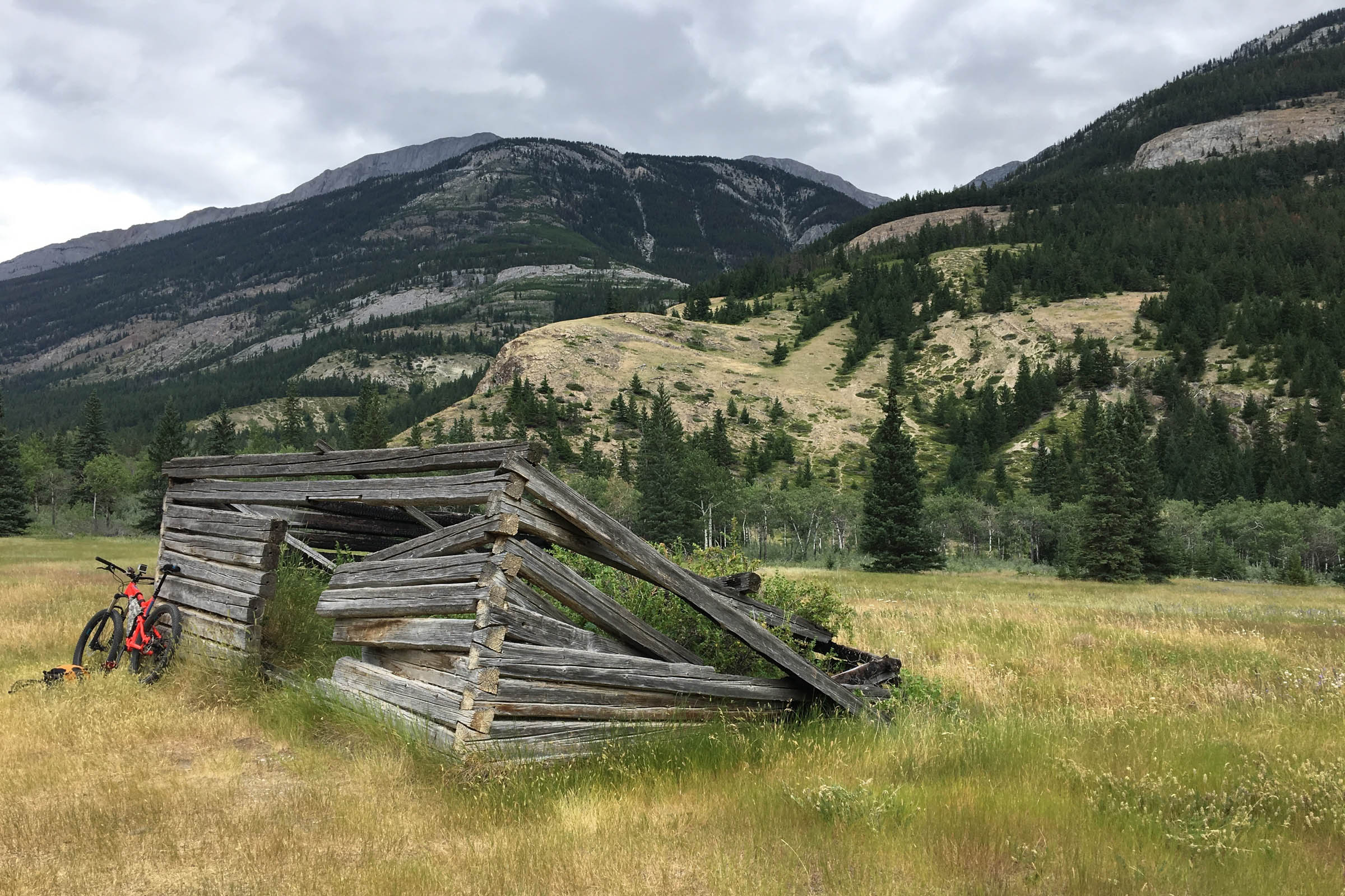
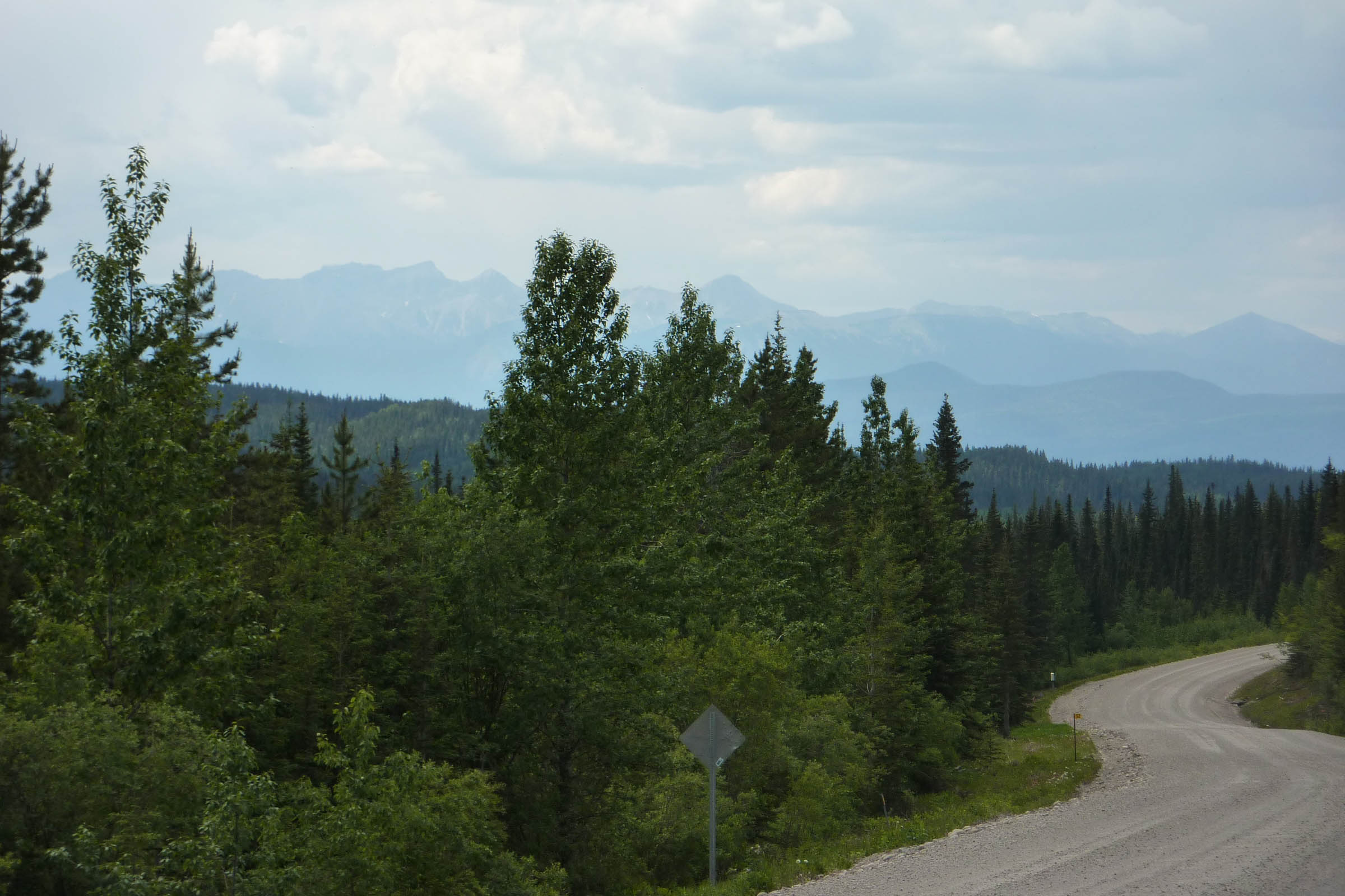
Tracing the spine of the Rocky Mountains through five of the West’s most spectacular states, the Great Divide Mountain Bike Route now spans more than 3,000 miles between Jasper, Alberta, and Antelope Wells, New Mexico, on the Mexican border. The route is defined by the word “remote” and its remoteness makes for spectacular scenery and terrain: alpine lakes, grizzly bear sightings, moose crossings, wolves howling, and pitch black nights smacked silly by stars. The entire route is basically dirt-road and mountain-pass riding every day. End-to-end, dirt-seeking bikepackers will clock more than 220,000 feet of elevation gain — similar to climbing Mt. Everest more than seven times!
“What we learned about the GDMBR, besides how hard it was, is that people are kind, the days are long, but when you set your mind to it, you can achieve anything”, wrote Carrie Morgridge, author of The Spirit of the Trail. “The sights, sounds, and smells of the Great Divide are forever etched on my heart and in my head. There is nothing else I’ve done in my life that has created such lasting and fond memories.”
For more information on the extension and a detailed look at the updated Great Divide Mountain Bike Route maps, check out the official press release here.
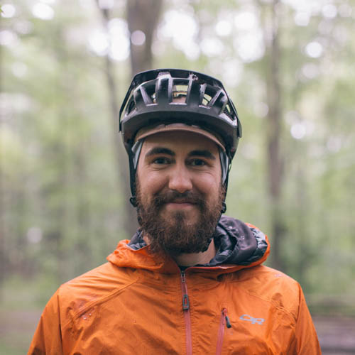
Words & photos by Jonathan Hayward
In November 2015 I sent an email to Michael McCoy with the Adventure Cycling Association (ACA) about adding a blurb to BikeBits about the first running of the Alberta Rockies 700 (AR700) that was scheduled to take place in June 2016, and he ended up adding the details of the event to the BikeBits email that the ACA sends out. In December of that year, after reviewing the AR700 route, he followed up with the initial idea about a northern extension. In July of 2016 Carla Majernik (Routes & Mapping Dept. Director with ACA) reached out for some more info, and at that time mentioned that they were going to be going ahead with some form of northern extension and that Michael McCoy was planning on being out on the new section of the route doing the official mapping in the summer of 2017.
In the spring of 2017 I had some follow up questions from Carla, which ultimately led to them asking if I would be interested in doing the mapping research in late summer of 2017. Michael McCoy had retired and was not able to do the mapping himself.

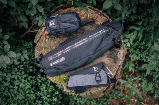
The ACA sent me some gear to use (GPS data logger, proposed maps, route research procedure and protocol, and a few other items). From June 2017 to September of 2017 I used my weekends to head out to sections of the route to do a full data log, confirm services, draft cues, and take GPS tagged photos of the route intersections and services. This included the new section of the route from Canmore/Banff north to Jasper, as well as the existing route from the border to Banff. I worked with Nathan Taylor (Senior GIS Specialist/Cartographer with ACA) during my time of data logging and route research to ensure that the type of data being collected was matching the re-mapping that was happening on the existing sections of the route south of the US/Canada border.
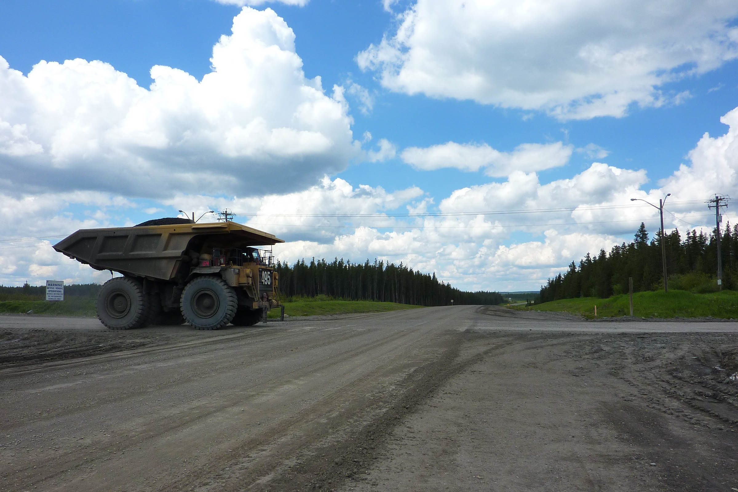
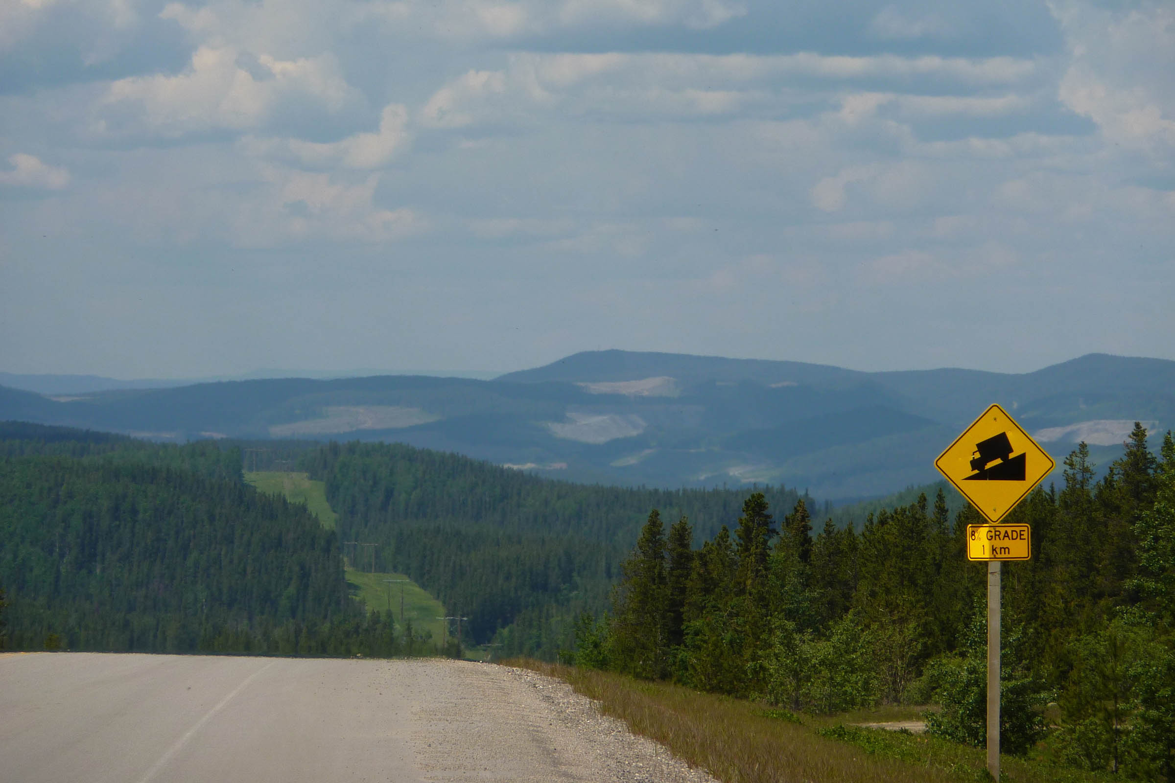
I have not seen the final version of the map yet, but basically the new section that I mapped starts in Jasper following Highway 16 (easy) or the Overlander Trail (more difficult) until it rejoins Highway 16, then follows the highway until the Highway 40 South intersection, where you will have a choice to continue into Hinton to the northern terminus of the AR700 route or take the “Cadomin Alternate” to where it joins the AR700 route south of Robb. The AR700 from Hinton to Canmore is exactly the same as the new section of the GDMBR. Once in Canmore, there will be two options again: follow the legacy trail to Banff and join the original northern end of the GDMBR or go up Whiteman Pass to join the original route at the Goat Creek Trailhead.
Cover image by Frank Abbing.
Please keep the conversation civil, constructive, and inclusive, or your comment will be removed.


