

 Mountain Bike (MTB)
 Gravel Bike
 All-Terrain Bike (ATB)
 Fat Bike

Route Report: Bikepacking Mama Coca, Bolivian High Andes

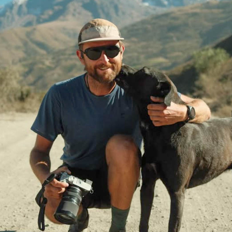
Mama Coca is a dramatic 460-kilometer bikepacking route traversing the Bolivian High Andes. Michael Jordan recently pedaled it as part of a larger journey around South America, and in this Route Report, he shares impressions from the high-elevation track. Find his notes and a sweeping gallery of photos here…
PUBLISHED Aug 4, 2026
Additional photos by Lauren Raywood
Published by Michael Dammer here on BIKEPACKING.com, the 460-kilometre Mama Coca is a route of two halves, separated by La Paz, both drastically different in character, scenery, and suitable bikes. The route traverses the spine of the Bolivian Andes, across two distinct mountain ranges. It’s a remote, high-altitude bikepacking route with limited resupply options, but amazing feelings of isolation and a wide variety of mountain landscapes.
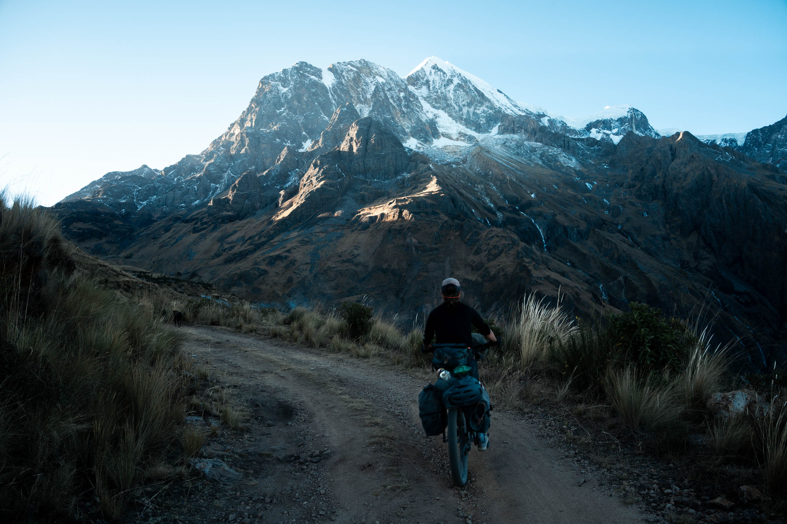
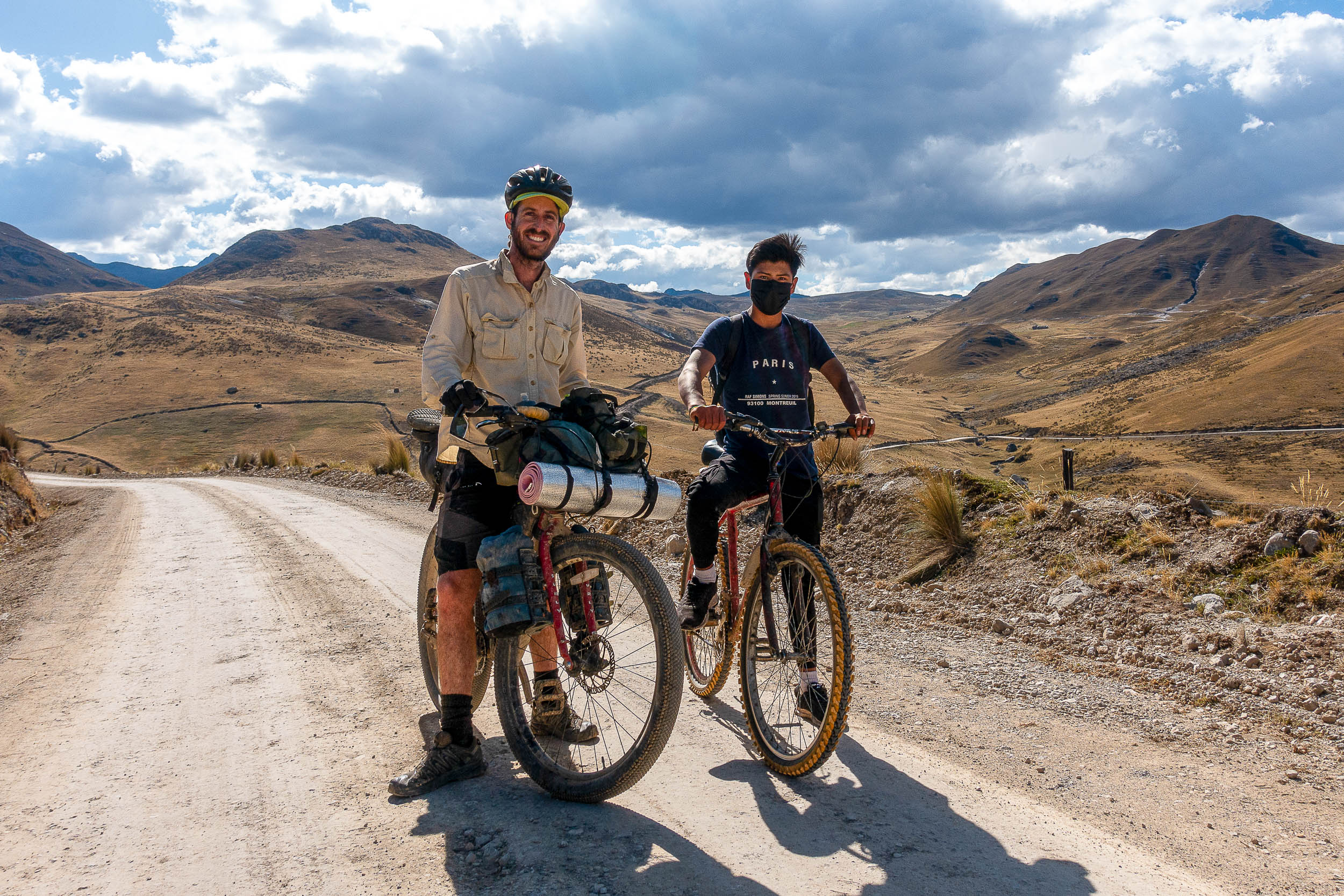
On our journey, we had already crossed the Altiplano and Salars in Bolivia, and we returned north to explore the mountains. From the town of Caracollo, we followed dirt/gravel roads to Tablachaca, where the route officially starts. During our time on the route, La Paz was under blockade due to political protests, and this mountainous track became the primary bypass, but traffic was still only enough to count on fingers per day.
South
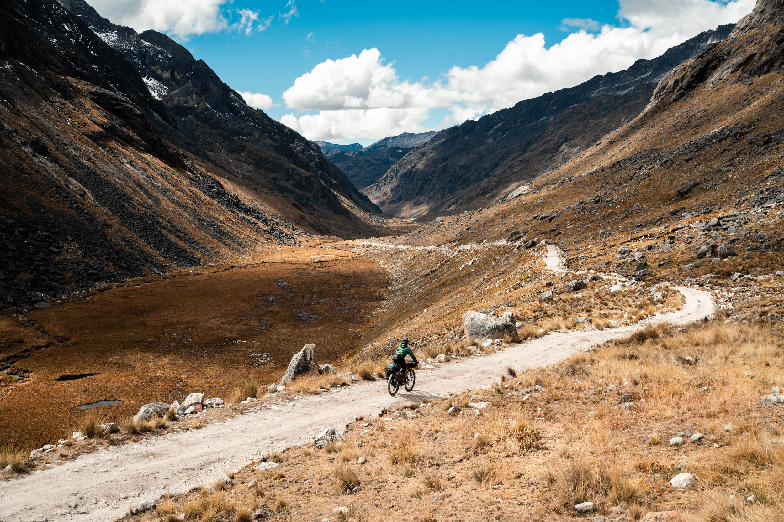
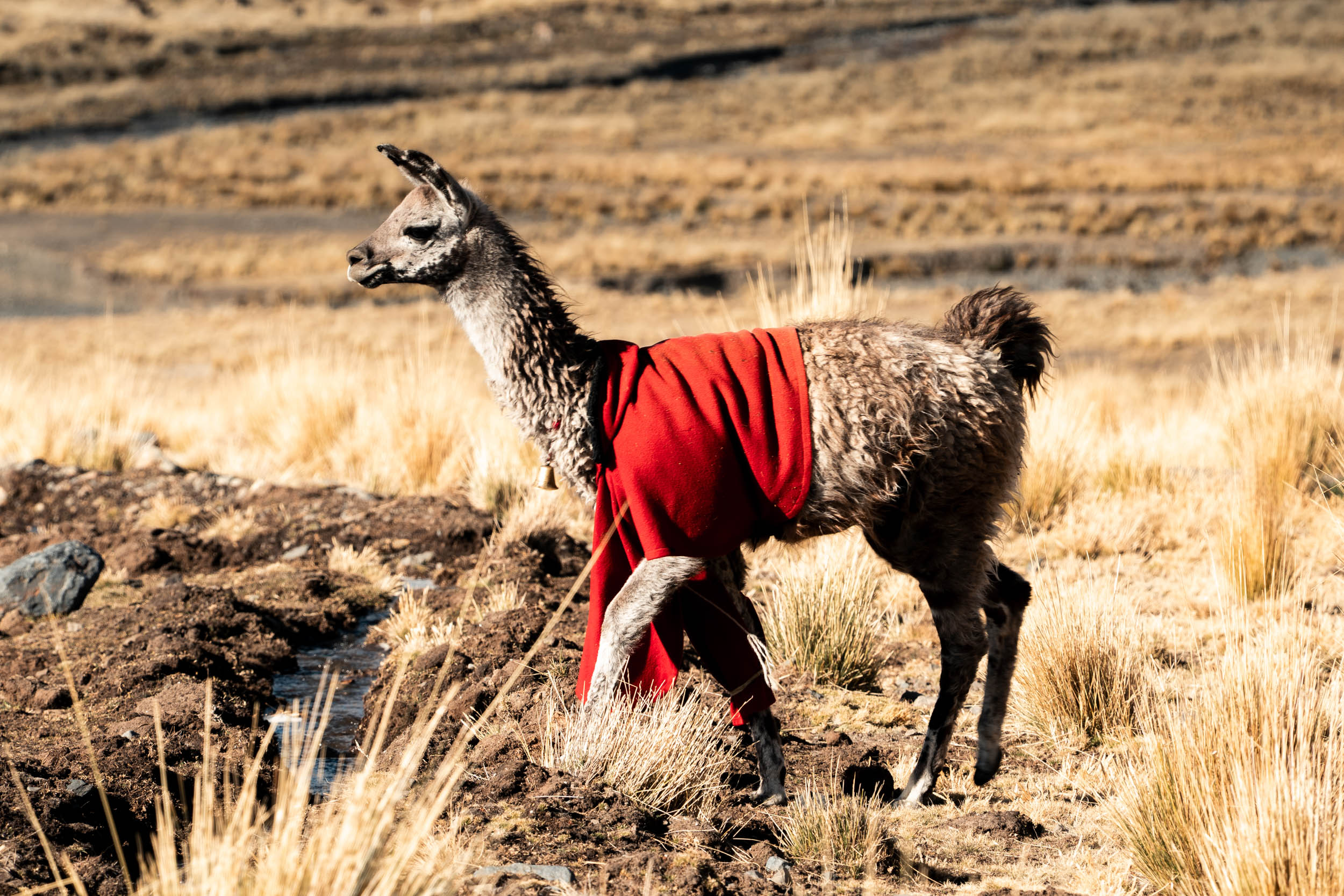
Starting at 4,300 metres in Tablachaca, we had a breakfast of llama steak and rice in the town plaza, whilst everyone told us how muy frío it was, referencing the cold, a refrain repeated by close to 100% of people we met. Leaving town, we first dropped a few hundred metres before climbing up to 5,110 metres, past small farming villages and herds of llamas. At the top is a double pass, with small mining collectives, alpine lakes surrounded by glaciers perfect for camping, and high-altitude farms in grassy valleys.
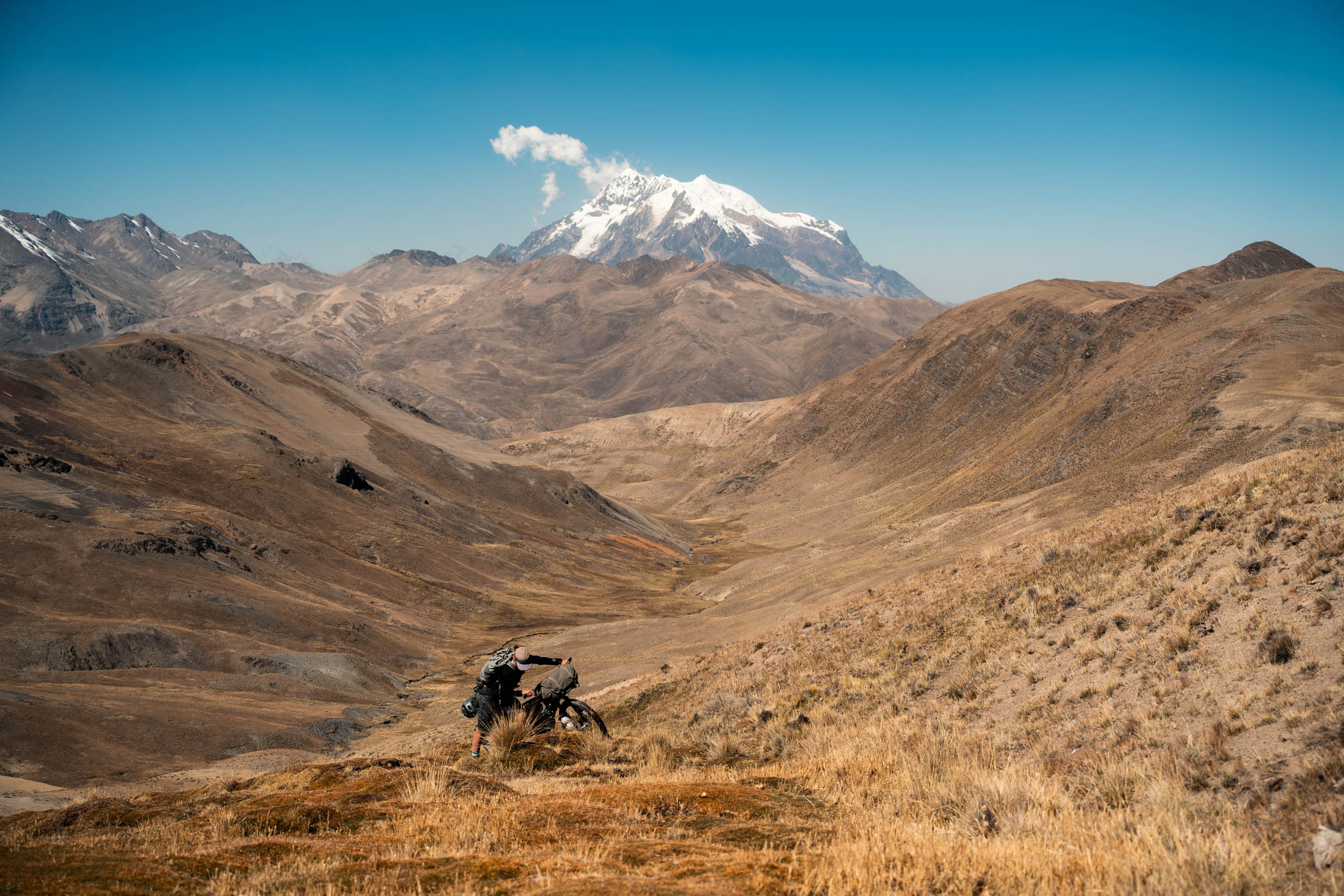
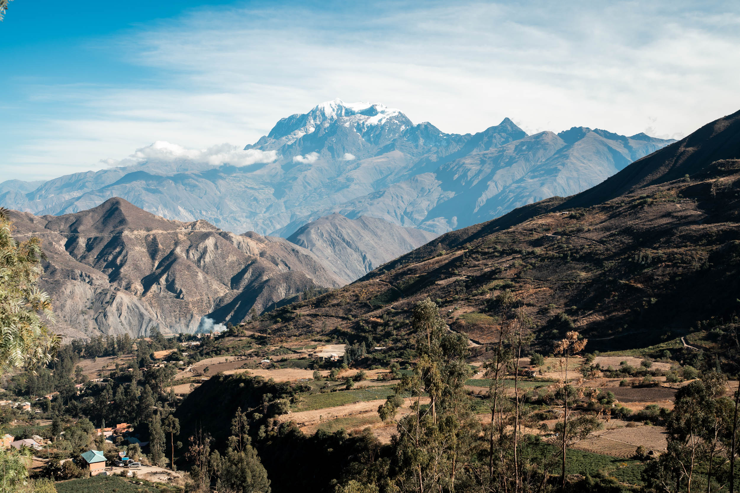
Dropping over the second pass brought us into the massive Rio La Paz Canyon. Entering at a hair under 5,000 metres, the river was over 3,000 metres below us, whilst the massive silhouette of Illimani, one of Bolivia’s tallest mountains, dominated the far horizon. Starting amongst glaciers, we wound downhill through fields of potatoes before farmland full of green vegetables took over. Eventually, trees made an appearance, and for the last thousand metres, the farms and villages disappeared, making way for dusty valleys, cacti, and stifling temperatures. We stayed at the family-run Cabana de Dons Hans, which is situated at 3,300 metres, offering the perfect temperature between the deep valley below and the freezing nights higher up.

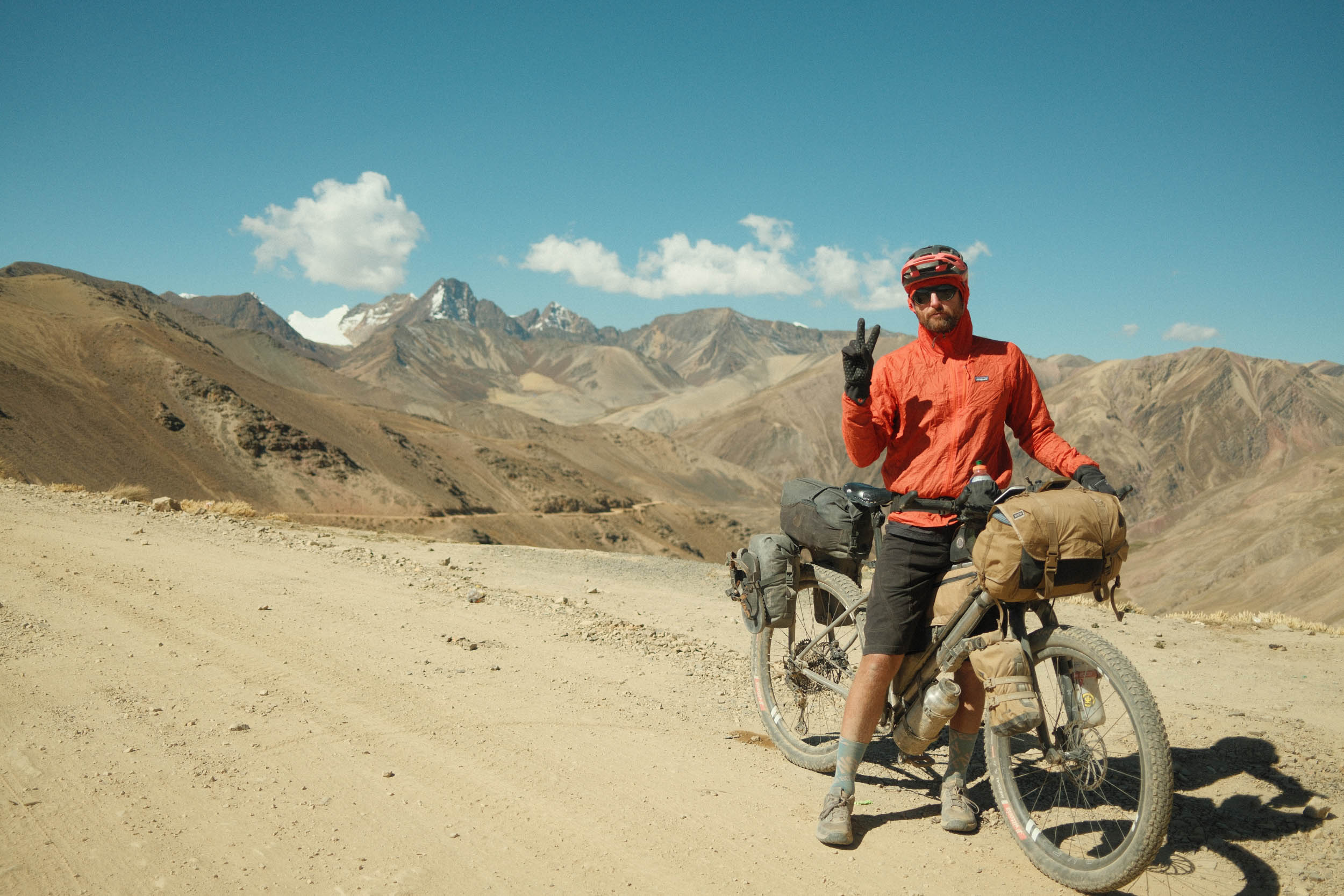
After dropping down, we ascended the other side, a near mirror image of what we’d just descended. Finally arriving at the village of Contaña part-way up was a welcome relief, for the first supply of water since descending into the valley, the Rio La Paz and side streams being contaminated by mining run-off. The farmland we found in this valley was unlike nearly anything else we saw in over three months in Bolivia. The road continued upwards, on gentle gradients, through several small villages where food is available. We made our camp just below the pass, overlooking the valley as the sun set.
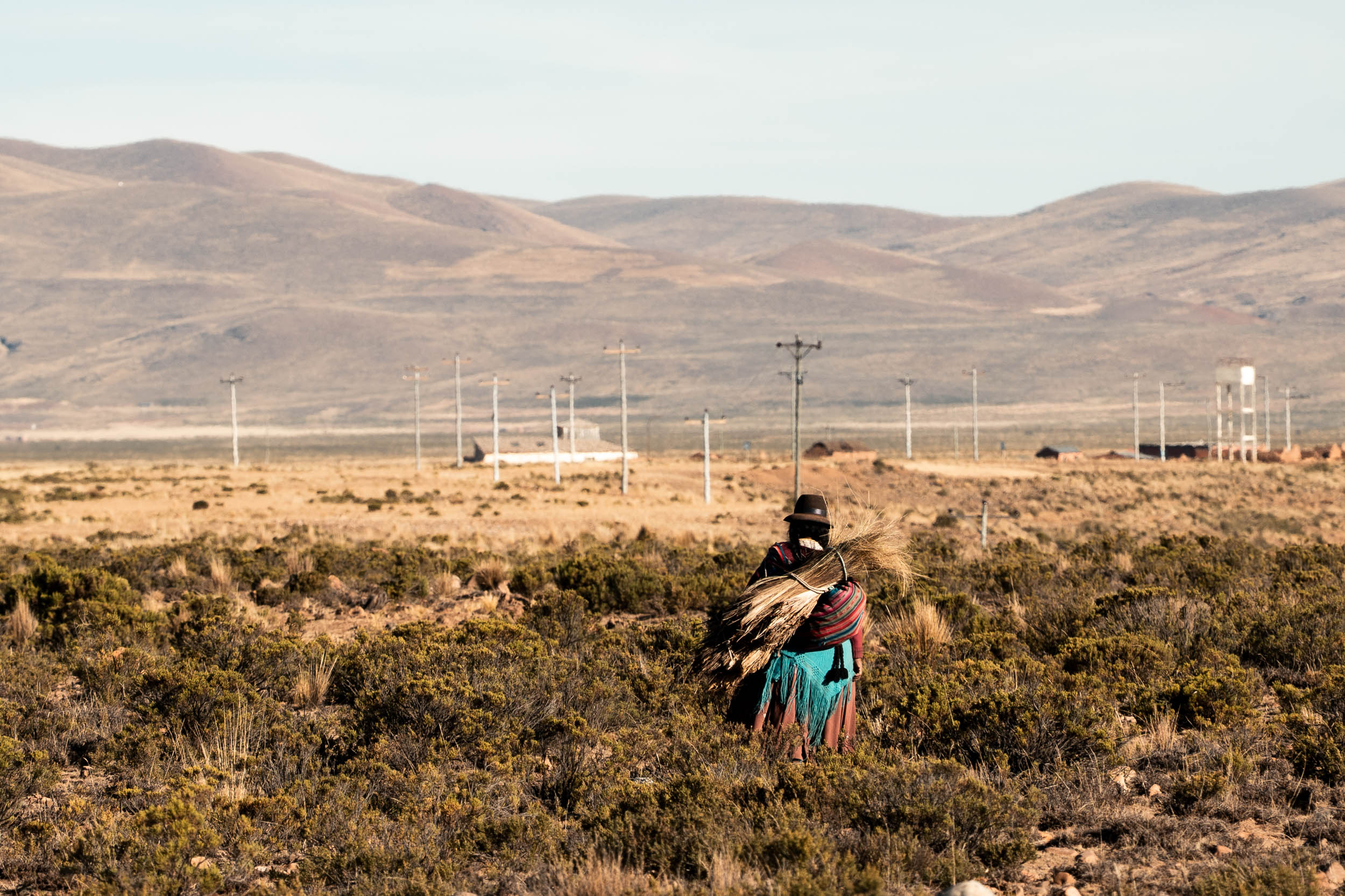
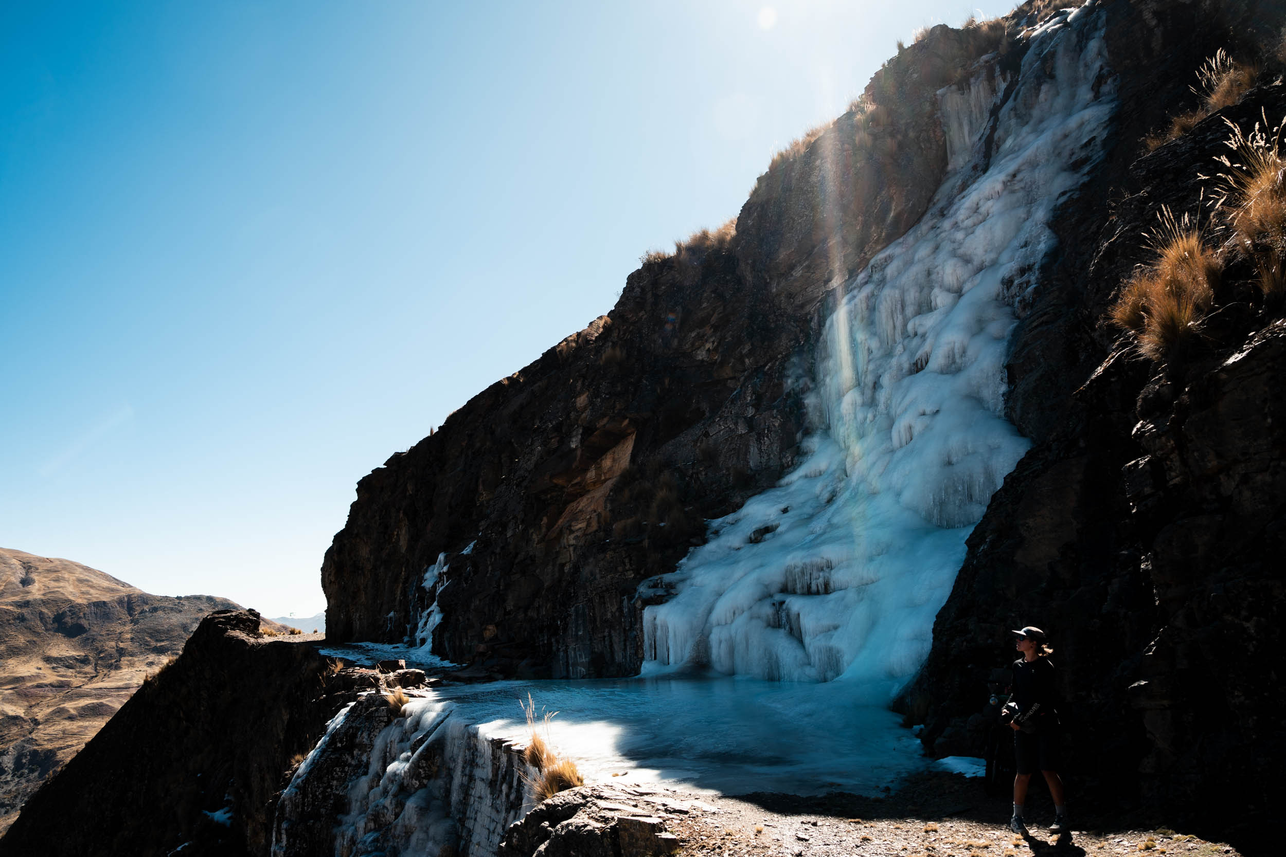
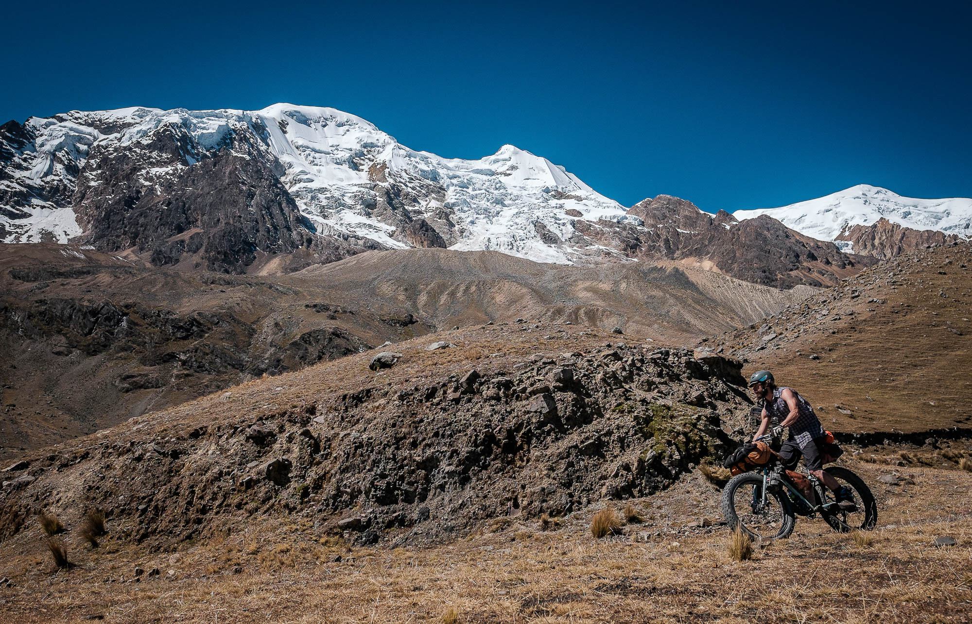
Crossing over the pass brought yet another landscape, with stone-walled farms dotting high valleys, as we traversed above them on a disused mining road, cut into the cliffs. The road here was rocky, but anything above a two-inch tyre should be capable of this section. Crossing in mid-winter, as we did, there were a large number of frozen waterfalls to navigate, the largest of which was a 20-metre-long stretch of off-camber ice, dropping directly into a 30-metre cliff. Not far beyond was the basecamp for climbing Illilami, a perfect site to pitch a tent if you want a half day of riding. The road improved again here back to a dirt road, winding around a few more valleys with farms, with herdswomen sitting and knitting whilst keeping a watch over their flocks.
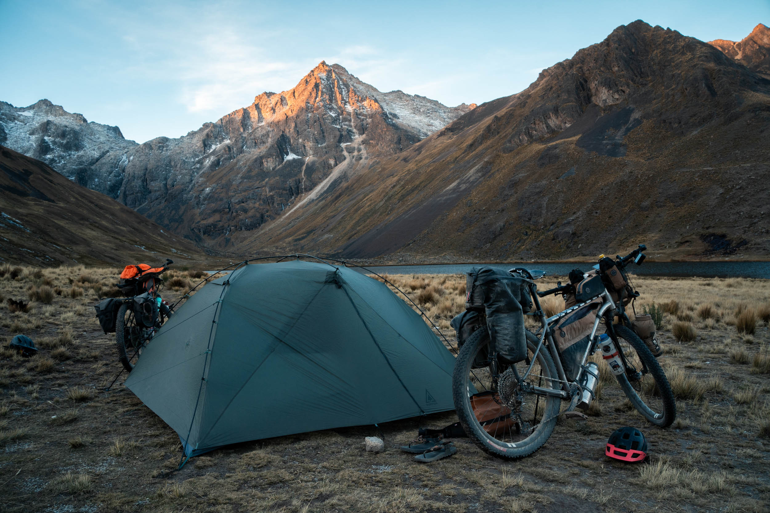

Eventually, we rejoined the highway (unpaved) just under Abra Pacuani, a familiar sight if you have ridden the Giro de Sur Yungus route, as we had previously done. Rather than continuing through the Palca Canyon to La Paz, as we had done previously (which we would highly recommend if on a gravel bike), we turned off towards Choquecota. Above this village is the serene Laguna Chuxna Quta, where we made camp surrounded by high-peaks, abandoned farms, and a few llamas.
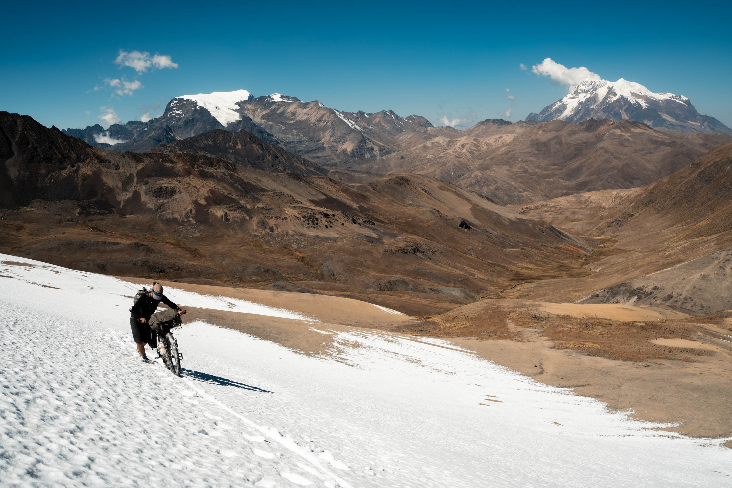
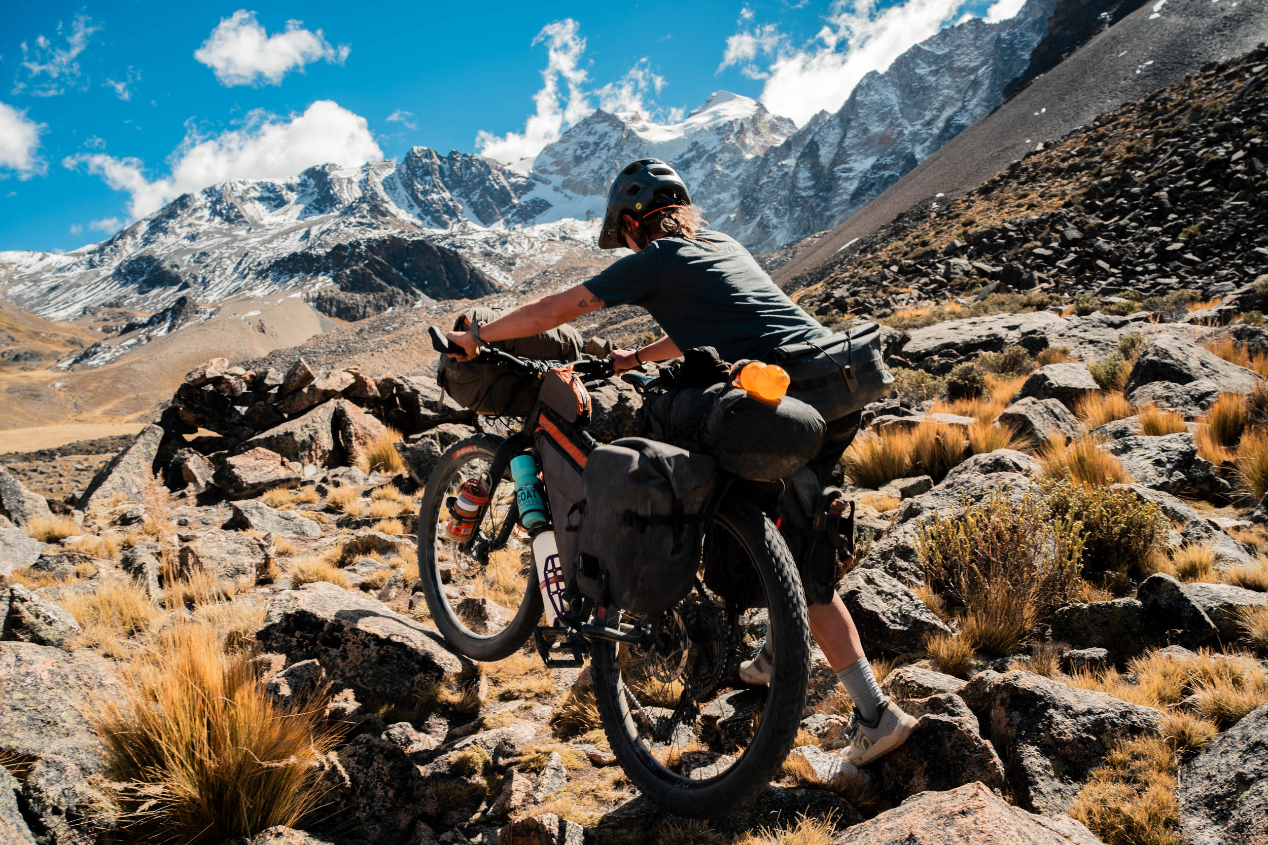
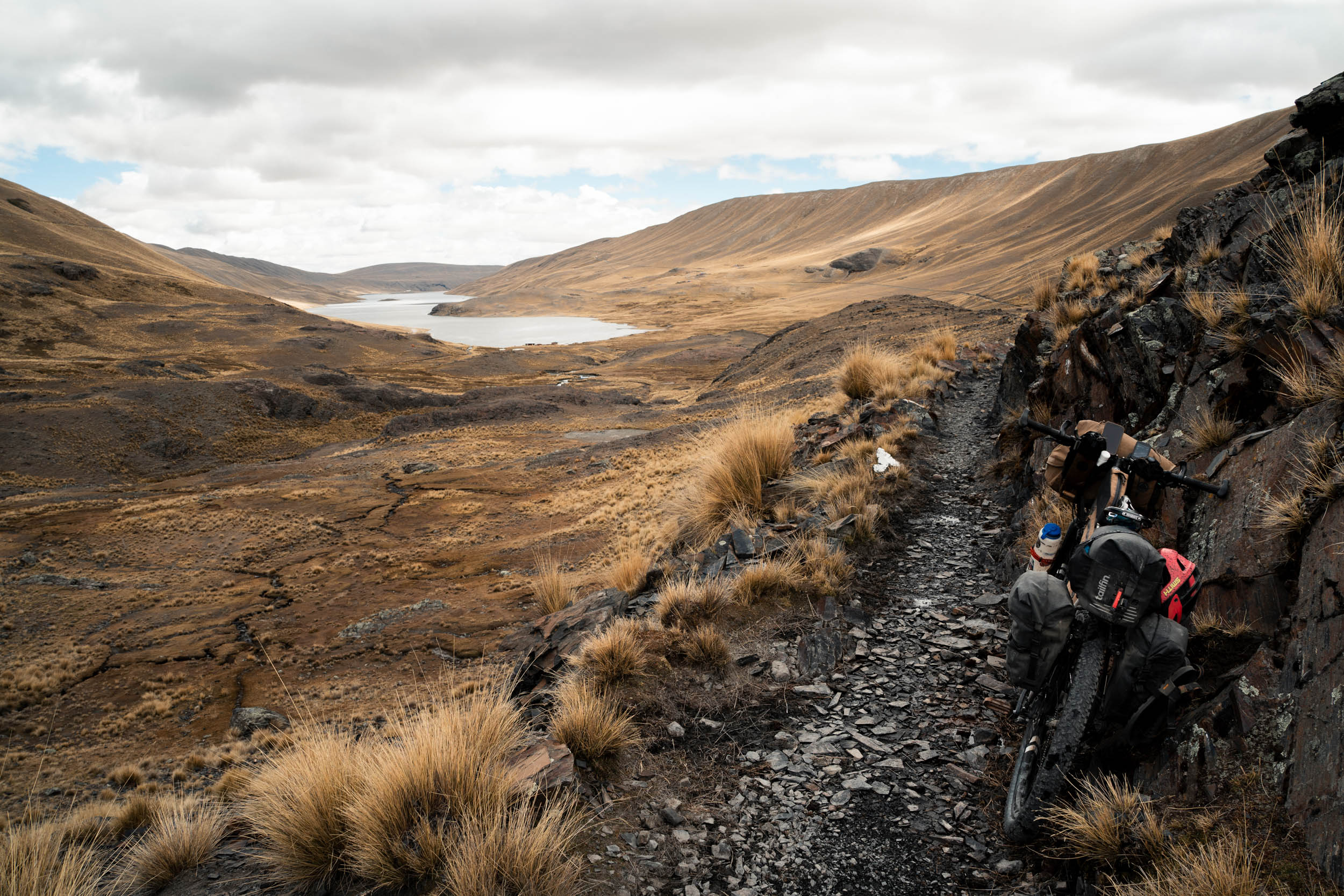
The next day brought us to the crux of this southern section: a hike-a-bike over an unnamed 4,900-metre pass. We filled our backpacks as much as we could to lighten the bikes for the five-kilometre climb. After pushing through a steep, tight gully to start, the valley opened into a wide, grassy plain filled with llamas, cows, and even a few horses. There were no farms or people up here at all. We pushed up the side of the valley, gradually gaining elevation, before passing around the head of the basin. The last few hundred metres were covered in shallow snow, but luckily our MTB flat shoes were up to the challenge. The other side brought beautiful singletrack, until a gravel road took us out of the valley. The official route here turns right, but we went left and took a cobblestone road into the heart of La Paz for a couple of rest days, and more importantly, resupply, as there is close to zero opportunity on the northern section.
North
We took a taxi from La Paz to La Cumbre to start the northern section, saving us a thousand metres of climbing. After some gravel, it is a descent to a dam requiring some no-track navigation, before another hike-a-bike. This one is shorter, but steeper and more challenging than the previous one, especially given the nearly week’s worth of food you are likely carrying. Over the pass, it’s more fun singletrack/no-track to the valley floor. We descended to the road much earlier than the GPX file and were asked to pay a small fee for using the road in the valley as a result. Our first night on this section was at the Refúgio Huayna Potosi, shared with mountain climbers.

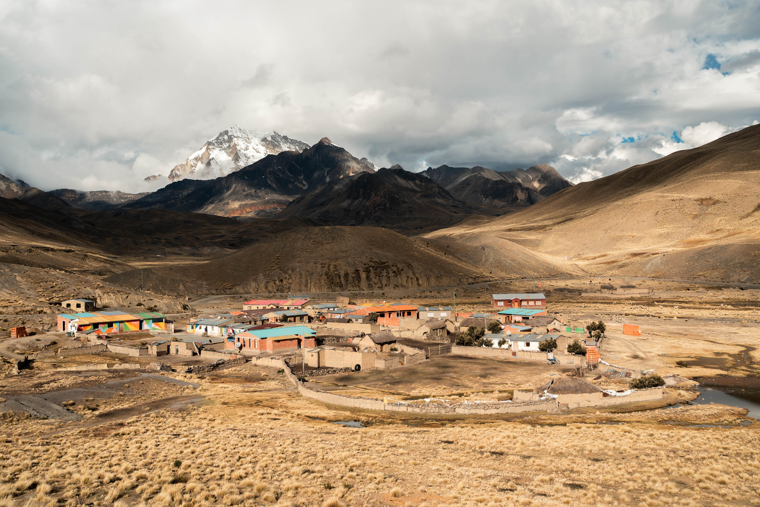
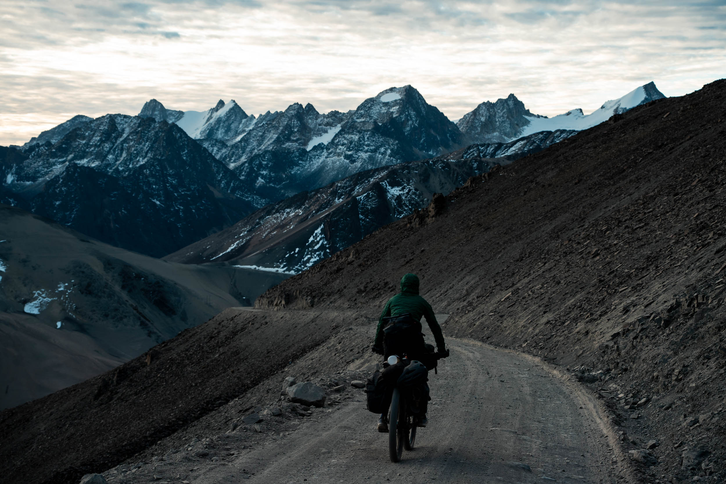
The next day started with a short descent before what was, for us, a hike-a-bike above a laguna (labeled fun trail/traverse) on a steep scree slope, before pushing through a boulder field and rejoining the road, then over another 5,000-metre pass. Luckily for us, this was clear of snow, as it had been buried beneath a metre of the stuff just a week prior, according to climbing guides. The top of the pass gives amazing views of the mountains in all directions. Down in the valley is the small village of Tuni, where we were able to get a fantastic late lunch at the brightly painted Alberge Tuni. They have rooms available, but we opted to camp on the shore of the nearby laguna, with only a few flamingos for company.

From here, we undulated up and down, and in and out of a few quebradas, with either farms or lagunas in them. There is now a dam over the Rio Janchallani, with associated gravel roads, saving a good few kilometres of pushing the bike over tussock-clad slopes, although there is still plenty of that to be had.
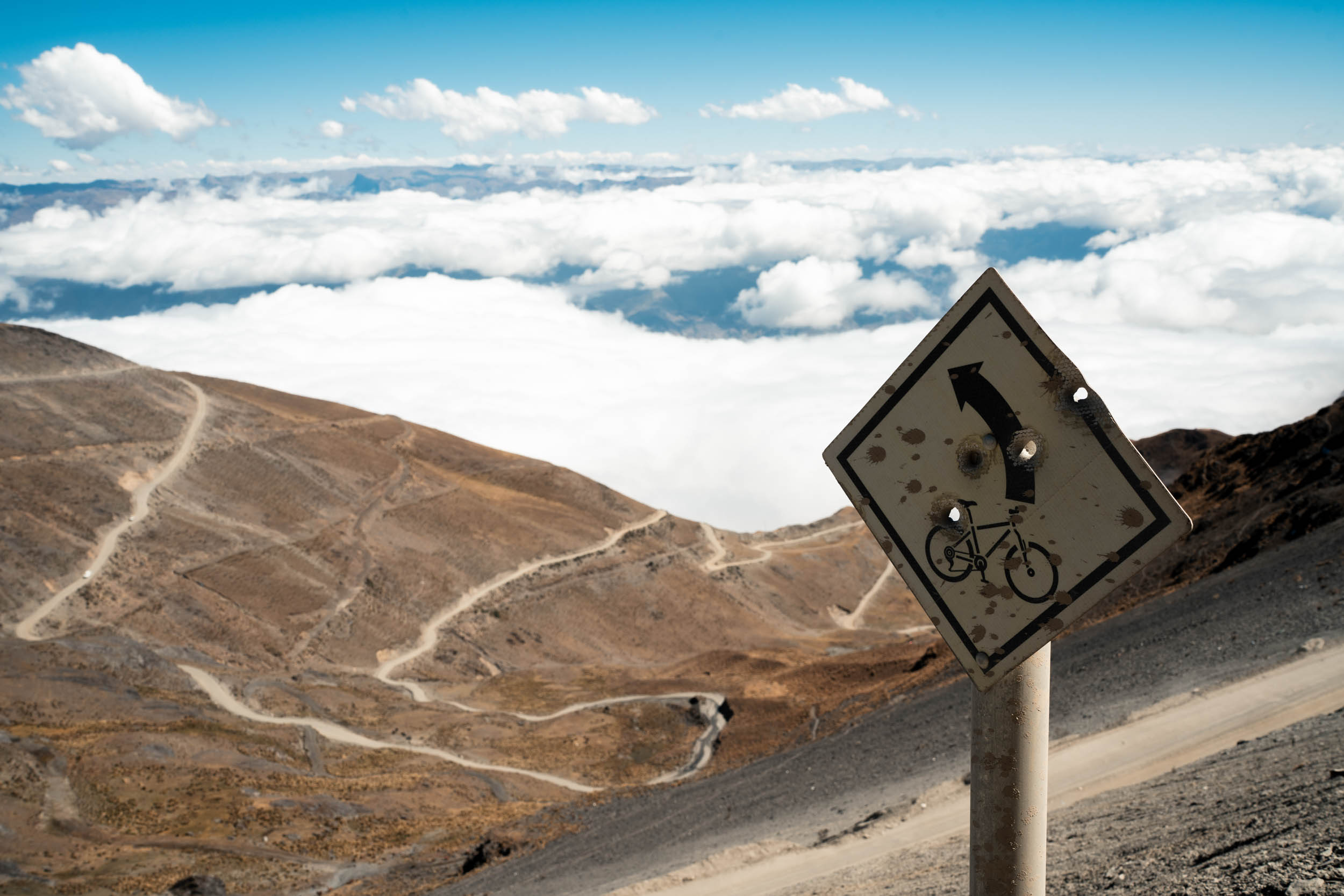
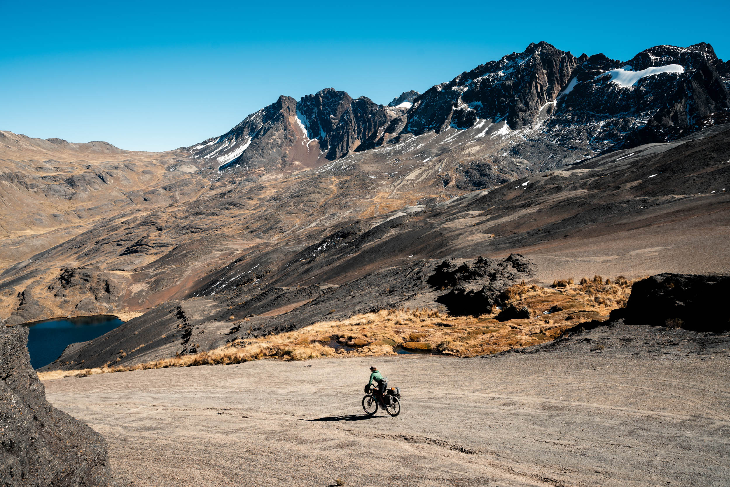
At this point, we broke away from the original GPX track. Running low on supplies, we descended from Qara Quta to the village of San Juan de Cachacomani. It was a Friday morning, and there was a vibrant market on, with hot lunches and fresh produce. This was lucky for us, as the tiendas in town had a frustratingly poor selection of supplies. From here, it would be instant noodles for breakfast and dinner.
Rather than follow the original route into Sorata, we decided to take a circumnavigation of the Illampu Circuit, adding a few days, but well worth the effort. Crossing over the snow-covered, 5,050-metre Abra de la Calzada on a rough jeep track, we felt the isolation. The circuit involves a series of steep climbs on rough roads. For us, these were mostly pushing, a result of not taking any rest days on this section. The final section, descending to the village of Ancoma, was the highlight for us. High on the initial descent, the road passes through two sets of stone ruins. These are old Incan military barracks, placed high for a good view of the valley below. The lower one served the general troops, and the higher one the officers. These would make fantastic camp sites.
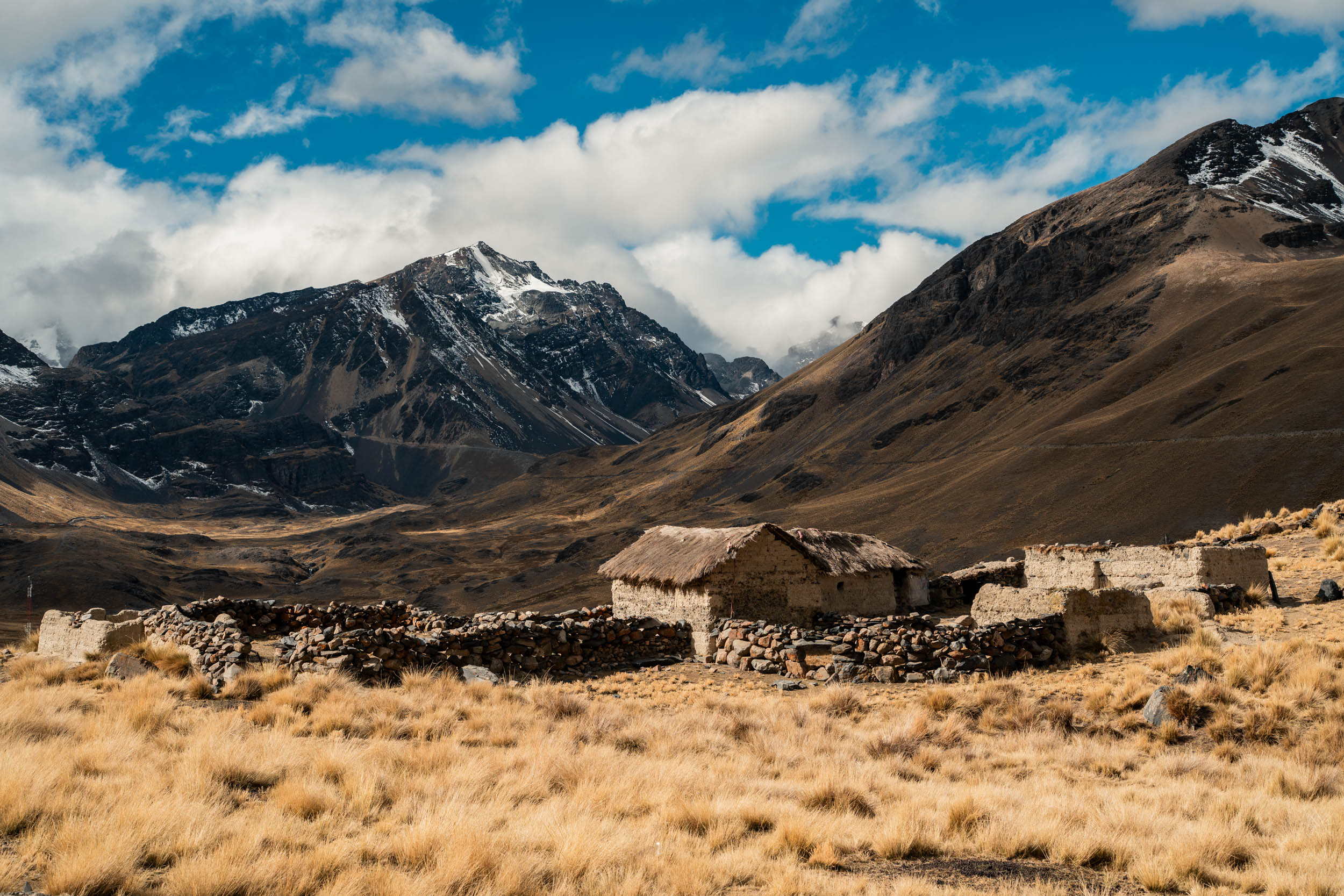
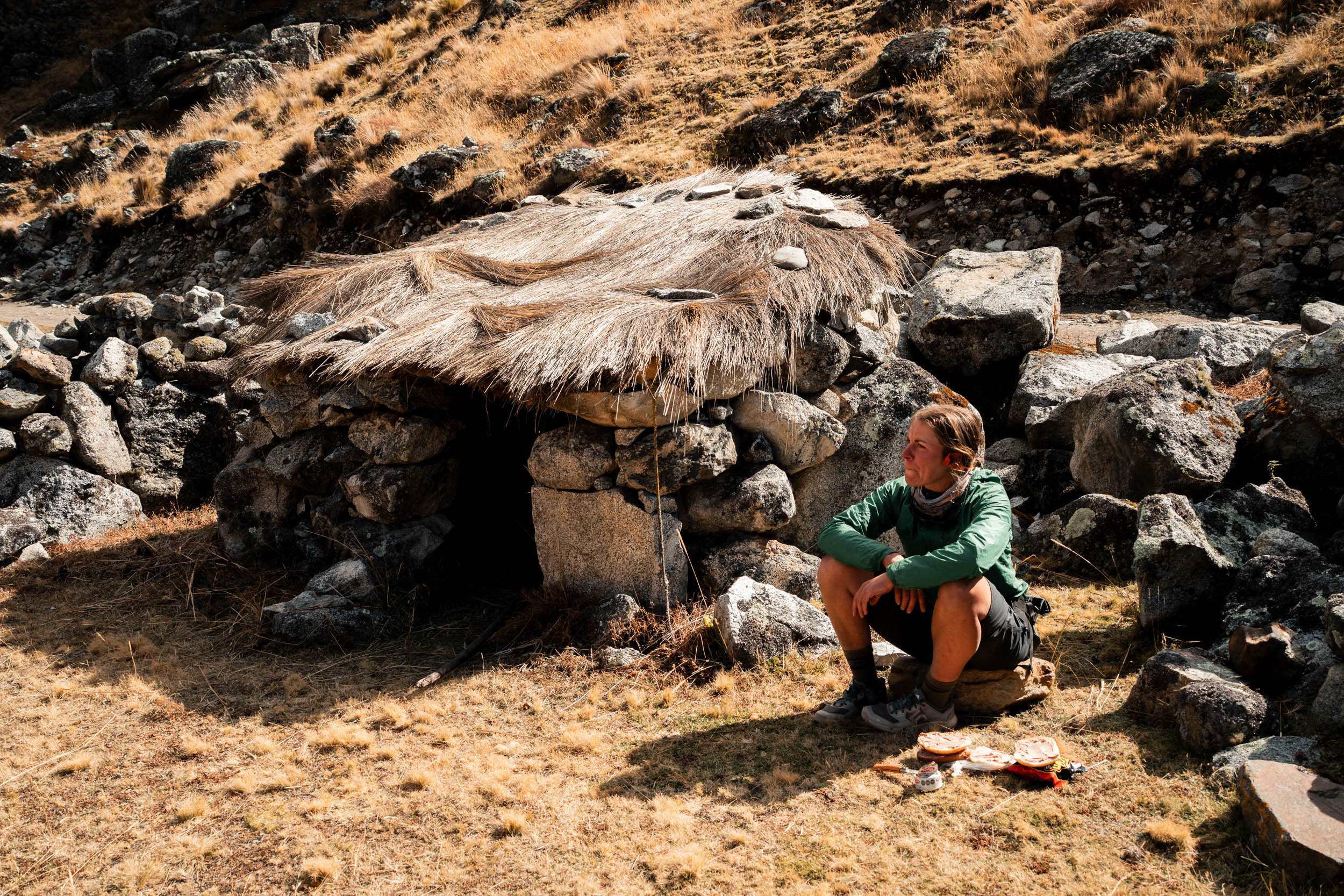
Lower in the valley are innumerable stone farms amongst ones in use. Some are clearly colonial, with mud bricks and mortar, whereas others date from Incan and pre-Incan times, with thatched roofs. With no other tourists around (we saw no one on the entire route), it feels like you are stepping back in time. One final pass and a 30-kilometre descent brought us to Sorata. From the pass, a black-rated mountain bike track called Chu Chu descends most of the way down, and there are signposts to follow if you have the energy (and the right bike). The very first thing it does is point directly down a steep, trackless, scree slope. Attempt if you dare; we did not!
General Notes
As noted, this is a route of two halves. We were both riding rigid bikes with 2.6-inch tyres and a light touring setup. The southern section is primarily dirt/gravel roads and would be suitable for any bike with 2-inch or more tyres, at least until the hike-a-bike section. Given the elevation, you would want to be light, but it is not as imperative as the north. The northern section is much rougher, and fat tyres or suspension would be welcome, as would a lightweight setup, given the frequent pushing required.
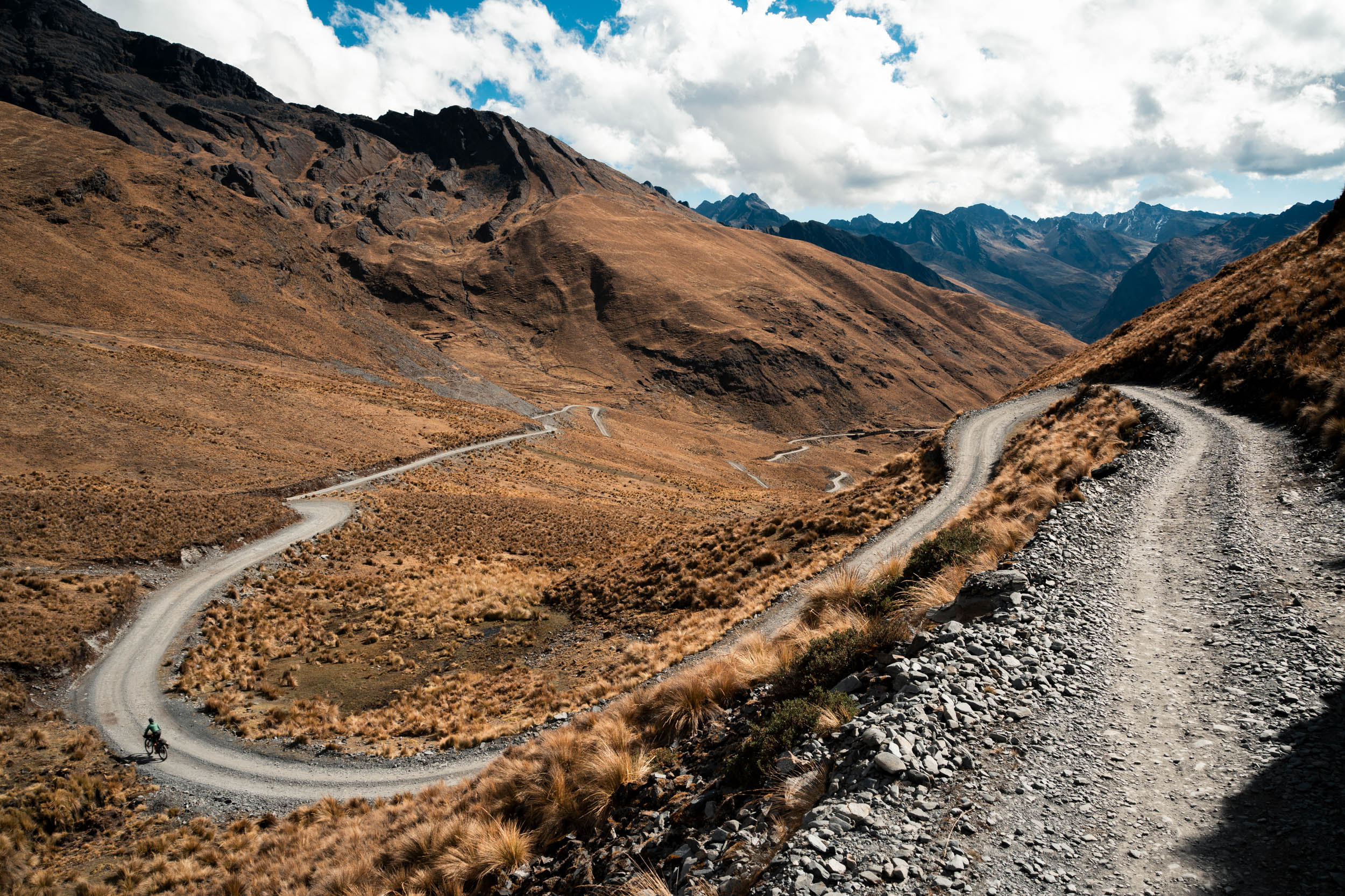
Staying supplied on this route is a challenge. The southern half has many small tiendas with basics, but most days you will need to carry all your food. The north only has two small tiendas, in San Juan and Cooco, neither of which is on the original route. Balancing food and staying light enough for the pushing at altitude is a challenge. Temperatures are similar to other parts of the Andes: generally warm and T-shirt weather during the day, even at 5,000 metres, and well below freezing at night. A grasp of Spanish would help immensely (ours was nearly non-existent, as South America was a late change of plans due to the instability in the Middle East), but Aymara is the primary language in most of the smaller villages we passed through.

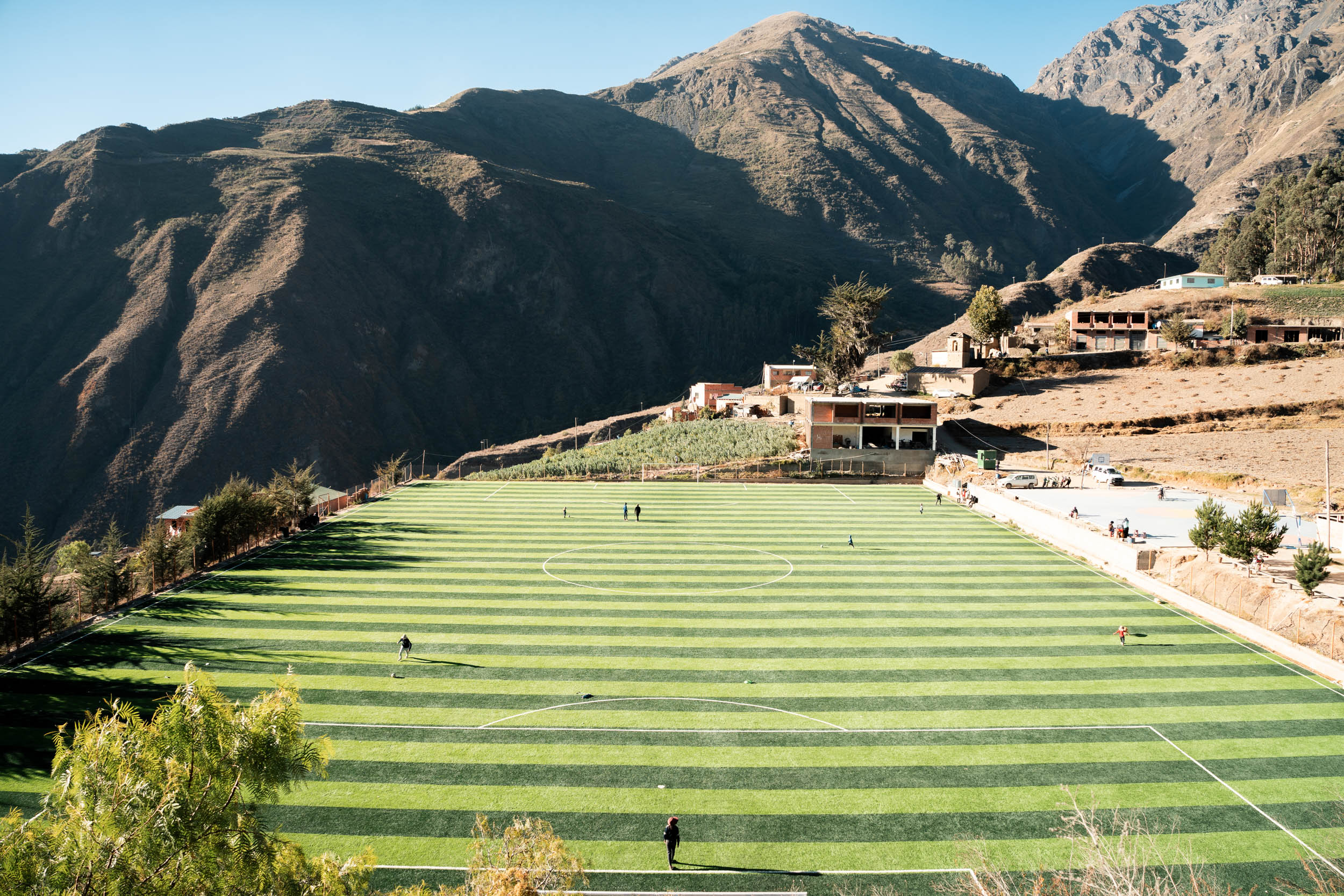

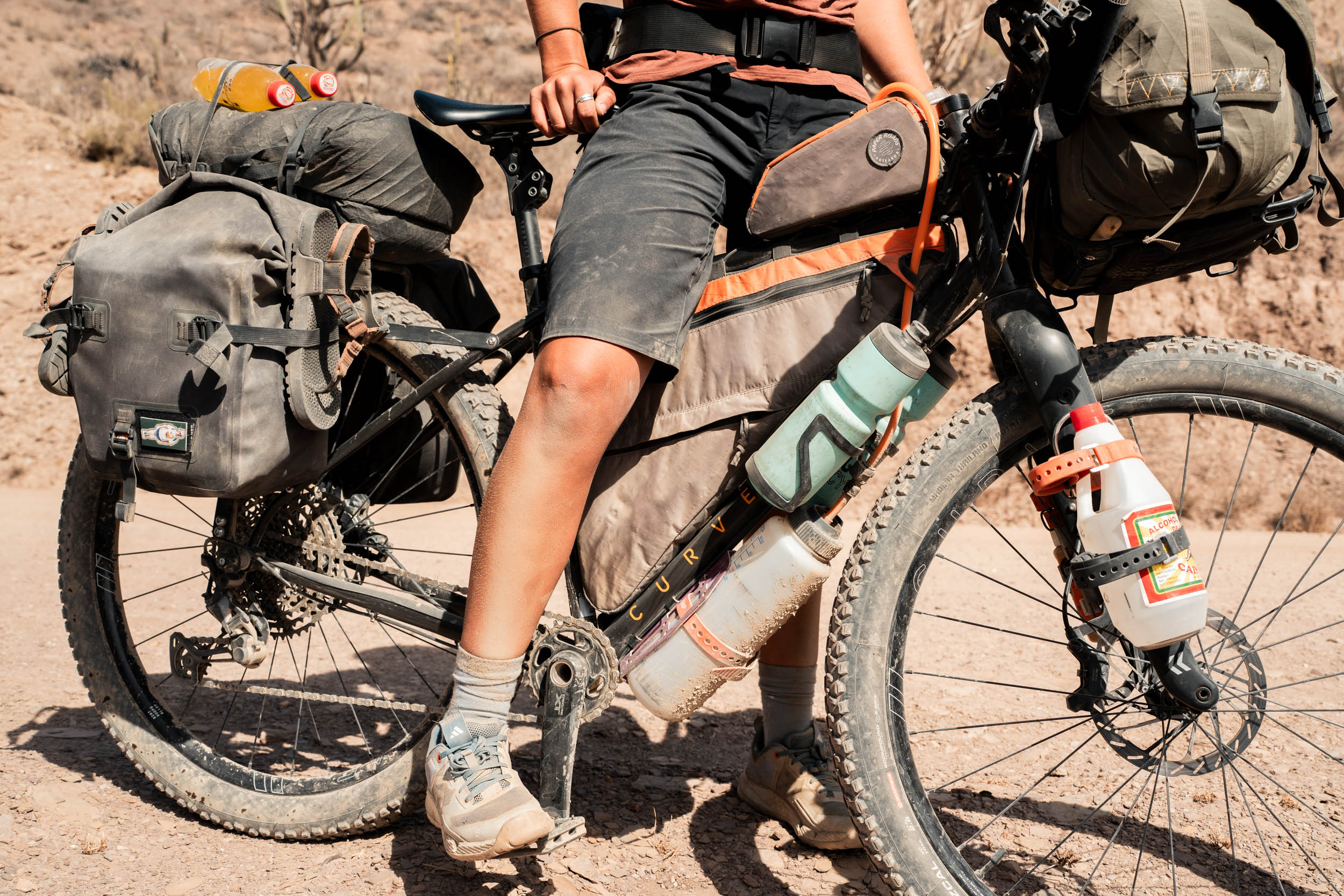
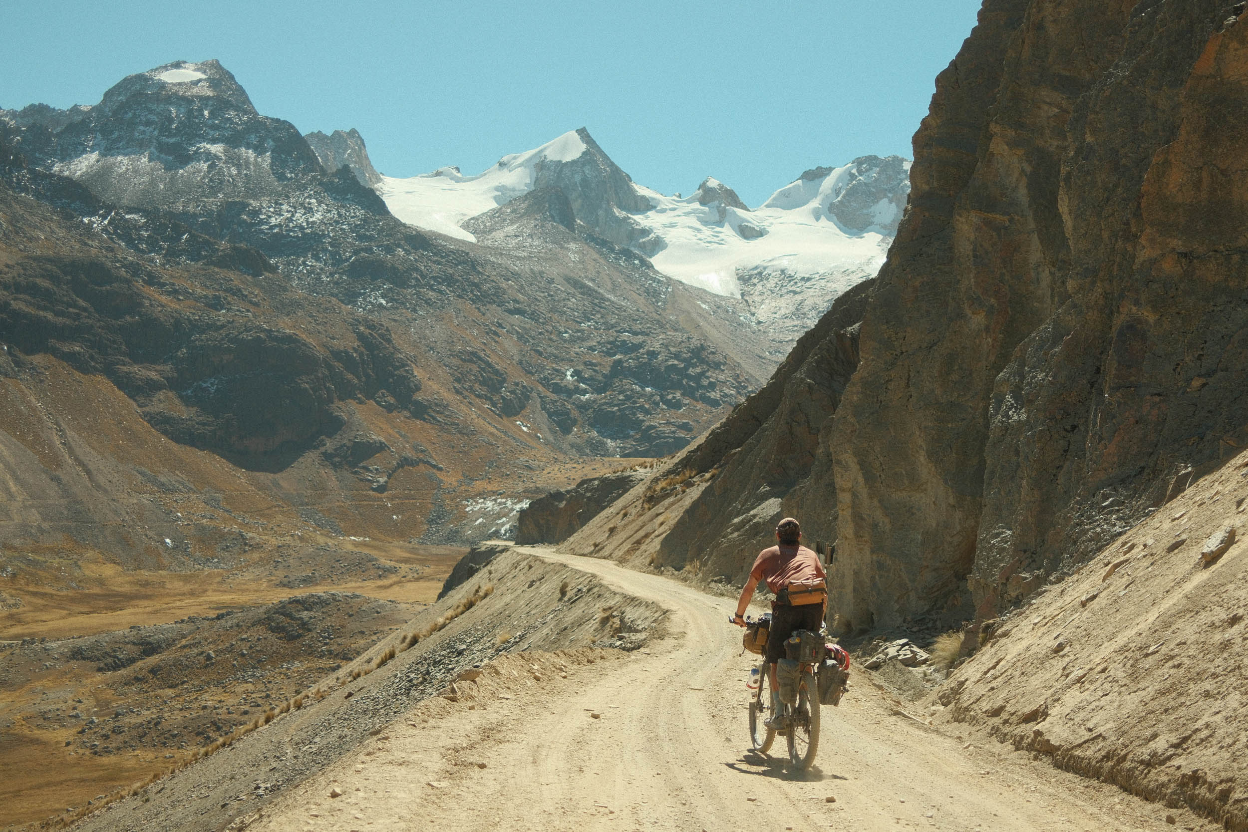
 Mama Coca crosses the length of two of Bolivia’s most significant Andean mountain ranges, starting with the less-known Cordillera Quimsa Cruz and following on with the Cordillera Real, the highest in the country. The majority of this rugged and remote 460-kilometer route uses small dirt roads built by mining cooperatives that are connected by trails worn across the open puna by shepherds and their flocks of alpaca. Find the full route guide here.
Further Reading
Make sure to dig into these related articles for more info...
Please keep the conversation civil, constructive, and inclusive, or your comment will be removed.