


Mama Coca, Bolivian High Andes Traverse
Distance
286 Mi.
(460 KM)Days
12
% Unpaved
99%
% Singletrack
20%
% Rideable (time)
95%
Total Ascent
42,700'
(13,015 M)High Point
17,000'
(5,182 M)Difficulty (1-10)
8?
- 9Climbing Scale Very Strenuous149 FT/MI (28 M/KM)
- -Technical Difficulty
- -Physical Demand
- -Resupply & Logistics
Contributed By
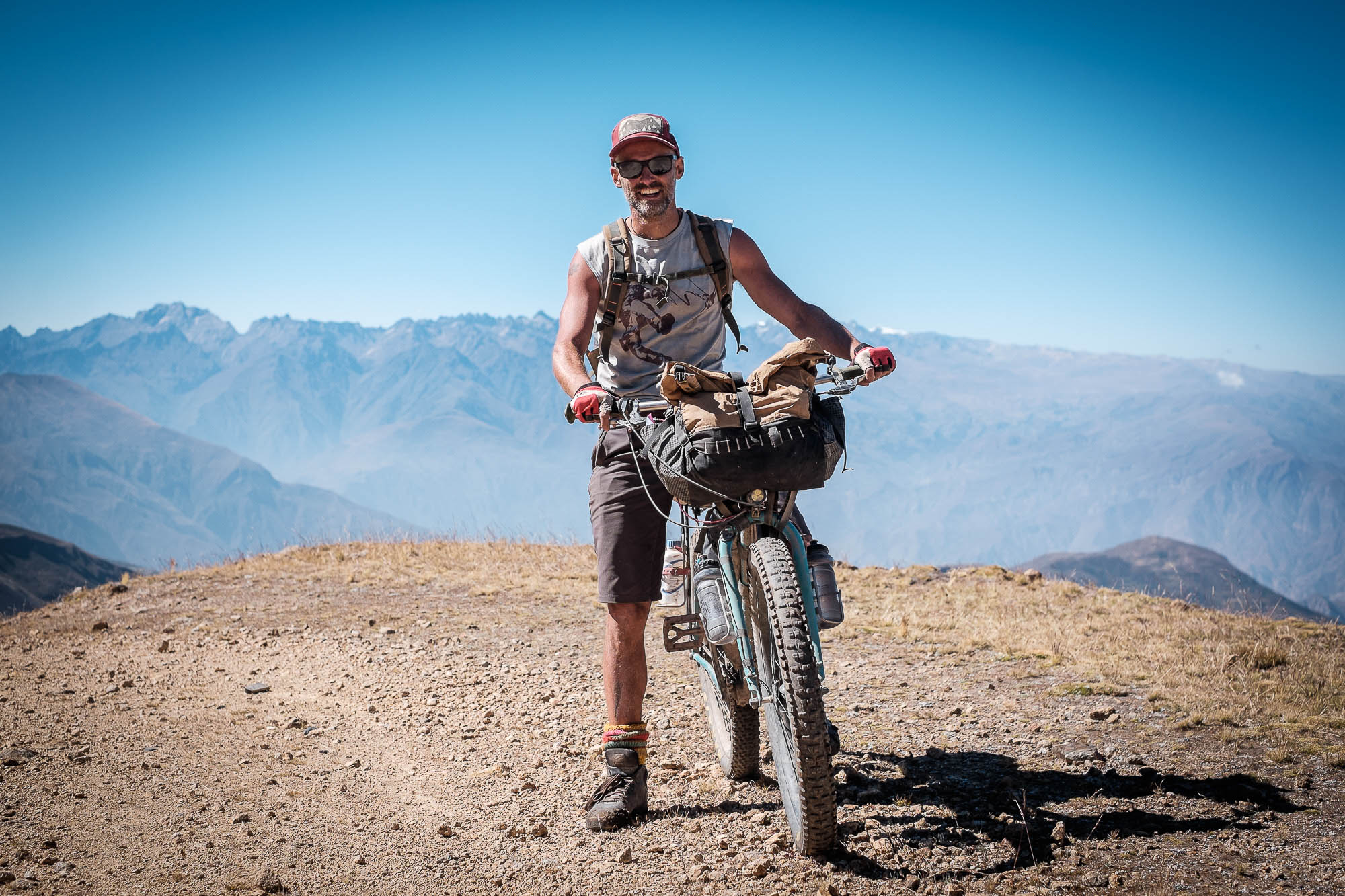
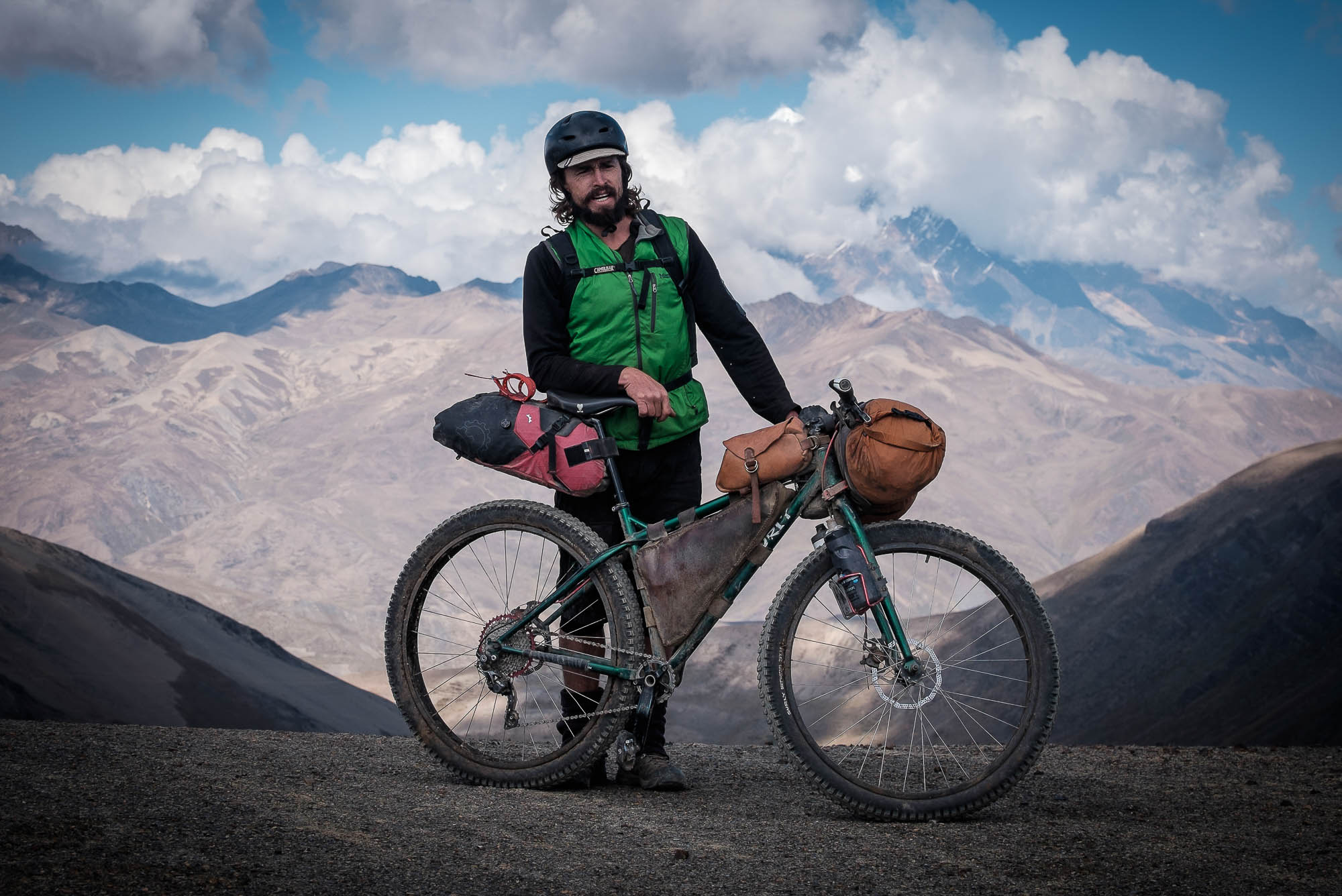
Michael Dammer
Guest Contributor
To find out more about Michael and the wilderness courses he runs with his brothers, visit their website. For stories on the Dammers’ various bikepacking adventures, both with and without their families, check out their wonderful blog and follow Michael on Instagram.
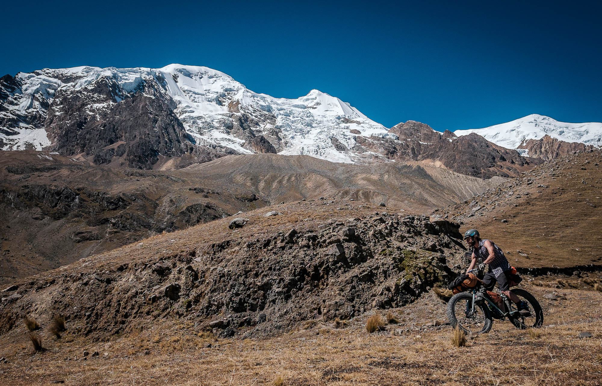
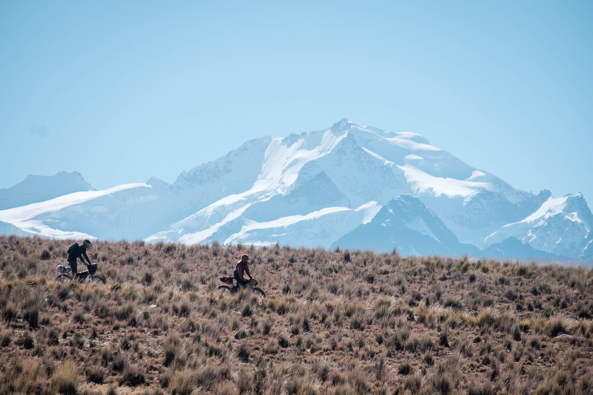
From the small village of Konani to the lively town of Sorata, Mama Coca traverses 460 kilometers (290 miles) of what Bolivians call the puna. Trapped between the altiplano and the glaciers of the high Andean peaks, the puna is a vast region where only shepherds and fortune hunters (miners, that is) venture to sustain their living.
What’s in a name?
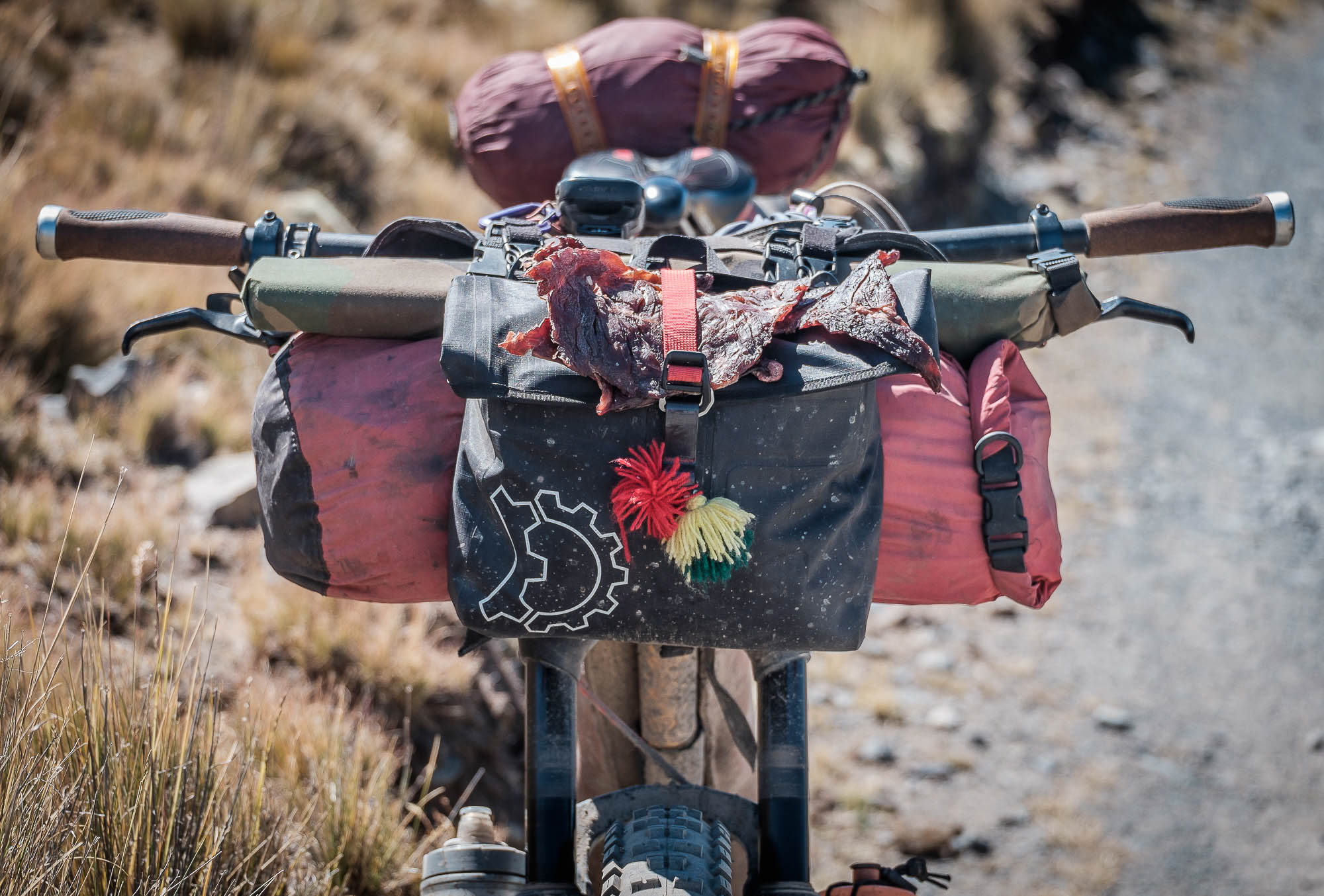
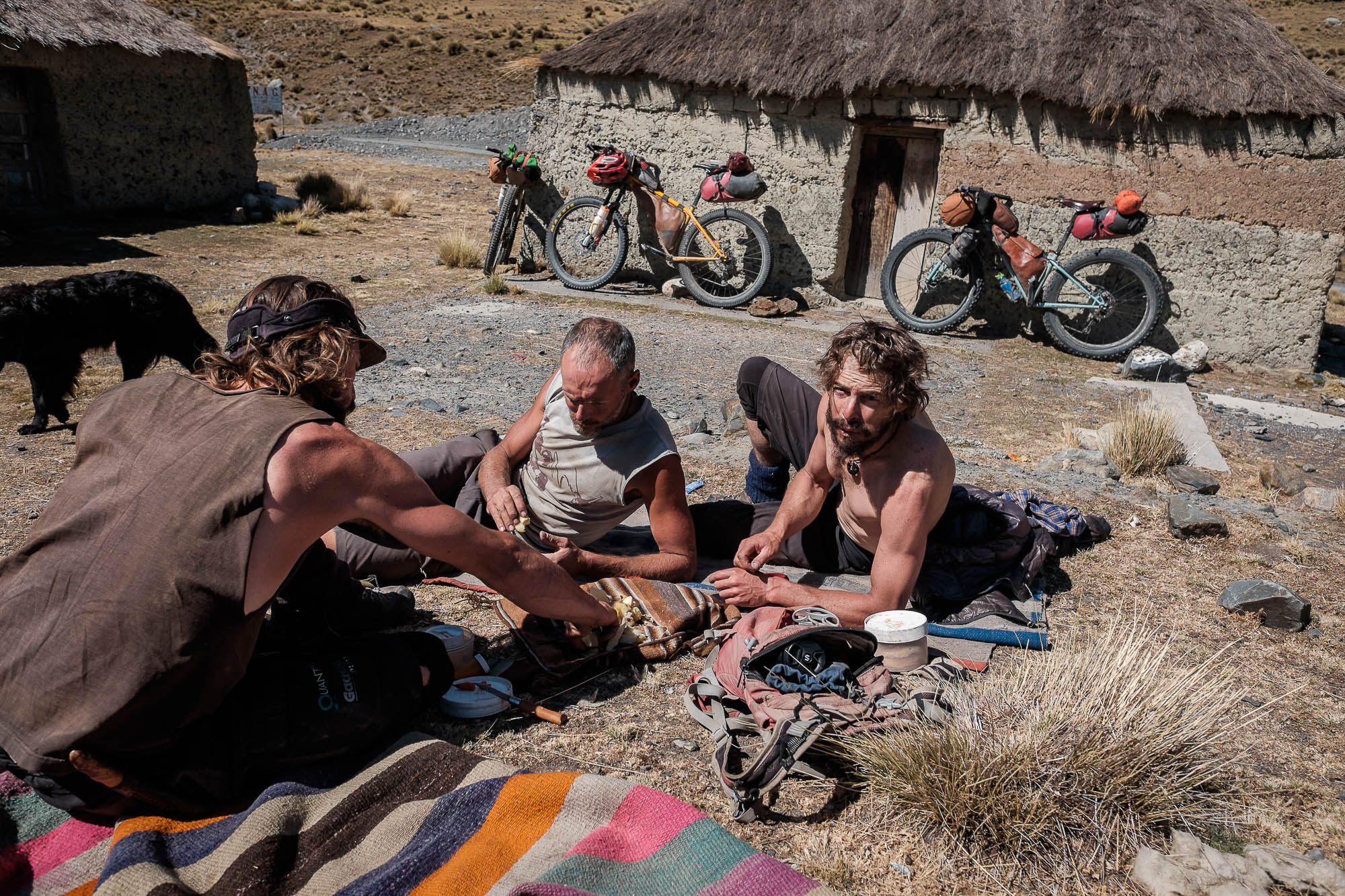
Coca production and consumption were among the pillars of the development of most Andean cultures. Indigenous people in the Andes consider coca a sacred plant, and as a sign of respect call her Mama Coca. I always carry some when I ride in the mountains. Not only do coca leaves offer a boost on steep terrain at altitude, but chewing them also becomes a ritual; one that connects with both the mountains and the people. It’s best to do so with tiny bit of llipta, quinoa ashes with lime, which helps activate the full potency of the coca leaves.
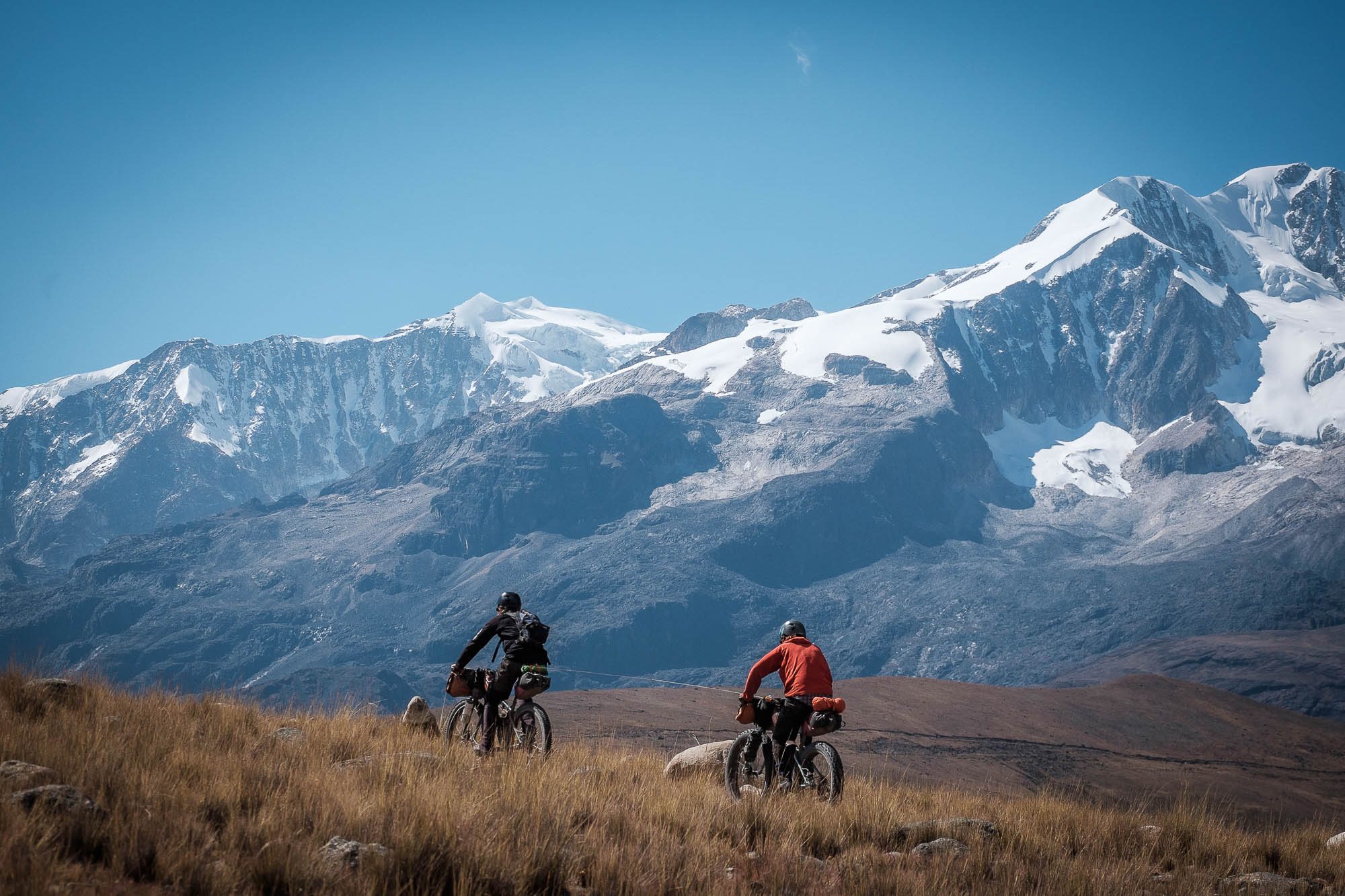
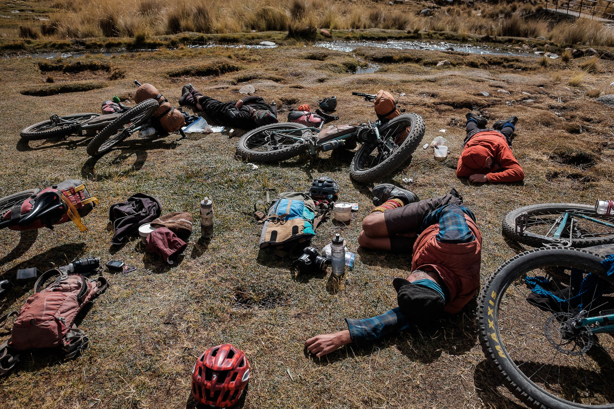
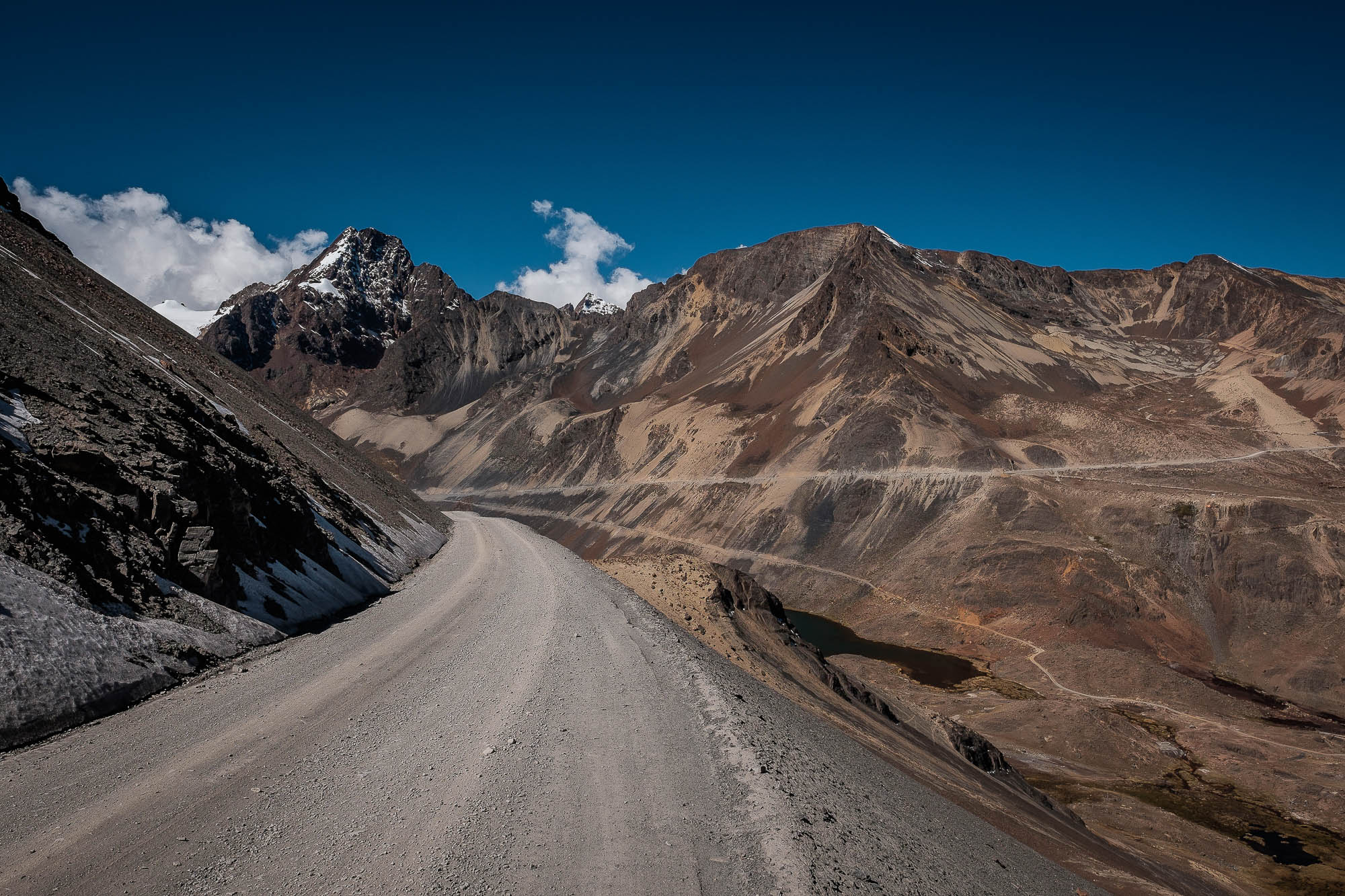
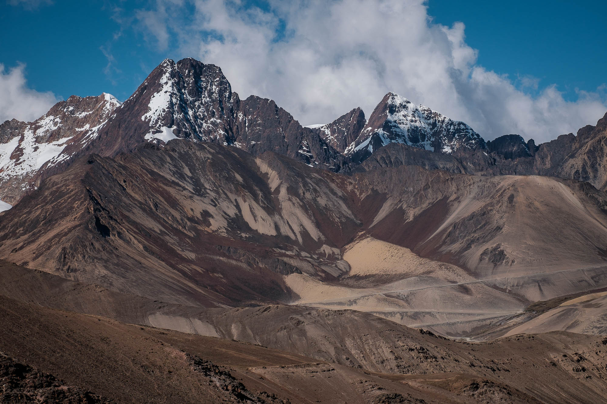
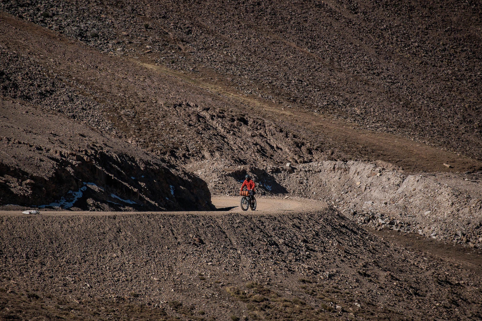
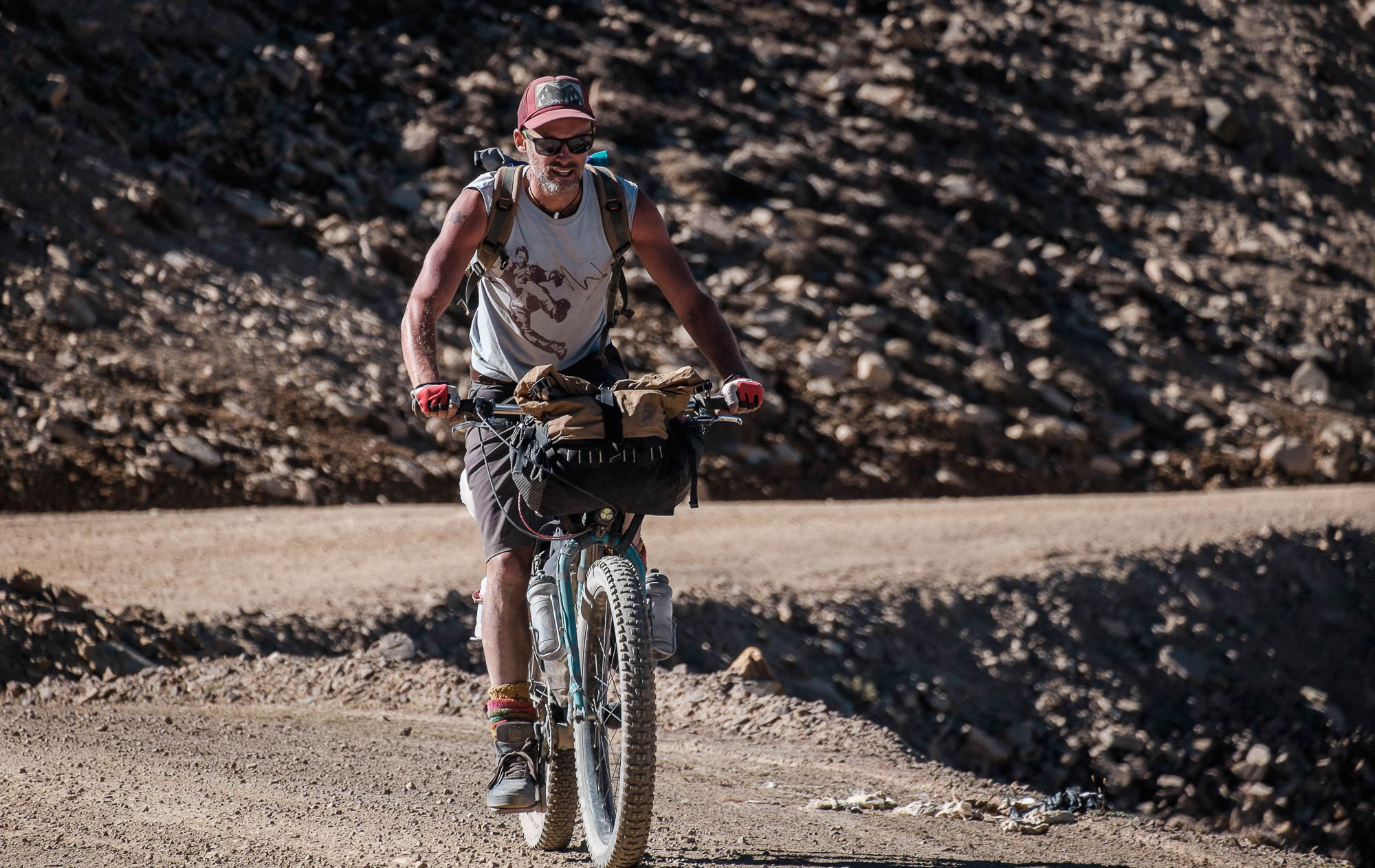
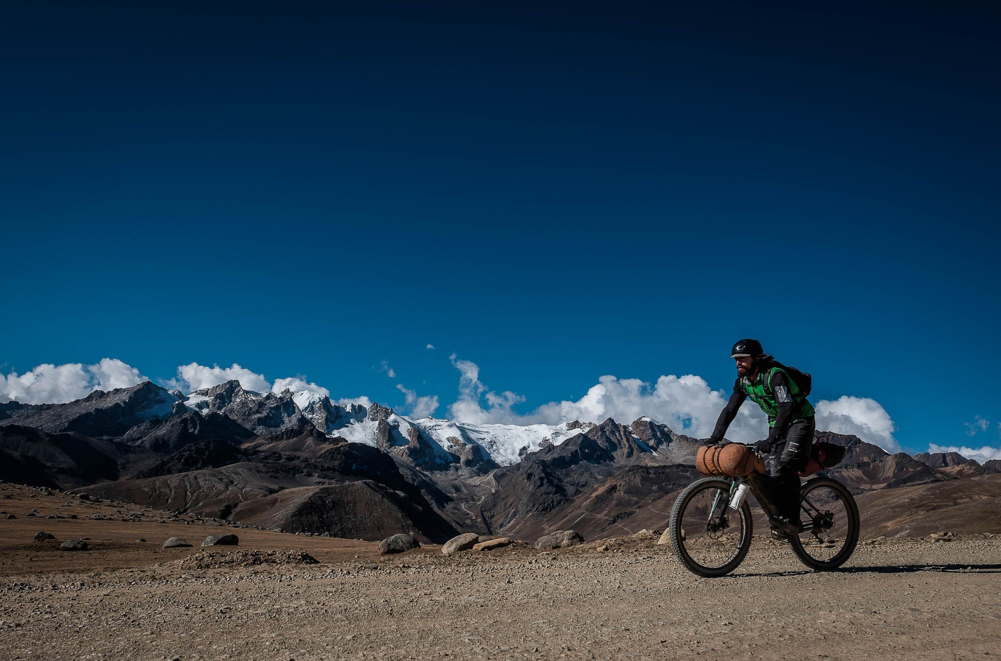
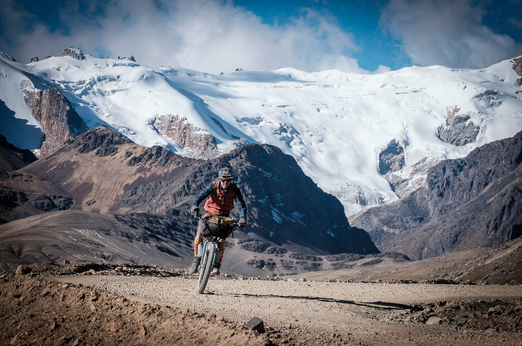
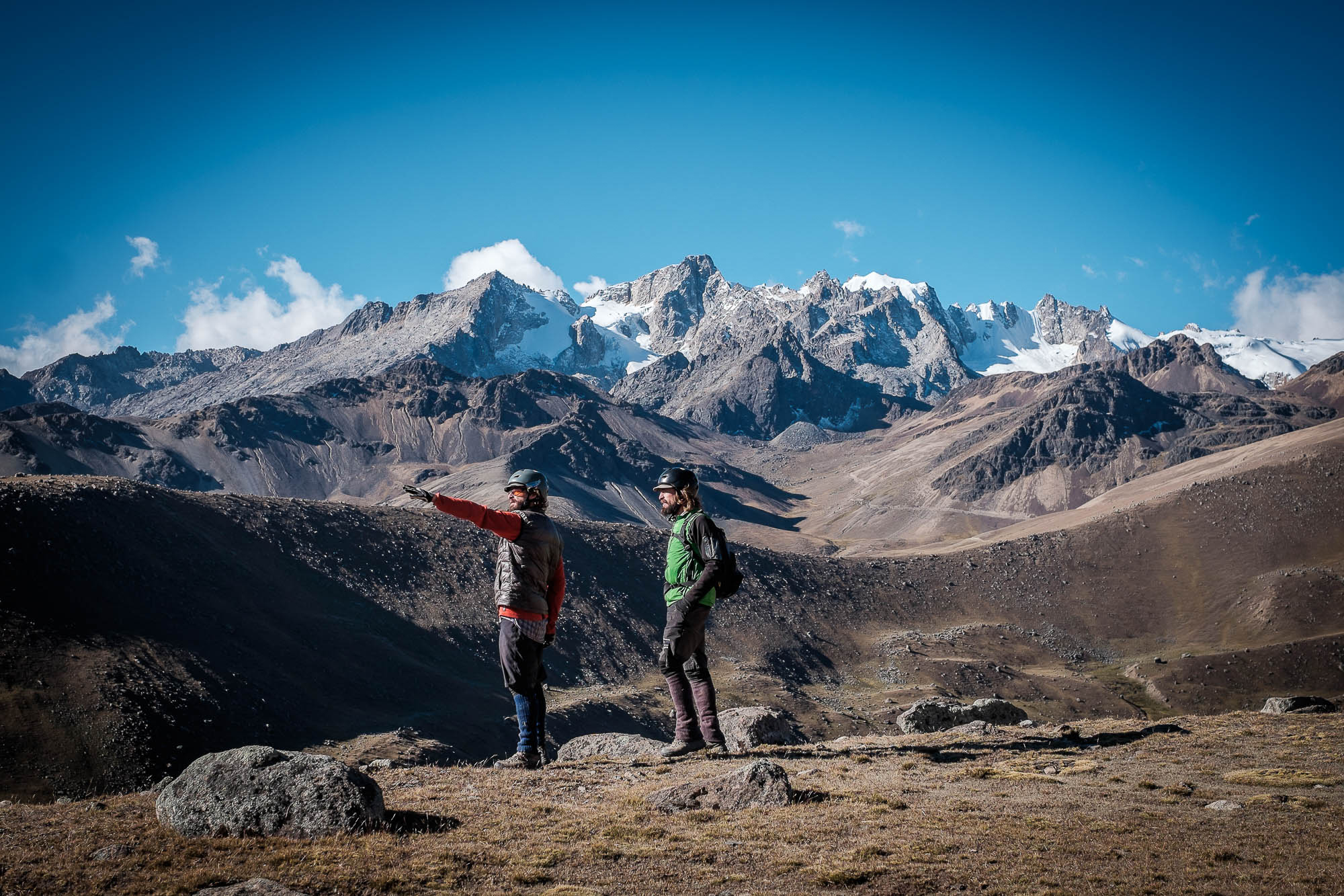
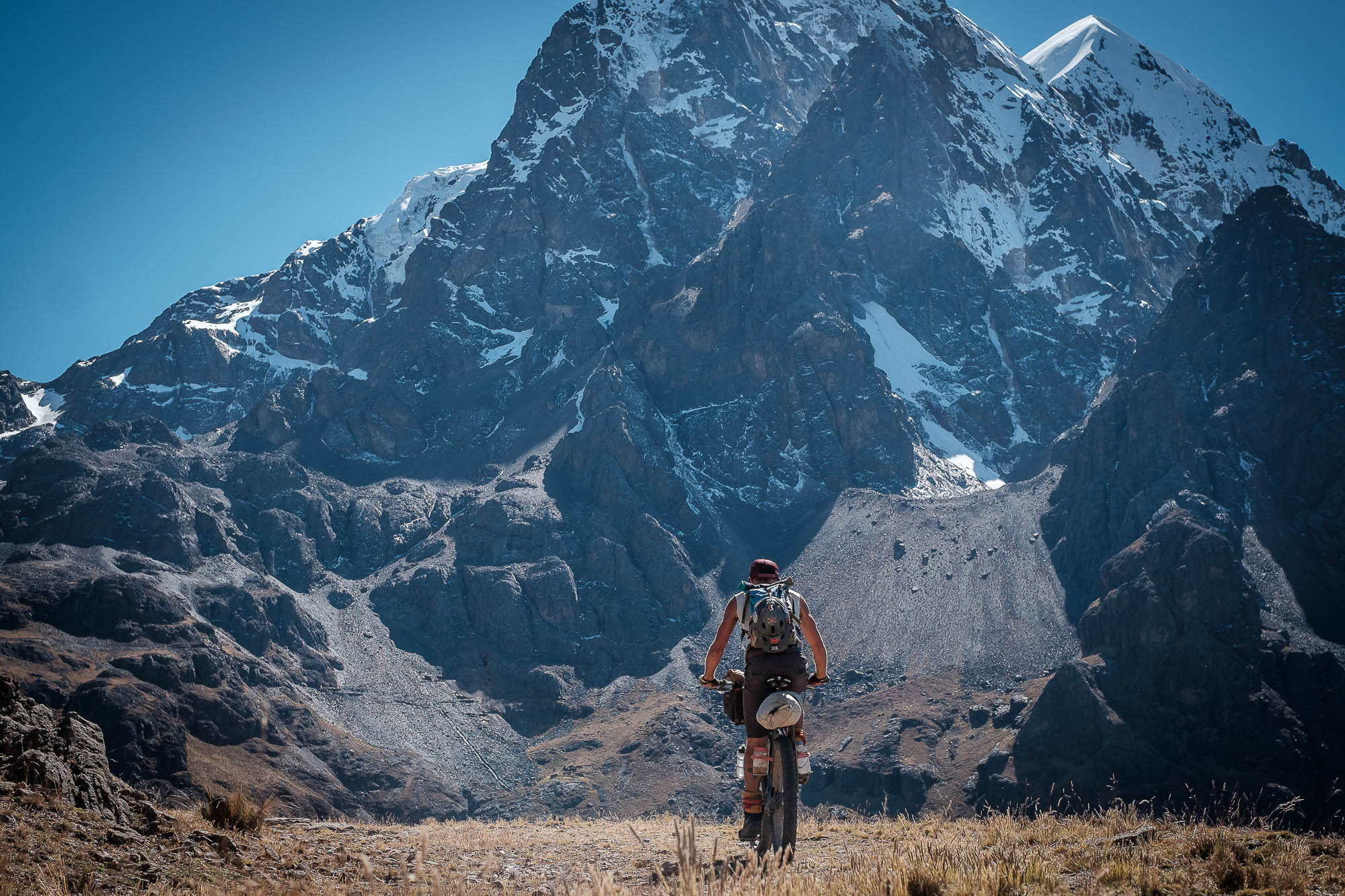
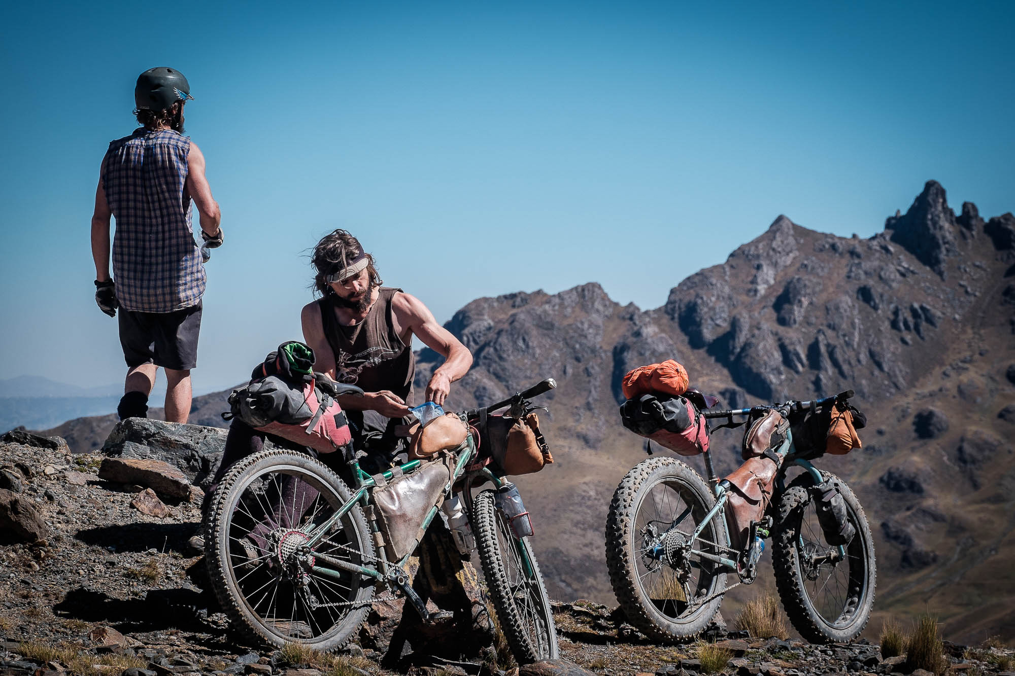
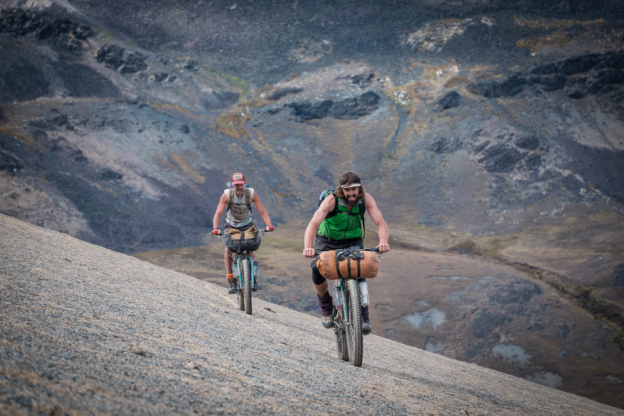
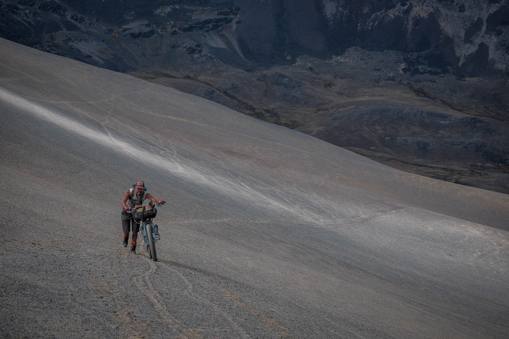
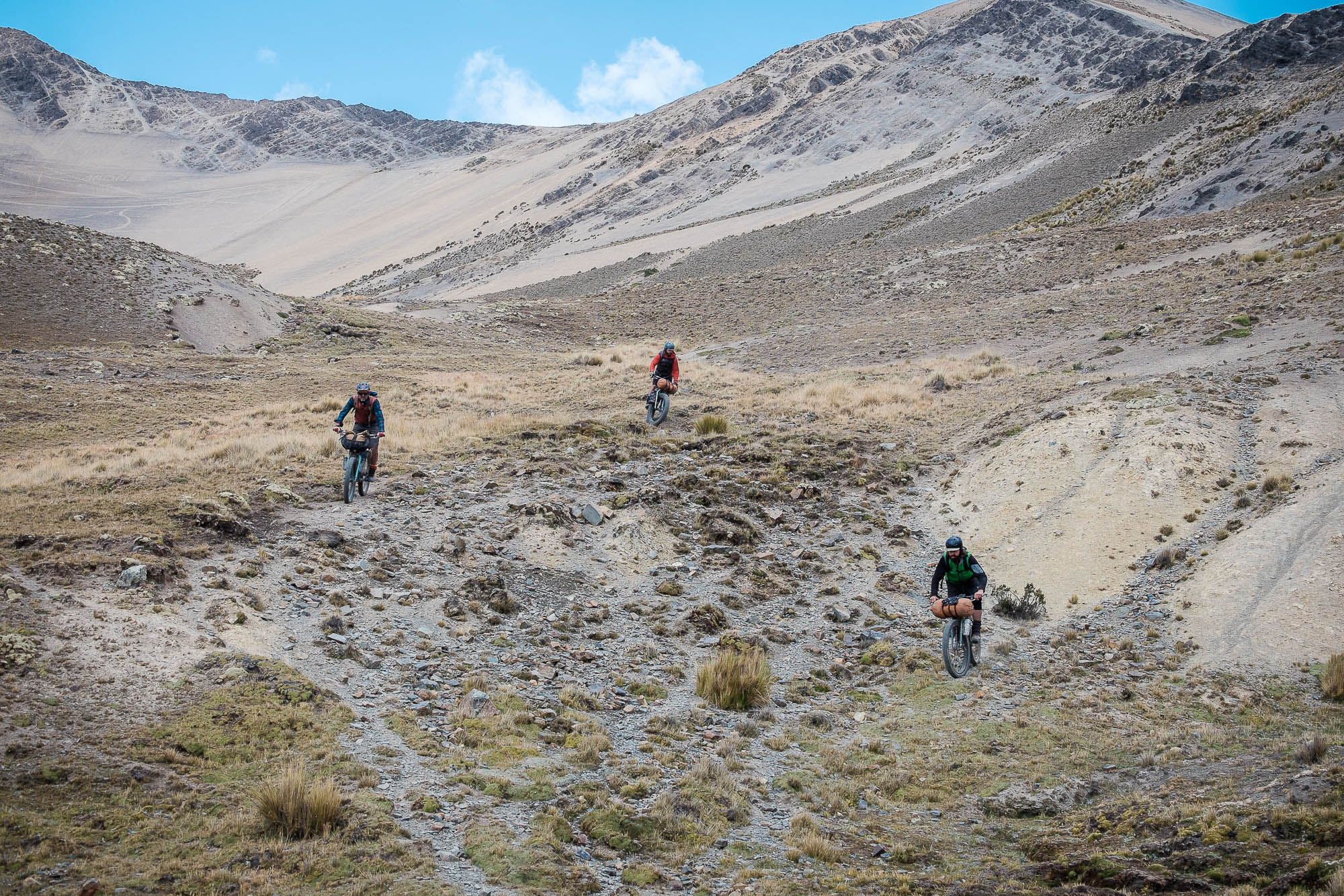
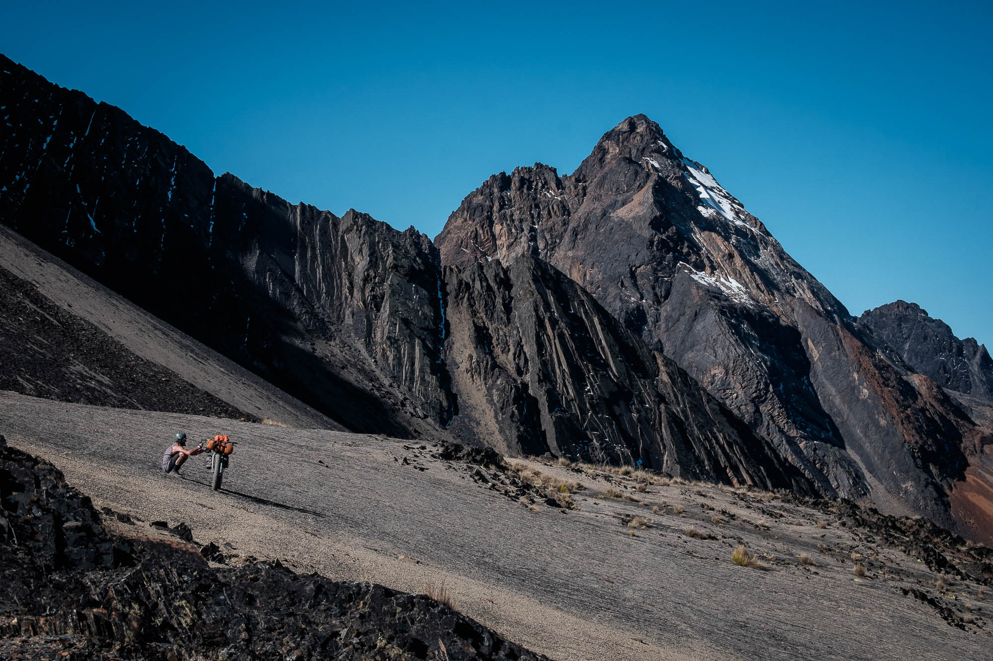
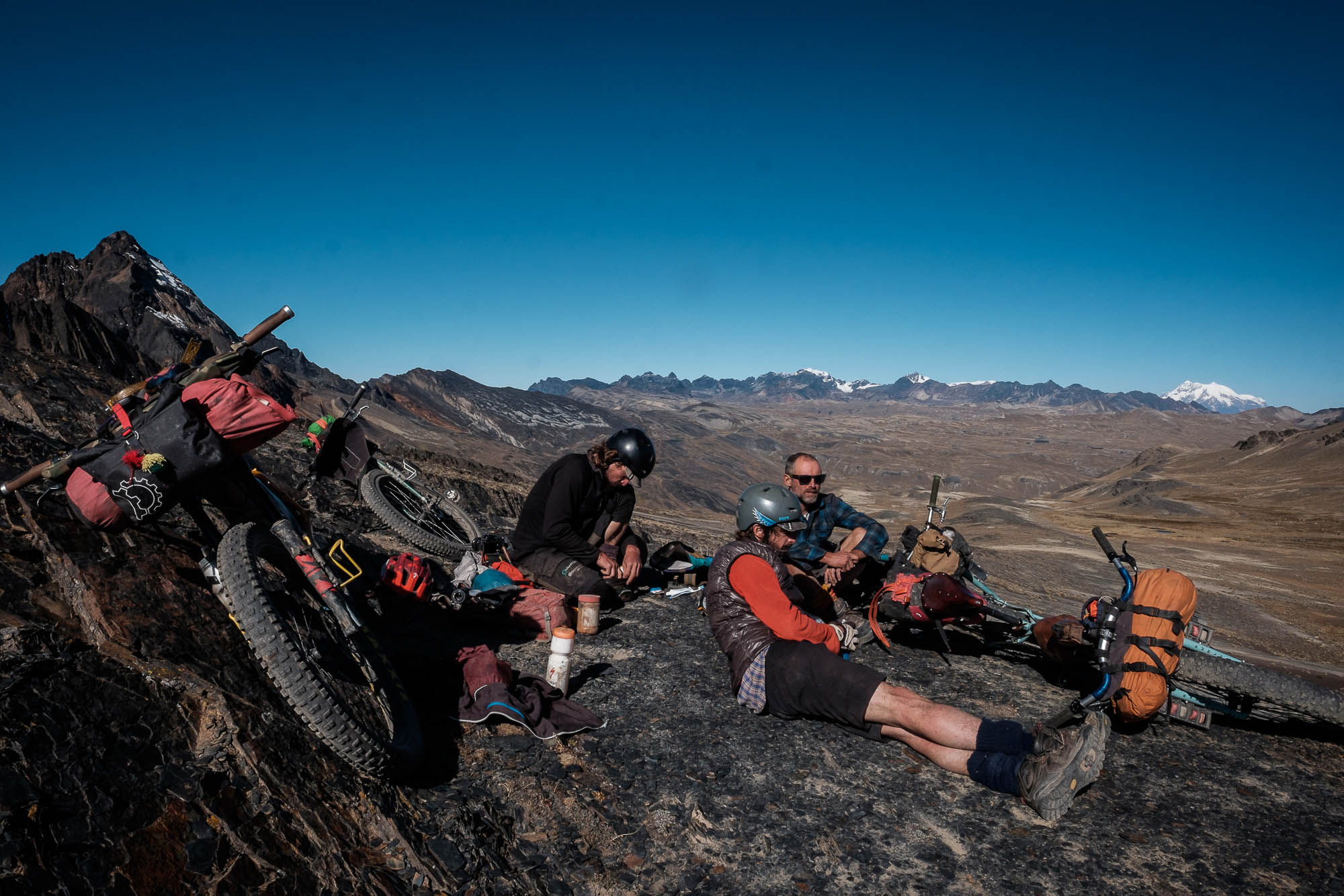
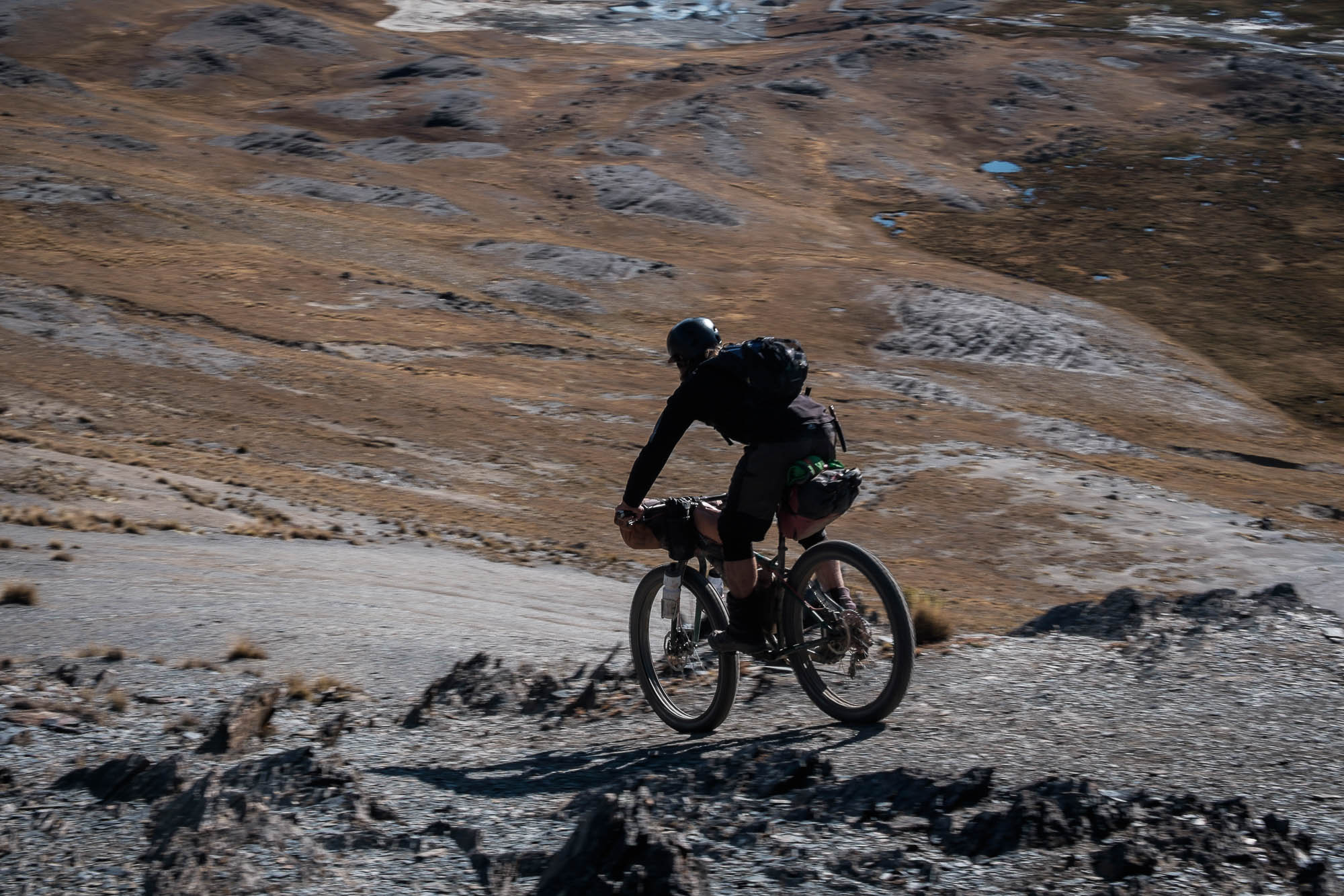
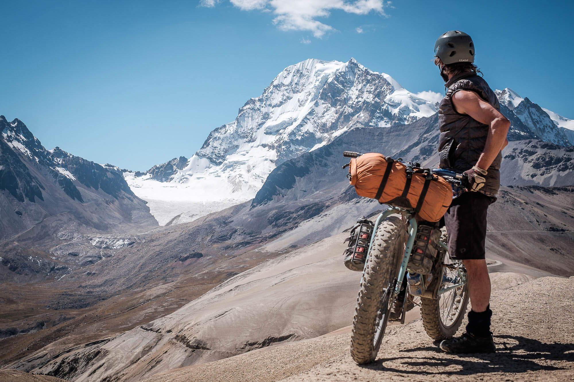
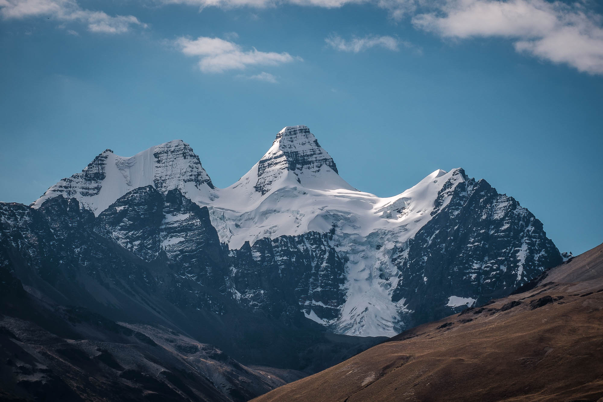
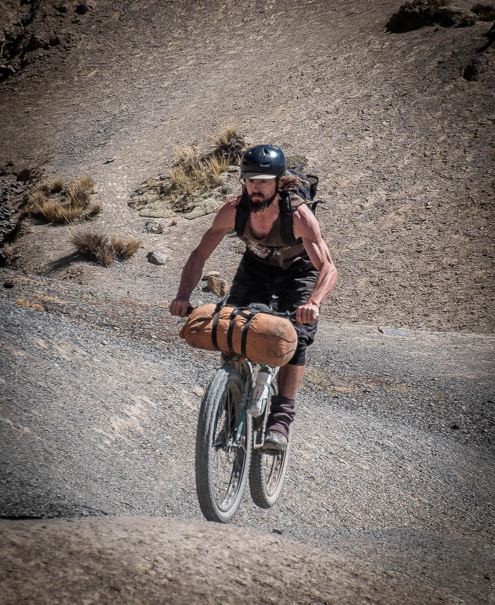
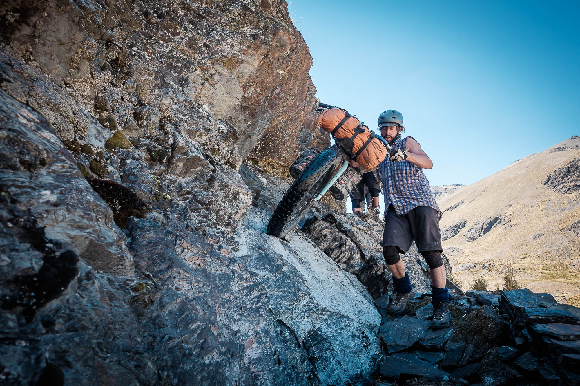
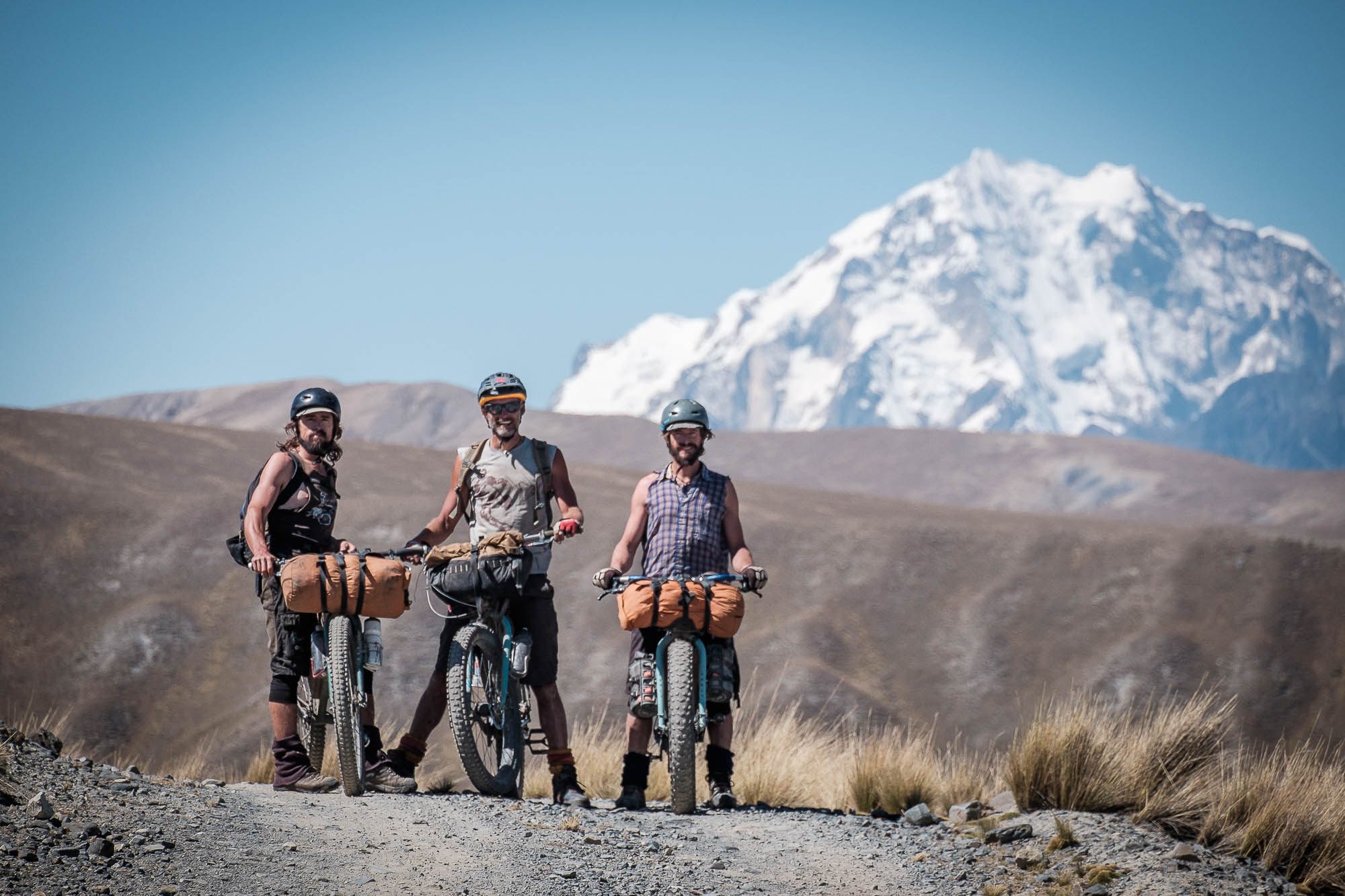
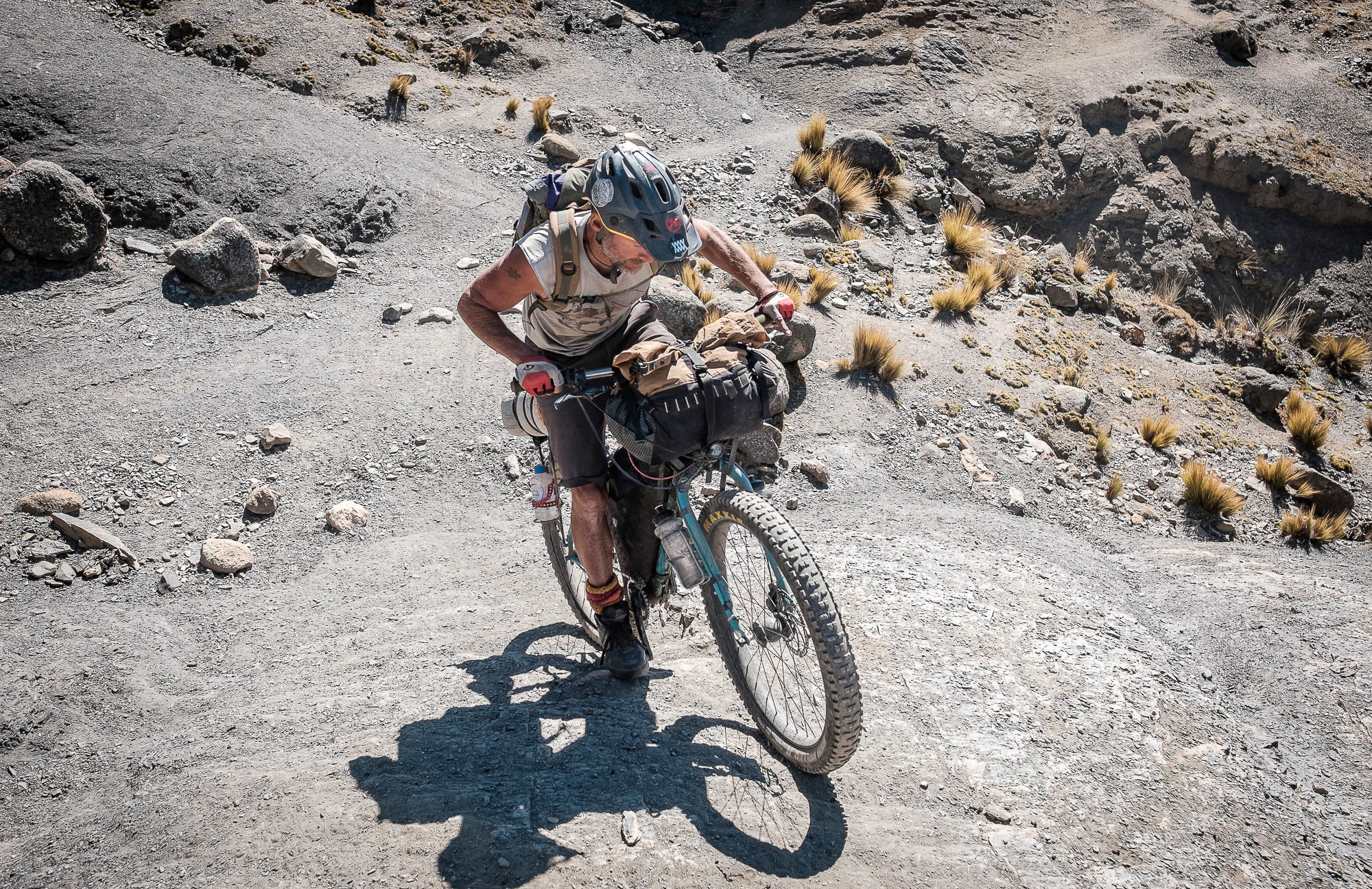
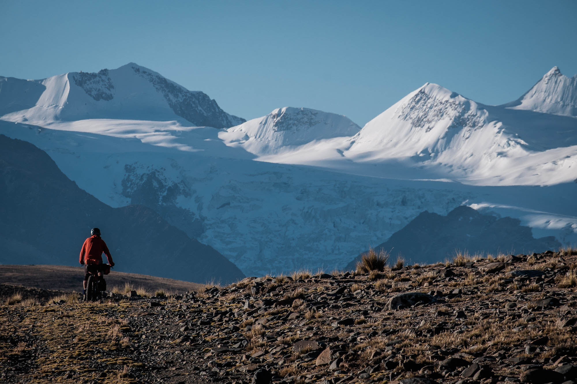
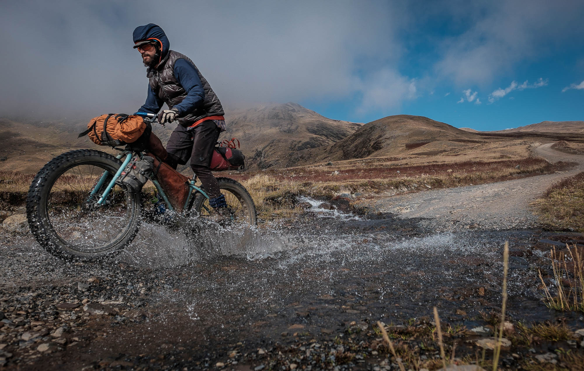
The route traverses the full length of two major mountain ranges from south to north, spending the majority of its time above 4000m (13,100ft). After a bus ride out of the capital, La Paz, it begins with the less known Cordillera Quimsa Cruz, and then follows on with the Cordillera Real, the highest mountain range in Bolivia. The majority of the route uses small dirt roads built by mining cooperatives and trails used by shepherds and their flocks of alpaca, so expect a real variety of terrain. On the highest passes, you should also prepare yourself for some hike-a-bikes and sections where there is no longer a defined trail. On the whole, though, the route was designed to be rideable with a light load and a suitably rugged bike.
Well-honed navigation skills, strong physical condition, and an avid mountain sense are highly recommended to fully enjoy what Mama Coca has to offer! Remember, this is the high Andes. Make sure you’re well prepared.
Connecting with locals
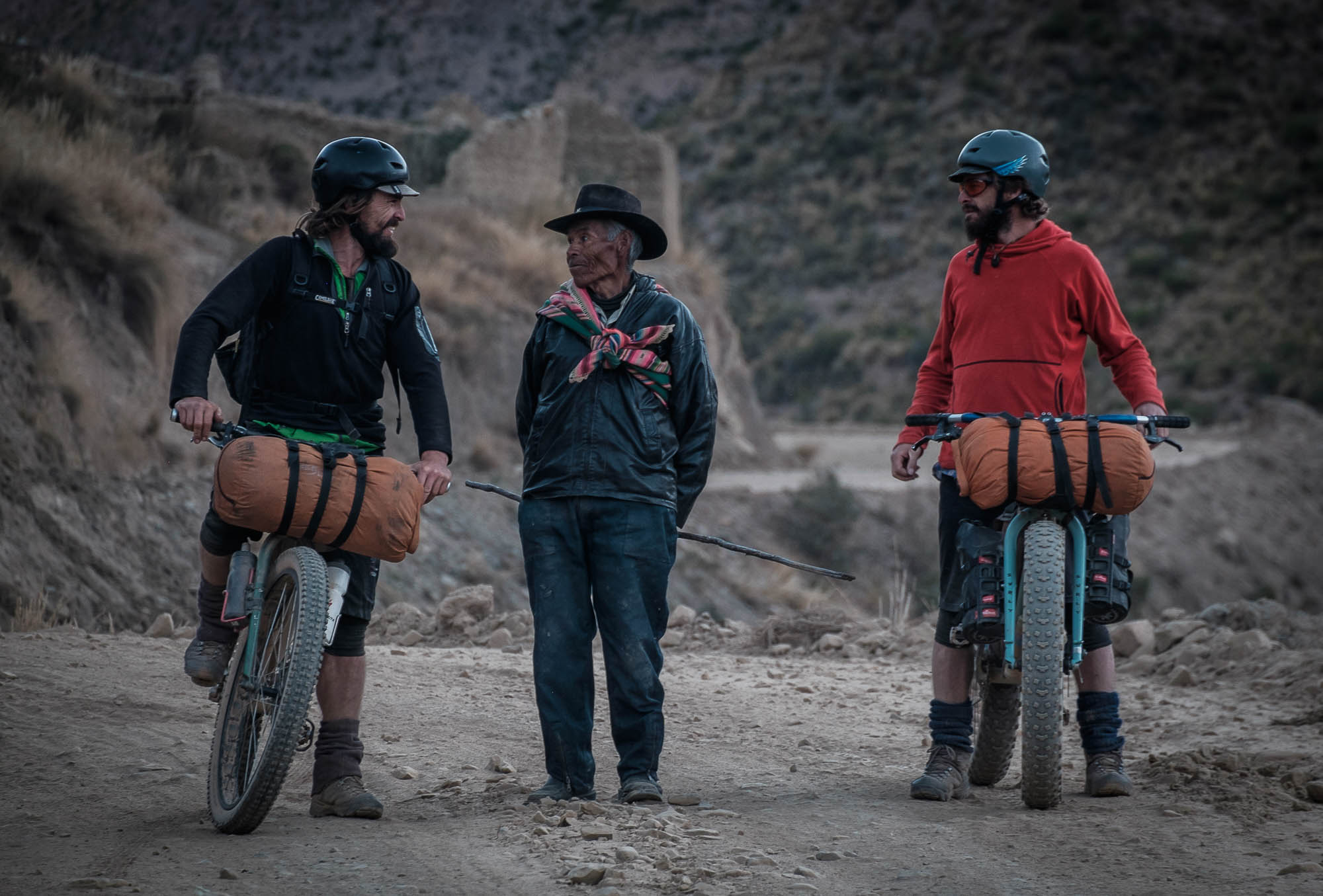
I usually carry a small bottle with puntas, a sugar cane spirit, and share a nip with the locals if there is an opportunity. It’s a great icebreaker, and more than once it has been a decisive element in granting me access through someone’s lands. Coca leaves and chocolate serve the same purpose. Andean people in remote places live a harsh life and are usually reserved and quiet, so be mindful and respectful of their land and their culture.
Route Development
Mama Coca is a part of the greater Andes Traverse, an ongoing project to build a long distance route that runs along the spine of the Andes, between Colombia and Chile. Born out of a desire to connect the High Andes and extend the Ruta de las Tres Cordilleras, Mama Coca is the brainchild of Ecuadorian bikepackers Michael Dammer and his brother Matthias, with on-the-ground input from their third, equally adventurous sibling, Thomas. The essence of the route is drawn from multiple climbing trips to the area, as well as a deep-rooted love of the high Andes, its culture, and its people.
Difficulty: Mama Coca is rated an 8 out of 10. High altitude, technical terrain, and the remoteness of the route are the main elements contributing to this value. The majority (80%) of the route is well above 4000 meters (13,000 ft), making it not only a bikepacking route, but also a full-on mountain adventure in all aspects, especially if the weather is not on your side. Resupply options exist but are not reliable. This means careful planning is needed when packing food and other supplies. Allowing yourself a day off mid-route will help maintain your health and strength. The breakdown for difficulty can be considered as following: overall difficulty: 8 / technical difficulty: 7 / physical demands: 8 / resupply and Logistics: 9.


Submit Route Alert
As the leading creator and publisher of bikepacking routes, BIKEPACKING.com endeavors to maintain, improve, and advocate for our growing network of bikepacking routes all over the world. As such, our editorial team, route creators, and Route Stewards serve as mediators for route improvements and opportunities for connectivity, conservation, and community growth around these routes. To facilitate these efforts, we rely on our Bikepacking Collective and the greater bikepacking community to call attention to critical issues and opportunities that are discovered while riding these routes. If you have a vital issue or opportunity regarding this route that pertains to one of the subjects below, please let us know:
Highlights
Must Know
Camping
Food/H2O
Trail Notes
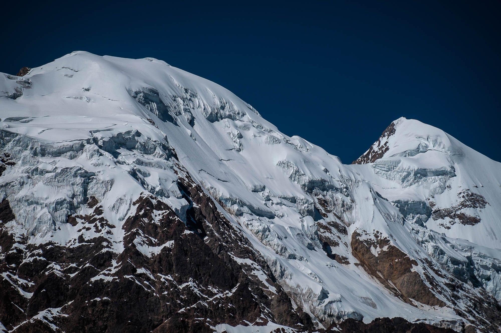
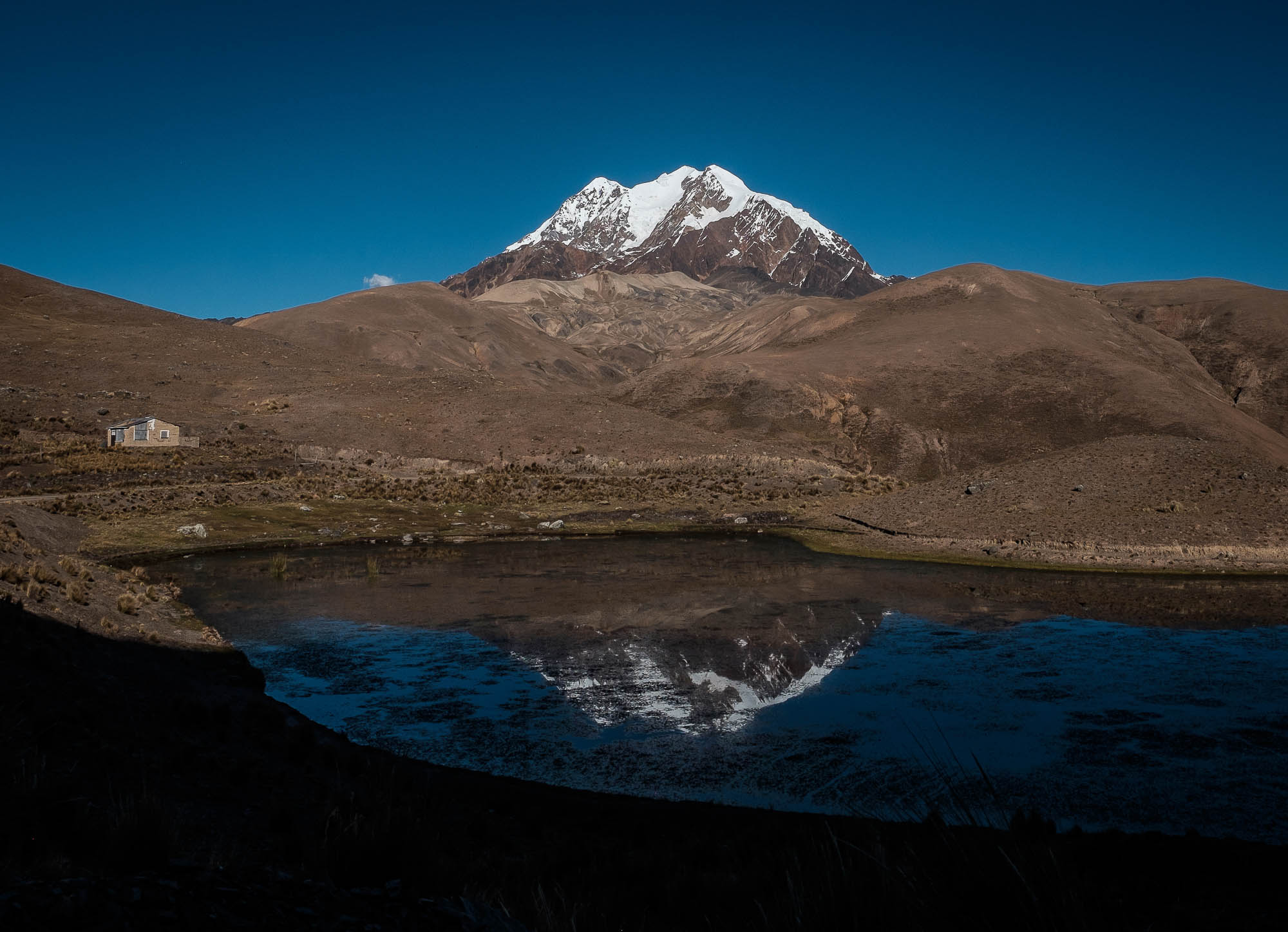
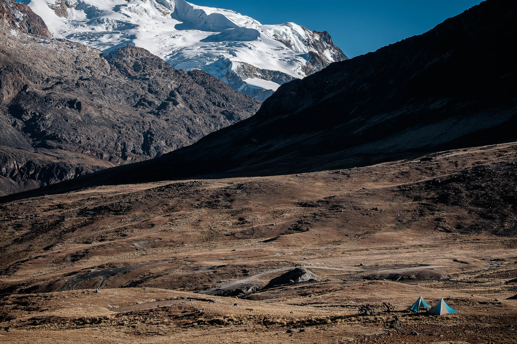
- Passing directly under the highest peaks of the Cordillera Real, with great views of the glaciers and high summits.
- The colors and unique character of the Cordillera Quimsa Cruz.
- Descending 3000 meters (10,000 ft) and then climbing out of the Rio La Paz canyon.
- The traverse below Illimani offers some sublime riding.
- Tons of alpacas roaming around to keep you company!
- End of May to August/September are probably the best months as they’re the driest.
- Expect cold nights (-9°C / 10°F) and pleasant days as a norm, but be prepared for full-on mountain weather anytime.
- Riding outside the dry season will be a big commitment as most of the trails and passes will be fully covered in snow.
- Don’t take altitude lightly; proper acclimatization in La Paz is a must if you are coming from sea level. Allow at least five days, preferably more. Some of the passes are above 5000 meters and 80% of the route is well above 4000 meters.
- From the bus terminal in La Paz, any bus going to Oruro can drop you off in Konani if you ask. They may charge extra for the bikes; Aroma line has big busses with room for bikes.
- Catching a bus from Sorata to La Paz at the end is pretty straightforward. Take time to properly tie your bikes to the roof of the minivans. A combi to La Paz costs 20B + 20B for bike. Takes 2.5hrs.
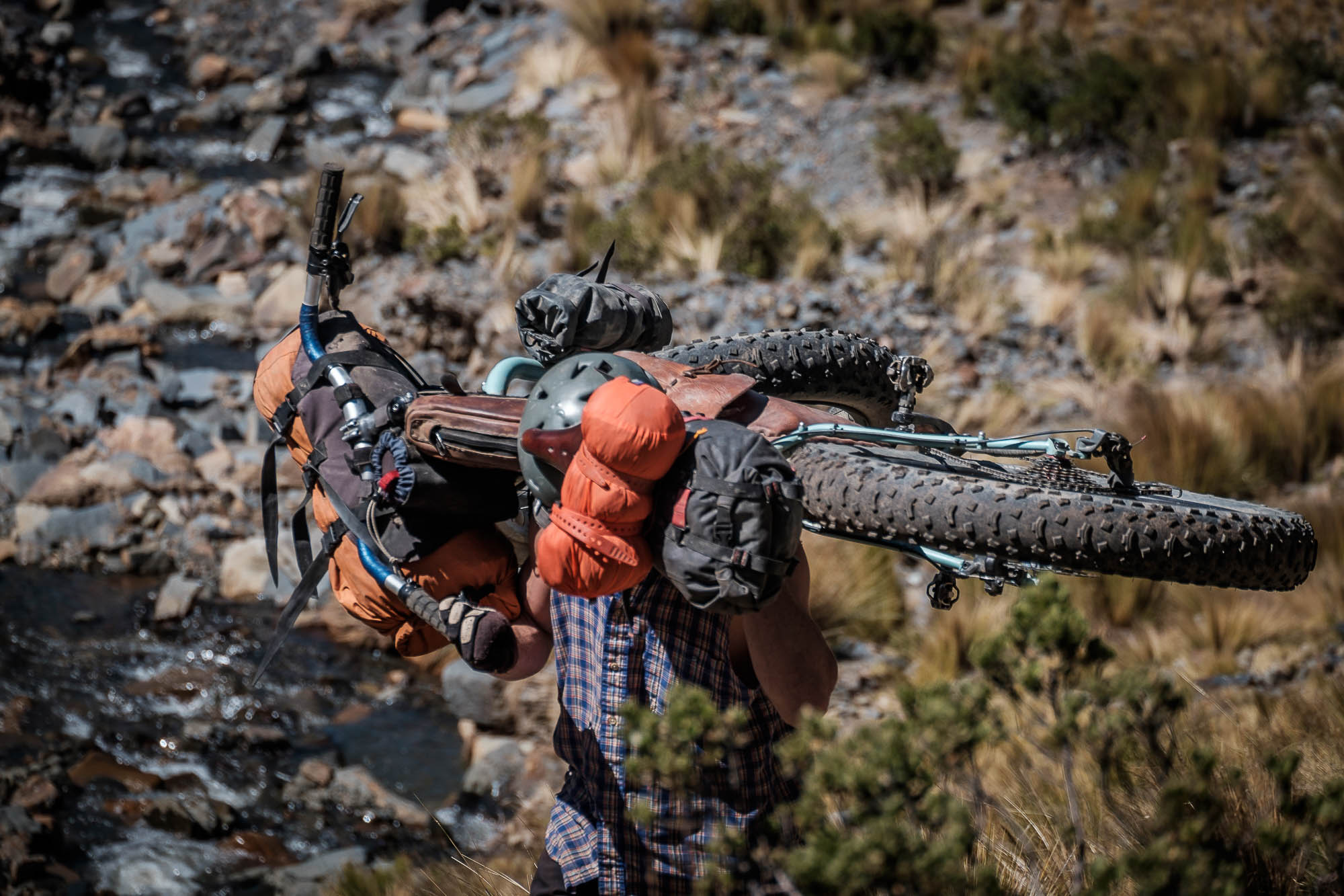
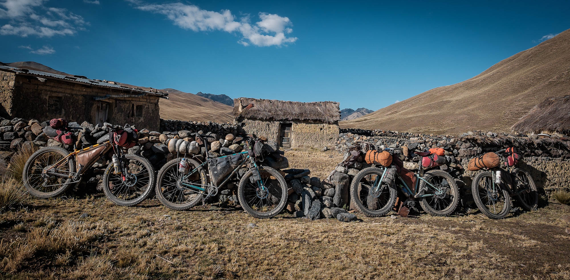
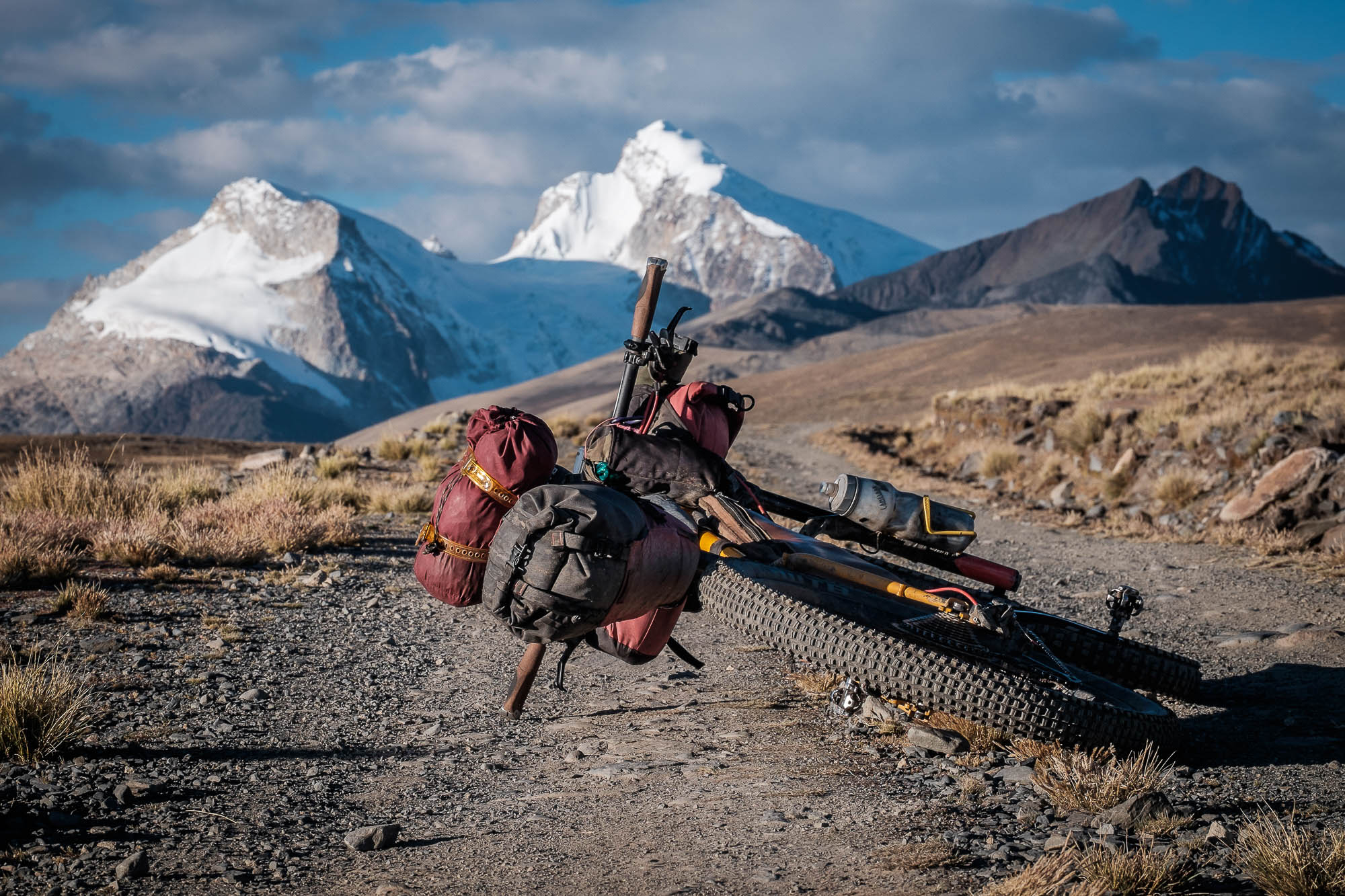
- A proper off-road bikepacking rig is highly recommended. Plus or fat tires are ideal, but a 29×2.25″ will do fine as well. Front suspension can help you save energy; some if the going is pretty rough.
- A light setup is highly recommended, hike-a-bikes with heavy loads at high altitude are less fun.
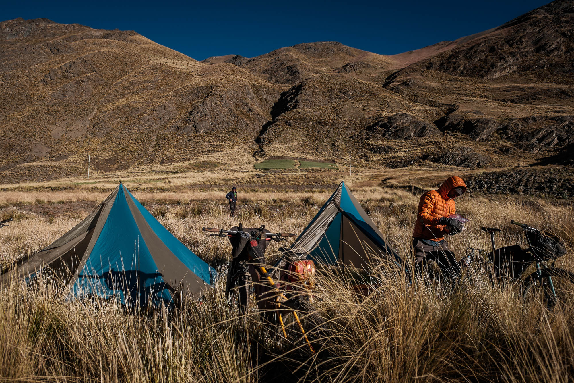
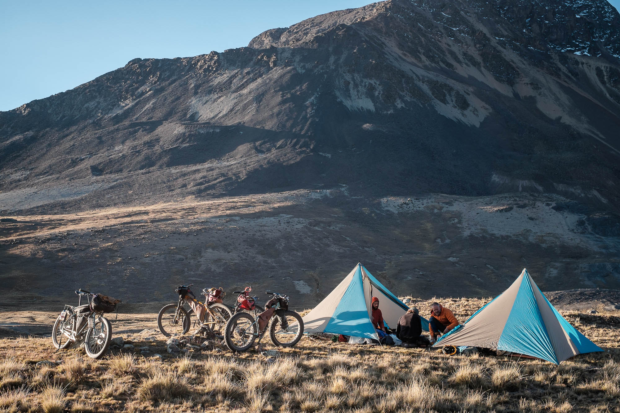
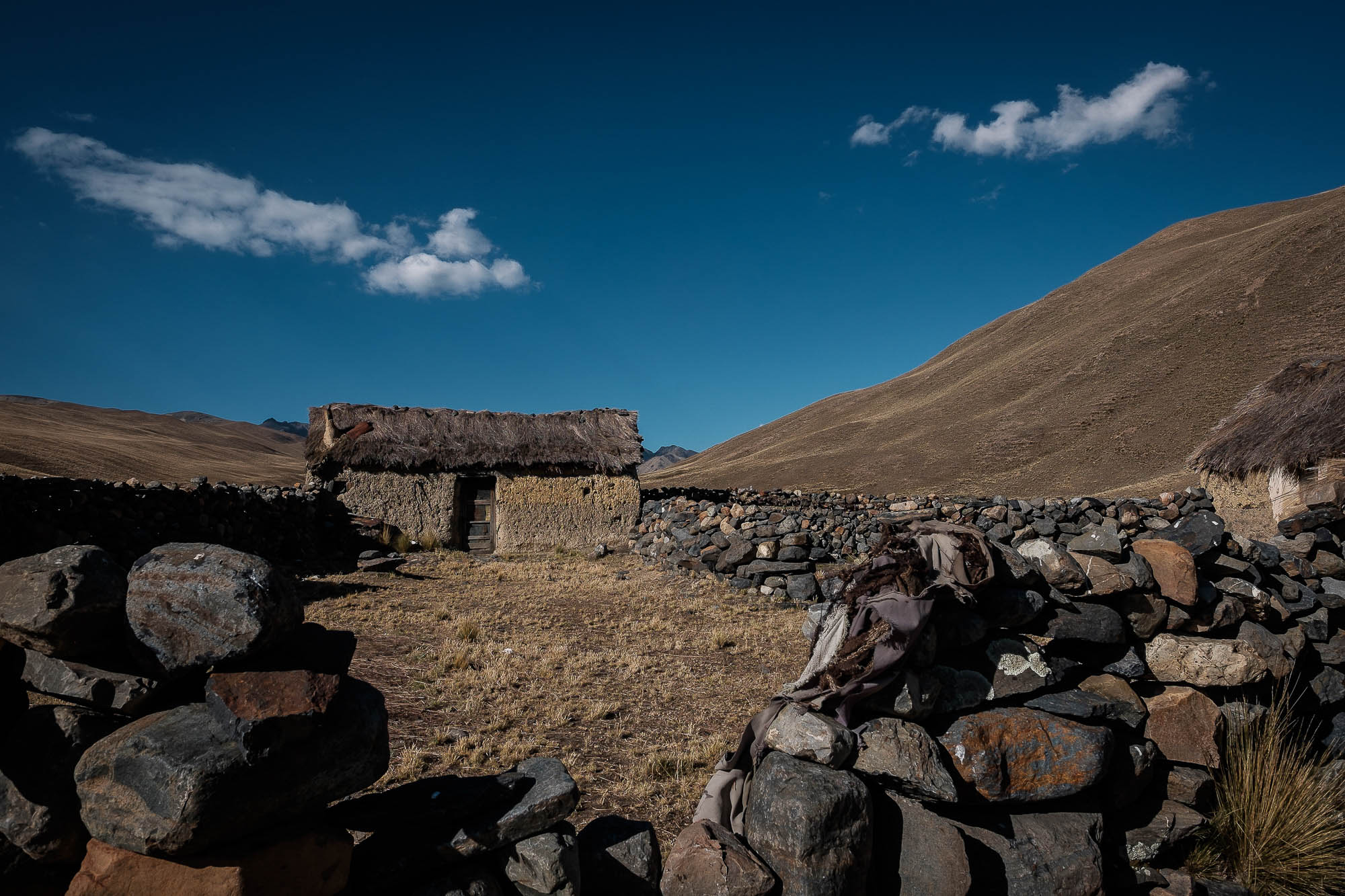
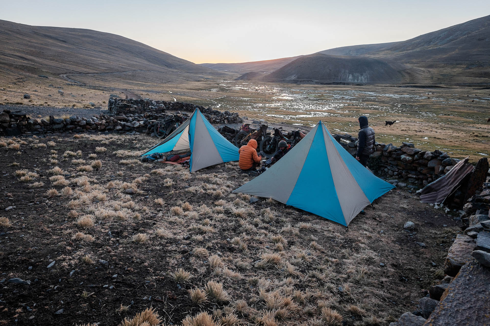
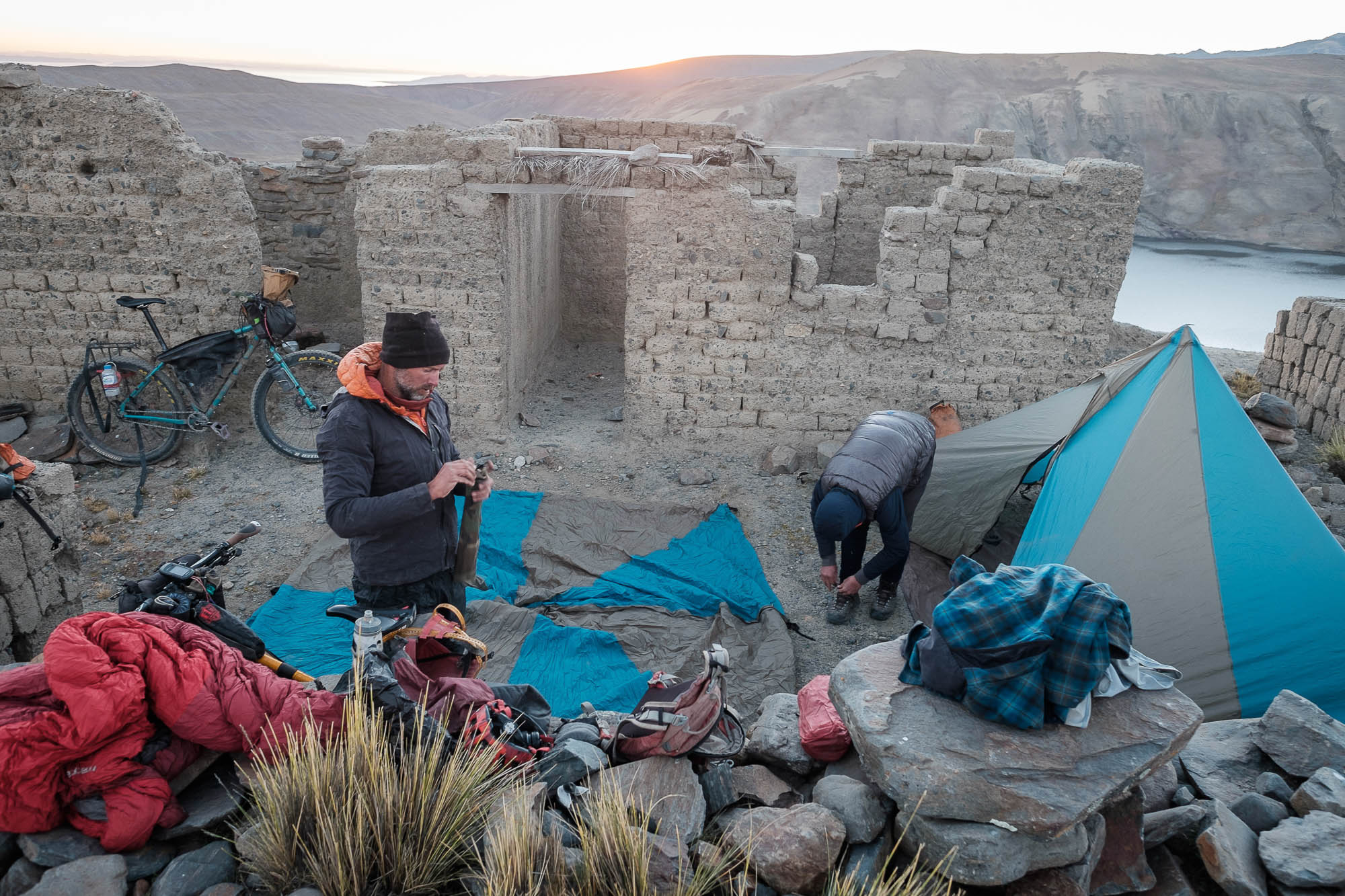
- There are unlimited options for wild camping on the remote sections of the route. If you decide to camp close to a village or near a shepherd’s hut, make sure to ask for permission to avoid problems with the locals.
- People in the mountains are usually shy, and may even walk away if they see you. If approached with respect, they are generally welcoming.
- Temperatures can plummet well below freezing at night. Be prepared.
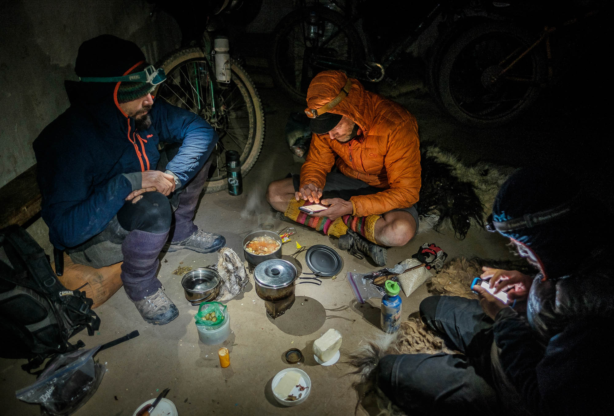
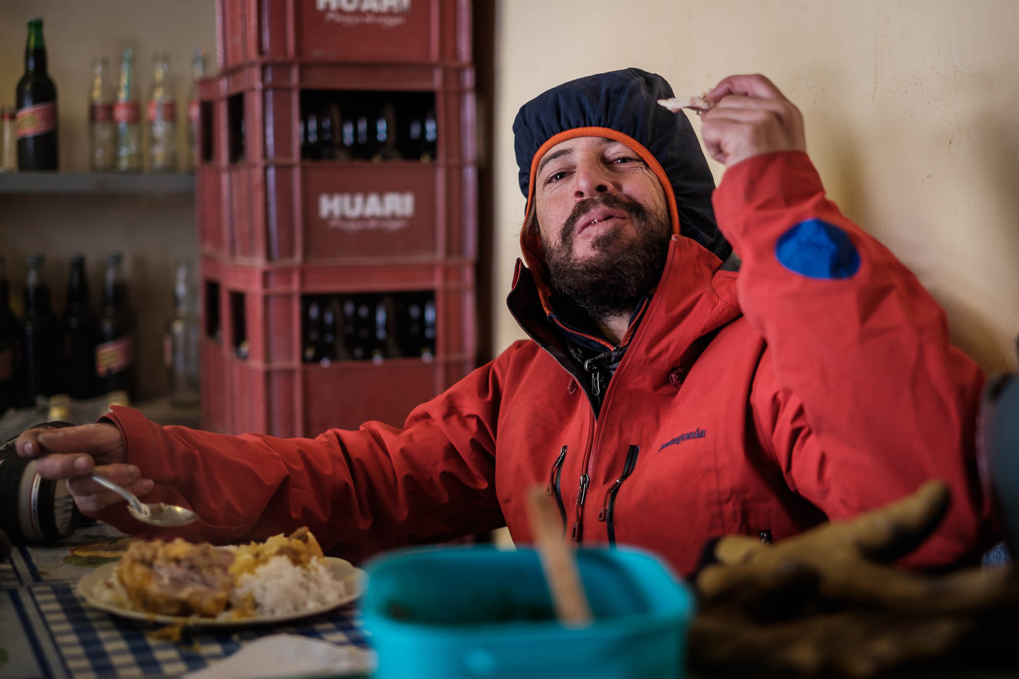
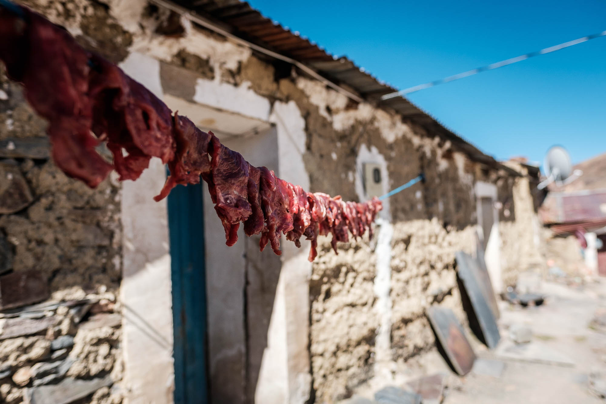
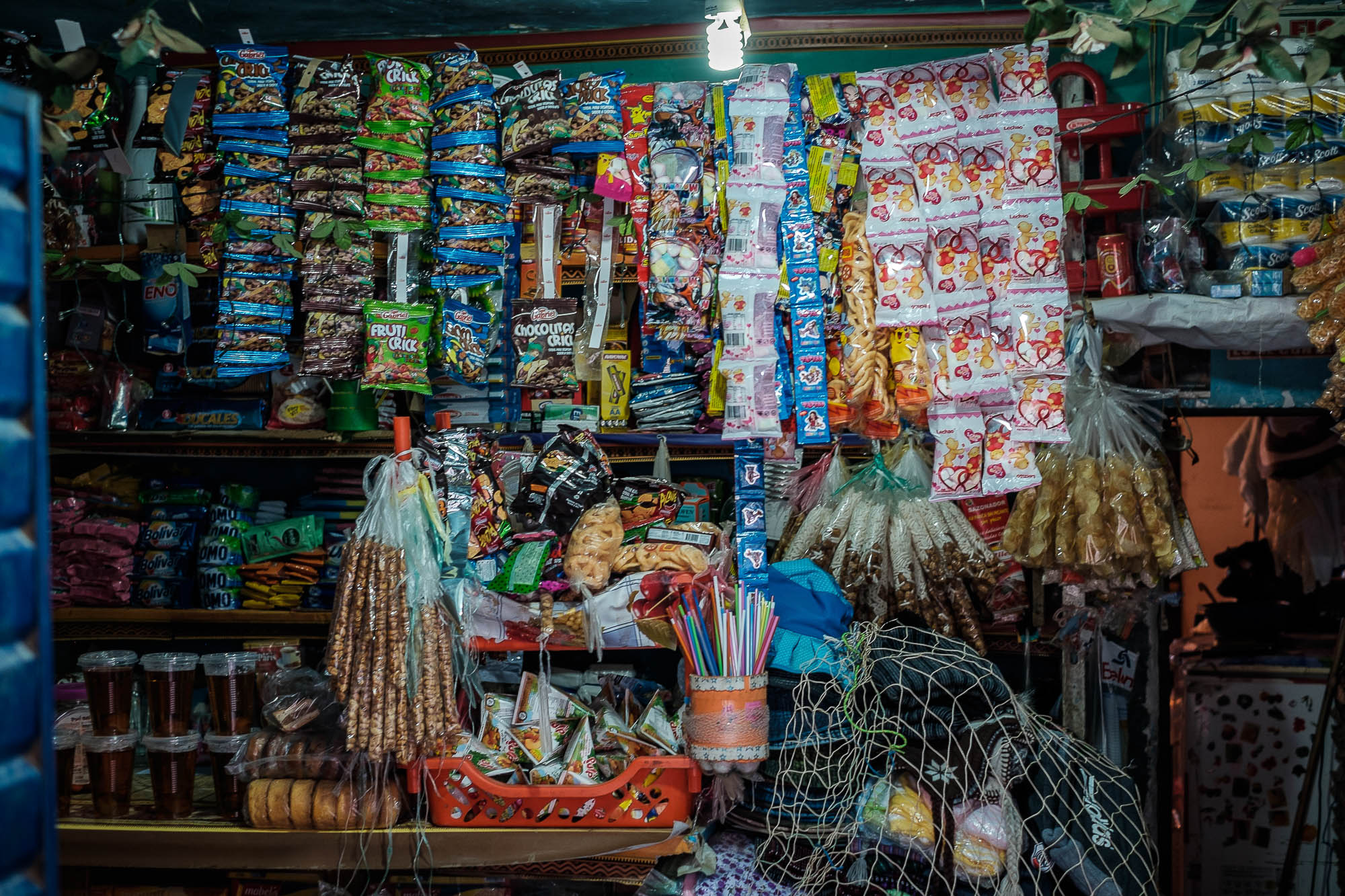
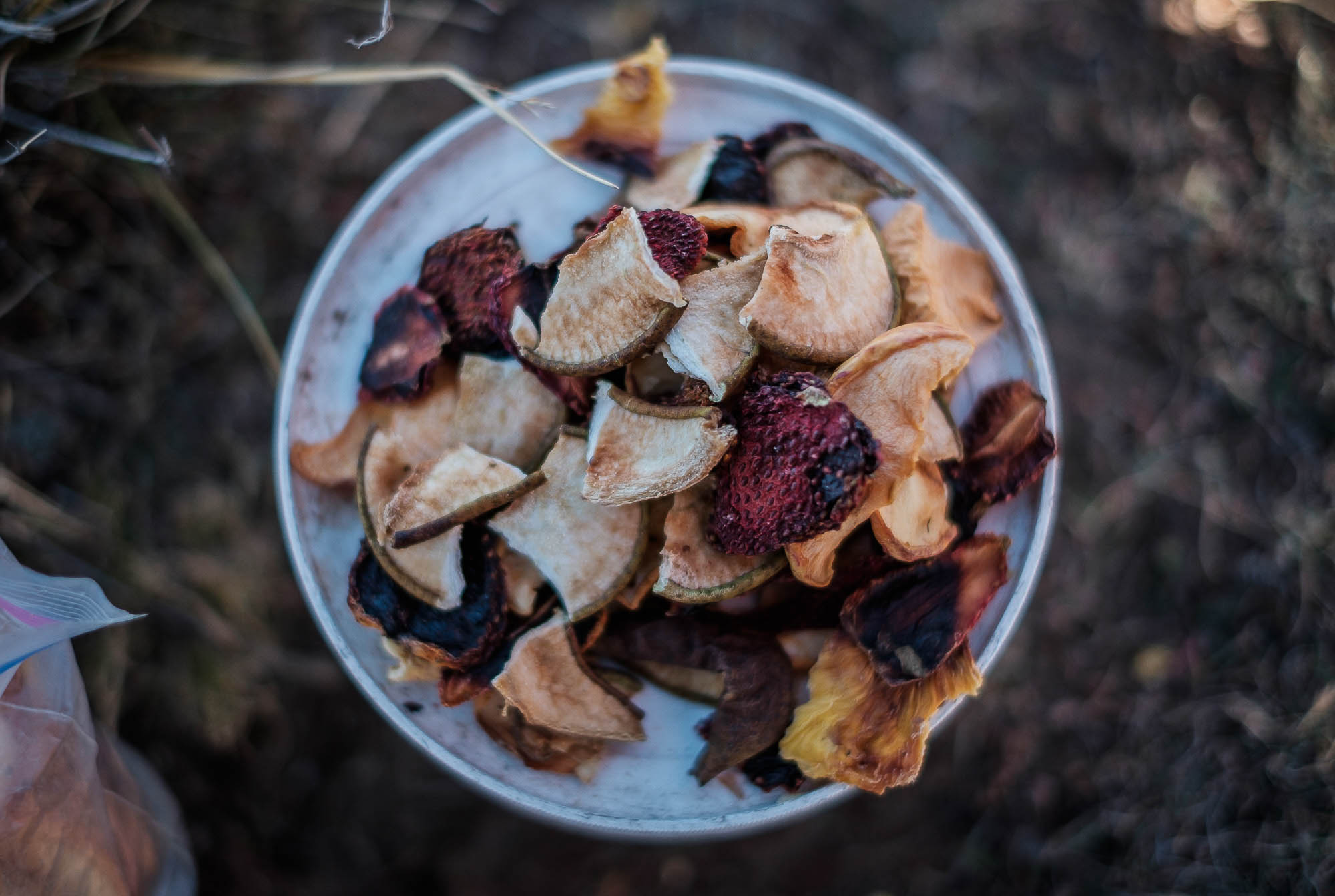
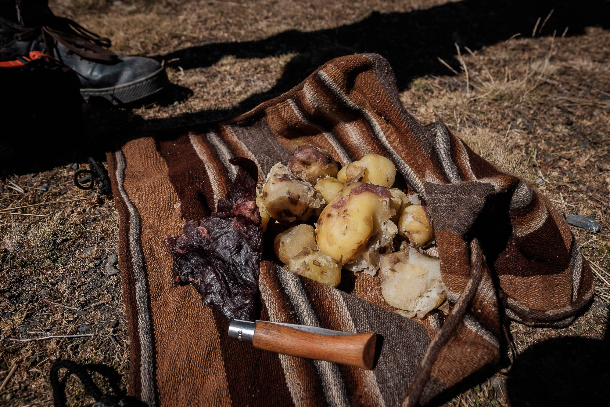
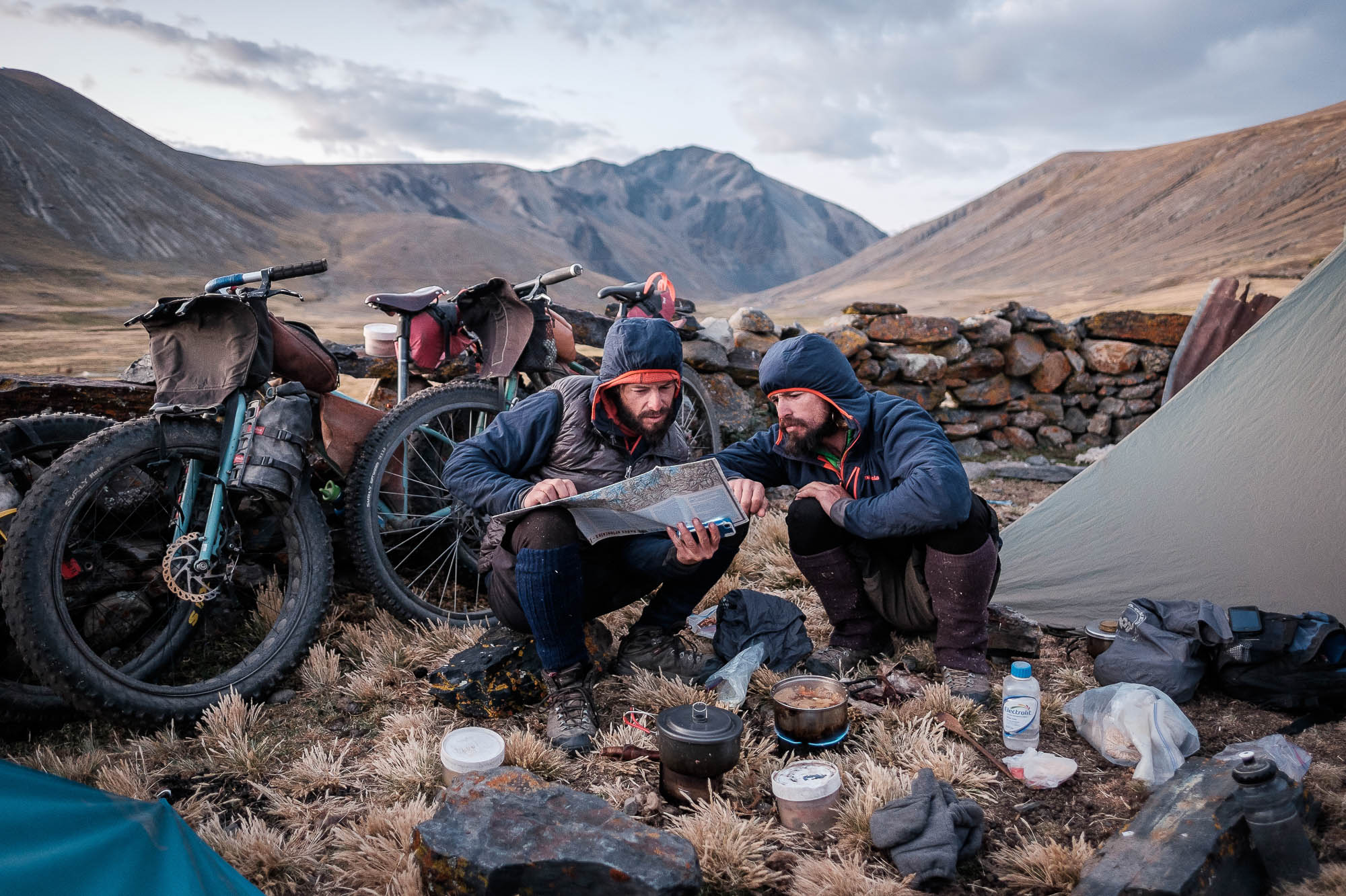
- Resupplies for food exists, but are often basic at best. In some places, only chuño (the local dehydrated potatoes) and llama/alpaca jerky are available. The route requires careful planning in terms of food and fuel. Bring lightweight, dehydrated, nutritious food from home if you can.
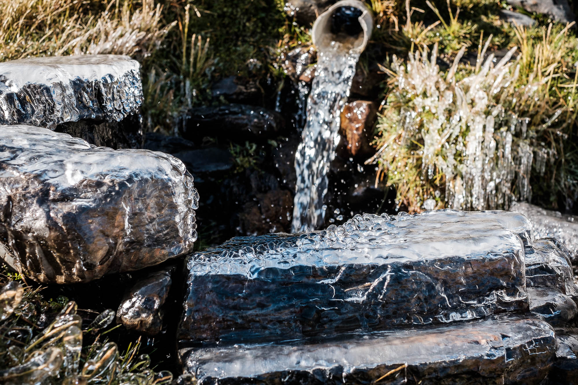
- There are plenty of water sources along the way, except when crossing the Rio La Paz Canyon. Make sure to fill up as much as possible in Torrepampa (or in Cotana if riding south). The crossing of this Canyon is a serious and remote endeavor on its own. Be well prepared. Carry a filter and clean any dubious water sources. Be aware of local mining activity.
Note: This is not a day-by-day itinerary.
Quimsa Cruz
From Konani to Cotana:
A variety of high altitude roads make the full traverse of the Quimza Cruz range. Red granite, turquoise lakes, glaciers and a mineral-rich landscape provide great scenery on this section. Even though is not technically difficult, big climbs and high passes add an additional crisp to it. There are very few resupply options; only the small mining town of Viloco has some basics. After Viloco you plummet to the La Paz River. Make sure to stock water and food before making the canyon crossing. The village of Torrepampa is your last water source. Cotana, on the other side of the canyon, has some supplies and water.
Cotana to Choquekota
From Cotana up to Cayimbaya, then up to the flanks of the massive Illimani.
The traverse around Illimani offers amazing riding through an impressive landscape; the abandoned double track slowly increases its size until you hit Abra Pacuani, where it becomes a well-used dirt road that will take you all the way to Choquecota. A few small stores have some basics here before the next remote section.
Choquekota to Laguna Hampaturi
Steep climbing until you reach the valley of Chuxna Quta. The small road turns into a trail, and right before the lake you start pushing your bike up a steep ravine. Around 2-3 hours of hike-a-bike and some intermittent riding will put you up on the pass. A big, fun descent awaits on the other side, as does a short but hellishly steep uphill to Laguna Hampaturi. No resupply options.
Laguna Hampaturi – La Cumbre – Laguna Zongo
Follow a well-established dirt road through mines and dams. A few miles on pavement will get you to the well-traveled pass of La Cumbre. Jump back into dirt and singletrack to an abandoned mountain hut. Follow a faint road to its end and then hike-a-bike up to the pass, followed by some fun moraine riding down to the next valley and to Laguna Zongo. Huayna Potosi Mountaineering Hut is just a few miles above the lake and they can serve some simple food. You can also resupply on a few basics, but don’t expect much.
Laguna Zongo – Laguna Tuni
Epic views of Huayna Potosi and the Condoriri Massif and some great riding happens right here. After climbing out of Laguna Zongo and going over the high pass, some sweet downhill follows until you hit the valley bottom and head towards Tuni, a small village without any stores.
Laguna Tuni – Laguna Q’ara Khota
A mixture of small dirt roads and trails take you through this remote section.
Plenty of water sources and good views of the mountains make for some great riding. Expect trails to vanish in some sections. Some pretty rough terrain and some great singletrack are on the menu as well.
Laguna Q’ara Khota – Laguna Cacha
The nature of the riding changes a bit here. It’ll make you appreciate a suspension fork if you have one, and miss it if you don’t. Beautiful views of the altiplano and Lake Titicaca remind you how far you are from civilization. You are in for a hard section here!
Laguna Cacha – Sorata
Due to food poisoning, we had to change our plans at Laguna de Cacha. Our plan was to stay up and hit Laguna San Francisco to get high and close to Illampu before dropping down to Sorata (see gpx file). It’s a big day with lots of downhill and a well-deserved dinner at your arrival. Proceed into the Ruta de Las Tres Cordilleras if you want to continue north!


Terms of Use: As with each bikepacking route guide published on BIKEPACKING.com, should you choose to cycle this route, do so at your own risk. Prior to setting out check current local weather, conditions, and land/road closures. While riding, obey all public and private land use restrictions and rules, carry proper safety and navigational equipment, and of course, follow the #leavenotrace guidelines. The information found herein is simply a planning resource to be used as a point of inspiration in conjunction with your own due-diligence. In spite of the fact that this route, associated GPS track (GPX and maps), and all route guidelines were prepared under diligent research by the specified contributor and/or contributors, the accuracy of such and judgement of the author is not guaranteed. BIKEPACKING.com LLC, its partners, associates, and contributors are in no way liable for personal injury, damage to personal property, or any other such situation that might happen to individual riders cycling or following this route.
Please keep the conversation civil, constructive, and inclusive, or your comment will be removed.