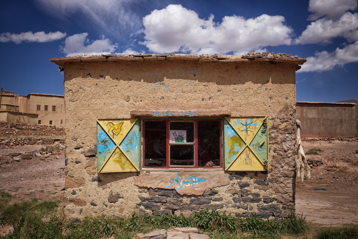
Entering The High Atlas
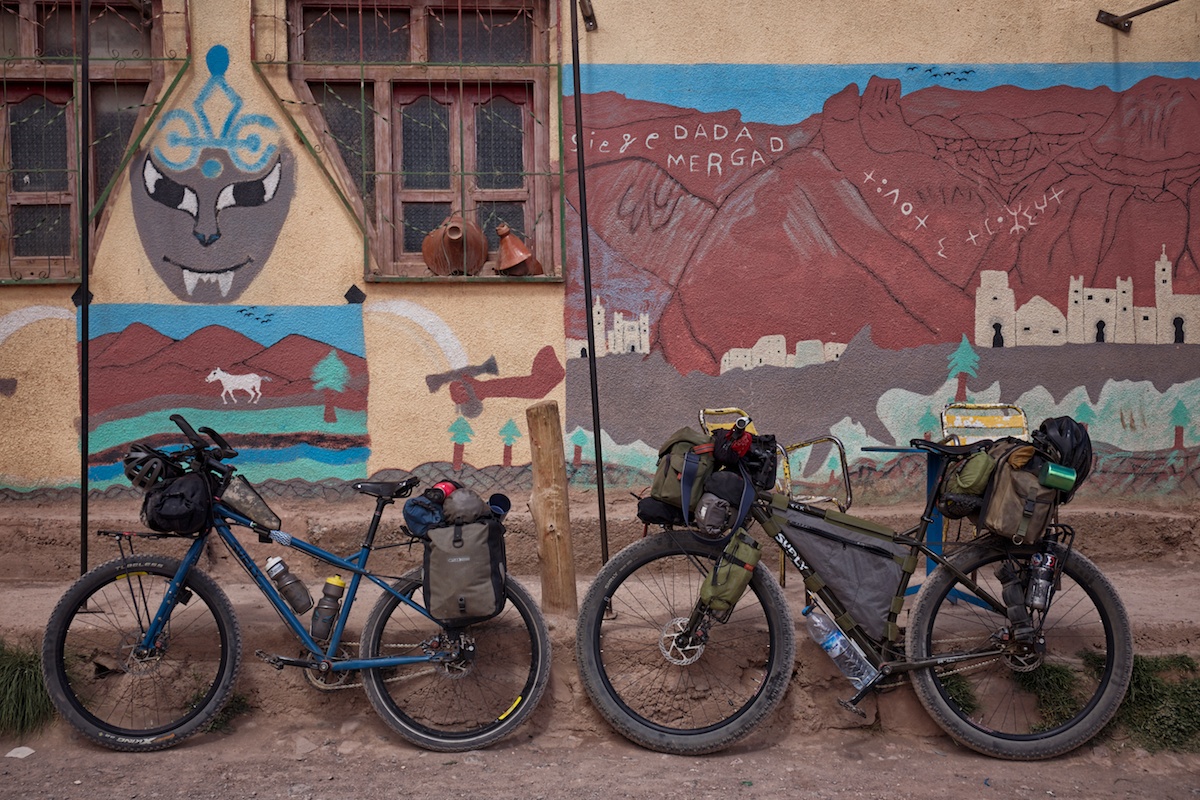
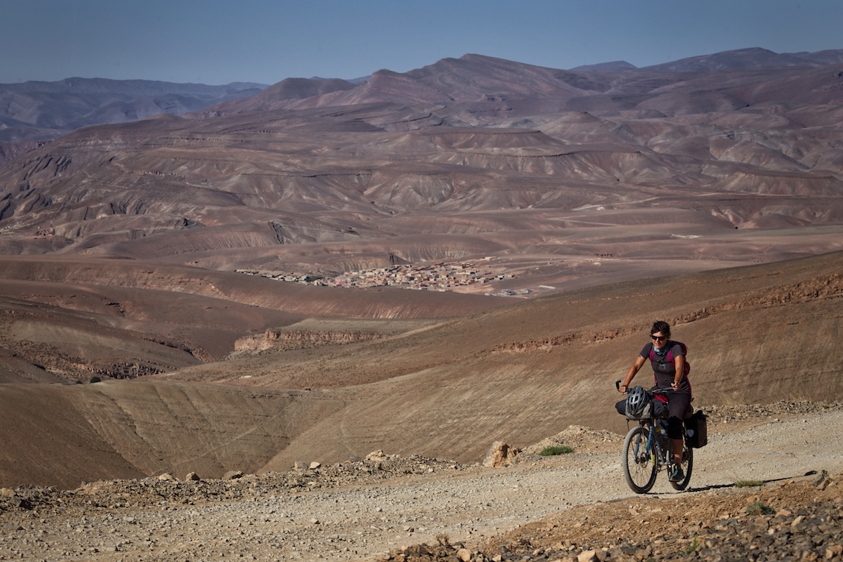
Once again we ran for the hills…
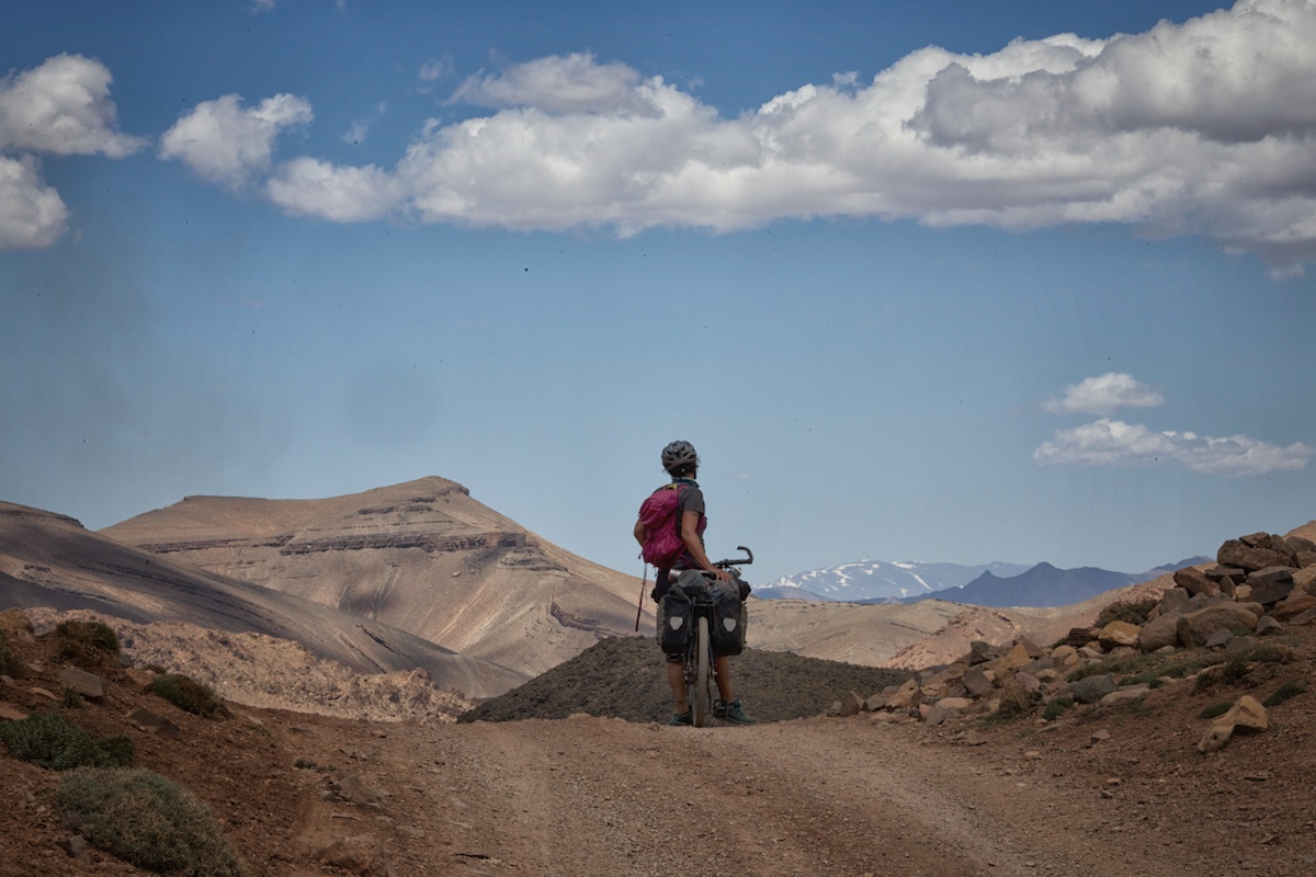
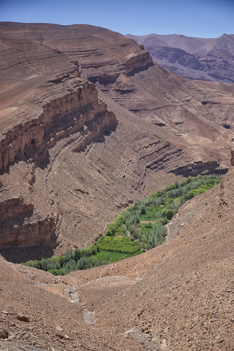
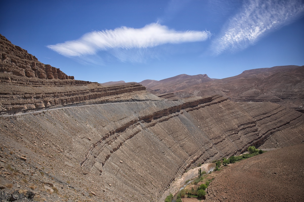
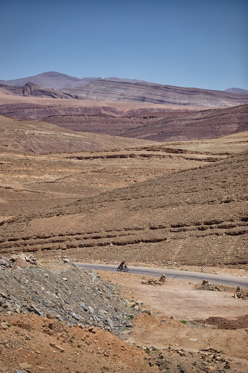
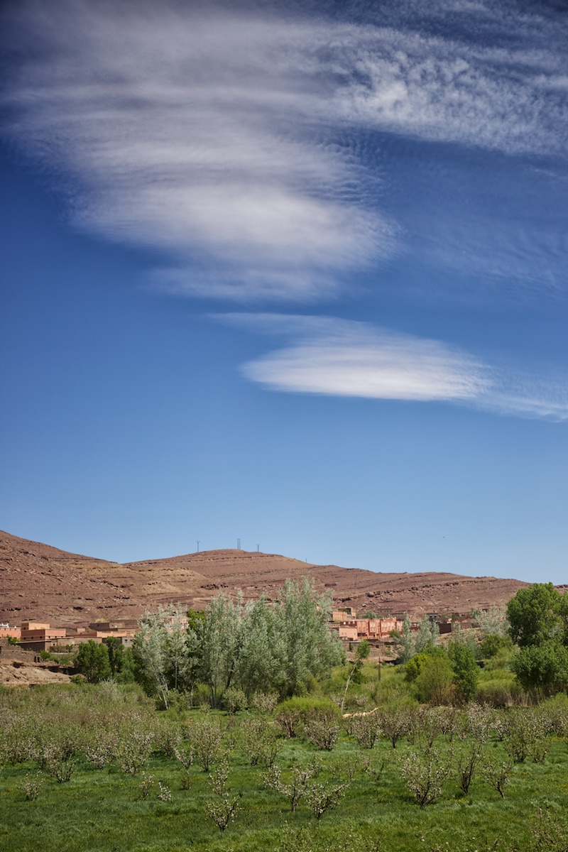
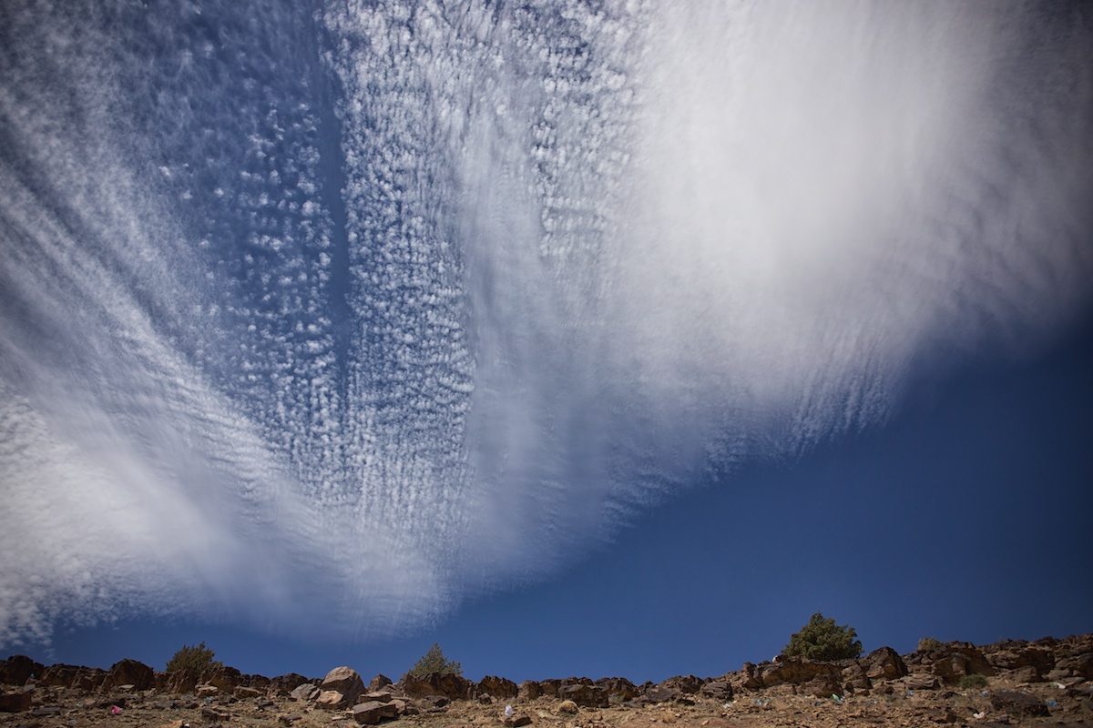
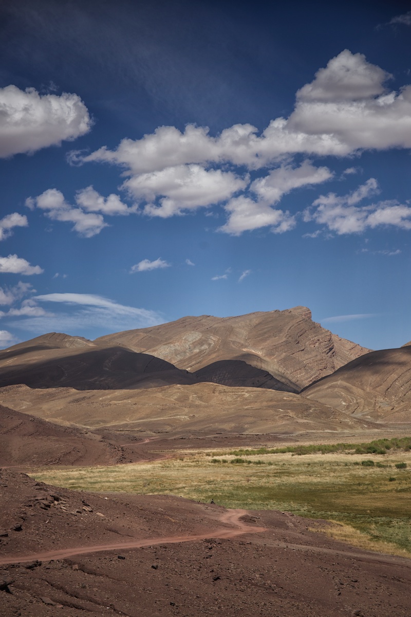
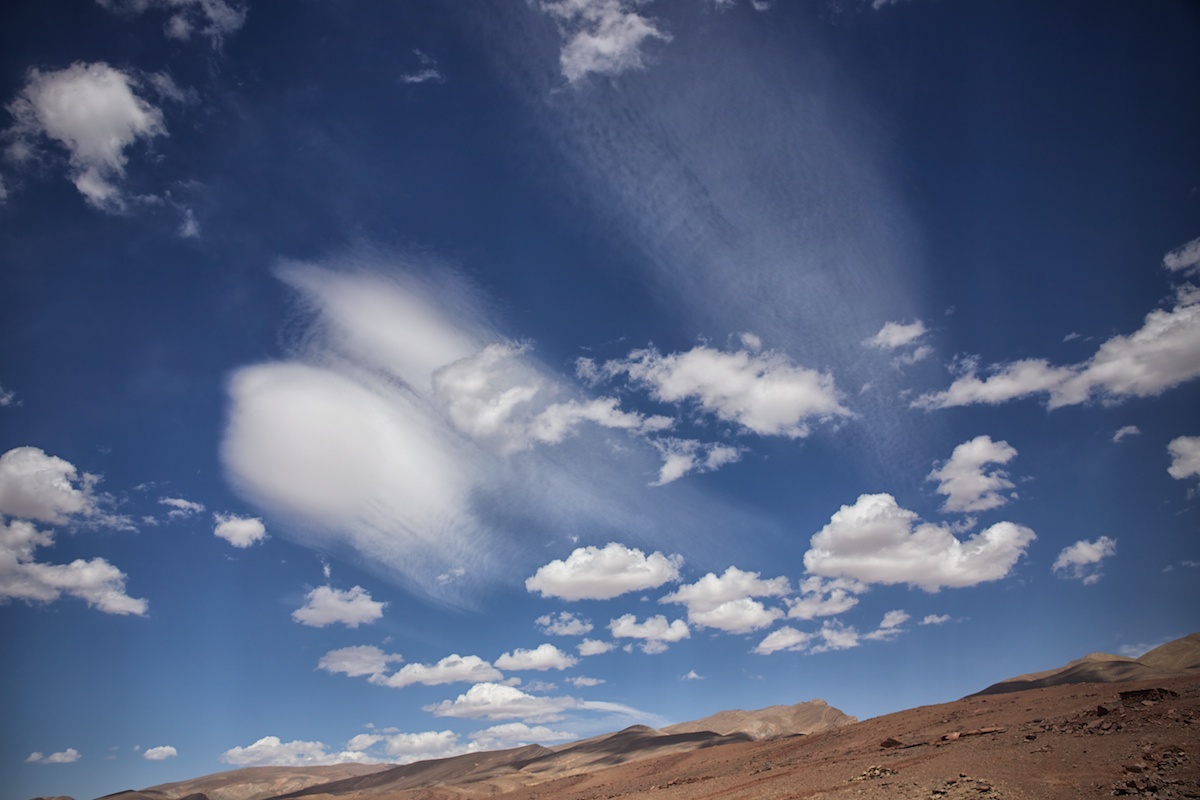
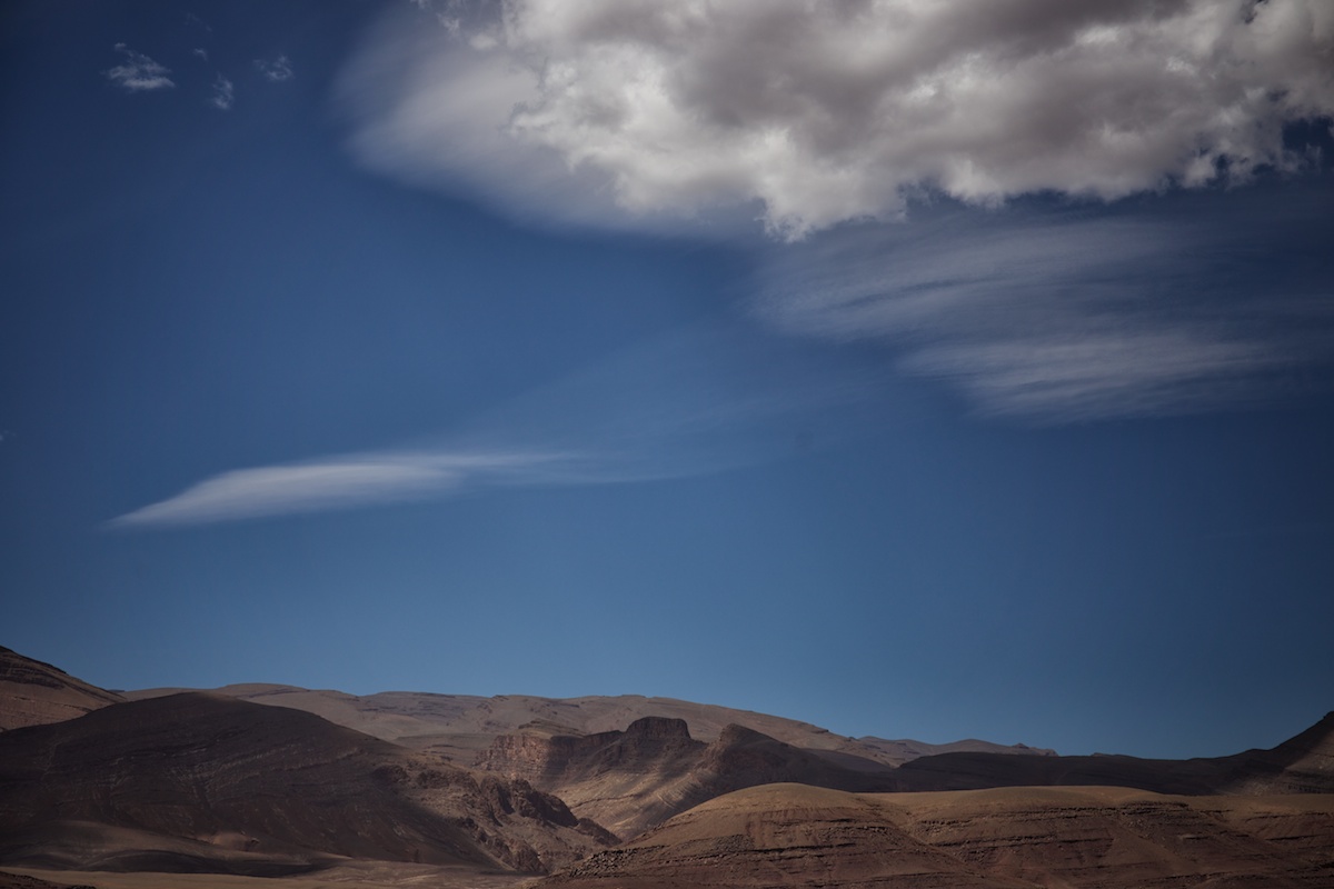
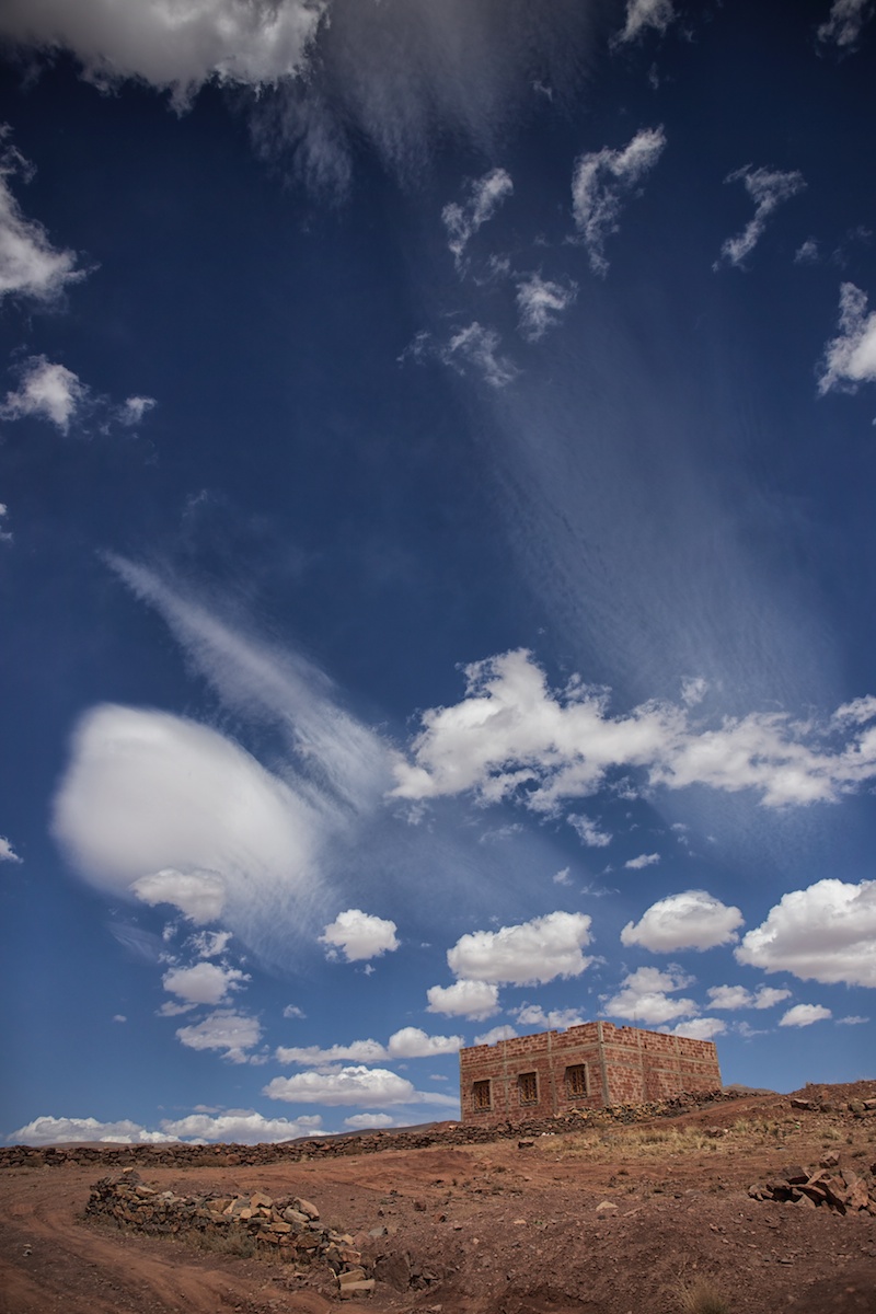
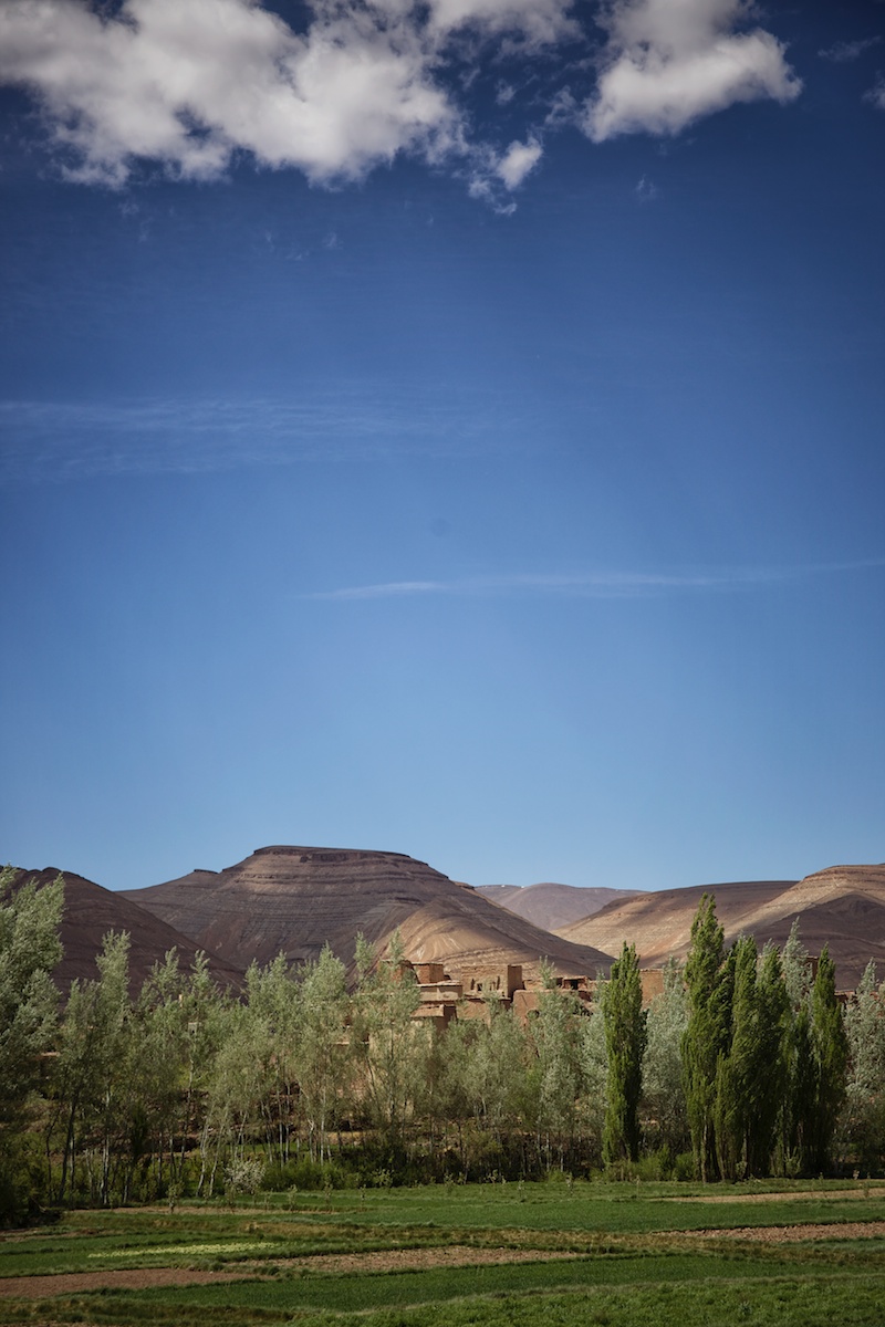
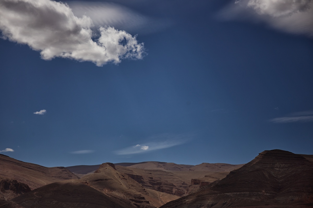
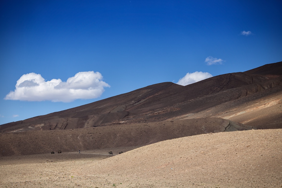
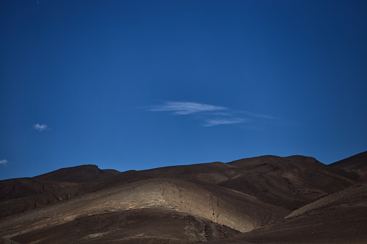
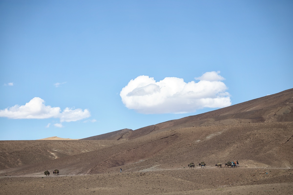
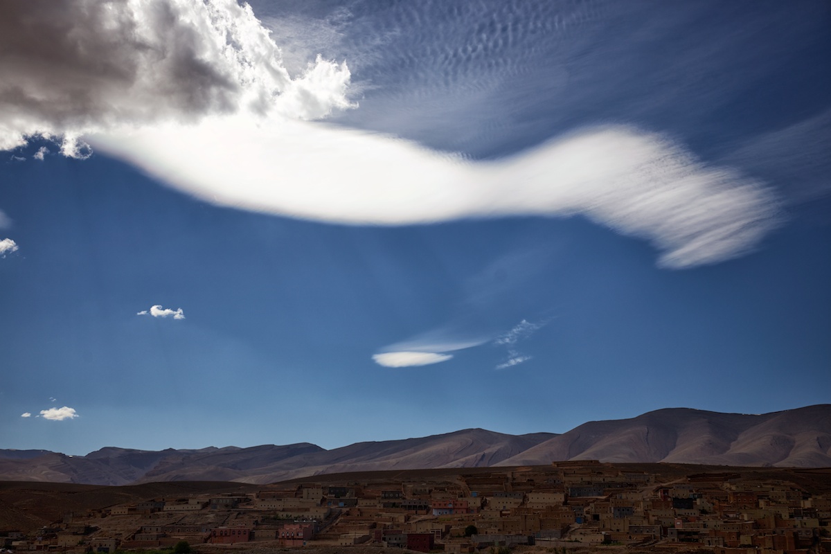
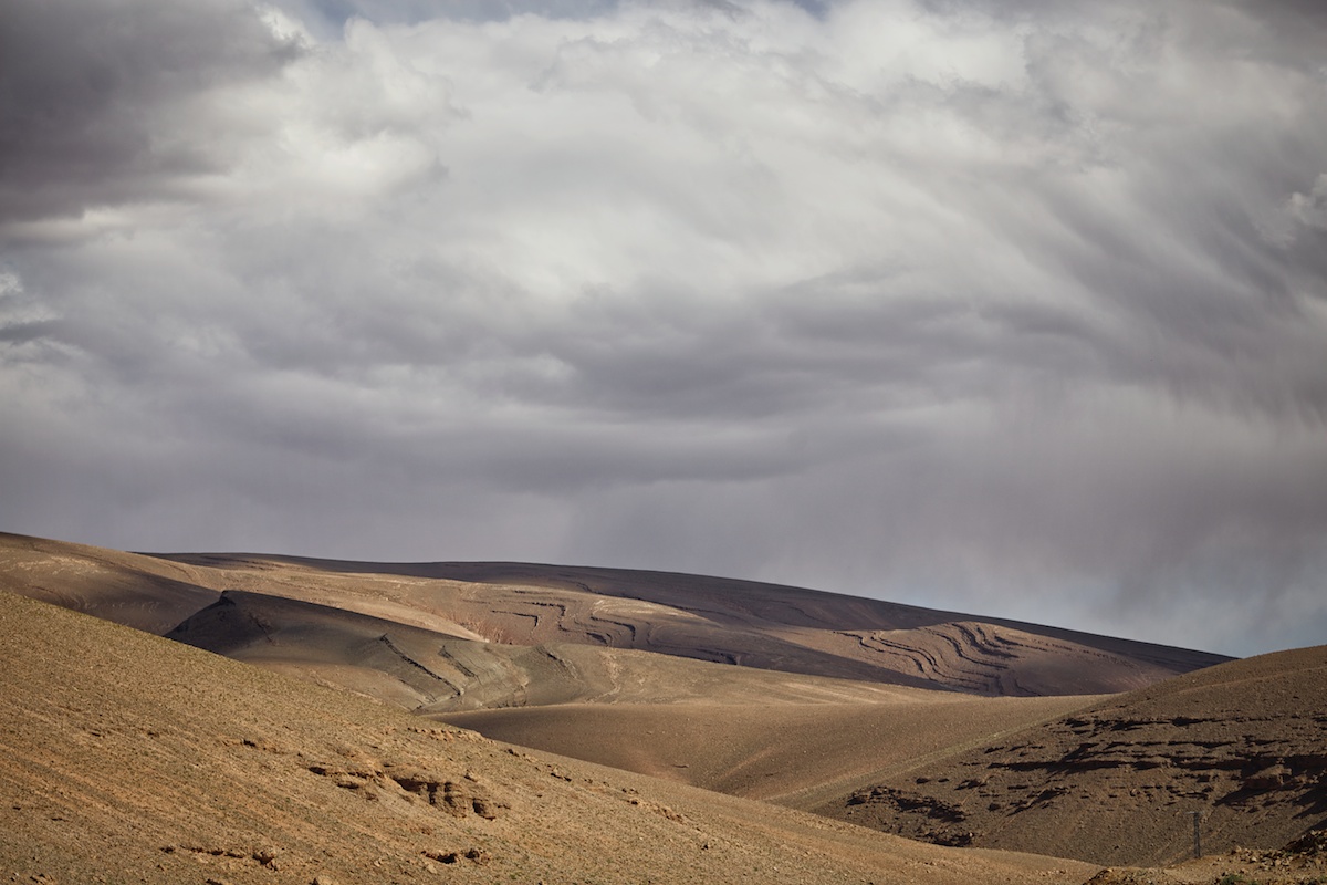
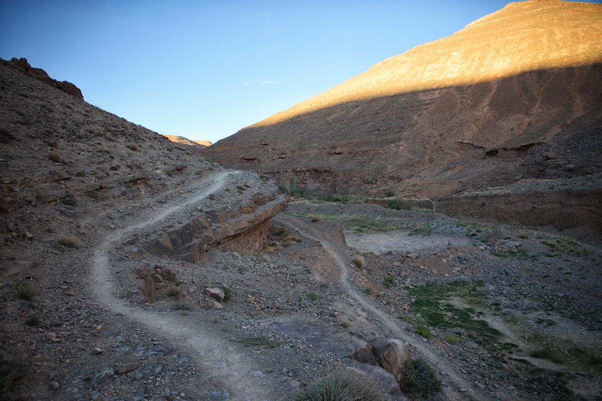
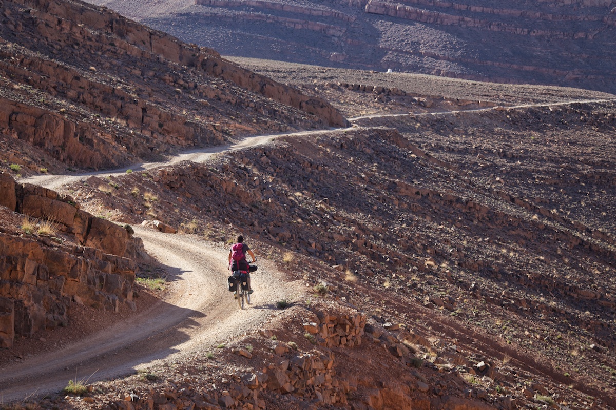
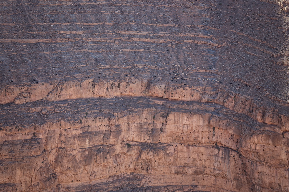
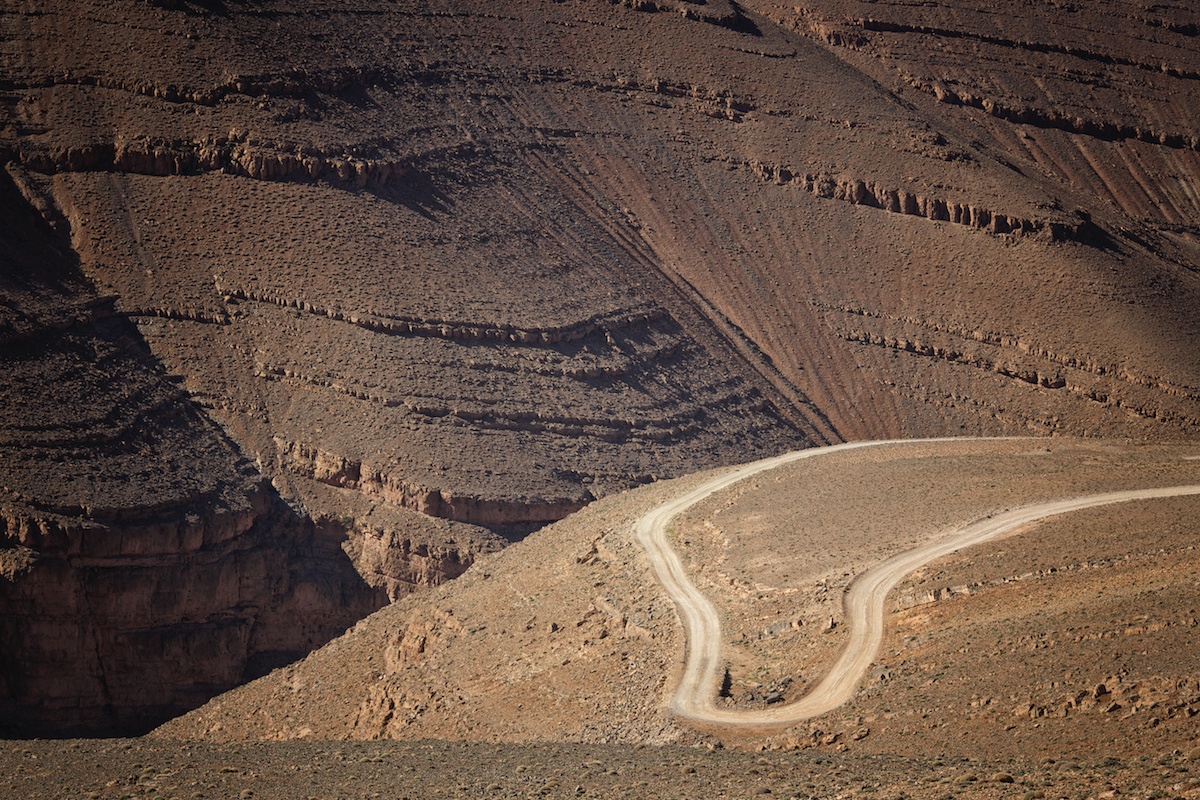
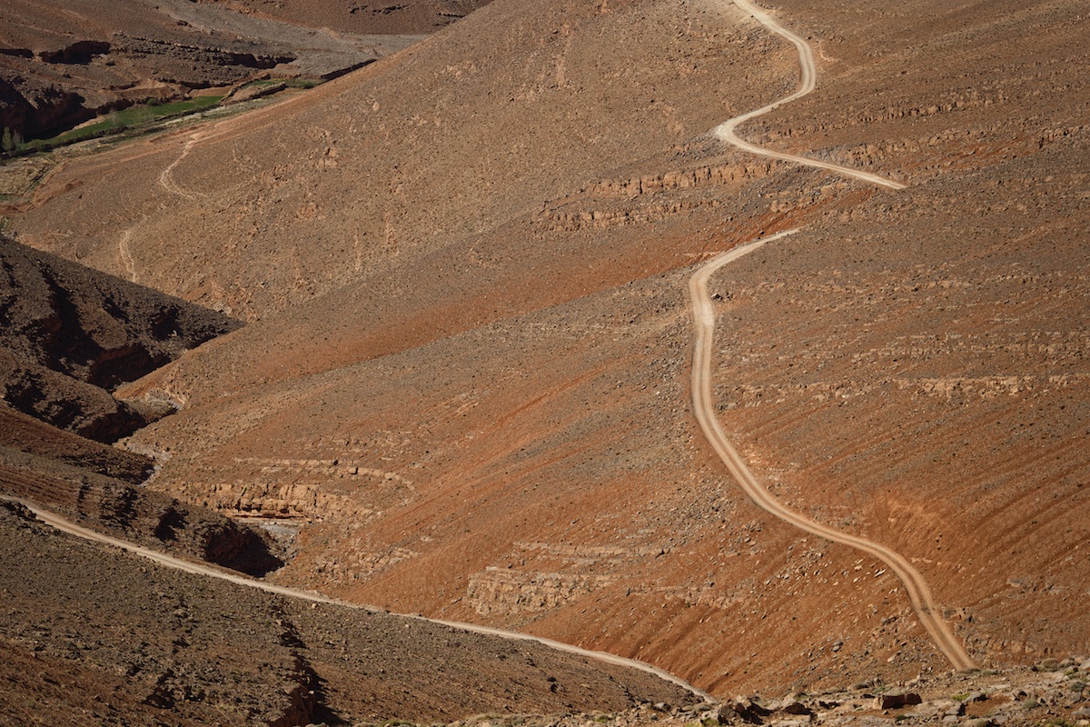
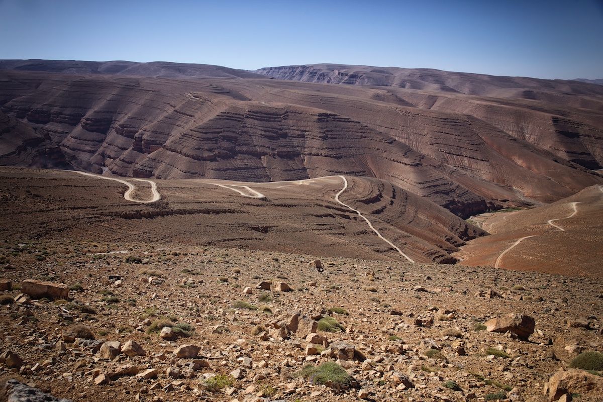
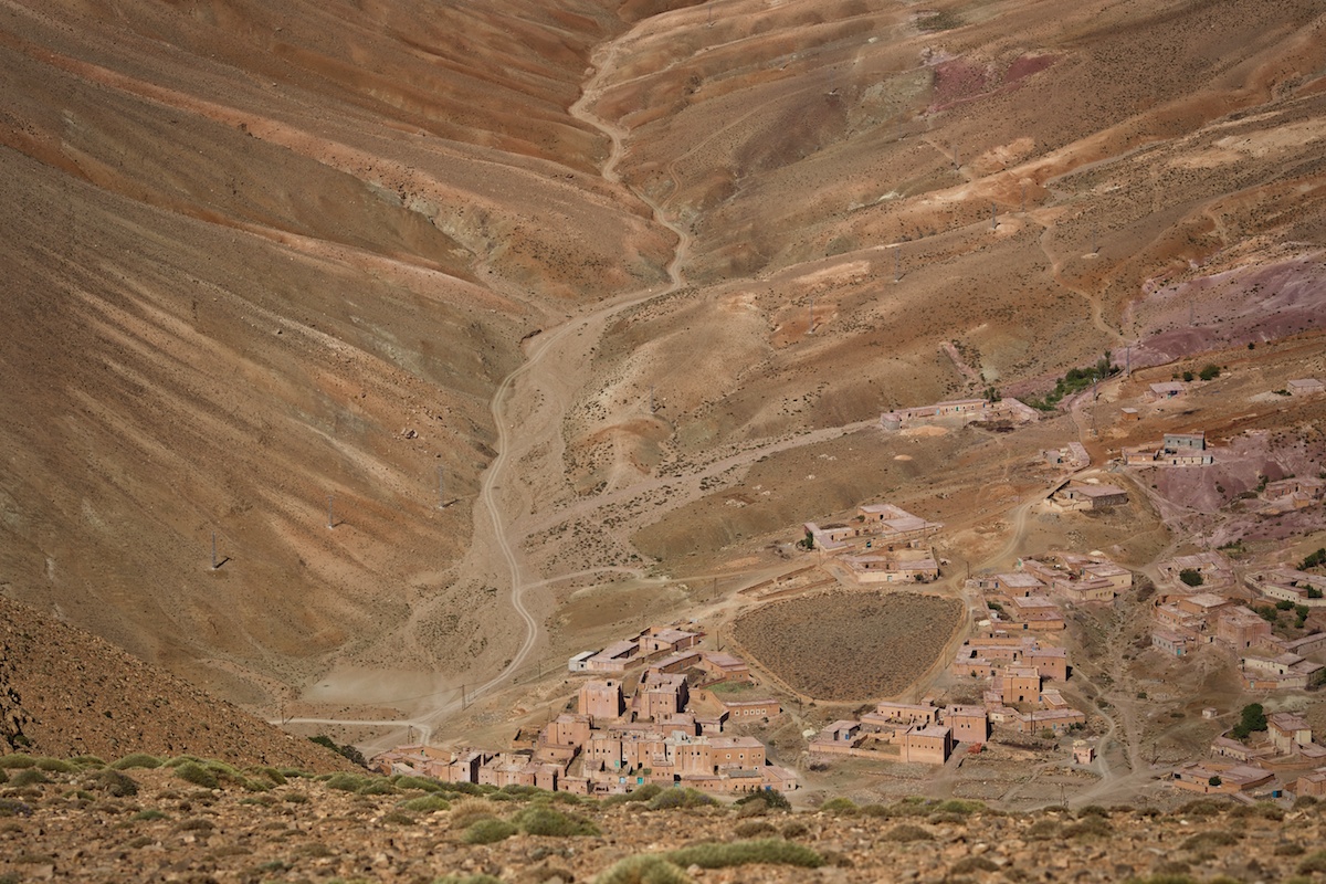
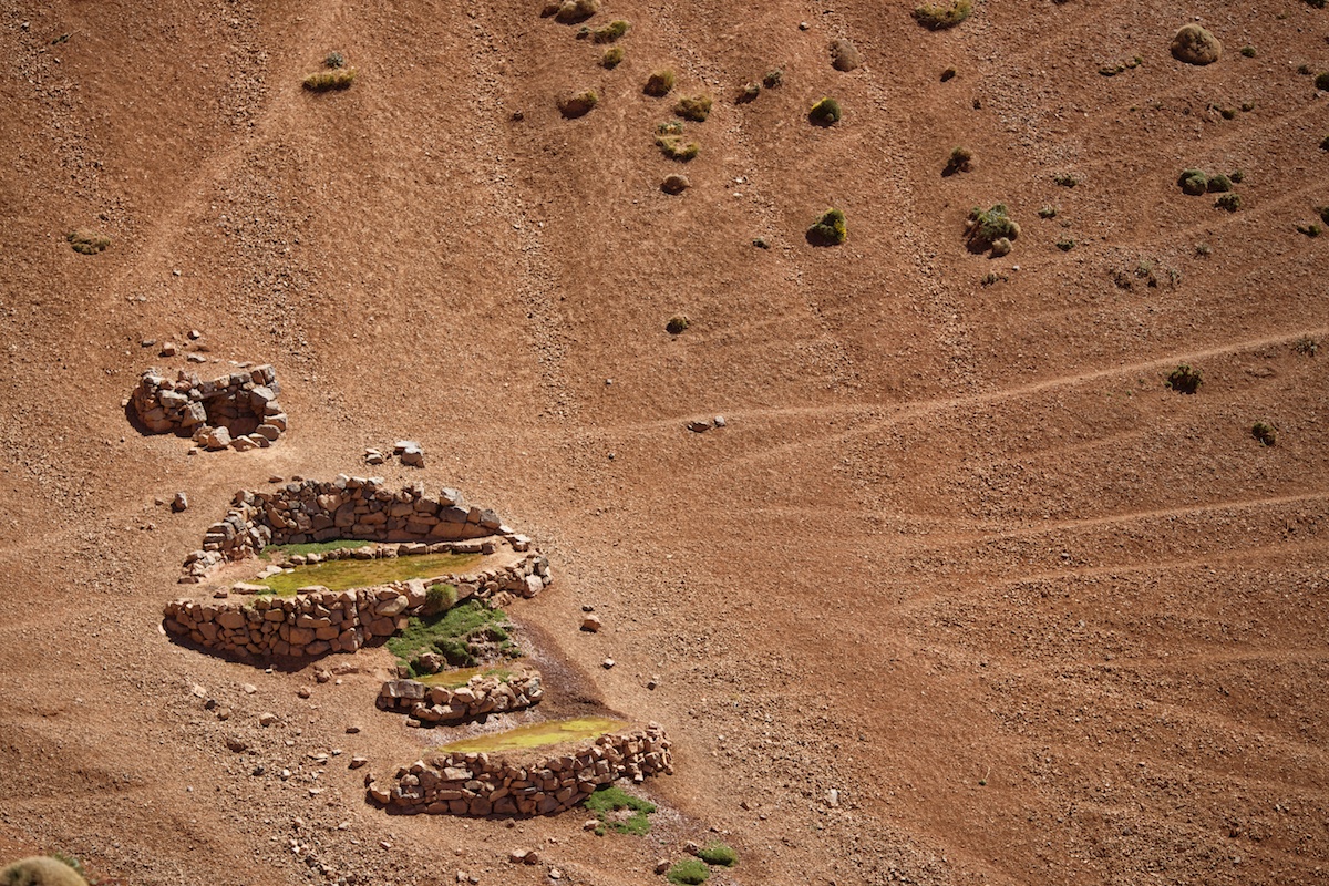
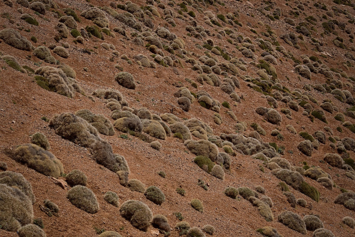
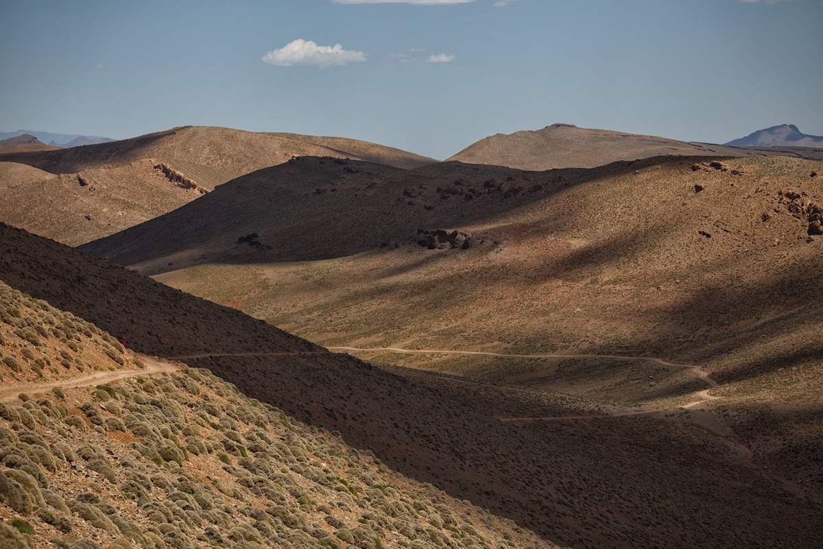
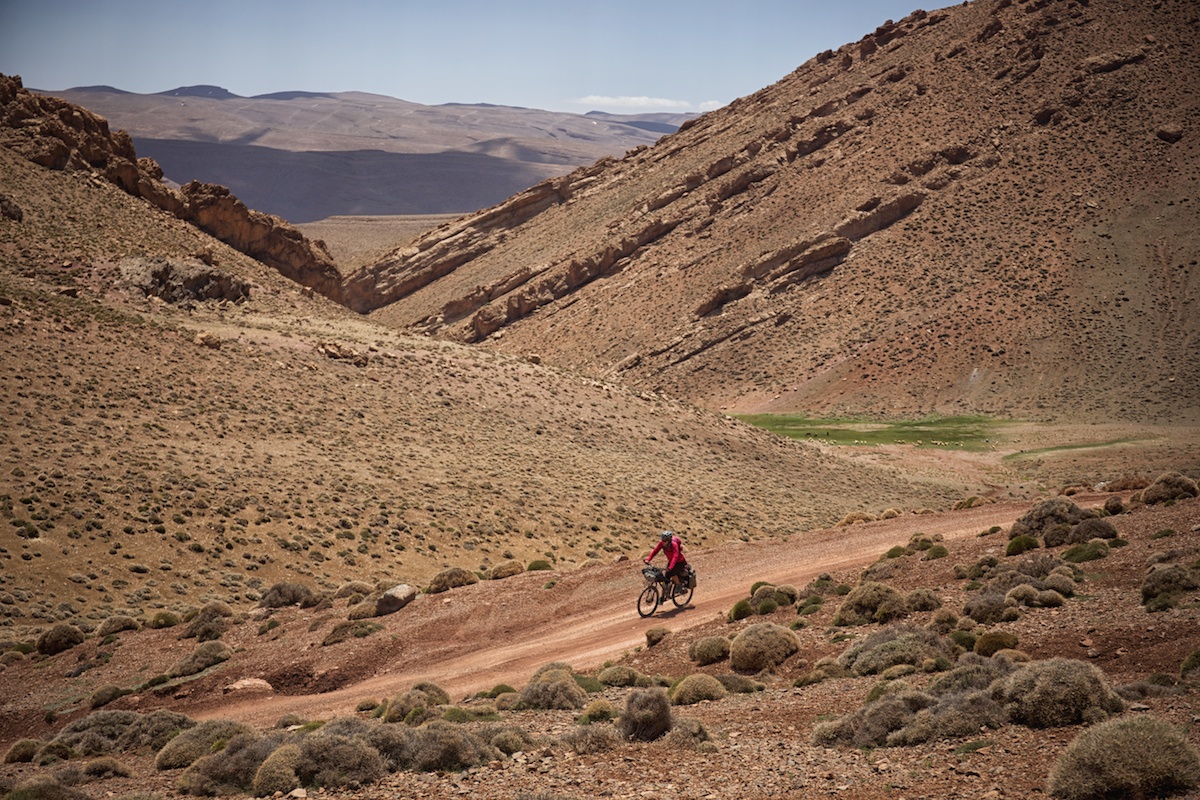
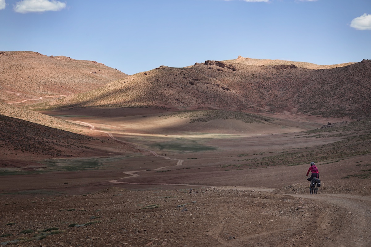
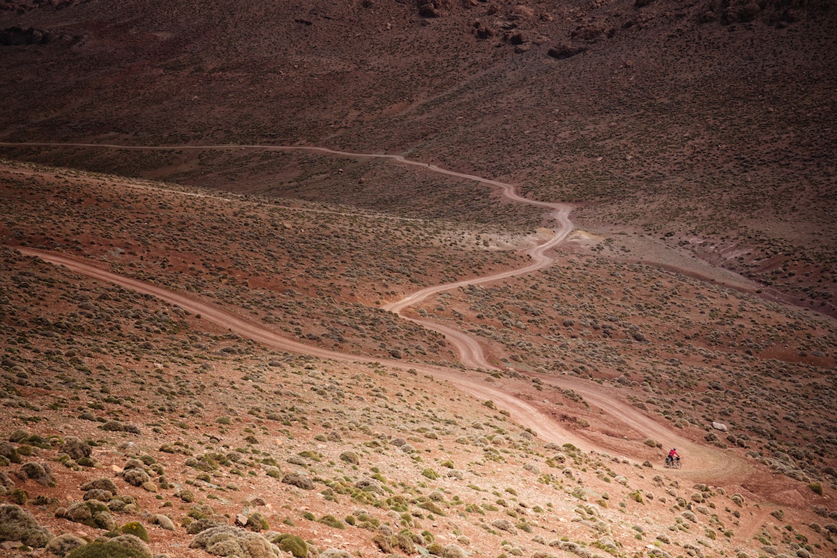
With snow capped peaks at over 4,000 meters, the High Atlas range dominated the skyline for miles as we moved north. Right now the air is still crisp in these mountains. The sky is a deep sea of cobalt creating a tack sharp contrast with the reddish brown rock that zigzags across the horizon. The streams are swollen as the last traces of snow are being smelted by the quickly warming spring air. A time of year when mountains beckon.
We pieced together several routes from Google Earth, local maps and advice from people we met along the way. Here are photos and stories (part 1 of 2):


Stay tuned for the next set of photos from the High Atlas…
For more information on this route, including GPS and logistics, click here. Also, check out our growing list of bikepacking and dirt road touring routes.
Please keep the conversation civil, constructive, and inclusive, or your comment will be removed.
We're independent
and member-supported.
Join the Bikepacking Collective to make our work possible: