A Pre-Ride of the Dark Divide 300 Route
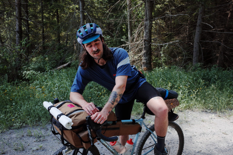
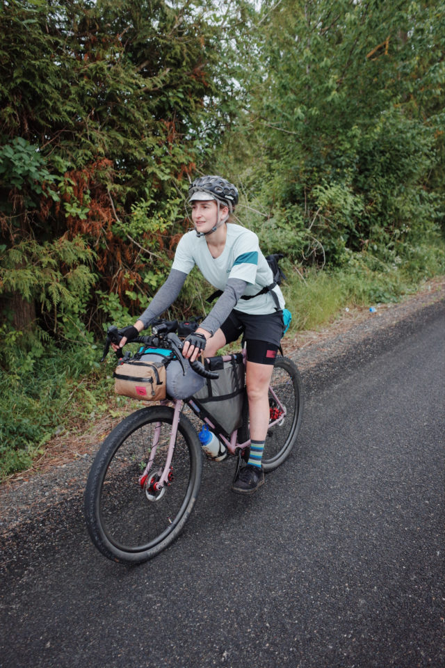
The organizers of the Dark Divide 300 event in Washington State recently put together a scouting party to pre-ride the route ahead of next year’s grand depart. Find a detailed ride report and a wonderful collection of photos from their trip here…
PUBLISHED Jul 18, 2022
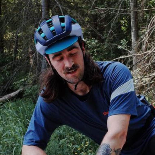
Photos and words by Ben Everett (@evergreen_gravel_racing)
The Dark Divide 300 is a challenging mixed-terrain cycling route that traverses the expansive ancestral lands of the Squaxin Island Tribe, Nisqually Tribe of Indians, Cowlitz Indian Tribe, and Confederated Tribes of the Grand Ronde, through what is known commonly as southern Cascade Mountain Range in Washington State, which is encapsulated in the Gifford Pinchot National Forest.
The route begins in Olympia, Washington, on the territory of the Steh-Chass band of the Squaxin Island Tribe overlooking the southern tip of the Salish Sea, and heads southeast into the Cascadian hinterlands via the Elbe Hills State Forest. It then leads riders deep into the backcountry through a combination of unmaintained and forgotten forest roads and seldom-traveled scenic byways until reaching the Dark Divide Roadless Area, one of the most rugged and beautiful landscapes on the continent.
After traversing Juniper Ridge, riders head southwest again toward the Columbia River through the Monte Cristo Range and eventually the Yacolt Burn area before finishing in Portland, Oregon. Resupply is limited, cell phones are useless, and the terrain can be steep, rutted, and utterly unforgiving. The following is a ride report from the summer 2022 scouting party.
Pre-Preride
The idea for the Dark Divide 300 came to me in late 2019. I was wanting to branch out from the Evergreen Grinder and focus on a longer-term, longer-distance project. I feel limited by Capitol State Forest in some ways. It’s a great place for day rides, and I love having it in my backyard, but it’s self-contained, and the possibilities are somewhat finite. The Northwest has so much to offer, and I wanted to tap into that. I have also been enamored with the Cascade Mountains, and specifically the southern Cascades and Gifford Pinchot National Forest, since first riding from Olympia to Portland on a modified “STP Backdoor” route in 2017. I was inspired to create something similar but a little more challenging and remote, so I started doing some research and recon and put a route together to attempt in summer 2020.
If successful, I planned to host it as an endurance race akin to the Tour Divide, Oregon Outback, or AZT Race in 2021. Then, well, we all know what happened in 2020, and I didn’t ride the route, so I planned on postponing the preride until 2021. In July 2021, my wife and I had a baby, so I wasn’t going on multi-day rides at that time. A couple of unofficial pre-rides that I wasn’t a part of took place in 2021.
During winter 2021, I started talking to a few close friends about trying to finally ride the whole route in summer 2022, and that original group grew to nine riders. After a few months of email chain logistical work and planning, we settled on leaving Olympia on June 28th with a goal of reaching Portland by Saturday, July 2nd. Easy enough, right?
Dark Divide 300 Day 1
Olympia to Randle aka Randleneuring
My alarm was set for 4:50 a.m. on Wednesday, June 28th. I went to bed around 11:00 the night before after doing some last-minute prep (read: completely repacking and rearranging my setup). I knew I would be tired, but I figured I could lie in bed until 5:00. At 3:45 that morning, my daughter woke up crying, so I got up and fed her to get her back to sleep, which took about 15 minutes. Although very tired, I was glad to have the extra few minutes with her before being away from her for the longest period since she was born. I got back in bed until 5:00.
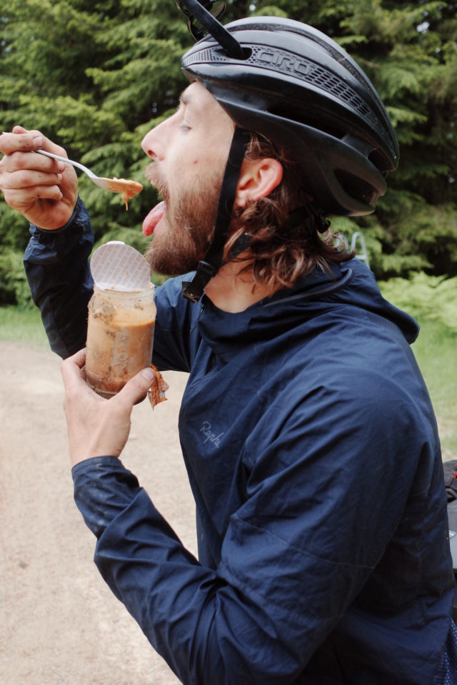
I got up, made a cup of coffee, and got my oatmeal ready. The oatmeal tasted awful. It was an instant oatmeal packet with 450 calories, which is why I was eating it. I packed one for breakfast for each day of the trip. I was able to choke it down. I looked out my back window to see Kevin sleeping under our lawn tent and Pete sleeping under his groundsheet. It started raining overnight, and he was too tired to move under the tent, so he moved under his groundsheet instead. I think this was a premonition.
I got dressed, filled my bottles, and went out to the shed to get my stuff together. Pete and Kevin woke up around 6:00 and quickly got ready. My wife and daughter had also just woken up, so we said our goodbyes and headed to Preston’s house a few blocks over to meet up with the rest of the crew.
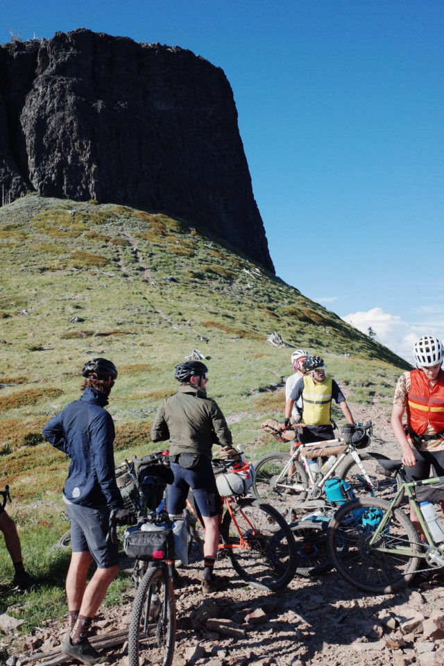
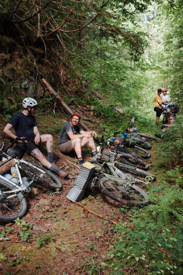
Everyone was groggy but also excited and somewhat nervous about the days to come. The weather looked good, but the snow reports were a little troubling. The snowline was sitting at about 4,000 feet, and we were going to about 6,000 feet on day two. But that’s day two, an entire day away. Why worry now? We rolled together to the official start, Squaxin Park, named for the Squaxin Island Tribe, whose land the city of Olympia occupies. We took some photos and rolled out around 7:30. Our crew consisted of me, Aaron, Ben R, Chris, Eva, Garrett, Katie, Kevin, Miles, Pete, and Preston. Sierra was also following along in her van to snap some photos for us.
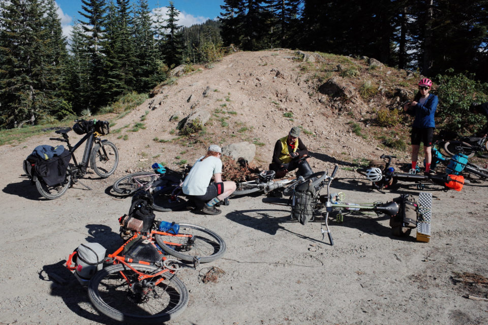
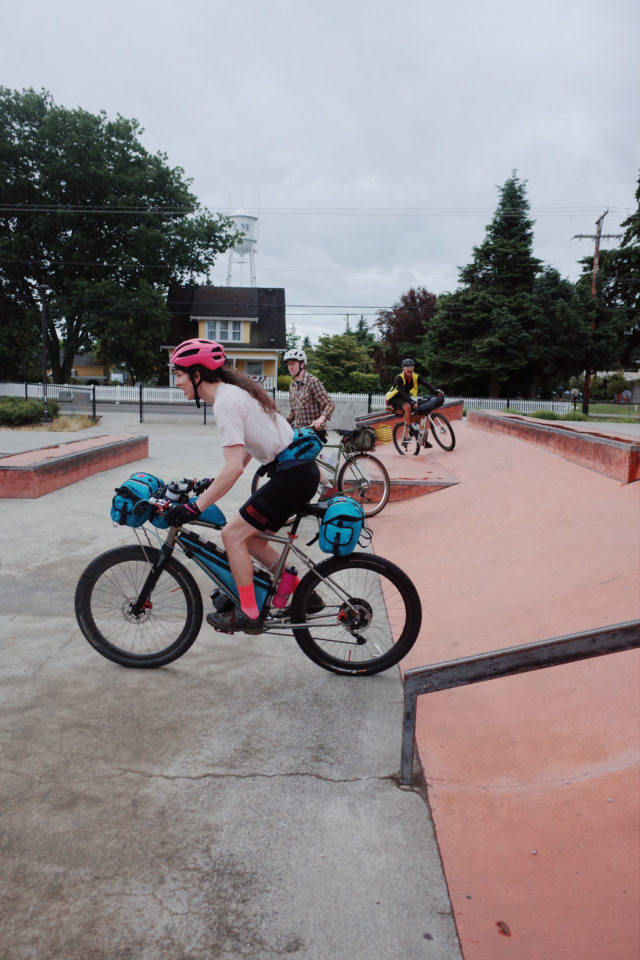
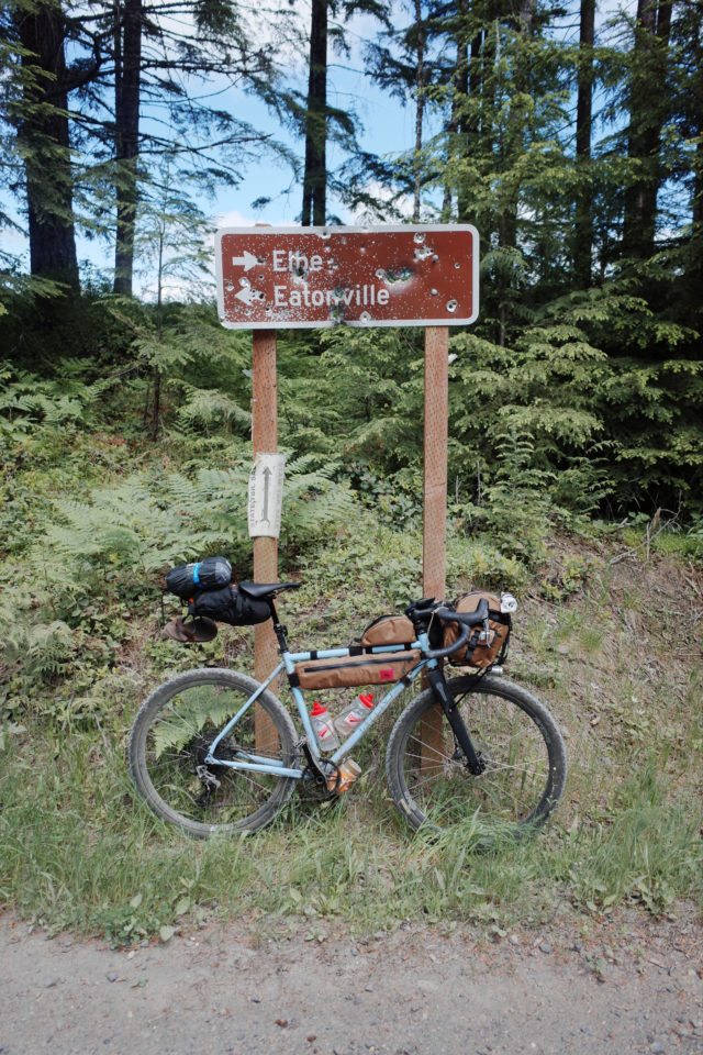
The route spends the first 27 miles or so on the Yelm-Tenino Trail, which is flat and smooth, and we knocked it out pretty quickly, even with our pit stop to do a party lap at the Yelm Skatepark. From there, we headed east, then south the Eatonville, where we made our first real stop at mile 49 at the Mountain View Coop. We all got some snacks there and sat in the grass for a few minutes. I had “fixed” my shifting the night before, so it was not working at all by this point, and I asked Preston and Ben to help me get it dialed in. They did, and we started off again, climbing southeast out of Eatonville and into the Elbe Hills State Forest.
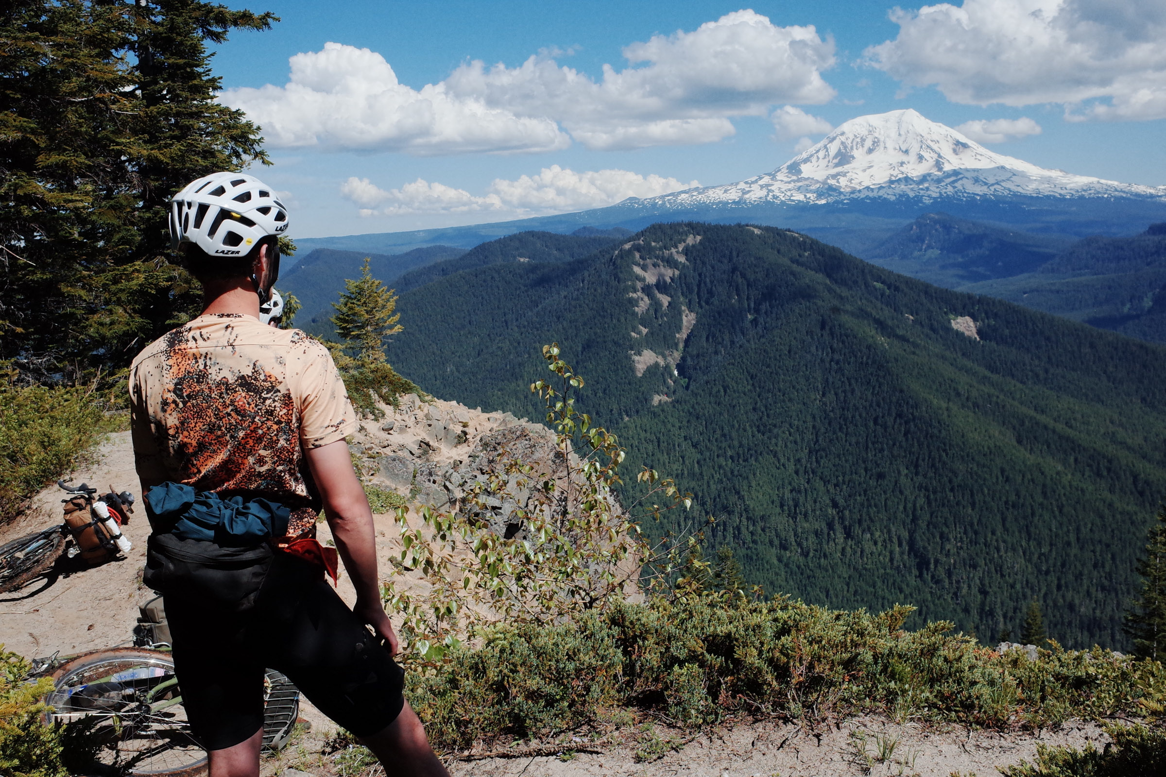
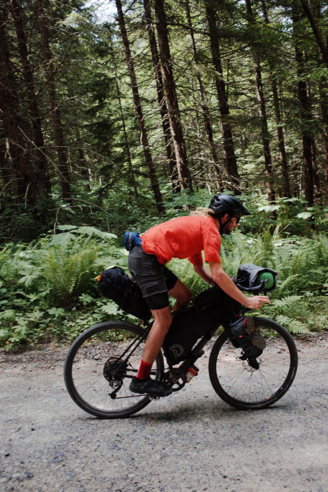
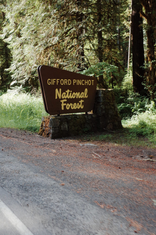
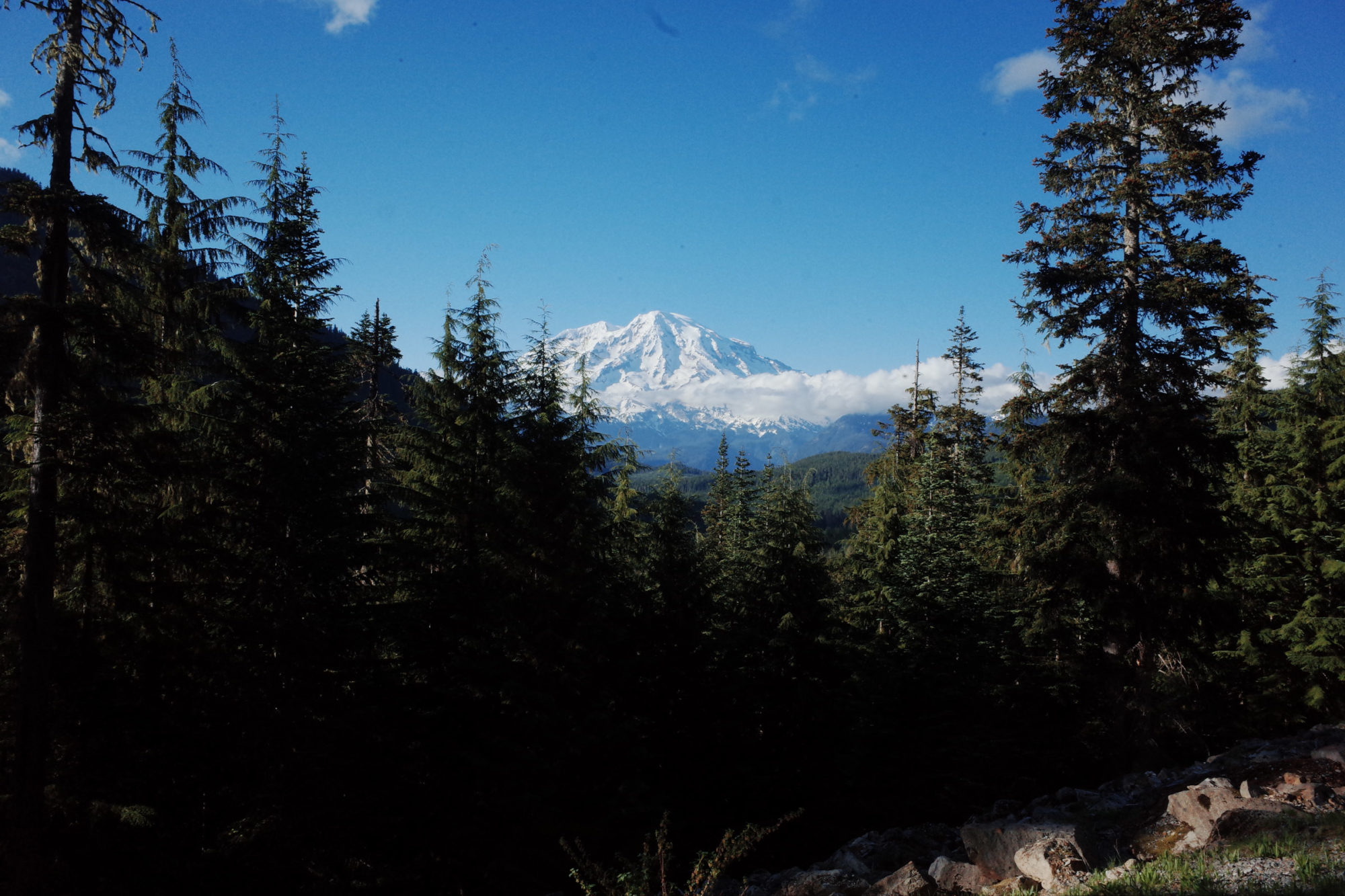
This was our first unpaved section, and it offered us our first views of Mount Tahoma from elevation. The pitches were steep, but it’s an up-and-over segment, so the long climb led to a fast and flowing descent down to Ashford, where we filled up bottles at the church by our turn-off and then headed south into the Gifford Pinchot National Forest.
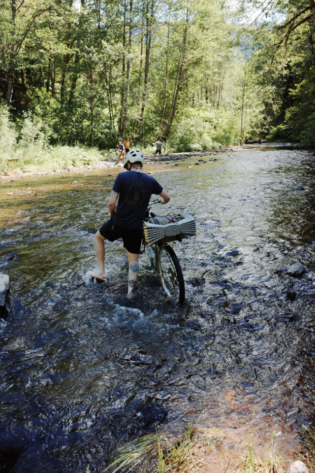
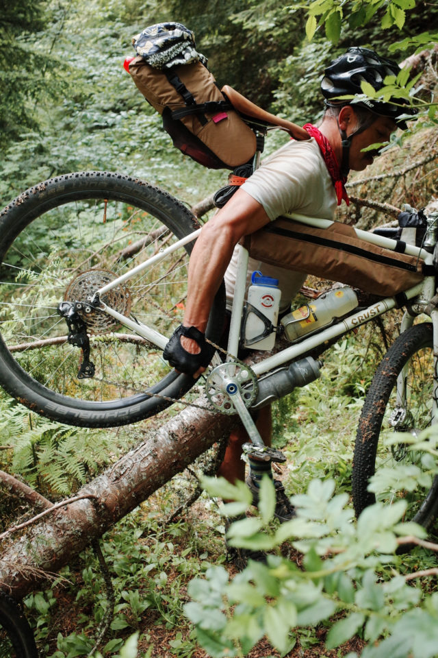
Our next big climb was to the High Rock Trailhead, a popular hiking destination. Hikers usually drive to the trailhead from the southwest approach out of Packwood, which is unpaved but reasonably smooth. But, coming from the north, Forest Roads 85 and 8440 were rough, rutted, exposed, and steep. I fell back pretty early on after crossing Catt Creek near the bottom of the climb and was pushing solo until catching up with Pete. I blame falling behind on the fact that I carried my bike over a large barrier made of boulders, which took about five minutes because I didn’t see the faint but well-used path around the barricade. We alternated between pedaling and walking near the top of the 13-mile climb and got to the top and regrouped around 6:30 p.m.
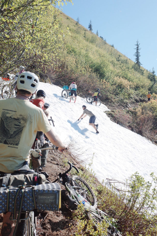
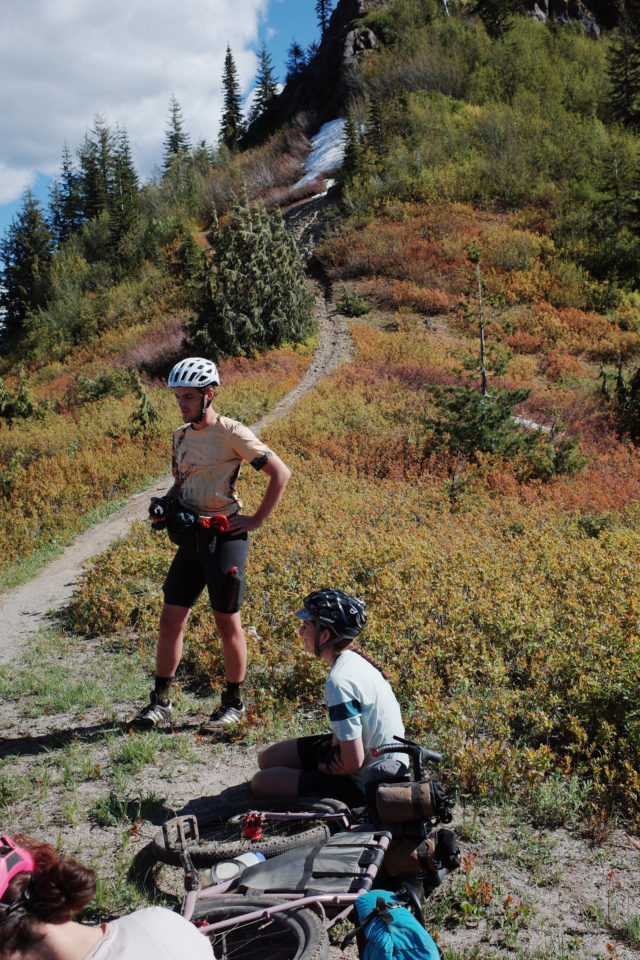
Ahead of us, we had a quick descent that included a short hike through some unmelted snow, then a 1,000-foot climb, and then a long descent down Forest Road 85 into beautiful and sunny Packwood. During the climb, we got up close and personal views of Tahoma. At one point, we were only 14 miles from the base of the mountain. Aaron lost his mind. It was gone, bounced right out of his gourd. It was the first of many times our minds would be released from our brains due to the inability to process the sheer beauty of our surroundings. How lucky we were to suffer this way.
When we finally crested the climb, we had a 6.5-mile, 2,400-foot descent in front of us. We were jazzed and too tired to hang onto the brakes. We were in Packwood by 9:00 p.m., and burritos had been ordered via In-Reach. Appropriate use of emergency communication; gotta eat. Sierra picked up the burritos for us, so technically, we were not #solounsupported on this ride.
We thought we would make it to Randle by 7:30 p.m., but that time came and went. That was okay, it didn’t matter. We were all right, and nothing else mattered. I had a burrito and a Vitamin Water. I was unstoppable. We made it by 10 p.m. We camped on the property of John O’Brien, Cowlitz Tribal Elder and chair of their Cultural Resources Board. We got to know John when researching the route and engaging with the Tribe about its history and connection with the land. John had a fire for us and gifted us food he had gathered in ceremony. His hospitality cannot be overstated. John cared for a group of ragged cyclists after a 125-mile,8,500-foot day. We set up our tents and bivvies and Tyvek sheets and went to sleep around 11:30 with intentions of being up early for what would prove to be an even bigger day: Juniper Ridge and the Dark Divide.
Dark Divide 300 Day 2:
Randle to Summit Prairie
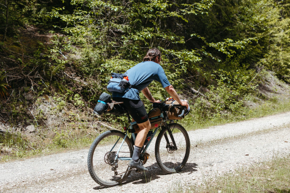
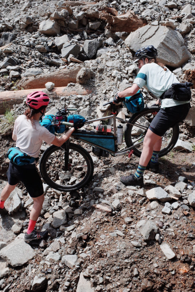
We didn’t get up early. We didn’t have our early start. We were on the road by 8:30 a.m. after saying our goodbyes to John, and we went slightly off course into Randle to resupply. By the time we were rolling toward our first big climb of the day, it was around 9:30 a.m. and getting hot. We climbed the paved road from Randle into the Gifford and turned onto Forest Road 2801, which is closed due to a washout. If you are planning to ride this route, the washout is next to a clearing, which is an excellent place to set up camp. The washout is parallel to the road, not perpendicular, so it’s easy to hike around off to the side. We did that, regrouped, and began the climb toward NF-23. FR-2801 is a relatively gentle climb that follows the curves of the Cispus River, which flows just below the ridge. There were a few unexpected washouts along this road, the longest being about 20 yards of small boulders to climb over with our bikes, but we all managed. Small boulders are basically just large, unground pieces of gravel, after all.
After hitting NF-23, we continued climbing on pavement for a couple of steeper miles until our next turn, NF-2324, which would take us to the Sunrise Peak Trailhead. We broke for lunch at the turnoff and then started up, it was about noon by this point. This 7-mile/2,500-foot climb broke me. Hot, exposed, steep, loose, chunky. I had to stop every mile or so and lie down in the shade. Garrett doubled back to meet me near the top and make sure I was okay. I was cracked; talking but no words coming out. By the time I got to the top, everyone was already there. They clapped and I cried and took a short nap.
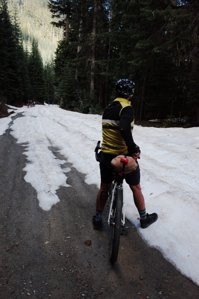
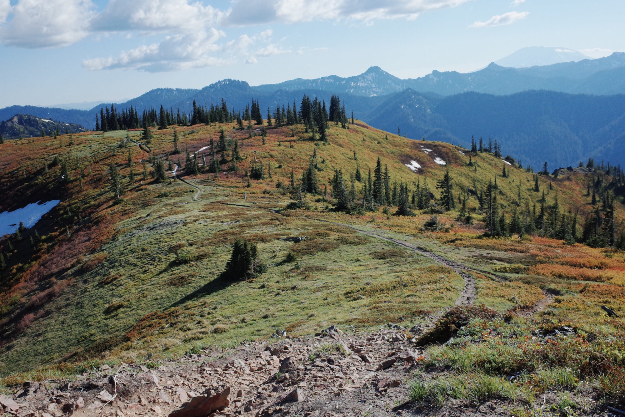
When I woke up, it was time to get going. It was about 3:00 in the afternoon at this point, and we were 32 miles or so into what was supposed to be an 85-mile day. Our goal was to make it to Trout Lake. We figured the trail miles would be slow-going. Maybe 2-3 hours? It was steep, after all. The trails were unmaintained and rutted from years of motorized use and neglect, and there were still patches of snow 4-12 inches deep. We all dropped into the trail and immediately hopped off our bikes to push. I knew it was going to be a long afternoon.
We regrouped around the base of Jumbo peak at about 5 p.m. We’d gone two miles in two hours. We had 16 miles of trail left. On the side of the trail leading to that point, Miles found the kind of balloon they sell in hospital gift shops that said “feel better.” He carried it with him until Portland, and it became a mascot for us. There was talk of turning back and going the way we came to Sunrise Peak Trailhead, then heading back down NF-2324 to NF-23 and eventually hit Trout Lake. We didn’t go with this option because we were afraid we wouldn’t make it to Trout Lake until midnight. If only we knew what was in store for us.
When making the route, I marked a bailout point at NF-9805, which was about eight miles/1,600 feet from where we were, so we decided as a group to keep pushing forward but take the bailout point. We were hoping to be there by the time the sun went down. Seemed reasonable. As we pushed further past Jumbo Peak toward Dark Mountain, the snow became significantly worse. It was deeper, and it made the already steep climbs seem almost impossible. There were a few short but very fun rideable sections, but for the most part, we pushed our bikes for eight miles through snow, water, ruts, and rock trails.
I reached the top of NF-9805 with Preston at about 11:45 p.m. We knew that Sierra was going to meet us there with the van, but we didn’t see her, so we began to descend and dropped 2,100 feet in six miles. When we finally saw the van’s lights, the rest of our group was there already. Preston and I figured they had all been there for hours and that we had fallen far, far behind while hiking the ridge.
When we got there, I sleepily asked why everyone was still in their bike clothes and not changed into warm, dry camp clothes. I think it was Garrett who told me they had only arrived there about five minutes before us, and the van had only just gotten there too. I was in disbelief but felt a lot better after hearing this. This group was full of strong and experienced riders, and I often fell off the back of the group on climbs, which I’m generally okay with, but I felt pretty low while on the ridge hiking in the dark, falling behind the group, and questioned whether I should really be out there. I wondered if I really was up to the challenge.
Knowing that everyone else, even the strongest riders in our group, had also struggled made me feel better about my own struggle and proud of myself and everyone in the group for continuing to push. Hiking along Juniper Ridge in the middle of the night through knee-deep snow on rutted backcountry moto trails was the hardest thing I’d ever done on the bike and probably the lowest I’d ever felt on a ride, but it put the highs that were to come later in the trip into perspective and made them that much sweeter.
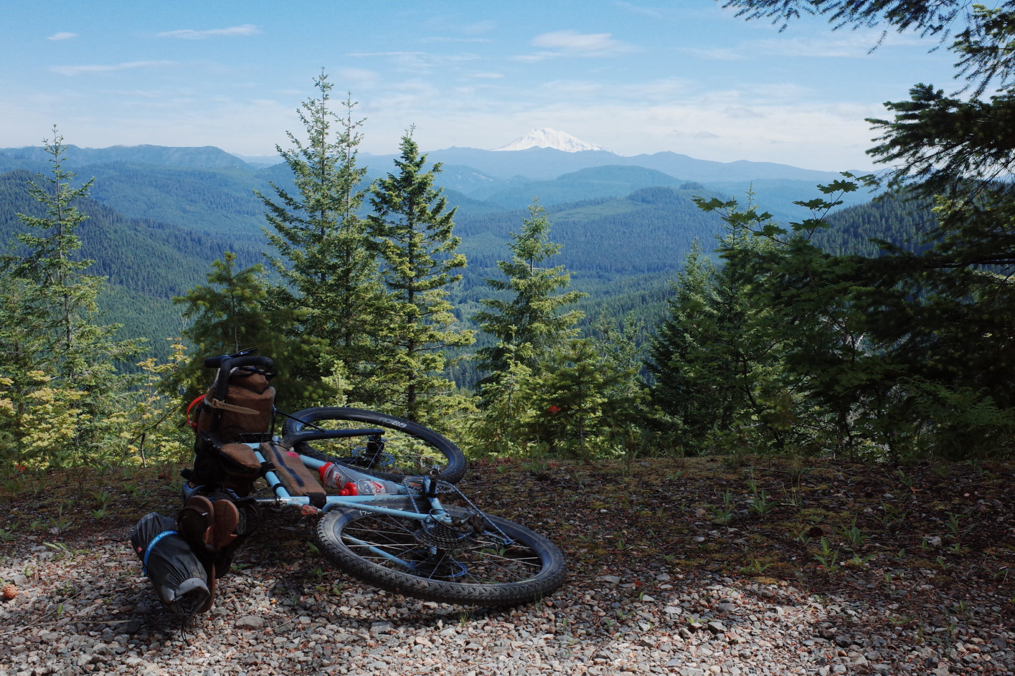
It was midnight by the time we were regrouped. A quick decision was made to head to the campground about a mile down the road NF-9805 spit us out on. We arrived at Twin Falls Campground, and all of us proceeded to wander around the place like zombies looking for a spot. None of us could manage to find where the campsites were in the dark (and in our stupor), but luckily a friendly camper who was awake to hit their vape pen guided us to a big group spot. A fire was started and everyone set up their tents or laid out their sleeping bags and went to sleep. Our total ride time that day was 15:26:52. I managed to empty my oatmeal packet into some water in my cooking pot before falling asleep so it would cold-soak overnight. This was a monumental accomplishment.
Dark Divide 300 day 3
Trout Lake to Panther Creek
The next morning came quickly. When I woke up around 7:30 a.m., Pete and Miles were already up and making breakfast. I remembered my oats from the night before and grabbed them. I began to eat them, but after the night we had and seeing my compatriots’ hot meals, I decided to heat mine up. I grabbed my stove, turned the flame on low, and set the pot on the stove. Then I went to grab a water bottle off my bike. When I got back 15 seconds later, my oats were smoking and burned. I ate them. Picking burned chia seeds out of my teeth was still better than the 10-mile snow hike we did less than 12 hours prior.
Slowly, everyone woke up, uneager to get packed up and on the bike. We rode about 50 miles on day two, which meant that we had about 35 to make up in addition to the 85 planned for the day to get to Panther Creek. Finally, at about 9:30, we gathered at the picnic table at our site and came up with two options as a group: the first was to continue on route, which meant a long day with lots of climbing, and the second was to take a more direct route to Trout Lake: NF-23, and from there take Carson-Guller Road to Panther Creek. NF-23 to Carson-Guller is the “classic” way through that zone, and then rejoin our original route at Panther Creek. Someone mentioned that Goose Lake would make a great mid-day swim spot, and we all agreed. So, it was settled, and we decided to deviate from the route to take an “easy” day and recover from the day before.
Originally, I was a little bit disappointed that we were deviating from the route since I had set a goal of riding the entire route point to point, but then I realized the sections that we were skipping, NF-88 and FR-86/NF-68, are actually some of the more popular forest roads on the route and least necessary to scout, so I let go of my expectations for the ride and leaned into our much needed “tour day” of about 53 miles/3,600 feet.
We headed east from Twin Falls toward NF-23, where we climbed about 1,500 feet in 10 miles, then had a ripping 15-mile,2,000-foot descent into Trout Lake. It was noon when we arrived, and we hit the world-famous Bear Creek Cafe. We ate, and ate, and ate, and ate. I enjoyed the finest pickle spears on the planet right there at Bear Creek Cafe. They were unbelievable. If you haven’t been, go there and get yourself a plate of sweet potato fries and a platter of pickle spears.
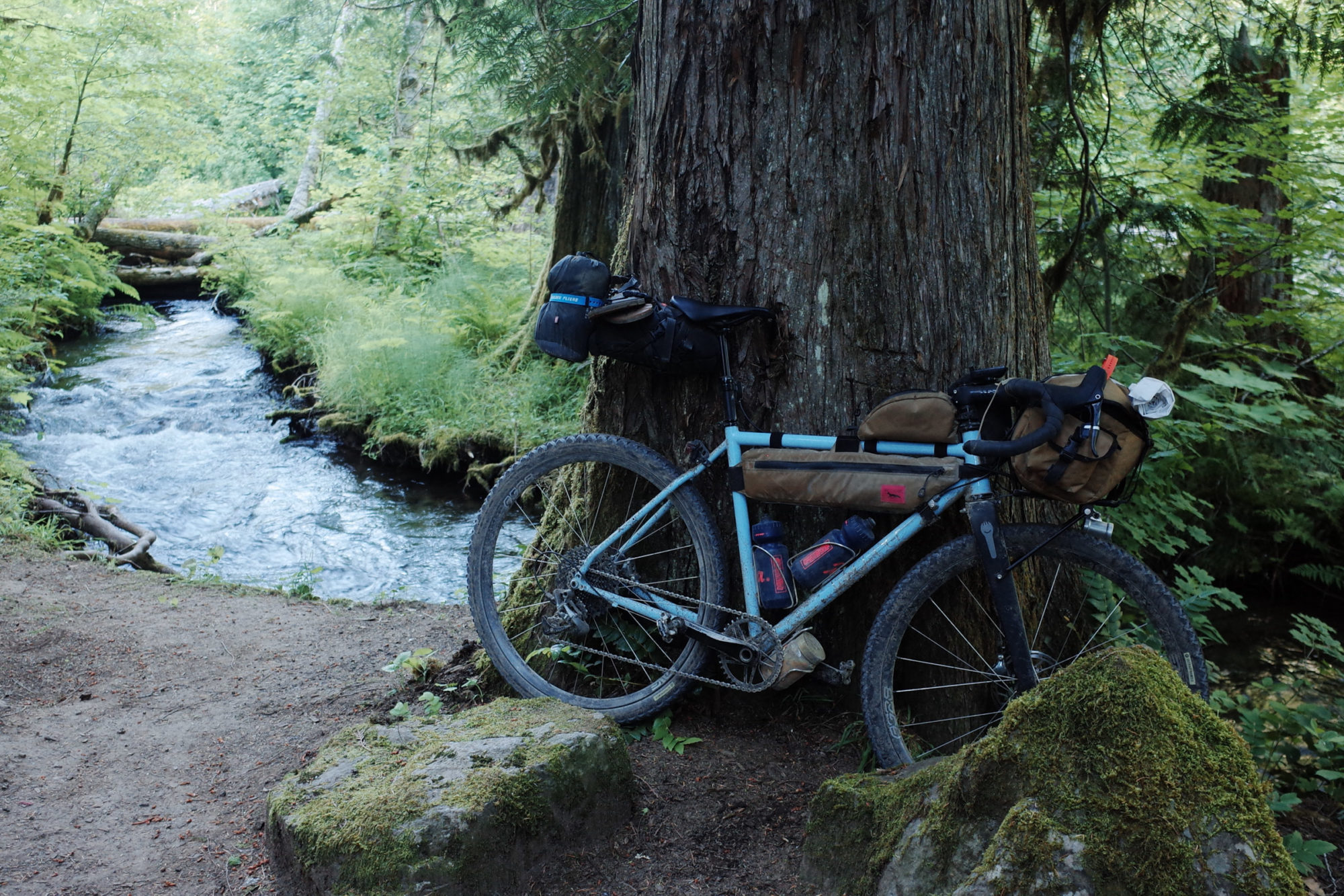
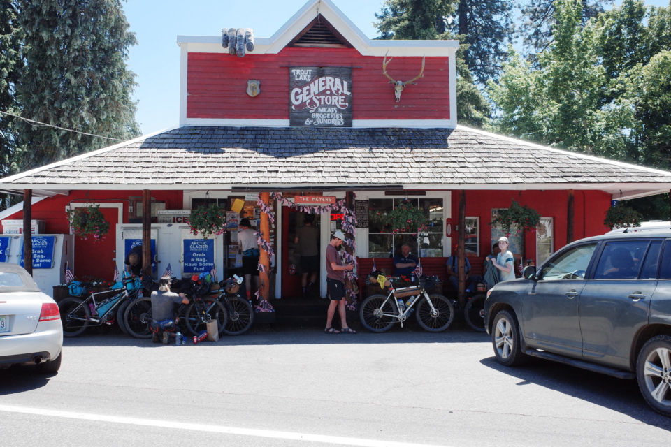
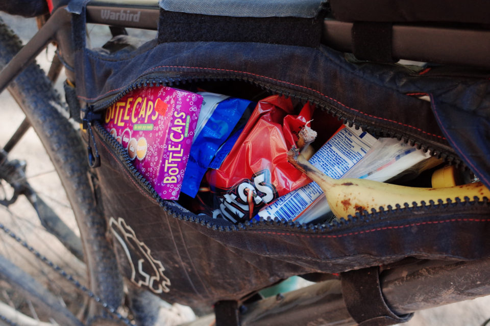
We left our socks out to dry on the lawn, we appalled the locals, but they welcomed us nonetheless. Trout Lake is close to the Pacific Crest Trail, so they are used to seeing grimy, unwashed humans consume three days’ worth of food in a sitting. After the cafe, we headed to Trout Lake General Store to resupply, eat some more, and deliriously chat up the locals before heading west to our next destination for the day: Goose Lake.
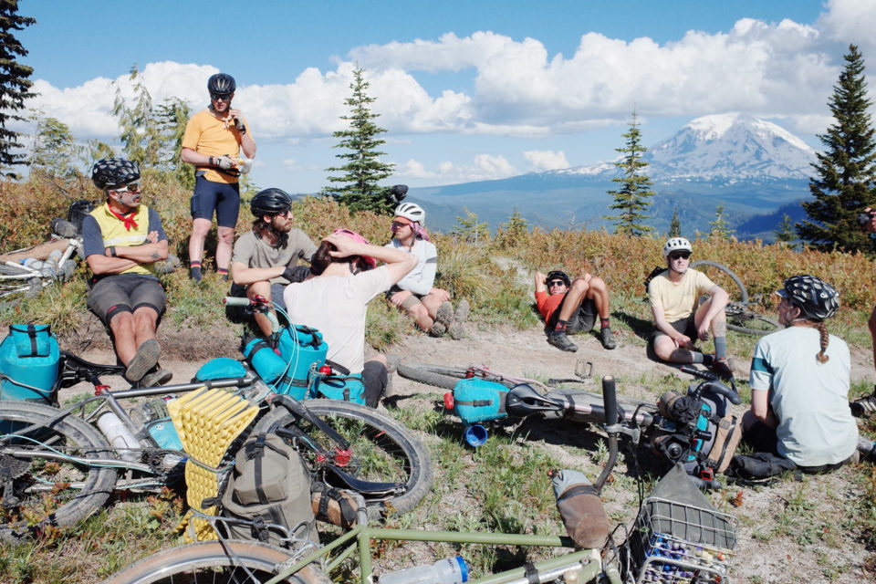
Heading west out of Trout Lake on WA-141 is a gradual but sometimes punchy 1,000-foot climb that can be hot since it’s almost entirely exposed. I took the climb pretty slowly since I was full of pickles and pickle juice, but eventually, the road leveled out where NF-24 intersects, and we rode the Carson-Guller rollers all the way to Goose Lake, arriving around 3:30 in the afternoon. We swam, ate, hydrated, and napped on the beach until about 5:30 and then began our final push to Panther Creek campground, which included what Ben Rainbow calls one of the greatest descents in North America: FR-65 from Carson-Guller Rd to Panther Creek Falls. He’s right. It’s a ripper. Buttery pavement, perfectly banked turns, a real brake-burner dropping you from the high and dry country to the steamy lowlands.
We arrived at our campsite around 7:30 p.m. and, in comparison to the night before, really had the luxury of time to decompress from the day and also the previous day. We decided to get an early start the next day and leave the campsite around 7:00 a.m. I ate two Backpacker’s Pantry meals (one leftover from the night before that I was too tired to make) and passed out on my Tyvek sheet in my sleeping bag next to the creek around 8:50 p.m. Compared to what I was doing 24 hours before, this was heaven.
Dark Divide 300 Day 4
Panther Creek to Portland
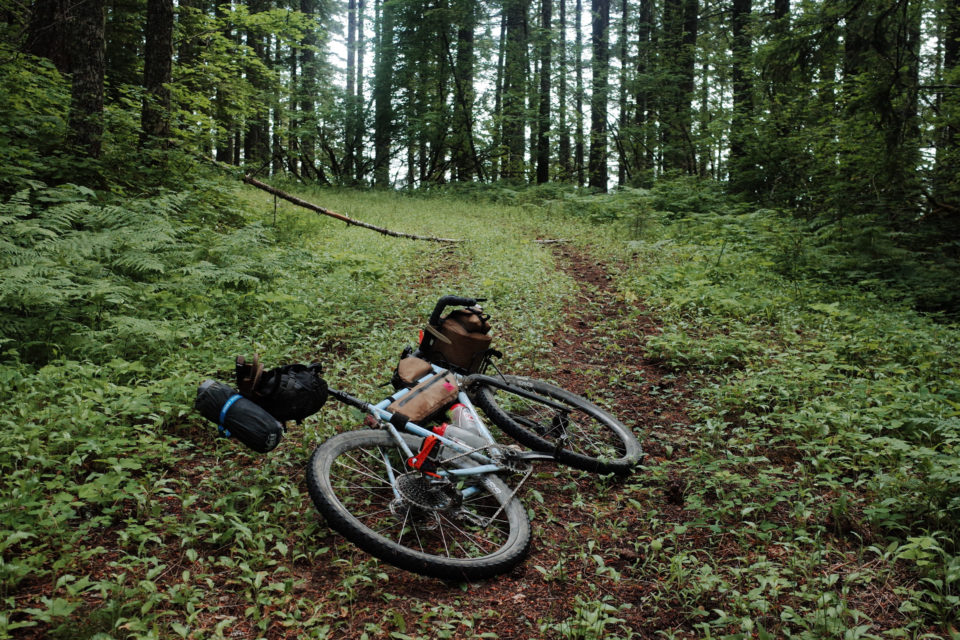
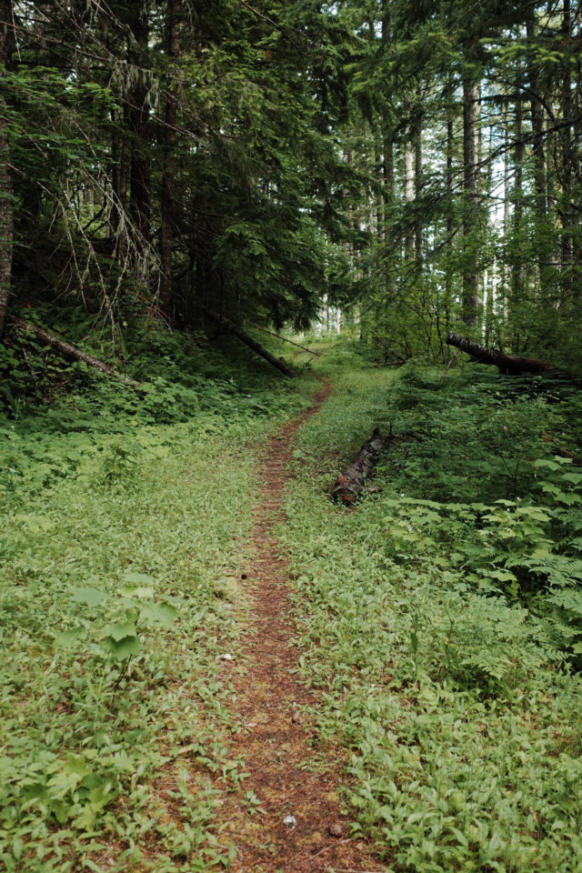
The next day, we woke and followed through on our plan to leave at 7:00. We were back on route and 80 miles from Portland. We were tired but feeling good. Our first big climb of the day was NF-4101, a decommissioned logging road behind what appeared to be a former prison and ghost town just outside of the settlement of Stabler. NF-4101 took us up 2,000 feet in 10 miles. It was a beautiful but tough way to start the day. The road is gated and devolves into overgrown doubletrack and eventually singletrack near the top. It’s one of my favorite sections we rode: quiet, shaded by thick woods and old trees, and overgrown but still passable.
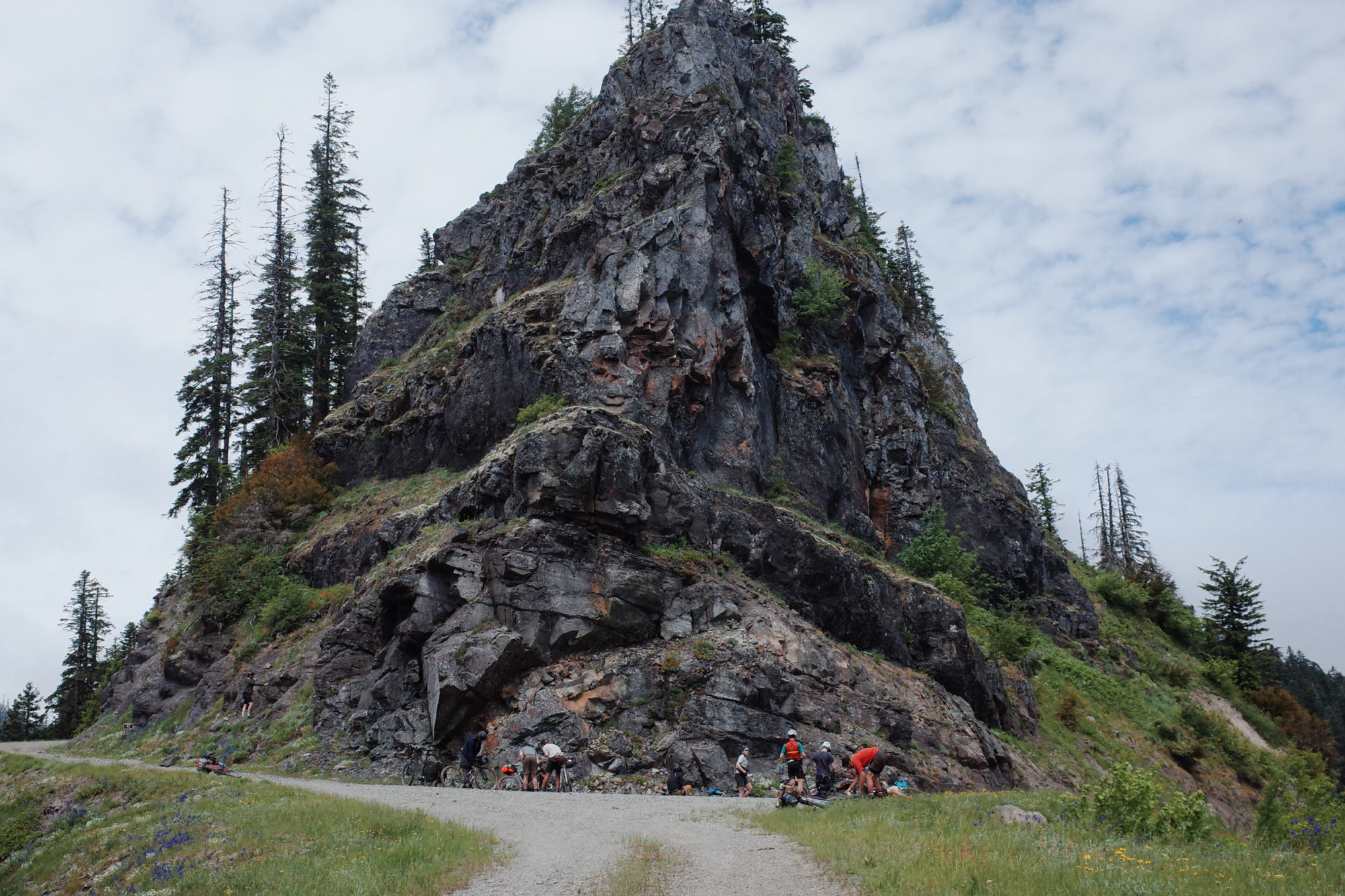
After cresting NF-4101 and again crossing the PCT, we continued onto NF-4220 and then NF-42 and carried on climbing and traversing the ridge north of Little Lookout Mountain until reaching Cougar Rock, a large and iconic south-facing rock face that’s a fixture of southern Gifford riding. We were 20 miles and 4,000 feet into our 80-mile, 7,700-foot day, and I was starting to feel pretty fatigued. The stoke of the group, however, was high, and we began the absolutely chunderous descent down the west side of the ridge line toward the Lewis River. This descent was loose and rocky with some sizeable ruts, but we made good time down regardless, too tired to hang onto the brakes or conceptualize our fragile mortality. We regrouped at Sunset Falls campground, just at the edge of the Yacolt Burn State Forest.
The section between Sunset Falls and the 205 Bridge into Portland is a bit of a blur in my brain. I was tired and hyper-focused on the finish, keeping my eyes fixed on the mileage on my Wahoo. I remember punchy climbs, some fast descents, and getting coal-rolled by some mountain bikers doing shuttle runs. If you do shuttle runs, stop doing them. Anyway, Yacolt Burn MTB Bros aside, the scenery of the state forest is much like that of Elbe Hills and Capitol Forest, scarred with clear-cuts and tainted with the smell of diesel. It’s not a bad place to ride, per se, but I was in a bad place and needed to be done.
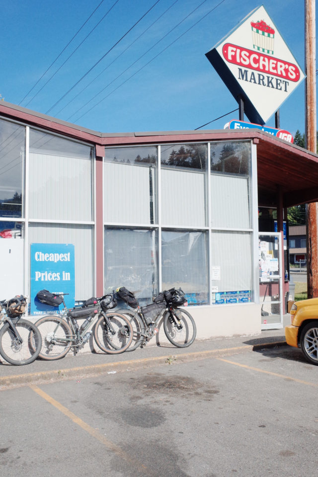
We made it to the Fern Prairie Market about 20 suburban miles from the finish and stopped for one more carb load. I got a vegan F’Real milkshake and some Tim’s Jalapeno chips, FaceTimed with my wife and daughter, and then we all got back on our bikes and pacelined to the the bridge. After crossing over to the Oregon side of the river, we rode along the river on the bike path as the sun was setting over the Gorge, and I took some deep inhales. We had done it. We rode the Dark Divide 300, save for one section, and I could not be prouder of the group. We supported each other through our lows and uplifted and celebrated our highs together. It’s hard to overstate the immensity of this route and the feeling of accomplishment after completing it.
The route is now finalized, and the inaugural race will take place in summer 2023, exact date TBD. A short film documenting the preride as well as detailing some history of the landscape will be premiering winter 2022, so keep an eye out for that and follow @mercatorfilms for updates.
Please email egrcollective@gmail.com before attempting the route as I may have intel regarding rerouting and/or conditions that you may find helpful.
Please keep the conversation civil, constructive, and inclusive, or your comment will be removed.


