La Route Blanche: Pedaling into the Unknown
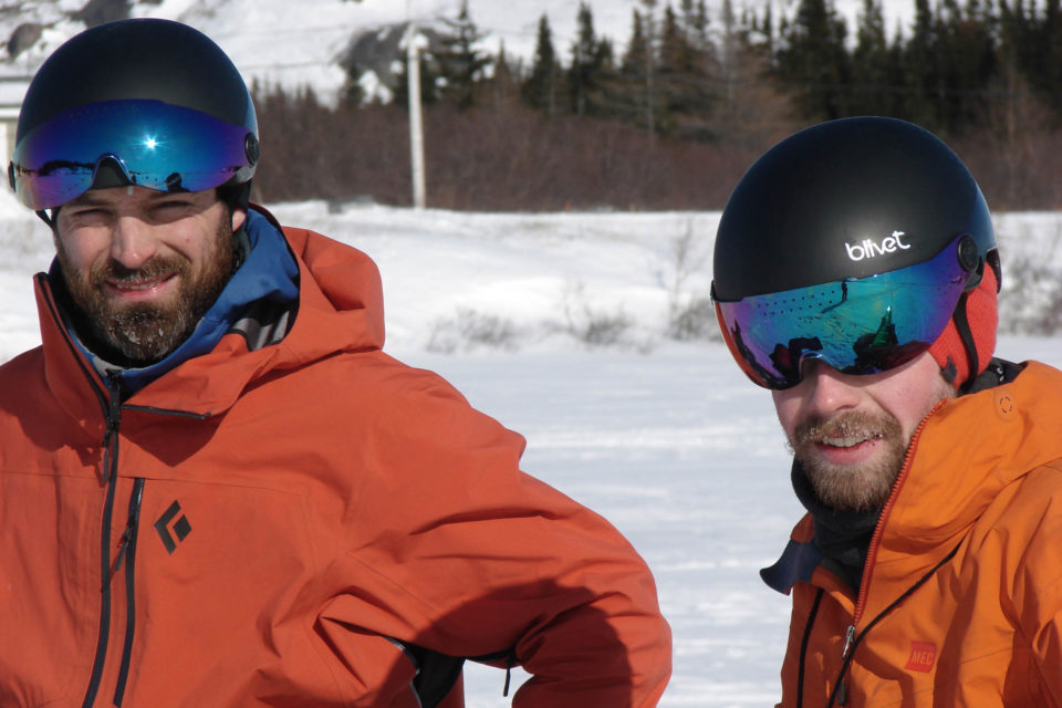
Earlier this year, Samuel Lalande-Markon and Félix-Antoine Tremblay made the first bicycle crossing of the Route Blanche on the Lower North Shore of Quebec. After more than a year of planning, the two cyclists travelled 500 miles in the heart of the Quebec winter. Learn more about their expedition here…
PUBLISHED Nov 10, 2020
Words by Samuel Lalande-Markon, photos by Felix-Antoine Tremblay, Marco-Carlo Milo, and Samuel Lalande-Markon
Sometimes, it’s not the roads themselves that spark the desire for adventure, but what lies in between them: the gray areas. Only a small portion from the peninsula of Quebec and Labrador is connected to the rest of North America. Large swaths of the region remain inaccessible other than by plane or, for the adventure-minded, by boat. To the west, highways 132 and 138 hug the coasts of the Saint Lawrence River: the first loops around Gaspésie, known for its lobster and Chic-Choc Mountains; the second reaches further east where it ends abruptly, past the eastern tip of Anticosti Island. It returns 250 miles (400 km) towards Labrador, at Vieux-Fort. To reach both ends of highway 138 by land, one must take a massive 1,500 mile (2,400 km) detour through the spruce trees of the Trans-Labrador Highway.
In August of 2016, Félix-Antoine did so on his bicycle, braving the hordes of mosquitoes and black flies, as well as the relentless isolation of travelling alone in a region less densely populated than Siberia. For my part, I cycled most of highway 138 in 2014, stopping at Havre-Saint-Pierre, just shy of its terminus. Both Félix-Antoine and I were intrigued by what lied ahead: those roadless 250 miles (400 km) of shoreline, home to a dozen communities. However, between both stretches of highway exists a seasonal route: the Route Blanche. As of November 15th of 2018, it still hadn’t been crossed by bicycle.
On that evening, Félix-Antoine posted a question in a discussion group dedicated to Quebec adventure cycling: “The Route Blanche, can it be done by bicycle?” I had personally contemplated different scenarios for this route before arriving at the conclusion that it was no simple enterprise. Such a project would require plenty of time, both for the preparation and the realization. Félix-Antoine had advised me prior that year with regards to another adventure in the North of Quebec, so I knew of his abilities in meticulous planning. For my part, I brought the experience of expeditions to diverse remote regions. Put together, we cycled about 45,000 miles (70,000 km) on a plethora of North American roads, including the highest and the northernmost of them. It was only natural that we wanted to collaborate on a project such as this one. The Quebec bicycle manufacturer Panorama Cycles played a role in this partnership by offering us both its latest steel fatbike model, the Torngat. Everything seemed to be in place for an exceptional undertaking, but its outcome remained far from certain.
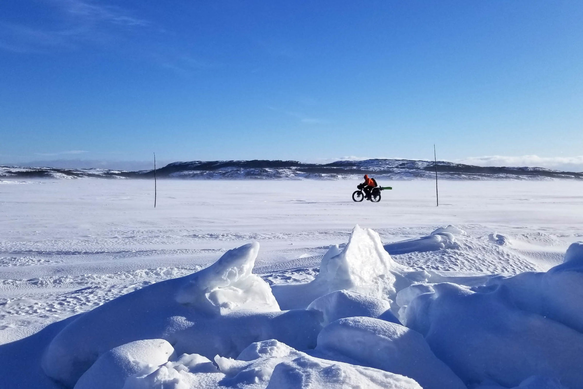
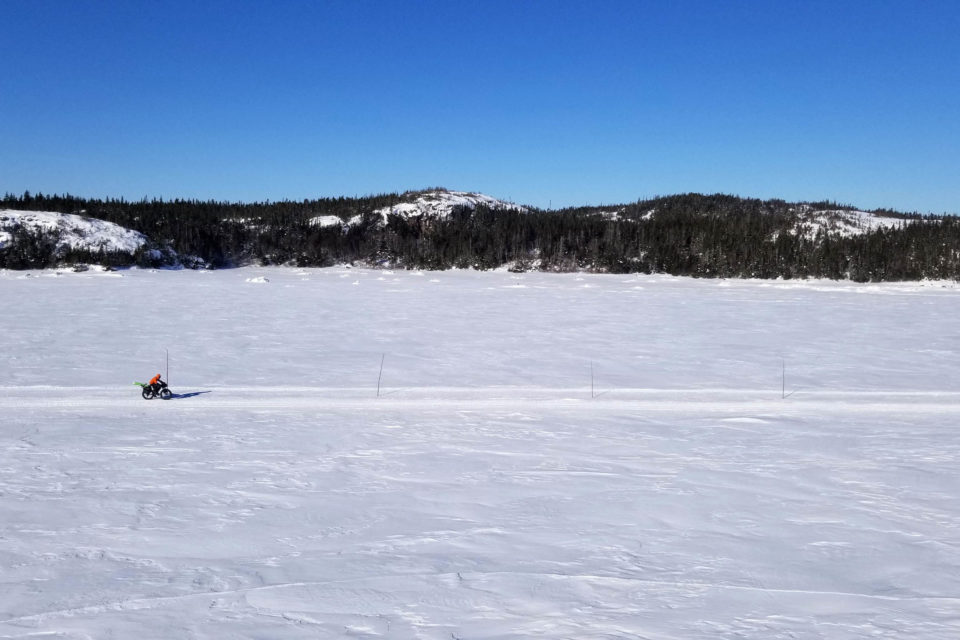
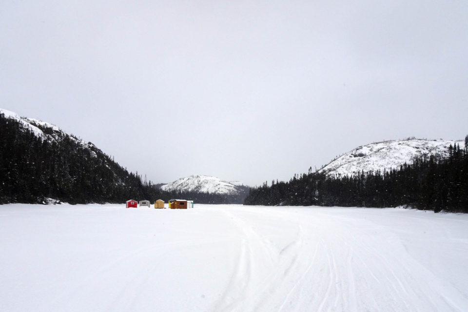
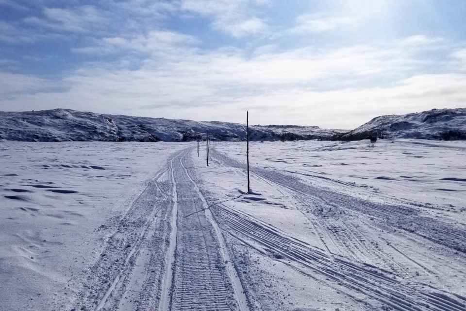
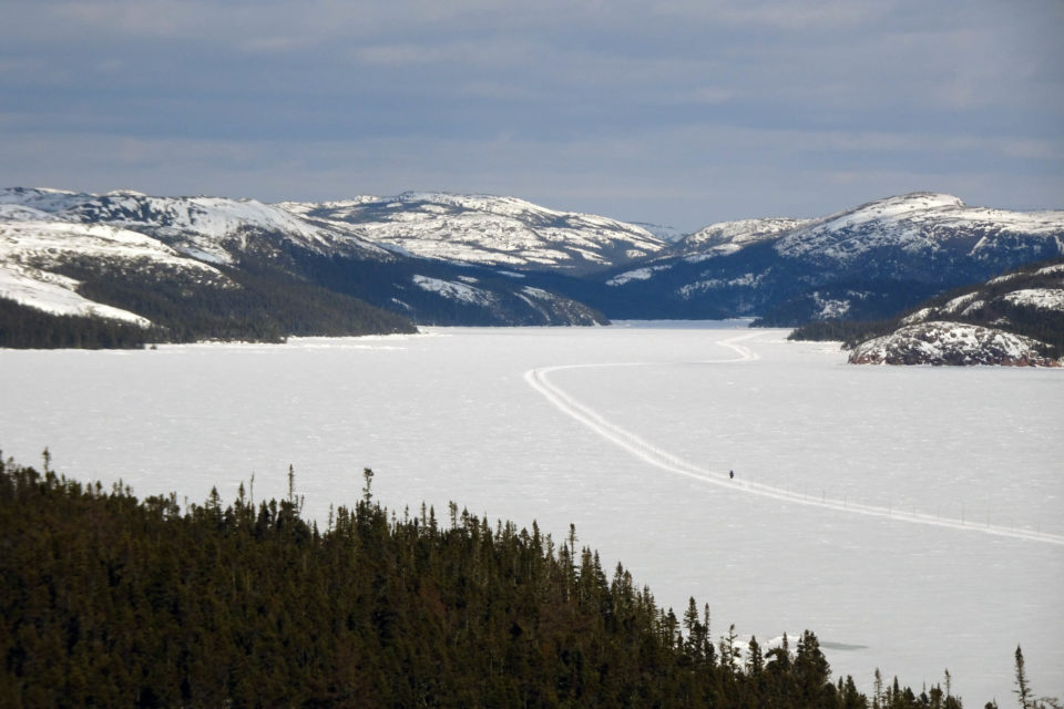
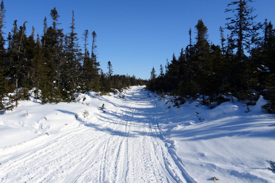
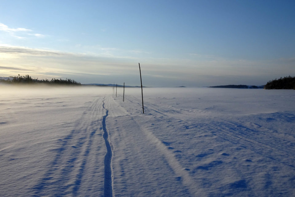
The Route Blanche is destined for snowmobile travel. Its main path wanders between Kegaska and Vieux-Fort for more than 250 miles (400 km), of which 60% is over water. It is a utility trail that allows the 5,000 inhabitants of the Lower North Shore to travel between villages when the ferry ceases its service for the cold season. The Ministry of Transportation of Quebec (MTQ) is responsible for the maintenance of the Route Blanche, as well as of the regulations that apply to it. The first stretches of trail appear late December when the snow blankets the marshlands and the freshwater expanses glaciate. Subsequently, with the sustained cold, saltwater bays freeze as well and, in late January, some communities can be reached by land. An undeniable sign of climate change, the Route Blanche was opened from one end to the other only one month on average for the past decade. Twice during this period, segments of the trail remained closed for the complete season. Suffice to say, in order to plan anything, a lengthy period would have to be allocated in order to overcome unforeseeable events. More than a year prior to departure, we scheduled five weeks in our agendas.
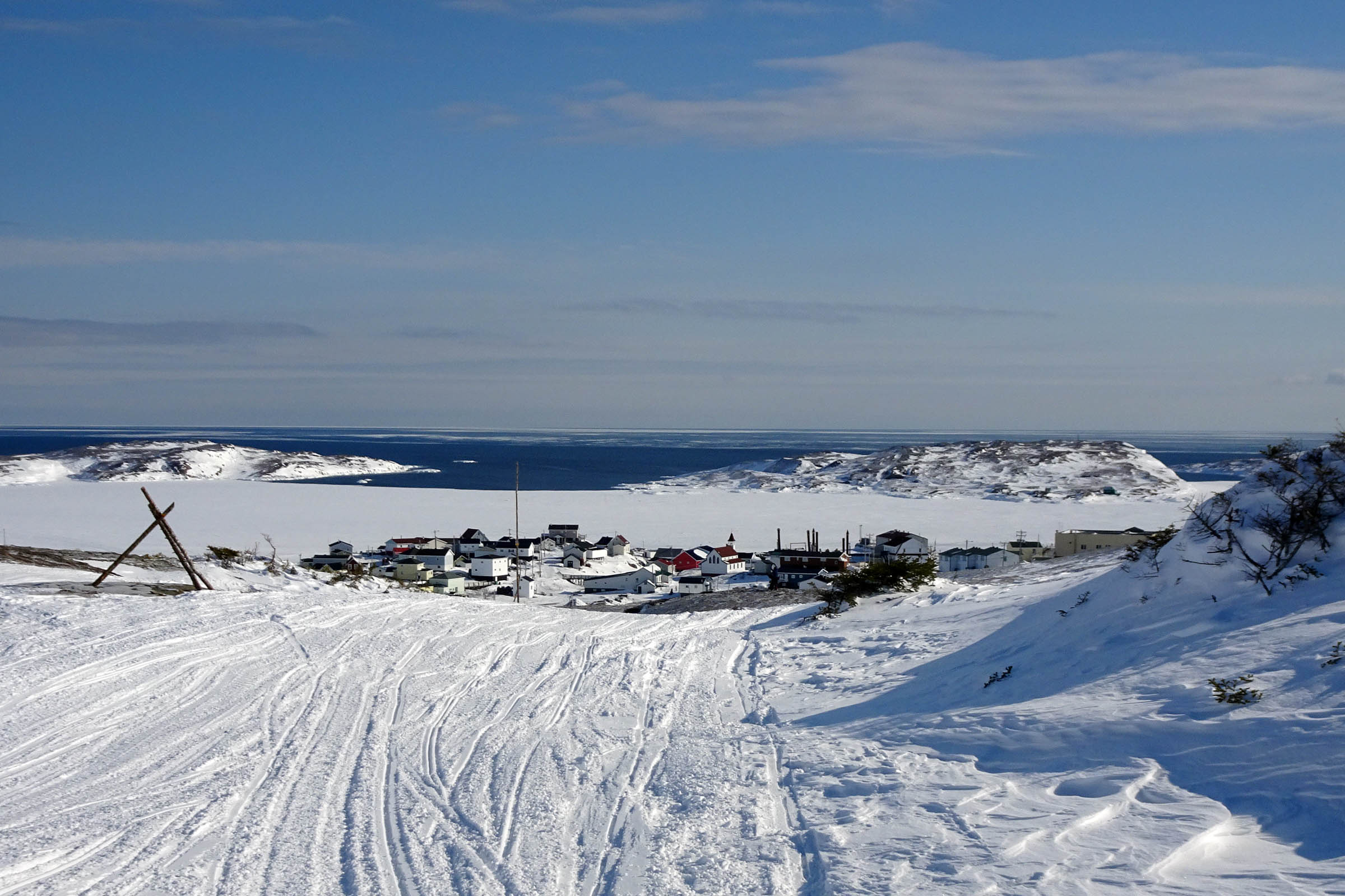
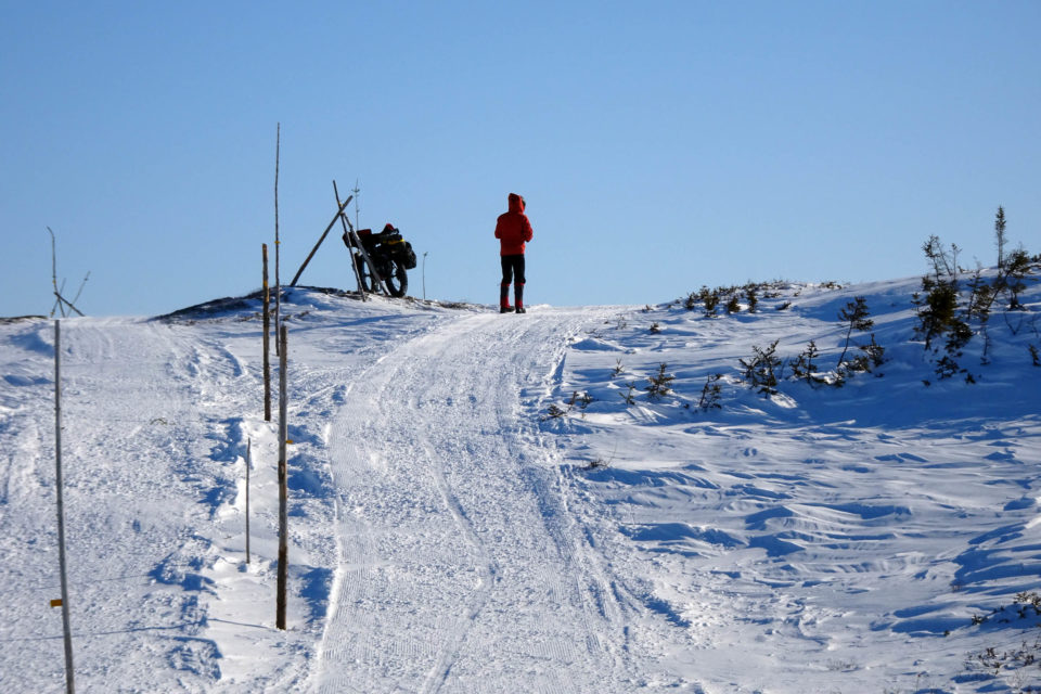
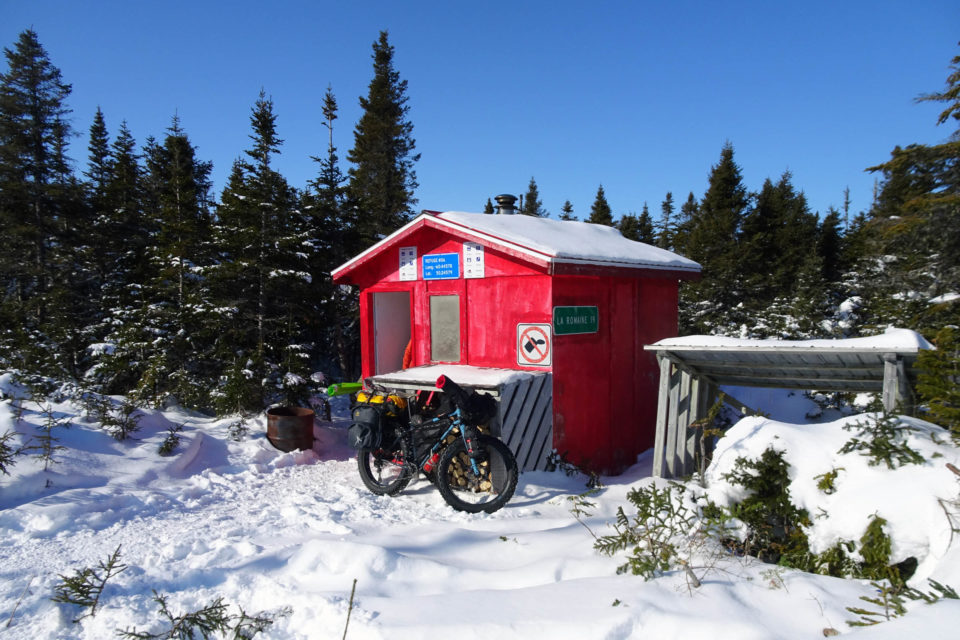
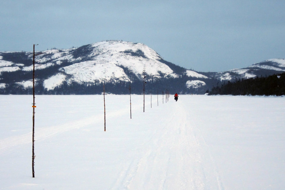
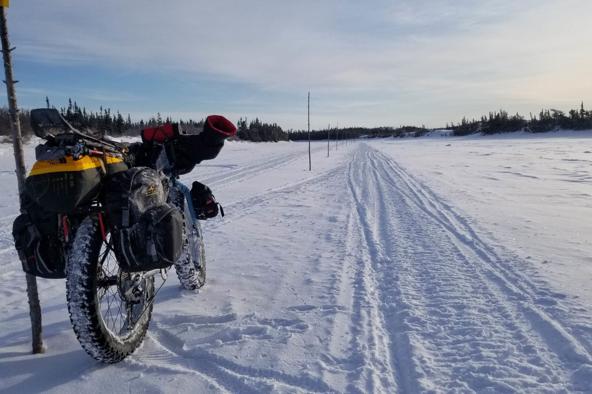
When planning began, both Félix-Antoine and I had little fatbiking experience. First, we were stuck with this initial question: “Can this be done on a bike?” Despite all our research, we could not answer it with confidence. On the upside, snowmobile traffic is fairly constant over most of the route, the MTQ deploys snow groomers, the road is marked every 50 feet (15 m), and emergency shelters can be found on average a dozen miles (20 km) apart from each other. On the downside, the weather has a massive influence on the snow-bearing capacity, that is, if there are snow and ice to ride on! Moreover, while on the Route Blanche, important snowfalls, thawing conditions, violent winds, or the absence of snowmobile traffic could mean being stranded for days. Therefore, it was necessary to plan an alternative to bicycle travel in order to reach the closest village and wait for improved conditions.
First off, we decided to bring snowshoes to walk on the unpacked snow. Then, we resolved to carry sleighs for the bicycles. Considering both ends of the expedition included plowed roads, those items had to be stowable. Further, it was preferred to carry the equipment on the bicycles rather than behind them. That decision meant increasing the load applied to the wheels, but greater maneuverability on the trail, especially when going downhill. After several iterations, we settled on homemade sleighs built from light and affordable materials: crazy carpets, tied with rock climbing accessory ropes. Total expenses for both sleighs: $100.
Of course, numerous other aspects were taken into account in the preparation. In February, on average, the temperature drops to 10°F (-12°C) and the wind blows at 15 mph (25 km/h), with gusts sometimes reaching over 60 mph (100 km/h). Logistics had to be rigorously planned in order to ensure both our safety and the success of the expedition. This led to the redaction of a 60-page risk management document. Resupplies were sent by mail to the communities of the Lower North Shore, an often-complicated process. Also, it was unclear whether bicycles were authorized to ride on the Route Blanche. In the absence of an unequivocal response from the MTQ, it was confirmed that cycling was “not explicitly prohibited.” For us, that was “good enough.”
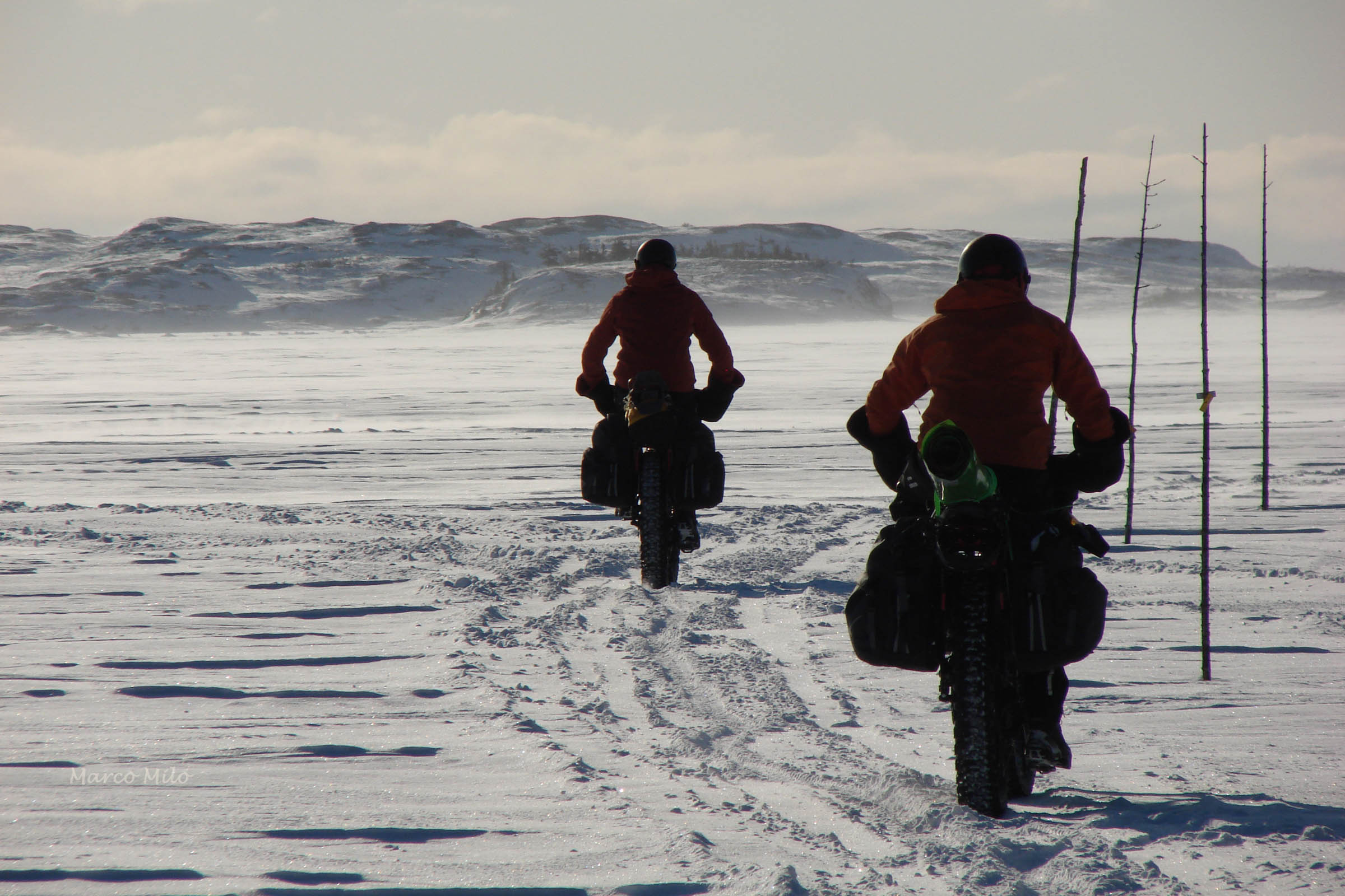
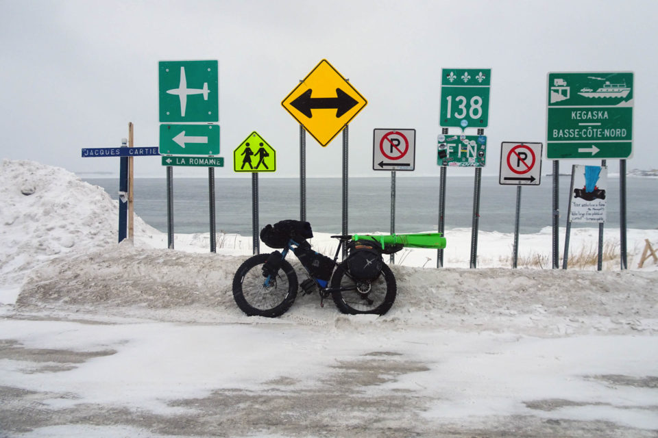
Félix-Antoine and I left Montreal on February the 8th, by car, and drove about 800 miles (1,300 km) to Nutashkuan, an Innu community neighbouring Natashquan. Exceptionally cold conditions and wind gusts blowing from the Gulf contributed to prolonging our uncertainty until our departure on February 10th. Just before noon, as planned, we pedalled our first strokes, feeling a combination of excitement and apprehension. The first 30 miles (50 km) we rode on the last unpaved stretch of highway 138 to Kegaska. Beyond the famous “end” sign, we finally had a taste of the route’s surface with our 5” tires. Only a few metres were enough to conclude that this expedition would be anything but a piece of cake. It was immediately necessary to adapt to the snow conditions.
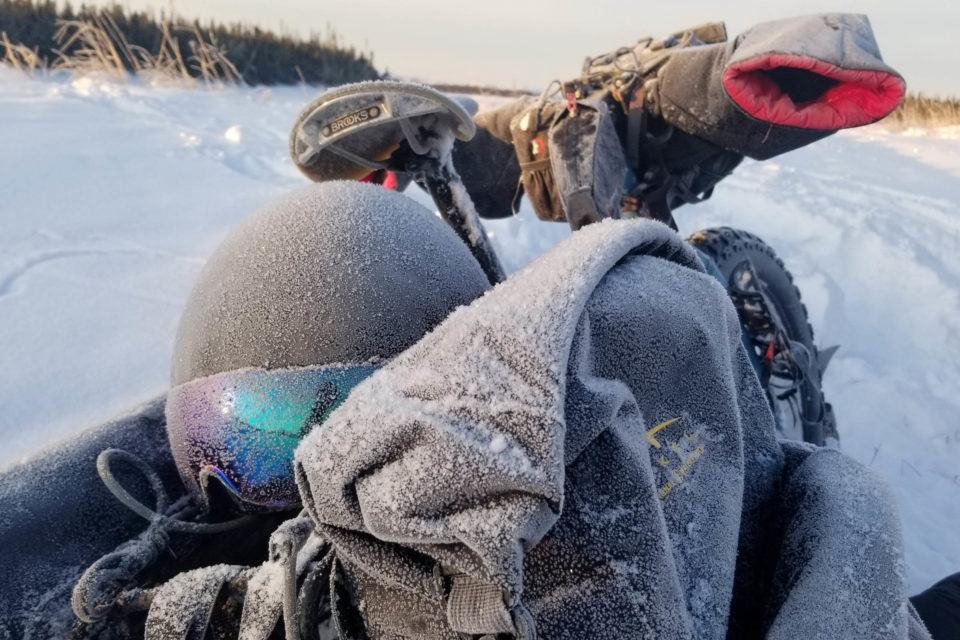
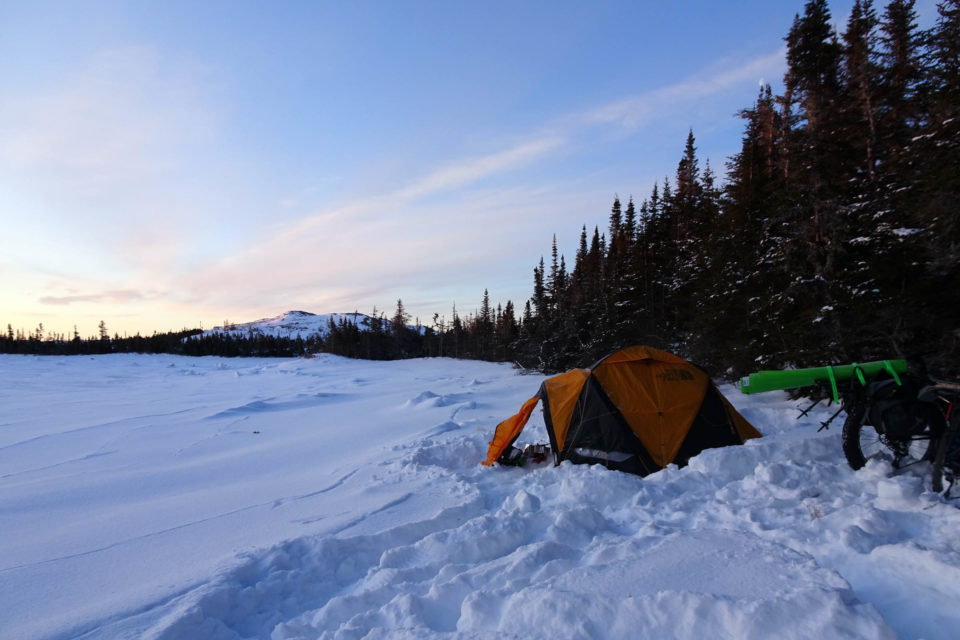
Adherence, balance, and forward movement: winter cycling requires a multitude of immediate adjustments, at the risk of falling in the deep snow on the side of the trail. Félix-Antoine, much more accustomed to off-road cycling than me, learned that the hard way. First observation: my slightly more loaded bicycle and my heavier body weight proved surprisingly advantageous on the loose surface. Second observation: below 15 PSI (100 kPa), the loaded tires of our two-wheelers unrimed systematically. Although that was not much of a surprise, we figured out that it would be necessary to keep our tires inflated to a higher pressure than is normal for fatbikes. Only about 6 miles (10 km) out of Kegaska, at a disconcerting pace of 4 mph (7 km/h), we acquiesced to a trailside bivouac, filled with doubt about the distance ahead. Nonetheless, from the next morning on, we never looked back.
In fact, many consecutive days without precipitation and with plenty of snowmobile travel are required to render the Route Blanche cyclable. When those conditions are combined with cold temperatures, the surface becomes firm and navigable. At times we could attain speeds of 10 mph (16 km/h). Those moments were unfortunately infrequent. As the days passed, we pedalled in all conditions: from terrific to gruesome, sometimes forcing us to push the bikes over long distances. Regardless, we managed to travel between 20 to 30 miles (32 to 48 km) daily. Therefore, the fatbike may potentially be the fastest human-propelled means of transportation on the Route Blanche (that is, when it can be ridden).
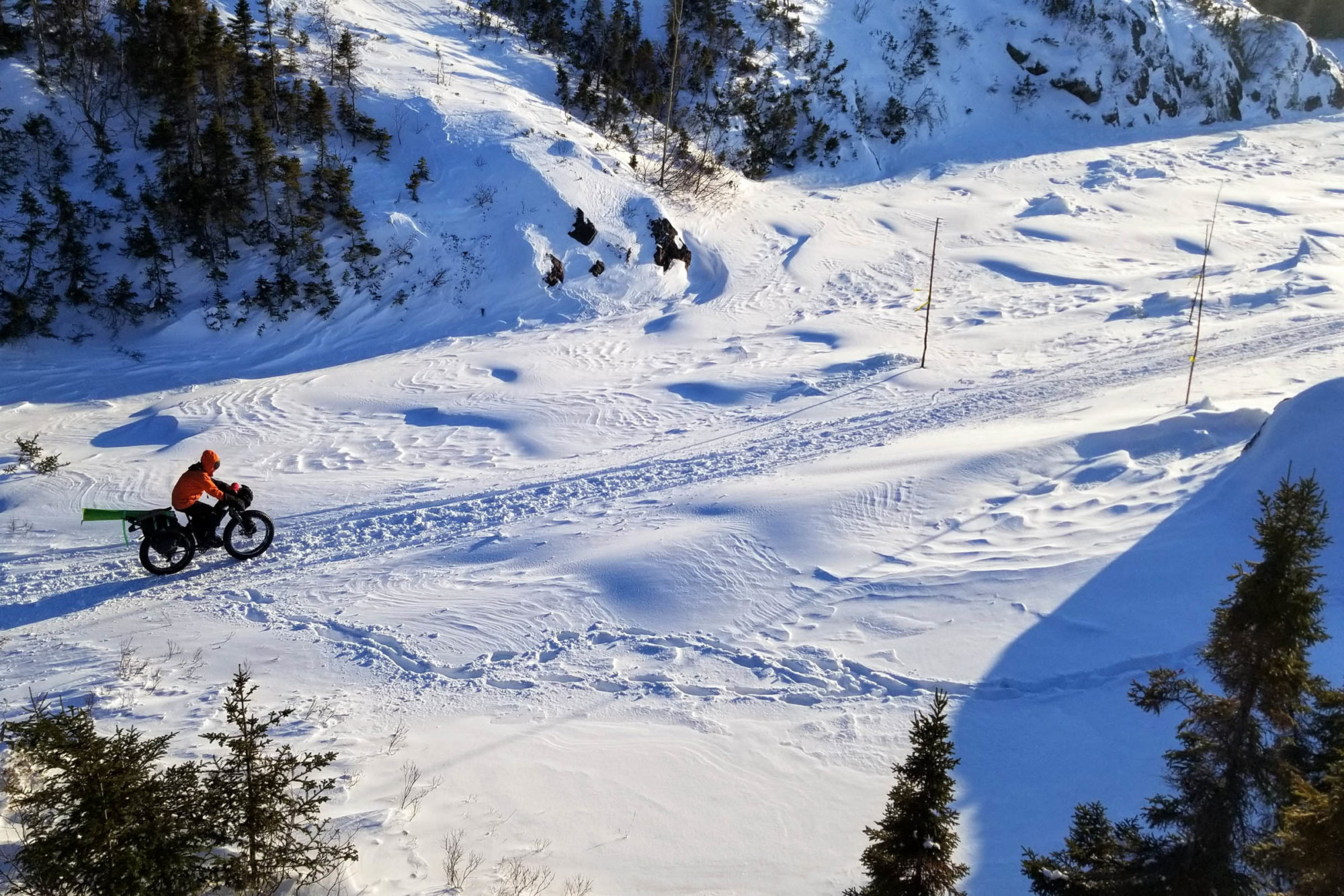
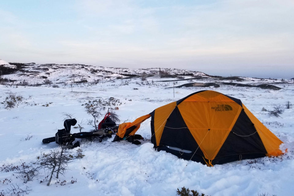
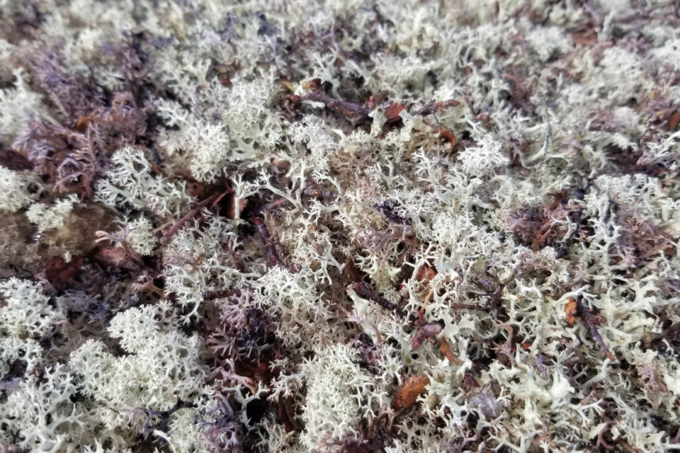
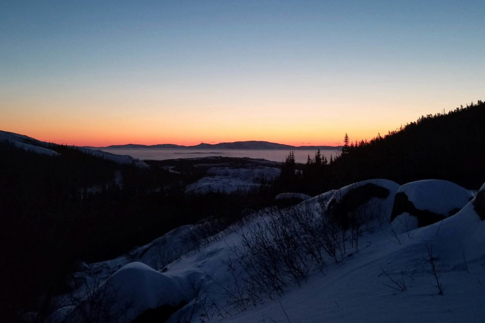
The Lower North Shore is composed of three main landscapes: frozen water expenses (marshlands, lakes, and coves), conifer forests, and plateaus of rock partially covered by tundra. The latter, also designated as “mornes,” offer striking panoramas giving the impression of being at more northern latitudes. Half buried under the snow mantle, the withered vegetation withstands the harsh surrounding conditions. On the vast surfaces of white sculpted by the perpetual wind are outlined silhouettes of spruce coated with lichen. Although we were not able to experience the northern lights, we were treated to vivid sunrises and sundowns. This environment, nestled between land and sea, would be conductive of daydreaming if it were not for the uninterrupted focus required to ride on the varying snow surface.
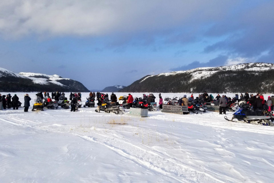
Along the way, we had planned resupplies approximately every four days in the local communities. The stops we made there were without a doubt our most memorable moments of the expedition. Since we progressed on average twice as fast as our most pessimistic forecasts, were able to take advantage of several well-deserved rests in those localities. We spent a handful of days letting the local cultures sink in. That’s culture with an “s” because there are many in the Lower North Shore. They can be divided into three groups: Anglophones, Francophones, and Innus. Despite the different languages they speak, they are known as the Coasters and share exceptional generosity and hospitality. So much so, it turned out that we spent more nights in the comfort of other people’s homes than in our tent. We had the opportunity to observe the Coasters’ way of life, closely tied with nature’s offerings. In this land, isolated from the continental road system, a more traditional lifestyle is without question better preserved than in the southwestern parts of Quebec and elsewhere. Close to the ocean and resting against the vastness of the boreal forest, it is possible to draw resources year-round without jeopardizing the balance of the ecosystem.
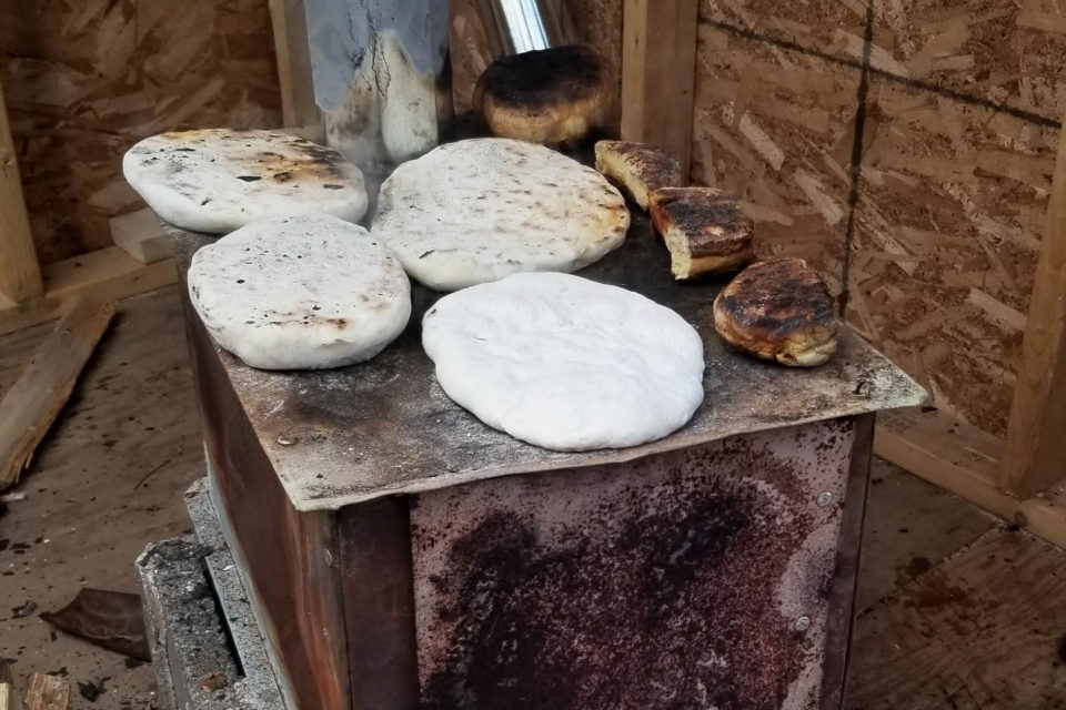
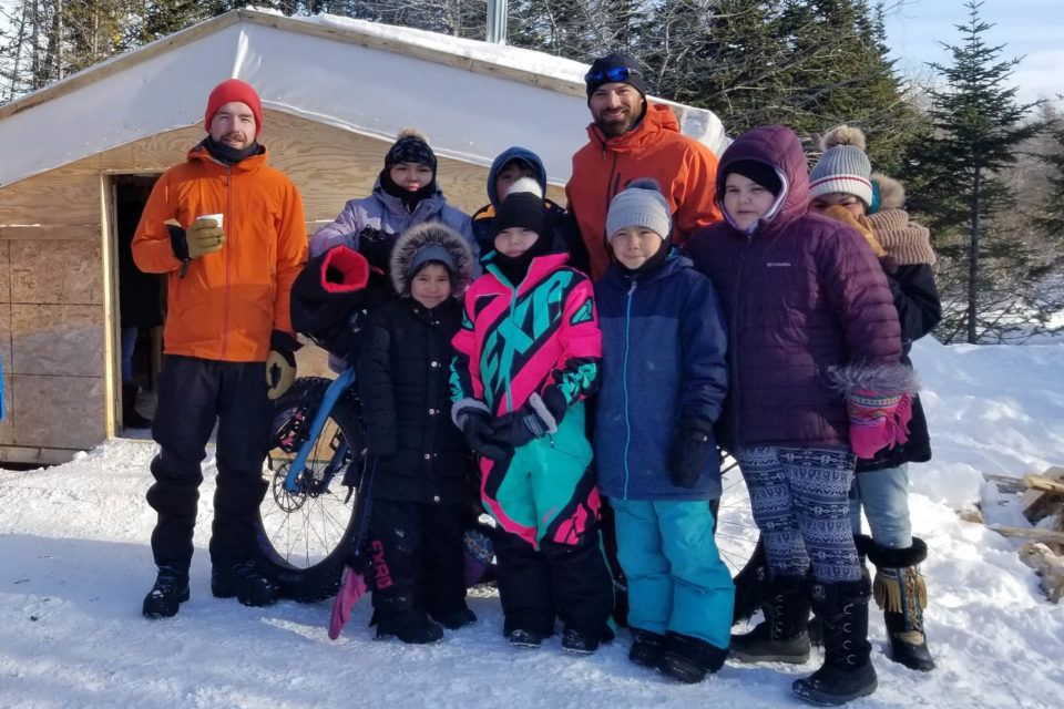
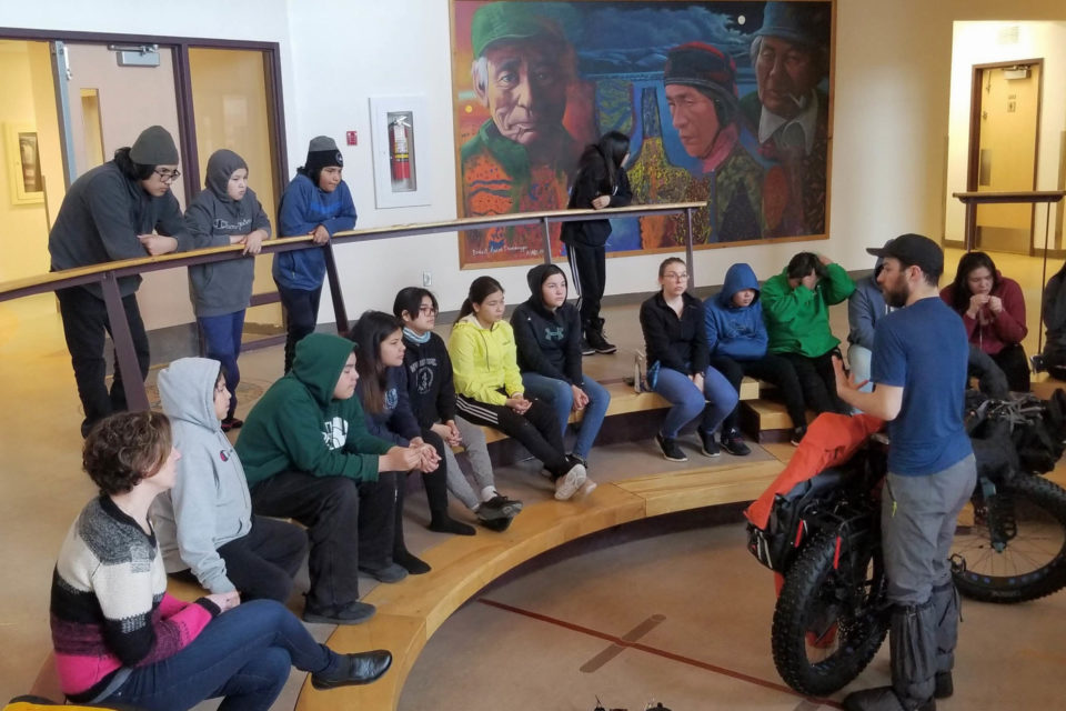
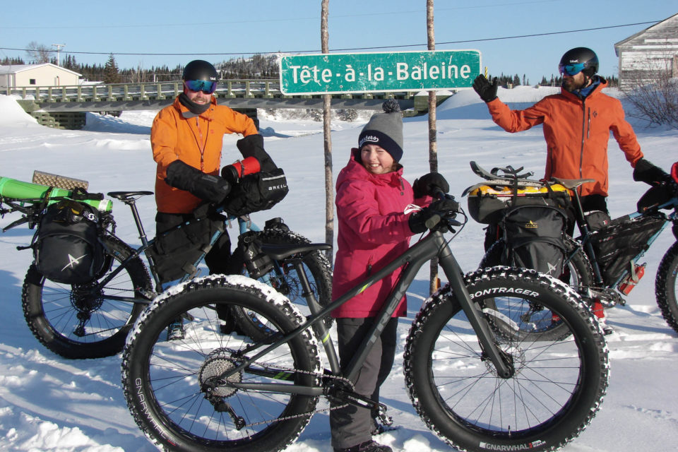
Our encounters gave rise to extraordinary experiences. For instance, Félix-Antoine and I savoured a number of local meals, such as lobster drawn right off the shore, caribou soup, moose stew, and bannock. Locals brought us ice fishing, invited us to a wedding on the Saint Augustine River, and welcomed us to a traditional Makusham Innu ceremony. To give back to those generous communities, we met with the youth in numerous schools: in Unamen Shipu, Tête-à-la-Baleine, Pakuashipi, Saint Augustine, and Lourdes-de-Blanc-Sablon. With them, we organized events meant to inspire the next generation to go on adventures and promote active modes of transportation.
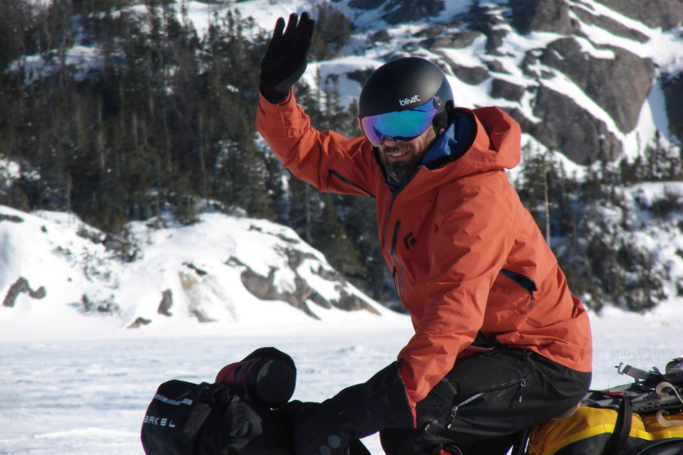
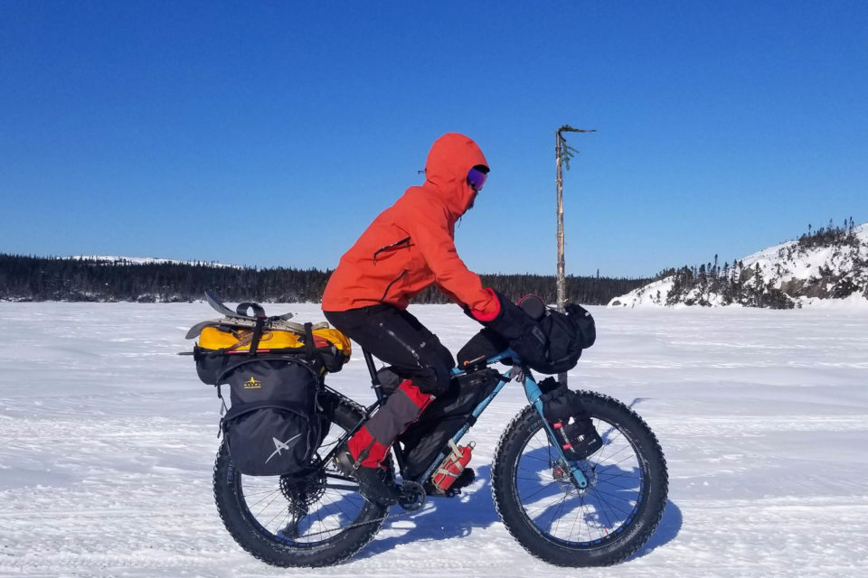
Although Expedition Route Blanche was our first attempt at winter bikepacking, our equipment proved well suited for the harsh conditions faced on the road. To compile our gear list, we gathered inspiration by looking at other winter sports, such as alpine climbing and cross-country skiing. We adopted the well-known multi-layer system both for daytime clothing as well as our sleeping attire. With such techniques, we were able to adapt to a wide range of temperatures, from 50°F (10°C) to -53°F (-47°C) with the windchill. The equipment also withstood the rugged state of the Route Blanche, starting with our Panorama Torngat fatbikes. We never regretted choosing a steel frame over carbon, regardless of its slightly heavier mass, since it also meant more comfort for the long days on the saddle.
To carry our gear, we opted for a touring and bikepacking hybrid: fork bags, frame bags, handlebar bag, and rear pannier bags, with the oversized items strapped between those, the last three being fabricated by Arkel. We encountered only one breakage (on both bikes): the pannier racks (from another manufacturer). Halfway between La Romaine and Chevery, my brackets gave way at the bottom of a hill descended rapidly under blistering cold. For the better part of two days, I was forced to carry my pannier bags tied as a makeshift backpack. Although not a very ergonomic arrangement, it did not prevent me from enjoying this 99 km stretch, the most isolated of the Route Blanche. Once in Chevery, Robin, the local mechanic opened his snowmobile repair shop on a Sunday to help us out. He cut custom brackets for the pannier rack from a thick sheet of steel lying around. We had a second spare set made in case we needed it, which turned out to be the next day when Felix-Antoine’s brackets ruptured as well.
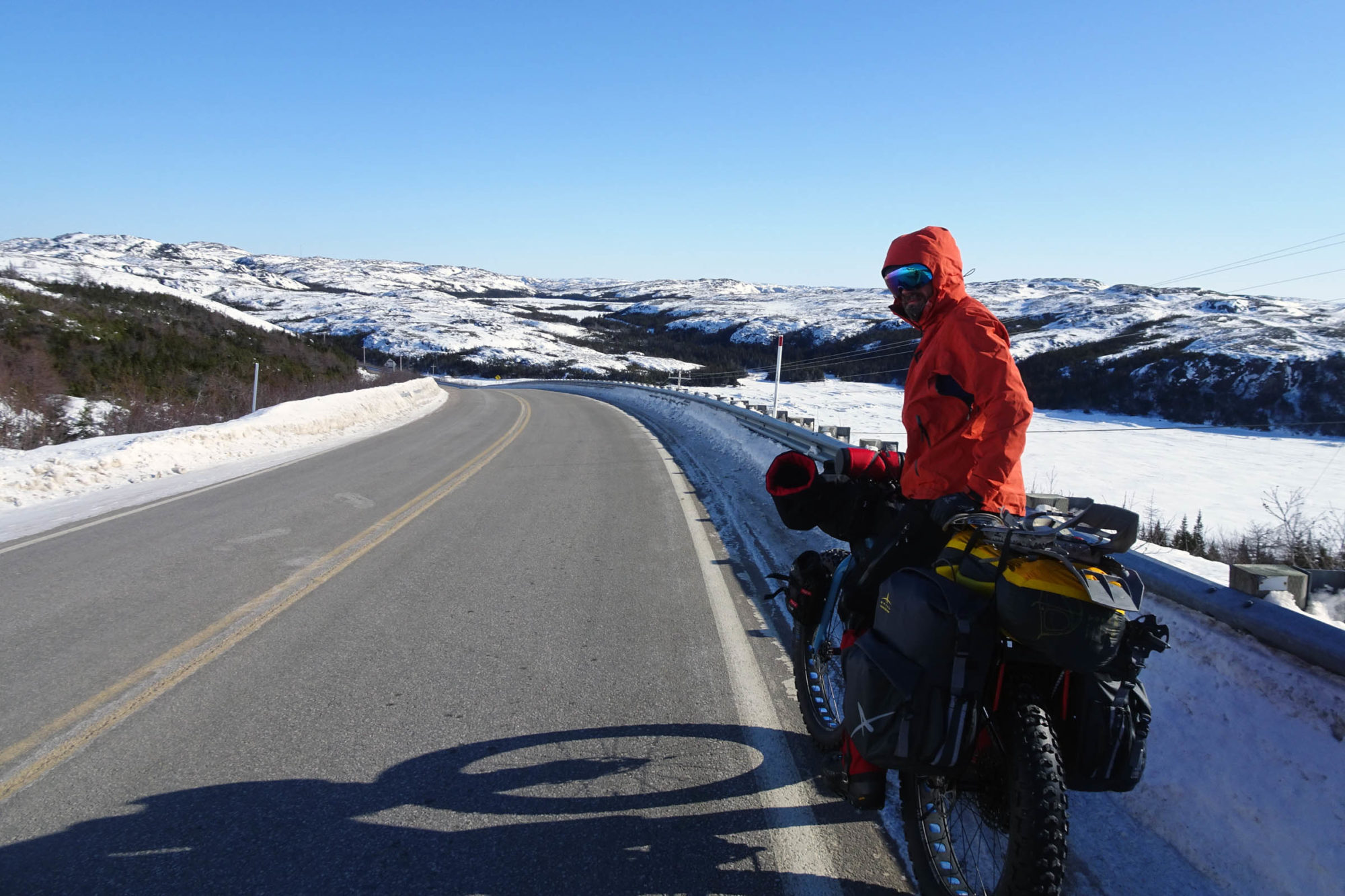
On the afternoon of February the 26th, just over two weeks after our departure from Nutashkuan, we crossed the last stretch of frozen water separating us from the pavement of Vieux-Fort. In vain, we searched for the sign marking the end of the eastern section of route 138, where Félix-Antoine had stood four years prior, before leaving for the Translabrador Highway. Visibly, the sign had vanished. Still, he took a picture of where it used to stand. For him, this marked the end of a great loop between this location, Labrador City and Baie-Comeau. For us, it meant the most important part of the expedition was now behind. From Vieux-Fort, one can push on the Route Blanche to Blanc-Sablon, but this winding section of the trail was not favorable for cycling at that time, with locals reporting the trail was not even broken in. So, we opted for route 138 and, after a short 45 miles (70 km), we were in Lourdes-de-Blanc-Sablon, at the eastern edge of Quebec.
From this isolated community, travelling back west inexpensively with two loaded bicycles is rather complicated. A one-way flight can cost the same as a flight from Montréal to Nepal. Instead, we chose to board the ferry to Newfoundland, at a low cost of 7 USD (10 CAD). After a particularly cold February, ice gathered in the port of St. Barbe blocked its access. In consequence, the ferry brought us hundreds of miles further south to Corner Brook: a 13-hour crossing offering great sights of Gros Morne National Park and the Strait of Belle Isle. Initially, it was planned to ride this distance, but this enjoyable shortcut quickly made us forget our disappointment. A final stage of 135 miles (220 km) on the Trans-Canada Highway awaited. If it hadn’t been for the mixture of slush and frigid rain knocking down on us, this place sure would have been charming. We reached Port-aux-Basques after sundown, in time to catch the last ferry before a massive storm that interrupted later crossings. This second ship sailed to Cape Breton Island, Nova Scotia. In the early hours, we cycled to Sydney, across the bay where the ferry landed. Here, an international airport allowed us to affordably fly home or, in our case, to rent a car and drive back to Montréal, 900 miles (1,450 km) away, with the fatbikes in the trunk.
Finally, on the 6th of March, after 27 days of expedition, including 18 spent on the Route Blanche, we returned to our starting point. Along the way, we elucidated many of our initial questions. Yes, the Route Blanche can be ridden on a bicycle. That being said, the weather conditions on the Lower North Shore mean that any subsequent attempt will be unique and remain an engaging undertaking requiring rigorous planning and preparation. Nonetheless, it’s hard to imagine many other places accessible by bicycle where nature’s raw beauty can be experienced so intensely.
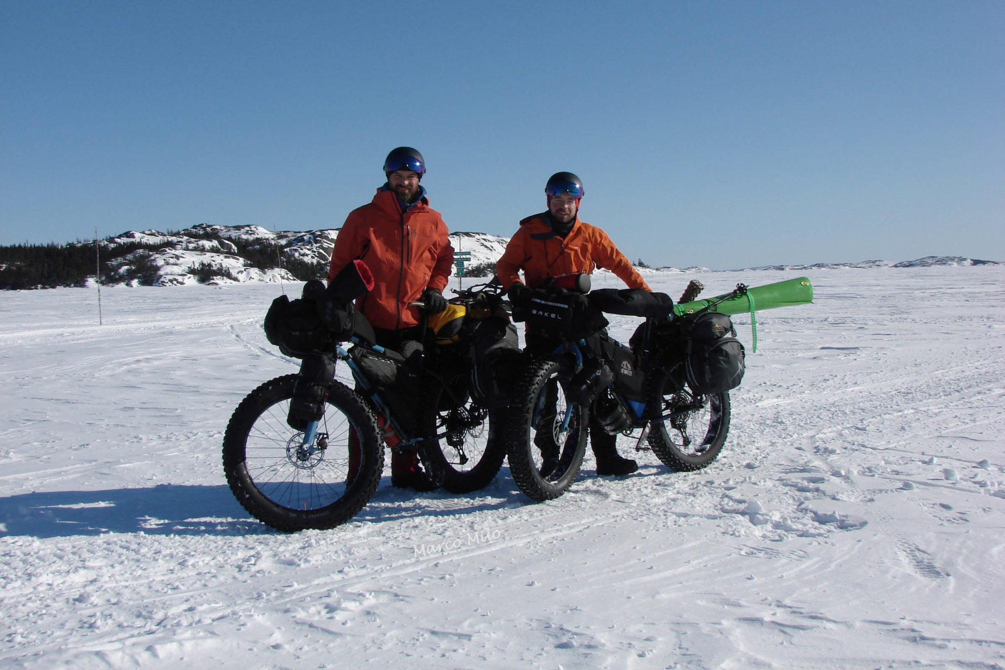
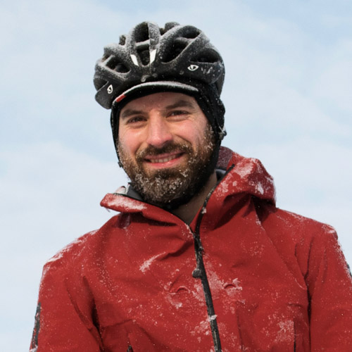
About Samuel Lalande-Markon
Samuel Lalande-Markon enjoys planning backcountry expeditions in Northern Quebec. He rode across North America, has climbed some of the highest peaks in the United Sates, Canada, Ecuador, and the Alps. In 2018, he travelled across Quebec from Montreal to Kuujjuaq by a combination of bicycle and canoe, and in 2020 completed the first crossing of La Route Blanche by fatbike. His first book will be published during the winter 2021. You can follow him on his website: samuelmarkon.com
You can learn more about La Route Blanche expedition on Samuel’s website at SamuelMarkon.com, and on Facebook.
Please keep the conversation civil, constructive, and inclusive, or your comment will be removed.


