


Landyachtz on the Texada Ridge Runner Route (Video)


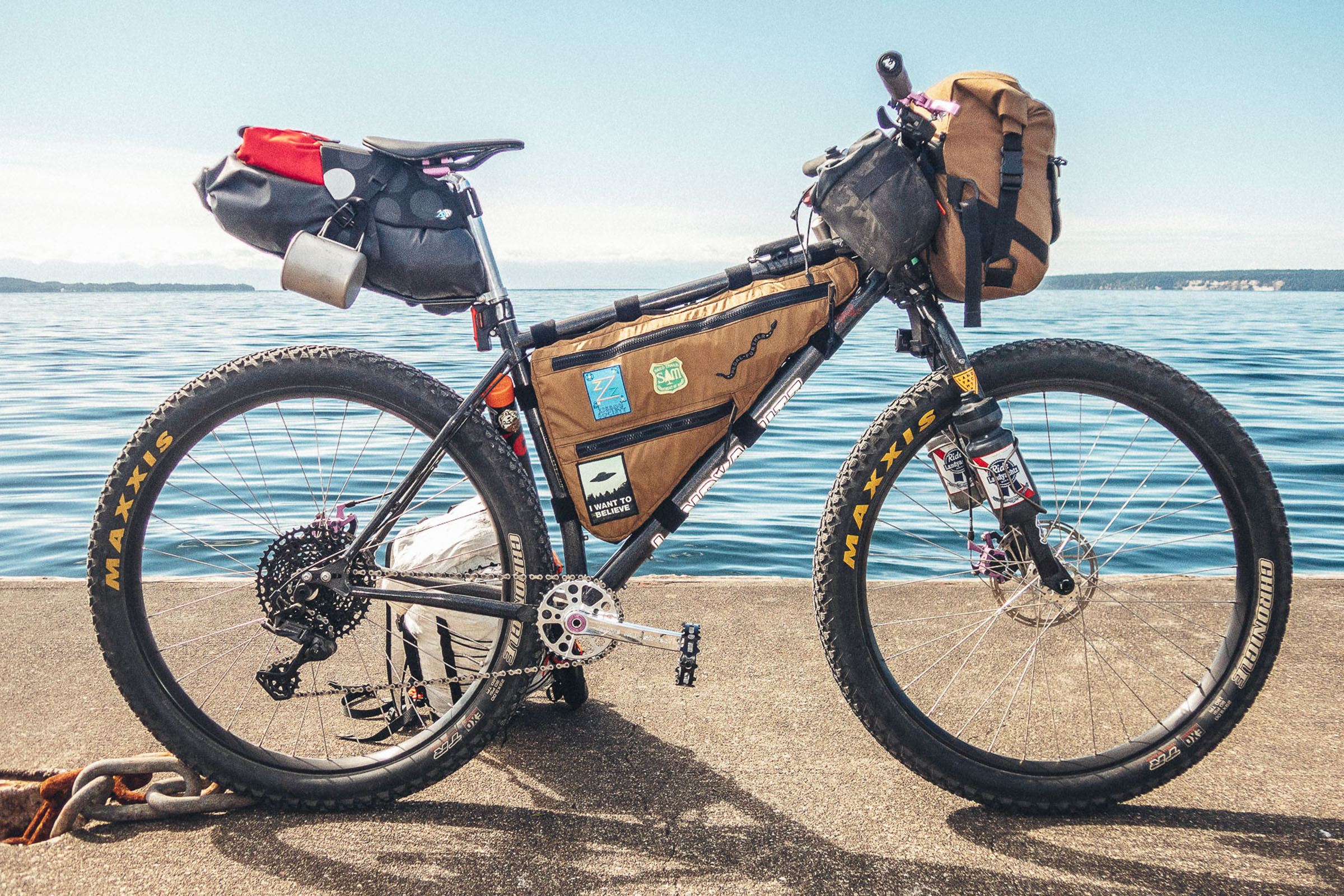
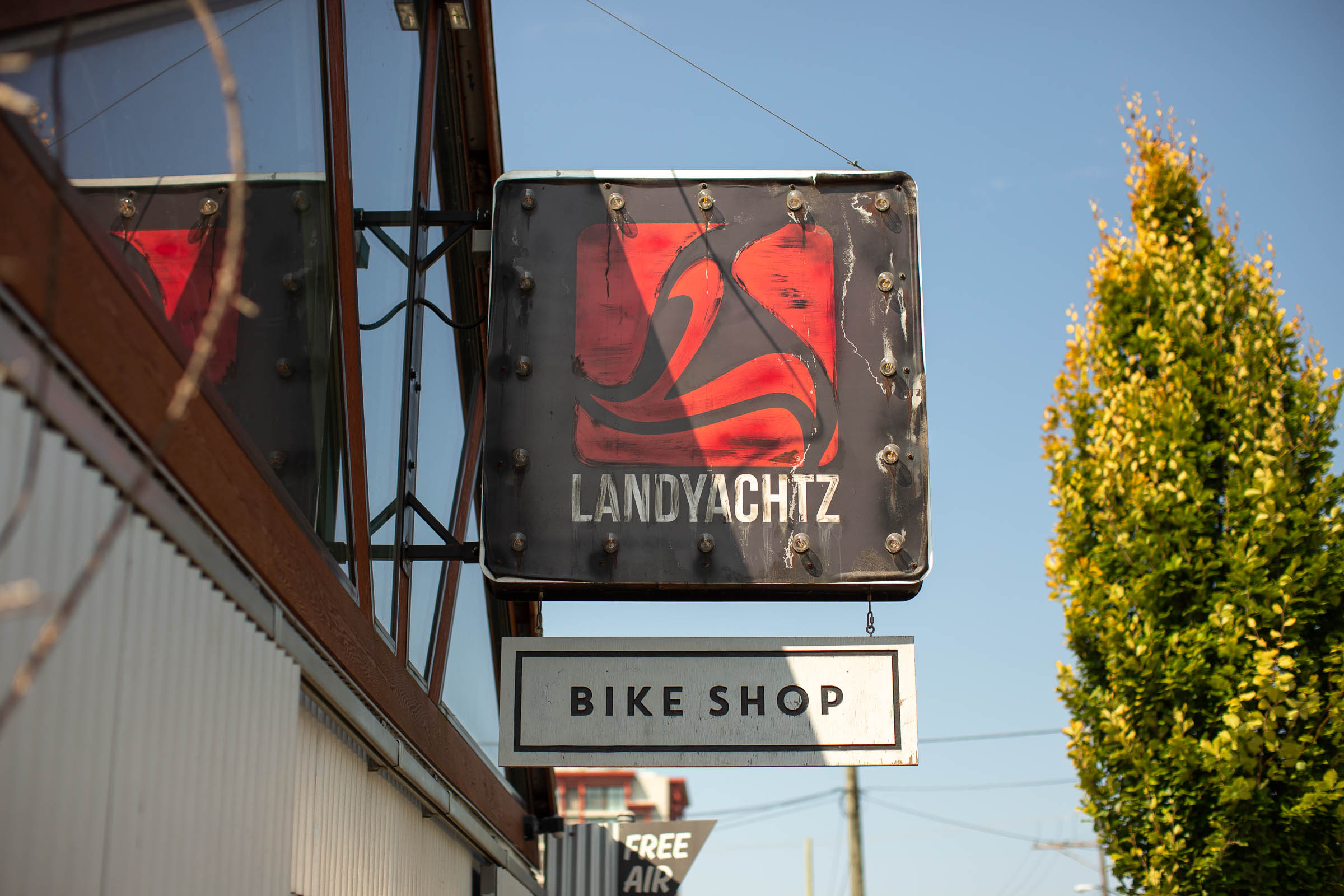
Earlier this fall, a crew from Landyachtz Bikes in Vancouver set out to tackle the Texada Ridge Runner route aboard their newly released Play Bike 2.0. They put together a video, ride report, and photos from their trip, which you can check out here…
PUBLISHED Dec 11, 2021
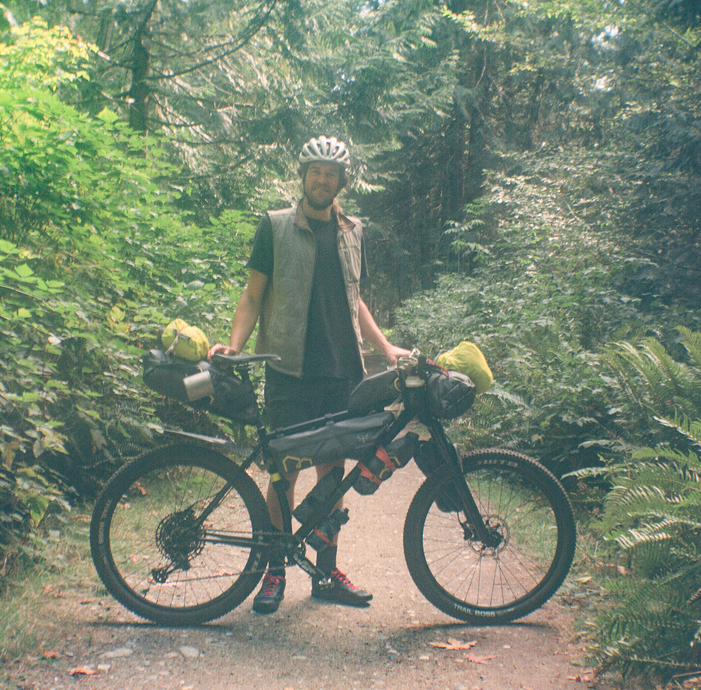
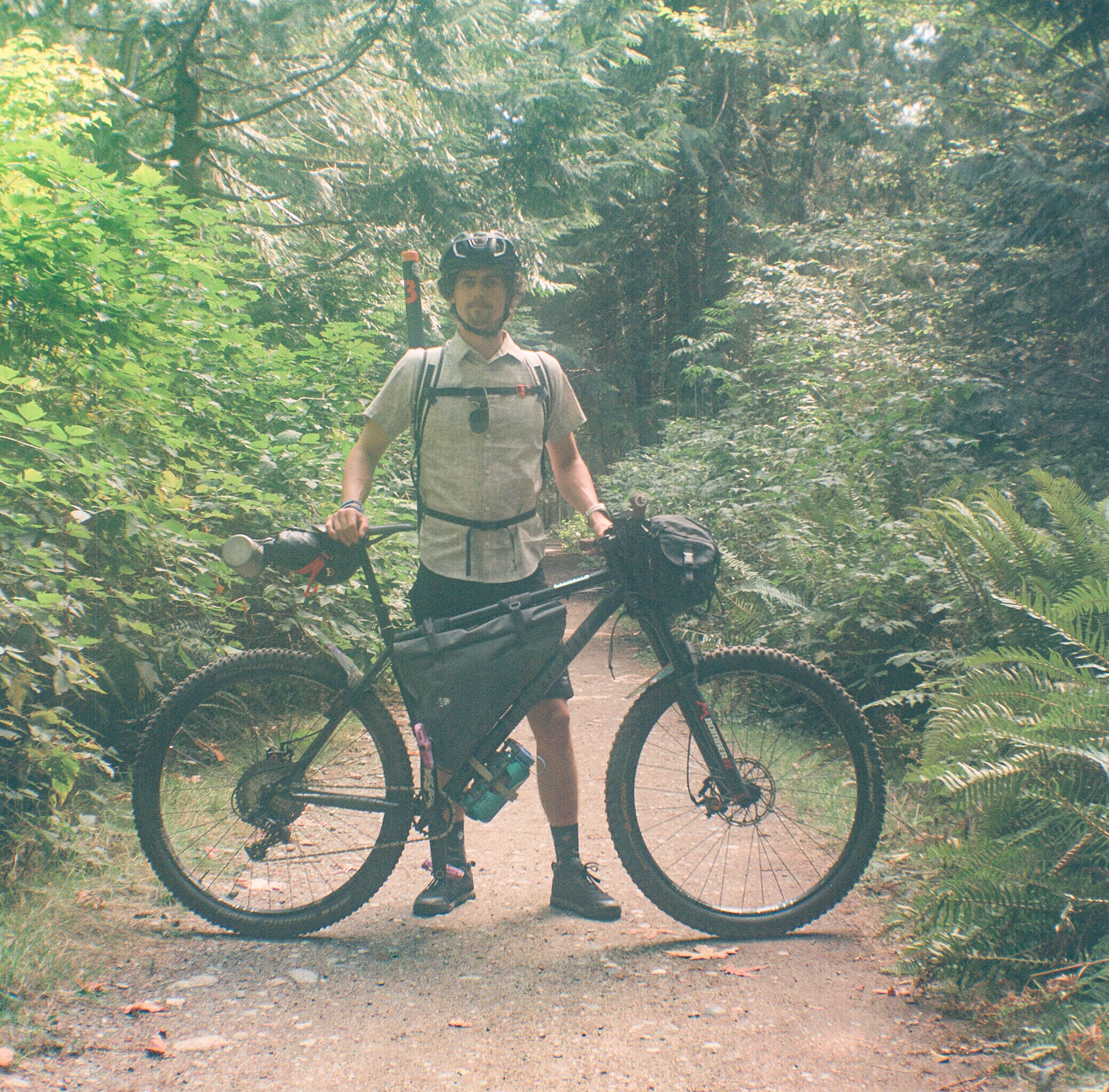
Photos by Jacob Lambert (@jacoblambertphoto)
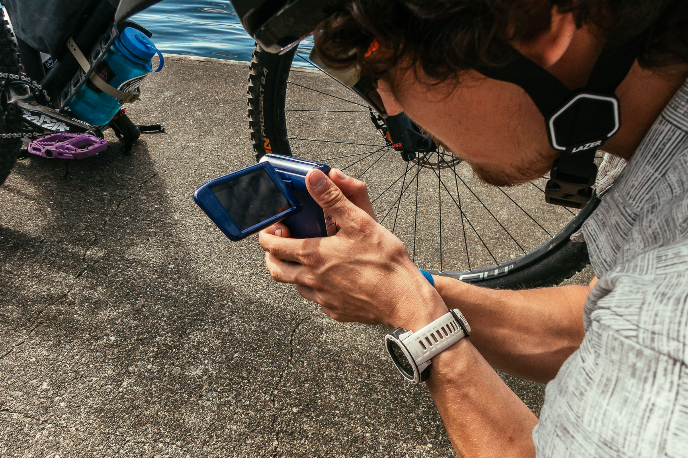
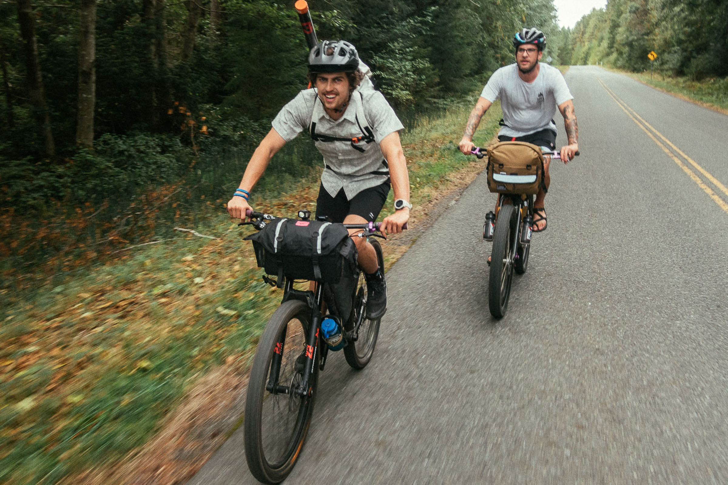
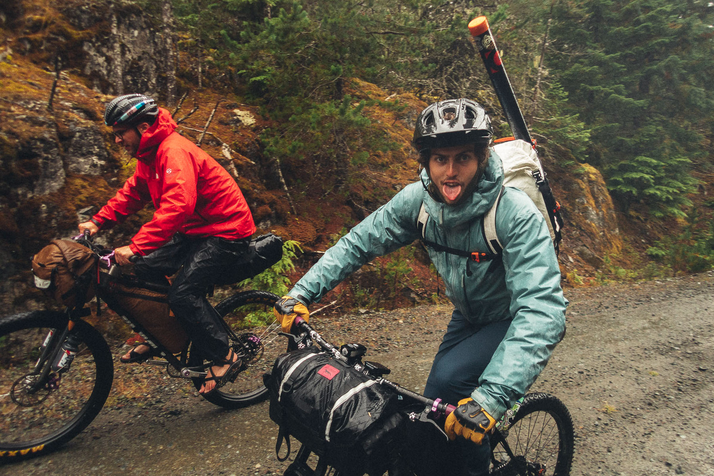
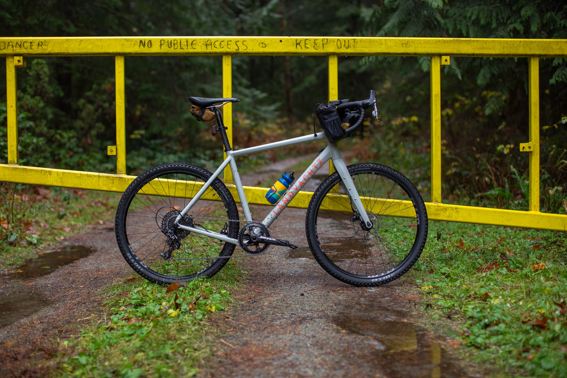
Earlier this fall, Lucas, George, and Jacob from Landyachtz Bikes reached out to learn more about the Texada Ridge Runner route as a potential field trip for their new Play Bike 2.0. A short ferry ride from Powell River is all it takes to access the quirky island of Texada, which serves up everything you could ever want for a quick escape from town and a night out under the stars. While the official route is fairly straightforward, the Landyachtz crew was challenged with late start times, heavy winds, and heavy rain. Find a video the group shot during their trip below, captured with an old Sony Handy Cam, Panasonic G85, and an Olympus Tough TG-6, followed by a short reflection and photos from Landyachtz Marketing and Media guy Lucas Greenough further down.

Texada Ridge Runner
Written by Lucas Greenough (@lucasgreenough)
More often than not, getting out on an adventure starts by traveling to a remote area and setting off. One of the fortunate things about living on the west coast of Canada is that you don’t have to travel far to find yourself in a remote location with no cell service. When we were looking for somewhere to go and put our new Play Bike 2 to the test, I was stoked to see that BIKEPACKING.com had just released a route on an island I’d never even heard of. We contacted Miles to let him know about our plans, and he was kind enough to offer up his house as a spot to set up our bikes and leave our car while we were gone. With a plan in place, I was excited to get out there and see what the route had to offer.
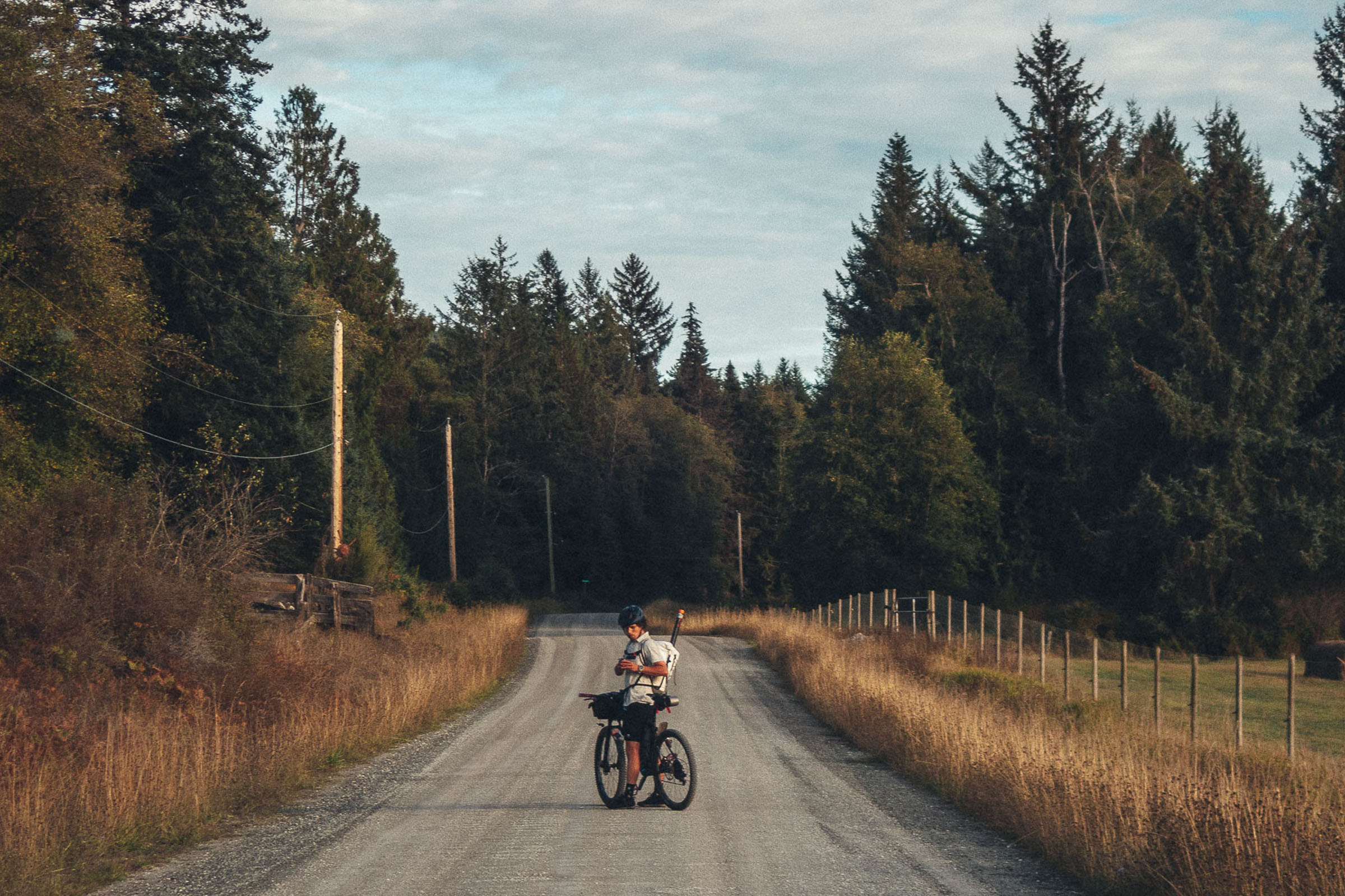
When the day rolled around, George, Jacob, and I set out early to try and give ourselves as much time as possible once we were in Powell River. Along the way, George found out that he had to be back in town a bit earlier than we’d originally planned, so we decided to have a backup plan to ensure he was home in time. The trip up the Sunshine Coast to Powell River is a beautiful adventure in its own right. The ferry gives you a unique perspective of the coastal mountains meeting the ocean. I’d only been to Powell River once before, and I was excited to ride through it on our way to the ferry terminal. Having misjudged our departure time, we stopped for a beer at Townsite Brewing (a must if you’re ever in the area), and along the way we also got a glimpse into the rich history of the town.
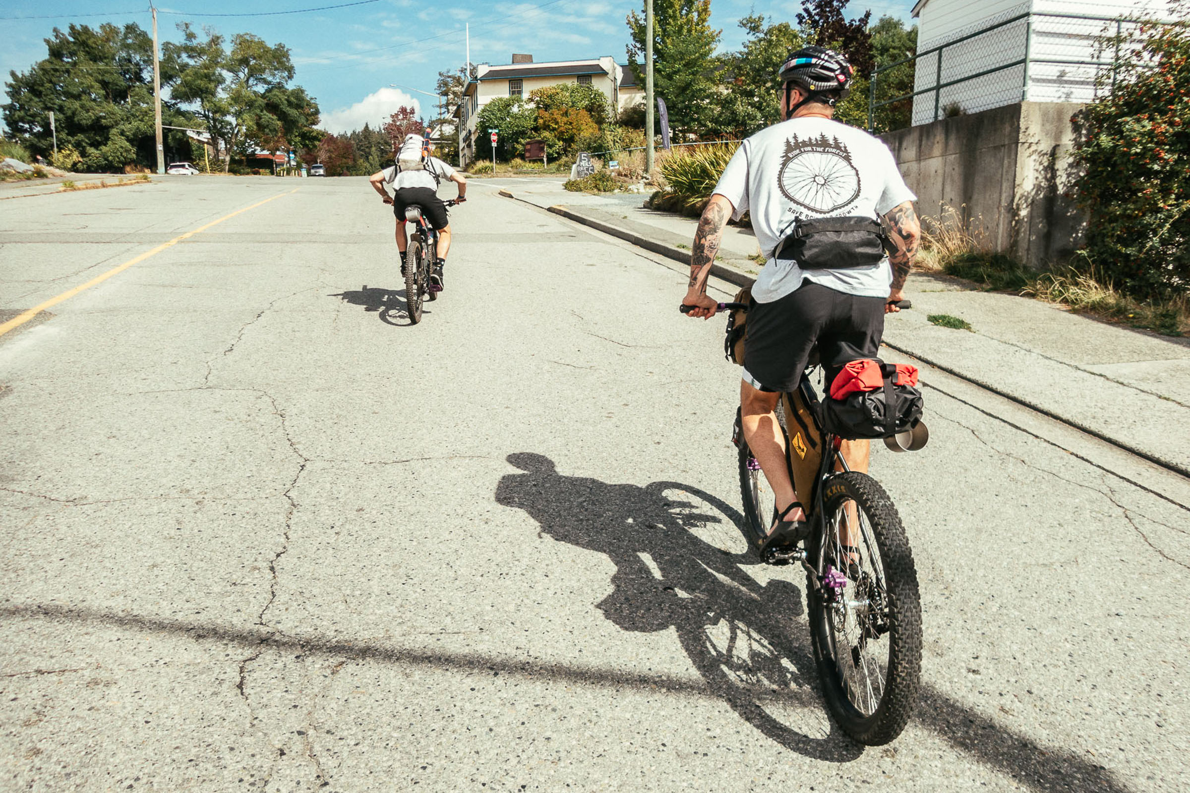

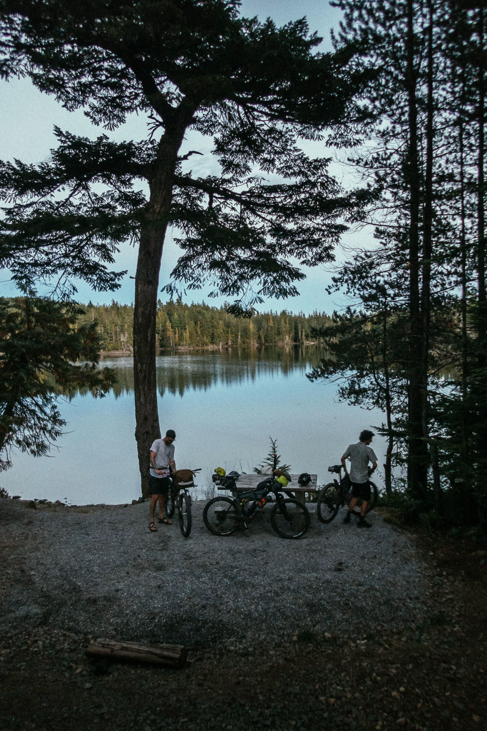
Landing on Texada Island at 4 p.m., I knew we were going to have to hustle to get to our campsite before dark, especially with all the media we hoped to capture along the way. With an unavoidable stretch of pavement from the ferry terminal to Van Anda, we hit gravel soon after, and that’s when the real riding started. I was surprised by how hilly the island was. We had all packed for a couple of comfortable nights, so our bikes were loaded with more weight than usual, and I felt it on the ascents. As we climbed, I noticed the wide variety of ecosystems we were moving through and I reluctantly settled in and enjoyed that evening’s ride. When we reached Bob’s Lake, I was pleased to see that we had the whole place to ourselves and a spot right on the water. After getting everything set up, we relaxed around the table enjoying all the food and drink we lugged all the way up there. That night, I slept to the sound of a strong wind blowing against my poorly fastened tarp—a precursor for what was coming the next day.
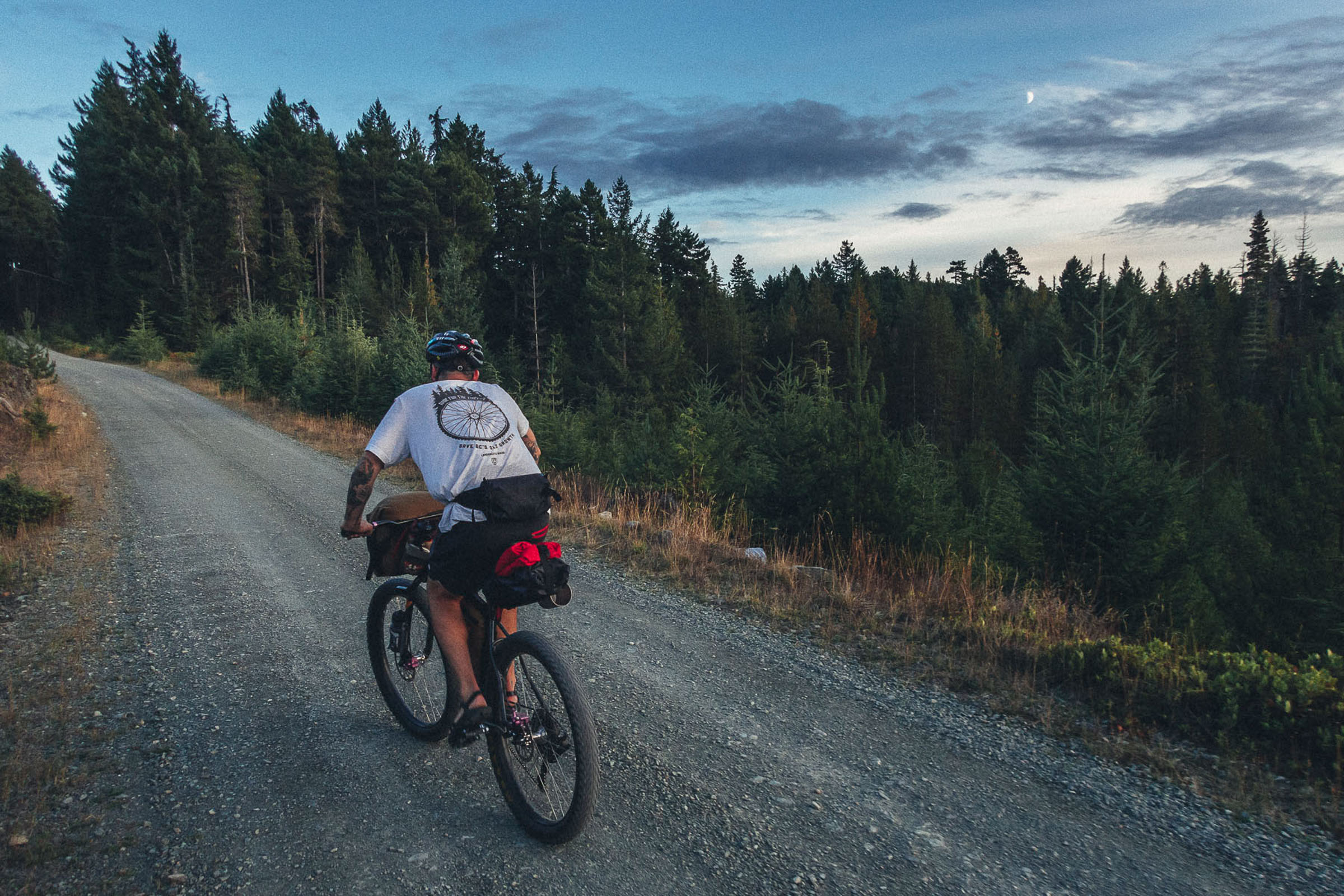
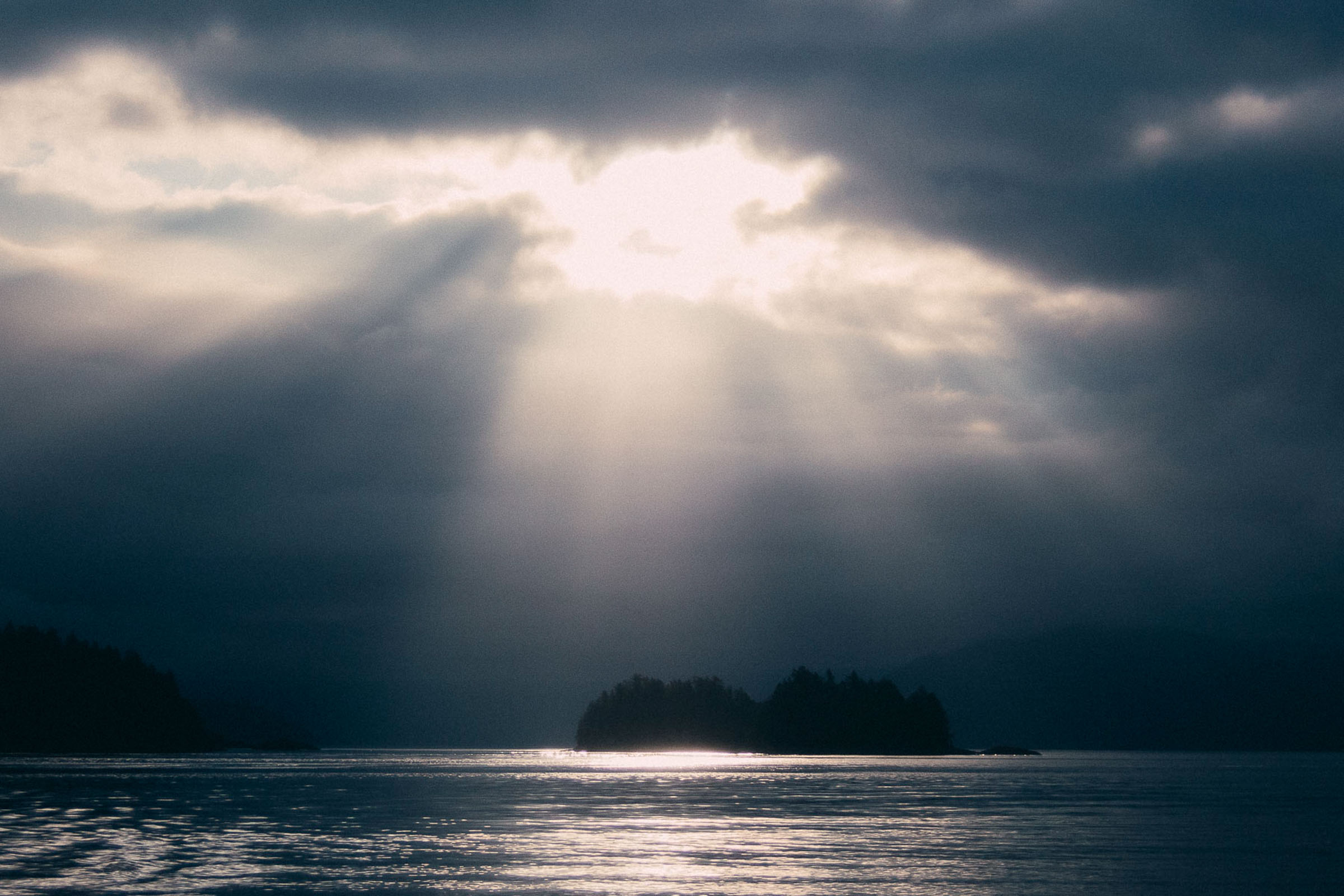
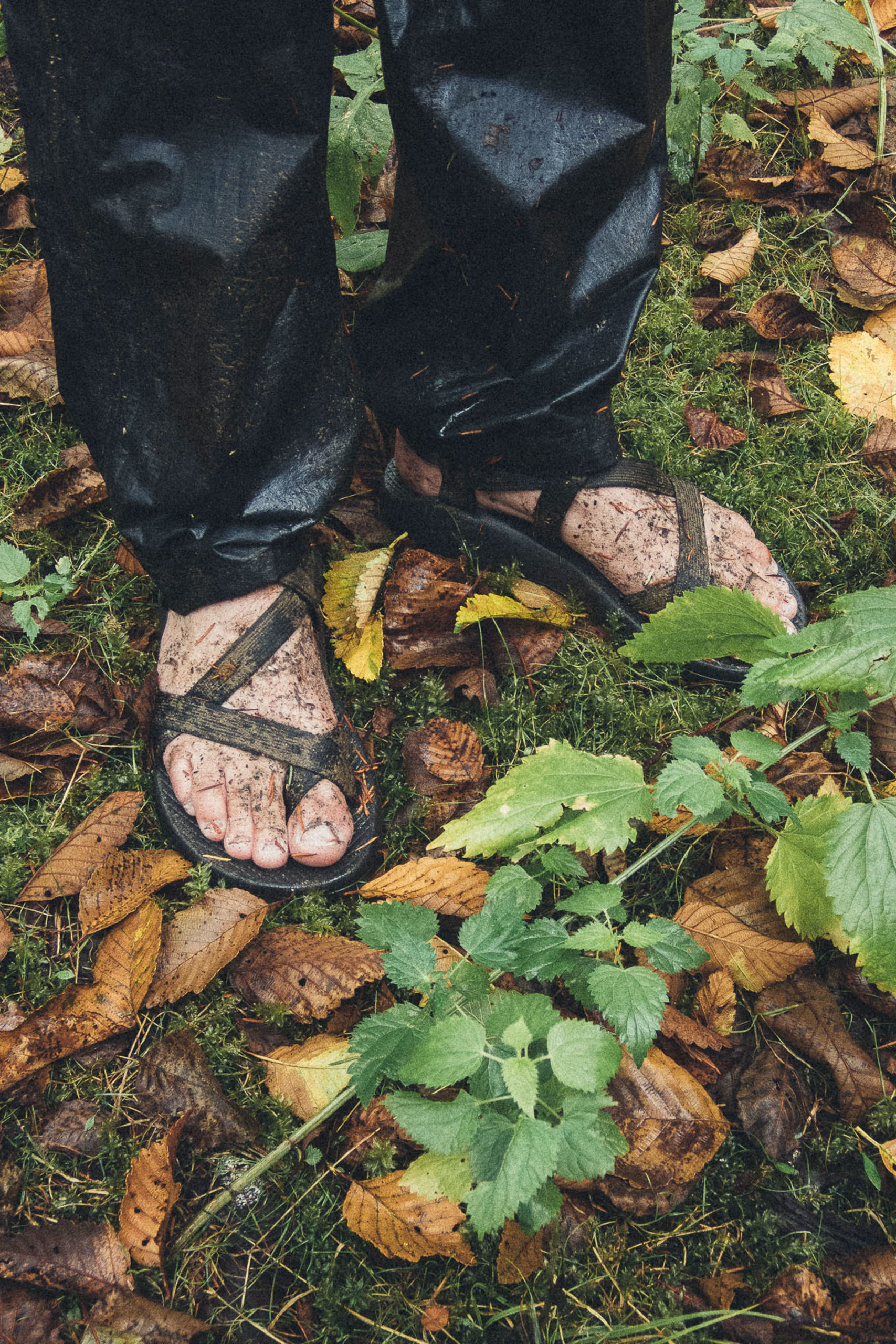
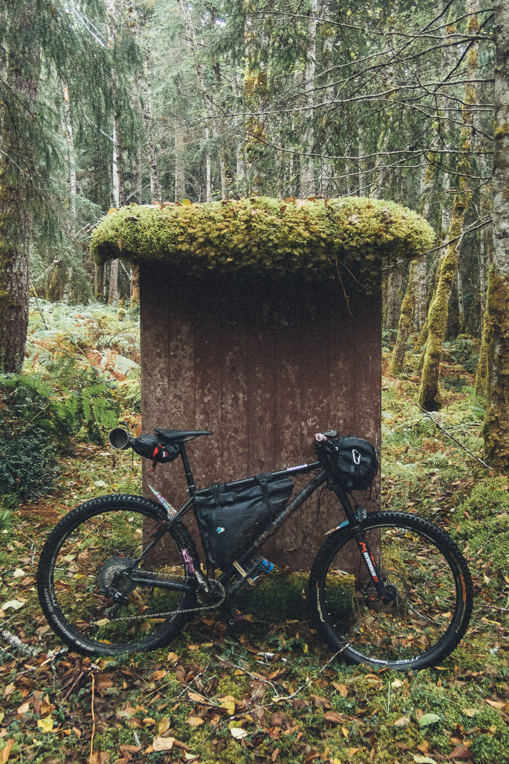
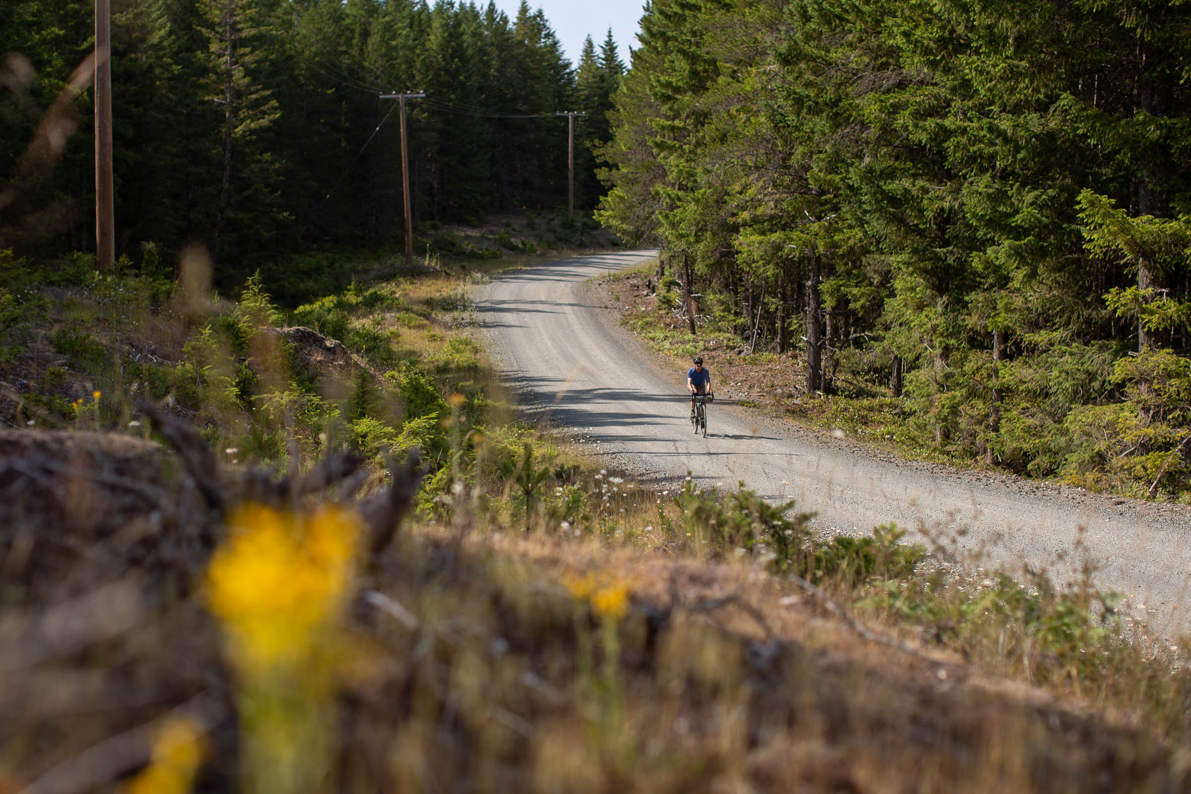
I awoke to heavy drops pelting against the tarp and a sense of dread. A cloud had settled on top of us and didn’t seem to plan on moving anytime soon. I find the worst part about bikepacking in the rain is having to stuff a bunch of wet stuff back into your bags; the actual bike riding part I enjoy. As we were leaving, we decided on a bit of a route change to get down to the coast with some extra time to get home. There’s an impressive network of gravel roads on Texada Island; some new and others very old. We were optimistic that everything we could see on the map was going to be ridable. After a few wrong turns, we managed to get back on course and enjoy some well-earned descending. The beautiful thing about there being a lot of gravel roads is that most of them don’t see very much traffic. This made for some spectacular riding along overgrown roads. Unfortunately, we had to hike the last little bit of our route, but it’s something I’ve come to expect from most trips. We exited the forest near Shelter Point and paused there to take in its beauty while removing some wet layers now that we were out of the clouds.
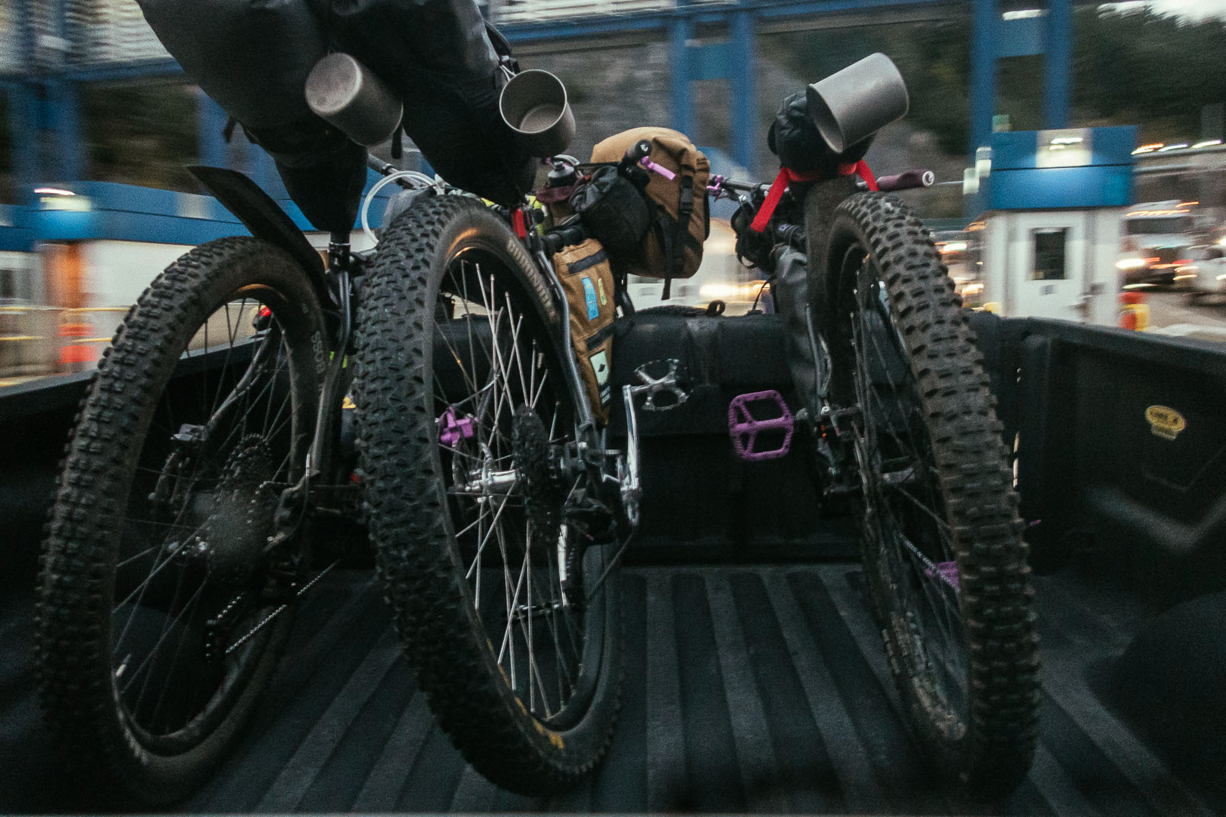
With a short stop at the Gillies Bay General Store for some sweet treats, we were on our way back towards the ferry terminal. Even though we didn’t get to enjoy the entire published route, we left feeling grateful for our time on the island and excited to return with better weather and more time.


About the Texada Ridge Runner
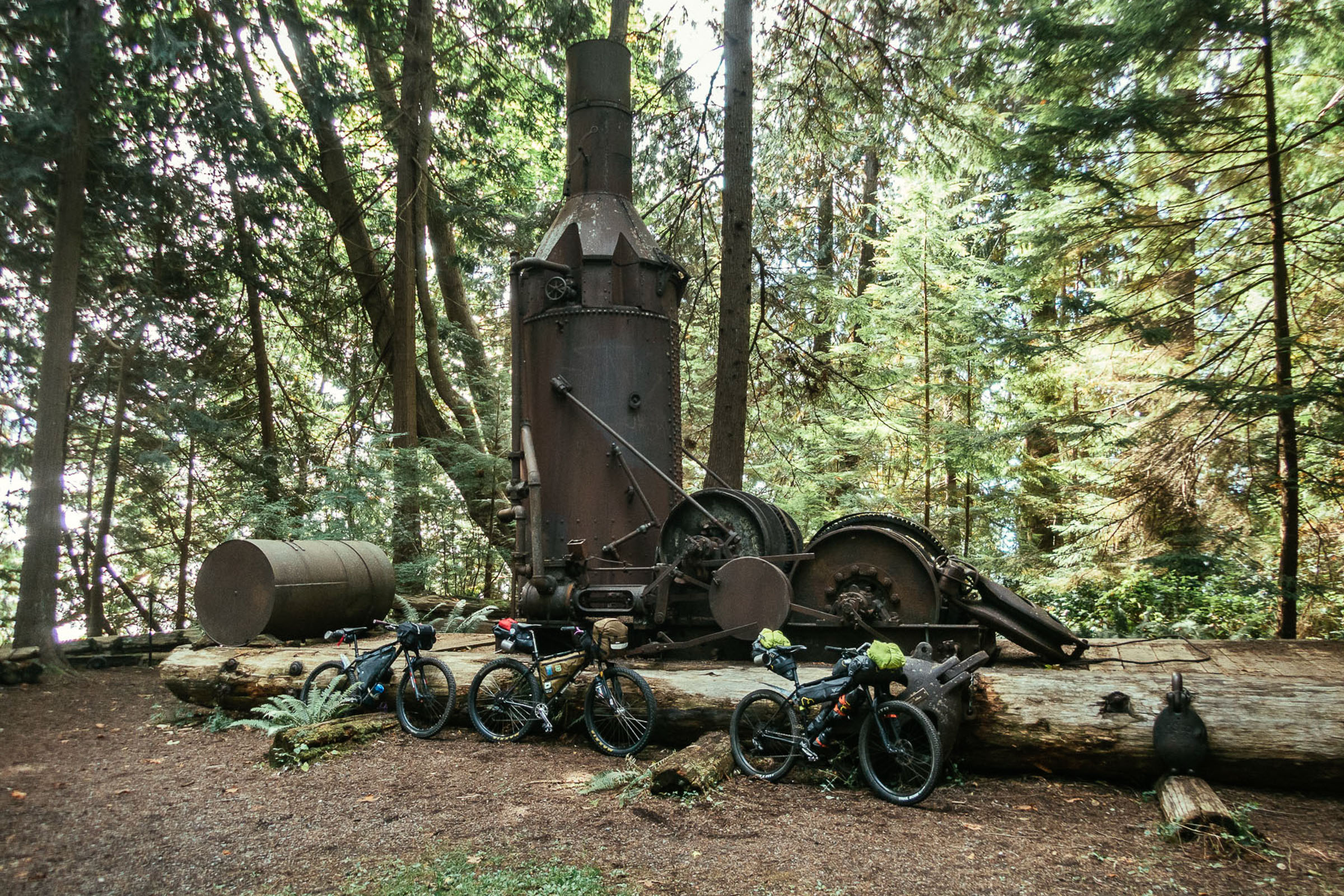
The Texada Ridge Runner is a 144-kilometre gravel route that traverses BC’s Texada Island from north to south and back again, following a mix of quiet gravel roads and pavement. The route is designed to hit some of the must-see spots on the island, including Anderson Bay, Bob’s Lake, Shingle Beach, and the communities of Gillies Bay and Van Anda, all accessed via some of the best gravel roads and biggest climbs around. Full route guide here.
Related Content
Make sure to dig into these related articles for more info...

Please keep the conversation civil, constructive, and inclusive, or your comment will be removed.