


Texada Ridge Runner: Bikepacking Texada Island
Distance
89 Mi.
(143 KM)Days
2-3
% Unpaved
75%
% Singletrack
1%
% Rideable (time)
98%
Total Ascent
9,340'
(2,847 M)High Point
2,237'
(682 M)Difficulty (1-10)
7?
- 7Climbing Scale Strenuous105 FT/MI (20 M/KM)
- -Technical Difficulty
- -Physical Demand
- -Resupply & Logistics
Contributed By

Miles Arbour
Associate Editor & Events Manager
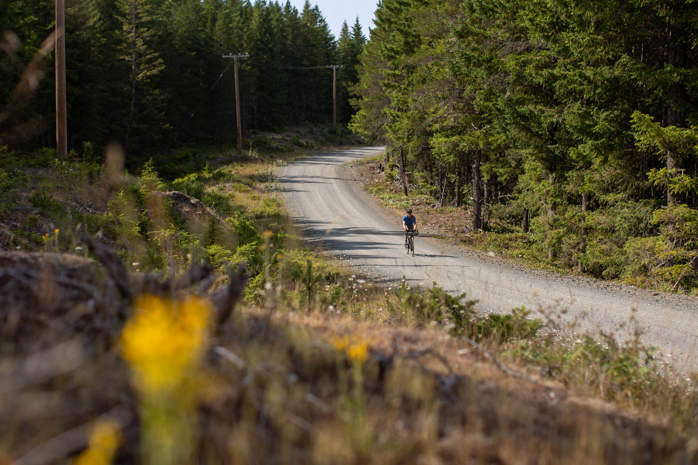
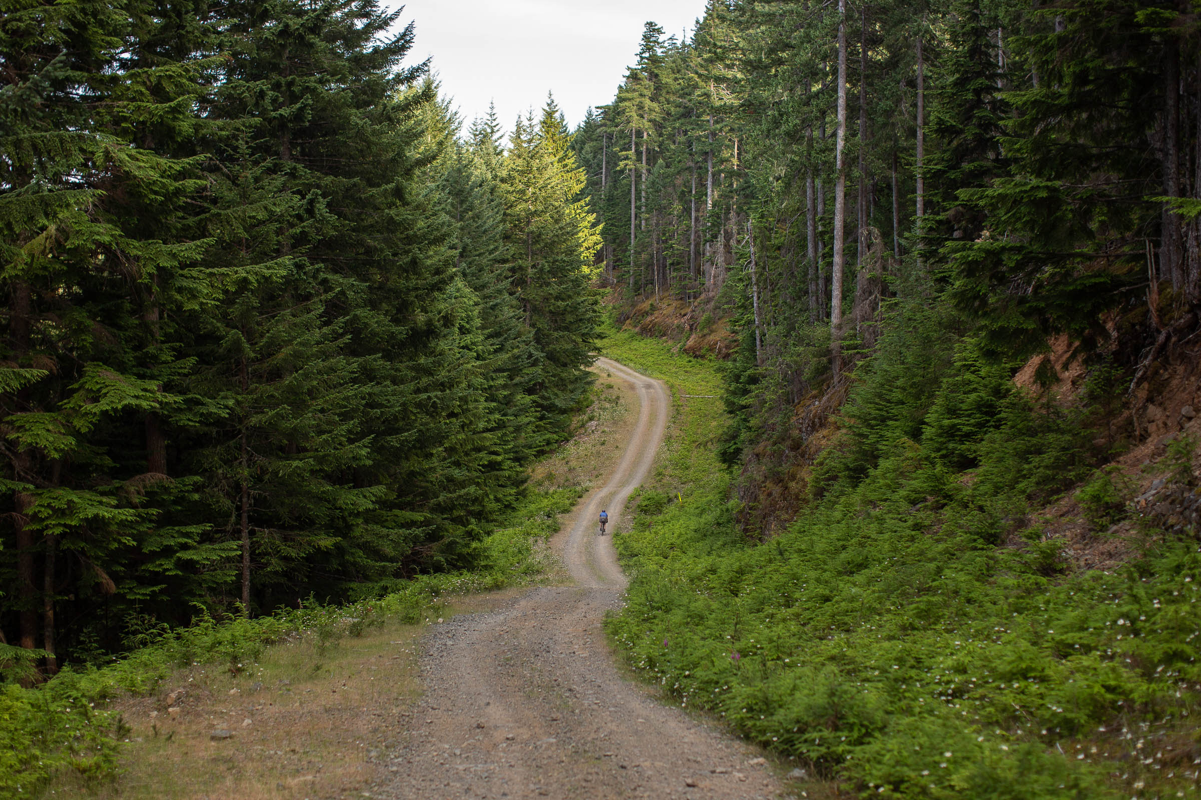
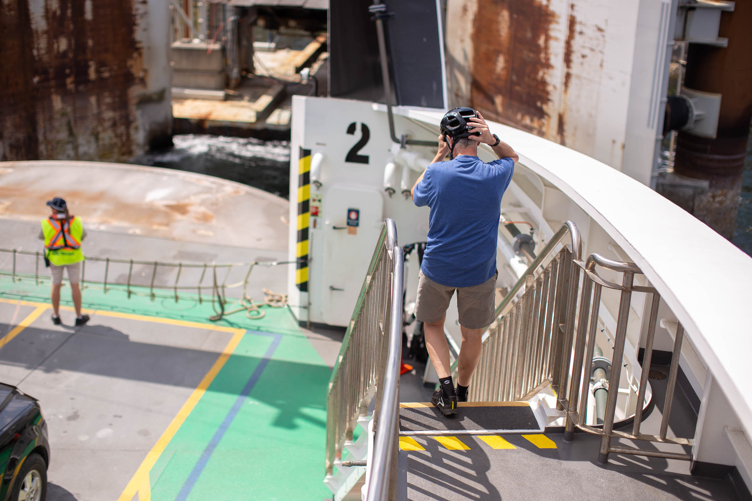
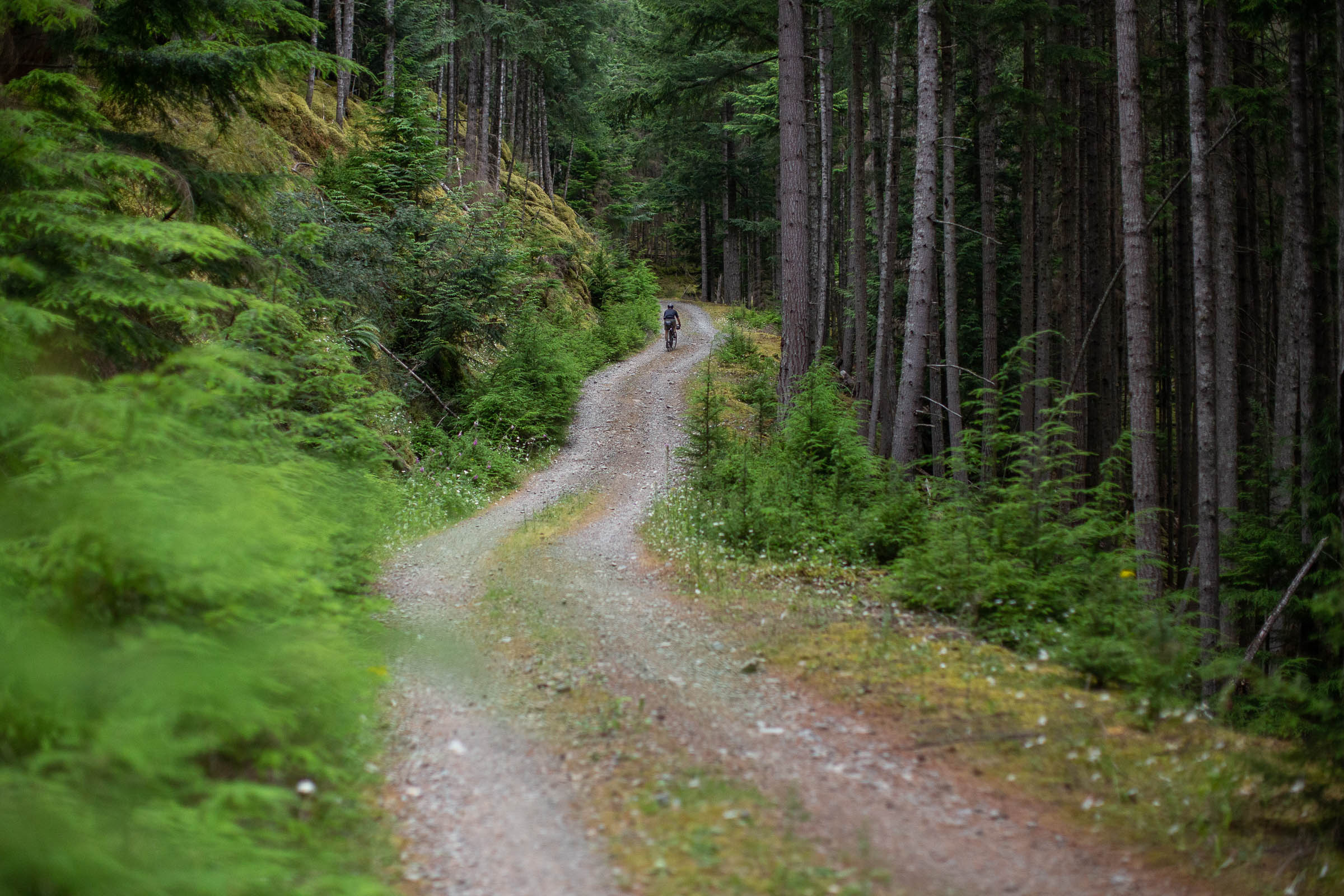
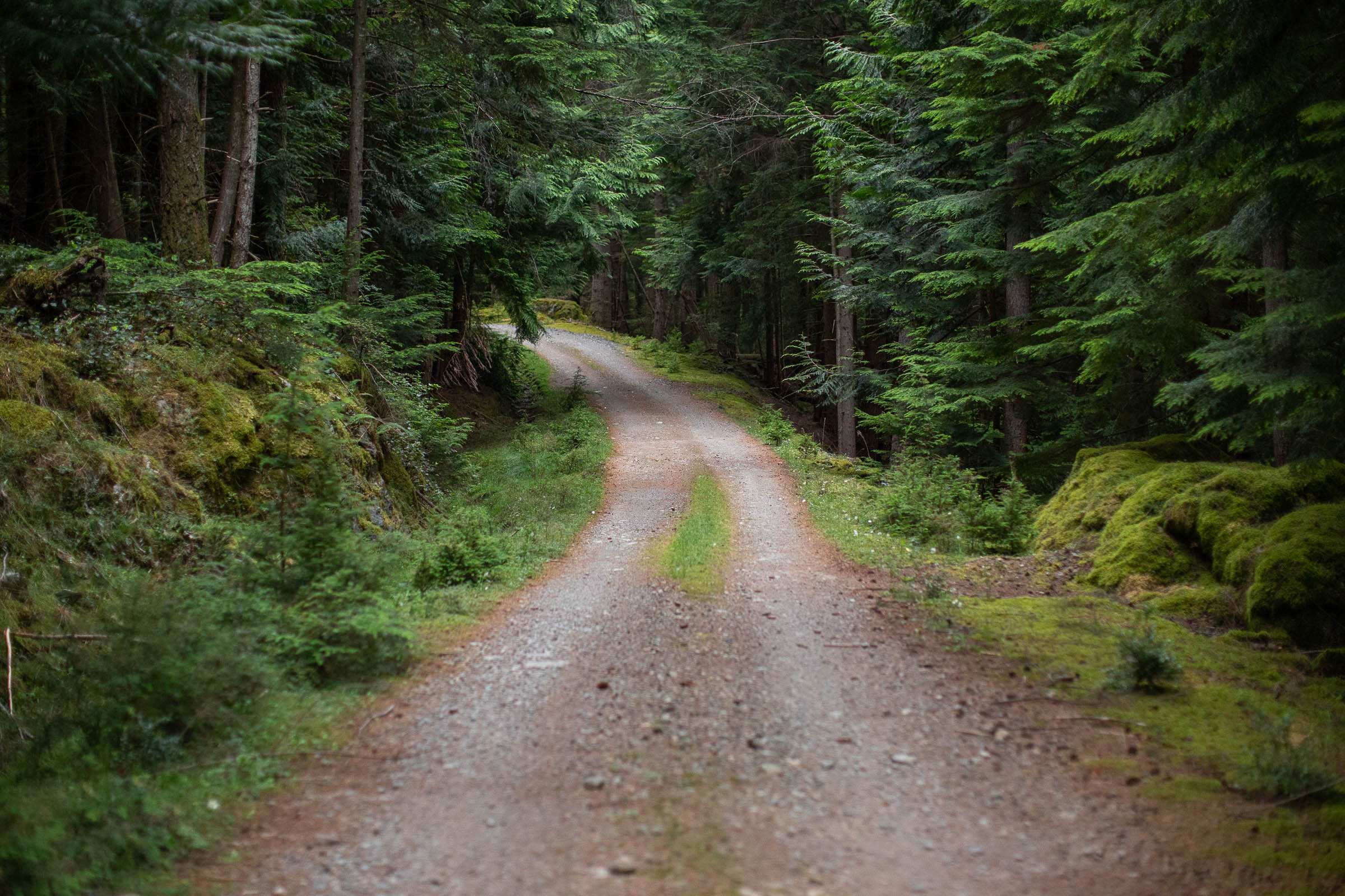
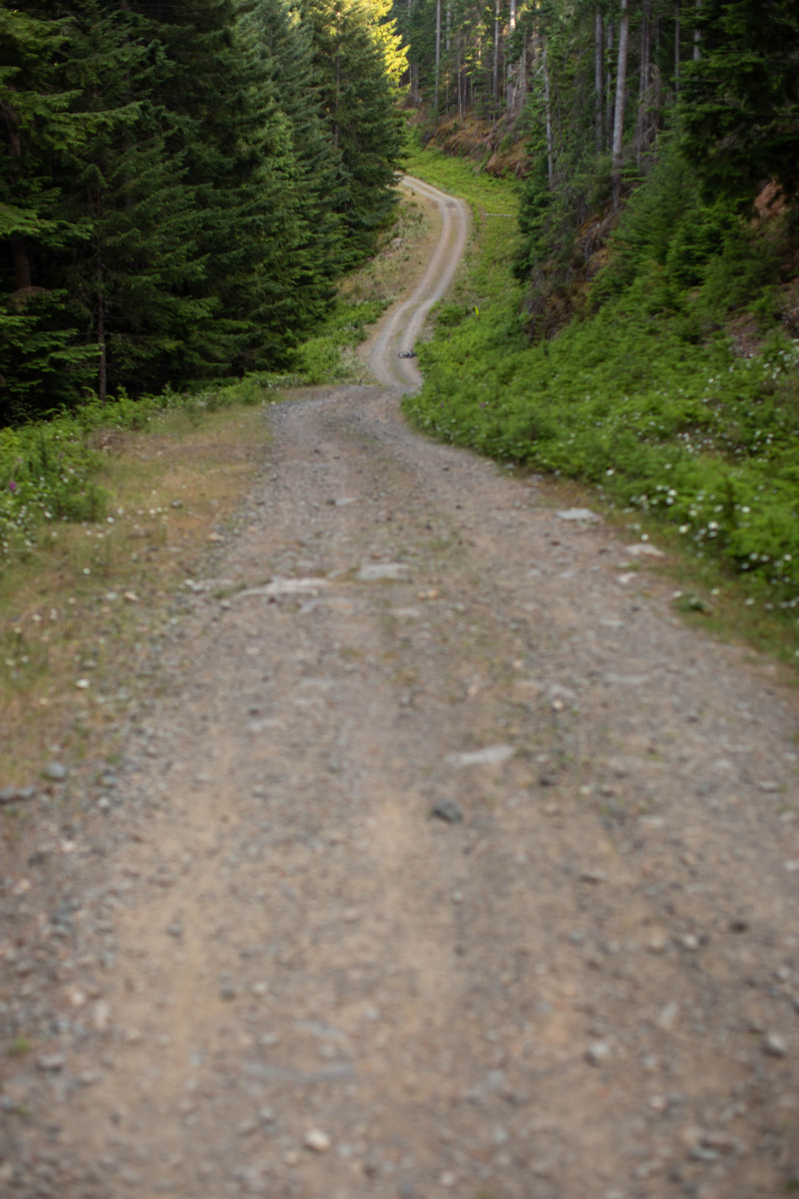
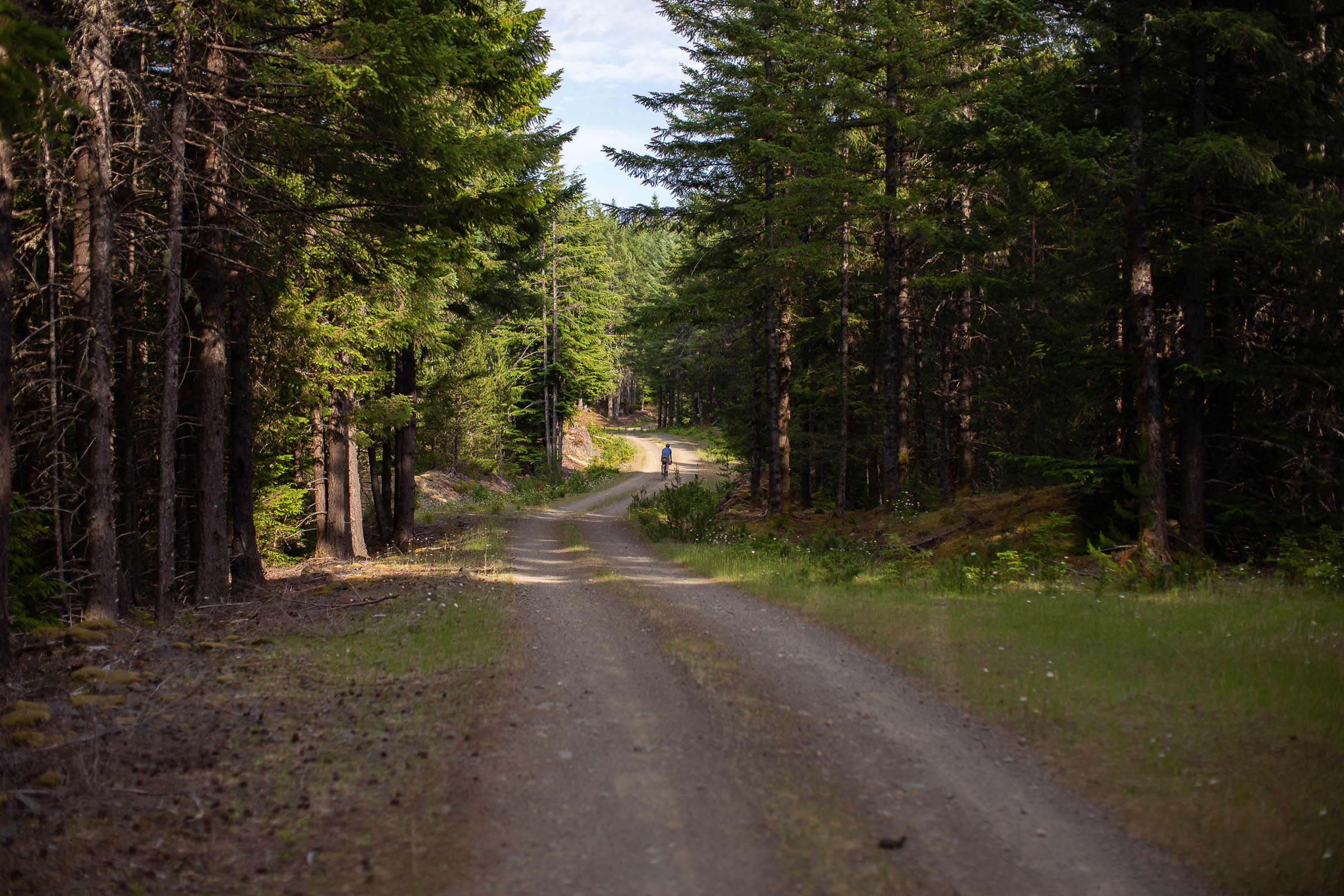
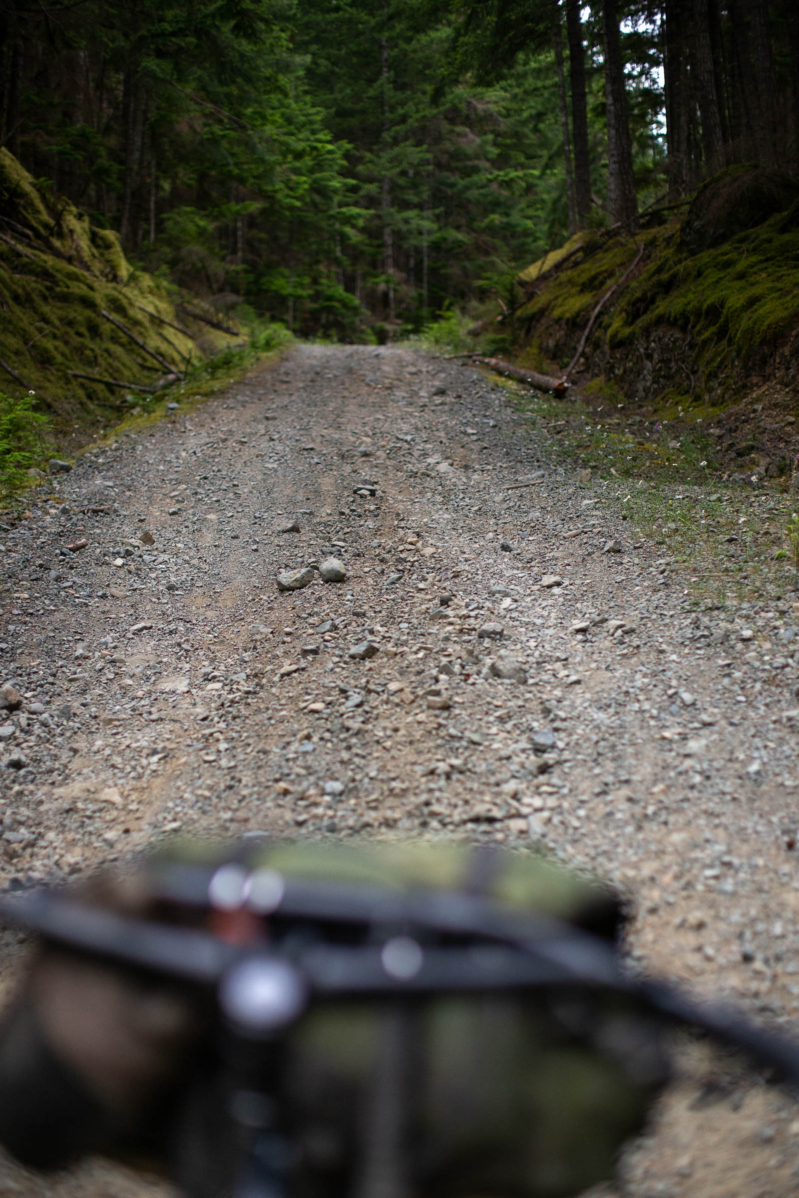
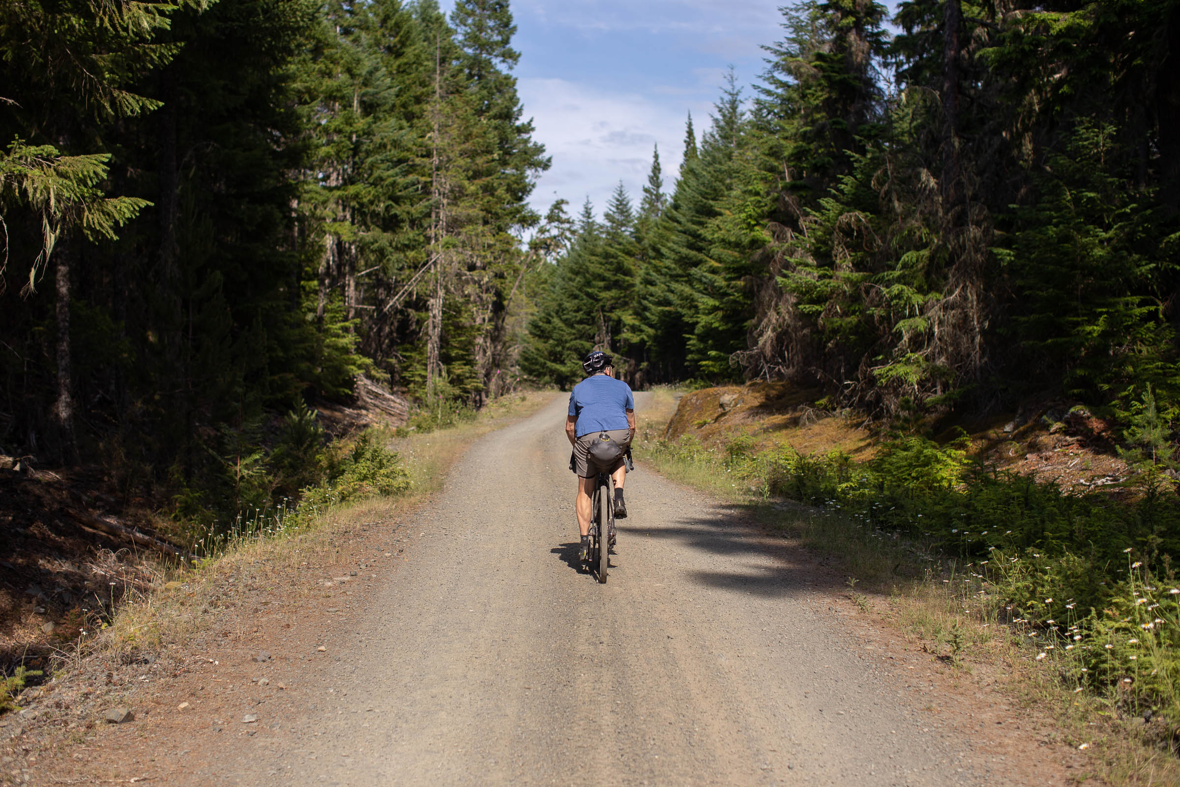
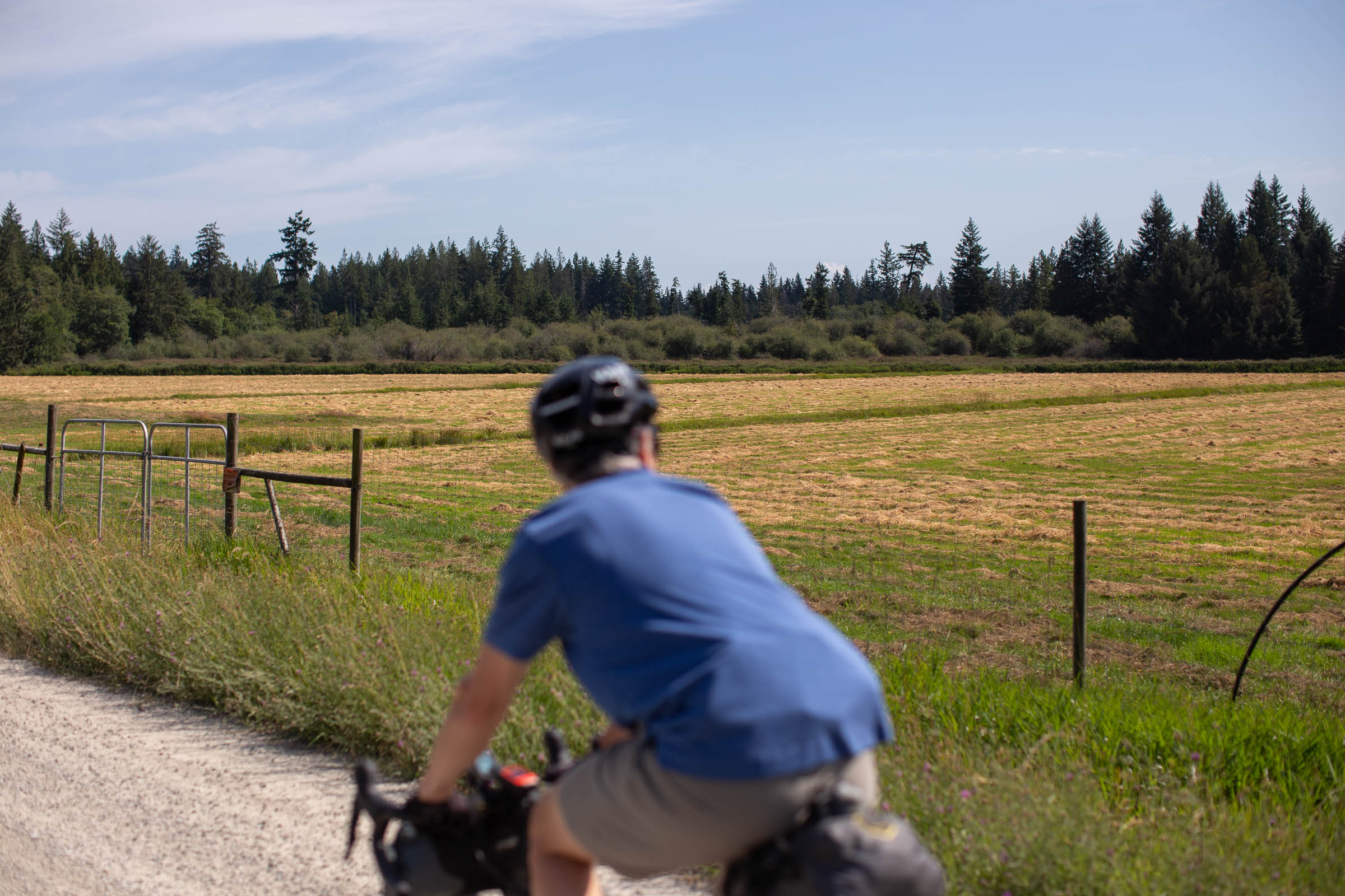
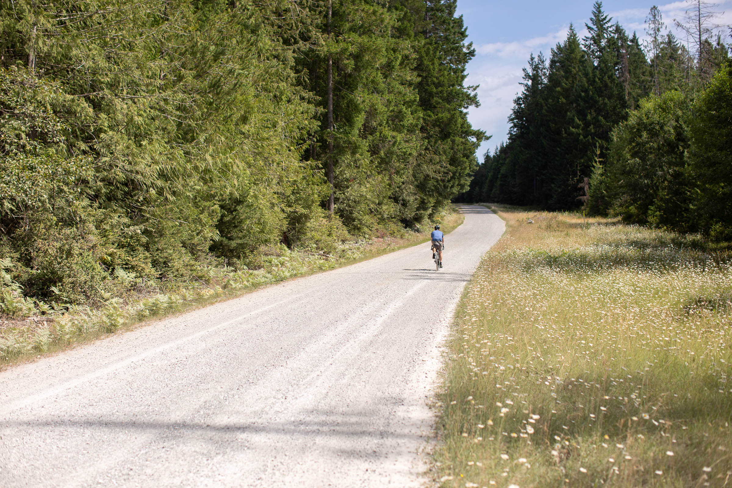
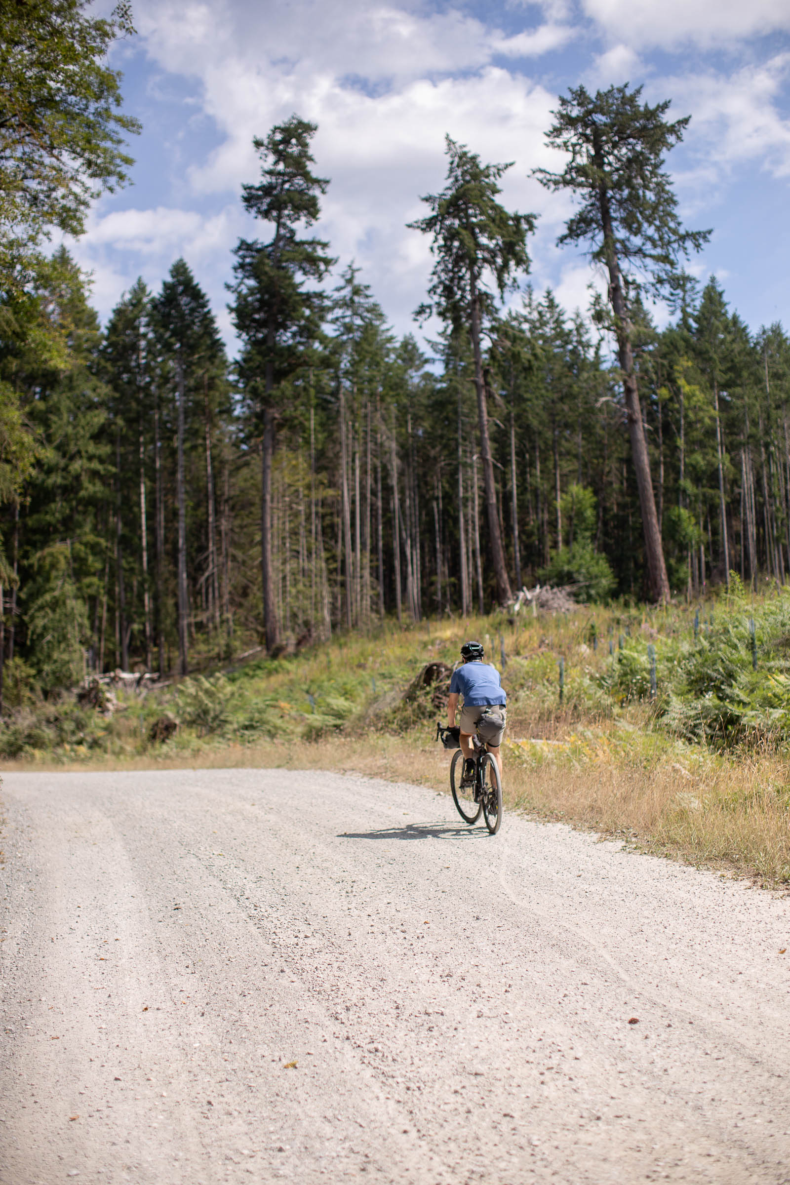
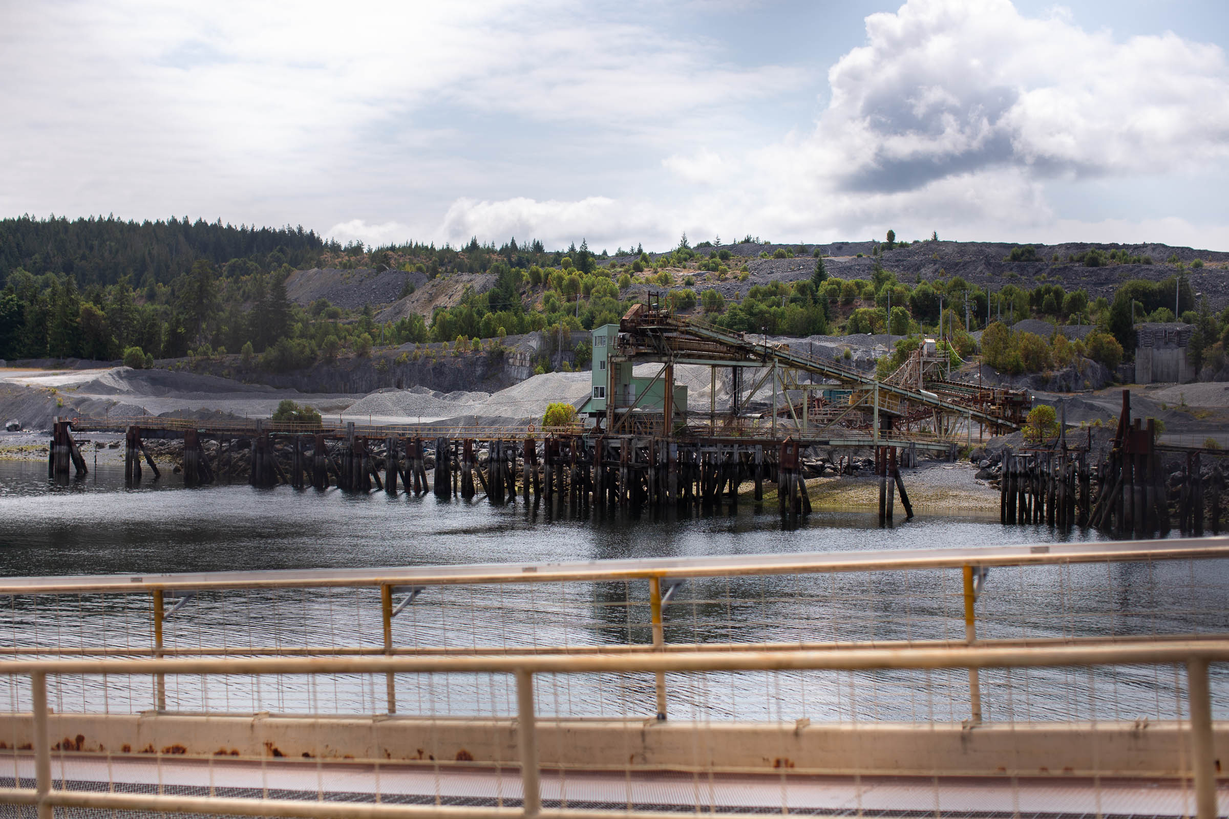
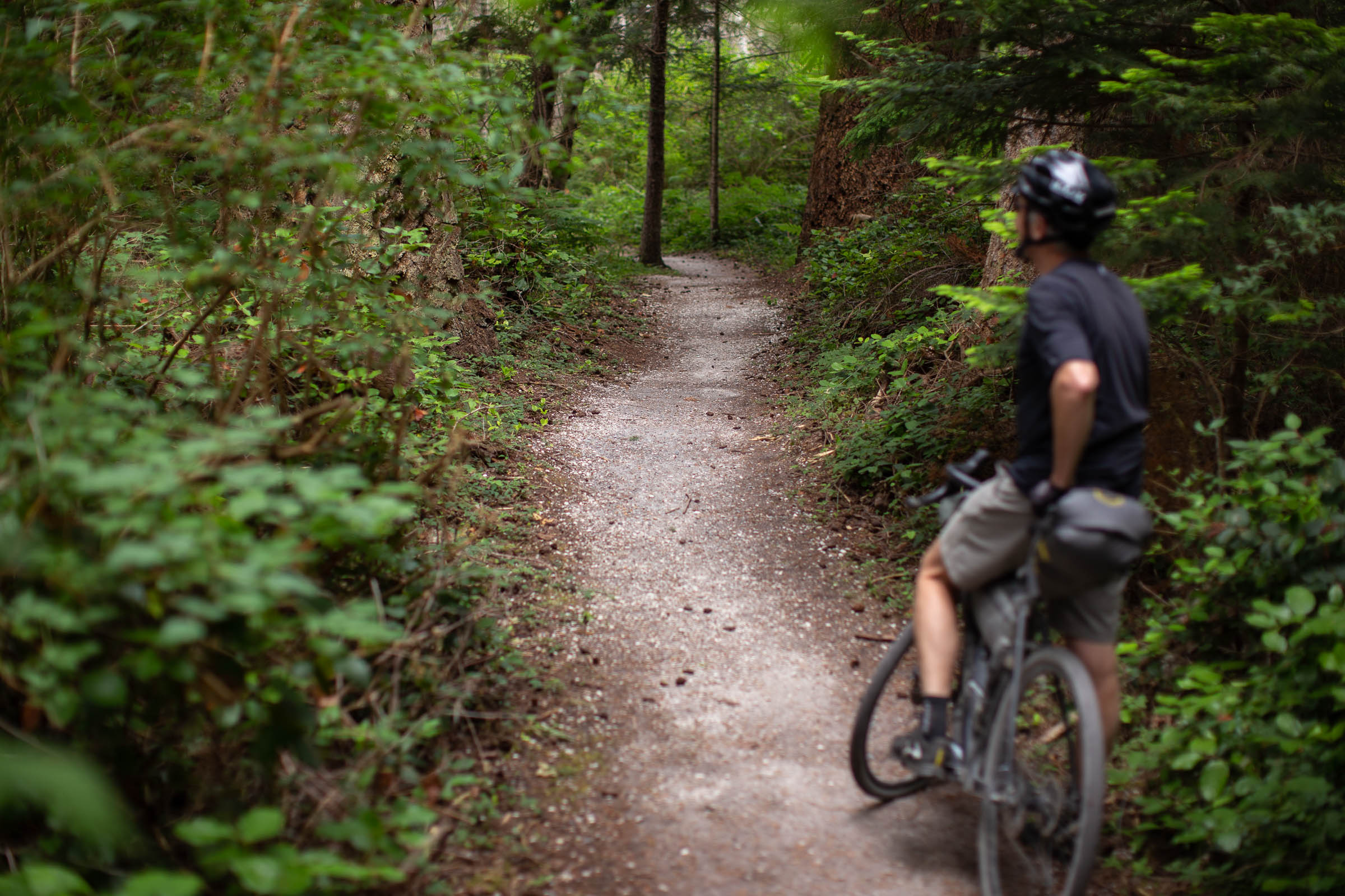
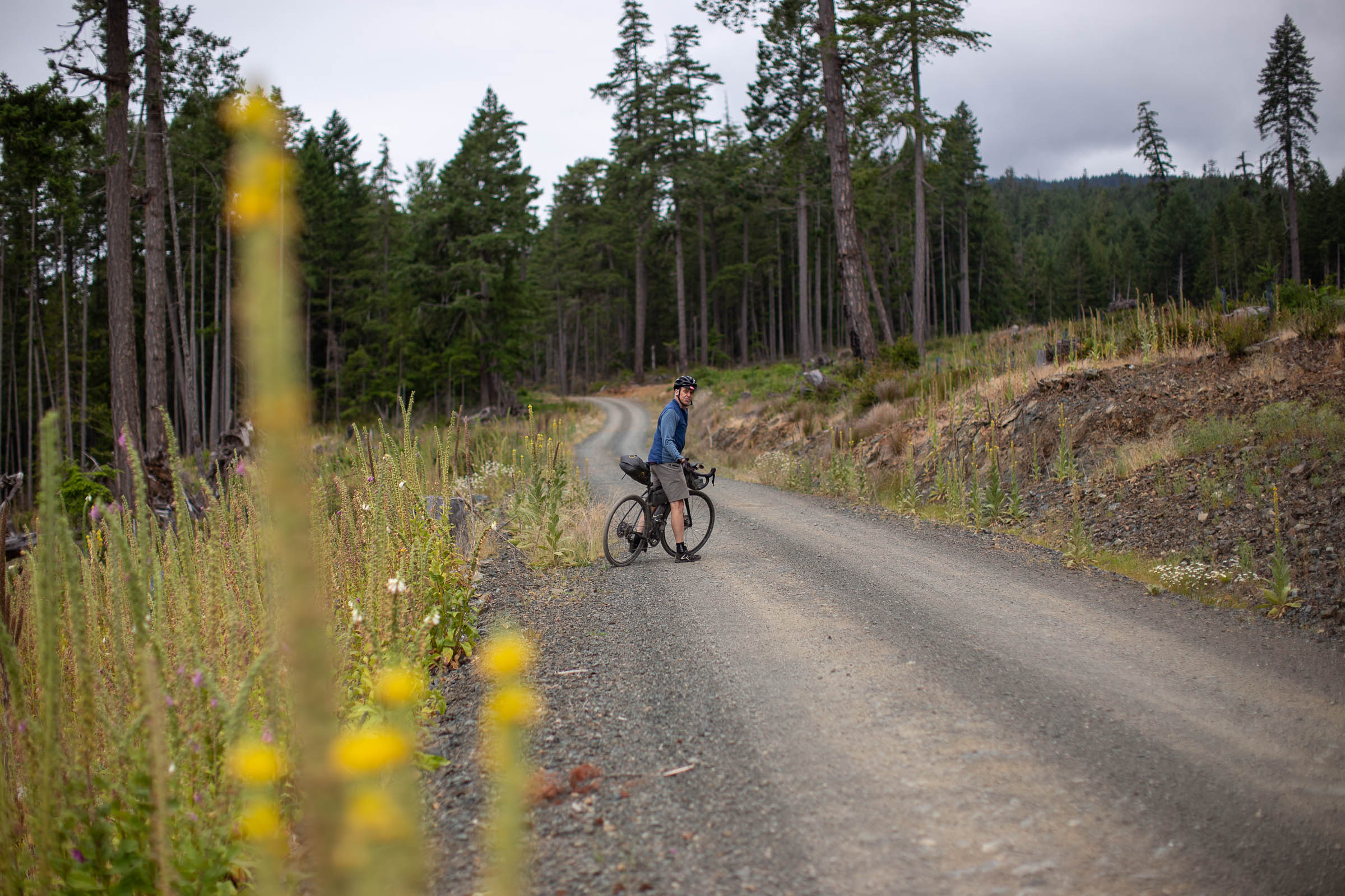
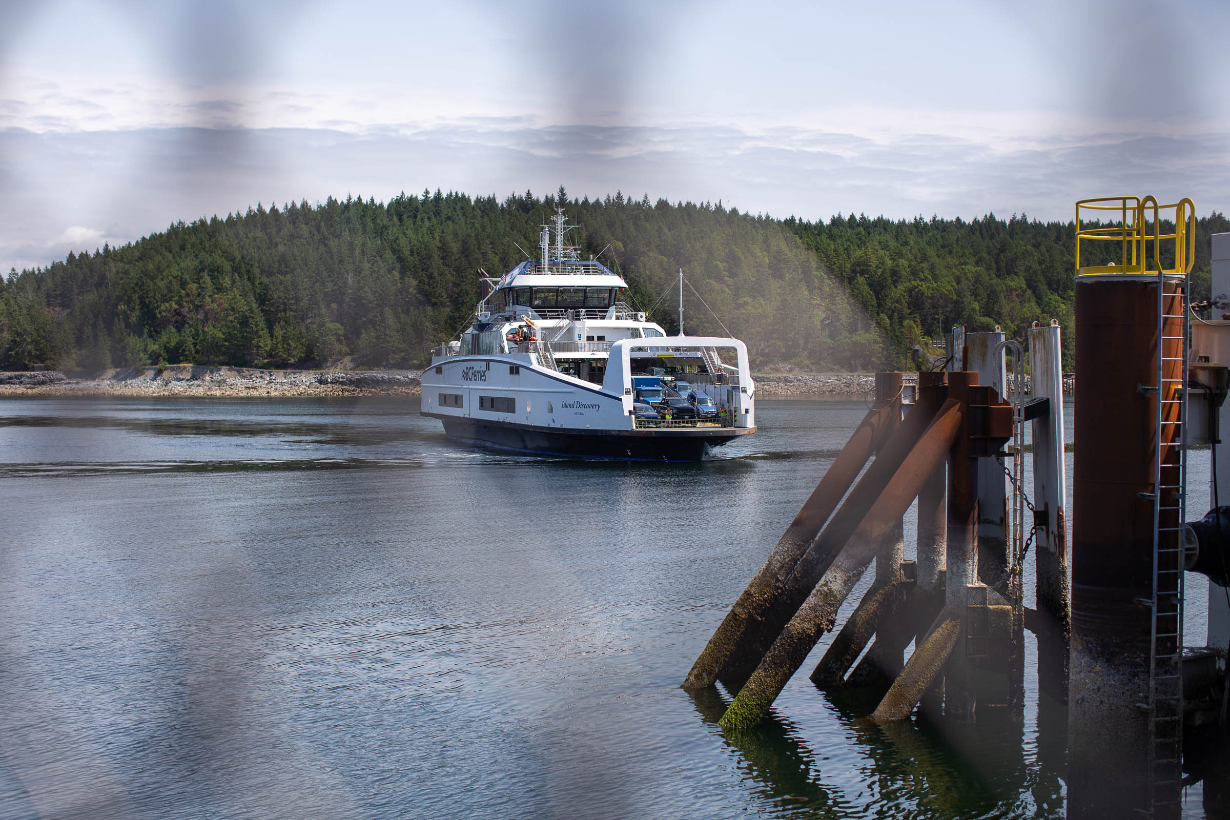
All it takes is a short ferry ride from Powell River to access Texada Island, the largest of the Northern Gulf Islands. This once-booming mining town has a whirlwind history that includes gold mining and illegal grow-ops. And unlike nearby islands and the mainland, Texada has no predatory animals to be concerned about. The vast majority of gravel roads on the island are byproducts of the logging industry, and there is an impressive network of forgotten tracks and roads that can be fun to explore for those with more time. The idea behind The Texada Ridge Runner route was to pack in on the best-maintained gravel roads on Texada while journeying along the spine of the island from Blubber Bay to Anderson Bay.
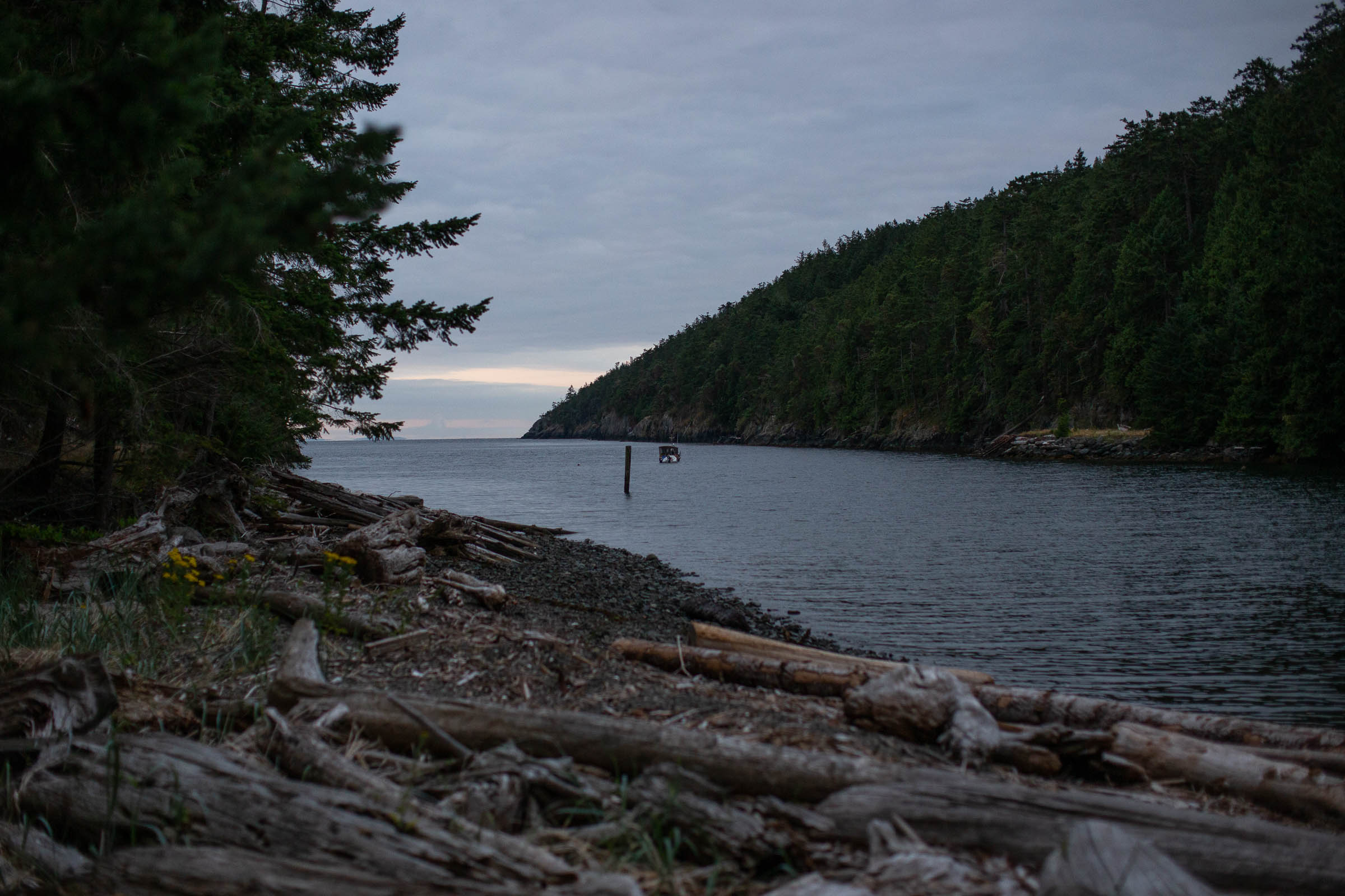
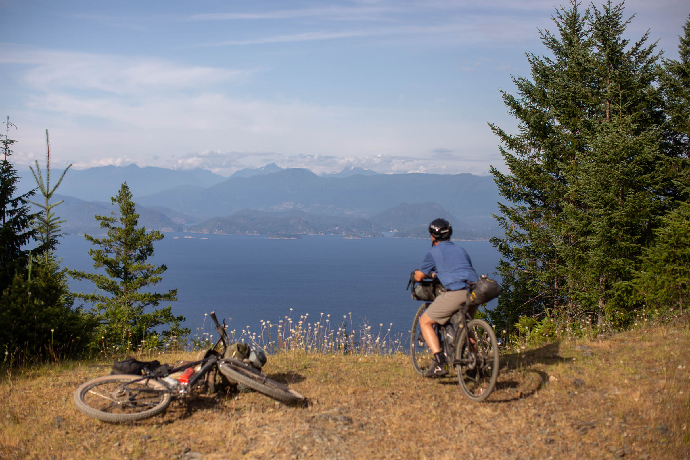
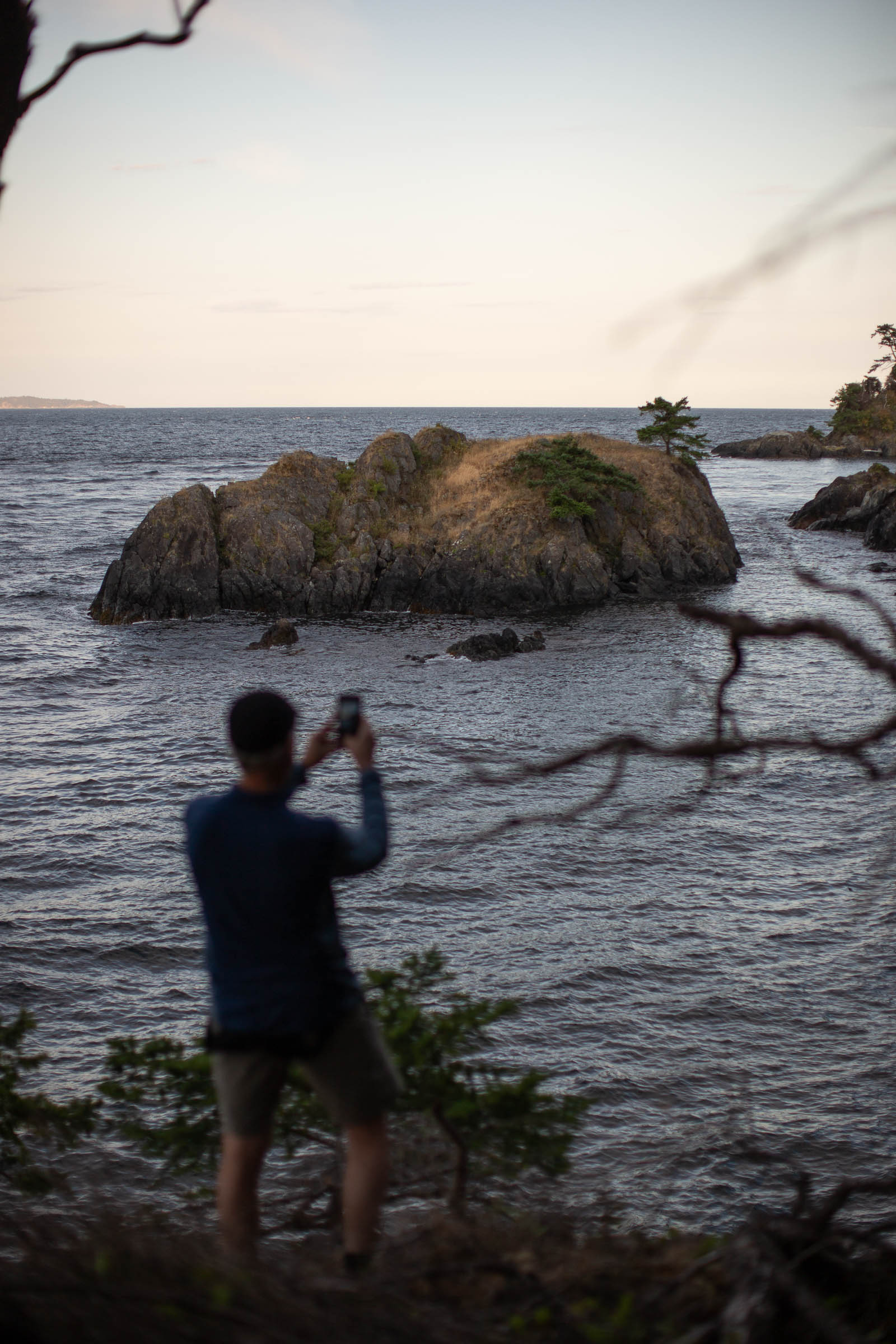
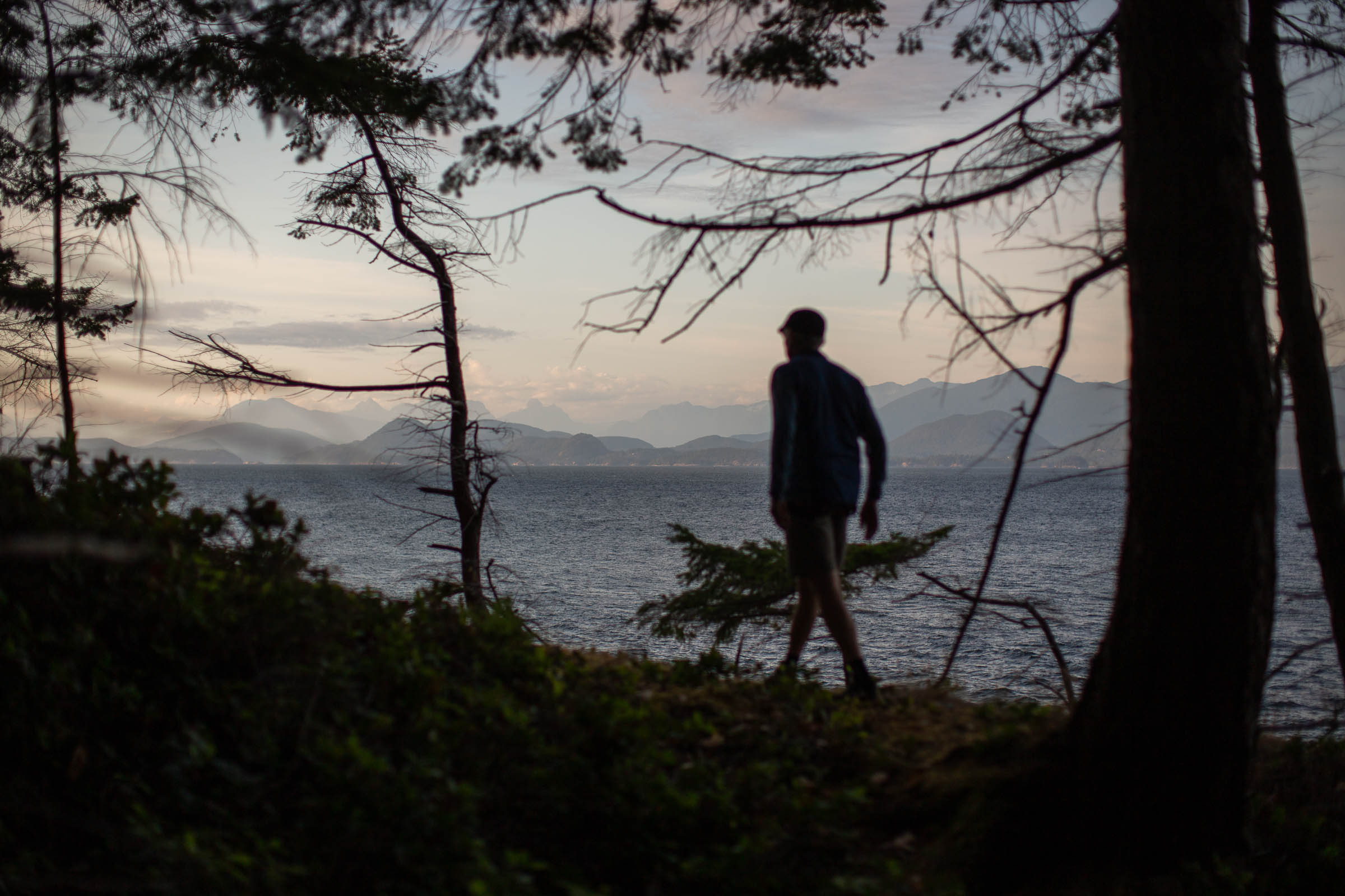
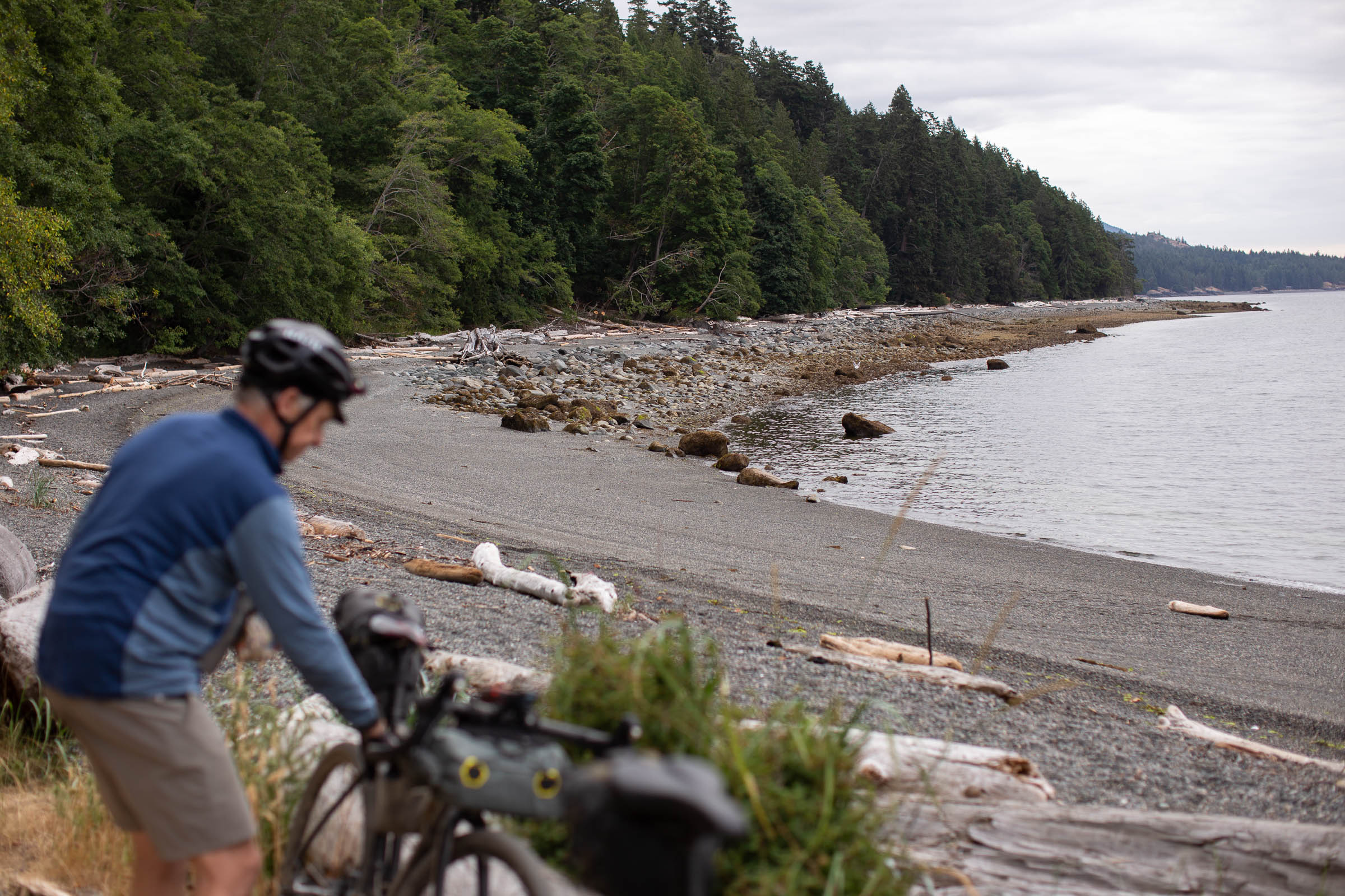
While most people visiting Texada spend their time lounging on one of several coastal beaches or inland lakes, The Texada Ridge Runner will challenge riders with a staggering amount of elevation gain, often in the form of big and steep gravel climbs and short hike-a-bikes. The route passes by old farmsteads, forgotten airstrips, and beautiful beaches, providing impressive views of the Sunshine Coast’s mountains and Vancouver Island. Those looking for a challenging overnighter will enjoy knocking out the route in two days, but it’s realistic to stretch the route out over three days to fully enjoy what the island has to offer. Stop by the local farmers market, hang out by Bob’s Lake, or head down to one of several secret beach access points. The route is merely a taste of what Texada has to offer.
Difficulty
Due to the amount of elevation gain and exposed gravel roads, The Texada Ridge Runner route has been rated with a 7 out of 10 difficulty rating. The amount of climbing on the route is substantial and challenging, especially for those making the trek down to Anderson Bay at the southernmost point of the route. There are plenty of epic gravel descents along the way, but the climbs are regular and could be quite difficult on a hot summer day. Spreading the route out over three days is a great way to reduce daily riding time and makes the route more approachable.
Route Development: The Texada Ridge Runner is the brainchild of Dave Opko, who ran a farmstead on Texada Island for 25 years. Dave accompanied me on a scouting mission to the island and has a wealth of knowledge when it comes to Texada history as a farmer and logging industry employee. While there are numerous smaller, less-travelled spurs to explore on the island, the Texada Ridge Runner mixes in the best terrain, views, and descents available.


Submit Route Alert
As the leading creator and publisher of bikepacking routes, BIKEPACKING.com endeavors to maintain, improve, and advocate for our growing network of bikepacking routes all over the world. As such, our editorial team, route creators, and Route Stewards serve as mediators for route improvements and opportunities for connectivity, conservation, and community growth around these routes. To facilitate these efforts, we rely on our Bikepacking Collective and the greater bikepacking community to call attention to critical issues and opportunities that are discovered while riding these routes. If you have a vital issue or opportunity regarding this route that pertains to one of the subjects below, please let us know:
Highlights
Must Know
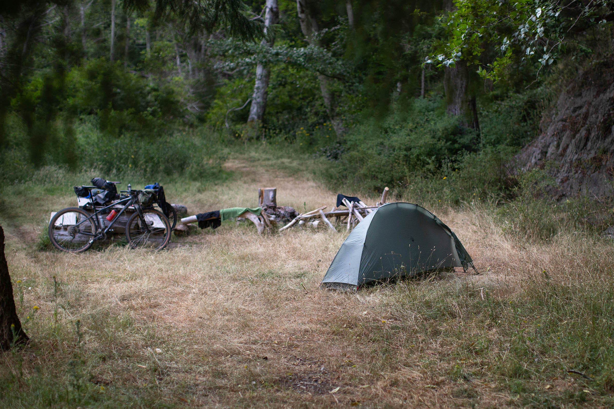
Camping
Food/H2O
Resources
- There are no bears on Texada Island, just lots and lots of deer.
- Oceanside camping at Anderson Bay and the grueling climb back out.
- Swimming and fishing at Bob’s Lake.
- Beautiful rolling gravel roads, punchy steep climbs, and loads of elevation.
- Tack it onto the 10 Lakes Overnighter route in Powell River for an excellent gravel epic.
- There is active logging on Texada Island. Don’t listen to music while riding, listen for large trucks, and get off the road for work vehicles.
- The route is best ridden clockwise.
- Although there are no bears or other predatory animals, there are wild aniamls and birds that will snatch your food if you leave it around at camp. Be smart and always #LeaveNoTrace.
- The route can be ridden in the spring, summer, and fall. There is often impassable snow in the higher elevation areas from November through March.
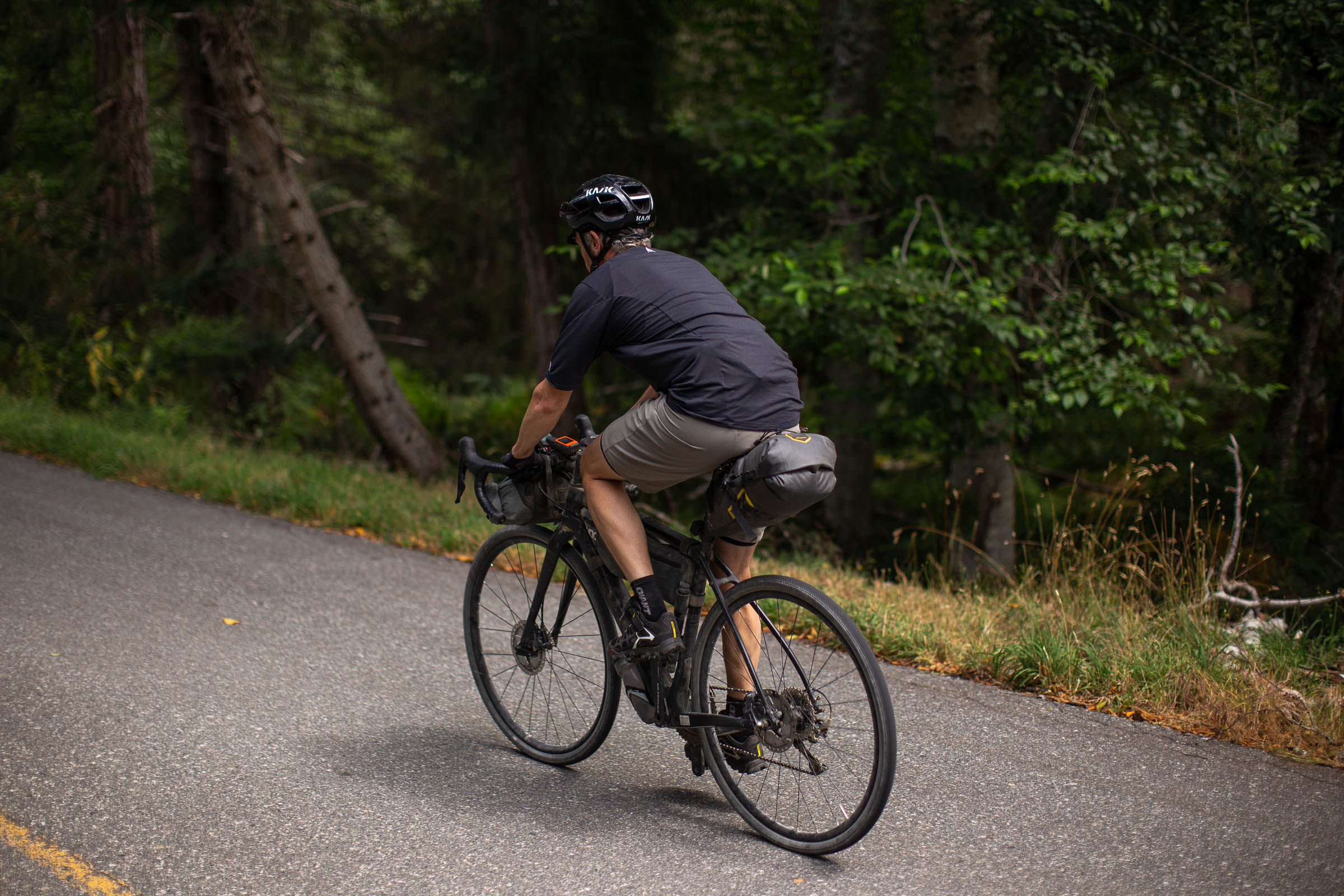
- A gravel or rigid mountain bike is perfect for the route. With the exception of the descent into Anderson Bay, and a few others, the roads are smooth and fairly well maintained.
- There is cell service along the route, but it is spotty and unreliable. Be prepared with extra food and water, as well as a proper repair kit, and the knowledge and tools to fix a flat and make simple repairs.
- You can leave a car in Powell River in the gravel lot just south of Willingdon Beach or there is paid parking just next to the ferry terminal downtown.
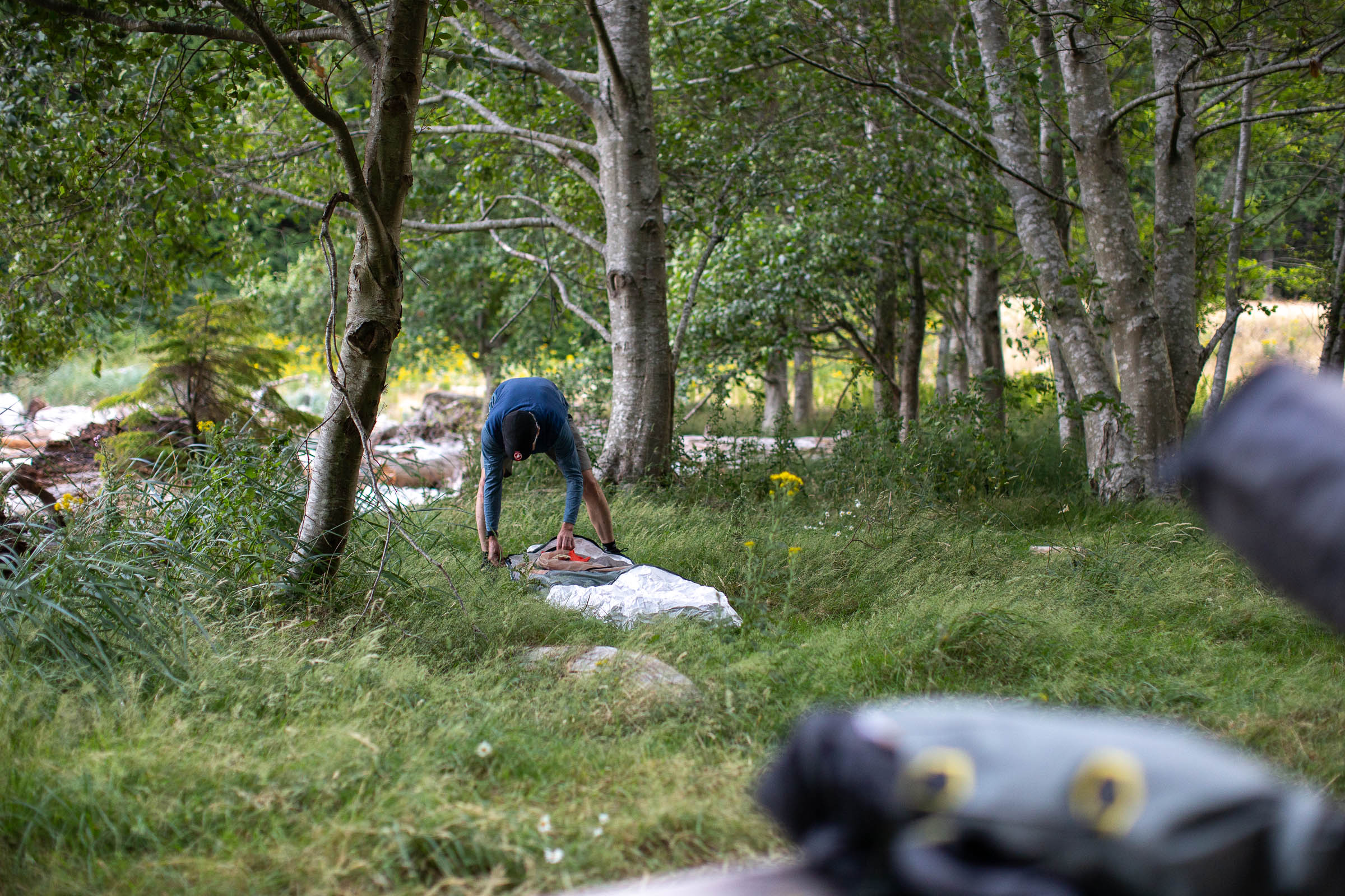
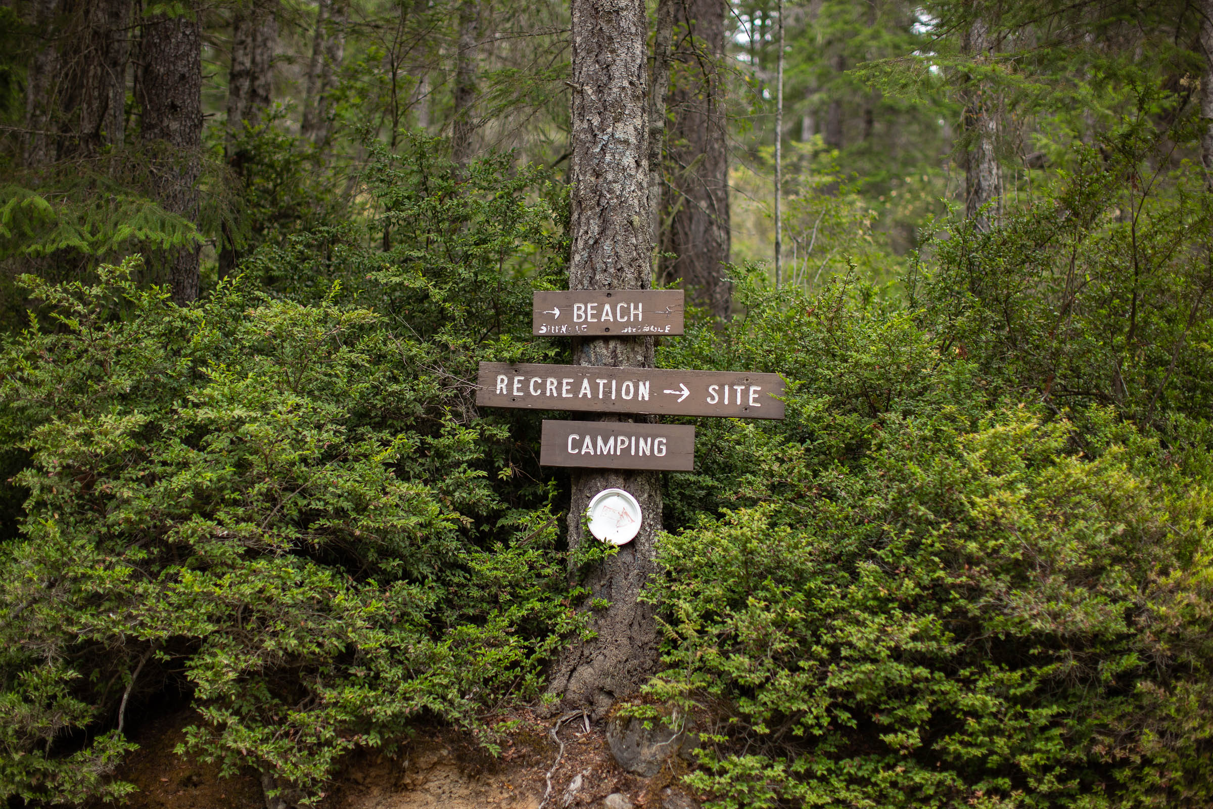
- Bob’s Lake rec site and Anderson Bay are both great places to camp. Shingle Beach and Shelter Point are also quite nice but much more popular.
- The majority of land on the north end of the island is privately owned, so wild camping should be avoided. There are some great informal spots past Bob’s Lake if the rec site is full.
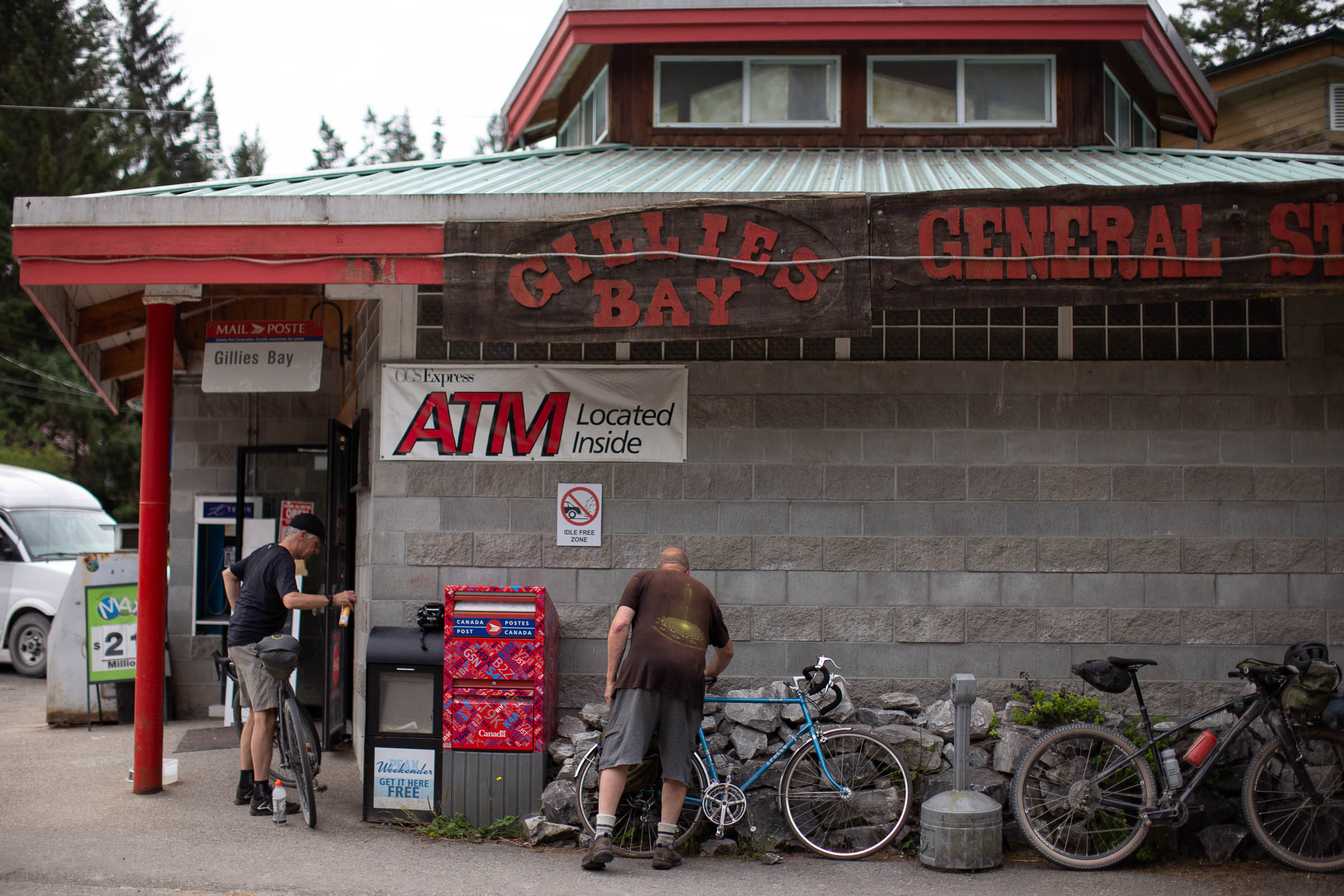
- There are small markets and convenience stores in Van Anda and Gillies Bay.
- There are bigger grocery stores and specialty stores in Powell River before the ferry over.
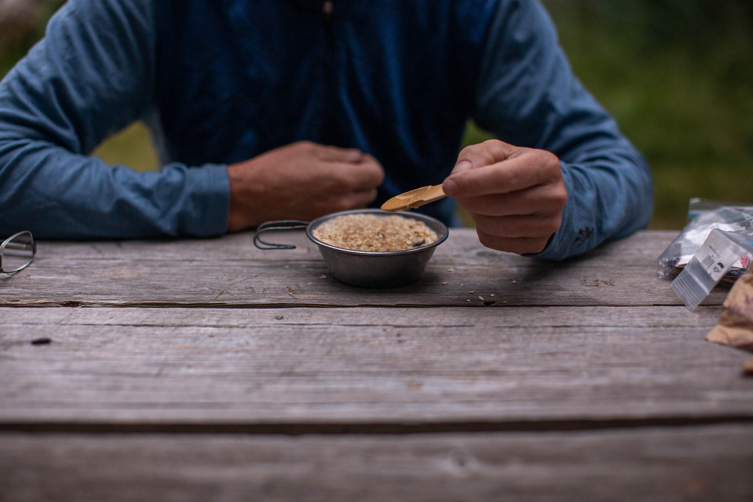
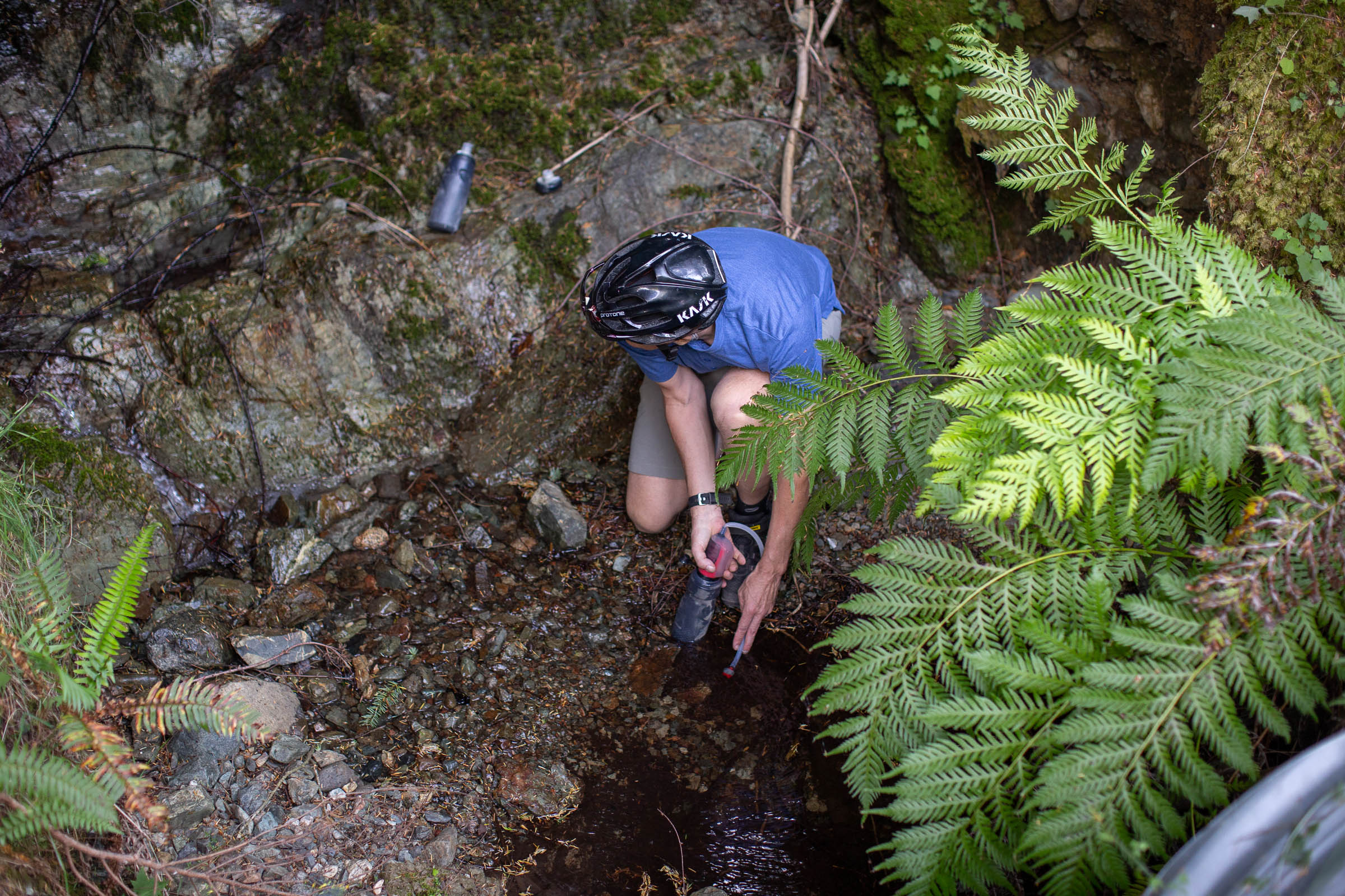
- There are several streams and small creeks to filter water from, including Anderson Bay and Bob’s Lake. It’s advised to carry 2-3 liters of water, especially in the dry summer months. The ride up to Bob’s Lake is often quite dry, with no water access before the lake.


Terms of Use: As with each bikepacking route guide published on BIKEPACKING.com, should you choose to cycle this route, do so at your own risk. Prior to setting out check current local weather, conditions, and land/road closures. While riding, obey all public and private land use restrictions and rules, carry proper safety and navigational equipment, and of course, follow the #leavenotrace guidelines. The information found herein is simply a planning resource to be used as a point of inspiration in conjunction with your own due-diligence. In spite of the fact that this route, associated GPS track (GPX and maps), and all route guidelines were prepared under diligent research by the specified contributor and/or contributors, the accuracy of such and judgement of the author is not guaranteed. BIKEPACKING.com LLC, its partners, associates, and contributors are in no way liable for personal injury, damage to personal property, or any other such situation that might happen to individual riders cycling or following this route.
Please keep the conversation civil, constructive, and inclusive, or your comment will be removed.