


10 Lakes Overnighter, Powell River
Distance
64 Mi.
(103 KM)Days
1-2
% Unpaved
90%
% Singletrack
0%
% Rideable (time)
100%
Total Ascent
6,298'
(1,920 M)High Point
1,197'
(365 M)Difficulty (1-10)
3?
- 6Climbing Scale Moderate98 FT/MI (19 M/KM)
- -Technical Difficulty
- -Physical Demand
- -Resupply & Logistics
Contributed By

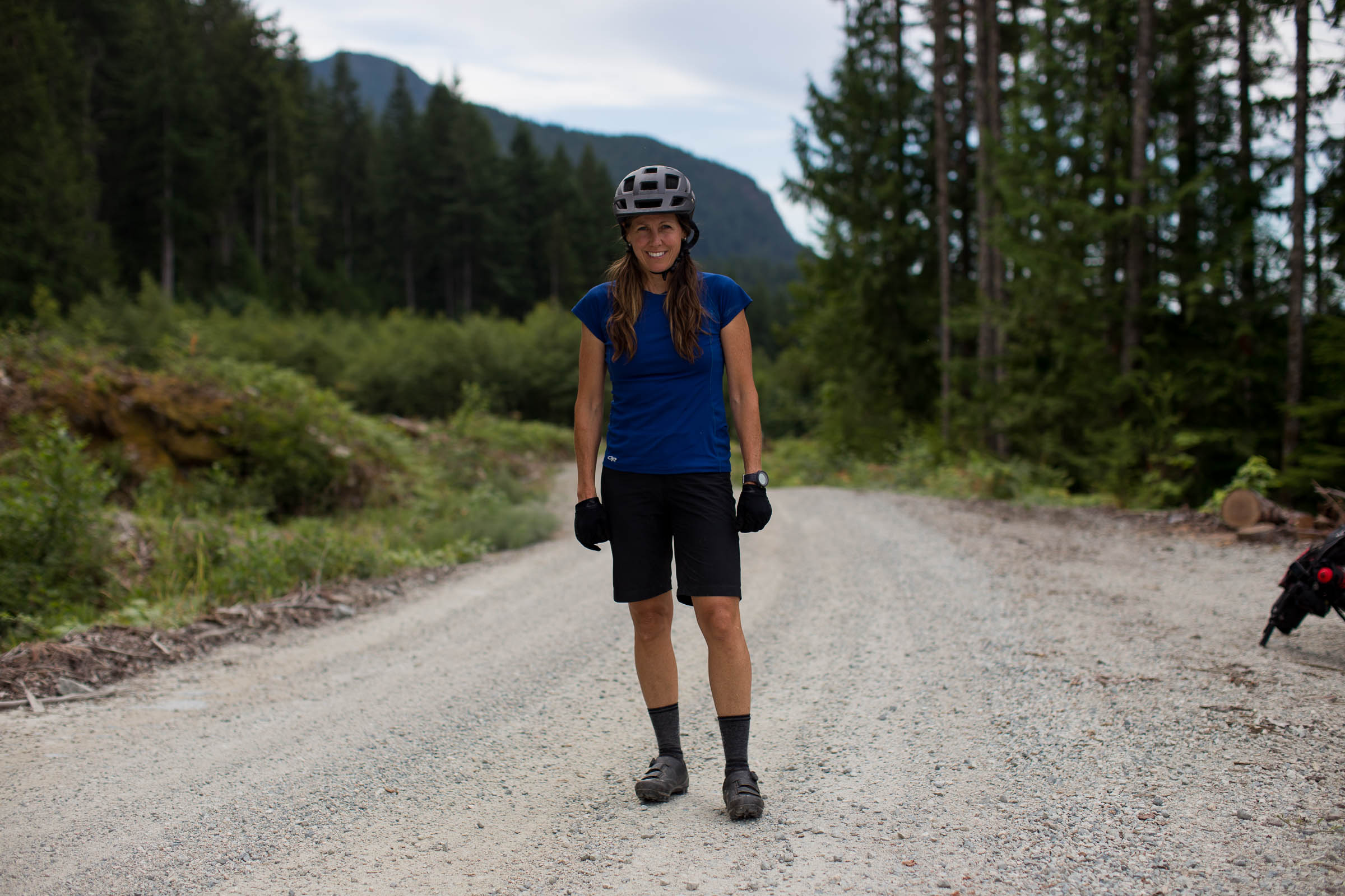
Natalie Jones
Guest Contributor
Natalie has mountain biked throughout the United States, Thailand, Mexico, Peru, Europe, and Canada. She’s been a women’s mountain bike instructor for over 10 years, and grew up working alongside her father in the forest, where she feels most at home. She was introduced to bikepacking after combining her love for mountaineering and biking.
Photos and additional logistics by Miles Arbour
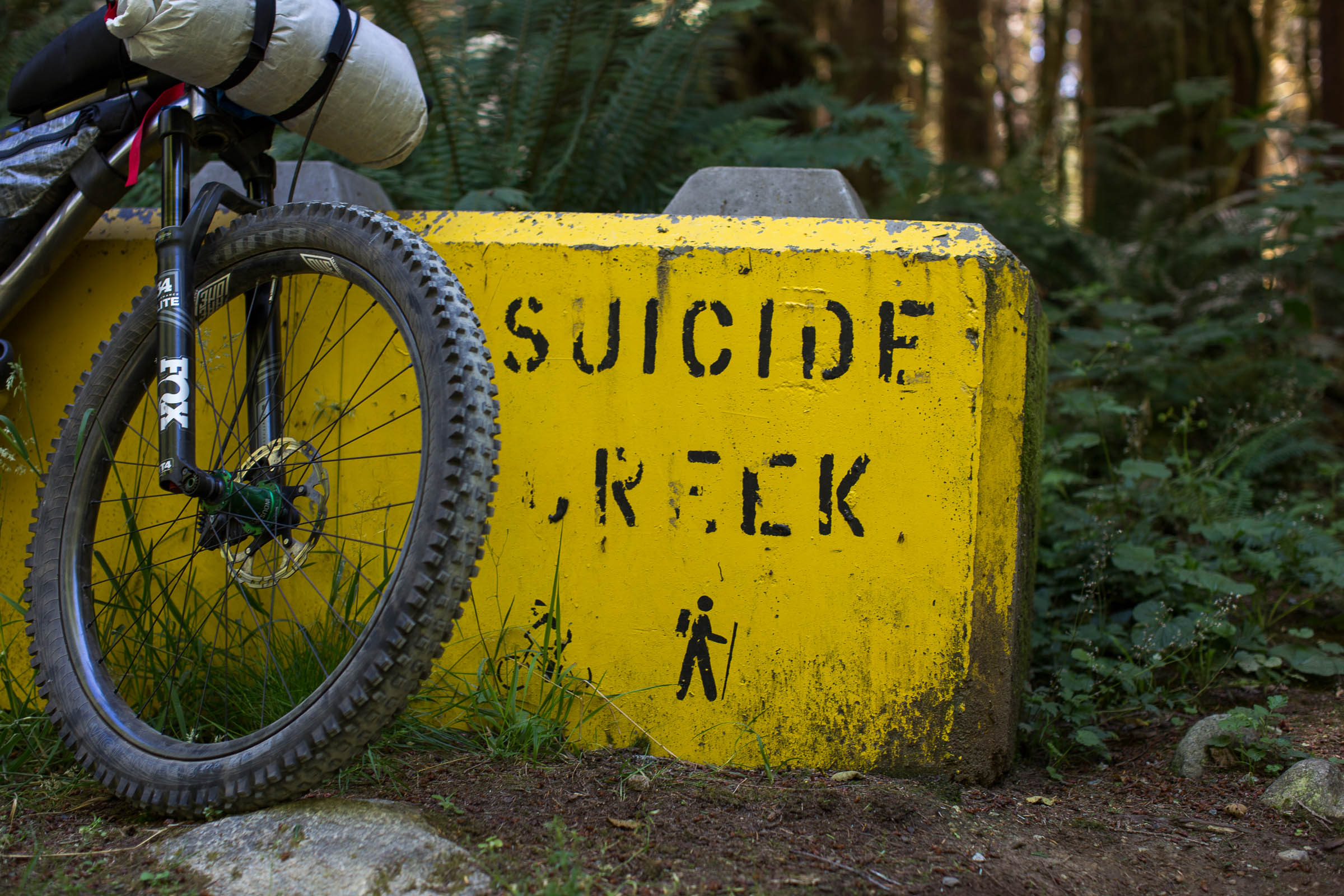
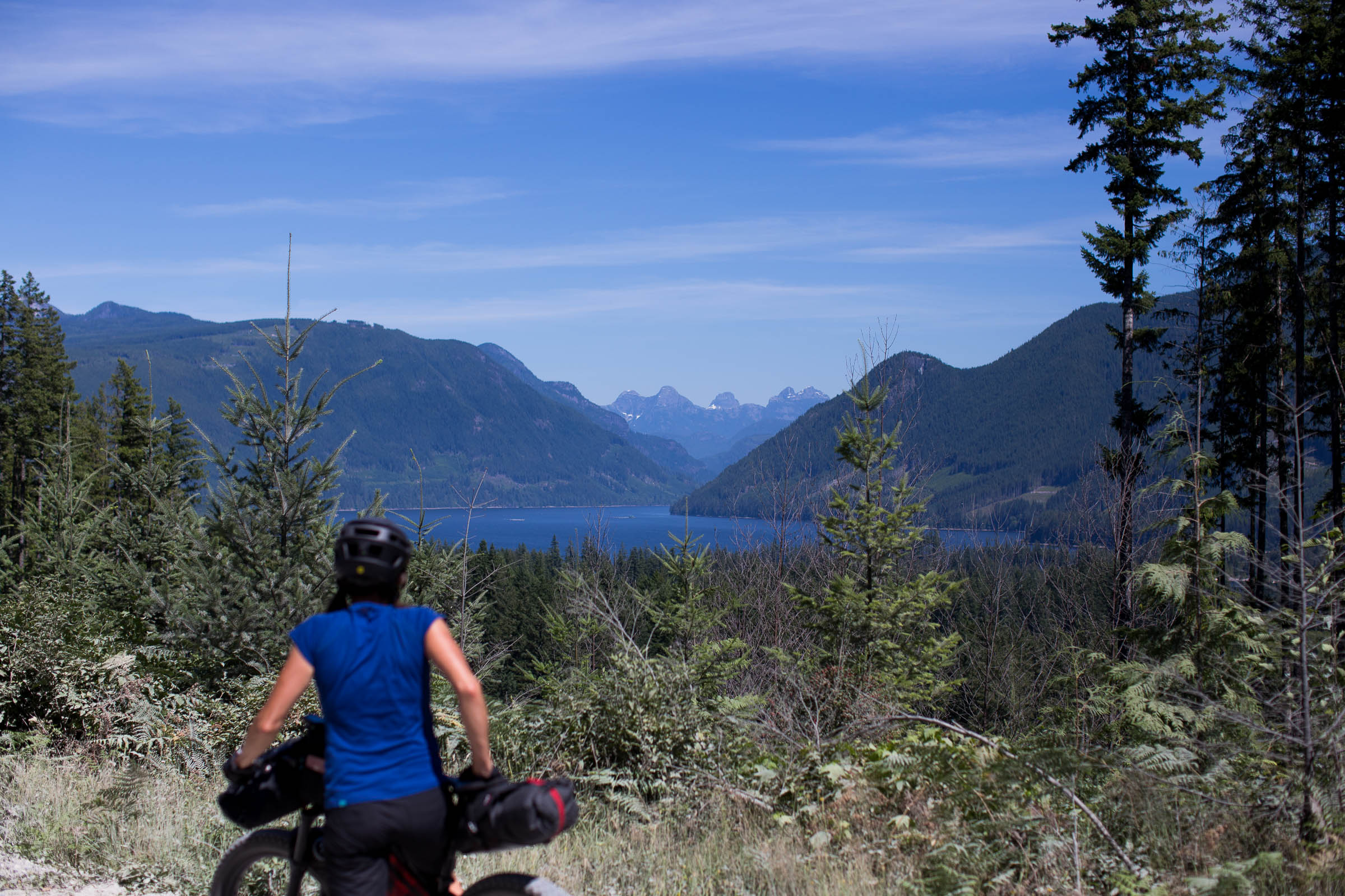
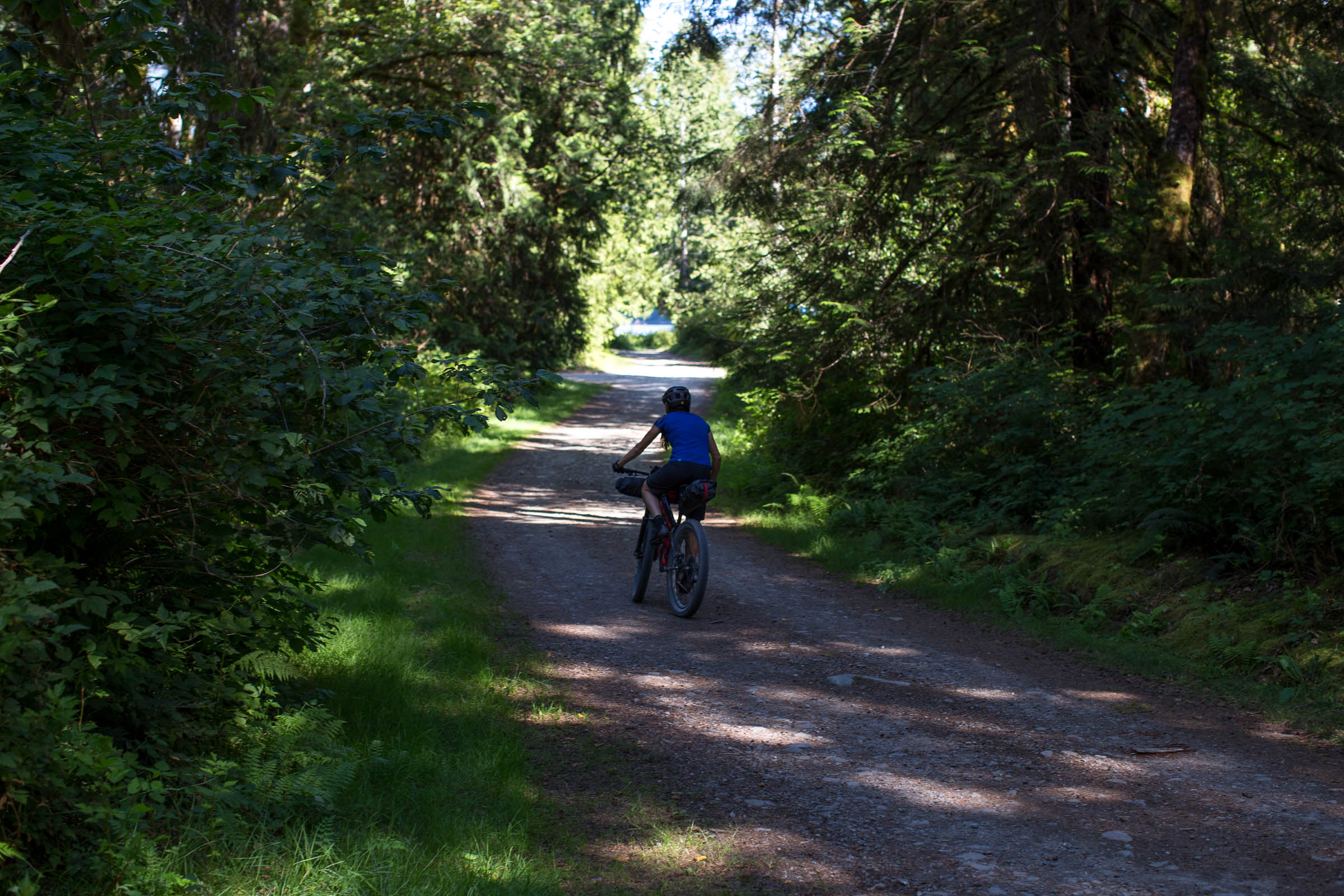
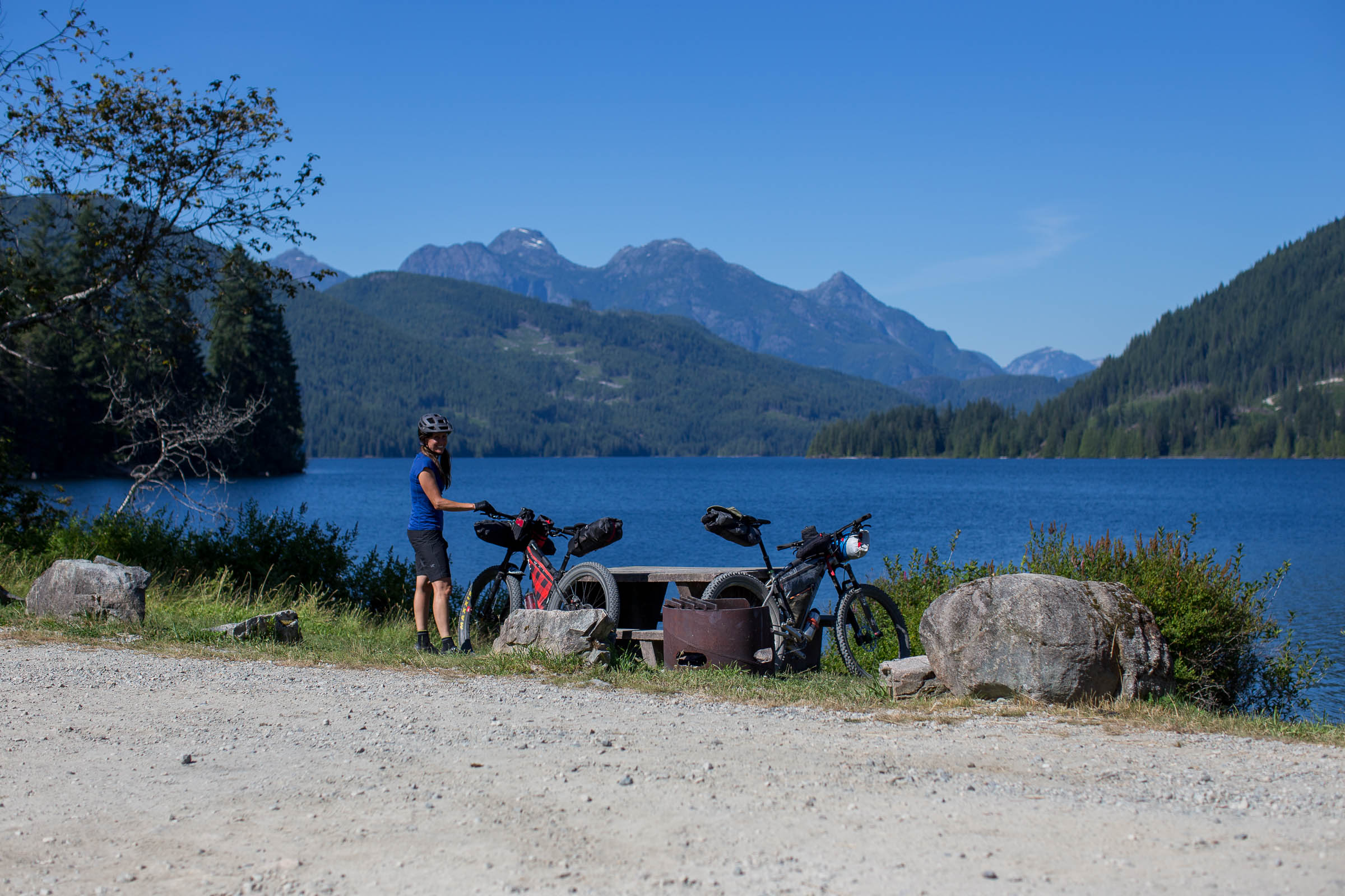
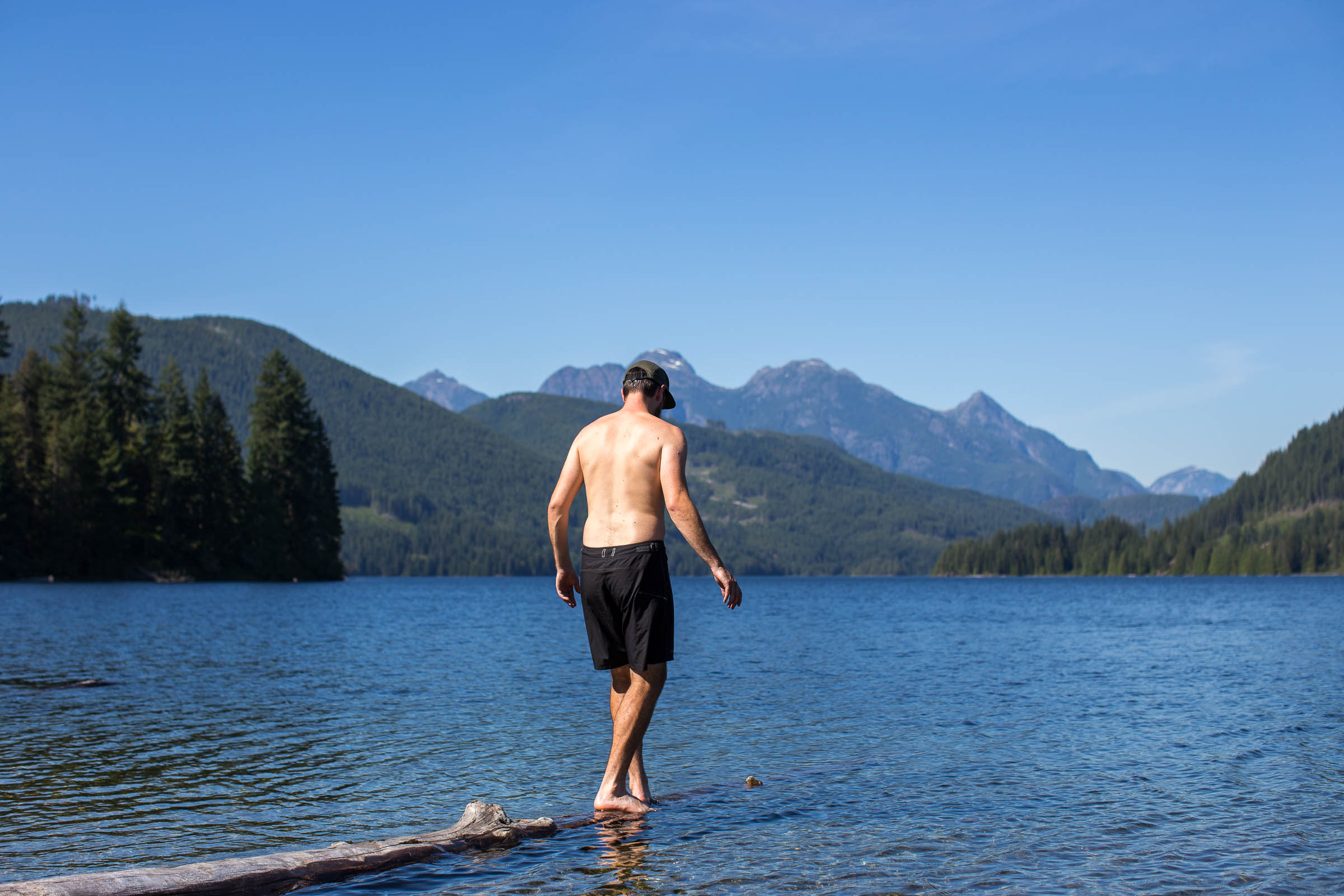
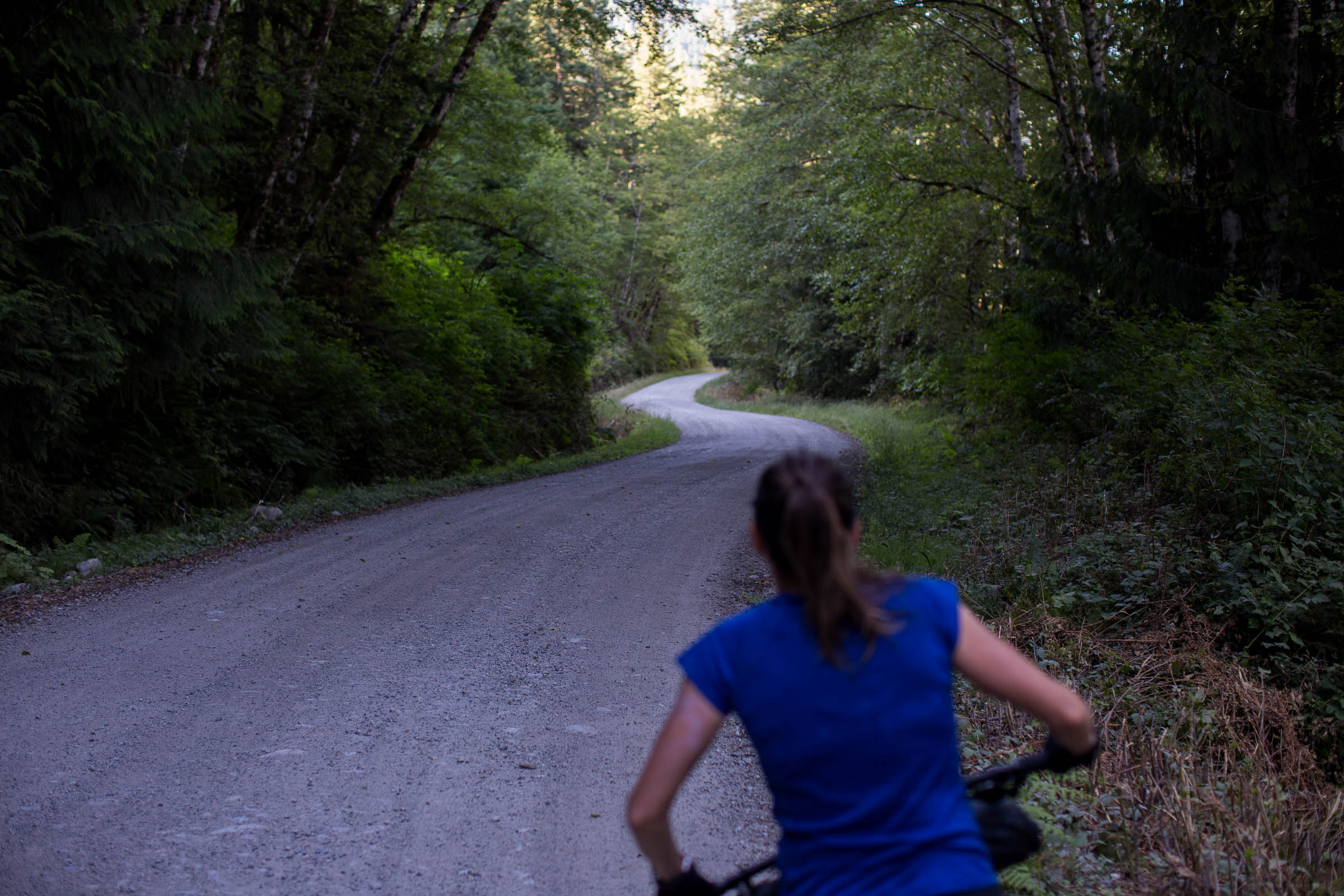
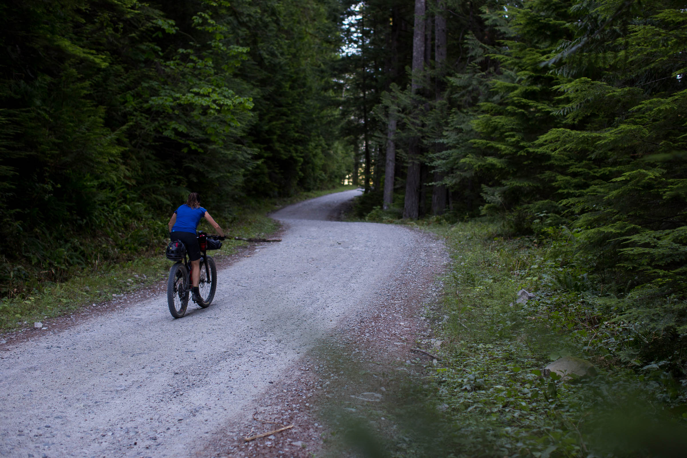
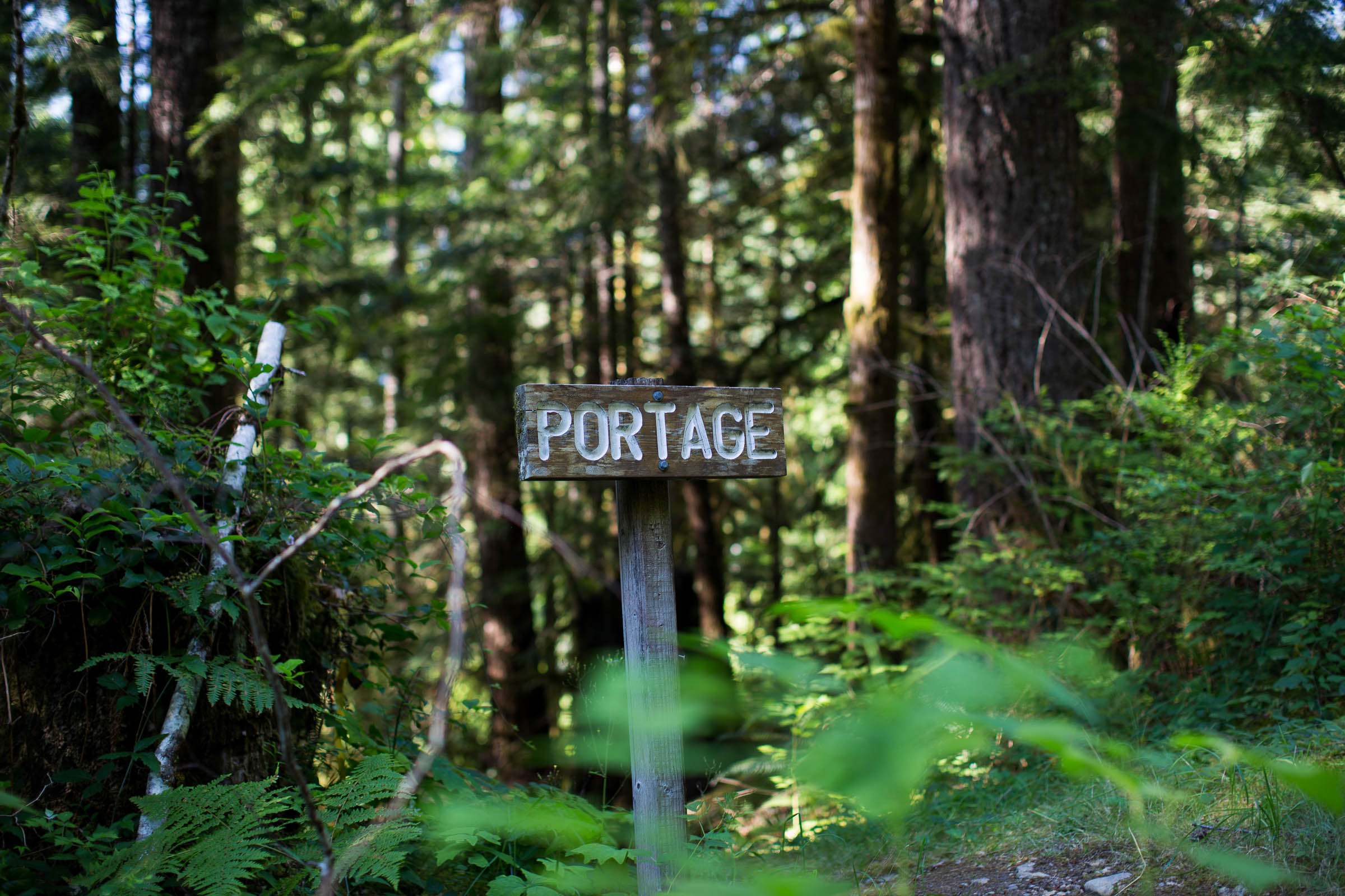
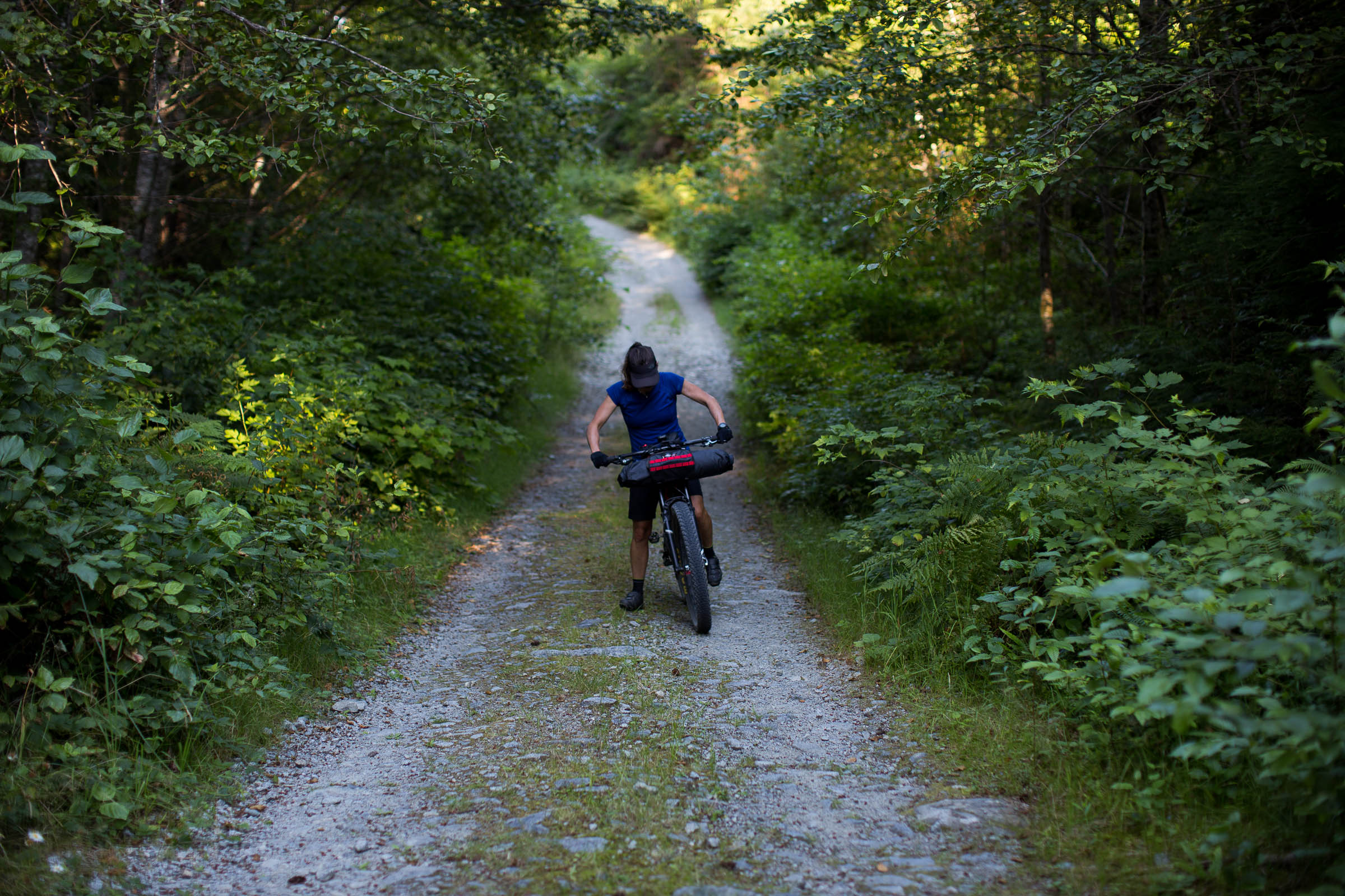
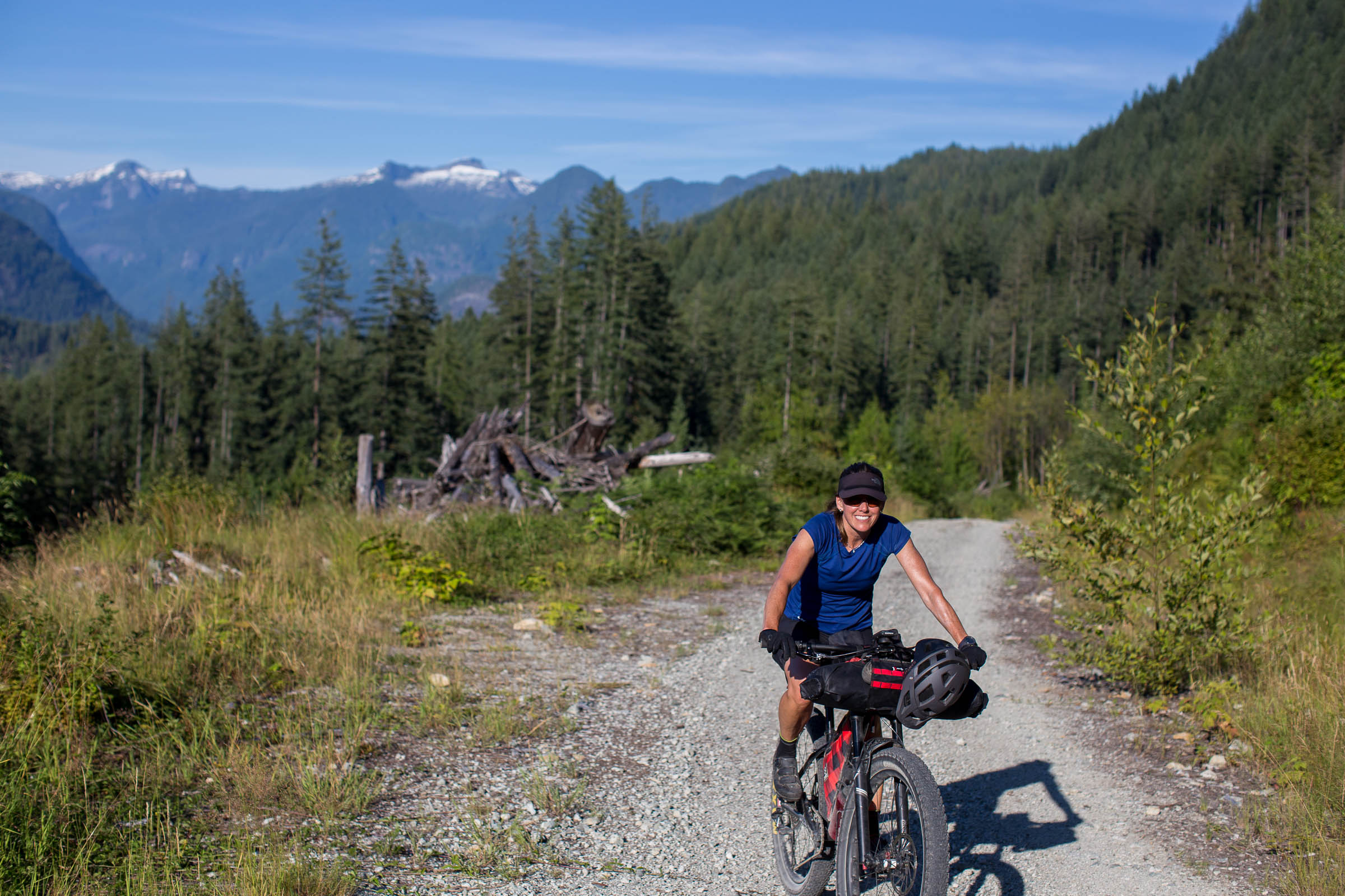
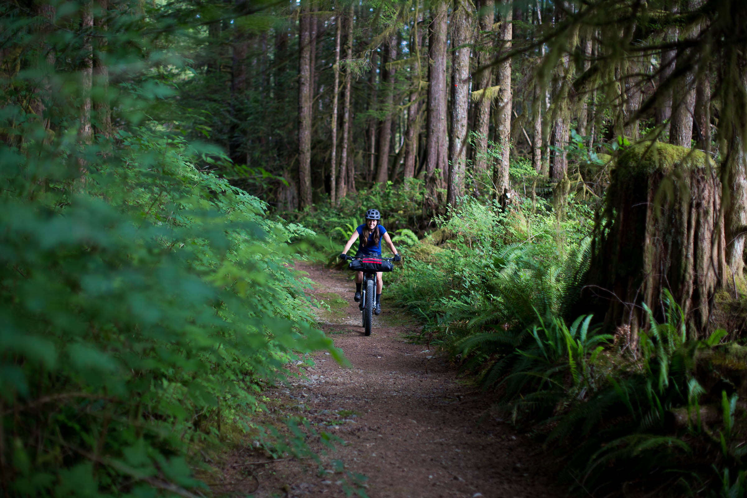
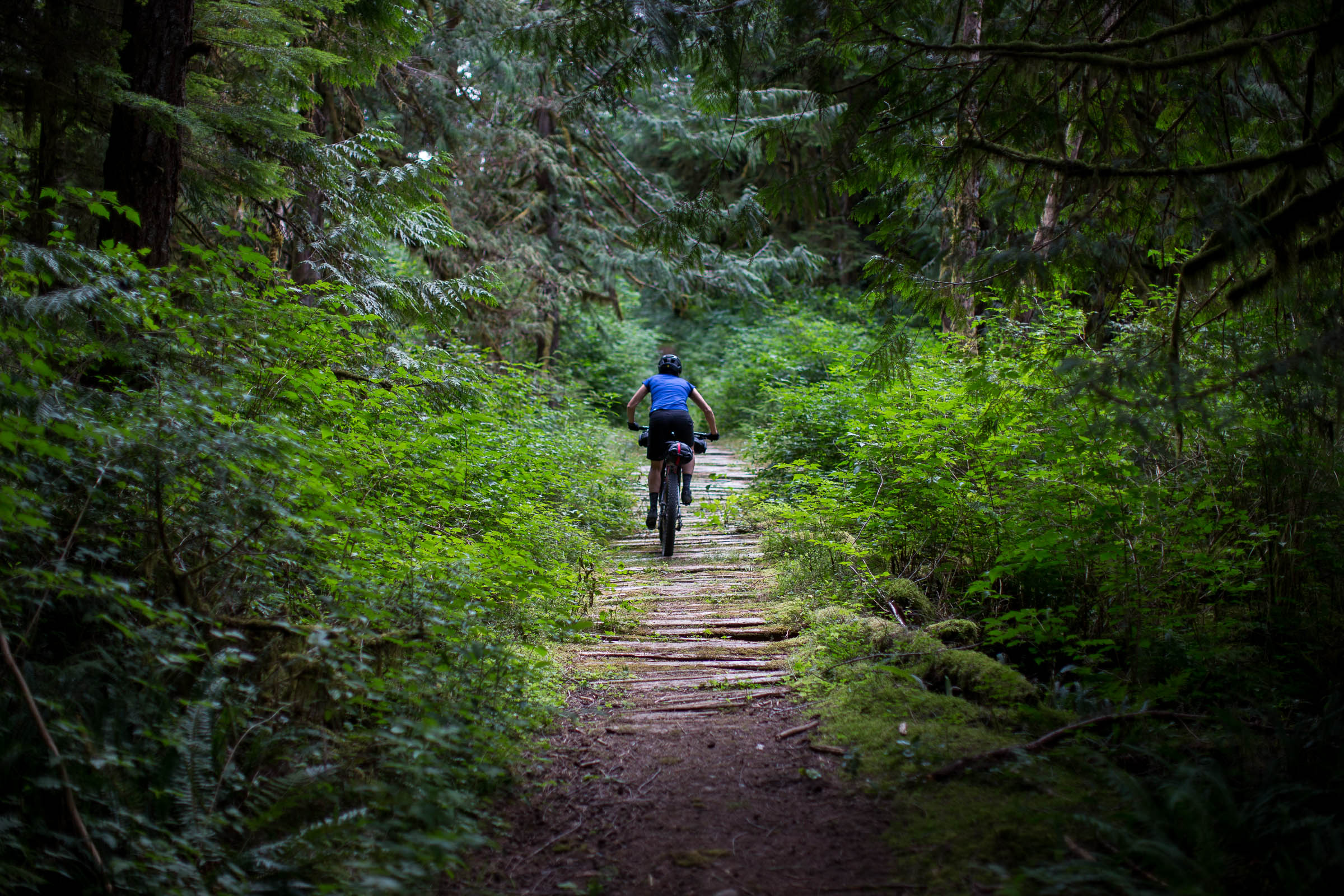
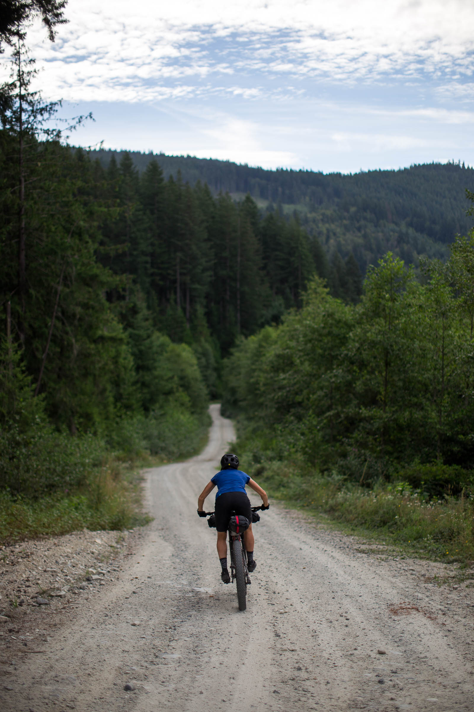
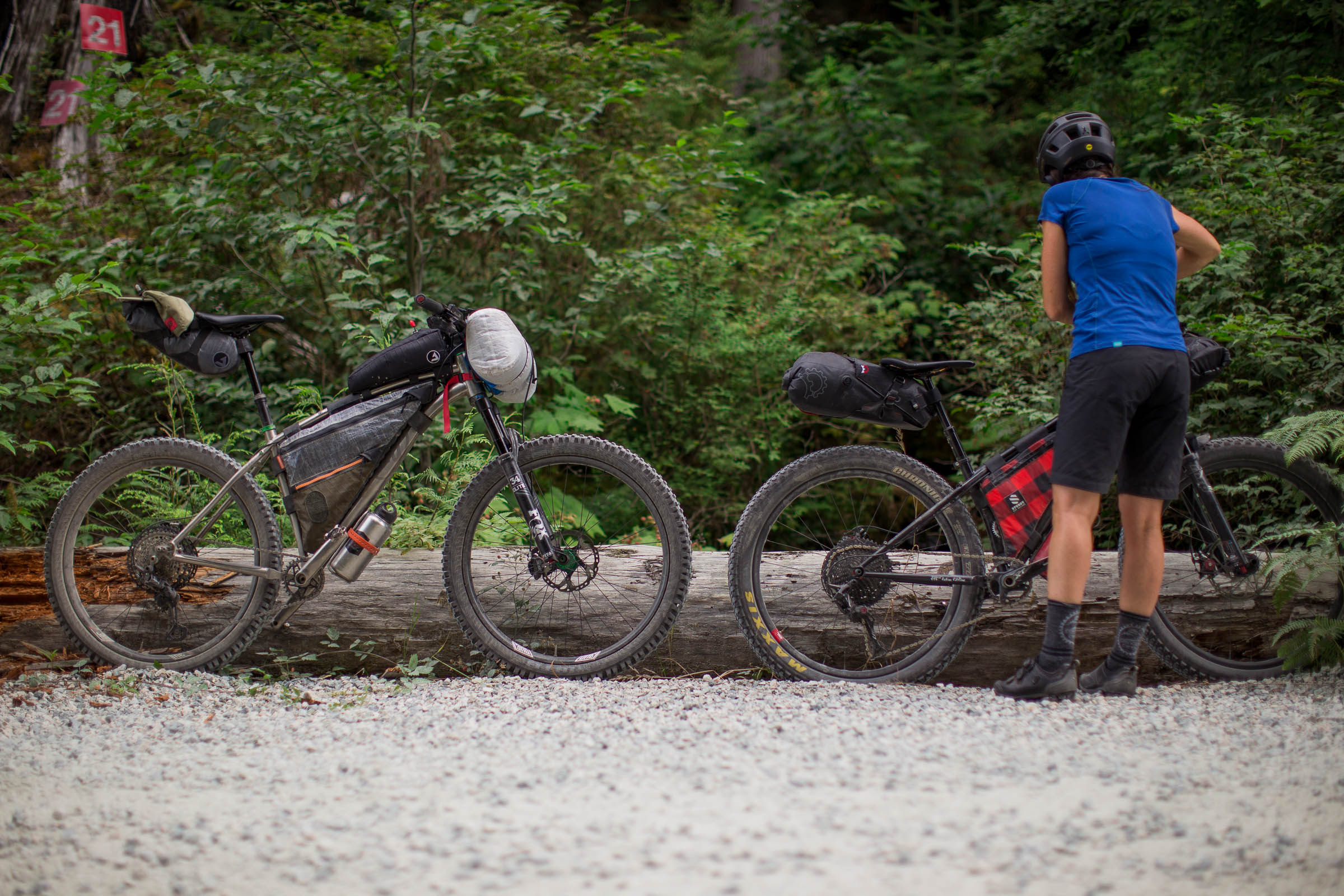
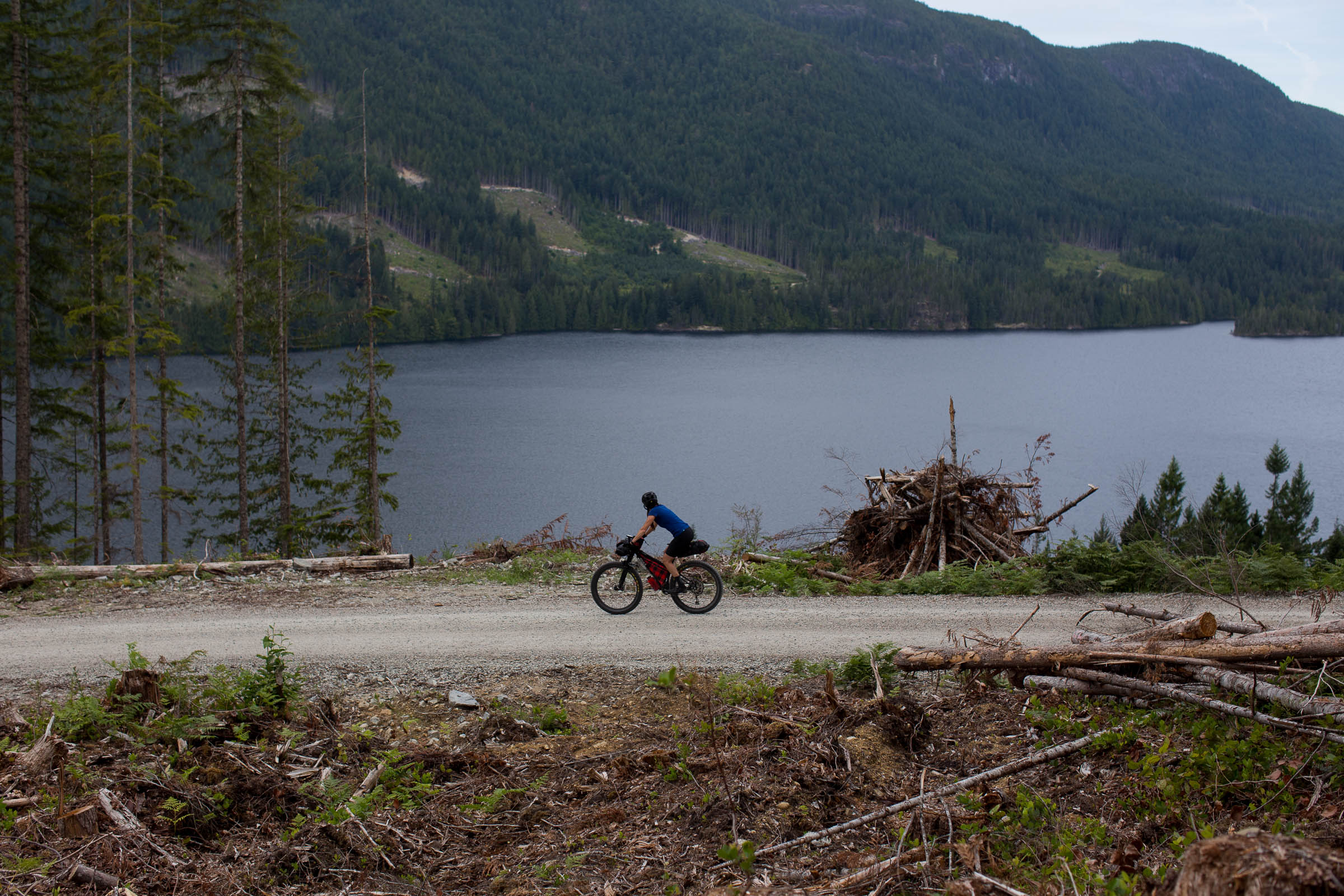
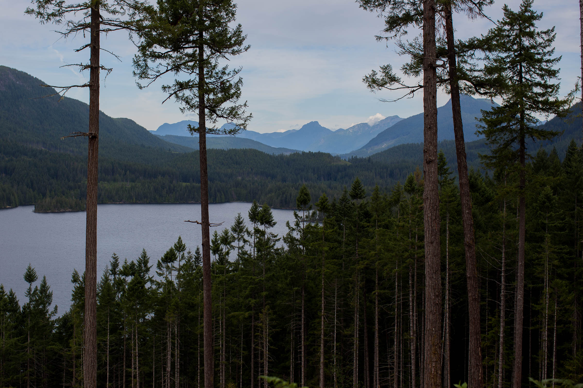
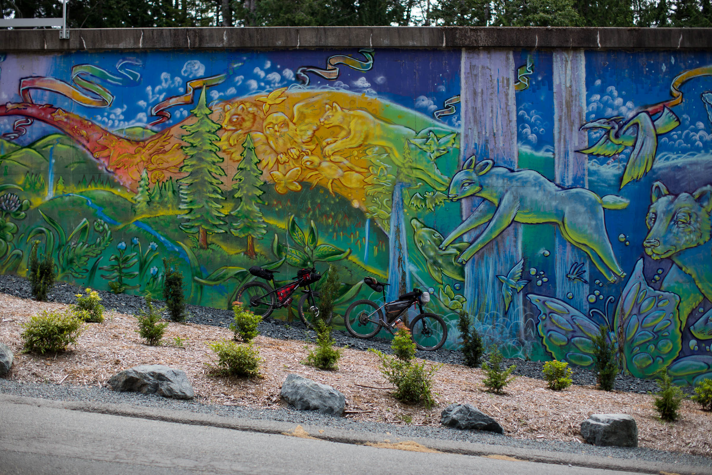
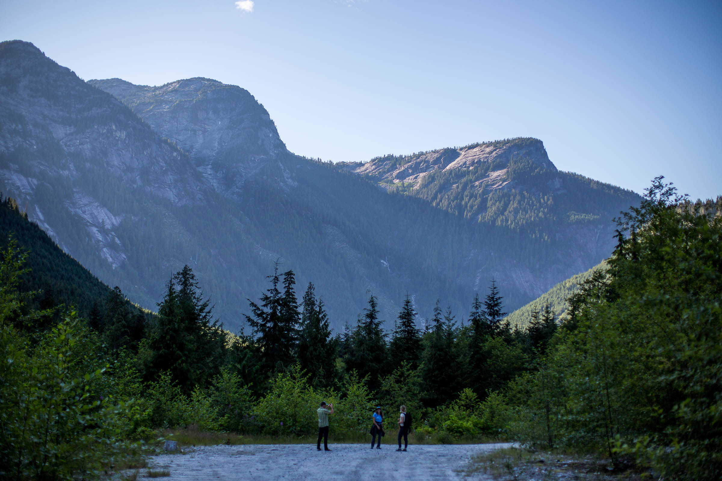
The 10 Lakes Overnighter is a scenic 103km gravel loop that starts and ends in downtown Powell River, British Columbia. The majority of the route is characterized by fast-rolling gravel roads that circumnavigate the Smith Range, passing by a total of 10 different freshwater lakes, providing fantastic swimming, fishing, and camping opportunities along the way. The route loosely follows the Powell Forest Canoe Route, a 57km paddling route that is one of the top-rated canoe routes in the province. There are a few portages that cross the roads this route follows, and if you’re lucky you might cross paths with paddlers tackling the trip or hikers out on the Sunshine Coast Hiking Trail.
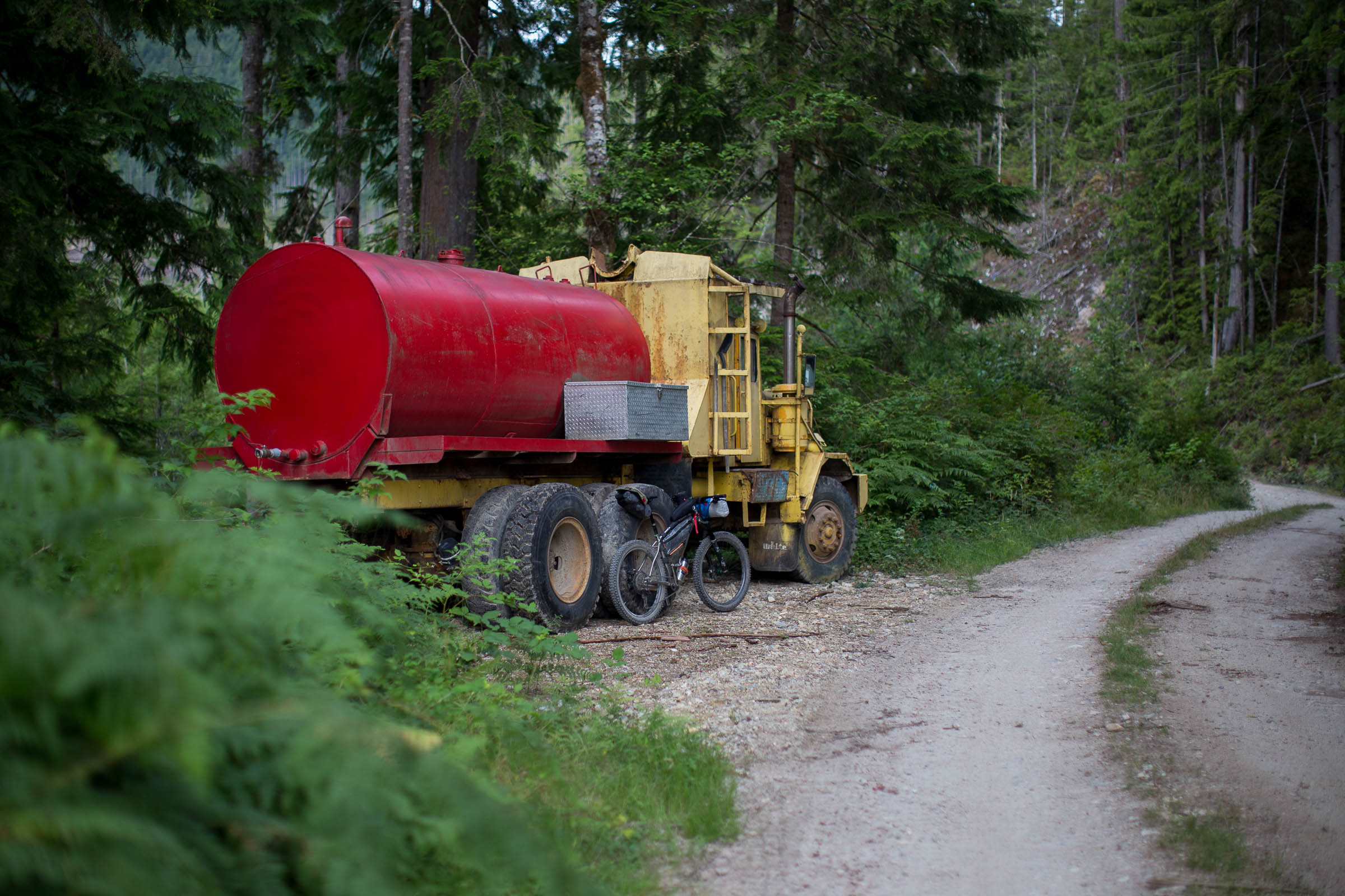
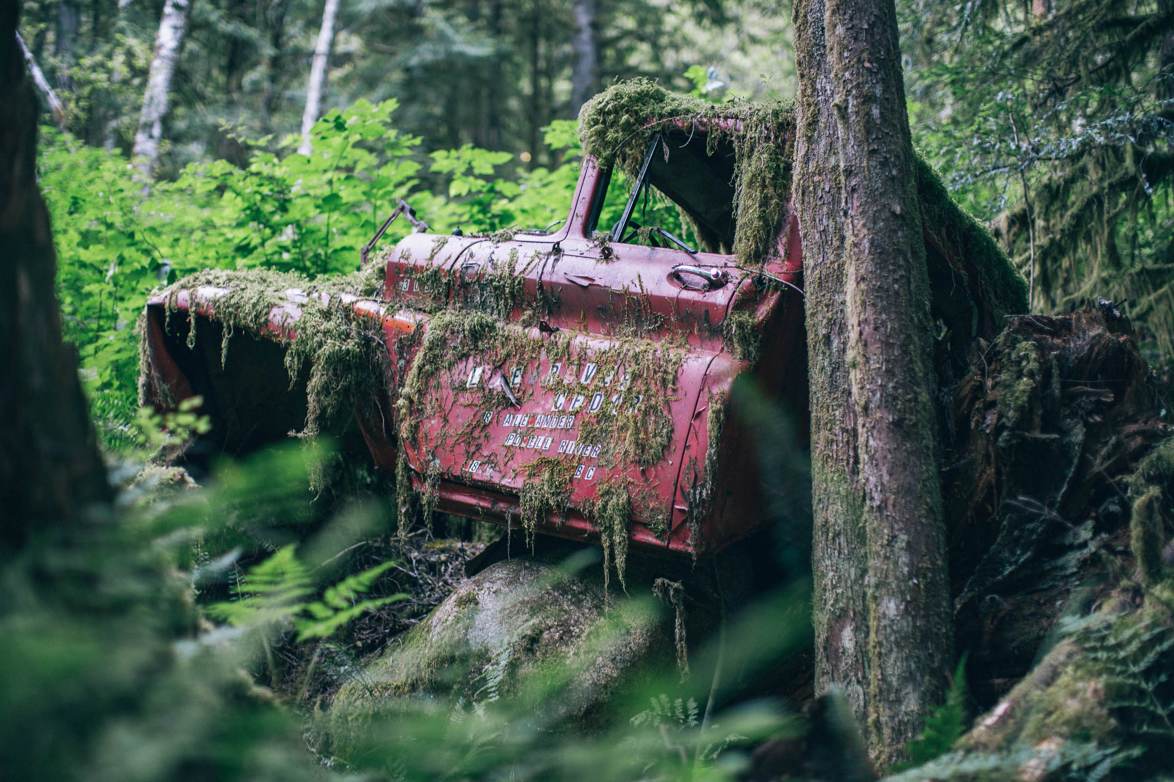
Logging in Powell River has been a controversial topic for some time. On one hand, technological advances and increased demand for timber has allowed logging companies to push further out into areas that had previously been left untouched, including the precious old-growth forests of the Eldred Valley. On the other hand, these commercial pursuits can be thanked for some of the most epic gravel roads and access to more remote backcountry adventures in British Columbia, including routes like The 10 Lakes Overnighter. The need to preserve endangered old-growth forests juxtaposed with the reality of what got us to these places in the first place is a conversation bikepackers should be a part of. Visit AncientForestAlliance.org to see what’s happening in BC and how you can get involved. It is important to know that the majority of this route travels on radio controlled Resource Roads, which see frequent oversized logging trucks on them and require special attention for those looking to ride the 10 Lakes Overnighter. See the Must Know section below for more details.
Experienced rock climbers will be interested to know that the route can be extended via an out and back into the Eldred Valley along Elred Valley Road. This extension provides access to the Colin Arthur Dionne Memorial Climbers Camp and soaring granite walls, some nearly 900m tall. See Trail Notes below for more details.
Difficulty
The route follows gravel roads and non-technical doubletrack, both of which are easy to navigate. The vast majority of these roads are maintained and flowy, with only a handful of steep and challenging climbs. The northern section of the loop, between Goat Lake and Fiddlehead Cabin, sees far less vehicles and is narrower and rougher, but is still manageable for less experienced riders. An easy way to spread the route out over two nights is to camp at Nanton Lake on the first night and Fiddlehead Cabin on the second. In the summer, the roads are often loose and chunky, and see much more traffic. During these conditions, the route could easily receive a 6 out of 10 difficulty rating.
Route Development: The loop the route follows is a favourite amongst the local gravel enthusiasts, often ridden in a single day as part of epic training rides. The proximity to the Sunshine Coast Hiking Trail, Powell River Forest Canoe Route, and numerous lakes makes it a great introduction to other outdoor pursuits that are available so close to town. For sake of convenience, the route starts and ends at Willingdon Beach Park, which also happens to be the finish for the more singletrack-heavy Powell River Sampler.


Submit Route Alert
As the leading creator and publisher of bikepacking routes, BIKEPACKING.com endeavors to maintain, improve, and advocate for our growing network of bikepacking routes all over the world. As such, our editorial team, route creators, and Route Stewards serve as mediators for route improvements and opportunities for connectivity, conservation, and community growth around these routes. To facilitate these efforts, we rely on our Bikepacking Collective and the greater bikepacking community to call attention to critical issues and opportunities that are discovered while riding these routes. If you have a vital issue or opportunity regarding this route that pertains to one of the subjects below, please let us know:
Highlights
Must Know
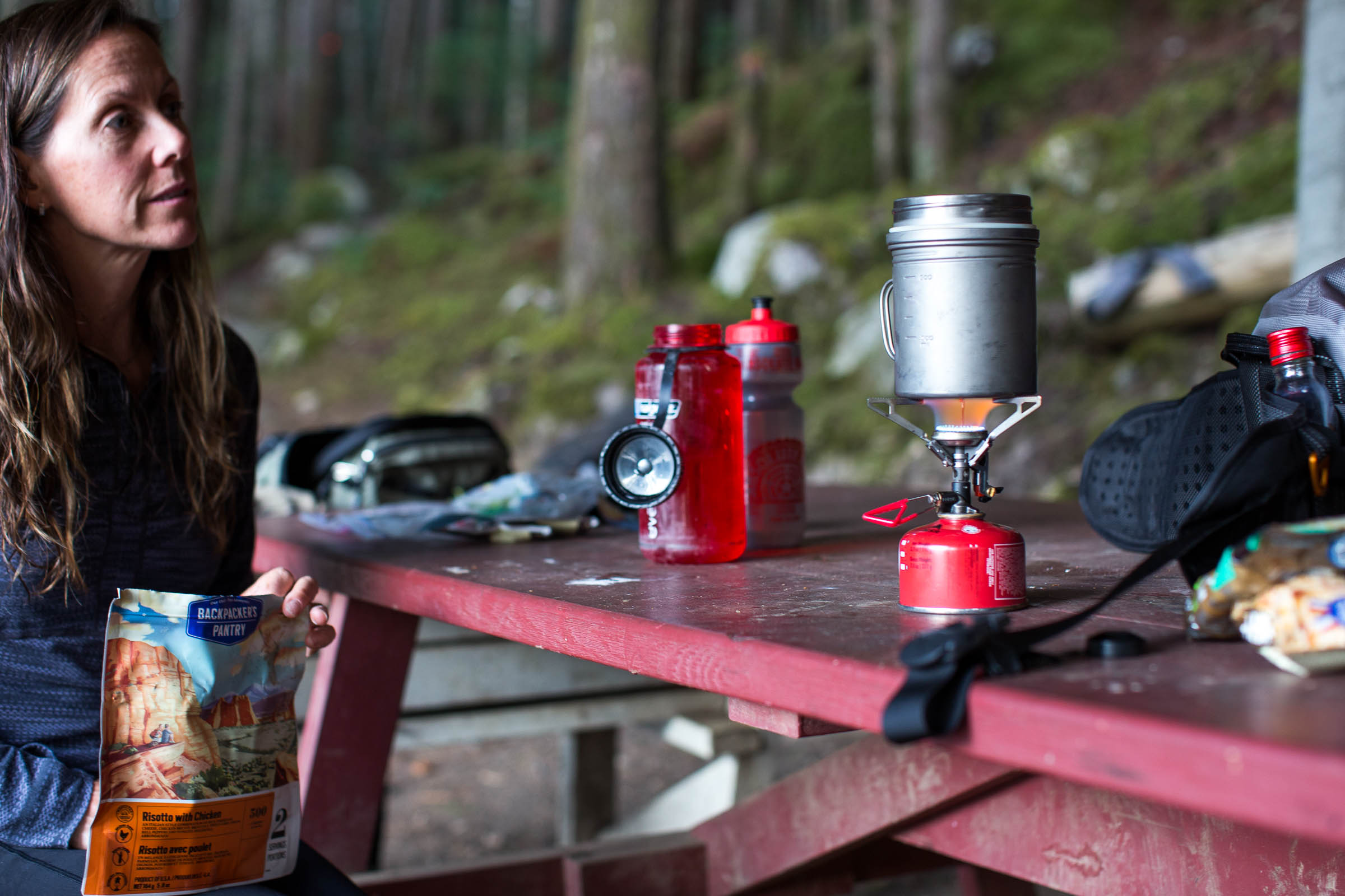
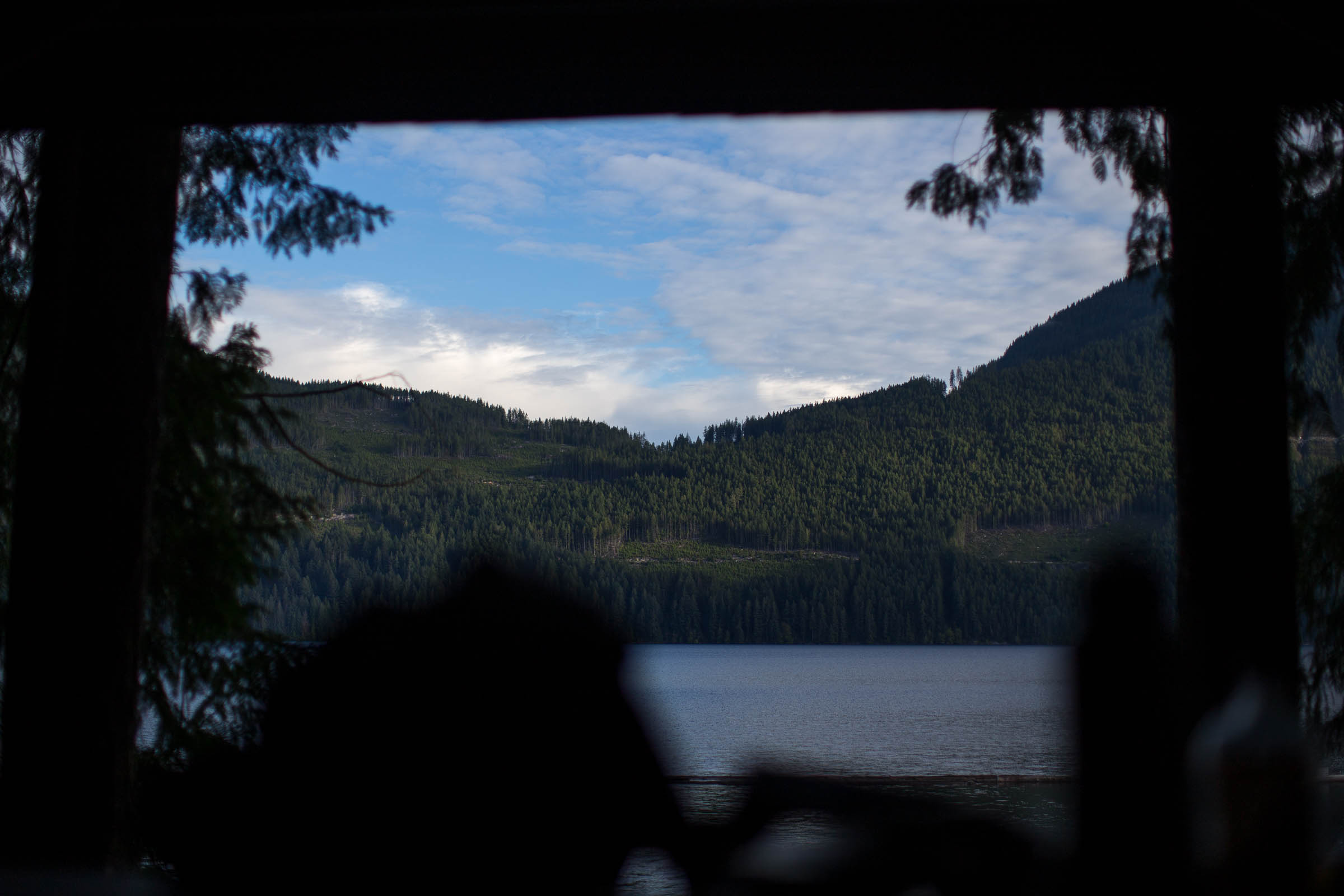
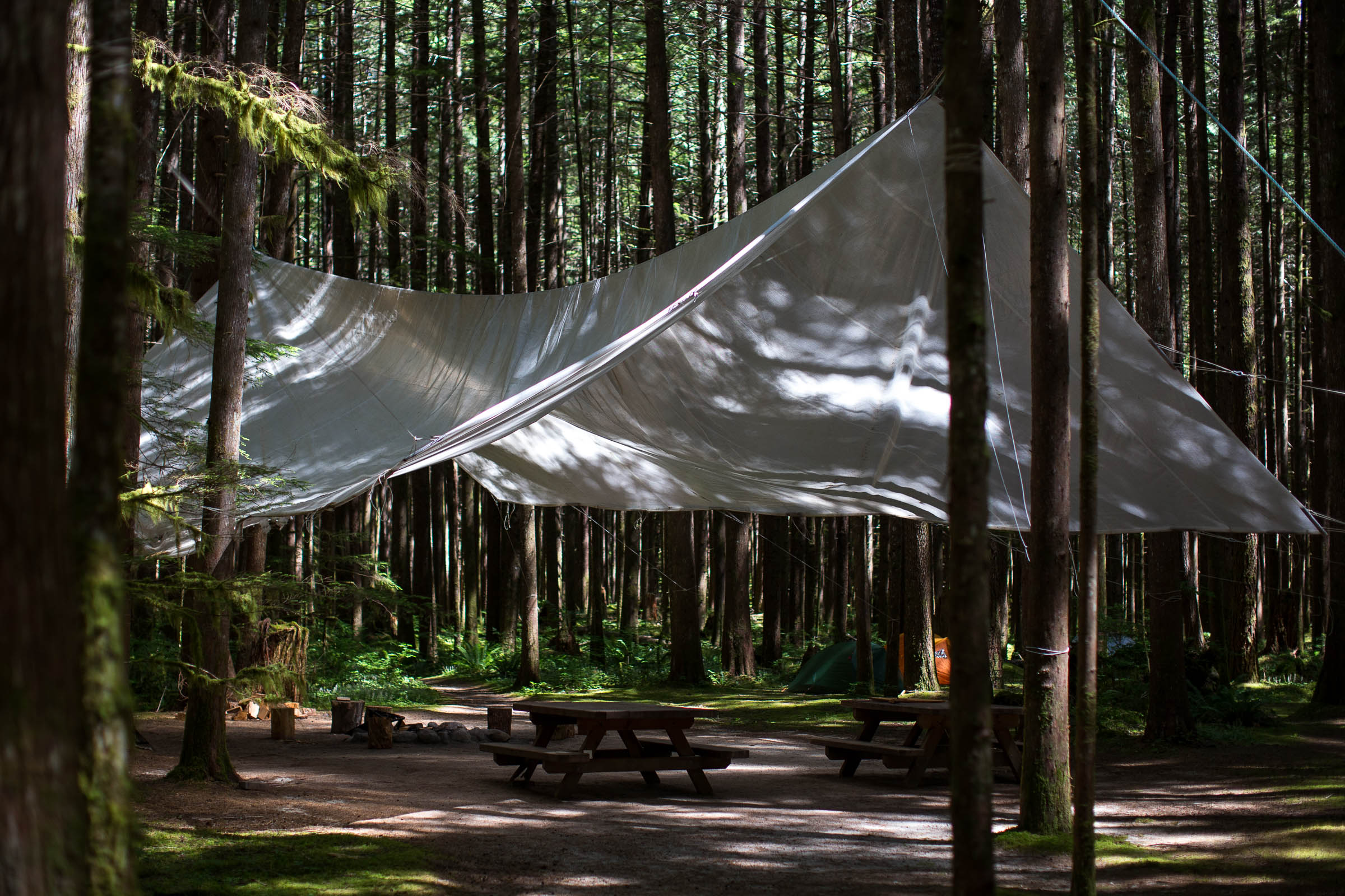
Camping
Food/H2O
Trail Notes
Resources
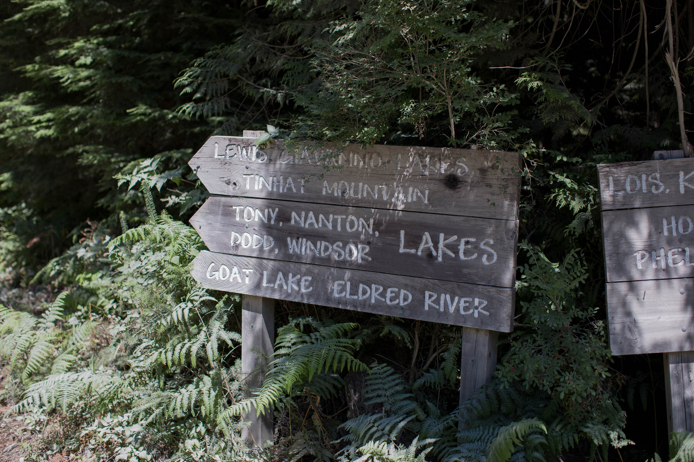
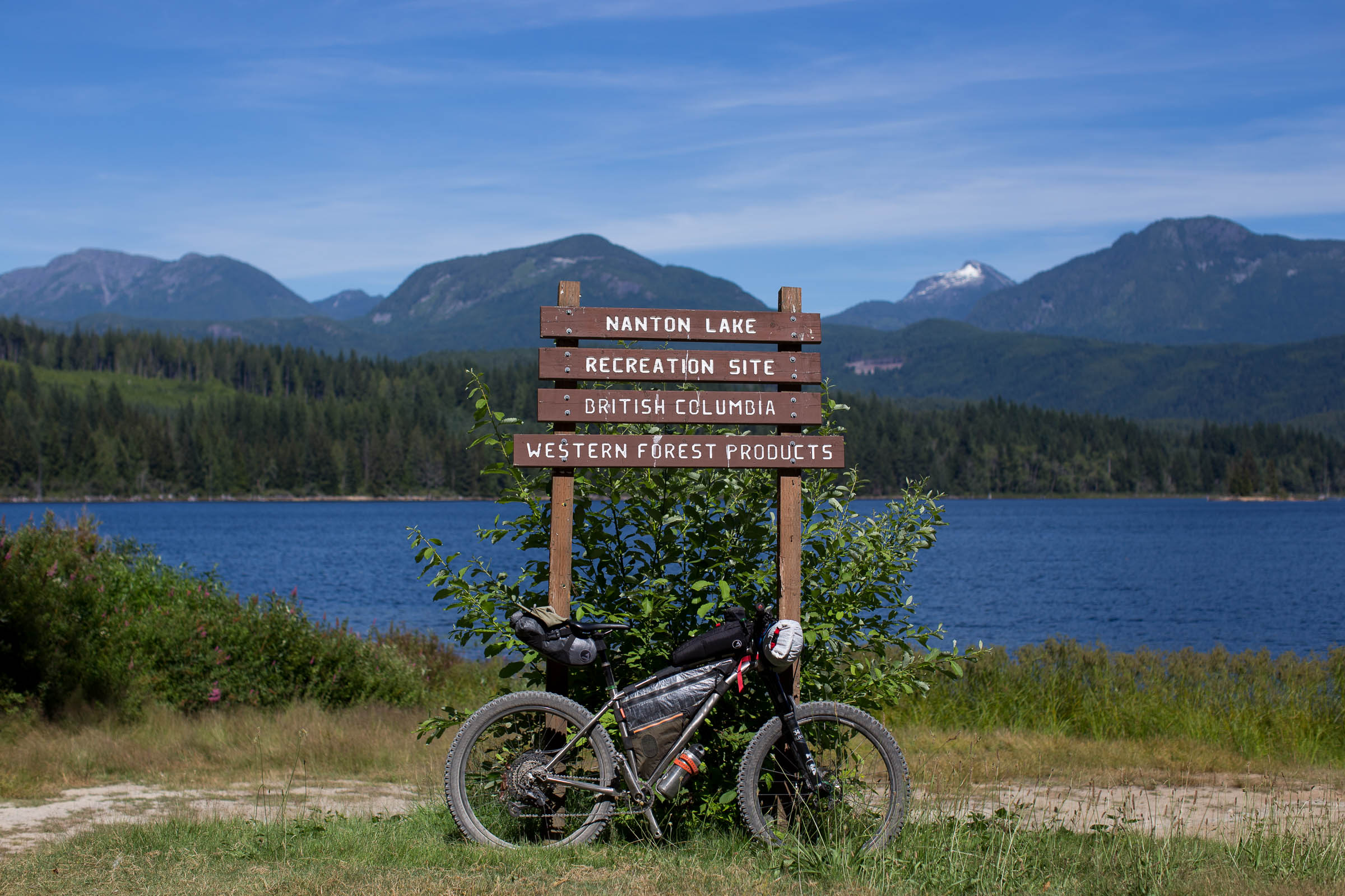
- Ten beautiful lakes that are easily accessed along the route.
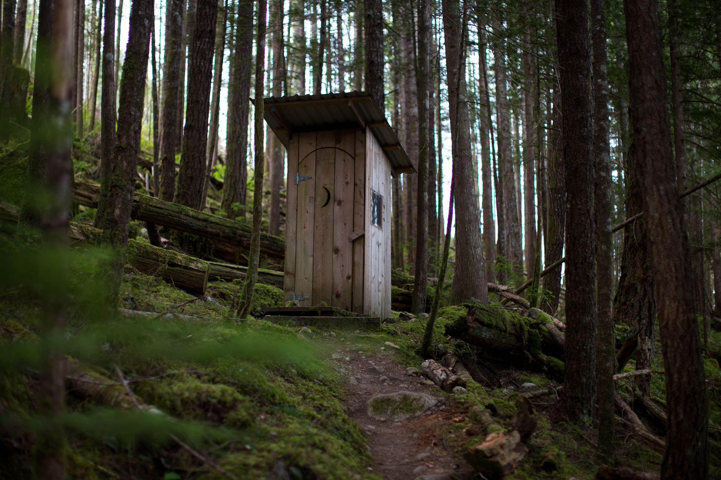
- Several free lakefront campsites are along this route with tables and pit toilets.
- This route can be ridden in one day or spread out over a long weekend with camping, fishing, and hiking.
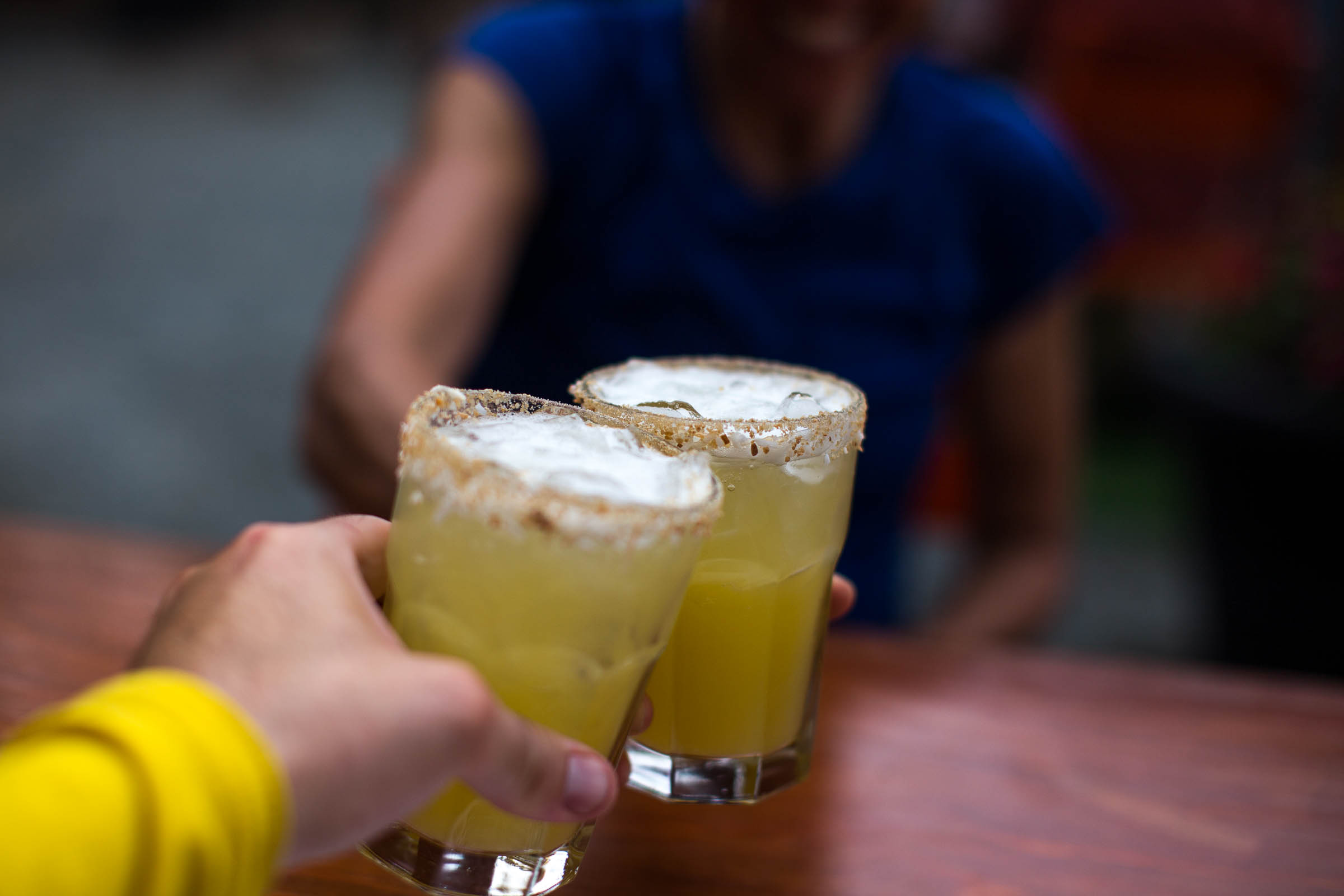
- Once in town there are many restaurant options to choose from to refuel, as well as the local Townsite Brewery for craft beer and several cafes.
- The small detour down to Fiddlehead Landing Hut is well worth it.
- Large off-road logging trucks use these roads and will not get out of your way. It is your responsiblity to GET OFF the road to let them pass safely. Failing to do so could result in mandatory radio use for all recreational traffic, including cyclists.
- This route is best ridden counterclockwise. Riding clockwise will mean riding on one-way roads and is dangerous.
- This area contains habitat for many wild animals. Be bear and cougar aware and always carry bear spray.
- The route can be ridden all year round but may be wet, with the potential for snow along the north end of the loop.
- Rainbow Main, at the north end of the loop, can get extremely chunky and rough during the summer months. Newer riders or those with tires narrower than 40mm should wait till the fall, winter, or spring.
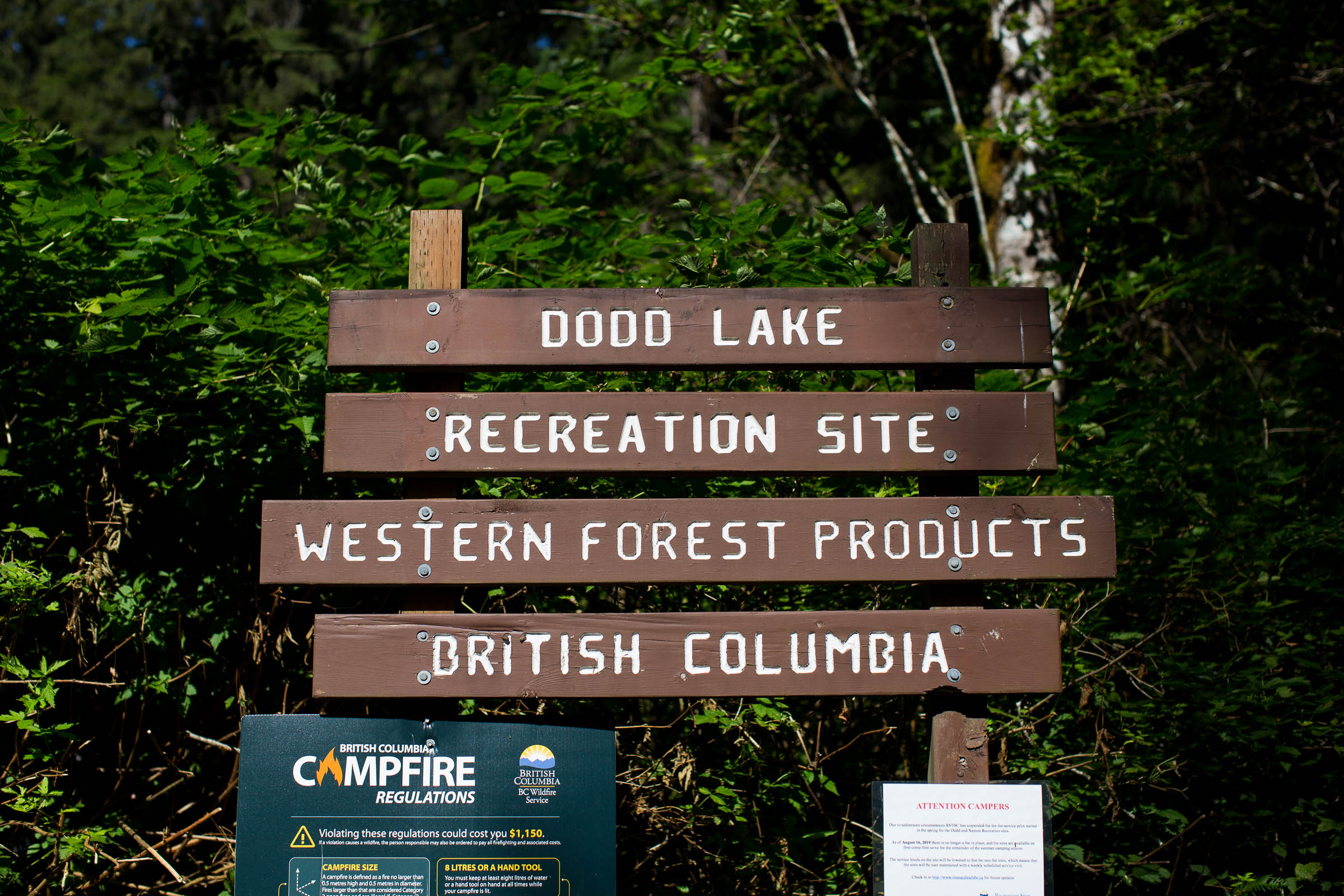
- There are several BC Recreation Sites along the route for camping, the majority of which have fire rings, pit toilets, and picnic tables—as well as beautiful lake access for swimming and fishing.
- Willingdon Beach Campground is a beautiful spot for before or after the ride.
- Fiddlehead Landing Hut is a popular shelter used by both hikers and paddlers. If you’re lucky you’ll get a spot inside, otherwise you can take a swim and camp at the former site of Fiddlehead Farm, just up the trail.
- There are no resupply options along the route, so bring all the food you need for the entire journey.
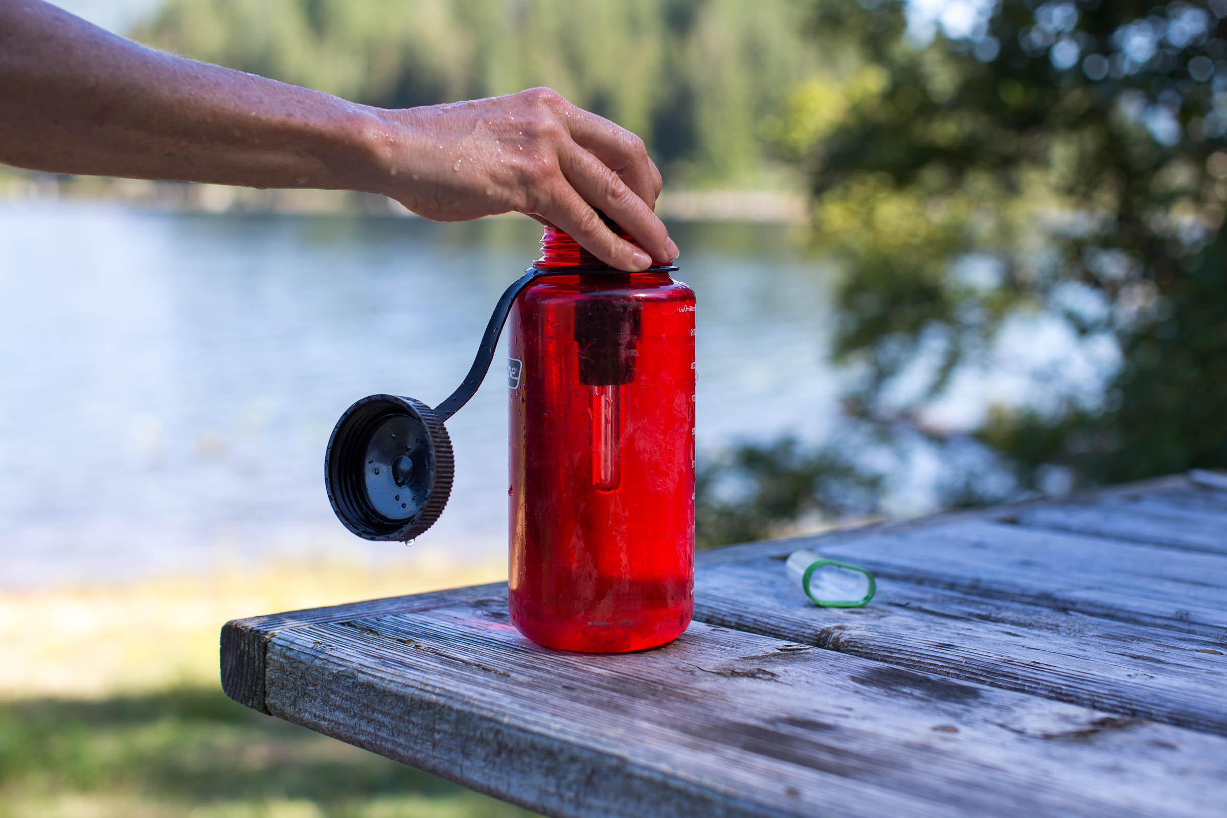
- There are lots of freshwater lakes to filter and purify water from.
- Powell River has several grocery stores and great local restaurants for before or after your trip.
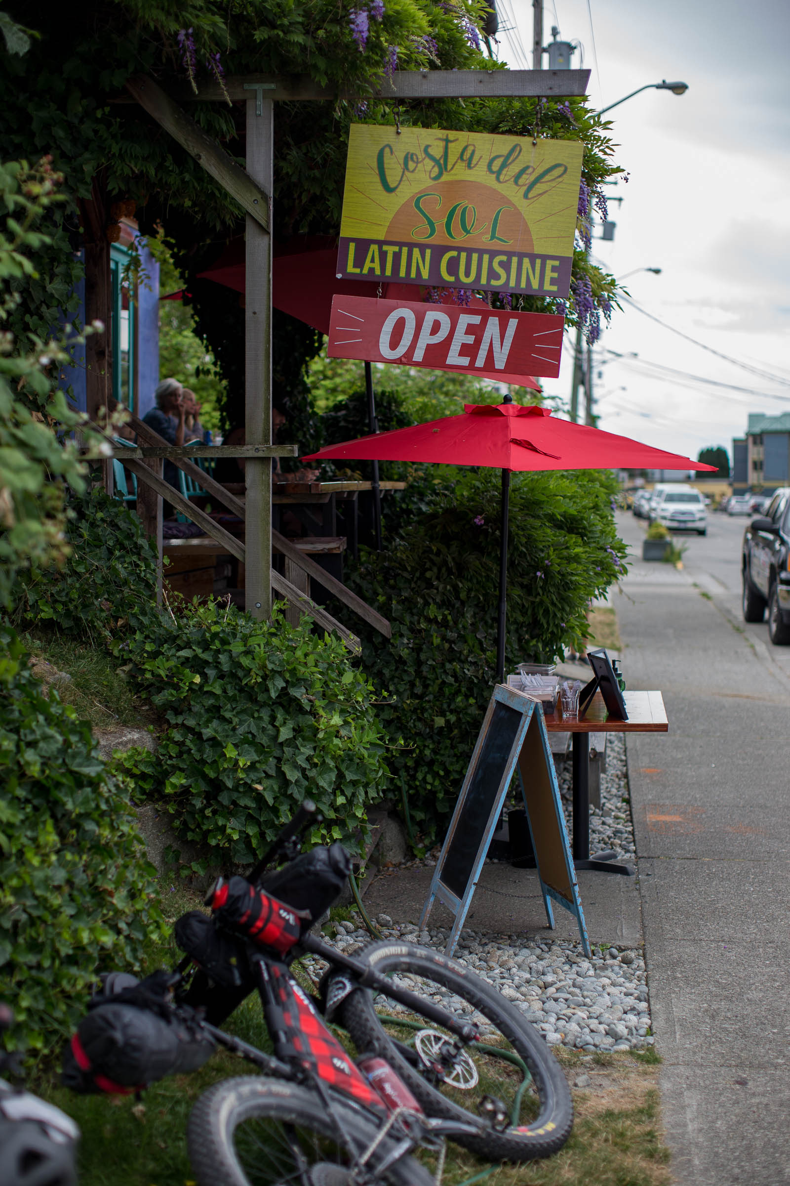
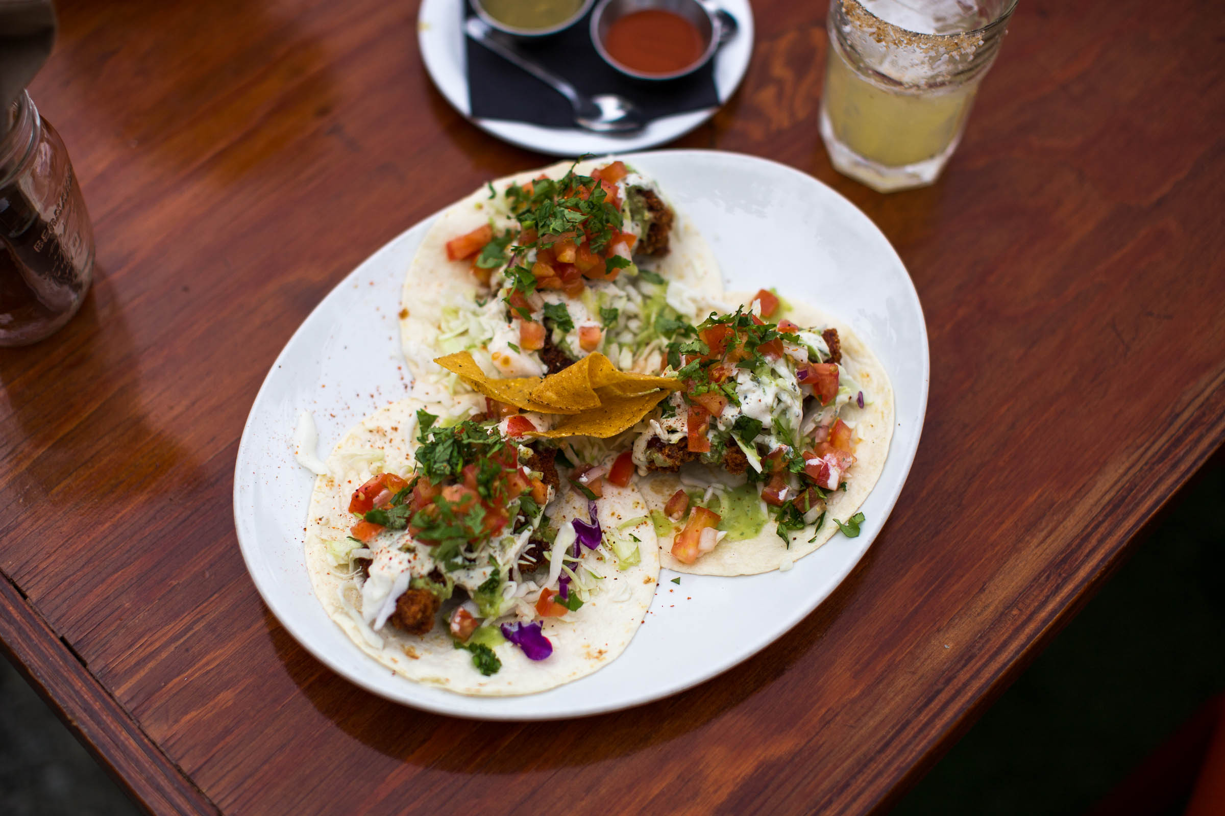
- Costa del Sol, just south of Willingdon Beach Park, has amazing tacos and margaritas.
For those interested in big wall rock climbing, there is the option to add on an additional 17.5km (one way) and ride out to Colin Arthur Dionne Memorial Climbers Camp in the Eldred Valley. This volunteer built / run camp is truly a magical place that is worth the extra effort to get there, whether you are there to climb or not. The campground, which is situated in a lush moss covered forest, is equipped with pit toilets, proper bear hangs for food, and a large covered area with picnic tables—and that’s just the camp.
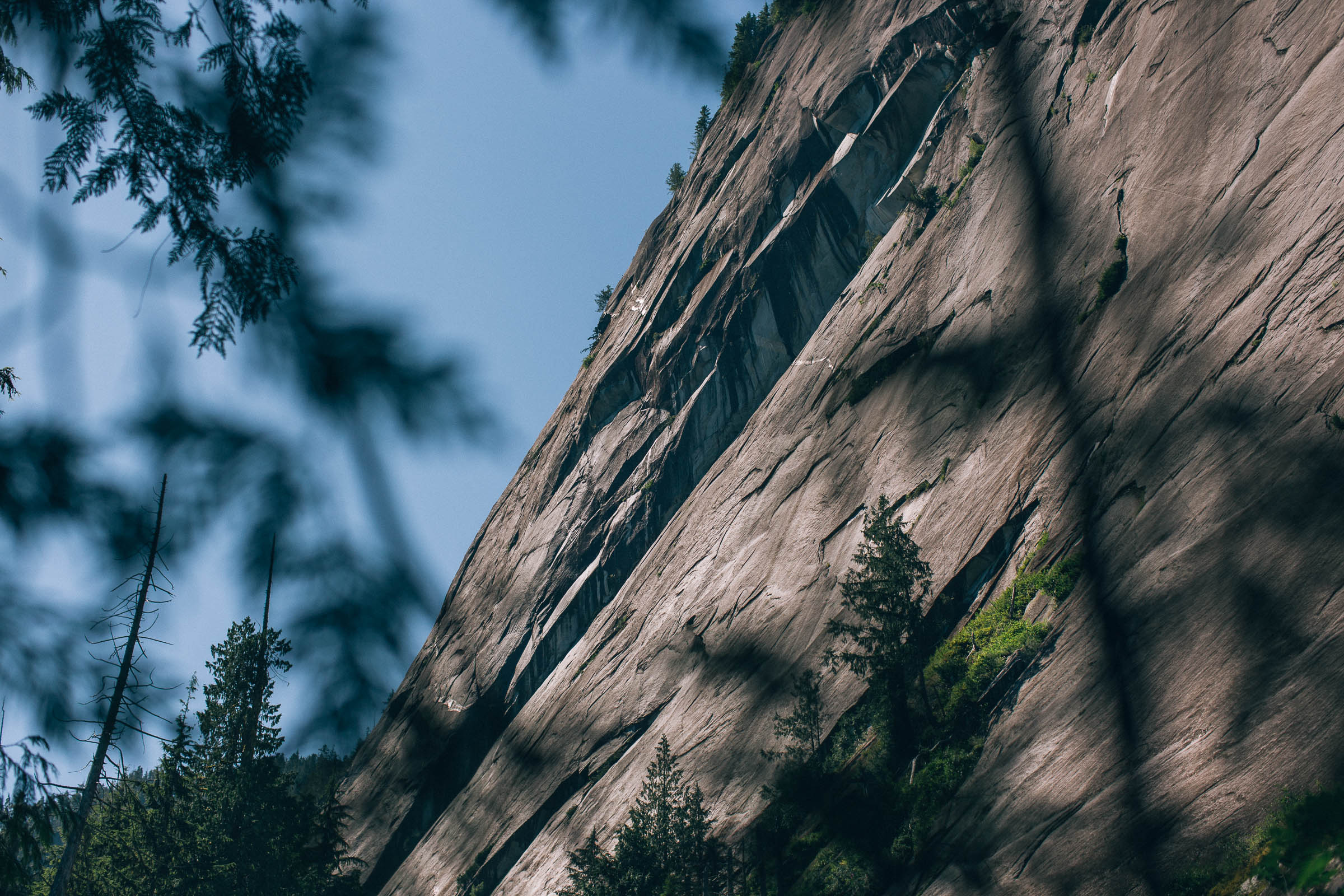

There are several big walls for multi-pitch climbing accessed from the camp, not to mention the teal waters of the Eldred River, perfect for cooling off on a hot day. Most importantly, be friendly and be safe. For those visiting the camp, consider making a donation to the camp. For more information on climbing in Powell River and the Eldred Valley, click here.


Terms of Use: As with each bikepacking route guide published on BIKEPACKING.com, should you choose to cycle this route, do so at your own risk. Prior to setting out check current local weather, conditions, and land/road closures. While riding, obey all public and private land use restrictions and rules, carry proper safety and navigational equipment, and of course, follow the #leavenotrace guidelines. The information found herein is simply a planning resource to be used as a point of inspiration in conjunction with your own due-diligence. In spite of the fact that this route, associated GPS track (GPX and maps), and all route guidelines were prepared under diligent research by the specified contributor and/or contributors, the accuracy of such and judgement of the author is not guaranteed. BIKEPACKING.com LLC, its partners, associates, and contributors are in no way liable for personal injury, damage to personal property, or any other such situation that might happen to individual riders cycling or following this route.
Please keep the conversation civil, constructive, and inclusive, or your comment will be removed.