


The Powell River Sampler
Distance
56 Mi.
(90 KM)Days
3
% Unpaved
98%
% Singletrack
52%
% Rideable (time)
99%
Total Ascent
6,017'
(1,834 M)High Point
2,145'
(654 M)Difficulty (1-10)
7?
- 7Climbing Scale Strenuous107 FT/MI (20 M/KM)
- -Technical Difficulty
- -Physical Demand
- -Resupply & Logistics
Contributed By

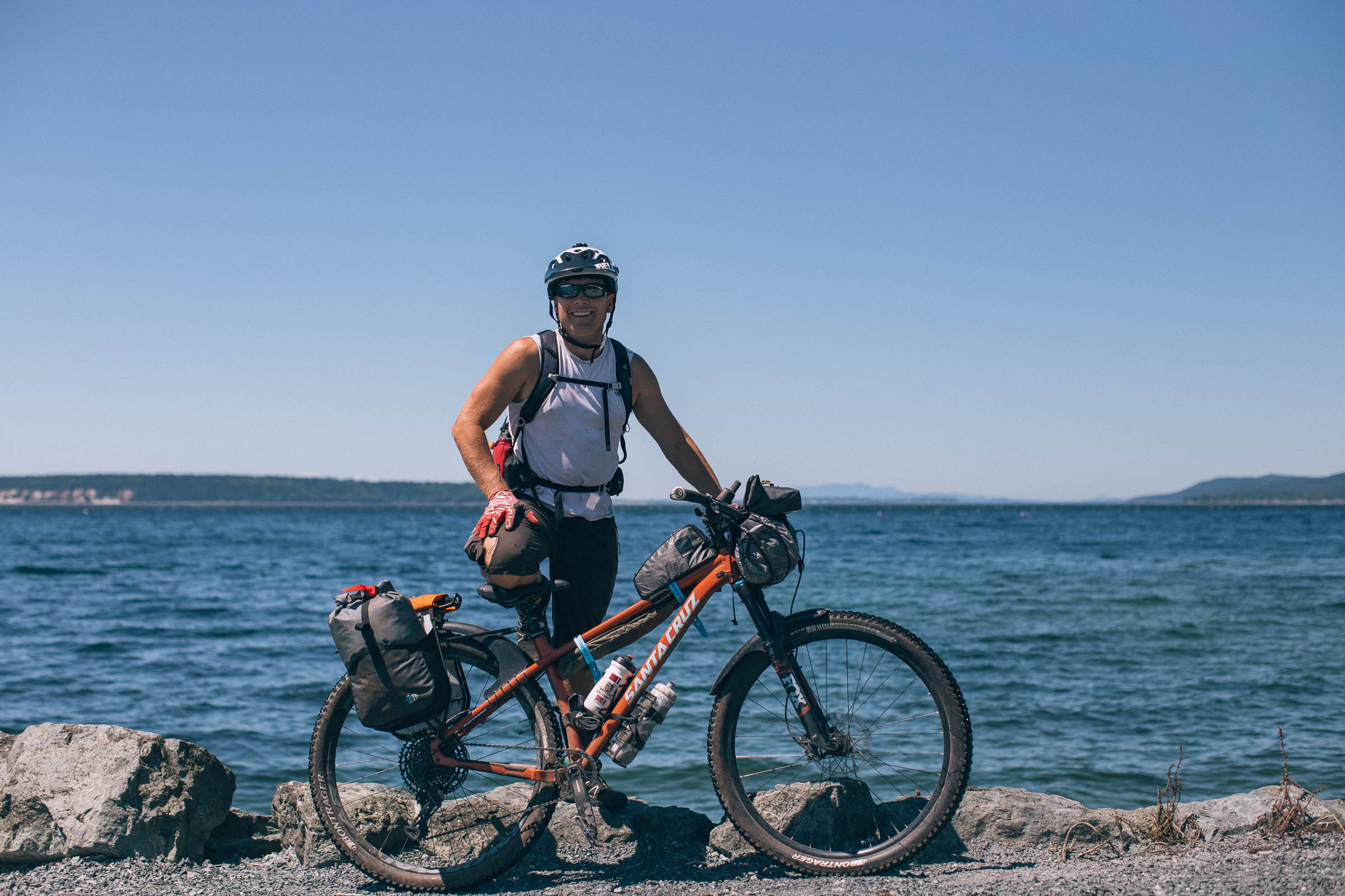
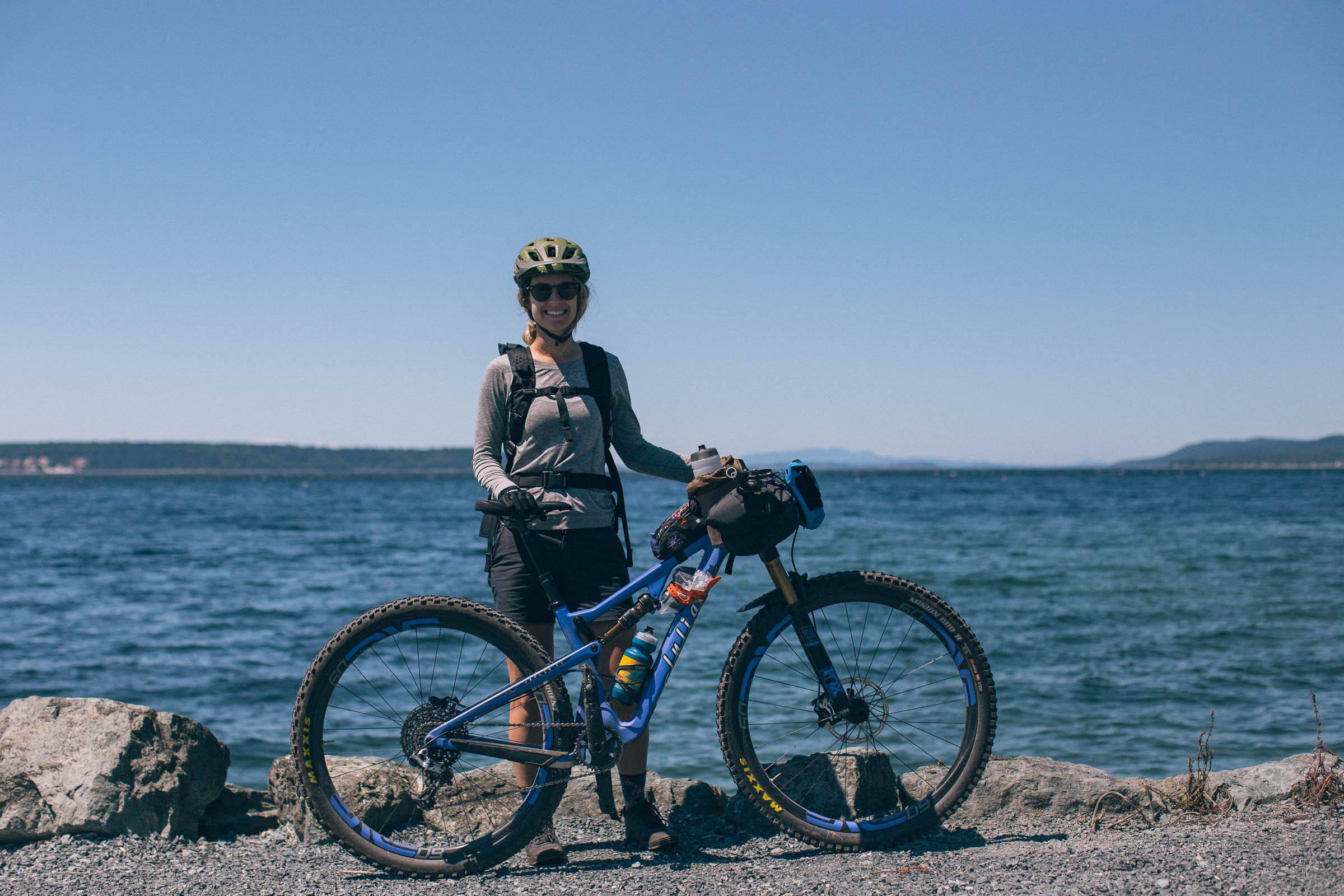
Natalie Jones
Guest Contributor
Natalie has mountain biked throughout the United States, Thailand, Mexico, Peru, Europe, and Canada. She’s been a women’s mountain bike instructor for over 10 years, and grew up working alongside her father in the forest, where she feels most at home. She was introduced to bikepacking after combining her love for mountaineering and biking.
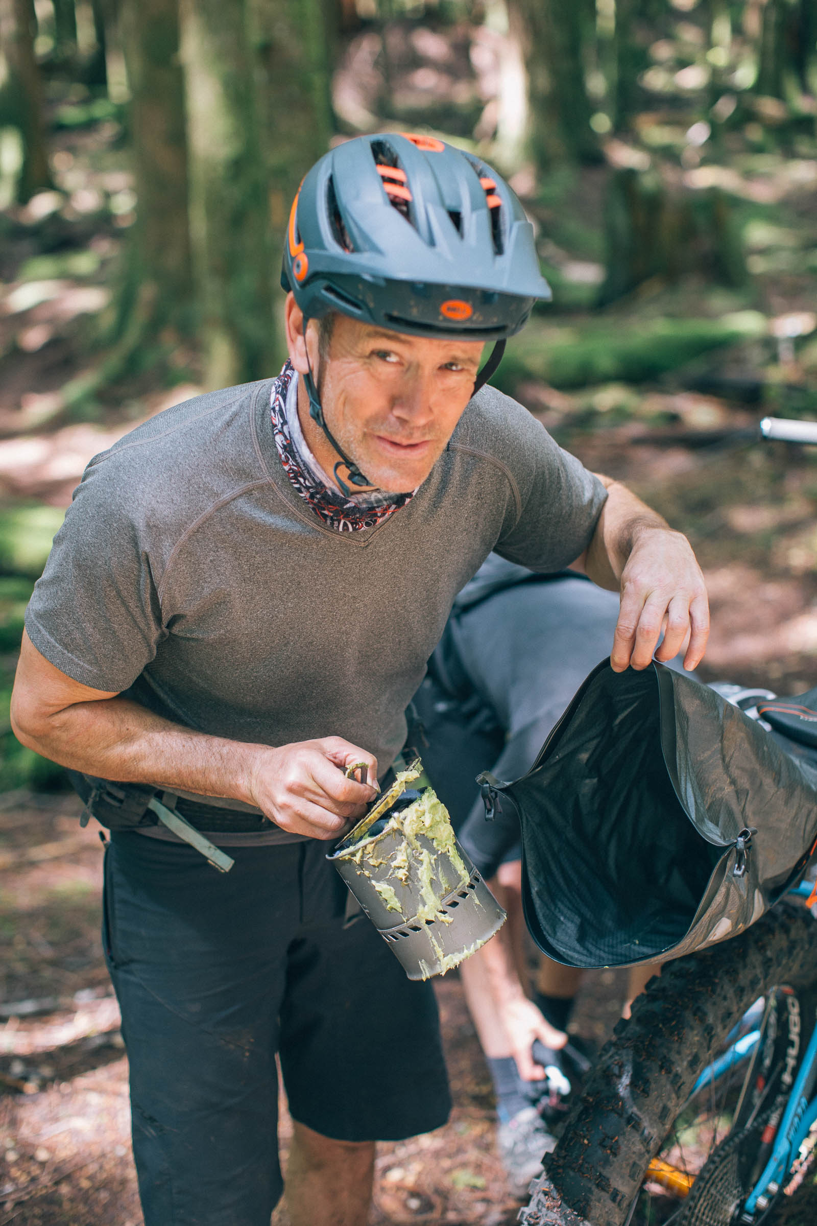
Photos and additional logistics by Miles Arbour
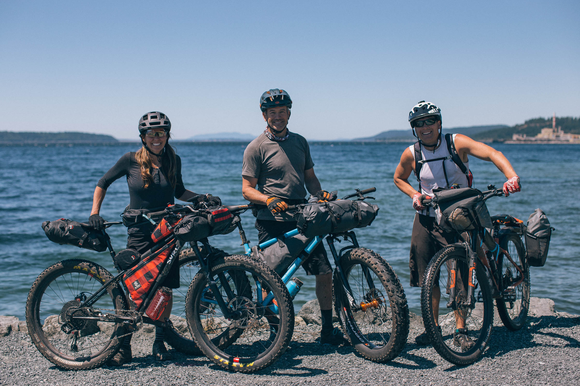
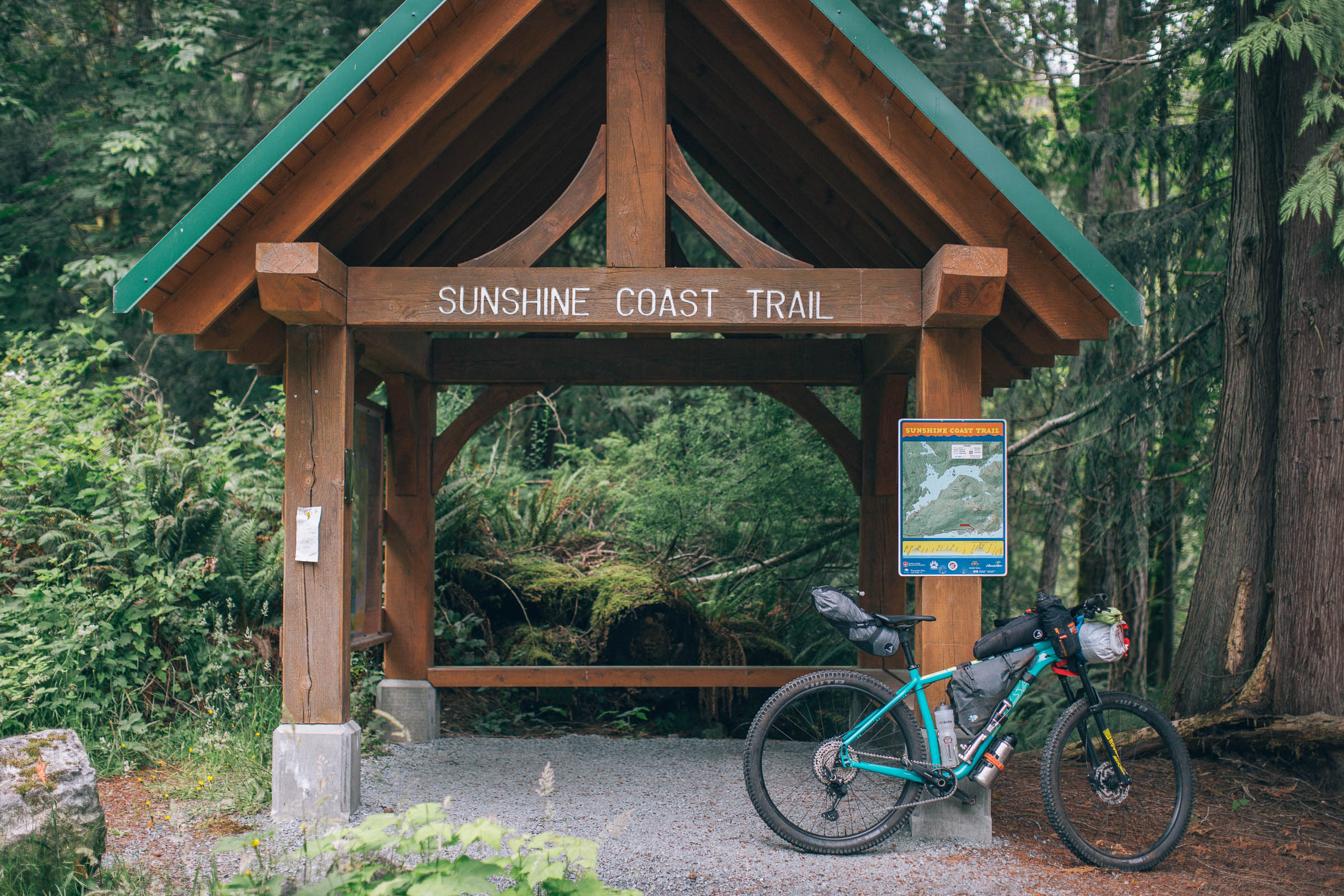
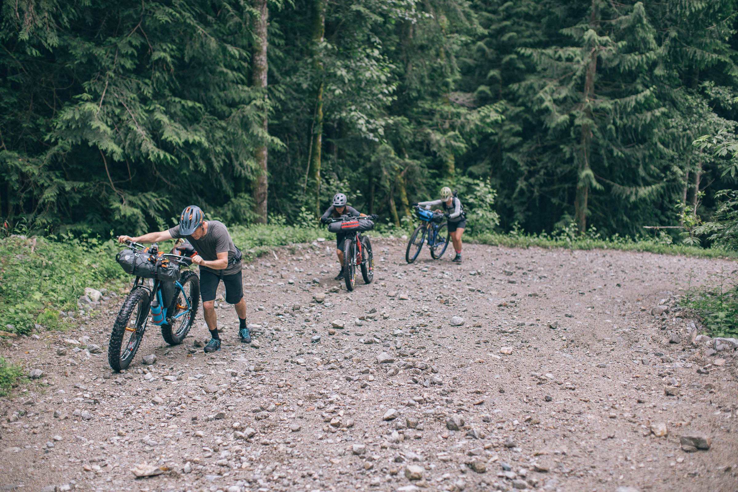
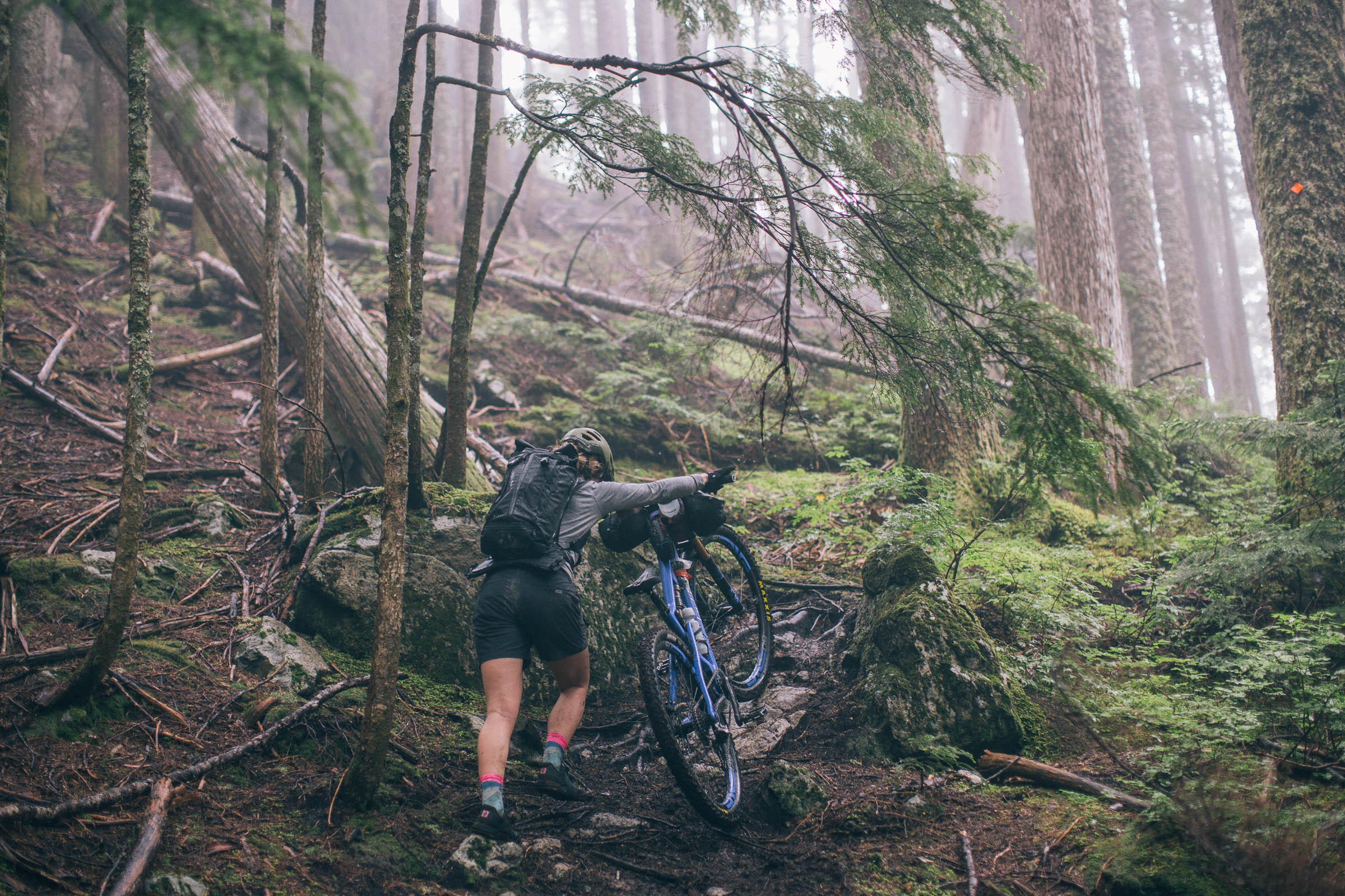
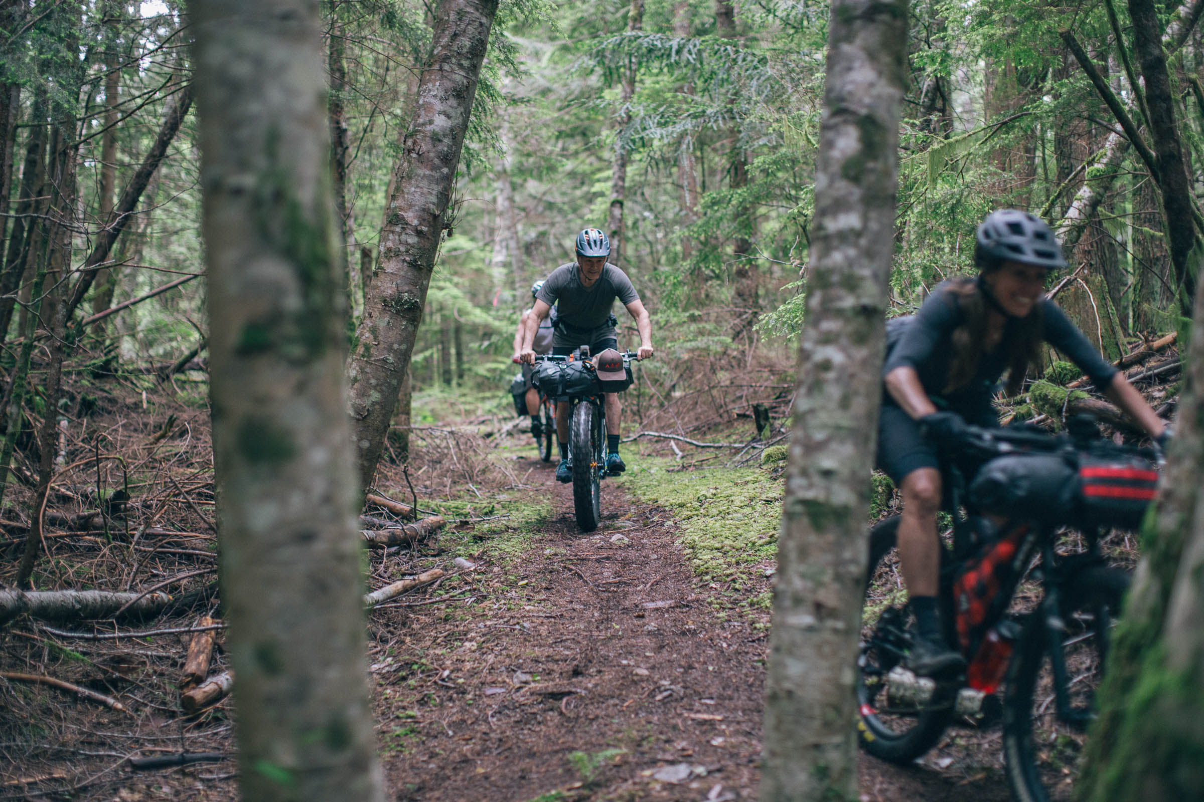
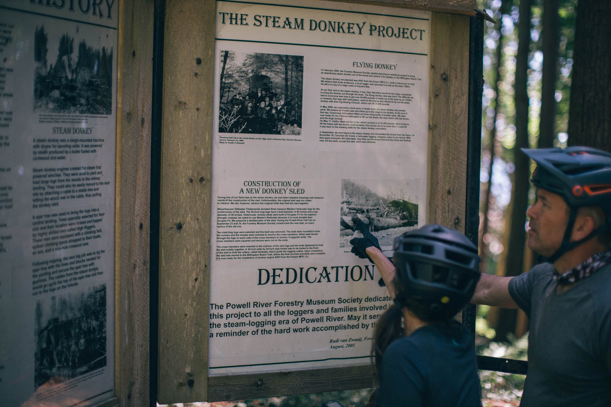
Powell River and its surrounding area has immediate access to a playground of backcountry adventure, and the Powell River Sampler aims to provide a taste of what’s available. The route is designed to be ridden south to north, from Saltery Bay to Powell River, linking the Lower Sunshine Coast Bikepacking Route with access to Vancouver Island. It follows a small section of the southern aspect of the Sunshine Coast Trail, which is a 180-kilometer hiking trail that traverses the entire upper sunshine coast from Sarah Point, north of Lund, to Saltery Bay. The route passes through the Duck Lake Protected area, which provides important nesting habitat for migratory and non-migratory birds, and takes advantage of several world class mountain bike trail systems along the way.
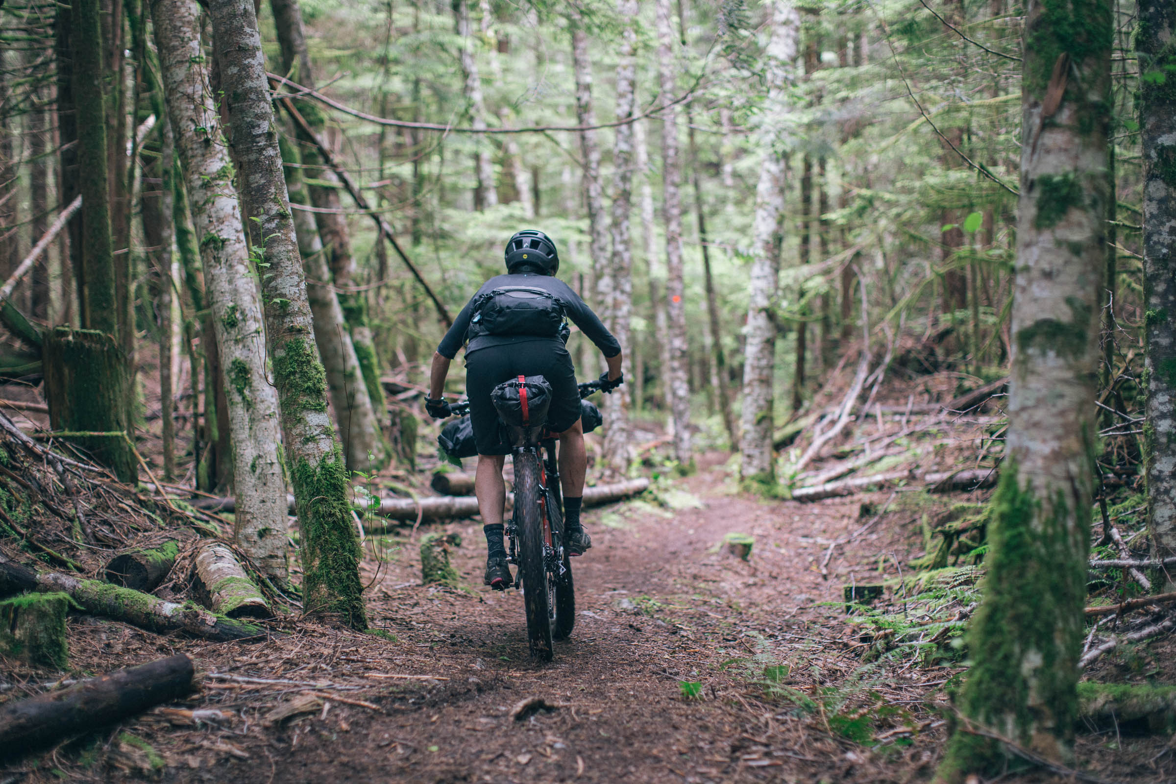
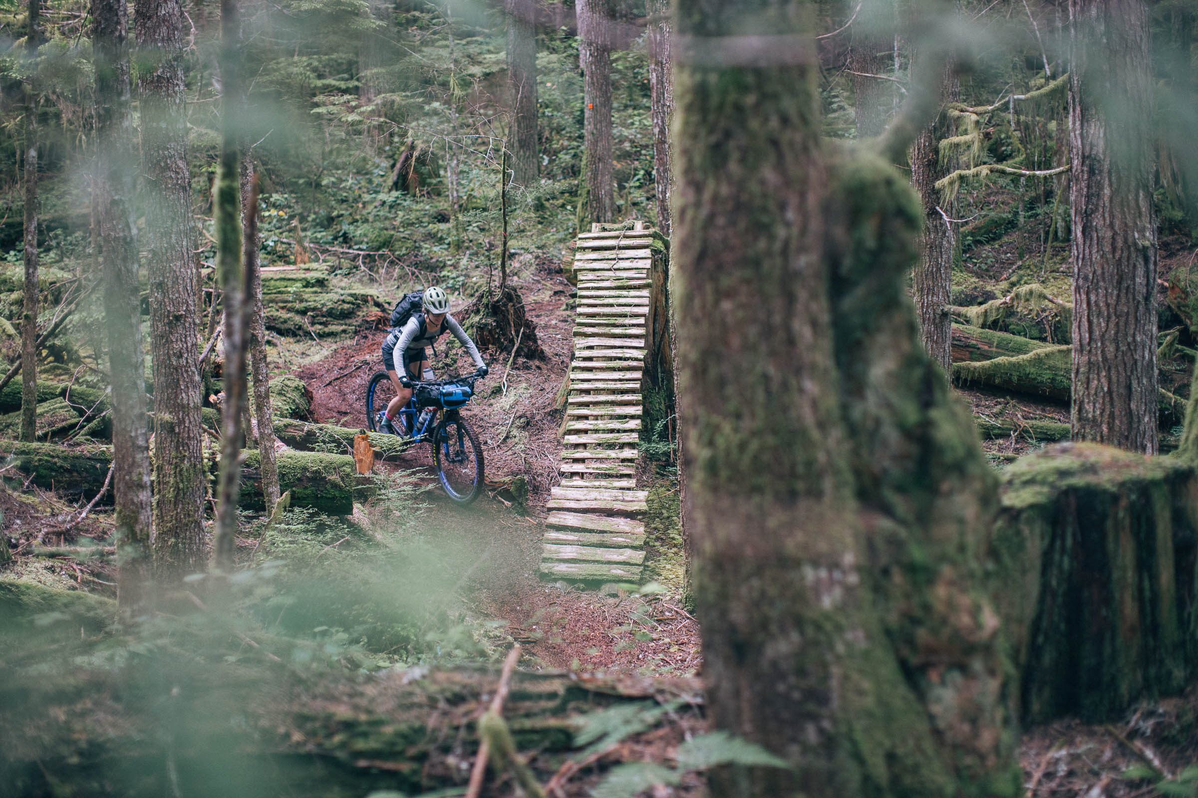
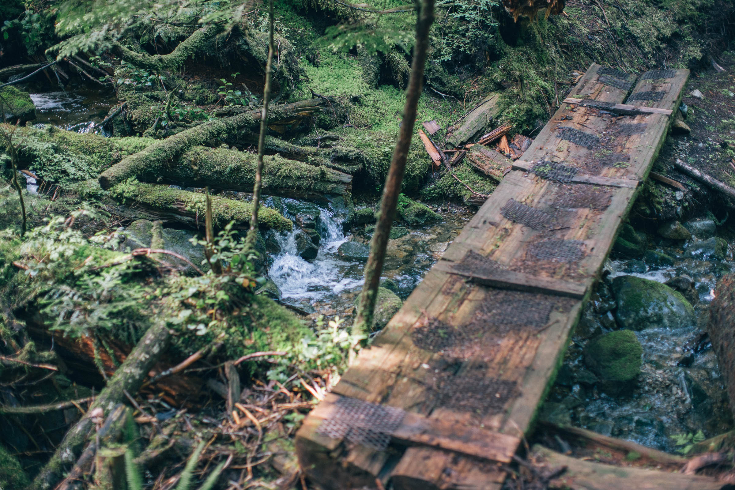
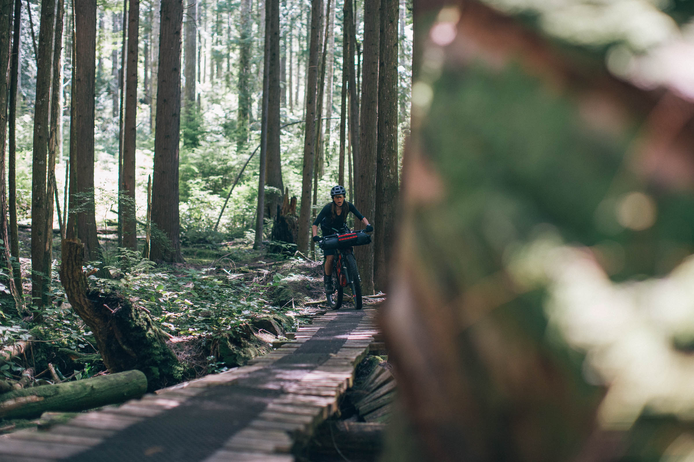
Other highlights include Tla’amin Treaty land, several Provincial Parks, and the Powell River Community Forest. It is here that you will experience true mountain biking with flowy, cross country style trails and impressive log bridges that were constructed by various groups, including the B.O.M.B Squad, PAWS (Powell River Parks and Wilderness Society), PRCA (Powell River Cycling Association), and the Chain Gang (a division of PRCA). PRCA has been successful in working with the logging companies that harvest timber in areas containing trails, and in most cases trails are cleared by these companies after the harvest so they can continue to be used. That said, many of these trails run within the riparian zone along creeks, rivers, waterfalls, and lakes, which not only protects them from logging but provides a spectacular experience.
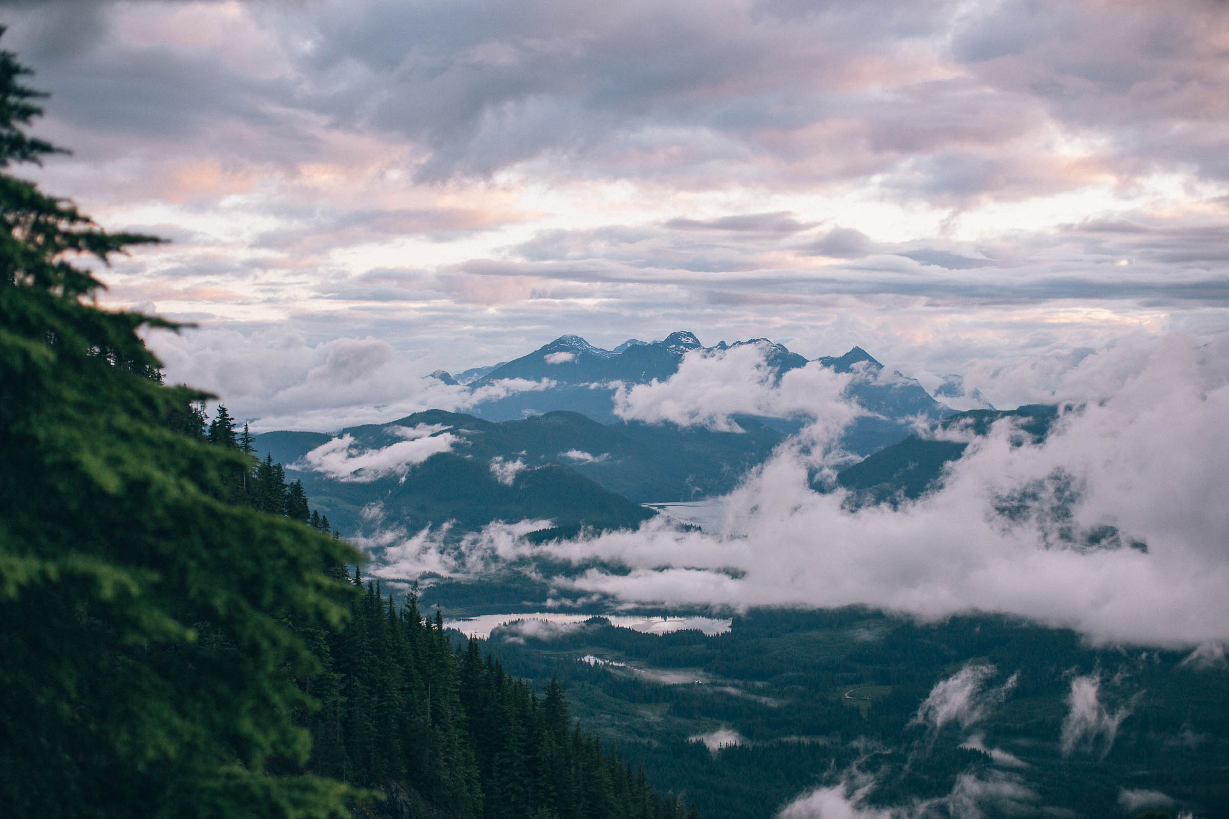


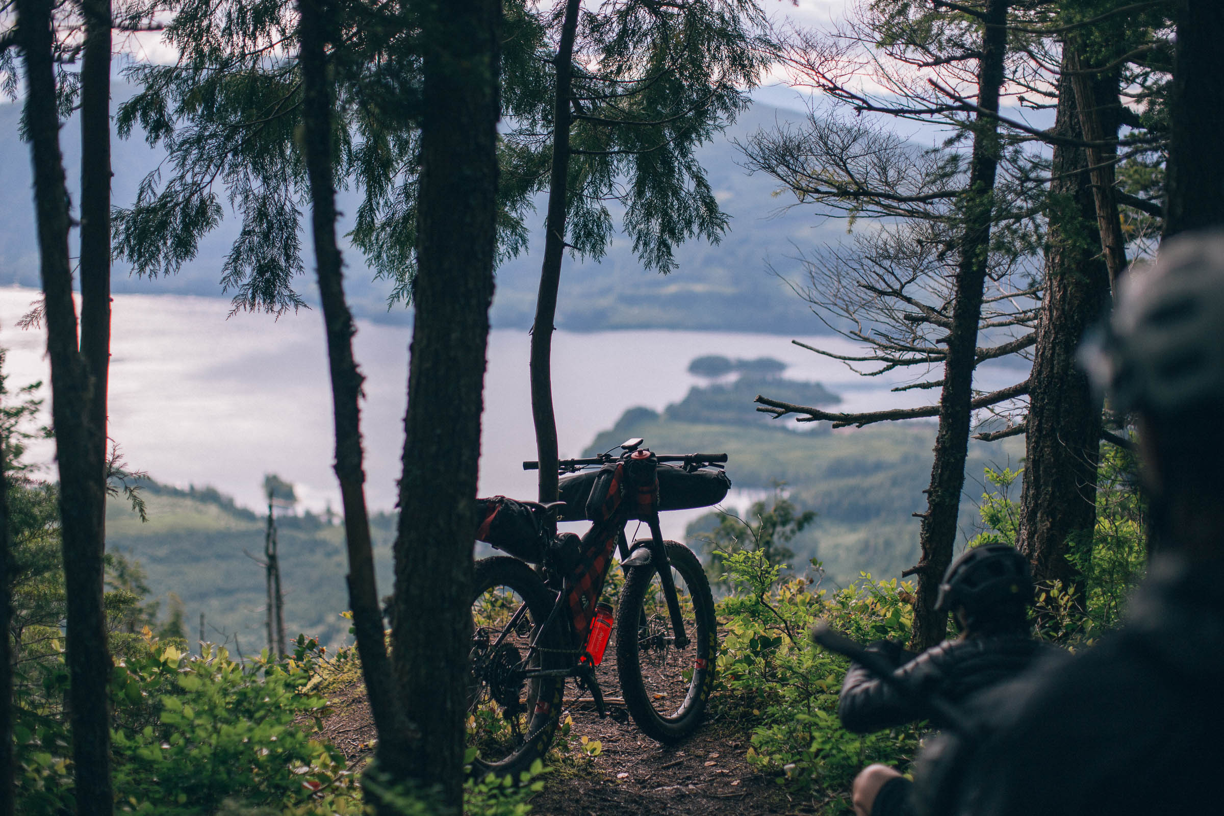
For those looking for more of a challenge, there is an option to add on an extra steep gravel climb followed by a hike-a-bike up to Walt Hill Cabin (3,571 feet/ 1,082 meters). The challenging route up will reward you with a cozy cabin with a pellet stove, pit toilet, and most importantly, 360-degree views out over the Powell River Portage canoe route and west over the ocean towards Vancouver Island. We scouted this section during our initial ride of the route, and you can expect the gravel climb to add an additional three hours, plus a few hours of hike-a-bike to the cabin. See the Trail Notes below for details and a RWGPS link.
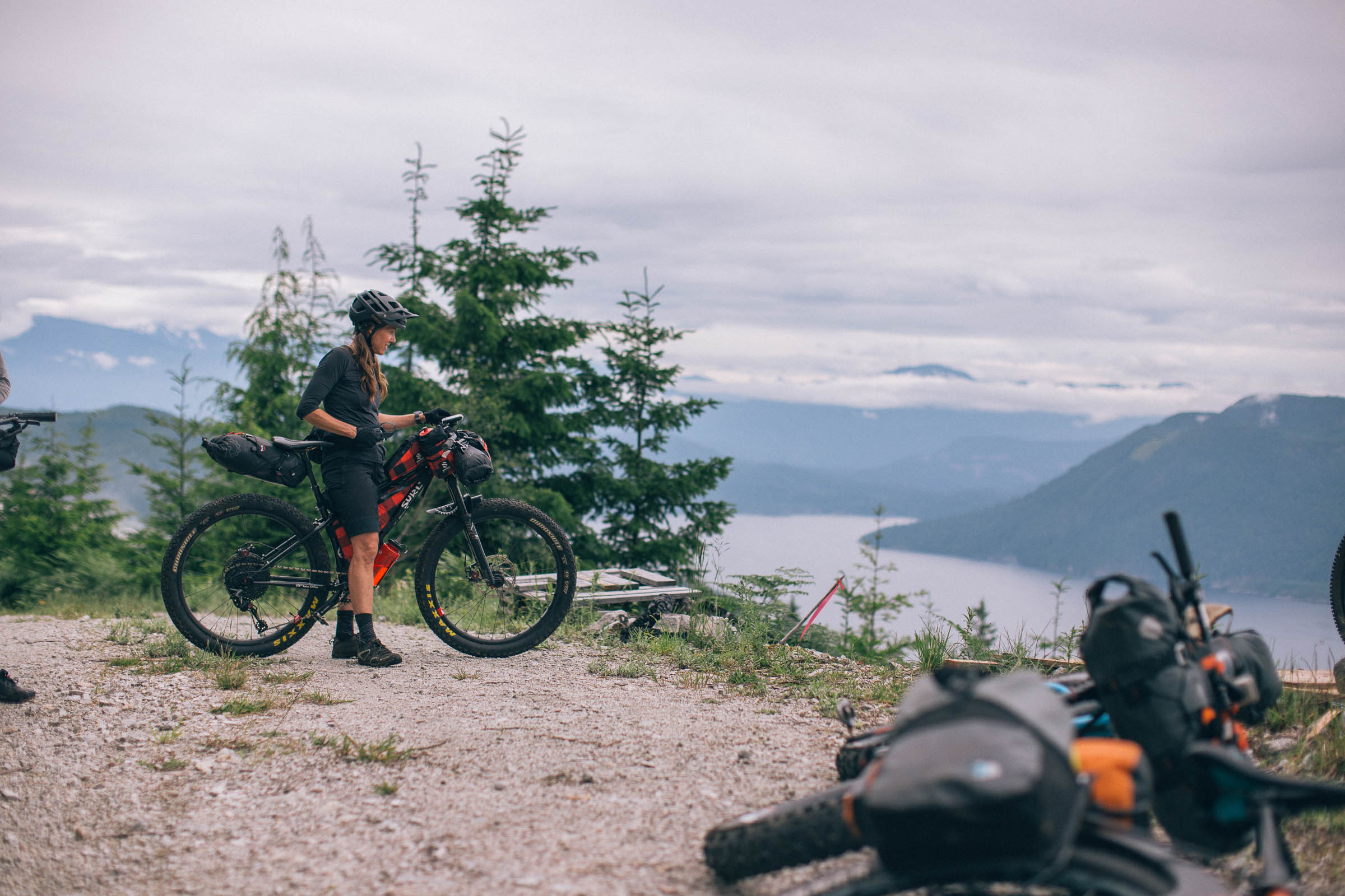
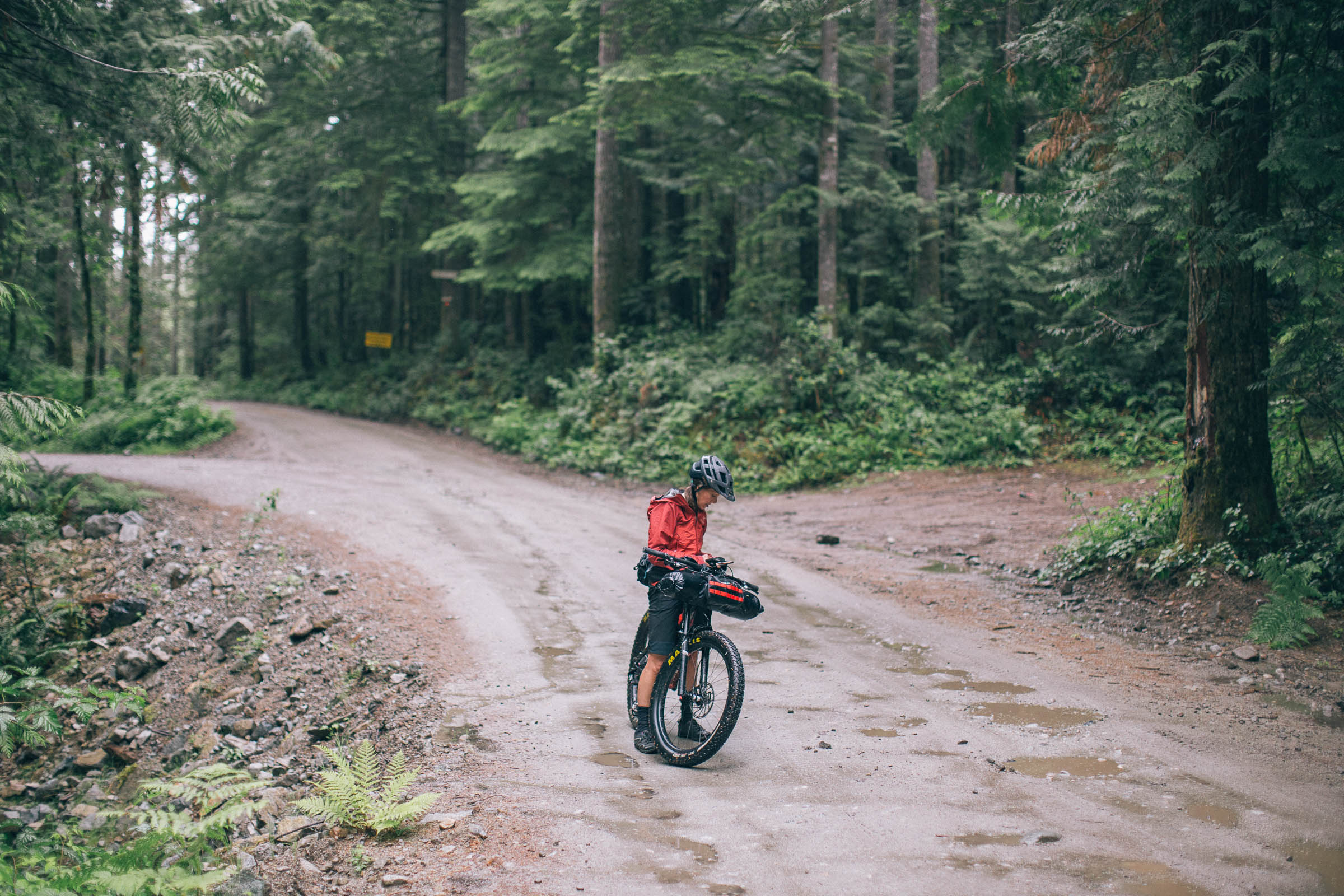
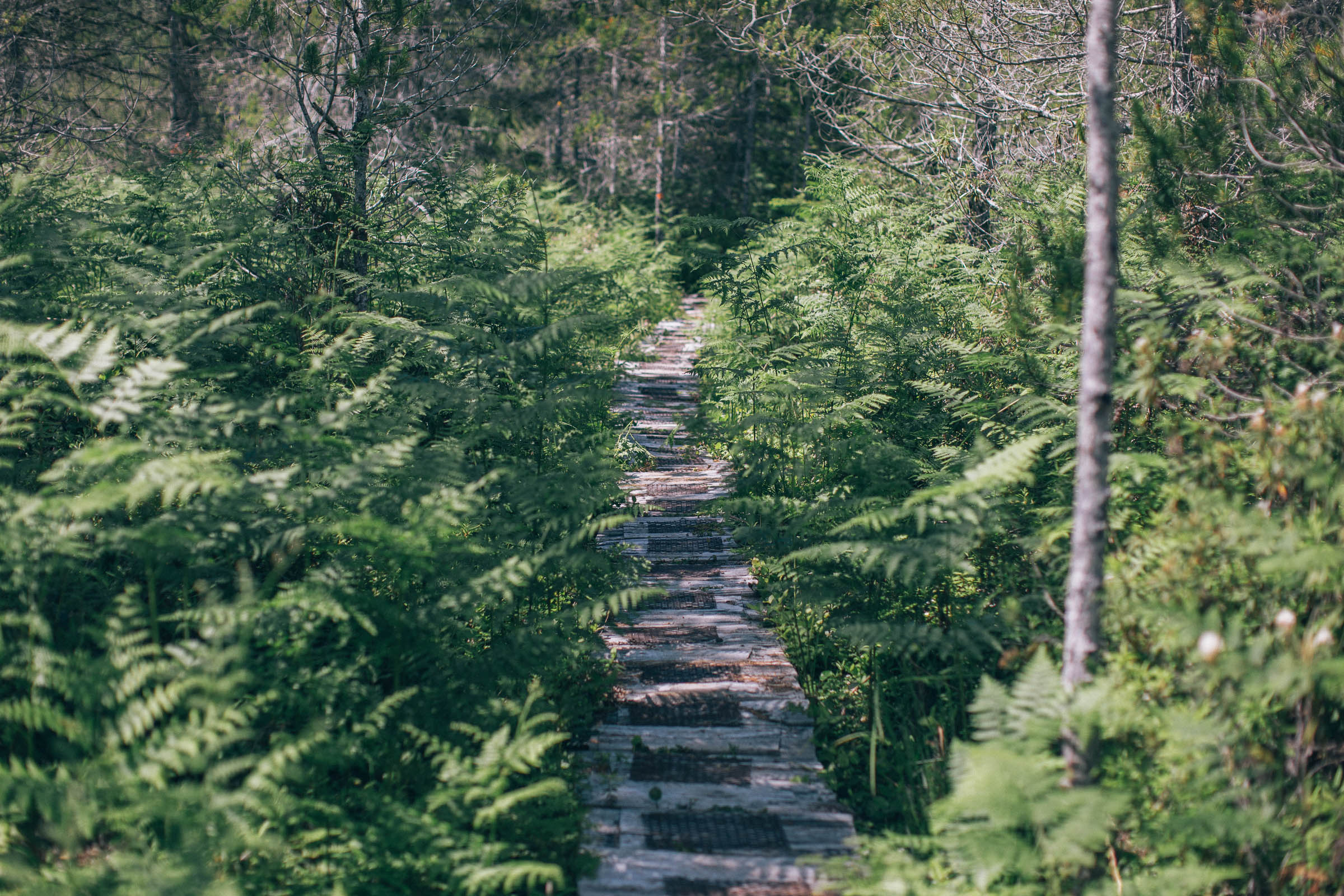
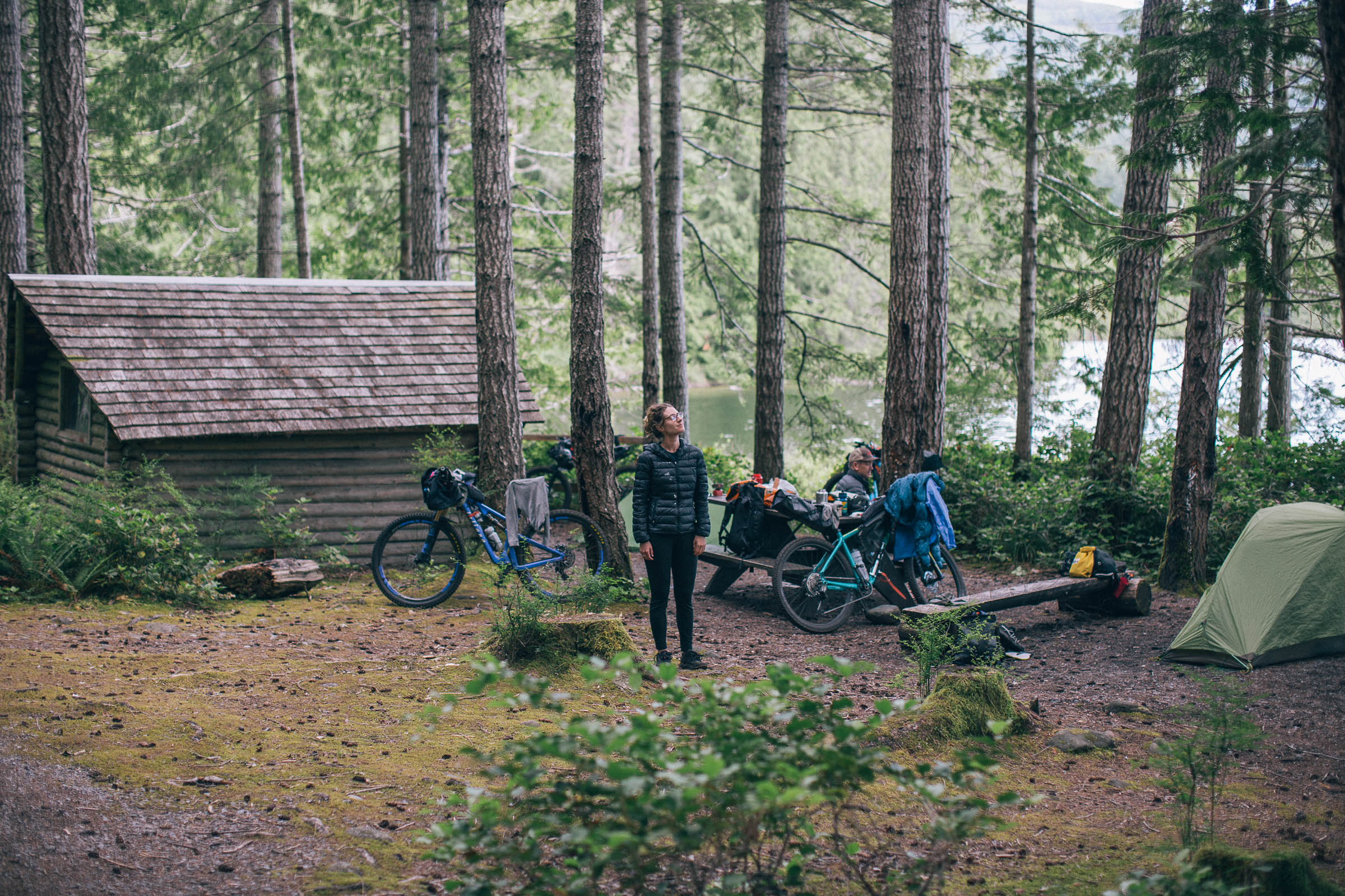
This route features a mix of singletrack, gravel roads, and pathways surrounded by an artist’s palette of color in its forests. Cabins and lakeshore campsites make the evenings more comfortable and provide a good buffer against the challenging trails the route follows. Respect the land you travel across and camp upon. And as always, #LeaveNoTrace.
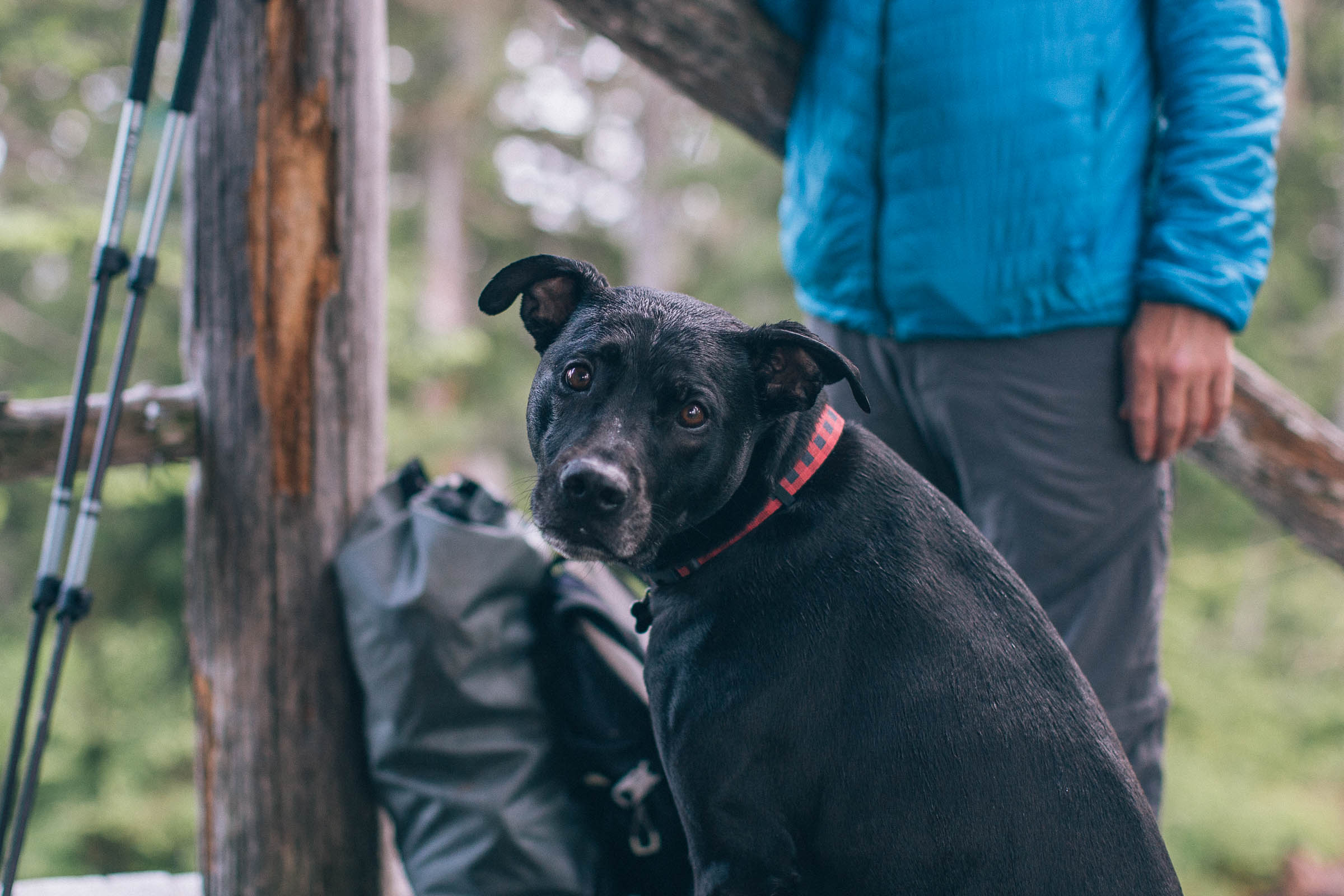
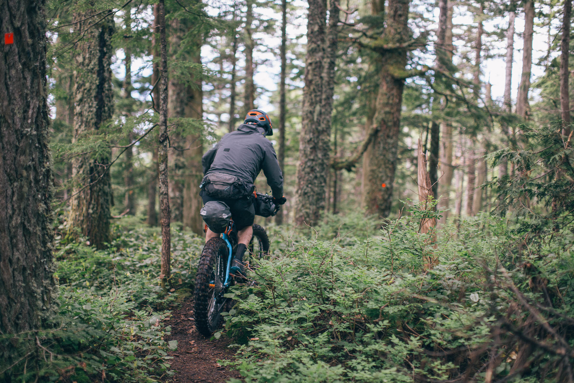
Route Difficulty: The Powell River Sampler has been rated a 7 out of 10 due to the amount of technical singletrack. Many of the trails are rooty, with features requiring intermediate mountain biking skills and experience. The gravel roads are easy rolling and in good condition, as are the gravel pathways, but there is a lot of climbing mixed within the entire route. There are also many species of wildlife that inhabit the wilderness area and sightings are common, so ensure you have 100 feet of rope and a stuff sack for food at night. Please bring bear spray and educate yourself on how to be bear and cougar aware.


Submit Route Alert
As the leading creator and publisher of bikepacking routes, BIKEPACKING.com endeavors to maintain, improve, and advocate for our growing network of bikepacking routes all over the world. As such, our editorial team, route creators, and Route Stewards serve as mediators for route improvements and opportunities for connectivity, conservation, and community growth around these routes. To facilitate these efforts, we rely on our Bikepacking Collective and the greater bikepacking community to call attention to critical issues and opportunities that are discovered while riding these routes. If you have a vital issue or opportunity regarding this route that pertains to one of the subjects below, please let us know:
Highlights
Must Know
Camping
Food/H2O
Trail Notes
Resources
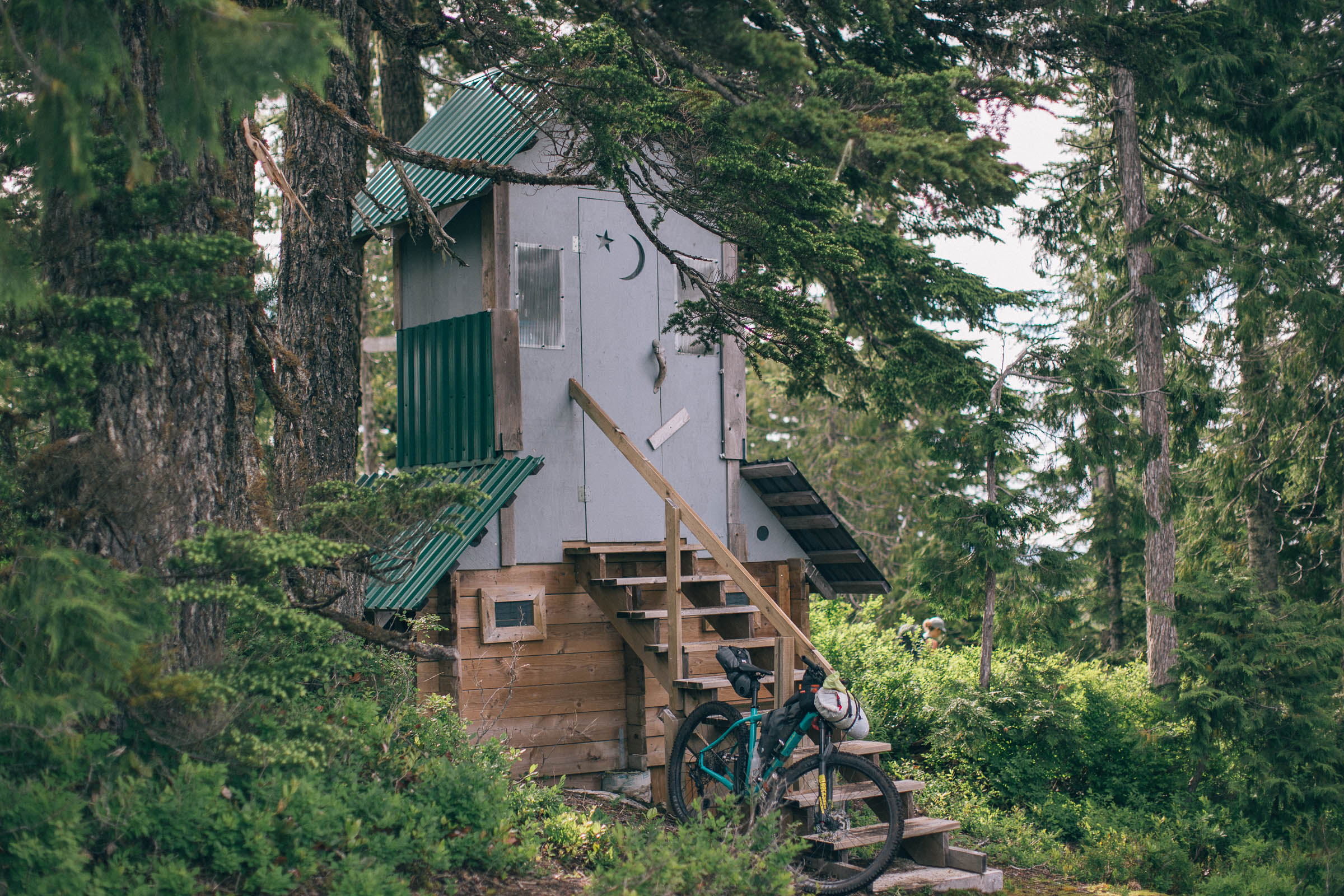
- Several wonderful cabins to stay in along the route, complete with pit toilets. It is recommended that you make a donation to PAWS for cabin upkeep and maintenance if you use them.
- Willingdon Beach Campground is right on the ocean and is a great place to spend a few days after the ride, providing quick access to amenities, the Millennium Park trails, and Powell River Bike Park.
- The 13km gravel path around Inland Lake is great for walking, running, and riding and it is a pleasant lake to swim in after a long day on the bike. It is also a short ride away from Mahoney and Gallagher mountain bike trails. Strong blue and black trail riders will enjoy these trails. A hike up from Inland lake will take you to Confederation Lake, which also has a nice hut for a lunch stop.
- Duck Lake has over 50 mountain bike trails to explore, the majority of which are blue.
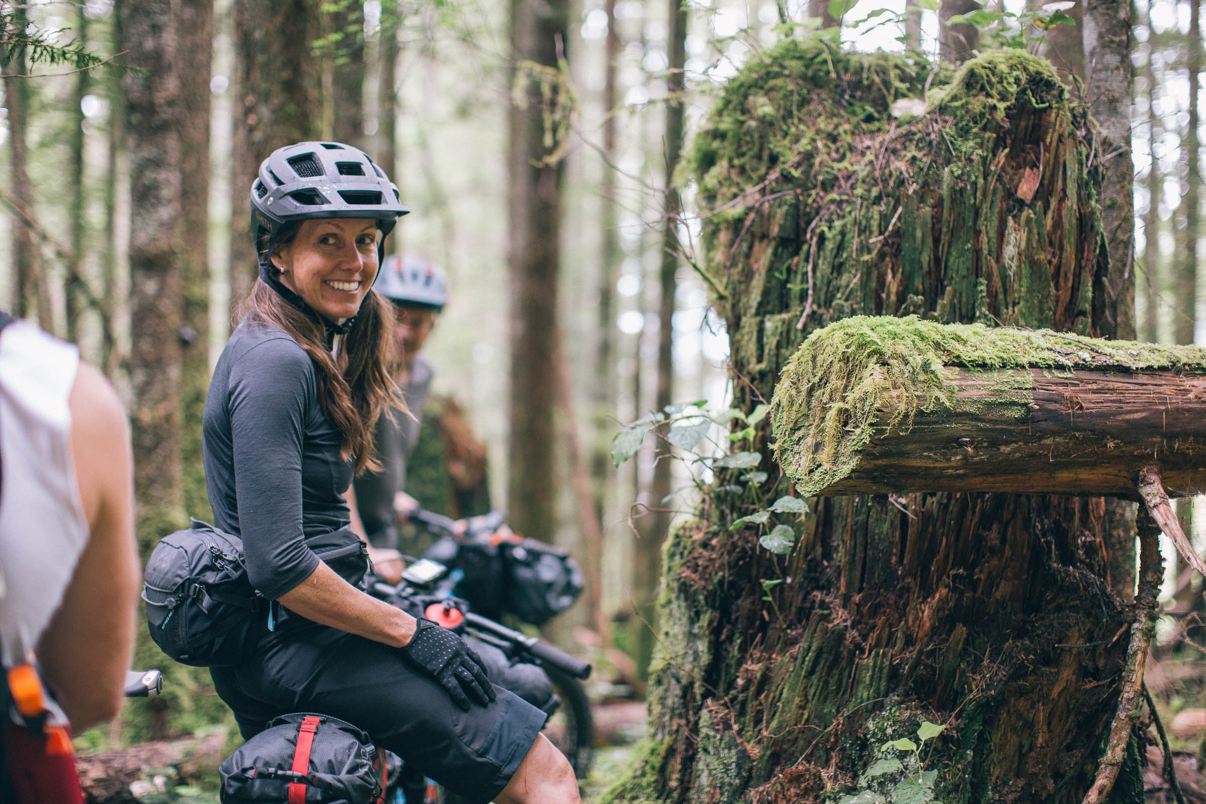
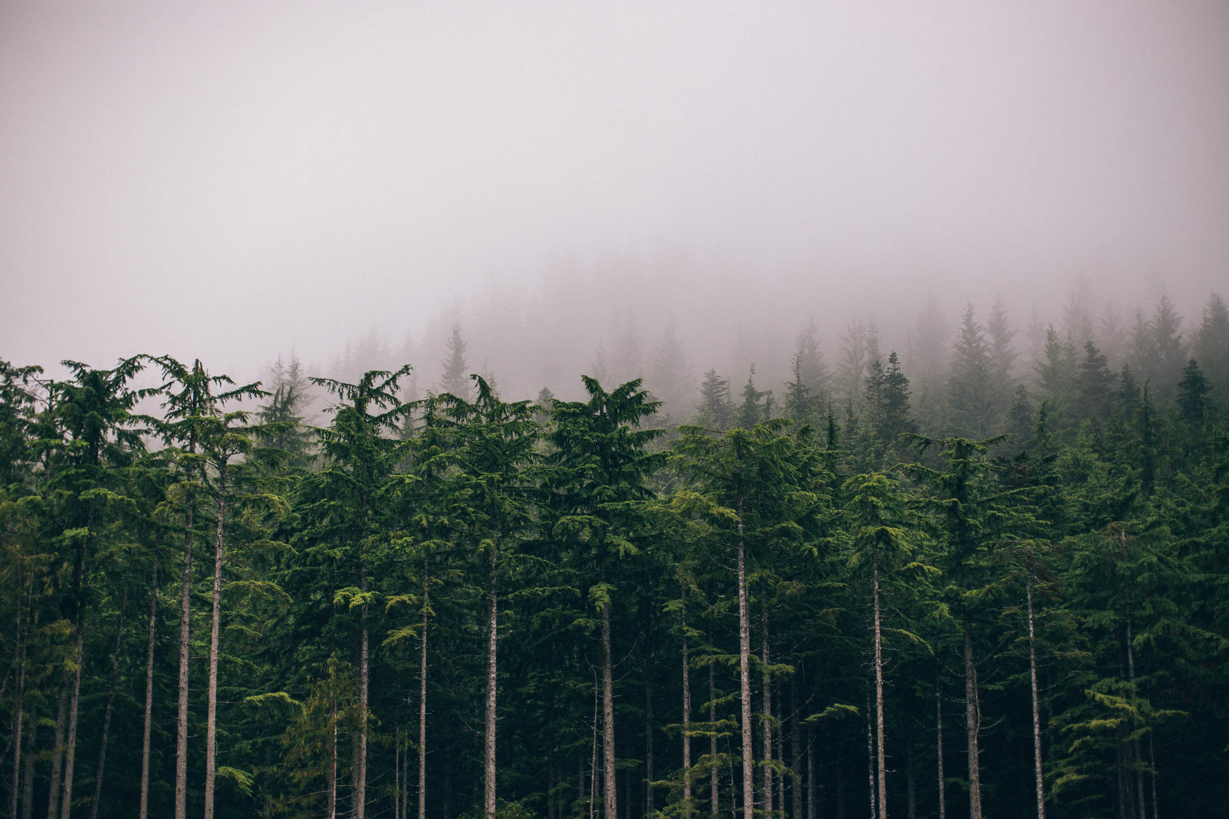
- Psychedelic green moss covering the forest floor, instead of the usual dense salal, due to the route’s proximity to rivers and streams. Ride epic, loamy BC singletrack for over half of this route.
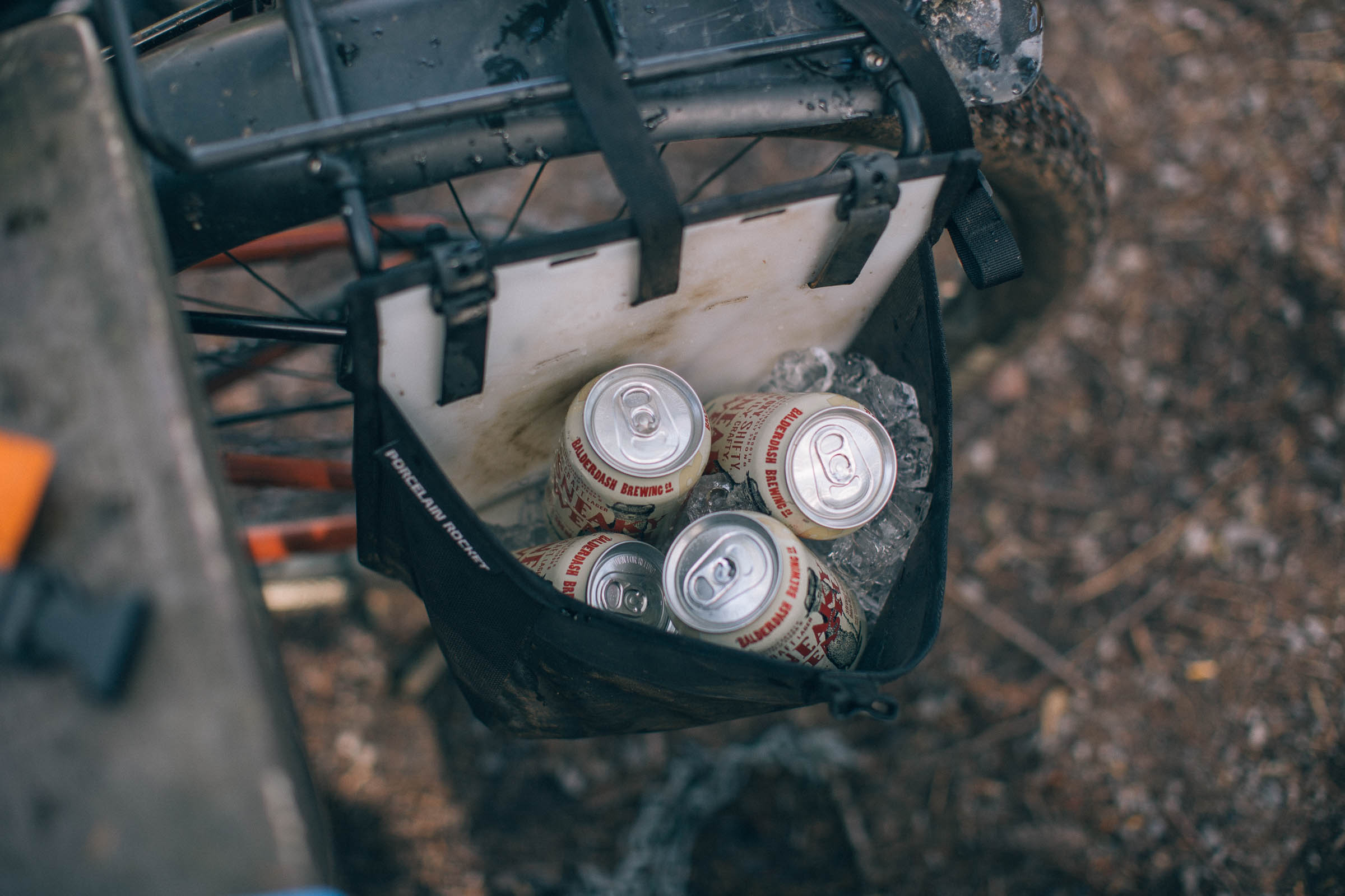
- The local food scene is fantastic, including local breweries, coffee roasters, and bakeries.
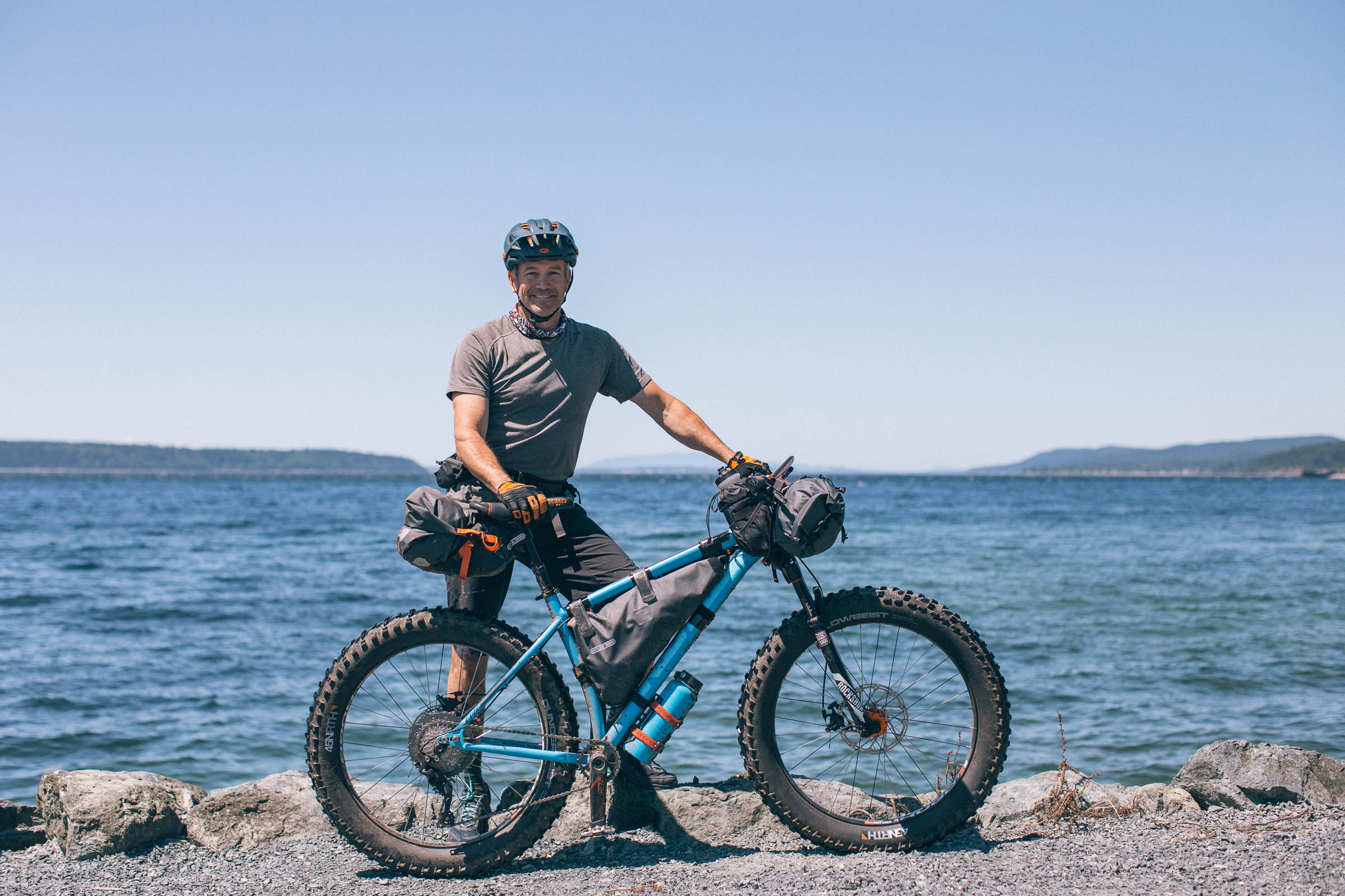
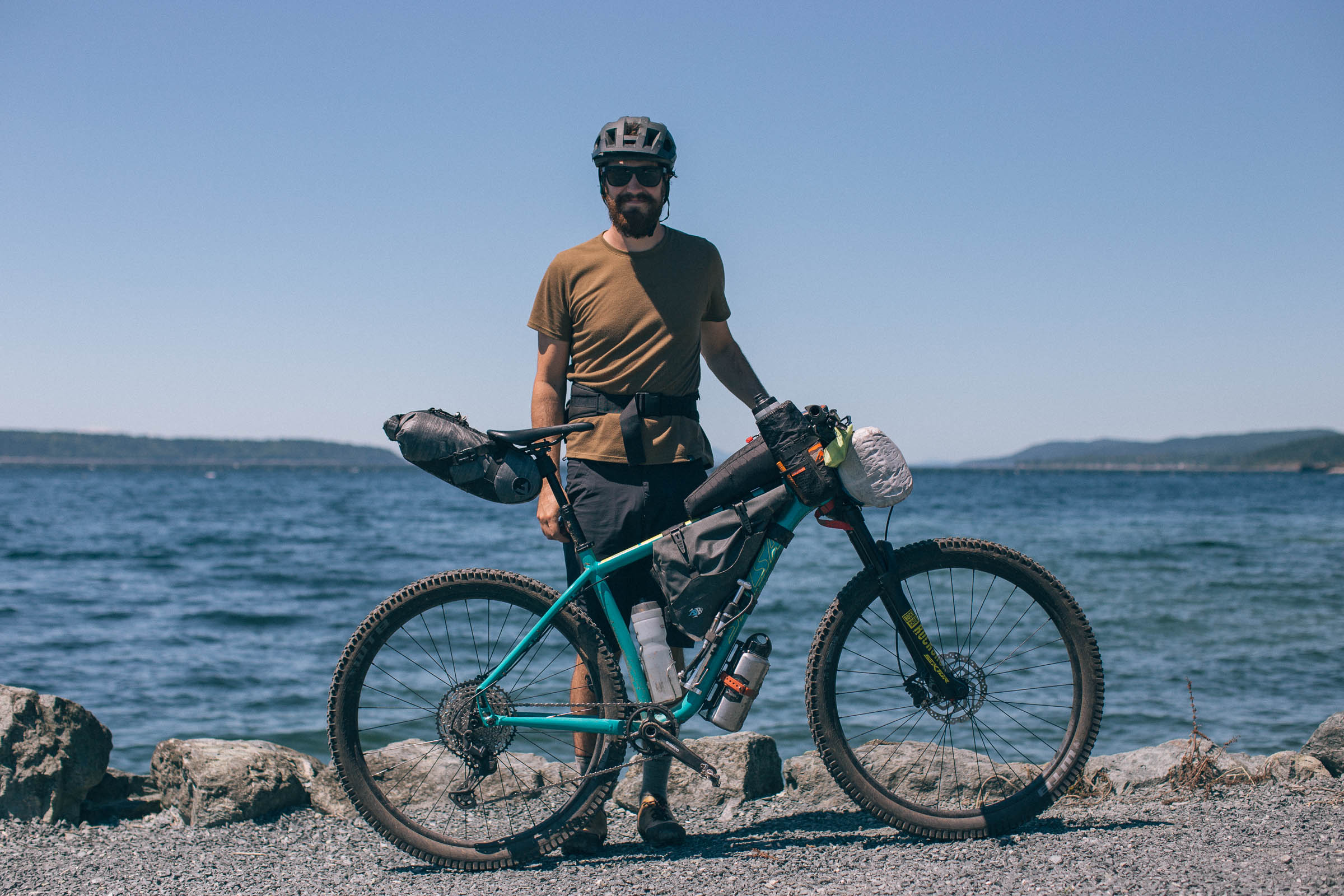
- Ideal Bike: Due to the amount of technical singletrack, a bike with front suspension and knobby tires or a plus-tire rigid is recommended, as well as an intermediate level of mountain biking skills to navigate the terrain comfortably. A lightly loaded full-suspension mountain bike should not be out of the question.
- When to ride: The best time to ride the route is from May through October, as Mount Troubridge and Walt Hill can have snow during the winter and spring months. Be prepared for bugs in the higher elevations.
- Getting here: Powell River is accessed only by ferry or by plane. For those flying into Vancouver, the best option is taking the Horseshoe Bay / Langdale ferry, riding the Lower Sunshine Coast Route to Earls Cove and then taking the ferry to Saltery Bay. From Vancouver Island, the ferry travels directly from Comox to Powell River, but you’ll need to ride, cab, or bus south to the start of the route. There are also public transit options along the Sunshine Coast and from Powell River south to Saltery Bay, to get to the start of the route.
- Route Direction: This route is best ridden from south (Saltery Bay) to north (Powell River), and was designed to be ridden this way.
- Land Acknowledgment: The Powell River Sampler travels on the unceded traditional territory of the Tla’amin Nation and shíshálh Nation. Take some time to learn about and respect their people. Head over to the British Columbia Assembly of First Nations website to learn more.
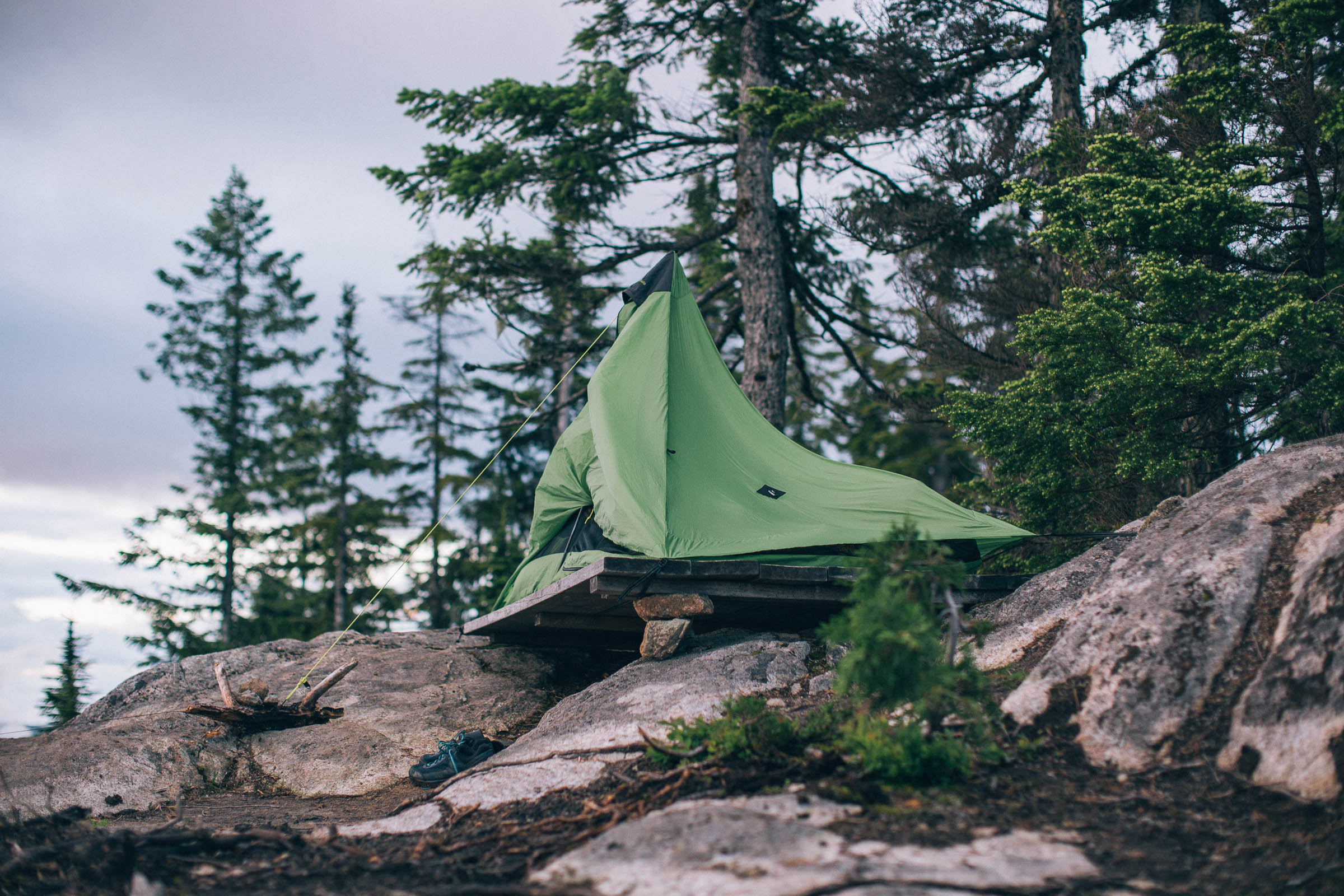
- There are several established campsites along the route. The best cabins and the campsites along lakeshores are noted on the map.
- Even if you plan to stay in cabins, bring a shelter, as they are popular for hikers and other trail users.
- Reserving a campsite at Willingdon Beach Campground in town before you set out on the route is recommended. You will not require a reservation for the Anthony Island and Pier Hut campsites on the Inland Lake route. Campsites in the Inland Lake Provincial Park campground require reservations and payment.
- Wild camping is permitted outside of municipal parks, including designated trail systems and protected areas, but since there are so many great BC Recreation Sites and designated campsites it shouldn’t be required.
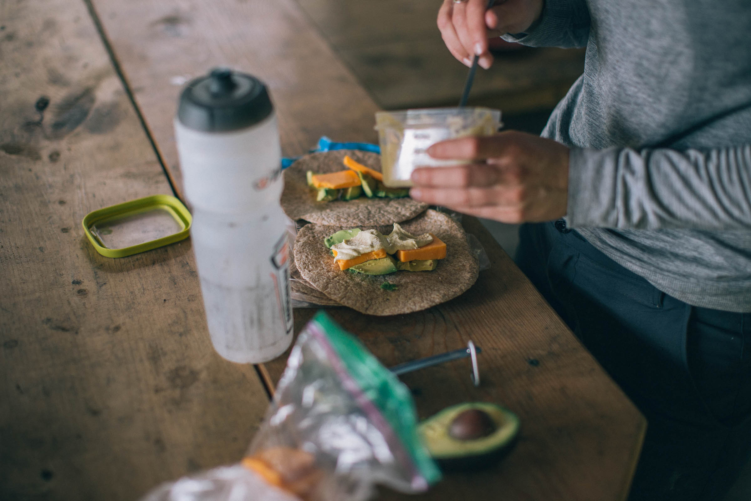
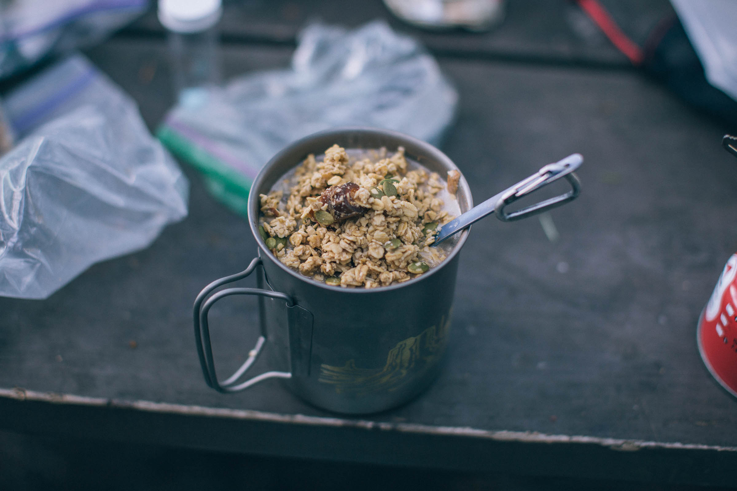
- There are no possibilities for resupply along the route, so ensure you have enough food to reach Powell River, plus some extra.
- For those connecting from the Sunshine Coast Route, there is a small store in Lang Bay, best accessed from Stillwater Main Rd slightly off the route.
- Powell River has an amazing selection of restaurants along Marine Ave (Highway 101) a short walk from the campground.
- Quality Foods is up the hill for restock, or next to the Willingdon Beach Campground there is the Chopping Block, which has a wonderful selection of dried meats, cheeses, local produce, snacks, and a deli.
- Water is plentiful along the route, but bring a water purification device. If you are considering the add-on up to Walt Hill Hut you will need to fill up your water at the creek crossing on the hike-a-bike up, or once at the cabin there is a signed trail that leads you down to a water source. For emergency water there is a rain barrel at the cabin as well.
Getting to Walt Hill Hut
The optional climb up to Walt Hill consists of a 2-2.5km steep hike-a-bike after a 7.5km steep, loose gravel road climb. It is not for those who do not like to suffer. Those who do will be rewarded with stunning views of several freshwater lakes north of Powell River, including Lois Lake, Horseshoe Lake, and Dodd Lake—not to mention the views of the Strait of Georgia, Vancouver Island, and beyond. For those adding on this section to your route, it is advised that you camp at the Golden Stanley Hut for your first night and make this a four-day, three-night route, otherwise the ride from Saltery Bay to Wall Hill Cabin is a massive day. Find the alternative RideWithGPS map here.
Make it a loop
For those wanting to make this route a loop by returning back to Saltery Bay on the paved Highway 101, a vehicle can be left at the Sunshine Coast Trailhead parking lot in Saltery Bay. There is also a bus (Route 12: Stillwater) that travels between Town Centre Mall and Saltery Bay. There also also busses on the lower Sunshine Coast. You can look up their schedule online here, otherwise you will need to hire a taxi or ride the 31km along Highway 101 back to your car. The majority of this highway is single lane with a wide shoulder.


Terms of Use: As with each bikepacking route guide published on BIKEPACKING.com, should you choose to cycle this route, do so at your own risk. Prior to setting out check current local weather, conditions, and land/road closures. While riding, obey all public and private land use restrictions and rules, carry proper safety and navigational equipment, and of course, follow the #leavenotrace guidelines. The information found herein is simply a planning resource to be used as a point of inspiration in conjunction with your own due-diligence. In spite of the fact that this route, associated GPS track (GPX and maps), and all route guidelines were prepared under diligent research by the specified contributor and/or contributors, the accuracy of such and judgement of the author is not guaranteed. BIKEPACKING.com LLC, its partners, associates, and contributors are in no way liable for personal injury, damage to personal property, or any other such situation that might happen to individual riders cycling or following this route.
Please keep the conversation civil, constructive, and inclusive, or your comment will be removed.