Tour Te Waipounamu: Taking the Scenic (and Hard) Route
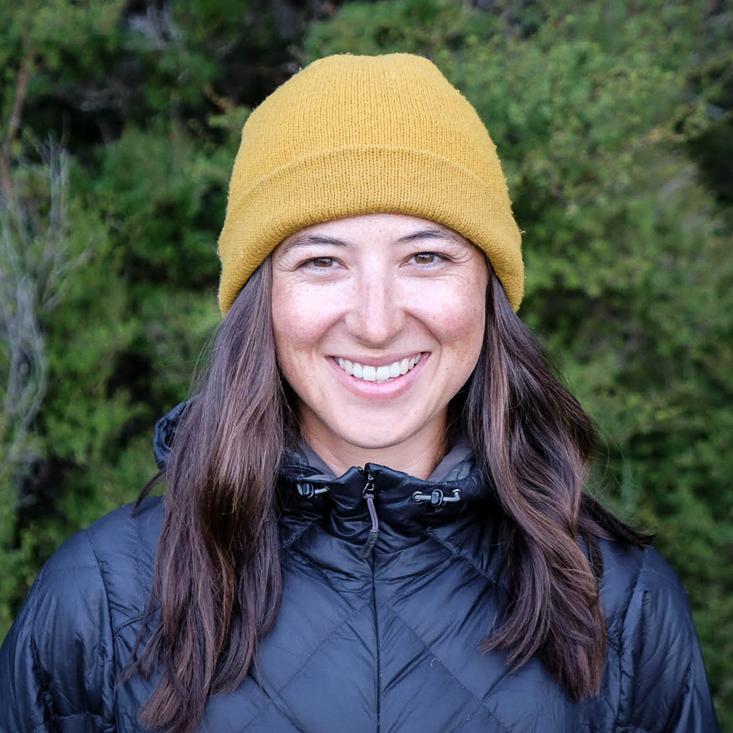
Following her successful completion of the challenging 1,300-kilometer Tour Te Waipounamu across New Zealand’s awe-inspiring South Island, Eileen Schwab put together this recap of her time spent navigating the route and its many surprises. Find her story and a vibrant gallery of photos from several participants here…
PUBLISHED Feb 23, 2022
Words by Eileen Schwab, photos by Eileen Schwab, Mark Watson, Andy Hovey, and Brian Alder
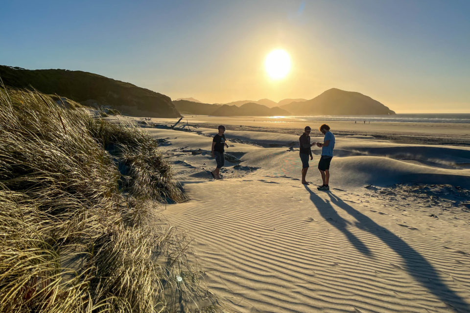
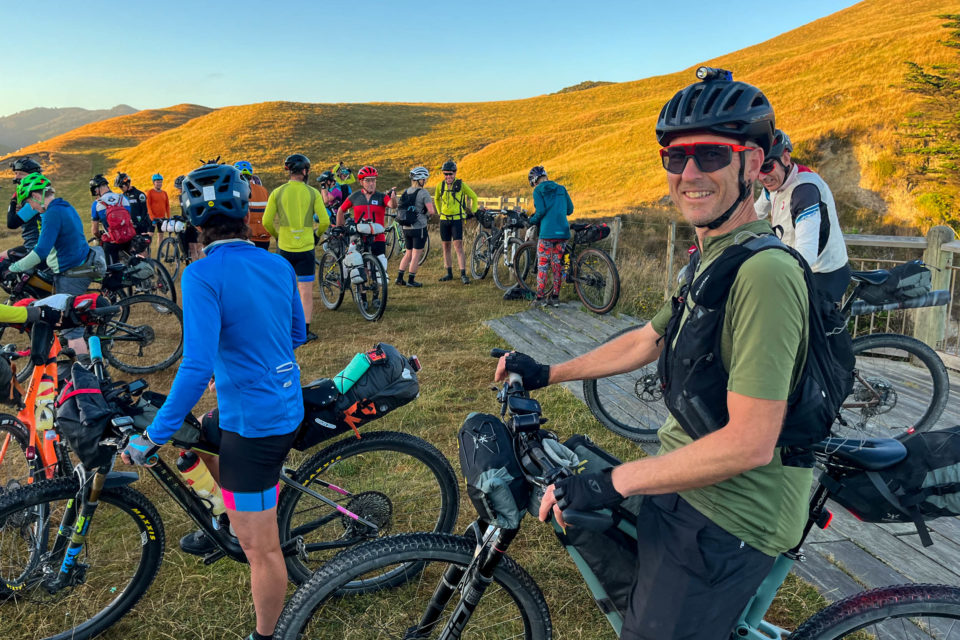
The spiritual beginning of the Tour Te Waipounamu journey lies a little beyond its starting line at the remote and wild Wharariki Beach. Tucked away in the most northwestern reaches of New Zealand’s South Island, a group of us took a walk out there on the eve of the race to contemplate the daunting 1,330-kilometre adventure that lay ahead.
After months of build-up, anxiety, and a diminishing ability to focus on anything else, race day seemed to arrive all too suddenly. But rather than the restless nerves I’d expected, I felt surprisingly at peace. Finally, all that was left to do was ride our bikes to Slope Point, the island’s southernmost tip—and push, carry, wrestle and haul them, if past accounts were anything to go by. I couldn’t wait.
While Tour Te Waipounamu’s first edition riders had limited intel, those lining up for the second round had more insight, for better or worse. The first and last thirds of the route generally cover more known (if not easy) terrain with a few wildcard sections, but the middle of the course is its signature. Weaving in hiking trails, private stations, and barely tracked mountain crossings, the route masterfully links together a varied, engaging, and unexpected journey through the heart of the South Island. The demanding course would frequently threaten to wring out the last of my physical strength and mental resolve as I obediently followed that squiggly line through landscapes where a bike, at times, seemed a questionable choice of companion.
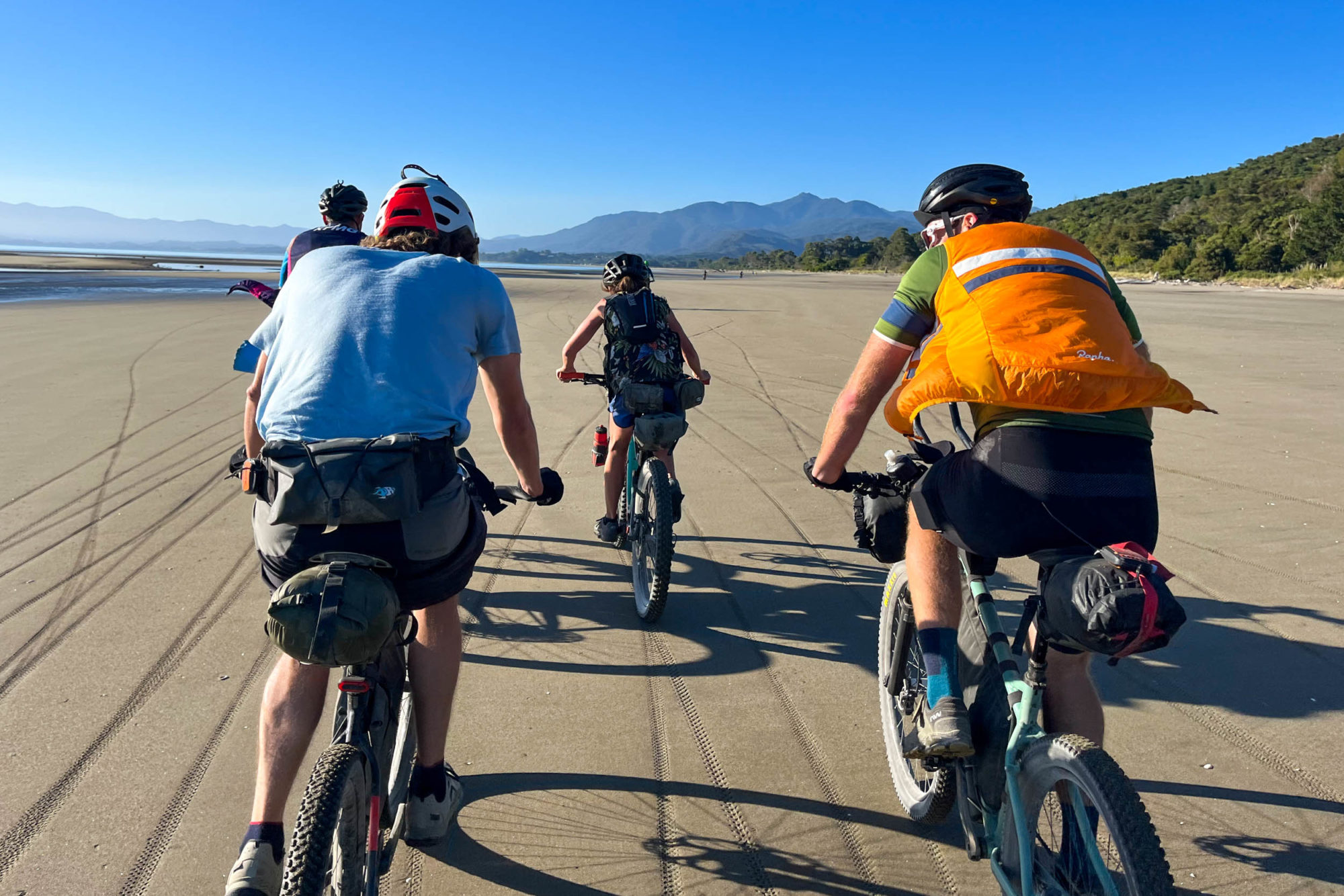
Things started smoothly enough on day one, with straightforward progress and plenty of fast pavement in the too-warm sun. Even the 900-metre grind up the Rameka track seemed to fly by more enjoyably than expected, powered by excitement and fresh legs. I settled into a typically fitful first night, cautious about burning out early as it had already been my longest day ever. I’d later learn of riders battling with gastro, a concussion, a heli rescue from a ridgeline due to a misbehaving heart, a derailleur defeated by the Rameka, and a broken pedal that insisted on unwinding itself, so already the going was far from easy.
Satisfied with a respectably efficient morning roll-out, my partner Andy and I rolled into Murchison to resupply and were taken aback to see a large group of riders who’d had passed us while we slept. Perhaps our “ride strong, sleep long” approach wasn’t going to cut it. Despite being a long way from racing at the pointy end, there’s an unrelenting sense of urgency in an event, and this would propel us to rack up a 19-hour day before we’d rest again.
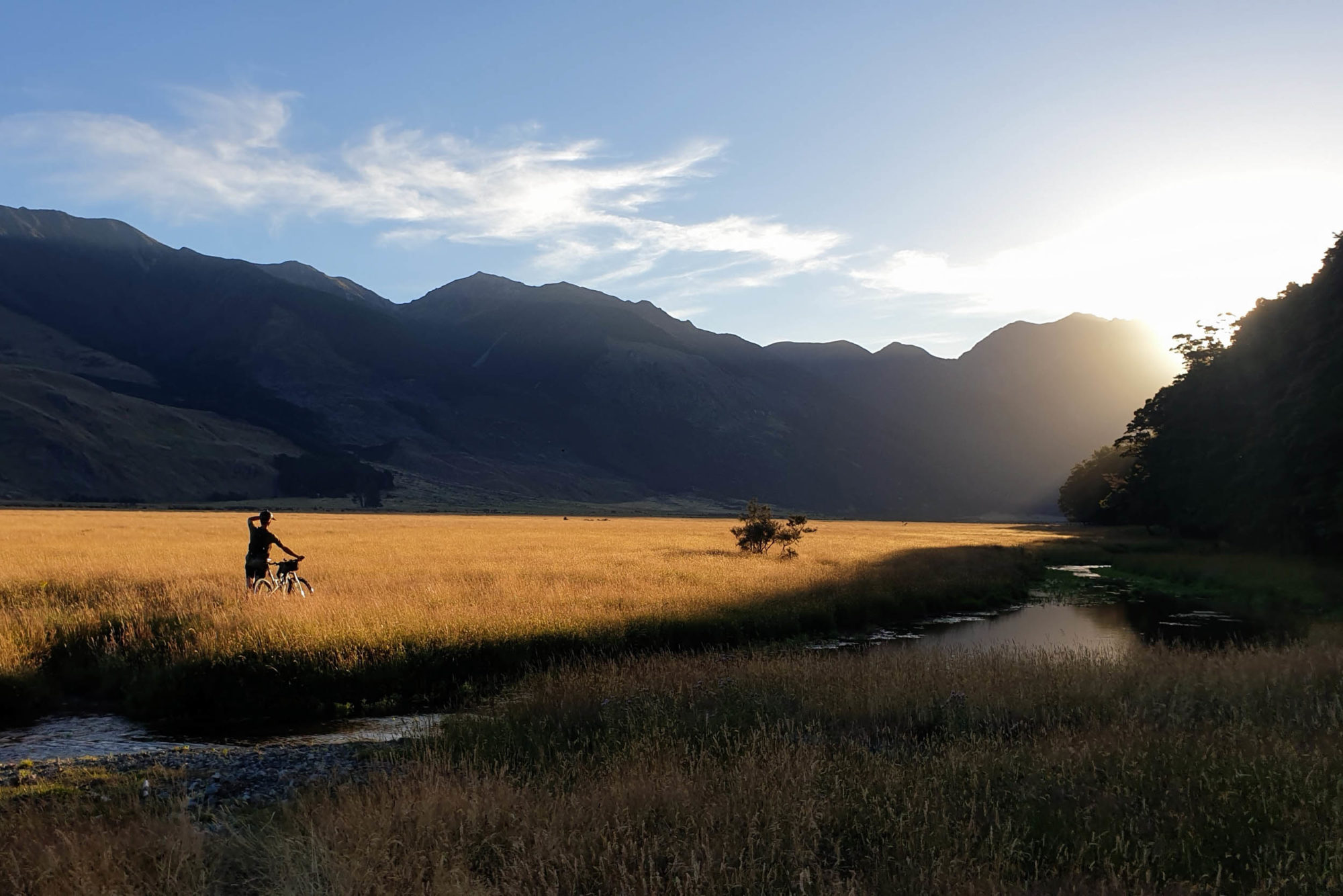
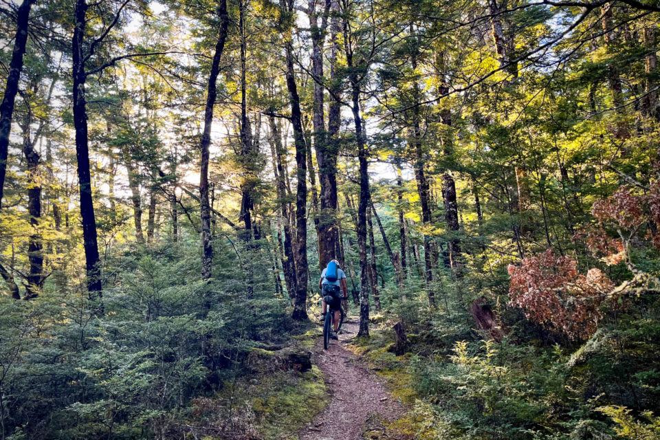
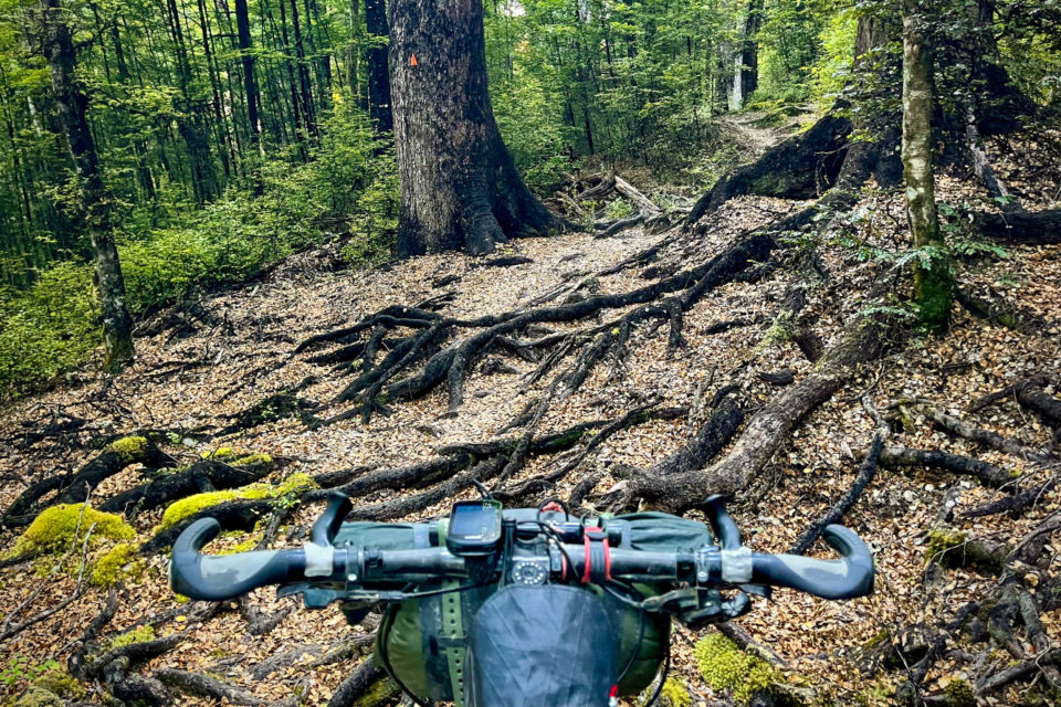
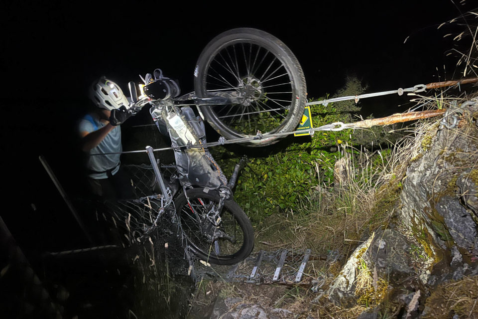
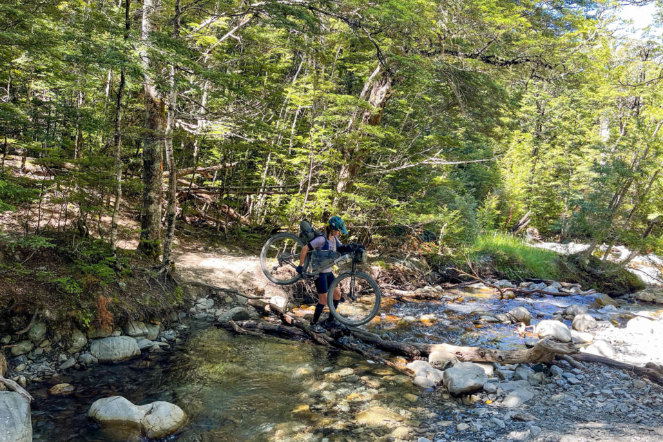
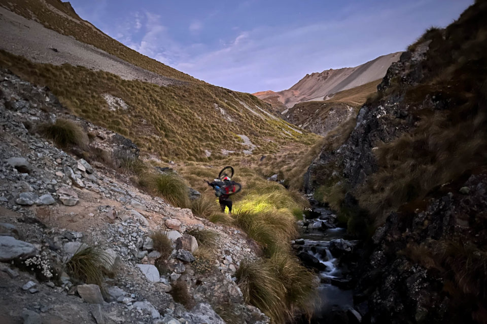
That evening, with the fast first 400 kilometres down, we entered the middle section of the route onto the Hope Kiwi Track. The final six hours earned us a grand total of 17 kilometres of forward progress. There were narrow wire swing bridges to inch along, rooty and rocky hiking trails, a confused and charging calf to calm down, and windfallen trees to navigate. I was certain this intimidating group of athletes—lycra yielding to their marble-carved muscles—would be springing like deer (and like Andy) through the steep creek beds and bounding weightlessly up the hills while I awkwardly contorted myself to get over, around, and through obstacles with laden bike and tired limbs. I wished I’d done more push-ups in preparation but reminded myself I had, in fact, done plenty.
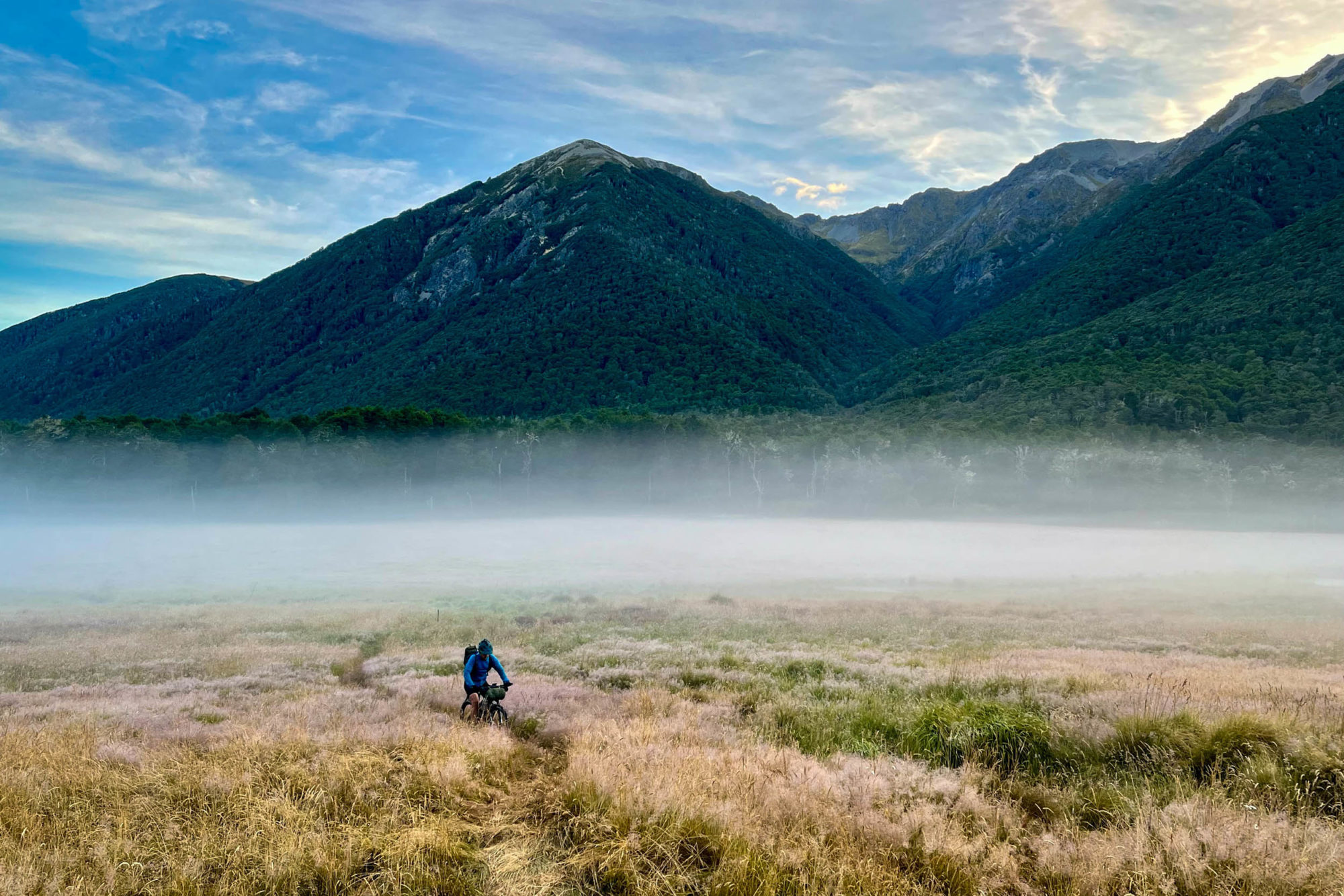
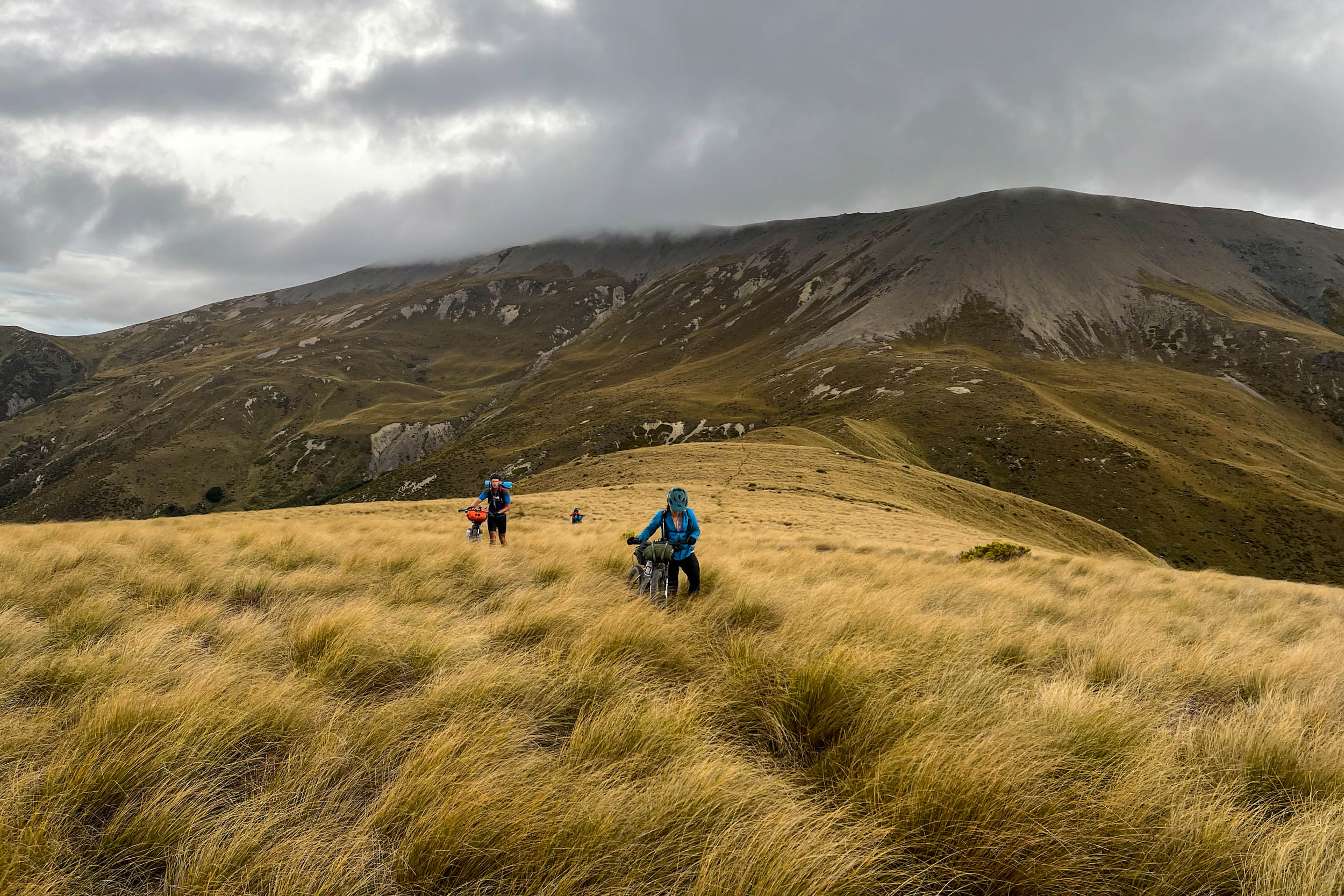
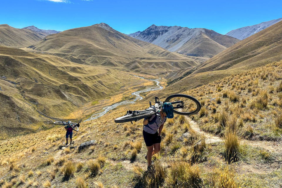
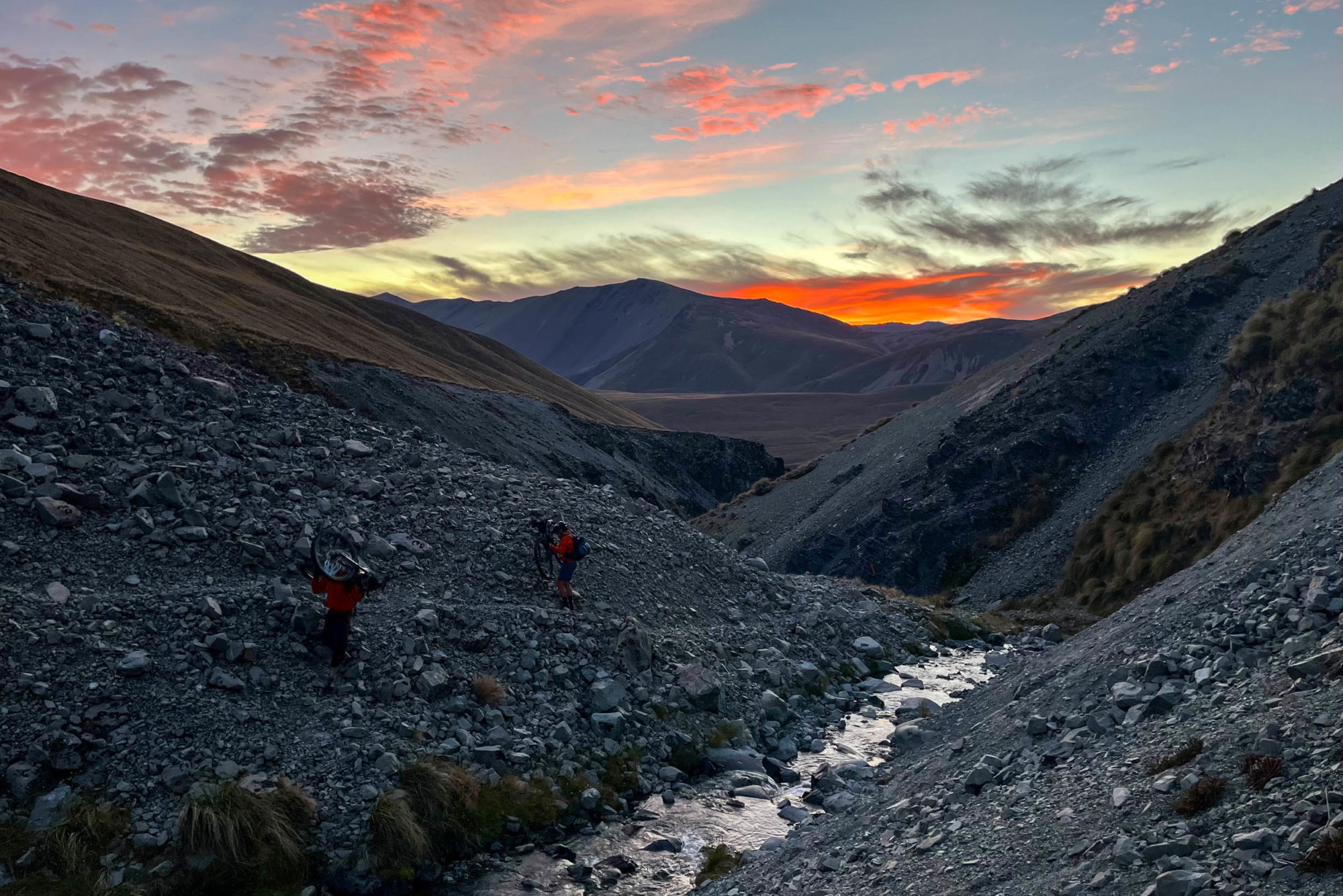
The following day offered a similar rate of travel, and we barely eked out 50 kilometres through the forest trails, along four-wheel-drive tracks, and across the infamous Dampier Range hike-a-bike. The faint trail was easily lost in the waist-deep tussocks, and carrying our bikes would prove more efficient than pushing. Sadly, willing my legs to walk faster to make it pass sooner could not make it so, and I trudged a dozen steps, paused, breathed, writhed under the weight, and carried on.
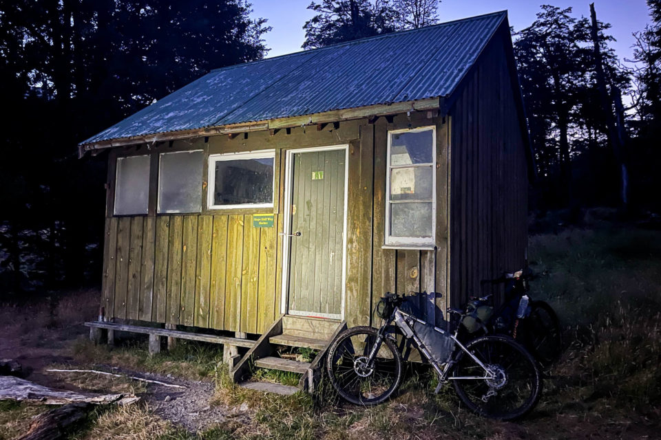
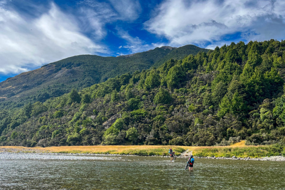
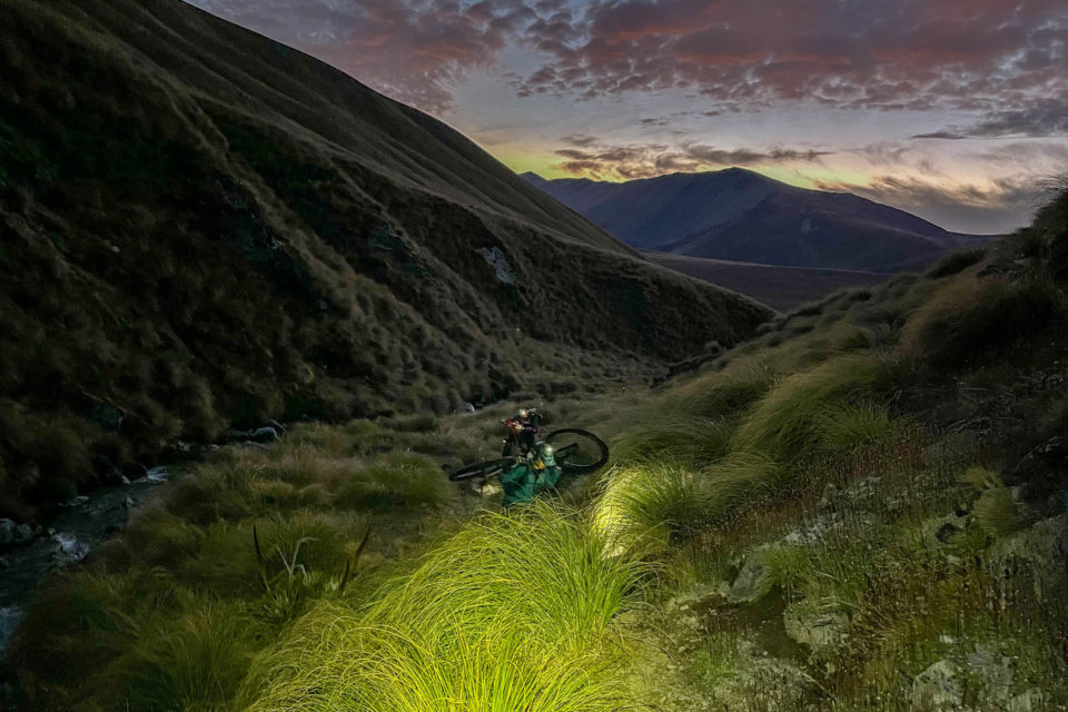
Feeling like we were on track for the slowest crossing of the range to date, the fun, technical descent quickly delivered us to the bottom, where we faced a decision. Each of the nine sections of private land carried a strict no camping rule, and the longer ones often required three to four hours to clear. Not for the last time, we’d have to choose between progressing in the darkness or savouring the rare access to private land in some daylight. As a few riders ahead of us disappeared into the dimming night we settled in for a rest. Tussling with the tussocks had been another taxing full-body workout that had one rider lamenting, “This isn’t bikepacking. This is torture!”
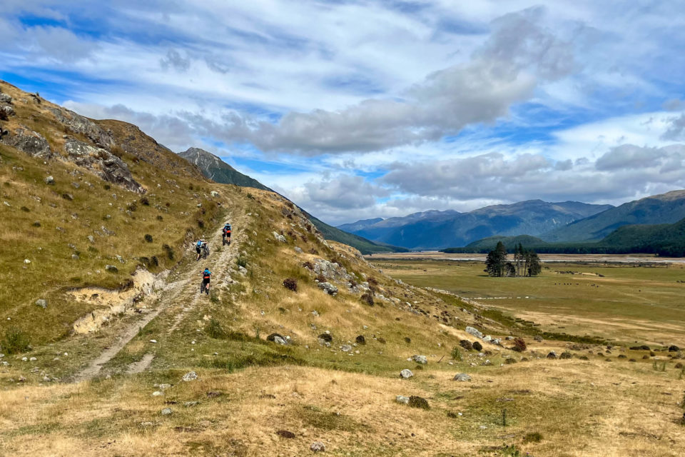
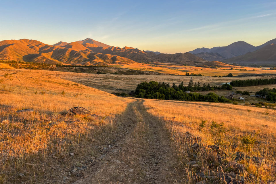
The ride out of the Esk Valley in the early morning light was stunningly beautiful and affirmed our decision, replenishing energy and enthusiasm levels. With the sun shining once again and the fun, flowy singletrack of Craigieburn thrown in, I mused that the day consisted entirely of type I fun. Feeling confident, we booked a basic cabin some four or five hours down the road, not questioning making the nearby resupply point of Methven in time. Minutes later, the skies unleashed, and a fierce southerly wind seemed intent on stopping us from making it to the shop, let alone any further.
With four minutes until closing, we dripped into the store. Delirious with hunger after a sprint finish, I focused on what I’d need to get through the next two days. I could barely string multisyllabic words together and chaotically gathered armfuls of assorted liquids and pastries. Although my most daringly optimistic plan of events saw us reach Methven on this night, I was frustrated not to make it further, then frustrated at my frustration and at my ability to have somehow turned a success into a failure. I worked on convincing myself of the restorative power of pizza, a shower, and a bed. It proved to be one of my easier tasks that week.
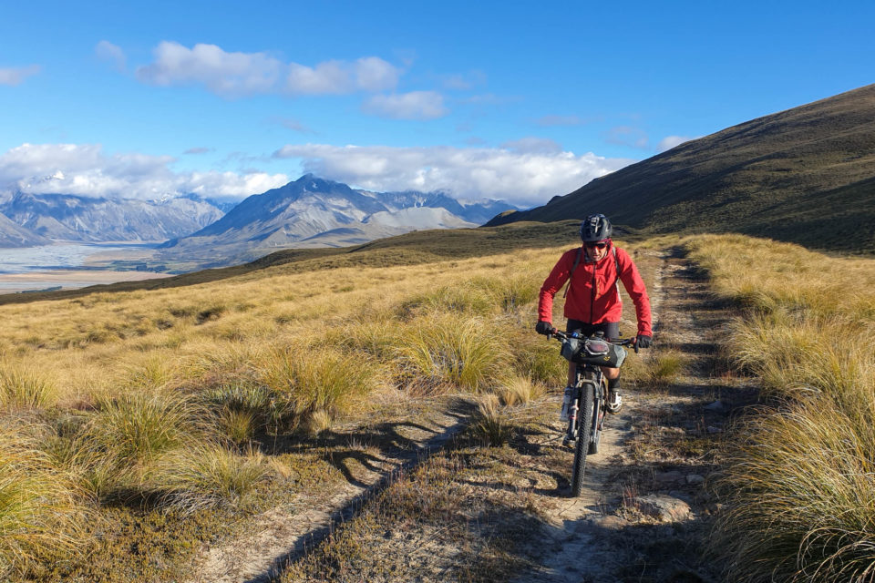
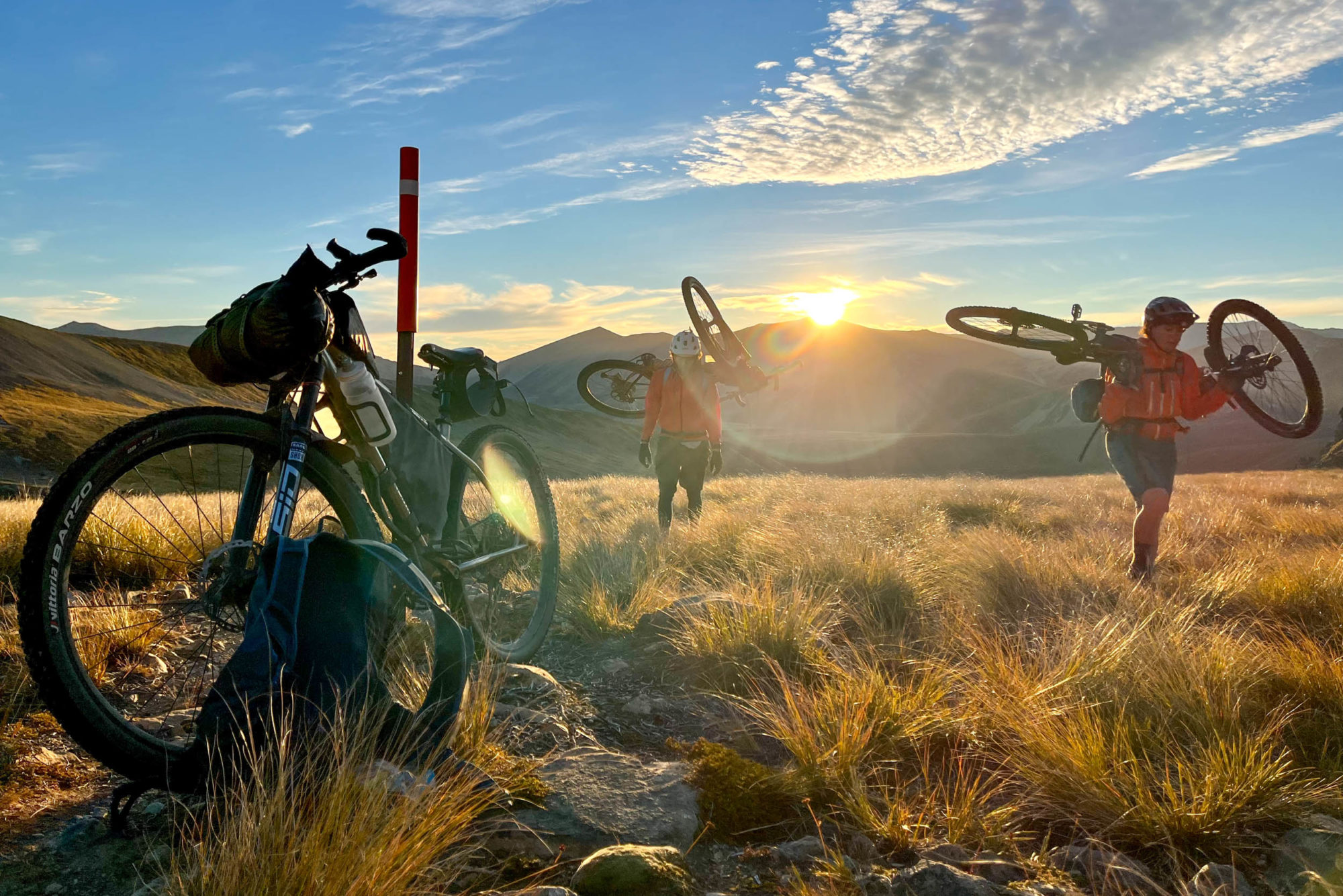
With the brief storm over and leaving a dusting of mid-summer snow on the peaks, we struck out for the route’s most iconic section over the Two Thumb Range. I’d come to appreciate and even look forward to the hiking sections of the route, pathetically grateful that my arse had a chance to recover. I pushed as soon as it was acceptably steep, then inchwormed forward on the steeper slopes until the gradient demanded yet more carrying.
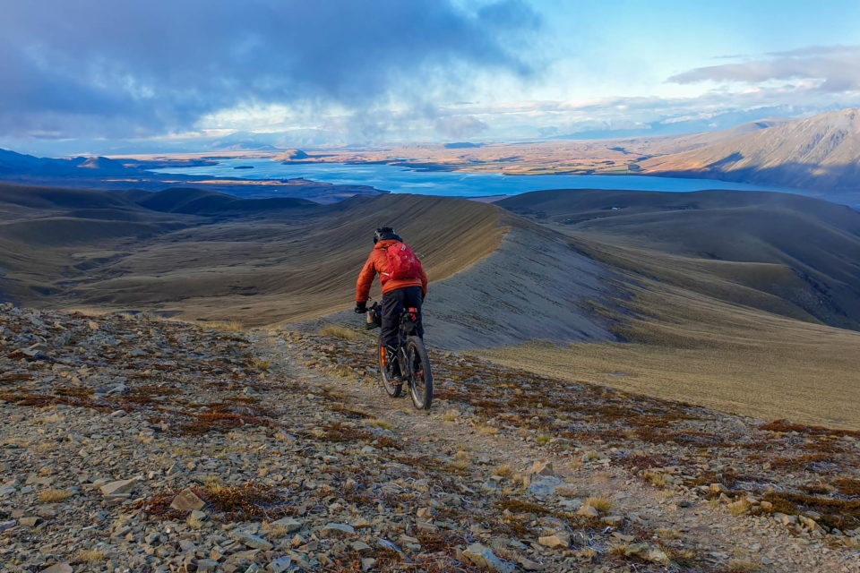
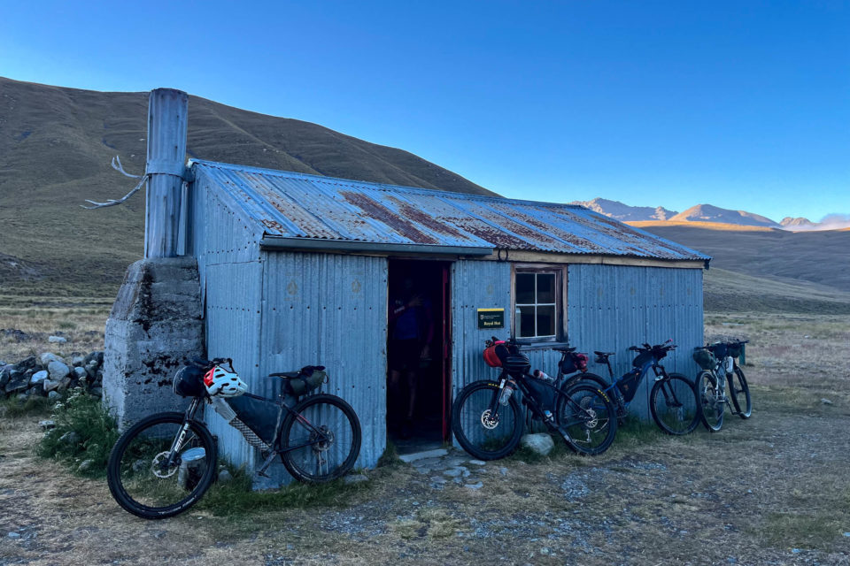
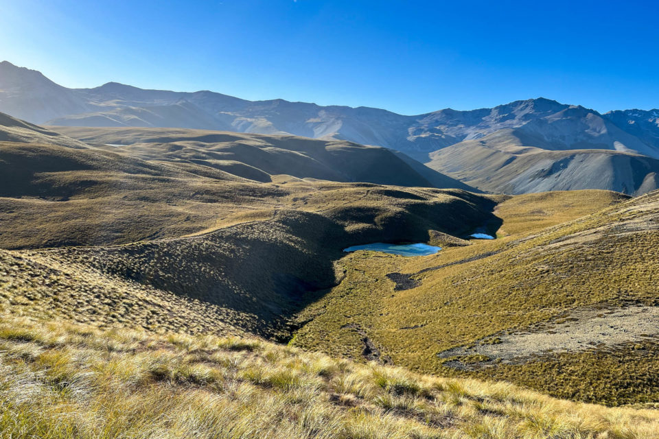
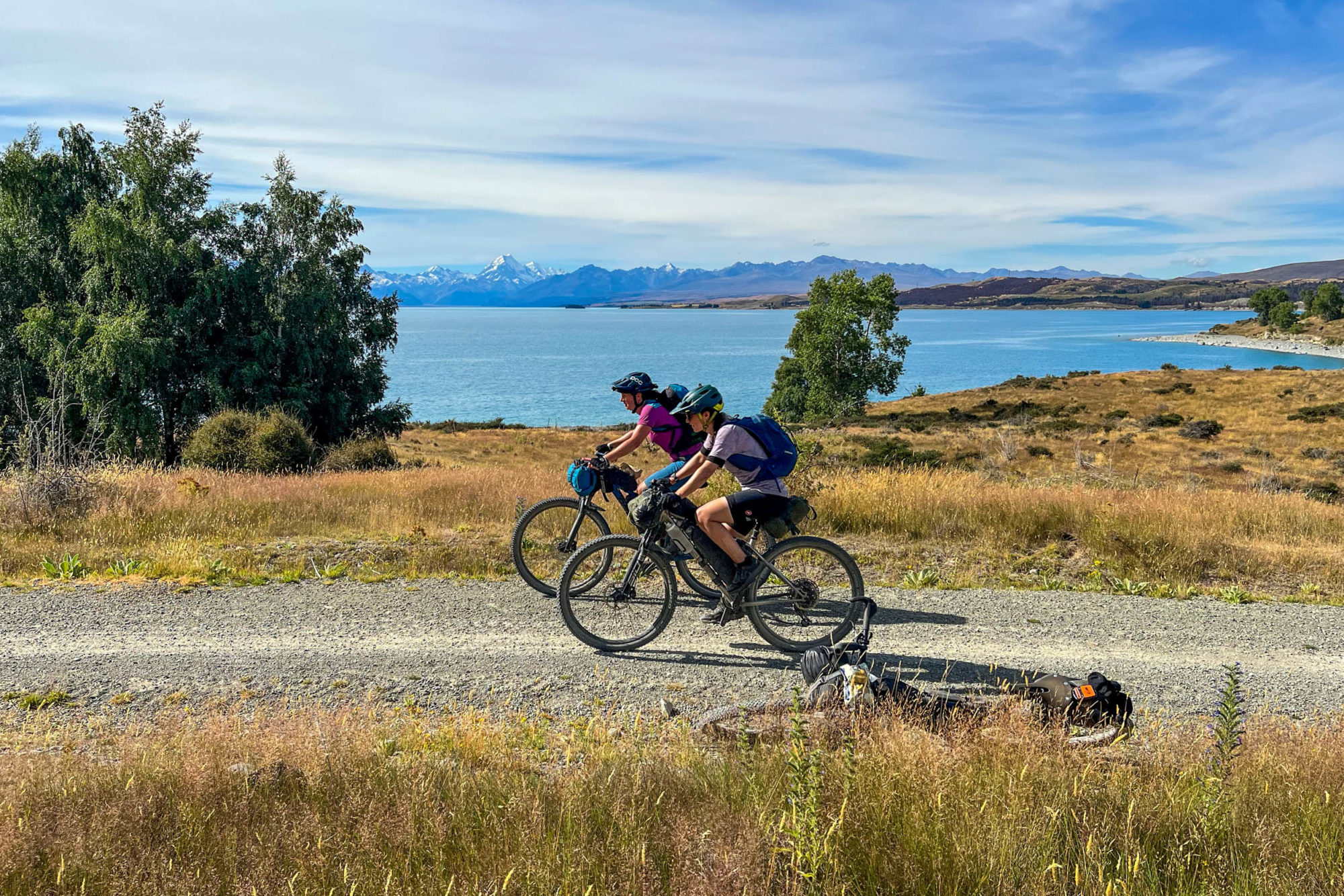
The backcountry descent that followed traversed rocky scree slopes and skirted the edges of sapphire tarns. It would make most mountain bikers shed tears of joy. The next morning’s effort over the high point of Stag Saddle was again hiking territory, following a poled route through rock and tussock, but I was content with the slow travel. Accompanied by new friends, and watching the sunrise begin to colour the hillsides—first in muted blues, then fiery reds—I wouldn’t have wanted to be anywhere else. Standing atop the ridgeline descent, the extremely hazardous views spanned the glacial waters of Lake Tekapo, across the vast Mackenzie Basin to the Southern Alps. We laughed about the fact that although the suffering and brutality of the Tour Te Waipounamu were well advertised, it seemed its best-kept secret was just how incredible the riding was.
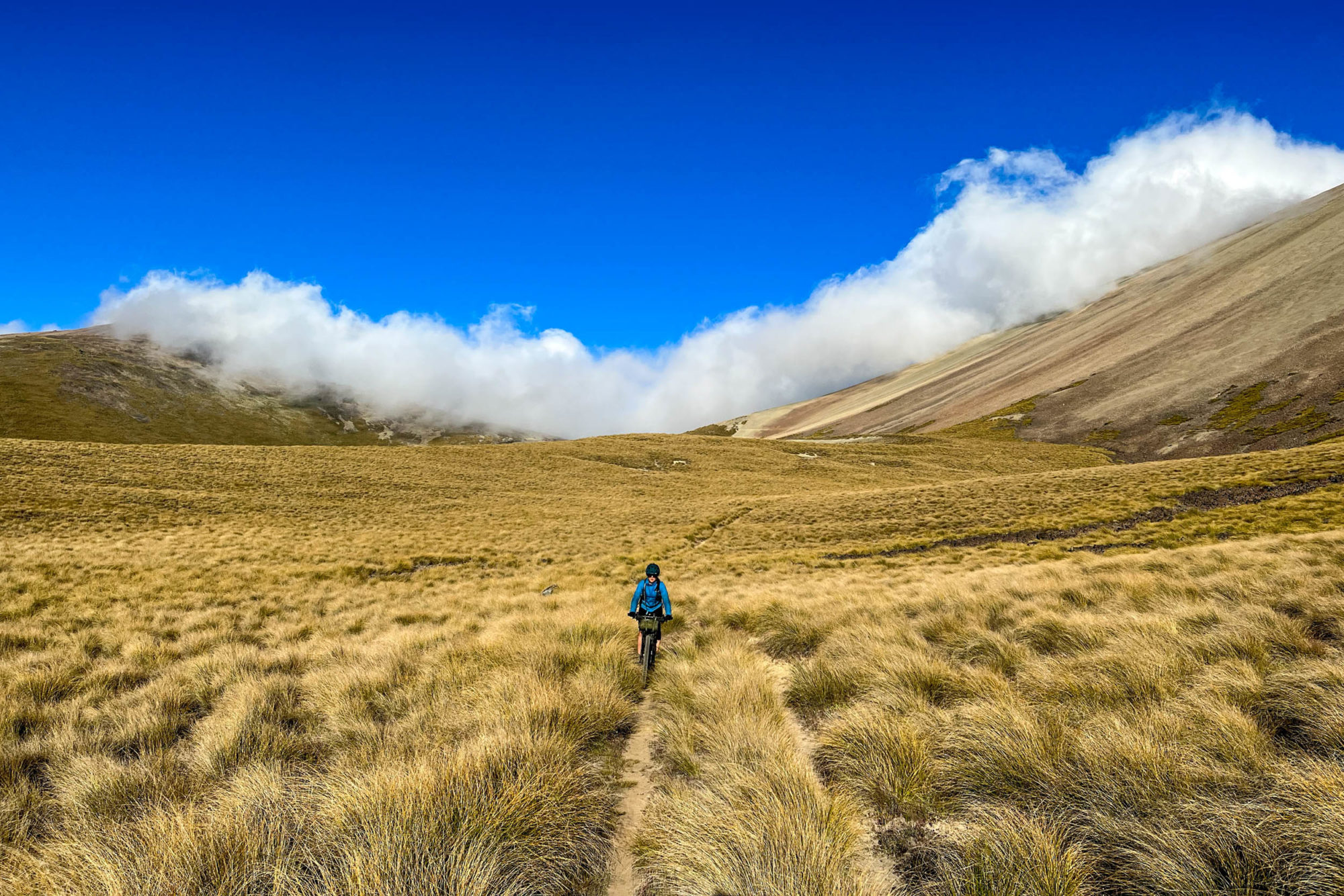
Tekapo is a major milestone in the route, offering a quality refuel and marking the end of the most challenging sections. Leading riders have been known to push through those final 500 kilometres almost non-stop, so I hadn’t spared much headspace for what remained. That was a mistake. Coasting along the gentle flats of the Tekapo Canal, I basked in the satisfaction of having survived this far before the bone-rattling, brain-scrambling, bouldery road that follows jolted me back to the still significant task at hand.
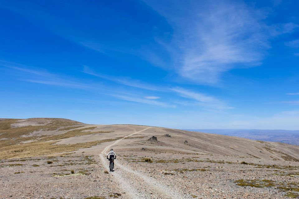
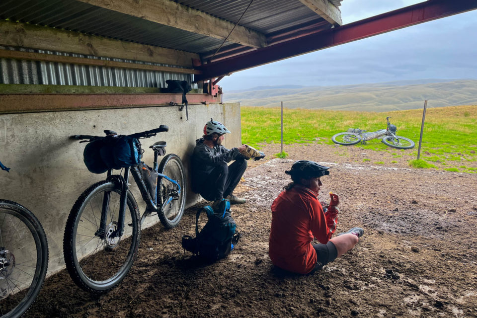
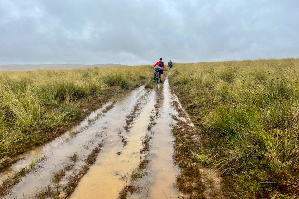
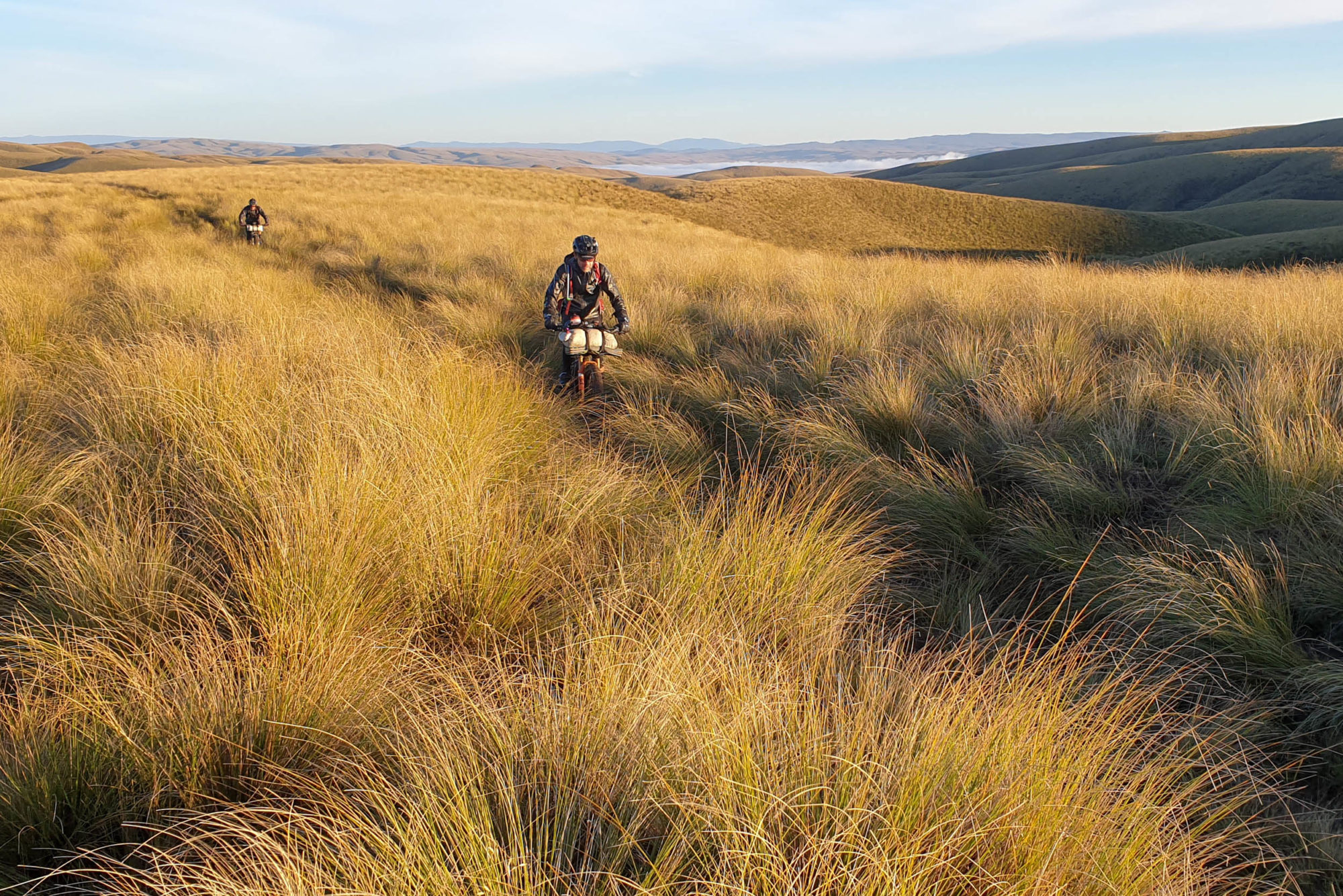
Relentlessly steep climbs still lay in wait. So did soaring temperatures, swampy farm trails, exposed tops that roll and crinkle into endless strings of false summits, and the persistent threat of failing body parts. Taken together, these things ensured that I understood that the job isn’t “as good as done'” until the end is reached.
Deep in another private section, late on the night of day 100 (or so), my legs felt as wobbly as those of the struggling sheep Andy had heaved out of a bog a few days earlier. Considering the distance remaining and our rate of travel, which was now a slow push on anything resembling a hill, I calculated that clearing this “no camping” stretch could take roughly another eternity. Studying the map on my phone is a time-gobbling habit that increases as I get more tired, but I allowed myself to analyse the remaining hills to mentally steel myself with small milestones. I concluded that the views of the lake would have been gorgeous from here, but gazing listlessly into the void, I was as dark as night about missing it all.
At 1 a.m., we limped onto a grassy field to camp. As amazing as lying down and sleeping feels, getting up again feels equally terrible and far worse than any terrain we’d encounter. Each wake-up begins in disorientating darkness with the certainty that it couldn’t possibly be that time already, then the dawning realisation of all the aches, pains, and another very long day ahead.
The course notes stated something about a nasty surprise waiting in the Lammerlaws, but I couldn’t figure out when we were past it. Was it referring to the shit-covered paddocks, the innumerable locked gates, the promise of a 1,500-metre descent that secretly held an equal amount of climbing, or all of the above? A final assault by a wasp to the throat confirmed that I was ready to be finished. This had been epic, exhausting, surprisingly fun, and painful, but could we please be done now?
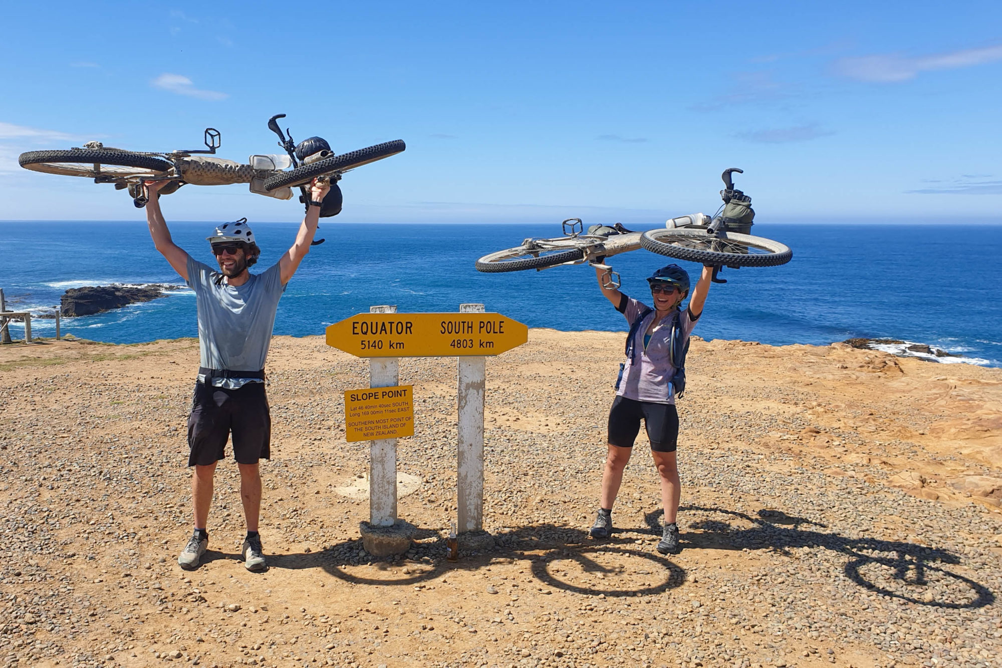
A wildly over-ordered feast at the pub in Lawrence reset morale for the final push. Perhaps “finish line fever” would carry us through the night for an early morning finish? Not even close. By 11 p.m., my eyes struggled to focus on the gravel road in the hypnotic beam of my headlight, and soon the long grasses on the roadside beckoned us to take a final nap under the stars before we would finally make it—bruised, battered, and weathered—to that long-imagined arrival at the barren Slope Point.
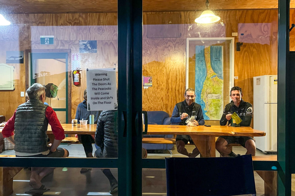
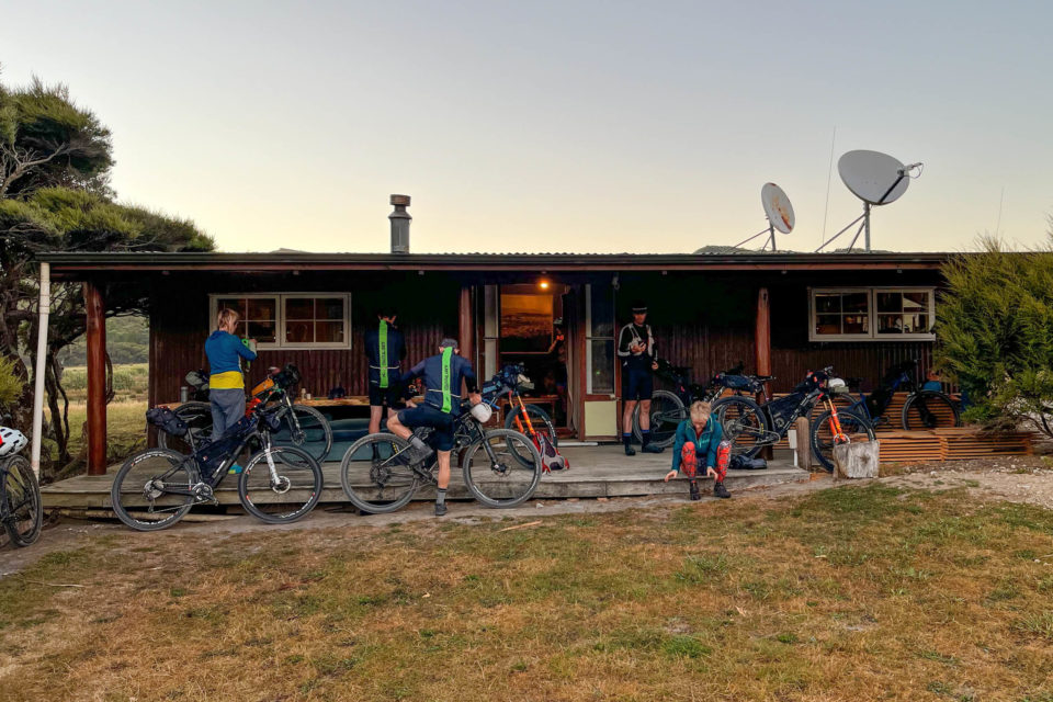
A few kilometres back from the finish line, riders gathered at the isolated hostel, which became known as the Slope Point ICU. A long way from anywhere, race organiser Brian and his wife Clare, along with Justine, who runs the hostel, had organised a haven of recovery with beds available at all hours and a robust supply of food and beer, covering all the varied cravings and requirements of the post-race haze.
A trickle of overlapping arrivals and departures hobbled between the fridges and the couches on a half-hour schedule, with those coming back to life looking after those too exhausted to do much of anything. As each rider rolled in, people would head down to the road to cheer as they whooshed by on a descent or take the trip back to the point with a few beers in hand to welcome them in after the arduous journey.
Many thanks to Brian, Clare, the landowners, and the helpers who have made this incredible event possible with their generosity. I’m sure it’s left an indelible impression on the few of us who have been fortunate enough to experience it.
Please keep the conversation civil, constructive, and inclusive, or your comment will be removed.


