


The Ardeche-Cevennes Divide
Distance
203 Mi.
(327 KM)Days
6
% Unpaved
95%
% Singletrack
5%
% Rideable (time)
99%
Total Ascent
22,000'
(6,706 M)High Point
5,251'
(1,601 M)Difficulty (1-10)
6?
- 7Climbing Scale Strenuous108 FT/MI (21 M/KM)
- -Technical Difficulty
- -Physical Demand
- -Resupply & Logistics
Contributed By
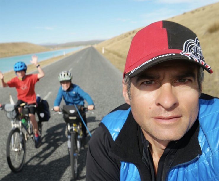
Olivier Latouille
Guest Contributor
Olivier loves cycling of all types including mountain biking technical hiking trails in the Alps, commuting to work on a fast e-bike, and carving the downhill singletracks of the Chartreuse where he lives. But his favorite types of adventures involve his wife and kids, on tough routes, looking for big spaces and remote landscapes… all the while taking pictures to show the adventure from the inside. Follow Olivier and his family at his blog tibouditinerances.jimdo.com.
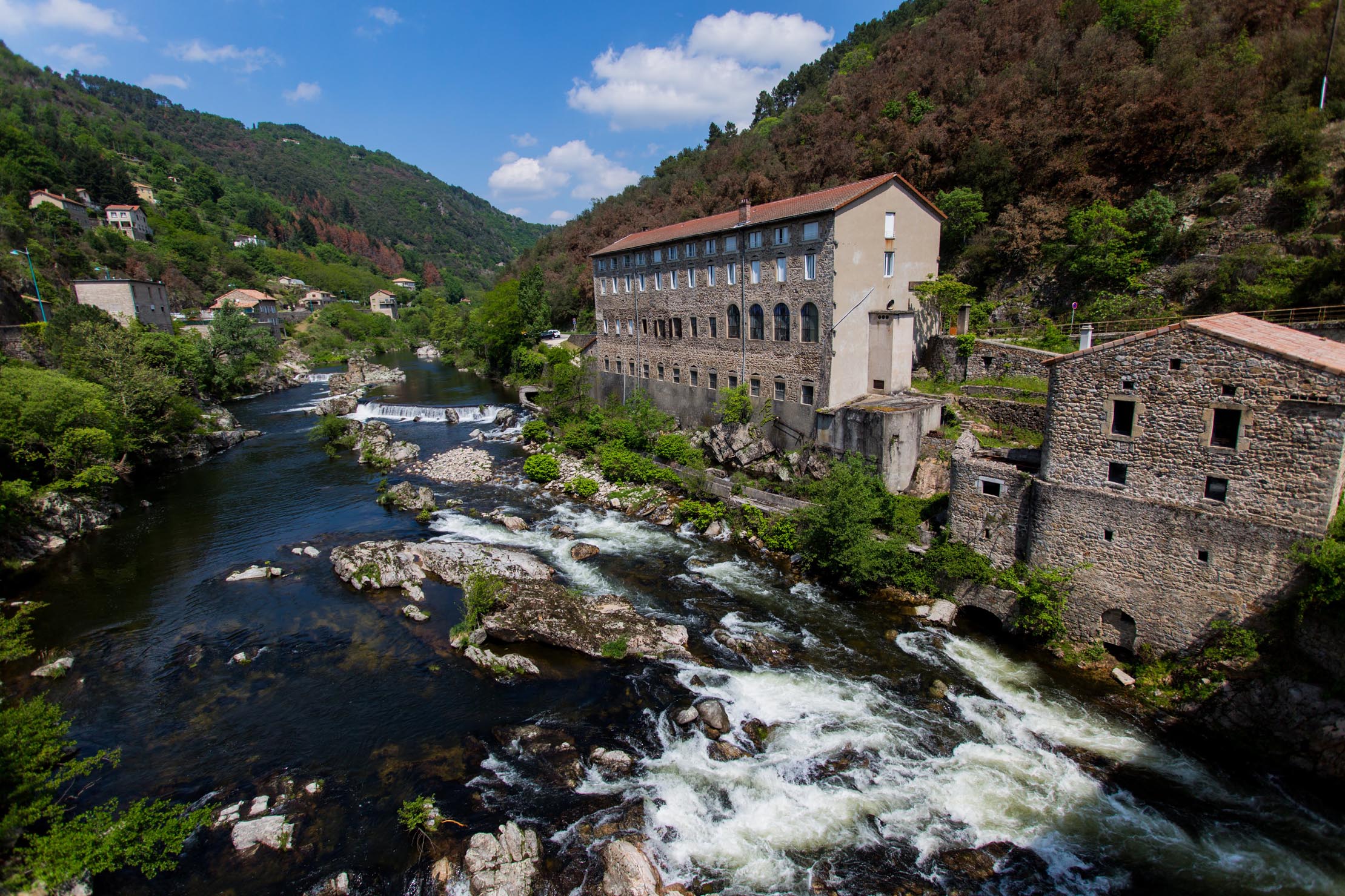
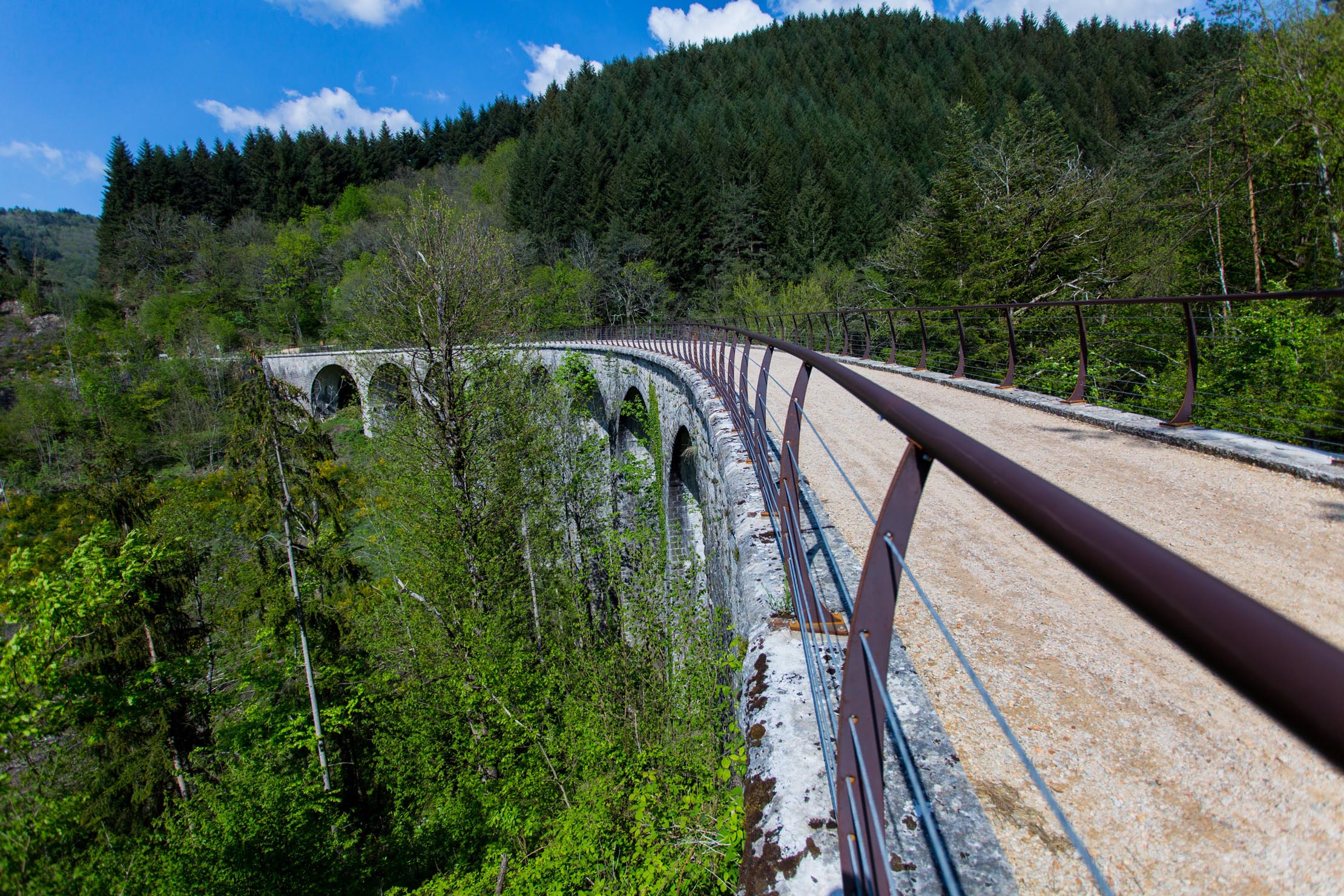
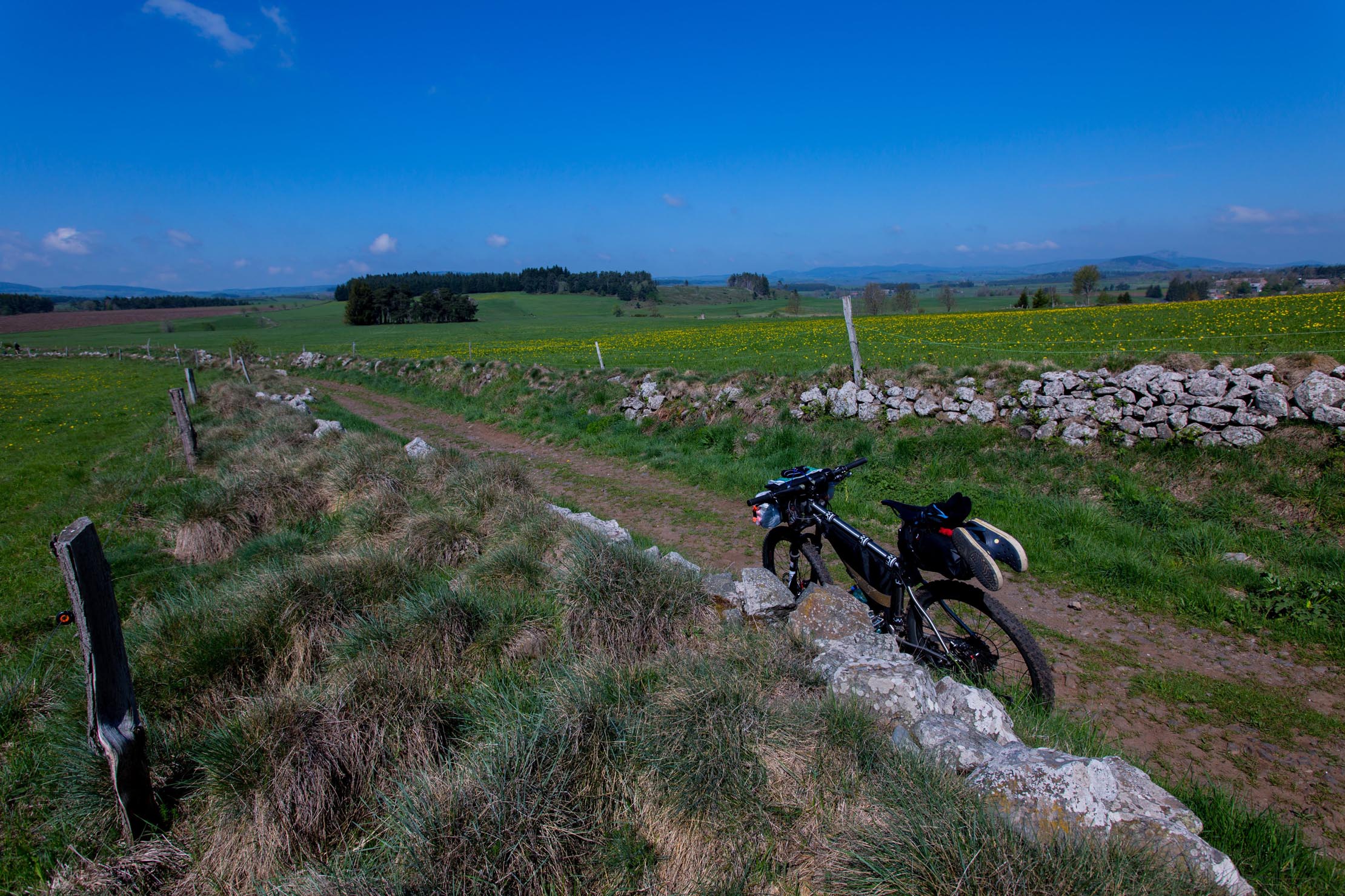
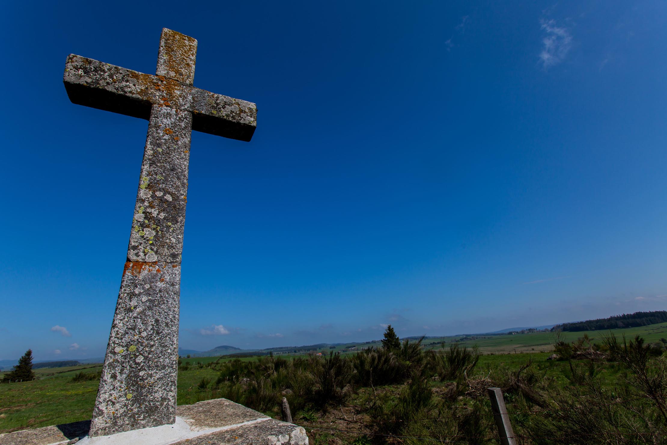
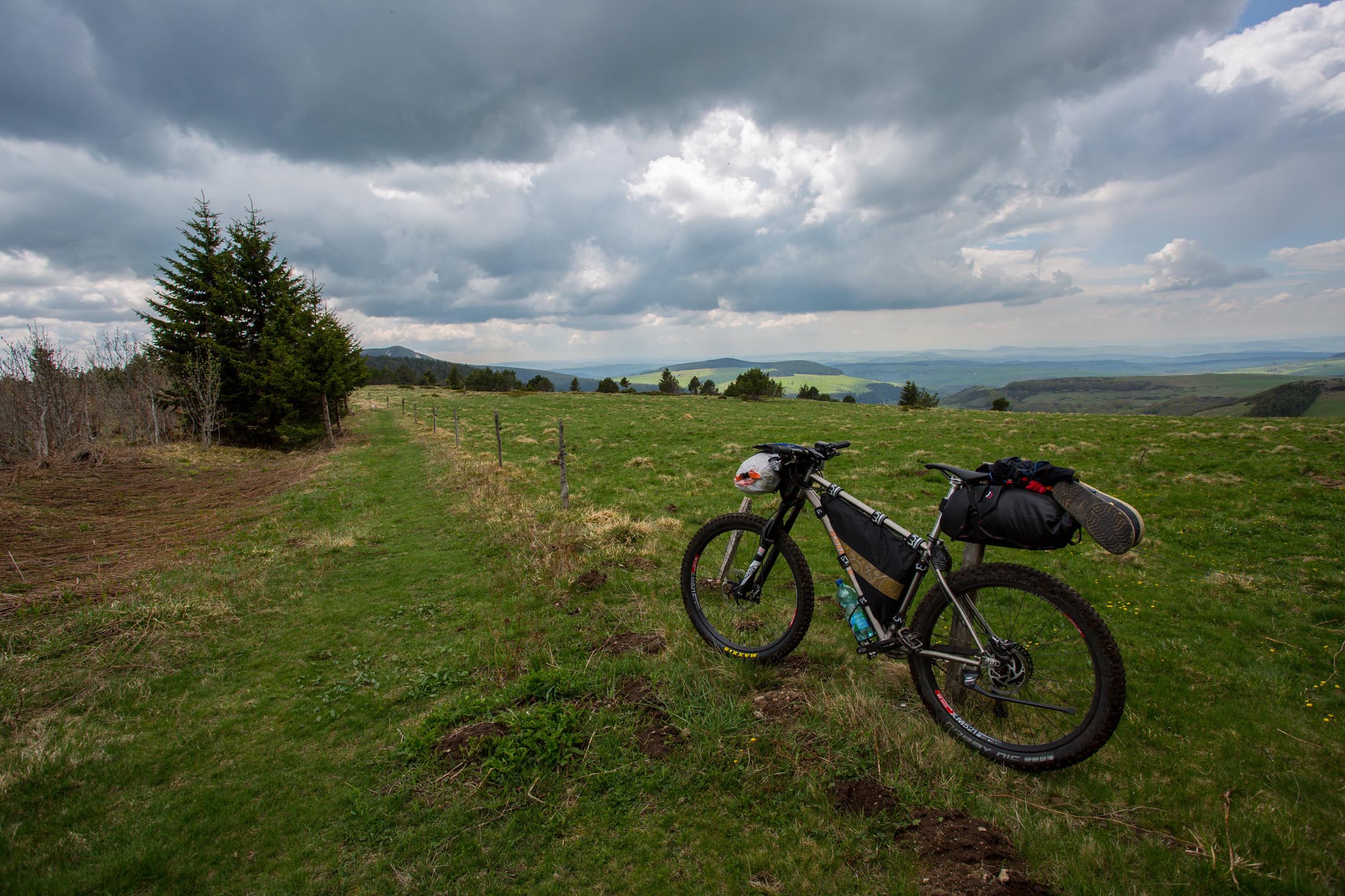
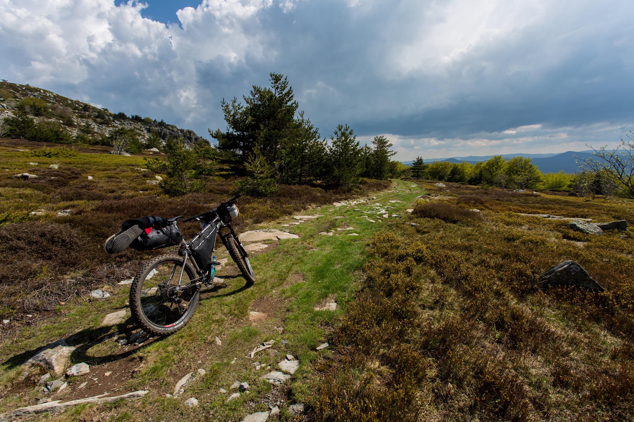
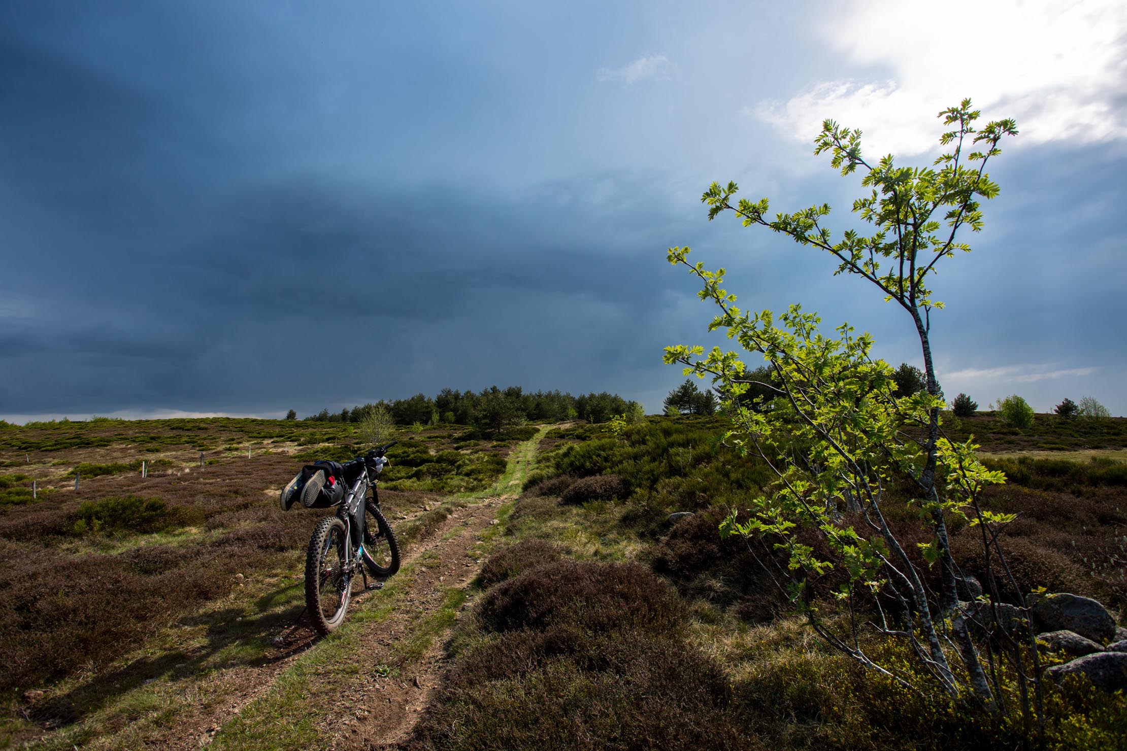
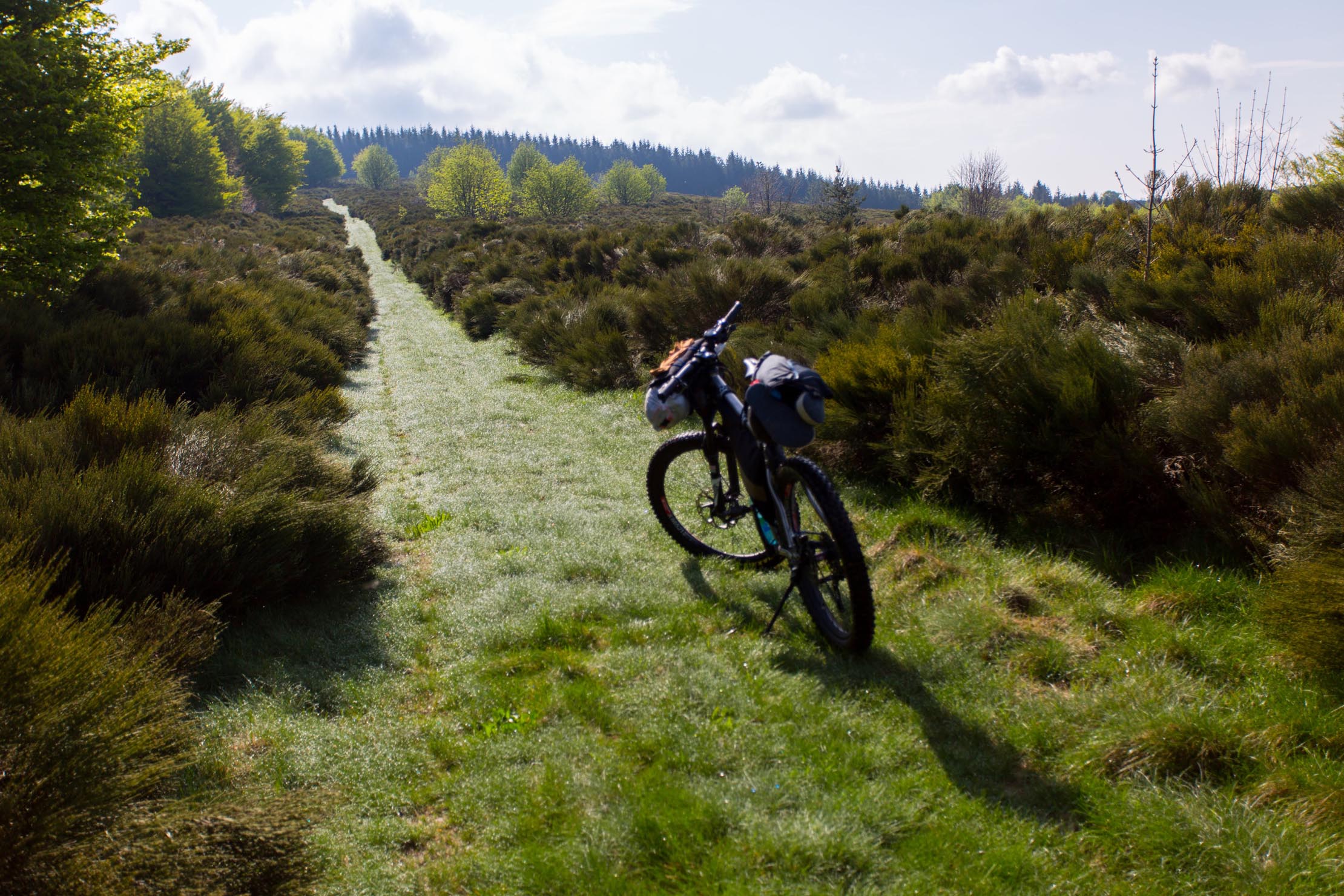
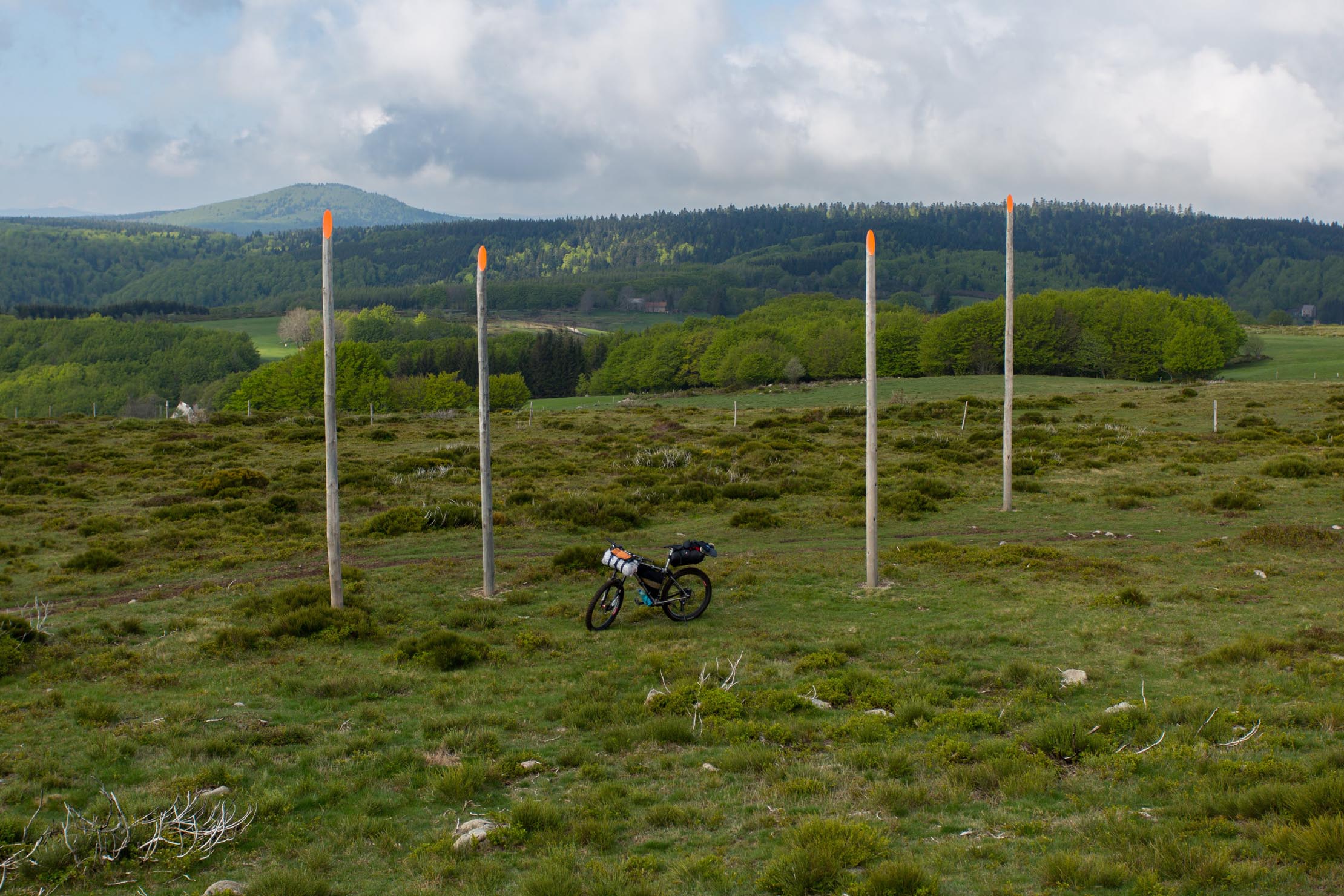
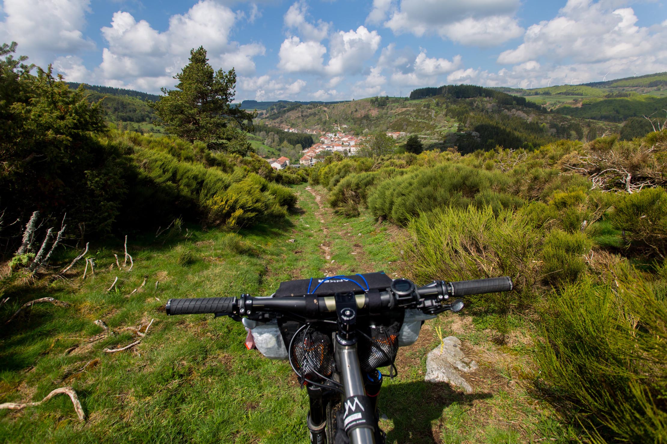
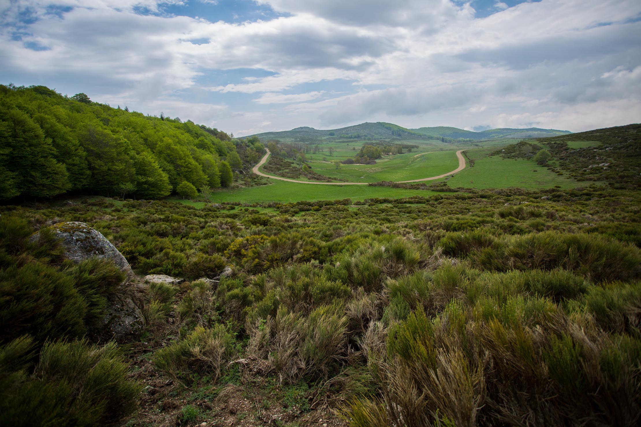
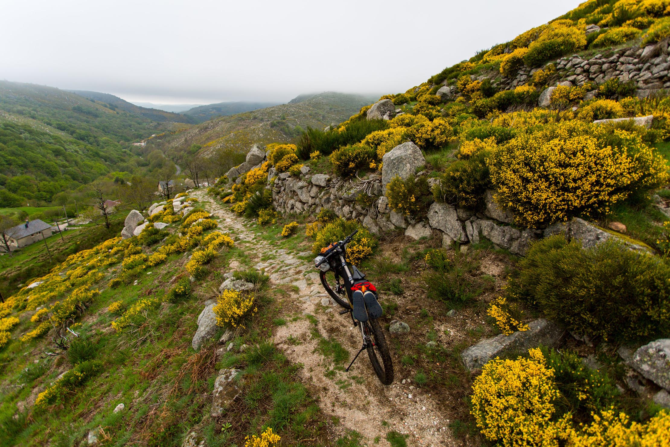
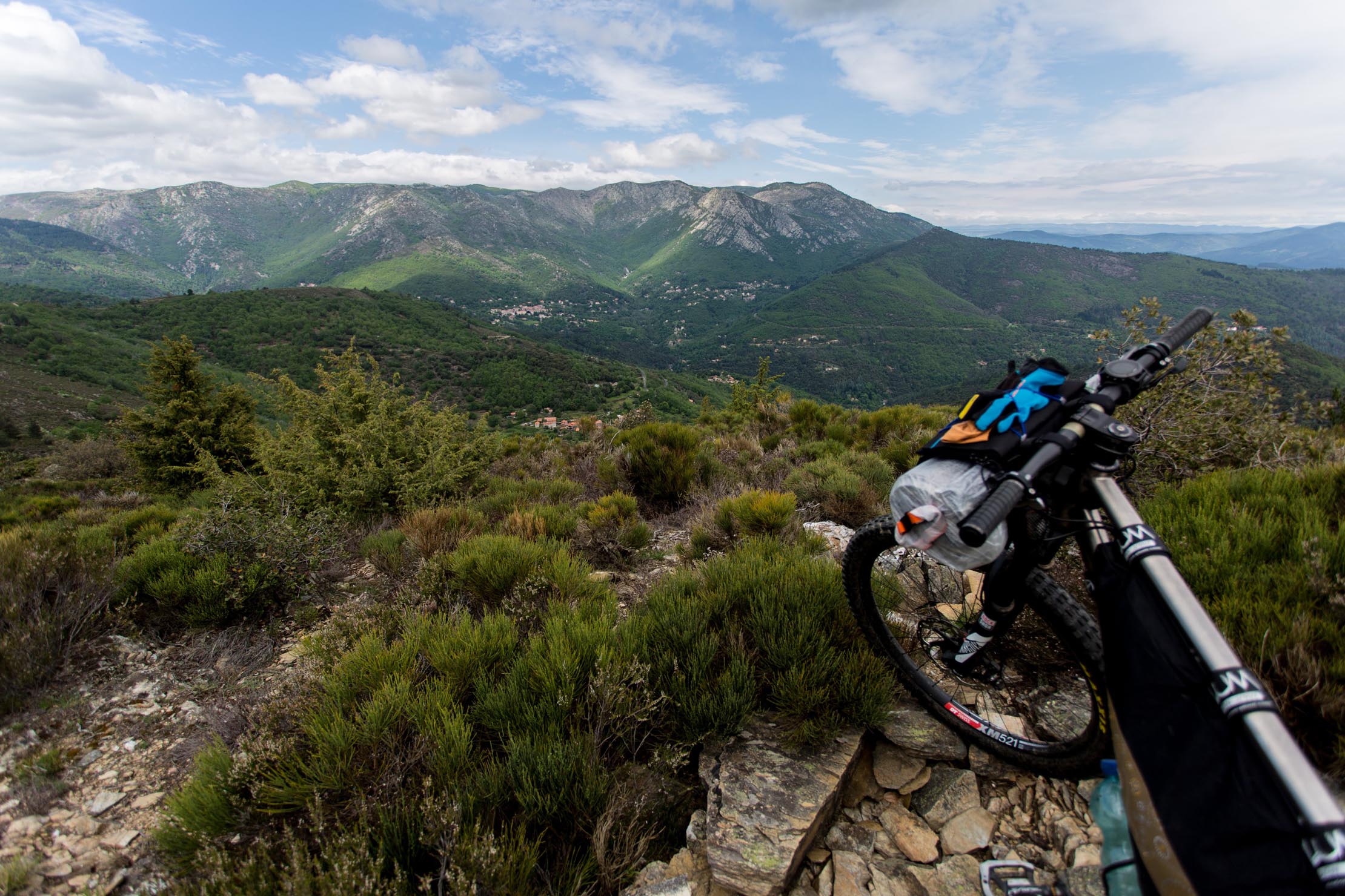
The Ardèche-Cévennes Divide is 330 km long and includes 6700 m of climbing along gravel, dirt, and rocky tracks. Starting in la Voulte-sur-Rhône, the route gently makes its way into the Heyrieux Valley along the Dolce Via, an old railway now converted to a gravel greenway. It reaches the high plateaux of Ardèche in Saint Agrève where the route connects to the Grande Traversée des Monts d’Ardèche mountain bike route. The route meanders between volcanic formations, huddled villages, and magnificent landscapes as far as the eye can see. From Mount Mézenc to the massif of Tanargue via Mount Gerbier de Jonc, you progress through pastures, hamlets, and diverse forests, following the invisible line, riding on the ridge between 1000 and 1600 meters above sea level, all the while crossing beautiful fishing rivers. The watershed boundary track has inspired an artistic trail named “Ligne de partage des eaux.” To be physically on this line means having the springs heading toward the Mediterranean under one wheel and those leading into the Atlantic under the other.
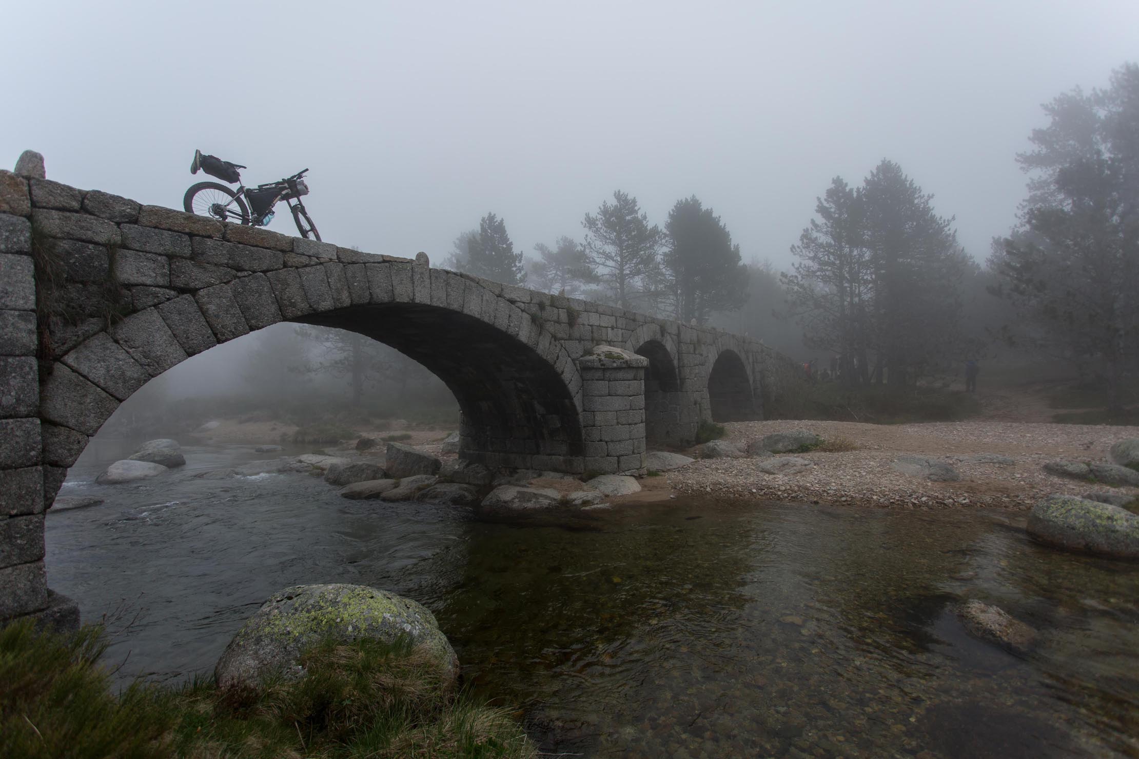
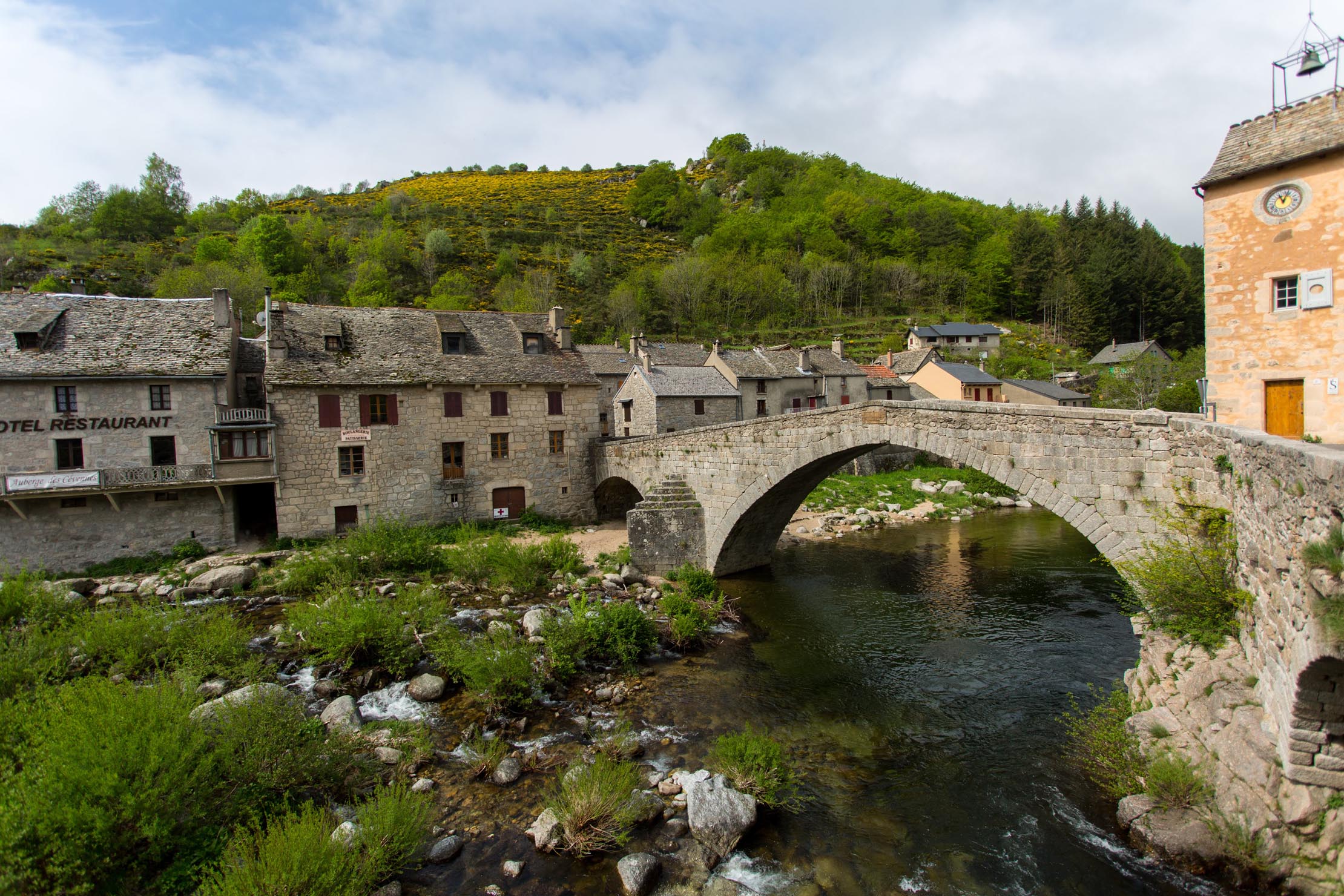
The second part of the route crosses Cévennes National Park at its highest point of Mont Lozère (source du Tarn), riding on ancient Roman roads and bridges, passing through the picturesque village of Pont de Montvert and down toward the city of Alès along the remote High Valley of Luech.
Route Difficulty
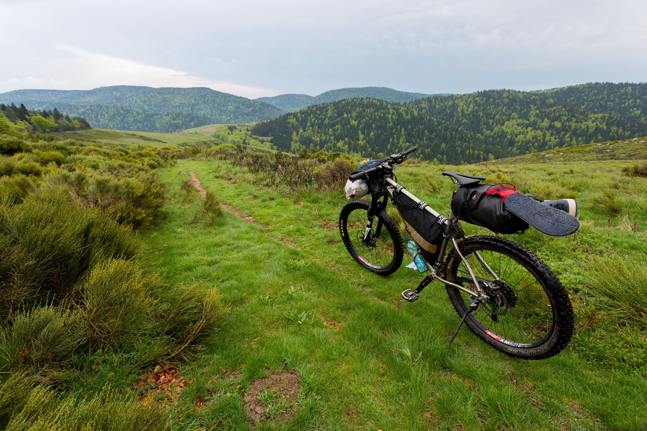
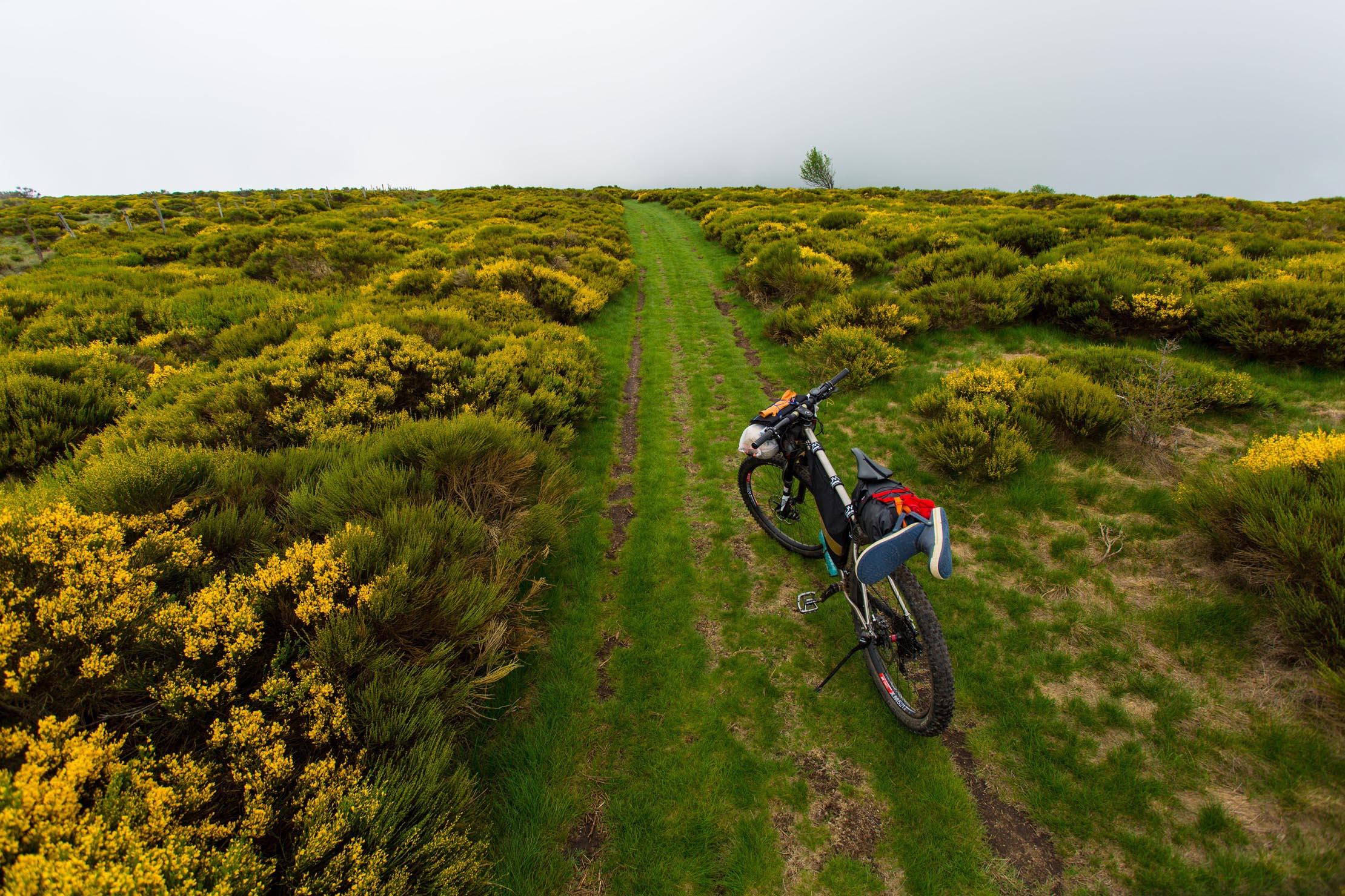
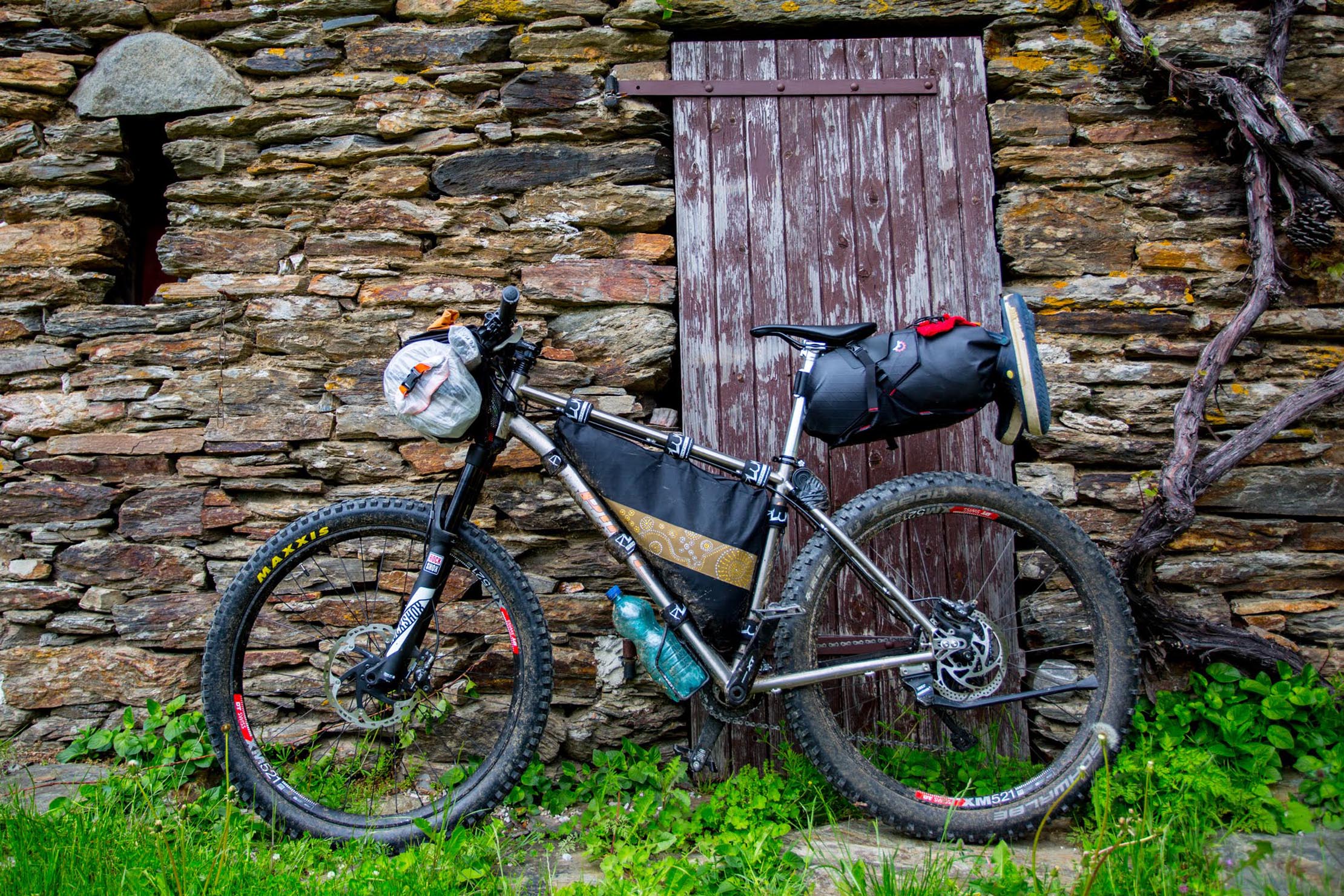
The route is not very technical and is generally all rideable, except one short section near Mont Lozère, where you may need to walk. This is a route for a capable mountain bike with a bikepacking setup. Riding this route in six days with bikepacking gear is quite challenging, meaning stages of 50 to 70 km and 1200 to 1500 m of climbing. Resupply is possible in the villages and towns through which the route passes.
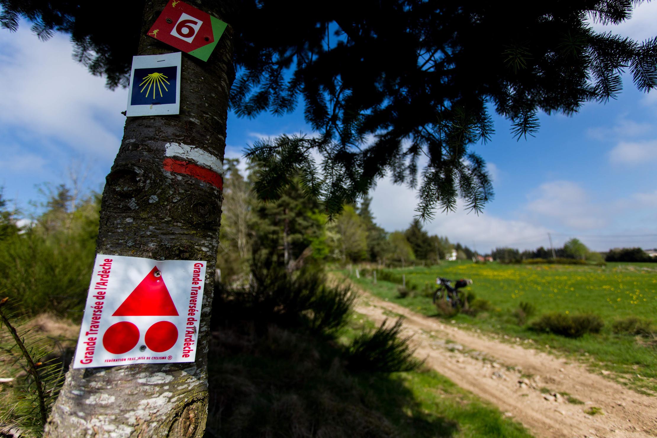
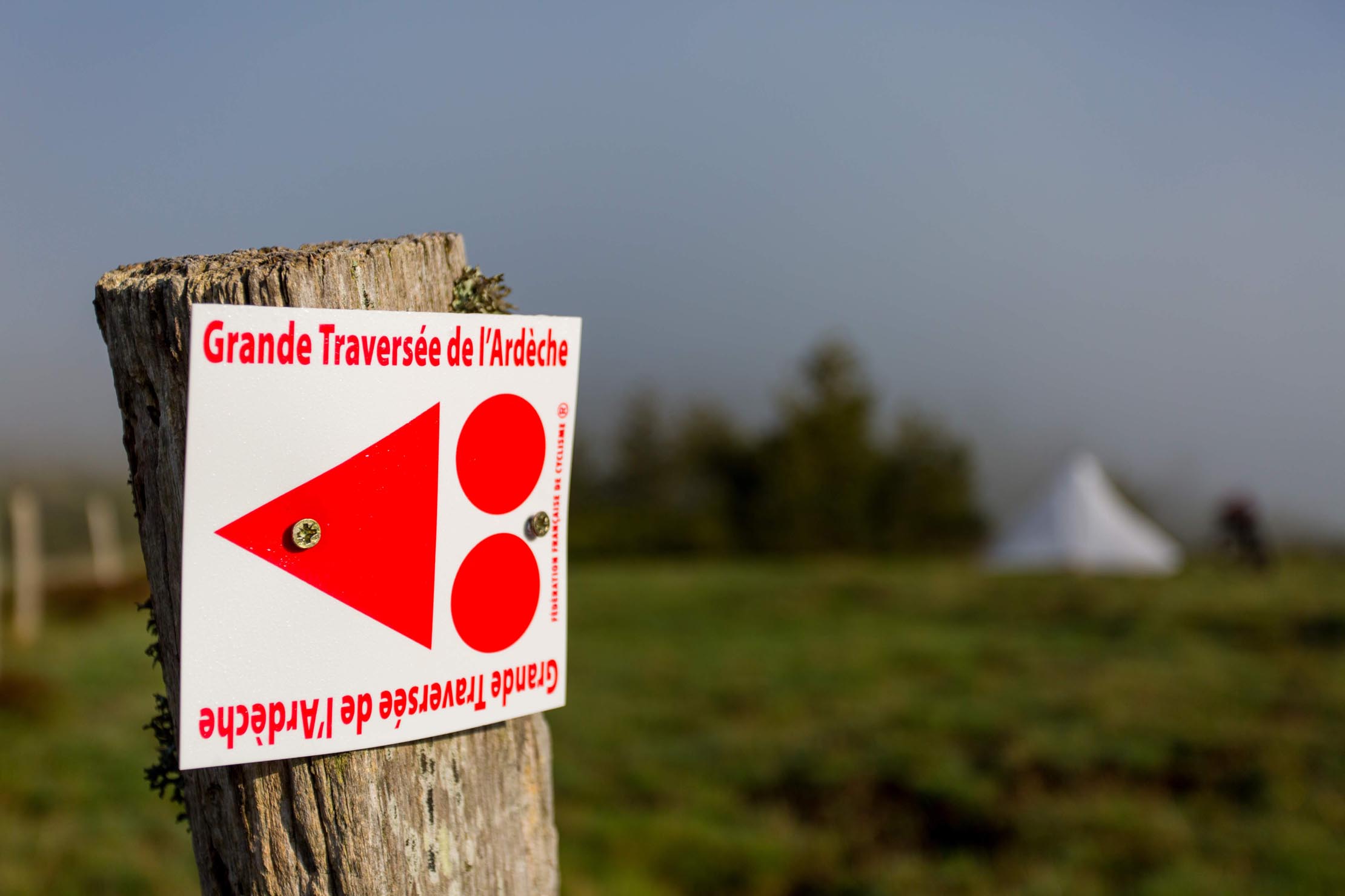
Route development: The Ardèche-Cévennes Divide route uses a variety of existing designated trails, including a lot of grandes randonnée (GR) trails, local GR trails, and forestry roads. The section between Saint-Agrève and Montselgues rides along the waymarked Grande Traversée des Monts d’Ardèche mountain bike route, which was inspired and created by Le Département de l’Ardèche (local authority) and the Parc Naturel Régional des Monts d’Ardèche. The route goes north to south through the Département of Ardèche, starting in Annonay or Saint-Félicien, ending in Bourg-Saint-Andéol (315 km, 5569 m elevation). Learn more here. Also note that the route may be used to link up with the GTMC, another bikepacking route in this site.


Submit Route Alert
As the leading creator and publisher of bikepacking routes, BIKEPACKING.com endeavors to maintain, improve, and advocate for our growing network of bikepacking routes all over the world. As such, our editorial team, route creators, and Route Stewards serve as mediators for route improvements and opportunities for connectivity, conservation, and community growth around these routes. To facilitate these efforts, we rely on our Bikepacking Collective and the greater bikepacking community to call attention to critical issues and opportunities that are discovered while riding these routes. If you have a vital issue or opportunity regarding this route that pertains to one of the subjects below, please let us know:
Highlights
Must Know
Camping
Food/H2O
Trail Notes
- Riding along the watershed’s invisible line that has inspired the artistic trail “Ligne de partage des eaux.”
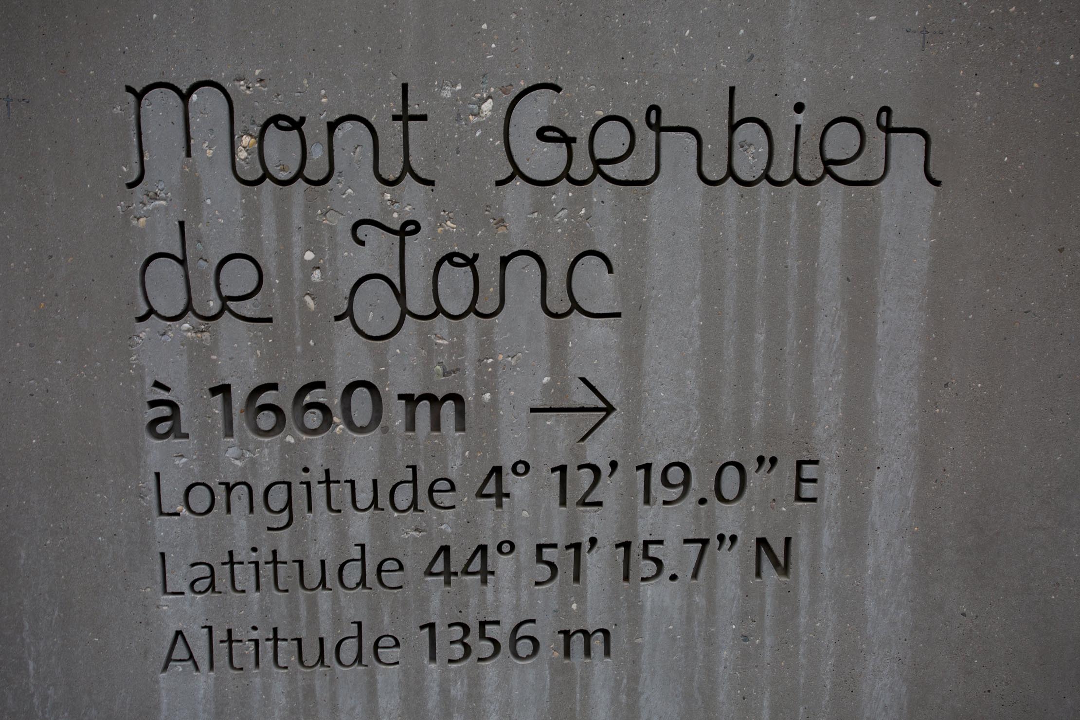
- Passing by Mont Gerbier du Jonc, the source of the Loire River. Don’t miss climbing to the top. In high season, you won’t be alone!
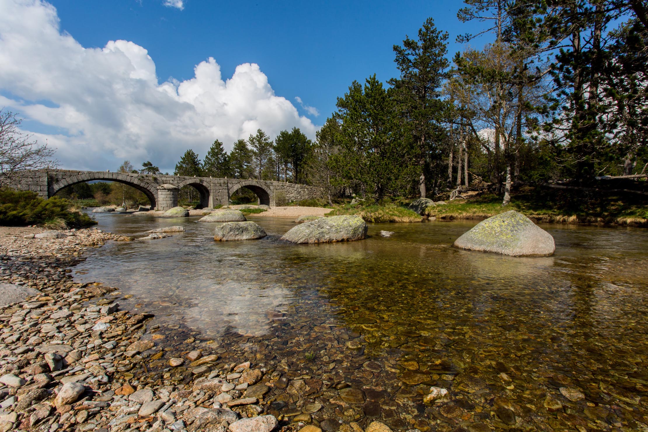
- Riding through Cévennes National Park and the granitic Mont Lozère: Cévennes is the only national park in France with inhabitants inside the central protected zone. Mont Lozère is the source of the spectacular Tarn River and gorges, and you can you can camp right alongside the river near the Roman Pont du Tarn.
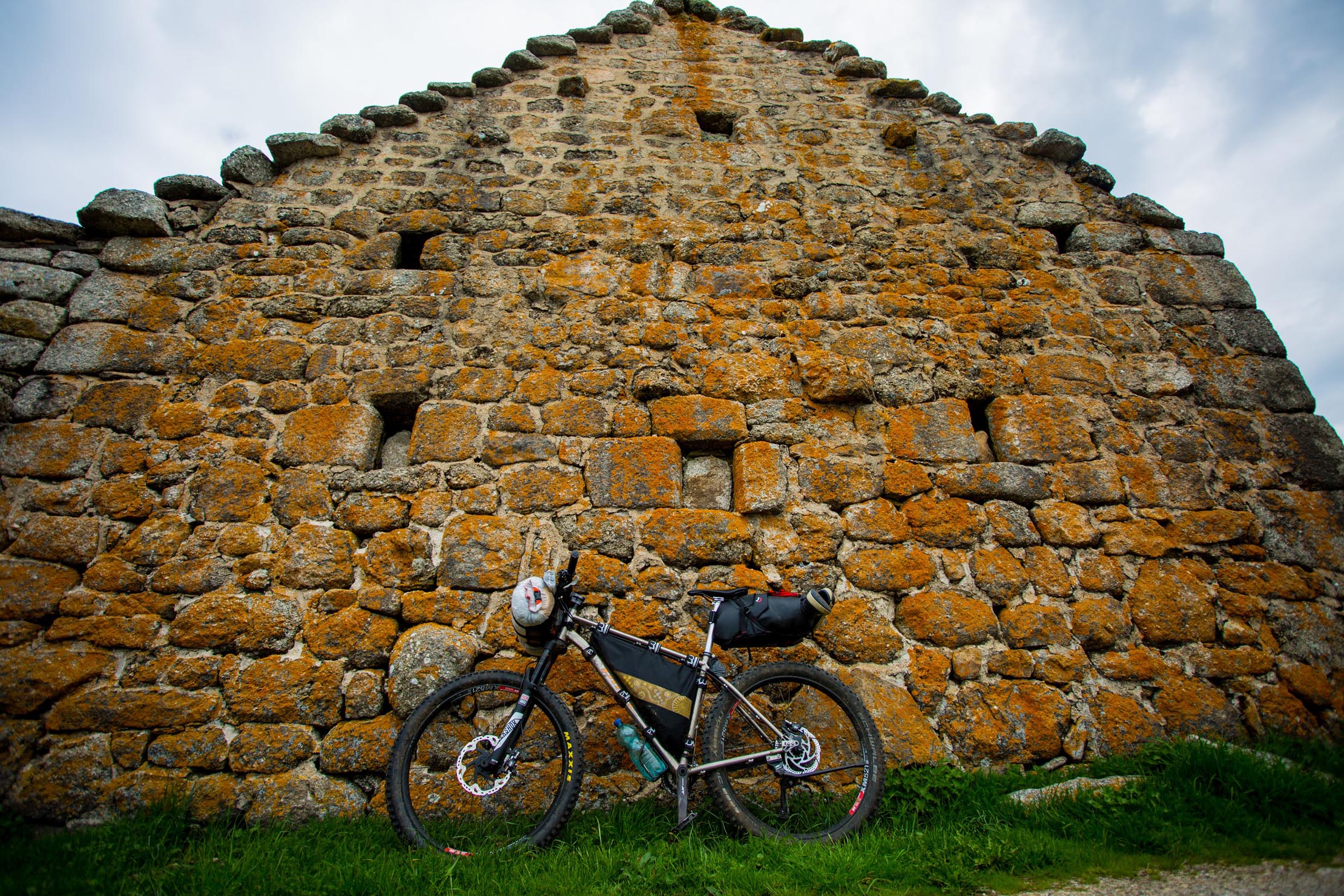
- Discovering the remote areas of Monts d’Ardèche and Cévennes.
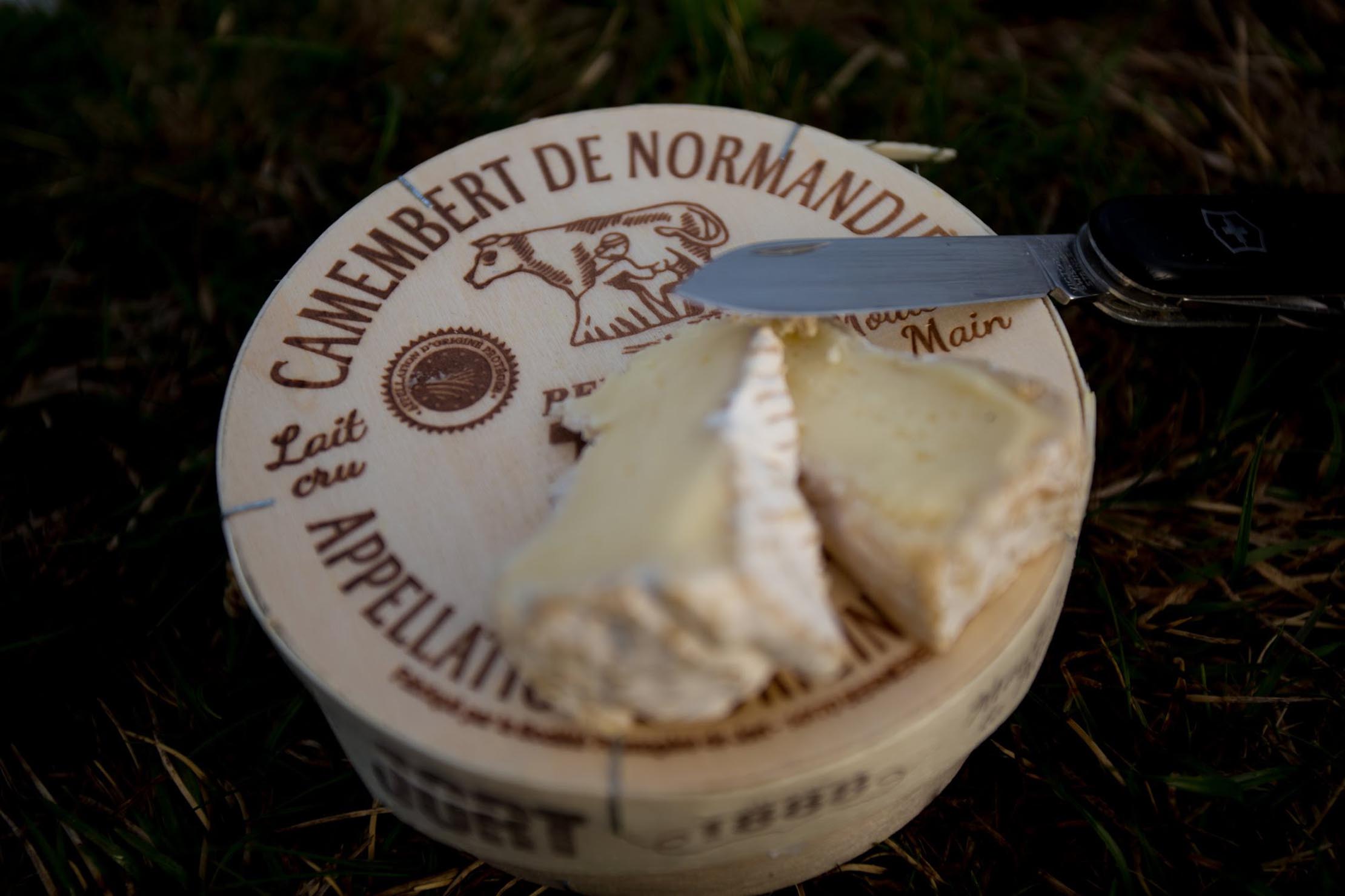
- Tasting cakes and recipes with chestnuts from Ardèche-Cévennes (black currant with chestnuts, chestnut cakes…)
- Rolling down High Valley of Luech through beautiful chestnut forests.
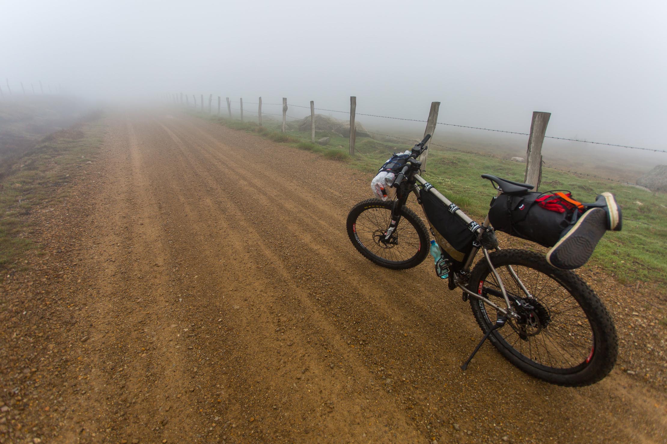
- The best time to tackle this route is from April to November, as the highlands can be covered by snow from December to April. Summer in Ardèche-Cévenne tends to be hot and dry. Most of the trail is at or above 1000m altitude, and temperatures and weather conditions can vary significantly. Be prepared for all sorts of conditions and heavy storms in summer.
- To ride this route we recommend a mountain bike with suspension fork.
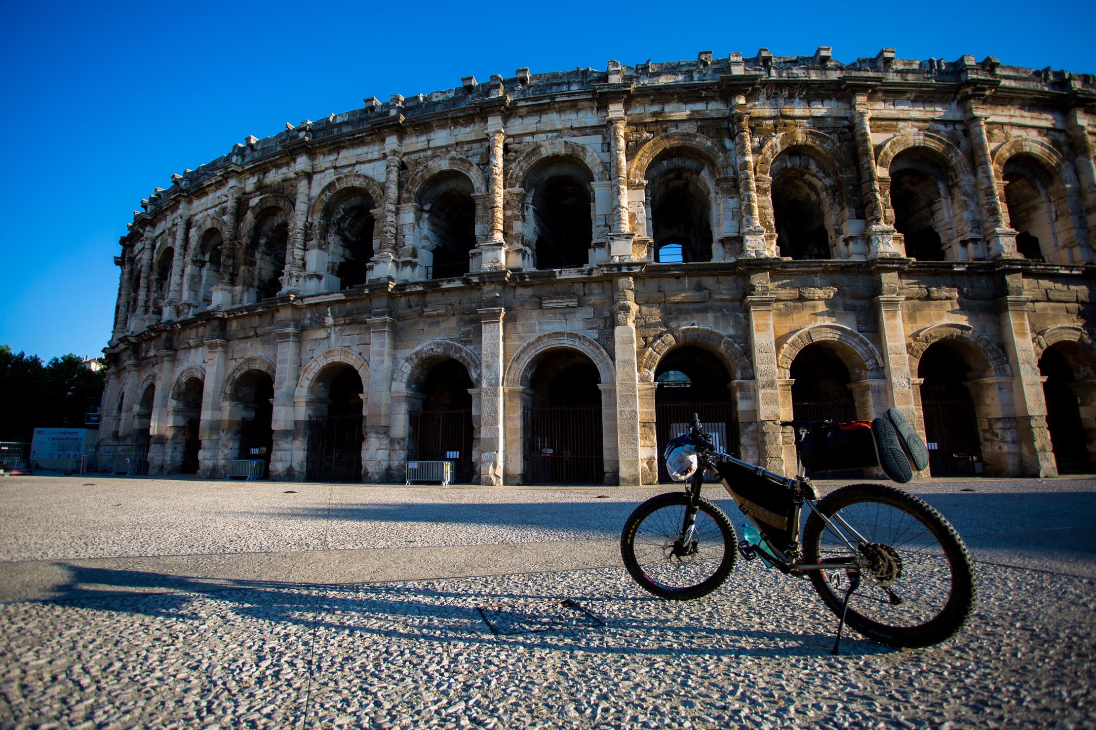
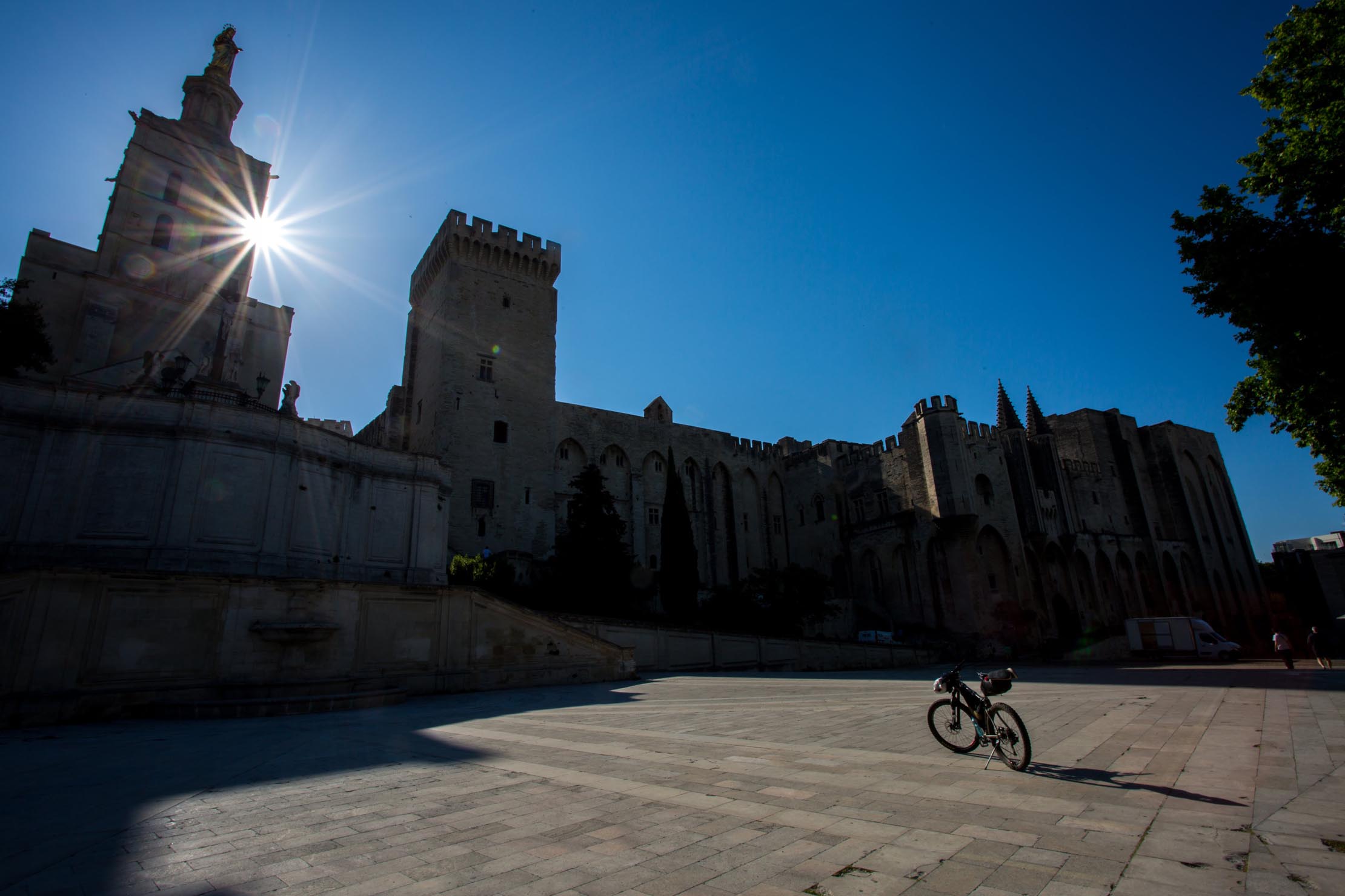
- To facilitate the return by train, the route ends in Alès at the railway station. Taking the train back to la Voulte-sur-Rhône is easy and gives the opportunity to visit historical cities of Nîmes and Avignon. The train route runs from TER Alès to Nîme, TER Nîmes to Avignon, TER Avignon to Loriol-sur-Drôme (and bike to La Voulte-sur-Rhône)
- You should avoid the faster TGV (bullet trains) as they often require you to dismantle and box or bag your bike. Regional trains (TER) have spaces for bikes and you don’t need to book or pay for your bike!
- Topographic maps from IGN (National Geographic Institute) are available at scale of 1/25000 (TOP25). There are also TOP75 maps at scale of 1/75000 covering Monts et Gorges d’Ardèche (14) and Cévennes Gorges du Tarn (11). Additionally, you can use iPhiGéNie apps and preload IGN TOP25 maps to be used offline.
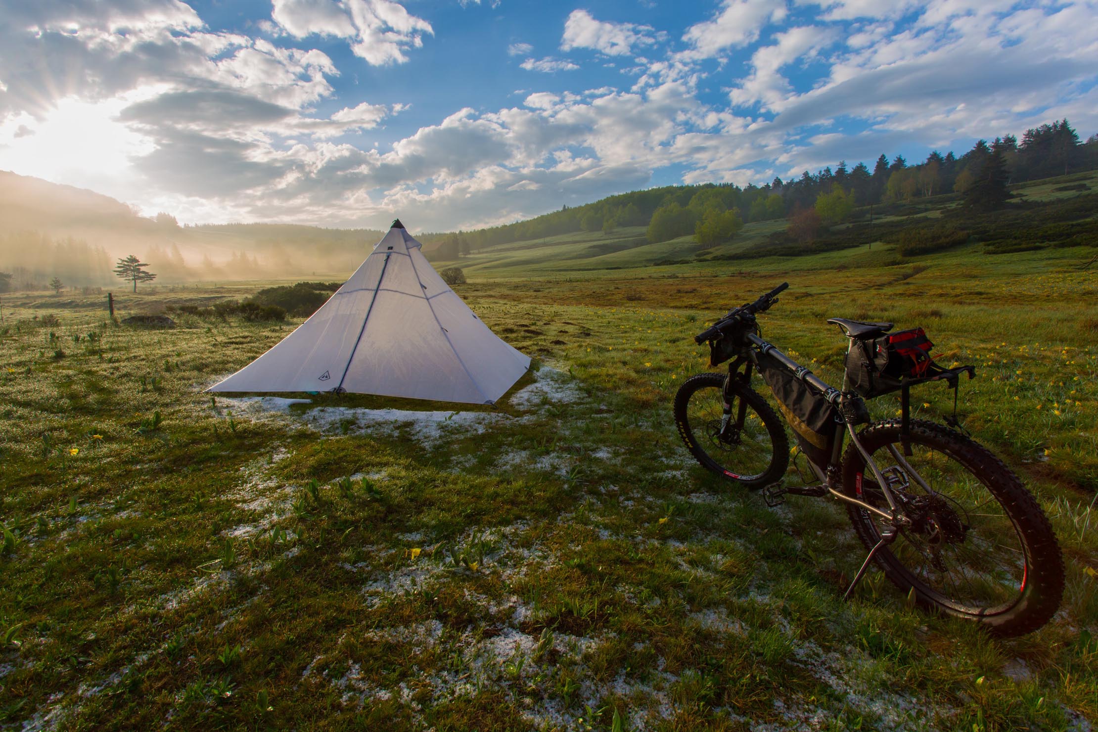
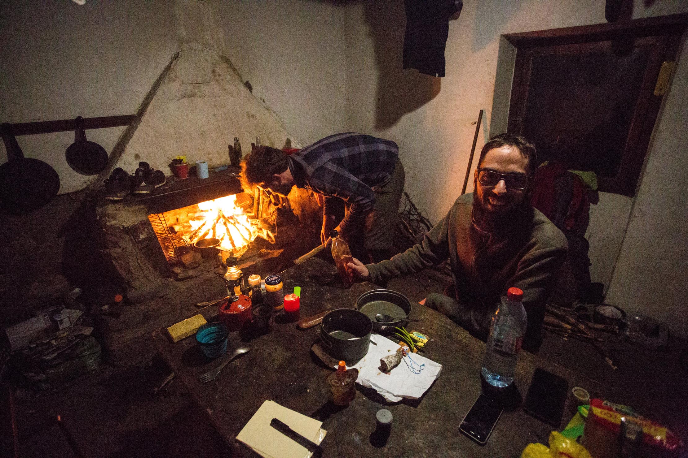
- Wild camping is generally tolerated, even in Cévennes National Park, but it’s best to set up camp at dusk and move on at dawn. #leavenotrace
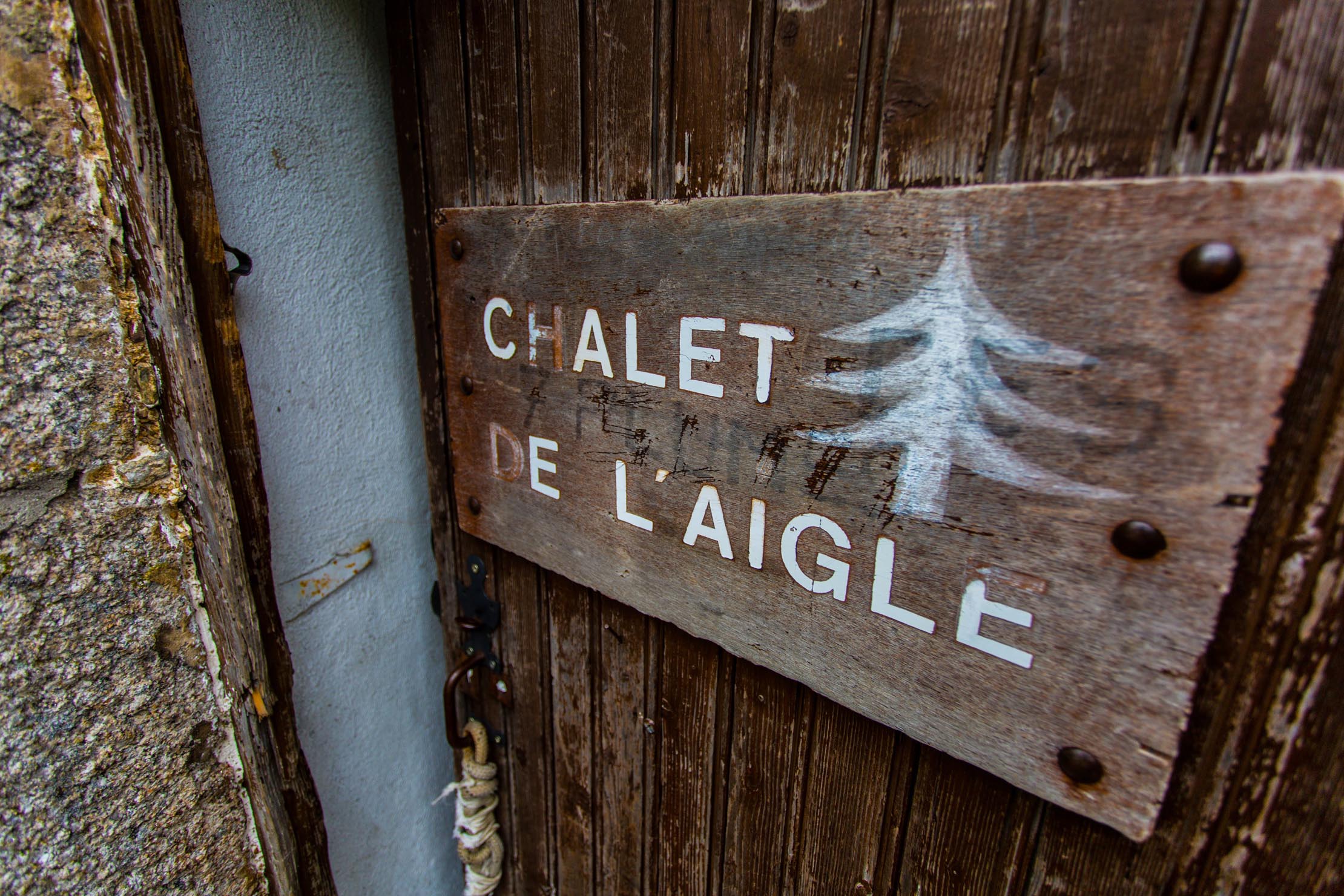
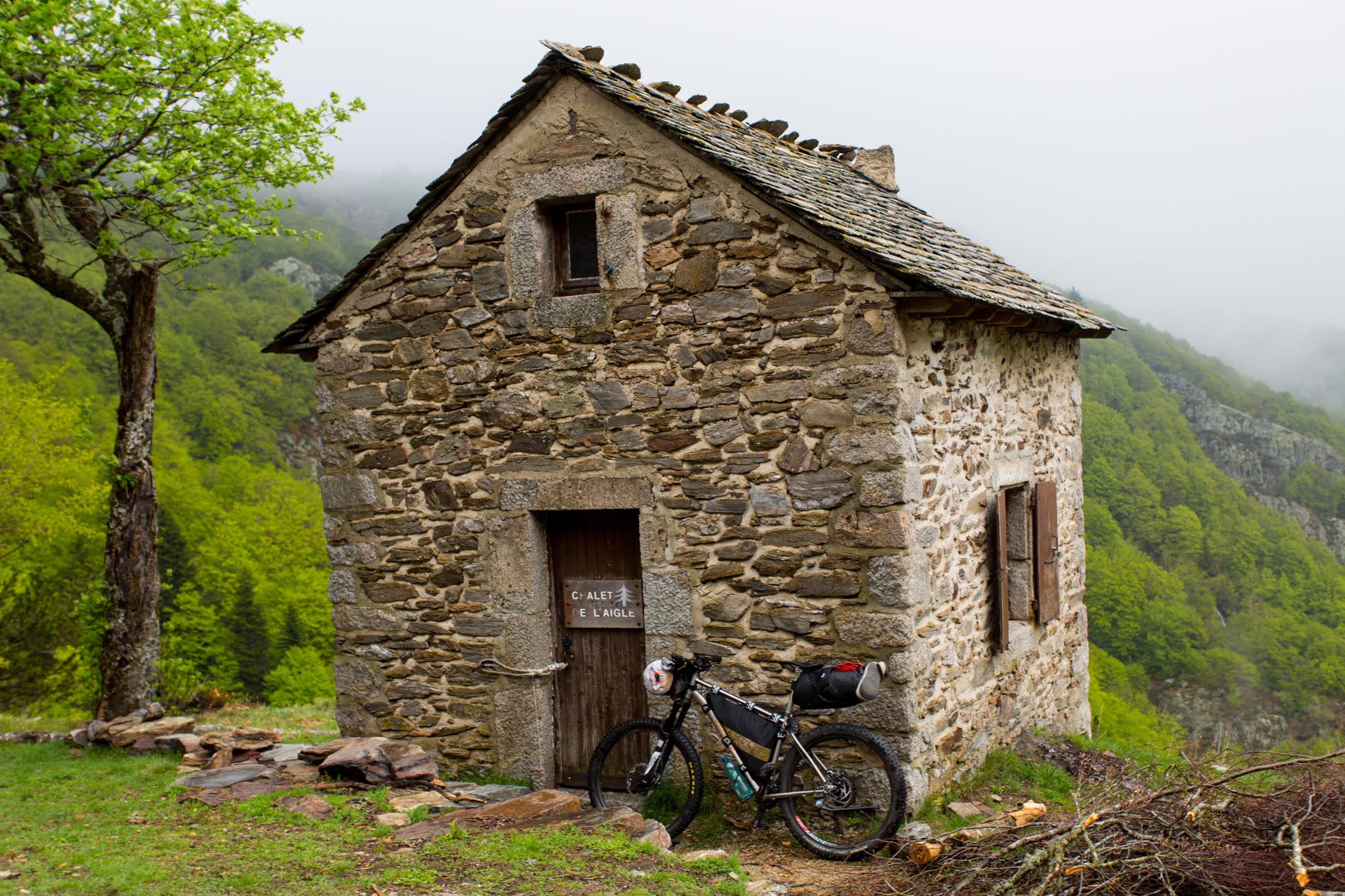
- Chalet de l’Aigle near Mont Lozère is a nice refuge to spend the night if the weather is getting bad (free, fireplace, table, bunks for up to eight people)
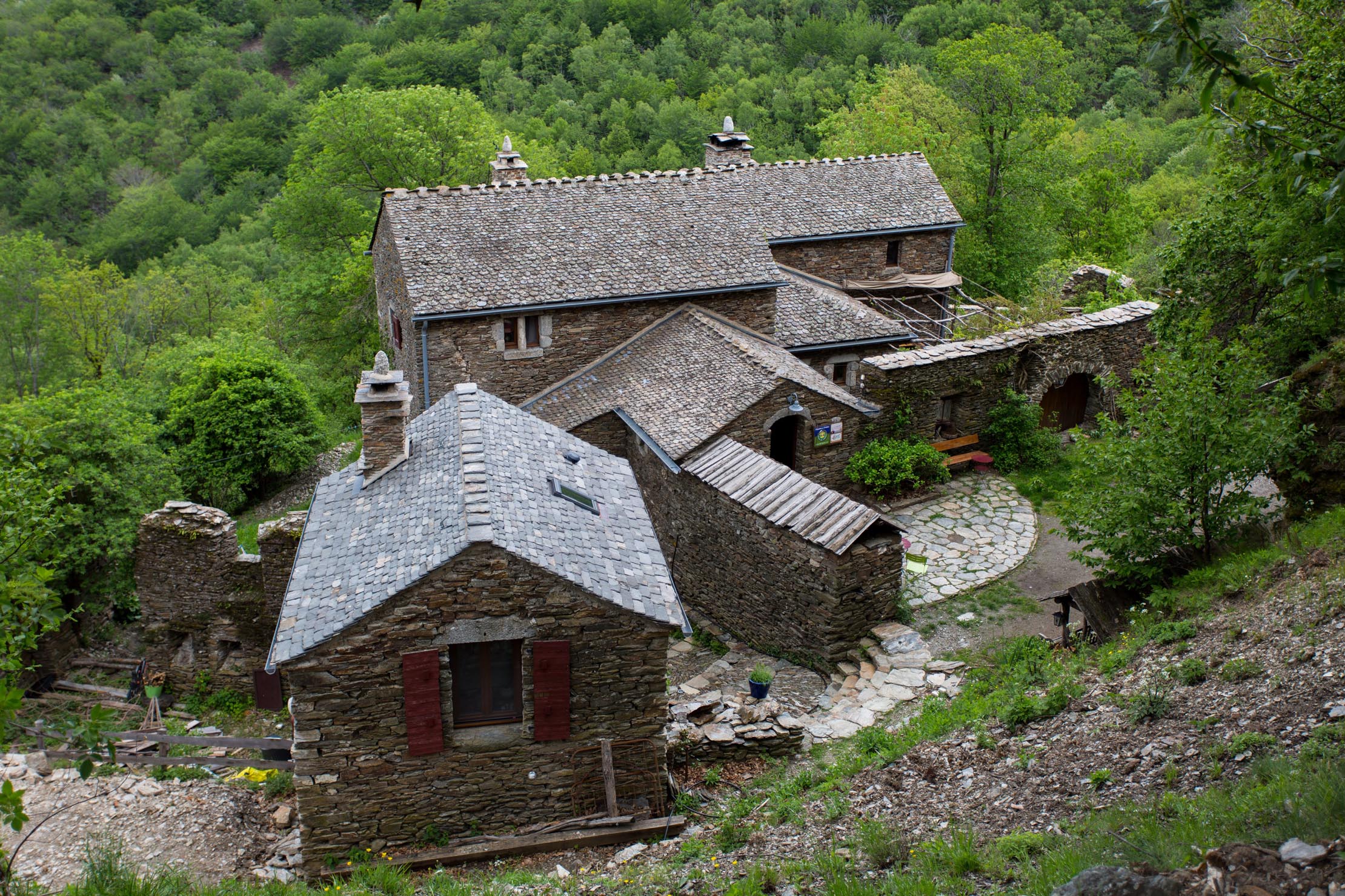
- Along the route you can find campgrounds and other accommodation options (note: they may be closed in the low season).
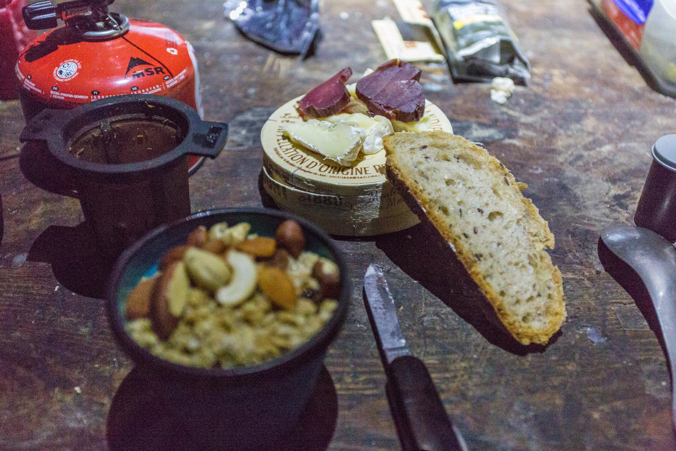
- Generally speaking, resupply and stopping in restaurants is possible in the villages and towns which the route passes (Saint Sauveur, Saint-Agrève, Fay sur Lignon, St Cirgues en Montagne, Loubaresse, Villefort, Le Mas de la Barque, Pont de Montvert, Alès).
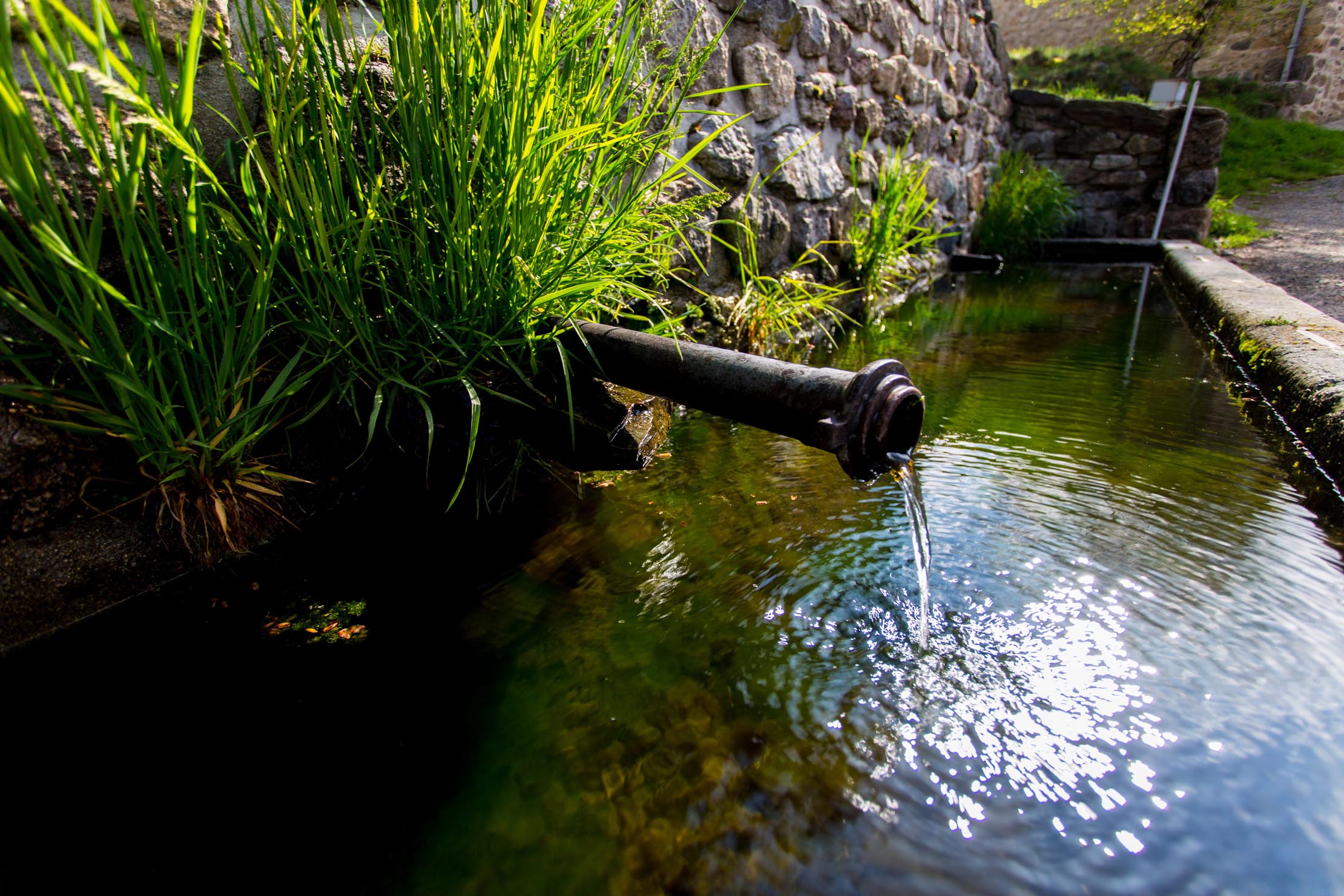
- Water is not a problem either, there are few sources and several livestock fountains. In the villages you will almost always find a fountain where you can refill.
- Traditional Ardèche-Cévennes cuisine at Auberge du Mas de la Barque nearby Mont Lozère (don’t miss “l’assiette du randonneur” and the chesnut cake) and restaurant Au Parfum des Bois in Saint Cirgues en Montagne.
My best spots for setting up the tent :
- Sagne et Goudoulet alongside the Padelle river (44,790196 ; 4,224015 / 1212m)
- Pratarabiat nearby a source (44,609347 ; 4,058507 / 1367m)
- Chalet de l’Aigle if it’s raining or cold (44,402069 ; 3,858210 / 1461m)
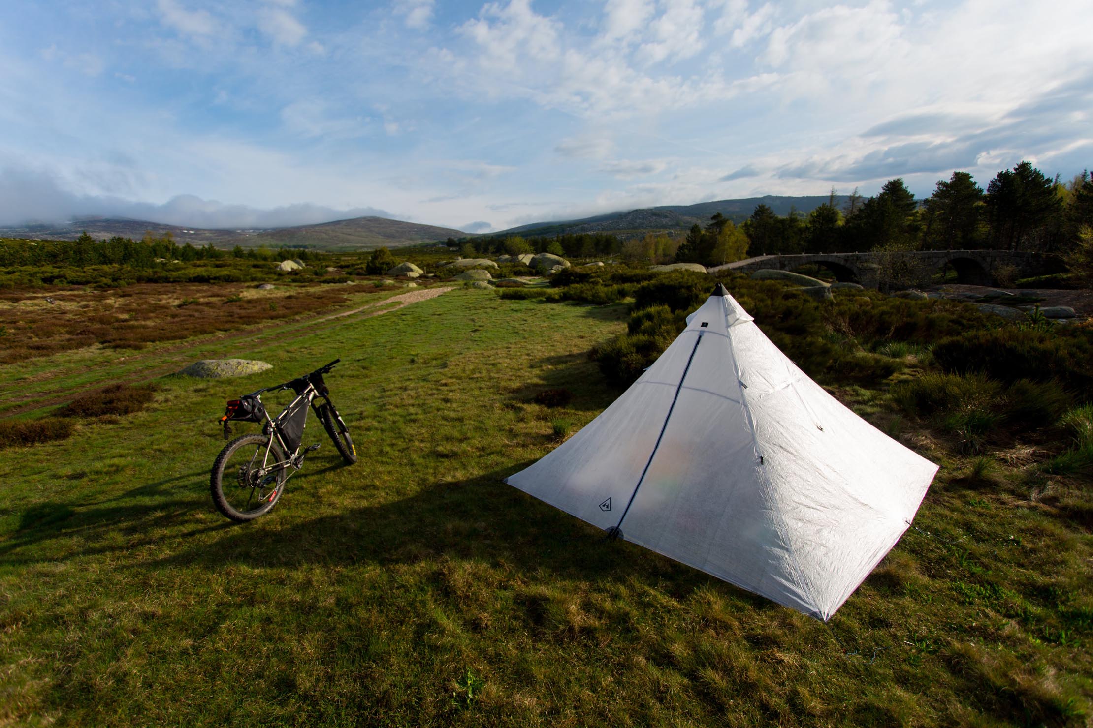
- Pont du Tarn alongside the Tarn river (44,373418° ; 3,821856° / 1327m)


Terms of Use: As with each bikepacking route guide published on BIKEPACKING.com, should you choose to cycle this route, do so at your own risk. Prior to setting out check current local weather, conditions, and land/road closures. While riding, obey all public and private land use restrictions and rules, carry proper safety and navigational equipment, and of course, follow the #leavenotrace guidelines. The information found herein is simply a planning resource to be used as a point of inspiration in conjunction with your own due-diligence. In spite of the fact that this route, associated GPS track (GPX and maps), and all route guidelines were prepared under diligent research by the specified contributor and/or contributors, the accuracy of such and judgement of the author is not guaranteed. BIKEPACKING.com LLC, its partners, associates, and contributors are in no way liable for personal injury, damage to personal property, or any other such situation that might happen to individual riders cycling or following this route.
Please keep the conversation civil, constructive, and inclusive, or your comment will be removed.