


Asiago Loop
Distance
122 Mi.
(196 KM)Days
3
% Unpaved
75%
% Singletrack
10%
% Rideable (time)
97%
Total Ascent
15,477'
(4,717 M)High Point
6,896'
(2,102 M)Difficulty (1-10)
6?
- 8Climbing Scale Strenuous127 FT/MI (24 M/KM)
- 6Technical Difficulty Moderate
- 6Physical Demand Moderate
- 5Resupply & Logistics Moderate
Contributed By

Andrea Securo
Guest Contributor
Andrea Securo is a glaciologist with a strong passion for mountain biking and the outdoors. He has been the main organizer of the Veneto Trail from 2017 to 2023. His interests in mapping and landscape photography often lead him to seek out less-beaten paths, especially in the nearby Dolomites. Find Andrea on Instagram @andreasecuro.
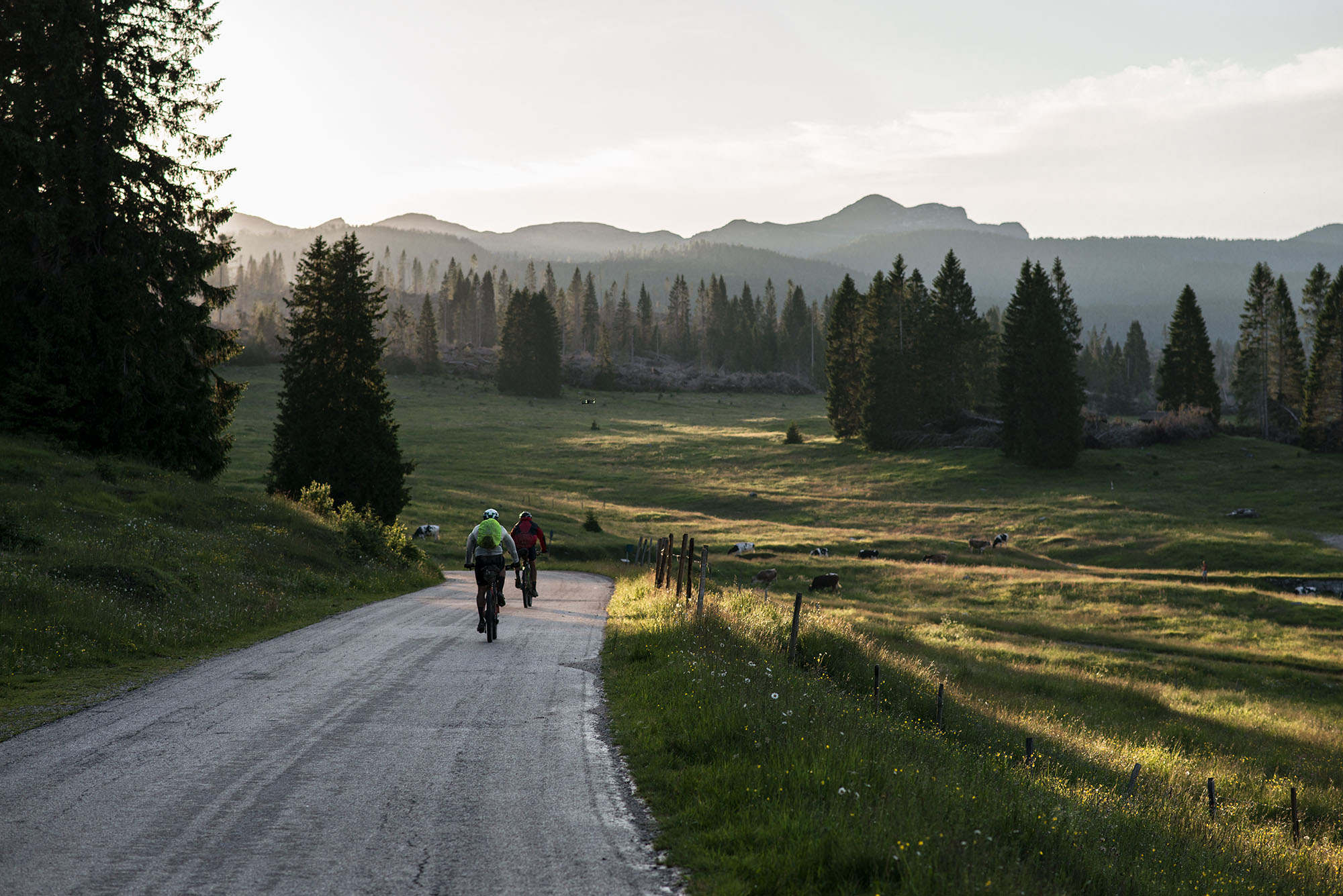
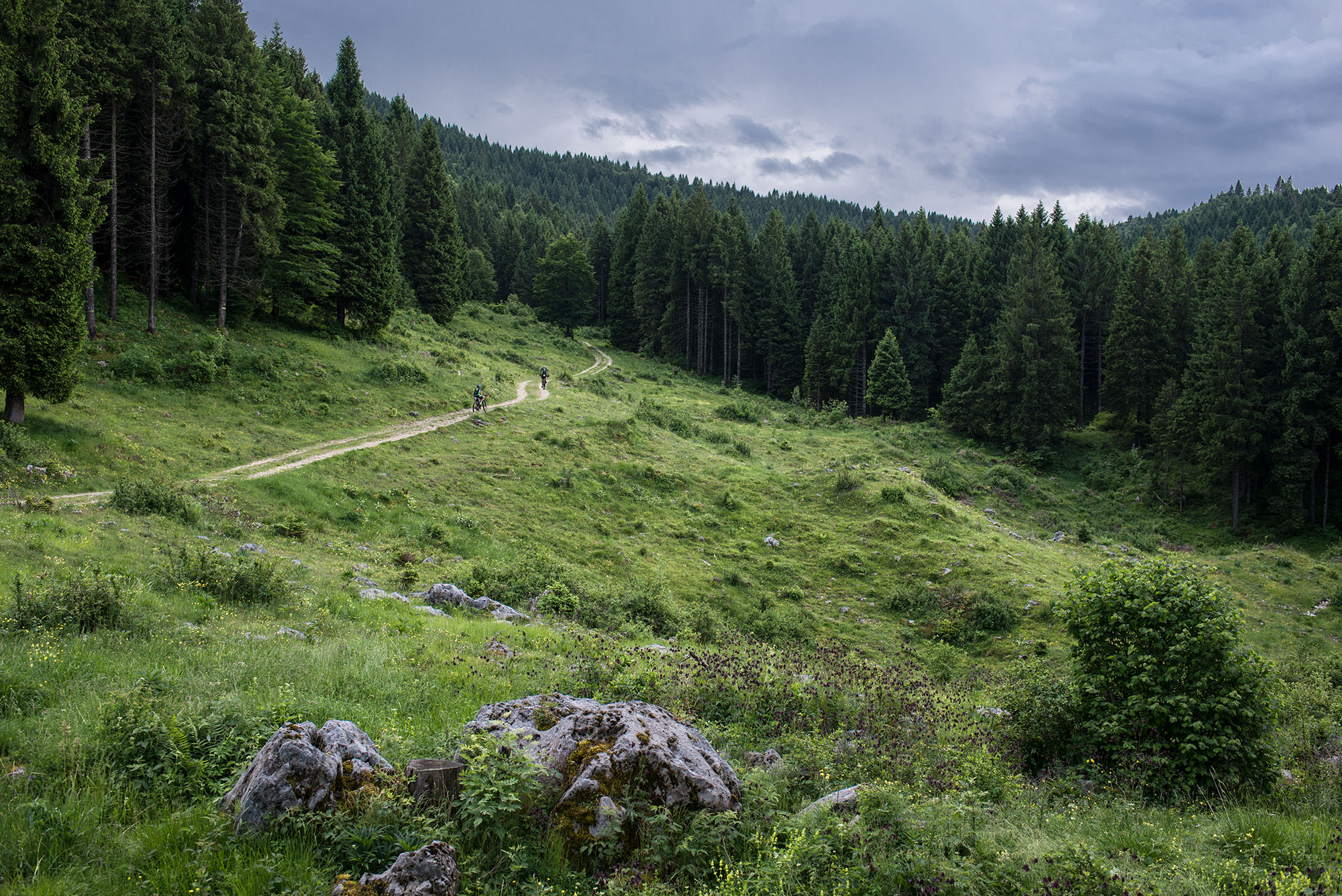
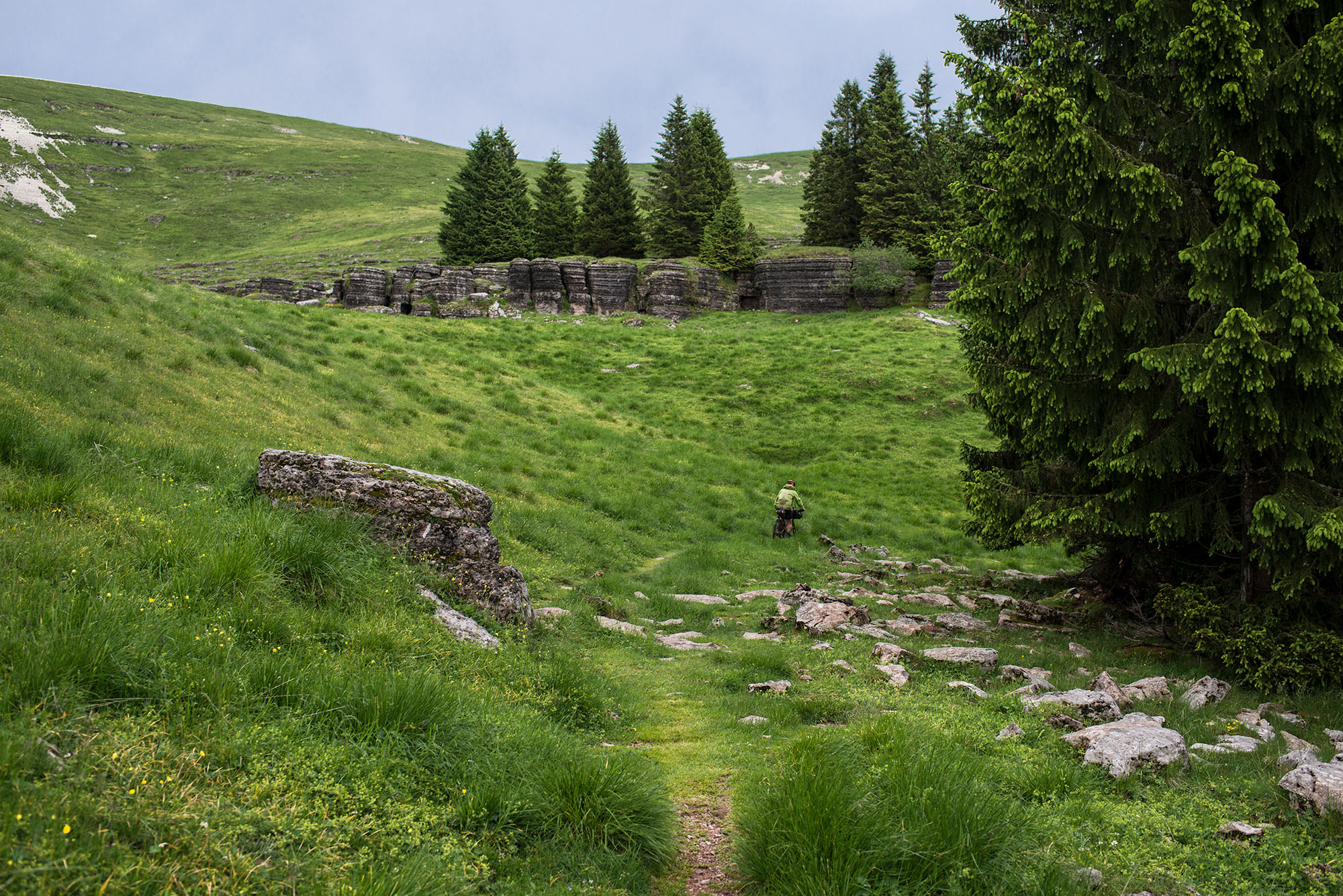
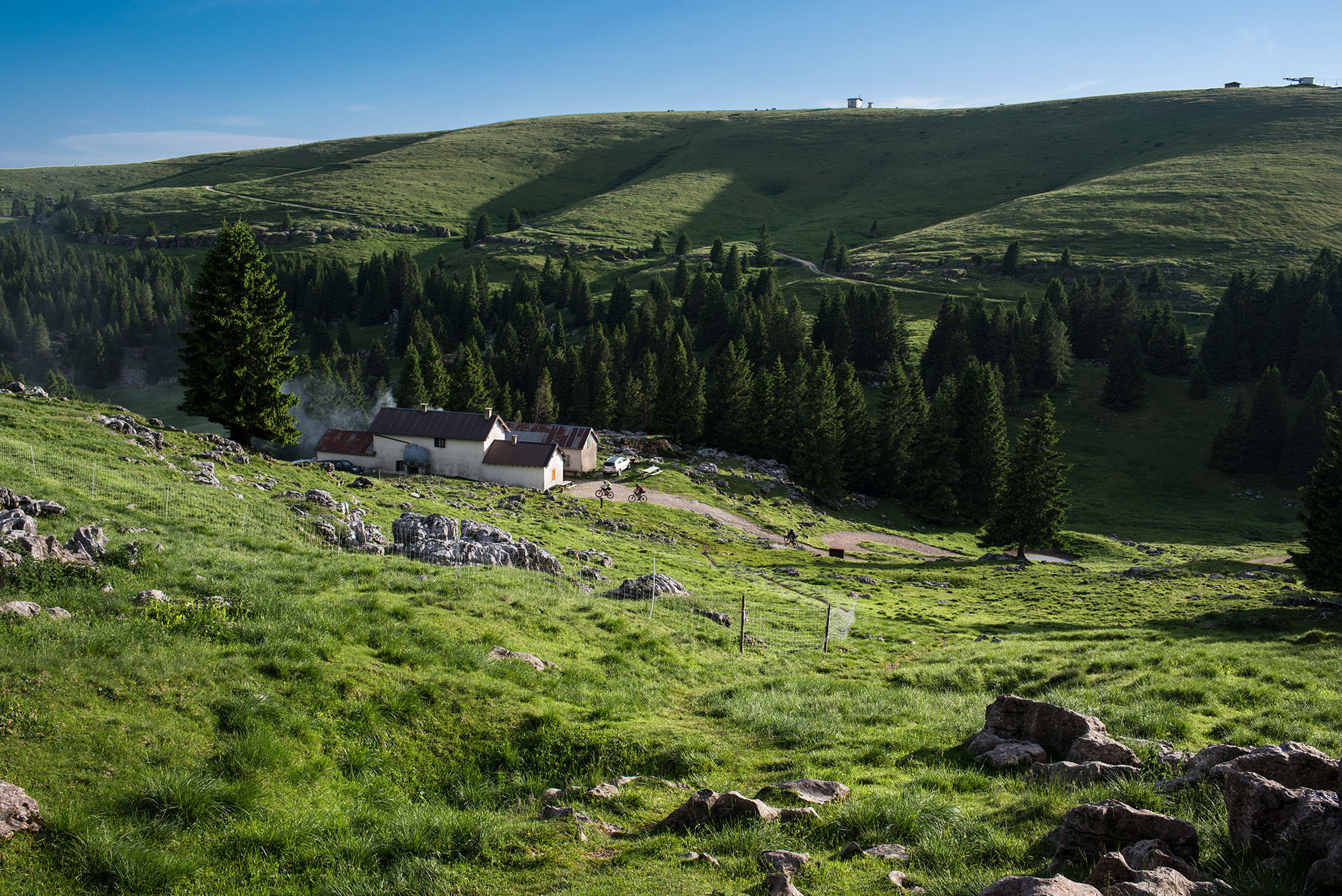
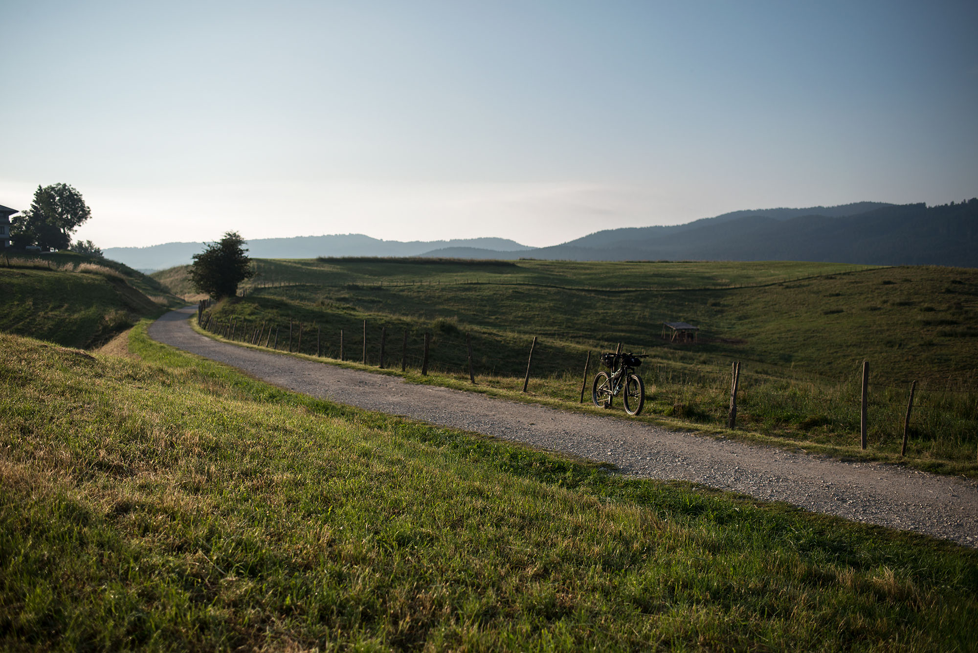
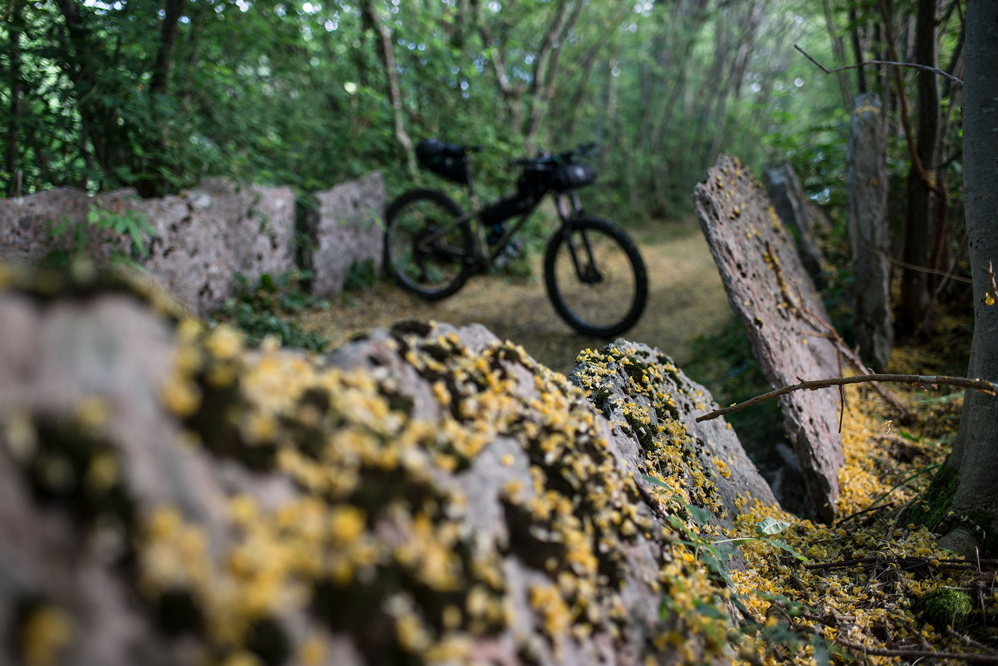
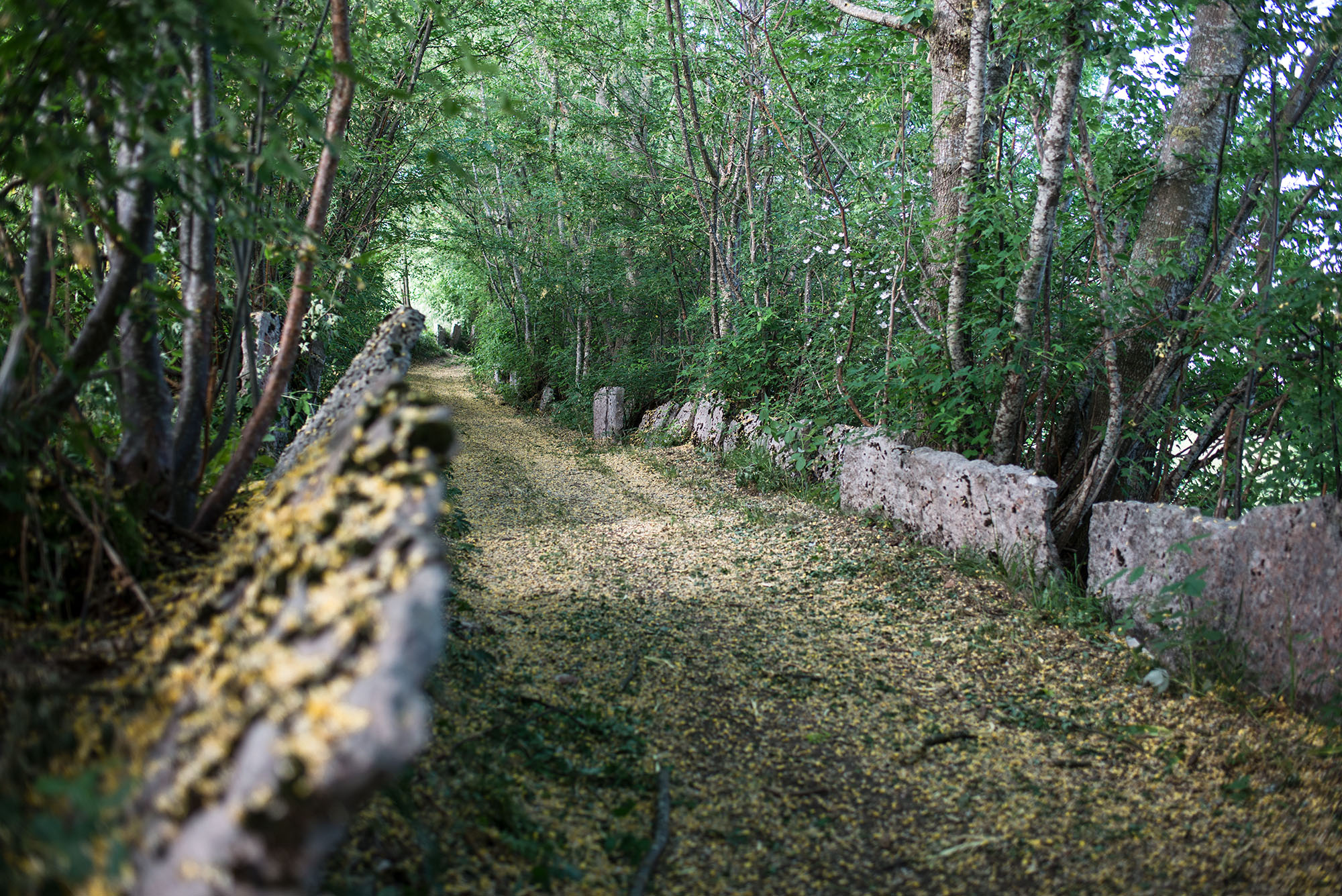
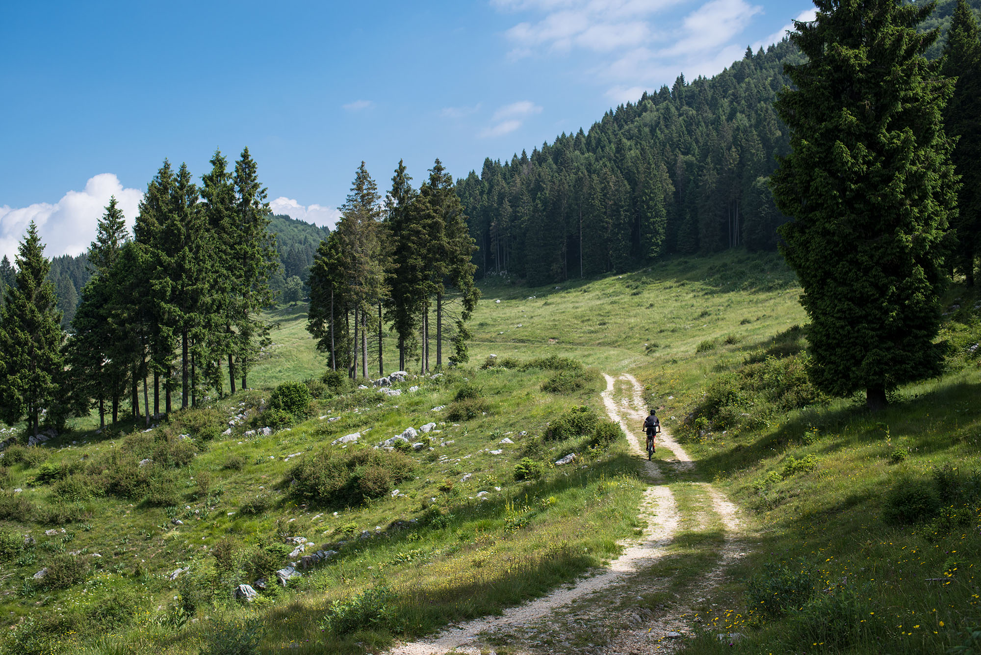
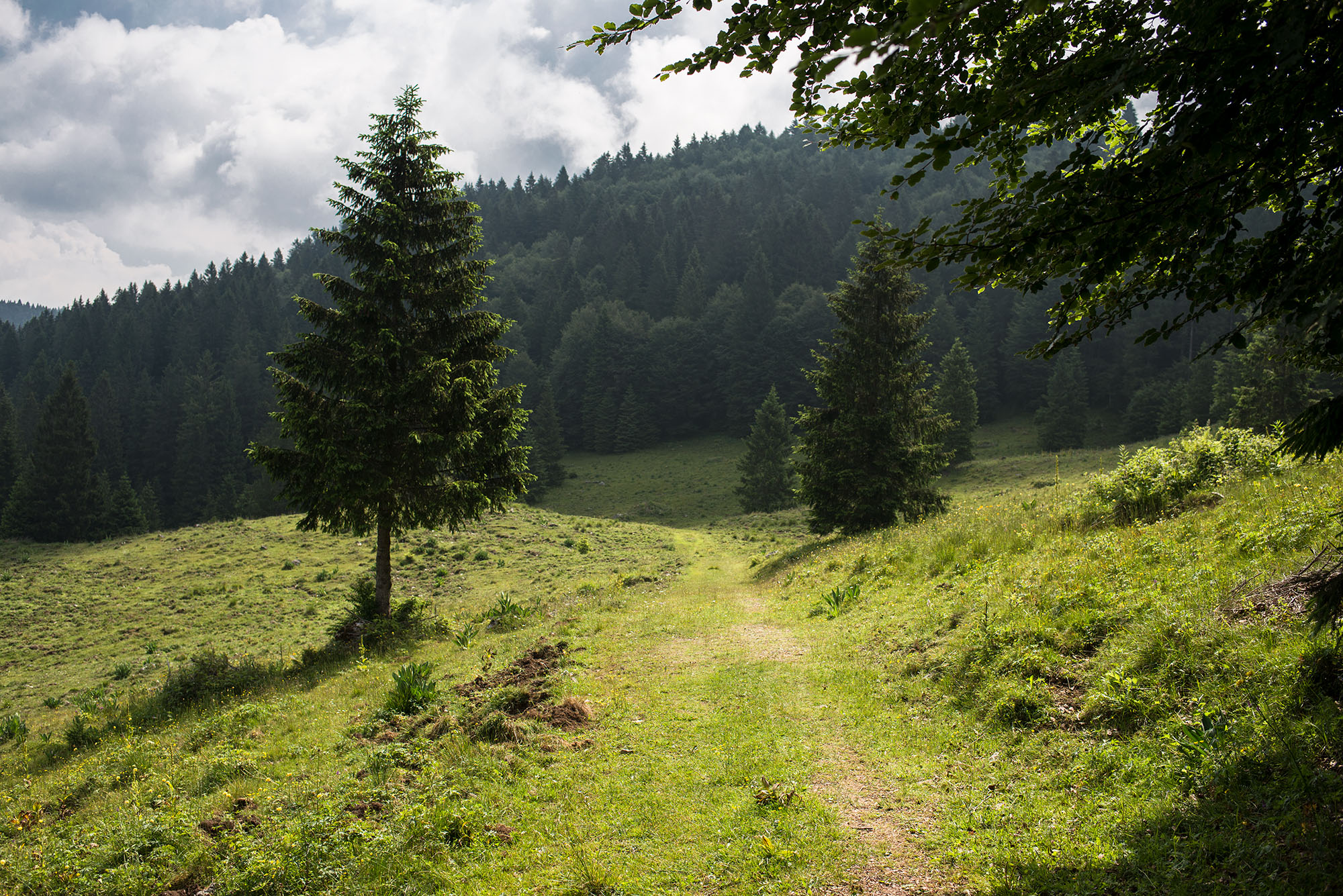
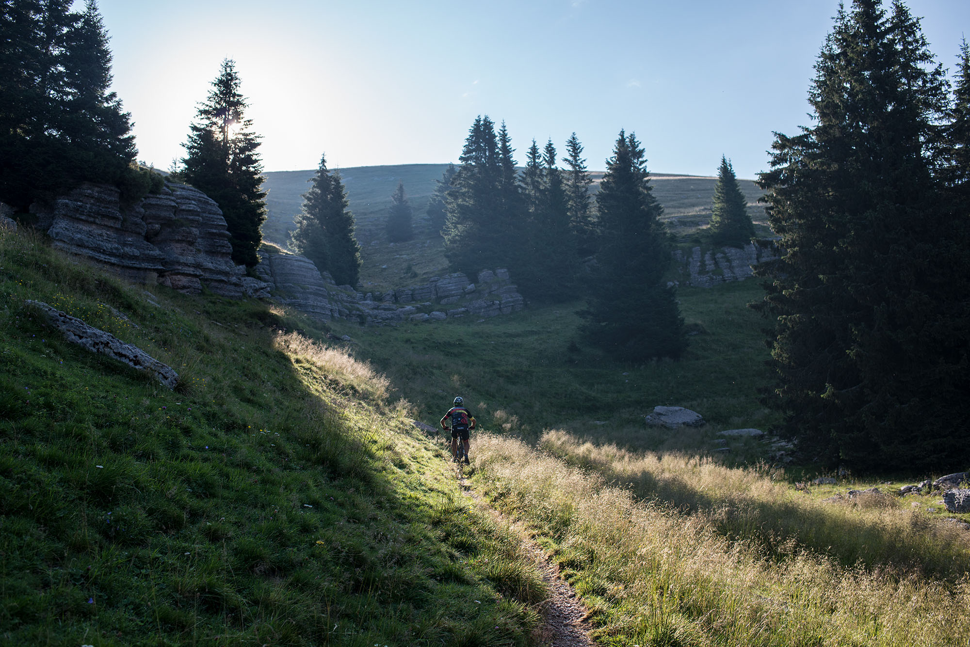
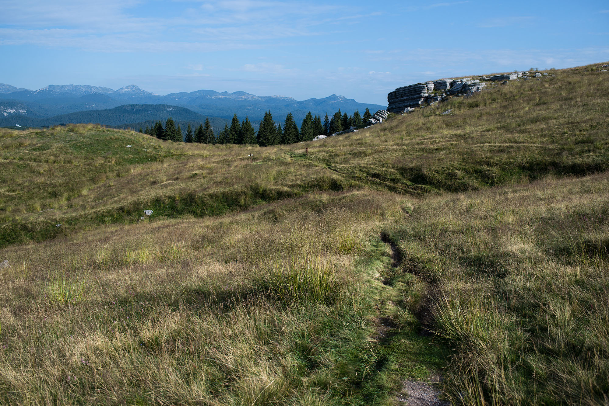
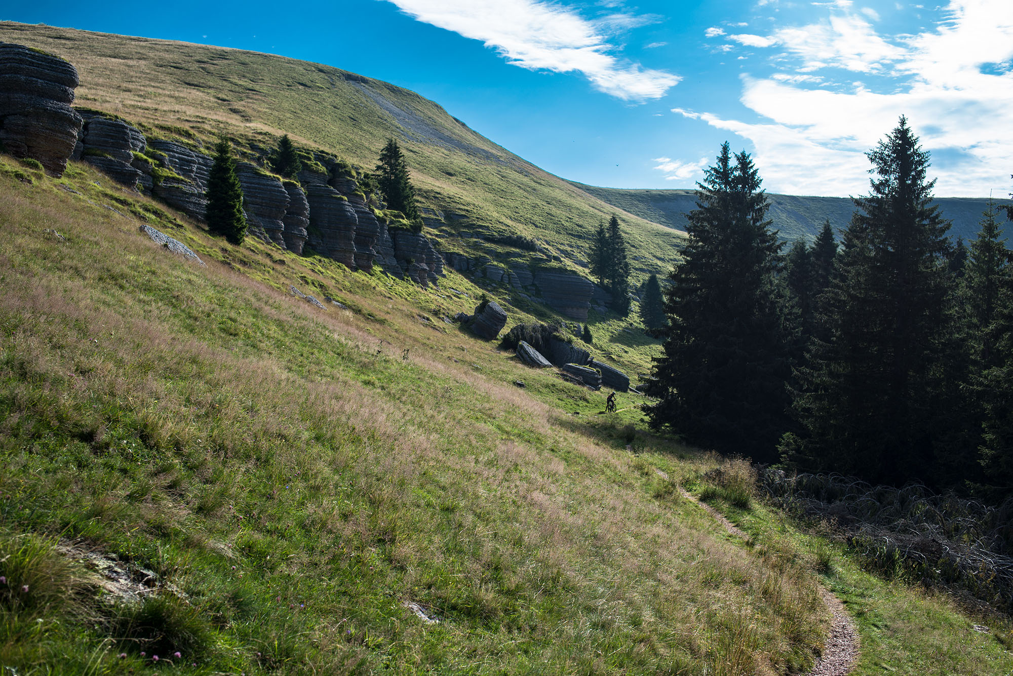
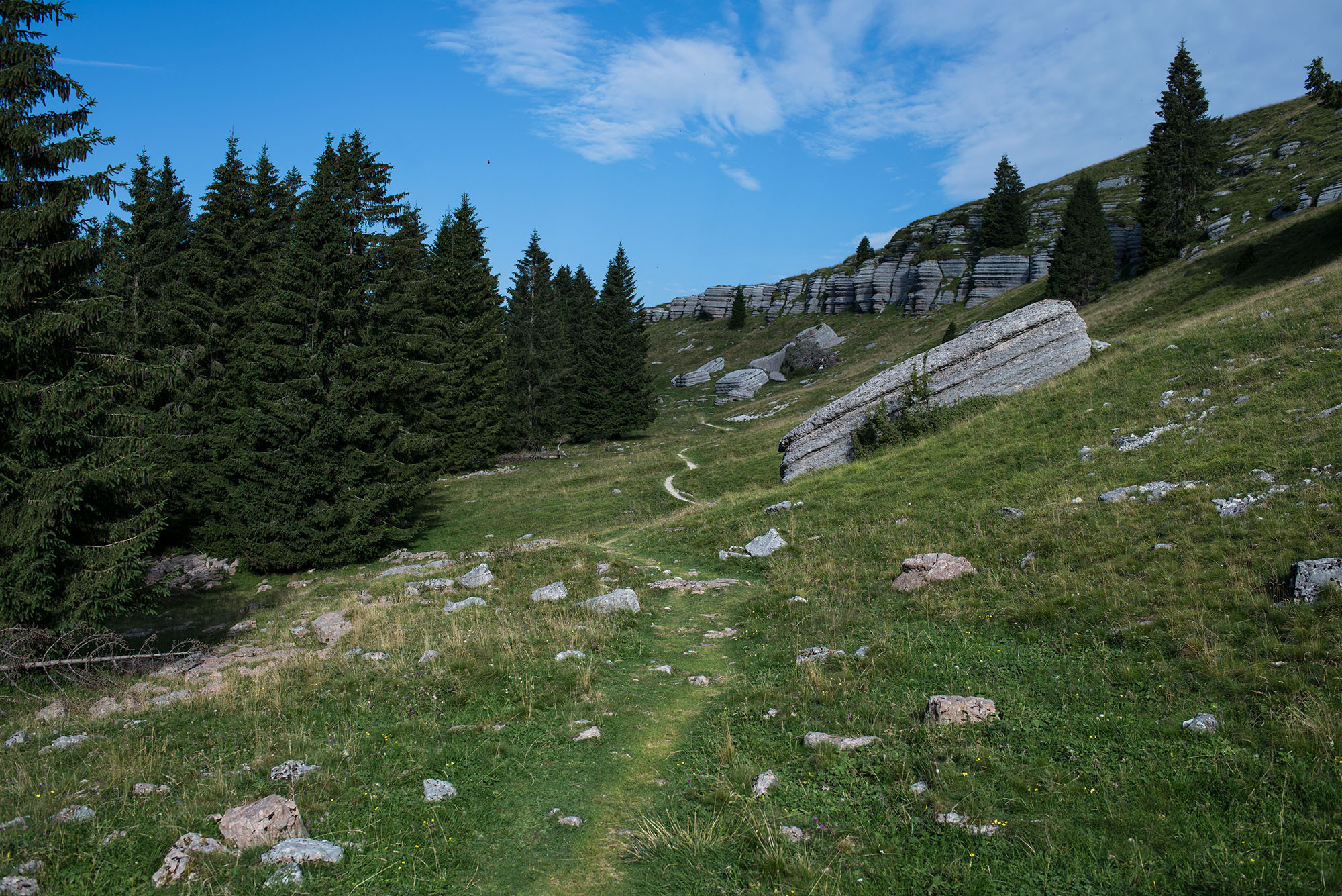
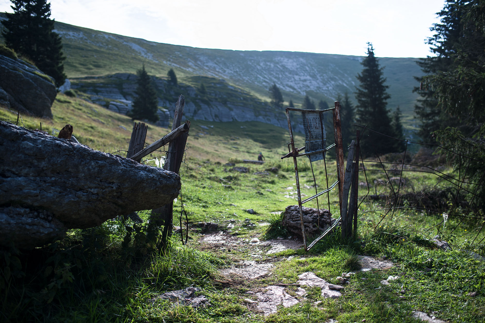
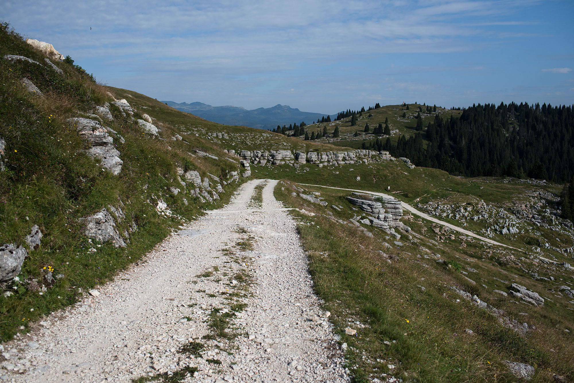
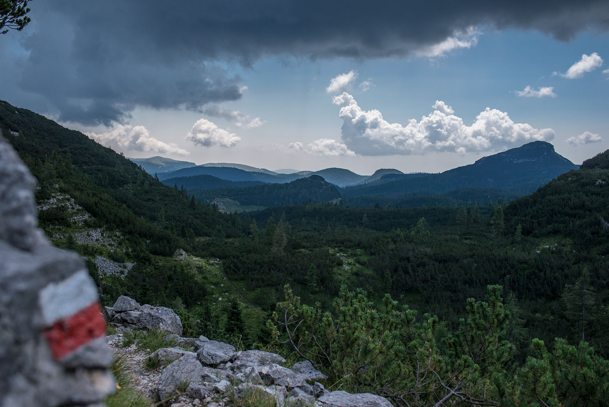
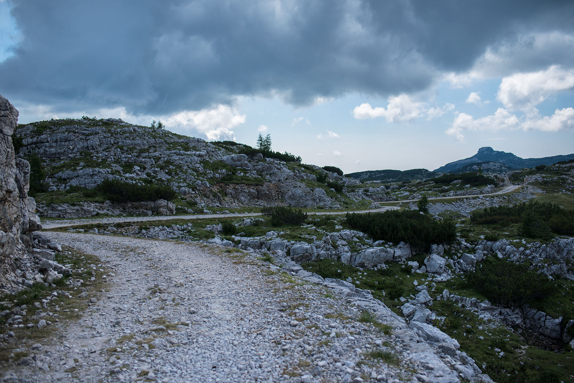
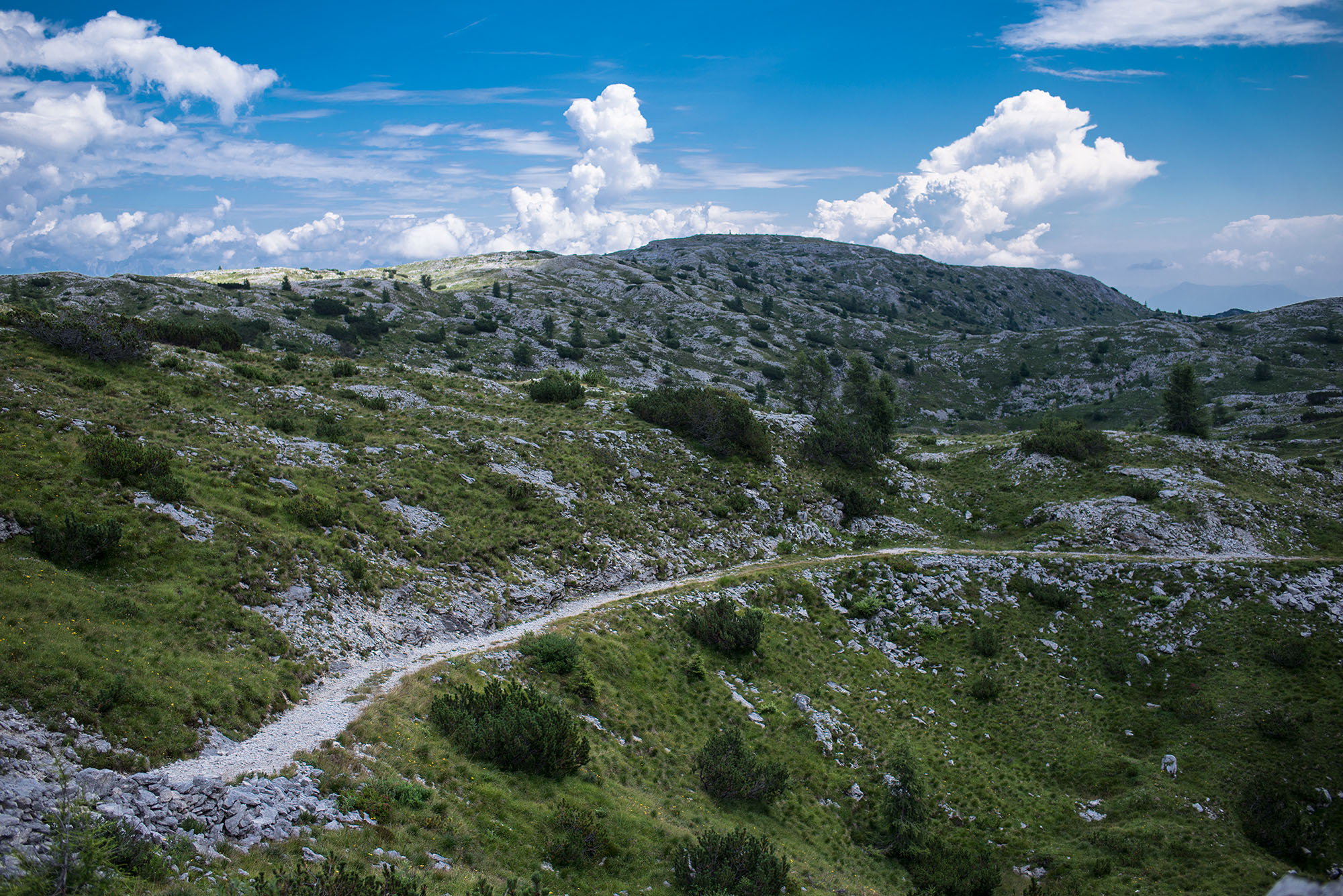
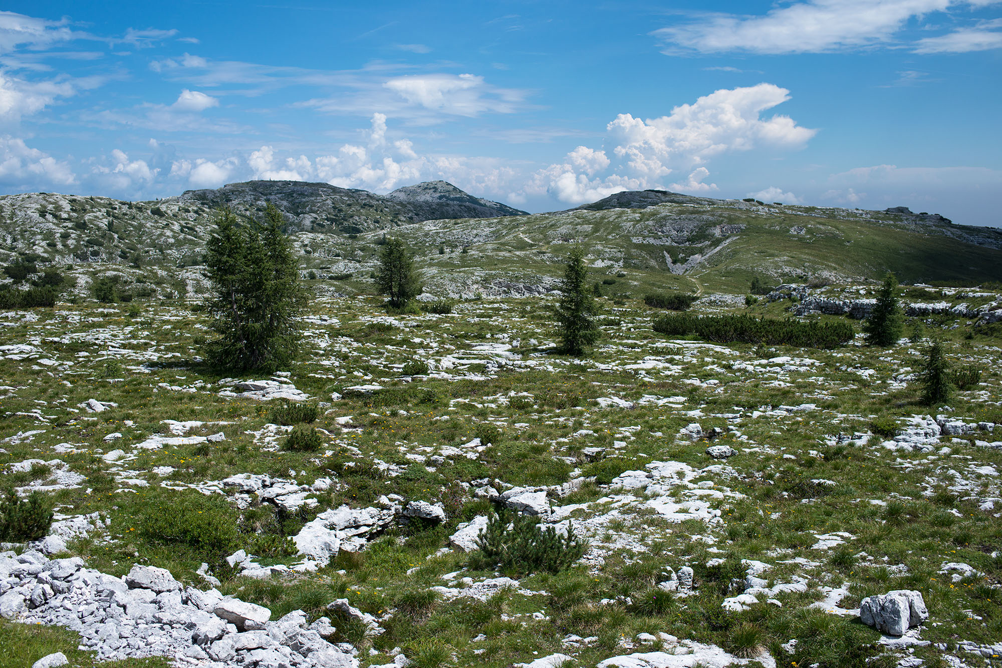
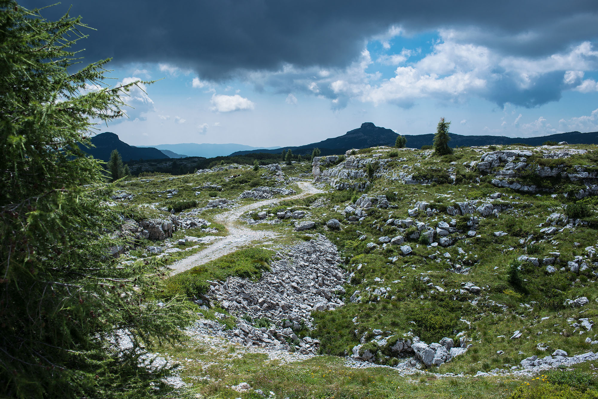
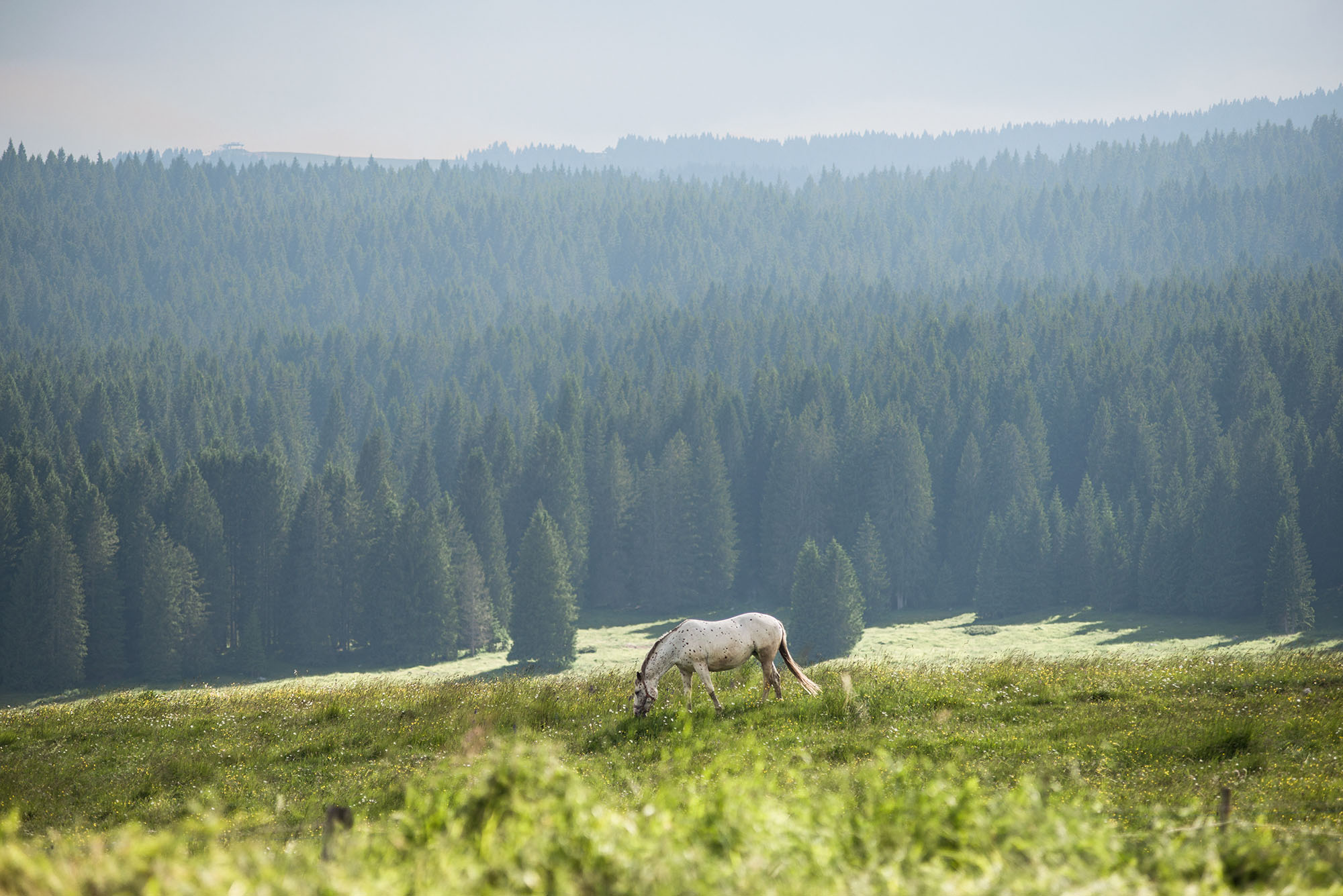
The Asiago Loop is a roughly 200-kilometer bikepacking route that provides the opportunity for riders to traverse the most famous areas of the Asiago plateau using a mix of mule tracks from the great war, singletrack trails, forested gravel, and pastoral doubletrack roads. The route begins and ends in the village of Asiago, the principal town of the area, which is located in the center of the plateau. The loop is comprised of two main sections: the northern area is characterized by karst phenomena and higher altitudes; and the southern area is more forested but full of nice views of the flatland and malghe, the region’s alpine pastures and farmland.
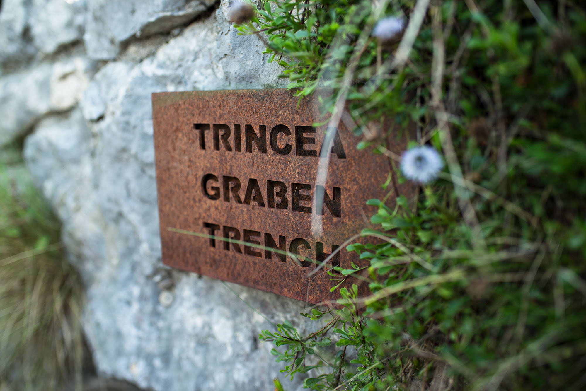
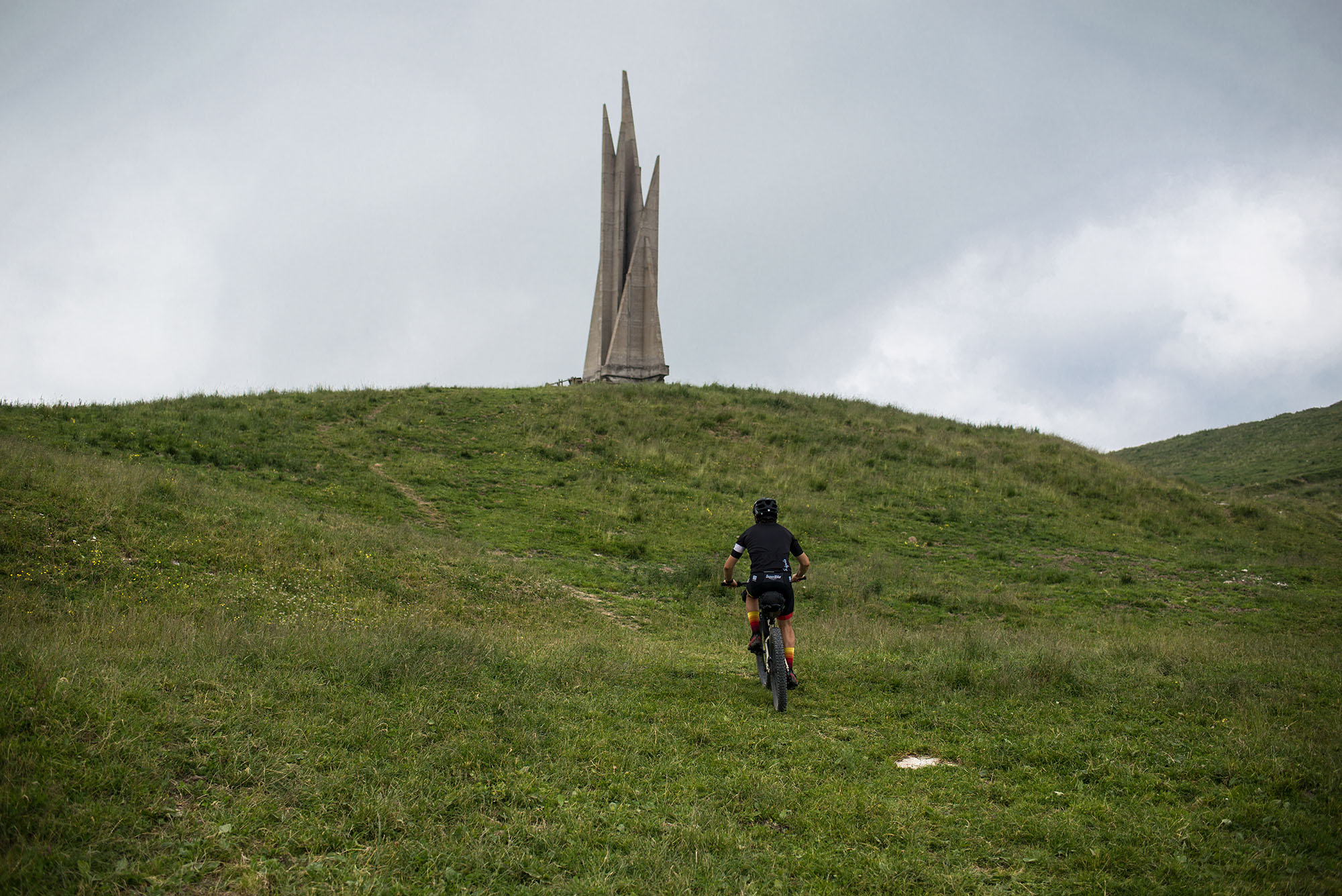
The Asiago is a vast plateau located on the Venetian Pre-Alps in northeast Italy between the provinces of Vicenza and Trento. One of the peculiarities of this entire area is the fact that it was a Cimbrian enclave in the Veneto region centuries and centuries ago, independent from the surrounding areas where Cimbrian was not spoken. Remnants of that culture still remain today. In a different and more dramatic way, the remains and memorials of the First World War can be seen throughout all the territory where there were numerous clashes and battles between the Italian and Austro-Hungarian armies.

The loop aims to enhance the experience of visiting this region and allow people to discover an area that is too often overlooked by foreign tourism, who are distracted by the nearby Dolomites or Lake Garda area. You will see that fabulous views, good food, and historical and folkloric backgrounds are not lacking here.
ROUTE DEVELOPMENT
The idea of developing a route fully dedicated to the Asiago Plateau was born while studying the route for the 2020 Veneto Trail event. The 2019 event used the southern section of this Loop. The plan for 2020 was to focus on the Dolomites, so including the Asiago Plateau in it was not a possibility (as we did in years prior) because the total altitude gain was already around 10,000 meters. However, the area should not be missed!


Submit Route Alert
As the leading creator and publisher of bikepacking routes, BIKEPACKING.com endeavors to maintain, improve, and advocate for our growing network of bikepacking routes all over the world. As such, our editorial team, route creators, and Route Stewards serve as mediators for route improvements and opportunities for connectivity, conservation, and community growth around these routes. To facilitate these efforts, we rely on our Bikepacking Collective and the greater bikepacking community to call attention to critical issues and opportunities that are discovered while riding these routes. If you have a vital issue or opportunity regarding this route that pertains to one of the subjects below, please let us know:
Highlights
Must Know
Camping
Food/H2O
Trail Notes
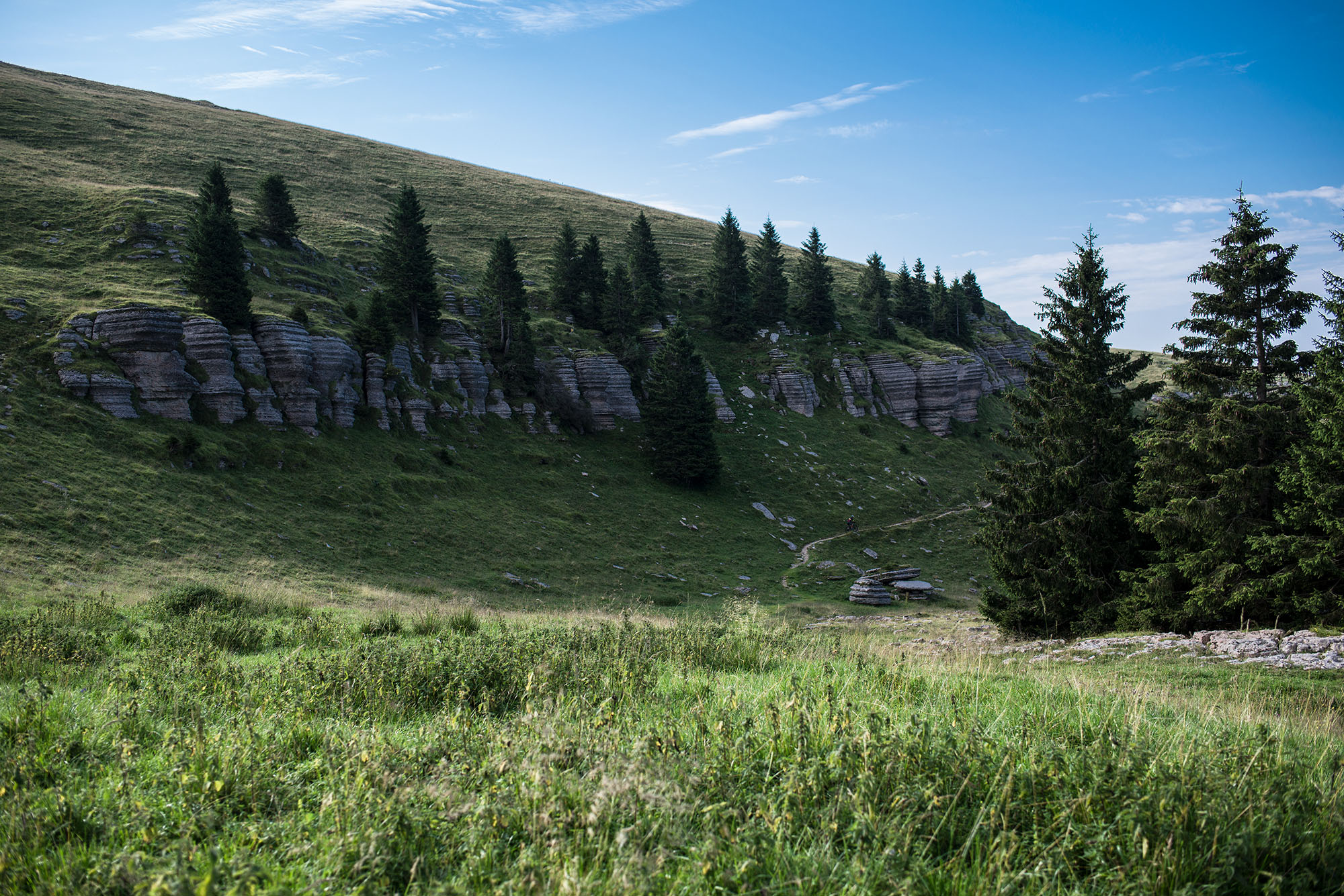
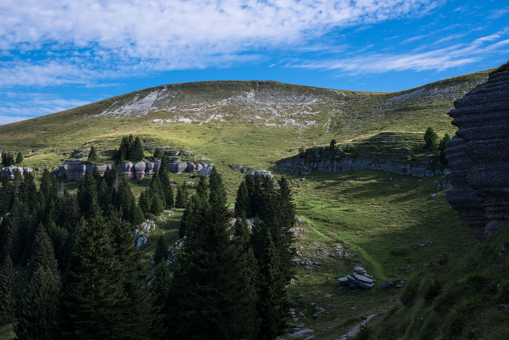
- City of Rocks, a series of particular limestone formations on the eastern side of Monte Fior.
- WWI trenches, monuments, forts, and cemeteries are everywhere on the plateau, making cycling a way to learn the history of these places.
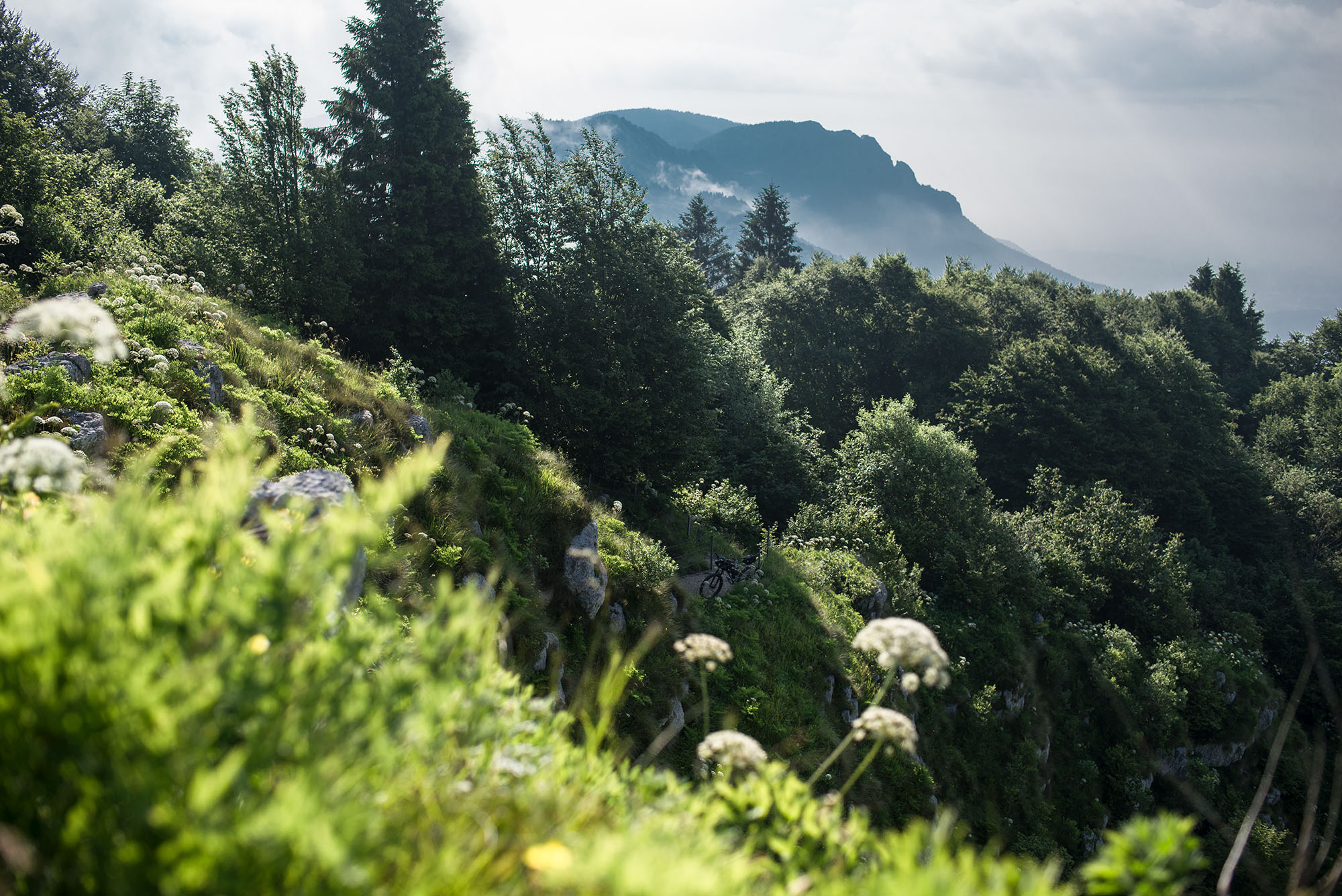
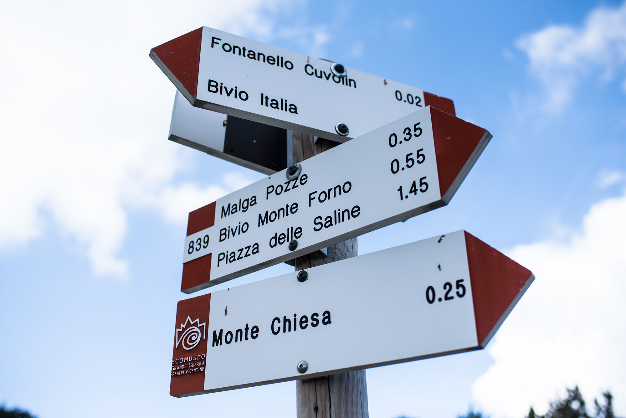
- Monte Ortigara, the highest and most symbolic point of the trail, shaped by the karst and the numerous trenches from the Great War.
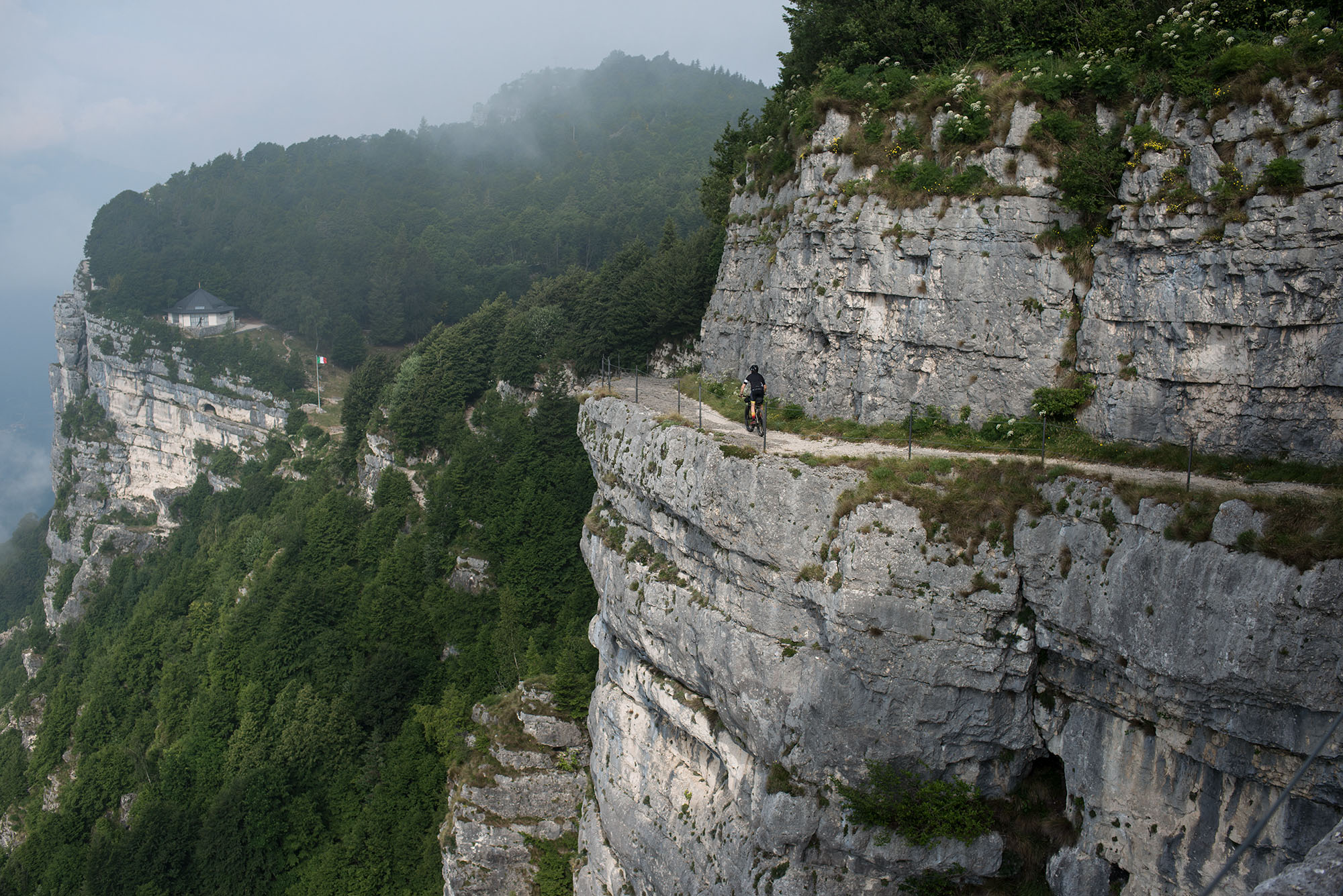
- The Granatiera military road, just next to Monte Cengio monumental area, is a spectacular road carved into the rock by the army.
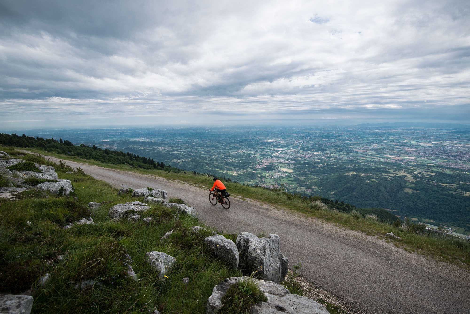
- The road of the Malgas and its view to the Flatland. When it’s, clear the view reaches as far as the Venetian Lagoon.
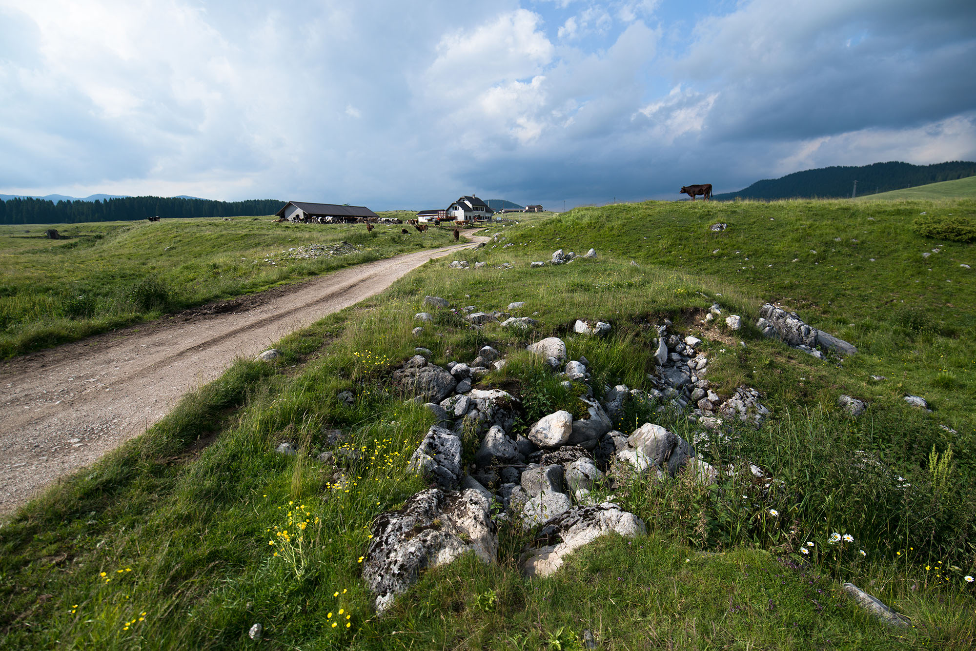
- Green meadows, pastures, and views of the plateau with its seven municipalities that emerge here and there.
- Tasting the famous Asiago cheese from one of the local dairies or Malgas it’s something you should not miss.
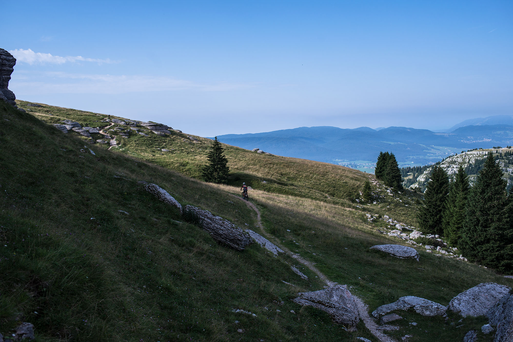
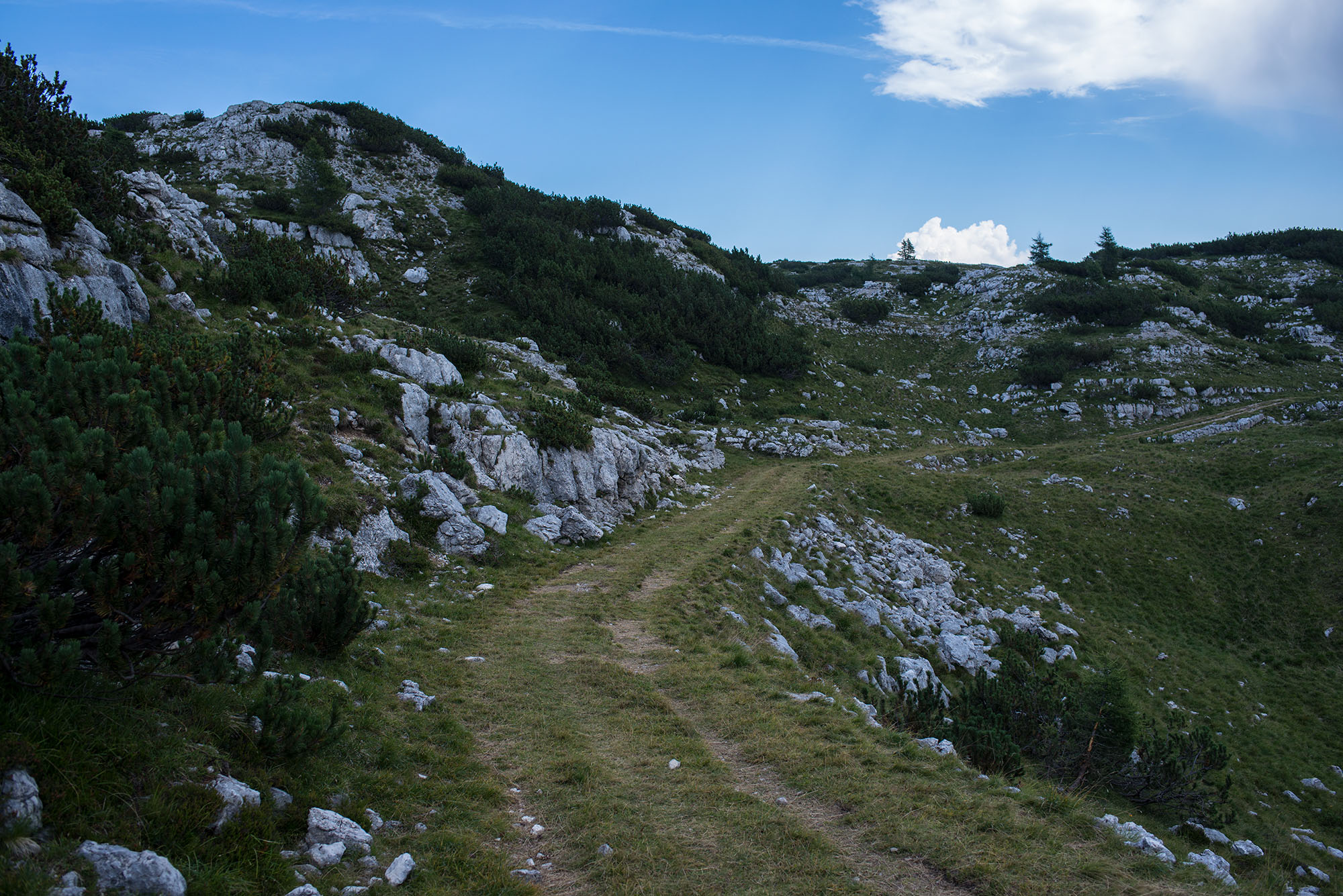
- The Asiago Loop is not a technical route but it does contain a few rough sections that can be walked if needed. There is a longer hike-a-bike section for reaching the top of Monte Ortigara, but it’s definitely worth it.
- We recommend riding the loop with a hardtail or full-suspension bike. Nevertheless, some of our friends rode it with a monstercross gravel bikes with wide tyres with no problem… but they didn’t experience any rain.
- The loop is much better if cycled from Asiago to the northern section, even if it’s rideable in the opposite direction too.
- The best season to ride the loop is in late spring or early autumn when there is really no one around. Pay attention that a lot of refugios and malgas are closed in this period. Of course, riding it in summer is a good choice too.
- Wild camping is not officially allowed in the entire Asiago Plateau area. If you must bivy for a night, pitch after sunset, leave before sunrise, and absolutely #leavenotrace. Stay clear of protected and delicate areas, especially near monuments.
- There are two camping areas not so far off the route: one in Roana (Camping Riviera) and one in Ekar (Camping Ekar).
- A reasonable alternative to camping is the refugios along the way. Unfortunately, they are almost all in the northern section of the loop. They offer basic accommodation and traditional meals but require some planning ahead as they are often closed. It’s always better to call them for more information. Don’t trust their websites.
- Water is an issue. Being in a karstic plateau, there’s really no water around and you’ll probably need to stop in refugios/bars or malgas to find/buy some.
- Supermarkets: you will only find supermarkets in Roana and Asiago.
- Food supply: there are a lot of places to stop for some food along the way, just pay attention that from Rifugio Barricata (if it’s closed, from Rifugio Valmaron) to Malga Larici there is no place to eat or to drink anything.
- Eat local: If you want to eat local and traditional food you should definitely go to a malga. There are plenty of them along the way but not all are always open and some of them are not open to the public at all.
- From Bivio Italia is the hardest section of the trail, which requires some hike-a-bike (more than 30 minutes) to reach the most spectacular and symbolic place of the trail: Monte Ortigara. Returning from there, you’ll ride the same road, so if you really don’t want to hike-a-bike you can skip this section and just turn left once you arrive at Bivio Italia.
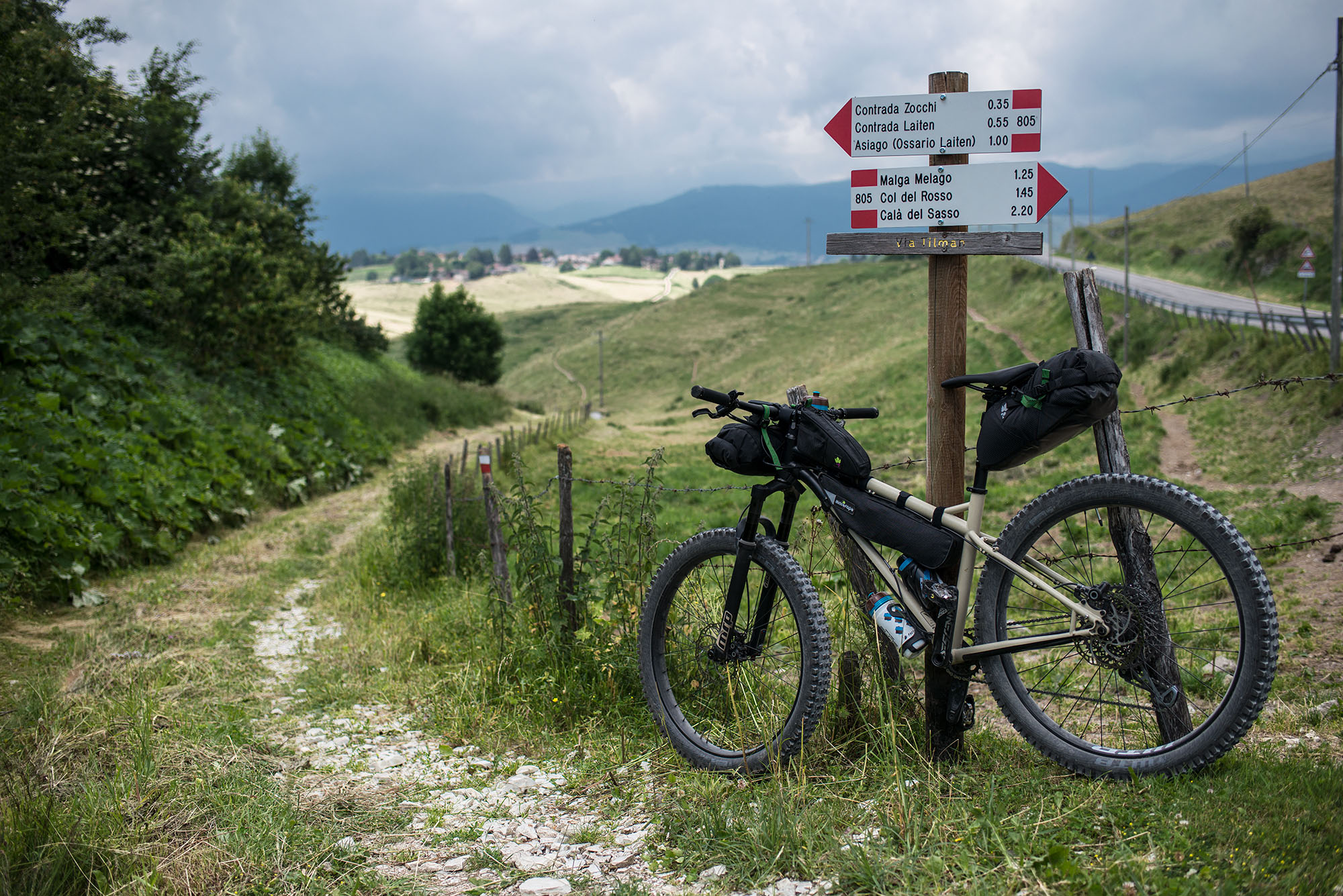
- If you need to take a shortcut for whatever reason, Asiago is never too far away from any part of the loop.
- To follow the military road next to Monte Cengio (La Granatiera), it is necessary to walk a few tens of meters. And pay close attention to the cliff or to other hikers during summer weekends.


Terms of Use: As with each bikepacking route guide published on BIKEPACKING.com, should you choose to cycle this route, do so at your own risk. Prior to setting out check current local weather, conditions, and land/road closures. While riding, obey all public and private land use restrictions and rules, carry proper safety and navigational equipment, and of course, follow the #leavenotrace guidelines. The information found herein is simply a planning resource to be used as a point of inspiration in conjunction with your own due-diligence. In spite of the fact that this route, associated GPS track (GPX and maps), and all route guidelines were prepared under diligent research by the specified contributor and/or contributors, the accuracy of such and judgement of the author is not guaranteed. BIKEPACKING.com LLC, its partners, associates, and contributors are in no way liable for personal injury, damage to personal property, or any other such situation that might happen to individual riders cycling or following this route.
Please keep the conversation civil, constructive, and inclusive, or your comment will be removed.