


The Aspen Loop Overnighter
Distance
34 Mi.
(55 KM)Days
2
% Unpaved
100%
% Singletrack
0%
% Rideable (time)
100%
Total Ascent
2,947'
(898 M)High Point
11,040'
(3,365 M)Difficulty (1-10)
4?
- 6Climbing Scale Moderate87 FT/MI (16 M/KM)
- -Technical Difficulty
- -Physical Demand
- -Resupply & Logistics
Contributed By

Colt Fetters
Averagely Stoked
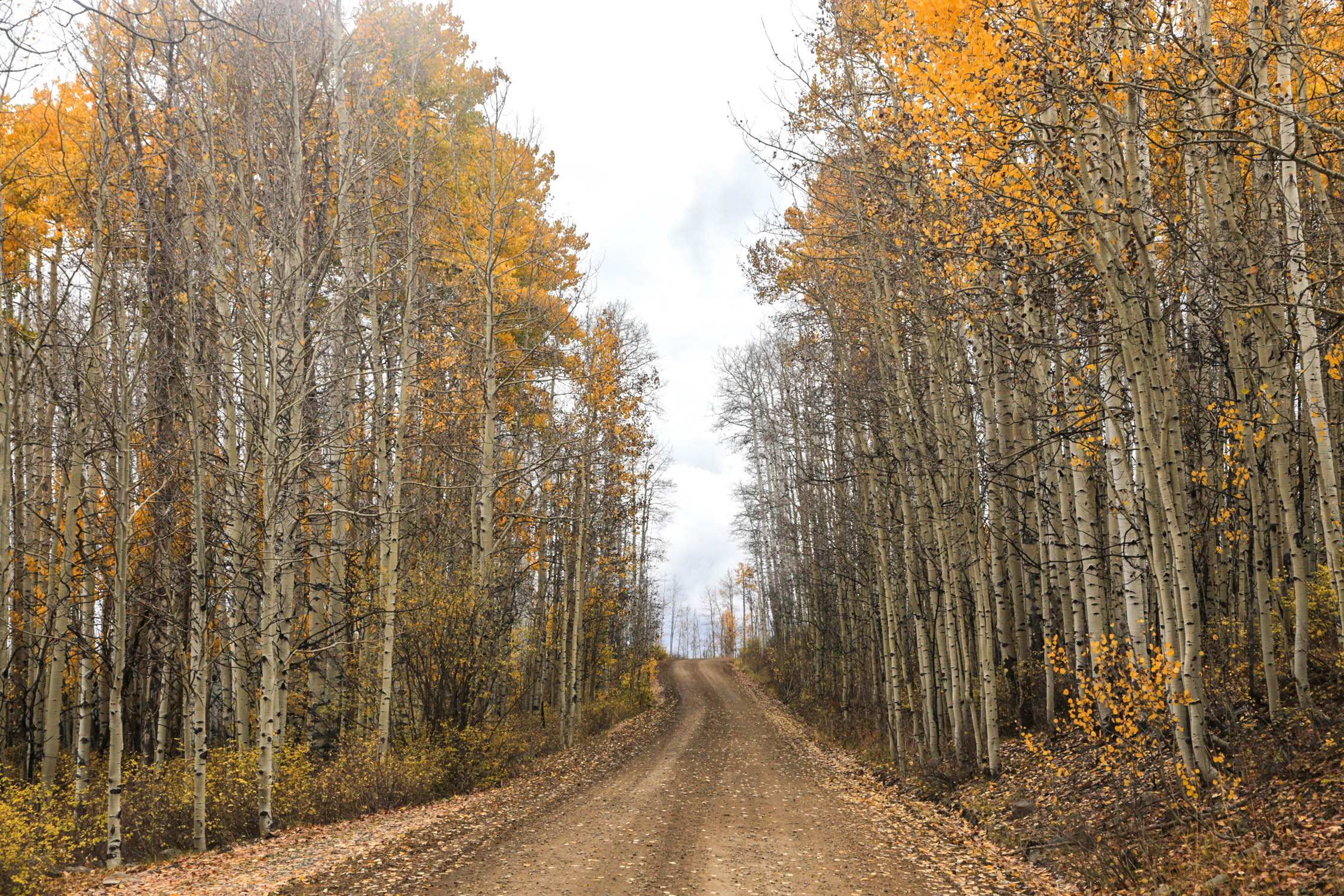
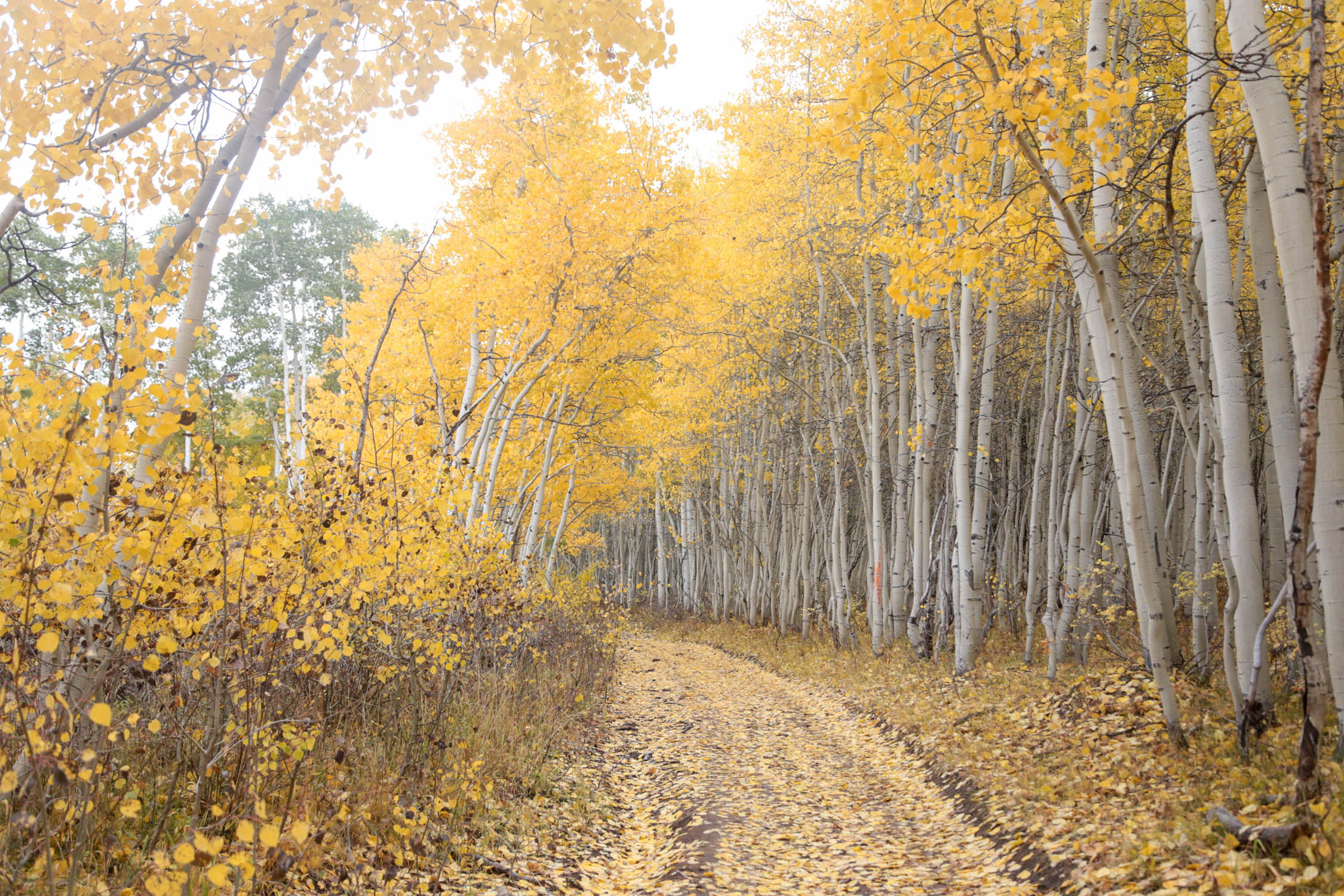
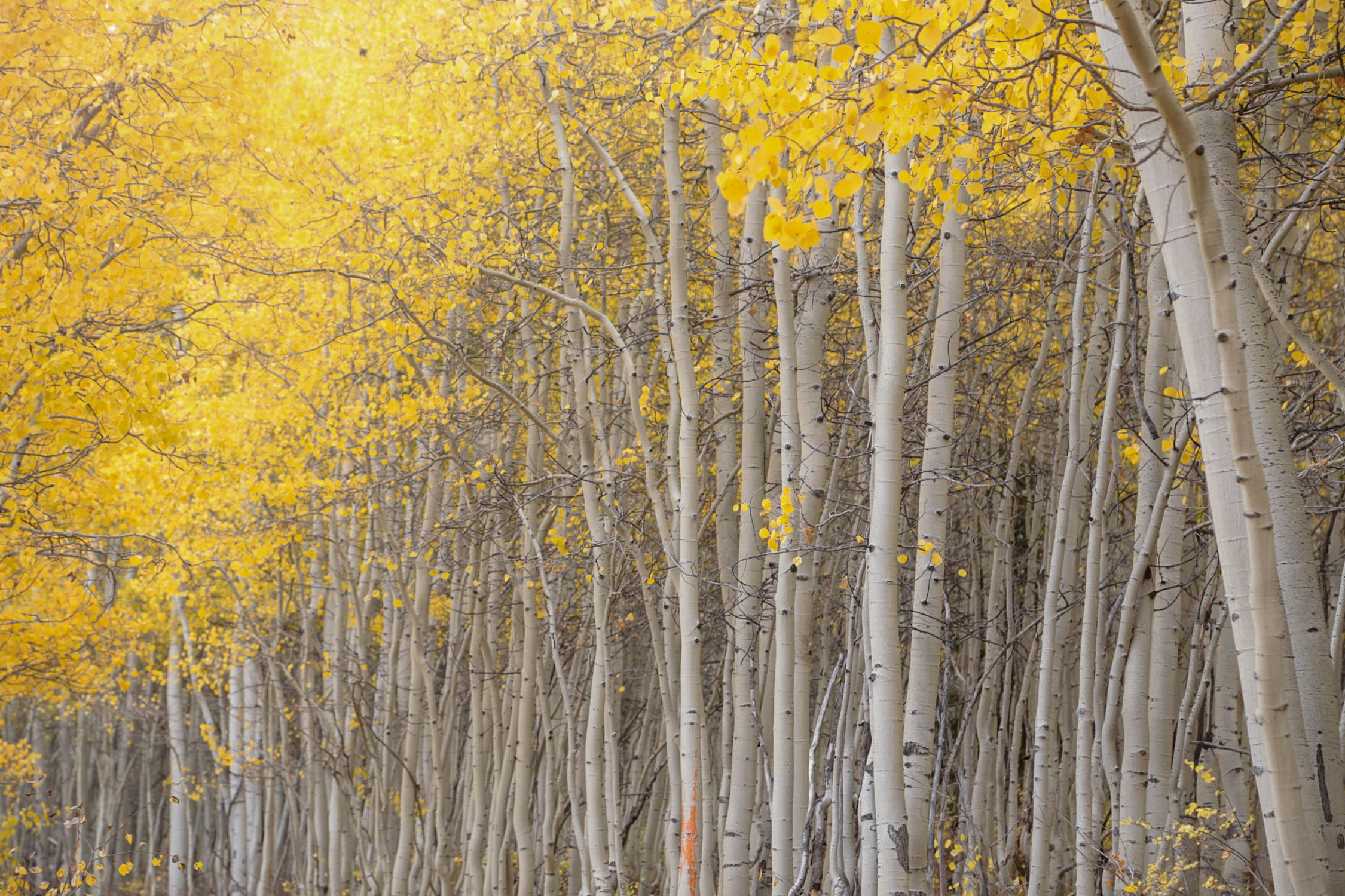
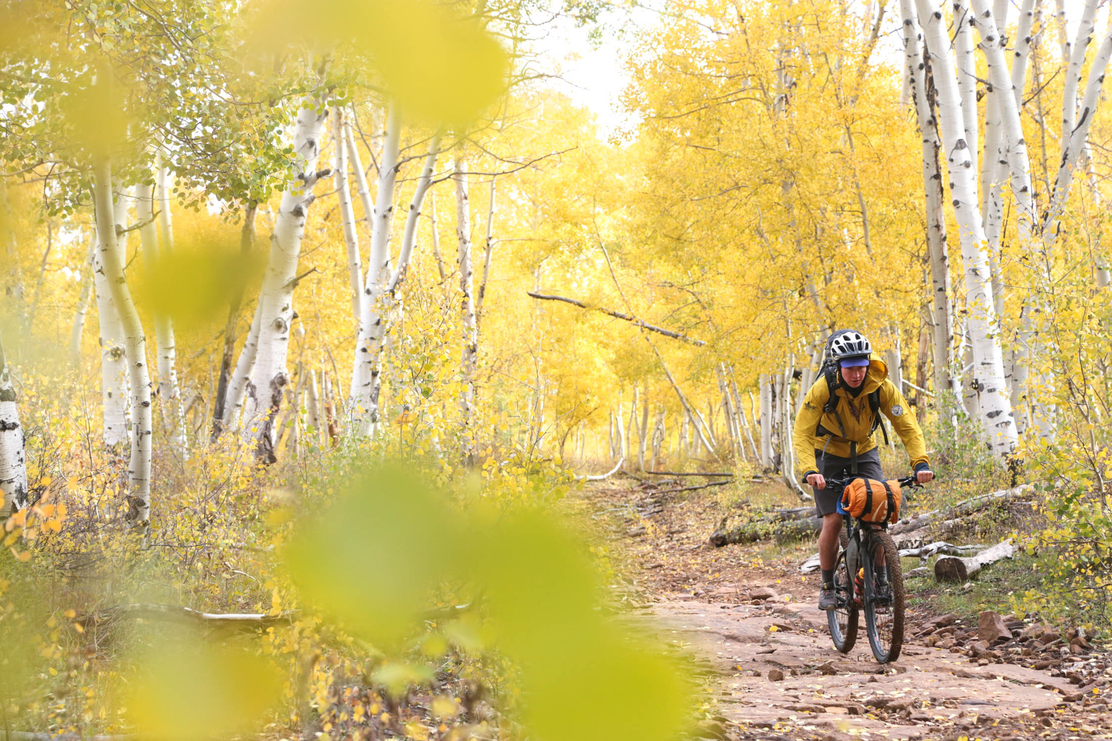
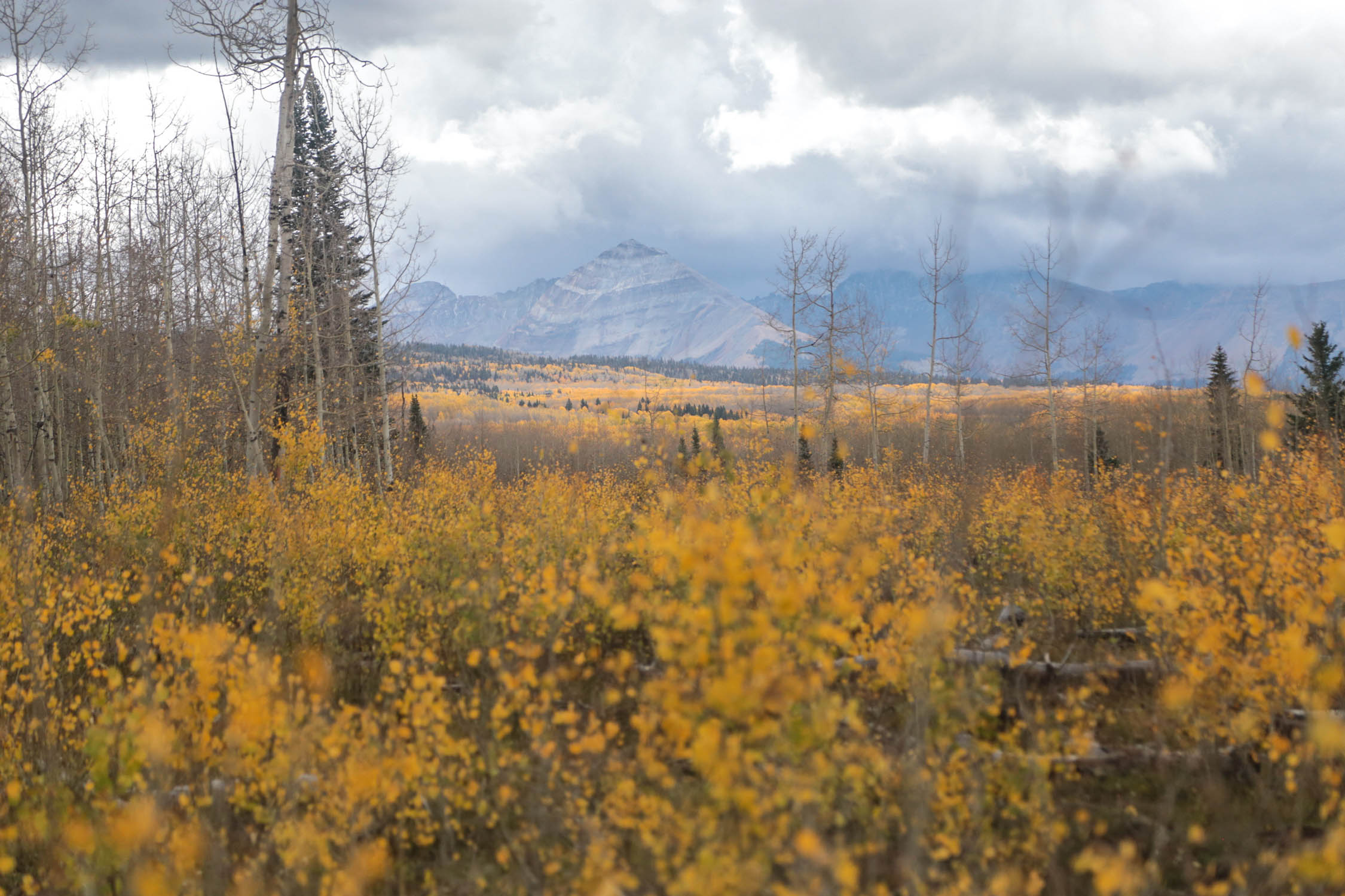
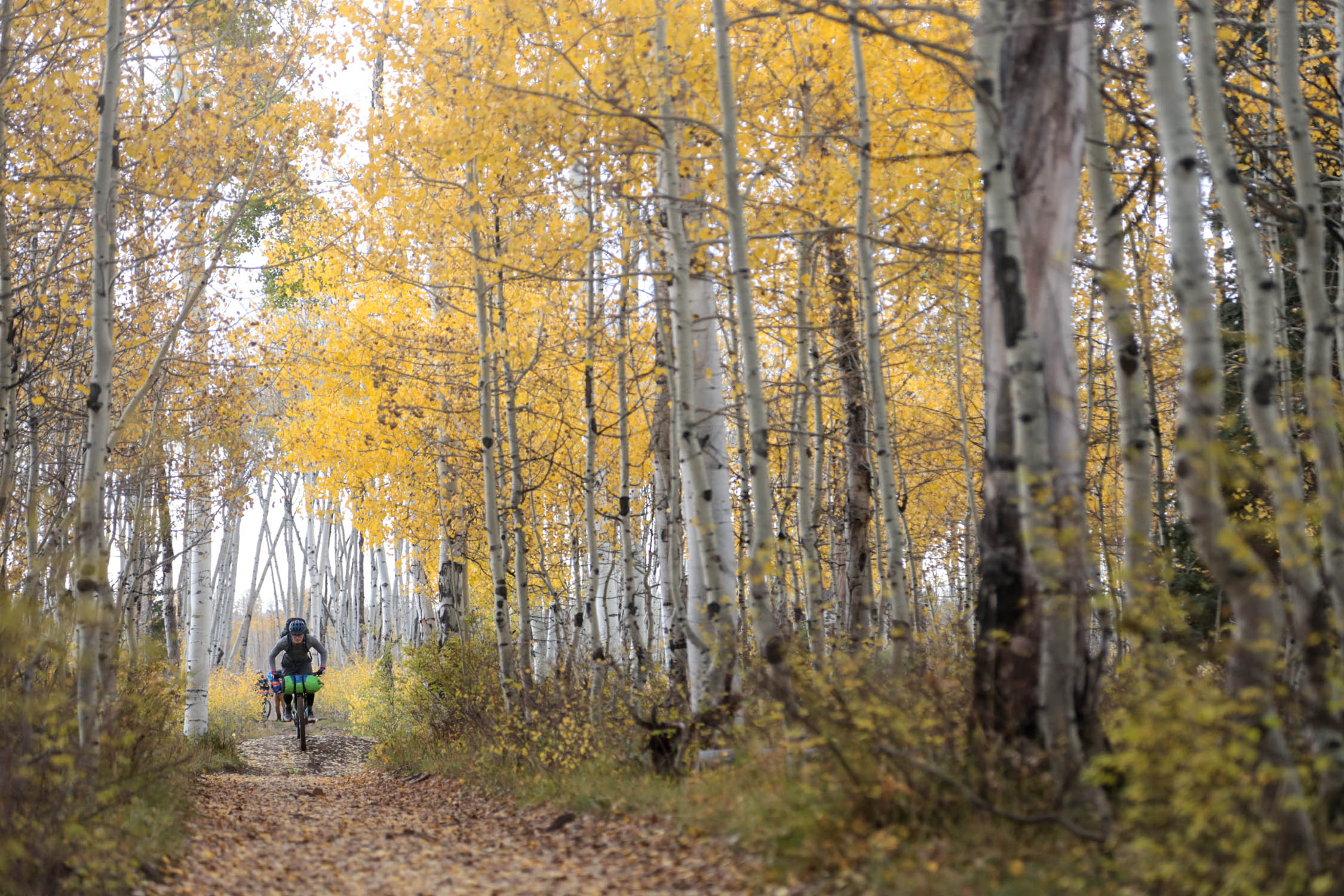
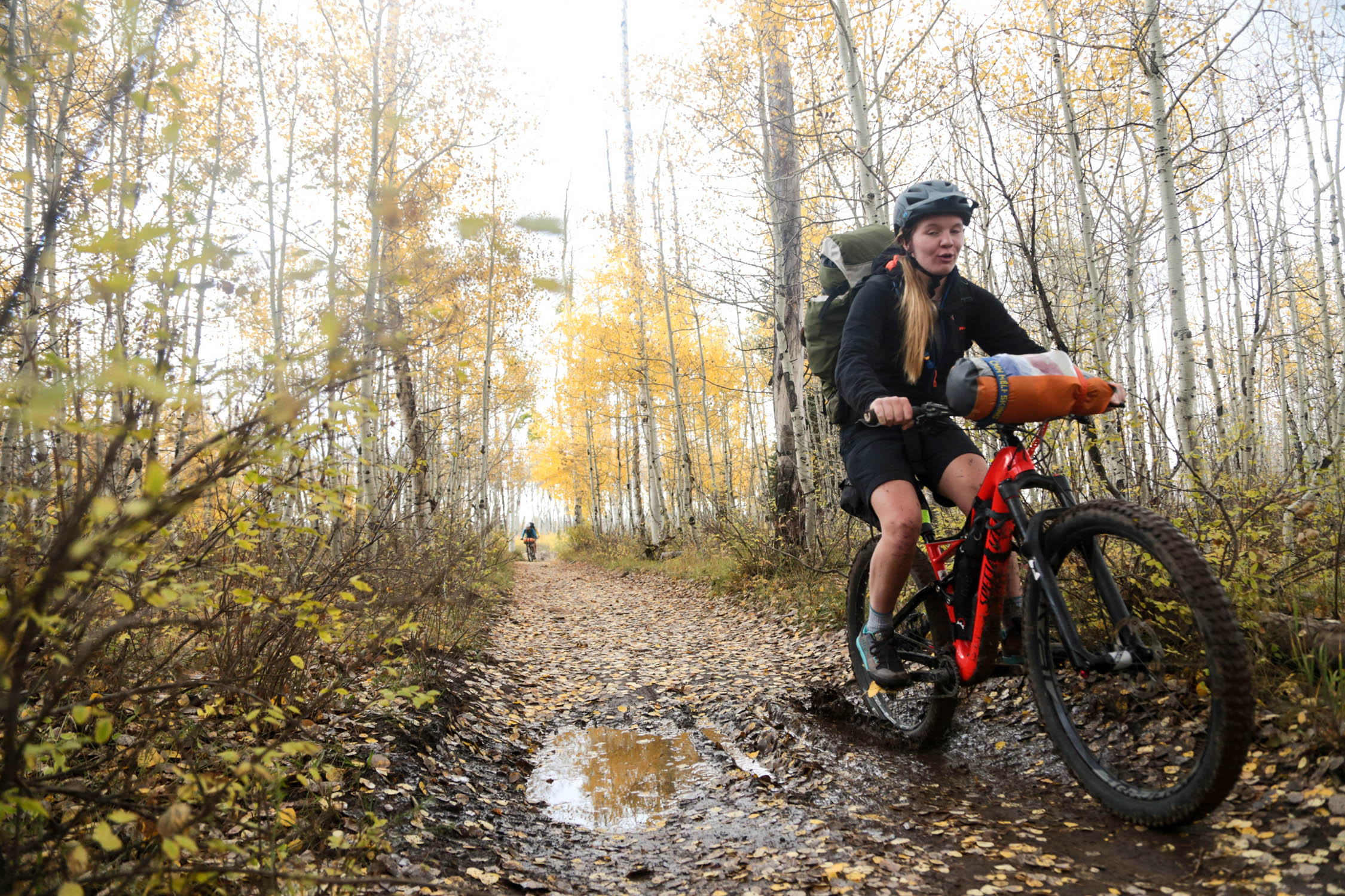
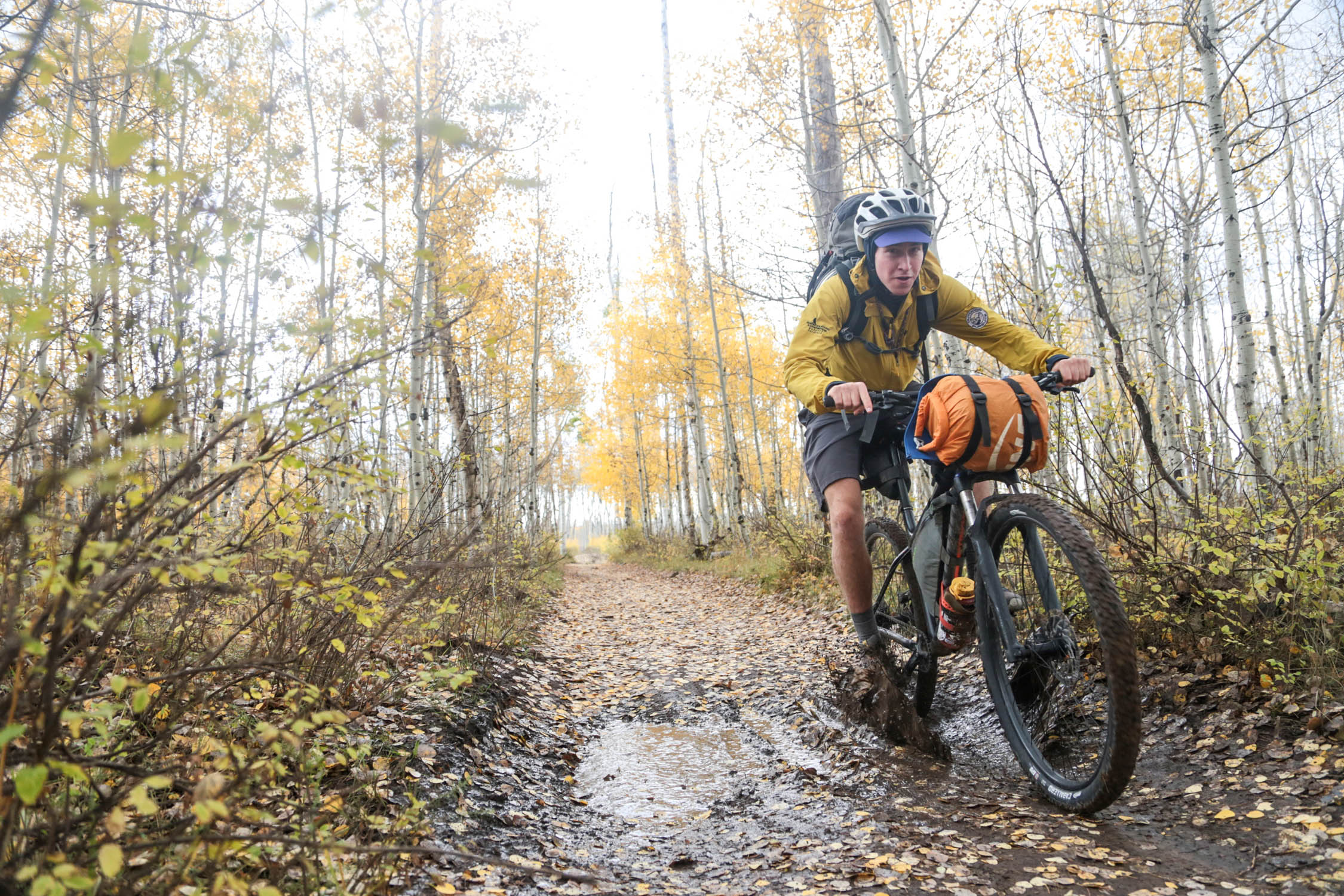
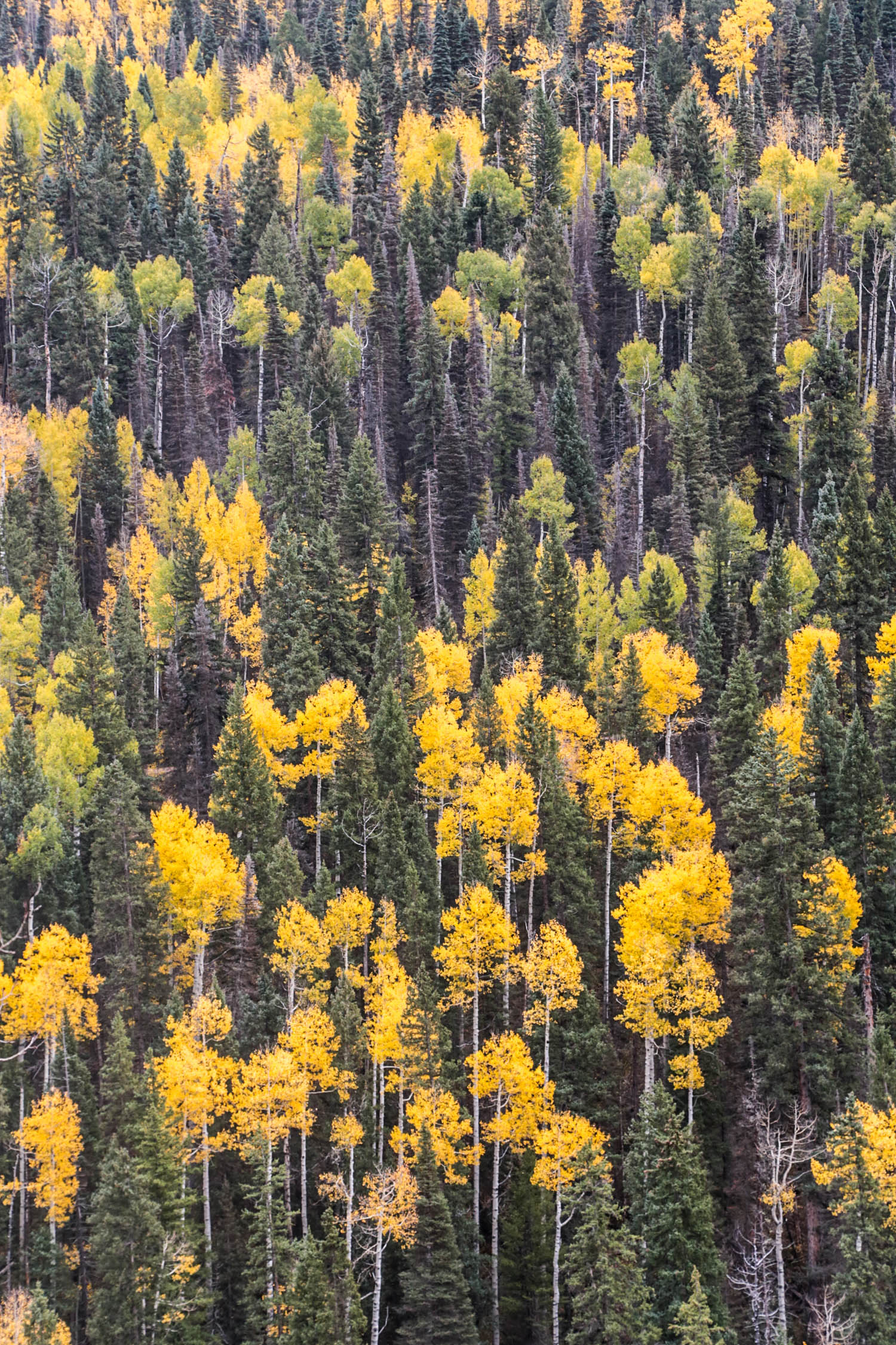
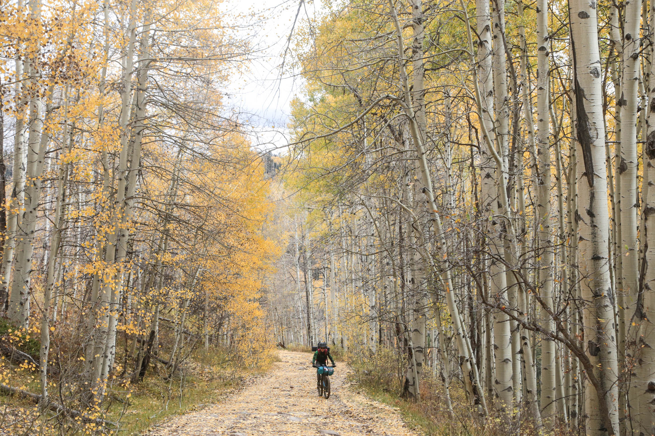
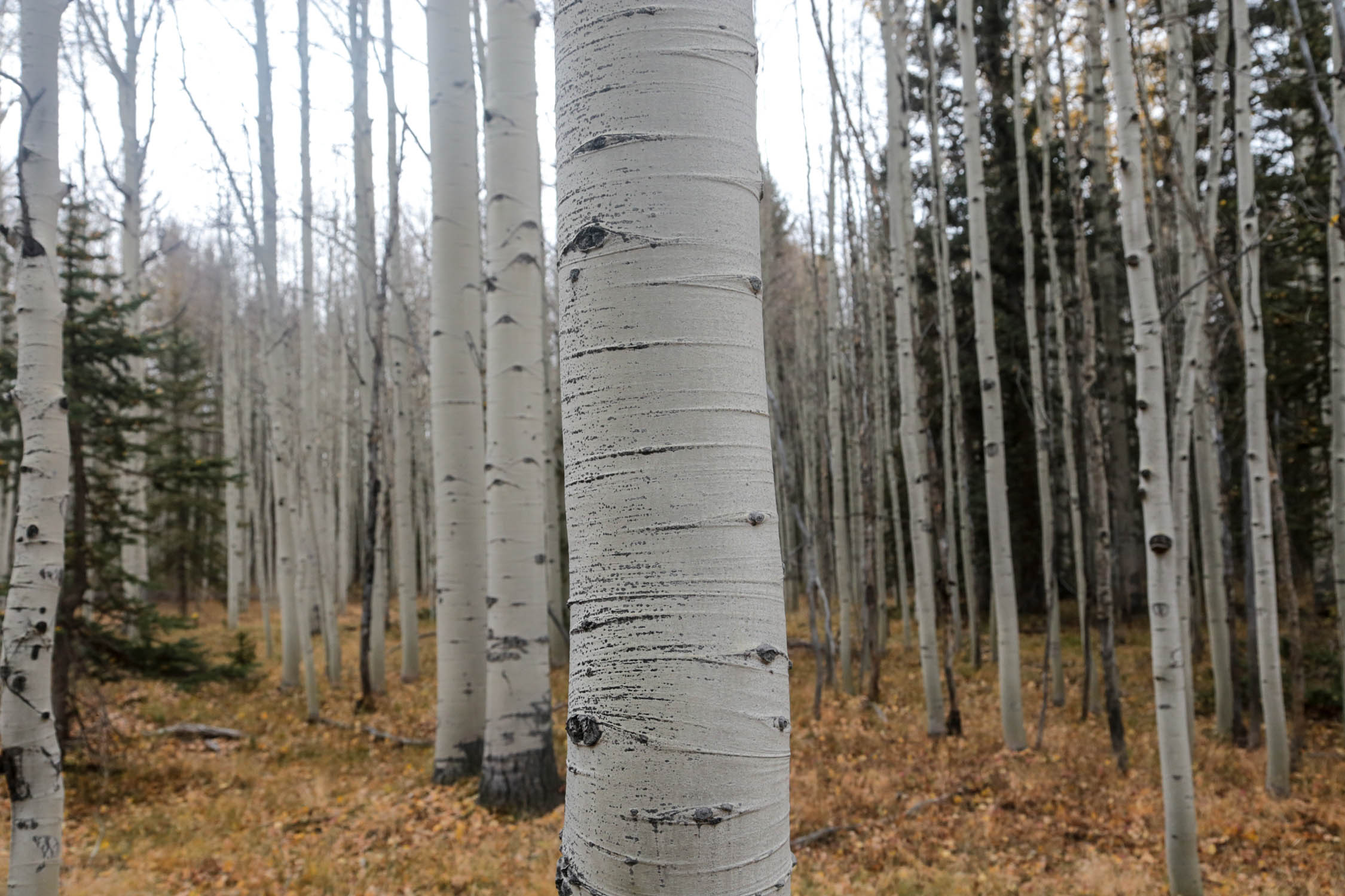
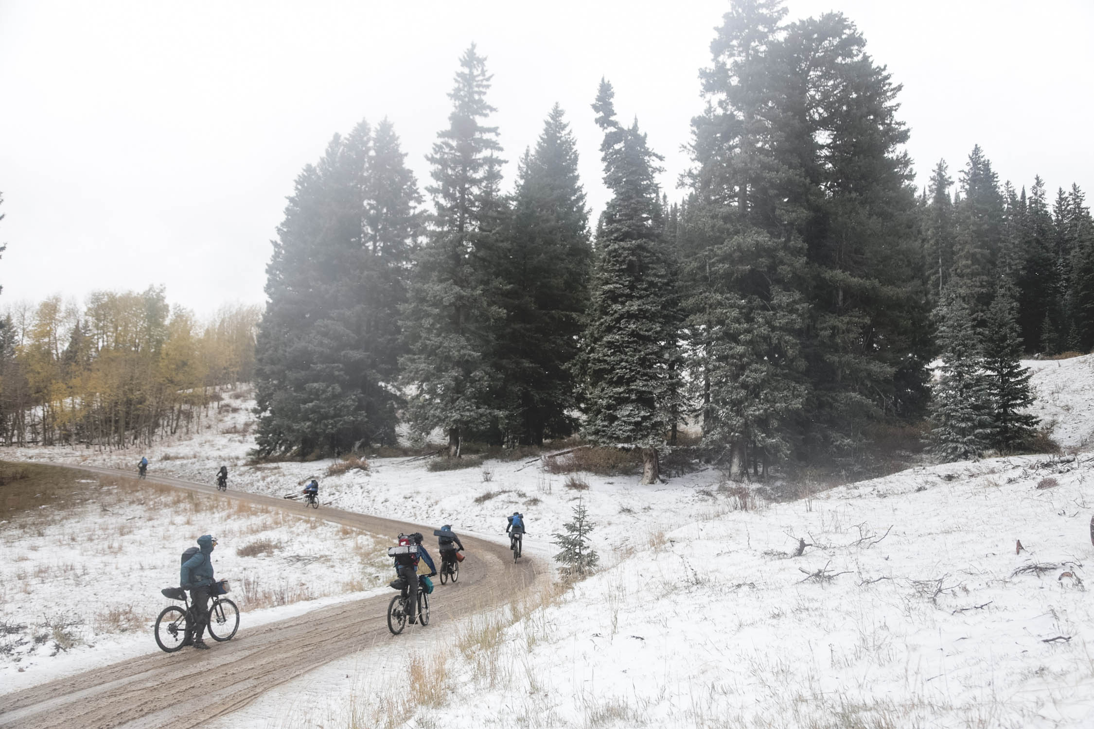
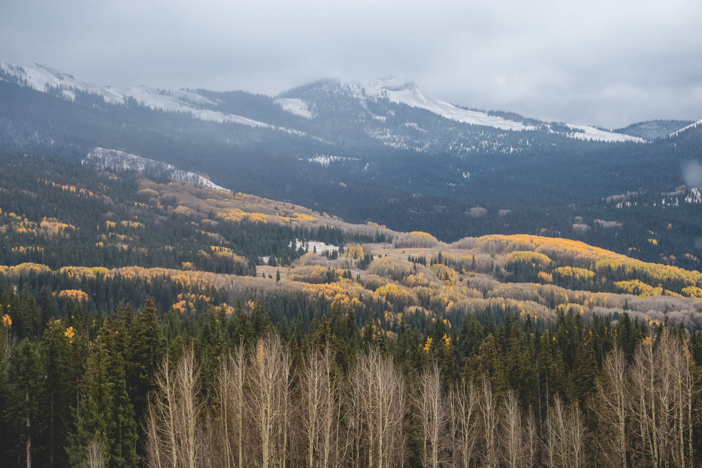
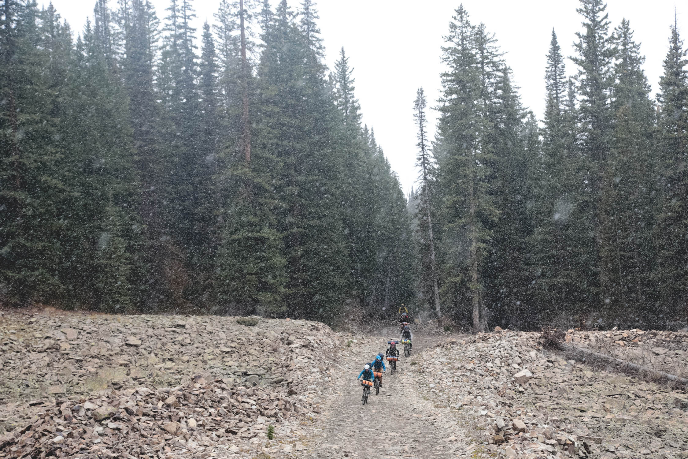
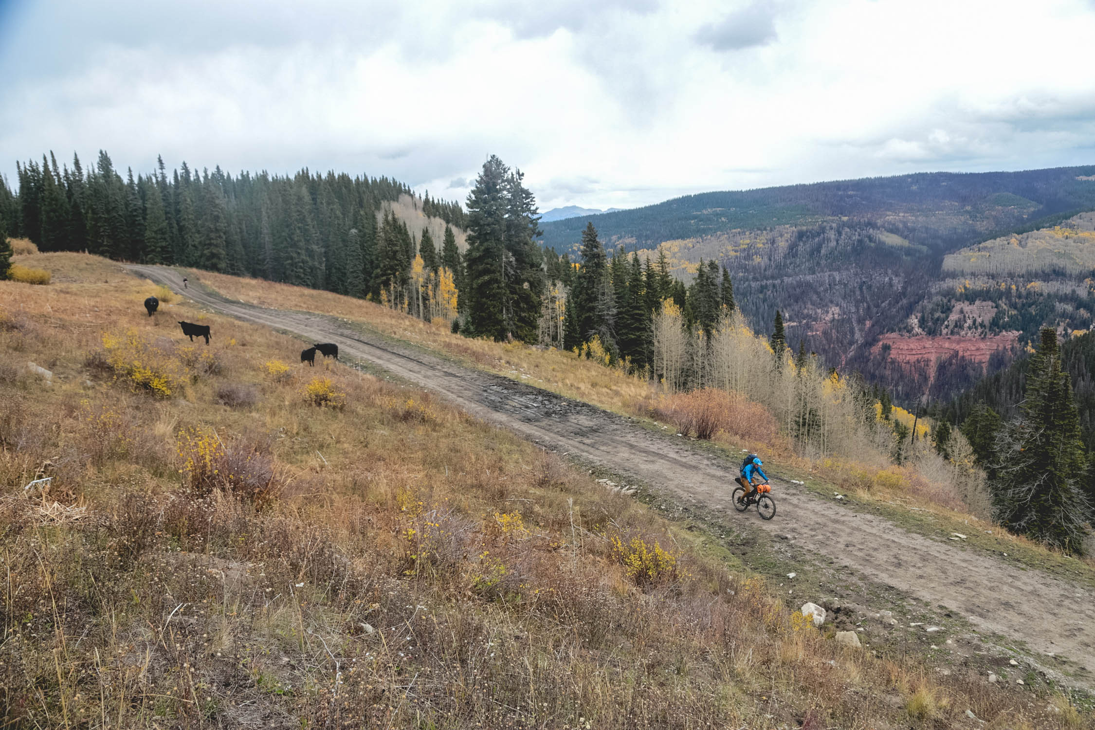
The Aspen Loop boasts incredible natural beauty thanks to the thick aspen forests and the wild peaks of the La Plata Mountains. Hesperus Mountain, one of the most notable peaks in this San Juan subrange, is almost always visible along the route, towering at 13,000 feet. A large amount of singletrack in the area means there’s an abundance of options to make this route more technical. In fact, this area used to be the southern terminus of the Colorado Trail before it was re-routed to Durango.
While this loop could be deemed short for a weekend trip, there’s plenty of climbing, mountain weather, and altitude to contend with. Beginners can expect it to feel taxing, but only to the point they’ll be able to appreciate the hard-fought highs of bikepacking.
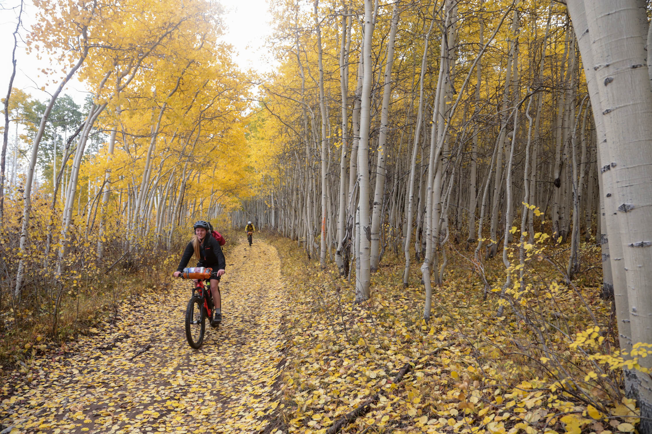
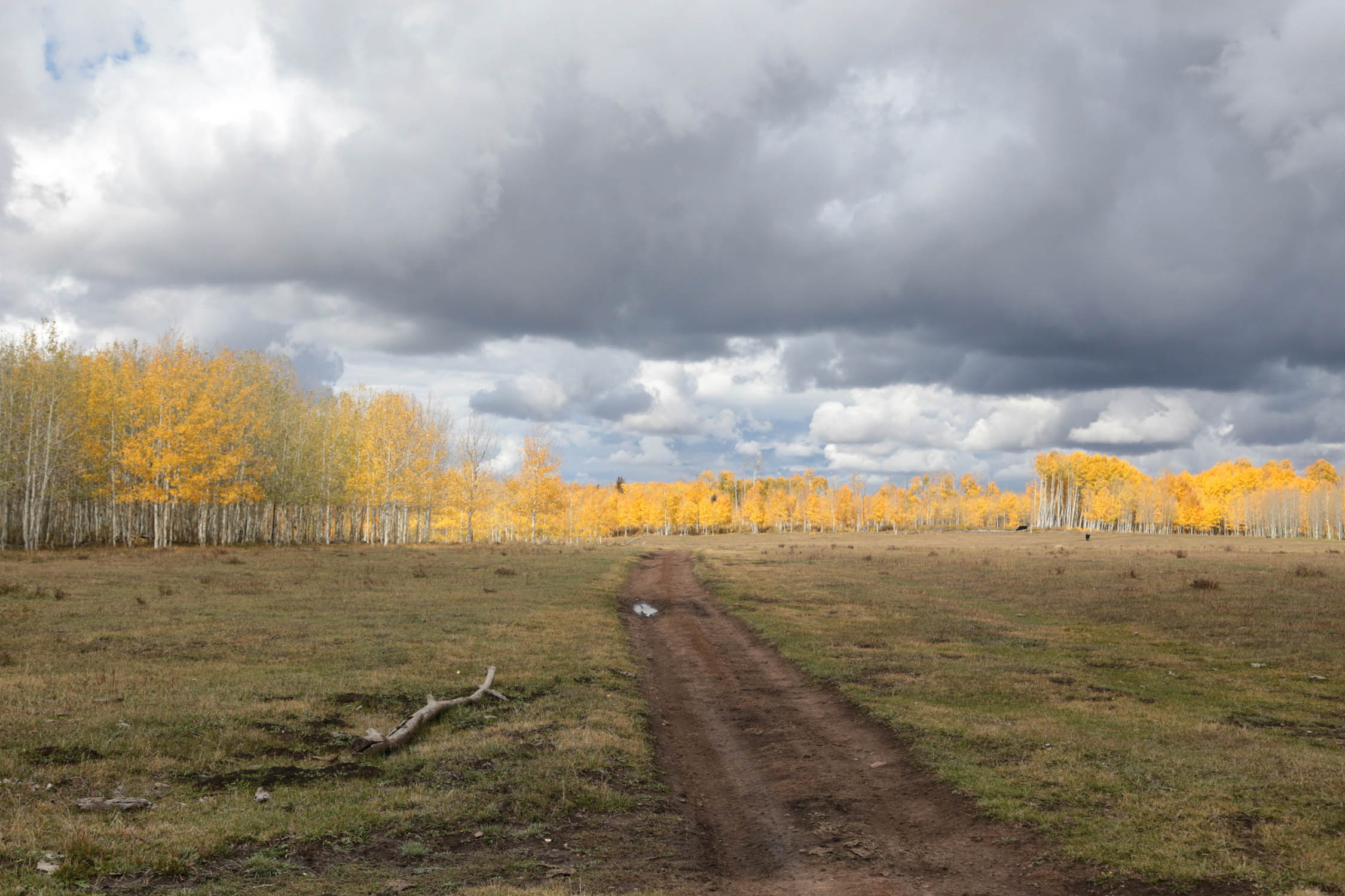
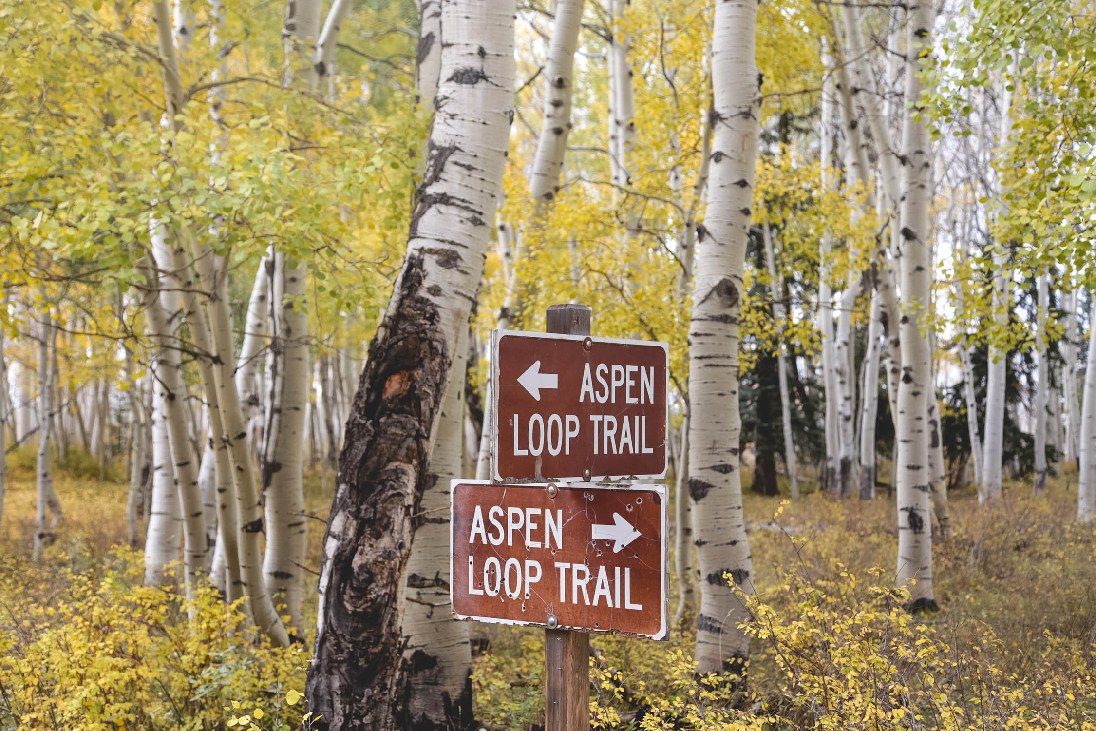
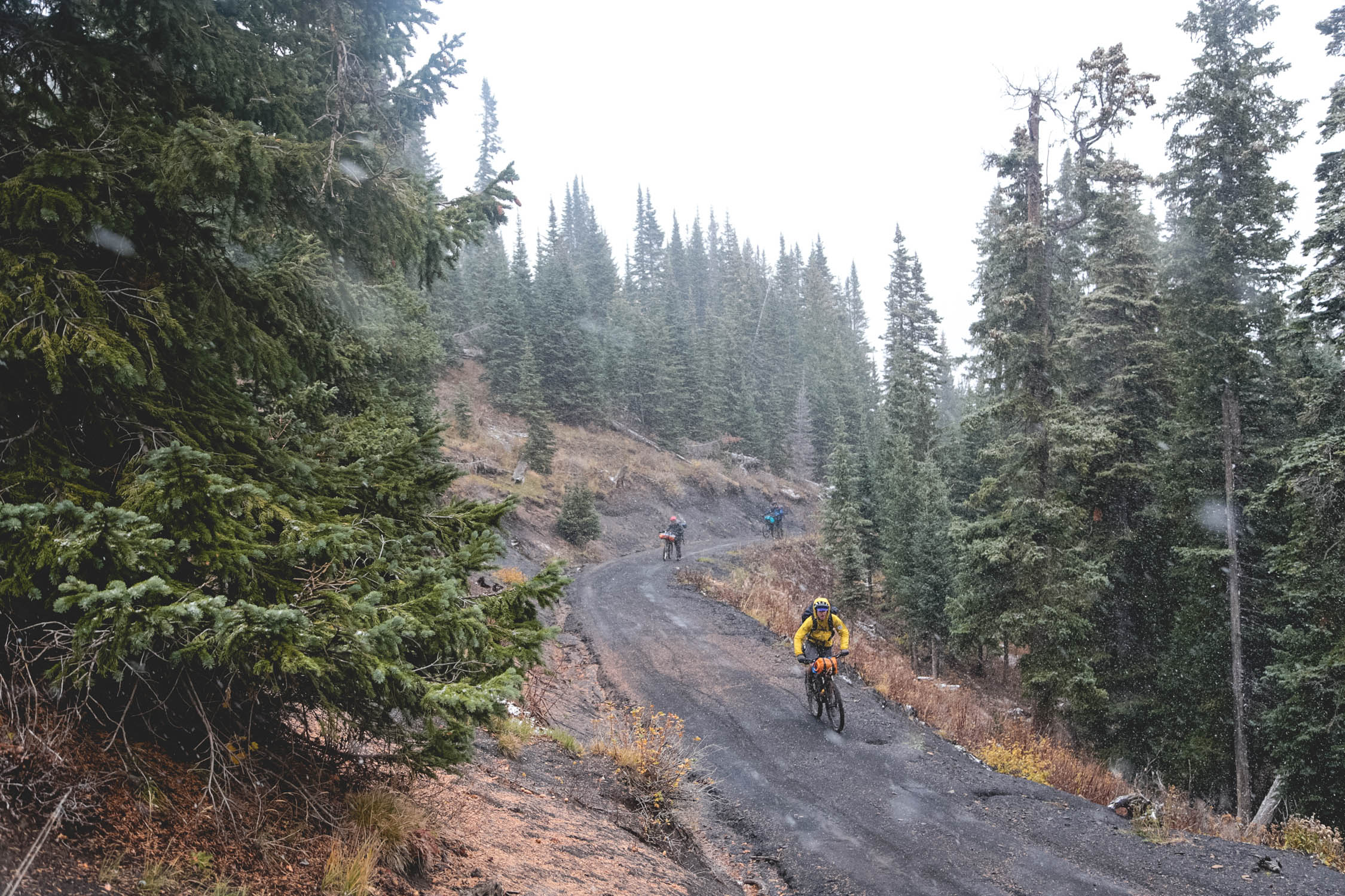
This route links together a series of trails already dubbed the Alpine Loop. Usually utilized by 4×4 and horse packers, this area is hardly crowded. When the Alpine Loop trails feel too slow, find one of the many exits and ride cruisey gravel. Alternatively, when the loop feels too fast, wander out to some of the backcountry singletrack, particularly the West Mancos Trail.
Route Difficulty
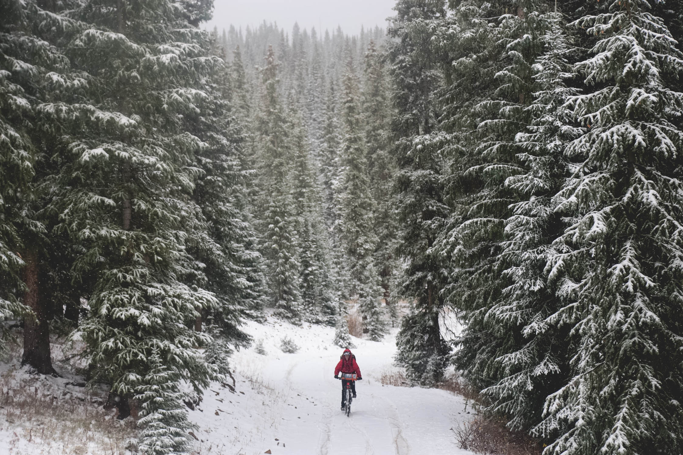
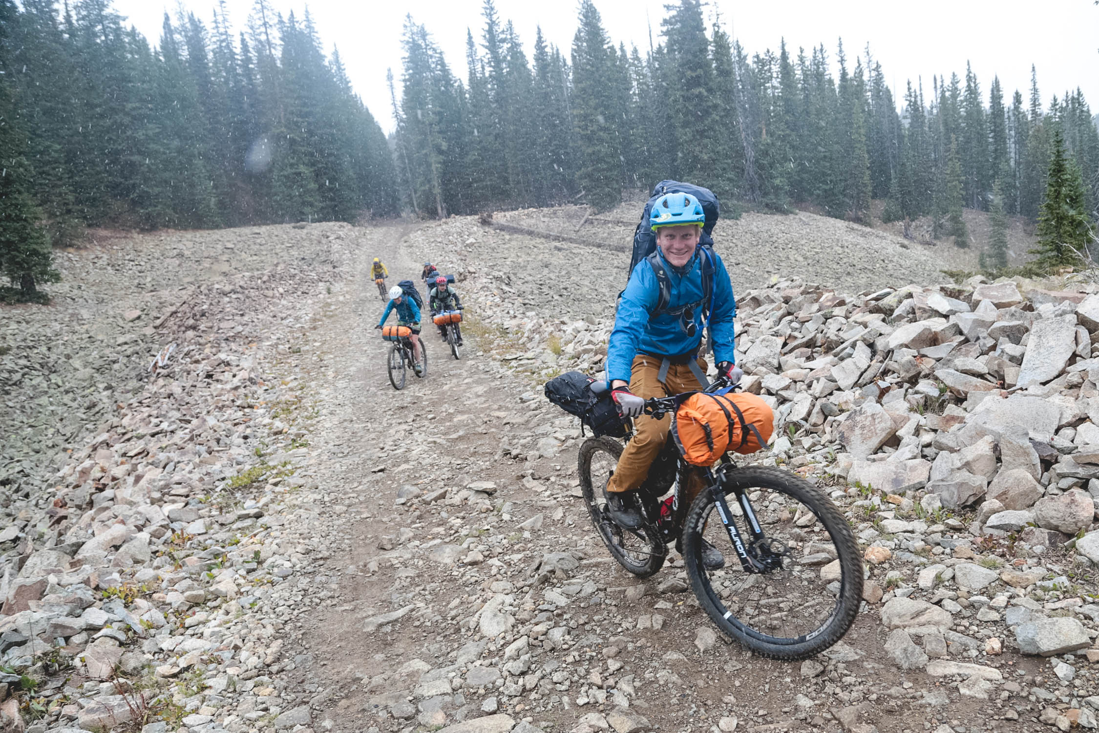
At 30 miles long, the loop is doable for most bikepackers with no need for resupply or hauling in extra water. That said, the long climbs and technical doubletrack don’t make for an easy 30 miles. With a high point above 11,0000 feet, elevation can be another issue. Those who aren’t acclimatized will surely feel short of breath and have a bit of a headache. The weather in these mountains can come in at a moment’s notice, especially in the summer, so be prepared.
Technical (3/10): Some sections of the loop have some steep, grunty climbs. They’re also sometimes filled with loose baby head blocks. The gravel roads are cruisey and offer a welcome alternative to the slow-moving doubletrack.
Physical (4/10): Again, the elevation and mountain weather can make this difficult. If you’re blessed with bluebird weather and are adjusted to the thin air, you’ll have an easier time.
Logistics (1/10): No resupplies are necessary on a two-day route such as this. Water is available from streams and ponds along the way. Camp spots are plentiful and offer stunning views. Getting to southwest Colorado may be the biggest logistical challenge.
ROUTE DEVELOPMENT: The Alpine Loop was built by and is now marked and maintained by the Forest Service. Many others have ridden this route in the past as there’s an undeniable appear to riding on the area’s wonderful doubletrack surrounded by aspen forests for a weekend getaway.


Submit Route Alert
As the leading creator and publisher of bikepacking routes, BIKEPACKING.com endeavors to maintain, improve, and advocate for our growing network of bikepacking routes all over the world. As such, our editorial team, route creators, and Route Stewards serve as mediators for route improvements and opportunities for connectivity, conservation, and community growth around these routes. To facilitate these efforts, we rely on our Bikepacking Collective and the greater bikepacking community to call attention to critical issues and opportunities that are discovered while riding these routes. If you have a vital issue or opportunity regarding this route that pertains to one of the subjects below, please let us know:
Highlights
Must Know
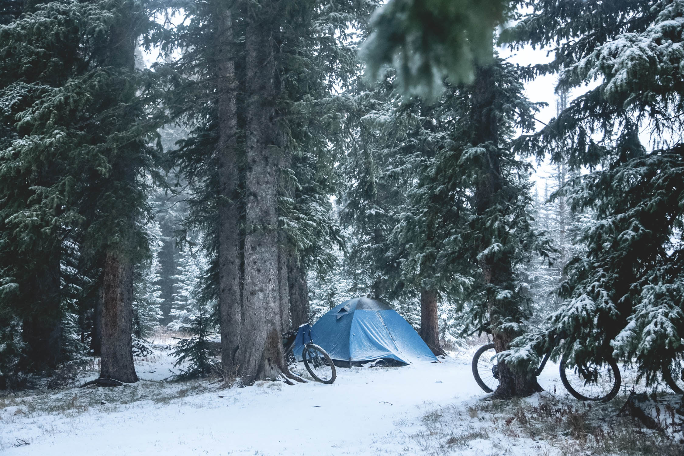
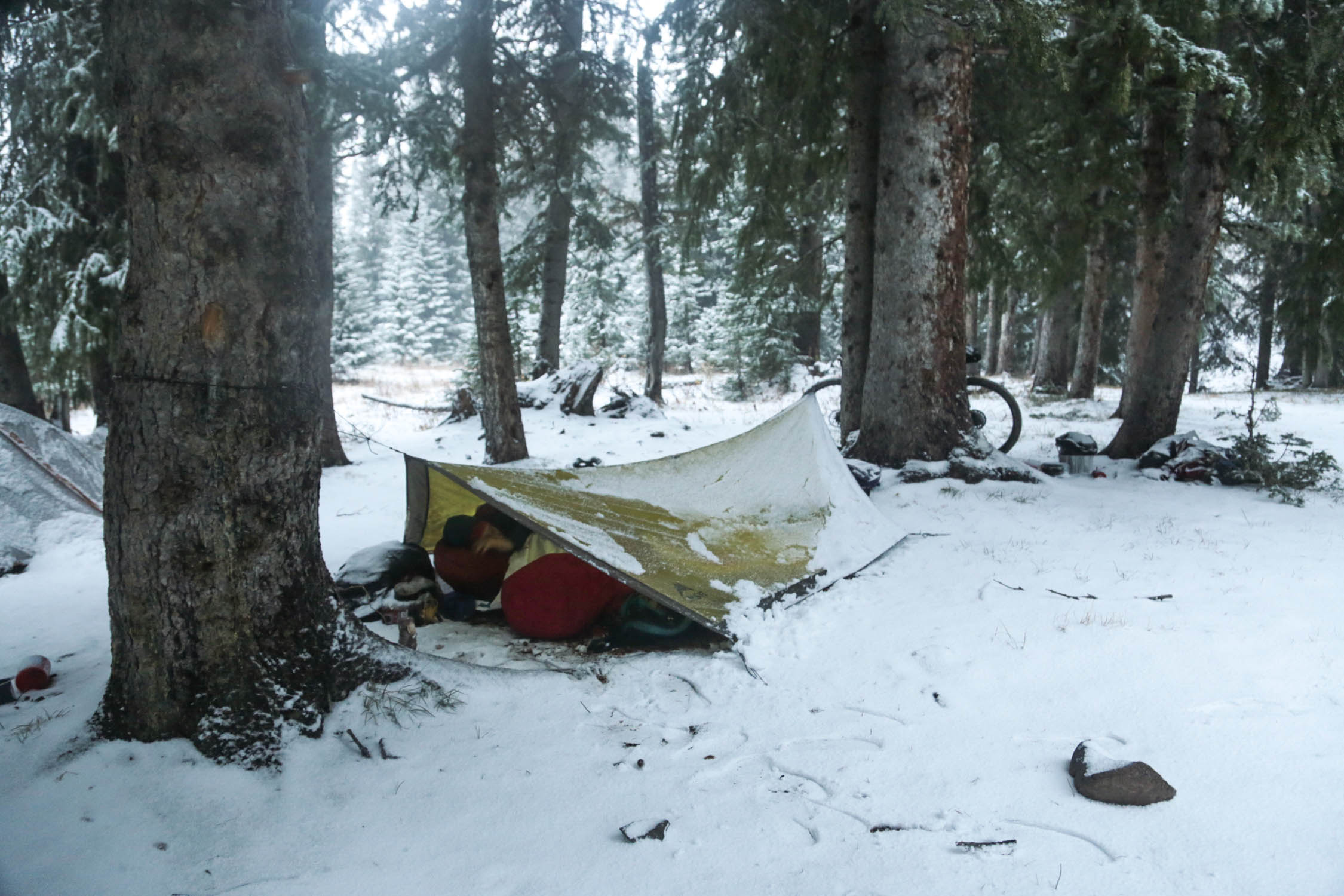
Camping
Food/H2O
Trail Notes
Resources
- Endless aspen forests are quite the spectacle, especially in autumn.
- The route lies just under the scenic La Plata Mountains, with peaks reaching upwards of 13,000’.
- The choice between singletrack, doubletrack, and gravel roads creates plenty of options for faster or more interesting riding.
- The views looking down into Bear Creek from the pass on Burro Mountain at about 11,000’.
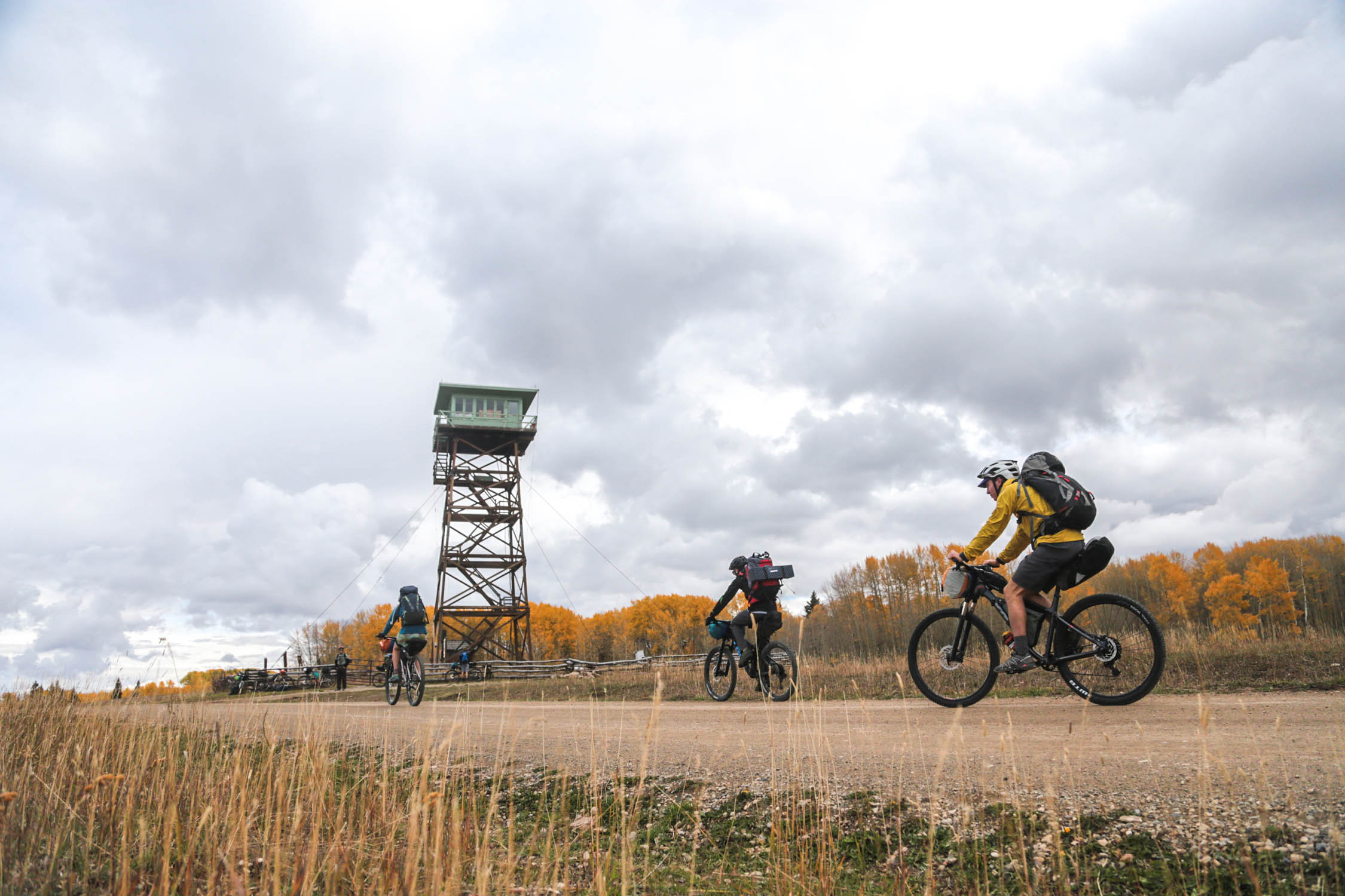
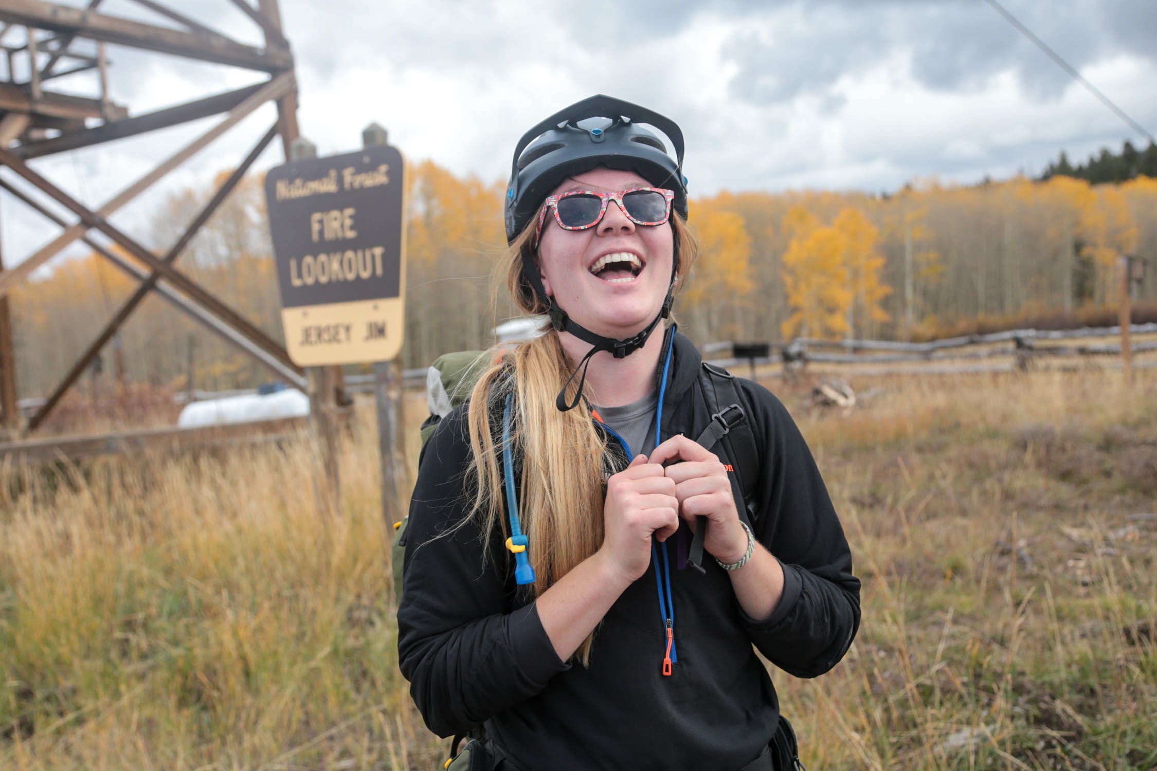
- The Jersey Jim fire tower is pretty neat. If you can book it for your trip, it’s highly recommended.
- For the route as specified, you’ll need a mountain bike with at least 2” tires. If you choose to ride the West Mancos or Box Canyon singletrack, front suspension is nice but not necessary. If you stick to just the gravel roads, 40mm tires and larger would work.
- The weather can be harsh in this area, but it’s typically predictable. Monsoon season (late summer) brings afternoon showers. Always be prepared for mountain weather. Bring warm clothing and rain gear no matter the time of year.
- When to ride: Early summer through fall is the best time for this route. Late September through mid-October is peak season for leaf peepers. Snow may still be around on the higher sections of the route until early summer, depending upon the snow year.
- There are several water sources on route. There are cattle all over the area, so be sure to treat all your water.
- The (upper) West Mancos Trail and Box Canyon Trail are great singletrack options. Don’t ride the lower portion of the West Mancos Trail; it’s overgrown and rarely ridden.
- Many 4x4s are utilizing the Aspen Loop trail. Be cautious.
- There are abundant camping options all along the route. The better spots are often taken by horse packers or 4×4 riders.
- The preferred camping for the route is at Twin Lakes, where you’ll find ample water and camping options.
- It’s worth being thoughtful about where you plan to refill on water. Depending upon the time of year, water is not difficult to find, but it’s also not everywhere.
This is a wonderful weekend outing. Although short, there is plenty of climbing and slow doubletrack on this route. We started riding Saturday morning and pedaled a mixture of the Forest Service marked “Alpine Loop” and gravel roads. Follow the RWGPS file for the best of both worlds.
Camping at Twin Lakes an incredible view of Hesperus Mountain and a couple of small lakes for water. The water can become a little stagnant during low water years. It’s a quick dash back to the car on gravel from camp. The preferred method is to ride the West Mancos Trail to the Box Canyon Trail, which brings you back to Transfer Campground near your vehicle. Don’t try to ride the bottom portion of the West Mancos Trail. If you ride the upper portion and don’t want to ride the Box Canyon Trail, exit on the 4×4 trail near the trailhead for Box Canyon.
Additional Resources
- Jersey Jim Lookout
- Aspen Loop Forest Service Resource
- Trailforks.com – For singletrack options


Terms of Use: As with each bikepacking route guide published on BIKEPACKING.com, should you choose to cycle this route, do so at your own risk. Prior to setting out check current local weather, conditions, and land/road closures. While riding, obey all public and private land use restrictions and rules, carry proper safety and navigational equipment, and of course, follow the #leavenotrace guidelines. The information found herein is simply a planning resource to be used as a point of inspiration in conjunction with your own due-diligence. In spite of the fact that this route, associated GPS track (GPX and maps), and all route guidelines were prepared under diligent research by the specified contributor and/or contributors, the accuracy of such and judgement of the author is not guaranteed. BIKEPACKING.com LLC, its partners, associates, and contributors are in no way liable for personal injury, damage to personal property, or any other such situation that might happen to individual riders cycling or following this route.
Please keep the conversation civil, constructive, and inclusive, or your comment will be removed.