


Bikepacking Joshua Tree
Distance
80 Mi.
(129 KM)Days
2-3
% Unpaved
67%
% Singletrack
0%
% Rideable (time)
100%
Total Ascent
1,805'
(550 M)High Point
4,500'
(1,372 M)Difficulty (1-10)
6.5?
- 2Climbing Scale Easy23 FT/MI (4 M/KM)
- -Technical Difficulty
- -Physical Demand
- -Resupply & Logistics
Contributed By

Logan Watts
Founding Editor
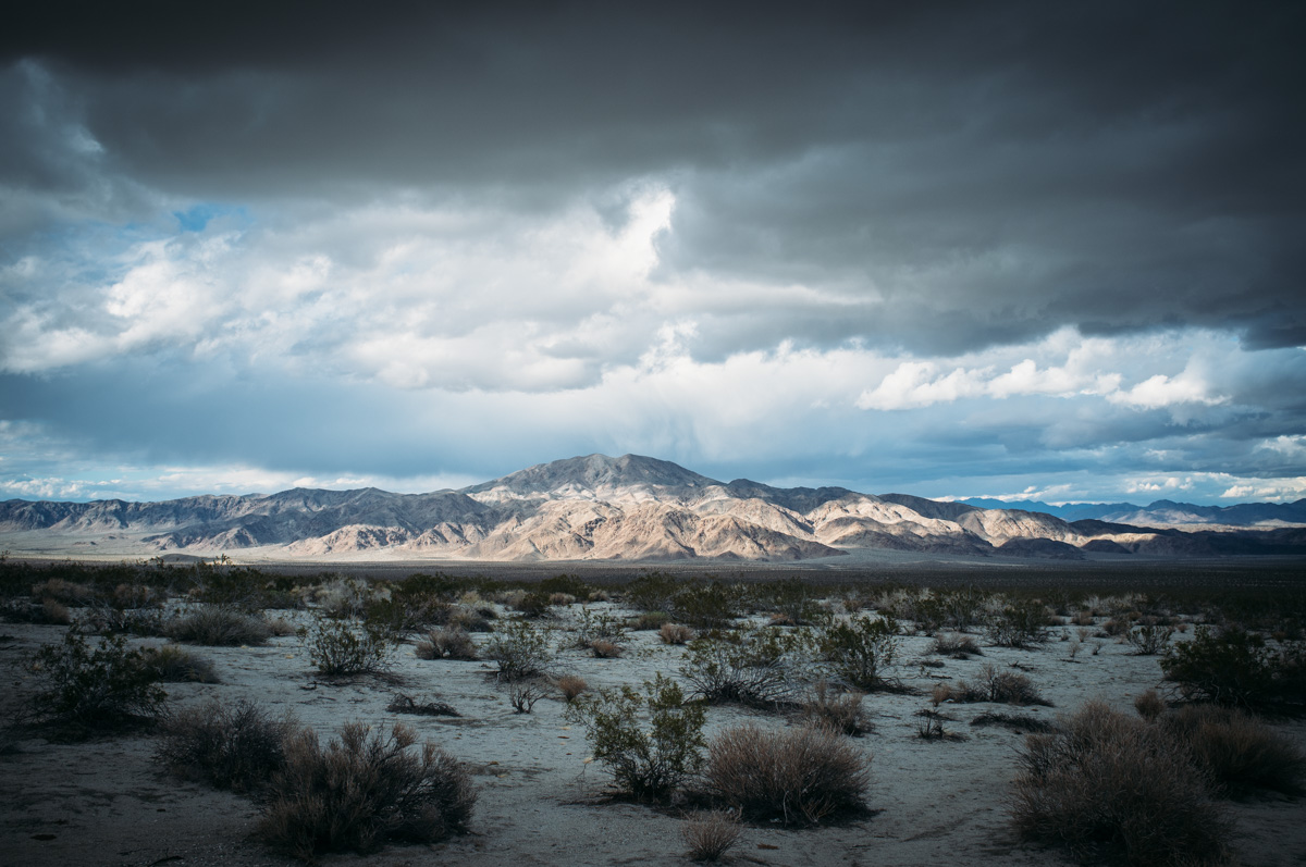
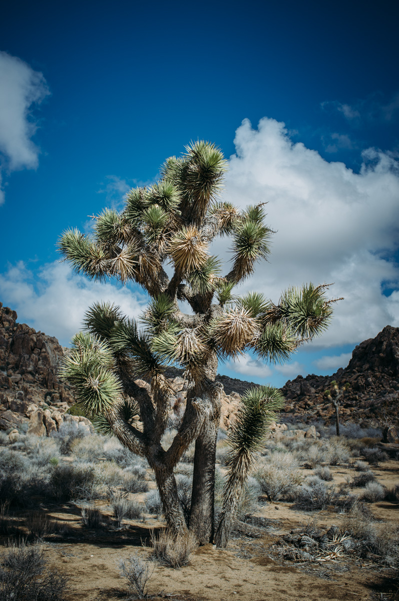
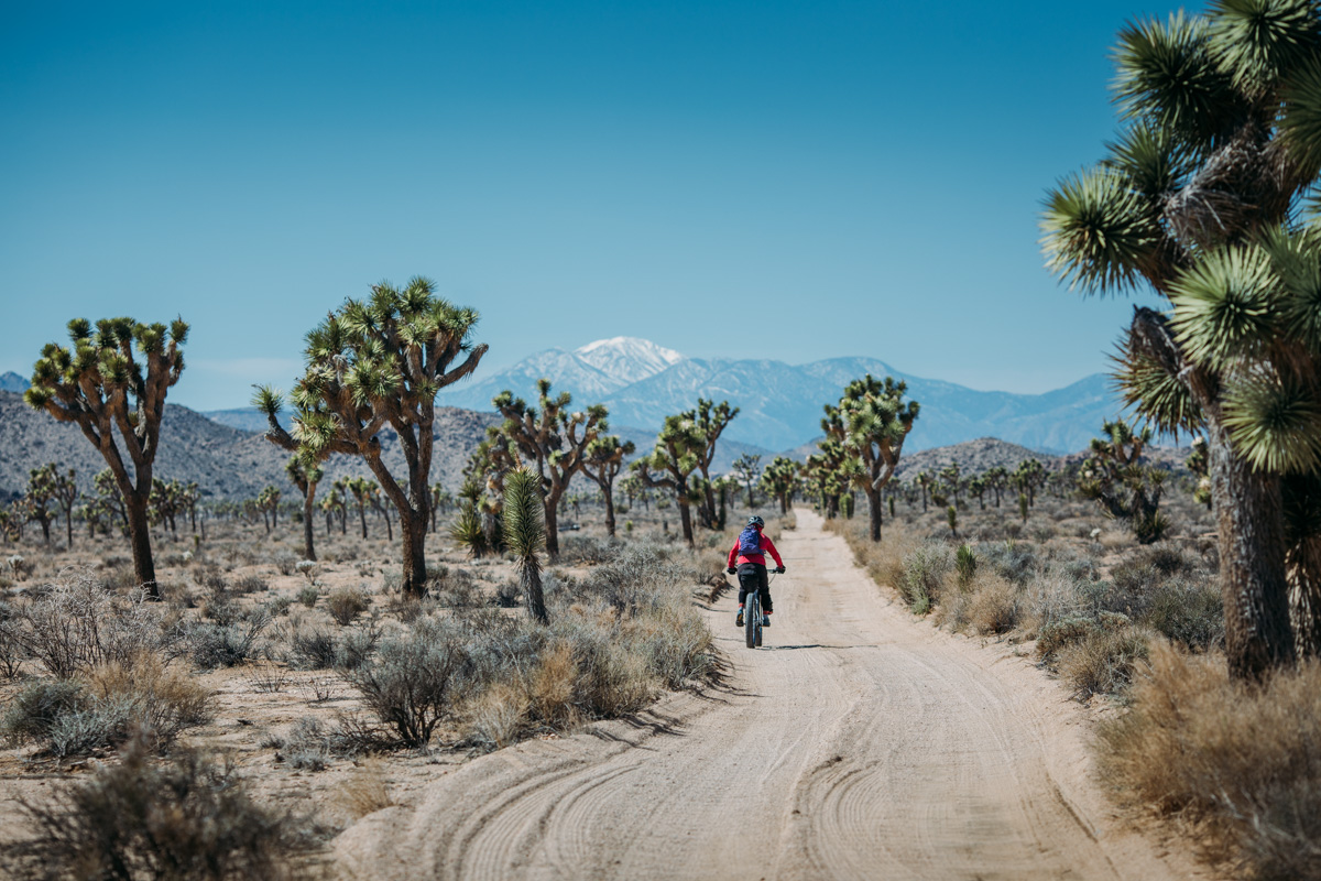
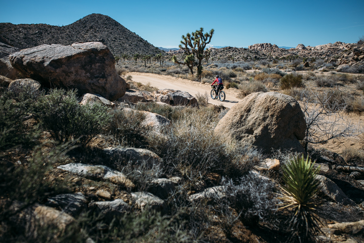
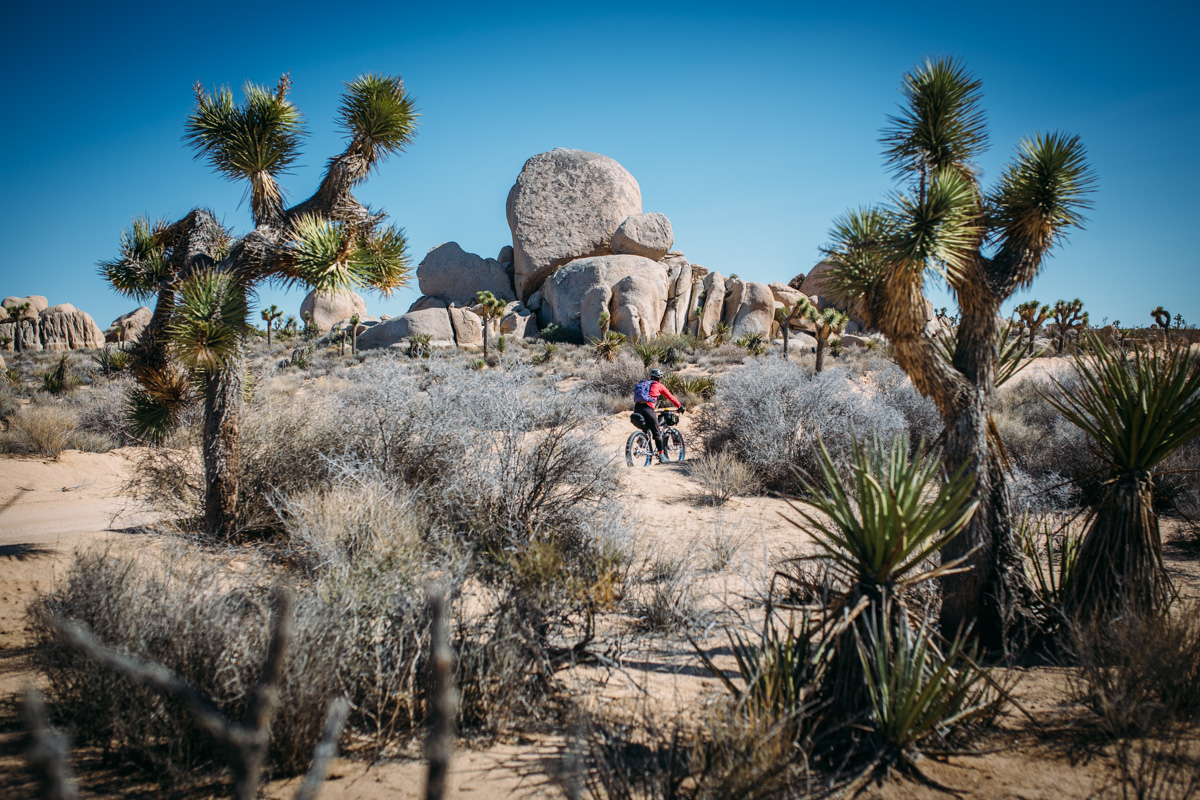
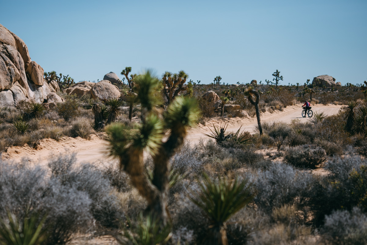
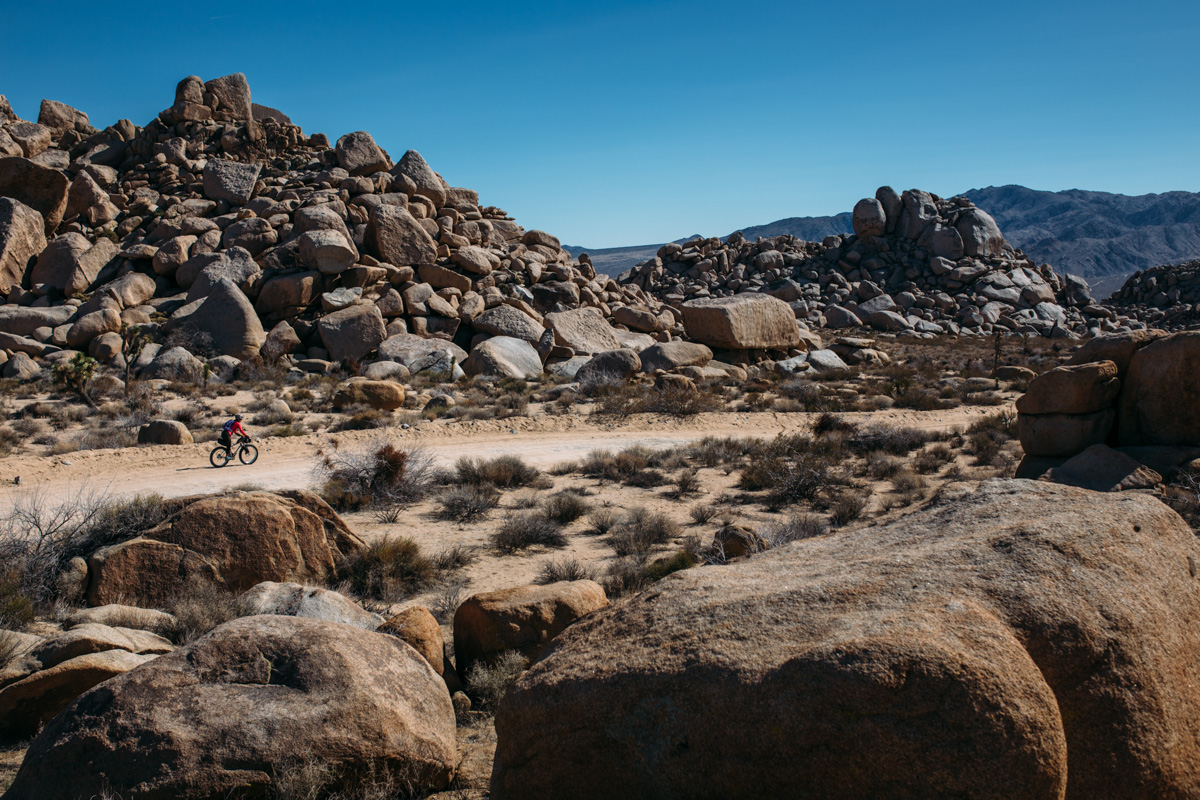
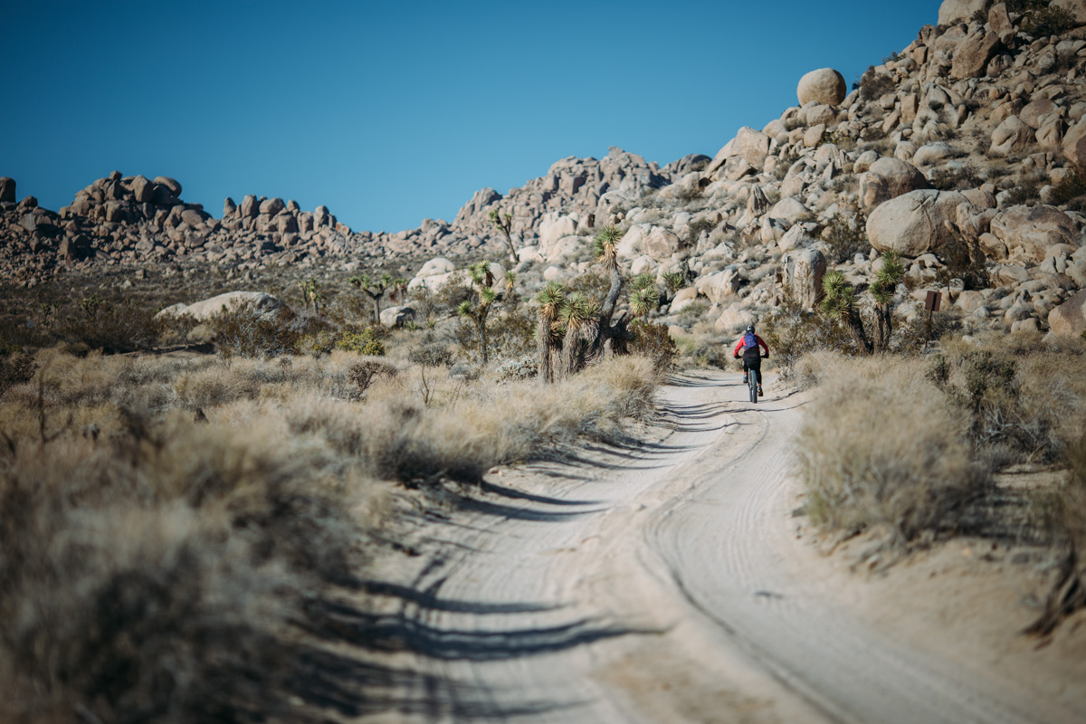
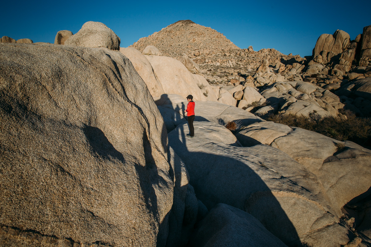
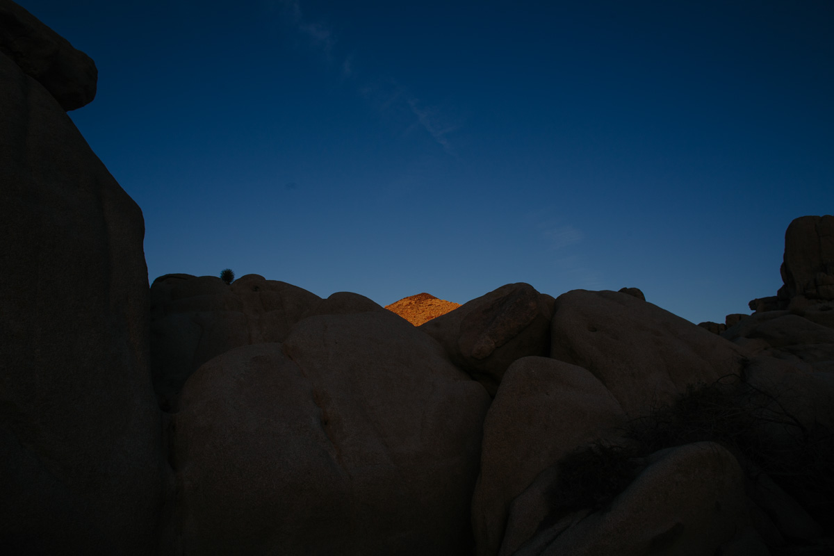
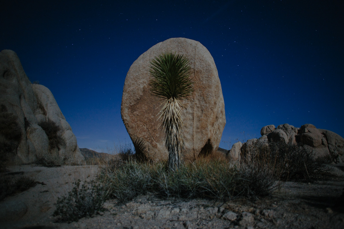
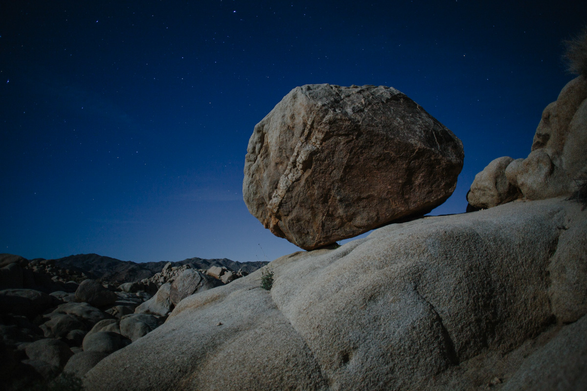
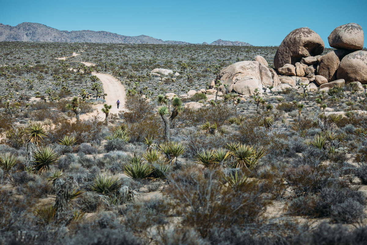
Joshua Tree National Park lies on a 790,000+ acre land area that’s bisected by the border of two distinct deserts. The western half of the park sits on the high Mojave Desert with elevations above 4,000 feet and the eastern portion is the mostly flat Colorado Desert, which lies primarily below 2,000 feet. The park’s namesake, the mesmerizing and figurative branching yucca, permeates the western half of the park. The desert borderland also holds a variety of cactus, juniper, scrub oak, grasses, wildflowers, and is home to rattlesnakes, bighorn sheep, coyote, bobcat, and desert tortoise.
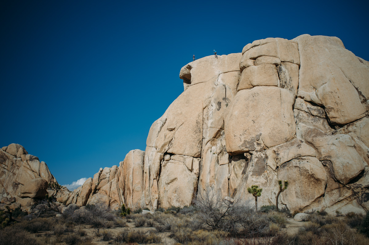
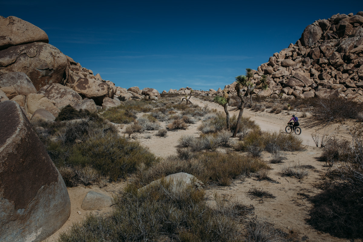
The park is most popular for rock climbing, but there are also a couple of options for dirt-road bikepacking in the park. Currently, Joshua Tree only allows cycling on roads that are accessible by automobile. So, in addition to its paved roads, cyclists have access to the park’s ~100 miles of sandy dirt tracks, some of which are fairly rough and only suitable for 4x4s, which keeps the bulk of park visitors from their reaches. It’s worth noting that cycling on the 35 miles of California Hiking and Riding Trail that traverse the northwest region of the park is currently prohibited; the ‘riding’ in its title stands for that of the horseback variety. On a positive note, there have supposedly been high-level discussions about opening up the CHR and other hiking trails to bicyclists.
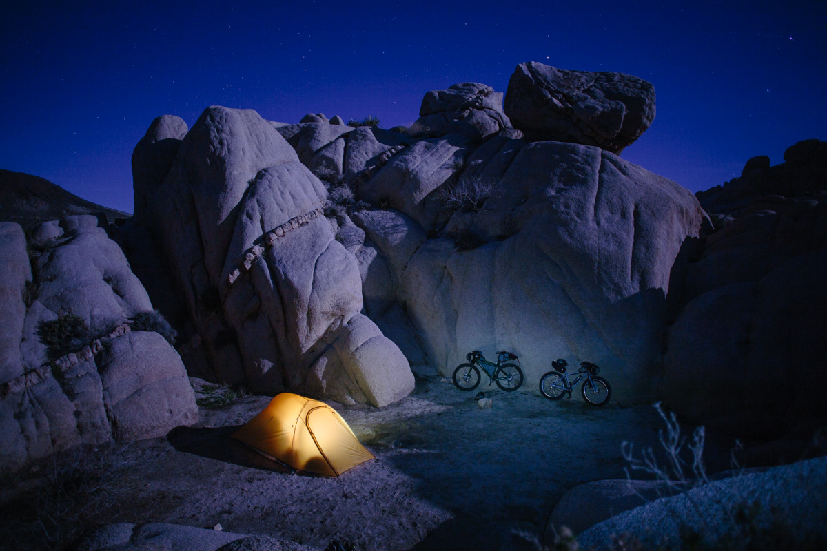
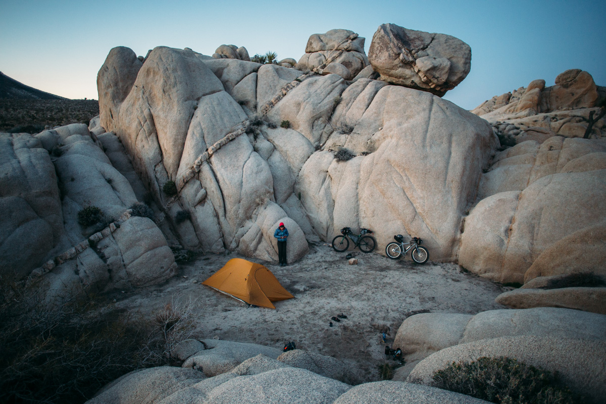
For our original mini Joshua Tree adventure, we chose a relatively short route based on the Geology Tour Road, a dirt descent from the park’s boulder-crowned crest into Squaw Tank and Berdoo Canyon. This sandy track passes through groves of Joshua Tree, with vistas of massive mounds of VW sized inselbergs formed by the force of magma that was eroded over the ages. EDIT: We have since changed the route to ba a lollipop loop from Indio, which makes the camping destination one of the designated campgrounds in the park. Originally we did a short barbell shaped track which led us into the canyon loop where we doubled back to camp near the boulder gardens around Squaw Tank. However, as noted in the comments below, rules have since changed to make camping with a bike in the park’s backcountry nearly impossible. There are other options though (see trail notes).
Route difficulty
Although this is a short route, and not too technical in nature, day one will be very difficult for inexperienced riders or even experienced riders not in the best fitness. The climb from Indio is long, hot, and grueling. Because there is no water supply in Joshua Tree National Park, you will need to carry all the water you will need for the duration, making this trek all the more challenging. However, there is potential backcountry camping just before the park border should you want to cache water or break the trip up into two days. Bring your A legs!!


Submit Route Alert
As the leading creator and publisher of bikepacking routes, BIKEPACKING.com endeavors to maintain, improve, and advocate for our growing network of bikepacking routes all over the world. As such, our editorial team, route creators, and Route Stewards serve as mediators for route improvements and opportunities for connectivity, conservation, and community growth around these routes. To facilitate these efforts, we rely on our Bikepacking Collective and the greater bikepacking community to call attention to critical issues and opportunities that are discovered while riding these routes. If you have a vital issue or opportunity regarding this route that pertains to one of the subjects below, please let us know:
Highlights
Must Know
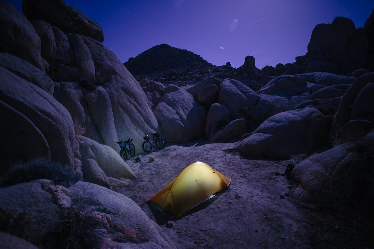
Camping
Food/H2O
Trail Notes
- Cycling through one of the most beautiful parks in the US.
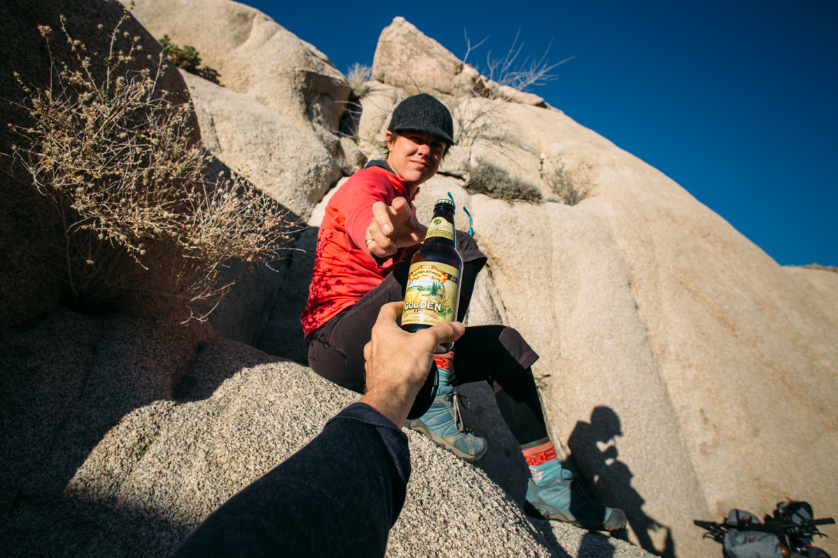
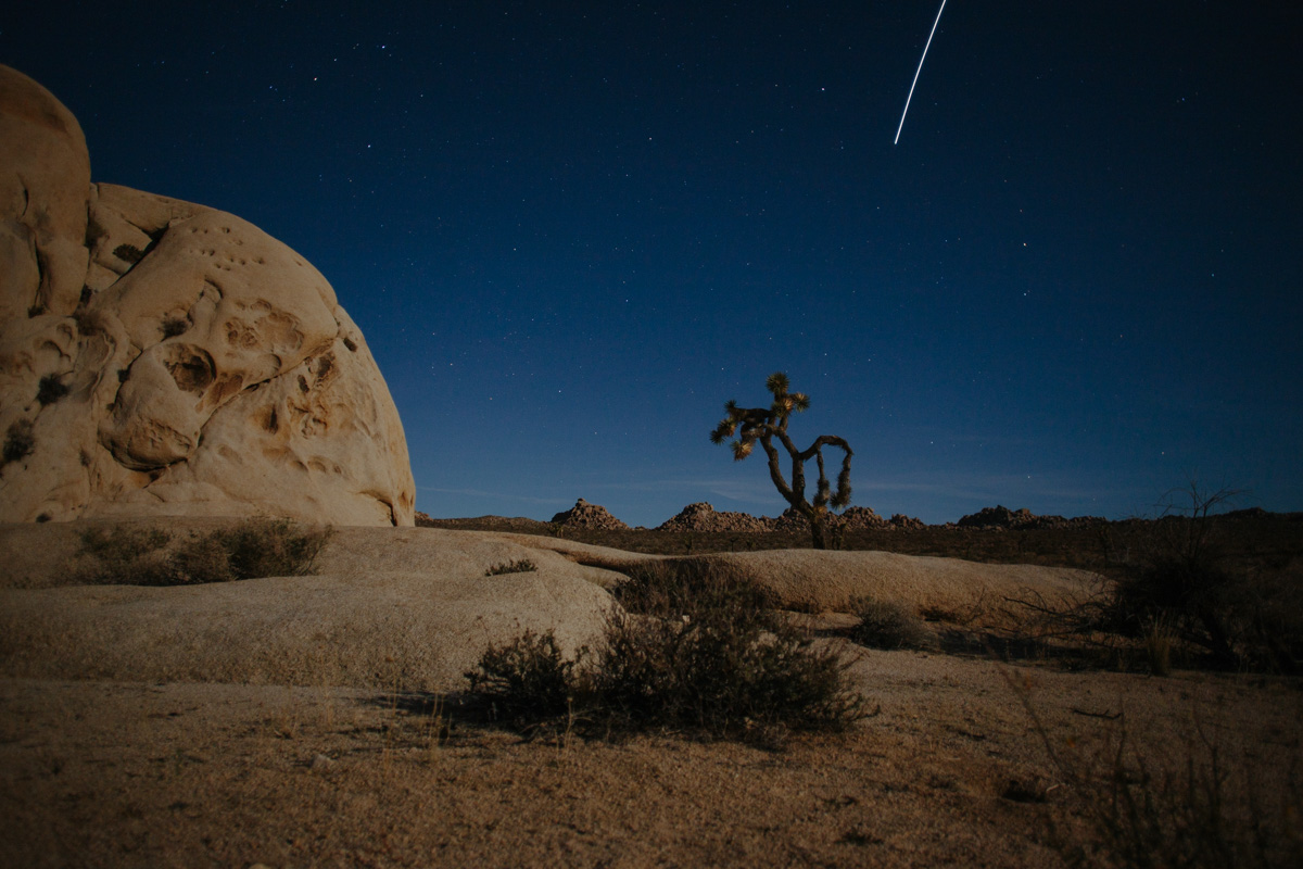
- Finding in a campsite near a giant boulder garden for afternoon scrambling and full moon exploration.
- Rolling through forests of Joshua Tree.
- Crossing paths with coyote that seem oblivious to your presence.
- The park is accessible year round, but temps may get extremely hot in the summer and in very cold in winter at high altitudes.
- The ideal time to cycle in Joshua Tree is from mid-March to mid-May or September until early December.
- There are multiple backcountry registration boards scattered throughout the park which make it easy to leave a vehicle for an overnighter.
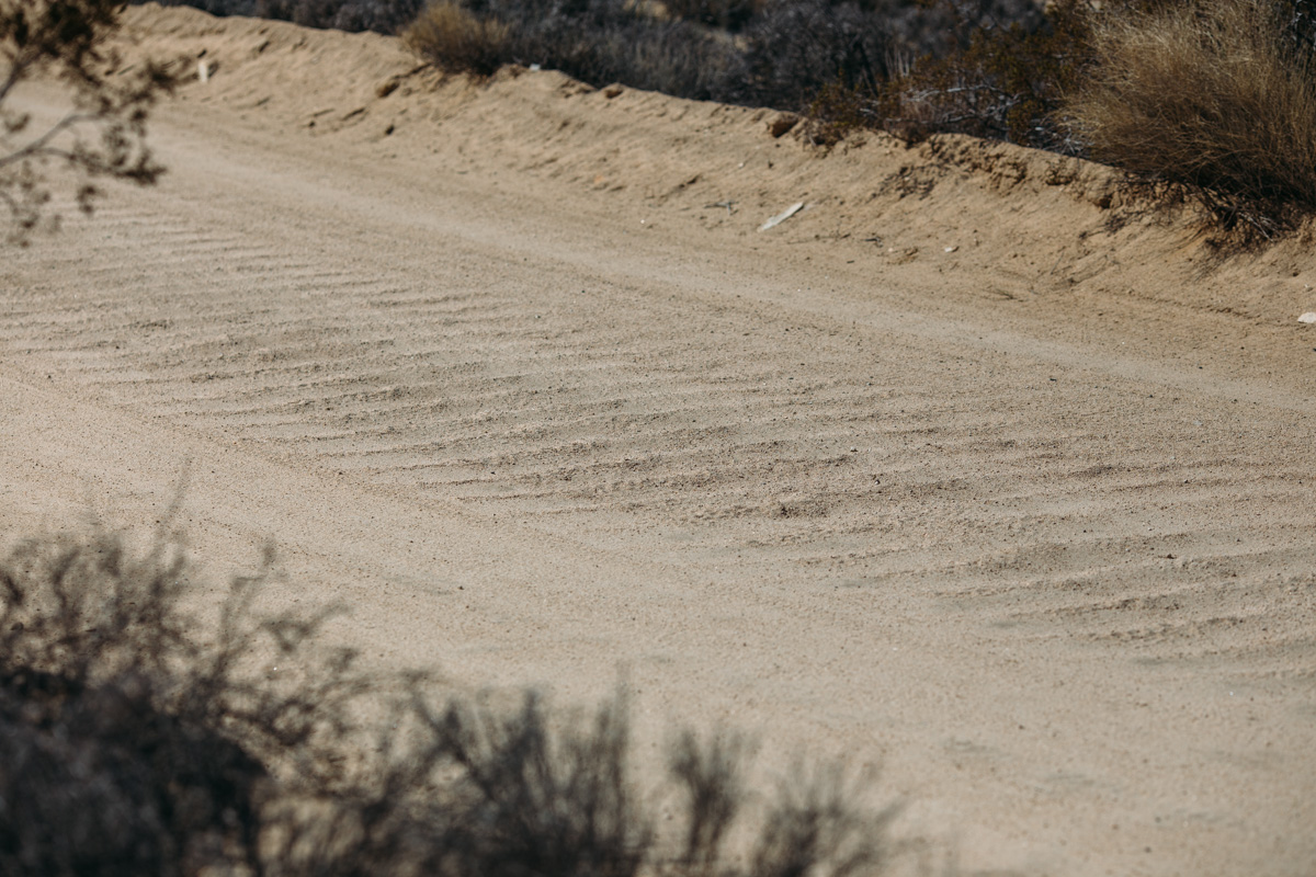
- Some of the dirt roads are comprised of stretches of deep sand; a fat bike is ideal for these roads, but strong sand riders will be OK with tires wider than 2.2”.
- There are several $10 campgrounds in the park for the day before or after.
- When going out to camp in the backcountry, it is necessary to register at a backcountry board’; we used the board at Queen Valley.
- The general park rules make it a little tricky for bikepackers, a byproduct of antiquated rules; registered backpackers are permitted to camp in the backcountry, but sites must be one mile away from roads (although it is unclear as to whether this refers to the 4×4 dirt roads, or just the paved roads — however, according to one person in the comments below, it is all roads).
- Cyclists are not permitted to ride on trails, nor on the desert floor.
- If you are at all interested in camping in the backcountry, ask a ranger prior to setting out; as mentioned in the comments, this may be very tricky.
- There is no food available in the park.
- Water is only available at the park entrances or at the campgrounds near the park entrances; when riding in the park, it is necessary to carry ALL the water you will need for the duration of your stay.
Route Options
There are several other route possibilities in the park. The longest is an 115 mile/185 KM park traverse starting on the northeast side via Gold Crown Road and Old Dale Rd off of Hwy 62. This follows the dirt road south and picks up the main paved park road up Pinto Basin before beginning the descent down Geology Tour Road. Then Berdoo Canyon road turns south into Indio. This one-way route could either be shuttled with two cars, or ridden as a spur of a larger cross-country route. Click here for the GPX.
The other option for a smaller loop is in the southeastern corner beginning at the Cottonwood Visitor Center. This ~30 mile/50 KM route would follow Pinkham Canyon Road, Thermal Canyon Road and BLM dirt roads that parallel I-10 to loop back around to the main park road. This route becomes rugged and rocky as it ascends into the Mojave from the lower part of the Colorado. While this option seemed tempting, the signature Joshua Tree vistas and flora are more prevalent in the central part of the park.


Terms of Use: As with each bikepacking route guide published on BIKEPACKING.com, should you choose to cycle this route, do so at your own risk. Prior to setting out check current local weather, conditions, and land/road closures. While riding, obey all public and private land use restrictions and rules, carry proper safety and navigational equipment, and of course, follow the #leavenotrace guidelines. The information found herein is simply a planning resource to be used as a point of inspiration in conjunction with your own due-diligence. In spite of the fact that this route, associated GPS track (GPX and maps), and all route guidelines were prepared under diligent research by the specified contributor and/or contributors, the accuracy of such and judgement of the author is not guaranteed. BIKEPACKING.com LLC, its partners, associates, and contributors are in no way liable for personal injury, damage to personal property, or any other such situation that might happen to individual riders cycling or following this route.
Please keep the conversation civil, constructive, and inclusive, or your comment will be removed.