


Cabezon Peak Overnighter, New Mexico
Distance
69 Mi.
(111 KM)Days
2
% Unpaved
98%
% Singletrack
0%
% Rideable (time)
100%
Total Ascent
3,830'
(1,167 M)High Point
6,500'
(1,981 M)Difficulty (1-10)
5?
- 4Climbing Scale Fair56 FT/MI (11 M/KM)
- -Technical Difficulty
- -Physical Demand
- -Resupply & Logistics
Contributed By

Cass Gilbert
Contributing Editor
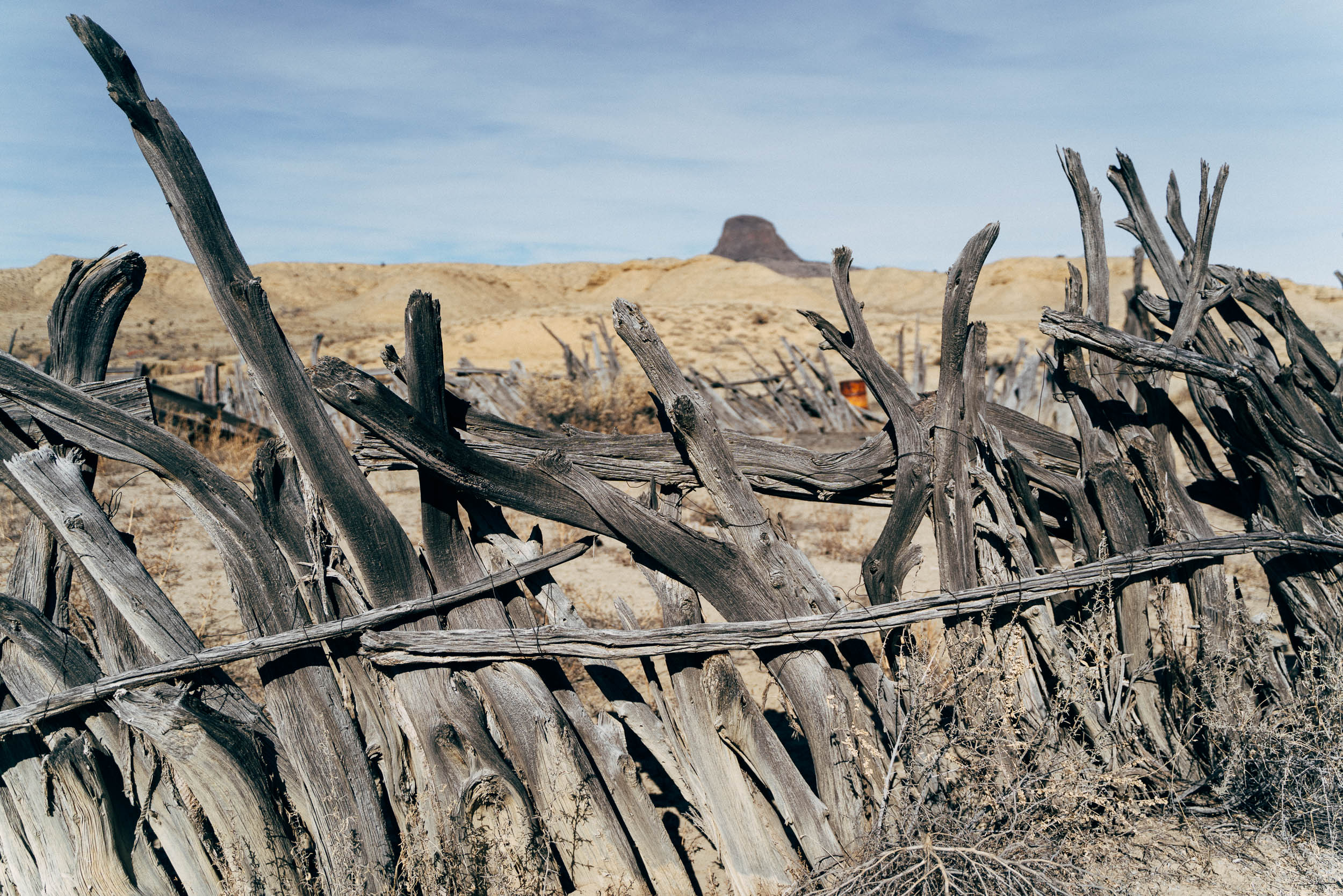
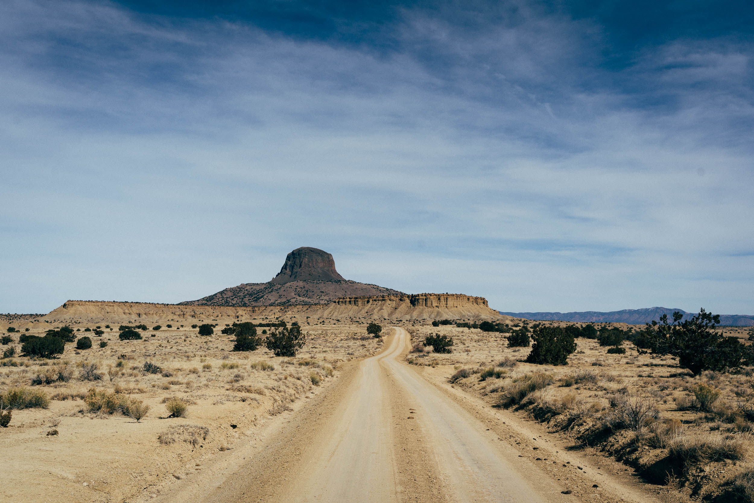
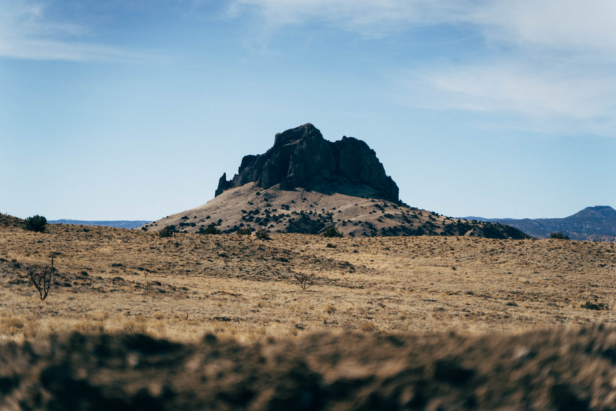
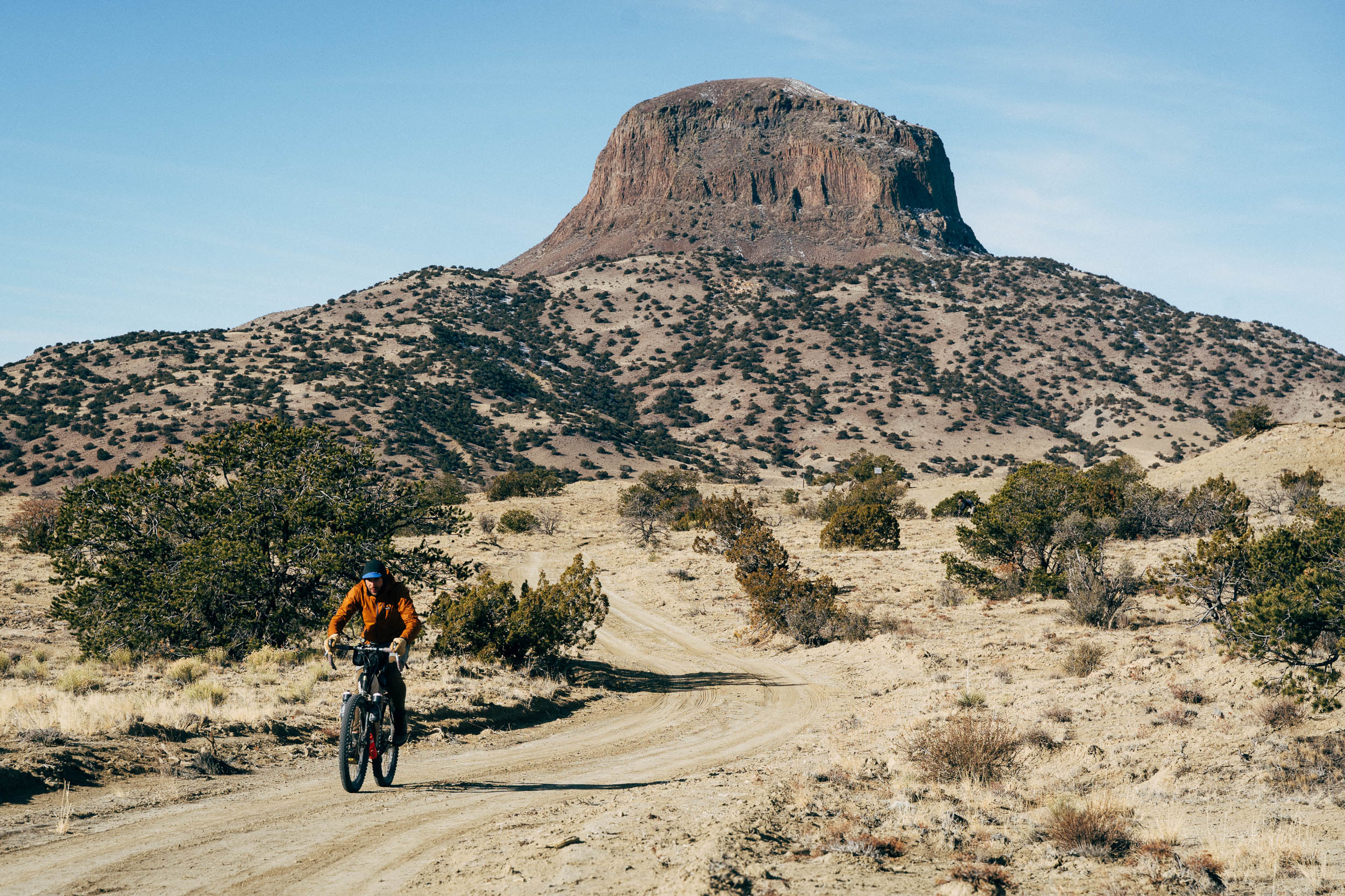
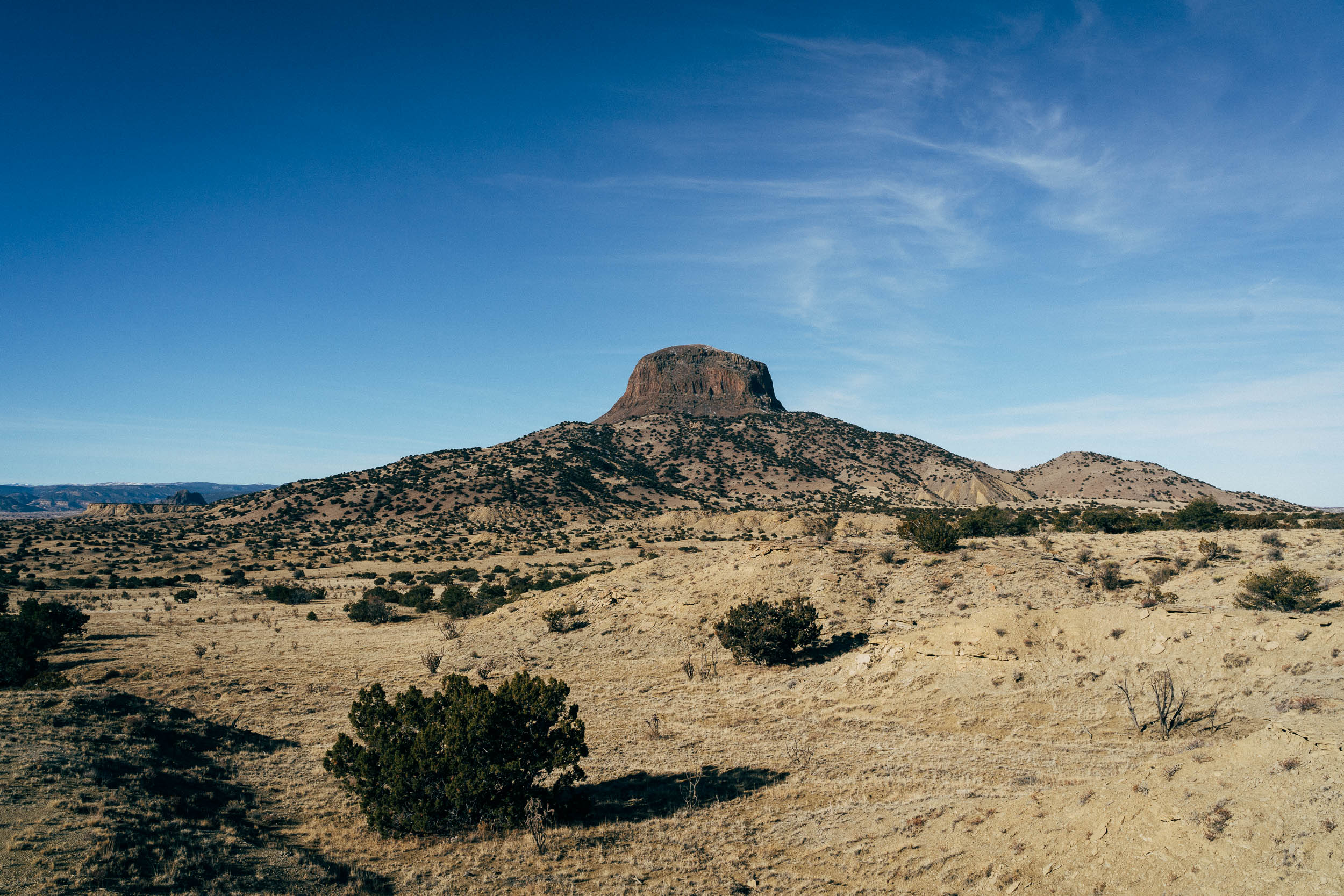
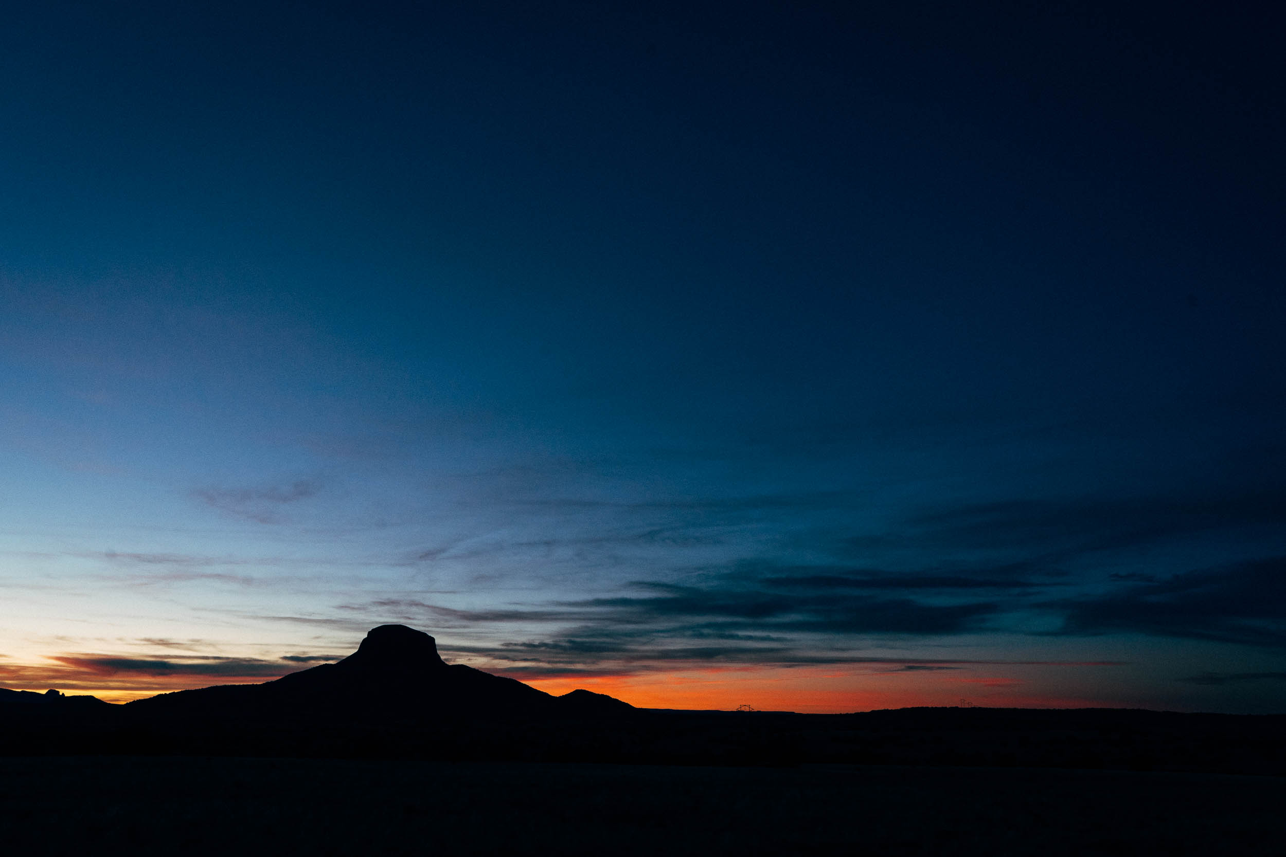
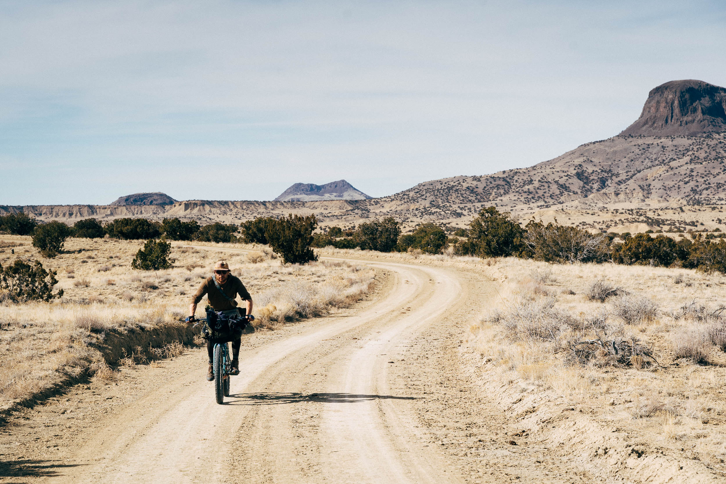
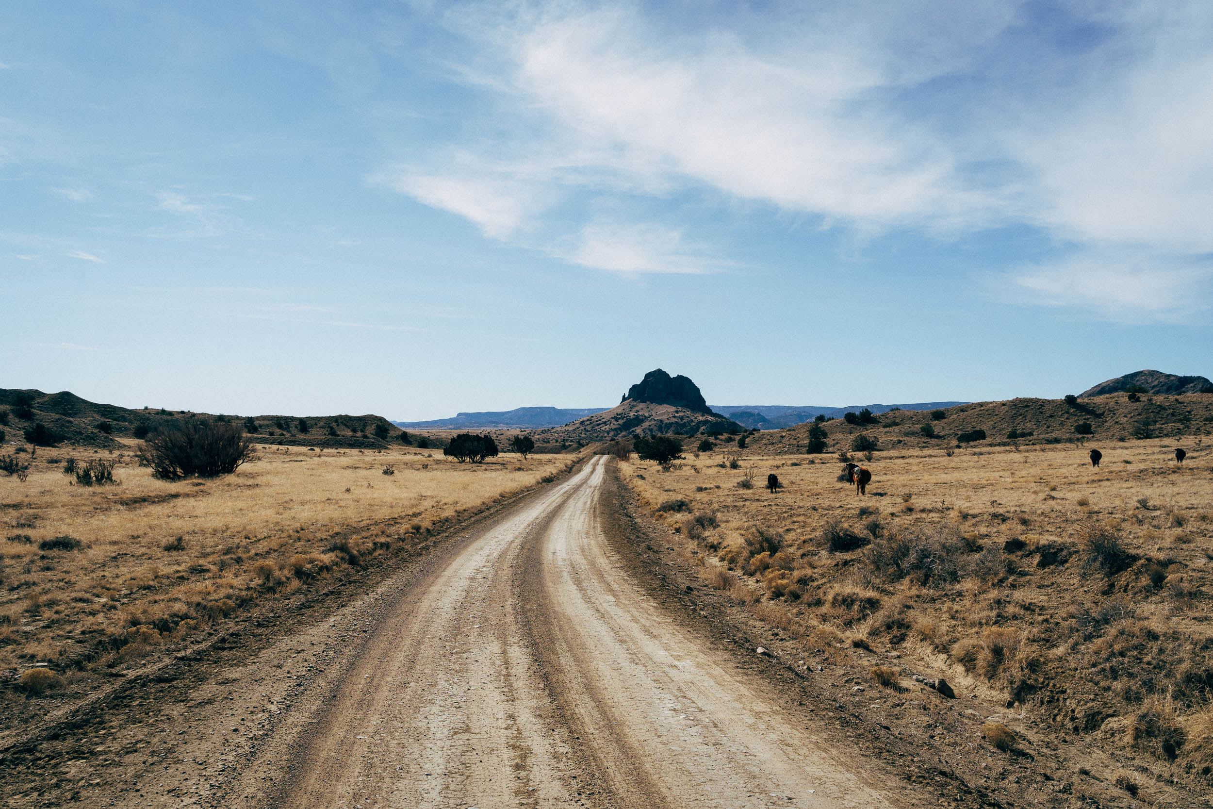
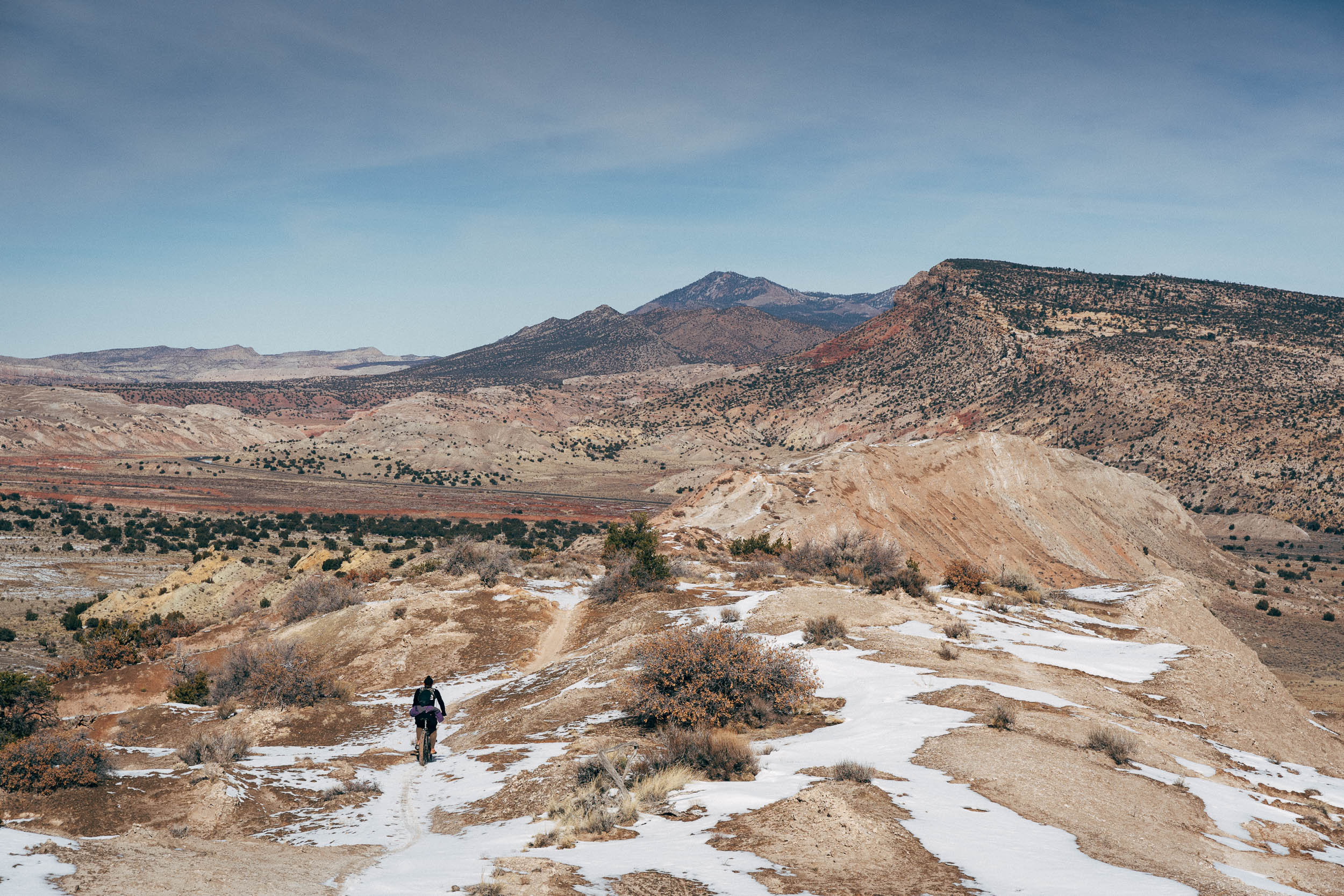
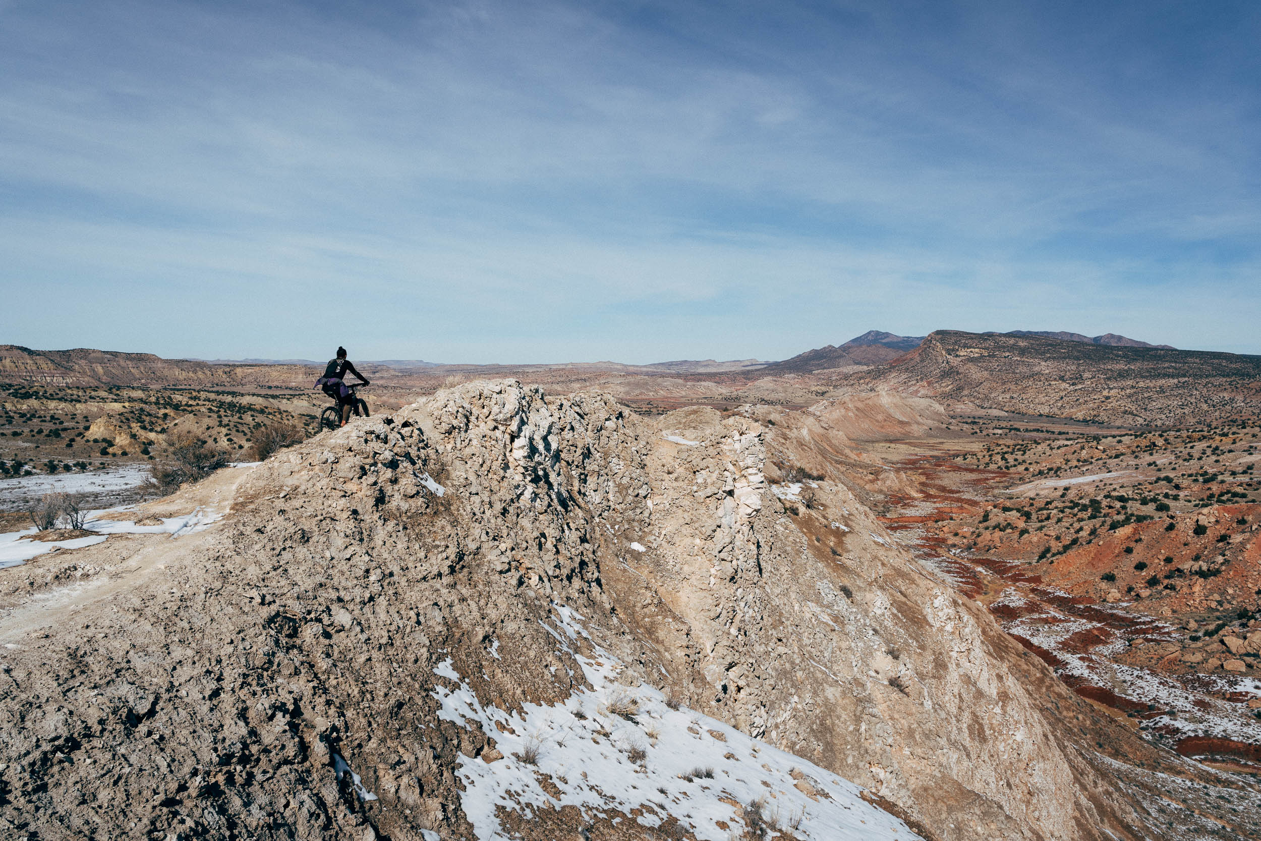
The rocky monolith of Cabezon Peak—aka Big Head—is quite the sight, rising imposingly above the gentle contours that surround it. At an elevation of 7,786 ft, it stands over a thousand feet higher than its base, and some 2,000 feet above the nearby Rio Puerco.
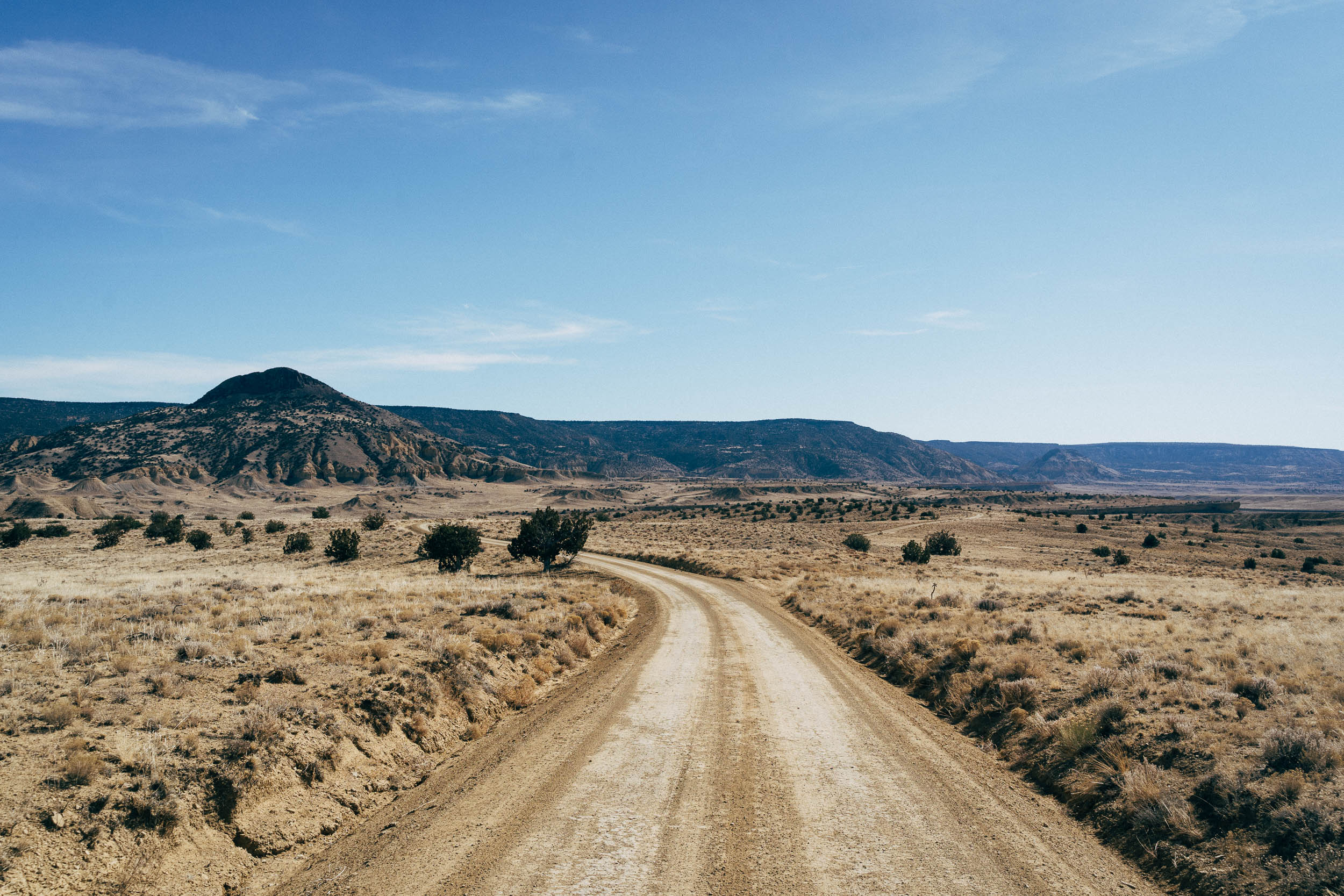
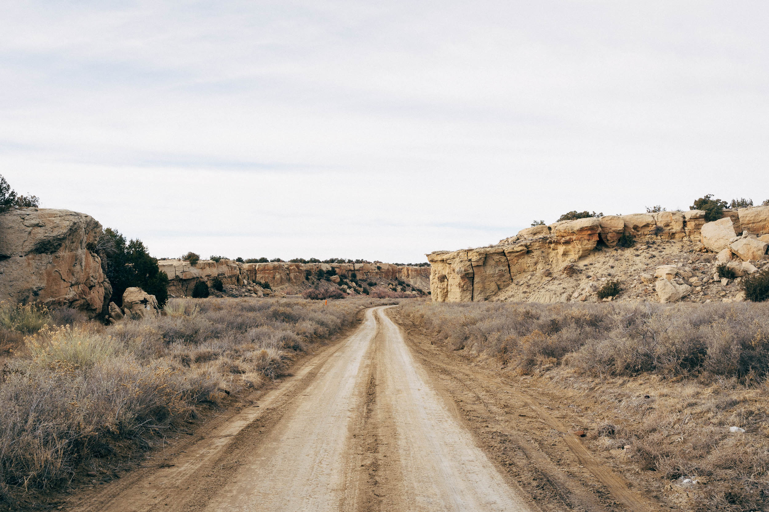
But this swathe of New Mexican high desert has a lot more going for it than Cabezon alone, even if it steals this particular show. The whole area is a volcanic plug bonanza, known collectively as the Rio Puerco necks, and these craggy black peaks are all the more impressive when set against the speckled landscape of low slung juniper trees and cholla cacti scrubland. In fact, Cabezon and its neighbours are considered some of the best examples of volcanic necks in the world; experts opine the main eruption took place between 1.5 and 4 million years ago, as part of Mount Taylor volcanic field and a string of late Cenozoic volcanic features nearby.
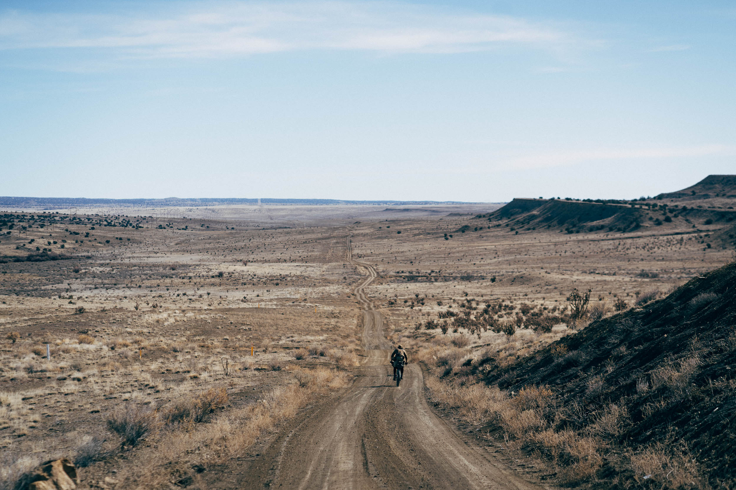
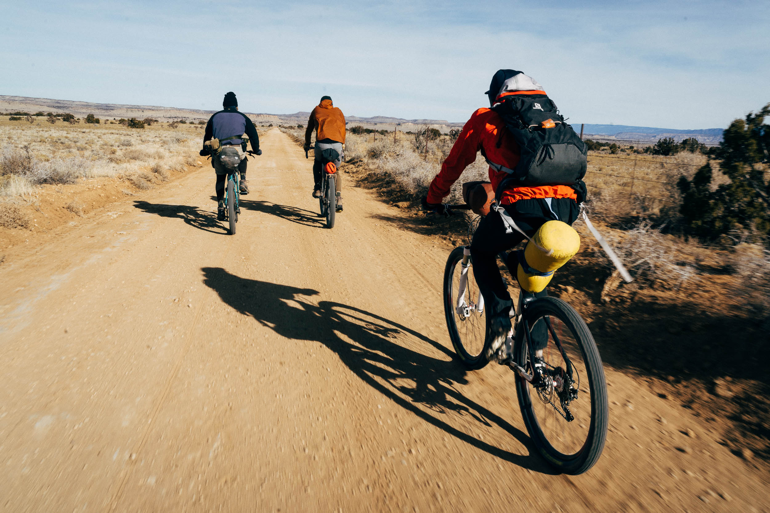
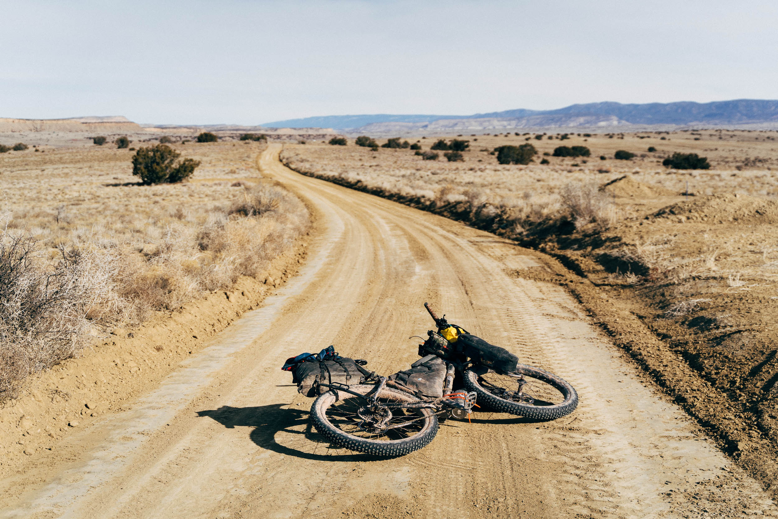
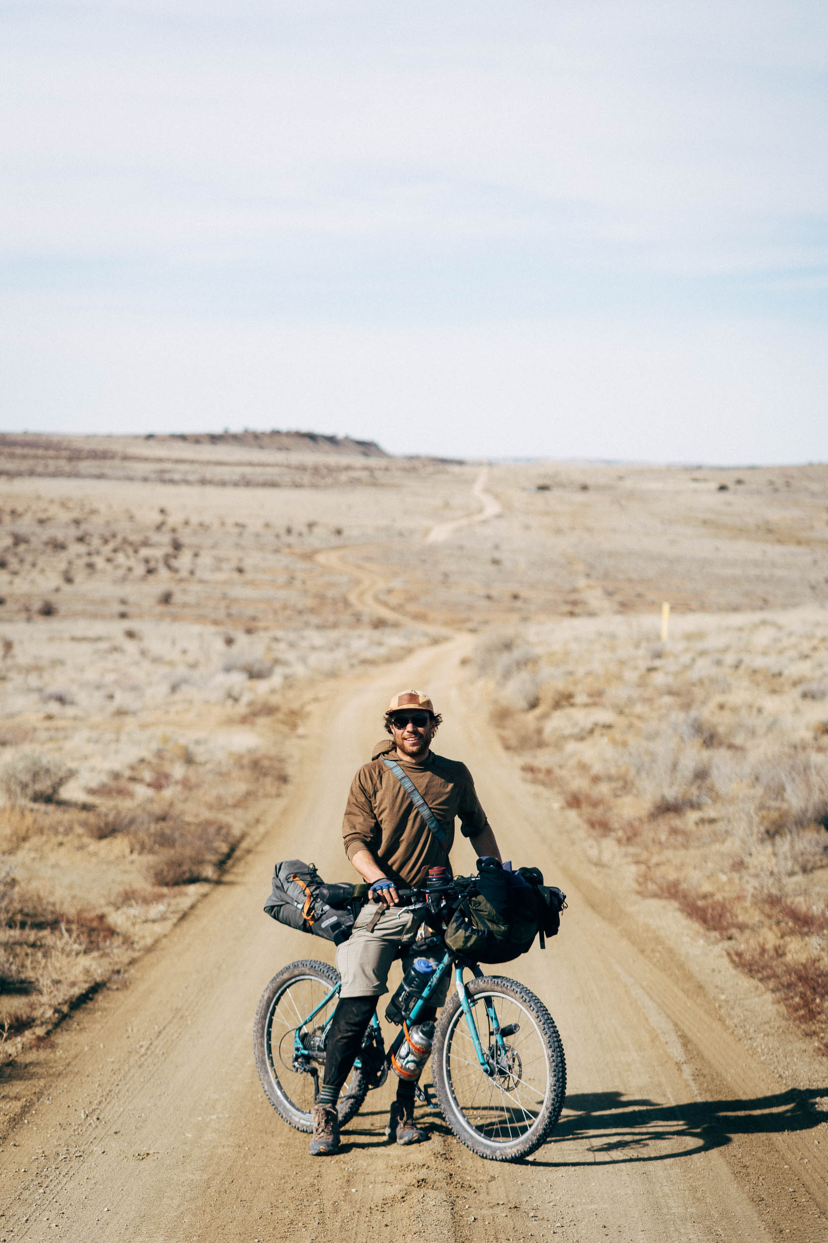
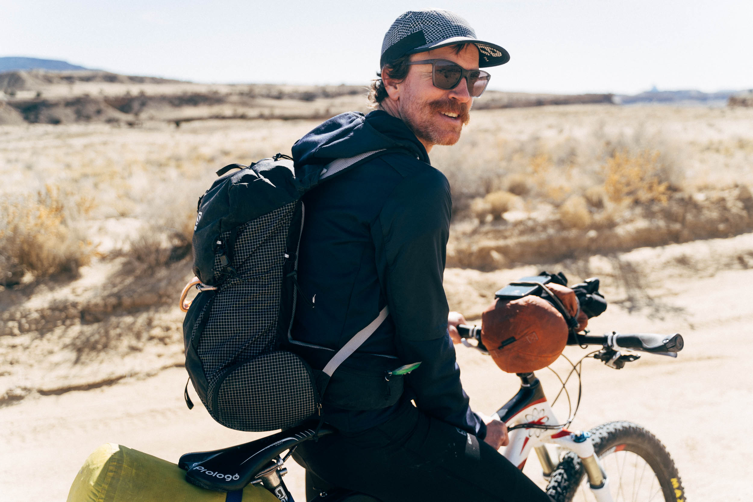
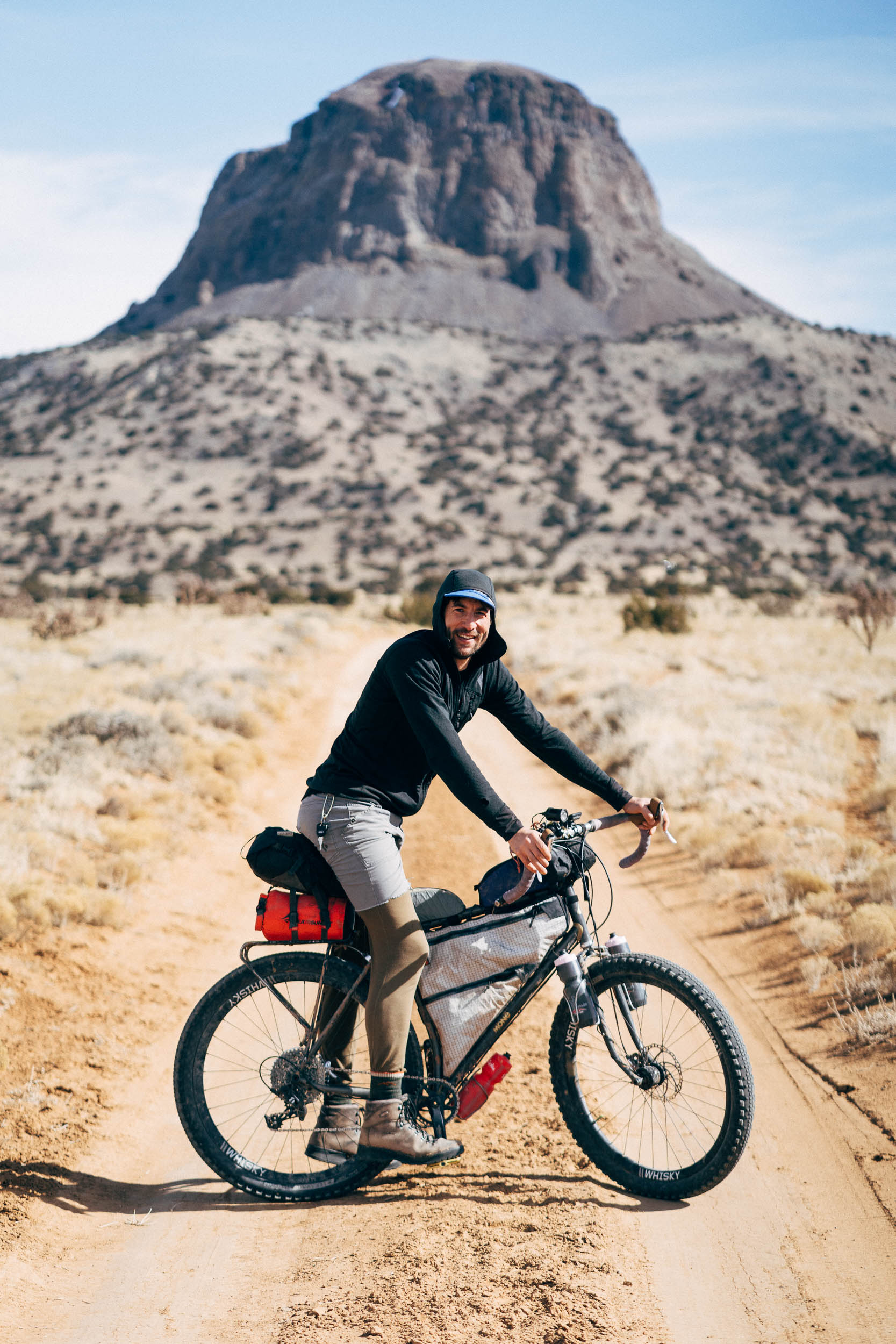
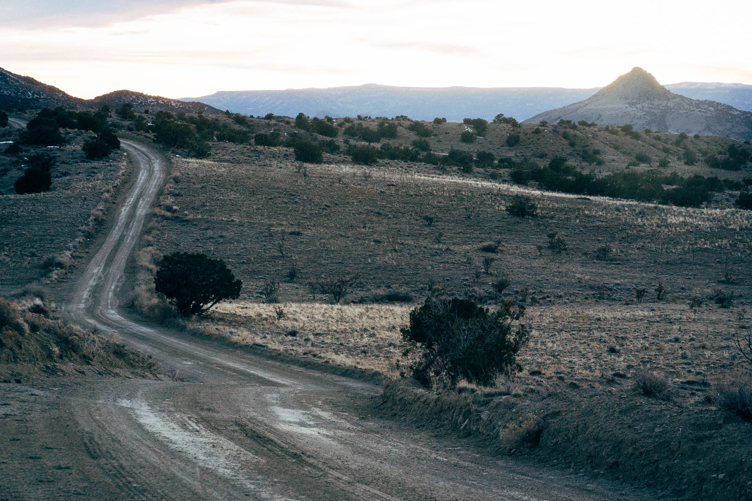
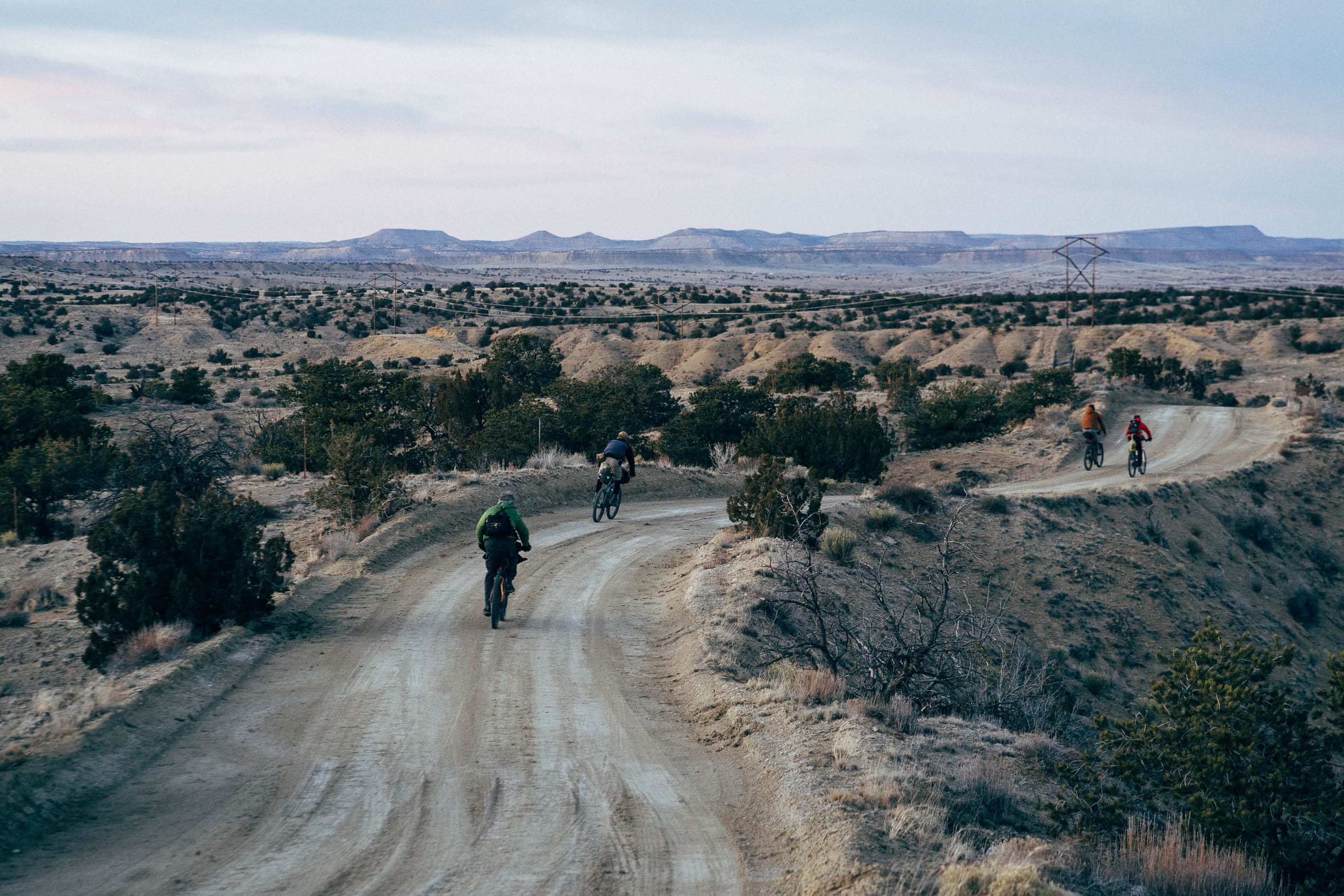
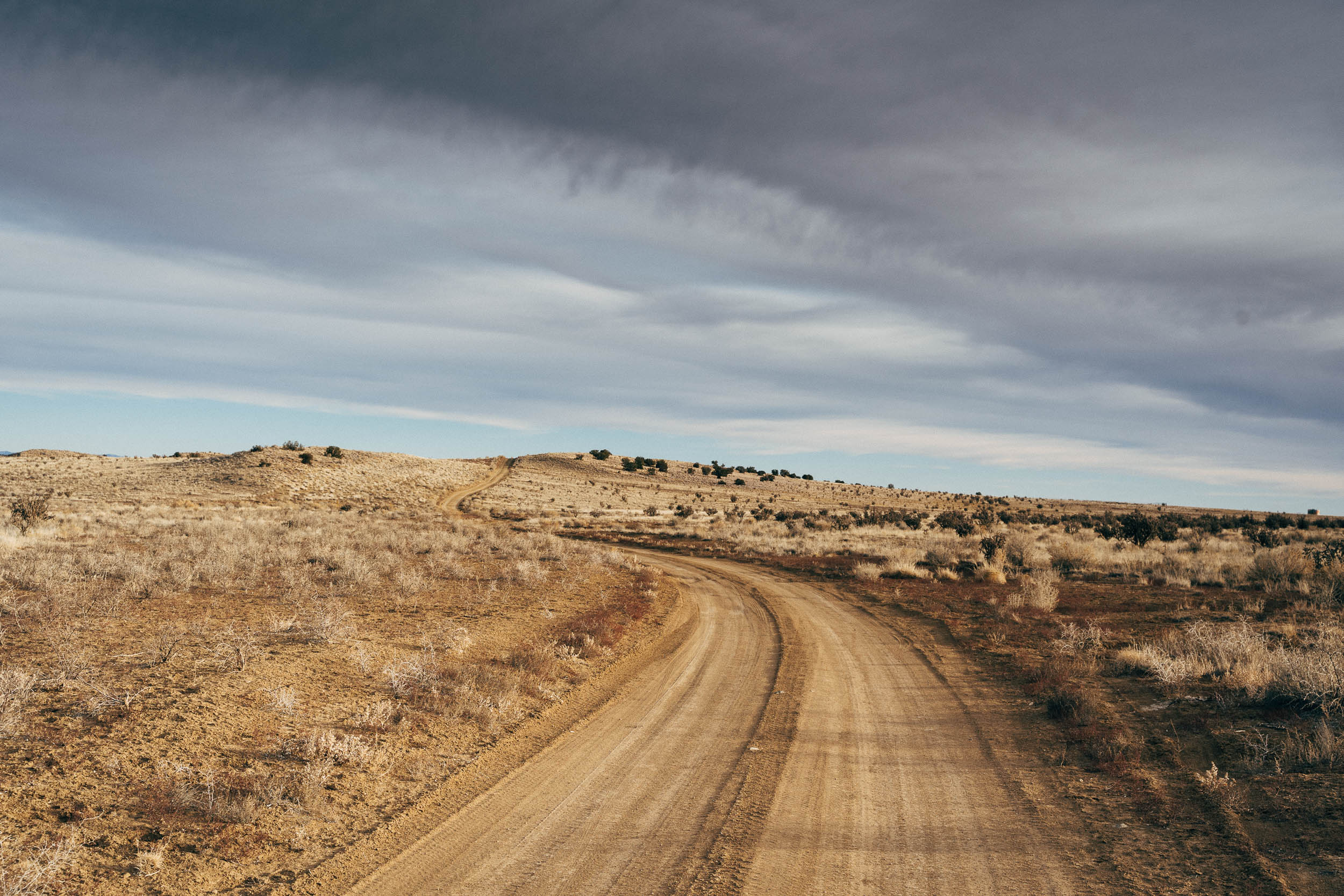
As for the ride, it’s lollypop in shape and there are various iterations to be enjoyed, as posted on the New Mexico Endurance Series. This 69-mile version makes a very manageable overnight bikepacking trip that’s suited to all levels of riders. Expect a gentle climb along the lollypop’s stick, which means you’ll earn yourself a fast cruise on the way back to your vehicle. Just beware of New Mexico’s infamous winds, which can rip across the plains and slow riders to a pitiful crawl in the spring.

You can also extend this S240 (sub-24-hour ride) by a further 14 miles: see here for the 83-mile version. Other options include detouring to the Cabezon trailhead (see map for location) and scrambling to the very top for glorious views. It’s a 3rd & 4th class hike that takes around four hours as a round trip.
Or, consider dropping your bikepacking gear and enjoying an 8.5 mile loop around White Mesa Trail (now renamed the White Ridge Trails).
Difficulty: This is a relatively easy ride, but always be prepared for northwestern New Mexico to throw out an extra challenge or two. Winds can make progress slow at times and altitude can contribute to sub-freezing nights in the winter. Be fully self-sufficient. It’s best not to rely on the occasional cattle trough, and instead carry water for the duration of the ride.


Submit Route Alert
As the leading creator and publisher of bikepacking routes, BIKEPACKING.com endeavors to maintain, improve, and advocate for our growing network of bikepacking routes all over the world. As such, our editorial team, route creators, and Route Stewards serve as mediators for route improvements and opportunities for connectivity, conservation, and community growth around these routes. To facilitate these efforts, we rely on our Bikepacking Collective and the greater bikepacking community to call attention to critical issues and opportunities that are discovered while riding these routes. If you have a vital issue or opportunity regarding this route that pertains to one of the subjects below, please let us know:
Highlights
Must Know
Camping
Food/H2O
Resources
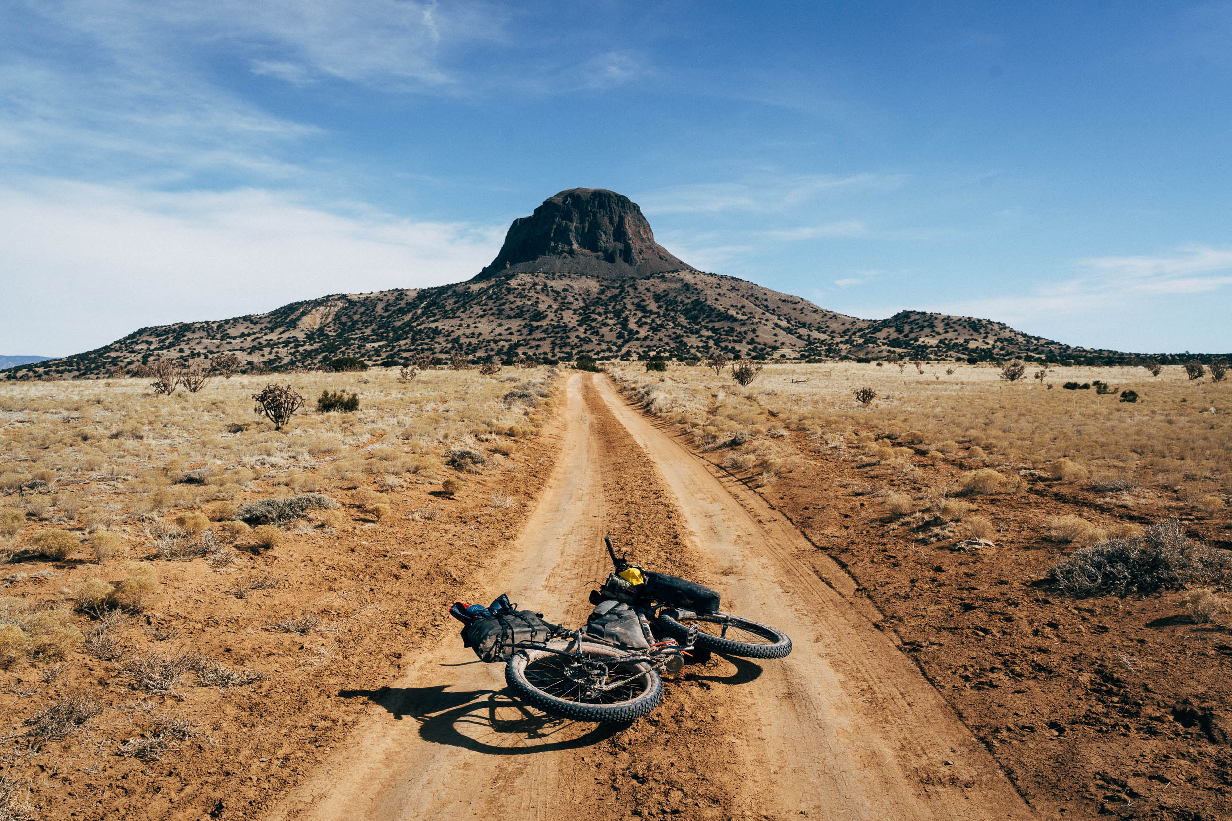
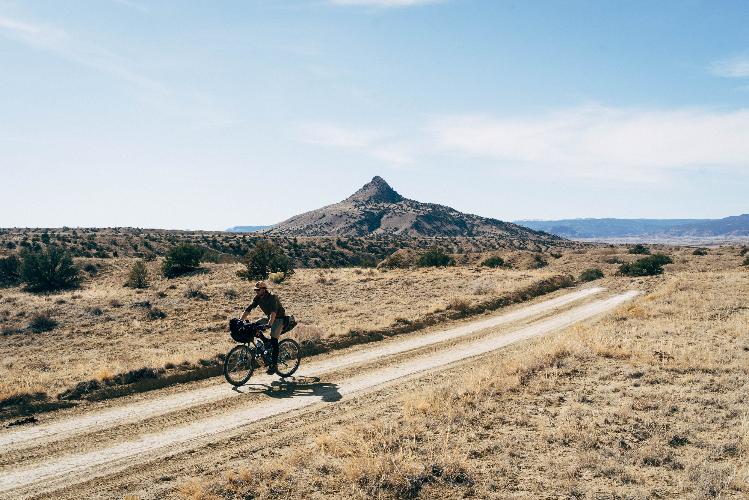
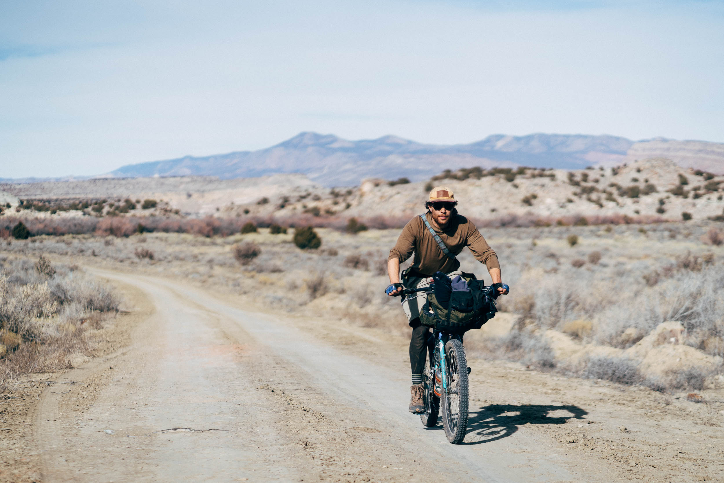
- Enjoying Cabezon Peak from every angle. It’s worth the scrutiny!
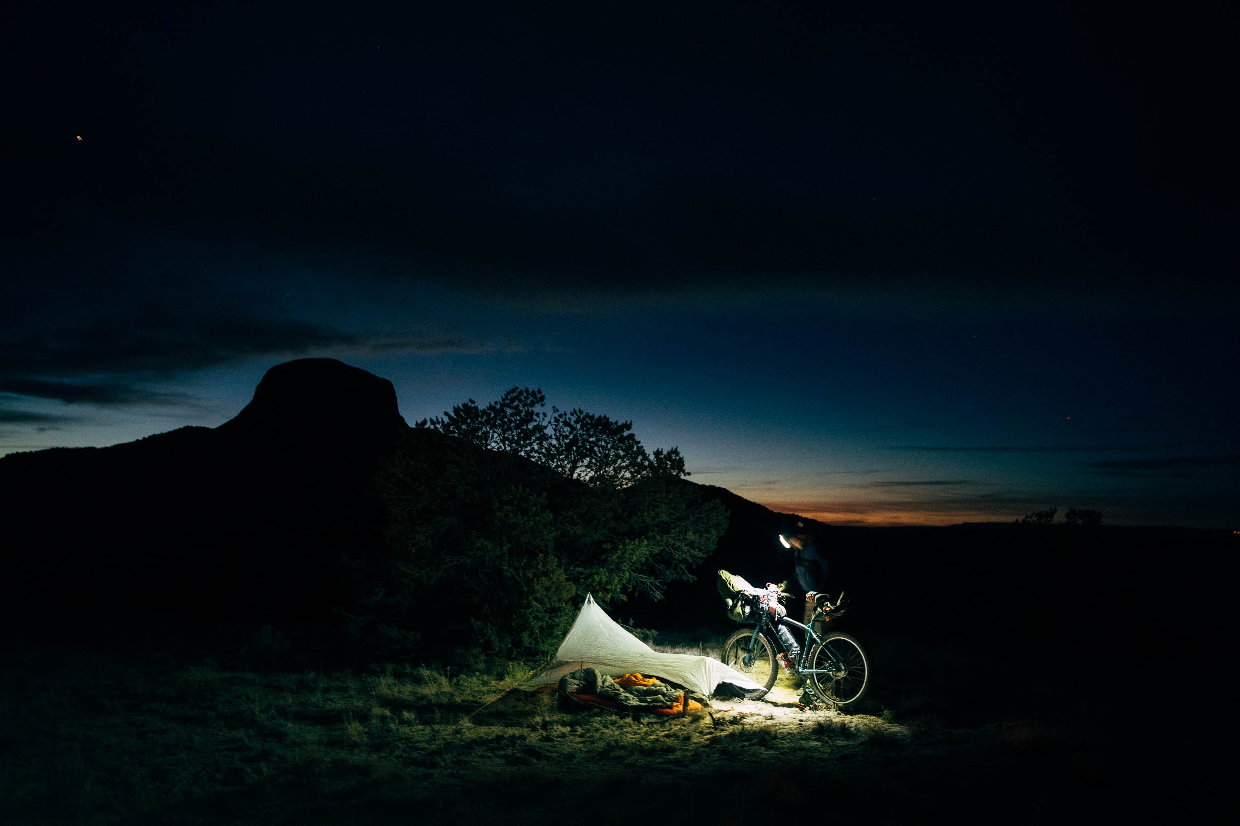
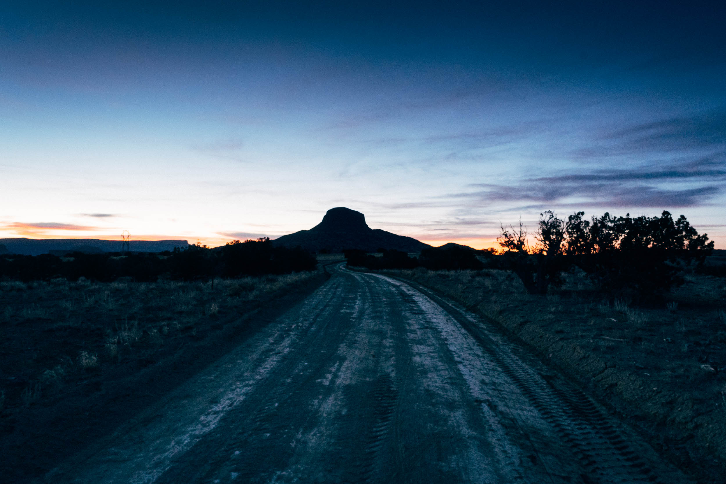
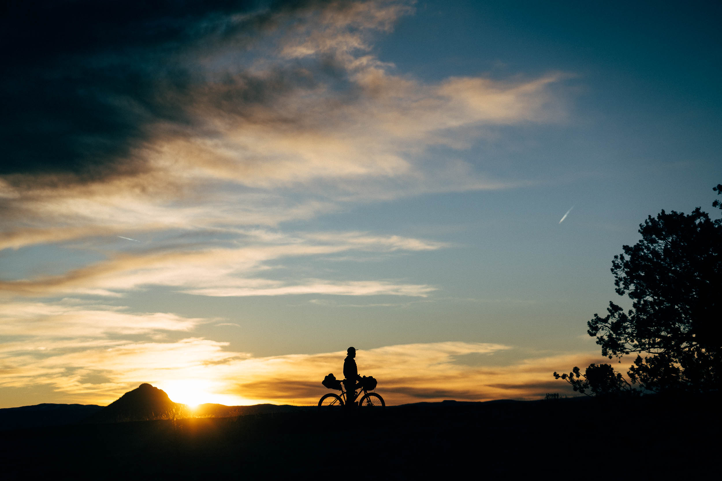
- A night camping out in New Mexico is always magical, especially with Cabezon silhouetted behind you.
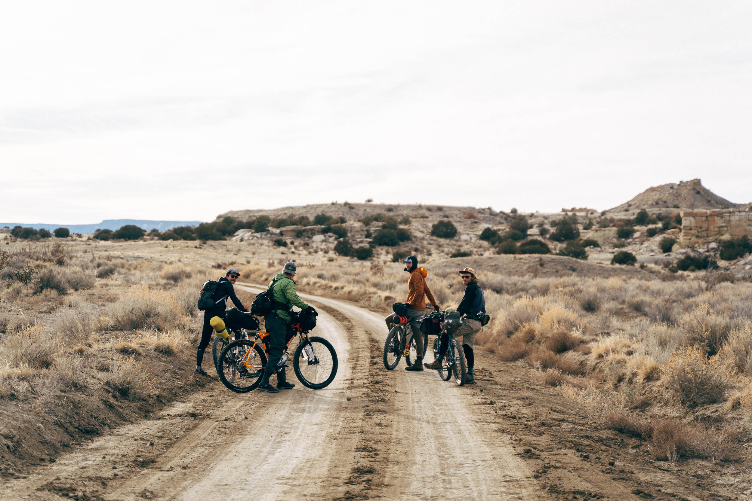
- Take advantage of the long winter nights to commune with friends and coyotes.
- Hiking to the top of the peak for the full lava neck experience.
- Scorching around the Martian White Mesa trail system.
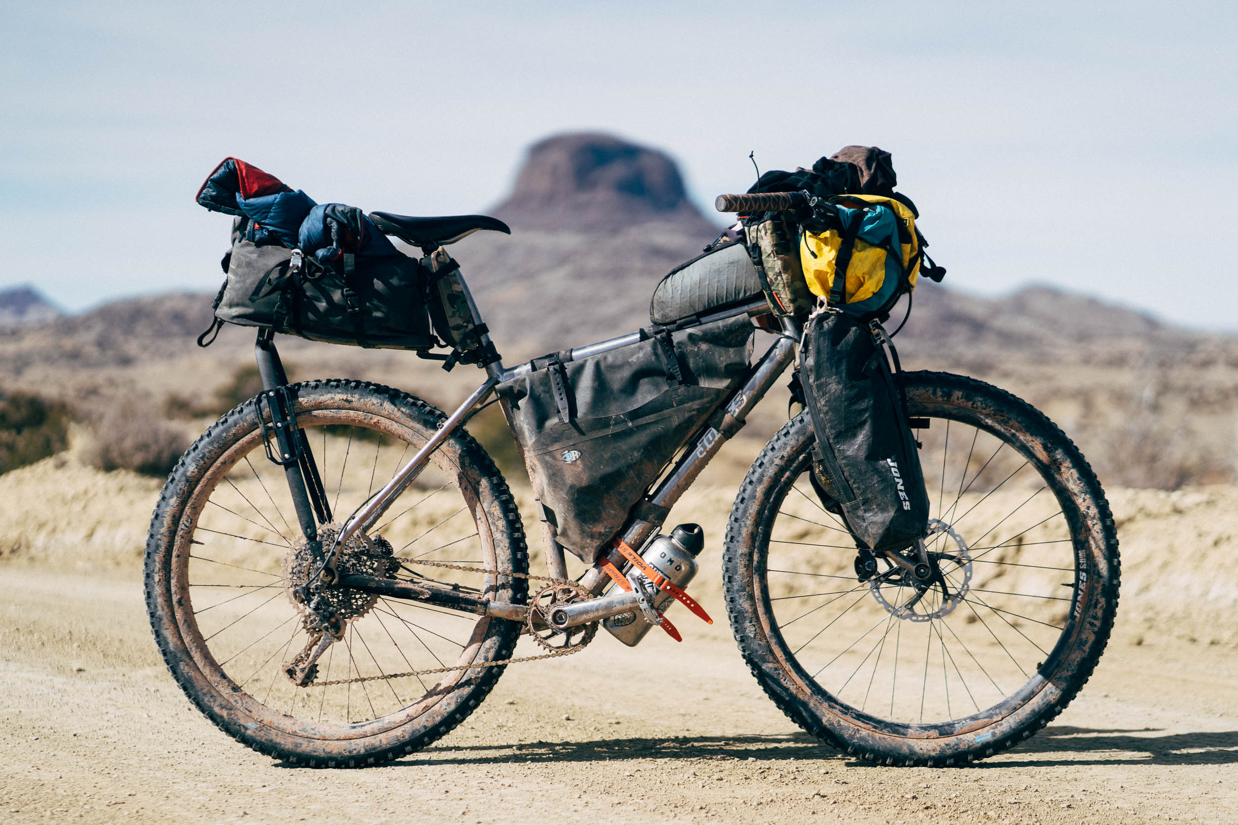
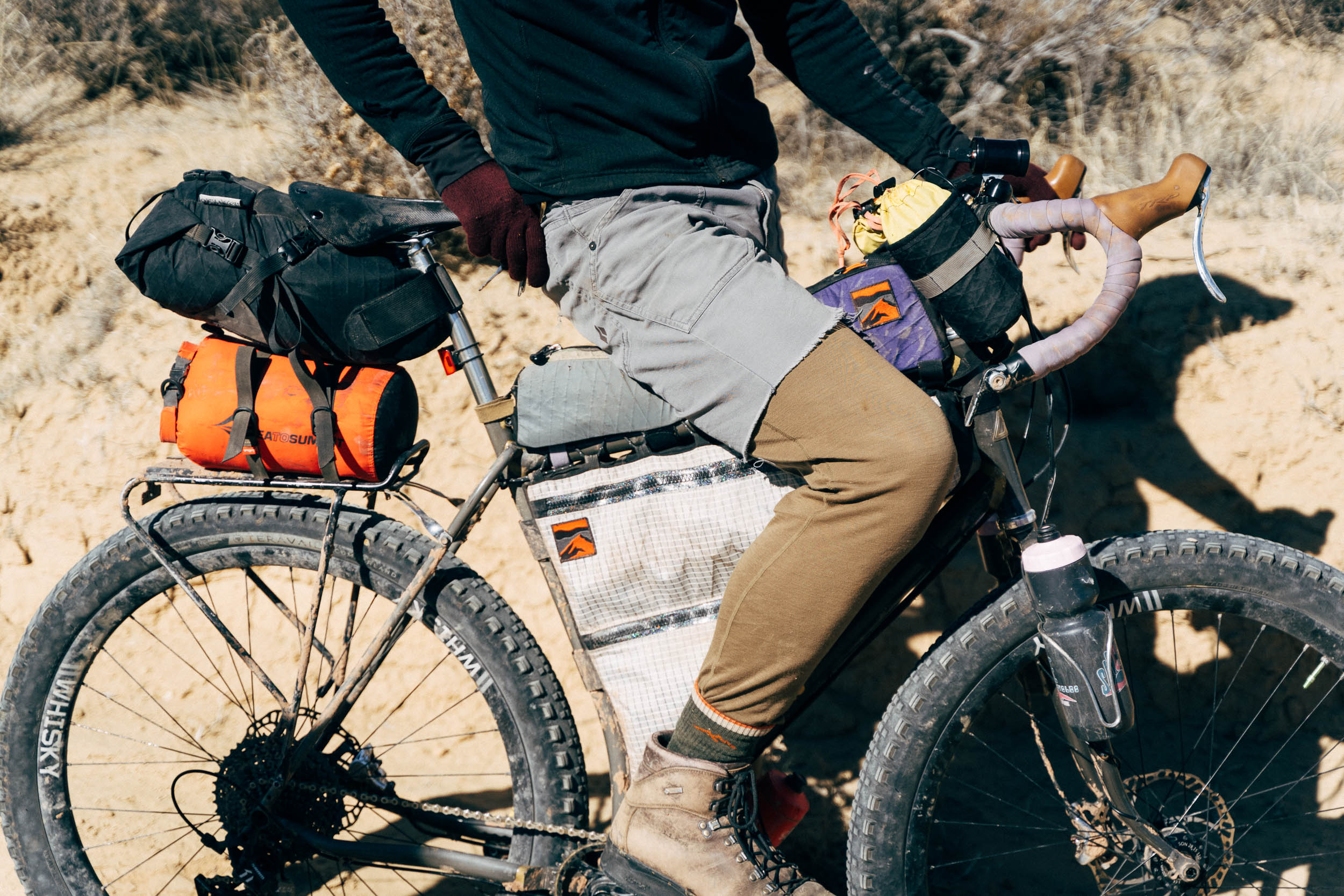
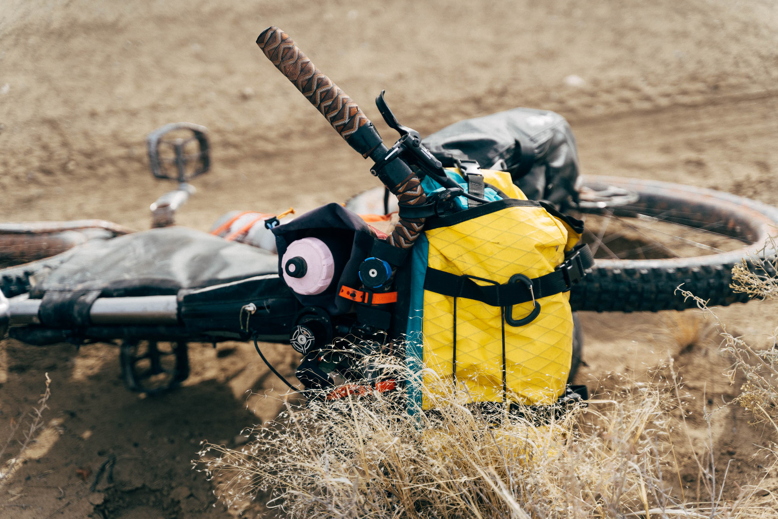
- Best bike: this ride suits almost any gravel or mountain bike, depending on when the roads were last graded. A 2.6″ tire tends to be a good general size for the New Mexican backcountry, but more or less is fine, too.
- Best time: The loop is best ridden between fall and spring due to hot summer temperatures. Be aware that winter brings short days and cold nights.
- If it has rained recently, avoid the area as the dirt roads turn quickly to a thick, impassable gloop. The same goes with the trails on White Mesa; ride them only when conditions are dry/frozen or you’ll damage them.
- The map shows a parking spot on BLM land. Parking is relatively secure but be sure not to leave anything valuable in your vehicle.
- If you want to ride the White Mesa/White Ridge trail system, factor in an extra 8.5 miles of slower going trails. You can download a gpx file here.
- The route can be ridden in either direction.
- There are plenty of camping opportunities throughout the ride. We’ve marked a spot at the top of the lollipop that offers a short first day (an afternoon’s ride), followed by a longer follow up the next day. But you can also ride the route counter-clockwise and camp there on the way out, or anywhere else on BLM land.
- The best spots are those away from the cholla fields and their dastardly needles. Pick a spot with views of Cabezon!
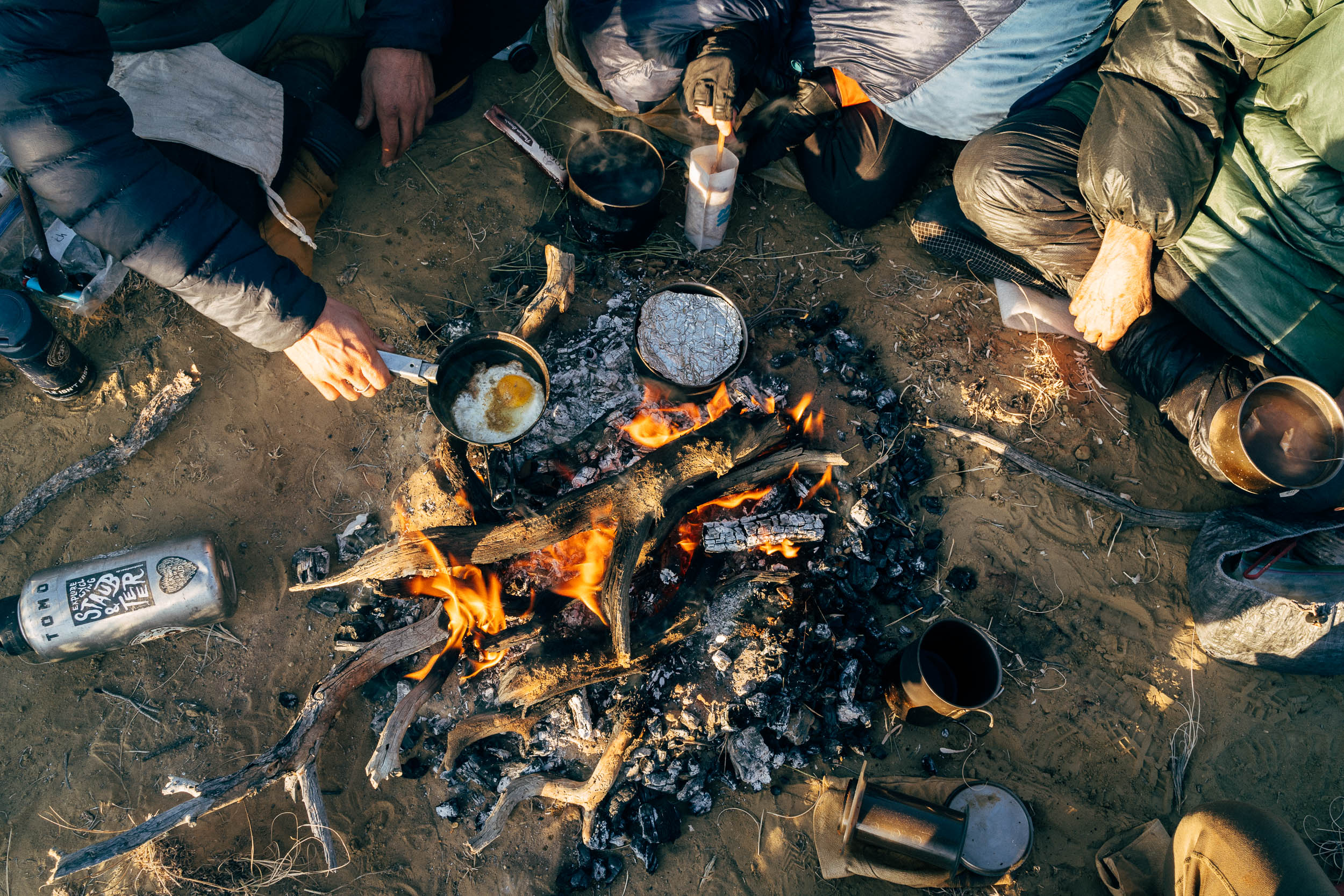
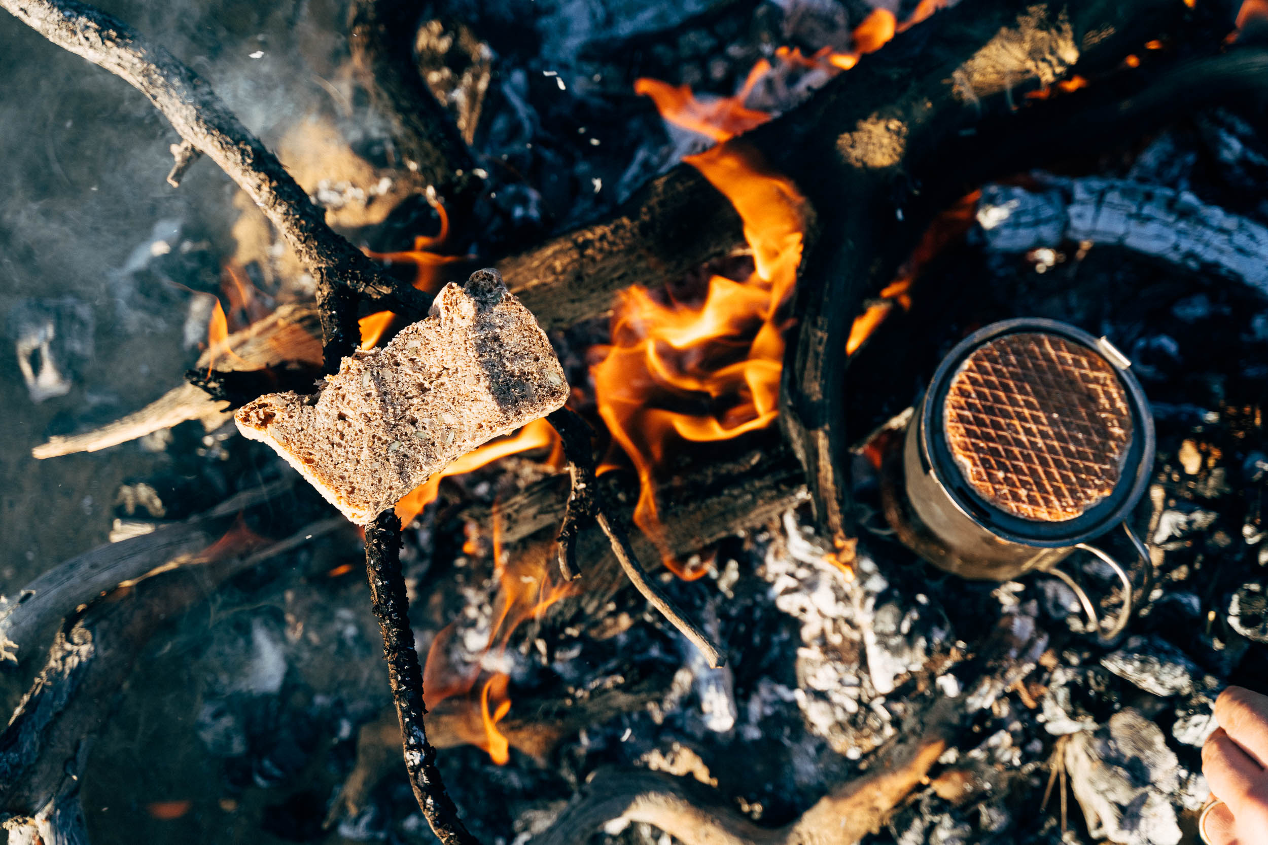
- If it’s cold and you build a small fire, be sure to #leavenotrace the next day.
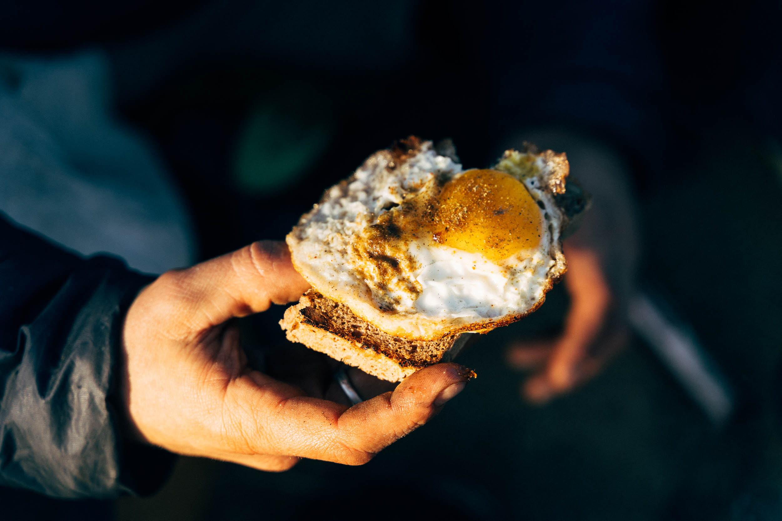
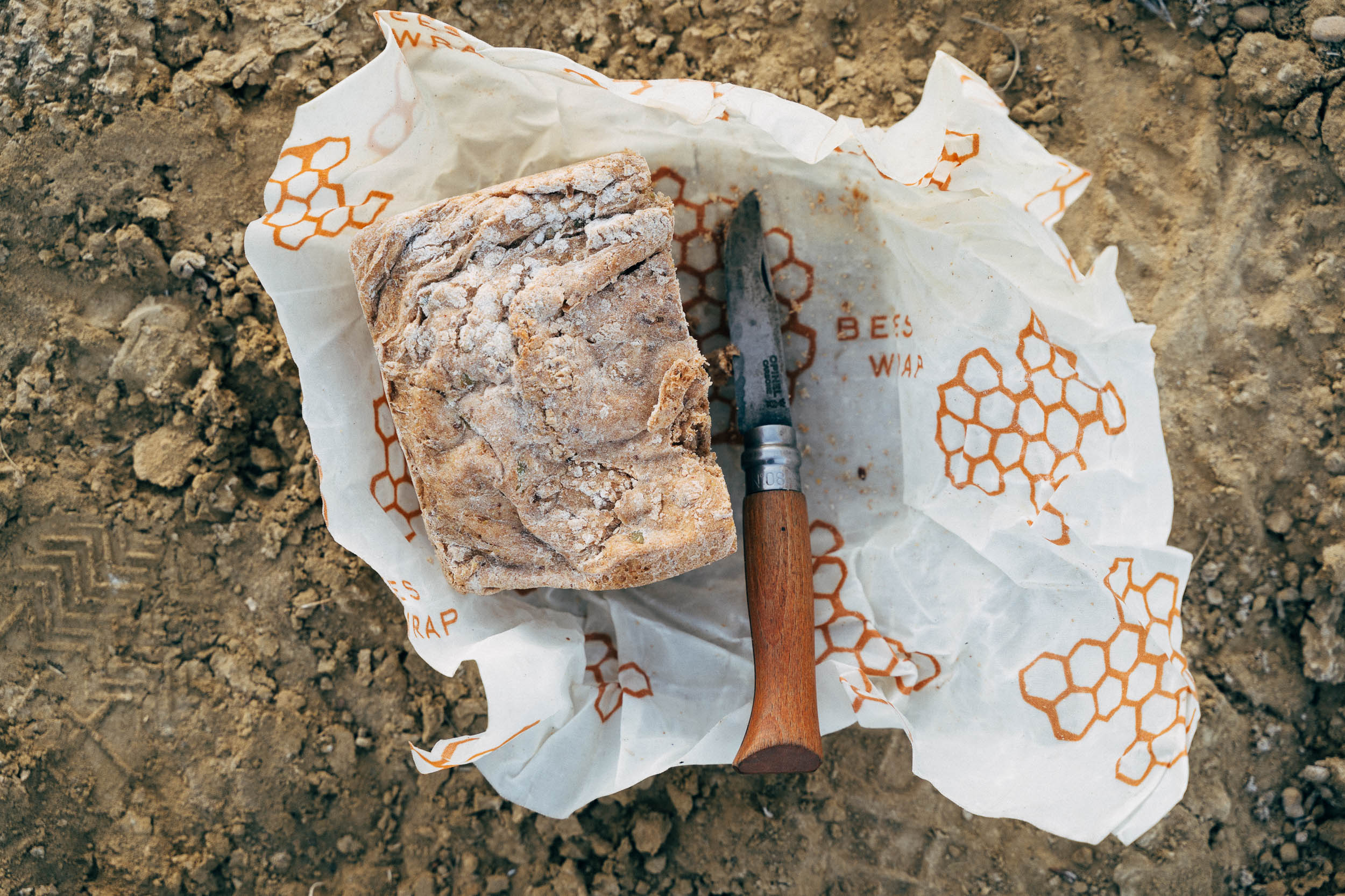
- There are no water or food opportunities along the way. In a pinch, there are occasional cattle troughs that you can filter from, but don’t rely on them.
- Depending on the time of year and the type of food you’re carrying, 4-6 litres should be sufficient for the whole loop. Carry more if you intend to hike to the top of the peak too.
Additional Resources
- The BLM’s White Ridge Trail details
- San Ysidro Dirty Century, a 98 mile-ride in the area, with abbreviated versions as featured in this post.


Terms of Use: As with each bikepacking route guide published on BIKEPACKING.com, should you choose to cycle this route, do so at your own risk. Prior to setting out check current local weather, conditions, and land/road closures. While riding, obey all public and private land use restrictions and rules, carry proper safety and navigational equipment, and of course, follow the #leavenotrace guidelines. The information found herein is simply a planning resource to be used as a point of inspiration in conjunction with your own due-diligence. In spite of the fact that this route, associated GPS track (GPX and maps), and all route guidelines were prepared under diligent research by the specified contributor and/or contributors, the accuracy of such and judgement of the author is not guaranteed. BIKEPACKING.com LLC, its partners, associates, and contributors are in no way liable for personal injury, damage to personal property, or any other such situation that might happen to individual riders cycling or following this route.
Please keep the conversation civil, constructive, and inclusive, or your comment will be removed.