


Canaan Valley and the Forks of Cheat
Distance
102 Mi.
(164 KM)Days
2
% Unpaved
65%
% Singletrack
5%
% Rideable (time)
99.9%
Total Ascent
8,063'
(2,458 M)High Point
4,006'
(1,221 M)Difficulty (1-10)
4?
- 5Climbing Scale Moderate79 FT/MI (15 M/KM)
- -Technical Difficulty
- -Physical Demand
- -Resupply & Logistics
Contributed By

Marco Fantin
Guest Contributor
Marco grew up running under the Alps of Italy and discovered mountain biking and bikepacking only when he moved to Pittsburgh, PA in 2015. He has since turned a number of runners into bikepacking addicts, including his girlfriend. Find out more about their adventures at twowheelsfewbags.
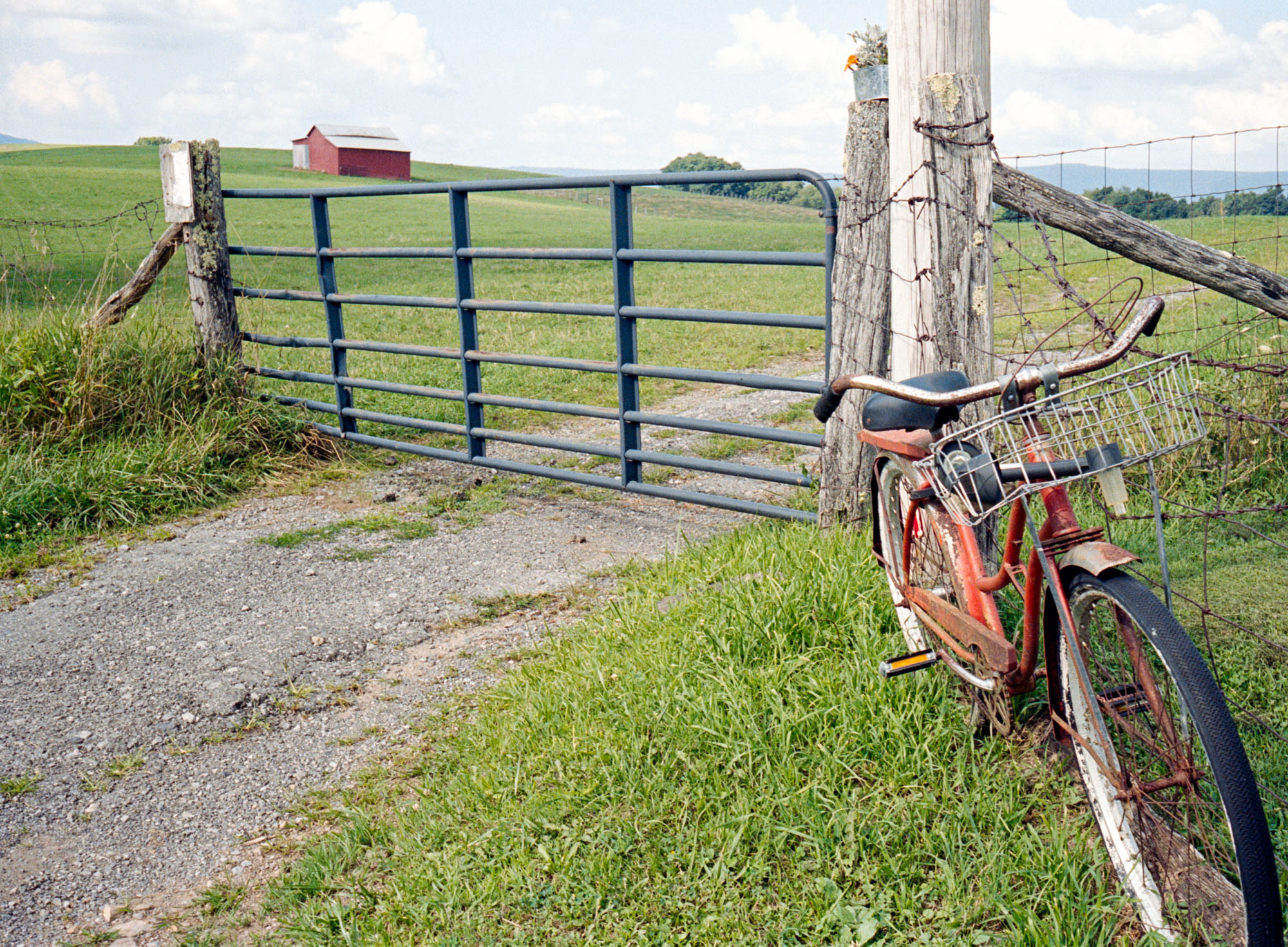
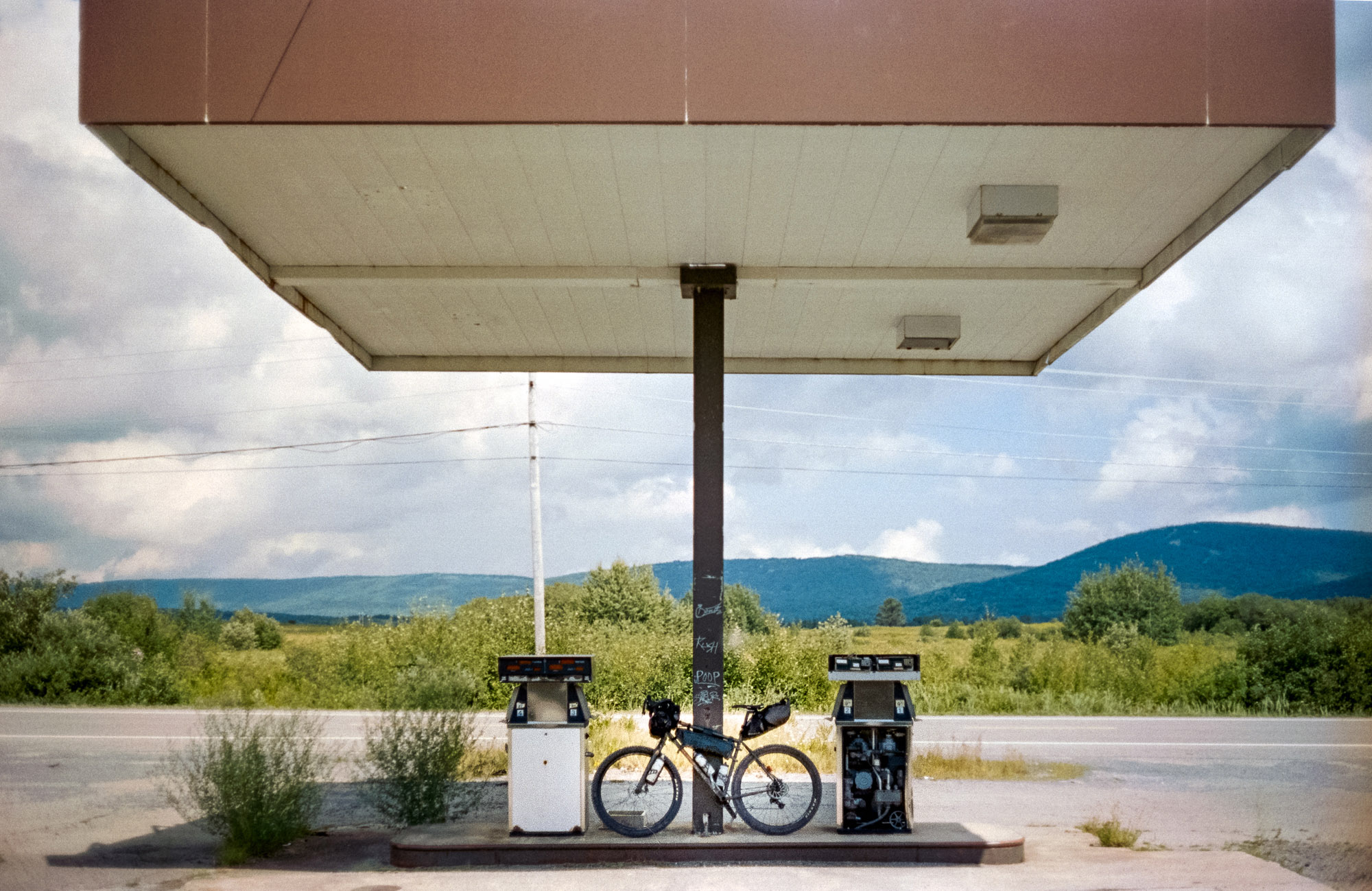
What is the place that speaks “adventure” to you? For us, it’s West Virginia. Having spent all our American life in Pittsburgh, Pennsylvania (we moved six years ago from Europe), every time we cross the border to West Virginia, a big smile gets stuck on our faces. The towns get a bit further apart from each other and the hills grow bigger and bigger, setting the stage for the adventure ahead of us.
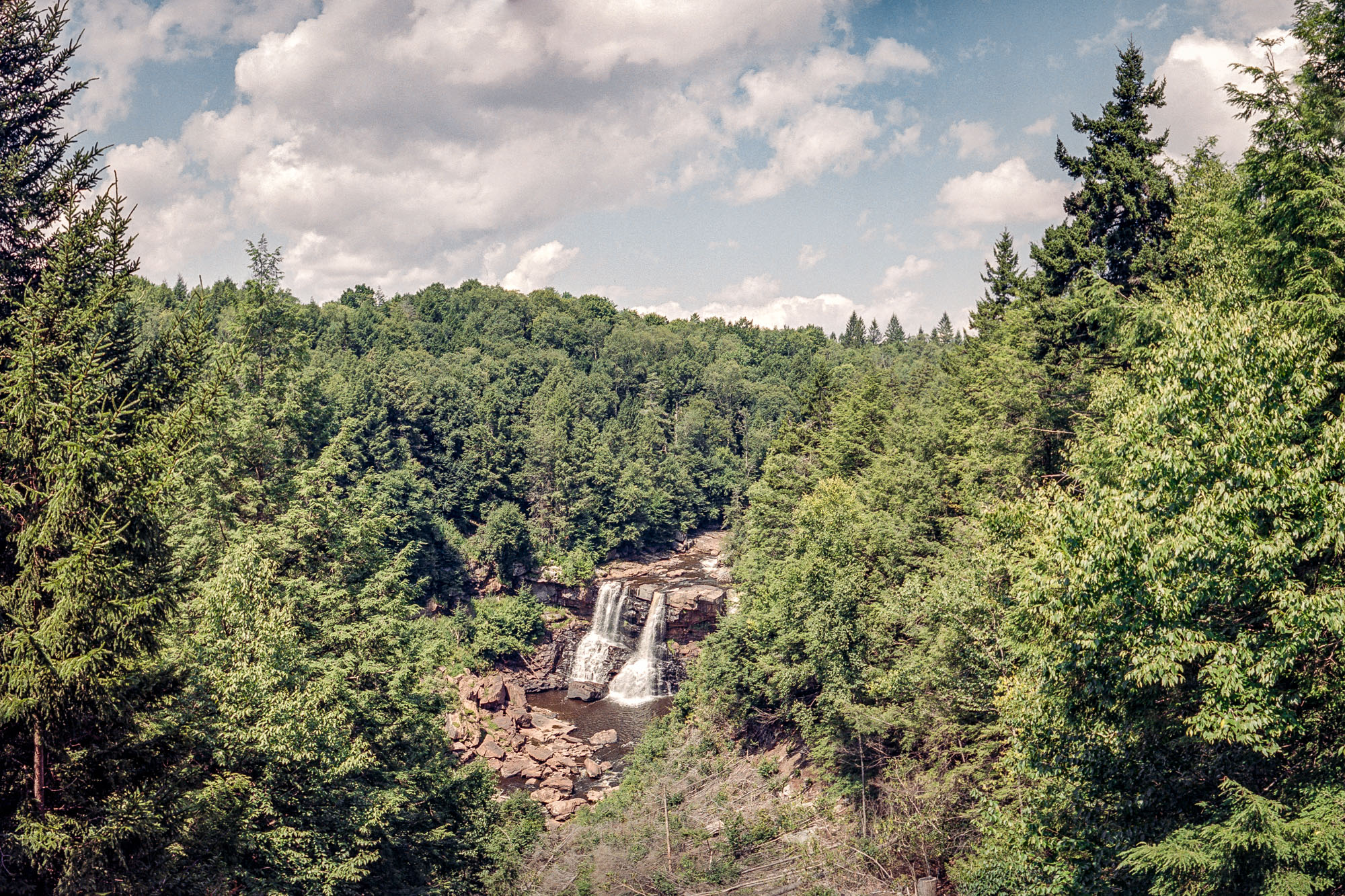
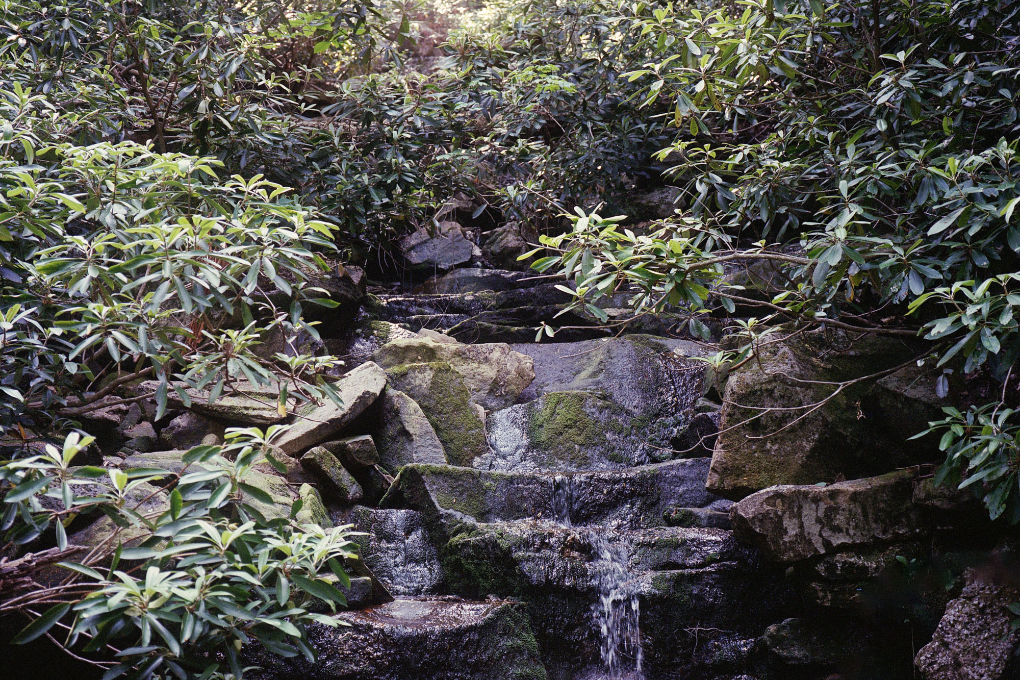
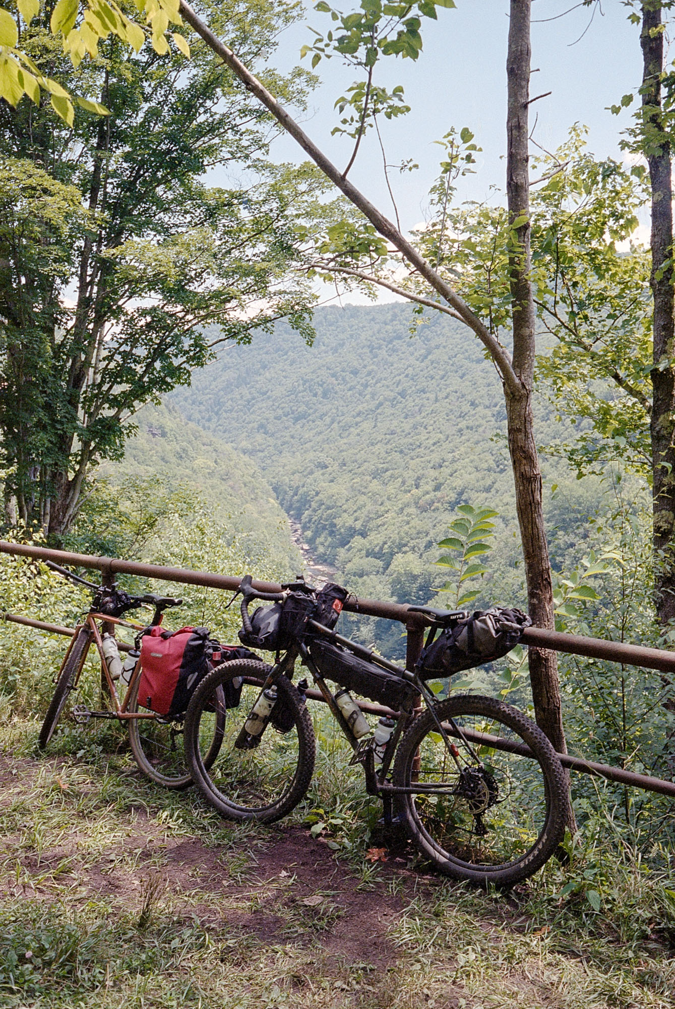
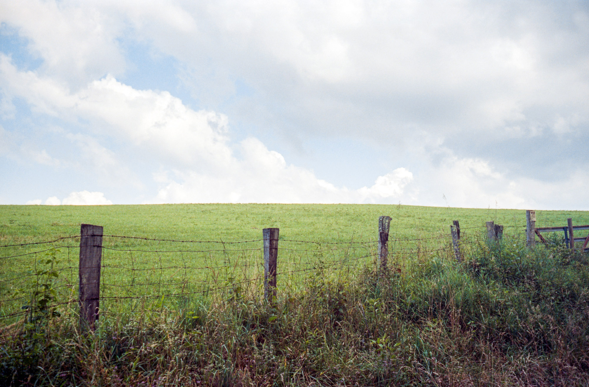
This route is a relatively accessible introduction to the Wild and Wonderful State, traveling mostly on gravel roads and desolate tarmac. But first, let us explain the title of this route. “Canaan Valley” is a large, oval-shaped, mostly undeveloped valley whose wetlands are the headwaters of the Blackwater River. This large valley encompasses the northeastern part of the route, including Blackwater River State Park and its gorgeous waterfalls.
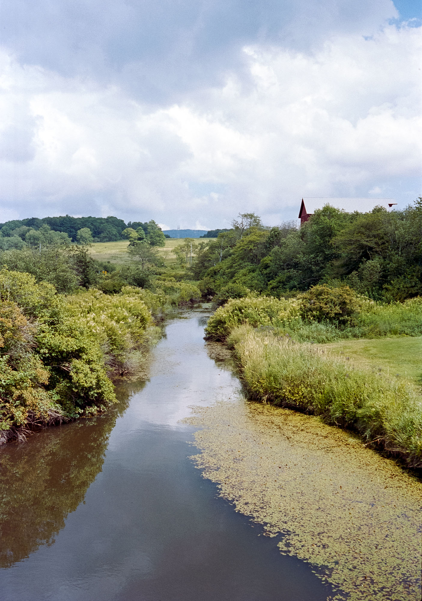
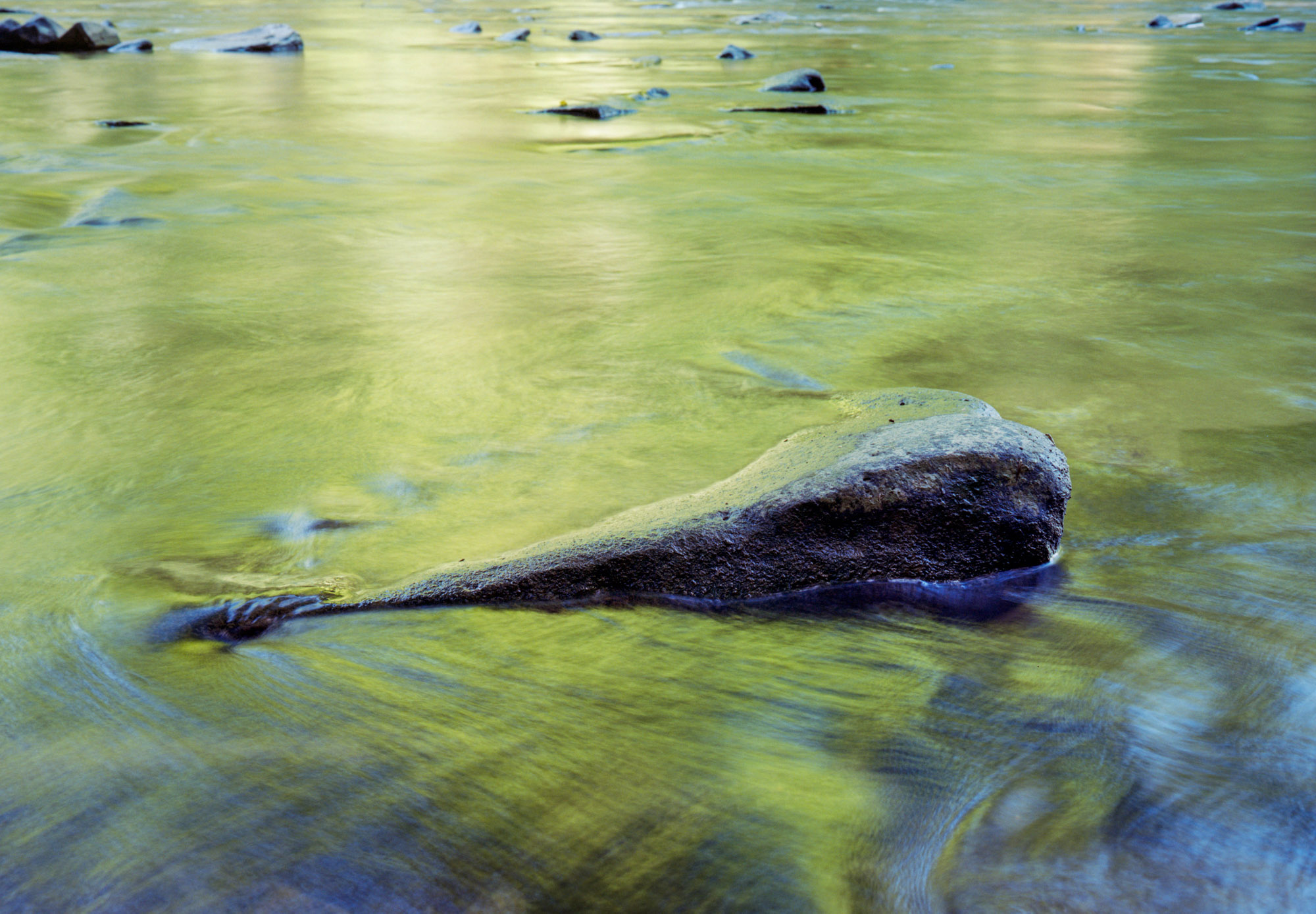
The “Forks of Cheat” is one of the coolest names we have ever heard for a network of rivers: the “Forks” are the five tributary streams of the Cheat River (Shavers Fork, Dry Fork, Glady Fork, Laurel Fork, and Blackwater River). This ride follows several of these rivers, so finding water is never a problem.
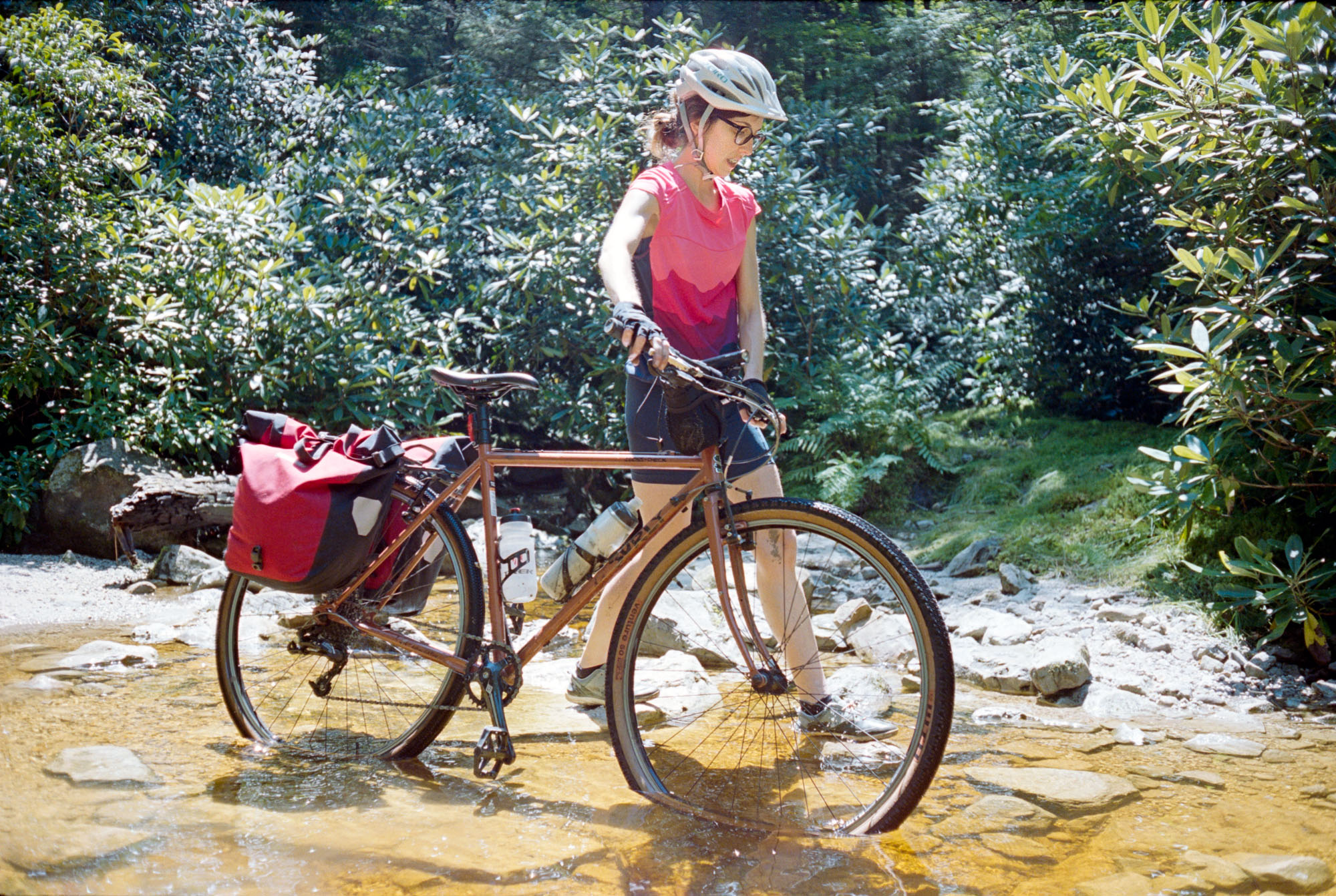
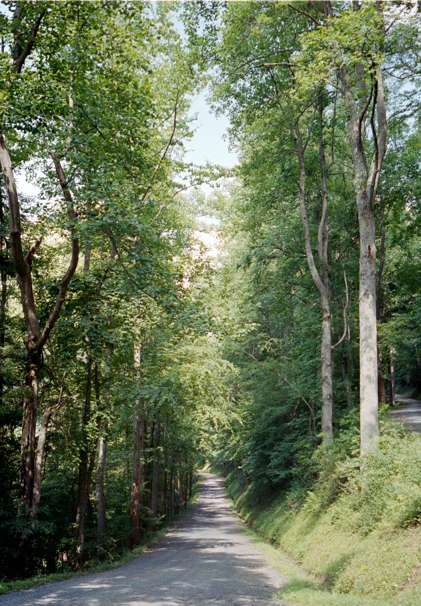
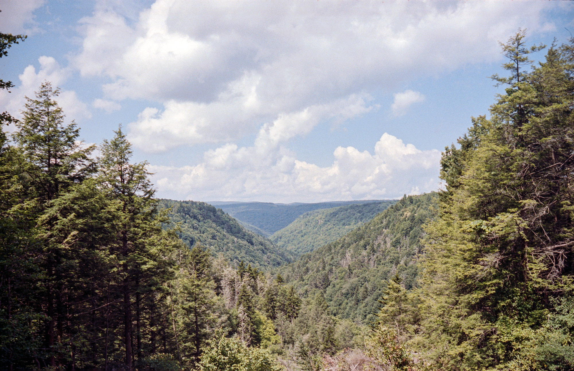
The southern part of this gravel route explores remote and scenic areas of West Virginia. Some of the scenery is still unscathed, especially around Otter Creek Wilderness. Encounters with wild animals are quite common. From personal experience in this area, listing from large to small: black bears, deer, skunks, rattlesnakes, geckos, and wolf spiders.
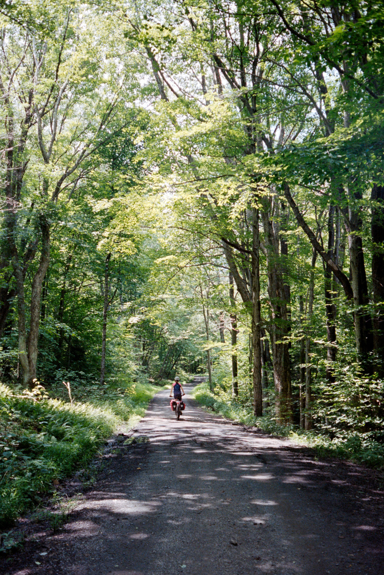
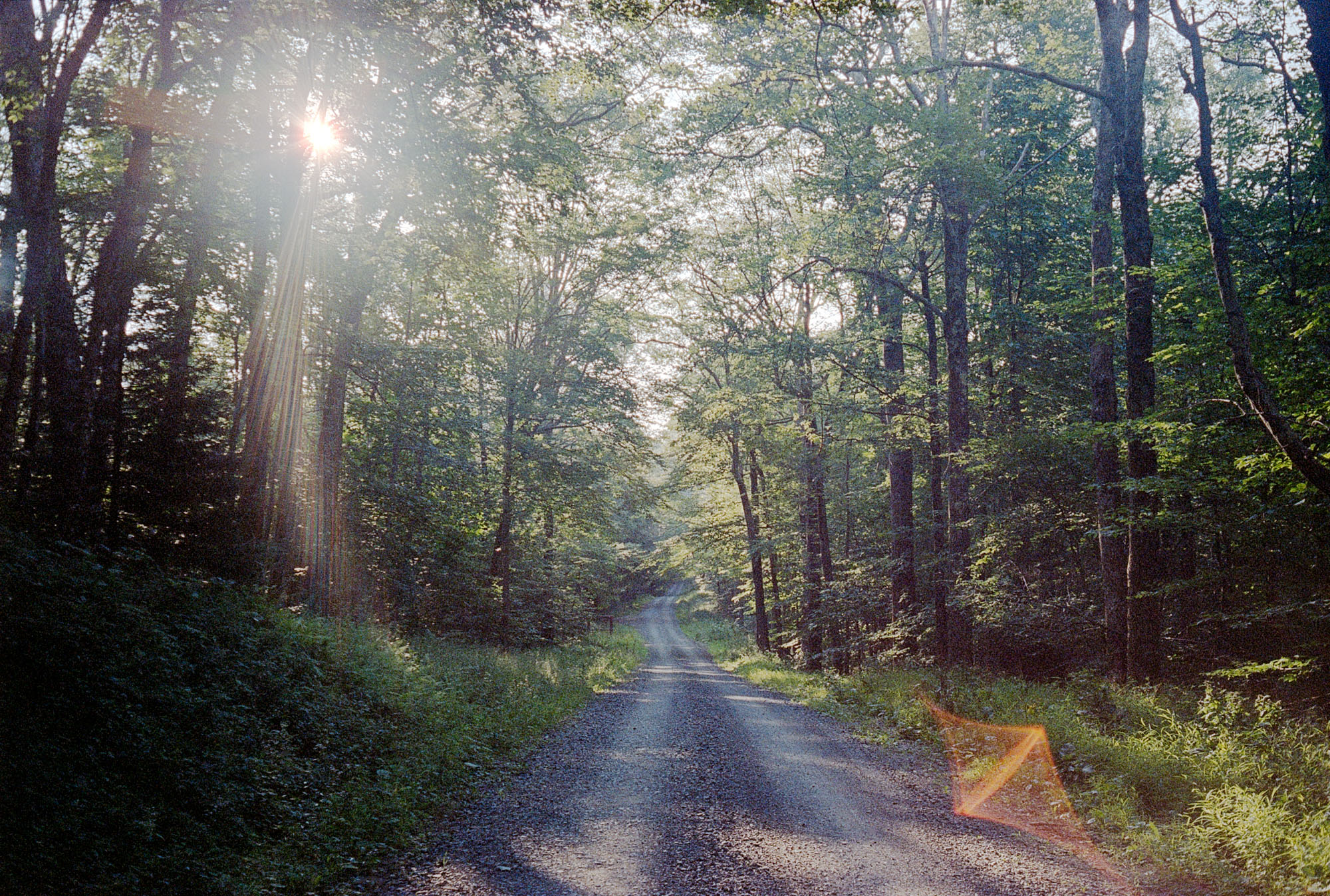
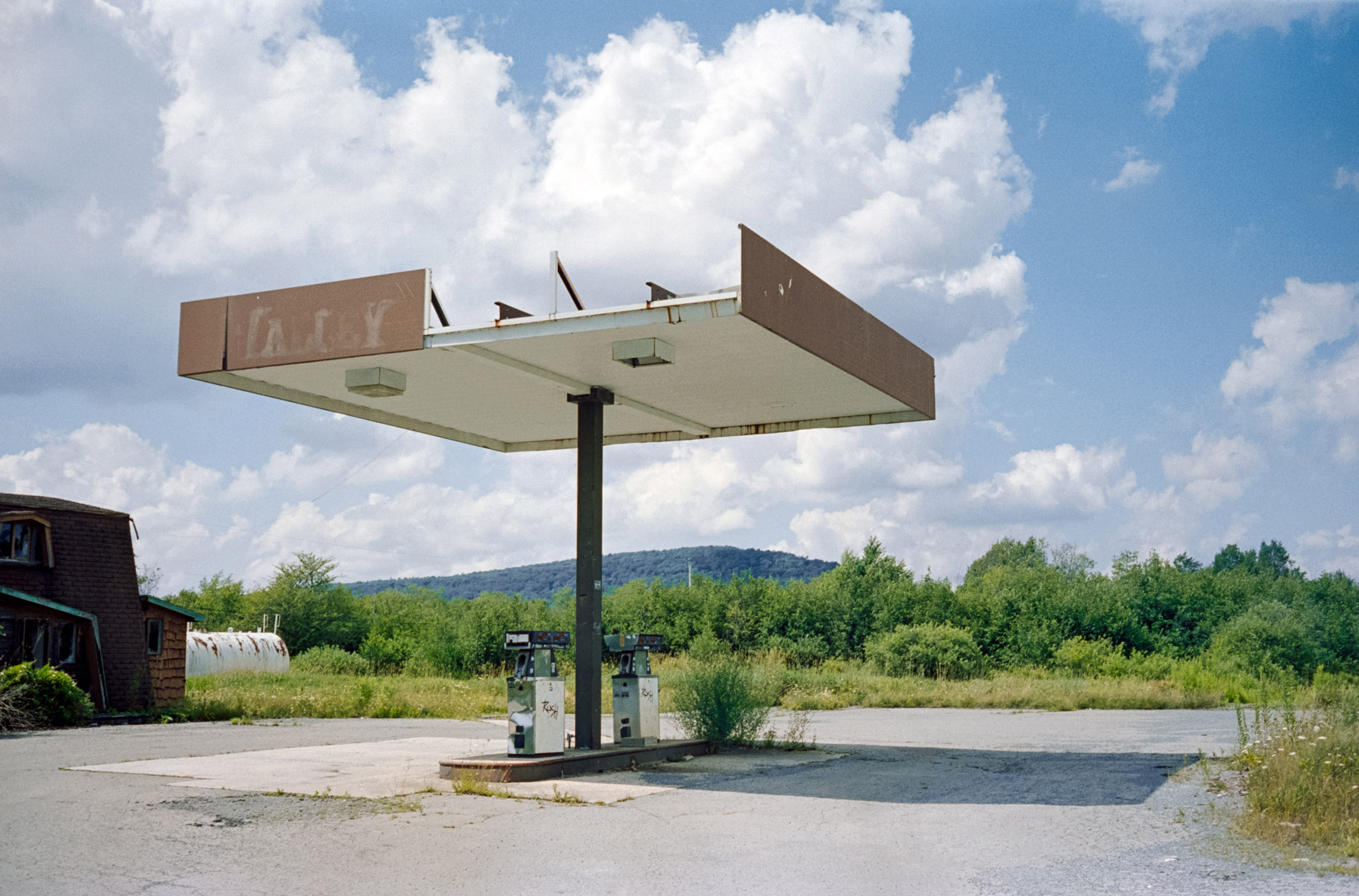
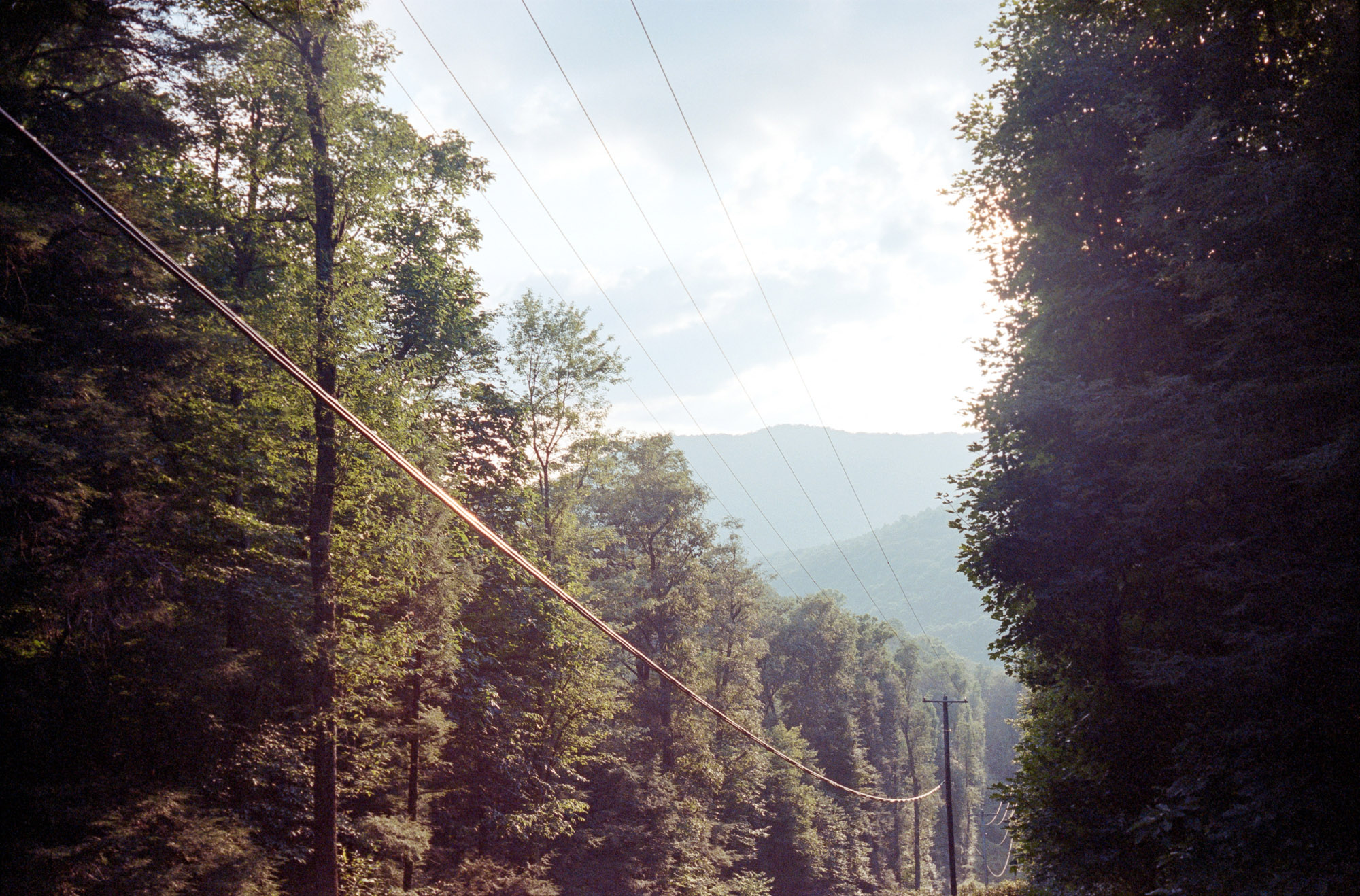
The northern portion of the ride is different and quite close to civilization, crossing a few quaint towns/villages with remnants of their coal mining past. You will also have the opportunity to ride the steepest rail trail in the US, Blackwater River Trail, in an inhabited canyon between the towns of Hendricks and Thomas.
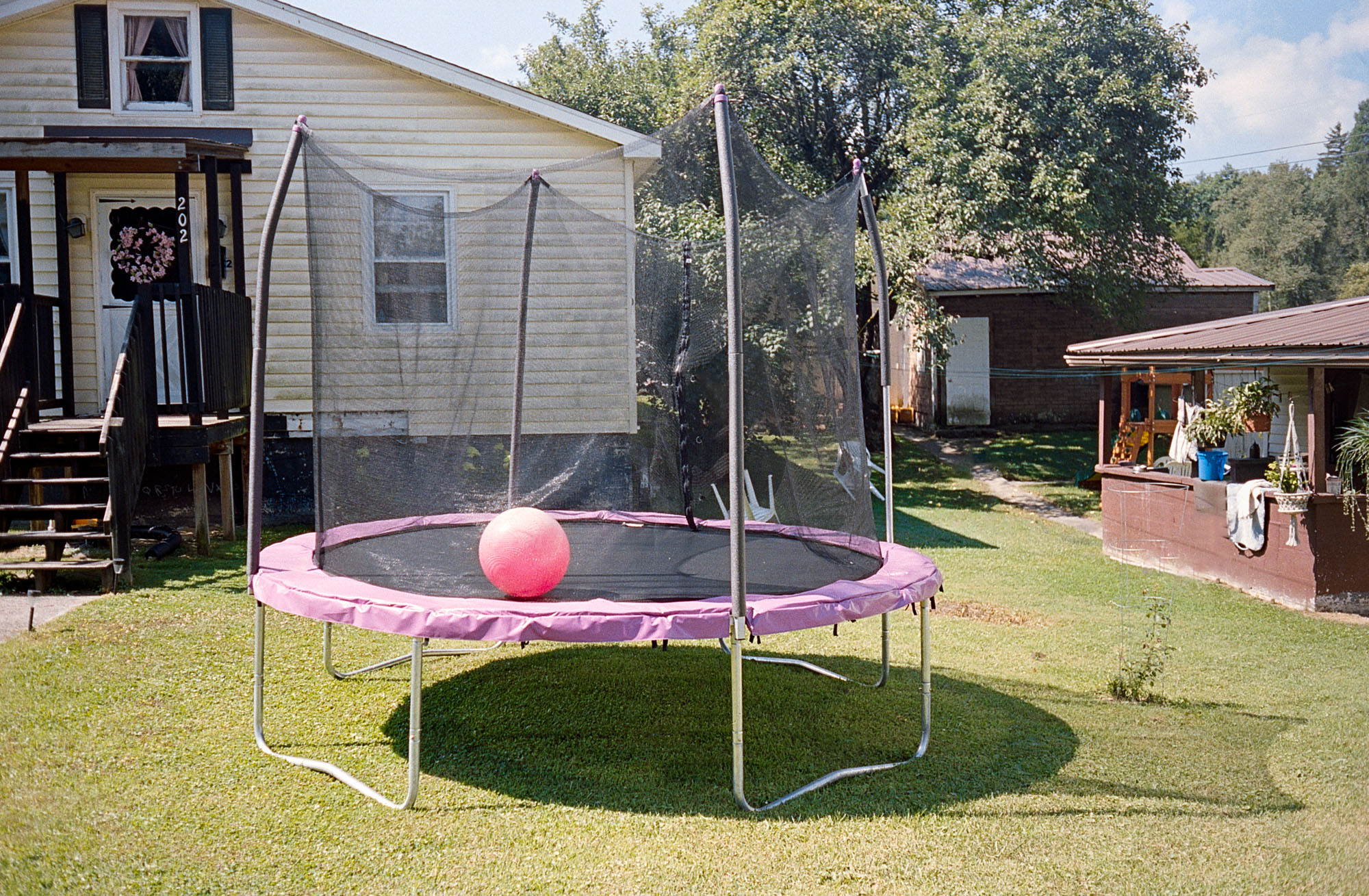
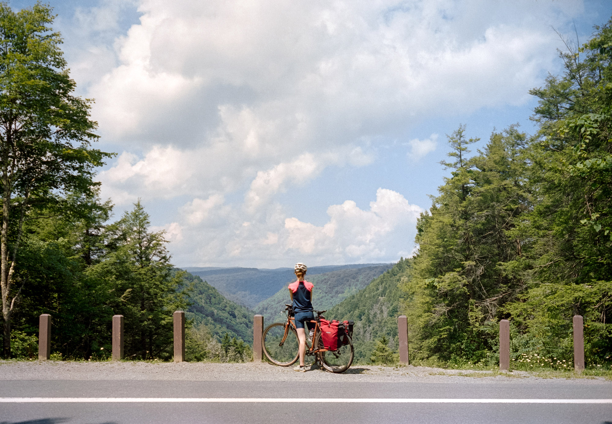
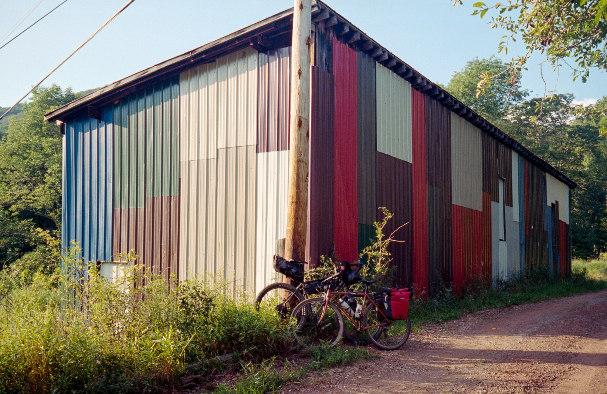
A good starting point for this overnighter is the town of Davis—a little more than a village on the Blackwater River. The area is renowned for its mountain bike trails and bike culture. People will stop you to chat if they see your loaded bike!
Difficulty: This is not an overly difficult gravel ride, with most miles on relaxed dirt roads or paved back roads. But there are a couple of miles of very rough 4WD track that will probe your skills on a gravel bike. And there are more than a few long steep climbs that will make you question if you took the loop in the right direction (but don’t worry, this will happen regardless of the direction you chose to travel).


Submit Route Alert
As the leading creator and publisher of bikepacking routes, BIKEPACKING.com endeavors to maintain, improve, and advocate for our growing network of bikepacking routes all over the world. As such, our editorial team, route creators, and Route Stewards serve as mediators for route improvements and opportunities for connectivity, conservation, and community growth around these routes. To facilitate these efforts, we rely on our Bikepacking Collective and the greater bikepacking community to call attention to critical issues and opportunities that are discovered while riding these routes. If you have a vital issue or opportunity regarding this route that pertains to one of the subjects below, please let us know:
Highlights
Must Know
Camping
Food/H2O
Trail Notes
Resources
- Majestic views of Blackwater River Falls and Blackwater River Canyon
- Rough and fun riding in Canaan Valley Loop Road
- The character of West Virginia towns
- Remnants of a coal mining past in the village of Coketon
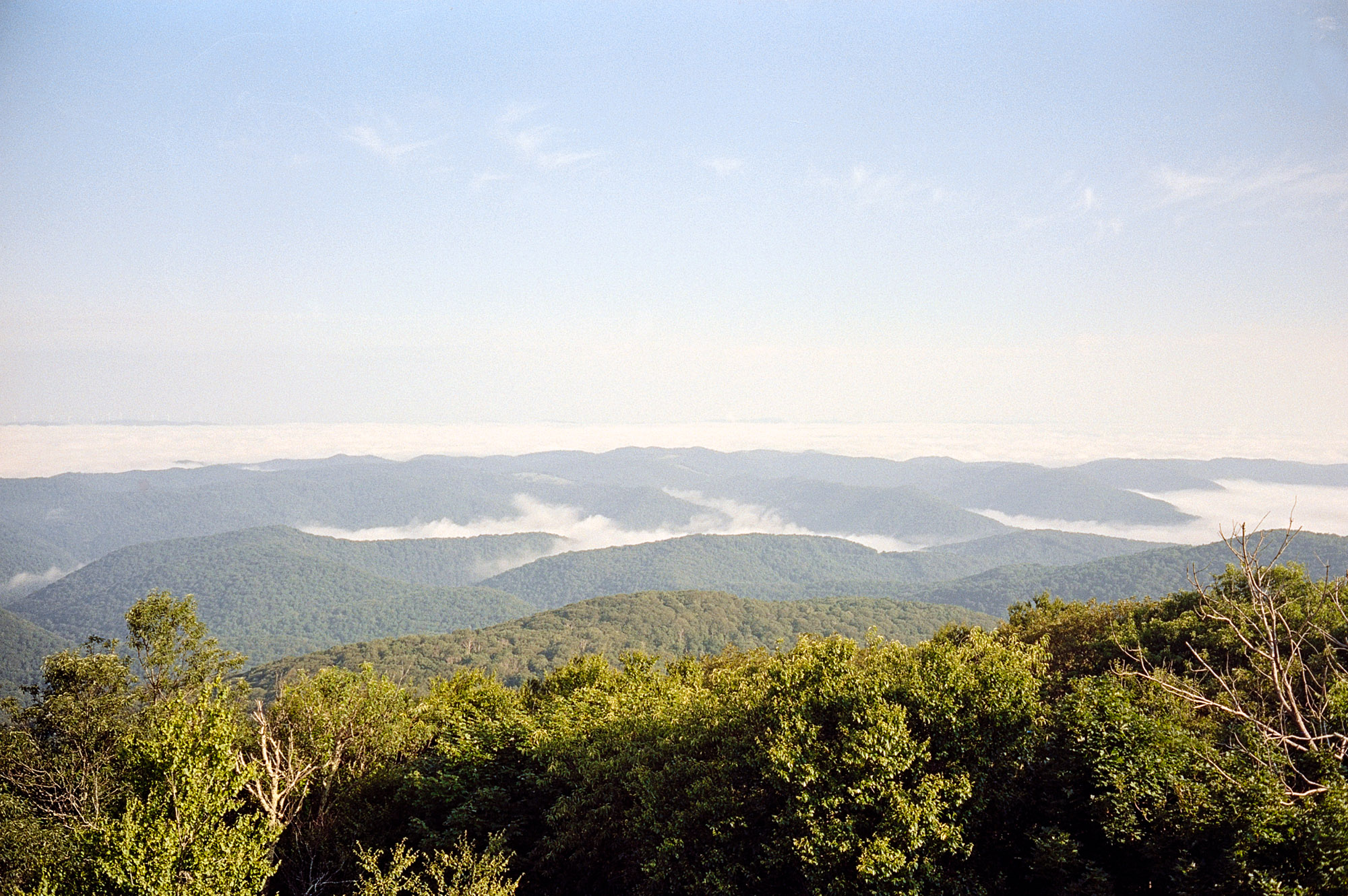
- Bickle Knob Observation Tower, the highest point of the route, with stunning views
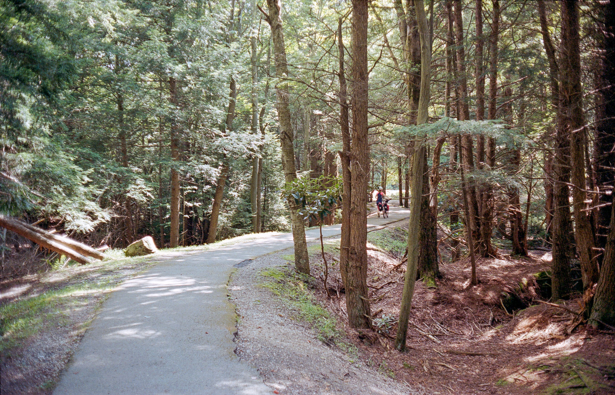
- Blackwater Canyon Rail Trail, the steepest rail trail in the US
- Endless riding along twisty rivers
- When to go: May to September is ideal if you want to avoid freezing conditions.
- Logistics: Campsites might be closed in winter, check availability.
- Dangers and Annoyances: Raccoons and black bears are common, so practice food safety. Danger can also come from small animals such as ticks and spiders (brown recluse spiders can hang out in dry wood or log piles). Finding food can be difficult in the southern part of the loop. Water should be filtered.
- Ideal Bike: Gravel or cross bike with 30mm+ tires or a hardtail mountain bike.
- There are several camping options (see map) that give good flexibility in terms of splitting the ride in multiple days or starting from the most convenient location.
- Two of our favorite and most remote campgrounds are Bear Heaven Recreational area (small campground, on a first-come, first-served basis) and the free dispersed campground at the end of Gladwin Valley.
- Plenty of food available in the northern part of the road between Parsons and Davis.
- Water is available every few miles everywhere along the route, but should be filtered.
Starting from Davis and riding clockwise, the route quickly enters the Canaan Valley at Blackwater River State Park (make sure to stop to see the falls, just a short detour from the main road). Canaan Loop Road is a long (15+ miles) and technical 4WD trail in that State Park, mostly frequented by cyclists. A couple of miles are tough on a gravel bike, requiring some juggling between rocks and stream crossings. But don’t worry, it gets better from here.
Emerging from the woodland of Blackwater River State Park, the horizon than opens up in Canaan Valley with mostly smooth paved roads. The ride then dives down towards the Cheat River at Gladwin Valley (there is a free dispersed campsite at the end of Gladwin Valley). After a couple of big climbs and descents on mixed pavement, it’s possible to reach Bear Heaven Campground on the southern part of the loop. There is a short and sweet rocky trail to explore on foot from the campsites. Shortly after the campground lies Bickle Knob, the highest point of the loop, with amazing views.
After plunging down Bickle Knob, the ride follows the Shavers Fork on a dirt road. The final (long) climb is up the amazing Blackwater River Trail, which used to be the steepest railroad in the US, a testament to the coal mining past of the area. Blackwater River Trail is mostly as wide as a singletrack, but it is very smooth and easy to ride on any bike. The climb ends at Thomas, a quaint town worth exploring, not far from Davis, the end point of this fun loop.
Additional Resources
- Bicycle shop in Davis blackwaterbikes.com
- Other Activities in Blackwater Falls State Park wvstateparks.com
- Otter Creek Wilderness (no bikes allowed) fs.usda.gov


Terms of Use: As with each bikepacking route guide published on BIKEPACKING.com, should you choose to cycle this route, do so at your own risk. Prior to setting out check current local weather, conditions, and land/road closures. While riding, obey all public and private land use restrictions and rules, carry proper safety and navigational equipment, and of course, follow the #leavenotrace guidelines. The information found herein is simply a planning resource to be used as a point of inspiration in conjunction with your own due-diligence. In spite of the fact that this route, associated GPS track (GPX and maps), and all route guidelines were prepared under diligent research by the specified contributor and/or contributors, the accuracy of such and judgement of the author is not guaranteed. BIKEPACKING.com LLC, its partners, associates, and contributors are in no way liable for personal injury, damage to personal property, or any other such situation that might happen to individual riders cycling or following this route.
Please keep the conversation civil, constructive, and inclusive, or your comment will be removed.