


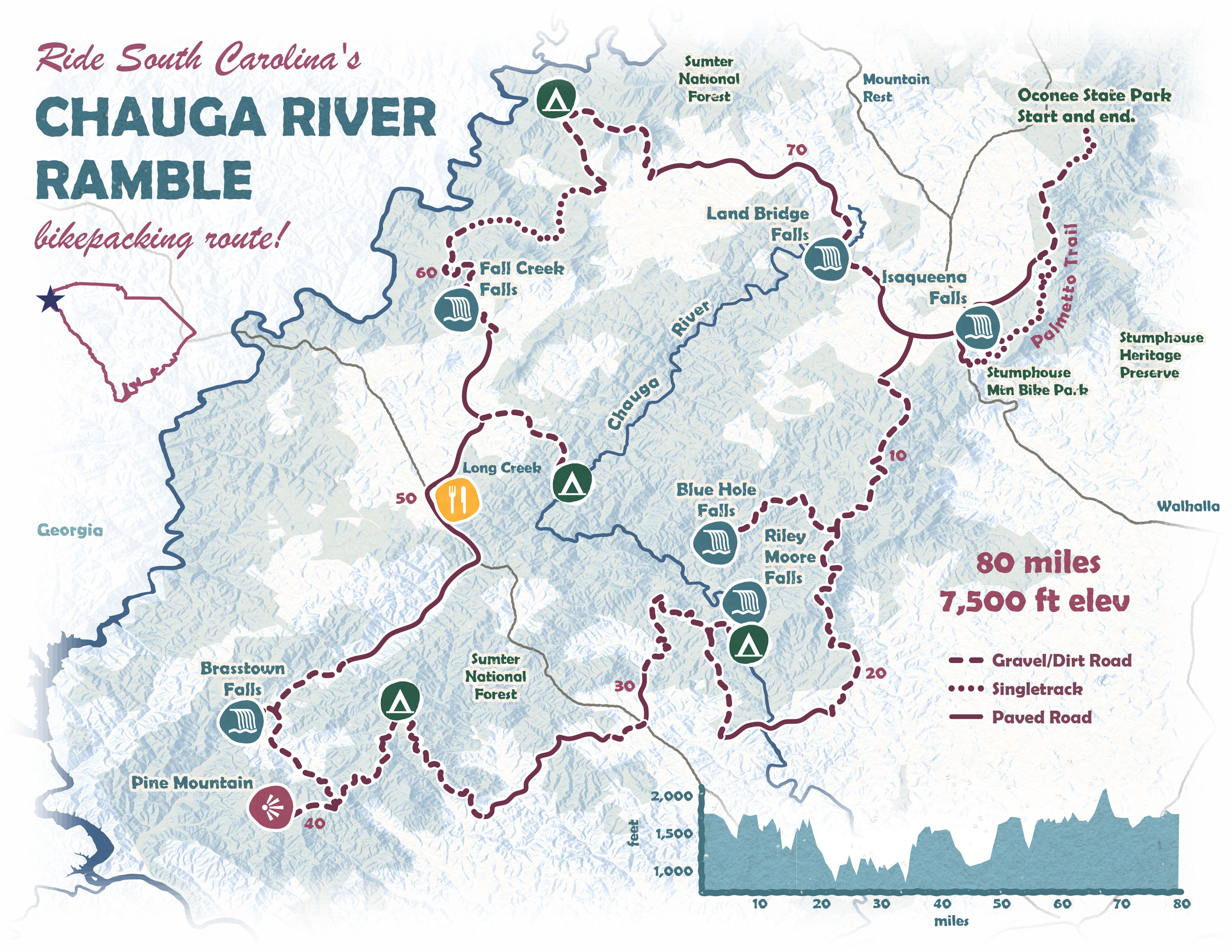
Chauga River Ramble
Distance
82 Mi.
(132 KM)Days
2-3
% Unpaved
69%
% Singletrack
10%
% Rideable (time)
98%
Total Ascent
7,646'
(2,331 M)High Point
2,128'
(649 M)Difficulty (1-10)
5?
- 6Climbing Scale Moderate93 FT/MI (18 M/KM)
- 4Technical Difficulty Fair
- 7Physical Demand Difficult
- 3Resupply & Logistics Fair
Contributed By
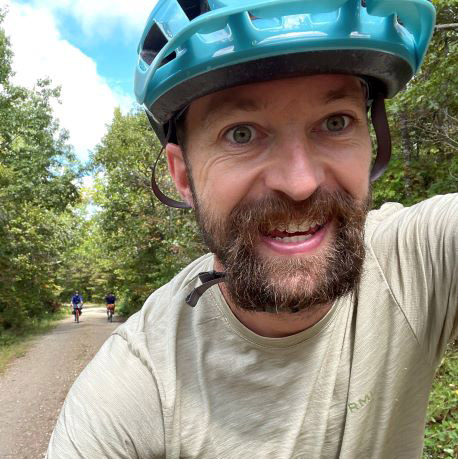
Tanner Arrington
Guest Contributor
Tanner is a native of Texas with roots in New Mexico, now living in South Carolina. Most of his miles are to and from work. Neighborhood cruises with his family and seeing the bike-born joy on his kids’ faces is his favorite kind of riding. If he’s not on a bike, he might be on the river or at a baseball game. He makes maps for work at FreewheelMaps.com.
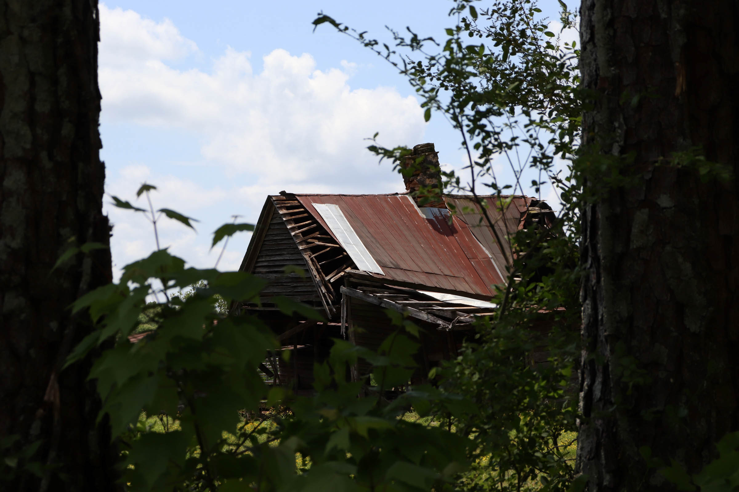
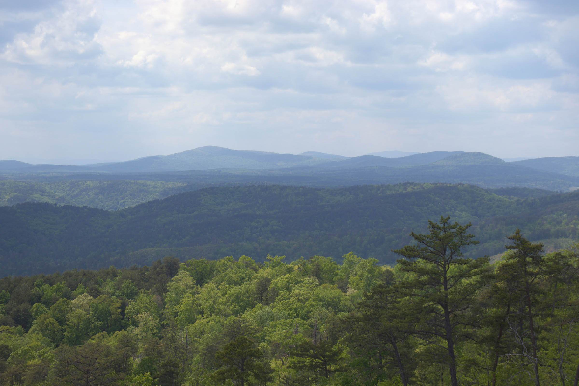
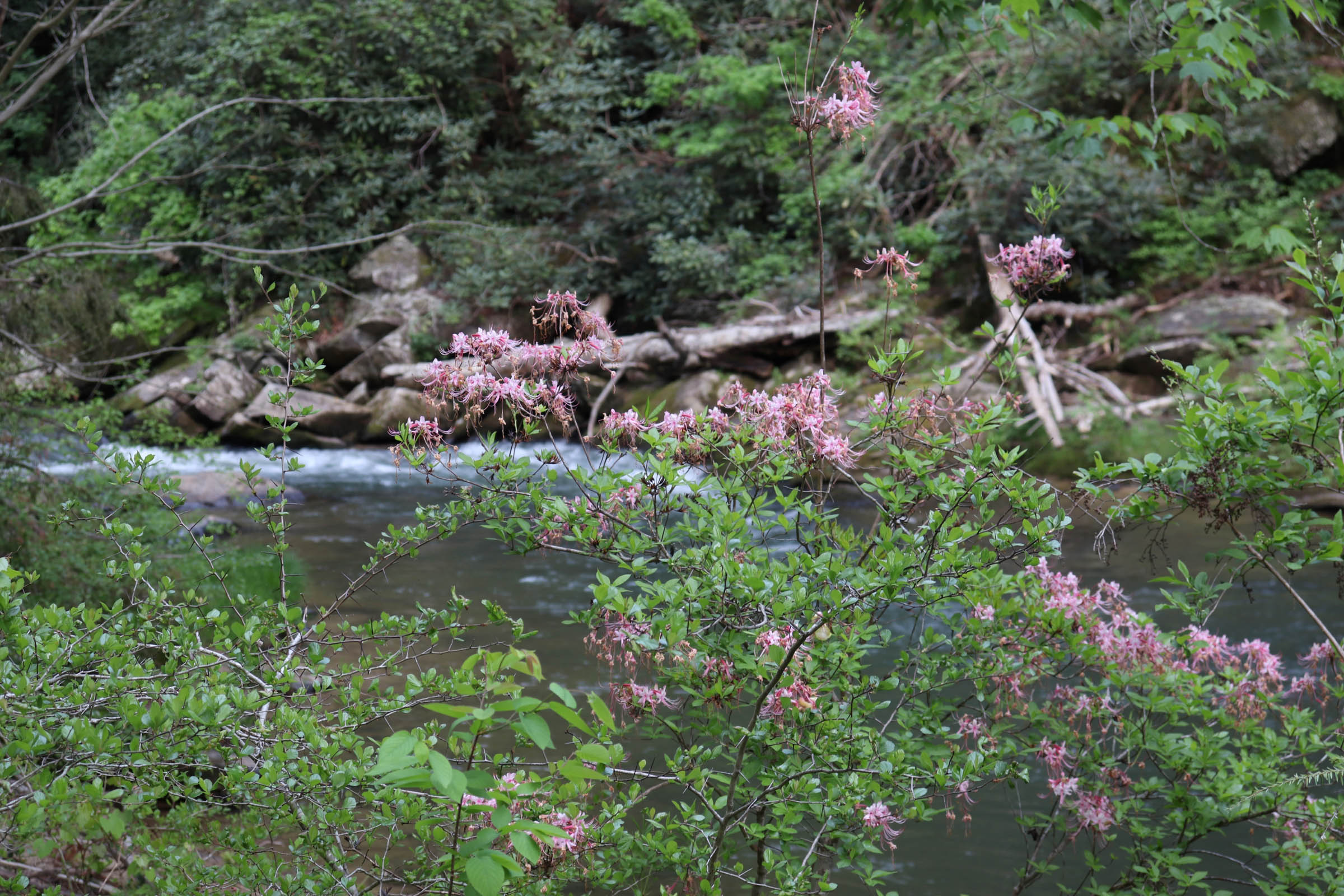
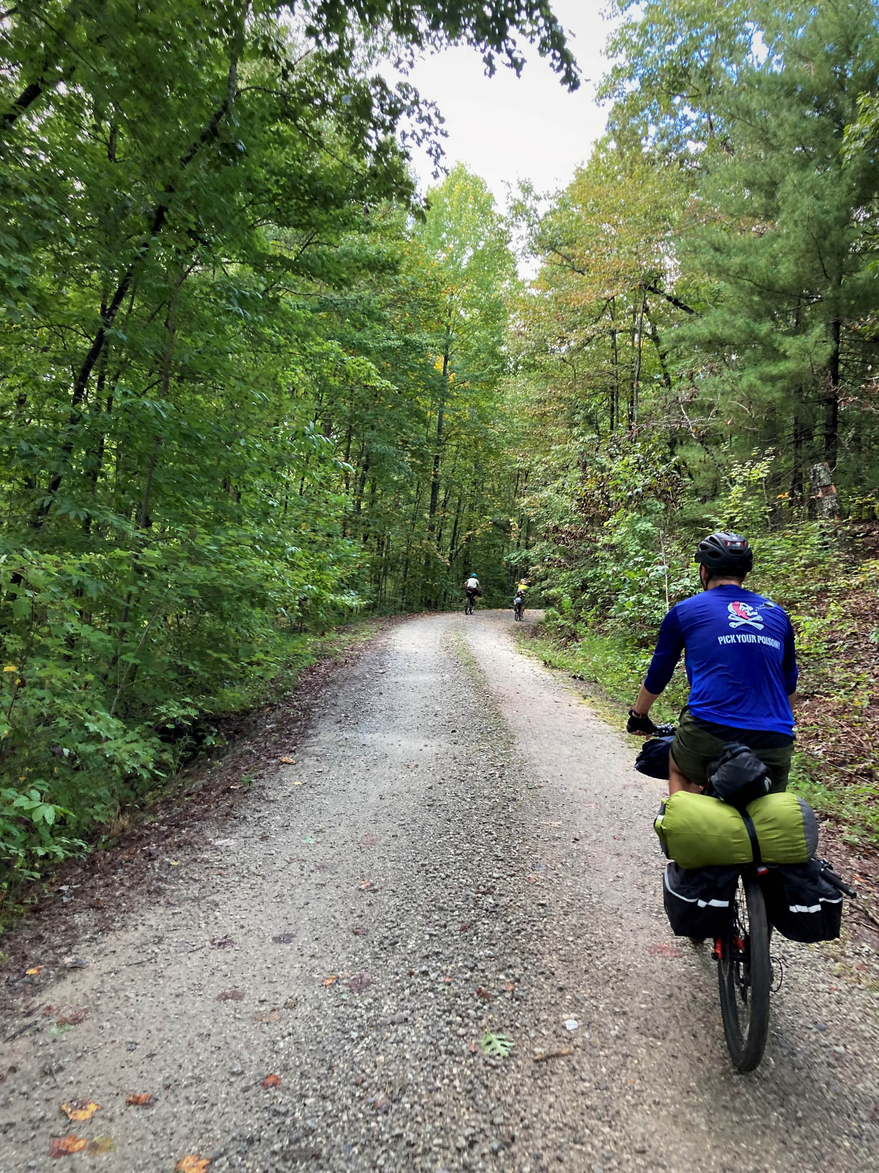
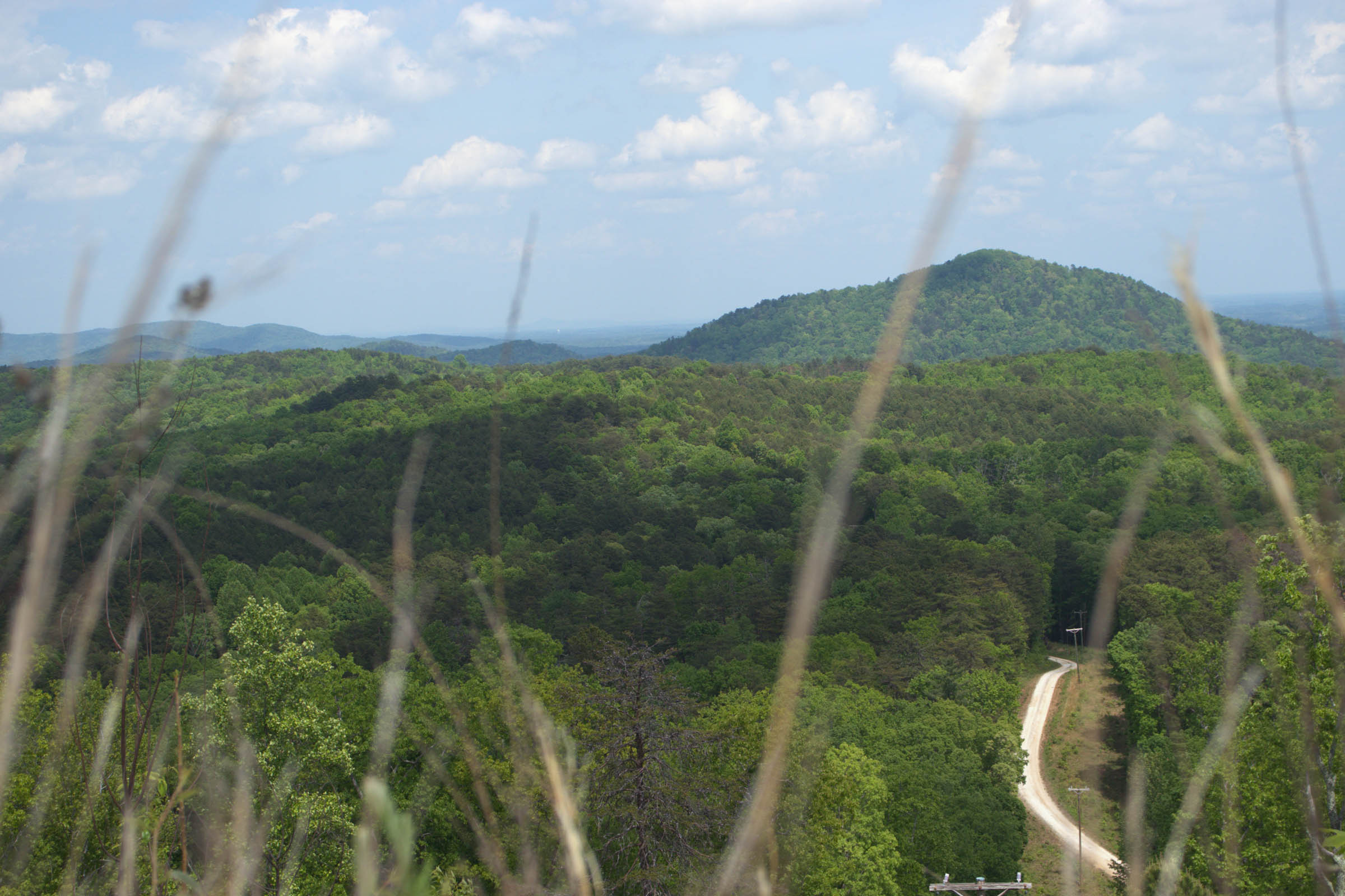
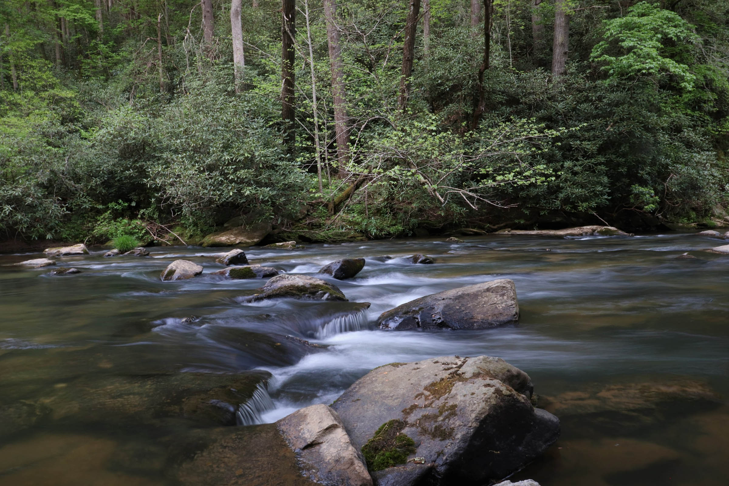
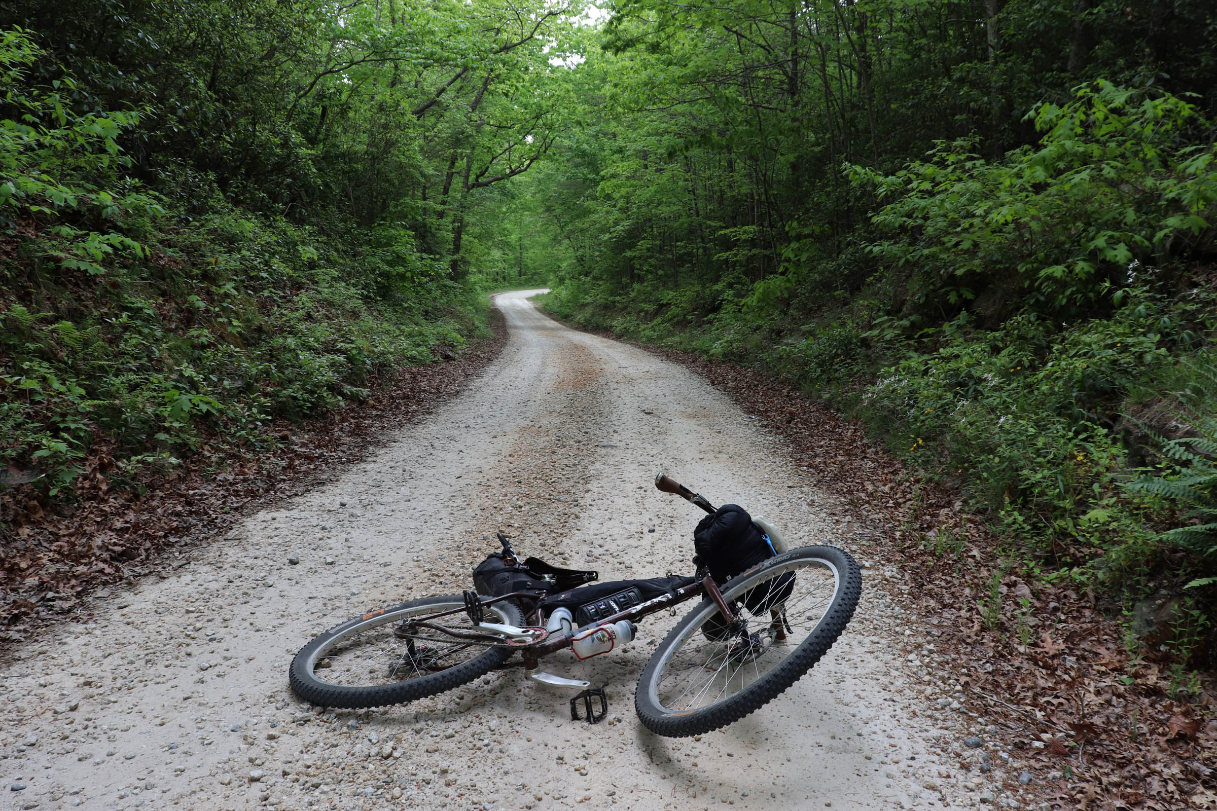
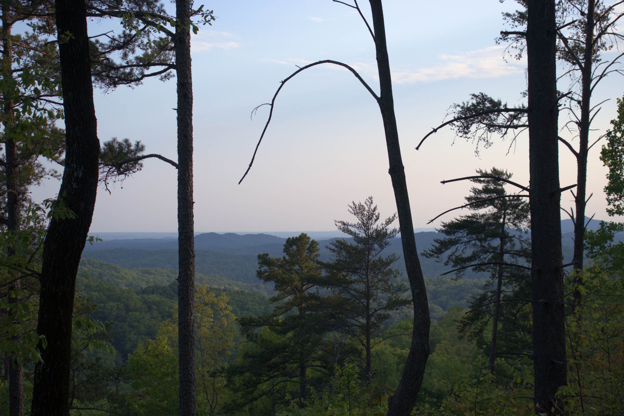
The Chauga River Ramble highlights South Carolina’s slice of the Blue Ridge in the northwesternmost corner of the state. The Chauga is at the heart of the route, which crosses the river multiple times and is based around two primary campsites along its scenic banks.
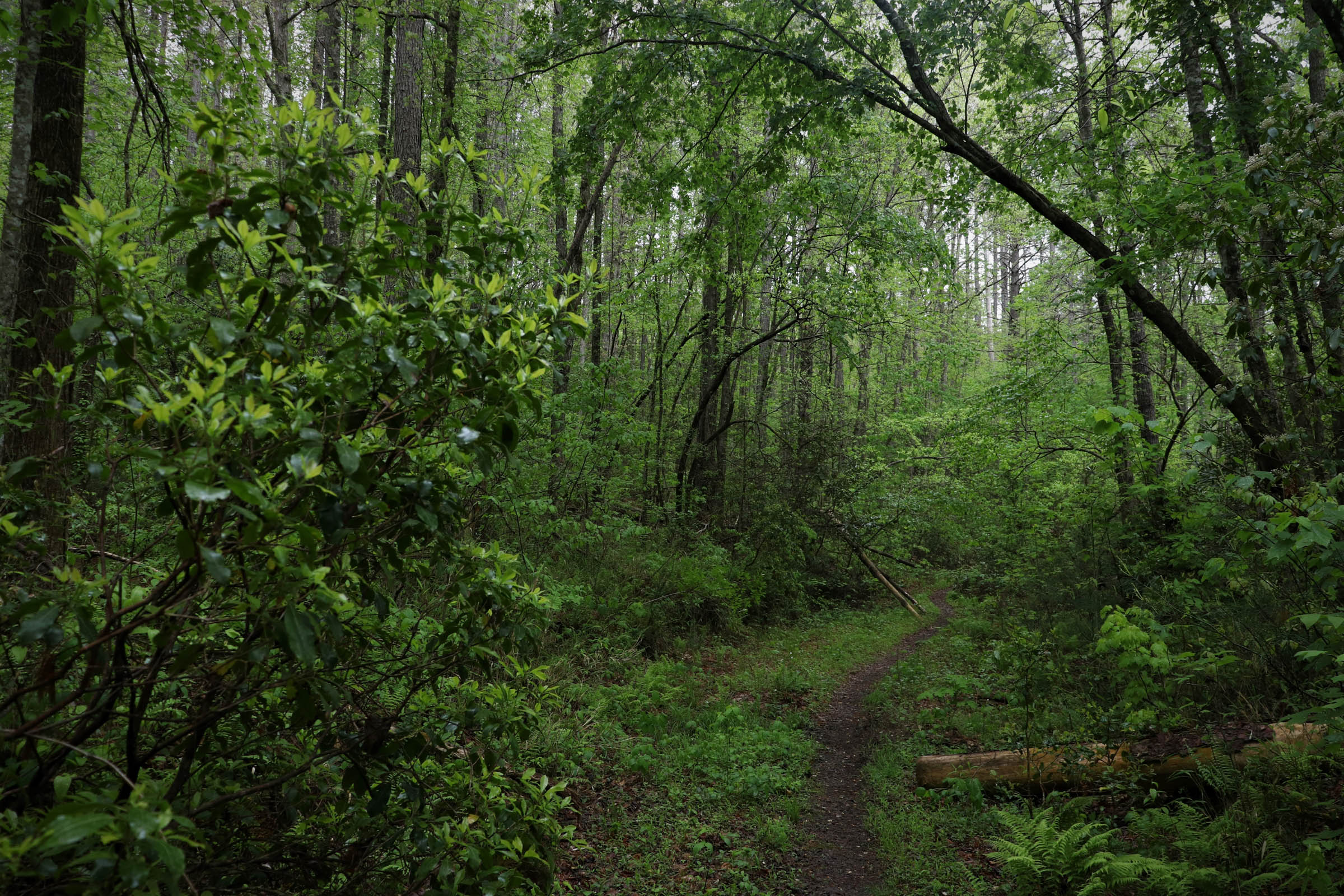
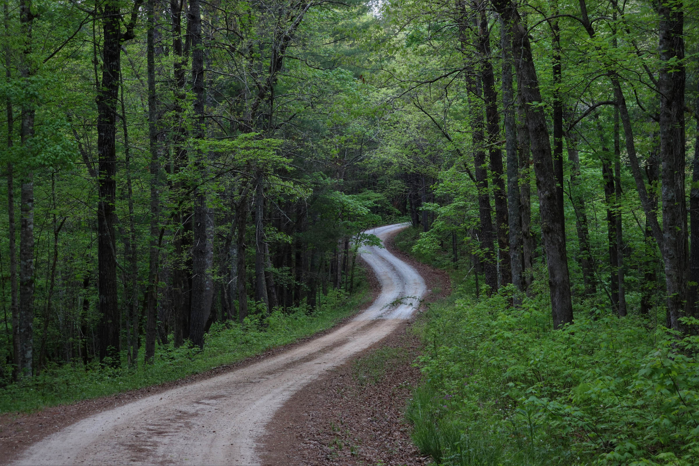
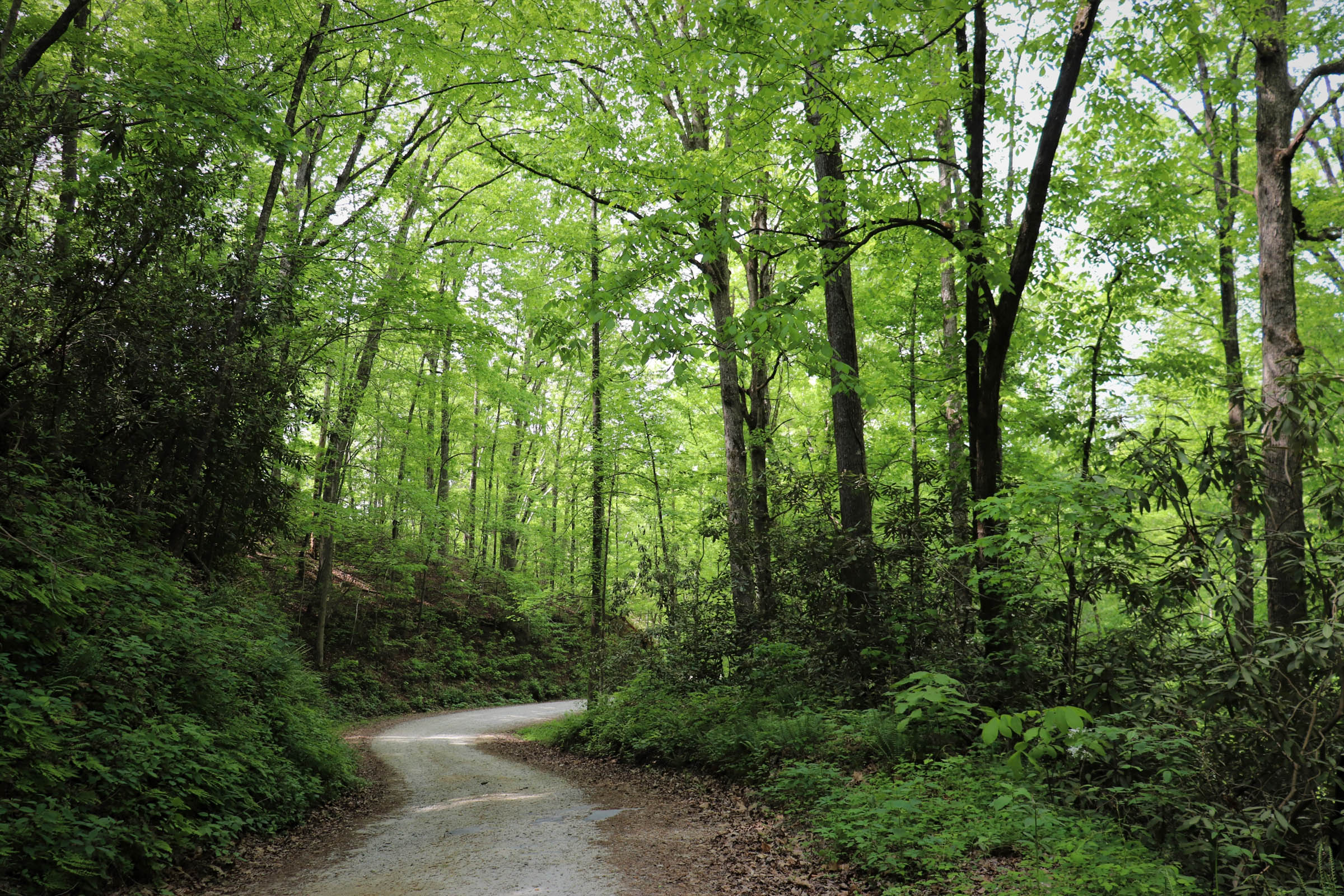
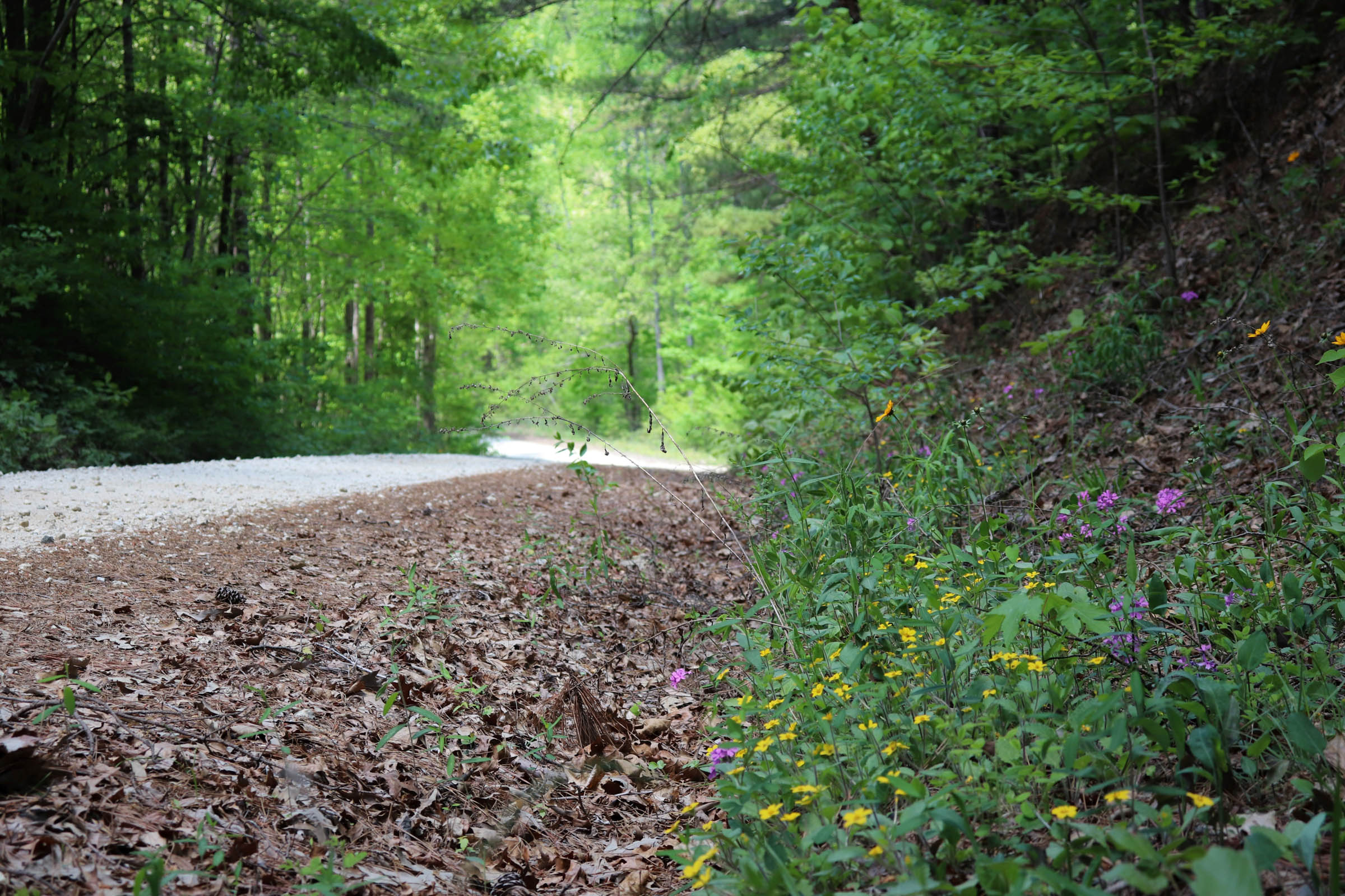
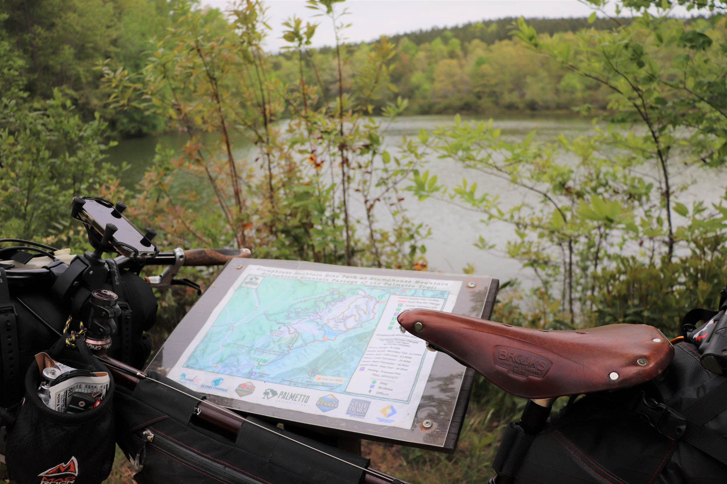
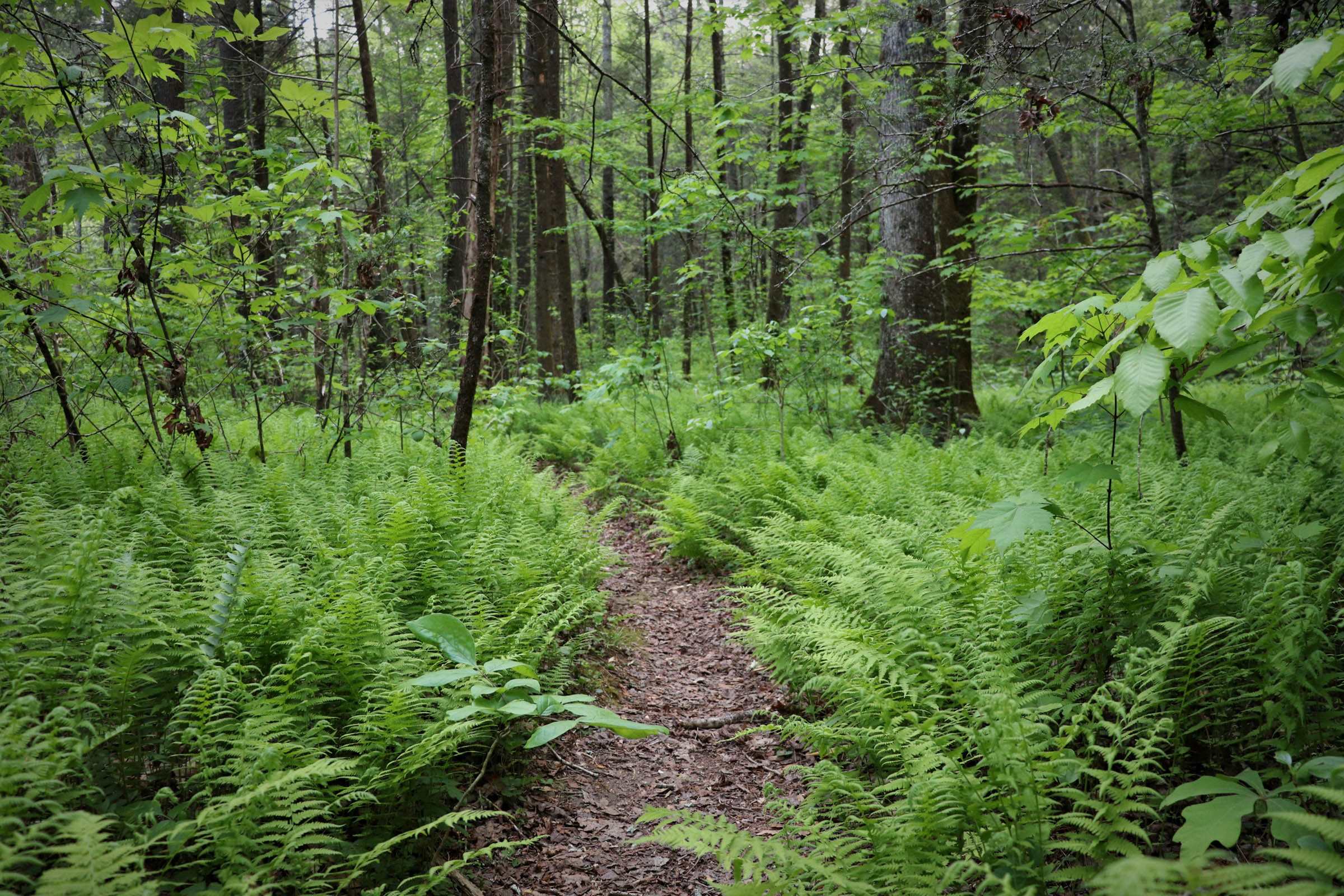
There are at least six waterfall stops along the route. In between waterfalls are miles of ridgetop forest roads with views off the edge of the Blue Ridge Escarpment, and quiet country backroads through idyllic farming valleys. Throw in some flowy singletrack (shout out to the Palmetto Trail and Stumphouse Mountain Bike Park) and some rugged unimproved forest trails, and this route has it all covered.
While this route can easily be completed as an overnighter for some riders, it’s designed for a slow-going pace, exploring off the bike, and enjoying what the landscape has to offer. With simple logistics and achievable mileage across three days (despite a bit of climbing), this can be a great route for someone new to bikepacking.
Route Difficulty
This Chauga River Ramble sits right in the middle at a 5 out of 10. Logistically, it’s pretty easy, with a nice start and finish location at Oconee State Park and options to resupply mid-ride. While none of the riding is technical, there is a decent amount of climbing, especially for someone new to bikepacking. Making this a three-day trip makes it less demanding. The primary camping options are primitive.
Route Development: Big thanks to Nate, Jason, and Andrew, who let me take them on their first bikepacking trip on an earlier version of the Chauga River Ramble and suffered with me through an ill-conceived attempt of the initial route that didn’t quite work out. Sorry, guys.


Submit Route Alert
As the leading creator and publisher of bikepacking routes, BIKEPACKING.com endeavors to maintain, improve, and advocate for our growing network of bikepacking routes all over the world. As such, our editorial team, route creators, and Route Stewards serve as mediators for route improvements and opportunities for connectivity, conservation, and community growth around these routes. To facilitate these efforts, we rely on our Bikepacking Collective and the greater bikepacking community to call attention to critical issues and opportunities that are discovered while riding these routes. If you have a vital issue or opportunity regarding this route that pertains to one of the subjects below, please let us know:
Highlights
Must Know
Camping
Food/H2O
Trail Notes
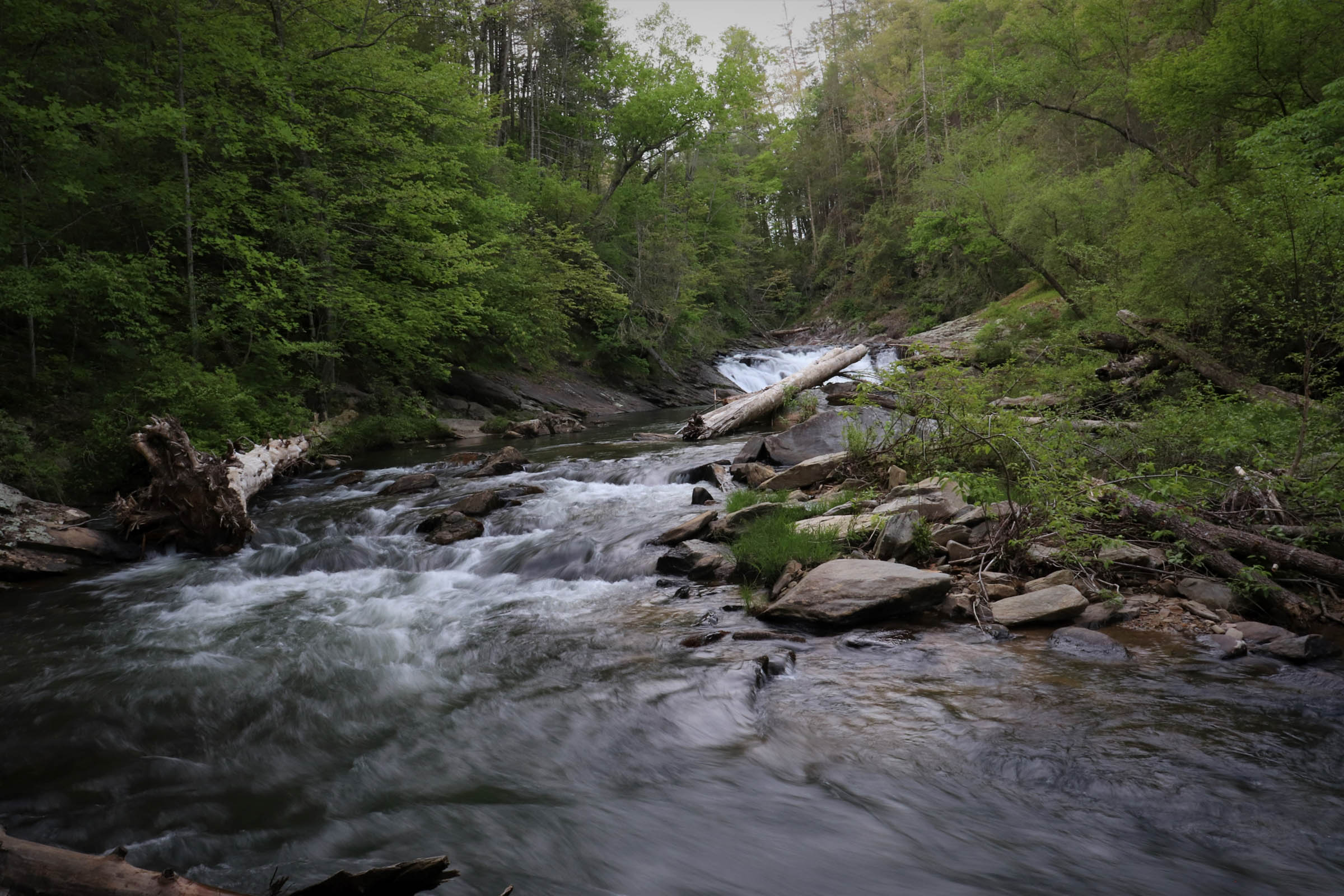
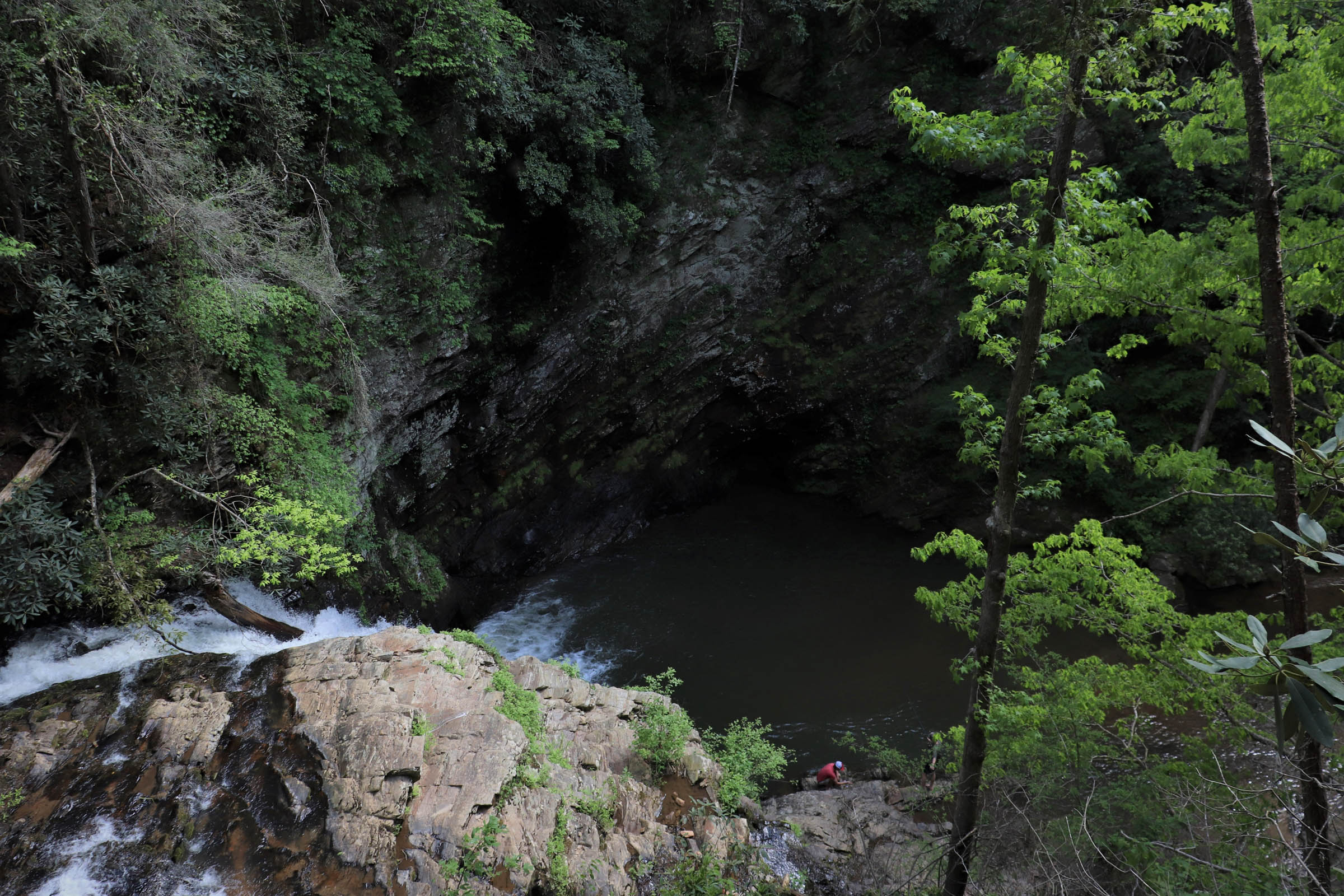
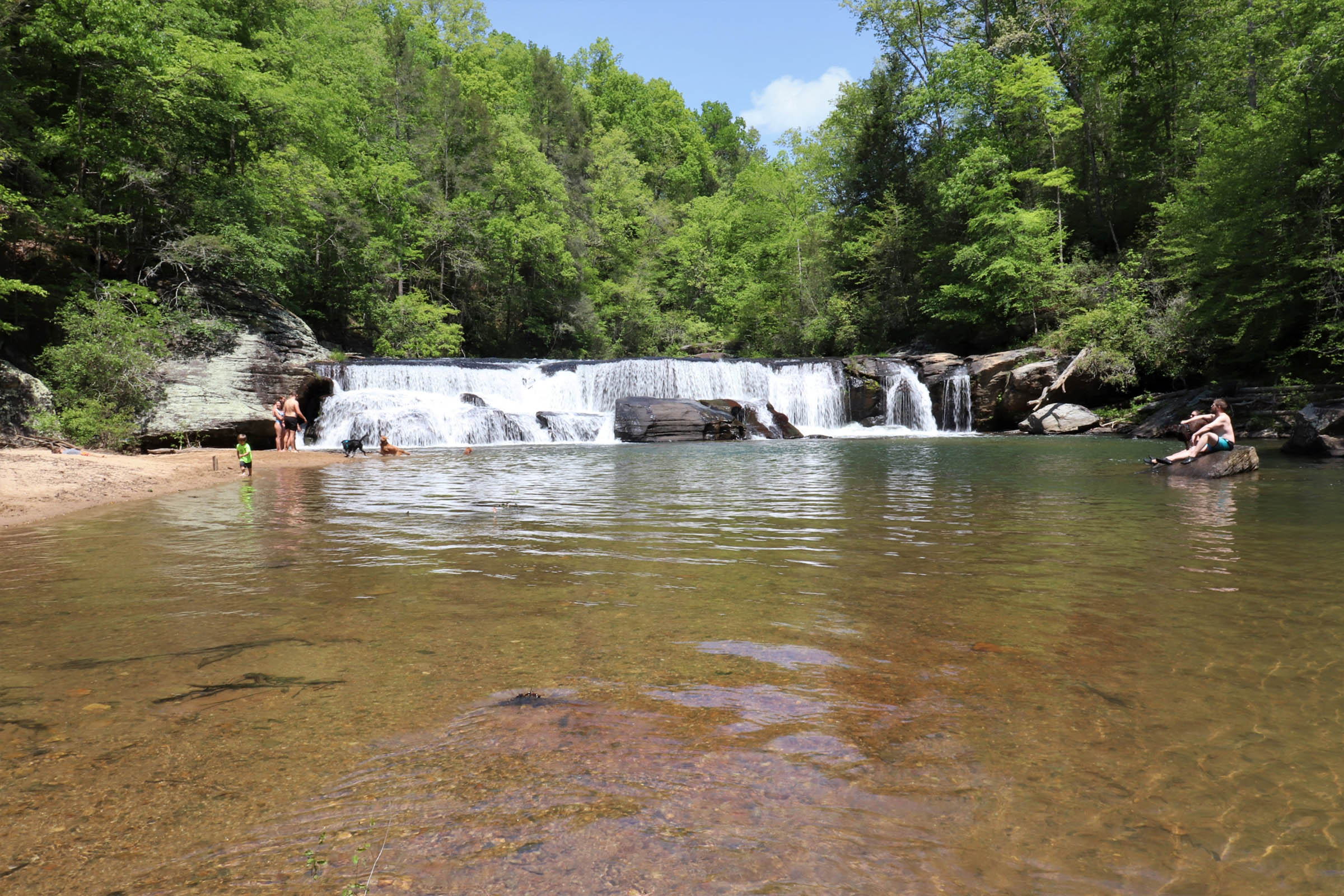
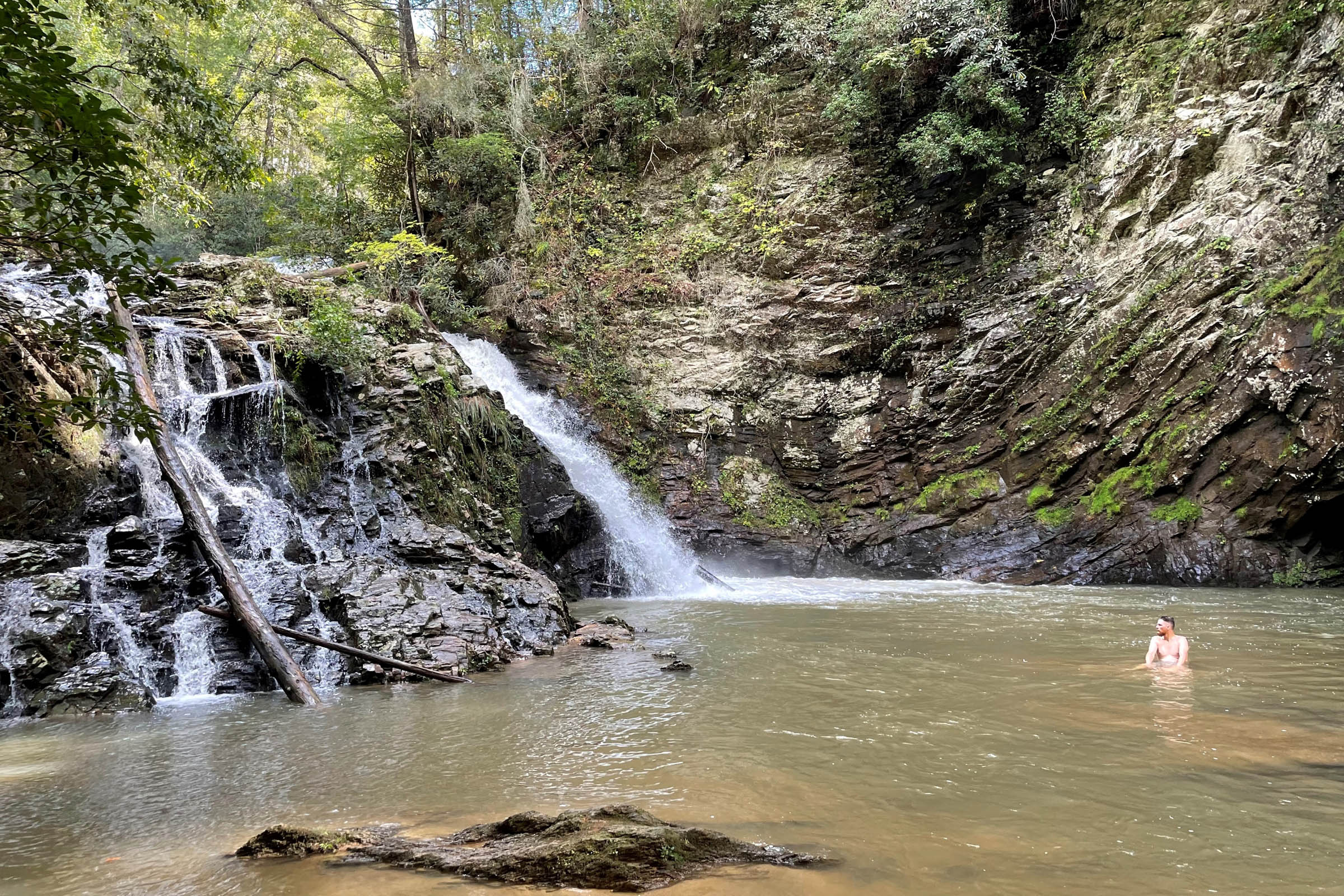
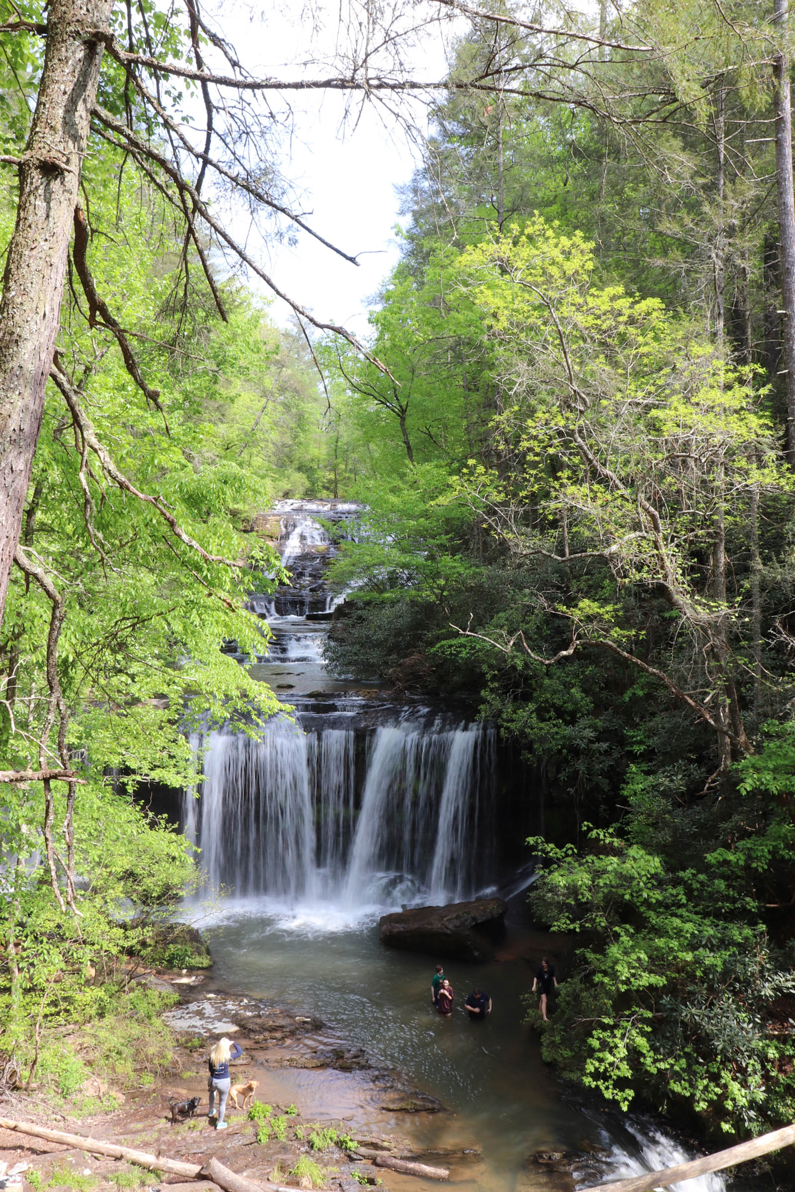
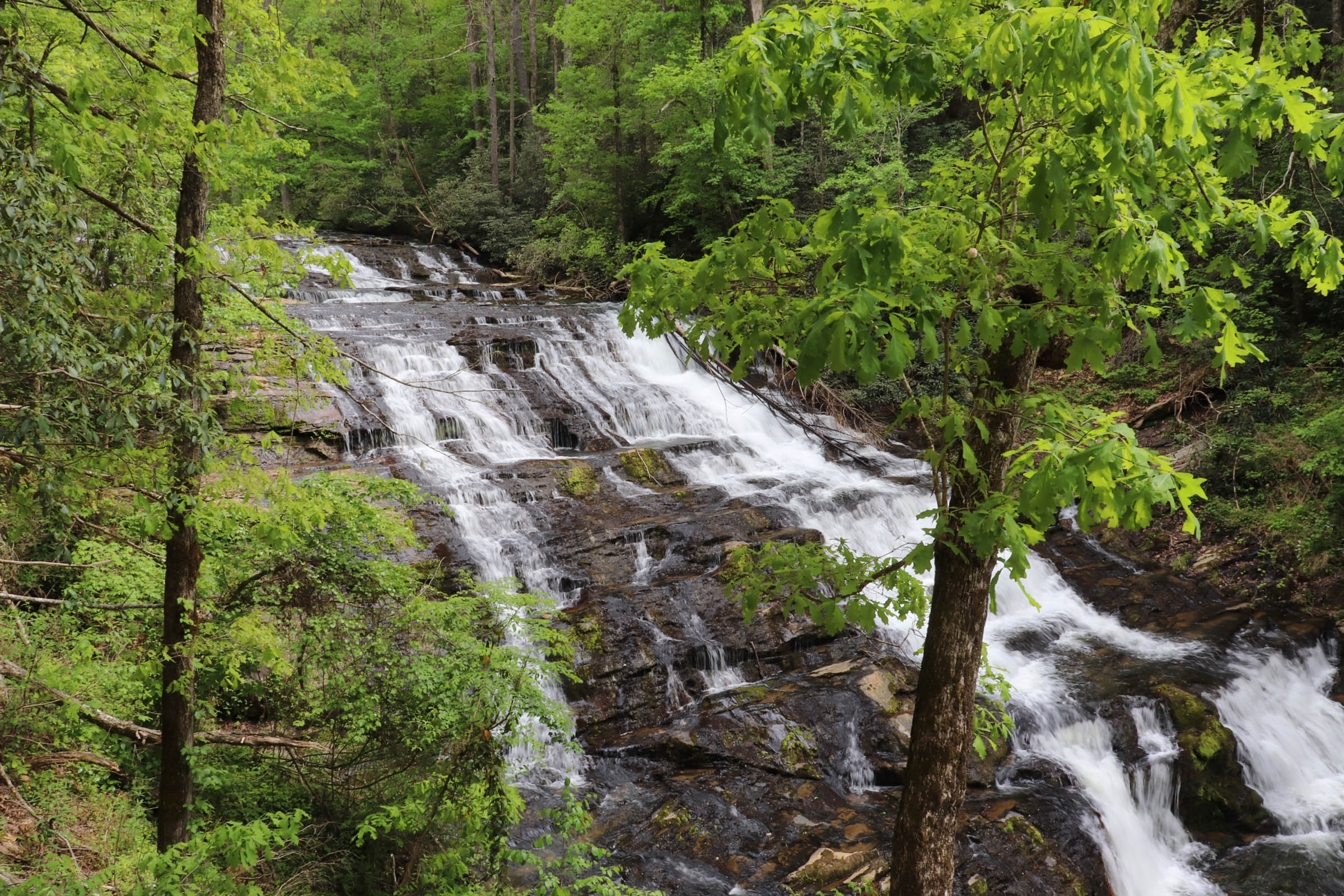
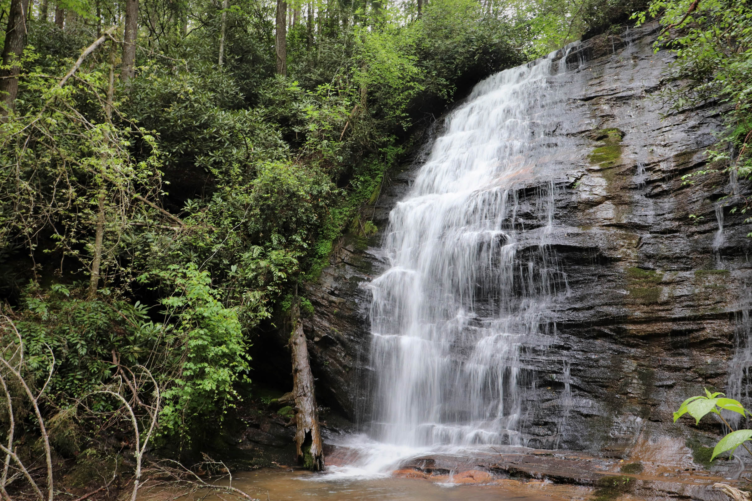
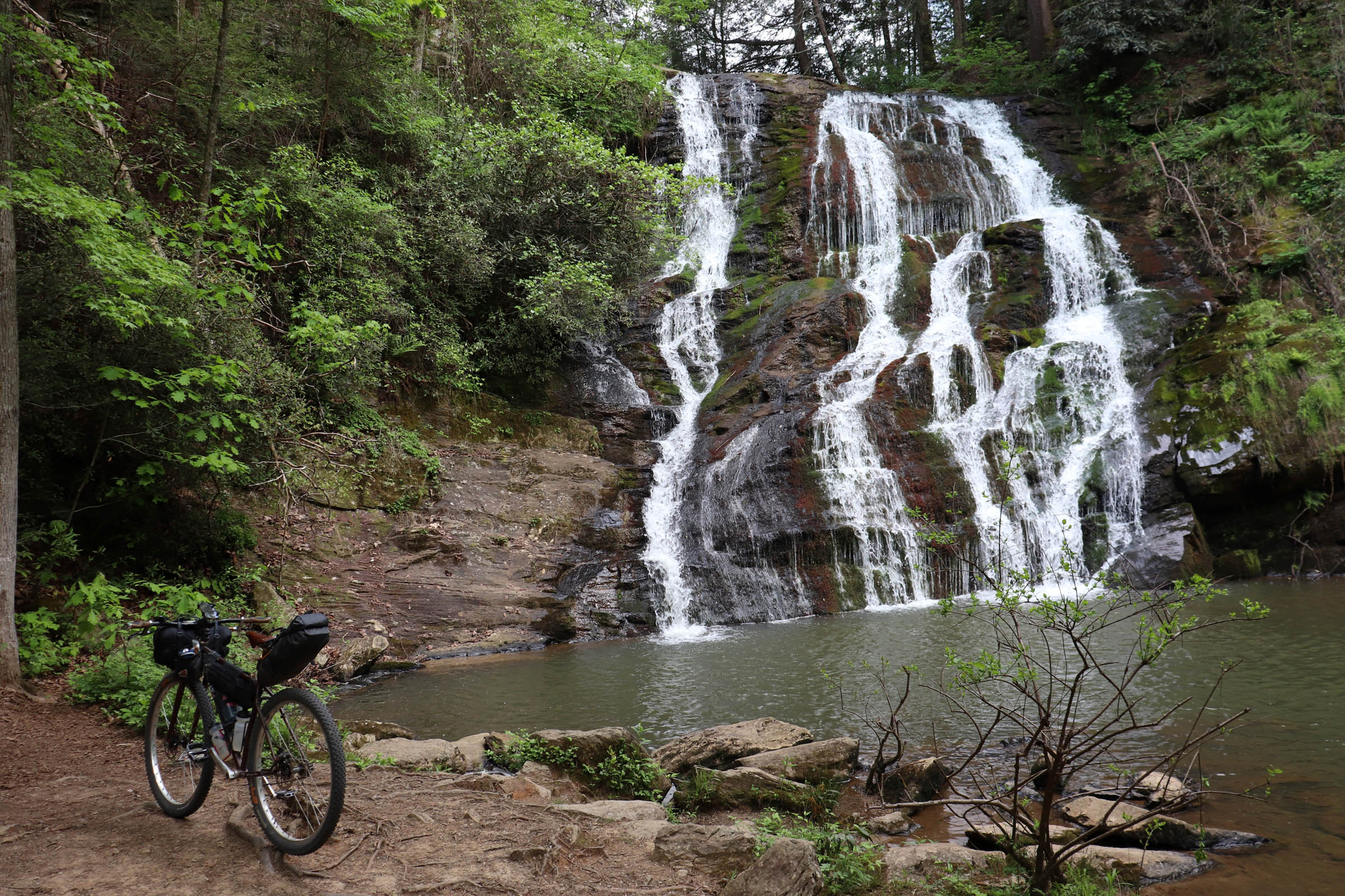
- Waterfalls – at least six of them along the route.
- Camping along the Chauga River.
- Room to explore – there are plenty of opportunities to check out other roads and trails and enjoy time off the bike.
- Variety of terrain – flowy singletrack, smooth gravel roads, backcountry trails, and quiet country pavement.
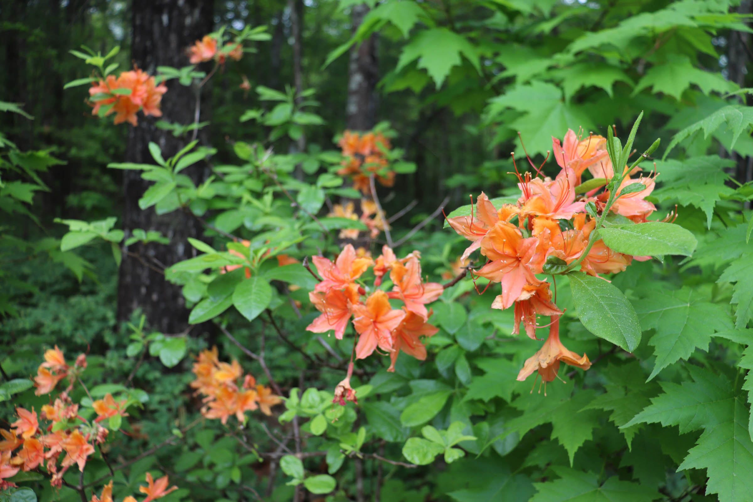
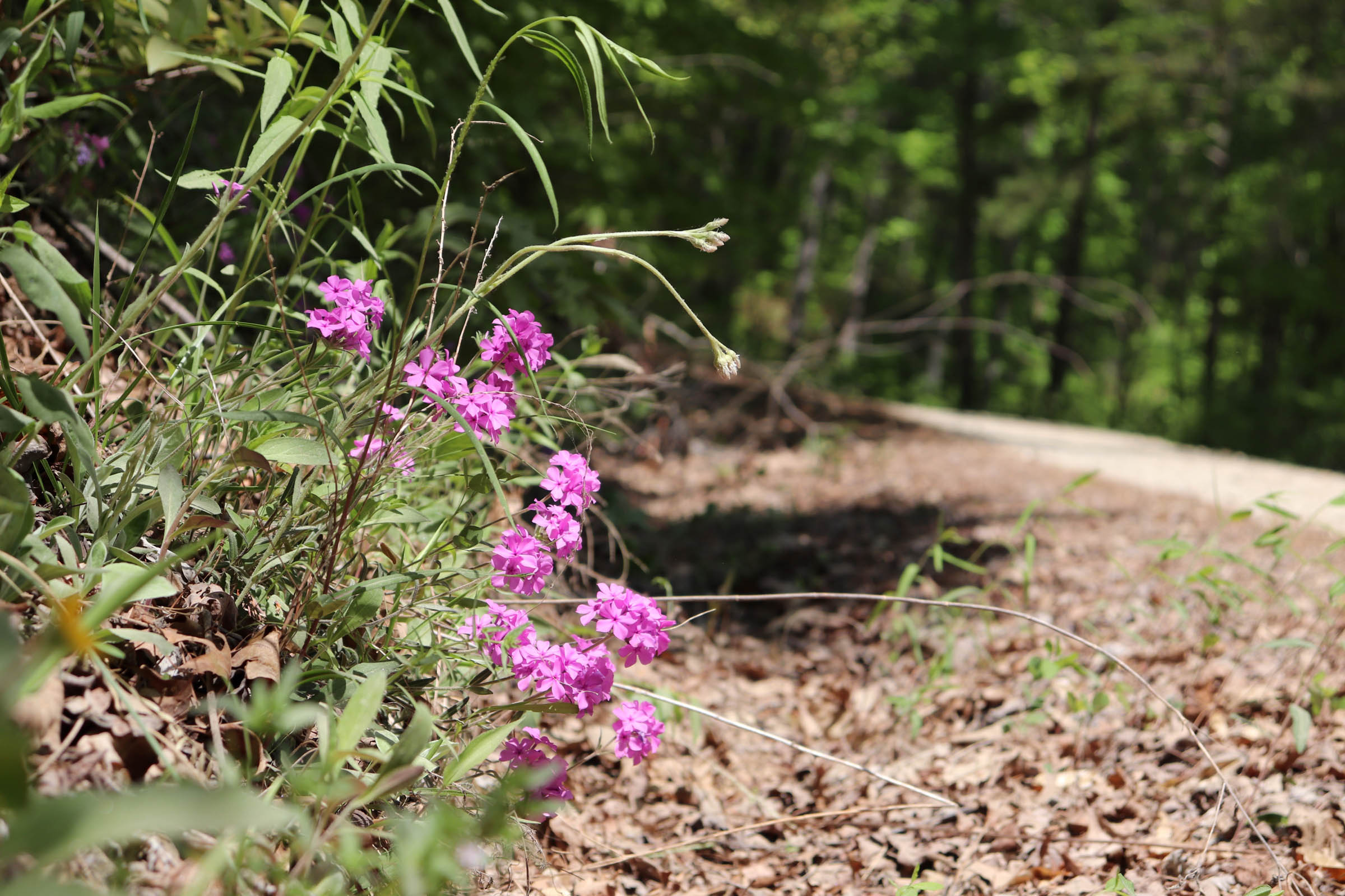
- All season riding – views in winter, wildflowers in spring, swimming in summer, foliage in fall.
- There is a $5 fee to ride through Stumphouse Mountain Park. Plan to pay the fee on the way to the start of the route, or at the park as you pass through on your bike. If you don’t want to pay to ride here, you can skip this section of singletrack. Stumphouse Mountain Park trail information can be found here.
- Start and end at Oconee State Park. Park at the Foothills Trail parking lot, and let the rangers know you’ll be parking there if the office is open.
- Ride all seasons – winter for leaf-off views, spring for wildflowers, fall for foliage, and summer for swimming holes. Let’s be honest, in South Carolina swimming is a three-season activity. Depending on where you’re from, riding this in the summer may be a retreat from worse heat, or a trip to the sauna.
- This route is good territory for an ATB. While a gravel-ish bike might be best for the majority of the miles, you might enjoy something more appropriate on the singletrack section (or to “shredpack” the other trails at the bike park) or chunkier tires for the less improved roads and trails. Not all of the gravel is packed and smooth.
- Use caution at waterfalls – be prepared to scramble through rhododendron or over rocks to get to some of them. Also, Some National Forest trails to waterfalls are closed to bikes. Follow all posted trail rules, and leave or walk your bike.
- Take in the view from Pine Mountain, which has some FAA instruments on top. Just don’t mess with anything.
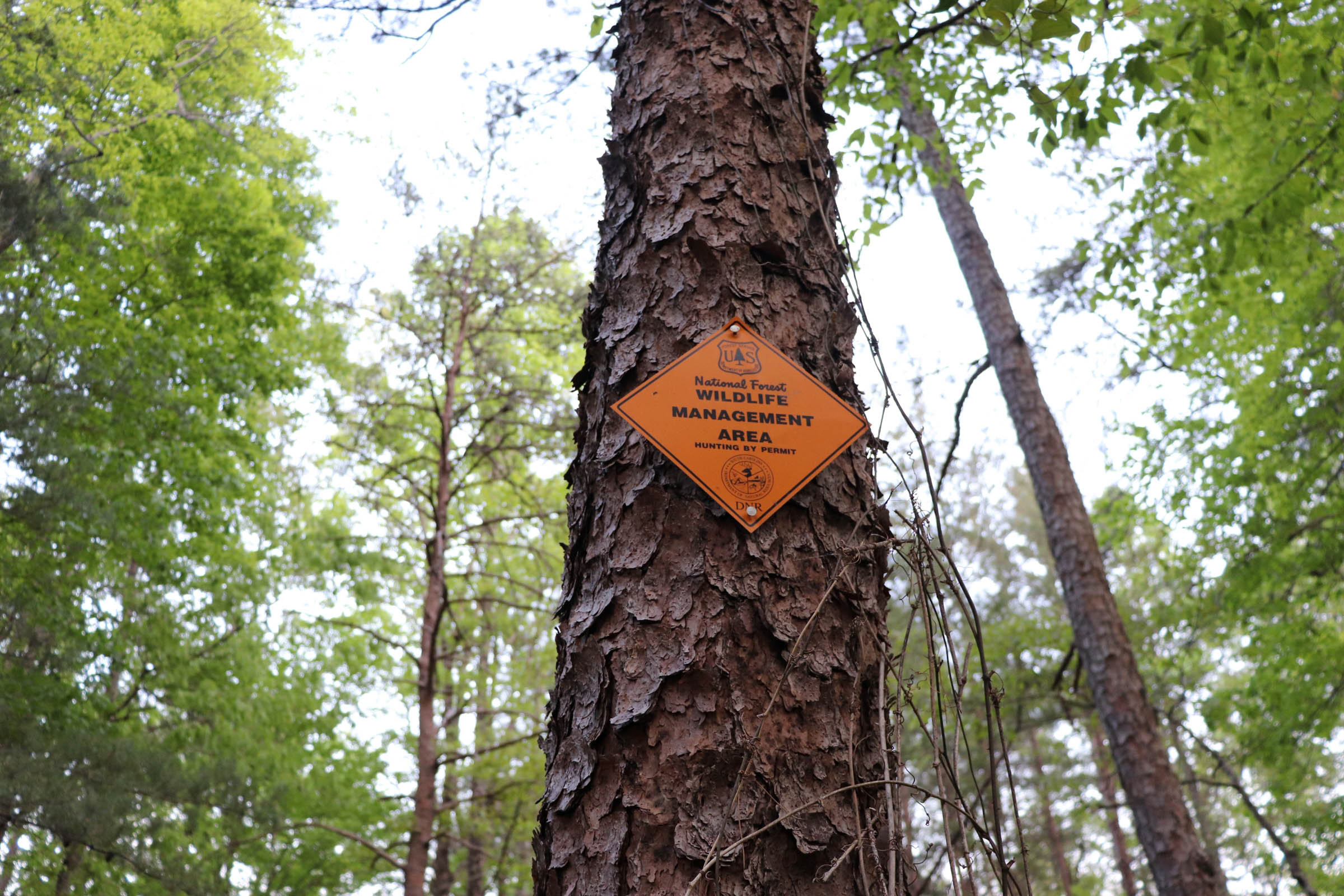
- If you venture off the beaten path in the national forest, be aware of hunting seasons.
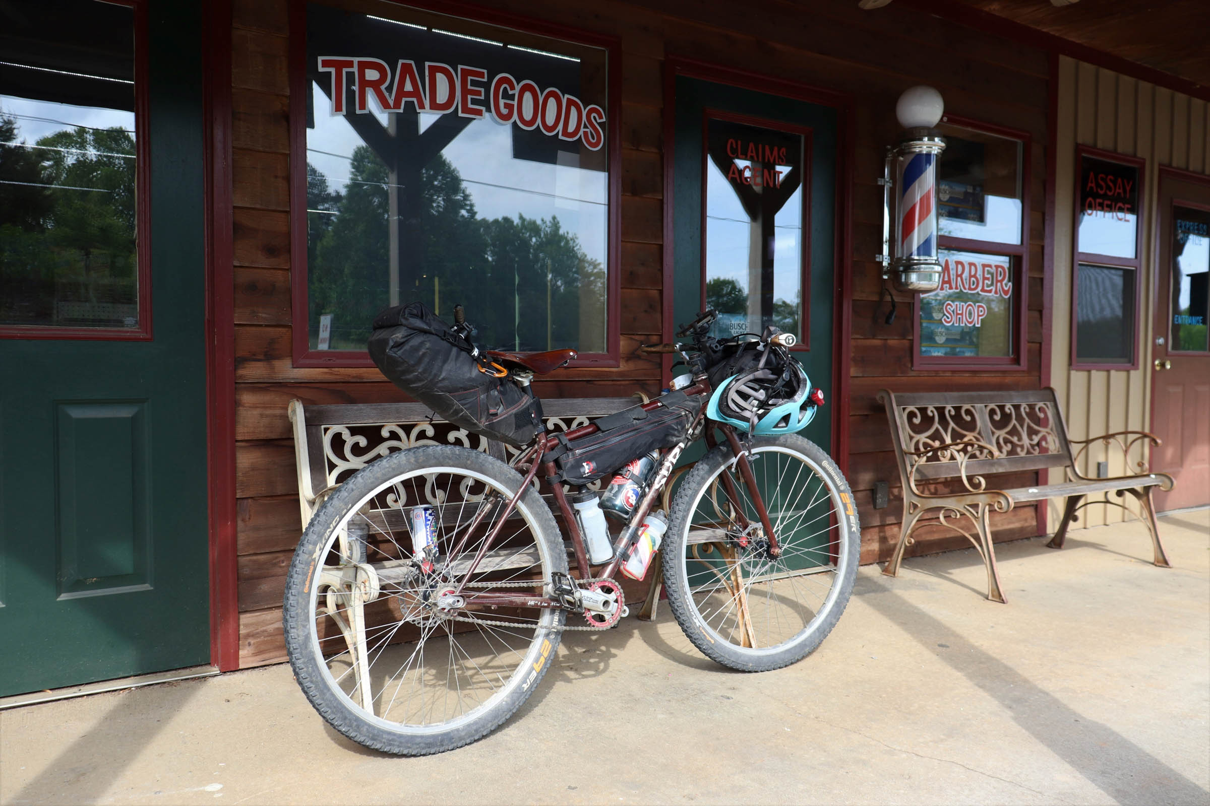
- Stop by Walhalla, which is making itself into a small bicycling town with the bike park up the road and an annual gravel race.
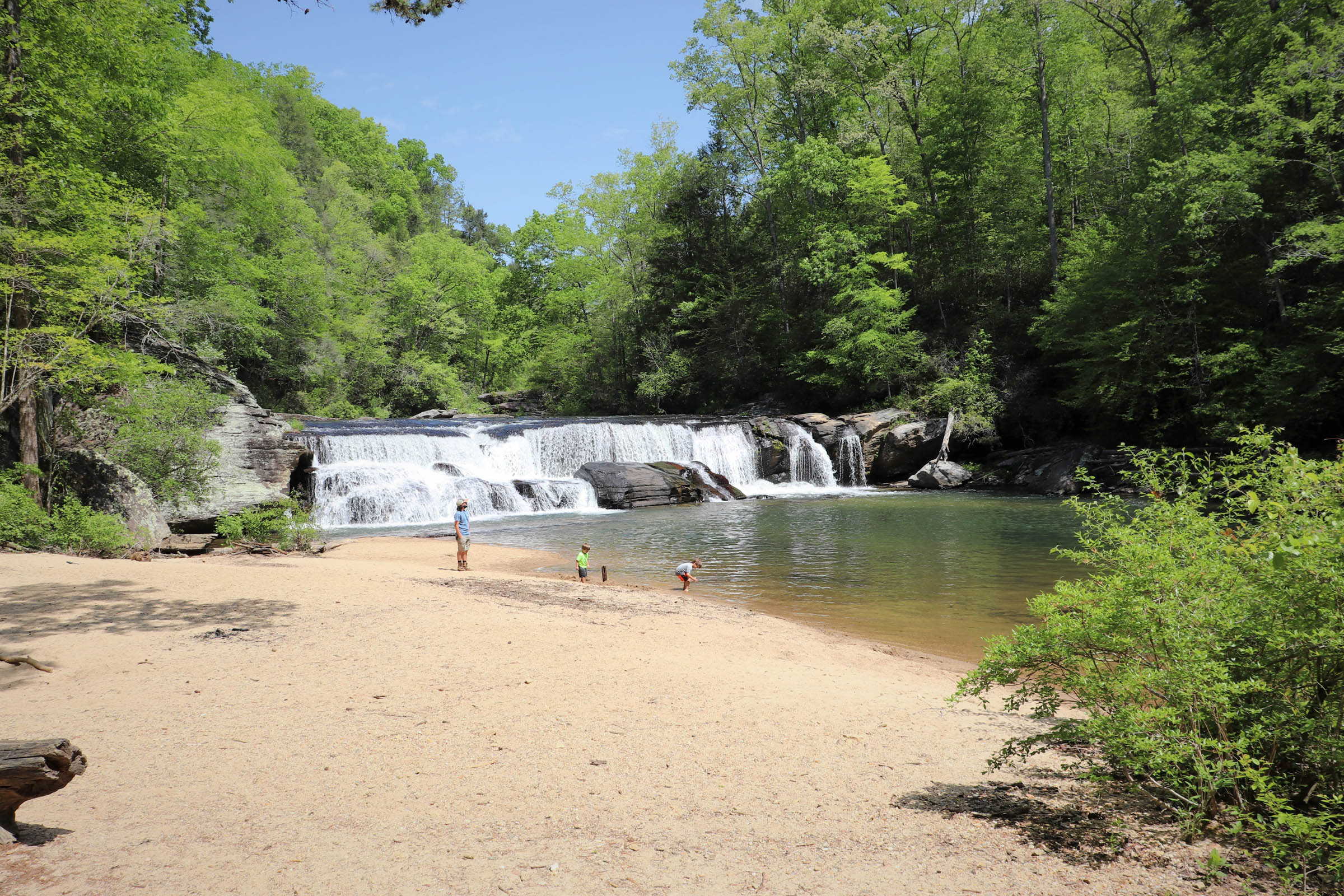
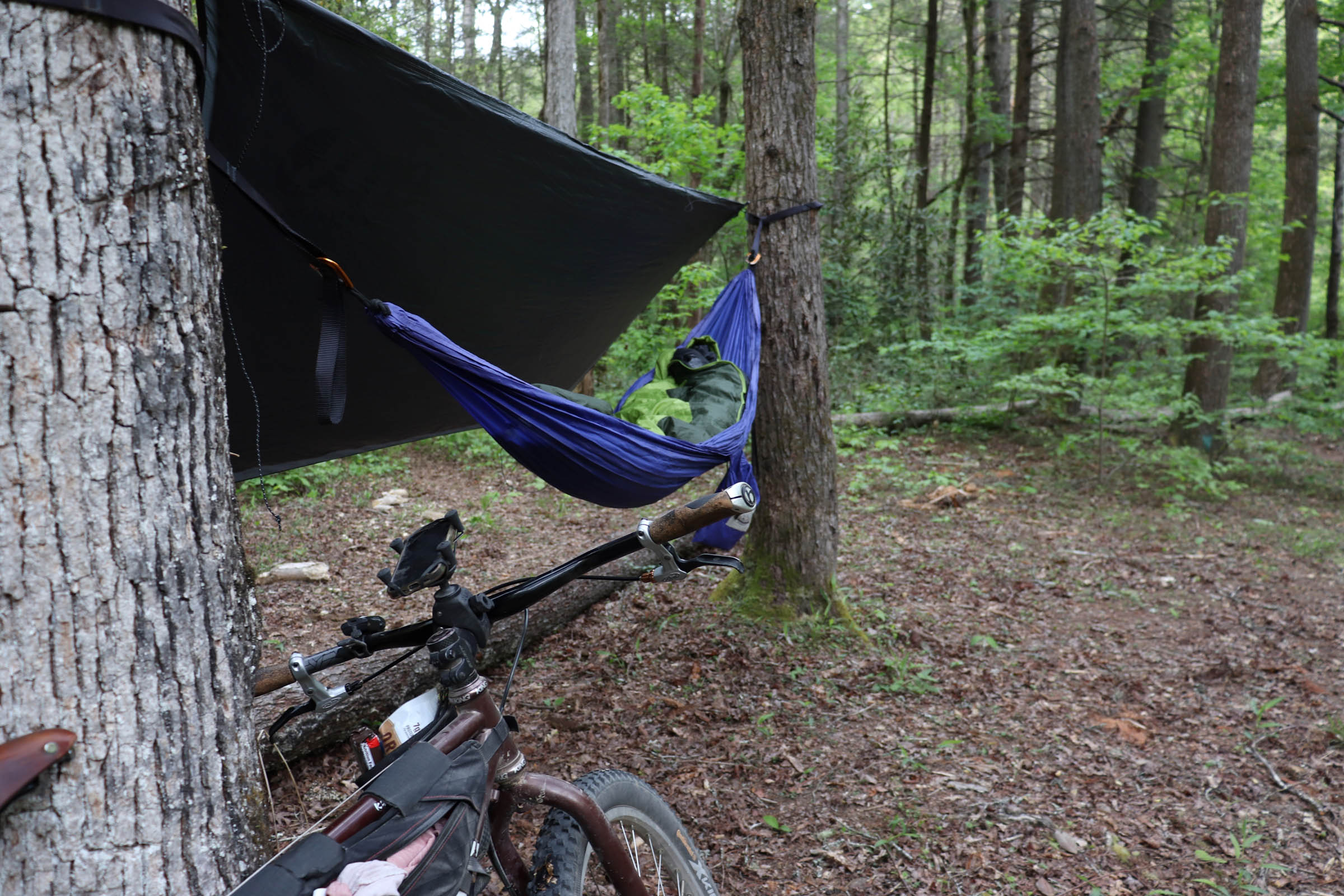
- The primary campsites for the route as designed are at Riley Moore Falls (mile 25.5) and the end of Double Branch Road (mile 54).
- Riley Moore Falls Campsite – Descend the old road. When you come to the trail to the falls, you must walk your bike the rest of the way. Before the steep section down to the beach, take a right. There are established campsites about 100 meters downstream from the falls, about 30 meters up the bank from the river.
- Double Branch Campsite – As you approach the end of the road, you’ll see a spur up the hill on the left. There is a campsite here at the top of this small hill. This is the easier option. There is also an established campsite next to the river. Behind the first site is a steep trail to the river. The river-side campsite is nice, but will require hiking your bike back up in the morning.
- Dispersed Camping – Most of the dirt on the route is within the Andrew Pickens District of Sumter National Forest. Dispersed camping is allowed and should be 50 feet from water and trails, and a half-mile from roads. Gated roads make for good possibilities to meet those requirements, but be aware that these paths are used by hunters during hunting season. A few options are noted on the map.
- A note about doing the trip in two days. There is no camping between miles 42 and 53, so you’ll want to find a spot to camp dispersed before mile 42 or make it to the Double Branch site at mile 54.
- Other alternatives for camping or lodging. Wildwater Outfitters, around mile 52, has cabins and group yurt rentals. Whetstone Horse Camp is a developed USFS campground at mile 65. Other campgrounds and possible campsites that are off the route are shown on the map in case you need to improvise.
- There is a country store at mile 6.5 with expired canned goods and boiled peanuts – and basic convenience store food and drink.
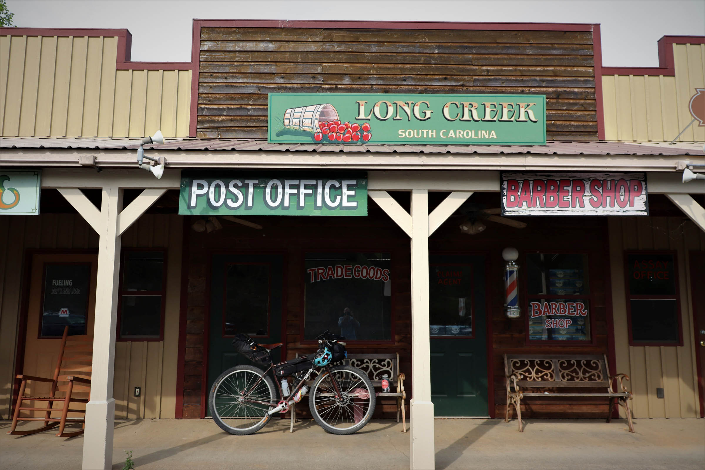
- You can likely rely on a resupply or a meal the second day at Long Creek. There are several options:
- Brasstown Creek Gathering Place is a weekend-only, dinner-only, cash-only BBQ place at mile 46. If you time it right and you’re riding during daylight savings time, you could grab some BBQ and a beer and make it to the second campsite.
- The Long Creek General Store at mile 50 has standard convenience store food and drink, plus sandwiches, burgers, hot dogs, ice cream, etc.
- For more refined, farm-to-table food, head west from the general store to Chattooga Belle Farm, which has a farm store open during normal business hours, a bistro open for lunch Thursday – Sunday, and a distillery.
- Whetstone Horse Camp (mile 65) has potable water.
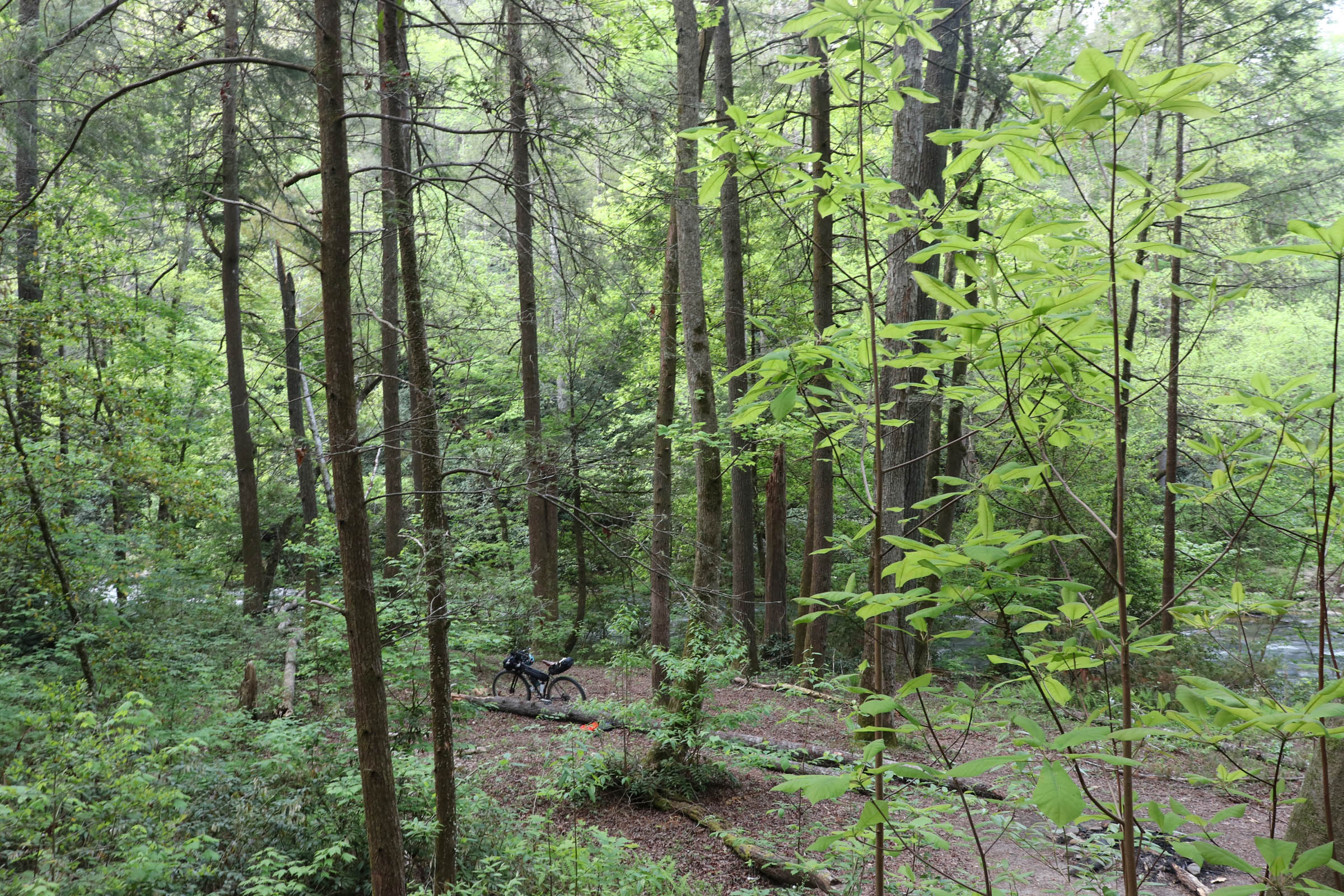
- There are plenty of opportunities for filtering water in the forest along the route.
The route is designed primarily around three days and two nights, but it can certainly be ridden as an overnighter. Scroll to the bottom to see notes about an overnight itinerary.
Splitting this route into three days allows plenty of time for off-the-bike activities (swimming, fishing, waterfall hikes, sitting in your hammock) and makes for two nights camping next to the Chauga River. The mileage per day is split around 25-30-22. The first and last days are short enough mileage that they can make for easy traveling days. This also makes this trip a good one for someone new to bikepacking. While there’s a decent amount of climbing involved, splitting it up makes it manageable.
Day 1 – Oconee State Park to Riley Moore Falls
- From the Foothills Trail parking area, follow the sign to overflow parking. Take the orange-blazed Old Waterwheel Trail to the Palmetto Trail.
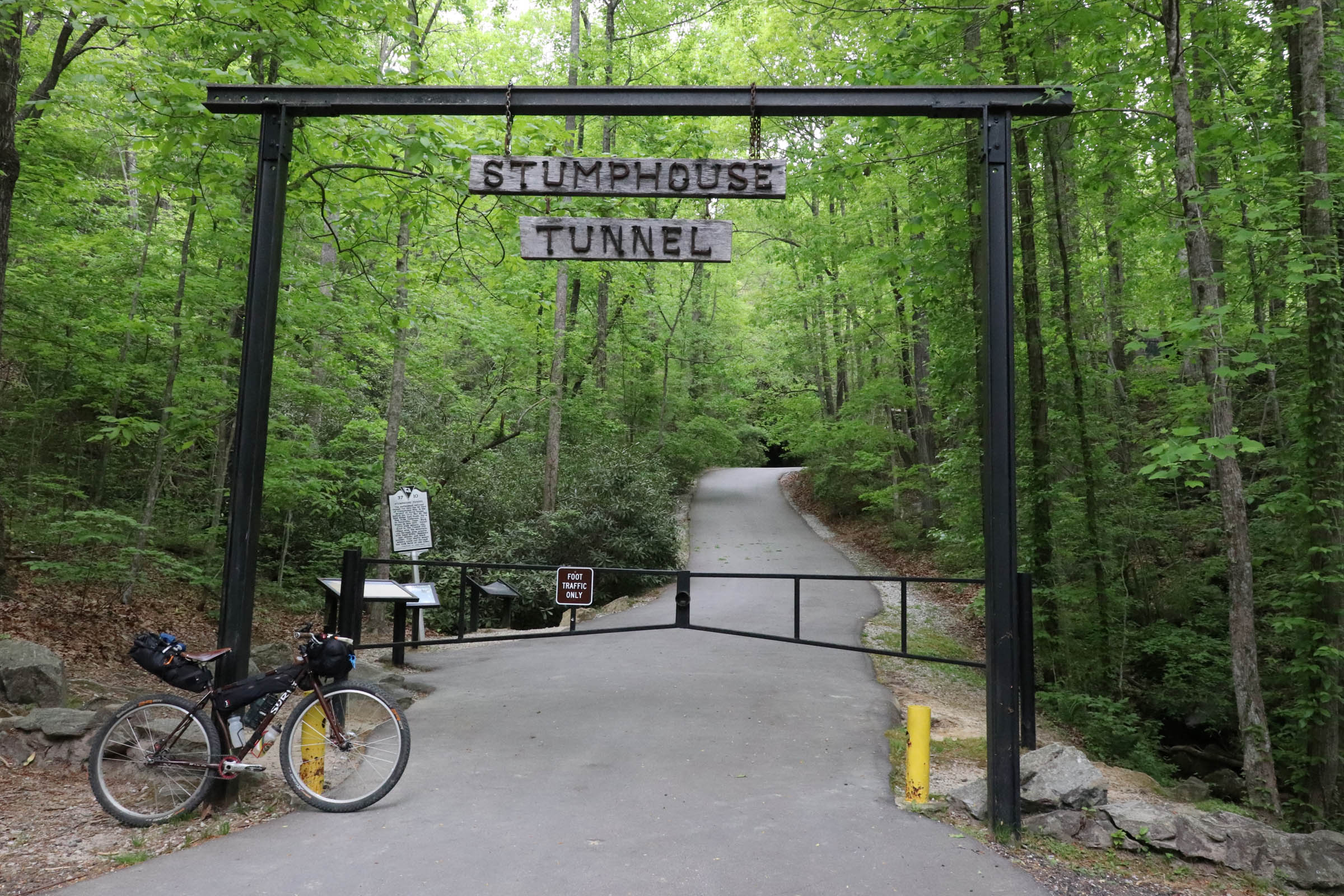
- From Ross Mtn Road, keep an eye out for the Stumphouse Passage trailhead on the left just before mile 3. The several miles of flowy singletrack to Stumphouse Mountain Bike Park trend downhill and are a blast.
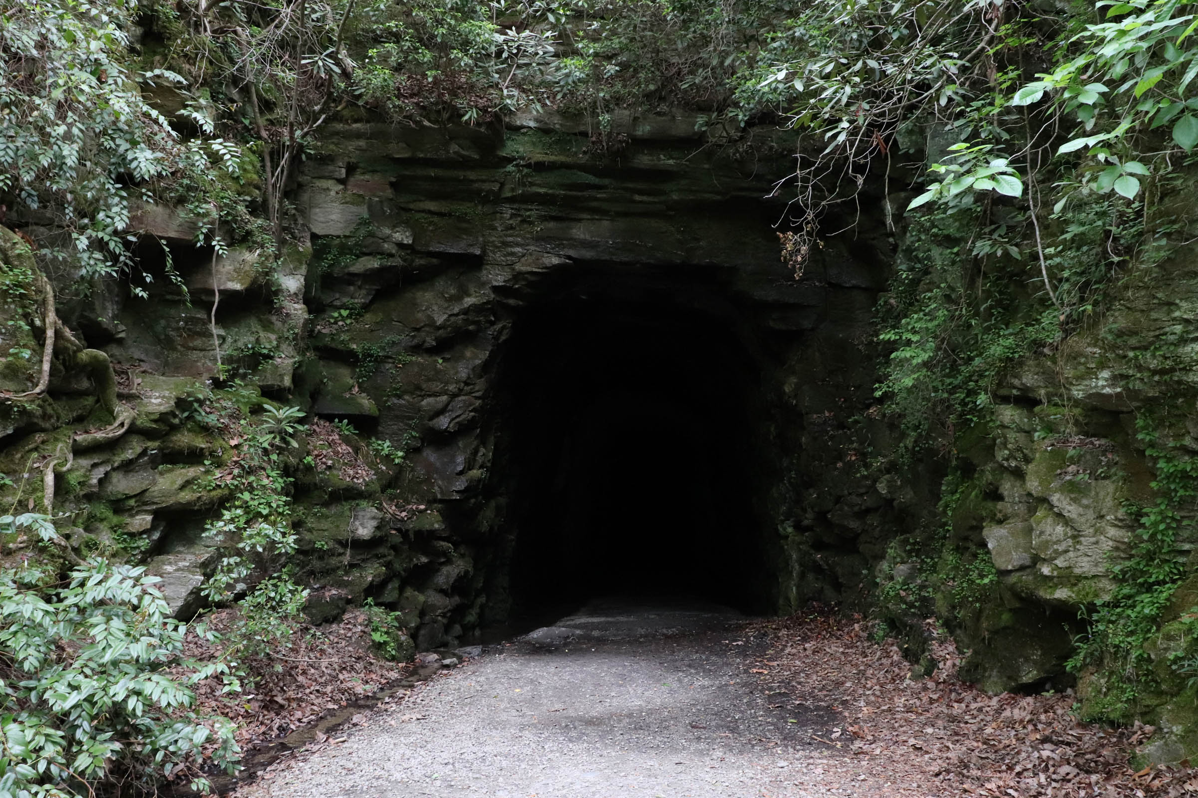
- At Stumphouse Park, check out Stumphouse Tunnel and Issaqueena Falls. If the brief singletrack section has you wanting more, there’s more than 10 miles at the bike park. See the map at the park.
- Rich Mountain Road is well-maintained ridgetop gravel with occasional long views off the escarpment.
- Blue Hole Falls is worth the detour – the road to the falls is a nice ride and the falls are one of the less-visited. Find the description of the falls online, especially for getting to the lower pool.
- Cross the Chauga River for the first time at Cobbs Bridge.
- Riley Moore Falls is at road 748 C, where you’ll descend an unimproved road and then trail to the falls. See the note about camping.
Day 1 Alternatives
- If singletrack isn’t your thing, you can skip it by continuing down Ross Mtn Road (the way the route returns). This also skips the short climb up Hwy 28.
- Skipping the Blue Hole Falls detour will cut out 5 miles and some climbing.
- An alternative camping option is at the next road past the turnoff for Riley Moore Falls (748 B). Although not as scenic as Riley Moore Falls, there are established campsites on the river that may offer more solitude.
Day 2 – Riley Moore Falls to Double Branch
- Start with the steep climb out of the river valley back to Spy Rock Rd.
- Enjoy the descent down Rocky Fork Rd.
- After a short paved section, you’ll hit the toughest climb of the route on Little Longnose Rd, 3.5 miles on loose gravel with a punchy start.
- The Pine Mountain overlook has some FAA instruments on it. Keep your bike at the green gate, and walk up to the overlook. Don’t mess with anything. Lots of other roads back here to explore if you’re looking for extra miles.
- Brasstown Falls is a popular and accessible waterfall destination. There are three sets of falls. The lower two have the best swimming holes.
- After a nice slow climb along the creek valley, there’s a brief but steep climb up Highway 76. Cyclists are common in the area but use caution.
- A short spur to Chattooga Belle Farm is worth the views. Take Honey Rd directly across from the general store at Long Creek.
- The descent to the Double Branch Campsite makes for an easy end to the day. See the notes about camping.
Day 2 Alternatives
- If you’re itching to stay in the saddle, there are plenty of other forest service roads to explore. Check the maps.
Day 3 – Double Branch to Oconee State Park
- Have fun climbing back up Double Branch first thing in the morning.
- The next dirt section is Falls Creek Rd. A mile up is Falls Creek Falls. There is no sign, just a pull out next to the road and a steep trail. Two tiers of the falls are just off the road. There’s another, larger falls a couple of miles down an unmaintained trail.
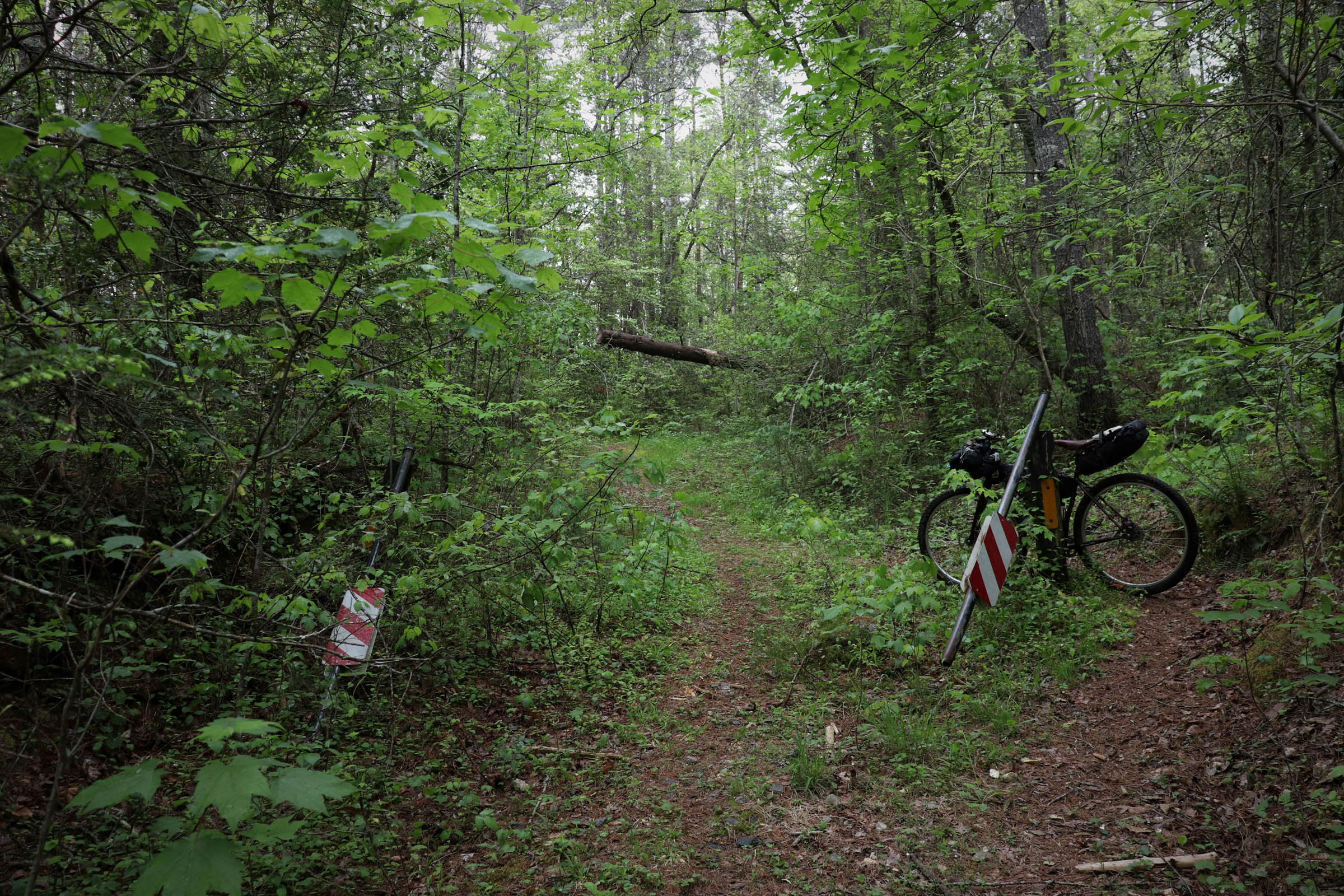
- When Fall Creek Rd forks and you take a right, the road becomes an unimproved doubletrack that turns into more rugged backcountry singletrack. You’ll eventually come out the other side to a gravel road.
- Head north to Whetstone Horse Camp and take a right on Whetstone Mountain Rd, where you’ll climb to the high point of the route.
- You’ll cross the Chuaga again at Land Bridge Rd. Land Bridge falls can be accessed by walking the trail downstream from the pull-out next to the bridge.
- Cross over Highway 28 and take a right at Ross Mountain Rd to continue back to Oconee State Park.
Day 3 Alternatives
- If you want to skip the climb up to Whetstone Mountain, there are several alternate options (check out the map). A good one would be to head south on Barbana Rd and then south on Conley Rd. Then take Chattooga Ridge Rd until the turn on Verner Mill toward Land Bridge Rd.
- You could go back through Stumphouse and ride the singletrack back the way you came, but it’s uphill.
Overnight Trip
If riding as an overnighter, see notes about camping options. I’d suggest riding to Double Branch the first day (54 miles), leaving 25 miles for the second day. The benefit of this is that you could pick up food and water at one of the locations near Long Creek, so you’re carrying less food on your bike. This worked out well when I did the overnighter option.
Another option is to do a short first day (25 miles) and enjoy camping at Riley Moore Falls. Finally, you could camp dispersed somewhere around halfway, with your camping options at mile 42 or before.


Terms of Use: As with each bikepacking route guide published on BIKEPACKING.com, should you choose to cycle this route, do so at your own risk. Prior to setting out check current local weather, conditions, and land/road closures. While riding, obey all public and private land use restrictions and rules, carry proper safety and navigational equipment, and of course, follow the #leavenotrace guidelines. The information found herein is simply a planning resource to be used as a point of inspiration in conjunction with your own due-diligence. In spite of the fact that this route, associated GPS track (GPX and maps), and all route guidelines were prepared under diligent research by the specified contributor and/or contributors, the accuracy of such and judgement of the author is not guaranteed. BIKEPACKING.com LLC, its partners, associates, and contributors are in no way liable for personal injury, damage to personal property, or any other such situation that might happen to individual riders cycling or following this route.
Please keep the conversation civil, constructive, and inclusive, or your comment will be removed.