Cycling The GR5 Across the Belgian Ardennes
Distance
136 Mi.
(219 KM)Days
6
% Unpaved
70%
% Singletrack
5%
% Rideable (time)
98%
Total Ascent
11,165'
(3,403 M)High Point
1,890'
(576 M)Difficulty (1-10)
5?
- 5Climbing Scale Moderate82 FT/MI (16 M/KM)
- -Technical Difficulty
- -Physical Demand
- -Resupply & Logistics
Contributed By
Nicholas Carman
Gypsy by Trade
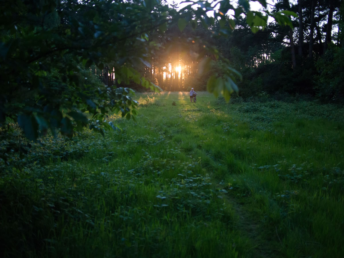
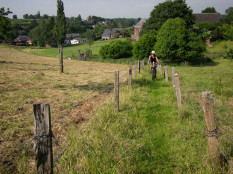
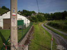
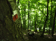
Every country in Europe manages marked footpaths, numbering hundreds of thousands of kilometers of trail in total. This route includes a highly rideable section of the GR5 footpath, a long-distance trail between the North Sea and the Mediterranean. The route is well marked by red and white painted blazes on trees, fences, and stone structures; or stickers on metal signposts and other semi-permanent fixtures. Keep your eyes open for trail signs as it is possible to follow the route without detailed maps or GPS, although a road map of the area will aid navigation if you lose the trail.
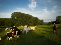
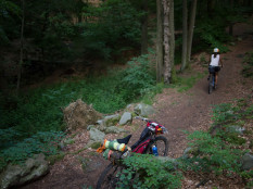
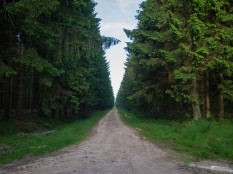
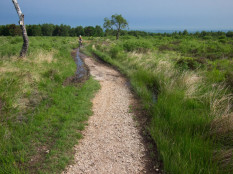
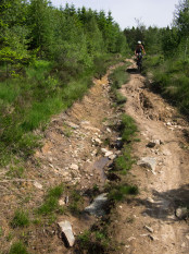
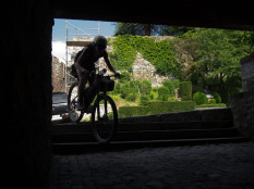
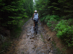
Expect diverse and rapidly changing “trail” conditions, including signed mountain bike singletrack, well-used farm tracks and decaying doubletrack, managed forest roads, small paved lanes, and labyrinthine routes through town. Each day is marked by a visit to a larger town, and several smaller communities. Water and food are in abundance. Camping along the route is possible in many places, although guesthouses and hotels may also be available. Despite the proximity to civilization, the route is challenging in places, including a few short, steep pushes which will have you sweating, or pushing. You will not cover great distances in a day, and you will stop to search for trail markers from time to time. Come prepared with the patience to discover part of Belgium you would have missed on a brief road tour.
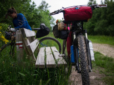
A tire greater than 2” (50mm) is recommended, and a proper mountain bike with suspension is nice on some sections. Pack light in preparation for some of the more technical sections, including genuine singletrack walking trail, steep climbs and staircases. Several turnstile cattleguards require that you lift your bike to shoulder-height.
This route includes the GR5 from Diest to the border of Belgium and Luxembourg, passing these towns: Diest-Genk-Maastricht-Spa-Stavelot-Vielsalm-Reuland. Continue on the GR5 in either direction to lengthen the adventure.
Submit Route Alert
As the leading creator and publisher of bikepacking routes, BIKEPACKING.com endeavors to maintain, improve, and advocate for our growing network of bikepacking routes all over the world. As such, our editorial team, route creators, and Route Stewards serve as mediators for route improvements and opportunities for connectivity, conservation, and community growth around these routes. To facilitate these efforts, we rely on our Bikepacking Collective and the greater bikepacking community to call attention to critical issues and opportunities that are discovered while riding these routes. If you have a vital issue or opportunity regarding this route that pertains to one of the subjects below, please let us know:
Highlights
Must Know
Camping
Food/H2O
- A multi-day scavenger hunt for red and white signage, discovering old-world Belgium and great riding along the way. Each turn uncovers new trail surfaces and new curiosities.
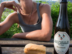
- Belgian beer, for a fraction of the price you would pay out of county. Try Westmalle, Orval, and La Chouffe. The Westmalle Abbey is located along the GR5, further west.
- Detailed maps and guides of the GR5 are available, although they are not strictly necessary. Local tourisitc offices are the best place to find maps. Some bookshops in larger cities such as Brussels and Amsterdam may also stock these materials.
- A section of the route near the Maas River, south of Maastricht, includes a sequence of cattle gates that require maneuvering or lifting the bike.
- Camping, unofficially, is possible in many local forests. Look for the green areas marked on road maps, usually several kilometers out of town. Detailed maps of the area are also found in town at touristic offices for free, or are displayed on signboards in public places. Snap a photo for reference.
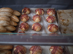
- Everywhere. Plan nice picnics.
Terms of Use: As with each bikepacking route guide published on BIKEPACKING.com, should you choose to cycle this route, do so at your own risk. Prior to setting out check current local weather, conditions, and land/road closures. While riding, obey all public and private land use restrictions and rules, carry proper safety and navigational equipment, and of course, follow the #leavenotrace guidelines. The information found herein is simply a planning resource to be used as a point of inspiration in conjunction with your own due-diligence. In spite of the fact that this route, associated GPS track (GPX and maps), and all route guidelines were prepared under diligent research by the specified contributor and/or contributors, the accuracy of such and judgement of the author is not guaranteed. BIKEPACKING.com LLC, its partners, associates, and contributors are in no way liable for personal injury, damage to personal property, or any other such situation that might happen to individual riders cycling or following this route.
Please keep the conversation civil, constructive, and inclusive, or your comment will be removed.


