


Dark + White Peak Peek, UK
Distance
122 Mi.
(196 KM)Days
3-4
% Unpaved
60%
% Singletrack
10%
% Rideable (time)
98%
Total Ascent
13,800'
(4,206 M)High Point
1,720'
(524 M)Difficulty (1-10)
7.5?
- 7Climbing Scale Strenuous113 FT/MI (21 M/KM)
- -Technical Difficulty
- -Physical Demand
- -Resupply & Logistics
Contributed By

Cass Gilbert
Contributing Editor
Located at the southern end of the Pennines, the Peak District National Park was created in 1951, making it the first of the UK’s fifteen National Parks. Given its proximity to such a dense population – an estimated 20 million people live within an hour’s drive away – its sense of windswept emptiness might come as something of a surprise.
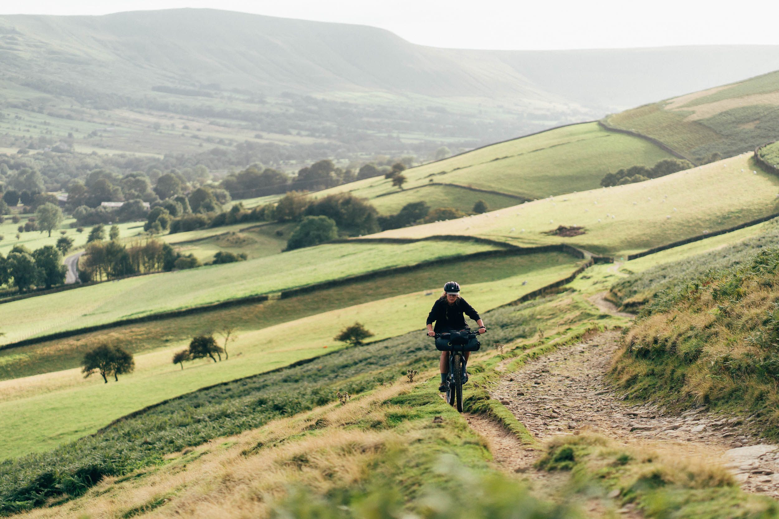
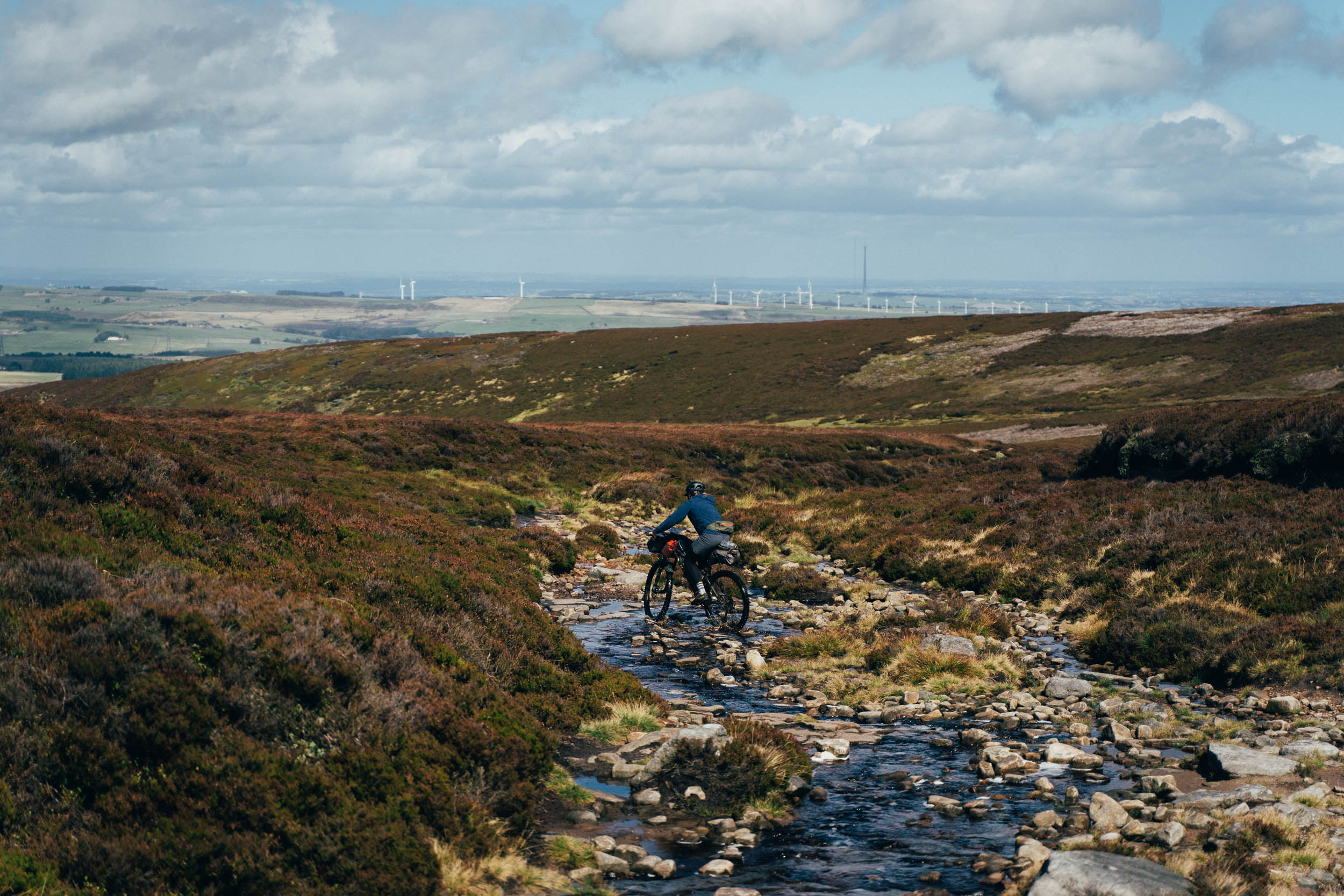
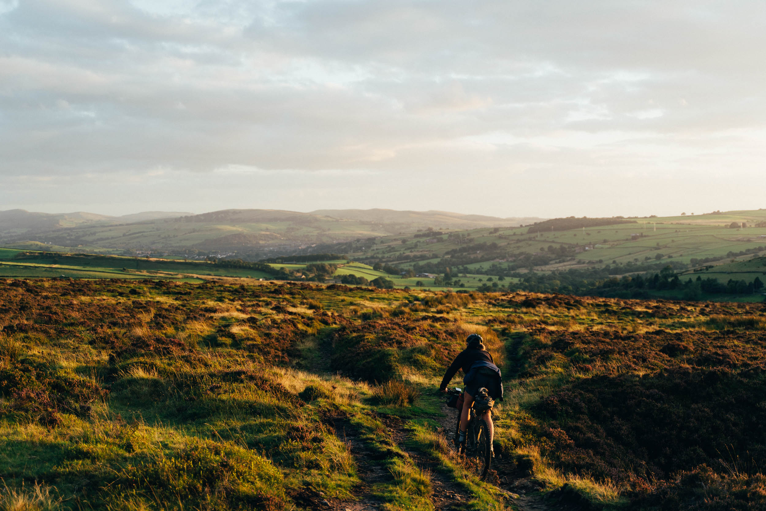
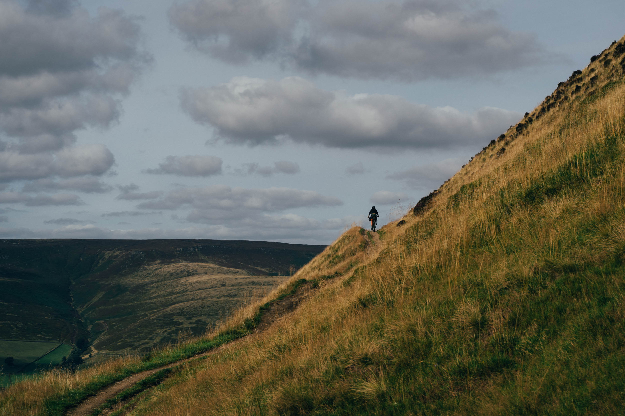
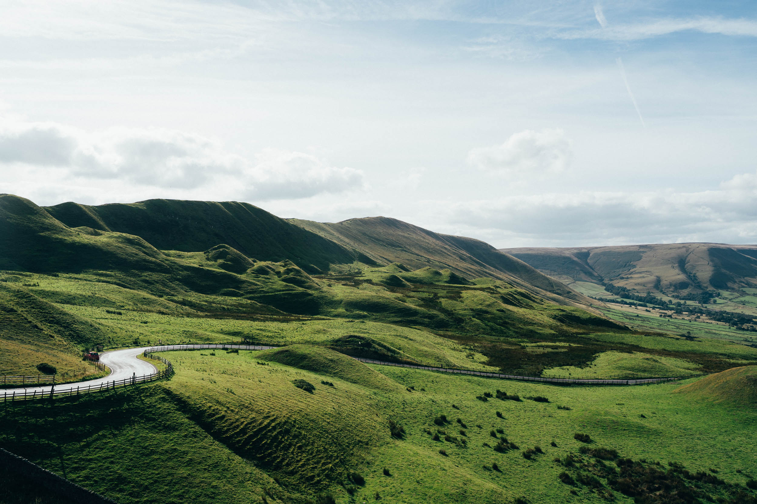
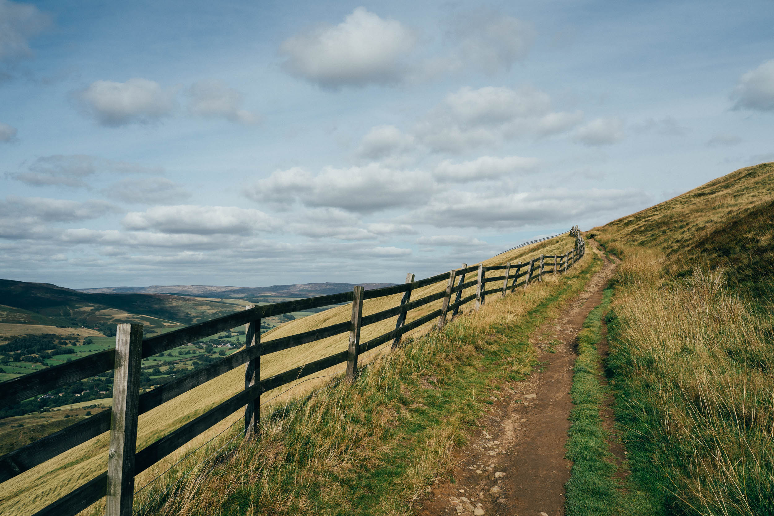
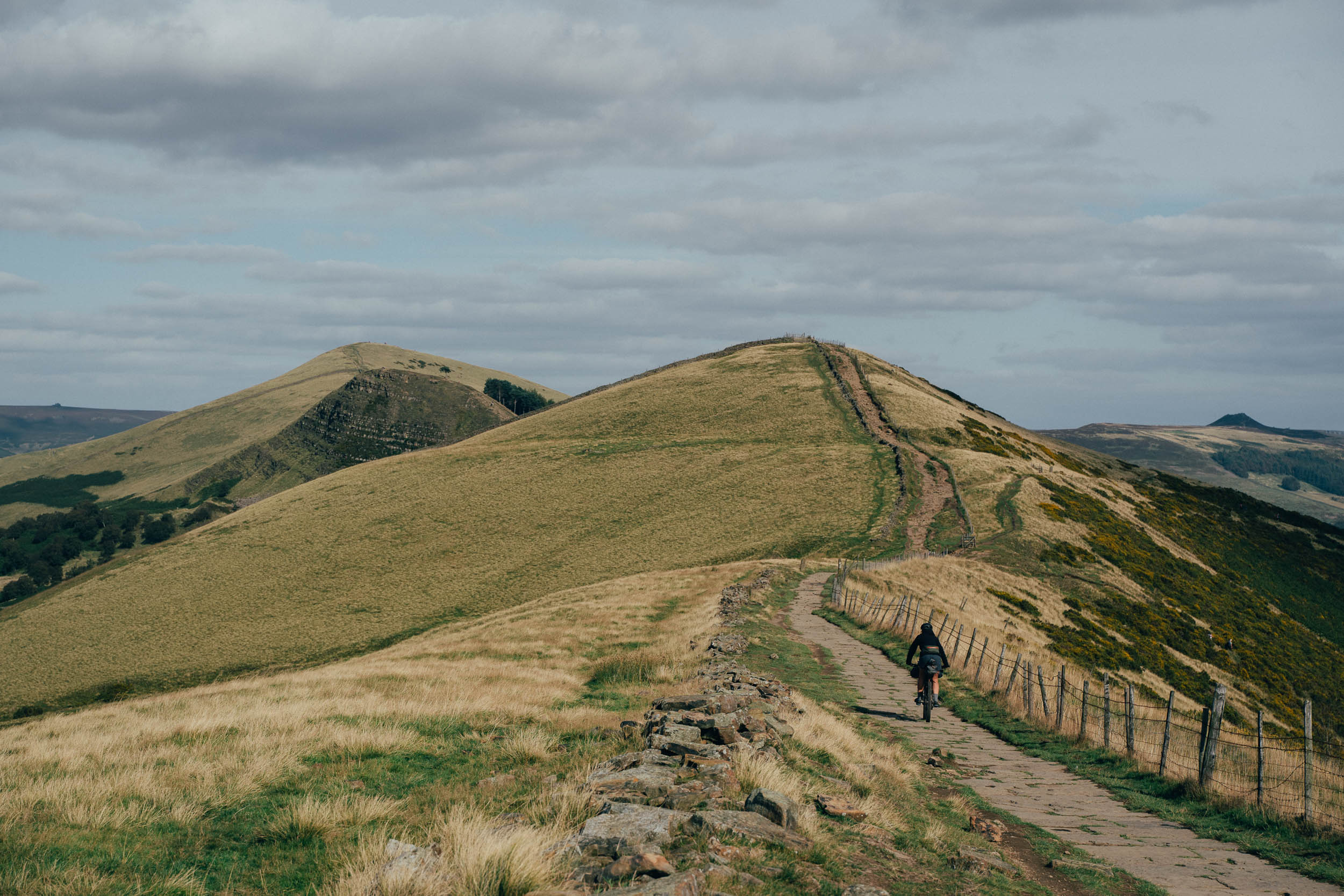
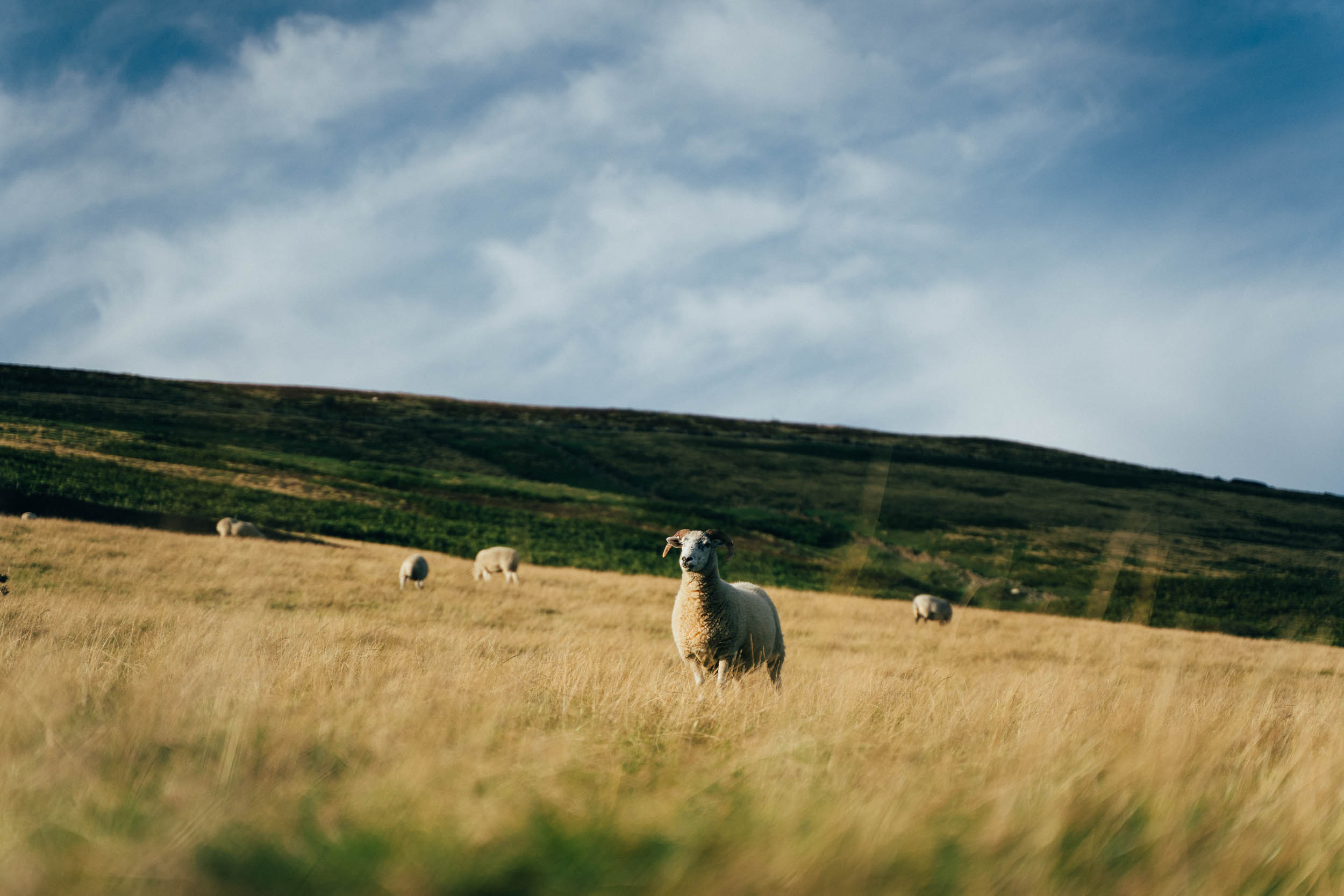
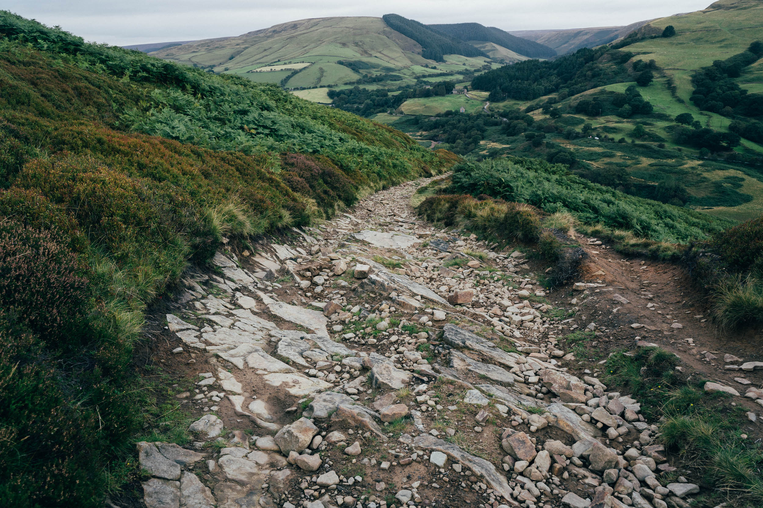
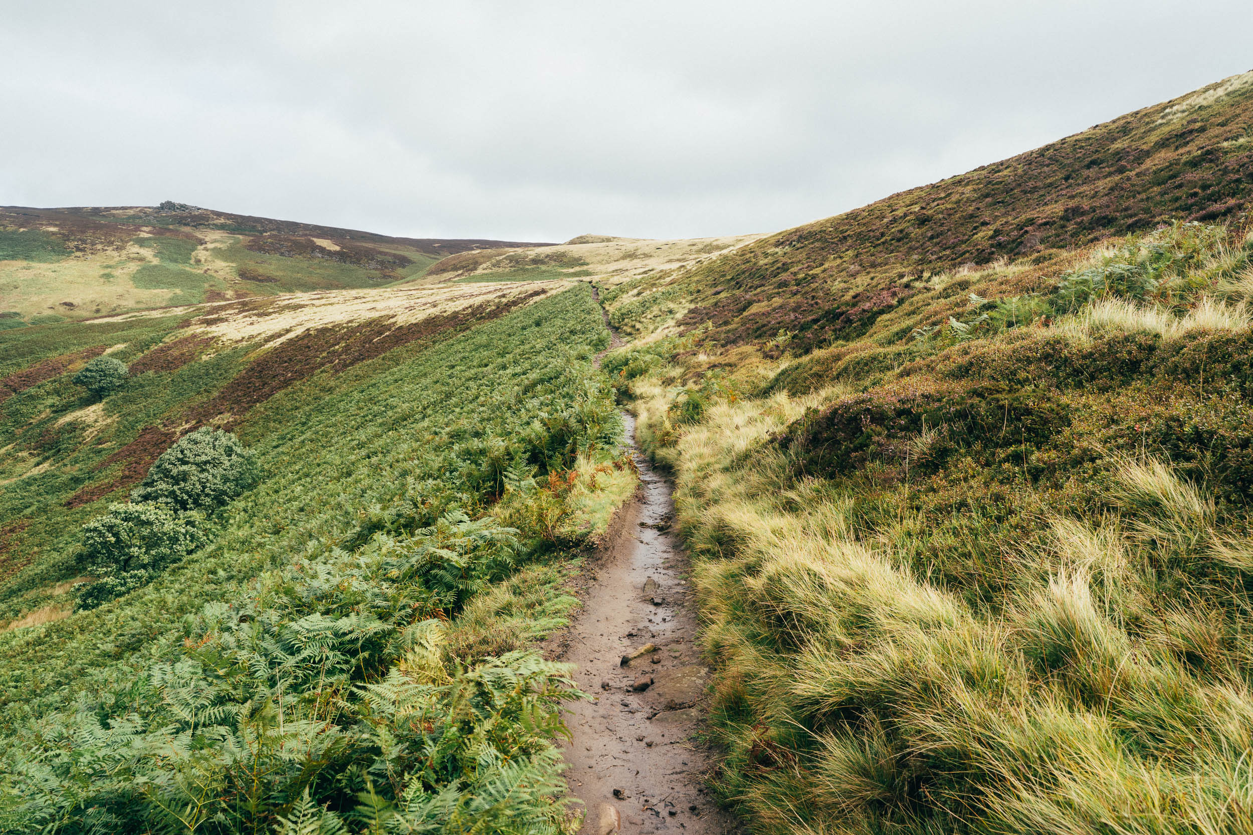
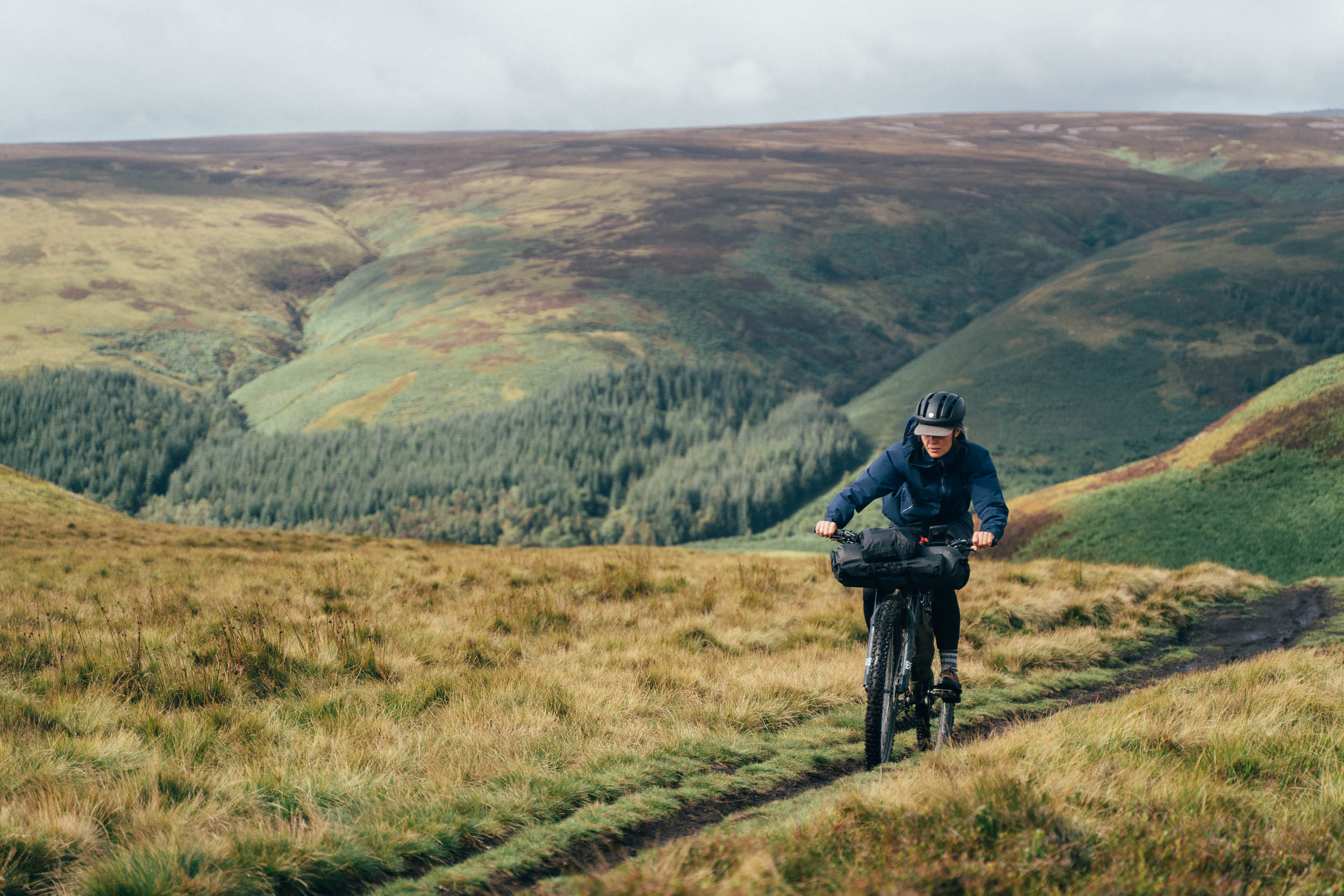
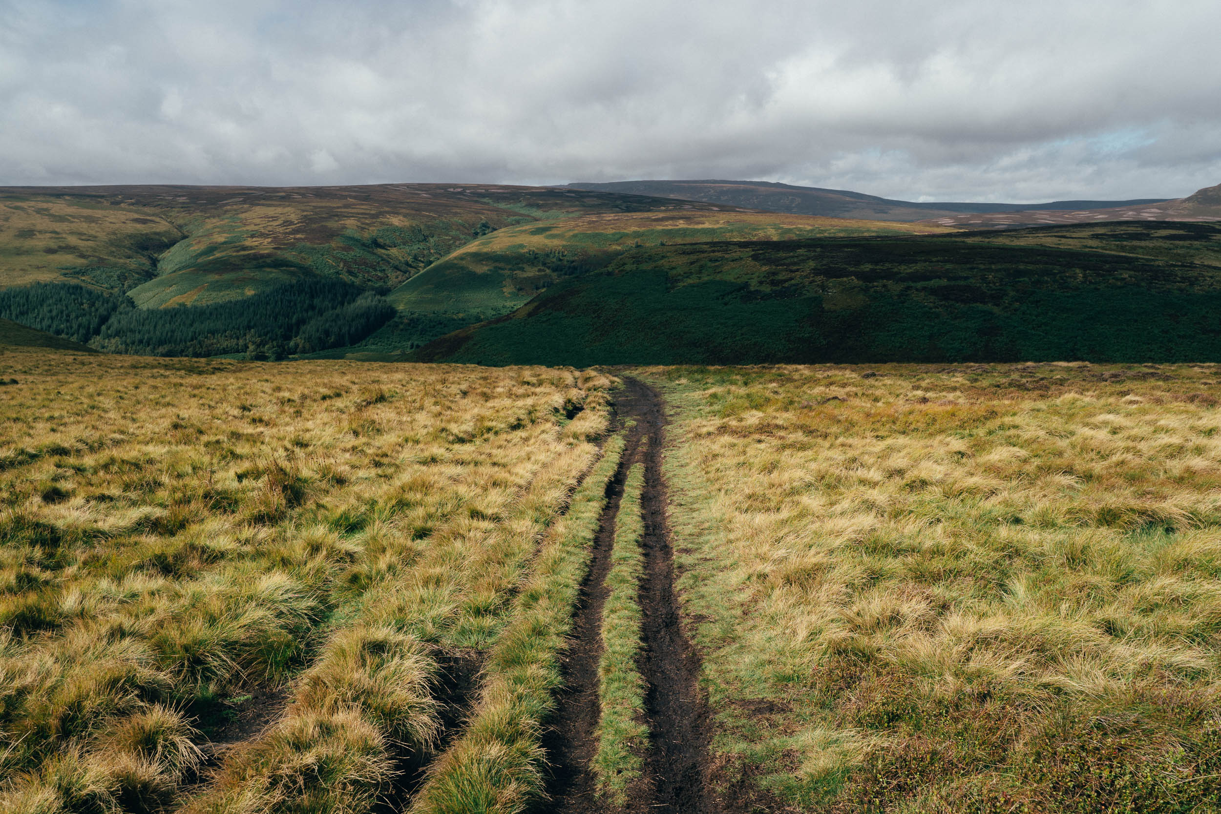
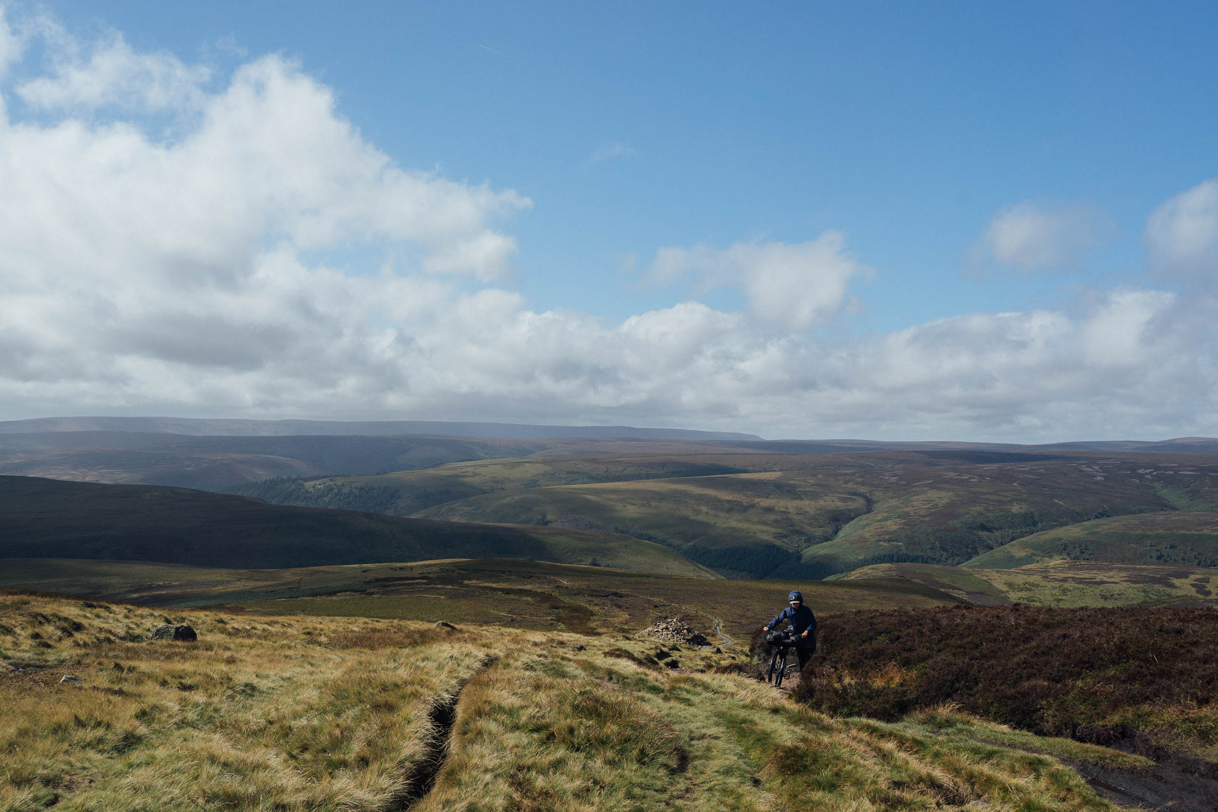
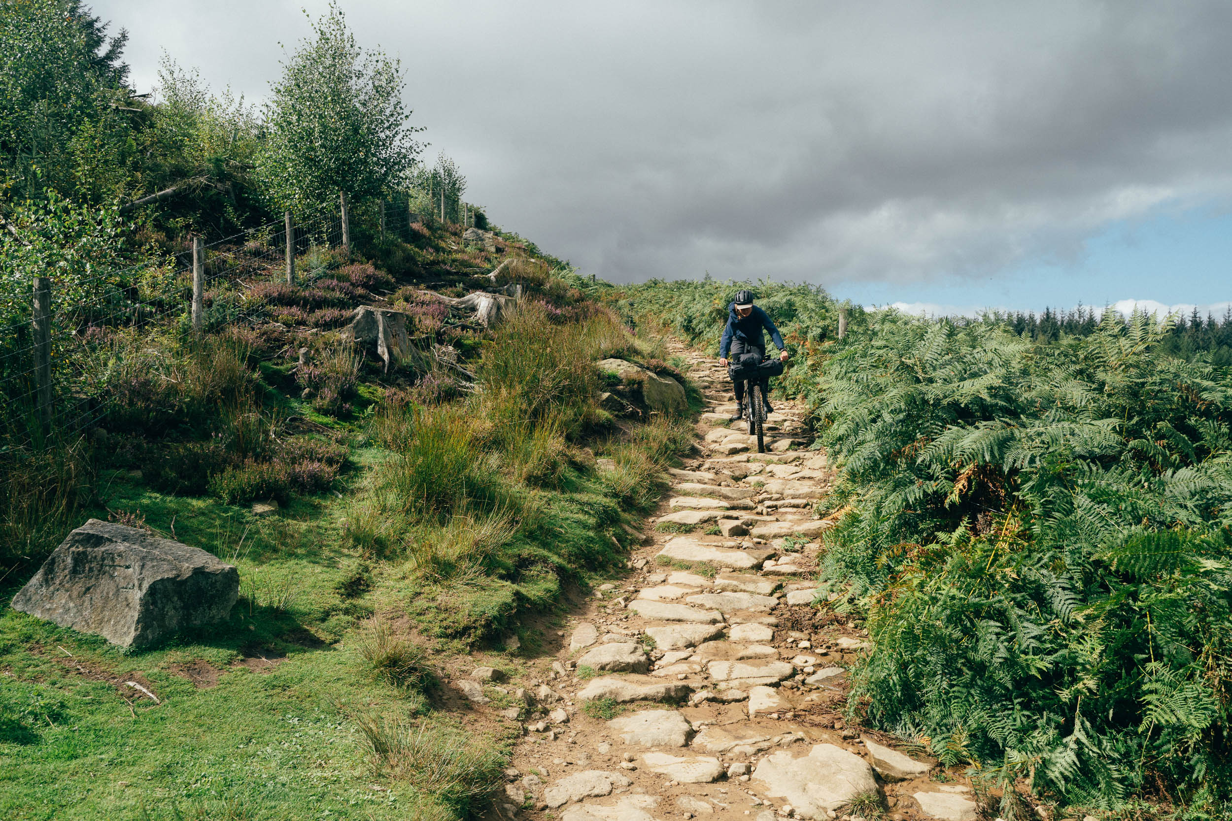
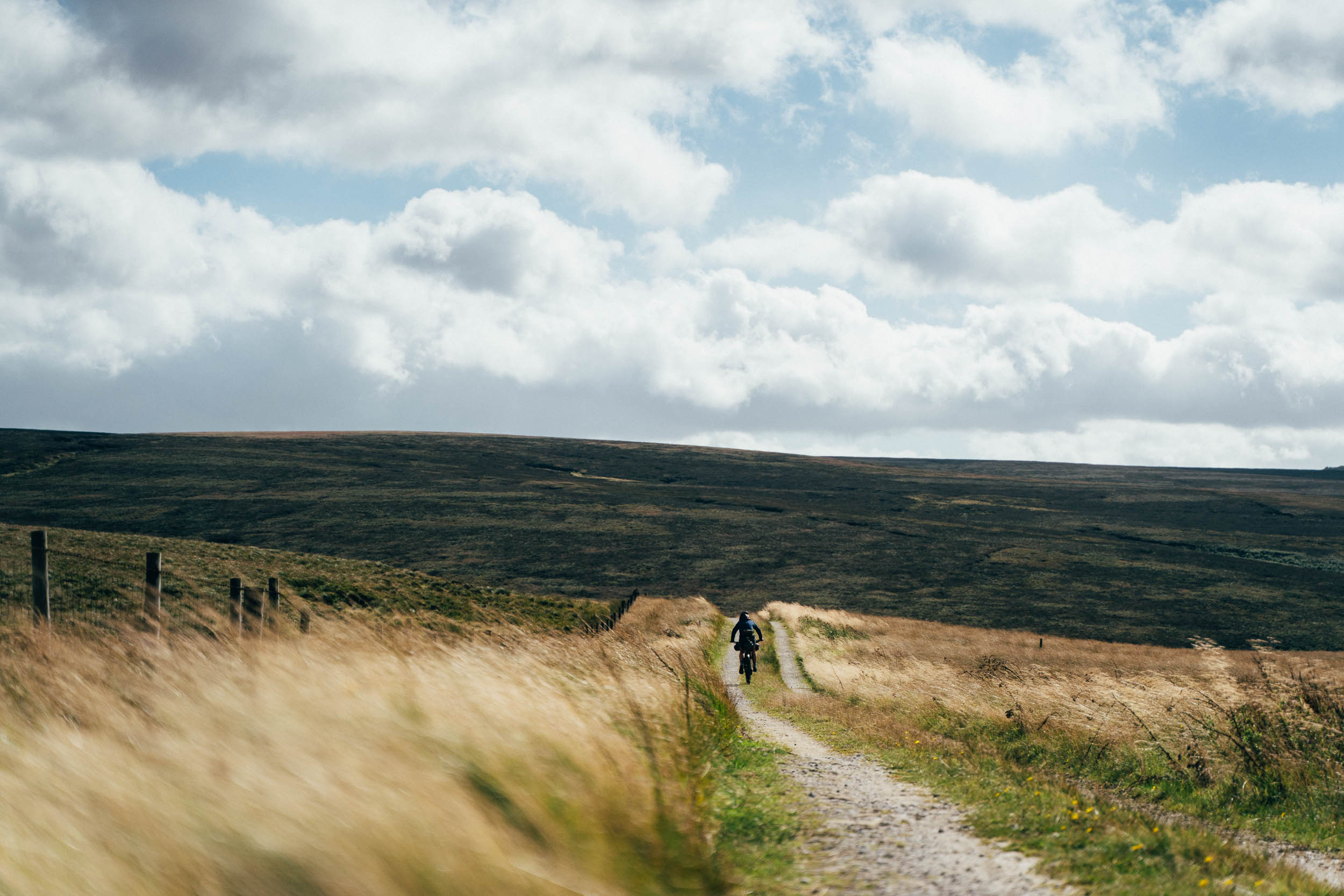
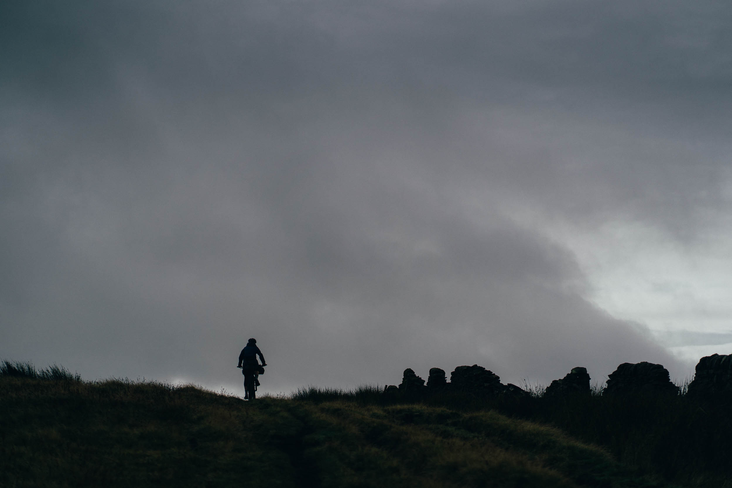
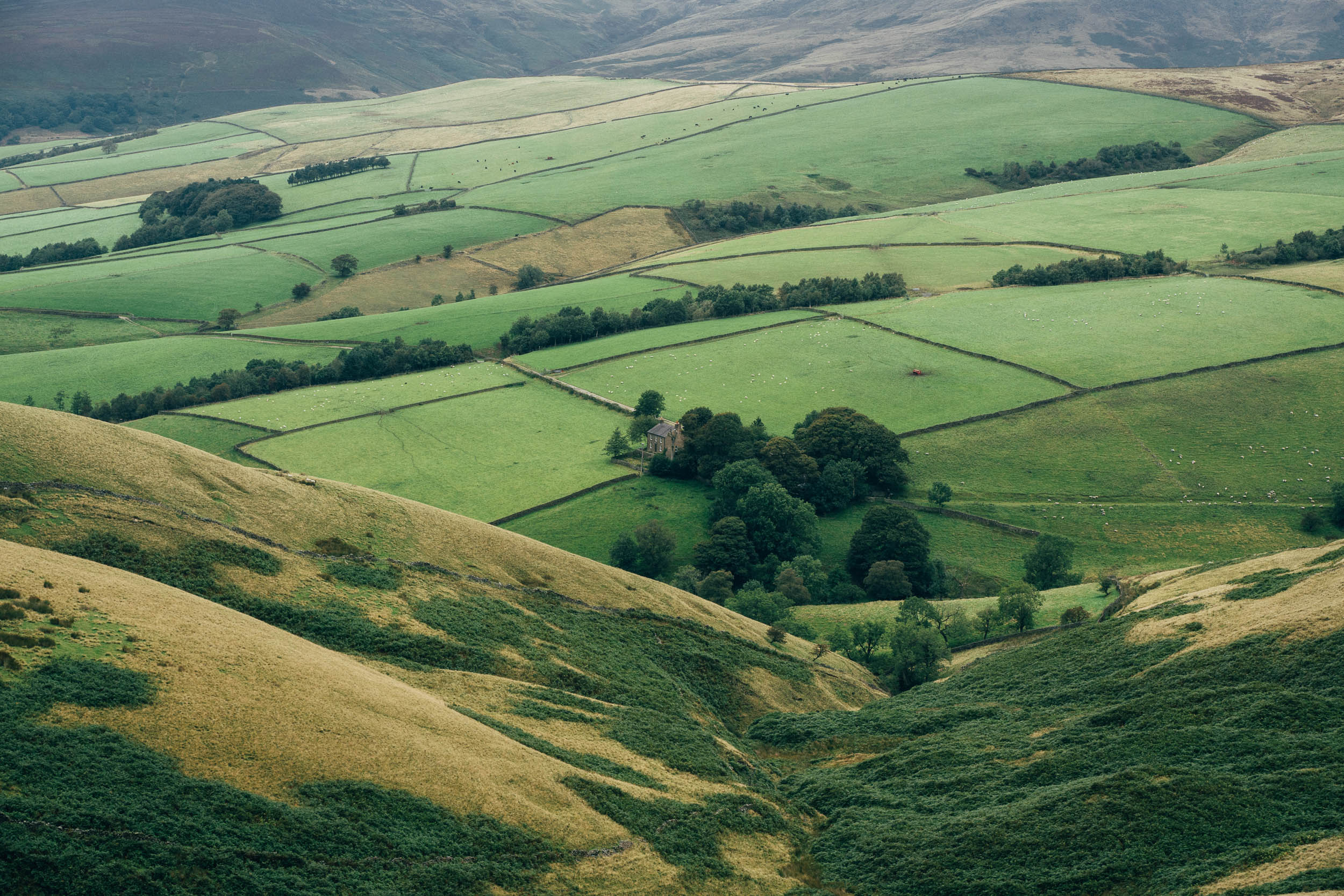
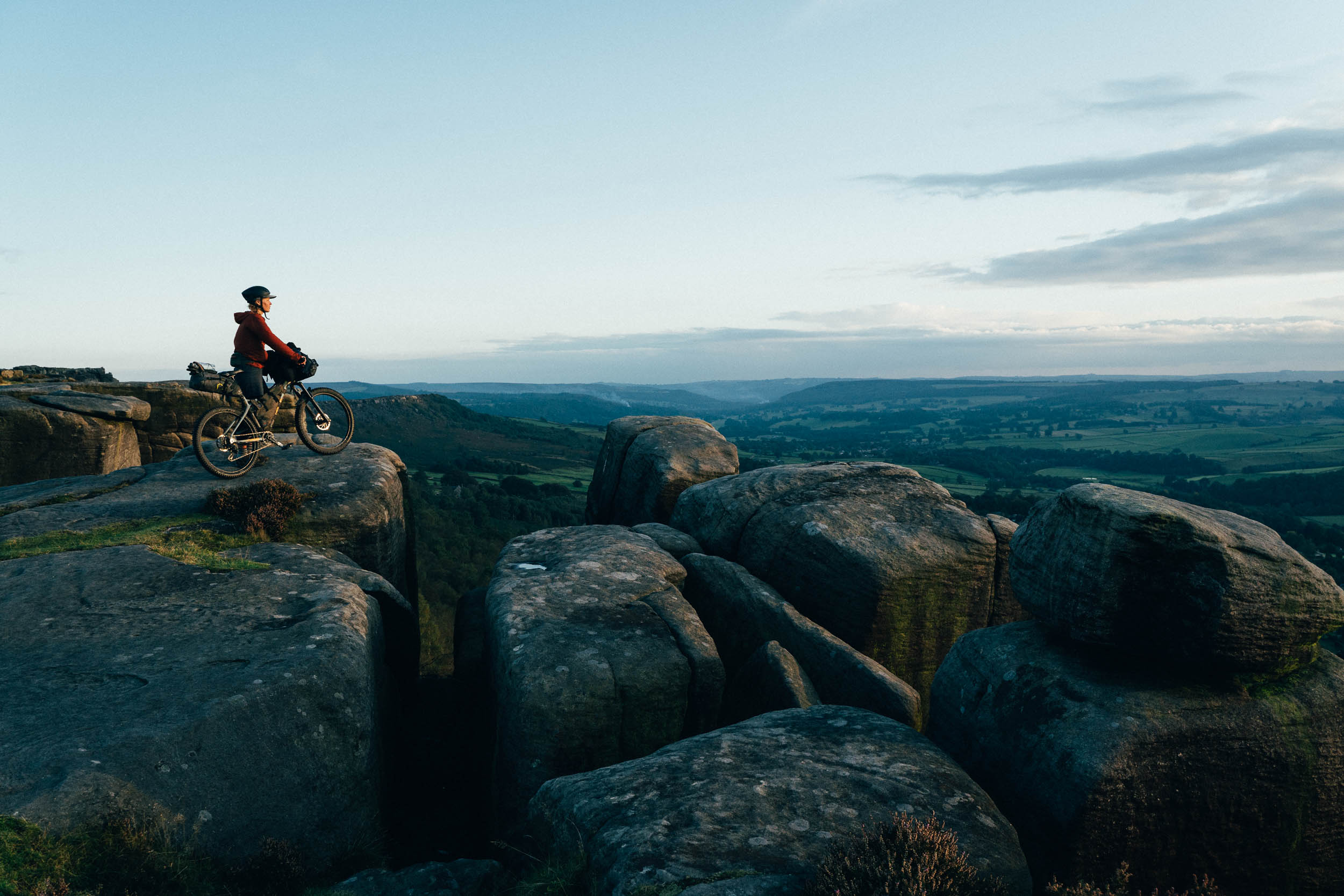
Known as the Dark Peak, the north is characterised by dramatic gritstone ridges, like Stanage Edge and Burbage Rocks, and expanses of open, peaty moorland and swathes of heather. The south is typically steep limestone valleys and grasslands, as is coined the White Peak. This loop spends the majority of its time in the former, where the most involved and varied riding is to be had.

Pocked with caverns – spelunkers outnumber mountain bikers, on occasion – there’s a sense of hidden beauty to the land that’s much more than skin deep. Despite its name, don’t expect the drama of high peaks (Kinder Scout, the highest point, lies at just 636m). Rather, enjoy looping around the area and feeling its subtle shifts in scenery, geology, and land use.
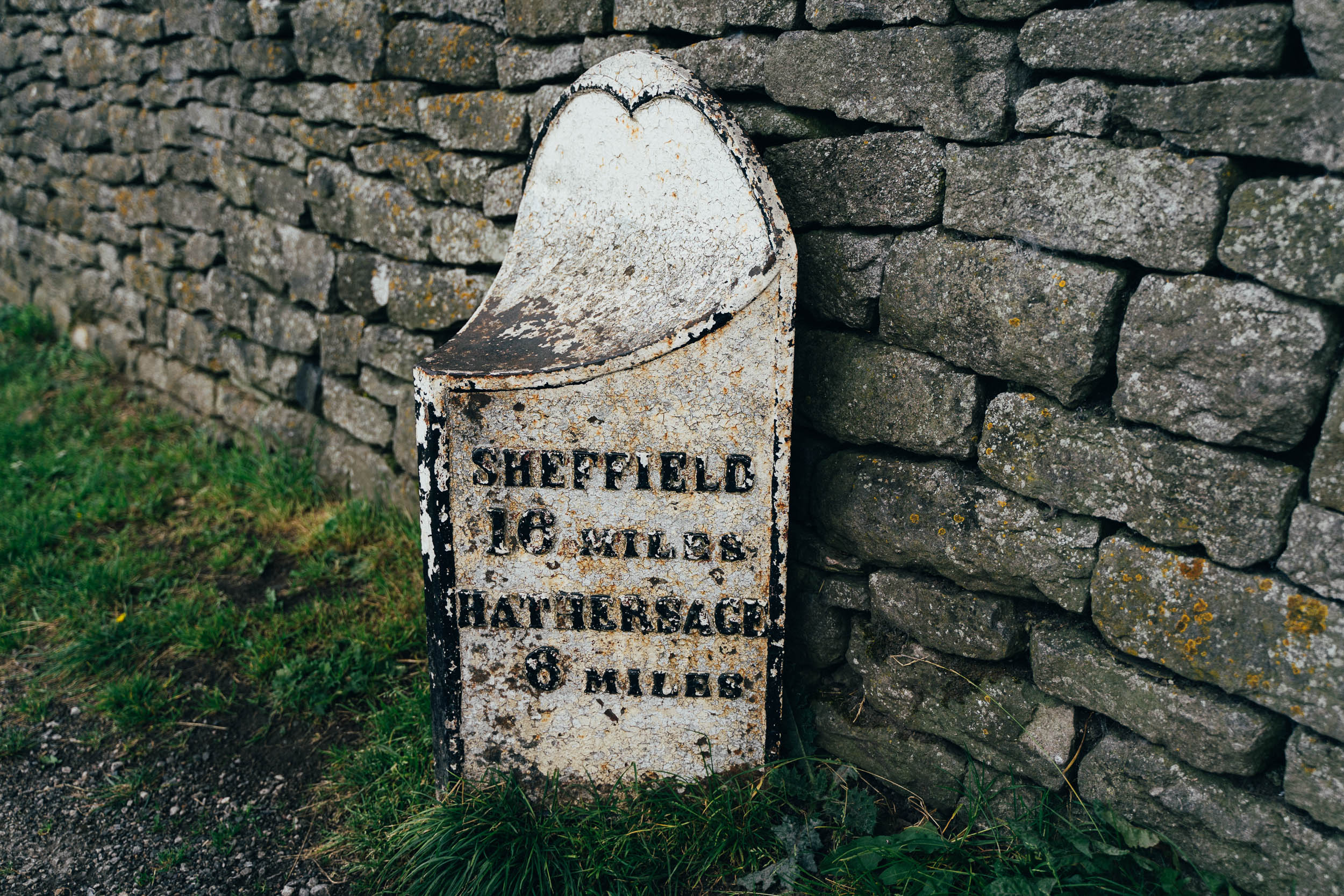
There’s history to be appreciated too. The Pennines are threaded with old pack horse routes which now form the basis for modern walking and riding tracks; these routes were developed for trade between towns, using teams of ponies to haul goods over the hills. Some were even built on the remains of Roman roads and date back to around 200AD. There are historical oddities like Derwent Dam and the Dam Busters, where 617 Squadron practised low level flying, releasing the bouncing bombs that were developed for Operation Chastise, during the Second World War. The decision to actually dam the valley, creating Howden and Derwent Reservoirs, harks back to the Industrial Revolution and urbanisation of the 19th century, creating huge demand for water in Sheffield.
Rewinding the clock a few millennia, the distinctive Mam Tor – the Mother Hill – is crowned by a late Bronze Age and early Iron Age hill fort, as well as two Bronze Age bowl barrows (mounds of earth used to cover tombs), that are thought to have been inhabited as early as 1200BC. There are also four caves nearby – Blue John Cavern, Speedwell Cavern, Peak Cavern and Treak Cliff Cavern – where lead, fluorspar and other minerals were once mined. Interested in folklore? The menfolk of the area were said to have to climb Eagle Sone, a large gritstone feature en route back to Hathersage, in order to prove themselves worthy of marriage…
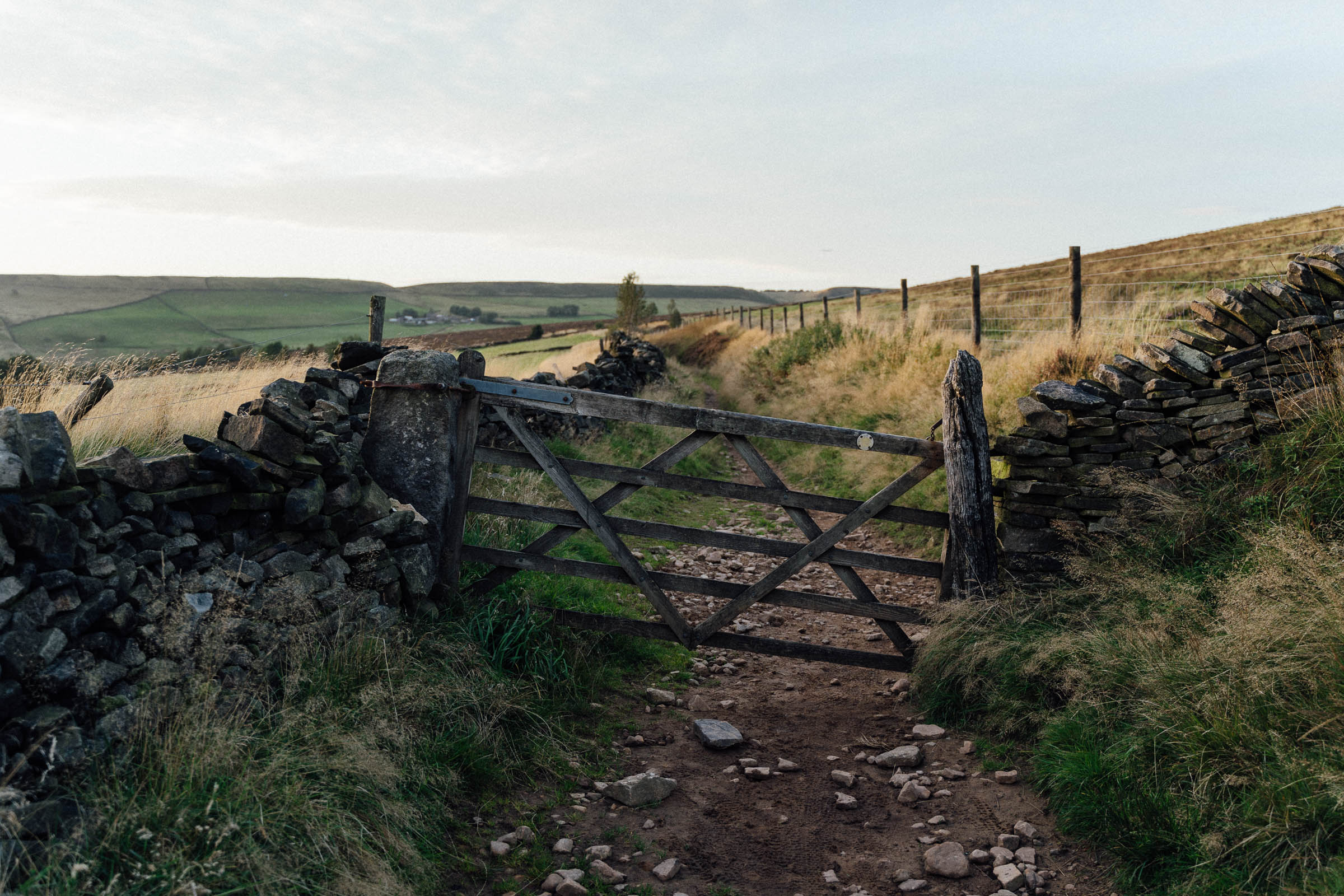
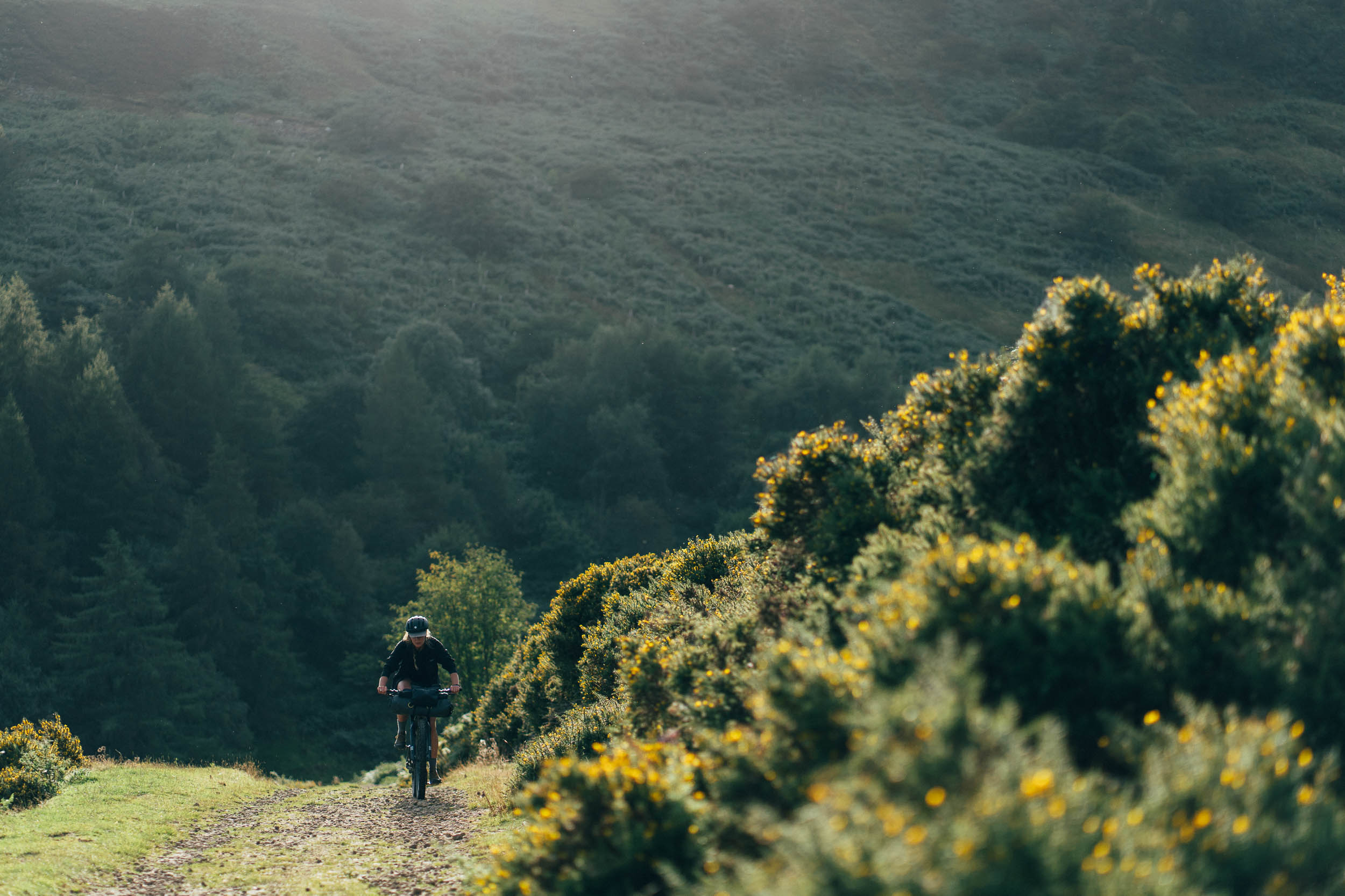
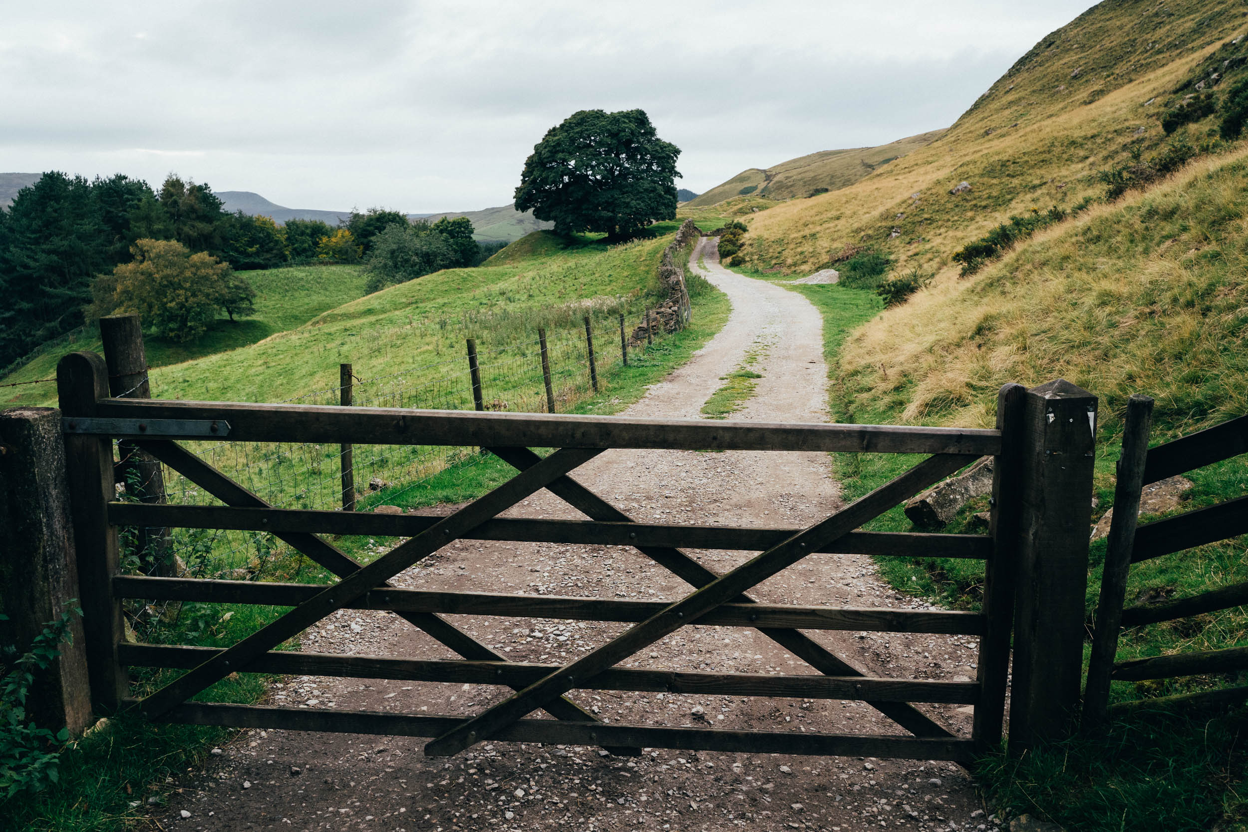
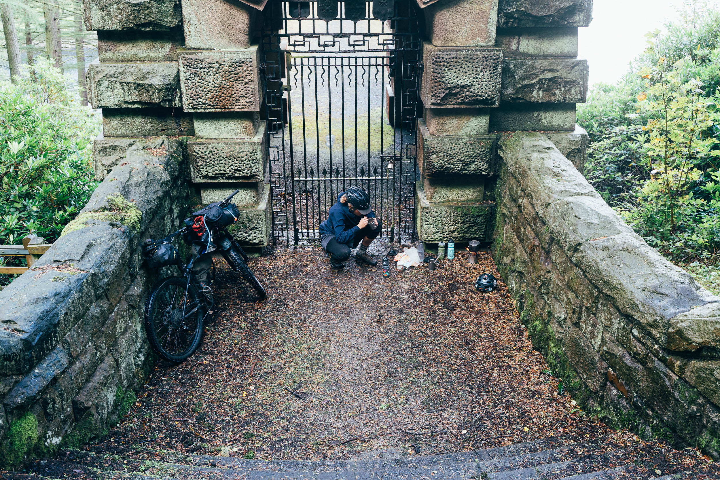
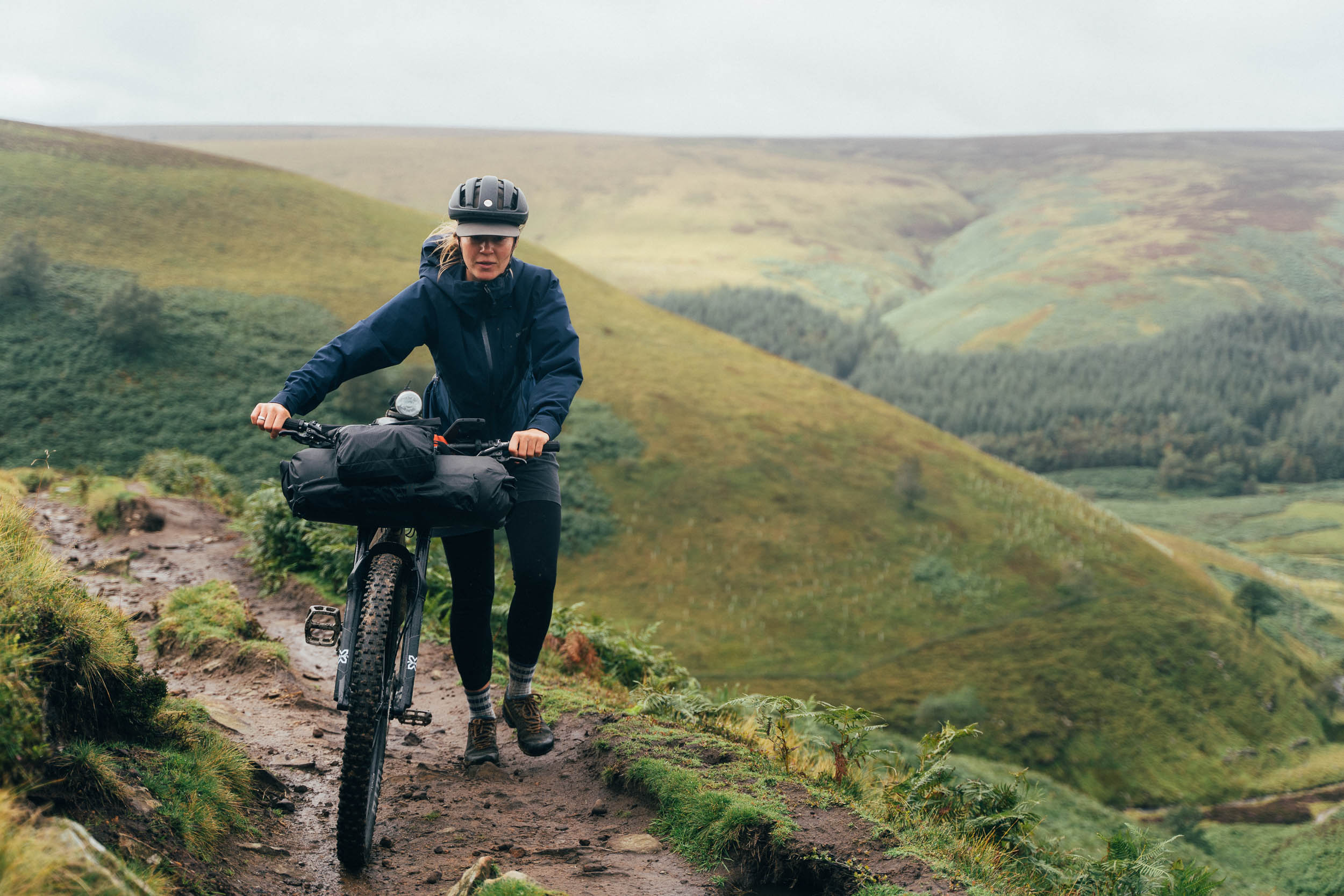
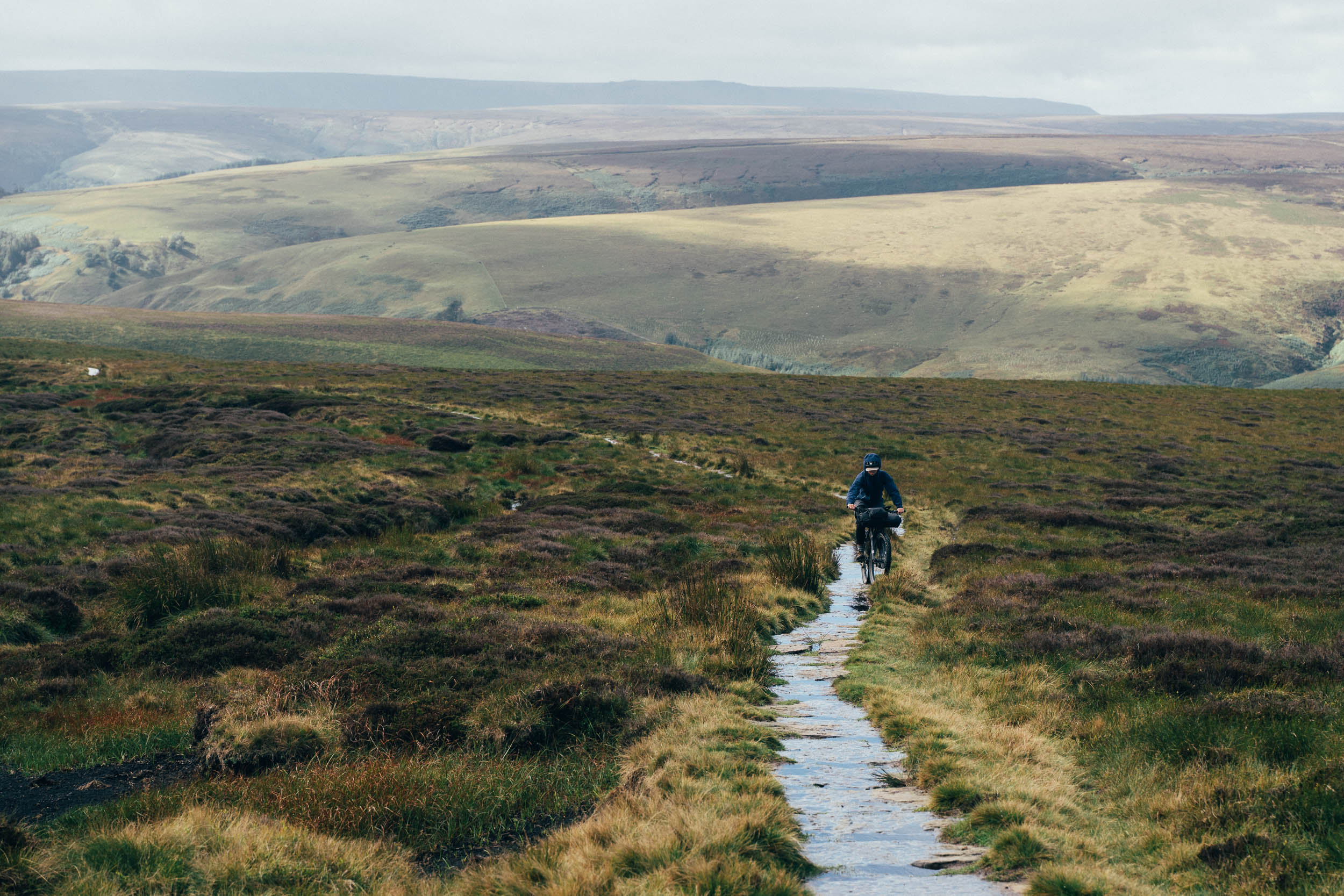
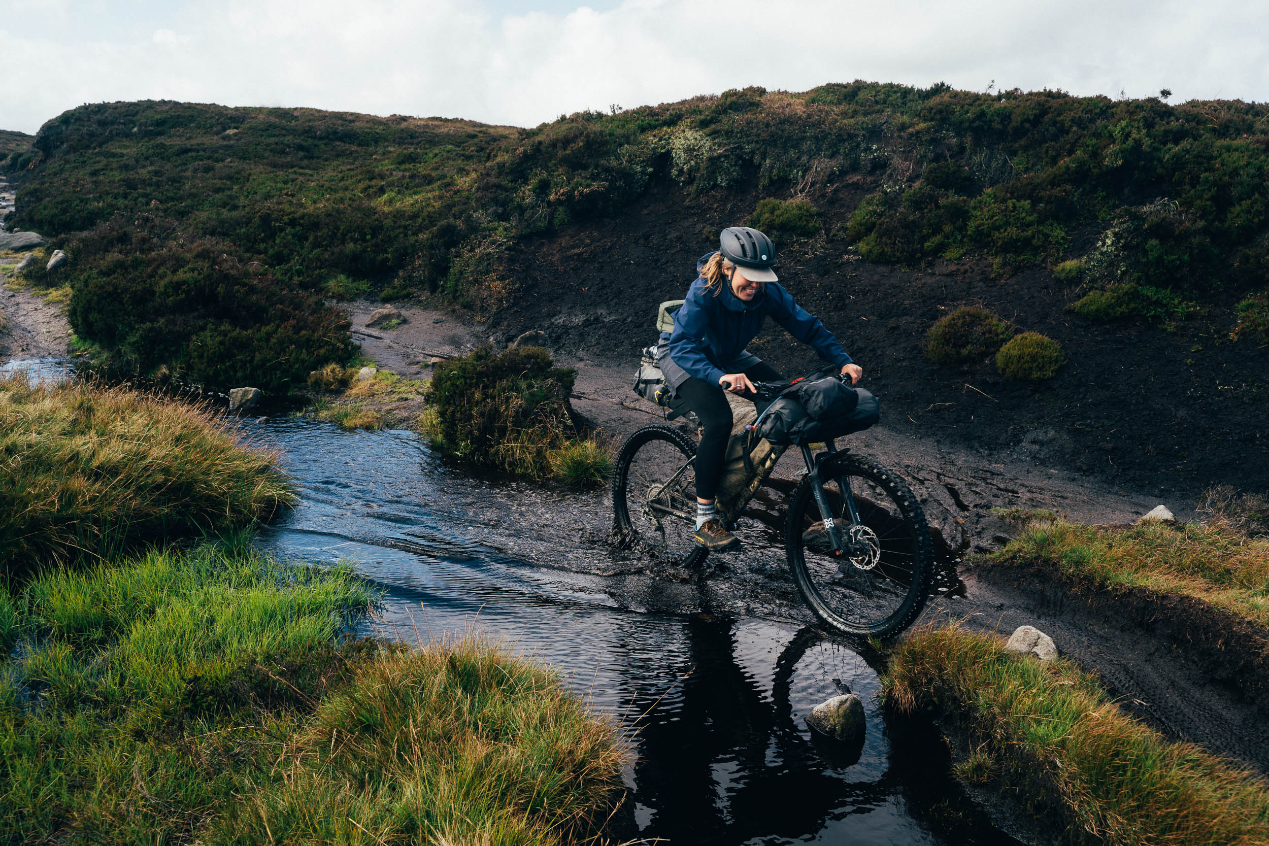
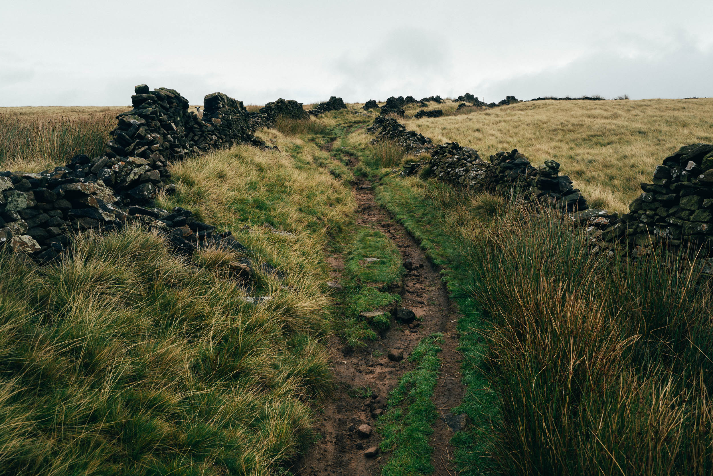
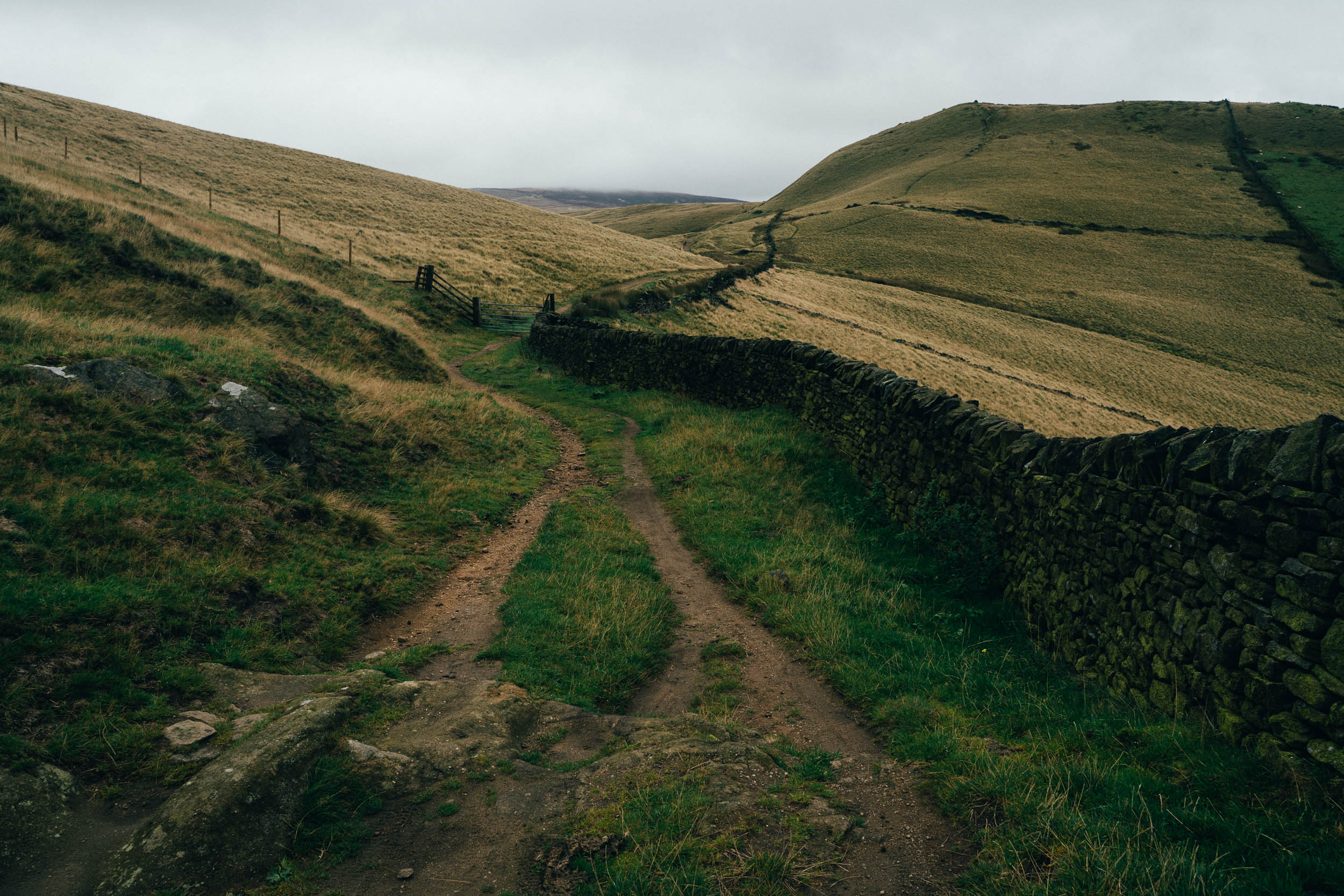
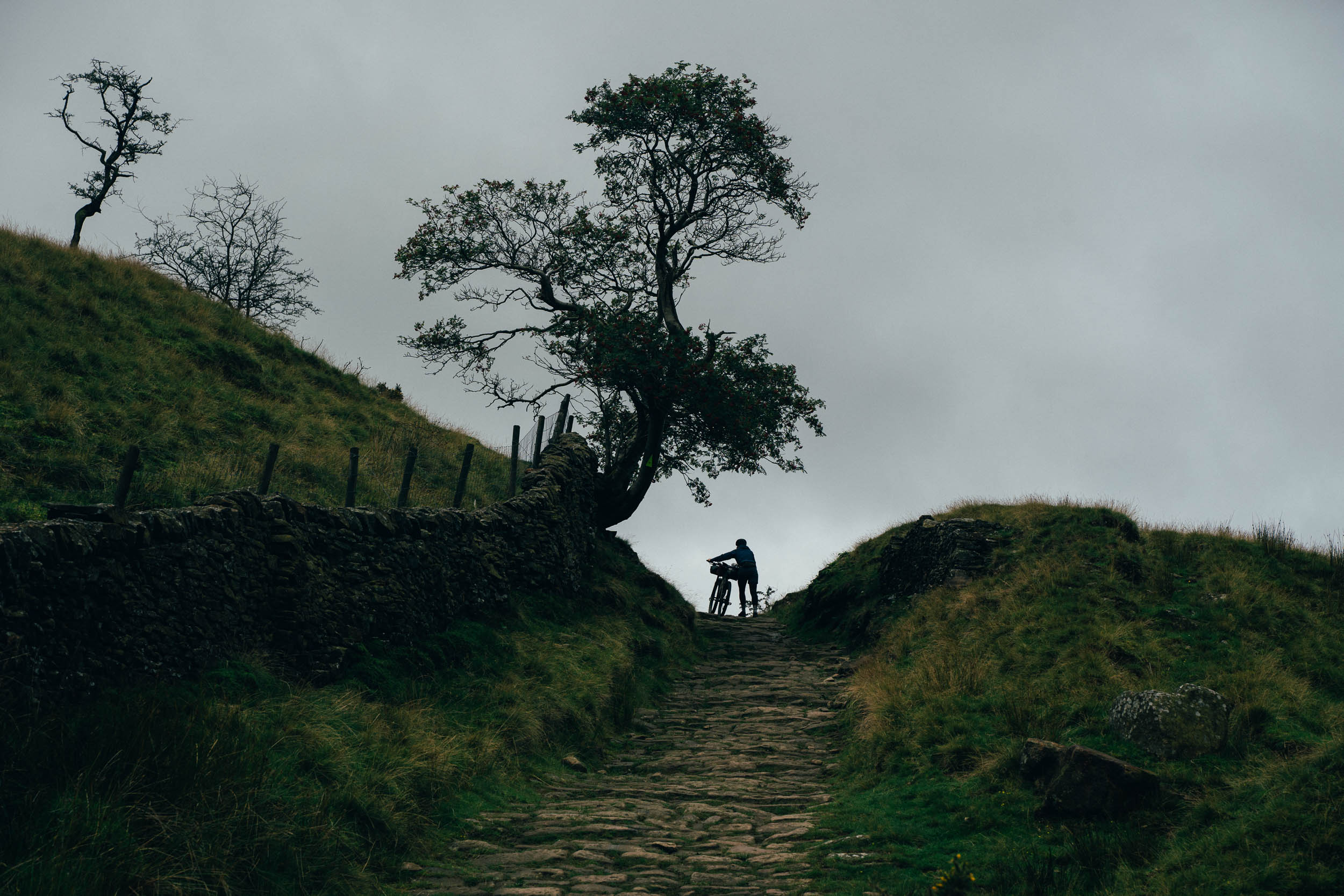
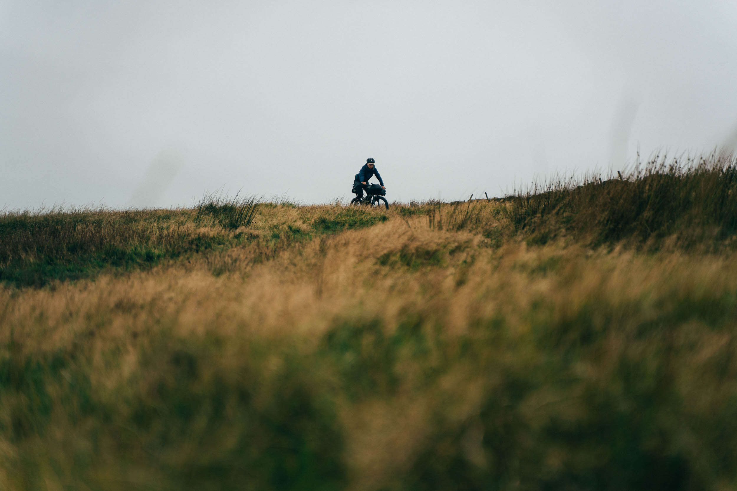
Throughout the route, expect a range of conditions, from quiet backroads and bike paths, to grassy bridleways, rocky shutes, short hike-a-bikes, and boggy crossings. Be sure to expect all the seasons in one day. The Peak District is no stranger to high winds and rain, whenever you choose to visit…
Route Development
This loop is closely based on the Peak 200, a 225km bikepacking route that’s raced as an ITT, as created by local rider Ian Fitz. It’s an abbreviated version that uses the mellow, traffic-free Monsal Trail to trim back the distance a little, helping to make it more do-able as a long weekend endeavour – at least for those who prefer to bikepack casually, rather than race. We’ve also routed it past environmentally conscious resupply points, especially those that offer plastic-free/compostable options. Thanks to Stefan Amato at Pannier.cc for the foodie ideas and hospitality!
Ideas on how to improve the route? Get in touch!
Difficulty: We’ve given this route a 7.5. There are moments of technical riding – particularly in wet conditions – that require confidence and a degree of skill. Parts of the moorland are very exposed, with some prolonged climbing in places. There’s also a substantial amount of climbing. But in terms of resupplies, it’s very straightforward. There are also plenty of options to bail out, if need be, with a variety of obvious paved road short cuts, as well as train stations with services to Manchester and Sheffield.


Submit Route Alert
As the leading creator and publisher of bikepacking routes, BIKEPACKING.com endeavors to maintain, improve, and advocate for our growing network of bikepacking routes all over the world. As such, our editorial team, route creators, and Route Stewards serve as mediators for route improvements and opportunities for connectivity, conservation, and community growth around these routes. To facilitate these efforts, we rely on our Bikepacking Collective and the greater bikepacking community to call attention to critical issues and opportunities that are discovered while riding these routes. If you have a vital issue or opportunity regarding this route that pertains to one of the subjects below, please let us know:
Highlights
Must Know
Camping
Food/H2O
Resources
- Embracing the wild beauty of the windswept southern Pennines.
- Barrelling down (and grinding up) a succession of rocky pitches.
- Refuelling in the many teahouses, pubs, and cafes that punctuate the route.
- Escaping the city, without travelling too far. Getting here by public transportation is easy.
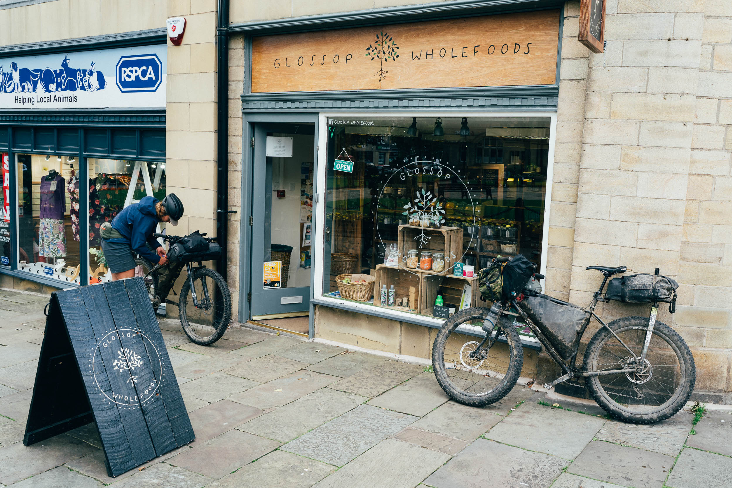
- Going plastic-free; there are two excellent zero waste resupply options en route and compostable energy bars in Castleton.
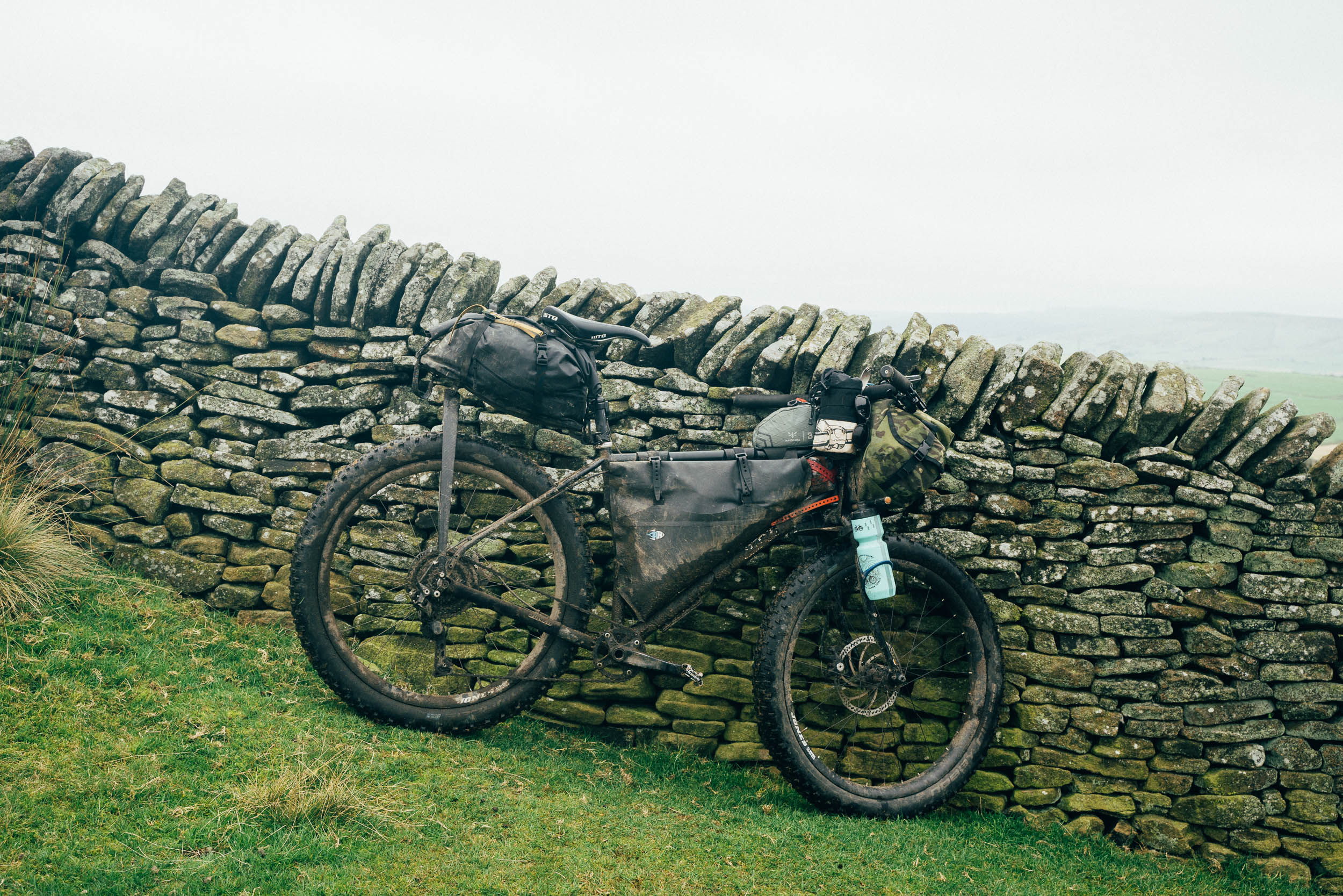
- Best Bike: This route has enough rocky interludes that you’ll enjoy it far more on a mountain bike, especially with front suspension or in the case of a fully rigid setup, plus tyres. If you insist on riding a gravel/cross bike, fit the biggest tyres it can take and prepare for some bone-jarring descents!
- Time to go: This is the UK…So whilst summer’s are technically drier and warmer (and the days are substantially longer), expect rain at any time of the year. With a clear weather window, this would be a great ride in the autumn or spring. Moorland crossings are more susceptible to damage after heavy rain, so ride with care. Check for current conditions – and contribute your own experiences – at Keeper of the Peak.
- Pack decent waterproofs; waterproof shorts make sense too, or mtb mudguards.
- The Ordnance Survey App is well worth downloading on your phone; you can subscribe for a year, or month by month. This allows you to download 1:50,000 Landranger and 1:25,000 Explorer Maps and appreciate the area – and all its idiosyncratic place names – in its full glory.
- Hathersage makes a great starting point, but there are a number of other options en route, including Glossop, Edale, and Hope, if you’re using public transport.
- Hathersage boasts various outdoor shops, including an Alpkit store, where you can pick up bio-ethanol for cooking, affordable camping gear, bivy bags, extra layers (there’s a discounted area upstairs), and bike spares. If you want to try a Sonder, you can even rent one. Alpkit also offers a gear repair service, so get in touch in advance if you have something that needs fixing. Perhaps you can leave it with them while you ride…
- Bakewell has a Cotswold Outdoor and a Millets, where you can buy bio-ethanol and other camping fuel.
- Cotic Bikes are based in Calver. Thanks for lending Neža a Solaris Max!
- Train connections abound throughout the area, generally with room for bikes, making it very easy to reach the Peak District from Manchester and Sheffield.
- You can also ride from Sheffield train station too; it’s just 11km to connect with the route in Redmires Lower Reservoir, a section of which is a bike path out of the city.
- Note that it’s very easy to turn this loop into a simple overnighter, or even tackle it in two separate outings (north and south), by starting in Edale and cutting across at Mam Tor on the Kinder Loop bridleway, via Lord’s Seat.
- Download this 99% Invisible podcast to listen to in your tent; it chronicles the history of the Right to Roam movement, particularly in relation to Manchester’s factory workers and their outlawed adventures in the Peak District.
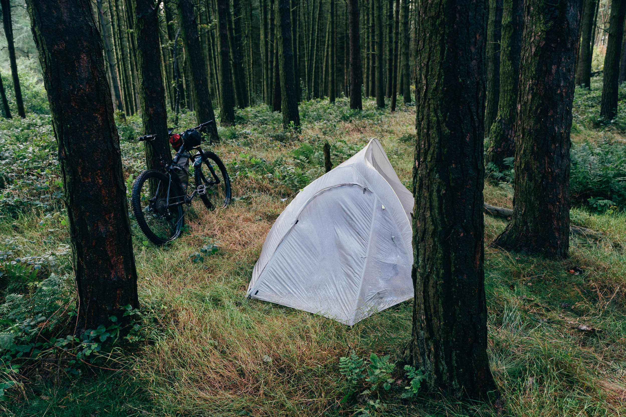
- Without permission from the landowner, wild camping is illegal in the Peak District. If you can’t make your destination, be sure to bivy respectfully and #leavenotrace.
- There are a number of campsites in the area, see here for options across the Peak District.
- If the weather caves in there are YHA hostels too, or treat yourself to a Peak Pod in Bakewell.
- You won’t need to carry more than 2-3 bottles – there are pubs, tea shops, and cafes everywhere to fill up with water, as well as various taps, some of which are marked on the map.
- We’ve marked resupply points on the map. There’s no shortage of small towns for supplies, so you’ll never need to carry much. There are also some great ‘zero waste’ options too, in Glossop and Hathersage, for those who want to cut down their dependency on single use plastic. Why not set yourself the challenge of making it a zero waste tour?
- Download the Refill App to save on plastic.
Additional Resources
- Peak 200; download the gpx file of the 225km route.
- Peak District MTB is the local advocacy group for the area.
- Have an extra day to hand? Test your mettle by trying to clean the infamous Jacob’s Ladder…
- The Bike Garage in Bamford has lots of great route guides for day rides, along with bike rental, sales, and repair.


Terms of Use: As with each bikepacking route guide published on BIKEPACKING.com, should you choose to cycle this route, do so at your own risk. Prior to setting out check current local weather, conditions, and land/road closures. While riding, obey all public and private land use restrictions and rules, carry proper safety and navigational equipment, and of course, follow the #leavenotrace guidelines. The information found herein is simply a planning resource to be used as a point of inspiration in conjunction with your own due-diligence. In spite of the fact that this route, associated GPS track (GPX and maps), and all route guidelines were prepared under diligent research by the specified contributor and/or contributors, the accuracy of such and judgement of the author is not guaranteed. BIKEPACKING.com LLC, its partners, associates, and contributors are in no way liable for personal injury, damage to personal property, or any other such situation that might happen to individual riders cycling or following this route.
Please keep the conversation civil, constructive, and inclusive, or your comment will be removed.