


The Downs Overnighter
Distance
110 Mi.
(177 KM)Days
2
% Unpaved
70%
% Singletrack
5%
% Rideable (time)
100%
Total Ascent
6,341'
(1,933 M)High Point
755'
(230 M)Difficulty (1-10)
5?
- 4Climbing Scale Fair58 FT/MI (11 M/KM)
- -Technical Difficulty
- -Physical Demand
- -Resupply & Logistics
Contributed By

Jonathan Kambskard-Bennett
Guest Contributor
JKB developed a love for two-wheeled exploring while cycling 50,000km around the world. Since then, he’s tried bikepacking at pace – completing TCRno7 – but is most happy touring at a more leisurely pace, preferably off-road. He’s London based and very conscious of the fact that you don’t need to travel far to find an adventure. Follow JKB on his website, or Instagram @jkbs.bike.ride.
What makes this route particularly special is its close proximity to London, a city that few associate with long-distance gravel riding. Many of the millions who live in this part of the country think they have to travel far to find good bikepacking adventures, but that’s not the case at all.
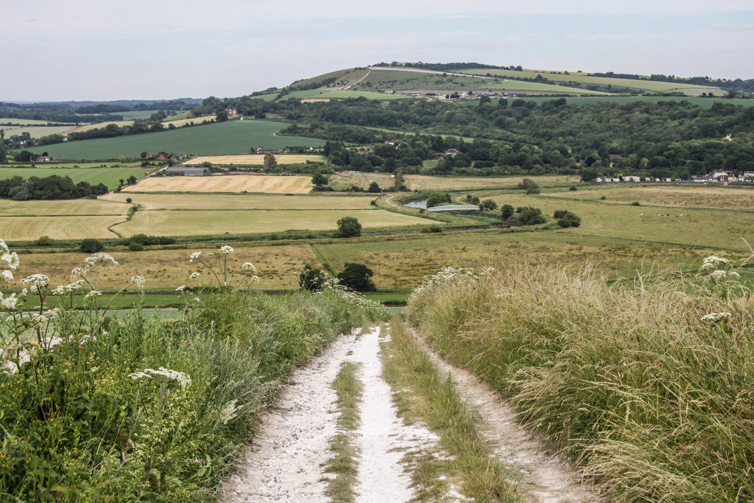
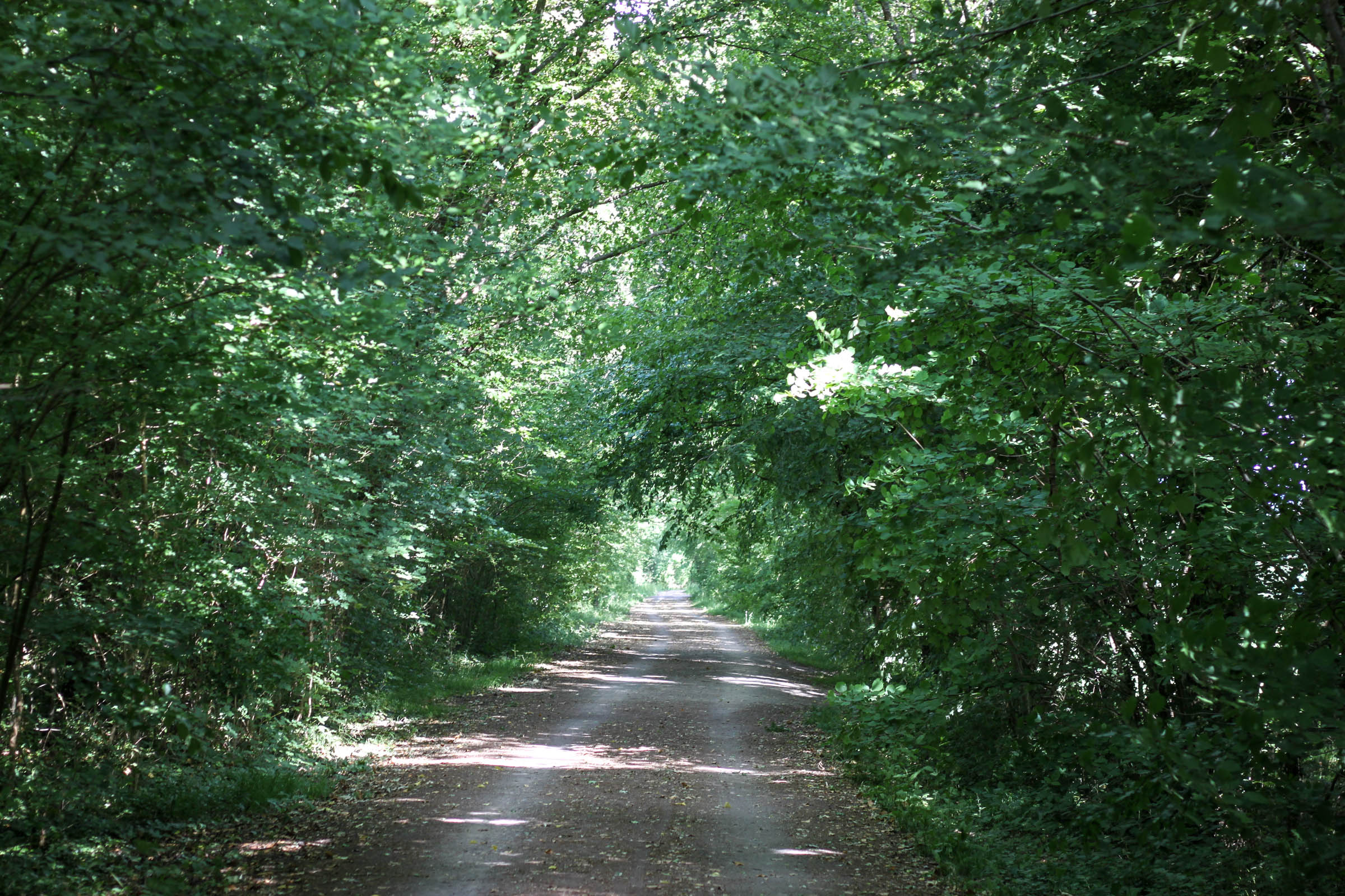
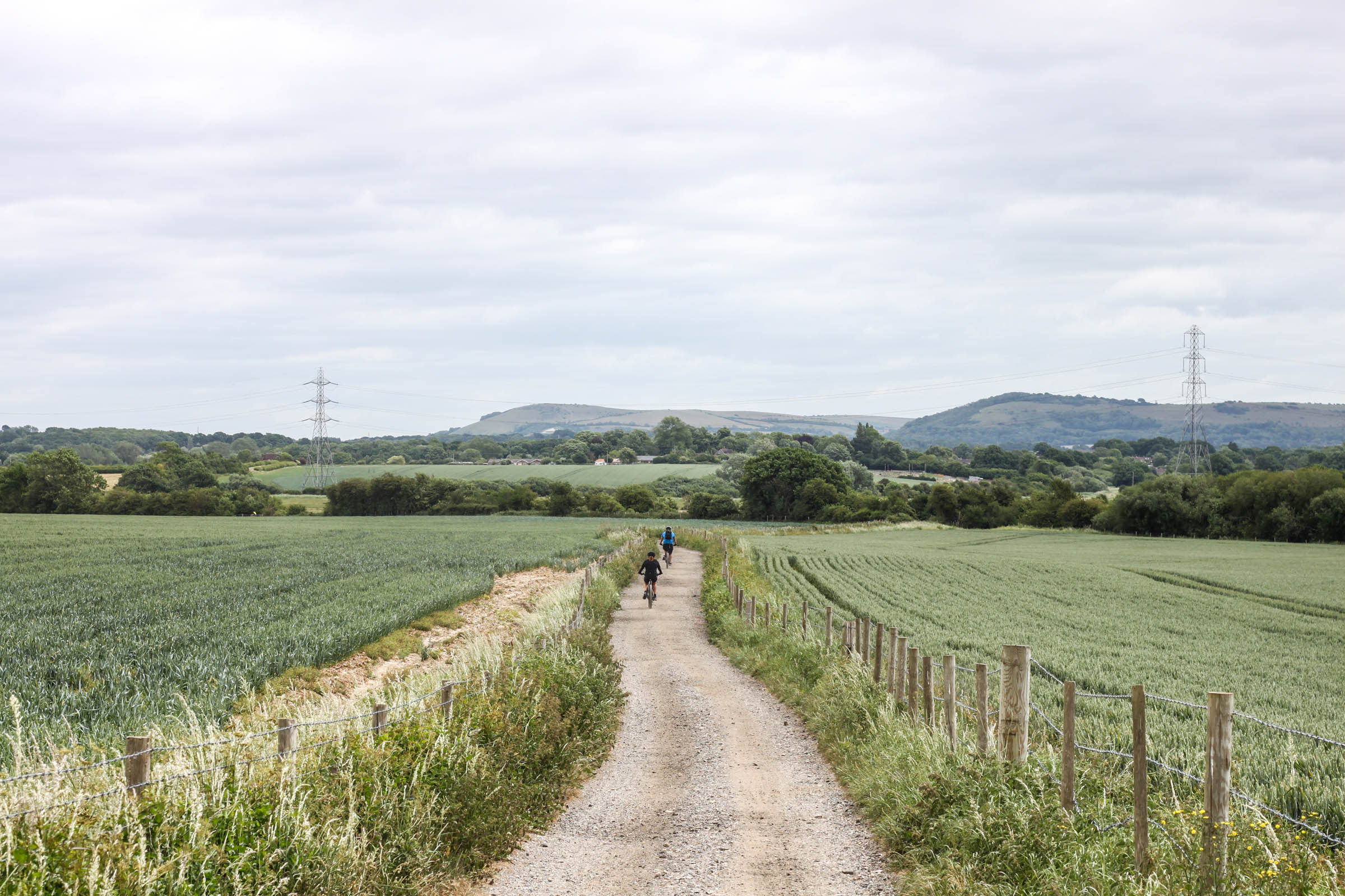
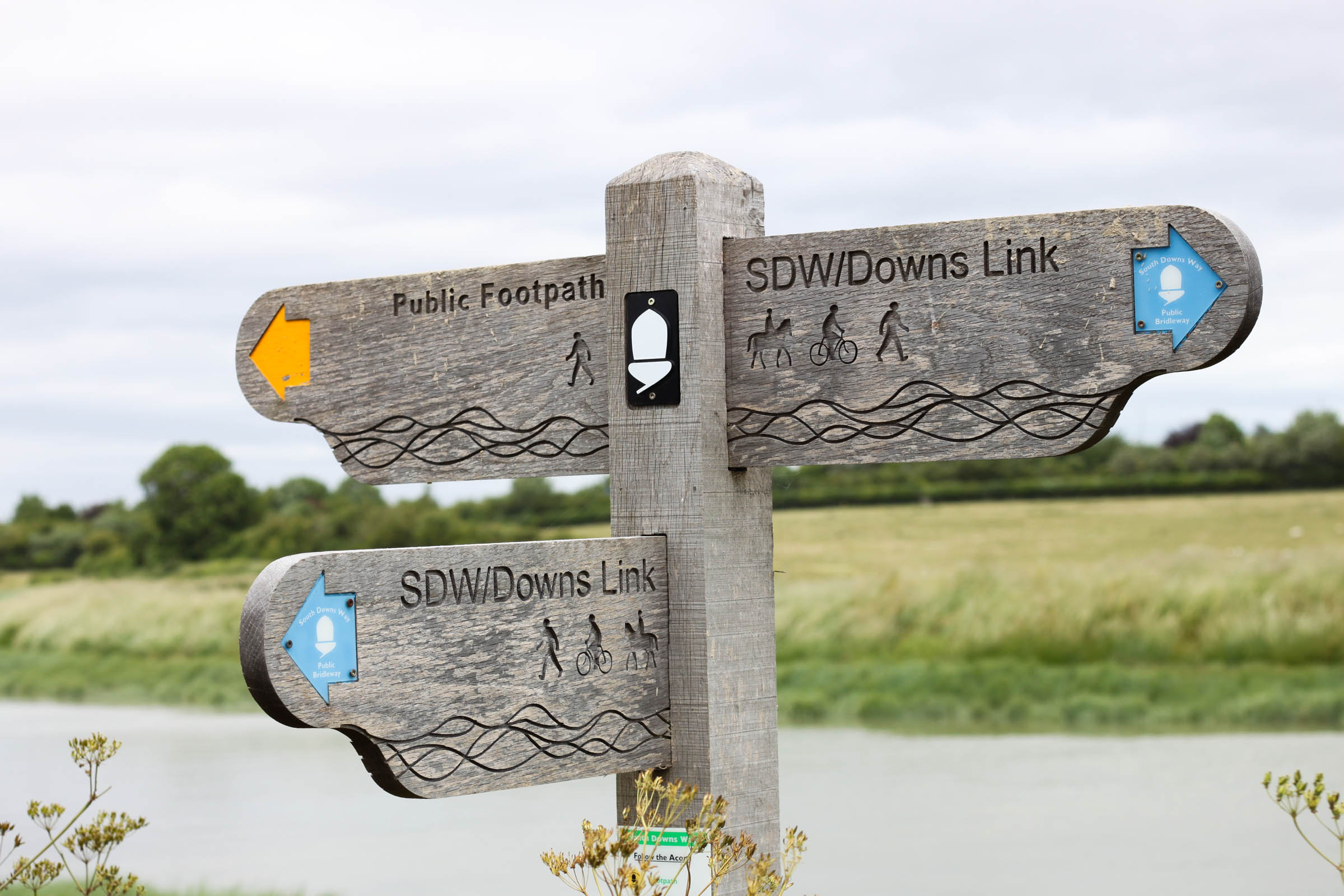
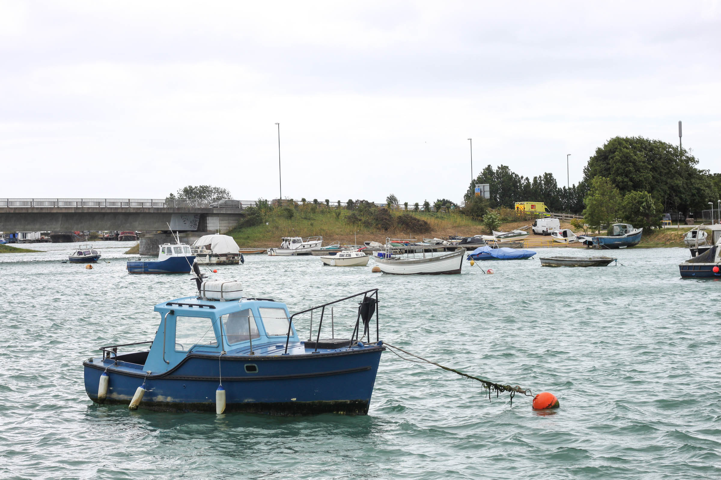
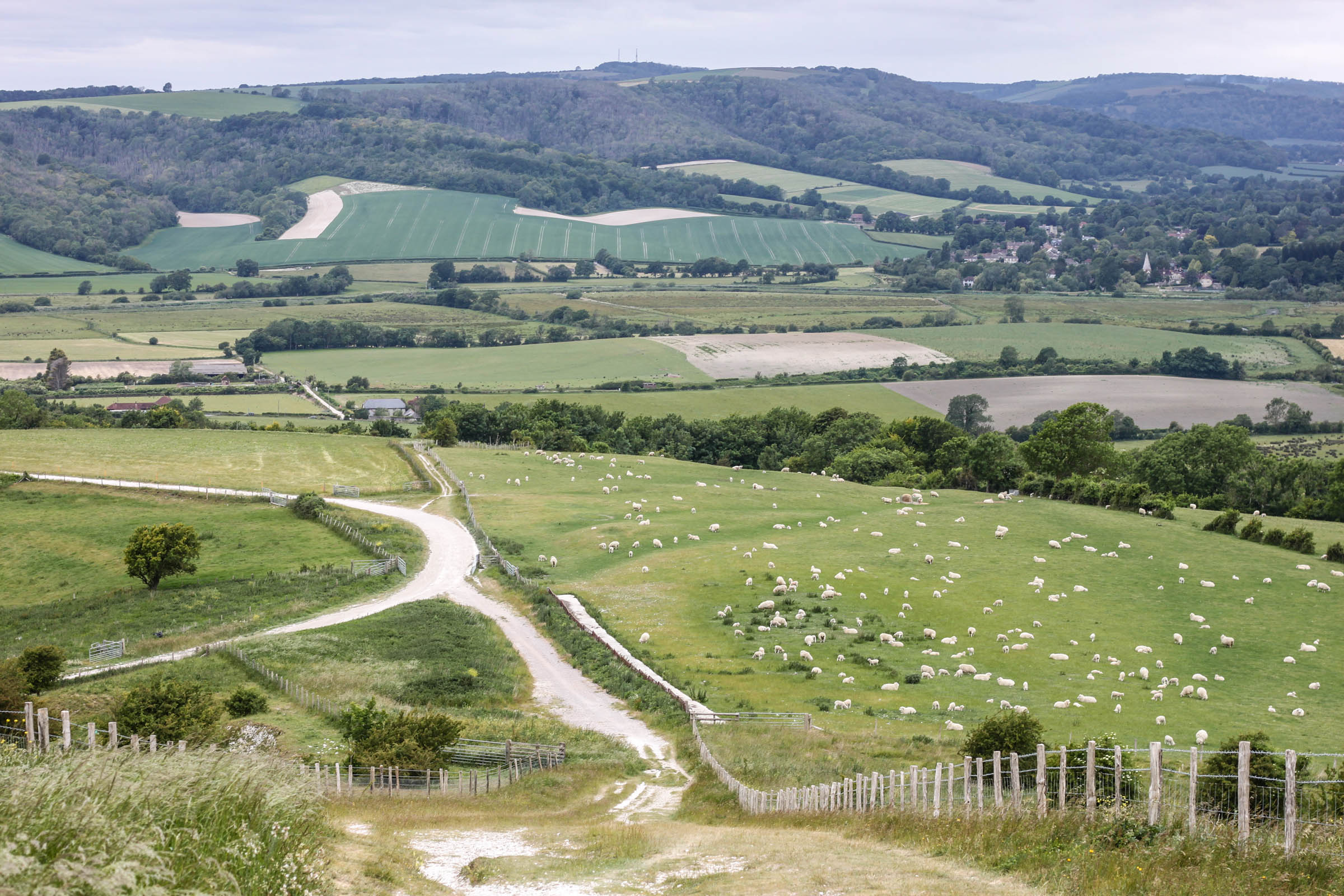
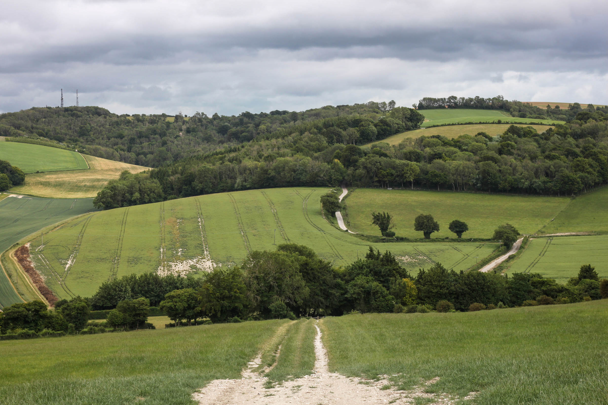
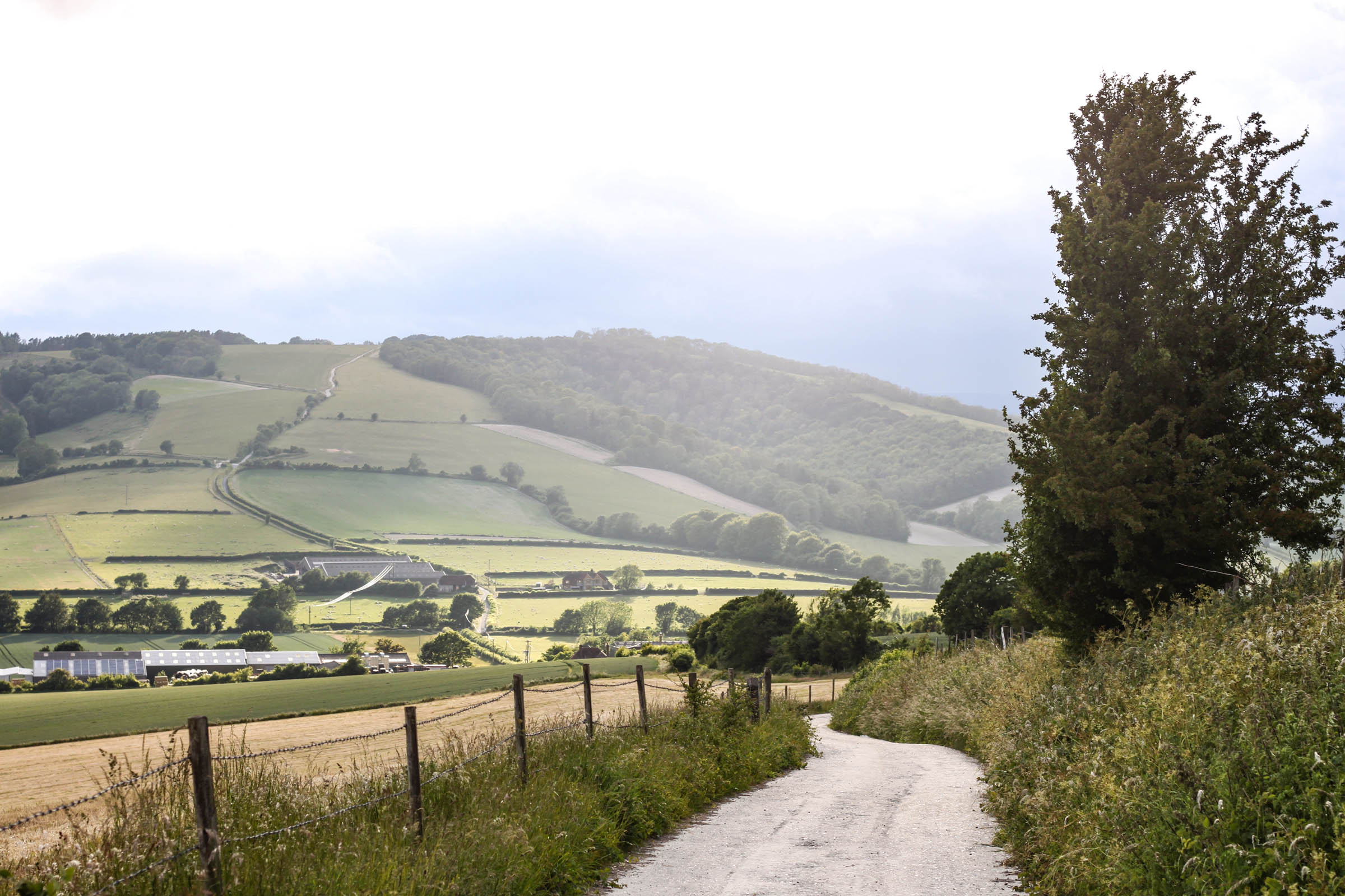
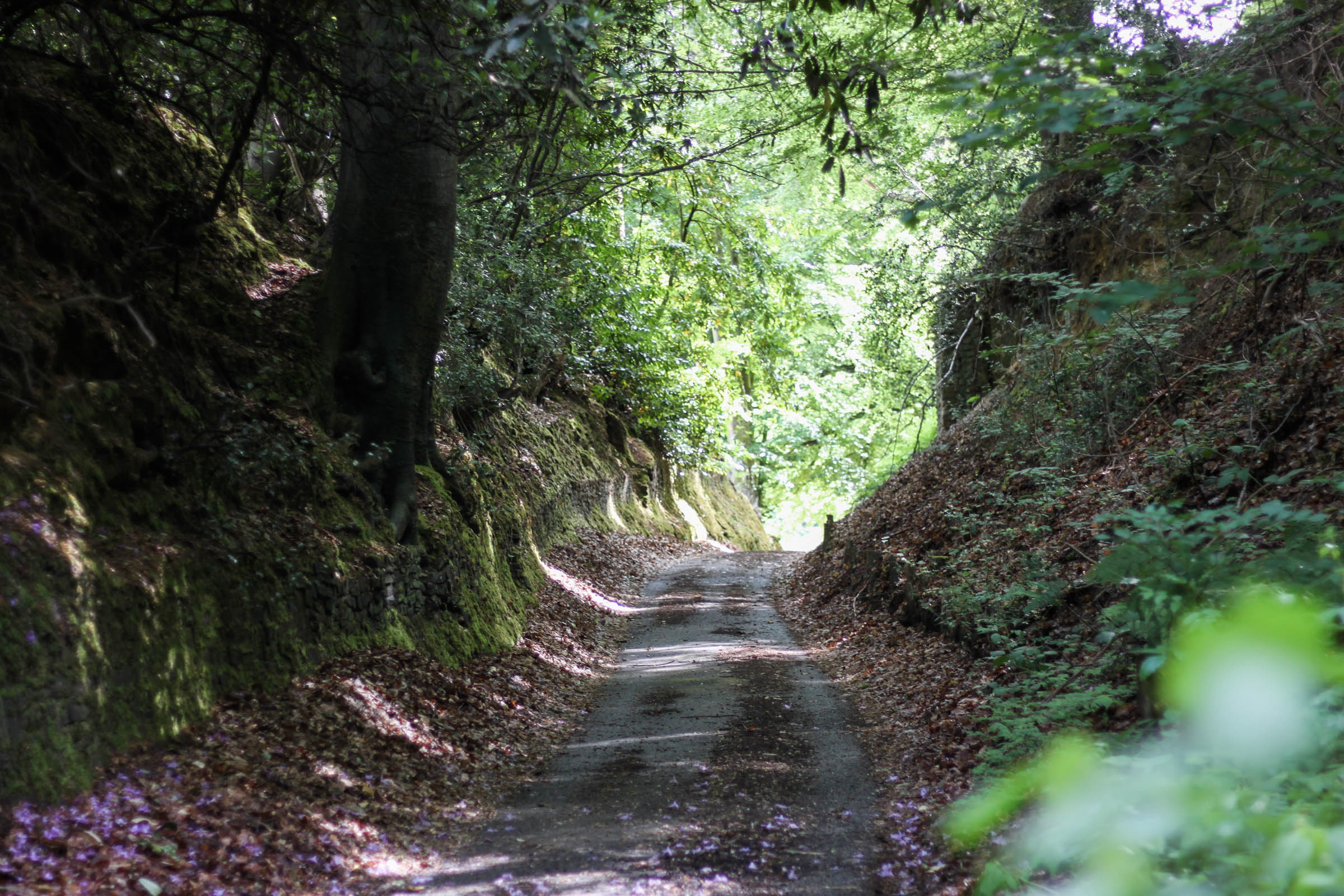
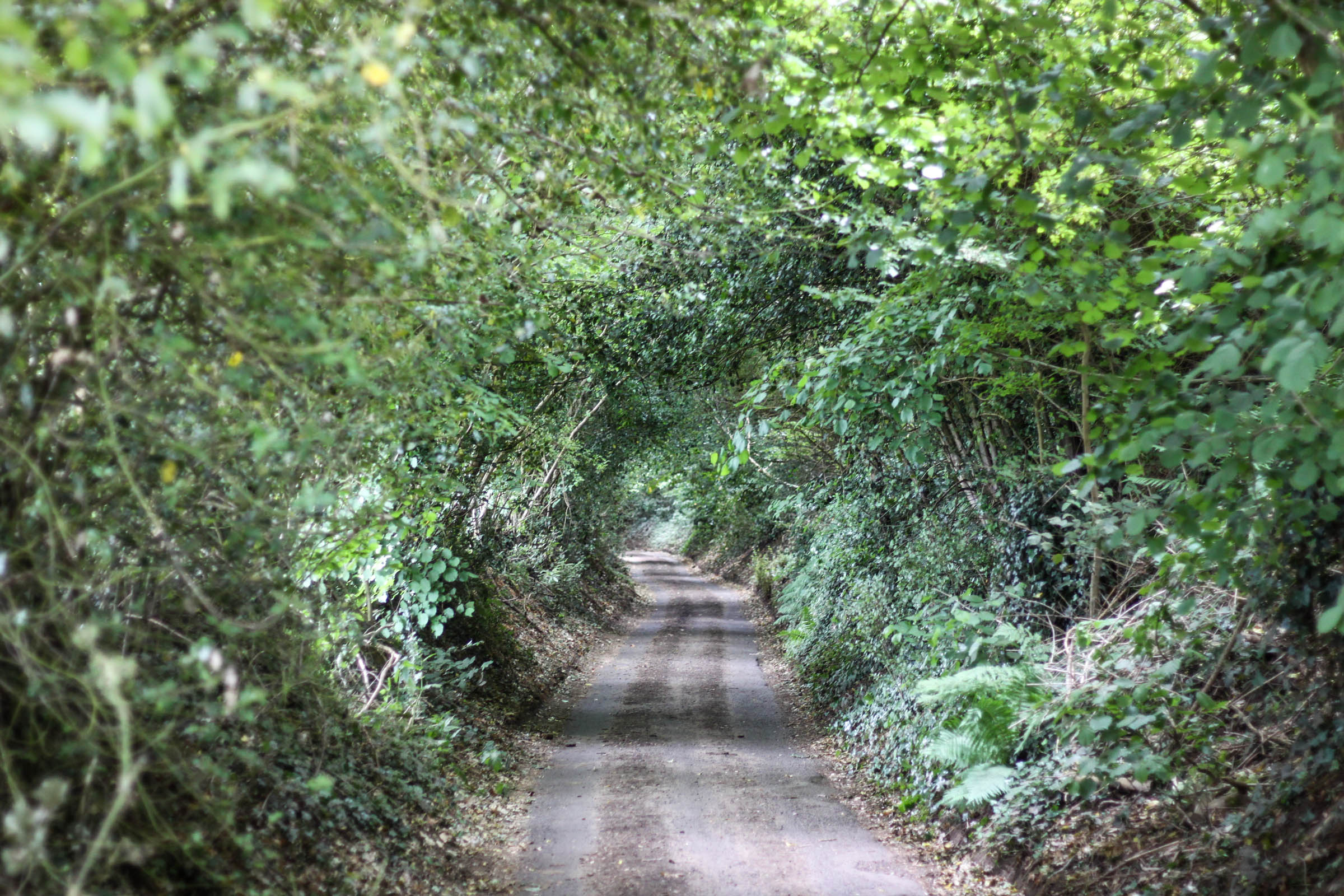
This route is essentially a connection of a few well-established long-distance trails through Surrey, West Sussex, and Hampshire, and is an accessible introduction to the network of bridleways that criss-country the region. It does British mixed-terrain riding justice and as such there is no perfect bike for the route. You’ll see families out riding the flat Downs Link, tourists cruising along the coast, and mountain bikers shredding the South Downs’ steep banks.
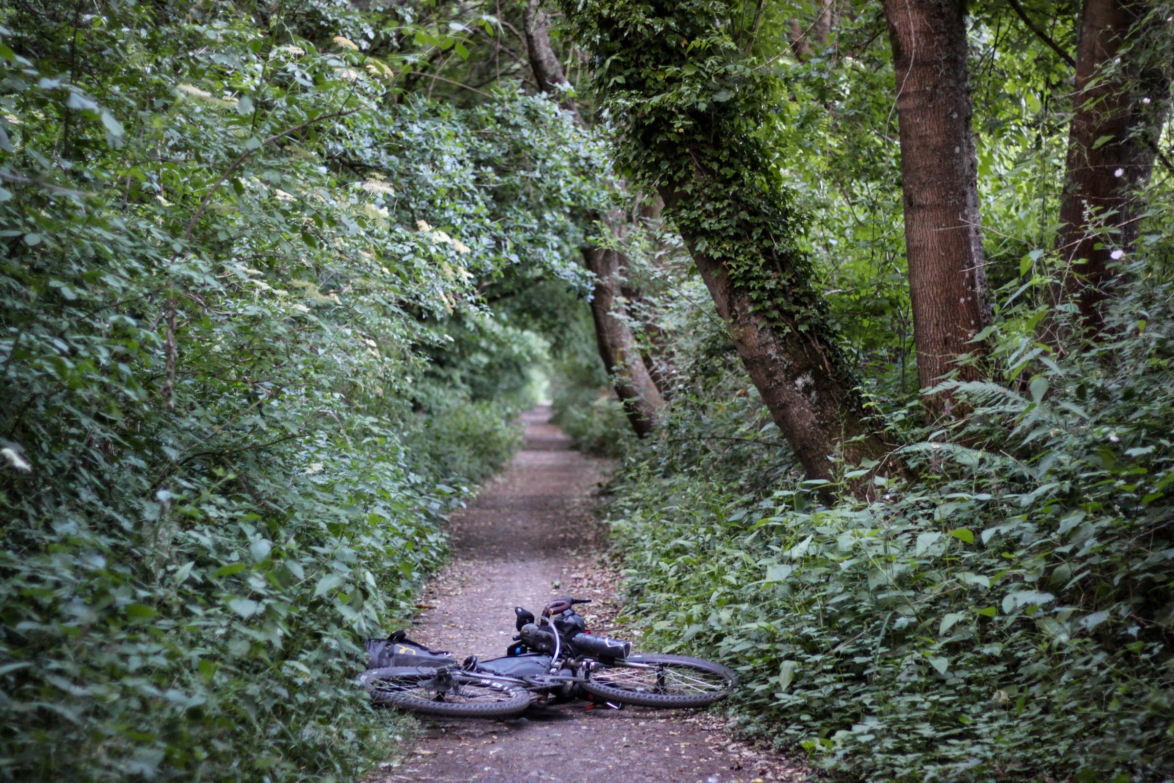
If the varied terrain isn’t enough, there’s also no shortage of historical interest. You’ll trace old converted railway lines that were closed in the 60s (a time when many railway routes in the UK were restructured), pass prehistoric hilltop forts, and travel tracks that have been used for thousands of years.
Difficulty
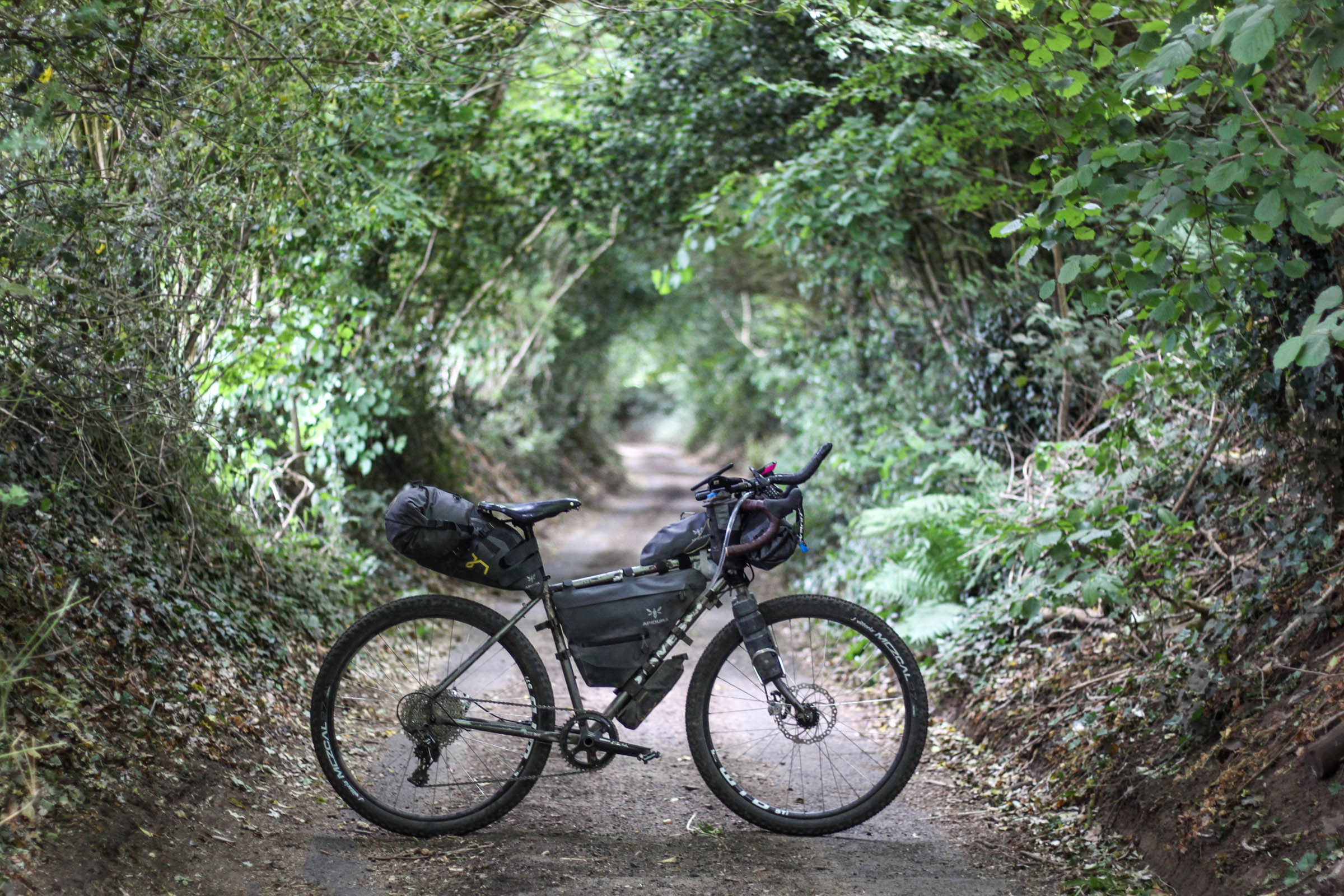
Aside from the section along the South Downs Way between Lancing and Petersfield, this is an easy ride. Most of the trails are well maintained, much of it is signposted, and the climbs are never long. That said, there are plenty of hills, particularly on the South Downs Way and the ease of which you will find these will depend on your gearing and loaded bike’s weight. A gravel bike will be fine even on the lumpier sections, but you’ll need to be cautious on the descents and be prepared to walk up some of the steeper sections if you have a heavy load. Resupply is straight forward along most of the route and although you are never far from a village shop, you should carry some extra supplies for the tougher section along the South Downs Way.
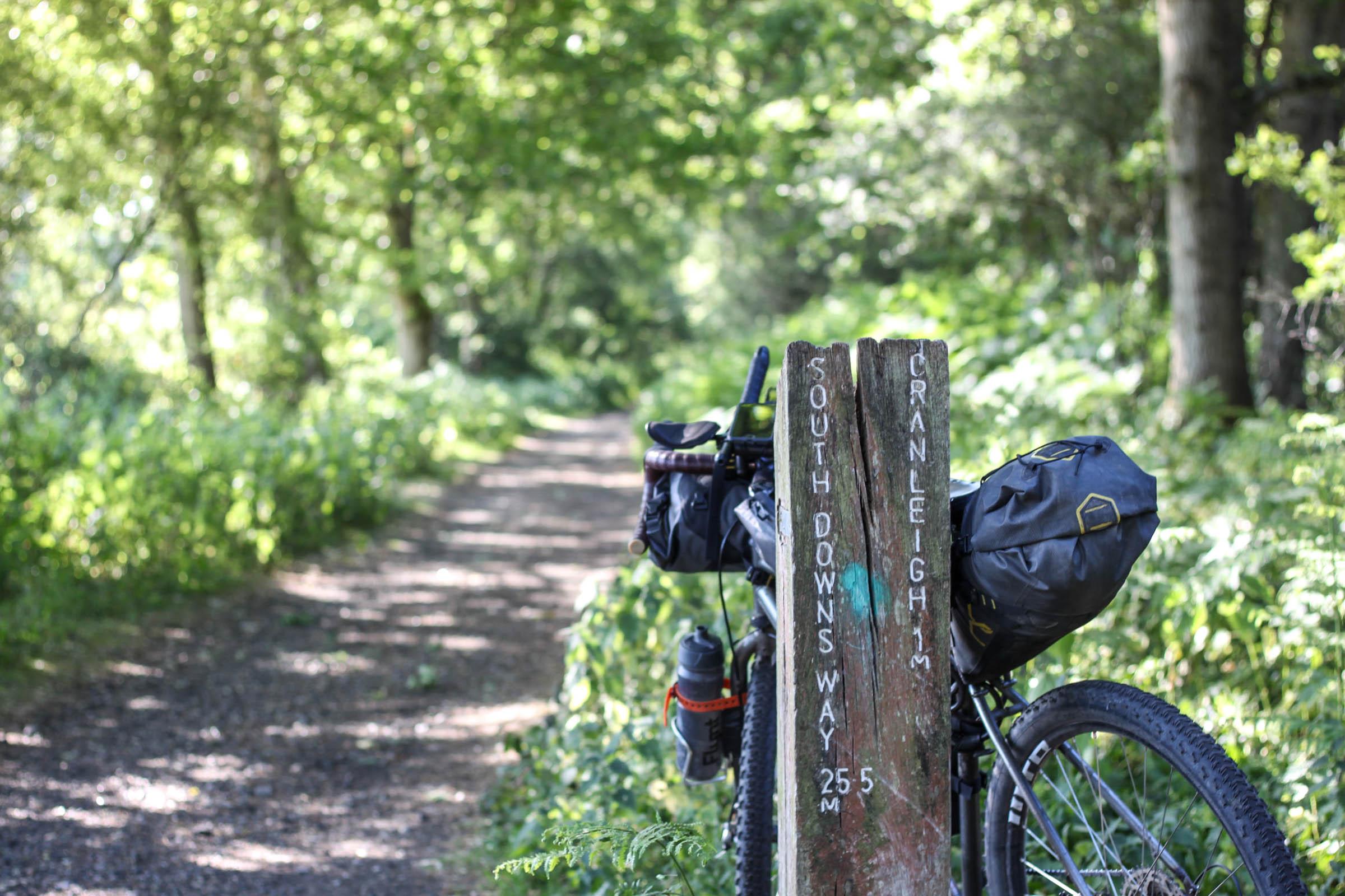
Route Development: This route makes use of numerous pre-existing long-distance shared use trails that are maintained by various authorities. These include the South Downs Way, Cycling UK’s rideable version of North Downs Way, the Downs Link, National Cycle Route 22, and Shipwright’s Way.


Submit Route Alert
As the leading creator and publisher of bikepacking routes, BIKEPACKING.com endeavors to maintain, improve, and advocate for our growing network of bikepacking routes all over the world. As such, our editorial team, route creators, and Route Stewards serve as mediators for route improvements and opportunities for connectivity, conservation, and community growth around these routes. To facilitate these efforts, we rely on our Bikepacking Collective and the greater bikepacking community to call attention to critical issues and opportunities that are discovered while riding these routes. If you have a vital issue or opportunity regarding this route that pertains to one of the subjects below, please let us know:
Highlights
Must Know
Camping
Food/H2O
Trail Notes
Resources
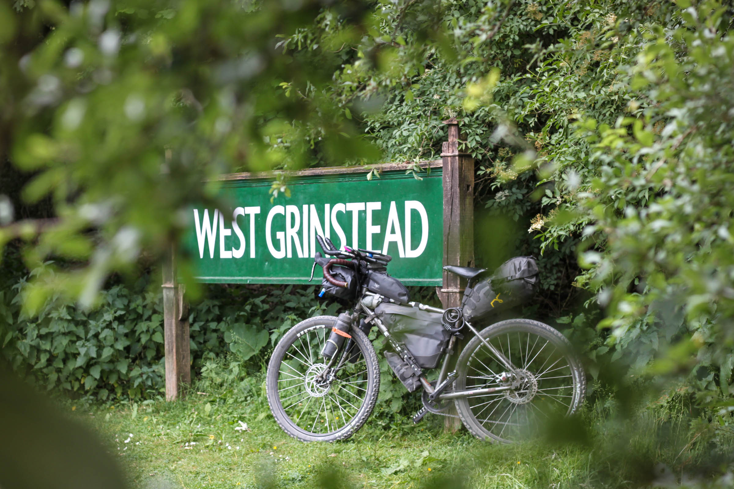
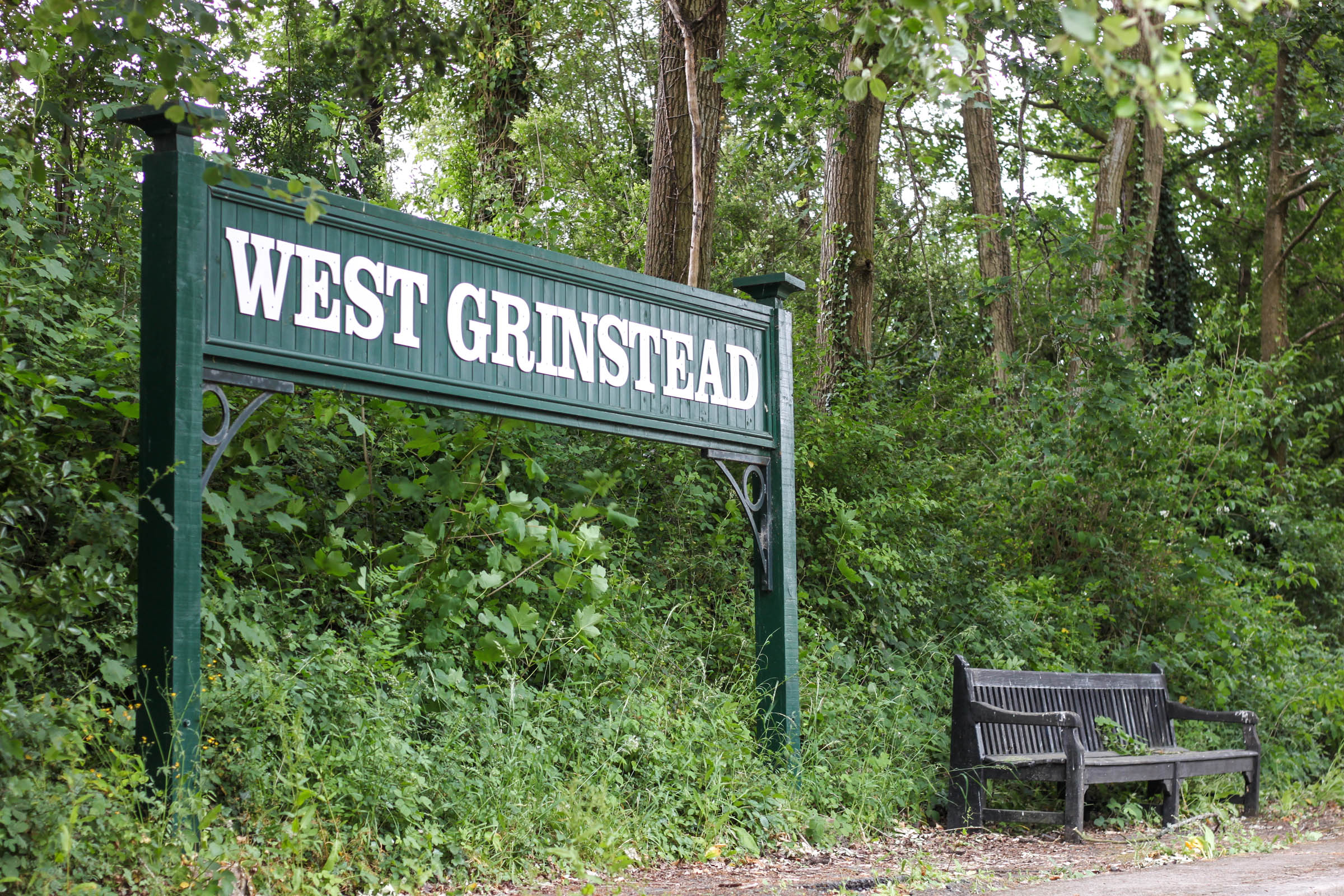
- Downs Link offers a fast connection from Guildford to the coast via two disused railways lines.
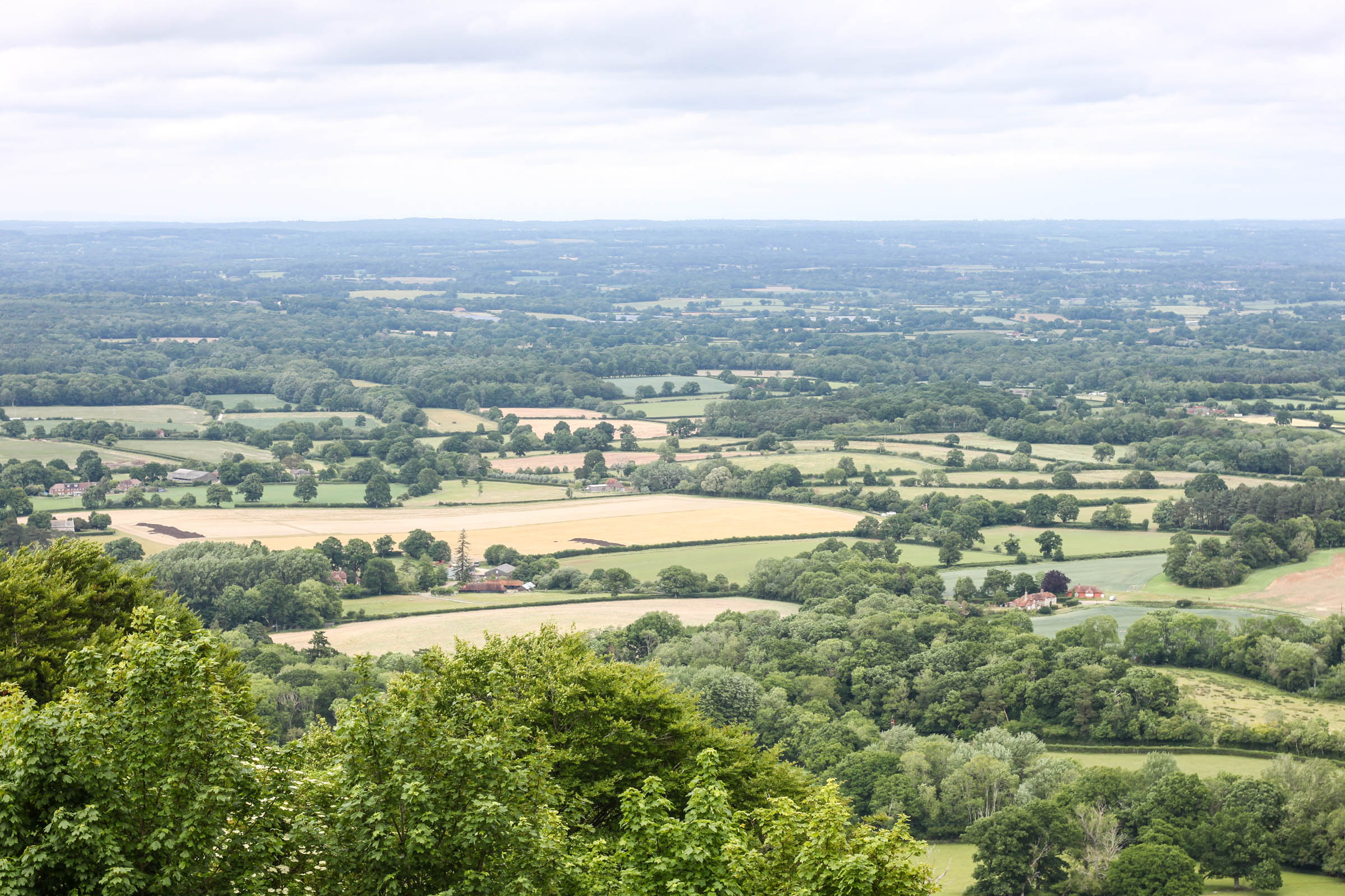
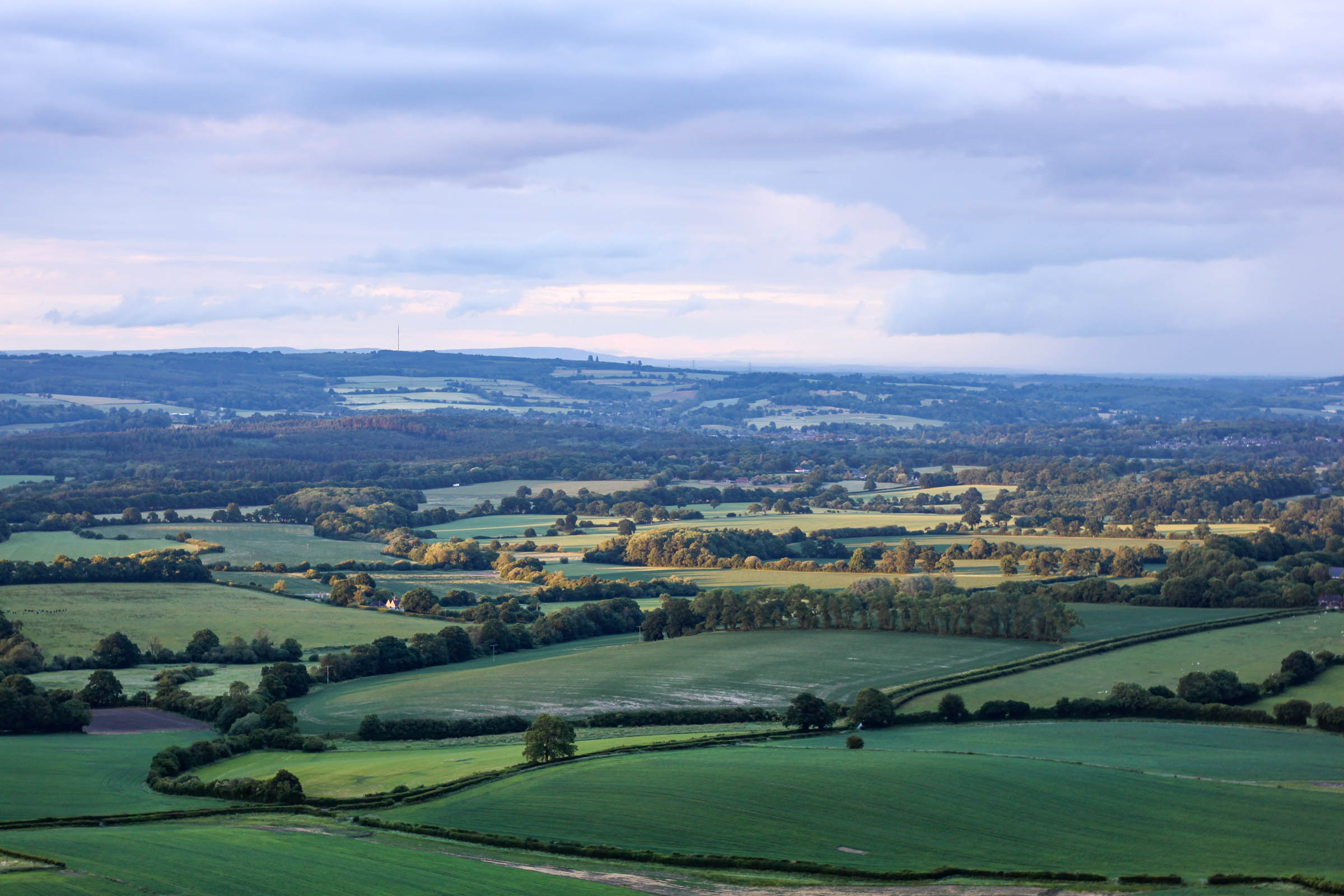
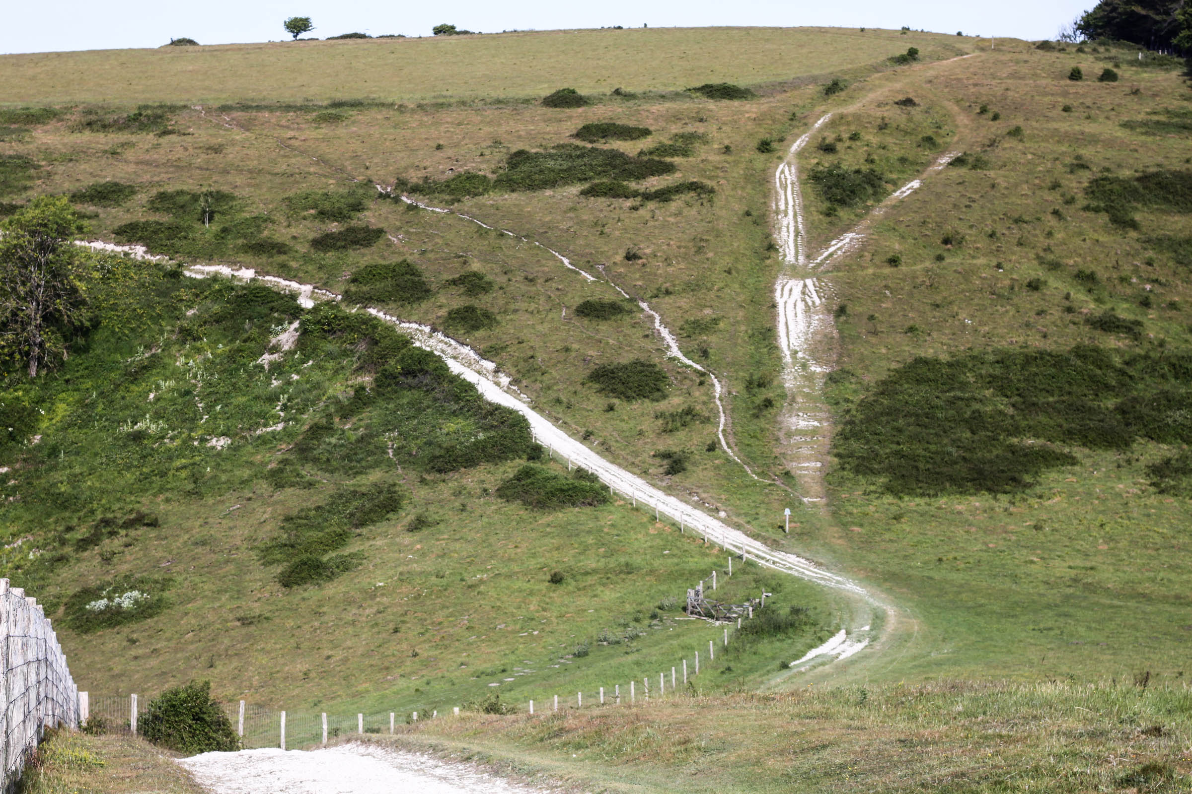
- The South Downs Way is one of the best extended trails in England and the climbs are worth it for the sweeping views.
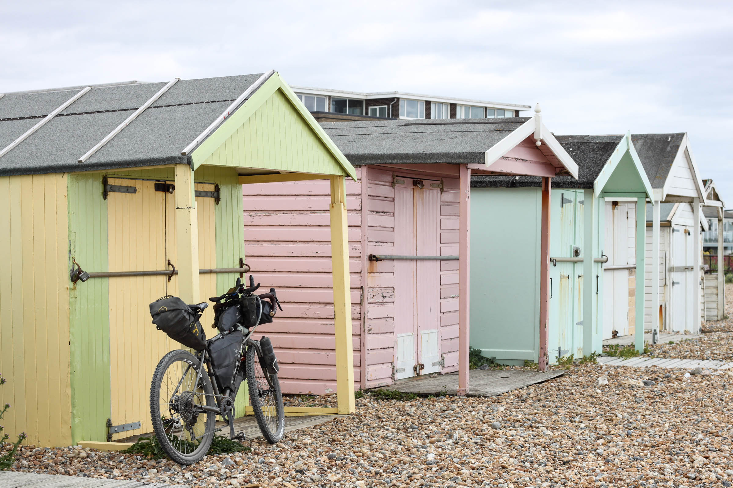
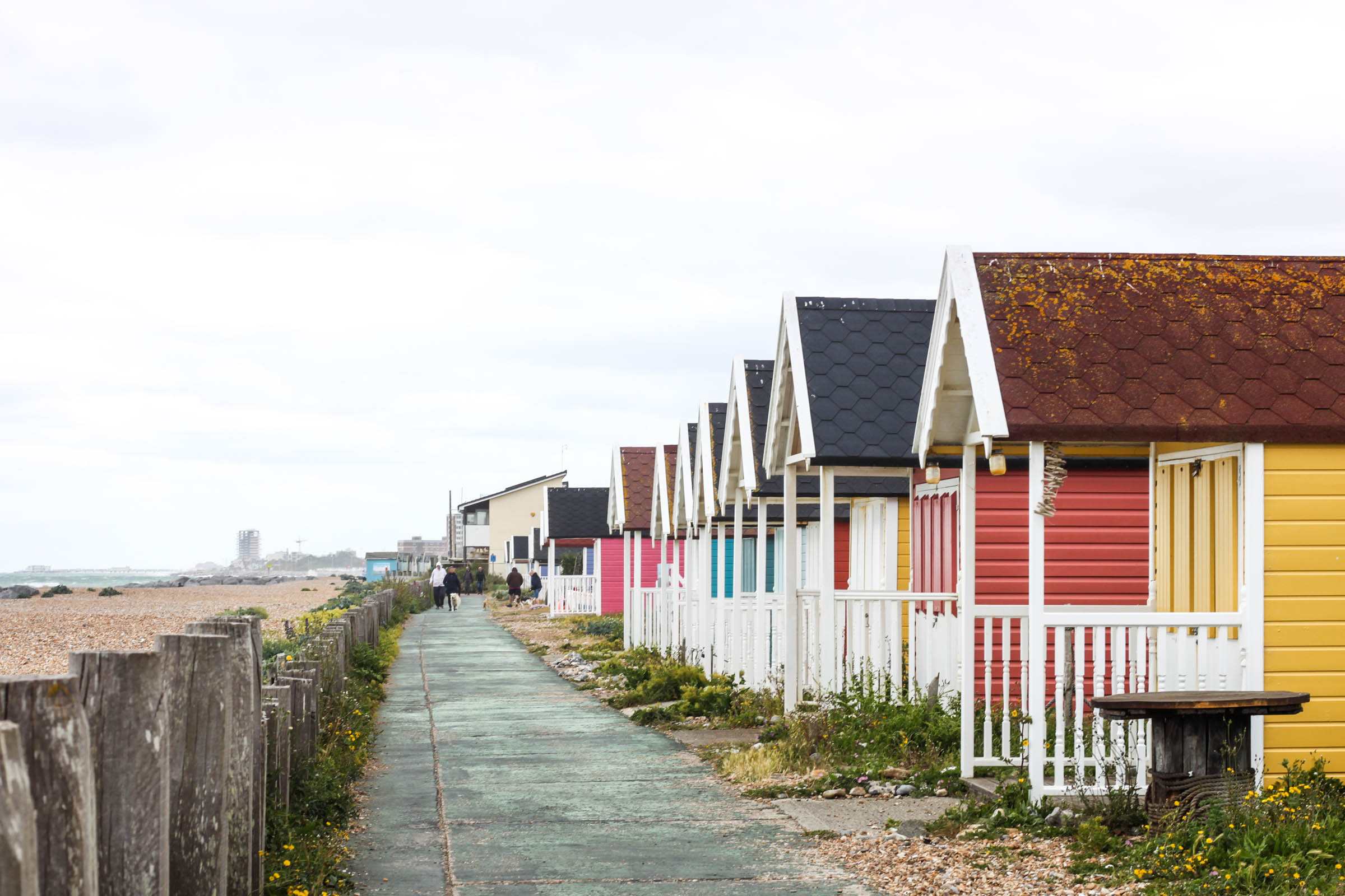
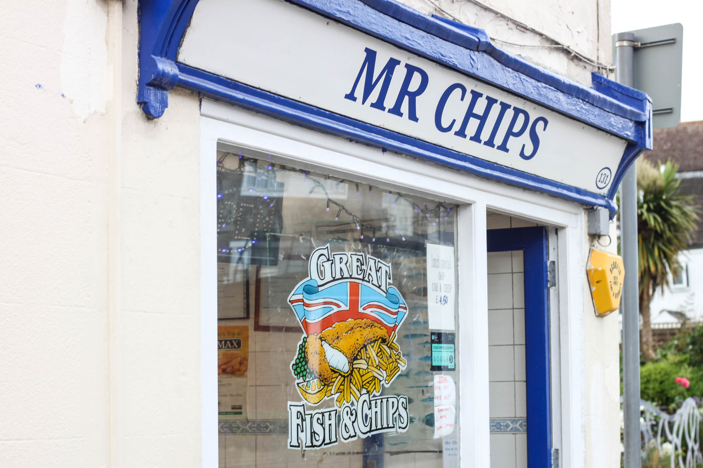
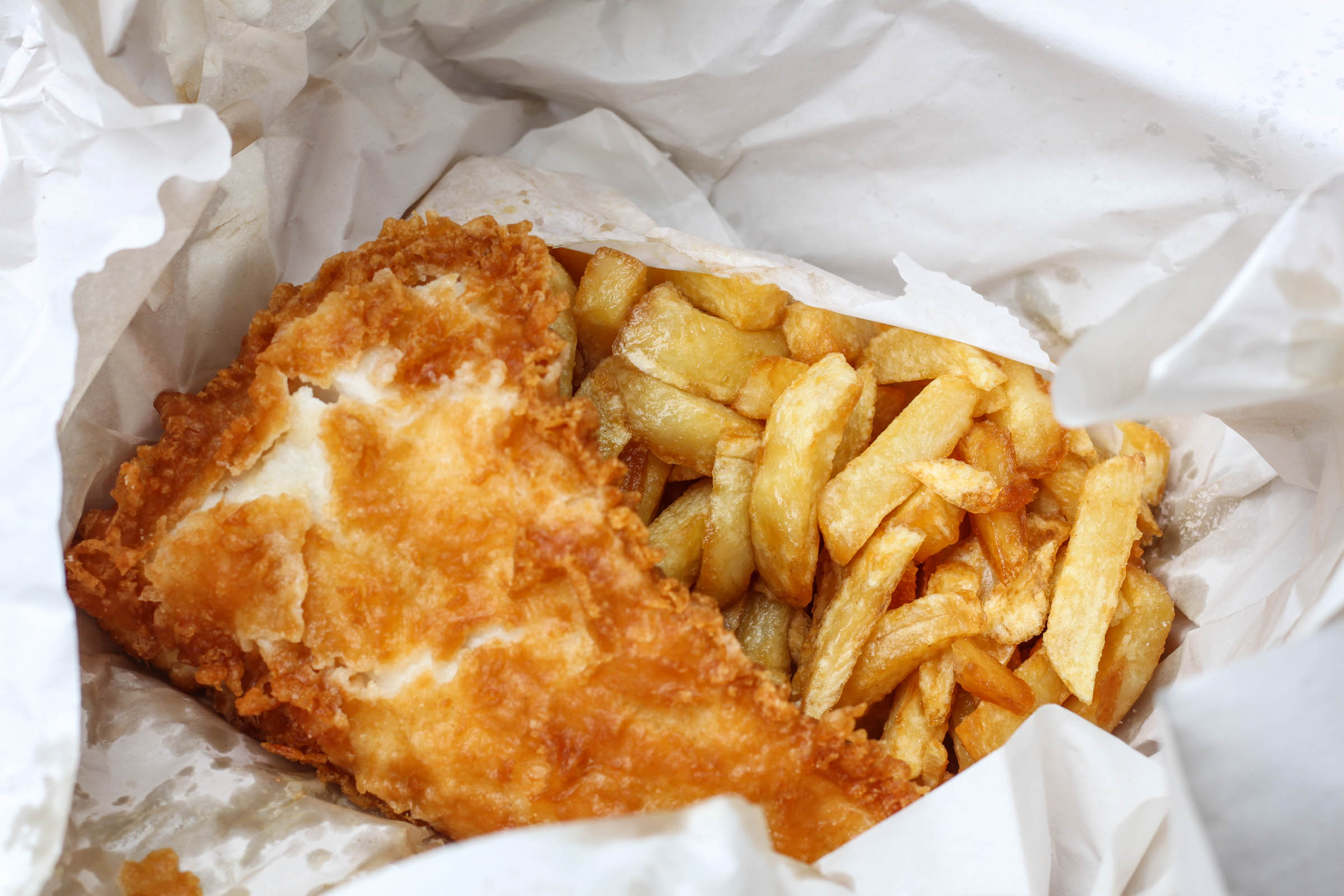
- Fish and Chips is an essential pitstop at the coast. If you’ve come this far, you may as well have a seaside lunch!
- Rural pubs are dotted throughout the route. They are great places to fill up on water and (if you’re not in a hurry) offer far more interesting ways to ‘rehydrate’.
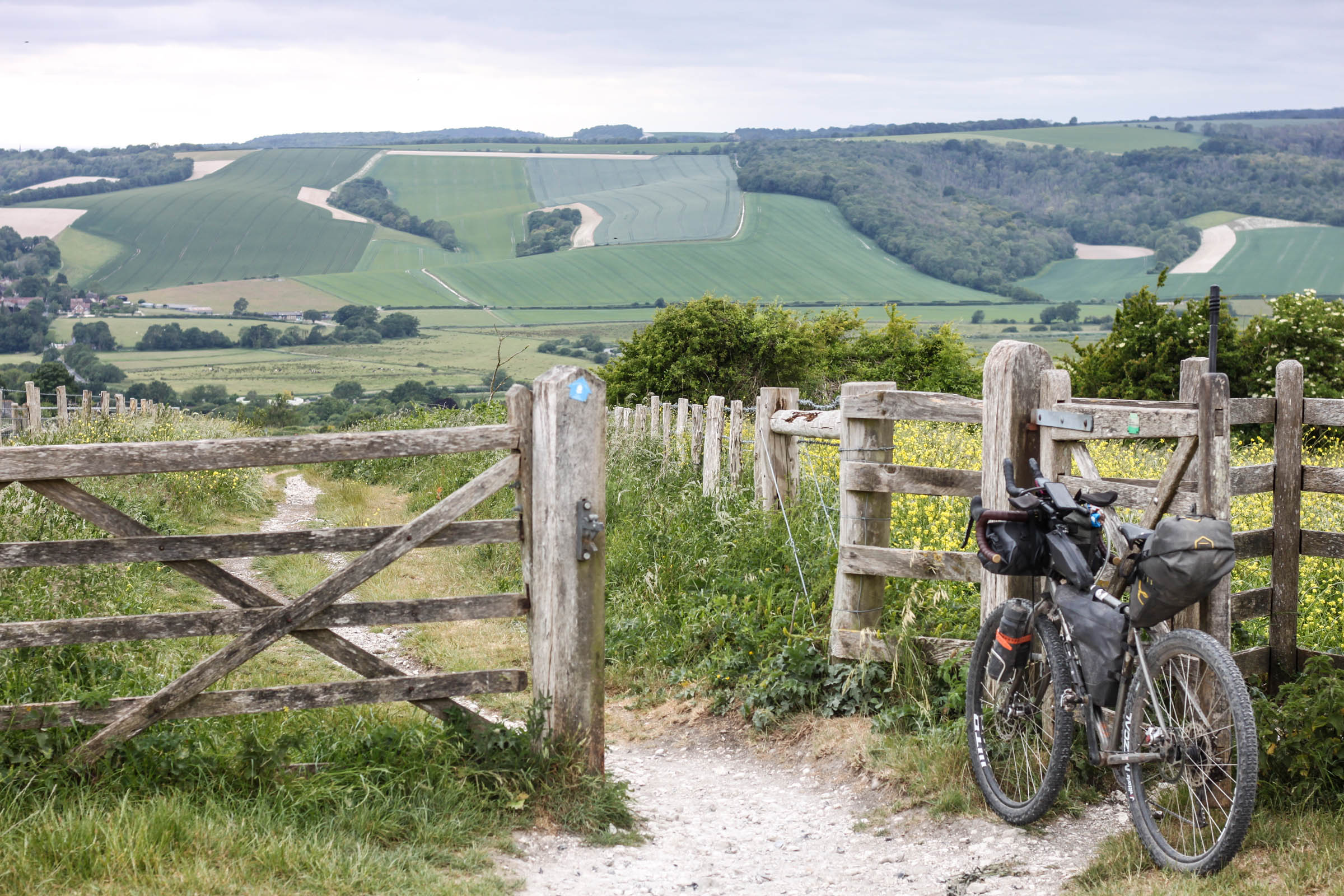
- Endless bridleways offer an insight into public shared-use trails across the country.
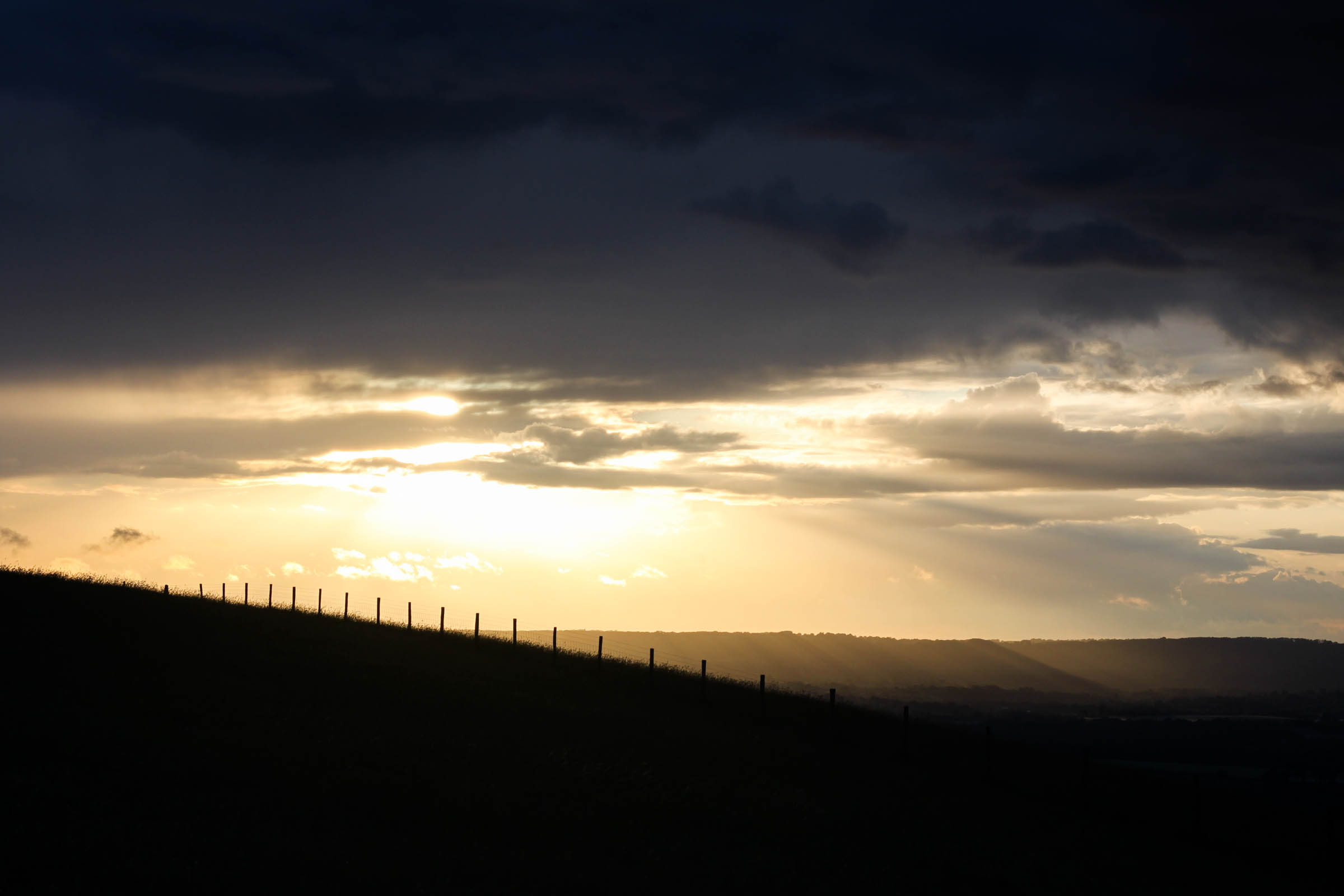
- Catching sunset & sunrise on the South Downs is not something to be missed.
- When to go: This is England, so although year-round riding is OK, expect rain at any moment. April-September gives you a better chance of at least staying warm if it is wet.
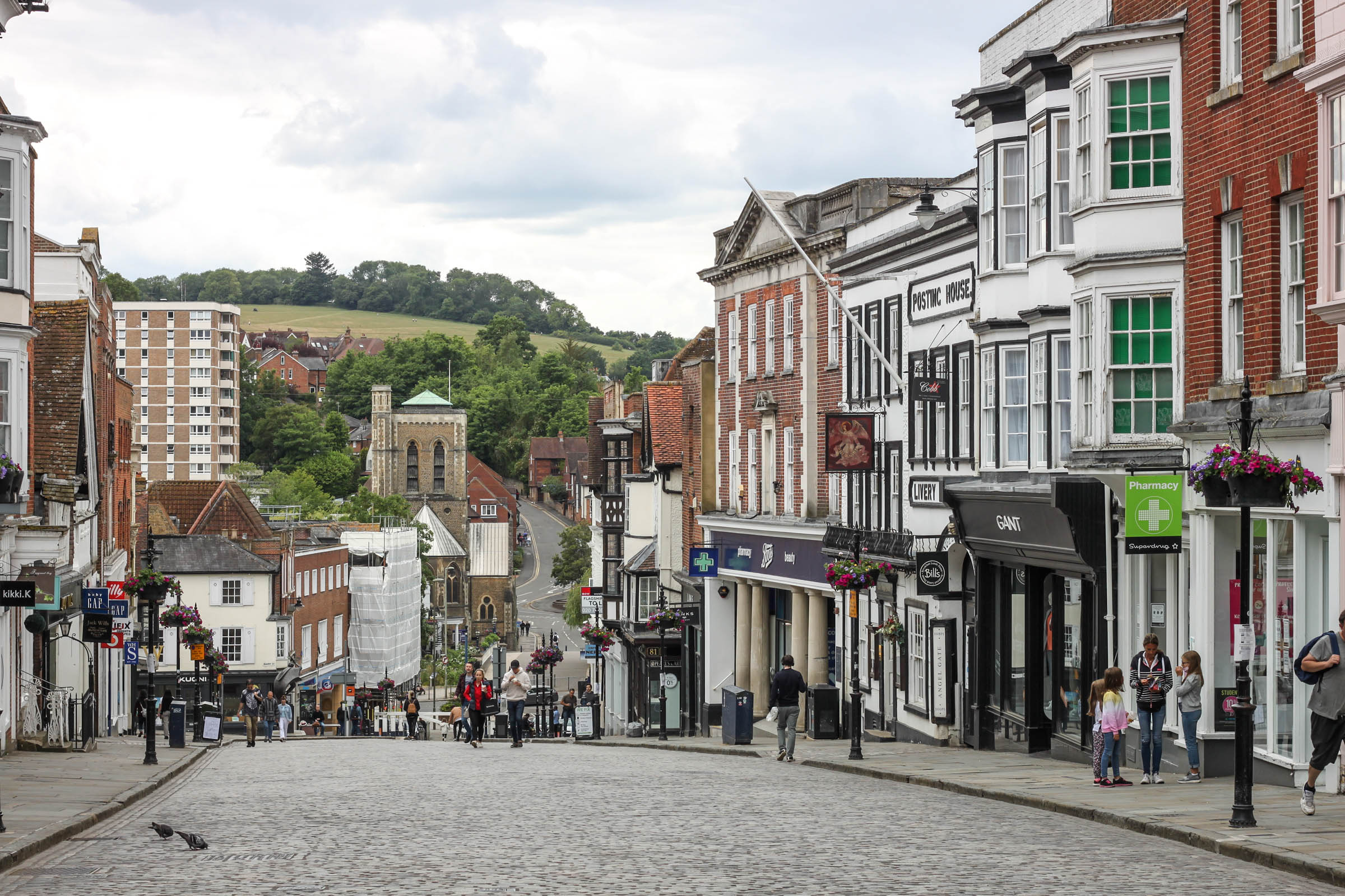
- Guilford is only 30 minutes by train from Waterloo in central London. You don’t need to reserve bike space (and there’s usually room) but you are not allowed to take a bicycle on board during peak hours.
- There are numerous other stations that would serve as good starting points (and bail-out options) on this loop.
- Use this route as a platform for inspiration. The South Downs Way, North Downs Way, and Cycling UK’s new ‘King Alfred’s Way’ offer plenty of alternative connections and extensions that will bring you to other transport hubs.
- Be cautious of slippery chalk surfaces on the South Downs after rain.
- You’ll be sharing these routes with others, so please keep that in mind before descending at full pelt and be considerate. The British dog-walkers will be omnipresent at all times other than the early mornings or late evenings, and horse-riders have an equal right to the bridleways.
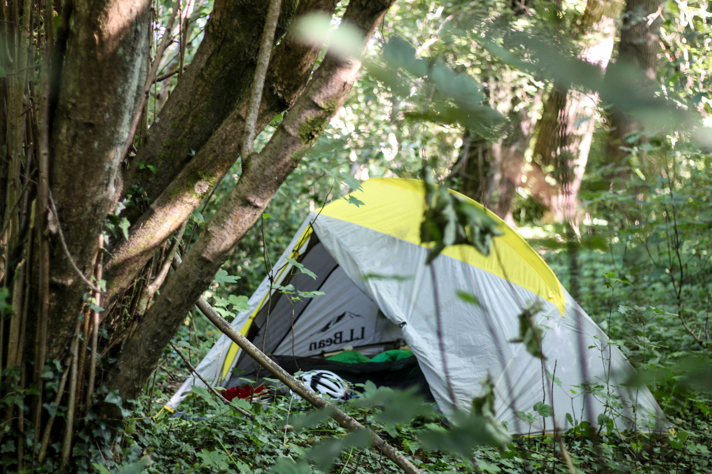
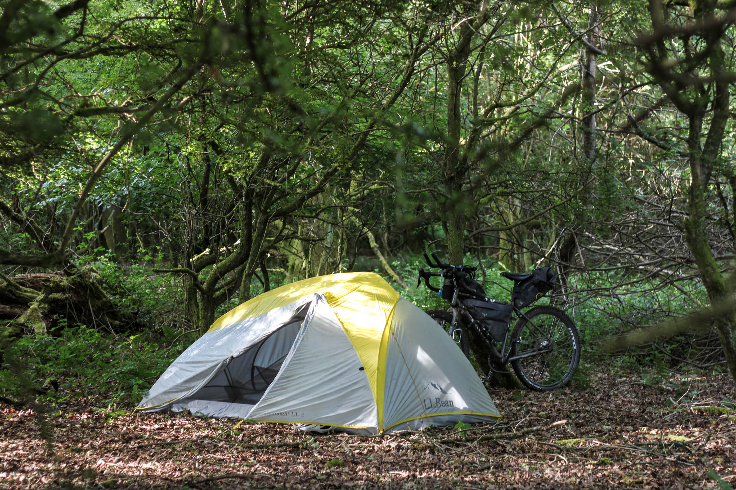
- Wild camping is officially illegal in all but a few places in the UK. This is not one of them! Please be respectful, keep a low profile, and leave no trace if you do choose to sleep out. There are plenty of opportunities for discreet camping, especially for those bivvying on the South Downs.
- Some official campsites have been marked on the map, but there will be plenty of additional official accommodation in many of the smaller towns.
- Resupply is easy on this route and you’re never far from a snack. Plenty of the village pubs will have hearty meals available, and don’t miss the opportunity for fish and chips at the coast. There’s an abundance of small supermarkets for those on a budget or after a quick solution.
- Be sure to resupply before leaving Lancing. Villages and shops are few and far in between on the trail for 35 strenuous miles along the South Downs Way, so keep that in mind before leaving the coast!
- Overall, this is an easy ride, but be prepared for a series of short and steep climbs along the South Downs Way.
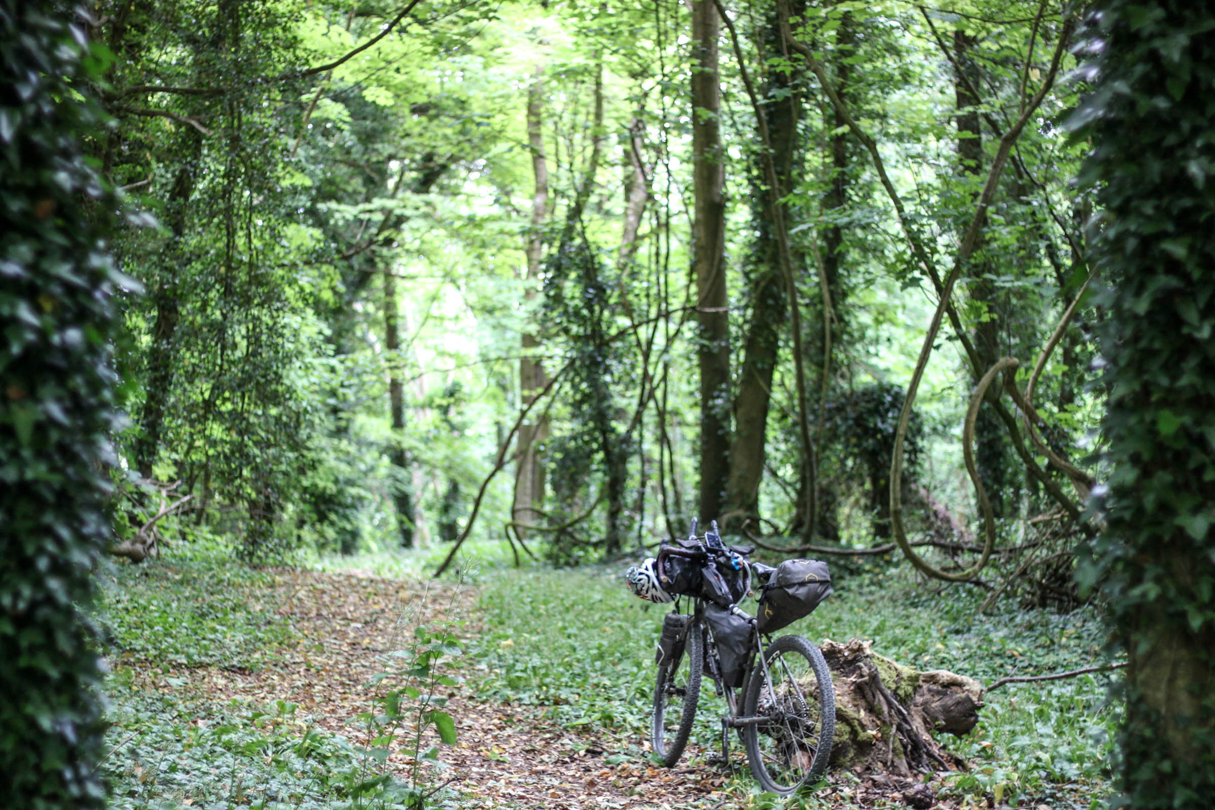
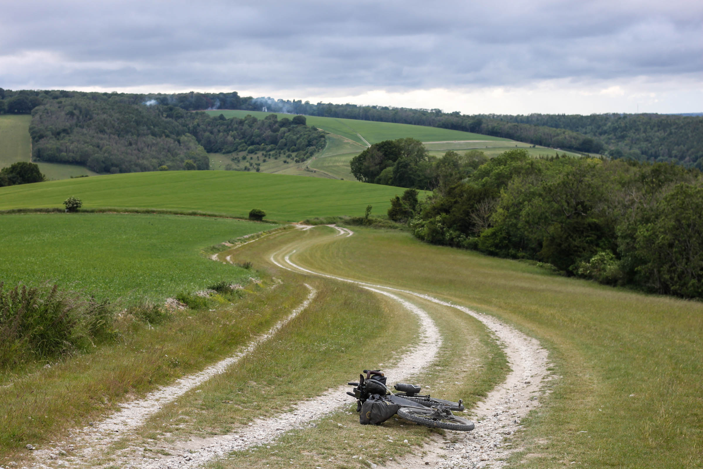
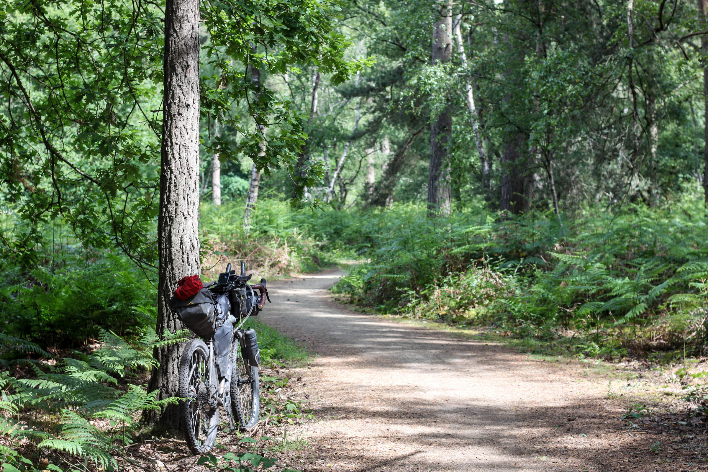
- Road surfaces vary throughout the route, from well-graded dirt paths, woodland bridleway, and chalky grassland singletrack. There can be some sandy sections to deal with around the North Downs Way, but this will depend on how dry the recent weather has been.
- There are paved sections, but these are mostly along quiet rural lanes.
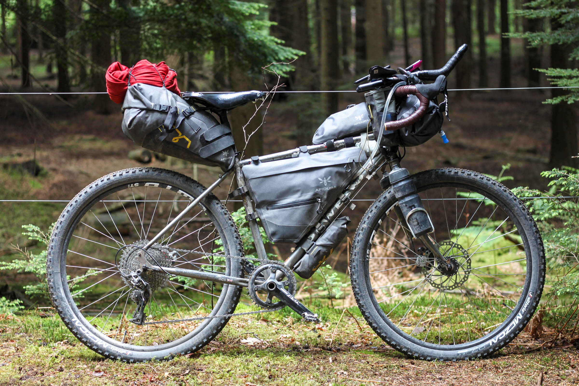
- With a lightweight setup the route is entirely rideable. With a heavier load, you may need to push up a few of the more menacing South Downs climbs. Fortunately these are all fairly short!
- A gravel bike with 47mm tyres would be fine for this route, although you’ll be grateful for plus-sized tyres and front suspension on the South Downs.
Additional Resources
- cyclinguk.org/article/north-downs-way-new-gpx-route
- westsussex.gov.uk/leisure-recreation-and-community/walking-horse-riding-and-cycling/downs-link/
- nationaltrail.co.uk/en_GB/trails/south-downs-way/
- sustrans.org.uk/find-a-route-on-the-national-cycle-network/route-22/
- visit-hampshire.co.uk/things-to-do/shipwrights-way-p1344341


Terms of Use: As with each bikepacking route guide published on BIKEPACKING.com, should you choose to cycle this route, do so at your own risk. Prior to setting out check current local weather, conditions, and land/road closures. While riding, obey all public and private land use restrictions and rules, carry proper safety and navigational equipment, and of course, follow the #leavenotrace guidelines. The information found herein is simply a planning resource to be used as a point of inspiration in conjunction with your own due-diligence. In spite of the fact that this route, associated GPS track (GPX and maps), and all route guidelines were prepared under diligent research by the specified contributor and/or contributors, the accuracy of such and judgement of the author is not guaranteed. BIKEPACKING.com LLC, its partners, associates, and contributors are in no way liable for personal injury, damage to personal property, or any other such situation that might happen to individual riders cycling or following this route.
Please keep the conversation civil, constructive, and inclusive, or your comment will be removed.