


Echo-Titus Circuit: Death Valley
Distance
135 Mi.
(217 KM)Days
3-4
% Unpaved
64%
% Singletrack
0%
% Rideable (time)
98%
Total Ascent
12,085'
(3,684 M)High Point
5,280'
(1,609 M)Difficulty (1-10)
7?
- 6Climbing Scale Moderate90 FT/MI (17 M/KM)
- 8Technical Difficulty Difficult
- 6Physical Demand Moderate
- 7Resupply & Logistics Strenuous
Contributed By

Emily Bei Cheng
Alpinemily
Photos by Emily Cheng and Andy Wong
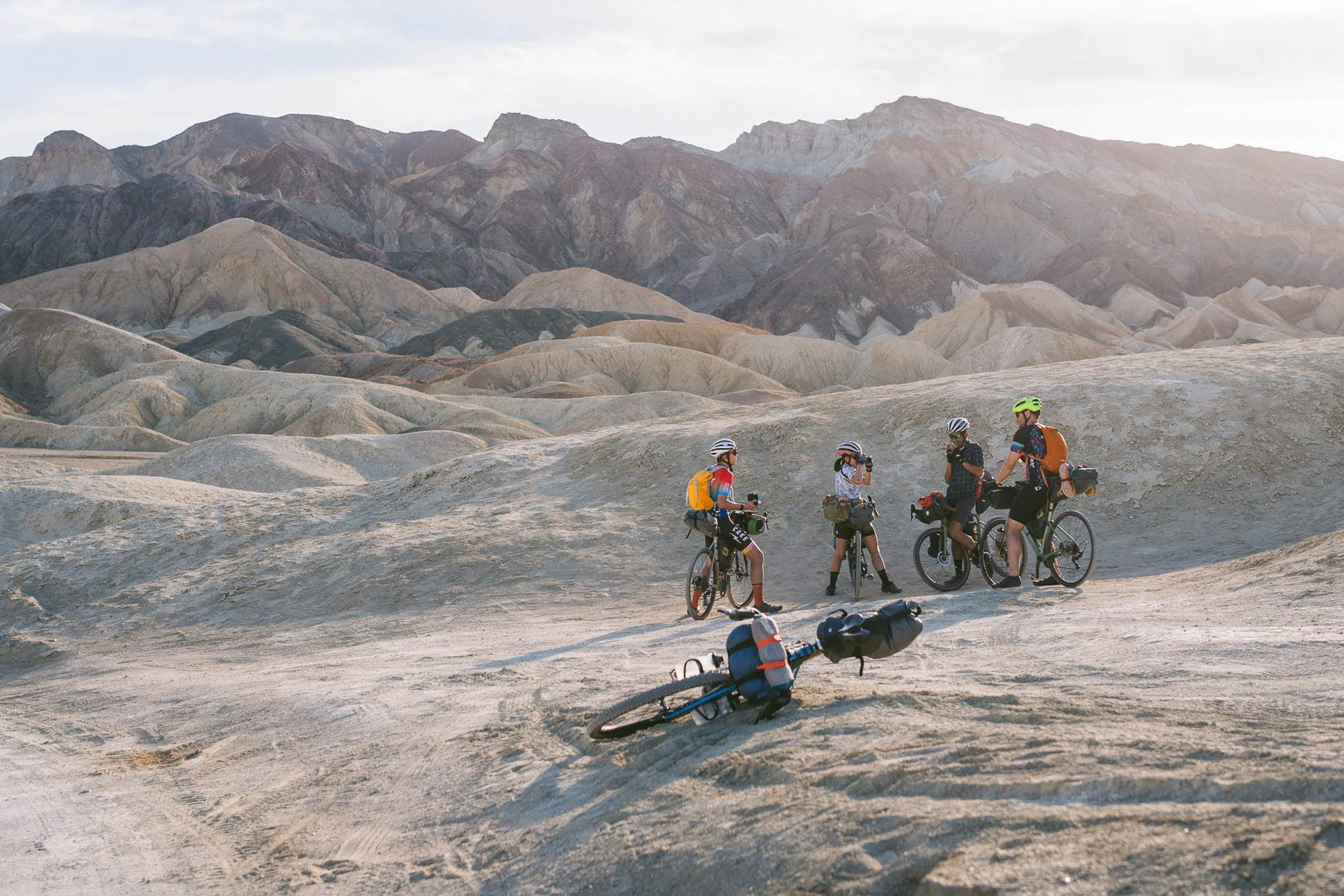
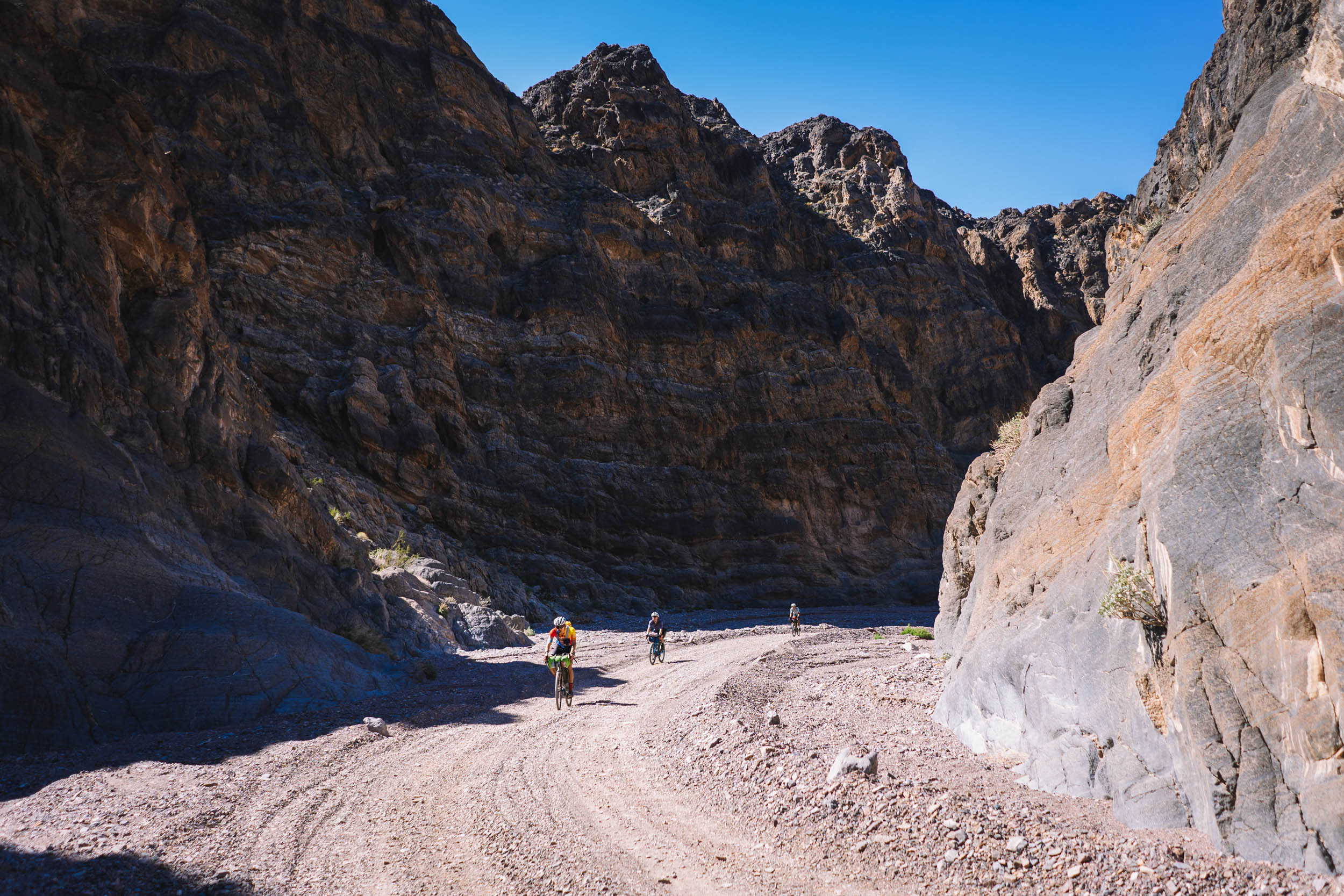
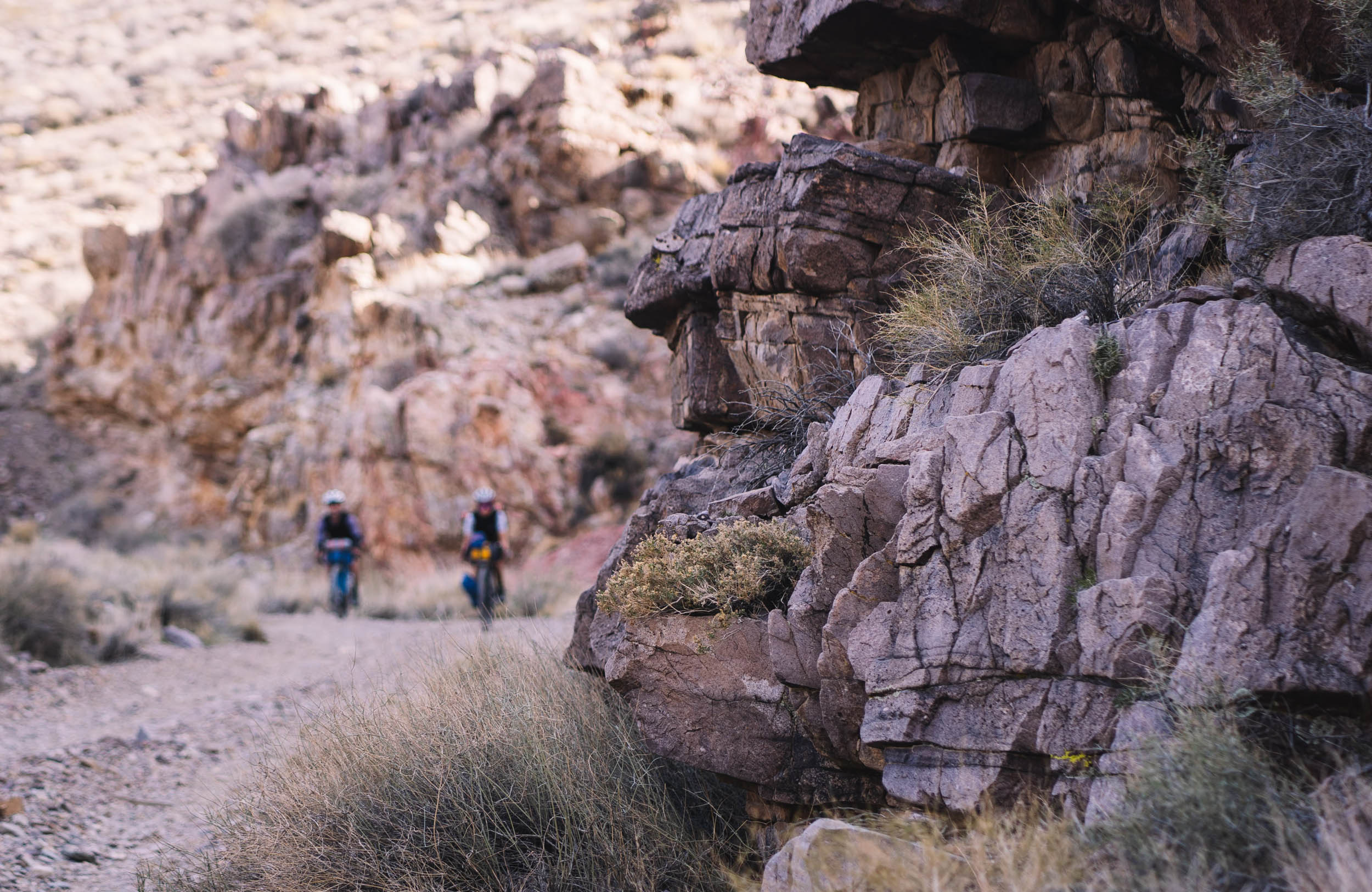
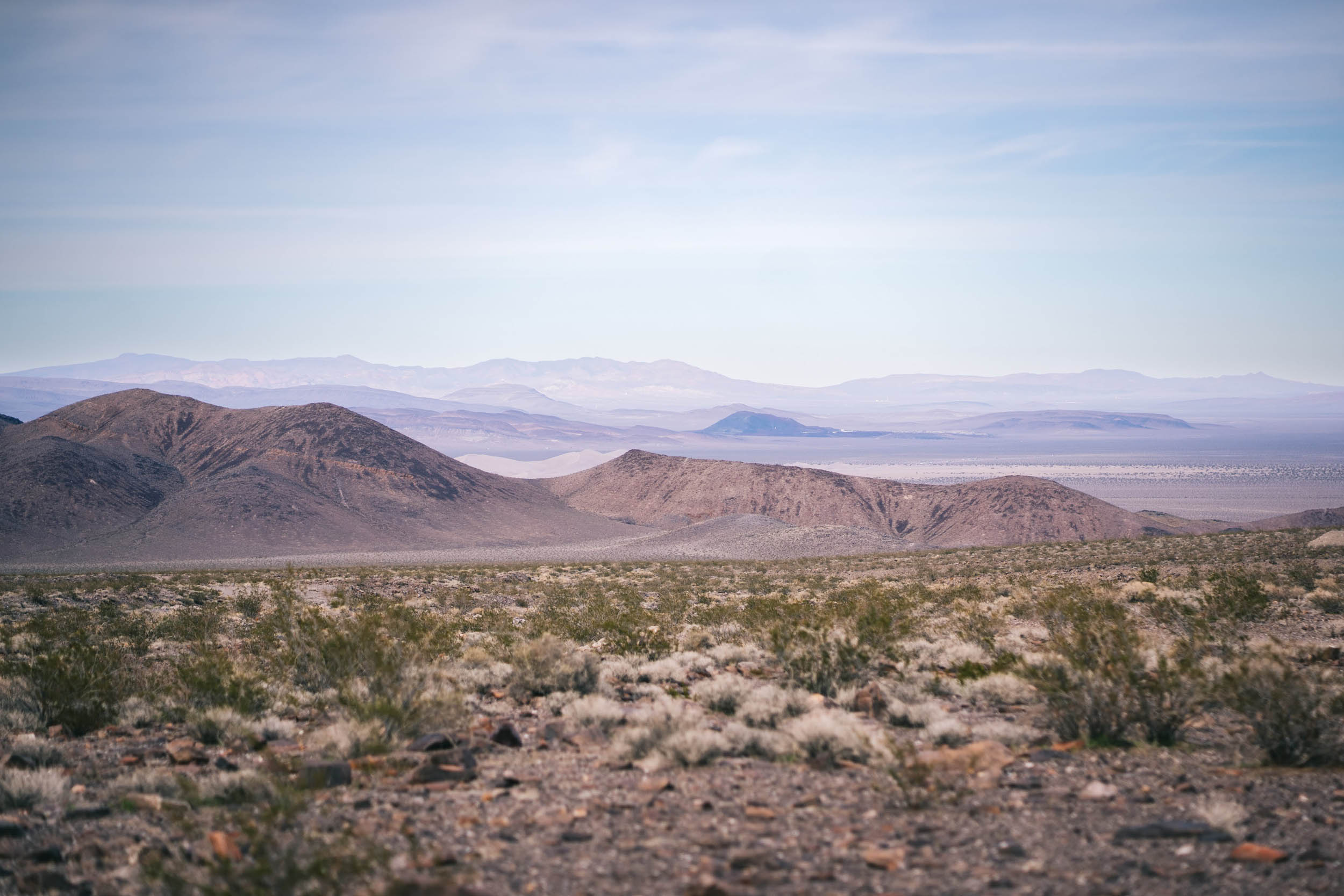
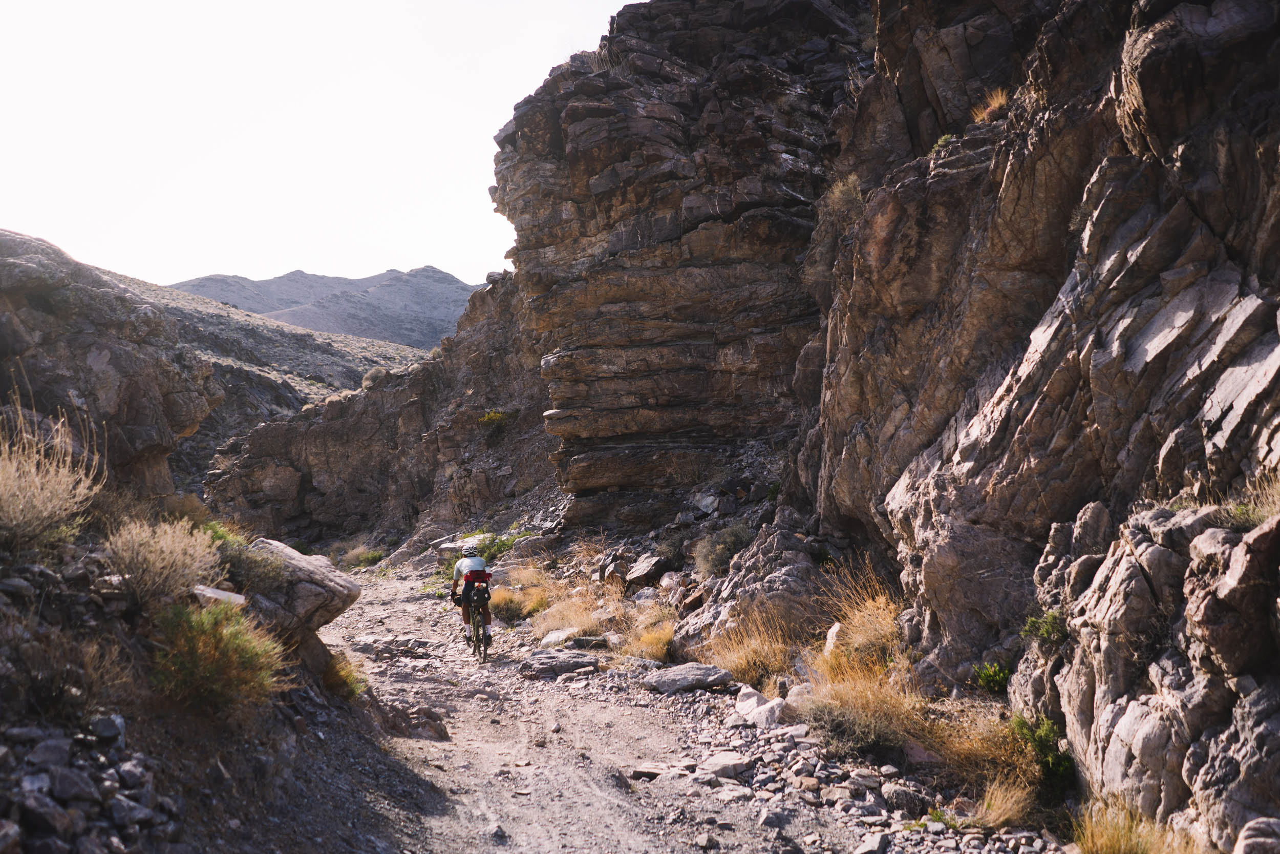
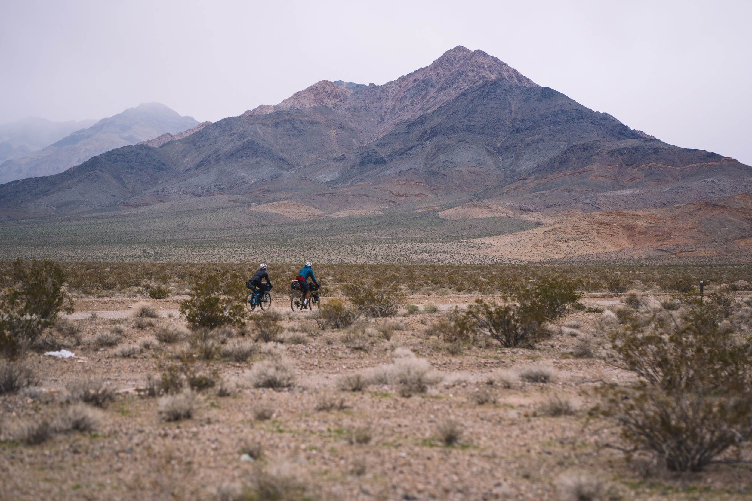
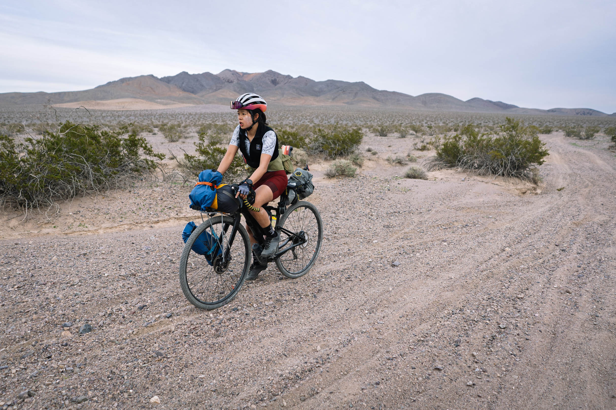
The Echo-Titus Circuit straddles California and Nevada, looping out of and back into Death Valley National Park via two canyons: Echo Canyon and Titus Canyon. The route is ideal for mountain bikes, though the intrepid gravel rider may also find it rewarding. The circuit crosses three mountain ranges: the Funeral Mountains, Bare Mountains, and Grapevine Mountains. Though these names suggest an inhospitable environment, Death Valley is home to a variety of resilient flora and hardy fauna to discover along the route. In addition to the natural sights, the region is also of historical significance: several ghost towns of the 1980s offer a glimpse into the area’s mining history, spurred by the frenzy of the California Gold Rush. Leaving behind a much smaller footprint, Native Americans also have ventured into the region to hunt Bighorn Sheep, and their legacy lies in the petroglyphs by Titus Canyon.
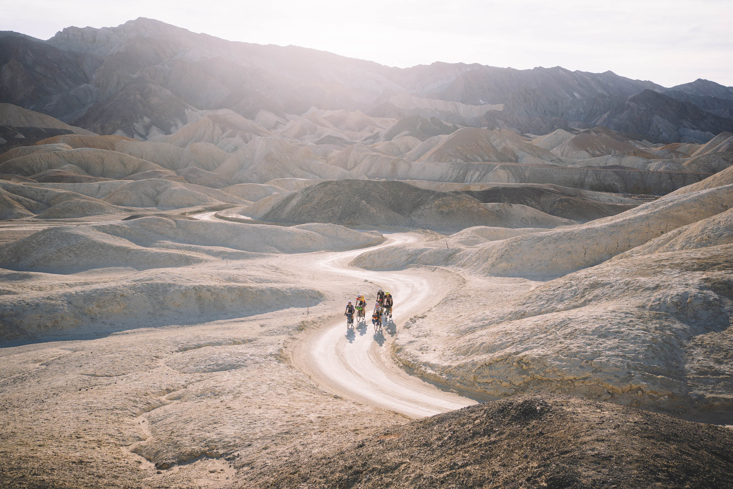
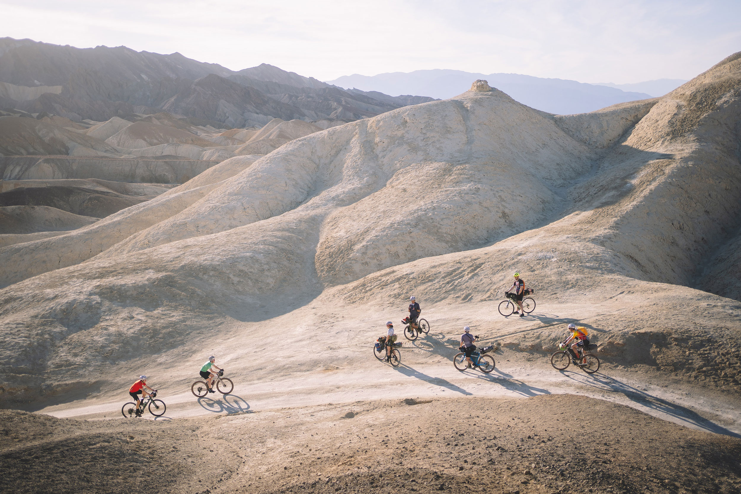
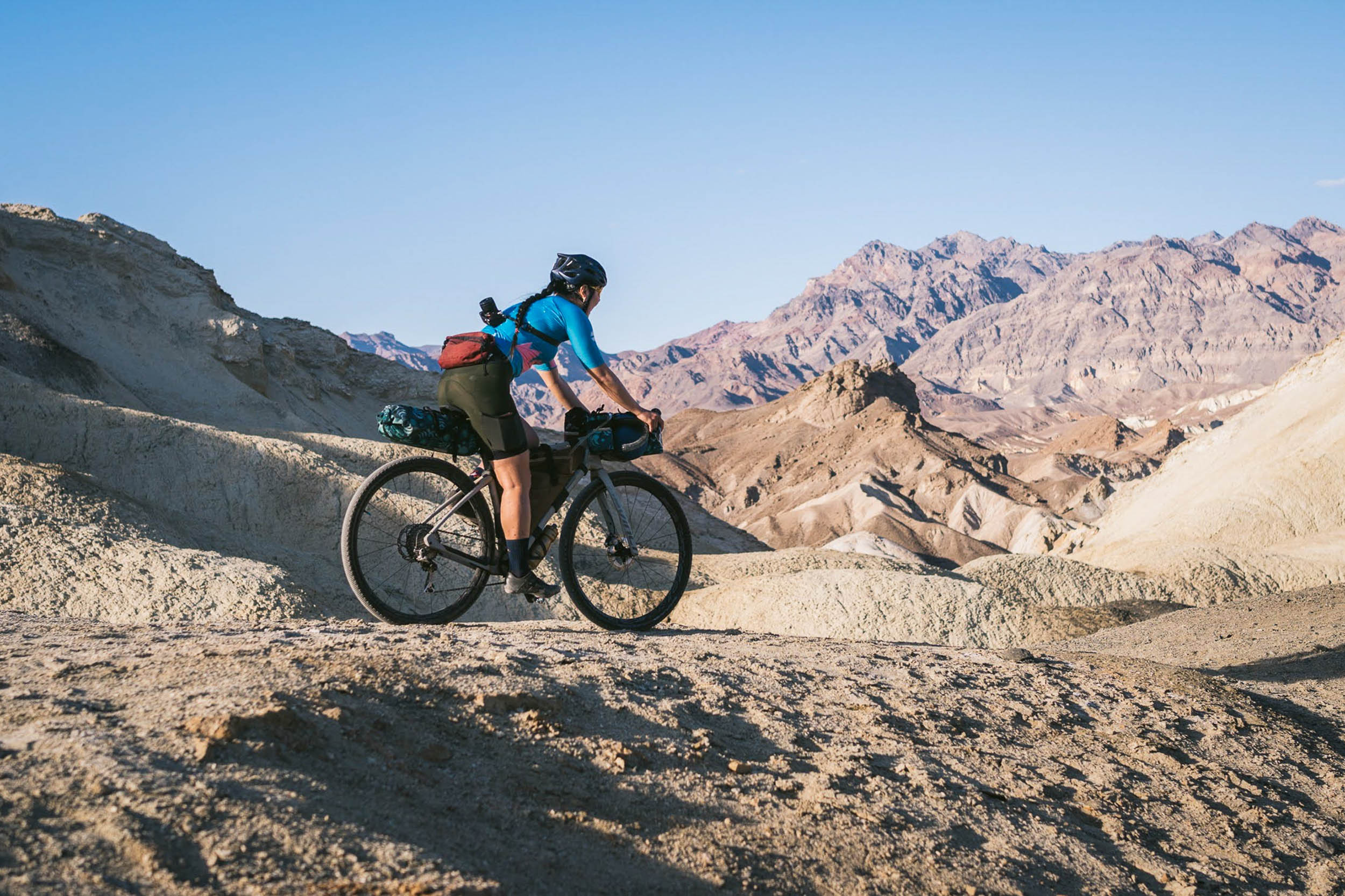
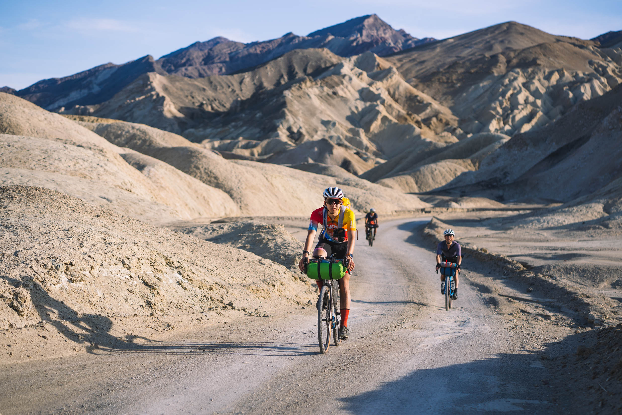
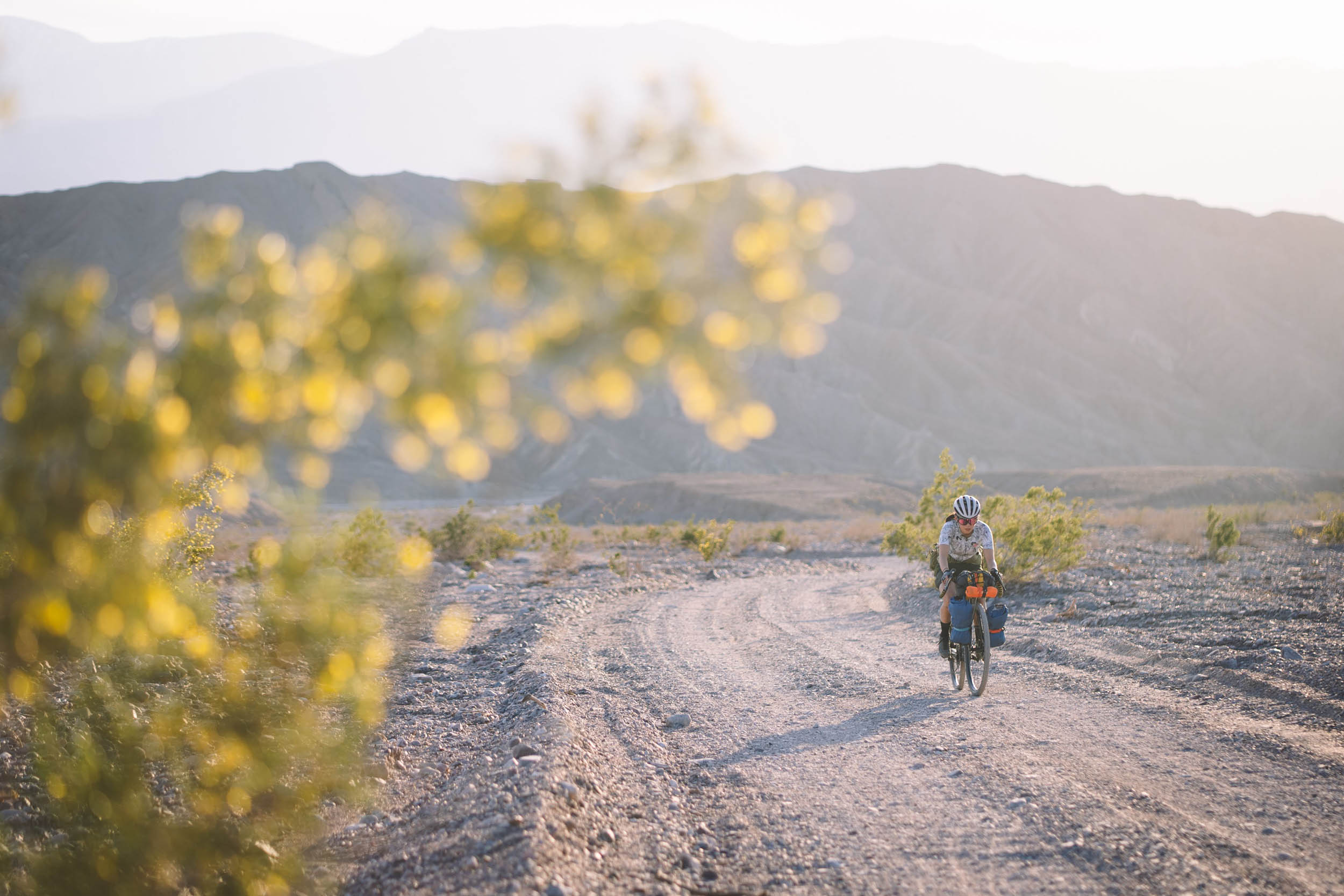
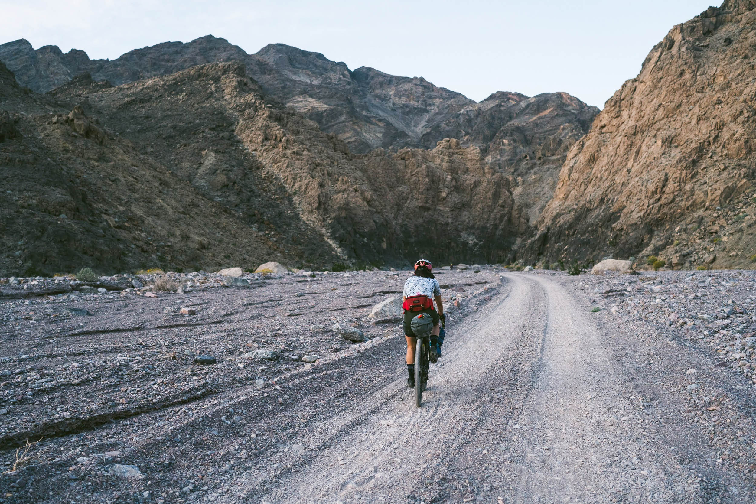
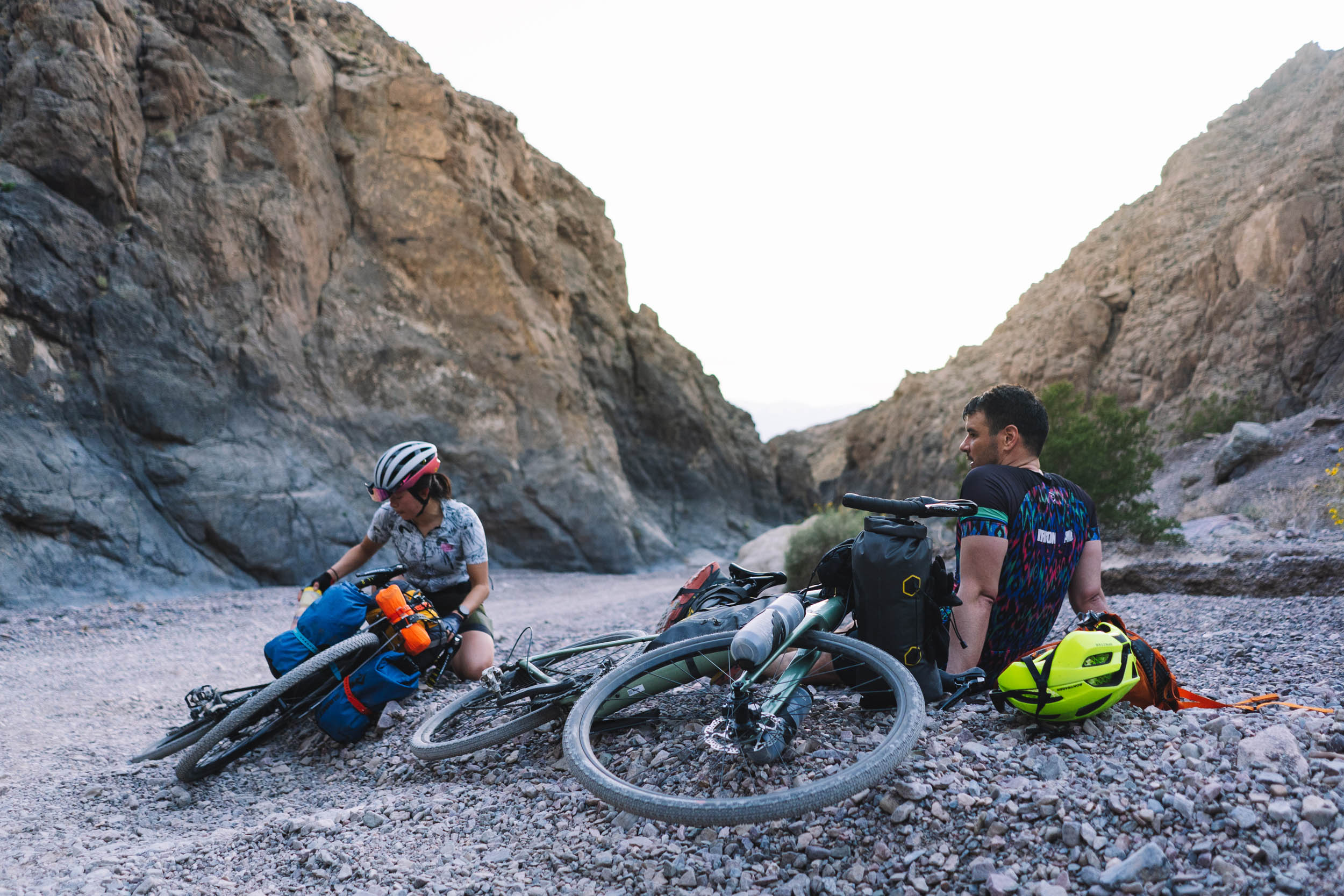
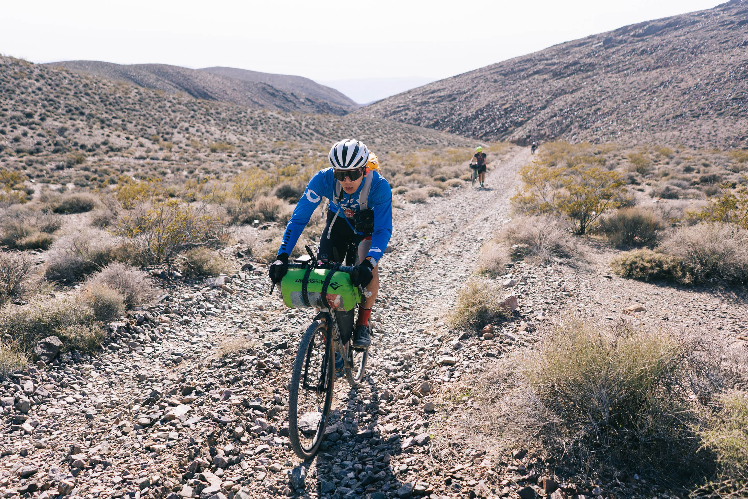
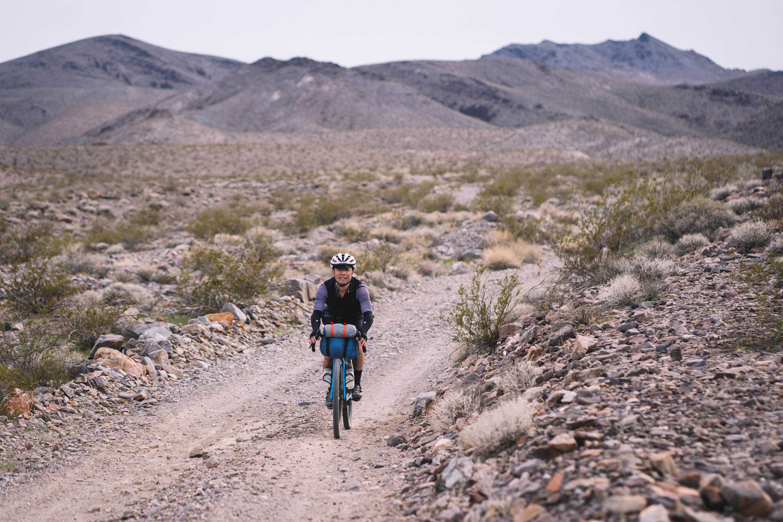
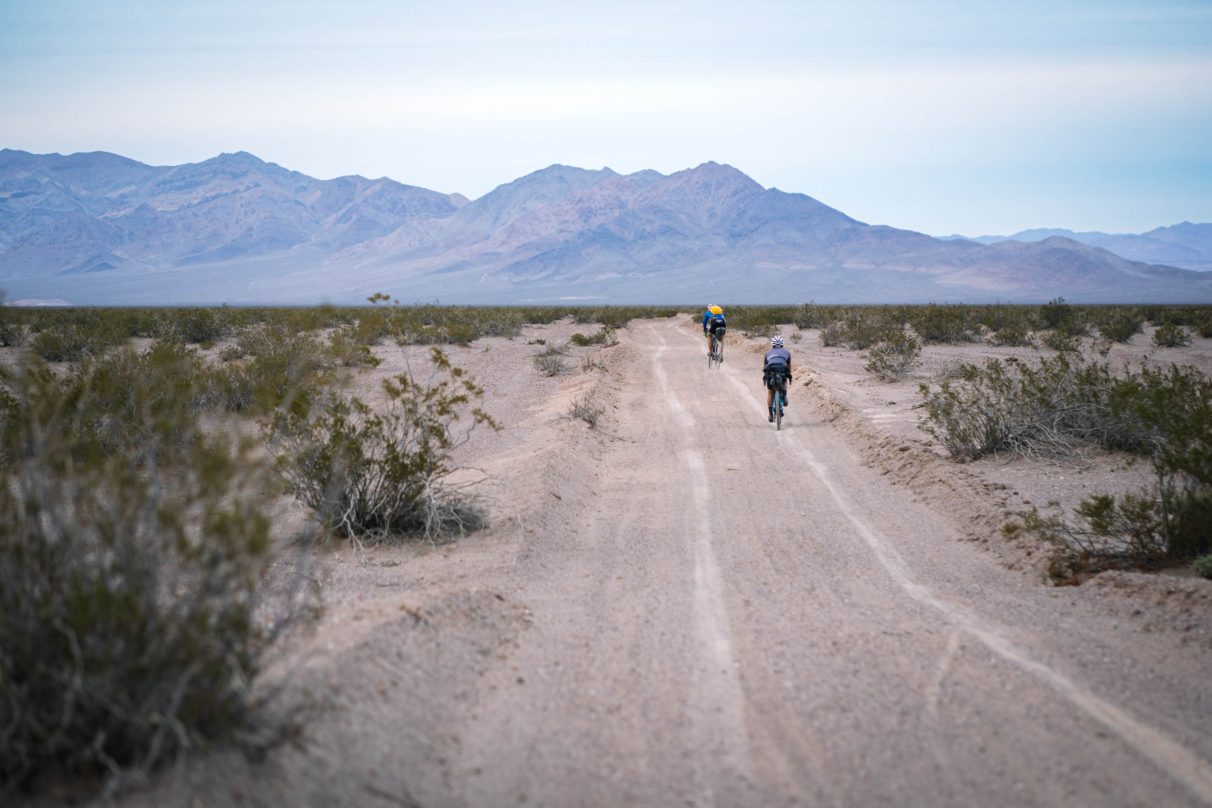
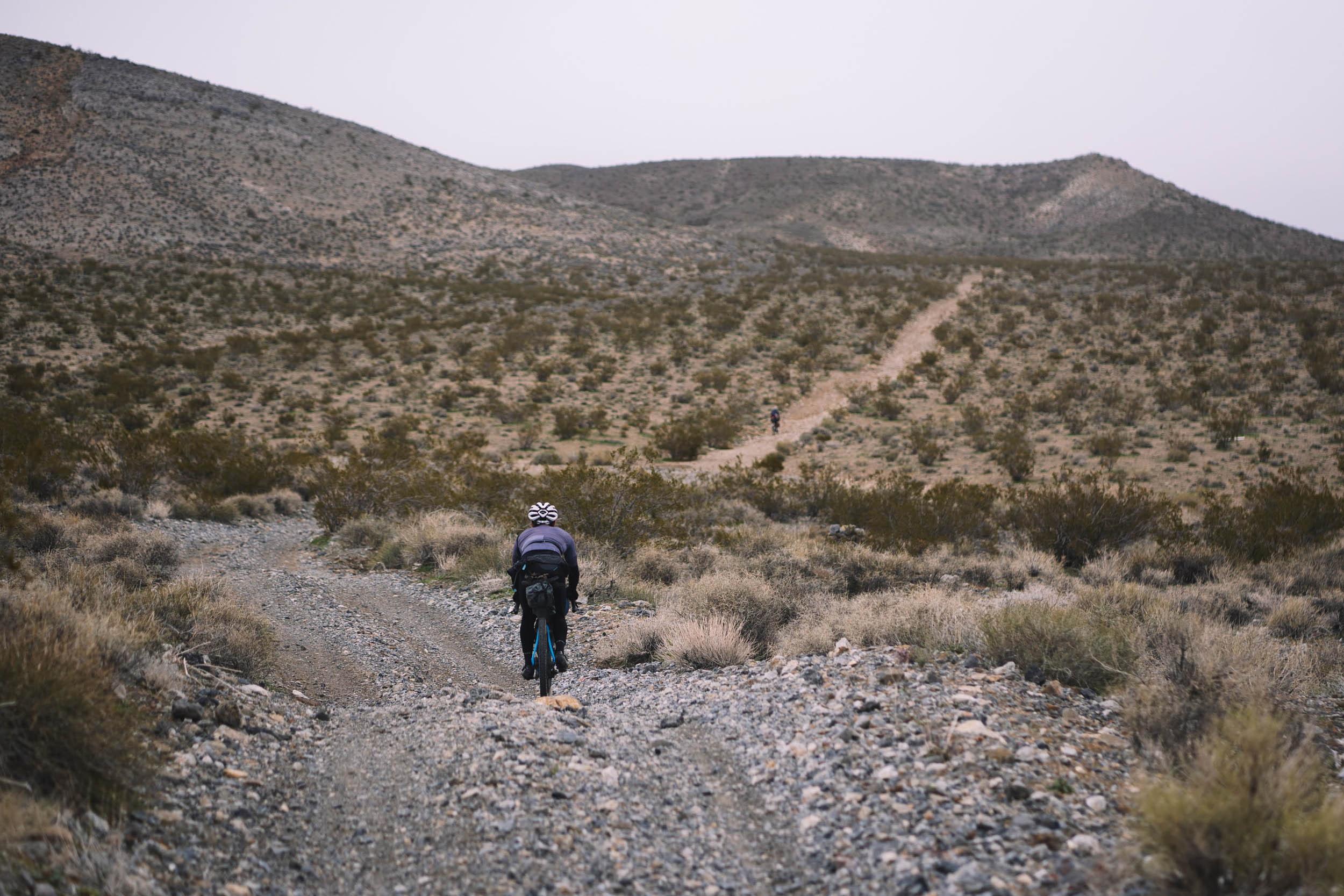
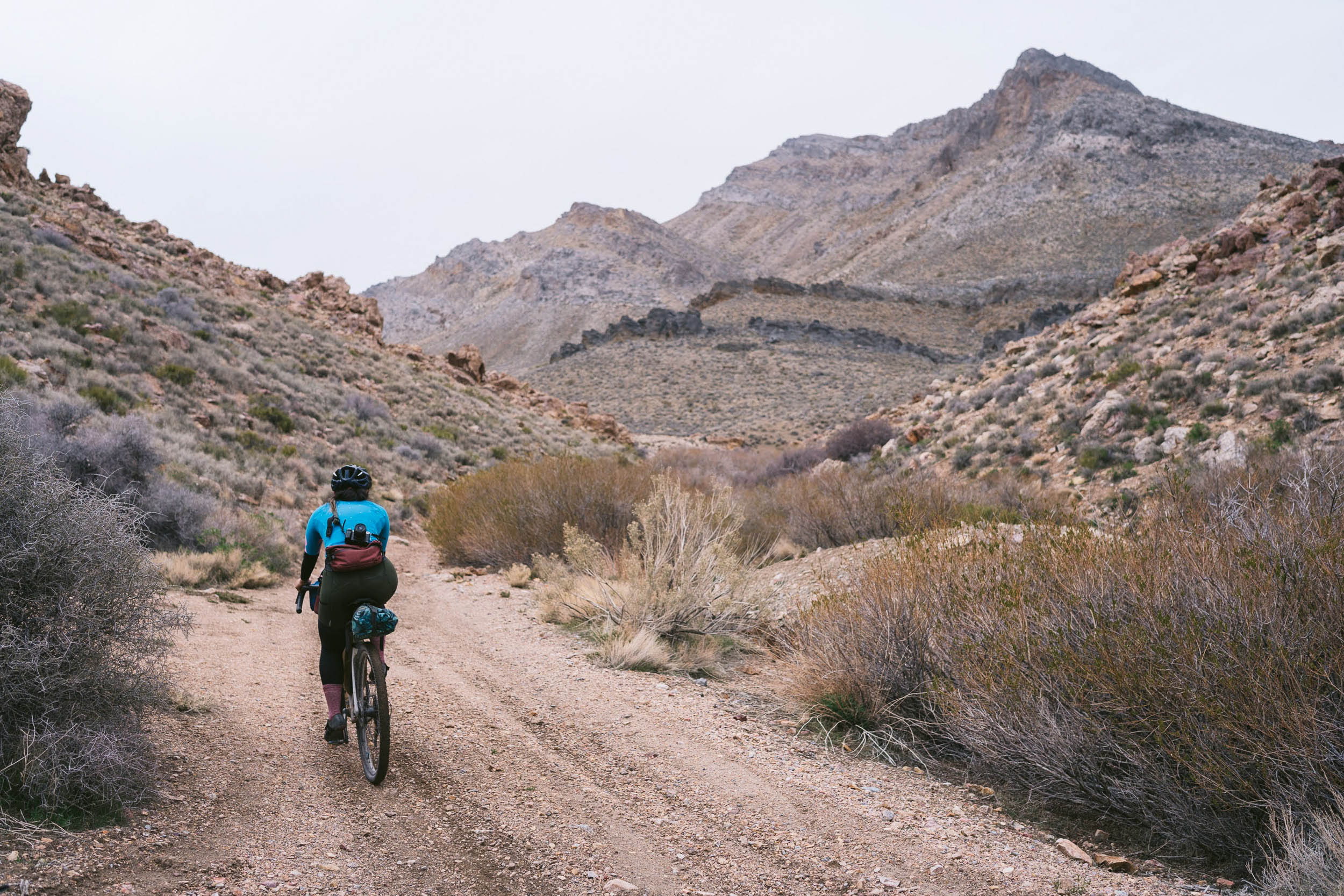
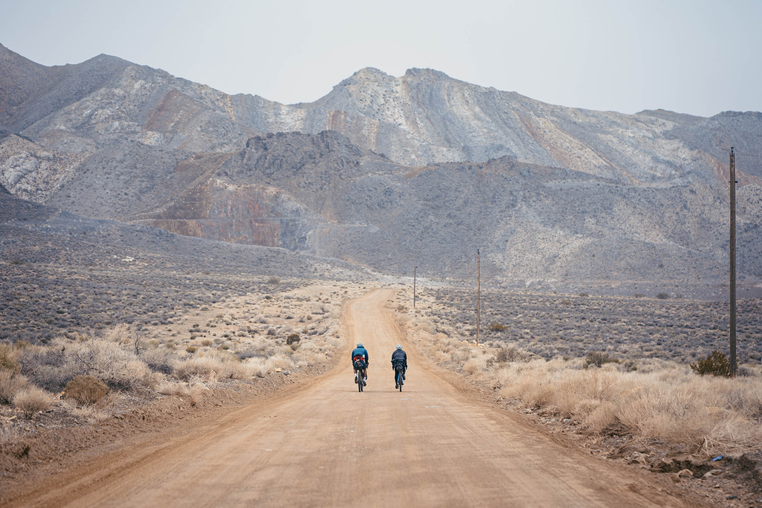
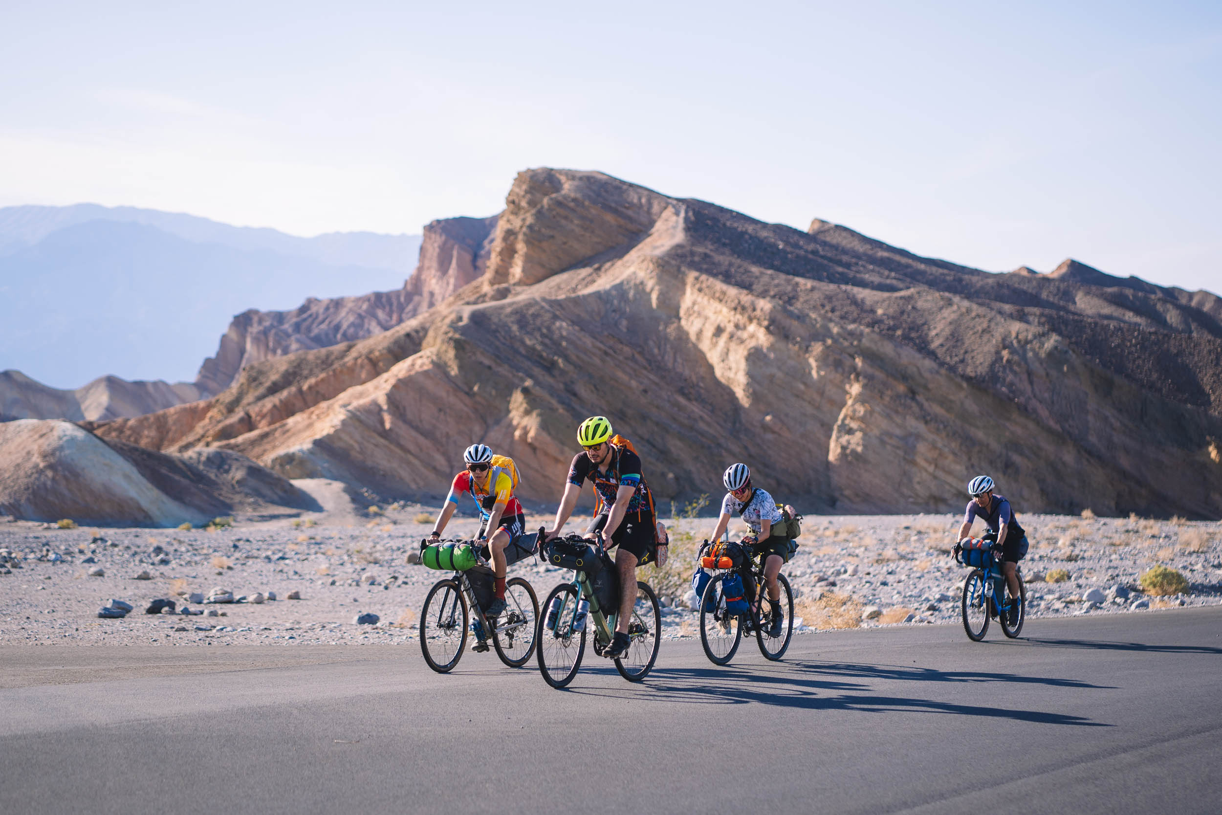
The route starts with a stretch of tarmac that meets gravel at the entrance of 20 Mule Team Canyon. Here, an easy dirt path loops through what feels like infinite layers of sandstone ridges that are especially stunning at golden hour. The gravel gets a little looser as the road weaves into Echo Canyon. After a night of camping within the canyon, the route continues climbing up the Funeral Mountain Range through sometimes rocky but rideable terrain. The uphill effort is followed by a 10-mile descent that crosses the border from California into Nevada. A sweet section of flat and speedy gravel takes the rider to the recommended water cache spot, a good stopping point for the second night. The following day gradually transitions into a climb through the Bare Mountains and up to Secret Pass.
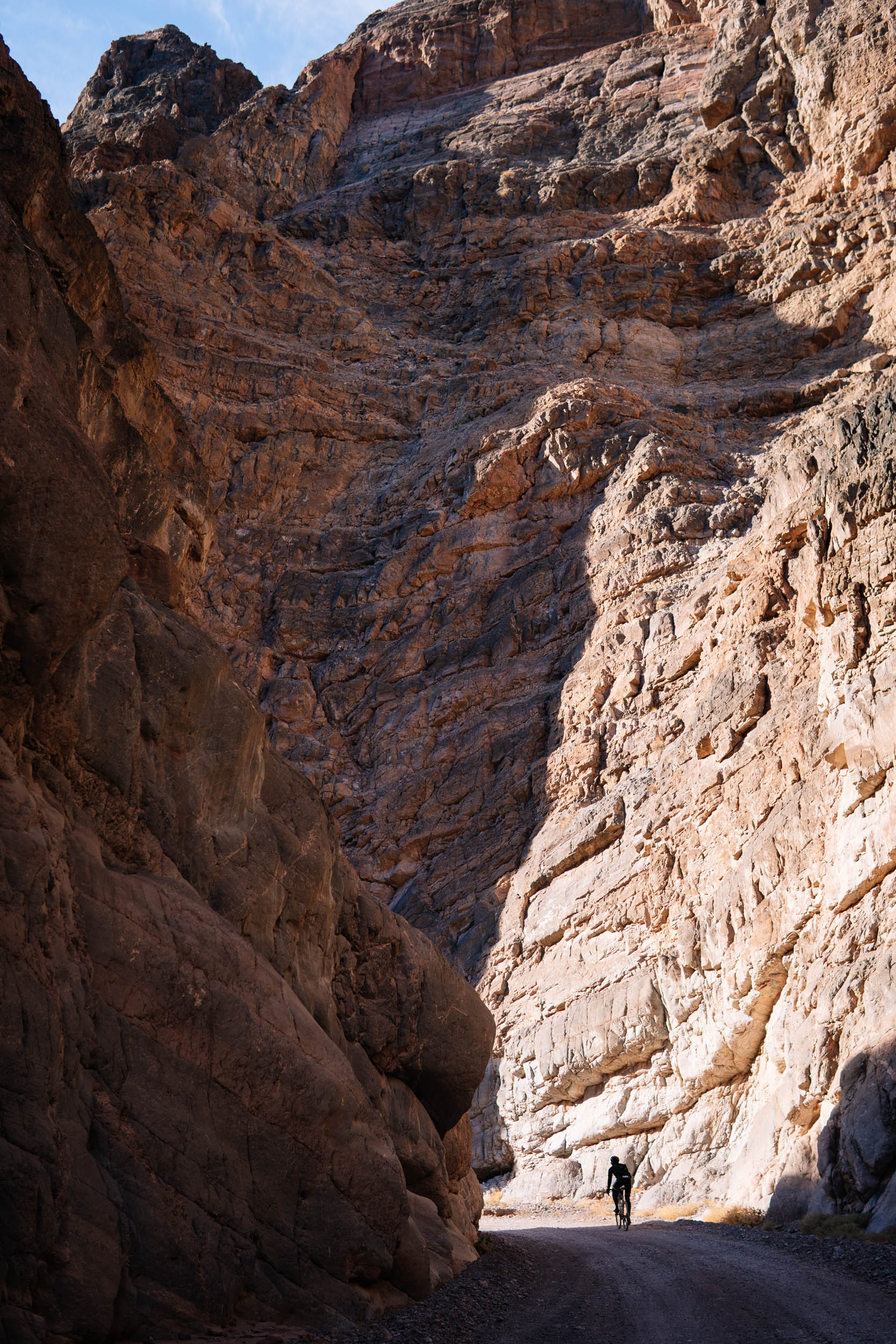
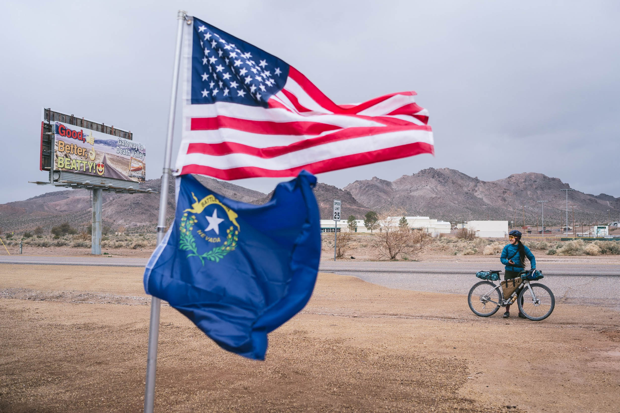
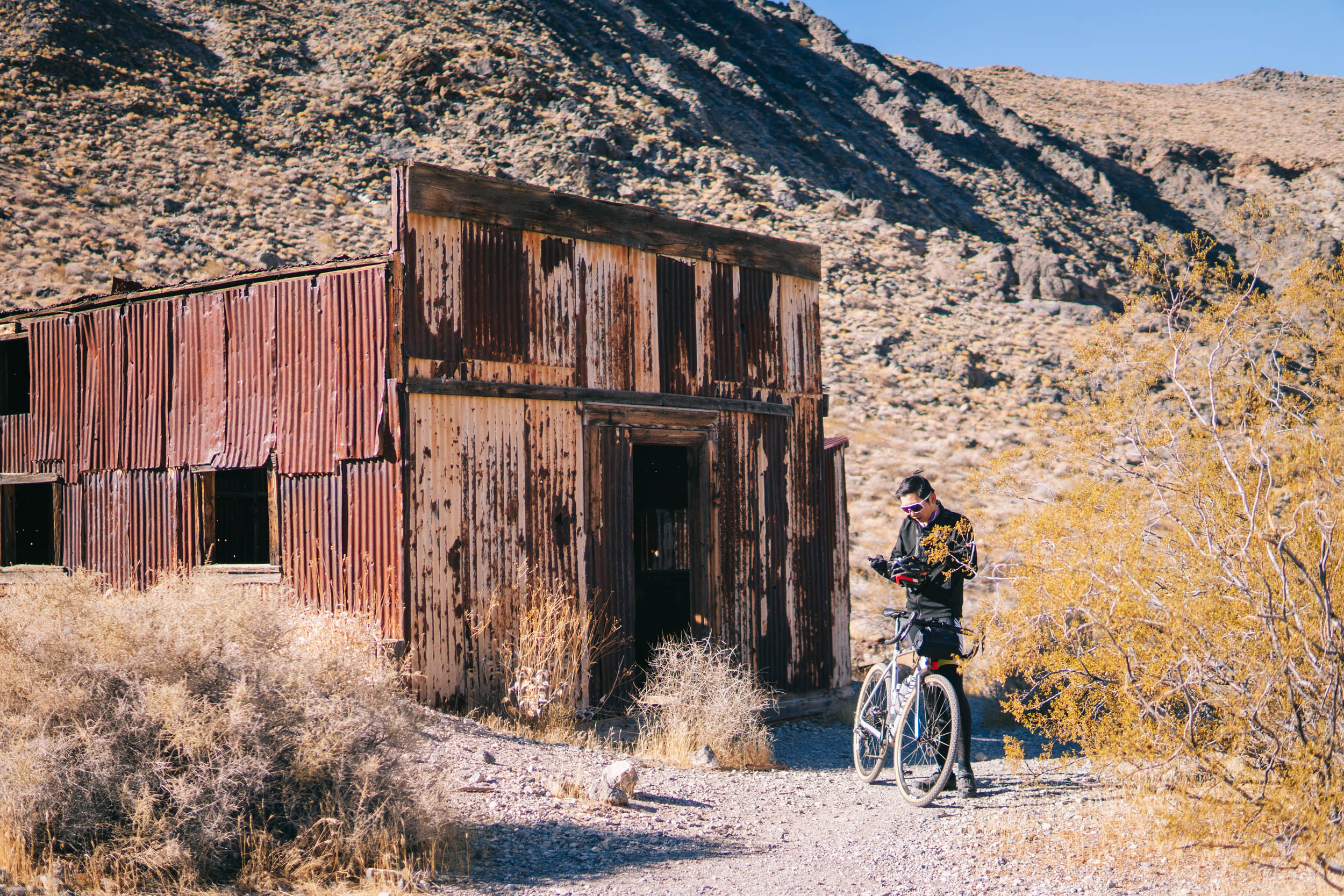
The final day begins by finishing the remainder of the climb up to Secret Pass. The reward is a buttery-smooth dirt descent to the town of Beatty for a snack refuel. The route passes through the ghost town of Rhyolite, alluding to the region’s mining history during the late gold rush era. Then, a final climb brings the rider back into California and into the mouth of Titus Canyon, another route highlight. Within the folds of Titus Canyon are Native American petroglyphs, the remnants of another mining town, and impressive megabreccia geological formations. Looping from Echo to Titus Canyon, riders gain a deep appreciation for the awe-inspiring forces that have shaped this remarkable landscape over millions of years.
Route Difficulty
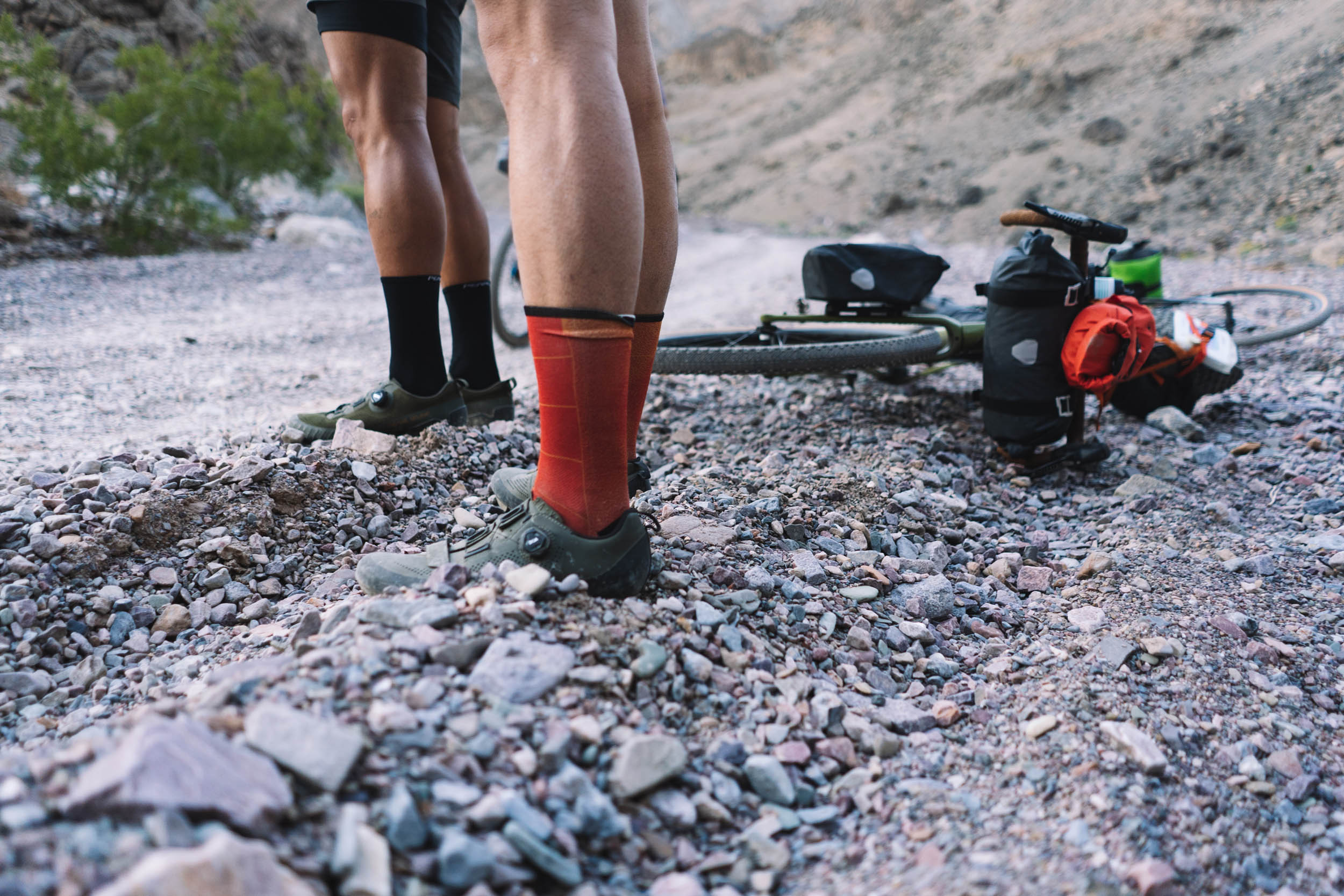
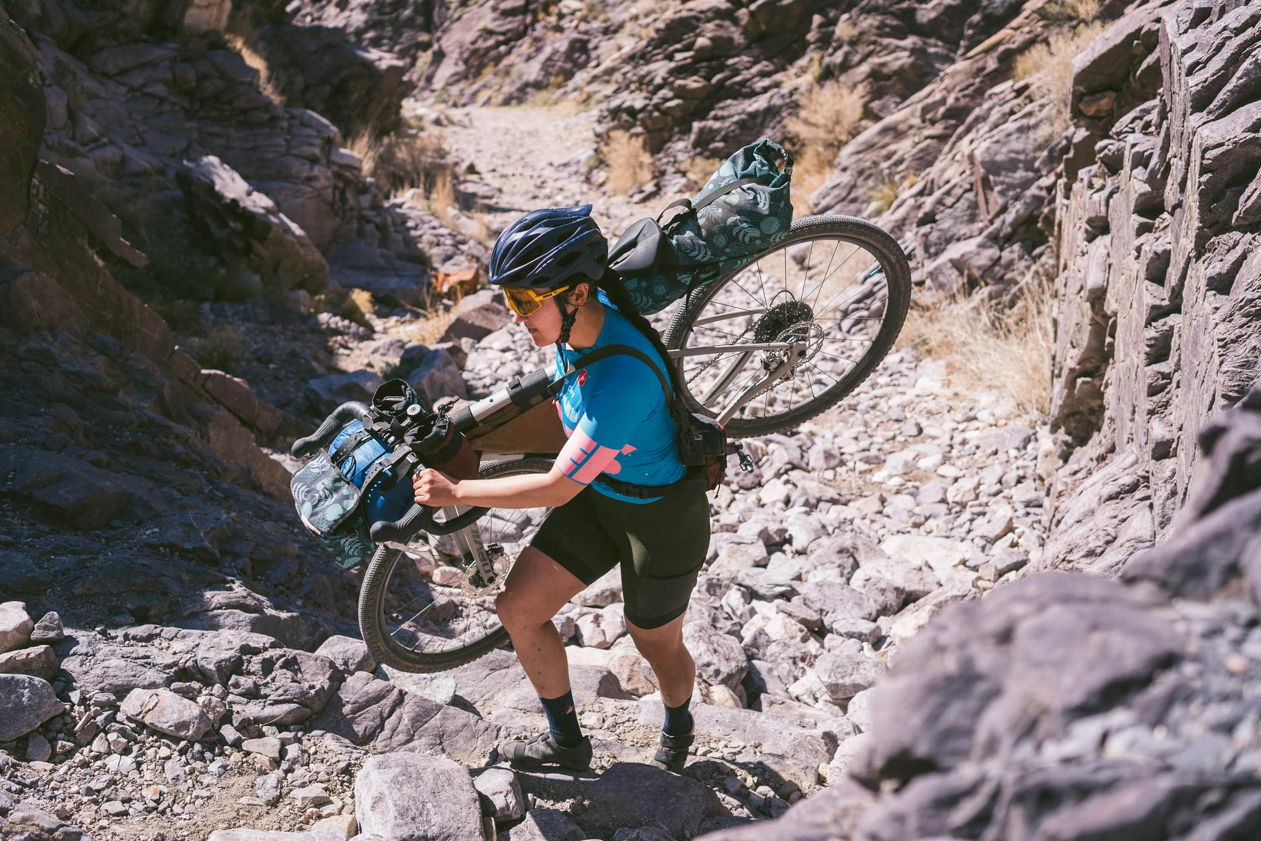
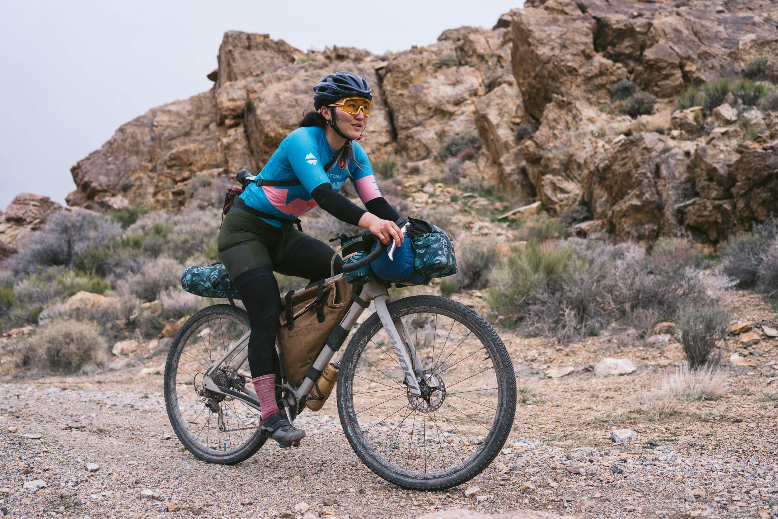
Overall, this route is rated a 7 out of 10. The sometimes loosely packed gravel in the canyons and sometimes rocky doubletrack through the Funeral Mountains make the riding technically challenging (8/10) on a gravel bike, though easier on a mountain bike with suspension and wider tires. The days aren’t particularly long in distance, but the terrain can be slow-going and physically demanding (6/10) at times. Logistically, there are few water sources in the desert, and at least one water cache is recommended (7/10).


Submit Route Alert
As the leading creator and publisher of bikepacking routes, BIKEPACKING.com endeavors to maintain, improve, and advocate for our growing network of bikepacking routes all over the world. As such, our editorial team, route creators, and Route Stewards serve as mediators for route improvements and opportunities for connectivity, conservation, and community growth around these routes. To facilitate these efforts, we rely on our Bikepacking Collective and the greater bikepacking community to call attention to critical issues and opportunities that are discovered while riding these routes. If you have a vital issue or opportunity regarding this route that pertains to one of the subjects below, please let us know:
Highlights
Must Know
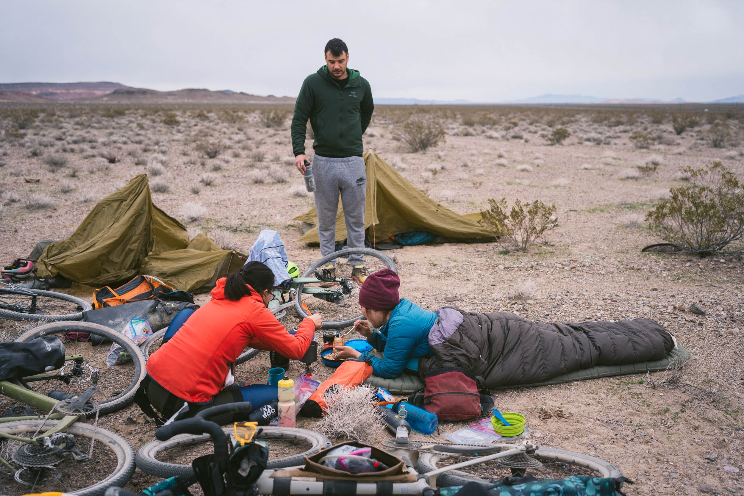
Camping
Food/H2O
Trail Notes
- 20 Mule Team Canyon road takes you into the badlands of Death Valley. The canyon is named after the 20 mule team wagons that transported borax mined in the ‘80s.
- Zabriskie Point, the most famous vista point of the Death Valley badlands, is a quick detour from the route.
- The tall, impressive walls of Titus Canyon and Echo Canyon. At the western mouth of Titus Canyon, there are some sections where the walls narrow to less than 20 feet apart.
- Vestiges of historic mining towns: Rhyolite, Leadfield, and Inyo Mine.
- Native American petroglyphs at Klare Spring.
- You may see Bighorn sheep in Death Valley if you’re lucky. They are most likely to be spotted in the Titus Canyon area.
- Incredible stargazing. There is very little light pollution in this vast desert landscape. In fact, Death Valley is designated a Gold Tier Dark Sky Park by the International Dark-Sky Association.
- The recommended time to ride this route is from November through March. Temperatures easily exceed 100°F in the summertime months. Note that there may be snow on the ground at higher elevations in December and January.
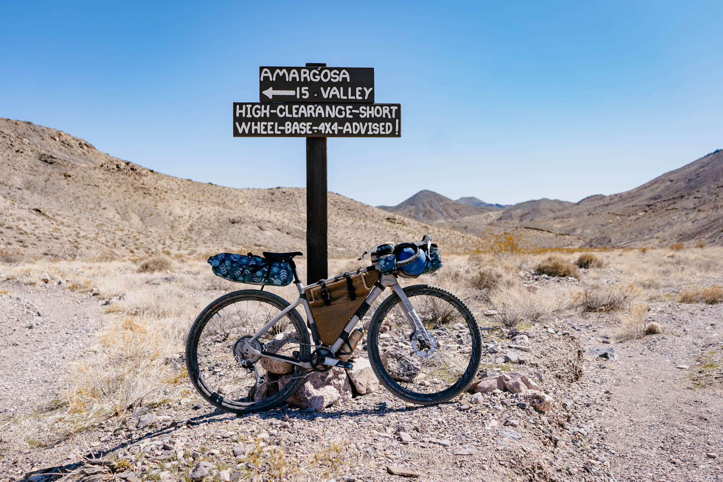
- Before you go, check the current road conditions at NPS.gov. Call the rangers at 760-786-3200 for more info. For instance, to ask if bicycles are allowed even when a road may be closed to motorized vehicles.
- The minimum recommended tire width for this trip is 47mm. While the route can be done on a gravel bike, a mountain bike set-up with wider tires is strongly recommended.
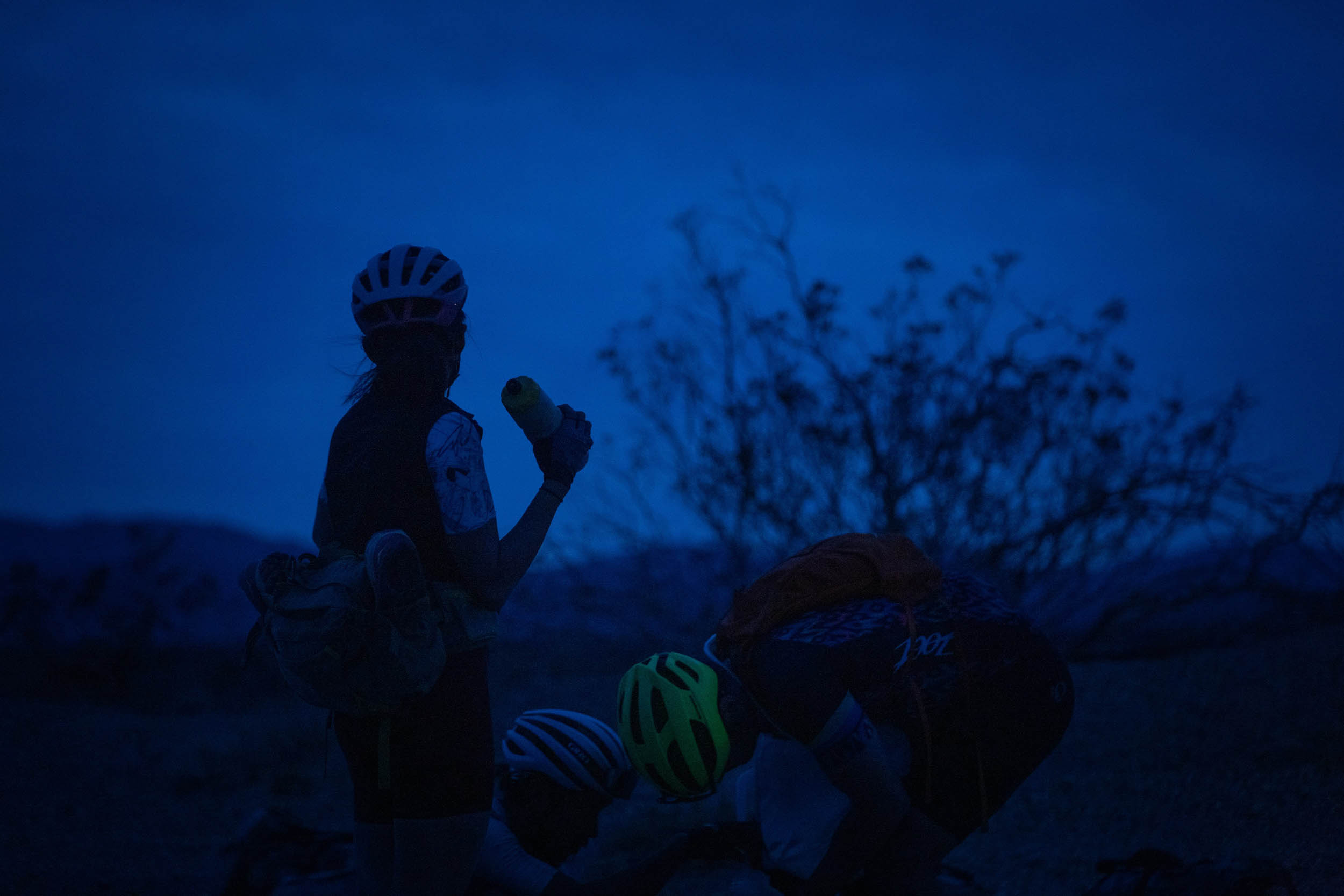
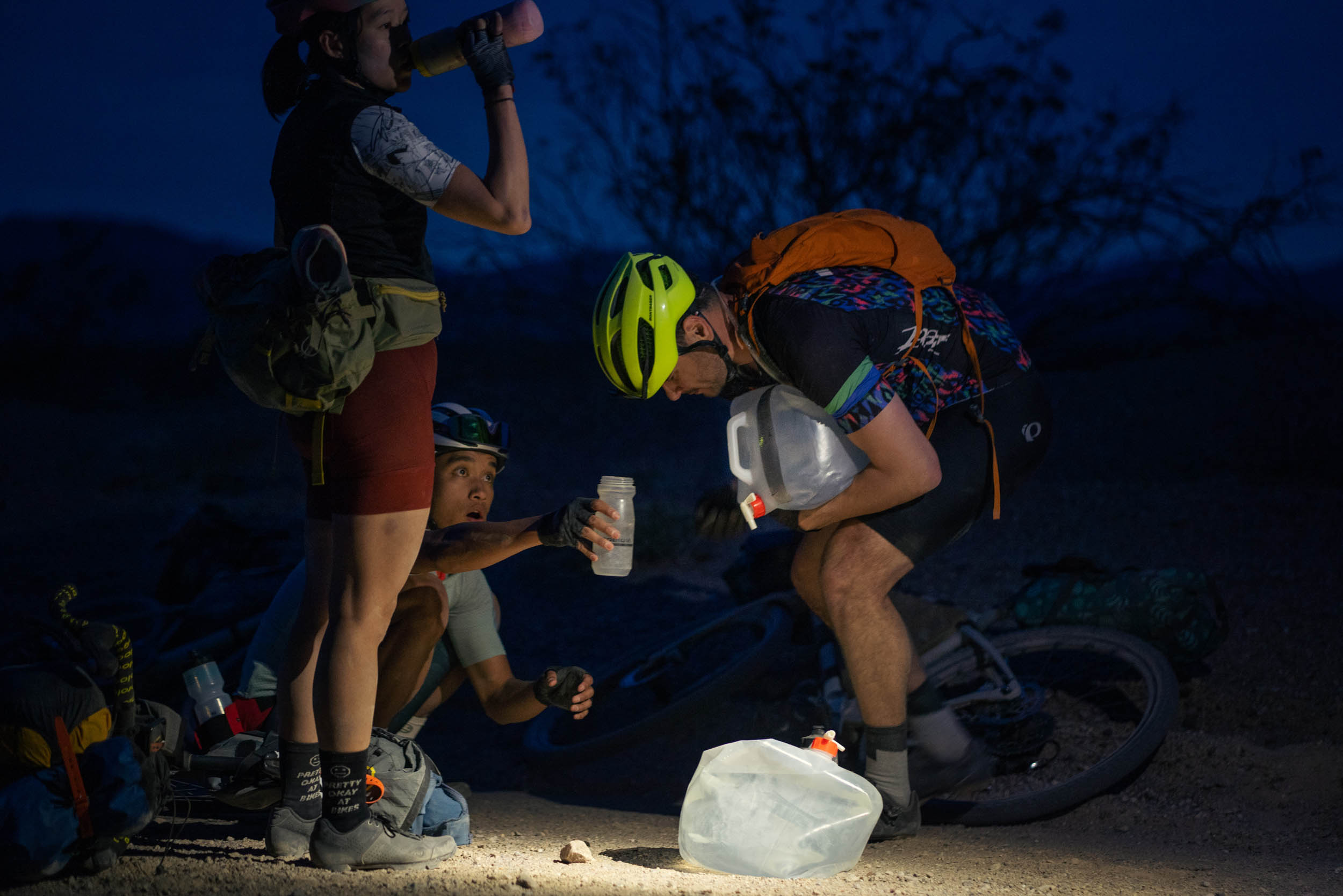
- Bring more water than you think you will need! The riding can be slow at times between Echo Canyon and Beatty.
- You need to pick up a permit at Furnace Creek Visitor Center to camp at Echo Canyon (see: Camping & Lodging).
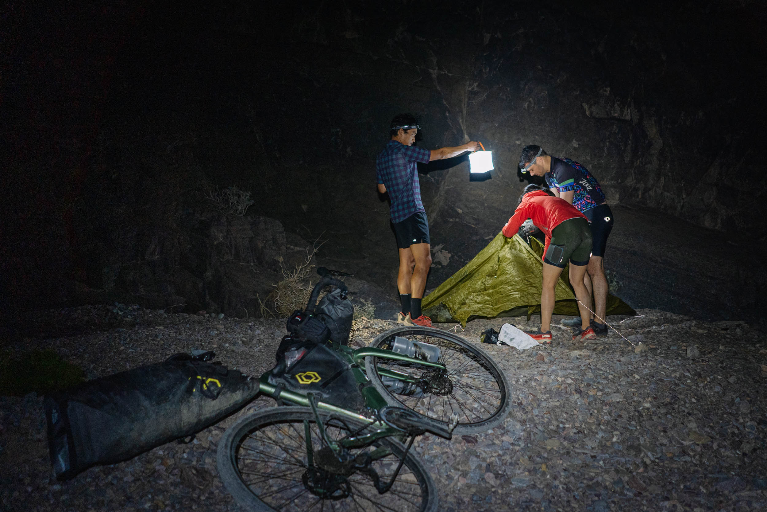
- It may get windy at night in Echo Canyon, so be sure to secure your tents.
- Car parking: for backpacking (or bikepacking), the park rules state that “vehicles may be parked off pavement along the shoulder of any park road. Vehicles left for more than 10 days along Highway 190 may be impounded.” Cars should not be left overnight in parking lots. Park on the road shoulder instead.
- The start of the route is only a suggested starting point; you are allowed to leave your car anywhere along the road, off the shoulder. Choose a point on the road that makes sense depending on what time of day you’re starting the ride, and calculating how many hours it will take to get to your campsite at Echo Canyon.
- Before starting the route, stop at a visitor center to pay the park entrance fee and pick up a tag to display on the car dashboard.
- Titus Canyon Road: it is temporarily open after initial repairs from recent flooding. It may be closed occasional days. It will be closed for the second phase of repairs October 1, 2026 through September 30, 2027. Check conditions when planning your trip.
- You need a permit to camp in Echo Canyon, which should be reserved in advance online here. There are nine total spots, and the location of each site is marked on the Ride with GPS map.
- Wild camping is allowed between miles 55 to 85 and miles 95 to 97 on Nevada BLM land, but expect no water source aside from Specie Spring. Mile 78 is a suggested camping spot because of the water source. No permit is required.
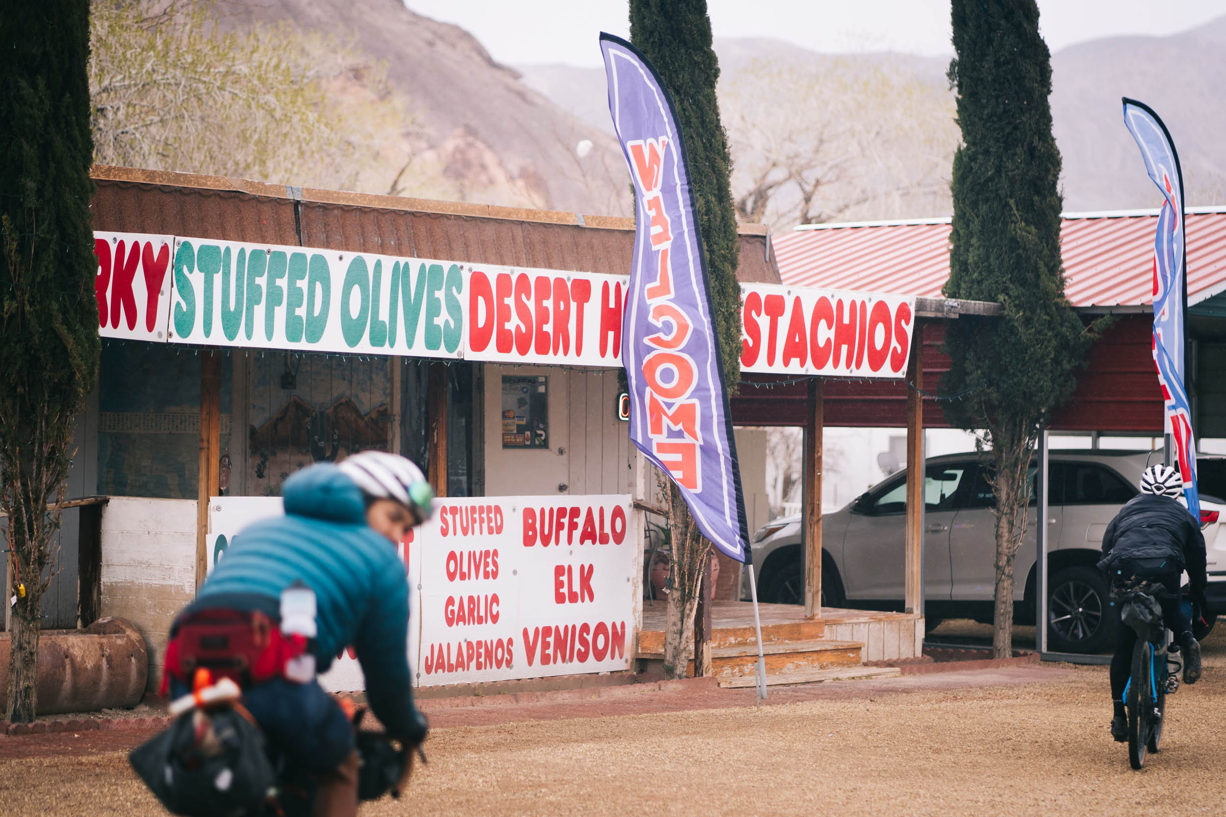
- There are many inn and motel options in the town of Beatty (mile 86).
- If you plan to camp the night before starting the route, there are several campsite options in the park. Two good options are Furnace Creek Campground and Stovepipe Wells Campground. See the Death Valley National Park website for more information.
- Be aware there are few water sources along this route.
- Around mile 67 is a convenient place to cache water on the Nevada side. It is easily accessible via car. Leave no trace and pack the water containers out.
- There is potable water at Furnace Creek Visitor Center and in the town of Beatty, Nevada.
- Plan ahead: bring extra water carrying capacity to have enough water for camp at Echo Canyon and for riding the next day.
- Bring a water filter if you camp at Specie Spring and plan to use it as a water source.
- The main fuel stop for a meal, snacks, and water is the town of Beatty. There are also a few snack options available at Furnace Creek Visitor Center.
Route variations
The start of the route is only a suggested starting point; you are allowed to leave your car anywhere along the road, off the shoulder. Choose a point on the road that makes sense depending on what time of day you are starting the ride, and calculating how many hours it will take to get to your campsite at Echo Canyon.
If there are at least two cars, a car shuttle could be set up (one car parked near mile 25, one car parked near mile 123) to cut out the majority of pavement riding and maximize dirt.
If Titus Canyon Road is still closed due to flood damage, you can take a shortcut via Daylight Pass (paved road). This alternative is mapped below:


Terms of Use: As with each bikepacking route guide published on BIKEPACKING.com, should you choose to cycle this route, do so at your own risk. Prior to setting out check current local weather, conditions, and land/road closures. While riding, obey all public and private land use restrictions and rules, carry proper safety and navigational equipment, and of course, follow the #leavenotrace guidelines. The information found herein is simply a planning resource to be used as a point of inspiration in conjunction with your own due-diligence. In spite of the fact that this route, associated GPS track (GPX and maps), and all route guidelines were prepared under diligent research by the specified contributor and/or contributors, the accuracy of such and judgement of the author is not guaranteed. BIKEPACKING.com LLC, its partners, associates, and contributors are in no way liable for personal injury, damage to personal property, or any other such situation that might happen to individual riders cycling or following this route.
Please keep the conversation civil, constructive, and inclusive, or your comment will be removed.