


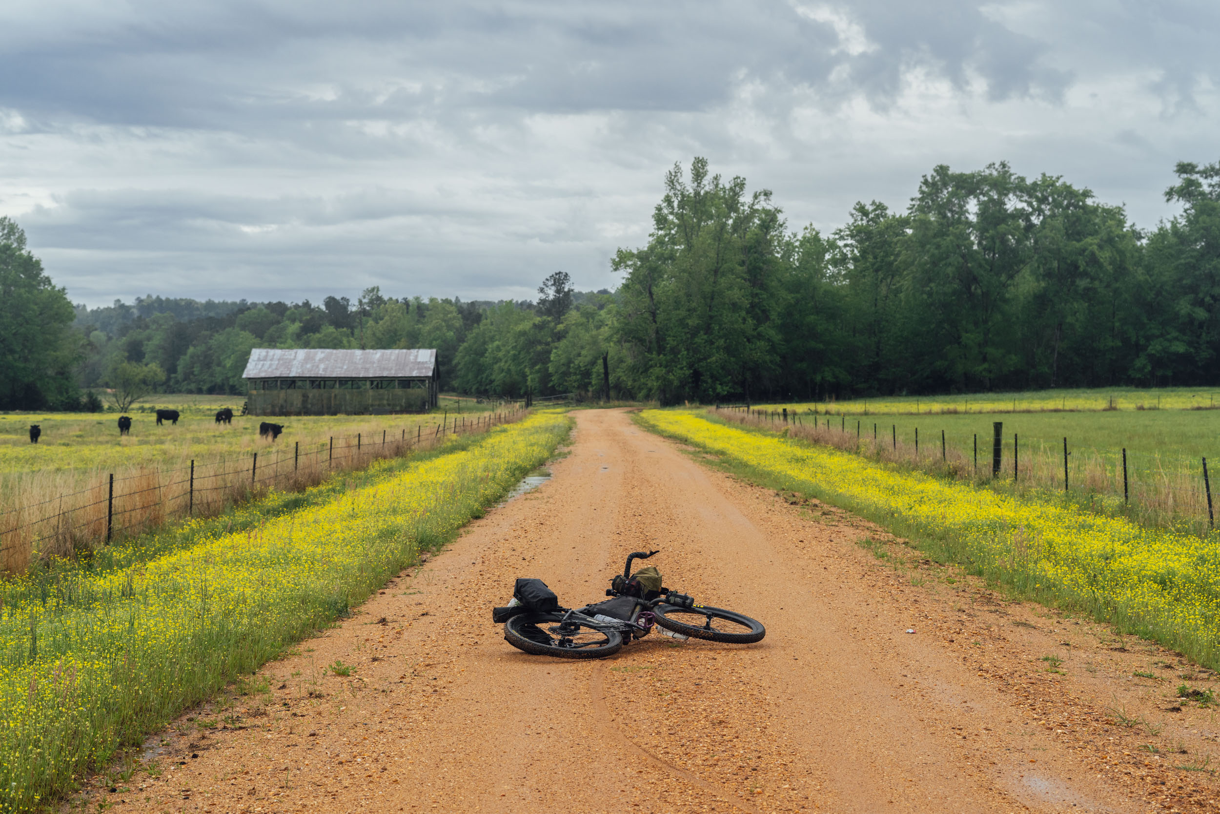
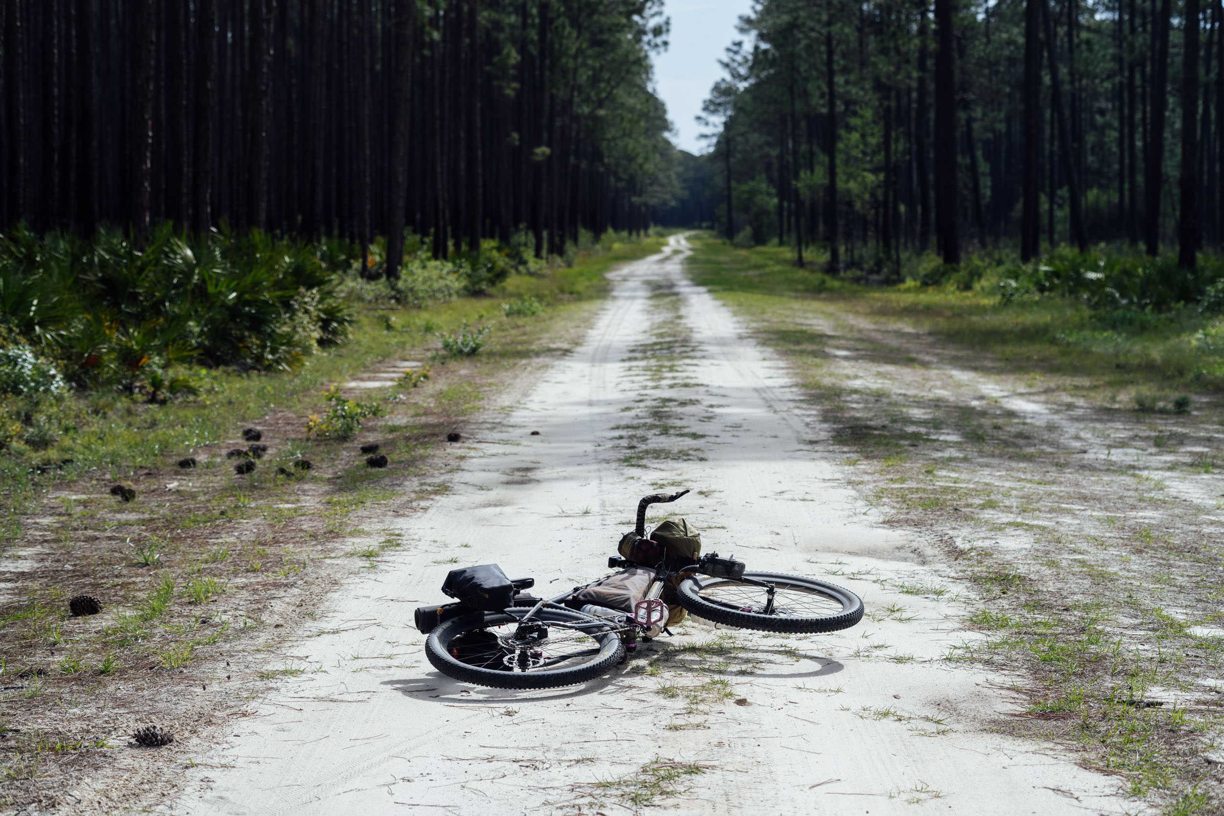
Eastern Divide Trail (S7): Longleaf
Distance
841 Mi.
(1,353 KM)Days
14
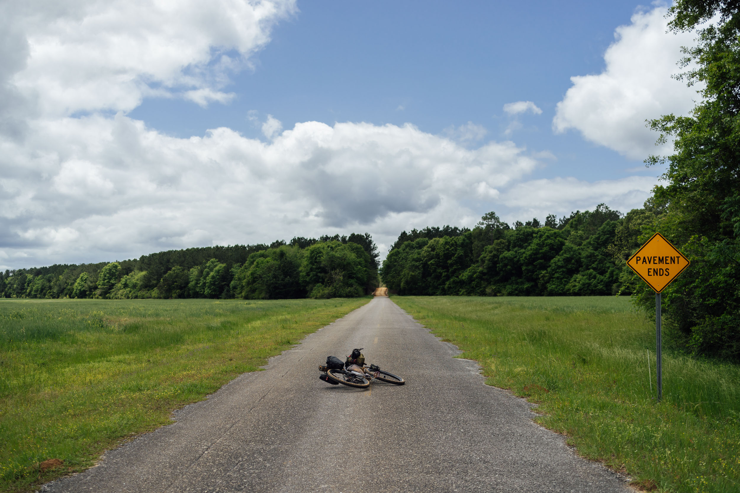
% Unpaved
57%
% Singletrack
7%
% Rideable (time)
99%
Total Ascent
42,000'
(12,802 M)High Point
2,880'
(878 M)Difficulty (1-10)
6?
- 3Climbing Scale Fair50 FT/MI (9 M/KM)
- 6Technical Difficulty Moderate
- 5Physical Demand Moderate
- 6Resupply & Logistics Moderate
Contributed By

Logan Watts
Founding Editor
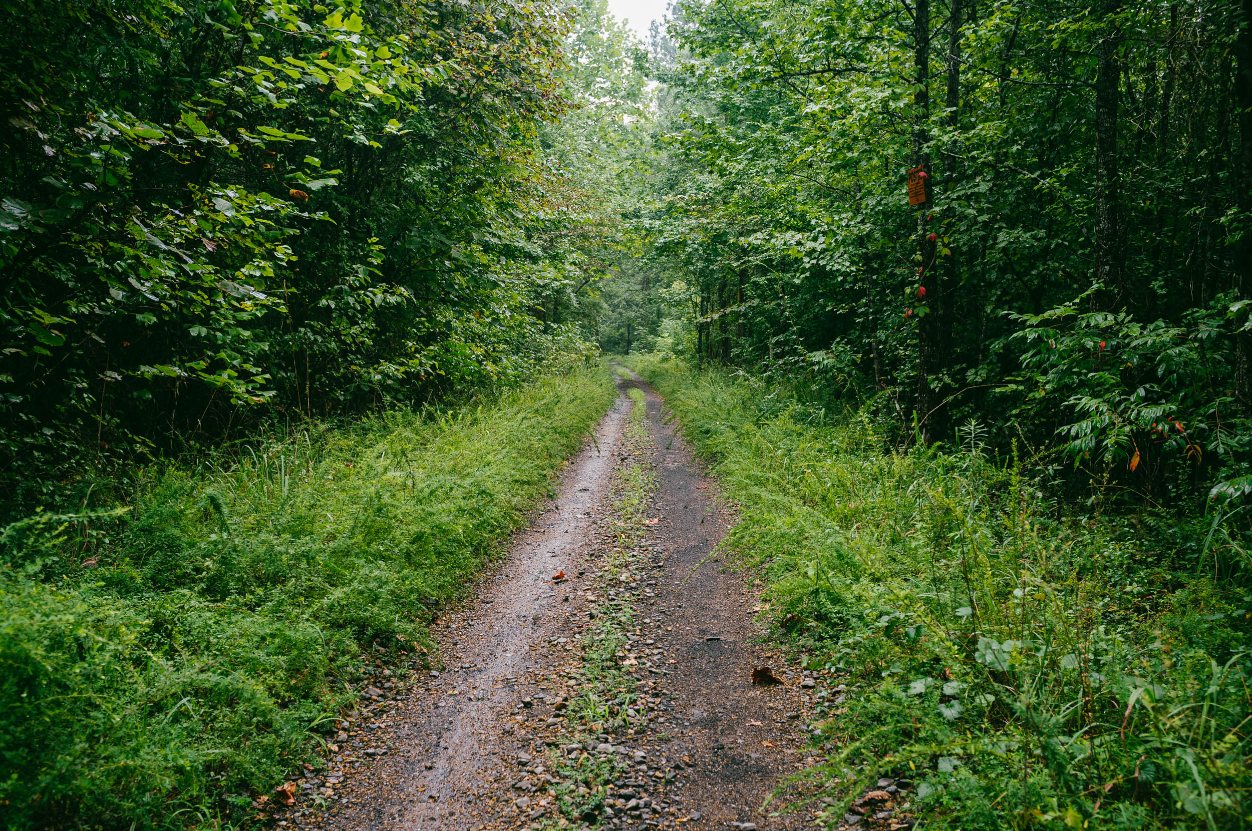
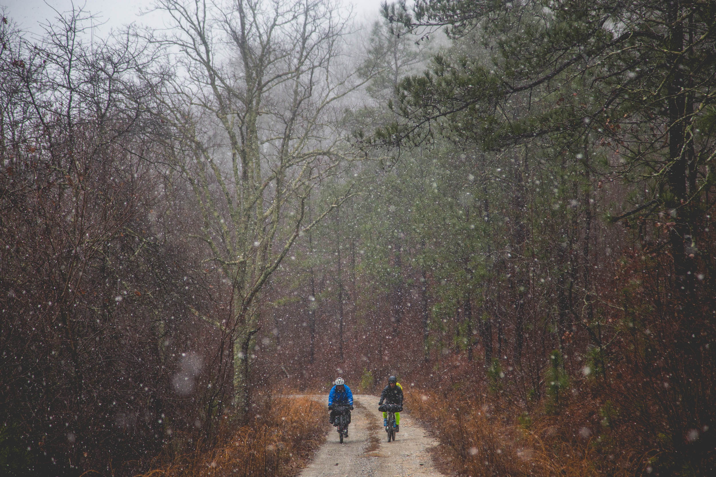
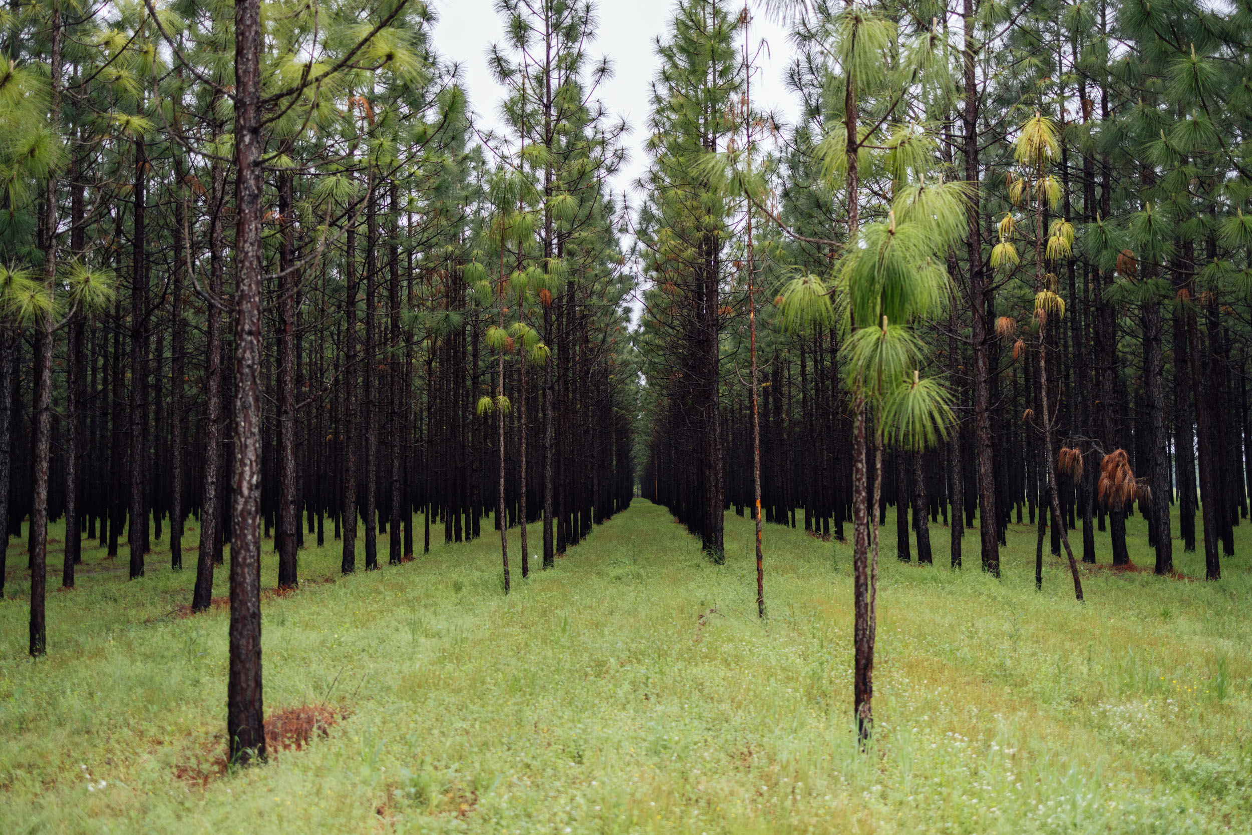
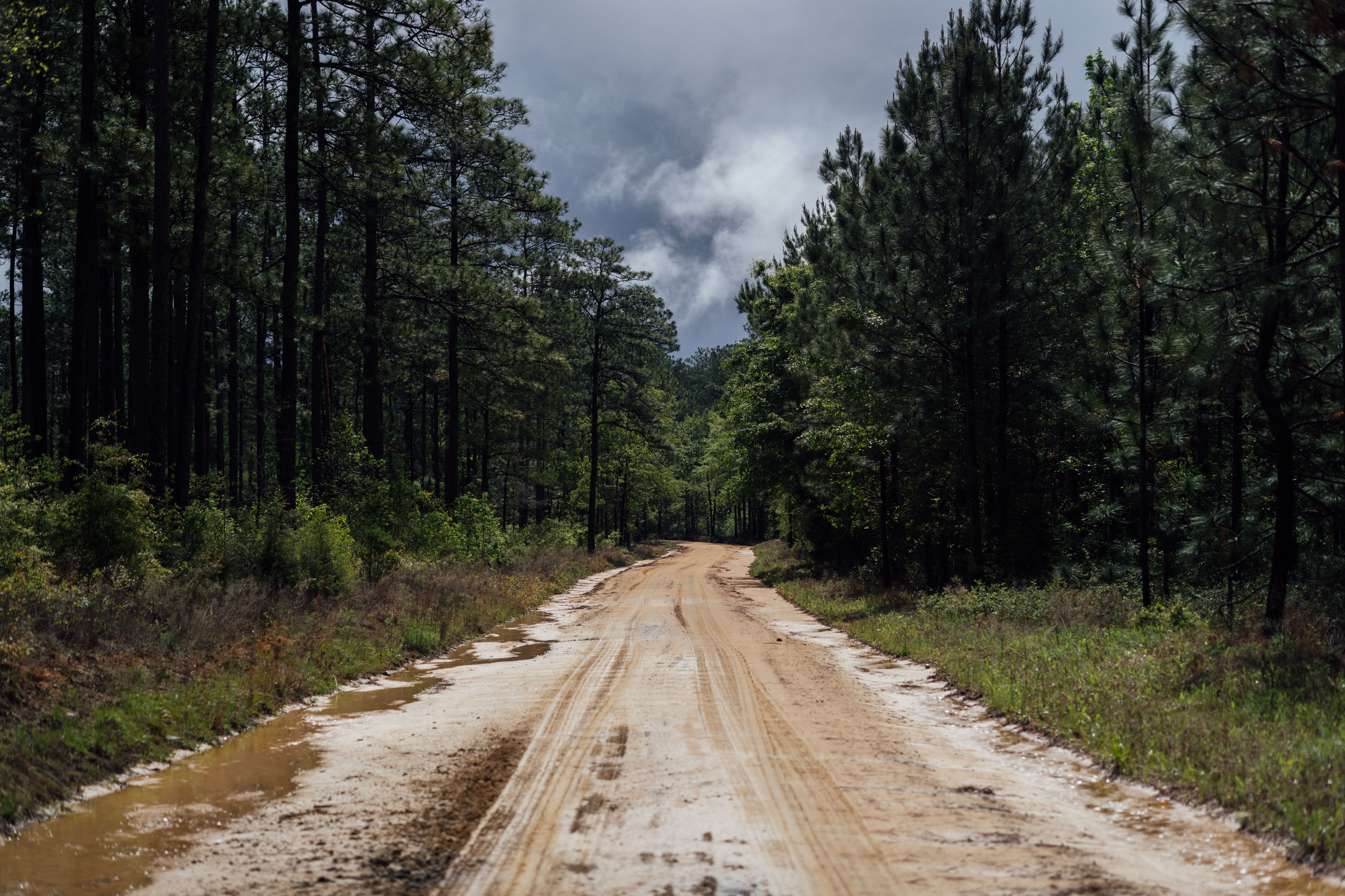
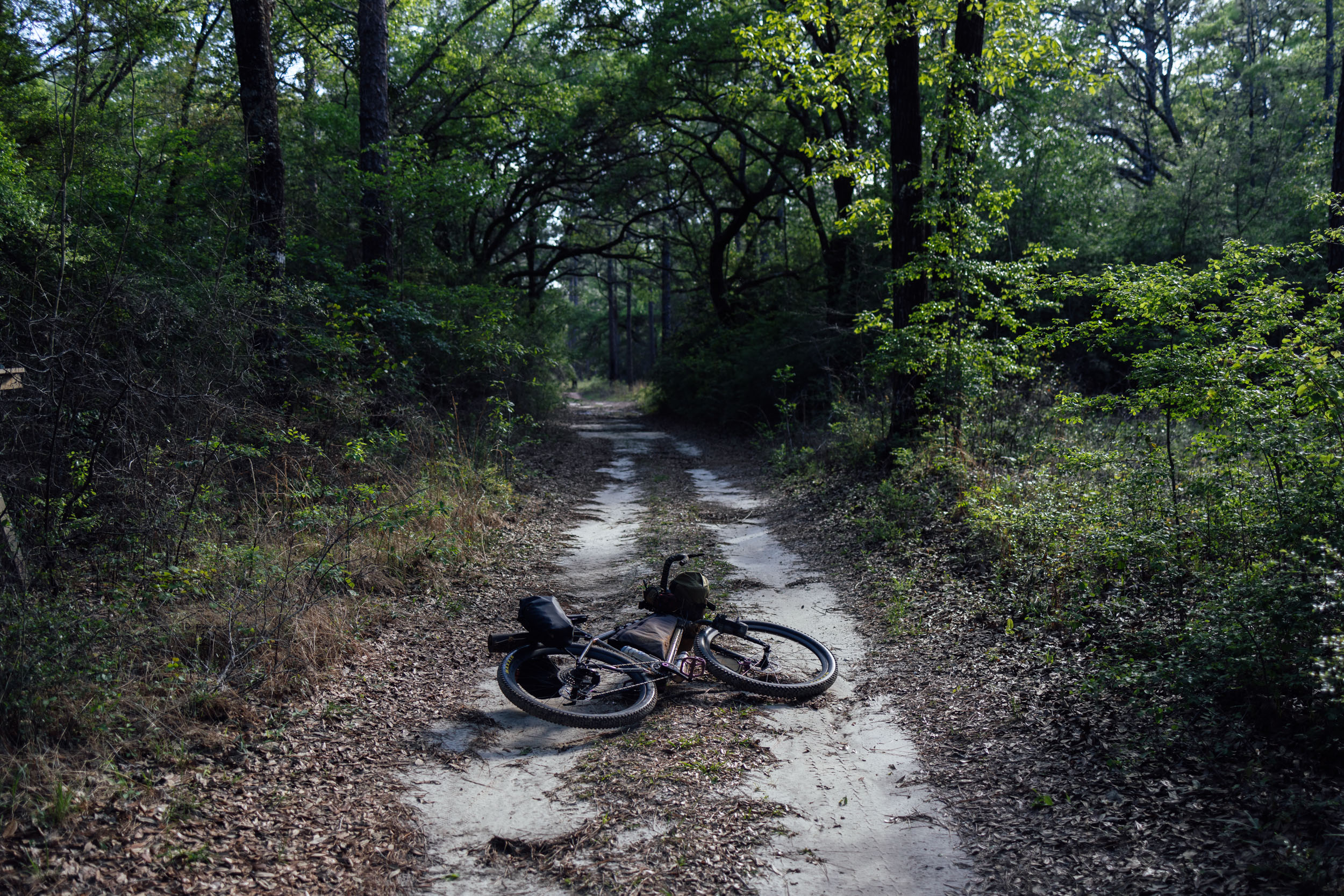
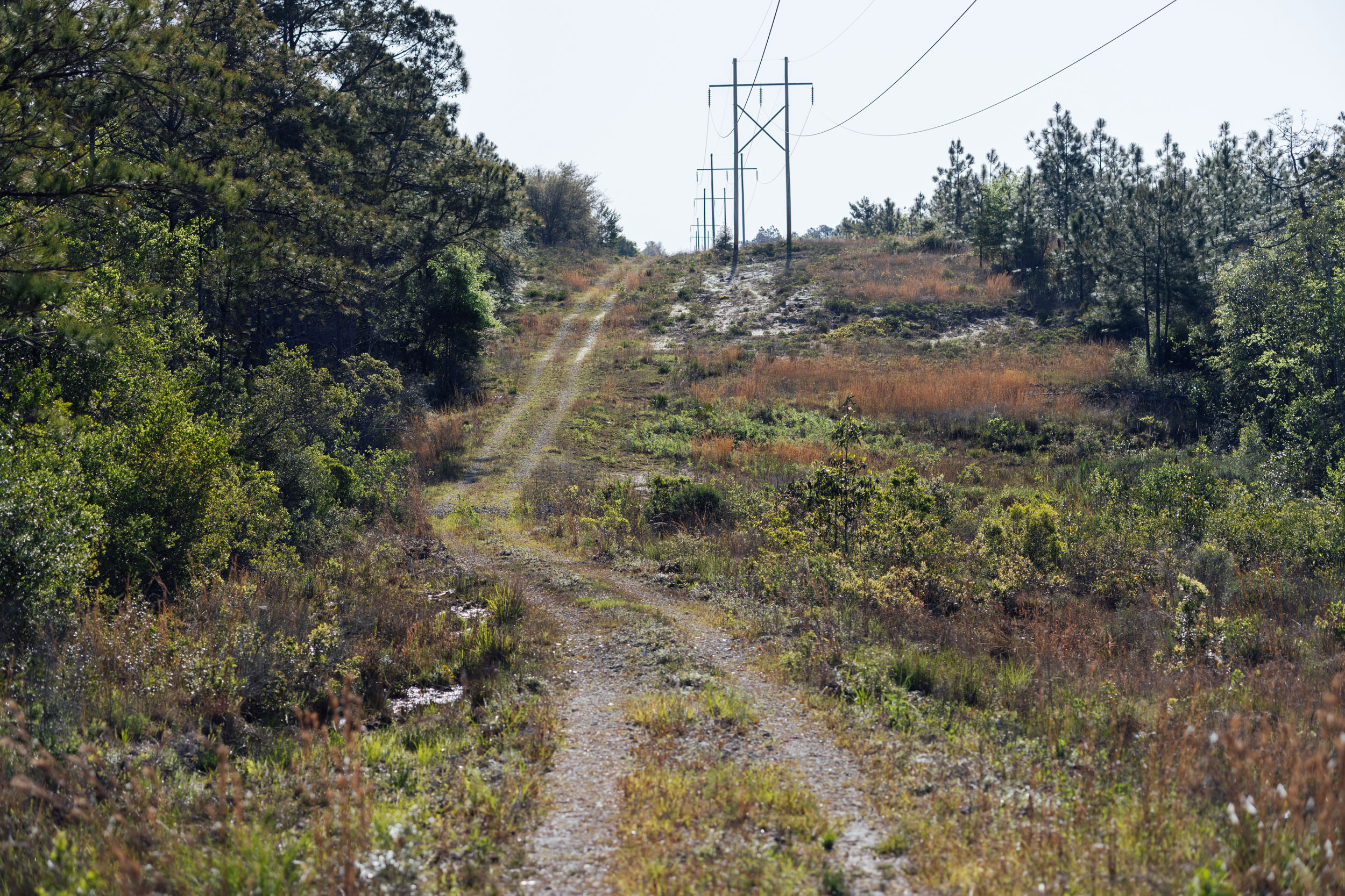
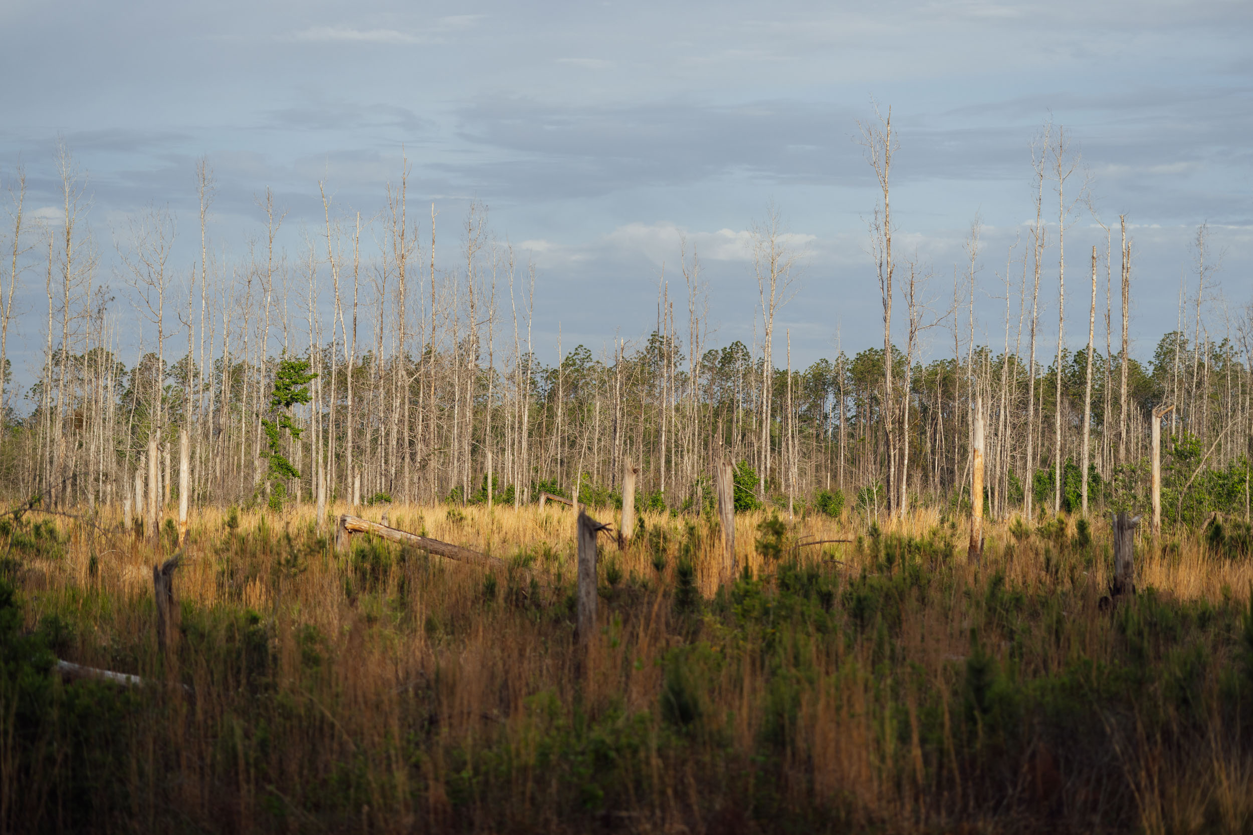
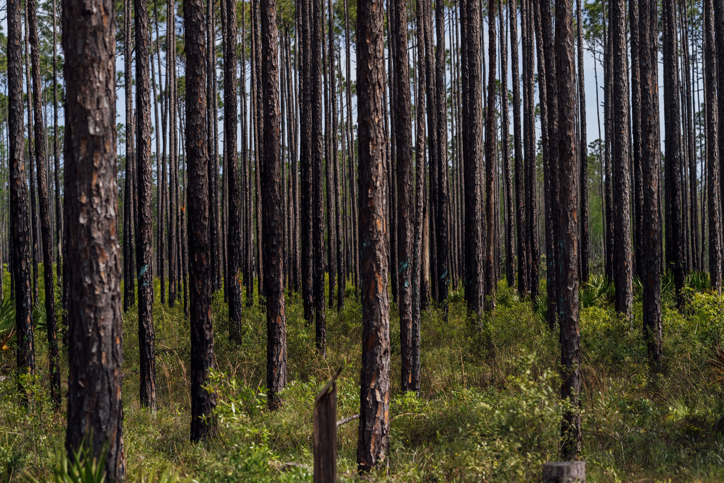
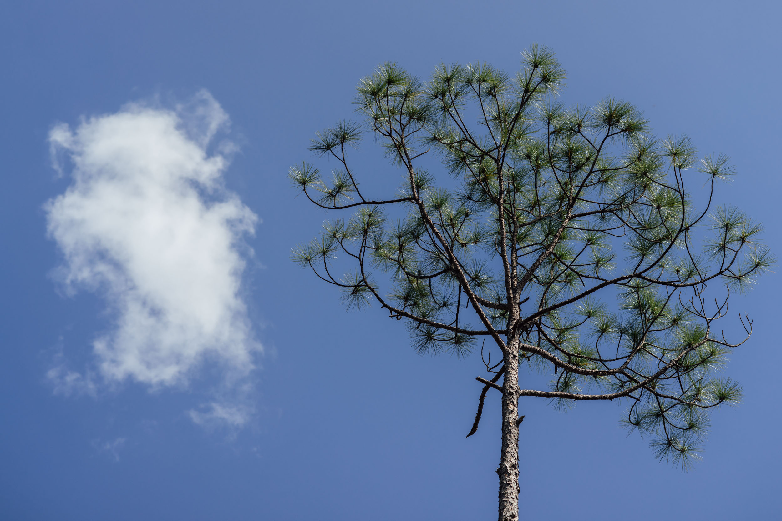
Longleaf is a fitting name for Segment 7 of the Eastern Divide Trail. Not only is it the second longest of the eight sections, it also takes in a distinct forestal transition from the hardwoods of the Appalachian Mountains to the coastal plain, marked most notably by the introduction of the longleaf pine (Pinus palustris), a pine species native to the southeastern United States. Before European conquest and settlement, longleaf pine forests dominated as much as 90 million acres (360,000 km2), spanning the coastal plains from Virginia south to Florida and west to East Texas.
On its march toward the Florida peninsula, the EDT diverges from the actual Eastern Continental Divide, which largely bisects the state of Georgia, where rivers either run east to the Atlantic or southwest toward the Gulf of Mexico. The decision behind this routing was twofold: 1. To facilitate access to more public lands and camping options; and 2. To provide the best predominantly off-road riding experience possible to get from the mountains to the Florida divide. Both of these were accomplished in part by following the last ridges of the Appalachians into Alabama.
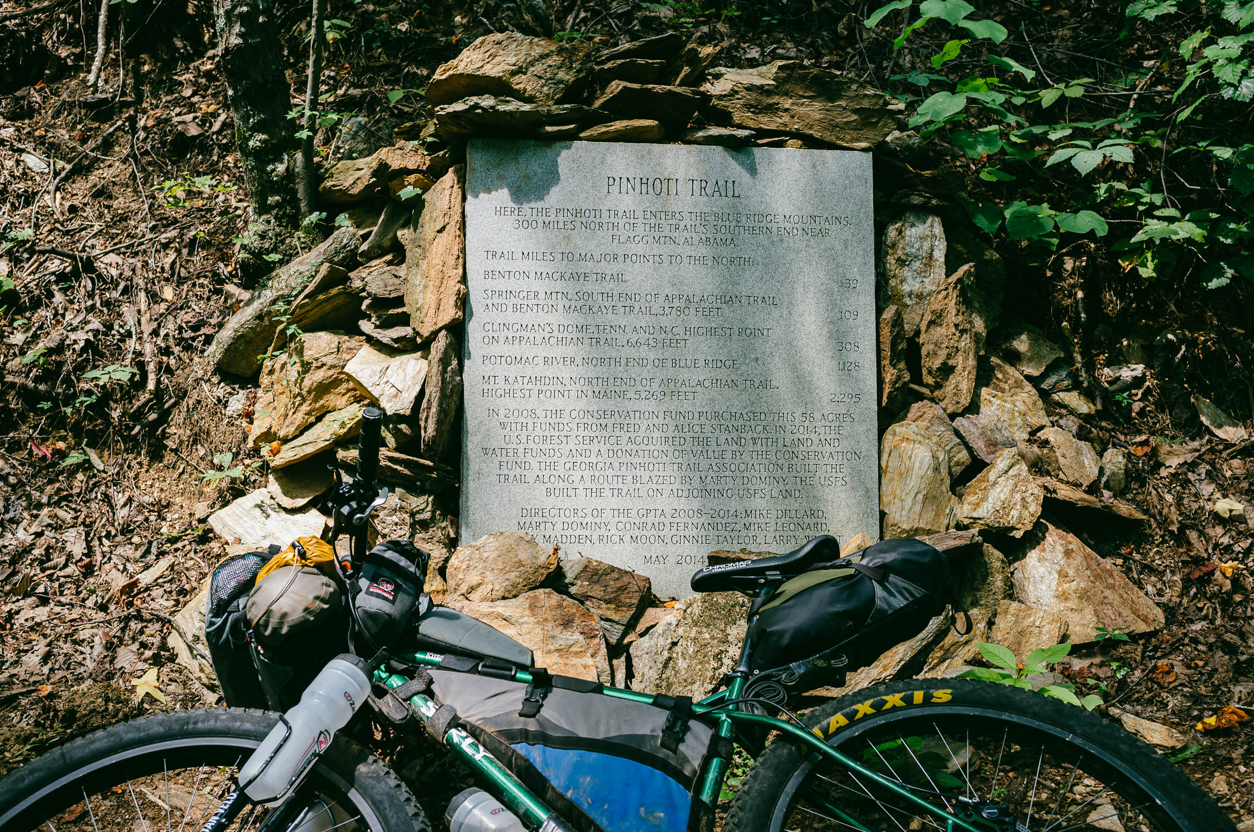
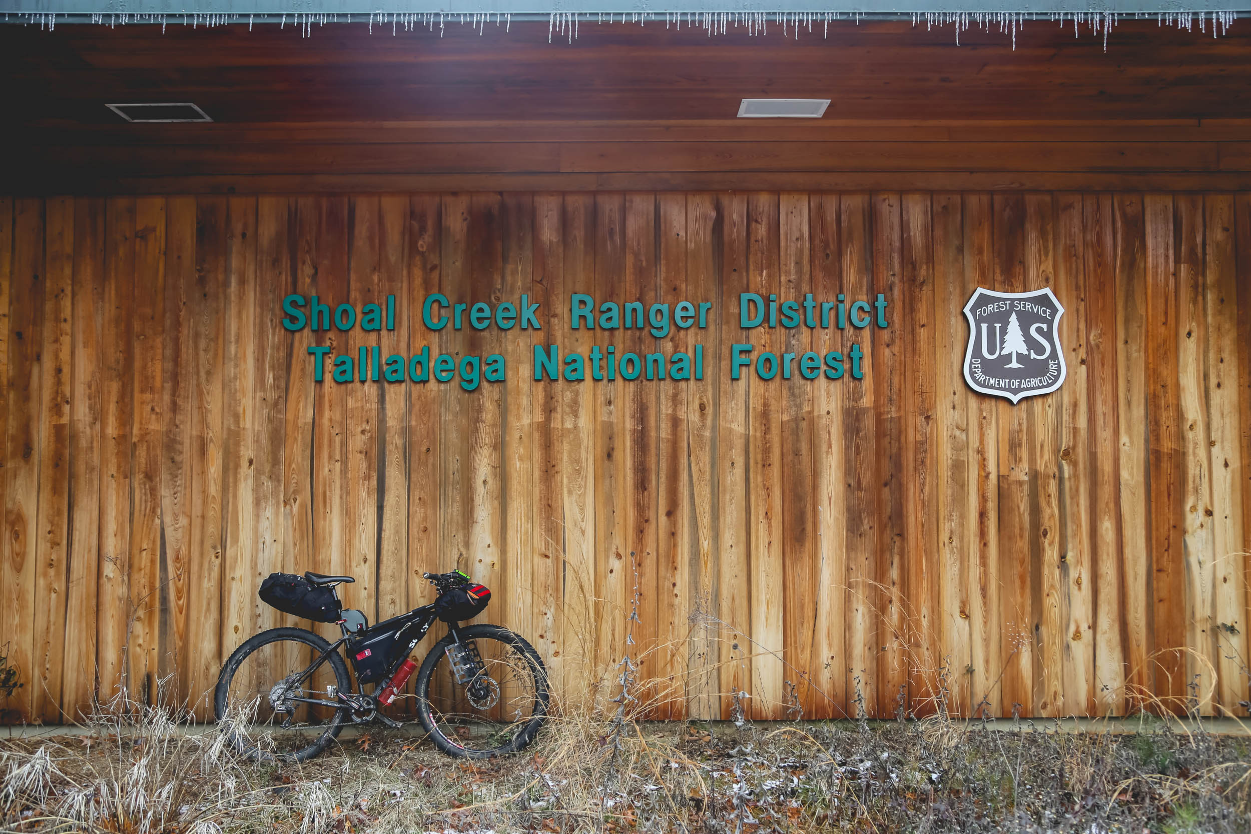
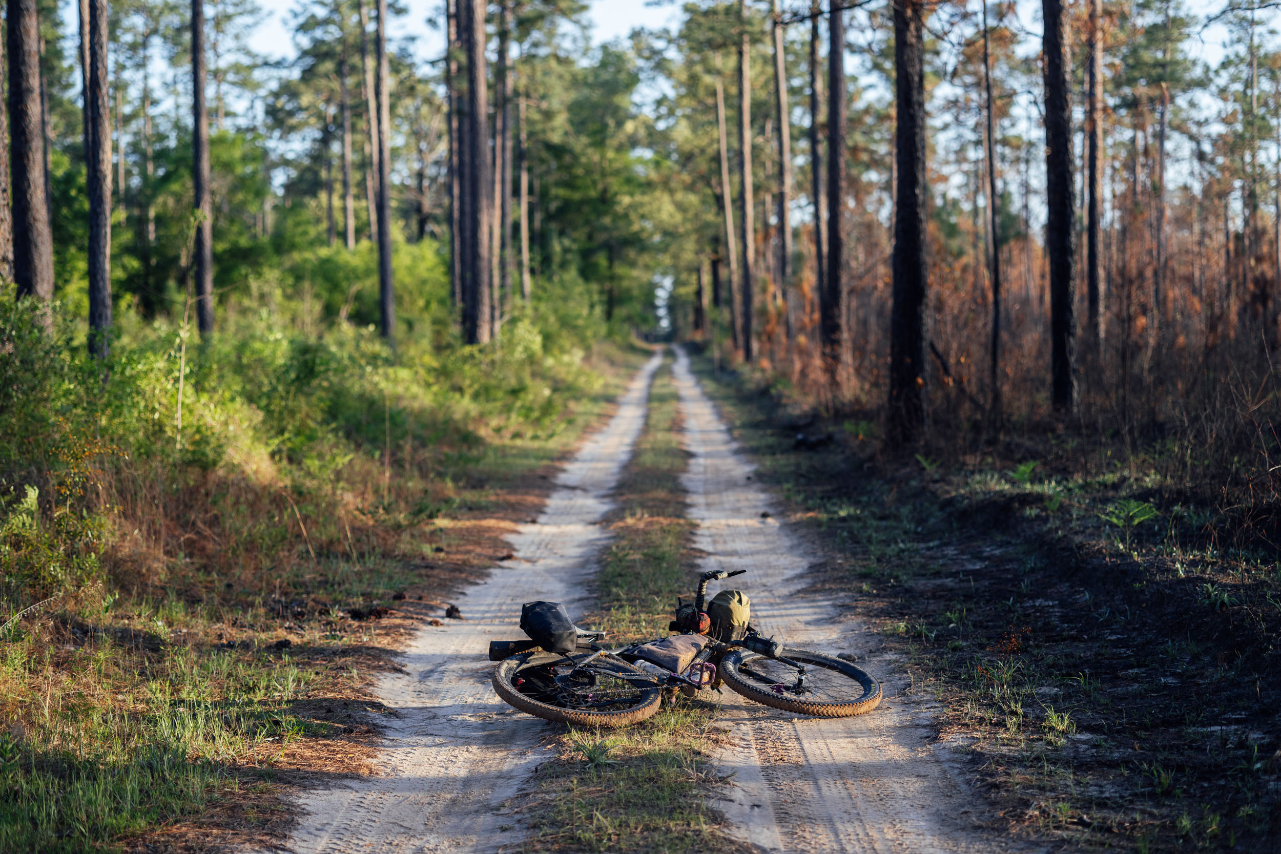
The route begins in the thick of the north Georgia mountains and follows a corridor loaded with interesting geographical and historical waypoints. In north Georgia, it takes in the southwest-running ridges that cascade down from mountains via several bike-accessible sections of the Pinhoti Trail, a 355-mile long-distance National Recreation Trail. In Alabama, the route follows the Alabama Skyway along the last ridge of the Appalachians through the Talladega National Forest to the lookout tower at Flagg Mountain, the terminus of the Pinhoti Trail.
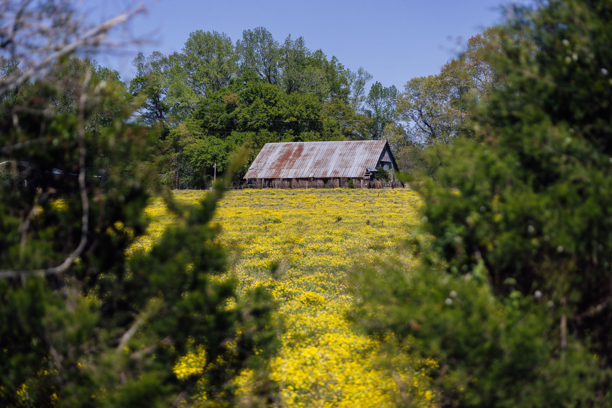
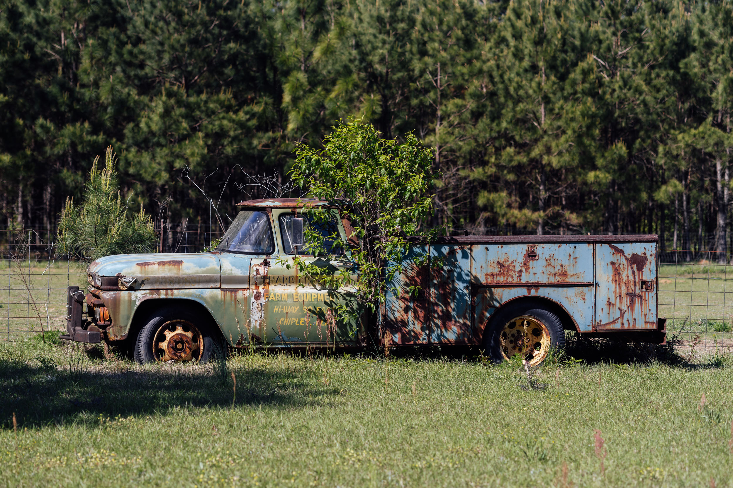
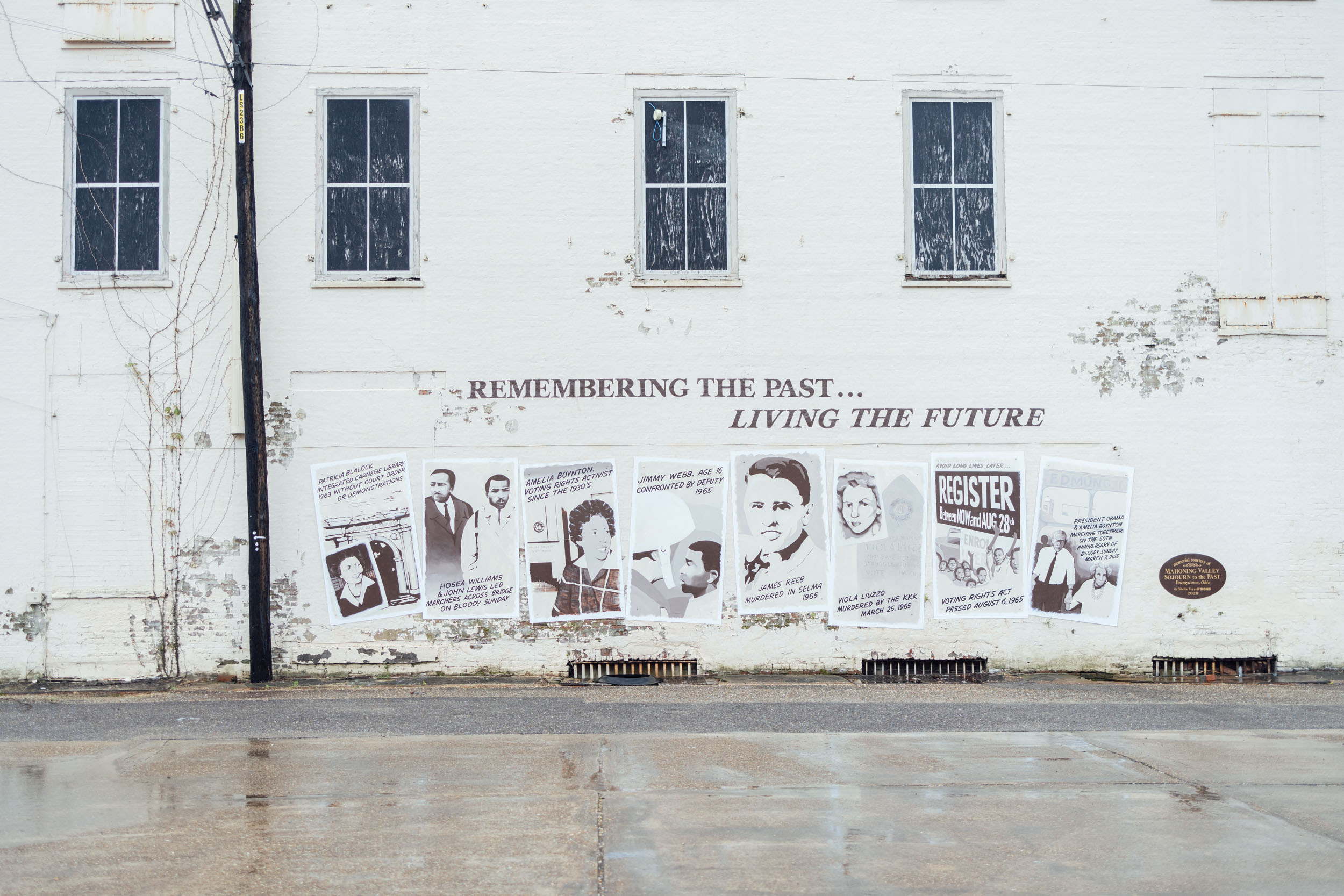
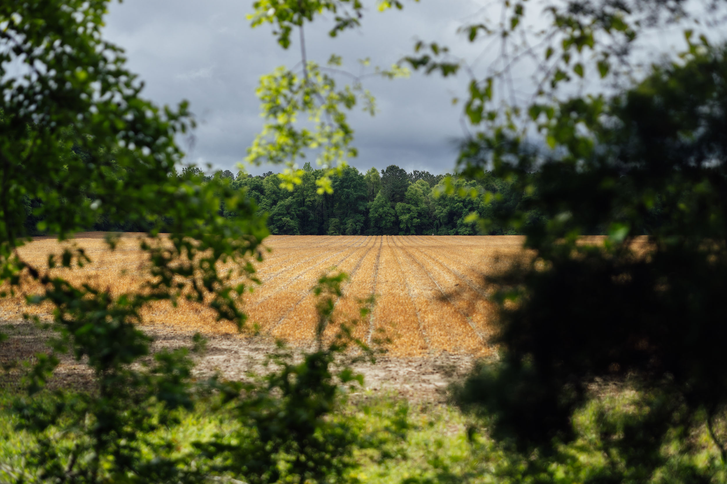
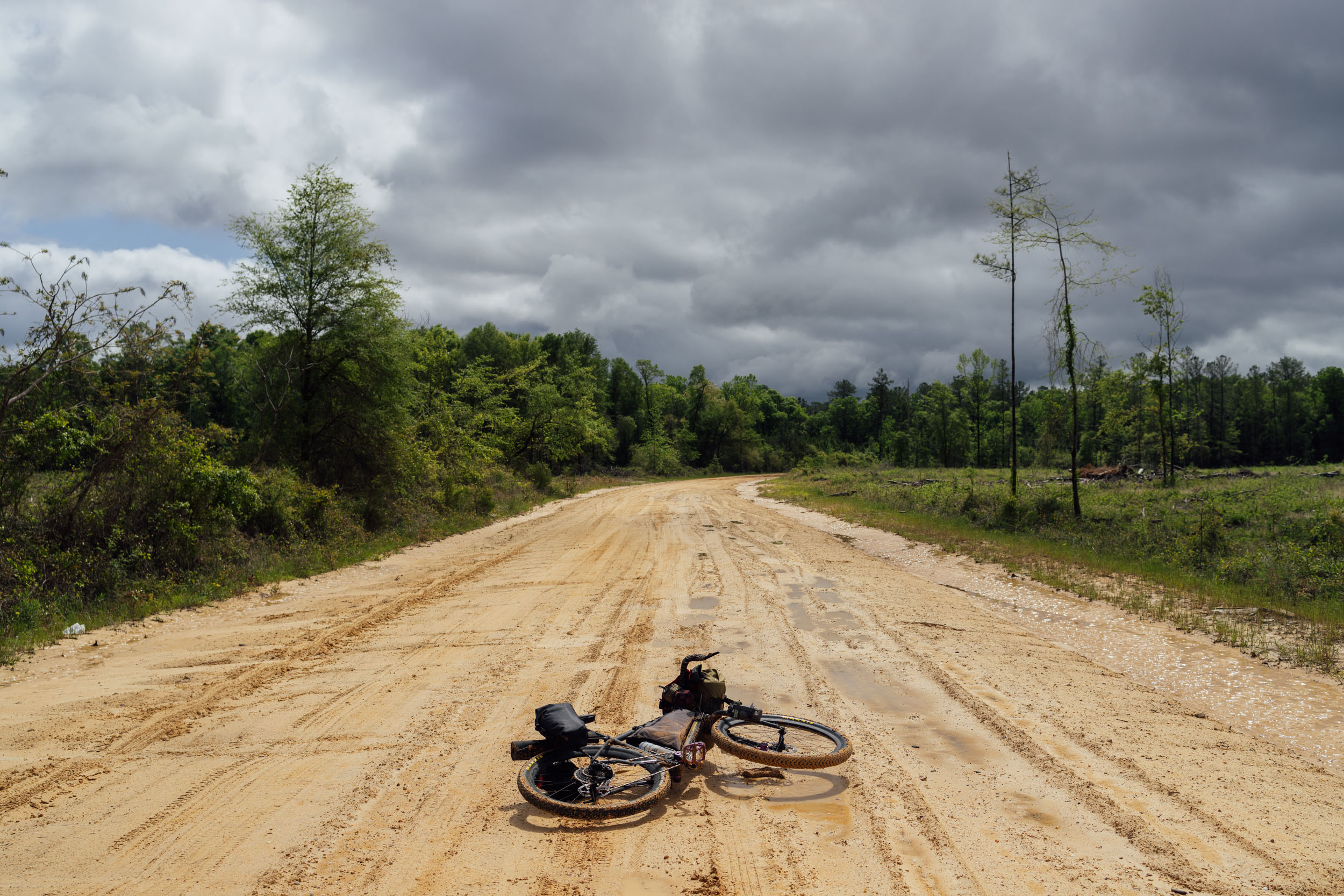
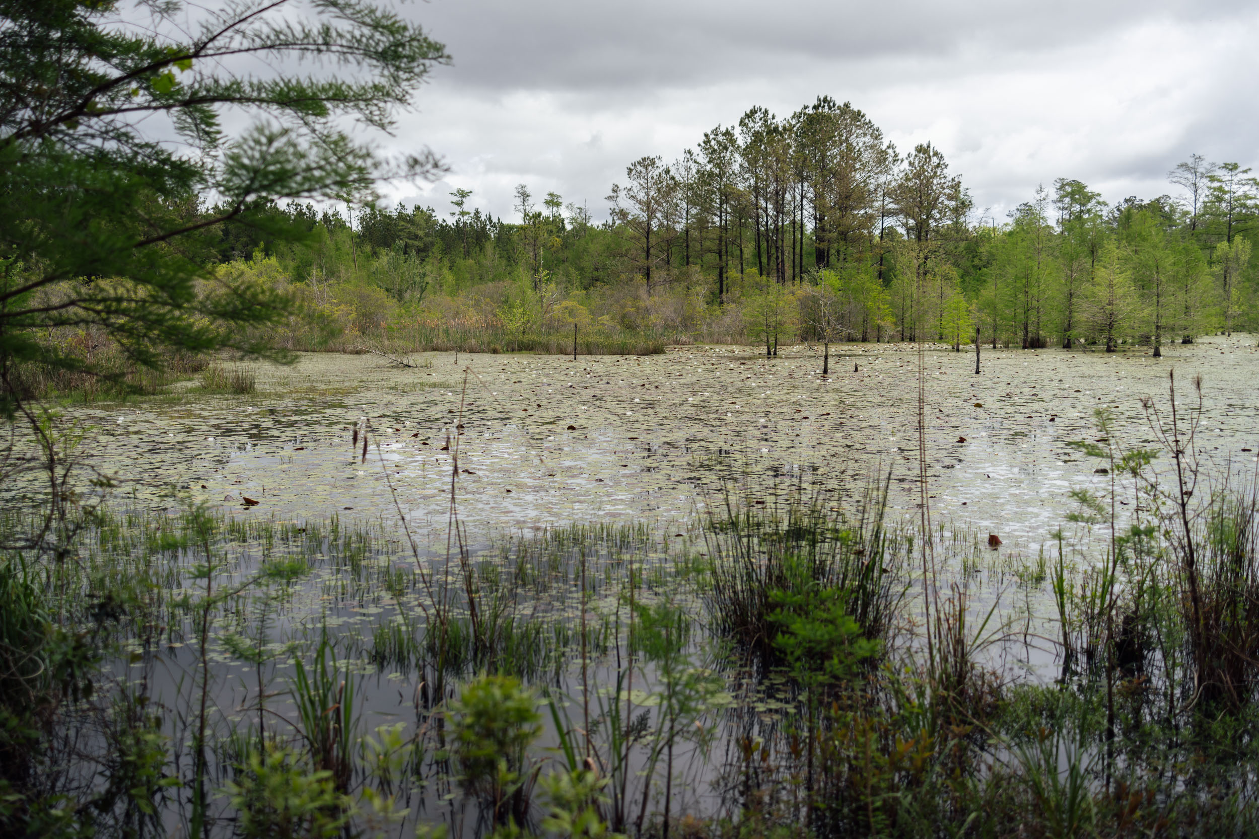
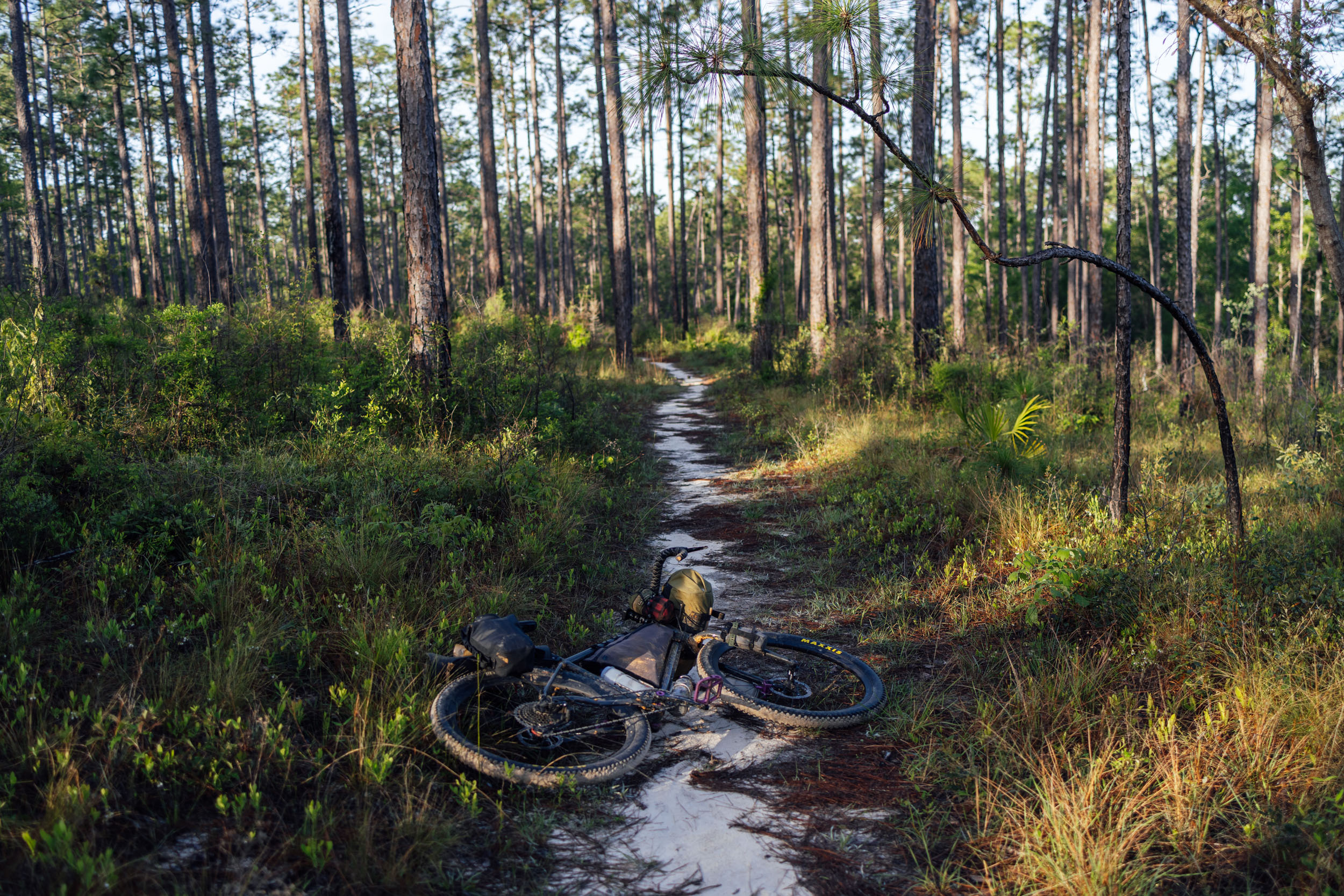
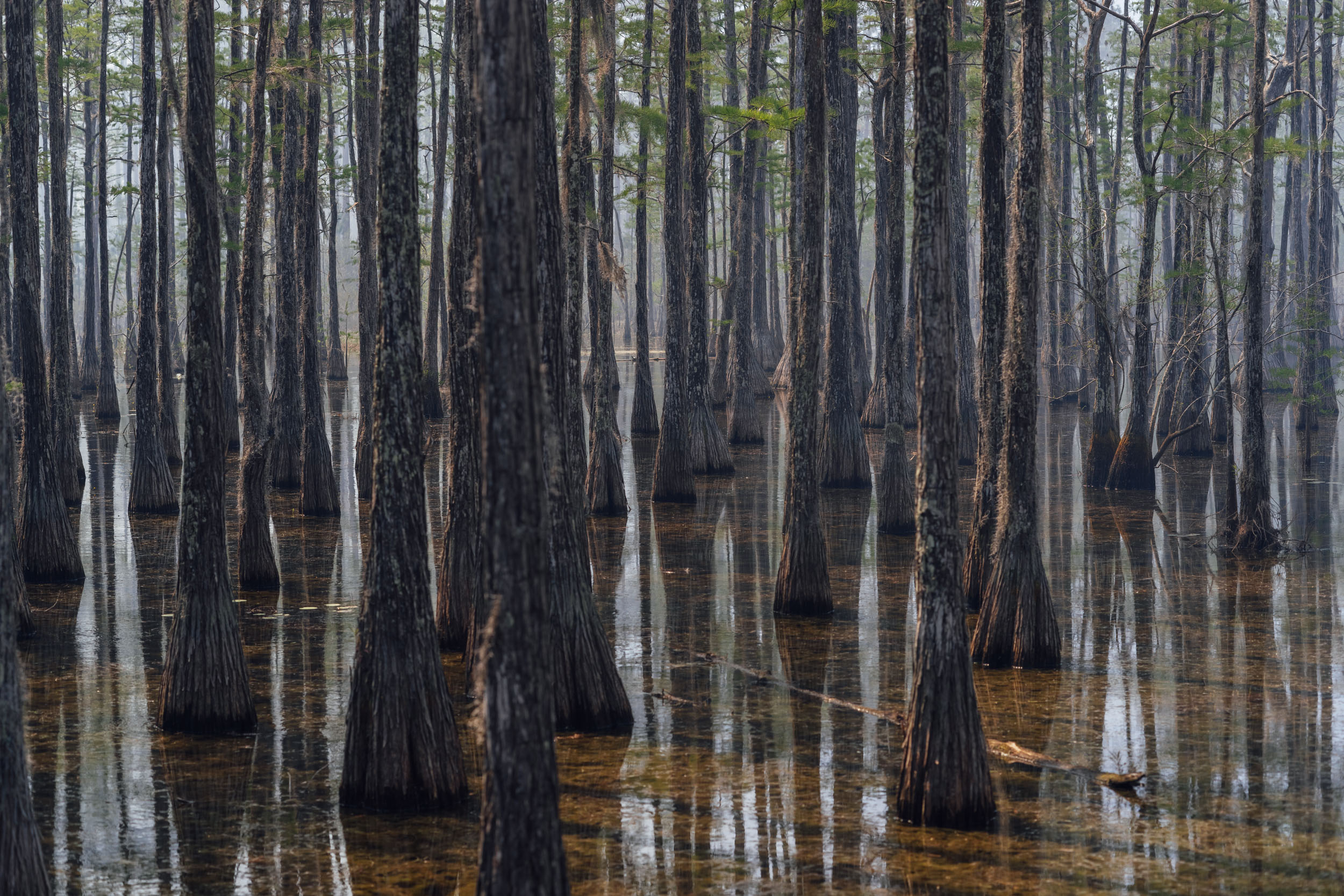
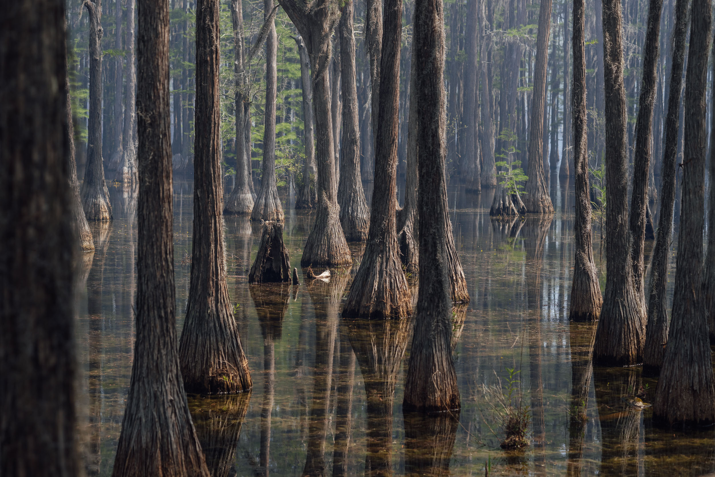
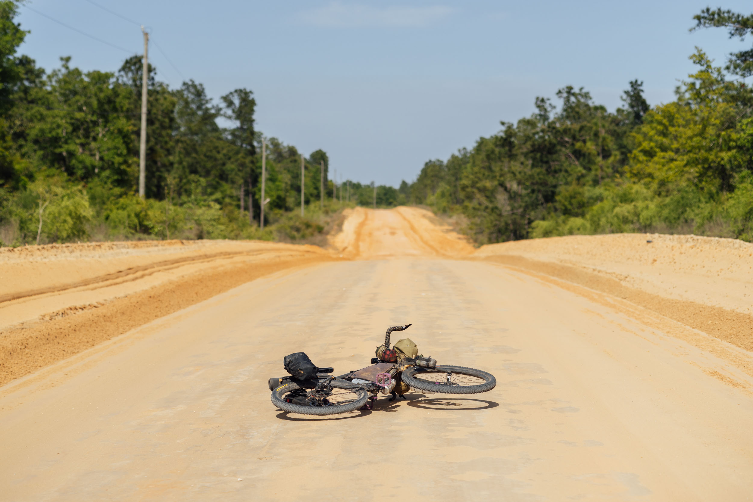
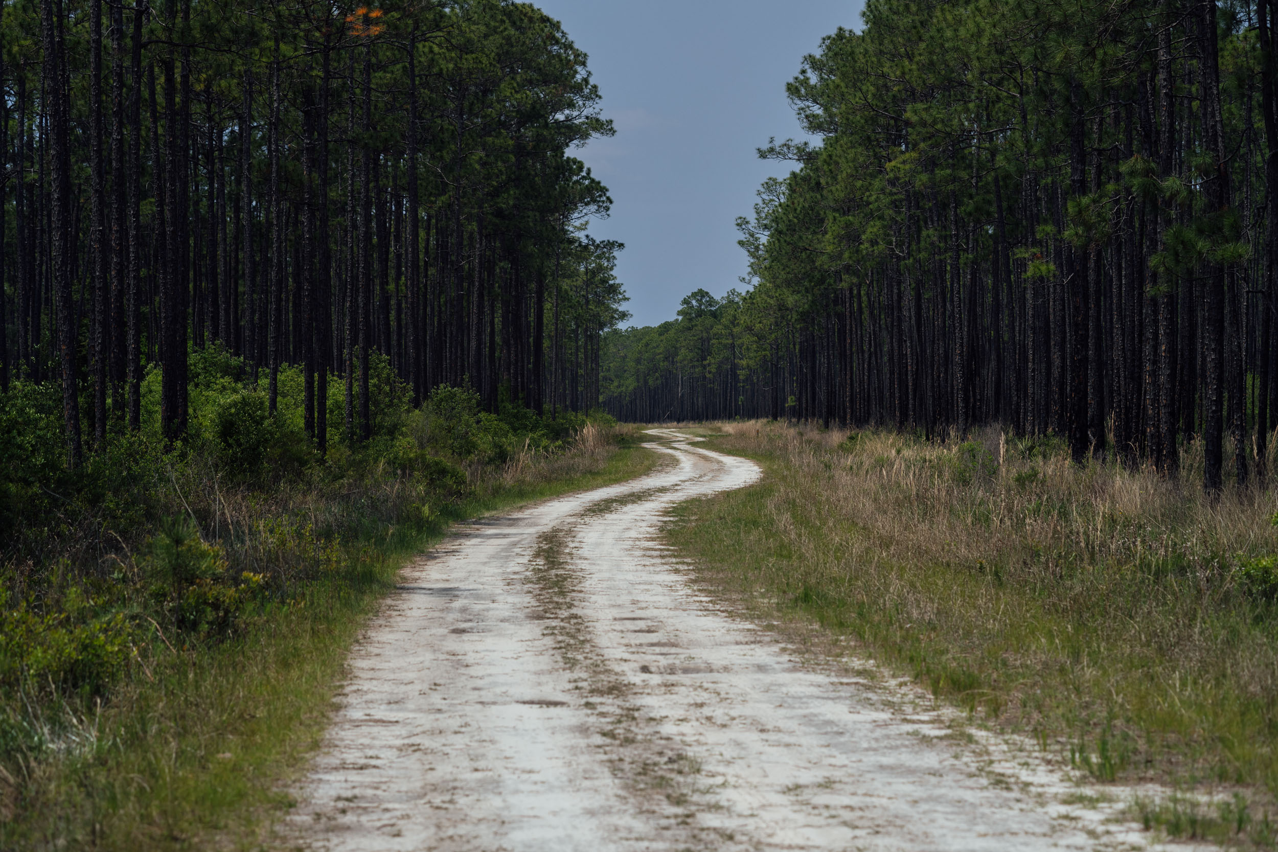
Further south, S7 flows through Alabama’s rolling hills covered in longleaf pine before crossing the Alabama River in Selma, an historic town and important place in the Civil Rights movement (see Whereabouts for more info). The route then rolls through endless scenic farming landscapes and surprisingly remote quaint rural towns before crossing into Florida. Once in the Panhandle, Longleaf begins its eastward traverse on sand roads into several of Florida’s shockingly wild and remote swaths of public land, including Blackwater River State Forest, Eglin Airforce Base, the massive Apalachicola National Forest, and several wildlife management areas. See Highlights for more details and Trail Notes for a detailed itinerary.
Lay of the Land
By Tsinnijinnie Russell (@tsinbean)
The Mississippi River area had been densely populated by Indigenous people for centuries before the arrival of the Spaniards in the area in 1540. The Five Civilized Tribes (Cherokee, Chickasaw, Choctaw, Muscogee, Seminole) are referred to as “civilized” because they each had highly developed ruling systems, with the Cherokee even developing their own constitution and court systems. For instance, the Mvskoke (Muscogee), whose traditional homelands much of this route passes through, have lived in the Southeast since the Mississippian Period, which was from 100AD to the mid/late 1500s AD. The Mvskoke had established towns that consisted of a town square, a circular mound topped with a rotunda, a square terrace upon which a public square stood, and residential buildings that mirrored the organization of the public square. Oral tradition from the 18th Century tells of ancestral Mvskoke establishing themselves near present-day Macon, Georgia, and they began to grow the towns of Cusseta and Coweta around 900 AD.
Andrew Jackson and the Indian Removal Act are key to understanding how Indigenous people were removed from the area in the 1800s. Andrew Jackson’s campaign to gain land for white settlers in the south began first as a military campaign in 1814, culminating in the Battle of Horseshoe Bend and the military defeat of the Mvskoke. This loss precipitated a treaty whereby 20 million acres were surrendered to the federal government, about half of present-day Alabama and a fifth of Georgia. Jackson proceeded to use his elected position as President of the United States to “legally” remove Indigenous people from their homelands by pushing through the Indian Removal Act in 1830.
Having been devastated by repeated violence from military and settler forces and foreseeing that settlers would never have their appetite for land satiated, many tribal people decided to adopt a strategy of appeasement. This was also a divisive position within Indigenous communities, with many not wanting to give up any more of their homelands. The Seminole tribe resisted in the Second (1835-1842) and Third (1855-1858) Seminole Wars. Neither strategy of resistance or appeasement proved successful, as federal and state governments systematically worked to remove Indigenous people under any pretense.
By the end of Jackson’s presidency in 1834, he had forced 70 removal treaties. This moved nearly 50,000 Indigenous people into “Indian Territory” (the area west of the Mississippi that belonged to the United States) and ultimately into a much smaller area that is now eastern Oklahoma. The removal of these tribal people is the culmination of two tactics of dispossession: physical violence against Indigenous people and the use of federal legal systems to further twist the knife and take more land. The two tactics work in tandem; the resulting loss of Indigenous life and land are the intentional endpoint and goal of white supremacy and settler colonialism.
Route Difficulty
Physical Demand: 5 • Technical Challenge: 6 • Resupply/Logistics: 6
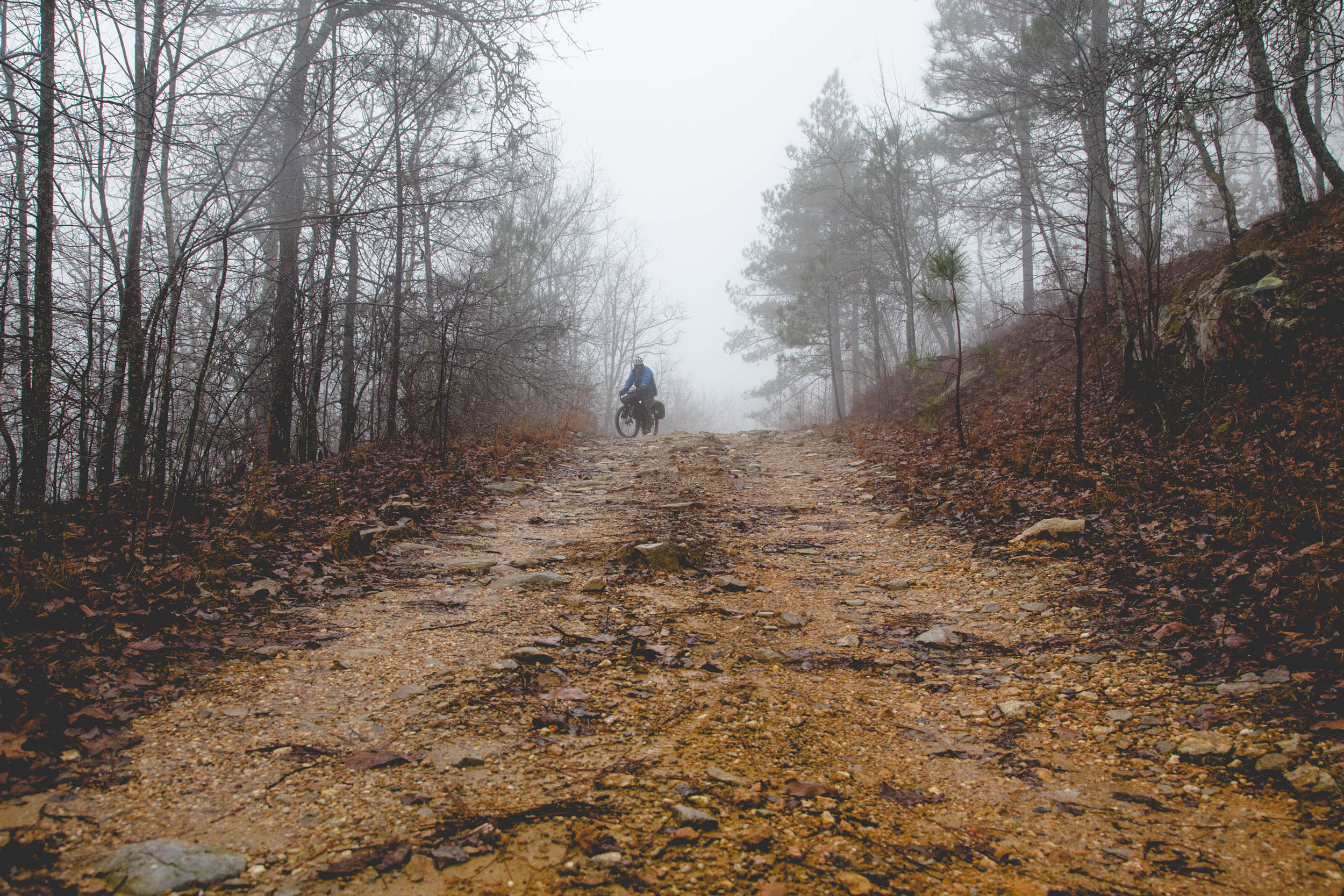
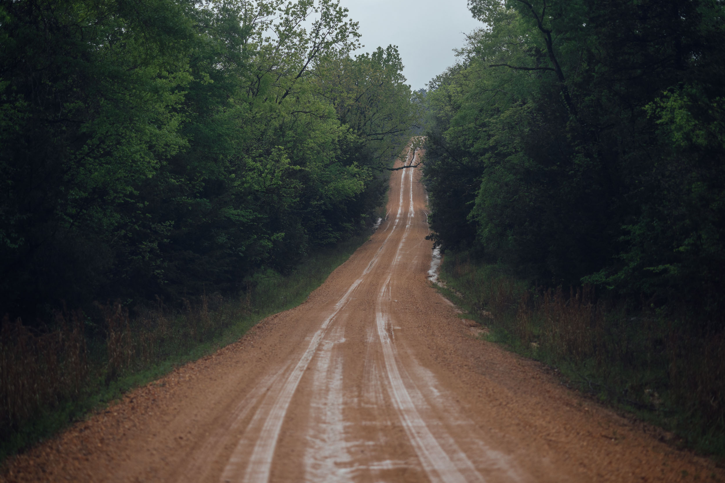
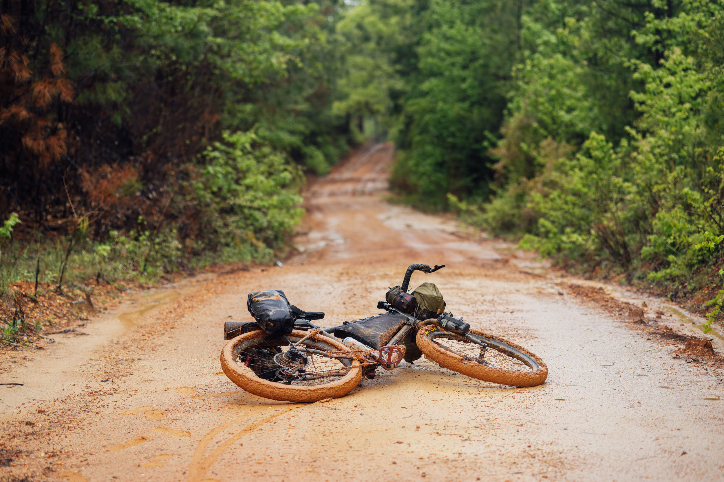
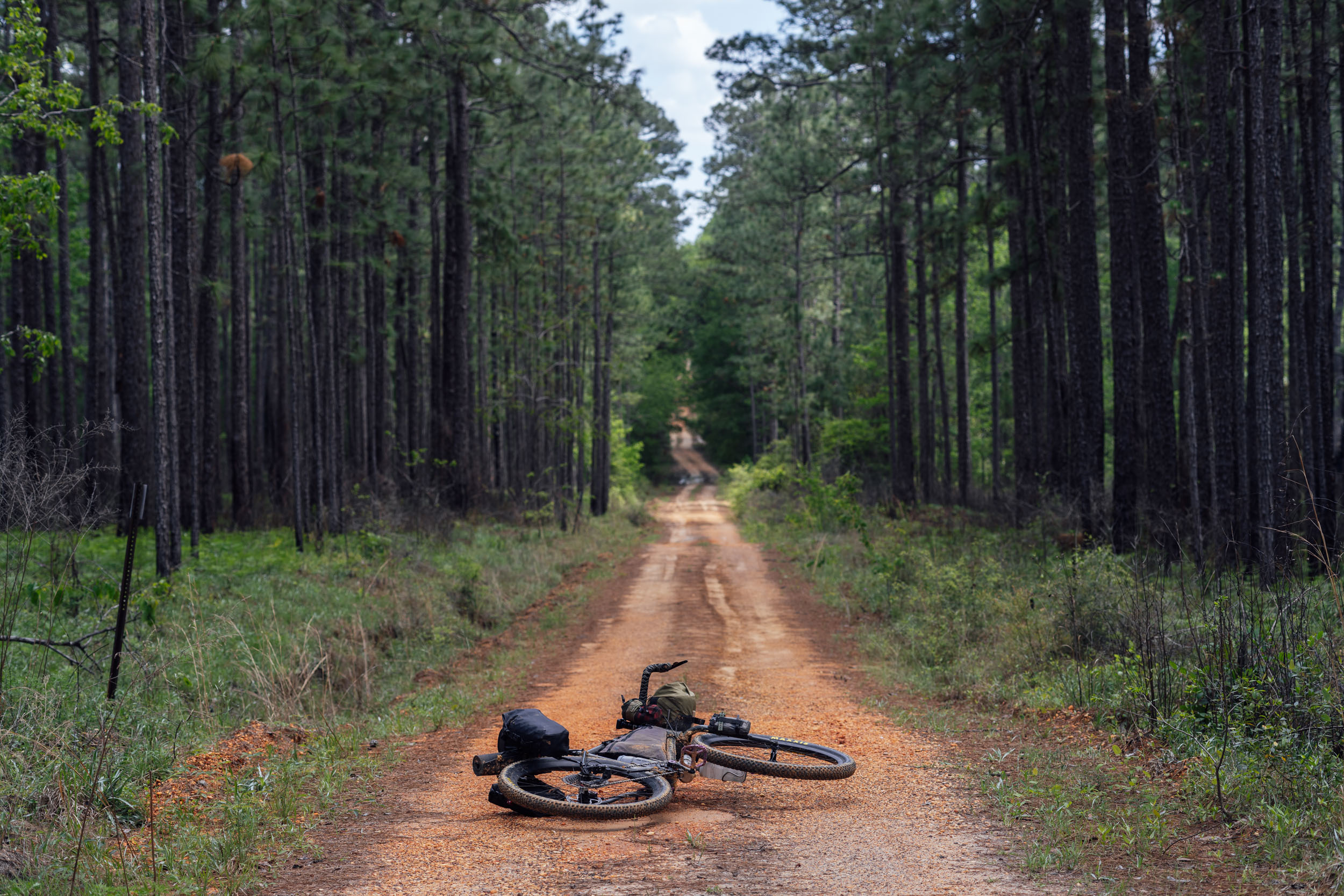
Assigning difficulty values to this segment was a bit of a challenge given its length and variety of terrain. From a technical standpoint, the vast majority of the route is fairly non-technical, consisting of gravel, clay roads, paved backroads, and relatively mellow singletrack. However, there are few places where it has some challenging surfaces and conditions, which is why we gave it a 6 out of 10 for that metric—otherwise, it would likely have a 3.
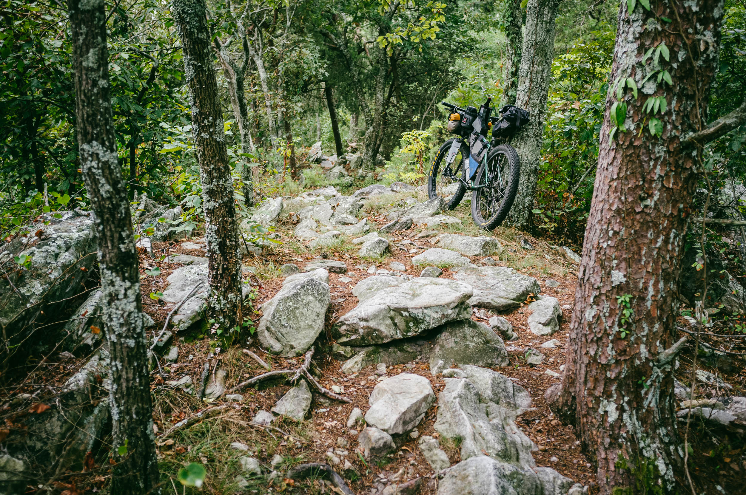
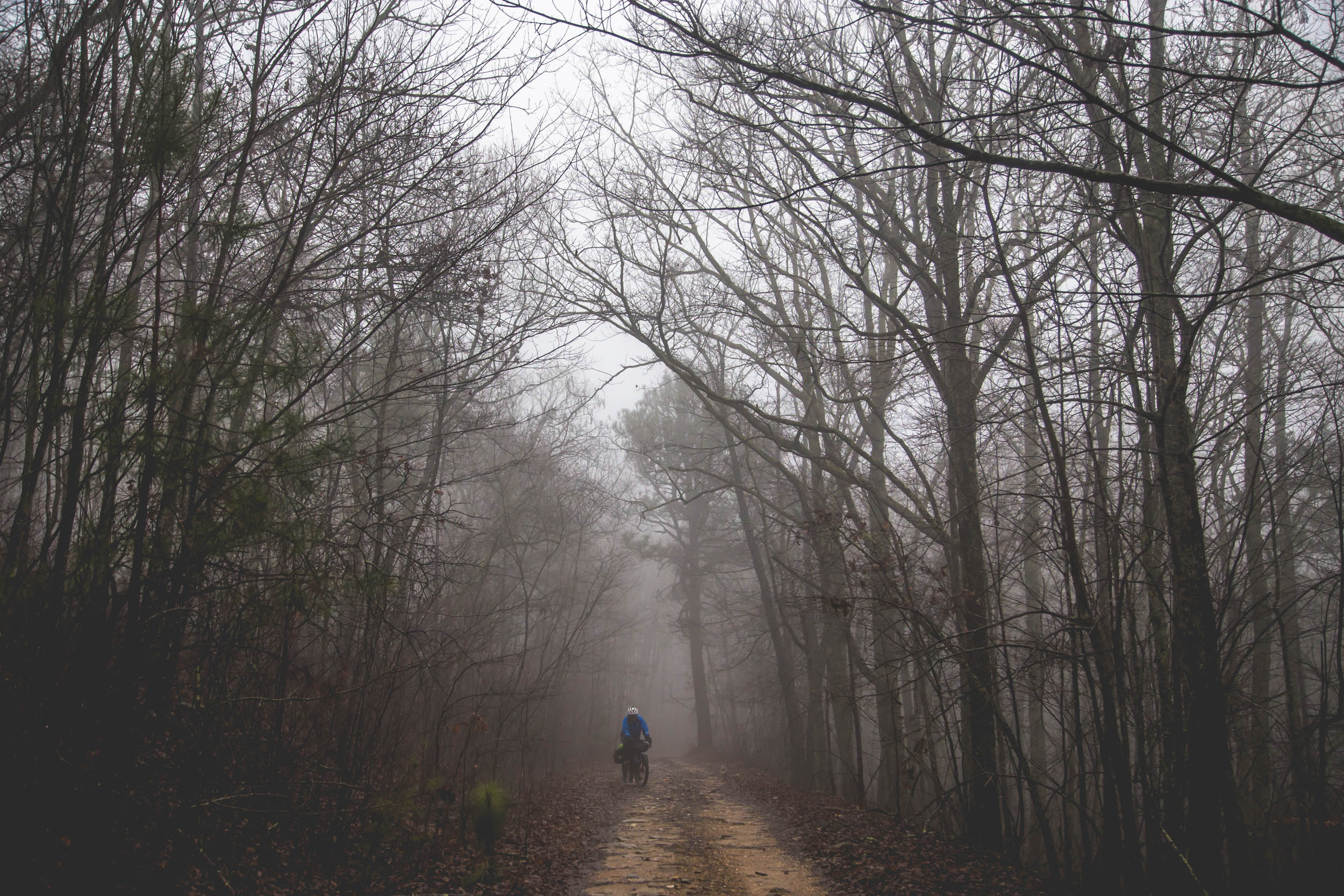
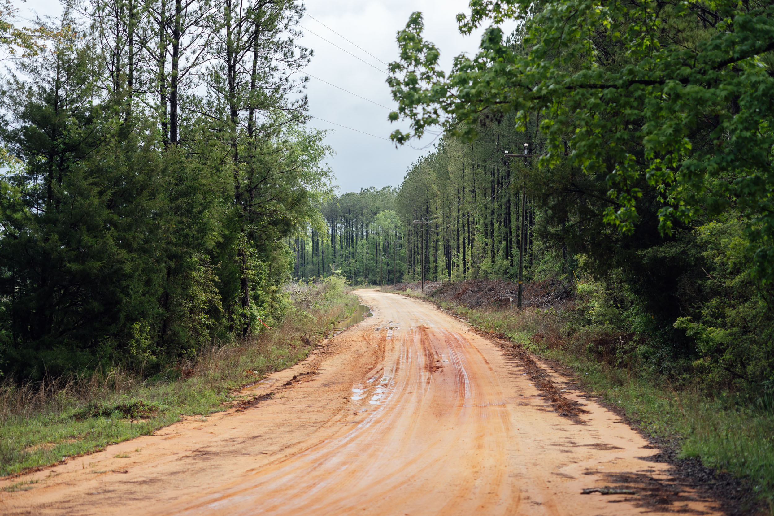
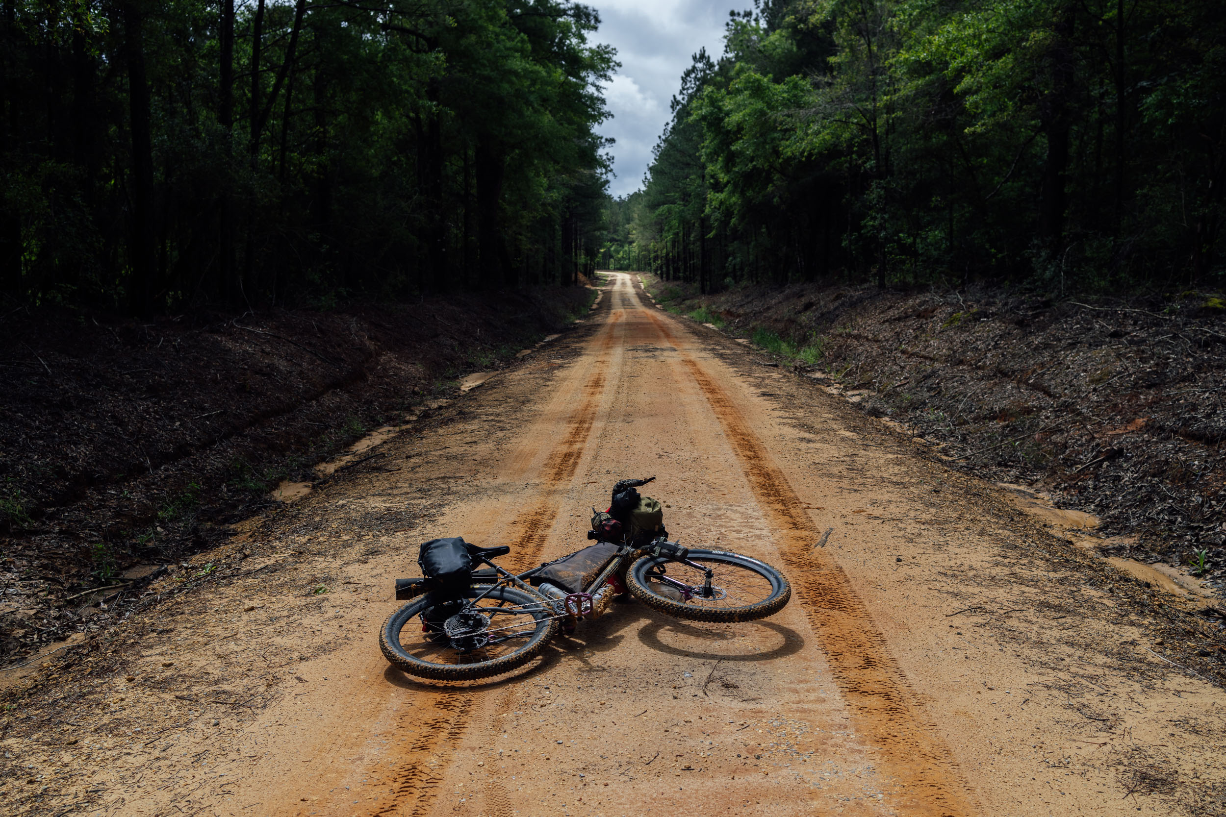
At the beginning of the route, there are some significant stretches of rocky and rutted terrain along the Pinhoti Trail; throughout Alabama, there are clay roads that can stop you dead in your tracks if it’s really wet. Farther south in the Florida Panhandle’s Elgin AFB, there are a few stretches of sand roads that at times require skills, patience, and the occasional hike-a-bike. As for the physical challenge, the first few days are tough, with a lot of climbing and occasional steep sections in the southern Appalachians of north Georgia. However, the farther south you get, the flatter and generally less demanding the route becomes.
The difficulty really depends on how many miles you tackle each day. While there are a few stretches devoid of resupply, there’s nothing extraordinarily challenging in that regard. There are, however, a few sections that lack camping options in Alabama and near the Georgia border, requiring riders to either be vigilant about timing and mileage or get creative. See the tabs below for more detailed information.
Route Development
The Segment 7 of the Eastern Divide Trail (Longleaf) is built on four pre-established bikepacking routes with some modifications made by Logan Watts during scouting expeditions. From Mulberry Gap, Georgia, to the Alabama border, S7 is largely based on the Trans North Georgia (TNGA), originally designed by Dave Muse and adjusted in 2018 to join the Southern Highlands Traverse. From the Georgia-Alabama Border to Flagg Mountain, S7 follows the Alabama Skyway (aka Talladega Traverse), a route conceived by John Little of Auburn, Alabama, and later documented by Colt Fetters. Sadly, John passed away from cancer in 2021, but he was a huge advocate for the cycling community in Central Alabama and is sorely missed.
From the CCC-built lookout tower on Flagg Mountain to Florida, Longleaf chiefly follows the S.A.L.T. (Southern Alabama Lowlands Traverse), a route designed and scouted by Kim Murrell. In April, 2022, Logan Watts scouted and documented this route, making a few modifications for connection and flow, including a new recommended reroute by Rob Fargason in Alabama, who has generously provided a key campsite on route.
Once in Florida, EDT7 uses the relatively new Panhandle extension of the Florida Divide, a formidable route from mastermind Karlos Bernart that’s part of his extensive Florida network. Note that this segment was recently a victim of a private land closure forcing two significant stretches of pavement on State Road 20. Although there are sizable shoulders on this road that are bike lanes, we are currently working on an advocacy plan for a reroute with land managers. Additionally, we have some ideas for future improvements around the Alabama-Georgia border and a couple of other stretches.


GPX download (link below) includes a detailed set of waypoints. Please keep personal copies set to private on RWGPS and other platforms. The Eastern Divide Trail was made possible by our Bikepacking Collective members. Consider joining to support the creation and free distribution of thoughtfully planned and documented bikepacking routes like this one.
Submit Route Alert
As the leading creator and publisher of bikepacking routes, BIKEPACKING.com endeavors to maintain, improve, and advocate for our growing network of bikepacking routes all over the world. As such, our editorial team, route creators, and Route Stewards serve as mediators for route improvements and opportunities for connectivity, conservation, and community growth around these routes. To facilitate these efforts, we rely on our Bikepacking Collective and the greater bikepacking community to call attention to critical issues and opportunities that are discovered while riding these routes. If you have a vital issue or opportunity regarding this route that pertains to one of the subjects below, please let us know:
Highlights
Whereabouts
Must Know
Camping
Food/H2O
Trail Notes
- Tackling a couple of must-ride singletrack sections of the Pinhoti Trail.
- Watching the ecosystem change as you ride south, from forested mountains and foothills to rolling pastures and farmland, and from wetlands and swamps to sandy longleaf and wiregrass, and the desert-like lands of the Panhandle.
- Following the spine and last rocky vestiges of the Appalachians from North Georgia to Alabama, a similar route to what’s been proposed as an Appalachian Trail extension.
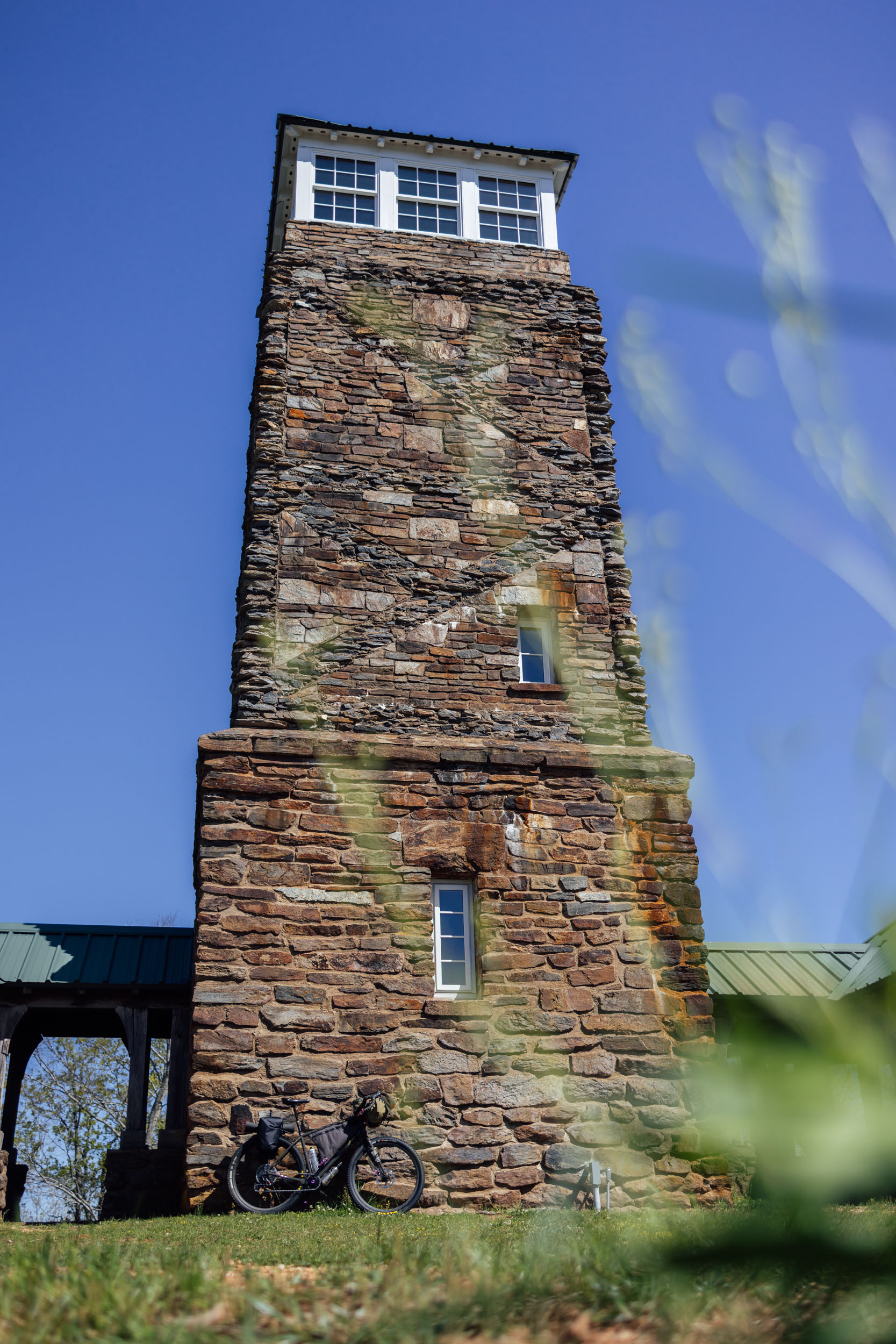
- Flagg Mountain, the southernmost Appalachian peak over 1,000 feet, located near Weogufka, Alabama. It has a beautiful CCC-built lookout tower and cabins.
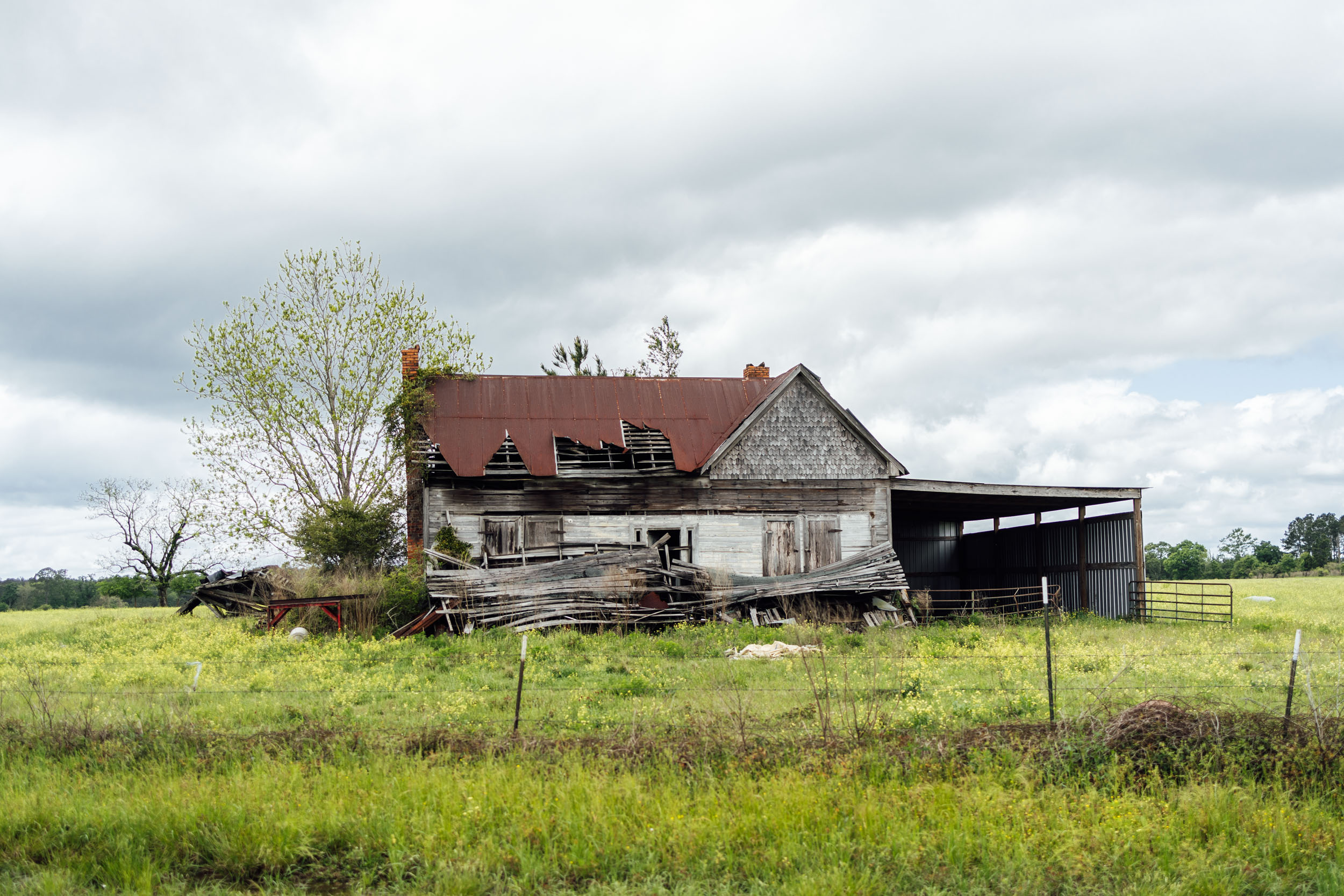
- Alabama’s desolate roads and quaint hamlets make for the perfect touring atmosphere.
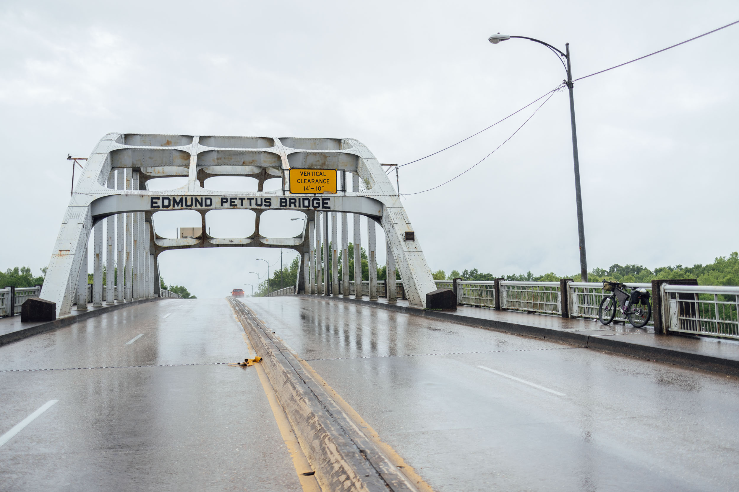
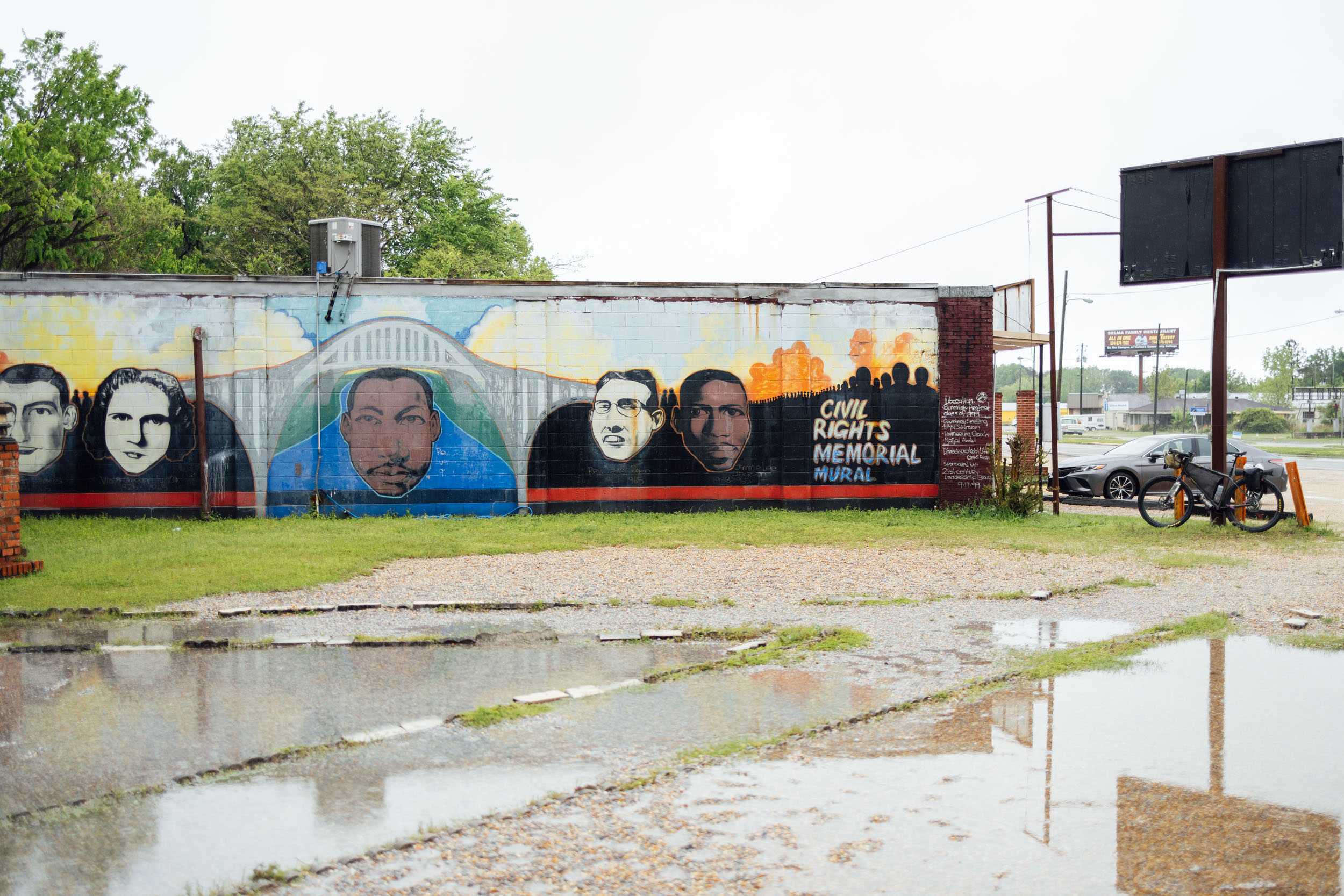
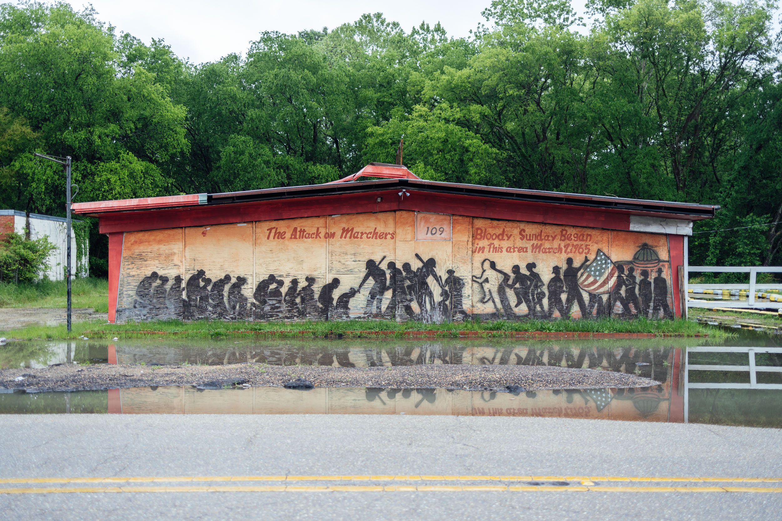
- Crossing the Edmund Pettus Bridge in Selma, a National Historic Landmark and the site of the brutal Bloody Sunday beatings of civil rights marchers during the first march for voting rights. Learn more over at CivilRightsTrail.com.
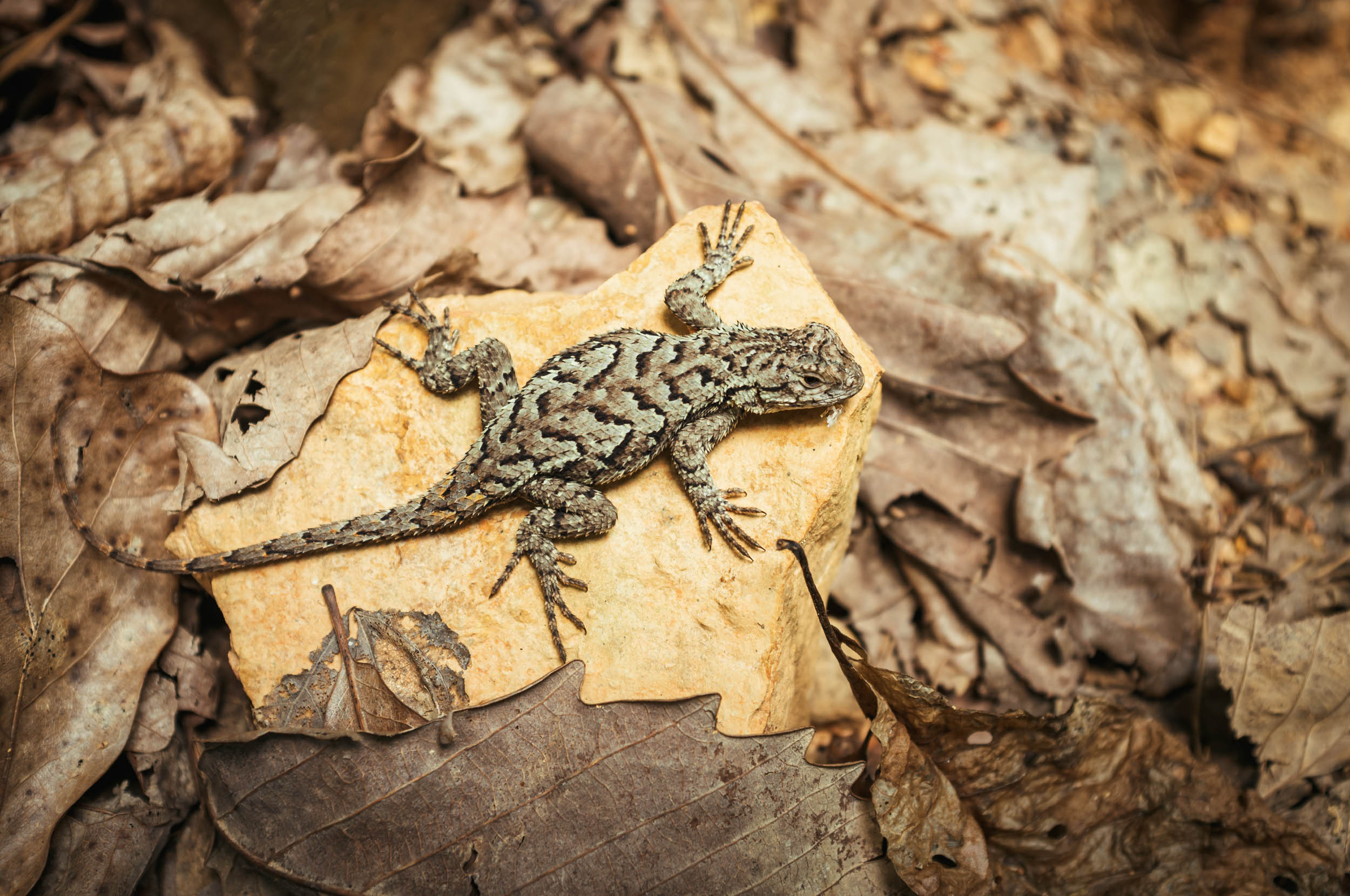
- Spotting wildlife daily: deer, turkey, black bear, snakes, lizards, coyote, alligators, and more.
- A massive collection of birdlife, from woodpeckers to swallow-tailed kites, and everything in between. The Panhandle section crosses sites of the Great Florida Birding Trail.
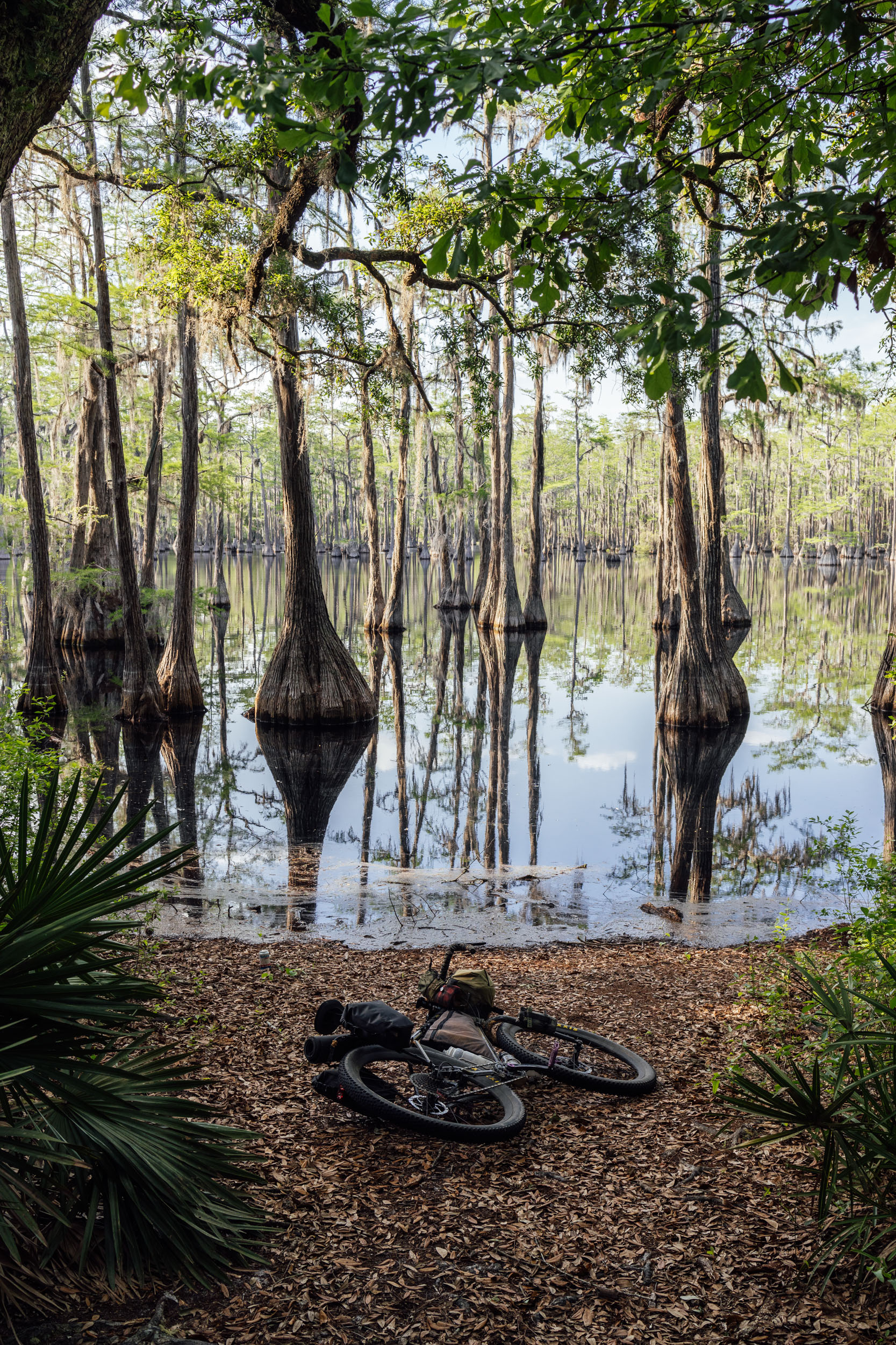
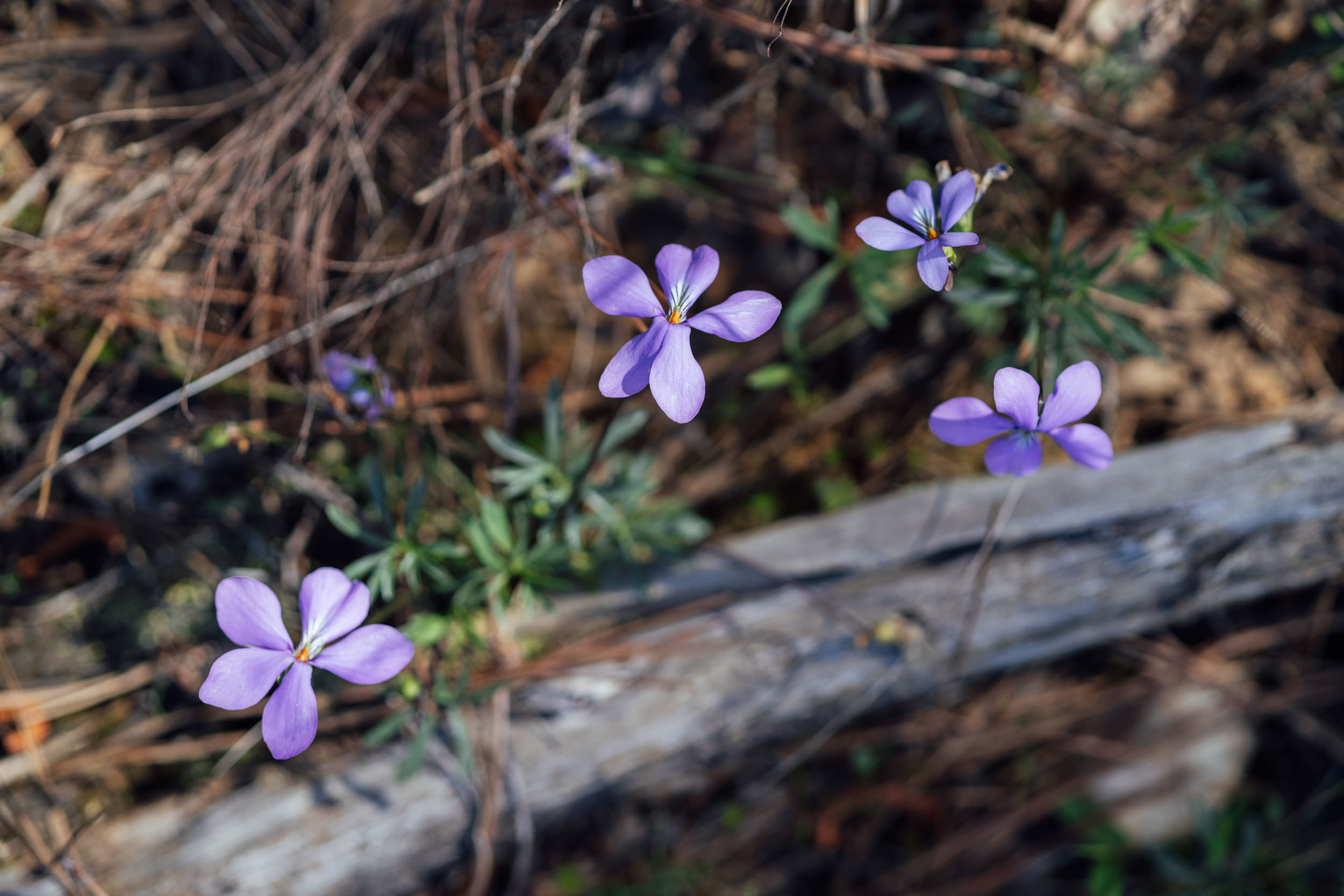
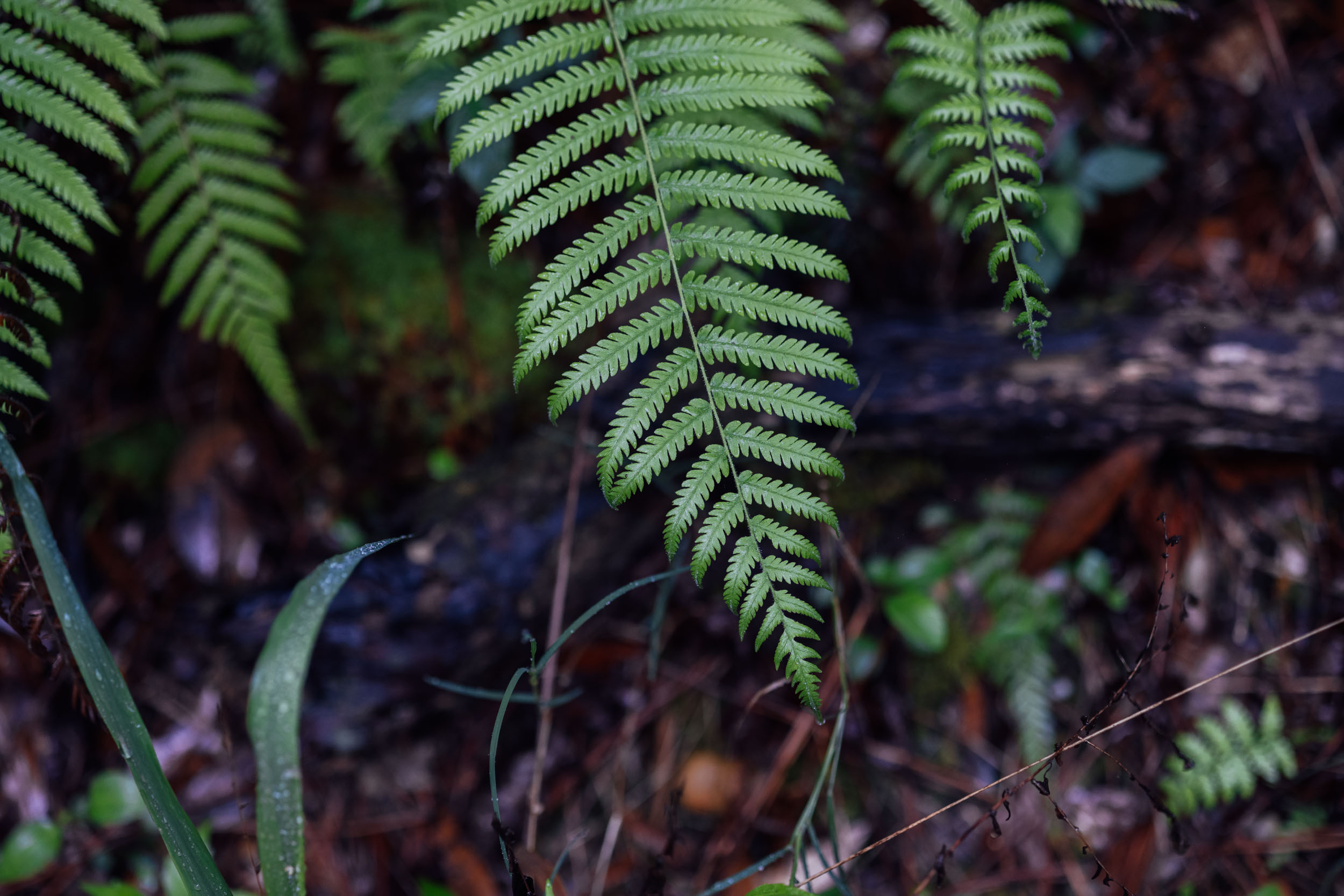
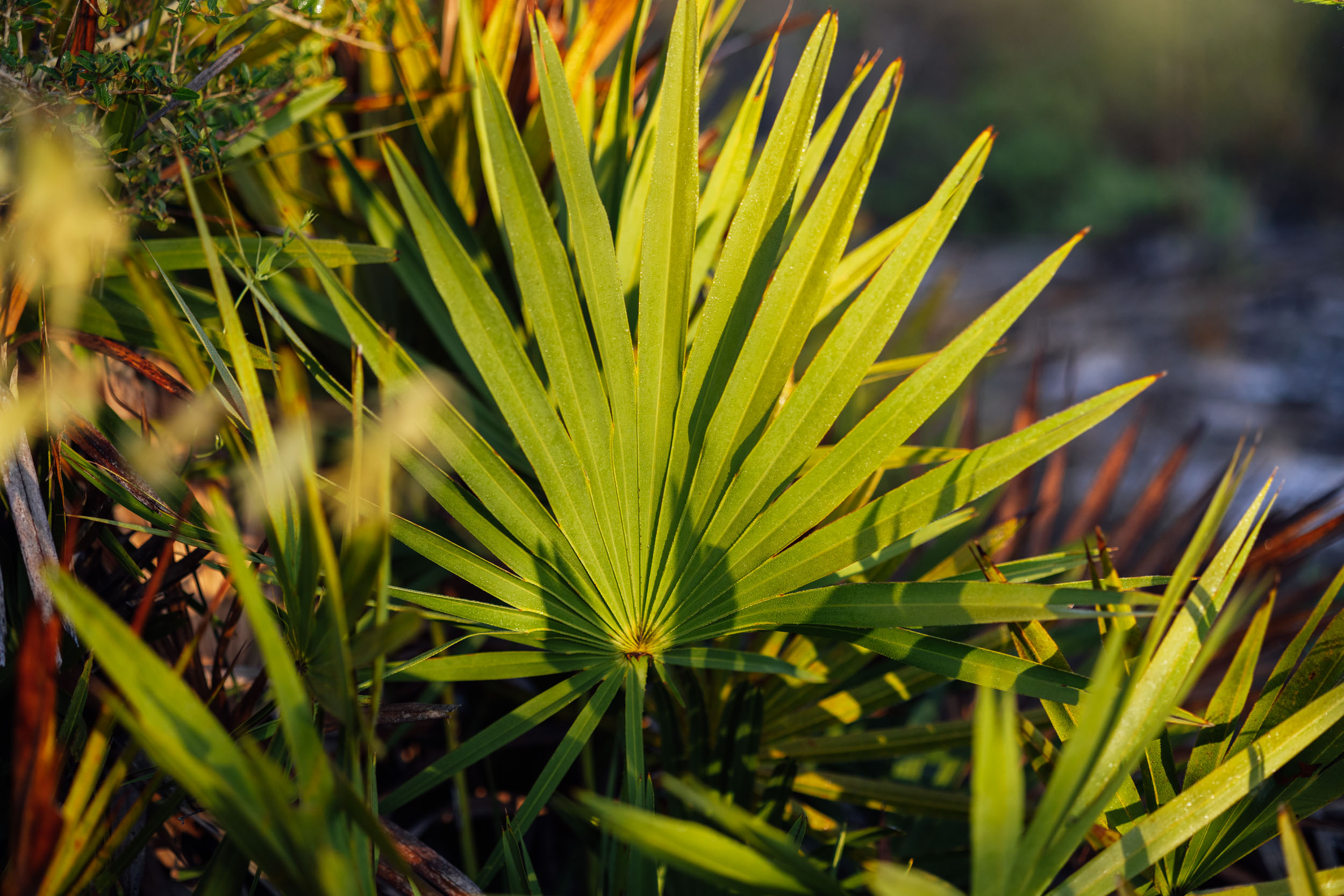
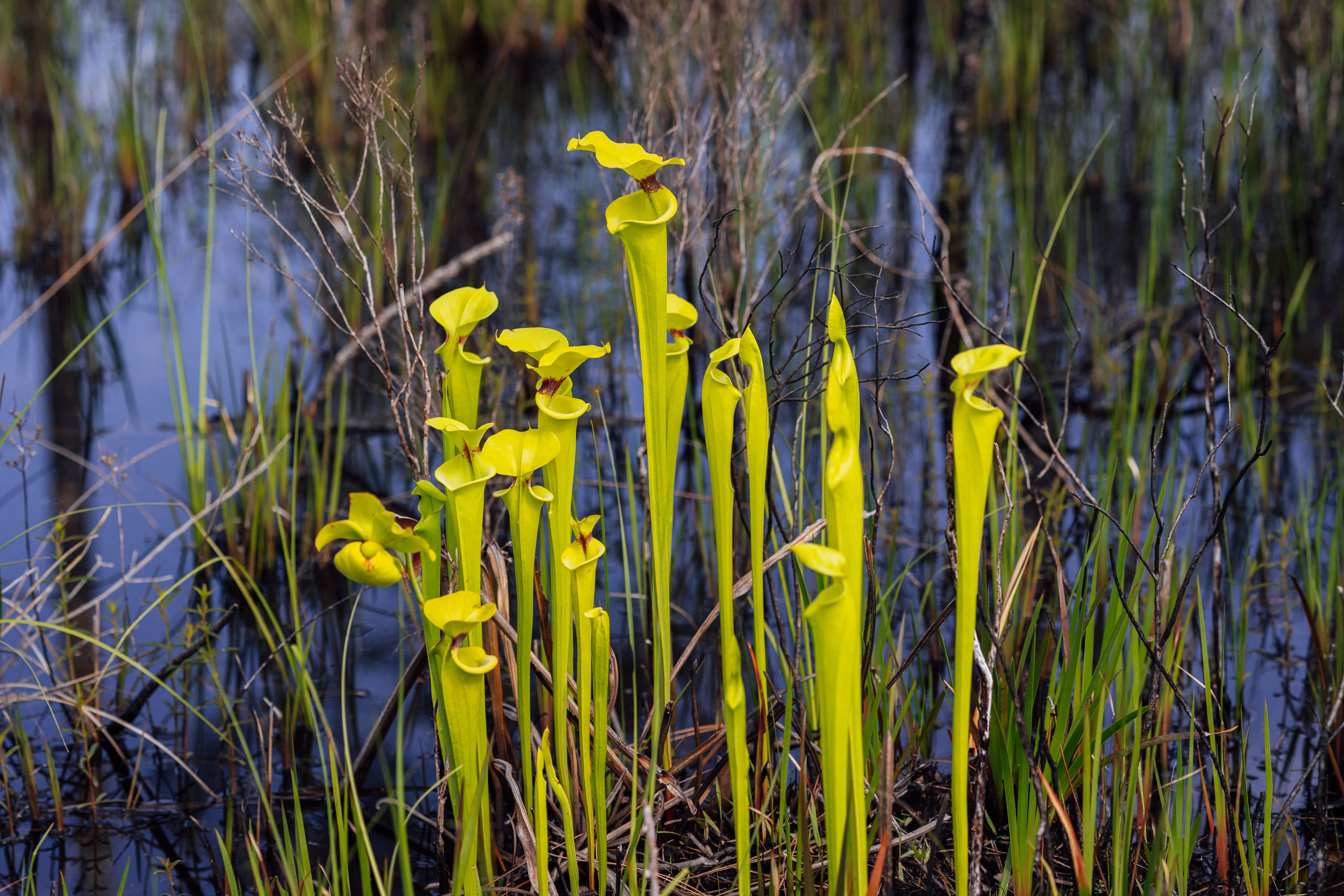
- A vast array of flora that spans from the last vestiges of the moss-covered Appalachian hardwood forests to the route’s namesake, the great longleaf pine, to specialized plants of the wetlands, such as the cypress and carnivorous pitcher plant.
- Getting a glimpse of a much more wild and remote Florida than you might expect, from its alluring cypress swamps to the Outback-esque remote sand roads of Blackwater State Park, Eglin, and multiple WMAs (Wildlife Management Areas) in the Panhandle
Whereabouts describes a list of places and things that are a part of this route as a means to understanding its history. With research and writing by Tsinnijinnie Russell (@tsinbean).
pin Mile 4
Cohutta Overlook
The route runs just below the Cohutta Overlook, where you can climb up to take in the view of the Cohutta Mountains to the north and the Cohutta Wilderness, the largest contiguous wilderness area east of the Mississippi. First designated in 1975 and expanded in 1986, the Cohutta consists of about 37,000 acres (150 square kilometers) of forested land. Some unverified sources claim the name is derived from a Cherokee word that means “frog.”
pin Mile 148
Chief Ladiga Trail
The Chief Ladiga Trail is a 33-mile trail that stretches from Anniston to the Alabama-Georgia state line. It is the state’s first rail trail project. Chief Ladiga was a Mvskoke Chief who ceded the remainder of the Mvskoke land east of the Mississippi River in 1832 following the passage of Jackson’s Indian Removal Act in May of 1830. Pressure brought upon by the Indian Removal Act caused Ladiga to sell his land for $2,000. That area has since become Jacksonville, Alabama.
pin Mile 114
Coosa, Georgia
Coosa is the location of a complex sedentary village that was an influential paramount chiefdom prior to the Hernando de Soto expedition’s visit in the 1540s. Ravaged by diseases introduced by Spaniards, survivors coalesced as populations shifted. Many moved downriver to towns such as Abika. This Chiefdom was a major power in the region and, like many Indigenous communities in the region, it was greatly weakened by disease brought into the area by colonial explorers.
pin Mile 120
Coosa River
The probable origin of the word is Choctaw for “koshak” (cane). The Coosa Valley has been inhabited by Indigenous people long before Hernando de Soto visited the area in 1540. During that time, the Coosa Chiefdom was one of the most powerful chiefdoms in the region. A century after the Spanish first visited the area, the British established trading ties with the Mvskoke in the area. French settlers in the area also worked to trade along the Coosa River, as they believed it to be a key gateway to the South as the Coosa River meets with the Tallapoosa River to form the Alabama River.
pin Mile 131
Cave Spring, Georgia
Located in Vann’s Valley, which is named after James Vann, a Cherokee tribal leader, the city has long been a site for the Indigenous people of the area. A clearwater spring serves as a main source of water for the area and draws Indigenous people there to take advantage of it.
pin Mile 193
Talladega National Forest
Talladega comes from Mvskoke words “italua” (town) and “atigi” (at the end, on the border). The name refers to its location on the border between the Mvskoke and Natchez tribes. Present-day Talladega County was occupied by the Abihka tribe of the Creek Confederacy prior to European settlement in the area. Talladega County was established in 1832, two years after the Indian Removal Act was passed under Jackson’s administration.
pin Mile 246
Sylacauga
Sylacauga comes from the word “Chalaka-ge,” which means “The place of the Chalaka tribe.” Hernando de Soto passed through the town on his journey into the interior of the Southeast. Sylacauga is located on the edge of the historic Coosa and Tuskaloosa territories. Modern-day Sylacauga is near the village of Chalakagay, a settlement established in 1748 by refugee Shawnee warriors. Peter Chartier, a fur trapper of Shawnee and French heritage, helped lead a band of Shawnee from the Ohio and Pennsylvania area, ultimately settling in Illinois Country.
pin Mile 364
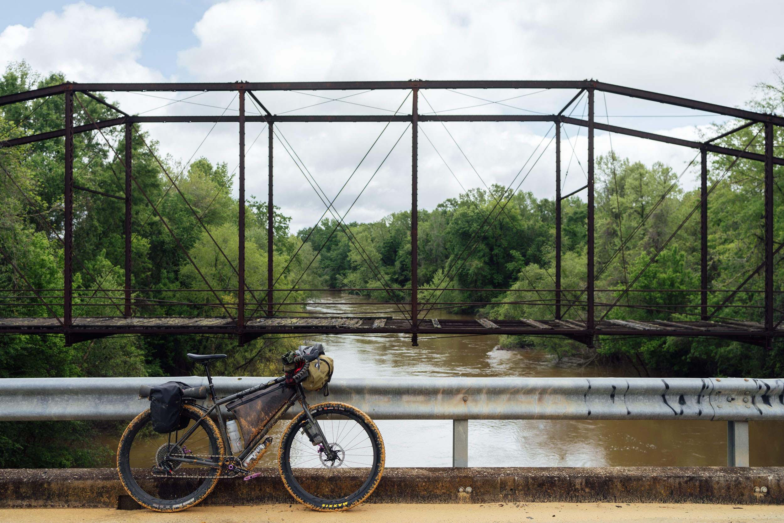
The Edmund Pettus Bridge
The Edmund Pettus Bridge is a steel arch bridge that crosses the Alabama River in Selma, Alabama. Built in 1940, it was named after Edmund Pettus, a former Confederate brigadier general, U.S. senator, and “Grand Dragon” of the Alabama Ku Klux Klan.
The bridge was the site of “Bloody Sunday” on March 7, 1965, when police attacked Civil Rights Movement demonstrators with billy clubs and tear gas as they were attempting to march to the state capital in Montgomery. The marchers crossed the bridge again on March 21 and walked to the Alabama State Capitol. The bridge was declared a National Historic Landmark on February 27, 2013. There is also a memorial garden for those killed in the conflict just south of the bridge that you can visit on route.
pin Mile 364
Alabama River
The Coosa River ultimately joins the Tallapoosa to become the Alabama River that eventually dumps into Mobile Bay in the Gulf of Mexico. The word Alabama comes from a tribe that’s a part of the Mvskoke (Creek) Confederacy originally called the Alibamons, who gave the name to the river. The state of Alabama draws its name from this river. The Alabama River is the largest river in the state and serves as a major life source for the area. It has historically been hugely important for trade and the economic development of the region, from pre-colonial times to the present.
pin Mile 508
Conecuh National Forest
Conecuh most likely comes from Mvskoke words “koha” (canebrake) and “anaka” near.” Canebrake refers to the historic region of west-central Alabama that was dominated by Arundinaria, a type of bamboo, or cane, native to North America.
pin Mile 562
Blackwater River
“Blackwater” is the translation of the Choctaw word “oka-lusa” (water black). The river acted as a boundary line between the Upper Mvskoke tribes and lower Mvskoke tribes, and as a major supply and trading trail for the tribes in the area. Peaden Bridge in Blackwater River State Forest near Otahite was a Mvskoke establishment that was overtaken by Florida settlers following the Indian Removal Act and turned into an outpost. Peaden comes from a Mvskoke word meaning damp place.
pin Mile 744
The Chattahoochee & Apalachicola River
The Chattahoochee River originates in the Southern Appalachian Mountains of North Georgia and continues for 430 miles along the southern half of the border between Georgia and Alabama before joining the Flint river and becoming the Apalachicola River that empties into the Gulf of Mexico. Apalachicola is most likely a Hitchiti word from “apalahchi” (on the other side) and “okli” (people). Perhaps translated as “those people residing on the other side.” The word Chattahoochee originates from the Mvskoke word meaning painted or colored rock from chato (“rock”) plus huchi (“marked”). More than two dozen Indigenous communities inhabited areas along the Chattahoochee going as far back as 1000 BC.
pin Mile 840
Tallahassee
This comes from the Mvskoke word “talwa hasi” (old town). This area was inhabited by Indigenous people for thousands of years prior to European settlement. The Apalachee are a part of the Fort Walton Culture and had long inhabited the area when Narvaez visited in 1528 and when Hernando de Soto first visited the region in 1540. The area around present-day Tallahassee was the capital of the Apalachee, a Muskogean-speaking people, and the city was known to them as Anhaica. When de Soto visited, the largest concentration of Apalachee was north of Tallahassee at Lake Jackson and consisted of 200 or more houses as well as several mounds. The Appalachee were a part of an expansive regional trade network that reached north to the Great Lakes. The more commonly known word “Appalachian” is in reference to the Apalachee people of northwestern Florida.
pin Mile 840
The Lake Jackson Archaeological State Park
North of Tallahassee, this State Park showcases the Fort Walton culture’s mounds and earthworks. The Fort Walton culture is a term used by archaeologists for a late prehistoric Indigenous culture that inhabited the area between 1200 and 1500 CE. The Fort Walton culture is the southernmost expression of the Mississippian culture known at this time. The size of the site indicates it was the location of a regional chiefdom and a political and religious center.
Ancestral Lands on Route
- Dalton, GA – Tsalaguwetiyi (Cherokee, East), S’atsoyaha (Yuchi), Miccosukee
- Coosa, GA – Tsalaguwetiyi (Cherokee, East), S’atsoyaha (Yuchi), Miccosukee
- Jacksonville, Alabama – S’atsoyaha (Yuchi), Mvskoke (Muscogee)
- Talladega, Alabama – Mvskoke (Muscogee)
- Sylacauga, Alabama – Mvskoke (Muscogee)
- Selma, Alabama – Mvskoke (Muscogee), Koasati (Coushatta), Alabama
- Anadalusia, Alabama – Mvskoke (Muscogee), Chatot
- Milton, FL – Mvskoke (Muscogee), Pensacola
- Santa Rosa Beach, FL – Mvskoke (Muscogee), Chatot
- Blountstown, FL – Mvskoke (Muscogee), Chatot
- Tallahassee, FL – Mvskoke (Muscogee), Apalachees
A note on place names, rivers, and creeks in regards to Cherokee history:
“Rivers and creeks had only generic names: e-gwo-ni, river; a-we-yv-i, creek; it never occurred to anyone to give a stream its own personal name. Instead, streams may have had a dozen place names along their lengths, like strings of many-colored beads. And, it was from some of the more prominent beads that white people gave the streams the names we see on our maps today. Of course, sometimes any important river was addressed ceremonially as “Asgaya Gvnahita,” (or “Yvwi Gvnahita”) meaning “Long Man.” – Chenocetah
Be wary of local histories pronouncing the history of a word and attaching them to “tales of warriors and forbidden loves and that sort of thing” – Chenocetah
WHEN TO GO
- The best times to ride Segment 7 are from March to May and October to December. These shoulder seasons provide the most comfortable balance of temperatures in both the northern and southern sections, which vary greatly. The winter months can make a good time to be in the Florida Panhandle. Fall is ideal as the colorful leaf shows can be spectacular in November throughout Georgia and Alabama.
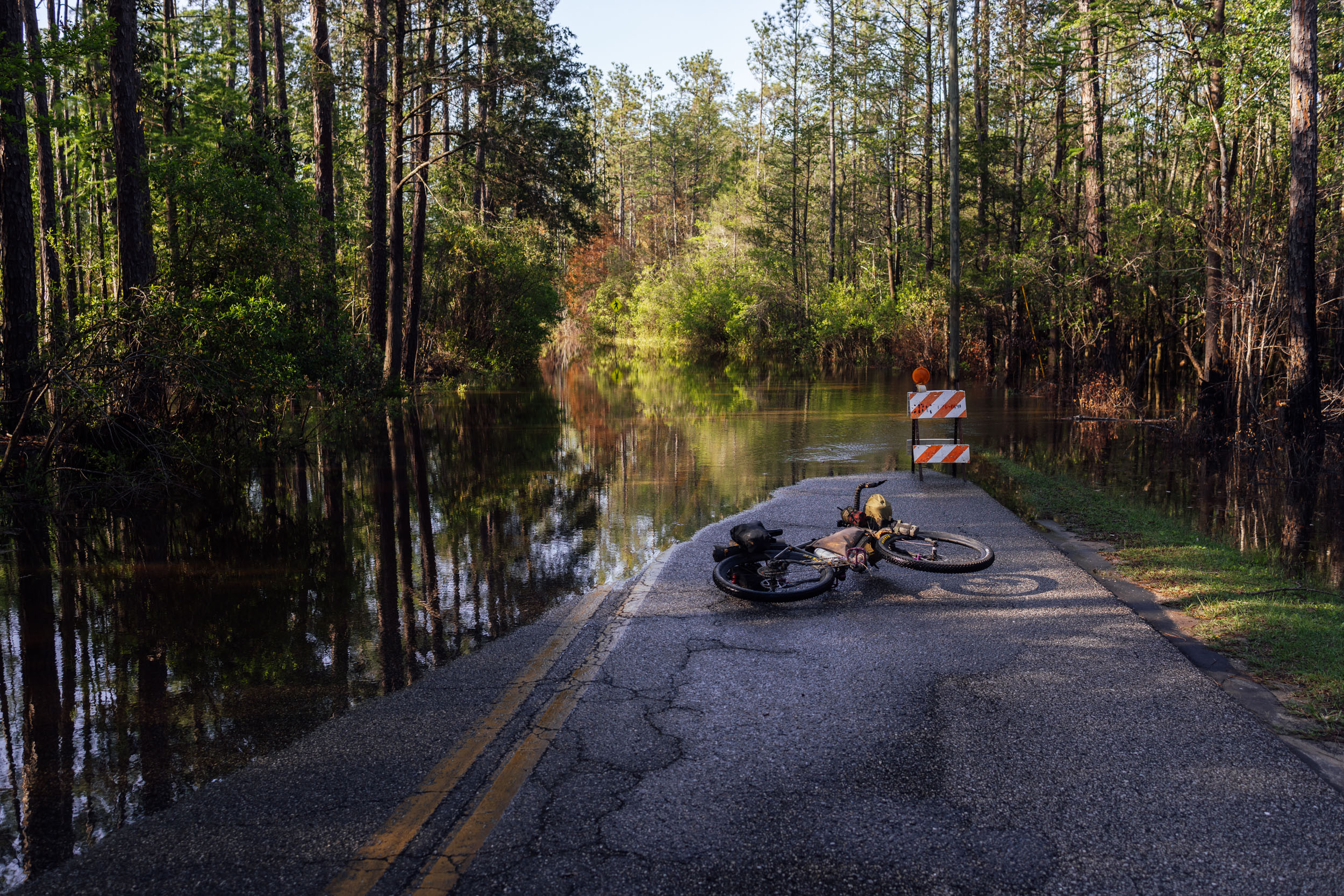
- That said, there is the threat of dangerous weather in the fall and spring. Hurricane season from August through November may have an impact on travel plans, and it can sometimes cause serious flooding throughout this zone. Tornadoes and frequent afternoon thunderstorms also pose a threat in the spring and summer months.
- The route is rideable nearly all year with the right preparation. The northern portions are best avoided from mid-January to March as that can be the depths of winter with snow, ice, and cold, especially in the higher elevations. June to mid-September can be hot and very muggy, with frequent afternoon thunderstorms in the southern sections.
- The Florida Panhandle can get very hot, even in the fall and shoulder seasons.
LOGISTICS
- If you’re section riding or shuttling this route, Mulberry Gap Adventure Base Camp offers long-term parking on a limited basis. They also offer some resupply, bike repair and maintenance, beer and wine sales, shuttling options, (depending on your exact needs), and they can handle resupply shipments if you’re interested in mailing yourself something along the way. Be sure to reach out and find more information at MulberryGap.com.
- The route segment finishes in Tallahassee, Florida, a large city with an airport and full services for lodging and transportation.
- To traverse the Elgin Airforce Base land in the Florida Panhandle, you must acquire a backcountry permit. The easiest option is to get an annual $20 recreation permit, although if you intend on camping within Elgin, you’ll also need to get a camping permit ($5/night). Find more information about these permits here, and create an account here.
DANGERS & ANNOYANCES
- Most of this route is in black bear country, especially the Appalachians in the north and some of the more remote sections in Florida. It’s best to get in the habit of tying up your food at night while camping. Find details on the PCT method here.
- It’s also not uncommon to see alligators and wild boar in the Florida Panhandle.
- There are rattlesnakes and copperheads in this zone, too. Watch where you step and know how to deal with snake bites. Your chances of a dangerous encounter are low, but be aware.
- Most of the route is within cell service, although there are several spots without. You might consider bringing a satellite tracker or emergency beacon in case of injury or catastrophic failure.
- While much of this route uses gravel and relatively low-traffic roads, there are a few spots worthy of extra caution. Namely, in and around Selma and on the bike lanes of the roads in Florida. As with any cycling outing, cars pose a threat. Wear bright colors and bring a rear blinker light.
- Additionally, there is hunting within national and state forests, Wildlife Management Areas, and other public lands. Be sure to do your research on hunting seasons in these areas before setting out. And bring bright clothing, including a hi-viz orange vest if riding through any of them during hunting season.
WHAT BIKE?
- The best bike for this segment, as well as the entire Eastern Divide Trail, is an ATB or Tour Divide-style bike. For drop-bar aficionados, the Salsa Fargo and Cutthroat come to mind, or the Surly Ghost Grappler or Tumbleweed Stargazer. For those who prefer flat bars, any moderate hardtail or rigid 29er would be great, such as the Surly Ogre or Bridge Club, Salsa Timberjack, or Otso Fenrir. Check out this post detailing these choices.
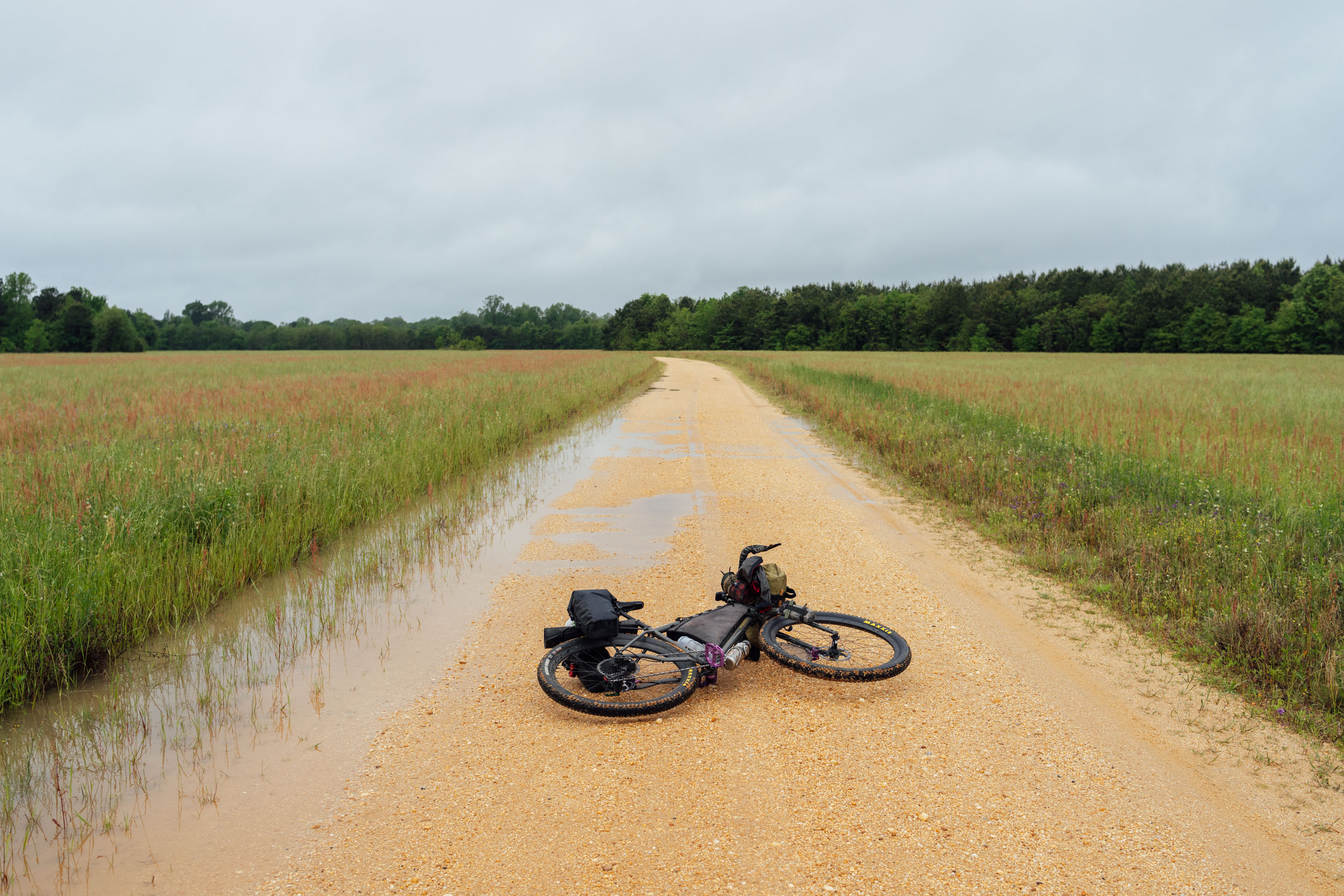
- Considering the bullet point above, this is one of the more mellow segments as far as surface technicality is concerned. However, once you get to the Panhandle, tires that are 2.4” or larger are highly recommended for the sand roads that can be thick and soft in certain places. There are a couple of significant stretches of relatively rough singletrack on the Pinhoti Trail that are better suited to mountain bike tires.
- We like fast-rolling, ~2.4” XC rubber for this ride. Tires that folks like for the Tour Divide work well. The Maxxis Ikon or Rekon Race, Teravail Ehline, and Vittoria Mezcal are all tires we’ve used while scouting.
- There are significant bike shops slightly off route in Anniston, Alabama, and Milton, Florida. Truly Spoken in Milton is a great shop that helped us out in a pinch.
- Segment 7 begins just around the corner from Mulberry Gap Adventure Basecamp, which offers excellent meals, camping, cabins, and a small provisions shop that caters to bikepackers. Find more information at MulberryGap.com.
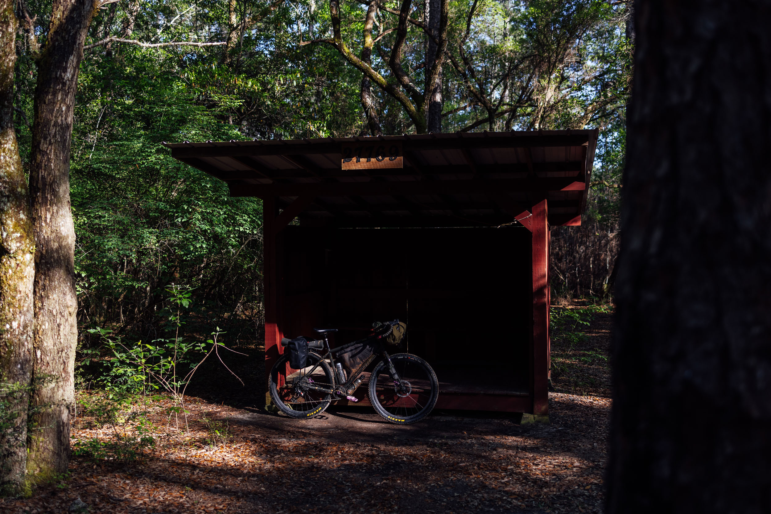
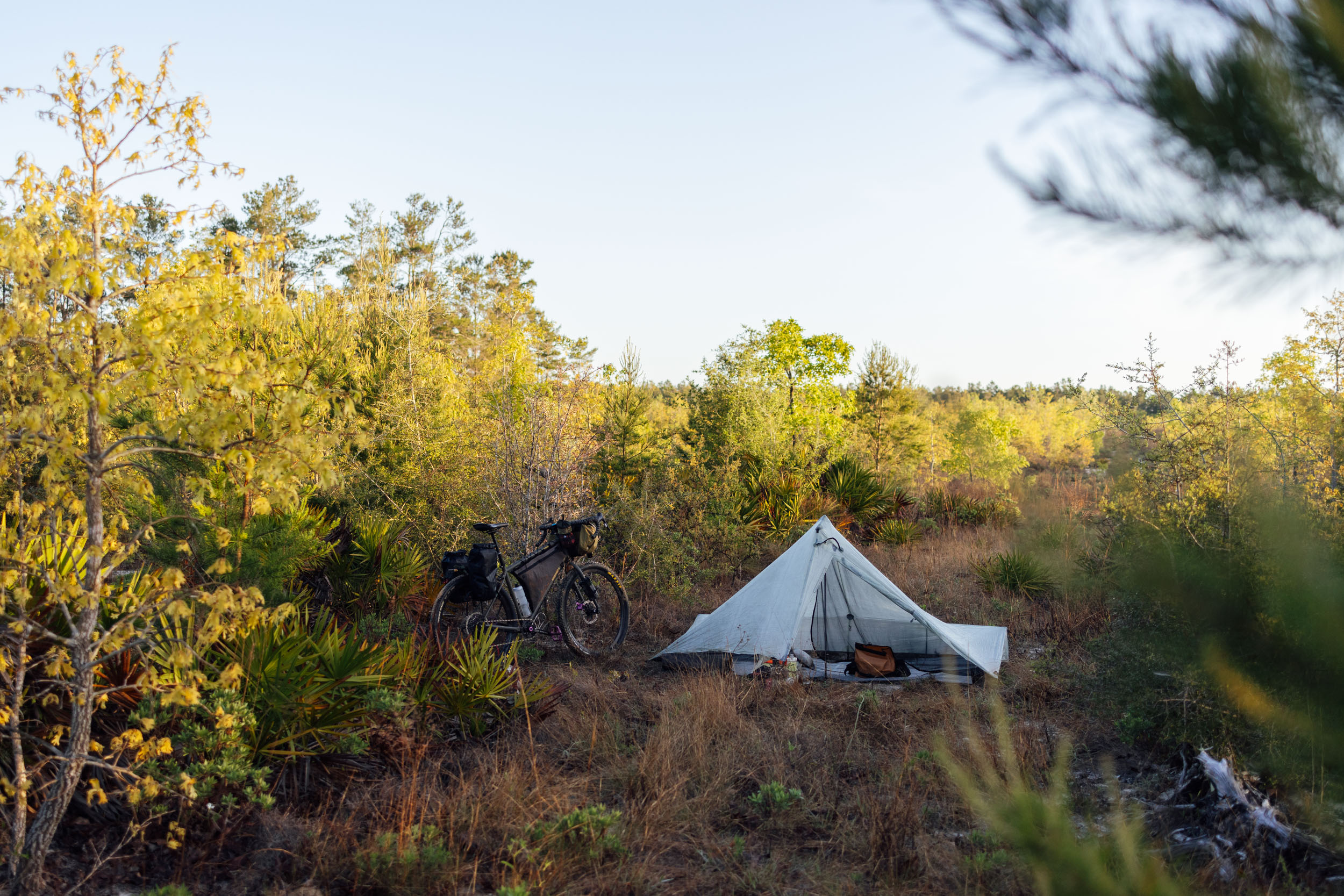
- There are campgrounds and established campsites within national forest land throughout the route. Many prominent options are noted in the downloadable GPX file, but there are more.
- There are a couple of sections on the route where wild camping is necessary. The first 150 miles don’t have any real established campgrounds on route; however, most of the Pinhoti Trail before and after Dalton, Georgia, is on national forest land, where there are readily available options for backcountry camping.
- A huge thank you goes out to Rob Fargason. Rob is a fellow bikepacker and has offered a campsite to thru-riders on his family farm at mile 404. The farm is located in a strategic location where there’s a lack of public land, making this spot an excellent stopover on route. Note that there’s a bike-friendly gate to access the campsite. Rob also built a trail to allow folks to ride a half mile from the campsite to access water at the camp house on the lake. Be respectful as this is private property, and please thank Rob if you can.
- Other significant stretches without camping are between Turnipseed Campground and Flagg Mountain (again, there are backcountry camping options), the 70-mile stretch between Flagg Mountain and a couple of sites on the swath of public land ~15 miles north of Selma, and the 90 miles in between the Fargason farm and Conecuh National Forest just north of the Florida-Alabama border. If wild camping is a must, we recommend setting up after dusk and leaving at dawn. There are remote stretches of forest and options to camp out of sight within wooded areas throughout. Churches, parks, and other public places are usually safe options, too, but use your own judgment, and as always, leave no trace.
- There are hotels/motels/lodging in Dalton, Cave Spring and Selma, Alabama, and Bristol and Tallahassee, Florida. There are also options slightly off-route in Rome, Georgia, and Milton, Florida.
- Segment 7 finishes at Tallahassee, which is a college town and has plenty of lodging options.
- Filterable water is available in a few places on route. However, there are a few stretches on ridges where you’ll need to plan beforehand if you intend to camp there, including the Pinhoti Trail after Dalton. There are a couple of water sources noted on the downloadable GPX file in strategic locations.
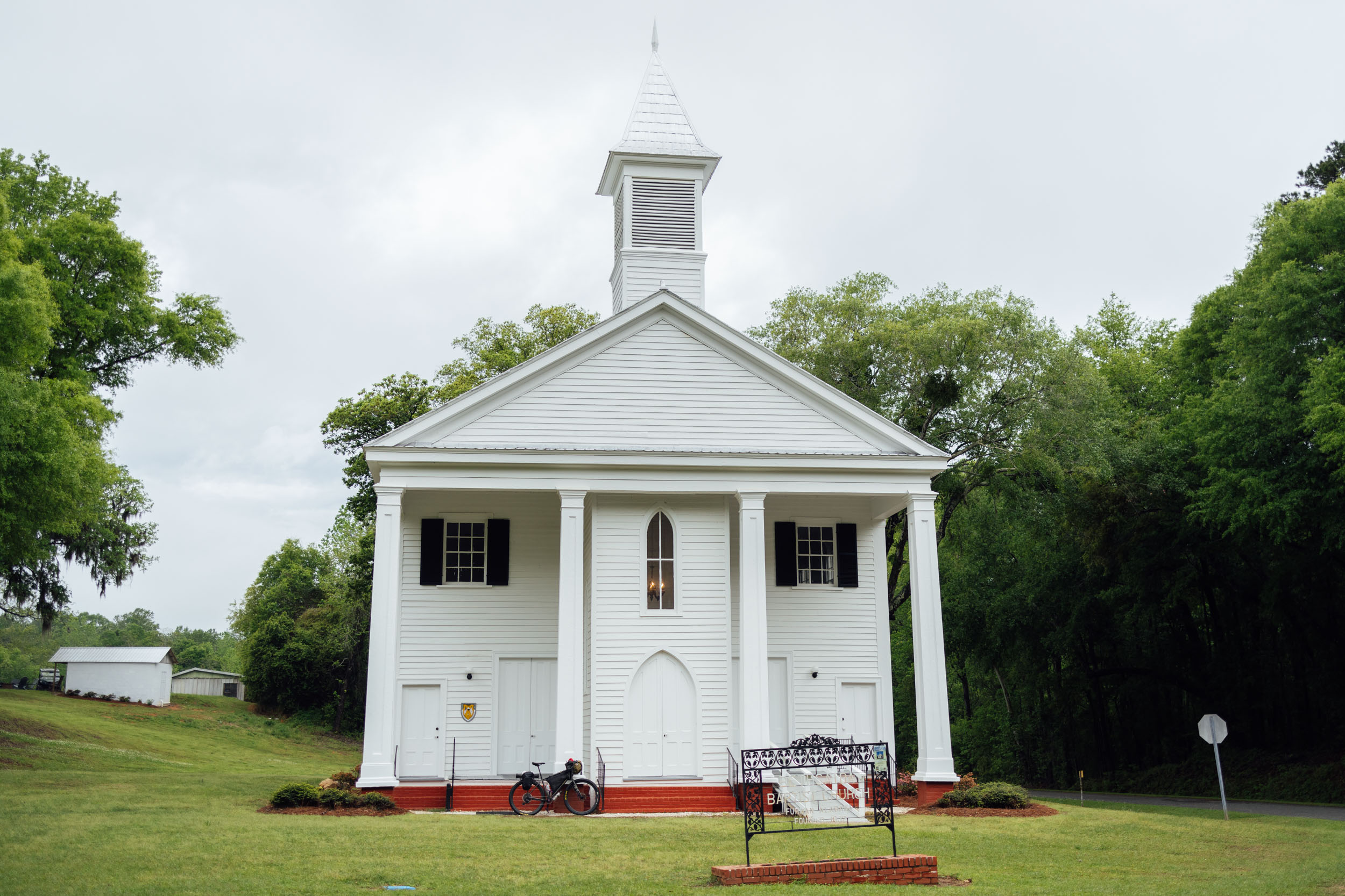
- Churches are a good source of drinking water as there are usually spigots available. If there is someone on site, make sure to ask permission first.
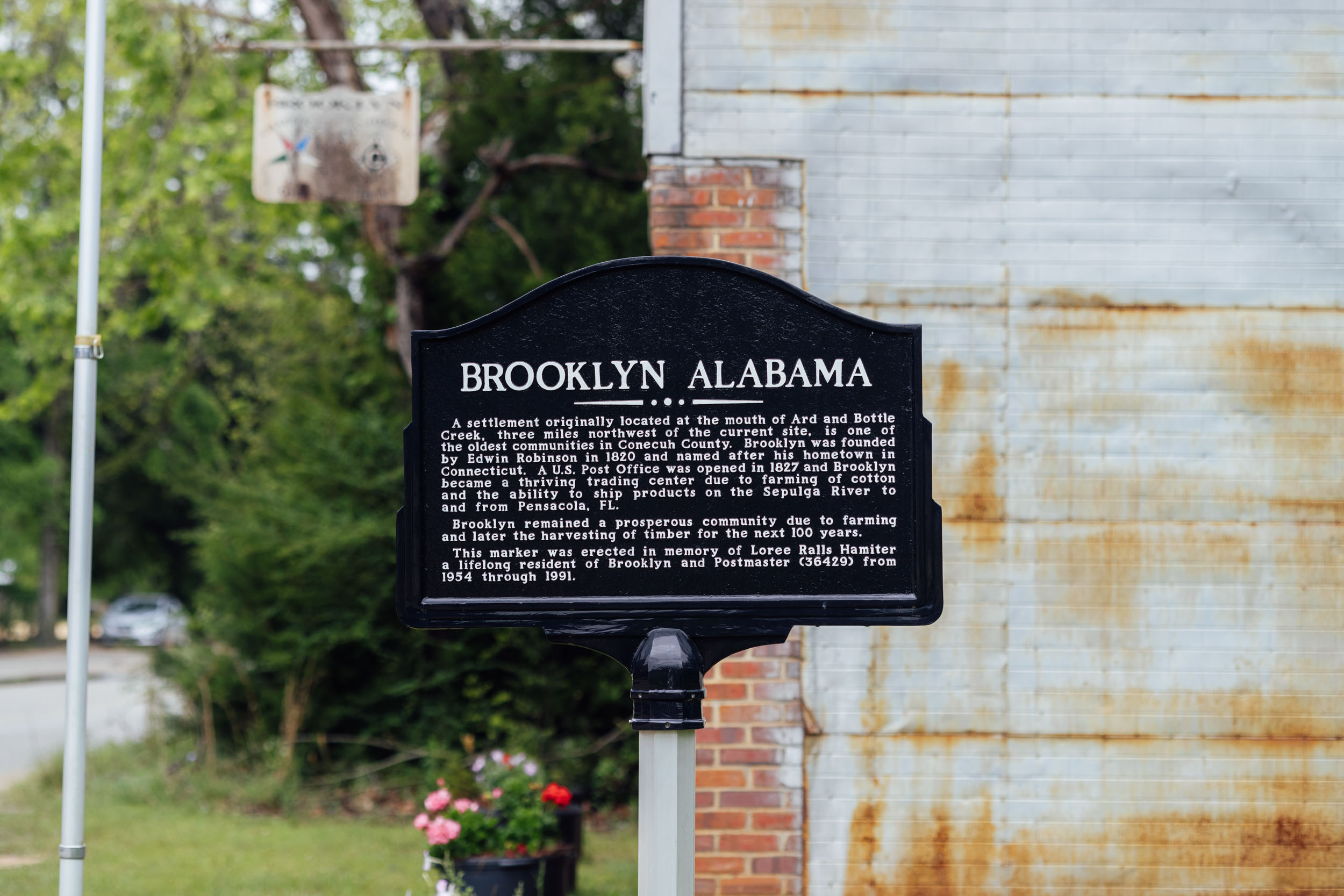
- There are a fair number of resupply options on this route, as noted in the POIs of the downloadable GPX file. The roughly 130-mile stretch between Cave Spring, Georgia, and Selma, Alabama, doesn’t offer much aside from a small store. However, there are options slightly off-route in Piedmont and Sylacauga. And the final 100-mile stretch between Bristol and Tallahassee, Florida, is without options.
- The main points with significant resupply stops are Dalton and Cave Spring, Georgia, Selma and Brooklyn, Alabama, and Harold, Freeport, and Blountstown, Florida, although there are smaller shops in between.
Here is an example itinerary based on 50-75 mile days. This is a solid baseline that a fit thru-rider carrying a medium-light load might consider as a relatively challenging bikepacking itinerary. Note that this is a challenging itinerary at times.
location Mulberry Gap-Chattahoochee National Forest
Day 1 (52 mi +5,000)
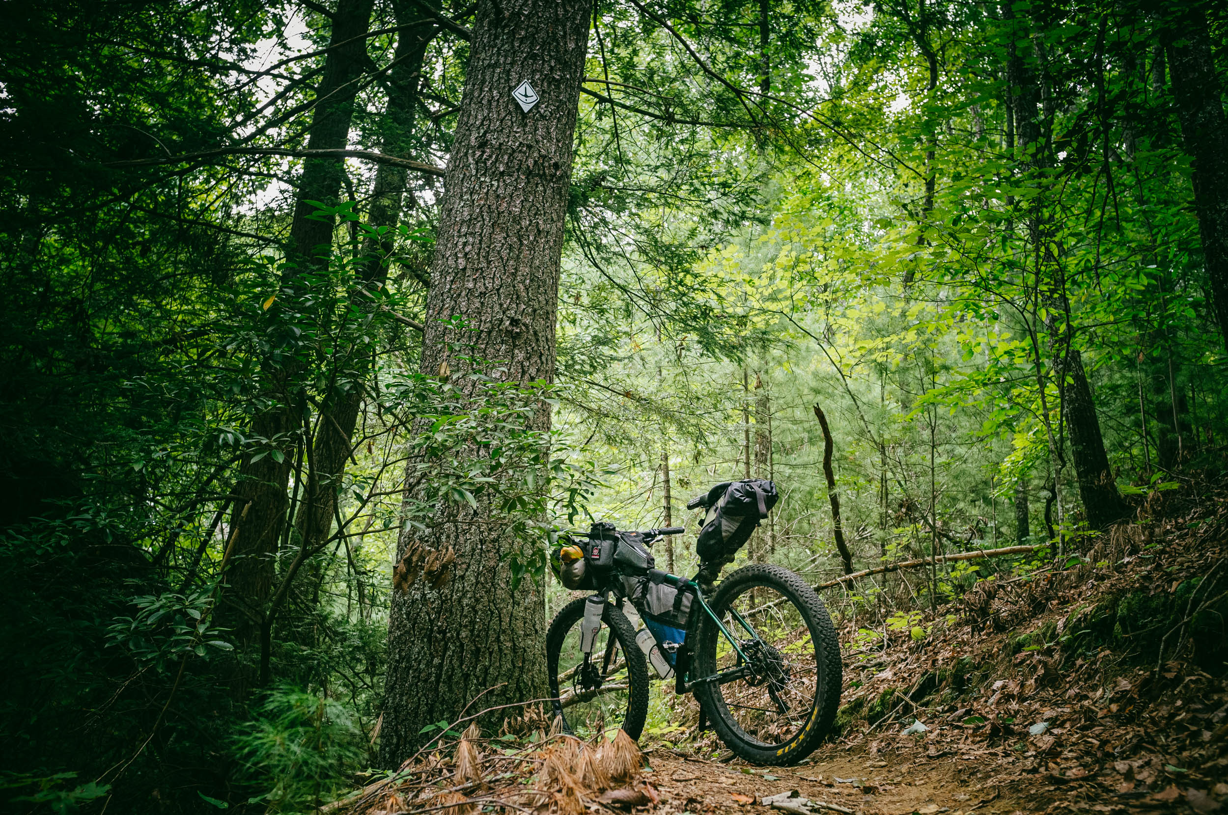
Leaving Mulberry Gap, the ride gets tough right out of the gate with a singletrack climb of around 1,700 feet up Pinhoti 3 (P3) to the Chatsworth Highway. Take a left off route and go take in the view of the Cohutta Overlook, a reward for your initial efforts. From there, you’ll be on pavement briely before connecting to P4 and P5, a narrow singletrack that climbs gently along the contours of the mountains, followed by a climb along a good gravel road and 3.5 miles of continuous downhill. The route is well-marked with the official Pinhoti trail markers, a turkey track on a white diamond.
The Pinhoti Trail is maintained by NWGA SORBA, the Back Country Horsemen of Northwest Georgia, and the Georgia Pinhoti Trail Association. Pinhoti 5 continues to follow the forest road, which becomes increasingly rough before connecting with Tatum Lead Off-Road Vehicle Area. P5 then follows a gated ORV trail.
From the end of P5, the route follows a series of paved backroads through Ramhurst and Dalton, Georgia. The latter offers plenty of resupply opportunities. It’s worth taking advantage of as it’s the last significant resupply on route until Selma, Alabama, save a couple of small convenience stores and Dollar Generals.
Once you leave Dalton, the most challenging part of the entire segment begins. It’s probably good that one of the hardest sections is at the beginning, but don’t underestimate the time it will take on the next sections of the Pinhoti Trail, particularly “the Snake,” a rugged ridgeline to Snake Creek Gap that will no doubt require some reflective time while pushing your bike. Also, be careful of rattlesnakes in this area. I didn’t see any during my ride, but others have reported spotting them on the ridge. This itinerary is based on my ride time, which was a pretty tough day. Once in the national forest, there are options for wild camping near the trail. Leave No Trace.
location Chattahoochee National Forest-Taylor Ridge
Day 2 (45 mi +5,500)
After the Snake, the Pinhoti Trail carries on through East Armuchee, a stretch that’s occasionally mellow, but definitely has a few punchy areas and some technical stretches, marked by classic Pinhoti roots and rocks.
The stretch between West Armuchee Road and Manning Mill Road goes over Strawberry Mountain, a beautiful section that’s a mix of grassy doubletrack and singletrack along the mountaintop with great views.
After a short climb on pavement, the next section of the Pinhoti runs along “the Narrows” and Taylor’s Ridge, which offers a mix of double and singletrack that’s not too technical, other than the occasional rocky and washed-out areas. This itinerary is based on bivying up on the ridge, although you may choose to carry on.
location Taylor Ridge-Warden Station
Day 3 (72 mi +5,000)
Once off the ridge, a quick stretch of pavement connects with a series of converted rail trails, including the Sims Mountain Rail Trail. From Coosa, the route follows several backroads and a wide-shouldered highway to reach Cave Spring, a good place to resupply. There’s a nice inn in town, too. After a series of gravel and backroads, you’ll connect to the Chief Ladiga Trail, a mostly paved rail trail (see Whereabouts pin for details). There is a nice campground on the trail if you run out of steam before making it to Warden Station. Once off the Chief Ladiga Trail, a mix of gravel and backroads takes you to Warden Station, a primitive campground that has drinking water and 45 sites available. Details here. You can also continue to Sweetwater Lake or Pine Glen campgrounds five miles up the road.
location Warden Station-Horn Mountain Lookout
Day 4 (56 mi +6,500)
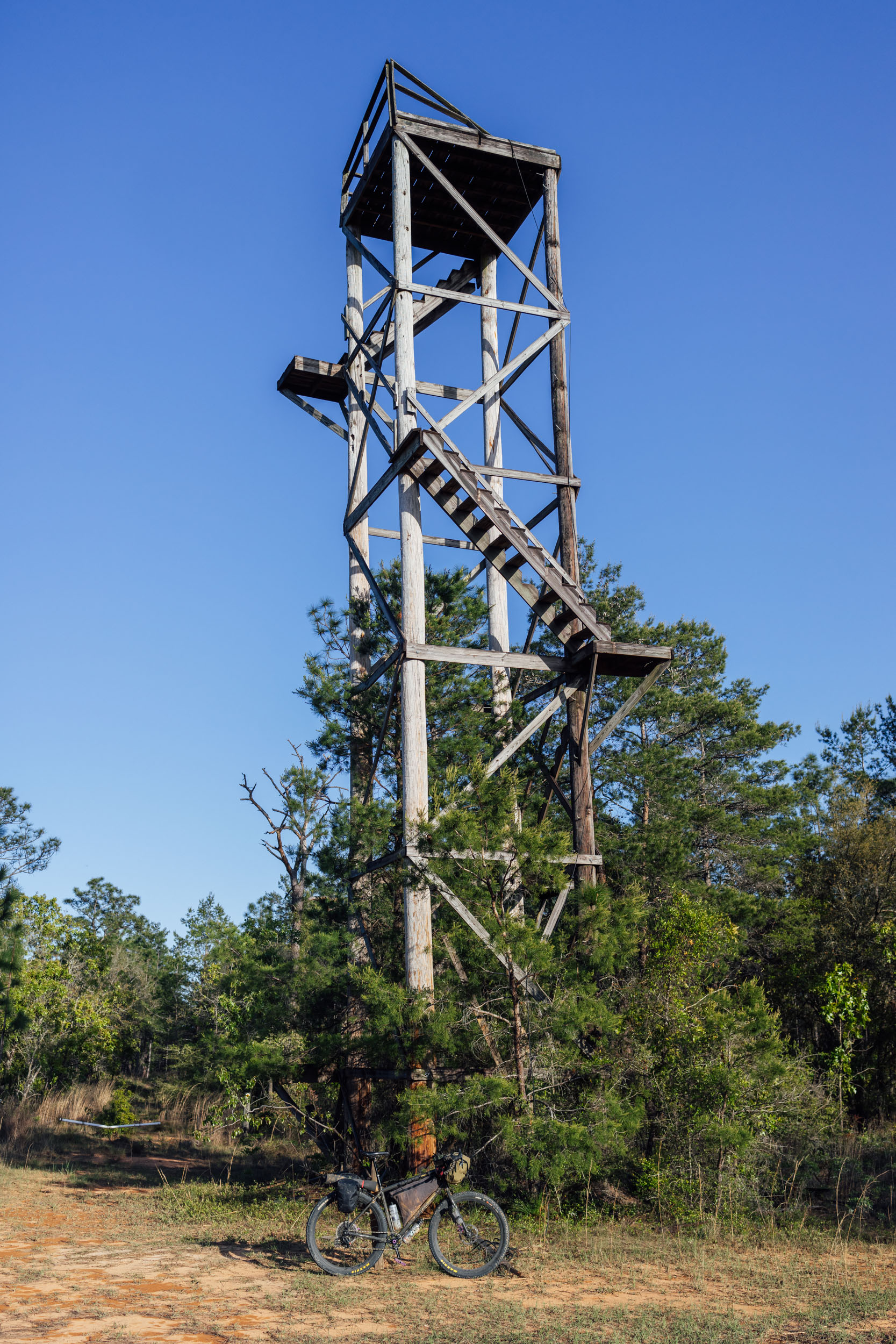
Once you leave Warden Station, you begin the historic unpaved forest route known as Skyway Motorway toward Cheaha State Park, the highest point in Alabama with an elevation of 2,405 feet (733 meters). You’re on a gravel section at this point, but eventually you’ll get onto paved State Route 281, also known as Talladega Scenic Drive, running through Talladega National Forest along the crest of the Talladega Mountains, Alabama’s highest range. SR 281 was originally an unpaved forest route known as Skyway Motorway prior to its reconstruction into a paved scenic highway. SR 281 is a low-traffic road, but take precaution and use lights. After the paved stretch, you’ll hit gravel again and continue along the spine. Just south of the town of Talladega, find the Horn Mountain Lookout Tower just off route, where there’s also a campsite and picnic tables.
location Horn Mountain-Coosa River
Day 5 (62 mi +4,000)
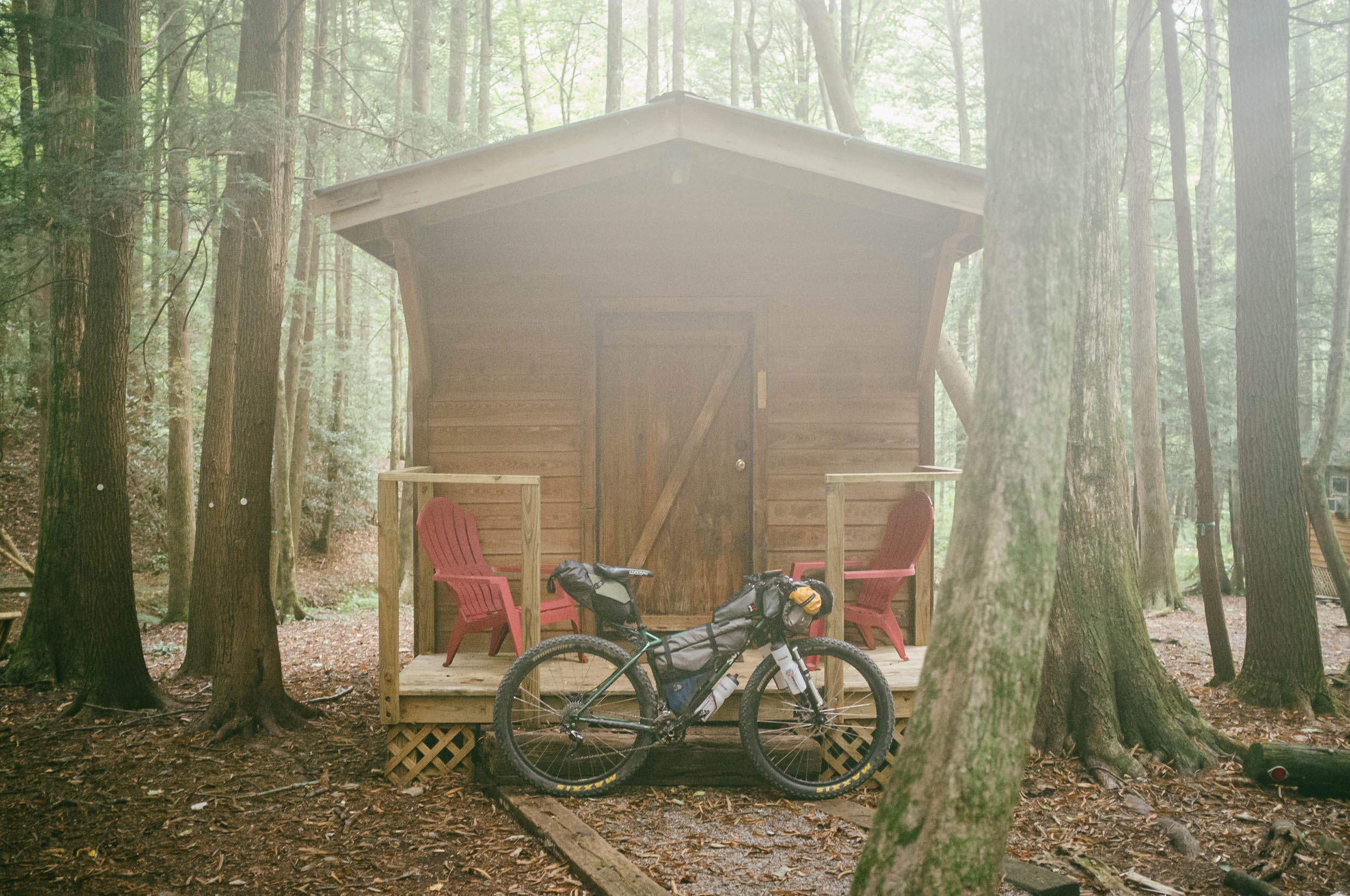
From Horn Mountain, the route continues on the Skyway before dropping off the ridge on gravel toward Sylacauga. You may want to pop over to Sylacauga for resupply if you’re running low. The next reliable option on route is Selma, 115 miles south. The route rambles onward along paved backroads and a touch of gravel before climbing up to Flagg Mountain, the southernmost Appalachian peak over 1,000 feet and features a CCC-built lookout tower, cabins, camping, and drinking water. There’s a caretaker on site named Nimblewill Nomad. Find details here.
Unless you feel like calling it a day, this itinerary carries onward. There is a bit more gravel that skirts Flagg Mountain before a series of backroads and dirt roads through logging land. After you cross the Coosa River, about 20 miles from the summit of Flagg, there’s a swath of state land in various states of logging. It’s easy to duck down for a quick bivy in these places.
location Coosa River-Talledega National Forest
Day 6 (62 mi +4,000)
The next day offers similar terrain with a lot of up and down and a mix of dirt roads and paved backroads. The last big stretch of public land before reaching Selma is a large tract of national forest land with some fast rolling gravel. There’s a single established campsite next to a creek that’s marked on the map. Note that it looks somewhat popular, so you might prefer a more private wild camping option prior to that, deeper in the forest.
location Talladega National Forest-Fargason Farm
Day 7 (55 mi +2,000)
Day seven of this itinerary is fairly mellow in comparison to the last few days. It begins with a fast-rolling largely paved descent into Selma, Alabama. Make sure to stock up on food while you’re there. Also, take some time to check out the Civil Rights Memorial Park after crossing the Edmund Pettus Bridge, an historic landmark that was the site of Bloody Sunday in 1965 (see Whereabouts tab for more).
After Selma, the route follows a mix of pavement and gravel through the Alabama River bottoms and eventually into rolling farmland and pastures. There are some neat little hamlets en route, such as Furman. After Furman, a mellow climb takes you to a more remote area of the state. Fellow bikepacker Rob Fargason has generously provided a key campsite on his private farm. The farm is located in a strategic location where there’s a lack of public land, making this spot an excellent stopover on route. Note that there’s a bike-friendly gate to access the campsite. Rob also built a trail to allow folks to ride a half mile from the campsite to access water at the house on the lake. Be respectful as this is private property, and please thank Rob if you can. Also, please send Rob a text message if you plan on camping here: (251) 391-8138.
location Fargason Farm-Brooklyn, Alabama
Day 8 (90 mi +4,300)
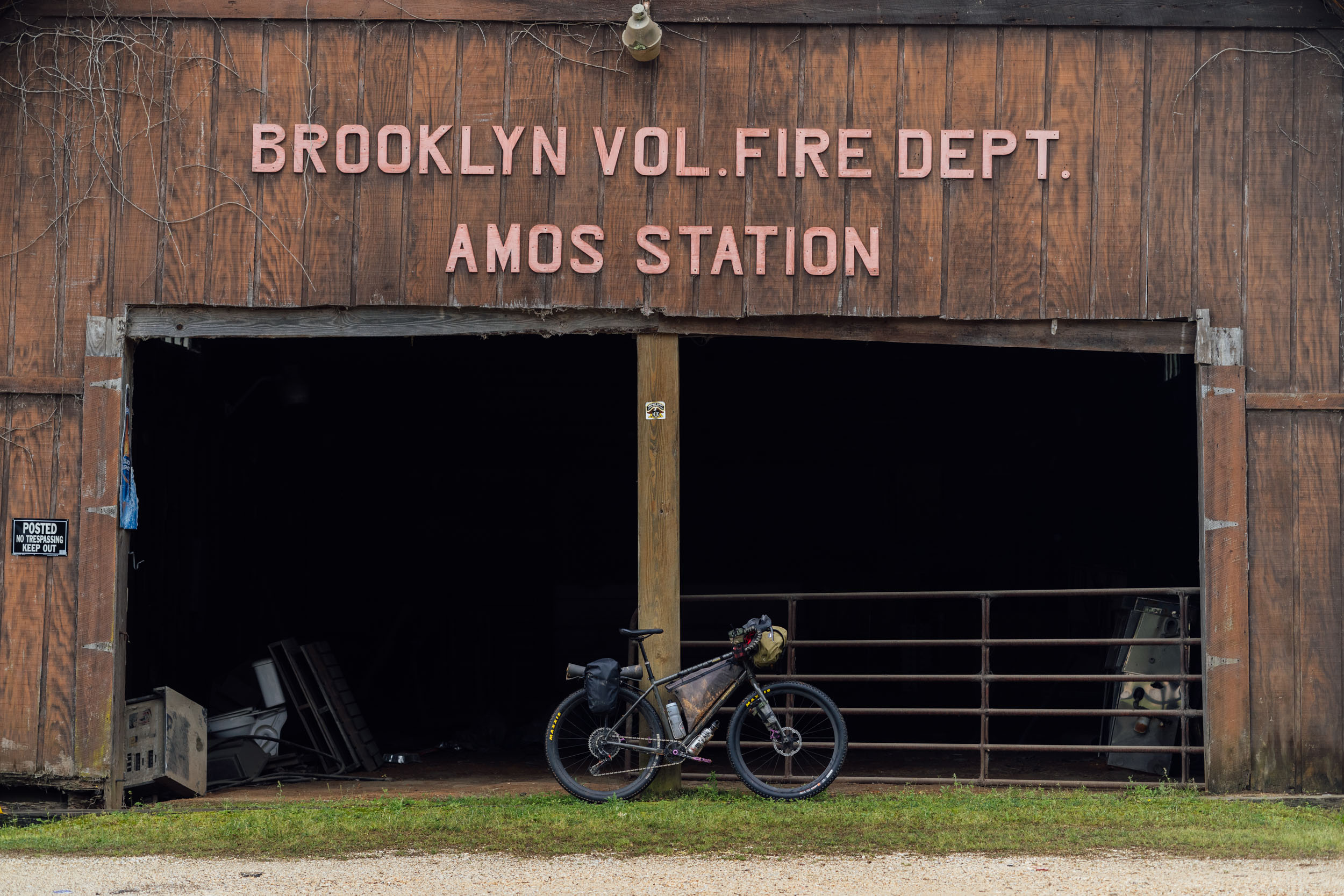
From the Fargason Farm, expect more quiet backroads with a couple of stretches of gravel before a rather rugged dirt road takes you down to Pine Barren Creek. This section can be fairly challenging when wet. After that, you’ll reach the quaint town of Pineapple. Stop for lunch in the park and relax. After Pineapple, the clay road/backroad mix continues and you can really make some miles on these quiet roads. The small hamlet of Brooklyn has a nice general store with some resupply options and a lunch counter. You might ask the owner if there’s a place nearby where you can camp or continue on route and find a wooded spot when it turns back to dirt. Or, you can beeline to Conecuh National Forest, and there’s a campground marked on the map about 8 miles off route.
location Brooklyn-Blackwater River State Park, FL
Day 9 (68 mi +2,400)
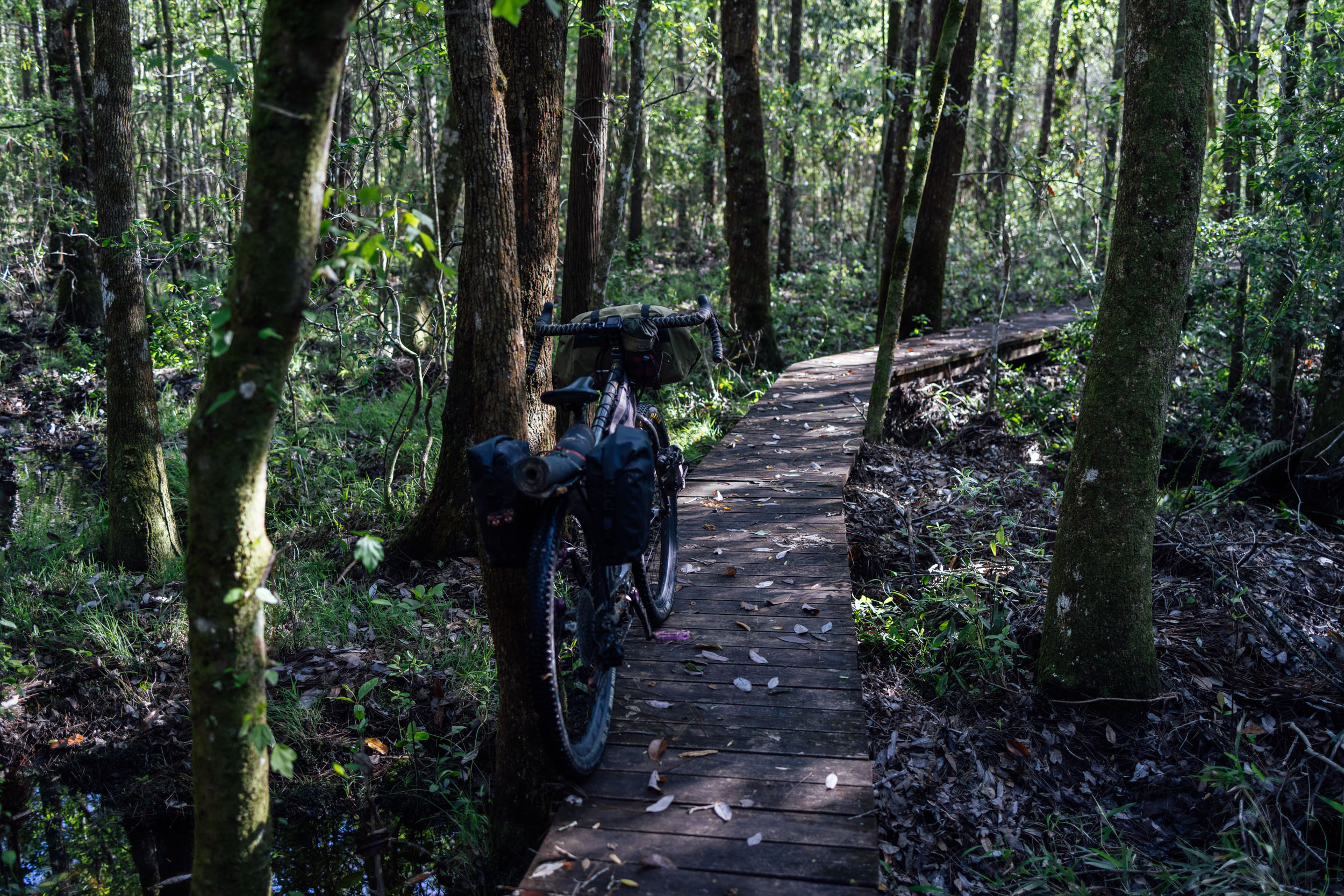
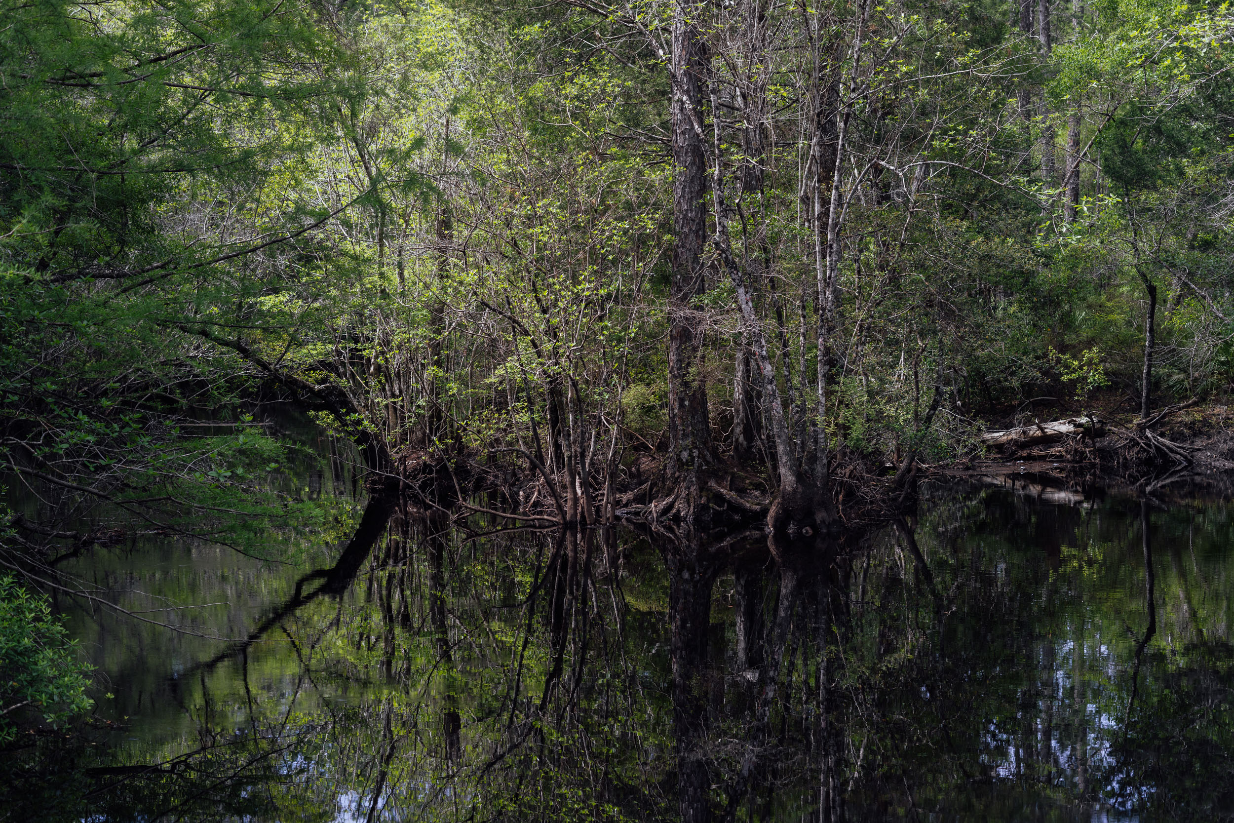
The fast sand roads begin somewhere around this area. This section offers a mix of sand and pavement as you head toward the Florida state line. After about 15 miles in Alabama’s Conecuh National Forest, you’ll enter Blackwater River State Forest at the Florida border. Blackwater River State Forest is one of the largest state forests in Florida, which, in combination with the Conecuh National Forest to the north and Eglin Air Force Base to the south, is the largest contiguous longleaf pine and wiregrass ecosystem in the world.
As you might expect, it’s named after the Blackwater River, one of the few shifting sand bottom rivers that remains in its natural state for nearly its entire length. The Blackwater begins to the north in Alabama and meanders approximately 30 miles southwestward into Blackwater Bay, near Milton. Speaking of Milton, Truly Spoken is one of only a couple significant bike shops near the route and is about 10 miles off route. There are several campgrounds in Blackwater River State Park, including the main one near the entrance.
location Blackwater River State Park-Eglin WMA
Day 10 (50 mi +1,500)
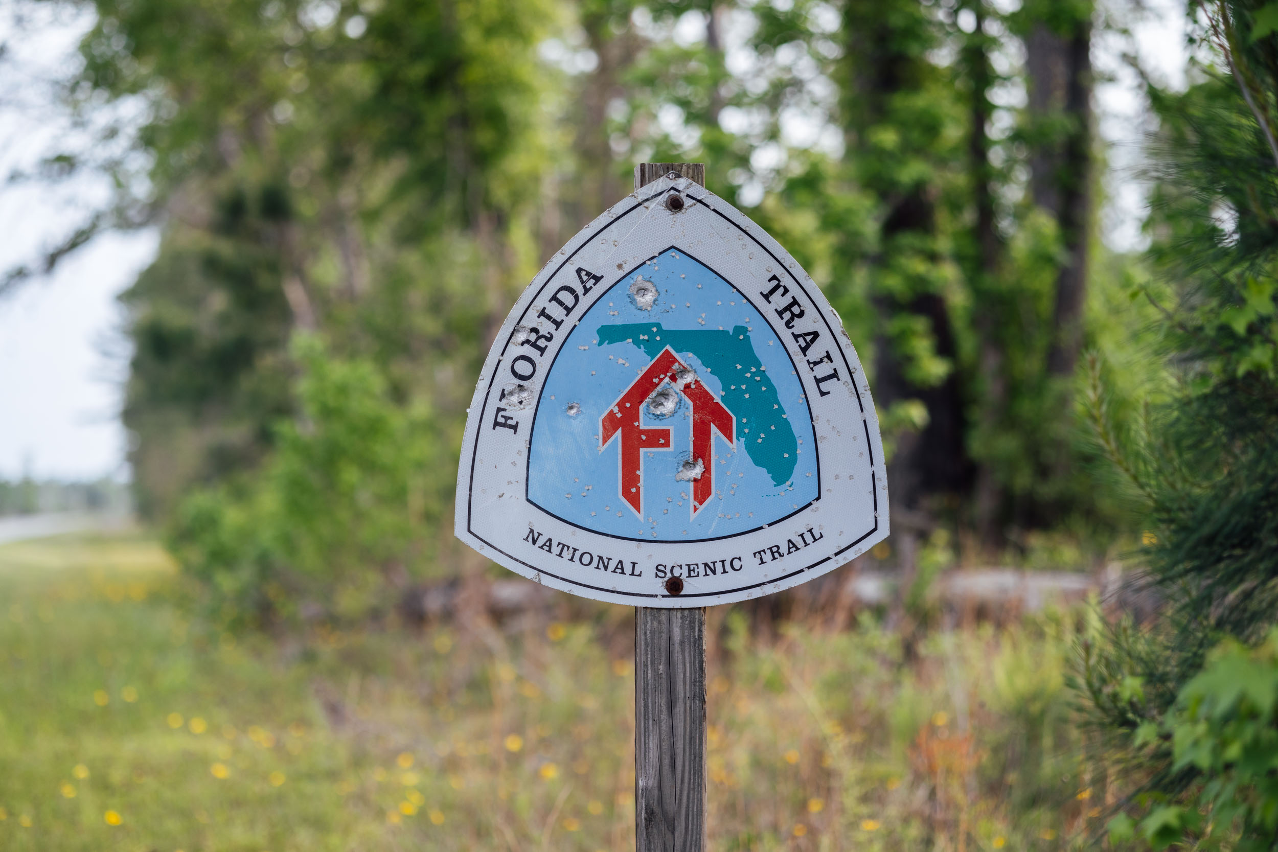
From Blackwater, S7 rolls through Harold, where there’s a single convenience store. If you need to restock, do so there as there aren’t any options until Freeport, nearly 100 miles away. The route follows a stitchwork of backroads before entering the Eglin Air Force Base WMA. While it may seem odd to go bikepacking on a military base, the Eglin WMA is actually a natural reserve. Not only does it host the Florida Trail scenic hiking trail, it offers loads of outdoor recreation options, including hunting, hiking, and of course, cycling. You’ll need to get a permit in advance (find information on that under the Must Know tab).
Once in the Eglin WMA, the riding can get rugged and remote. Deep sand is common on some of the roads, although others can be blazing fast. Use caution on the forest roads as they are also used for training Hummvee drivers and can be a bit jagged and raw. That said, I didn’t see a single person or vehicle in my time through Eglin. It’s also not unusual to have to filter water in this section of the route; there are a few very clear springs if you keep your eyes open.
There are two campsites along the roads in Eglin. The first is Walton Pond, which is more secluded and has picnic tables. The second is Speck Pond, which is also accessible off a paved road.
location Eglin-Pine Log State Park
Day 11 (58 mi +1,100)
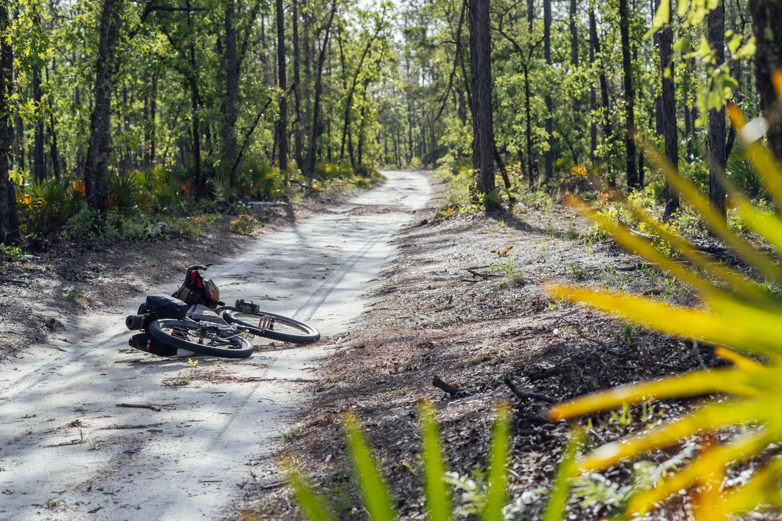
The Eglin sand roads continue—some fast and some slow—as you finish up the Eglin stretch. Unfortunately, this is one of the more pavement-heavy and boring days on the entire route, with over 35 miles on state road 20. There’s a nice bike-lane-esque shoulder on the road, but there can be intermittent fast traffic at times too. We are working to eliminate about half of that and will update the route when we do. Fortunately, there’s a nice section of singletrack on a beautiful piece of public land in the middle to break it up. Pine Log State Forest also has a beautiful network of Cypress ponds, as well as a campground.
location Pine Log State Forest-Bristol, FL
Day 12 (78 mi +1,100)
After finishing out the singletrack, S7 has a short stretch of pavement before joining some fast sandy gravel roads on the other side of the state forest followed by a short powerline cut adventure. Then the second stretch on SR20 commences. After 9 miles on pavement, there’s a nice, well-stocked convenience store in Sand Hills. Restock there before finishing out the SR20 section and heading into the Econfina Creek Water Management Area. This 40,000-acre sandhill uplands ecosystem runs some 14 miles along Econfina Creek and is made up of dozens of shallow, clear sand-bottomed lakes. These lakes recharge the springs that feed the creek. Most of the area was planted with commercial, non-native pine, which are being harvested and restored to longleaf pine and wiregrass habitat.
After Econfina, you’ll enter a weird section of the route that appears to be a defunct development that never happened, with grids of housing roads, but no houses. From there, a couple of stretches of sand road and more pavement lead to Blountstown and Bristol, two small towns with plenty of resupply options and lodging. Blountstown seems a little more well stocked than Bristol, but there’s a cheap motel in the latter. There’s also a national forest campground in another 14 miles if you have the legs.
location Bristol-Porter Lake Campground
Day 13 (50 mi +300)
From Bristol, another paved state road heads toward the entrance to the Apalachicola National Forest, the largest national forest in the state of Florida and the only national forest located in the Florida Panhandle. The Apalachicola encompasses some 630,000 acres (2,560 km2) and is largely comprised of longleaf pine and wiregrass. Keep an eye out for pitcher plants and other interesting flora and fauna. After a lot of fast sand roads, the route hits a short stretch of pavement near the Ochlockonee River, where you’ll find Porter Lake Campground, a small primitive campground with a well and pit toilets.
location Porter Lake-Tallahassee, FL
Day 14 (48 mi +600)
The sand roads continue after Porter Lake. If it has rained recently, expect some flooded areas. They’re generally easy to ride, but you’re likely to get your feet wet. After a few more hours of the Apalachicola, you’ll start wending your way through the outskirts of Tallahassee. There are a couple of short stretches of municipal singletrack before joining a stitchwork of bike lanes to make your way into the city. Get yourself a meal and relax!


Terms of Use: As with each bikepacking route guide published on BIKEPACKING.com, should you choose to cycle this route, do so at your own risk. Prior to setting out check current local weather, conditions, and land/road closures. While riding, obey all public and private land use restrictions and rules, carry proper safety and navigational equipment, and of course, follow the #leavenotrace guidelines. The information found herein is simply a planning resource to be used as a point of inspiration in conjunction with your own due-diligence. In spite of the fact that this route, associated GPS track (GPX and maps), and all route guidelines were prepared under diligent research by the specified contributor and/or contributors, the accuracy of such and judgement of the author is not guaranteed. BIKEPACKING.com LLC, its partners, associates, and contributors are in no way liable for personal injury, damage to personal property, or any other such situation that might happen to individual riders cycling or following this route.
Please keep the conversation civil, constructive, and inclusive, or your comment will be removed.