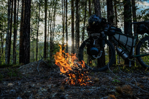
European Divide Trail
Distance
4,723 Mi.
(7,601 KM)Days
100
% Unpaved
65%
% Singletrack
5%
% Rideable (time)
99.9%
Total Ascent
240,000'
(73,152 M)High Point
6,899'
(2,103 M)Difficulty (1-10)
6?
- 3Climbing Scale Fair51 FT/MI (10 M/KM)
- -Technical Difficulty
- -Physical Demand
- -Resupply & Logistics

Contributed By

Andy Cox
Guest Contributor
Andy grew up in Oxford but got bored of normal life working in bike shops in his late 30s, so he left his home in South Wales to ride around Europe, looking for a new place to live. Having found a new sense of peace and purpose in life on a bike, he now lives a nomadic bikepacking life, creating and documenting new routes. You can find him on Instagram and PolarSteps.
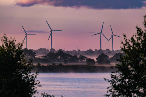
The European Divide Trail is a continent-spanning collection of trails linking the far edges of Europe together by way of off-road tracks and trails, traffic-free cycle routes, and small bits of singletrack, with various minor roads along the way.
The goal is to create various spines of routes, where people can explore this fascinating and diverse continent while keeping away from major population centres and exploring the lesser-known areas while linking onto existing bikepacking routes, and giving people the opportunity to create their own experiences in discovering new places, seeing places away from the obvious tourist trails, and getting a real sense of what Europe is all about. It’s composed of three distinct sections:
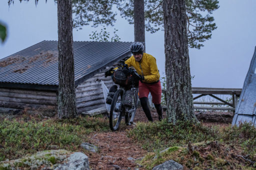
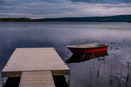
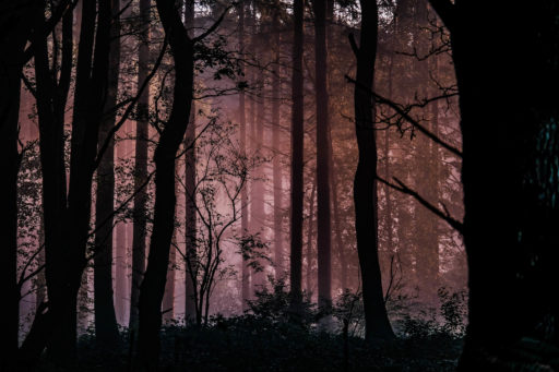
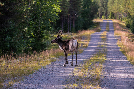
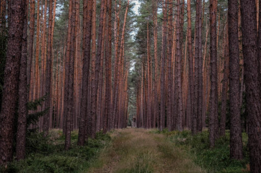
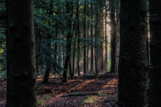
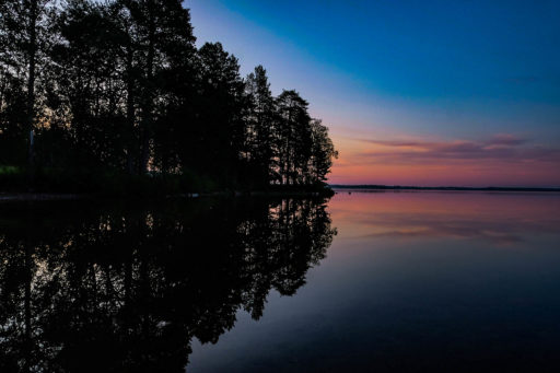
The North, characterised by seemingly endless forests, lakes, and rivers, from the surprisingly humid Arctic Ocean coast of Norway, into the colder and drier interior of Finland, and the Arctic tundra of Lapland. Then, it’s into Sweden and long stretches without services on remote backcountry tracks and trails.
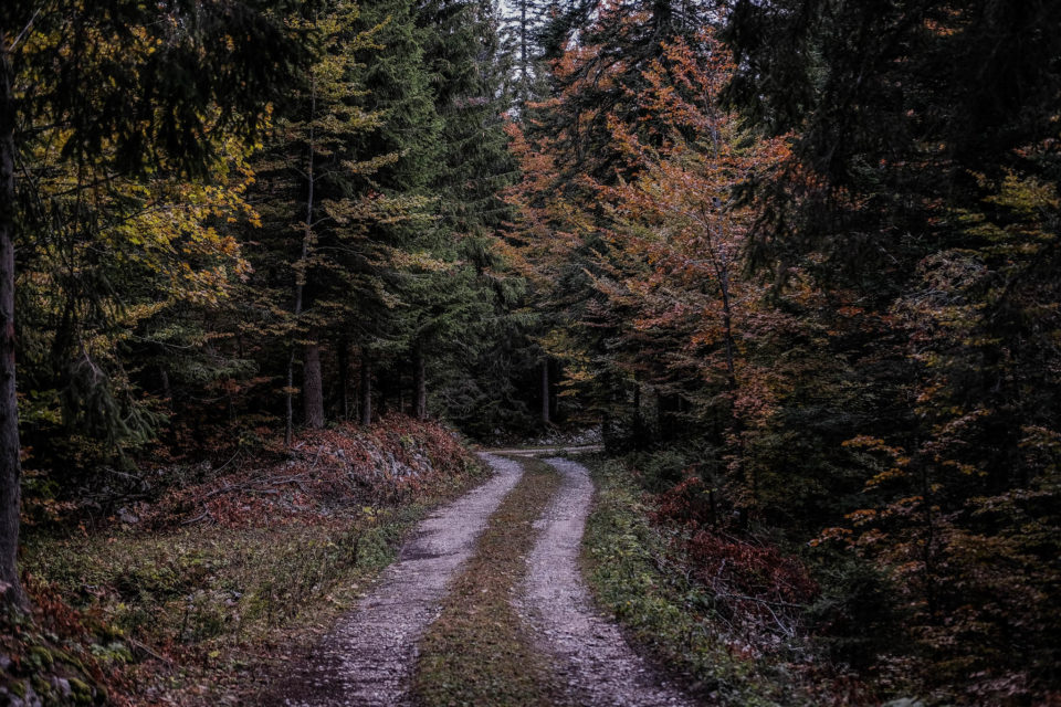
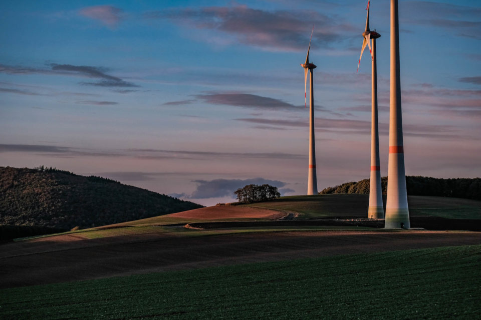
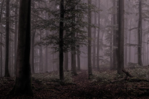
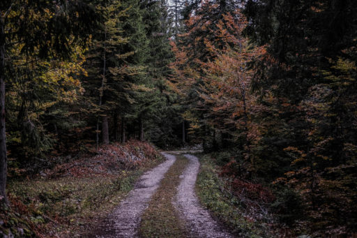
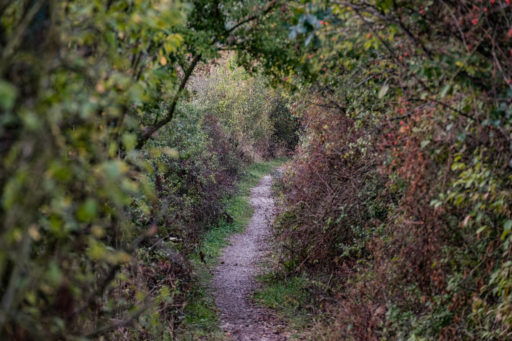
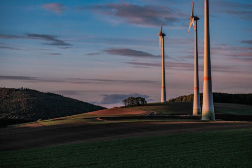
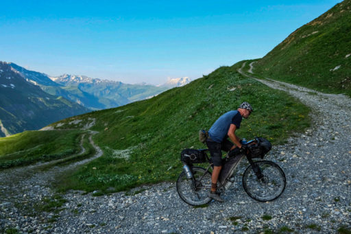
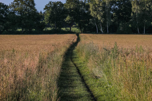
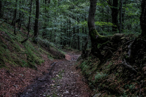
The Centre, characterised by a patchwork of fields, forests, towns, and cities, packed with history, culture, and a huge variety of regional differences. Through Denmark and its fascinating culture, with standing stones, burial cairns, and its depth of Viking history, while following the King’s Road through the centre of the country, into Germany with its vibrant and distinct regions, fascinating architecture, and beautiful countryside. Then into France and the edge of Switzerland, where you travel through the foothills of the mighty Alps, through the Vosges, and then the Jura, each with distinctive styles and cultures.
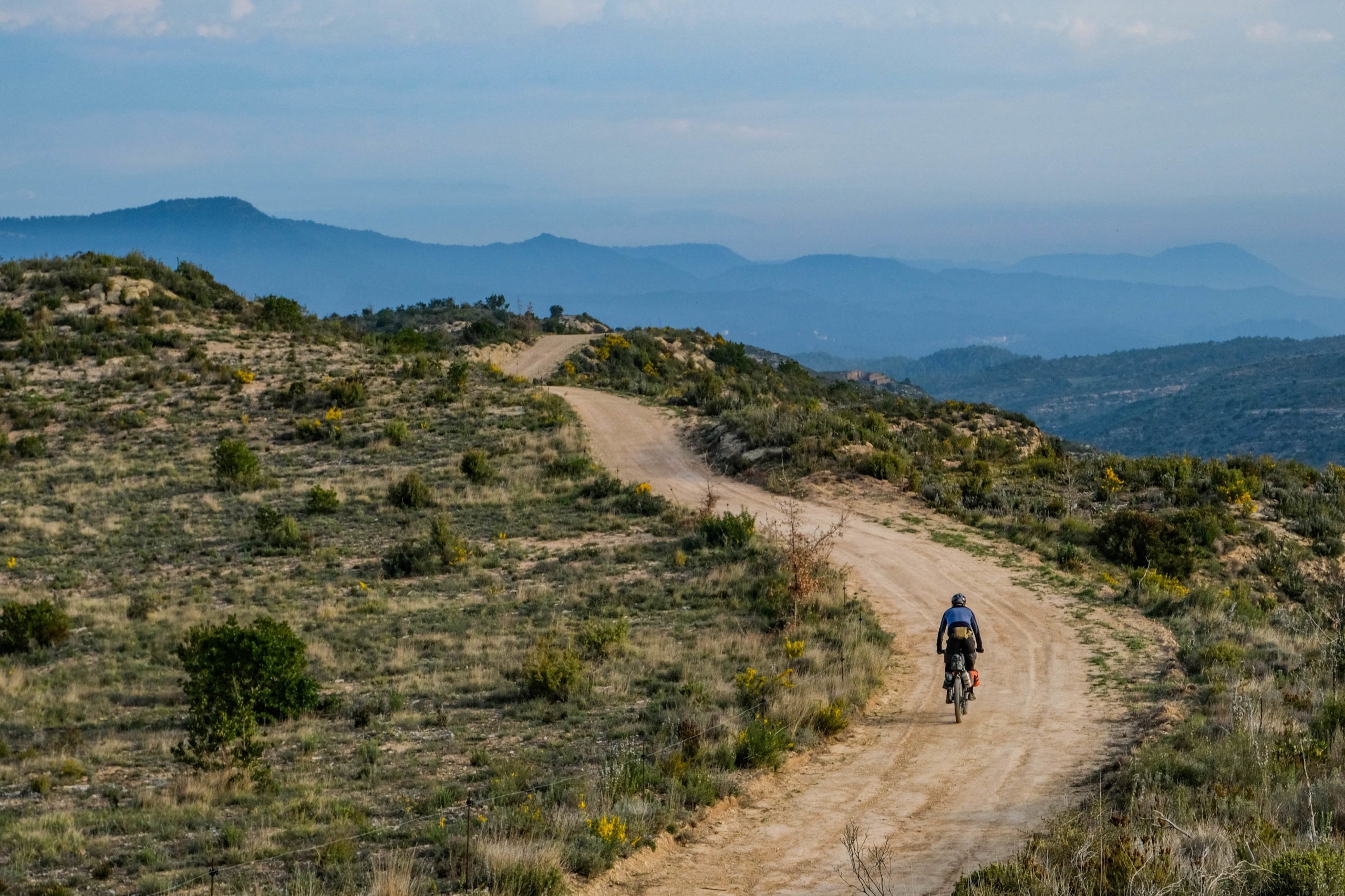
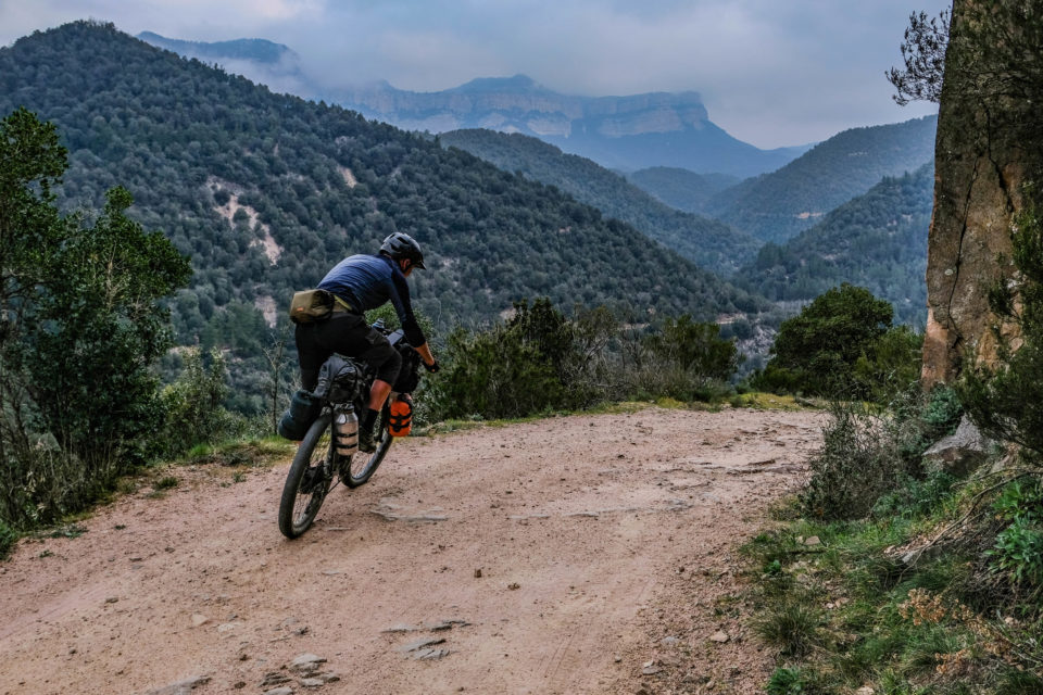
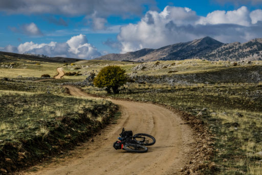
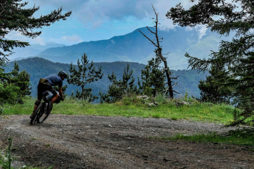
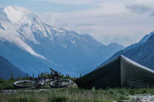
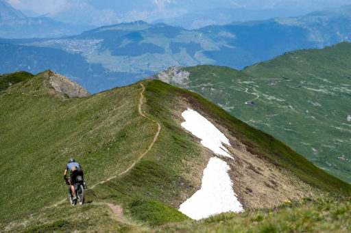
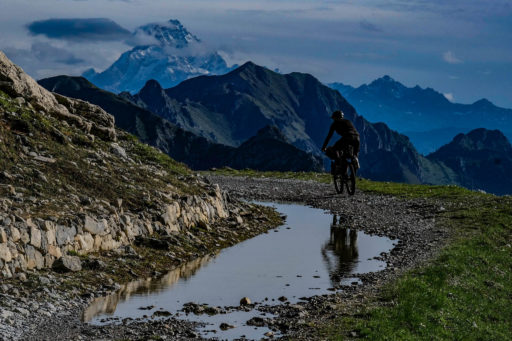
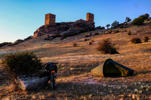
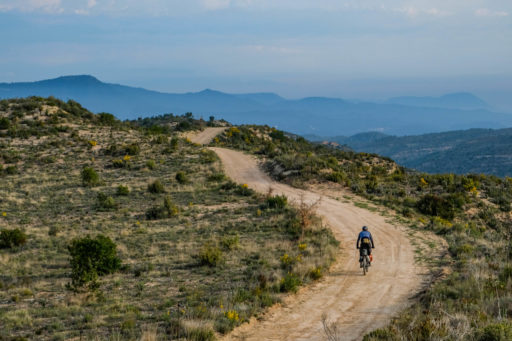
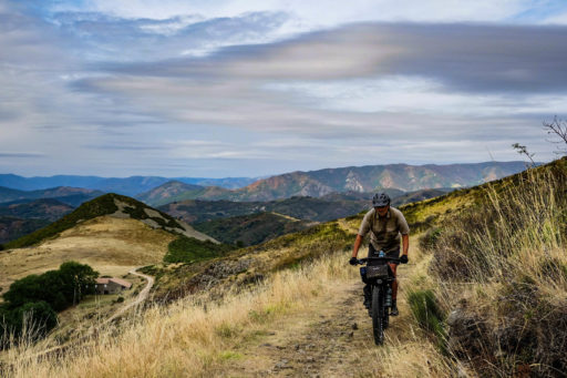
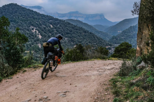
The South, where the soil turns to rock and dust and sand and gravel, most plants have spines, and the Mediterranean Sea is the biggest climatic influence. The trails are more rugged, the terrain and route combine more climbing and with harder riding, and the sun is often shining, the food fantastic, and the culture relaxed.
Difficulty: This route is rated a 6 out of 10 in terms of its difficulty. I’ve tried to make it entirely rideable by most people on most off-road-capable bikes, but due to its length, the time it’ll take to ride it all, and the climatic variations, you could easily go from one extreme of temperature to the other. In the north, the resupply options are limited, but the terrain and route relatively easy, so except for the biting insects there not too much to worry about. In the centre, resupply options abound, but with the route finding and trail conditions so varied, it’s potentially more difficult than the north. In the south, the trails are harder to ride but also harder on equipment, resupply is not so difficult but the climate is hugely variable, even if it’s mostly hotter and drier than the other areas. It also has the two highest points of the route, which can be covered in snow outside of the summer months.
Route Development
The route came from my personal desire and what I could see as a certain community need for an off-road touring route across Europe, in a similar vein to the Great Divide Mountain Bike Route in the United. States. I wanted to make a mostly rideable, relatively easy route, where the difficulty comes from its length, the various climates it crosses, and the amount of time it’ll take to complete it. This entirely solo project has taken me around three years to complete.
Find the in-depth route guide and the complete, up-to-date GPS track at EuropeanDivideTrail.com.
Highlights
Must Know
Camping
Food/H2O
Trail Notes
Resources
- Standing on the shore of the Arctic Ocean at Grense Jacobselv in Norway, with Russia only a stone’s throw away.
- Kittlä, the coldest place in Finland at -52.1°c, recorded in February 1990
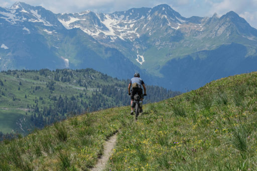
- The wild and rugged interior of Sweden near Sveg, with distant snow-covered mountains, even in the height of summer, endless forests, signs of bears and moose all around, and great trails to enjoy
- Rörbäcksnäs in Sweden, a beautiful little place with great mountain bike trails and a friendly population
- Gothenburg, Sweden, where Scandinavian city living meets the edge of the wilderness
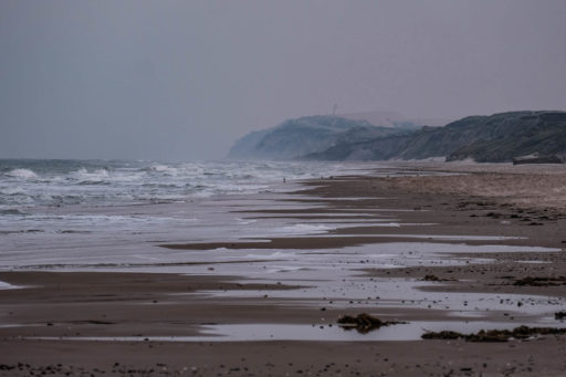
- The north coast of Denmark, where the huge sand dunes meet the North Sea, the weather can be benign and sunny, or wild and stormy, sometimes both in the same day
- Following the Alster river into Hamburg, on a great series of trails and bike paths
- Lüneberg Heide, Germany, a fantastic area of open grassland surrounded by forests, full of history, interest, and great trails
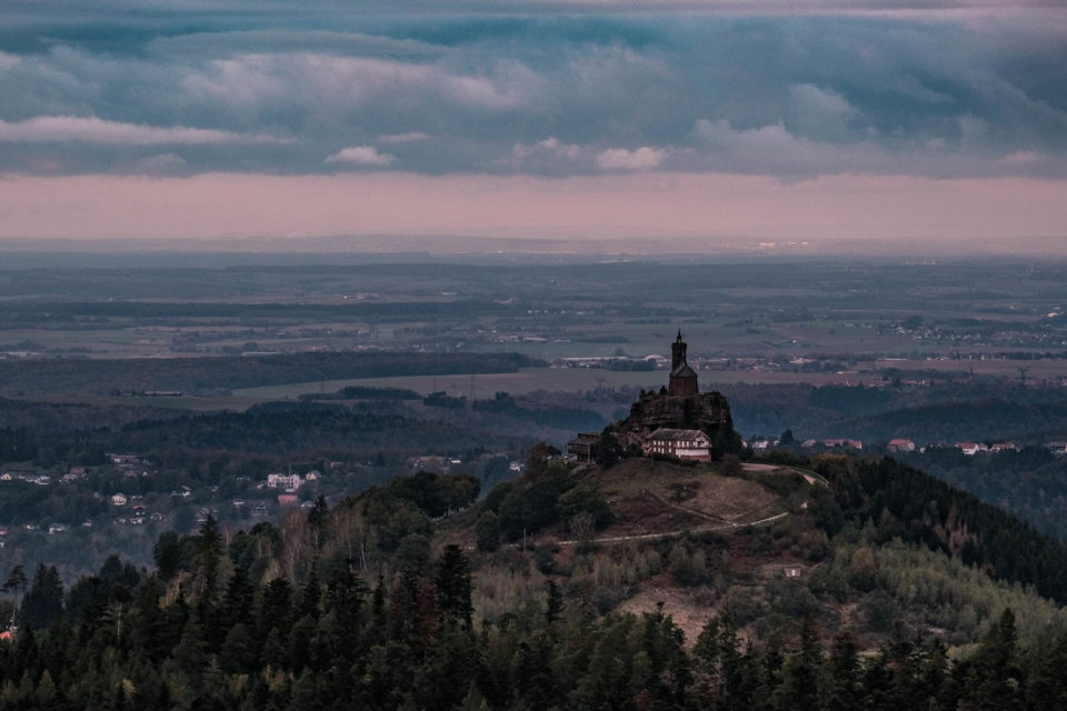
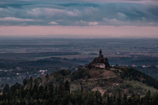
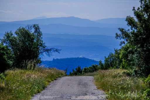
- The deep and mysterious Vosges Mountains of eastern France, extinct volcanoes, beautiful villages, and ancient trade routes
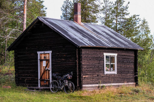
- The Forest de Risoux on the French/Swiss border, a high limestone karst mountain area of exceptional forest with loads of open cabins to stay in
- Ardeche/Cevennes on the edge of the Massif Central, where the centre of France meets the heat of the Mediterranean, with high plateaux, deep gorges, and pretty hamlets
- Béziers’ Mediterranean coast, views of the Pyrenees in the distance, and the sea lapping at the shore
- Panta de Sau, a reservoir near Girona, Catalonia, with a fantastic dirt road along the edge
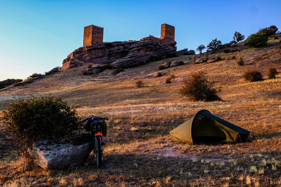
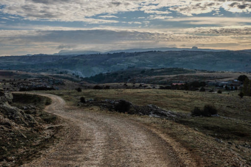
- Teruel, Javalambre Plateau, a stark and high mountain plateau with a unique environment not far from the busy coast of Valencia, but a million miles away in its tranquility
- Sierra de Carzola y Segura Spanish Mongolia, a breathtaking area of high mountains and deep valleys, hidden away in central-eastern Spain
- Cordoba, a mosque with a church built in the centre of it
- Algarve, the steep hills, and taste of the Atlantic in the air
- Cabo San Vincente Portugal, the lighthouse at the edge of Europe
When to go:
- Starting from the north, not earlier than the end of May, finishing end of September at the latest. Do remember, summer only lasts around six weeks up north, so out of high summer you can expect freezing temperatures and the possibility of snow/ice. I had many frosty nights at the end of August one year.
- Central section: Spring to autumn. Be aware though that the Jura in France is known as French Siberia, it being the coldest place in the country. It can have snow early or late in the seasons.
- Starting in the south, April/May, although the highest areas in eastern Spain will still be cold and could have snow into May. Finishing in the south in November, although days are shorter and Atlantic storms can cause disruption. I wouldn’t want to ride in Iberia in the height of summer as you could easily expect temperatures into the 40°C (104°F) range in July and August.
Best Bike:
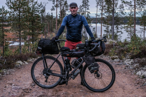
- Bike recommendations are more down to comfort and tyre size than anything specific; so most off-road capable bikes would be fine, with a minimum of 40mm wide tyres, and 50mm or larger being a safer and more comfortable option. You could ride most of it on a touring bike with panniers, but it’s best tackled on something more focused towards gravel and mountain biking with bikepacking-style luggage so you can enjoy the trails more.
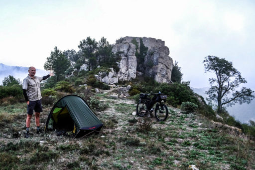
- Alemansritte in Scandinavia means wild camping is permitted even on private land, as long as you follow the code
- There’s plenty of accommodation options all along the route, far too many to list, so take a smartphone
- In the northern section you’ll have to carry food to last several days for most of the journey; the longest section without resupply 255km in Finland, but regularly 150km+ in plenty of sections
- Central and Southern sections won’t need so much thought as there’s often plenty of options
- Take a water filter for emergencies, but mostly you can get water from a tap in cemeteries throughout Europe
You can view full guides for the European Divide Trail on komoot, broken down into three sections and 37 stages. Find links to each below:
Northern Section
- Stage 1: Arctic Ocean to Väylä (216km)
- Stage 2: Väylä to Inarintie (195km)
- Stage 3: Inarintie to Östra Lainio (210km)
- Stage 4: Östra Lainio to Nattavaara by (207km)
- Stage 5: Nattavaara by to Kåbdalis (191km)
- Stage 6: Kåbdalis to Stortjärnen Lake (248km)
- Stage 7: Stortjärnen Lake to Hattsjön Lake (234km)
- Stage 8: Hattsjön Lake to Strömsund (205km)
- Stage 9: Strömsund to Bräcke (213km)
- Stage 10: Bräcke to Lillhärdal (219km)
- Stage 11: Lillhärdal to Södra Lötsjön (209km)
- Stage 12: Södra Lötsjön to Charlottenberg (215km)
- Stage 13: Charlottenberg to Gothenburg (325km)
Central Section
- Stage 14: Frederikshavn to Aars (187km)
- Stage 15: Aars to Rødekro (259km)
- Stage 16: Rødekro to Wilstedt (197km)
- Stage 17: Wilstedt to Thönse (199km)
- Stage 18: Thönse to Weiberg (186km)
- Stage 19: Weiberg to Cologne (163km)
- Stage 20: Cologne to Oberhausen bei Kirn (184km)
- Stage 21: Oberhausen bei Kirn to Saverne (178km)
- Stage 22: Saverne to Saint-Maurice-sur-Moselle (160km)
- Stage 23: Saint-Maurice-sur-Moselle to Rochejean (183km)
- Stage 24: Rochejean to Culoz (162km)
- Stage 25: Culoz to Valence (170km)
Southern Section
- Stage 26: Valence to Saint-Jean-de-Fos (258km)
- Stage 27: Saint-Jean-de-Fos to Perpignan (196km)
- Stage 28: Perpignan to Moià (231km)
- Stage 29: Moià to Gratallops (182km)
- Stage 30: Gratallops to Aliaga (201km)
- Stage 31: Aliaga to Casas Bajas (163km)
- Stage 32: Casas Bajas to Balazote (214km)
- Stage 33: Balazote to Cazorla (219km)
- Stage 34: Cazorla to Córdoba (224km)
- Stage 35: Córdoba to Santa Olalla del Cala (190km)
- Stage 36: Santa Olalla del Cala to Mértola (200km)
- Stage 37: Mértol to Sagres (212km)
Additional Resources
- Visit EuropeanDivideTrail.com for the full guide to the route and the GPS track
- Find the full collection, broken down into digestible stages, on komoot
- Follow the European Divide Trail on Instagram
Terms of Use: As with each bikepacking route guide published on BIKEPACKING.com, should you choose to cycle this route, do so at your own risk. Prior to setting out check current local weather, conditions, and land/road closures. While riding, obey all public and private land use restrictions and rules, carry proper safety and navigational equipment, and of course, follow the #leavenotrace guidelines. The information found herein is simply a planning resource to be used as a point of inspiration in conjunction with your own due-diligence. In spite of the fact that this route, associated GPS track (GPX and maps), and all route guidelines were prepared under diligent research by the specified contributor and/or contributors, the accuracy of such and judgement of the author is not guaranteed. BIKEPACKING.com LLC, its partners, associates, and contributors are in no way liable for personal injury, damage to personal property, or any other such situation that might happen to individual riders cycling or following this route.
FILED IN (CATEGORIES & TAGS)
Europe
Please keep the conversation civil, constructive, and inclusive, or your comment will be removed.


