


Gysinge RTL (Riding The Lines)
Distance
63 Mi.
(101 KM)Days
2
% Unpaved
75%
% Singletrack
25%
% Rideable (time)
99%
Total Ascent
3,235'
(986 M)High Point
301'
(92 M)Difficulty (1-10)
6?
- 3Climbing Scale Fair51 FT/MI (10 M/KM)
- -Technical Difficulty
- -Physical Demand
- -Resupply & Logistics
Contributed By
Michael O'Dwyer
Bikepacking Sweden
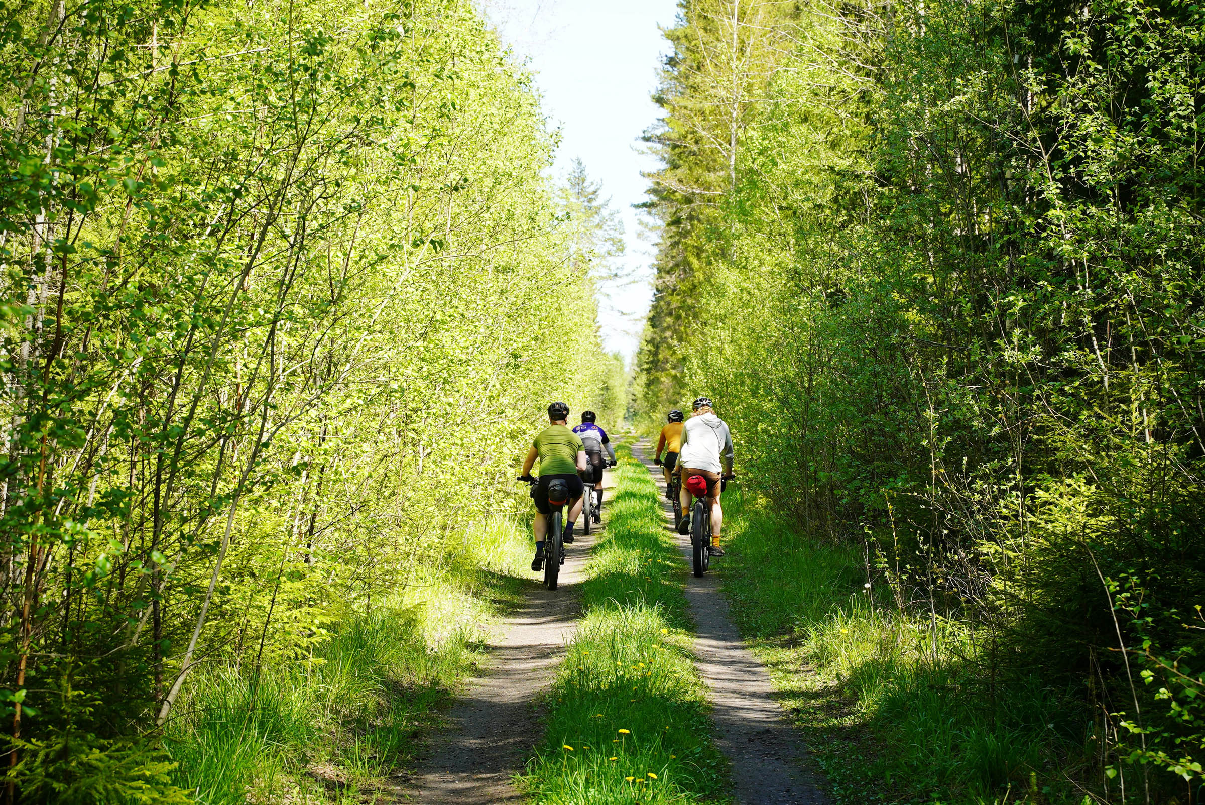
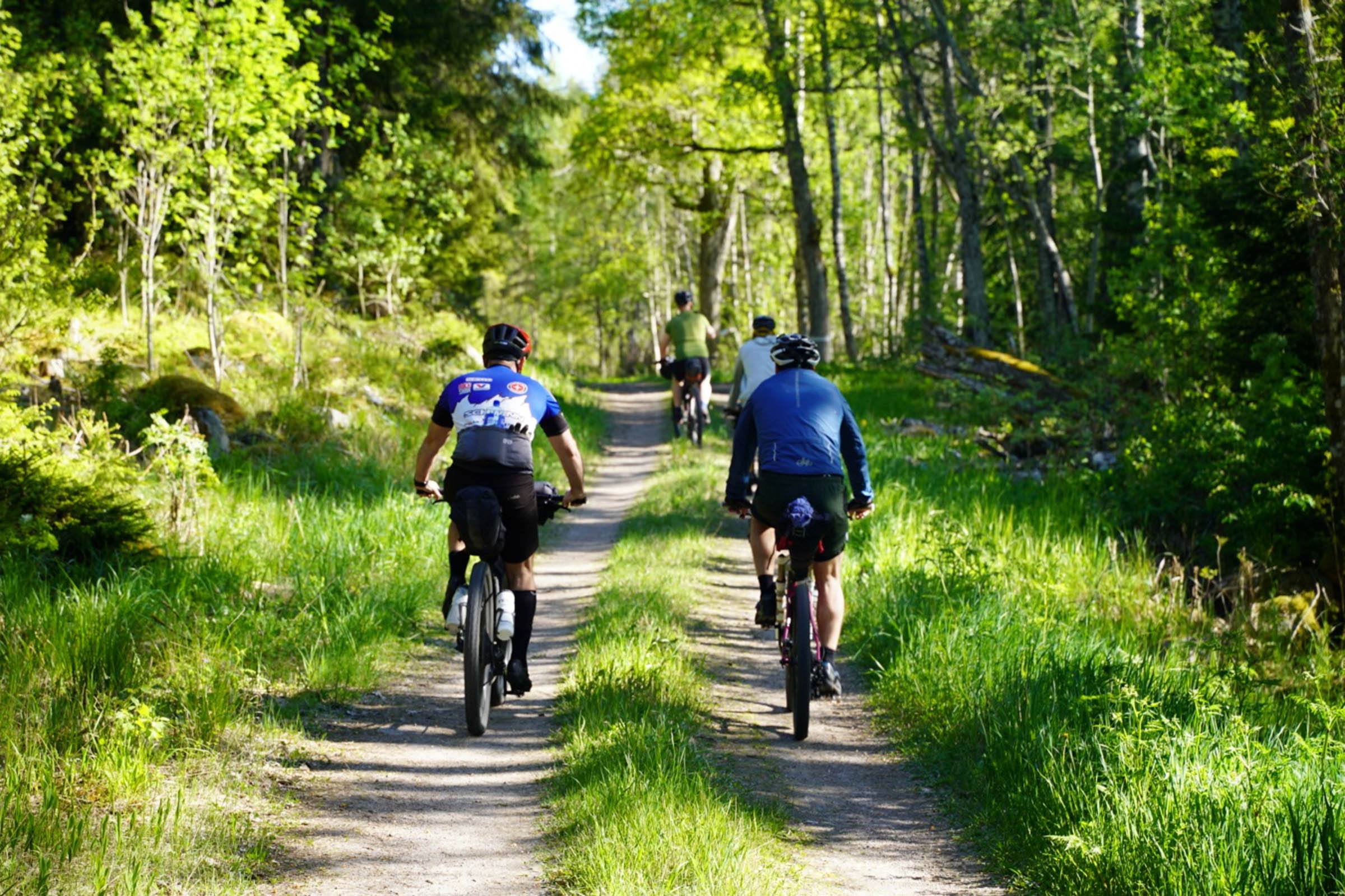
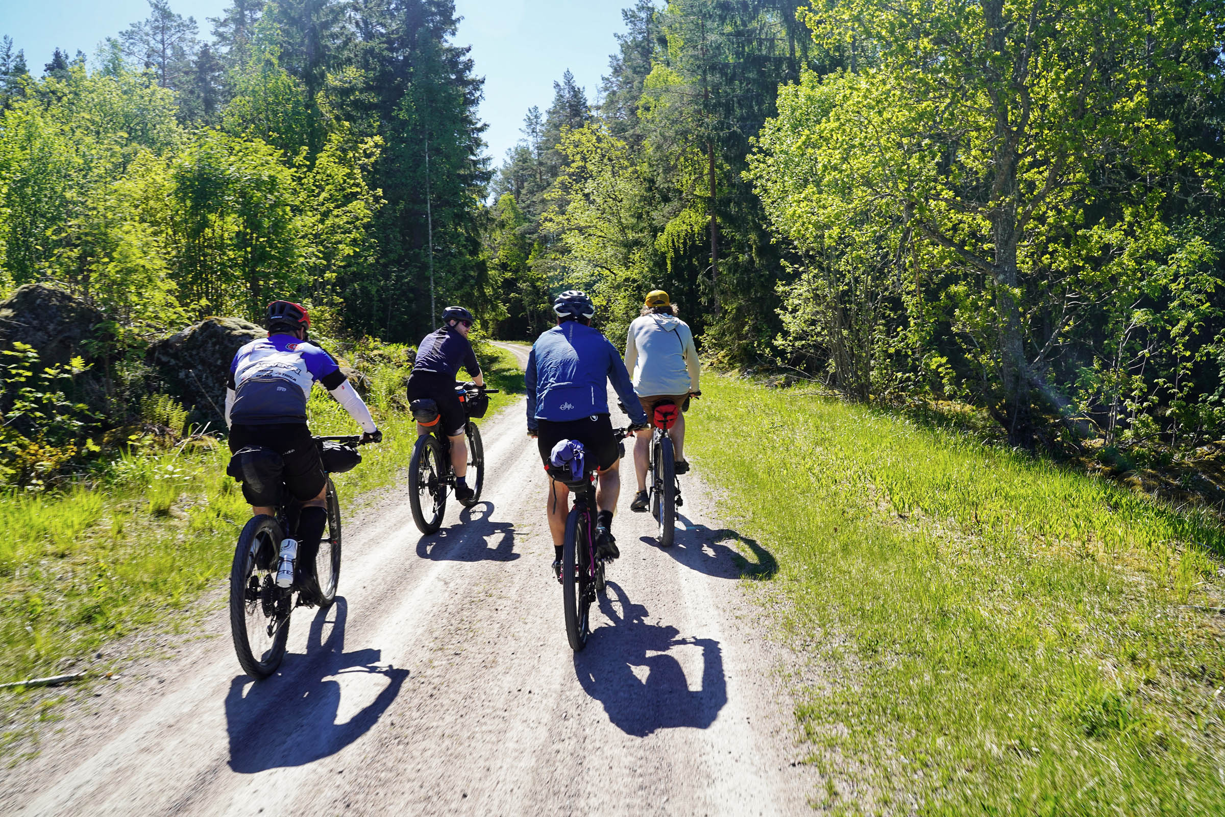
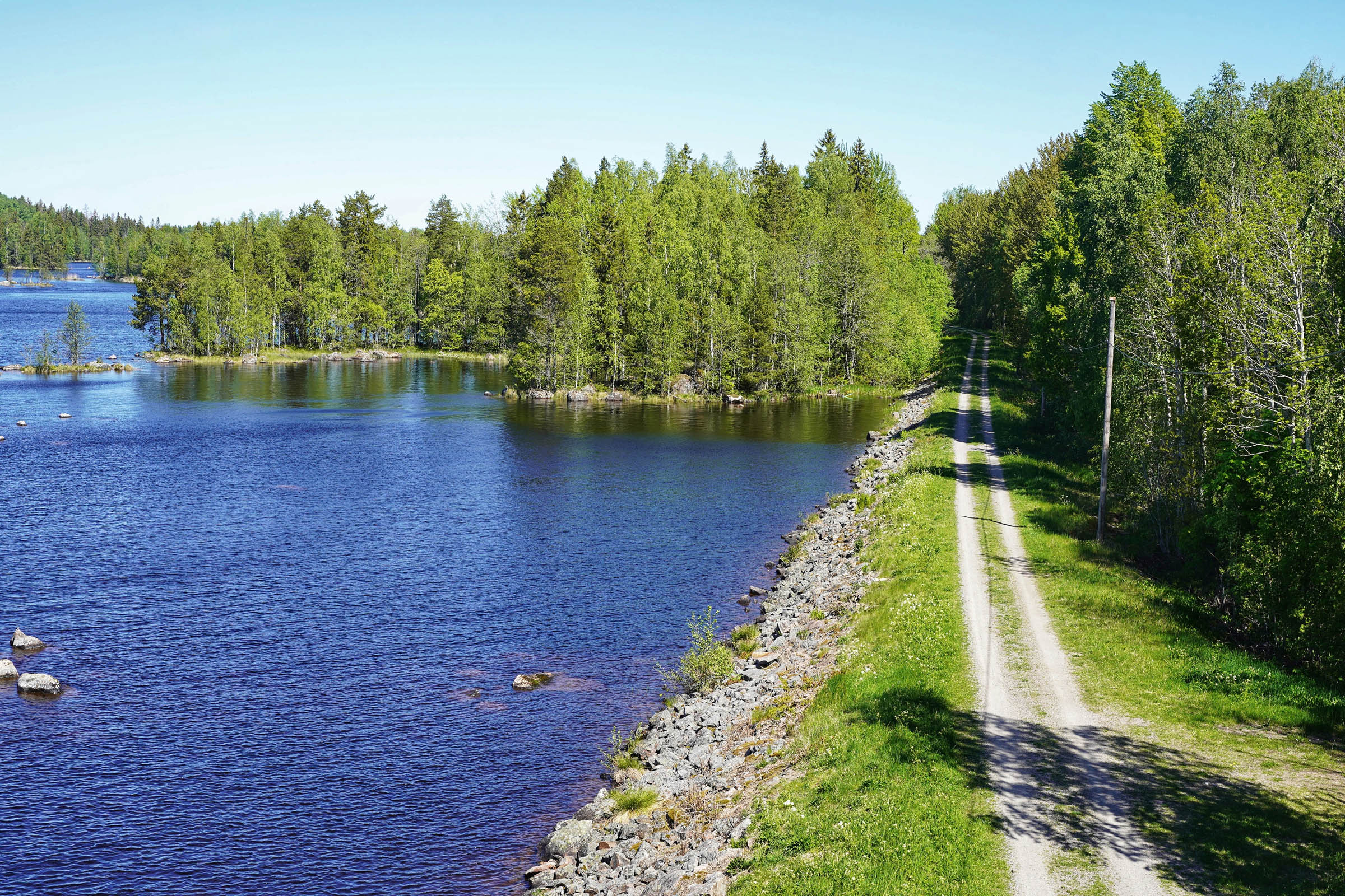
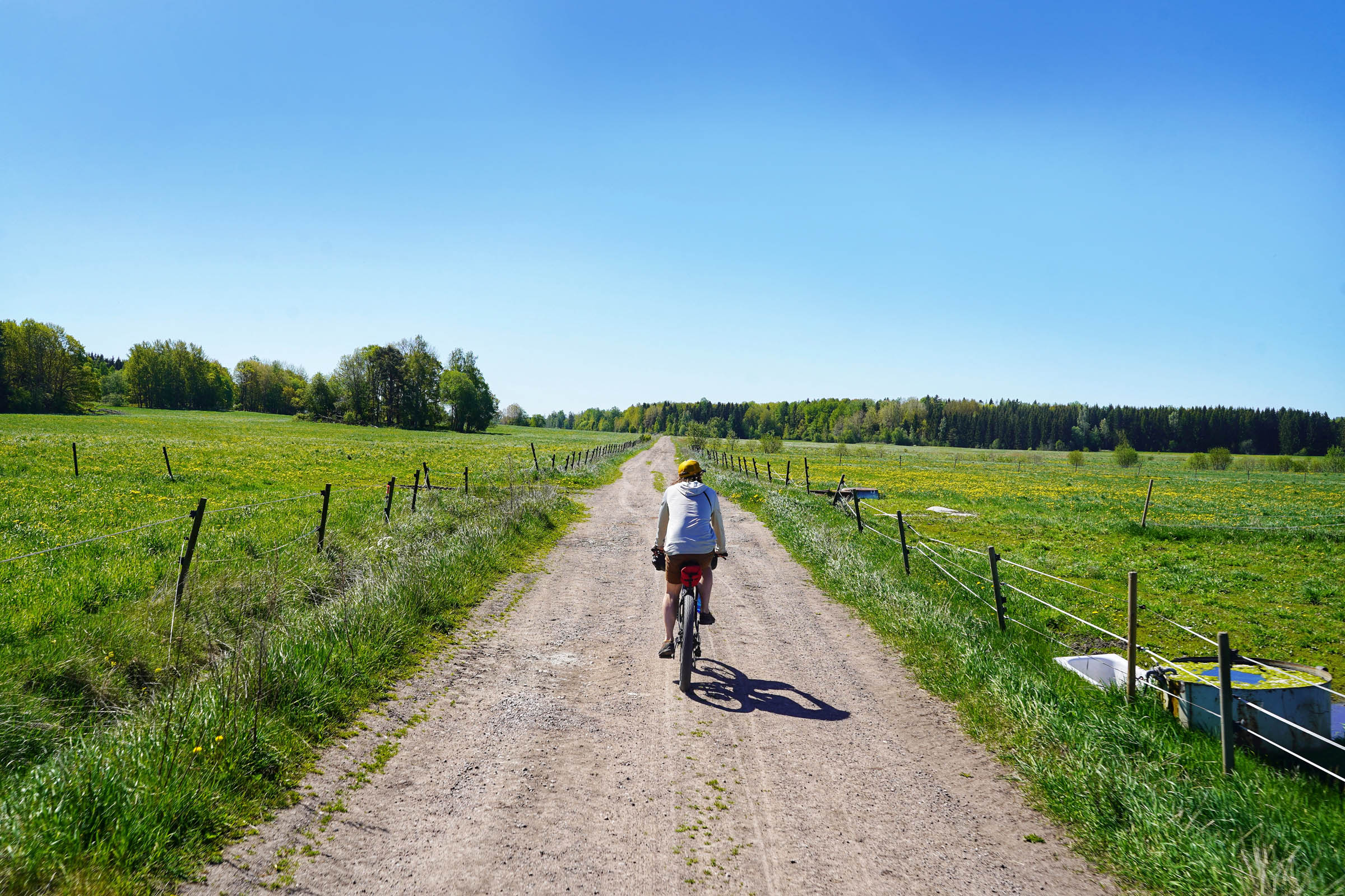
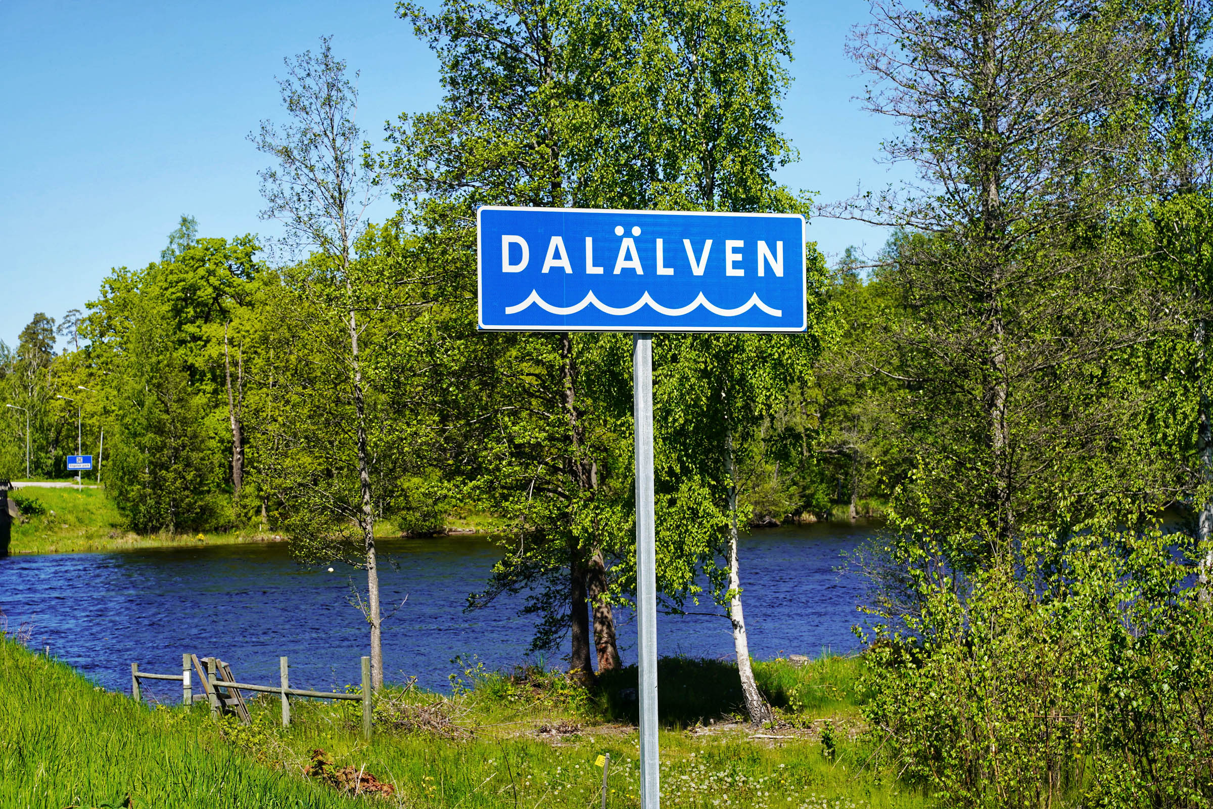
Starting in the 300-year-old historical village of Gysinge, on the edge of Färnebofjärdens National Park, this overnighter route takes you north on abandoned railway lines to loop over the lower section of Sweden’s second longest river, Dalälven. The character of this route is easy going, however, as is often required when linking up sections in bikepacking, you must be prepared to push through some parts to ride the best lines.
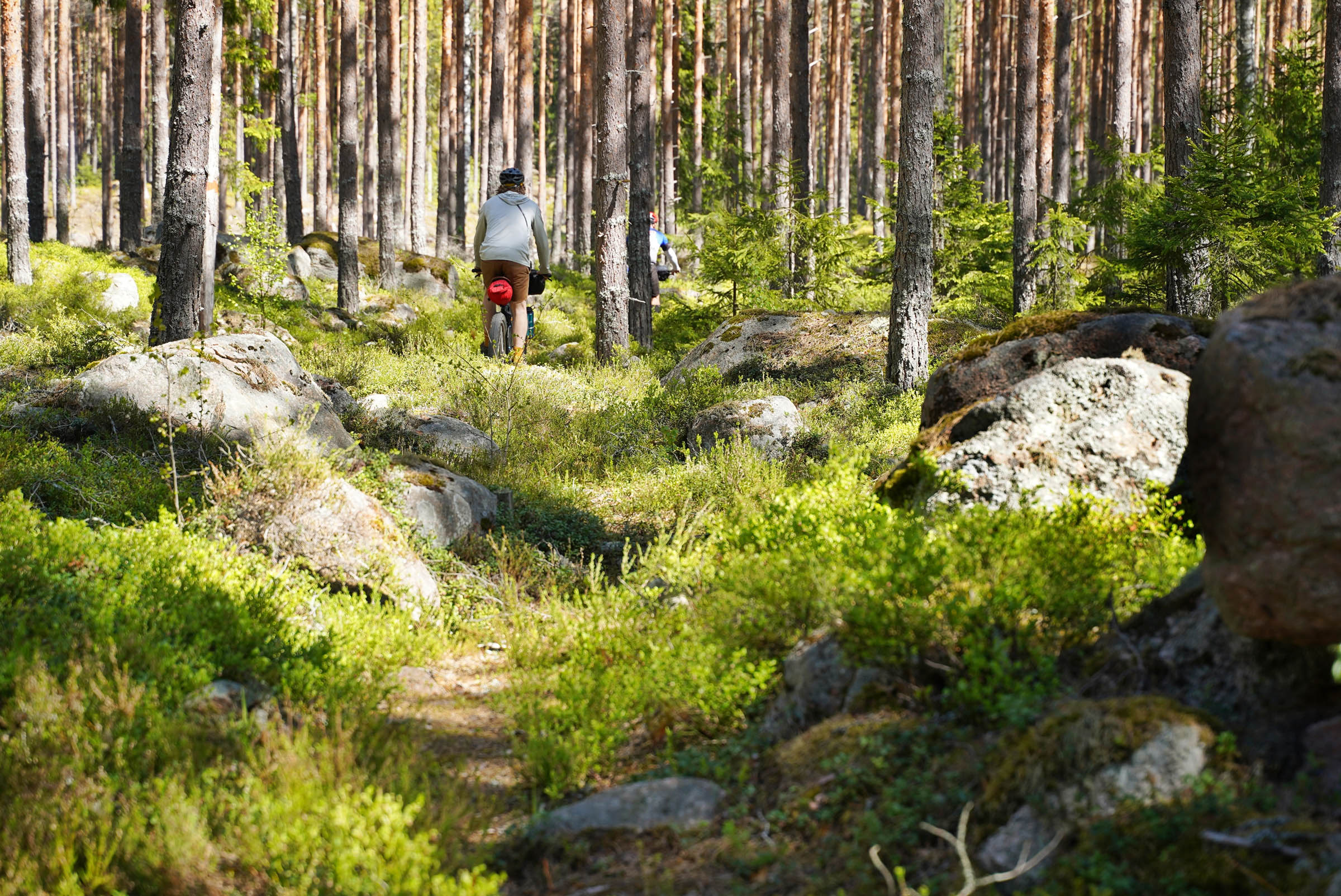
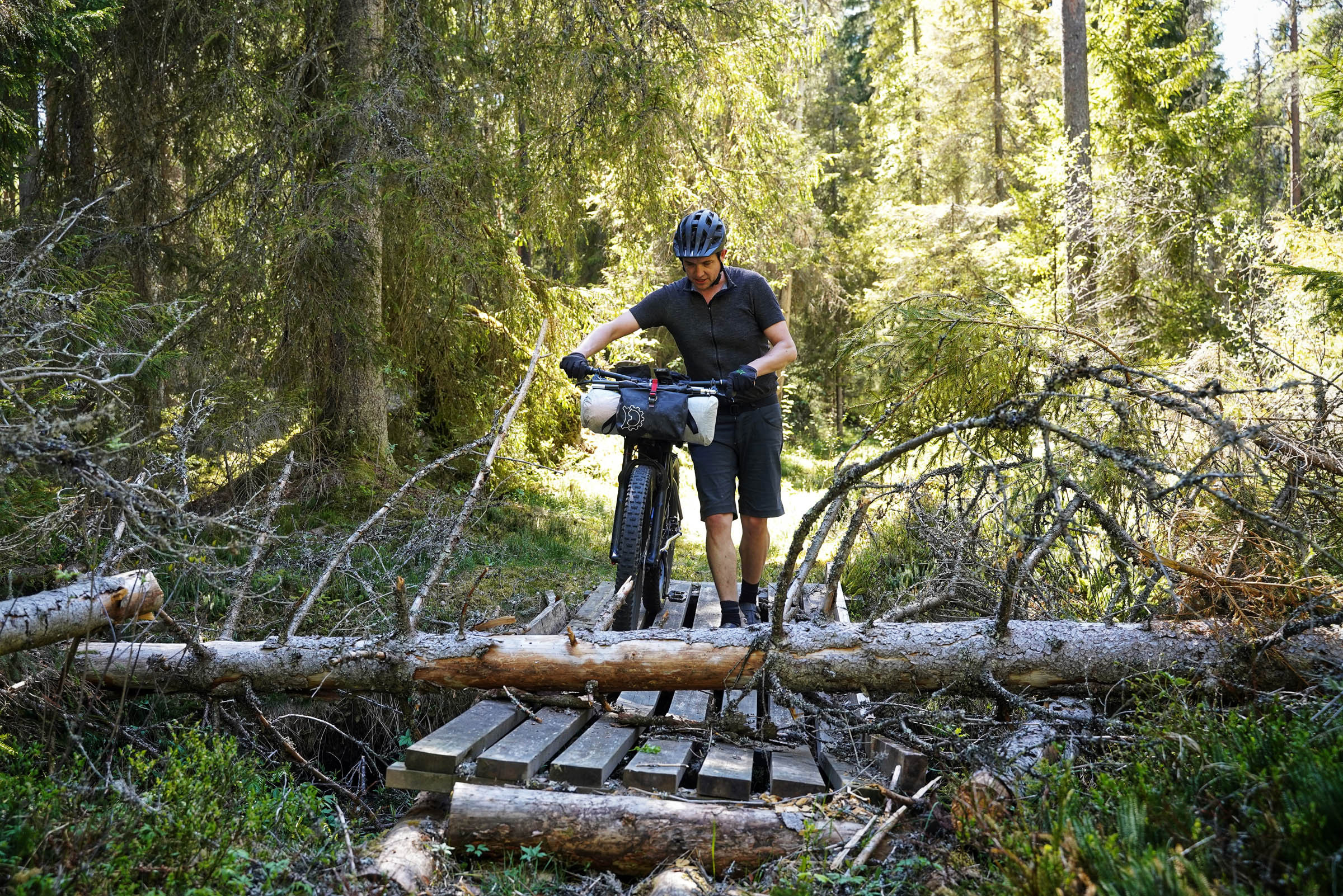
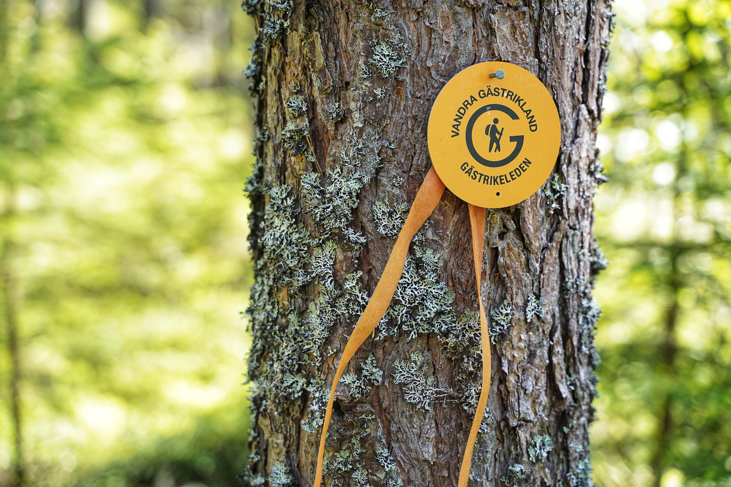
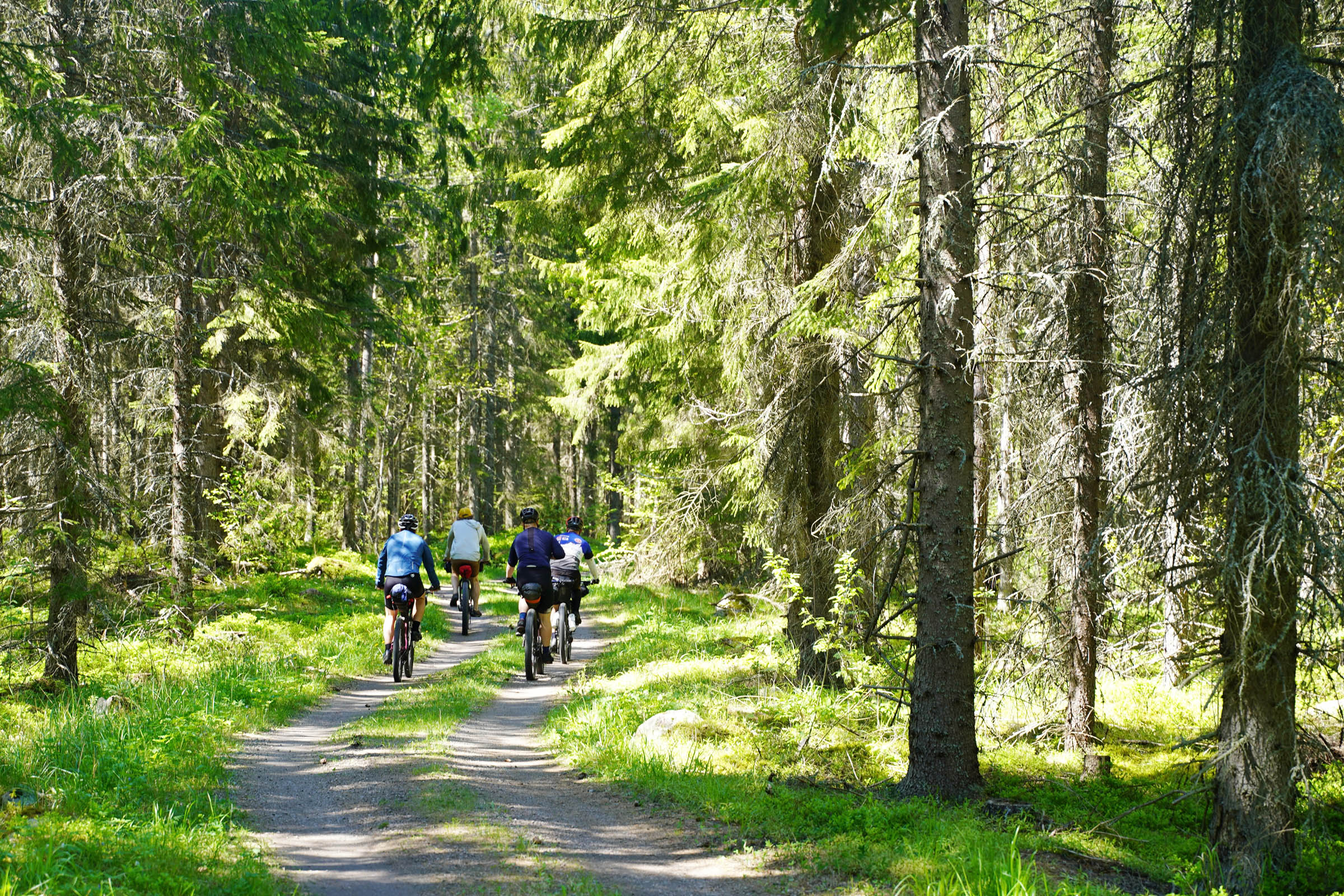
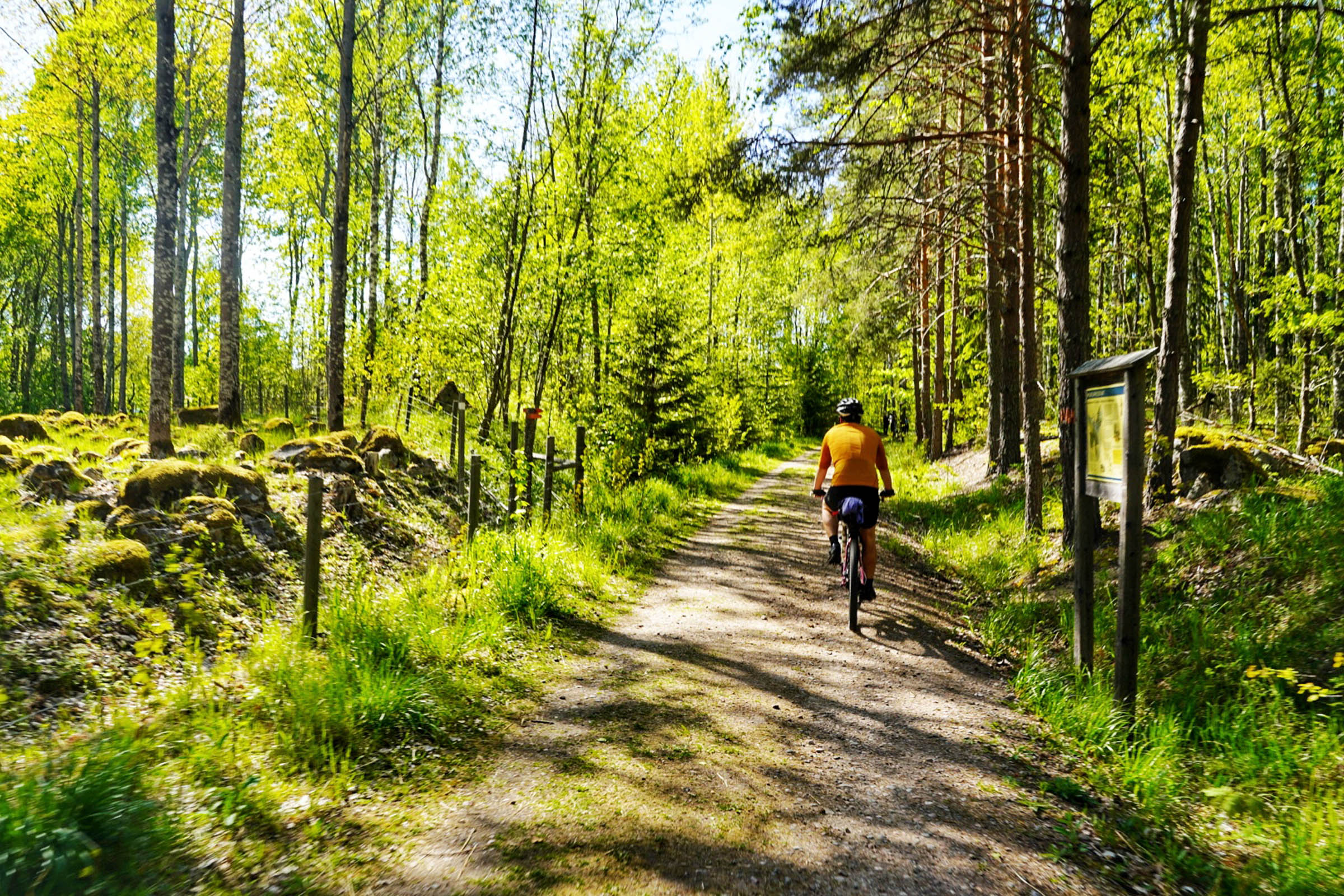
The northern half of Gysinge RTL follows parts of the Gästriksleden hiking trail, switching between the railway line, gravel roads, and singletrack sections. These are all 100% rideable except for one section requiring a one-kilometre singletrack link-up. This beautiful deep forest trail will keep you honest and add to the overall experience. It can be skipped with a long detour, but where’s the fun in that?

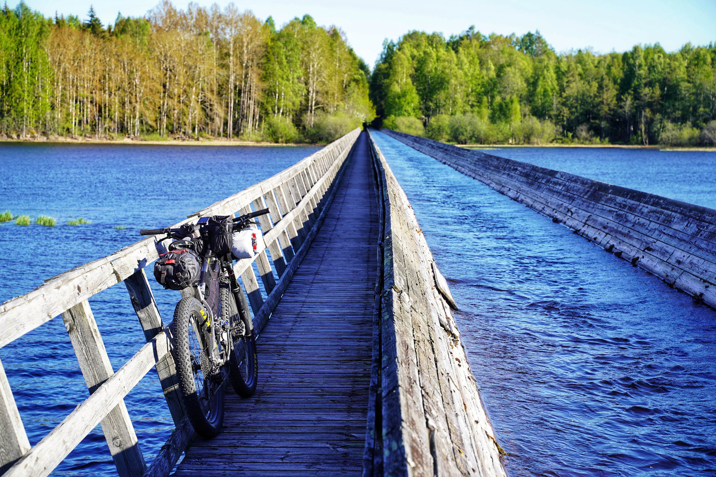
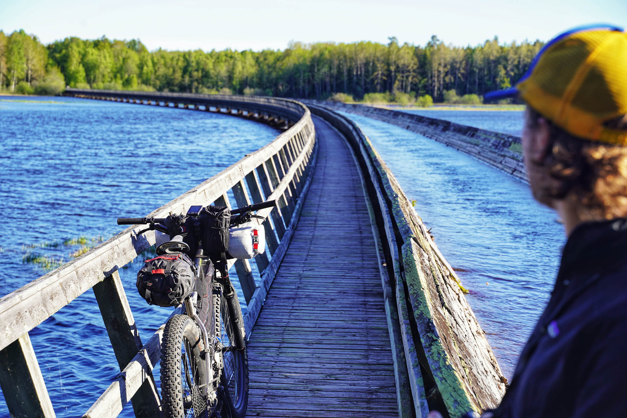
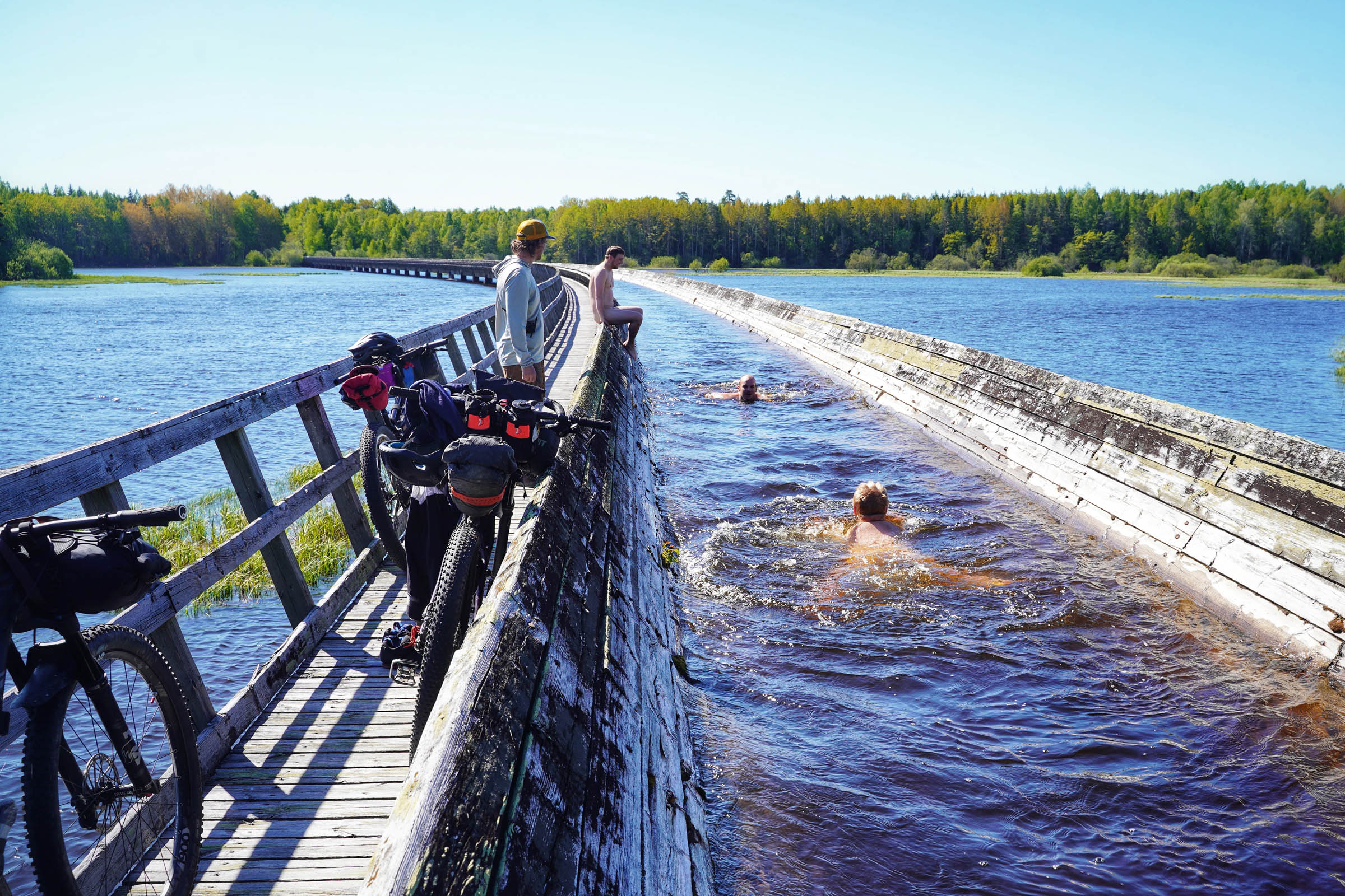
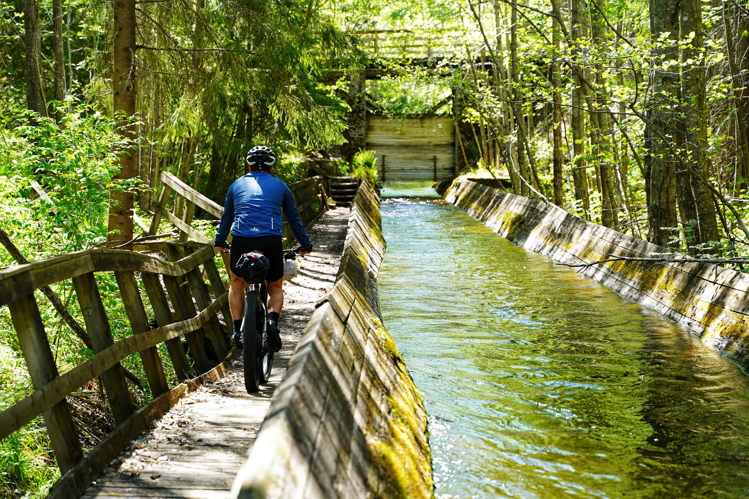
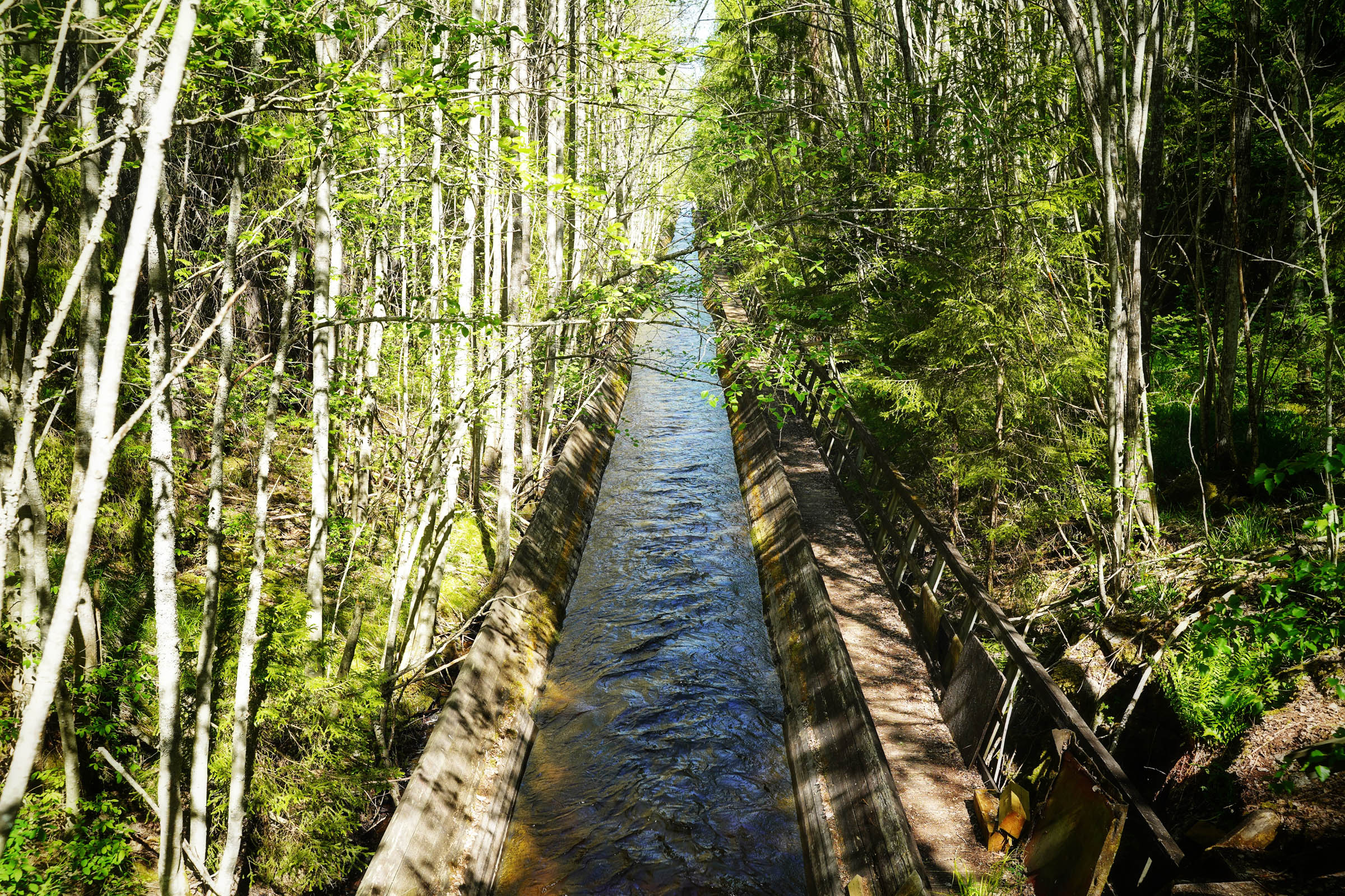
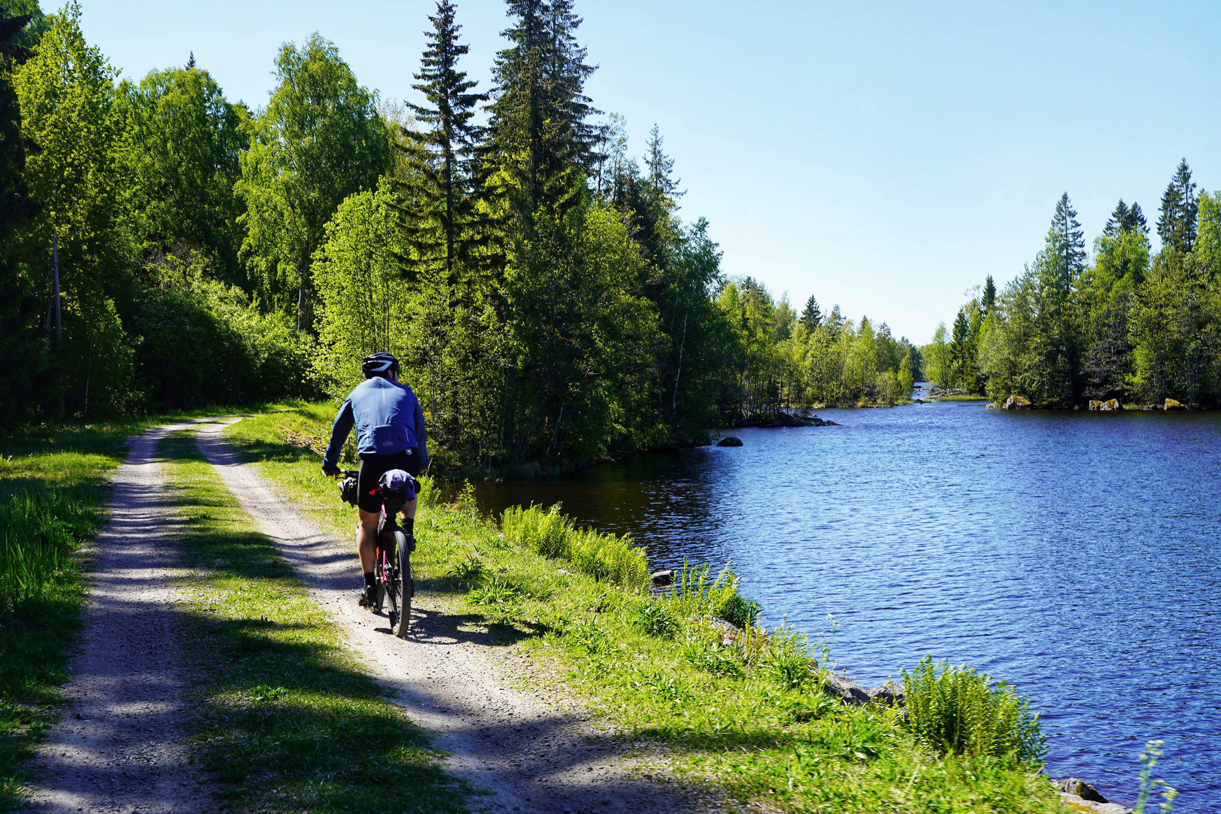
From a young age I developed a love for cartography, and I still regularly spend my time poring over maps. It’s a bit of an obsession. When researching for this route I came across a straight-lined feature that I presumed was an old railway line. There was no evidence to suggest anything else, and with a long span across a wide stretch of the Dalälven River, it made sense. So, you can imagine our surprise when we rode up to a 120-year old-hand built wooden canal, Spjutkanalen. The Spjut Canal was built in 1898 to help transport logs along the Dalälven from the Swedish mountains to the coast. Our trail follows along 7km of this 30km canal, and the long spanning bridge over the Dalälven is definitely one of the highlights of the tour.
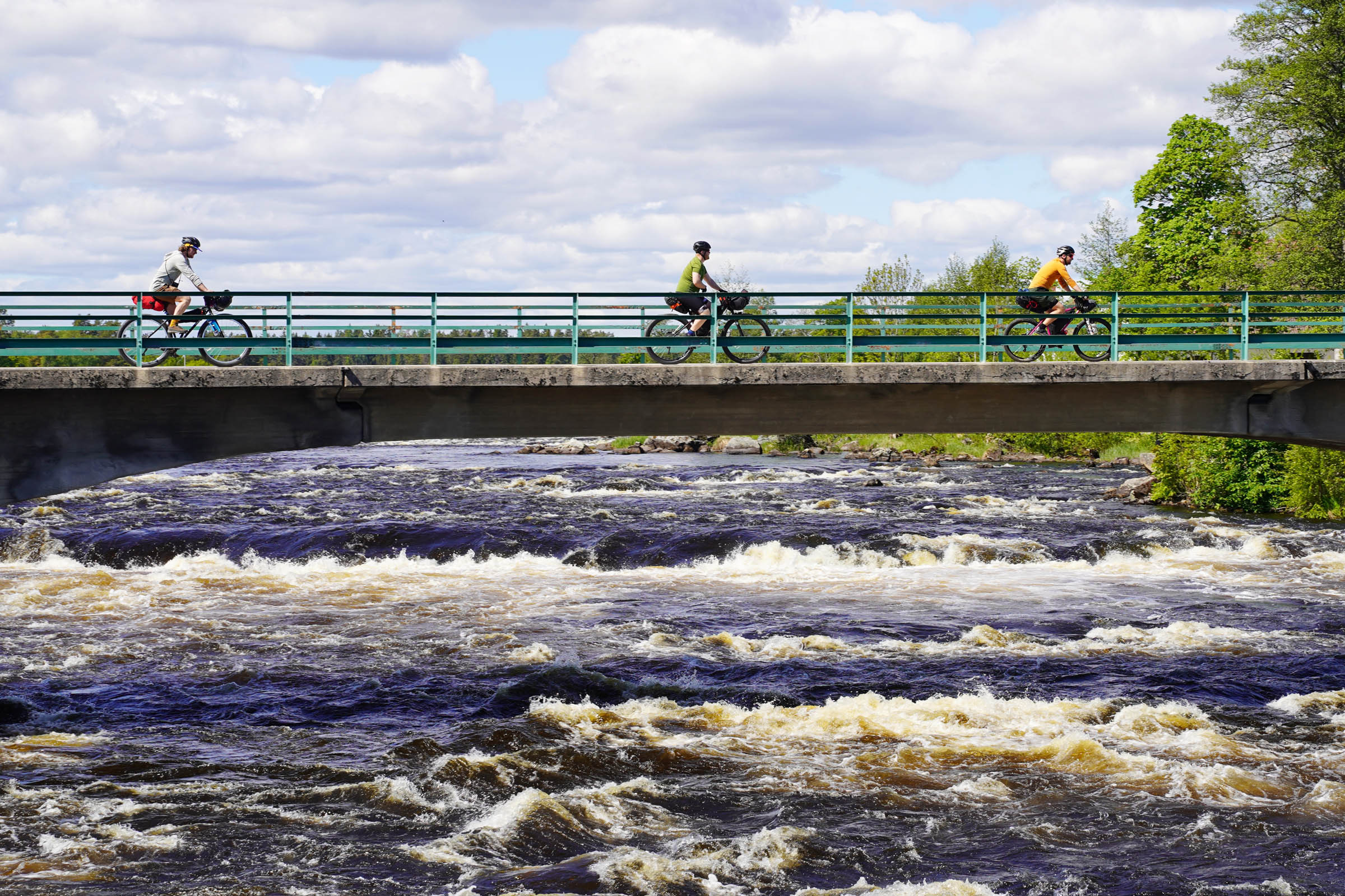
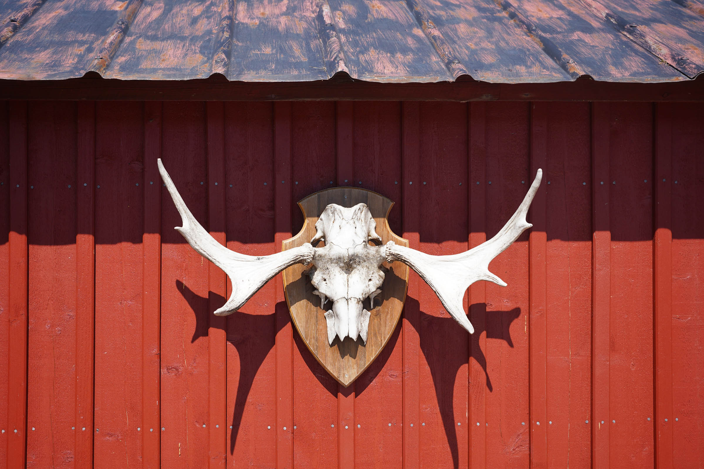
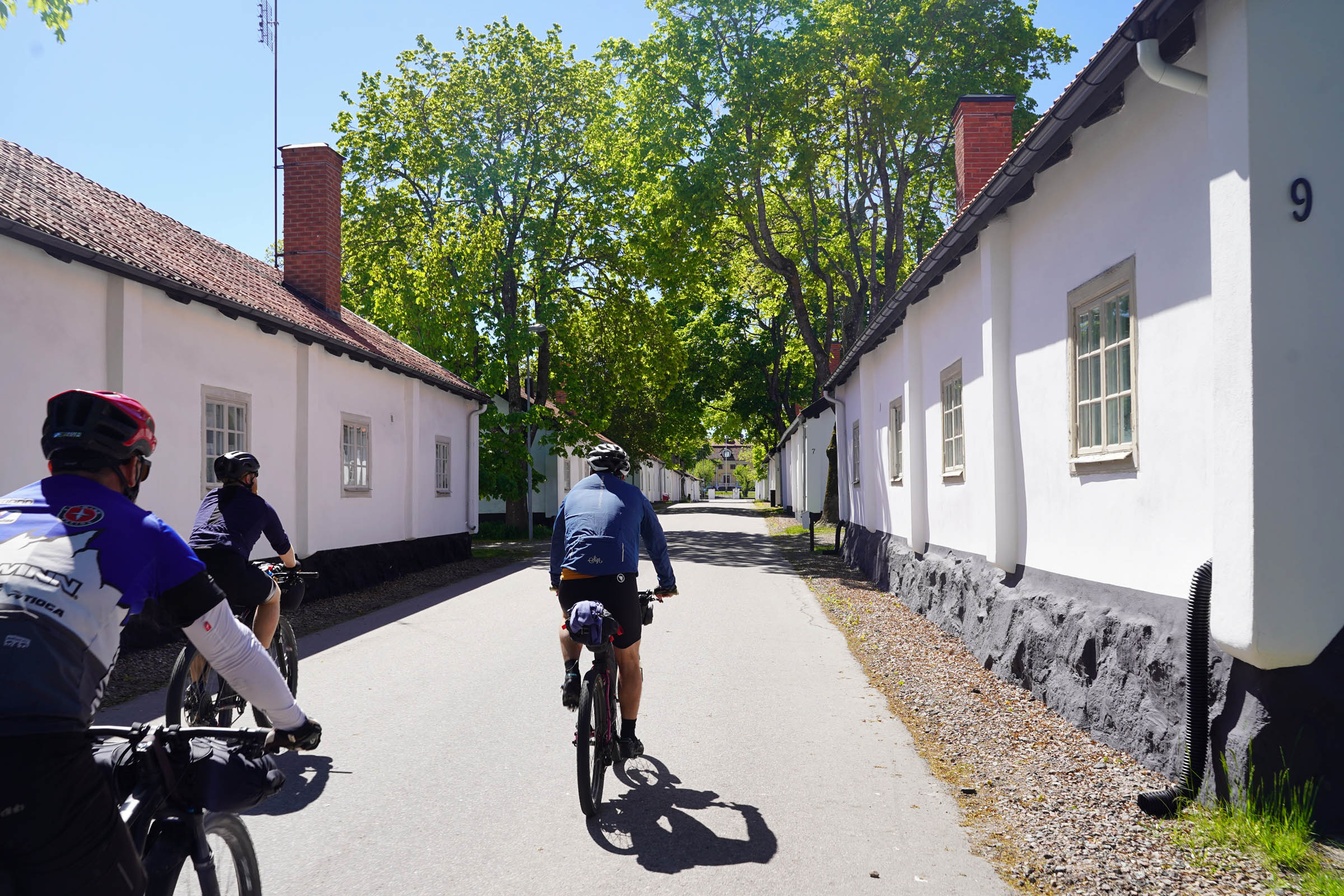
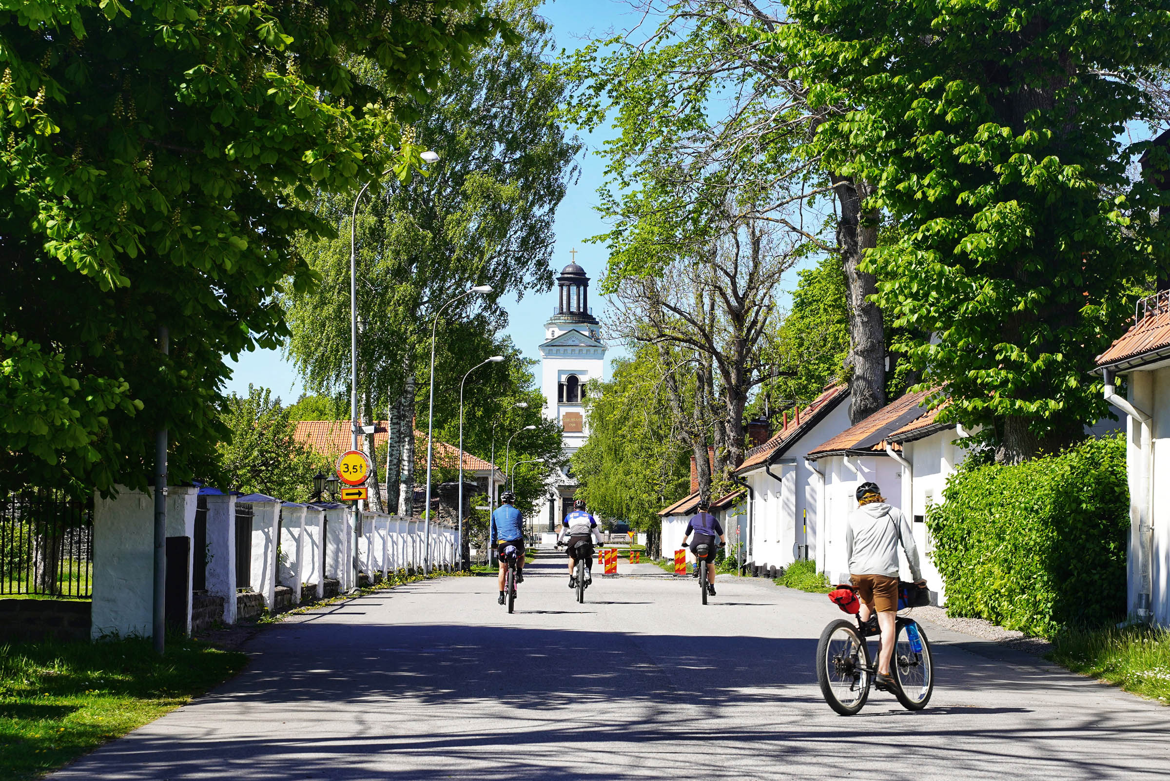
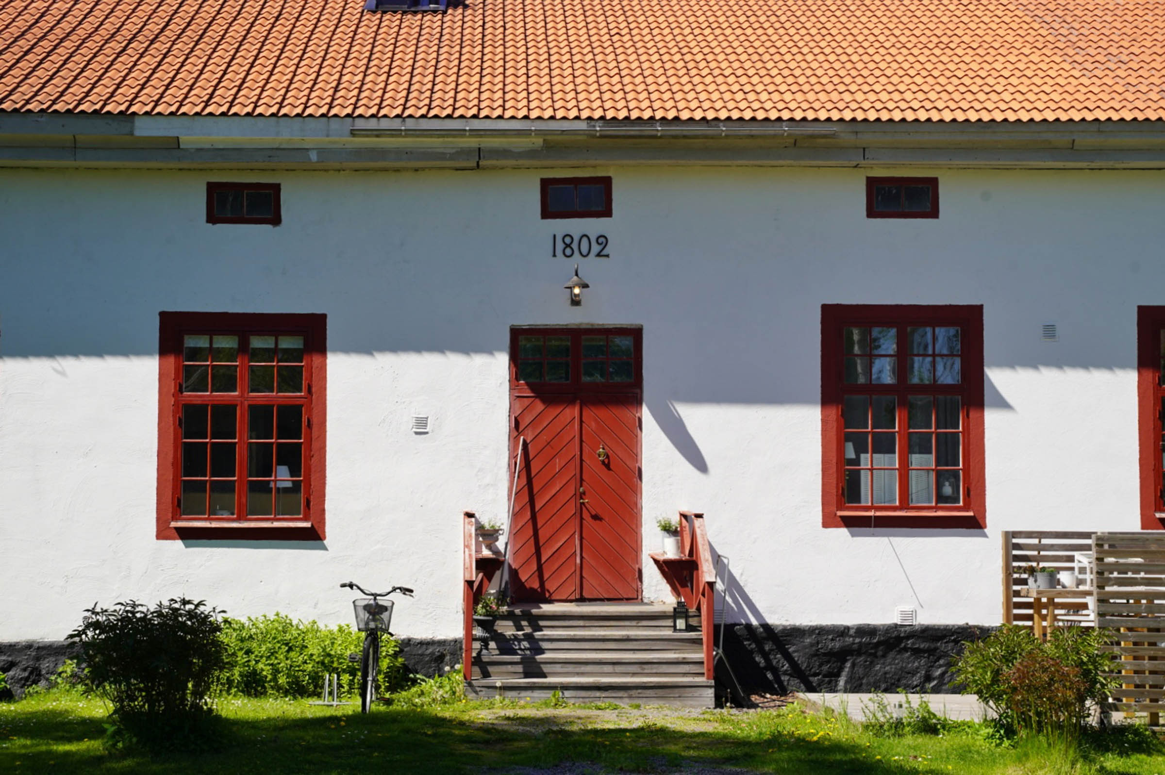
A forgotten railway line gives us an escape from the sealed road and brings us to the spectacular village of Söderfors. A perfectly preserved “bruk” (iron working village) complete with its huge mansion (now a hotel), cathedral-sized church, and perfectly aligned worker’s houses allow us a glimpse back in time to where the world’s best iron anchors were once made.
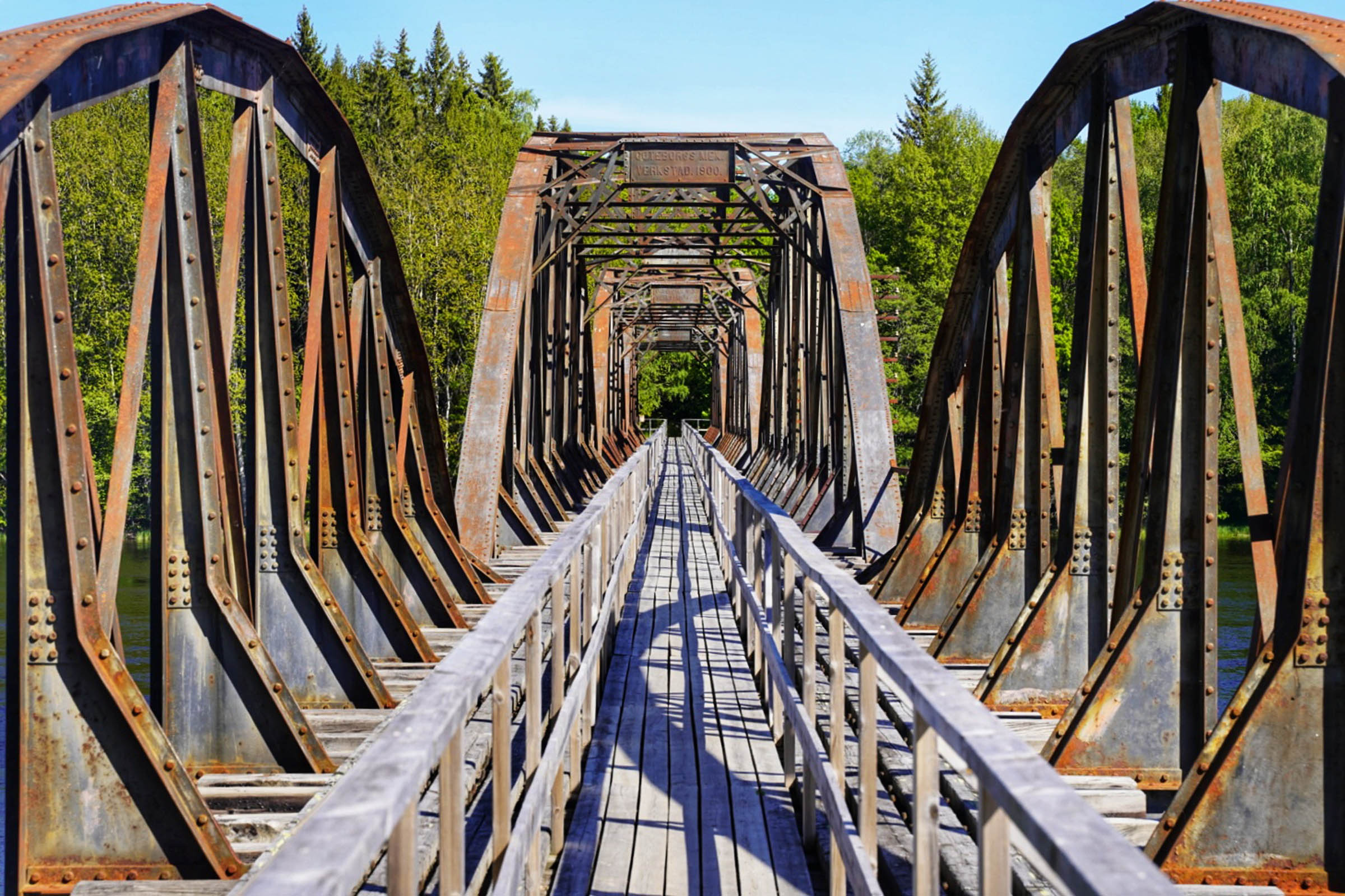
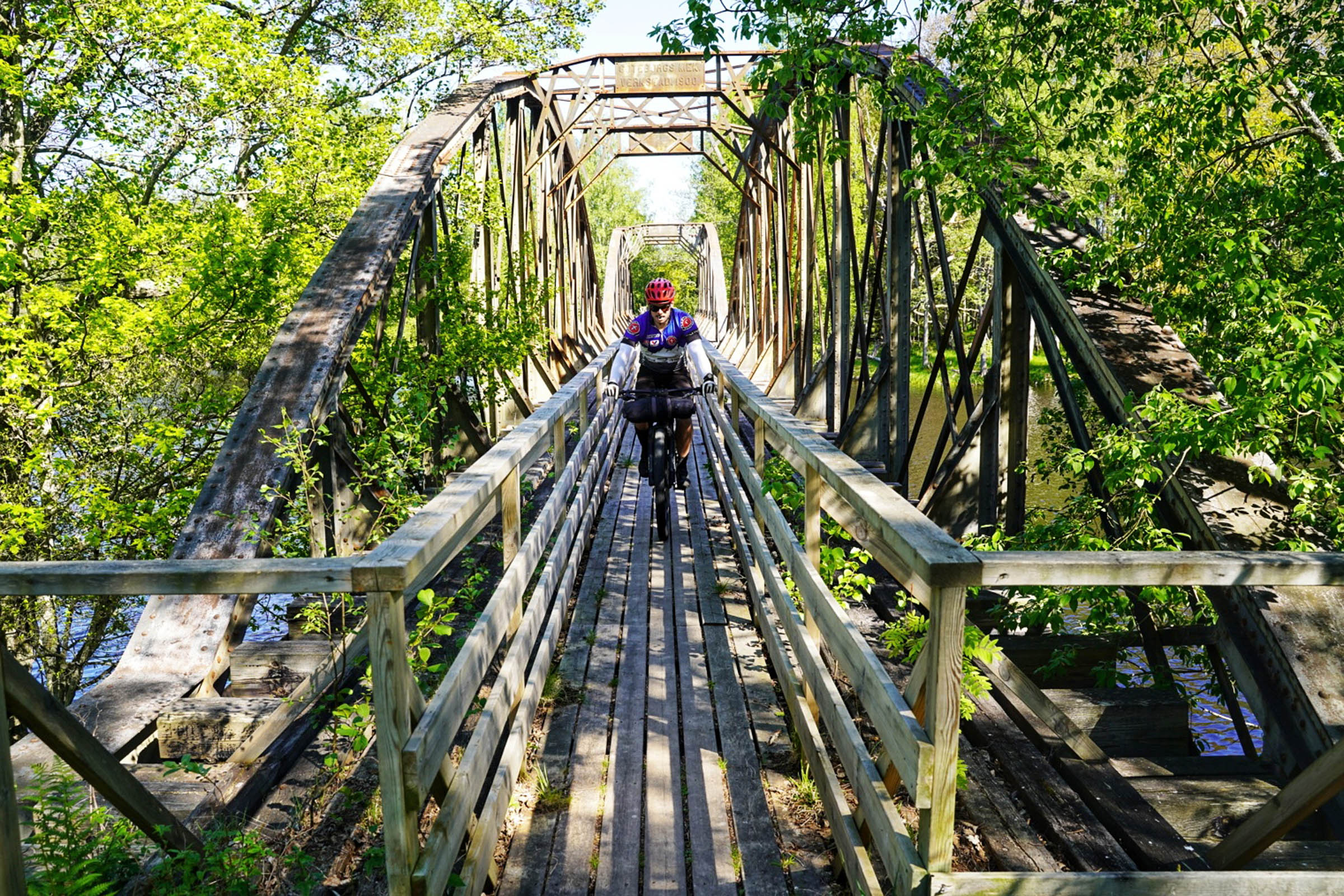
The surprises aren’t finished there, though, as a hidden entrance to another overgrown abandoned railway line leads you up to several old iron bridges. Built in 1900, these bridges have been narrowed and are closed to all motor traffic. If you’re steady enough on your bike you might just make it through without touching your handlebars.
Route Development: I was originally looking to do a bikerafting route somewhere close to Stockholm when I began to research this area. On closer inspection of the region, it became obvious that a pure bikepacking ride would also be amazing. Sweden has over 250,000km of gravel roads, so it is just a matter of finding the points of interest and joining the dots in an elegant manner. It was an easy exercise in this region with this itinerary providing an amazing amount of history, culture, and adventure, all within a 101km route.


Submit Route Alert
As the leading creator and publisher of bikepacking routes, BIKEPACKING.com endeavors to maintain, improve, and advocate for our growing network of bikepacking routes all over the world. As such, our editorial team, route creators, and Route Stewards serve as mediators for route improvements and opportunities for connectivity, conservation, and community growth around these routes. To facilitate these efforts, we rely on our Bikepacking Collective and the greater bikepacking community to call attention to critical issues and opportunities that are discovered while riding these routes. If you have a vital issue or opportunity regarding this route that pertains to one of the subjects below, please let us know:
Highlights
Must Know
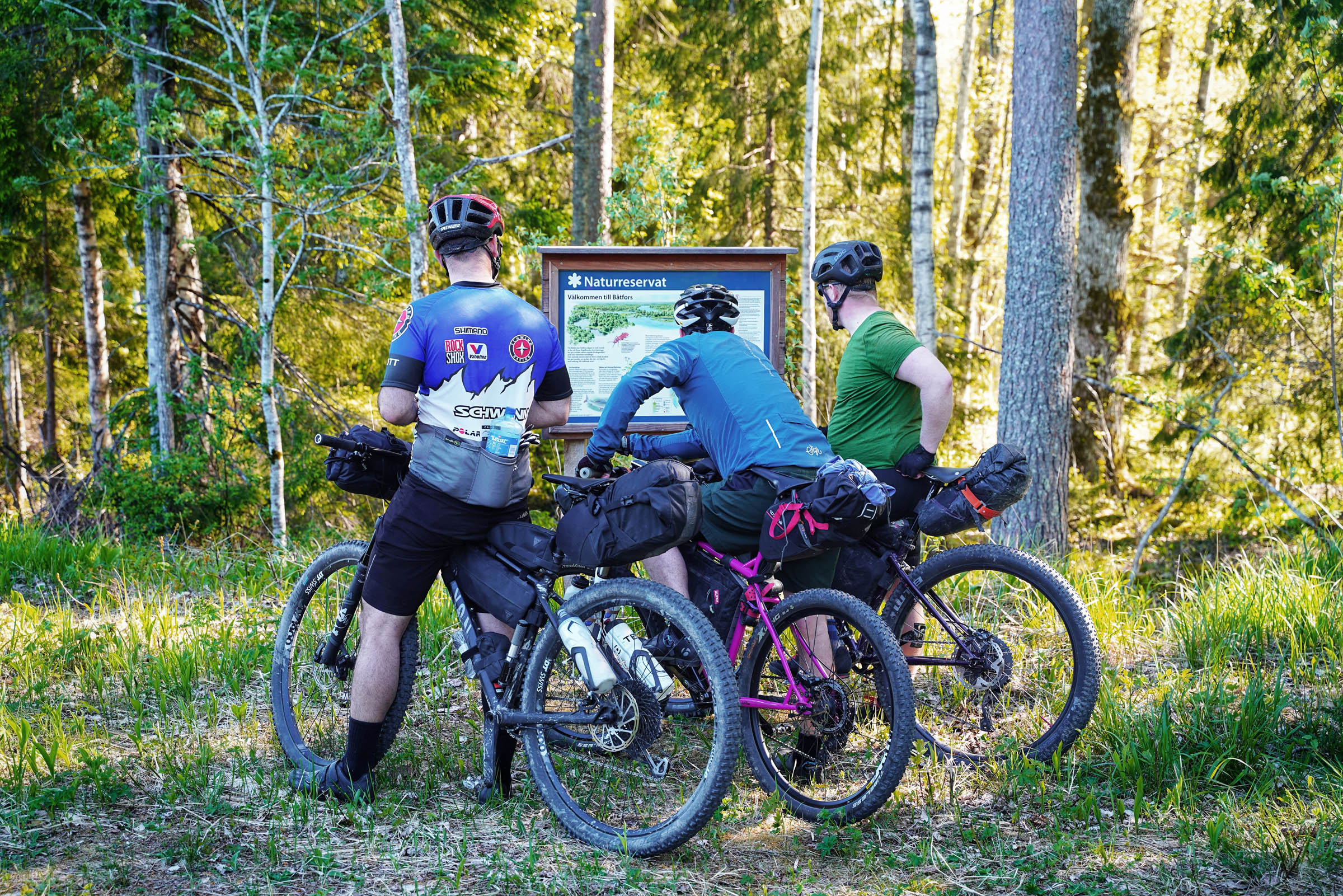
Camping
Food/H2O
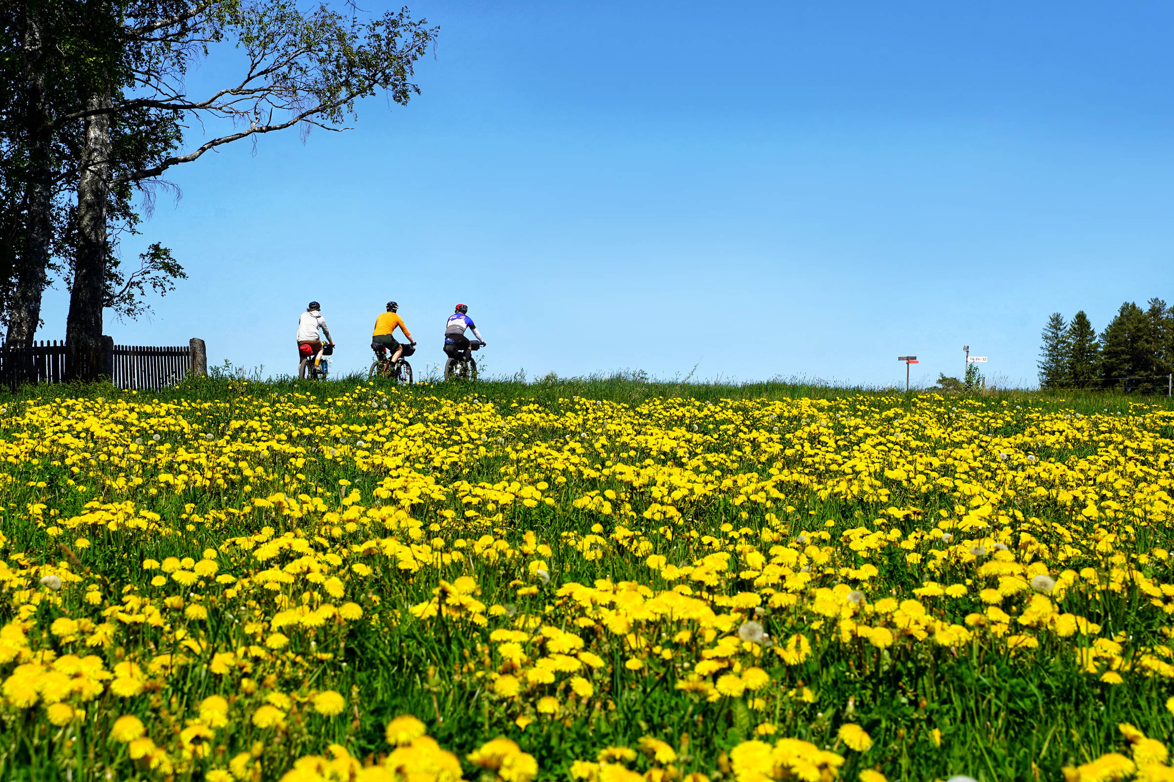
- Exploring the 300-year-old ironworking villages of Gysinge and Söderfors.
- Crossing the abandoned iron railway bridges.
- Traversing the wooden Spjutkanalen over the Dalälven River.
- Experiencing the lost feeling in the deep forests of Uppland.
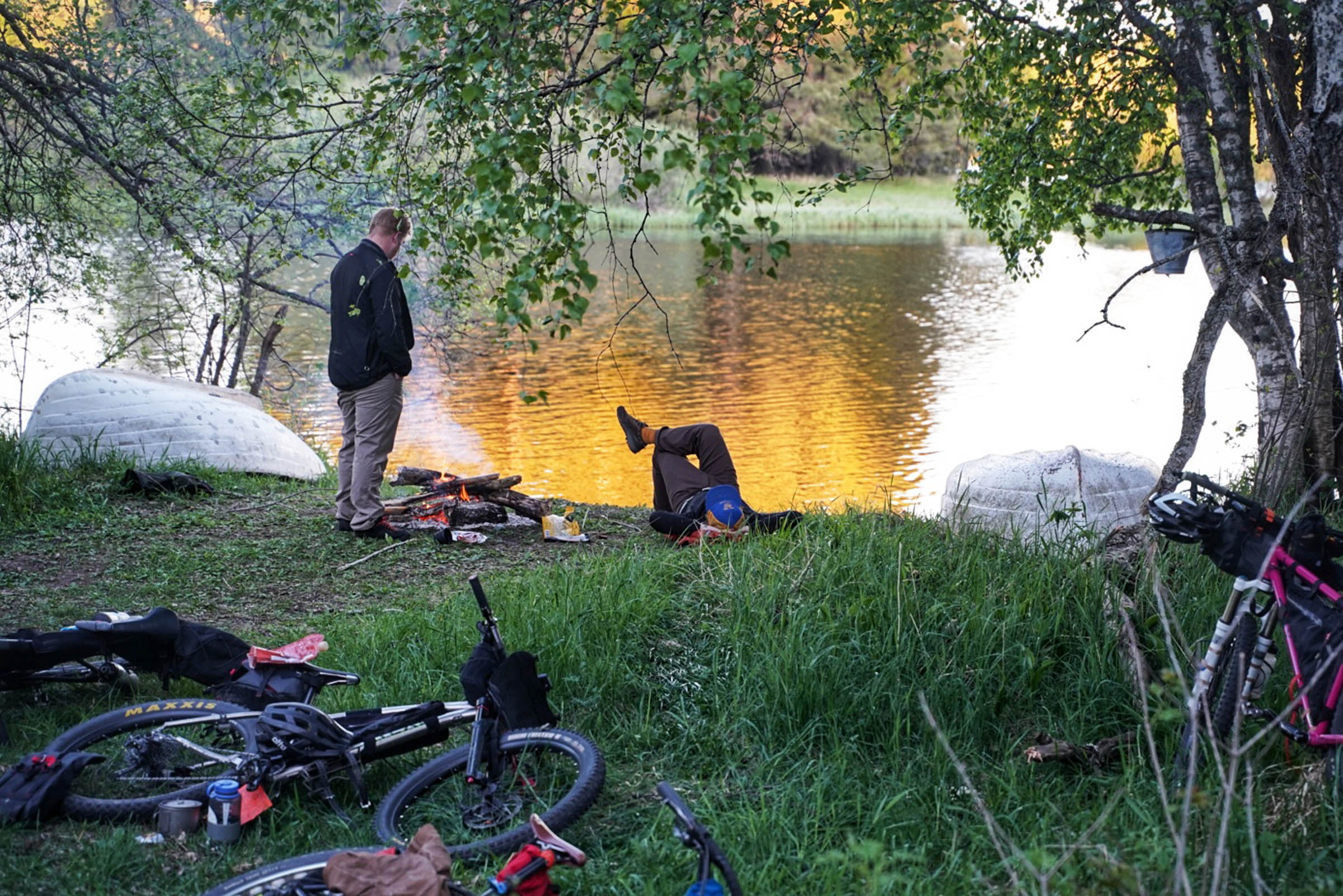
- Watching the fishermen trying their luck at the rapids in Gysinge.
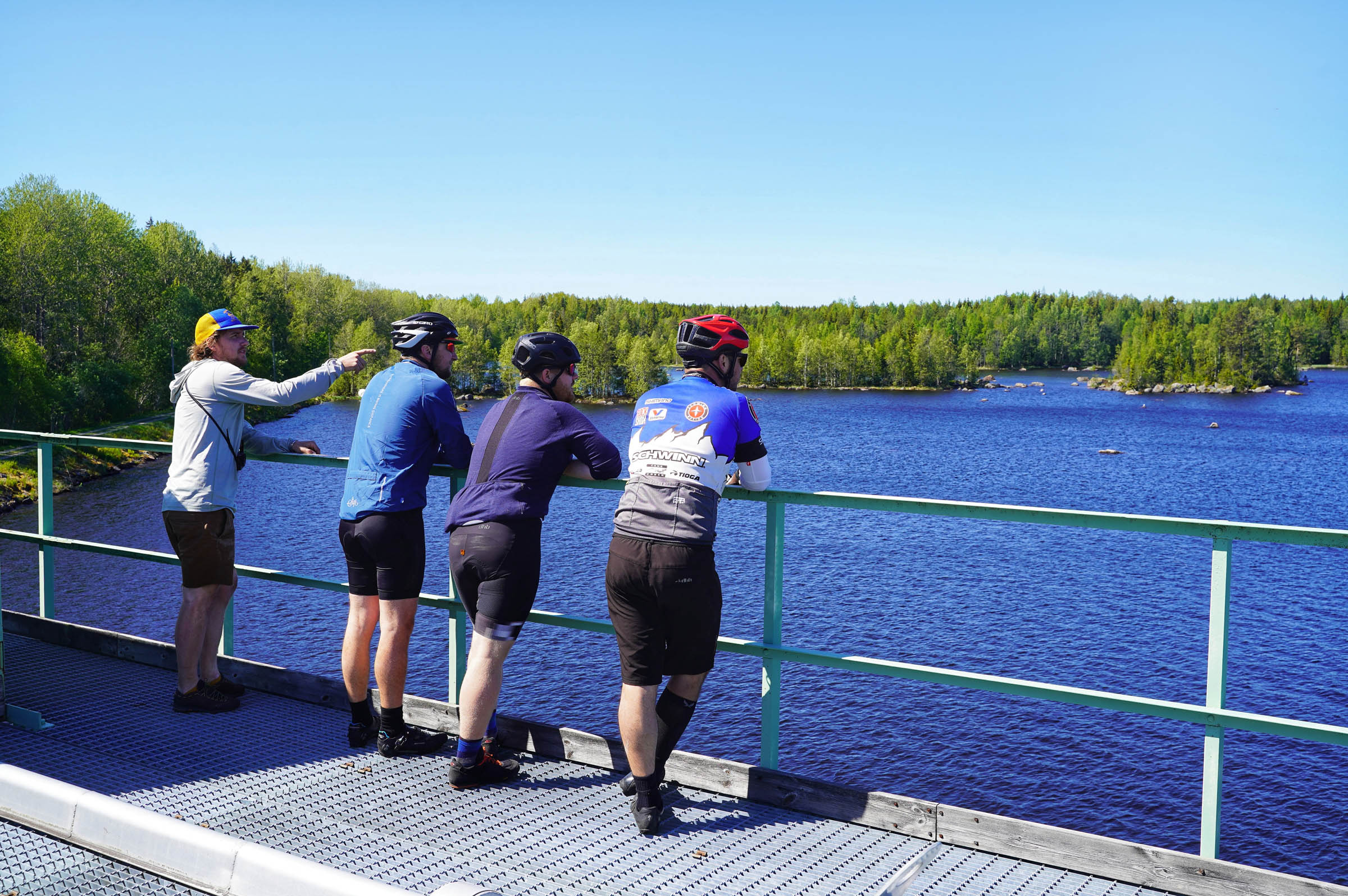
- Climbing the dam towers to view the Untrafjärden waters.
- Riding both sides of the official dividing line between north and south Sweden.
- The lower Dalälven region is infamous for its mosquitoes. Floodplains and marsh lands are the perfect breeding grounds, of which there are plenty. From the end of May until the first frost in October, be prepared for them if riding this tour. In saying that, there were almost none when we rode the route in late May.
- Parts of the trail were sandy enough to warrant MTB tyres. We suggest a minimum of 2.3” tyres.
- We began our tour in Gysinge after driving 120km up from Stockholm. We left our cars in the free parking of the Gysinge Nature Reserve. If you don’t have a car you can take the Pendaltåg or Mälartåg trains to Uppsala and then a second train, Upptåget to Tierp, and bike the 18km to Söderfors to meet the trail.
- We rode the route clockwise but either way would work.
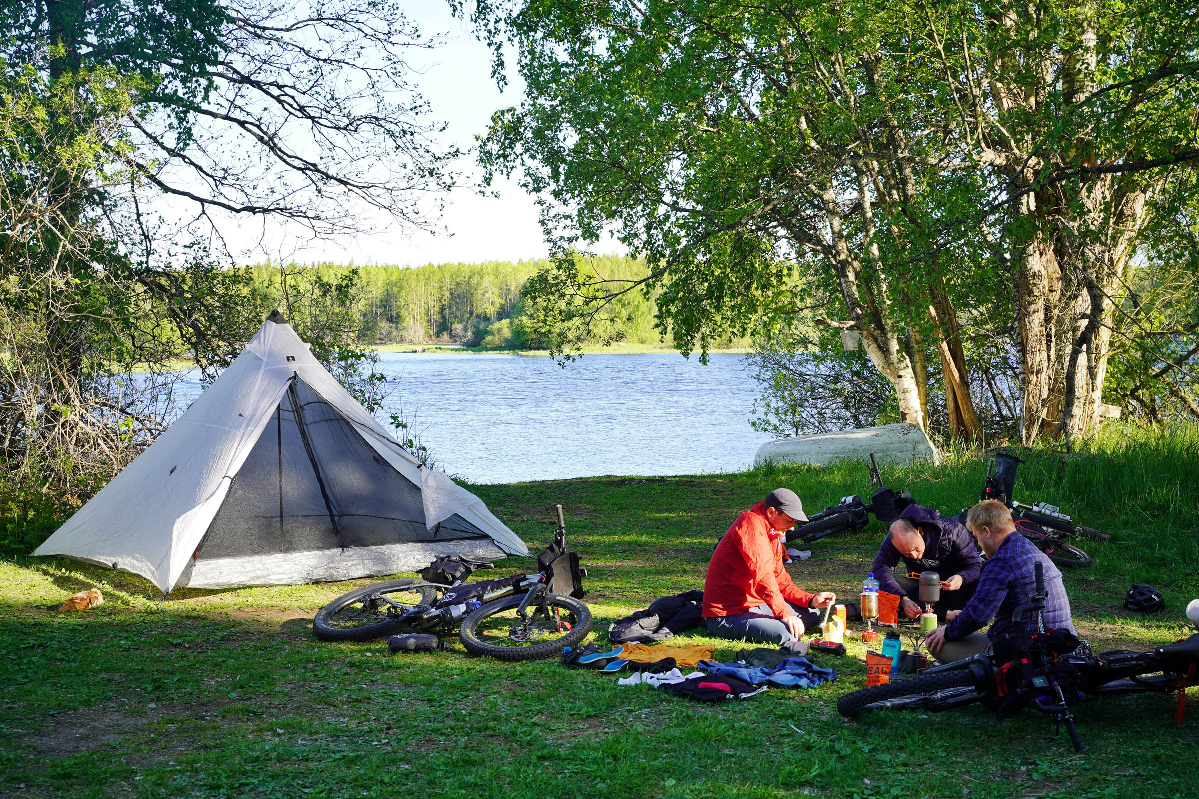
- Allemansrätt is a group of bylaws which add up to allowing you to roam freely through the Swedish countryside. They also facilitate wild camping for up to two nights in the same location. It’s not quite a ‘free for all’ and some rules apply but in general you can camp where you please. For more information go to VisitSweden.com.
- There are food stores in Heddesunda and Söderfors.
- Since the tour follows around the Dalälven river there is nearly always access to water. We filtered or boiled before drinking.


Terms of Use: As with each bikepacking route guide published on BIKEPACKING.com, should you choose to cycle this route, do so at your own risk. Prior to setting out check current local weather, conditions, and land/road closures. While riding, obey all public and private land use restrictions and rules, carry proper safety and navigational equipment, and of course, follow the #leavenotrace guidelines. The information found herein is simply a planning resource to be used as a point of inspiration in conjunction with your own due-diligence. In spite of the fact that this route, associated GPS track (GPX and maps), and all route guidelines were prepared under diligent research by the specified contributor and/or contributors, the accuracy of such and judgement of the author is not guaranteed. BIKEPACKING.com LLC, its partners, associates, and contributors are in no way liable for personal injury, damage to personal property, or any other such situation that might happen to individual riders cycling or following this route.
Please keep the conversation civil, constructive, and inclusive, or your comment will be removed.