


Huddingeleden (Sweden)
Distance
49 Mi.
(79 KM)Days
2
% Unpaved
70%
% Singletrack
43%
% Rideable (time)
97%
Total Ascent
2,533'
(772 M)High Point
300'
(91 M)Difficulty (1-10)
6?
- 3Climbing Scale Fair52 FT/MI (10 M/KM)
- -Technical Difficulty
- -Physical Demand
- -Resupply & Logistics
Contributed By
Michael O'Dwyer
Bikepacking Sweden
I don’t remember how I first came across this route, but it was most likely when I was out on a day ride and saw one of its orange trail markers nailed to a tree. However, there are no signs to suggest the beginning or any to indicate the finish. There’s very little information online, inaccurate GPX files, and not a single Stockholm biker I know has any knowledge of this trail. That’s to say: the Huddingeleden was an unknown that needed to be explored.
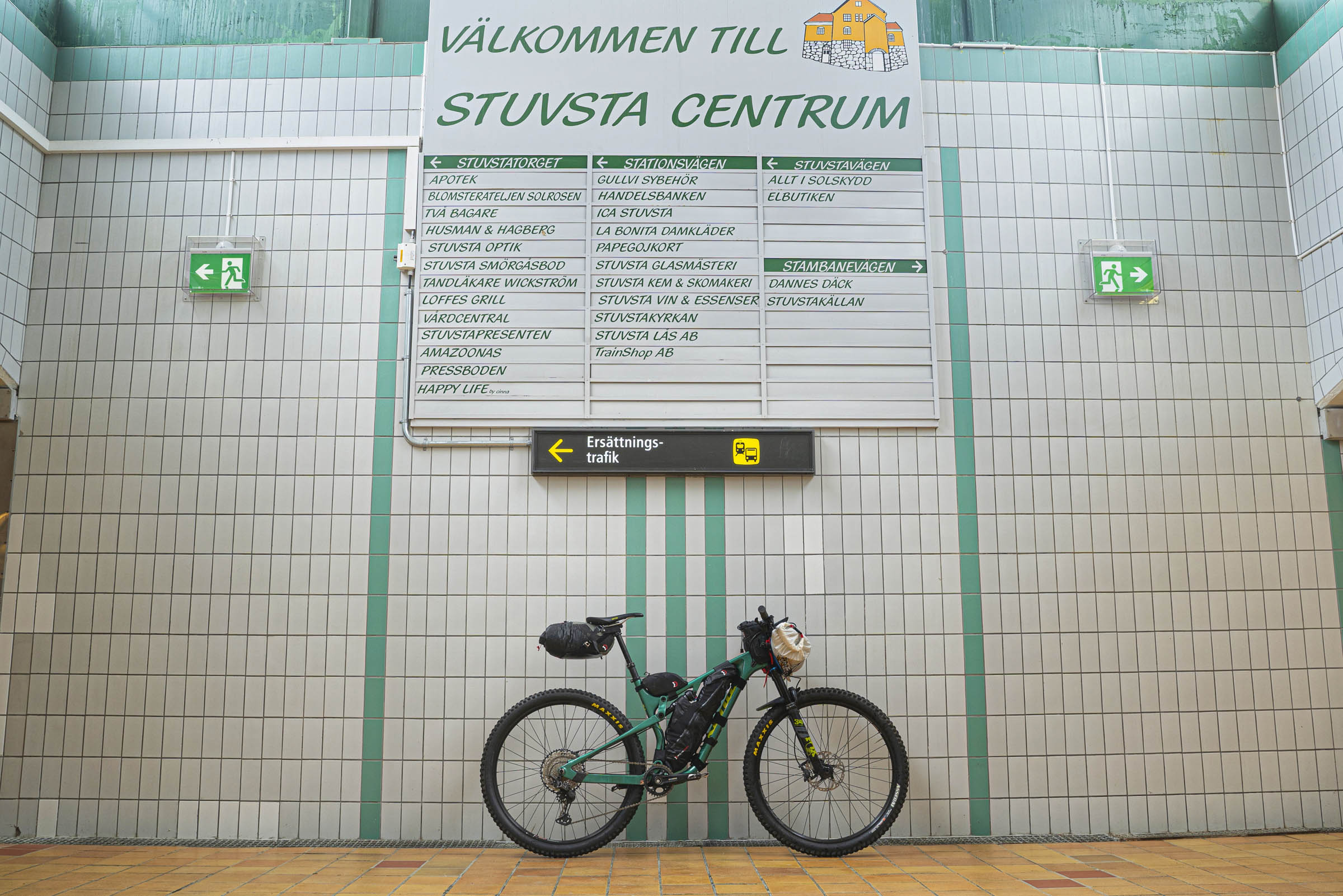
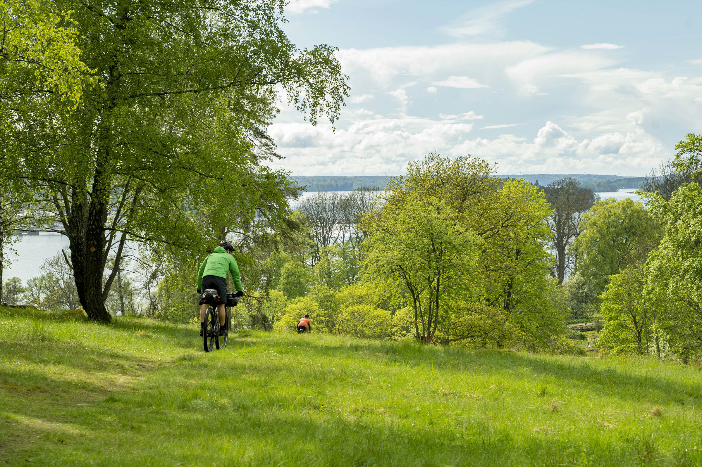
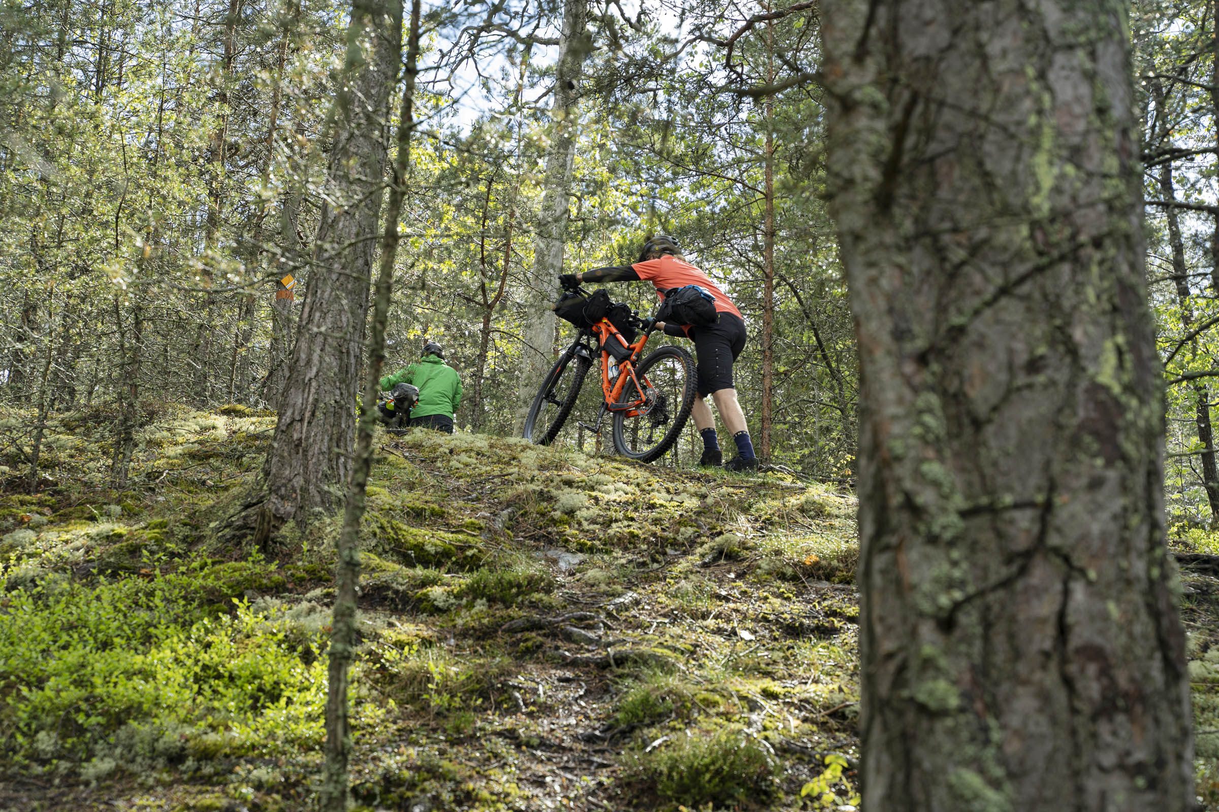
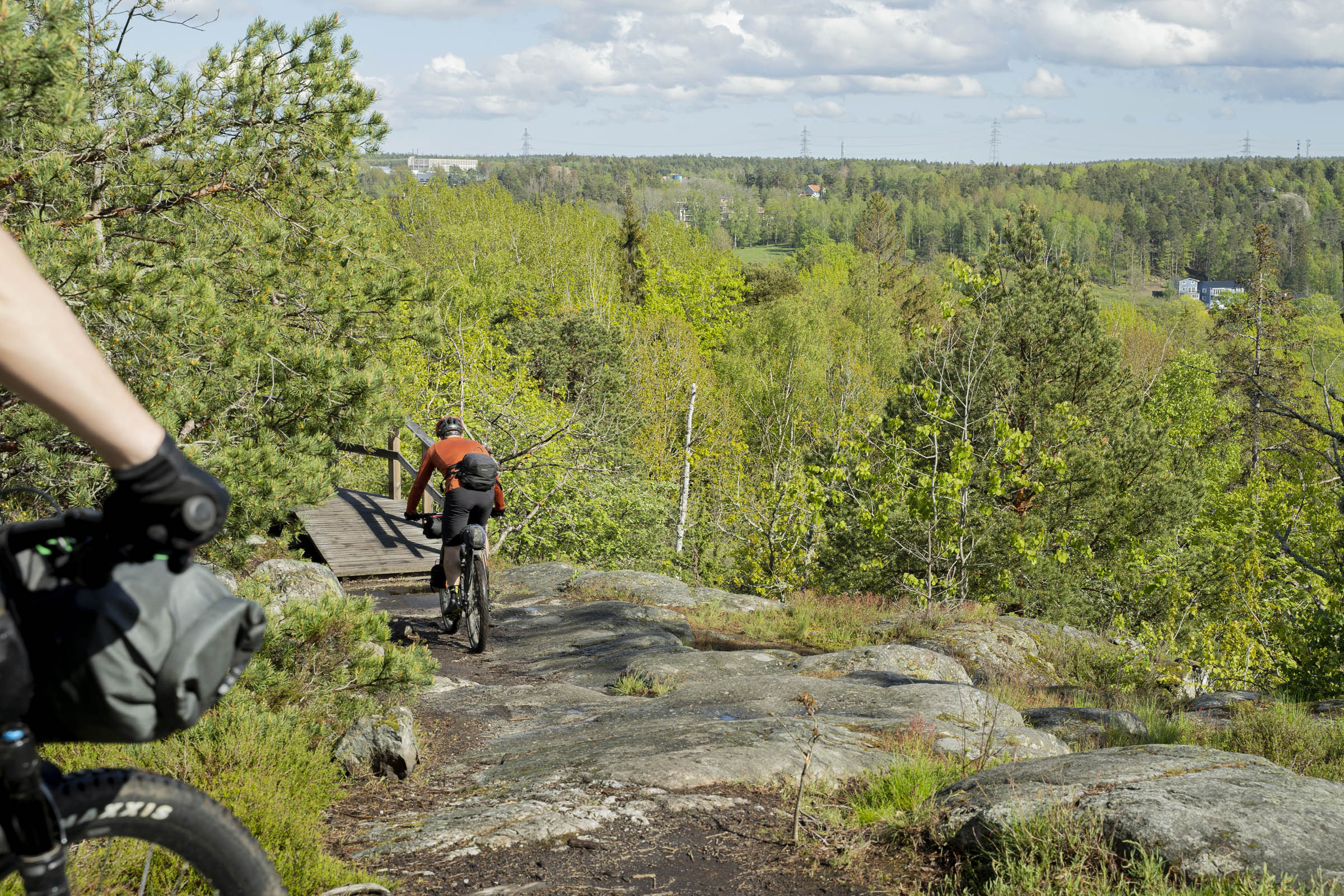
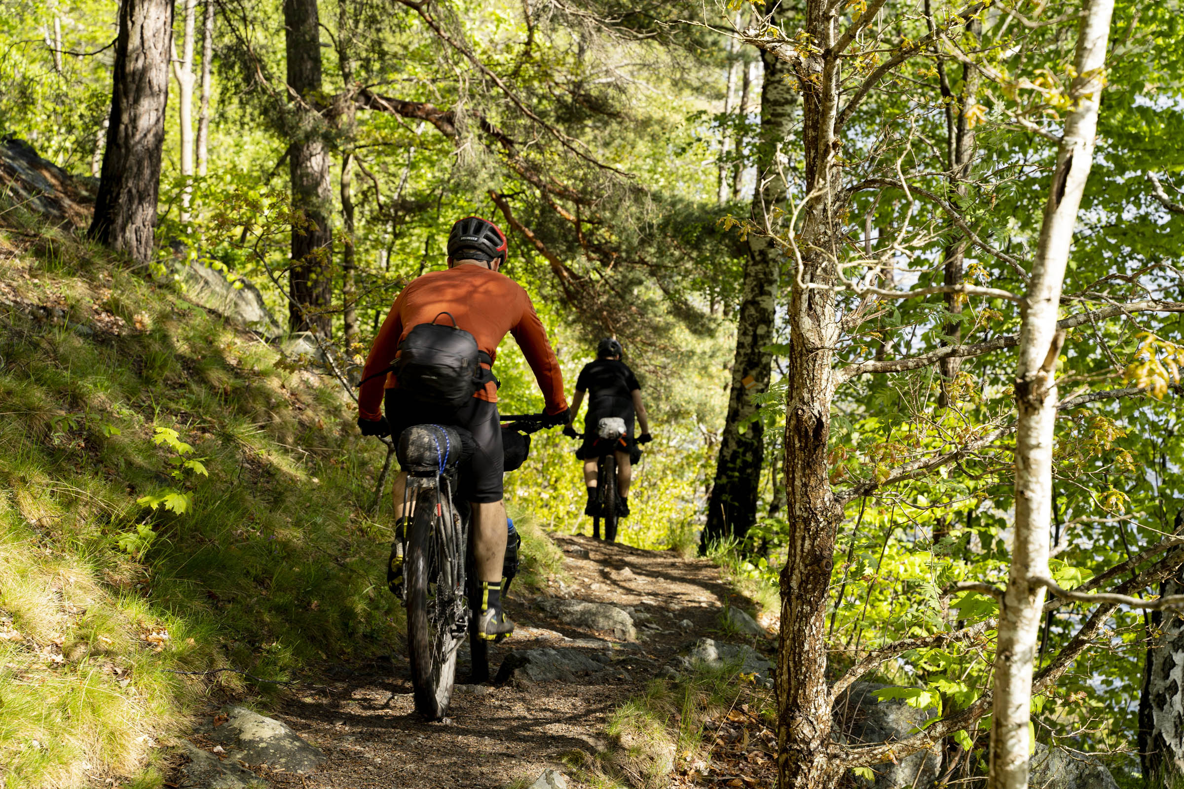
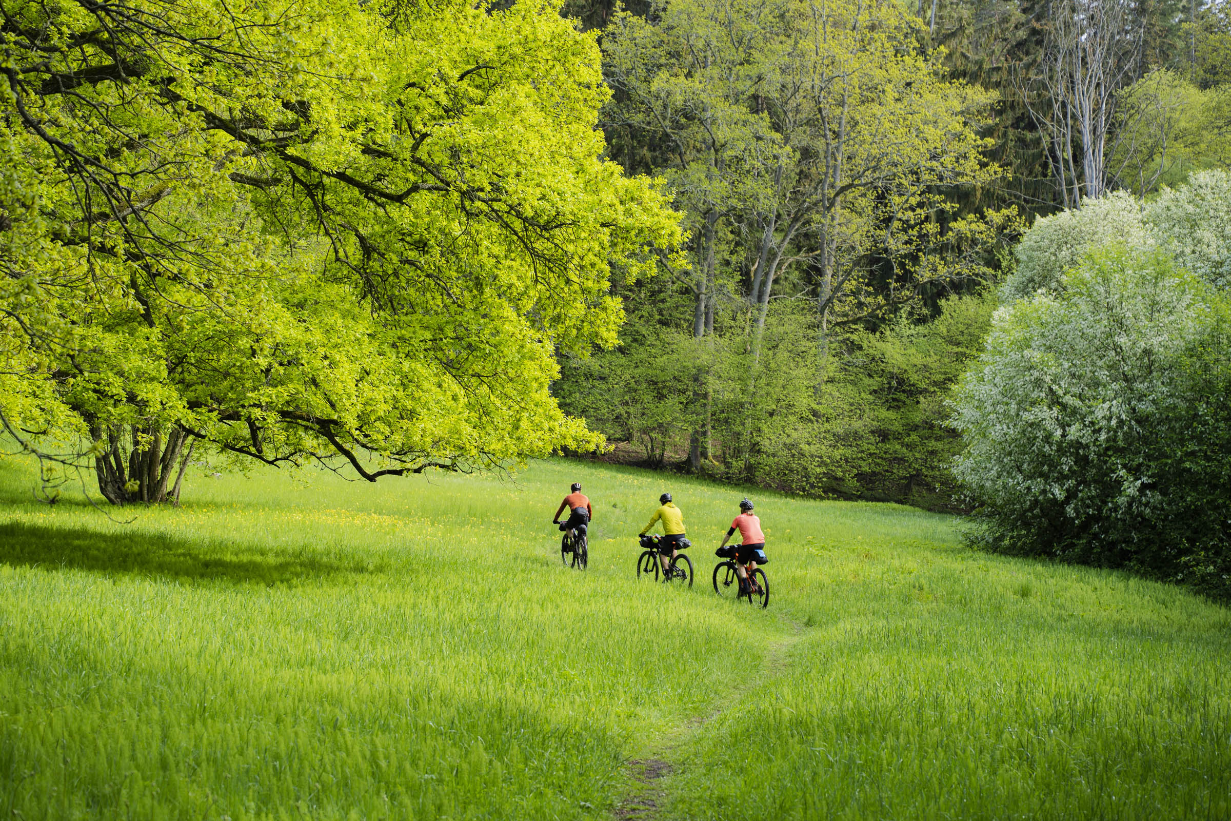
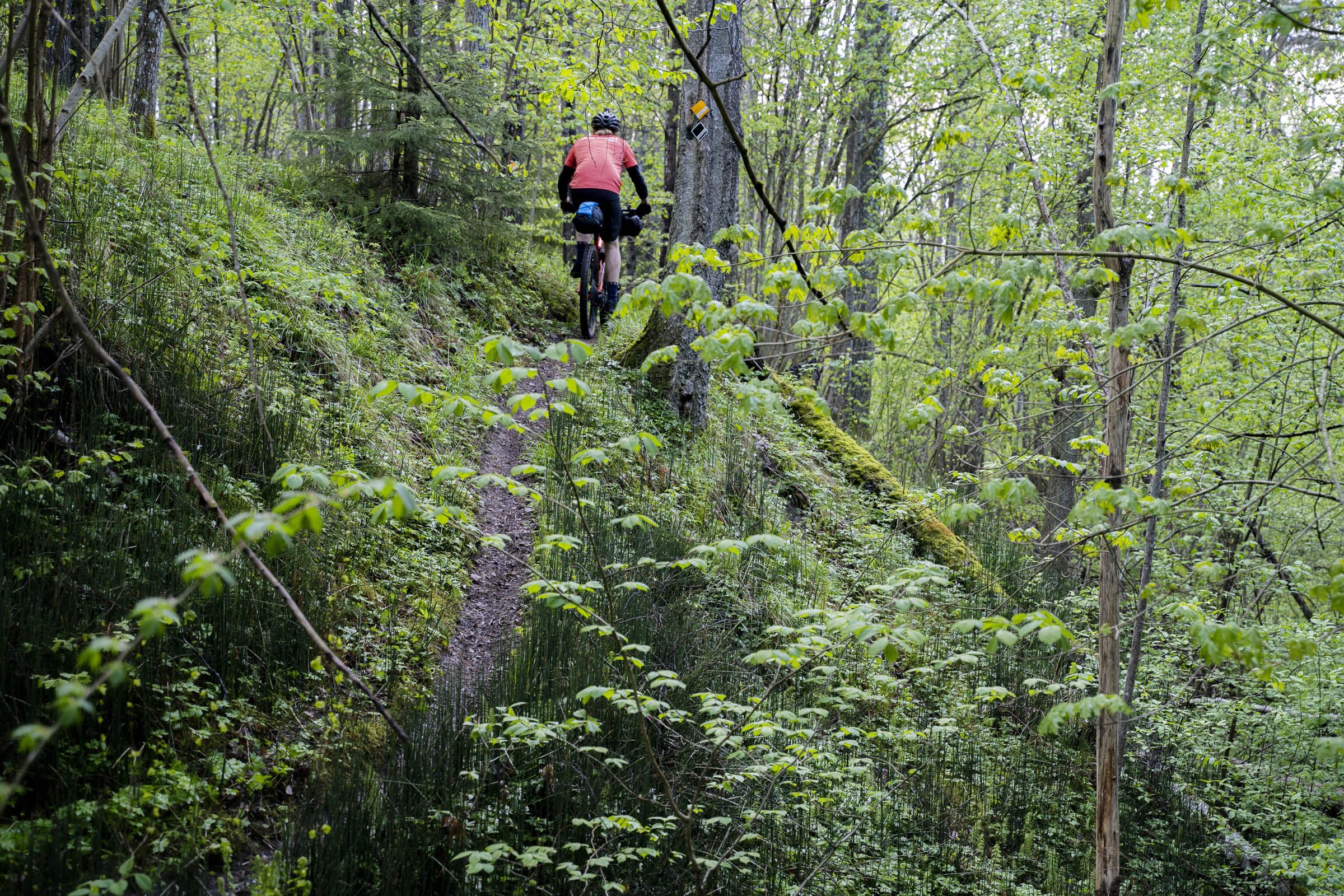
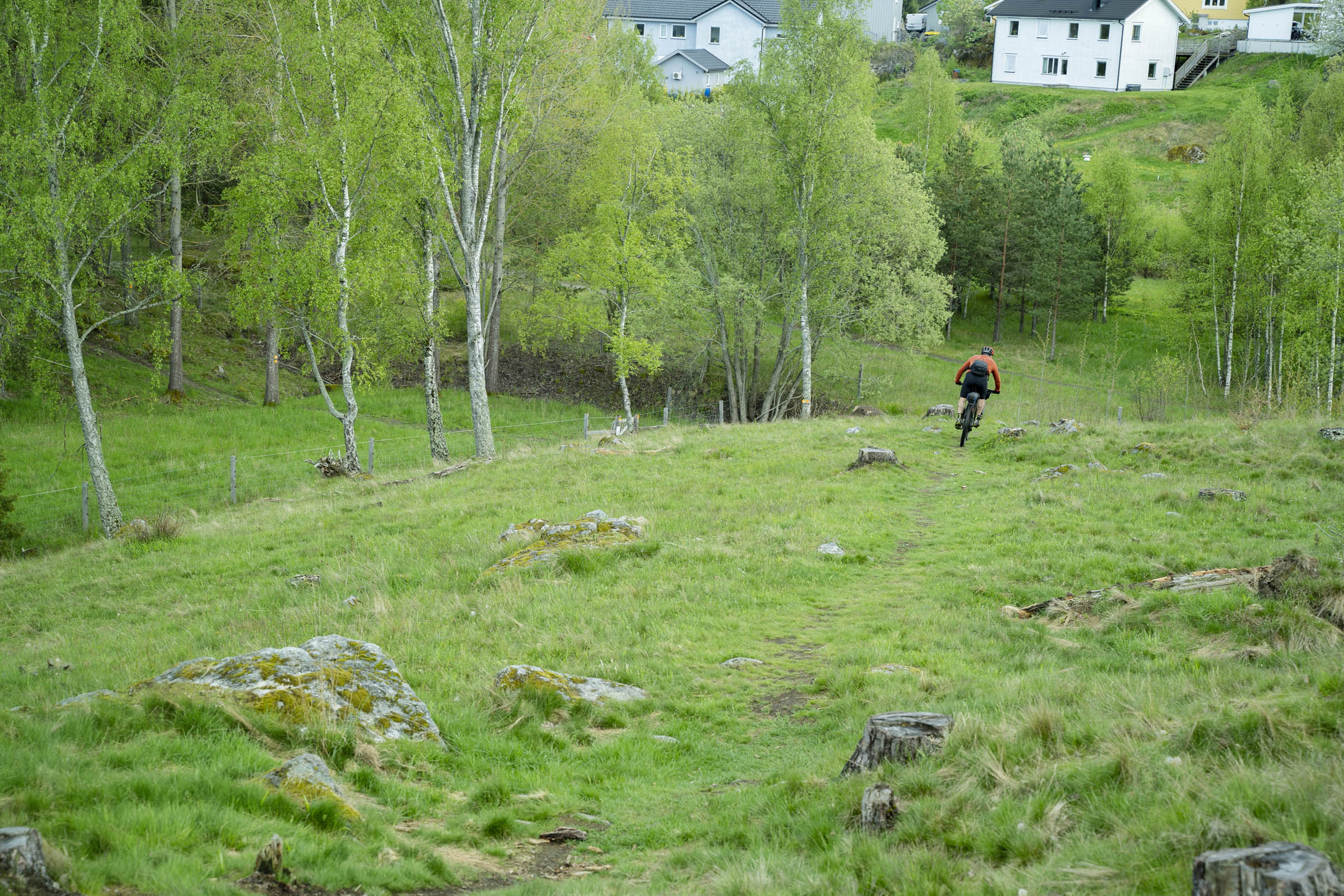
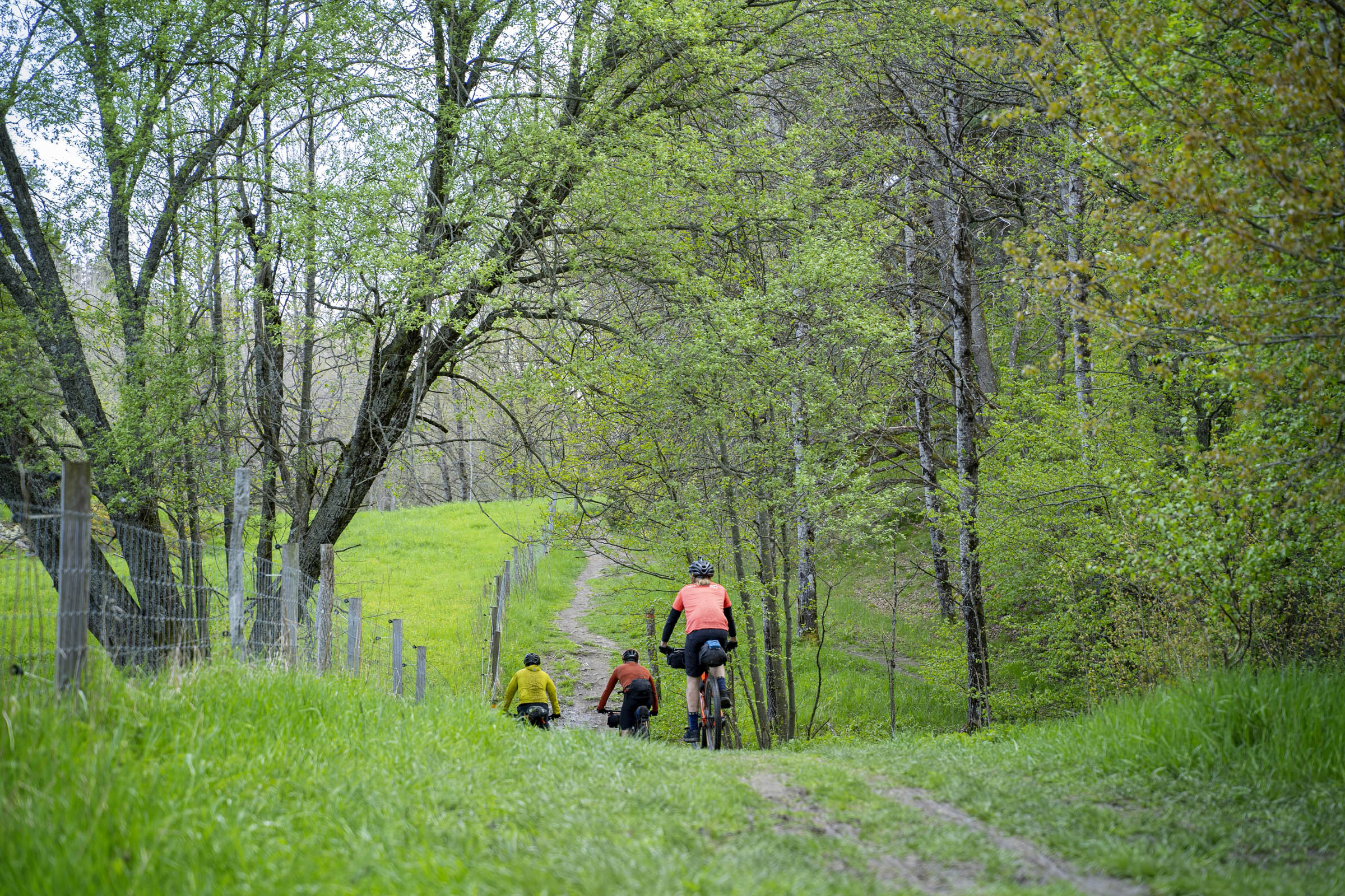
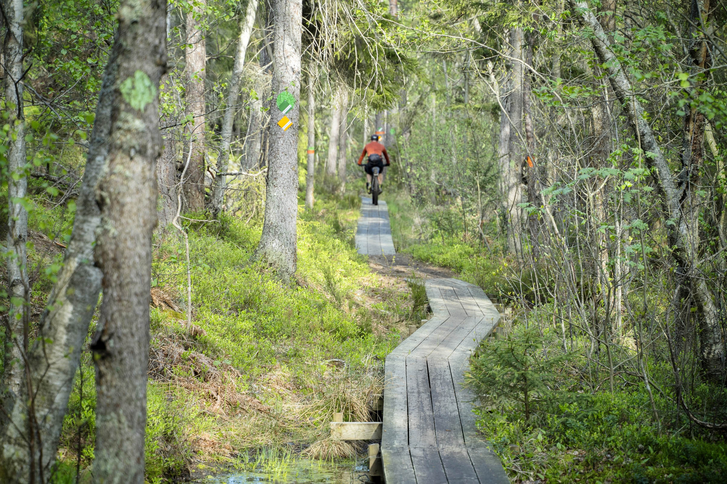
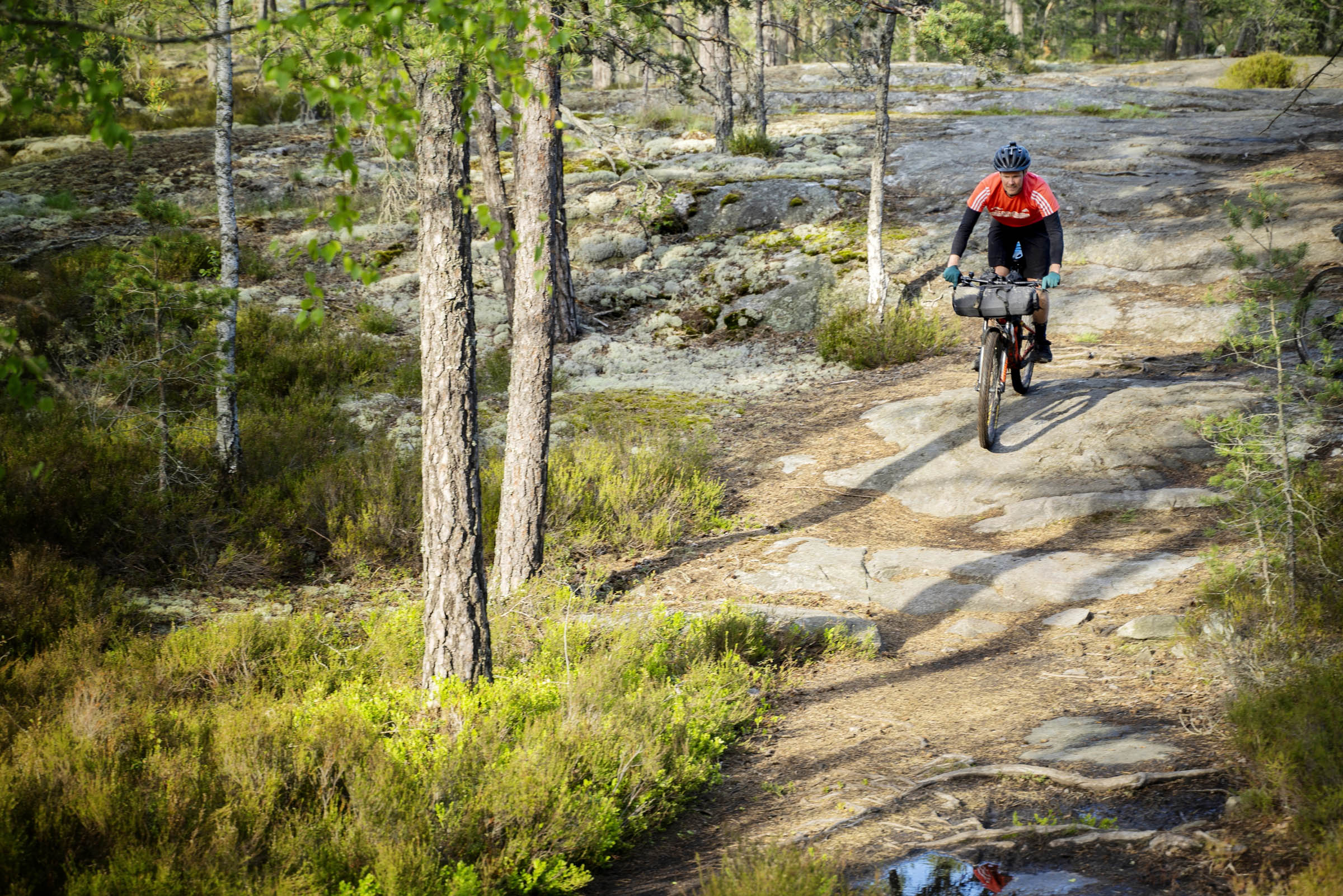
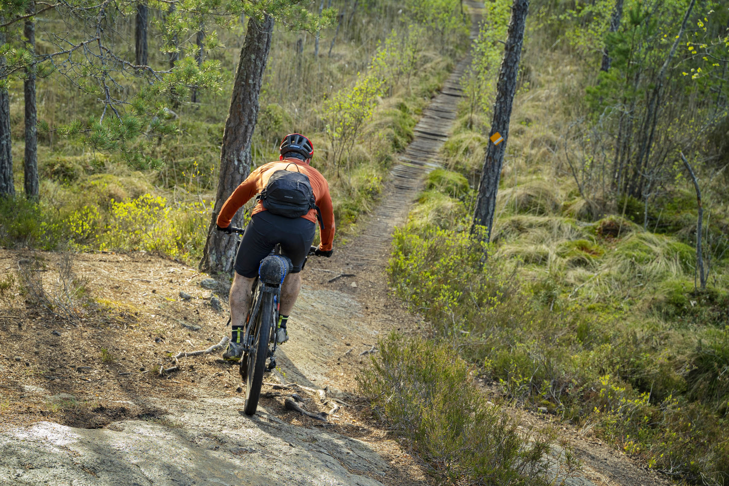
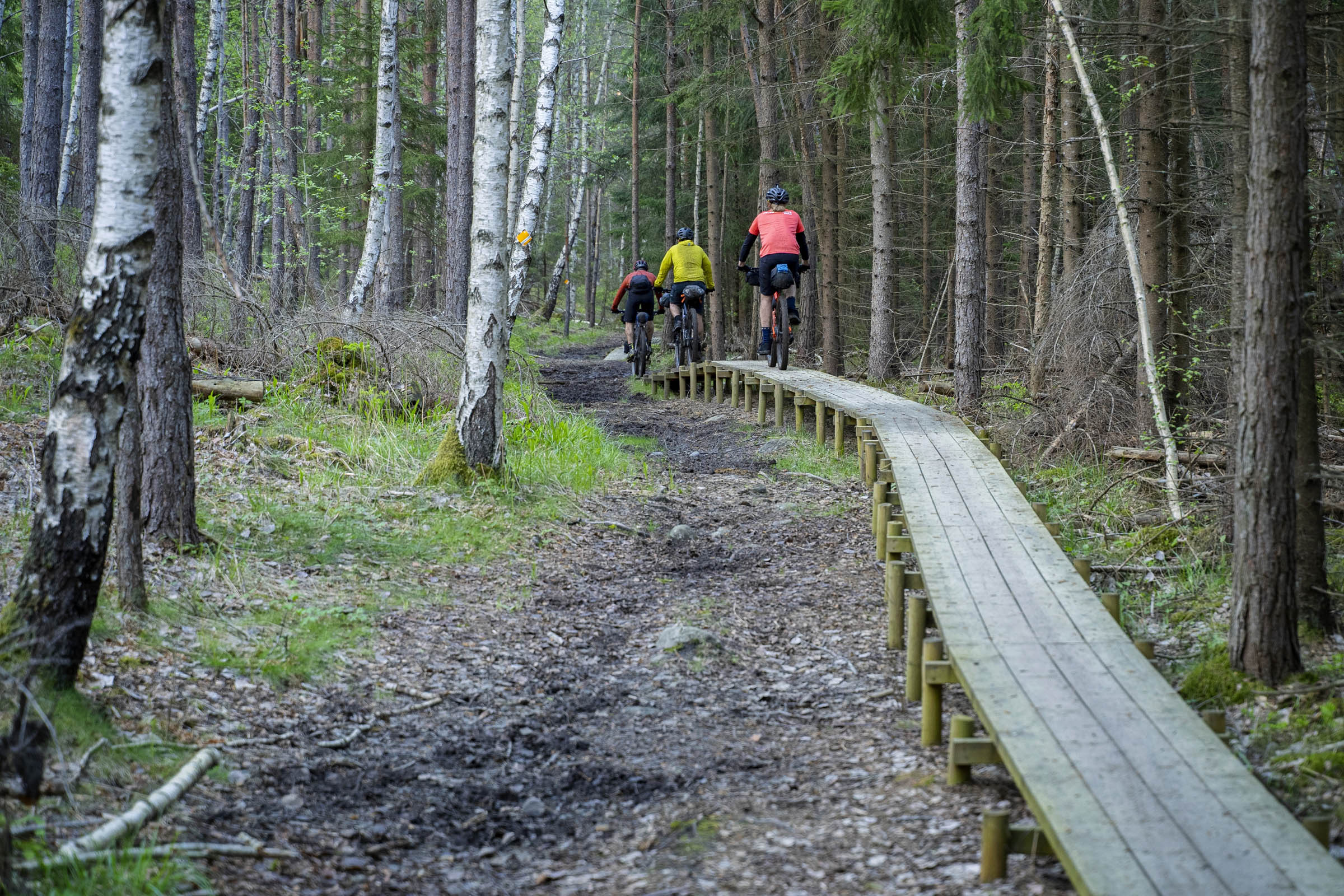
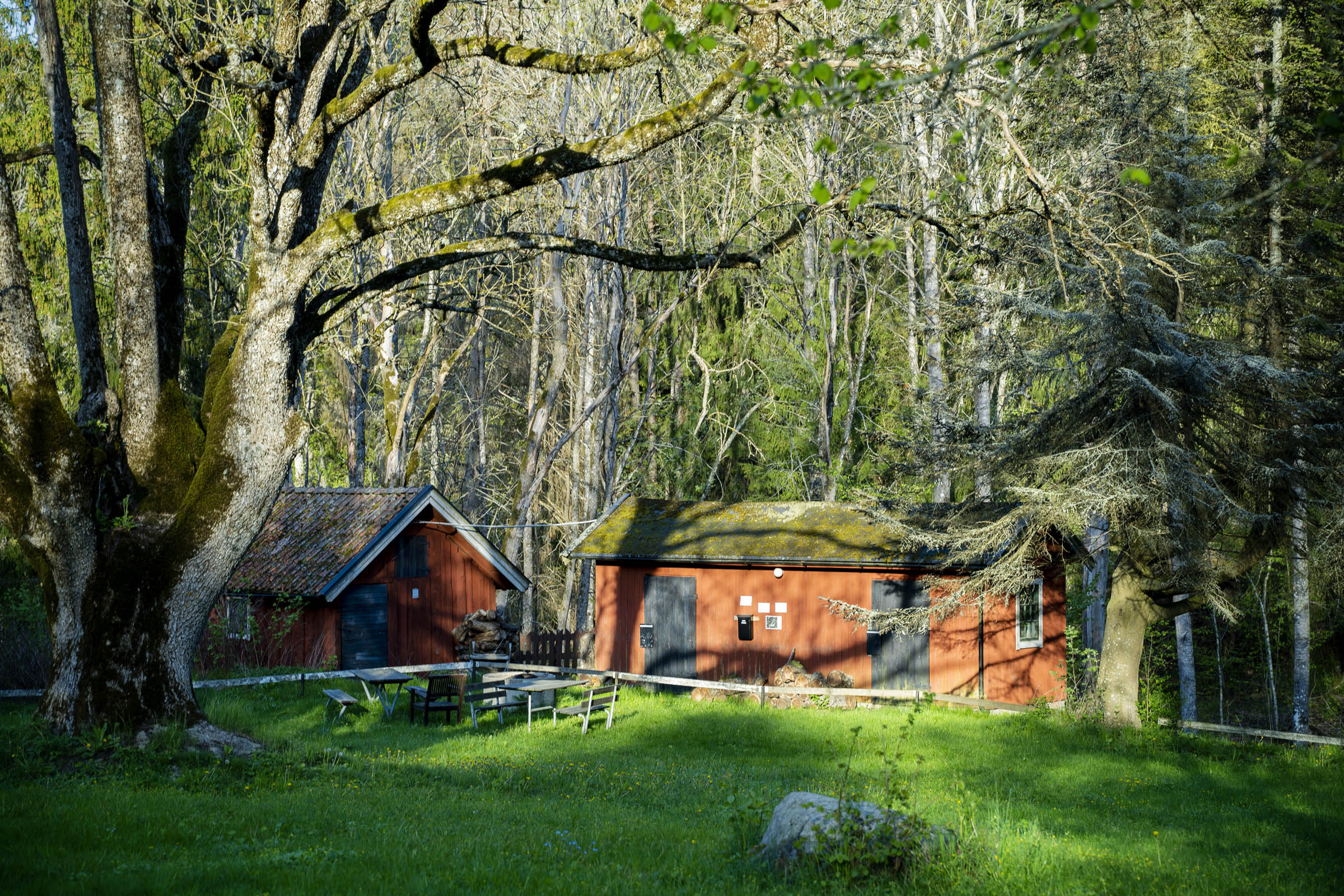
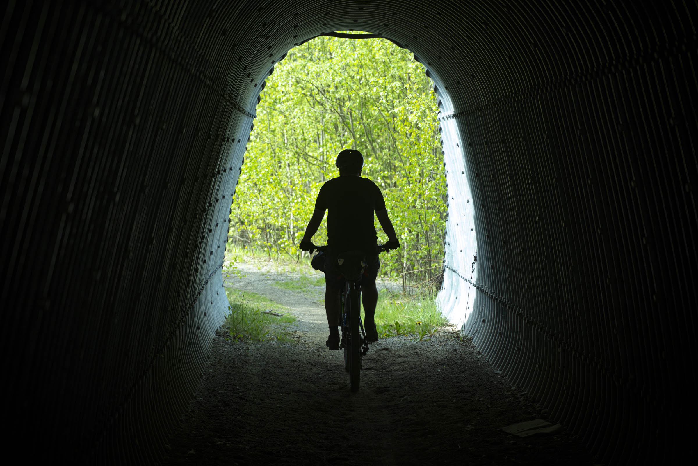
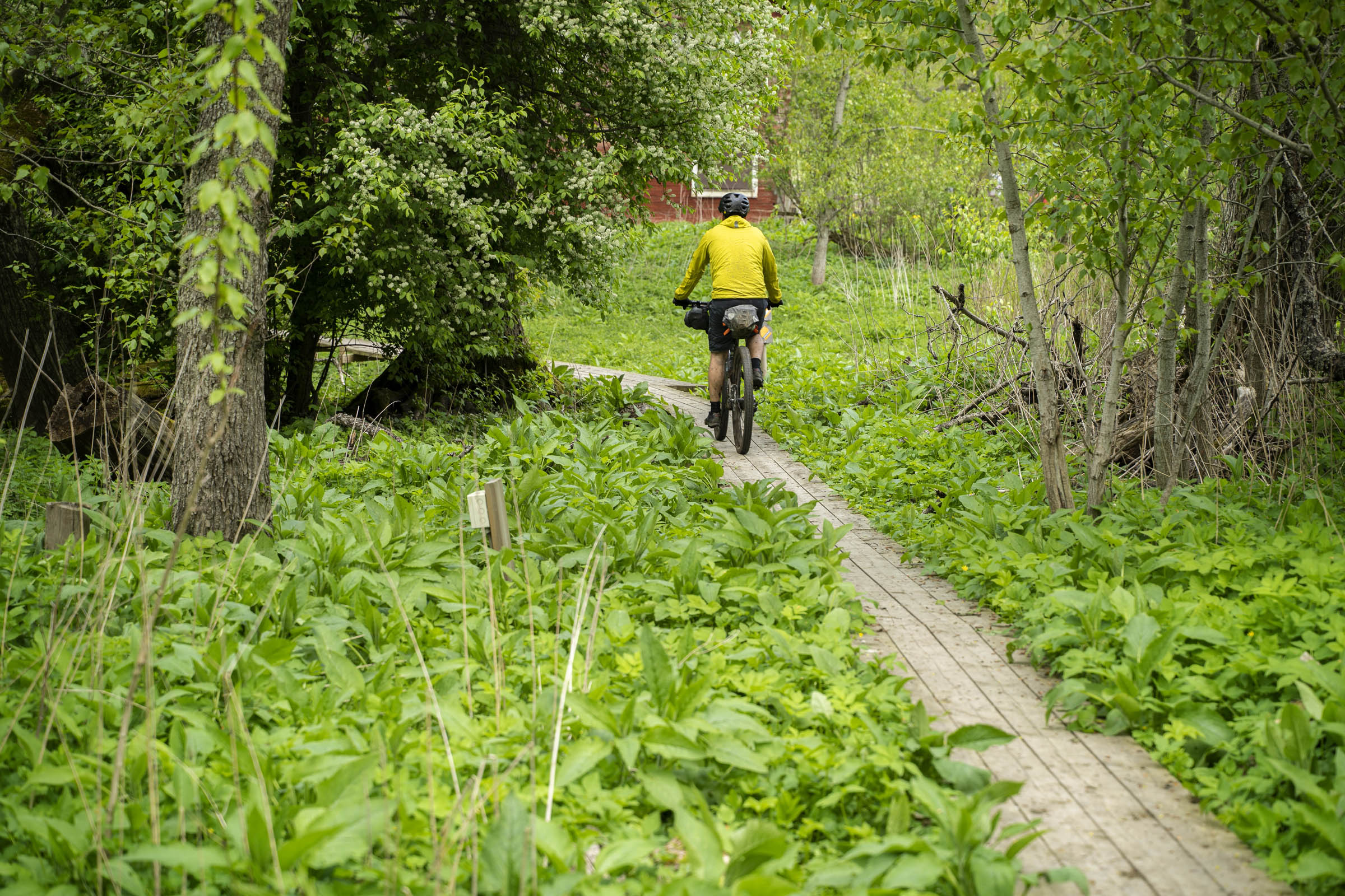
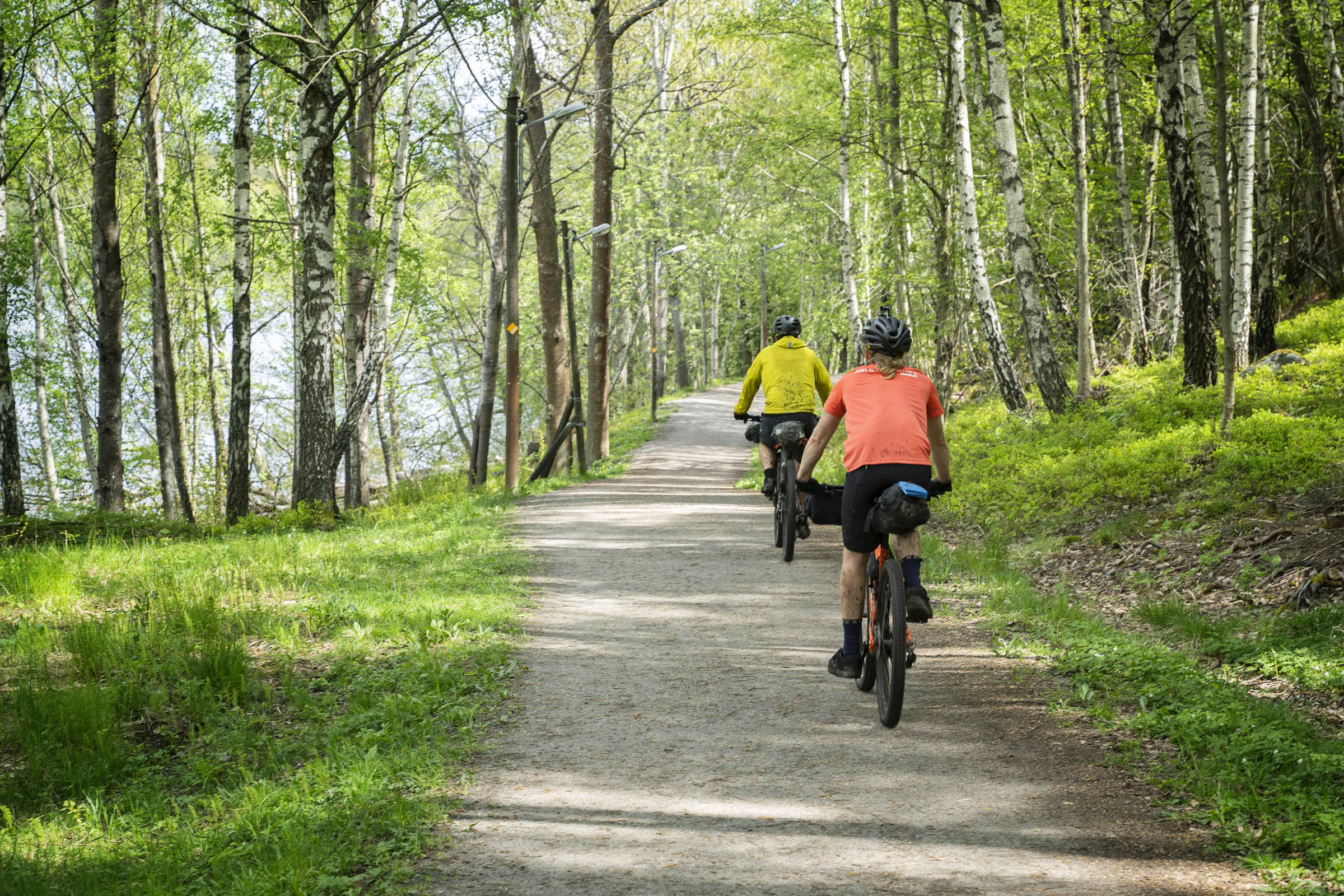
Starting in the affluent suburb of Stuvsta in Huddinge, the trail zigzags through the region, not to avoid built-up urban areas, but to take in the best riding the district has to offer. The trail cleverly links up multiple forests, meadows, and open common lands to make you feel as if you’re in the wilderness of central Sweden. From Flemmingberg to Linatorp, there are 43 kilometres of near-uninterrupted forest and gravel trails, and this is definitely the highlight of the tour.
In Sweden, it’s perceived to be rude to show off. As a result, interesting and informative facts can be difficult to come by. You can easily ride this trail and not realize you’re traveling on a 400-year-old road, riding past Iron Age graves, or breaking the First World War Swedish defensive lines. Keep your eyes open and camera switched on to get the most out of this adventure.
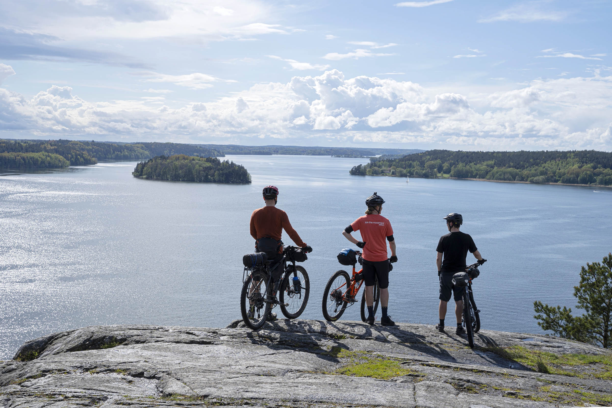
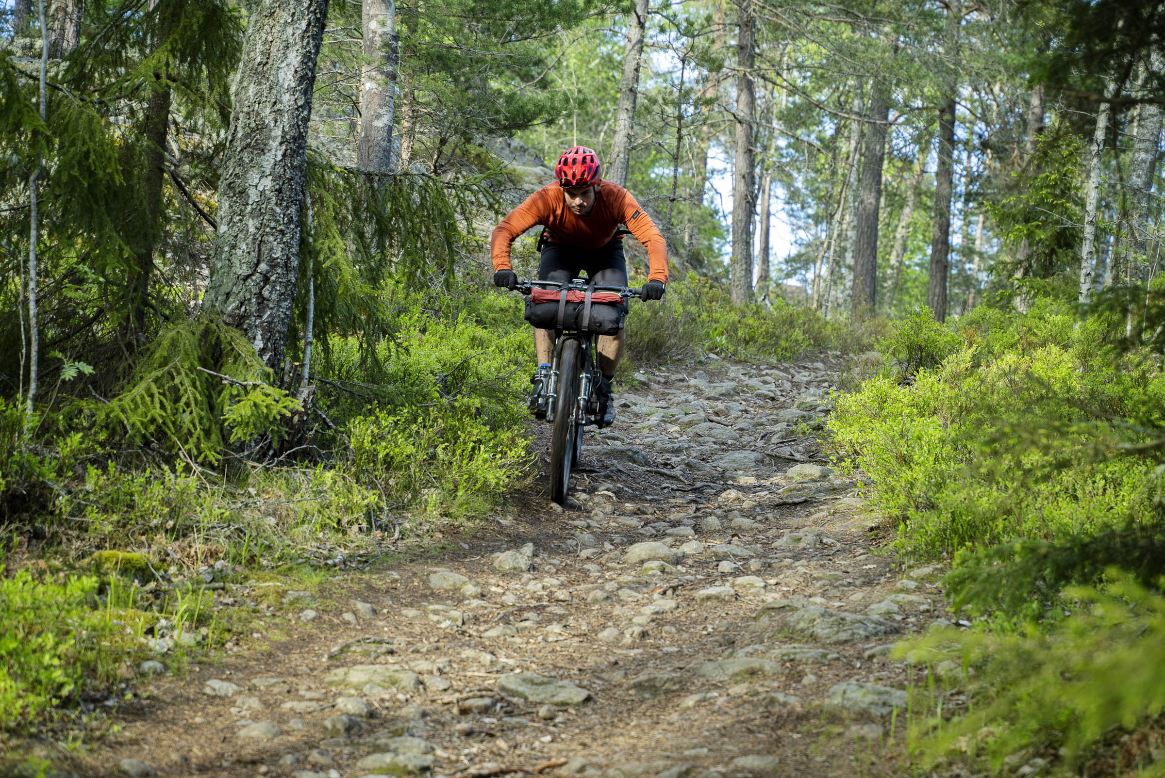
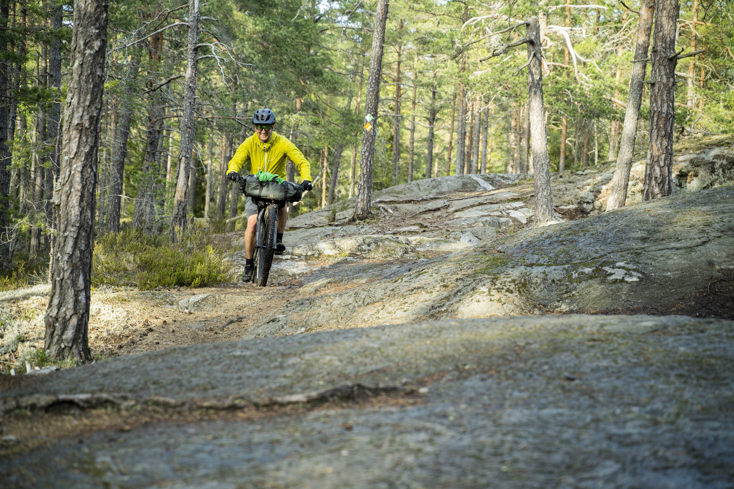
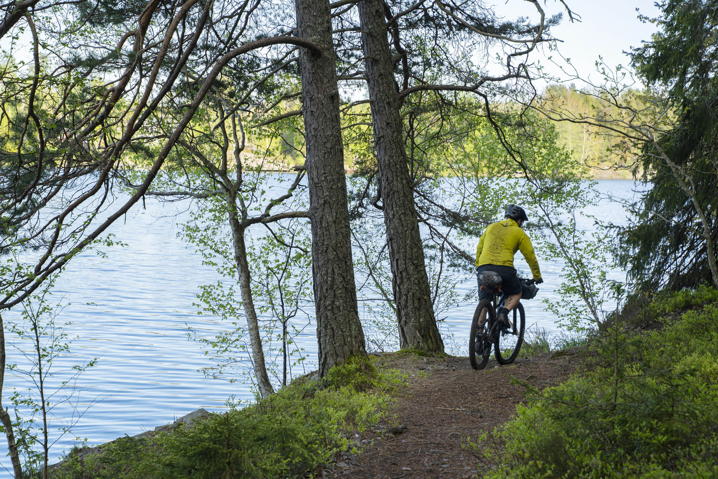
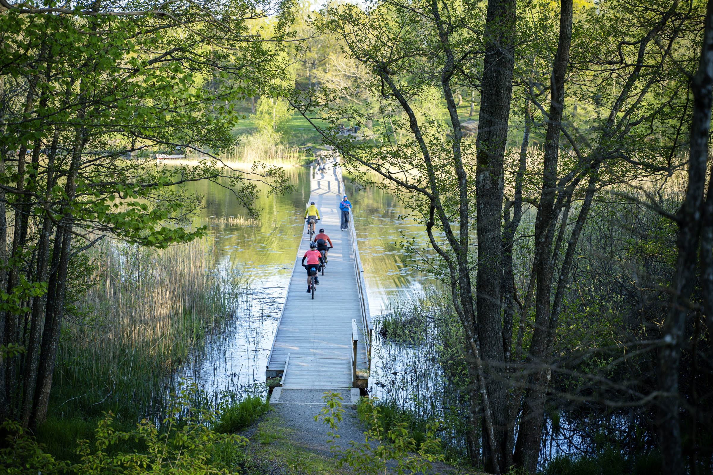
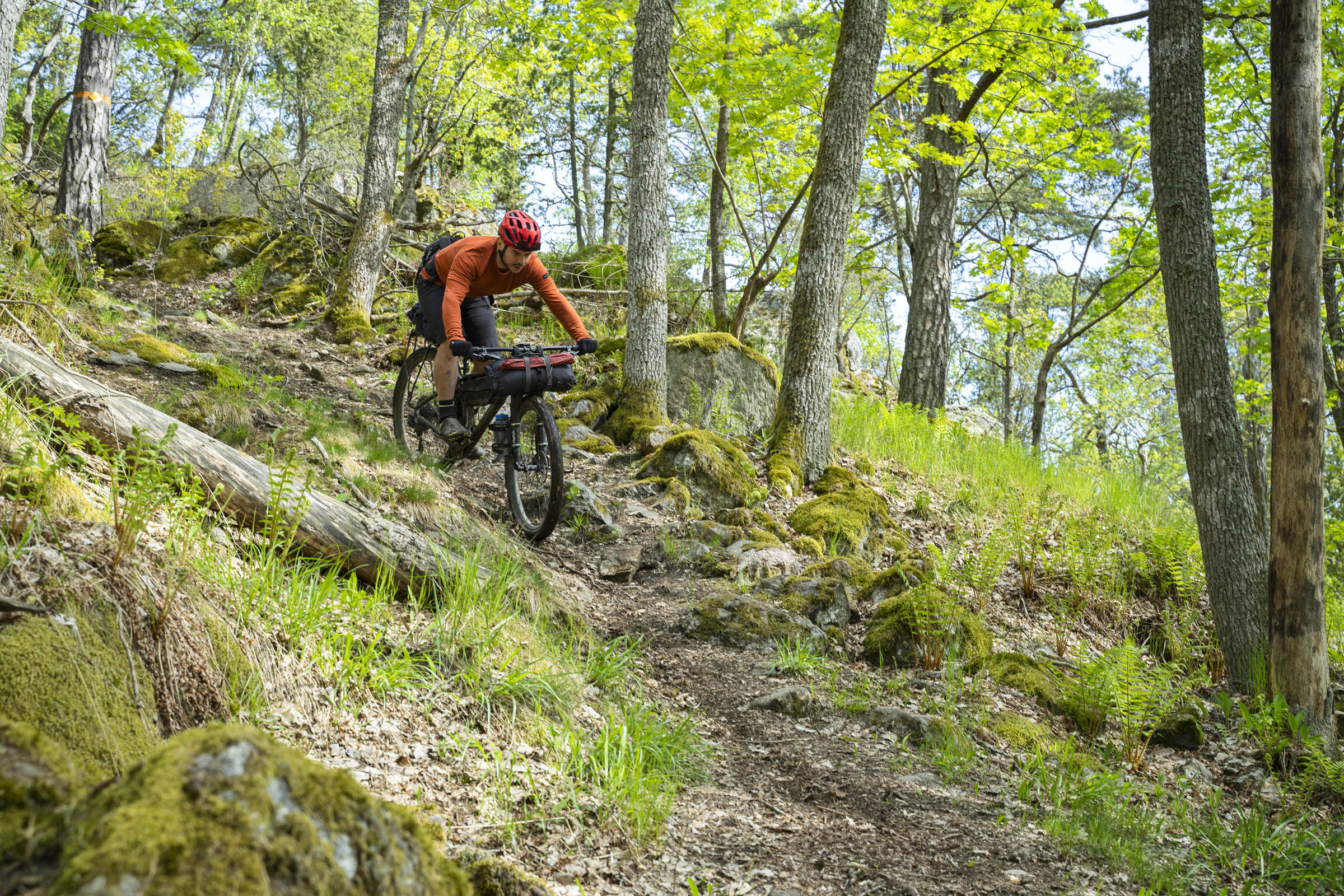
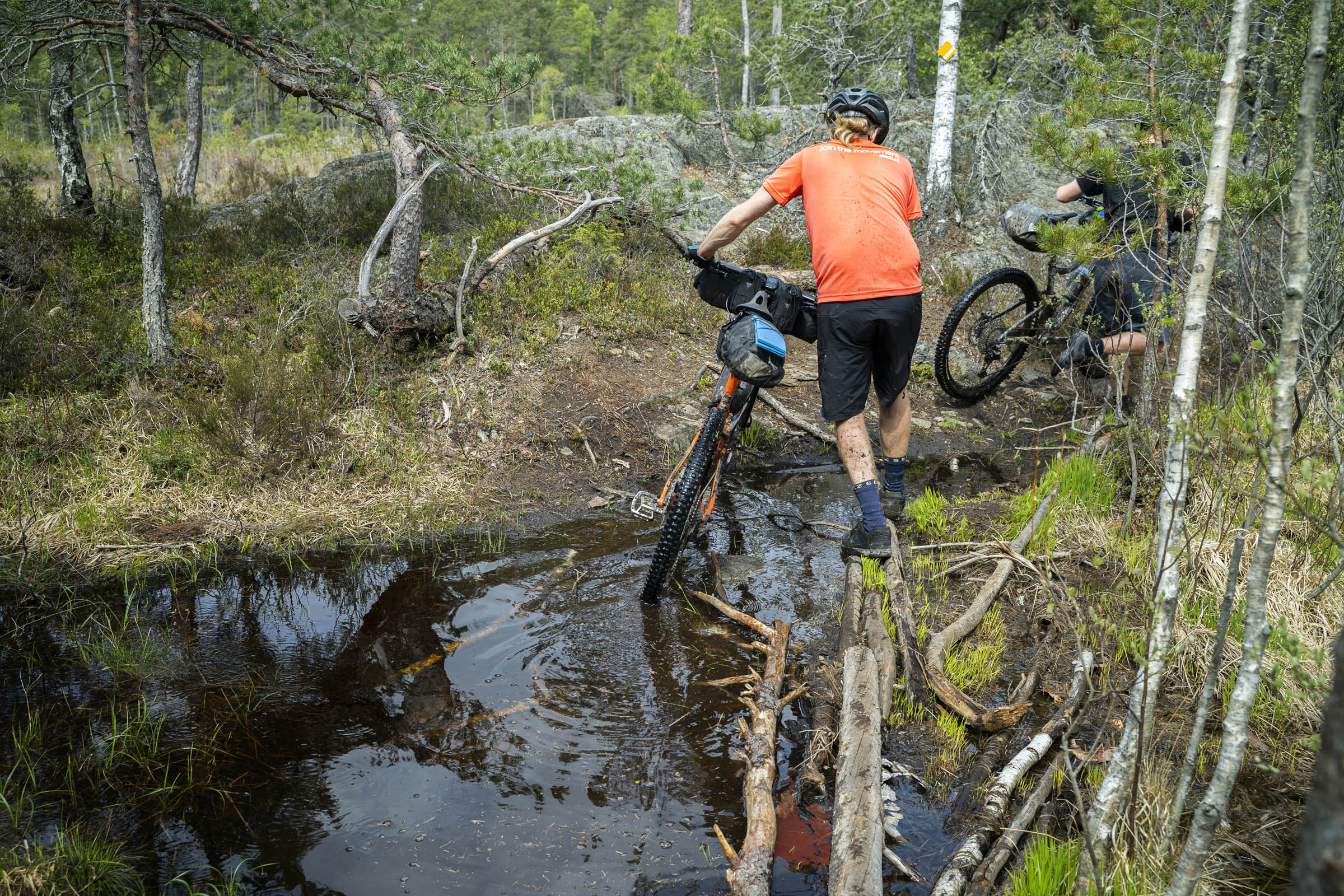
Riding along the lake shores are the most difficult parts of the route. Albysjön, Gladö, Länna and riding out from Orlången all have their challenges but are sections that should not be missed. The Huddingeleden has a bit of everything mixed into it, from easy gravel roads to challenging singletrack descents. You won’t know what’s around the next corner. By the end of the tour, your biggest problem will be deciding which part of the trail was your favorite. This secret leden really is that good.
Route Difficulty
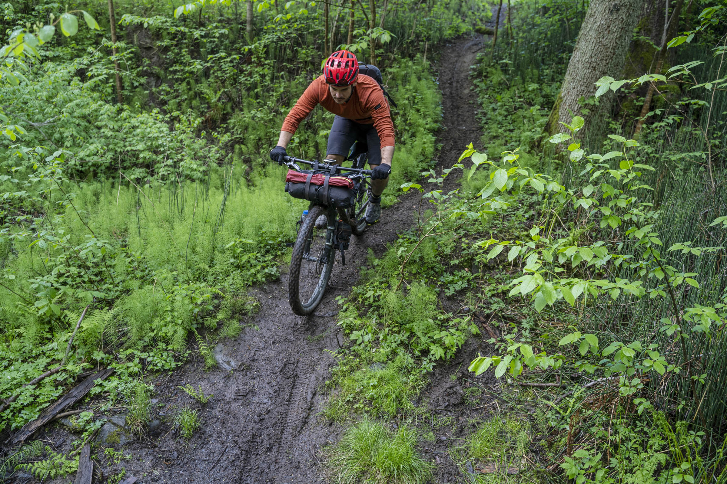
Although Stockholm is a low-lying city, there’s a considerable amount of elevation gain on the tour. The singletrack sections, although very rideable, are technical and require your full attention. It’s possible to ride the trail on a hardtail but full-suspension with 2.5″ tires is the bike for the job. On this tour you are never far from a road, there is plenty of water on the trail, and it’s easy to skip sections to speed up your travel, but the riding is consistently challenging. For this reason, I think 6 out of 10 is the correct grade, but less technical riders will feel it’s much harder.
Route Development: Huddinge is a municipality in the southern part of Stockholm City. It has large urbanised areas in the north, west, and east but the central and southern areas consist of large nature reserves that are virtually unpopulated. The Huddingeleden has existed in sections since the 1980s but wasn’t well-maintained and fell into oblivion and was forgotten. But in 2014, a local hiker named Olle Magnusson rediscovered the trail and Huddinge Kommun set about restoring and linking up all the sections. The leden passes through 12 different nature reserves, offering varied landscapes, ecosystems, and wildlife sanctuaries. In the summer of 2016 the trail was completed, relaunched, and is what exists today.


Submit Route Alert
As the leading creator and publisher of bikepacking routes, BIKEPACKING.com endeavors to maintain, improve, and advocate for our growing network of bikepacking routes all over the world. As such, our editorial team, route creators, and Route Stewards serve as mediators for route improvements and opportunities for connectivity, conservation, and community growth around these routes. To facilitate these efforts, we rely on our Bikepacking Collective and the greater bikepacking community to call attention to critical issues and opportunities that are discovered while riding these routes. If you have a vital issue or opportunity regarding this route that pertains to one of the subjects below, please let us know:
Highlights
Must Know
Camping
Food/H2O
Trail Notes
Resources
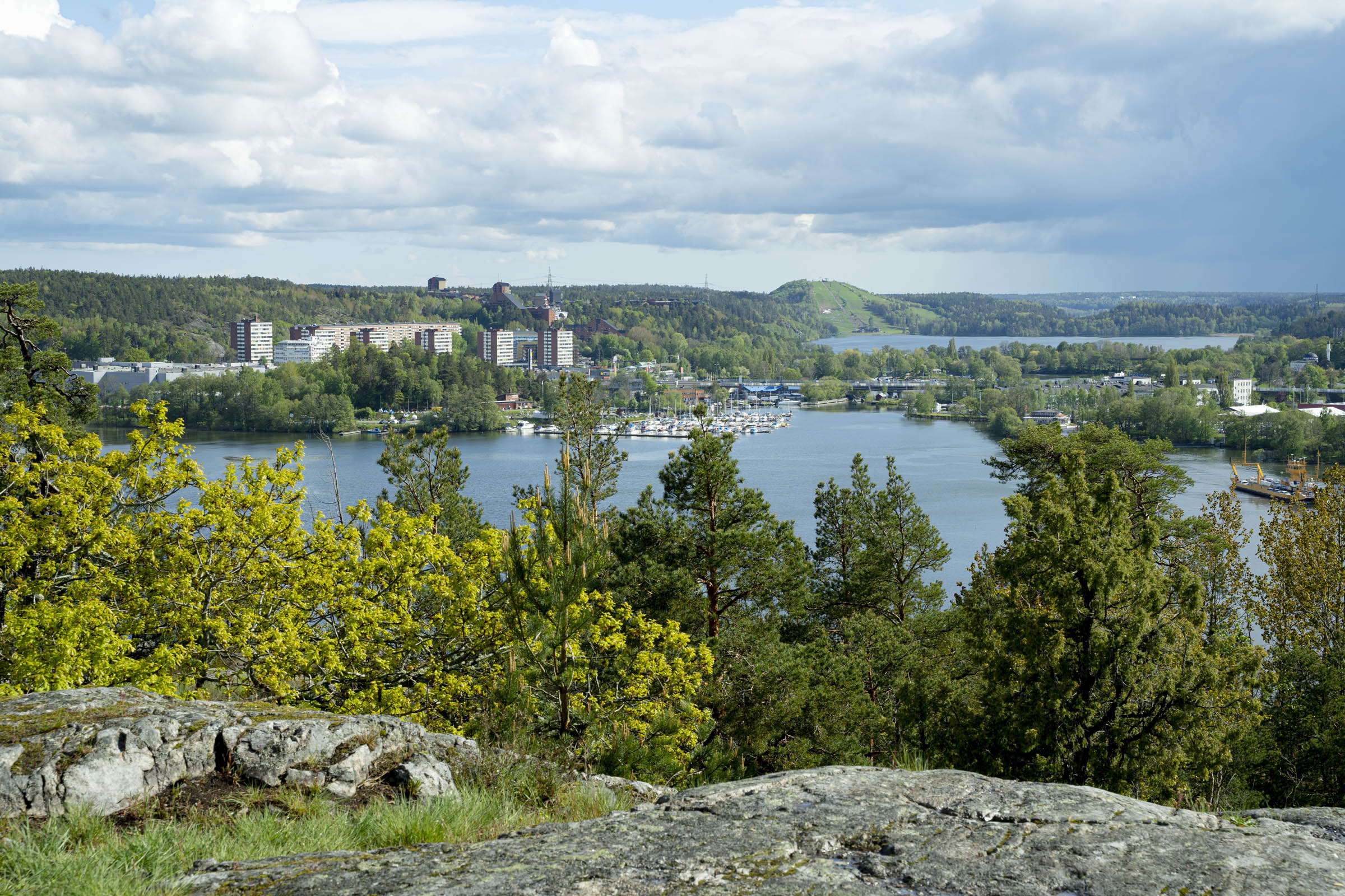
- The panoramic view over Mälaren Lake and South Stockholm from Korpberget.
- Riding singletrack through the Flemingsberg Skogen, Paradiset, and Länna.
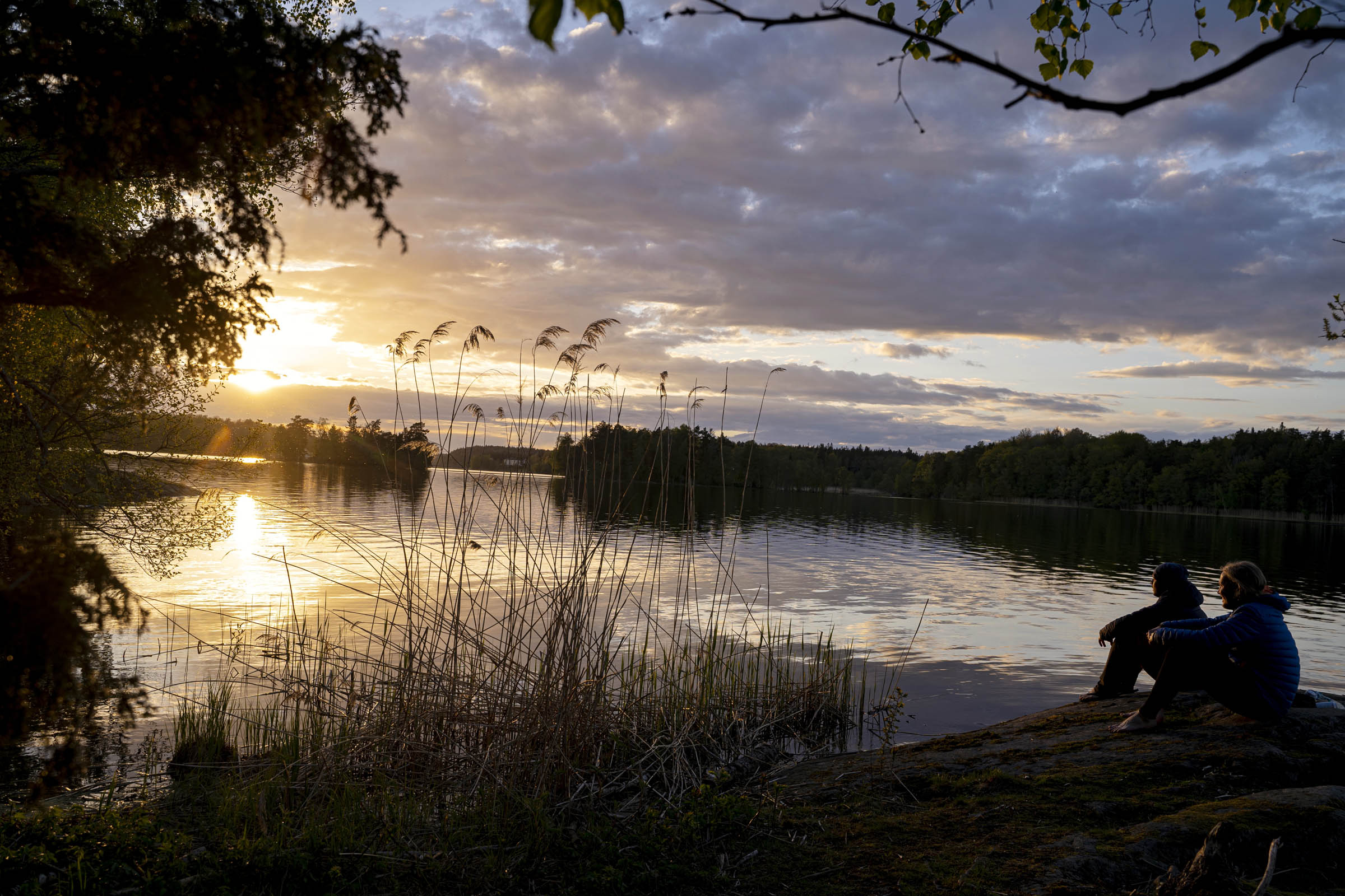
- Taking in the last light overlooking one of Huddinge’s many lakes.
- Traversing the hidden meadow of Gömsta äng nature reserve.
- Riding along the 400-year-old road of Gamla sockenvägen in Flemingsbergsviken.
- Exploring the World War One defensive bunkers in Drevviken Nature Reserve.
- Finding new places, interesting facts, and new trails.
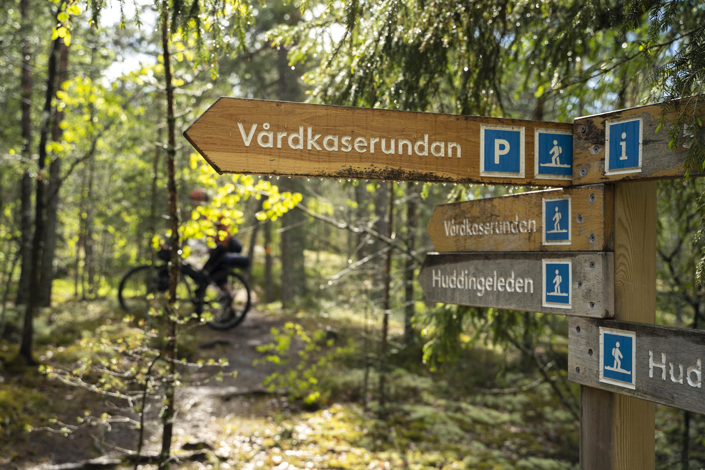
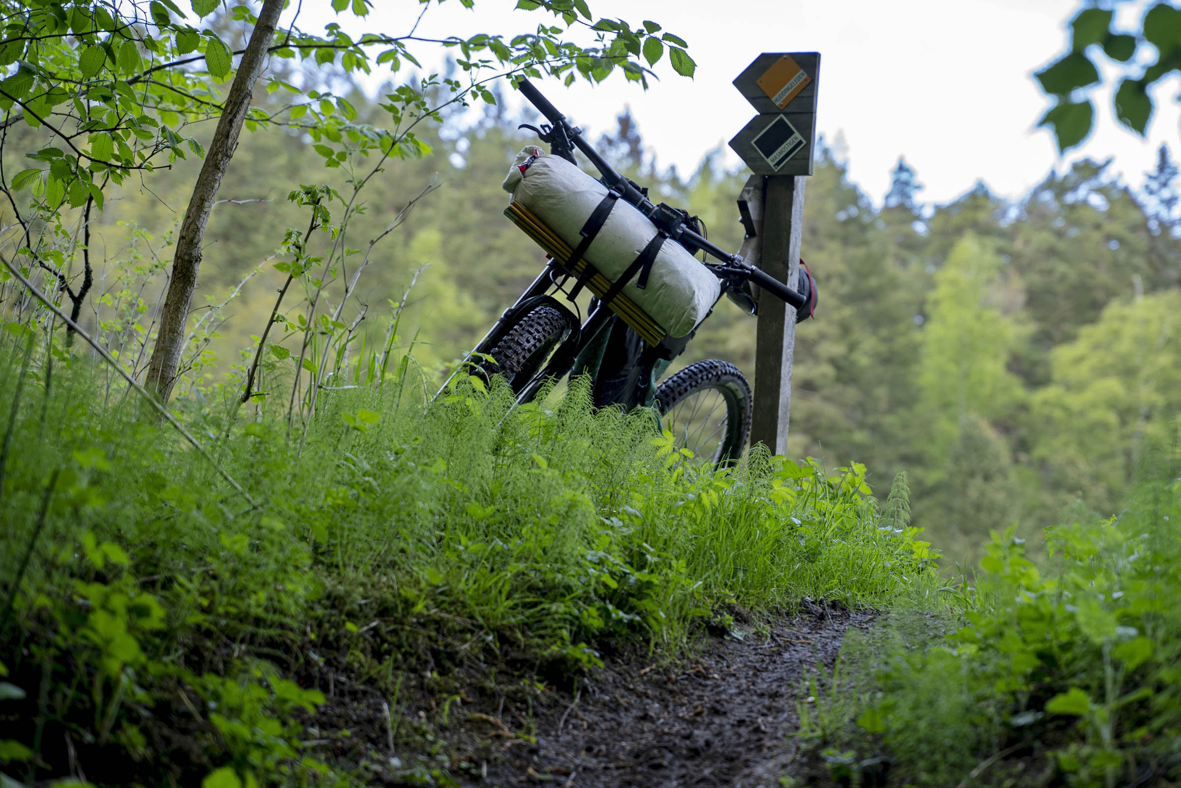
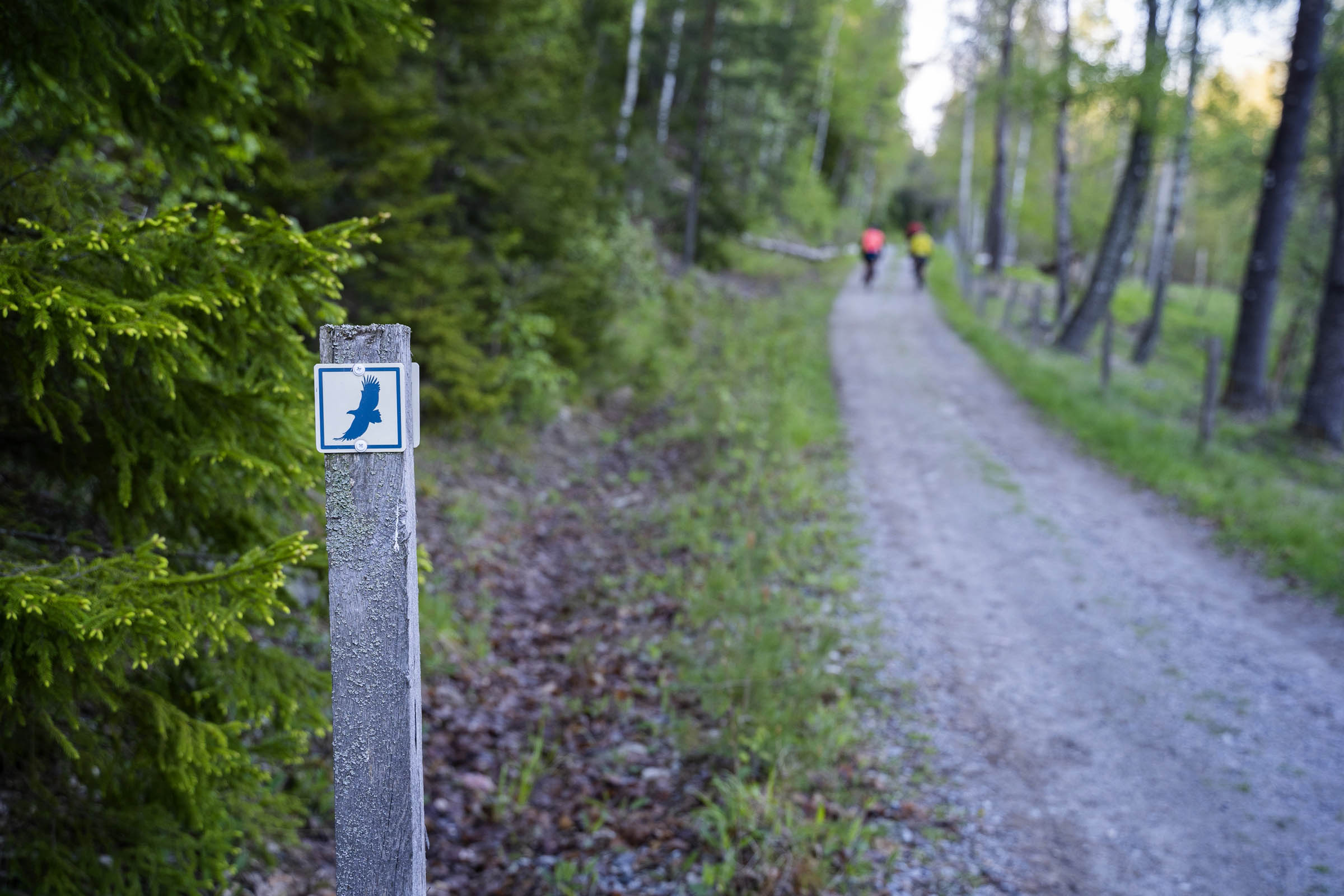
- Although there is no sign to mark the start or end of the route, the trail itself is extremely well marked. If it wasn’t for the detours we suggest taking, you wouldn’t need a map or bike computer to complete the trail.
- The trail is accessible via the local train with a station at either end of the route. You are allowed to take bicycles on the Pendaltåg train, but not during peak morning or evening rush hours. Please visit www.sl.se for more.
- It is forbidden to cycle in Gömmaren Nature Reserve except on marked cycling lanes. Please be respectful and detour around the reserve.
- The best time to ride the route is during the summer months. A dry forest floor will allow for faster riding. Fatbiking the trail during a snowy winter would also make for a great adventure.
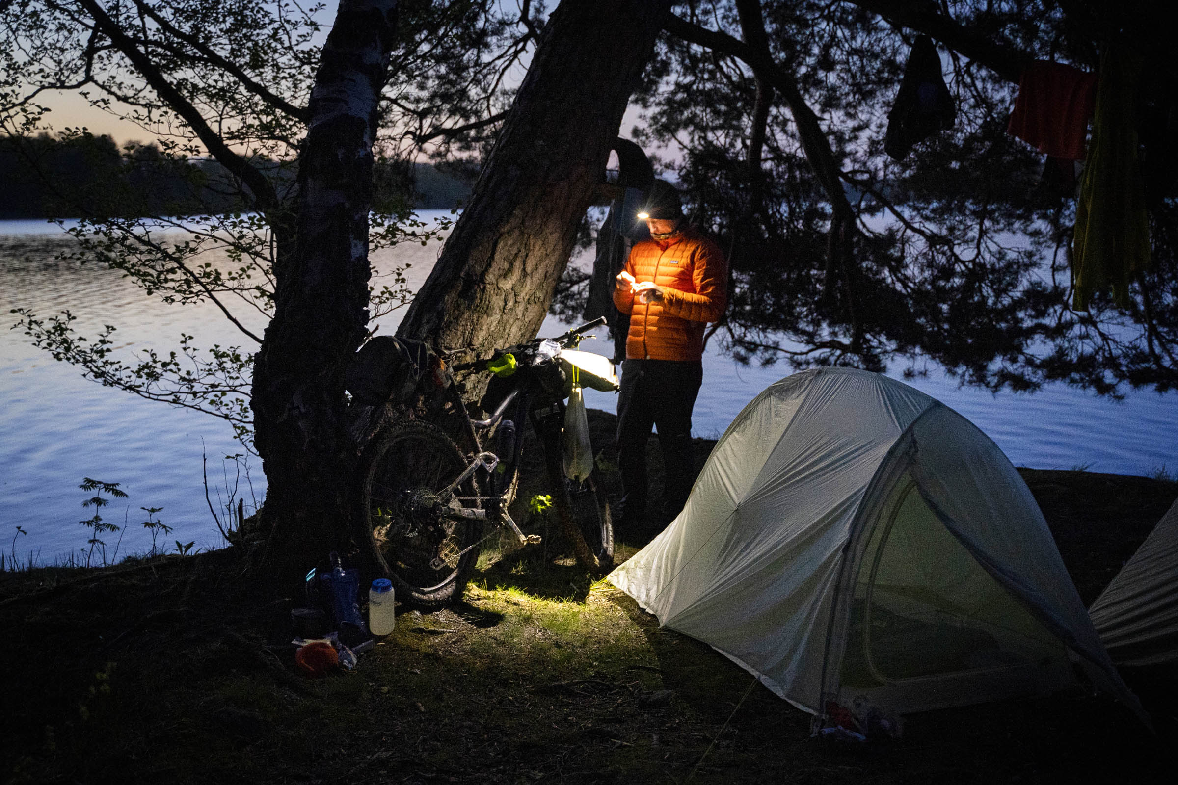
- Wild camping is extremely easy in Sweden. In fact, it’s commonplace. It is encouraged by the famous Allemansrätt, a group of by-laws that allow you to roam freely through the Swedish countryside. They also facilitate wild camping for up to two nights in the same location. It’s not quite a free-for-all and some rules apply, but in general you can camp where you please.
- We camped on the shoreline of Orlången Lake (marked on the map). There’s enough space here for 4 or 5 tents.
- The trail avoids all the shopping areas in Huddinge except at the start in Stuvsta and the end at Trångsund. There are supermarkets at both locations.
- We filtered water from the lakes we passed.
- A detour can be made in Paradiset to the small cottages at the parking area where there’s a water pump.
- A second water pump can be found at the scout hut as you leave the Paradiset forest. If there are people in the garden it is polite to ask before helping yourself!
- The Huddingeleden was originally designed as a hiking trail and therefore some adaptations have been made to make it more bikeable.
- If starting in Stuvsta Station, the first changes are at Gömmaren Nature Reserve, where it’s forbidden to cycle through most of the park. Instead, you detour on cycle lanes to meet back up with the trail as it crosses over the E4 motorway. You don’t miss out much as the forest is particularly rooty and really not worth the effort anyway.
- Near Sundby Gård on Orlången Lake there’s a horse farm that should be avoided. From the car park at the horse riding school, please take the alternative track to bypass the horse trail.
- When riding through Länna Nature Reserve, the official route does not take the best way through the forest, and as local riders, we recommend that you use the more fun trails. The existing trail goes through wet sections and quite boring tracks. If you follow the Skogen Mile trail (green markers), you’ll have a much better time. The trail deviates from the north of the lake and re-joins the official trail at the car park.
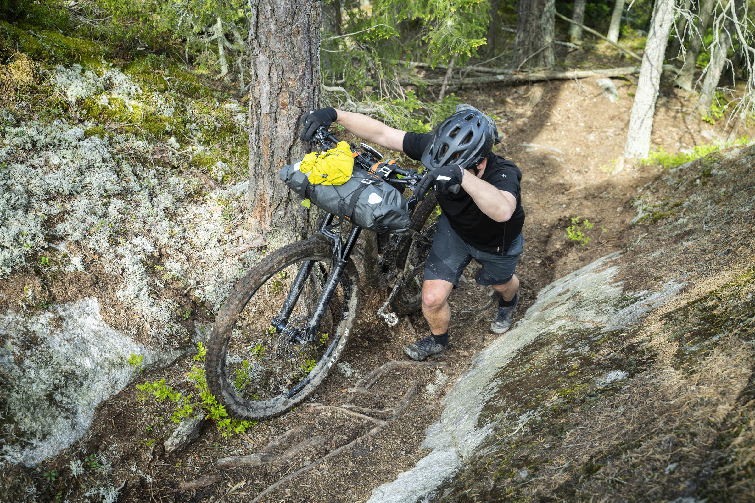
- The last detour is towards the end of the route in Trångsund. The forests around Mörkvik/Trångsund nature reserve and Sjöängen overlooking Drevviken Lake are not good for riding. You will lift and carry your bike more than you’ll ride it. It’s best to finish your tour on a high and head straight to the town centre.
Additional Resources
- To read more about the trail and the 12 nature reserves it passes through, go to Wikipedia to read more. It’s in Swedish but Google Translate works well.


Terms of Use: As with each bikepacking route guide published on BIKEPACKING.com, should you choose to cycle this route, do so at your own risk. Prior to setting out check current local weather, conditions, and land/road closures. While riding, obey all public and private land use restrictions and rules, carry proper safety and navigational equipment, and of course, follow the #leavenotrace guidelines. The information found herein is simply a planning resource to be used as a point of inspiration in conjunction with your own due-diligence. In spite of the fact that this route, associated GPS track (GPX and maps), and all route guidelines were prepared under diligent research by the specified contributor and/or contributors, the accuracy of such and judgement of the author is not guaranteed. BIKEPACKING.com LLC, its partners, associates, and contributors are in no way liable for personal injury, damage to personal property, or any other such situation that might happen to individual riders cycling or following this route.
Please keep the conversation civil, constructive, and inclusive, or your comment will be removed.