


Katahdin 360
Distance
95 Mi.
(153 KM)Days
2-4
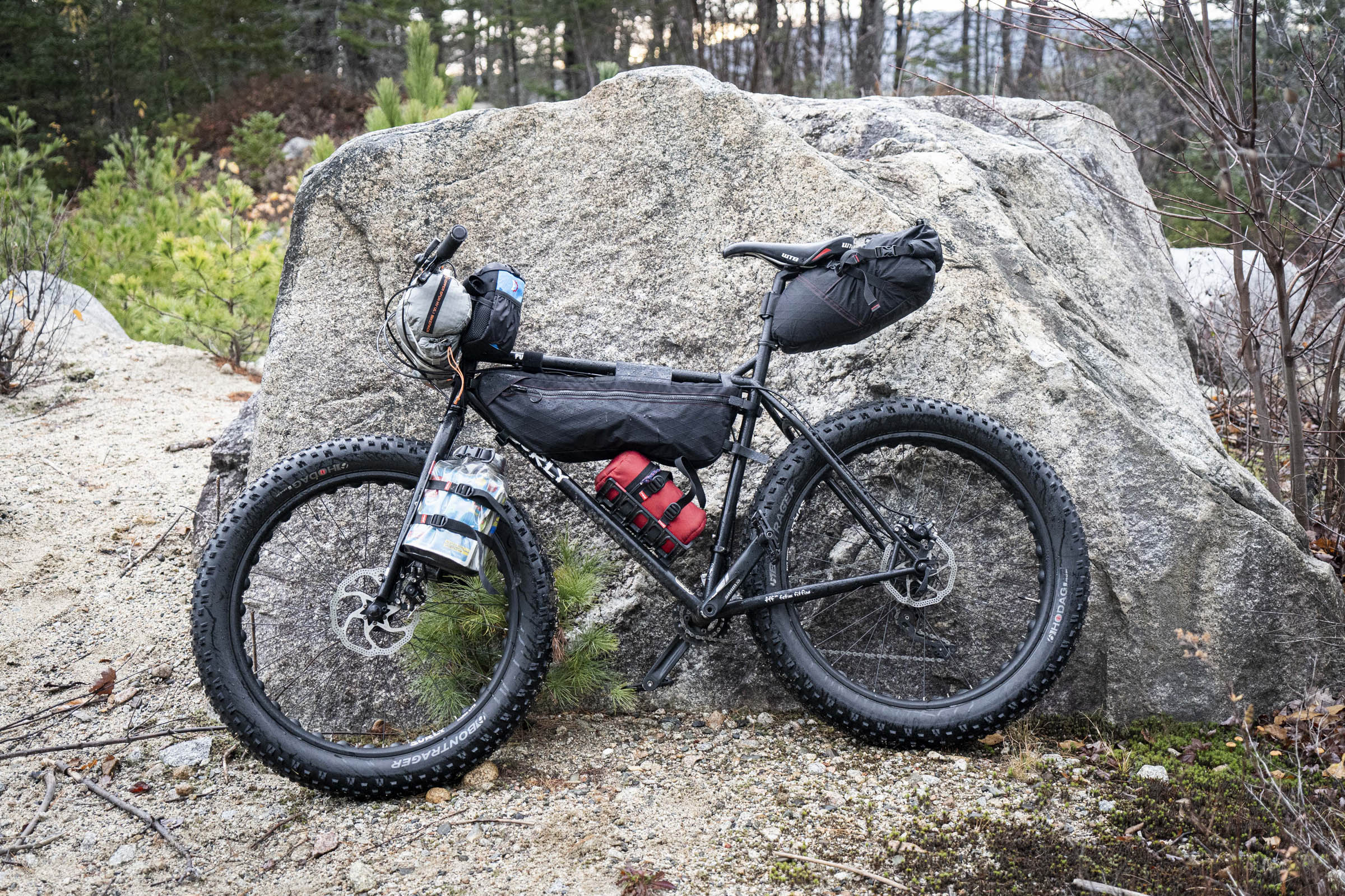
% Unpaved
99%
% Singletrack
25%
% Rideable (time)
90%
Total Ascent
8,900'
(2,713 M)High Point
1,585'
(483 M)Difficulty (1-10)
7?
- 6Climbing Scale Moderate94 FT/MI (18 M/KM)
- -Technical Difficulty
- -Physical Demand
- -Resupply & Logistics
Contributed By

Brian Threlkeld
Guest Contributor
Brian has lived in Maine for the past 15 years after moving south from Alaska for the warmer winters. He’s the membership and marketing director for Maine Outdoor Brands and stays busy shooting photos, finding adventure, and keeping up with his family.
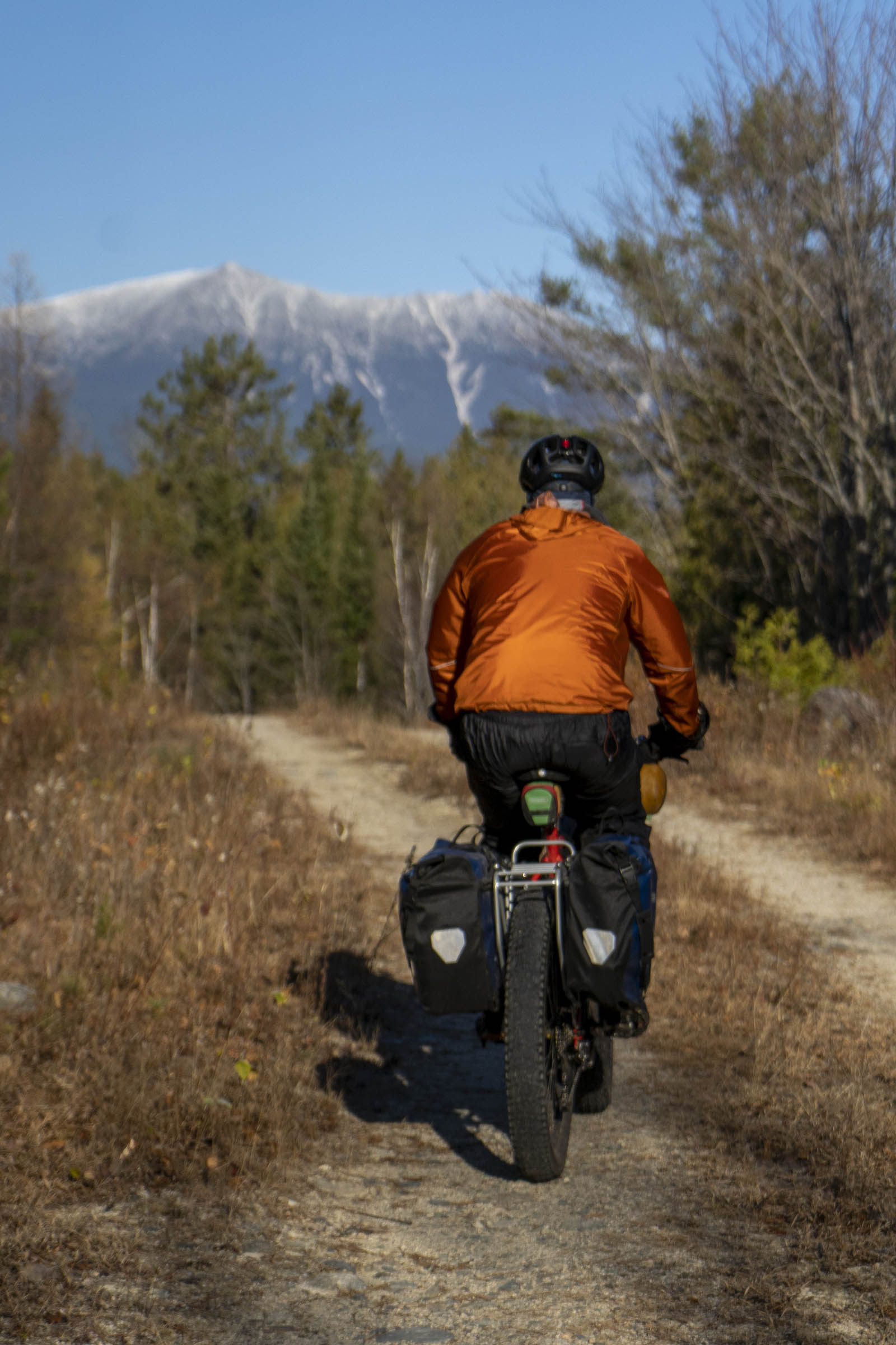
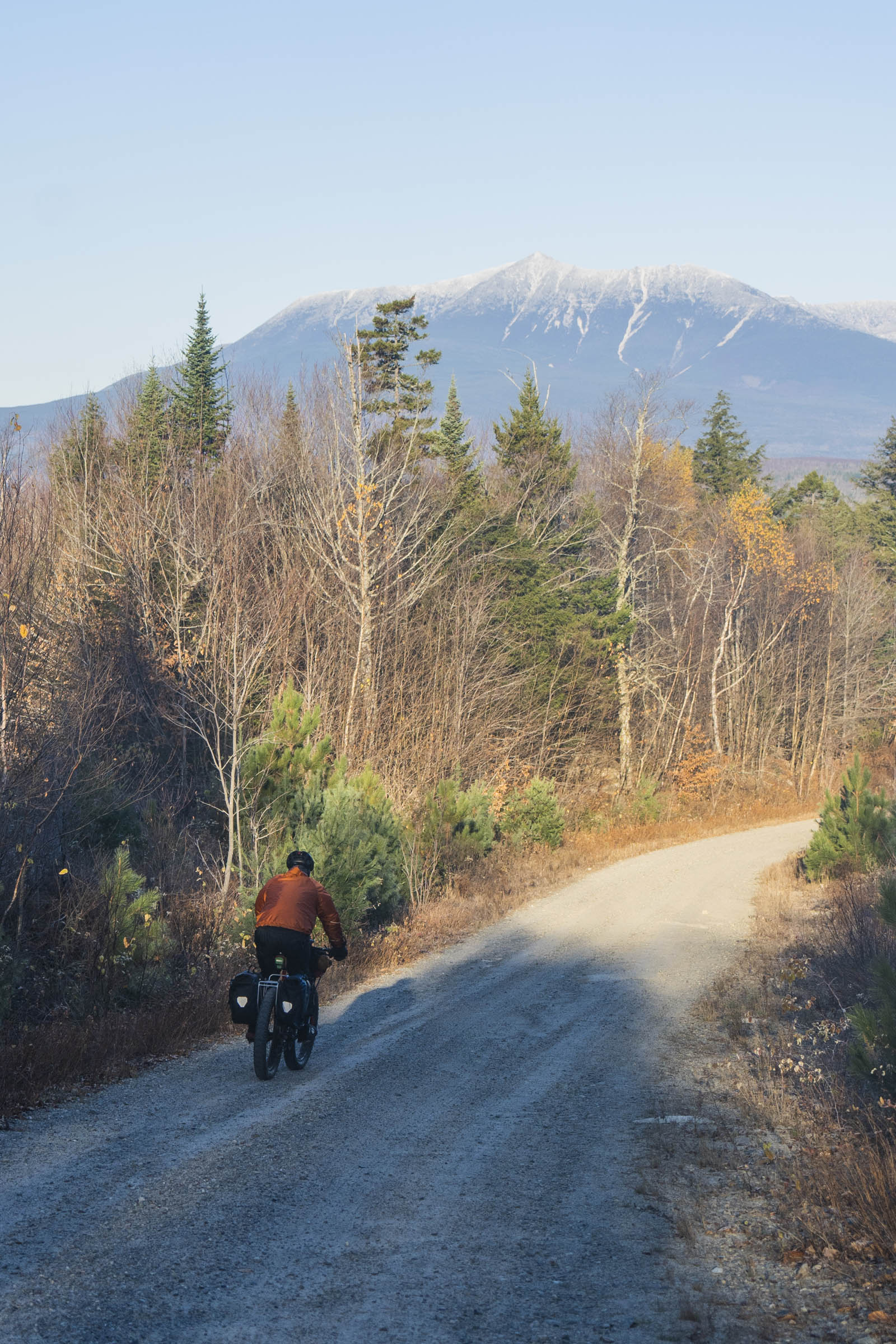
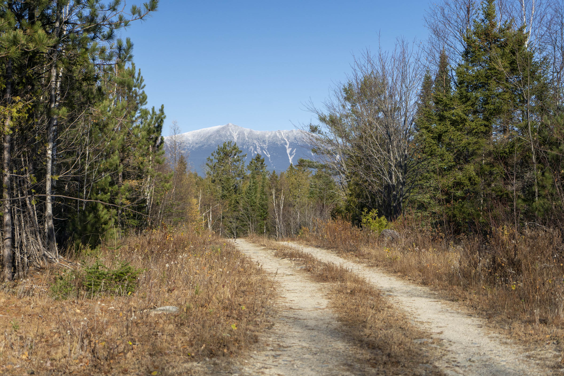
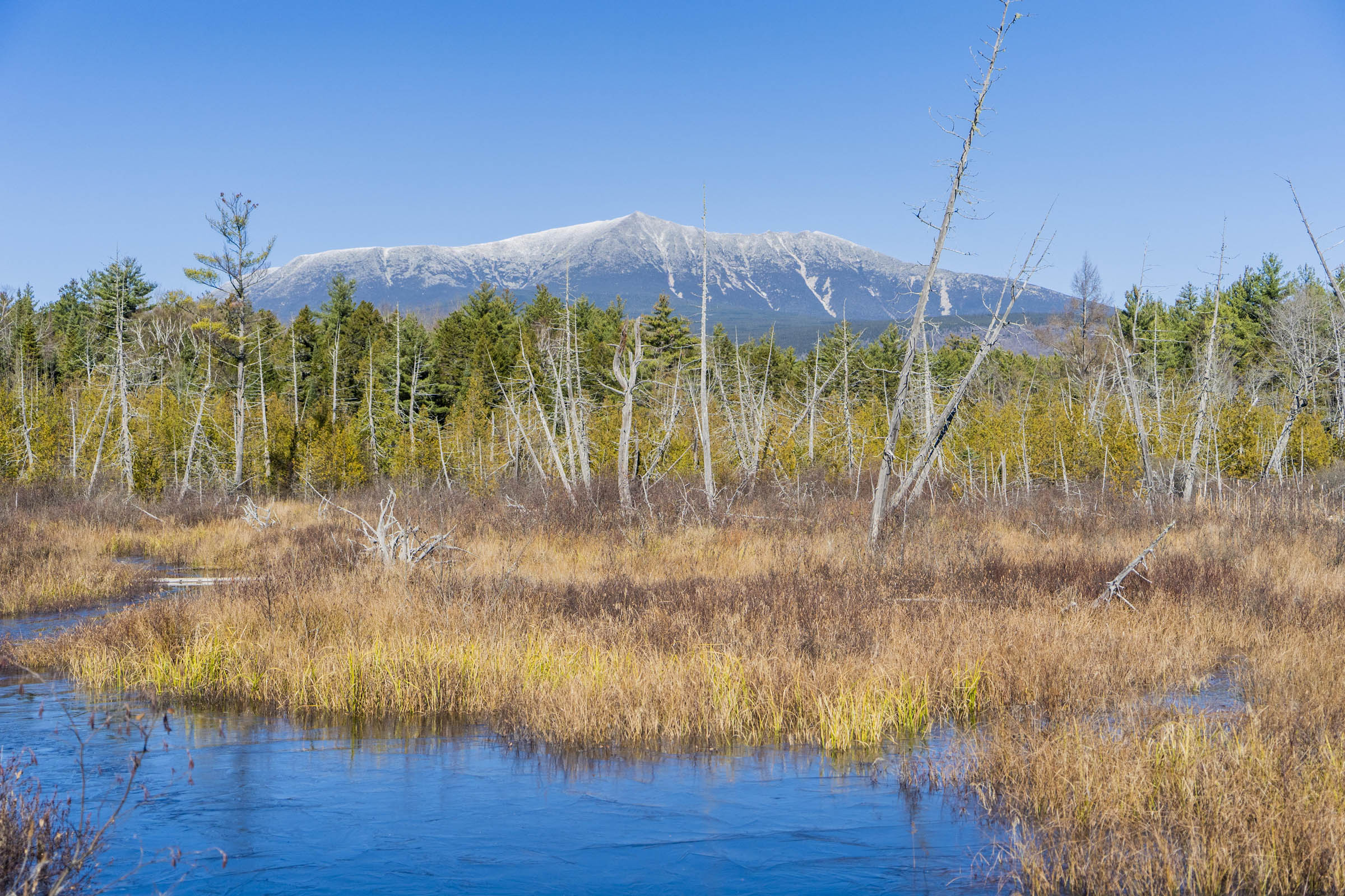
The Katahdin 360 bikepacking route was designed to circumnavigate the crown jewel of Maine, Mount Katahdin, Maine’s highest peak and the terminus of the Appalachian Trail. The area is steeped in history. It’s the center of the universe for the Wabanaki and also a model for modern preservation. Baxter “State” Park is an anomaly among parks and Katahdin Woods and Waters is Maine’s newest addition to the National Park System. Both work to limit impact while allowing access to this beautiful area.
Conservationist Percival Baxter helped to create what is now Baxter State Park (BSP) after summiting Katahdin in 1920 during times of unprecedented land exploitation in the region. Much later, in 2011, Roxanne Quimby—founder of Burt’s Bees—and her son Lucas St. Clair were instrumental in the creation of Katahdin Woods and Waters National Monument (KW&W). Both entities now operate to ensure access to the wilderness in perpetuity and should each be credited with working hard to protect these lands for public use in a state where 94% of the land is privately owned.
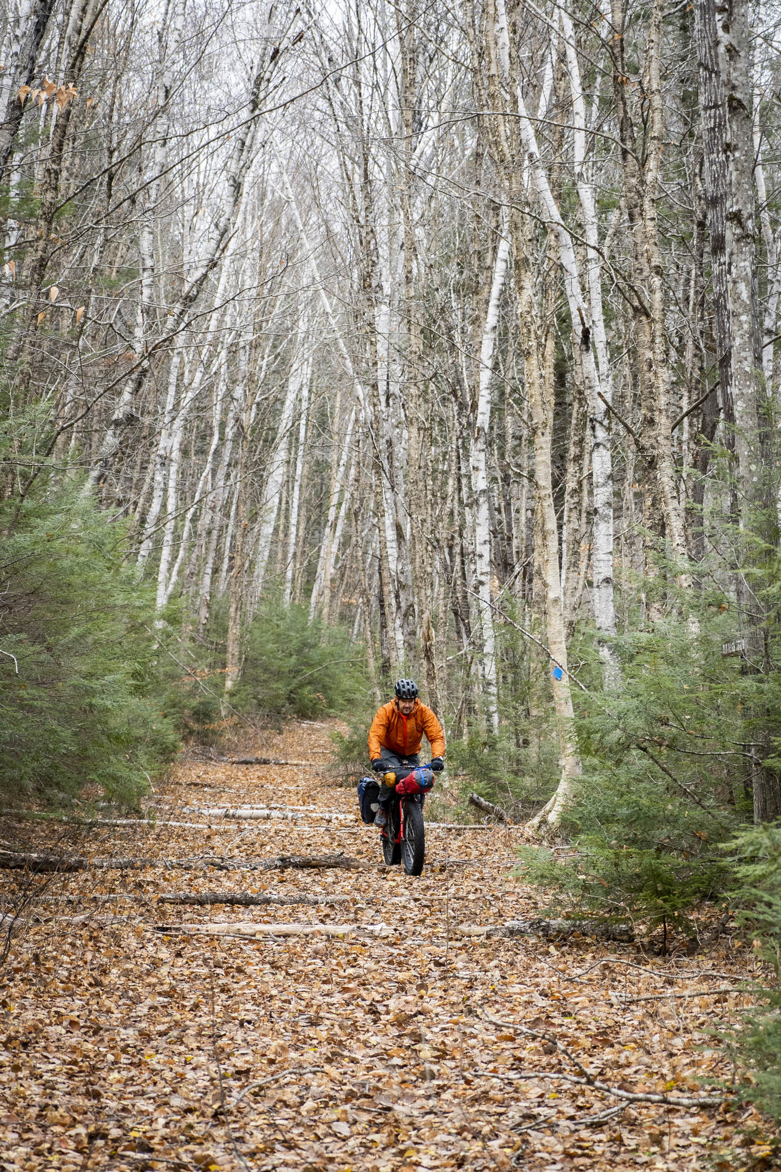
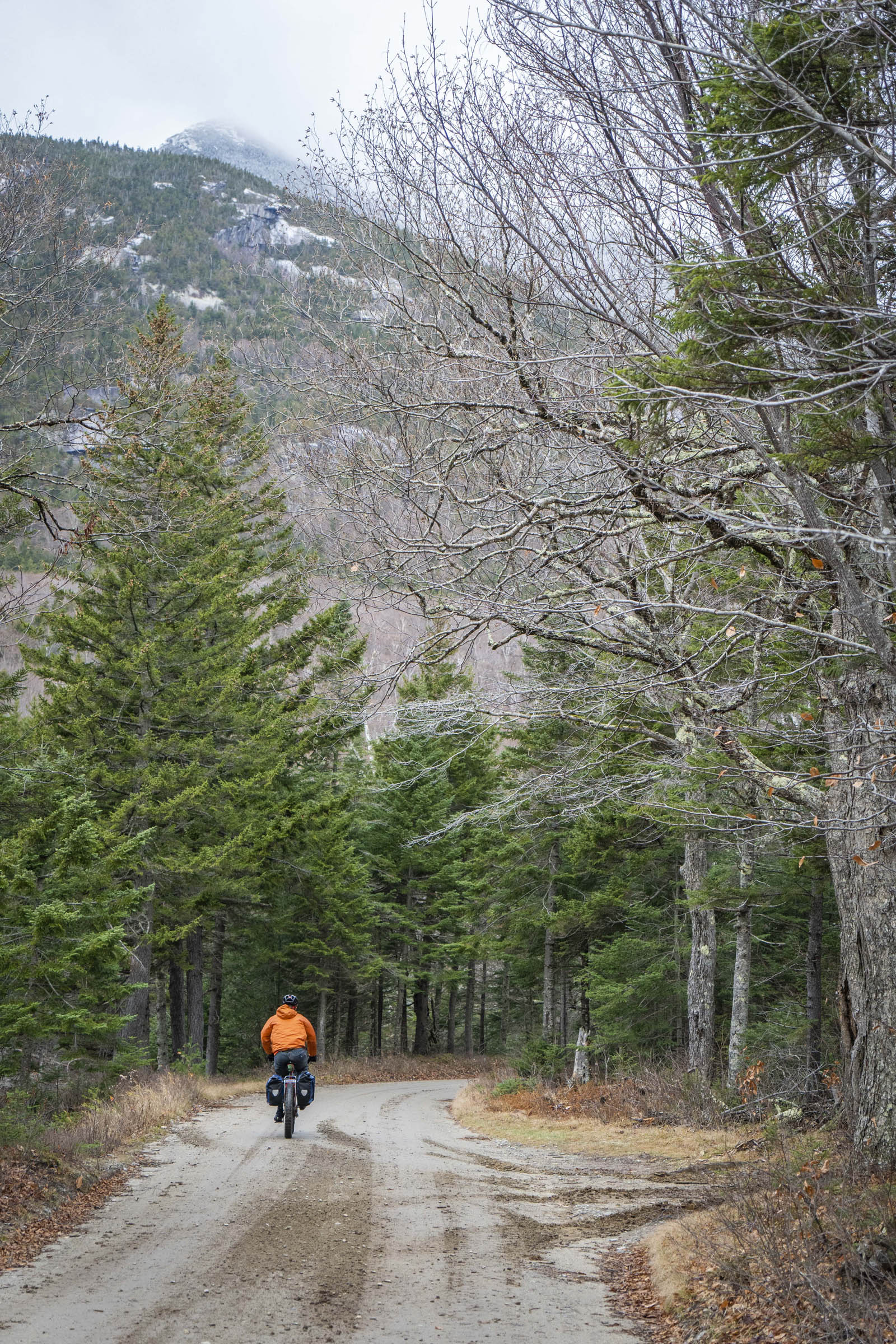
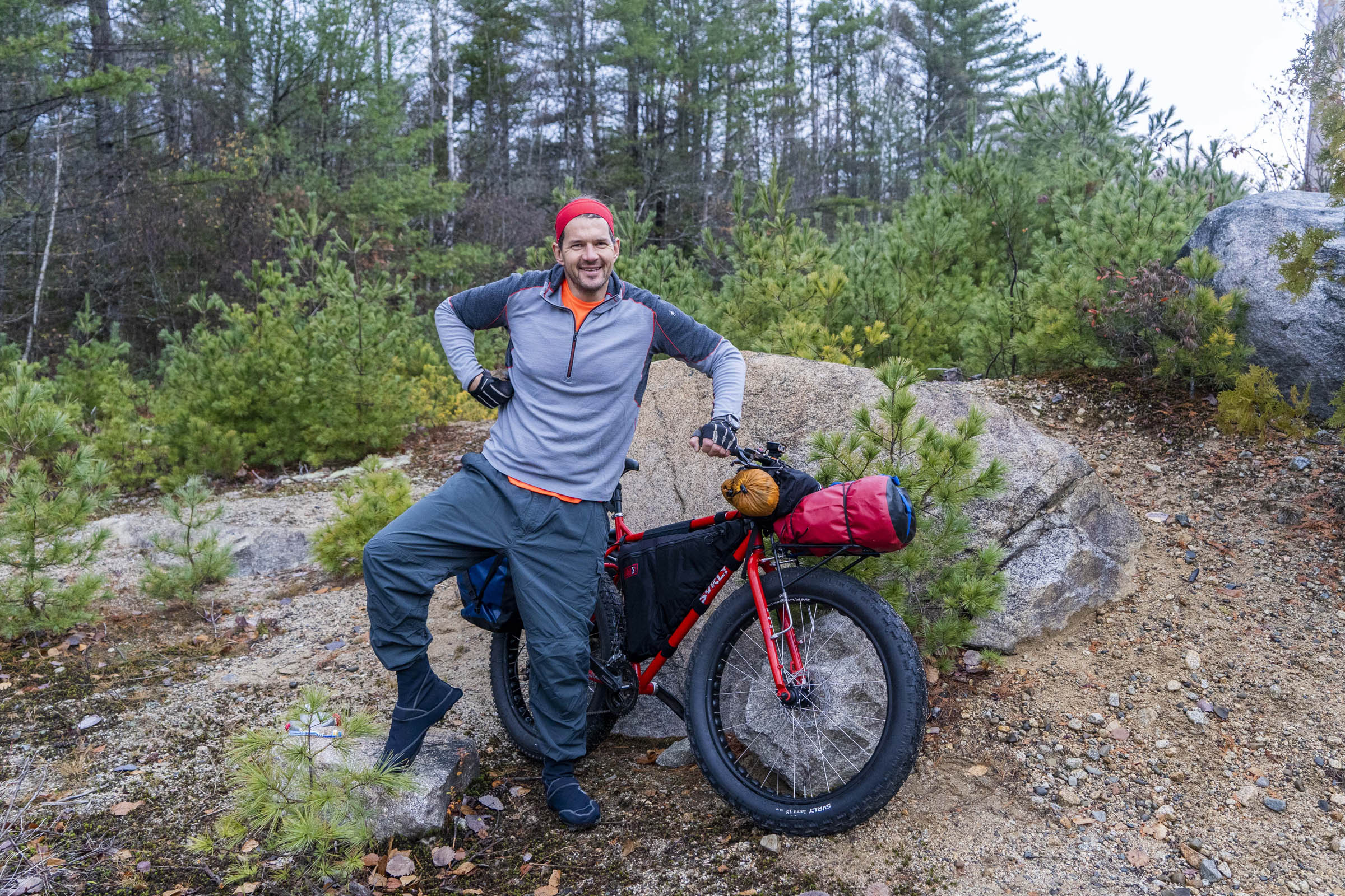
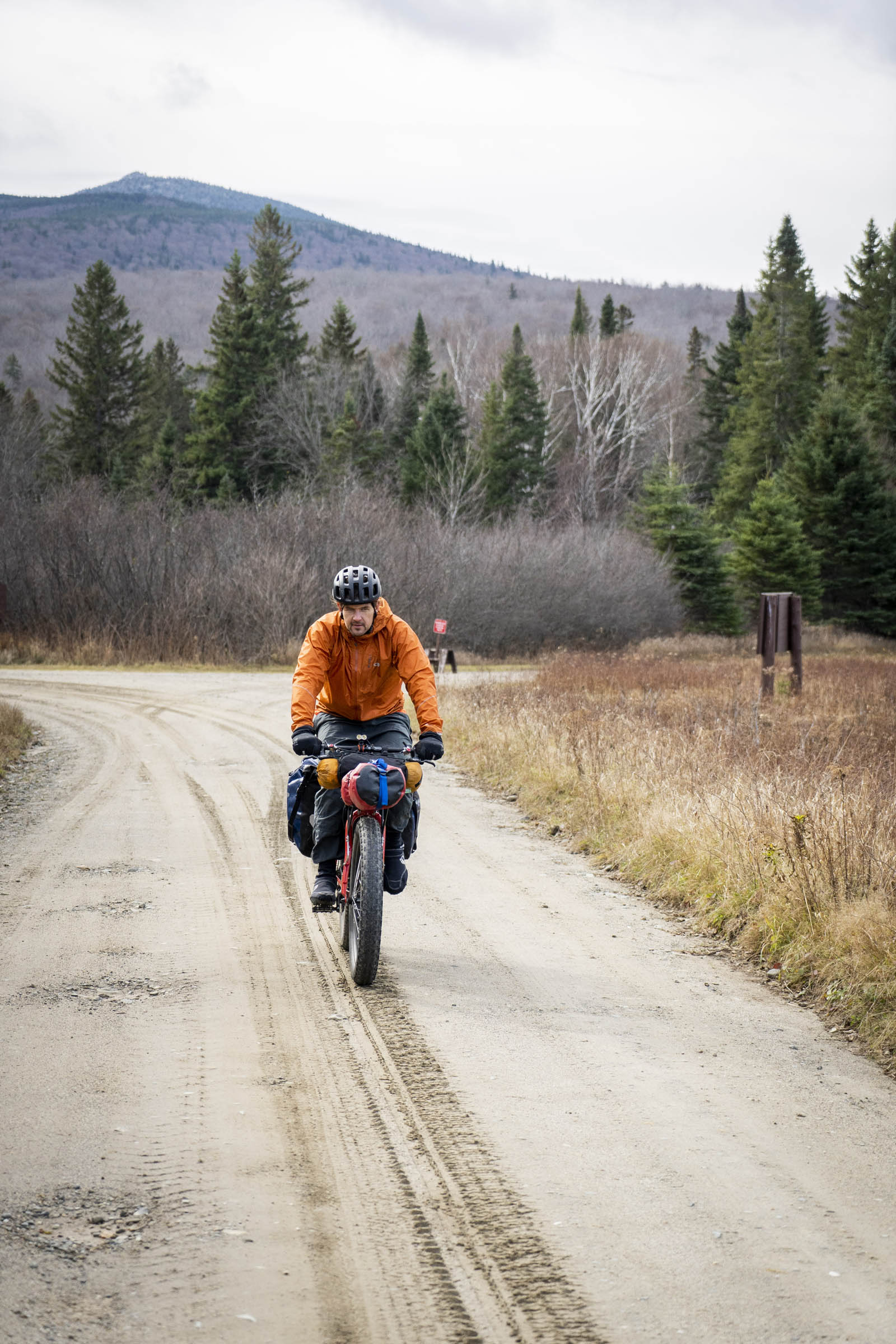
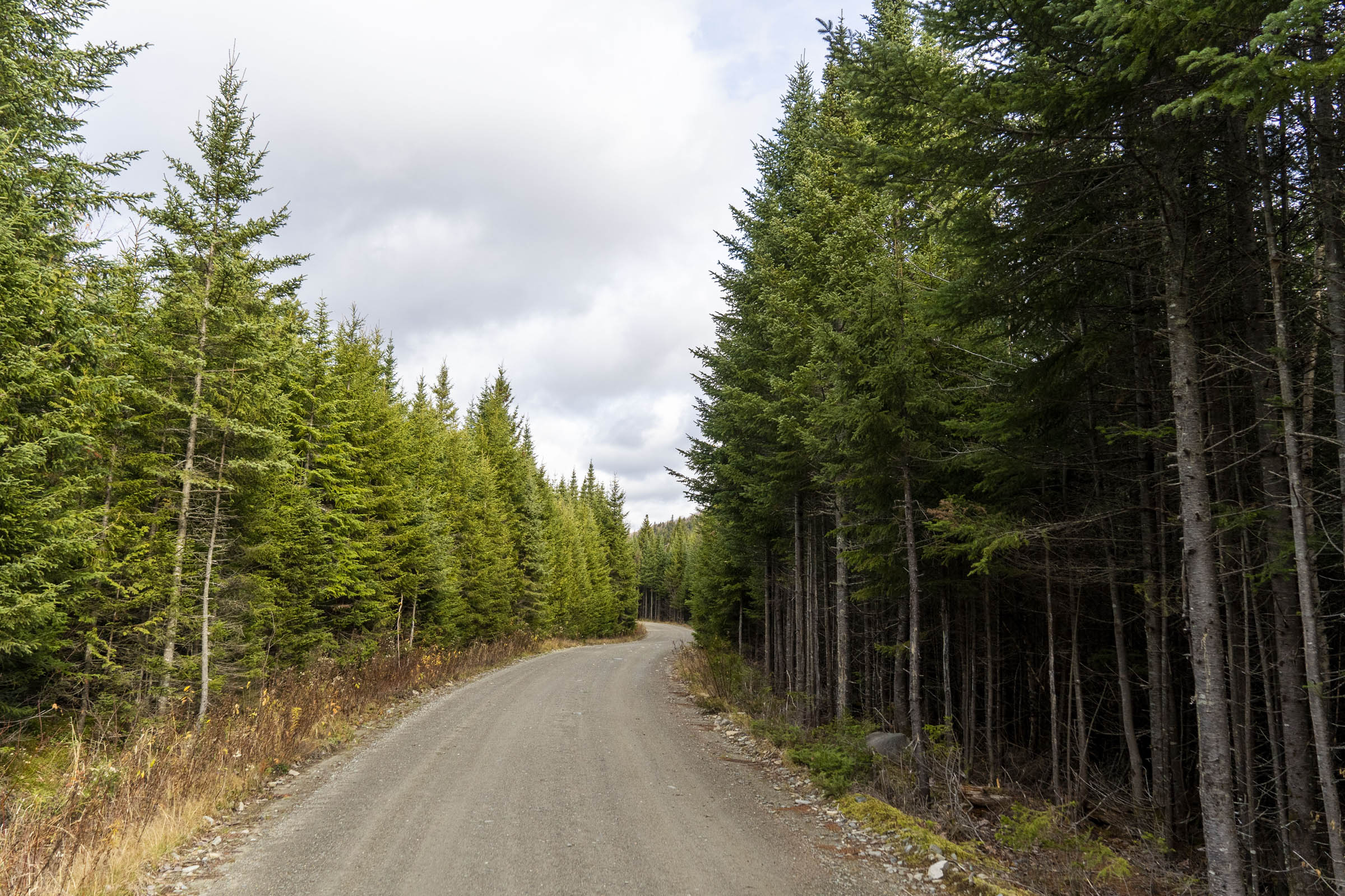
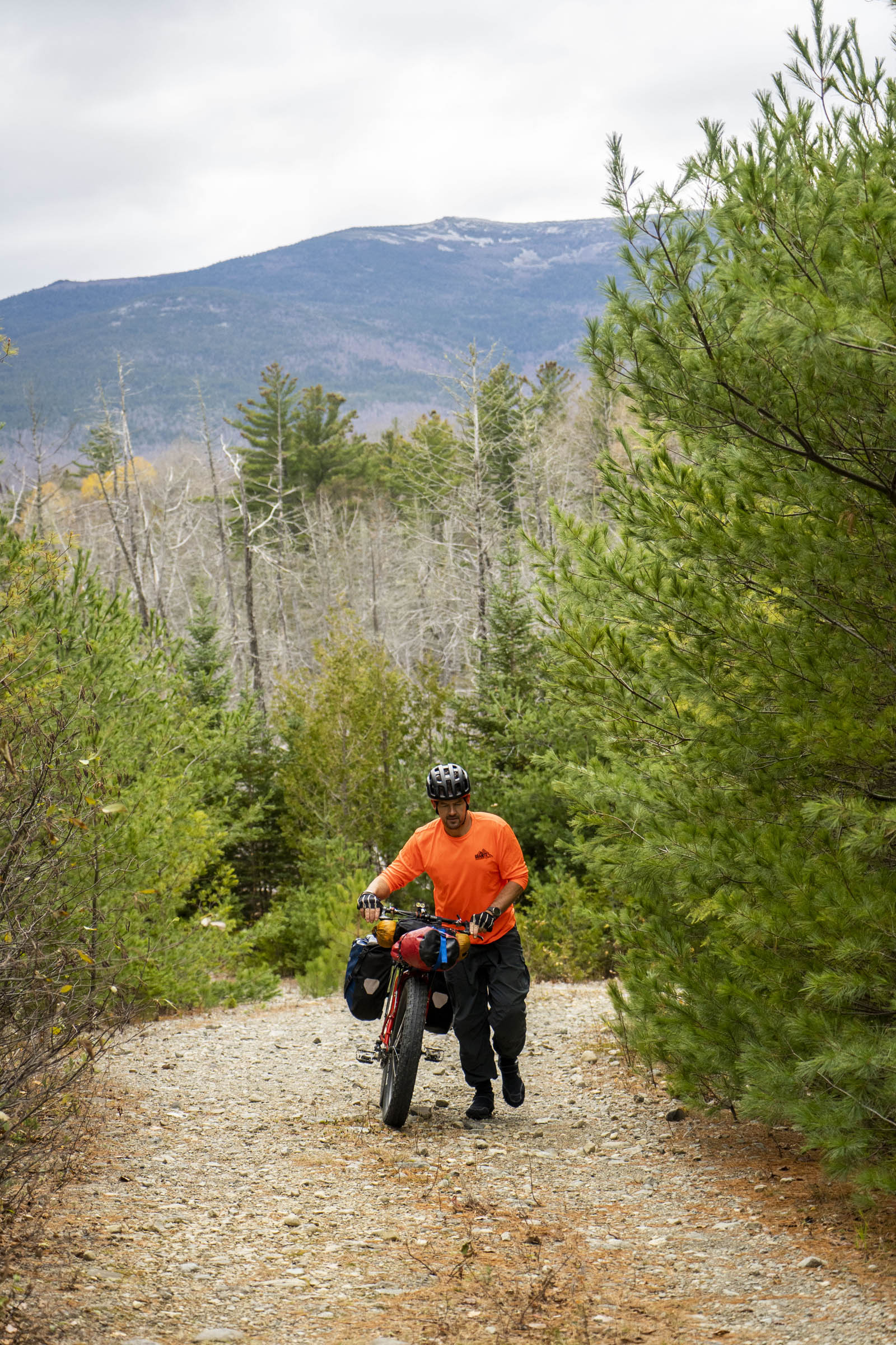
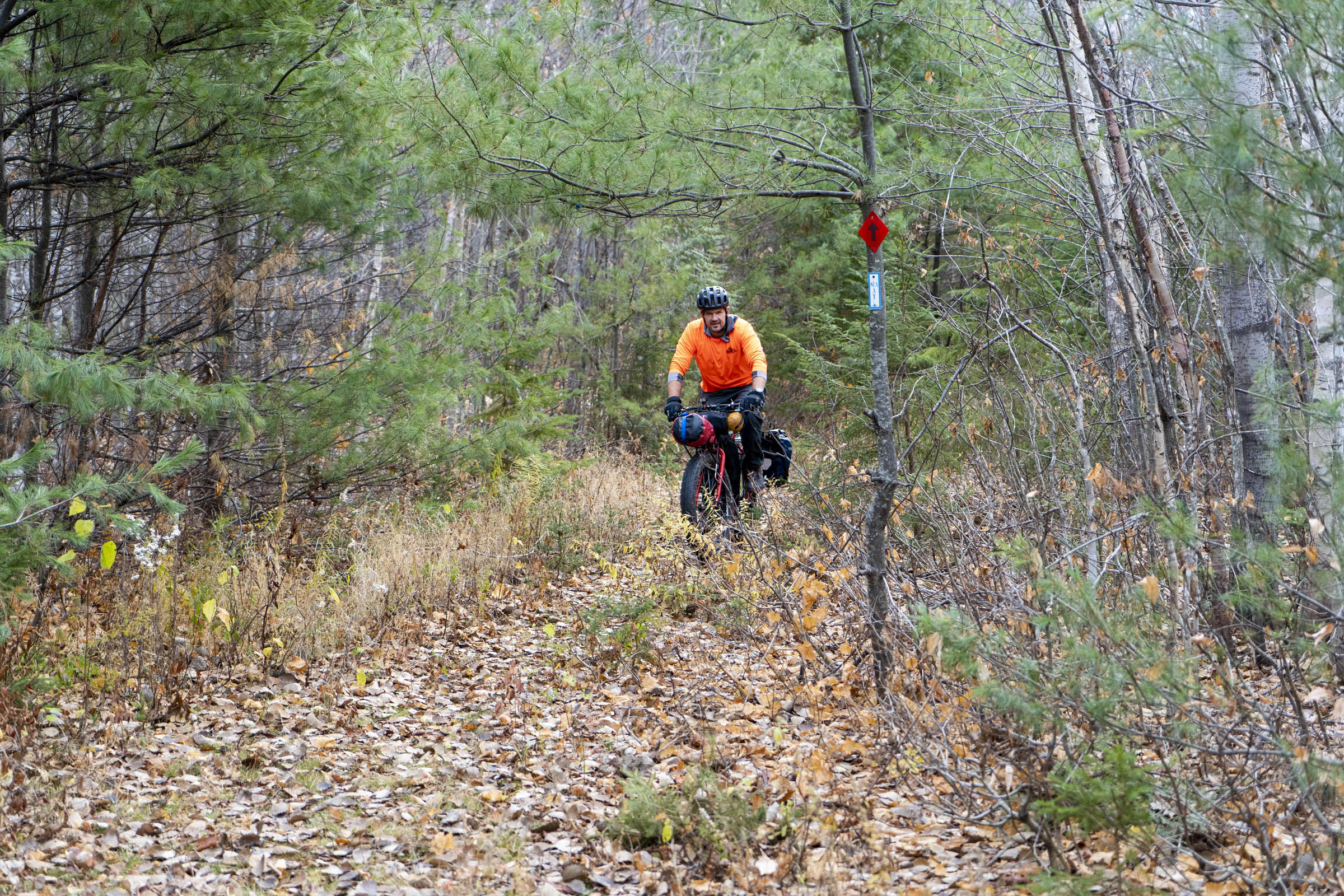
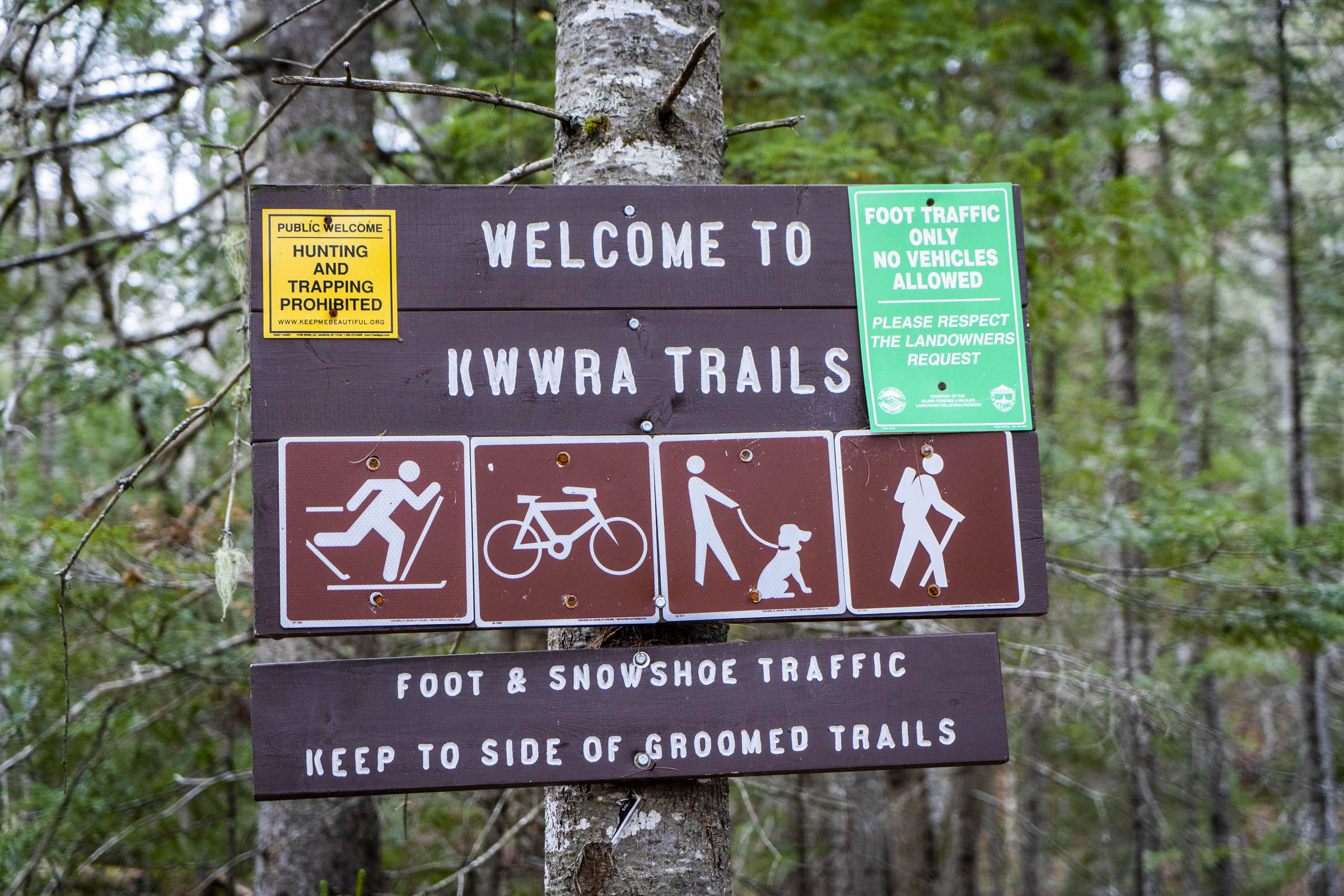
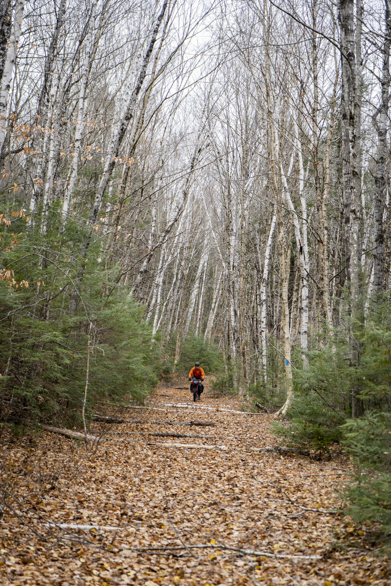
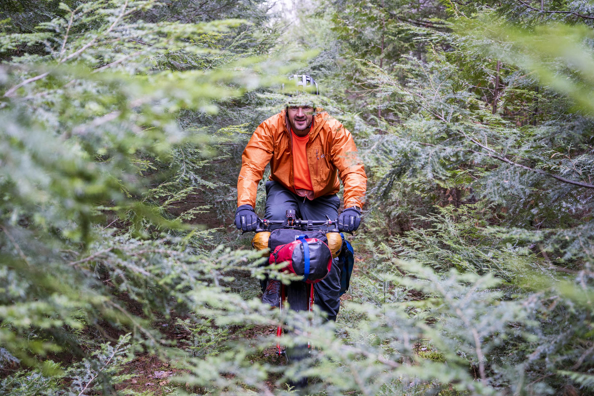
There are numerous ways to put this trip together; some ride it in a day, opting for easier gravel roads to bypass the more grueling sections of trail, while others, like ourselves, opt to take their time and ride the path less traveled. Either way, this isn’t a route you’ll find without talking to locals. However, for anyone who loves maps, it’s an easy one to ideate. The first half (miles 0-50) of this particular route follows the BSP Tote Road, which is a well-traveled gravel road from the southern entrance gate of the park (Togue Pond) to the northern gate of the park (Matagamon). Miles 50-75 ride the less-traveled trails through KW&W and provide the majority of options for travel. There are a lot of defunct logging roads, tote roads, and other trails to choose from.
Route Difficulty
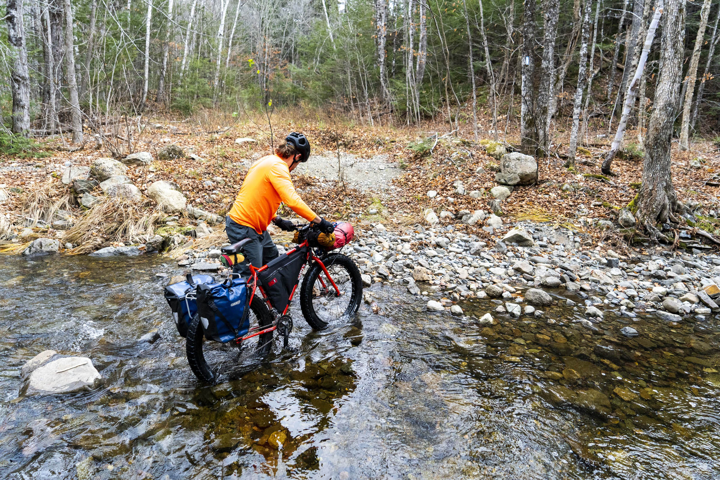
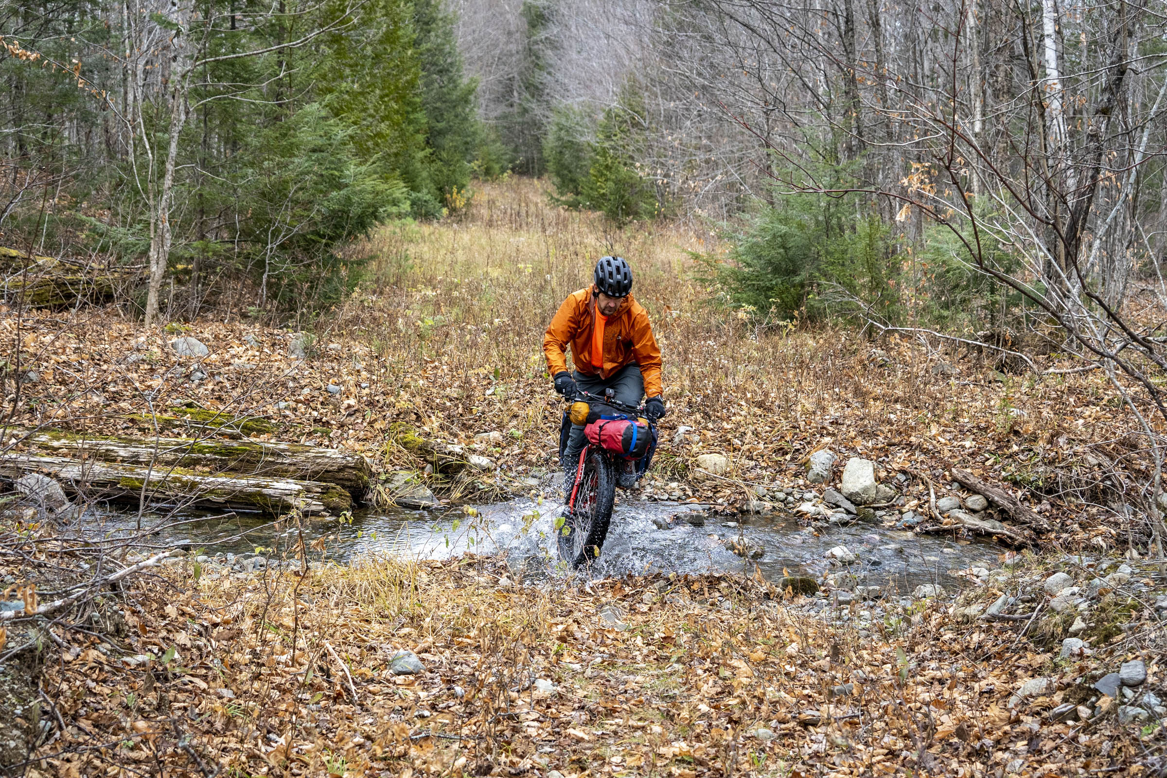
This route, as is, likely falls in the range of 7 in difficulty. The technical difficulty of the riding is not where this rating comes from. Yes, there are some drainages to ride through and some tall grass/boulder-strewn snowmobile trails to ride, but the remoteness, commitment, lack of resupply, and logistics make this route harder than your normal gravel grind. The one thing in abundance is water.


Please note: this route is currently under review; the route creator was informed of a small private land issue that we are currently discussing with relevant organizations. Stay tuned...
Highlights
Must Know
Camping
Food/H2O
Trail Notes
Resources
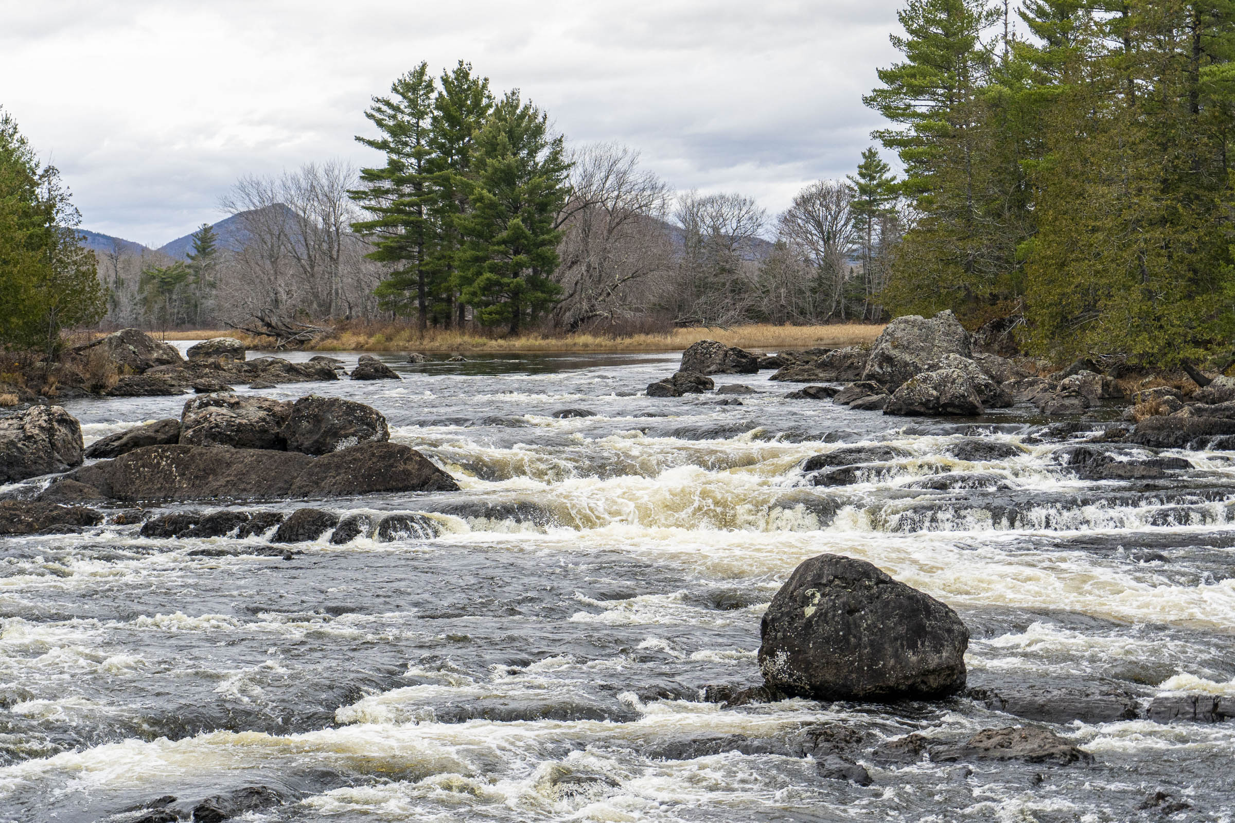
- Riding along Nesowadnehunk Stream with great views of Doubletop Mountain
- Cruising the long downhill just before Burnt Mountain on the BSP Tote Road
- Getting into KW&W and starting the more adventurous riding
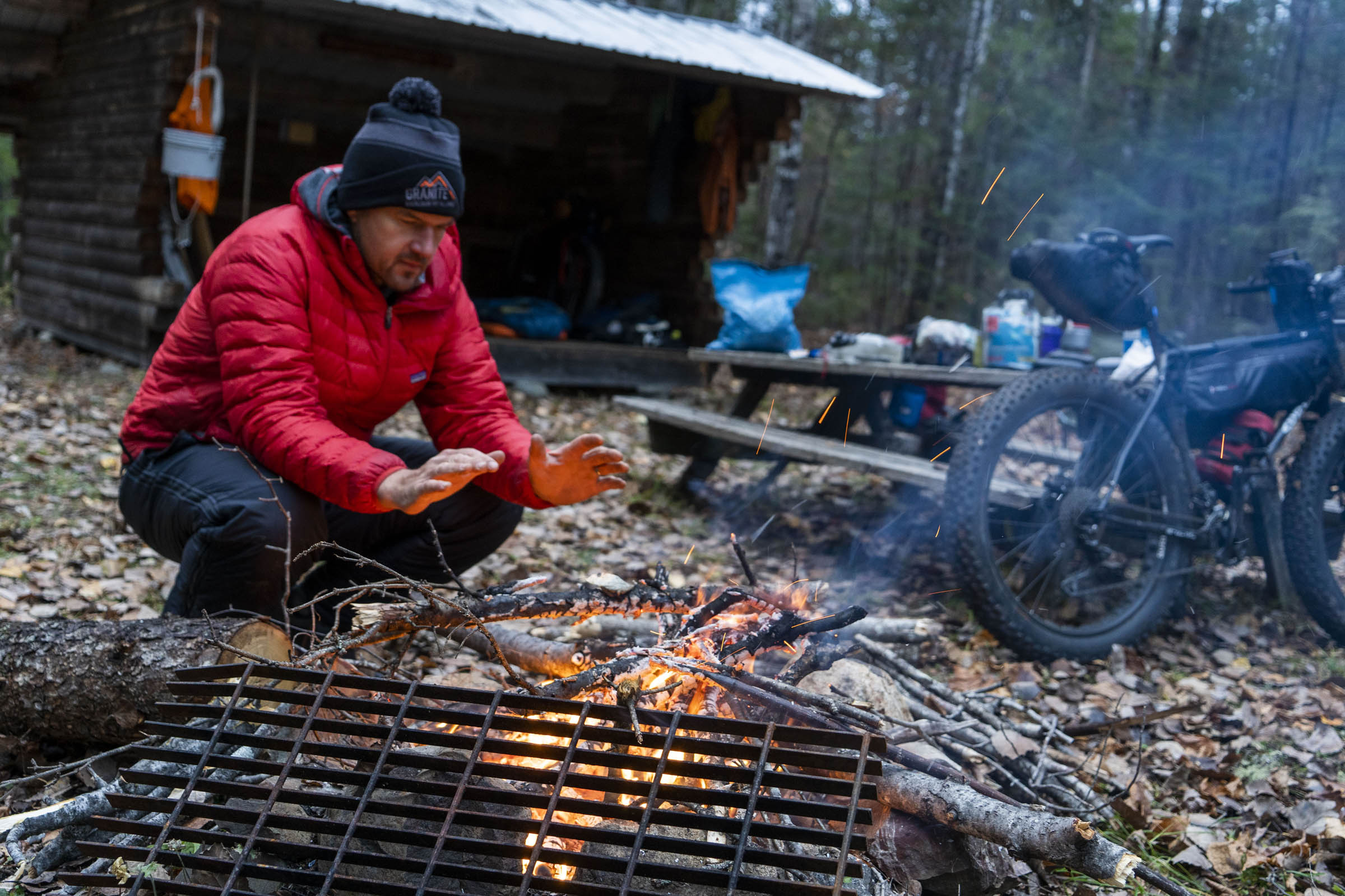
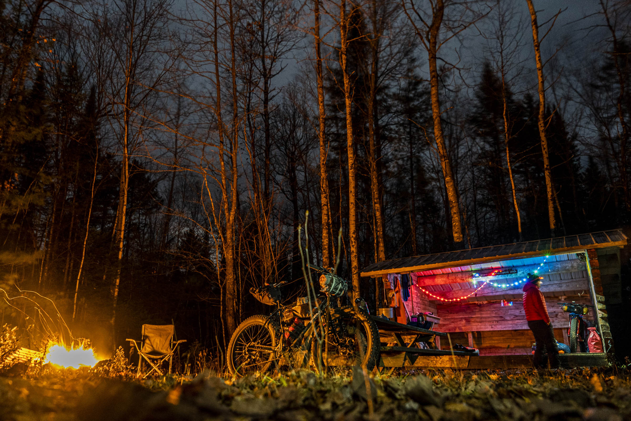
- Checking out the Haskell Hut in KW&W, which is open in the winter
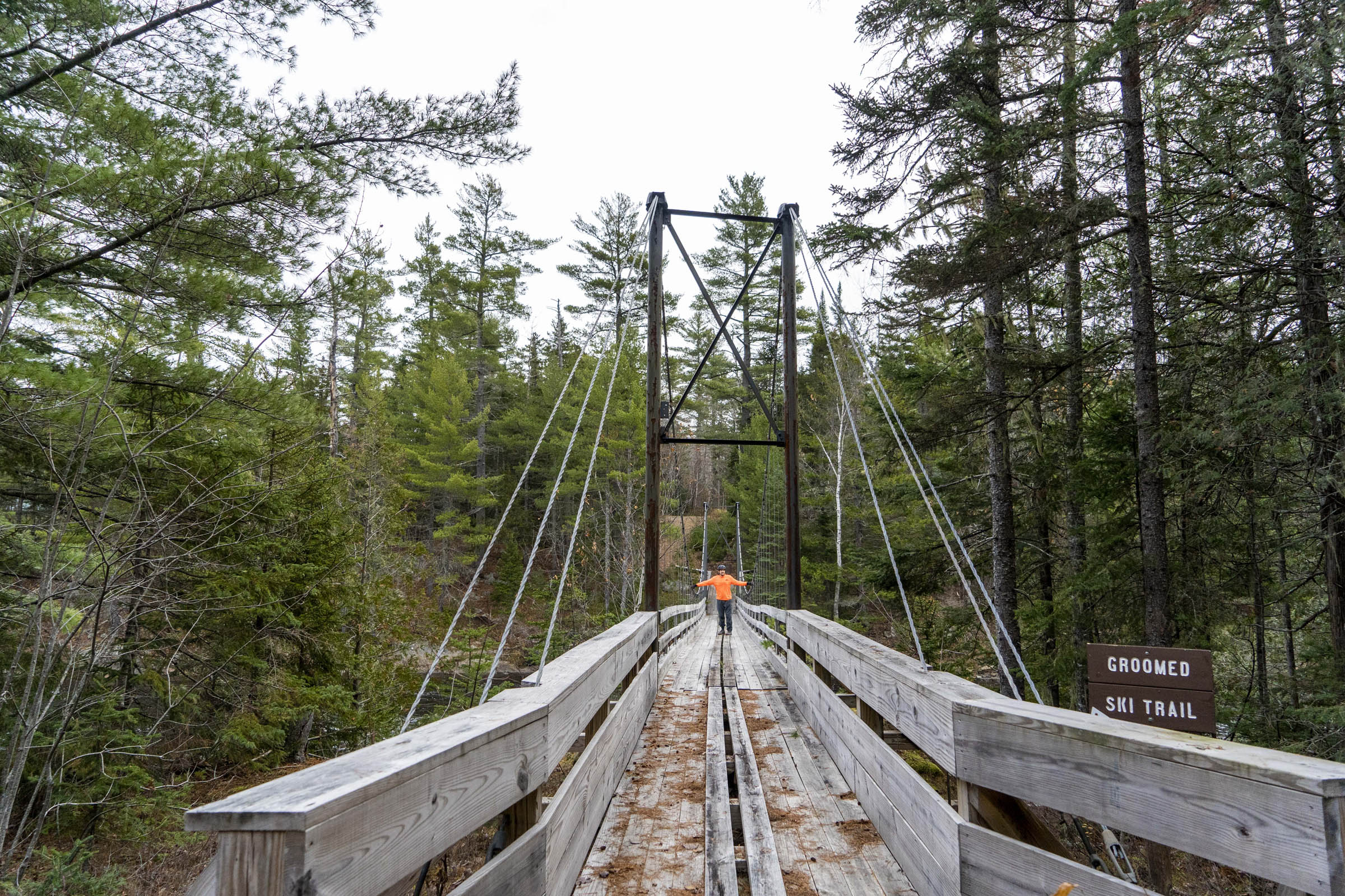
- Walking across the bridge to Bowlin Camps and standing above the East Branch of the Penobscot River
- Getting rowdy on the old Telos Tote Road heading toward the rickety bridge across Wassataquoik Stream
- Realizing the bridge across Sandbank Stream had been removed recently and bushwhacking our way west to old skidder trails
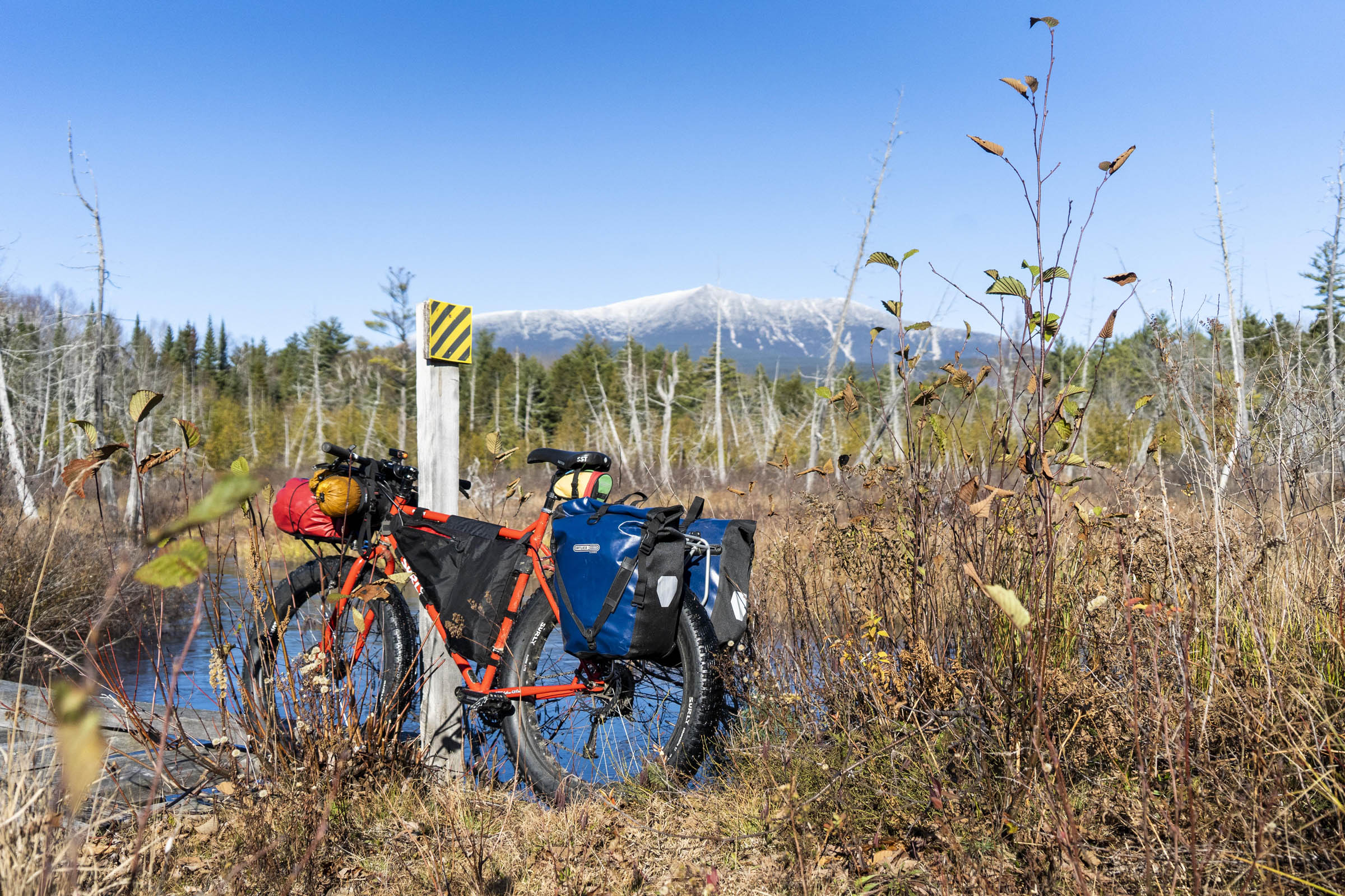
- Riding the Sandy Stream Road with gorgeous views of Katahdin
- Finding the last bit of hike-a-bike before getting onto the Logan Pond Trail
When to go
- Late fall is a great time to go. Cool riding temps, no bugs, and the brush through the monument is at a minimum.
Logistics
- You can start this route in numerous places, but we started just south of Togue Pond Gatehouse and rode clockwise around the park and through the monument before making our way back to the starting point. Starting and finishing in the town of Millinocket is certainly an option but will add about 20 miles of pavement at the beginning of the ride.
- If you’re riding while BSP is still open to overnight travel and you want to stay in the park, camping reservations are required.
Dangers and Annoyances
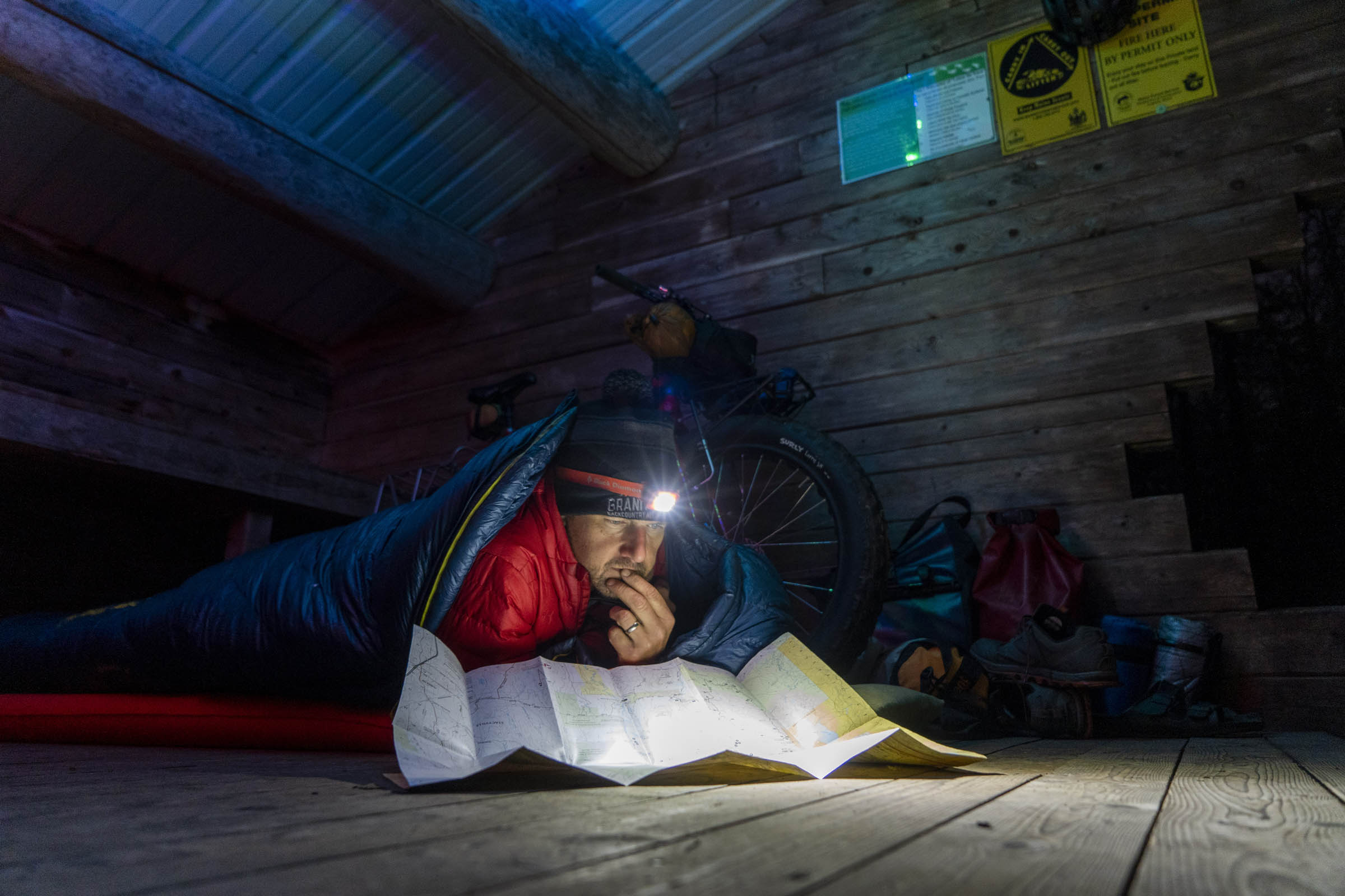
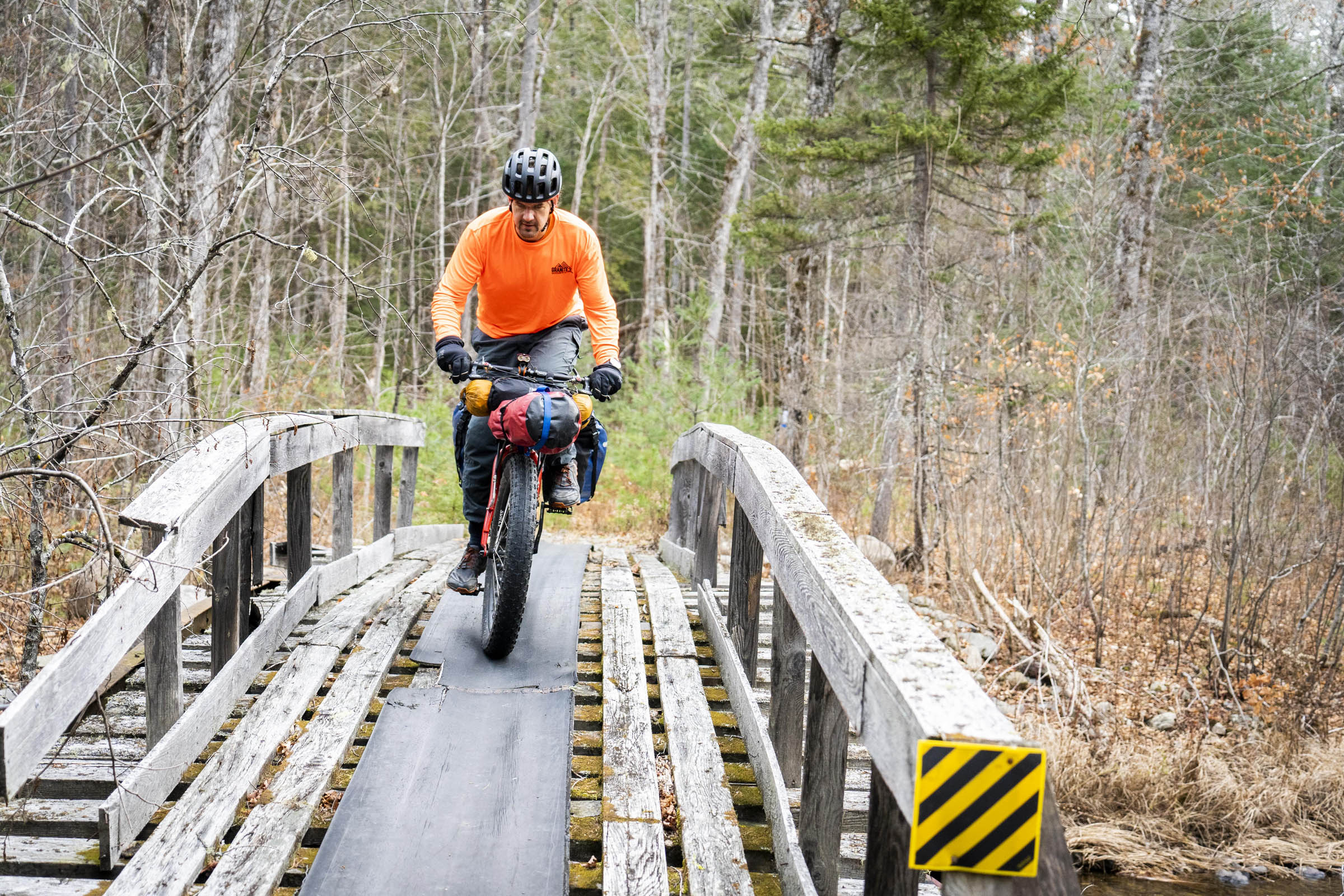
- There are some sections of the trail where it’s hard to see where you’re going because the brush has grown so thick. It’s easy to get heading down an old trail in the monument, so make sure you’re checking your GPS and staying on route. There’s a bridge out over Sandbank Stream, just north of the Swiftbrook Road that requires a bushwhacky route around.
Travel basics
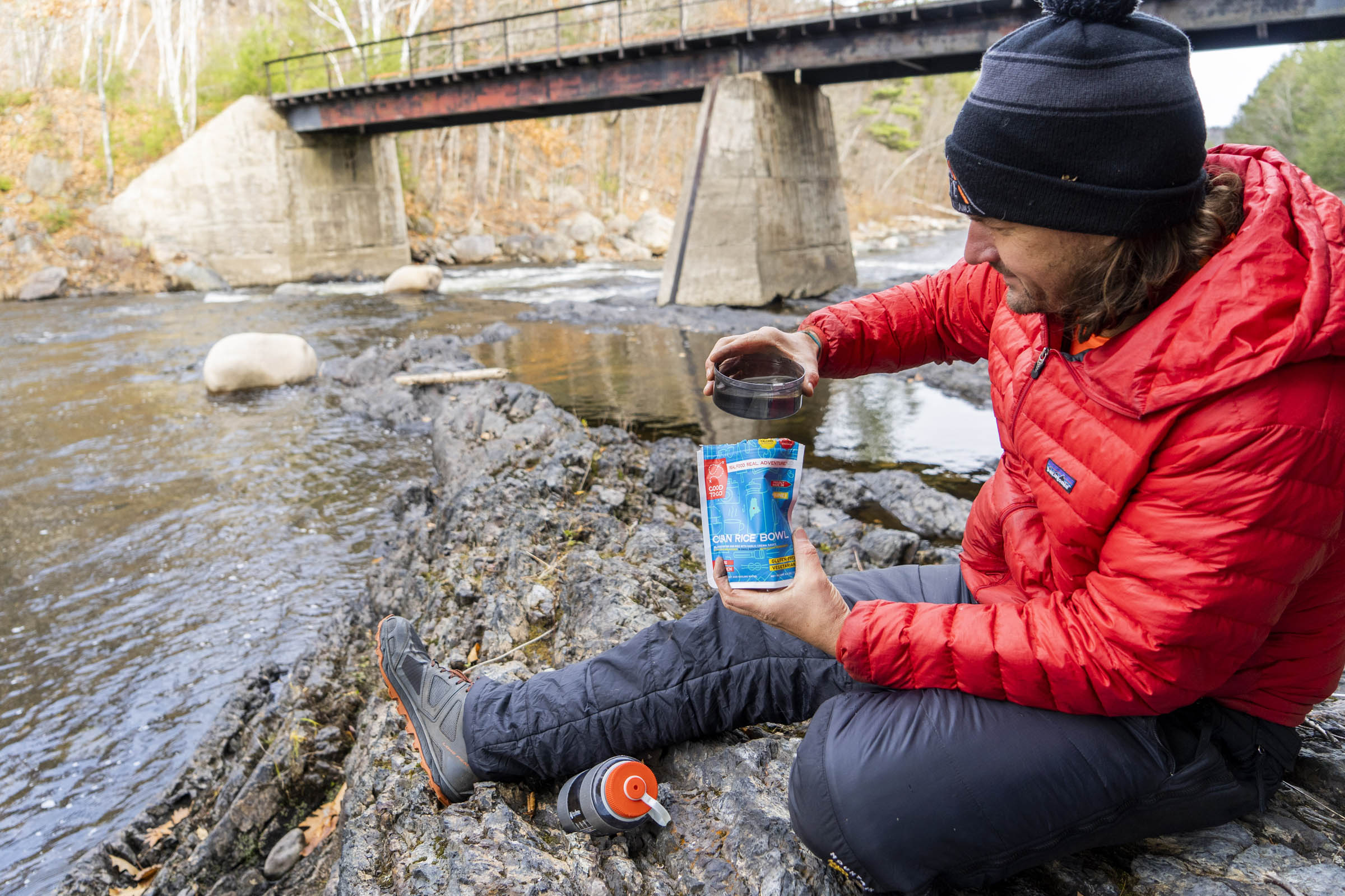
- There’s a larger grocery store in Millinocket (Hannaford) for last-minute staples.
- If you plan to do this route before Baxter State Park closes for the season to overnight travel (around October 15th) and want to stay overnight in the park, you need reservations to stay anywhere within the park boundary.
- If you plan to do this route during late October or through November, the park is closed to camping and you’ll have to ride the length of the Tote Road in a single day (~45 miles) from entrance gate to entrance gate.
- Camping in the national monument is free and first-come-first-served, however, there’s been talk of adding the lean-tos and shelters to the NPS reservation system. Check before you go.
- The southern part of the route rides through private land, but public access is allowed. Just tread lightly.
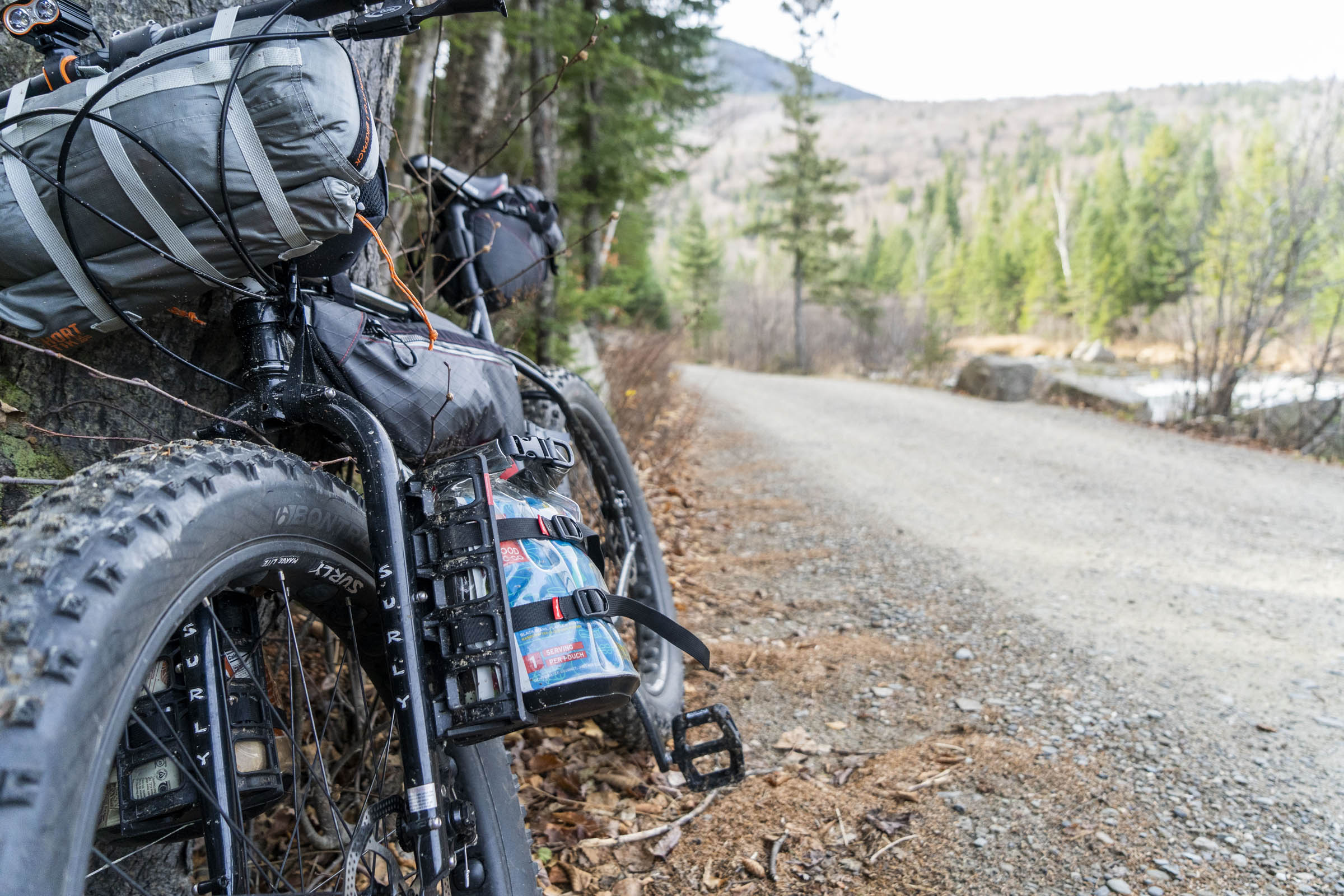
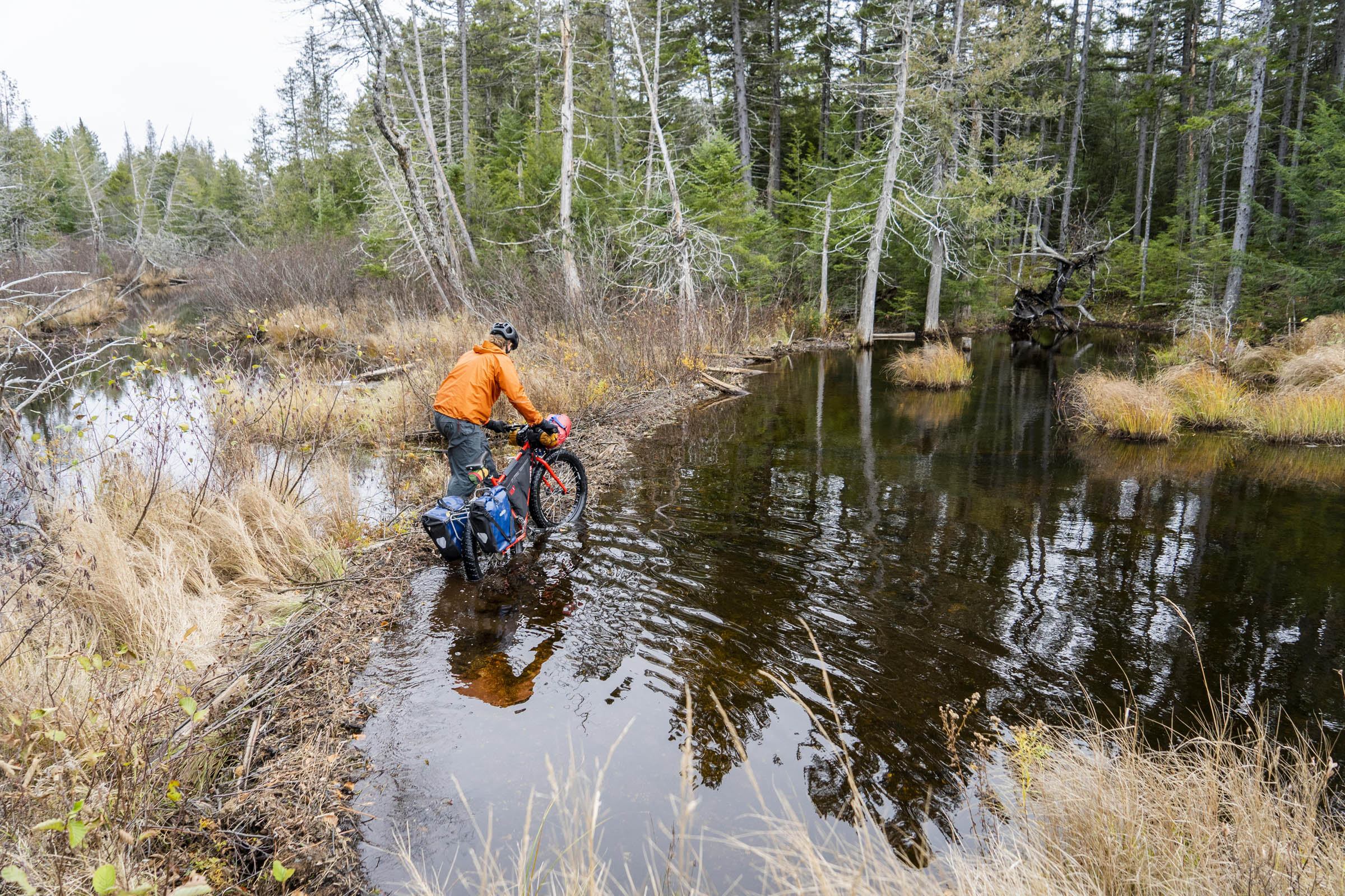
- There are never-ending options for water all along the route.
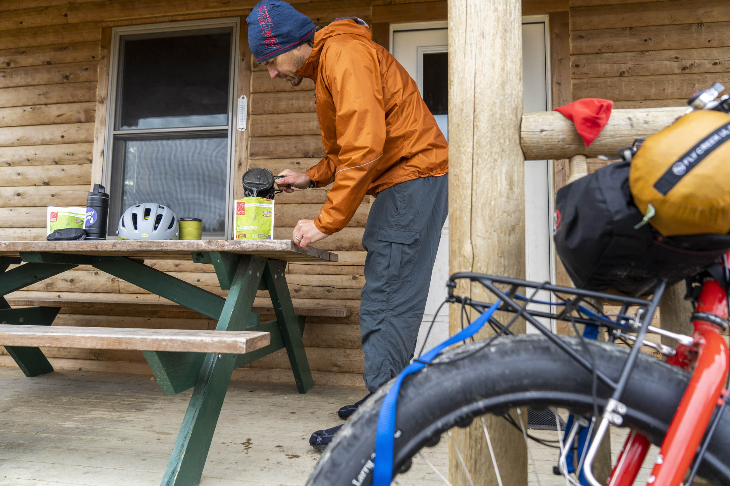
- The Matagamon Wilderness Lodge and Campsite is the only resupply stop along the route near the northern entrance for both Baxter State Park and Katahdin Woods and Waters.
- The AT Cafe in Millinocket or River Drivers Restaurant at the New England Outdoor Center are good options for food at the beginning or end of your trip.
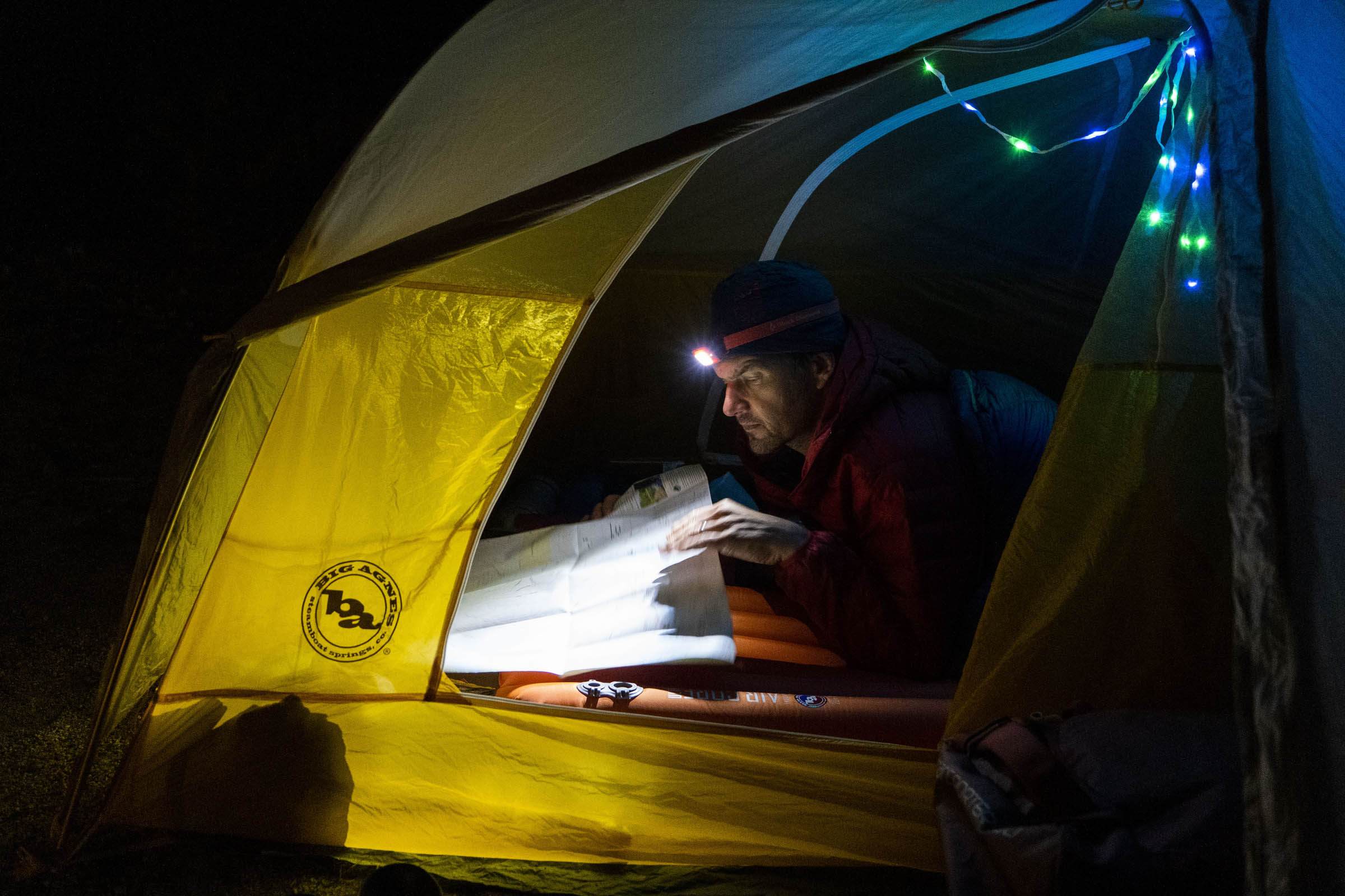
Day 1
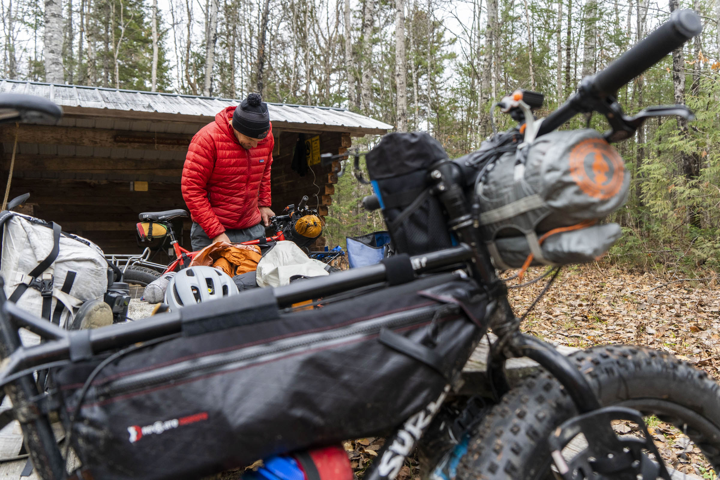
Day 1 consists of gravel for 50 to 55 miles, riding through the Togue Pond gatehouse (you’ll have to check in with the rangers and depending on the time of year you’re riding, have a permit to camp in the park, or tell them you’re riding all the way to the northern Matagamon Gate). We rode in late October and had to ride the entirety of the Tote Road because Baxter State Park is closed to overnight travel at that point in the year. After exiting through the northern gate, we rode another 10 miles or so in the Katahdin Woods and Waters and camped at the Grand Pitch Lean-To.
Day 2
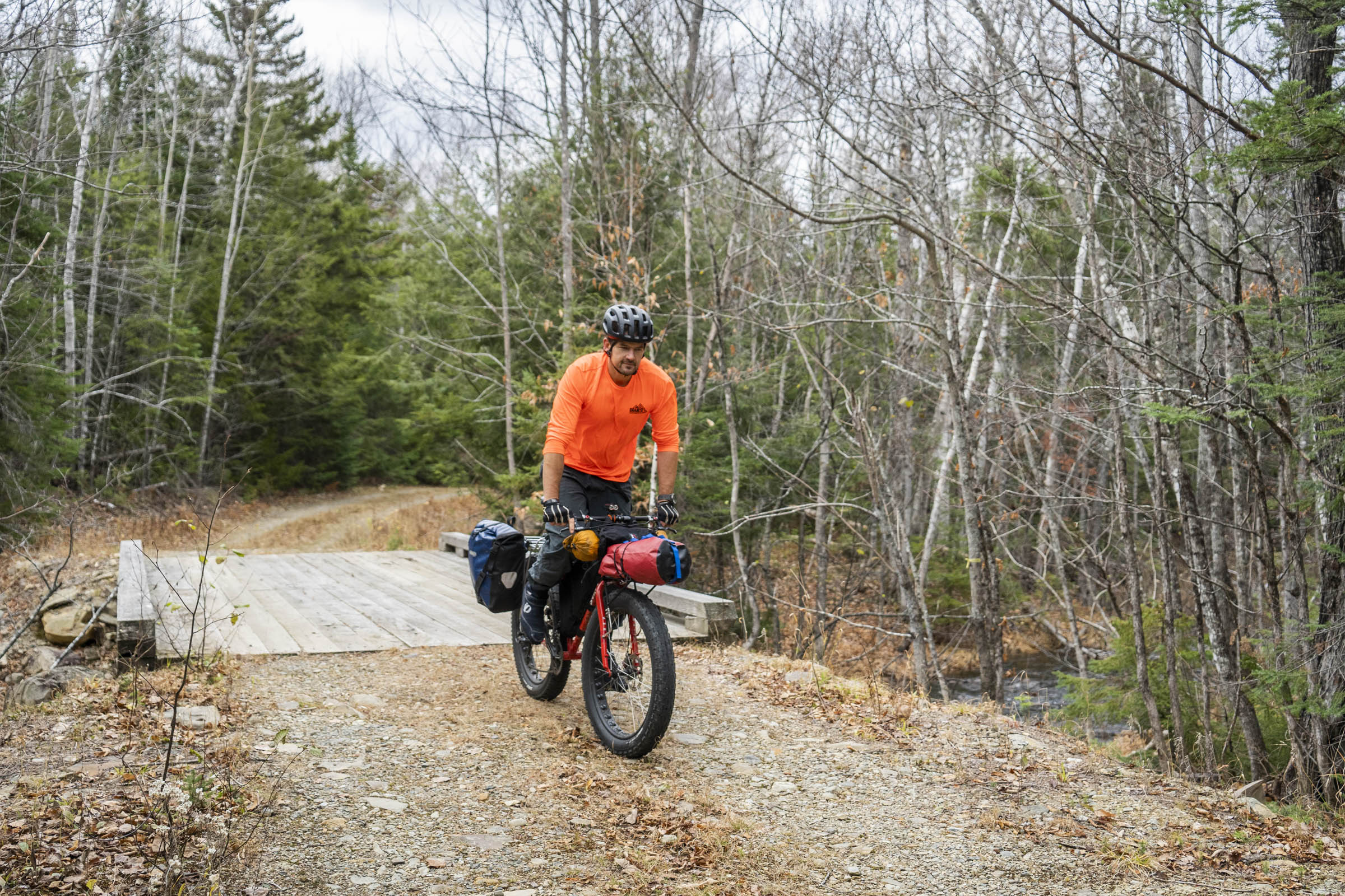
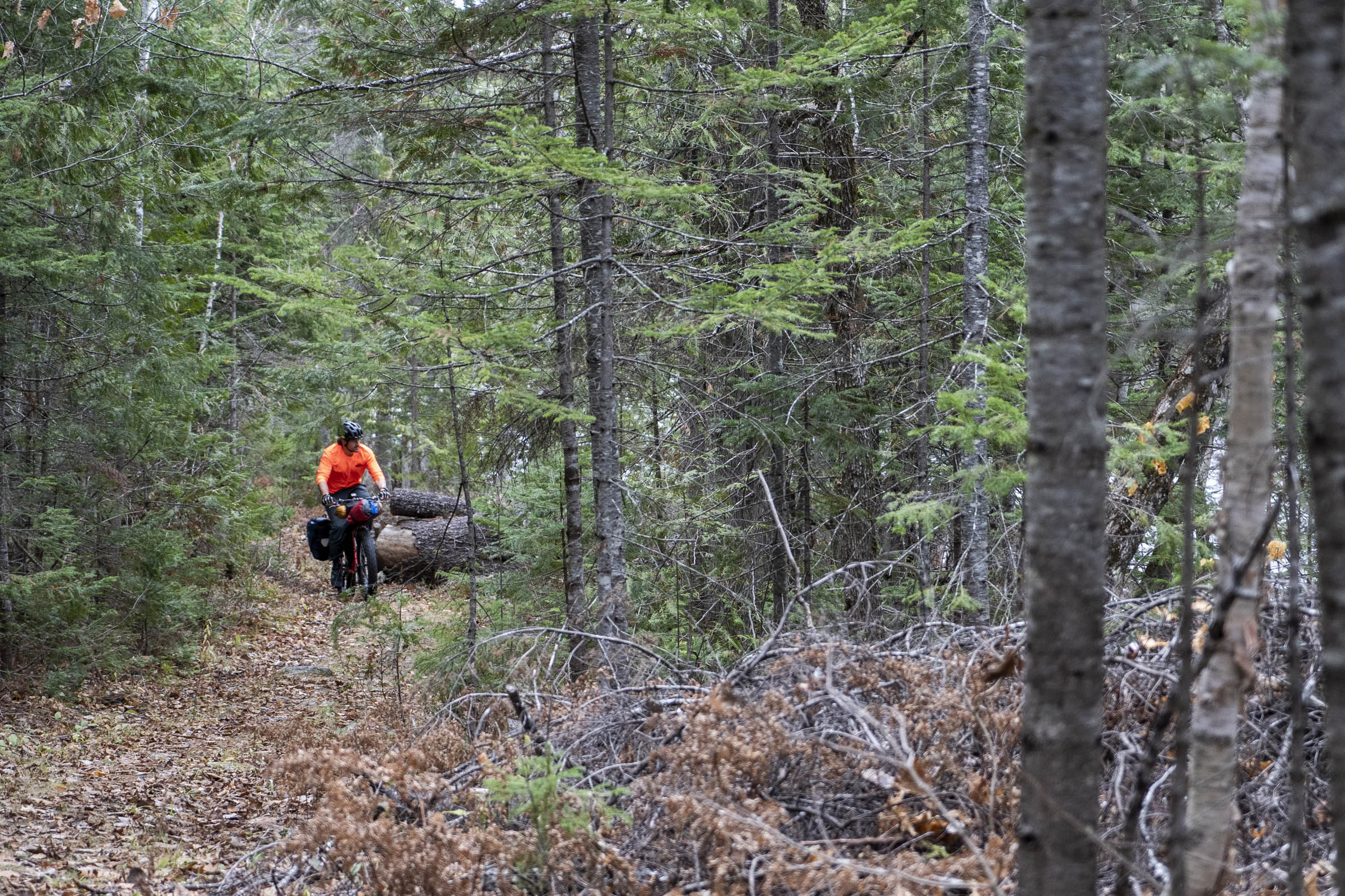
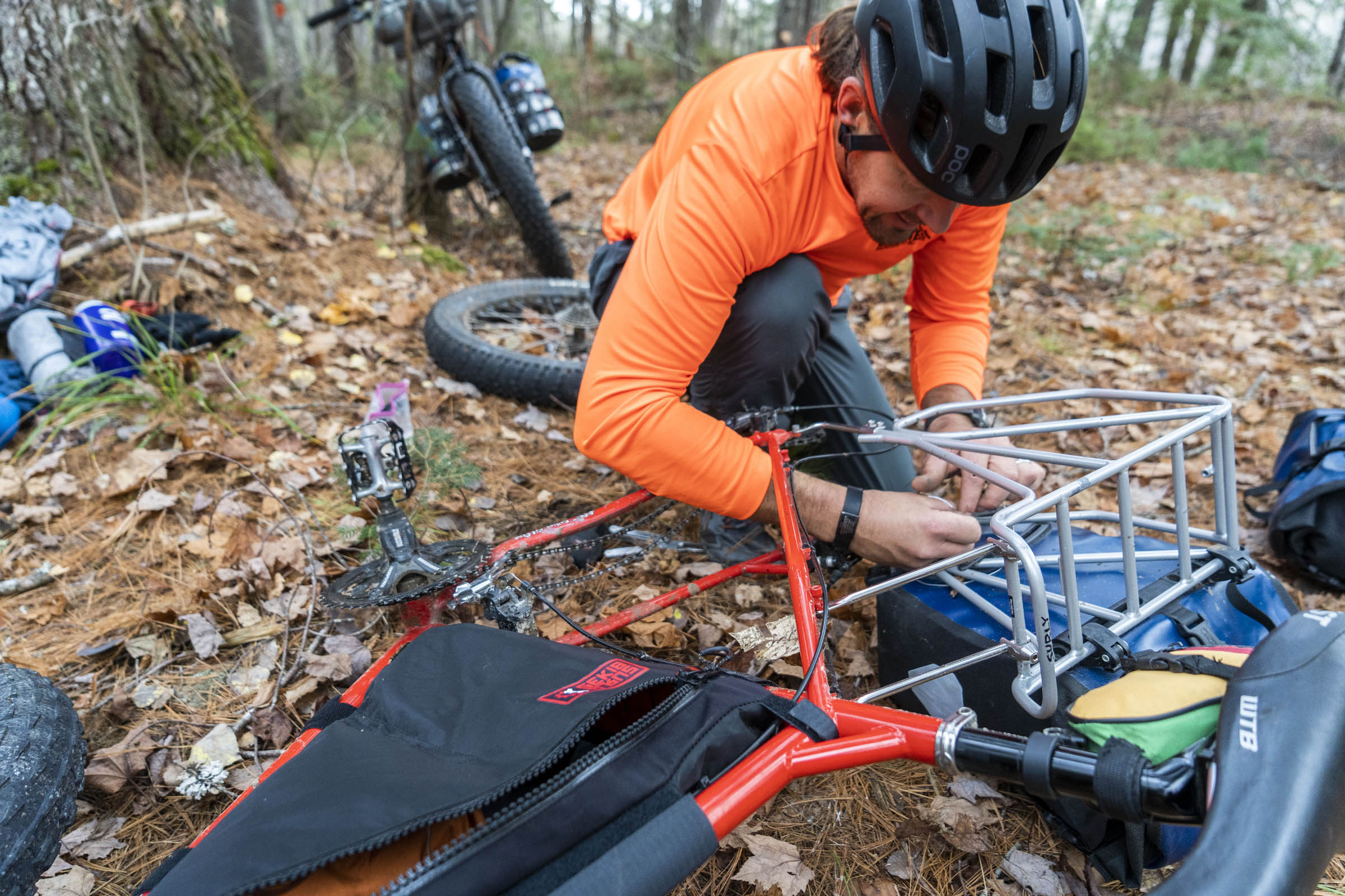
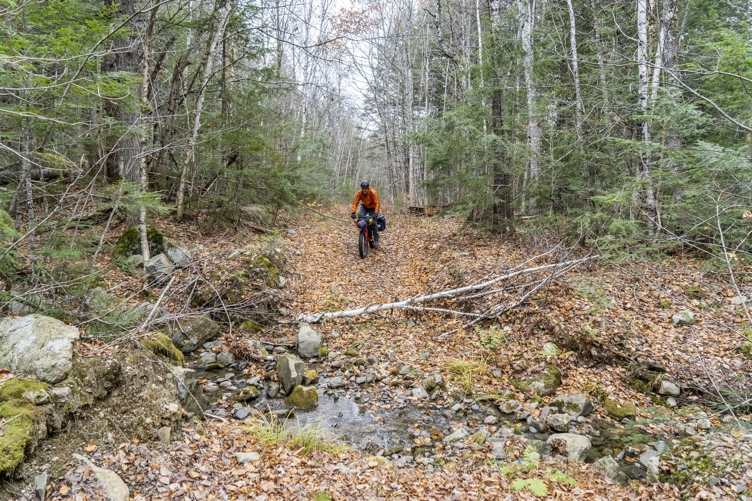
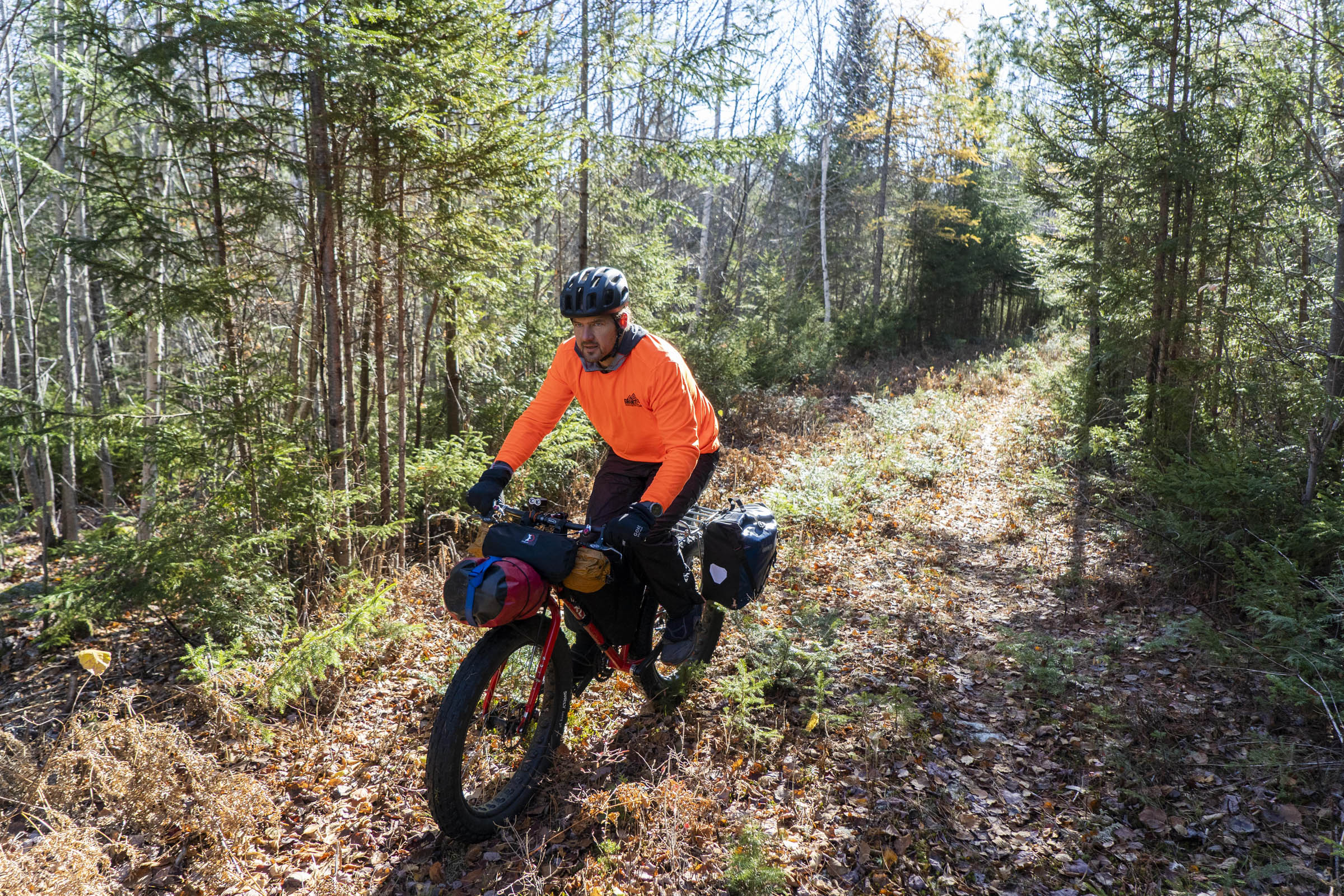
Day 2, we stayed along the East Brand of the Penobscot, riding the Old Telos Tote Road. The going is variable with some smooth riding, quite a few blowdowns to navigate, and a few spots where the trail was very overgrown and required consulting the GPS to make sure we were on route. After crossing Wassataquoik Stream, the fun still wasn’t over. There used to be a bridge across Sandbank Stream, but it’s not there anymore! There are some skidder trails accessed about half a mile north of the stream to the west that are accessed by a little hike-a-bike section. Eventually, you’ll find a more established trail heading south to Swift Brook Road and the Sandbank Campground. There are many options for day 2. You could stay more west of the Telos Tote Road (follow the International Appalachian Trail), but that will lead you to a hearty bushwhack and a knee-to-thigh deep open crossing of Wassataquoik Stream. Or, you could opt to stick to gravel roads on the east side of the East Branch of the Penobscot and simply bypass all the difficulties (though you won’t be in the monument until you ride down to the Swift Brook Road and head west again).
Day 3
Day 3 starts with cruiser gravel south along Staceyville Road. You could ride this south all the way to the Sawmill Bar and Grill in Millinocket for a pint, or hang a right (west) on Sandy Stream Road that leads to (after making sure you’re taking the appropriate turns) the old Logan Pond Trail (which is also ITS 112). Some more hike-a-bike and some overgrown trails will spit you out onto a bit more of an established trail leading you back to the Togue Pond gatehouse.
Additional Resources


Terms of Use: As with each bikepacking route guide published on BIKEPACKING.com, should you choose to cycle this route, do so at your own risk. Prior to setting out check current local weather, conditions, and land/road closures. While riding, obey all public and private land use restrictions and rules, carry proper safety and navigational equipment, and of course, follow the #leavenotrace guidelines. The information found herein is simply a planning resource to be used as a point of inspiration in conjunction with your own due-diligence. In spite of the fact that this route, associated GPS track (GPX and maps), and all route guidelines were prepared under diligent research by the specified contributor and/or contributors, the accuracy of such and judgement of the author is not guaranteed. BIKEPACKING.com LLC, its partners, associates, and contributors are in no way liable for personal injury, damage to personal property, or any other such situation that might happen to individual riders cycling or following this route.
Please keep the conversation civil, constructive, and inclusive, or your comment will be removed.