The LA Observer, California.
Distance
60 Mi.
(97 KM)Days
2
% Unpaved
60%
% Singletrack
10%
% Rideable (time)
100%
Total Ascent
8,304'
(2,531 M)High Point
5,700'
(1,737 M)Difficulty (1-10)
6?
- 9Climbing Scale Very Strenuous138 FT/MI (26 M/KM)
- -Technical Difficulty
- -Physical Demand
- -Resupply & Logistics
Contributed By
Cass Gilbert
While Out Riding
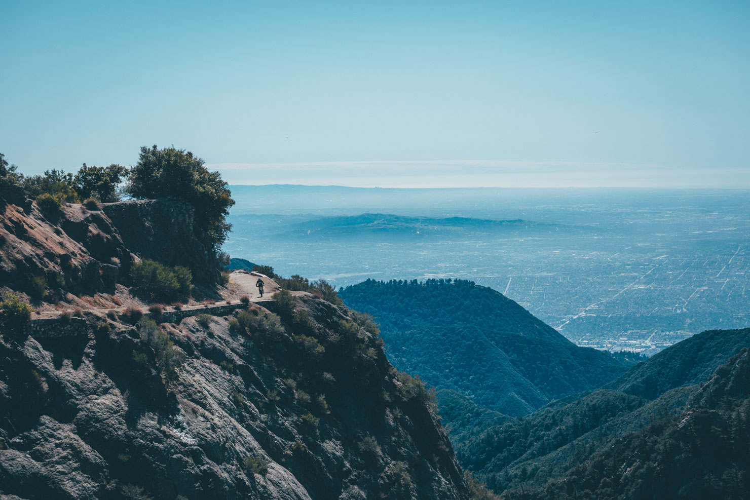
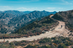
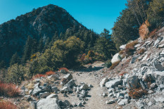
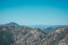
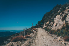
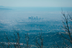
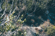
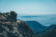
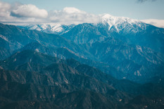
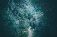
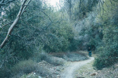
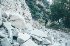
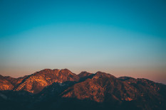
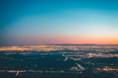
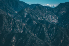
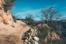
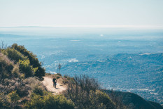
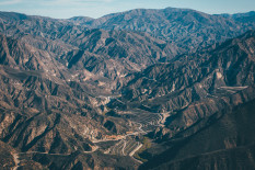
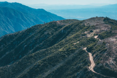
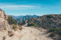
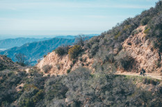
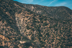
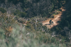
Rideable straight out of the city, the LA Observer connects Mount Wilson Observatory to Mount Lukens; the latter’s radio towers mark the highest point in LA city. En route, it reveals far-reaching views across this vast metropolis, a sprawling mass of humanity that stops only at the shores of the Pacific itself. In terms of terrain, the LA Observer includes miles of quality dirt, chunky, semi-abandoned two-track, and a fun bout of flowing singletrack to enjoy. In doing so, it shares an unexpectedly wild and beautiful side to Los Angeles. Look to one side and the sprawl of the city looks strangely alluring from such lofty heights. Turn to the other and crane your neck towards a wall of near vertical peaks, presided over by 10,069ft Mount Baldy, snowy capped in the winter months.
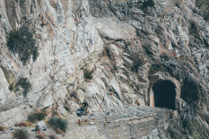
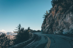
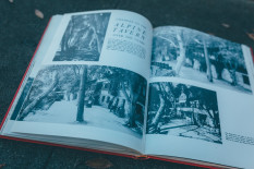
There’s a kicker, too. Given the relatively youthful age of the San Gabriels, the ride up Chaney Trail – initially an old and unkept paved road – is as steep as anything you’ve likely tackled, especially on legs that are barely warmed up. En route, it passes by the vestiges of the Alpine Tavern. The late 19th Century introduced a booming hiking economy within the growing city Los Angeles; a string of resorts built along San Gabriel’s front range made popular excursions for hikers and horse riders, reached by both a funicular and the old narrow gauge railway that once wended up into the hills.
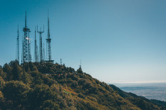
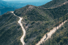
With a 5000ft climb under your belt, the views from Mount Wilson Observatory come as welcome reward for such toils, preceding a wonderful ribbon of singletrack – Switzers Gabrieleno Trail – that makes quick work of funnelling riders back down into steep-sided canyons again. More grand views await in the form of the climb up to Mount Lukens, via Redbox ranger station. At over 5074ft, the radio towers at Lukens mark the highest point within the city proper.
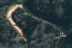
Work over, it’s simple a case of enjoying mile upon mile of fun, noodly dirt roads that send you spiralling back down into the heart of the metropolis, with the promise of cheap and plentiful tacos to chow down once you’ve finished the plummet to sea level.
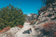
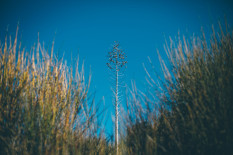
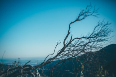
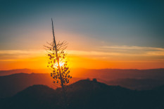
This is a ride that offers a great taste of the Angeles National Forest. It’s one that’s sure to surprise anyone who pegged Los Angeles as a sprawling, smoggy city and nothing more. Expect yucca, manzanitas, desert scrub and layers upon layer of golden, late afternoon light. In some ways, it’s a ride that feels like it’s both on the doorstep of LA, and at times, a hundred miles away.
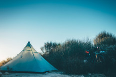
Distance-wise, the route makes for an easy overnighter. But don’t forget to consider the short but painfully steep climb that winches you up into the San Gabriels – funicular grade – which is sure to provide a challenge for even the most experienced of legs. As an alternative to a night out, consider a late start and a campout at Mt Lowe Campground the first evening. Enjoy a mellow, view-filled ride the next day. Then hang back for one last stealth campout near Lukens before returning to the city in the morning, if only to experience the mind-blowing sight of LA’s glowing, beguiling sea of illumination, whilst perched thousands of feet above it…
A massive thanks to Kyle at the awesome Golden Saddle Cyclery for suggesting this route. Be sure to pop in and check the place out… it’s one of LA’s destination bike shops!
 This route is part of the Local Overnighter Project, which was created to expand our growing list of worldwide bikepacking routes—the first and largest of its kind—and create an independent map and catalog of great bikepacking overnighters, curated by you, from your own backyard. Our goal is to have accessible routes from every town and city in the world. Learn More
Submit Route Alert
As the leading creator and publisher of bikepacking routes, BIKEPACKING.com endeavors to maintain, improve, and advocate for our growing network of bikepacking routes all over the world. As such, our editorial team, route creators, and Route Stewards serve as mediators for route improvements and opportunities for connectivity, conservation, and community growth around these routes. To facilitate these efforts, we rely on our Bikepacking Collective and the greater bikepacking community to call attention to critical issues and opportunities that are discovered while riding these routes. If you have a vital issue or opportunity regarding this route that pertains to one of the subjects below, please let us know:
Highlights
Must Know
Camping
Food/H2O
Resources
- An unexpected sense of backcountry wilderness so close to the vast city of Los Angeles. #LASucksForCycling!
- An incredible network of singletrack and abandoned dirt roads that extend far into the Angeles National Forest.
- The surreal, shimmering sight of LA by night, from thousands of feet above it.
- Poking about historic ruins within the forest that hark back to a once thriving hiking scene.
- A visit to the Golden Saddle Cyclery, the social hub of LA riding.
- Tom Harrison’s Angeles Front Country is the best trail map of the area.
- Barring recent rainfall/snowfall, this is a great winter ride. Fall is perfect and early spring is good too, depending on snowfall. Summer temperatures can become searingly hot, even a higher elevations.
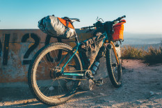
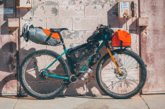
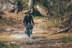
- A standard hardtail, rigid or otherwise, is probably about perfect for this ride. But you’d be fine on a gravel/adventure bike with 40mm+ tyres or so, if you take it easy on the singletrack descent and watch out for watersnakes and loose patches (locals love to ‘underbike’ in the National Forest). Pack light and bring your low gears!
- Trails in the front range are shared with hikers and popular at the weekend – fit a bell to your bike.
- Watch out for rattlesnakes come the warmer months. Bobcats and even mountain lions frequent the forest and canyons too.
- If you’re coming from Union Station, you can either ride or take the Gold Line Metro to South Pasadena – plenty of options to load up with food/water there – or take it to Lake station to save yourself a few city miles.
- A few suggested sites are marked on the GPX file; note that most are likely dry barring recent rainfall.
- It can be extremely windy at night, so bring a stout tent.
- Given the potential critters, a fully enclosed tent is advised during the warmer months.
- Water is a scarce commodity in the Angeles National Forest. Reliable sources are marked on the route. Fill up when you can!
- Water spigots can be found at Redbox Ranger Station and Mount Wilson Observatory’s Cosmic Cafe (closed during the winter).
- There’s sometimes snacks availableat Redbox but it’s best to carry what you need.
- Downtown South Pasadeno has plenty of grocery stores (Vauns, Pavillion). There’s no shortage of great Mexican food too.
- The route passes Estrella Taqueria, a cheap and cheerful, hole-in-the-wall that’s perfect for a quick taco fix!
Additional Resources
- Golden Saddle Cyclery
- Gen up on local history.
- The Gold Line; LA’s bike-friendly metro system.
Terms of Use: As with each bikepacking route guide published on BIKEPACKING.com, should you choose to cycle this route, do so at your own risk. Prior to setting out check current local weather, conditions, and land/road closures. While riding, obey all public and private land use restrictions and rules, carry proper safety and navigational equipment, and of course, follow the #leavenotrace guidelines. The information found herein is simply a planning resource to be used as a point of inspiration in conjunction with your own due-diligence. In spite of the fact that this route, associated GPS track (GPX and maps), and all route guidelines were prepared under diligent research by the specified contributor and/or contributors, the accuracy of such and judgement of the author is not guaranteed. BIKEPACKING.com LLC, its partners, associates, and contributors are in no way liable for personal injury, damage to personal property, or any other such situation that might happen to individual riders cycling or following this route.
Please keep the conversation civil, constructive, and inclusive, or your comment will be removed.


