


The Lesotho Traverse
Distance
312 Mi.
(502 KM)Days
8
% Unpaved
85%
% Singletrack
5%
% Rideable (time)
97%
Total Ascent
44,100'
(13,442 M)High Point
10,650'
(3,246 M)Difficulty (1-10)
7?
- 9Climbing Scale Very Strenuous141 FT/MI (27 M/KM)
- -Technical Difficulty
- -Physical Demand
- -Resupply & Logistics
Contributed By

Logan Watts
Founding Editor
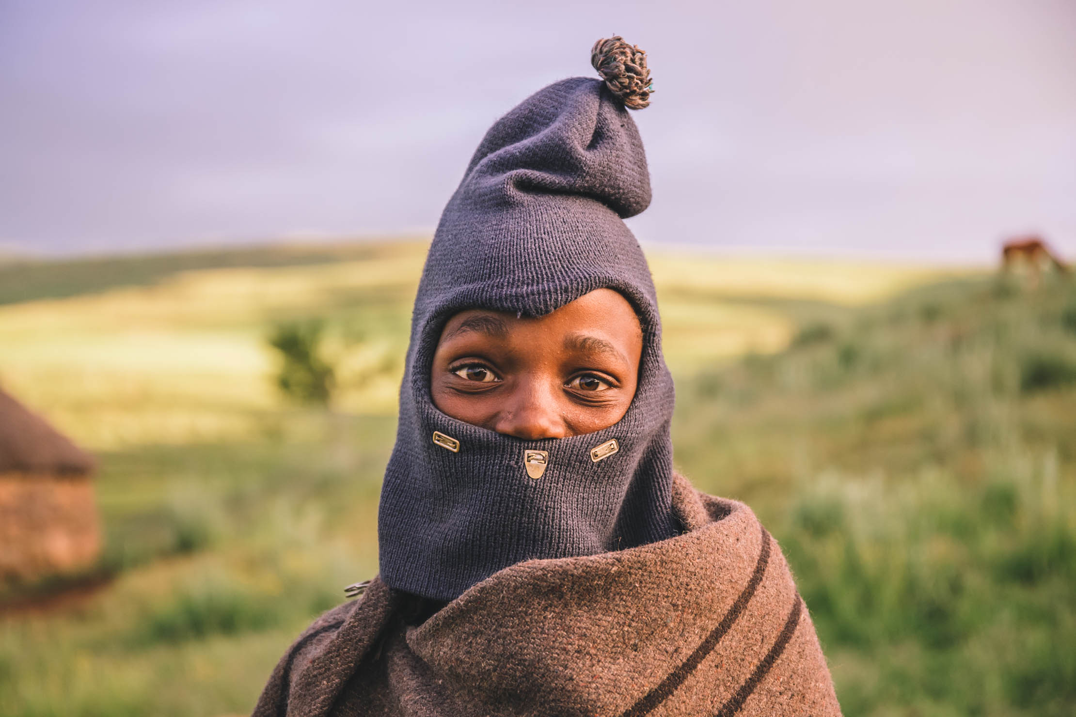
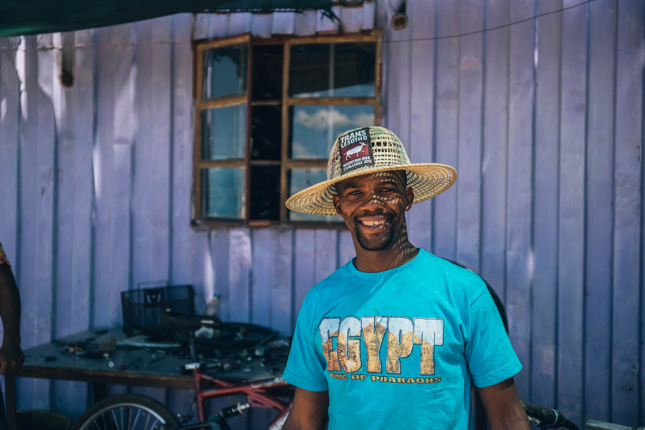
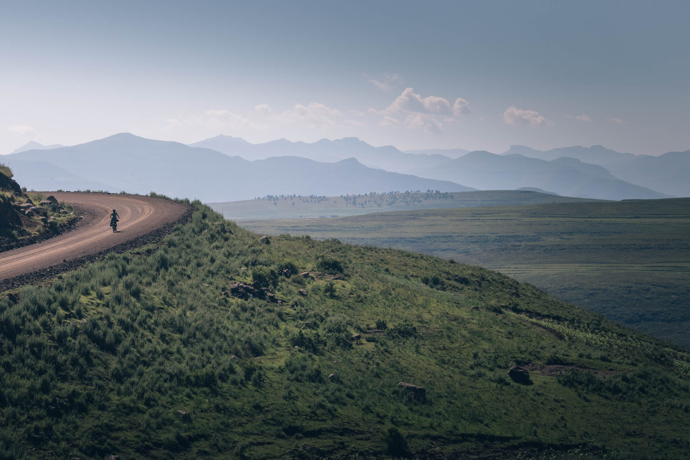
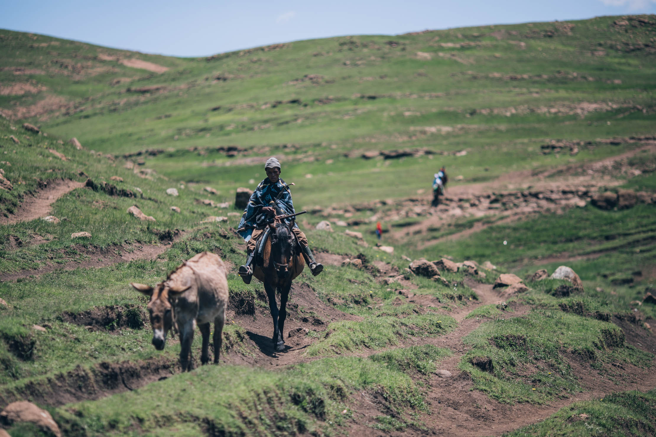
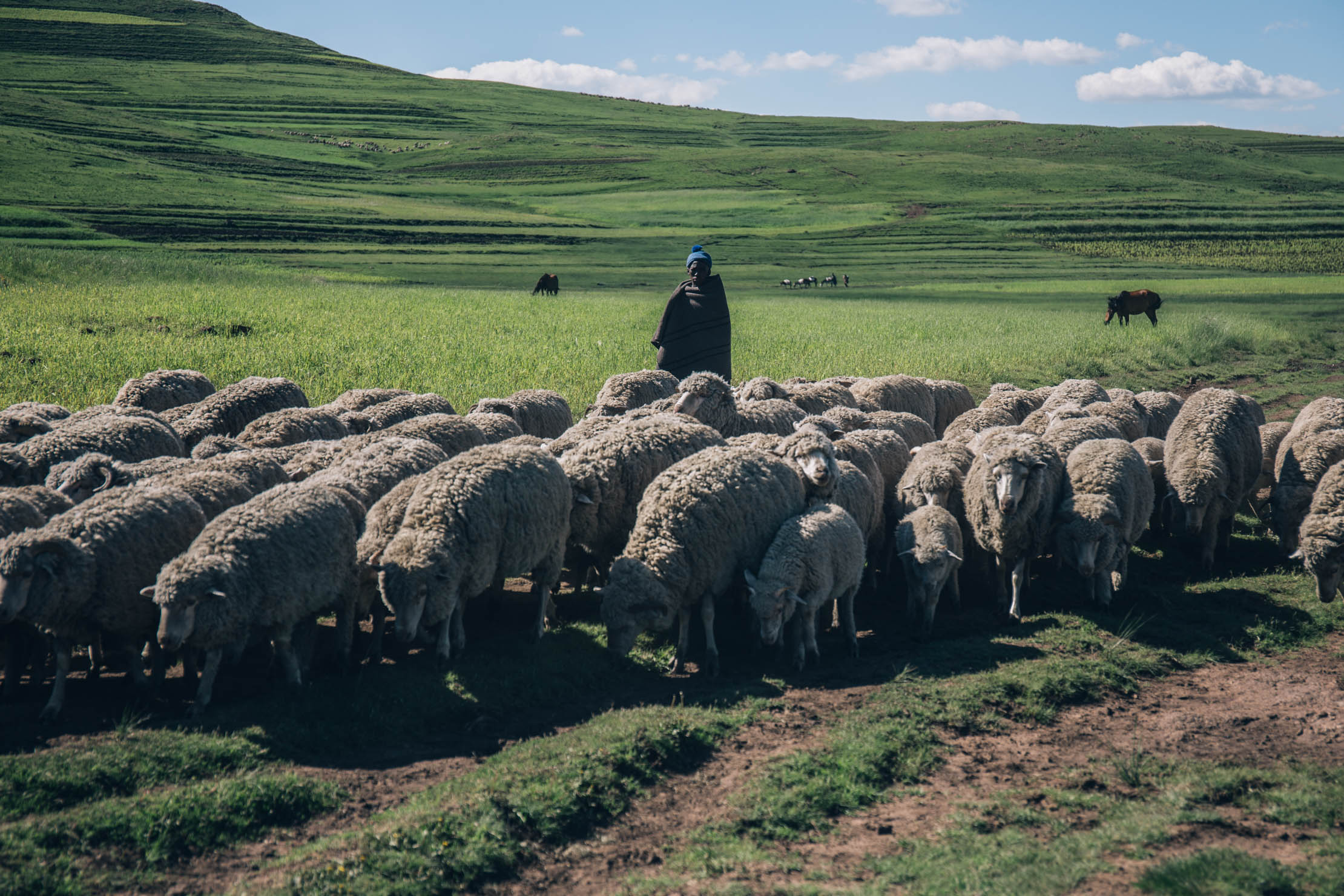
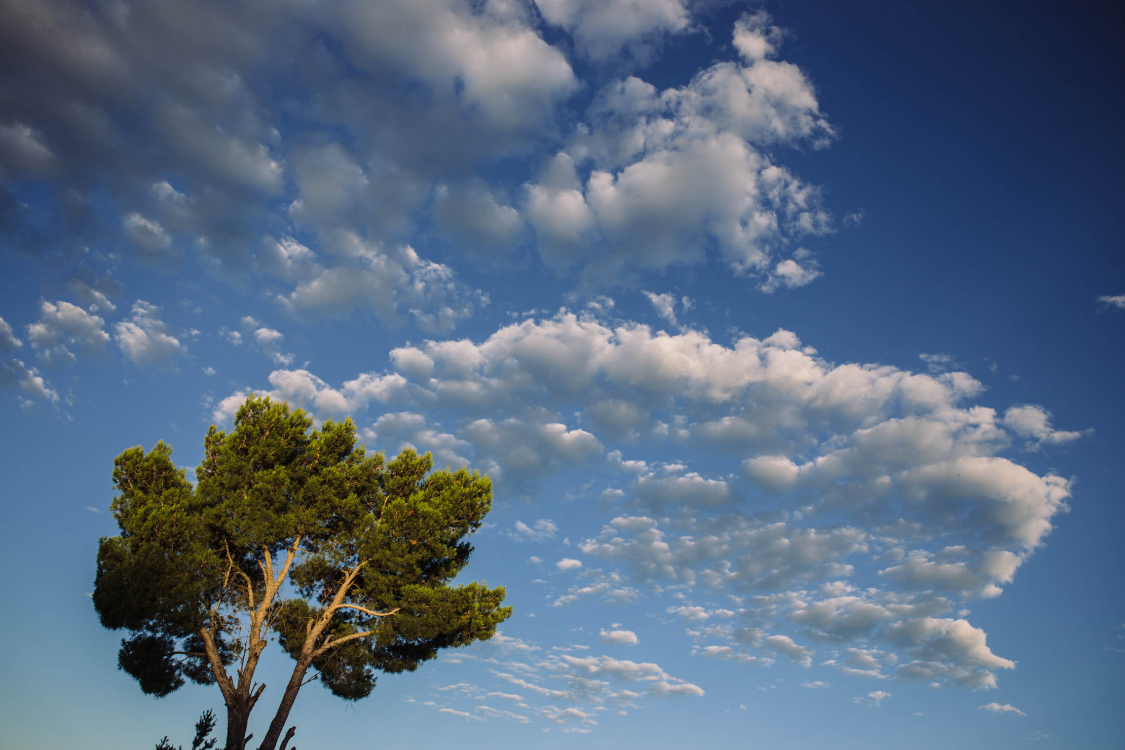
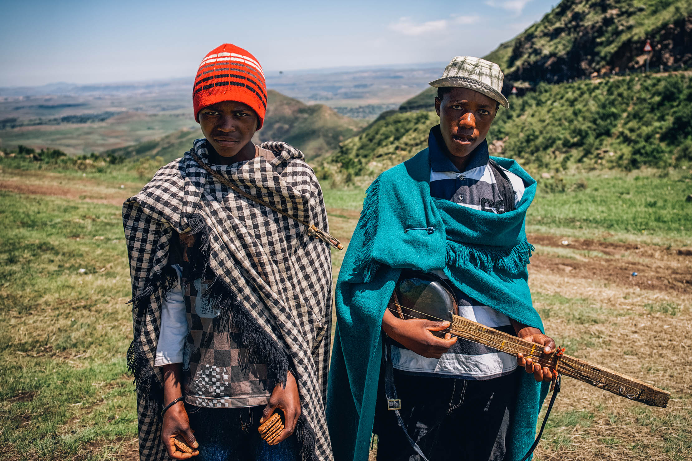
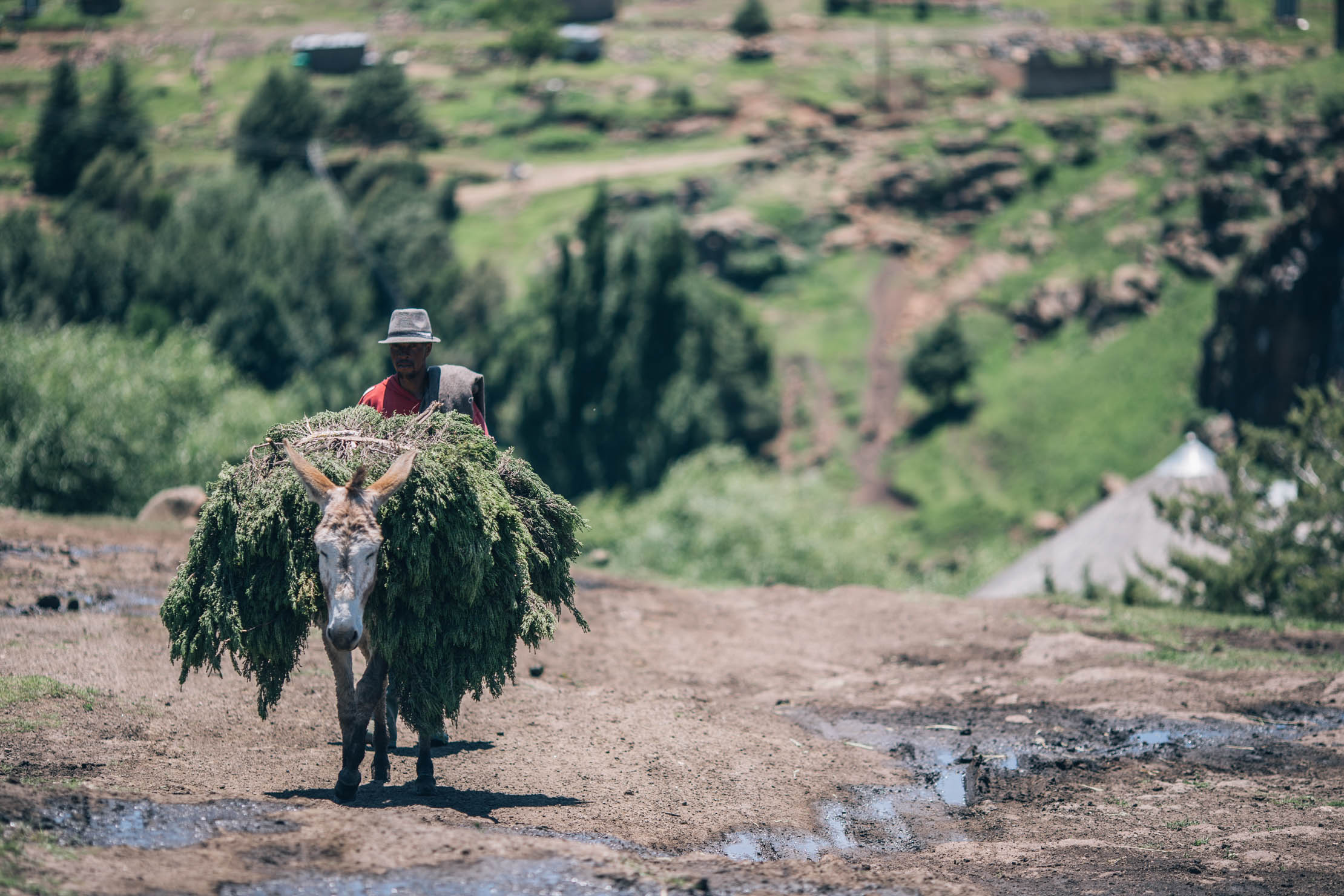
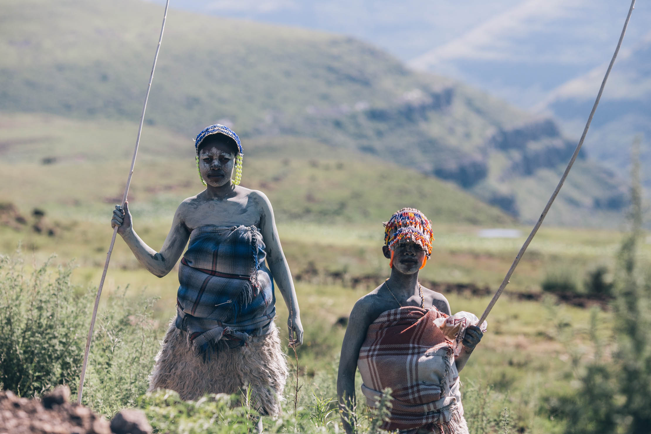
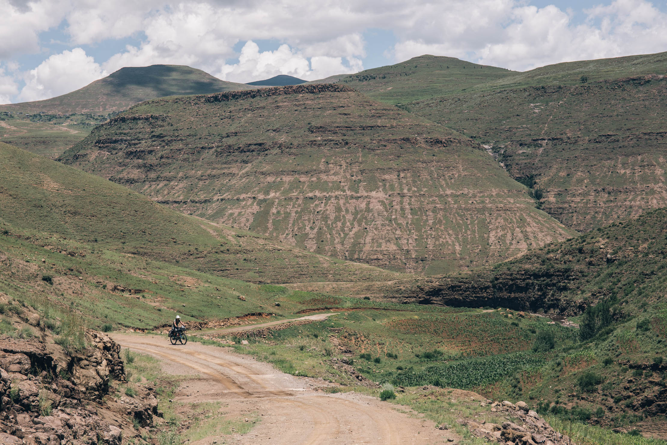
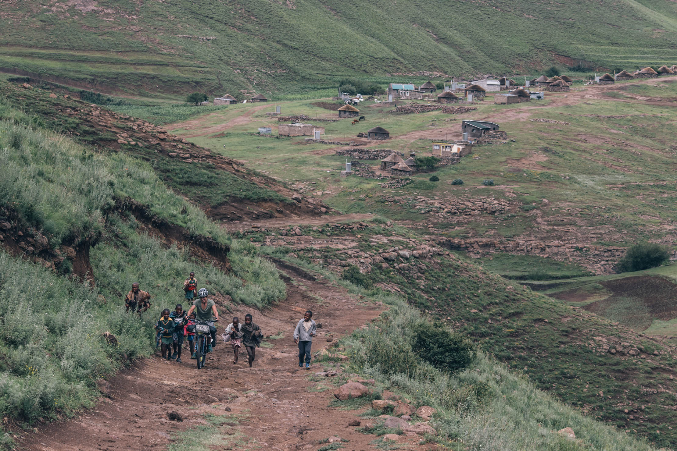
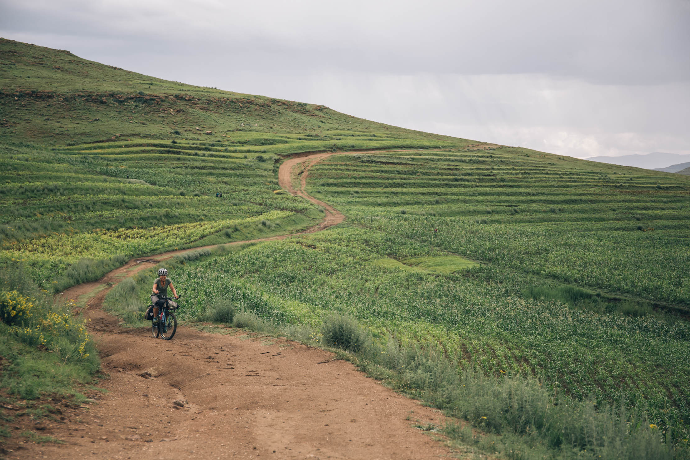
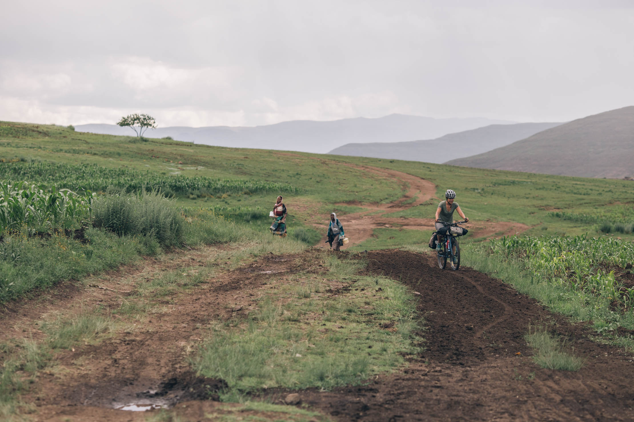
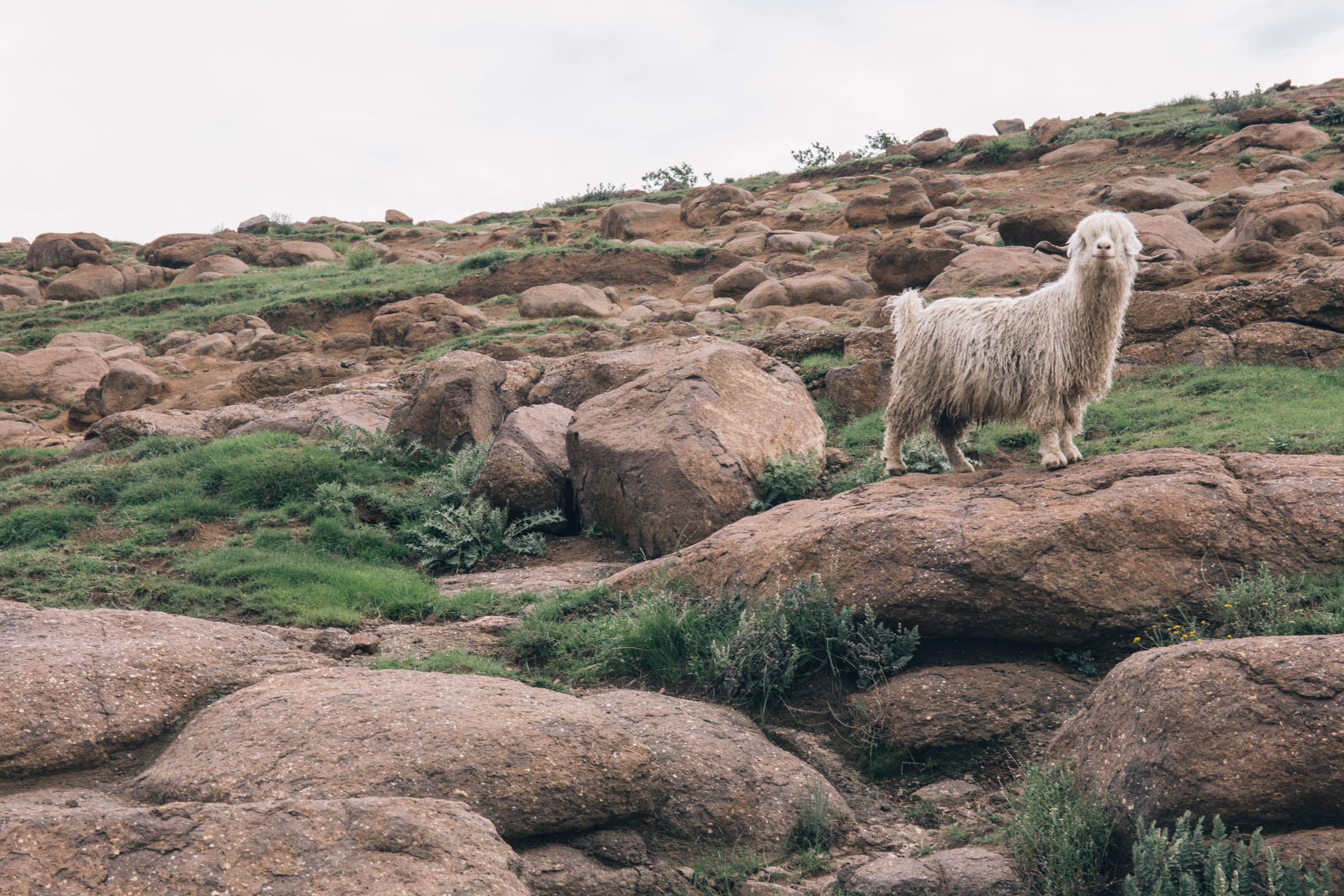
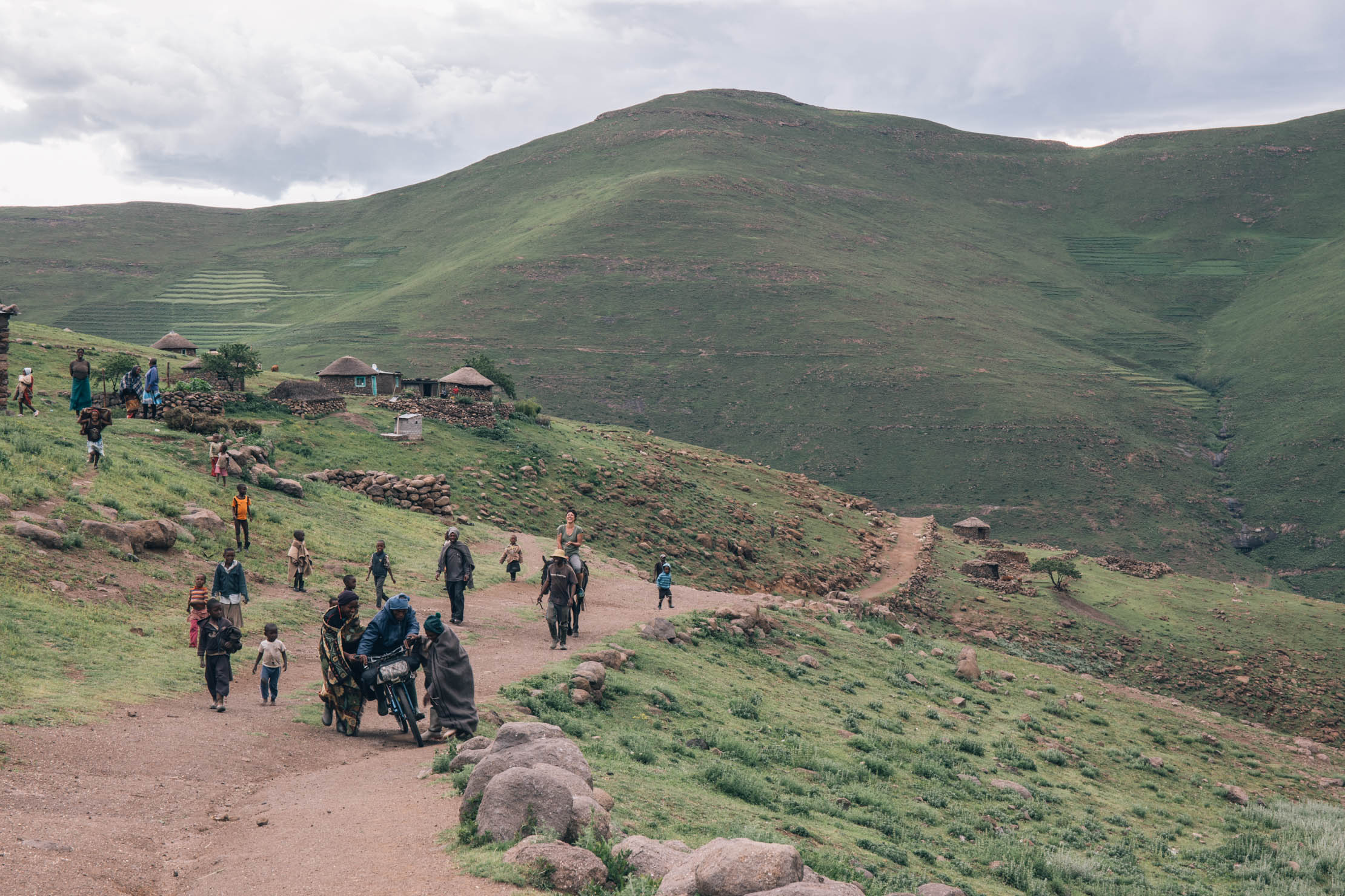
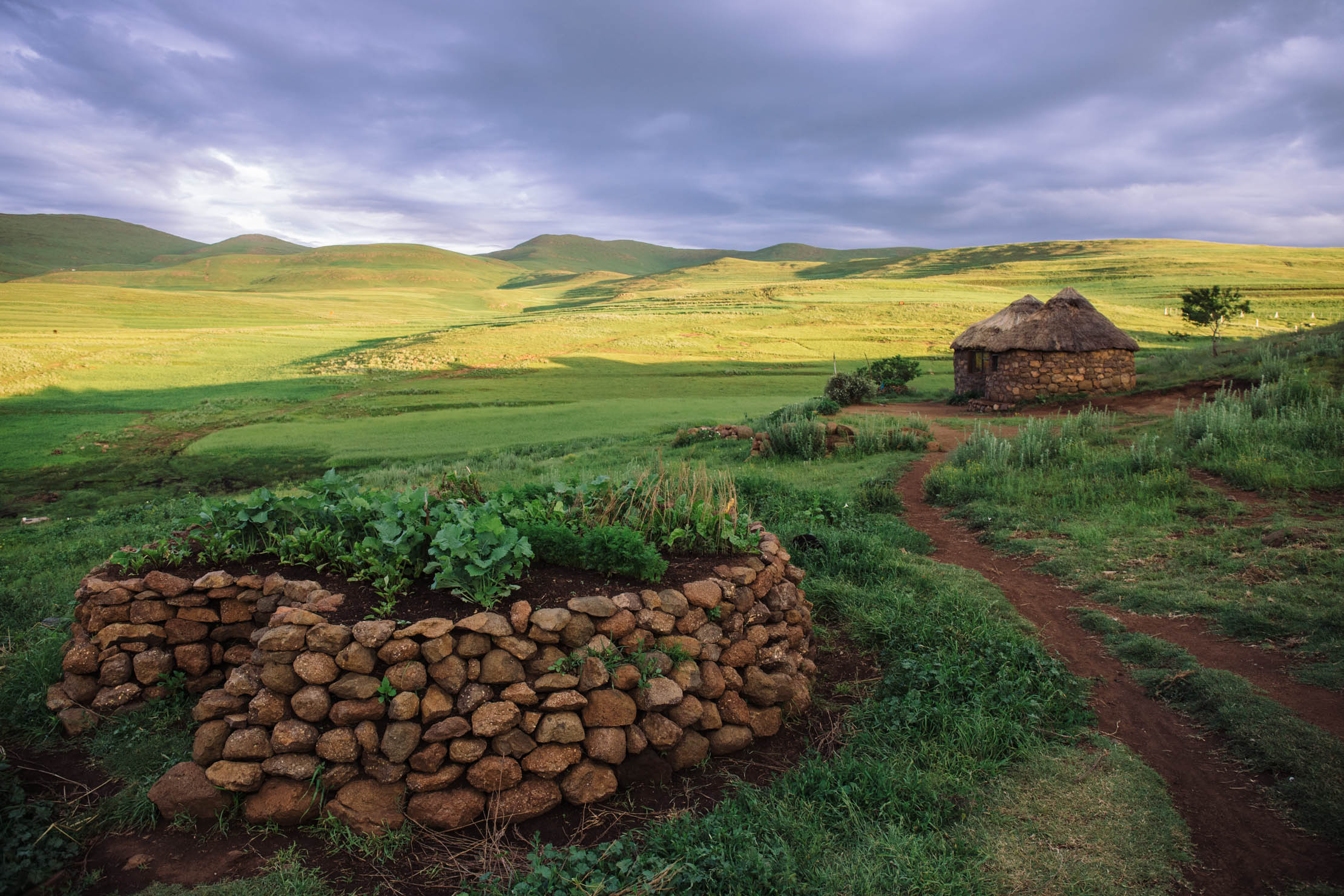
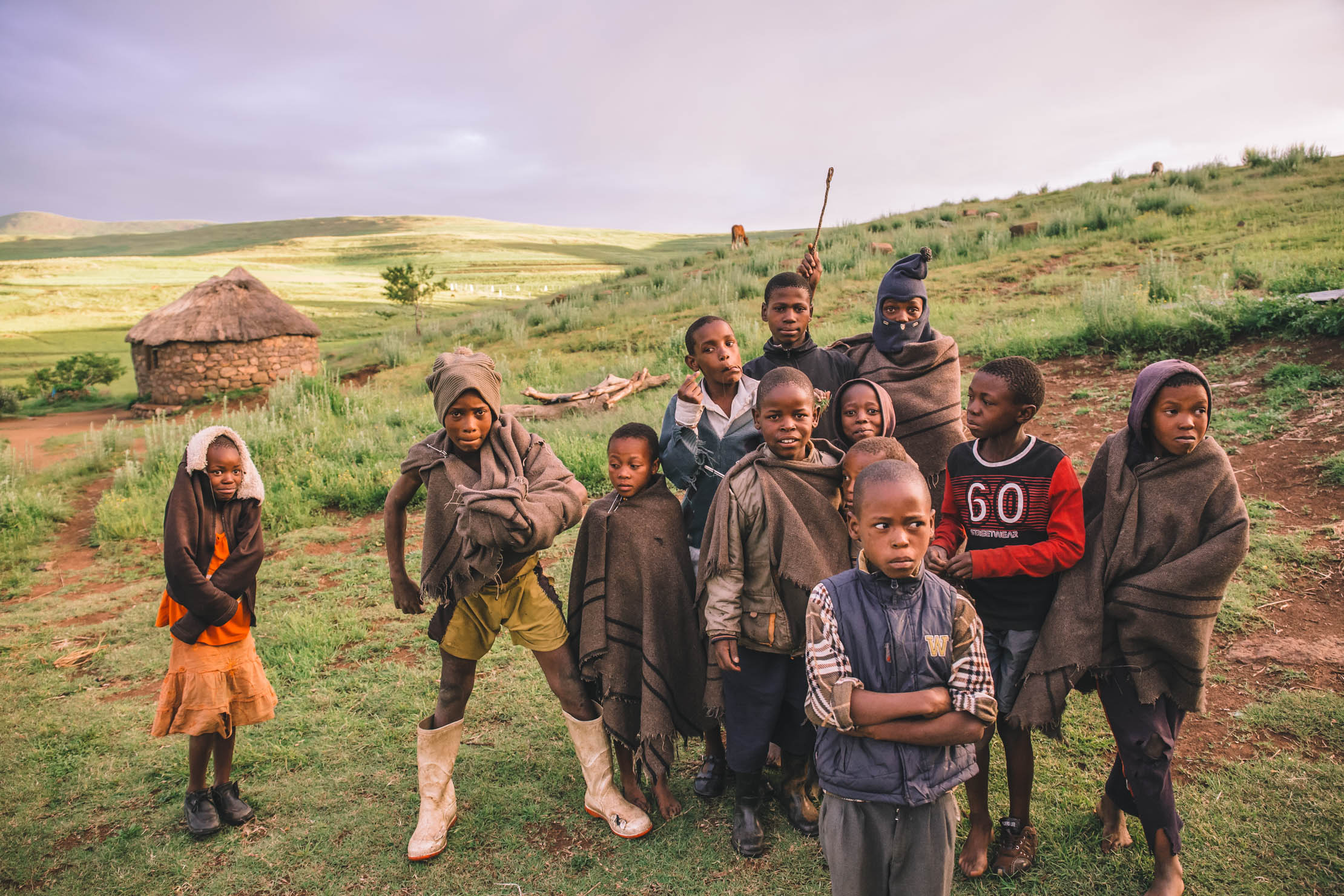
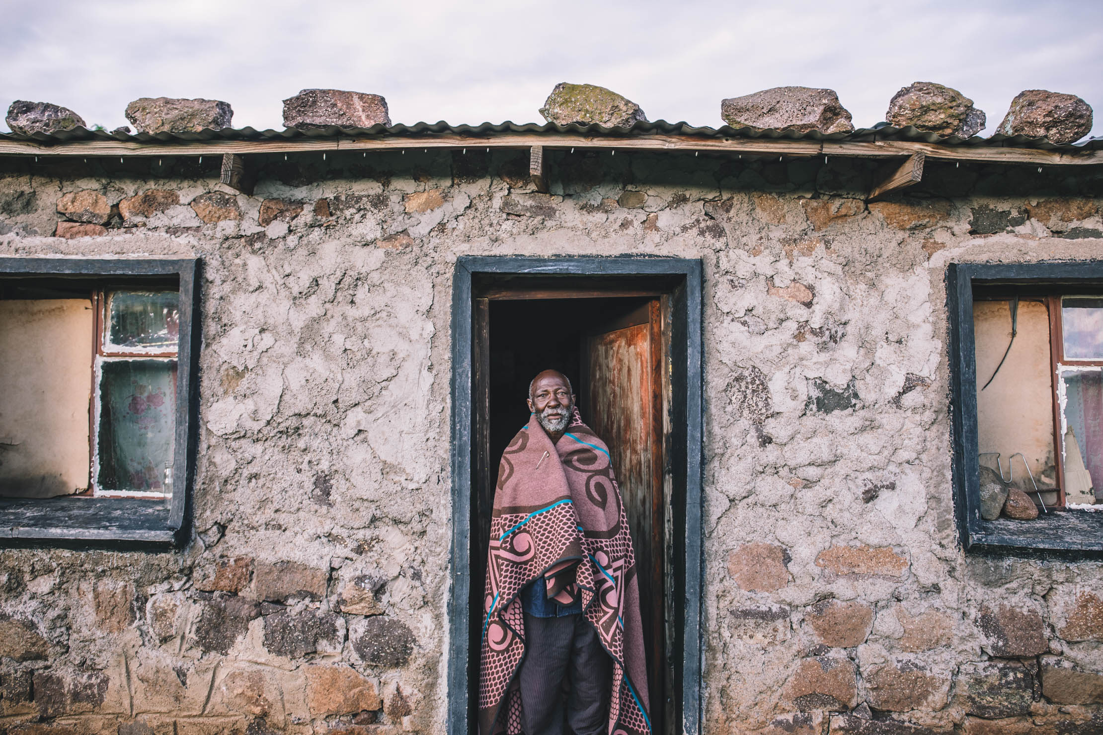
Lesotho is a relatively small, landlocked country encircled by South Africa. Known as the “Mountain Kingdom,” it is the only independent state in the world that lies entirely above 1,000 meters (3,281 ft) in elevation. Over 80 percent of the country lies above 1,800 meters (5,906 ft), with peaks that reach as high as the 3,482 meter Thabana Ntlenyana. This all makes for an incredibly scenic place to ride a bike. Adding to its allure are big waterfalls, friendly Basotho people, and a network of dirt roads and rugged horse tracks connecting villages and towns across the landscape.
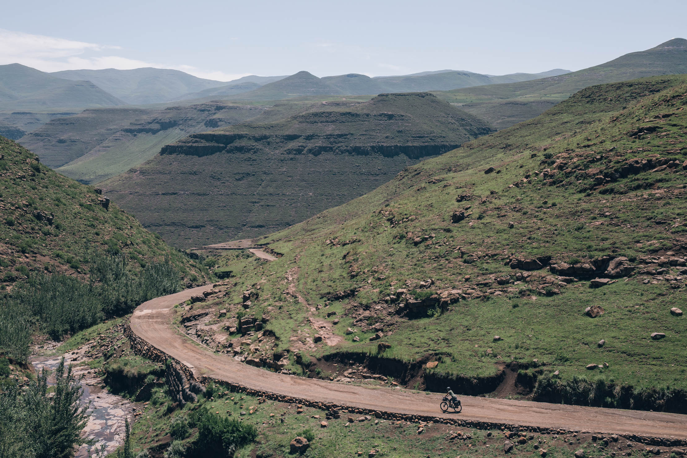
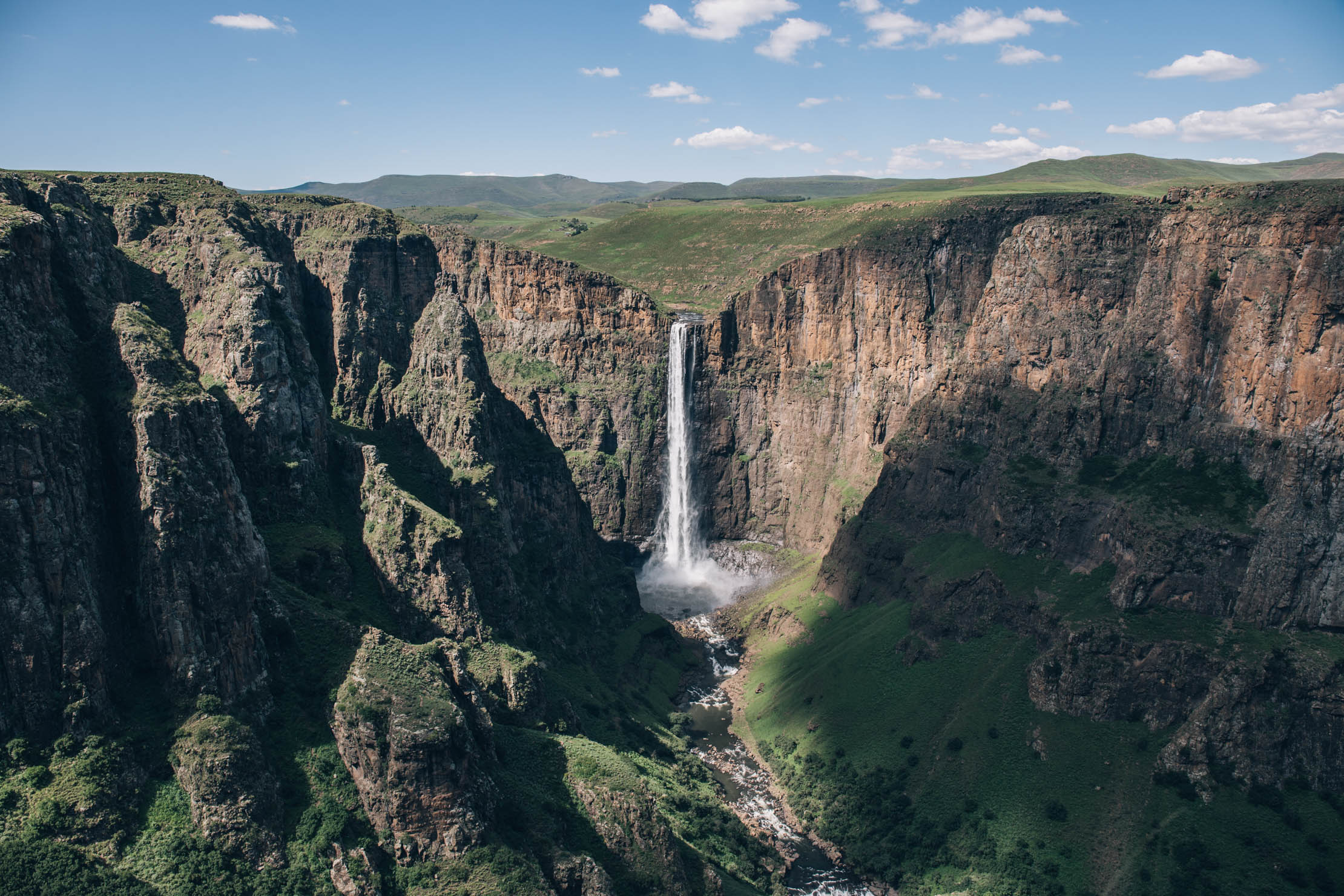
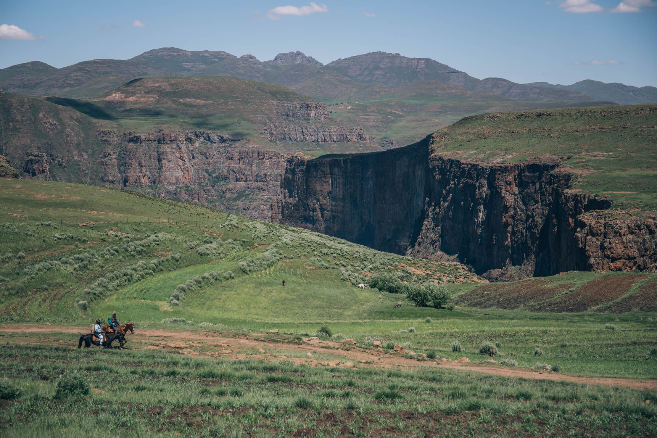
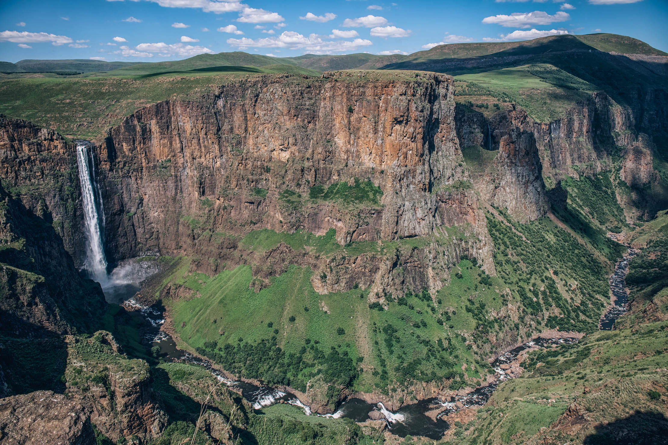
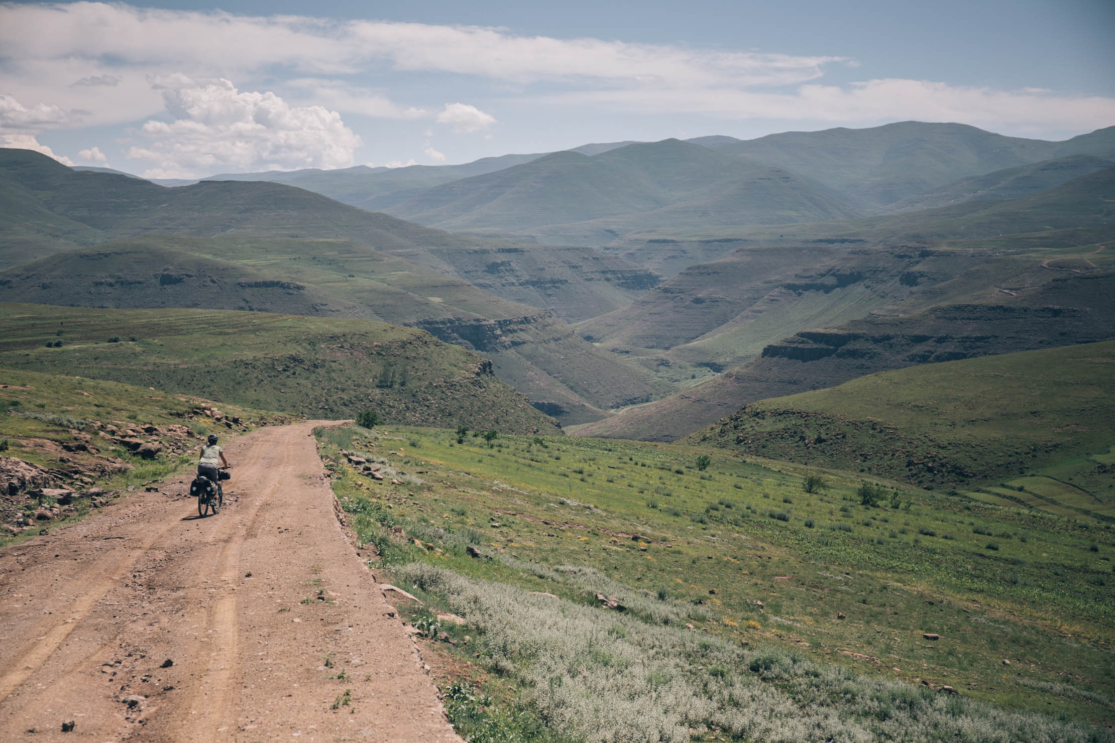
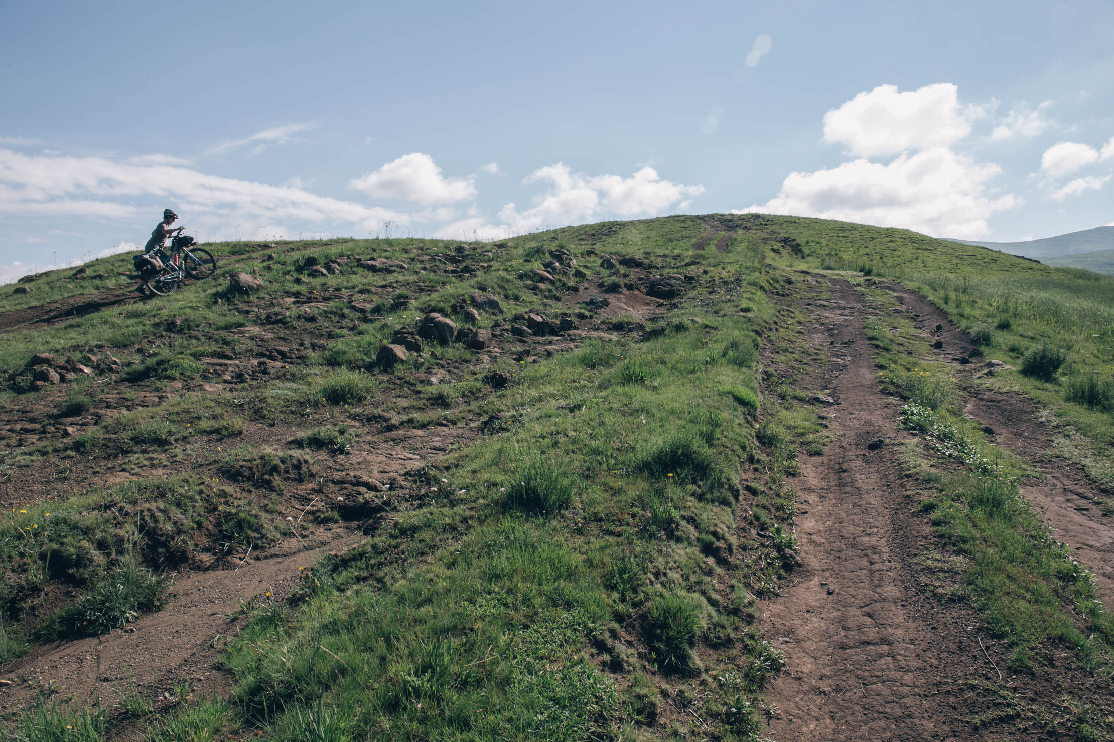
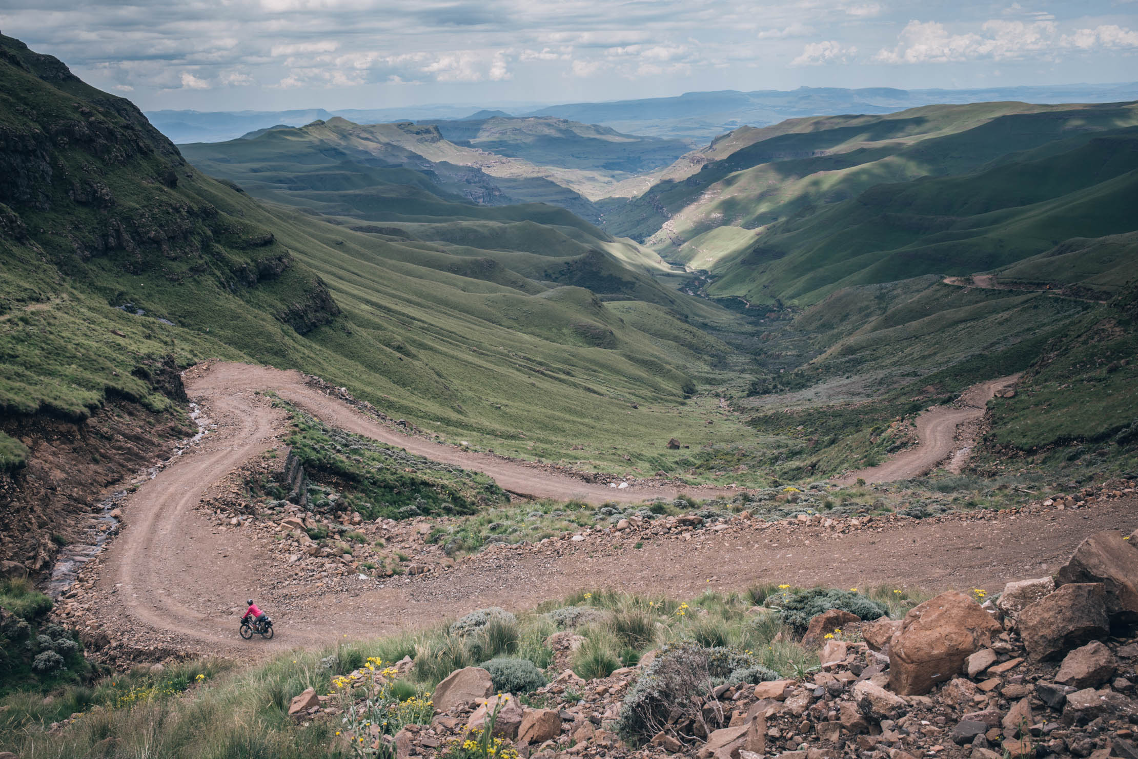
The Lesotho Traverse was designed to take in some of the most amazing stretches of dirt and several points of interest while crossing the country from east to west. The route begins in the bustling capital of Maseru and quickly heads into the countryside, connecting a few trading post lodges for accommodation and resupply. After Ramambanta Trading Post, the route ascends high into the mountains before a gentle descent into Semonkong, where you can get a look at the mighty Maletsunyane Falls.
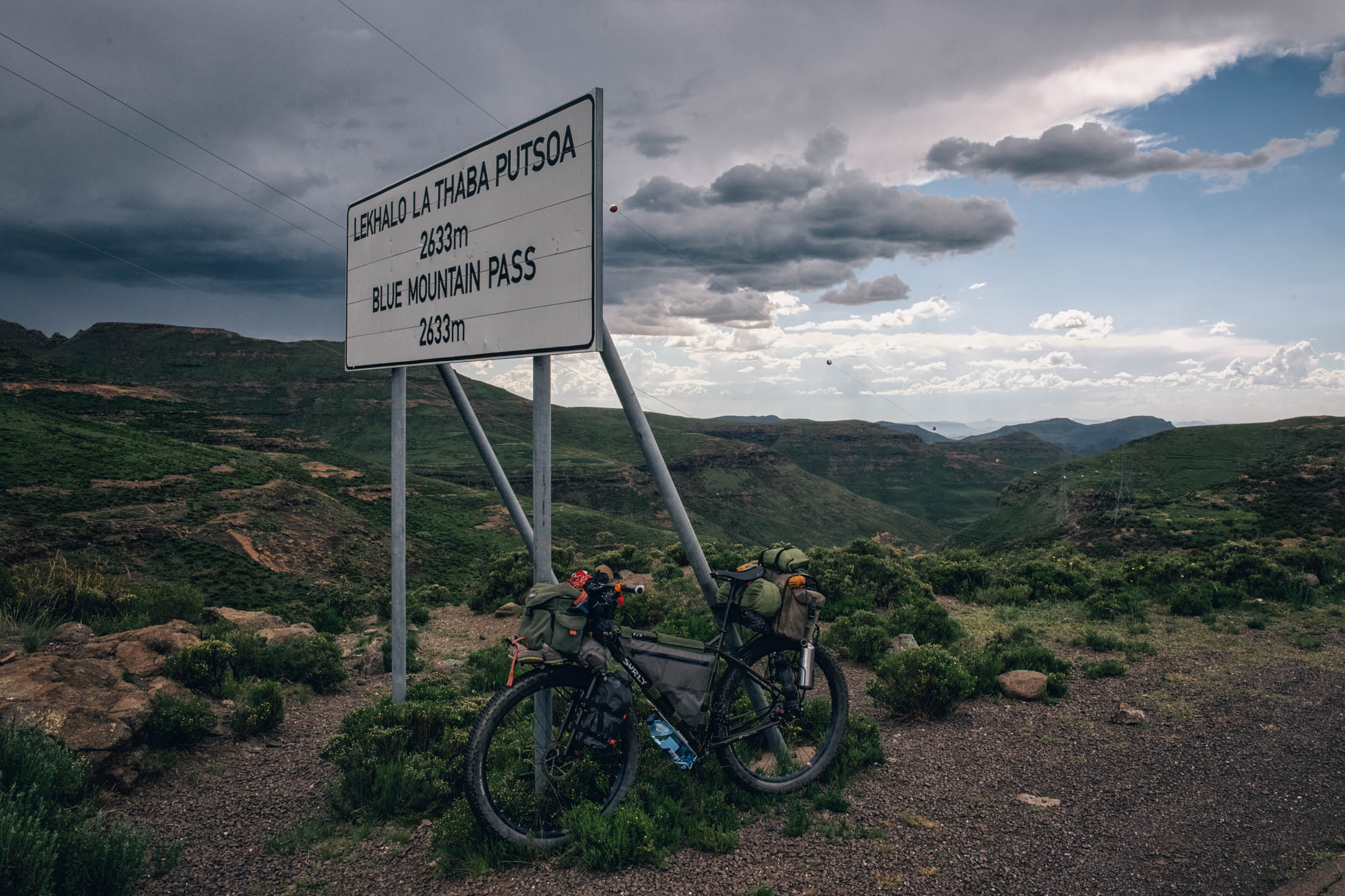
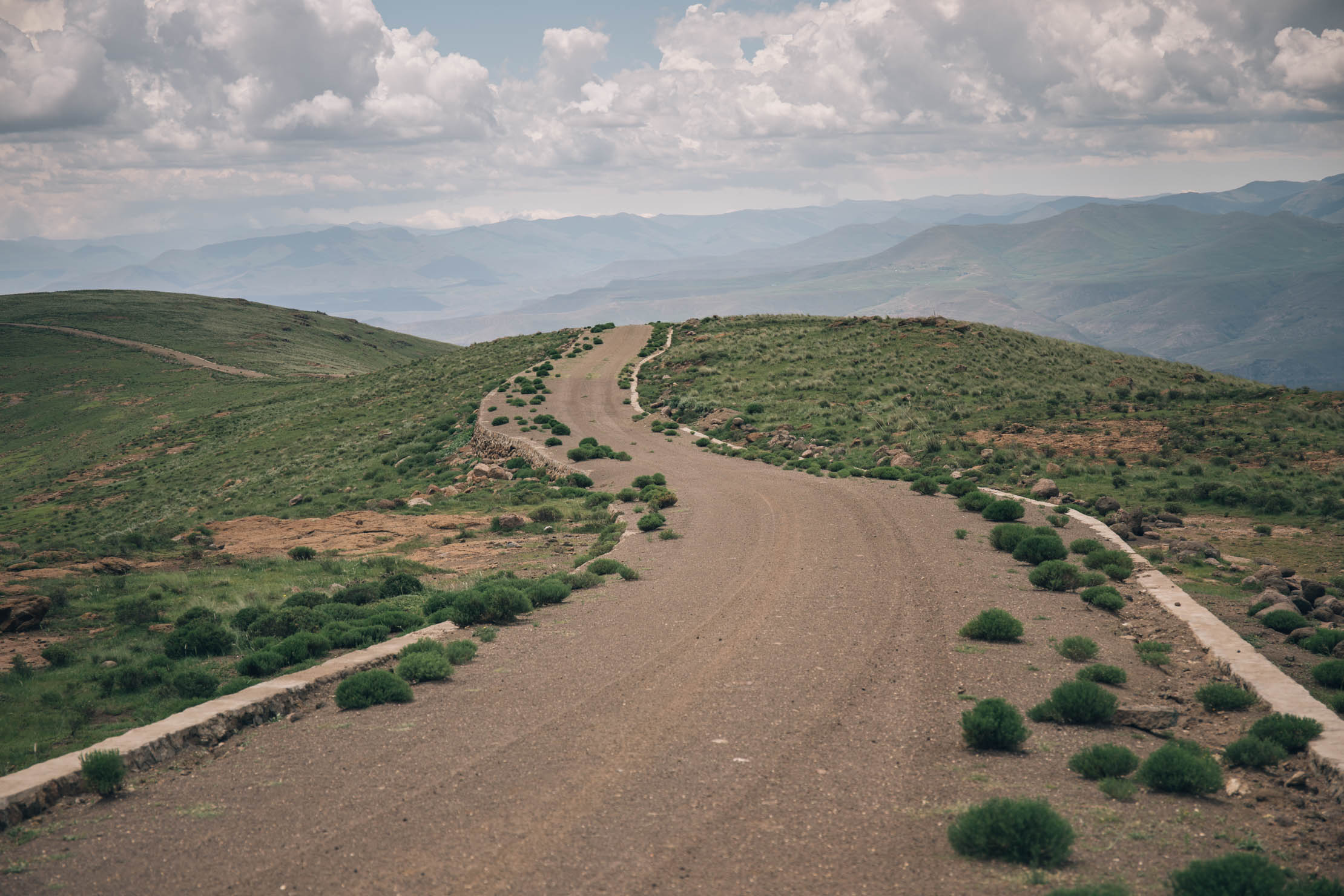
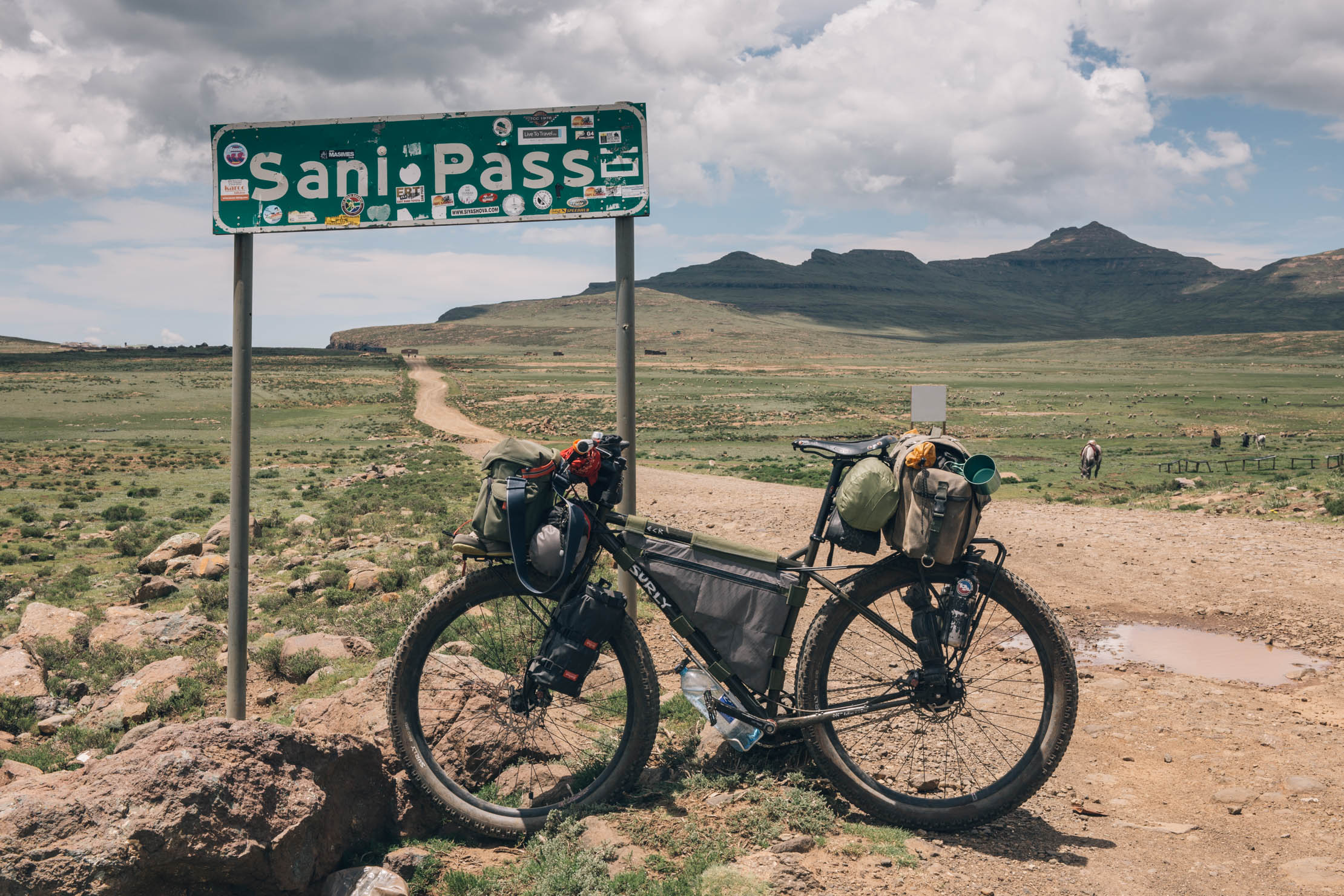
After a brief stint sharing trail with the Dragon’s Spine, the Lesotho Traverse climbs over ridges and along river valley dirt tracks into Thaba Tseka, the capital city of a district with the same name. From there it ascends deep into the mountains and onward to Mokhotlong before mounting a final ascent to the breathtakingly beautiful Sani Pass.
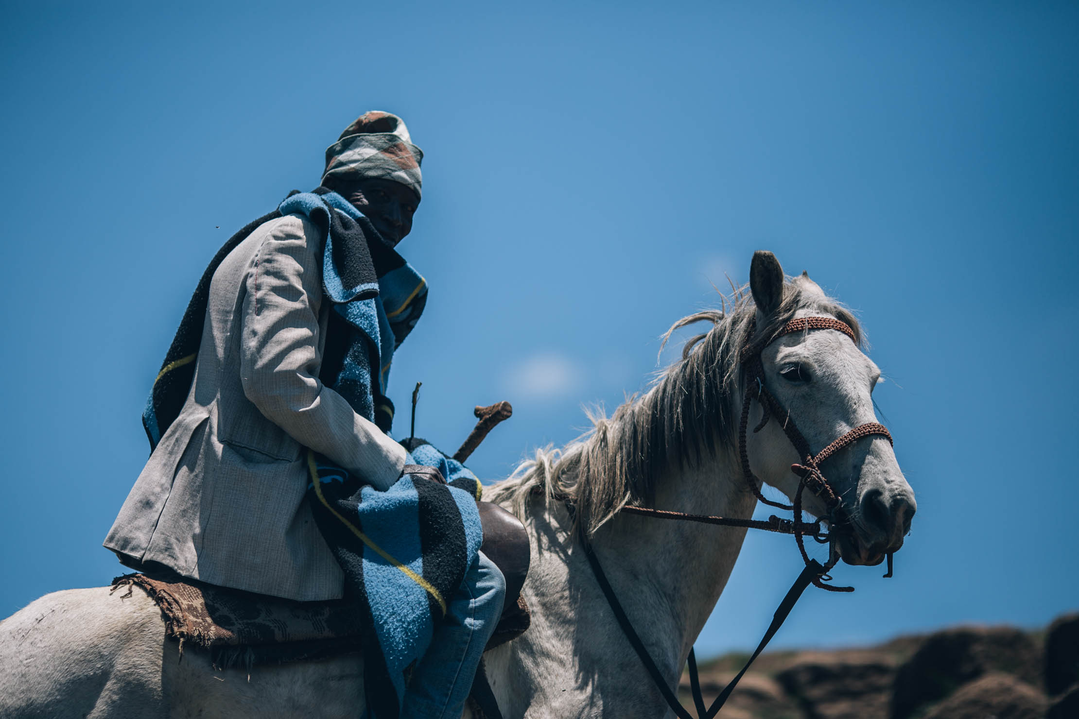
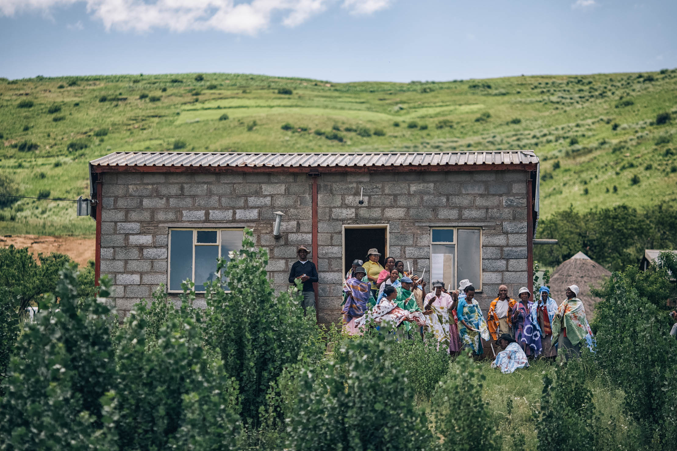
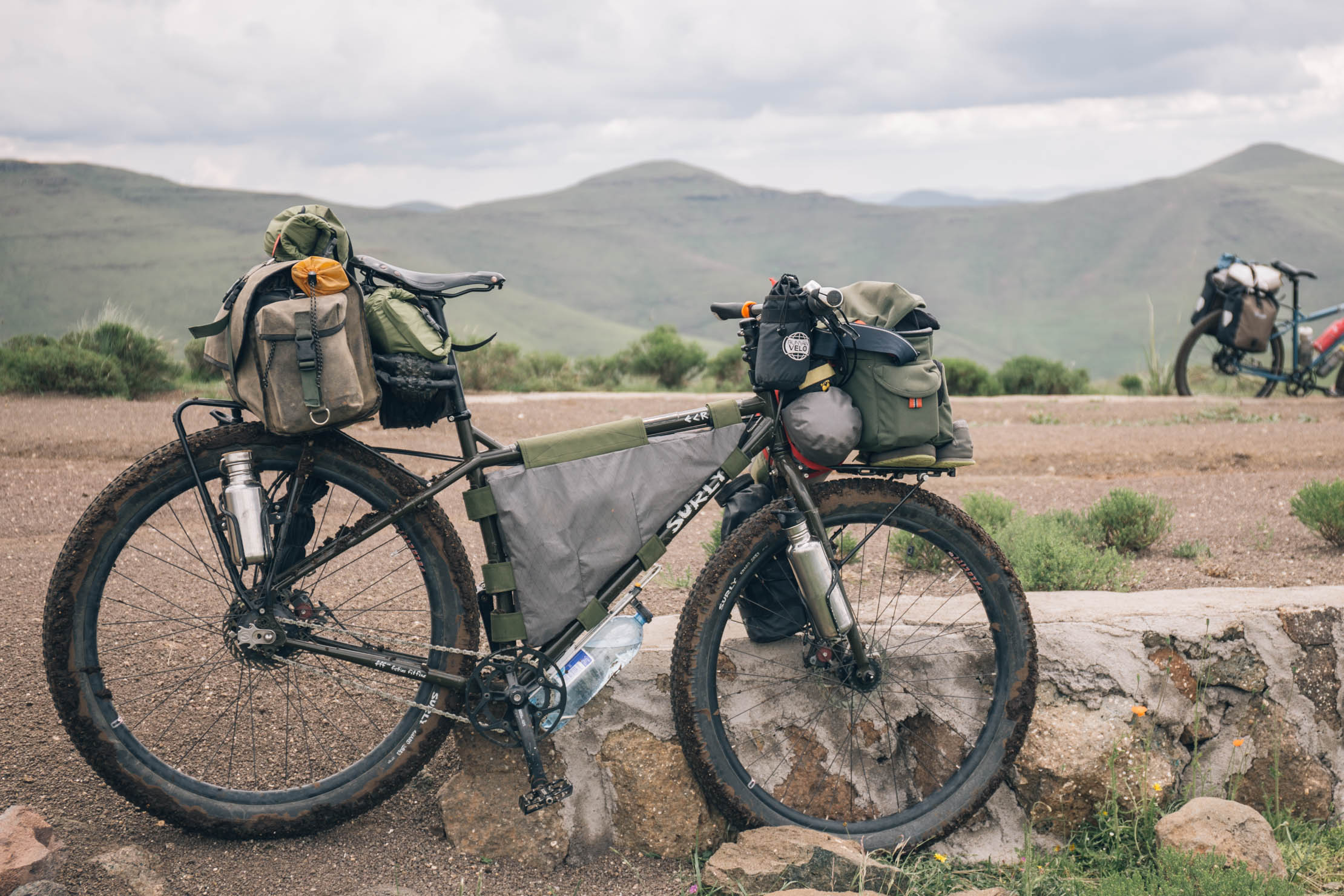
Bikepacking across the tiny kingdom of Lesotho was one of the most anticipated passages of our first African tour. It didn’t fall short of expectations. Lesotho is full of surprises. Our trip included being “held hostage” by the kind people of a remote mountain village, Gin getting the queen’s treatment on horseback up a massive, gnarly climb, and discovering some of the most fun mountain biking that we’d experience in all of Africa. While much of the route was as surprising as the experience, the latter half was the most impressive. However, we wanted it to be a full route crossing the kingdom, so we consulted the experts on the subject to fill in the gap from Maseru to Thaba Tseka. This section was scouted and designed by Darol Howes, co-founder and race organizer of the legendary Lesotho Sky stage race. We met Darol in Maseru during our trip and contacted him afterward to ask for help completing this route.
Route Difficulty
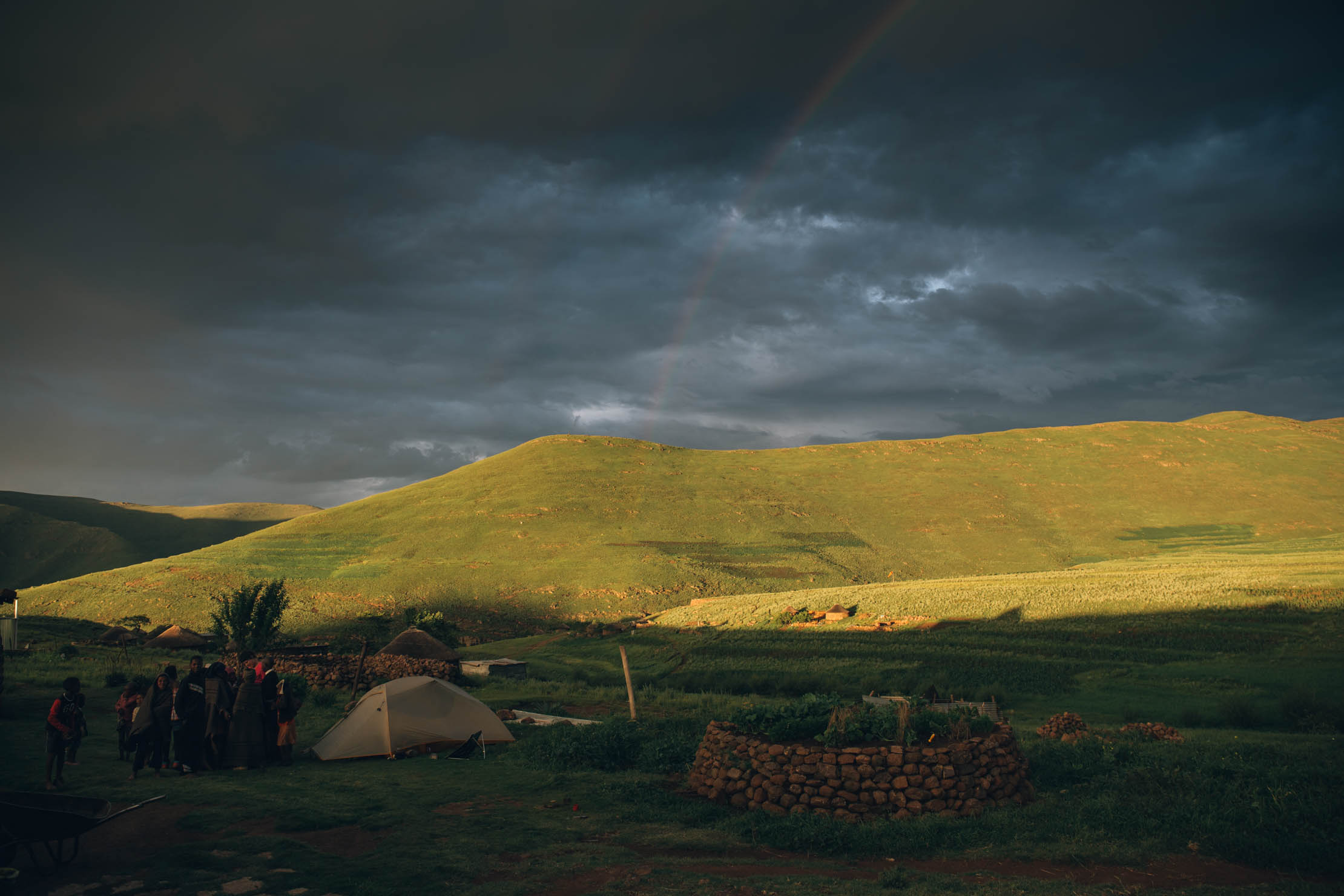
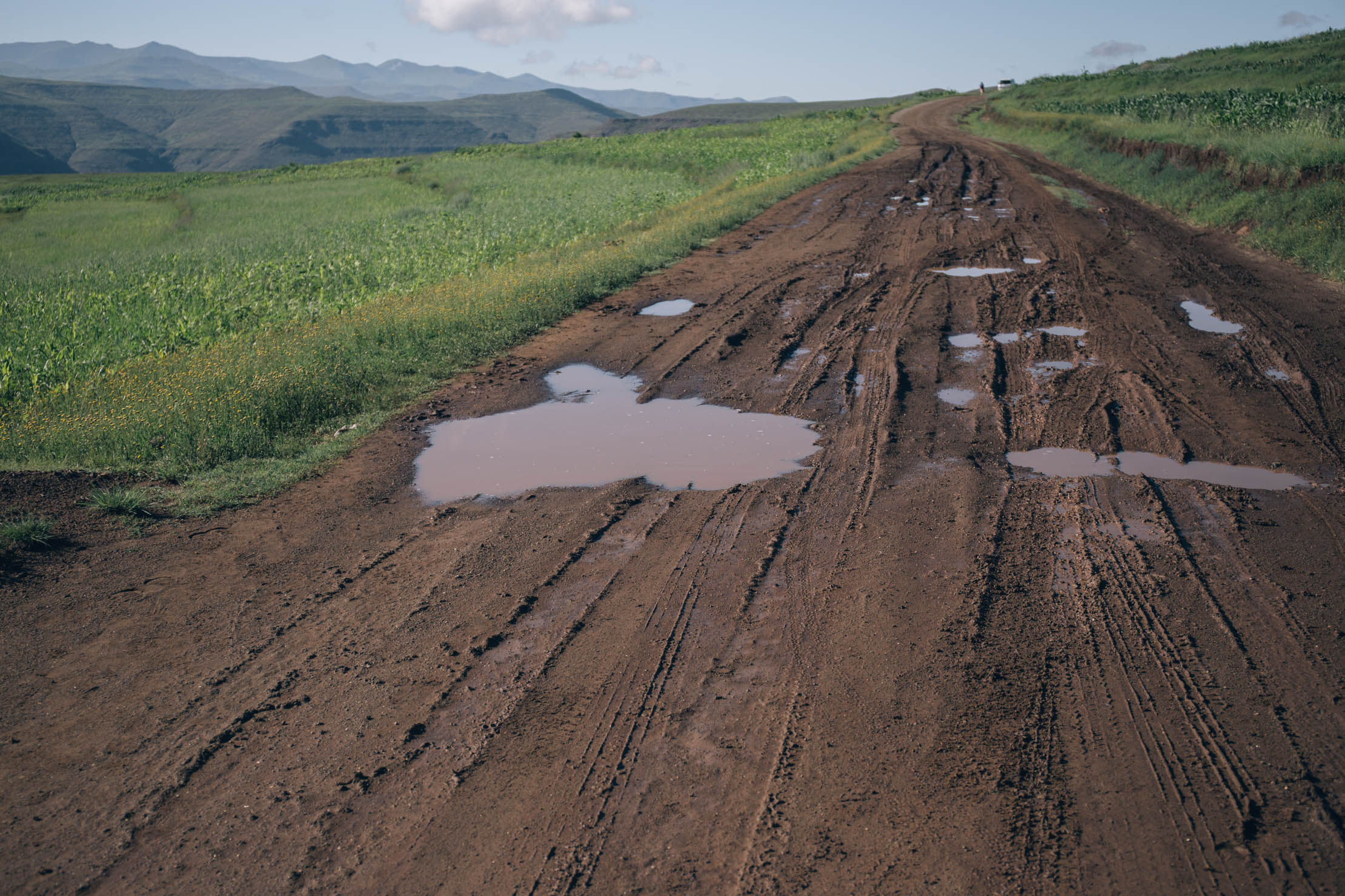
While there are few steep sections that will require a bit of hiking, this route isn’t overly technical. There is a fair amount of climbing, but most of it is steady. There are, however, other factors that can make things more difficult. While Lesotho is not a particularly wet place by any means, it gets most of its rainfall from summer thunderstorms. When it rains the roads become all but impassable, as the sticky mud can gum up tires and drivetrains, bringing bikes to a halt. Be prepared to wait for things to dry out.


Submit Route Alert
As the leading creator and publisher of bikepacking routes, BIKEPACKING.com endeavors to maintain, improve, and advocate for our growing network of bikepacking routes all over the world. As such, our editorial team, route creators, and Route Stewards serve as mediators for route improvements and opportunities for connectivity, conservation, and community growth around these routes. To facilitate these efforts, we rely on our Bikepacking Collective and the greater bikepacking community to call attention to critical issues and opportunities that are discovered while riding these routes. If you have a vital issue or opportunity regarding this route that pertains to one of the subjects below, please let us know:
Highlights
Must Know
Camping
Food/H2O
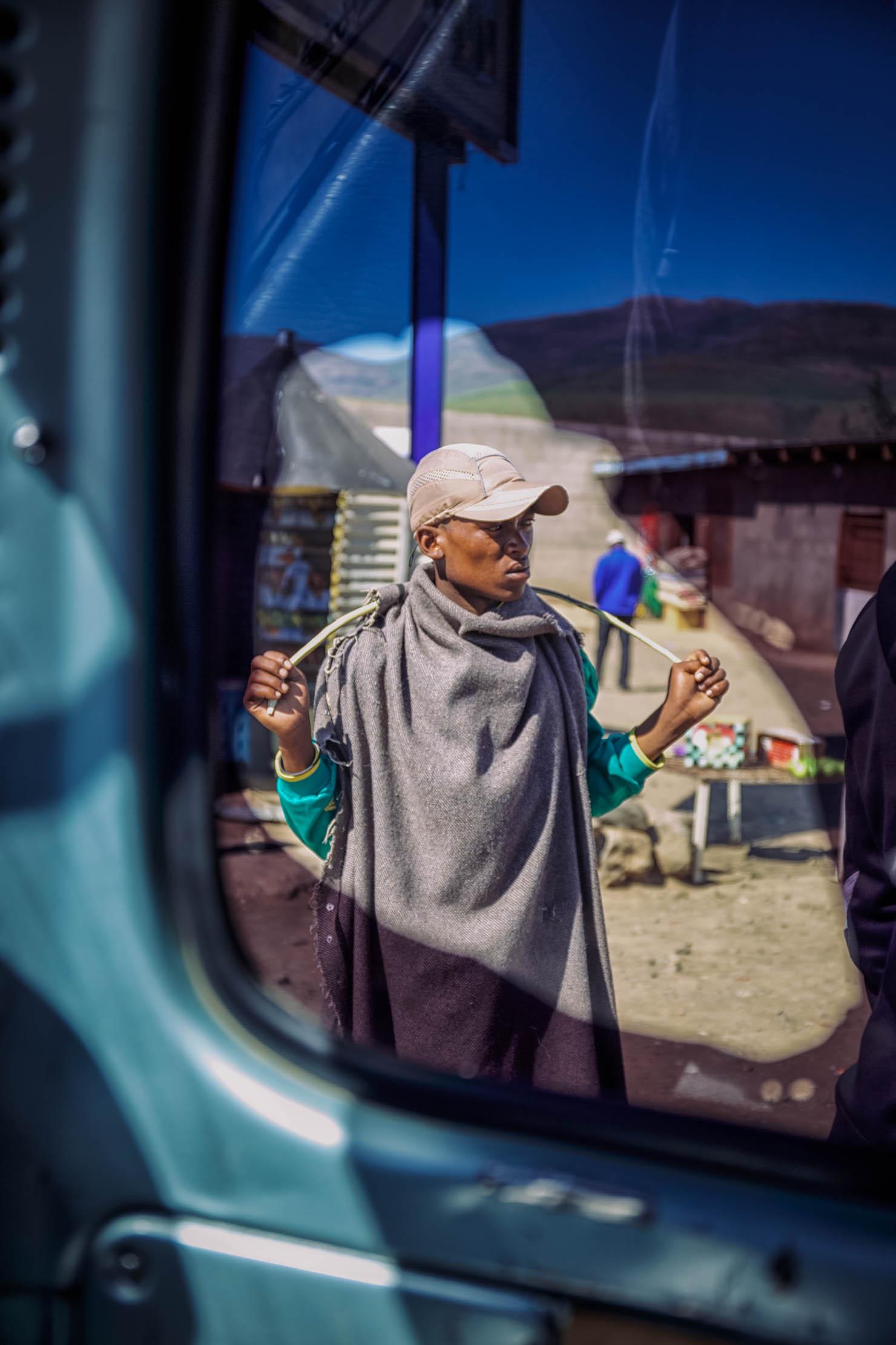
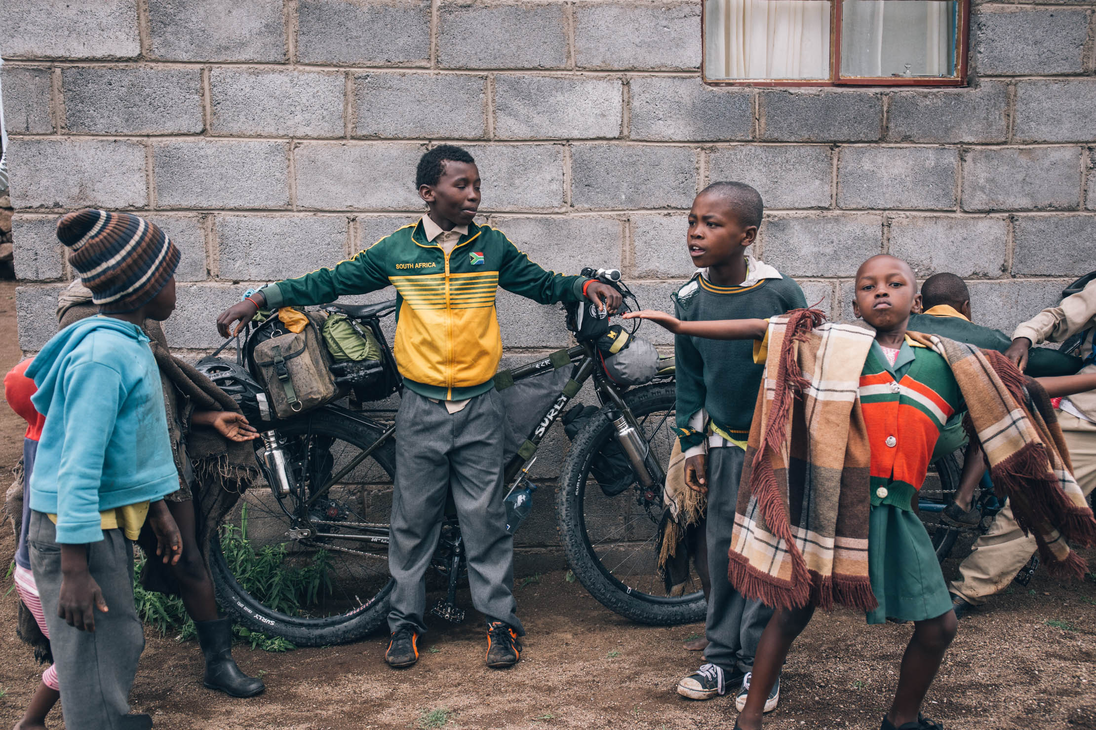
- Village hospitality that makes for an unforgettable experience.
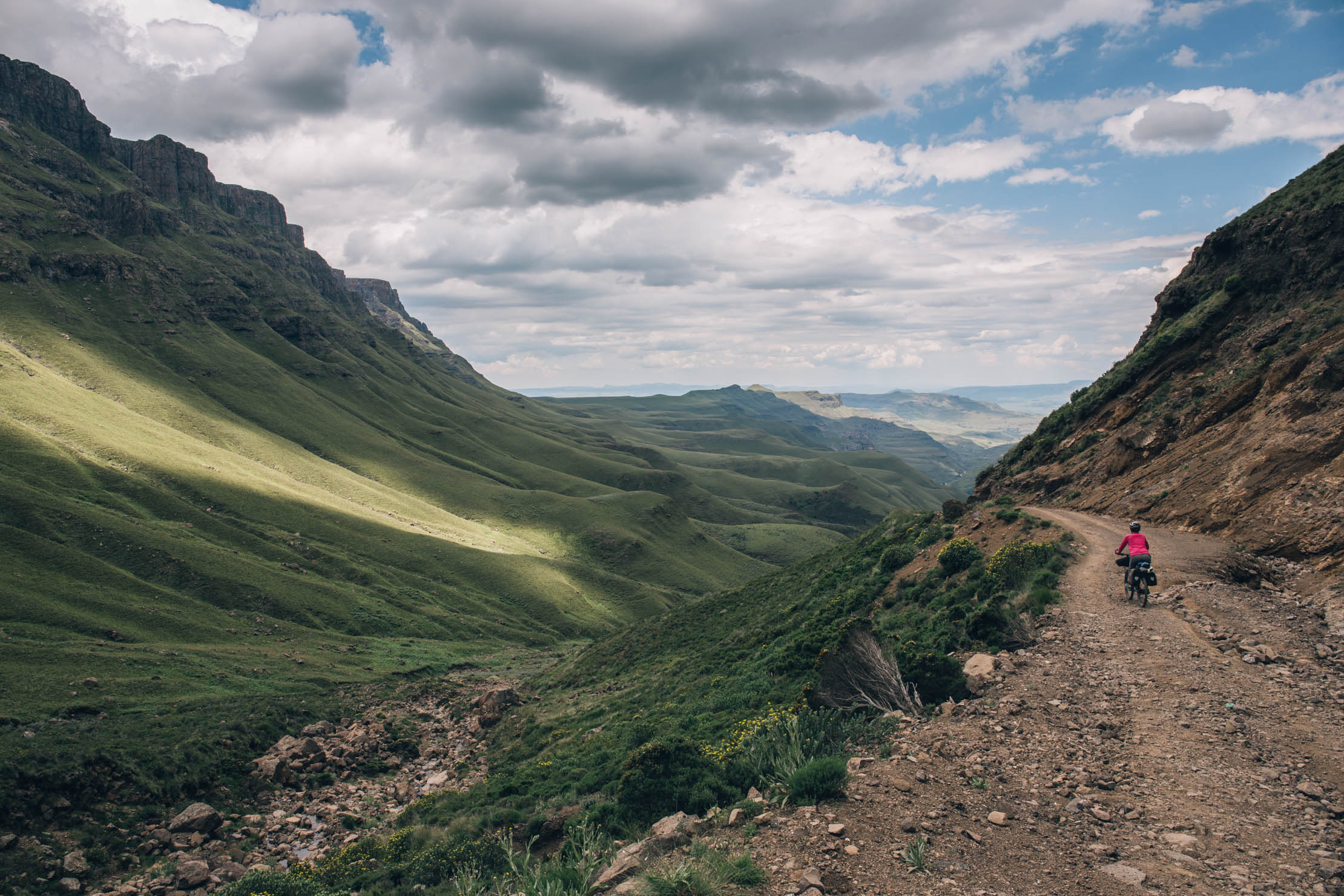
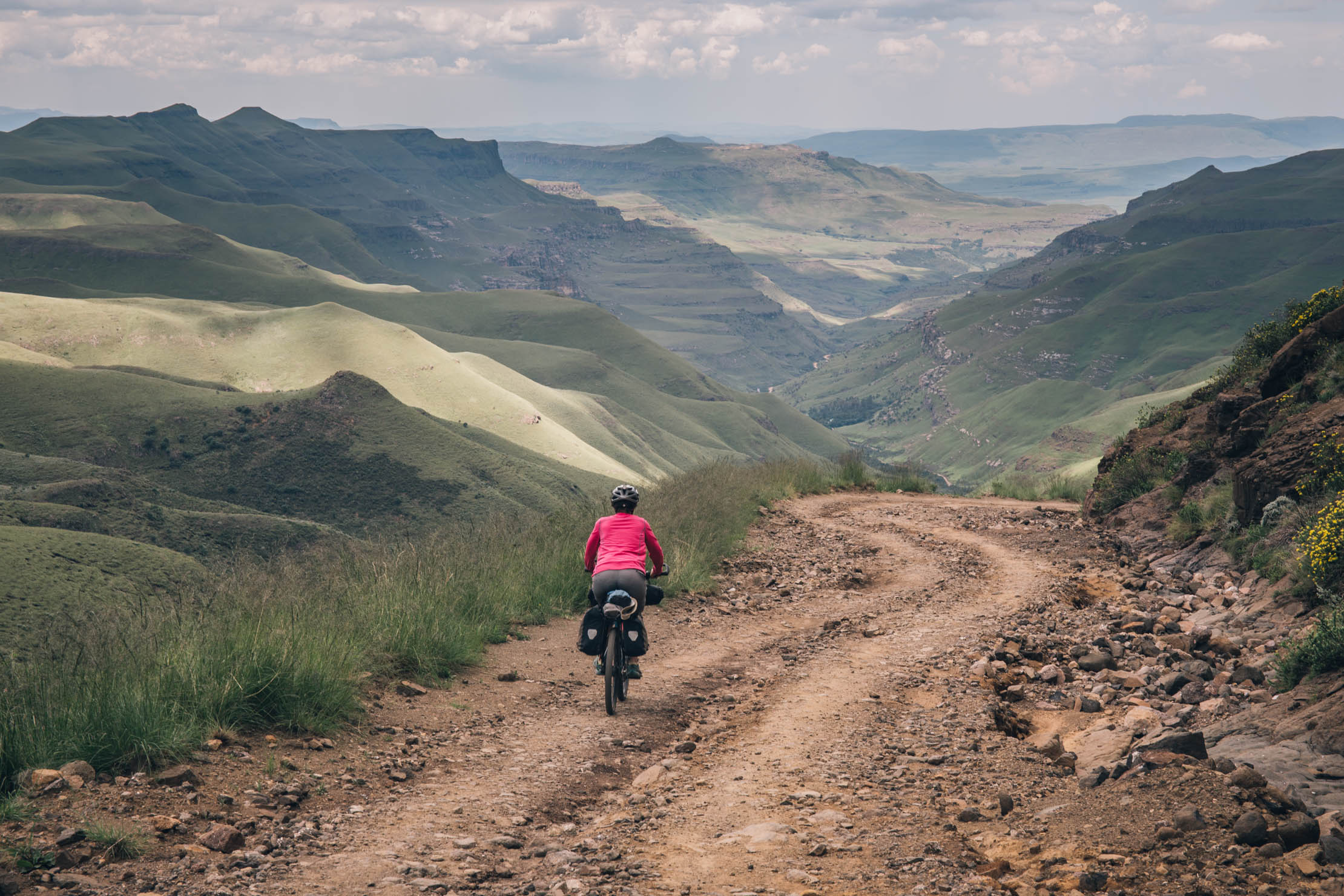
- Beautiful mountain vistas at high altitude.
- A vast, otherworldly landscape.
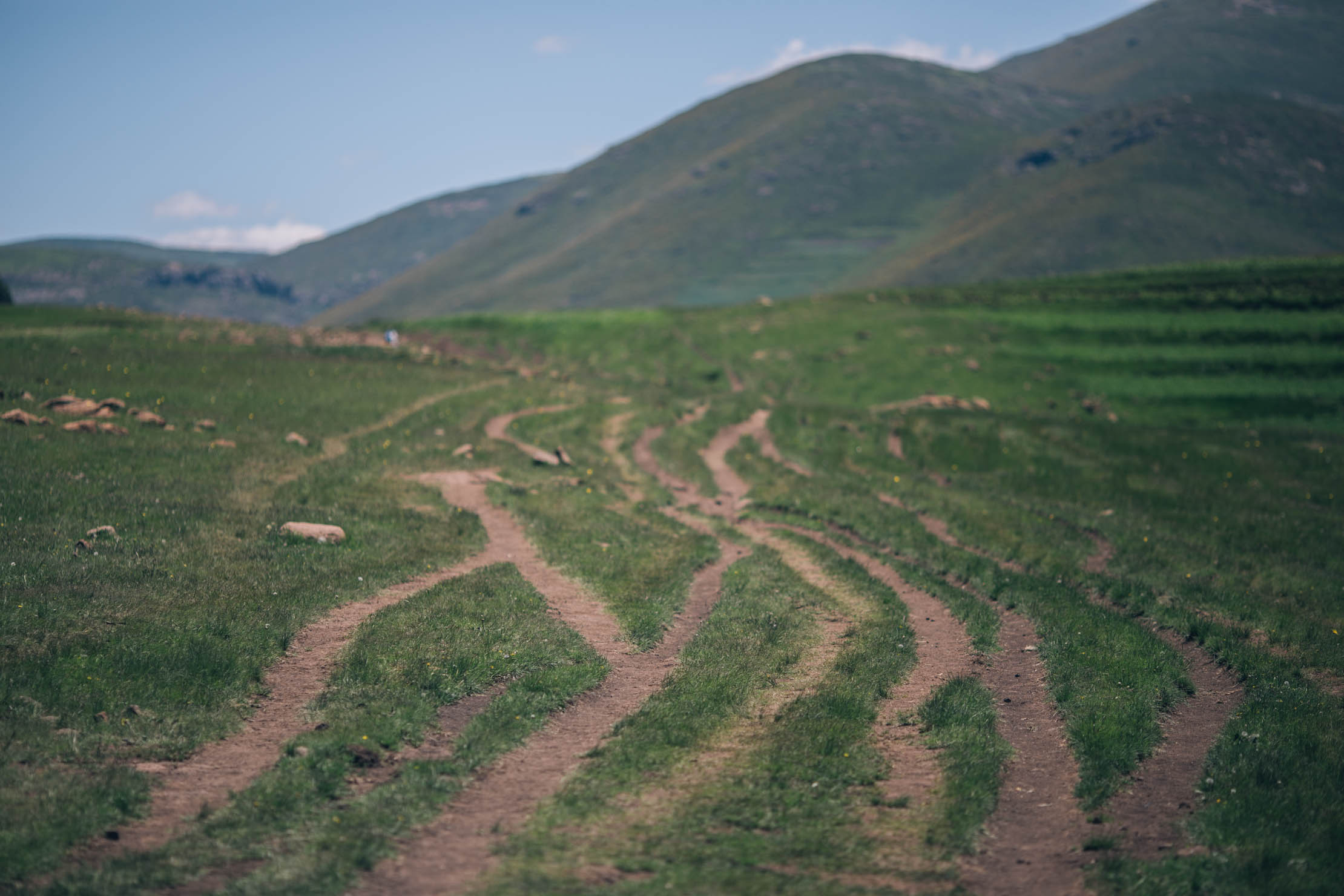
- Incredible riding terrain that’s mostly two-track and footpaths.
- Maletsunyane Falls.
- The incredibly friendly Basotho people.
- Sani Pass, the highest point on the route, leads to a beautiful downhill ride with views of the Drakensbergs.
Getting there and away
- The route starte in Maseru, Lesotho’s modern capital. Maseru has an airport as well as regular busses from Bloemfontein, a large city that is more of a transportation hub.
- You might consider riding from Bloemfontein and continuing your trip to Durban, South Africa, where there is an airport and plenty of options for busses.
Weather and when to go
- The best time to ride is in the spring, between October and December, before the summer heat and thunderstorms.
- Because of its elevation, Lesotho remains cooler throughout the year than most of South Africa. Be prepared for mountain weather in the shoulder seasons. Winters can be cold, with the lowlands getting down to −7°C (19°F) and the highlands to −18°C (0°F) at times. Snow is common in the highlands between May and September and the higher peaks can maintain year-round snow.
- Summers can get hot in the lower elevations. Maseru and surrounding lowlands often reach 30°C (86°F).
- Most of the country’s annual precipitation falls in the form of summer thunderstorms. These storms can be very dangerous since so much of the highlands are exposed. We even heard that Lesotho has the world’s highest percentage of lightning strikes per capita.
Need to know
- Lesotho is an impoverished country and children beg in many places throughout the country. We chose to avoid handing out gifts. In our opinion, it only encourages begging, discourages education, and ultimately inhibits tourism. Instead, we chose to support a couple schools that we visited along the way.
- Interwebs: There is not really much here. You can either get a USB modem that can be used in several of the main towns, or the Trading Posts have WiFi.
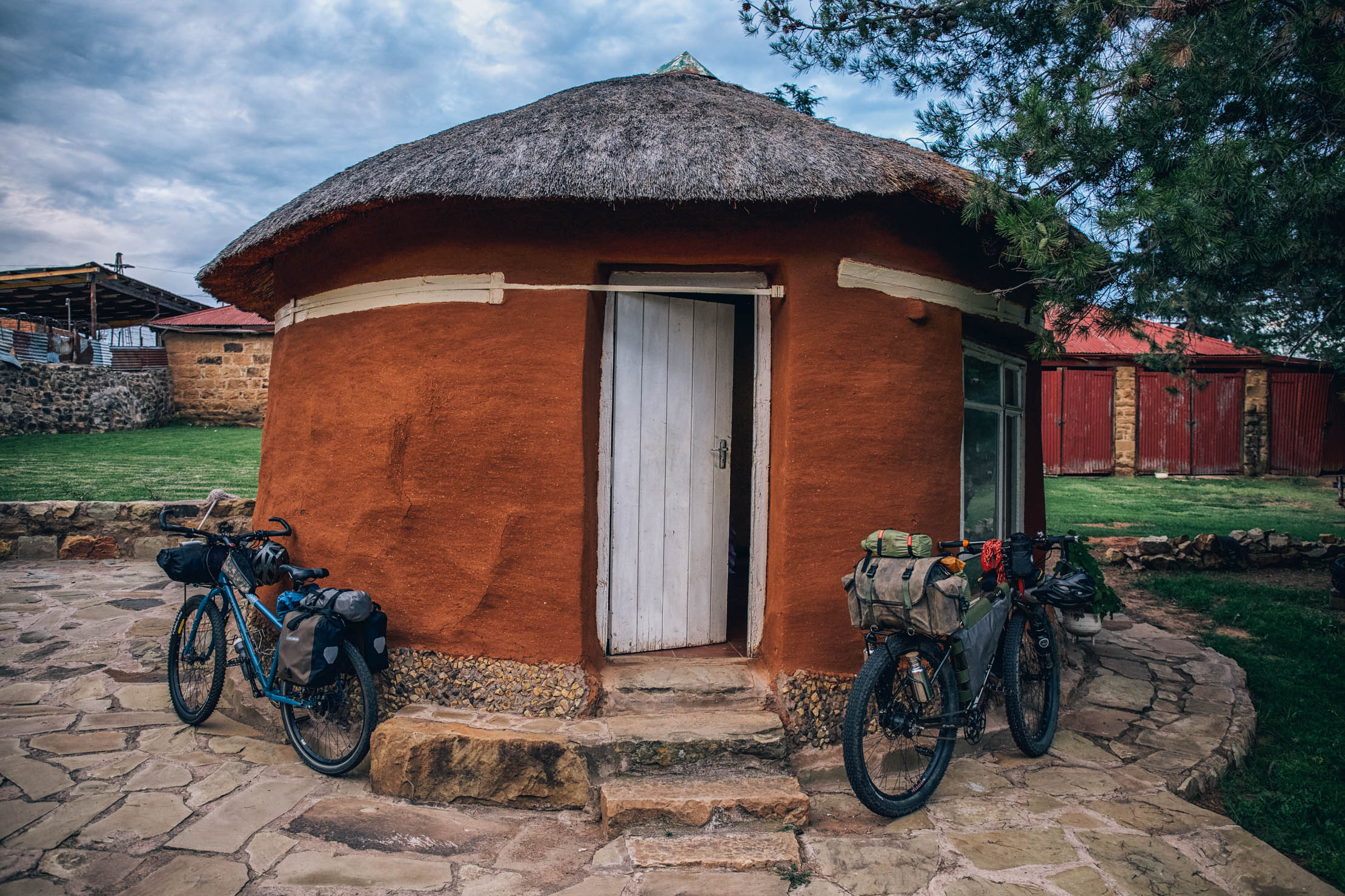
- There are a couple of backpacker lodges scattered throughout the country. Try the Trading Posts in Roma and Ramambanta; they were recently renovated and under new ownership by the same folks who run Lesotho Sky.
- In Semonkong, the Semonkong Lodge is a nice treat.
- Also, you can camp anywhere, as long as you ask the local chief. On most occasions they are happy to have guests.
- There are usually small (by small I mean a couple of chairs and a counter) eateries in little towns, just ask. Most of the time you can get a heaping plate of chicken, greens, and pap for a dollar.
- Also, there are a lot of little stores in villages, but be prepared to eat canned meat, cheese puffs, and other random basics. The best points of resupply are where lodging is marked on the map.
- There isn’t much between Thaba Tseka and Mokhotlong, so bring a couple of days worth of food. You’ll be burning a lot of calories.


Terms of Use: As with each bikepacking route guide published on BIKEPACKING.com, should you choose to cycle this route, do so at your own risk. Prior to setting out check current local weather, conditions, and land/road closures. While riding, obey all public and private land use restrictions and rules, carry proper safety and navigational equipment, and of course, follow the #leavenotrace guidelines. The information found herein is simply a planning resource to be used as a point of inspiration in conjunction with your own due-diligence. In spite of the fact that this route, associated GPS track (GPX and maps), and all route guidelines were prepared under diligent research by the specified contributor and/or contributors, the accuracy of such and judgement of the author is not guaranteed. BIKEPACKING.com LLC, its partners, associates, and contributors are in no way liable for personal injury, damage to personal property, or any other such situation that might happen to individual riders cycling or following this route.
Please keep the conversation civil, constructive, and inclusive, or your comment will be removed.