


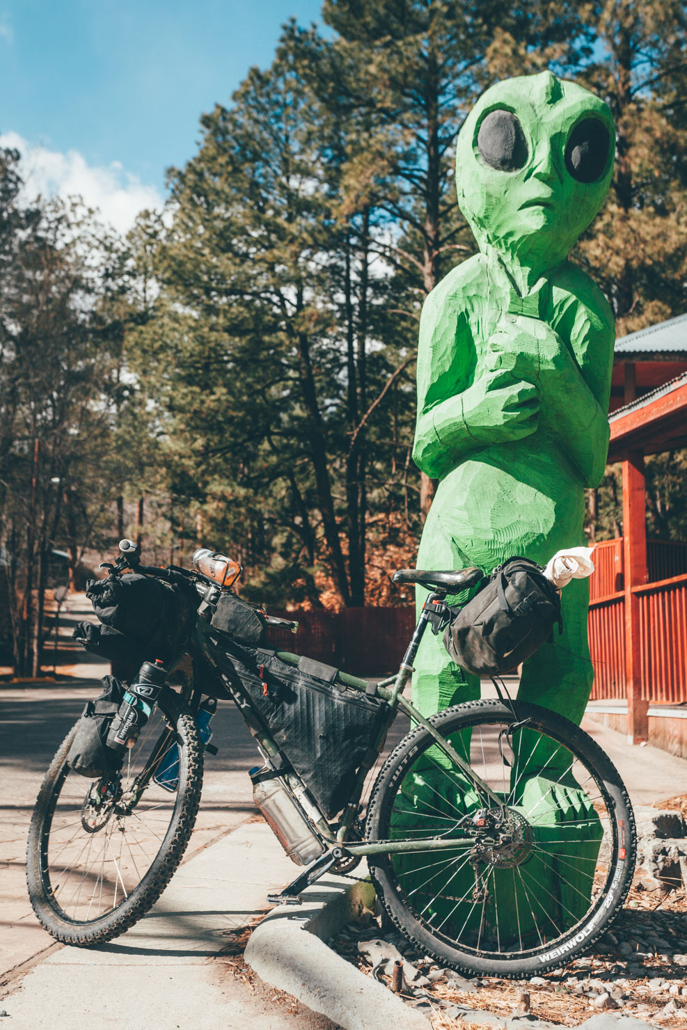
Billy the Kid and Smokey Bear, New Mexico
Distance
102 Mi.
(164 KM)Days
2-3
% Unpaved
65%
% Singletrack
0%
% Rideable (time)
100%
Total Ascent
9,000'
(2,743 M)High Point
8,700'
(2,652 M)Difficulty (1-10)
5?
- 6Climbing Scale Moderate88 FT/MI (17 M/KM)
- -Technical Difficulty
- -Physical Demand
- -Resupply & Logistics
Contributed By

Cass Gilbert
Contributing Editor
Note: at the time of riding, this route was completely legal. Until we work out reroutes, please refer to this map for current issues and adjust your plans according. Thanks to Colt Felters for the update.
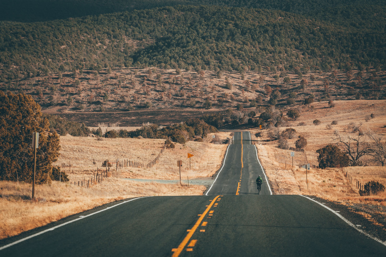
Founded in 1885, Ruidoso – meaning noisy, in Spanish – harks back to a former life, when the quiet river it flanks was known as roaring Rio Ruidoso. Indeed, the whole area is steeped in history from the pages of the Old West, notably through its association with Sheriff Pat Garett and the notorious frontier outlaw William H. Bonney, aka Billy the Kid. The old courthouse in neighbouring Lincoln is even pocked with gunshots from one of Bonney’s particularly daring and bloody escapes.
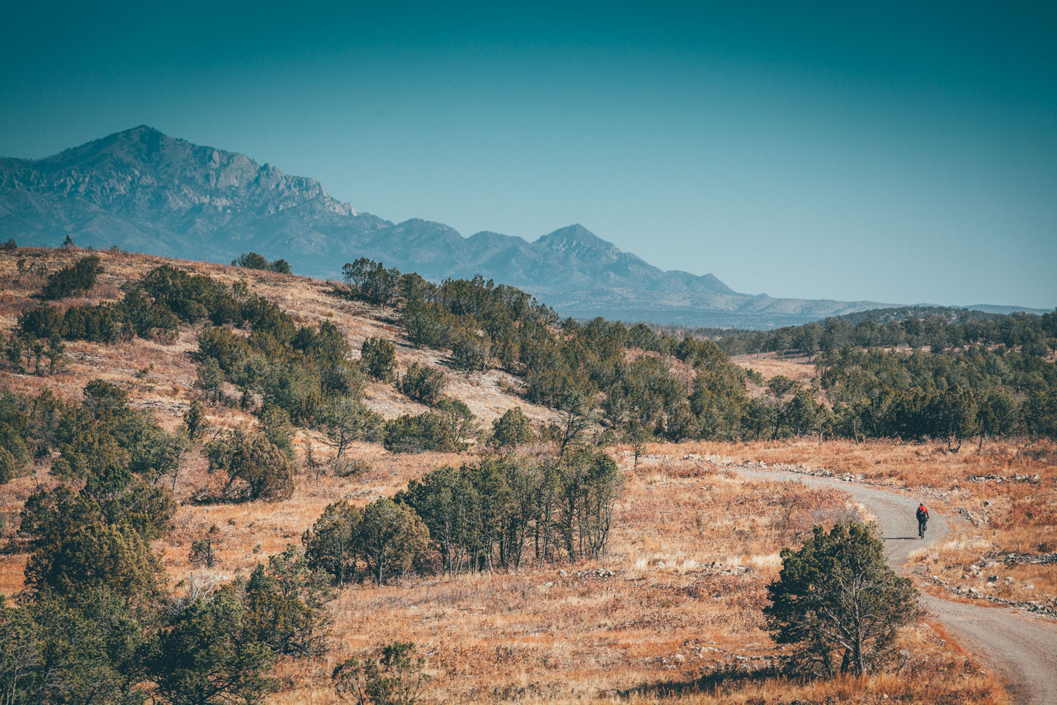
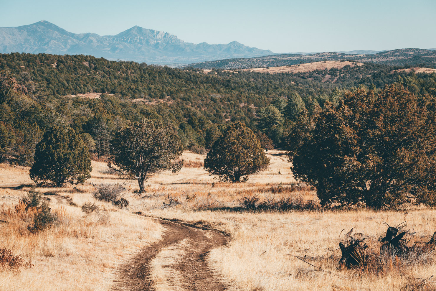
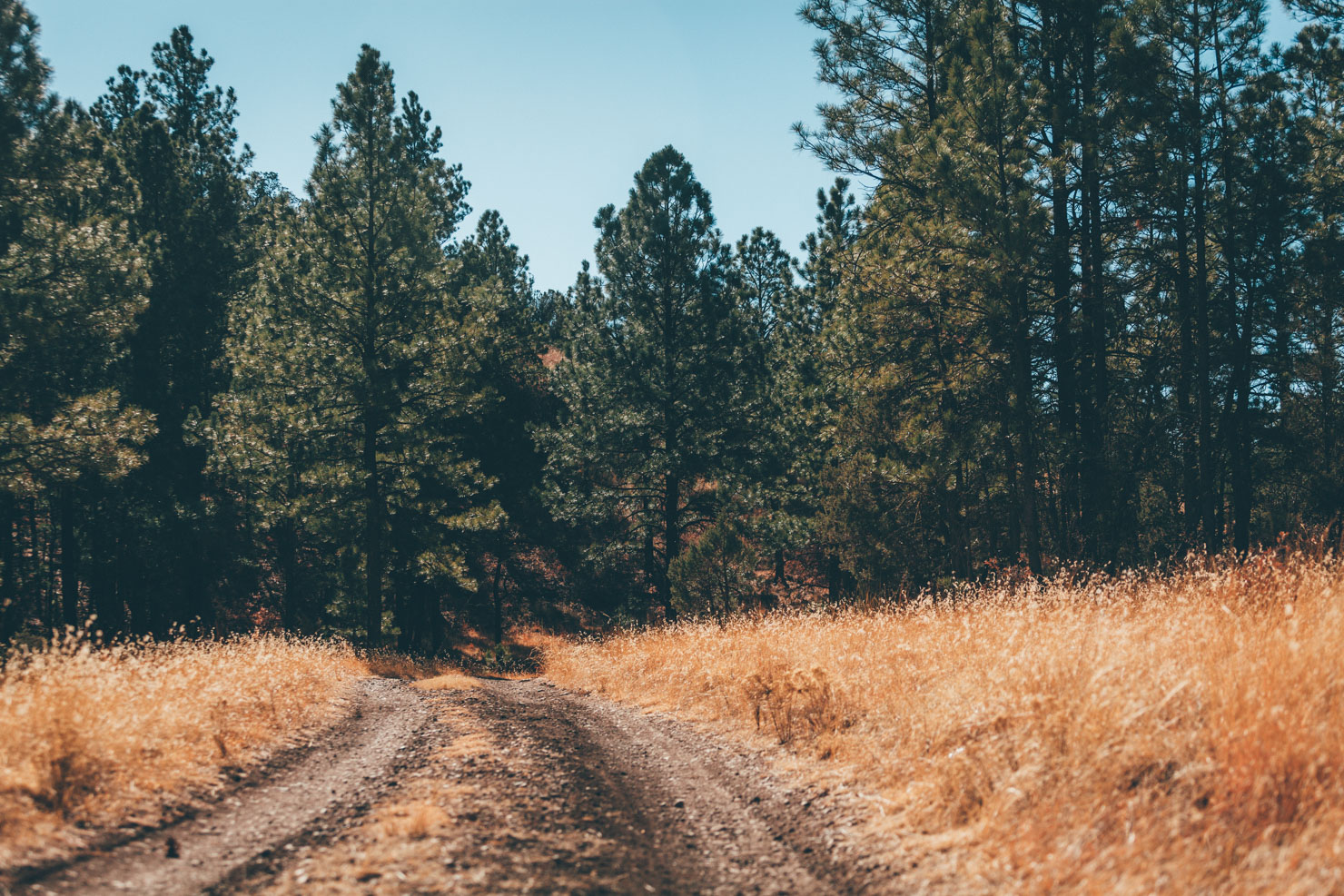
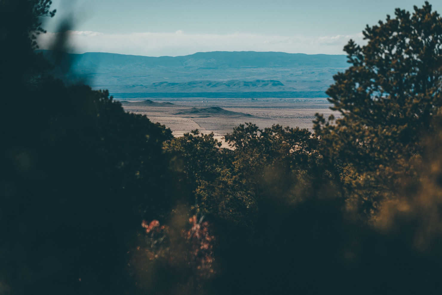
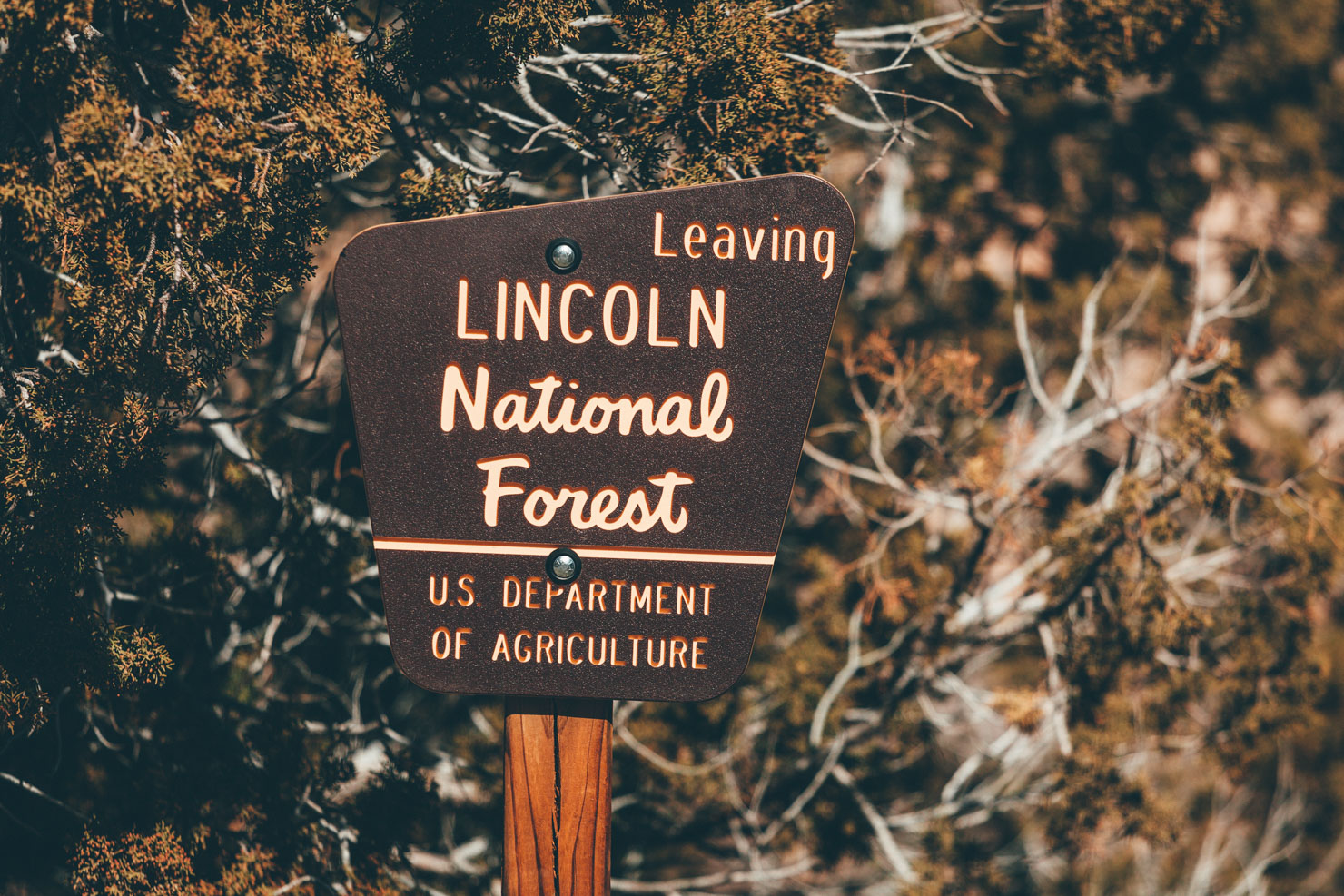
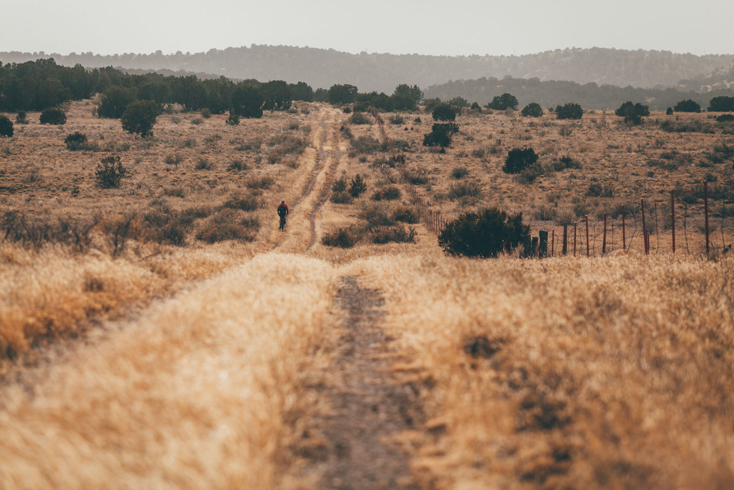
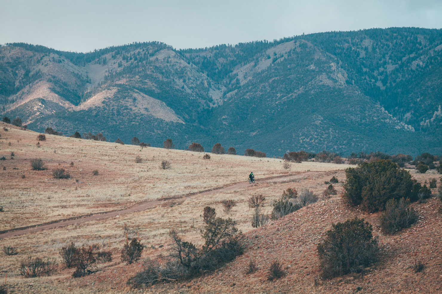
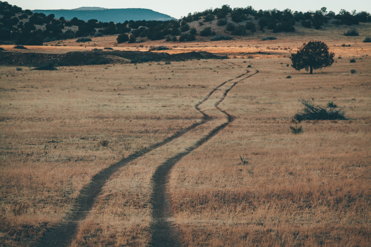
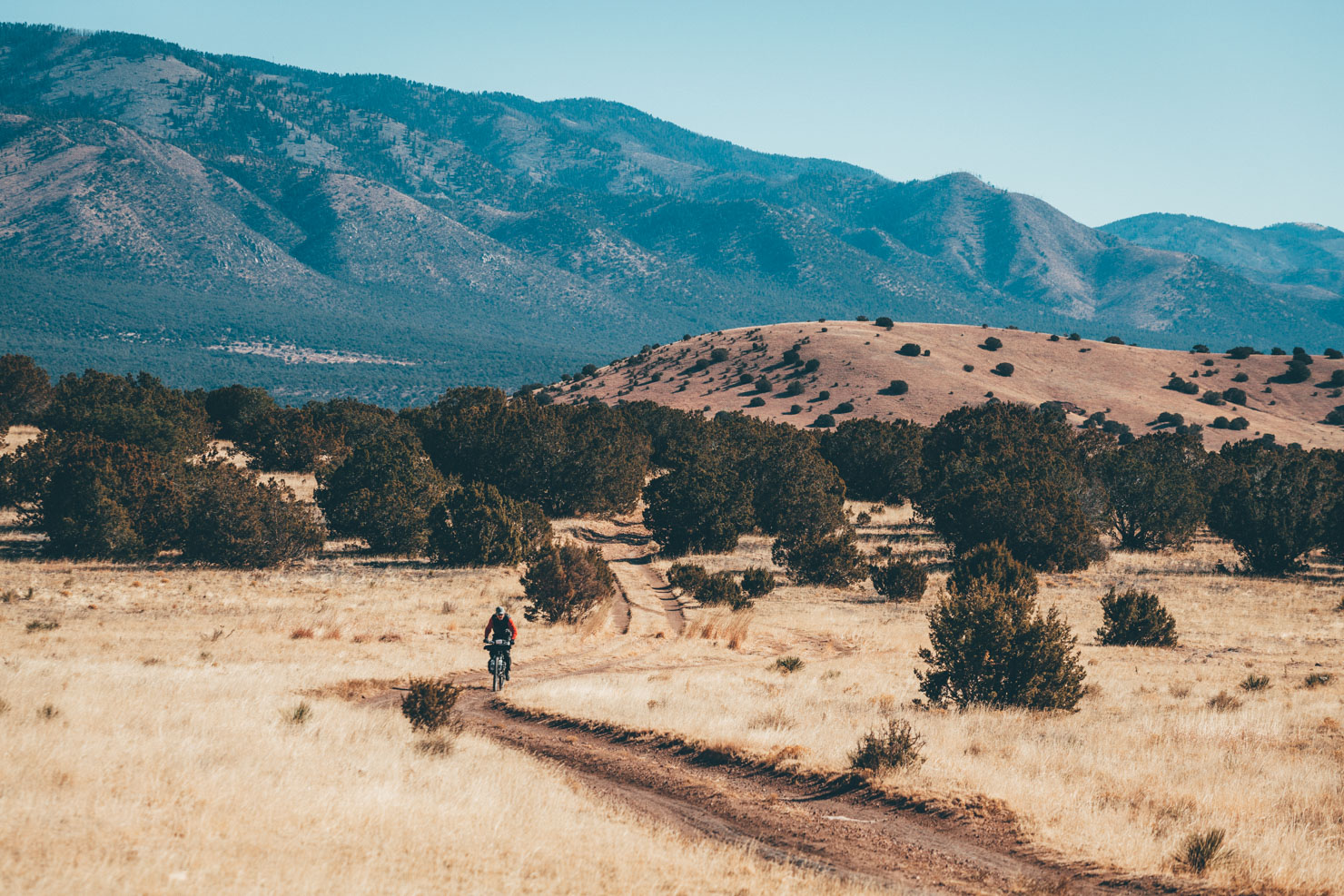
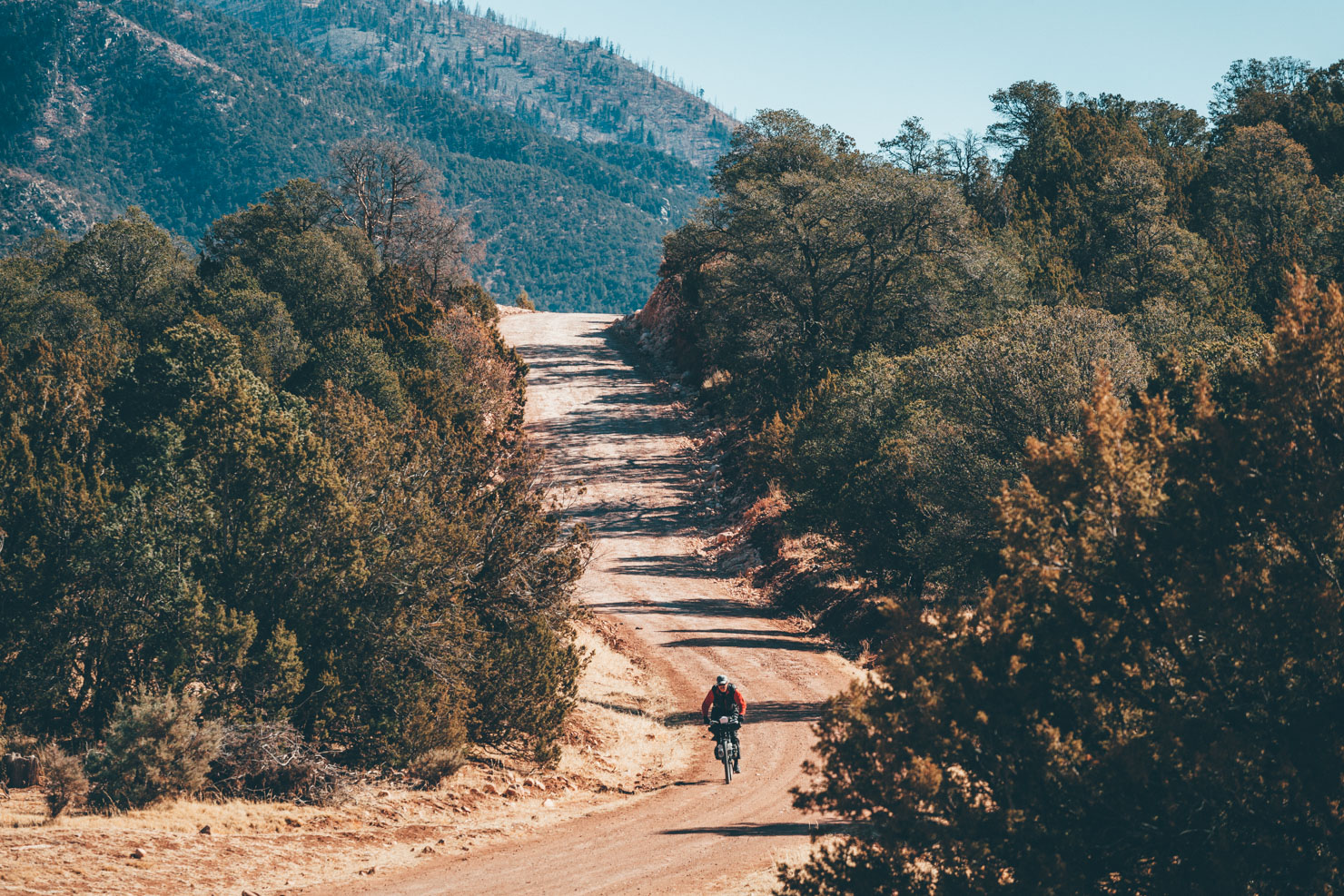
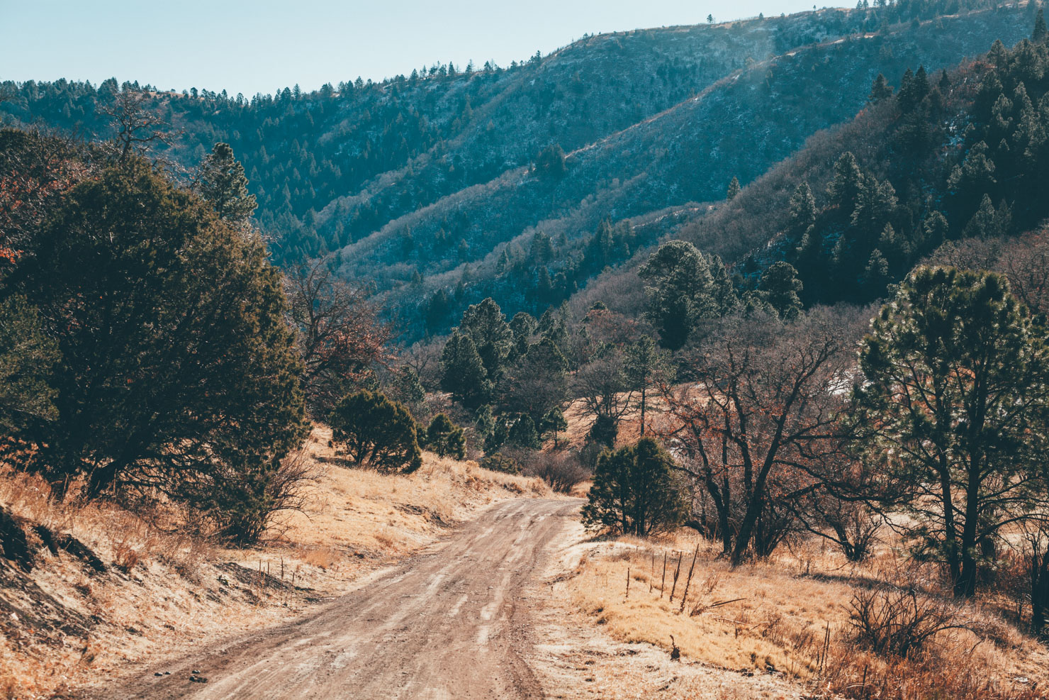
Surrounding Ruidoso lies Lincoln National Forest, the setting for pine, fir, aspen, oak, and grassland meadows – as well as an equally diverse web of dirt roads that offer miles of bikepacking potential.
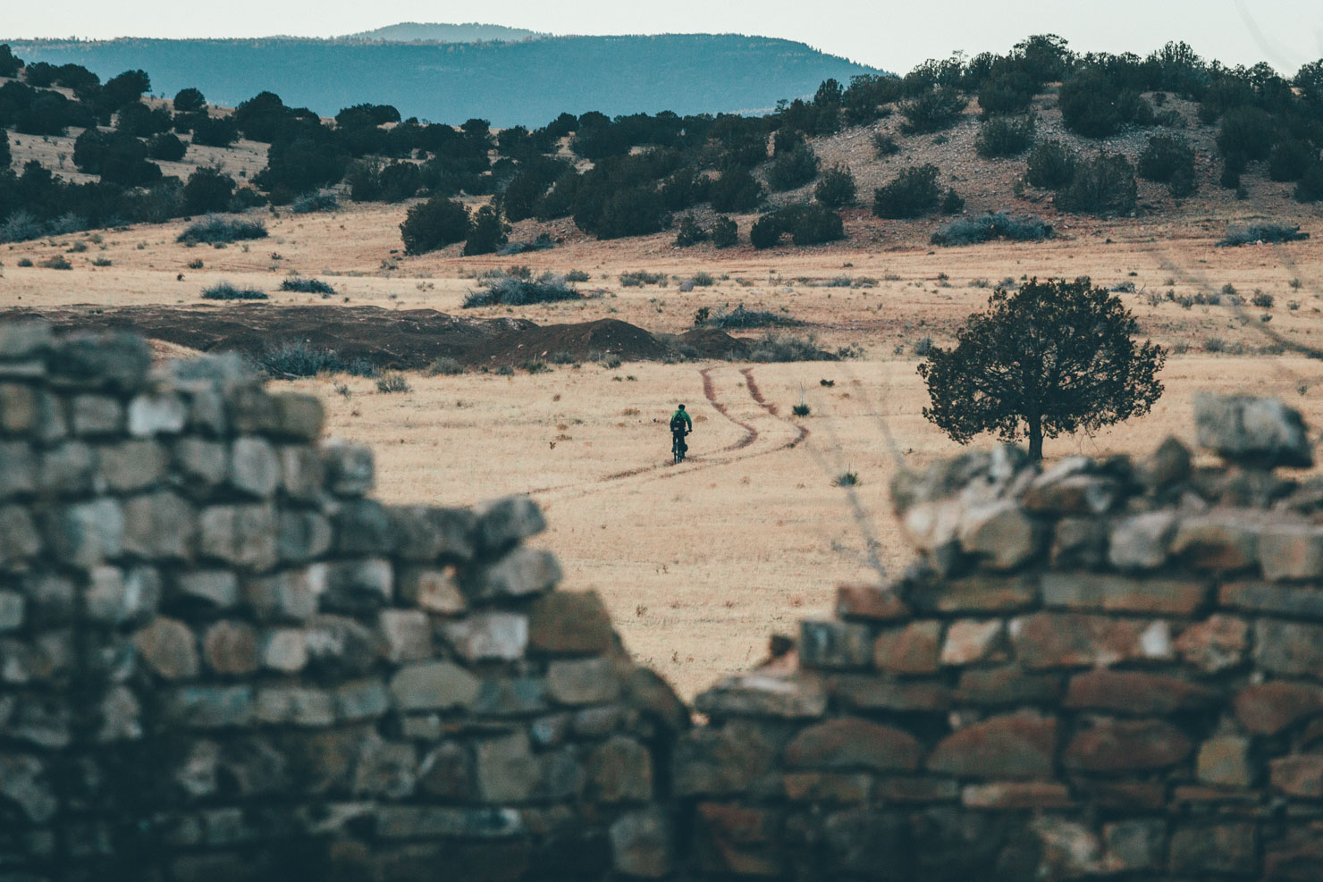
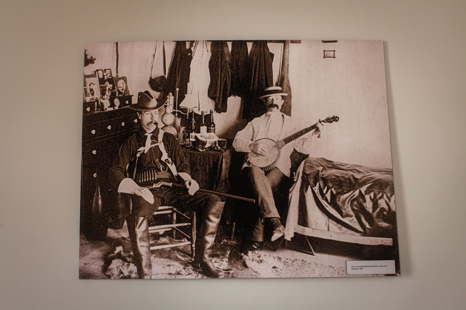
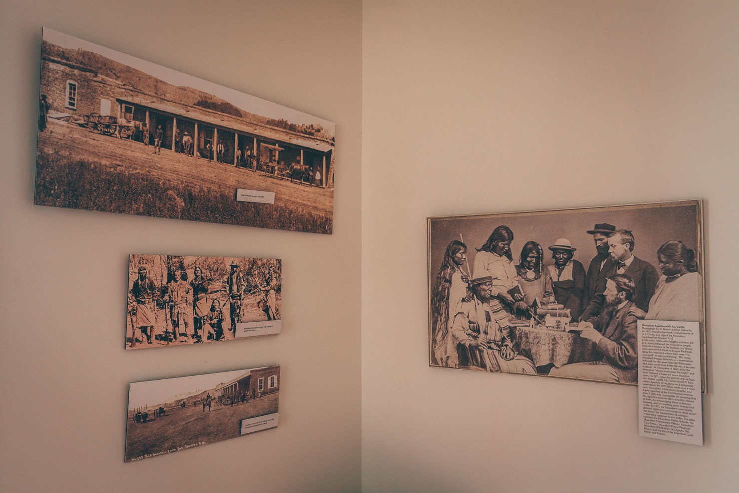
Nearby Fort Stanton, now developed into the area’s most extensive singletrack network, claims a similarly colourful past, with protagonists that include cavalries of Buffalo Soldiers, Kit Carsen (trapper, scout, soldier, and a dime novel hero), as well as the Mascalero Apaches, whose ancestral home lies in this region. Be sure to check out the fascinating museum, packed with old black and white photos depicting moustachioed, banjo-playing soldiers, and Apache elders solemnly signing treaties.
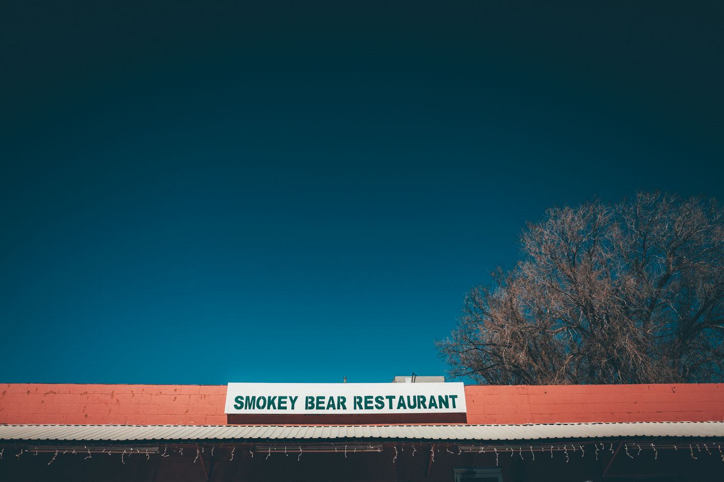
Further round the loop, fuel up in Capitan and pop into the Smokey Bear Historical Park, established in 1979 to honor the settlement’s favorite son, Smokey Bear. Nearly three decades earlier, Smokey was an orphaned little bear cub with burned paws, found in the aftermath of the Capitan Gap wildfire, who later rose to fame as the icon for forest fire prevention nationwide. At the visitors center, learn about forest health, wildfires, the science of fire ecology, and take a historical look at wildfire prevention.
With its blend of natural beauty and historical intrigue, this pocket of south-central New Mexico is filled with possibilities. You could easily add in another day to the ride and extend your explorations towards White Oaks, or spend some time railing round the area’s developed trails.


Submit Route Alert
As the leading creator and publisher of bikepacking routes, BIKEPACKING.com endeavors to maintain, improve, and advocate for our growing network of bikepacking routes all over the world. As such, our editorial team, route creators, and Route Stewards serve as mediators for route improvements and opportunities for connectivity, conservation, and community growth around these routes. To facilitate these efforts, we rely on our Bikepacking Collective and the greater bikepacking community to call attention to critical issues and opportunities that are discovered while riding these routes. If you have a vital issue or opportunity regarding this route that pertains to one of the subjects below, please let us know:
Highlights
Must Know
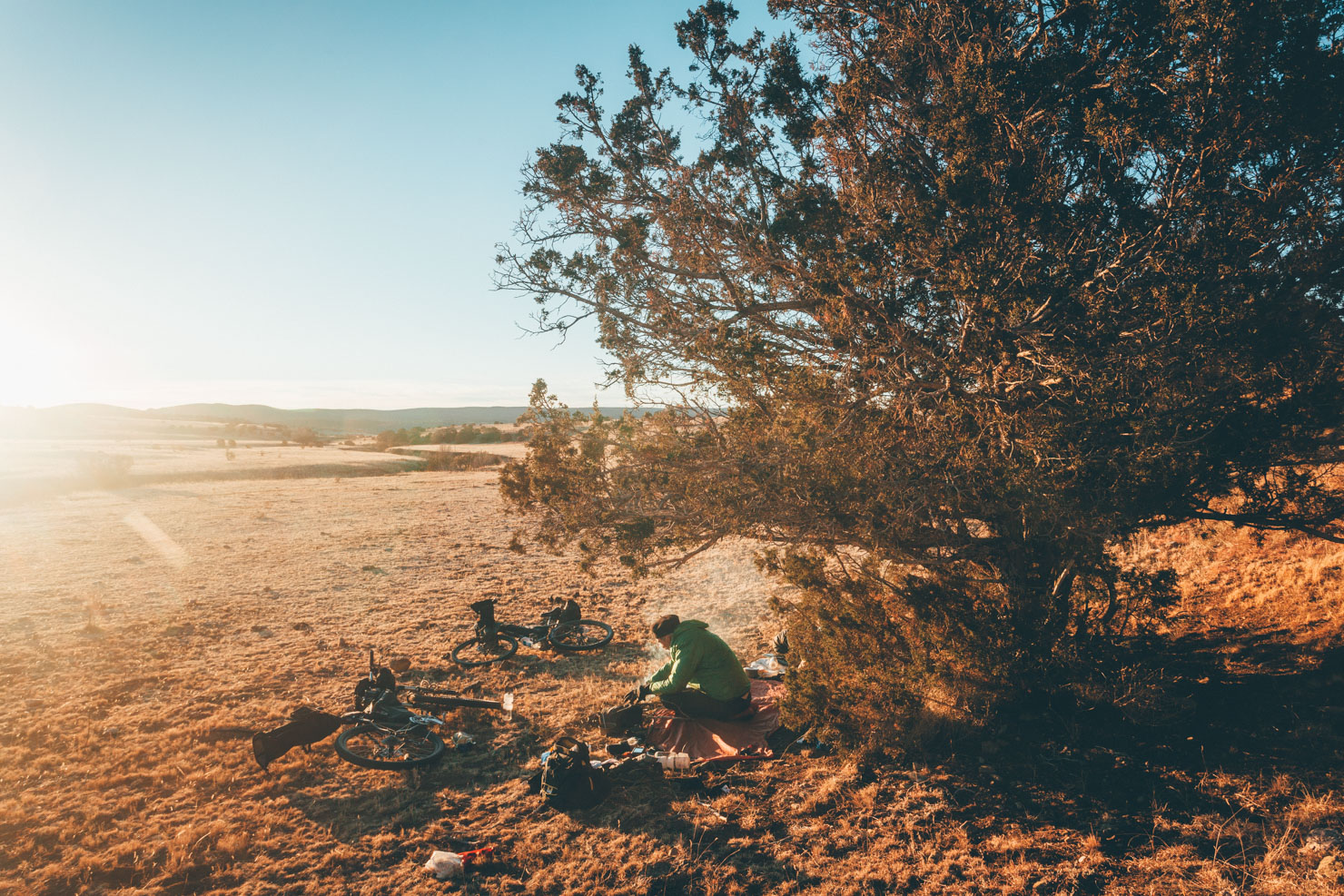
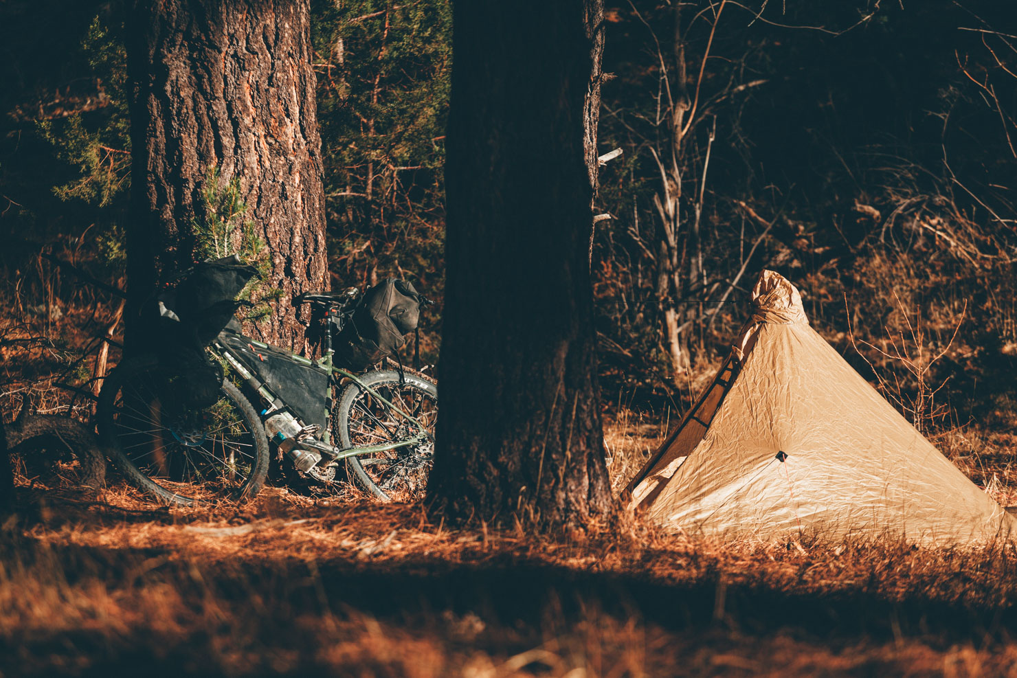
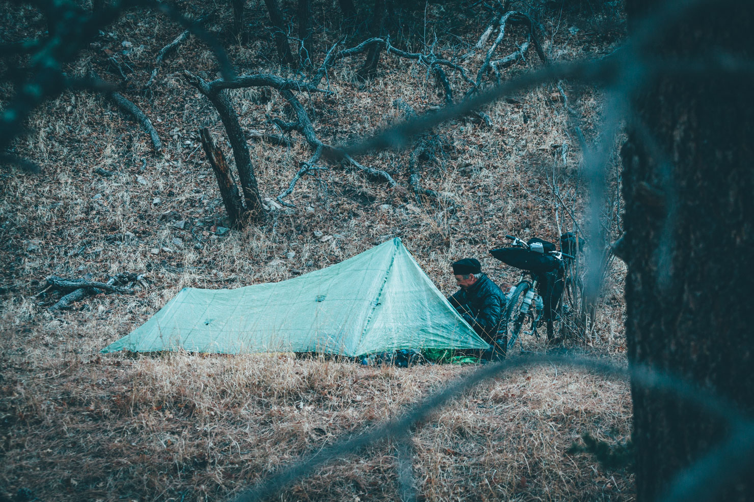
Camping
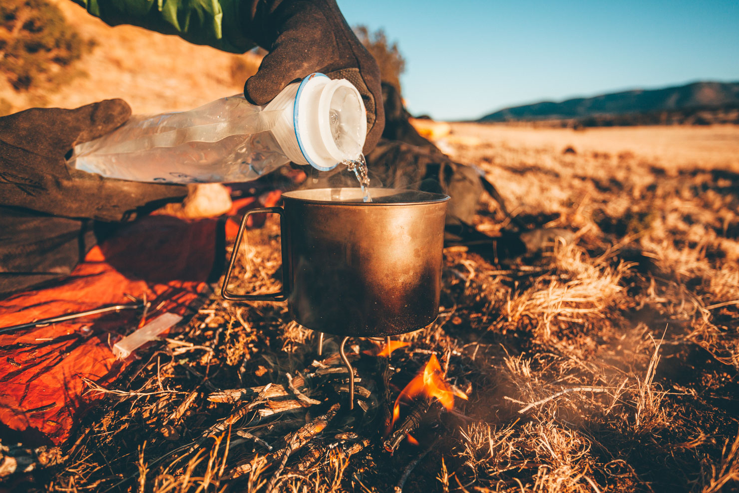
Food/H2O
Trail Notes
Resources
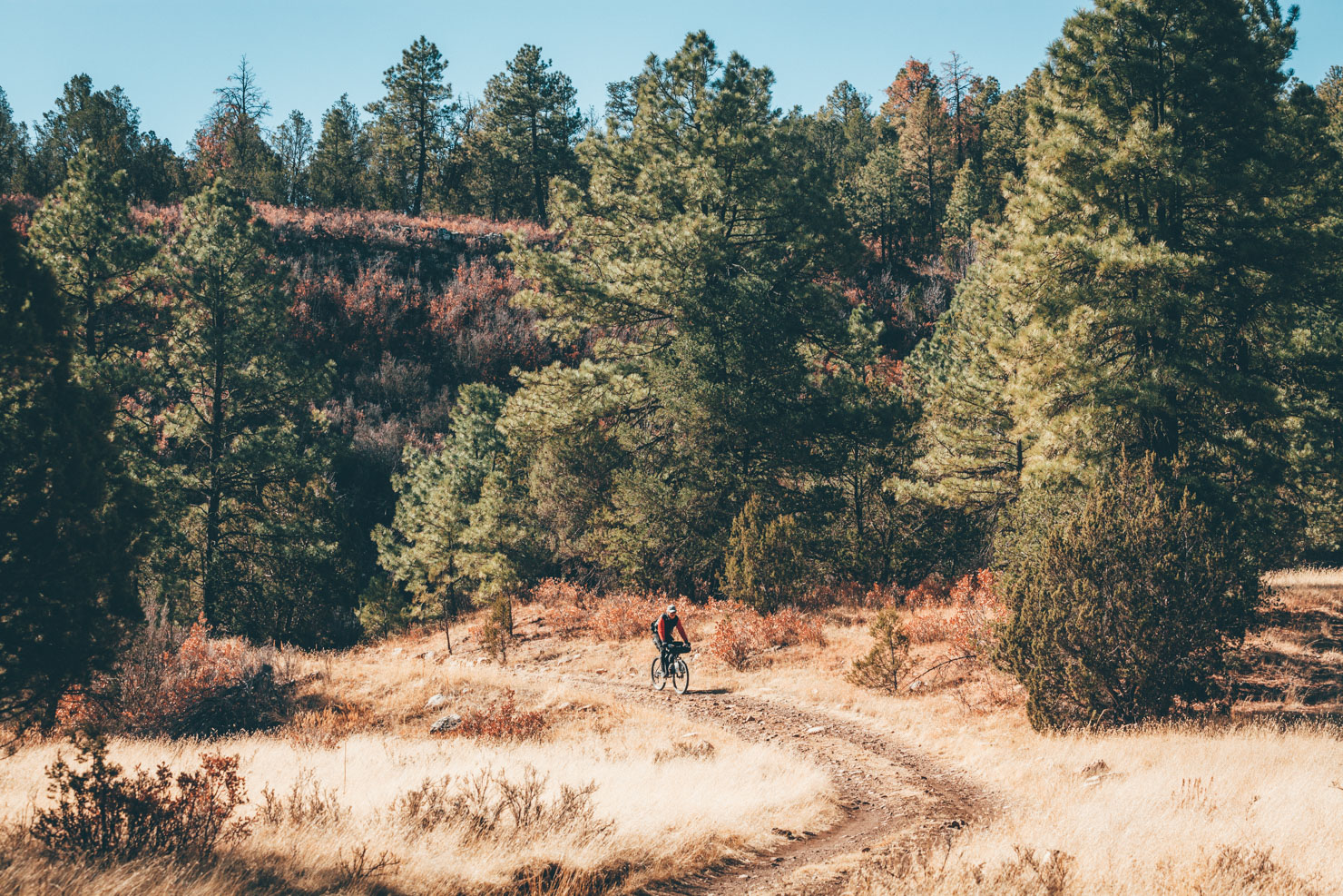
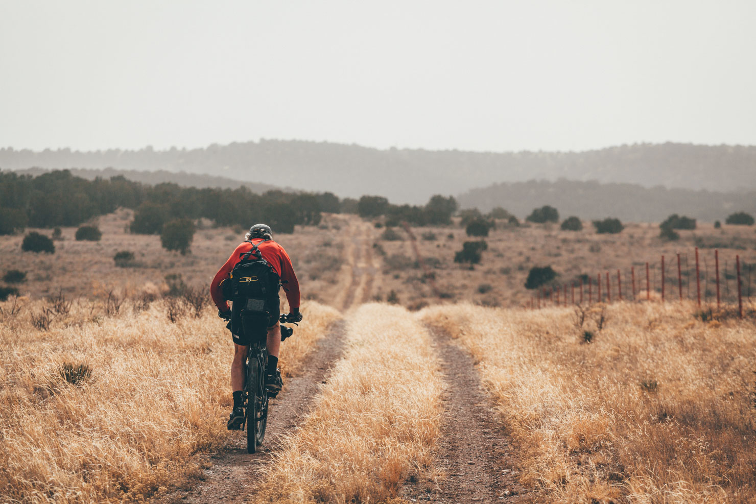
- Exploring the mellow but sublimely beautiful dirt roads in the national forest.
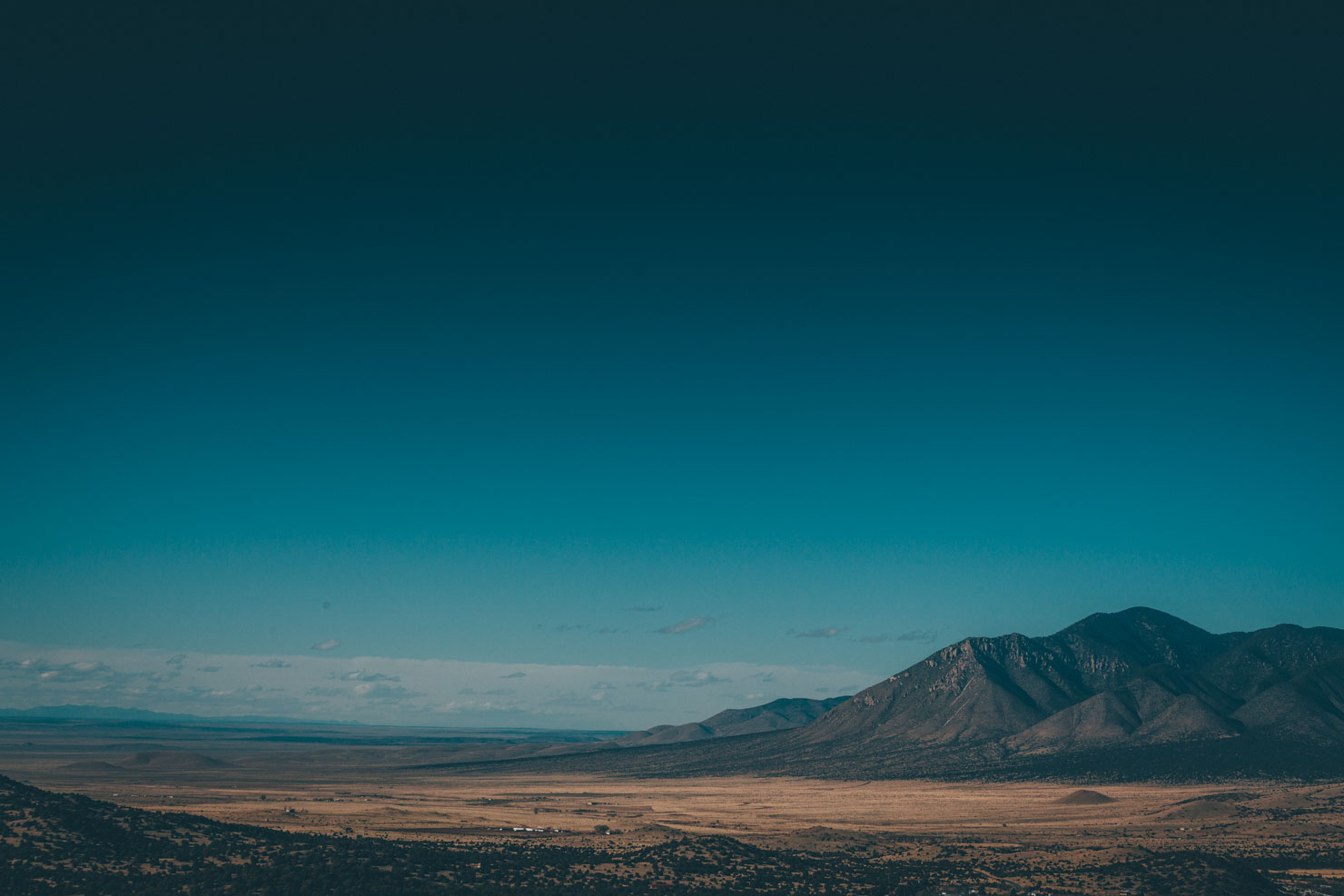
- Expansive views of the brittle dry Chihuahuan Desert.
- Classic New Mexican skies mean cloudless days and star-filled nights.
- Frontier intrigue and Native American history.
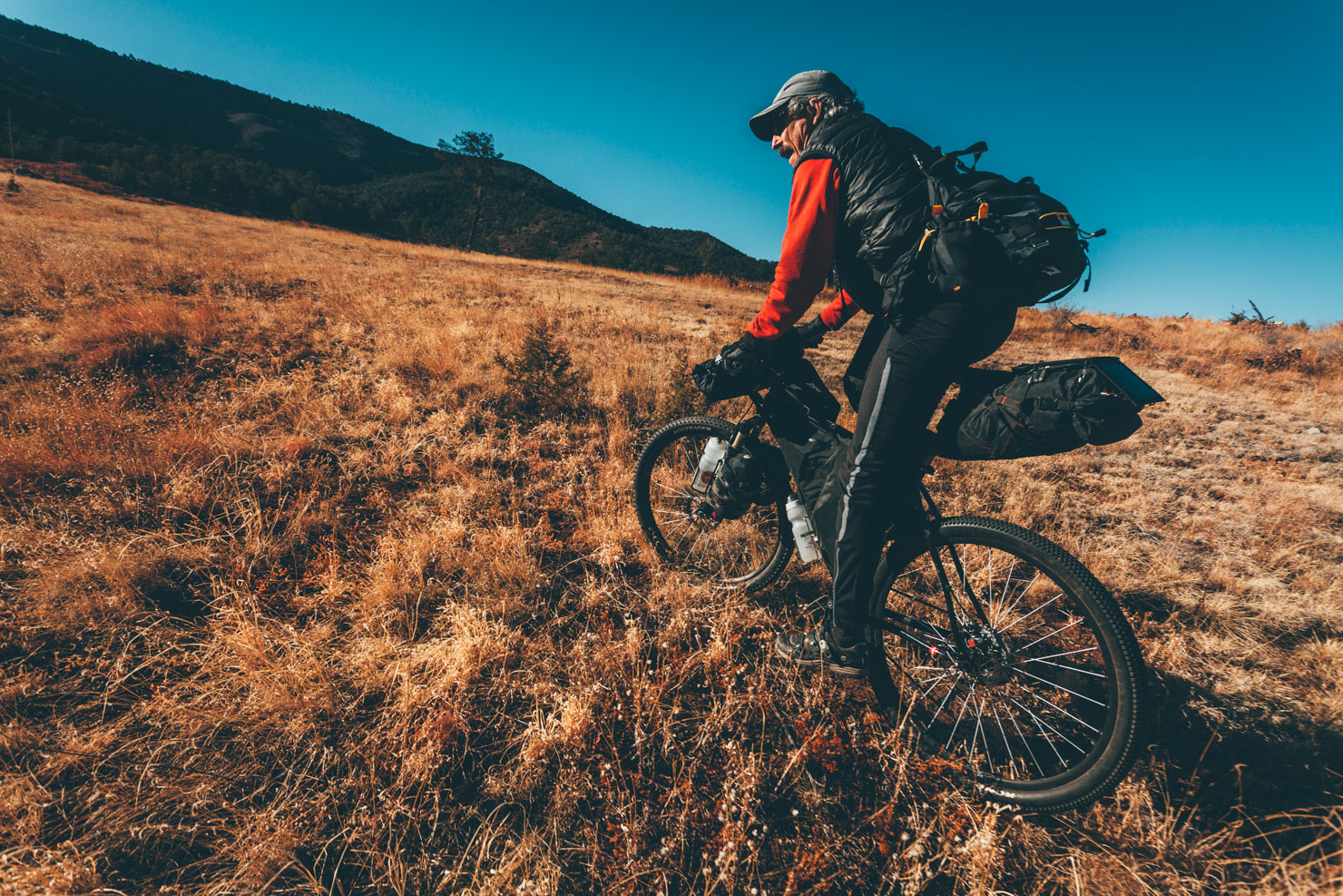
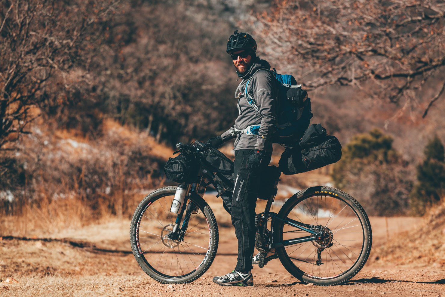
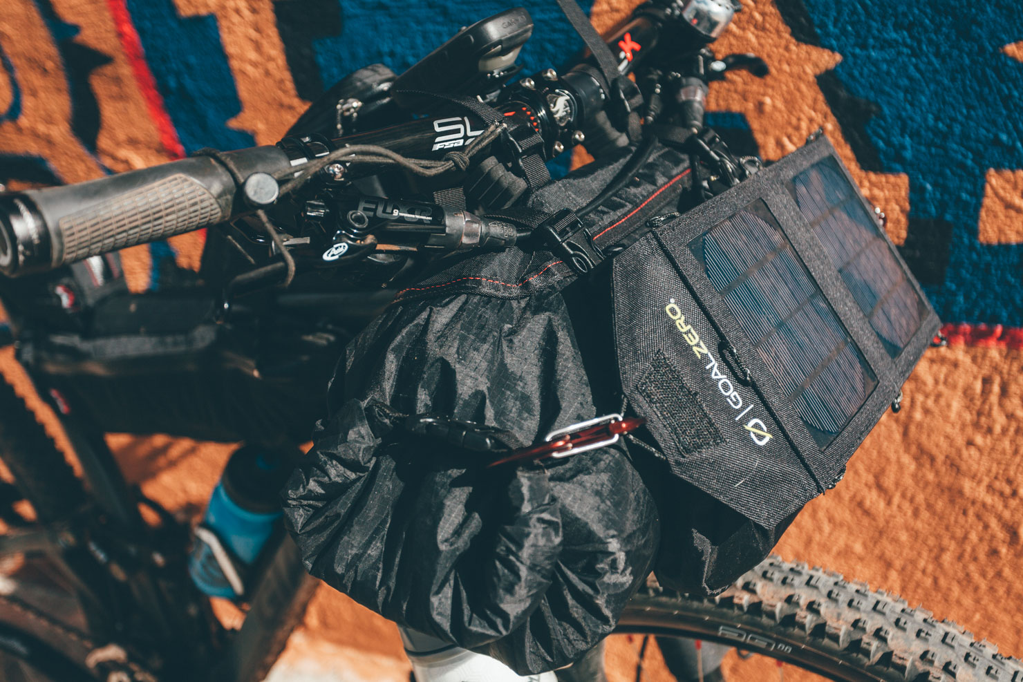
- Recommended bike: anything with a 45mm+ fast-rolling tire will work. A 2.4″ tire on a 30mm rim is likely a good sweet spot.
- When to go: Lying some three hours drive south from Santa Fe and two from Albuquerque (and two from El Paso, TX), the climate is a notch warmer than much of the Southwest, making it a great spot for a late winter/spring break bikepacking escape. We rode in February, enjoying warm days and chilly but bearable nights.
- If you’re riding during the winter, bring a book/good conversation, as it gets dark early!
- The museum in Fort Stanton shows a short video on the area’s history, which really helps infuse a sense of context to our journey.
- Ruidoso lies at just under 7,000 ft (just over 2,000m), so it’s likely out of town visitors will notice the altitude. Bear this in mind when riding, and drink lots of water.
- Vehicle parking at the Smokey the Bear Ranger District – 901 Mechem Dr, Ruidoso, NM 88345, is great. Just inform the staff of your plan and park in the smaller northwest lot.
- We used the free black and white Forest Service map, the Lincoln National Forest map, and Gaia GPS’s topo mapping.
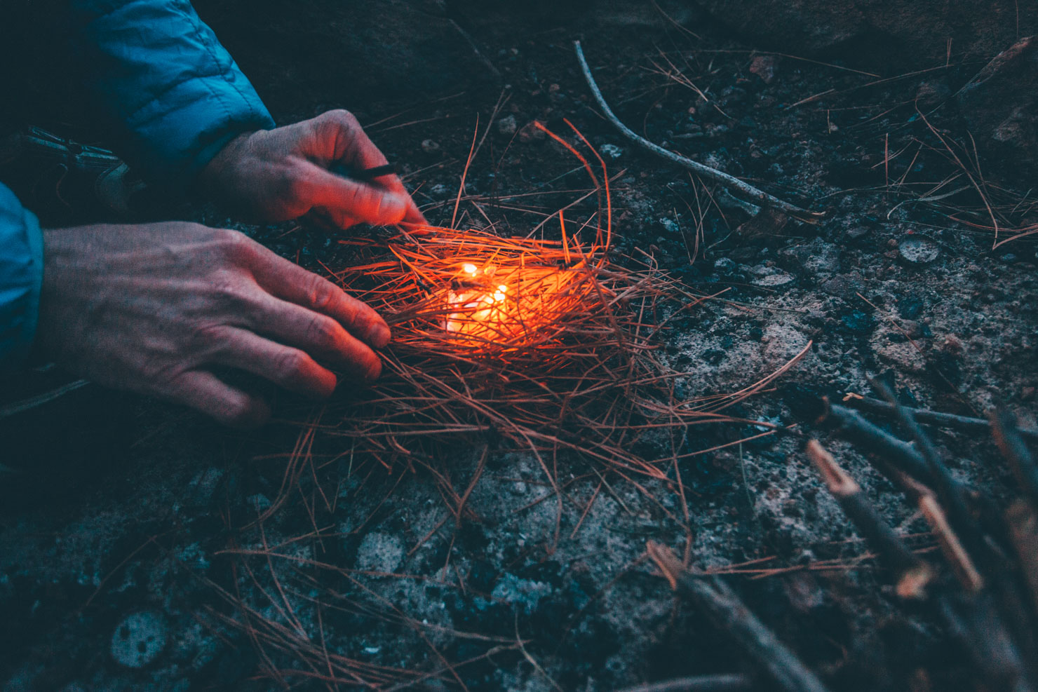
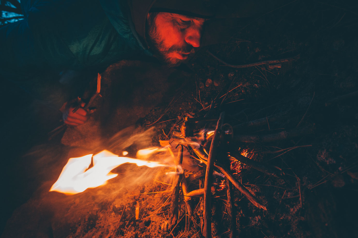
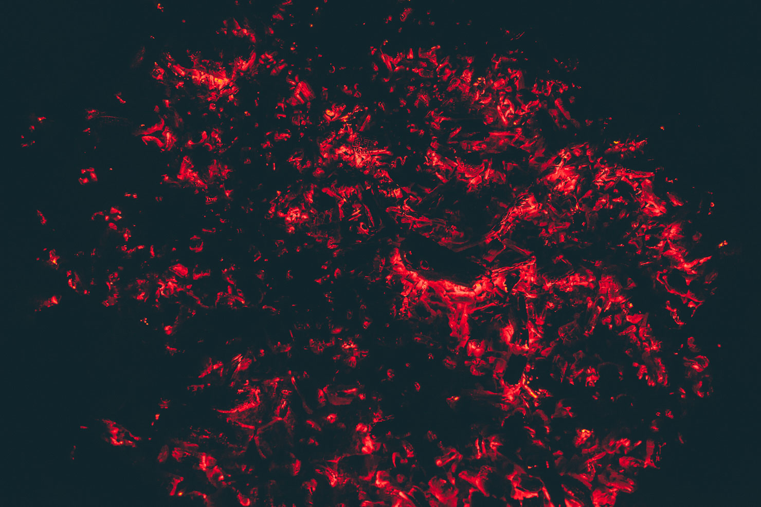
- We camped in National Forest while we were in the area.
- Ruidoso and Capitan have a range of accommodation.
- We encountered plenty of water along the way, including at various water tanks, Fort Stanton museum (and at the Horse Trails Parking Lot on 220), and Capitan.
- Hang your food at night as there are black bears in the area.
- No need to carry much food as Capitan makes a good midway supply point, with a grocery store, a dollar store, and burritos at the gas station.
- Bear in mind we were riding early in the year, at the beginning of February, so temperatures were cool. Travel later in the year and you may need to load up on liquids.
- Food options abound in Ruidoso – whatever you do, don’t miss Porky’s Mexican Restaurant. Incredible!
- Had we made it to White Oaks, we’d undoubtedly have frequented the No Scum Allowed Saloon…
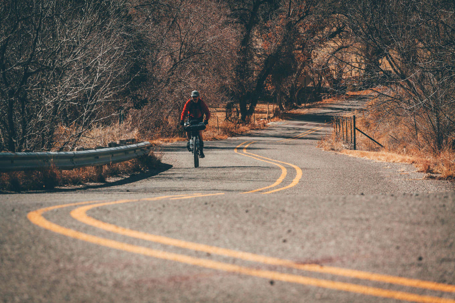
We rode out of Ruidoso on 70, turning off onto FR 443 and 558, crossing the highway at Glencoe to ride up Diablo Canyon (E7). Briefly skirting round some of Fort Stanton’s singletrack network, we then detoured into Fort Stanton itself to avoid the galeforce winds gusting that day, before crossing over onto FR338A, C1, and taking FR142 back to pavement at Capitan. Then, we cut back towards Nogal (FR105), turning off to climb Nogal Canyon (FR400), and returning to Ruidoso via Alto on the 48.
Additional Info
- With more time, we’d have loved to have made it further north to the settlement of White Oaks, home to the characterful No Scum Allowed Saloon, as well as exploring the northern side of the Capitan Wilderness. The towns of Carrizoso and Lincoln would doubtlessly be cool places to visit, too.
- On this occasion, we were keeping to dirt roads rather than searching out singletrack. Recommended trails within a mile from Ruidoso include the Grindstone Lake and Cedar Creek trails. The Fort Stanton area has also been developed, and would make a great pit stop on a bikepacking route. The best trails at the fort are considered to be the 12 Hours in the Wild West Loop: Kit Carson, Capitan Overlook, Buffalo Solider, and Outlaw trails.
- Did you know… The one-street settlement of Capitan is home to Smokey Bear, the mascot of the National Forest, named after a black bear cub that was rescued from a fire in the Capitan Gap.


Terms of Use: As with each bikepacking route guide published on BIKEPACKING.com, should you choose to cycle this route, do so at your own risk. Prior to setting out check current local weather, conditions, and land/road closures. While riding, obey all public and private land use restrictions and rules, carry proper safety and navigational equipment, and of course, follow the #leavenotrace guidelines. The information found herein is simply a planning resource to be used as a point of inspiration in conjunction with your own due-diligence. In spite of the fact that this route, associated GPS track (GPX and maps), and all route guidelines were prepared under diligent research by the specified contributor and/or contributors, the accuracy of such and judgement of the author is not guaranteed. BIKEPACKING.com LLC, its partners, associates, and contributors are in no way liable for personal injury, damage to personal property, or any other such situation that might happen to individual riders cycling or following this route.
Please keep the conversation civil, constructive, and inclusive, or your comment will be removed.