

 Mountain Bike (MTB)
 Gravel Bike
 All-Terrain Bike (ATB)
 Fat Bike


Mata Atlantica Bike Route (N1): Chapada
Distance
294 Mi.
(473 KM)Days
9
% Unpaved
94%
% Singletrack
12%
% Rideable (time)
90%
Total Ascent
22,646'
(6,903 M)High Point
4,653'
(1,418 M)Difficulty (1-10)
8?
- 5Climbing Scale Moderate77 FT/MI (15 M/KM)
- 8Technical Difficulty Difficult
- 8Physical Demand Difficult
- 5Resupply & Logistics Moderate
Contributed By

Alex Gauthier
Route Architect
The Mata Atlântica Bike Route stretches nearly 5,000 kilometers from Bahia to Rio Grande do Sul, tracing mostly unpaved roads and paths through eight Brazilian states. It follows the Chapada Diamantina, the coast of Bahia, the interior of Espírito Santo, and the Serra do Mar mountains. In doing so, it connects protected remnants of the Atlantic Forest—one of the world’s most biodiverse regions—while passing through landscapes of tropical forests, canyons, plateaus, and beaches. Along the way, riders encounter traditional communities, historic towns, and a mosaic of cultures, with opportunities to spot iconic wildlife and experience the region’s incredible natural beauty. Find all the segments here.
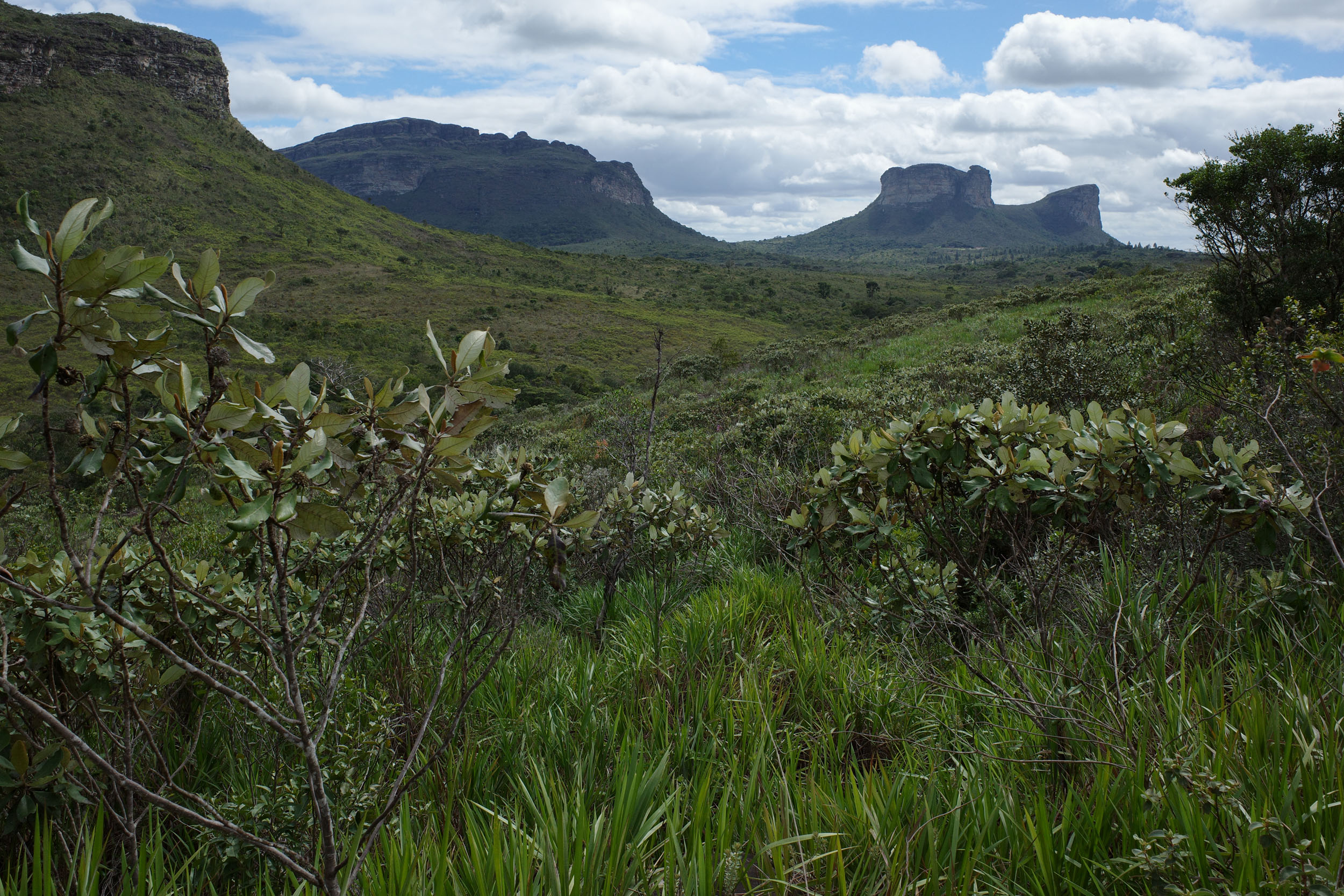
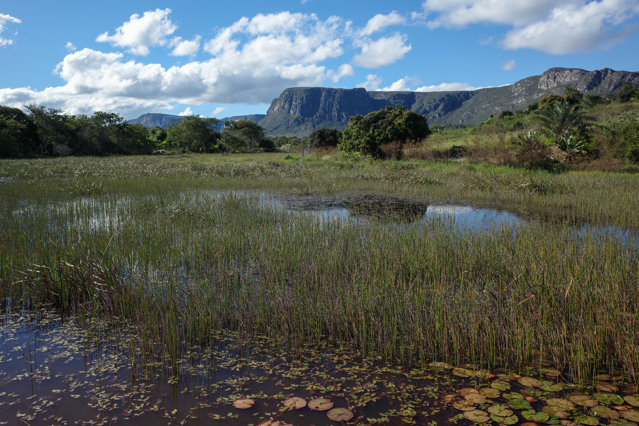
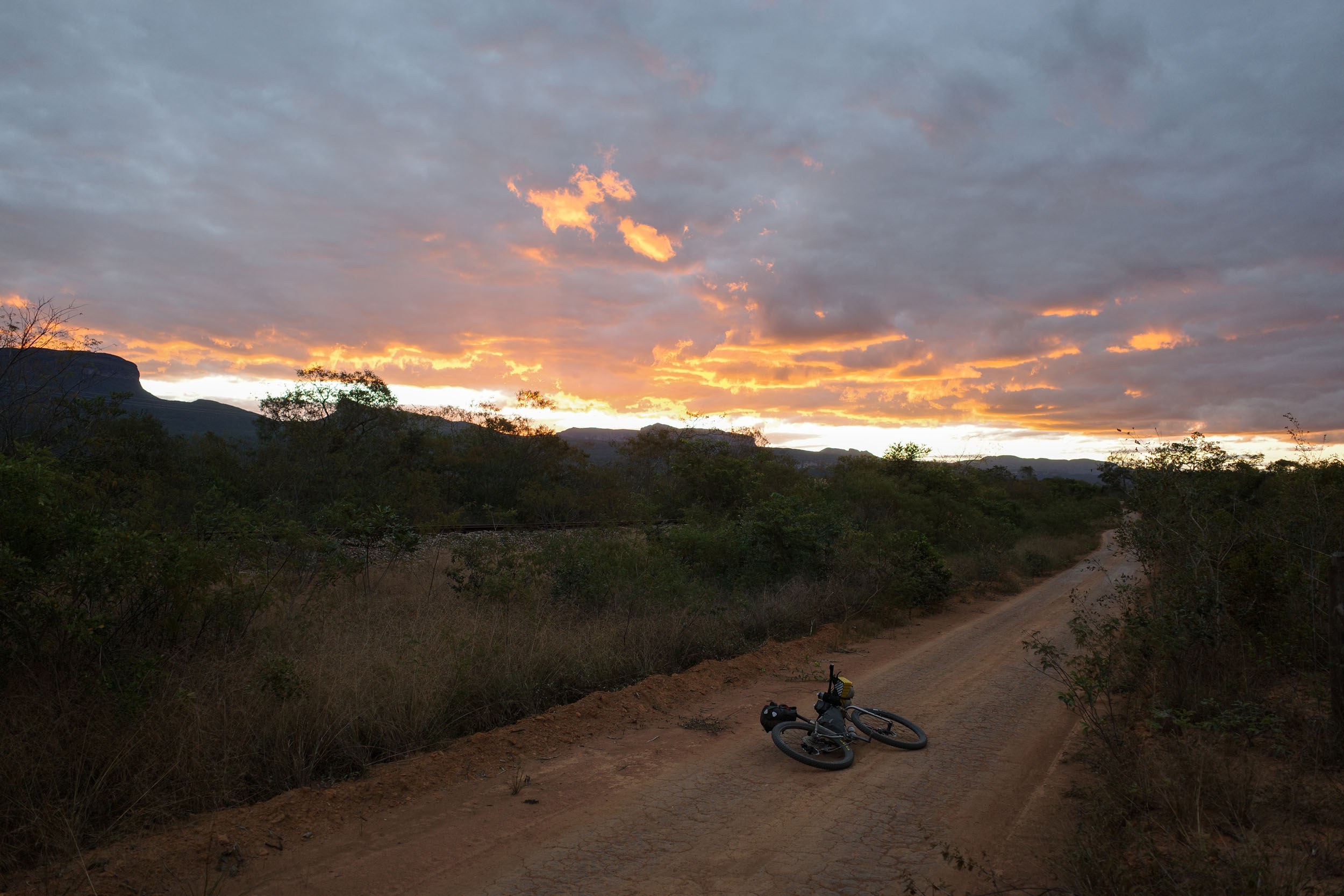
The segment starts in Seabra in the Chapada Diamantina, a region that marks the northern end of the Serra do Espinhaço mountain range. The route weaves through impressive flat-topped mountains and climbs to high plateaus that receive more precipitation than their surroundings, making them green all year long. At higher altitudes, the route traverses areas of grasslands and rocky outcrops, known as campos rupestres. There are also regions of savanna with small trees, reminiscent of the Cerrado biome found further west. Rivers form in the mountains and create waterfalls, including one of the tallest in the country, as well as smaller ones with swimming holes.
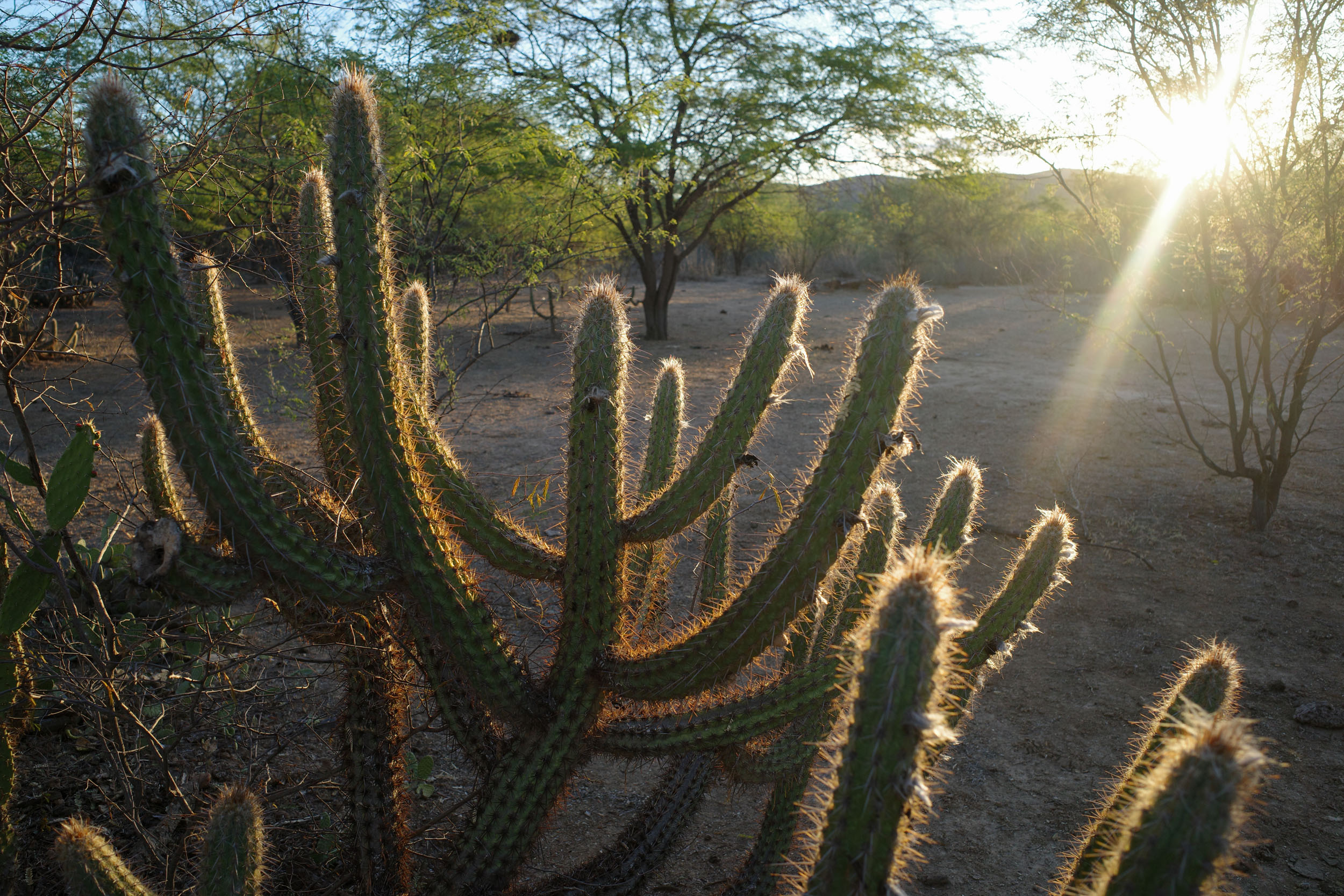
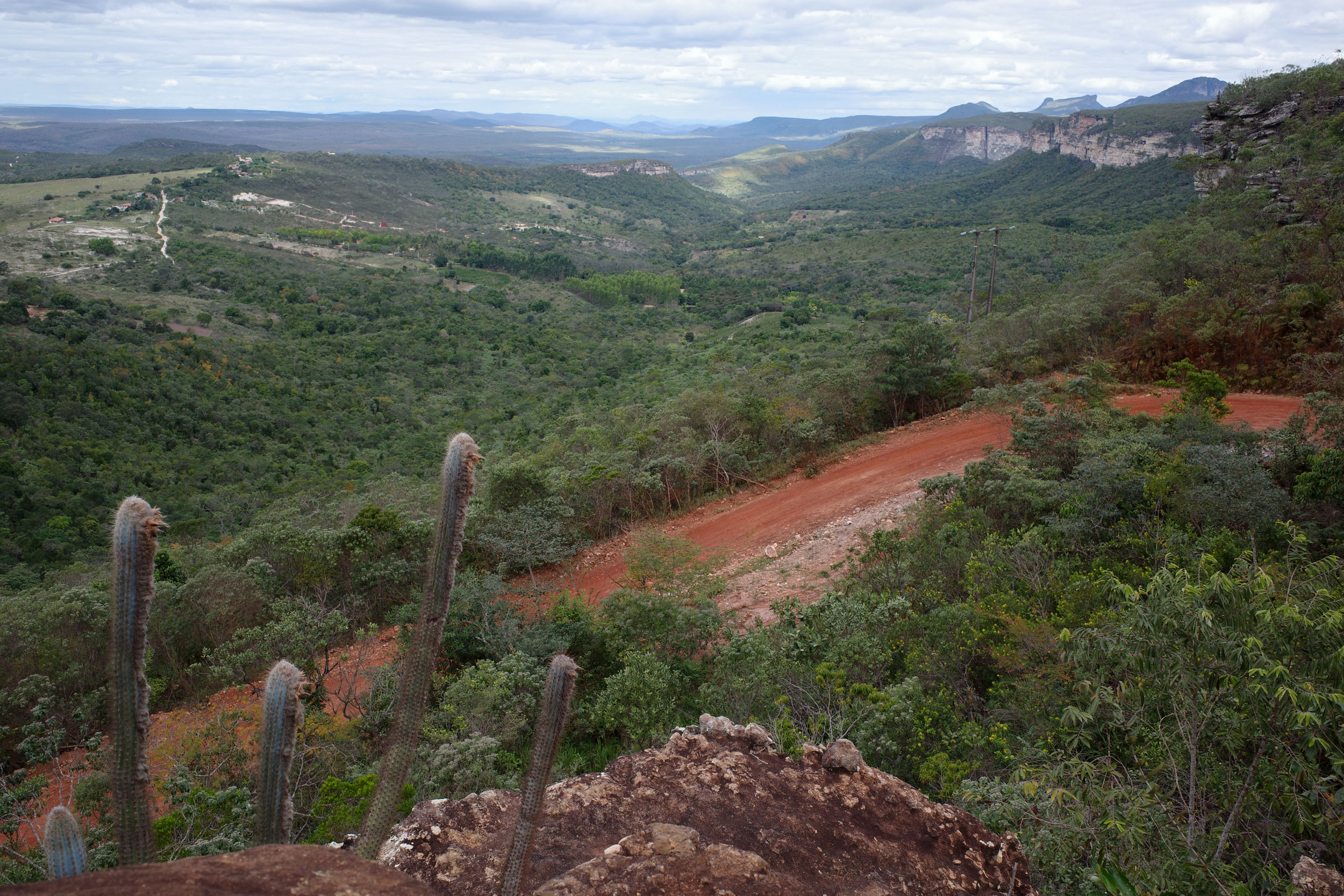
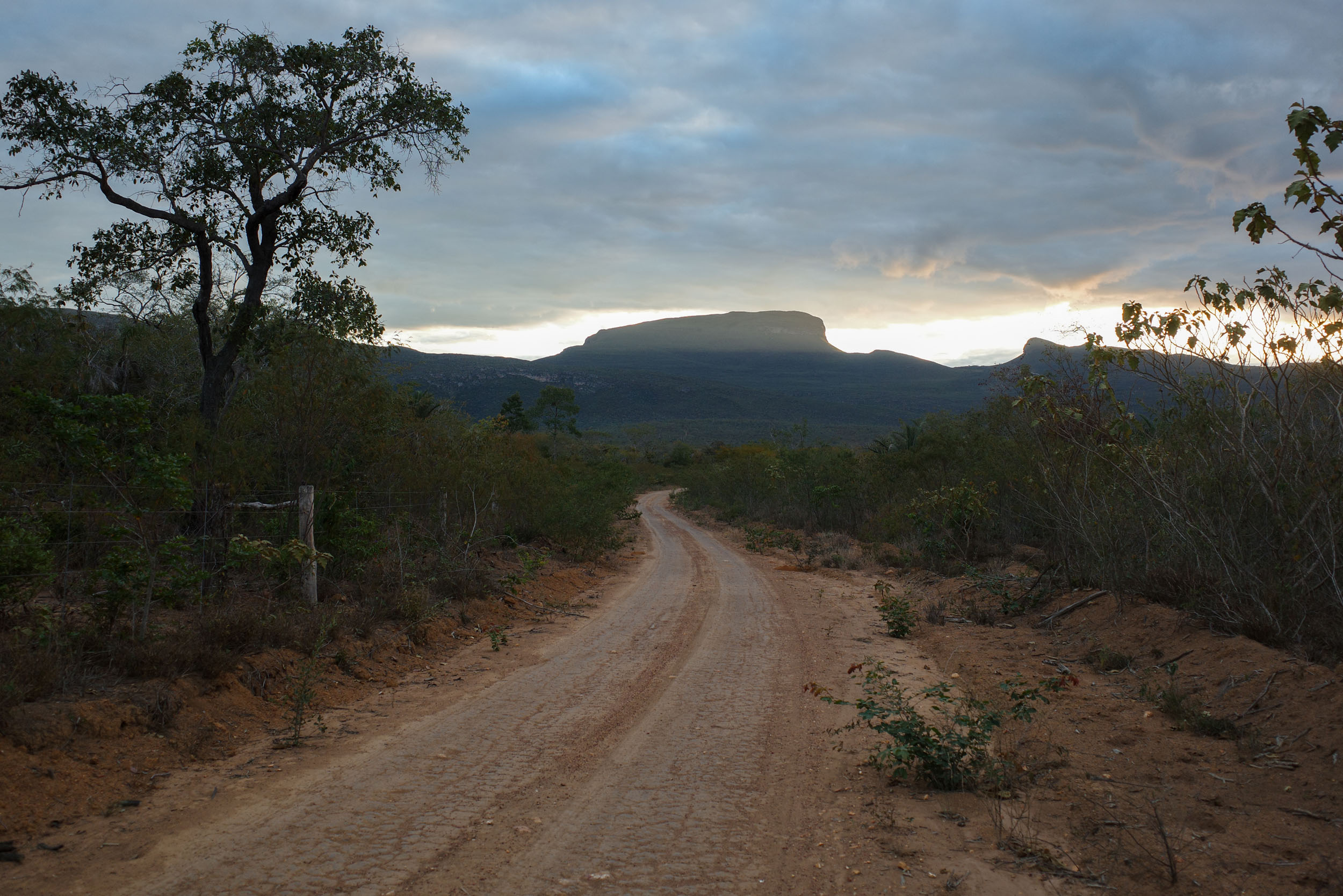
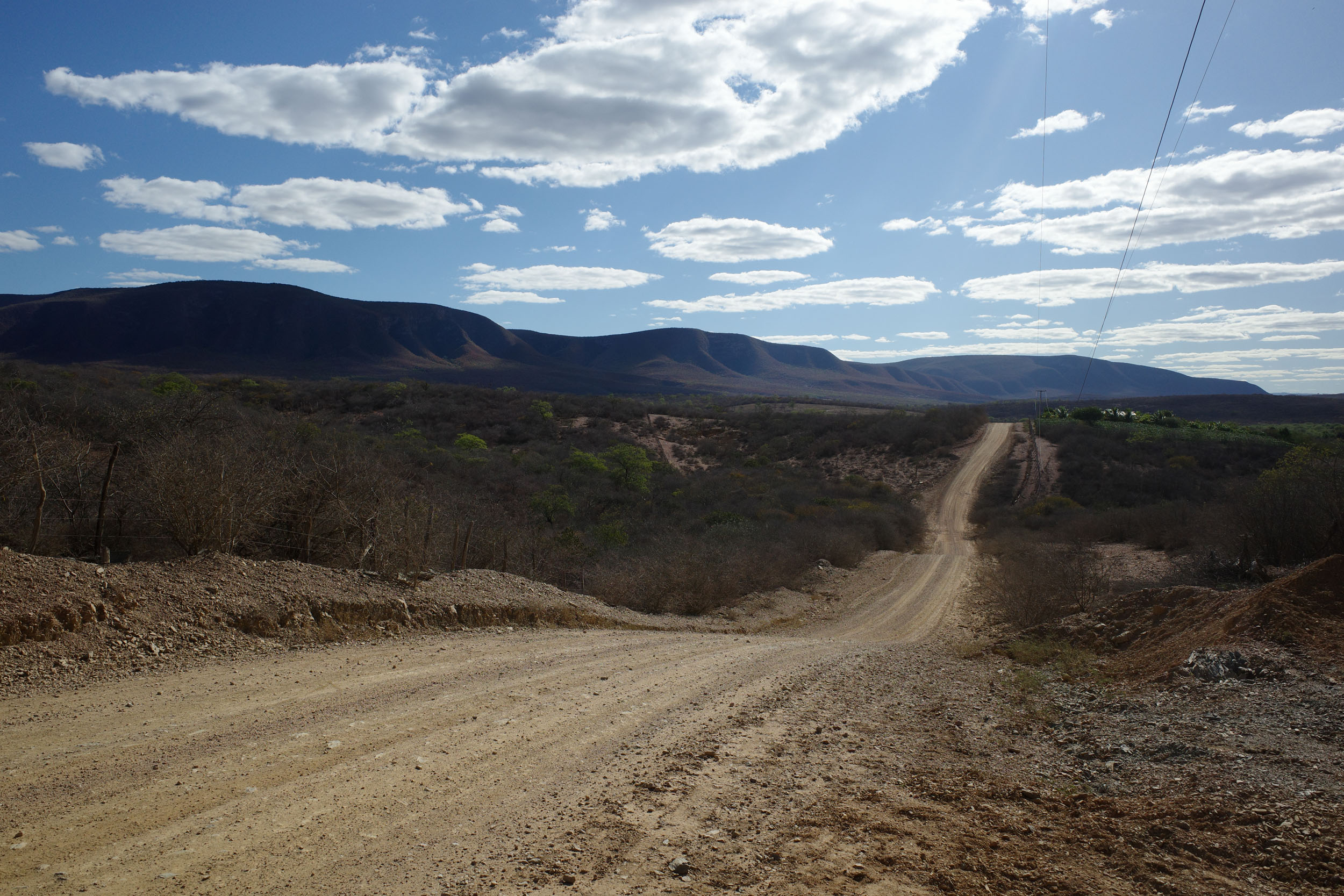
The vegetation on the eastern flank of the Chapada is more lush, and the trees are taller, similarly to the Atlantic Forest. There is also a unique wetland area there, known as Marimbus. As the route moves southeast, it enters the semi-arid Caatinga, a biome whose name means “white forest” in Tupi. It is composed mainly of small thorny trees that lose their leaves during the dry season, revealing the pale color of their trunks and branches. But this also exposes the underlying soil, often red, and gives the landscape a kind of desolate beauty. The segment ends in Manoel Vitorino, in the transition zone toward the coastal Atlantic Forest. The northern tier of the segment contains rough dirt roads and a significant percentage of singletrack. The middle and southern tiers are almost exclusively on dirt roads. Pavement is kept to a minimum.
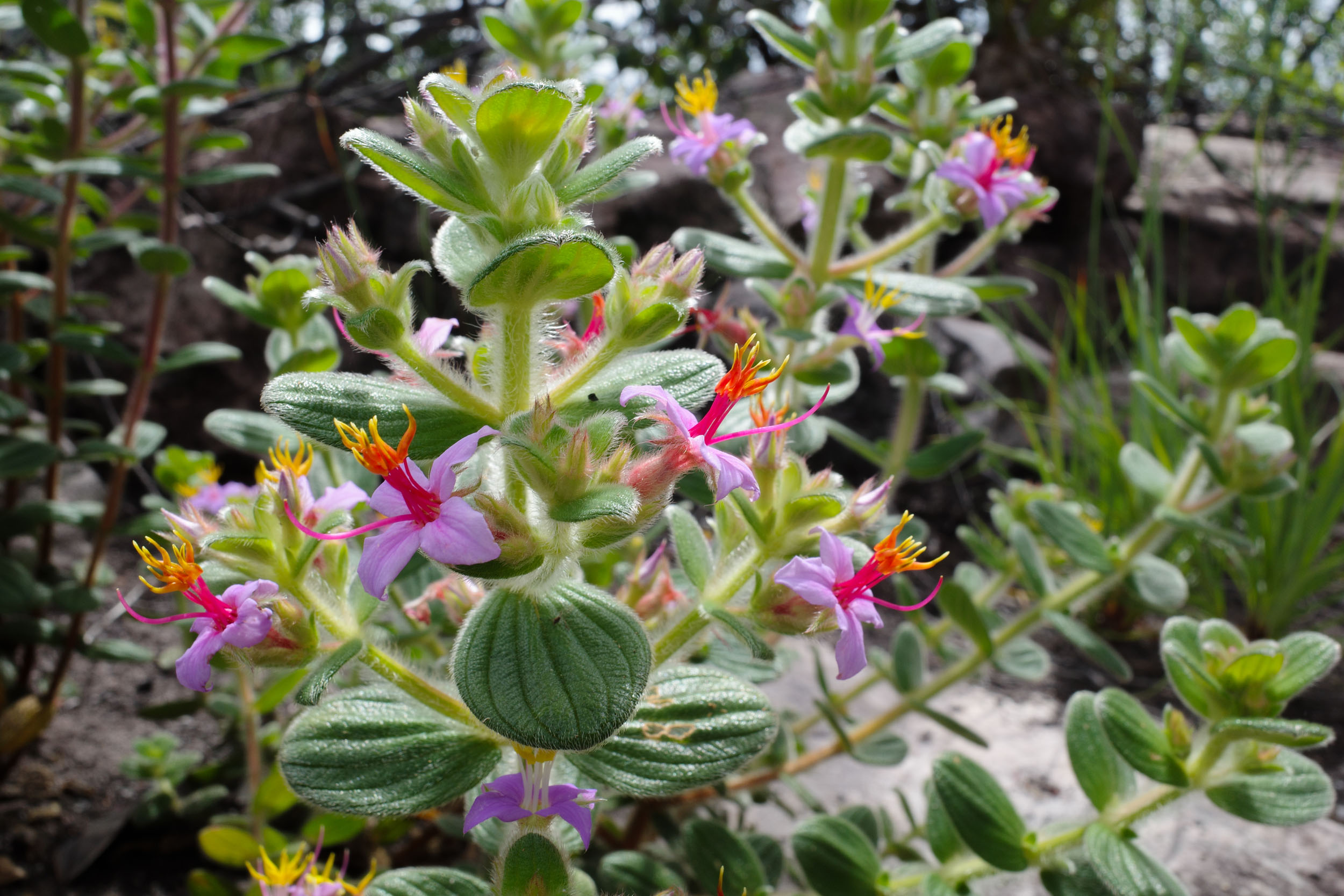
The route traverses the Chapada National Park, which is home to a rich biodiversity. One animal endemic to its high plateaus is the hooded visorbearer, a small hummingbird. At lower altitudes, a cute monkey, the black-tufted marmoset, can commonly be seen. Two critically endangered monkey species, the blond titi and golden-bellied capuchin, are also found in the area. The Caatinga has been largely deforested, but it is still a good place to spot wildlife, especially birds. The caracara is a symbol of the sertão (hinterland) of the Brazilian Northeast. There are also endemic species named after the biome: the Caatinga parakeet, the Caatinga cacholote, and the Caatinga antwren. The route also gives ample opportunities to admire the diverse local flora, including bromeliads, cacti, orchids, and plants known as sempre-vivas, whose resilient flowers are sometimes used as ornaments.



The region traversed by this segment has been inhabited for thousands of years, as evidenced by cave paintings found in the Serra das Paridas (north of Lençóis) and other places. The various Indigenous peoples of the country’s interior were collectively known as Tapuias by the Portuguese and the coastal Tupi people. Centuries of contact and wars waged by the Europeans have caused the extermination or assimilation of many of the region’s native ethnic groups. There is currently no Indigenous territory recognized by the state in the Chapada Diamantina. However, some groups, like the Payayá near Utinga, have been fighting recently to reclaim their identity and territory.
The sertão was explored and mapped by Portuguese expeditions launched from the northeastern coast and from São Paulo in search of precious minerals and slaves. Colonists settled in small numbers and lived off cattle ranching. The discovery of gold in Jacobina and Rio de Contas attracted new settlers. After independence in the nineteenth century, diamonds were discovered in the Chapada Diamantina, which gave the region its name. This attracted a large number of newcomers, both free and enslaved. They practiced small-scale mining known as garimpo. The bike route uses some of the trails they built. Freed and escaped slaves founded their own communities, known as quilombos, some of which still exist and can be visited. The diamond boom led to the creation and rapid growth of towns around the current territory of the national park, chief among them was Lençóis. The wealth that was created is still visible in the local architecture.
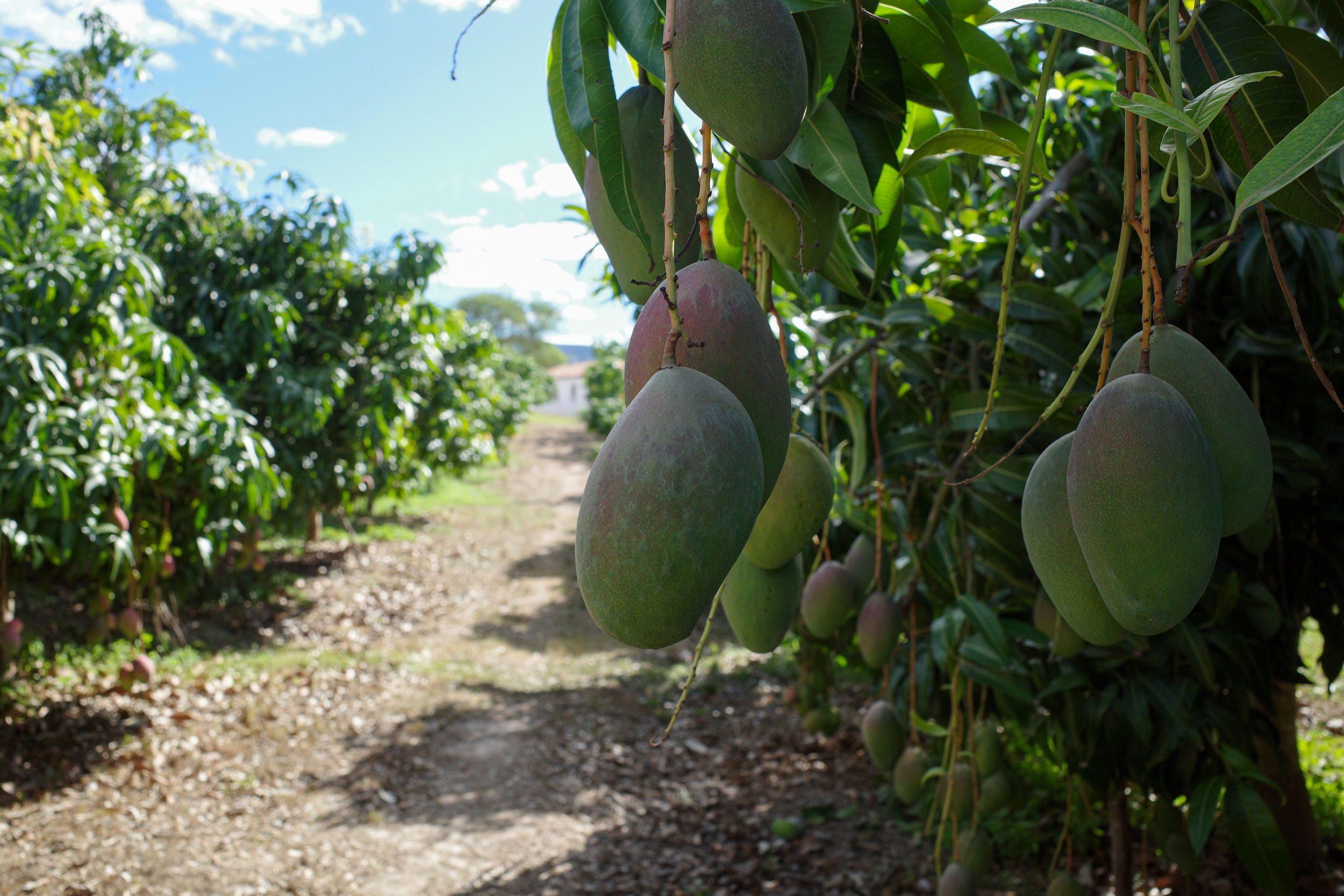
Powerful landowners, known as “colonels,” controlled politics, raised their own armed forces, and sometimes fought each other. Depletion of diamond deposits and international competition led to economic decline and a population exodus. The Chapada Diamantina National Park was created in 1985, and mining was later banned. During the dictatorship, the Vale do Capão had already started attracting newcomers from big cities, who established alternative communities influenced by the counterculture and mysticism. Later, the whole region turned to tourism as a driver of economic growth. Coffee production also plays an important role to this day, thanks to the favorable highland climate. At lower altitudes, improvements in irrigation have transformed the Caatinga, a region prone to drought, into an important area for fruit production.
Route Difficulty
Giving a difficulty rating to such a varied route is challenging. The first third around the northern part of the Chapada Diamantina National Park uses dirt roads that can be rocky and steep. It also uses multiple trails that were not designed for biking, so they require a lot of hike-a-bike. The first one to the Mirante do Pati is the most difficult, as it requires a significant climb and lifting your bike over rocks. It is a 9/10 in difficulty and increases the segment’s overall rating. The next sections of singletrack are generally 7/10, with a few steeper parts that are 8/10. The middle and last thirds of the route through the southern Chapada and the Caatinga are easier, around 5/10. They offer a classic dirt-touring experience, with a few climbs and sandy sections to spice things up. Every section of singletrack can be bypassed if desired. Here is an example of a much easier version of the route without singletrack.
The main logistical difficulty is external to the route. It is how to get there and back, since the segment is linear and its termini are far from international ports of entry. However, the starting and ending points are cities reachable by buses, some of which accept bikes. Resupply is easy and possible daily. The Chapada offers many camping and lodging options. In the Caatinga, there are no formal campgrounds, and wild camping can be difficult because of fenced land. However, there are affordable lodging establishments for sleeping every night, but their spacing is not always optimal.
Route Development
After deciding to extend the Mata Atlântica Bike Route to the north, a final northern terminus had to be chosen. At first glance, the logical decision would have been to extend the route along the coast toward the northeastern tip of Brazil. However, it felt somewhat repetitive. Creating a bikepacking route there can also be challenging. Instead, it was decided to extend the route inland, through a different biome, the Caatinga, and then finally to the Chapada Diamantina National Park. The latter protects diverse ecosystems, some of which are often considered part of the Atlantic Forest. It is also part of national initiatives to protect this forest.
Creating the connector along the dirt roads of the Caatinga was relatively straightforward. However, the Chapada posed a dilemma. There are multiple beautiful trails there that are (somewhat) doable by bike, so they were included, even if it significantly increases the segment’s difficulty and gives it a bipolar character. The Chapada also conveniently connects with preexisting bike touring routes, south along the Serra do Espinhaço and north across the Caatinga, or future ones heading west to the Cerrado. The route was mapped and scouted solo, but local cyclists provided a wealth of useful information.





















Submit Route Alert
As the leading creator and publisher of bikepacking routes, BIKEPACKING.com endeavors to maintain, improve, and advocate for our growing network of bikepacking routes all over the world. As such, our editorial team, route creators, and Route Stewards serve as mediators for route improvements and opportunities for connectivity, conservation, and community growth around these routes. To facilitate these efforts, we rely on our Bikepacking Collective and the greater bikepacking community to call attention to critical issues and opportunities that are discovered while riding these routes. If you have a vital issue or opportunity regarding this route that pertains to one of the subjects below, please let us know:
Highlights
Must Know
Camping
Food/H2O
Trail Notes
Resources
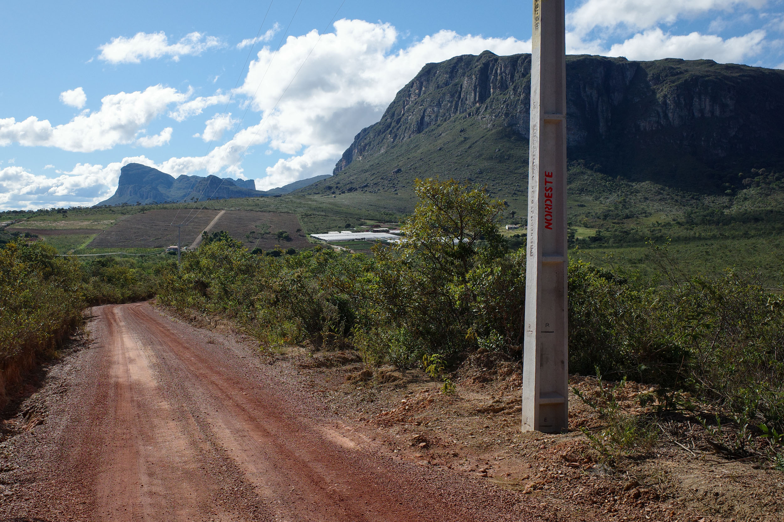
- The Palmeiras-Guiné road, with great views of the mountains of the Chapada to the east, rising sharply from the the adjacent plain
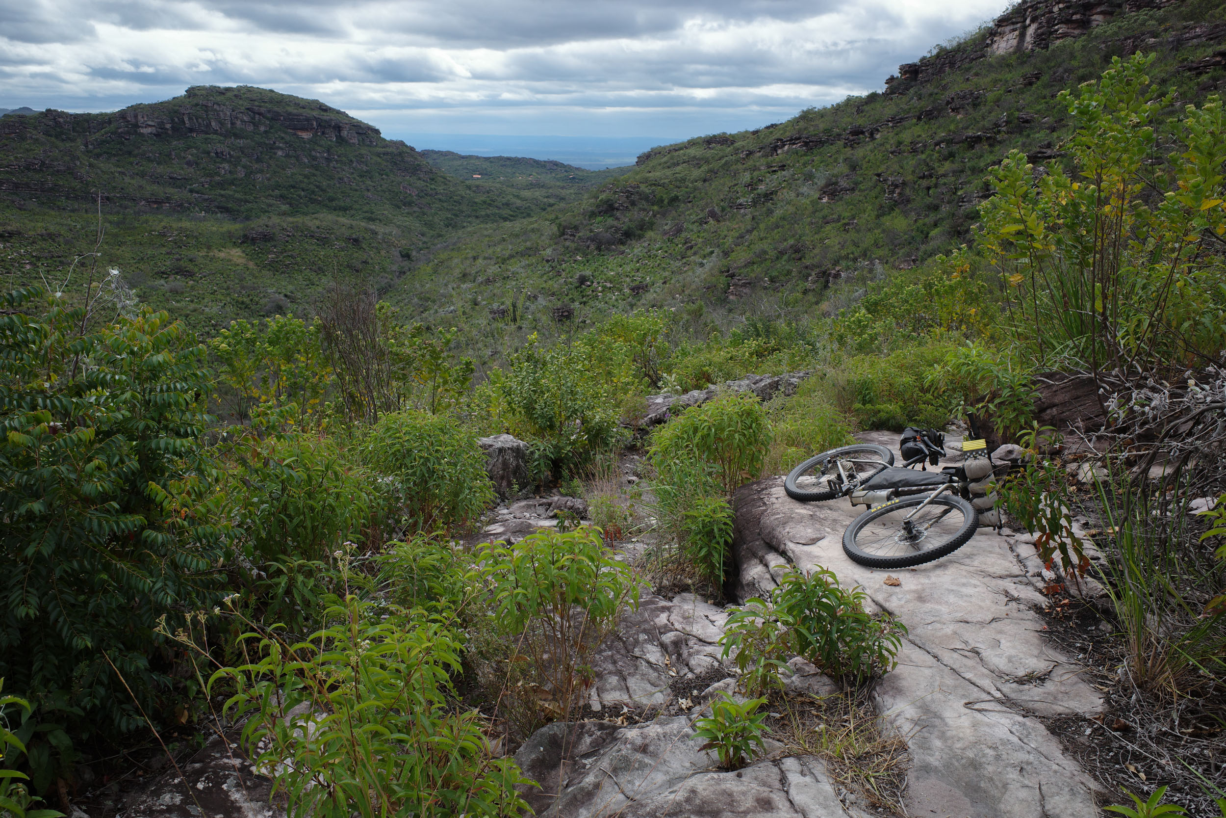
- The Mirante do Pati, a spectacular viewpoint reached by singletrack on a remote high plateau
- The Vale do Capão, with rock walls on both sides, particular impressive when seen coming from the Vale do Pati to the south
- The Capão-Lençóis singletrack offering stunning views of some of the Chapada’s most famous landmarks
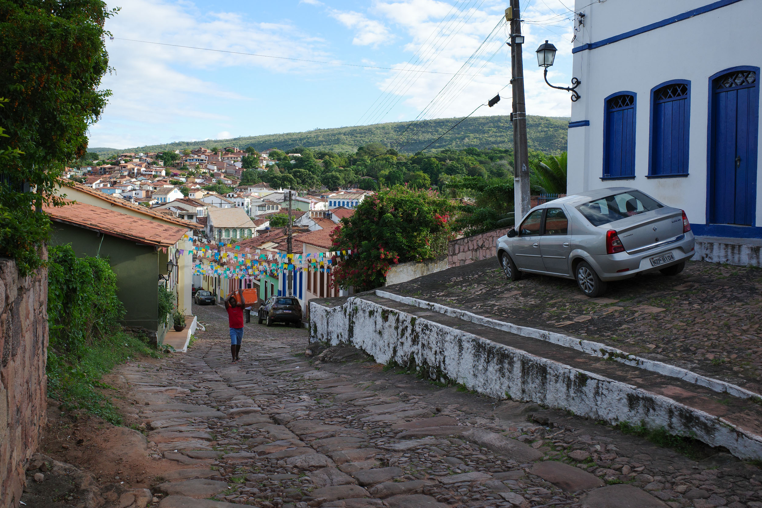
- Lençóis, a pretty and well-preserved historic town with colorful buildings and tile roofs
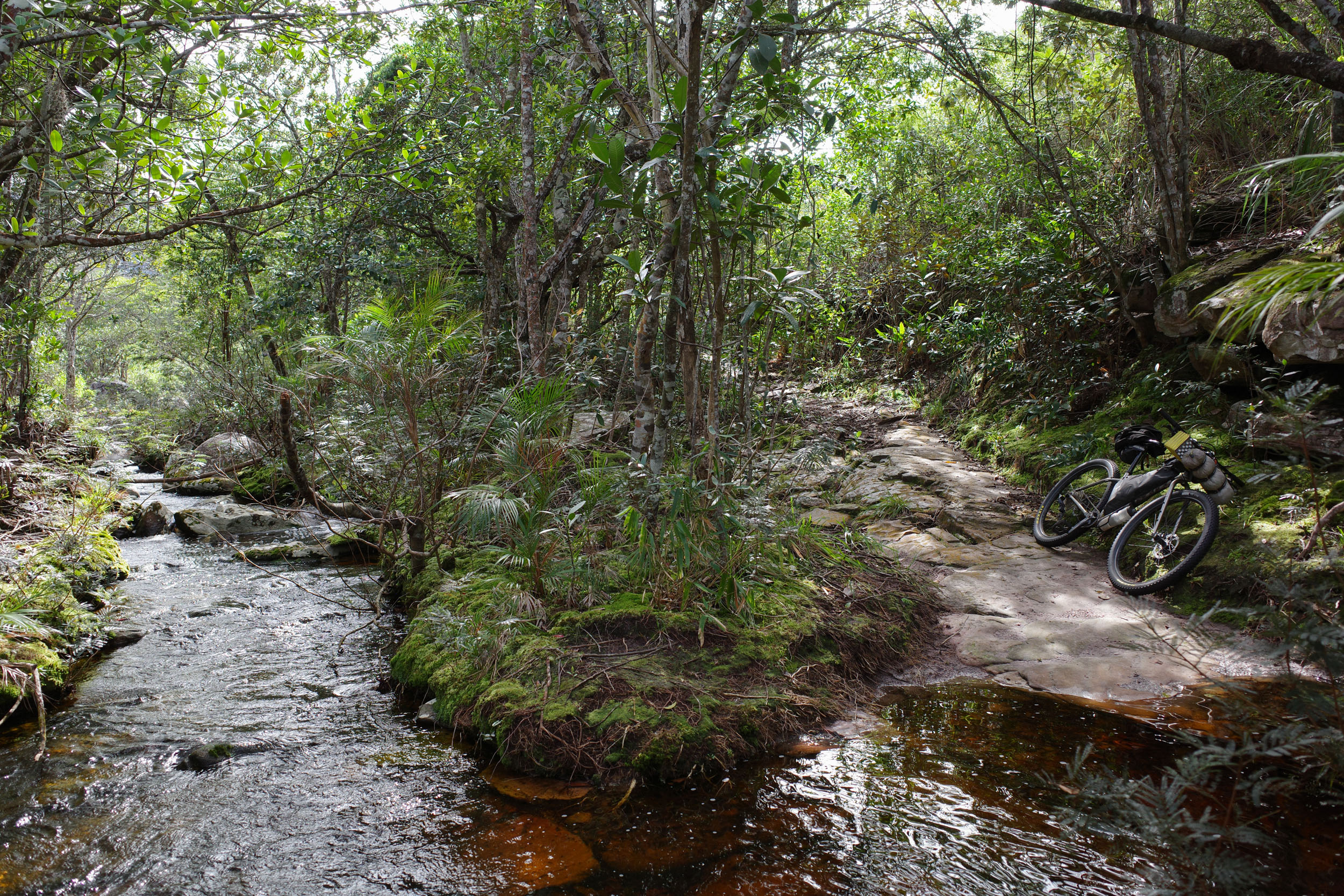
- The Lençóis-Andaraí doubletrack in the lush forest of the eastern flank of the Chapada, with a few scenic river crossings
- Igatu, a cute historic town with stone ruins, reached by a trail previously used by diamond miners
- Mucugê, a charming town, with nearby trails to learn about the local history and flora
- The Mucugê-Ibicoara road, with beautiful views of mountains flanked by coffee plantations
- The Vale da Raposa and its surroundings, with waterfalls and optional singletrack
- The Caatinga, a semi-arid biome with small thorny trees, leafless and strikingly desolate during the dry season
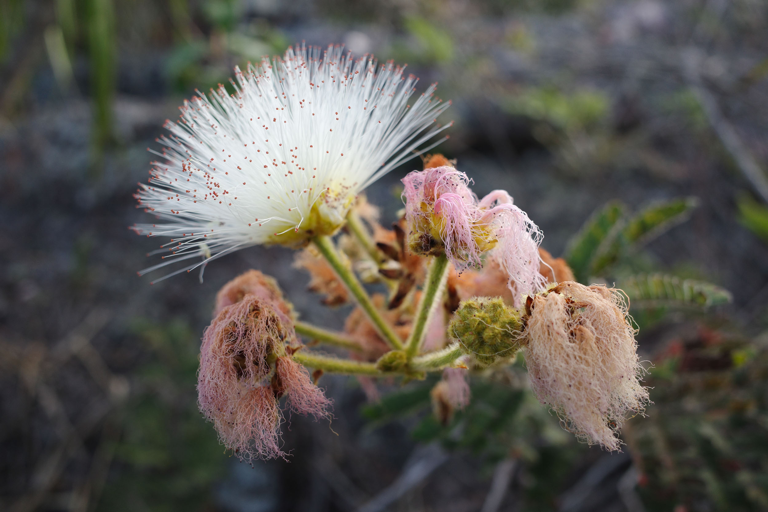
- Flowers, in all shapes and colors, including sempre-viva (“ever alive”) species
When to go
- May to September is the best time to go. This is the winter and dry season, meaning mild temperatures and less precipitation, but the waterfalls are less impressive. As the season advances in the Caatinga, the leaves of the trees fall, giving the landscapes a strikingly barren appearance. It is possible to ride outside of this window. The Caatinga will be greener, but expect high temperatures at low altitude and more rain, especially in the mountains.
Logistics
- Traveling by bus with a bike in Brazil is generally easy. Most companies will accept bikes, boxed or not, as long as there is room in the luggage compartment. Still, traveling with only one bike and having it in a box both increase your chances of it being accepted. Some companies charge a fee, while others do not. However, a few companies do not accept bikes, and it can be hard to find the information online, but this website has a partial list of bus companies and their bike policy.. To get to a bus station in large cities like Rio and São Paulo, it is probably safer and simpler to organize private transport to the station via taxi, shuttle or ridesharing app. For example, Uber Bag cars will usually fit a boxed bike. Larger taxis are also often available at airports and big bus stations.
- The starting point, Seabra, is a town on an important highway across the state of Bahia. It is reachable by bus from Salvador and Brasília. The bus company Novo Horizonte accepts bikes for a somewhat high fee. The bus company Rápido Federal, which also serves Palmeiras and Lençóis, stopped accepting bikes recently. Lençóis has an airport with infrequent flights to Salvador. Cities further south along the route are often served by the buses of Cidade Sol, which accept bikes for a fee.
- The ending point, Manoel Vitorino, is a town on an important highway, with buses going to larger cities in both directions, such as Salvador and Vitória da Conquista.
- The route can be ridden in either direction. It was mapped from north to south because the adjacent segment, N2, is easier to ride this way.
- Protected areas crossed in this segment are free to transit through.
- Mapsusing OpenStreetMap data are generally the most detailed and accurate. But there are occasional mistakes (such as overgrown trails mislabeled as roads) and omissions (for example, private gated roads not labeled as such). In a few regions, Google Maps is more detailed.
Dangers & Annoyances
- Mosquitoes and ticks can transmit diseases. In the dry season, bug pressure is mild, but it can be annoying during the rainy season. Biting insects tend to be small and it is easy not to notice them even as they bite you. Bring a long-sleeve shirt and full pants.
- Snakes can be easy to miss in overgrown trails. Be careful where you step. Some species are venomous. Know what to do in case of snake bite.
- Cattle can sometimes block the path. Give them space and do not startle them.
- Livestock gatesare common. Be careful when opening them as they are often secured with a loop of barbed wire. If found closed, make sure to close them back behind you.
- Cars are rare on most of the route. Brazilian drivers often expect to see all kinds of things on rural roads (pedestrians, cyclists, horses, etc.), but as anywhere else, some are careless. Make sure to be visible and cautious.
- Crime is an issue in most large Brazilian cities, but rural areas are usually safer. This segment passes through quite a few small towns, which should be relatively safe. Note that the city of Jequié north of Manoel Vitorino (but not crossed by the route) is known for its high homicide rate.
What bike?
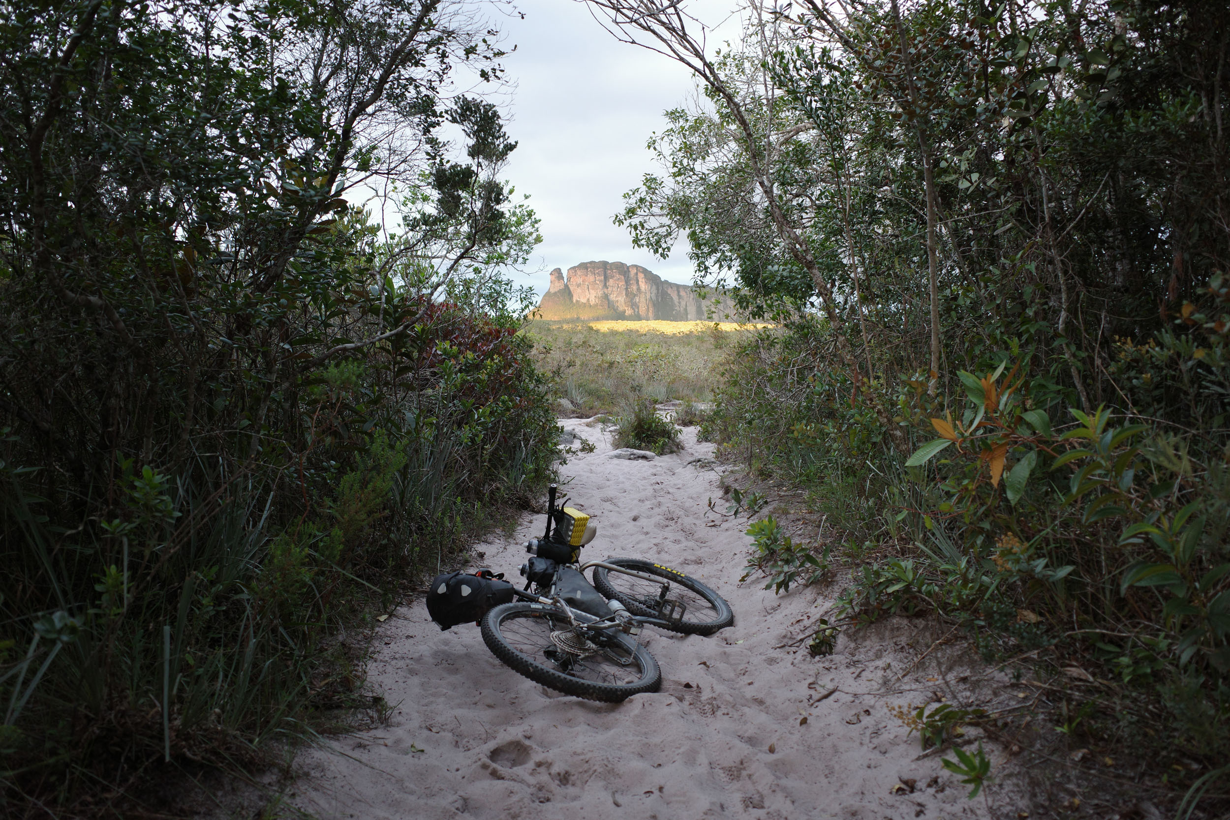
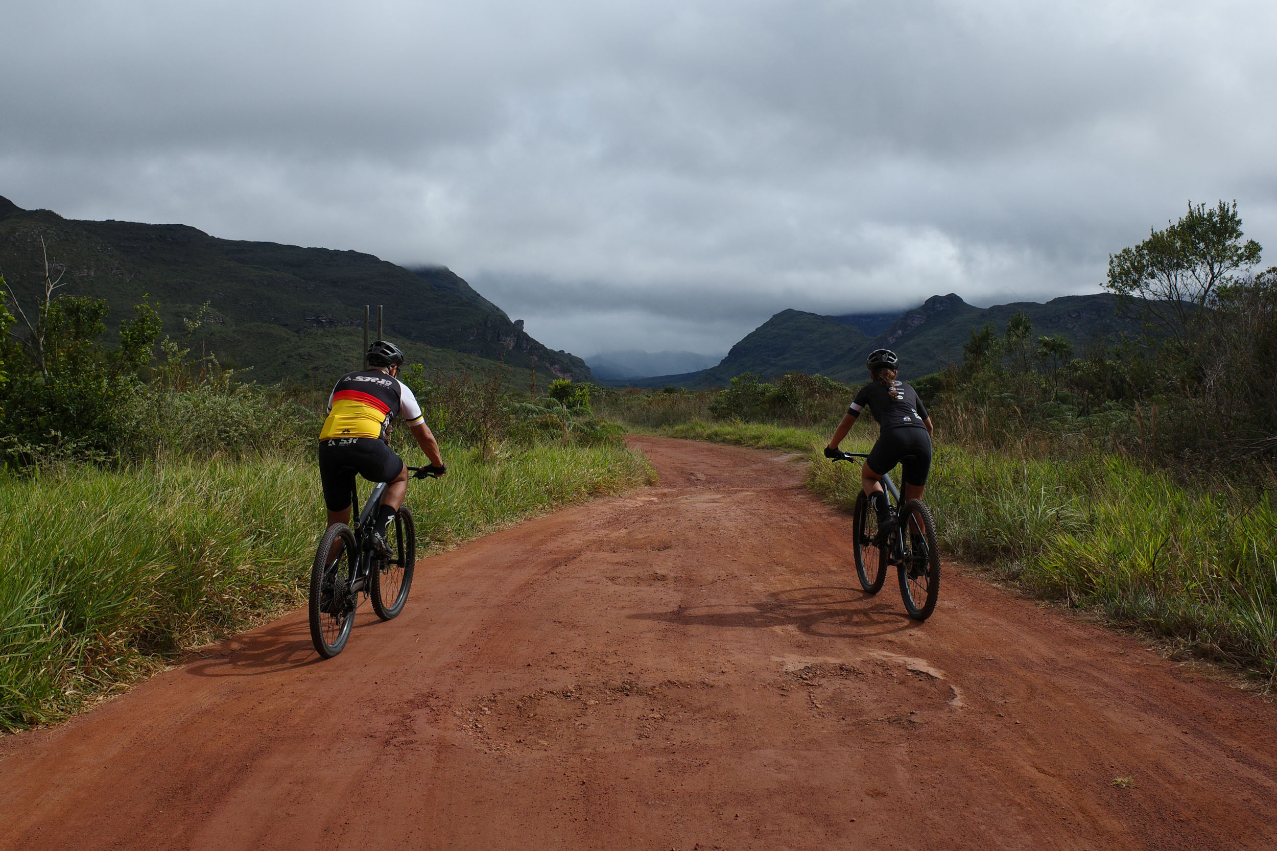
- A rigid mountain bike or hardtail with 2.2 to 2.6″ tires is the best bike to ride this segment because of all the singletrack and rough doubletrack. Even if you skip all the singletrack, the wide tires will be appreciated when the roads get rough or sandy.
Travel basics
Language
- Portuguese, in its Brazilian variety (and multiple accents), is almost the only language you will encounter. Learning the basics will prove very useful.
- For Spanish speakers, it is quite easy to learn a lot of Portuguese quickly, considering the similarities. The same goes for other Romance language speakers to a lesser extent. Be careful about trying to speak Spanish to Brazilians. While they can often understand some simple spoken Spanish, it can be laborious and inefficient. There are a few common words that are radically different, and there are some key pronunciation differences. Putting in the work to learn them is highly valuable.
- English speakers are virtually nonexistent except in tourist hubs and large cities.
Money
- The Brazilian real (plural reais, sign $R, code BRL) is the official currency.
- ATMs to withdraw money are found in cities, but they often charge exorbitant fees.
- Credit cards are very commonly accepted by businesses, including some small rural ones. It is a convenient way to pay for things without carrying large amounts of cash.
- Pix, an instant payment platform, was created by the Central Bank of Brazil a few years ago. It became extremely popular, and now a few businesses refuse credit cards (and their high fees). Seamlessly using Pix requires a Brazilian bank account, but workarounds might be possible with apps.
- Money transfer apps can be used for payments that can wait, for example lodging. Owners will often accept to give you the necessary banking information for the transfer. One such app used by some businesses is Wise, but the apps usually work even if the receiver is not registered.
Cell phone
- Mobile phone service is dominated by three providers (Claro, Vivo and Tim).
- Network coverage varies according to the region. Most towns are now covered (sometimes by only one provider), but the signal generally disappears almost as soon as you exit them.
- SIM cards (physical and digital) from one of the three providers can usually only be obtained by people with a CPF, which is a taxpayer identifying number.
- A CPF can be obtained by foreigners through Brazilian embassies and consulates or once in Brazil. This might be worth it for people planning to spend extensive time there.
- International eSIM apps are the simplest but more expensive way to get network access.
- WhatsApp text messaging is usually the way to reach small businesses.
- Instagram is sometimes the only place to find important information about businesses such as campgrounds, as they often lack websites.
- Campgrounds are common around the Chapada Diamantina National Park, but absent further south in the Caatinga. They usually have all the services you could want (water, bathrooms with hot showers, electricity, wifi, and often cooking areas). Some of them expect advanced reservation through WhatsApp, which can be difficult to organize with the lack of cell phone signal and the unpredictability of bike travel. They usually cost around R$50 per night per person.
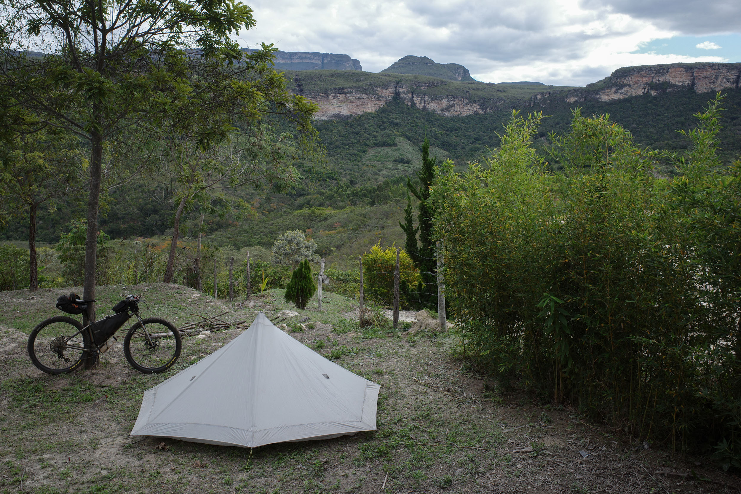
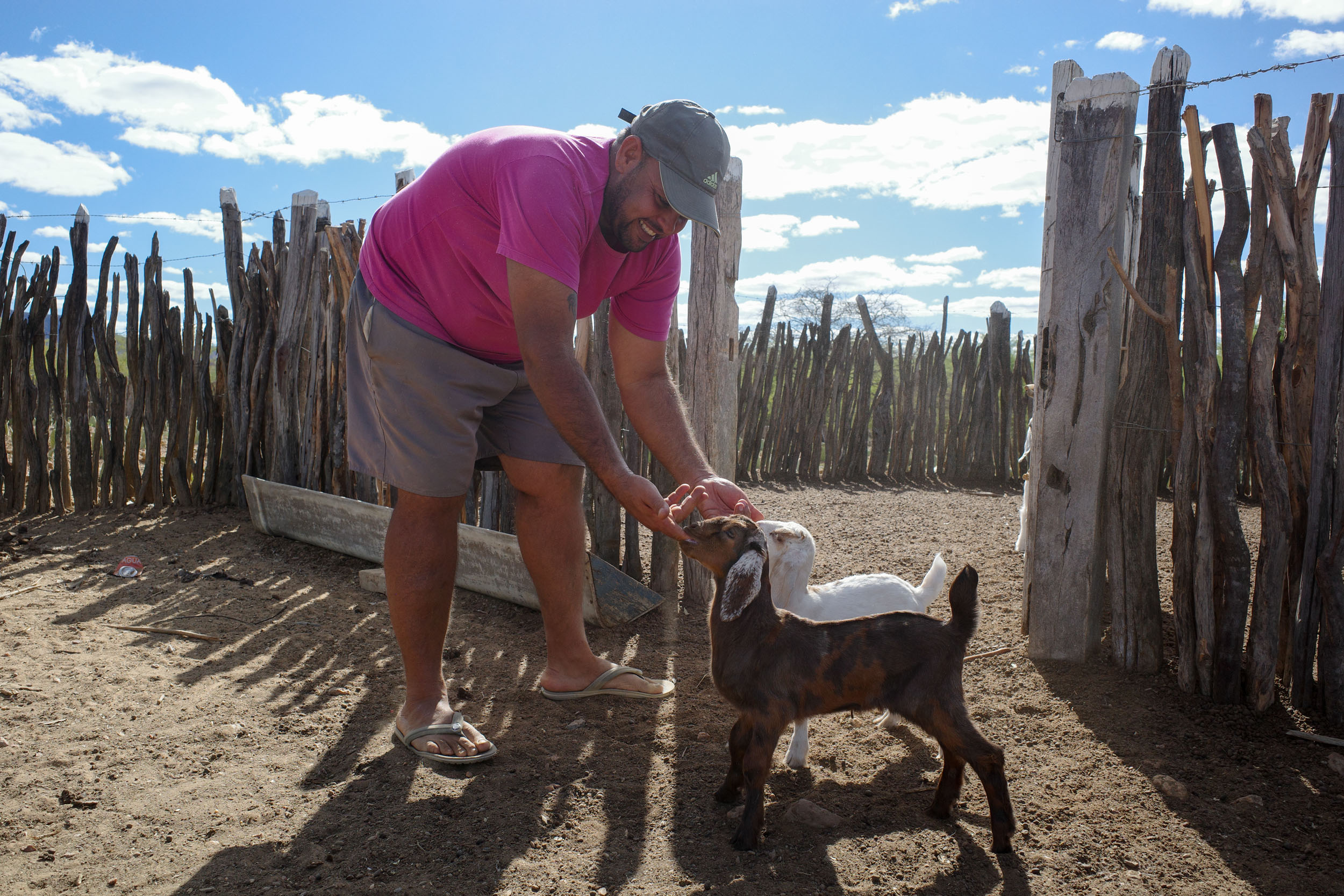
- Wild camping is not uncommon in the Chapada Diamantina. It seems to be prohibited within the national park, but it is not enforced, and people can be seen wild.camping there. Further south in the Caatinga, private land is often clearly delineated by fences, and stealth camping might be challenging. If looking for a place to sleep, you can ask around for recommendations. Owners of small rural businesses (such as bars and restaurants) are often resourceful and used to dealing with strangers. They might let you camp on their land or sleep in a room, for free or for a fee. Otherwise, they might direct you to a good spot. Camping next to rural churches might be an option too, but it is polite to ask locals for permission if possible.
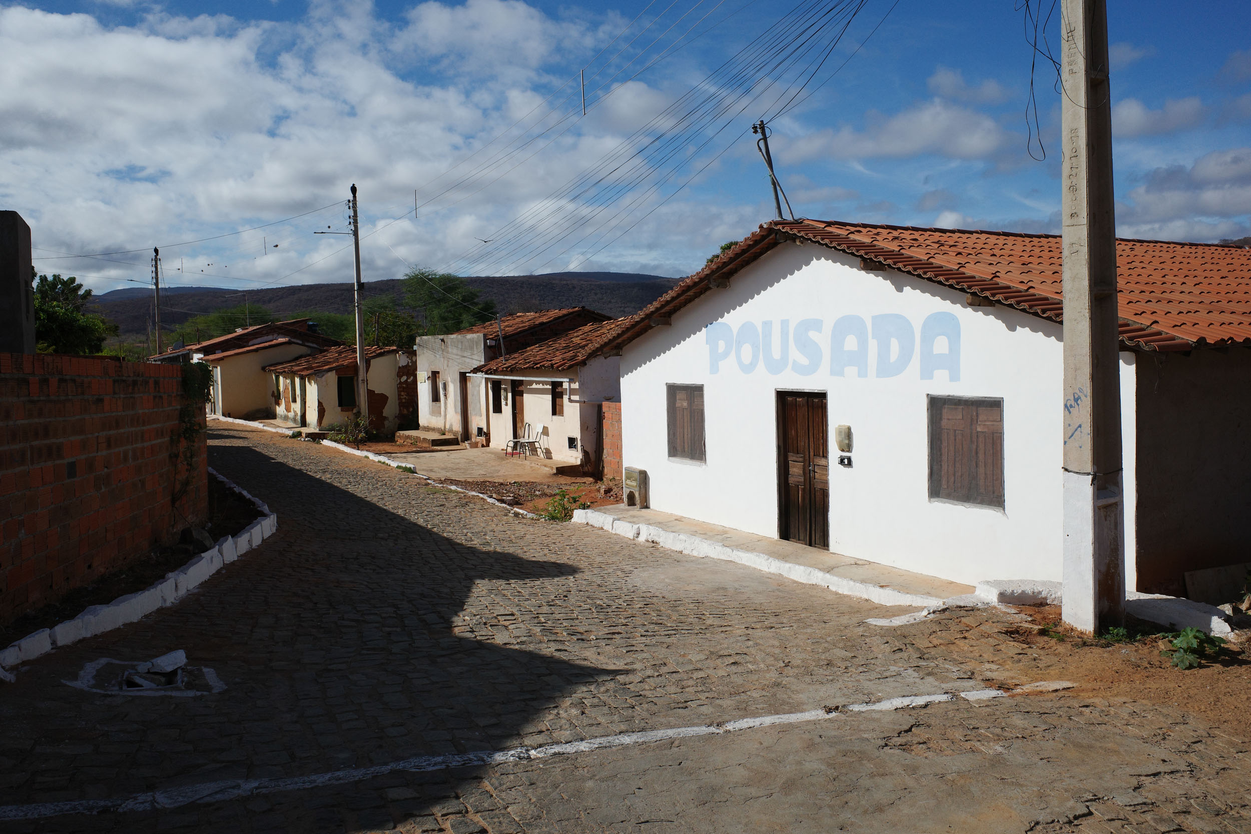
- Pousadas are small lodging establishments, generally family-run. They are present in almost every town, most importantly in the last section through the Caatinga, where camping options are limited. Room prices vary between R$50 and 200 per night, with some in the lower range found in most towns. They usually let you bring your bike into your room. They often include all-you-can-eat breakfast. With some planning, it would be possible to do the whole segment without camping.
- Water sources are common but will need to be treated.
- Bottled water can be bought from stores daily.
- 2.5 L of carrying capacity is recommended as a minimum, especially in the semi-arid Caatinga.
- Supermarkets are found in every town. It is rarely needed to carry more than a day of food.
- Restaurants are common in towns but also near some tourist attractions. Pratos feitos (set meals) are good value.
- Bakeries are lively places offering traditional fare and opening early, which is convenient when sleeping in town.
- Good Snacks for people with a sweet tooth include fresh fruits and cold açaí na tigela. More packable options include bananada and paçoca (candies made from banana and peanut respectively).
- Meat is important in Brazilian cuisine, which might be challenging for vegetarians. However, rice and beans is the mainstay of the diet. It tends to be more flavorful than elsewhere in Latin America, but it is sometimes cooked with meat. It tastes even better when sprinkled with farofa, a toasted cassava flour, which unfortunately also often contains meat.
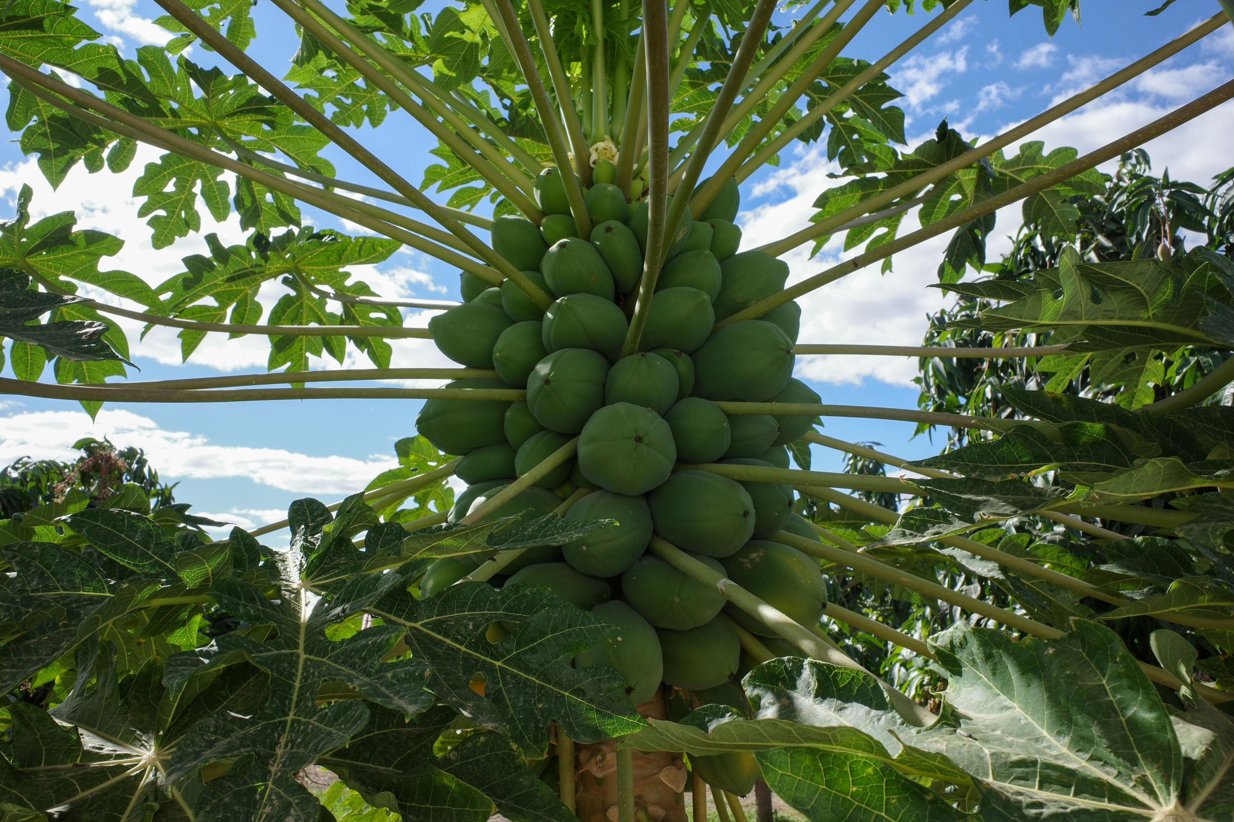
- The typical food of the interior of Northeast Brazil includes: carne de sol (partially dried beef), cuzcuz (cornmeal) and tapioca or beiju (a manioc crepe with different fillings). The Chapada Diamantina has a few specific dishes, such as godó de banana, a stew made from banana and meat. The cuisine of the region is also notable for its use of jaca (jackfruit). In the Caatinga, palma cactus is produced mostly for livestock feed, but also human consumption. Some delicious fruits originate from the region, such as umbu and mangaba. Other fruits are produced in large quantities for export, such as mango, papaya and passionfruit (including a local variety known as maracujá da Caatinga).
This is a proposed 9-day itinerary, with shorter days of riding in the Chapada to enjoy its attractions (and singletrack) and longer days in the Caatinga, where there are fewer attractions.
locationSeabra – Guiné
Day 1 (60.7 km +1,067m)
The route follows doubletrack east of Seabra, which can be a bit challenging because of rocks, ruts and sand. It gets better after 10 km or so. A dirt road leads to Palmeiras, where there are a few lodging options. Then the route goes south, offering great views of the mountains of the Chapada to the east. The road can be a bit rough, sandy and steep. The route reaches the town of Guiné, which has lodging and a campground. To avoid the upcoming singletrack, it is possible to take the main paved road from Seabra directly to Lençóis instead.
locationGuiné – Vale do Capão
Day 2 (31 km +671m)
From Guiné, the route climbs up the mountains to the east. It turns into a trail, which is very difficult. It is a steep climb that requires you to lift your bike over rocks. The reward is to reach a high plateau with nice views of the surrounding mountains. The trail on the plateau is considerably easier. It leads to the Mirante do Pati, which also offers great views. It would be possible to go down into the Vale do Pati to reach camping and lodging options, but this would add quite a bit of singletrack to an already difficult section. The route turns north and eventually descends from the plateau, which is once again difficult because of the rocks and steepness of the trail. The trail offers stunning views of the Vale do Capão before reaching it. There are campgrounds, hostels and pousadas there.
locationVale do Capão – Lençóis
Day 3 (32.5 km +474m)
North of the Vale do Capão, the route uses singletrack again. The first stretch is quite easy, and it offers great views of some of the most famous landmarks of the Chapada. There are a few easy crossings of small rivers. To the north, the route gets close to the Pai Inácio. A detour there is possible to enjoy the most well-known viewpoint of the Chapada. There is also lodging and a campground nearby. Then the route turns southeast, and the trail gets more difficult, because of its steepness and rocky surface. It eventually reaches the well-preserved historic town of Lençóis, which has numerous campgrounds, hostels and pousadas.
locationLençóis – Igatu
Day 4 (42.7 km +808m)
South of Lençóis, the route uses doubletrack, which can be rough or muddy at times. It passes through lush forest. It also includes a few river crossings, which are generally shallow. There are waterfalls and options for swimming. The route reaches Andaraí, where there are campgrounds, hostels and pousadas. It then takes a trail up to the cute historic town of Igatu, where there are campgrounds, hostels and pousadas. The trail can be quite steep in places. It is sometimes made of stone that can be slippery. For an easier alternative, take the cobblestone road to the east.
locationIgatu – Mucugê
Day 5 (18 km +543m)
This is a short day to enjoy some attractions along the way. Near Igatu, there are ruins, an open air-museum, a manmade cave and a viewpoint. The route then uses a trail going up to the south. It can once again be quite steep. For an easier alternative, take the dirt road southeast of Igatu. The route then takes the paved BA-142/BA-245 for a few kilometers. It passes next to the Projeto Sempre-Viva, which has a museum, trails and cachoeiras. It then takes a trail to the Museu Vivo do Garimpo, a museum about the mining history of the region. The singletrack here is a good way to appreciate the local flora. Finally, the route reaches Mucugê, another historic town, with a “Byzantine” cemetery and a nearby viewpoint.
locationMucugê – Ibicoara
Day 6 (67.7 km +947m)
West of Mucugê, the route uses some easy singletrack. It then turns south to take dirt roads that offer great views of the mountains to the east. It enters a coffee-growing region and reaches the town of Ibicoara, which has campgrounds, hostels and pousadas.
locationIbicoara – Contendas do Sincorá
Day 7 (74.5 km +847m)
The route goes east to traverse the southern section of the Chapada Diamantina. A few waterfalls can be visited. There is lodging and campgrounds nearby. The Vale da Raposa offers some nice views. It also has a bikepacker-owned lodge, which offers lodging and bike tours. There are multiple options for singletrack alternatives or side trips here. The route keeps going south to leave the Chapada and enter the Caatinga. It passes through Triunfo do Sincorá, where there is one lodging option. Then there is a crossing of the Sincorá River, which is generally shallow. Finally, the route reaches Contendas do Sincorá, where there are a few lodging options.
locationContendas do Sincorá – Catingal
Day 8 (98.9 km +1,182m)
This is the longest day, but it can be divided by sleeping in Areião, which has one pousada. The riding is almost exclusively on dirt roads, through slightly hilly landscapes. The roads can get a bit sandy in some sections. In Catingal, there is also one pousada to spend the night.
locationCatingal – Manoel Vitorino
Day 9 (47.2km +656m)
East of Catingal, the route goes up a bit and then down to Manoel Vitorino, where there are pousadas. If you are also riding N2 afterward, it is recommended to keep biking to Boa Nova, which is a more pleasant place to spend the night.
Additional Resources
- The Chapada National Park website has information for visitors.
- Wikivoyage has a partial list of bus companies and their bike policy.

Terms of Use: As with each bikepacking route guide published on BIKEPACKING.com, should you choose to cycle this route, do so at your own risk. Prior to setting out check current local weather, conditions, and land/road closures. While riding, obey all public and private land use restrictions and rules, carry proper safety and navigational equipment, and of course, follow the #leavenotrace guidelines. The information found herein is simply a planning resource to be used as a point of inspiration in conjunction with your own due-diligence. In spite of the fact that this route, associated GPS track (GPX and maps), and all route guidelines were prepared under diligent research by the specified contributor and/or contributors, the accuracy of such and judgement of the author is not guaranteed. BIKEPACKING.com LLC, its partners, associates, and contributors are in no way liable for personal injury, damage to personal property, or any other such situation that might happen to individual riders cycling or following this route.
Further Riding and Reading
Here are some connected/nearby routes and related reports...


Please keep the conversation civil, constructive, and inclusive, or your comment will be removed.