

 Mountain Bike (MTB)
 Gravel Bike
 All-Terrain Bike (ATB)
 Fat Bike

Mata Atlantica Bike Route (N3): Capixaba
Distance
514 Mi.
(827 KM)Days
14
% Unpaved
84%
% Singletrack
1%
% Rideable (time)
99%
Total Ascent
47,672'
(14,530 M)High Point
4,174'
(1,272 M)Difficulty (1-10)
6?
- 6Climbing Scale Moderate93 FT/MI (18 M/KM)
- 5Technical Difficulty Moderate
- 6Physical Demand Moderate
- 5Resupply & Logistics Moderate
Contributed By

Alex Gauthier
Route Architect
The Mata Atlântica Bike Route stretches nearly 5,000 kilometers from Bahia to Rio Grande do Sul, tracing mostly unpaved roads and paths through eight Brazilian states. It follows the Chapada Diamantina, the coast of Bahia, the interior of Espírito Santo, and the Serra do Mar mountains. In doing so, it connects protected remnants of the Atlantic Forest—one of the world’s most biodiverse regions—while passing through landscapes of tropical forests, canyons, plateaus, and beaches. Along the way, riders encounter traditional communities, historic towns, and a mosaic of cultures, with opportunities to spot iconic wildlife and experience the region’s incredible natural beauty. Find all the segments here.
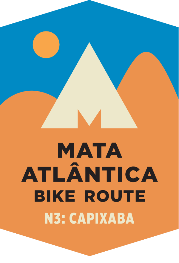
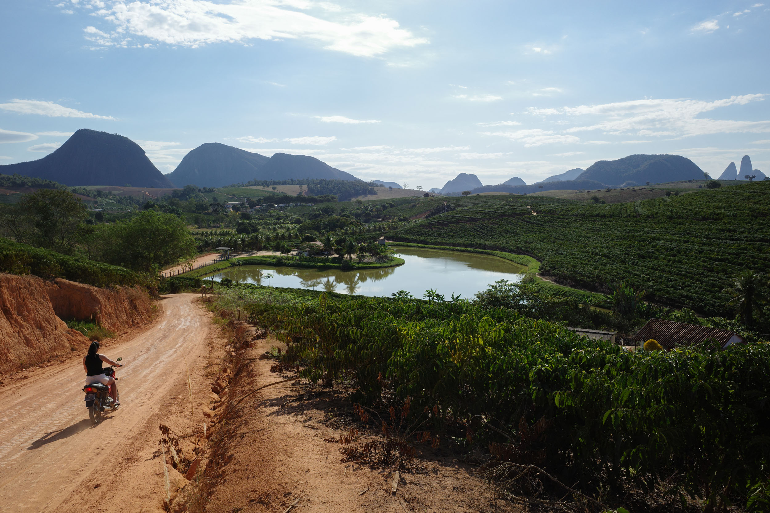
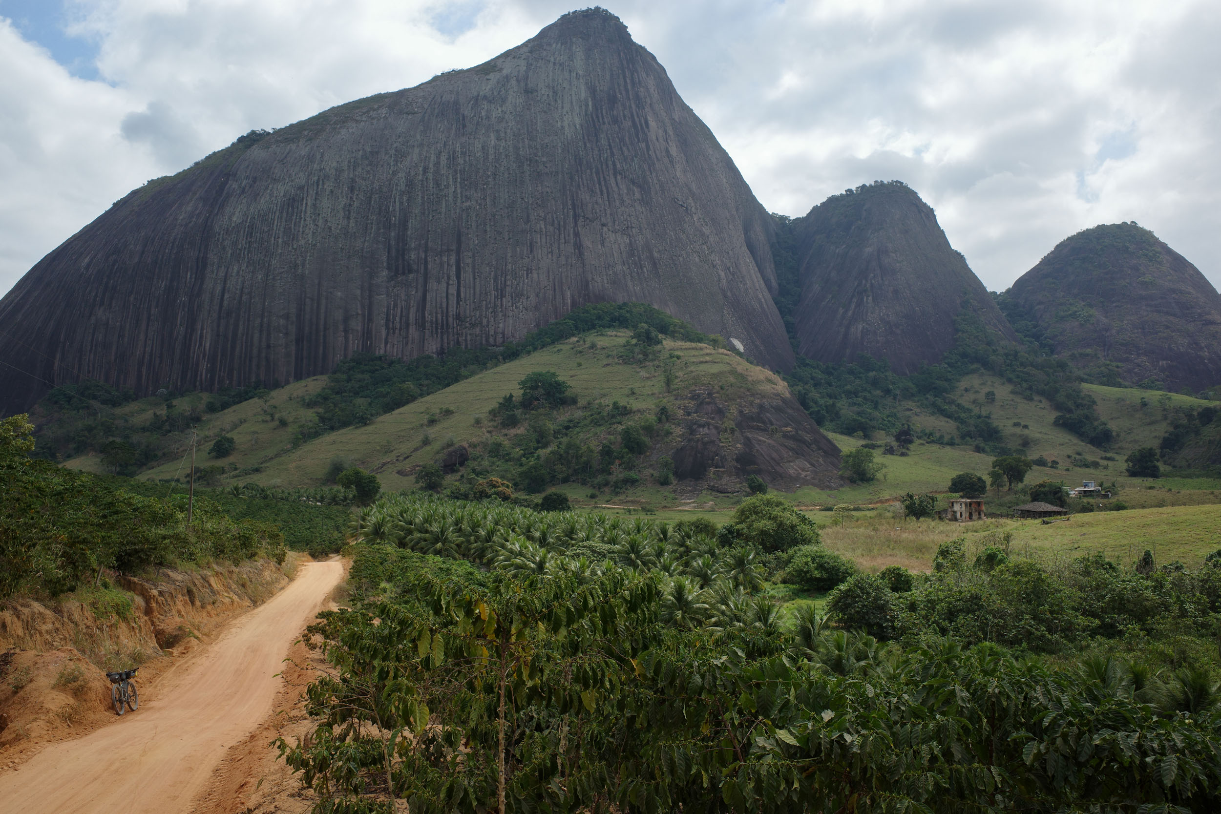
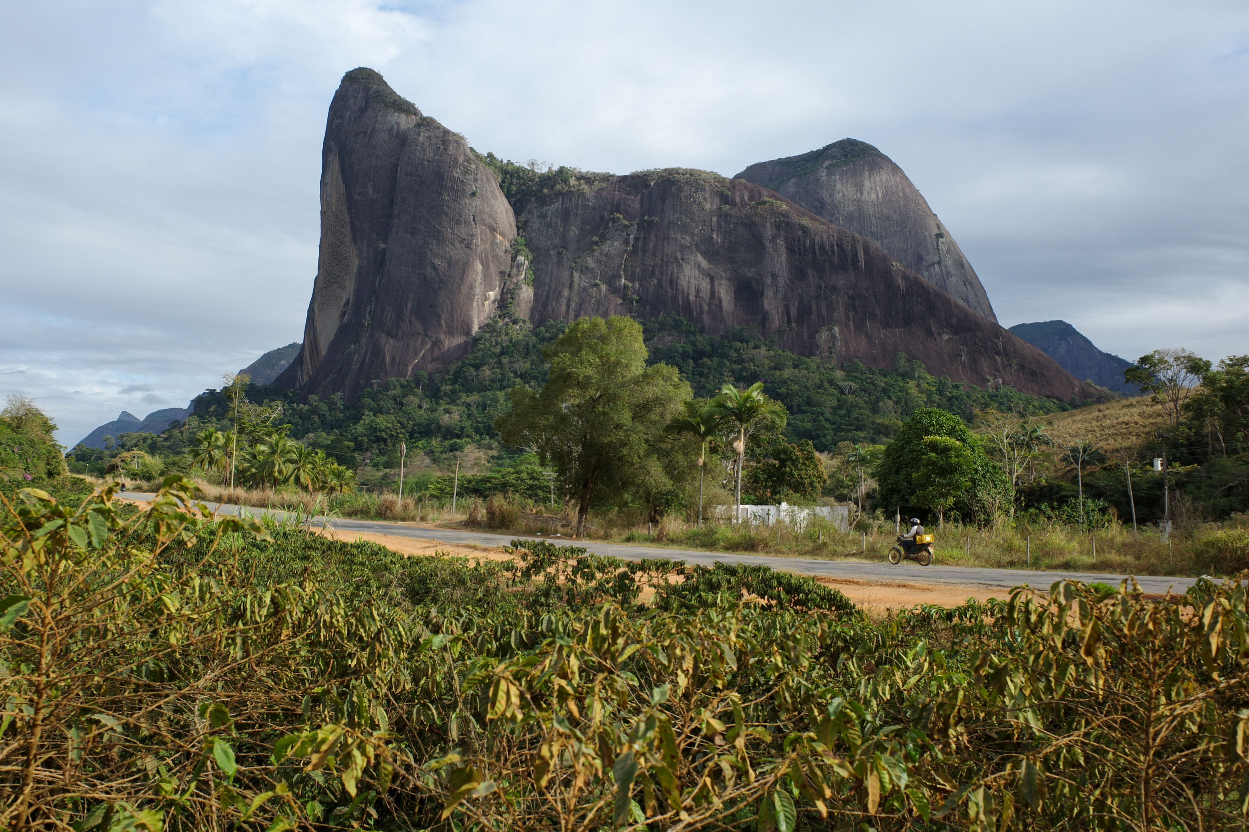
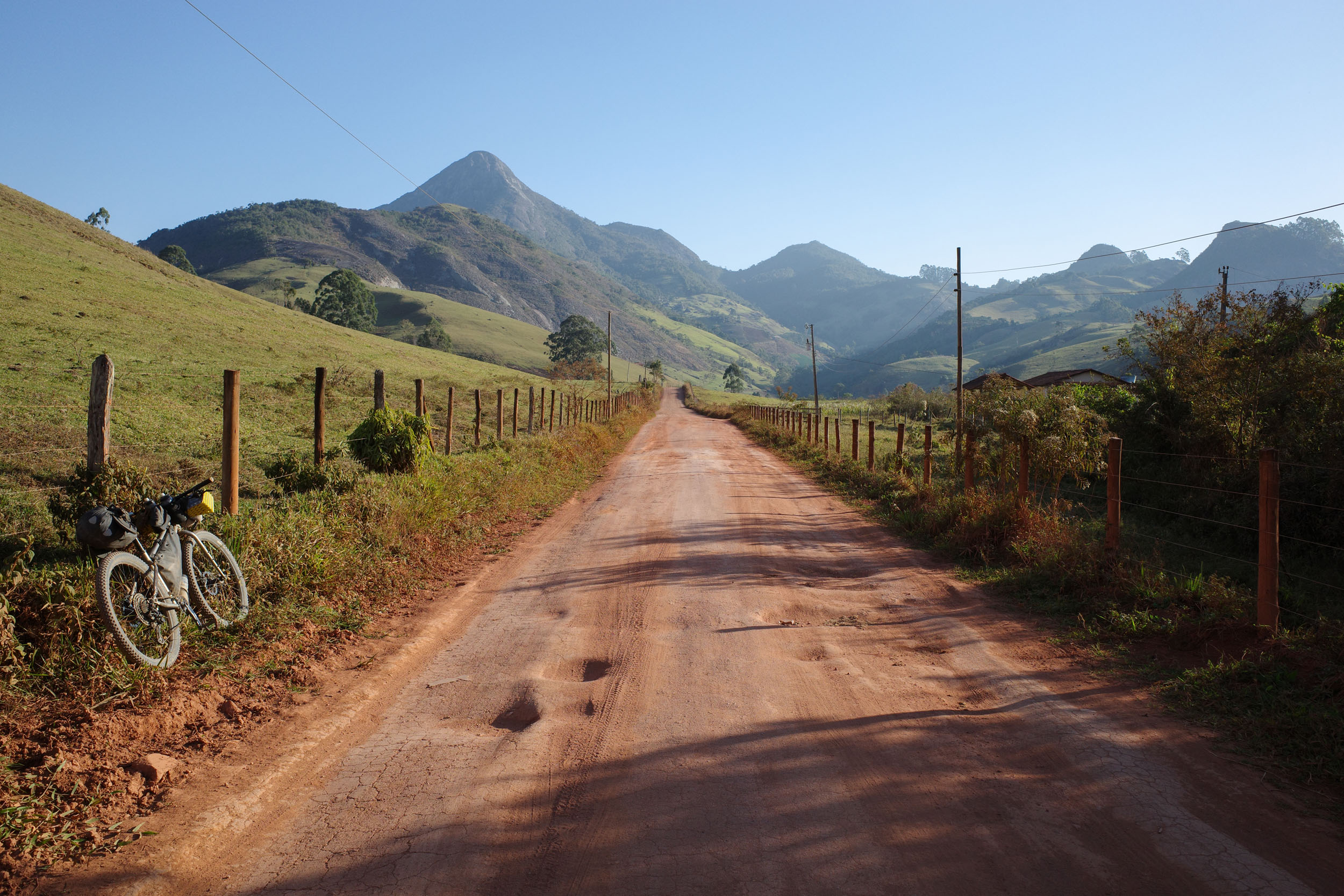
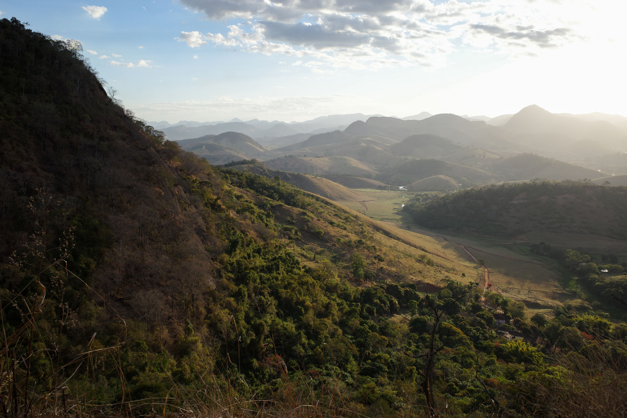
The segment starts in the coastal plain of northern Espírito Santo, where nature reserves protect important remnants of the Atlantic Forest. As the route heads west, the landscape becomes slightly hilly, dotted with coffee plantations. In the distance, a high concentration of rocky outcrops, the Pontões Capixabas, can be seen rising sharply from the surrounding lowlands. The route gets up close and weaves through them to appreciate their splendor: their improbable shapes, their sheer verticalness, the vegetation hanging precariously on their walls, and the large shadows they cast.
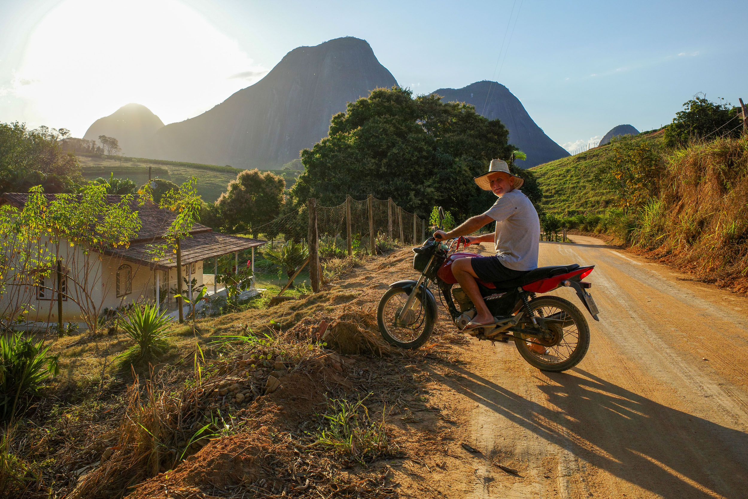
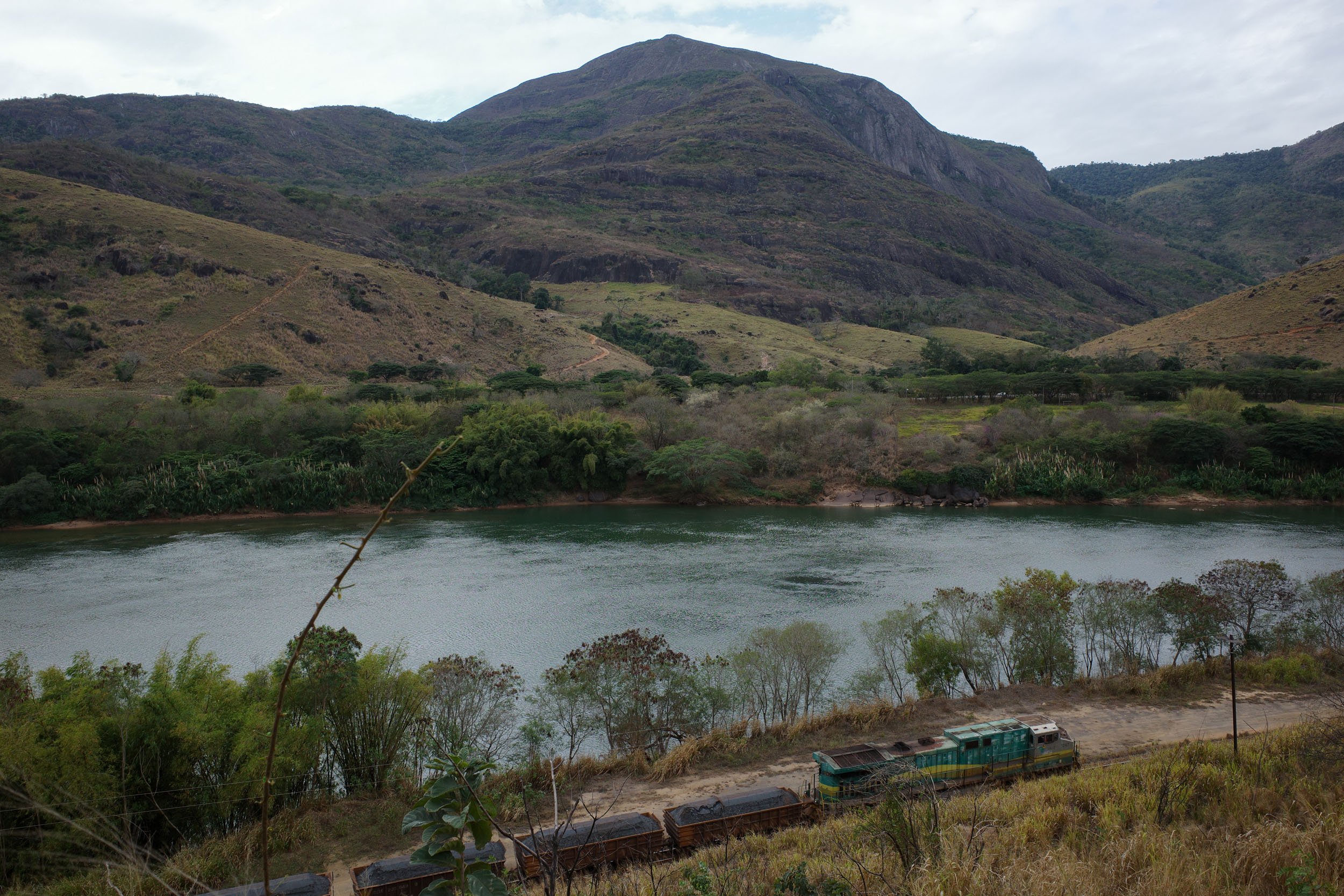
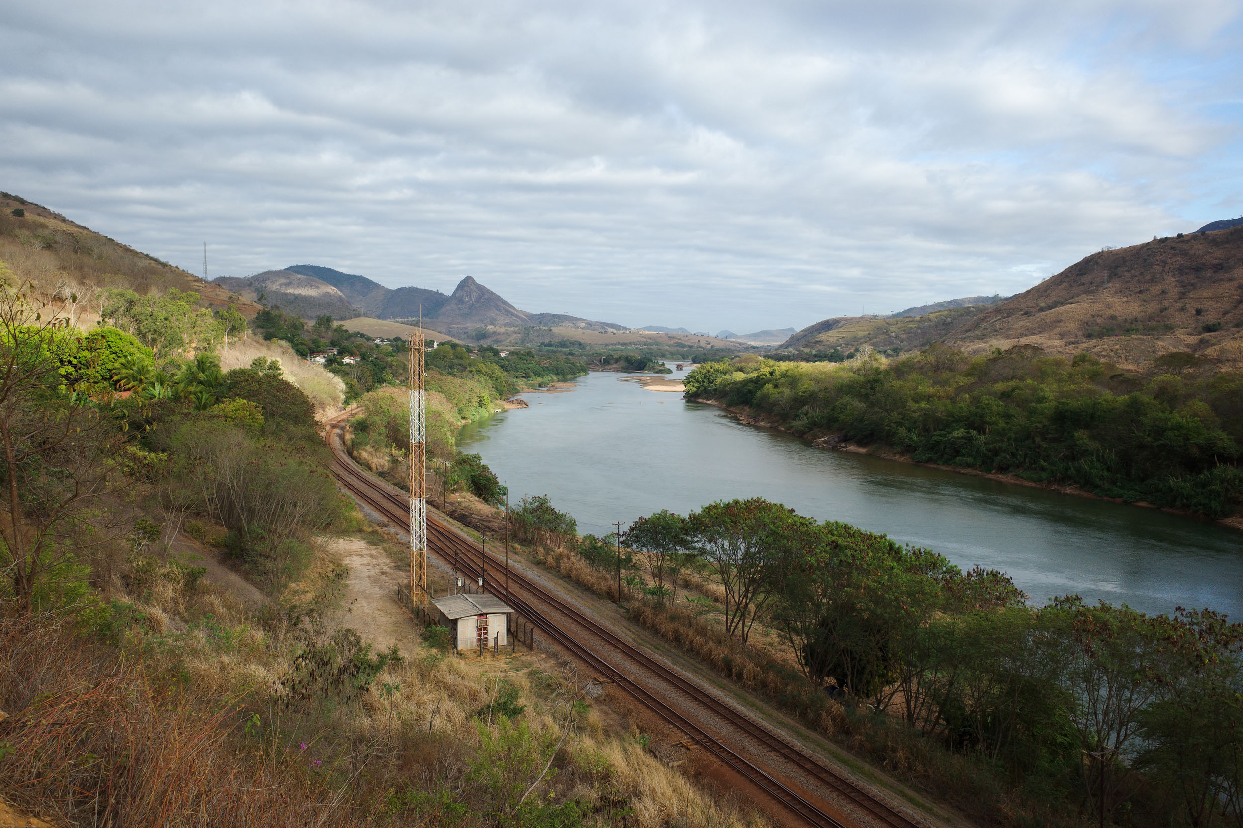
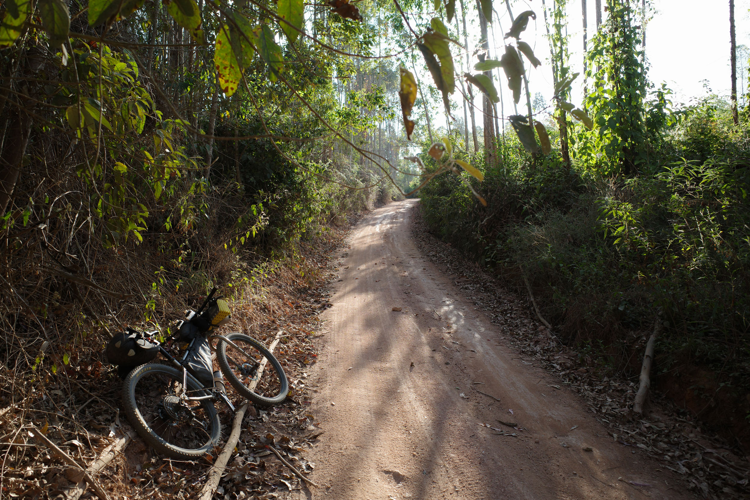
From there, the route veers south and crosses the Doce River at the historic railway town of Itapina. It then climbs the highlands of central Espírito Santo, traverses the forest of the Augusto Ruschi Biological Reserve, and reaches other impressive large rock formations. The route turns west again, entering Minas Gerais and curving around the Serra do Caparaó, a mountain chain with a protected forest, multiple small waterfalls, and the third-highest peak in Brazil. Dirt roads through pastures lead to the final destination, the great Paraíba do Sul River in the state of Rio de Janeiro. Most of the segment is on unpaved roads used daily by farm workers on motorcycles, with a few stretches of rough doubletrack. There is almost no singletrack. The amount of pavement is small, mostly on calm rural roads and small-town streets.
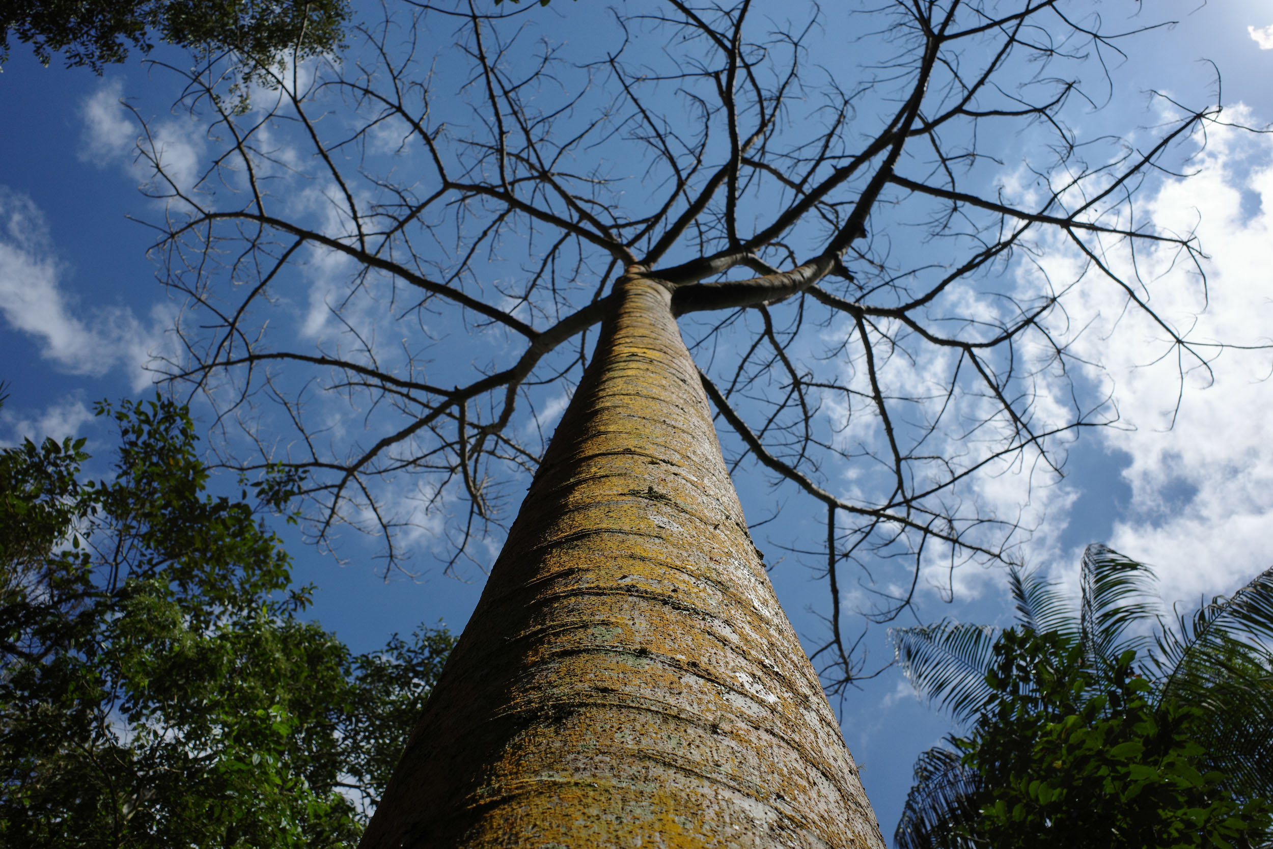
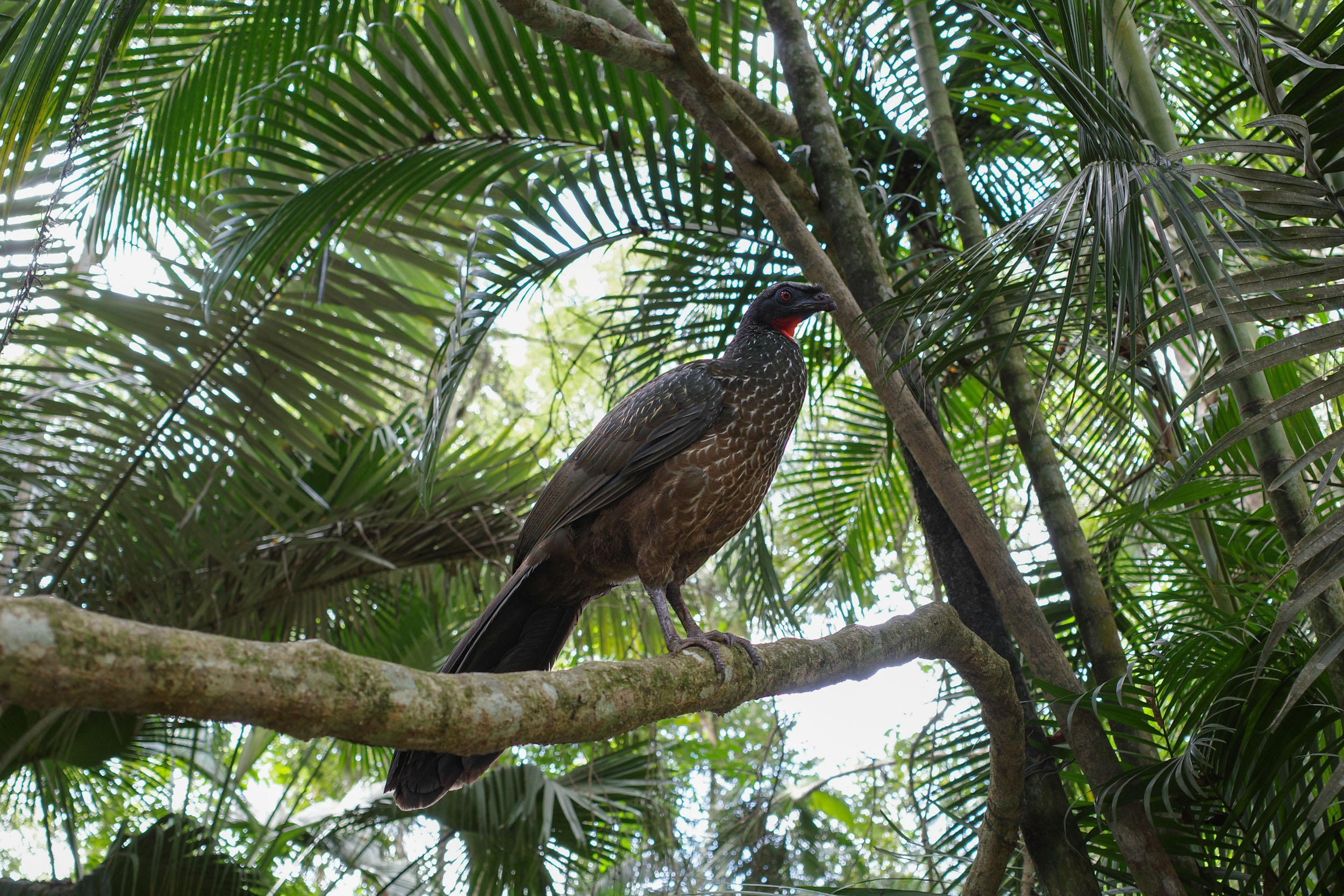
Protected areas connected by this segment include a national park and three state parks. In Espírito Santo and adjacent regions, it can feel like every plain and valley is now used for human activity. Logging, grazing, and crop farming extend even to steep mountains. But there are areas of forest crossed by the route or next to it. It is worth getting off the bike to enjoy short hikes there. These places host endemic species, such as the cherry-throated tanager, a small bird named for the red patch on its throat, long thought extinct until its recent rediscovery. The state is also one of the last places in the Atlantic Forest where harpy eagles can be found. The northern nature reserves are home to another rare predator, the jaguar. But primates are easier to spot than other mammals. Capuchin and howler monkeys are common. The northern masked titi is found almost exclusively in Espírito Santo. The northern muriqui and buffy-headed marmoset, both critically endangered, are also endemic to the state and nearby areas in Minas Gerais.


Among the region’s Indigenous people, the Tupiniquins lived on the coast of northern Espírito Santo and southern Bahia. They are part of the larger Tupi group that inhabited most of the Brazilian coastline. They were among the first to interact with Europeans and suffer the consequences: diseases, conflicts, and land dispossession. Their language, Old Tupi, contributed many toponyms and loanwords to Brazilian Portuguese. The word “tupiniquim” itself is sometimes used as an adjective to refer to things that are Brazilian. However, the Tupiniquins have now lost their language and have been relegated to a few small territories near Aracruz, where some Guaranis also live. Additionally, the region was inhabited by people labeled as Aimorés (or Botocudos), speakers of Marco-Jê languages. They resisted fiercely, but Europeans decimated their population through wars and massacres. Nowadays, the few Krenak people in eastern Minas Gerais are their only recognized descendants. Further south, the Goytacazes were exterminated.
The Portuguese settled early on the coast of Espírito Santo, where they created a hereditary captaincy with its definitive capital in Vitória. During colonial times, European settlement in the interior remained negligible due to the rugged forest landscape, Indigenous resistance, and the lack of profitable resources. When a gold rush occurred inland in neighboring Minas Gerais, the Portuguese crown tried to control the flow of gold by funneling it on the Estrada Real, a road heading south to Rio, while prohibiting it through Espírito Santo. This policy changed when the Portuguese court moved to Brazil to escape Napoleon’s troops. A road, known as the Rota Imperial and partly followed by the route, was built to connect Minas Gerais with Vitória. African slaves had been brought to sugarcane plantations and later to gold mines. Once freed or escaped, some founded their own communities, such as the quilombo of São Pedro near Santa Teresa.
Colonization of the interior of Espírito Santo started in earnest with the advent of coffee production in the 19th century. The government encouraged European immigration, of which many of the current state’s inhabitants are descendants. In Santa Teresa, Italian flags are hoisted in the streets. Around Santa Maria de Jetibá, farmers converse in their Pomeranian Low German dialect. In Águia Branca, the Polish Immigrant Museum is open to visitors. Coffee production often led to soil depletion, forcing farmers to find new land or switch to other activities, such as grazing. The government tried in the 1960s to eradicate smaller, less productive coffee farms. Today, some rural settlements are teeming with activity, while others appear abandoned. Agriculture progressed on the flanks of mountains, as seen around the Serra do Caparaó. The latter was the site of a failed insurgency, one of the first against the military dictatorship. Another important economic activity is iron ore mining in Minas Gerais. It is mostly extracted and transported by Vale, a company that also operates the Vitória-Minas Railway along the Doce River and has been implicated in two catastrophic dam failures, one of which severely contaminated the river.
Route Difficulty
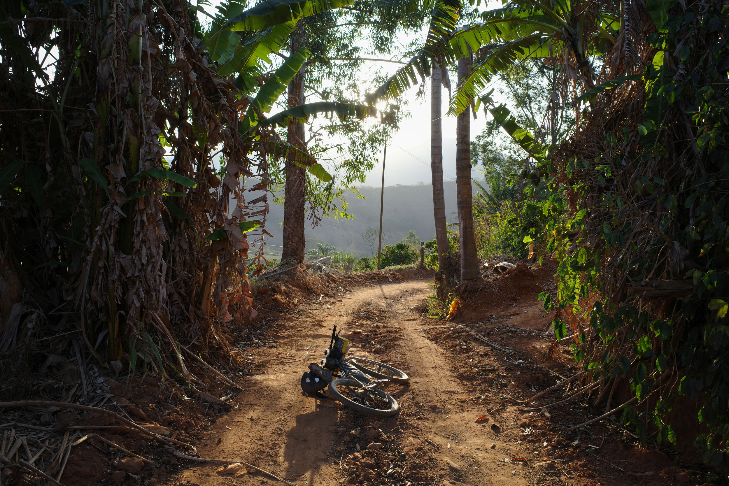
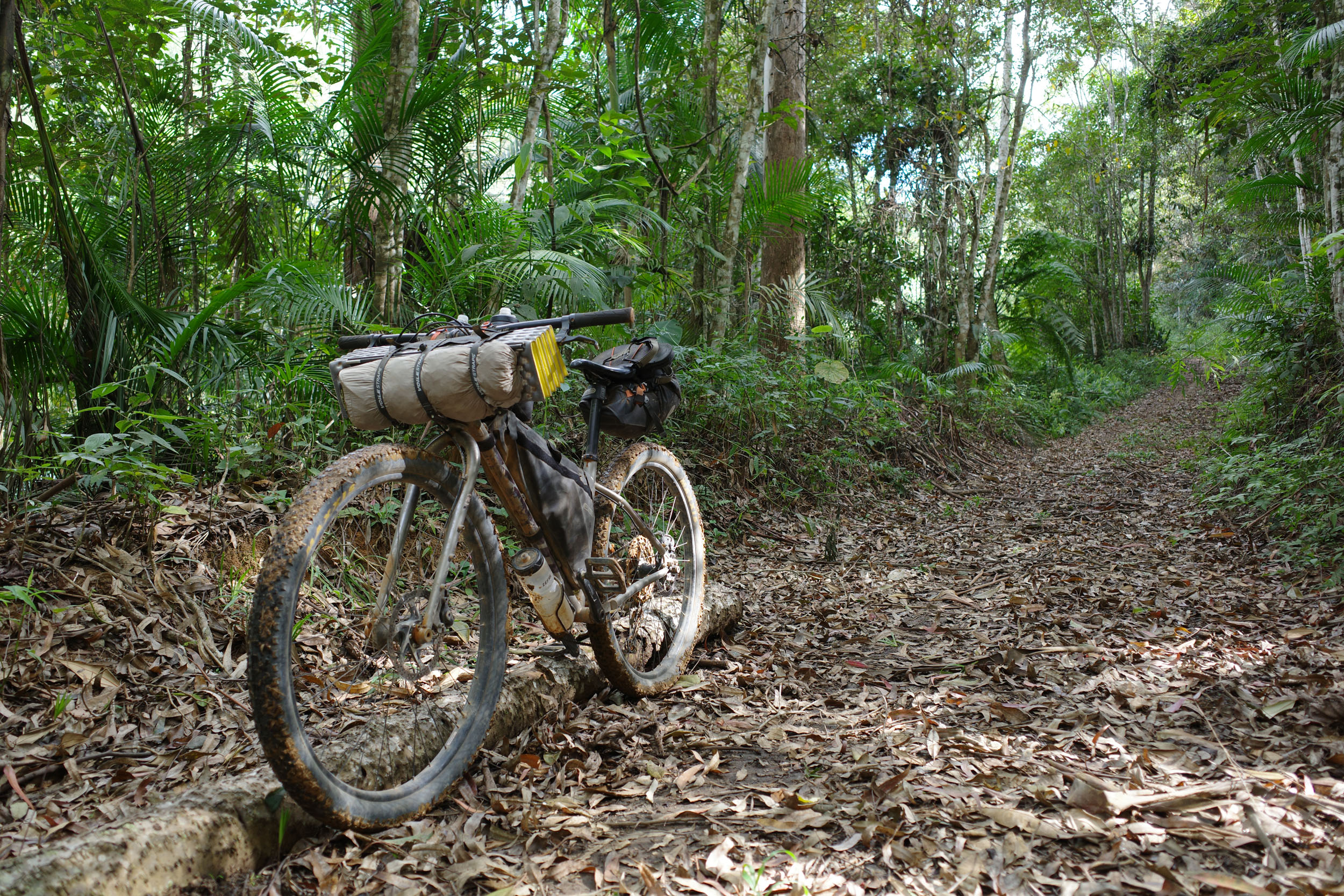
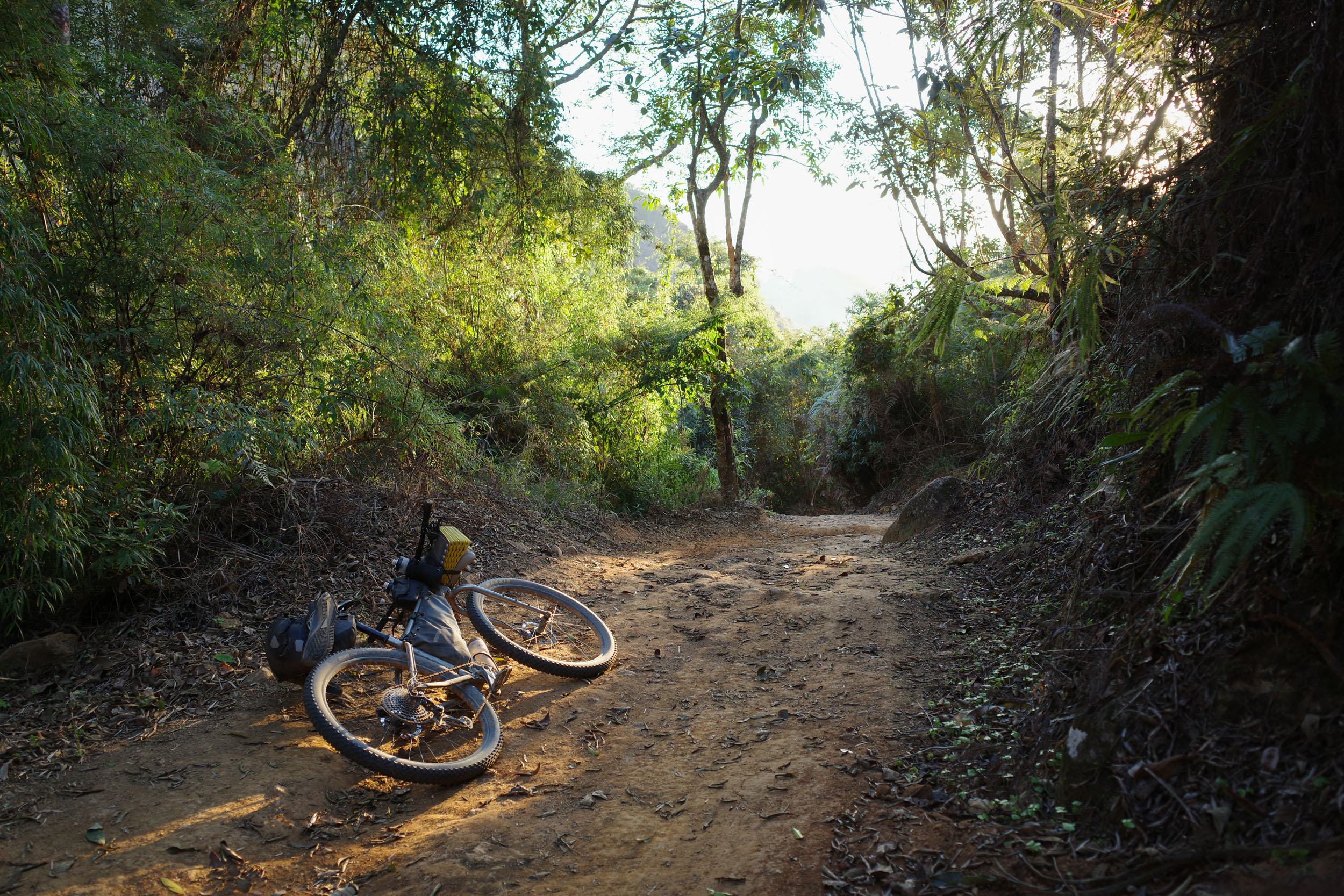
The main challenge is the climbing. While the climbing scale doesn’t appear that intense, most of it is concentrated in the middle section of the segment, where roads can get incredibly steep. Most roads are not particularly technical in nature, but their surface can sometimes be loose or rough, especially at higher altitudes. The roads can turn into rocky doubletrack, which can also be muddy after heavy rains. These are often the most fun and beautiful sections of the route, so it would not make much sense to skip them. Still, with appropriately low gearing, you almost never need to dismount and push your bike. The weather can be hot in the lowlands for most of the year, which can add an element of physical difficulty.
The main logistical difficulty is external to the route. It is how to get there and back, since the segment is linear and its termini are far from international ports of entry. However, the starting and ending points are cities reachable by buses that tend to be bike-friendly. There are sections of the route with no formal campgrounds, and wild camping can be difficult in densely populated rural areas. There are lodging establishments for sleeping every night. In a few places, they are unreliable or far apart, requiring longer days of riding. Resupply is easy, with daily options.
Route Development
After the creation of the four southern segments of the Mata Atlântica Bike Route, it became clear that the route could be extended to the north. The initial inspiration had been the Caminho da Mata Atlântica long-distance trail, which finishes in northern Rio de Janeiro because of the fragmentation of the forest and the relative lack of hiking trails further north. But there are abundant dirt roads there that can be used to connect protected areas and keep the original spirit of the Caminho. The first idea was to follow a straight line along a northeast-to-southwest axis, linking the northern coast of Espírito Santo with Rio de Janeiro, while following the Central Atlantic Forest Ecological Corridor. But detours were added to two beautiful regions, the Pontões Capixabas and the Serra do Caparaó. This adds a short stretch in Minas Gerais, as well as parts of two preexisting bike routes: the Rota Imperial and the Caminho da Luz. The connecting section in northern Rio de Janeiro mainly traverses pastures. It was decided to follow rivers and towns there to make it more lively, but this adds a bit of pavement. The route was scouted solo, but local cyclists provided a wealth of useful information.






















Submit Route Alert
As the leading creator and publisher of bikepacking routes, BIKEPACKING.com endeavors to maintain, improve, and advocate for our growing network of bikepacking routes all over the world. As such, our editorial team, route creators, and Route Stewards serve as mediators for route improvements and opportunities for connectivity, conservation, and community growth around these routes. To facilitate these efforts, we rely on our Bikepacking Collective and the greater bikepacking community to call attention to critical issues and opportunities that are discovered while riding these routes. If you have a vital issue or opportunity regarding this route that pertains to one of the subjects below, please let us know:
Highlights
Must Know
Camping
Food/H2O
Trail Notes
Resources
- The Sooretama Biological Reserve and Vale Natural Reserve which protect large areas of lowland forest, with hiking trails to learn about the local fauna and flora, including critically endangered species
- The Pontões Capixabas a collection of stunning rocky outcrops, which are dramatic in shape, size and number
- The Doce River crossed at the sleepy railway town of Itapina, whose historic architecture hints at its past glory
- The Augusto Ruschi Biological Reserve a protected forest traversed by a dirt road that ends in Santa Teresa, a town known for its significant Italian heritage and Atlantic Forest Institute
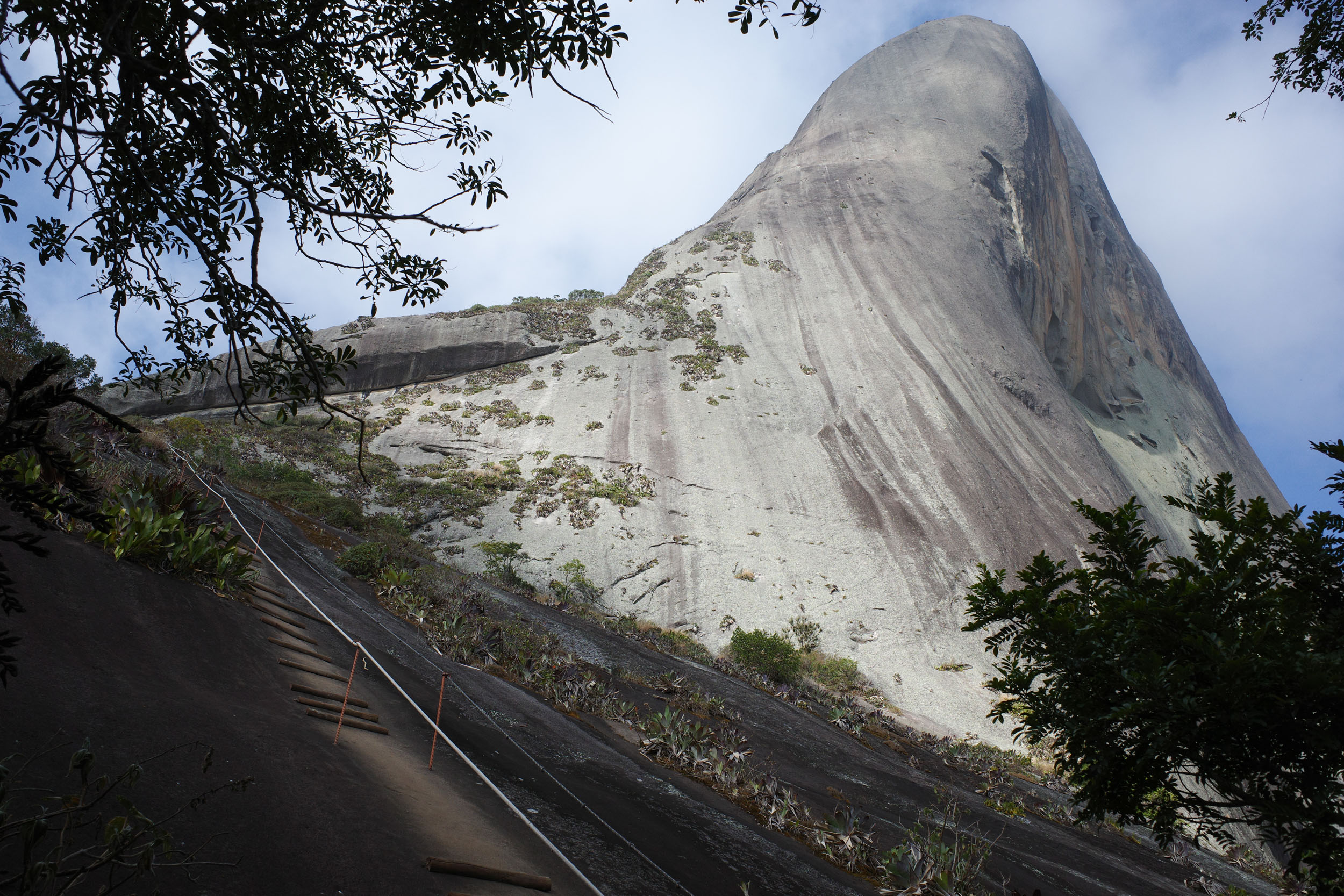
- The Pedra Azul a massive monolith named for the bluish hue it can take on, its color changing depending on the light
- The Forno Grande State Park with its impressive conical mountain, its natural pools and the thrilling 1000-meter descent to nearby Castelo
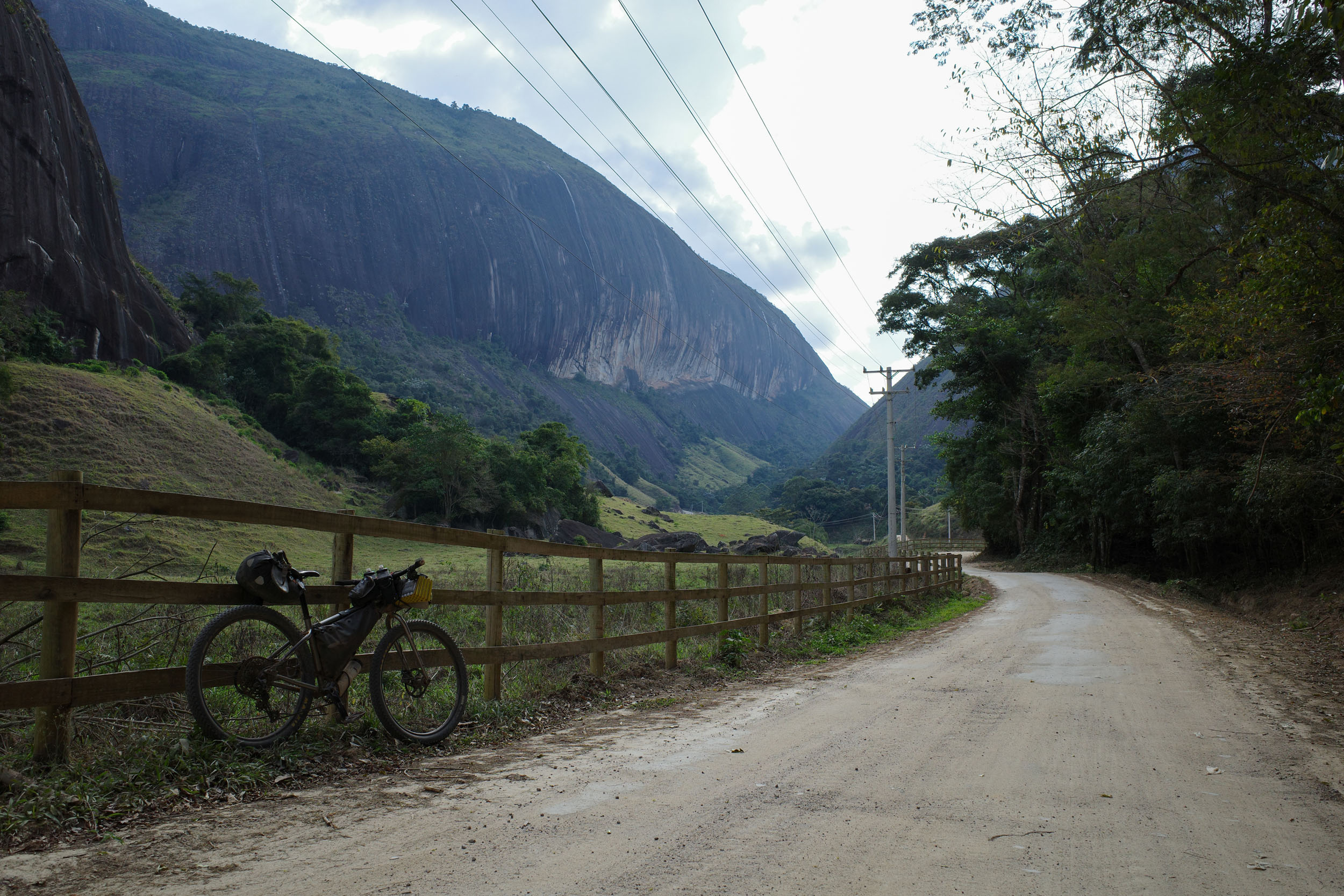
- The Vale do Emboque a scenic road nestled between steep rock walls
- The Rota Imperial a historic path through mountains and endless coffee plantations
- The Serra do Caparaó a mountain chain with a protected forest and multiple small cachoeiras (waterfalls)
- The Pico da Bandeira Brazil’s third highest peak, which can easily be climbed on a day off to enjoy beautiful views of the Serra do Caparaó
- The Caminho da Luz pilgrimage route especially the section near Carangola following an abandoned railway, which has a bit of singletrack and nice views of the sunset
- Tropical wildlife including multiple monkey species
When to go
- May to September is the best time to go. This is the winter and dry season in the Southeast of Brazil, meaning mild temperatures and low precipitation. The weather is usually pleasant, but the lowlands can still be quite hot, and nighttime temperatures at high altitude can sometimes drop below 5 °C. The rest of the year, it can get uncomfortably hot, and heavy rain can make roads and trails muddy or even impassable.
Logistics
- Traveling by bus with a bike in Brazil is generally easy. Most companies will accept bikes, boxed or not, as long as there is room in the luggage compartment. Still, traveling with only one bike and having it in a box both increase your chances of it being accepted. Some companies charge a fee, while others do not. However, a few companies do not accept bikes, and it can be hard to find the information online, but this website has a partial list of bus companies and their bike policy.. To get to a bus station in large cities like Rio and São Paulo, it is probably safer and simpler to organize private transport to the station via taxi, shuttle or ridesharing app. For example, Uber Bag cars will usually fit a boxed bike. Larger taxis are also often available at airports and big bus stations.
- The starting point, Sooretama, is a town along the main north-south highway near the coast, with buses going to larger cities in both directions, such as Vitória but also Linhares, which is nearby and is an alternative starting point with more bus departures and destinations.
- The ending point, São Fidélis, is a town connected by bus to Rio de Janeiro and Campos dos Goytacazes. Itaperuna is a larger city with more frequent buses and is an alternative ending point to shorten the route.
- The route can be ridden in either direction. It was mapped from north to south because the adjacent segments are easier to ride this way.
- Protected areas crossed in this segment are generally free to transit through.
- Maps using OpenStreetMap data are generally the most detailed and accurate. But there are occasional mistakes (such as overgrown trails mislabeled as roads) and omissions (for example, private gated roads not labeled as such). In a few regions, Google Maps is more detailed. This is the case north of Santa Teresa.
Dangers & Annoyances
- Mosquitoes and ticks can transmit diseases. In the dry season, bug pressure is mild. Biting insects tend to be small and it is easy not to notice them even as they bite you. Bring a long-sleeve shirt and full pants. Yellow fever vaccination is recommended as tourists have died from the disease in the past.
- Cattle can sometimes block the path. Give them space and do not startle them.
- Livestock gates are present in a few places. Be careful when opening them as they are often secured with a loop of barbed wire. If found closed, make sure to close them back behind you.
- Cars are rare on most of the route. Brazilian drivers often expect to see all kinds of things on rural roads (pedestrians, cyclists, horses, etc.), but as anywhere else, some are careless. Make sure to be visible and cautious.
- Crime is an issue in most large Brazilian cities, but rural areas are usually safer. This segment passes through quite a few small towns, which should be relatively safe. The largest city traversed is Itaperuna, but it is quick and can be bypassed if desired.
What bike?
- A rigid mountain bike or all-terrain bike with 2.2 to 2.6″ tires is the best bike to ride all the segments combined. But for this particular segment, which is not very technical, a touring or gravel bike could also work. Still, using the largest tires that fit will be appreciated on the few rougher sections. Low gearing is needed to avoid having to hike-a-bike on the steepest roads.
Travel basics
Language
- Portuguese, in its Brazilian variety (and multiple accents), is almost the only language you will encounter. Learning the basics will prove very useful.
- For Spanish speakers, it is quite easy to learn a lot of Portuguese quickly, considering the similarities. The same goes for other Romance language speakers to a lesser extent. Be careful about trying to speak Spanish to Brazilians. While they can often understand some simple spoken Spanish, it can be laborious and inefficient. There are a few common words that are radically different, and there are some key pronunciation differences. Putting in the work to learn them is highly valuable.
- English speakers are virtually nonexistent except in tourist hubs and large cities.
Money
- The Brazilian real (plural reais, sign $R, code BRL) is the official currency.
- ATMs to withdraw money are found in cities, but they often charge exorbitant fees.
- Credit cards are very commonly accepted by businesses, including some small rural ones. It is a convenient way to pay for things without carrying large amounts of cash.
- Pix, an instant payment platform, was created by the Central Bank of Brazil a few years ago. It became extremely popular, and now a few businesses refuse credit cards (and their high fees). Seamlessly using Pix requires a Brazilian bank account, but workarounds might be possible with apps.
- Money transfer apps can be used for payments that can wait, for example lodging. Owners will often accept to give you the necessary banking information for the transfer. One such app used by some businesses is Wise, but the apps usually work even if the receiver is not registered.
Cell phone
- Mobile phone service is dominated by three providers (Claro, Vivo and Tim).
- Network coverage varies according to the region. Most towns are now covered (sometimes by only one provider), but the signal generally disappears almost as soon as you exit them.
- SIM cards (physical and digital) from one of the three providers can usually only be obtained by people with a CPF, which is a taxpayer identifying number.
- A CPF can be obtained by foreigners through Brazilian embassies and consulates or once in Brazil. This might be worth it for people planning to spend extensive time there.
- International eSIM apps are the simplest but more expensive way to get network access.
- WhatsApp text messaging is usually the way to reach small businesses.
- Instagram is sometimes the only place to find important information about businesses such as campgrounds, as they often lack websites.
- Campgrounds are present near touristy natural attractions, but there are stretches without them, notably at the start and end of this segment. They usually have all the services you could want (water, bathrooms with hot showers, electricity, wifi, and often cooking areas). Some of them expect advanced reservation through WhatsApp, which can be difficult to organize with the lack of cell phone signal and the unpredictability of bike travel. They usually cost around R$50 per night per person.
- Wild camping is not common. It is usually forbidden in protected areas. Private land is often clearly delineated by fences. Stealth camping might be challenging in the densely populated rural areas of this segment. If looking for a place to sleep, you can ask around for recommendations. Owners of small rural businesses (such as bars and restaurants) are often resourceful and used to dealing with strangers. They might let you camp on their land or sleep in a room, for free or for a fee. Otherwise, they might direct you to a good spot. Camping next to rural churches might be an option too, but it is polite to ask locals for permission if possible.
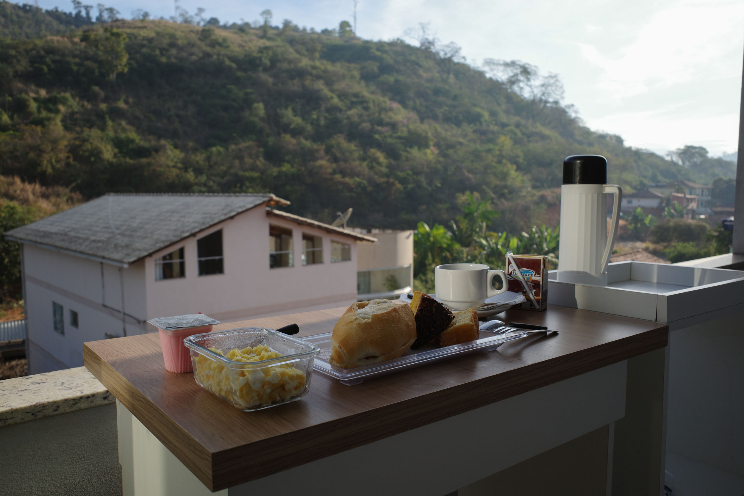
- Hotels are present in almost every town. They are usually aimed at people traveling for work, so they sometimes lack charm but are affordable. Pousadas are small lodging establishments, generally family-run and aimed at tourists. Room prices vary between R$50 and 200 per night, with some in the lower range found in most towns. They usually let you bring your bike into your room. They often include all-you-can-eat breakfast. With some planning, it would be possible to do the whole segment without camping.
- Water sources can be found in mountainous protected areas. Elsewhere, there is a lot of grazing, and the water is not the most appealing.
- Bottled water can be bought from stores daily.
- 2.5 L of carrying capacity is recommended, mainly for convenience.
- Supermarkets are found in every town. It is never needed to carry more than a day of food.
- Restaurants are common in towns but also near some tourist attractions. Pratos feitos (set meals) are good value. Along some dirt roads, there are rural bars, often serving snacks.
- Bakeries are lively places offering traditional fare and opening early, which is convenient when sleeping in town.
- All-you-can-eat and pay-by-weight restaurants are common in cities. They are good for hungry cyclists and give the opportunity to try all kinds of new food.
- Good snacks for people with a sweet tooth include fresh fruits and cold açaí na tigela. More packable options include bananada and paçoca (candies made from banana and peanut respectively).
- Meat is important in Brazilian cuisine, which might be challenging for vegetarians. However, rice and beans is the mainstay of the diet. It tends to be more flavorful than elsewhere in Latin America, but it is sometimes cooked with meat. It tastes even better when sprinkled with farofa, a toasted cassava flour, which unfortunately also often contains meat.
- Typical food associated with Espírito Santo often contains seafood, as in the famous moqueca. However, this is not the type of cuisine commonly encountered in the interior of the state traversed by the route. Italian and German influences can be seen there in the use of polenta and pork sausages. But classic Brazilian fare predominates, especially toward Minas Gerais, which is known for mastering food like pão de queijo (cassava flour cheese bread) and hearty meat and beans dishes (feijão-tropeiro for example).
This is a proposed 14-day itinerary, with a few shorter days of riding to allow for hikes in protected areas. It is also recommended to add another day off the bike to climb the Pico da Bandeira.
locationSooretama – São Jorge de Tiradentes
Day 1 (59.8 km +670m)
The segment starts in the coastal plain of northern Espírito Santo. Heading north from Sooretama, the BR-101 highway needs to be taken for 4 km. While it is busy, there is a wide shoulder, and the maximum speed limit is 60 km/h because of the adjacent protected areas. There are dirt paths next to the road that can be taken on and off to avoid the pavement. The route reaches the Vale Natural Reserve, which is free and open every day except Monday. Short hikes can be done in the forest, and there is also a free guided one at 9:00. If not planning to visit the reserve, it might be possible to bypass the highway by taking dirt roads further west. The route then goes to the Sooretama Biological Reserve. It is free and open from Monday to Friday. There are short hiking trails there too, but they can only be done with a guide, usually present but not always available, so consider contacting them in advance (+55 27 99636-1814). To the west, the landscape becomes slightly hilly, and dirt roads through coffee plantations lead to the city of São Jorge de Tiradentes, which has a hotel. If not planning to visit the reserves, it is possible with the extra time to make it all the way to the town of São Gabriel da Palha.
locationSão Jorge de Tiradentes – Águia Branca
Day 2 (60.1 km +943m)
As the route keeps going west, a high concentration of impressive rocky outcrops becomes visible in the distance. These are the Pontões Capixabas. The route passes next to the town of São Gabriel da Palha, which has a few hotels. Then, it reaches the Pontões, which are even more impressive from up close. It weaves through them and reaches the vicinity of Águia Branca, a town with only one remaining hotel, which is closed on weekends. It is maybe possible to get a room on weekends if reserving in advance, but this is inconvenient. Because of the paucity of reliable lodging options in the area, another option is to camp. Before reaching the town, the rural areas around the Córrego da Onça have a few football fields and churches, where it could be possible to set up a tent late and leave early. The small landowners here tend to be friendly, so it might be possible to ask someone to camp on their farms or next to their house. There is also a rural bar, Arenas, where you could ask people for a spot to camp.
locationÁguia Branca – Pancas
Day 3 (47.9 km +991m)
This is a somewhat short day, but the road surface and elevation gain can slow you down. It is worth starting the day early, since some of the nicest views are toward the end, and it would be a shame to miss them by riding in the dark. The route veers south and meanders through more of the Pontões. Eventually it turns into steep and rough doubletrack for a short while, which might require a bit of a hike-a-bike. This section is one of the most fun. If deemed too difficult, it can be bypassed by following the ES-434 road south to the ES-341. The route approaches Pancas, which is a bit off the route and has multiple lodging options. It then joins the ES-341 road. There is a recommended campground nearby, the Sítio Cantinho do Céu, where you can camp below the Pontões.
locationPancas – São Roque do Canaã
Day 4 (97.2 km +1,524m)
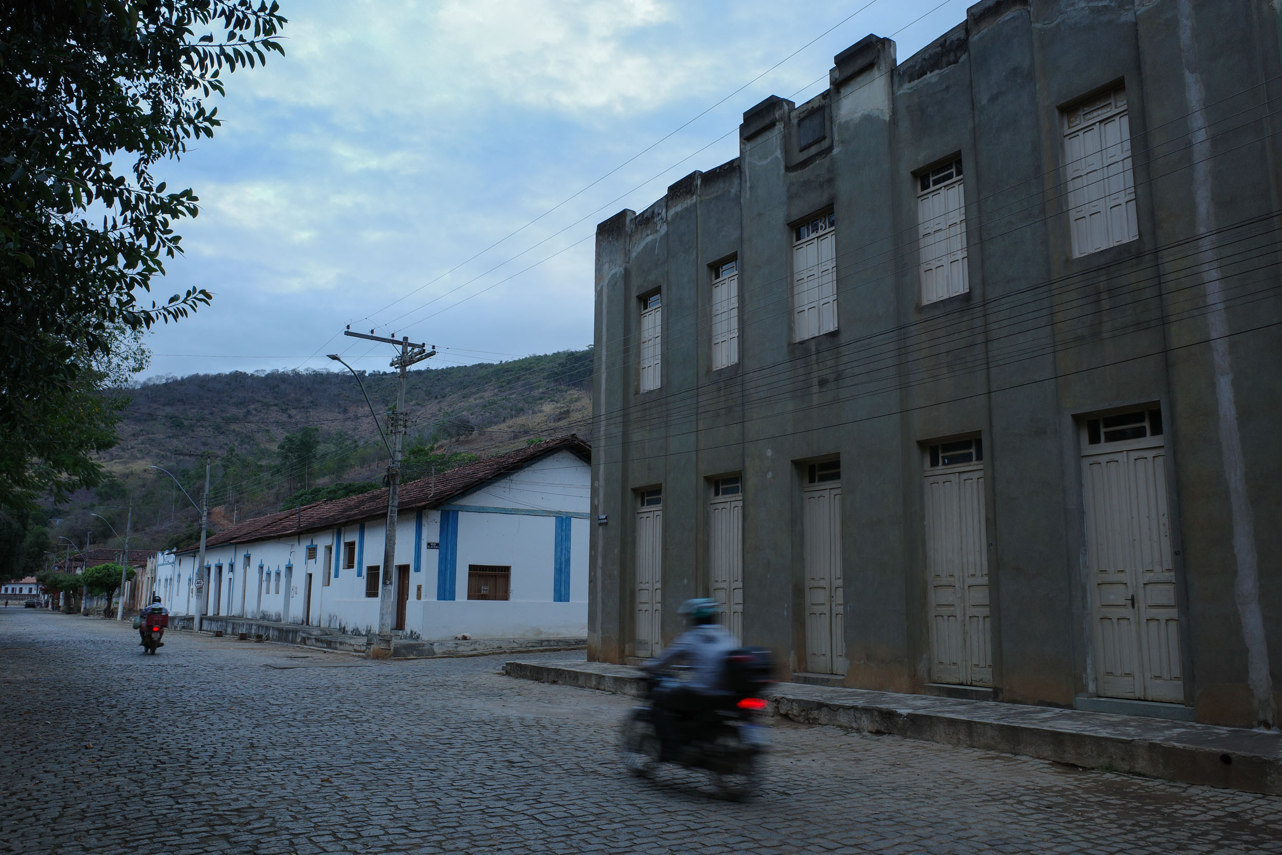
As the route leaves the Pontões, there are nice views of some of the most famous ones, the Pedra do Camelo and the Pedra Agulha for example. Then, coffee plantations and pastures are traversed on the way to the Doce River, which is crossed at the sleepy railway town of Itapina. This is a somewhat long day of riding, but it could be broken up in two by sleeping here. A bar owner, Elizeu, can rent affordable rooms. The town also has a museum and historic buildings, which hint at its past glory. The route to the south is quite hilly as it goes to São Roque do Canaã, which has two hotels.
locationSão Roque do Canaã – Santa Teresa
Day 5 (49.3 km +1,470m)
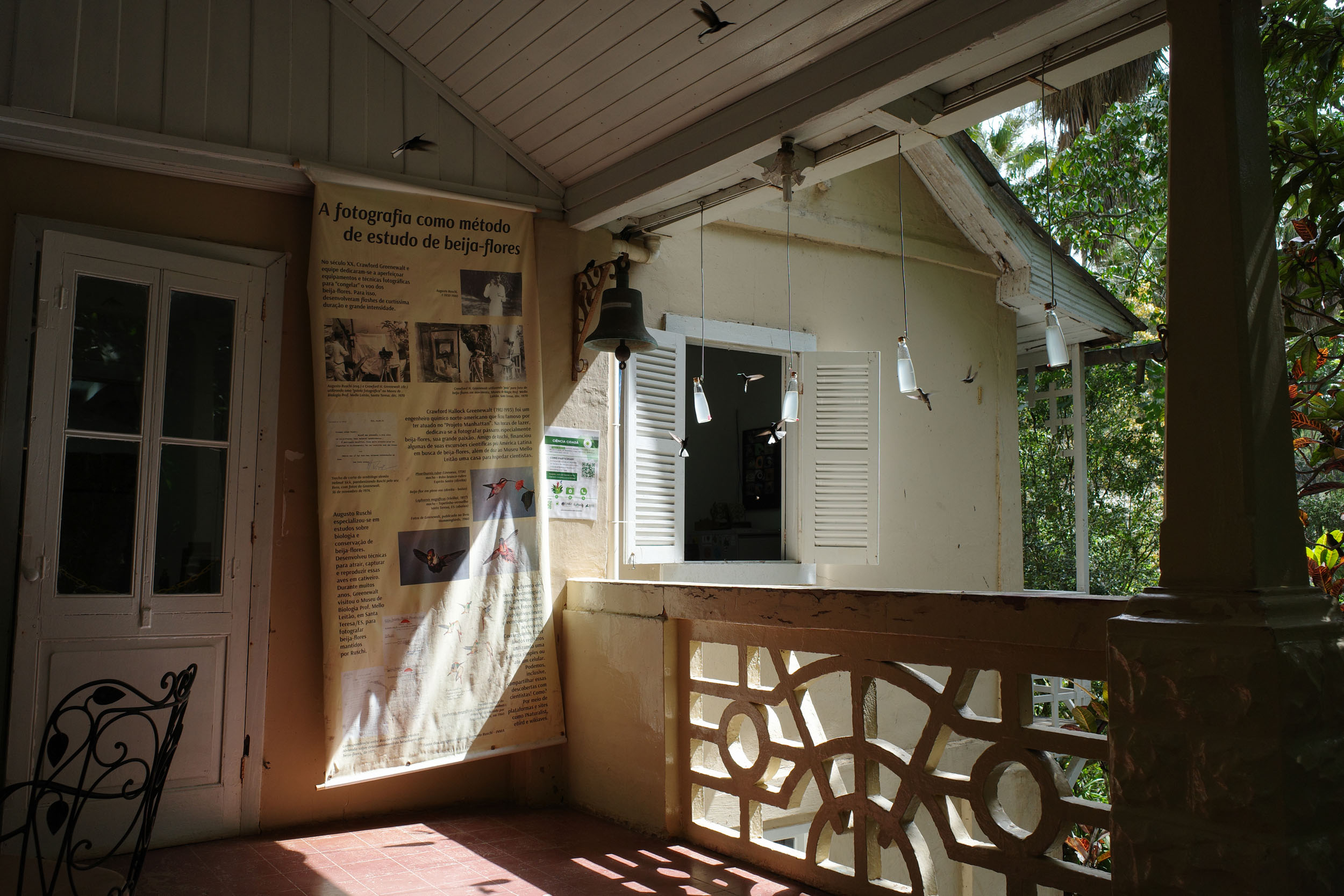
From there, the route climbs the central highlands of Espírito Santo. There is a section of steep and rough doubletrack to do so. It could be skipped by taking dirt roads south of Vinte e Cinco de Julho and then the ES-080 south to Santa Teresa or dirt roads further west to avoid the pavement. But these options would skip the Augusto Ruschi Biological Reserve, which the route reaches after climbing. The lush forest of the reserve is traversed by a dirt road. There is a campground before reaching the town of Santa Teresa, which has multiple lodging options and Italian restaurants. Another attraction is the Atlantic Forest Institute, which has a free museum and park (open every day except Monday), where there are wild animals, like marmosets and hummingbirds, but also caged ones.
locationSanta Teresa – Garrafão
Day 6 (60 km +1,272m)
The route keeps going south through logging areas and farmlands. The region is populated by descendants of German immigrants, many of them still speaking the Pomeranian dialect of Low German. The route reaches Garrafão, where there is lodging and camping at the Sítio Recanto da Pedra. There might be a few other options around. An alternative would be to try to bike all the way to Pedra Azul in one day, but it would be a long day with a lot of climbing. It would be more realistic to achieve this if sleeping in Santa Maria de Jetibá the night before, which has multiple lodging options and is a bit closer.
locationGarrafão – Pedra Azul
Day 7 (39.7 km +878m)
This is a somewhat short day of riding, so it is possible to arrive at Pedra Azul early and enjoy this massive rock formation under different lights. It was named for the bluish hue it can take on, but its color shifts throughout the day. Note that this is a very popular tourist attraction, not only because of its beauty, but also because it is conveniently located on the main highway heading inland from Vitória. The amount of tourists and the infrastructure built for them can feel over the top. If you can time yourself to visit on a weekday outside of holiday, the crowds will be smaller and the experience more enjoyable. There is a campground and multiple lodging options.
locationPedra Azul – Castelo
Day 8 (46.4 km +680m)
The Pedra Azul is part of a state park, with a nice 3.5-km hiking loop that leads to natural pools and beautiful viewpoints. It is open every day except Monday. It is free and trail entry is allowed between 8:00 and 13:00. There is a maximum number of hikers allowed daily, so it is better to reserve online, but the system is not open to foreigners. If you arrive early and explain your situation, the employees are usually kind enough to let you in without a reservation. You can leave your bike at their headquarters. The route then heads south to the Forno Grande State Park, which is much less touristy. It is centered around an impressive conical mountain and has trails leading to cachoeiras with natural pools. There is then a thrilling descent among coffee and banana plantations to reach the town of Castelo, which has hotels and a hostel/campground. Castelo was included in the route because it is a convenient place to sleep and resupply. An alternative to skip the urban area and its pavement, is to bypass it through dirt roads to the north.
locationCastelo – Piaçu
Day 9 (50.1 km +1,341m)
The route turns northwest toward the Vale do Emboque. Before reaching this impressive valley, there is a restaurant, where the owners let cyclists camp. The road afterward is beautiful, nestled between steep rock walls on both sides. It reaches the rural settlement of Monforte Frio, which is also quite scenic. Finally, the route descends to Piaçu, where there is one pousada.
locationPiaçu – Irupi
Day 10 (52.2 km +1,534m)
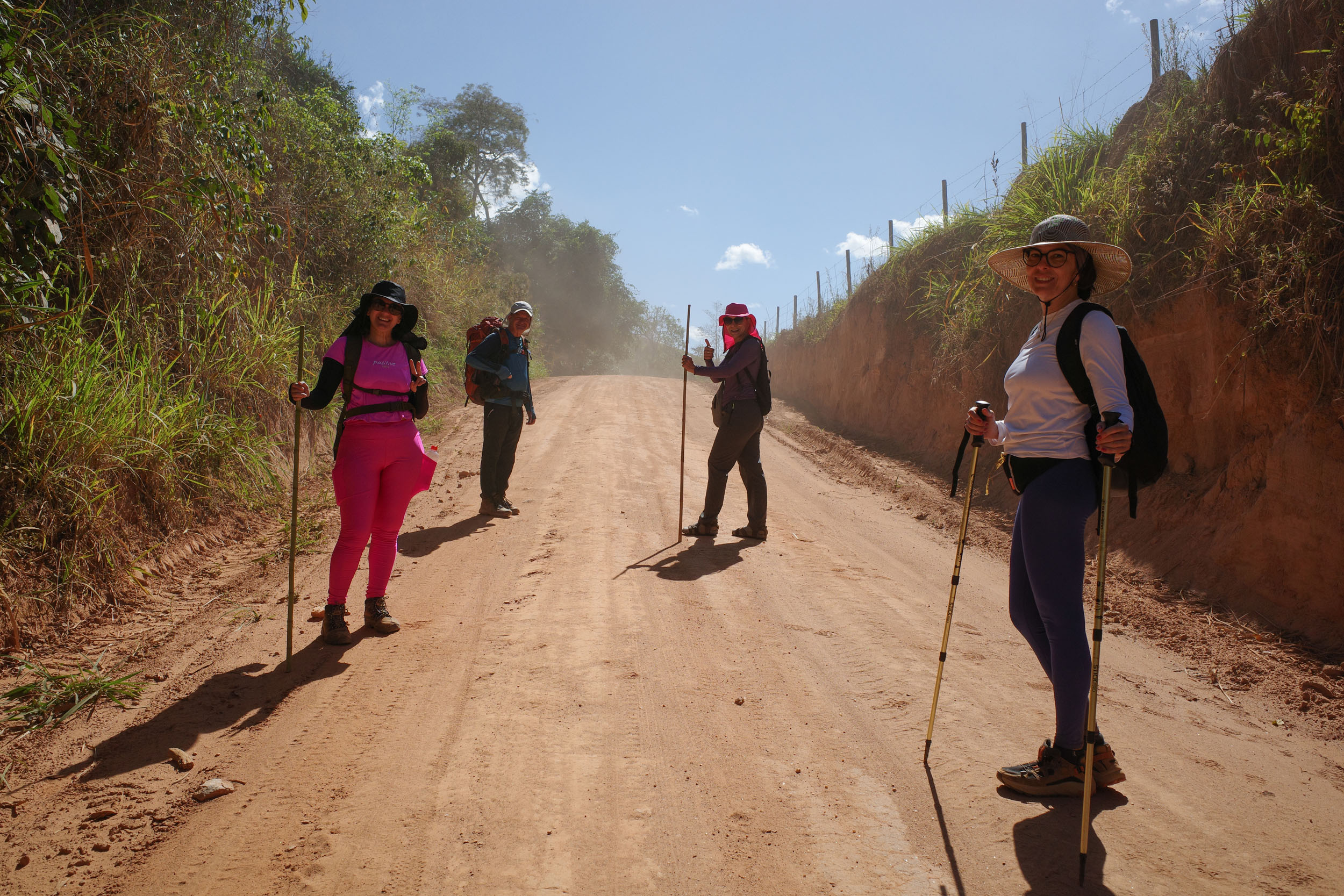
Past Piaçu, the route climbs a steep road toward the Pico do Colossus to reach the highest altitude of this segment, more than 1,300 meters. It then descends to Iúna, where lodging is available. It continues west on dusty dirt roads through coffee plantations to arrive in Irupi, where there are two pousadas. There is also a campground past the town, and a bit further a pousada, Estância Caparaó, which can also let cyclists camp if contacted in advance.
locationIrupi – Alto Caparaó
Day 11 (40.1 km +1,022m)
The route heads west toward the Serra do Caparaó, with the imposing Pico da Bandeira at its center. As the route curves around the northern edge of the Caparaó National Park, it goes through a private property with a locked gate marked on a map. The owners are friendly, and they let cyclists pass through by lifting their bikes over an adjacent ledge. It could be bypassed by a short detour on the BR-262 highway. The route then goes south and follows the western edge of the national park. In the community of Rio Claro, there are pousadas and campgrounds. A nice side trip here is to take the dirt road going up toward the mountains to visit a series of waterfalls with natural pools, such as the Poço do Egito and the Cachoeira do Rogério. At the end of the road, there is a nice trail leading to the Poço das Antas, which is a beautiful natural pool in the forest, with emerald and turquoise water. Access is paid at the trailhead (R$40), and you can leave your bike with the landowners there. Back on the route, the town of Alto Caparaó, in Minas Gerais, is reached. There are multiple pousadas and campgrounds there.
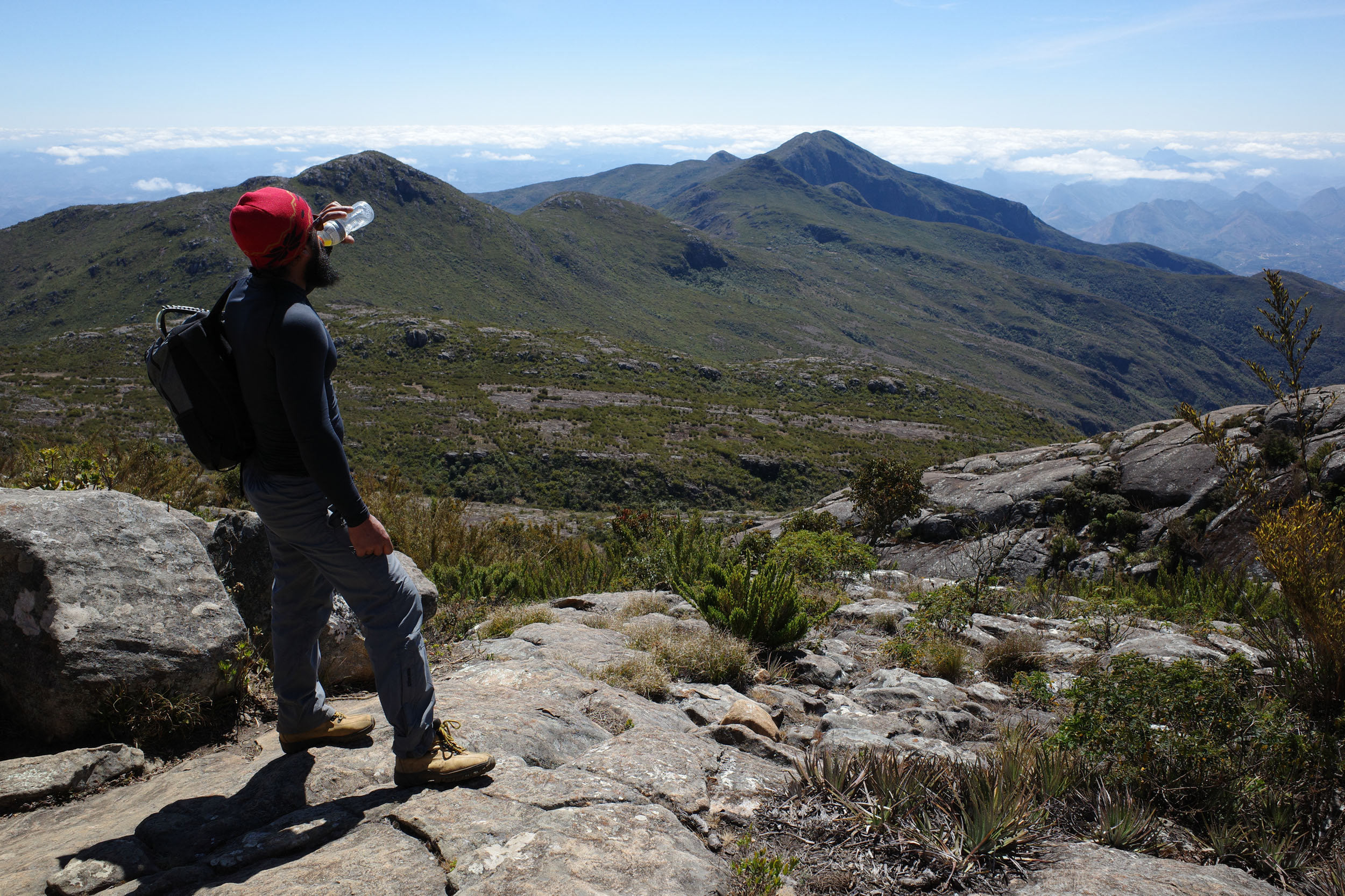
It is recommended to take a day off here to climb the Pico da Bandeira, the third highest mountain in the country. It is not a technically difficult hike. Actually, it is a very popular one, so it might be worth it to time yourself to do it on a weekday outside of holidays to avoid crowds. The national park’s entrance is nearby and can be reached by bike. Entry is free. The park is open every day except Wednesday. Hikers going to the summit as a day hike must register at the entrance between 7:00 and 9:00. They need to show that they have one headlamp or flashlight per person. Bikes are not allowed past this gate, but they can be left with the staff. It is possible to start the hike here or pay a jeep to bring you to Tronqueira halfway up (and back down from there if you wish). Geninho is one driver offering this service (+55 32 98421-5529). There are campgrounds on the mountain, but they need to be reserved online.
locationAlto Caparaó – Carangola
Day 12 (60.3 km +566m)
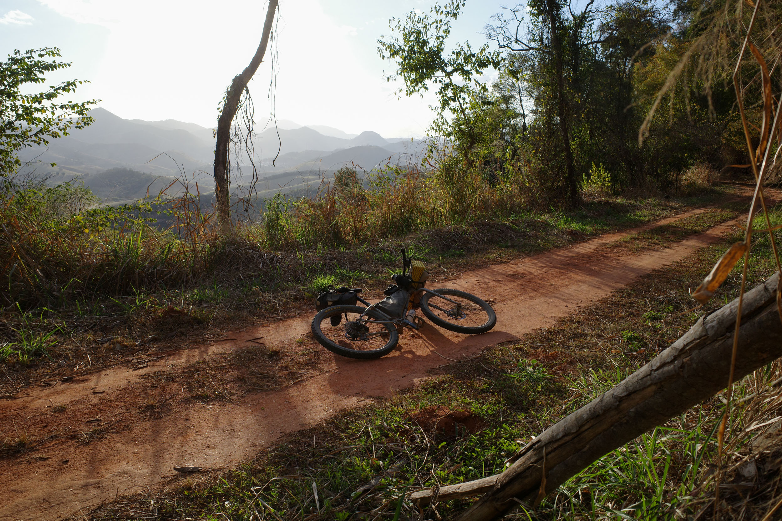
Past Alto Caparaó, the riding is straightforward and mostly downhill. The route crosses two towns with lodging, Espera Feliz and Caiana. It follows the Caminho da Luz pilgrimage route. The nicest section is east of Carangola, on an abandoned railway turned into forest doubletrack and a bit of easy singletrack. There are scenic views of the hills to the west, especially at sunset. Then, the route reaches Carangola, which has a few hotels.
locationCarangola – Itaperuna
Day 13 (82.9km +1,042m)
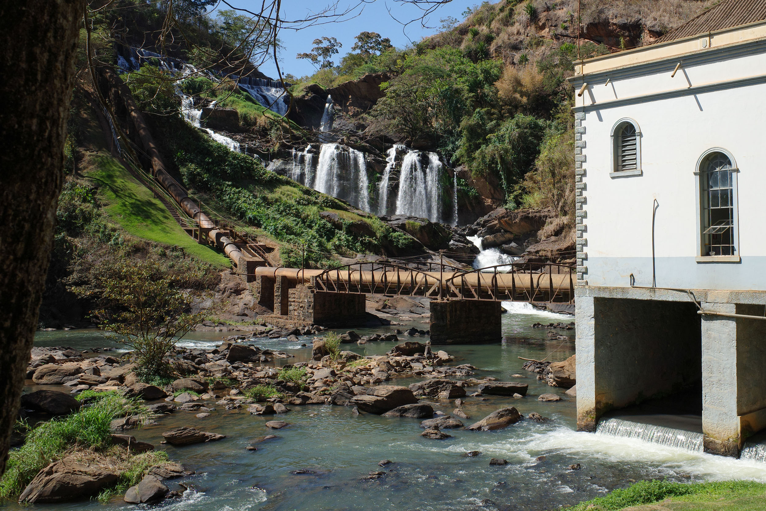
The route goes south along the Carangola River and traverses a few towns with lodging, including Tombos, which also has a waterfall. Eventually, the route crosses into Rio de Janeiro and the town of Itaperuna is reached. It is a midsize city with multiple lodging options. Itaperuna was included in the route because it is a convenient place to sleep and resupply. An alternative to skip the urban area and its pavement, is to bypass it through dirt roads to the north.
locationItaperuna – São Fidélis
Day 14 (81.2 km +947m)
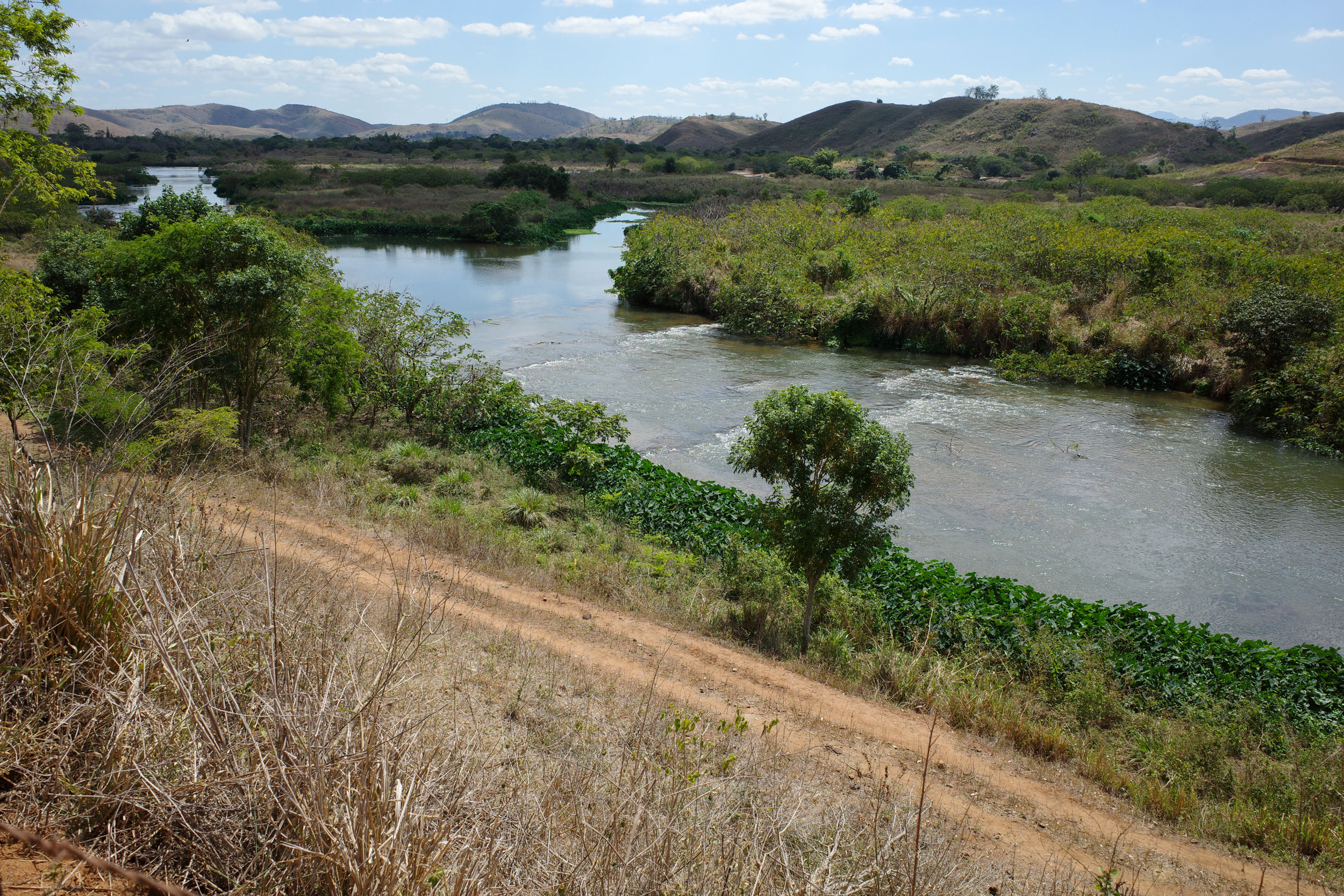
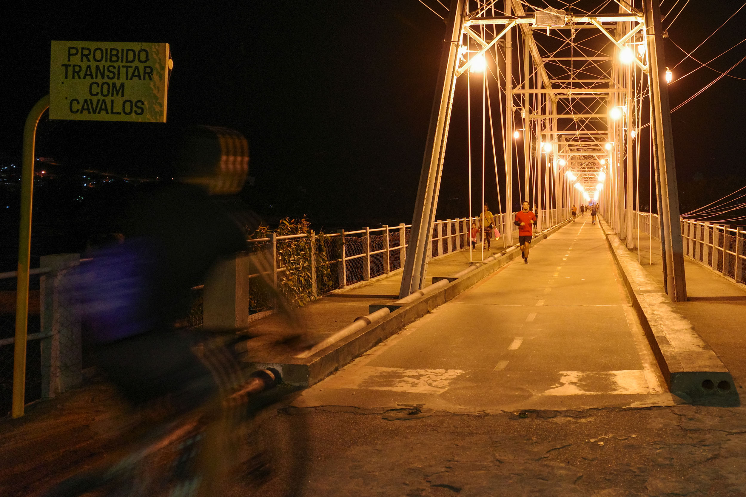
Here, the route follows the Muriaé river and then some hilly pastures to reach the Morro São Cosme, where there are nice views of the great Paraíba do Sul do Sul River, especially at sunset. A bridge for pedestrians and cyclists crosses the river, and the segment ends in the town São Fidélis, which has a few hotels.
Additional Resources
- The Vale Natural Reserve’s website has information on how to visit.
- The Sooretema Biological Reserve’s website shows opening hours.
- The Pedra Azul State Park’s website has information on how to visit.
- The Forno Grande State Park’s website has information on how to visit.
- The Rota Imperial is a touristic route based on a historic road between Vitória and Ouro Preto in Minas Gerais. It partly coincides with the bike route.
- The Caparaó National Park’s website has information on how to climb the Pico da Bandeira and camp there.
- The Caminho da Luz is a pilgrimage route between Tombos and the Pico da Bandeira. It partly coincides with the bike route.
- Wikivoyage has a partial list of bus companies and their bike policy.

Terms of Use: As with each bikepacking route guide published on BIKEPACKING.com, should you choose to cycle this route, do so at your own risk. Prior to setting out check current local weather, conditions, and land/road closures. While riding, obey all public and private land use restrictions and rules, carry proper safety and navigational equipment, and of course, follow the #leavenotrace guidelines. The information found herein is simply a planning resource to be used as a point of inspiration in conjunction with your own due-diligence. In spite of the fact that this route, associated GPS track (GPX and maps), and all route guidelines were prepared under diligent research by the specified contributor and/or contributors, the accuracy of such and judgement of the author is not guaranteed. BIKEPACKING.com LLC, its partners, associates, and contributors are in no way liable for personal injury, damage to personal property, or any other such situation that might happen to individual riders cycling or following this route.
Further Riding and Reading
Here are some connected/nearby routes and related reports...


Please keep the conversation civil, constructive, and inclusive, or your comment will be removed.