


Montanas Vacias (Empty Mountains)
Distance
422 Mi.
(679 KM)Days
8-9
% Unpaved
80%
% Singletrack
1%
% Rideable (time)
99%
Total Ascent
42,130'
(12,841 M)High Point
6,630'
(2,021 M)Difficulty (1-10)
7?
- 7Climbing Scale Strenuous100 FT/MI (19 M/KM)
- -Technical Difficulty
- -Physical Demand
- -Resupply & Logistics
Contributed By

Ernesto Pastor
Guest Contributor
Ernesto pastor created and maintains the Montanas Vacias bikepacking route. Follow the route and Ernesto on Instagram @montanasvacias.
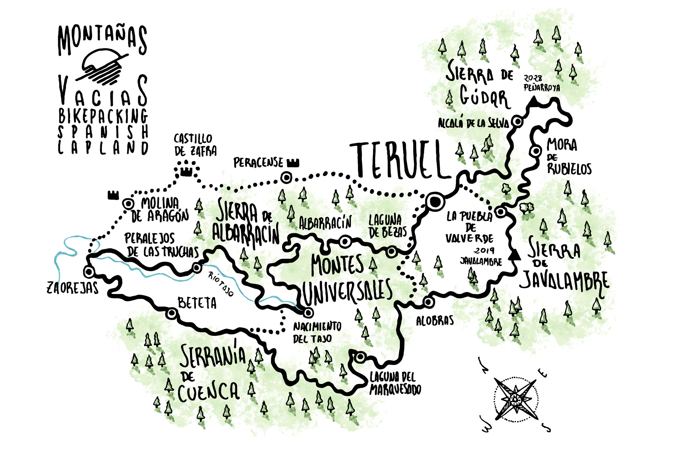
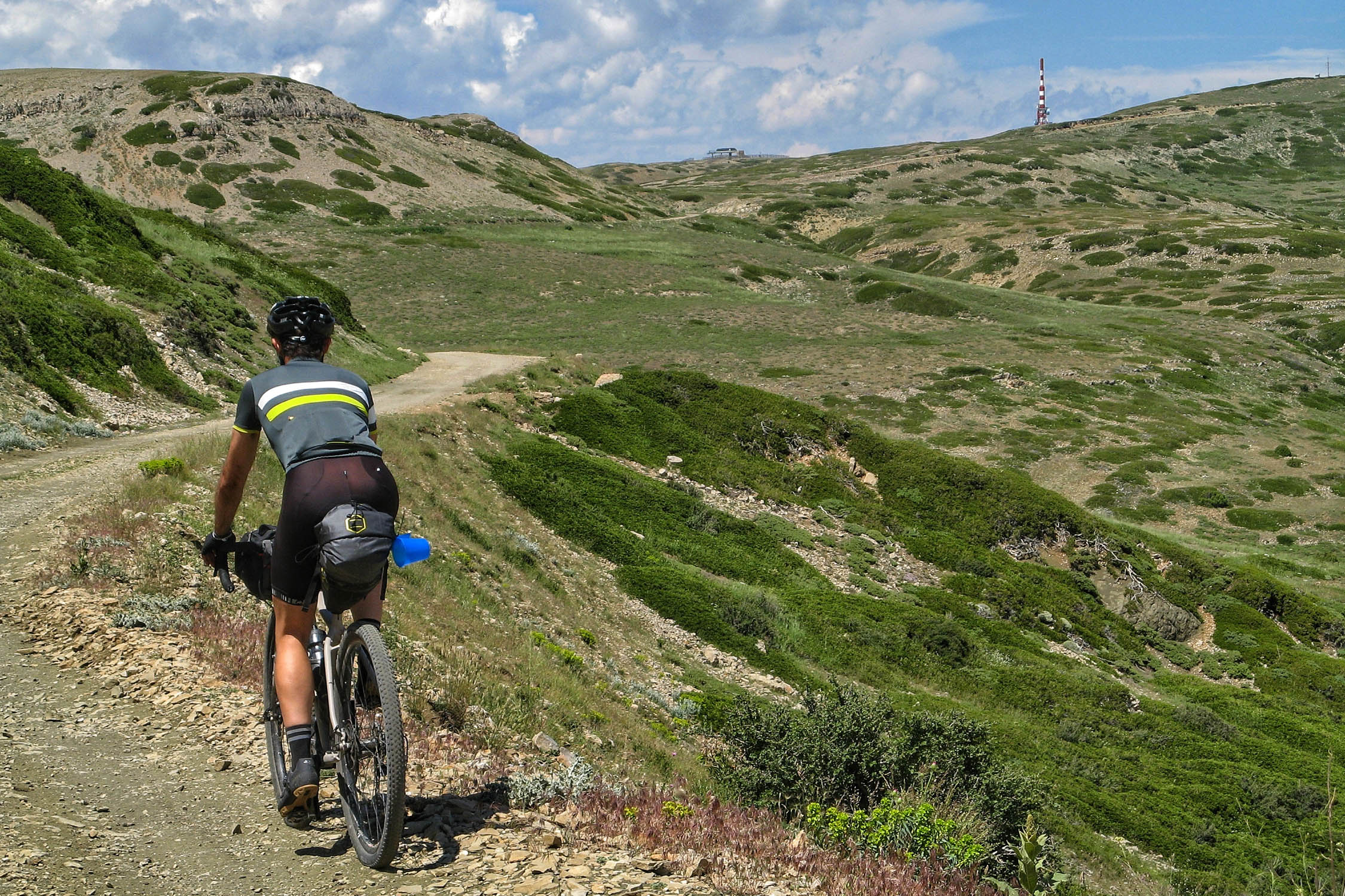
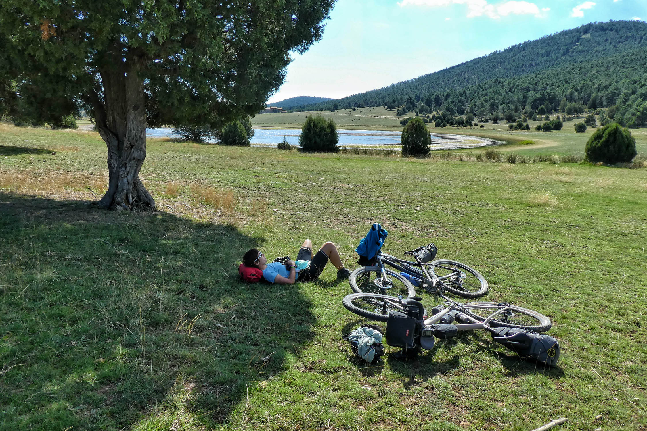
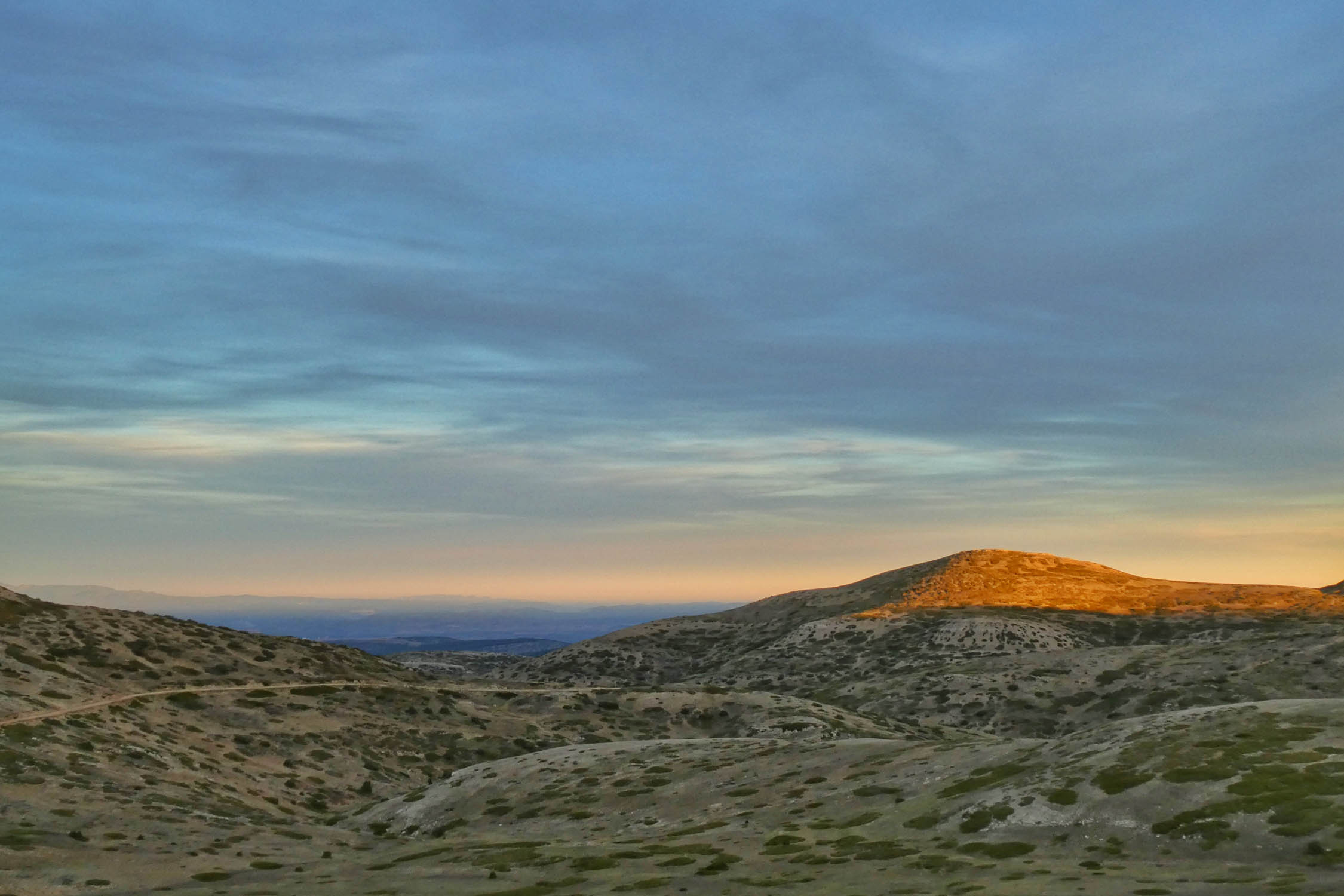
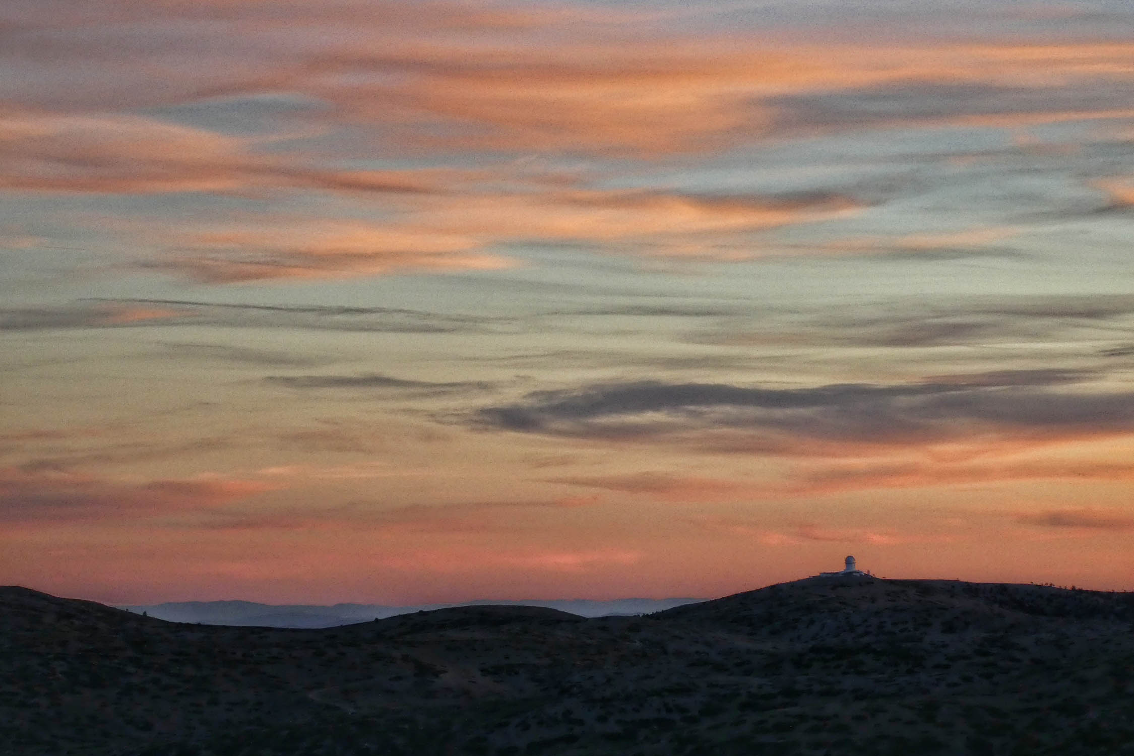
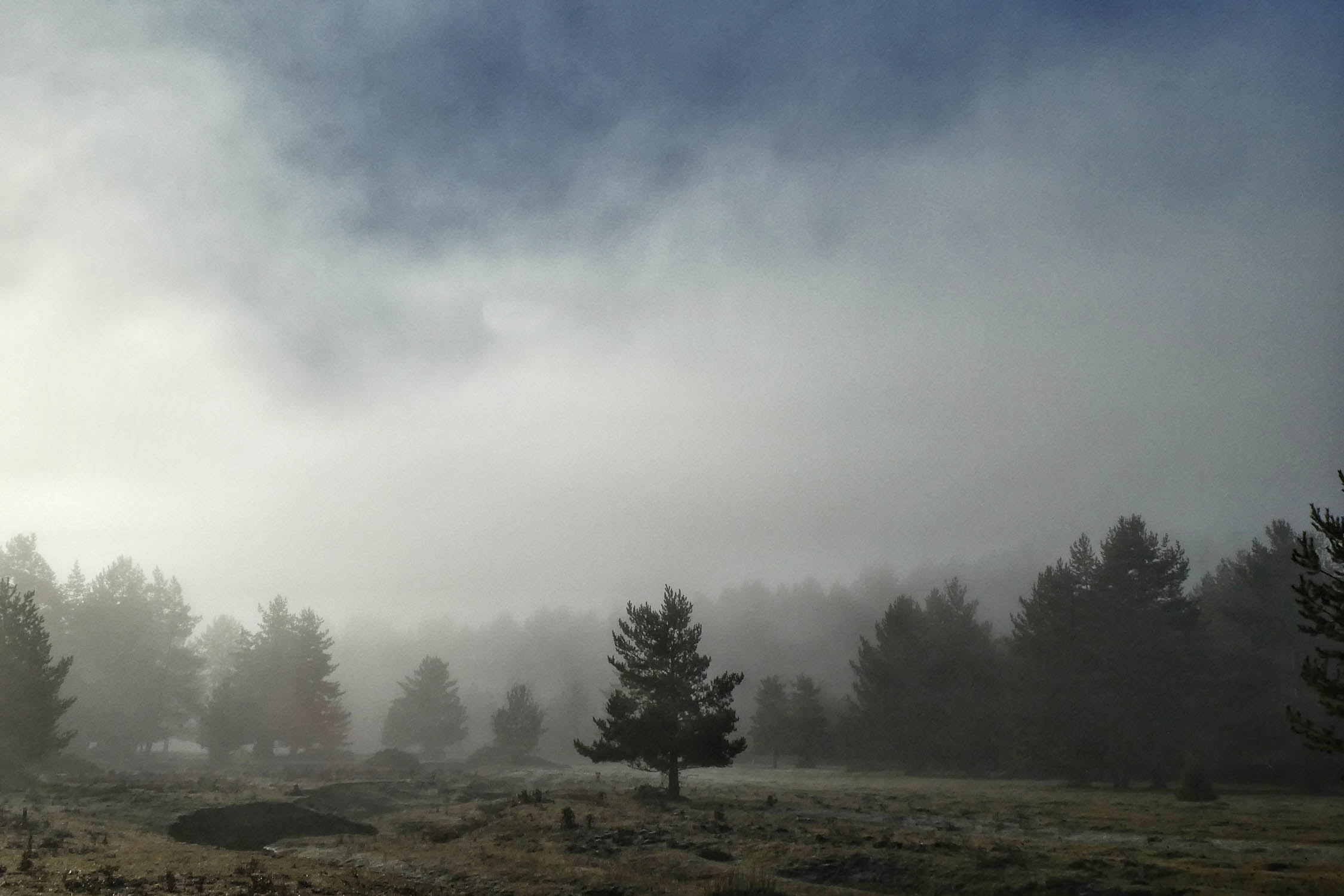
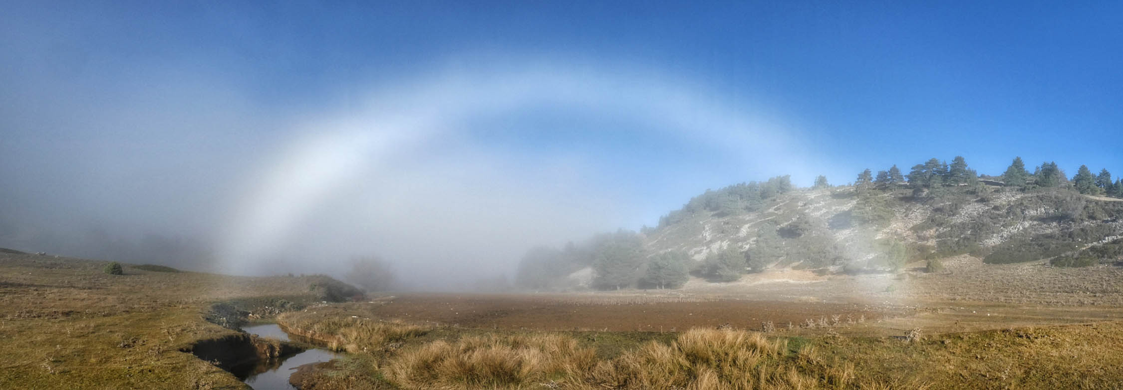
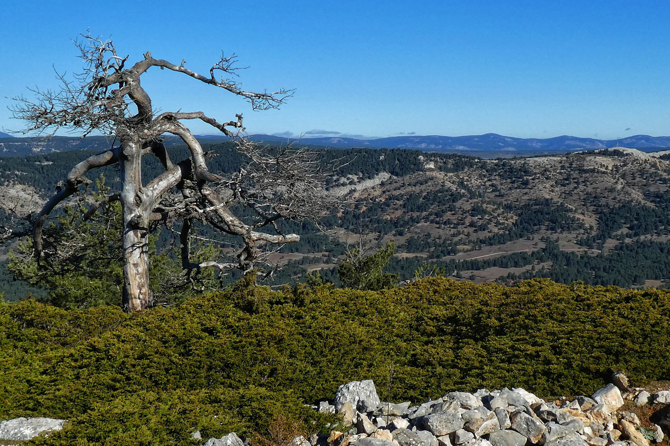
The Serranía Celtibérica, known as the Spanish Lapland, is an expanse in central Spain that makes up 13% of the country’s total area. At the heart of this region is the Montes Universales, an area inhabited by less than one person per square kilometer.
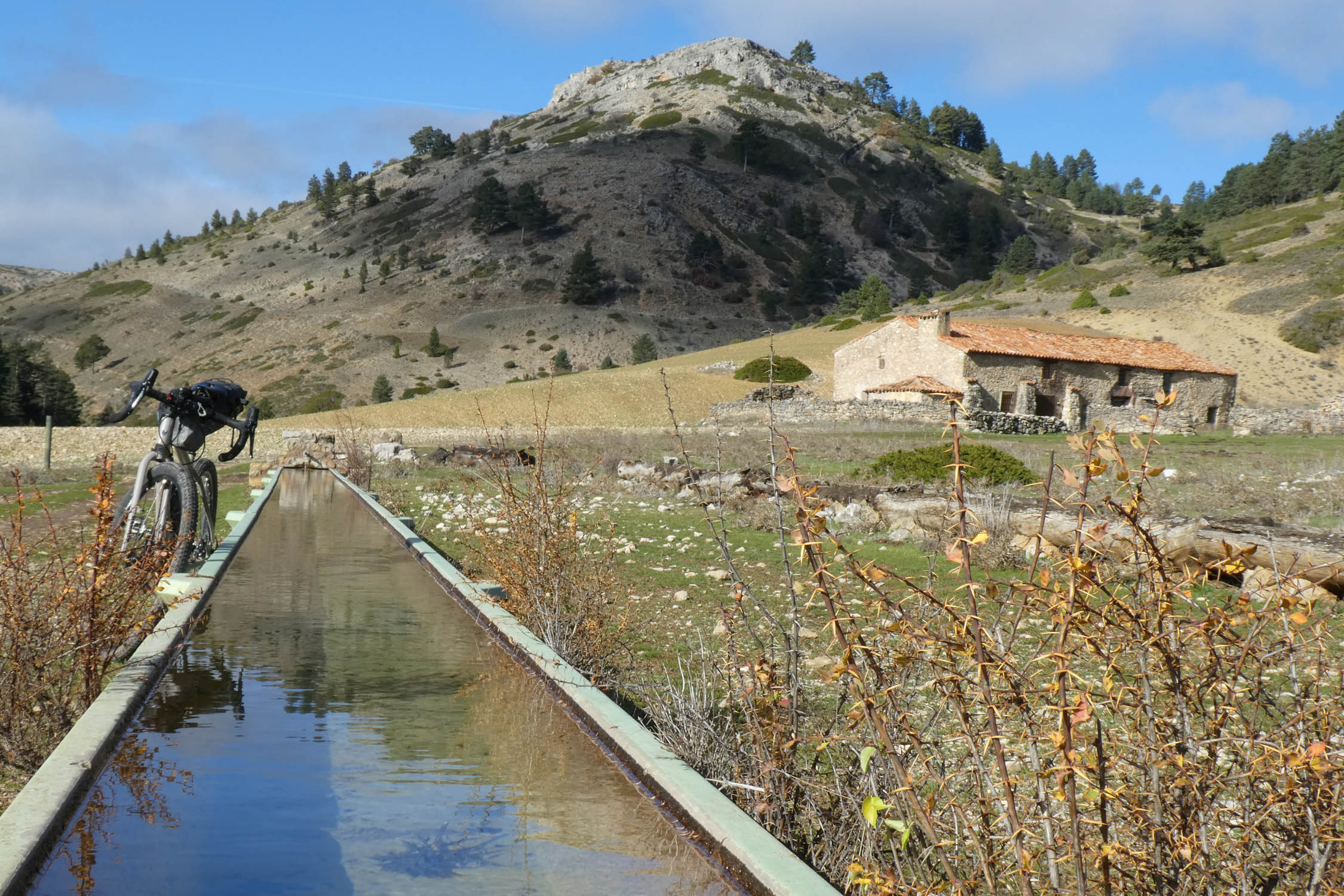
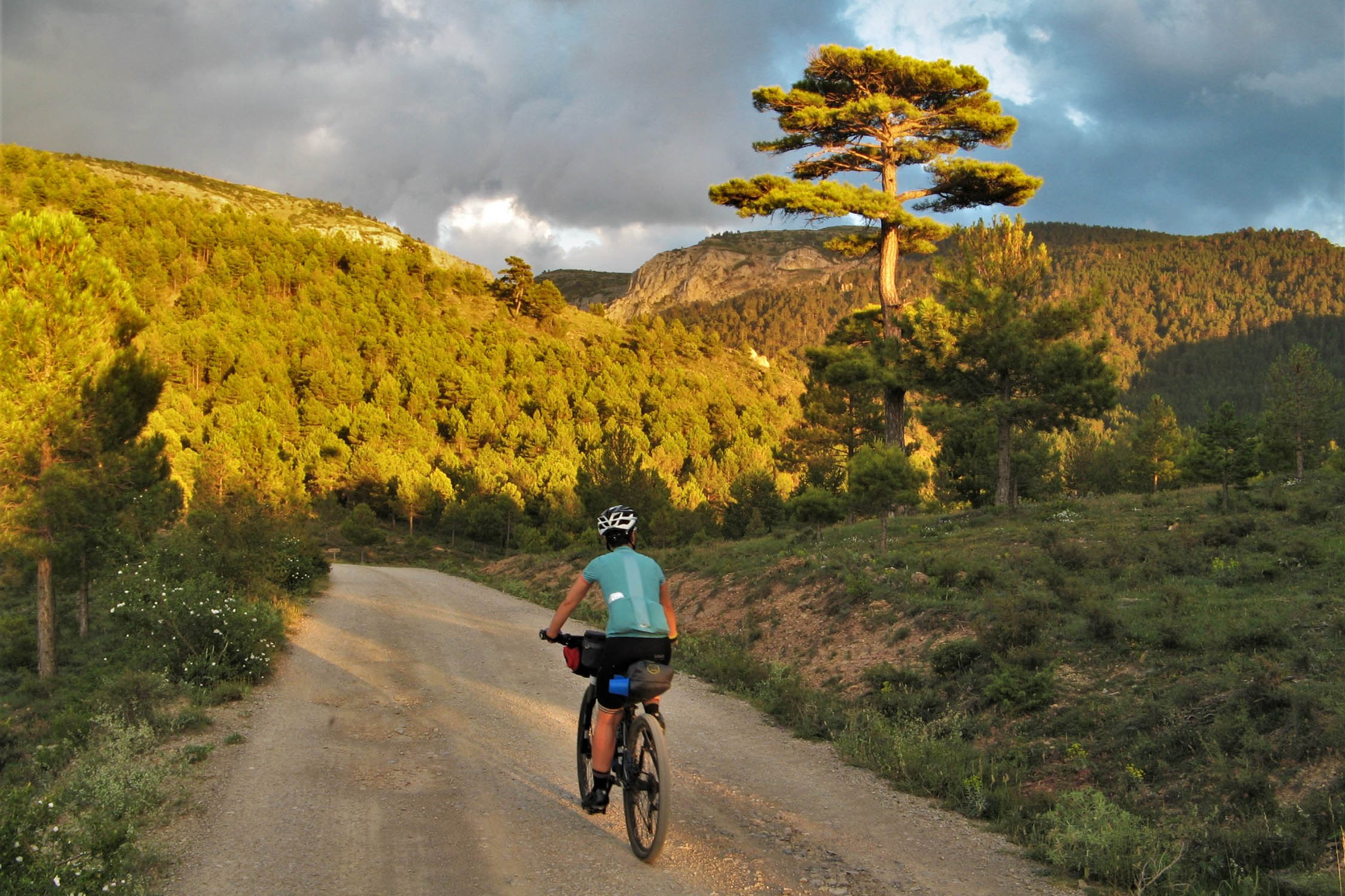
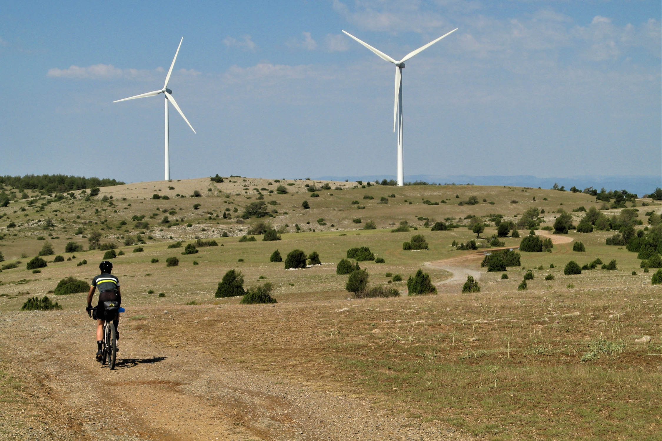
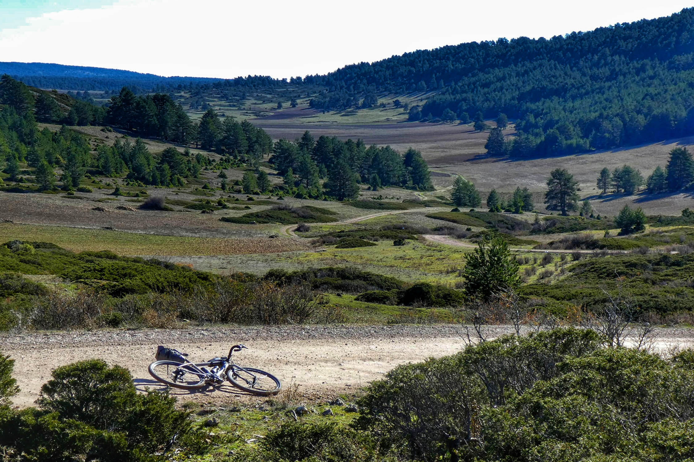
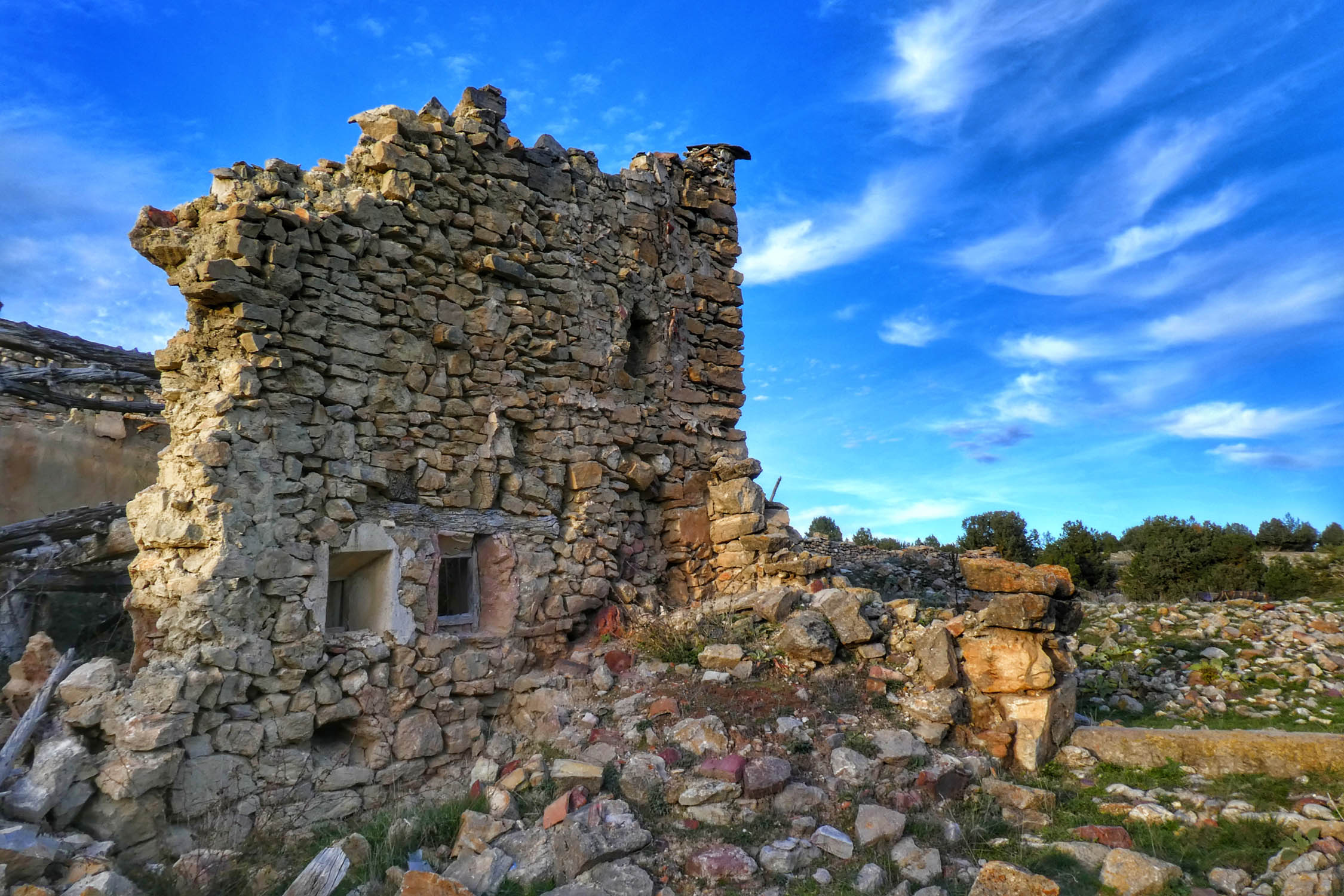
Along the route, riders will experience an array of medieval villages, natural parks, high plateaux, and infinite pine forests. It’s a far cry from the bustling mediterranean image many visitors have of Spain.
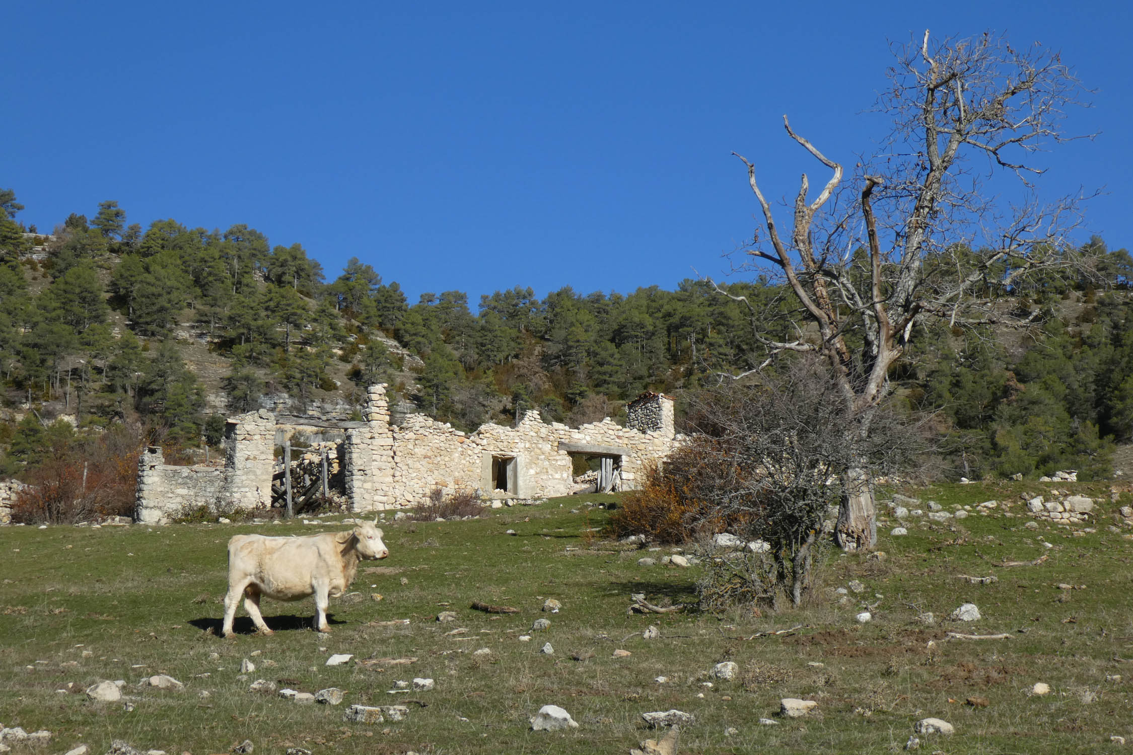
As beautiful as it is to ride through, it’s important the experience isn’t overly romanticized. Spanish Lapland is facing many serious issues, including a slowly disappearing way of life and a dwindling population that is migrating out of the area toward more developed hubs.


Difficulty
Montañas Vacías follows gravel forest roads and doubletracks in remote mountain areas. It’s rated a 7 out of 10 in terms of overall difficulty as there are some physically demanding sections, including a couple of short and easy hike-a-bike sections that link gravel roads. The main difficulties of the route are its isolation and elevation gain. You will ride one of the least densely populated areas in Europe, so you will have to carefully plan your resupply points. In addition, there are no public transport options within the route, though there are plenty of possible shortcuts. The breakdown for difficulty is as follows: Overall difficulty: 7 / Technical difficulty: 5 / Physical demand: 7 / Resupply and Logistics: 8
Route Development: The two main inspirations for this route are the Torino-Nice Rally and the CAT700, both of which are challenging in their own right. However, Montañas Vacías is less structured, and can be considered as an “open route”, no specific date. You can choose when to do it and with whom, hopefully with a philosophy of adventure, friendship, culture, and gastronomy. To access the full route guide as a PDF, along with updated information about the route, gpx files, and waypoints, visit MontanasVacias.wordpress.com


Submit Route Alert
As the leading creator and publisher of bikepacking routes, BIKEPACKING.com endeavors to maintain, improve, and advocate for our growing network of bikepacking routes all over the world. As such, our editorial team, route creators, and Route Stewards serve as mediators for route improvements and opportunities for connectivity, conservation, and community growth around these routes. To facilitate these efforts, we rely on our Bikepacking Collective and the greater bikepacking community to call attention to critical issues and opportunities that are discovered while riding these routes. If you have a vital issue or opportunity regarding this route that pertains to one of the subjects below, please let us know:
Highlights
Must Know
Camping
Food/H2O
Trail Notes
Resources
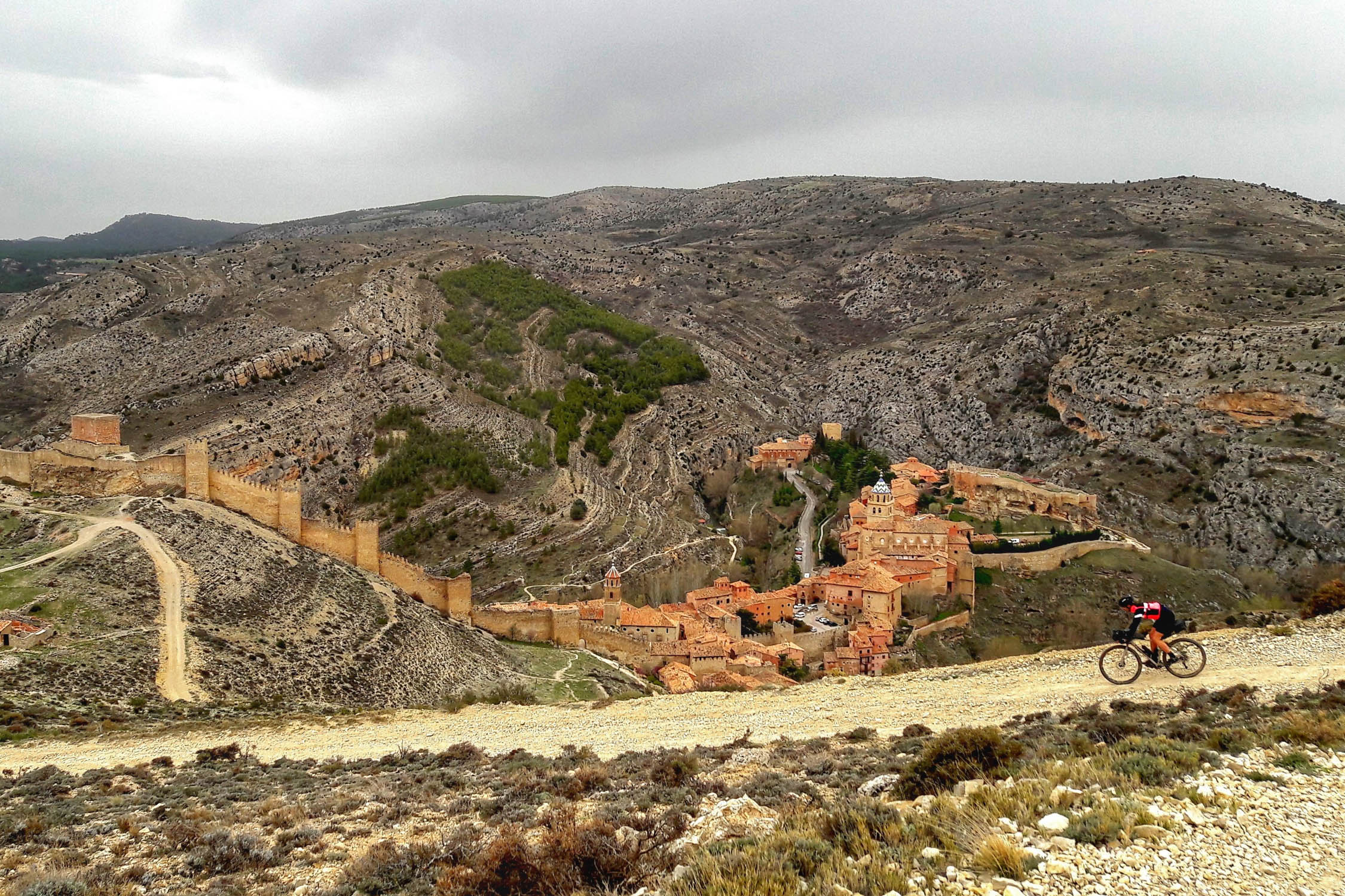
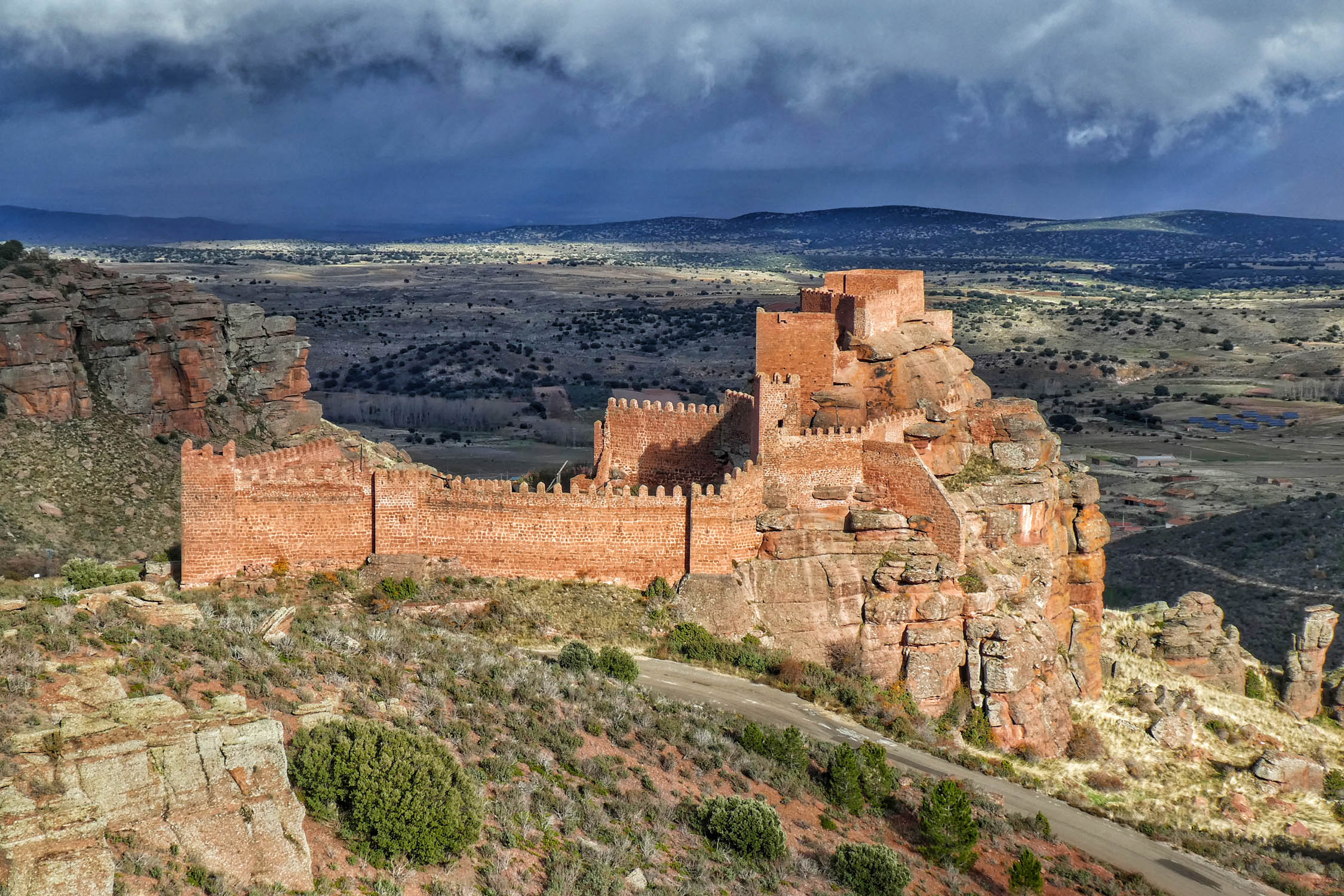
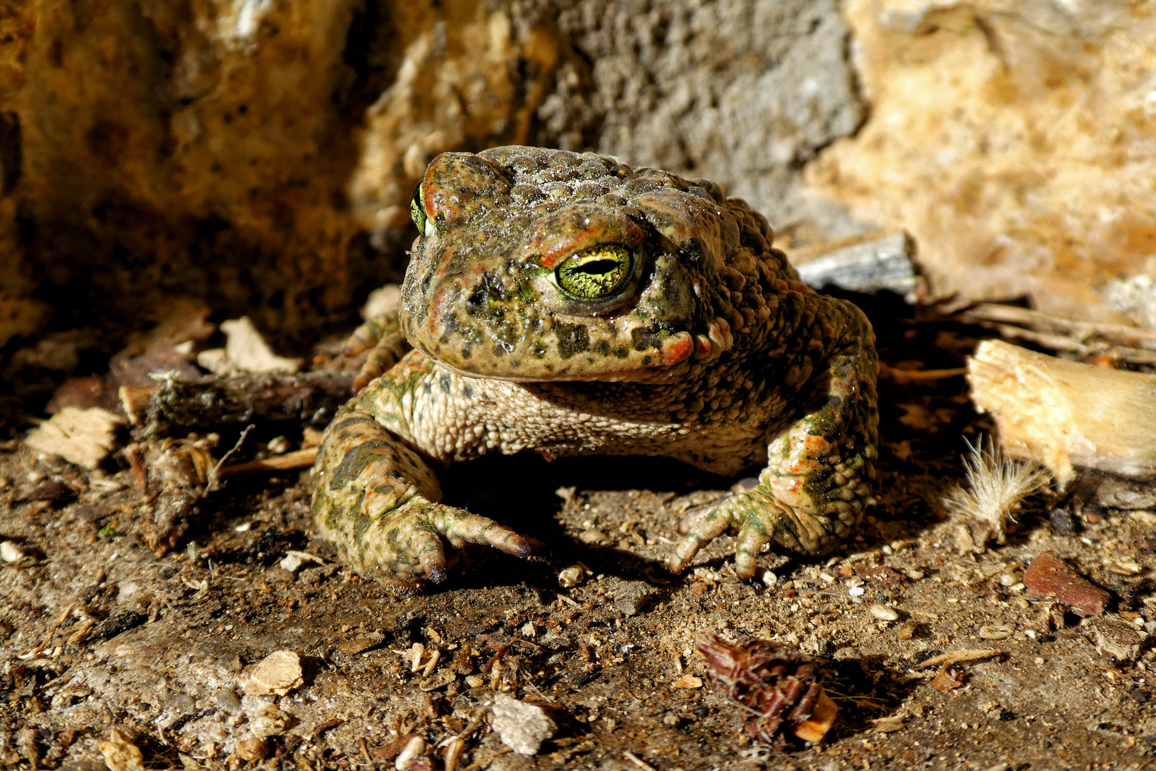
- Getting lost in the narrow alleyways of the Albarracín, one of the most beautiful medieval villages in Spain, a destination for climbers from all over the world.
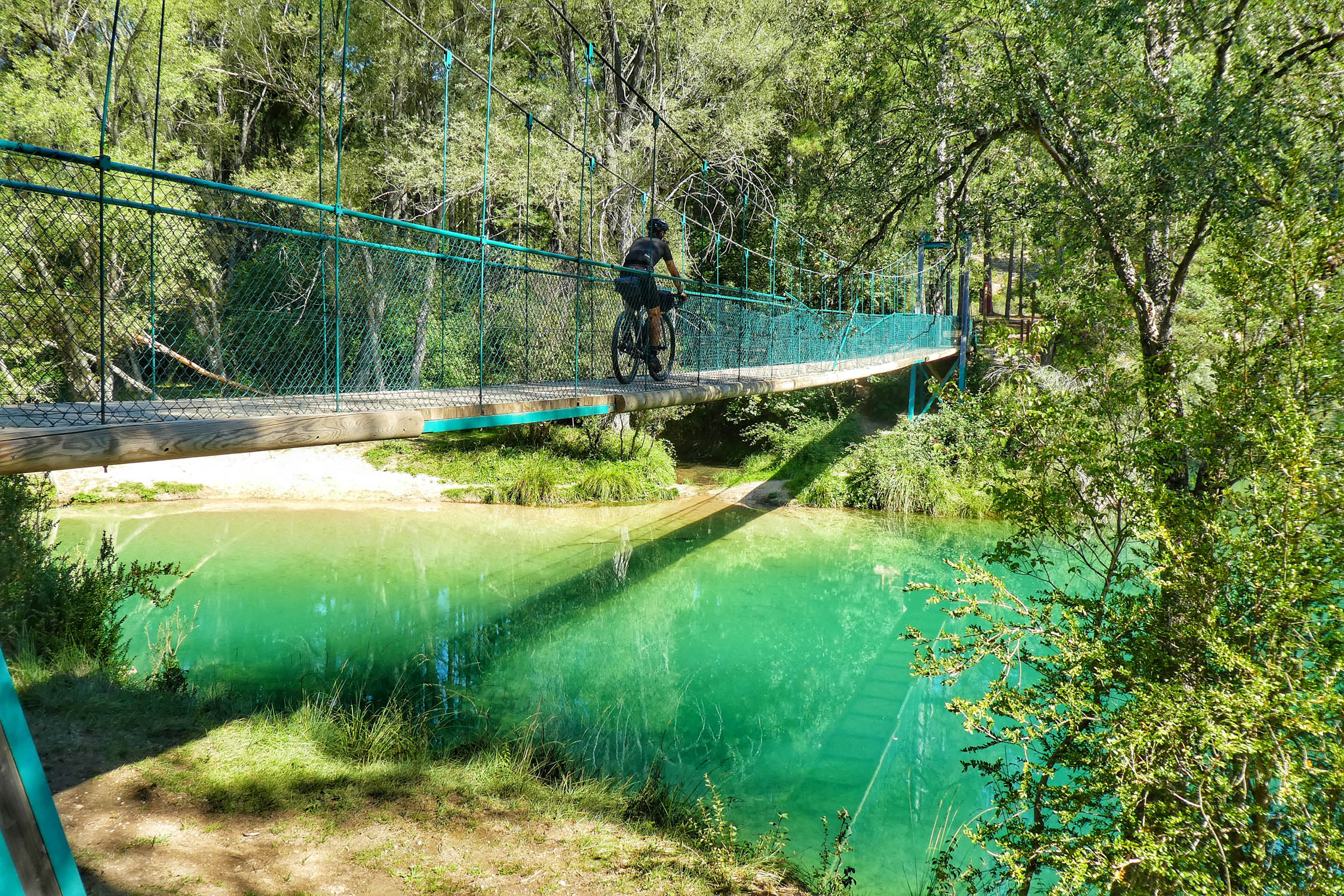
- Discovering the River Tajo and its deep canyons and turquoise waters with plenty of spots for an icy bath.
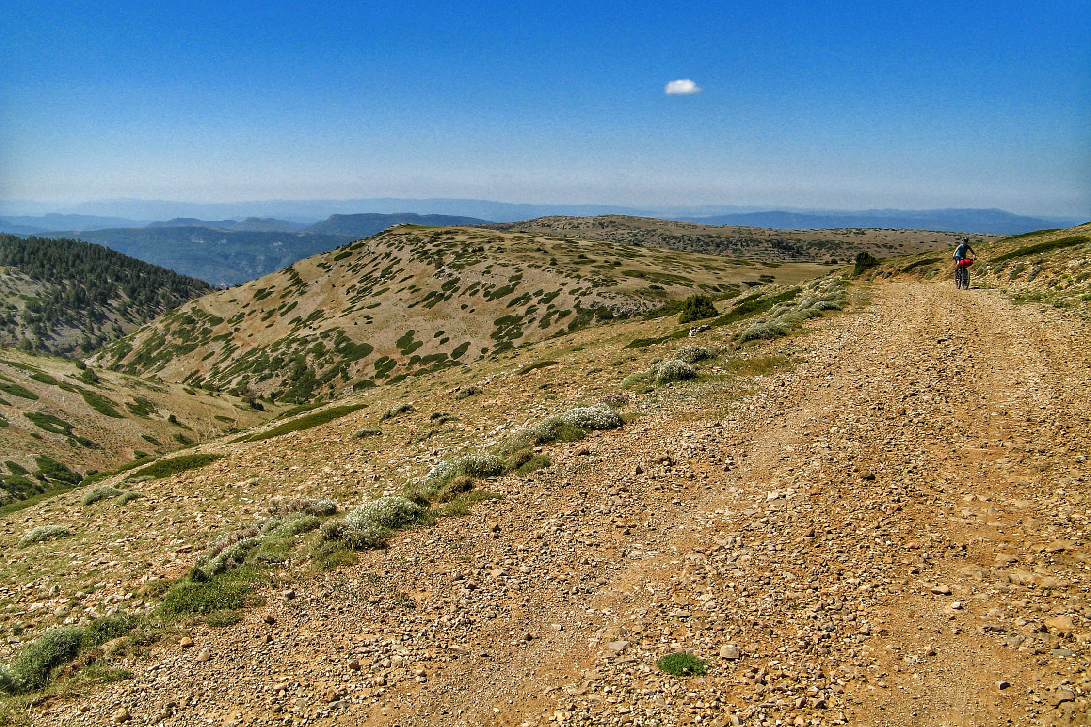
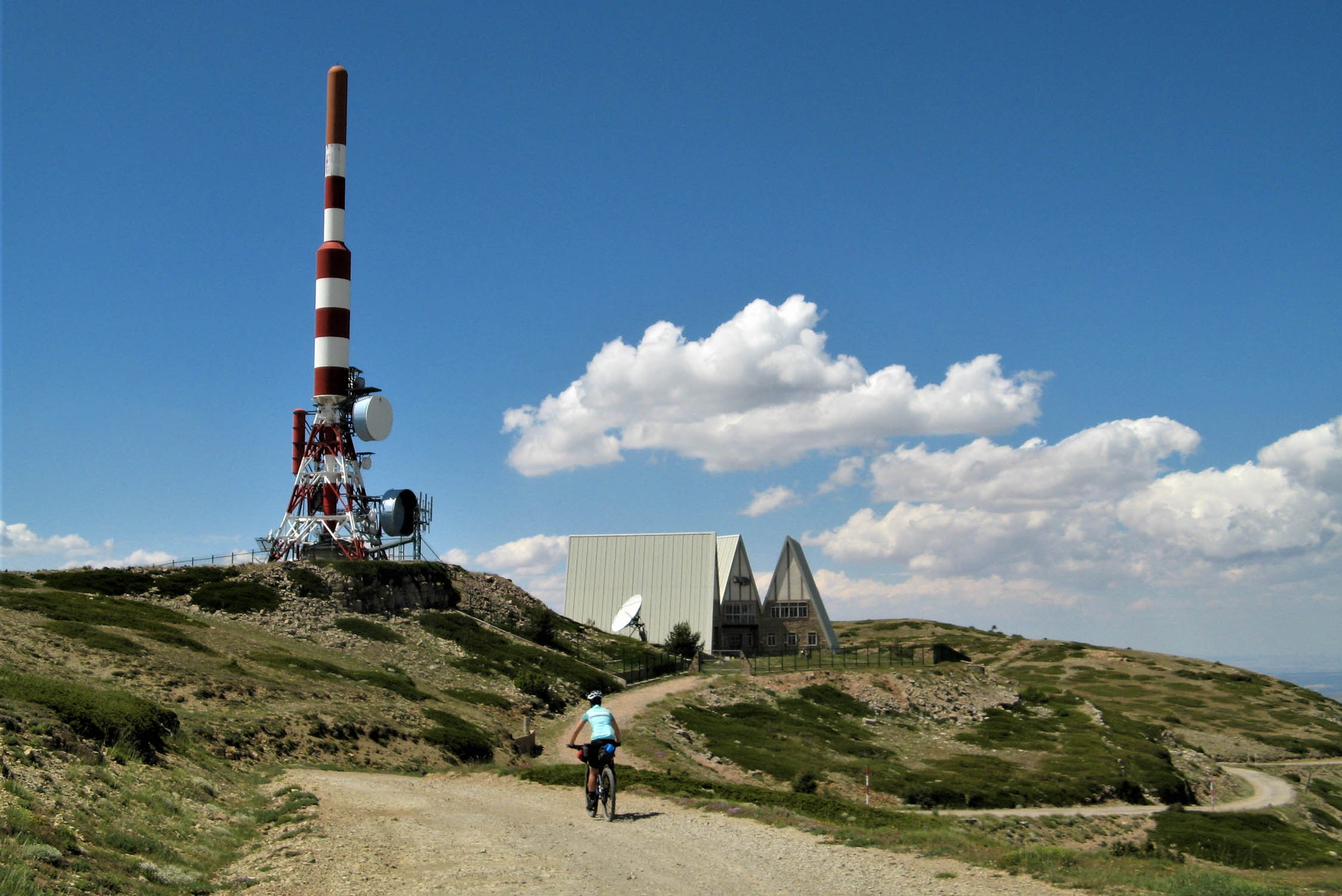
- Exploring the isolated and breathtaking plateau of Javalambre, over 1800m high.
- Feeling the bittersweet solitude of an area with around one inhabitant per square kilometre.
- One of the cleanest skies in all of Spain. The population scarcity and the small number of airlines that cross the area mean minimal light pollution, so you will enjoy breathtaking nights under starry skies.
- The scarcity of resupply points contrasts with the quality of home-cooked food you will find in villages like Bronchales, Mora de Rubielos, Peralejos de las Truchas or Beteta.
When to go
- Climate is another point to take into account. You’ll be at over 1500m altitude most days, reaching 2000m in a couple of sectors. Keep in mind that things can go wrong up there. The most reliable seasons for the ride are spring and autumn. In summer, daytime temperatures can exceed 30ºC and go down to 3ºC degrees at night. And there are regularly surprise storms. Winter could offer an experience closer to the real Lapland, with temperatures reaching as low as -15ºC.
- The route crosses two ski resorts, so if riding in winter you will likely encounter detours. Taking some asphalt shortcuts will likely be necessary.
Logistics
- Best way to arrive to Teruel carrying a bike is by car. However, there are three or four trains every day to Valencia and Zaragoza. It takes around three hours to get to either city, and it’s possible to bring bikes on those trains.
- By plane, you should fly to Valencia or Zaragoza airports.
- There’s only one bike shop on the whole route, in Teruel. Take that into account.
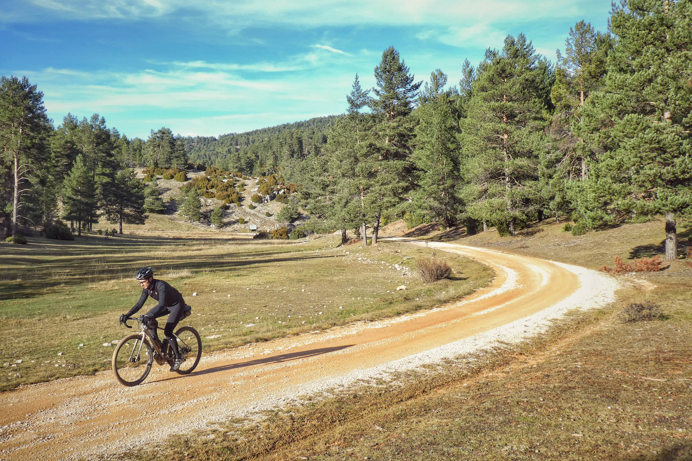
Bike Selection
- There’s no perfect bike for the route, as you will encounter a variety of terrain. However, a gravel or mountain bike would be a good bet for the route’s gravel roads and doubletrack trails. Whichever you choose, low gearing is recommended.
- Riders on ~42mm gravel tyres may need to do the occasional hike-a-bike, whereas riders on mountain bikes may find long gravel road stretches somewhat tedious.
Dangers
- Don’t light fires or cook outside of campsite facilities, as the entire route is in an area with a high fire risk.
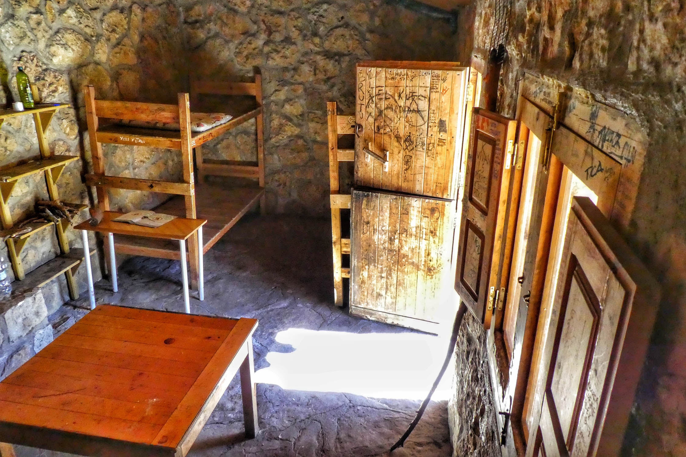
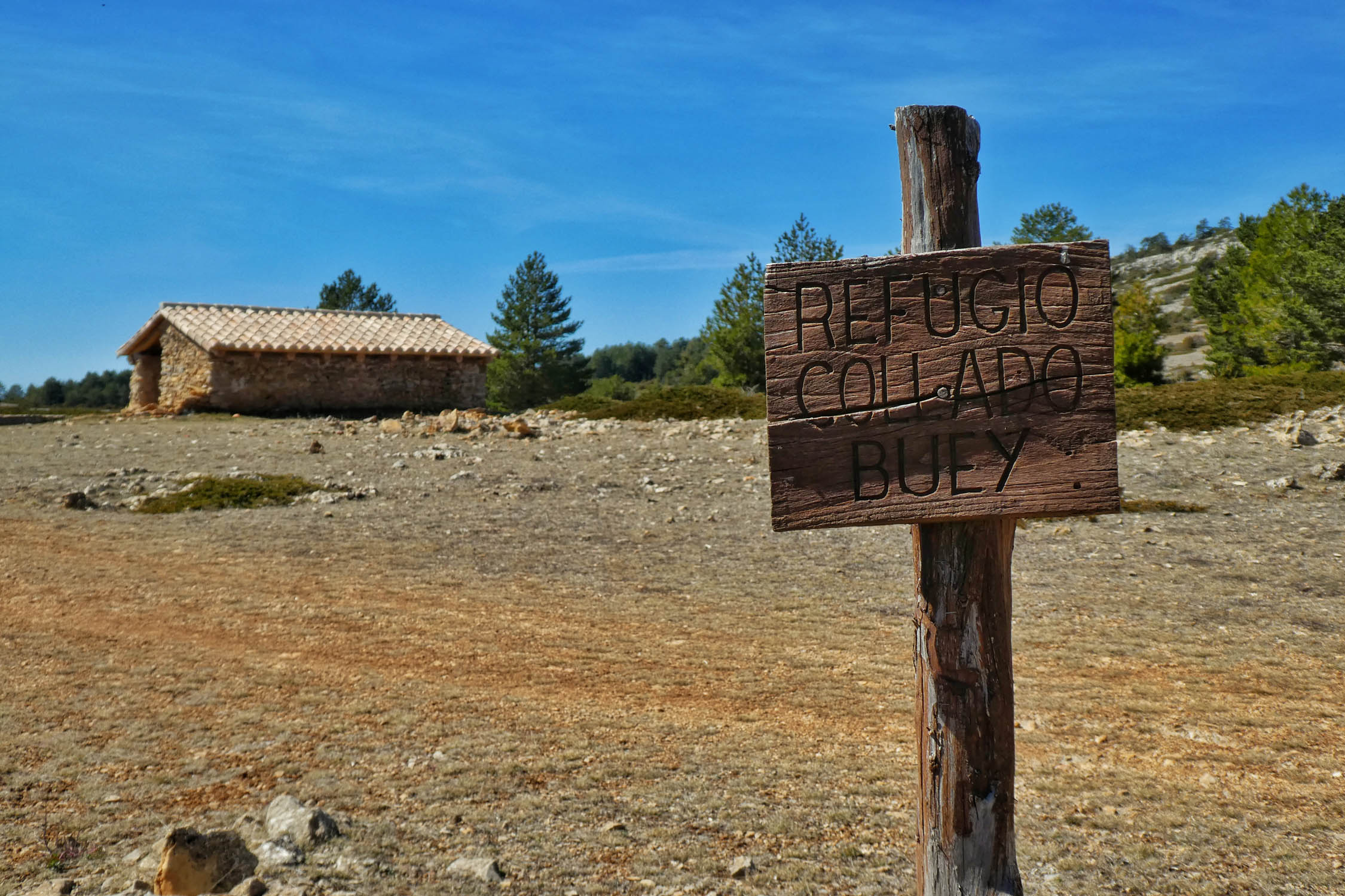
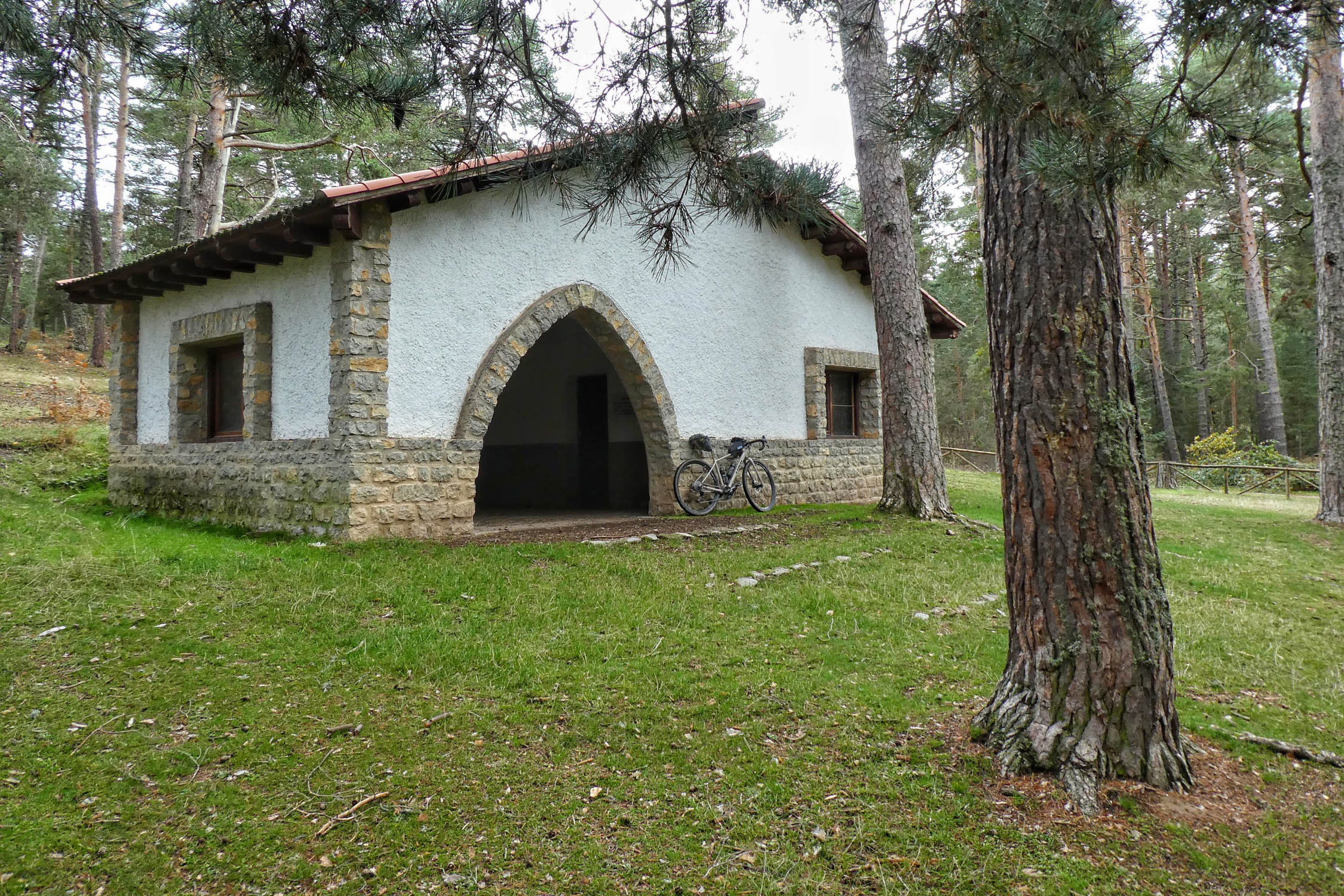
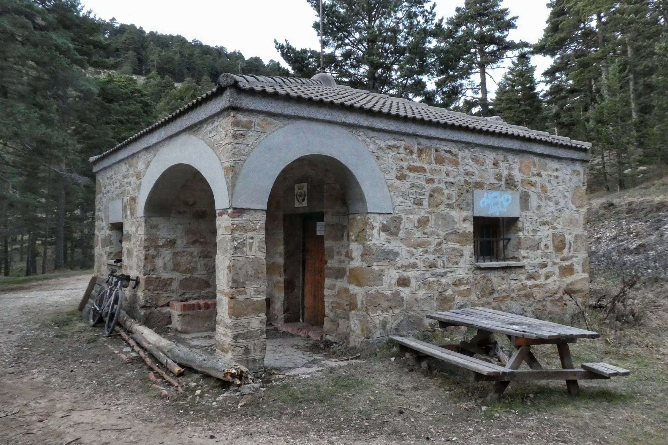
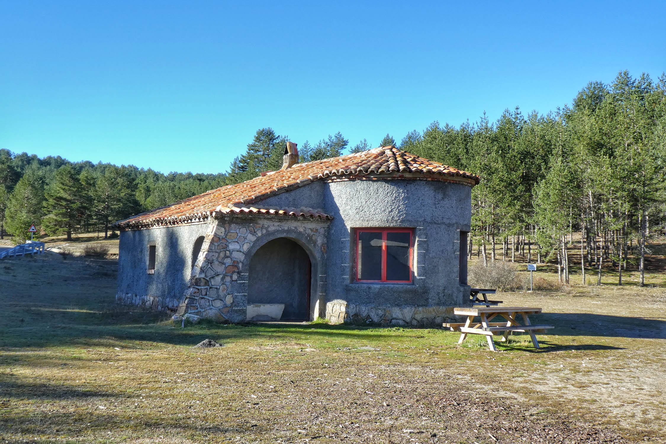
- One of the interesting points of this route is the prevalence of free shelters along the way. Sleeping in them is a highly recommended experience, but be sure to take care of them. Some are better preserved than others. Even so, leave everything as you found it and if possible, better.
- There are official campgrounds in Albarracín, Bronchales, Peralejos de las Truchas, and Alcalá de la Selva.
Restrictions
- Rodeno’s Pine Forest Protected Landscape. Bivouac and free camping aren’t allowed from Laguna de Bezas to Albarracín.
- Serranía de Cuenca Natural Park. Bivouac allowed, but no free camping allowed from Santa María del Val to Laguna del Marquesado. Try the Refugio de la Alconera shelter instead.
- Villages are usually small and you won’t always find restaurants in them. Few supermarkets, only some small grocery stores. Plan ahead, and take advantage when you go through them as it may be a while until you see another.
- You’ll find small bars in many villages, which also tend to be the epicenter of social life. Don’t expect great variety of food and drink options, but take the opportunity to chat with locals. Many may not be open for much longer.
- Tajo River, the Serranía de Cuenca, and the massif of Javalambre are the longest sections without resupply points, with around 70km between stops.
- Always carry some emergency food in the bottom of your bags.
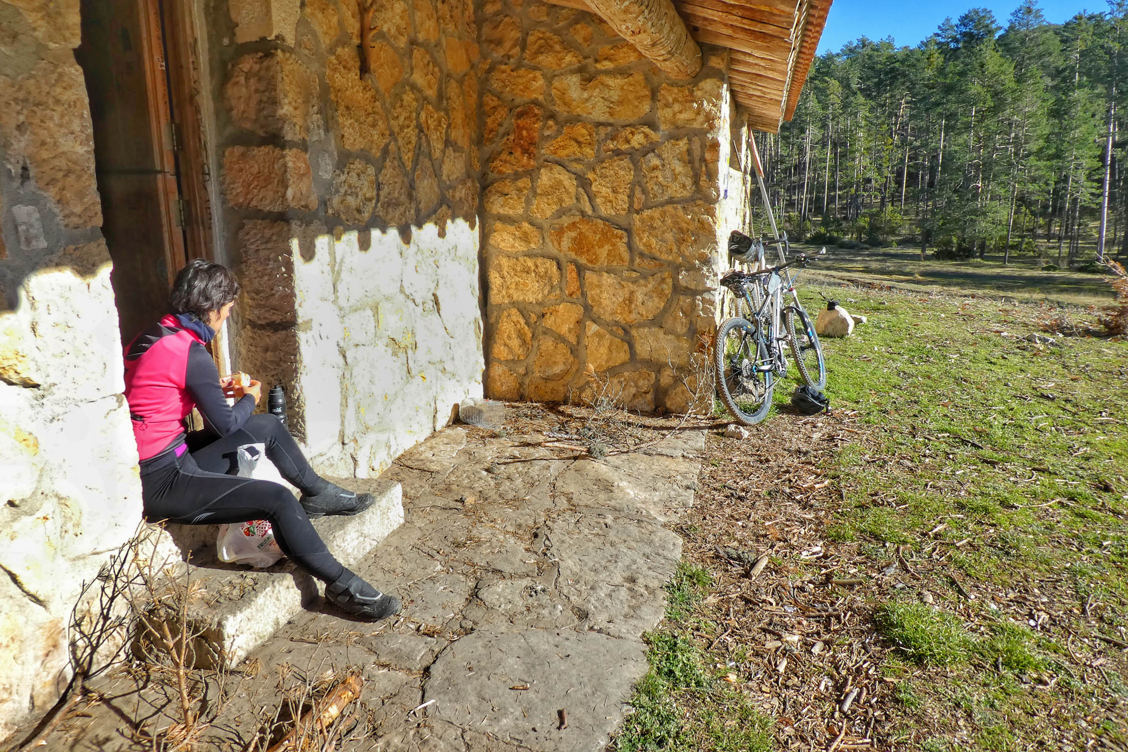
- Enjoy the almuerzo, a typical food in this part of Spain, between breakfast and lunch, around 10:00 or 11:00 in the morning. Consists of a big sandwich, some olives, something to drink, and a coffee. Most cost between 4 and 6€.
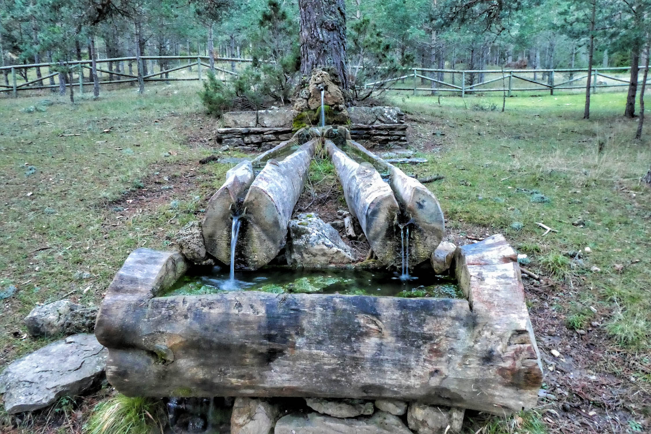
- Water shouldn’t be a problem. Although, depending on the year, the area can suffer from drier periods. My advice is to carry at least 2 liters in the hottest months.
- It’s always a good idea to carry a folding bottle as it doesn’t weigh much and it can be really useful.
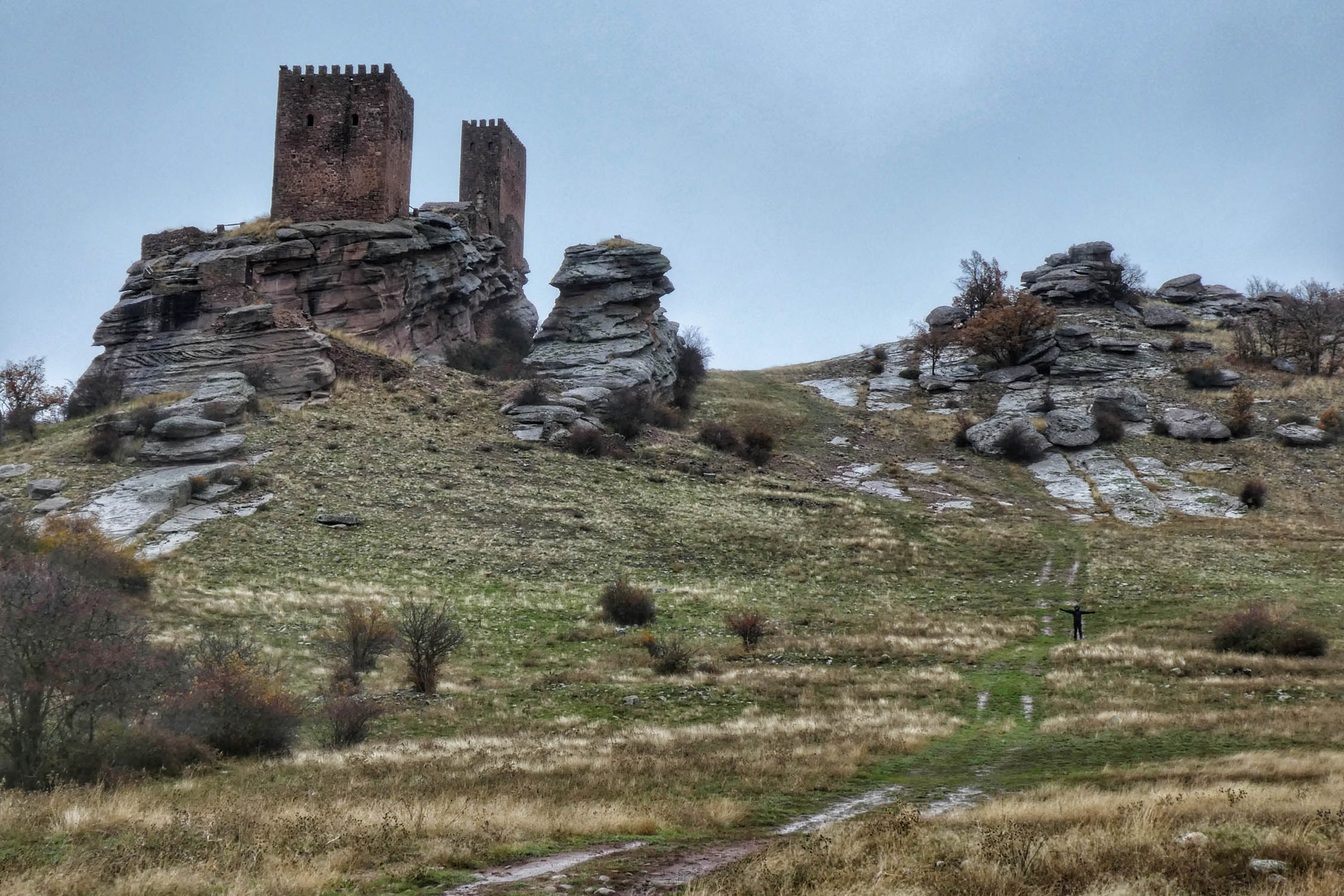
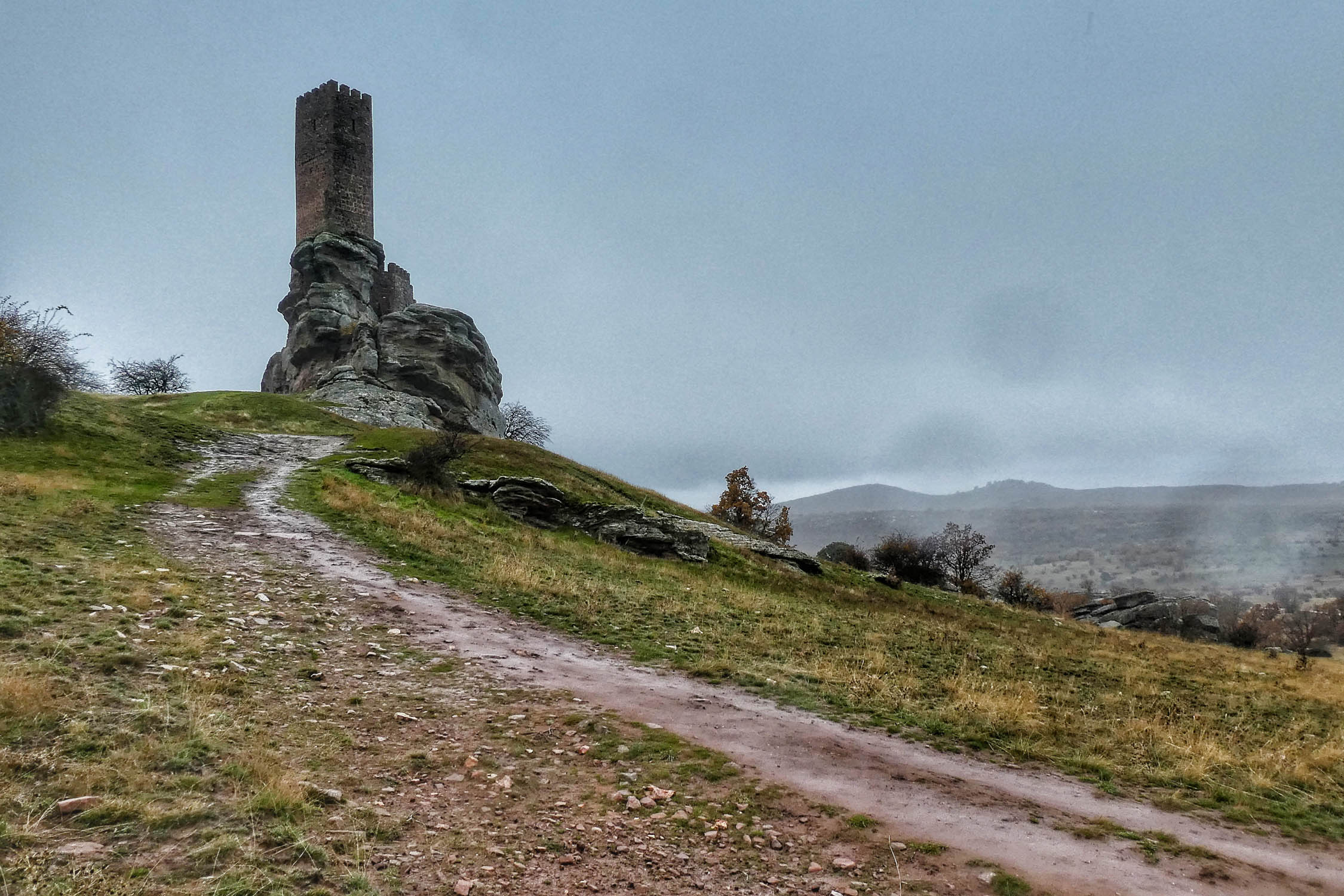
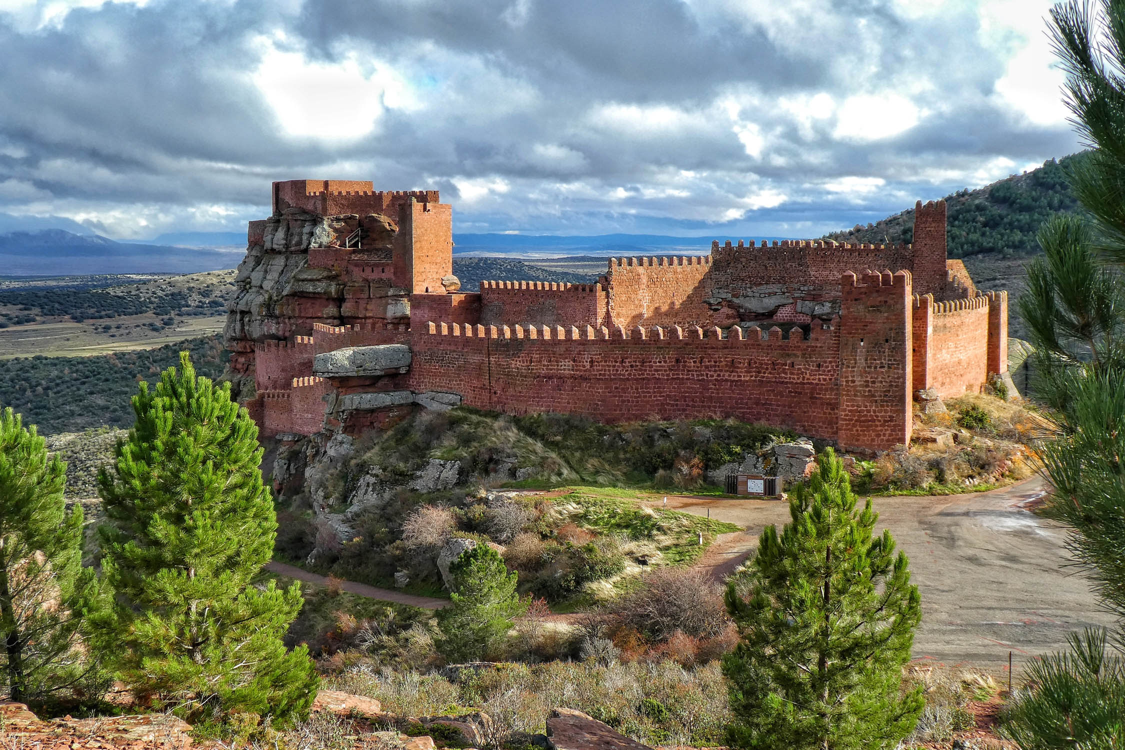
SIERRA DE ALBARRACÍN
- Get lost in its historic centre of Teruel and have a drink in the Plaza del Torico. After about 30km you’ll reach the Laguna de Bezas and the Peña de la Cruz, two perfect places to whet your appetite and get an idea of the landscapes to come.
- Albarracín is surely among the top ten most beautiful villages in Spain. To enjoy the best views, follow the Camino del Cid for a few kilometers. You may have some short hike-a-bikes if you go with light tyres, but nothing major. It’ll be worth it, you can be sure!
EL TAJO
- The Source of the Tajo River is a modest start for a river that runs majestically throughout the Iberian Peninsula for a 1,000+ kilometres. It’s a place full of symbolism. You’ll never be too far from it in this 100km section. Close to the source, a shortcut (atajo in spanish) through the Puerto del Cubillo connects to the intermediate part of the stage through the Serranía de Cuenca.
- Take a dip in the river’s icy waters in Puente de San Pedro, as you’ll soon say goodbye to it. At this point you can decide to return to Teruel by the Atajo de los Castillos (shortcut of the castles: Molina de Aragón, Zafra, and Peracense) or continue climbing towards the Serranía de Cuenca.
SERRANÍA DE CUENCA
- After some pedaling through the province of Guadalajara, you’ll enter the province of Cuenca shortly before Valsalobre.
- There’s about a 75km stretch from Beteta to Beamud or Valdemoro-Sierra without a chance to resupply. That’s the Spanish Lapland.
SIERRA DE JAVALAMBRE
- This section includes another stretch of nearly 70 kilometres without a place to get food. However, if you book a place to stay at the “Rabadá y Navarro” refuge, there’s an option to get a meal. It’s a 5km descent from the ski station. In any case, at the end of the descent to La Puebla de Valverde you’ll find the glorious sight of a service station with a small supermarket, an essential stop to refuel for the last section.
SIERRA DE GÚDAR
- There are lots of nice dining options in the sections around La puebla de Valverde, Mora de Rubielos, Linares de Mora, and Alcalá de la Selva. At this point, the least populated stretches are behind you. But don’t relax just yet, as there are still another 3000 meters of climbing ahead.
- You’ll find the high point of the route, Peñarroya peak, at 2028 meters. It’s near the Valdelinares ski station.
- Head down to Alcalá de la Selva and find something to eat. From there, you’ll head towards the Sierra de Camarena, the last stumbling block of the route, from which you can enjoy the final descent back down to Teruel.
Additional Resources
- To access the full route guide as a PDF, along with updated information about the route, gpx files, and waypoints, visit MontanasVacias.wordpress.com
- For a similar route in the area, make sure to check out the Altravesur route that crosses southern Spain and ends in Valencia.


Terms of Use: As with each bikepacking route guide published on BIKEPACKING.com, should you choose to cycle this route, do so at your own risk. Prior to setting out check current local weather, conditions, and land/road closures. While riding, obey all public and private land use restrictions and rules, carry proper safety and navigational equipment, and of course, follow the #leavenotrace guidelines. The information found herein is simply a planning resource to be used as a point of inspiration in conjunction with your own due-diligence. In spite of the fact that this route, associated GPS track (GPX and maps), and all route guidelines were prepared under diligent research by the specified contributor and/or contributors, the accuracy of such and judgement of the author is not guaranteed. BIKEPACKING.com LLC, its partners, associates, and contributors are in no way liable for personal injury, damage to personal property, or any other such situation that might happen to individual riders cycling or following this route.
Please keep the conversation civil, constructive, and inclusive, or your comment will be removed.