

 Mountain Bike (MTB)
 Gravel Bike
 All-Terrain Bike (ATB)
 Fat Bike

National Parks of the Middle Atlas
Distance
86 Mi.
(138 KM)Days
3
% Unpaved
64%
% Singletrack
46%
% Rideable (time)
98%
Total Ascent
9,578'
(2,919 M)High Point
6,274'
(1,912 M)Difficulty (1-10)
6?
- 7Climbing Scale Strenuous111 FT/MI (21 M/KM)
- 7Technical Difficulty Difficult
- 6Physical Demand Moderate
- 5Resupply & Logistics Moderate
Contributed By

Jakob Fircks and Anselm Duchrow
Guest Contributor
Jakob has long explored mountains around the world on bike, foot, and skis. Extended journeys on the MTB led him through the Alps, the Andes, the Sinai, and, for the last eight years, the Atlas Mountains of Morocco. Anselm is an adventure enthusiast and would probably have become an explorer if he’d lived in the times of Ernest Shackleton. He grew up trekking and skiing around Mont Blanc, and later his career brought him to the most remote places, from Mozambique to the Brazilian rainforest. Learn more about Jakob and Anselm and their broader community projects and routes at Atlas Mountain Trails.
The National Parks of the Middle Atlas route guides bikepackers into the heart of the rugged Middle Atlas, connecting its two most scenic national parks, Khenifra and Ifrane. Despite being at a lower elevation than the Atlas Mountain Trail segments farther south, the three days from Khenifra to Azrou are no less intense and feature many outstanding singletrack trails.
Due to the lower elevation—the highest point is a plateau above the village of Aïn Leuh at around 1,900 meters—the trip can also be undertaken in winter or early spring, provided there is no snow. Overall, the three-day route requires excellent fitness and solid technical ability.
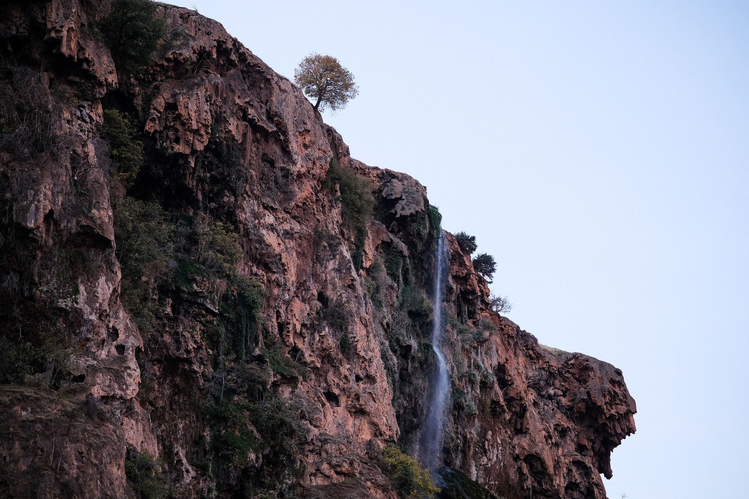
The journey traverses several important wetland ecosystems that protect Morocco’s scarce water resources. Along the way, riders will encounter high-altitude lakes, dreamlike cedar forests, countless rivers, and impressive waterfalls, the most famous of which is above Zaouia d’Ifrane, where the Oum Er-Rbia River cascades over a wide karst cliff. Wildlife sightings are likely, including birds of prey and the Barbary macaques.

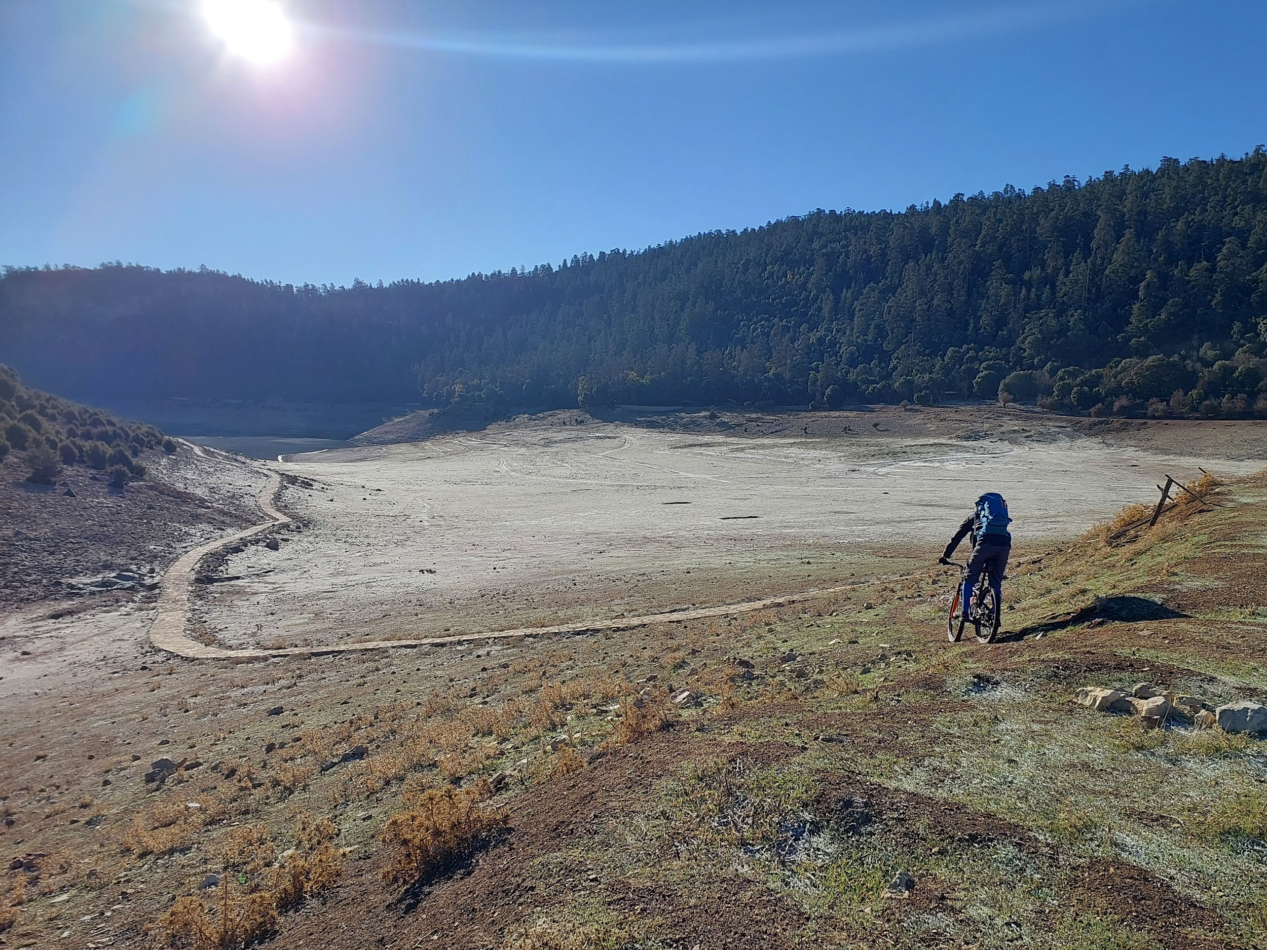

The route passes through Amazigh communities, most prominently the Zayanes tribe in the region of Khenifra, the cradle of the music of the Middle Atlas and famous for its resistance to French colonization.
Route Difficulty
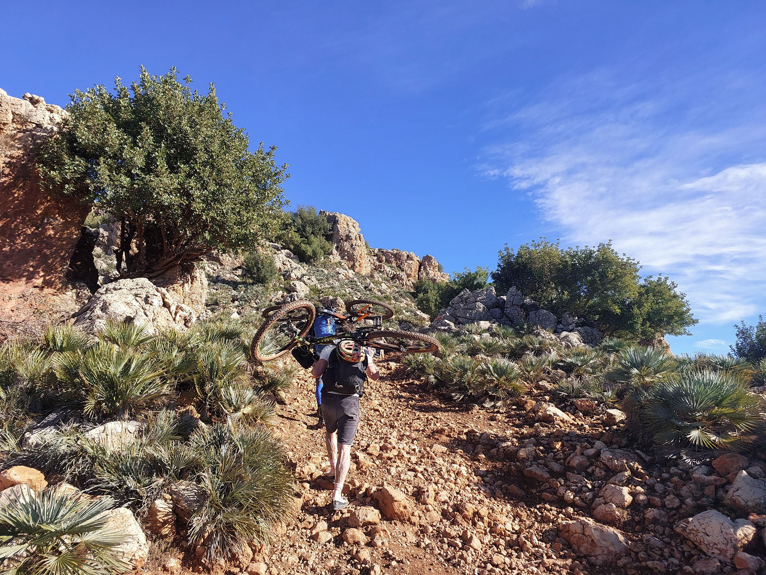
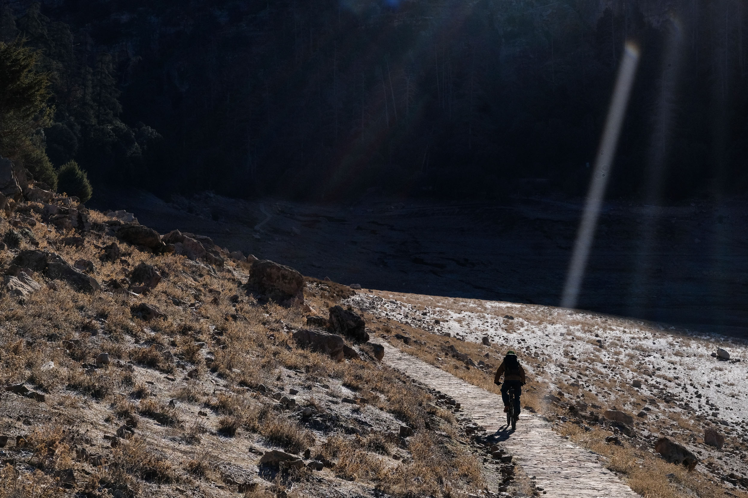
The National Parks of the Middle Atlas route is designed for physically well-prepared and experienced mountain or gravel bikers. The route is highly trail-oriented, and riders should expect to tackle several steep climbs each day. Some ascents stretch over 10 kilometers on rocky terrain, with gradients of 10% or more. On the second day, there are a few short sections where you’ll need to shoulder your bike through steep canyons. These physical challenges, combined with the elevation and energy demands of technical riding, can be taxing.
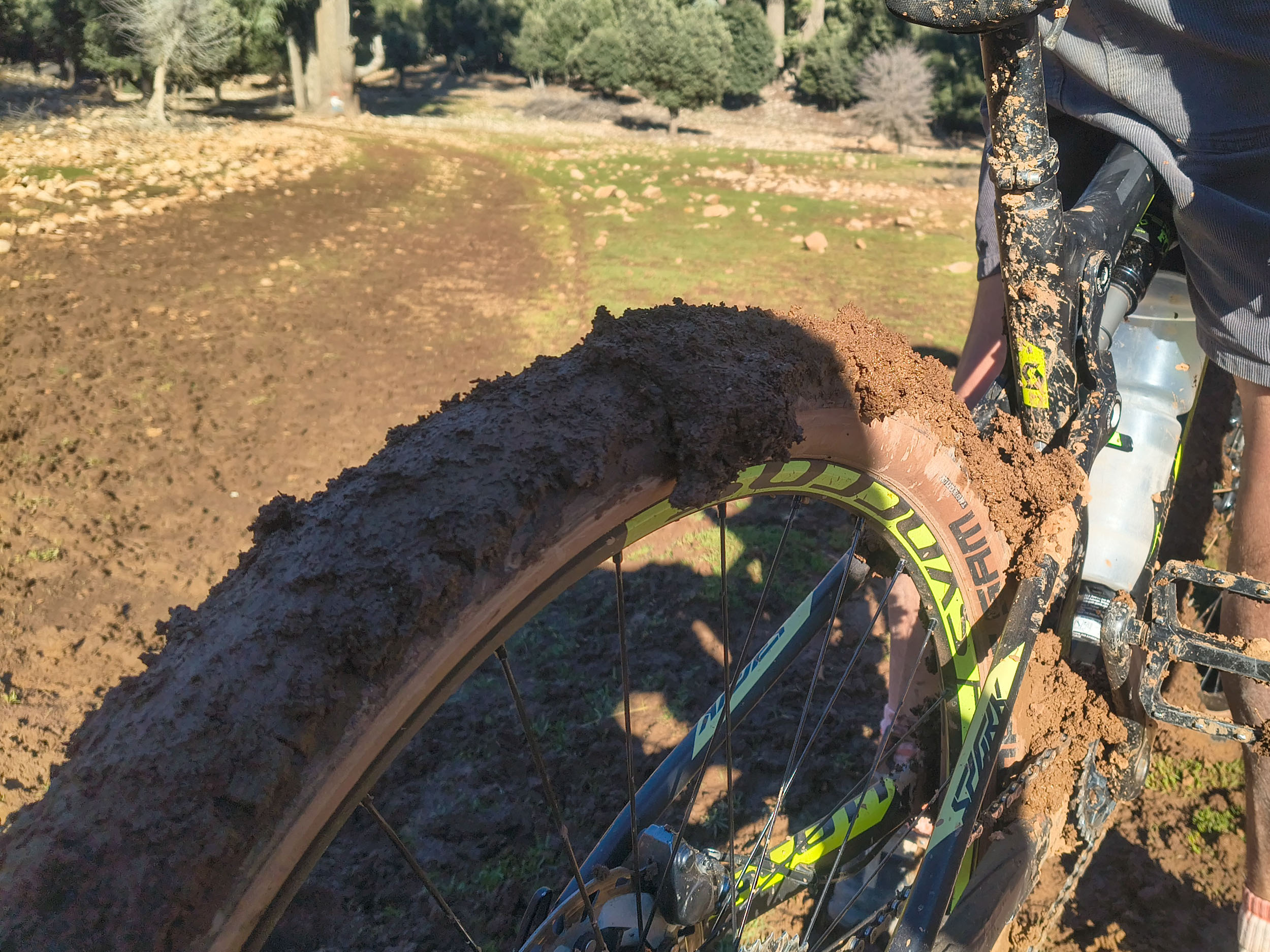
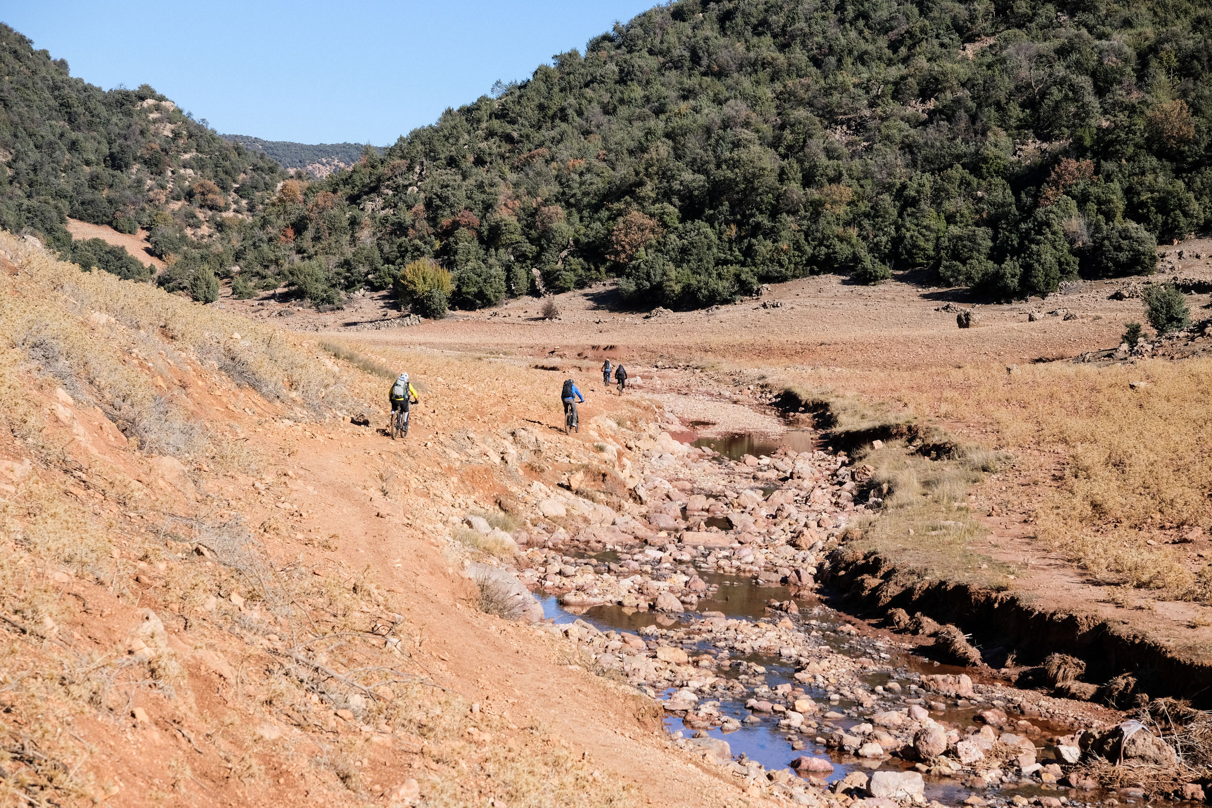
From a technical perspective, the route includes several demanding segments, though they are generally less exposed and less dangerous than those found in the High Atlas. Riders will encounter a wide variety of terrain, including rocky singletrack, riverbeds filled with stones of all sizes, and occasional muddy marshes. Conditions on the ground change frequently. Some sections may be partially or completely impassable due to new agricultural fields, vegetation growth, or shifting watercourses.
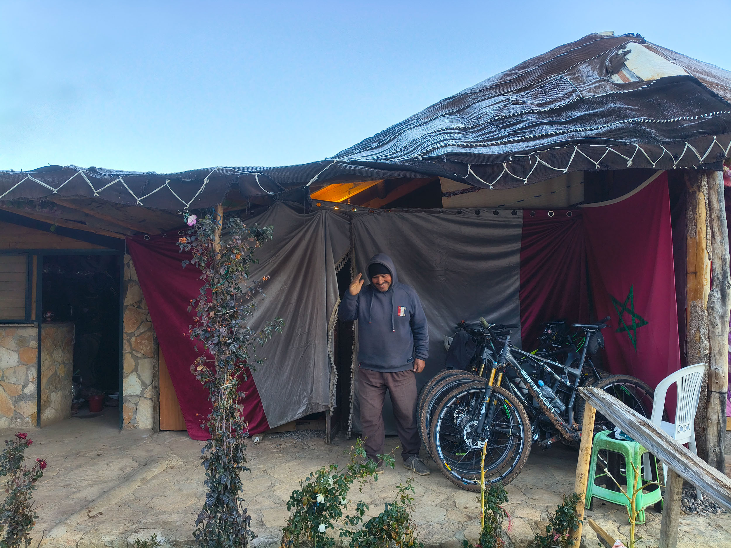
Logistically, the route is mostly straightforward, with one notable exception. Comfortable accommodations are available on the first night, in Zaouia d’Ifrane, and in Azrou if you choose to stay there on the final day. The second night, however, offers a more adventurous experience, particularly in colder weather. You’ll be hosted by Amazigh families in improved nomadic tents. Despite the rustic setting, the hospitality is exceptional. Expect warm welcomes, hearty meals, tea, and plenty of blankets to ensure a restful night. In terms of food planning, it’s important to be self-sufficient. Aside from small restaurants near the rapids on day two, supplies are limited, so carry what you need for the journey. Water sources, however, are plentiful along the route.
Route Development
The National Parks of the Middle Atlas route was conceived as part of the Atlas Mountain Trails initiative in 2025, created by two Morocco-based MTB enthusiasts, Anselm Duchrow and Jakob Fircks, who have been riding and exploring the Moroccan mountain chains for the past decade. Antoine Ansart, Nils Huhn and Claude Raymond were co-riders on this tour. The trail development has been greatly supported by Zaid Mou, a local outdoor enthusiast based in the Azrou region.
Atlas Mountain Trails saw the light in 2024, aiming to establish the first long-distance MTB trail of the Atlas mountain chain. The trail currently spans almost 2,000 kilometers and is organized into seven segments. The project follows a community-based approach that aims to connect riders with a network of local tourism professionals and innovators from different regions of the Atlas Mountains, helping them get up-to-date information on trails, organize accommodation, and discover the unique Amazigh culture of Morocco.
















Submit Route Alert
As the leading creator and publisher of bikepacking routes, BIKEPACKING.com endeavors to maintain, improve, and advocate for our growing network of bikepacking routes all over the world. As such, our editorial team, route creators, and Route Stewards serve as mediators for route improvements and opportunities for connectivity, conservation, and community growth around these routes. To facilitate these efforts, we rely on our Bikepacking Collective and the greater bikepacking community to call attention to critical issues and opportunities that are discovered while riding these routes. If you have a vital issue or opportunity regarding this route that pertains to one of the subjects below, please let us know:
Highlights
Whereabouts
Must Know
Camping
Food/H2O
Trail Notes
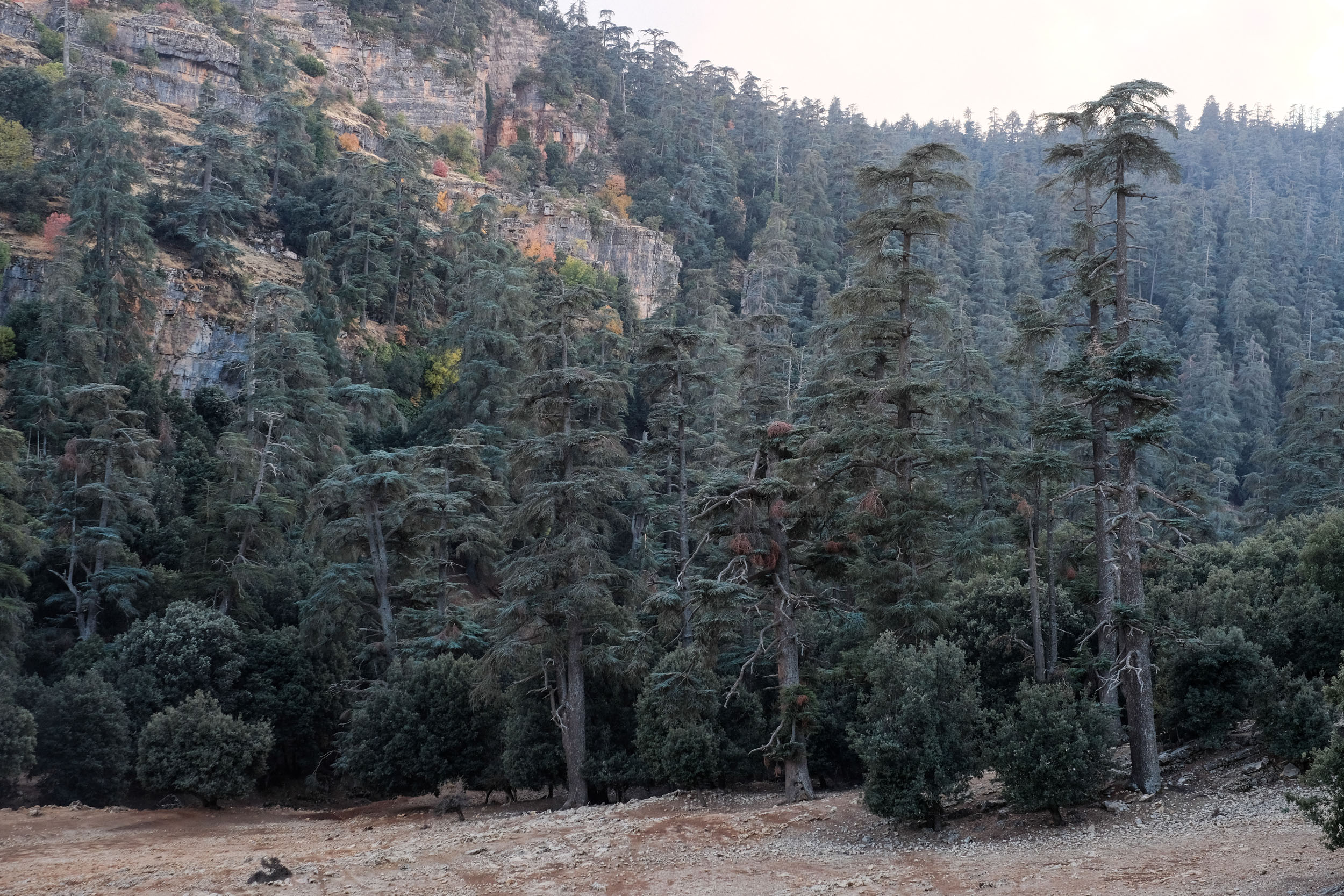
- Crossing the majestic cedar forests as you approach Lake Azegza and later Azrou. These ancient trees are truly inspiring as you ride beneath their vast canopy, and it is one of the tour’s defining moments.
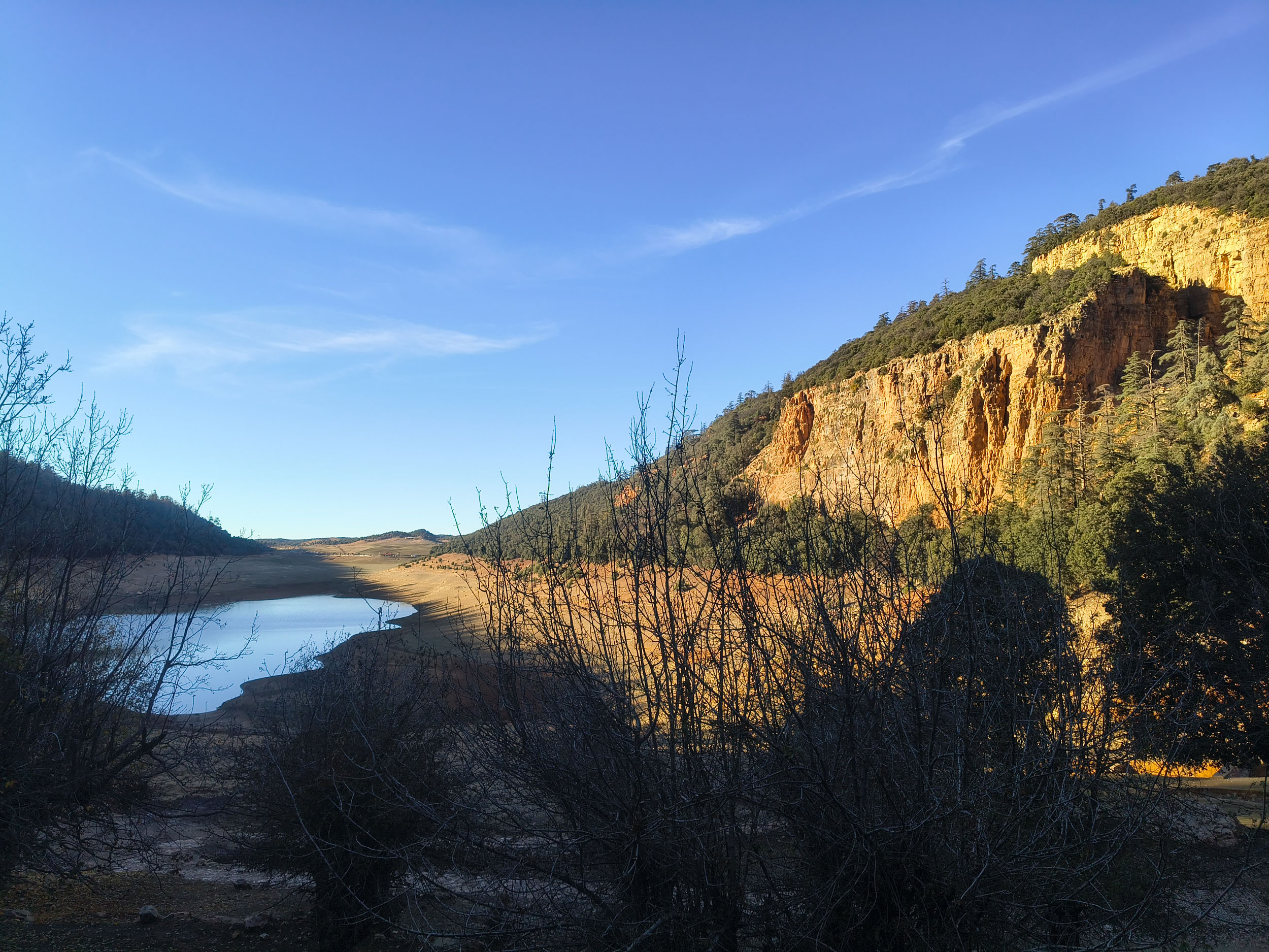
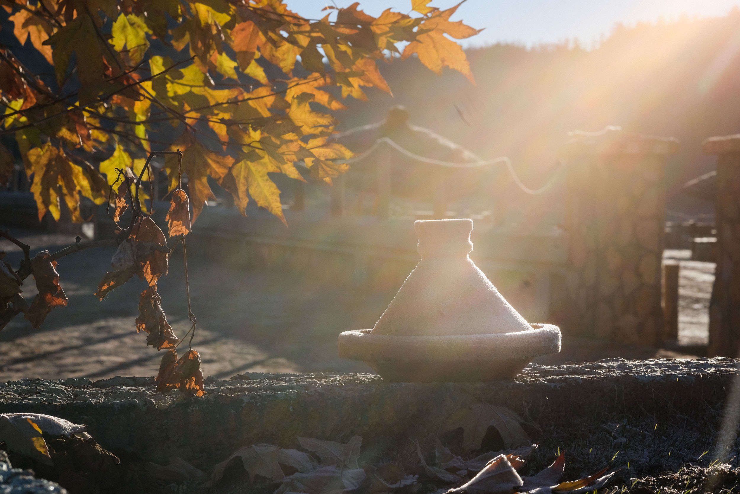
- Lake Azegza, the “Green Lake,” is a hidden treasure nestled in the heart of the Middle Atlas at nearly 1,500 meters above sea level. Surrounded by dense cedar and oak forests, it offers a peaceful and scenic break. Along its shores, members of the proud Aït Oumalou (linked to the legacy of the Car Moha Ou Hammou Zayani tribe, heroes of Morocco’s resistance) welcome travelers with sweet tea and a warm tagine.
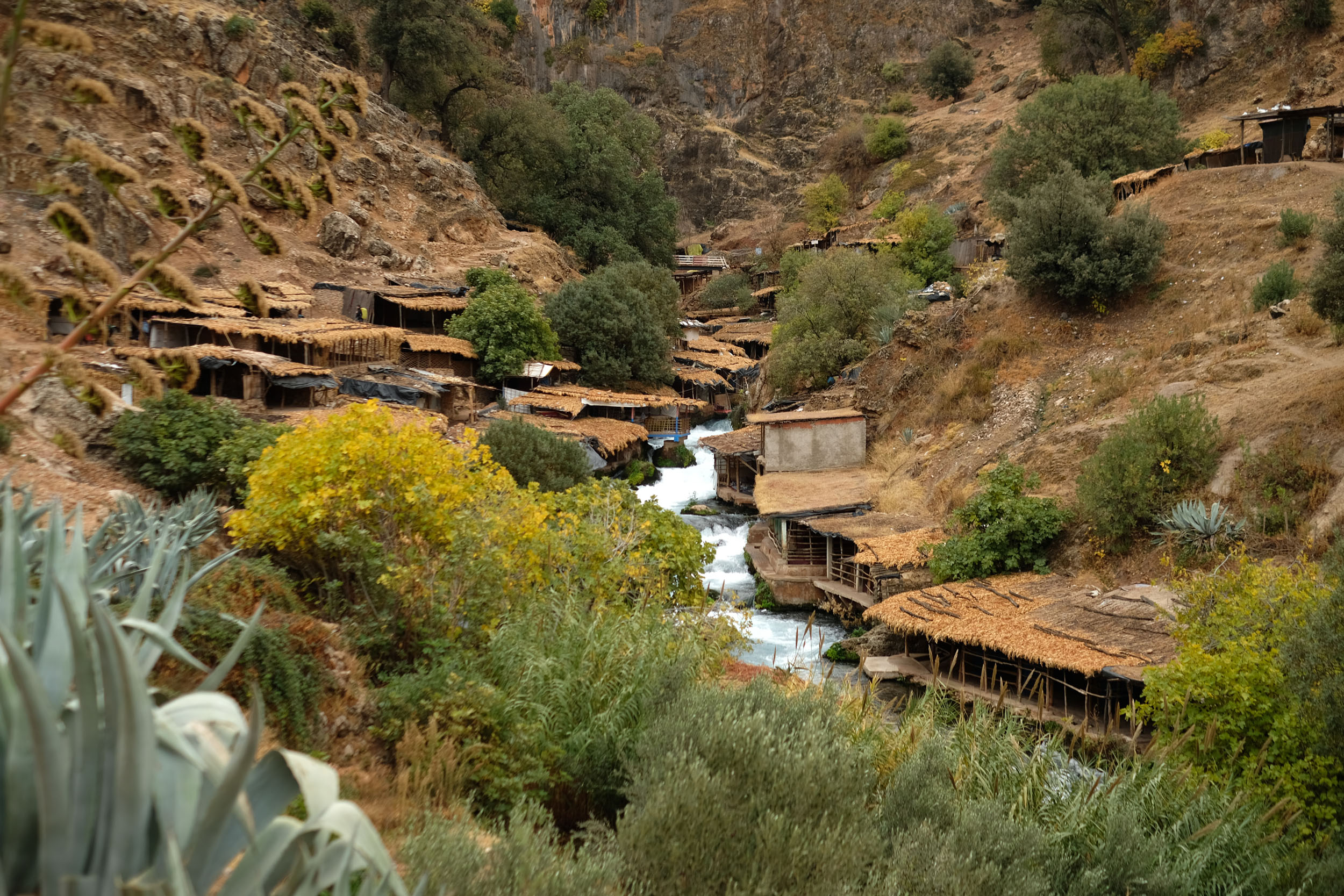
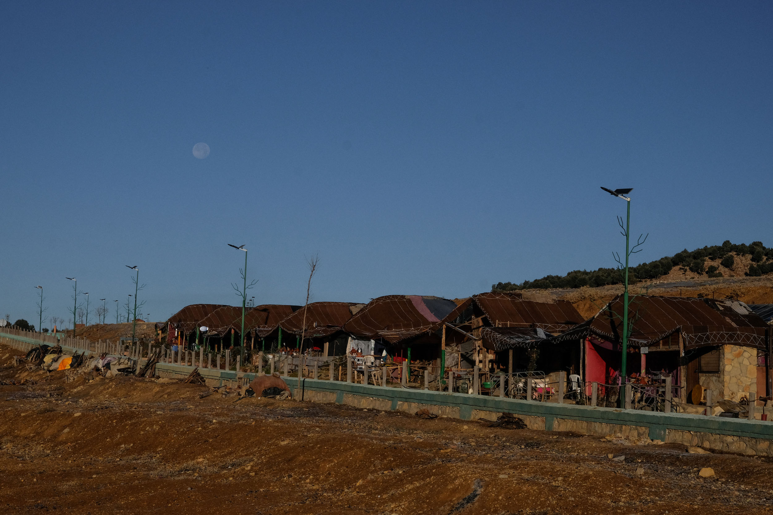
- The “source” of the Oum Er-Rbia River. Judging by the volume of water, it appears more like a convergence point of several smaller tributaries than a single spring. Around the rapids, a cluster of informal tourist cafés and restaurants has developed, connected by a maze of wooden terraces and narrow walkways. It’s an ideal place to take a break, enjoy a tea or a tagine, and listen to the sound of the rushing water. The small shelters along the water can also be used as a night stay, providing you with a warm Tagine and a warm blanket.
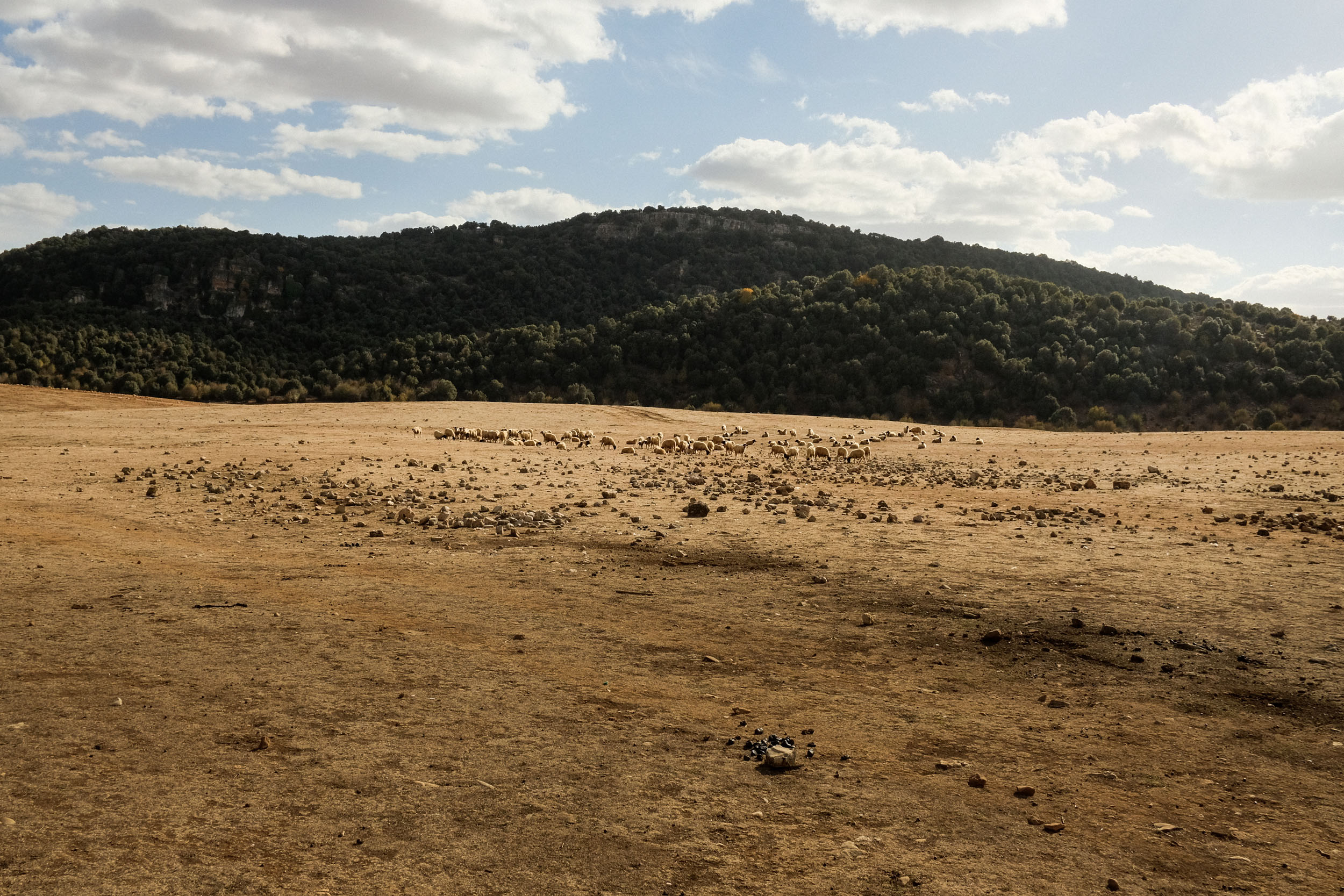
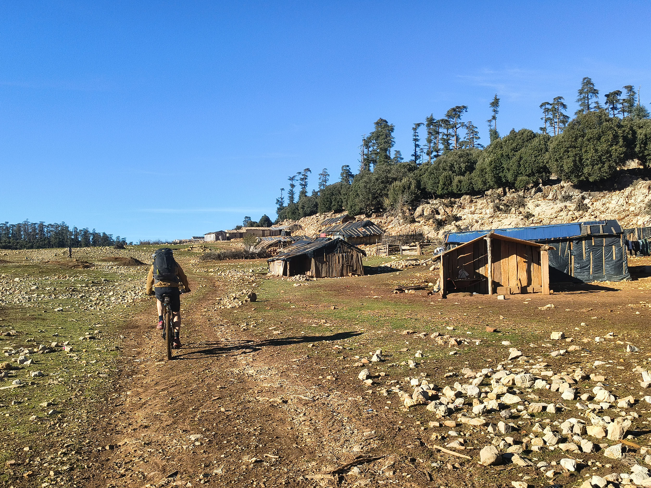
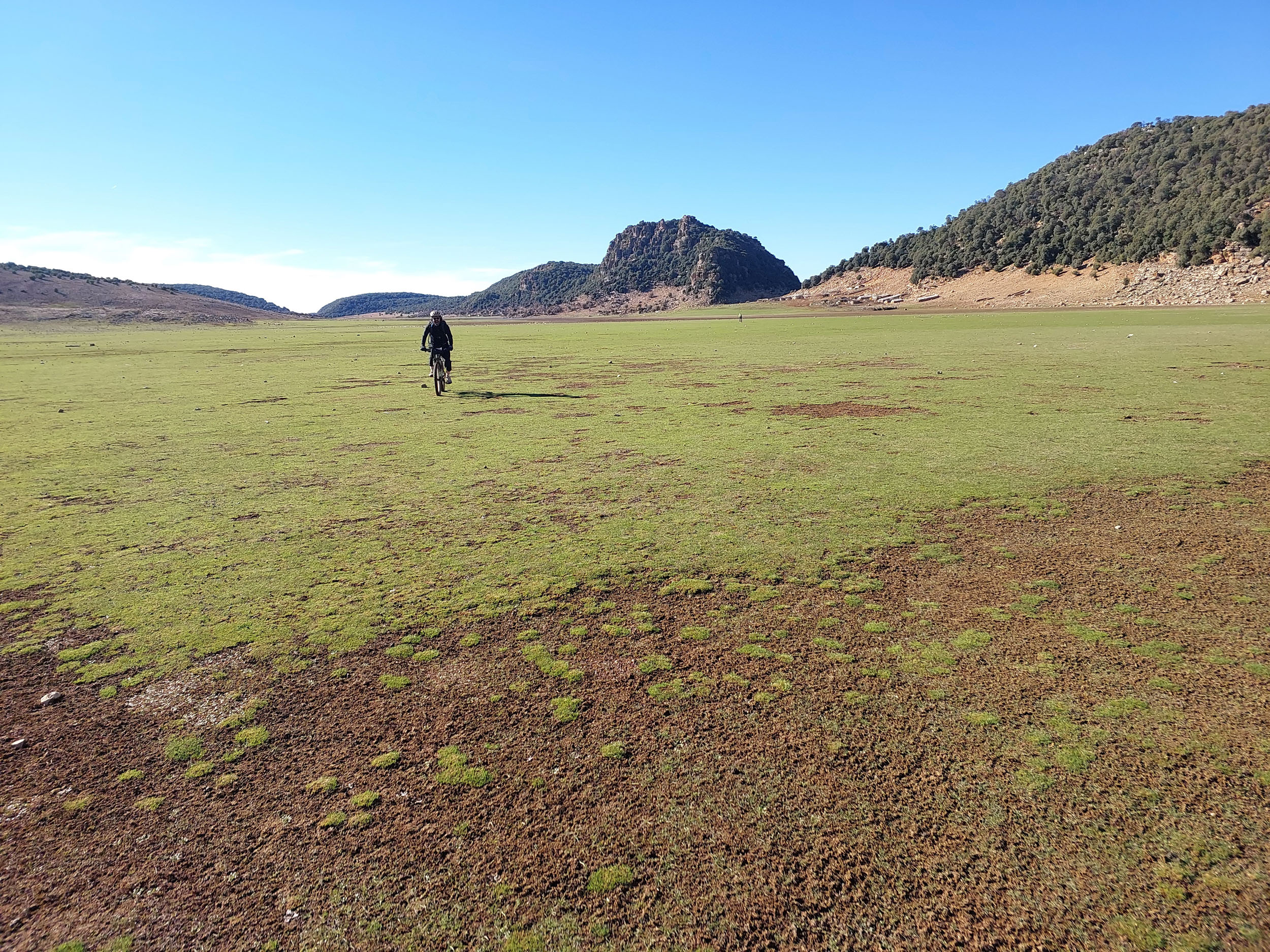
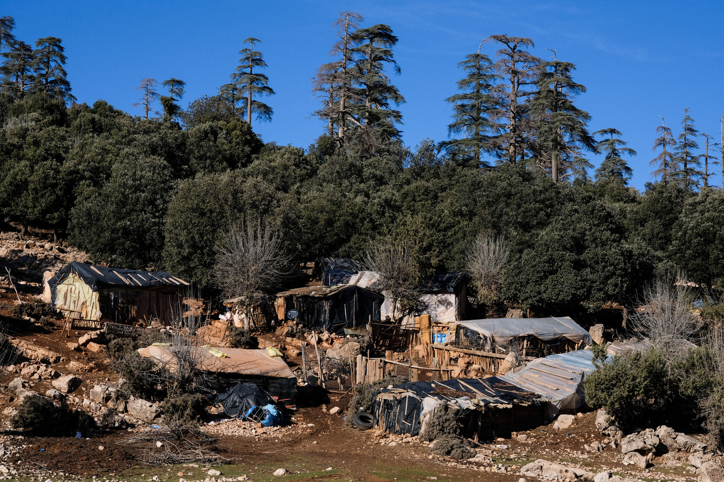
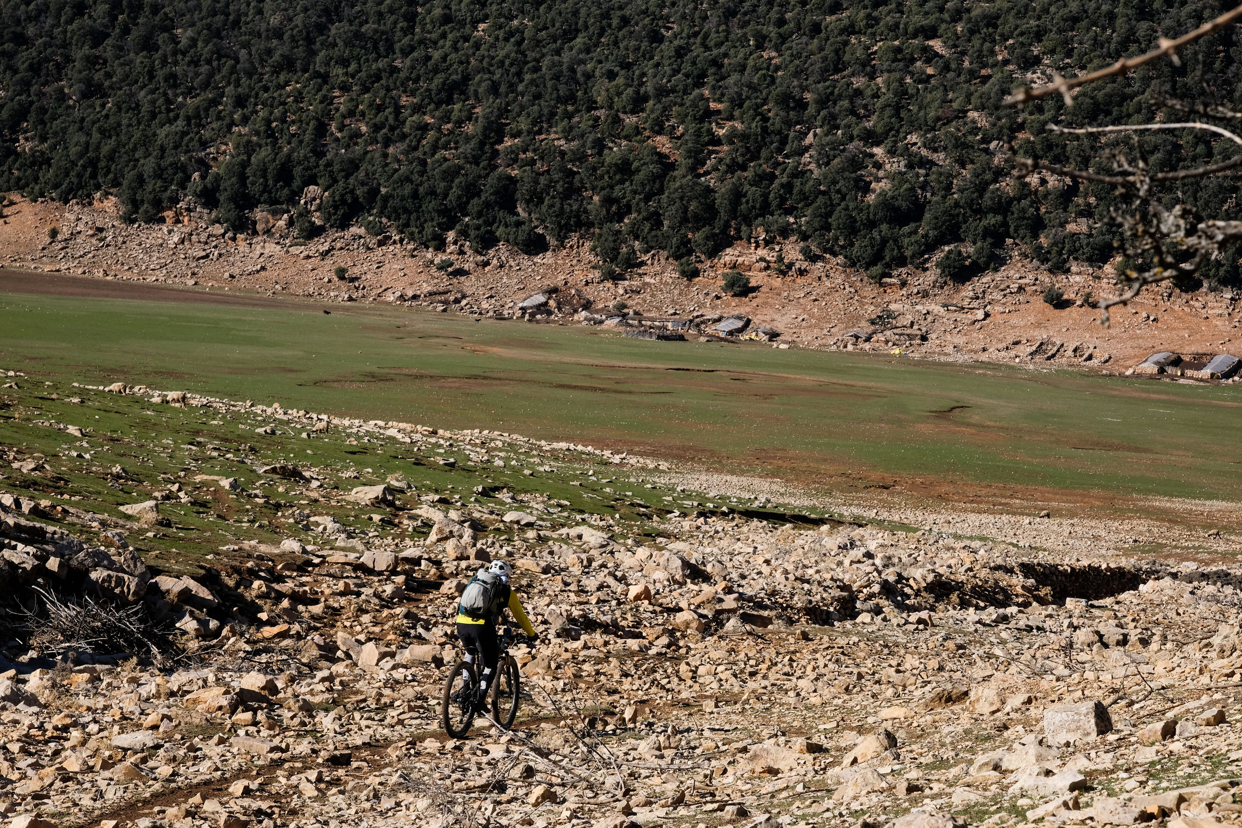
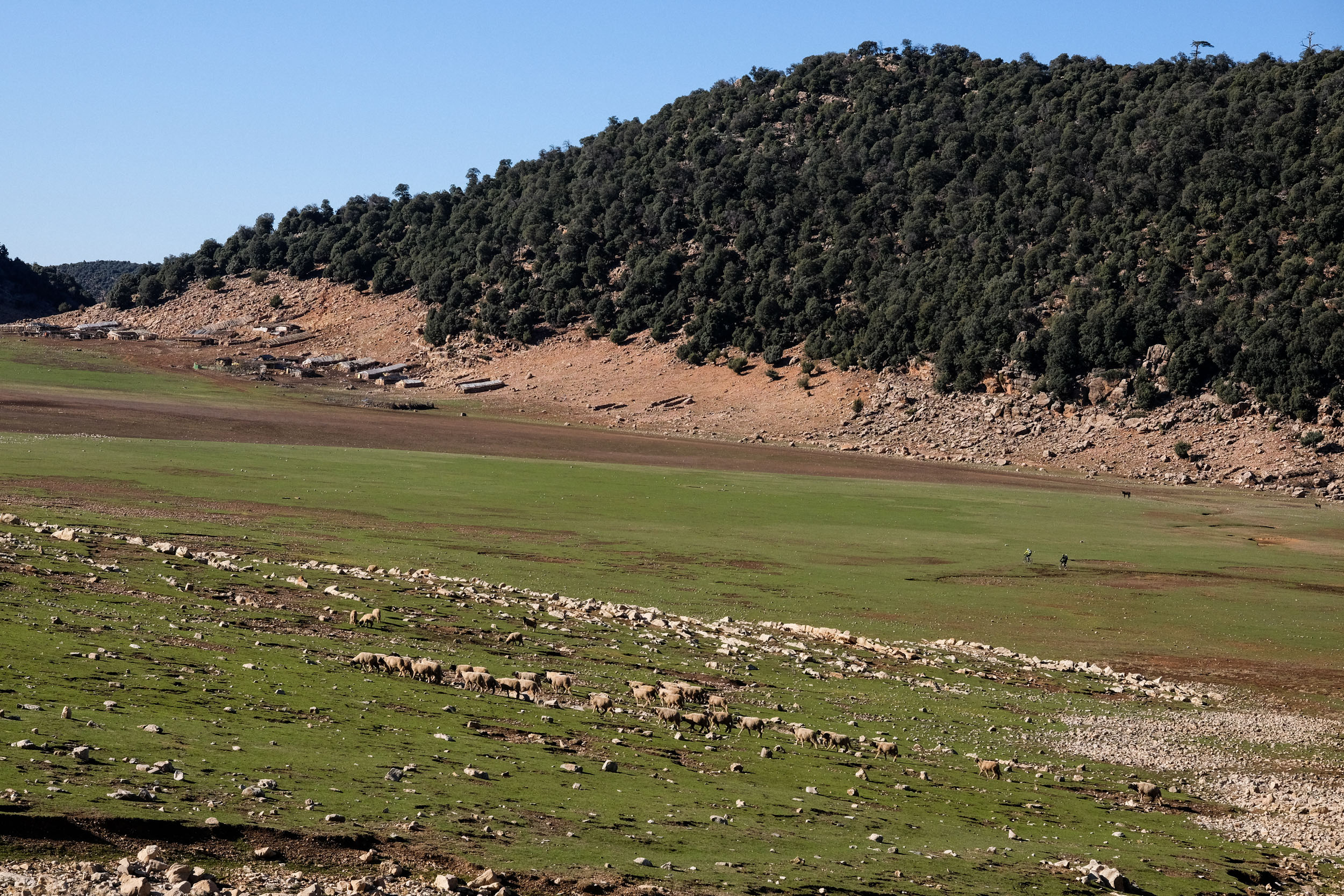
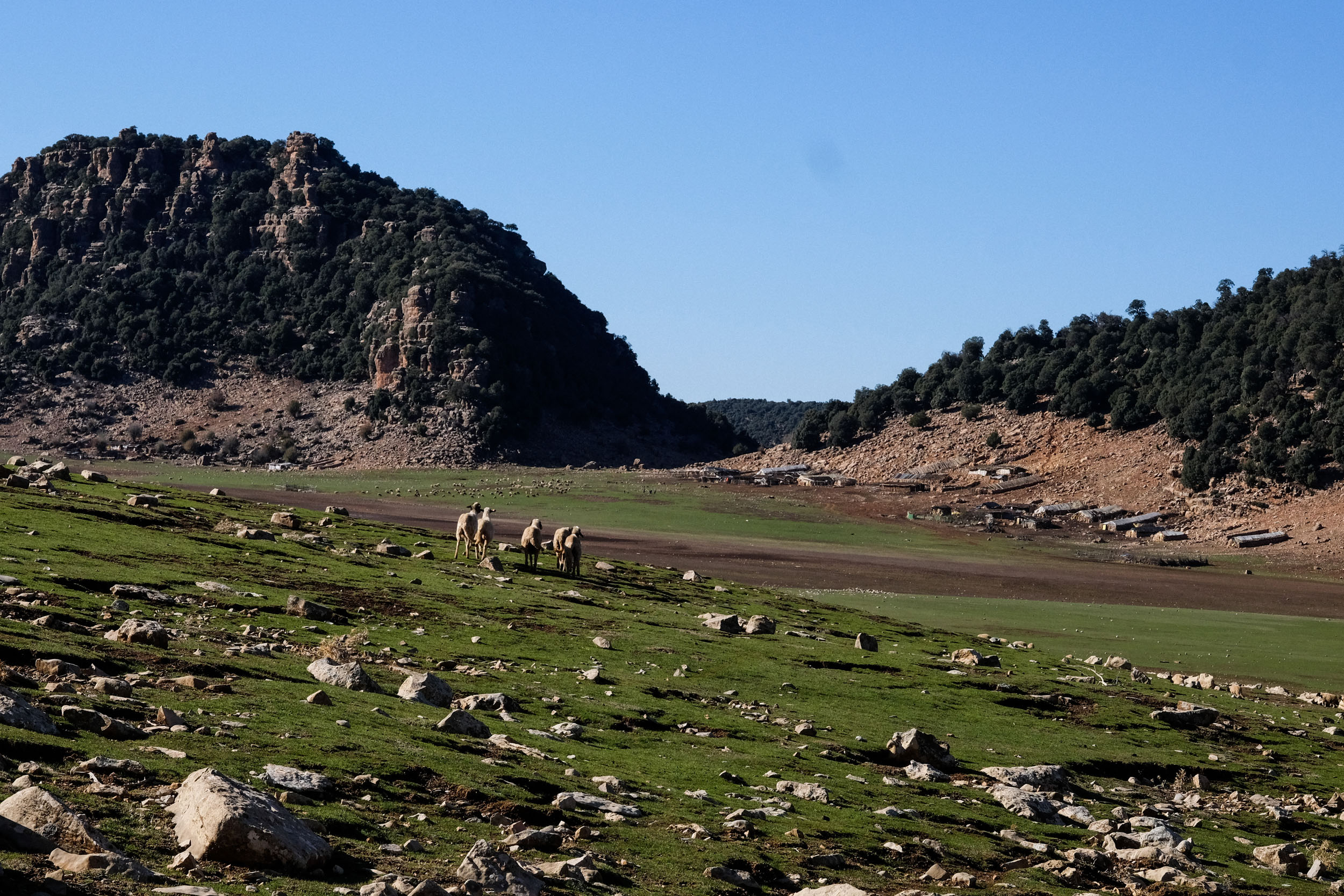
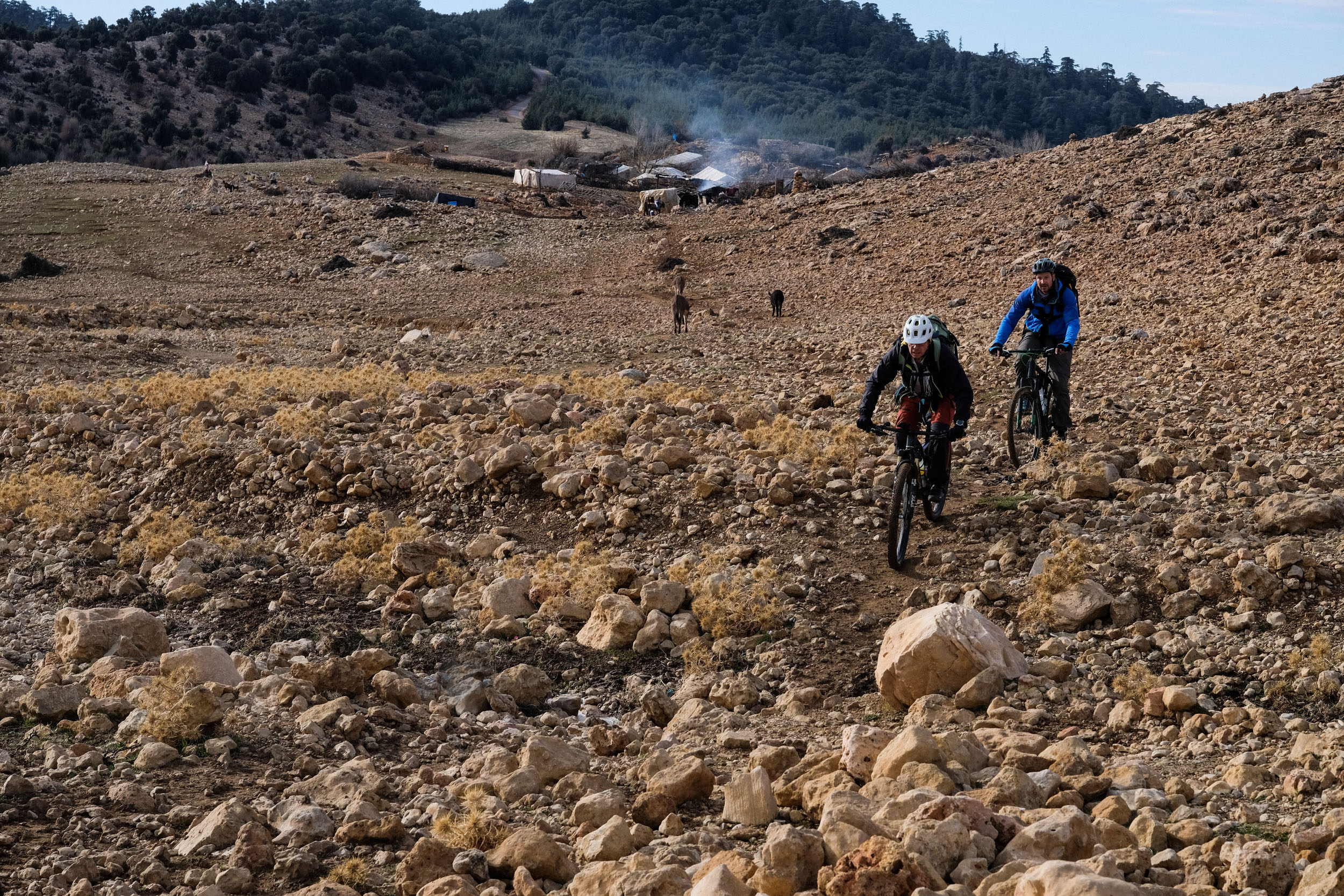
- The highland pastures are another standout feature of the journey. These wide, open landscapes, often dotted with nomadic camps, offer a striking contrast to the dense forests and provide a glimpse into traditional pastoral life that has endured for generations.
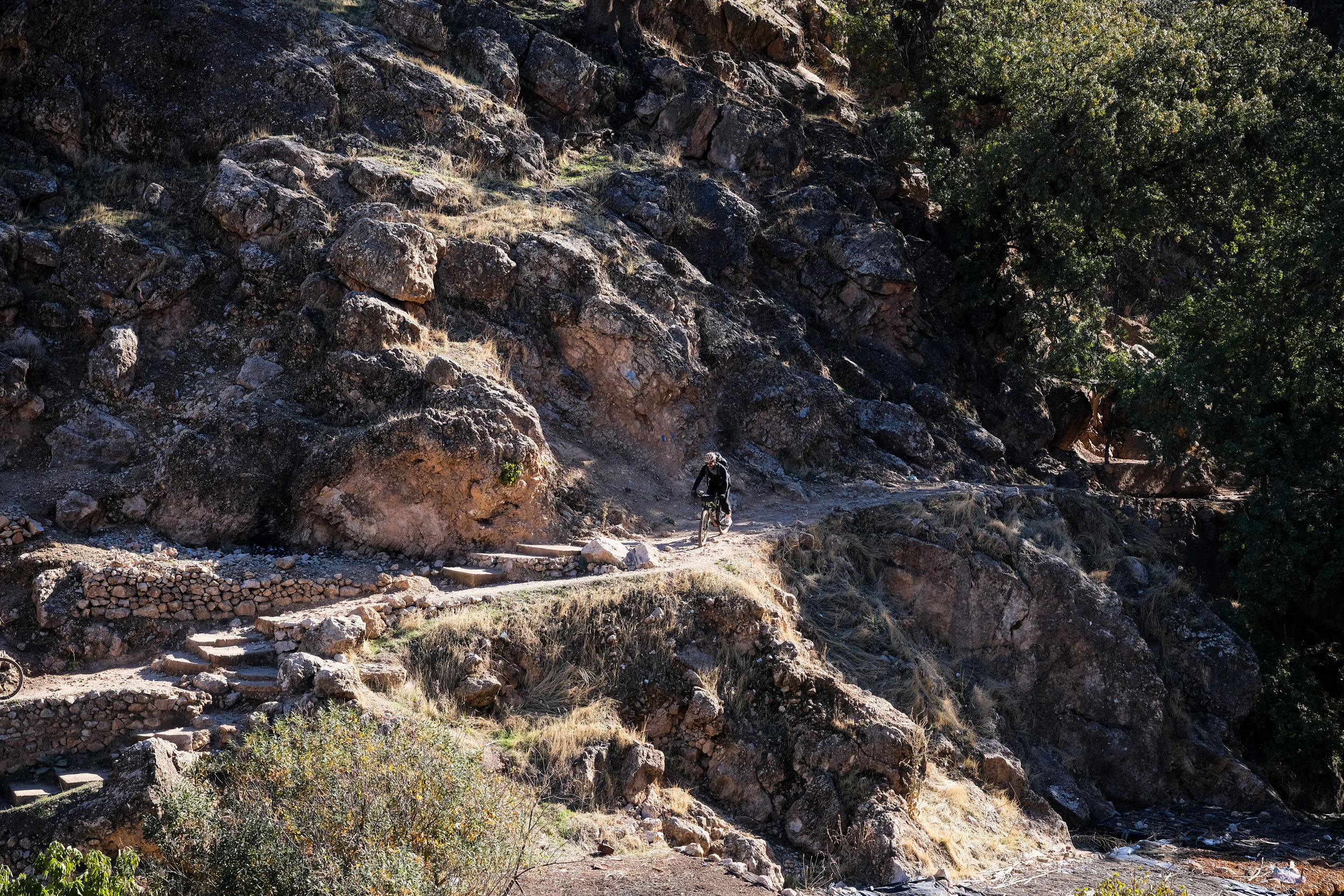
- For downhill enthusiasts, the route delivers at least two spectacular downhill trail experiences. One descends near the source of the Oum Er-Rbia River, while another, later the same day, leads directly into Zaouia d’Ifrane—both offering technical but flowing riding through beautiful terrain.
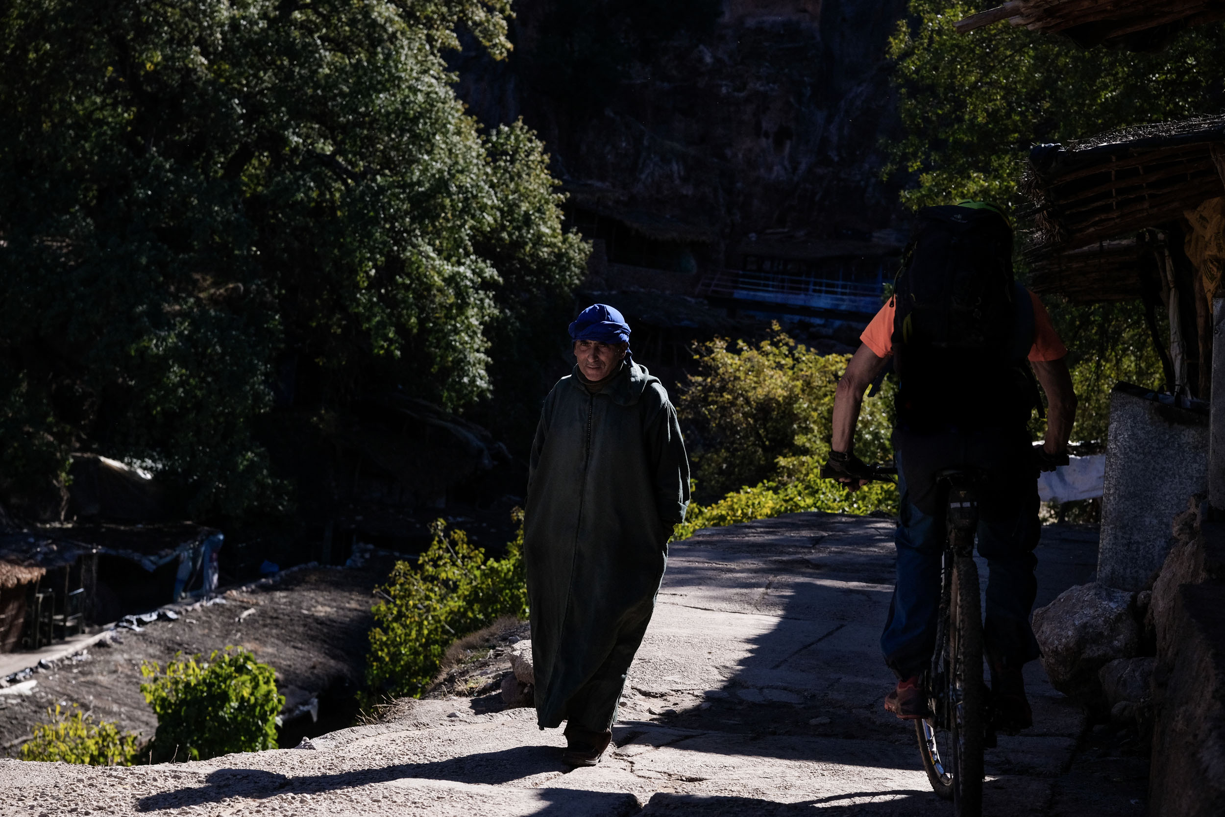
- Exploring Zaouia d’Ifrane on foot is a highlight in itself. Try to arrive during daylight to fully appreciate its unique setting. Though you remain dry and safe, the town feels as if it were built into cliffs beneath a cascading waterfall. Water flows everywhere—rushing through channels, slipping beneath stone pathways, and weaving its way through the fabric of the village.
Check out this teaser for riding the segments of the Atlas Mountain Trails:
Rolling through Nomad’s Land
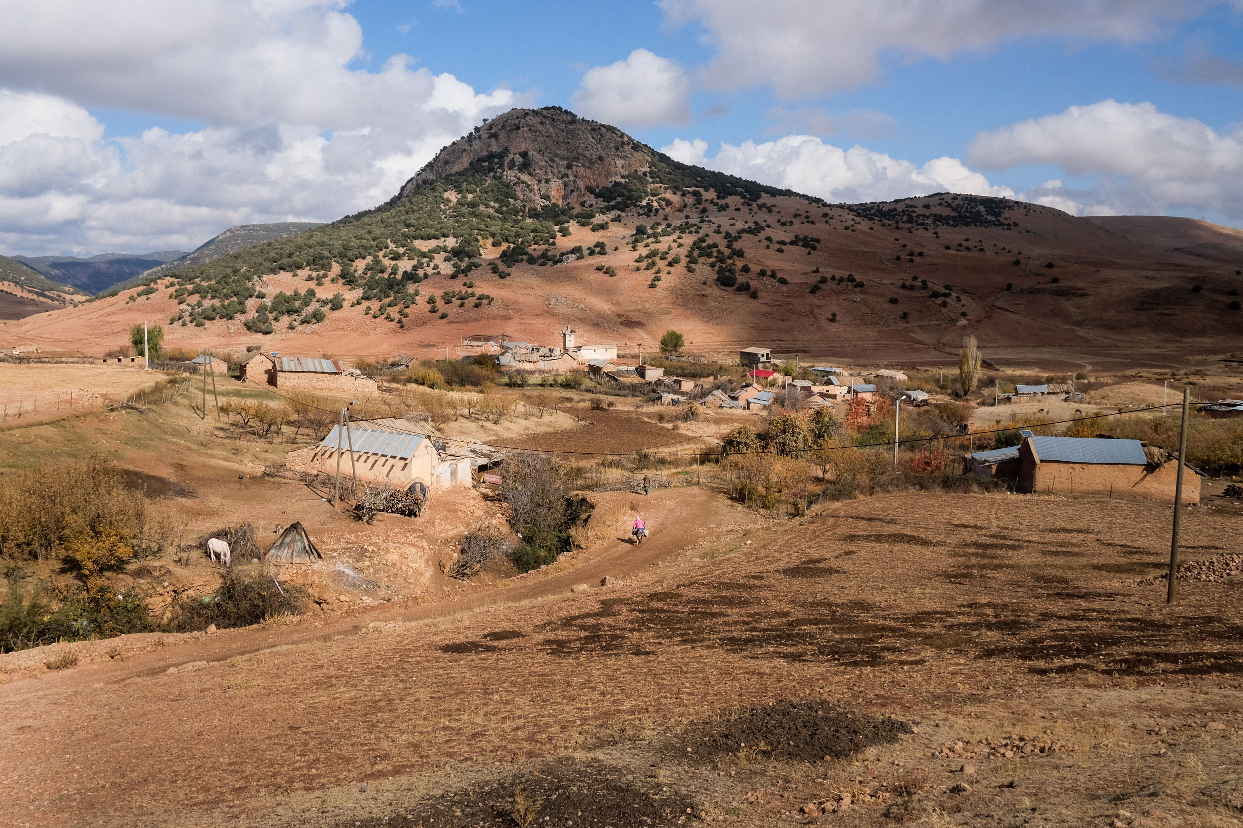
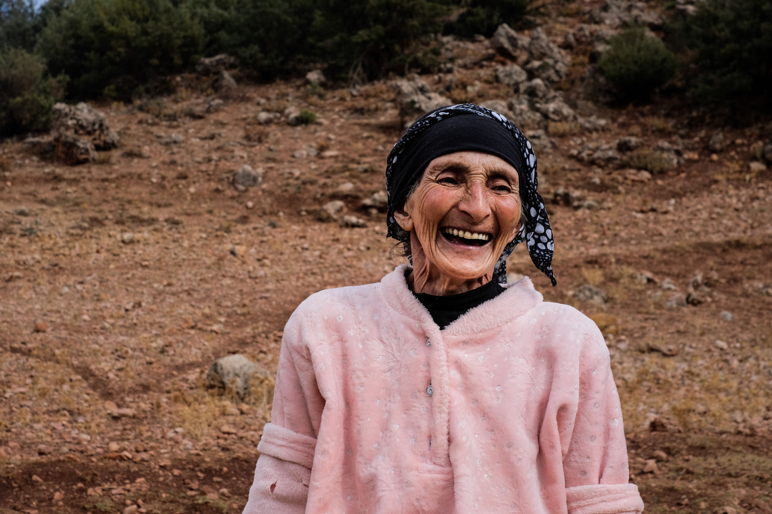
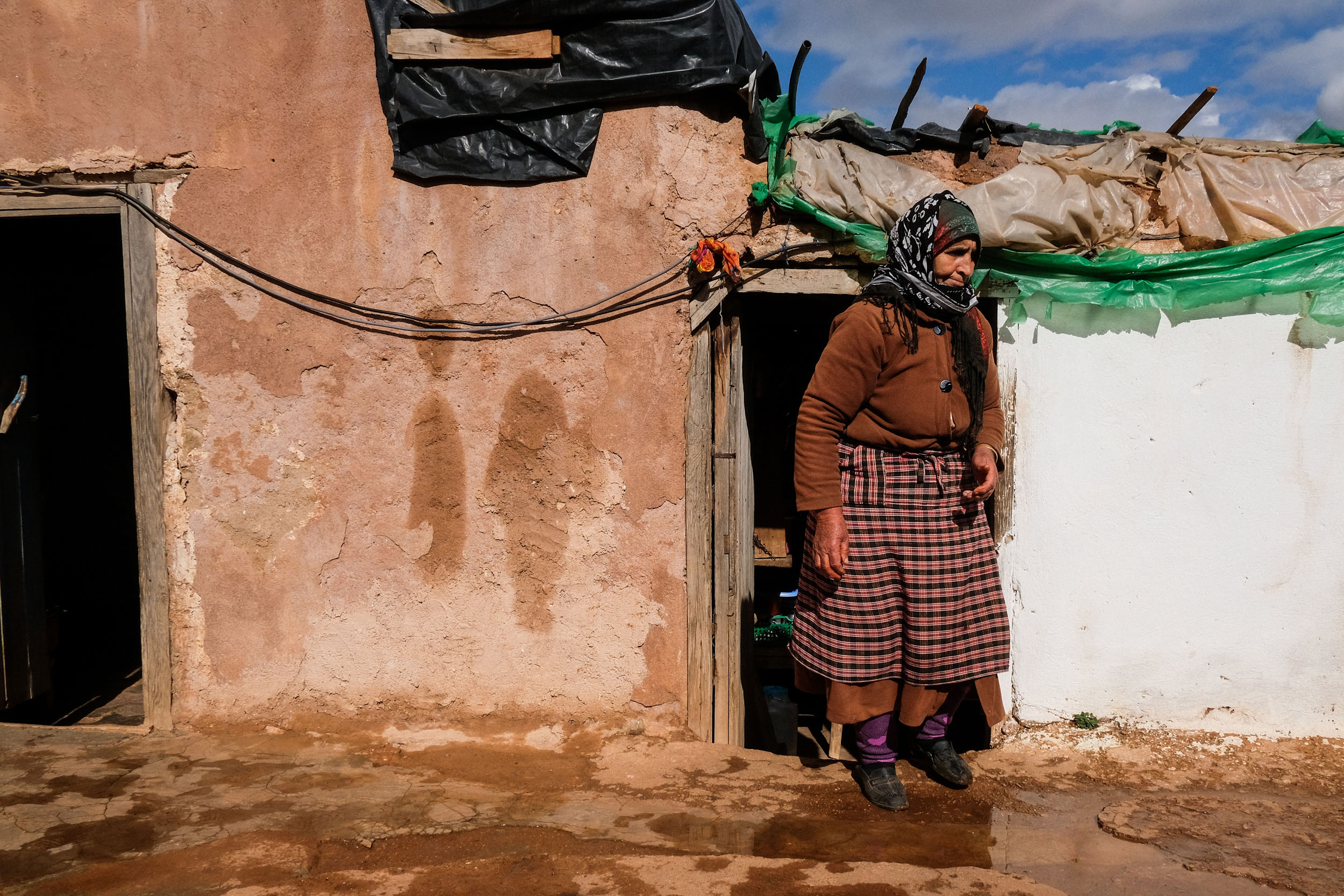
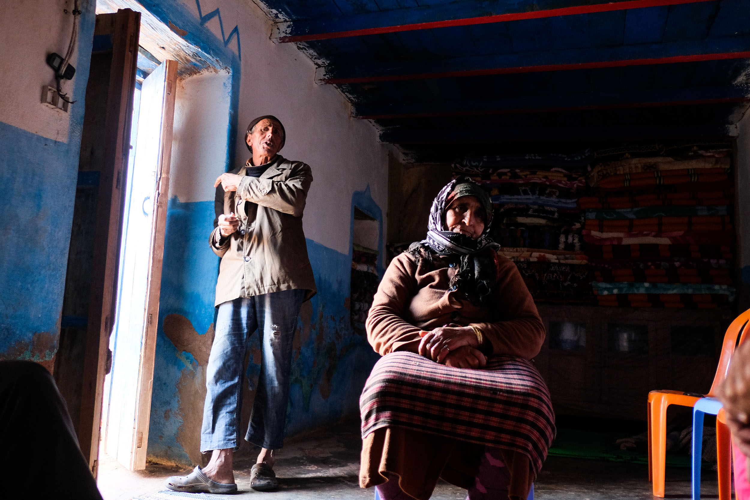
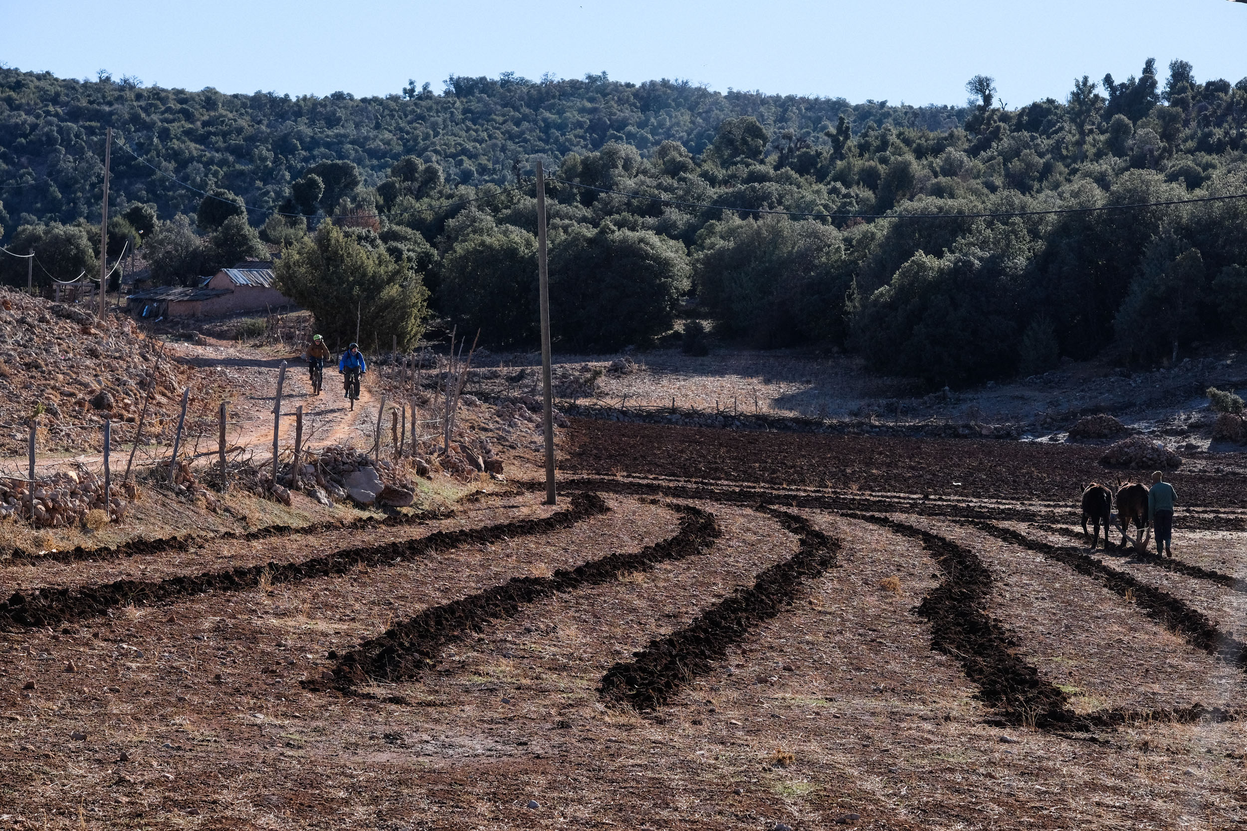
Most of the locals you will meet on the trip are of nomadic Amazigh origin. Unlike the well-known desert nomads, the nomadic populations of the Middle Atlas are primarily semi-nomadic. They spend the winter in lower valleys and move to higher pastures during the summer.
This seasonal movement, known as transhumance, is highly adapted to the region and its resources and has evolved over centuries. Particularly fascinating is their system of collectively managed pastures, known as agdals, which function without private land ownership.
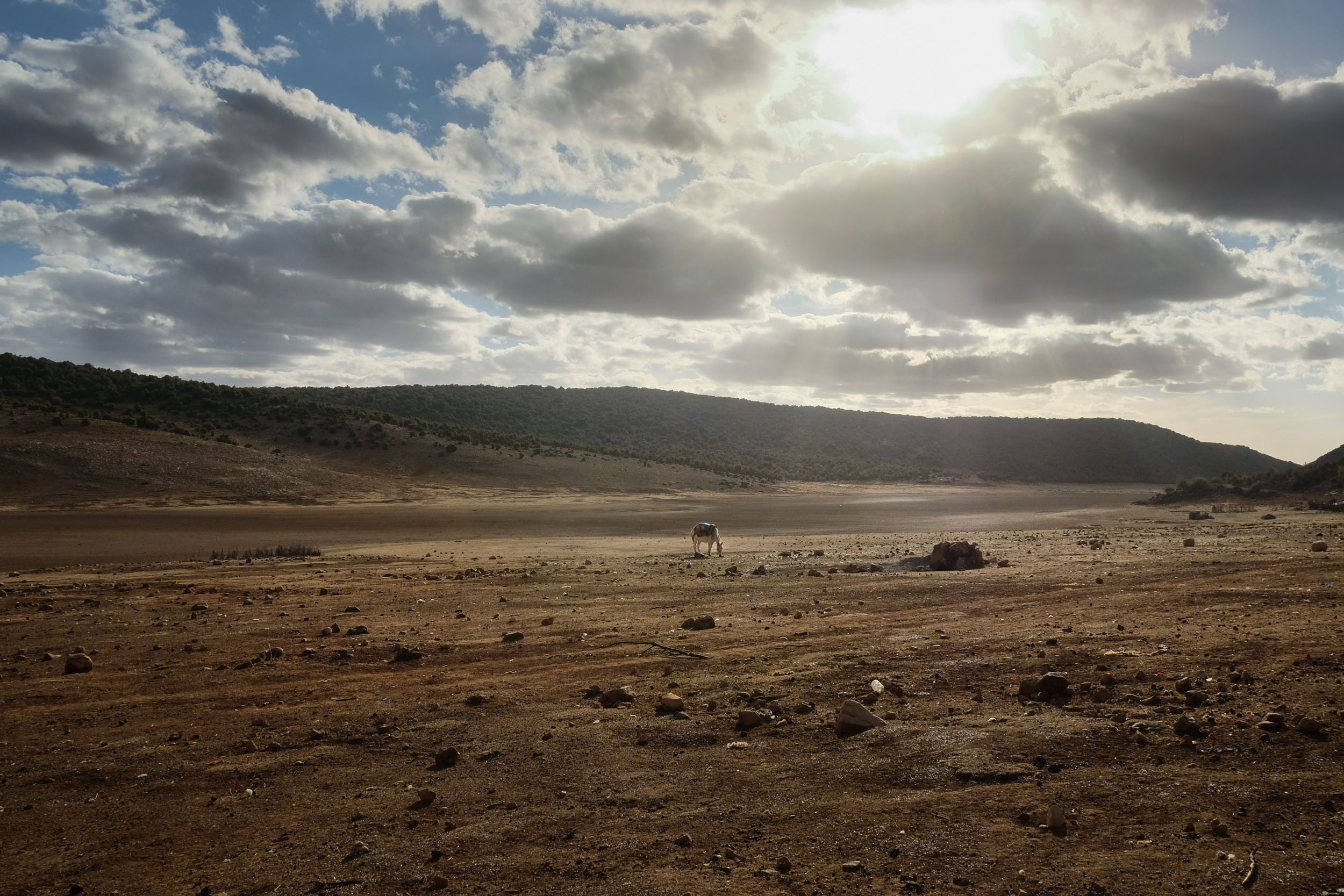
Today, these communities face increasing challenges. Climate change has made rainfall more unpredictable, putting pressure on already fragile grazing lands. Tourism also plays a complex role. The camp at Lake Azegza is a good example: once a prime grazing area, it has increasingly been developed for tourism since around 2020. Income from small restaurants and handicrafts now partly replaces traditional herding.
One famous tribe that should be mentioned is the Béni Mguild, who are believed to have migrated northward from the Sahara centuries ago and gradually adapted their nomadic lifestyle to the mountain environment. They maintained their independence from any central power until almost the time of French colonization. Today, beyond their pastoral traditions, they are especially renowned for their distinctive handwoven carpets, often made from thick wool and characterized by bold geometric patterns and earthy tones, which have become an important source of income and cultural expression.
For further reading, see Evolution of transhumant and nomadic life in Morocco by A.M. Brisebarre and M.Mahdi.
The Oum Er-Rbia – Morocco’s largest river system
The Oum Er-Rbia River takes its name from Arabic, meaning “Mother of Springs” or “Mother of Abundance,” a fitting description of what we experienced in its upper watershed. Here, countless springs, lakes, and wetlands sustain rich pastoral systems and unique ecosystems like those encountered along the route. Some of these wetlands are even protected under the Ramsar Convention as sites of international importance.
However, this is only one part of the story of this approximately 550-kilometer-long river, the second-largest in Morocco after the Sebou River. The middle and lower sections of the watershed are defined by intensive use and large-scale infrastructure. Between the Atlas Mountains and the river’s mouth near Azemmour on the Atlantic coast, there are around six major dams and reservoirs. These provide drinking water for cities, irrigation for agriculture, and electricity through hydropower—most notably at the Al Massira Dam.
In major irrigation areas such as Tadla and Doukkala, thousands of farmers and agro-industrial operations depend directly on its waters. After several consecutive years of drought, the system reached a critical point in 2024–2025. Reservoirs fell to historically low levels, with some literally running dry. Although the situation improved significantly following the rains of 2025–2026, the long-term outlook remains concerning, as climate change and increasing water demand continue to put pressure on the river system.
Logistics
- Point of Departure: The tour starts in Khenifra, the provincial capital in the southwest of the Middle Atlas. Khenifra is relatively easy to reach from Casablanca, Marrakech, or Rabat, although it is not connected to the country’s highway or railway network. It lies roughly halfway between Fes and Marrakech along National Route 8, also known as the “Route des Empires,” which historically linked Amazigh kingdoms during the Middle Ages. With around 120,000 inhabitants, Khenifra offers all basic facilities.
- Point of arrival: The tour ends in Azrou, a local touristic hub with many touristic facilities, including high-end hotels. Some of us chose to unwind and stretch our muscles at the hammam and spa of the “Palais des Cerisiers” resort.
- For bike transport, check with Dar Zayan; they have very reasonable fees.
- Connection: Phone/4G connection is surprisingly good, almost throughout the whole trip.
- Discover further segments of the Atlas Mountain Trails and the project: AtlasMountainTrails.com/.
- Follow Atlas Mountain Trails on Instagram @atlasmountaintrails.
- International travel: Most major airlines accept bikes as checked luggage. Air Maroc charges you around 50 EUR for domestic flights, 70 EUR from and to Europe, and 150 EUR from and to the US.
- In Morocco, traveling with public transport is possible, but it will be difficult to take your bike along. Trains have no storage compartments and do not transport bicycles. In contrast, the extension of the train system (called Supratours), operated by the national railway company ONCF, does transport bikes. It operates between Rabat, Fès, Marrakech, and Agadir.
- Within the Atlas, there are plenty of informal and formal taxis and buses that will transport your bike, even if they have to fix it on the roof. Often the most feasible option is to rent a white “taxi collective.” They always have roof racks that let you secure your bikes and have up to six seats.
What Bike and Gear
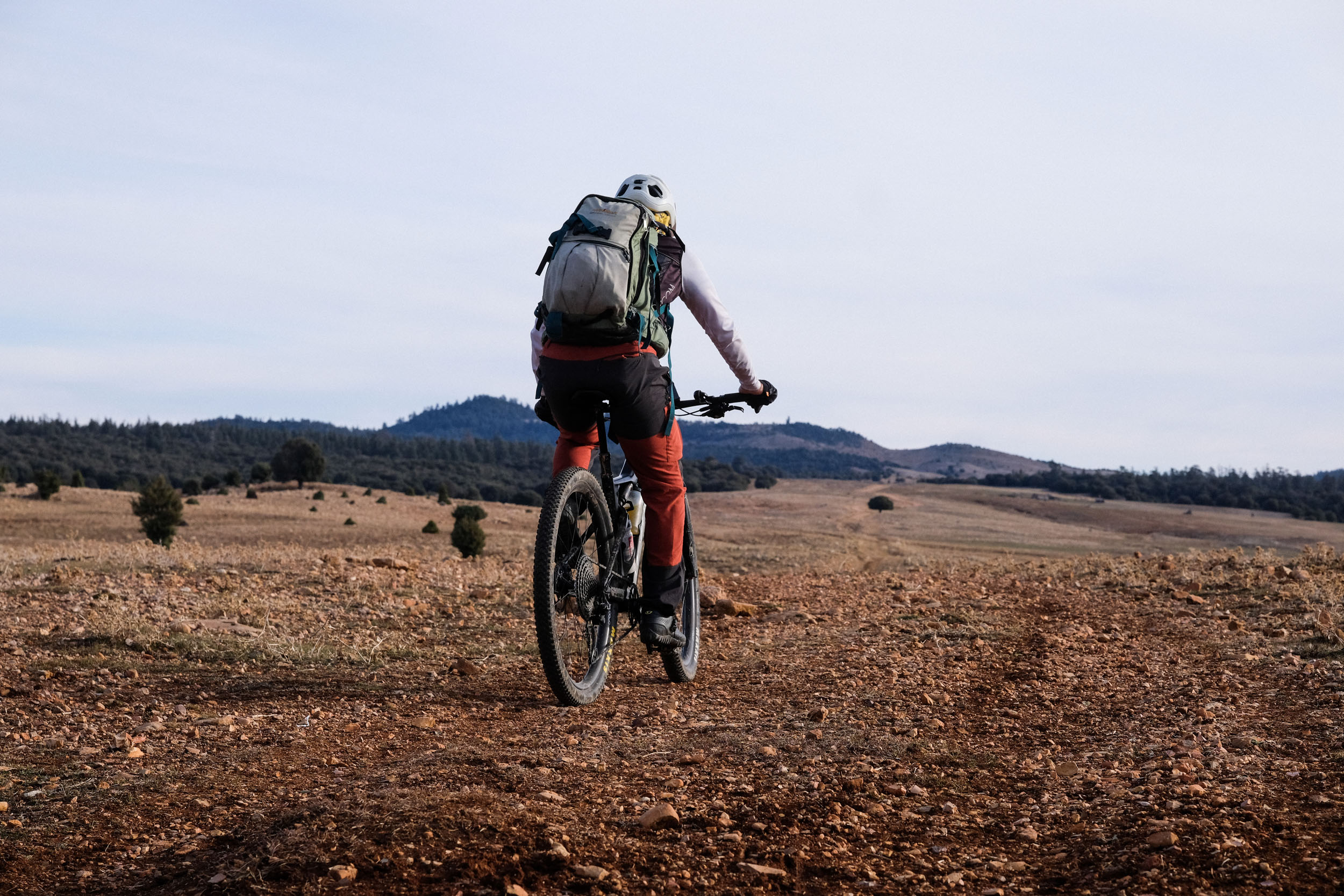
- We recommend a lightweight yet rugged MTB, like a cross‑country (XC) or downcountry bike to handle long climbs, technical descents, and unpredictable weather with a tire size between 2.2 and 2.4. The segment includes several technical singletrack passages and two extended hike-a-bike sections. Whatever bike and equipment you bring, you need to be able to carry it.
- Along this tour there is no bike repair service. Travel prepared and take spare parts. In major cities, you can find almost all kinds of support. Particularly, Marrakech has a range of professional bike services. You also might find solutions to send needed spare parts deep into the mountains in case of a technical problem during the trip, through a chain of local buses and taxis. You can find updated contacts on AtlasMountainTrails.com.
- Be prepared that a damaged bike that you can not repair by yourself on the spot is possibly the end of the tour.
When to go
- The best time to visit is during spring (April to early June), when temperatures are moderate, and the valleys are lush and green after the winter rains. Daytime temperatures typically range from 15 to 25°C, depending on the region and altitude, while nights can still be quite cool, dropping to between 5 and 15°C. Rain is possible, and snow may still be visible on higher peaks, particularly in March and April.
- Because the elevations (1,000 to 2,000 meters) are lower than those of the High Atlas, this tour can also be undertaken in winter, provided there is no snow. Nighttime temperatures can fall below freezing, but daytime conditions are generally pleasant, often reaching around 20°C—suitable for comfortable riding. However, rainfall is more frequent during this season.
Dangers and Annoyances
- The Atlas Mountains are a remote and rugged environment, and professional support in case of emergencies or technical issues is limited. It is important to plan extra time for your journey to account for any unexpected problems.
- If you are sensitive to insect bites, take extra precautions, especially during the spring season. Be mindful of beehives and consider bringing appropriate anti-allergy medication.
- When passing through villages or small settlements, dogs may bark or run alongside your bike. If they approach too closely, it is best to stop, dismount, and calmly deter them, for example, by mimicking the action of picking up a stone. Though rare, rabies is still present in Morocco, so consider getting vaccinated before your trip.
- The trail can be completed entirely using hostels and the nomad tents in Lake Azegza. The latter is very simple: a mattress on the ground and a few warm blankets, as the semi-nomadic shelters are not well protected from the rough weather.
- There are plenty of accommodation options on day one in Khenifra, as well as in Zaouia d’Ifrane and Azrou, should you choose to stay an additional night at the end.
- At Lake Azegza, local families offer simple overnight stays in tent camps, providing mattresses and blankets. This is a highlight of the trip, despite the cold nighttime temperatures.
- There are no established campgrounds along the route, but spectacular wild camping spots can be found and are tolerated. The cedar forests along the route provide spectacular campsites. One of the best camping locations is on the meadows near Lake Azegza on day two. Even in remote mountain areas, you are unlikely to be completely alone—locals may be herding goats or working in the fields. It is recommended to approach and inform them when setting up camp. Visitors are typically welcomed warmly, and you may even be invited for tea or a small snack.
Recommended Accommodations
- Dar Zayan – Originally a simple guesthouse, now a comfortable three-star hotel and resort offering rooms, bungalows, and a swimming pool. Highly recommended. Website: https://www.darzayane.com | Tel: +212 668 173252
- Lake Aguelmam Azegza – A modest “nomad village” with very basic tourist infrastructure near the lake. Some cafés offer simple tent accommodation. Conditions are rustic, and temperatures can drop to freezing at night. Location: https://maps.app.goo.gl/QCU3g9c2QjYZAURN7
- Zaouit Ifrane – Beautifully located beneath waterfalls, this village has a well-developed tourist infrastructure with several hostels.
- Recommended: Gîte Amnay. Location: https://maps.app.goo.gl/MQ6o7BaimJ7iXL399 | Tel: +212 659 546586
- Although there are natural water sources along the route, we recommend carrying bottled water, which is available in small local grocery shops (“hanut”) in villages where you stay overnight. Alternatively, you can ask locals for water (“maha” in Arabic or “aman” in Tamazight).
- Food provided in hostels along the trail is generally excellent. Dinner typically consists of tagine, a traditional and flavorful dish prepared with meat, chicken, or vegetables, usually followed by breakfast.
- During the day, food options are very limited (with the exception of the Sources of Oum Er-Rbia), so it is advisable to carry supplies. We recommend bringing sandwiches, hard-boiled eggs prepared by your accommodation, and trail snacks such as nuts and dates.
- For breakfast, try Amlou, a rich and nutritious blend of argan oil, almonds, and honey. It’s an excellent source of energy and also makes a great snack for the trail.
The route begins in Khénifra, a laid-back provincial capital tucked into the southwestern edge of the Middle Atlas. Positioned roughly midway between Fes and Marrakech along National Route 8, this crossroads once linked powerful Amazigh kingdoms. It is historically known as the “Route des Empires.”
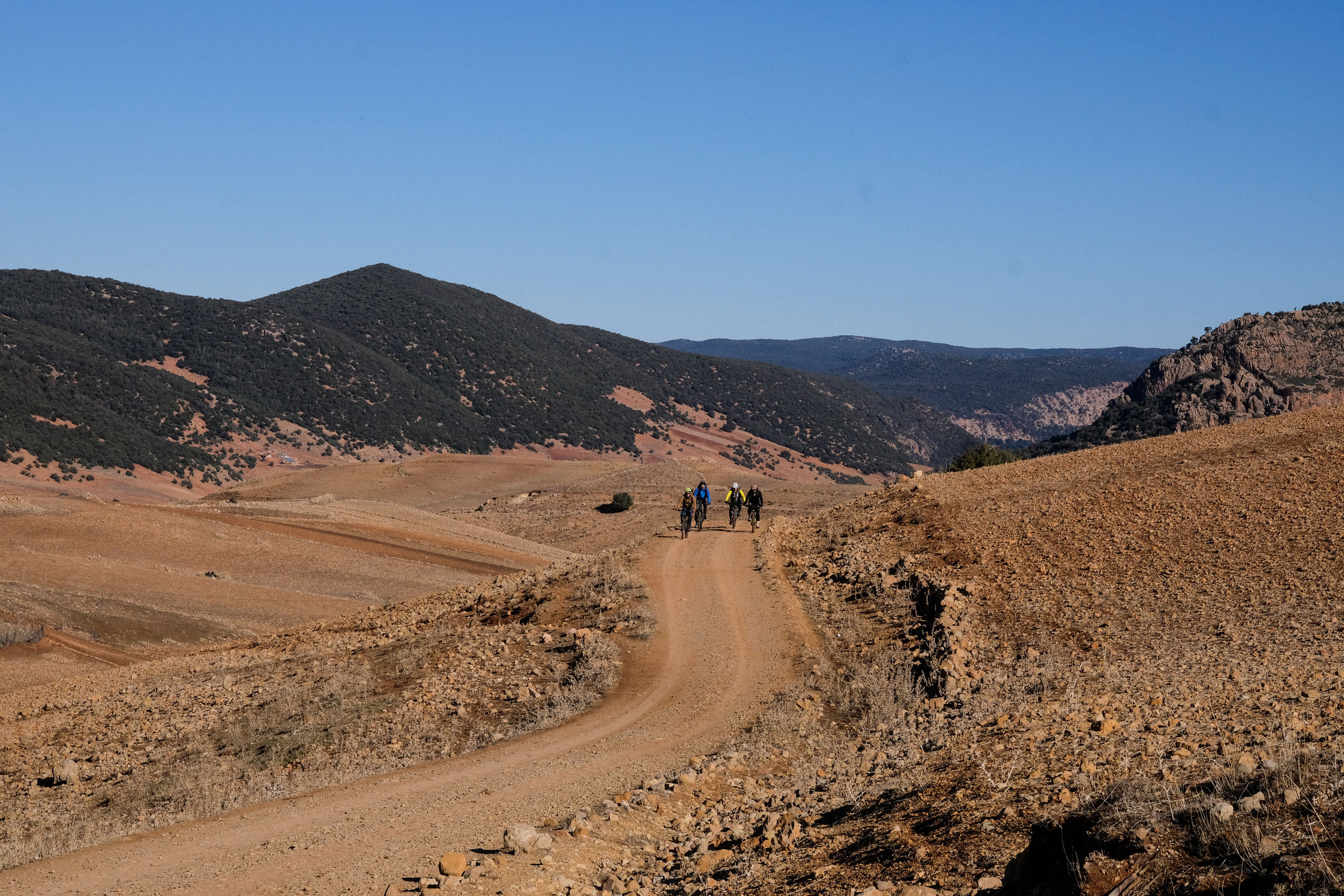
The opening day eases riders gently into the rhythm of the Middle Atlas. A short initial ramp signals the transition: lush grasses and tall reeds gradually give way to dry shrubs as the landscape opens into the highlands. From there, the terrain softens into rolling hills, ideal for finding your cadence. Soon, the first cedar forests appear. Vast, silent, and almost surreal, where towering trunks create a fairy tale playground for bikers. A fast, steep descent through oak forest closes the day, revealing the shimmering waters of Lake Aguelmam Azegza, “Green Lake” in Tamazight.
Day two mirrors the distance of the first but demands more focus. The route pushes eastward from the grazing lands around Tazirart, climbing onto the remote Amnkhour Plateau before eventually dropping toward Zaouia d’Ifrane—a name that loosely translates to “the hidden retreat of the Sufis.” Along the way, riders pass one of Morocco’s most important hydrological landmarks, the headwaters of the Oum Er-Rbia River. Rather than a single spring, it feels like a convergence of streams, bursting into life amid cascades and rapids. Wooden terraces and small cafés cling to the water’s edge, forming an informal network of resting spots—perfect for a slow tea or a steaming tagine accompanied by the sound of rushing water.
Beyond this interlude, the route climbs again into quieter terrain. Rocky tracks lead to another expansive plateau, where green pastures stretch to the horizon and seasonal lakes shimmer in the distance. Nomadic camps dot the landscape, reinforcing the sense of remoteness. Encounters here are often warm but understated. If invited, sharing a cup of tea can become one of the journey’s most memorable moments. The day finishes with a thrilling, technical descent. Five kilometers of raw, engaging riding that drops straight into Zaouia d’Ifrane, offering a final burst of adrenaline for those who still have energy to spare.
The final stage begins with a steady climb back into the highlands, weaving through scattered nomadic settlements where cyclists remain a rare sight. Gradually, the terrain softens again into wide, green pastures centered around Aguelmam Afenourir, a high-altitude lake that hosts dozens of migratory waterbird species. This marks the edge of Ifrane National Park, and the riding becomes more intricate as the route threads through wetlands filled with ponds, marshes, and hidden waterways.
From there, the landscape shifts dramatically. Dense cedar forests close in as the route approaches the famed woodlands around Azrou and Ifrane, arguably some of the most iconic cedar forest scenery in the Middle Atlas. Encounters with Barbary macaques are common here, a reminder that this ecosystem is as lively as it is beautiful. With proximity to main roads, the solitude of earlier days gives way to a more animated atmosphere, where local visitors and travelers wander beneath the trees.
The journey concludes in Azrou, a small but bustling mountain town that offers a comfortable landing after days in remote terrain. Cafés, guesthouses, and even upscale retreats provide space to recover—whether that means a simple meal in town or a long soak in a traditional hammam, letting the dust of the Atlas settle as the ride comes to an end.
Three-Day Itinerary
locationKhénifra to Lake Aguelmam Azegza
Day 1 (45.8 km +1,220 m)
The first day’s trail is perfect to ease into the journey. You begin on small country roads, heading downhill until you reach the trail’s entry point (kilometer 7), which eventually leads to a plateau. The first 400 meters of elevation gain are particularly tough, with gradients exceeding 10% on rocky terrain. The landscape transforms gradually in vegetation, from lush grasses and tall reeds to dry shrubs. Geographically, you are ascending through the upper watershed of the Oum Er-Rbia River, where the river still consists of numerous mountain springs.
After the first ramp (kilometer 13), the terrain becomes gentler, allowing for more relaxed rolling through the Middle Atlas hills. Around kilometer 16, you’ll pass a small, remote school. If you happen to be there on a school day, it’s well worth stopping for a short break; the children and teacher are usually happy for the interaction.
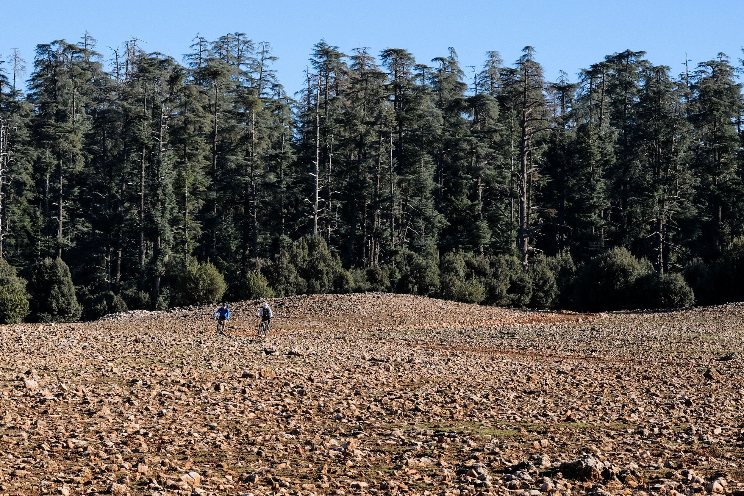
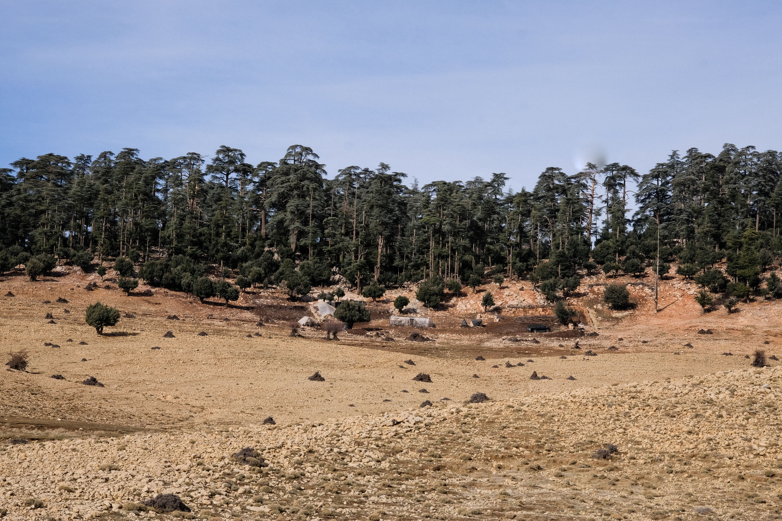
From here, the trail climbs to the day’s highest point at around 1,700 meters, though the gradient is less steep. You are rewarded with your first views of the magnificent cedar forests, an ideal spot for a lunch break or to set up a campsite.
After a short descent, you reach the small road linking Khénifra to Boumia and pass through a forgotten village on the Tazirart Plateau, marked by an eye-catching monument honoring Amazigh Culture set within a wide, open plateau.
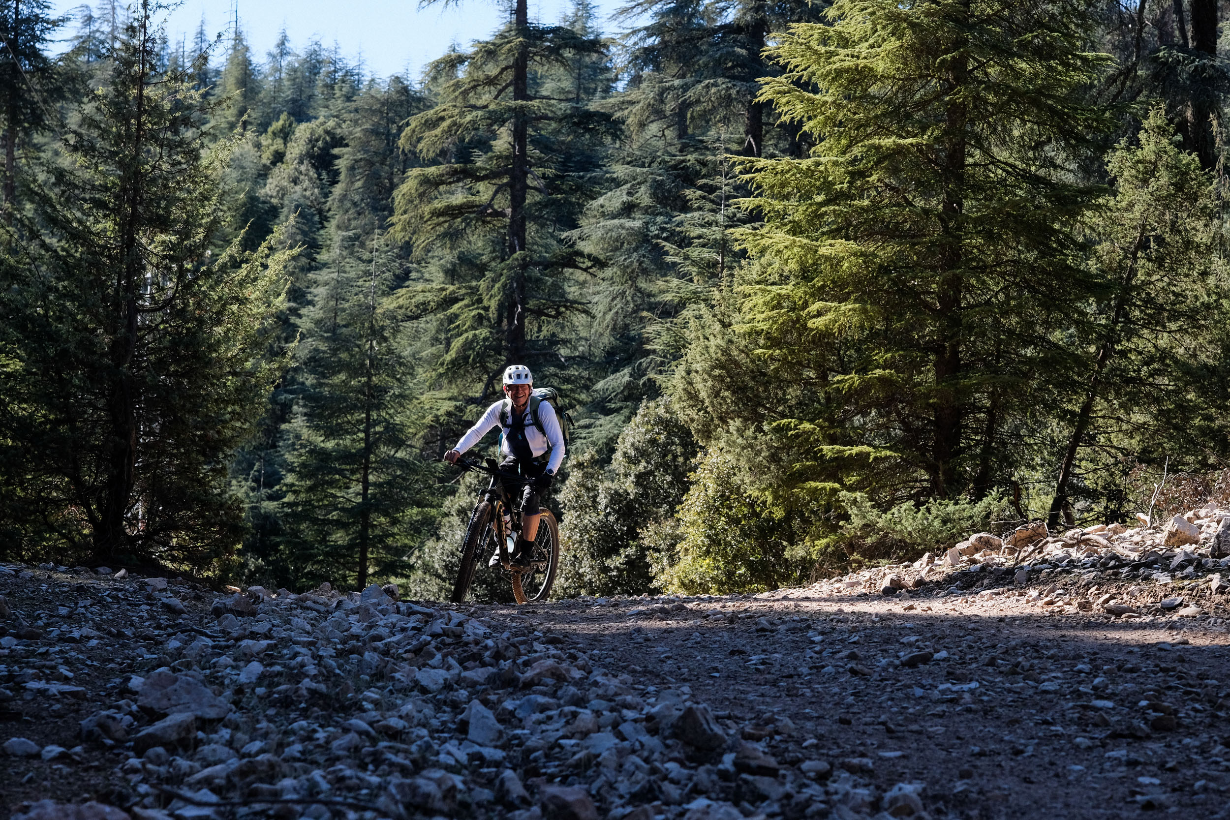
At kilometer 35, you leave the main road to the left, passing a nomadic settlement. This marks the most beautiful section of the day. You ride through cedar forests that feel like a fairy tale, and the open forest floor allows you to move freely beneath towering trees and explore the surroundings. Be cautious in wet conditions; the trail can get very muddy and might force you to walk.
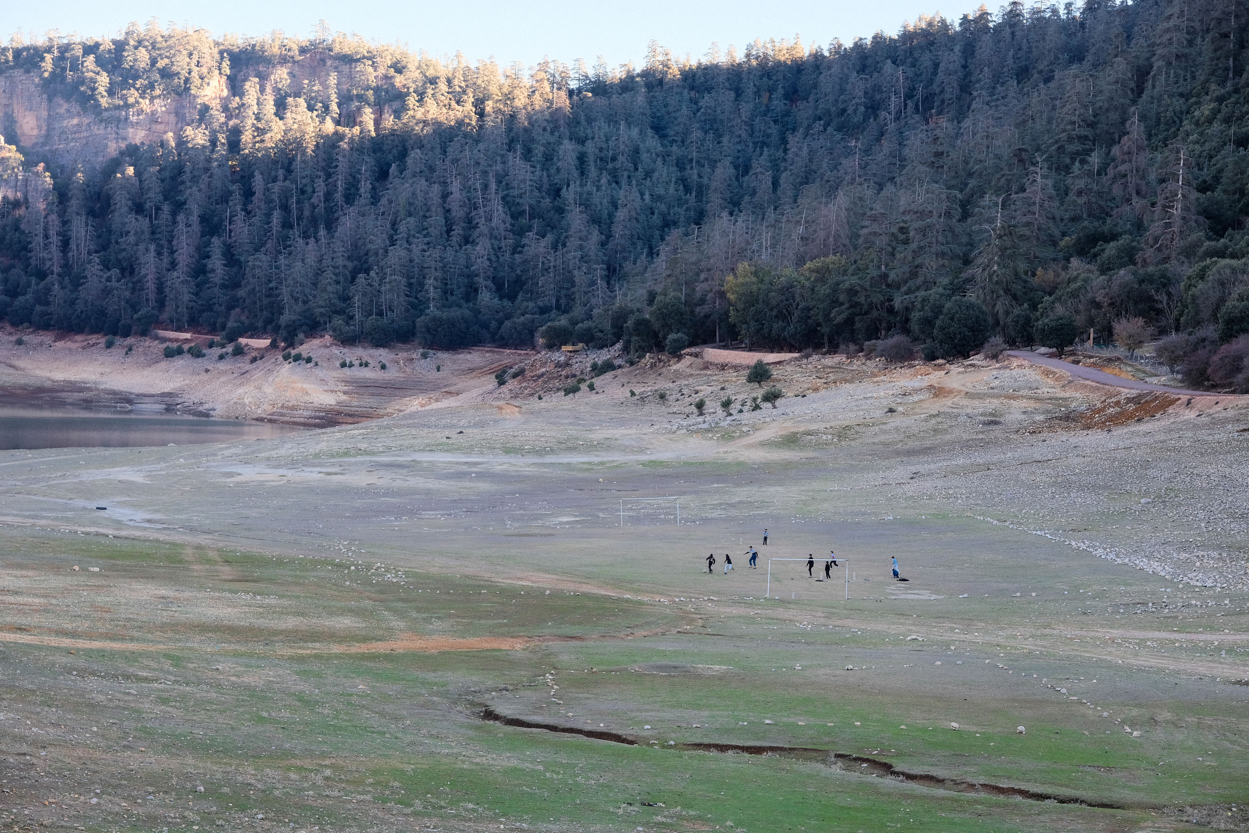
The final descent of the day is a steep downhill through oak forests before catching a first glimpse of Lake Aguelmam Azegza (Green Lake in Tamazigh) in all its splendor. After several years of drought, the lake was still relatively small, but the rains of the 2025–2026 season have likely restored it to its former size.
locationLake Azegza to Zaouia d’Ifrane
Day 2 (43.7 km +930 m)
In terms of distance, day two is comparable to day one but includes several very technical passages that require time. Be prepared for several hike-a-bikes. Geographically, the route leads from the pastures around Tazirart across the Amnkhour Plateau and eventually down to the small town of Zaouia d’Ifrane (meaning the cave or hideaway of the Soufi monastery in Tamazigh language).
You leave the camp along a single trail on the opposite side of Lake Aguelmam Azegza, before climbing back up into the cedar forest. From there, you descend for roughly 12 kilometers, following one of the tributaries of the Oum Er-Rbia River.
Around kilometer 15, the route becomes more challenging as you need to find your way through a canyon. The trail leads over rocky sections and small cliffs, where you may need to carry your bike for short stretches. Depending on the water level, it might be possible to stay in the riverbed instead.
Shortly after, you reach what is locally referred to as the “source” of the Oum Er-Rbia River. Judging by the volume of water, it appears more like a convergence point of several smaller tributaries than a single spring. Around the rapids, a cluster of informal tourist cafés and restaurants has developed, connected by a maze of wooden terraces and narrow walkways. It’s an ideal place to take a break, enjoy a tea or a tagine, and listen to the sound of the rushing water. The small shelters along the water can also be used as a night stay, providing you with a warm Tagine and a warm blanket.
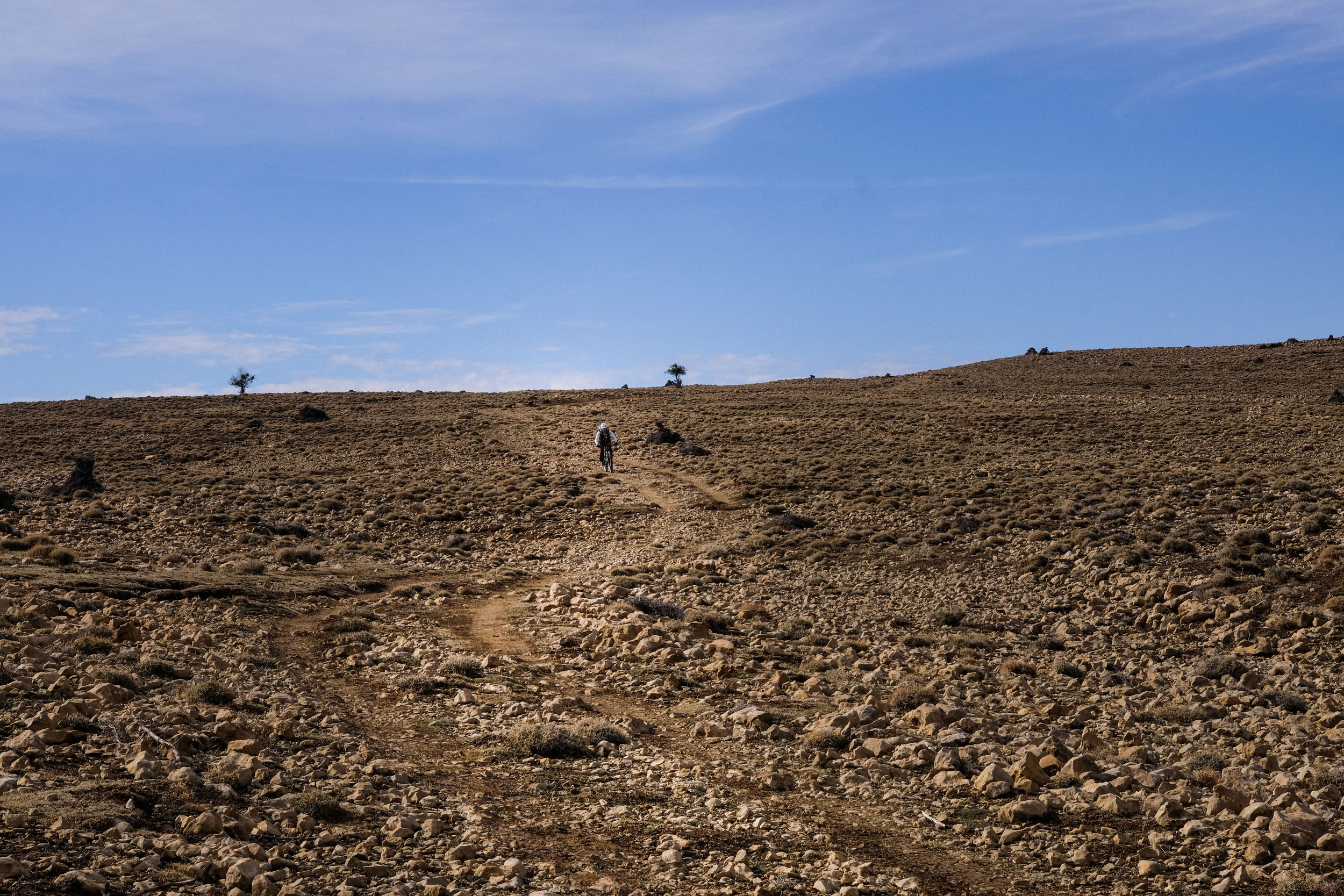
From here, we follow the main road P7311 on a long 12-kilometer climb up to the Amnkhour Plateau. Almost all the way is on a paved road, which we leave at kilometer 28 just before Lake Ouiouane to the left. After reaching the highest point (1,760 meters), a rewarding downhill section follows, where you’ll need to navigate freely across rocky terrain, shallow streams, and occasionally rough, technical ground.
Eventually, you arrive at another stunning highland plateau, covered in green grass and—depending on the season—dotted with small lakes. Nomadic camps are scattered across the landscape, adding to the sense of remoteness. The nomads here are particularly welcoming, and if your time allows, stop for a tea or even spend the night in one of the nomadic shelters or your own tent. The locals provide you with fresh water and food for a small contribution.
After the plateau, look for an exit where a new road is currently under construction. Follow this road until around kilometer 39.5, then turn right onto a small marked mountain path (be alert, as it is not easy to spot). We later learned that this path contours around the steep mountain slopes and cliffs leading toward Zaouia d’Ifrane. As it did not appear on our maps and seemed counterintuitive at the time, we opted for a very steep, partially rideable shortcut through the forest.
Still, the effort paid off: the final 5 kilometers offer an outstanding, technical downhill section, a perfect playground for enduro enthusiasts.
locationZaouia d’Ifrane to Azrou
Day 3 (49.6 km +1,010 m)
This leg of the trek is easier to navigate and can be summarized quite simply: a steady climb up to a high plateau, a long traverse of roughly 30 kilometers across it, and finally a descent into the valley of Azrou.
The first 7 kilometers, a narrow forest path winds relentlessly uphill, with gradients often exceeding 13%. Once you reach the plateau, the climb continues more gently.
You cross the paved road (RP7311) that descends north to Ain Leuh (kilometer 10.5) and roll in the opposite direction for 1 kilometer before heading northeast on a small path. The next 10 kilometers are a challenge, as the path becomes increasingly rocky until it almost disappears. You are crossing several nomadic settlements; the local population is not used to seeing many travelers and will keep their distance.
We cross another provincial road, also descending from Sidi Mguild (kilometer 16.7), named after the local Amazigh tribe and marking the tour’s highest point (1,900 meters). The terrain becomes greener, with immense pastures and Lake Aguelmam Afenourir at its center, home to more than 30 species of waterbirds. The lake marks the border of the Ifrane National Park. Pass the lake on its northwestern flank and join the gravel road. Careful as the area around the lake is a huge wetland; keep a distance until you are on the road.
Soon after the lake, the landscape changes drastically as we enter the forests of Azrou. The forest road is partly paved and gently descends through one of the most beautiful stretches of cedar forest in the Middle Atlas. An encounter with the famous Barbary macaques is almost guaranteed. If your time allows and you want to extend the trip for another night, watch out for wild campsites all throughout the descent in the forest.
As the road approaches Azrou, picnic spots and both local and international visitors are scattered through the woods. A sharp contrast to the last two days. Cross the regional road RN13 (kilometer 44.5) and soon engage on a path to your left, quickly transforming into a playful singletrack that descends through the cedar forest. A perfect reward for the efforts of the last three days.

Terms of Use: As with each bikepacking route guide published on BIKEPACKING.com, should you choose to cycle this route, do so at your own risk. Prior to setting out check current local weather, conditions, and land/road closures. While riding, obey all public and private land use restrictions and rules, carry proper safety and navigational equipment, and of course, follow the #leavenotrace guidelines. The information found herein is simply a planning resource to be used as a point of inspiration in conjunction with your own due-diligence. In spite of the fact that this route, associated GPS track (GPX and maps), and all route guidelines were prepared under diligent research by the specified contributor and/or contributors, the accuracy of such and judgement of the author is not guaranteed. BIKEPACKING.com LLC, its partners, associates, and contributors are in no way liable for personal injury, damage to personal property, or any other such situation that might happen to individual riders cycling or following this route.
Please keep the conversation civil, constructive, and inclusive, or your comment will be removed.