


Owens Valley Ramble
Distance
64 Mi.
(103 KM)Days
2
% Unpaved
71%
% Singletrack
1%
% Rideable (time)
100%
Total Ascent
4,409'
(1,344 M)High Point
5,733'
(1,747 M)Difficulty (1-10)
4?
- 4Climbing Scale Fair69 FT/MI (13 M/KM)
- -Technical Difficulty
- -Physical Demand
- -Resupply & Logistics
Contributed By

Jeremy Nolan
Guest Contributor
Jeremy gained an appreciation for the outdoors after attending university in the Pacific Northwest. He brought this appreciation back to his home in Southern California and wishes to share it with others. Jeremy has biked the TransAmerica Trail, Pacific Coast Bike Route, and Idaho Hot Spring Mountain Bike Route and spends his free time mountain biking, exploring backcountry desert roads, and daydreaming of trips to come. Find more of his adventures on Instagram @jeremynolan94.
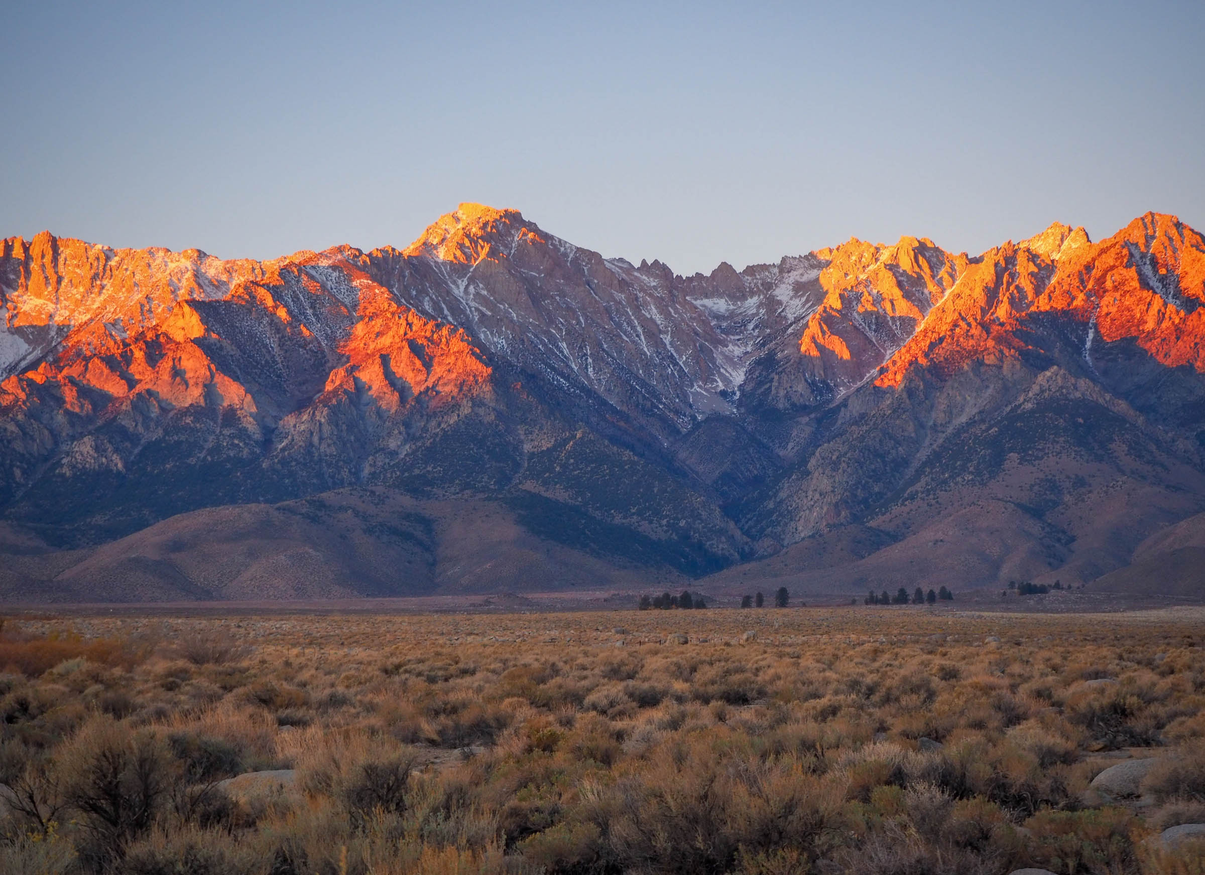
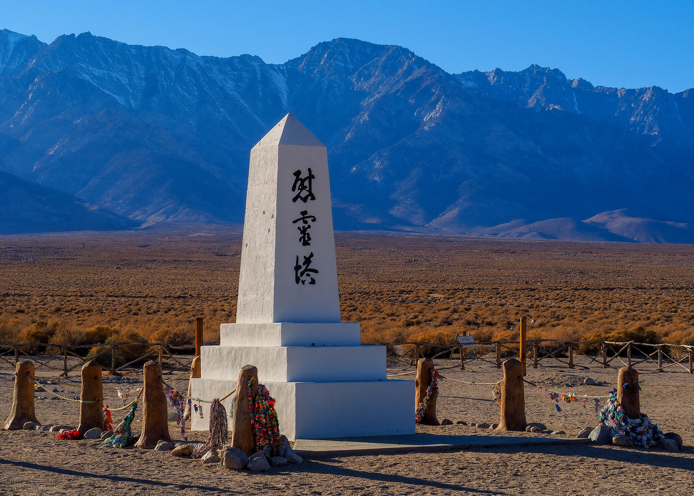
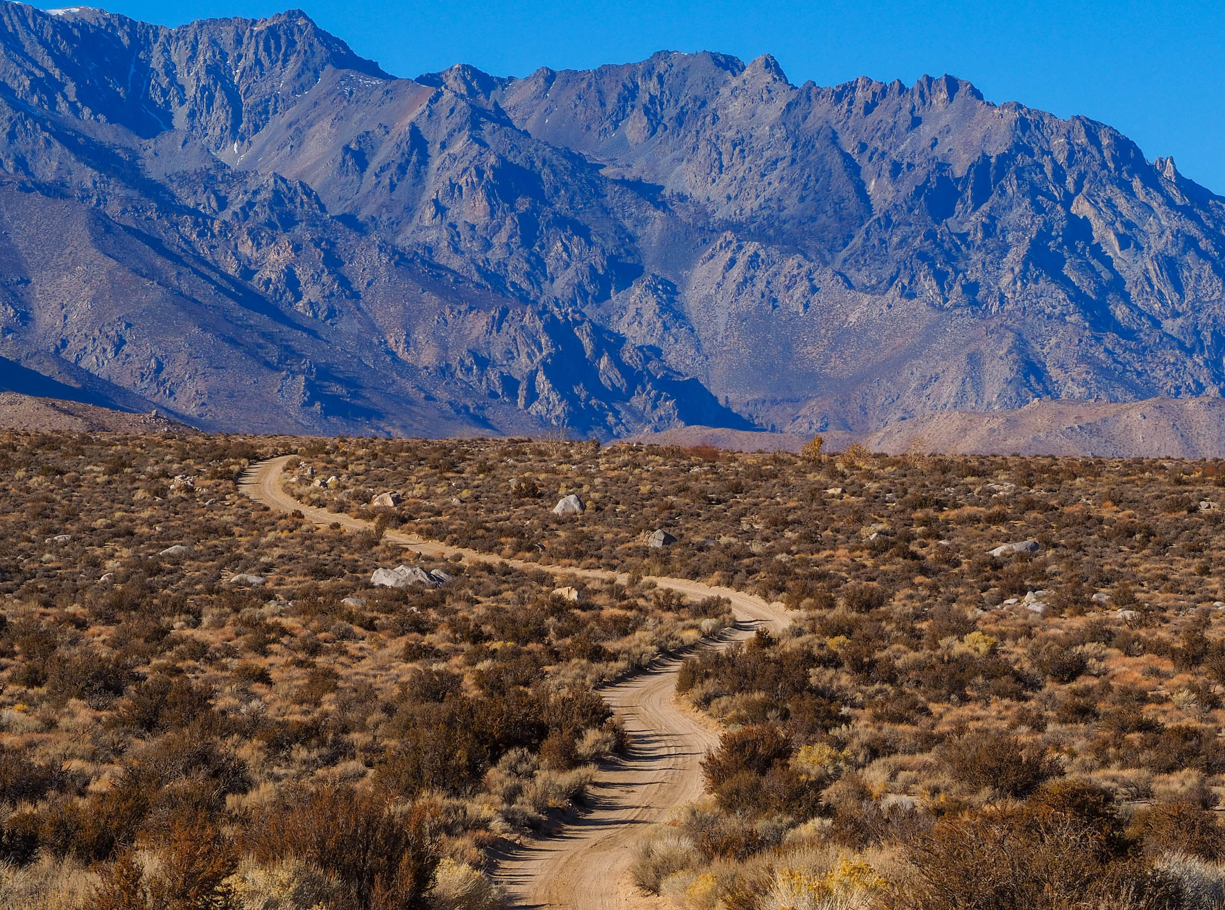
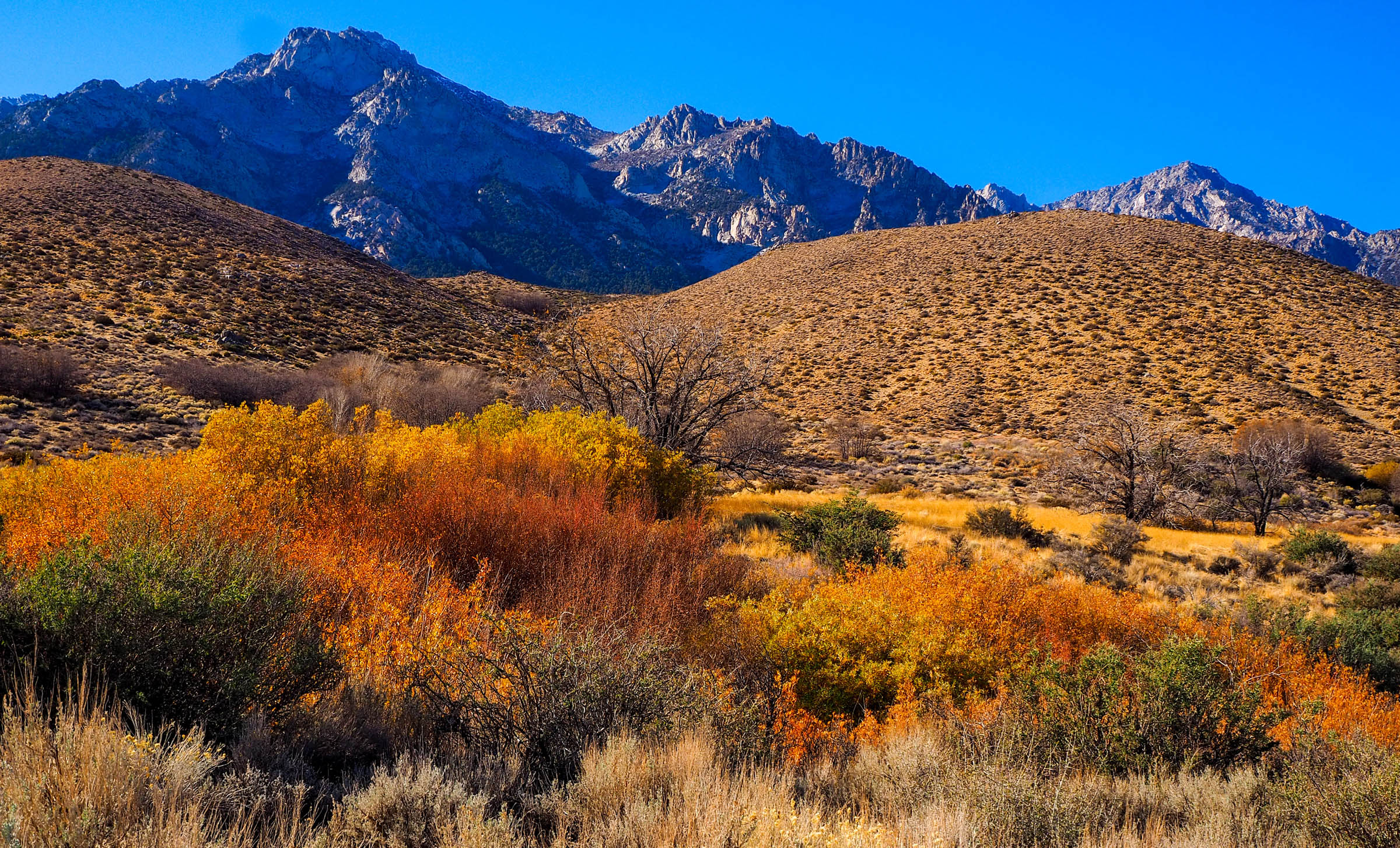
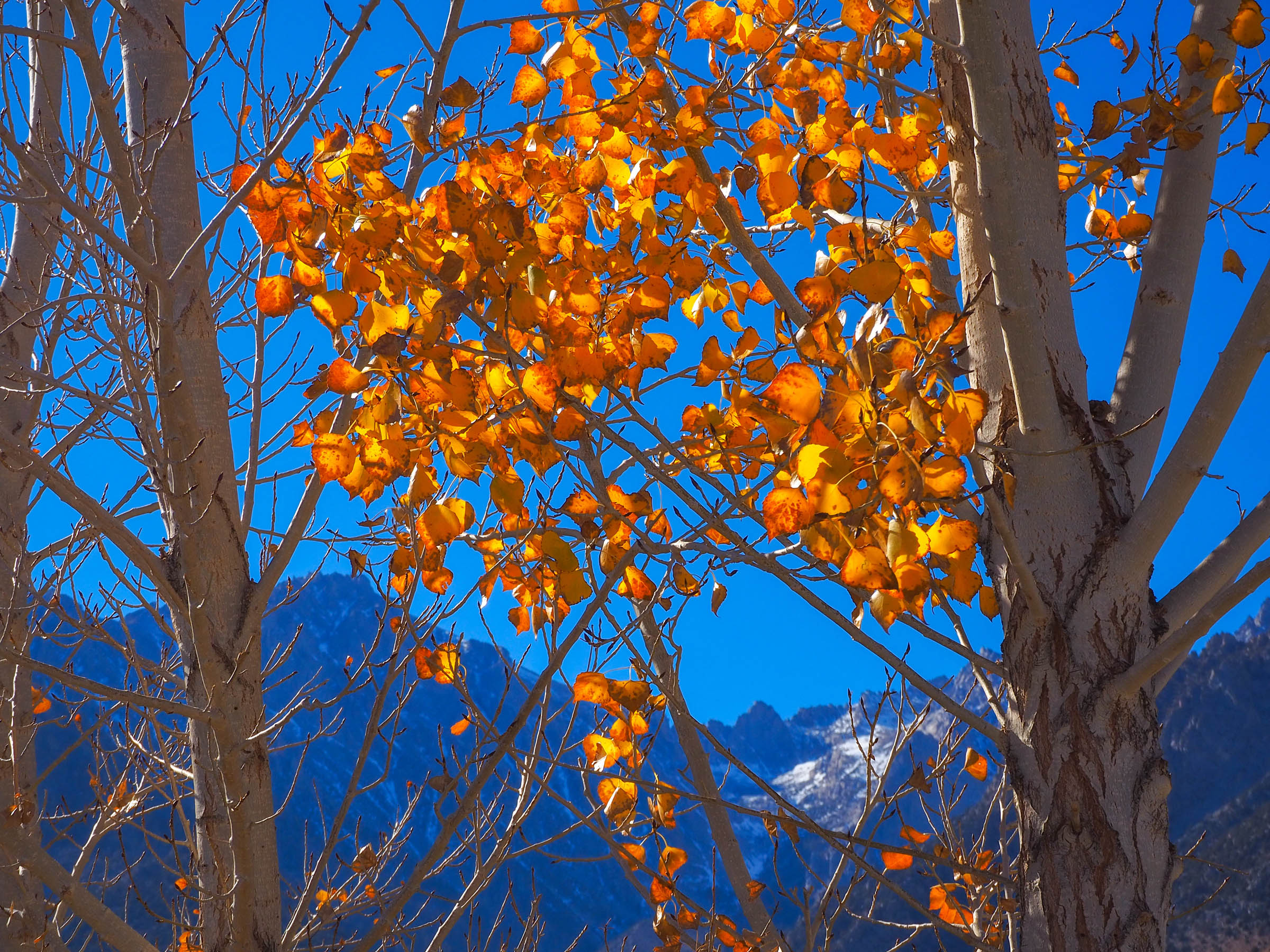
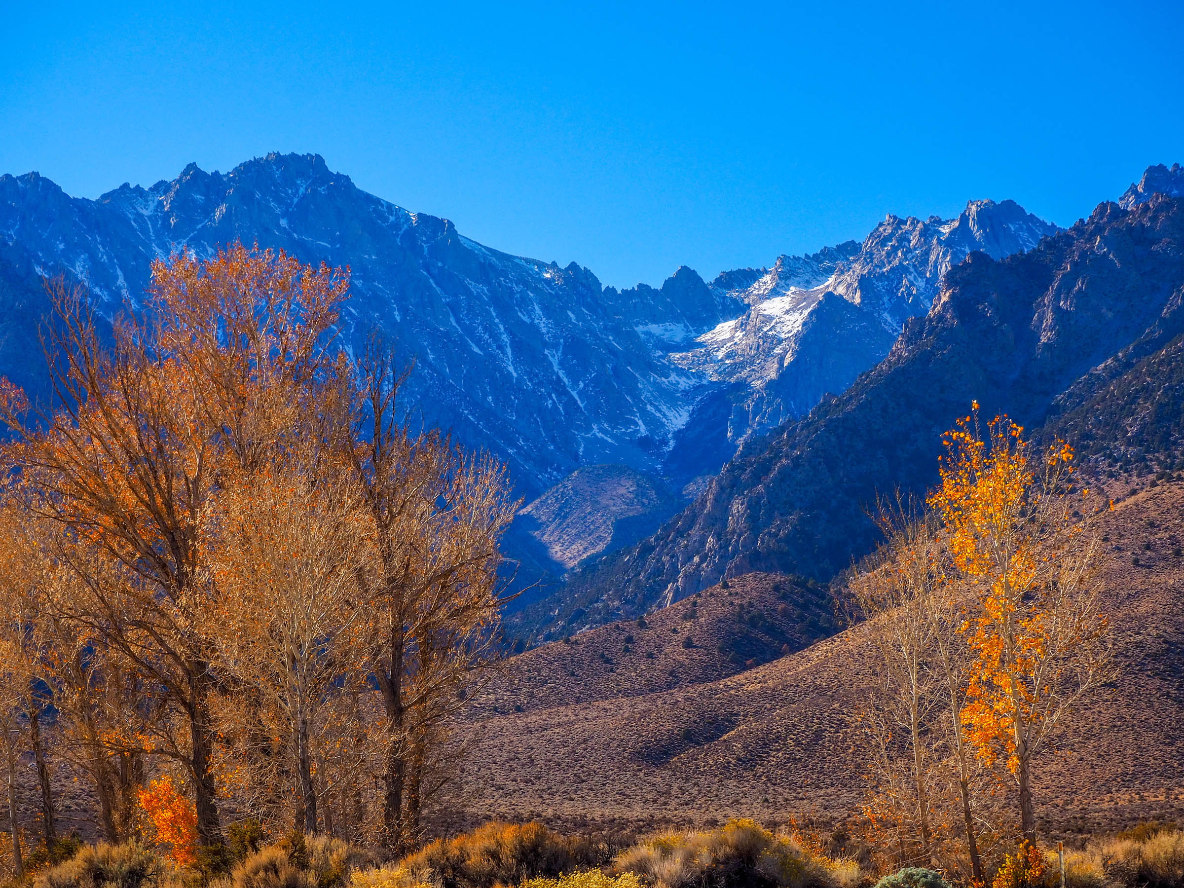
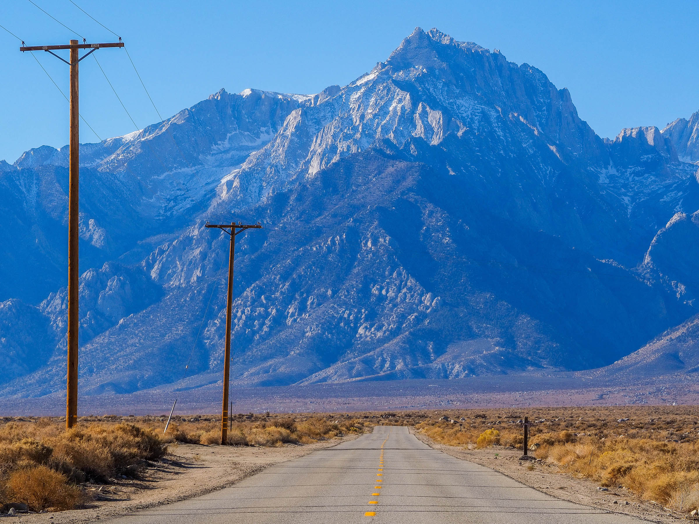
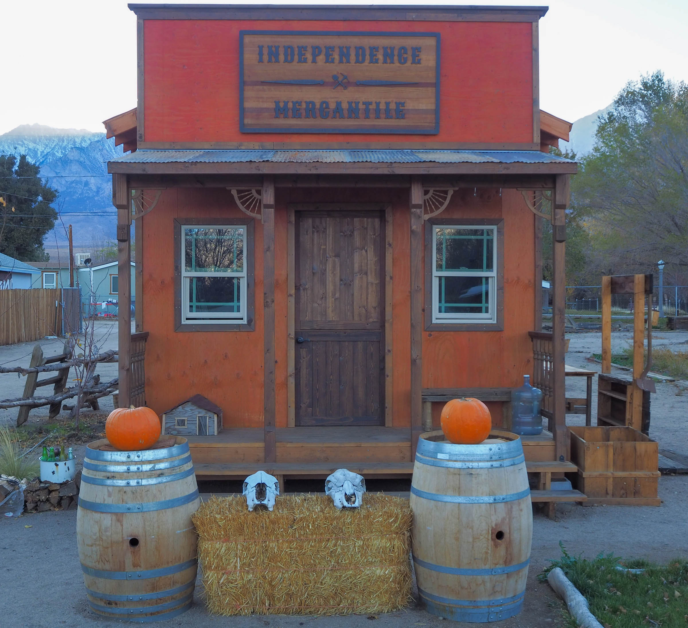
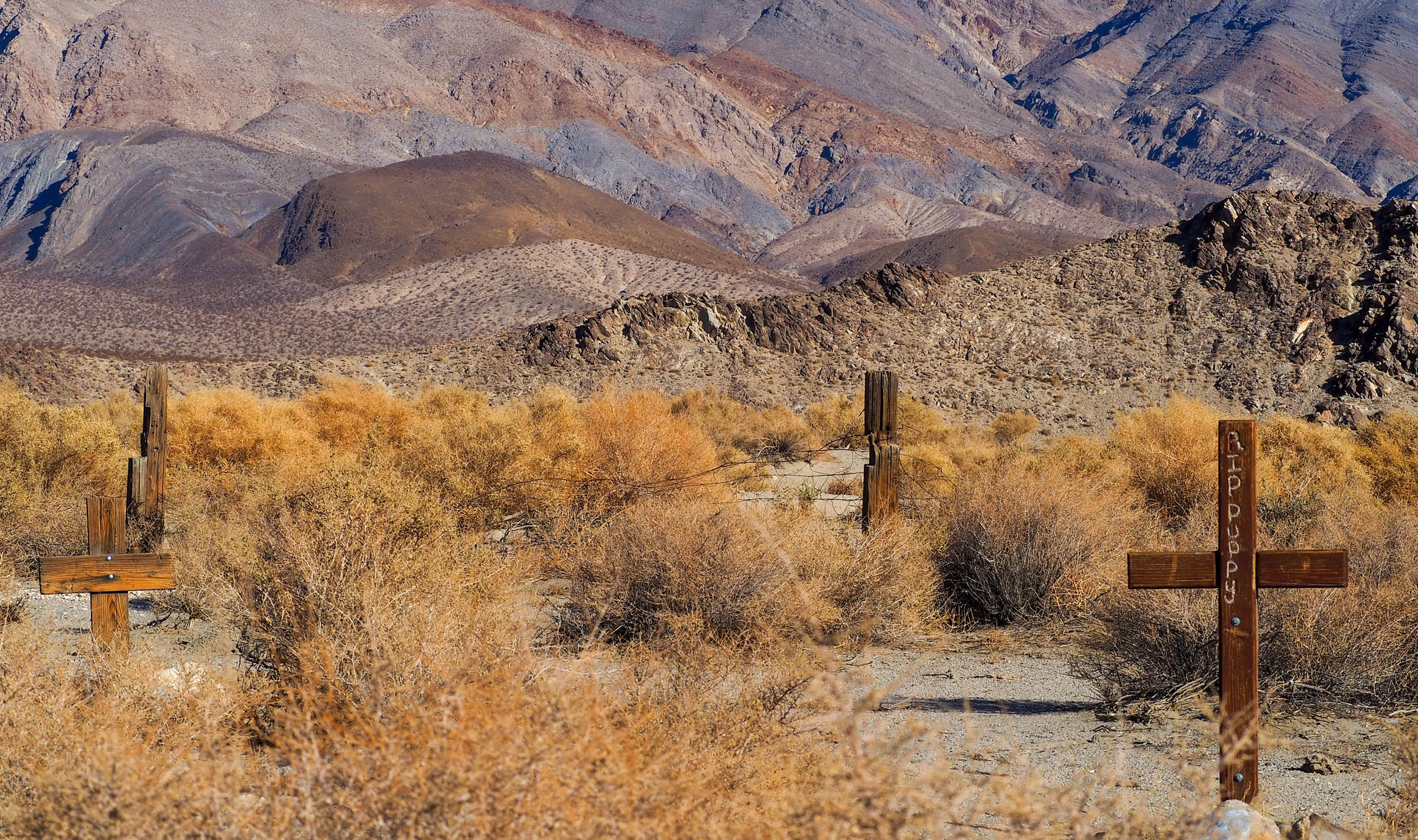
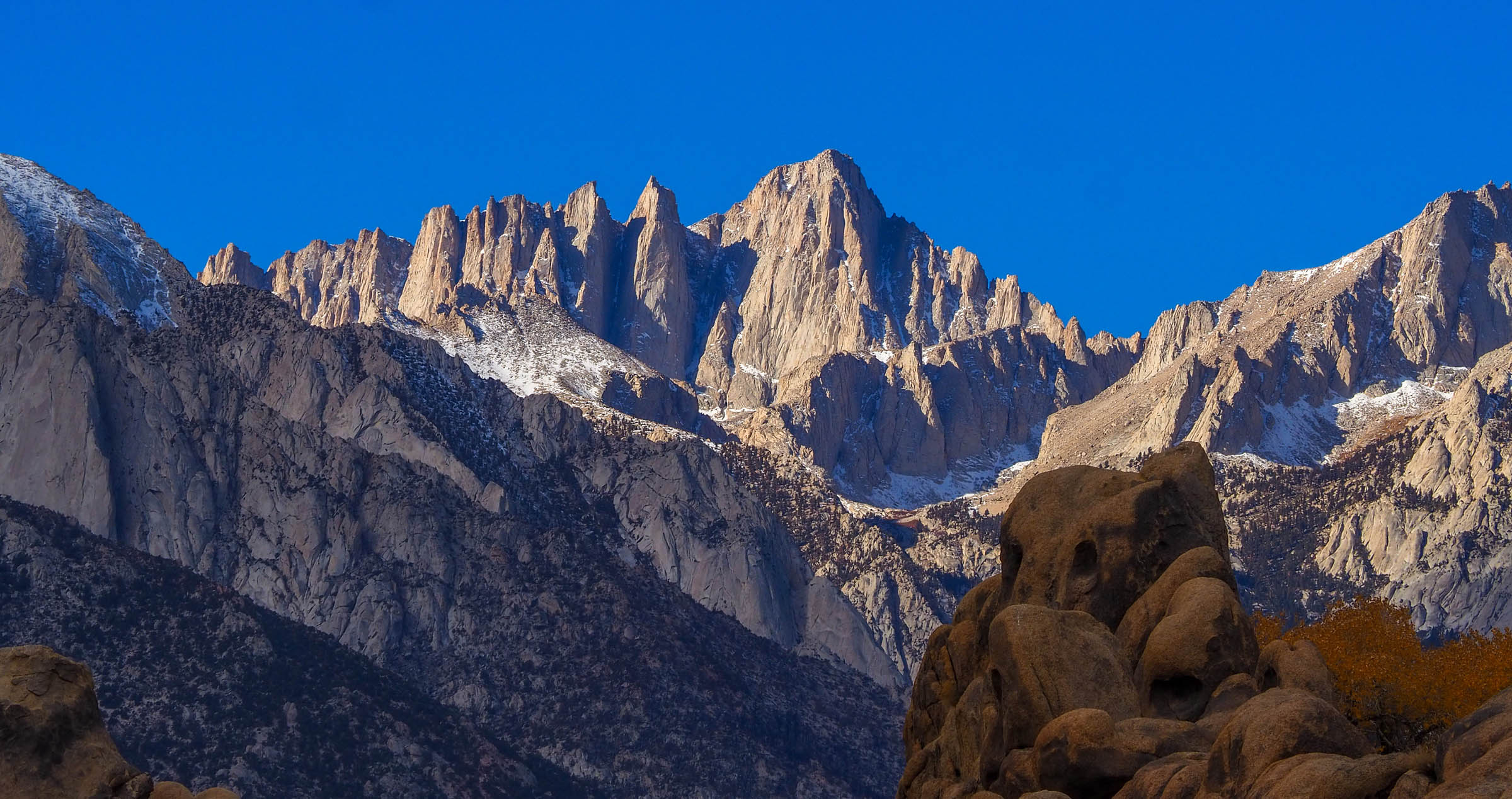
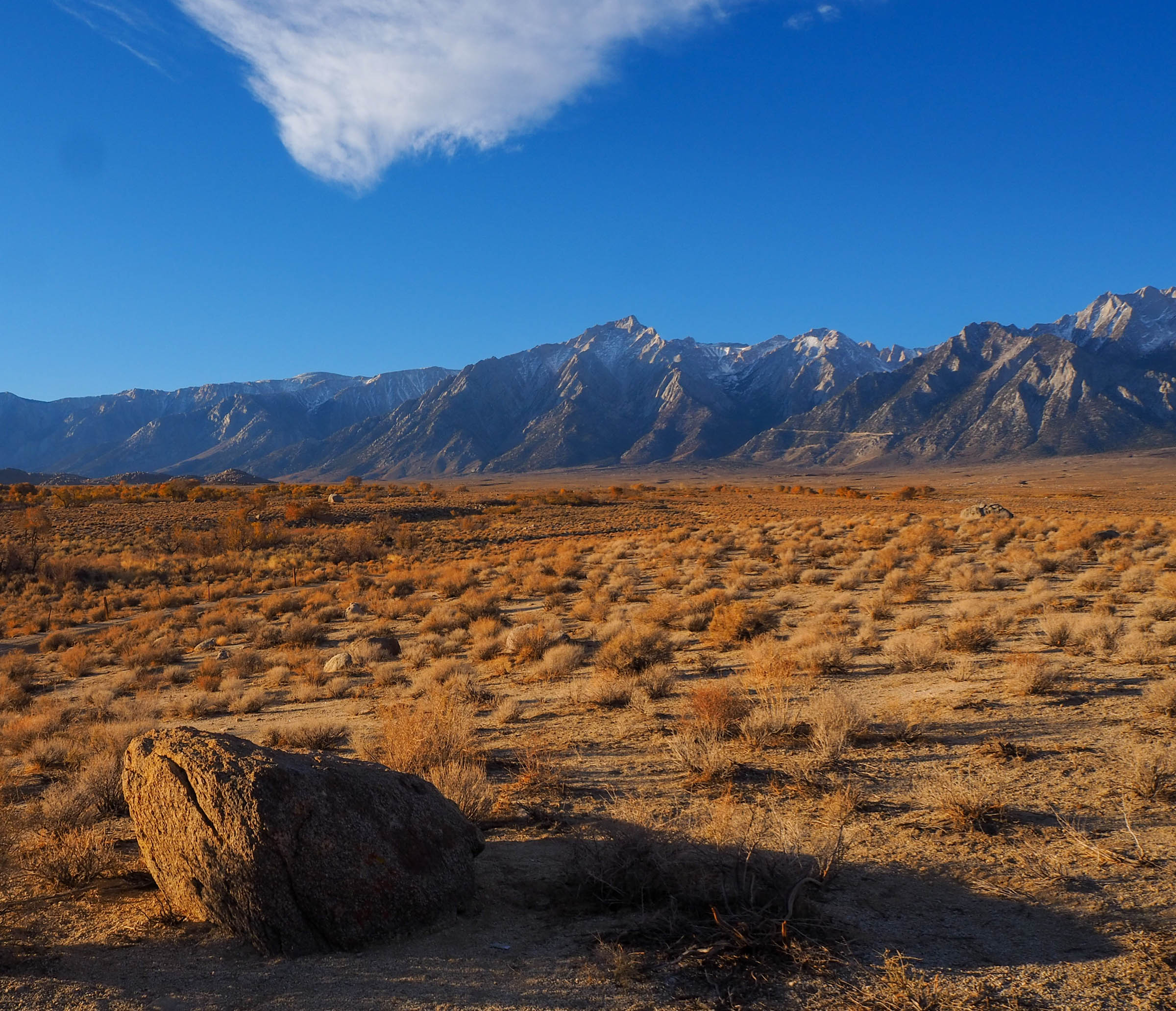
The Owens Valley Ramble starts and ends in the county seat of Independence, California. This 64-mile loop offers a glimpse into the region’s checkered history as it follows gravel doubletrack roads that lay in the rain shadow of the dramatic Eastern Sierras. Abandoned mining operations, storied Hollywood film sets, a war relocation camp, and a once-dramatic river sucked dry all tell a story of a valley that has been exploited and yet never fails to come back.
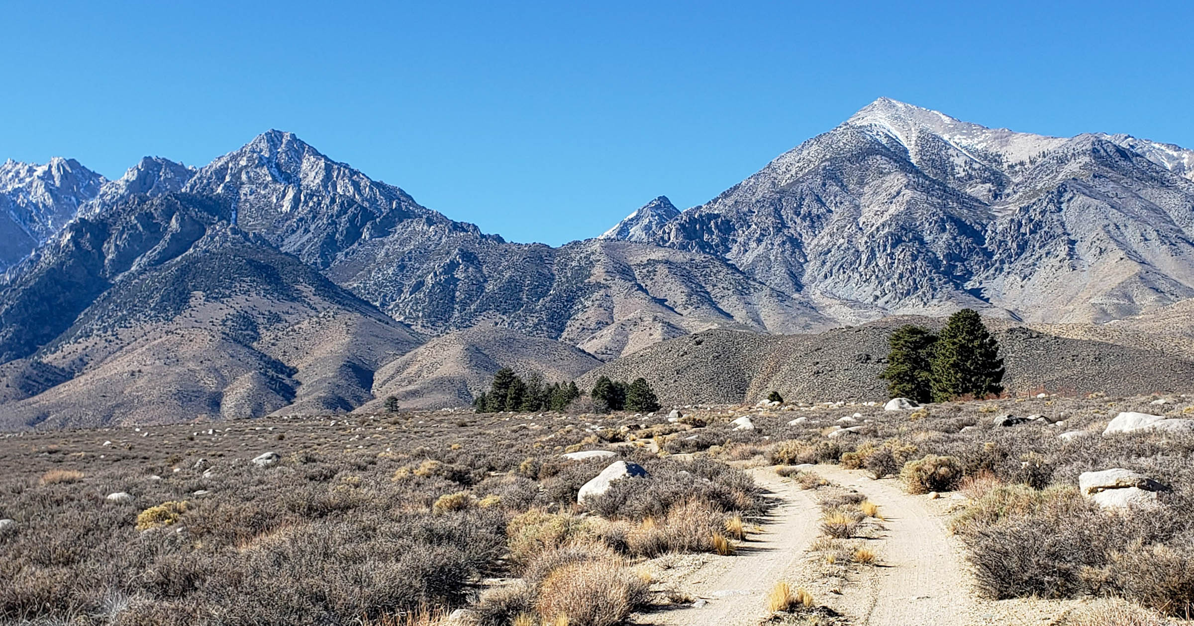
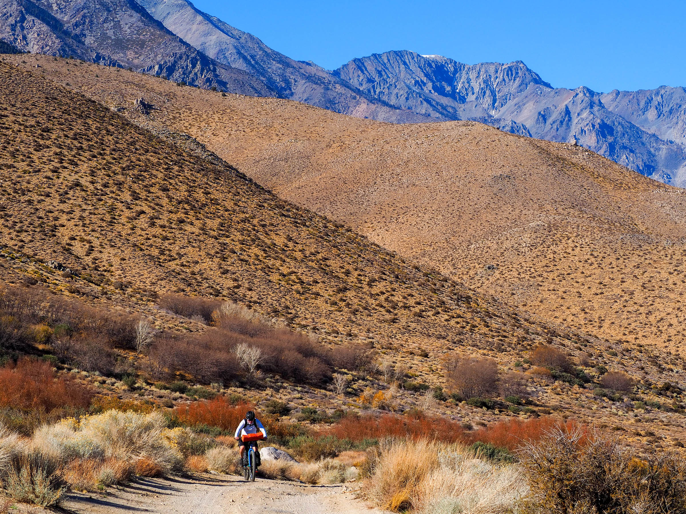
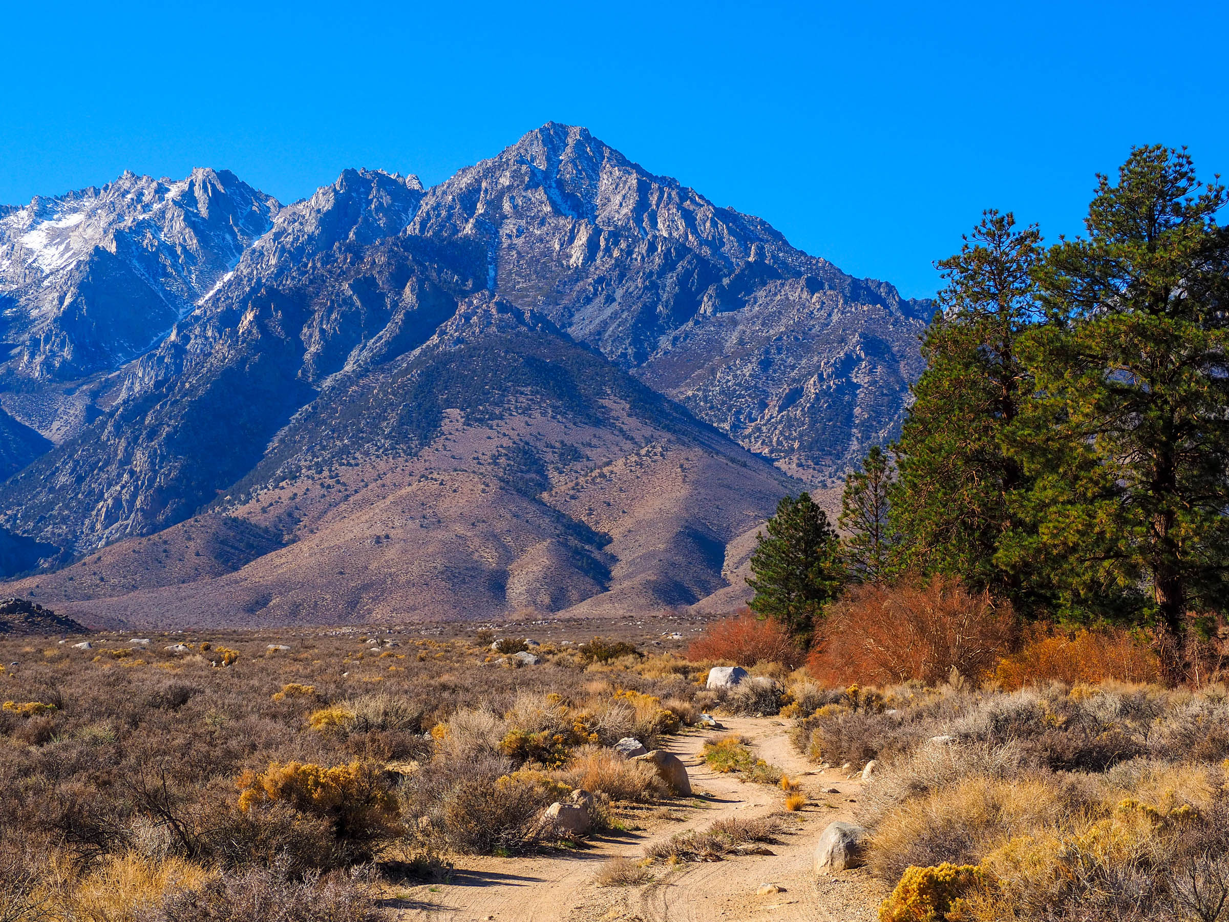
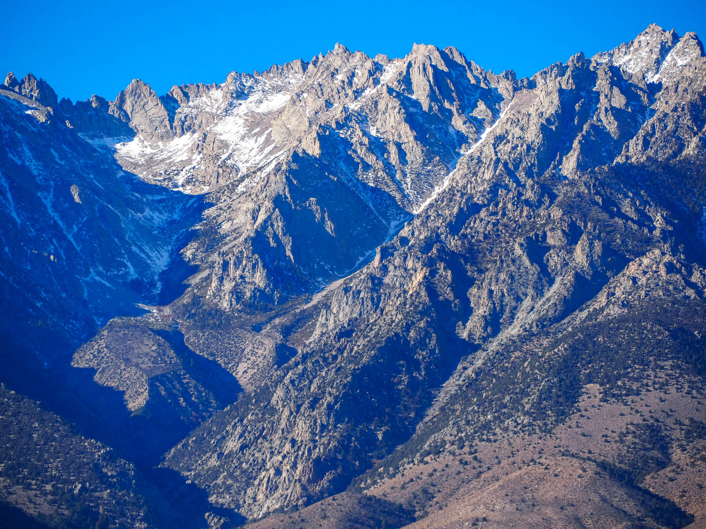
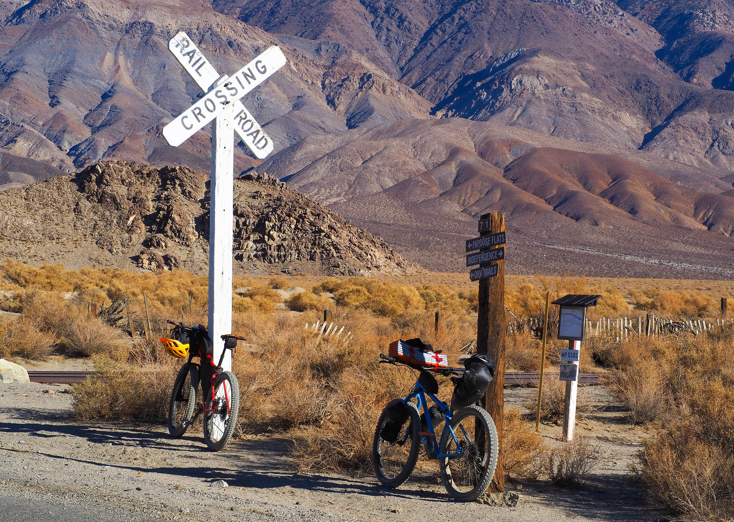
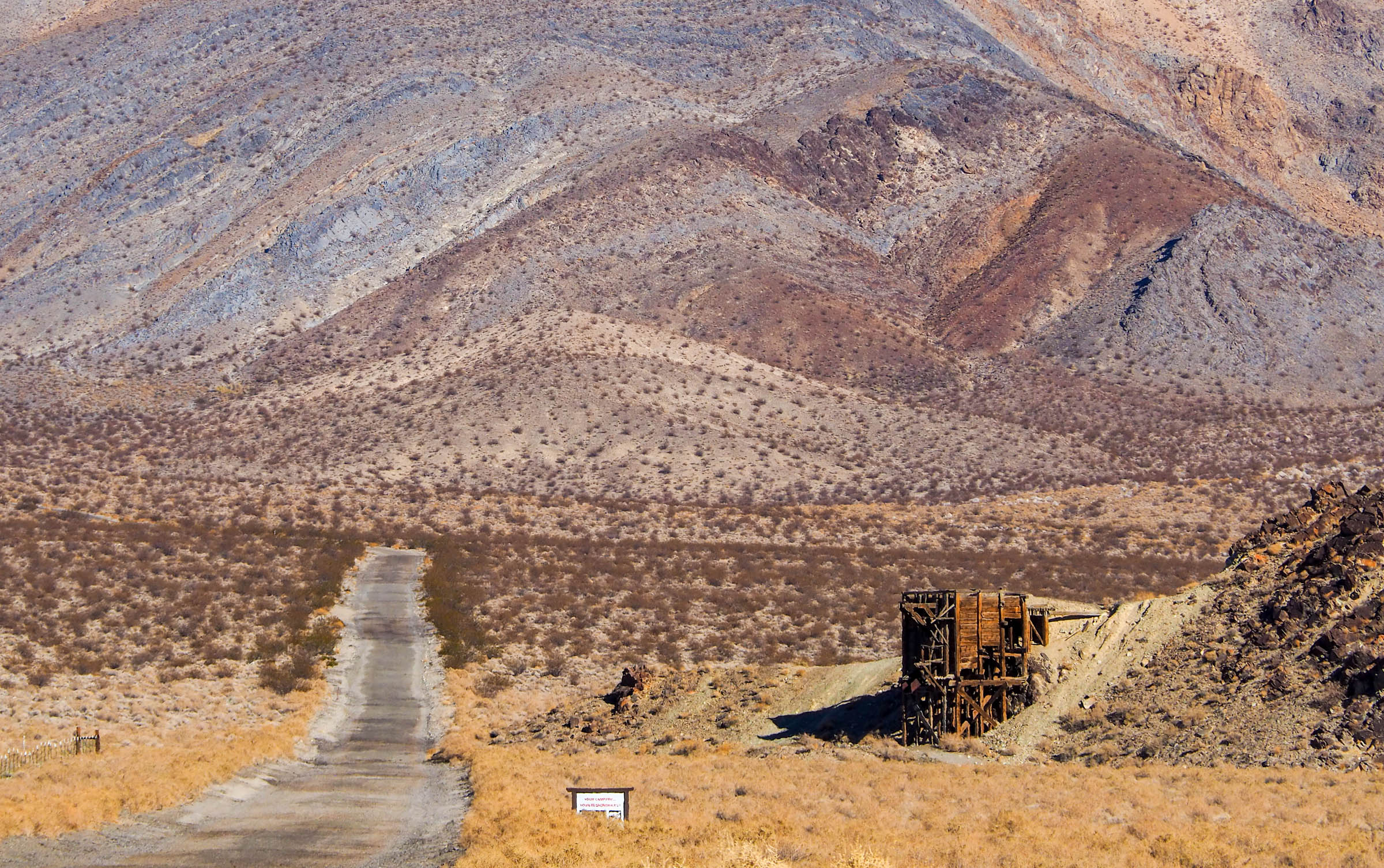
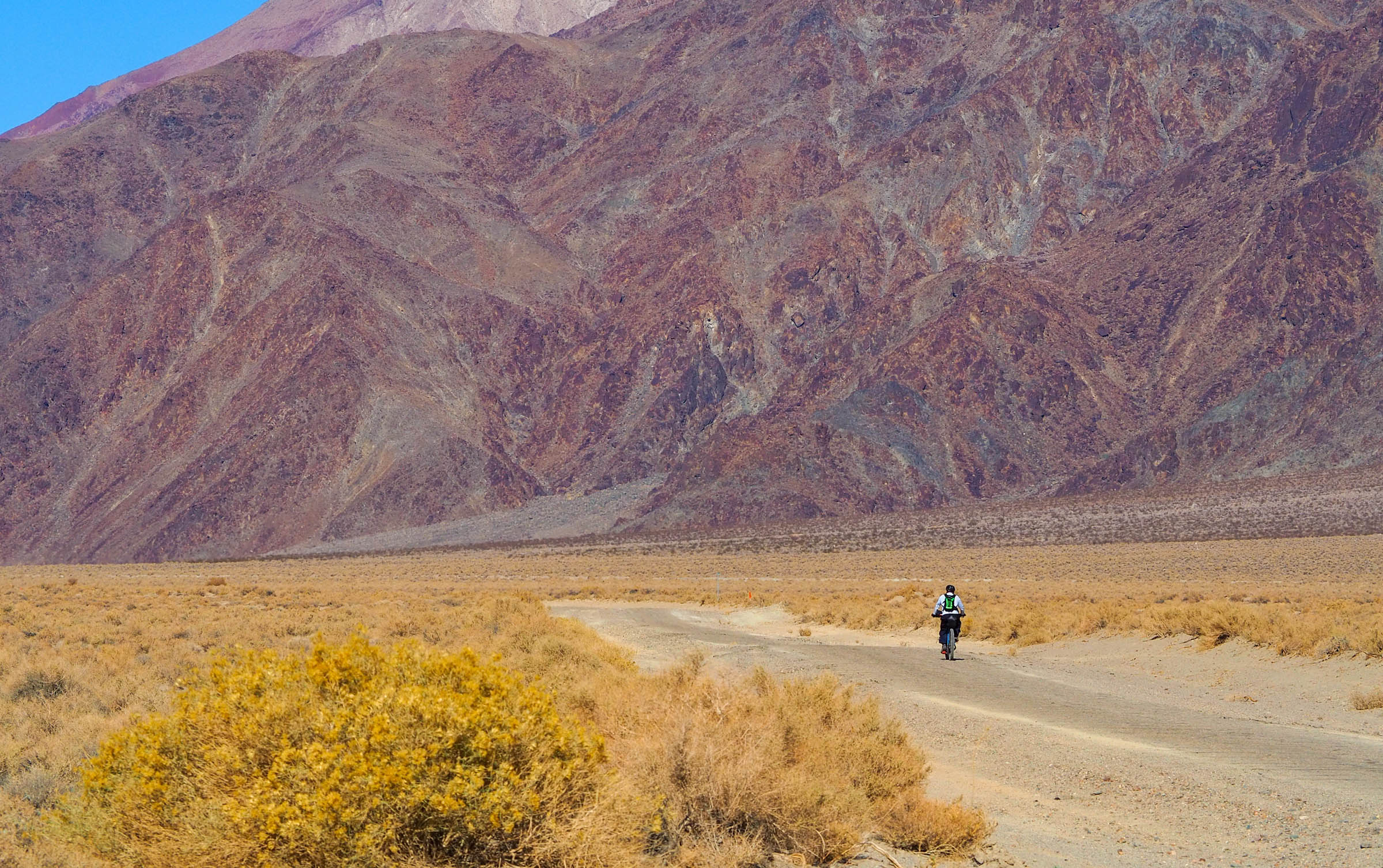
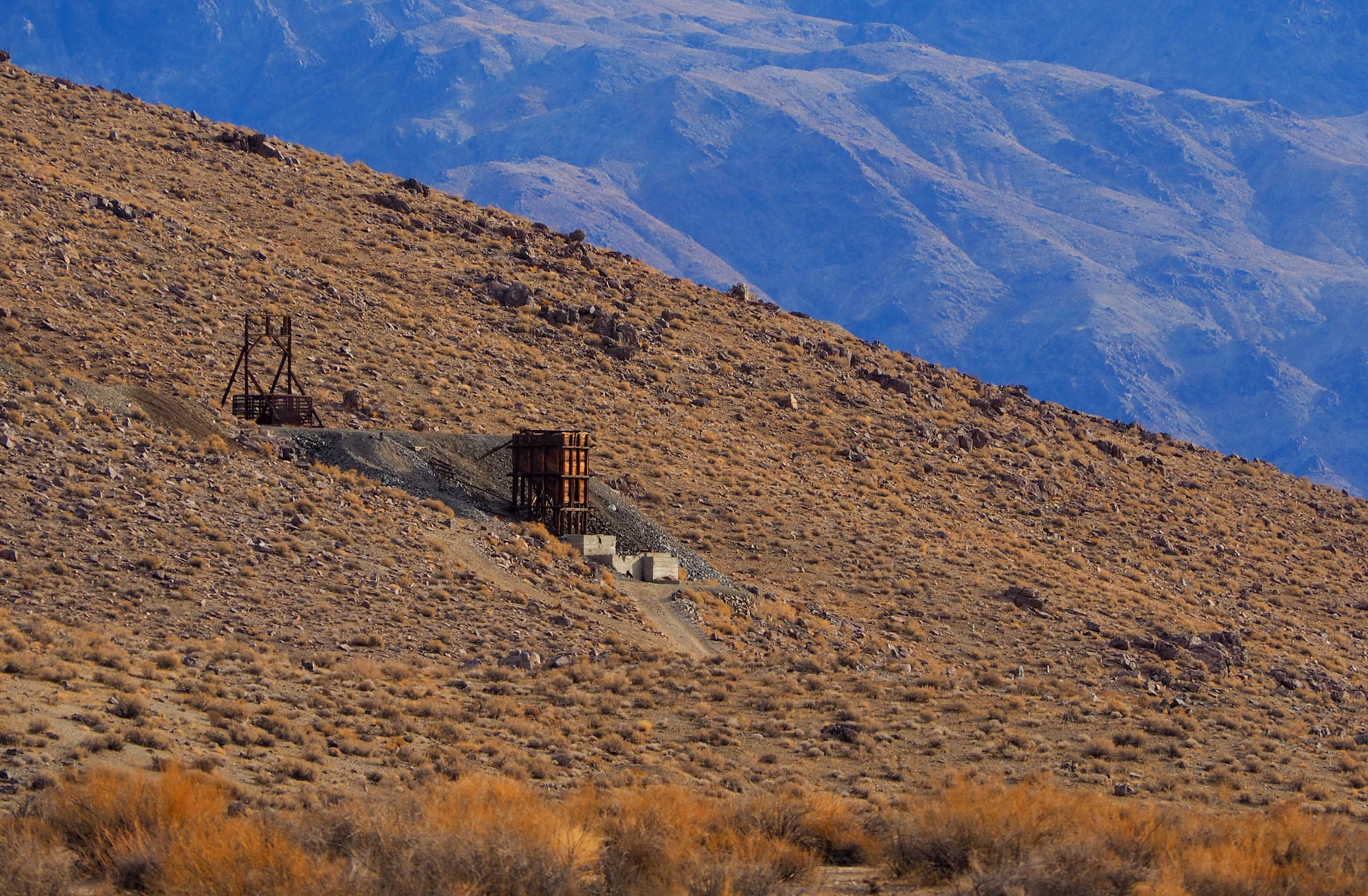
The route begins and ends in Independence before climbing up into the foothills of the towering Sierra Mountains. Riders will weave south among sagebrush meadows and interspersed riparian watersheds before descending to Manzanar, a center where Americans of Japanese descent were incarcerated. Explore the grounds and reflect on this painful period in US history before filling up on water and climbing into the picturesque Alabama Hills, with Mount Whitney a constant brooding presence on the horizon. Set up camp for the evening or push on and through Lone Pine, making sure to break for a meal and stock up on water. The route then follows an old railroad grade along the Owens River Watershed and western flank of the Inyo Mountains. Keep your eyes peeled for the many mines that scar the steep slopes, and don’t be surprised if you are buzzed by a few FA-18s out of nearby Naval Air Weapons Station China Lake!
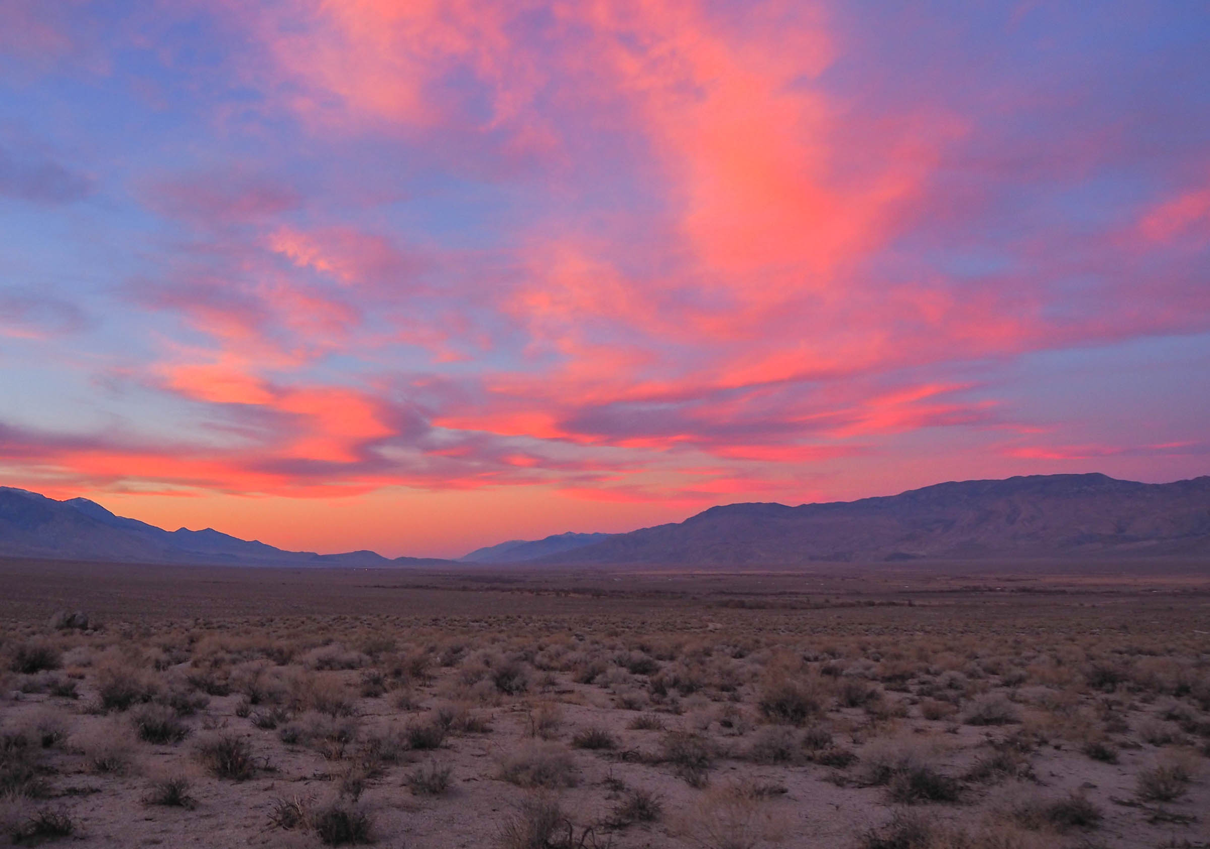
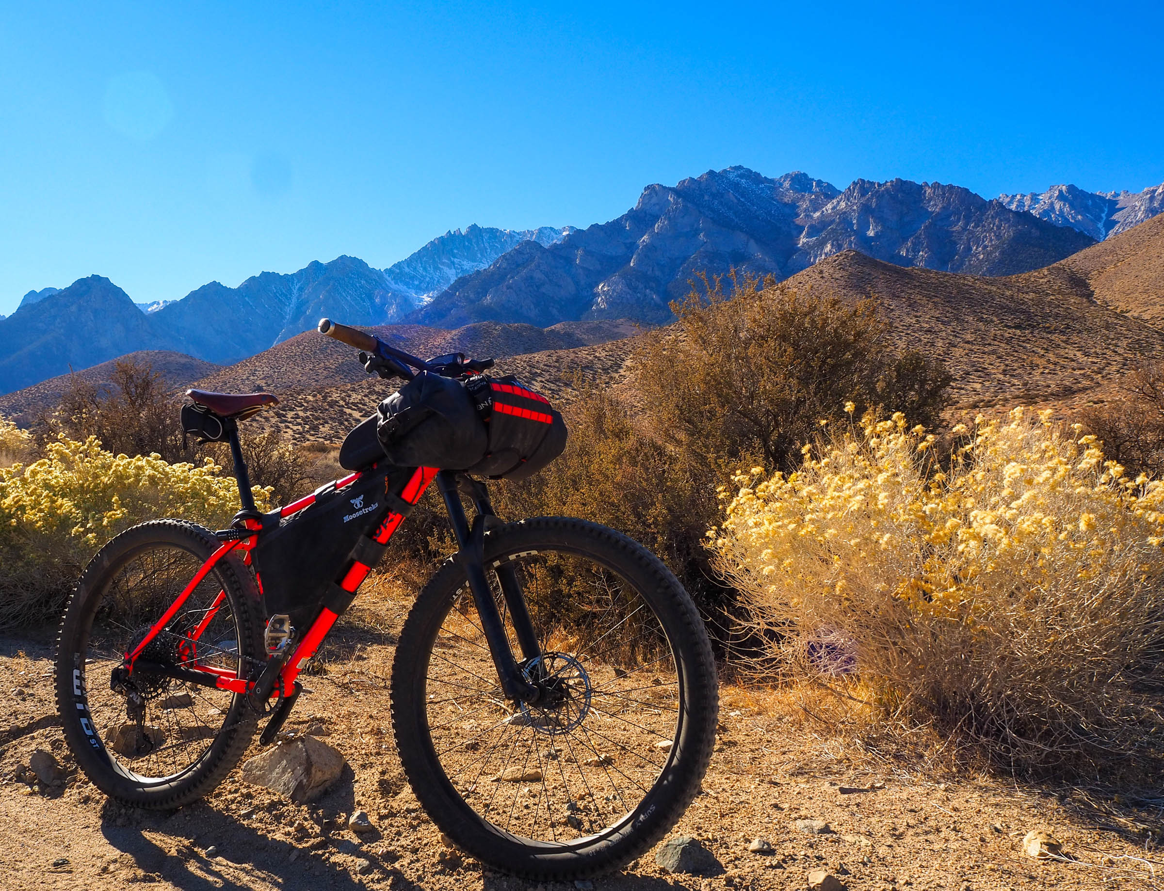
This is the perfect shoulder season trip, with pleasant daytime temperatures and clear skies. Free camping opportunities abound on either end of the Owens Valley, but access to water is only consistent on the west end. Sand and washboard can be found throughout the route, so the ideal bike would be a hardtail mountain bike with minimum 2.4″ tires. Route is best ridden in a counterclockwise direction, leaving from Independence and overnighting either before or after Lone Pine.
Route Difficulty: The Owens Valley Ramble would make for a great introductory bikepacking trip. Resupply is straightforward, camping opportunities abound, and climbs are steady and manageable for first-time bikepackers. That’s not to say it’s a walk in the park, though. Sand and high daytime temperatures have the potential to add to the route’s difficulty, but shouldn’t be an issue with the right bike and timing. Technical Difficulty: 2/10: The route is almost exclusively on doubletrack, with the option for some singletrack trails through Alabama Hills. Physical Demand: 4/10: Sandy roads and high daytime temperatures have the potential to make the route harder than the distance would suggest. Resupply and Logistics: 2/10: Resupply is available at both ends of the route. You’ll need to have water for the night if camping in or near Alabama Hills, as there is no regular source of water.


Submit Route Alert
As the leading creator and publisher of bikepacking routes, BIKEPACKING.com endeavors to maintain, improve, and advocate for our growing network of bikepacking routes all over the world. As such, our editorial team, route creators, and Route Stewards serve as mediators for route improvements and opportunities for connectivity, conservation, and community growth around these routes. To facilitate these efforts, we rely on our Bikepacking Collective and the greater bikepacking community to call attention to critical issues and opportunities that are discovered while riding these routes. If you have a vital issue or opportunity regarding this route that pertains to one of the subjects below, please let us know:
Highlights
Must Know
Camping
Food/H2O
Trail Notes
- Ascending Onion Valley Road toward the looming Sierra Nevada Mountains
- Exploring Manzanar War Relocation Camp
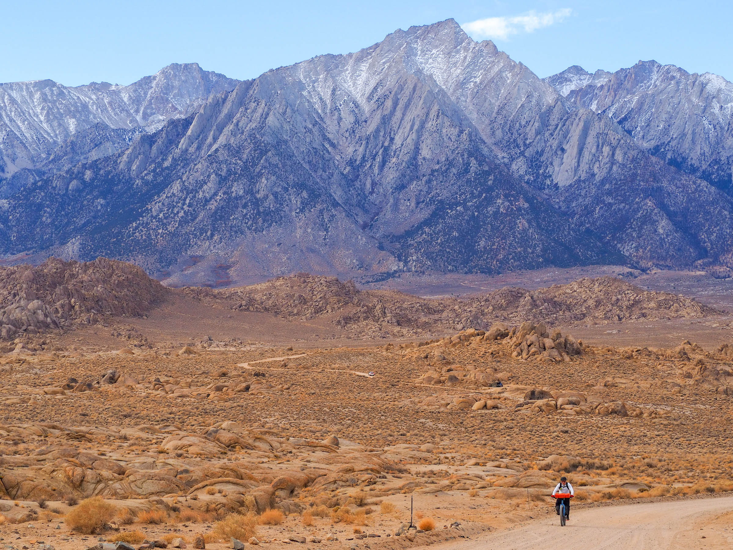
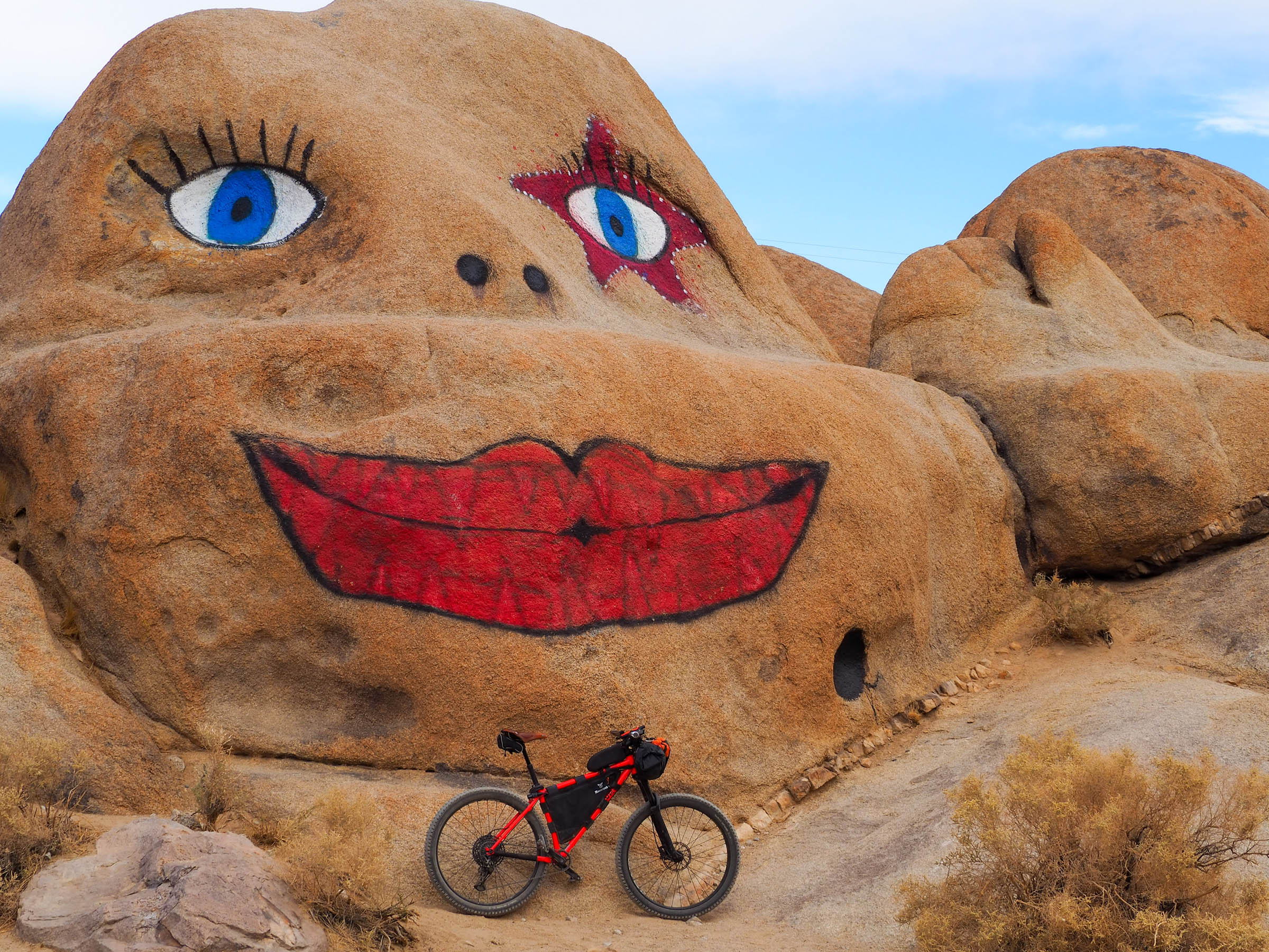
- Sleeping under the whispering rocks in Alabama Hills
- Biking along Movie Road with Mount Whitney on the horizon
- Enjoying a whopping diner breakfast at Alabama Hills Cafe and Bakery in Lone Pine
- Being buzzed by F/A-18s on Owenyo-Lone Pine Road
- Watching the stream of cars and semis on US 395 fade to black at night
- Learning about the California Water Wars that defined much of the region’s history in the early 20th century
When to go:
- While this route can be ridden year-round, summertime highs and winter lows mean that spring or fall are the ideal season. March-May and October-November bring pleasant daytime temperatures and crisp, cool evenings.
Logistics:
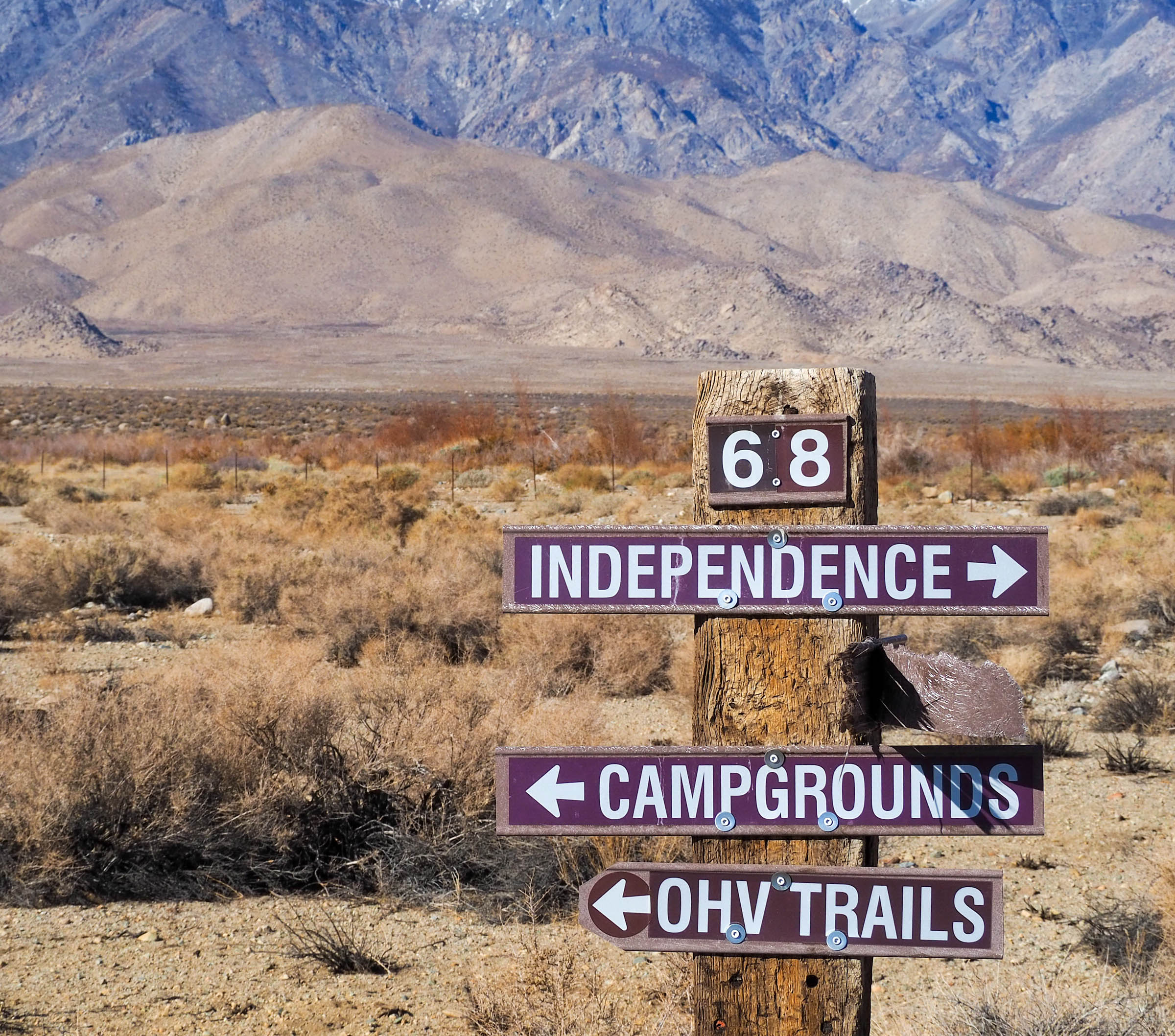
- This route is best ridden in a counterclockwise direction, leaving from Independence and overnighting either before or after Lone Pine.
- Sand and washboard can be found throughout the route. The ideal bike would be a rigid hardtail mountain bike with minimum 2.4” tires. We scouted the route on plus-size Surlys and were happy with our choices.
- Parking is available along Onion Valley Road or one of the many side roads further up from Independence Creek Campground.
Dangers and Annoyances:
- Black bears, mountain lions, and rattlesnakes may be encountered along the western edge of the loop.
- Watch your speed descending into Manzanar. Sand traps can sneak up on you and lead to a nasty tumble.
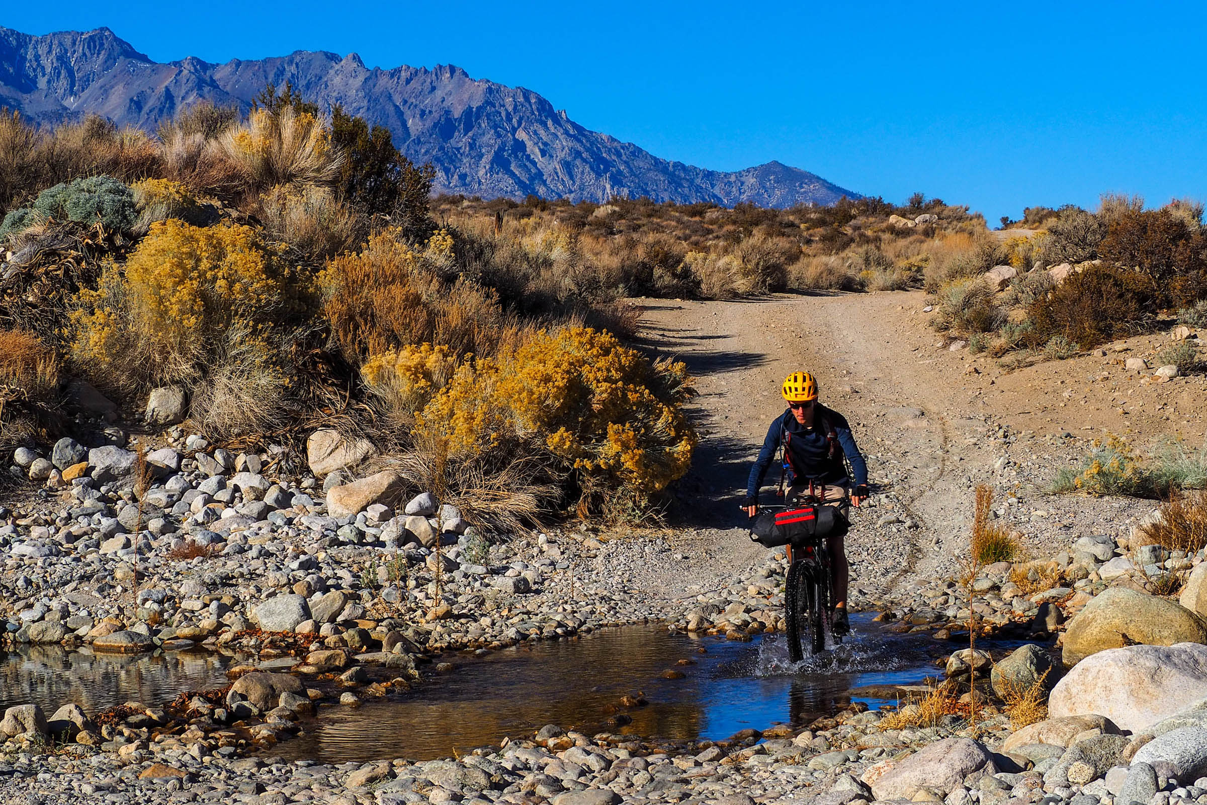
- The water crossing at Shepherd’s Creek may need to be walked following rainfall.
- Temperature variations can be extreme; bring sunscreen and layers!
Travel basics:
- The starting point is 3.5 hours from Los Angeles and 5.5 hours from San Diego by car.
- Free camping opportunities abound on either end of the Owens Valley. If camping on the eastern edge of the route, be prepared for wind and carry sufficient water!
- Alabama Hills is often busy on weekends, so be mindful of where you set up camp. There are pit toilets available on Movie Road; use them to minimize backcountry waste!
- There is a nice, quiet camping option before Moffat Ranch. Look for the large boulder up the hill on the right: it offers great protection from the wind!
- Lodging and paid campgrounds are available in Independence and Lone Pine.
- Filtered water is available in Independence, Manzanar Visitor Center (open everyday from 9-4:30), and Lone Pine, so carrying a filter isn’t necessary if you have enough capacity to make it between these three points. Groundwater is only consistent on the west end near Independence Creek, Shepherd Creek, and Moffat Ranch and must be filtered or boiled.
- Restaurants and gas stations are available for resupply in Independence and Lone Pine.
- Alabama Hills Cafe and Bakery in Lone Pine offers great breakfasts and lunches!
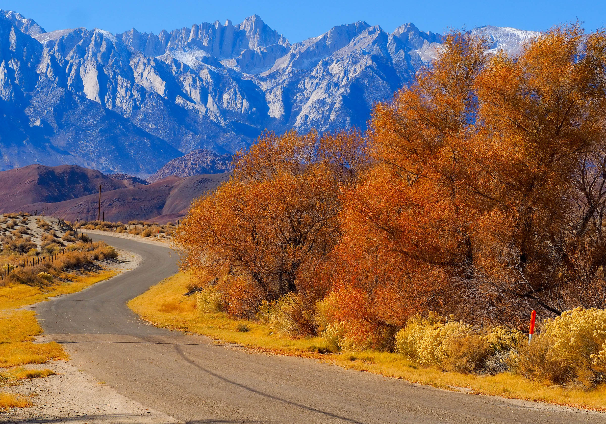
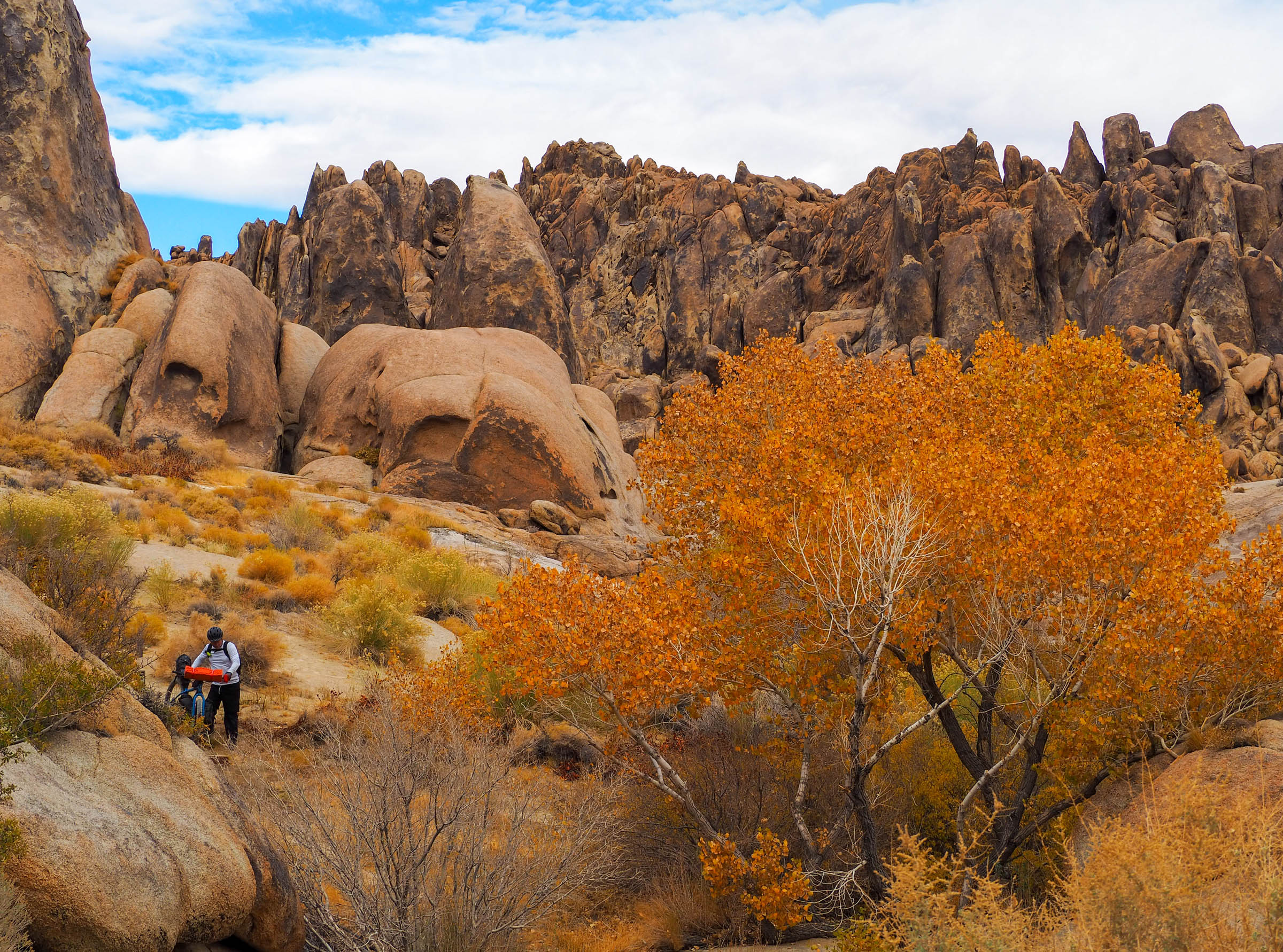
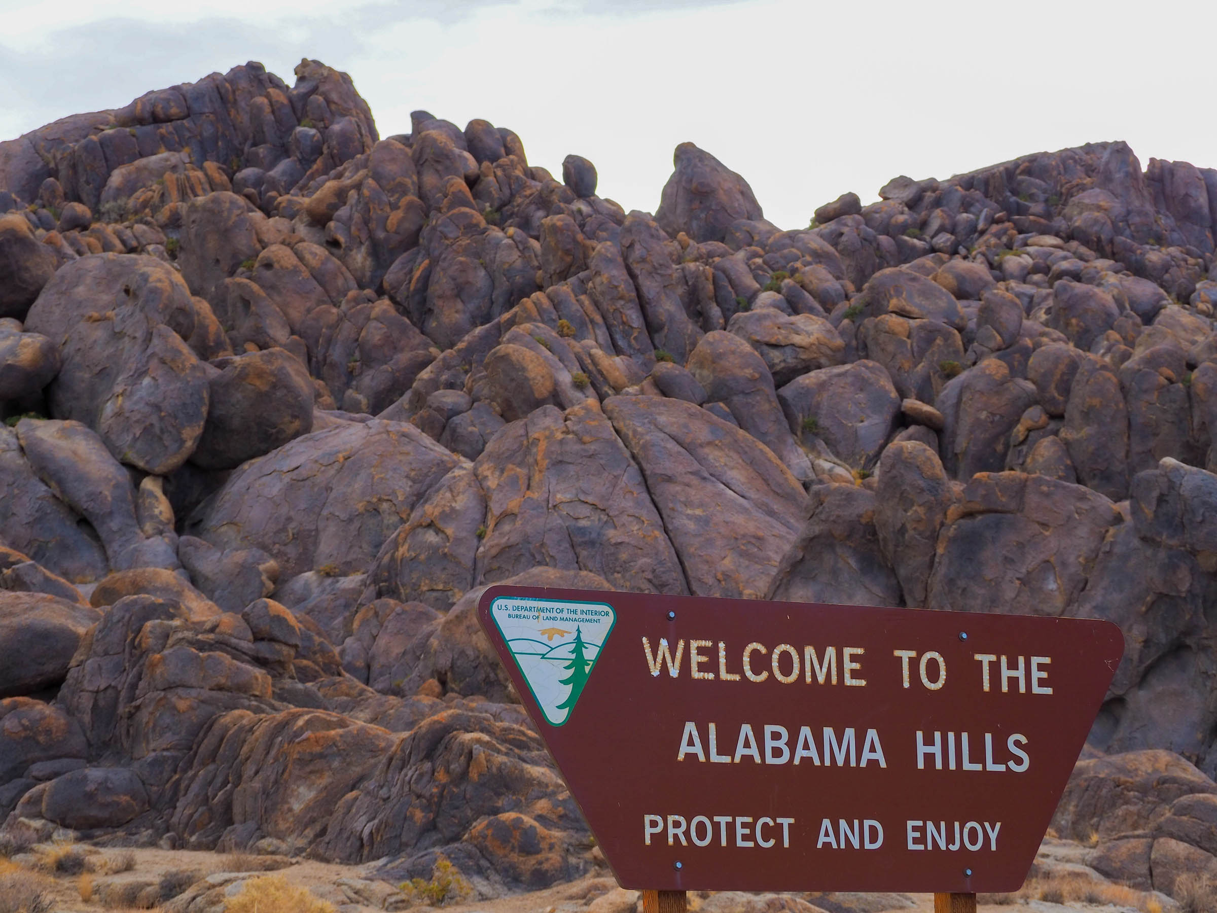
The Owens Valley Ramble begins with a steady paved climb from the county seat of Independence into the foothills of the towering Sierra Nevada Mountains. The route turns to gravel as riders head south, weaving through sagebrush meadows and interspersed riparian watersheds on quiet doubletrack roads. A flowy and, in places, sandy descent takes you to Manzanar, the site of a WWII Japanese internment camp. Explore the grounds and reflect on this painful period in US history before filling up on water and continuing south on broken doubletrack. The route trends upward before entering the picturesque Alabama Hills, a filming location for hundreds of classic and modern westerns. Set up camp here, as free and dispersed camping options abound. Mount Whitney (the highest peak in the continental United States) will be a constant brooding presence on the horizon, a reminder of the region’s complex geological history.
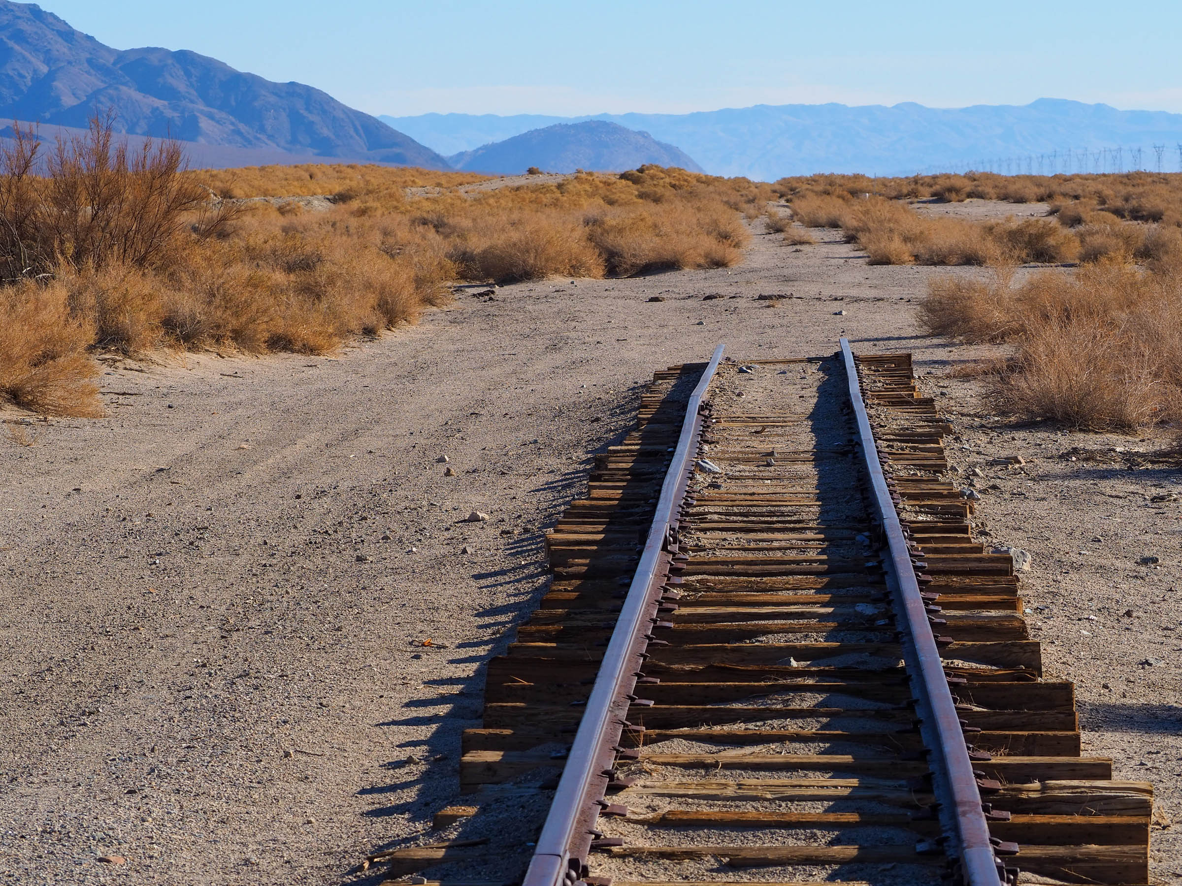
The next morning, enjoy a punchy descent into Lone Pine on mixed gravel, singletrack, and paved surfaces. Make sure to warm up with a meal at one of the many family-owned cafes and spend some time at the Museum of Western Film History. Fill up on water for the final leg of the trip, as it won’t be available after the Owens River at mile 32.5. The route then follows an old railroad grade along the Owens River Watershed and western flank of the Inyo Mountains. Keep your eyes peeled for the many mines that scar the steep slopes, and don’t be surprised if you are buzzed by a few F/A-18s out of nearby Naval Air Weapons Station China Lake! The route concludes with a short paved climb through ranchland and sagebrush fields into Independence.
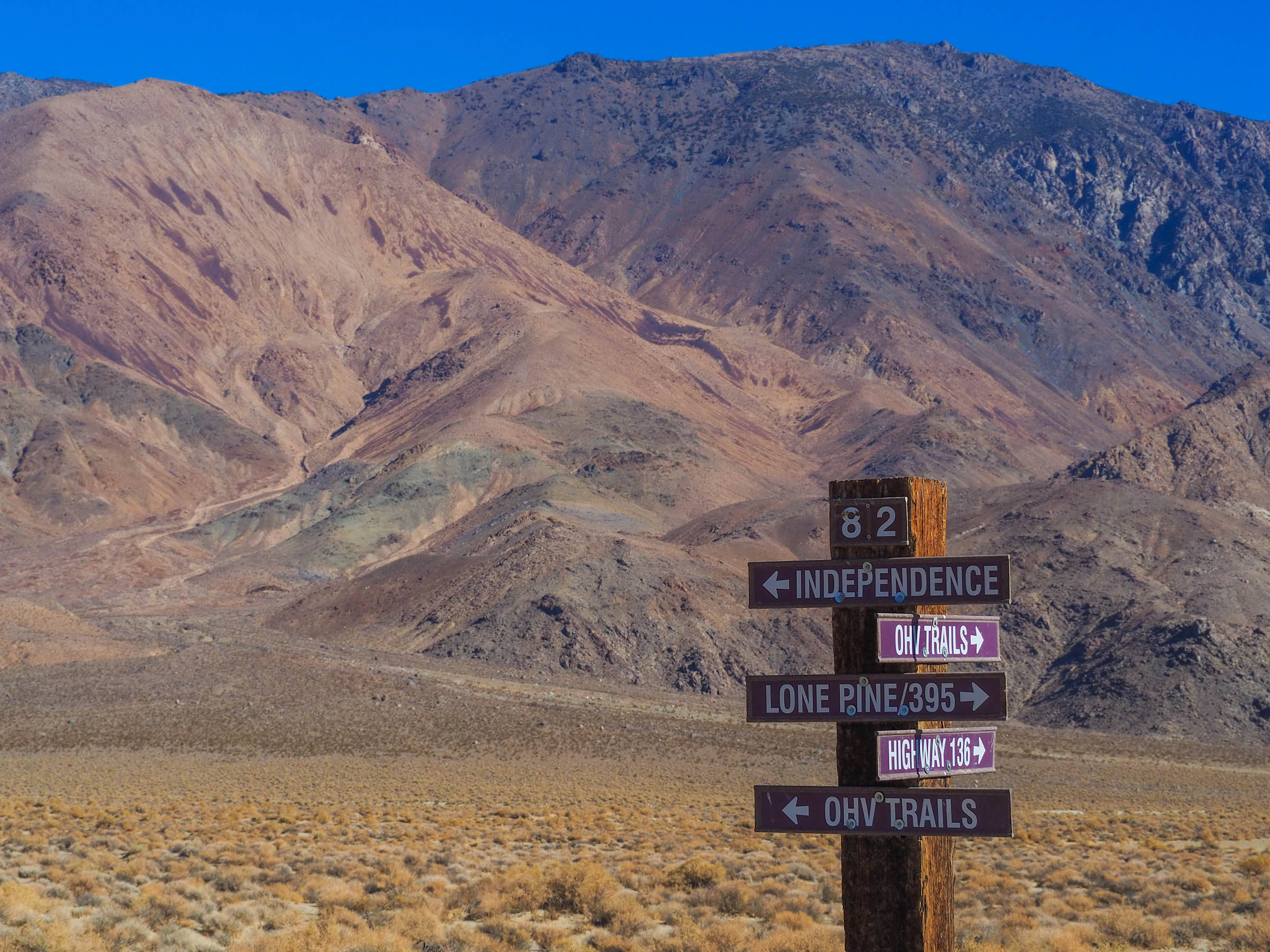
Route Alternatives
There are countless alternate routes one could take through Alabama Hills and along the eastern flank of the Inyo Mountains. The route detailed here lends itself to variation, so have some fun and explore!
Rideability
- The route is 100% rideable but riders may choose to walk some sandier sections, particularly those after Manzanar and near Reward Mine. The creek crossing at Shepherds Creek is straightforward, but walk it if the water appears to be too deep or the rocks too slick!
- Expect sunny days and cool nights. A long-sleeve sun shirt and puffy jacket are two great additions to your packing list!


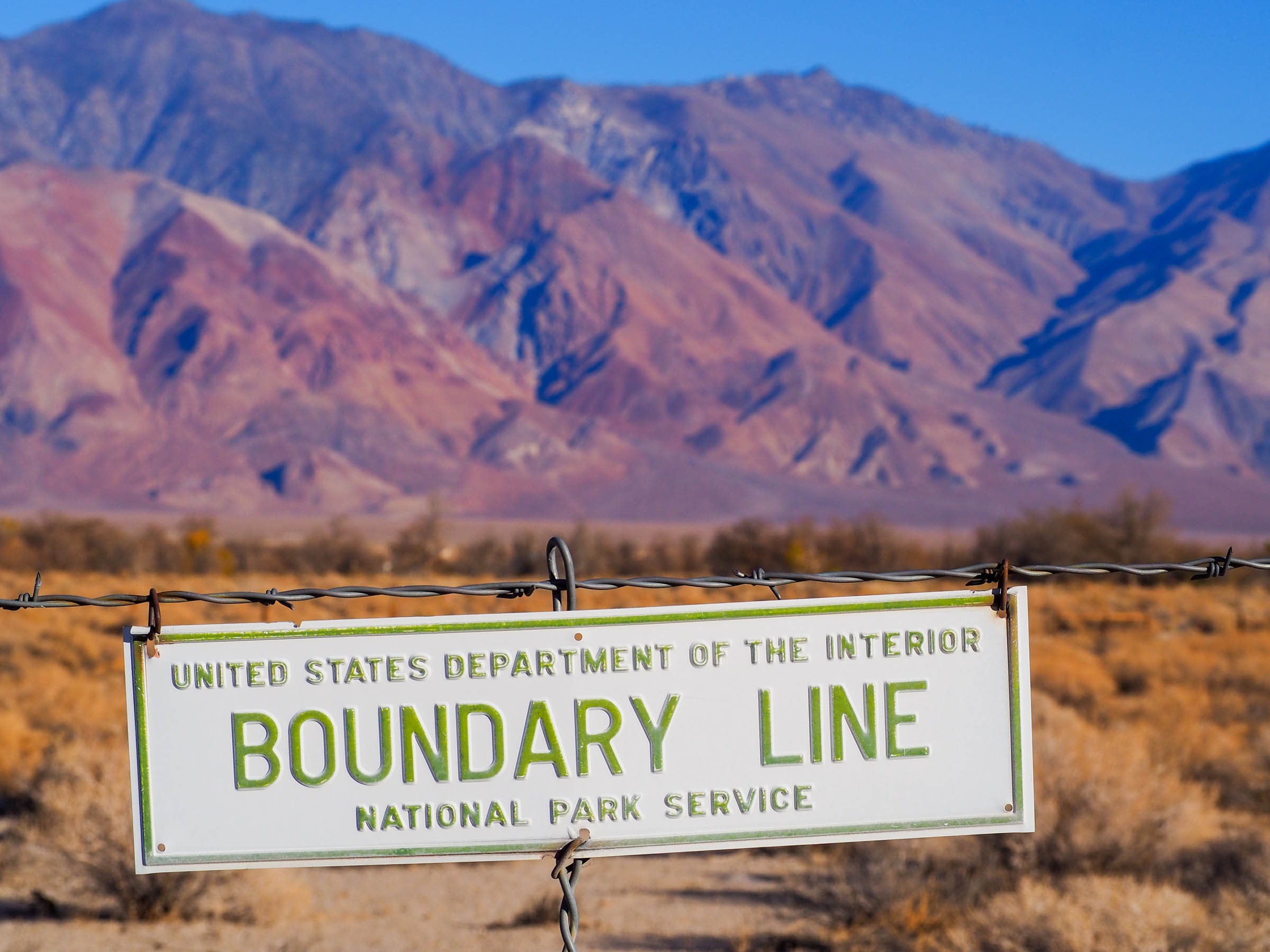
Terms of Use: As with each bikepacking route guide published on BIKEPACKING.com, should you choose to cycle this route, do so at your own risk. Prior to setting out check current local weather, conditions, and land/road closures. While riding, obey all public and private land use restrictions and rules, carry proper safety and navigational equipment, and of course, follow the #leavenotrace guidelines. The information found herein is simply a planning resource to be used as a point of inspiration in conjunction with your own due-diligence. In spite of the fact that this route, associated GPS track (GPX and maps), and all route guidelines were prepared under diligent research by the specified contributor and/or contributors, the accuracy of such and judgement of the author is not guaranteed. BIKEPACKING.com LLC, its partners, associates, and contributors are in no way liable for personal injury, damage to personal property, or any other such situation that might happen to individual riders cycling or following this route.
Please keep the conversation civil, constructive, and inclusive, or your comment will be removed.