


Pine Mountain Observatory Loop (Overnighter)
Distance
79 Mi.
(127 KM)Days
2
% Unpaved
57%
% Singletrack
14%
% Rideable (time)
99%
Total Ascent
4,405'
(1,343 M)High Point
6,220'
(1,896 M)Difficulty (1-10)
5?
- 4Climbing Scale Fair56 FT/MI (11 M/KM)
- -Technical Difficulty
- -Physical Demand
- -Resupply & Logistics
Contributed By
Dallas Mignano
Guest Contributor
Dallas grew up in Redding, California—central to the Shasta Cascade region. He gained a love for adventure and bikes from his grandpa Rich, an avid mechanic and speedway racer. Dallas currently works as a Creative Services Director in the solar industry, exploring local PNW hiking and biking routes from his home in Eugene, Oregon when time allows. Follow @dallasrm on Instagram and see his route footage on YouTube.
Co-contributed by Mike Tona
March 2025 Update: Starting May 2025, there is a planned wildfire prevention closure for a large section of the route, directly impacting miles 10-20. The easiest ride around is by continuing east on Arnold Market Road at mile 9.5, then following Ford Road south and rejoining the route at about mile 20.5. This closure could be in effect for the entire year. Learn more here.
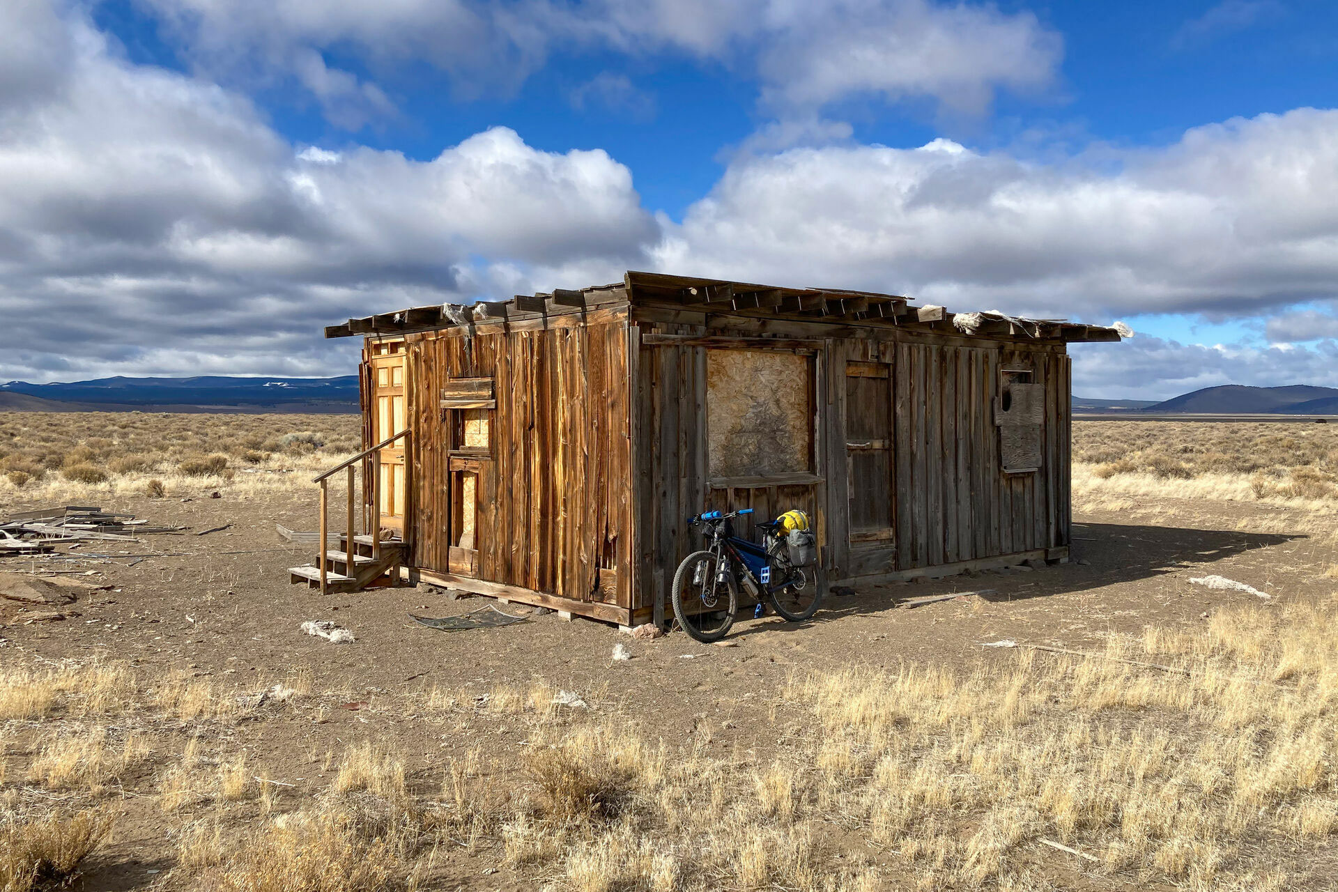
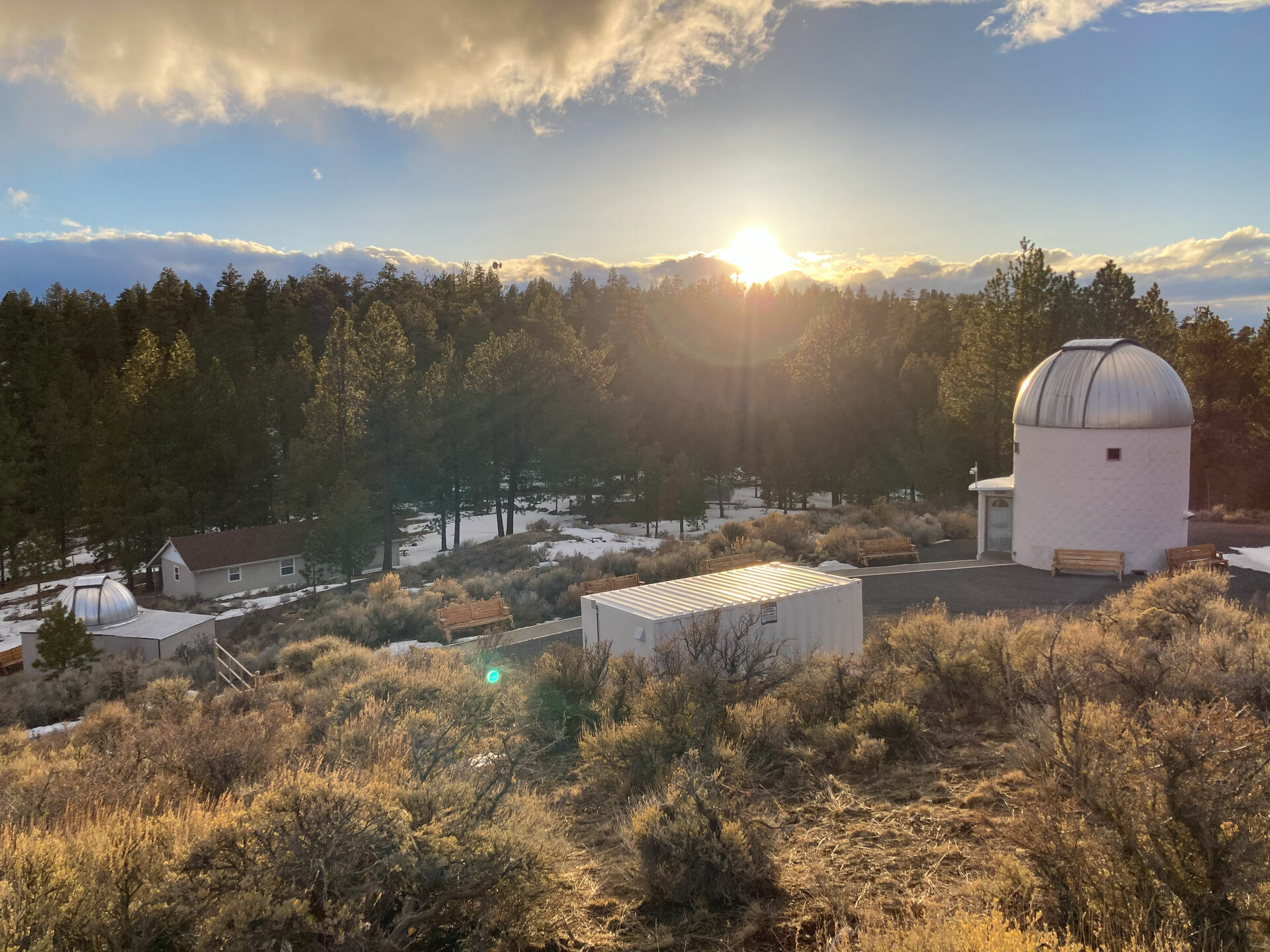
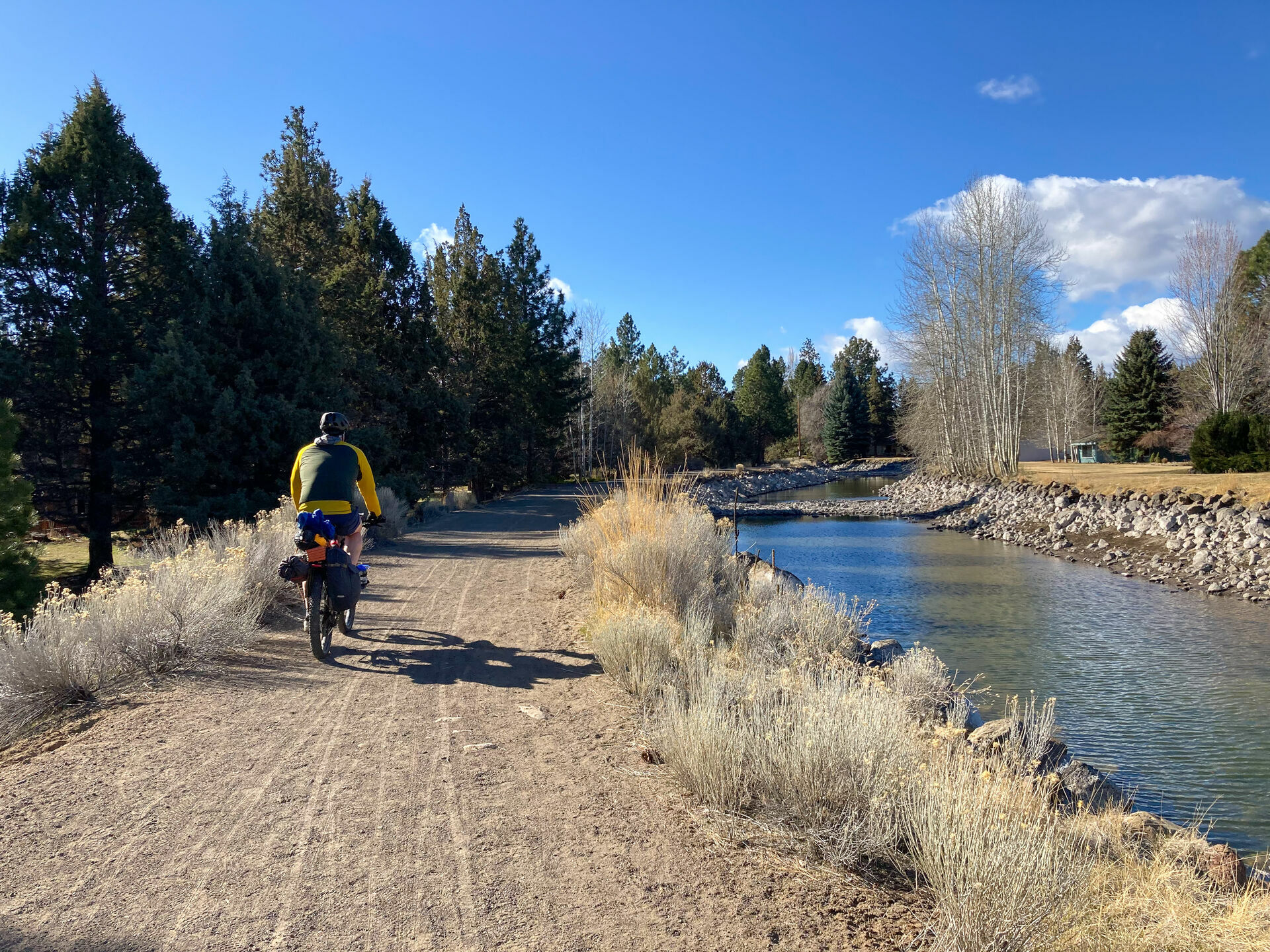
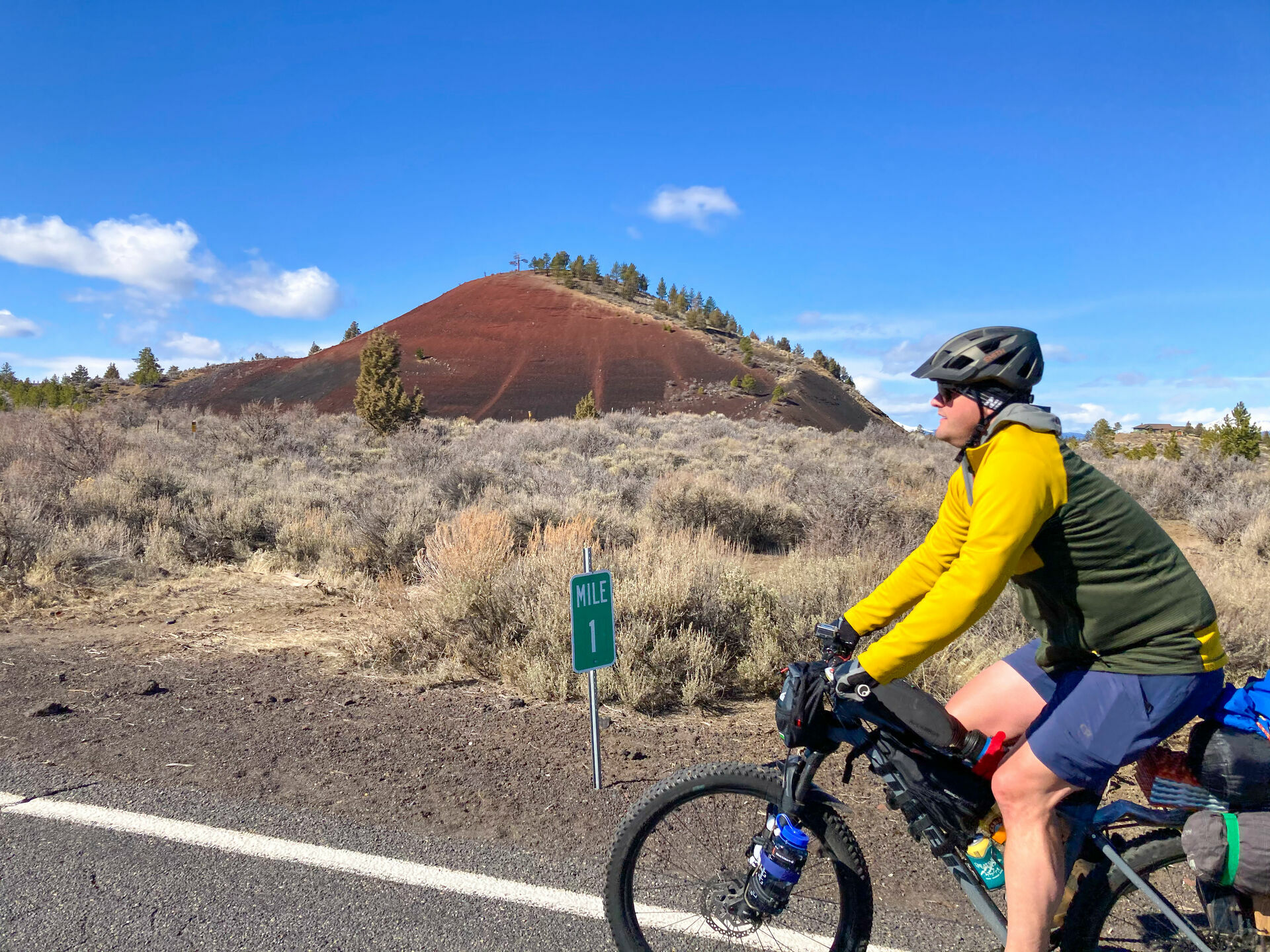
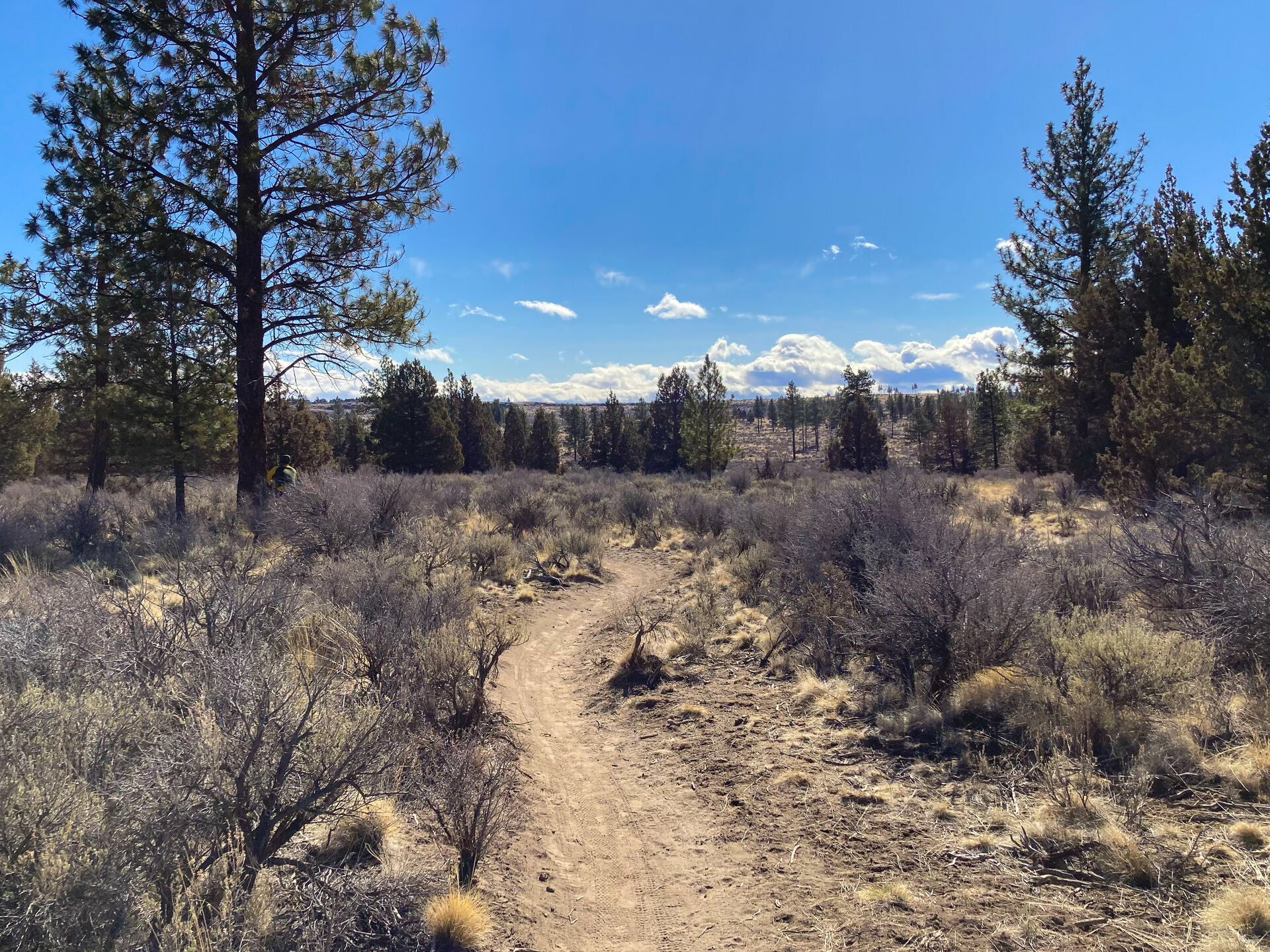
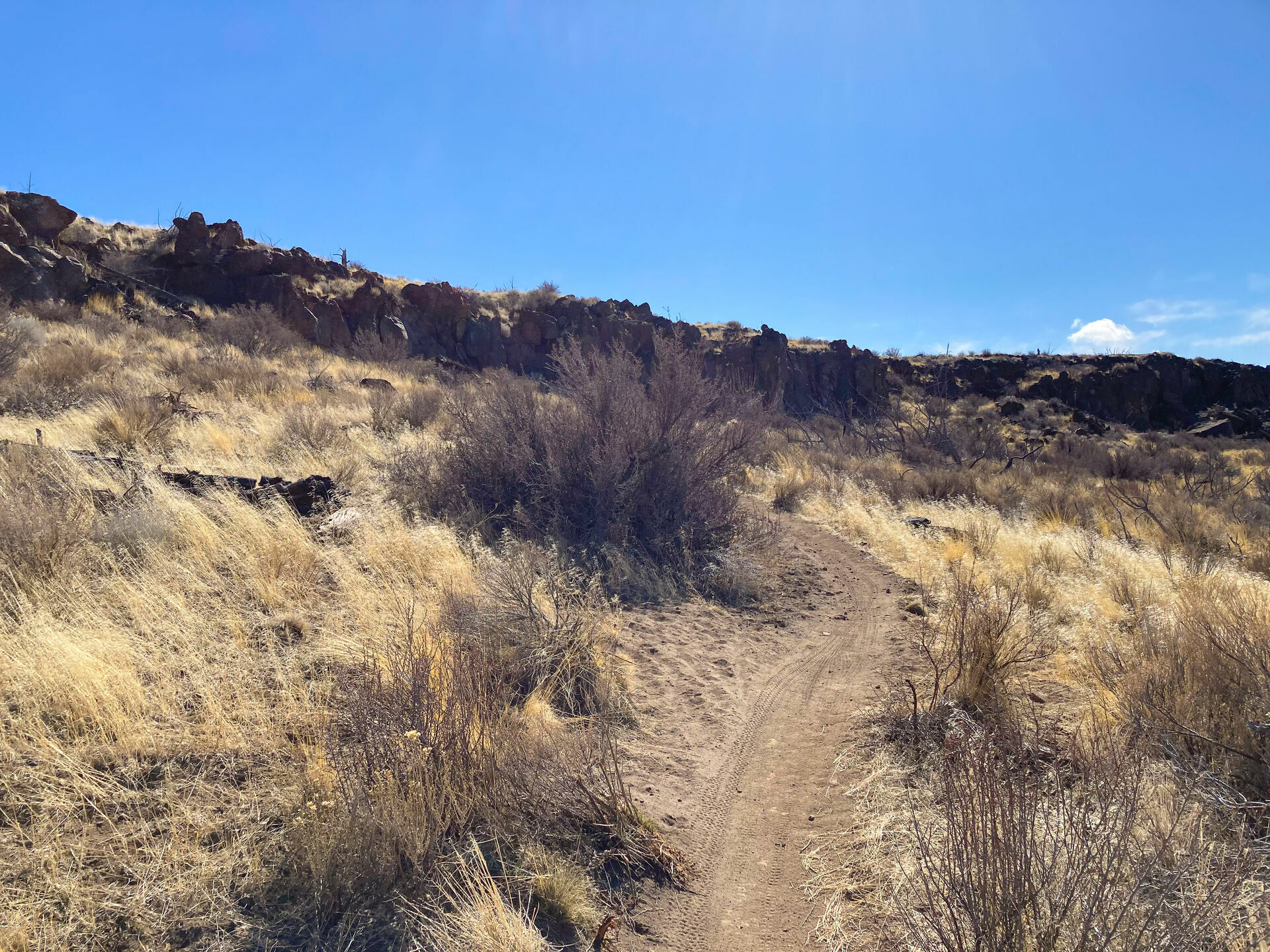
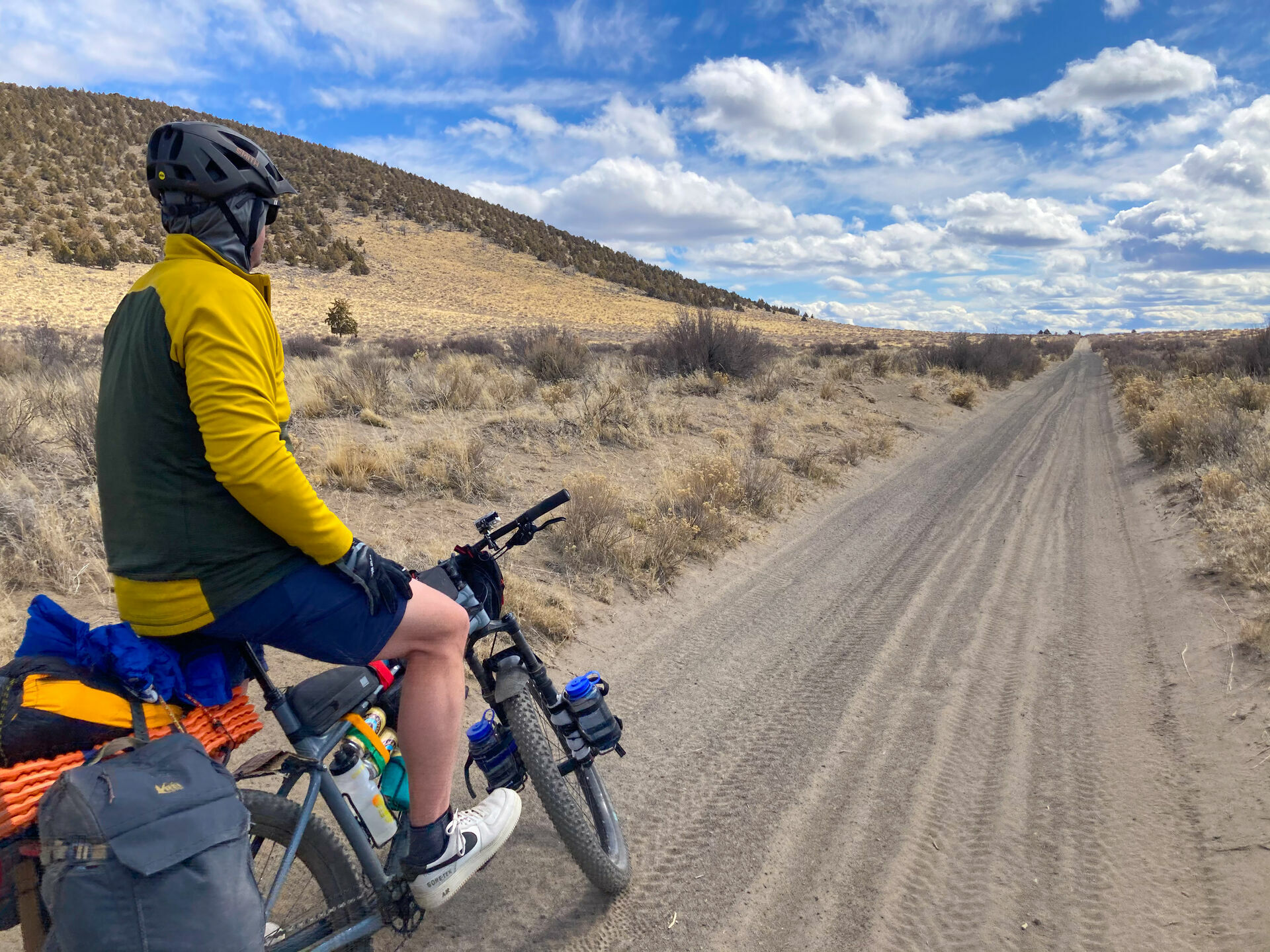
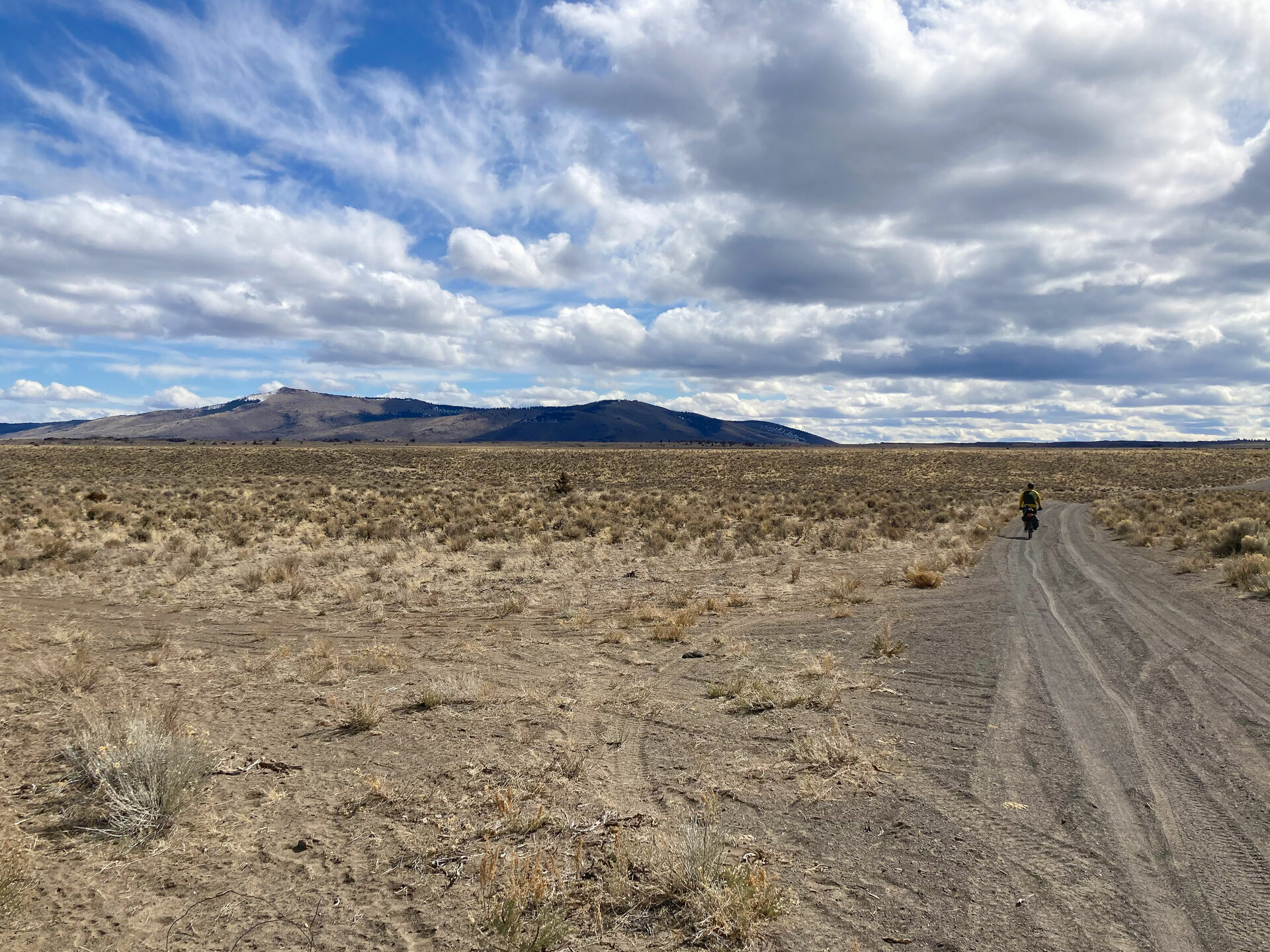
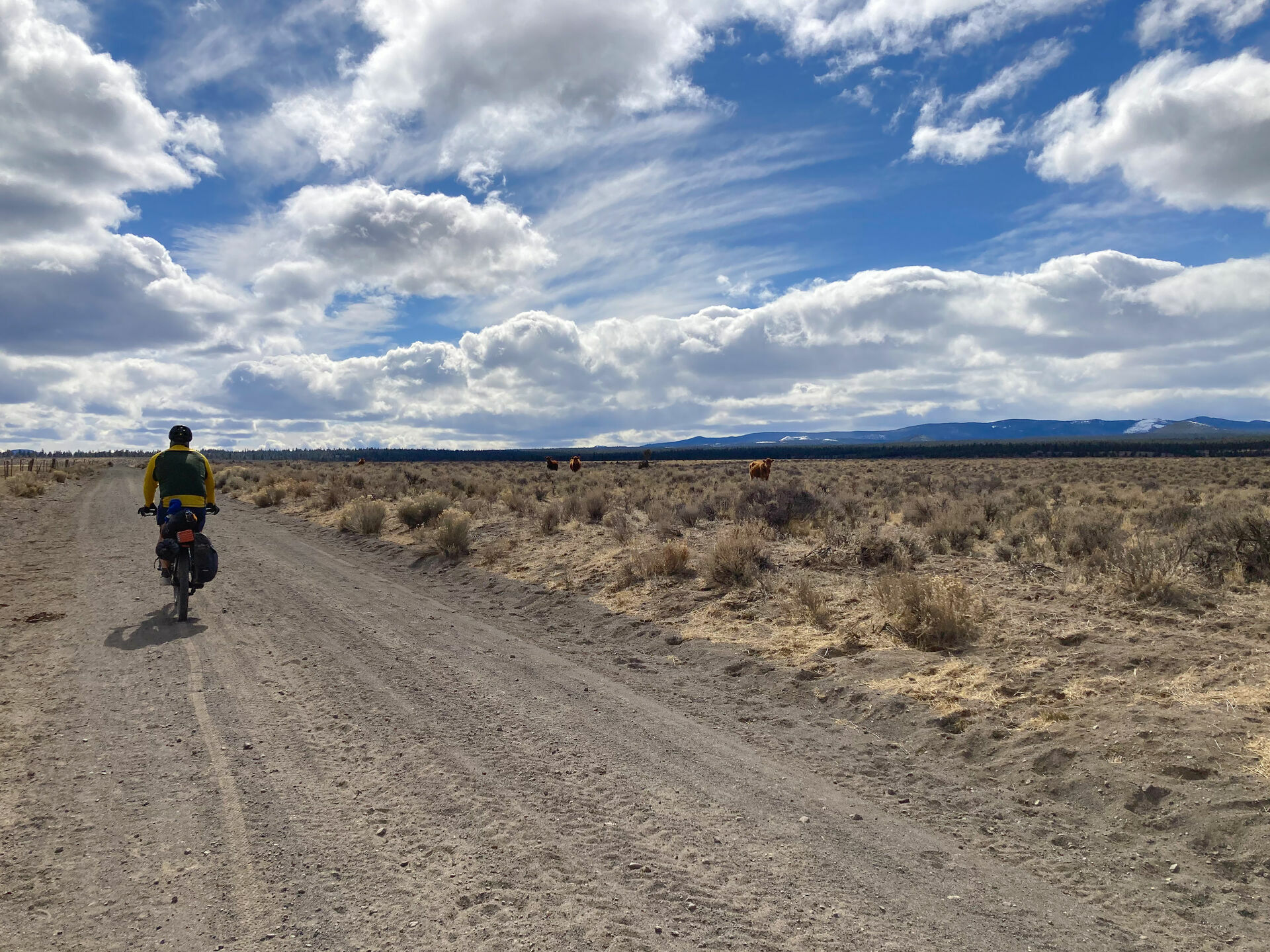
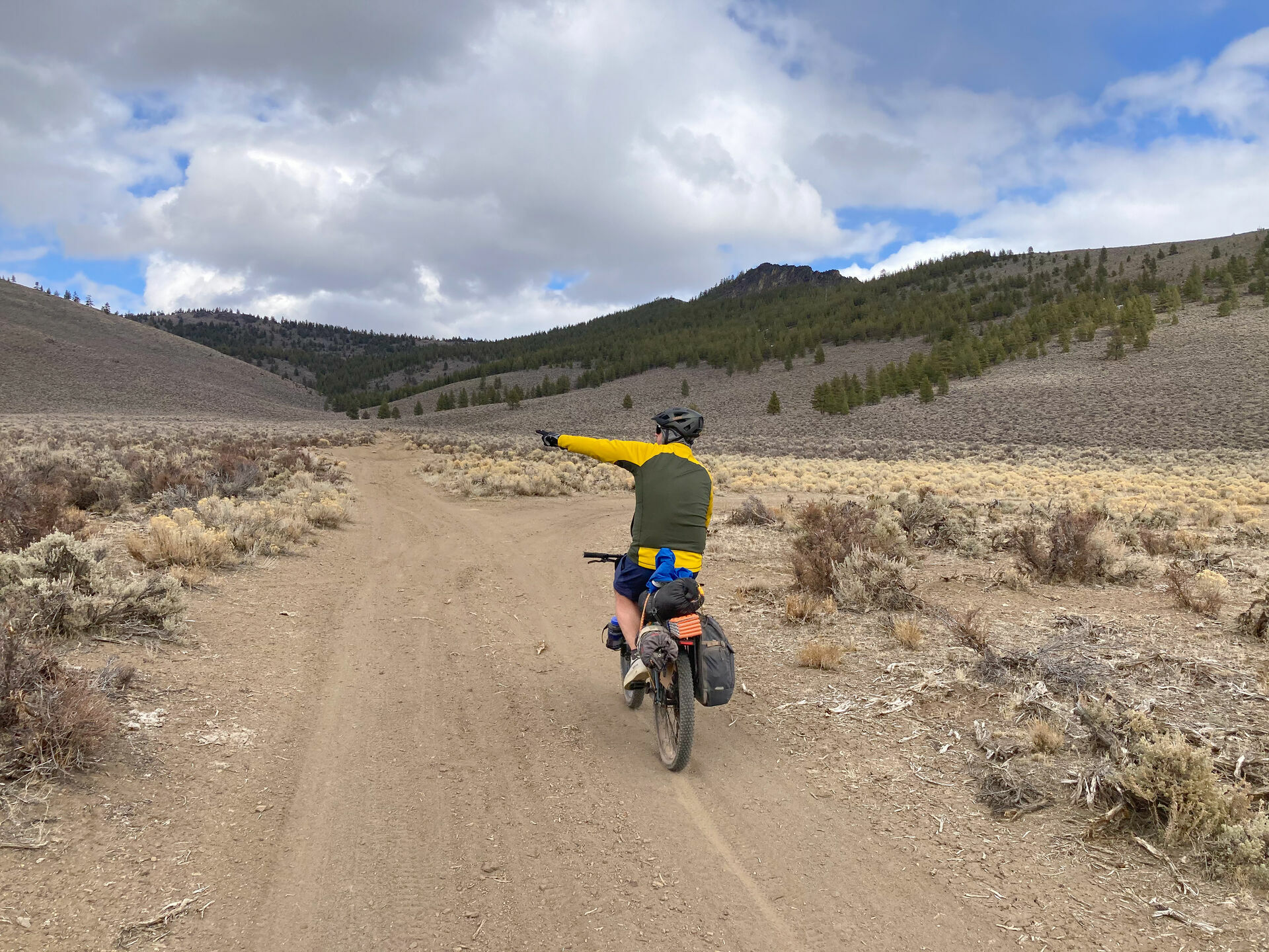
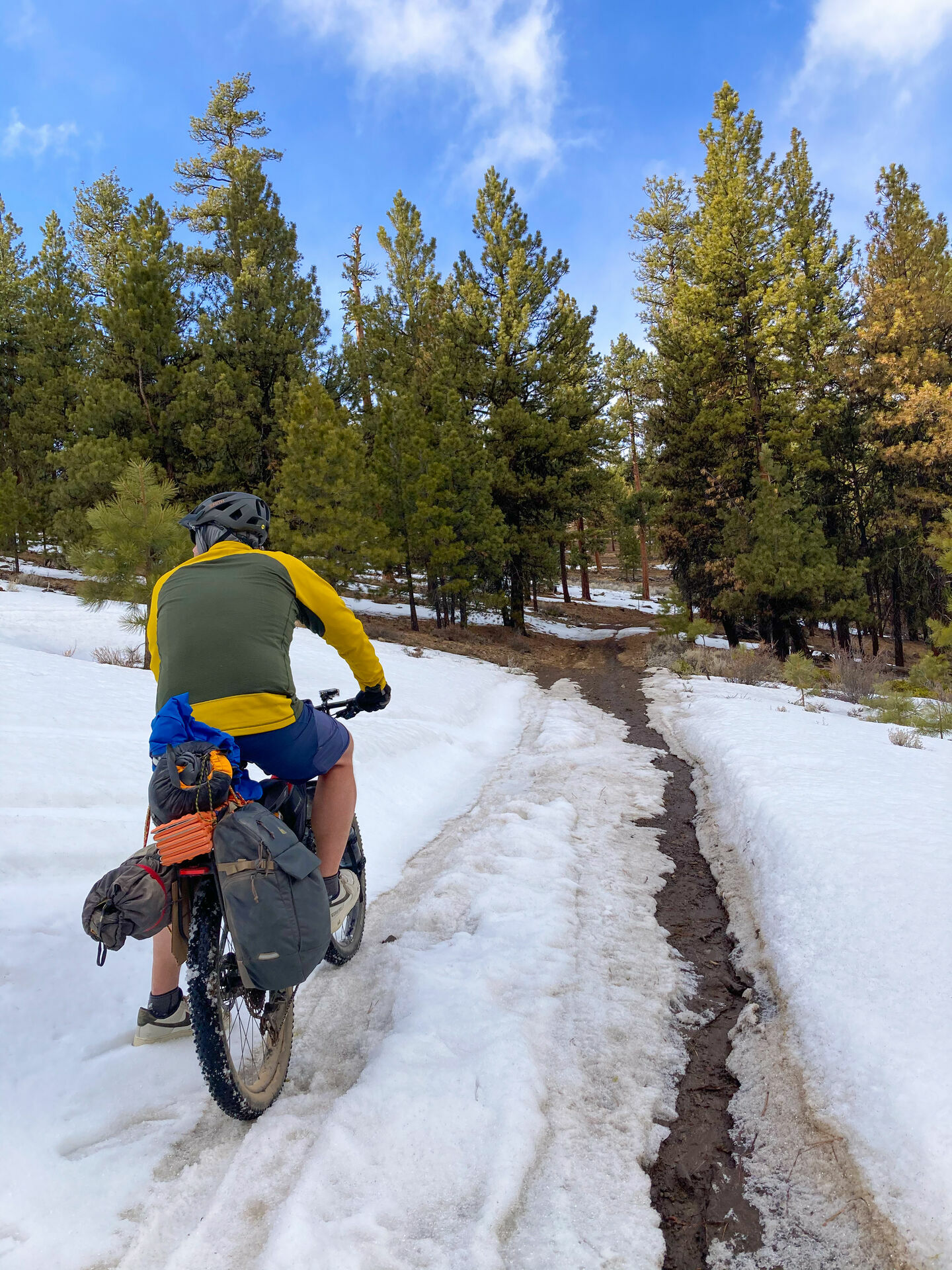
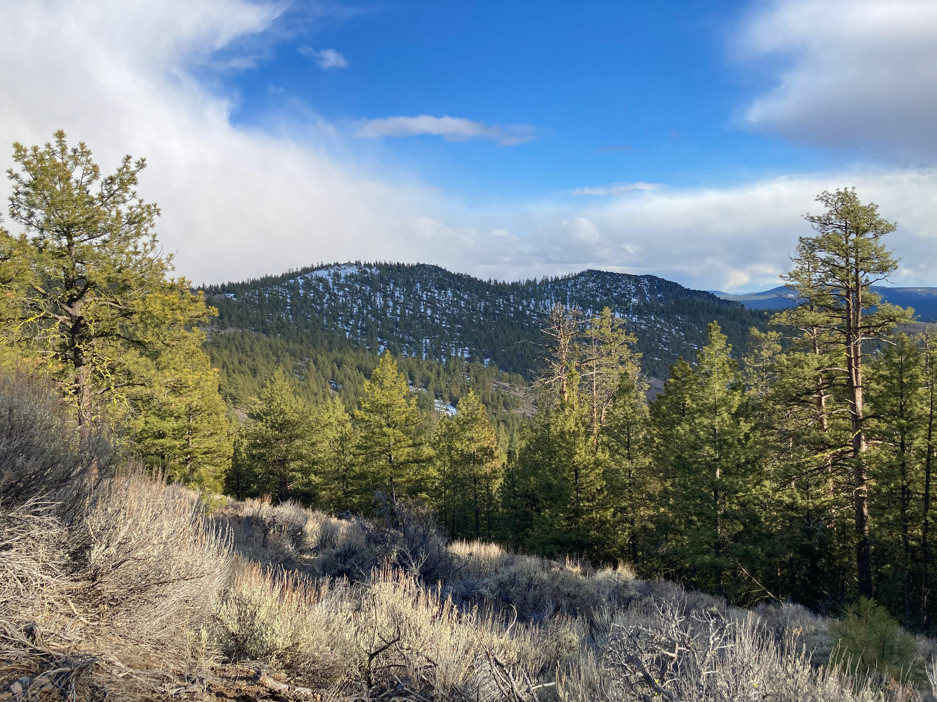
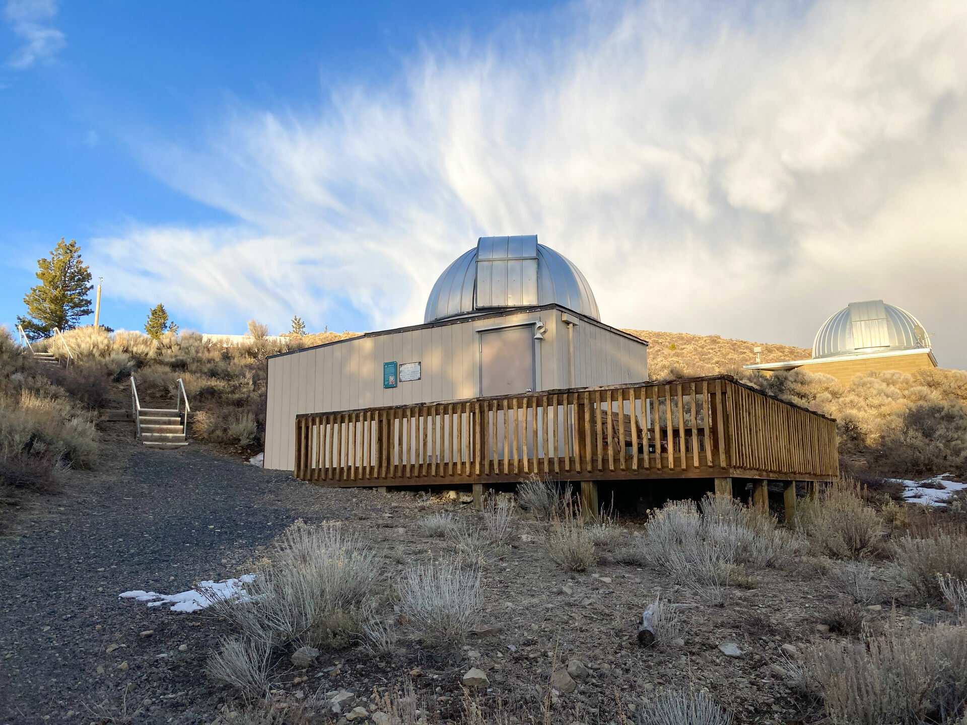
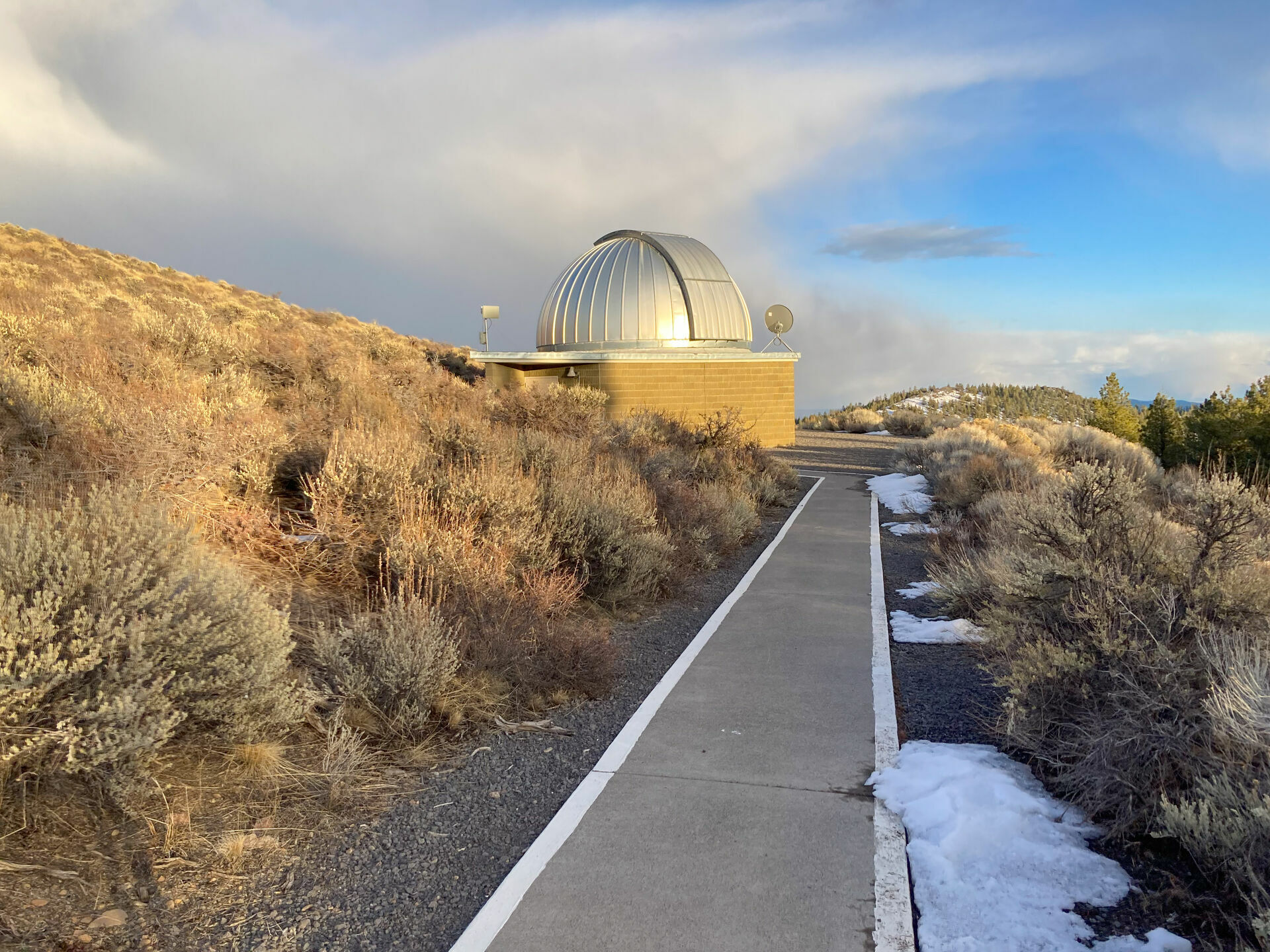
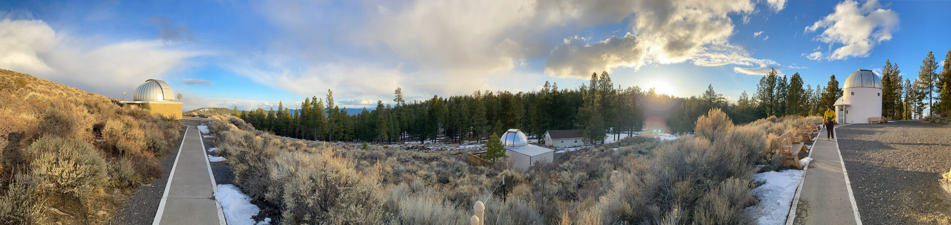
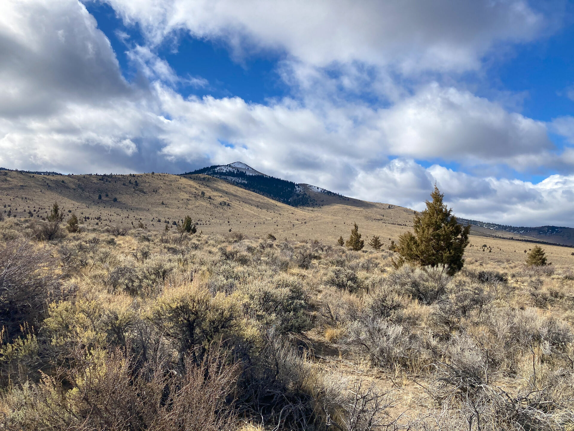
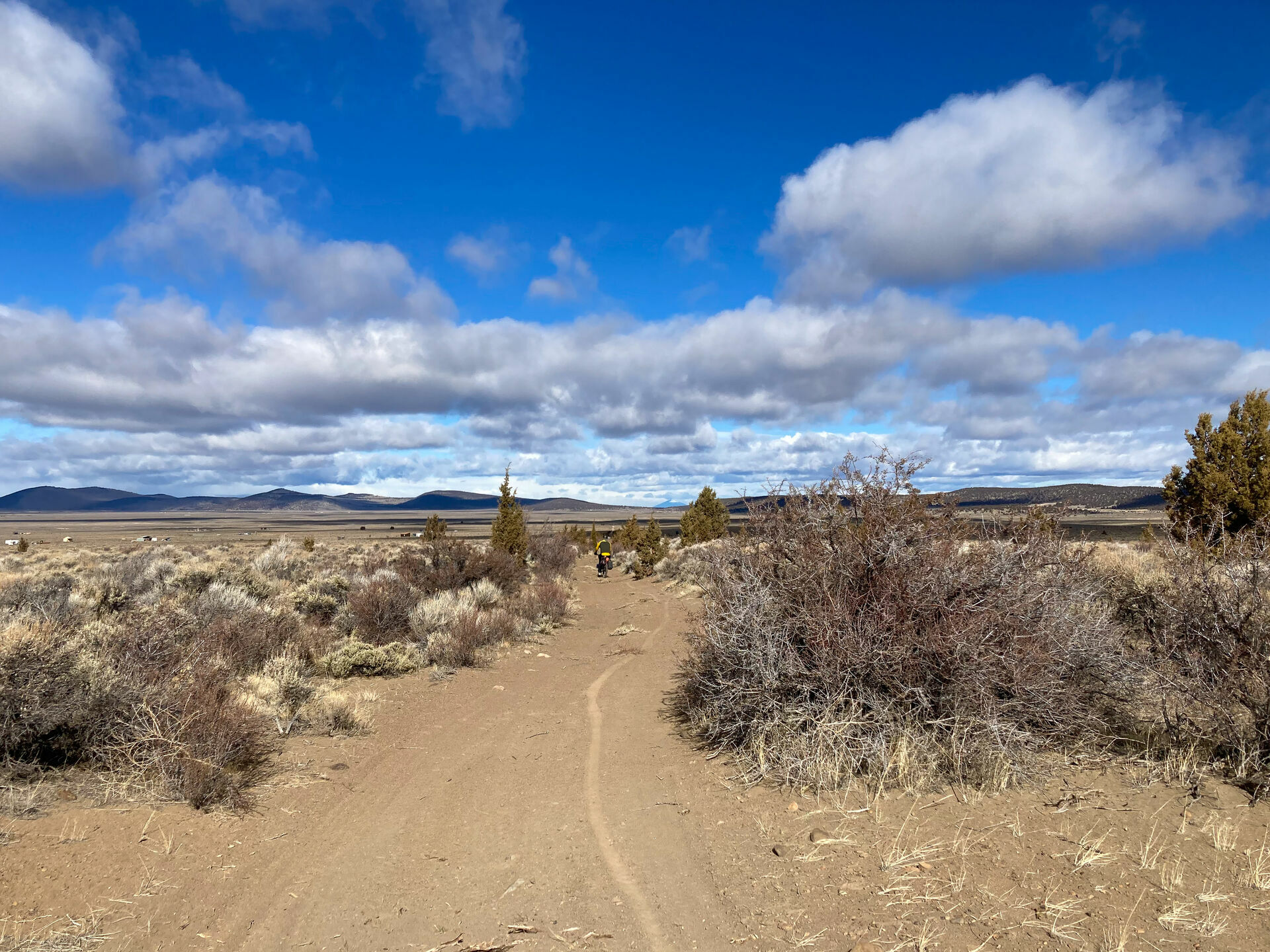
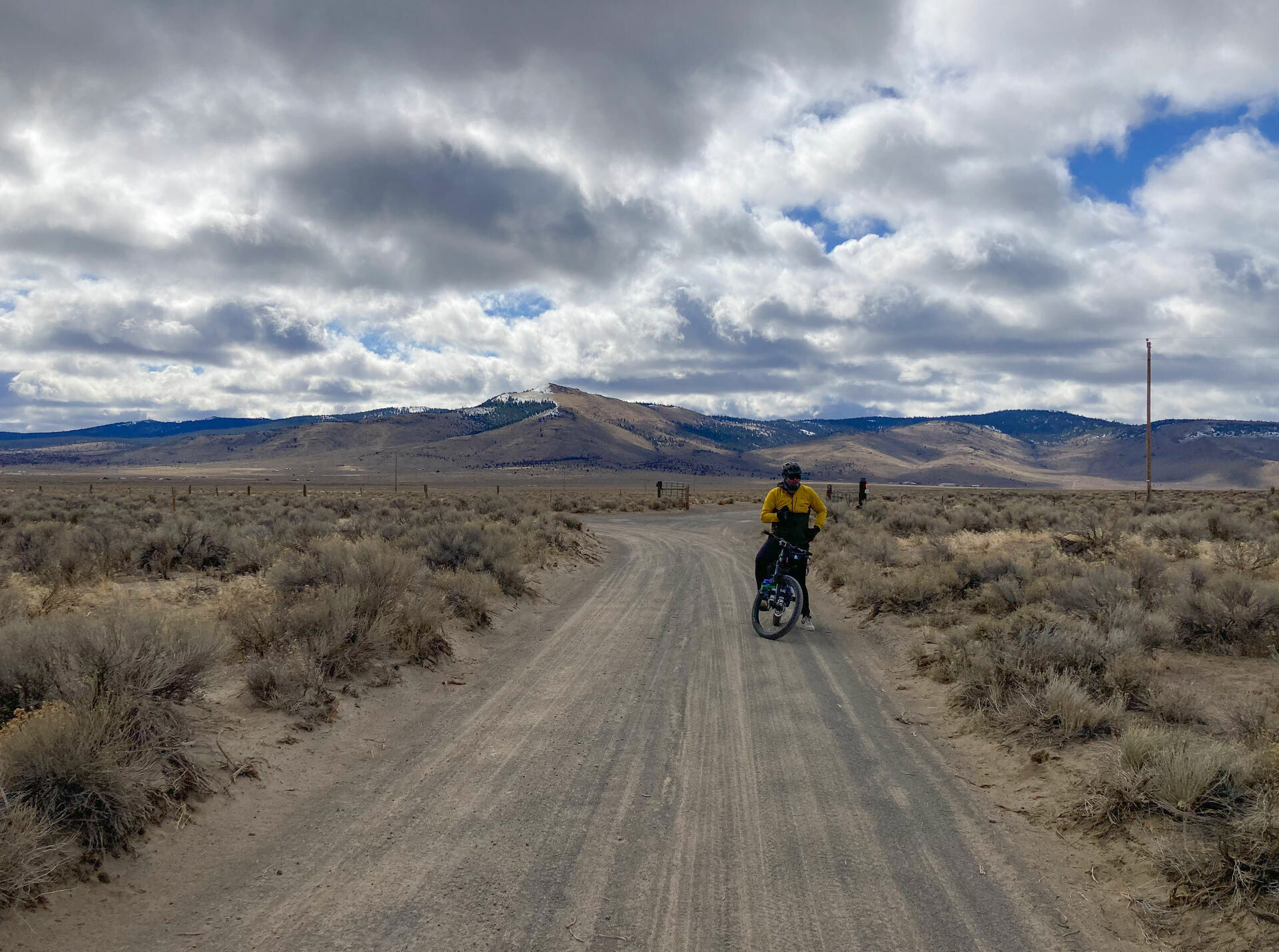
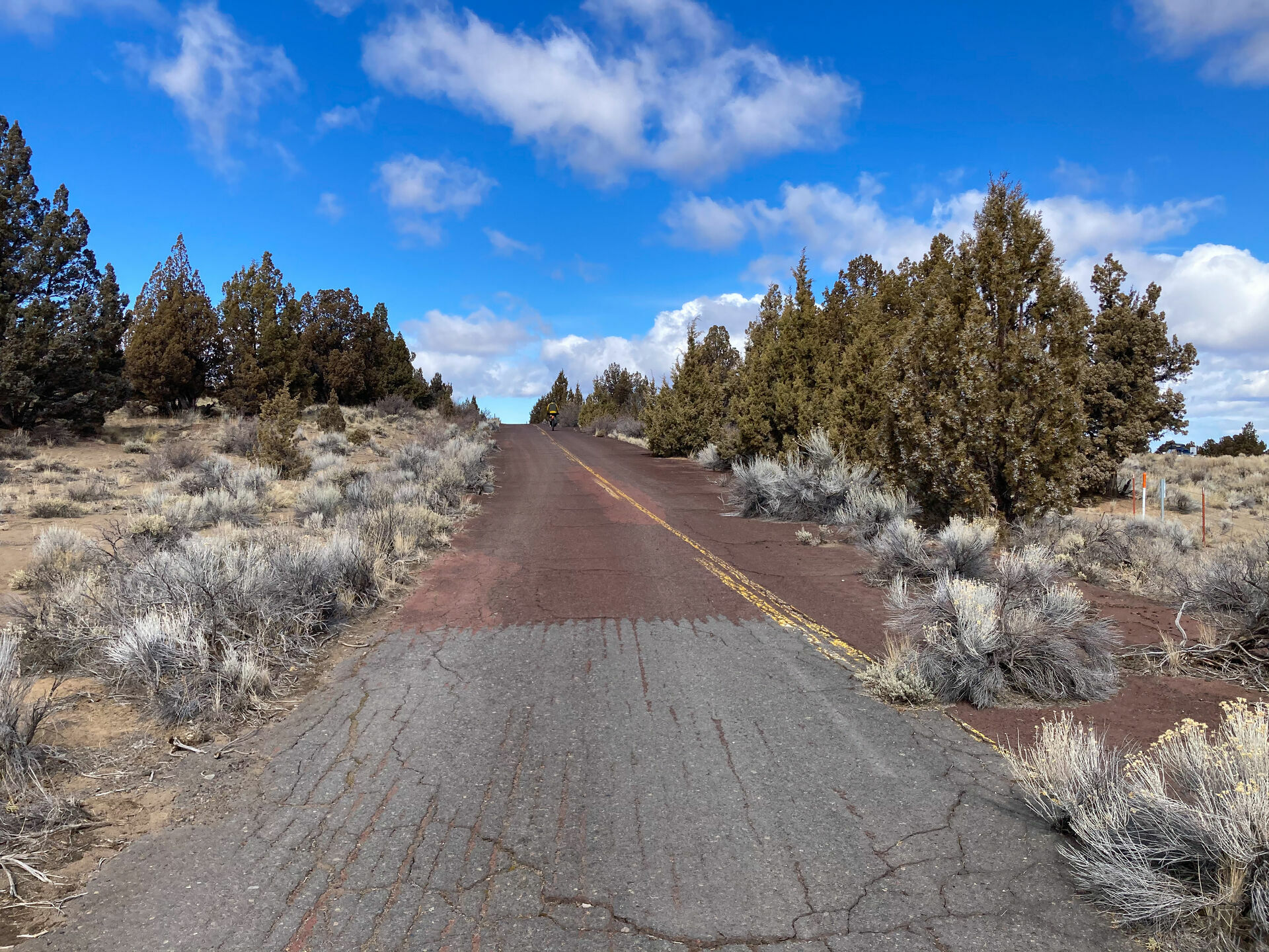
The Pine Mountain Observatory (PMO) Loop provides an overnighter in the Deschutes National Forest of the Oregon Outback, connecting varying terrains in the high desert forest of the greater Bend area. From gravel paths and cross-country singletrack to loose desert sand and windy pavement, the ride’s peak will bring you to the University of Oregon’s astronomical observatory and adjacent campsite at the top of Pine Mountain.
We rode this route in the early spring and had the entire campground to ourselves—arriving to a substantial amount of snow on the mountaintop. There were many great views and plenty of firewood to keep warm. Visitors are welcome to walk around the large, domed buildings that contain the research telescopes. In the summertime, the facilities usually open up to offer public viewings. The primitive, first-come, first-served campsites are located just across the road from PMO.
Compared to the Stagecoach 400 in Southern California, this route condenses similar landscapes into a casual two-day ride. Come prepared with plenty of water and a good set of mixed-terrain tires. There are many alternative paths along this route, so it can be navigated differently to meet the capabilities of your bike setup. Have fun and enjoy the ride!
Route Difficulty
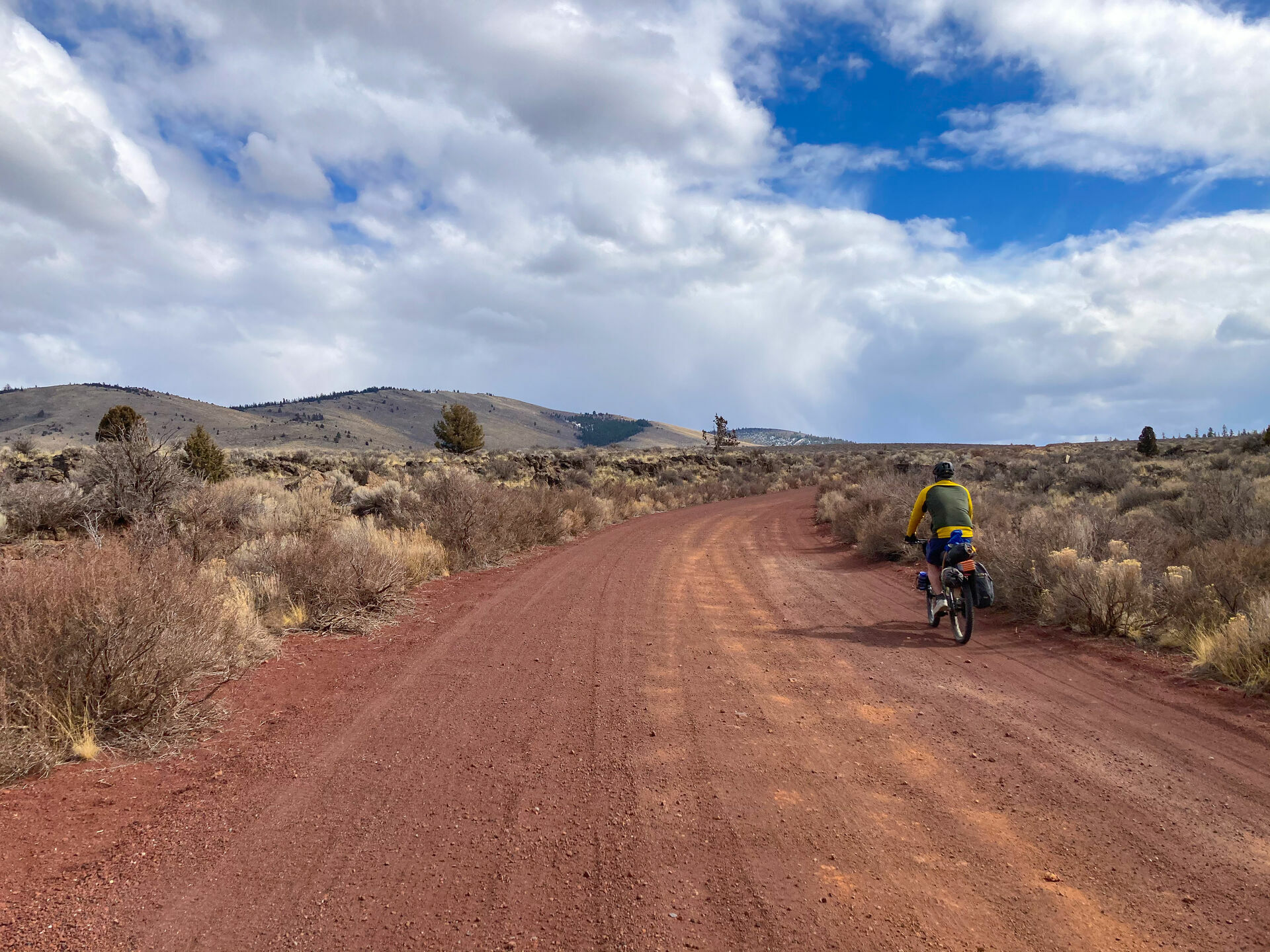
Resupply points and water availability is very limited. Water may be available at certain times of the year, at least in the form of snow. Packing extra water is strongly recommended. Being only an overnighter makes it not too much of an issue. The singletrack sections do get a bit technical, with some chunky sections of lava rock. There can be a lot of direct sun and heat in the summer months and chilly, cold winds during other times of the year. Battling constant headwinds in certain directions can make this draining and physically demanding at times.
Route Development: This route connects sections of trails that are maintained by Central Oregon Trail Alliance (COTA) and land managed by the USFS (Deschutes National Forest Office). Pine Mountain Observatory (PMO) is an astronomical observatory owned and operated by the University of Oregon Department of Physics. Additional thanks to route co-creator Mike Tona. Mike lives in Bend, Oregon and currently works as a Brewmaster at Deschutes Brewery. He provided inspiration and helped contribute to this route (also riding it with me).


Submit Route Alert
As the leading creator and publisher of bikepacking routes, BIKEPACKING.com endeavors to maintain, improve, and advocate for our growing network of bikepacking routes all over the world. As such, our editorial team, route creators, and Route Stewards serve as mediators for route improvements and opportunities for connectivity, conservation, and community growth around these routes. To facilitate these efforts, we rely on our Bikepacking Collective and the greater bikepacking community to call attention to critical issues and opportunities that are discovered while riding these routes. If you have a vital issue or opportunity regarding this route that pertains to one of the subjects below, please let us know:
Highlights
Must Know
Camping
Food/H2O
Trail Notes
Resources
- The Podski (great selection of food and beverages at start or finish)
- Central Oregon Historic Canal Trail (tour through Bend on your way out)
- Horse Butte Trail System (multiple caves throughout – Boyd, Skeleton, Arnold Ice, Pictograph)
- Horse Ridge Research Natural Area (many trails and an old, abandoned highway)
- Pine Mountain Observatory (public viewings in most summers)
- Pine Mountain Campground (first come, first served)
- This route should be mostly rideable from March-October, but the summer can get brutally hot depending on the hours you ride. There will usually be snow and rain leading into the late fall and winter months.
- The City of Bend provides paid permits for vehicles parked at Miller’s Landing and along NW Riverside Blvd.
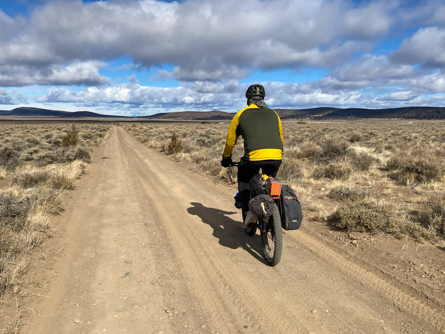
- Tires should be at least 2” for this route and even wider for riding sand. Alternative paths are gravel/paved.
- If you are going to have a fire at the campground, only do so in a designated fire ring. Be very cautious and follow all local/seasonal regulations. Portable stoves can be a safe alternative.
- National Forest Campground at Pine Mountain
- There are many great eateries on your way in and out of Bend. Beyond that, water and food is very limited. Be prepared to be fully self-sufficient and pack accordingly!
- Although it isn’t on the exact route, Deschutes Brewery (Bend Public House) is worth stopping at to celebrate your completion with local craft beer and tasty food.
Day 1
Leave Bend along the Central Oregon Historic Canal Trail and onto paved country roads on the outskirts of town. Once you hit the Horse Butte trailhead in the Deschute National Forest, the singletrack section has begun. The ride continues on gravel roads and the final climb to the top of Pine Mountain.
Day 2
Start the descent down Pine Mountain along a rugged and twisty gravel road that becomes more smooth as it flattens out. There are sandy OHV trails on the way towards Horse Ridge that can be ridden or skipped via alternative paths. Horse Ridge provides a selection of MTB trails, with the main access road being an old highway (closed to cars). It becomes mostly paved, windy highway as you return to Bend.
Additional Resources
- BEND TRAIL REPORTS: bendtrails.org
- PMO CONDITIONS: pmo.uoregon.edu/weather


Terms of Use: As with each bikepacking route guide published on BIKEPACKING.com, should you choose to cycle this route, do so at your own risk. Prior to setting out check current local weather, conditions, and land/road closures. While riding, obey all public and private land use restrictions and rules, carry proper safety and navigational equipment, and of course, follow the #leavenotrace guidelines. The information found herein is simply a planning resource to be used as a point of inspiration in conjunction with your own due-diligence. In spite of the fact that this route, associated GPS track (GPX and maps), and all route guidelines were prepared under diligent research by the specified contributor and/or contributors, the accuracy of such and judgement of the author is not guaranteed. BIKEPACKING.com LLC, its partners, associates, and contributors are in no way liable for personal injury, damage to personal property, or any other such situation that might happen to individual riders cycling or following this route.
Please keep the conversation civil, constructive, and inclusive, or your comment will be removed.