


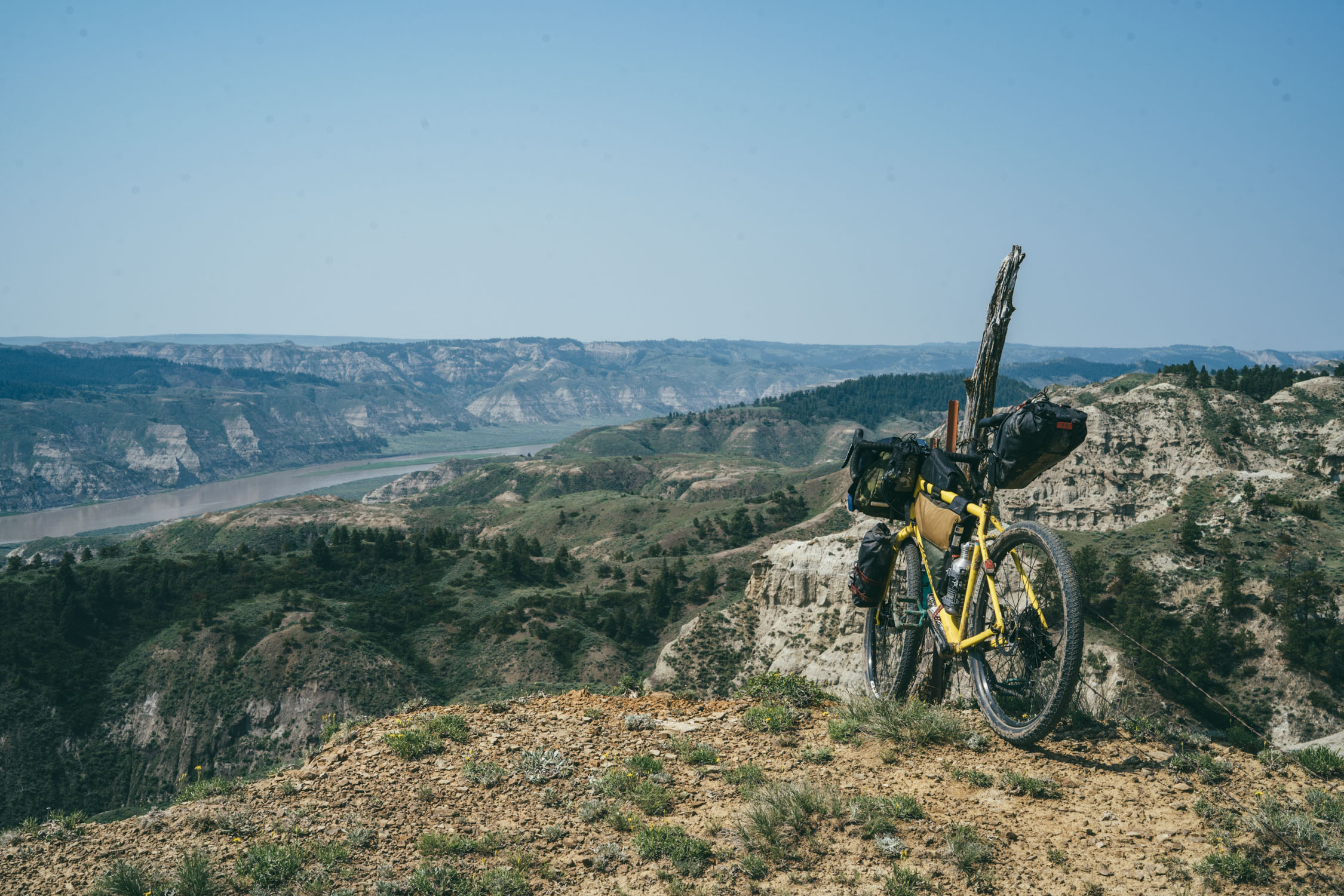
Prairie Breaks
Distance
359 Mi.
(578 KM)Days
7
% Unpaved
94%
% Singletrack
0%
% Rideable (time)
99%
Total Ascent
17,990'
(5,483 M)High Point
5,270'
(1,606 M)Difficulty (1-10)
7.5?
- 3Climbing Scale Fair50 FT/MI (9 M/KM)
- -Technical Difficulty
- -Physical Demand
- -Resupply & Logistics
Contributed By

Logan Watts
Founding Editor
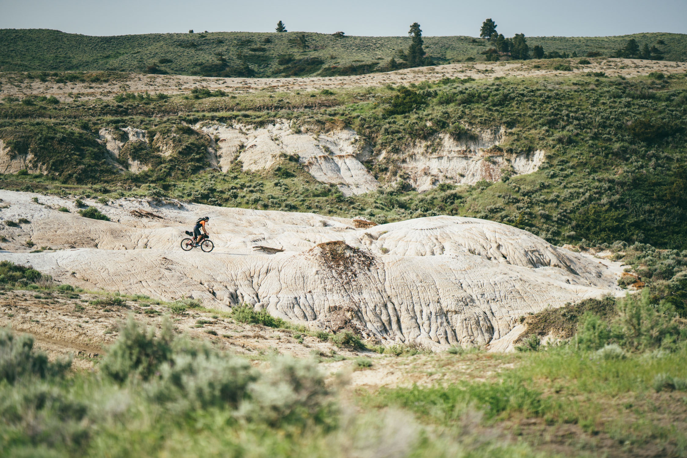
When you think of Montana, you might picture snow-capped peaks separated by broad valleys, towering pine forests, and pristine, rocky rivers bristling with trout. However there’s far more to this monumental state. One of its best secrets lies in its north-central plains, a verdant carpet of fauna-rich shortgrass prairie and mesmerizing badlands shaped by wind, weather, and the mighty Missouri River.
Early European explorers first described these lands with sheer astonishment. Meriwether Lewis noted in his journal on June 3, 1805, “Capt. C [Clark] and myself stroled out to the top of the hights in the fork of these rivers from whence we had an extensive and most enchanting view; the country in every derection around us was one vast plain in which unnumerable herds of Buffalow were seen attended by their shepperds the wolves; the solatary antelope which now had their young were distribued over it’s face; some herds of elk were also seen; the verdure perfectly cloathed the ground, to the South we saw a range of lofty mountains.”
Within a century, these thriving prairies were stripped of their Serenghetti-grade population of wildlife as a tide of homesteaders populated the land around the turn of the century. They plowed, tilled, hunted, drilled, and fenced much of the landscape. The indigenous people who lived among it lost their lifeblood and were cordoned off into reservations. Dan Flores, author of The American Serenghetti—who we happened to meet along our ride—describes what happened to the Great Plains a century ago as, “The destruction of one of the ecological wonders of the world.” However, all was not lost. Tough winters and difficult farming conditions discouraged many settlers and left much of the native prairie grasses intact. In addition, conservation-minded ranchers and hunters have helped preserve wildlife species allowing the potential for a large-scale conservation project to protect, properly manage, and return large tracts to its natural state.

This eco-region, the Montanan swath of prairie that this route is based on, exists around two key pieces of public land: the Charles M. Russell Wildlife Refuge and the Upper Missouri River Breaks National Monument. Surrounding these cornerstone parcels is an infinite patchwork of a private ranch land and Bureau of Land Management (BLM) rangelands; all of which are players within a vastly ambitious yet controversial endeavor to rewild these northern plains and create the largest tract of public land in the United States. This effort is called the American Prairie Reserve (APR), a non-profit organization that is buying and leasing private land to make it public. They now have deeded and leased property totaling nearly 1/2 million acres with a goal of over 3.2 million. However, they are better known for their reintroduction of bison on some of the land that they own and manage. We won’t dig too much into the APR at this juncture; there’s more to come on the Patagonia blog soon. However, know that this route passes through seven APR parcels (units) and was developed with that in mind. You can dig a bit deeper into this topic under the “Resources” tab below; be sure to watch the National Geographic video which is embedded there.

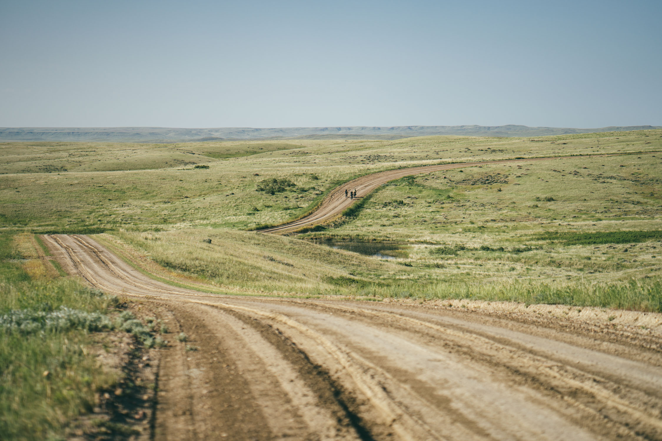
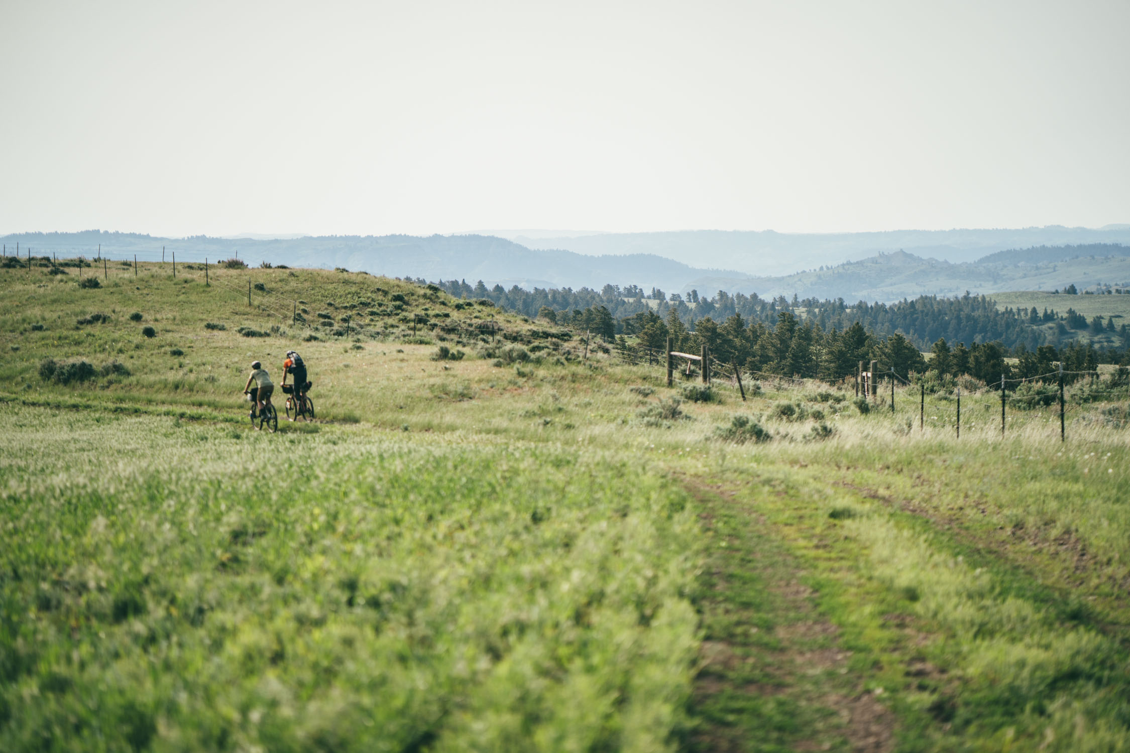
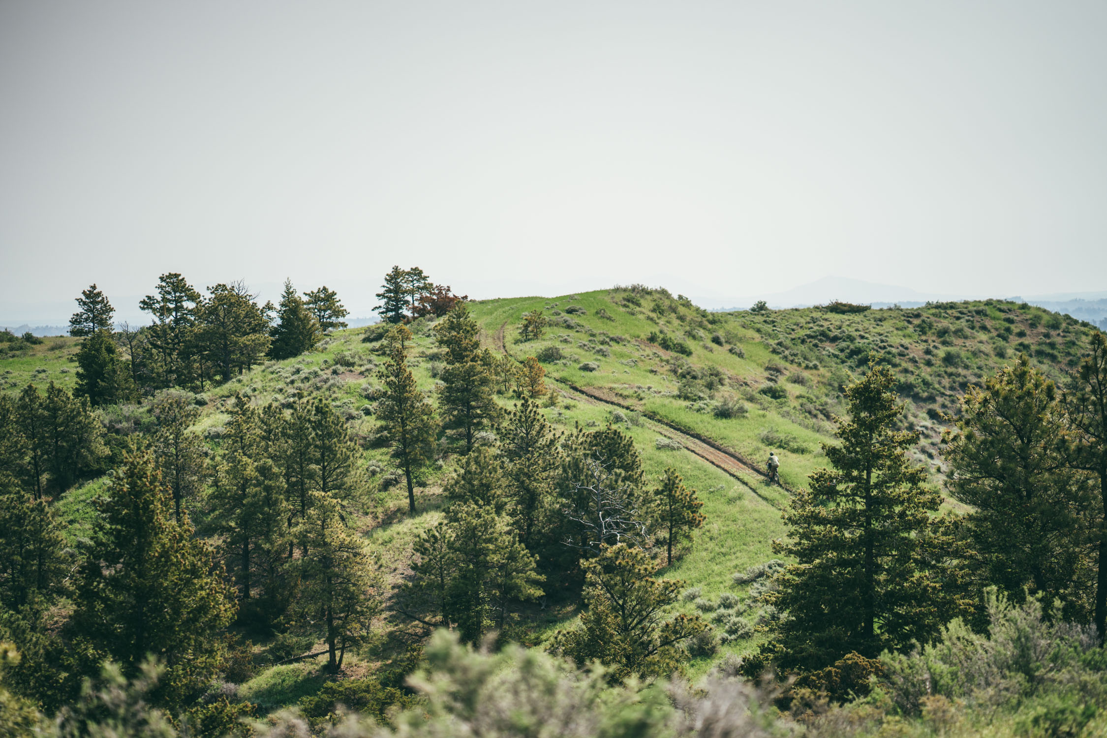
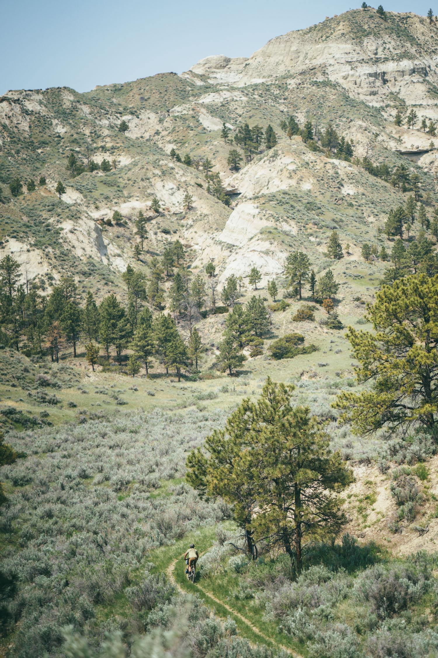
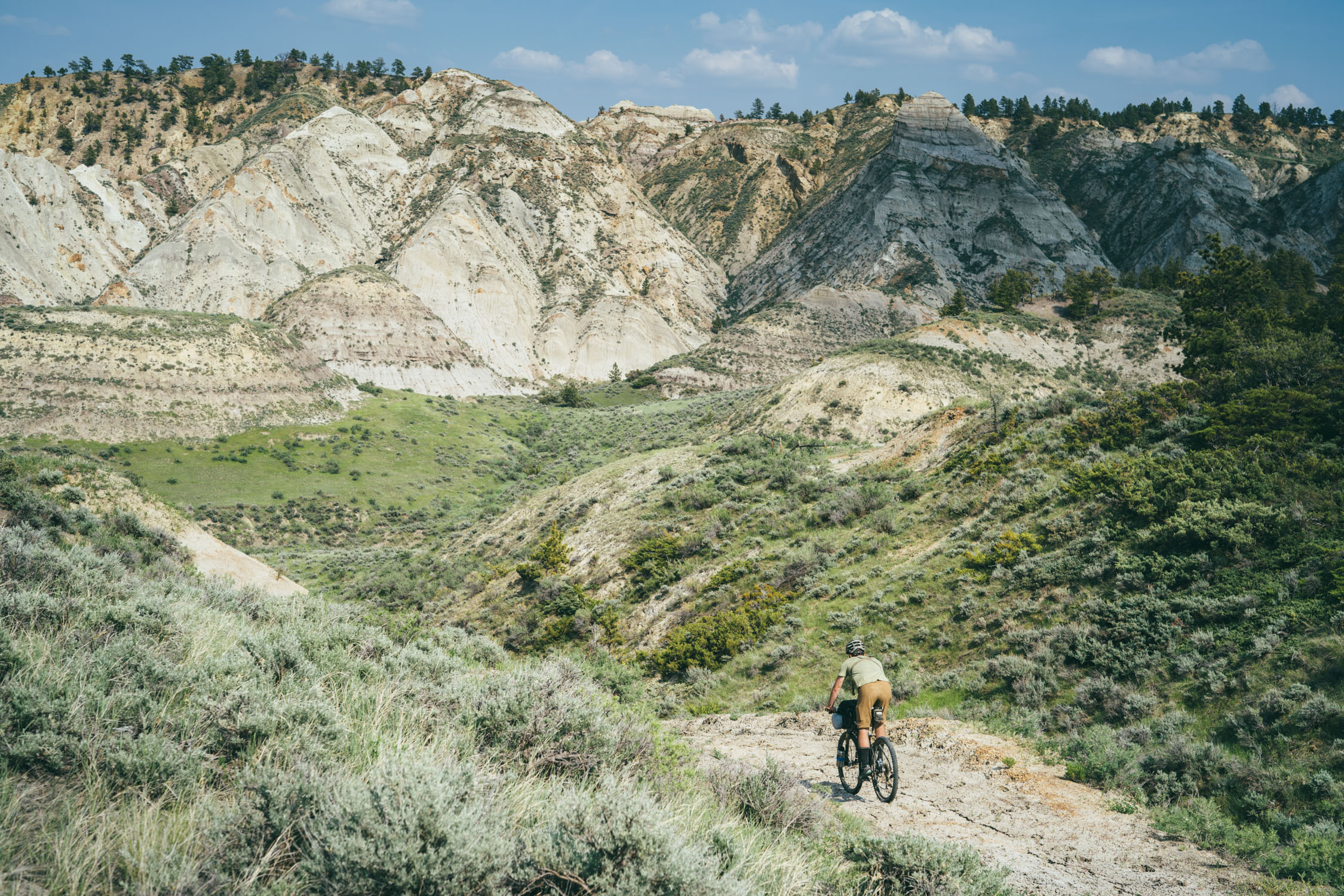
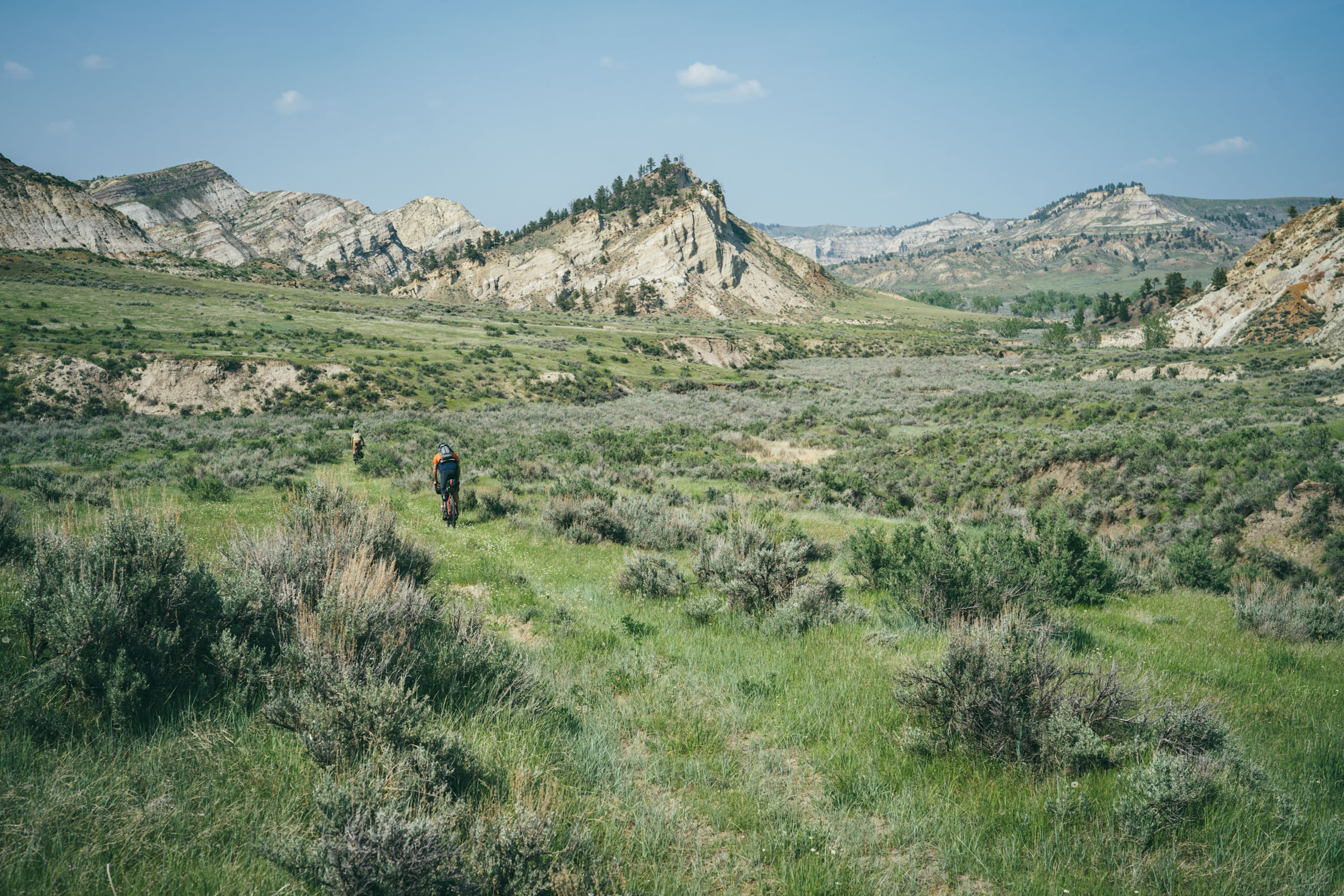
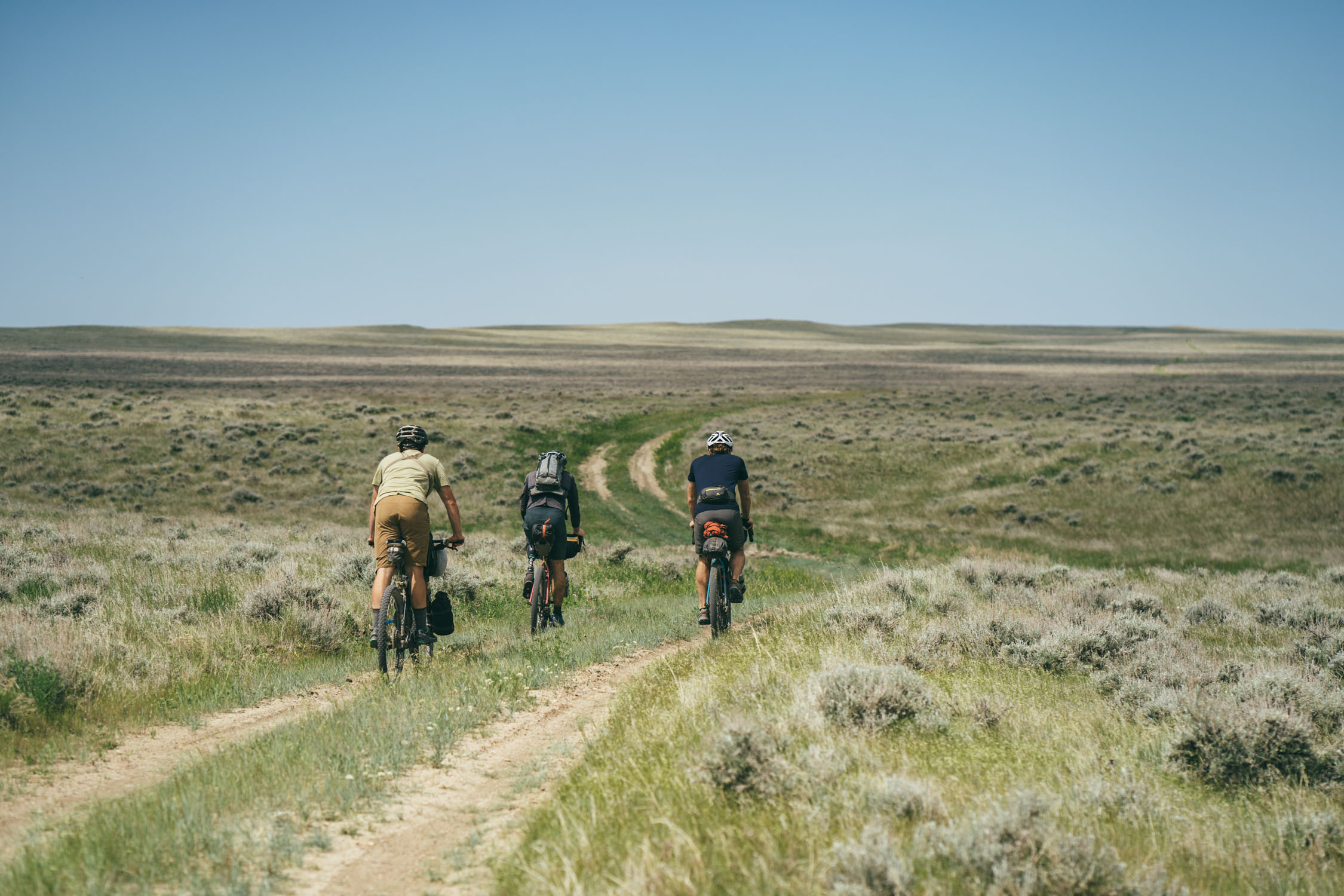
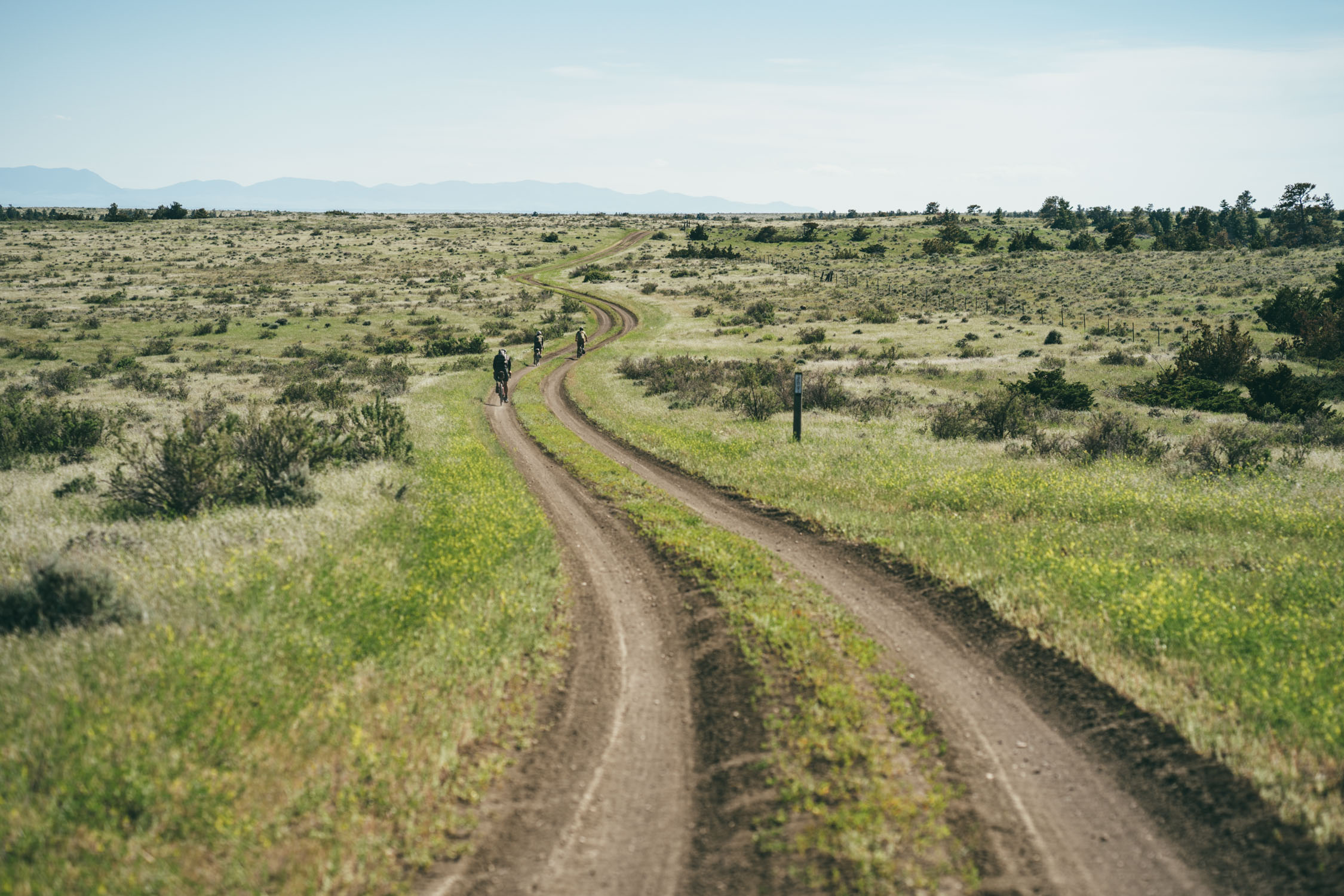
The route itself is as epic as some of the historical accounts of this land. Today, there’s still a lot of wildlife and splendor to be seen in this region, and to know that it’s returning makes it even more special. The loop is made up of a wealth of incredible two-track dirt roads, gravel, rugged jeep tracks, and faint “roads” that cut straight through the rolling prairie. Over 70% of the route is on public land, including seven APR units. Our hope in developing this route is that it will bring awareness to the area and the APR, and visitors such as bikepackers who ride this loop will realize this vision and help it continue to thrive.
Difficulty
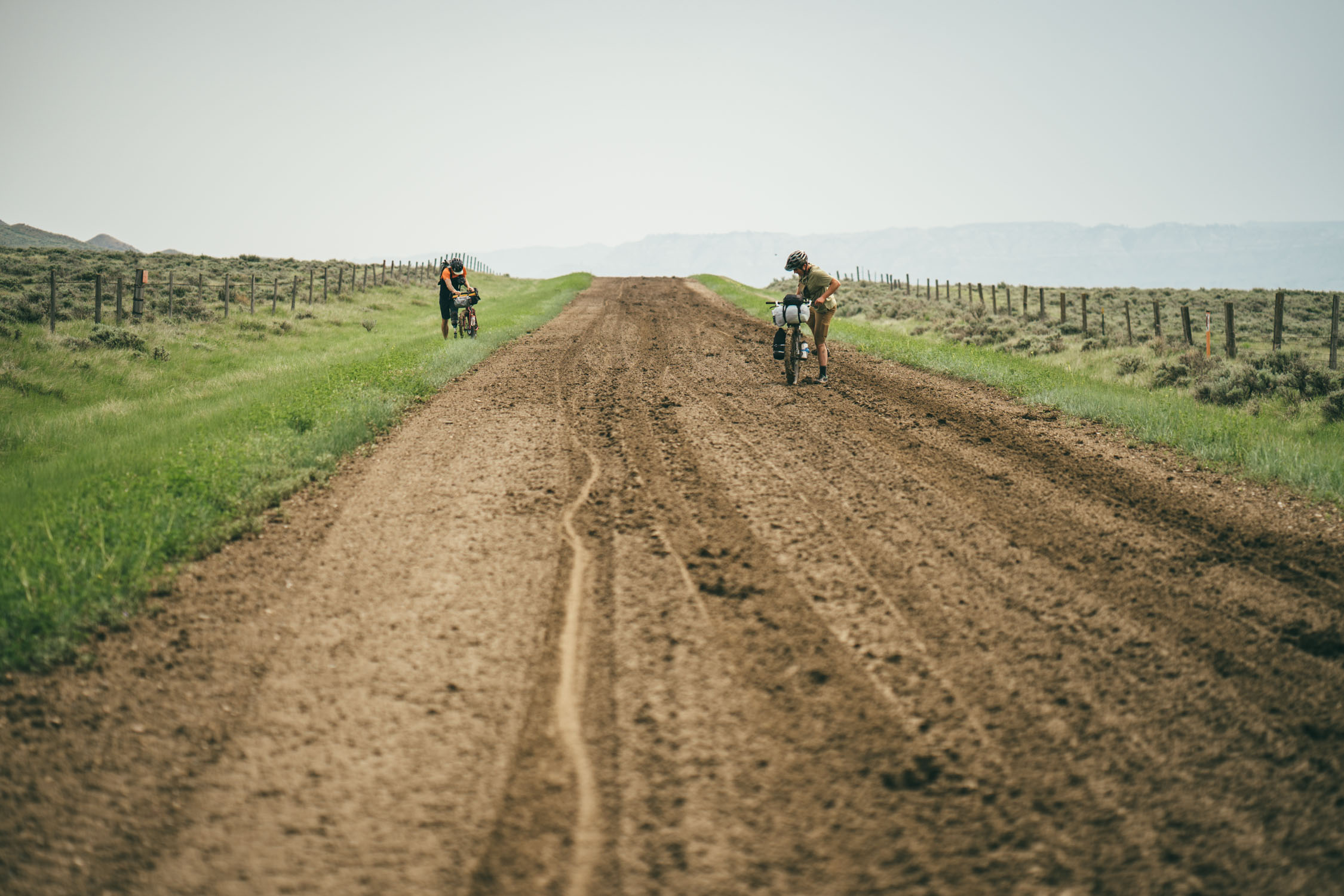
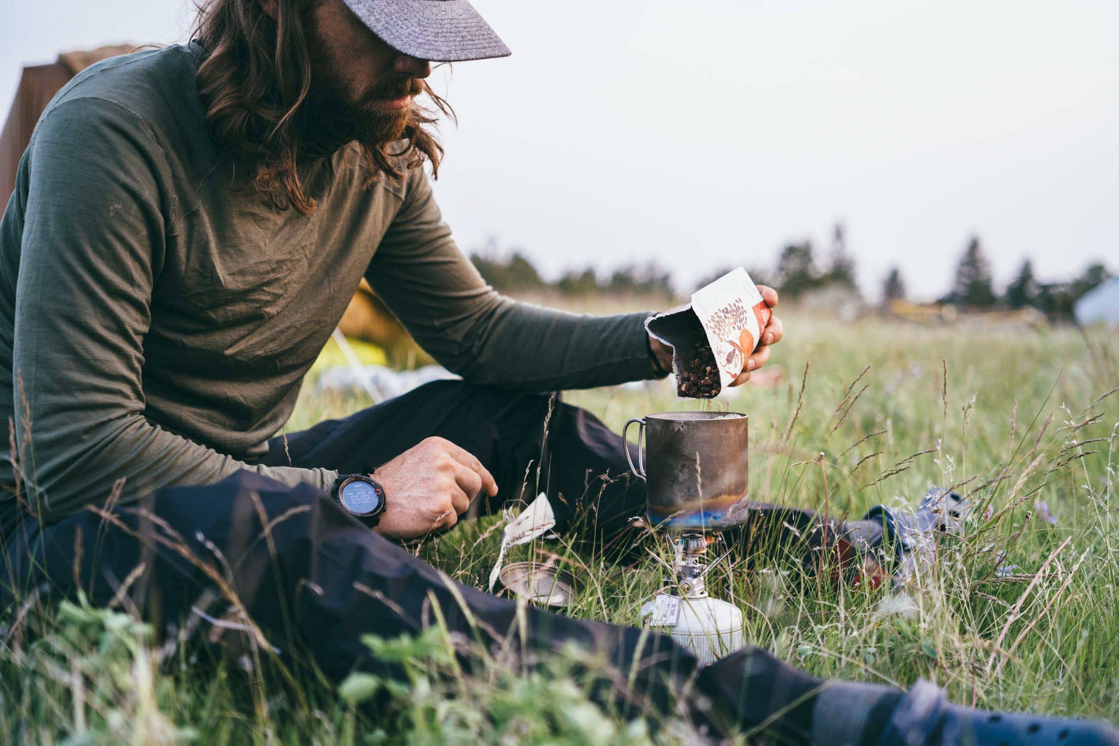
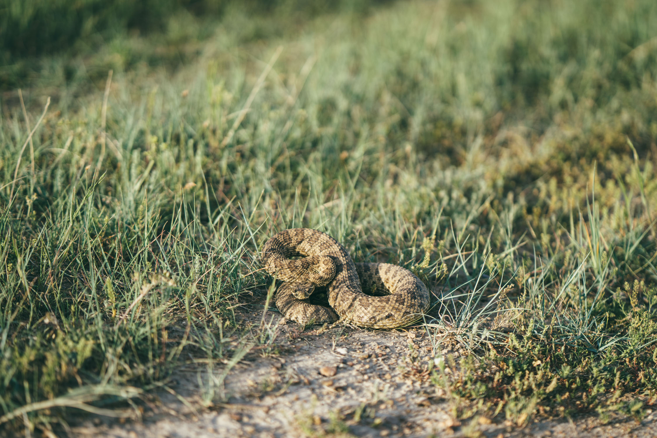
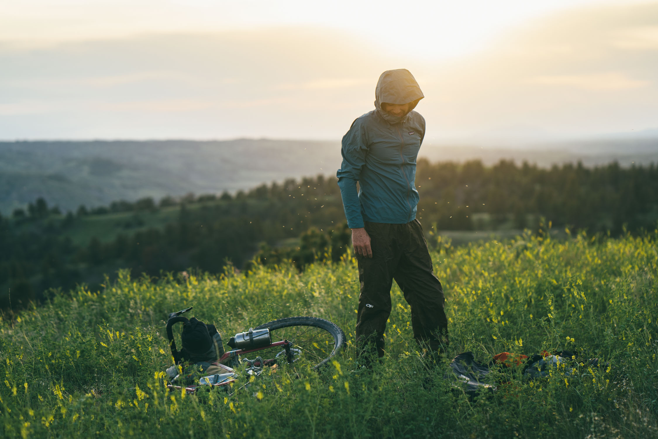
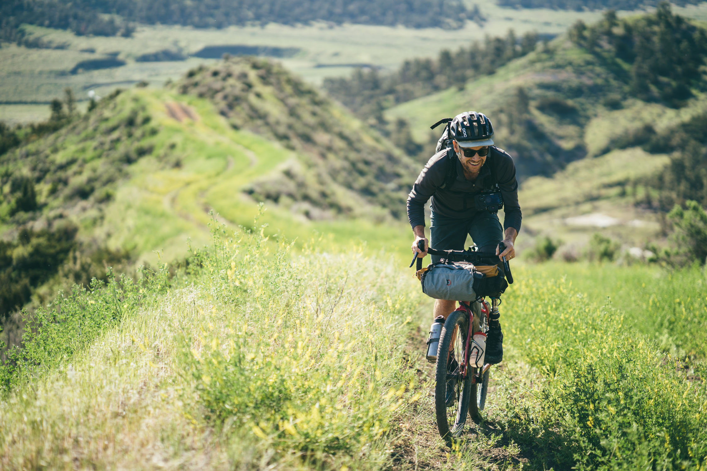
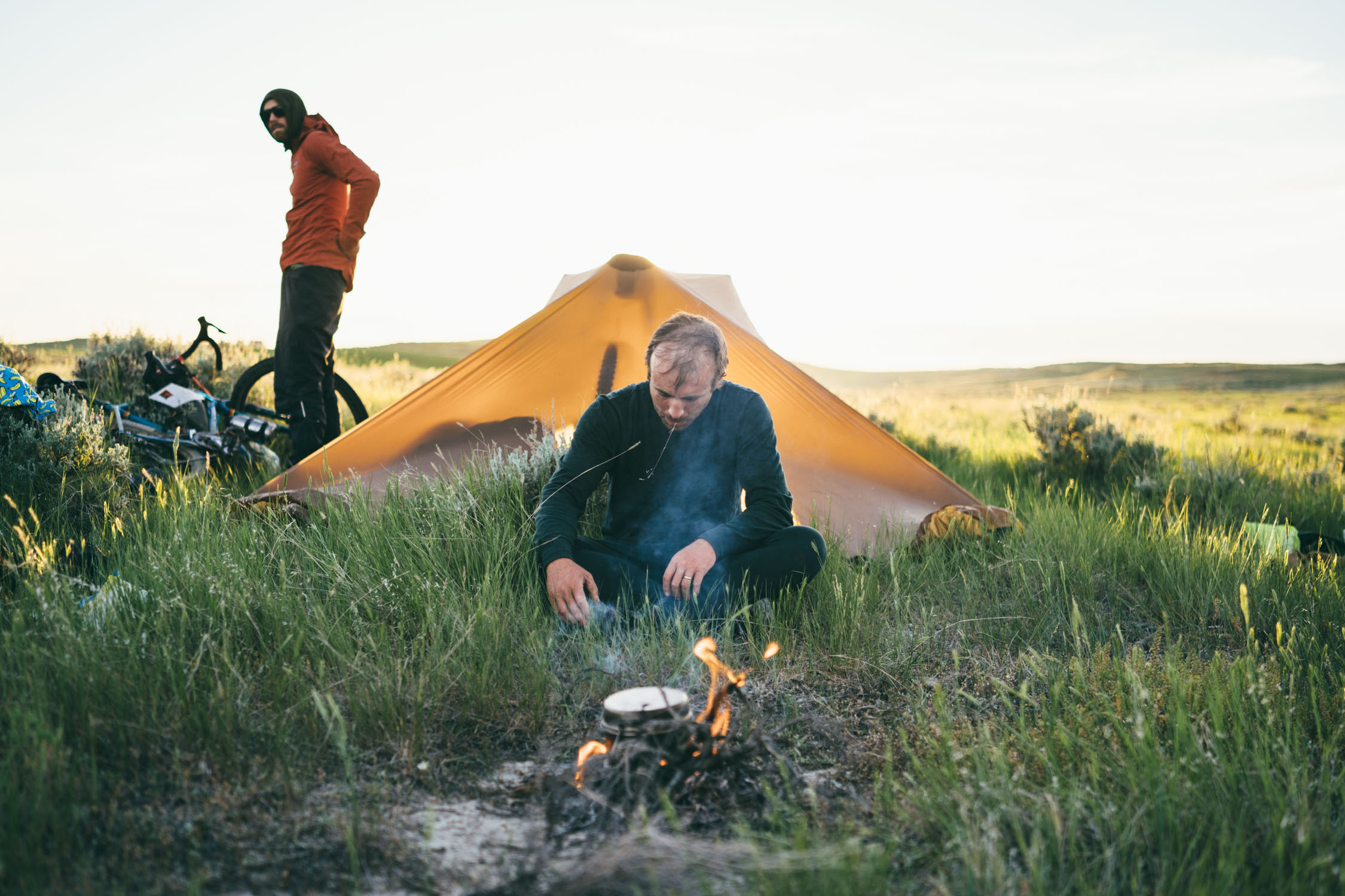
When we set out to create this route, we wanted to design an approachable way for novice-intermediate riders to explore the landscape. However, there are a lot of innate challenges within this wild and rugged country. For one, if it rains, you must be prepared to stop. One member of our party of four sheared off his rear derailleur within the first mile of the route after a rain. The mud is like concrete and will stick to (and possibly destroy) anything and everything on your bike. Second, water is pretty scarce. Streams abound, but they are magnesium-rich and unfilterable with a standard ultralight water filter. Third, there are a few animals that can be annoying or threatening. The mosquitos can be downright insane—they literally coated my calves on one section of dirt road. Bring a bug net and repellant. There are also rattlesnakes. We encountered two on route, one of us almost ran over one of them and could have easily been bitten. Chances are probably low, but be aware, and bring a SPOT tracker in case of emergency. And finally, there isn’t much in the way of resupply. See “Food/H2O” below for details. For all these reasons, even though the riding is glorious and not terribly difficult (barring a few mandatory hike-a-bikes), we give the route a 7.5 out of 10 on the difficulty scale.
Route Development: In partnership with Joel Caldwell, I’m more than excited to finally release this route. It was a big undertaking and we couldn’t have done it without help and support from Patagonia and the American Prairie Reserve, who provided detailed beta about the network of dirt roads and tracks that intersect each of its parcels. Thanks also to Montana local Peter Hall for helping plan this route. Additional thanks goes to Salsa Cycles for loaning us three Journeyman for the trip, Rockgeist for the frame bags, Patagonia (stay tuned for Joel’s story about the APR and this trip on the their blog), Patagonia Provisions (for keeping us full and healthy), Widefoot Designs, and Klean Kanteen.


Submit Route Alert
As the leading creator and publisher of bikepacking routes, BIKEPACKING.com endeavors to maintain, improve, and advocate for our growing network of bikepacking routes all over the world. As such, our editorial team, route creators, and Route Stewards serve as mediators for route improvements and opportunities for connectivity, conservation, and community growth around these routes. To facilitate these efforts, we rely on our Bikepacking Collective and the greater bikepacking community to call attention to critical issues and opportunities that are discovered while riding these routes. If you have a vital issue or opportunity regarding this route that pertains to one of the subjects below, please let us know:
Highlights
Must Know
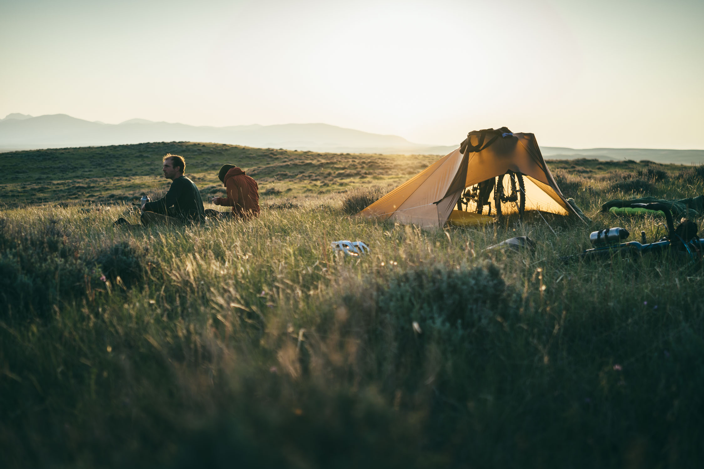
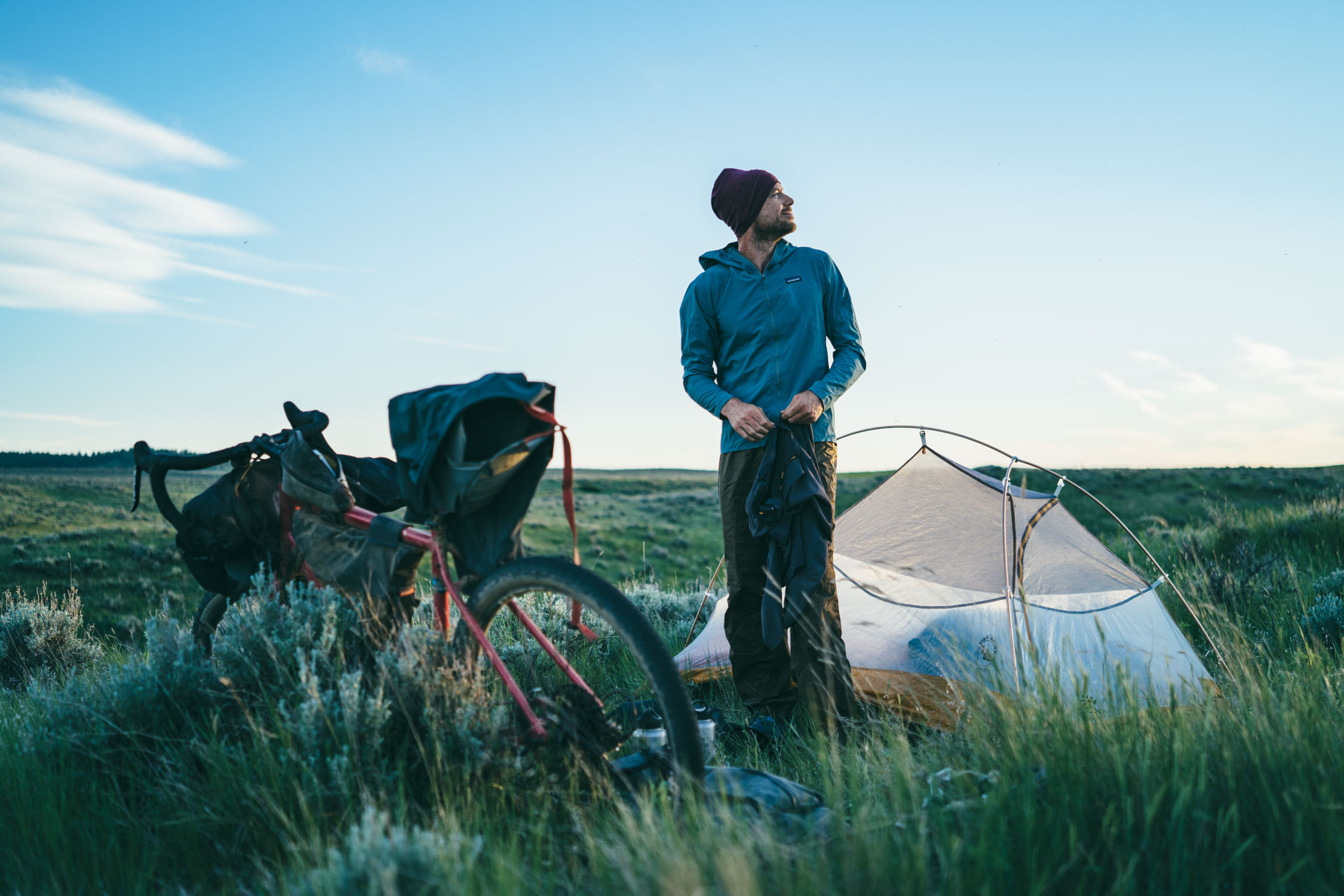
Camping
Food/H2O
Trail Notes
Resources
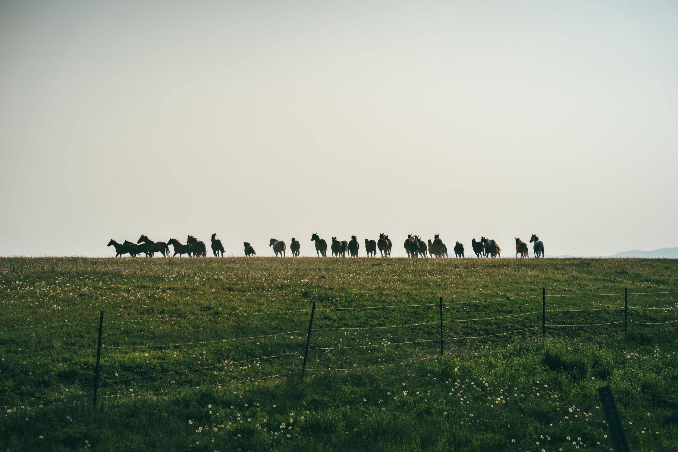
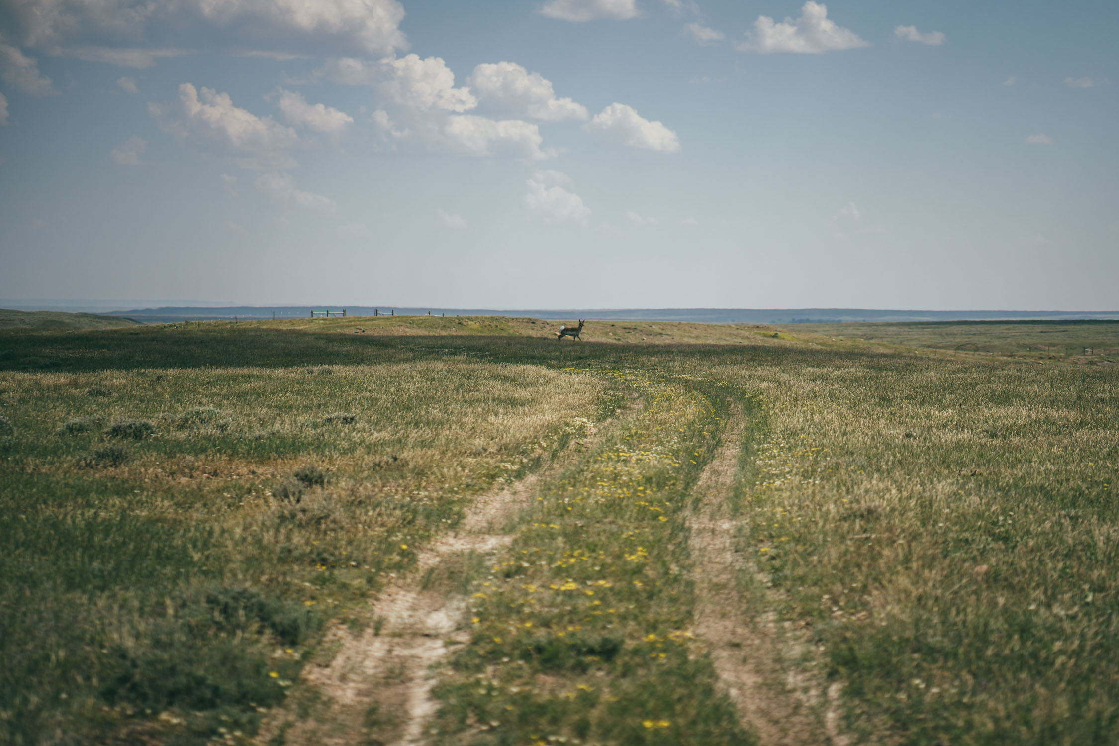
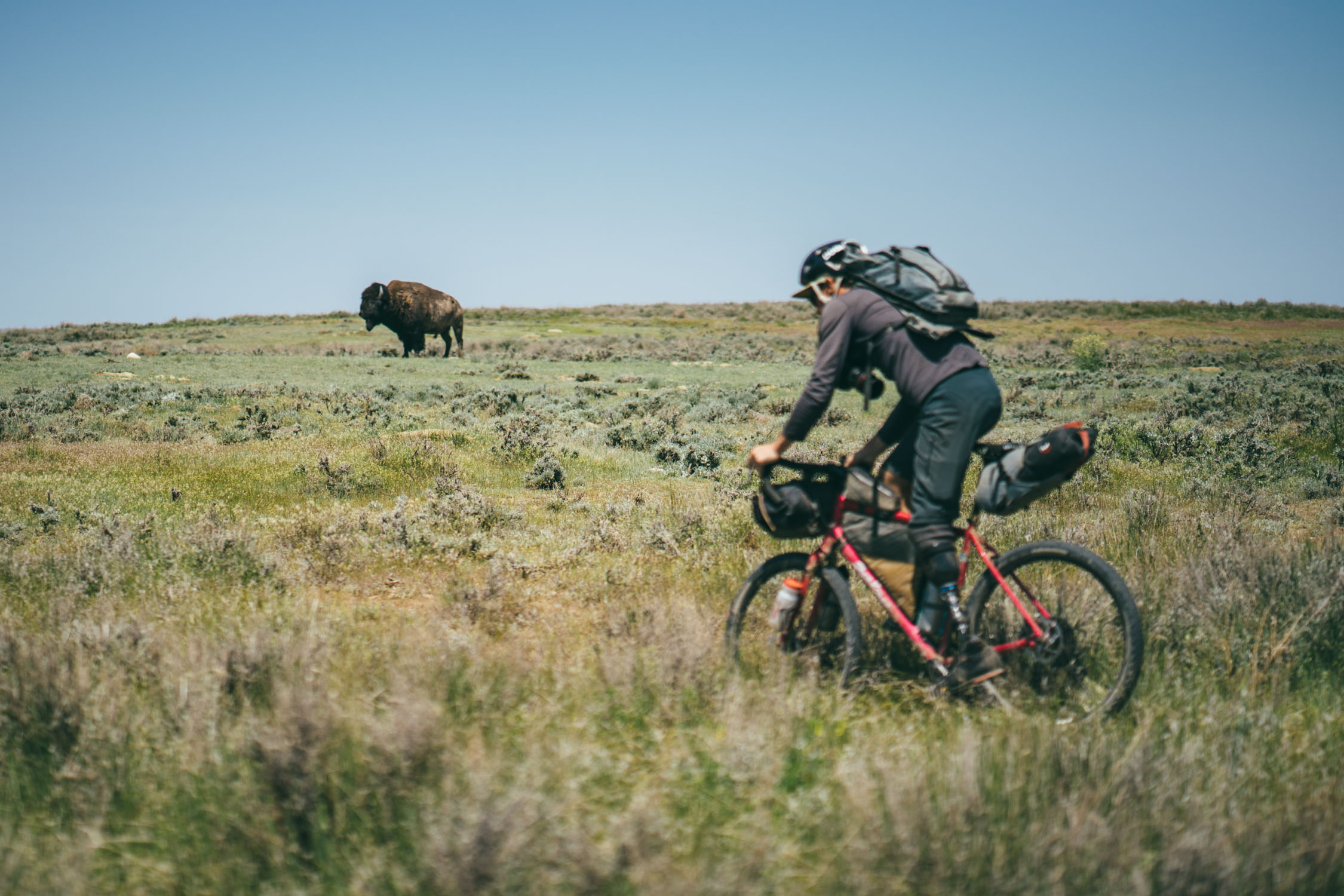
- Seeing and riding alongside American bison in their natural habitat on the White Rock, Sun Prairie North, and Burnt Lodge APR Units
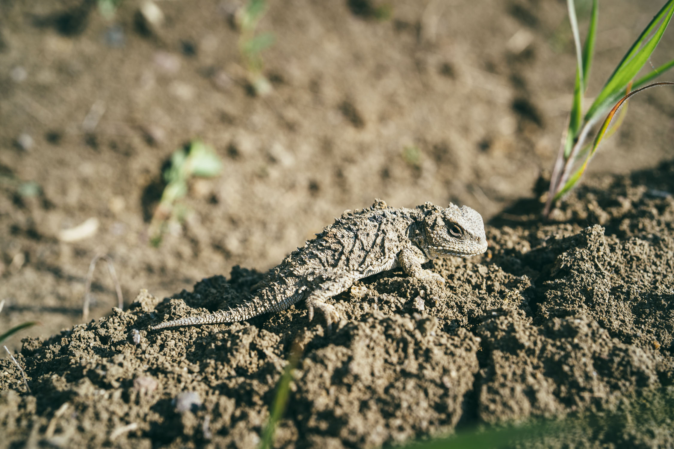
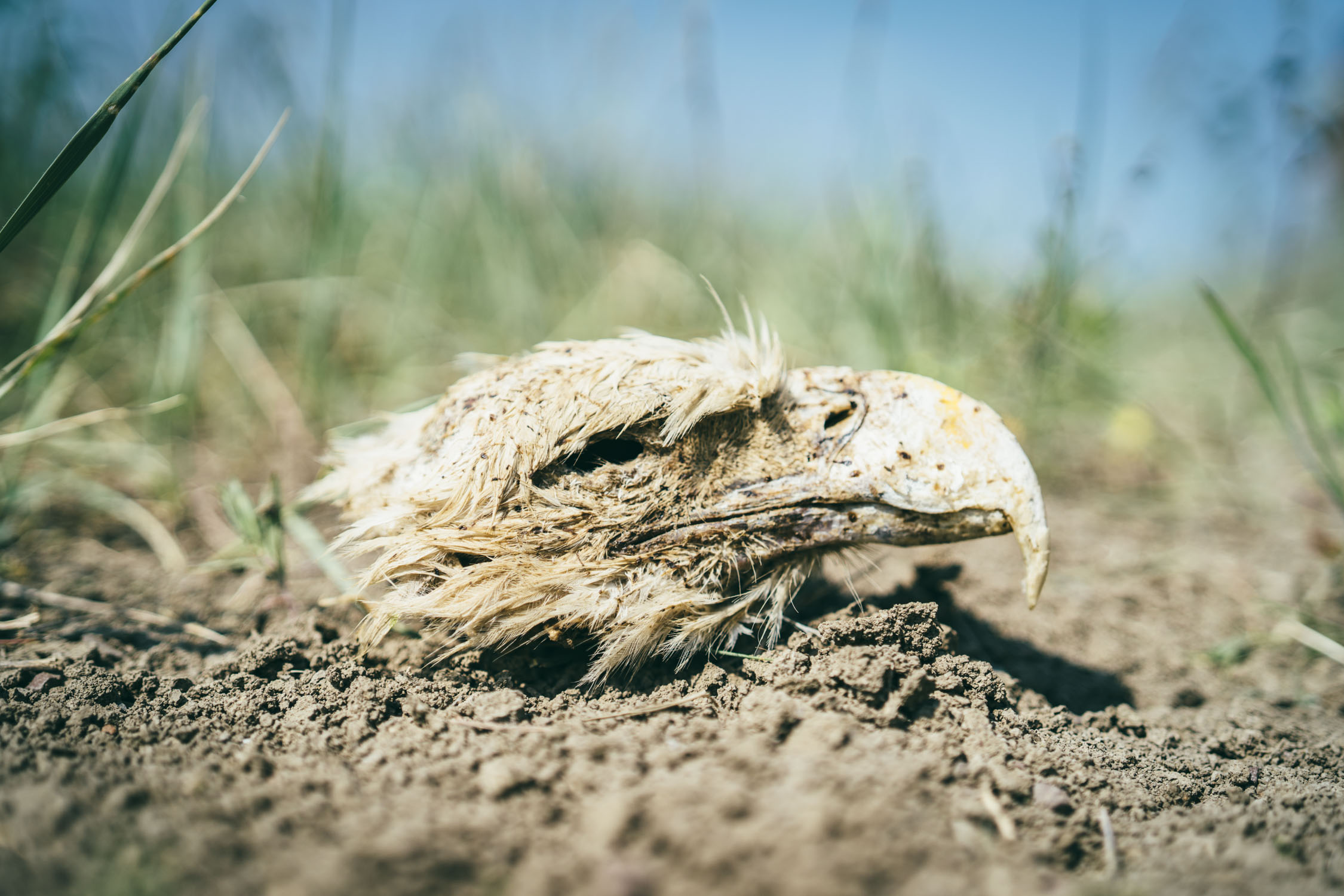
- Spotting pronghorn, big horn sheep, deer, fox, coyote, loads of birds, and many other critters
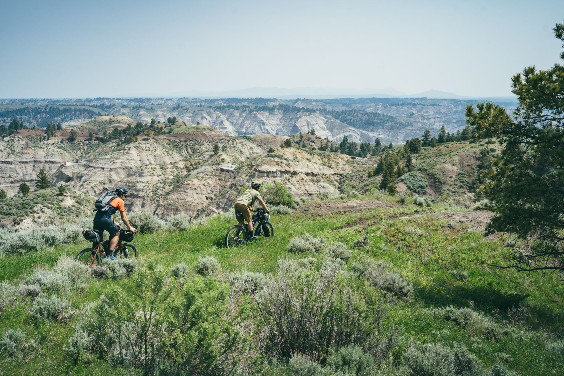
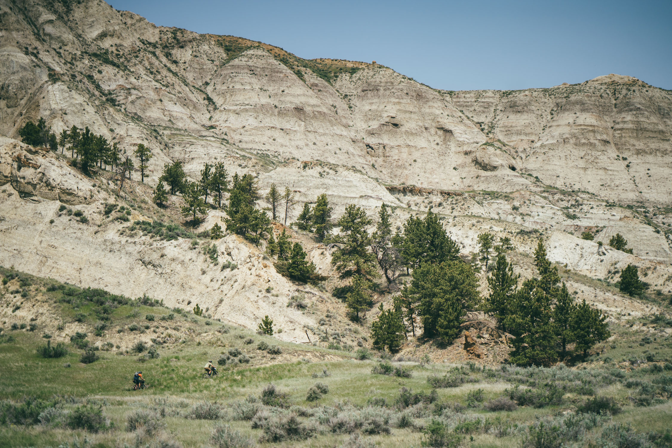
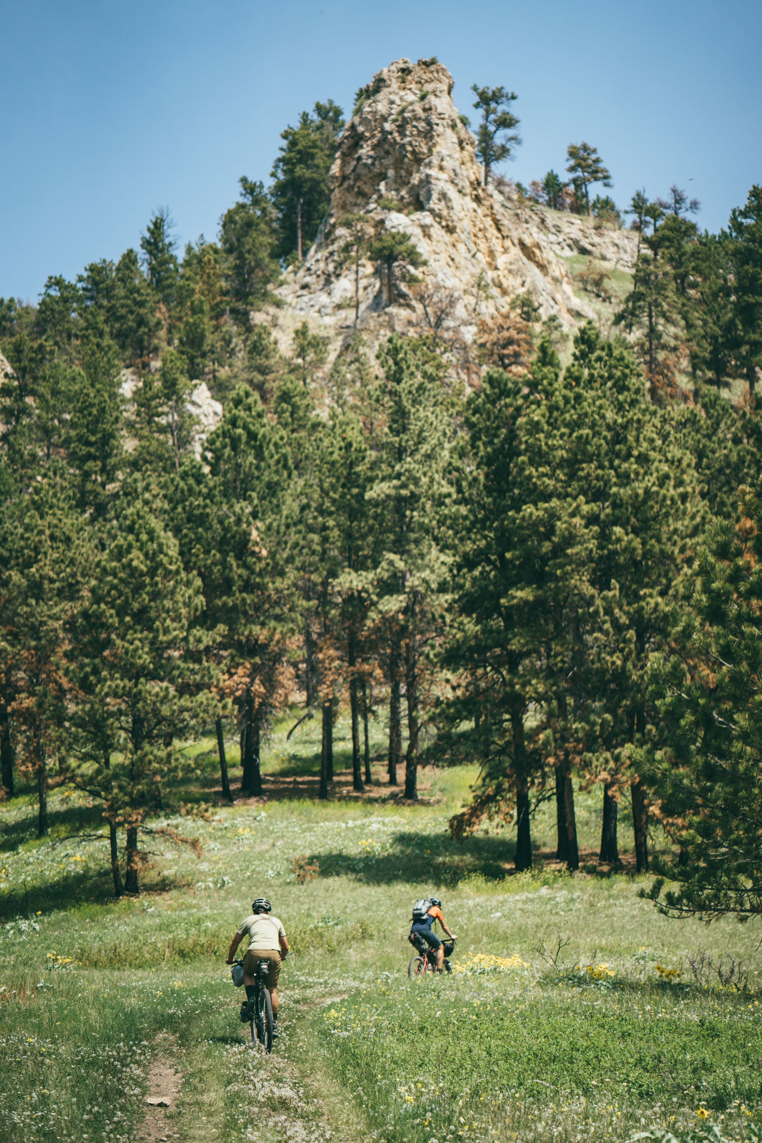
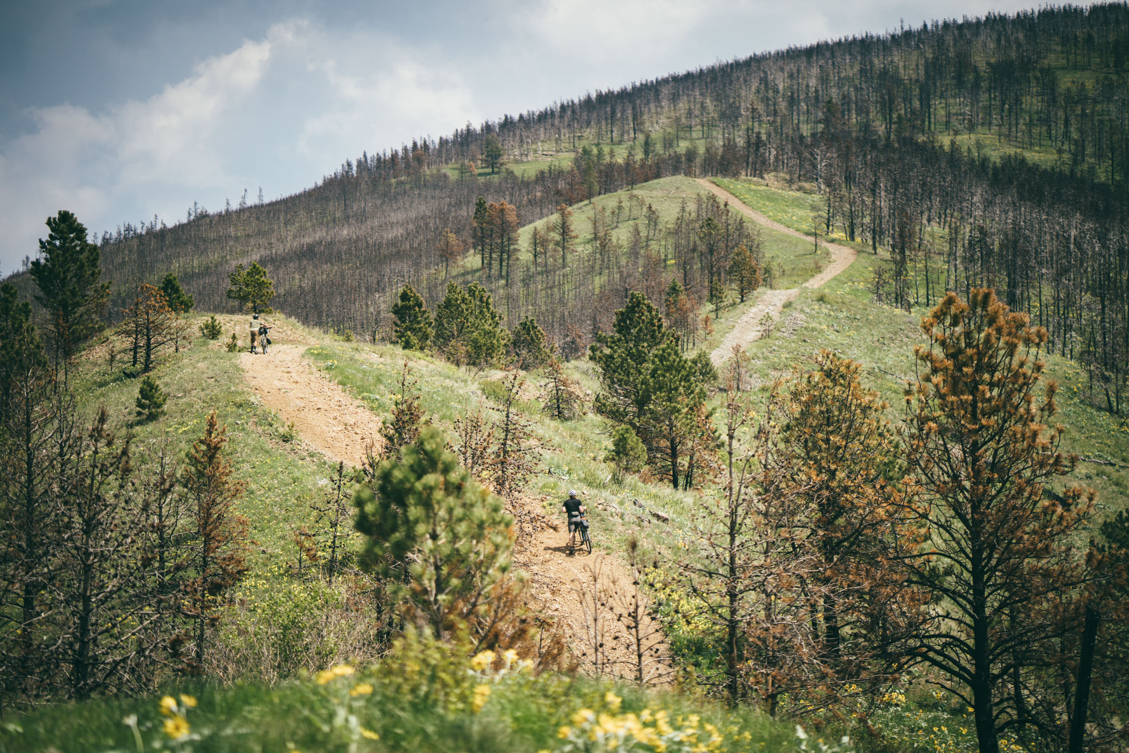
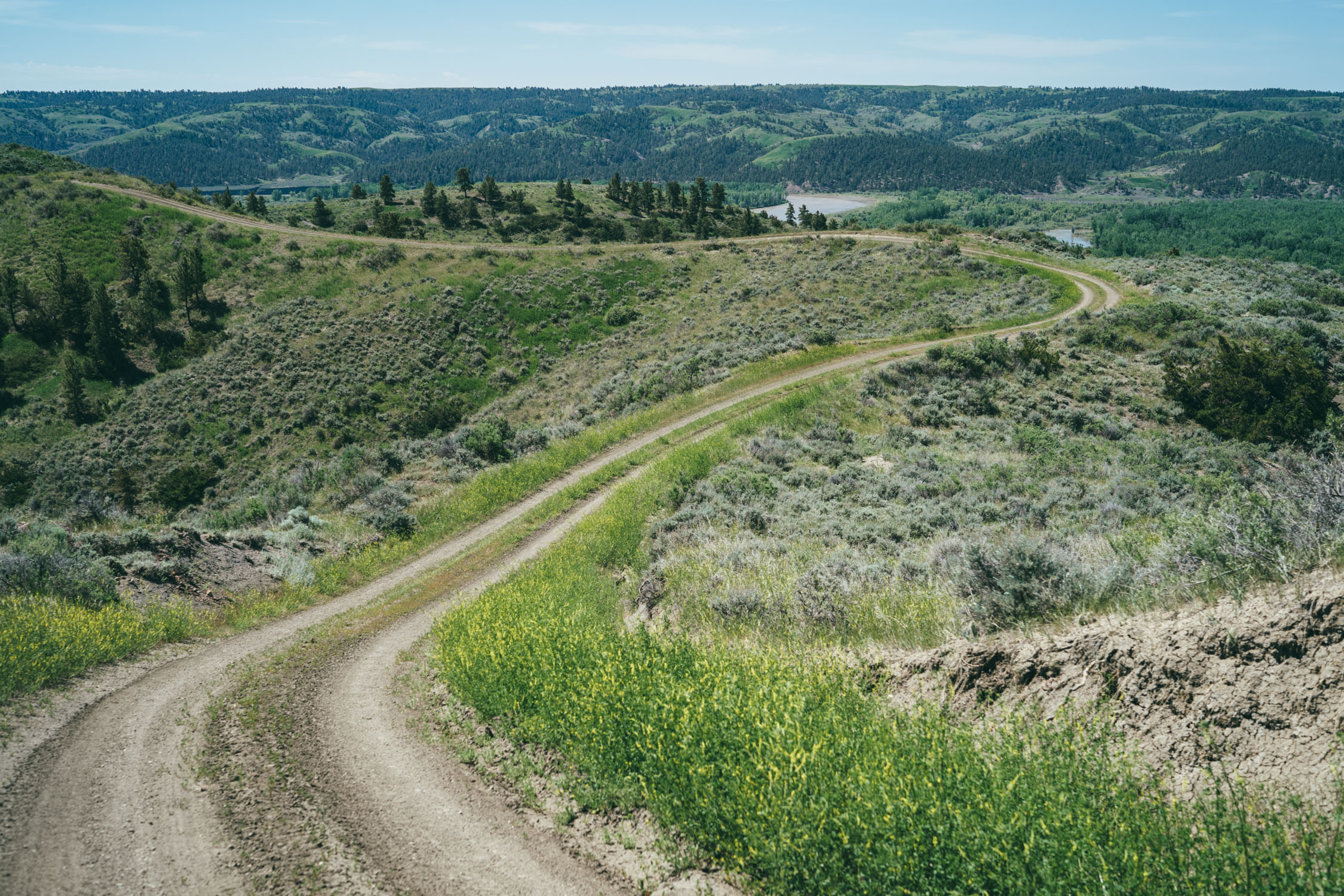
- Fun and rolling dirt doubletrack roads that spiral in and out of hoodoos and badlands within the River Breaks
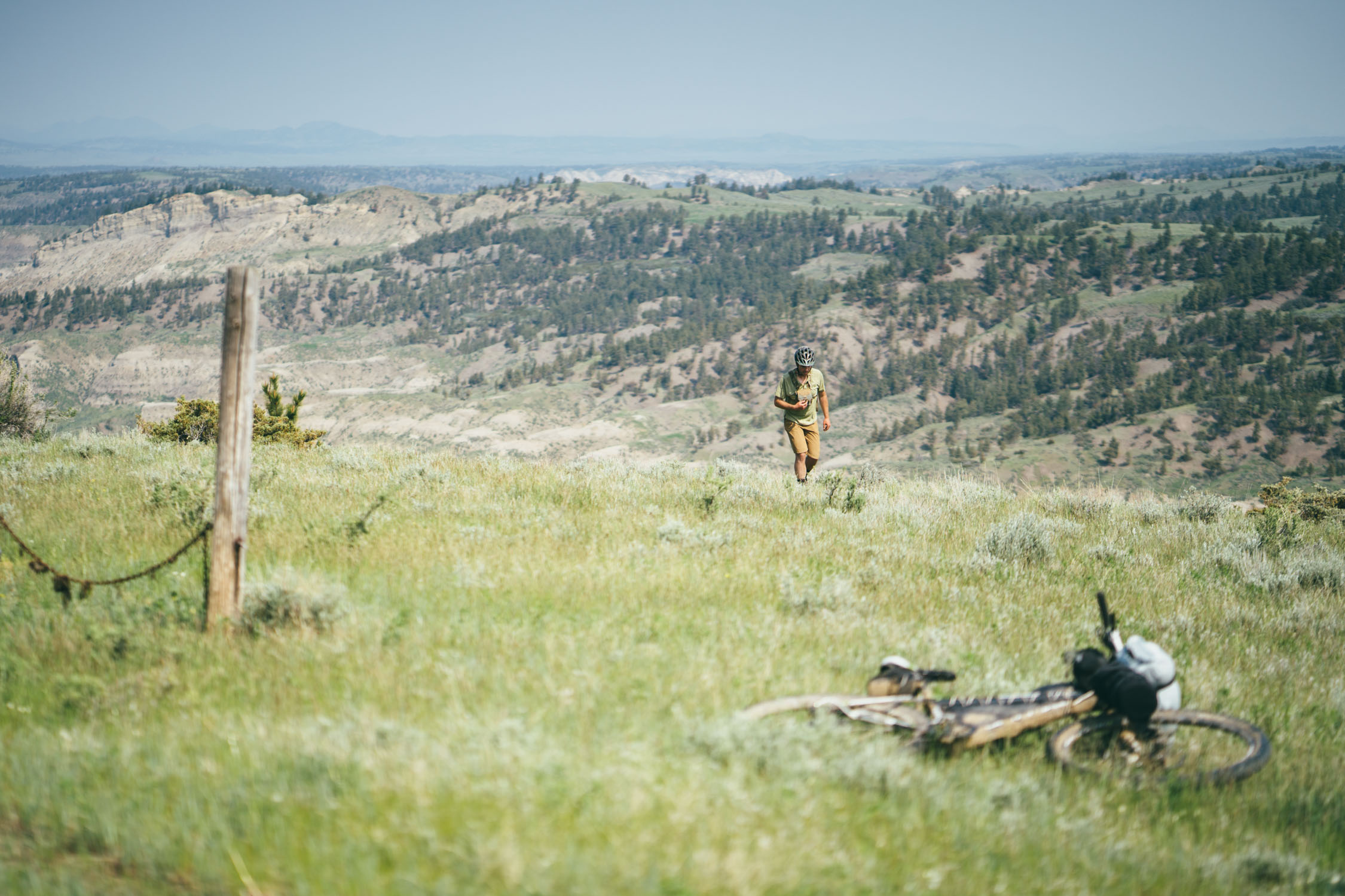
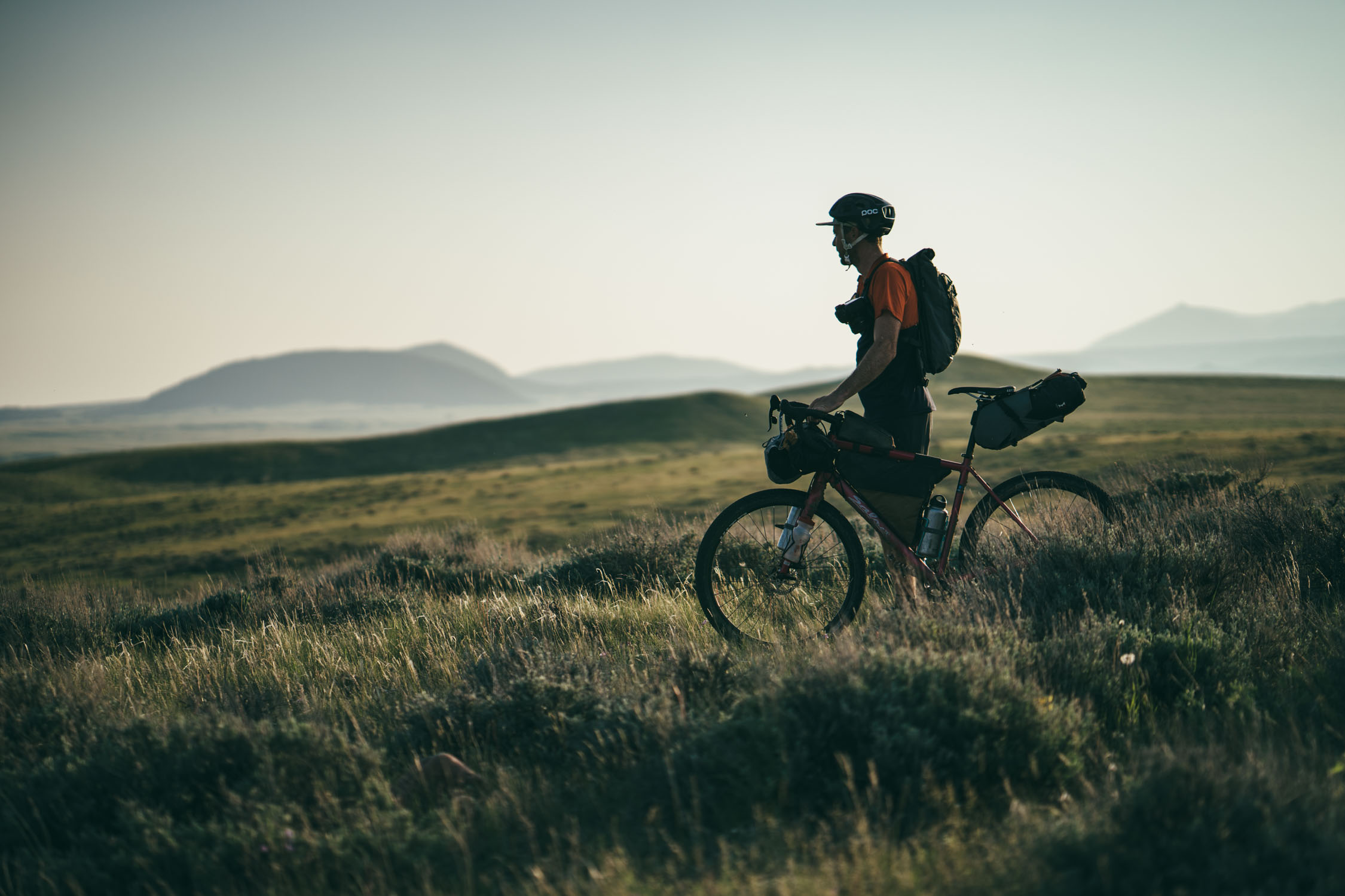
- The unmatched remoteness and solitude of the prairie
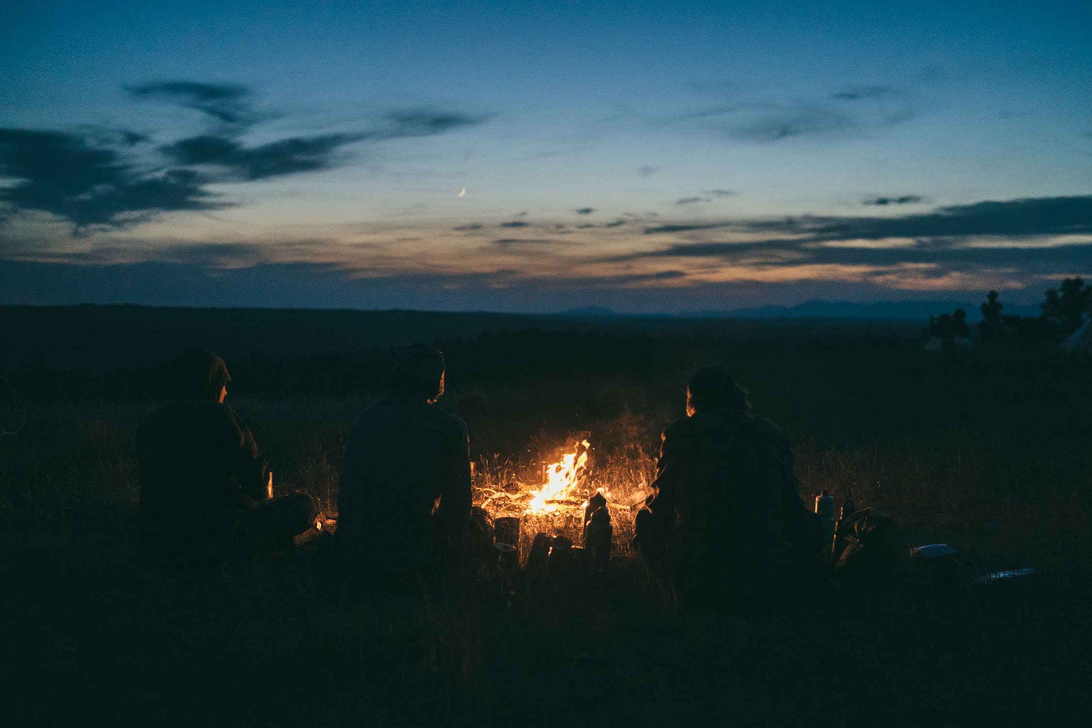
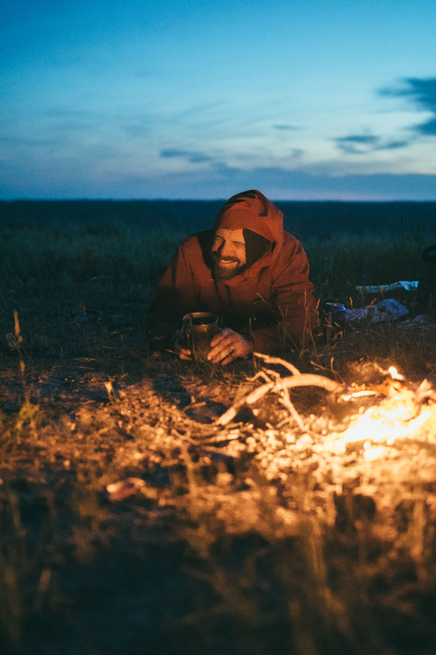
- Settling into the rhythm of camping on the prairie with nothing but the sounds of crickets, nighthawks, and coyotes
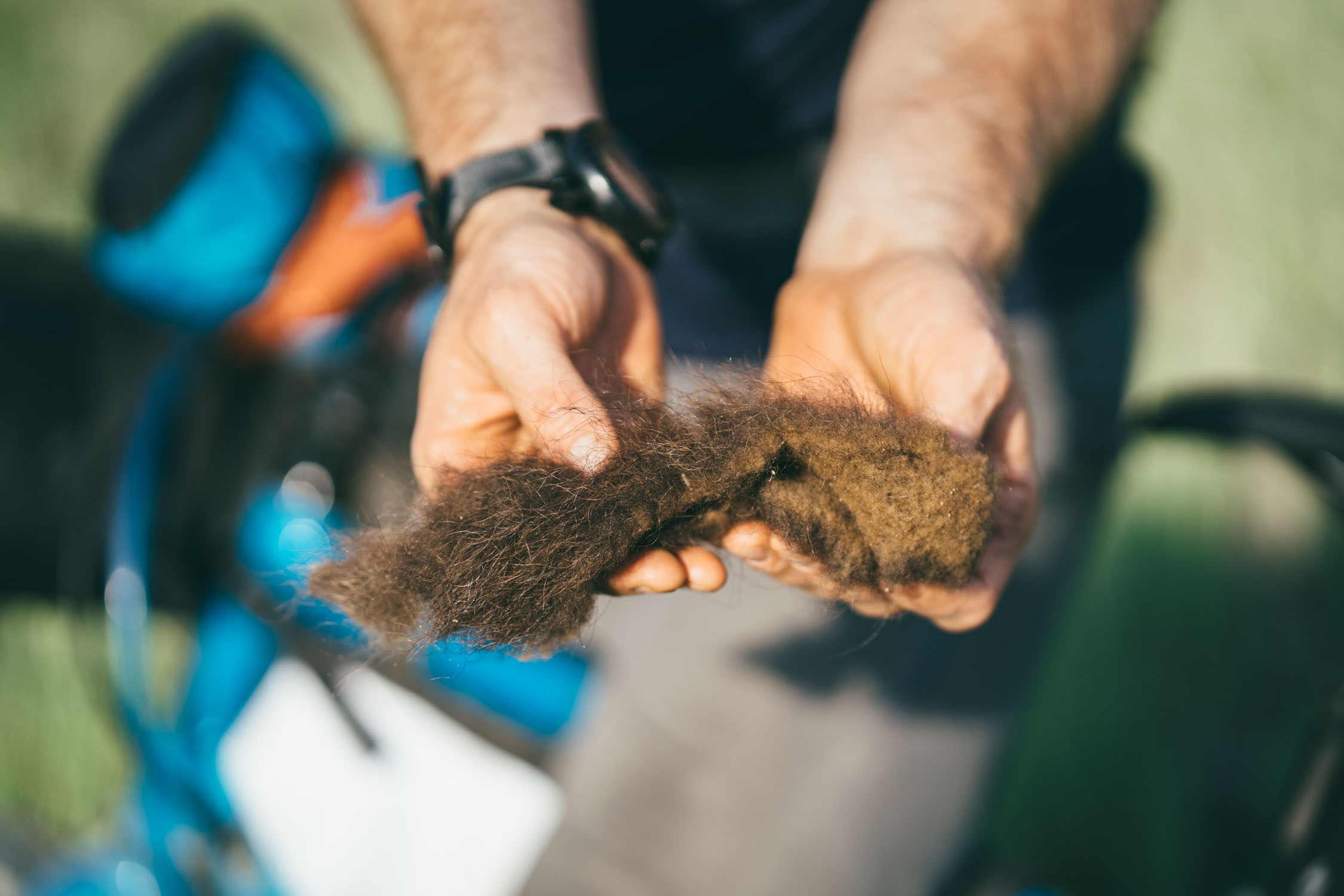
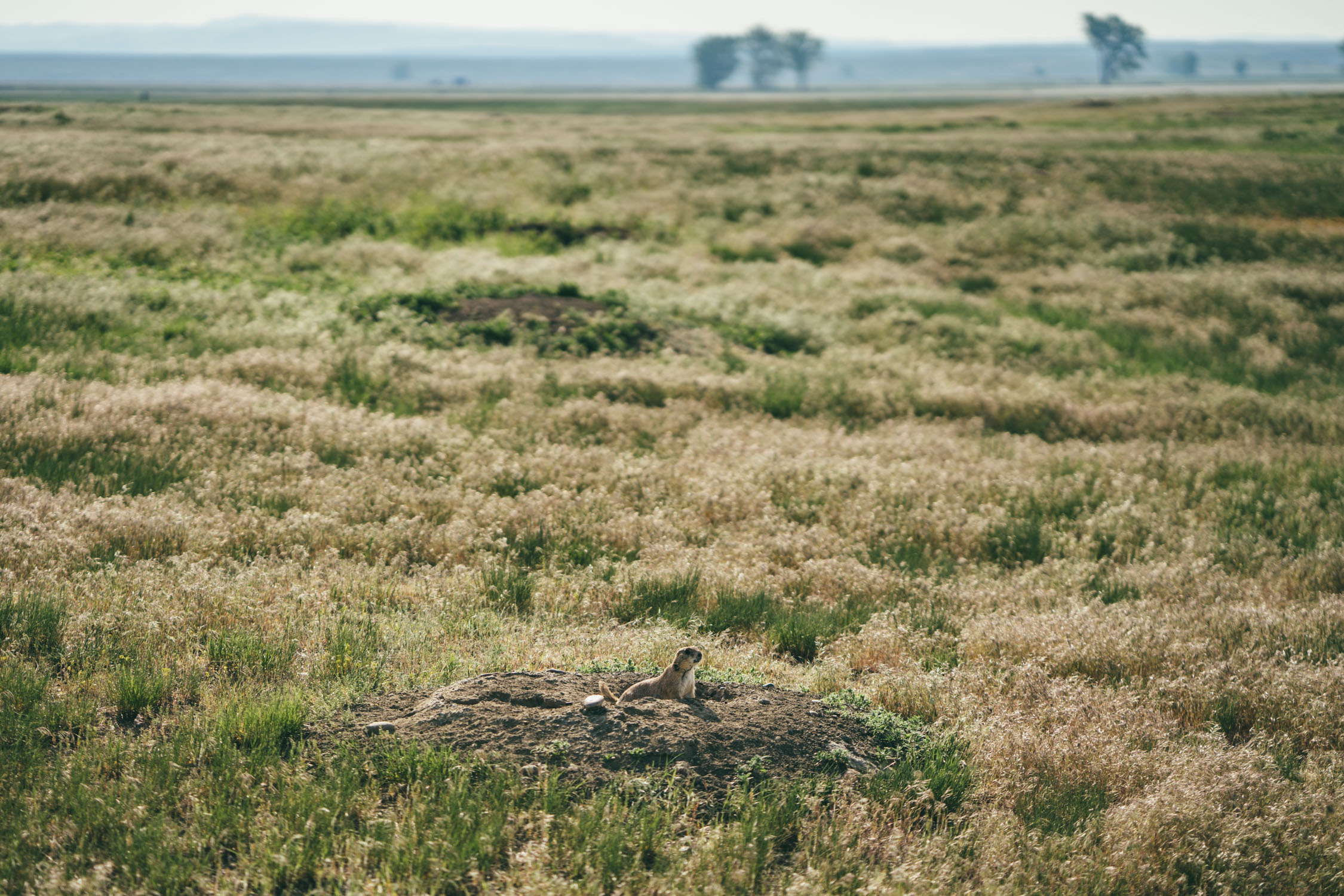
- Hearing symphonies of prairie dogs, one of the most important animals within the ecosystem of the Great Plains
- When to go? Figuring out the perfect time to ride this route is a little tricky. Generally speaking the snow-free weather window should be May-September. However, the area received some snowfall in late May of 2019, which postponed our trip. May and June are its wettest months. Technically, it could be rideable into October, but it could be quite cold and risky for snow. We went in June and it was great (aside from the rain the night before we left). With that said, I think the ideals time to ride it would be June through September. Start planning.
- Mosquitoes can be quite infuriating in this area, particularly in the River Breaks. I recommend bringing some repellent wipes (quite a few) and a bug head-net. A baggy shirt and trousers are also helpful. We wore our rain gear almost nightly.
- Be prepared. This is a route that you should be over-prepared for. if it rains, you are as good as stopped in your tracks. The mud is like concrete and will stick to (and possibly destroy) anything and everything on your bike. As mentioned above, one of us sheared off his rear derailleur within the first mile of the route after a rain. It might be a good idea to bring a spare hanger for this very reason. Make sure you have extra food too, in case you get delayed. APR posts road updates here.
- Know your public lands. It’s pretty important to know whether you are on or near public lands on this route, particularly for camping. Find an app layer to identify BLM, etc. Find the how-to here.
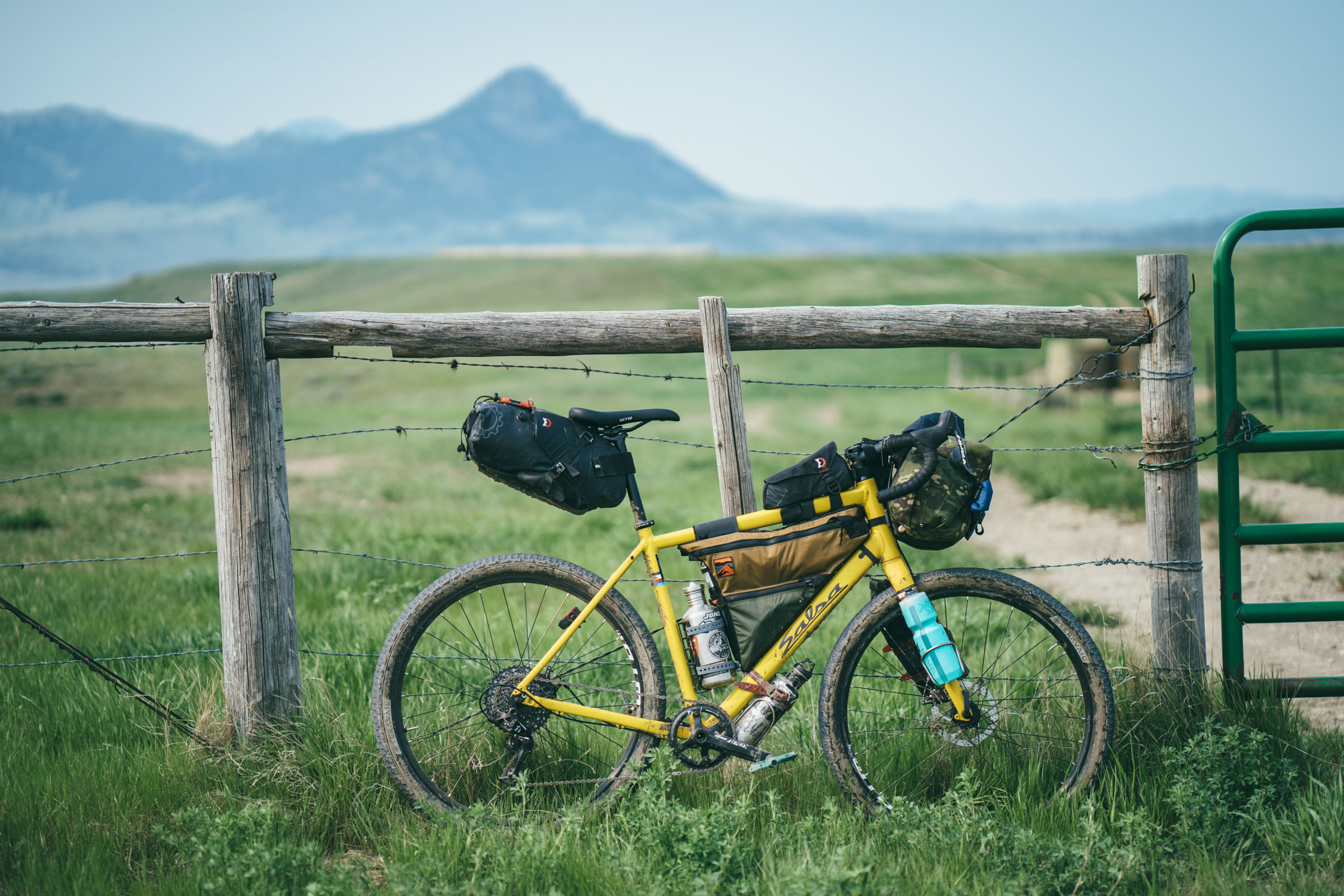
- What bike? We designed this for a gravel style bike with 2.0″ tires. But, the terrain is a lot more rough than we expected. I would recommend 2.25″ tires, minimum for some of the rocky and rough tracks in the Little Rocky Mountains. A drop-bar 29er or hardtail is ideal.
- There are rattlesnakes. We encountered two on route, one of us almost ran over one of them and could have easily been bitten. Chances are probably low, but be aware, and bring a SPOT tracker in case of emergency.
- Water and resupply is tricky. Be sure to carefully read that section.
- There are several good places to park and start this loop. We began at the APR PN Unit (aka PN Ranch). We’ll get more info about parking there and update the route soon. Another good place to start is in the small town of Winifred, which has full services. The James Kipp Recreation area might also be a good place, but we’re not sure about their parking policy. Winifred is probably the easiest and best option, although it could make night one camping slightly tricky as that’s the longest section of non-public land (see camping tab).
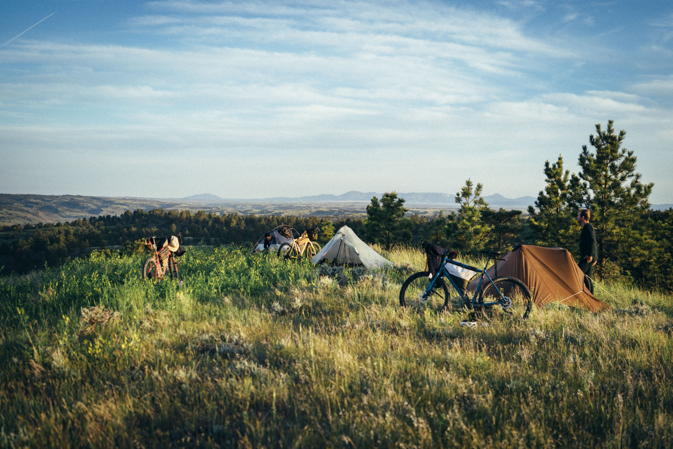
- Over 70% of the Prairie Breaks bikepacking route is on public land. Much of this has readily available wild camping and/or established sites near the roadside. It’s all quite remote and we had no problem finding a spot.
- The first 60 miles are the most tricky. There is a few scattered parcels of BLM land around mile 48, but otherwise, there’s not many possibilities on public land until after mile 60—that makes for a pretty hefty day 1 ride.
- We noted a few of the campsites we used on the map.
- The American Prairie Reserve has a few yurts and huts that are reservation only and their working on a larger hut-to-hut system. Find more here.
- There is a hotel in Winifred, complete with a bowling alley! Winifred International Suites; (406) 462-5323
- There are only two reliable resupply points on route. One is in Winifred, near the start. The other is is around mile 125 in Zortman.
- There is a small store in Landusky. The owner lives nearby, so as long as you approach at a reasonable hour, you should be able to pick up some snacks, drinks, and a water refill.
- The Miner’s Club in Zortman is a good place to grab a burger or meal; open 8AM-8PM (bar 4pm-midnight)
- Buckhorn Store in Zortman has a nice selection of food (complete grocery store: meat, canned goods, lunch meats, snacks, breads, beer, etc). 8am-8pm (11-6 Sunday).
- Winifred Tavern and Cafe has good burgers and bar food.
- Grocery store in Winifred has a good selection (canned goods, snacks, breads, beer, etc).
- Another option is to mail provisions We sent a package containing a couple days worth of snacks and dehydrated meals to the APR HQ, which we intercepted when we passed through. 44704 Regina Rd, Malta, MT 59538 … should you be interested, please verify with the APR prior to sending.
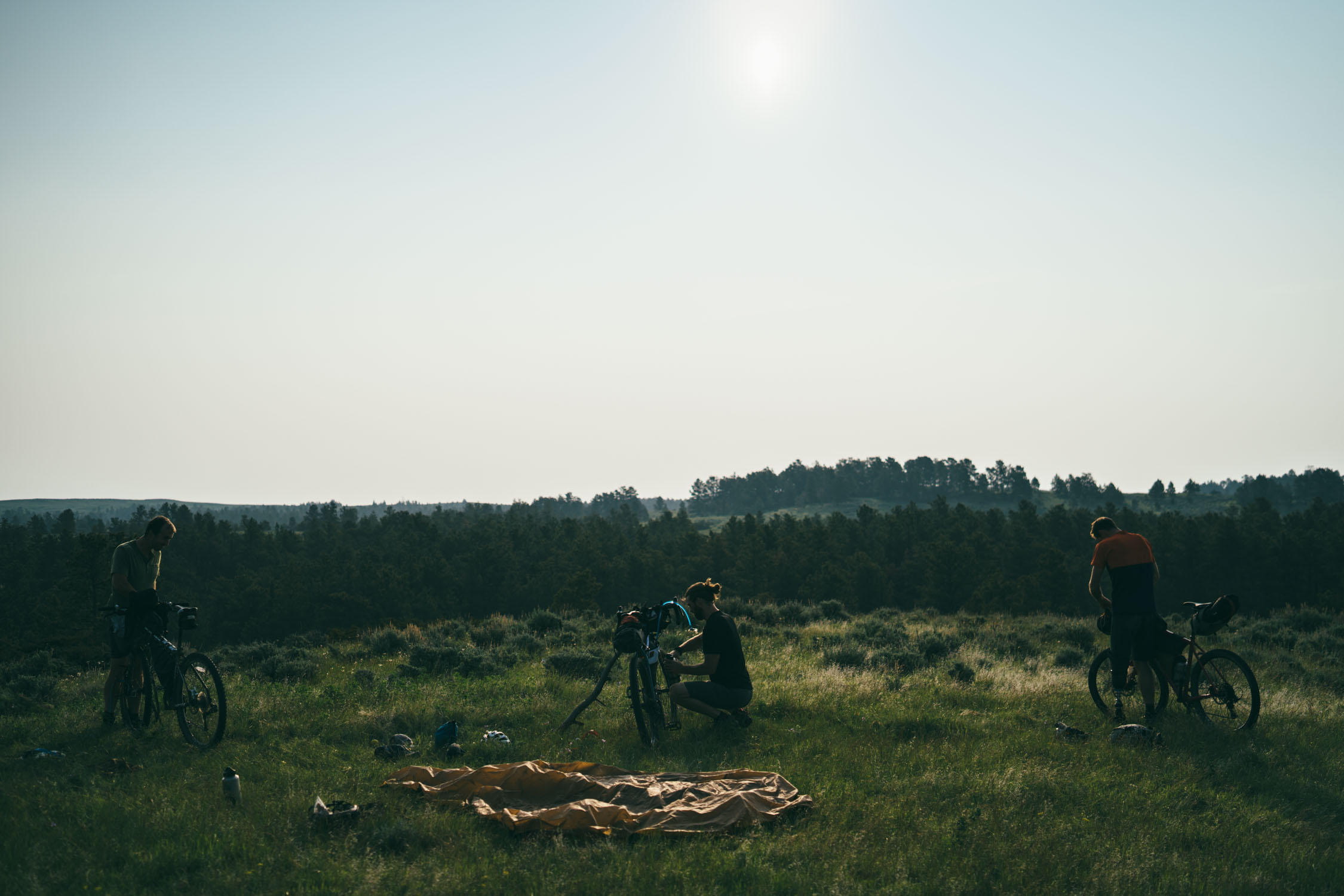
Day 1
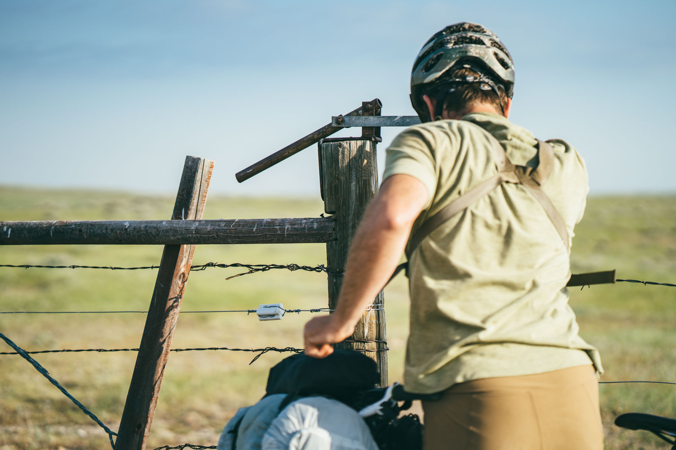
Our party of four—myself, Joel Caldwell, Peter Hall, and Jacques Boiteau—started at the APR PN Unit. We’d initially planned a different route altogether but learned that the Stafford Ferry was decommissioned during the winter ice flows. Instead of our shorter and more adventurous route using the ferry, we planned a longer and easier gravel workaround using the bridge at Judith Landing and following a series of wide gravel ranch roads. Much of the first 60 miles are through largely uninhabited private land, so there’s not many opportunities for camping aside from the Judith Landing campground. However, there are various parcels of BLM which you can camp on along the way. Use OnX or the public/private lands layer in Gaia to pinpoint these areas.
Day 2
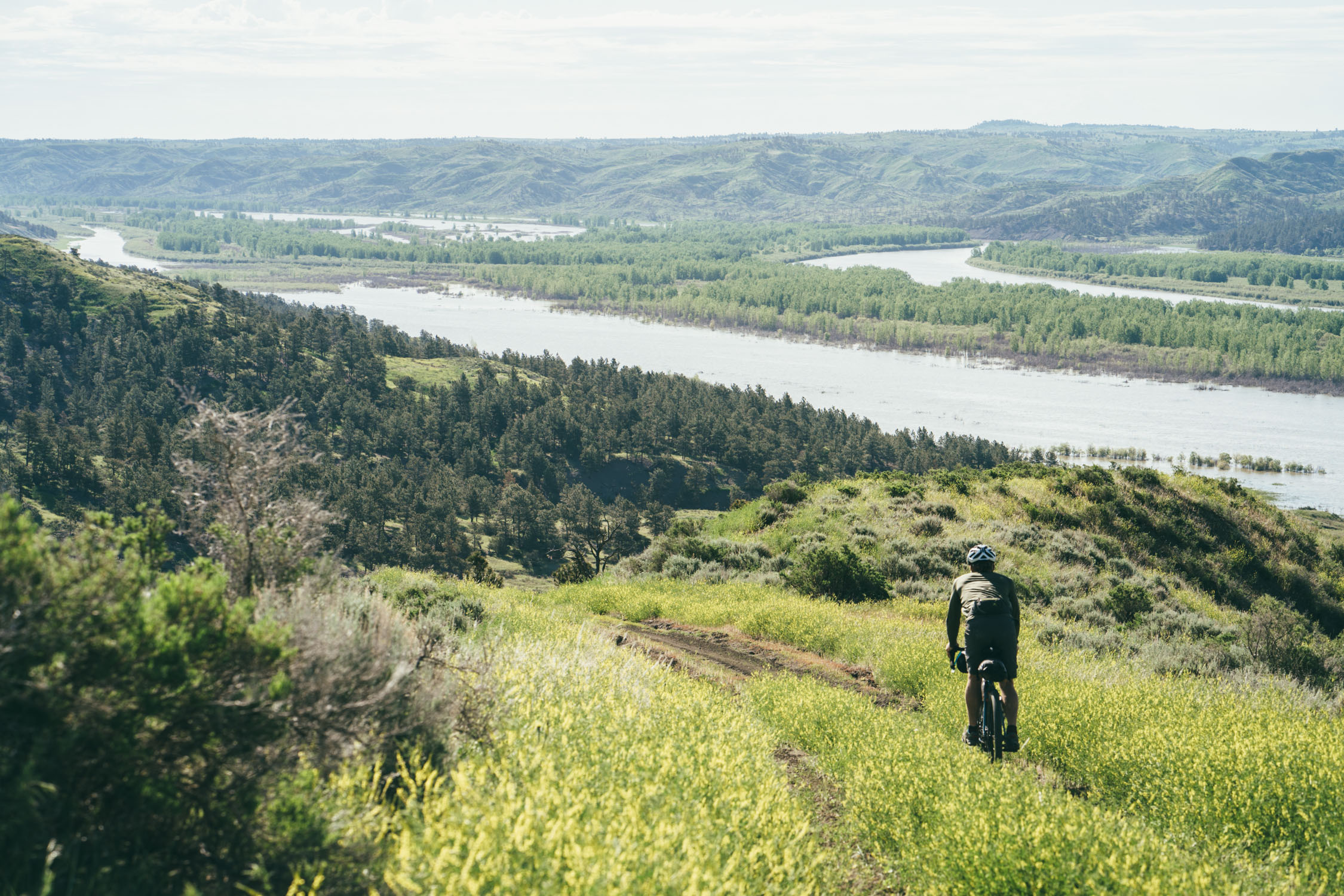
We set out early the following morning and began an incredibly beautiful ride through the Upper Missouri River Breaks National Monument. If you have the time and have planned accordingly, try and camp along the rim near mile 76.
Day 3
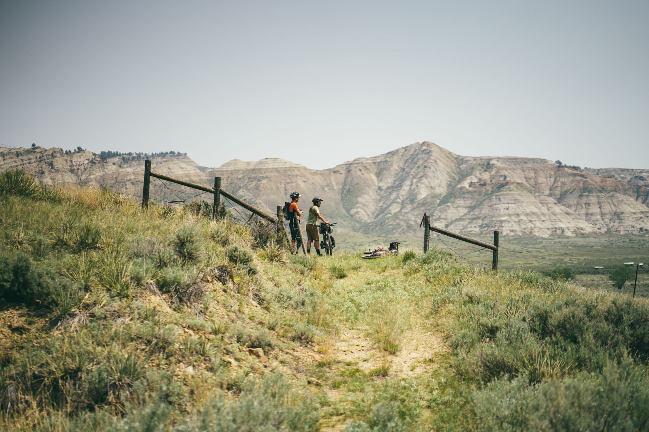
After camping on the edge of the Breaks, we started our march toward the Little Rocky Mountains. We were out of water that morning and stopped at a farm to fill our bottles from a hose bib. There is about 10 miles of paved road before Landusky where we found a small shop and picked up some junk food to get us over the Little Rockies. The going got tough after that. The ascent up the Little Rocky Mountains gets extremely steep and a fair amount of pushing is required. We took a big rest at Zortman with a full meal at the Miner’s Club and a shopping spree at the Buckhorn Store to resupply for the next couple of days. From there we had a long paved descent until we got off the road at a Nature Conservancy parcel and entered the APR Dry Fork Preserve shortly thereafter. We found a beautiful campsite right on the open prairie.
Day 4
We set out that morning and quickly found ourselves at the Dry Fork Reserve HQ where we filled our water bottles. From there we took a series of relatively smooth dirt roads that led to the White Rock Preserve where we had lunch and refilled our bottles. After a loop on the preserve we saw a massive herd of bison on the hillside as we left. From there we took a ranch road for a few miles before turning onto double track once again. We saw a rattlesnake on the road that nearly nailed Peter. Later, two pronghorn fawns as we headed toward Sun Prairie North. We made camp near a ravine.
Day 5
On the double track road heading to the Sun Prairie North HQ we spotted two lone bison that crossed our path before we got close. We refilled our bottles at the HQ and rode out on gravel. From there we continued on relatively smooth open dirt roads until we hit double-track again on a beautiful section of prairie. Once we crossed into the Sun Prairie unit, we spotted several more bison which were skittish, but allowed us to get somewhat close as we rode towards the APR HQ. We stopped at park HQ and picked up our resupply package. There we were fortunate enough to meet author Dan Flores, who happened to be there speaking to potential donors alongside other authors and naturalists. We rolled out of Sun Prairie into the Charles M. Russell Wildlife Refuge. The mosquitos became overwhelming before we made camp on a beautiful ridge overlooking the breaks.
Day 6
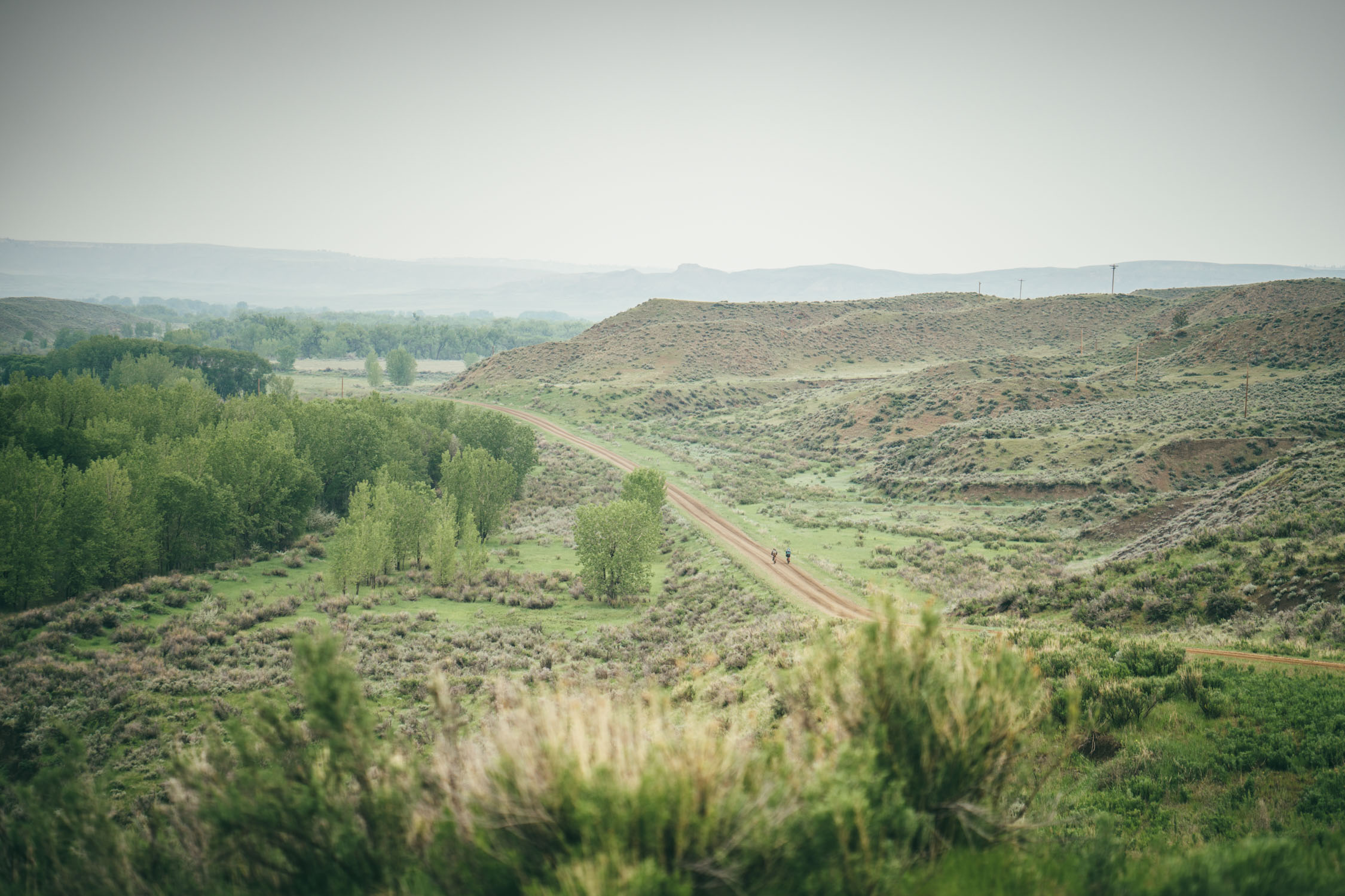
The day began with a magnificent ride on spiraling double track through the breaks and eventually down to the edge of the Missouri. We stopped at the river and found a place to clamor down to the bank and filter water. From there we continued on the 201, a remote doubletrack road that eventually became a wider gravel road along the river. We eventually made it to the bridge at the James Kipp Recreation Area. The taps were still turned off, but some campers gave us water. After Kipps, more big climbing began as we tackled even more amazing ridge riding along the river breaks. We made camp on some BLM land where a lone coyote passed by our campsite barking. The nighthawks serenaded us to sleep that evening with their whizzing dives.
Day 7
The following morning we began our ride back on wide gravel roads. We stopped in Winifred for a long lunch at the tavern, then made our way back along the beautiful escarpment that leads back to the PN Ranch.
Additional Resources
- American Serengeti, by Dan Flores, is a great book that delves into the natural history of the Great Plains.
- Meateater Podcast interviewing APR President Sean Gerrity. Interview discusses APR’s goals as well as some of the controversy surrounding the project. Well worth a listen.
- American Prairie Reserve website
National Geographic Profile on APR


Terms of Use: As with each bikepacking route guide published on BIKEPACKING.com, should you choose to cycle this route, do so at your own risk. Prior to setting out check current local weather, conditions, and land/road closures. While riding, obey all public and private land use restrictions and rules, carry proper safety and navigational equipment, and of course, follow the #leavenotrace guidelines. The information found herein is simply a planning resource to be used as a point of inspiration in conjunction with your own due-diligence. In spite of the fact that this route, associated GPS track (GPX and maps), and all route guidelines were prepared under diligent research by the specified contributor and/or contributors, the accuracy of such and judgement of the author is not guaranteed. BIKEPACKING.com LLC, its partners, associates, and contributors are in no way liable for personal injury, damage to personal property, or any other such situation that might happen to individual riders cycling or following this route.
Please keep the conversation civil, constructive, and inclusive, or your comment will be removed.