


Pululahua Crater Loop, Ecuador
Distance
29 Mi.
(47 KM)Days
2
% Unpaved
98%
% Singletrack
15%
% Rideable (time)
98%
Total Ascent
7,050'
(2,149 M)High Point
10,115'
(3,083 M)Difficulty (1-10)
6?
- 10Climbing Scale Very Strenuous243 FT/MI (46 M/KM)
- -Technical Difficulty
- -Physical Demand
- -Resupply & Logistics
Contributed By
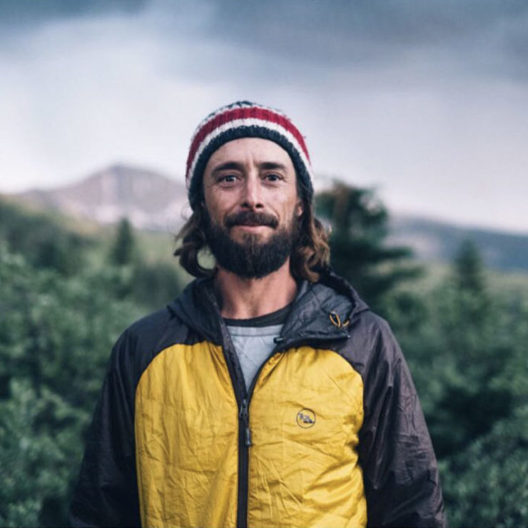
Michael Dammer
Guest Contributor
To find out more about Michael, and the outdoor education courses and organic permaculture farm he runs with his brothers, visit their website. For stories on the Dammers’ various bikepacking adventures, both with and without their families, check out their wonderful blog and follow Michael on Instagram.
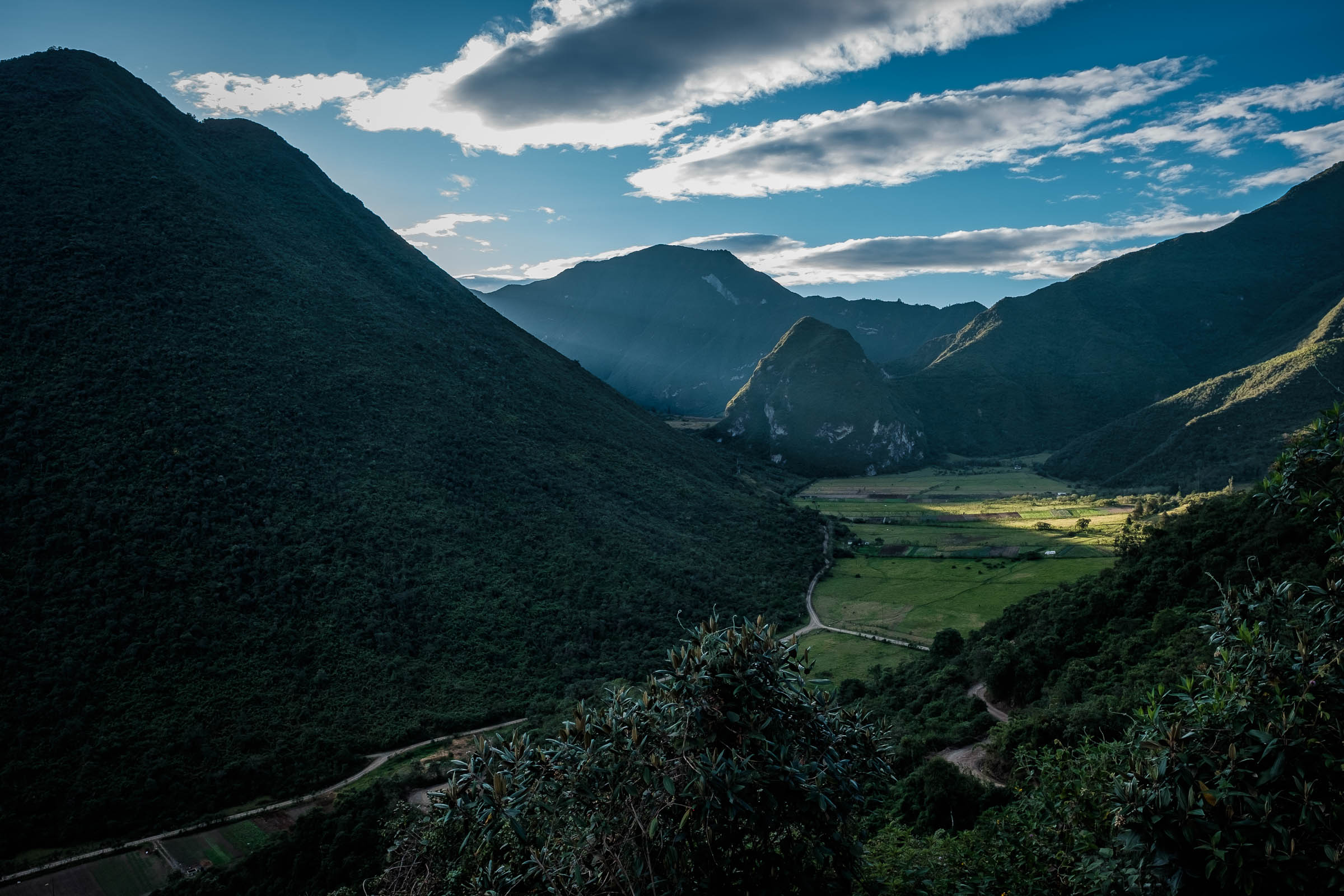
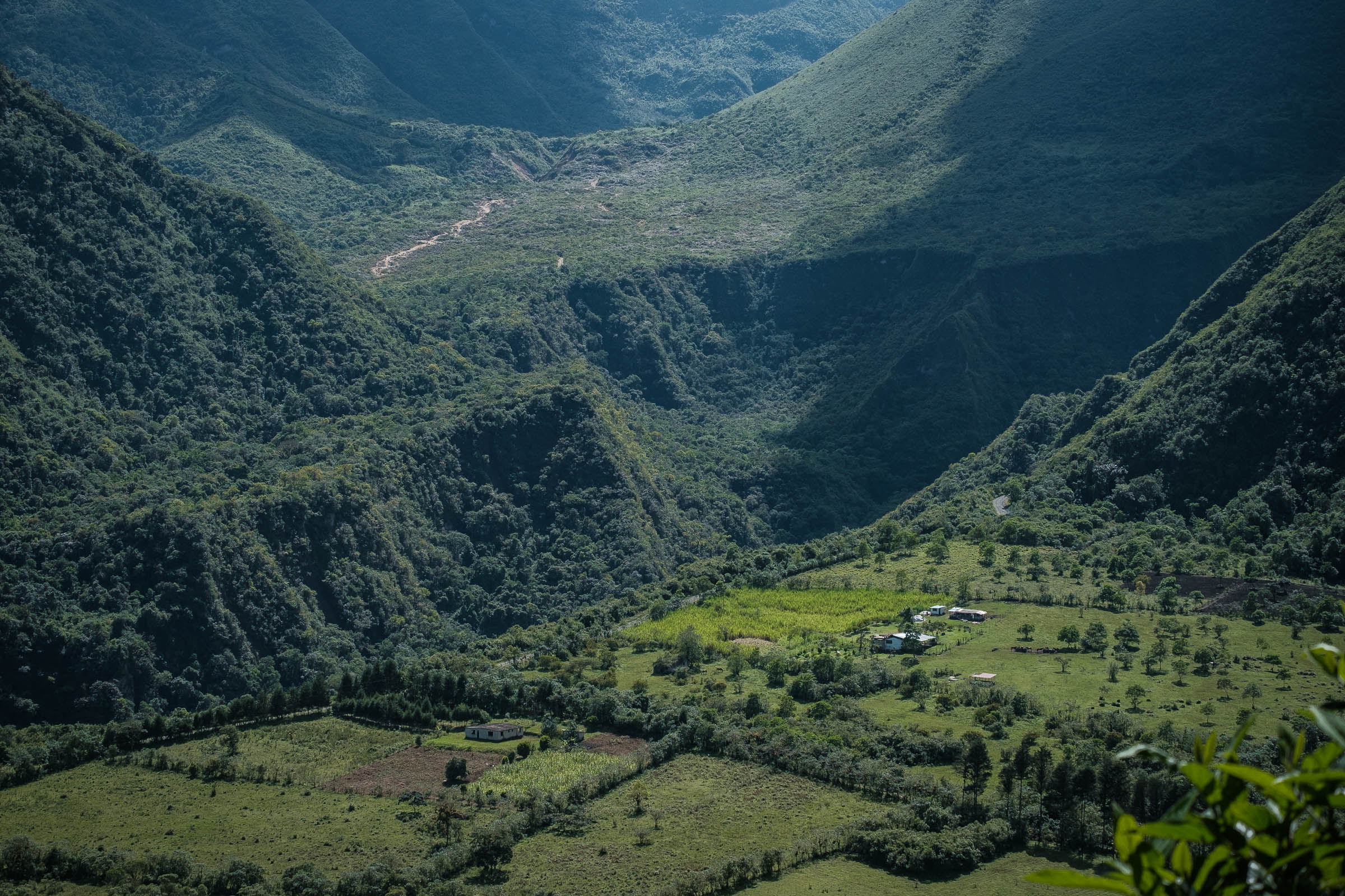
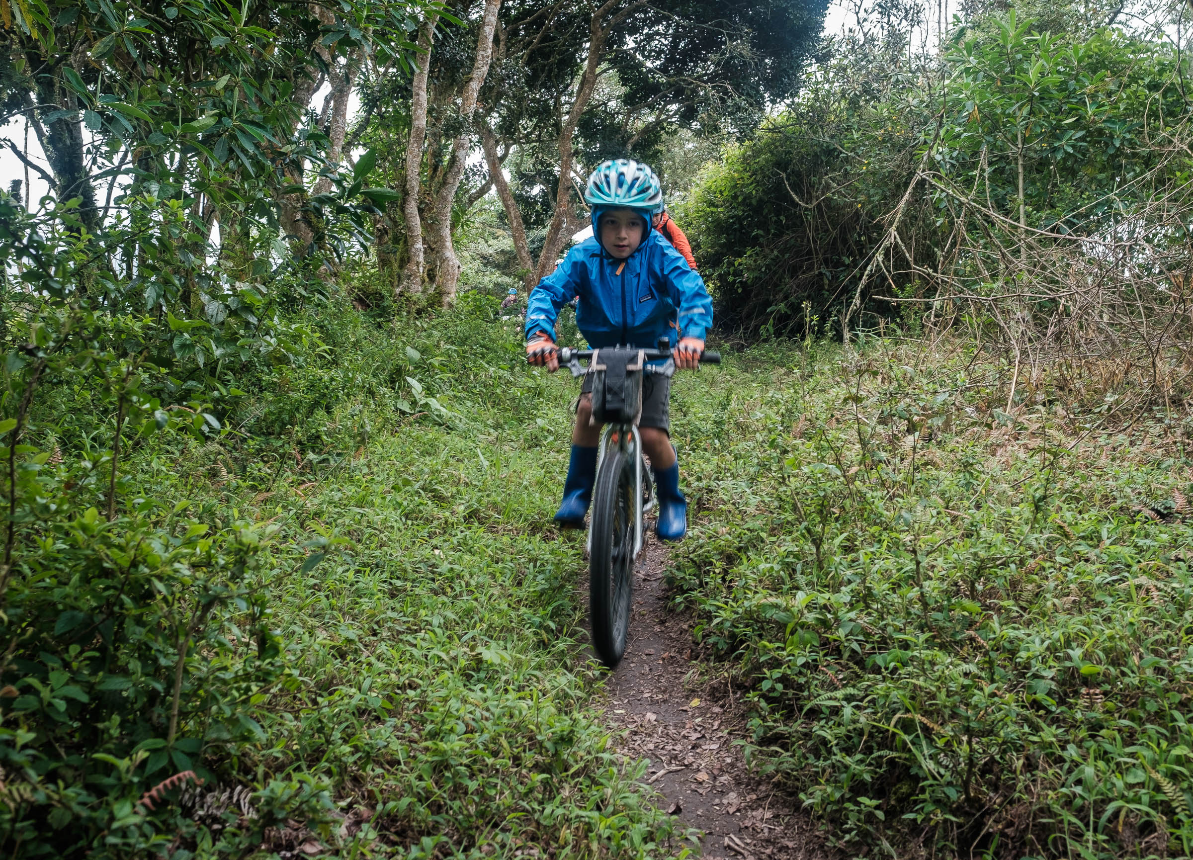
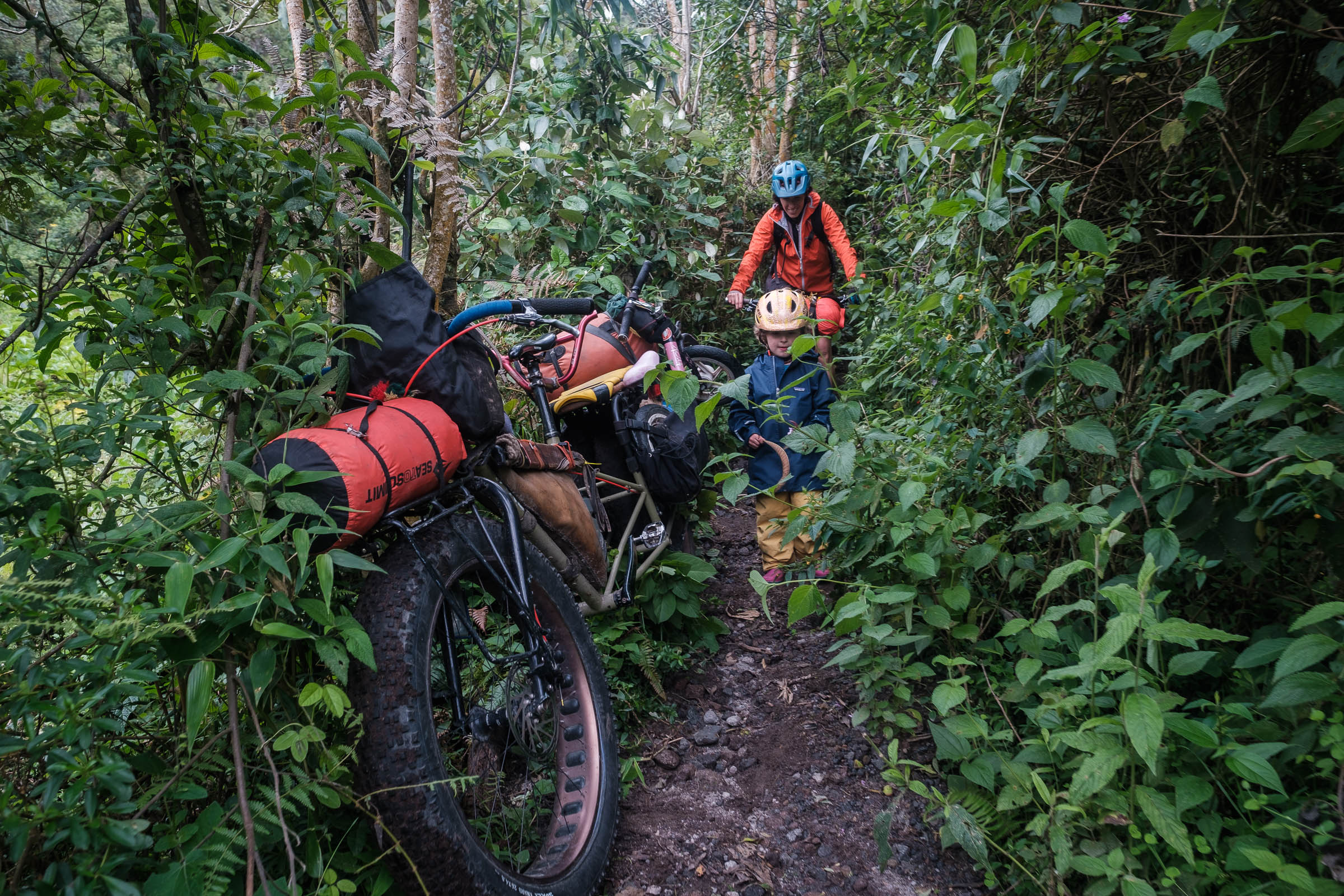
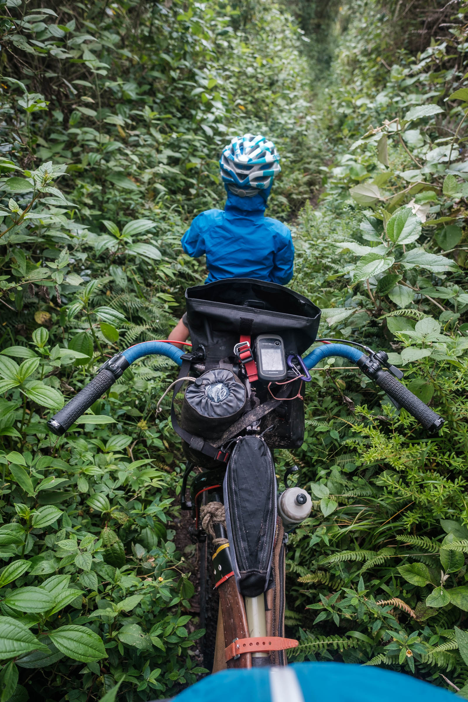
This easy-to-access loop starts and ends in the small town of Calacali, located 16 kilometers south of Quito and only four kilometers from “Ciudad Mitad del Mundo,” a popular thematic park and museum devoted to the Equator. Despite being so close to the capital, Calacali (and the Reserva Geobotanica Pululahua) offers a tranquil getaway full of great camping possibilities, stunning vistas, and a wonderful combination of dirt roads and trails to keep riders of all levels happy.
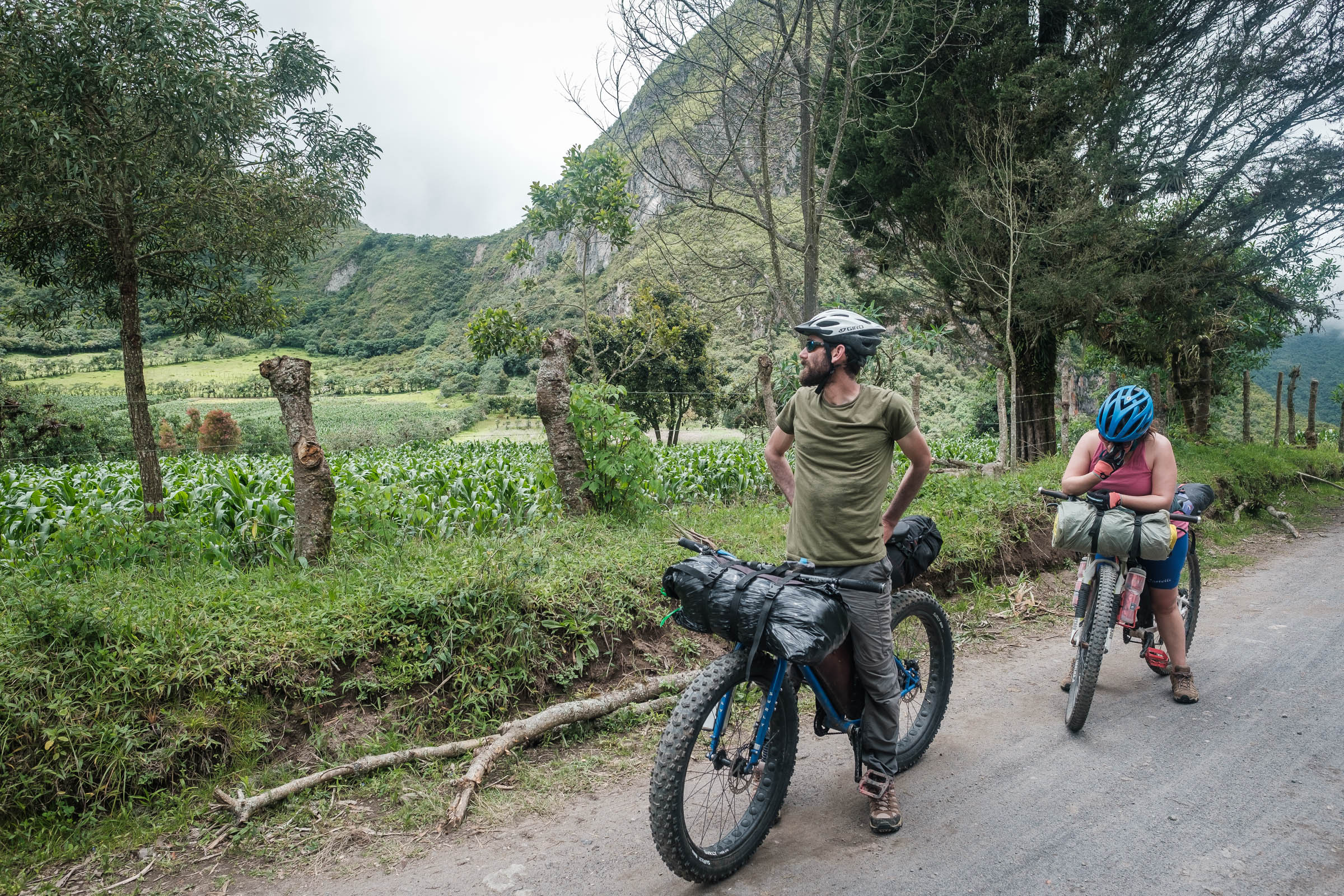
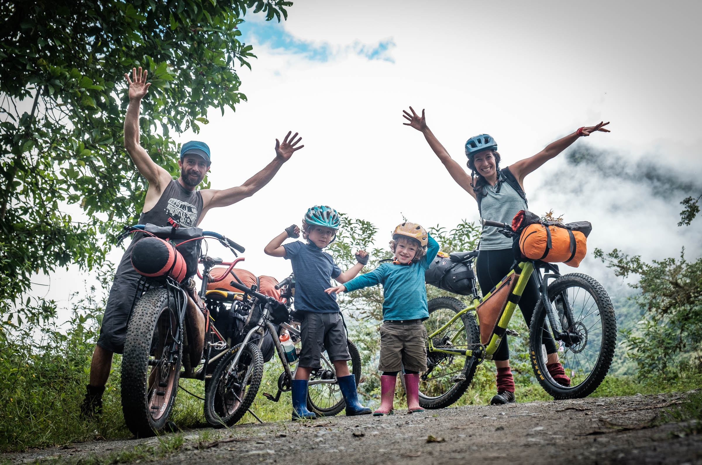
The loop can be ridden in either direction, assuming you’re running a light bikepacking setup. But if you’re taking it on with your family or a heavier load, it’s probably better to do it counterclockwise, as it makes for a more mellow climb out of the crater. An optional more challenging variation can be added to the loop for those seeking a more adventurous ride if you decide to drop down to the popular Infiernillo Trail, which adds around 18 kilometers to the distance, and some 840 meters of climbing.
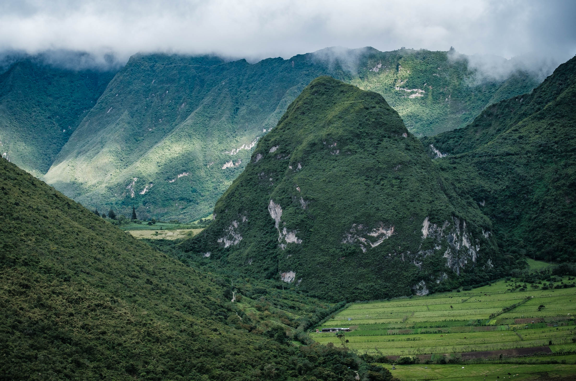
RESERVA GEOBOTANICA PULULAHUA
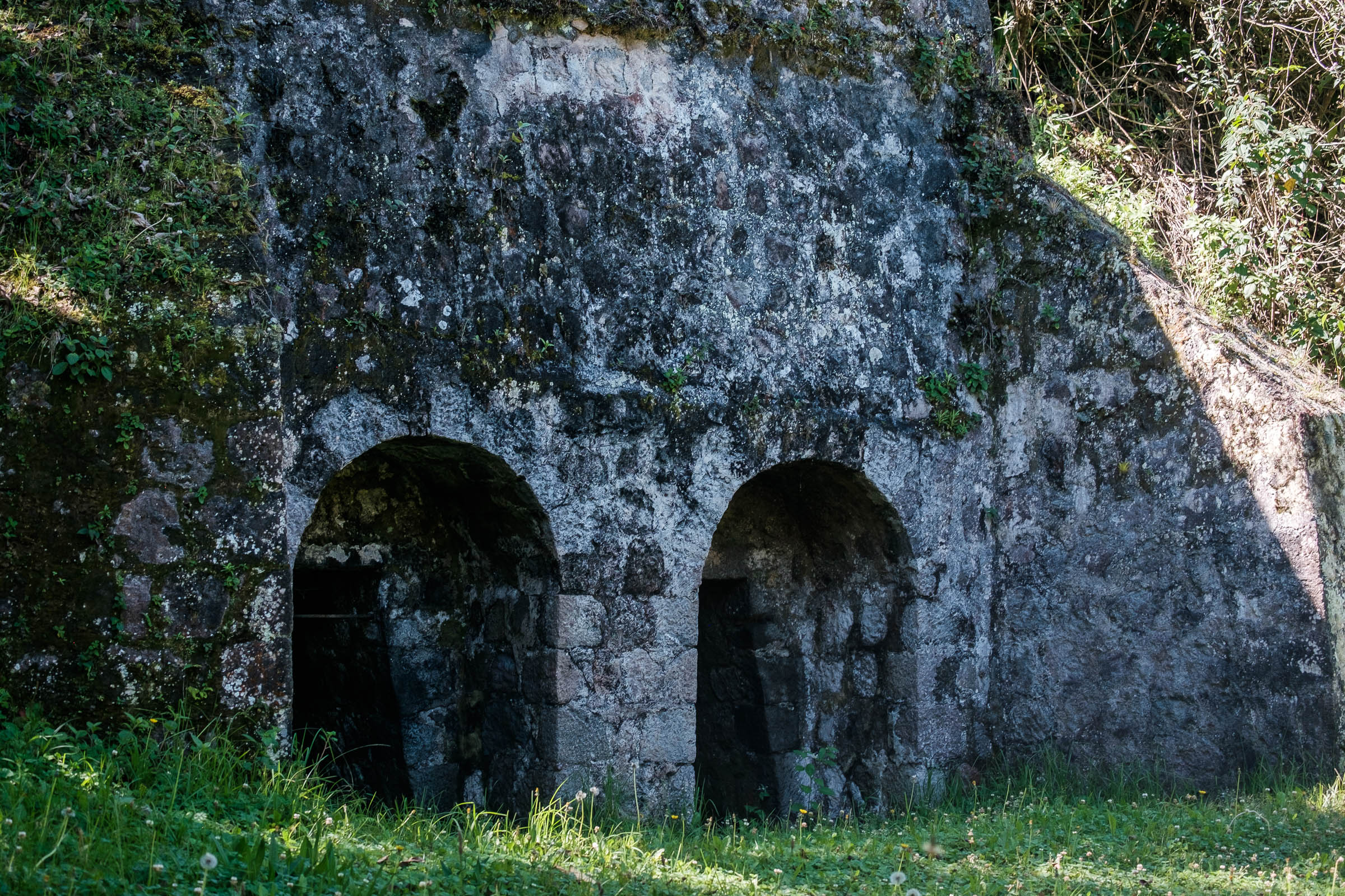
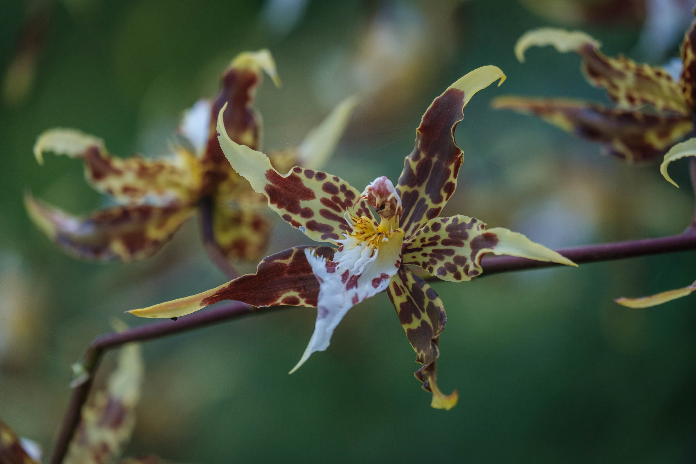
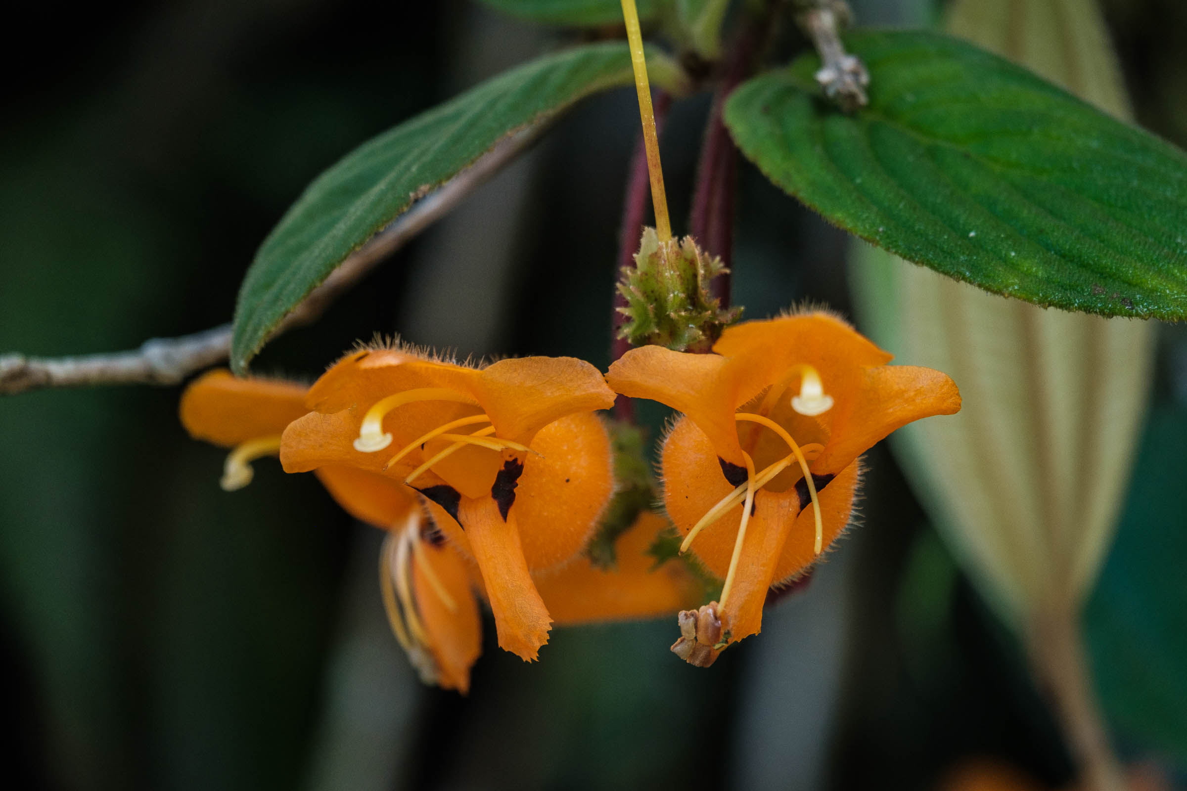
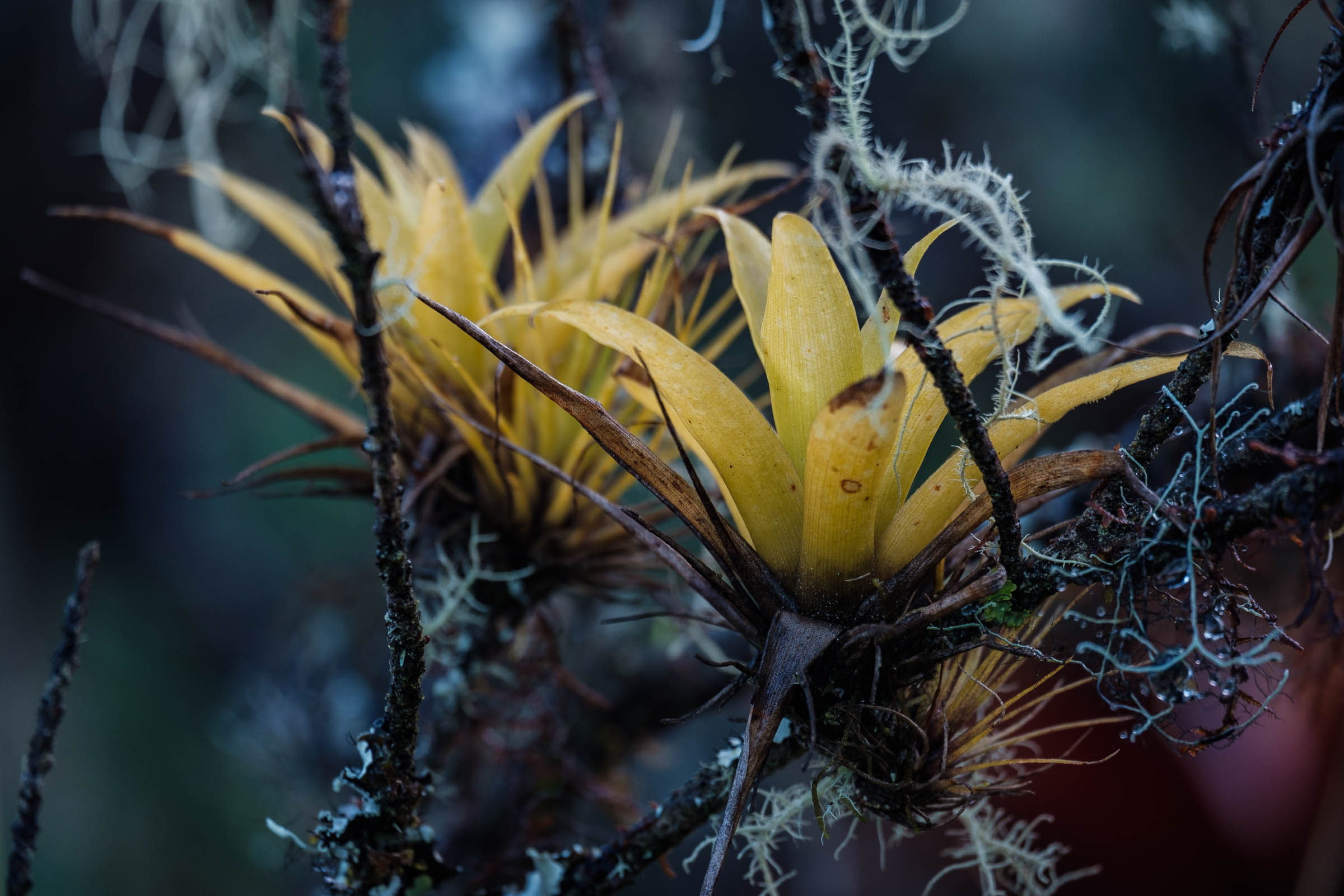
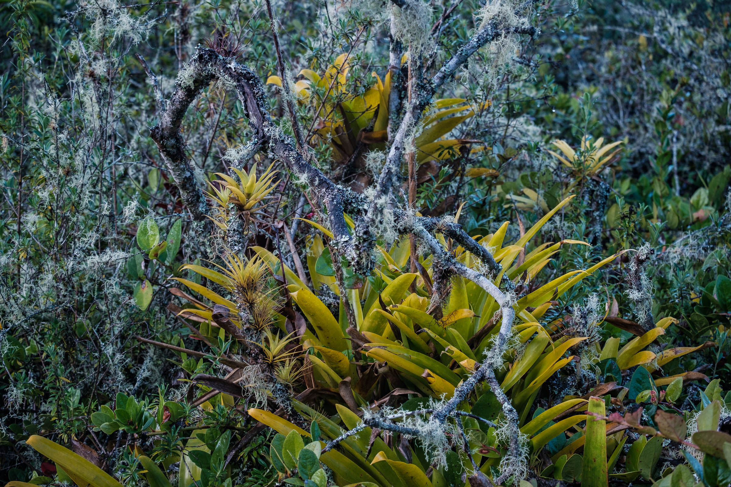
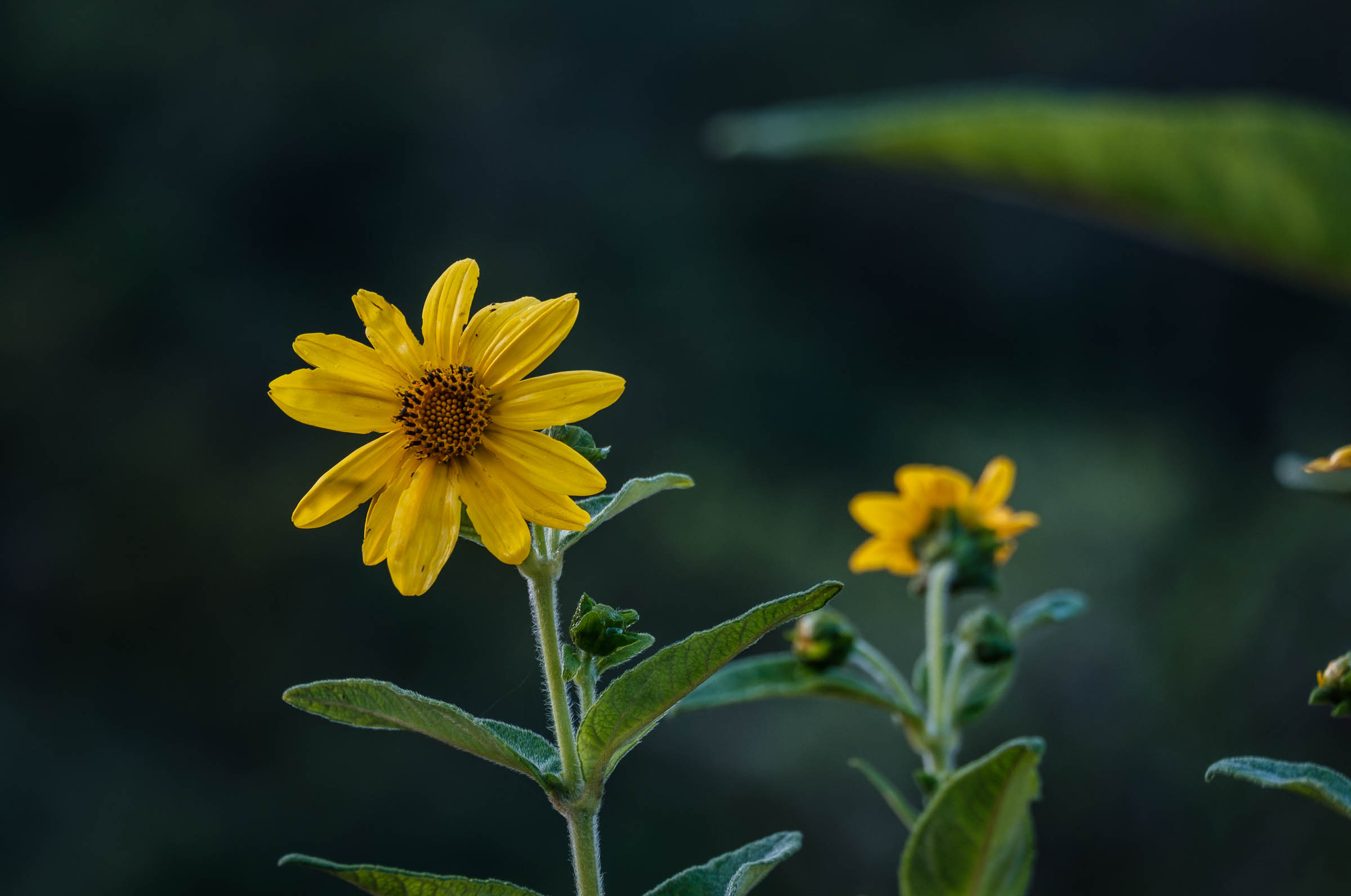
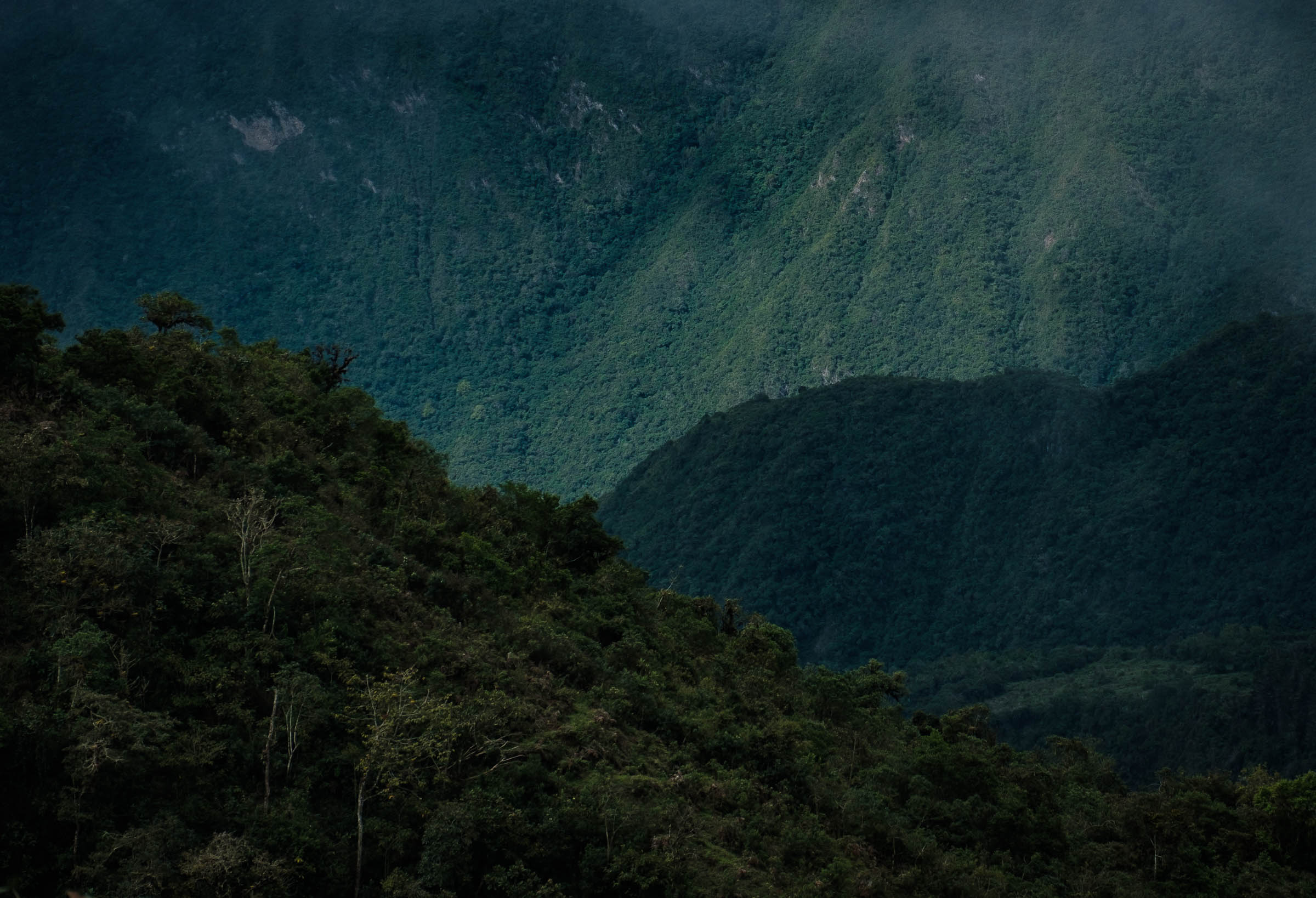
Almost 4,000 hectares of dry Andean forest, cloud forest, and a unique volcanic ecosystem form the reserve. Altitudes vary from 1,800 meters to 3,300 meters on the highest peaks, which also means the weather is pretty pleasant year-round. Pululahua in Quichua means “cloud full of water,” which accurately describes the weather patterns that occur here. Expect nice sunny mornings and rain and mist in the afternoons as the warm air rises from the lowlands and hits the mountains, forming odd-shaped cumulus clouds. Mineral hot springs and few old abandoned ovens once used to extract lime are situated within the reserve limits and provide for fun side adventures if you decide to stay longer.
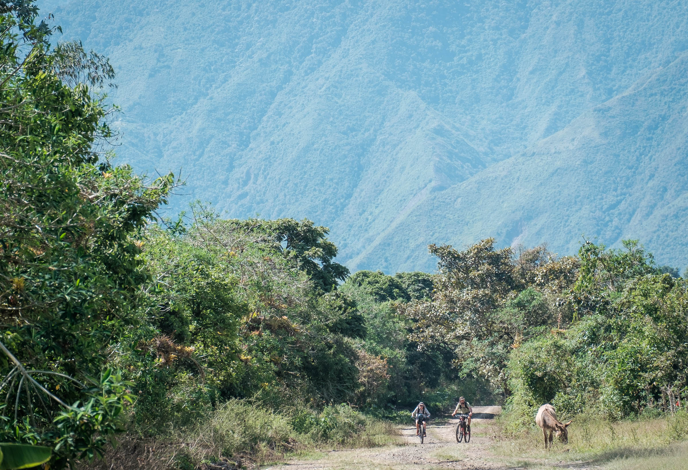
Although the distance may look short paper, a balanced combination of dirt roads, 4×4 double tracks, and technical singletracks will definitely get you in the right mood to enjoy this gem of a ride. The size and grandeur of the crater, the ever-changing vegetation, and the overall remote feeling of the area will suck you right into full-on adventure mode!
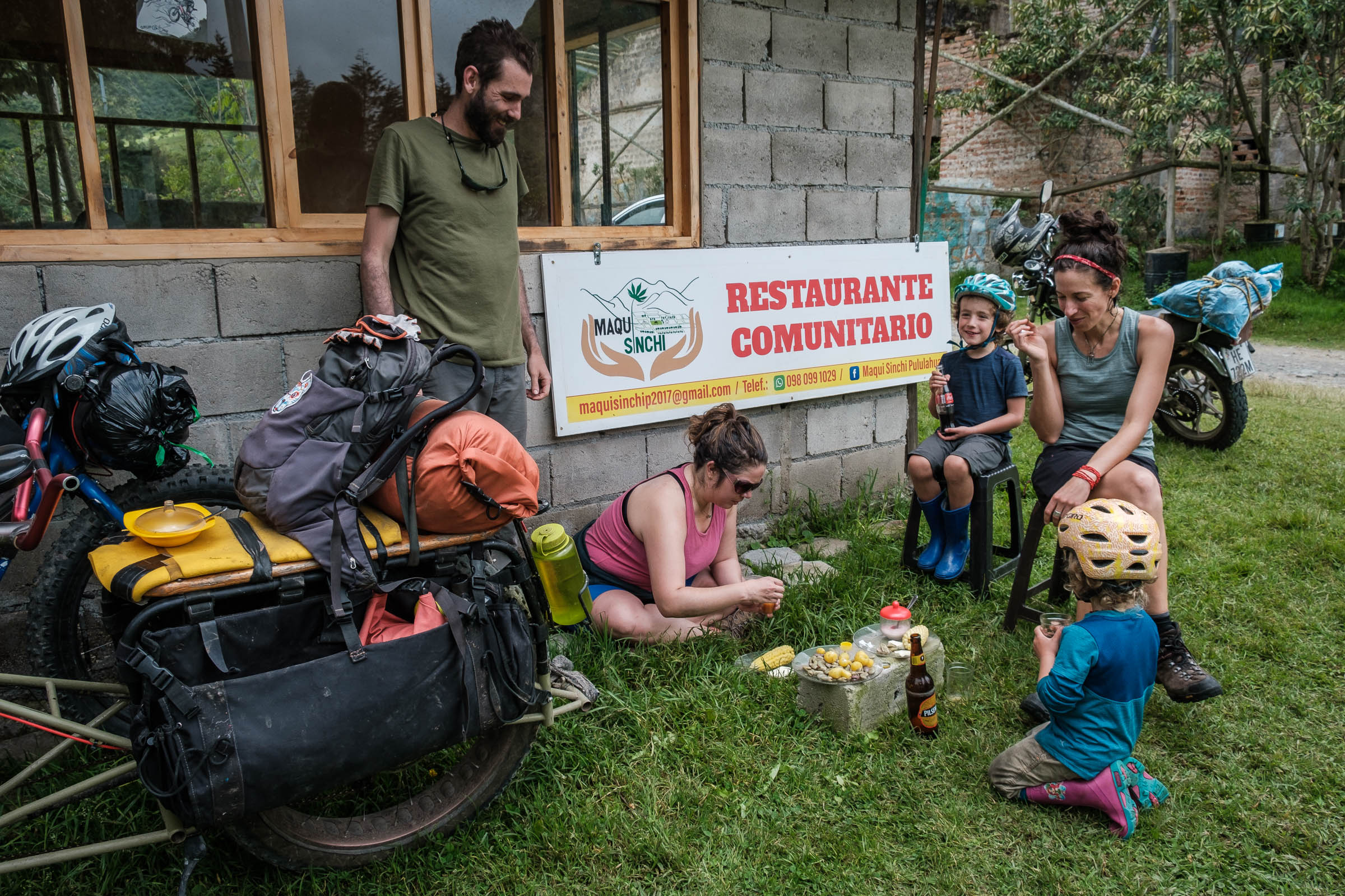
Don’t let the proximity to Quito give you a false sense of comfort, because once you’ve dived down into the depths of the volcano, you’re pretty much on your own. Inside the crater, a few small stores, basic bed and breakfast, and restaurants are open on weekends, but during the week it will be difficult to get supplies, or to hire a ride out if needed, so plan your adventure carefully.
The picturesque community of Yunguilla offers a broad array of activities organized and led by the community, as well as a good place to rest and resupply if needed. The community’s projects and natural reserve are well worth supporting, which you can do by hiring some of their services. Find detailed information on their community tourism website.
Difficulty: We’ve awarded this route a 6 out of 10. Despite being close to Quito, the route offers a remote character and requires some previous planning in terms of food. The majority of the ride has easy gradients on nice riding surfaces, but there is also some techy singletrack and the occasional hike-a-bike to spice things up. Although the loop can be completed in a long day for those wishing to push really hard, it is designed as a two or three-day ride to fully absorb what the area has to offer.


Submit Route Alert
As the leading creator and publisher of bikepacking routes, BIKEPACKING.com endeavors to maintain, improve, and advocate for our growing network of bikepacking routes all over the world. As such, our editorial team, route creators, and Route Stewards serve as mediators for route improvements and opportunities for connectivity, conservation, and community growth around these routes. To facilitate these efforts, we rely on our Bikepacking Collective and the greater bikepacking community to call attention to critical issues and opportunities that are discovered while riding these routes. If you have a vital issue or opportunity regarding this route that pertains to one of the subjects below, please let us know:
Highlights
Must Know
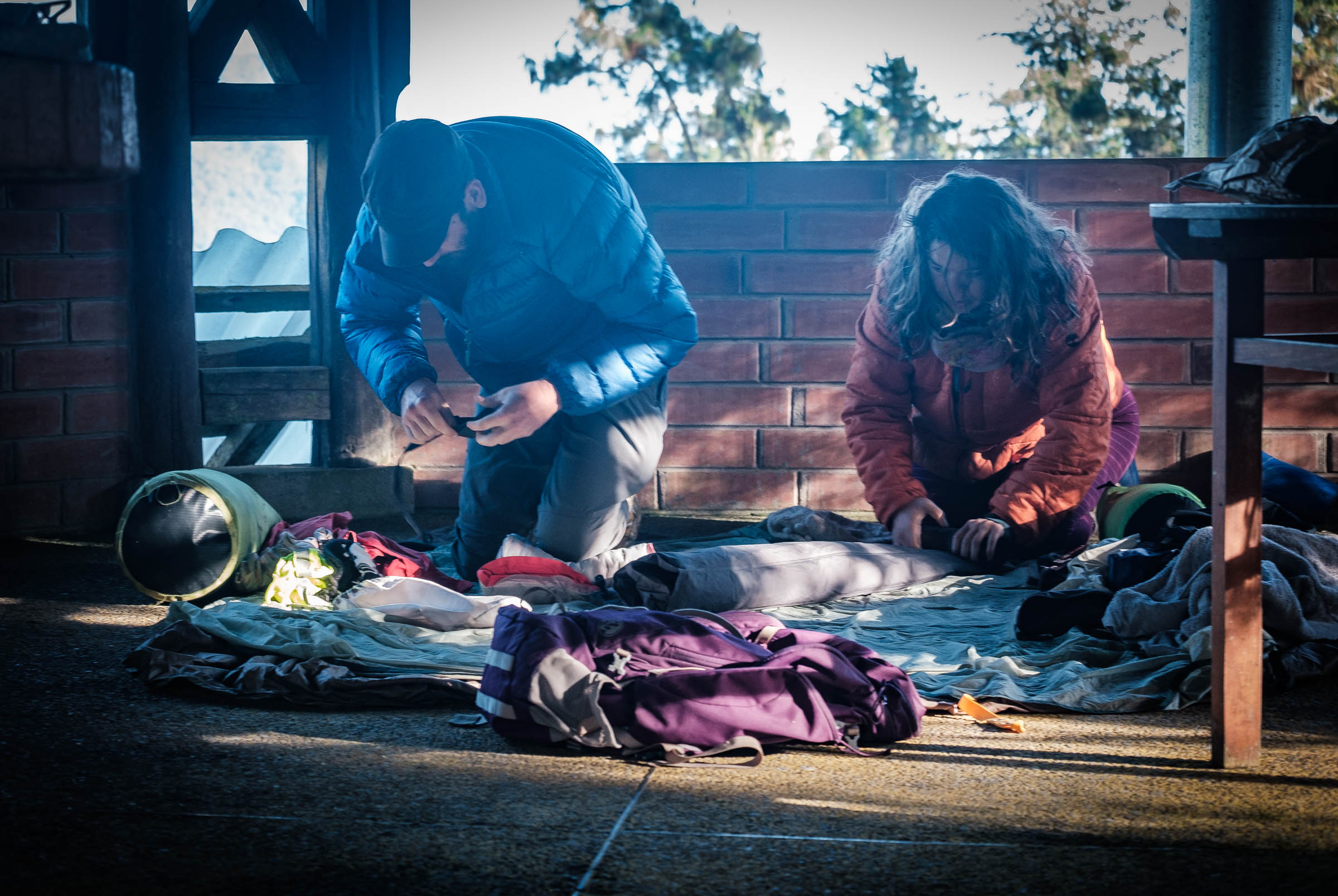
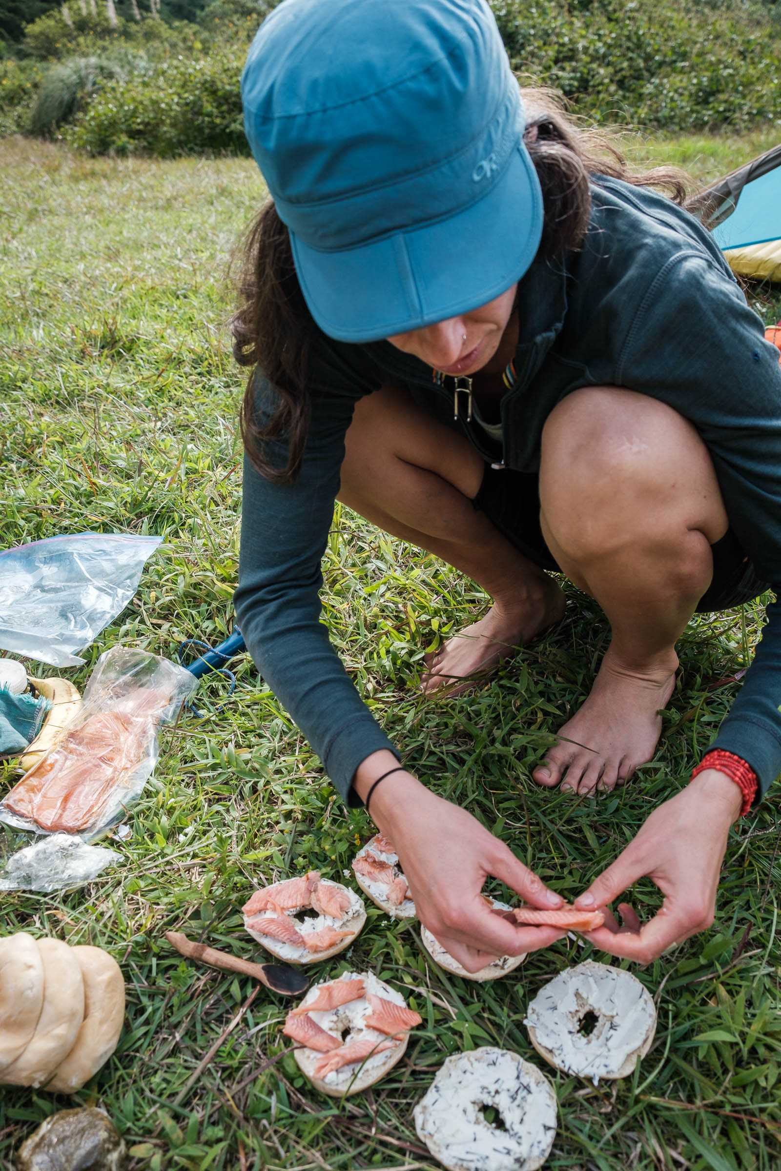
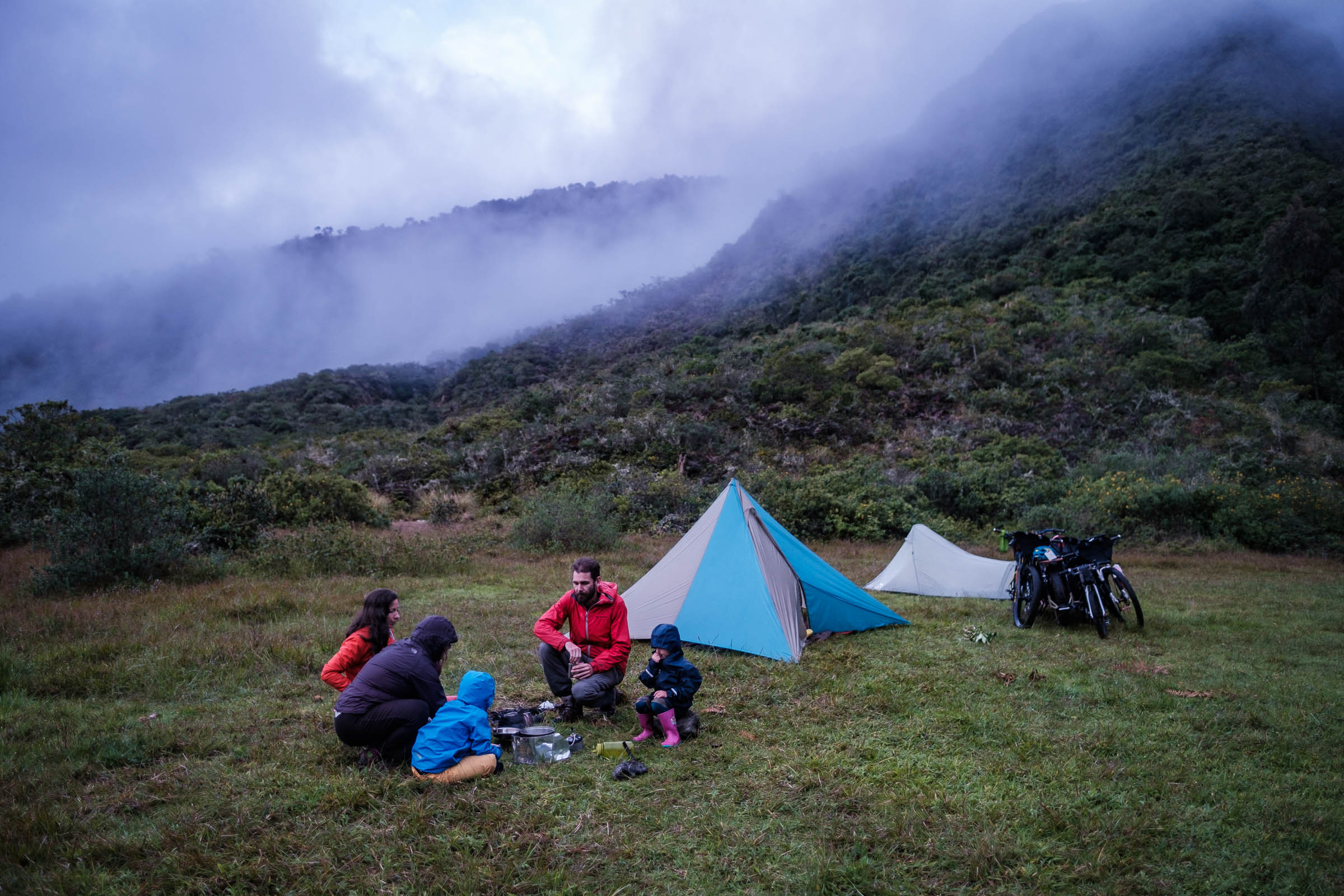
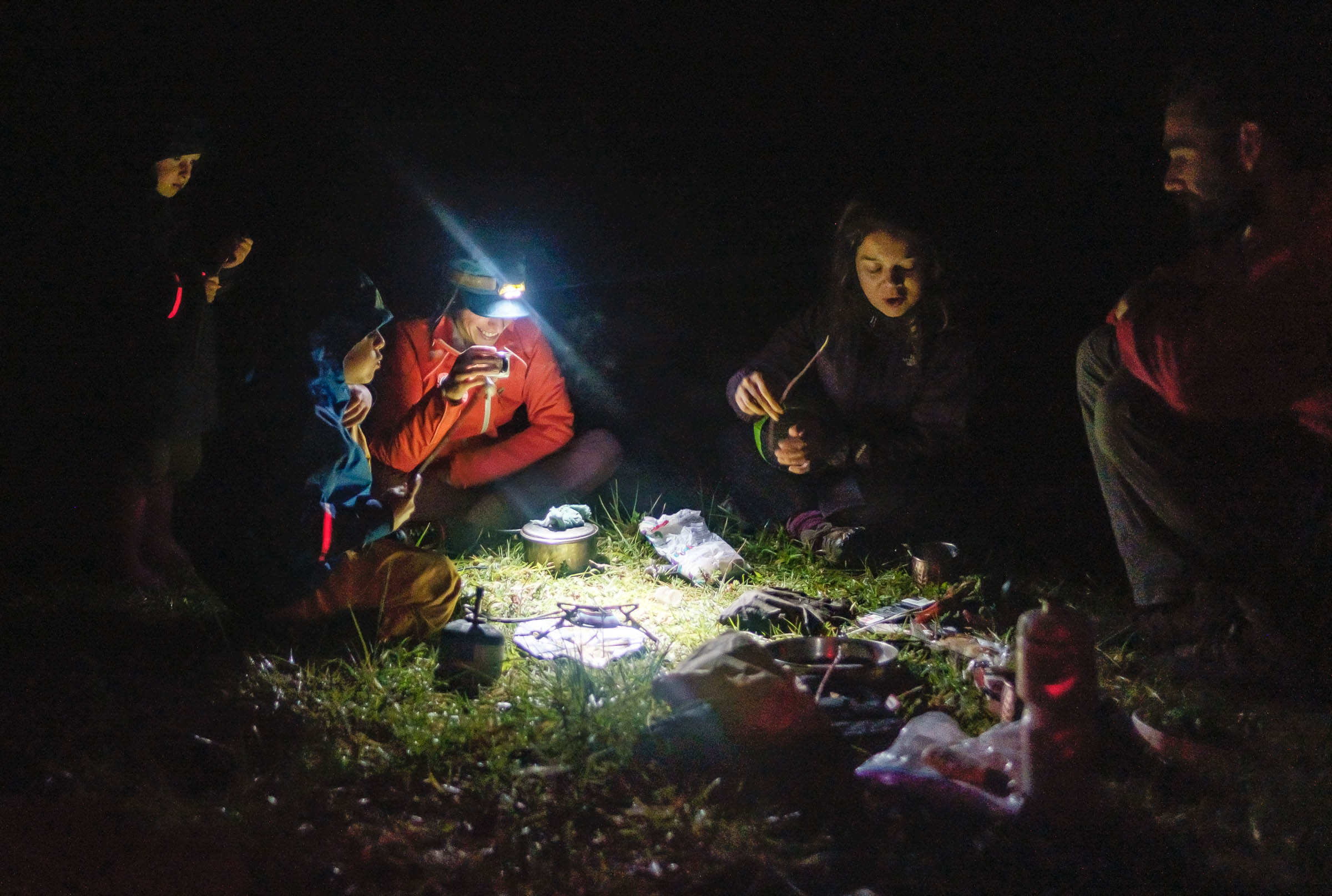
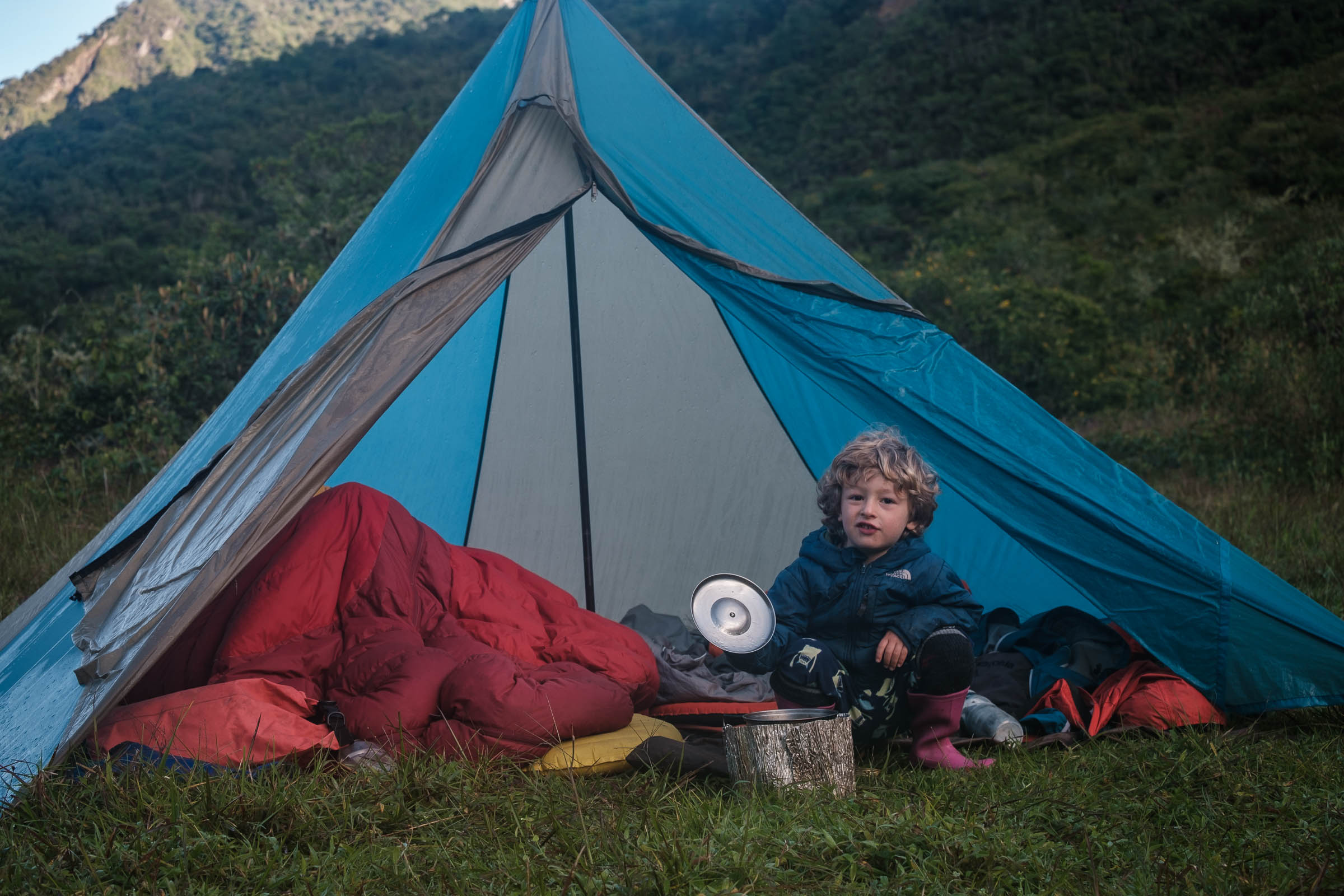
Camping
Food/H2O
Trail Notes
Resources
- Riding the extinct and well-defined caldera of Volcan Pululahua.
- Looping around Cerro Pondoña on old trails and camping surrounded by magnificent vegetation.
- Experiencing a wide array of ecosystems, from arid Andean forest to green lush cloud forest.
- Climbing the windy and wonderful cloud forest road that goes from Niebli to Yunguilla.
- Finishing up in Ciudad Mitad del Mundo to learn about the equator or celebrate with a nice cold beer at Santa Ana Brewing company just a few kilometers away.
- Soak in natural hot springs to soothe your tired body.
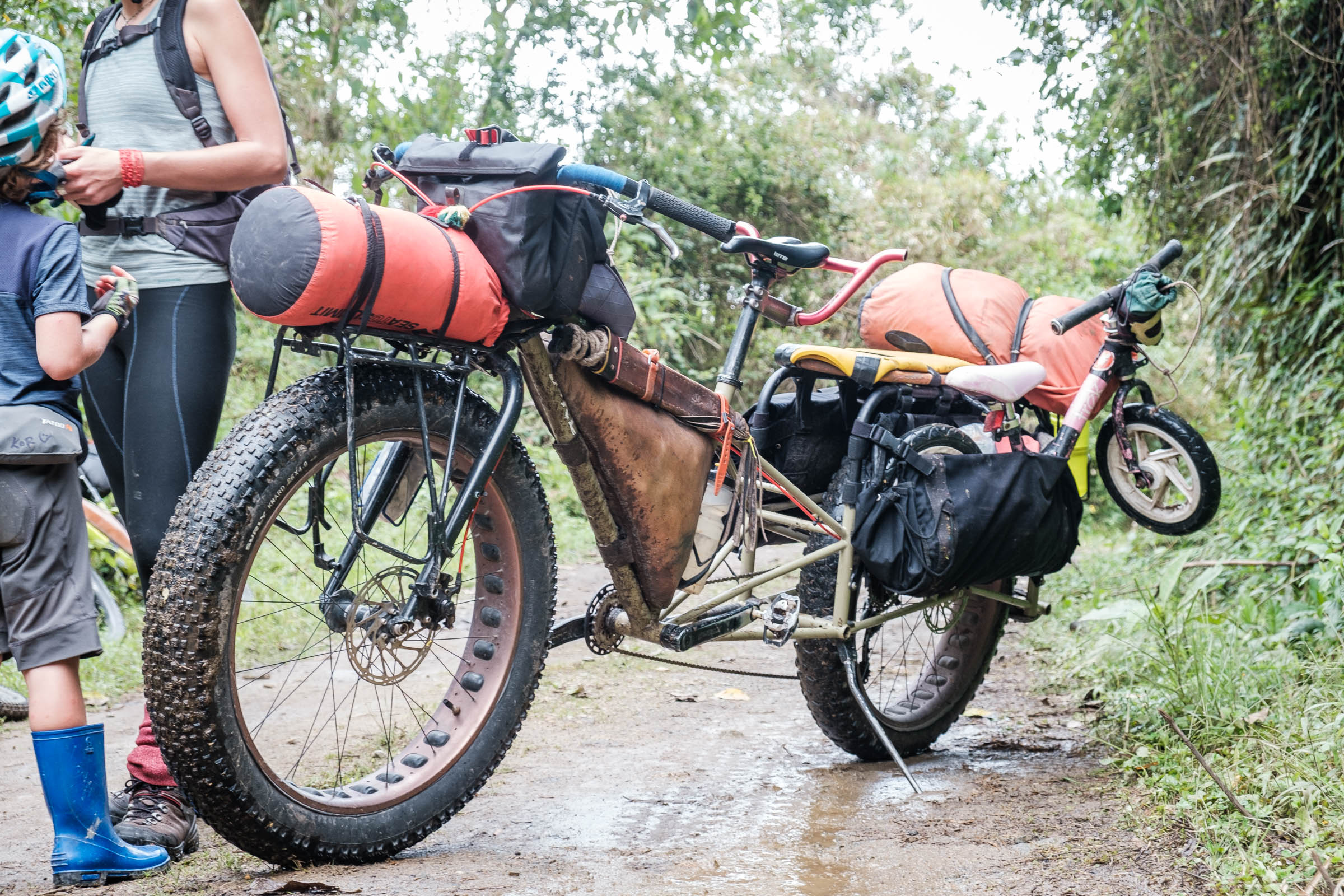
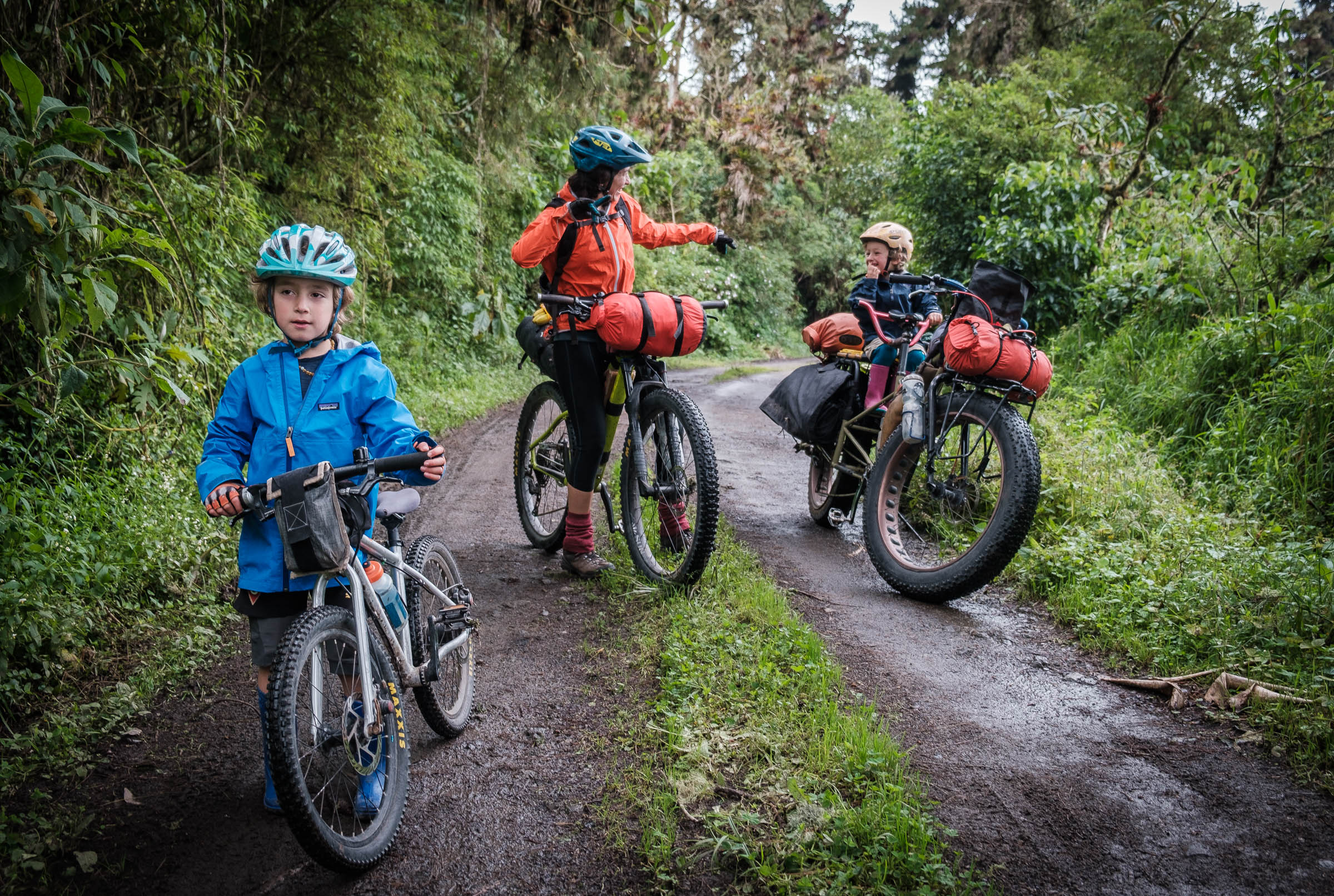
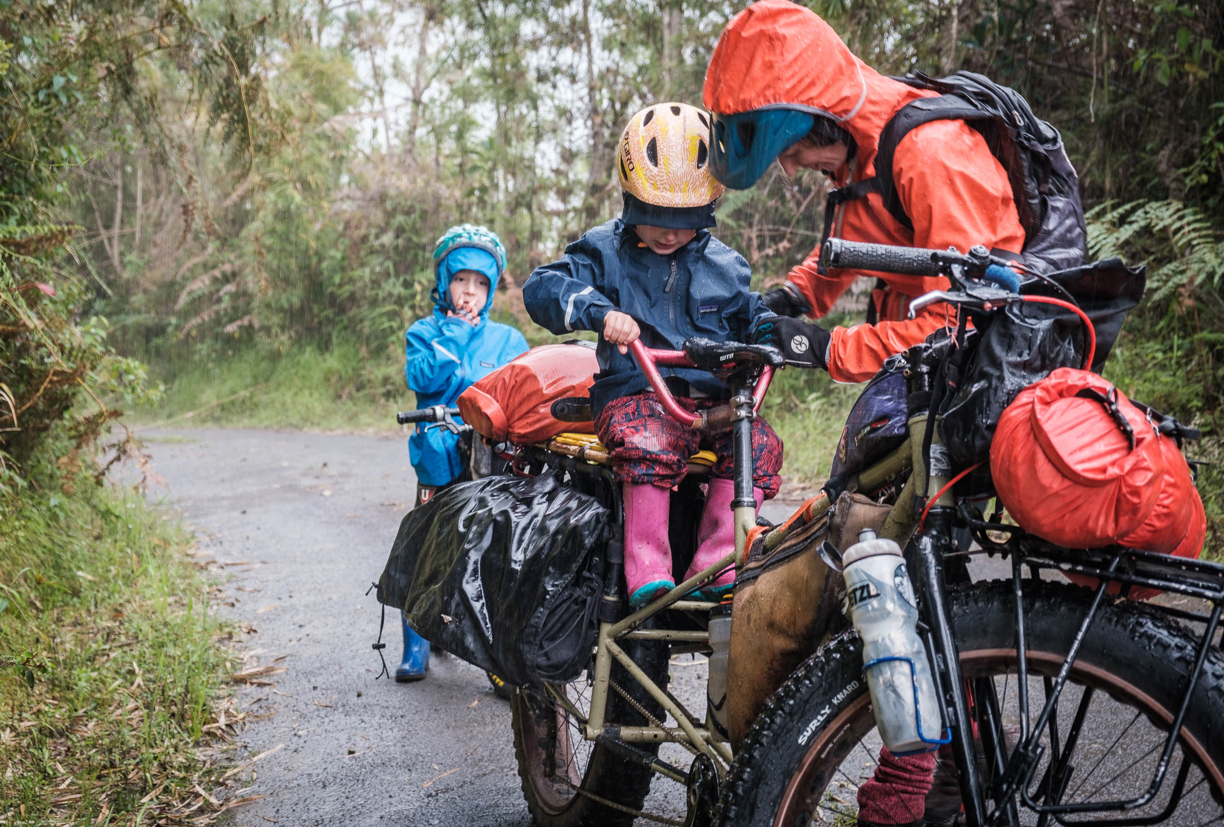
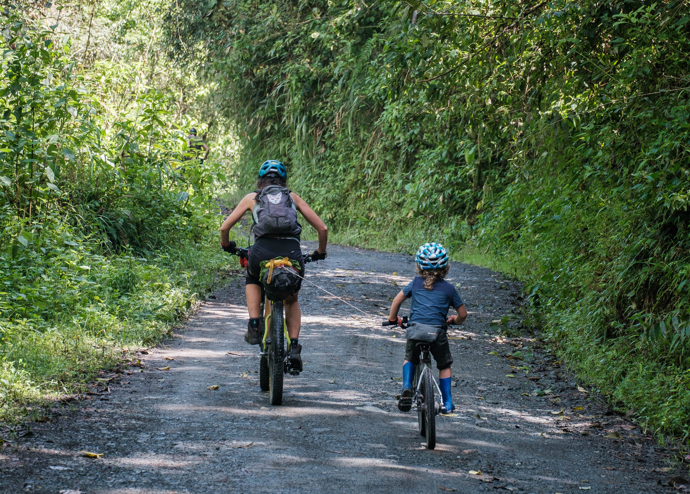
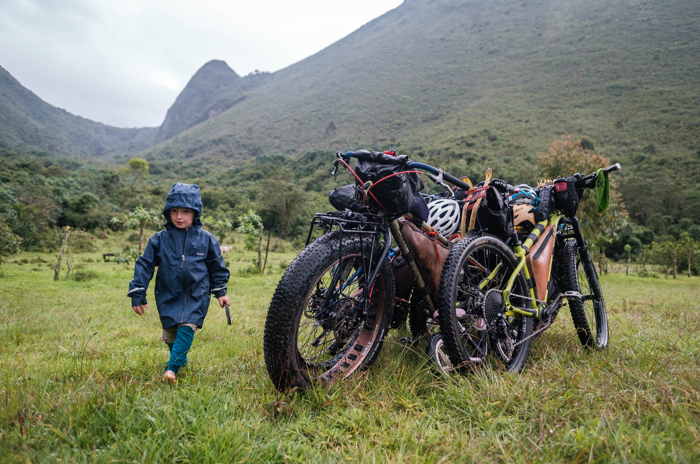
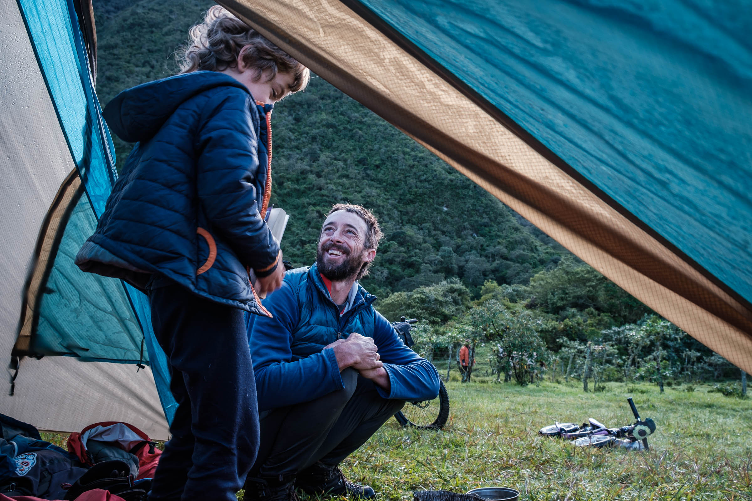
- Bike and setup: The route is designed with a mountain bike or dirt-touring bike in mind. A lightweight touring bike equipped with small panniers or a simple bikepacking rig is ideal. If you are doing it with small children, a single-wheel trailer is better suited for the singletrack section (see map) but a double-wheeled trailer can for sure be muscled over narrow sections by a willing full team of parents. If you decide to do the bonus Infiermillo Loop, a full-suspension adventure bike or at least a squishy fork and a dropper post are recommended. If you opt to ride the Infiernillo Loop, make sure to allow one extra day and be prepared for a solid chunk of fun but technical riding.
- Getting there: Hire a pick-up truck in Quito for USD$10 to take you to Calacali or ride your bike all the way to the start.
- Getting back: If you need a ride back to Quito, you can hire a pick-up truck in Calacali or in Ciudad Mitad del Mundo. Expect to pay USD$10 for the ride back to the city. Buses are also easily accessible in both places.
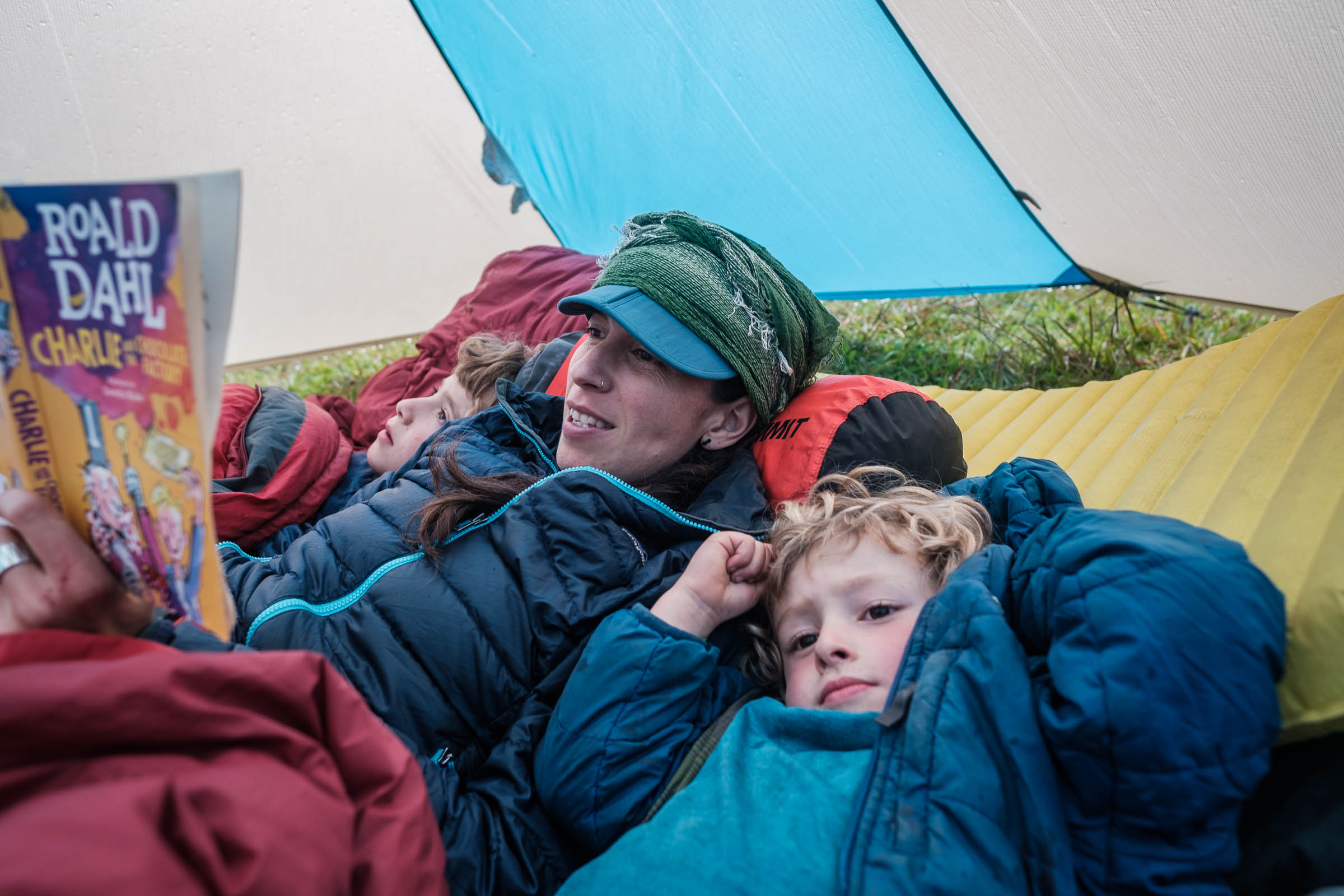
- Weather Considerations: The route can be ridden year-round. Expect sunny and fairly hot mornings and rainy, humid afternoons. Mosquitoes can be up and about in the evening, so dress accordingly to avoid being eaten while they come out to feast. If you have little tolerance for these annoying little creatures, bring a tent with mosquito nets for the night. It can get chilly at night and early morning; a lightweight puffy jacket will come in handy to keep you comfortable.
- There are a few landowners who offer basic lodging and camping spots inside the crater.
- There are also several wild camping possibilities. The camp spot behind Pondoña is superb and has a hose coming from a nice spring.
- People in the little hamlet of Niebli are happy to offer the school as a place to stay if needed.
- The community project in Yunguilla has lodging and camping options as well.
- Once you start climbing from Niebli to Yunguilla, there are limited camping spots, so keep your eyes open if you are planning to camp along that road, or meet a friendly local and ask to use a small piece of paddock to pitch your tent.
- Plan your ride ahead of time and pack enough food to get you at least to Yunguilla.
- One weekend’s food is offered by a few locals down in the crater, but during the week there are only a few very basic stores to buy a snacks and drinks.
- Niebli has a tiny store if needed.
- Water is plentiful throughout the whole ride, just keep your eyes open for natural springs coming from the mountains. Carry a filter or a purification device of your choice to keep you healthy.
- In case you find yourself stranded down in the crater and need a ride out, Don Segundo offers shuttles on his pick-up truck for local riders and he will be happy to assist you. Phone: +593 99 237 7912
- Cell phone coverage is not great, but there are a few spots where you can certainly make a call.
- Leave doors closed and kindly ask for permission to camp or go through private property.
- If you decide to do the additional Infiernillo Loop, be aware that it is a pretty remote section with no easy way out!
Additional Resources


Terms of Use: As with each bikepacking route guide published on BIKEPACKING.com, should you choose to cycle this route, do so at your own risk. Prior to setting out check current local weather, conditions, and land/road closures. While riding, obey all public and private land use restrictions and rules, carry proper safety and navigational equipment, and of course, follow the #leavenotrace guidelines. The information found herein is simply a planning resource to be used as a point of inspiration in conjunction with your own due-diligence. In spite of the fact that this route, associated GPS track (GPX and maps), and all route guidelines were prepared under diligent research by the specified contributor and/or contributors, the accuracy of such and judgement of the author is not guaranteed. BIKEPACKING.com LLC, its partners, associates, and contributors are in no way liable for personal injury, damage to personal property, or any other such situation that might happen to individual riders cycling or following this route.
Please keep the conversation civil, constructive, and inclusive, or your comment will be removed.