


Rennsteig Express
Distance
109 Mi.
(175 KM)Days
2-3
% Unpaved
86%
% Singletrack
15%
% Rideable (time)
99%
Total Ascent
9,426'
(2,873 M)High Point
3,180'
(969 M)Difficulty (1-10)
4.5?
- 6Climbing Scale Moderate86 FT/MI (16 M/KM)
- -Technical Difficulty
- -Physical Demand
- -Resupply & Logistics
Contributed By
Dani Haudenschild
Guest Contributor
Dani moved to Germany and now lives in the Hessian highland city of Kassel. He likes to get outside of the city to explore the forests and rural countryside by bike. Whenever there is time, he enjoys short rides, overnighters, or a longer bikepacking adventure.
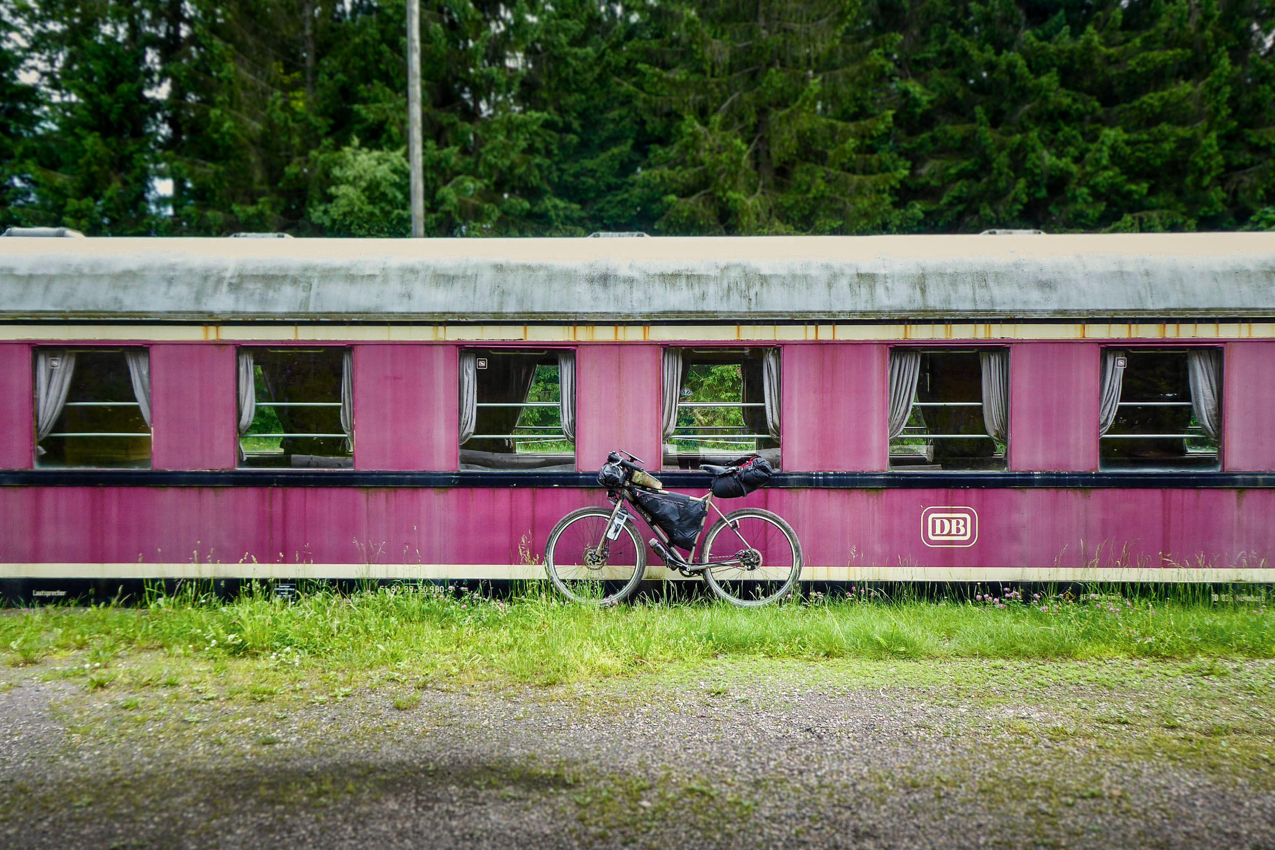
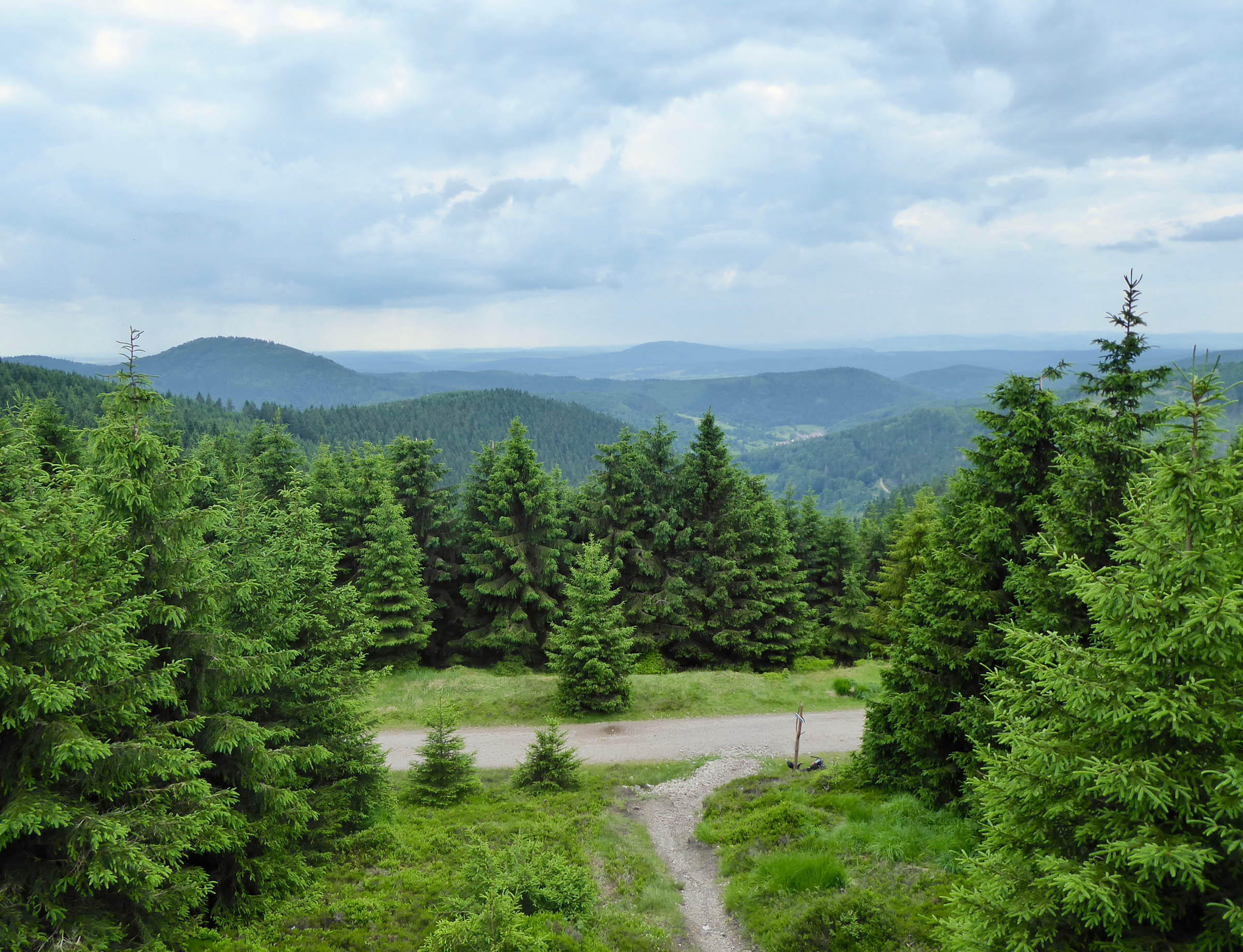
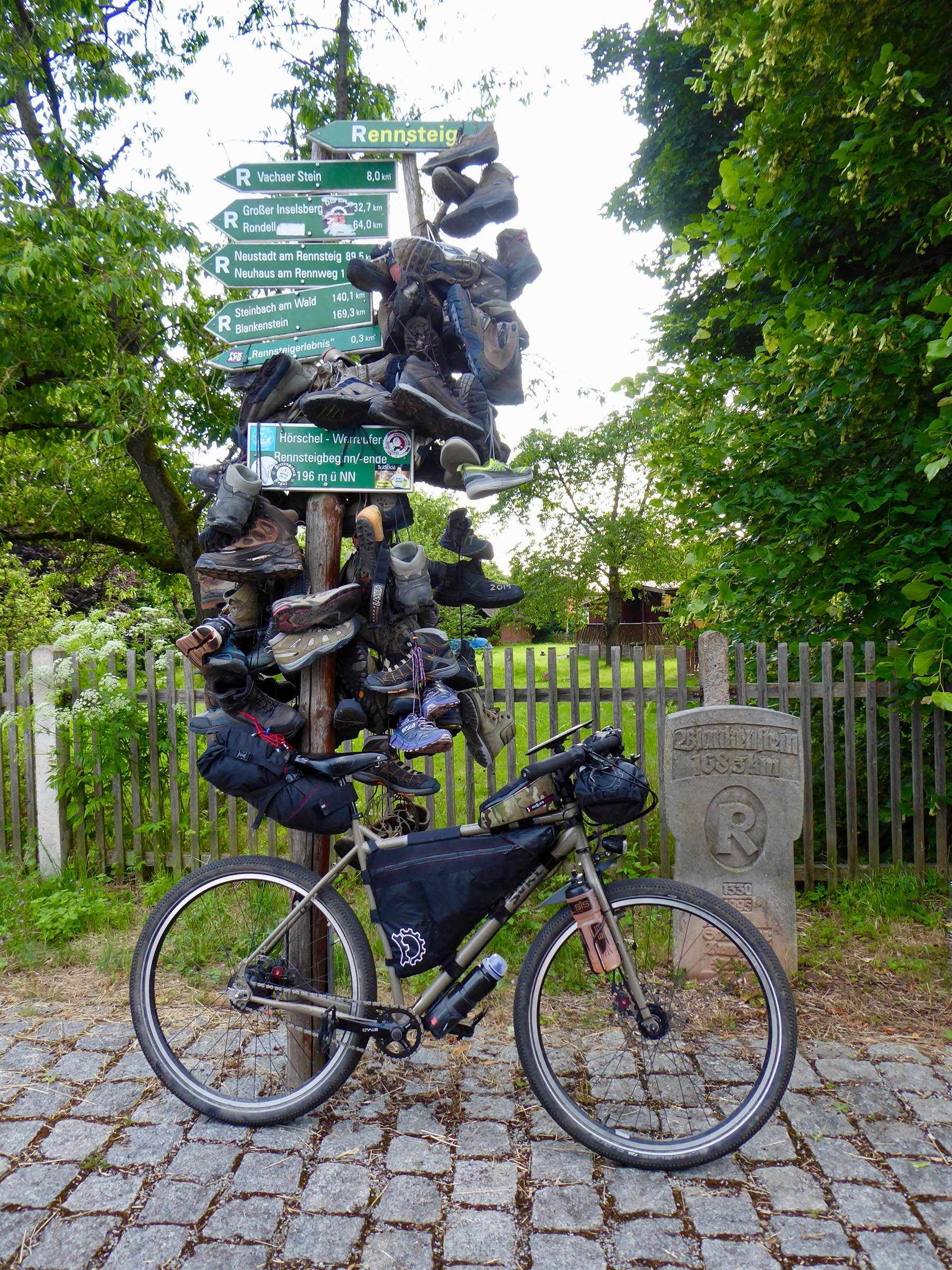
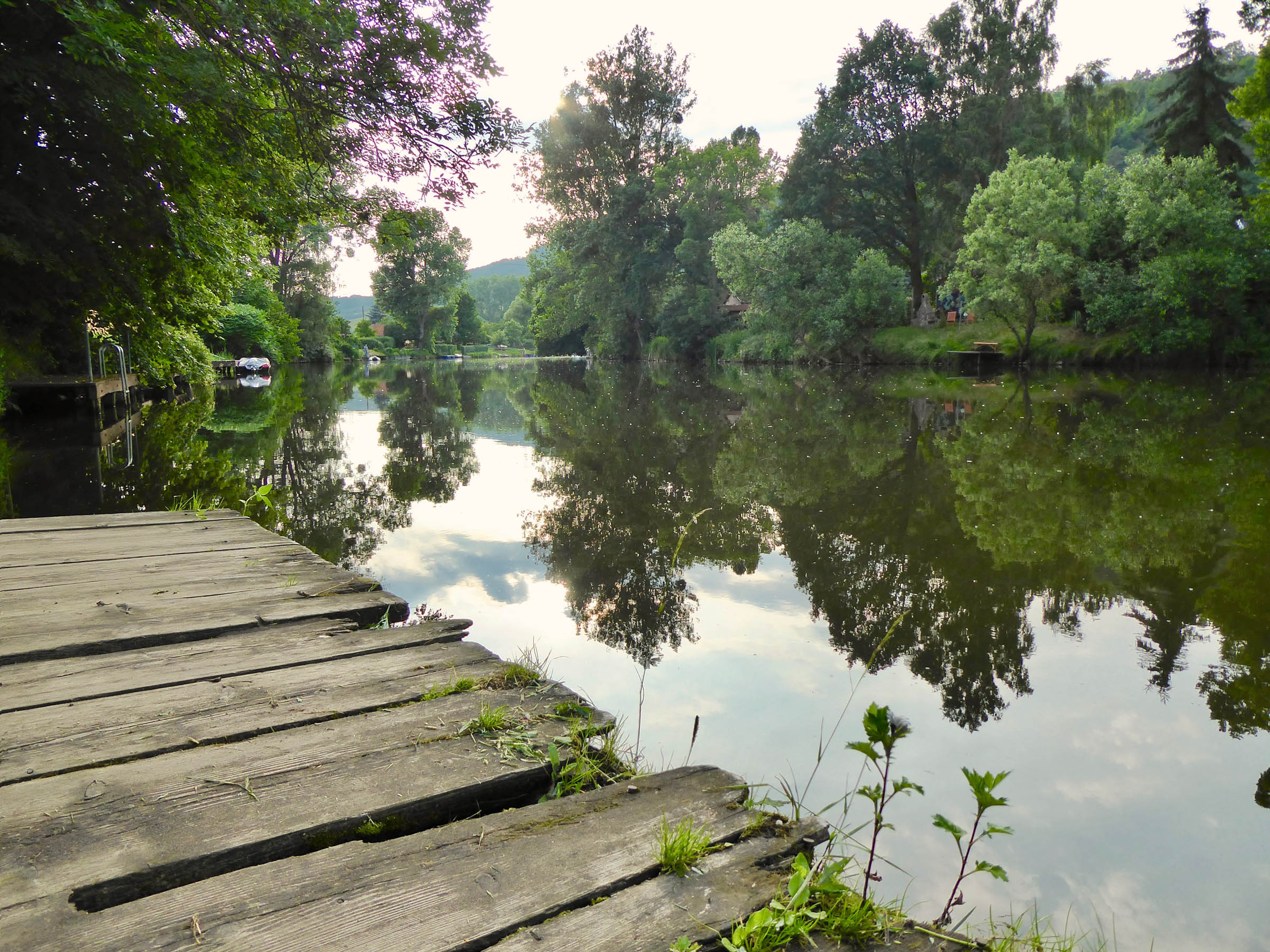
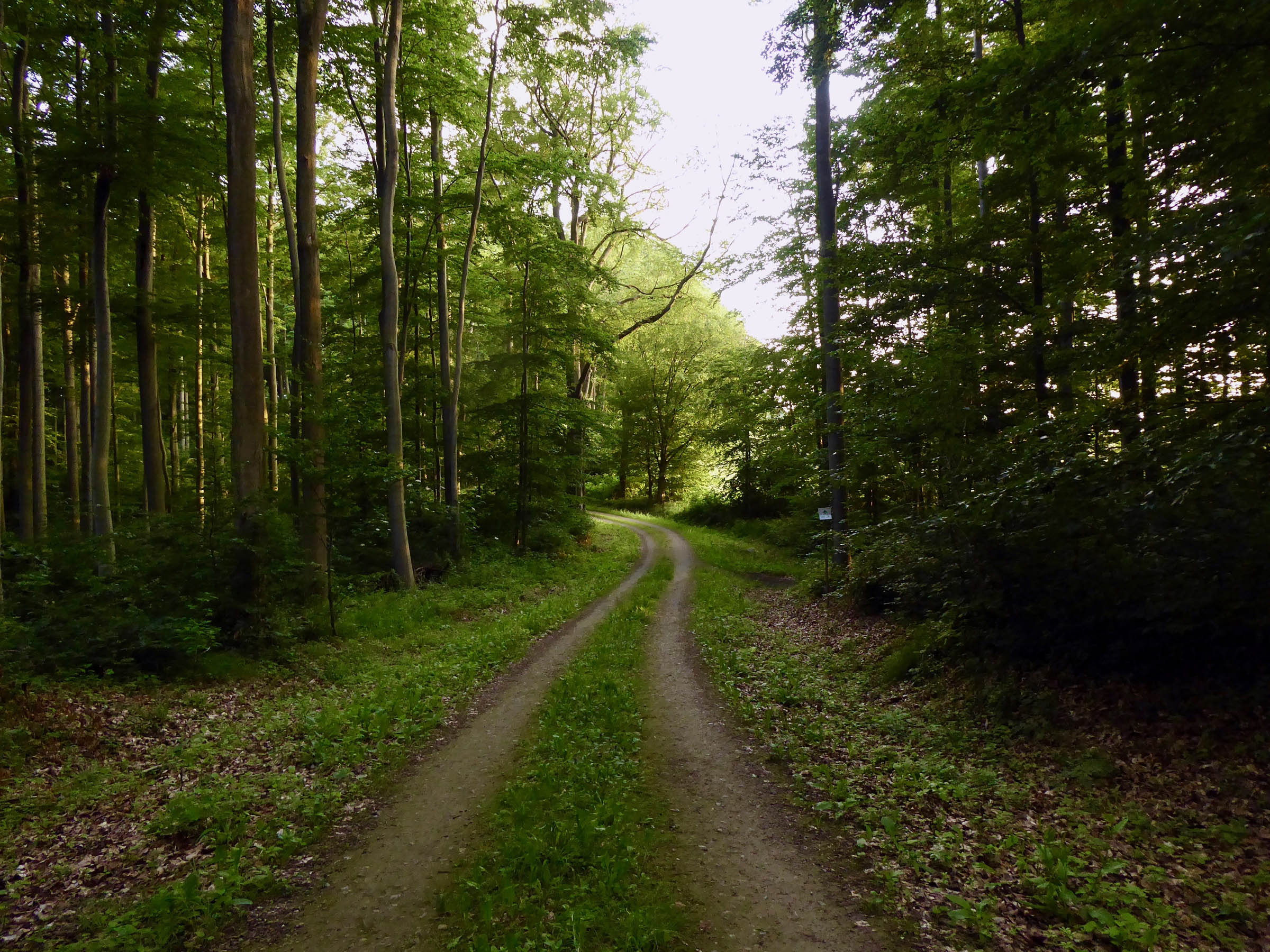
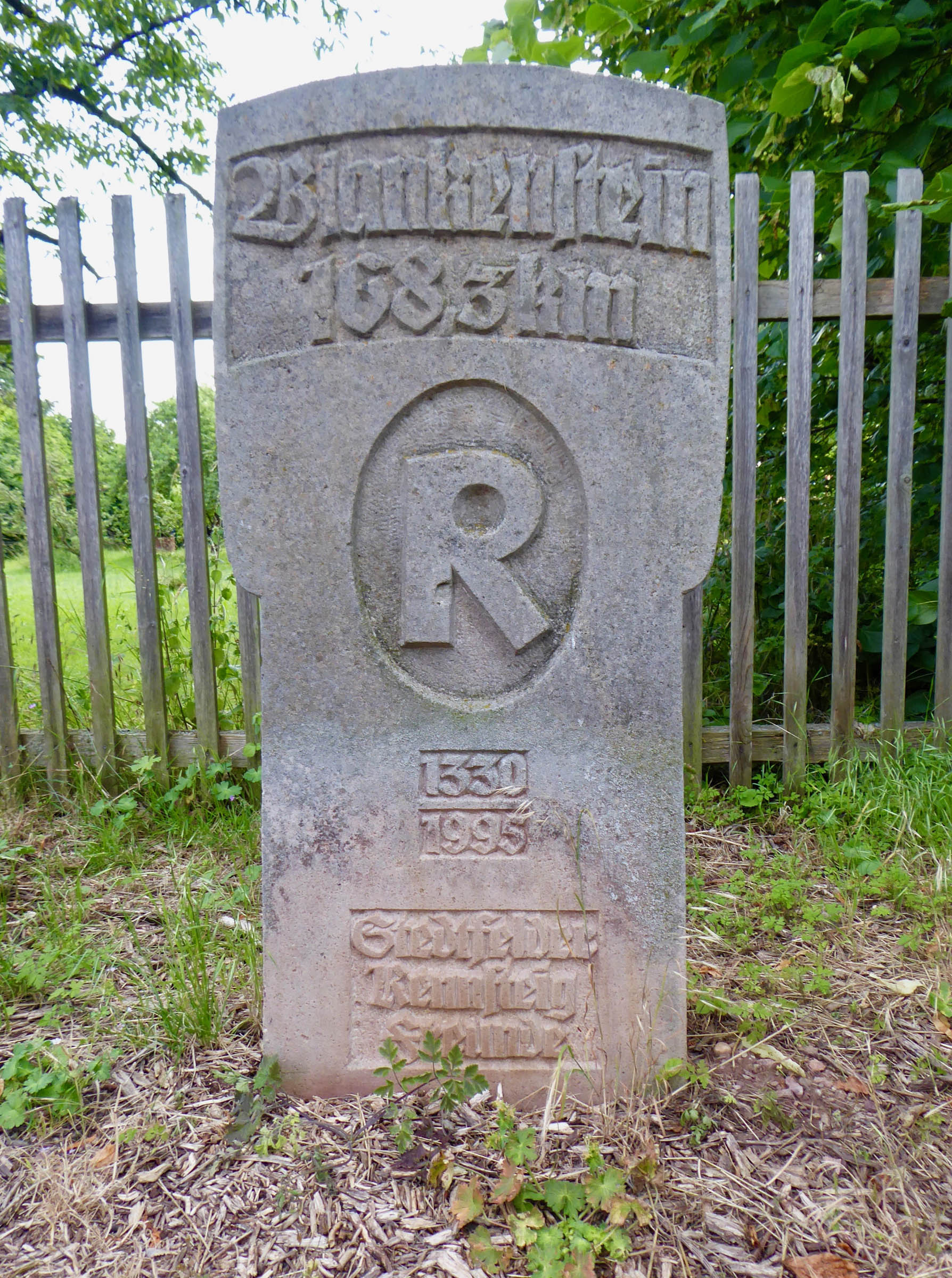
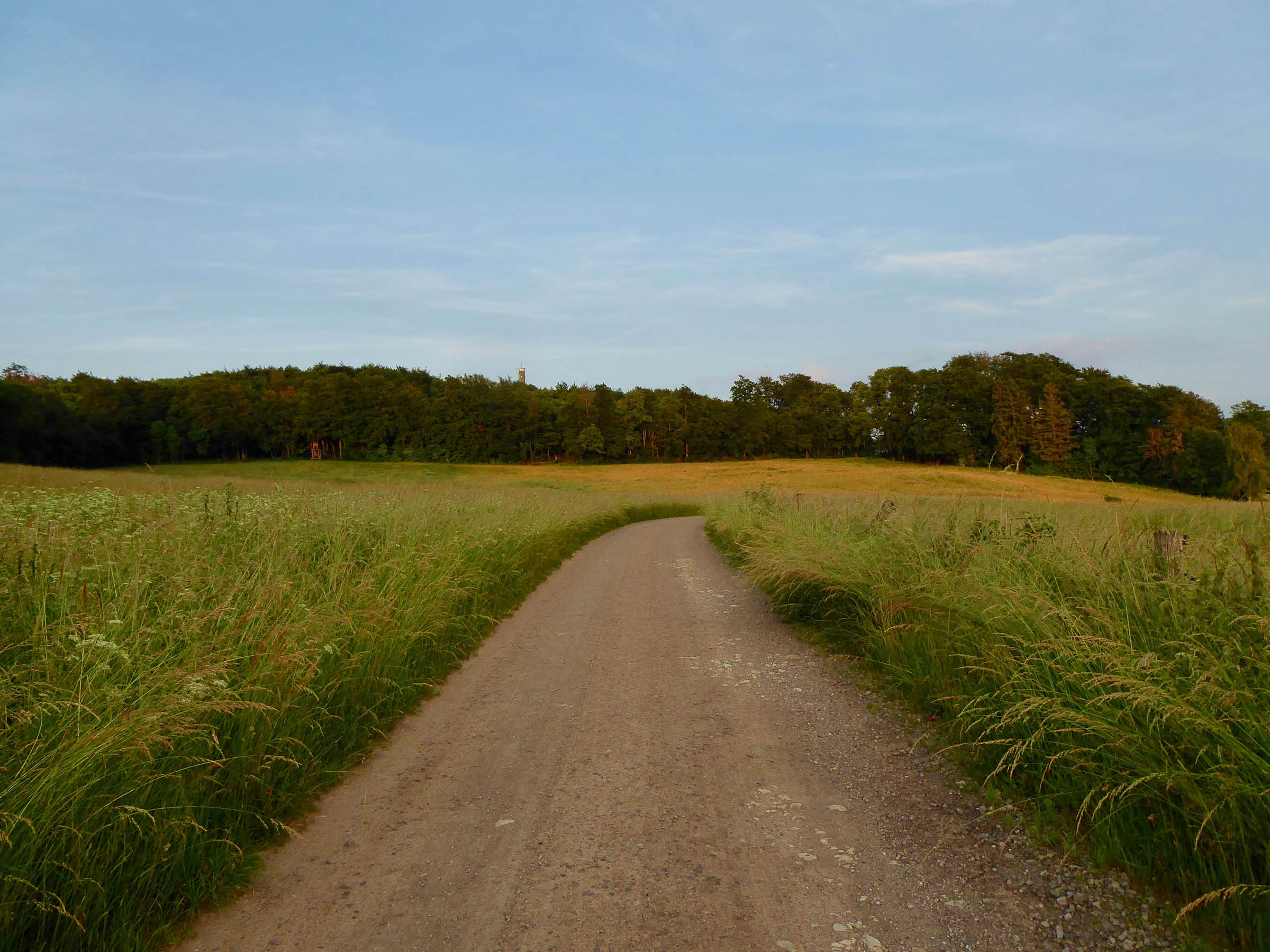
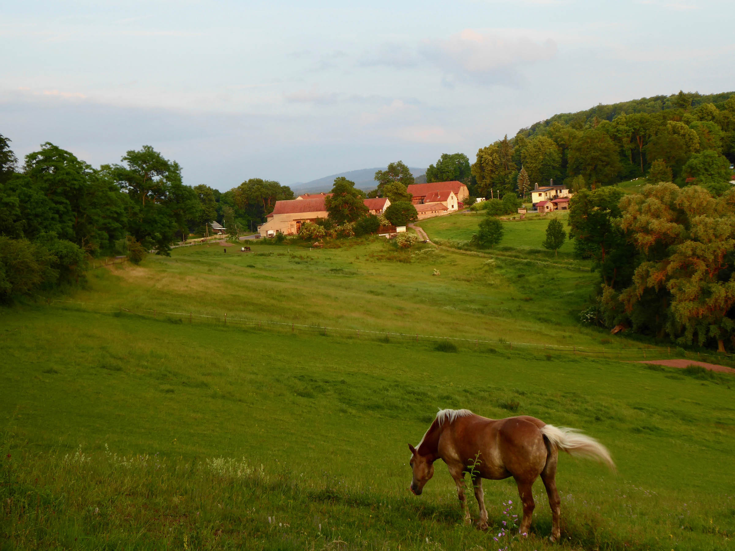
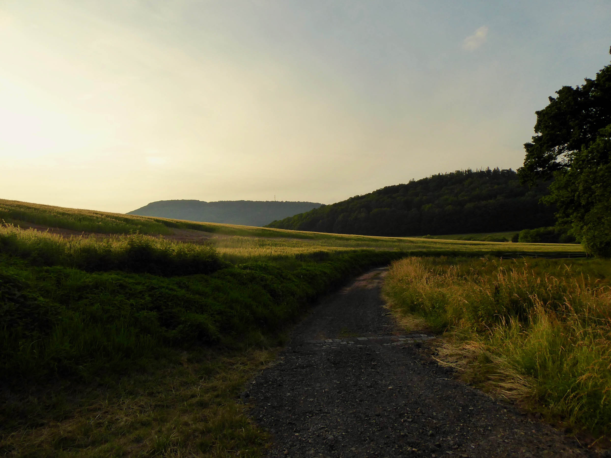
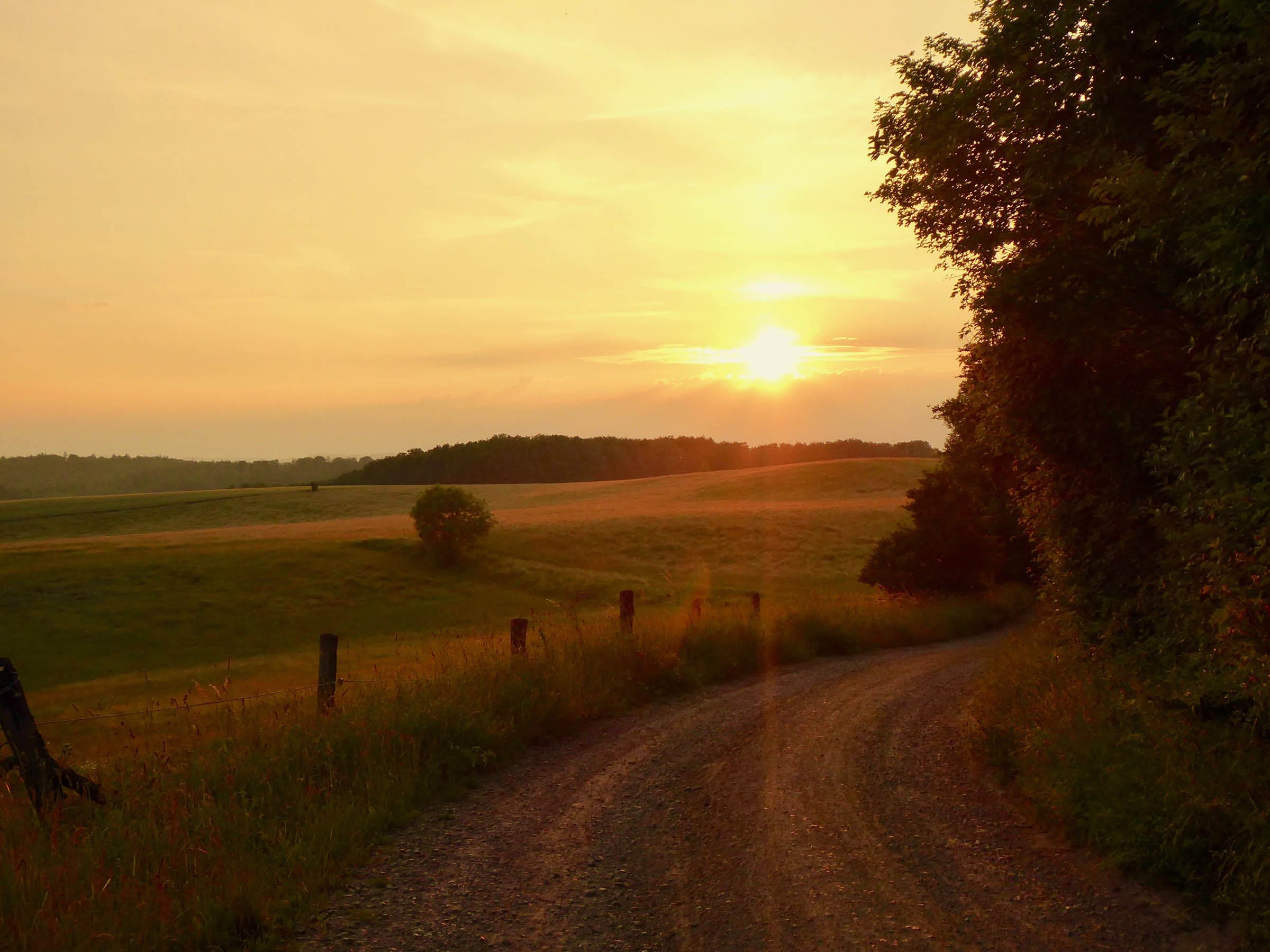
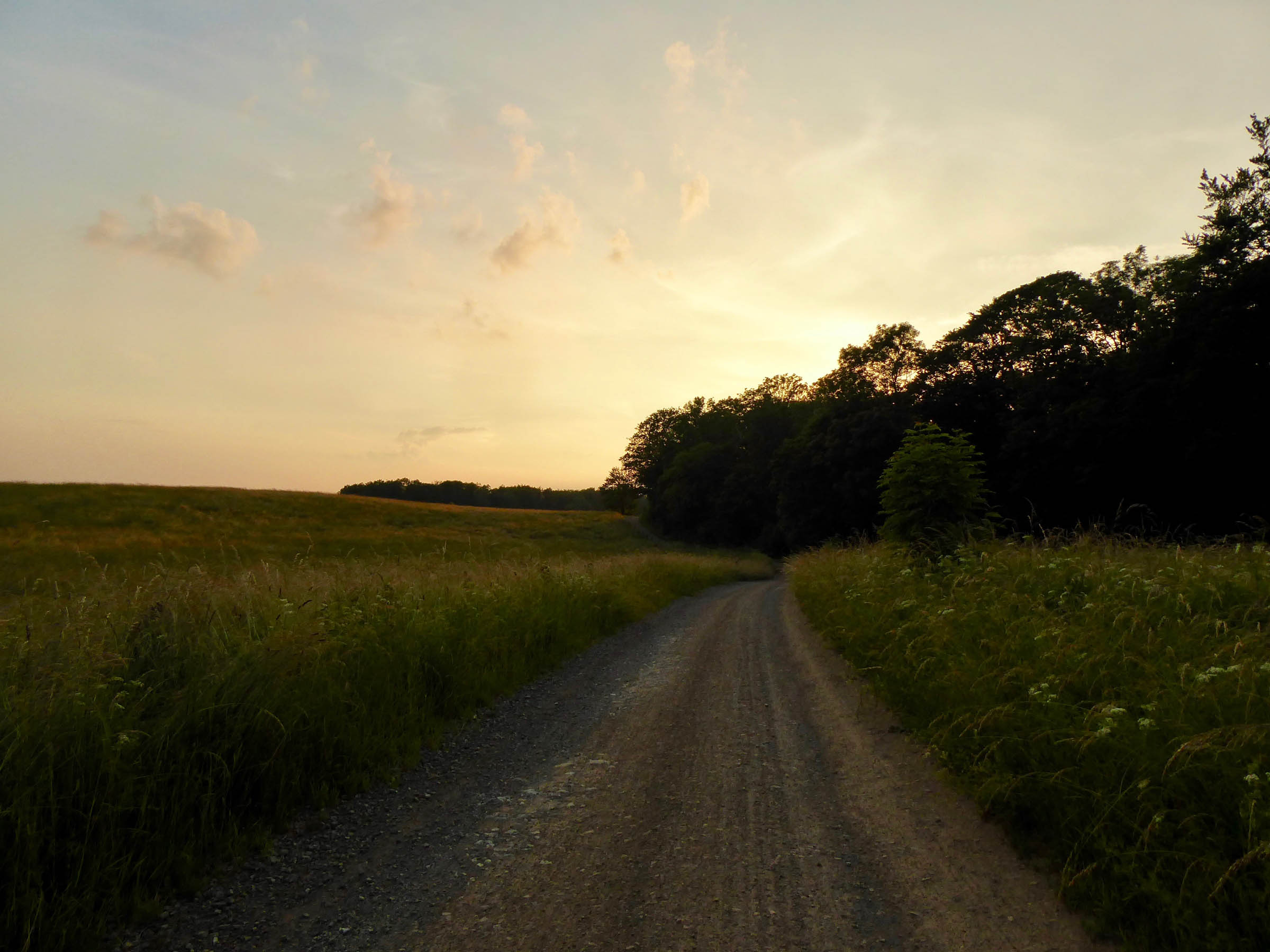
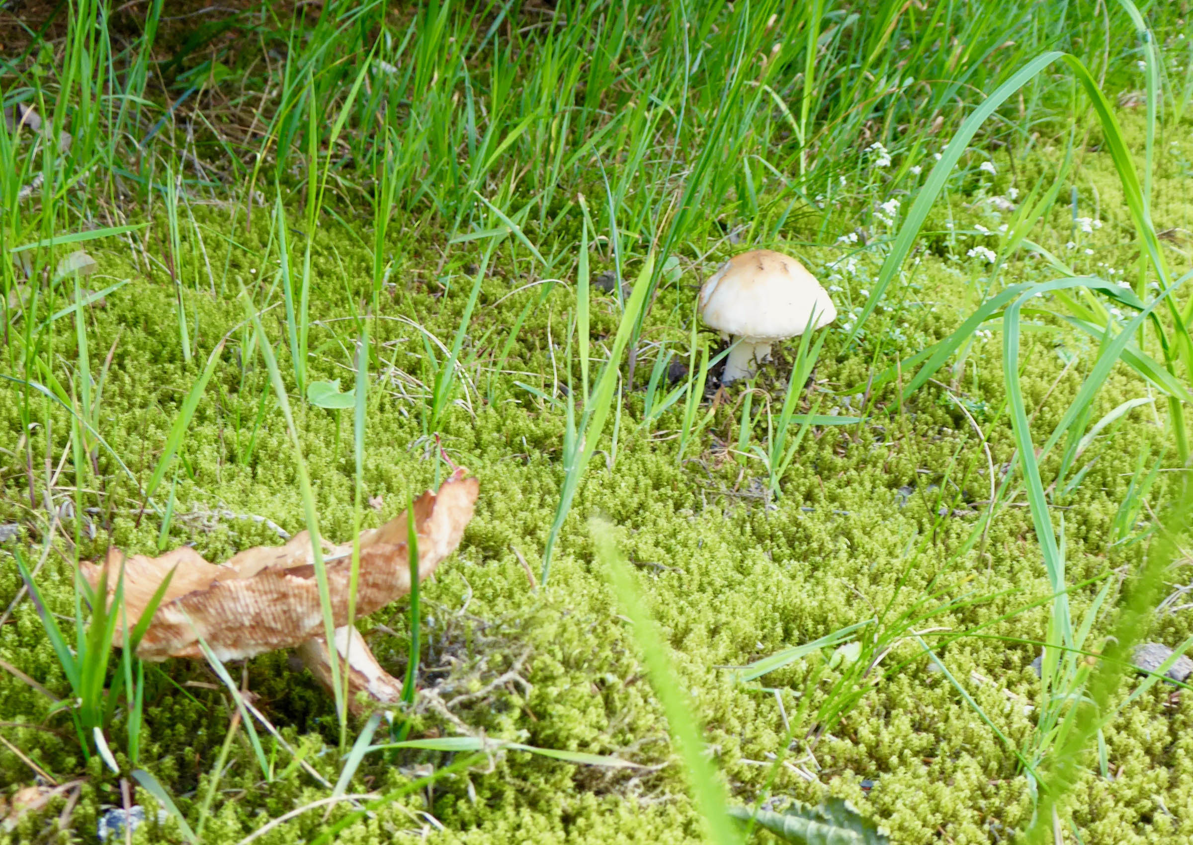
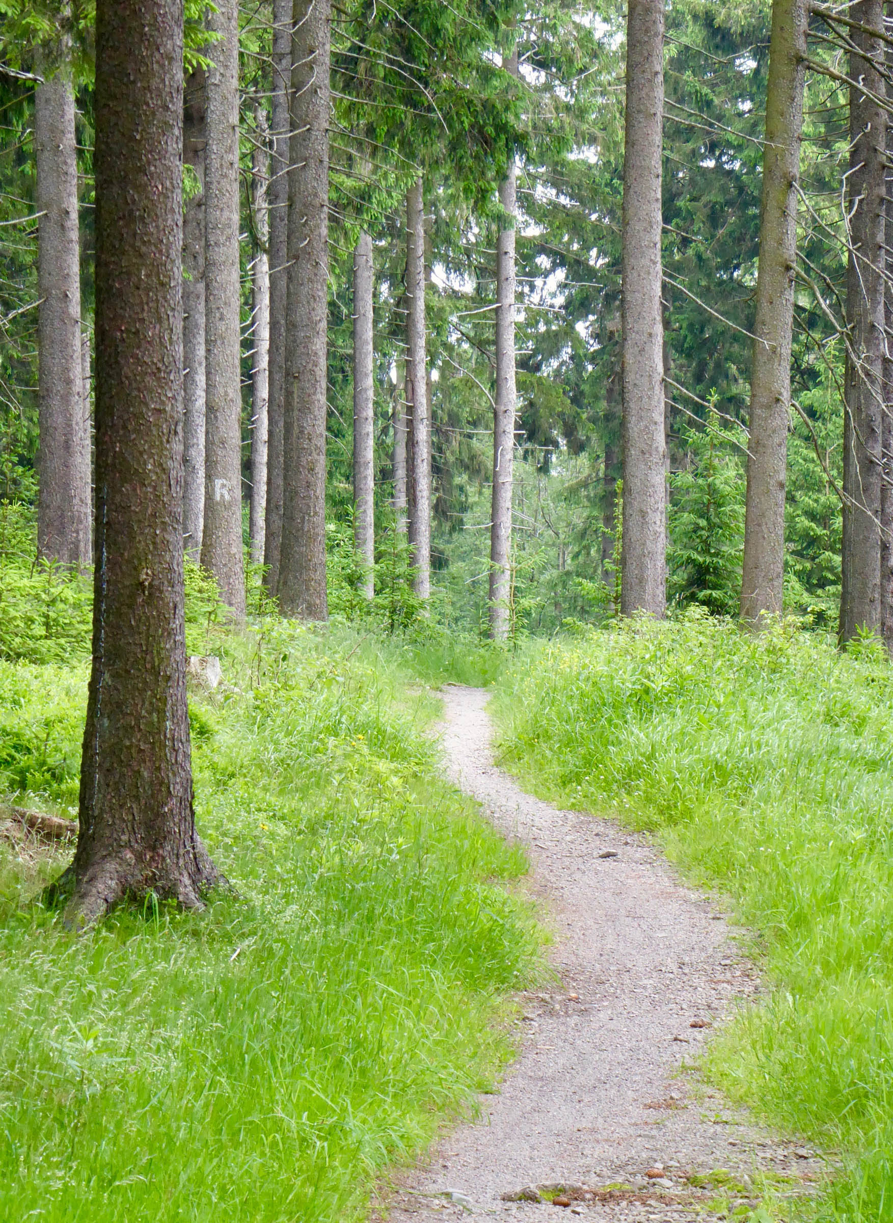
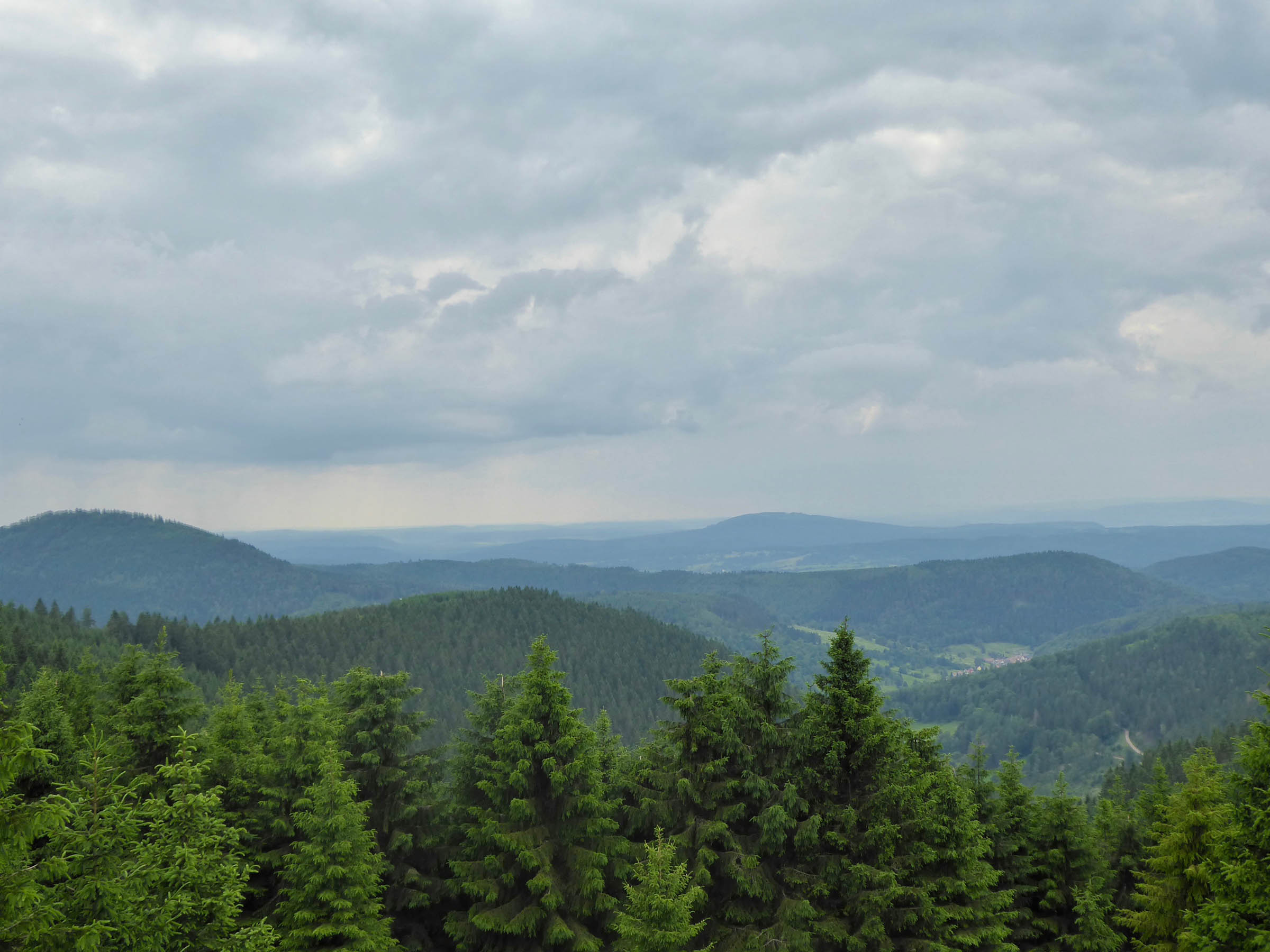
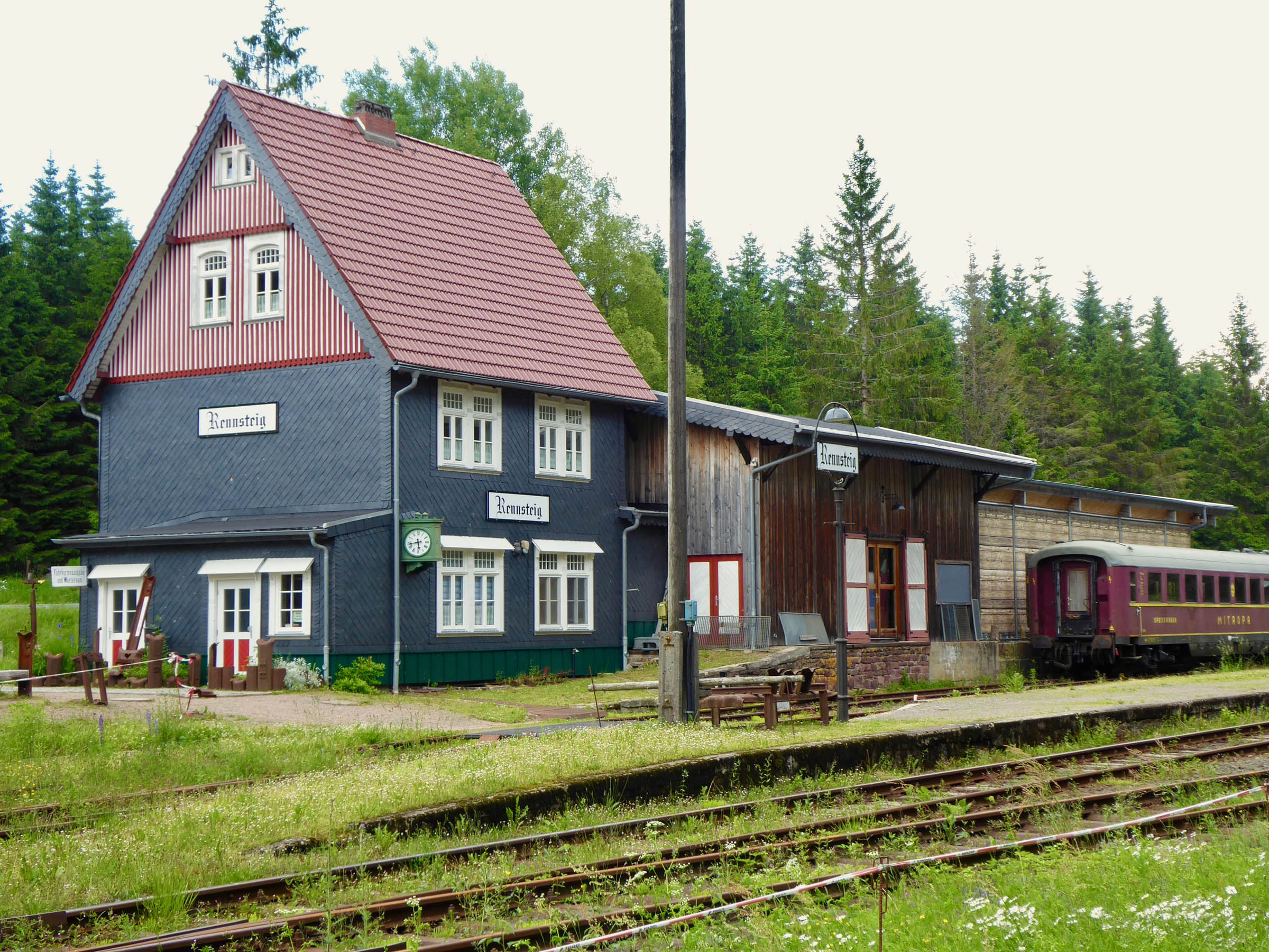
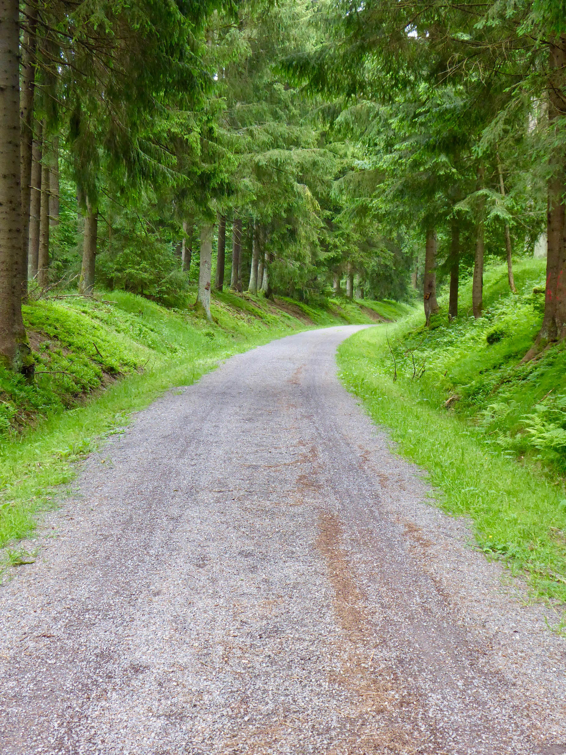
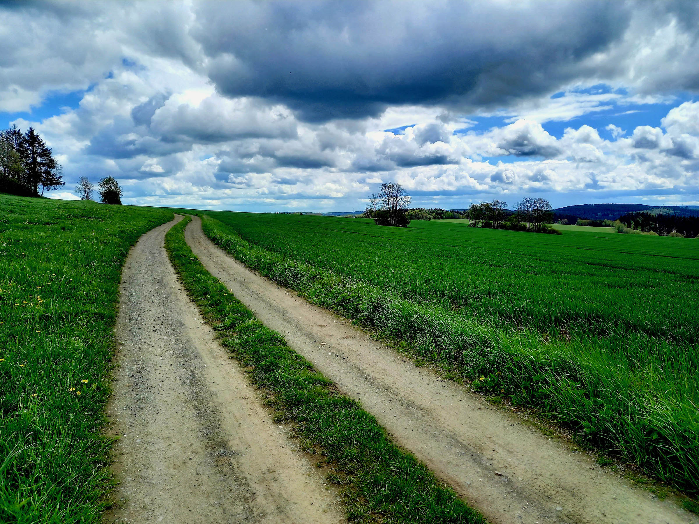
The Rennsteig is an historic hiking trail following the ridgeline of the Thüringer Forest, which makes it an ideal bikepacking adventure. Starting at the shores of the Werra river at Hörschel, tradition has it to pick up a pebble and carry it over the Rennsteig to throw it into the Selbitz river at Blankenstein for good luck. On the 175km track, you’ll pass through different types of forests, beautiful wildflower meadows, and a UNESCO biosphere reserve. The deep woods and idyllic rural landscapes are enjoyable to explore.
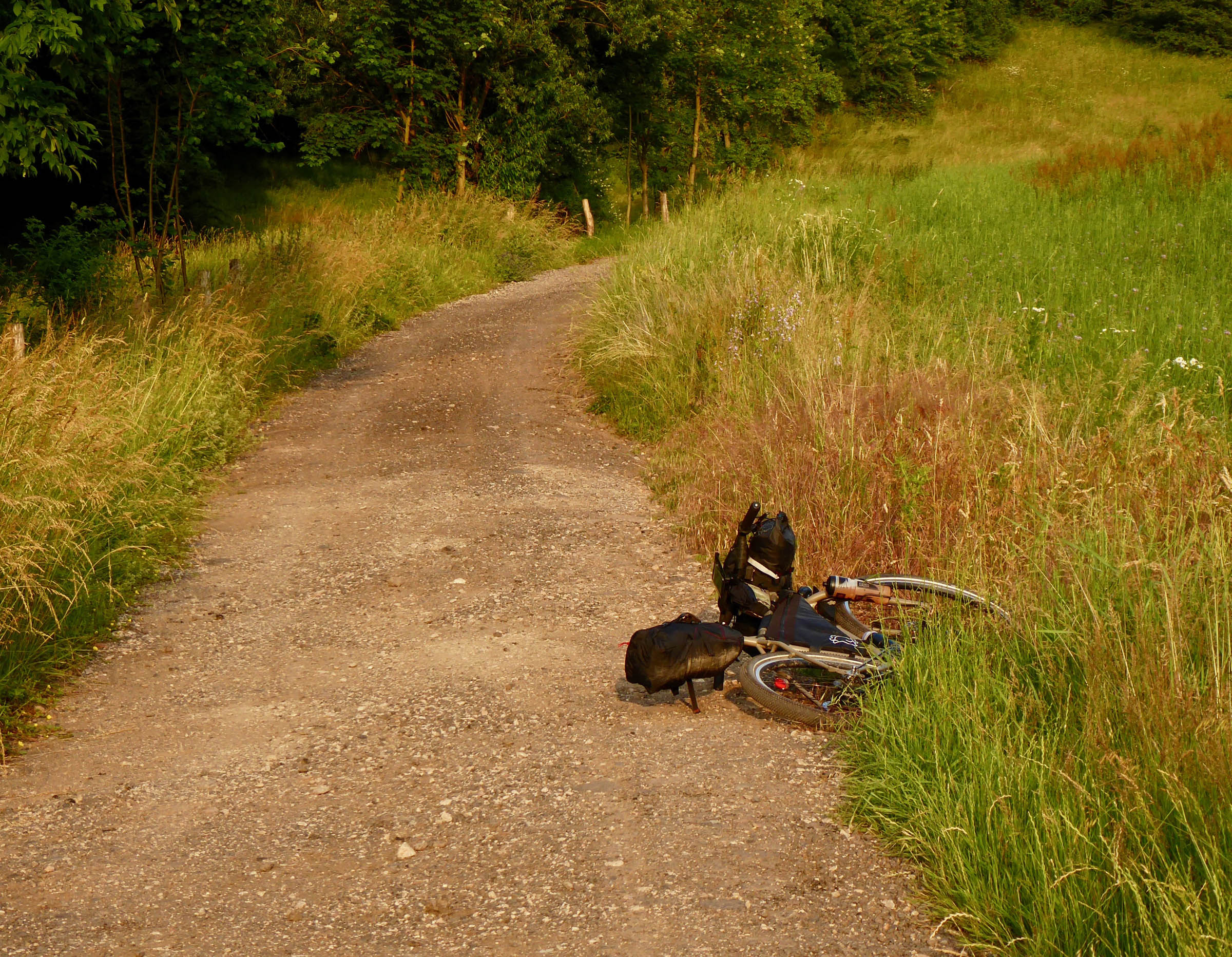
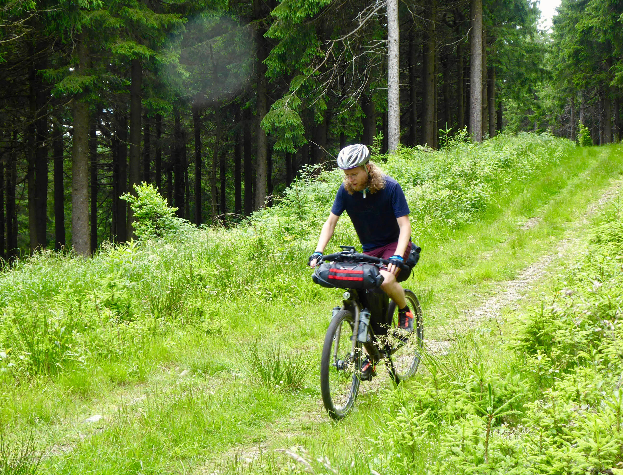
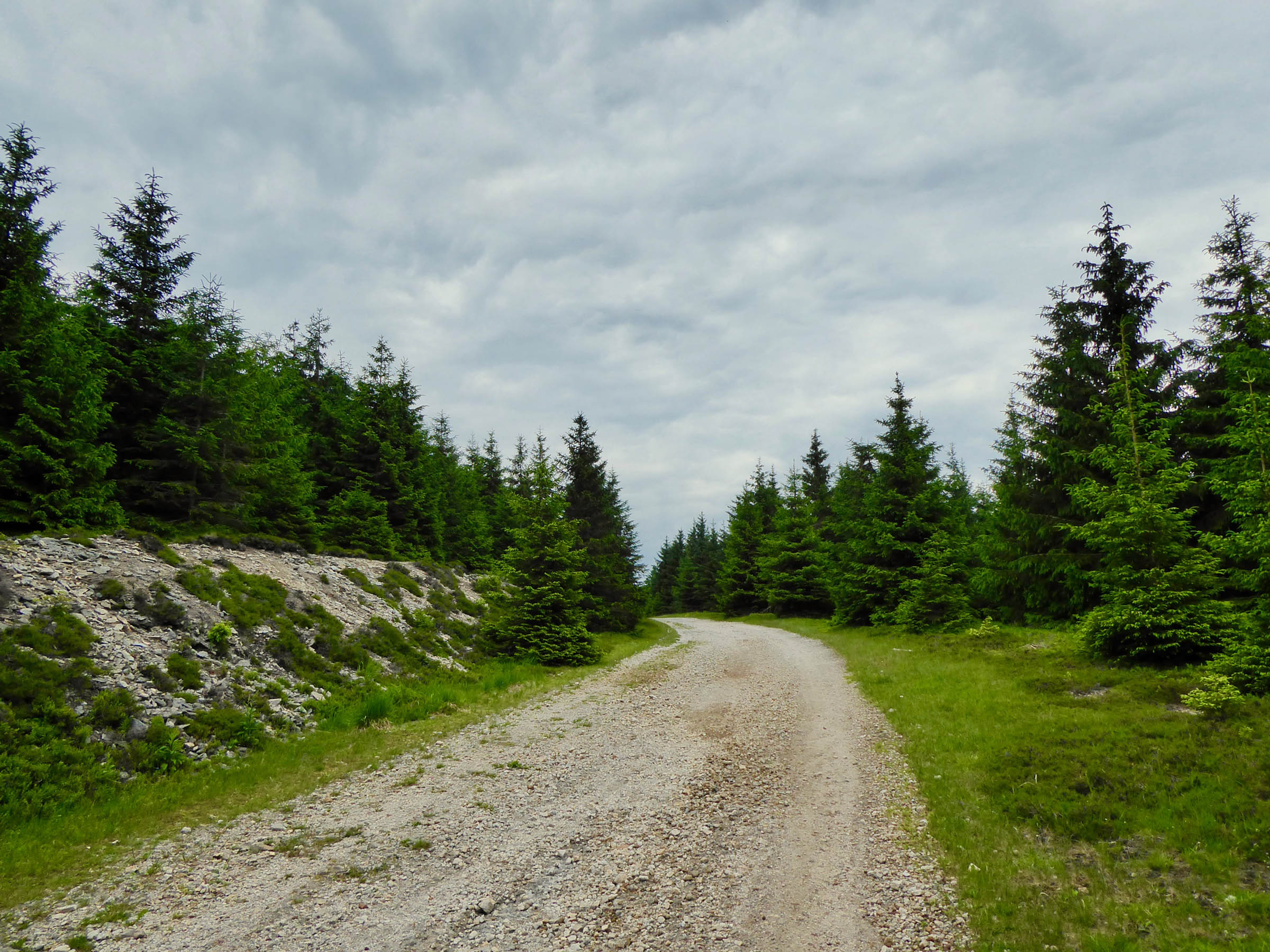
The majority of the Rennsteig is on gravel roads with a few singletrack segments. You might have to push a few times on some short and steeps ascents. The highest peak is the Großer Beerberg at 983 meters. Despite the relatively low altitude of the route, the frequent harsh and rainy weather can add a twist to the ride.
Plan to ride the Renneting for a challenging overnighter or space the route out over three days to enjoy the route to its fullest. If you have time, include an additional day to ride through the Hainich National Park, which is one of the few remaining Beechwood old-growth forests in Europe, or follow the idyllic Saale river to Hof.
Route Difficulty
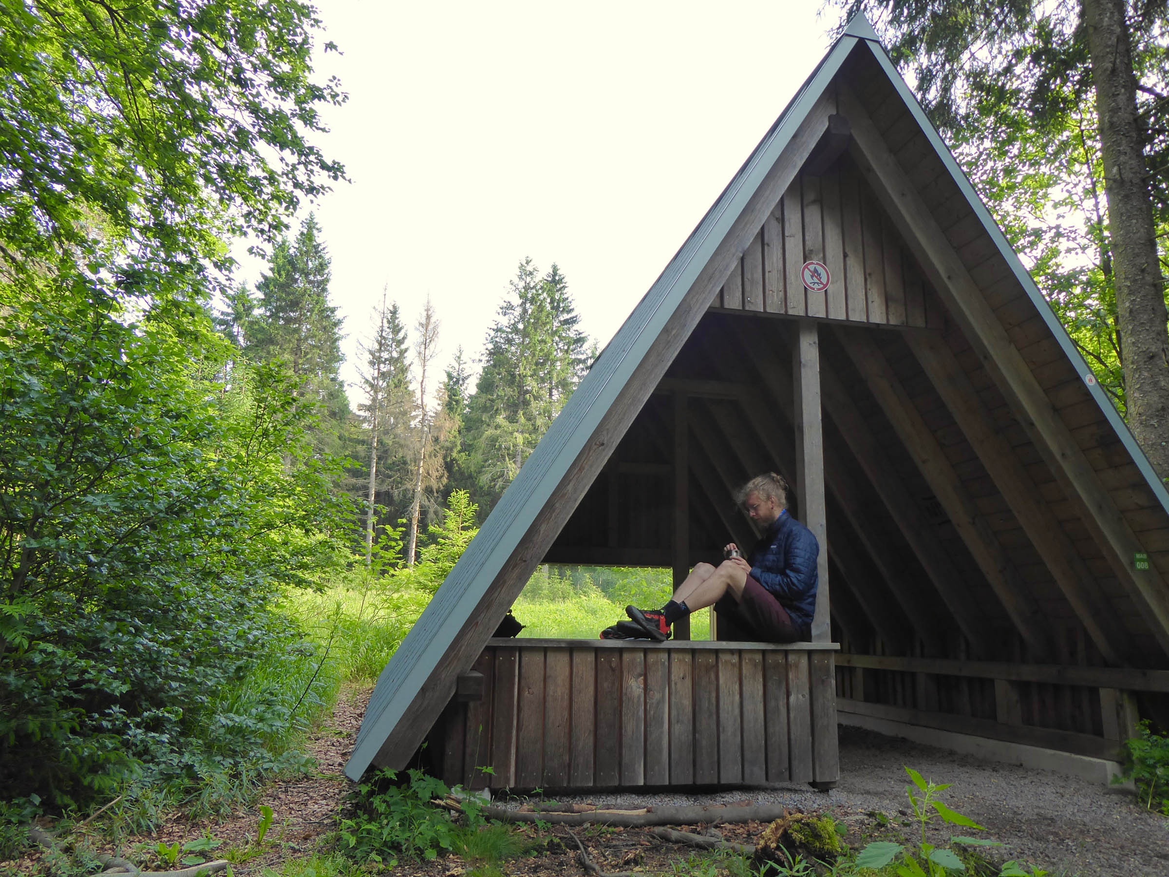
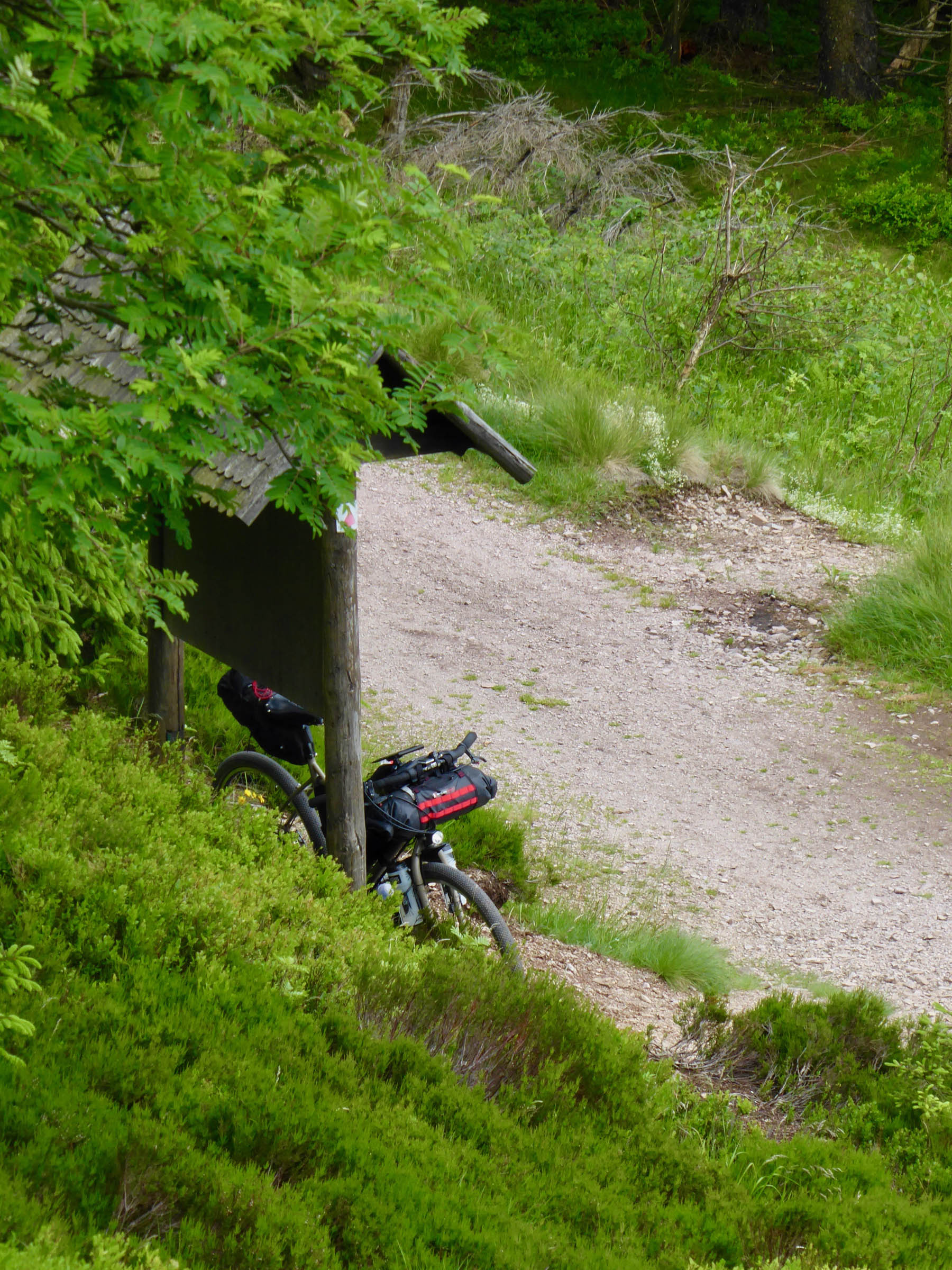
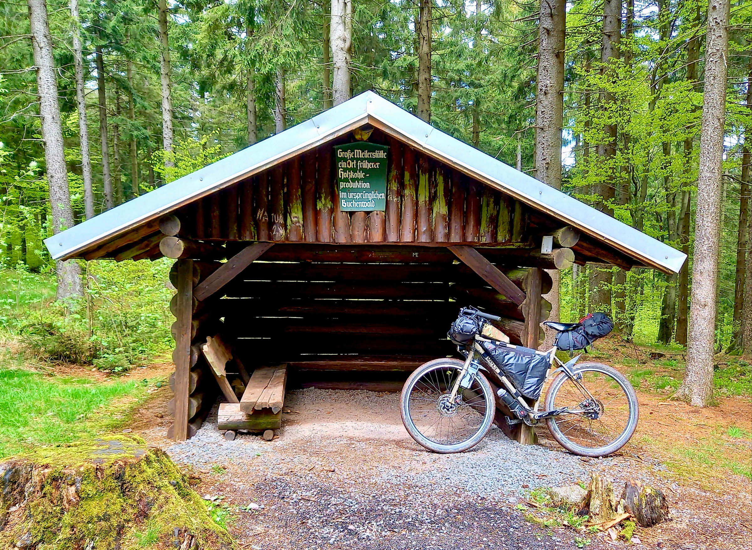
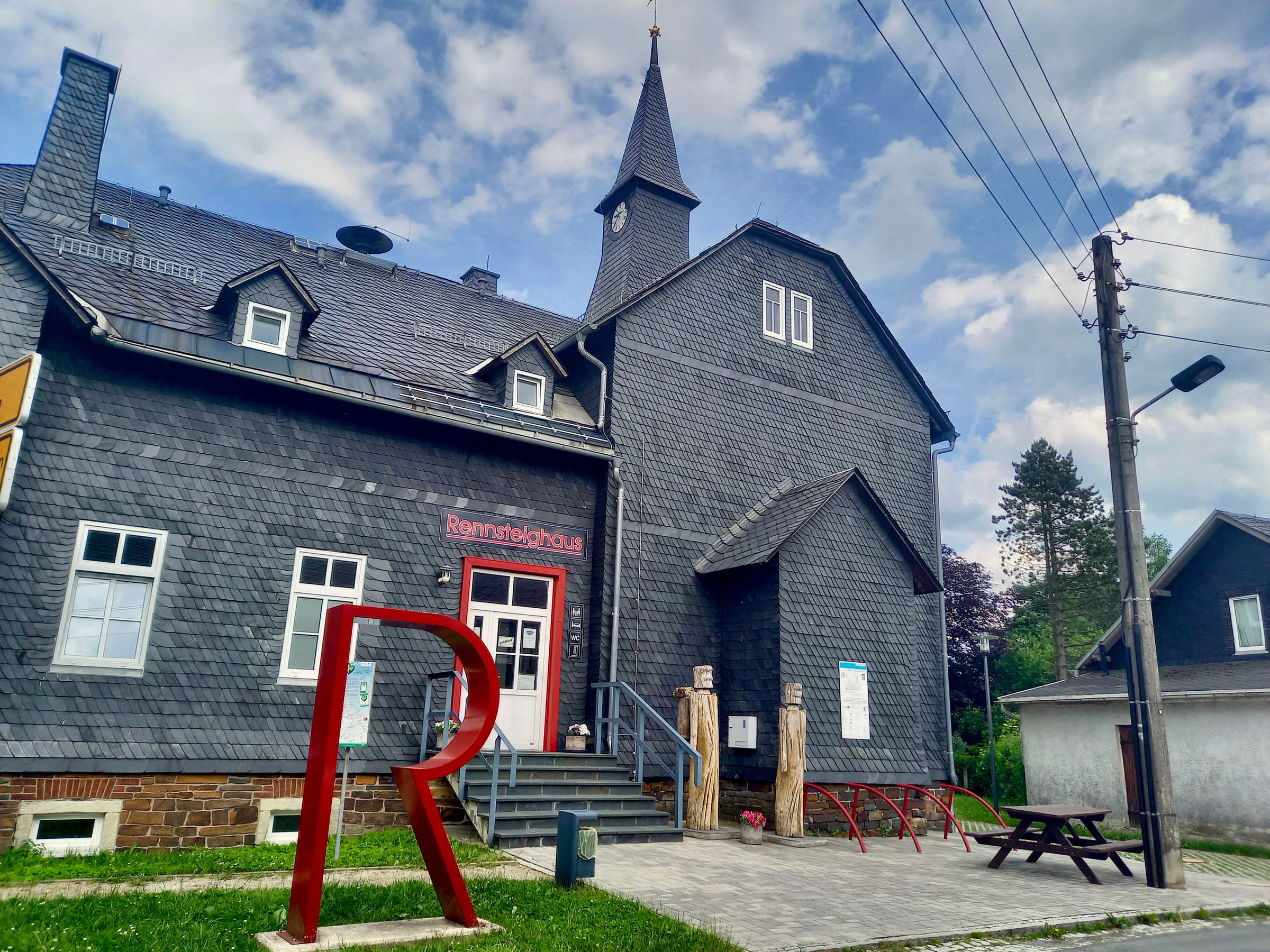
The riding on this route is mostly straightforward. However, the difficulty stems from the physically demanding climbs. The resupplies and logistics are simple because of the plenty eateries, supermarkets, and “Rennsteighäuser” with local information and facilities along the trail. One highlight are the numerous rustic wooden shelters (every 5-10km) on the route that make ideal campsites—no need to bring a tent. Both trailheads are located next to train stations for easy access. Overall, the Rennsteig earns a 4.5 in difficulty due to its accessibility but demanding climbs.
Route Development: This route is largely based on the pre-existing long-distance Rennsteig hiking trail and the Rennsteig bike route.


Submit Route Alert
As the leading creator and publisher of bikepacking routes, BIKEPACKING.com endeavors to maintain, improve, and advocate for our growing network of bikepacking routes all over the world. As such, our editorial team, route creators, and Route Stewards serve as mediators for route improvements and opportunities for connectivity, conservation, and community growth around these routes. To facilitate these efforts, we rely on our Bikepacking Collective and the greater bikepacking community to call attention to critical issues and opportunities that are discovered while riding these routes. If you have a vital issue or opportunity regarding this route that pertains to one of the subjects below, please let us know:
Highlights
Must Know
Camping
Food/H2O
Resources
- Incredible scenic views from the mountain ridgeline
- Beautiful wildflower meadows
- Sleeping in the rustic wooden shelters in the forest
- Enjoying the UNESCO Biosphere reserve Thrüringer forest
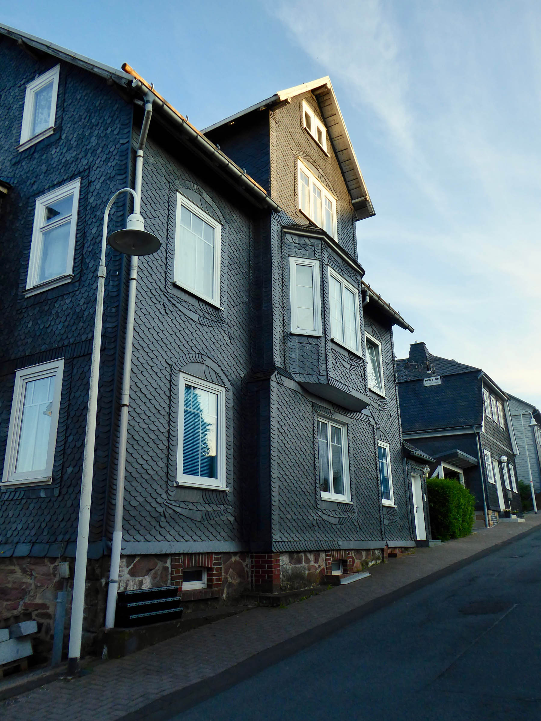
- The typical local architecture
- Crossing the former West/East German border
- Multiple watch towers for scenic views
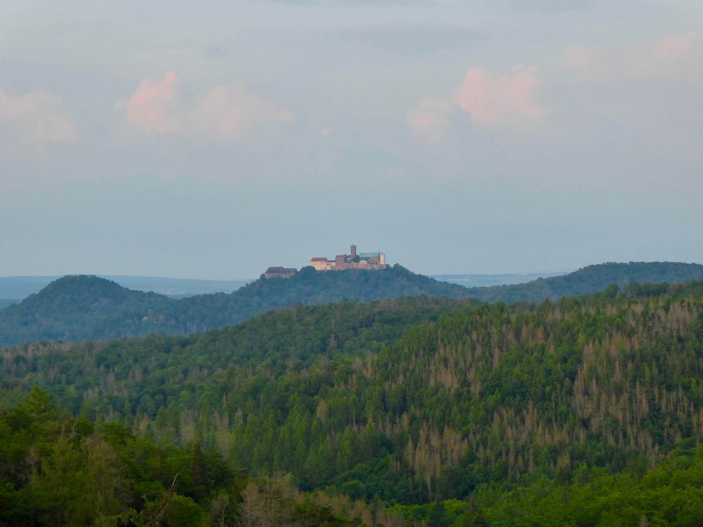
- Views of the medieval Warteburg castle
- When to go: The best time to ride this route is anytime between April and October
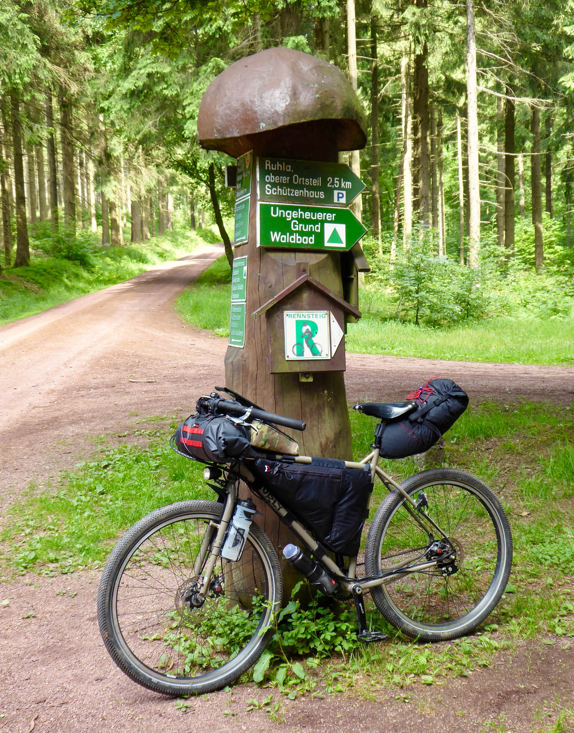
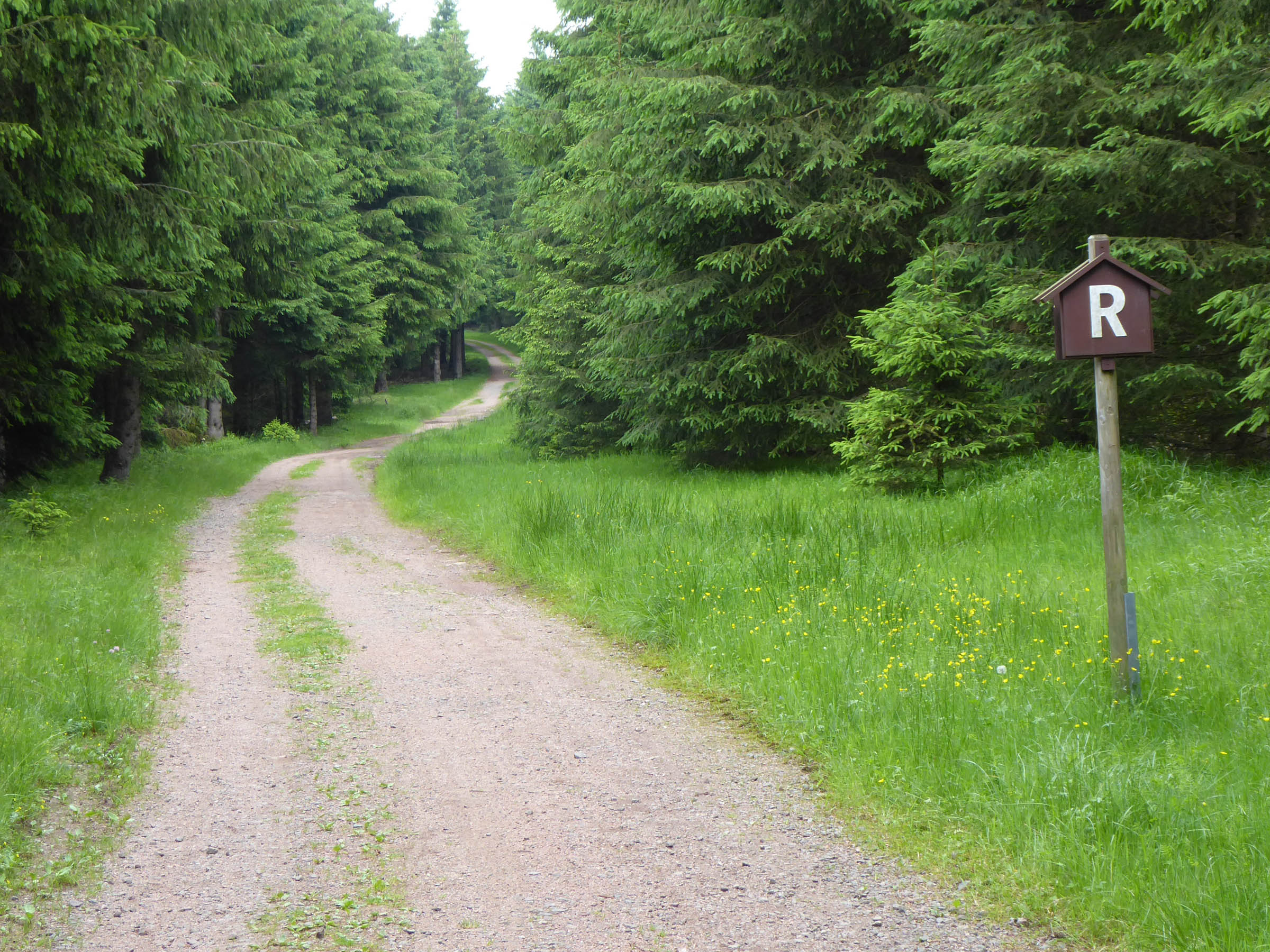
- The route follows a mix of the Rennsteig hiking trail marked by sign posts with a white “R”, the Rennsteig bike route, and diverges some times for the most fun riding experience.
- The few mellow singletrack sections are fun to ride, but they can also often be avoided by taking the nearby road.
- There are a few paved sections on rural roads.
- The route can be ridden in both directions, and the reverse direction can save you a bit of climbing.
- Both trailheads are next to train stations and easily accessible
- Take precaution, yield for other trail users and give hikers right of way
- Leave no trace behind!
- Frequent harsh and rainy weather can add a twist to the ride
- Countless rustic wooden shelters (Schutzhütten) every 5-10km are ideal for sleeping. There is no need to bring a tent! During high season, some shelters can be fully occupied, but the next one is usually not far.
- Several Rennsteighäuser along the route offer information, toilets, and even showers!
- Be mindful of your impact on the environment
- Resupply is aplenty on this route. There are lots of guesthouses, cafes, and supermarkets. Remember that on Sundays and holidays stores are closed in Germany.
- There are a few springs to refill water, and most locals are also happy to provide tap water.
Additional Resources
- Rennsteig Official Website: rennsteig.de
- Rennsteig Trail Guide (book): mein-rennsteig.de/prospekte/rennsteigkarte/
- Thüringer Website: naturpark-thueringer-wald.de
- Bahn Trains and Booking: bahn.com


Terms of Use: As with each bikepacking route guide published on BIKEPACKING.com, should you choose to cycle this route, do so at your own risk. Prior to setting out check current local weather, conditions, and land/road closures. While riding, obey all public and private land use restrictions and rules, carry proper safety and navigational equipment, and of course, follow the #leavenotrace guidelines. The information found herein is simply a planning resource to be used as a point of inspiration in conjunction with your own due-diligence. In spite of the fact that this route, associated GPS track (GPX and maps), and all route guidelines were prepared under diligent research by the specified contributor and/or contributors, the accuracy of such and judgement of the author is not guaranteed. BIKEPACKING.com LLC, its partners, associates, and contributors are in no way liable for personal injury, damage to personal property, or any other such situation that might happen to individual riders cycling or following this route.
Please keep the conversation civil, constructive, and inclusive, or your comment will be removed.